
| Date | 8/27/2025 |
| Location / Trail | Old Baldy Trail, Plaza Creek Trail - 502, 506 |
| Weather | Sunny but not too warm |
| Hiking Buddies | Thor |
| Start / End | 9:15 AM – 1:25 PM |
| Distance / Elev | 7.8 miles 2600 ft elevation |

Since it was supposed to be warm, I decided to head out a bit early. The plan was to start at the access point about a mile past the last Fanton trail access point on 4614 – very close to where the Eagle Creek cutoff trail comes in. We parked and I got suited up while Thor explored the area, impatiently waiting for me to start hiking. We headed out and very shortly, right after the junction of the Eagle Creek cutoff trail to the east, we encountered the first challenge of the day – this portion of the trail had to be the old indian route – it went straight up the hill and was STEEP:
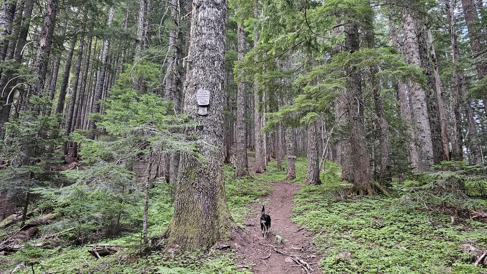
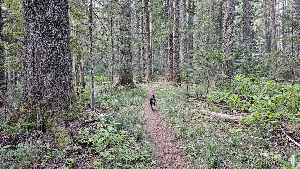
Once we made it up the initial steep section it was pretty level for a bit – some beautiful forest:
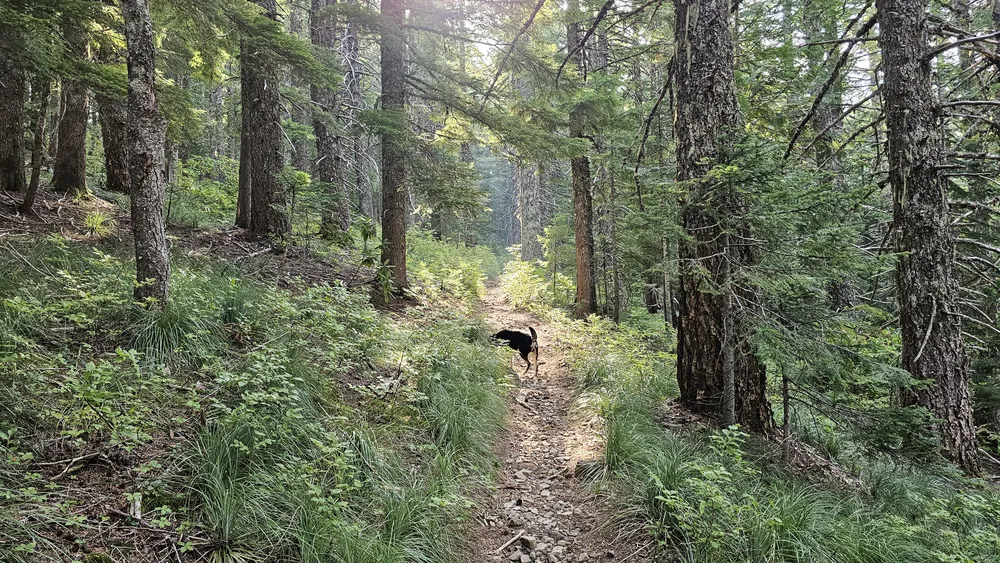
As we were walking, the sun broke thru the trees and I had to take a picture of it – it was a gorgeous day:
We passed the junction with the Fanton trail and continued up to the saddle where the trail over to Squaw/Tumala mountain is. As we were heading up towards the saddle, I noticed there had been a re-route of the trail – this was the top end of the re-route:
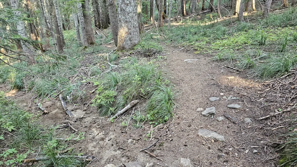
The only reason I could see for the re-route was because the old route was kind of deep in places – either thru horses over the years or erosion from runoff, some places were a bit deep – but it wasn’t far from the current route. I now know why we’ve had challenges in this area in the snow – it was hard to determine where the trail was – it was in two places!
We soon got to the junction – it was still early so I thought we could probably make it to the east end of the trail, turn around and then go up to the top of Squaw/Tumala mountain for lunch. So, we took the turn and headed down the switchbacks to continue on Old Baldy. Somewhere on the switchbacks, I was a bit surprised to see evidence that horses had recently been on this trail:
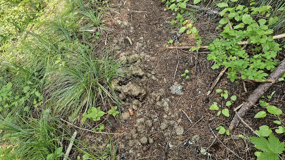
Maybe that is why it was in such good shape – but I didn’t really see evidence of any recent cutting.
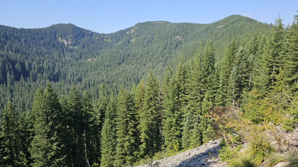
Once we got done with the switchbacks, the trail grade mellowed out quite a bit – we did go up and down a bit, but it was pretty easy. At some point along this segment, there is a rockslide that gave us a bit of a view down into the Squaw/Tumala lakes basin:
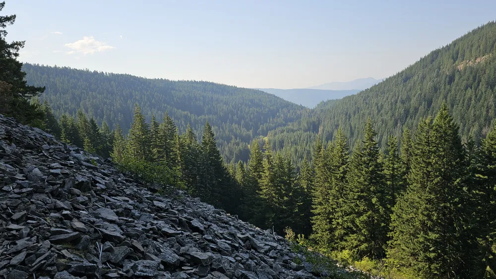
And I had to take a picture of Thor on the rockslide too:
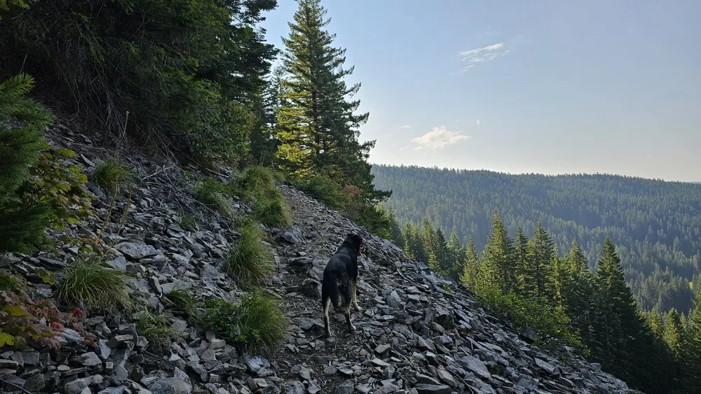
We stopped here and I flew the drone over the lakes. here is the video of that along with my trip around Squaw/Tumala mountain:
After flying the drone over the lakes and putting it away, we continued down the trail. It was pretty easy going the rest of the way. This is what the trail looked like as we were approaching the east end of the trail:
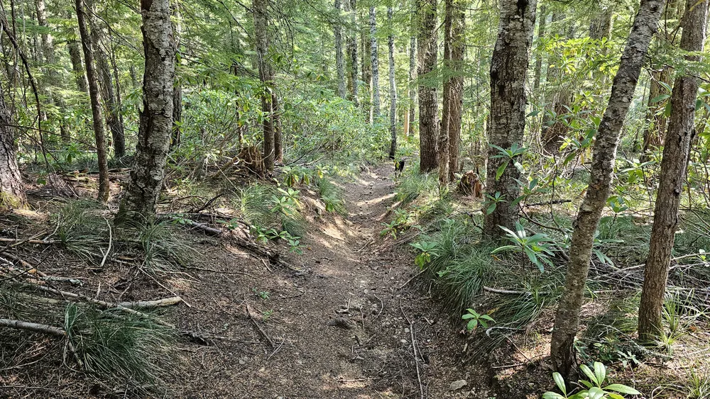
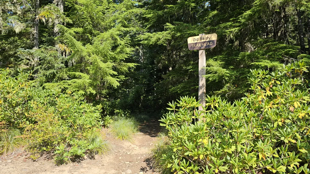
And here is the trailhead sign:
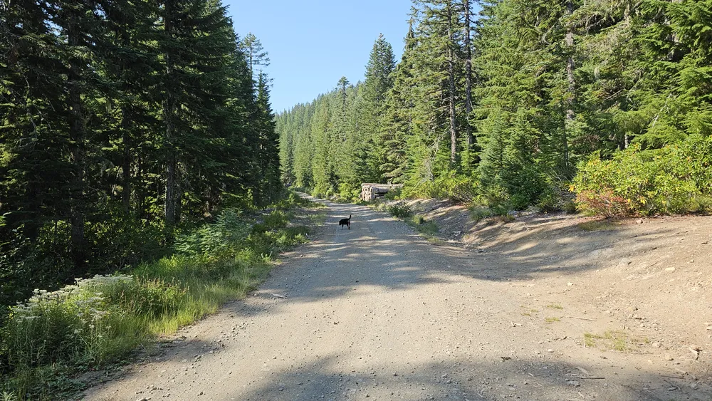
We walked out on 4610 – it looks pretty much as I remember it, but the brush is starting to grow back after the big brushing that was done during the 2020 fires:
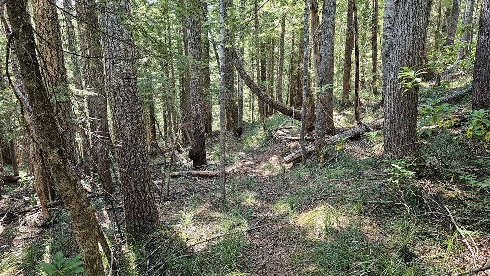
I thought I’d walk up the road to the abandoned Twin Springs campground and poke around the beginning of the Plaza Creek trail. I have only hiked that trail one time, and we weren’t able to follow it to the bottom – that was way back in 2011! I thought I’d poke around a bit. We walked down into the campground and wandered around the old roads in there. I forgot how big that campground used to be! After wandering around a bit we finally found the trail taking off from a road at the bottom of the campground. Since it was still early, I decided we could spend a few minutes exploring at least part of the trail just to see what it looked like. This was the beginning of the trail – not too bad:
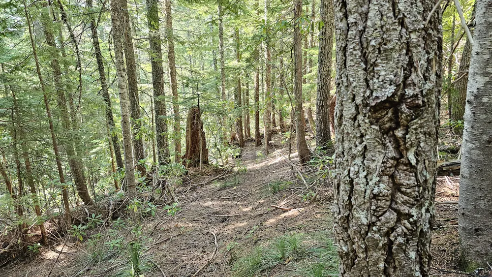
A bit further down the trail there was an old blaze right next to the trail:
We went down to the first creek crossing which was about a third of a mile down the trail. This is the first creek crossing:
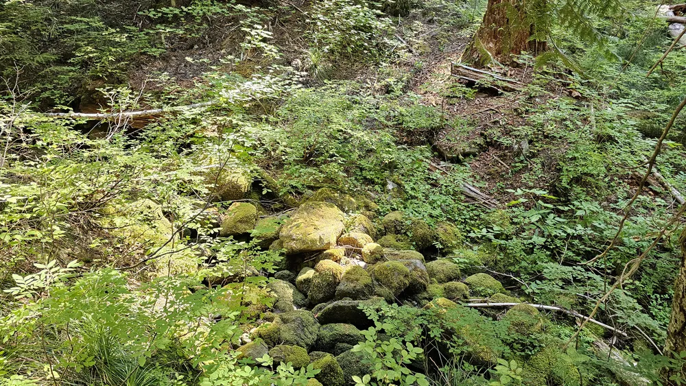
After that I was getting hungry and wanted to have lunch up on top so we turned around and headed back. It didn’t take too long to get back to the road and then start back up Old Baldy. When we got to the rockslide area (where I flew my drone earlier), we got a good view of our next objective – Squaw/Tumala Mountain:
We worked our way back up the switchbacks (which weren’t as bad as I was expecting them to be) and soon got to the junction. We took a left turn and continued up towards the top:
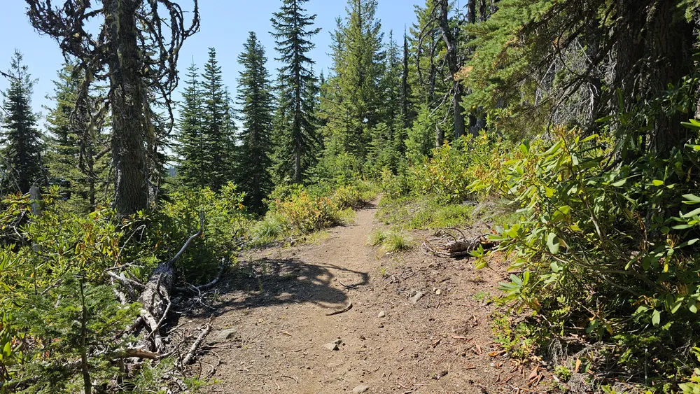
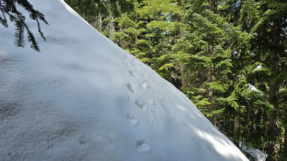
Since I’ve done this many times in the snow, it is interesting for me to compare snow vs no snow. I’m pretty sure this is the same spot in the snow:
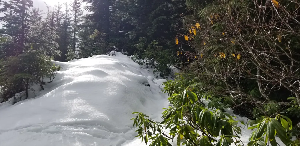
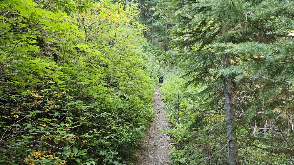
We continued up and on the last area below the 180 spur which takes you up the last little bit, I recognized a couple of spots when we came up here in the snow – they are always difficult to traverse. Here is one of the spots:
And here is what I think is the same spot in the snow – the snow was pretty deep:
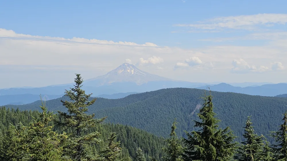
We soon made it up to the road and then up to the old lookout location. You still get good views in a few directions – you get a good view of Mt Hood:
But Mt Jefferson is behind a bunch of trees unfortunately. We stopped here, had lunch, and I flew my drone again – I will be editing those videos and posting them here shortly as well.
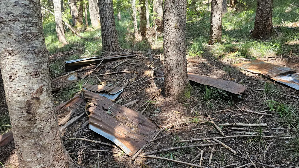
After eating, flying and enjoying the beautiful day, we packed up and headed back down the trail. We made pretty quick work of it. Just past the junction where Old Baldy continues east we came to this pile of rusted metal and wood – I’m not sure what it was (I didn’t see it on the way up). It would be interesting to know what it was – seems like kind of a weird spot for a building:
After looking at that “whatever it was” for a few minutes, we continued down the trail. It was a pretty easy trip back – only a couple of short steep uphill sections. One thing I’ve noticed is that the Old Baldy trail east of the Fanton trail seems to have gotten more of a “Forest Service” treatment (gentler grades, switchbacks, etc) while the trail west of the Fanton feels more like an old indian trail. More direct, more ups and downs.
It was a fantastic day in the woods – the weather was gorgeous and the length of the trip was just about right. I’m loving retirement and being able to do trips like this during the week!