
| Date | 7/9/2009 - 7/11/2009 |
| Location / Trail | Bull of the Woods Wilderness - 559, 554, 555, 558, 557 |
| Weather | Sunny |
| Hiking Buddies | Carly |
| Distance / Elev | Approximately 30 miles 5500 ft elevation |

- Day 1 – 11 miles, plus about 1600′ of elevation gain in the last 2 1/2 miles
- Day 2 – 10 miles – not too bad, but still a good day.
- Day 3 – 6 miles out (with backpacks) and then another 3 (without packs) up to the Gold Butte lookout.
This was a different trip than many I have taken with my daughter. In the past, we have backpacked in to a base camp, and then day hiked around to explore areas. This time, almost all of the mileage was with our backpacks on.
Day 1 was quite a killer day, especially since the last 2 1/2 miles was all uphill. 3 creek crossings (a new experience for me with a backpack),
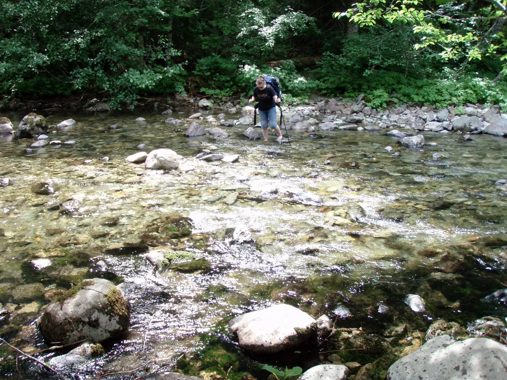
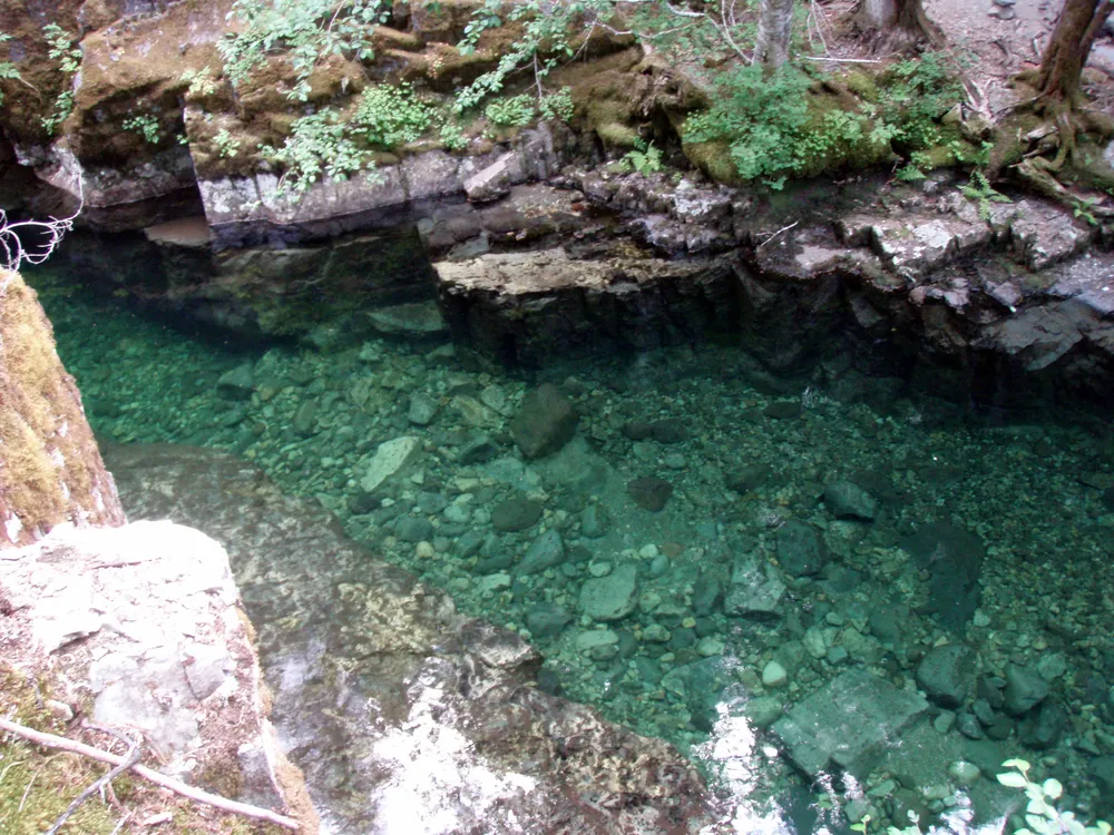
unable to find lower Welcome Lake (where we had planned on camping) and major mosquitoes at the upper lake campground made for a tough day. We didn’t get there until about 7pm. It is a very pretty trail, however.
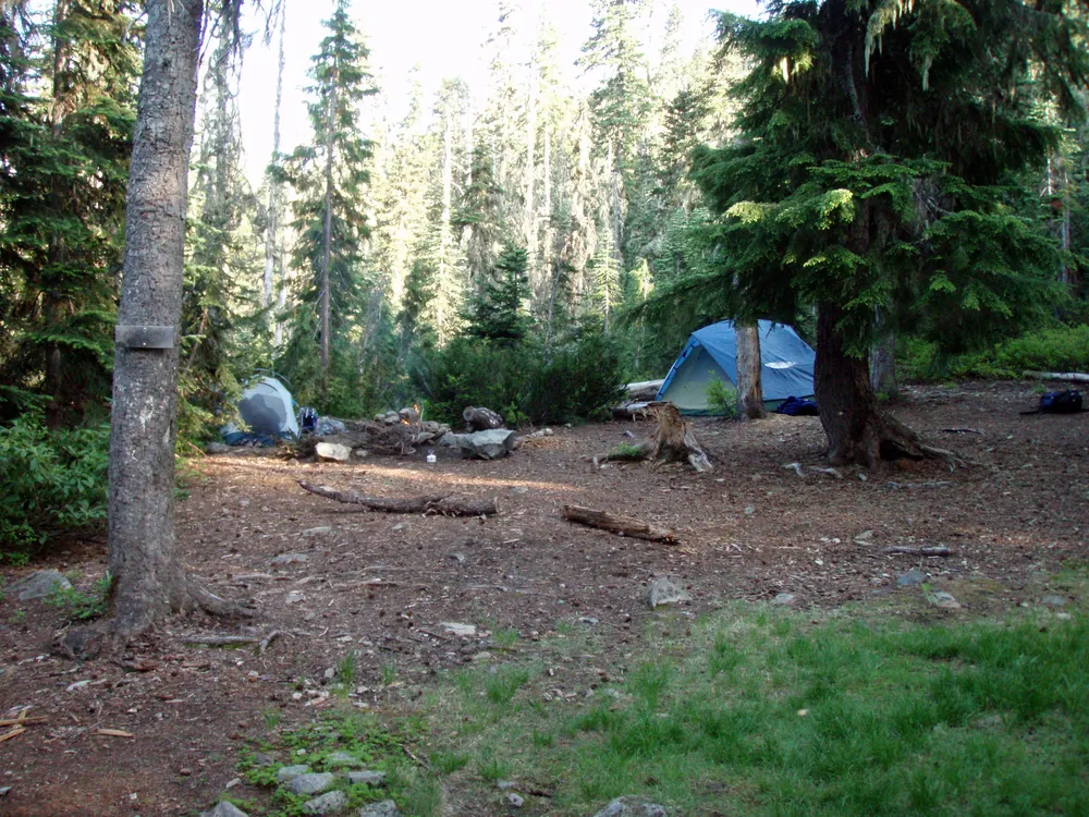
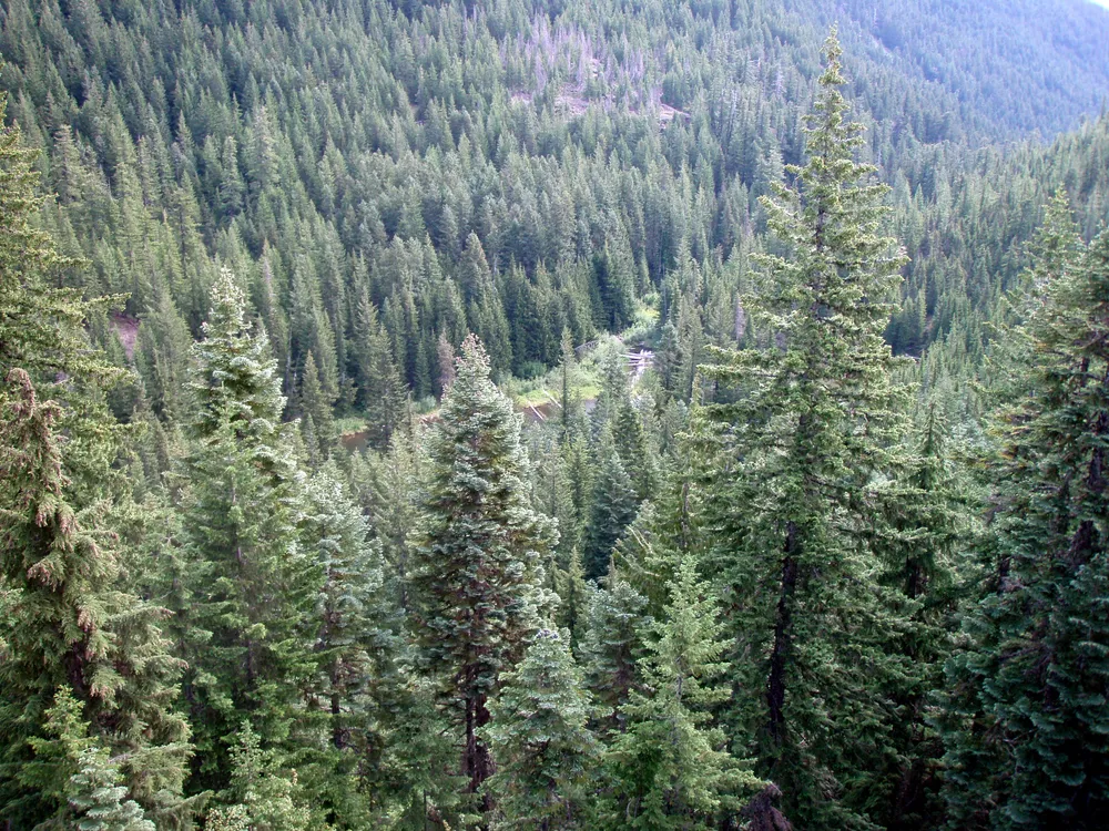
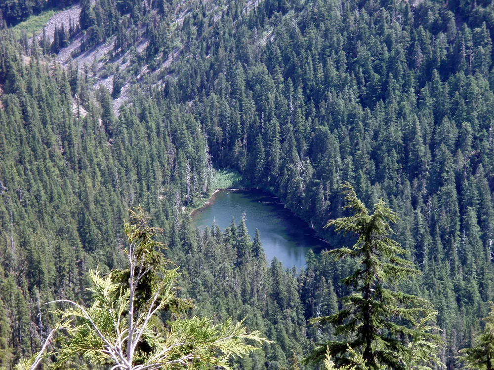
Day 2 – We started out by going back to look for the cutoff to lower welcome lake. We ended up finding it, however there wasn’t much of a place to camp, and you couldn’t see much of the lake due to the vine maple growing up around it. After eating breakfast and finding the lake, we set out on the West Lake way trail, bypassing the end of the Welcome Lakes trail. We saw a beautiful overlook, and saw West Lake,
which there is no trail to. It is several hundred feet below the trail.
After enjoying the view for a few minutes, we then headed over to the junction with the Schreiner trail, took that up the side of the mountain (a bunch of switchbacks) to the junction with what I think was the beginning of the Mother Lode trail. After a half mile or so, we dropped our packs and took the cutoff up to the Bull of the Woods lookout.
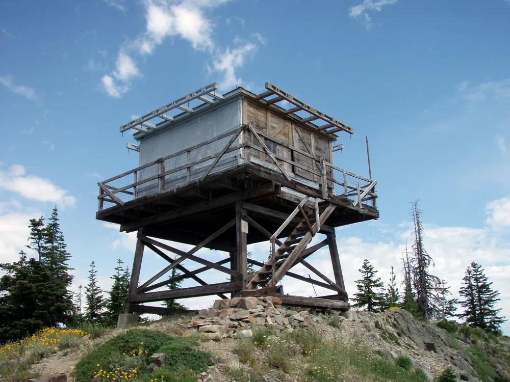
What a beautiful view from up there! The wildflowers were in full bloom, and most of the mountains were clearly visible.
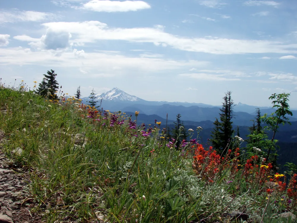
We got a good view of Big Slide lake, where we camped a few years ago, as well as all the other peaks around.
After a half hour or so of resting and enjoying the view, we hiked back down, picked up our packs and continued on the Mother Lode trail. We came to the junction with the Pansy Lake trail, and continued south. We crossed a few more creeks, although none of these we had to get wet on (too bad, since the cool water felt REALLY good on some tired feet!). We came through a narrow canyon where Motherlode creek gets very narrow and deep. There was a cool campsite on the east side of the creek, but someone was camped there. We continued down the trail and the clouds started gathering and we were concerned that we would be getting thundershowers, so we ended up making camp at the last Motherlode creek crossing (right near the junction with the Geronimo trail). It ended up being a great idea, since it was a very nice campsite, and the creek lulled us to sleep.
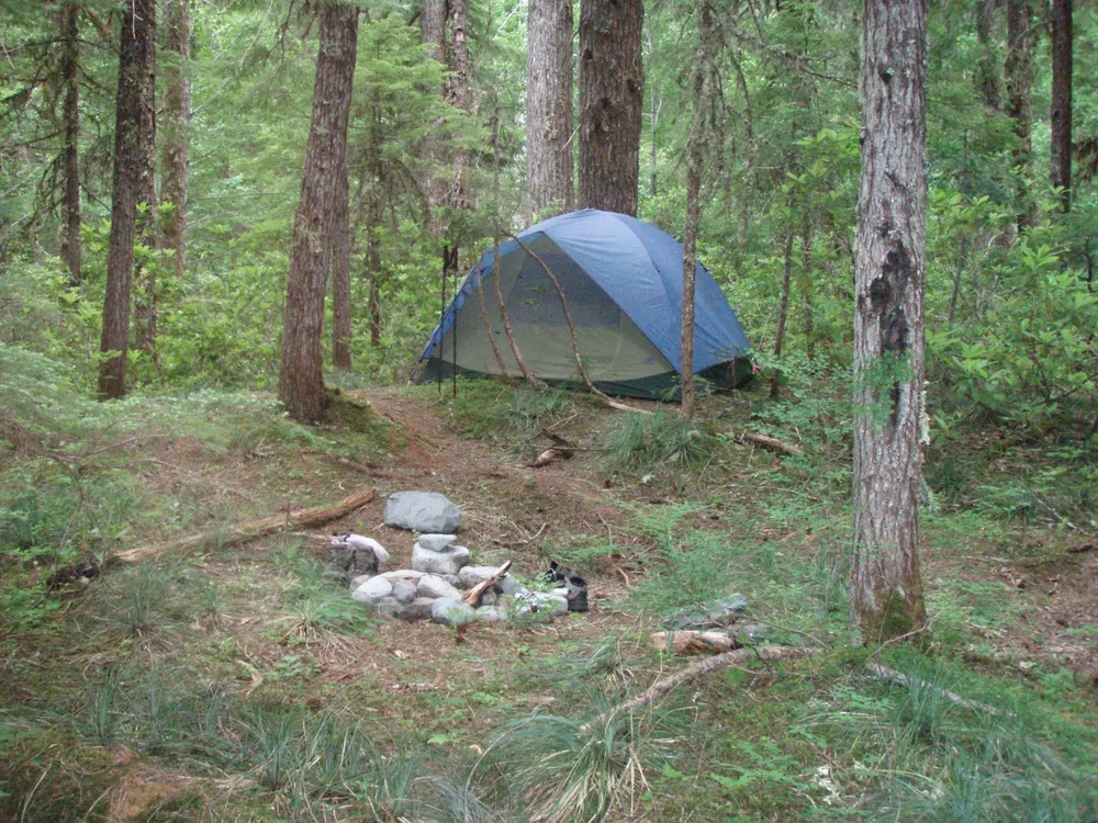
Day 3 – We started out by having breakfast and breaking camp. Just past our camp is the Geronimo trail, an abandoned/unmaintained trail that is VERY steep, although it is a great shortcut through the wilderness area. We wanted to see the old Geronimo mine, which was only up the trail about a quarter of a mile. We found the site, and what we think was the old mine shaft, but after all this time, there really wasn’t much to see.
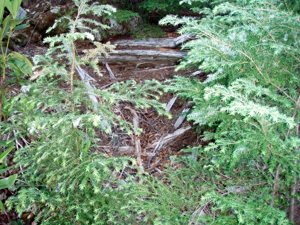
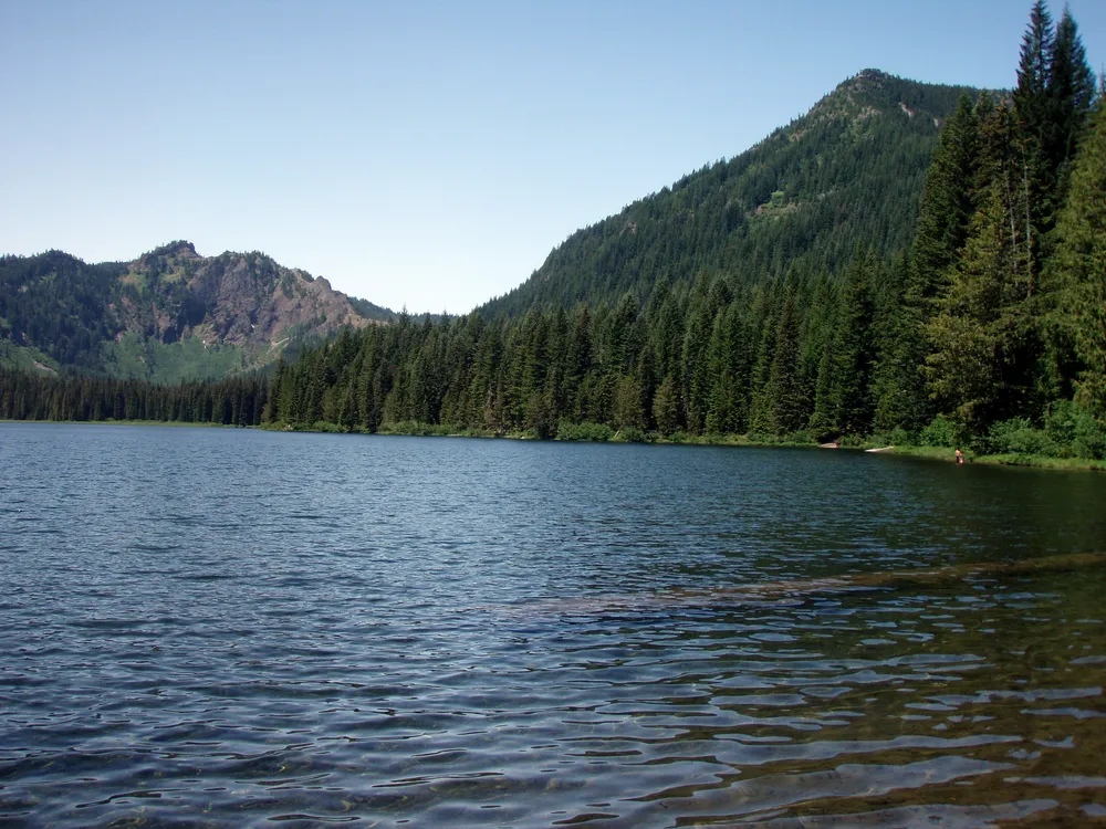
We continued on down the trail, crossing Battle Creek just before we got to the old Battle Creek shelter area where we were originally going to spend the second night. We passed through and took the trail back the lake and the truck. We got back to the truck a little before noon. We then ate a little bit and enjoyed soaking our feet in the lake before we left.
On the way home, we decided to stop and see the Gold Butte lookout, since it was right on the way home. It was supposed to only be a mile to the lookout, but it was a mile and a half each way, and it was several hundred feet up in the hot sun. Even though we were tired, we ended up making it to the lookout (which is available for rental).
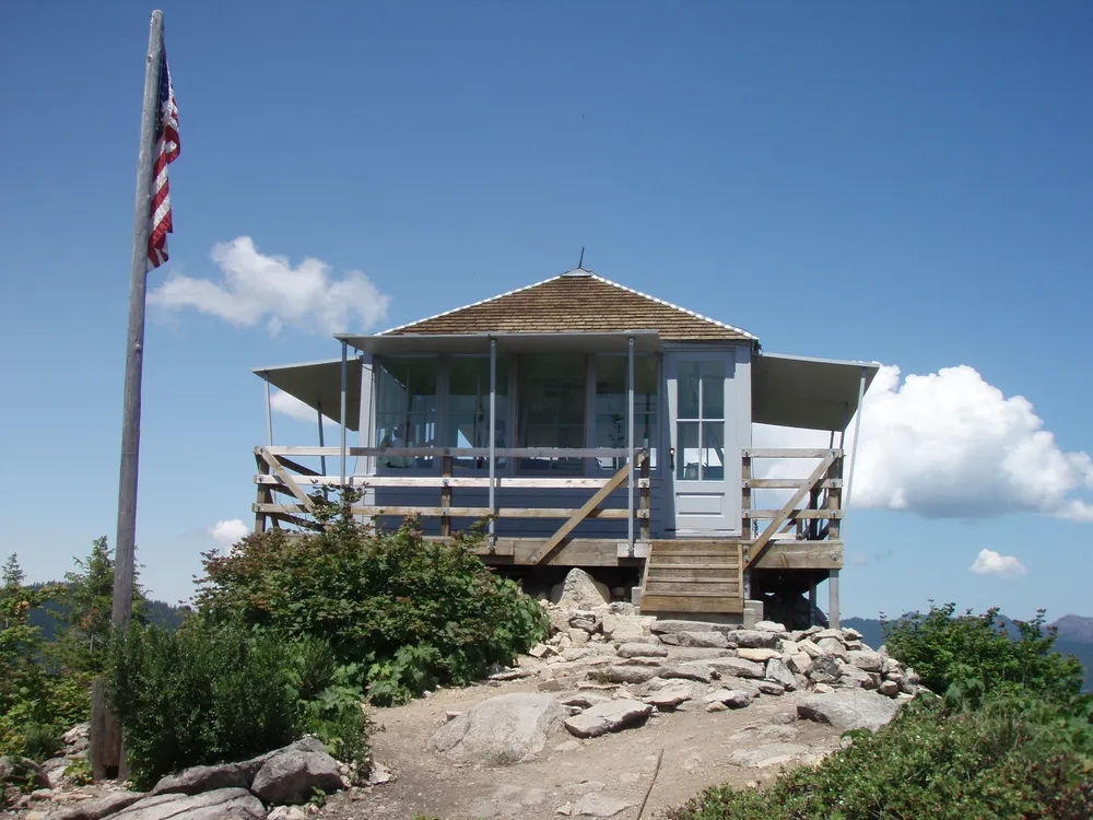
The view from the lookout is one of the best views I’ve ever seen! It was absolutely incredible.
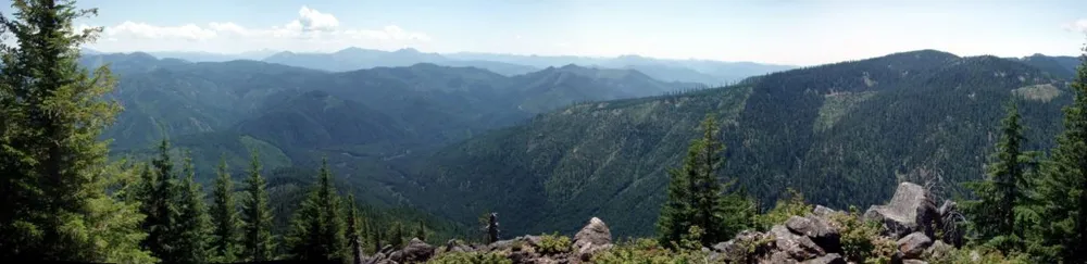
After enjoying the view for a few minutes and having a snack, we set back down the trail. We got back to the truck and ended up coming back through Detroit (rather than Estacada). We stopped at Dairy Queen in Stayton for a feast since we were both REALLY hungry.
A great and memorable trip, although I probably won’t go out of my way to go to Welcome Lakes again. I don’t know how they got their name…..