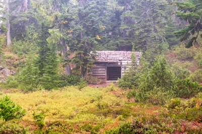
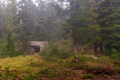
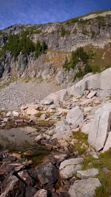
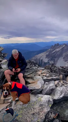
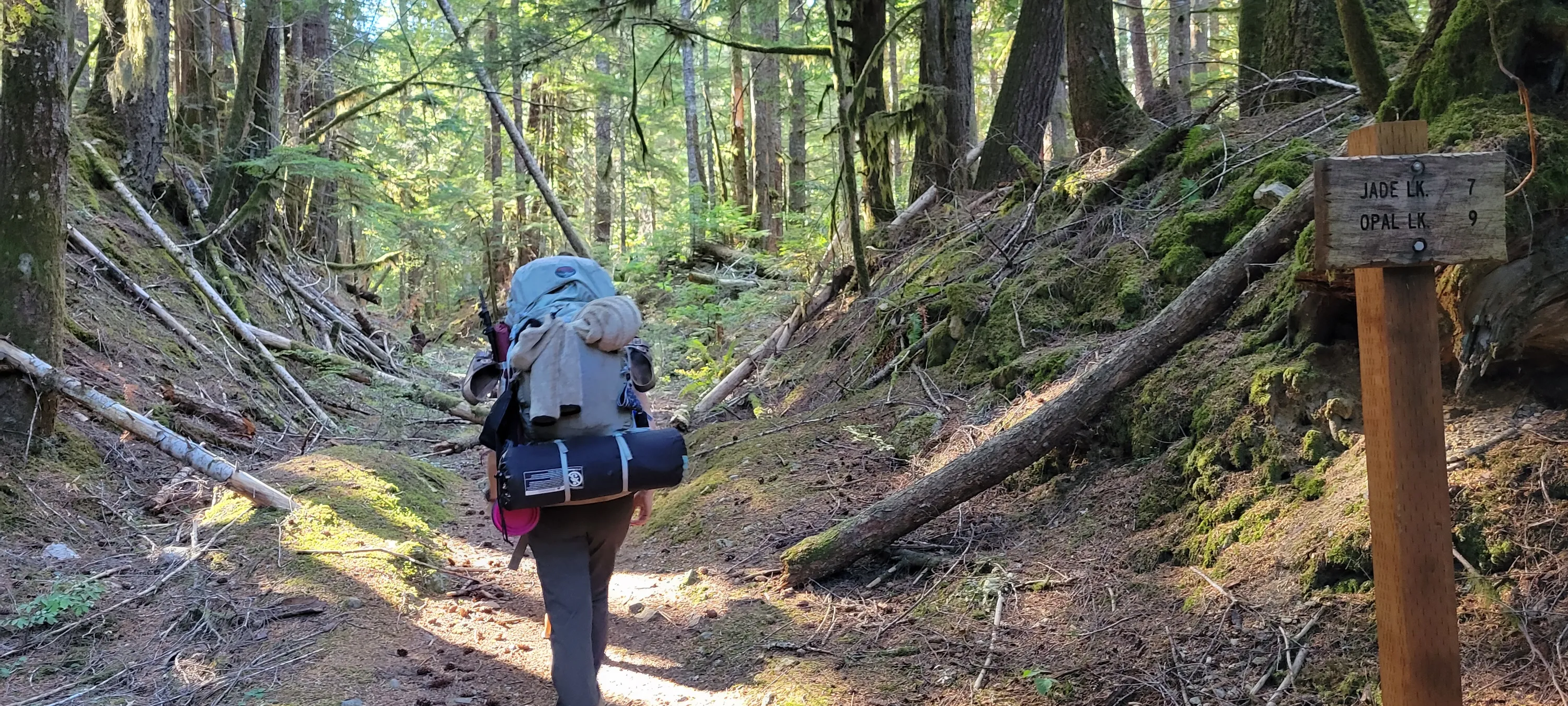
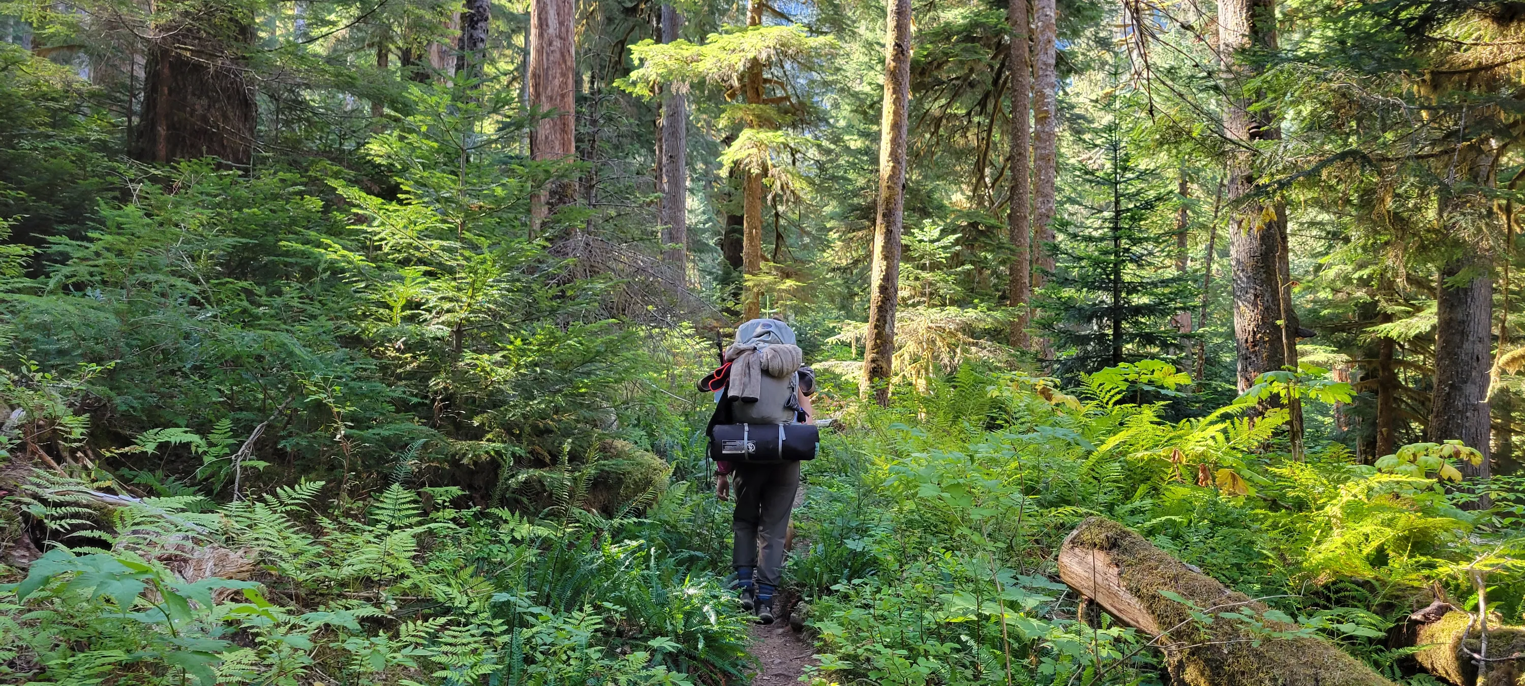
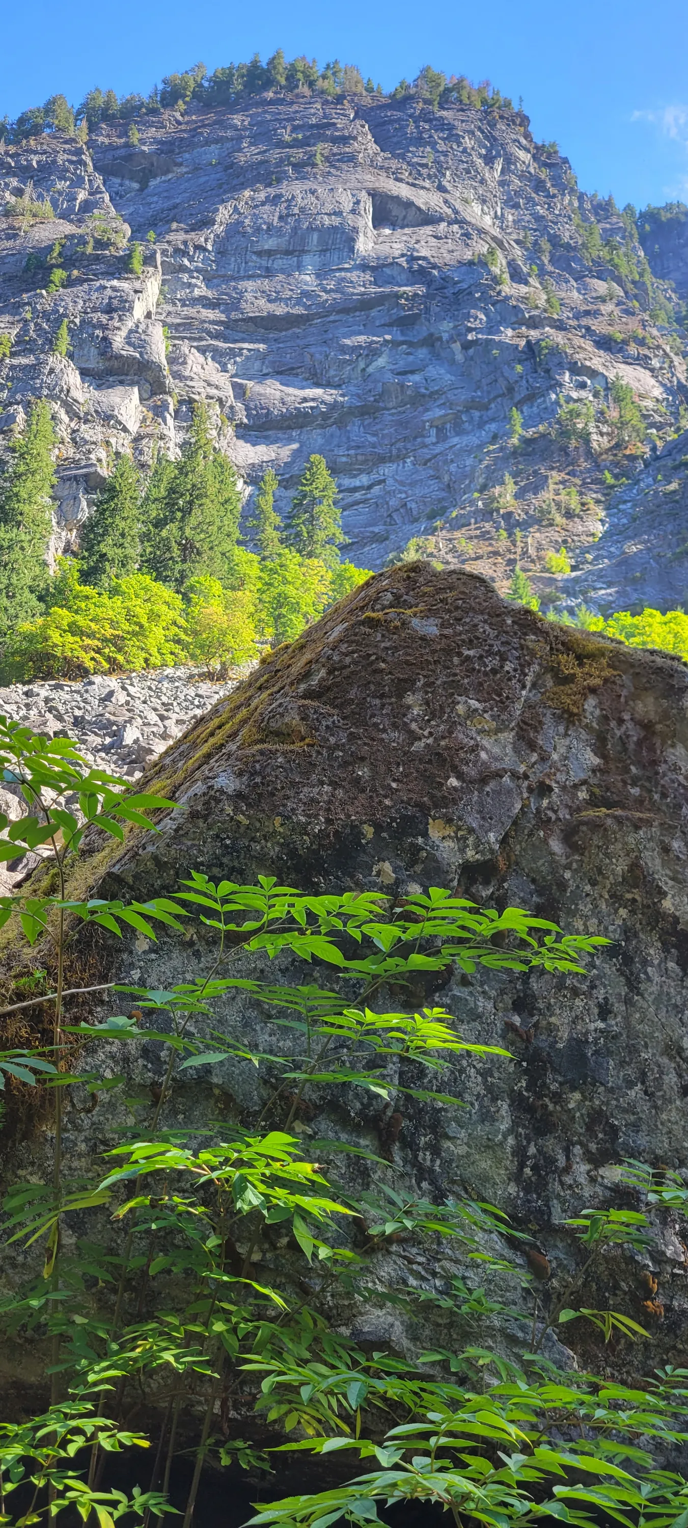
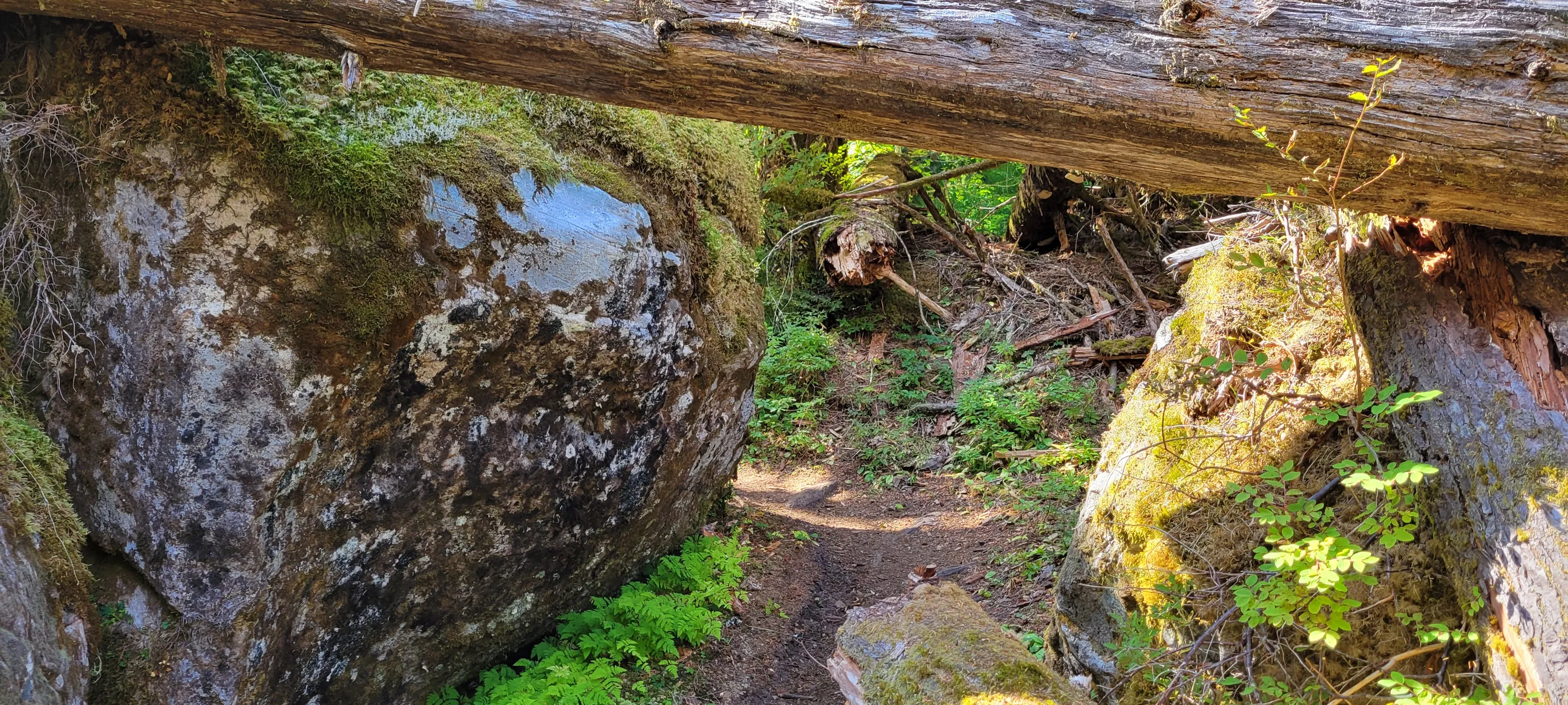
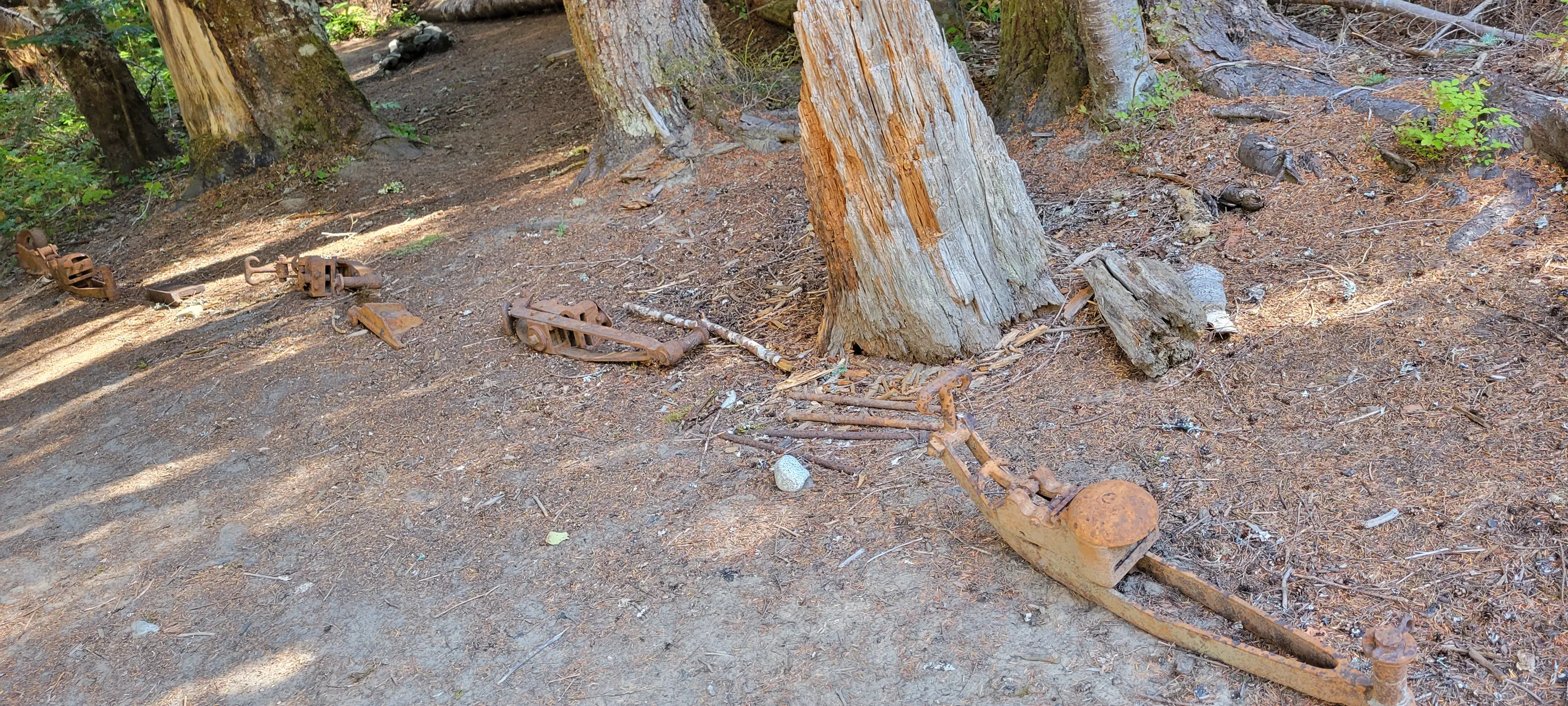
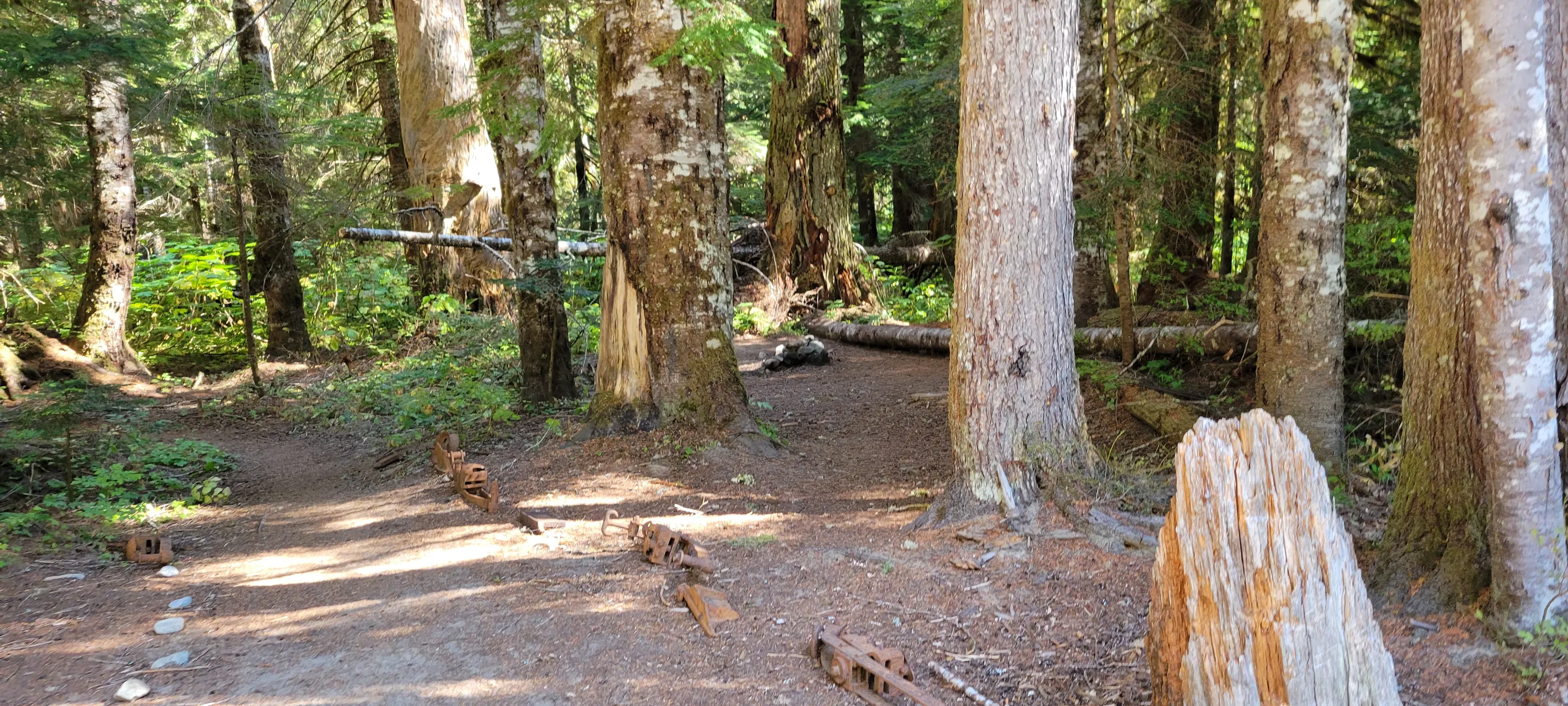
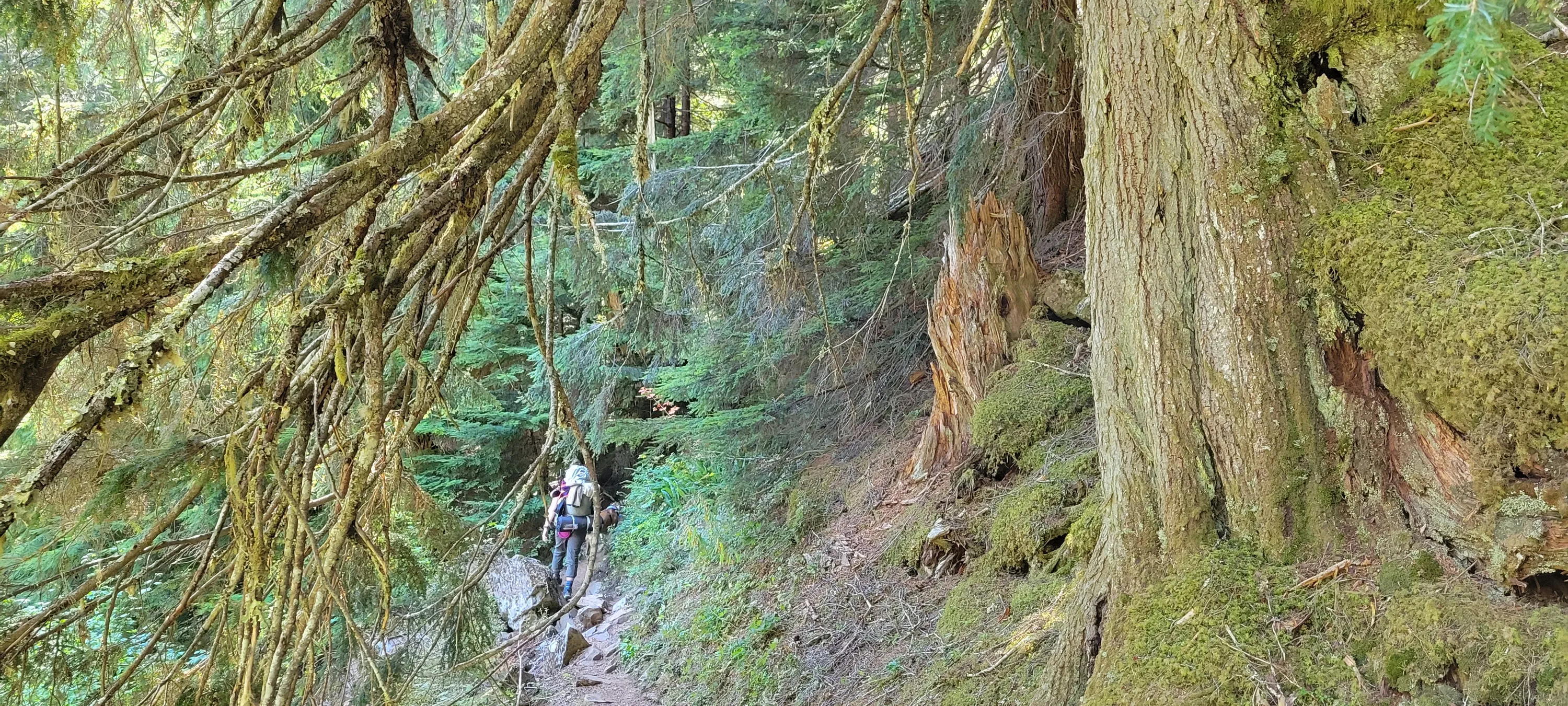
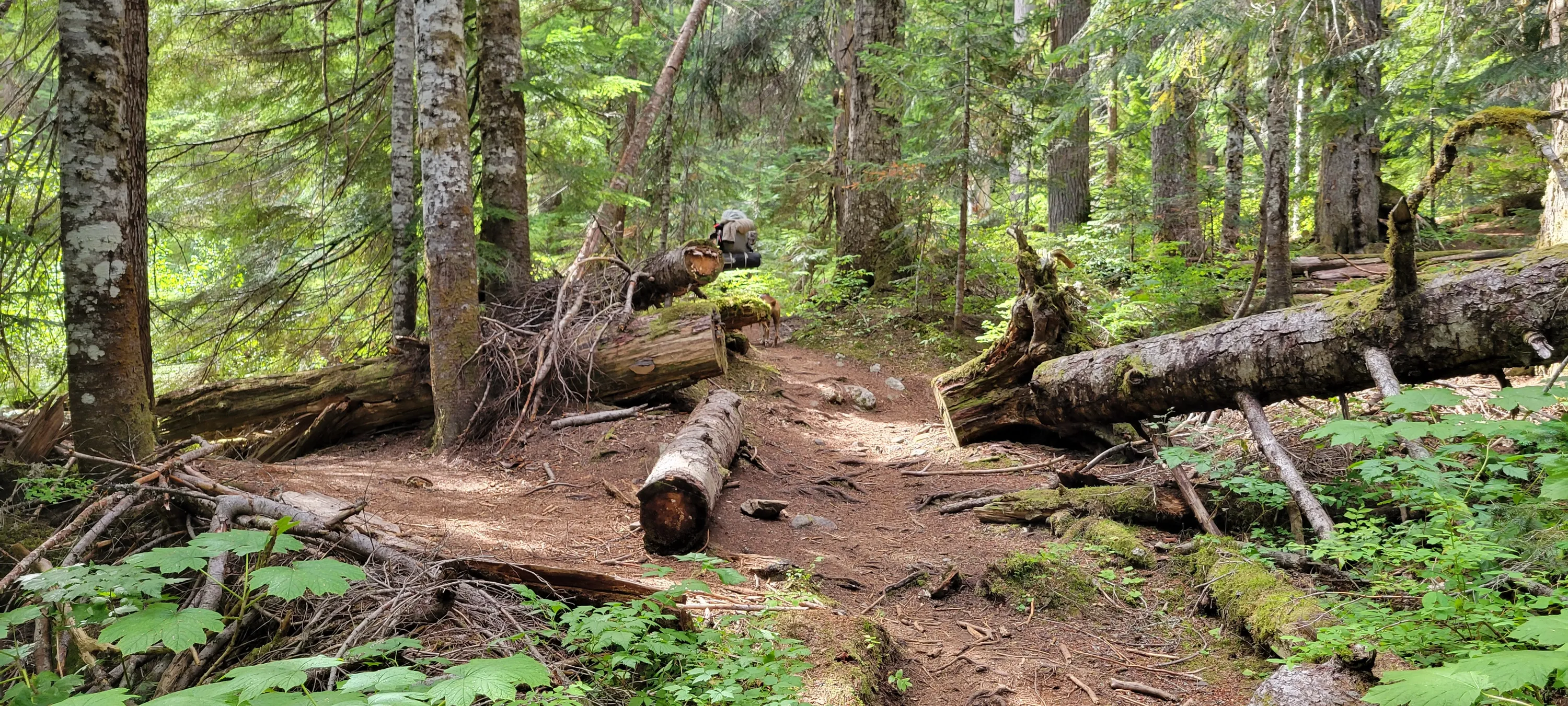
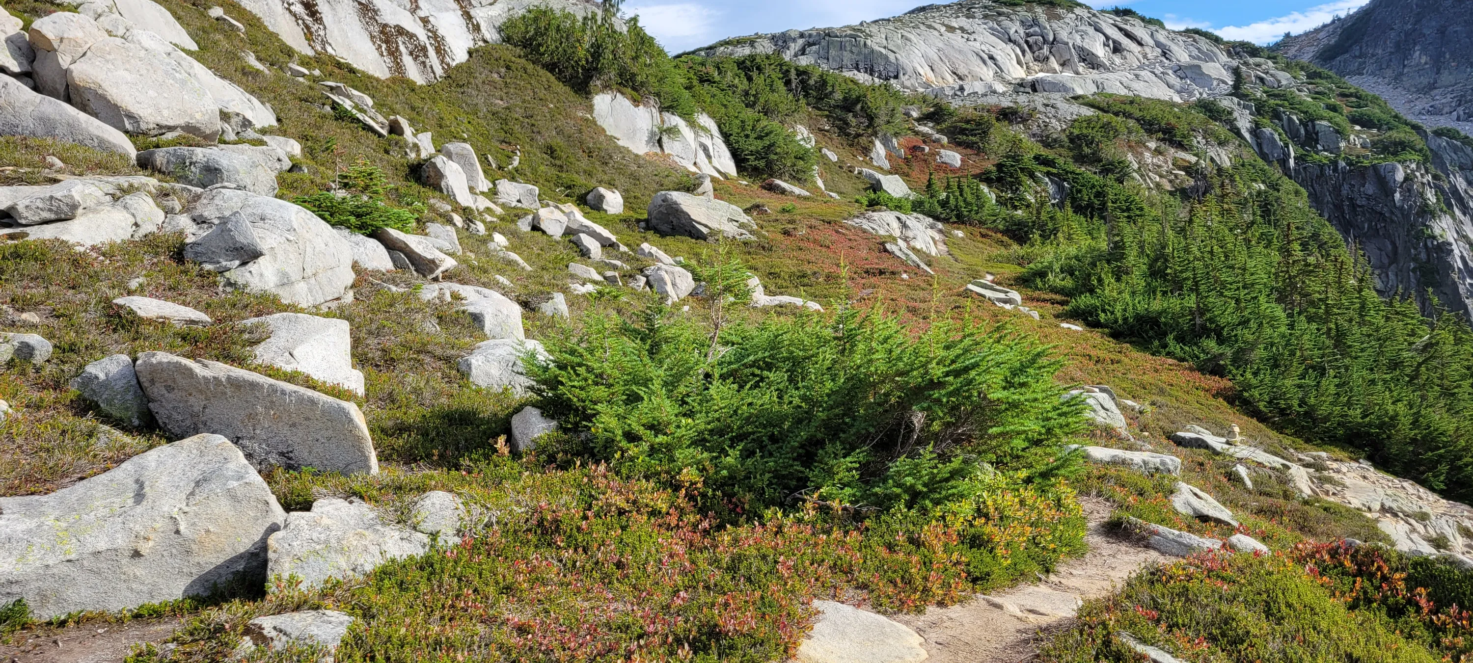
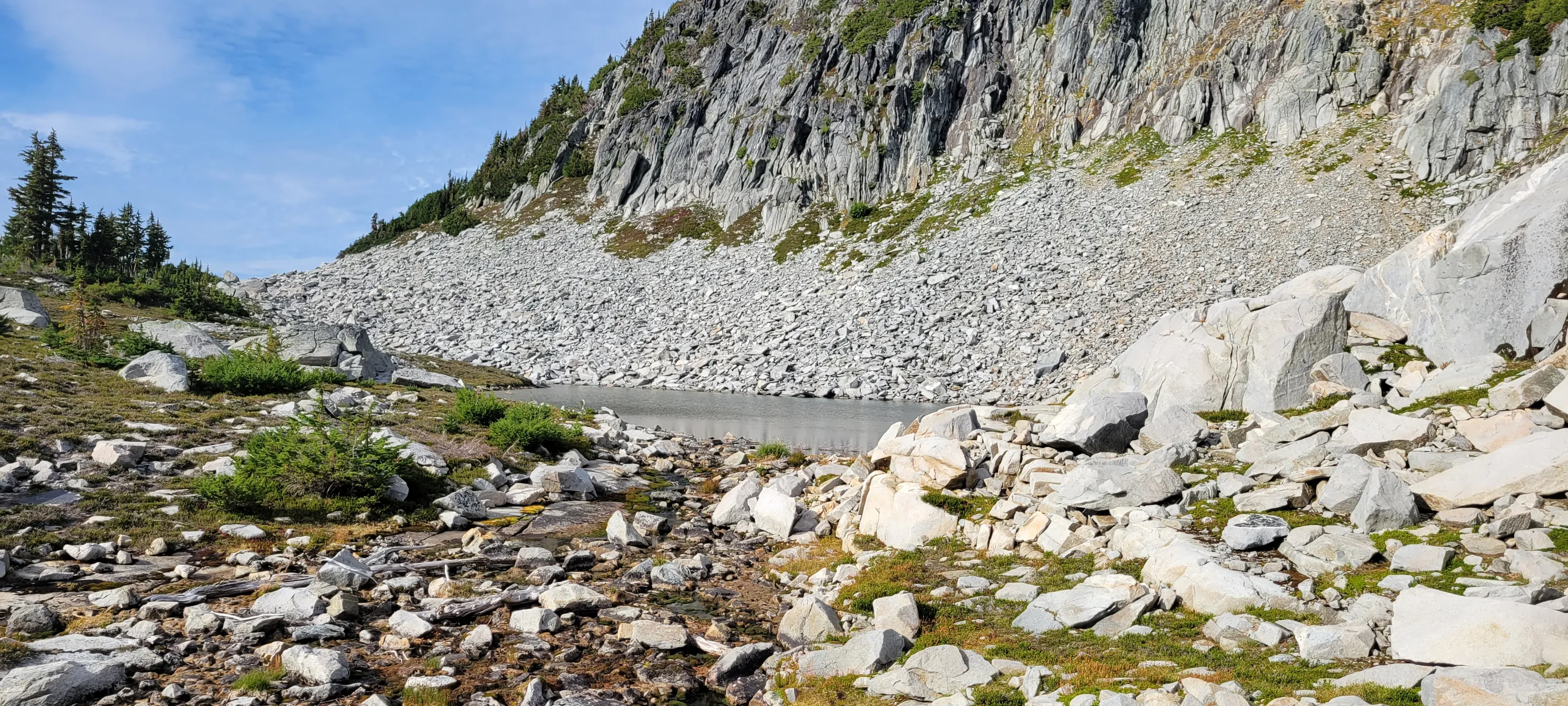
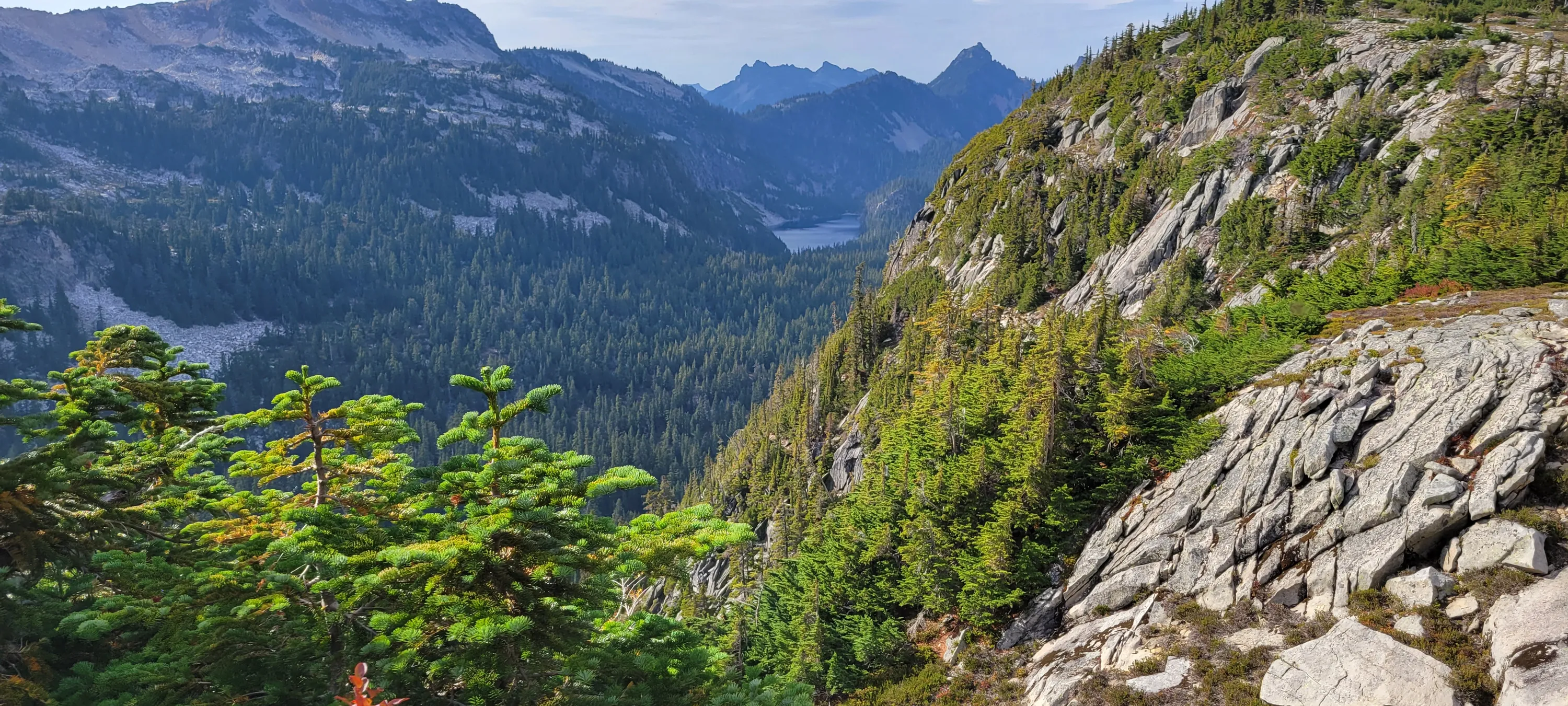
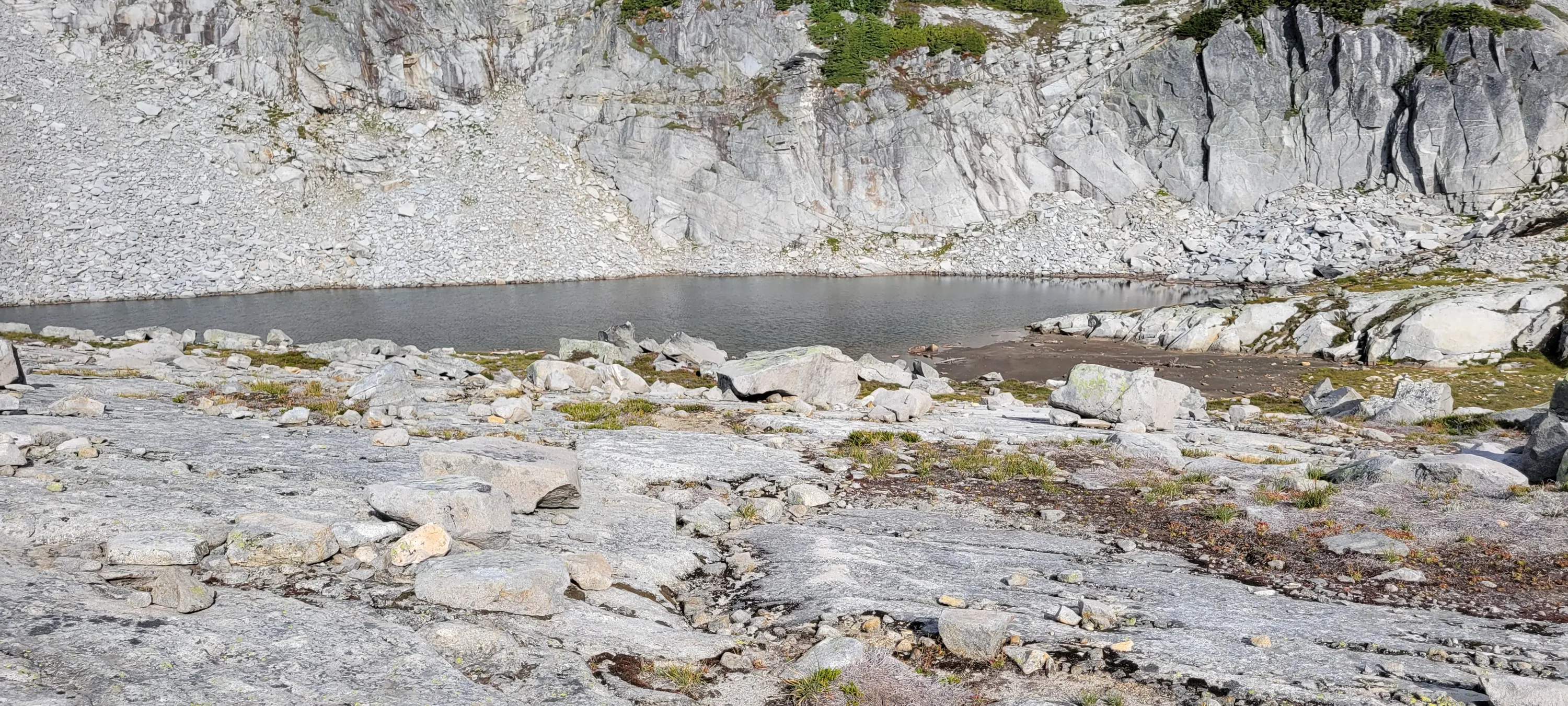
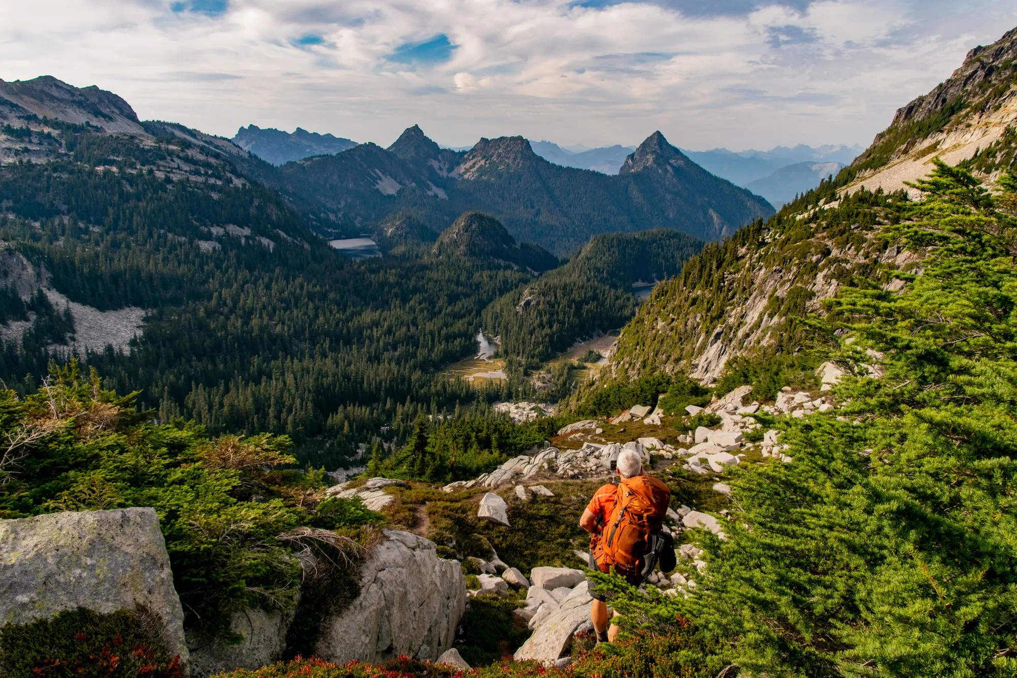
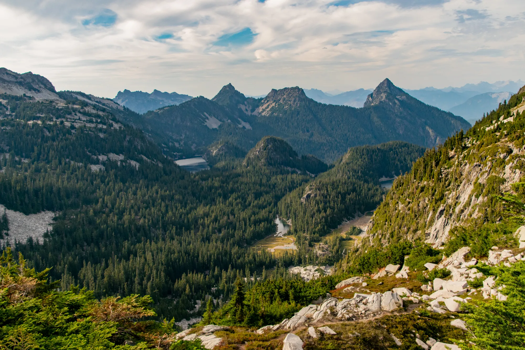
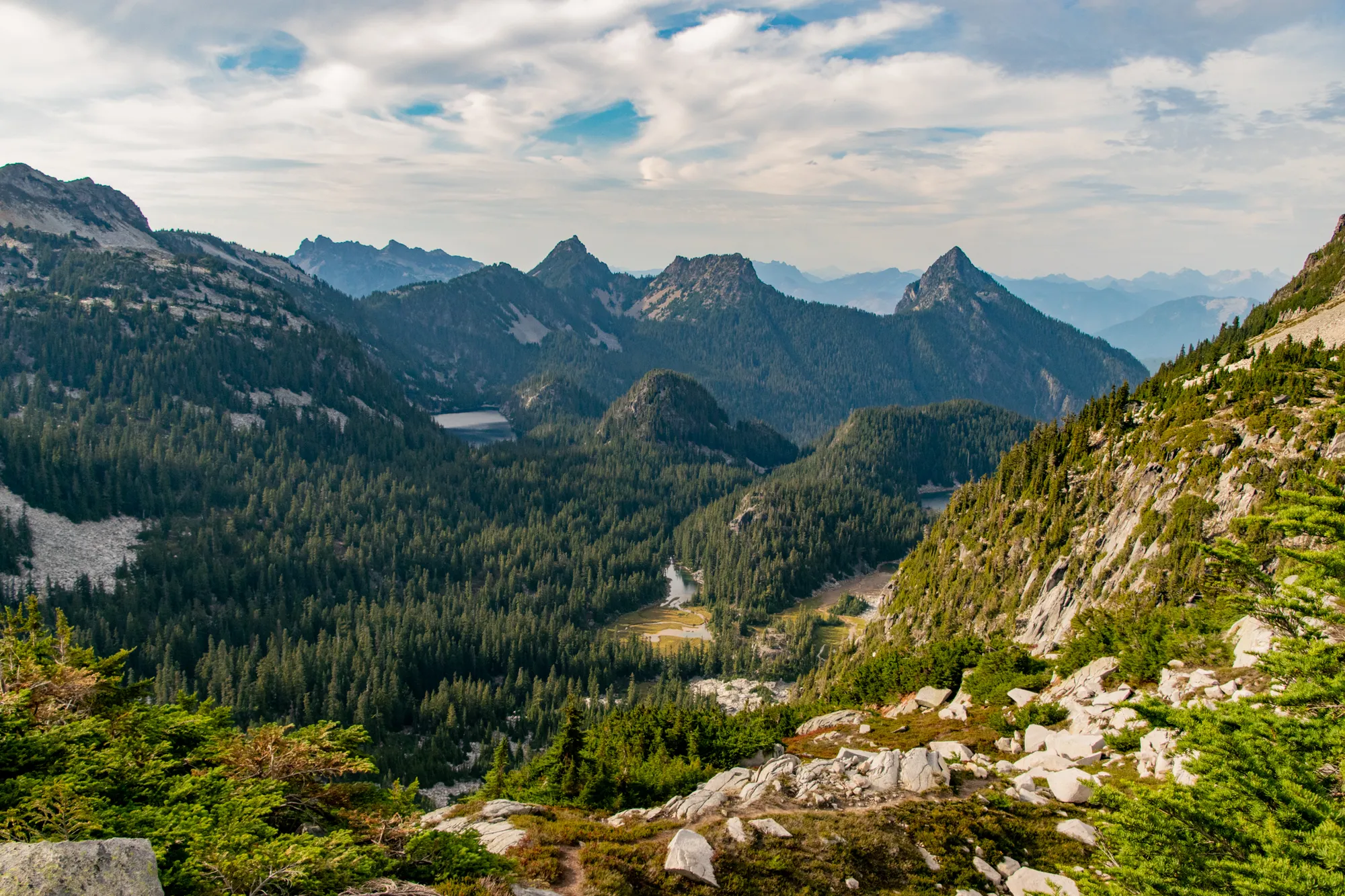
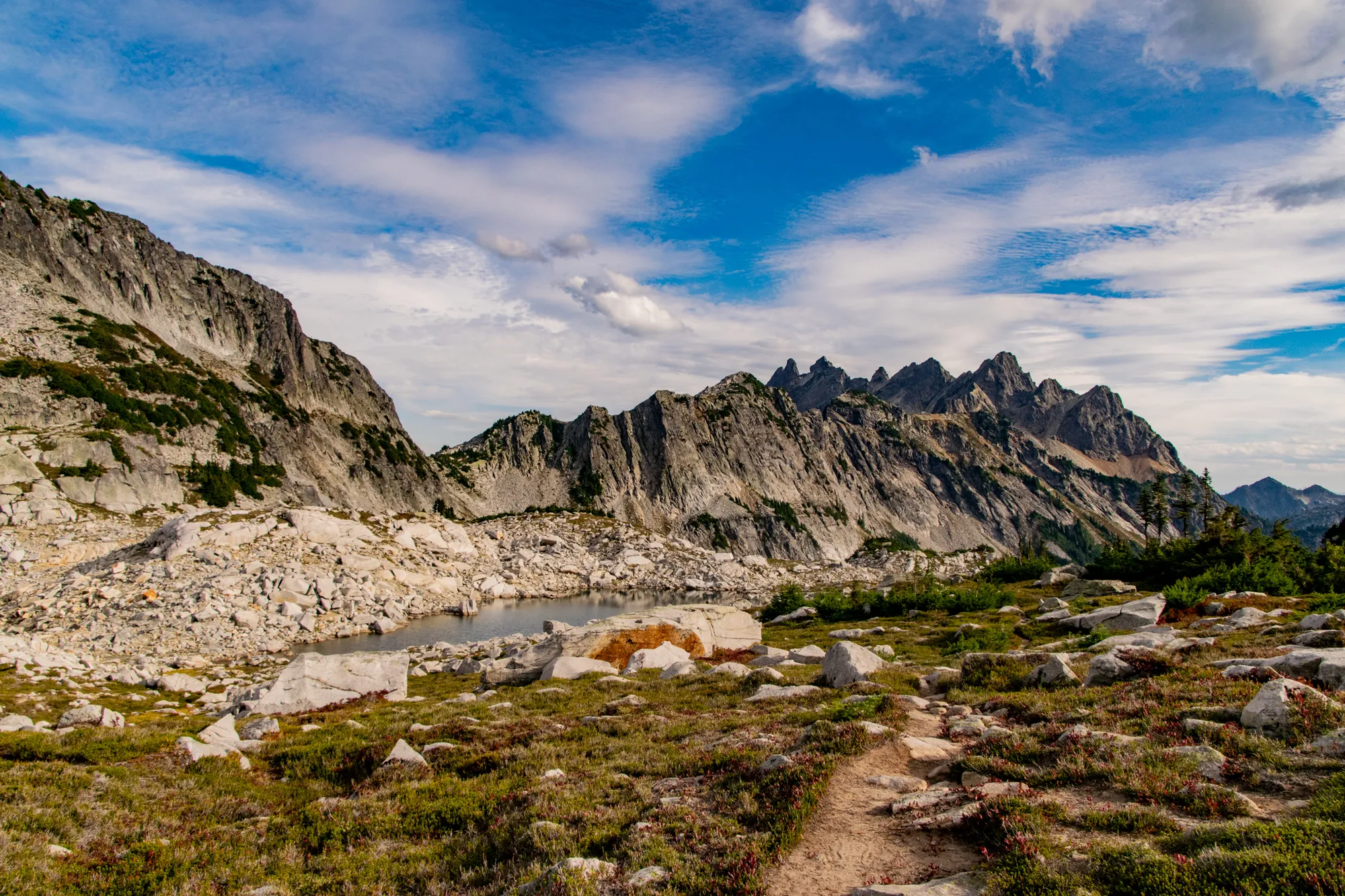
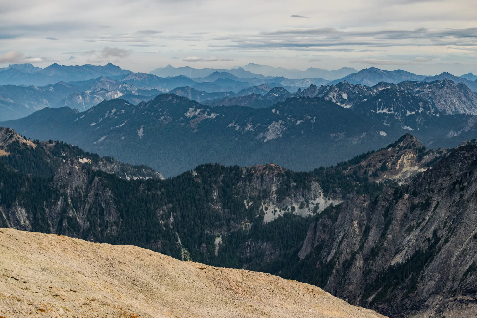
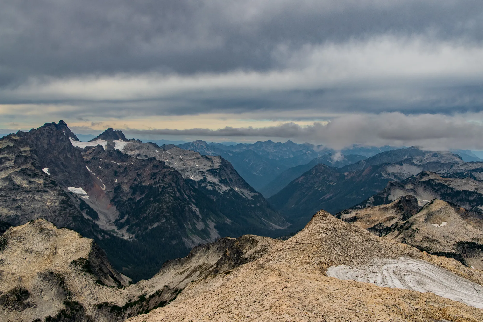
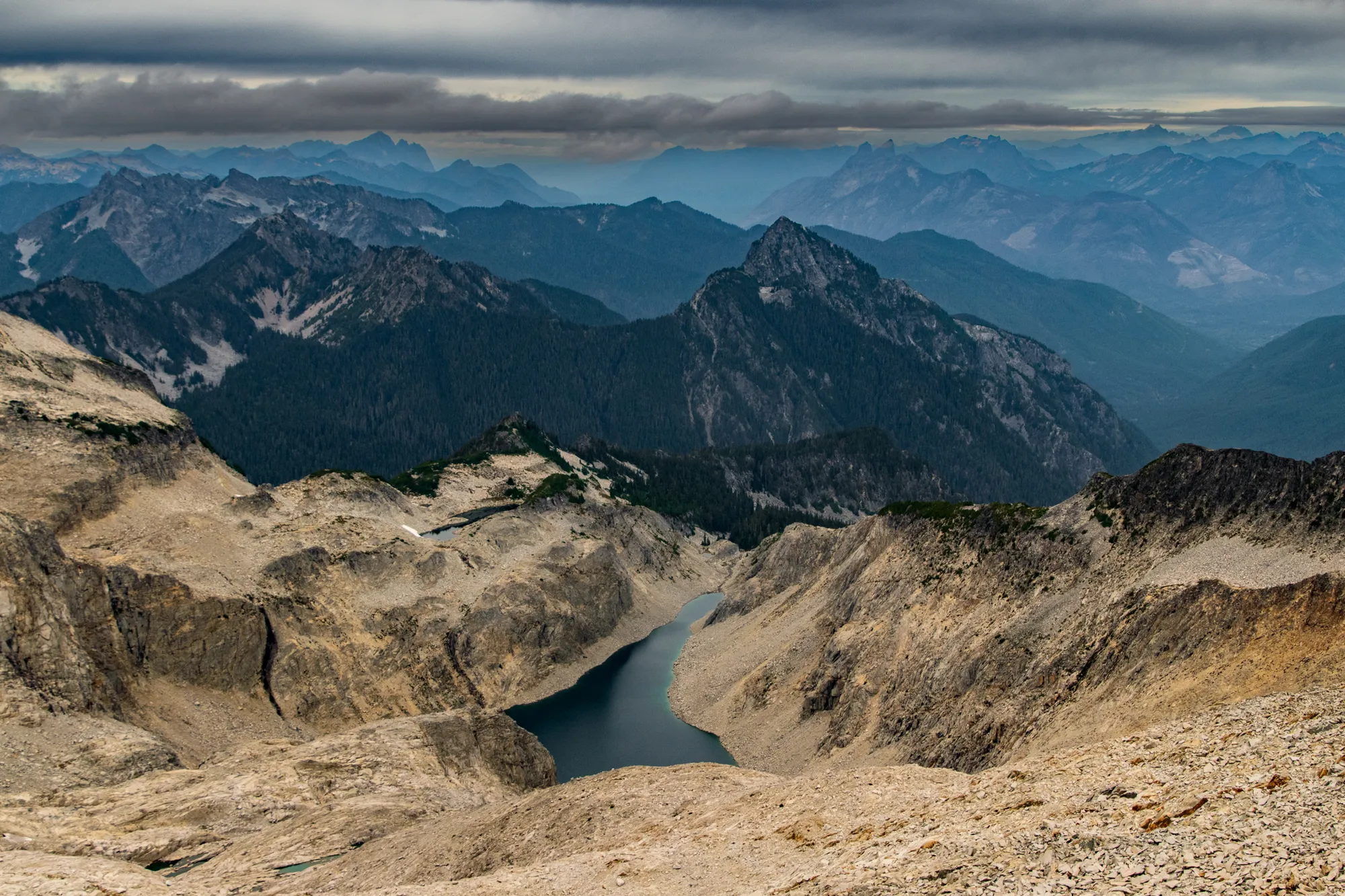
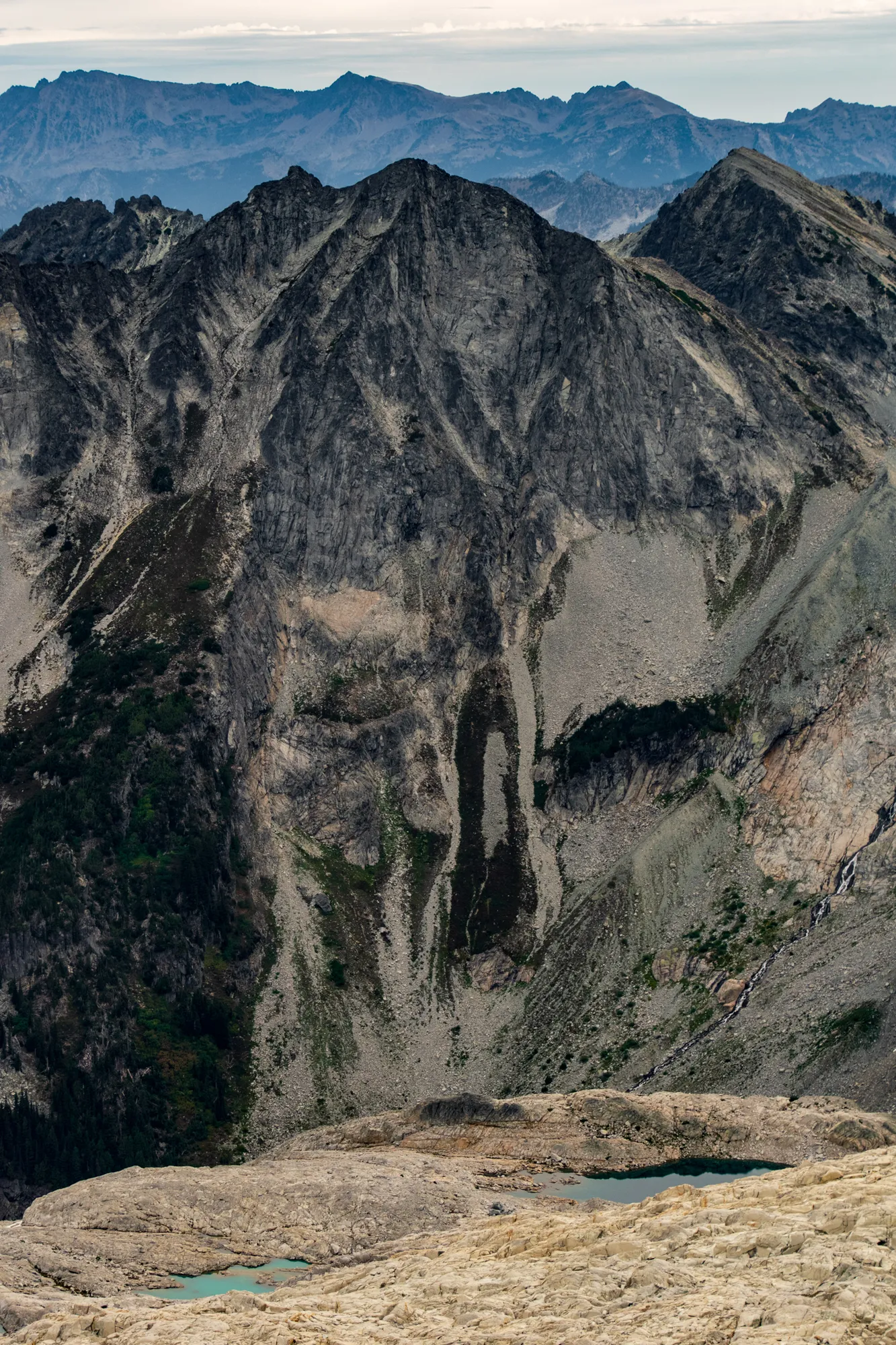
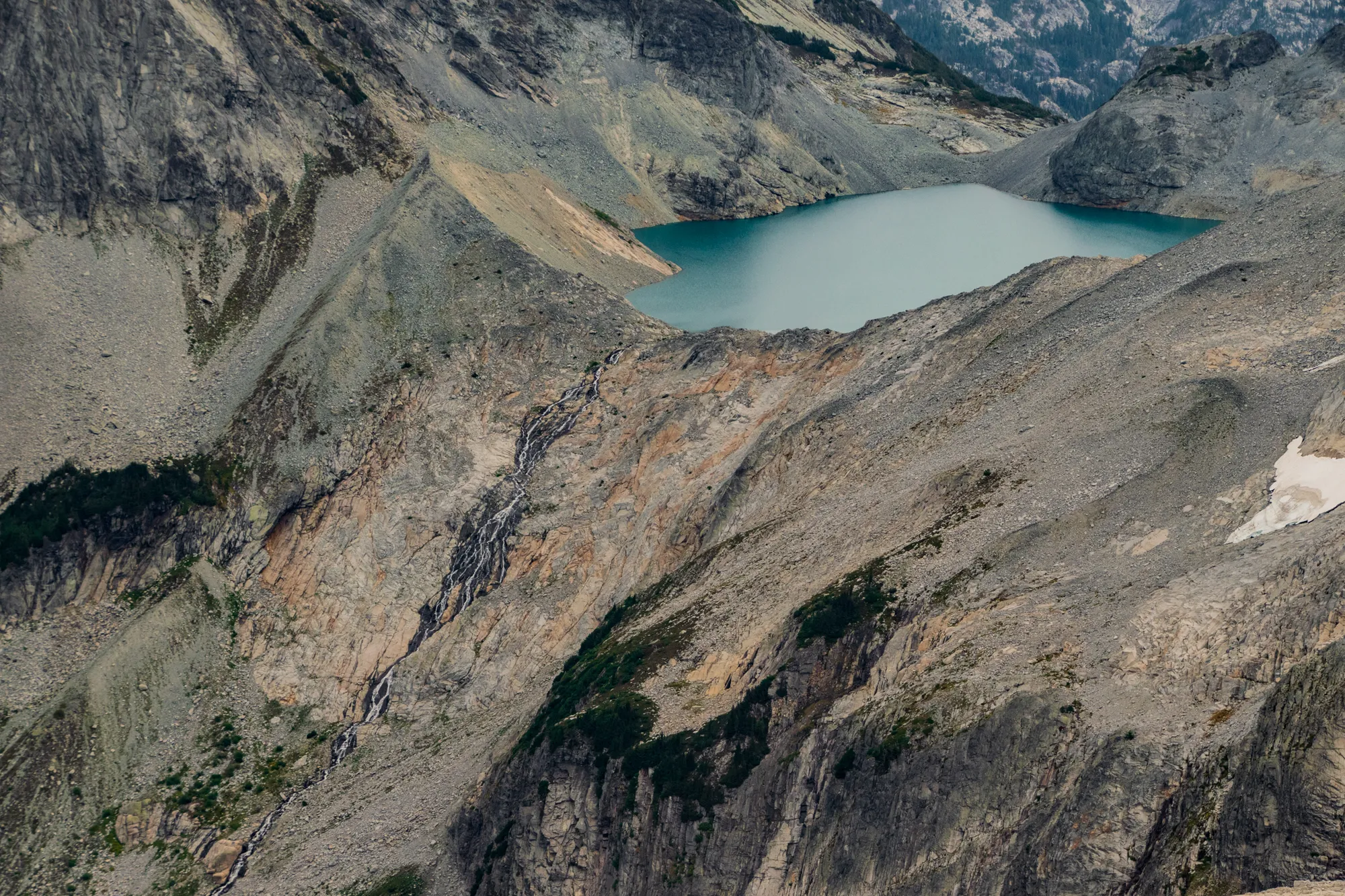
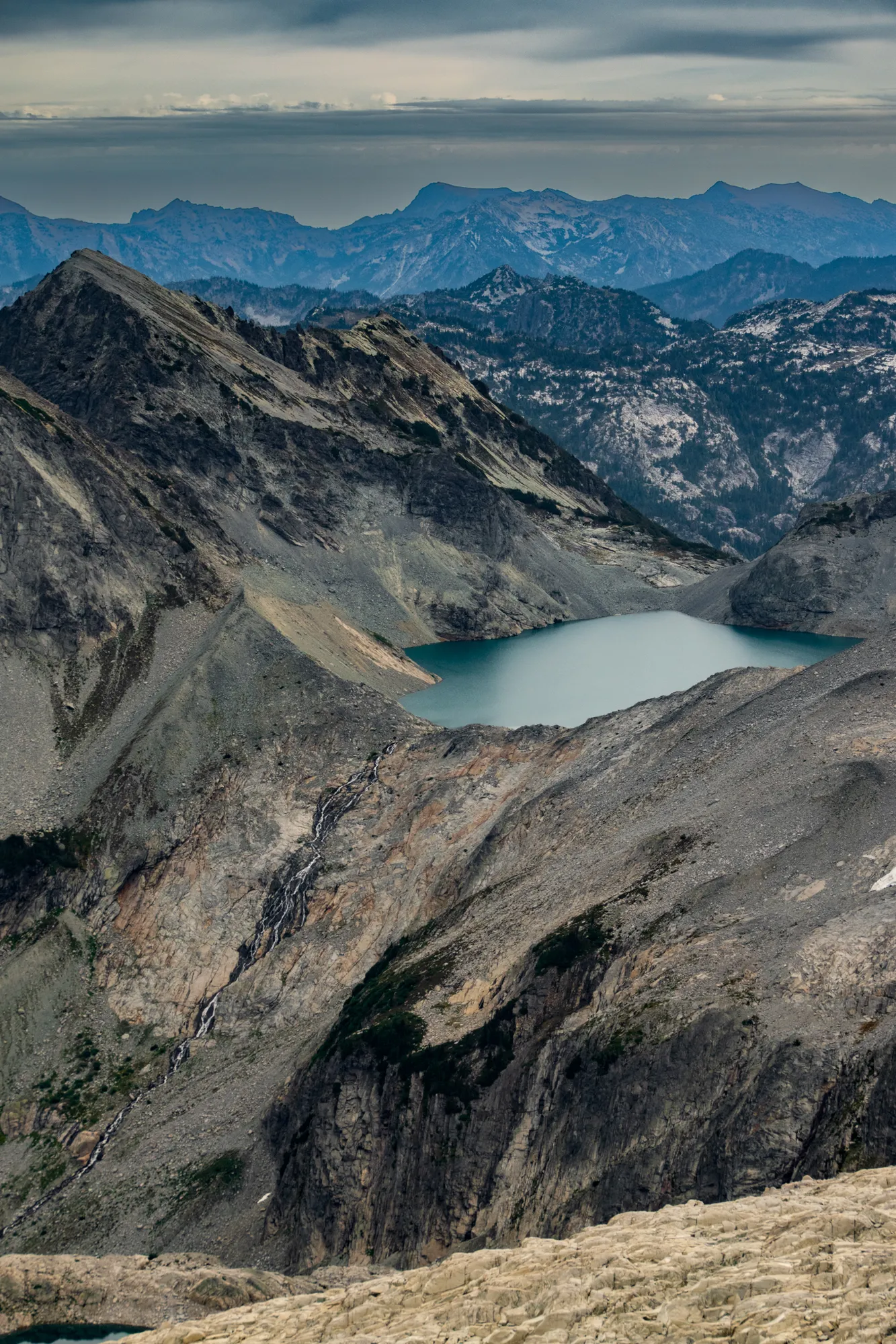
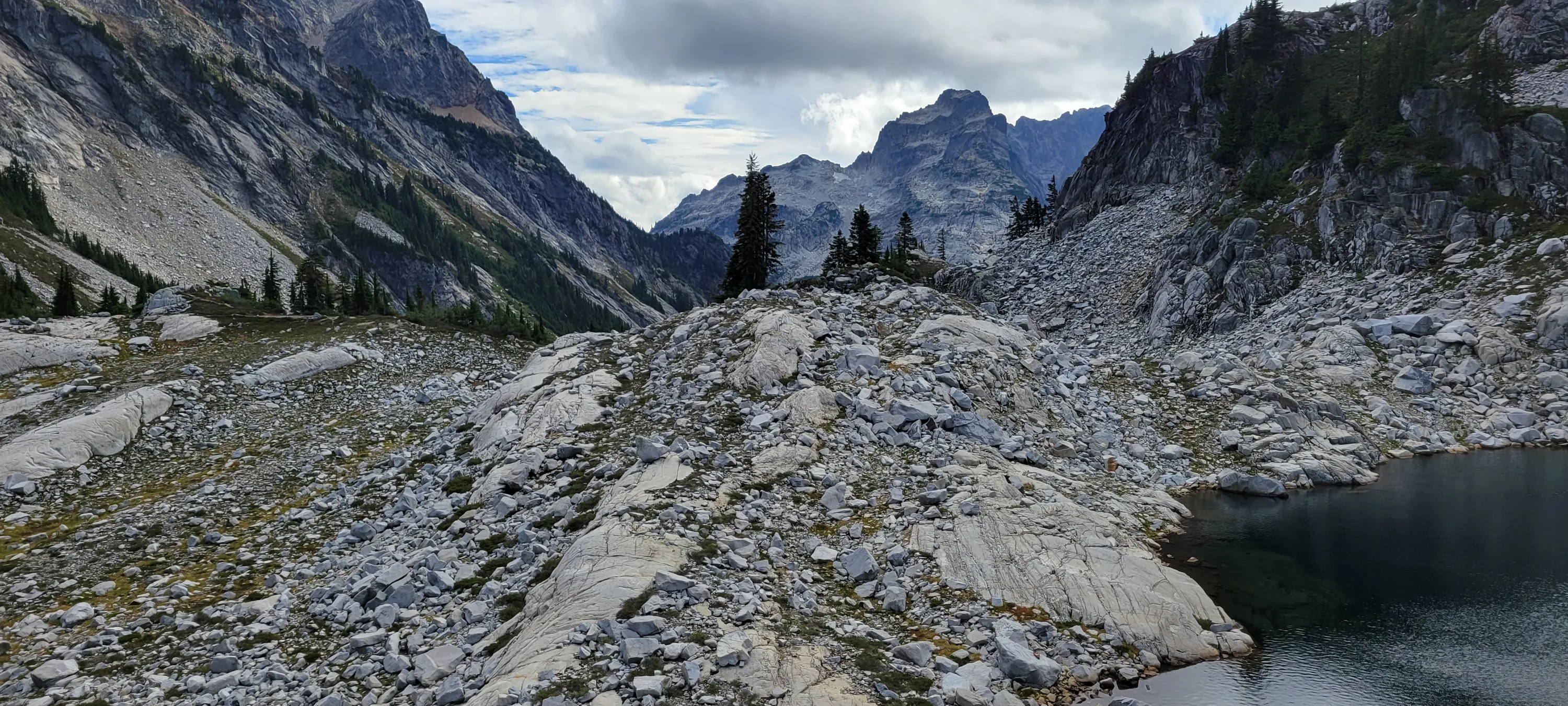
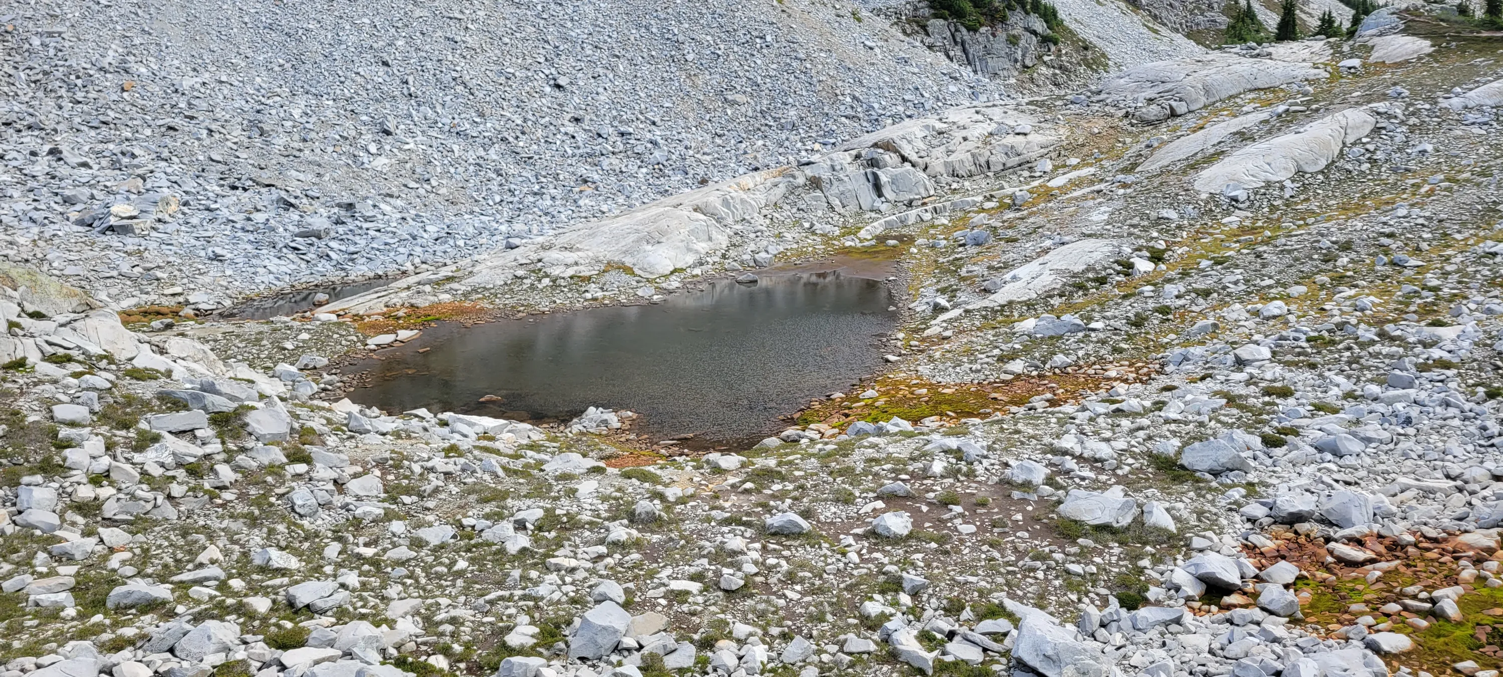
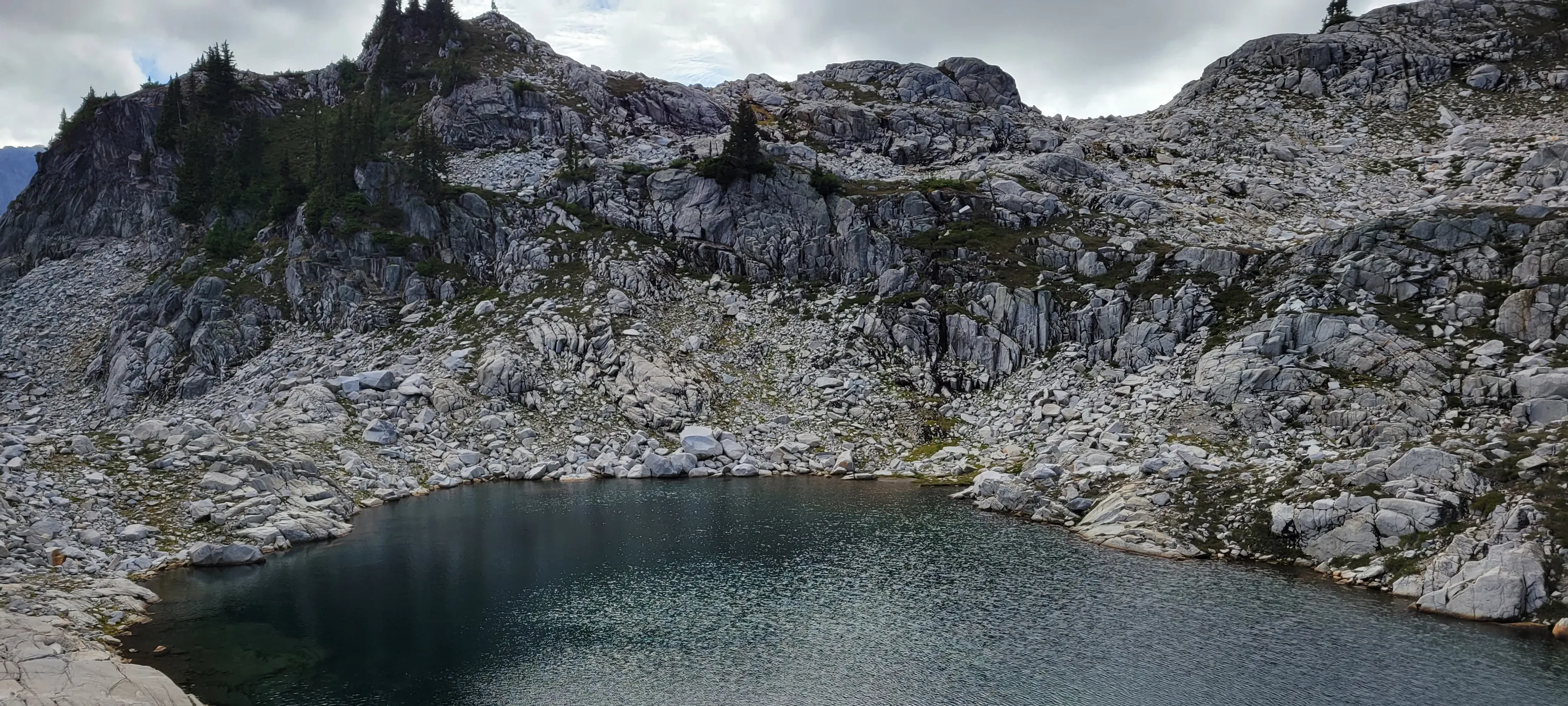
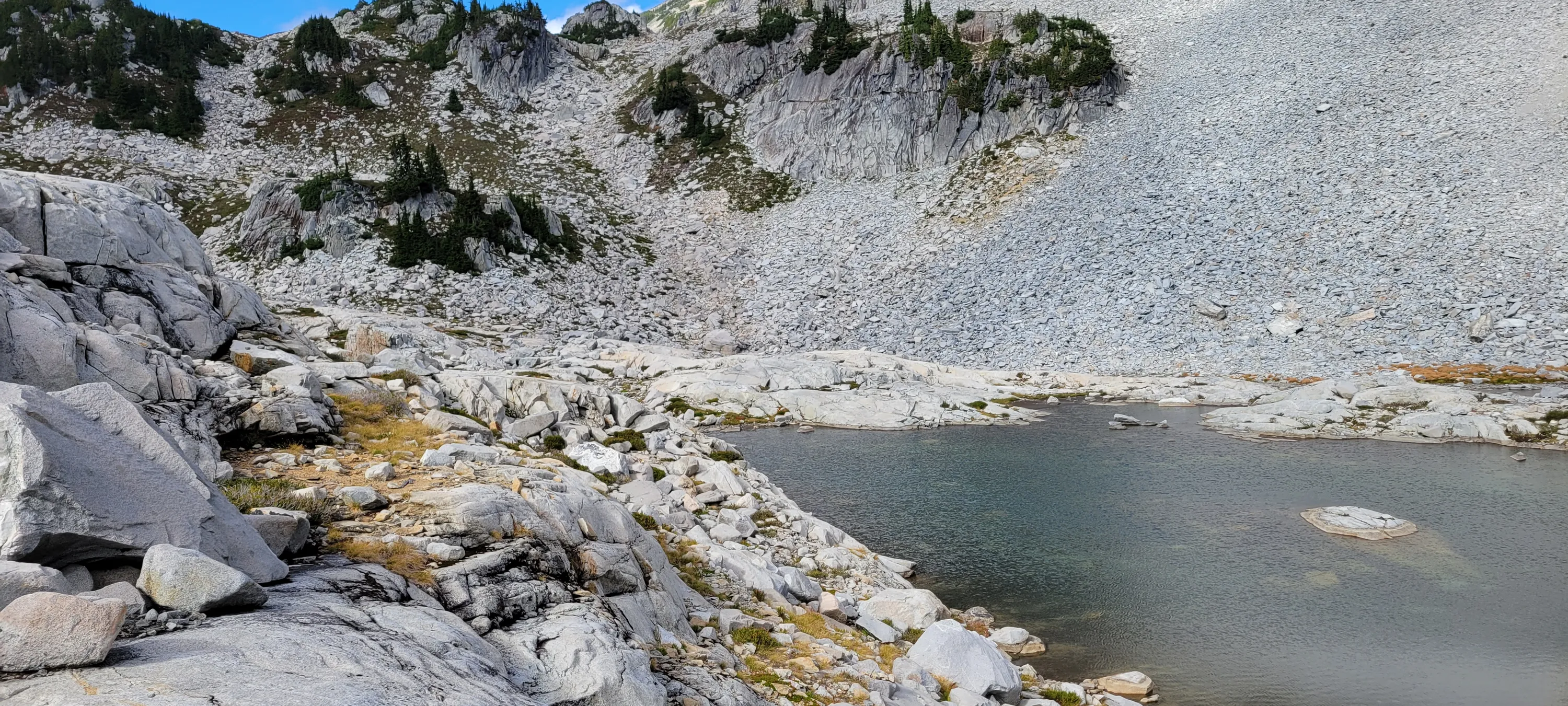
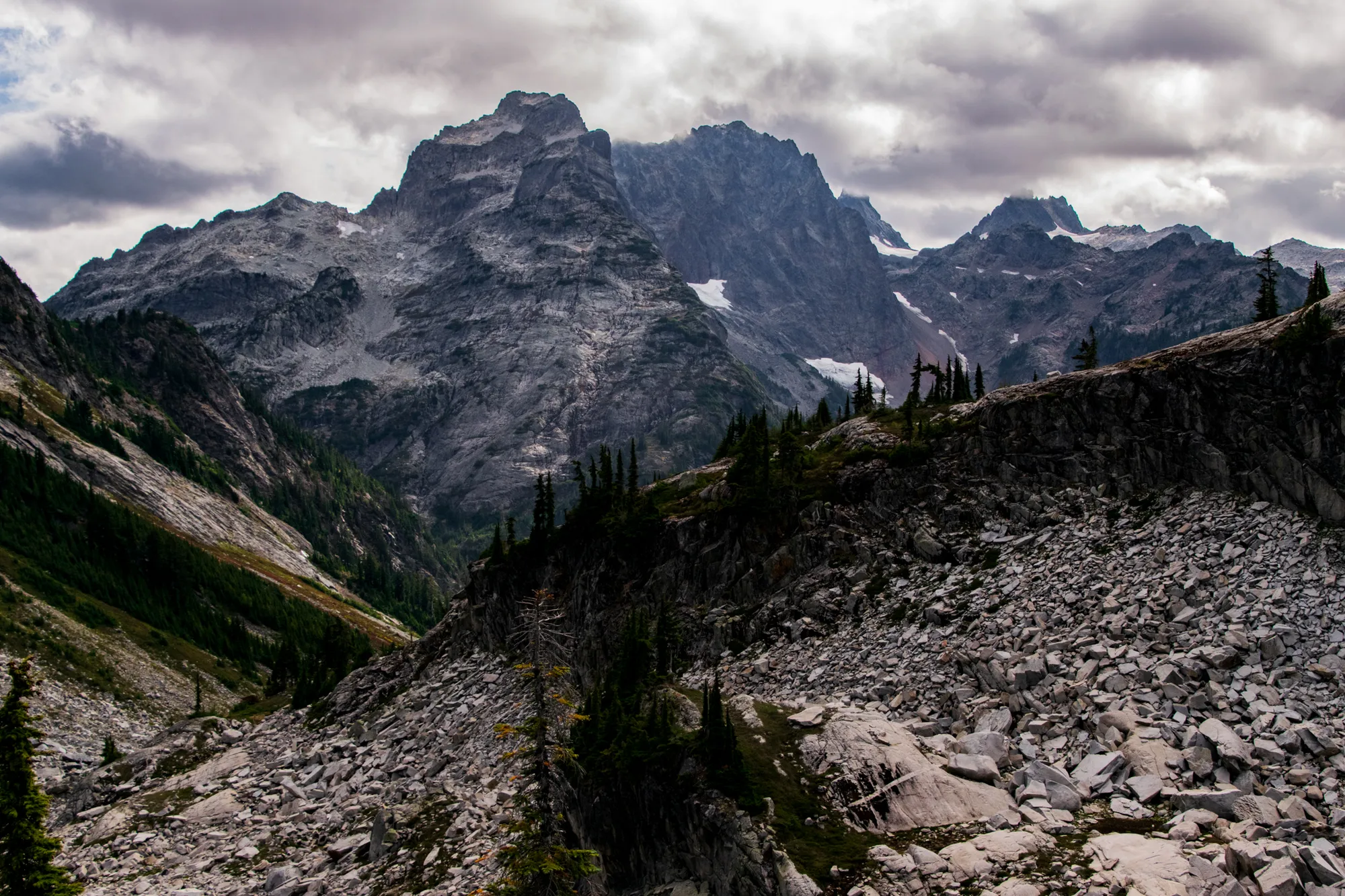
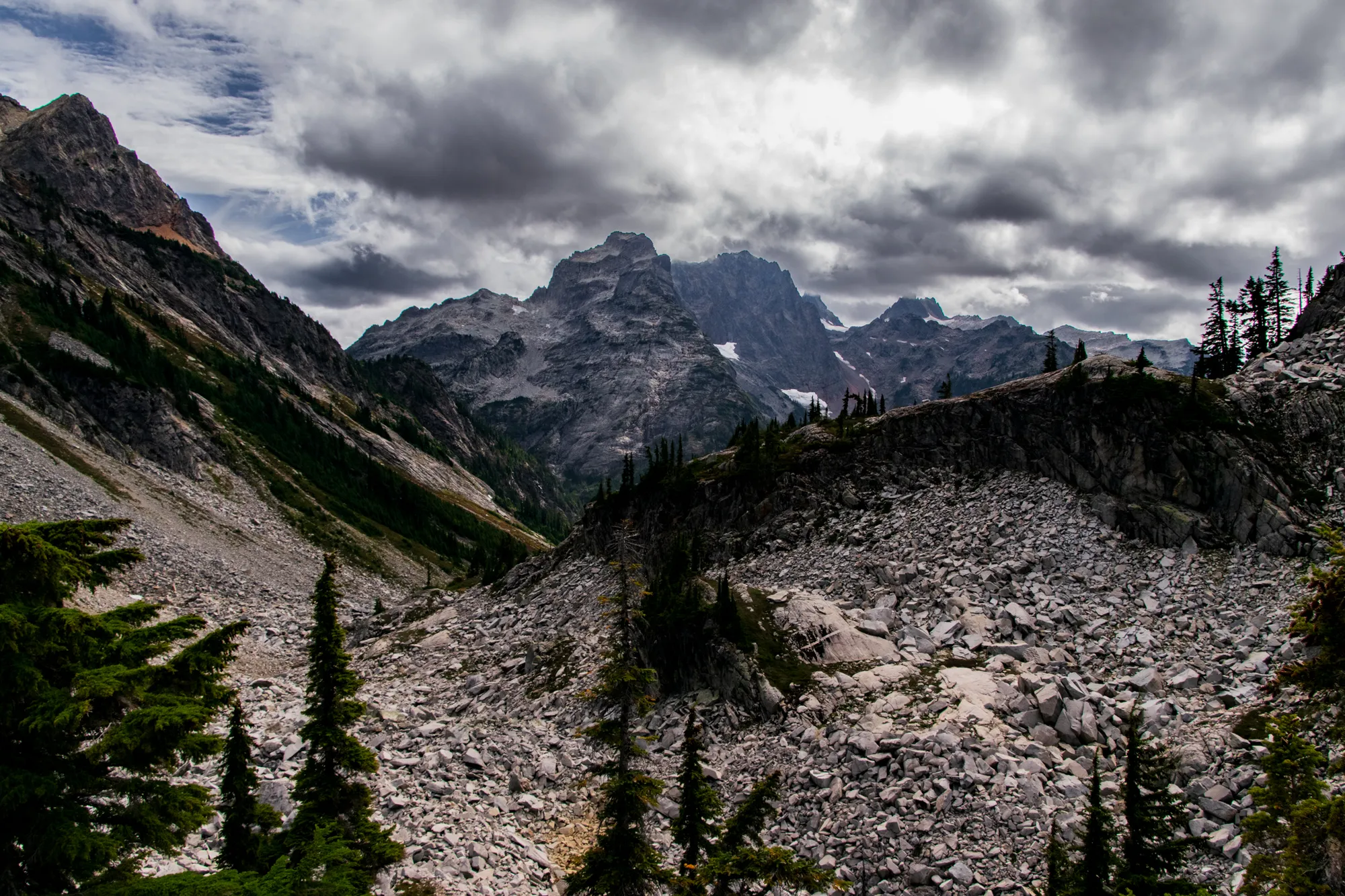
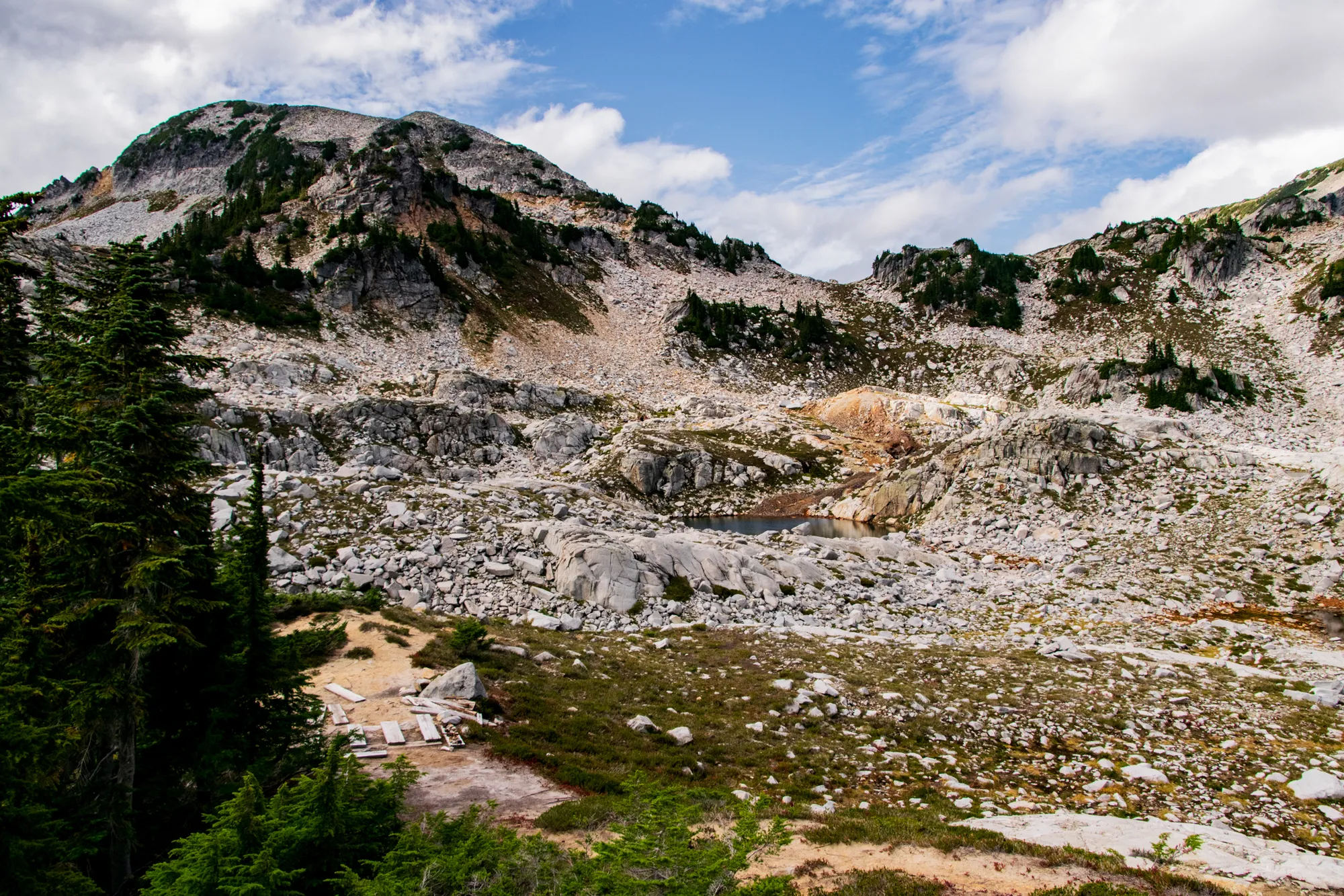
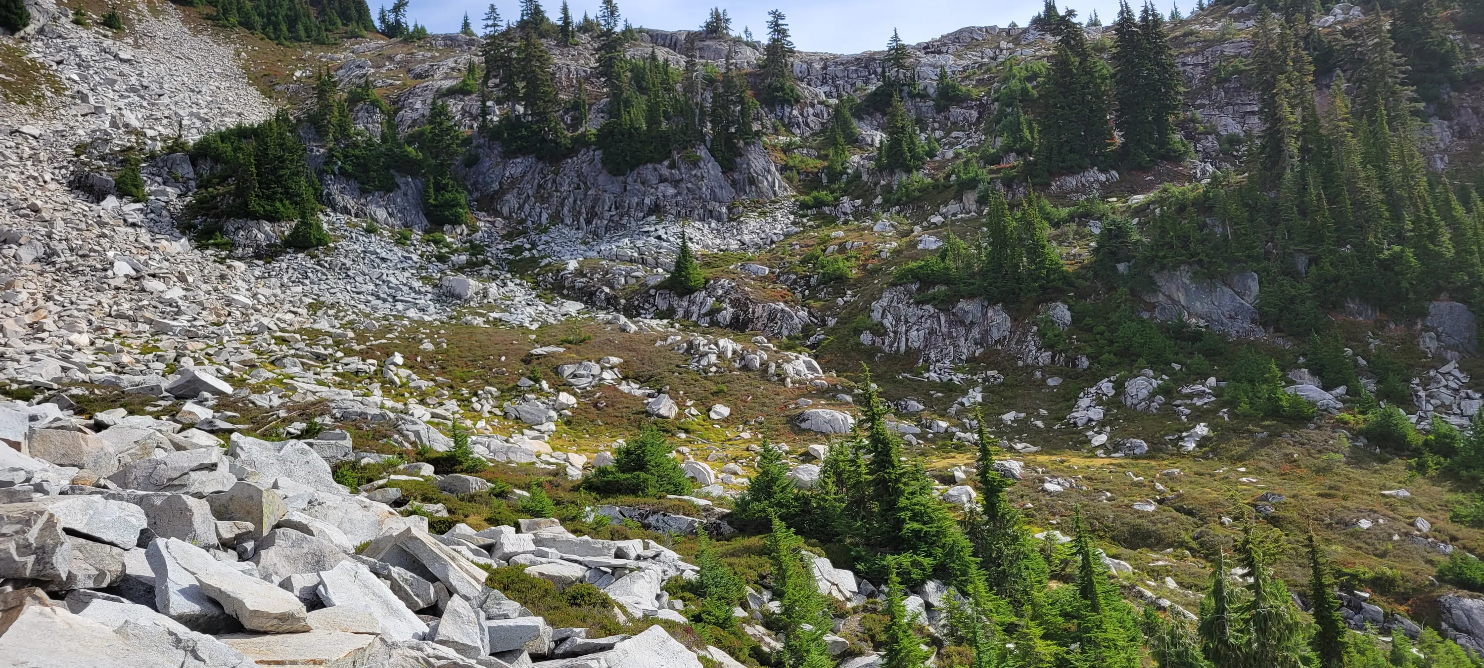
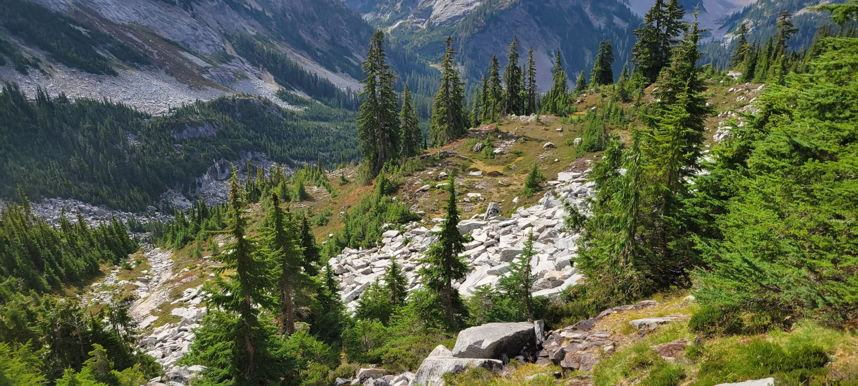
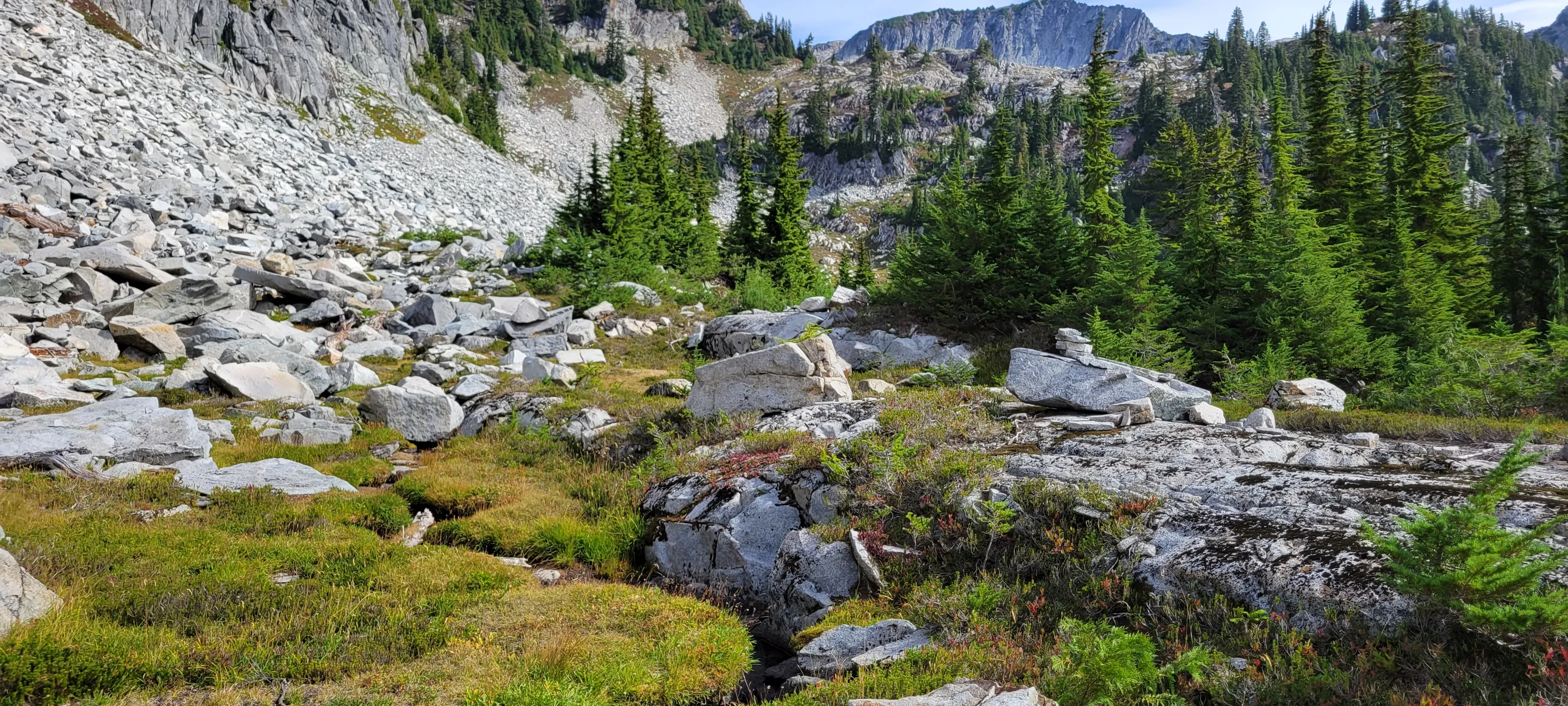
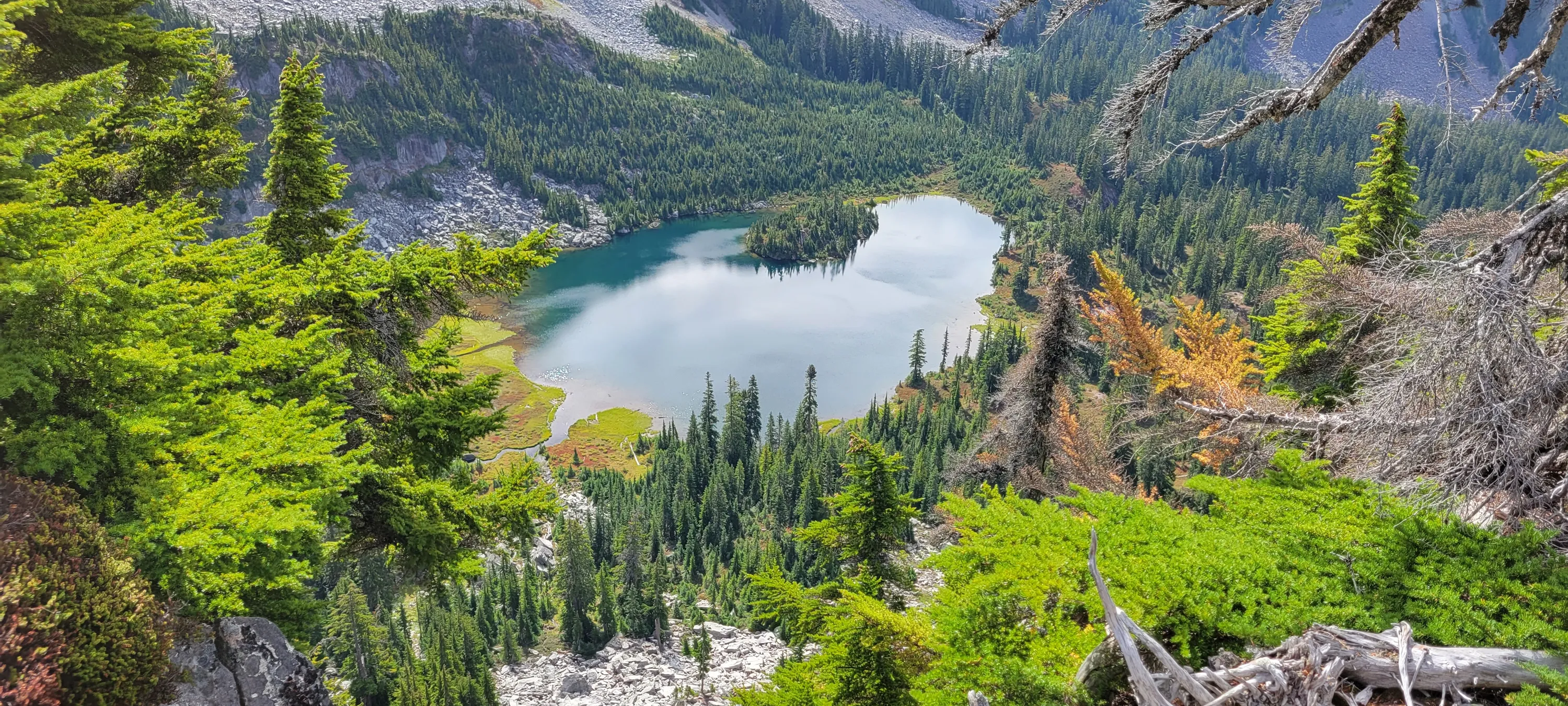
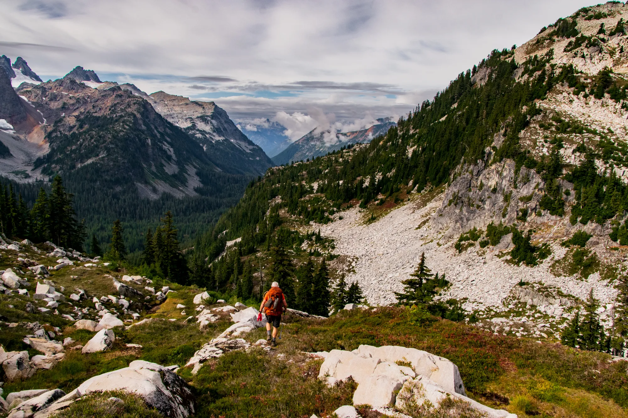
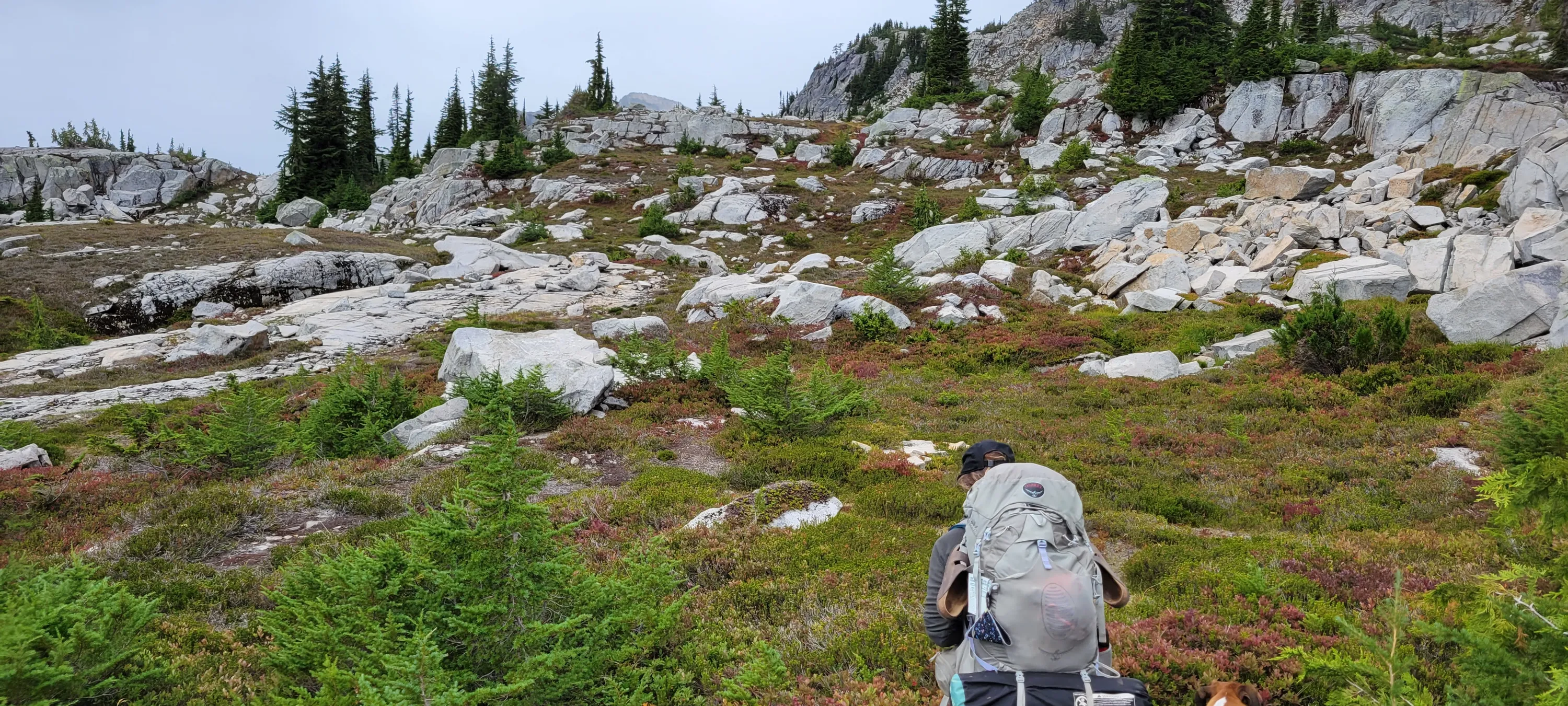
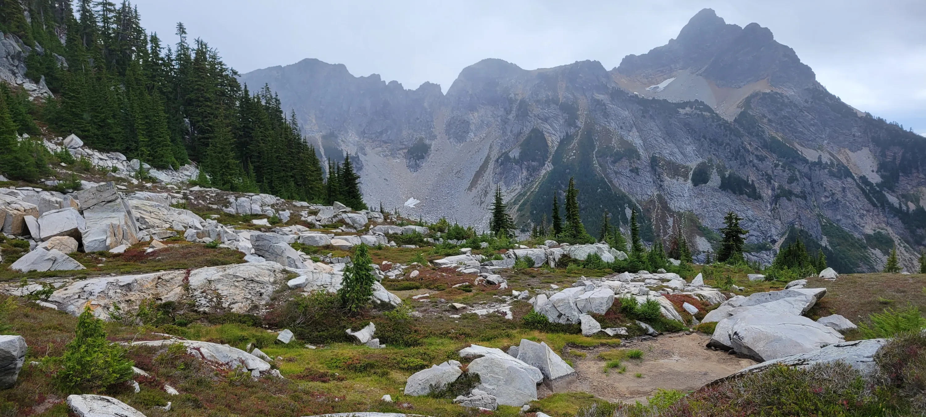
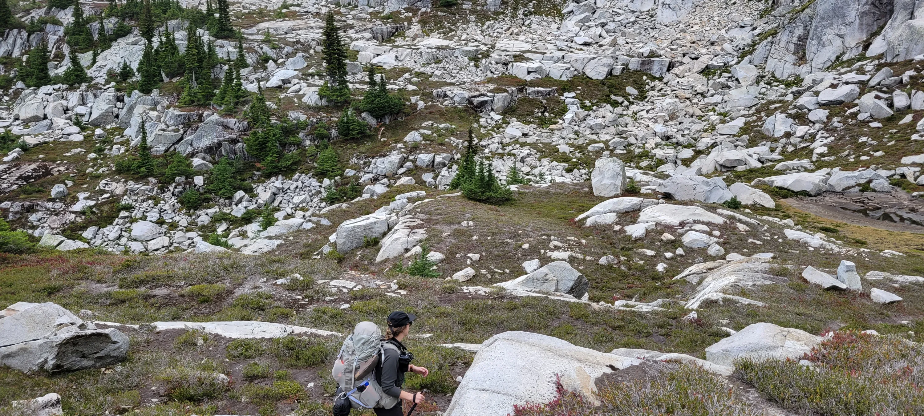
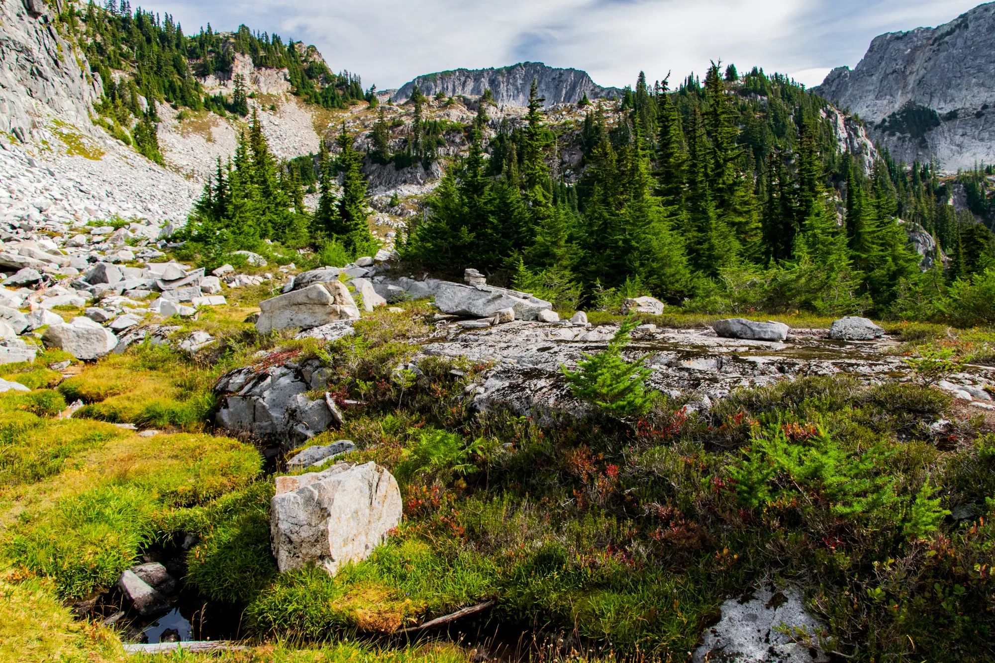
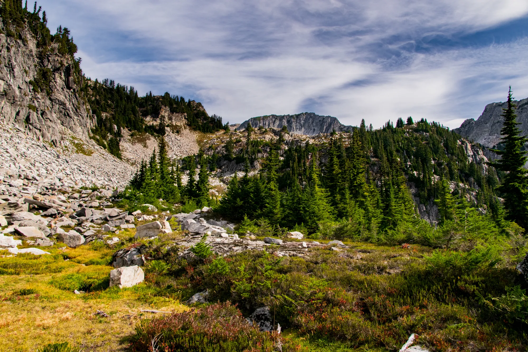
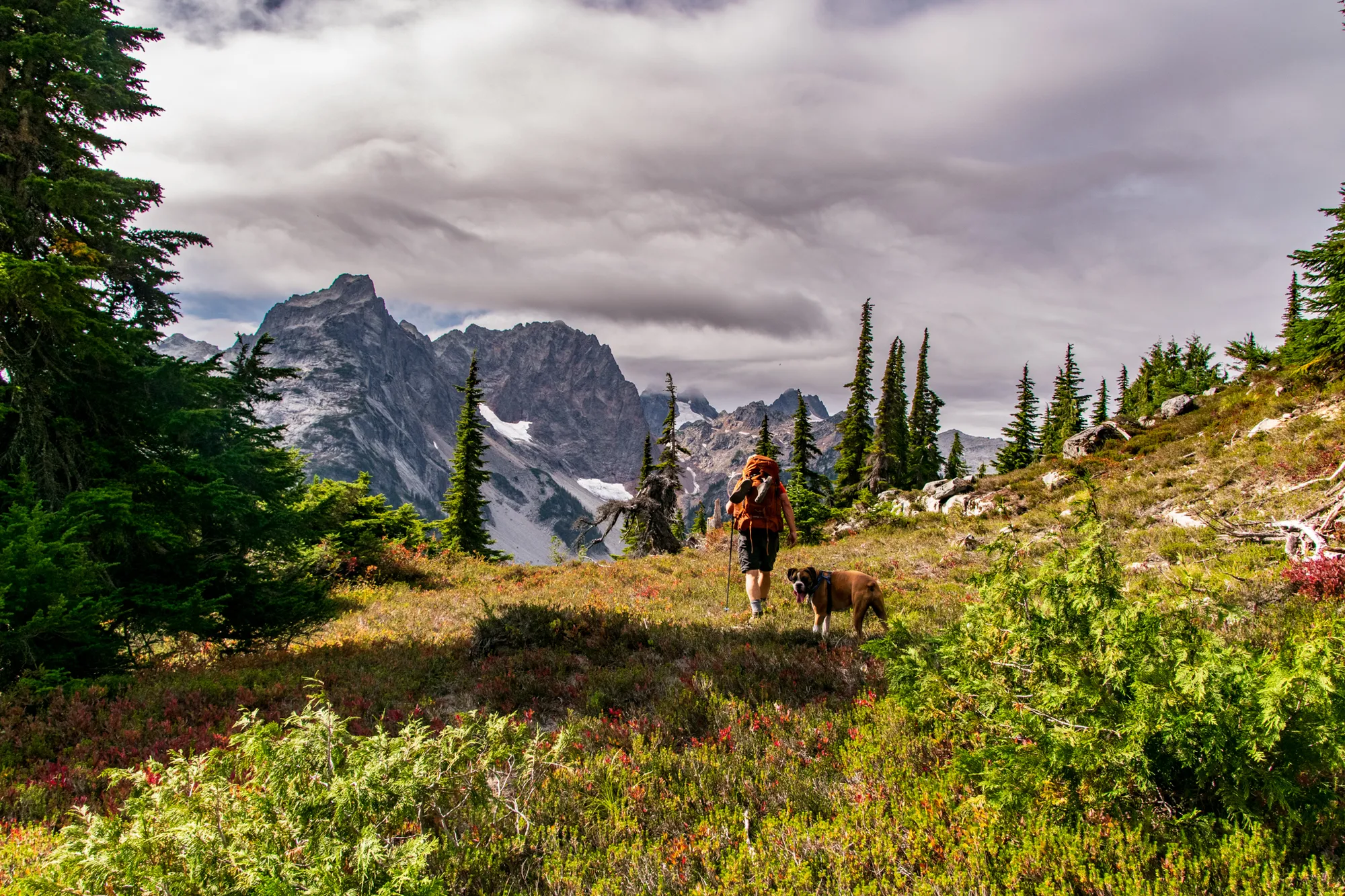
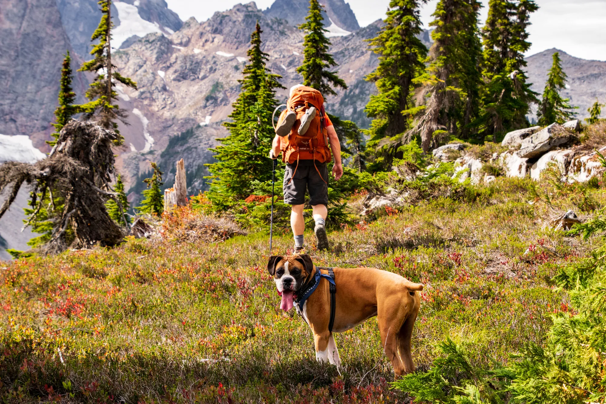
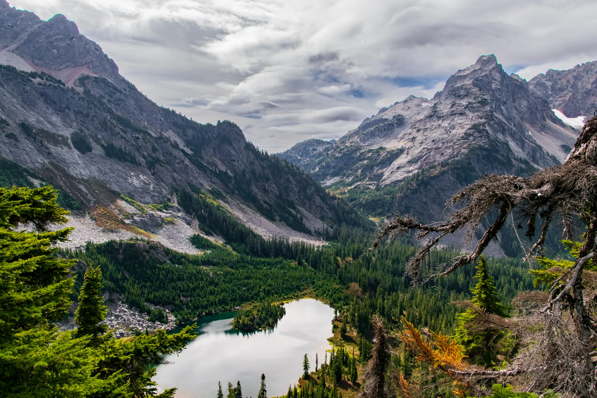
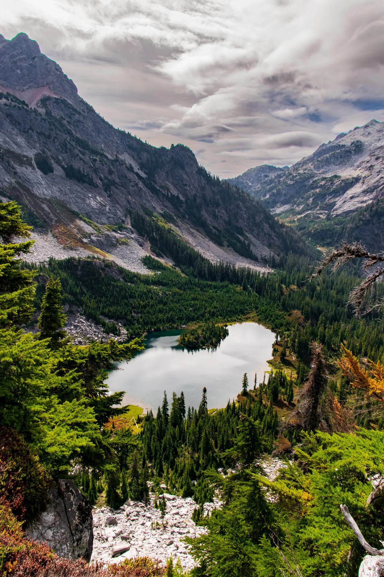
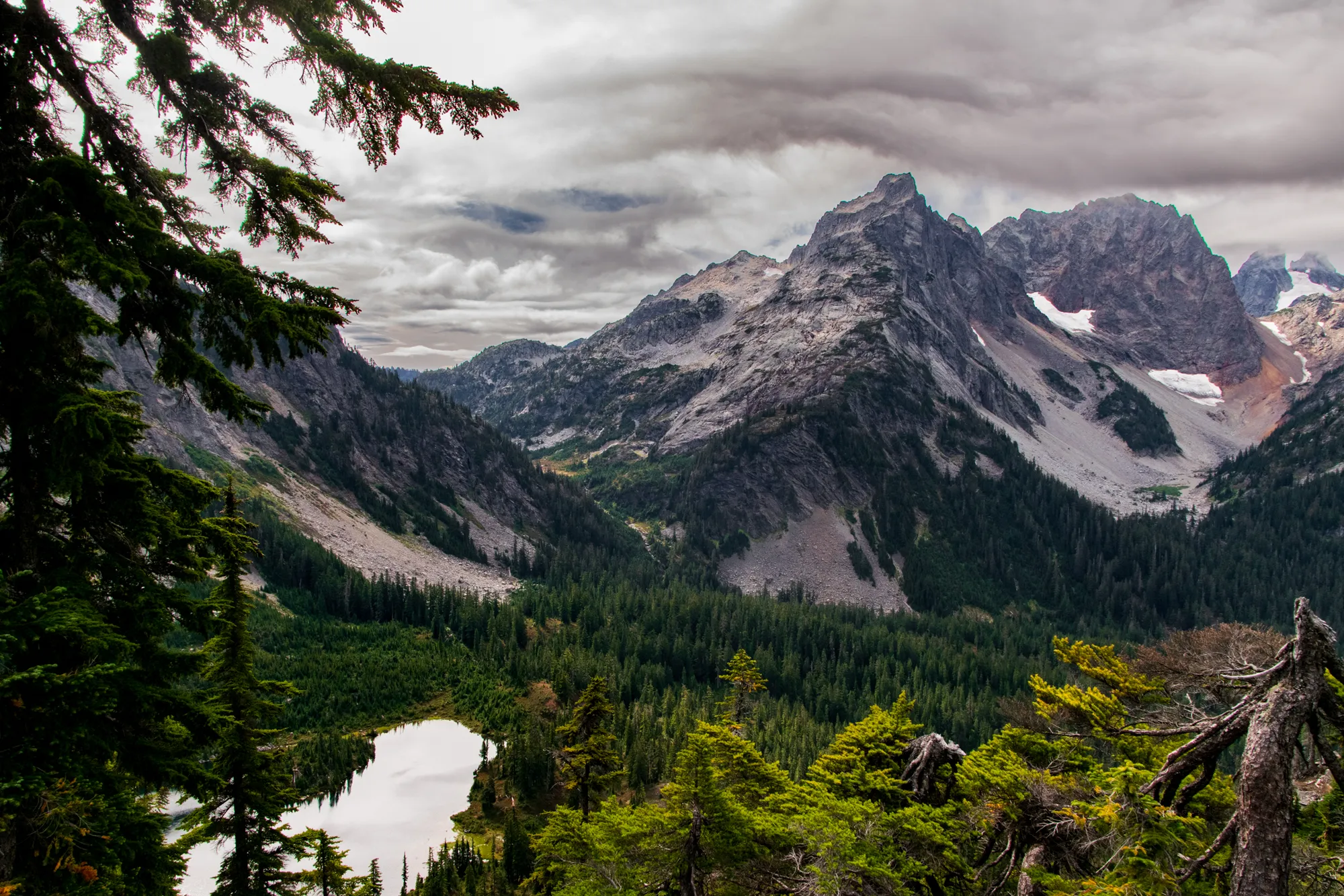
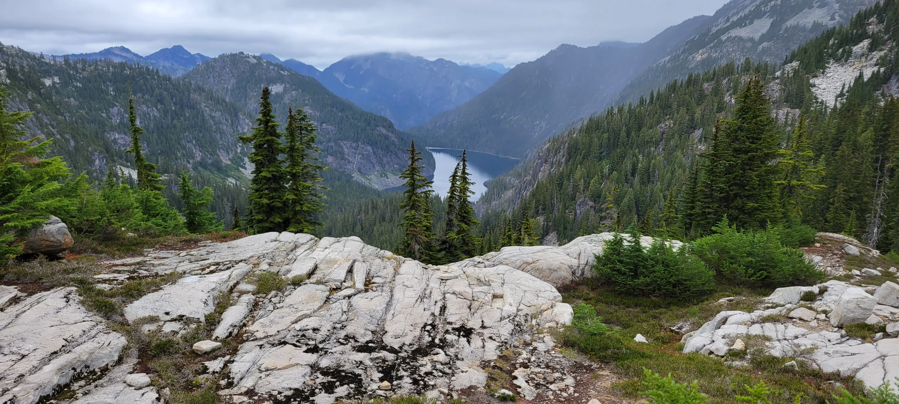
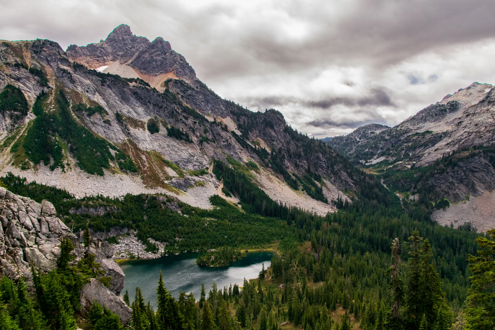
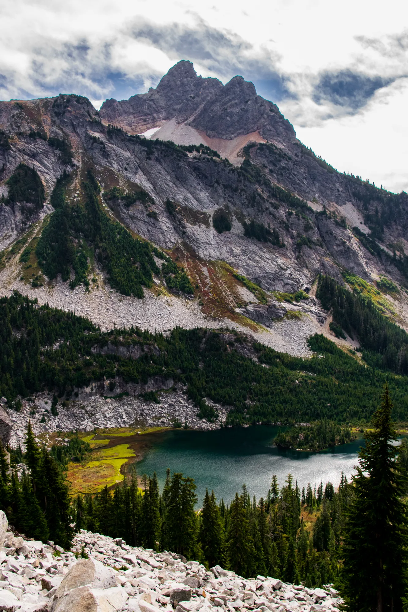
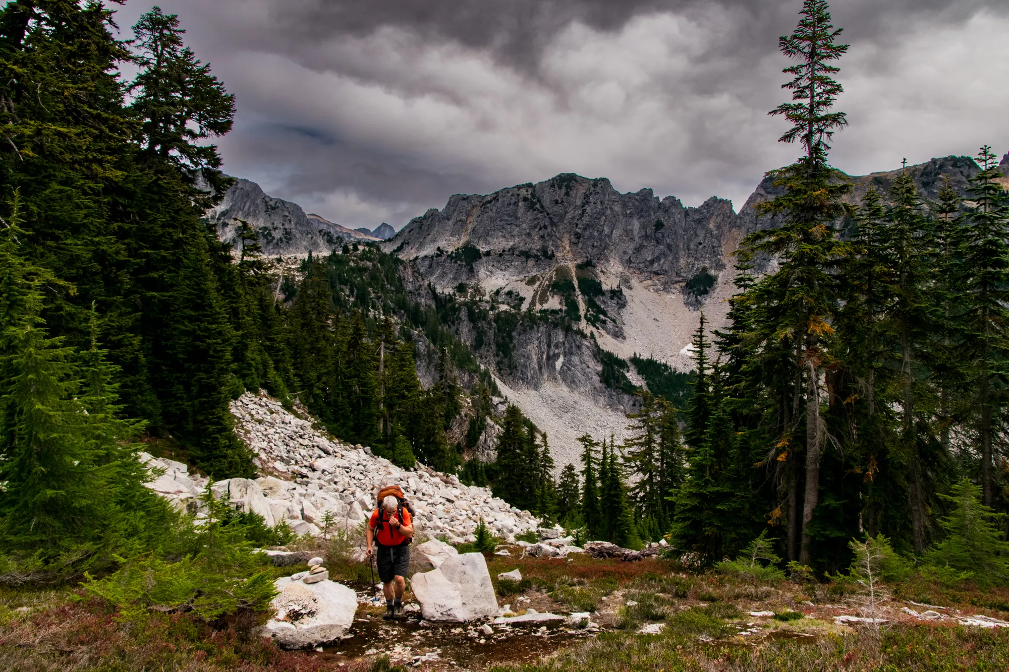
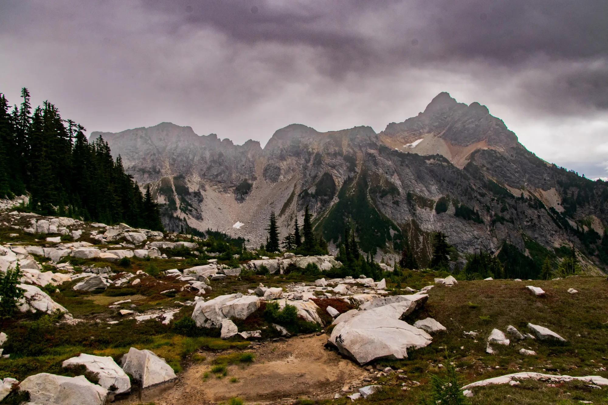
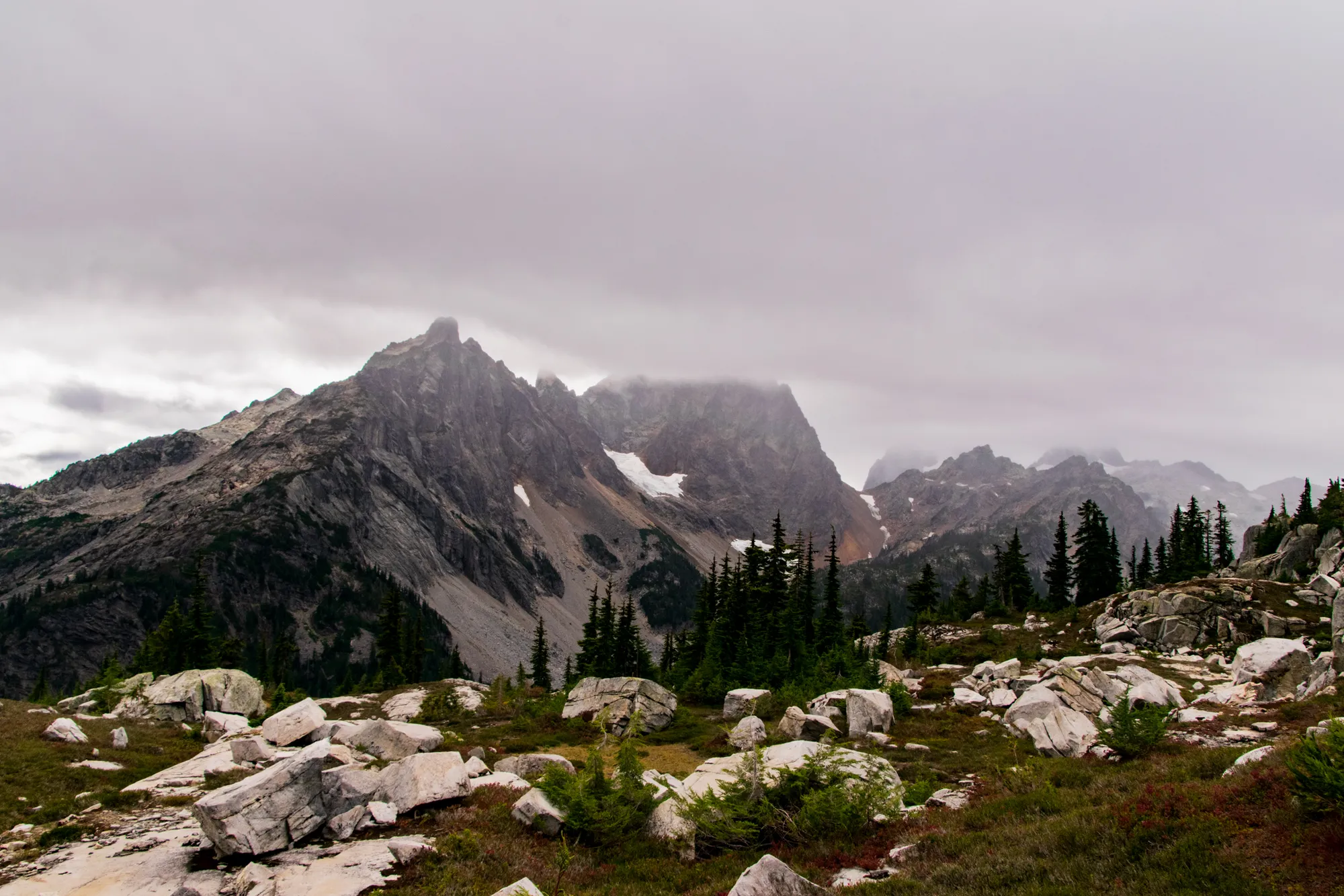
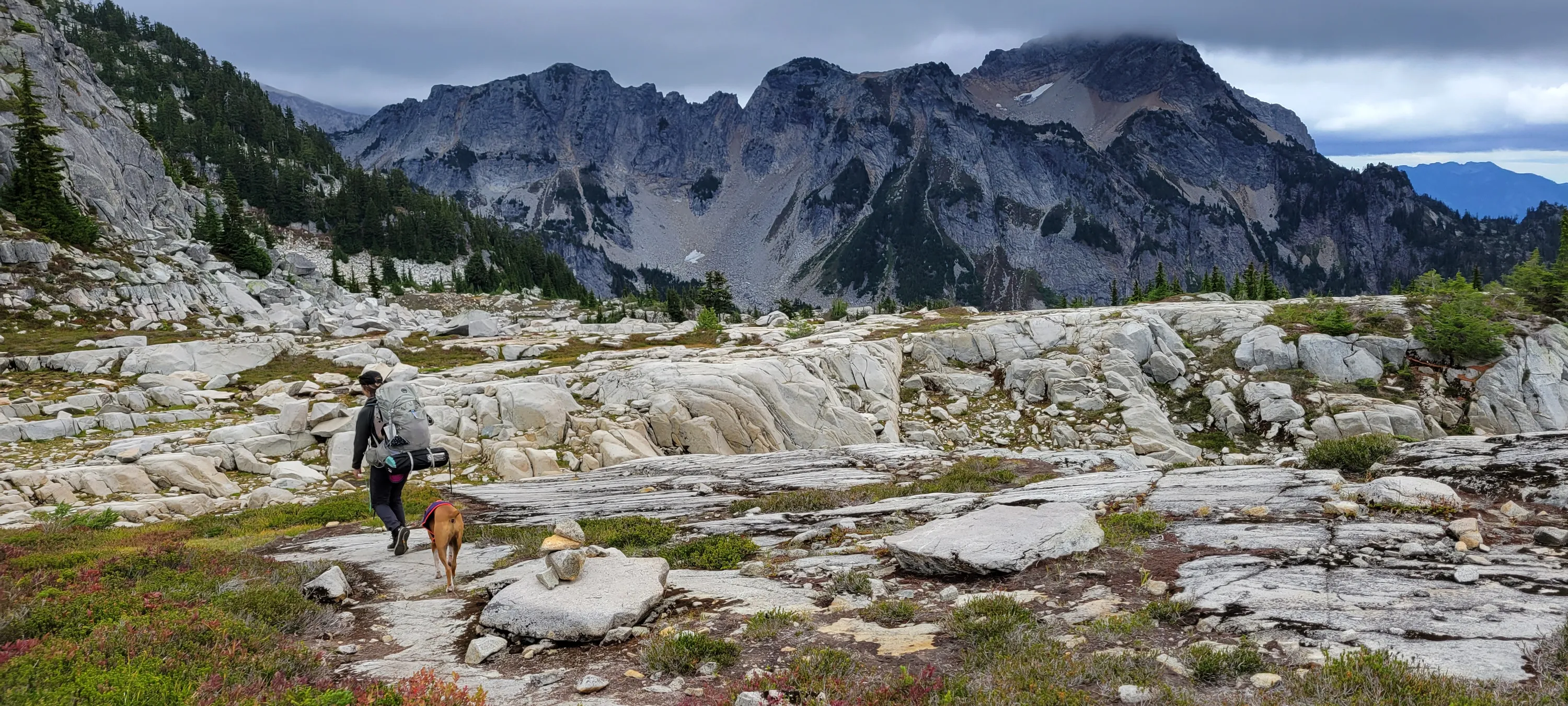
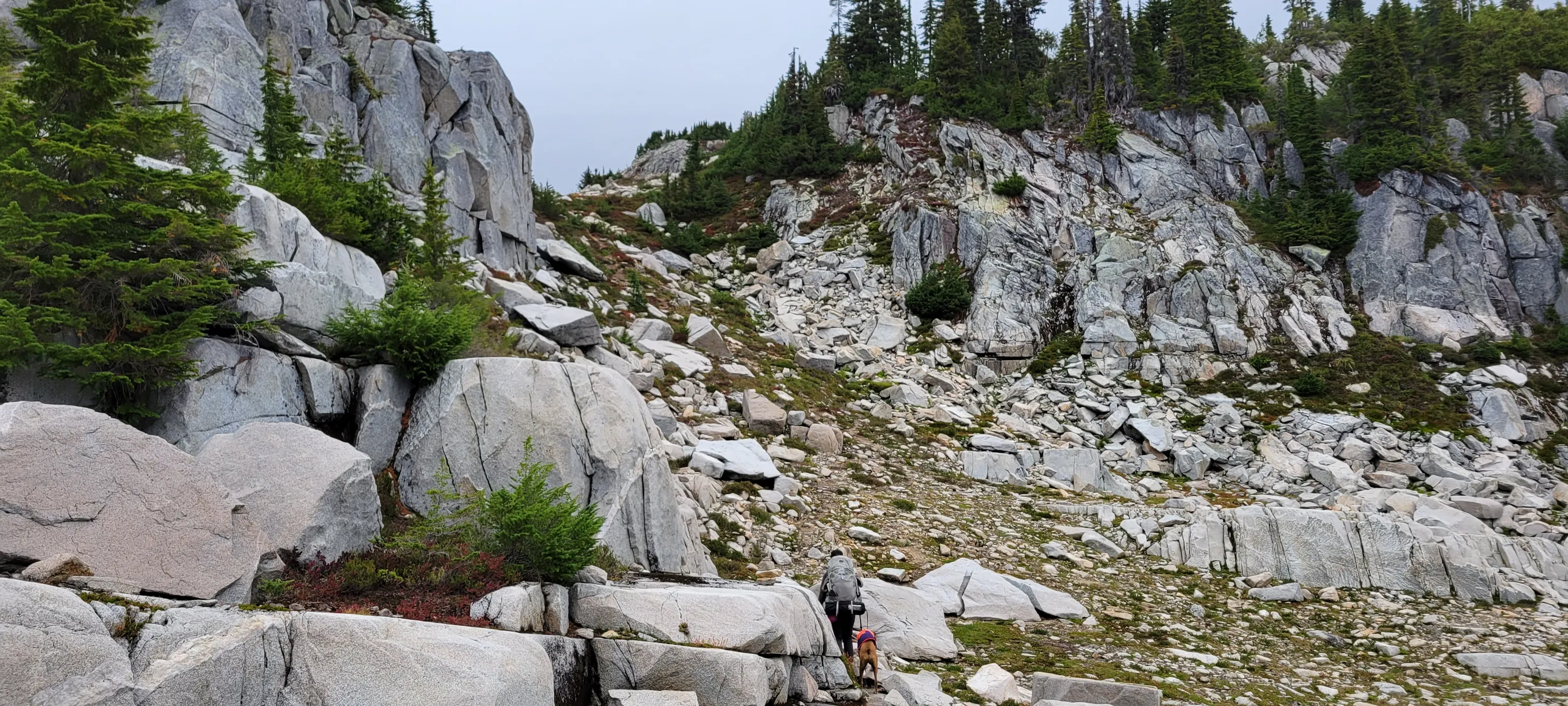
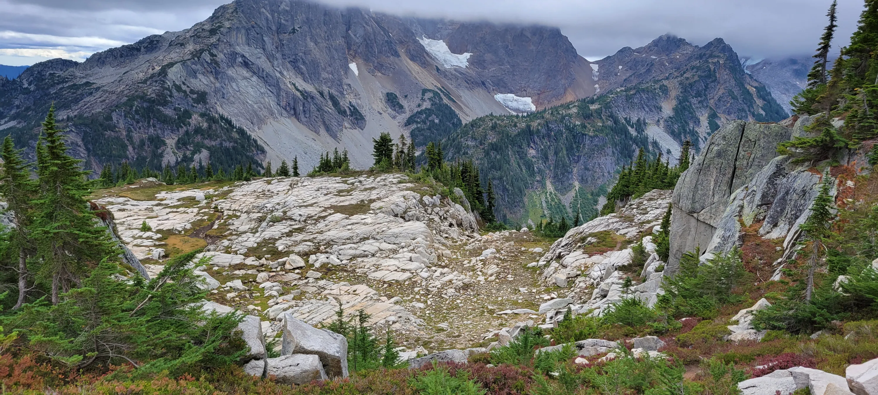
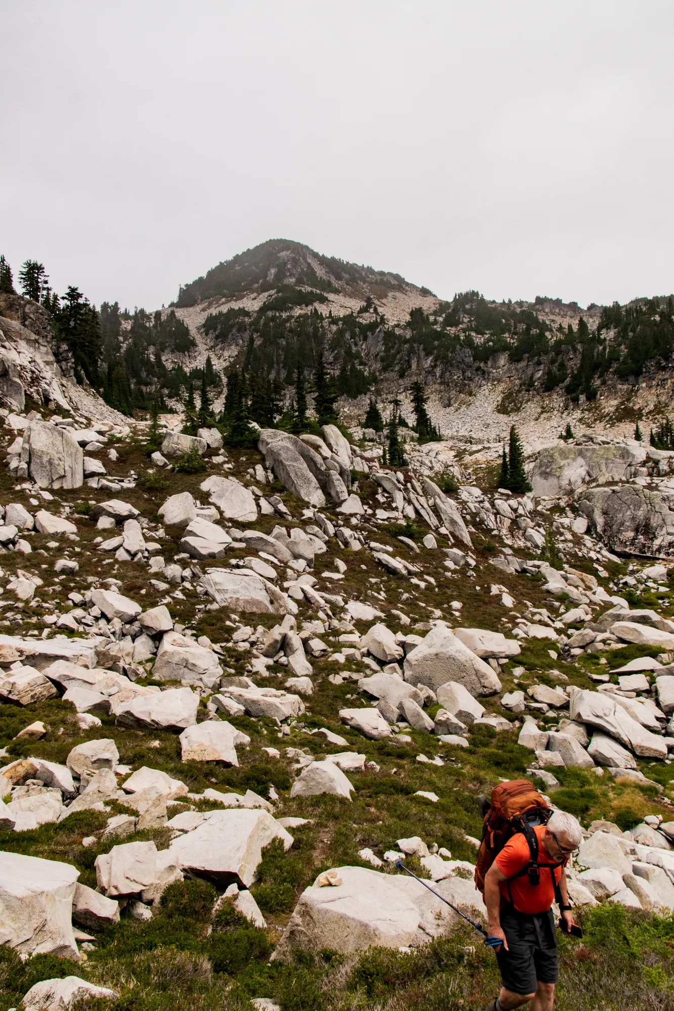
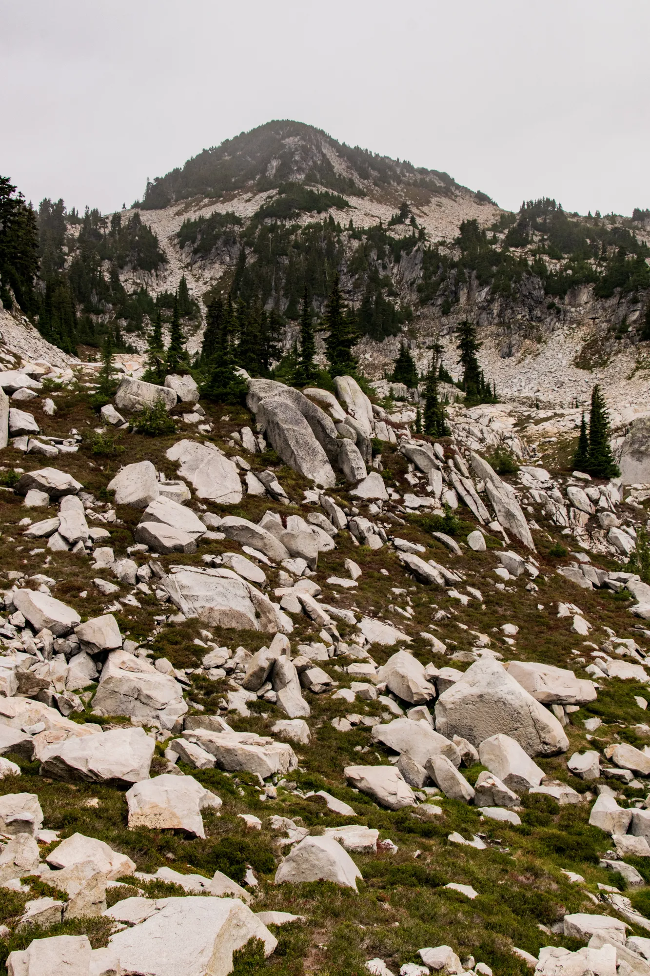
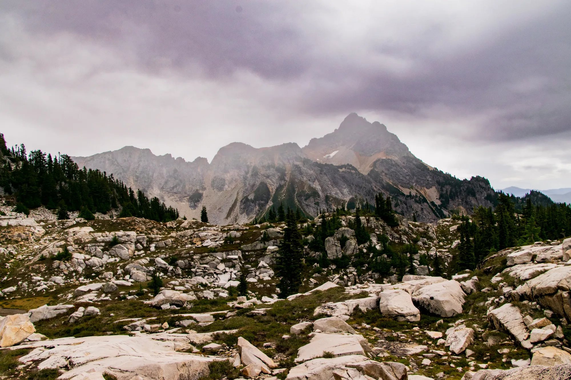
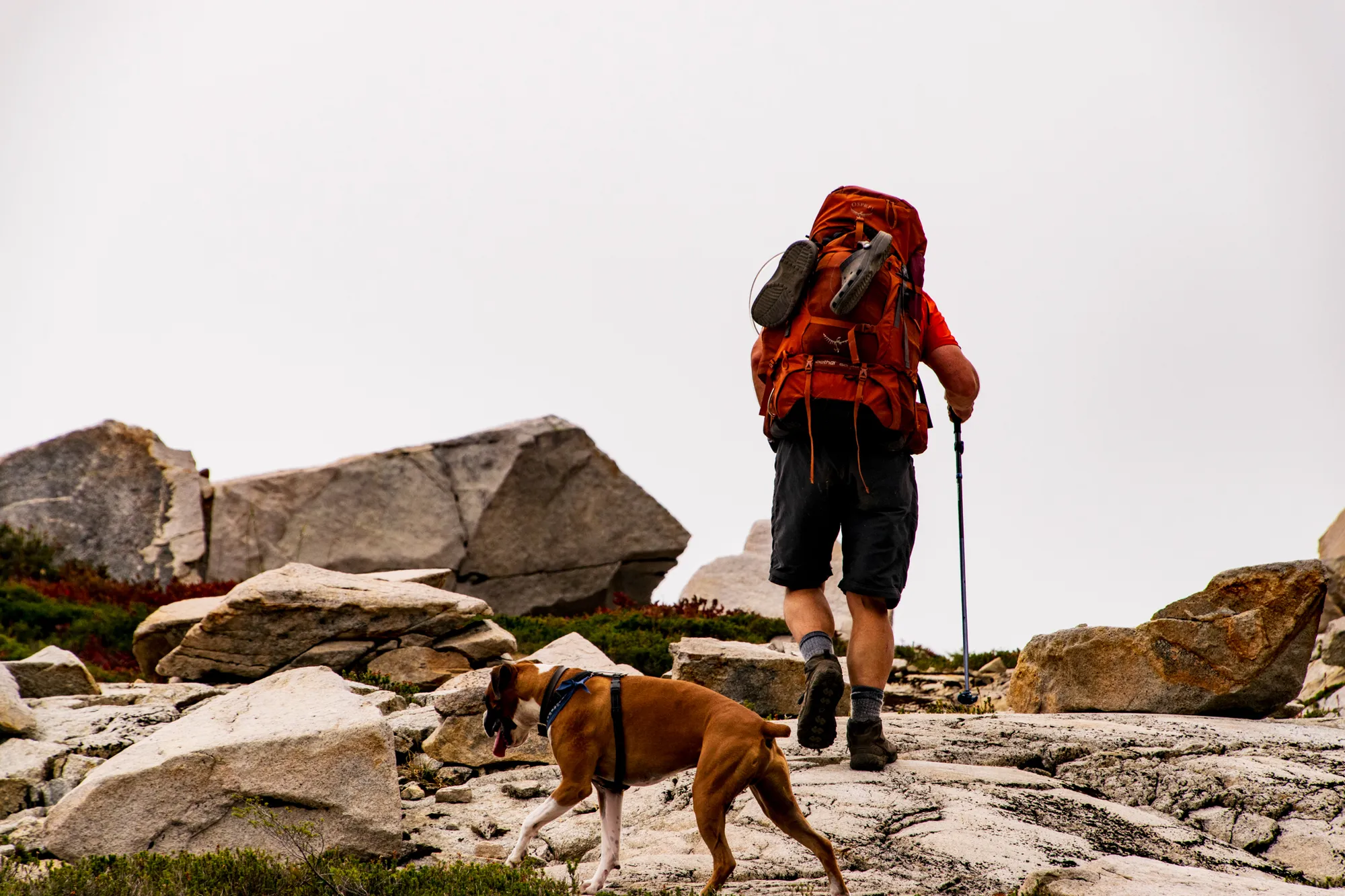
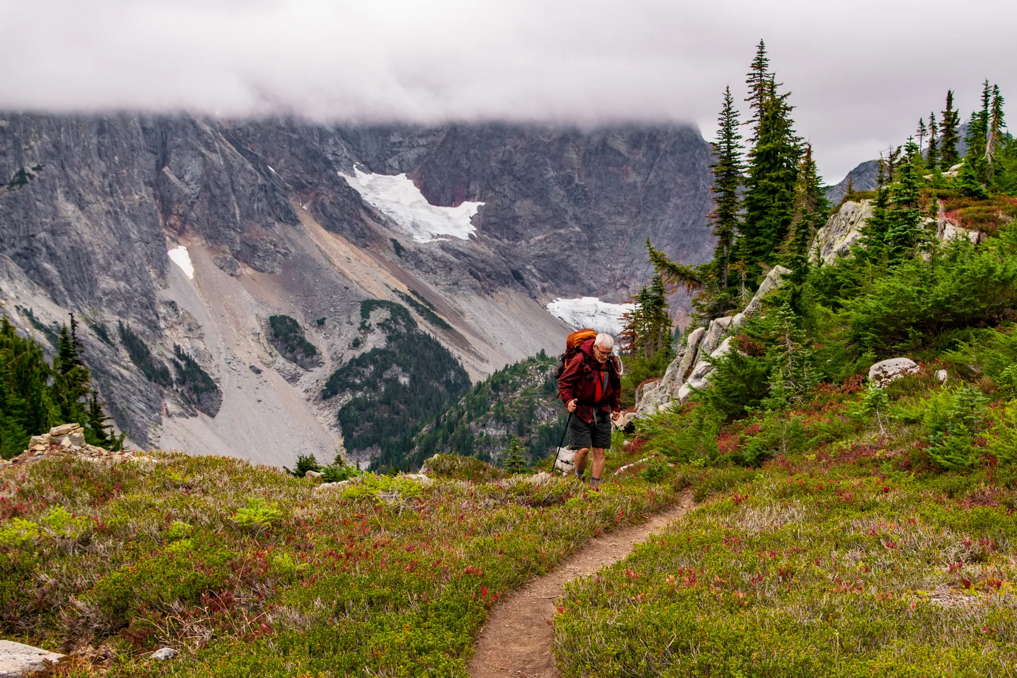
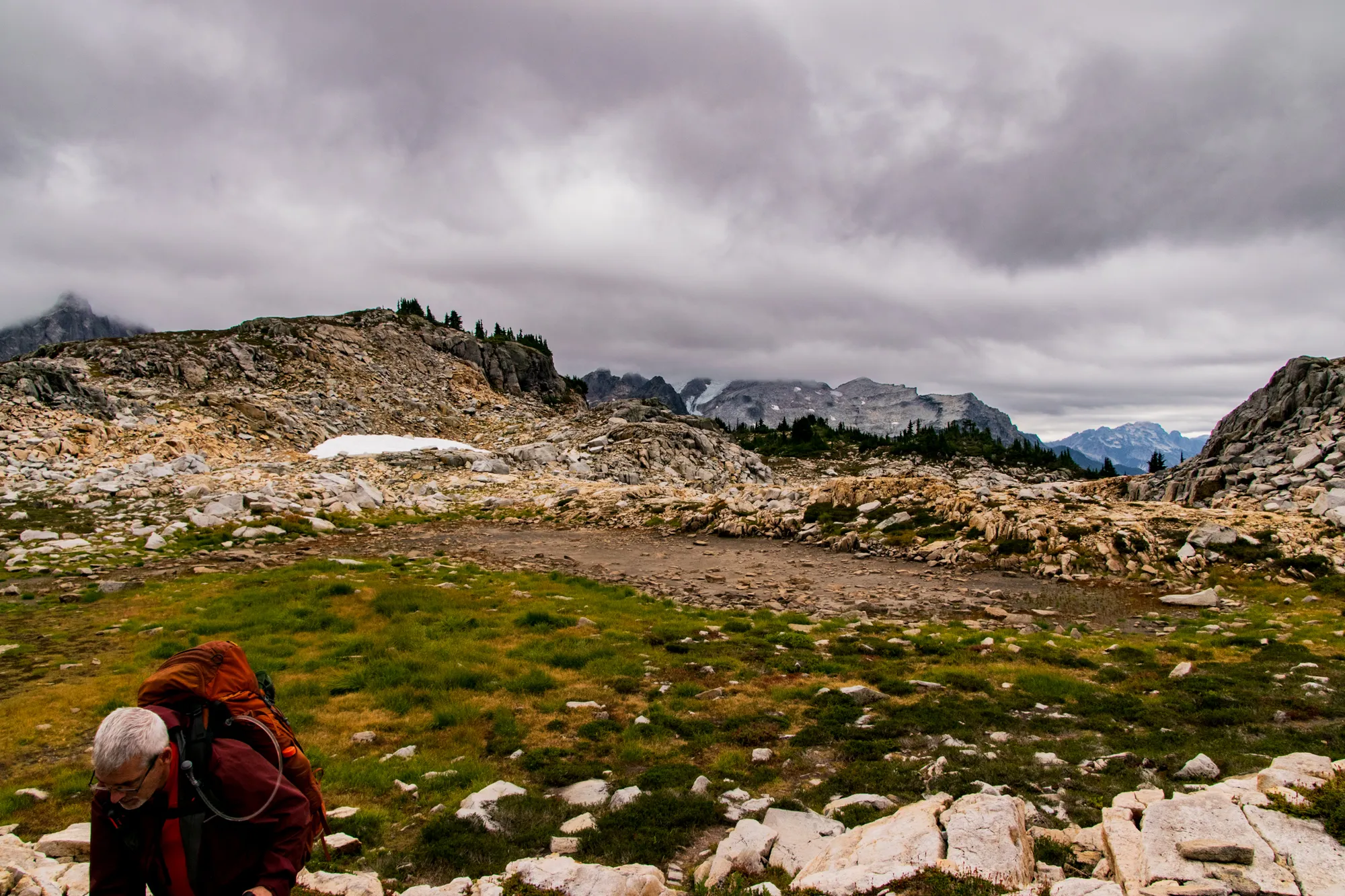
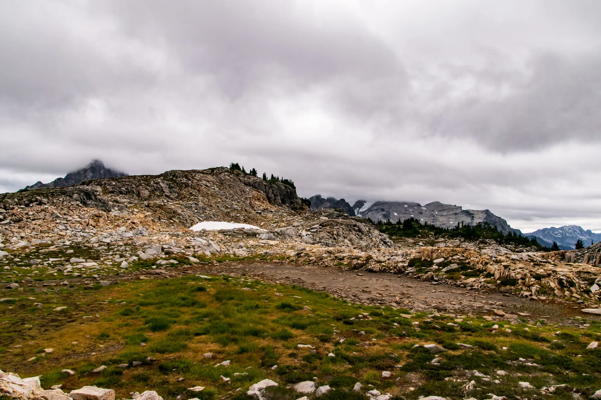
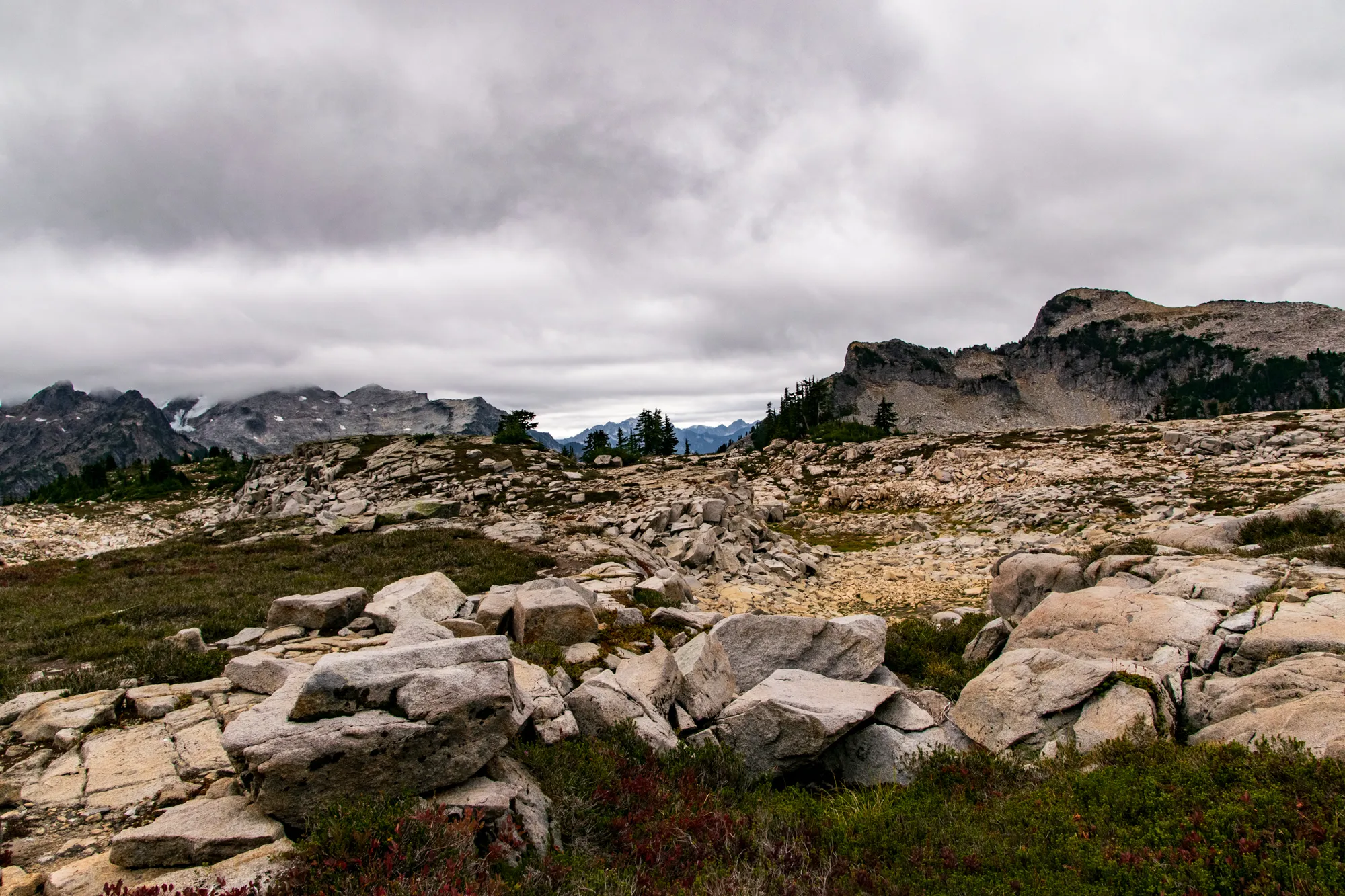
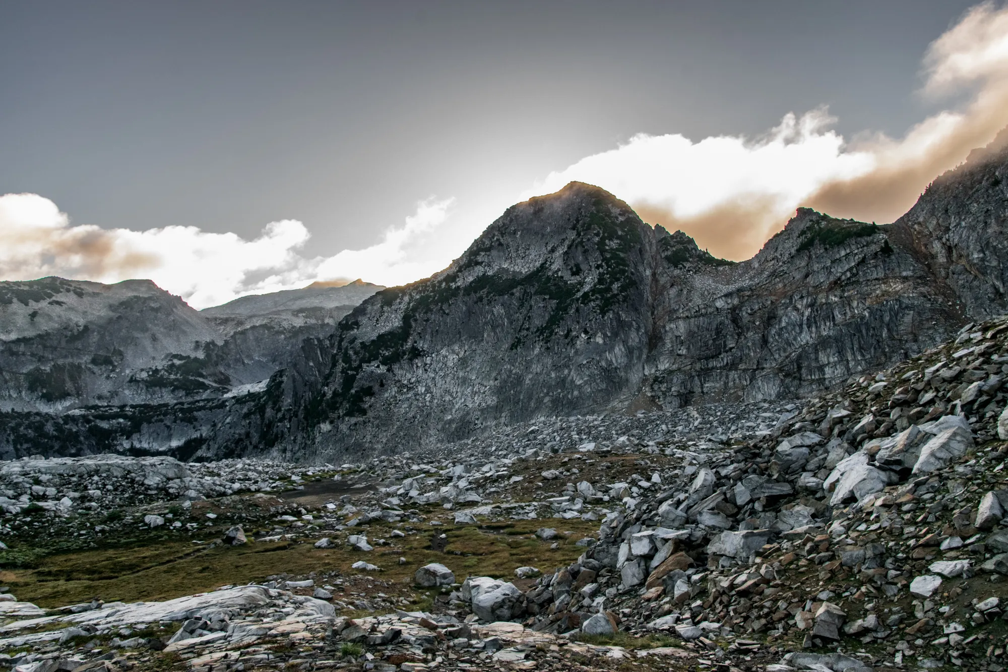
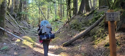
 The beginning of the Necklace Valley Trail - we think this was an old road
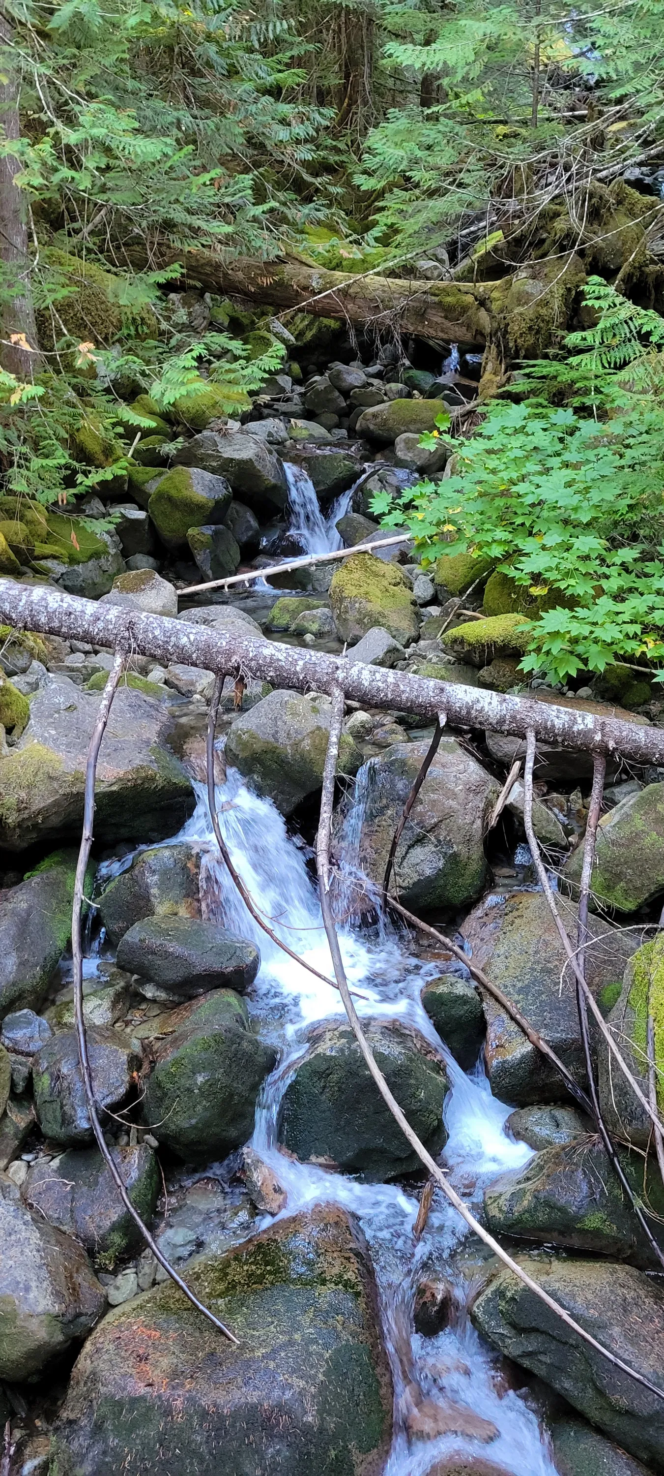
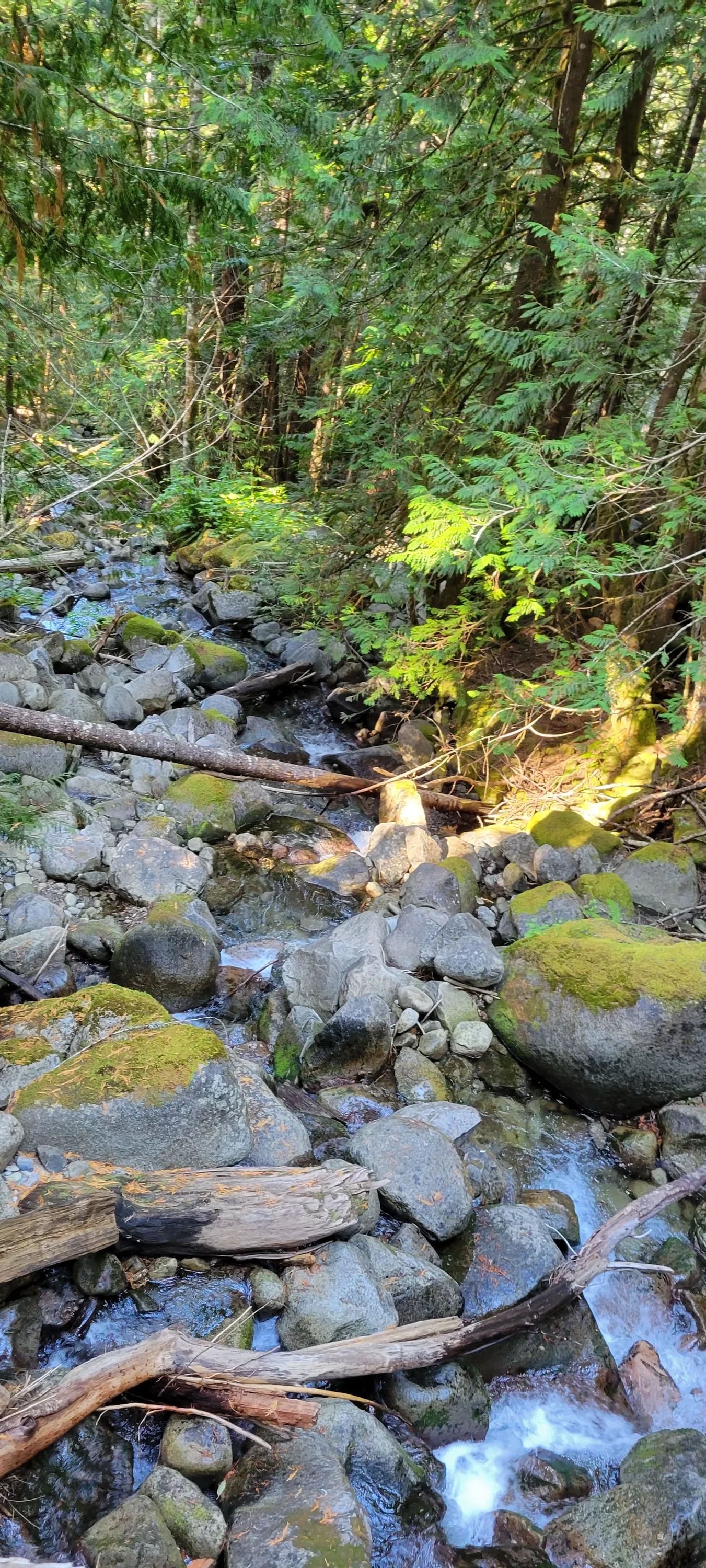
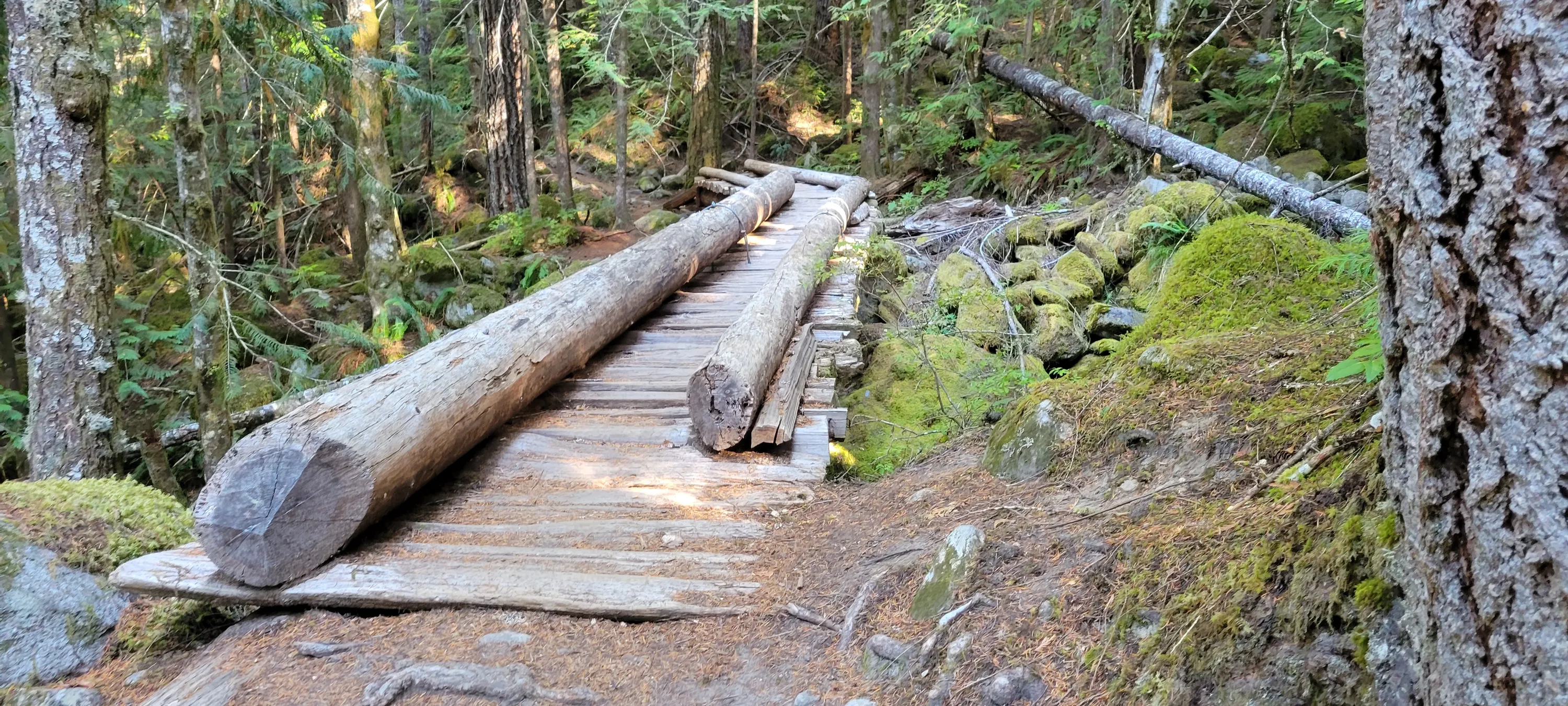
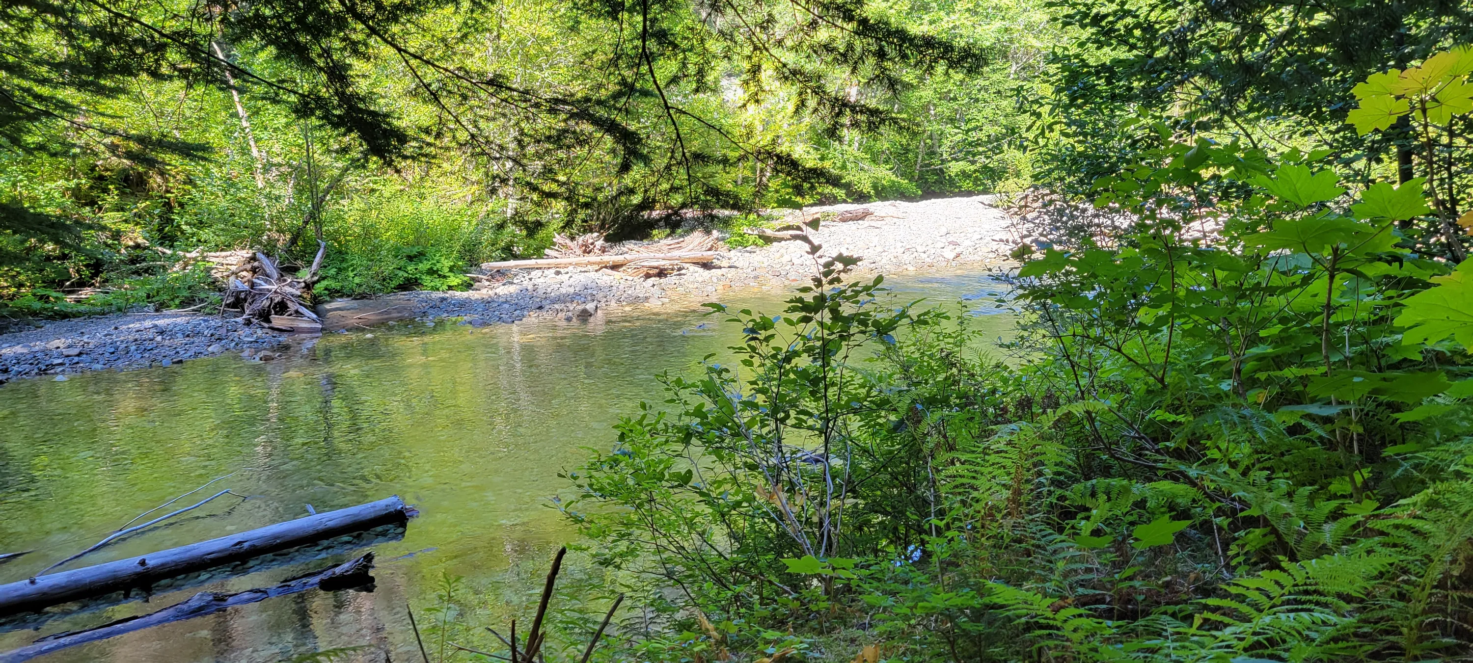
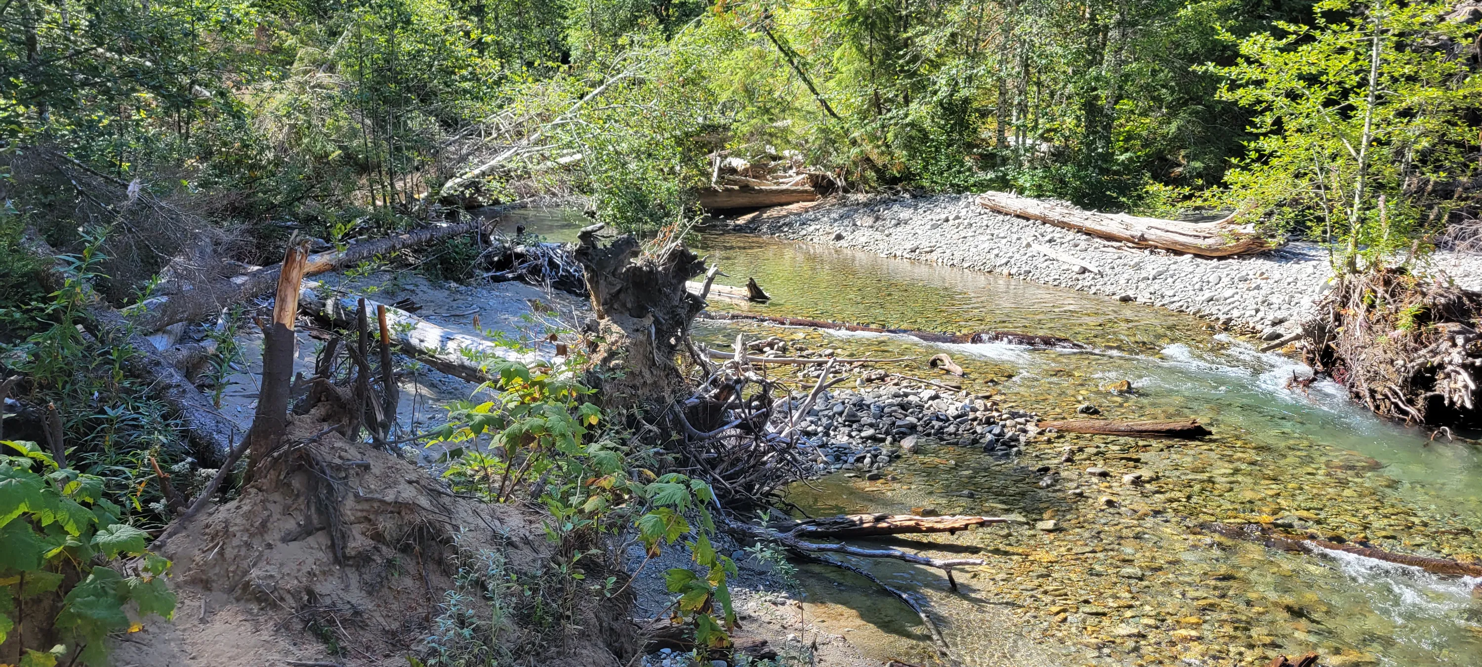
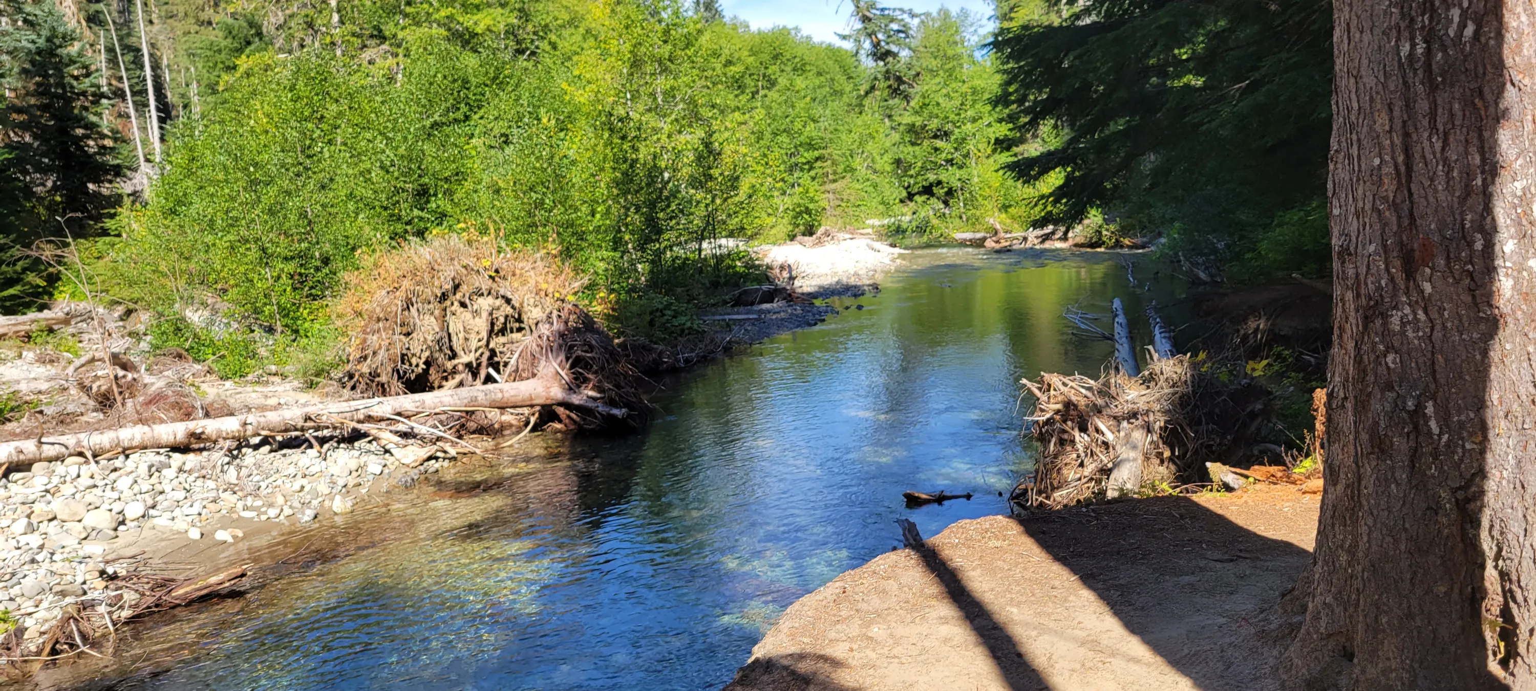
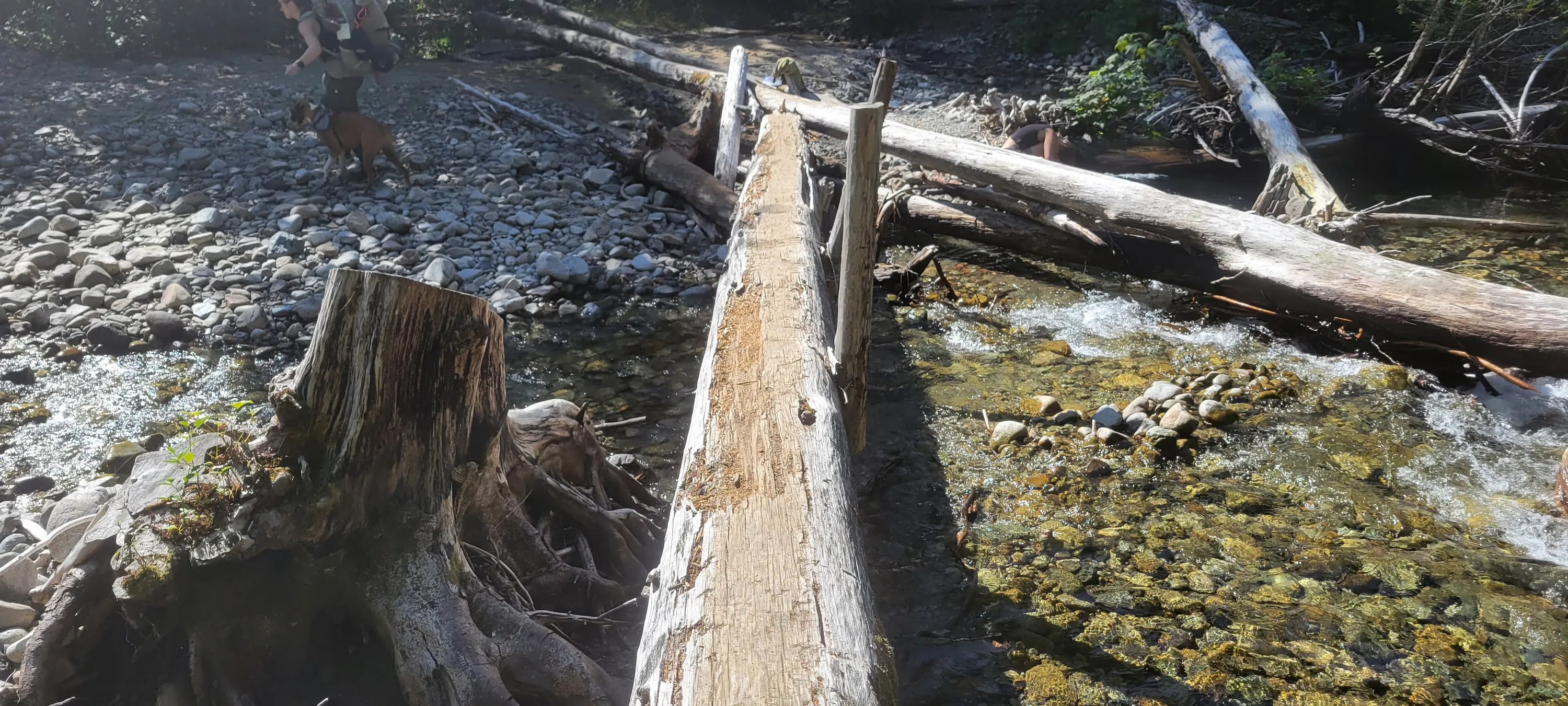
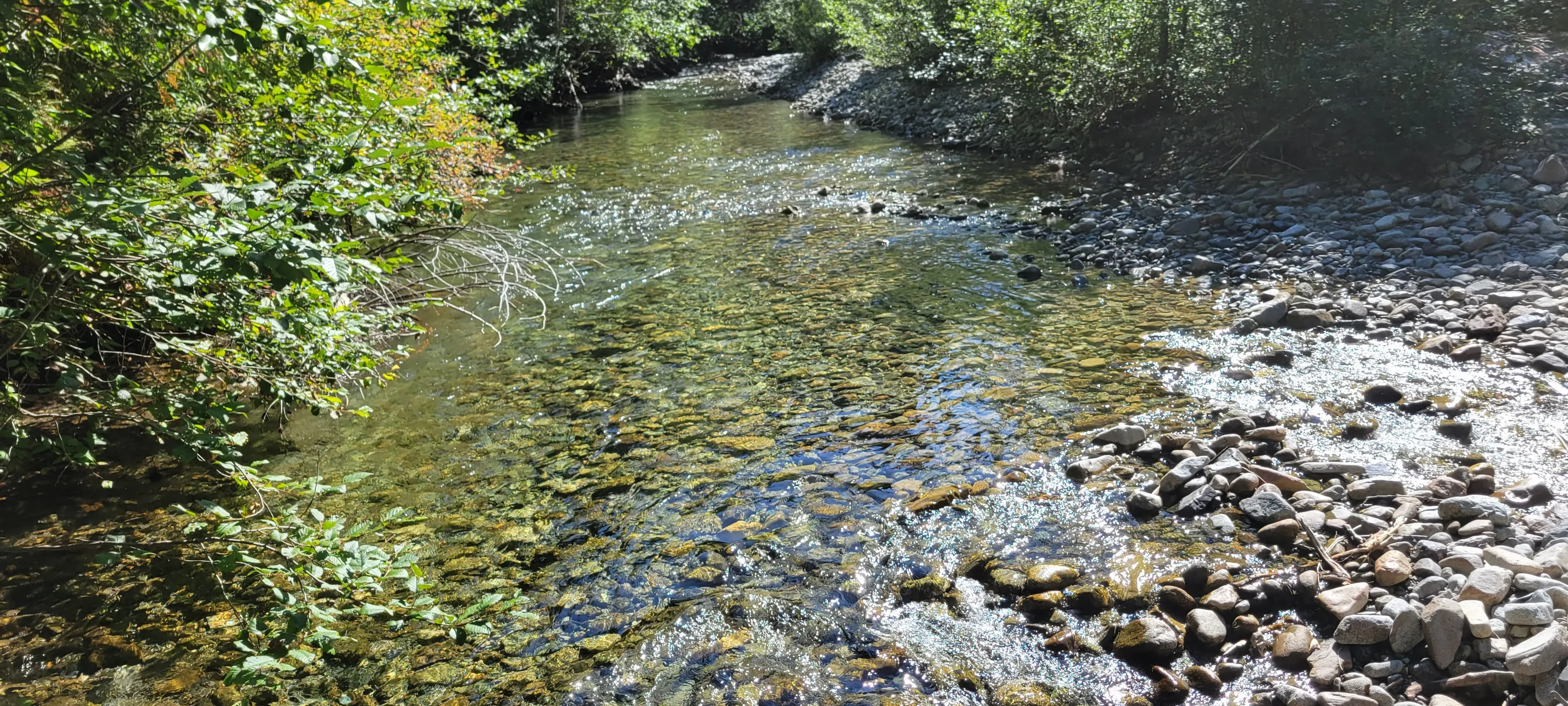
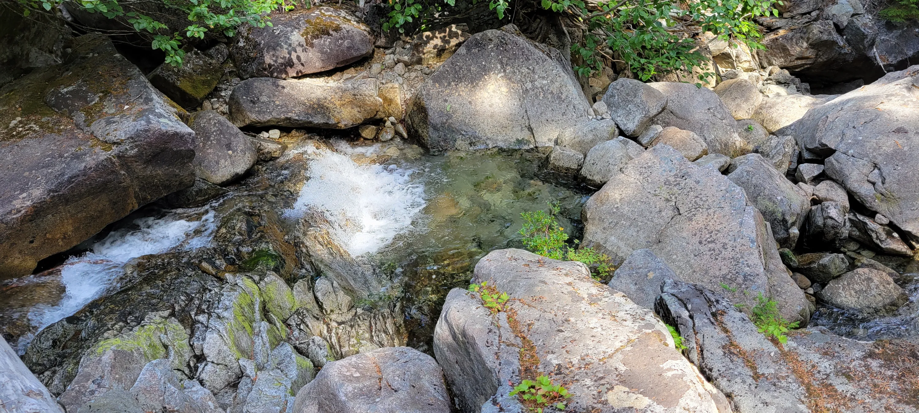
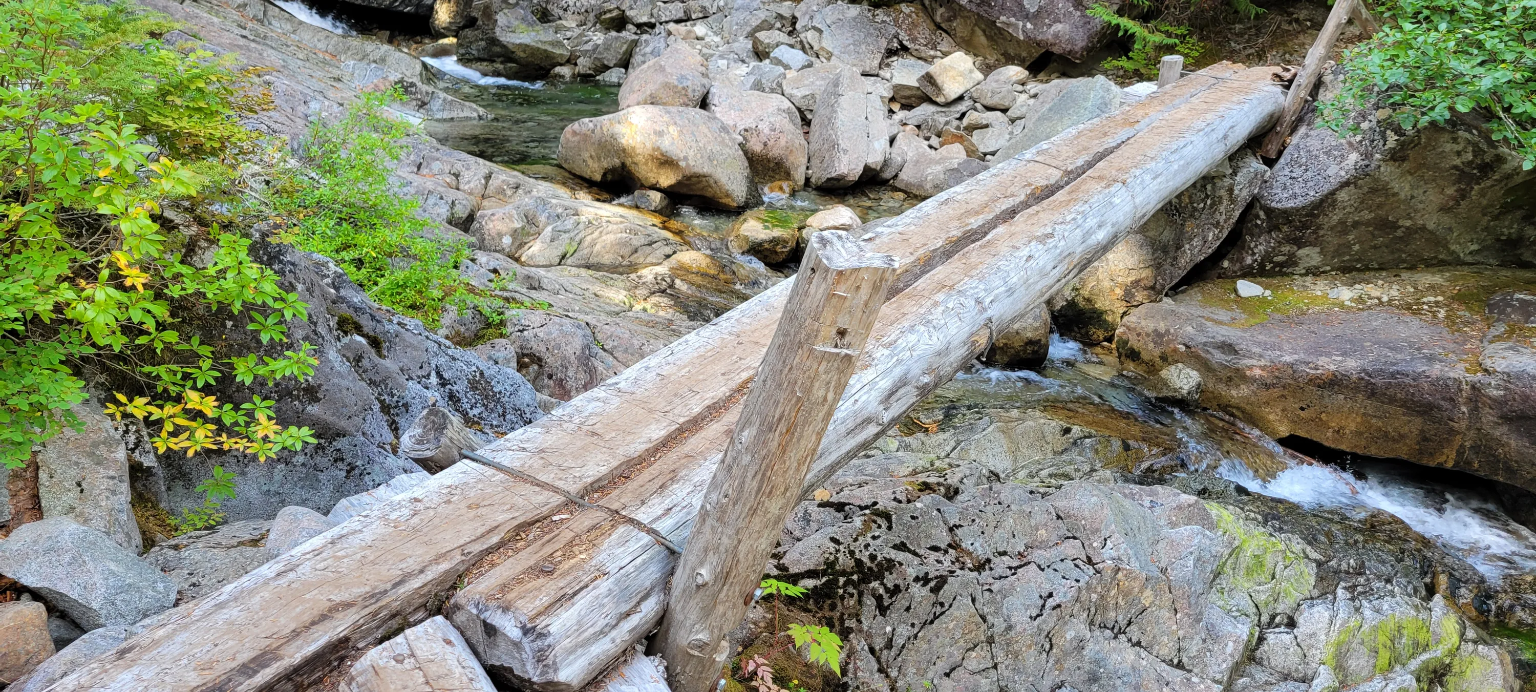
 Burn Creek Crossing on the Necklace Valley Trail
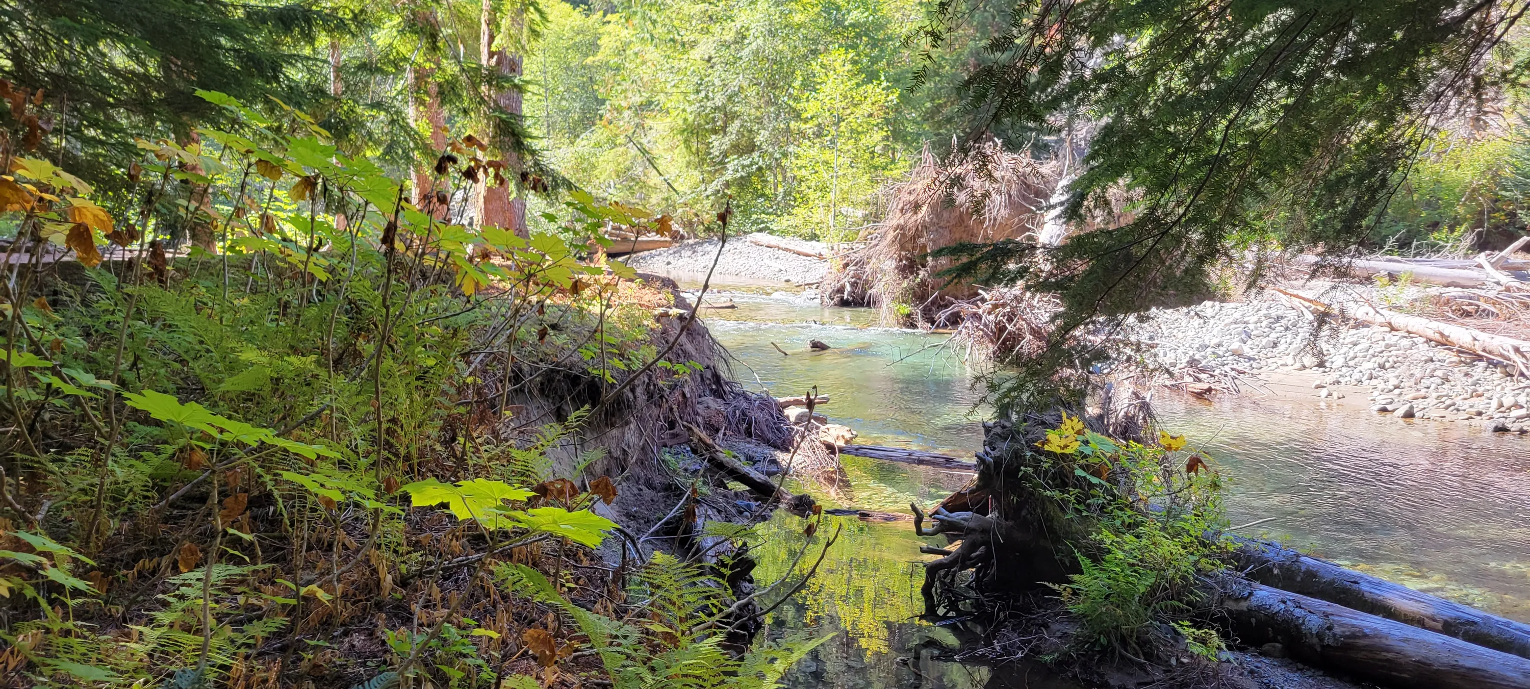
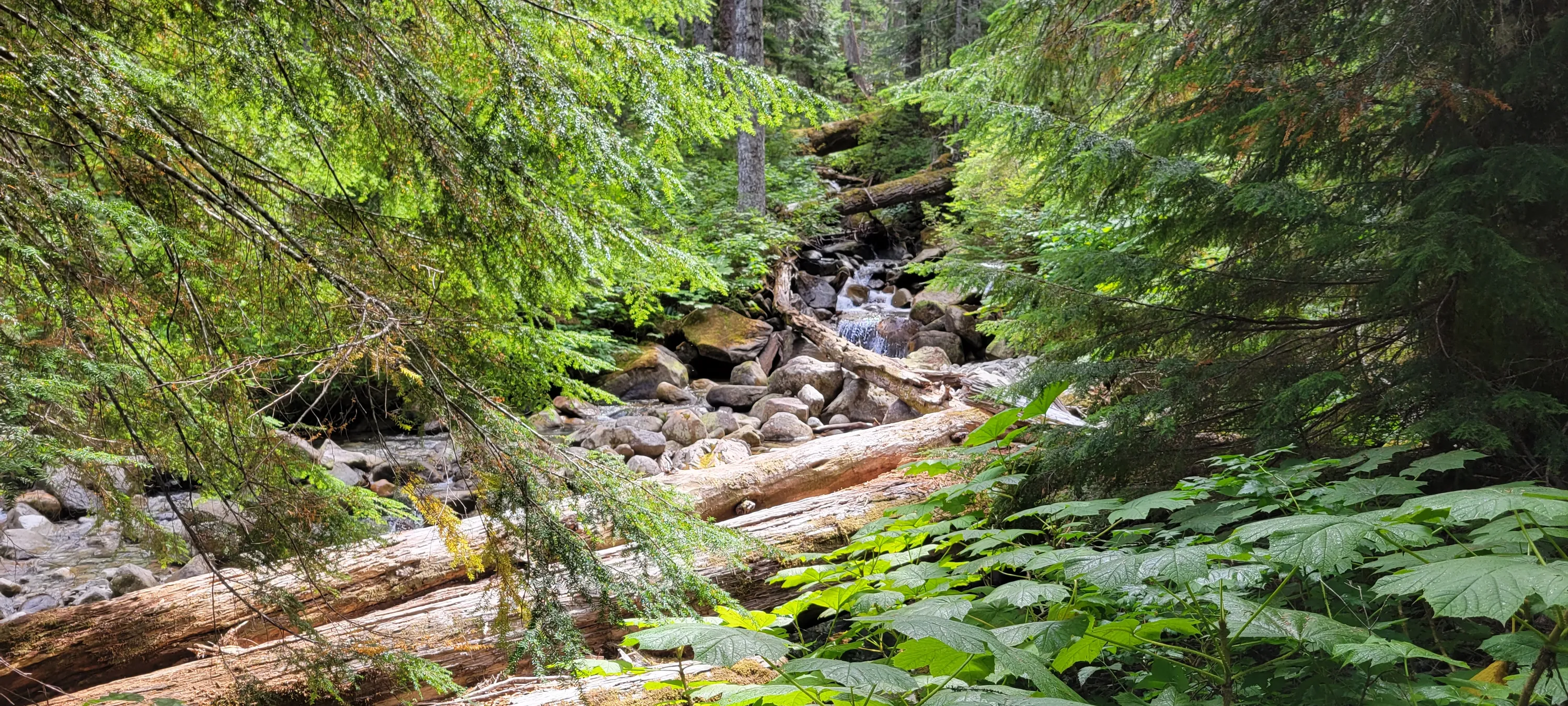
 Burn Creek on the Necklace Valley Trail
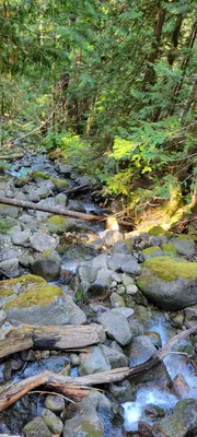 Burn Creek on the Necklace Valley Trail
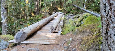 Burn Creek Crossing on the Necklace Valley Trail
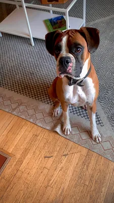
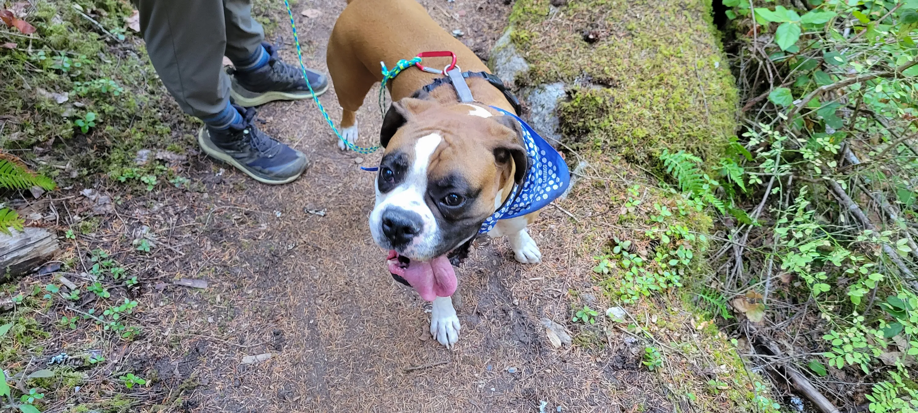
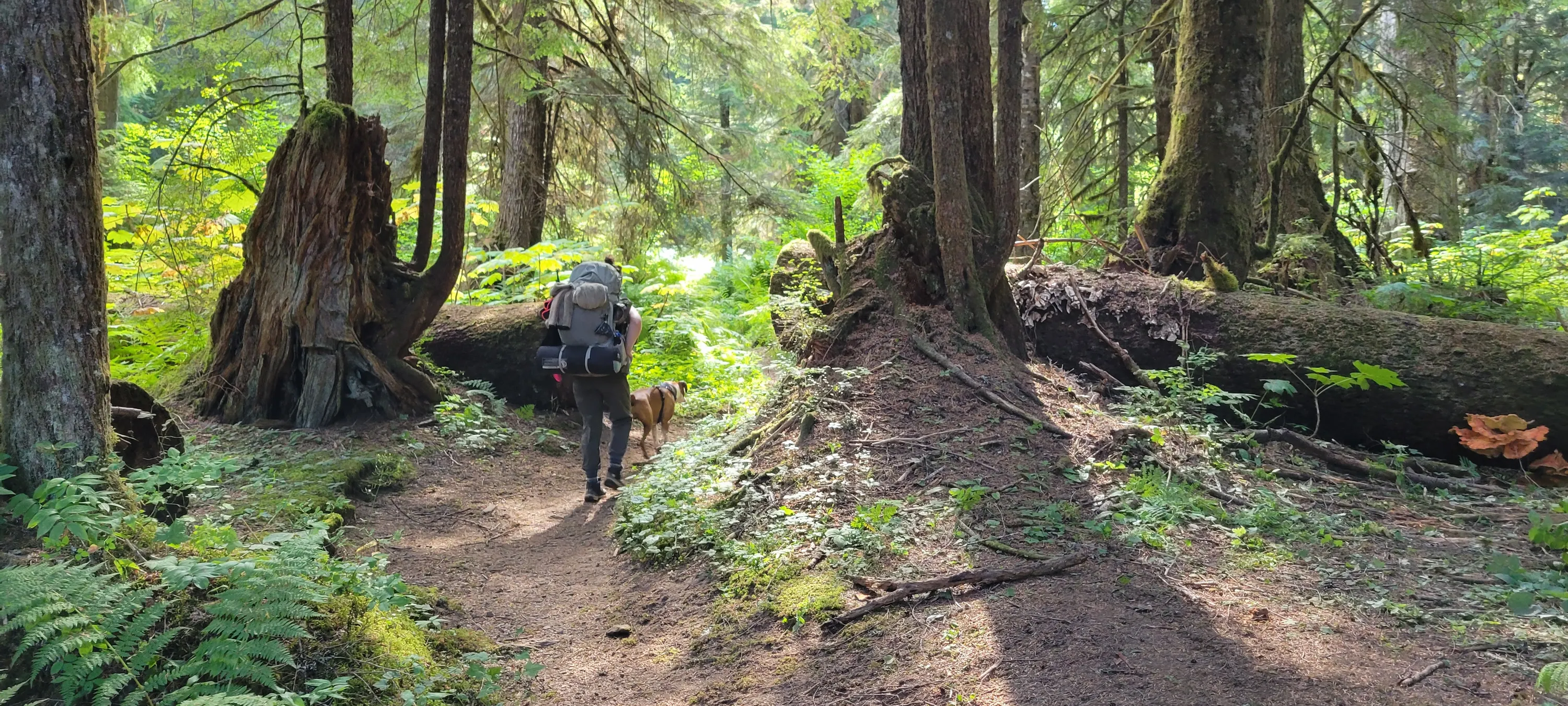
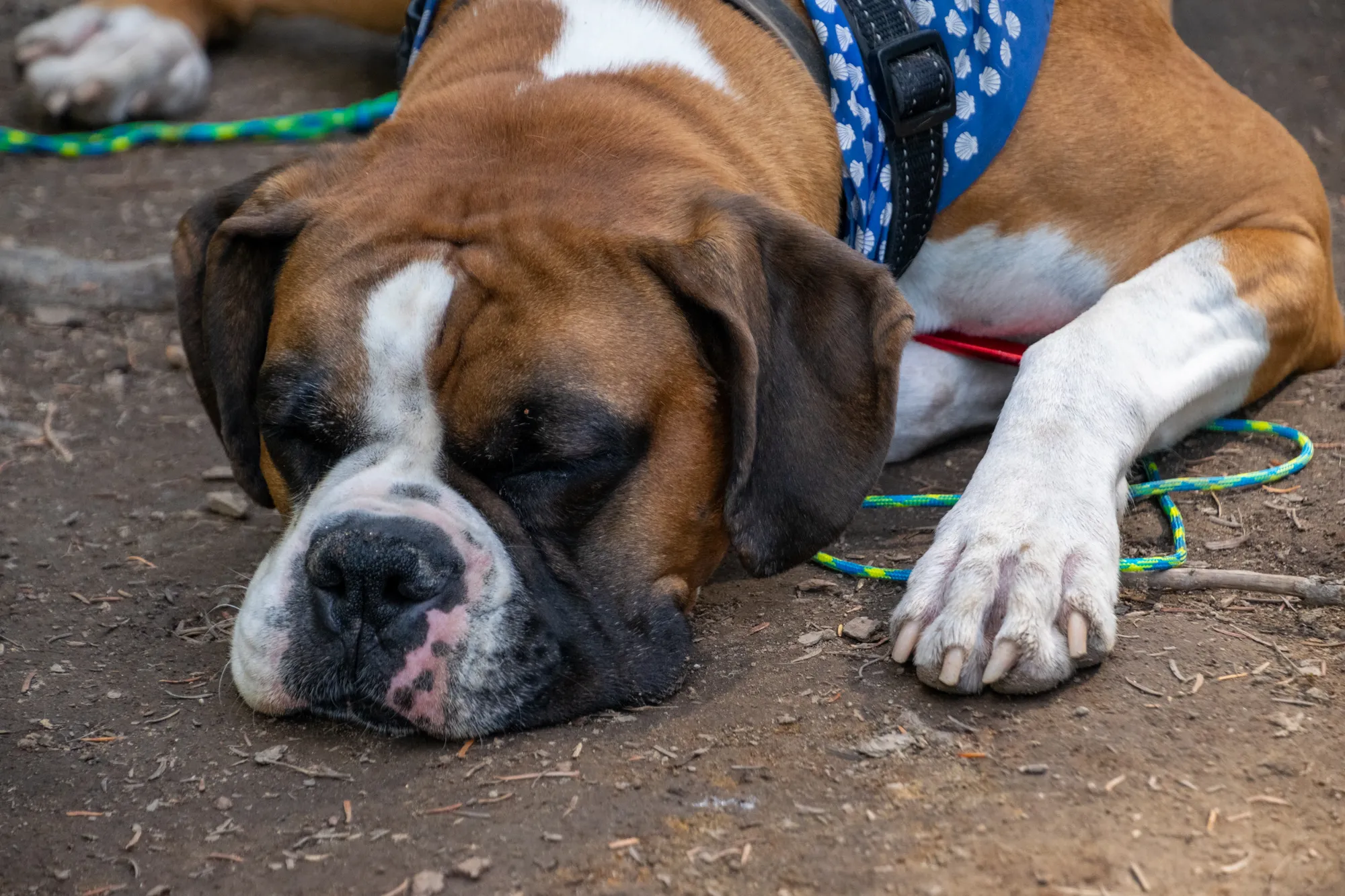
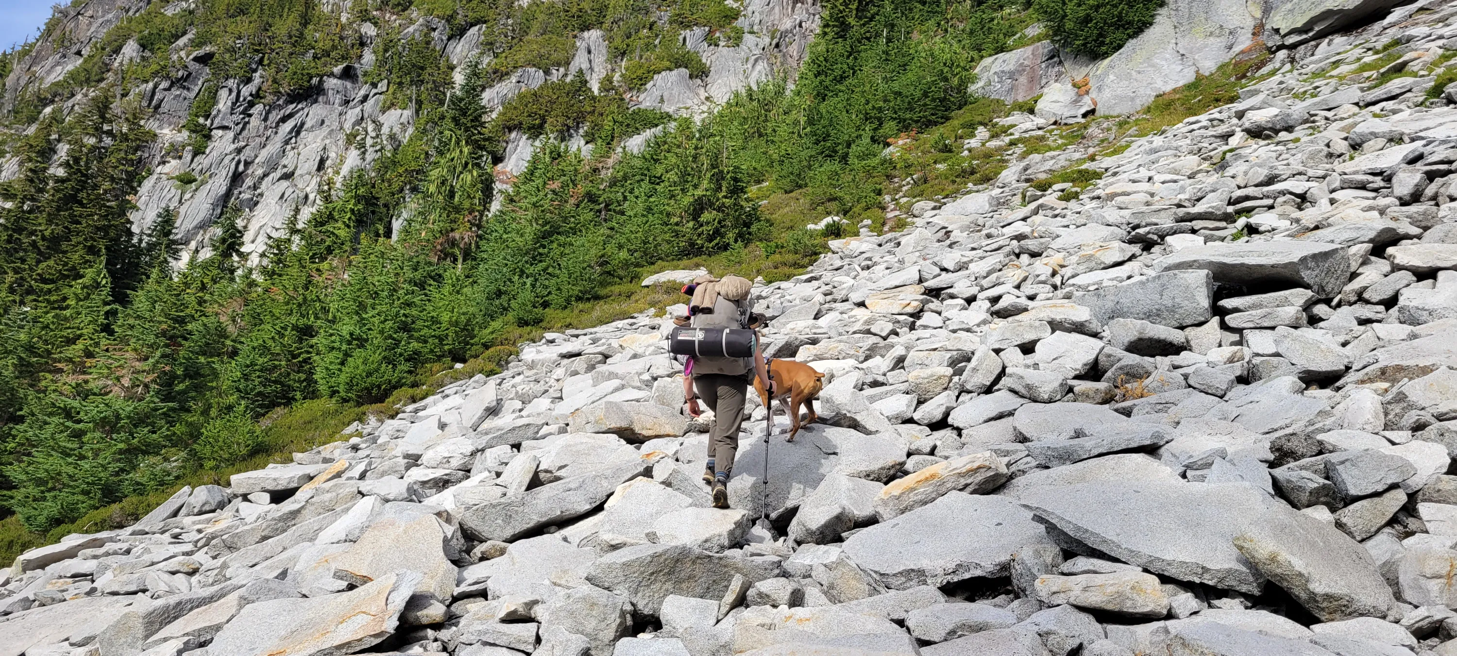
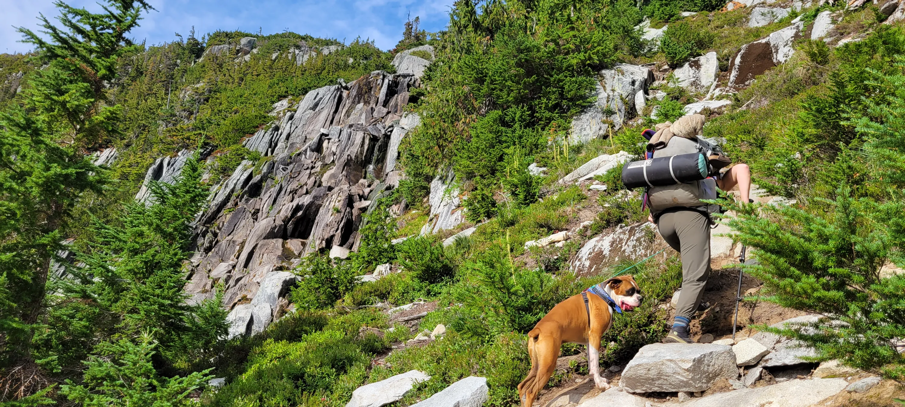
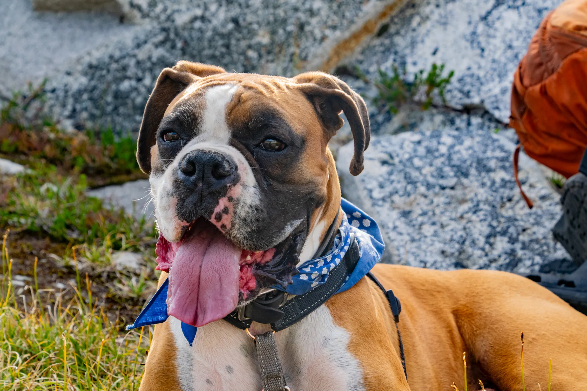
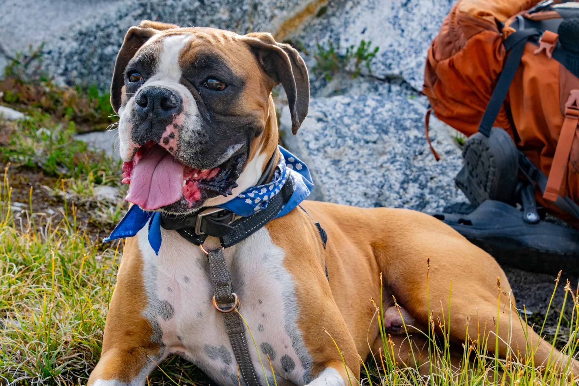
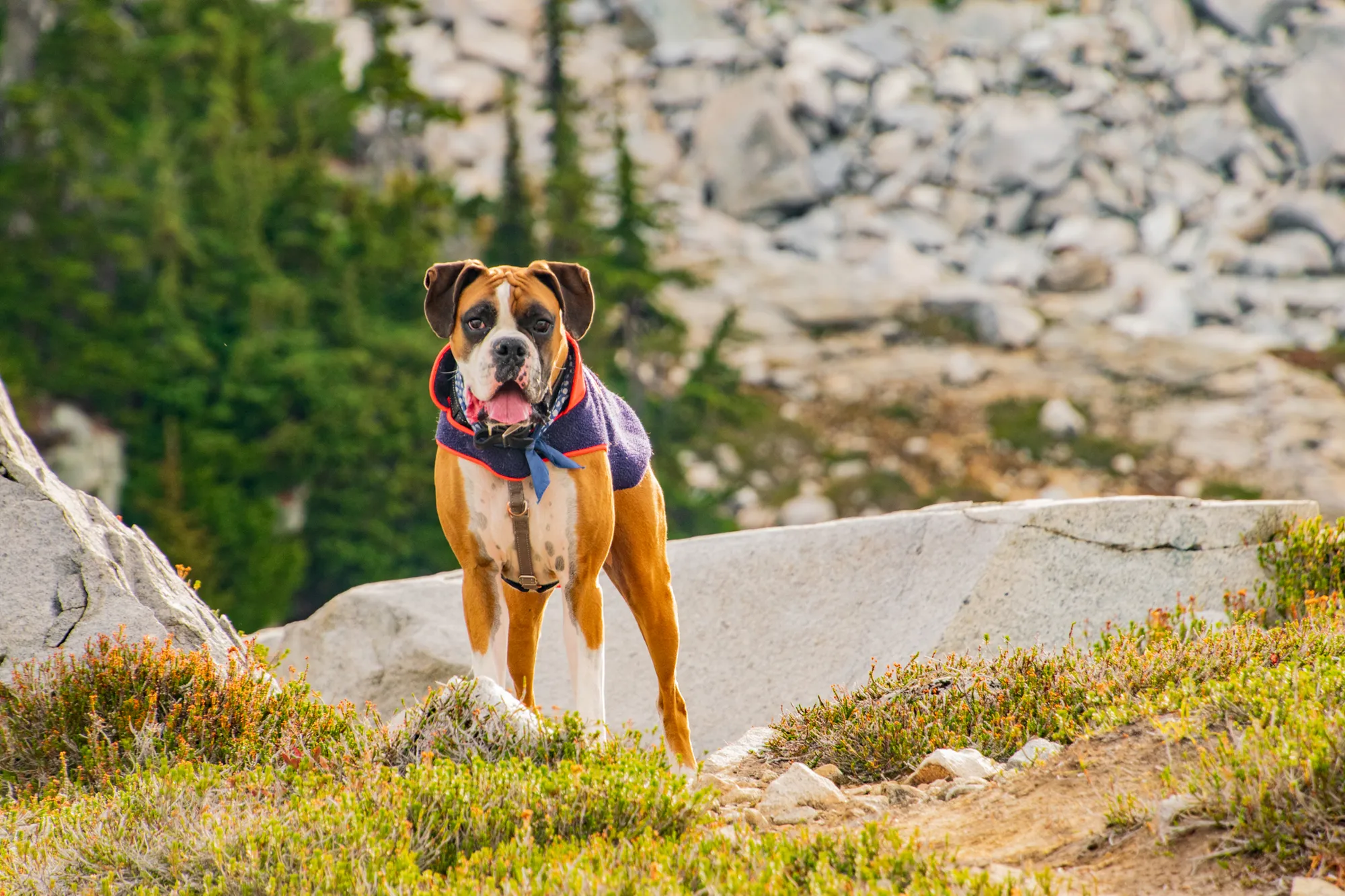
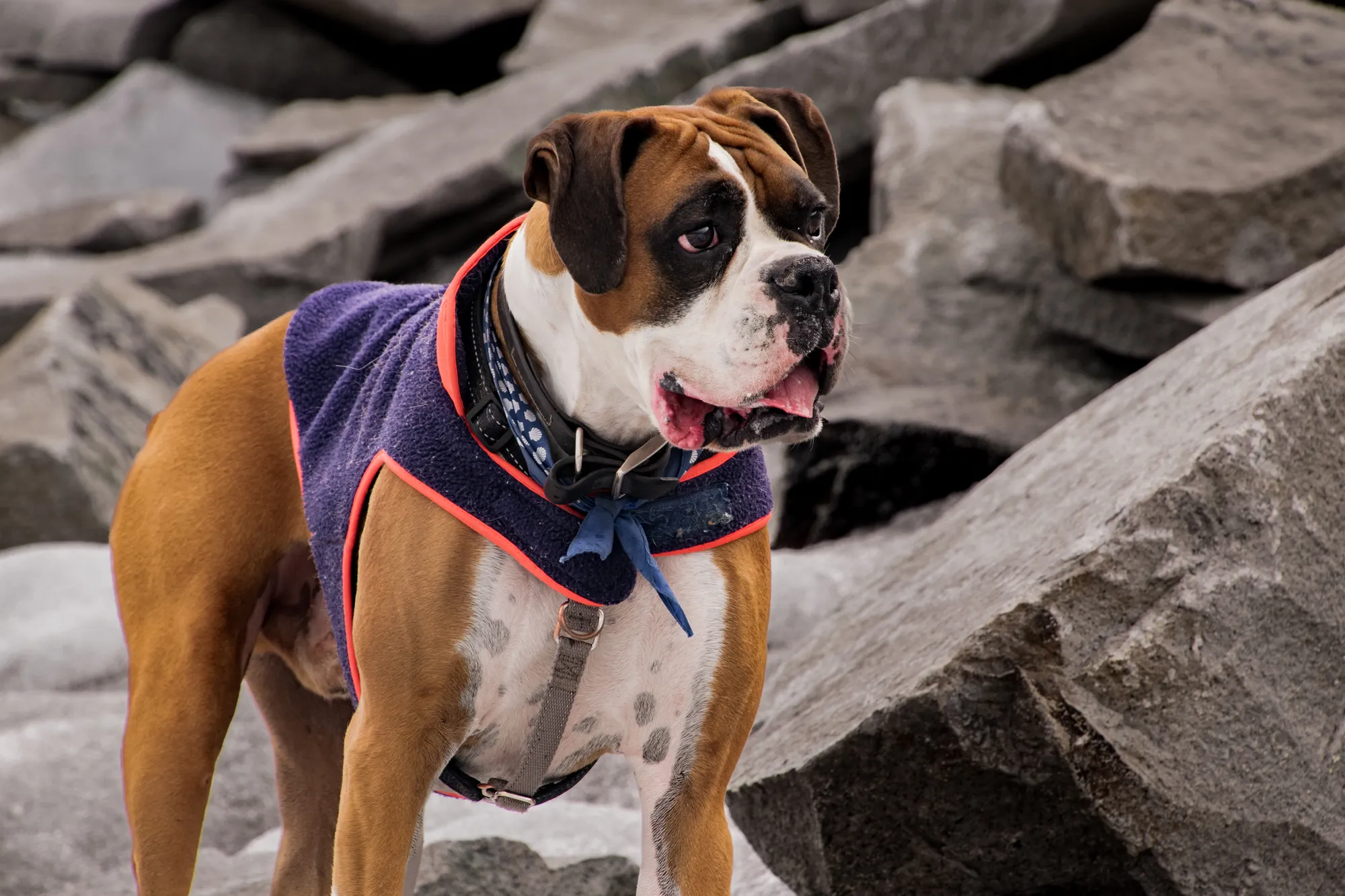
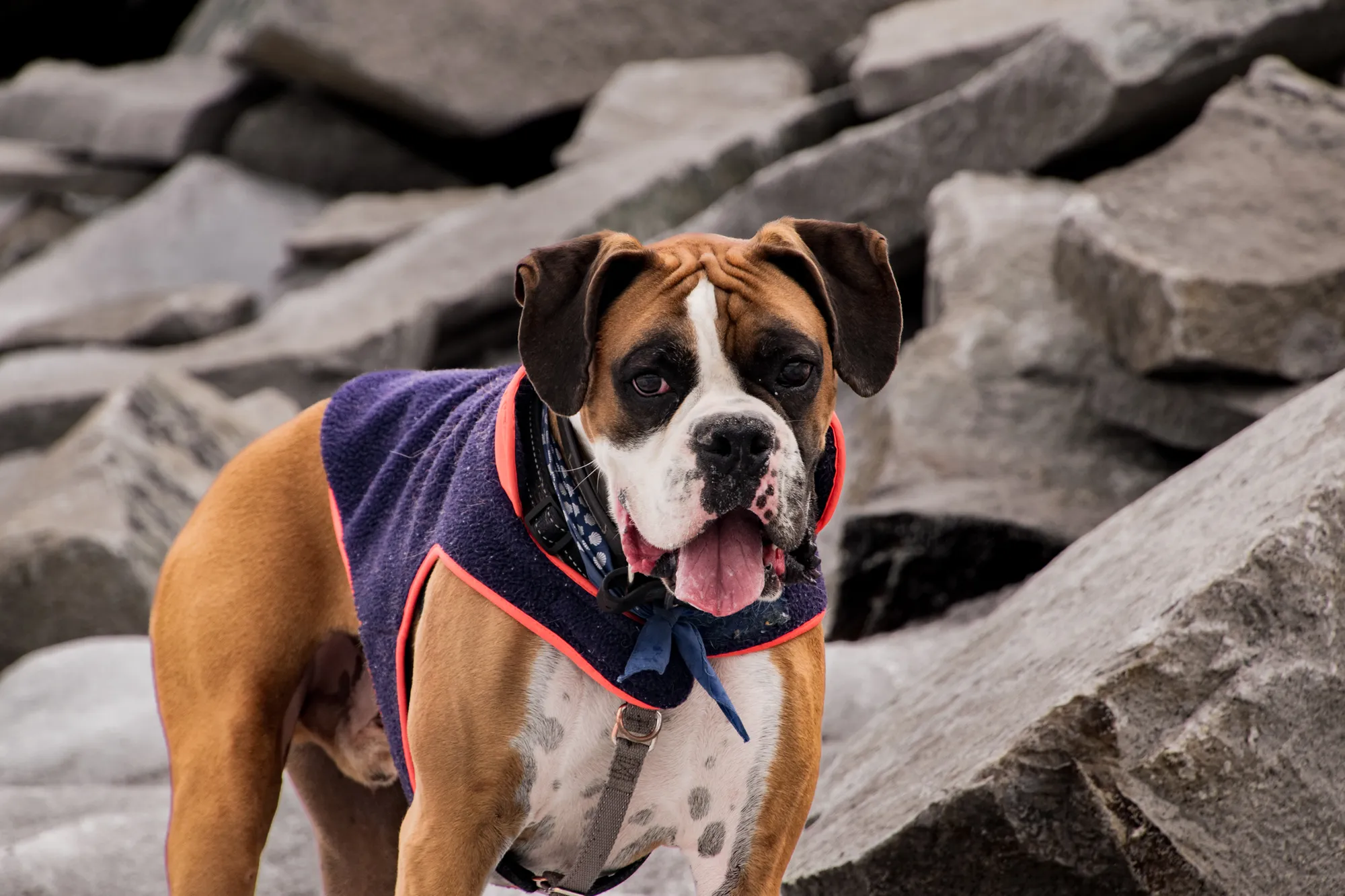
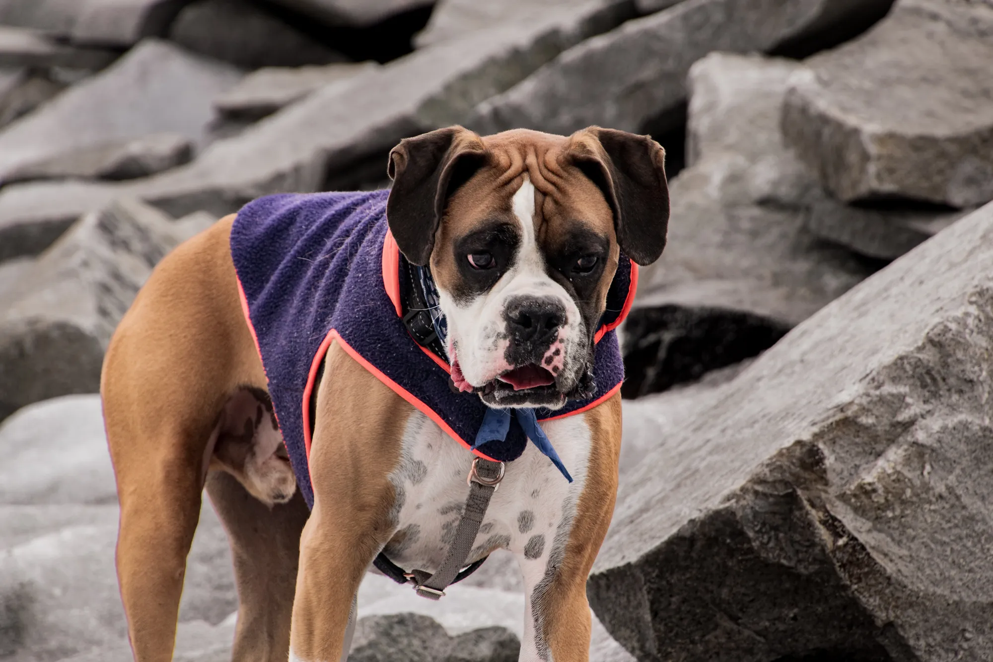
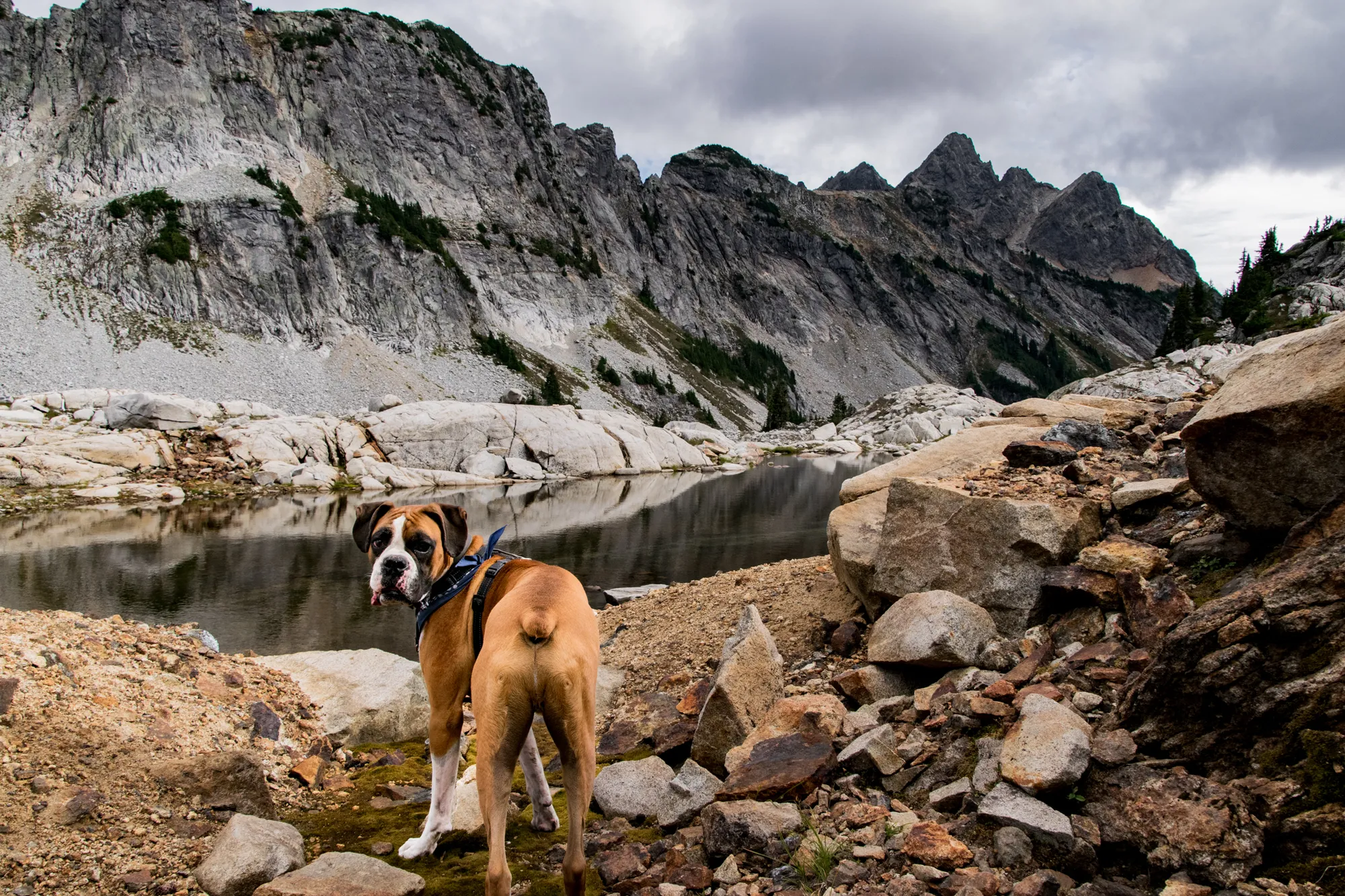
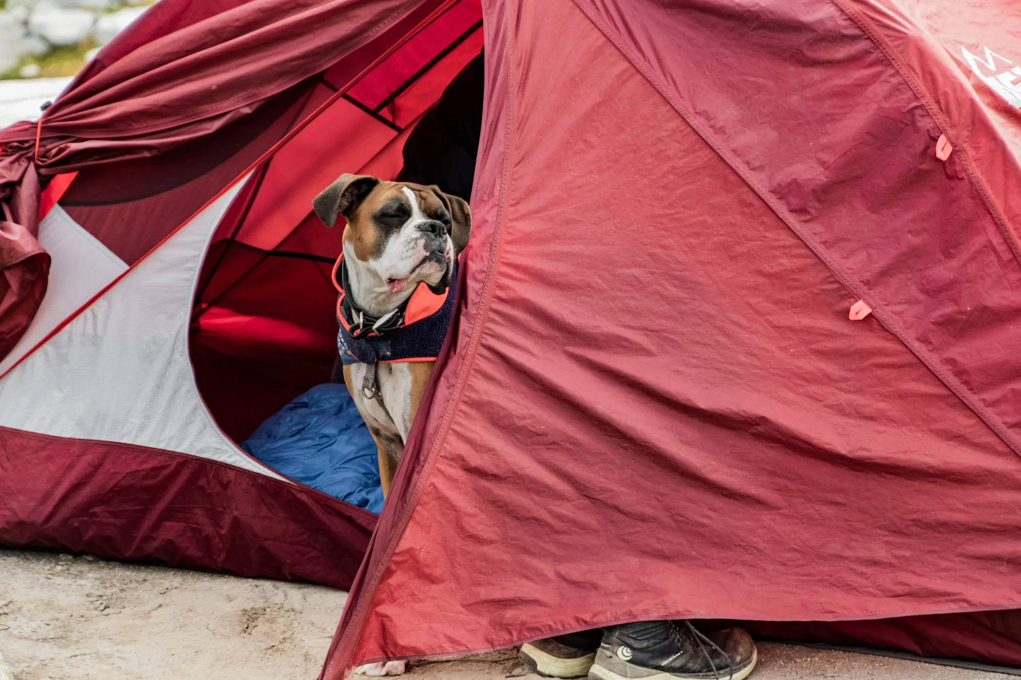
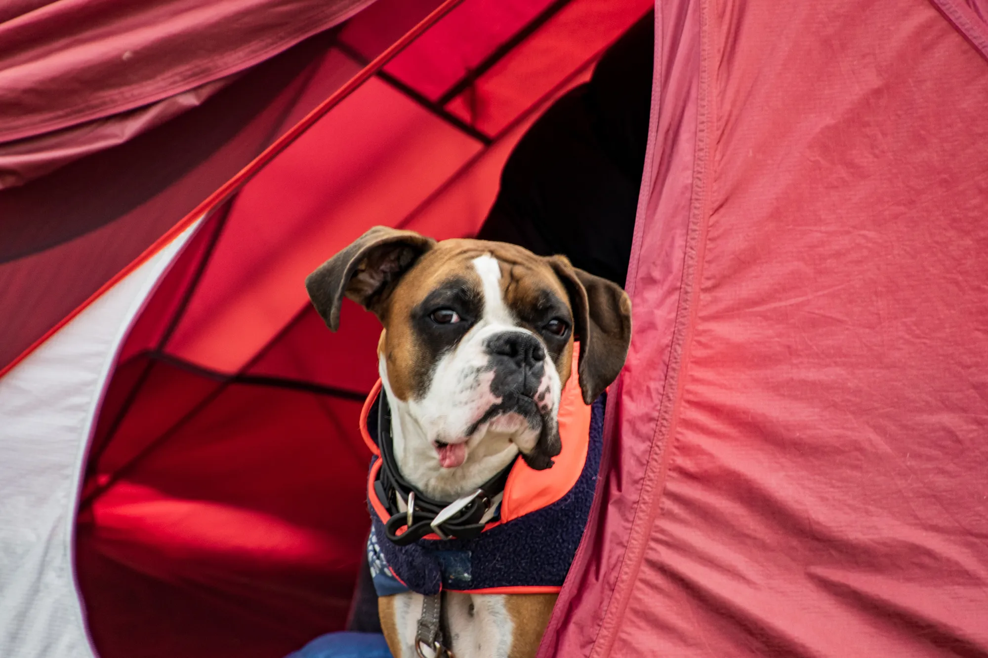
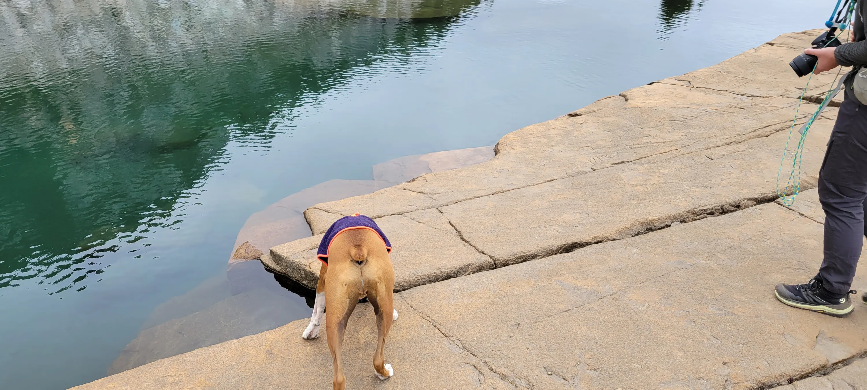
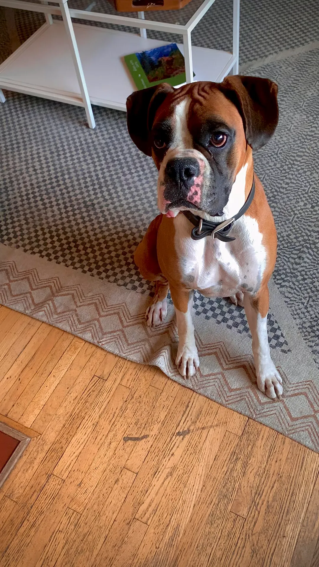
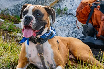
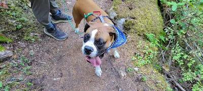 Otis on the Necklace Valley Trail
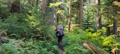 Necklace Valley Trail
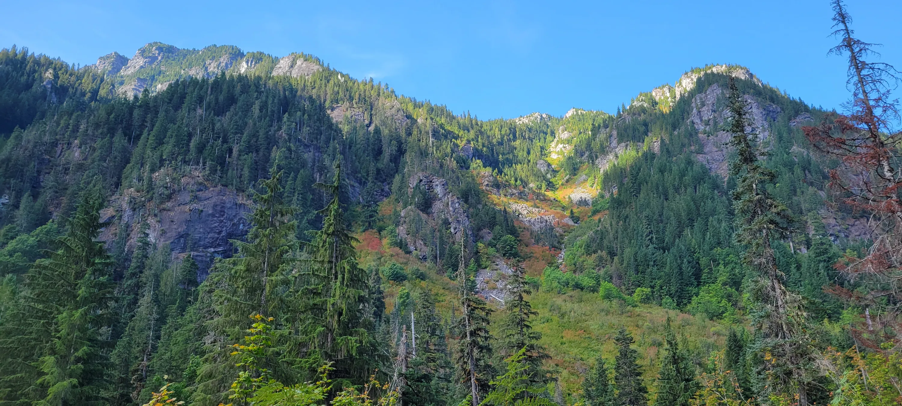
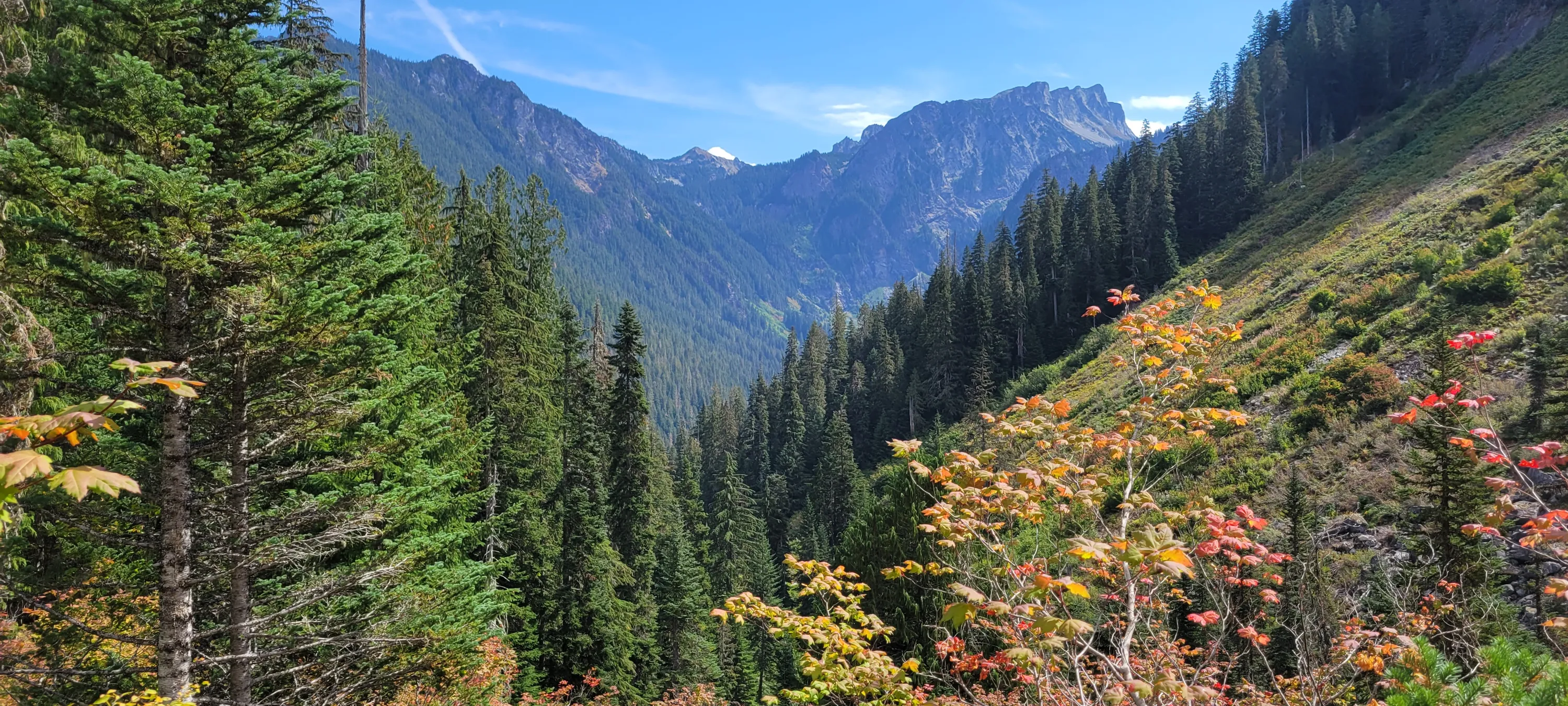
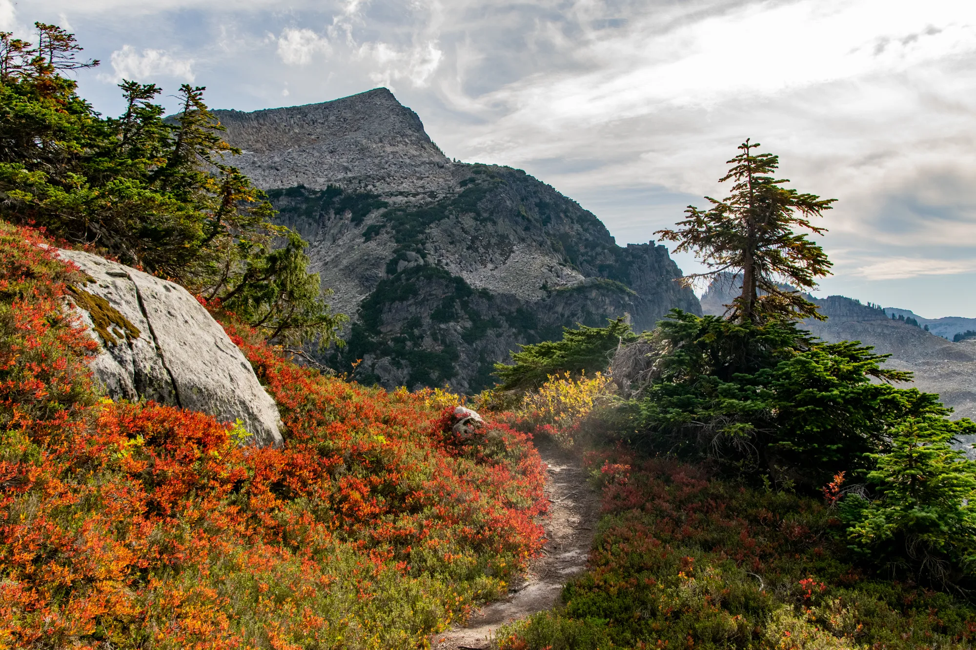
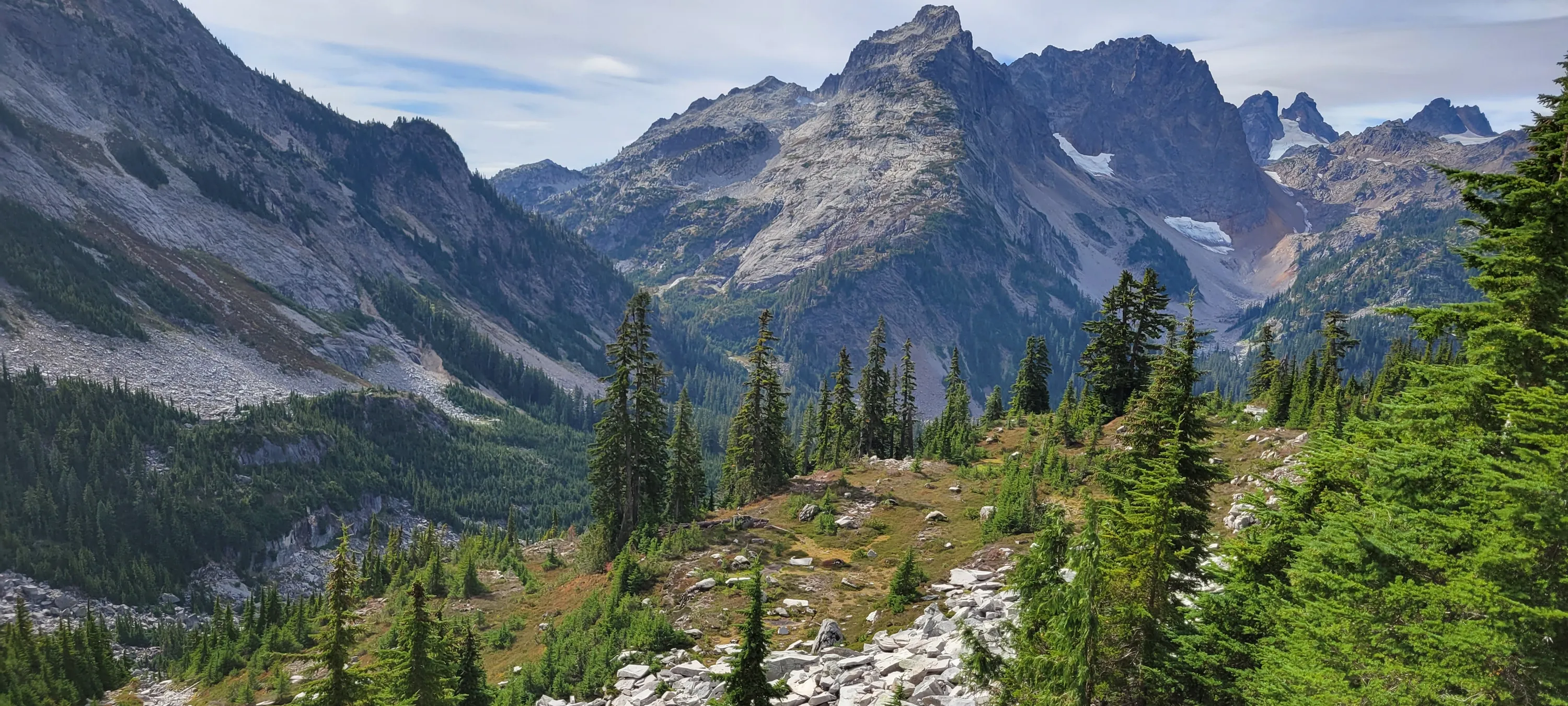
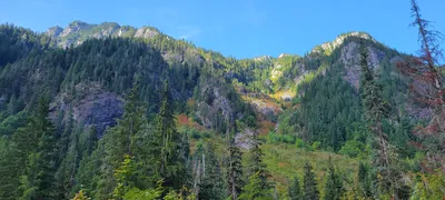 Looking up from the Necklace Valley trail - fall colors starting to appear
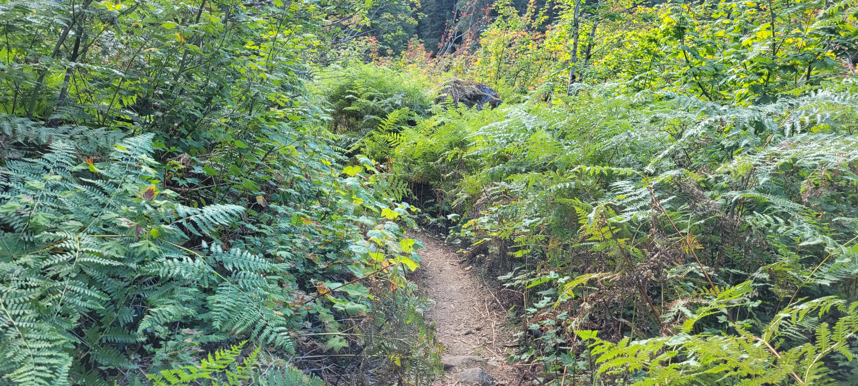
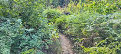 One of the Thimbleberry sections of the Necklace Valley trail
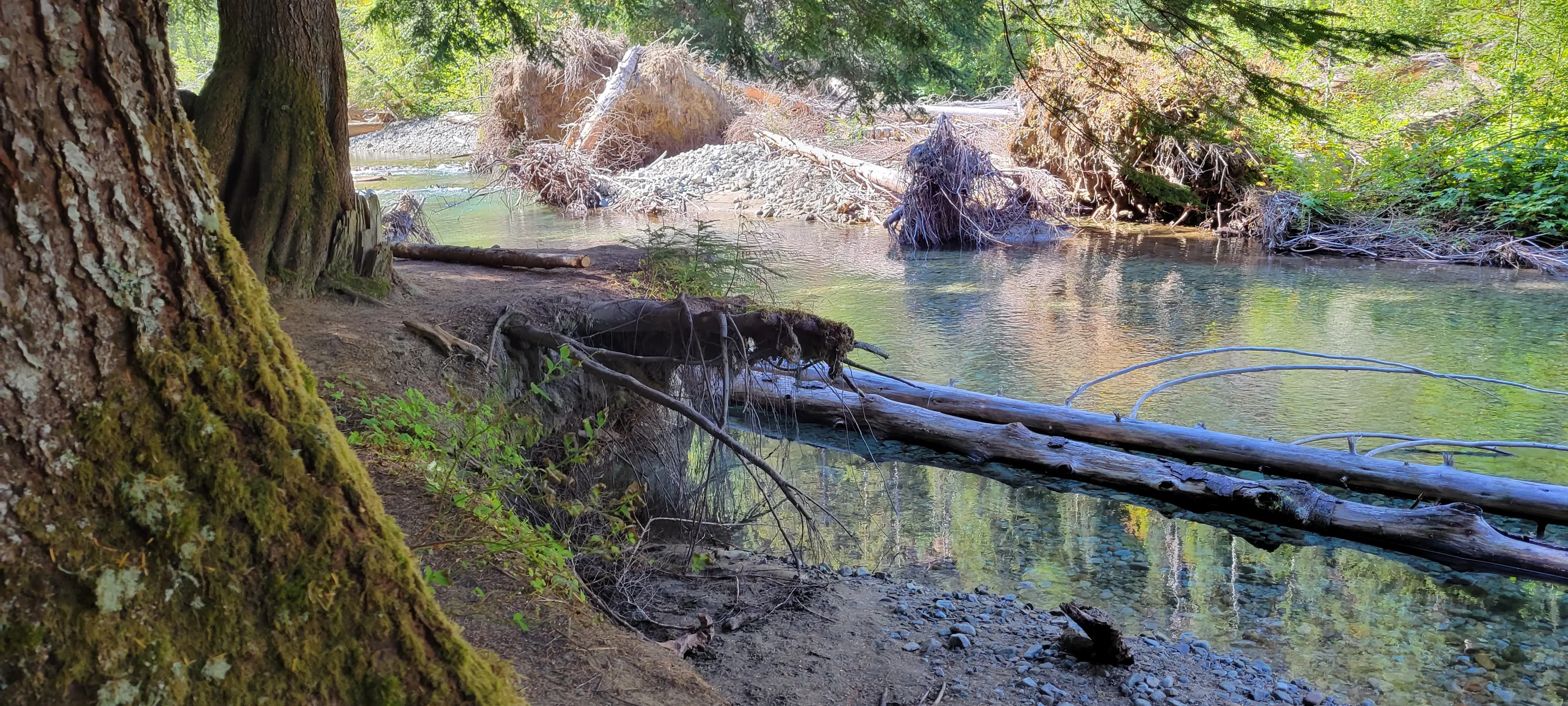
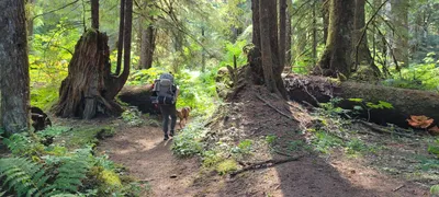 There were some very large trees along the river on the Necklace Valley trail
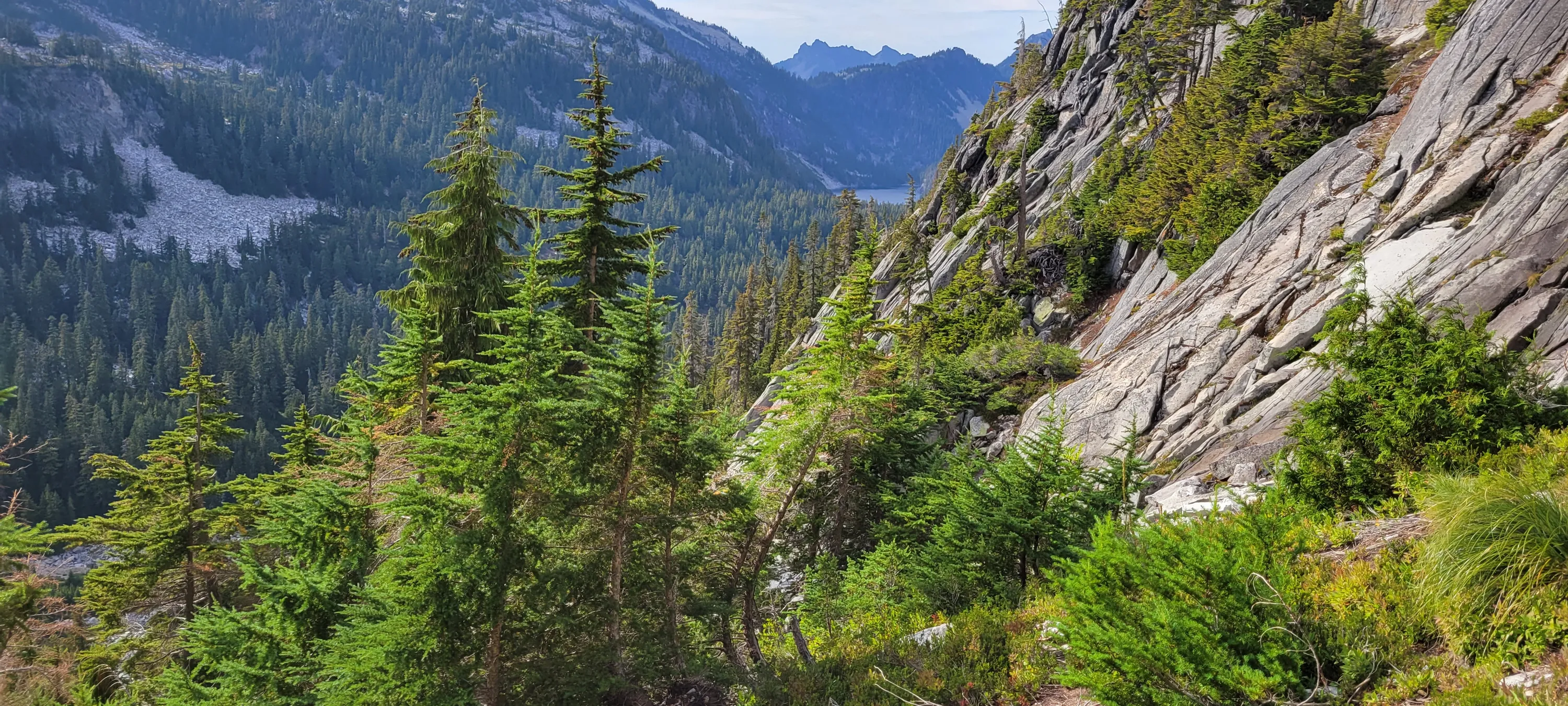
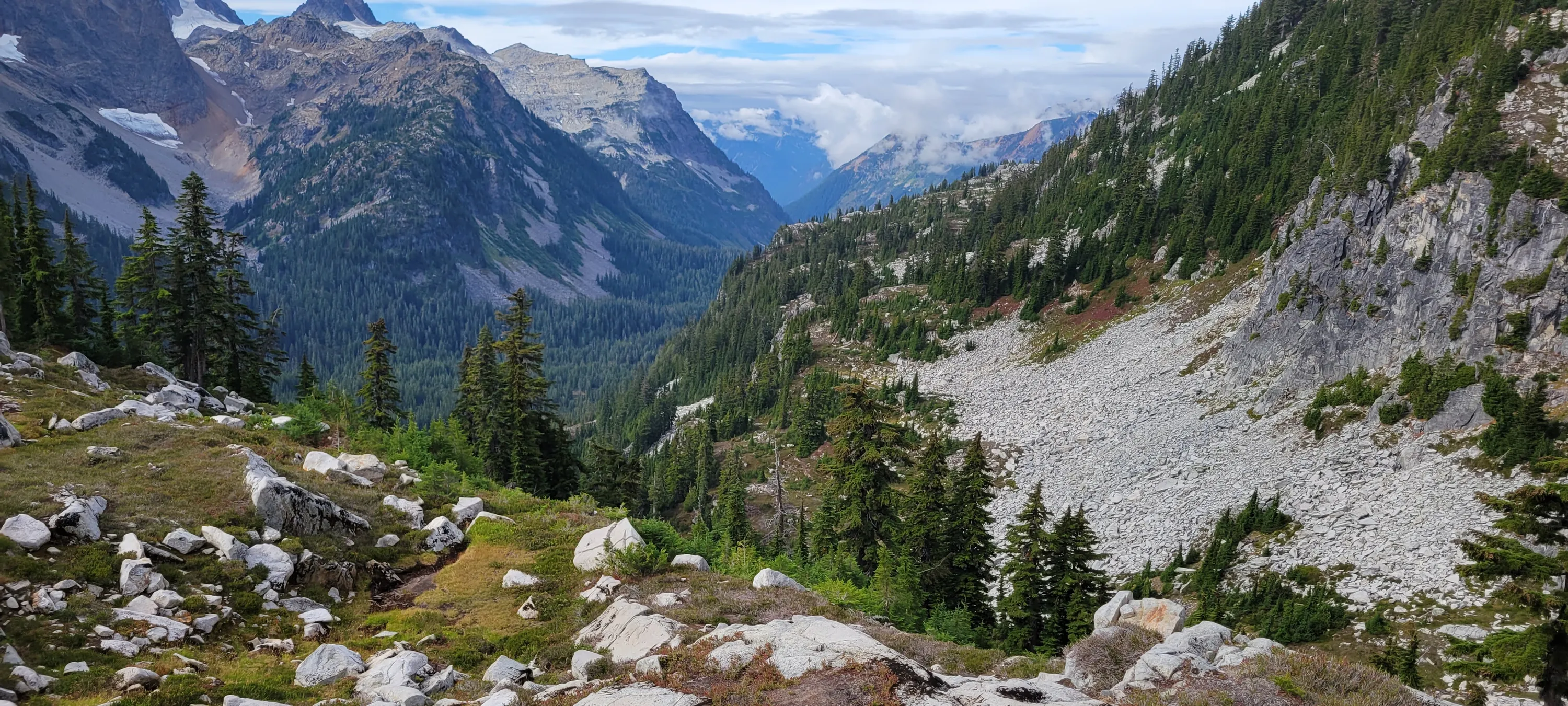
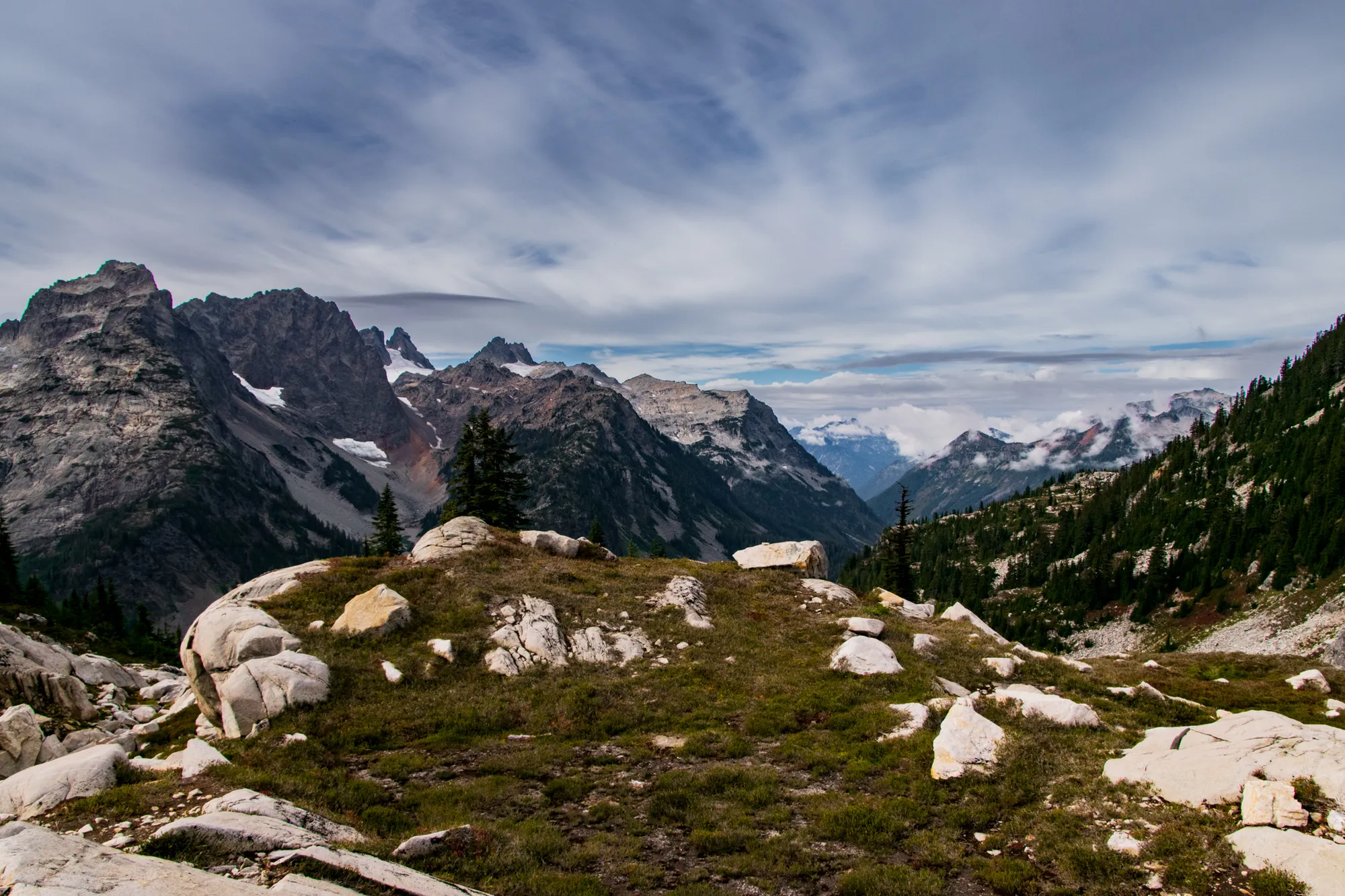
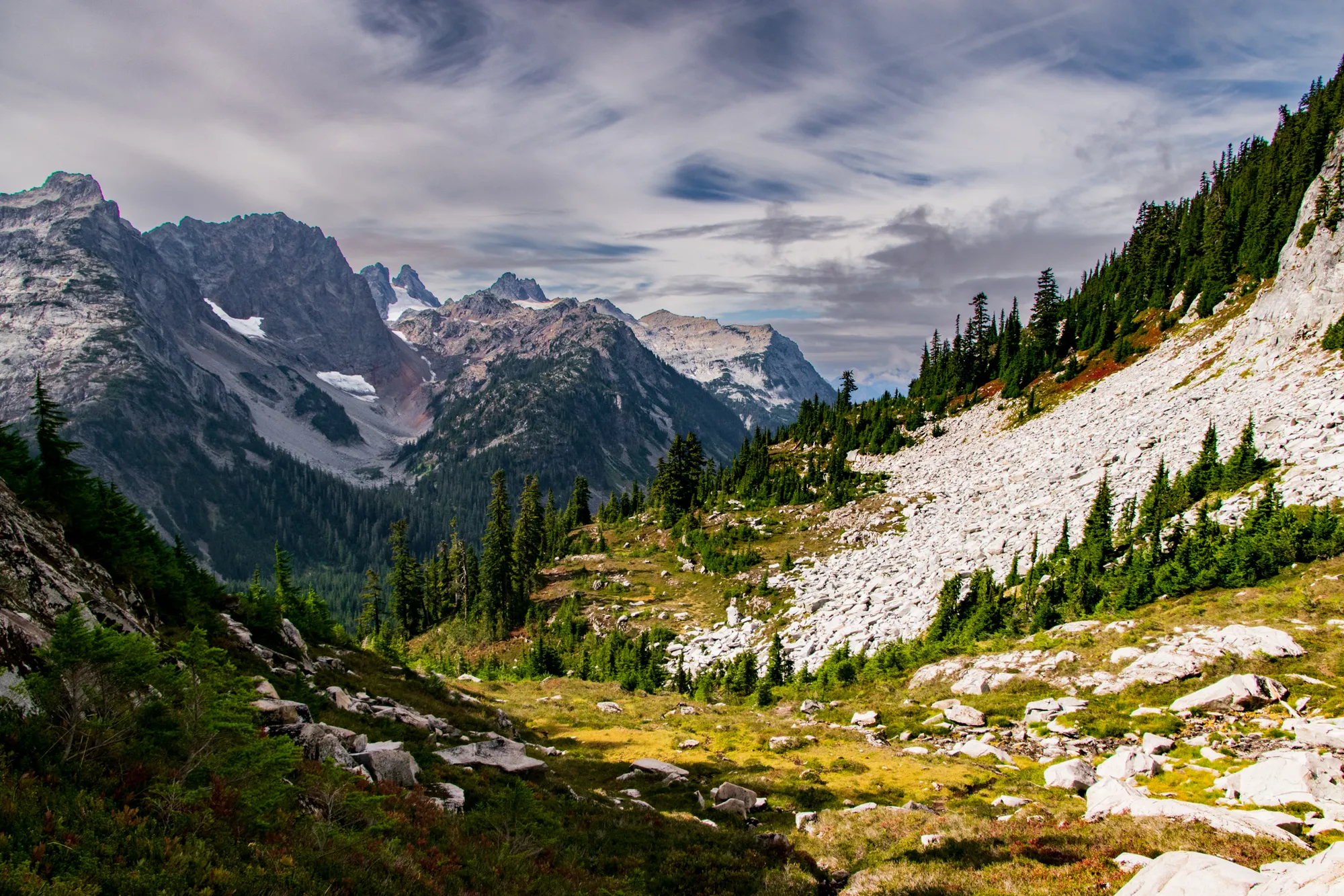
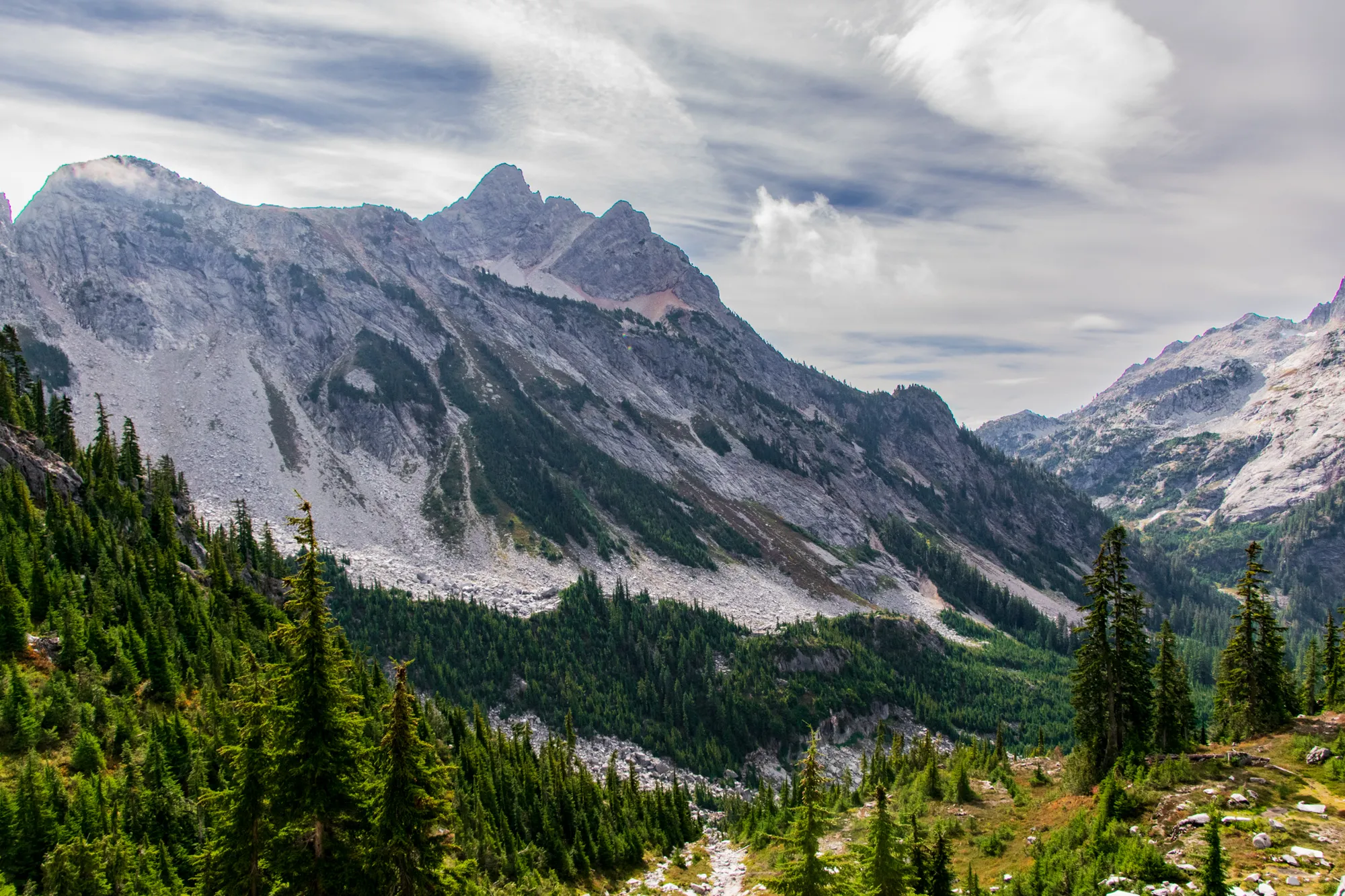
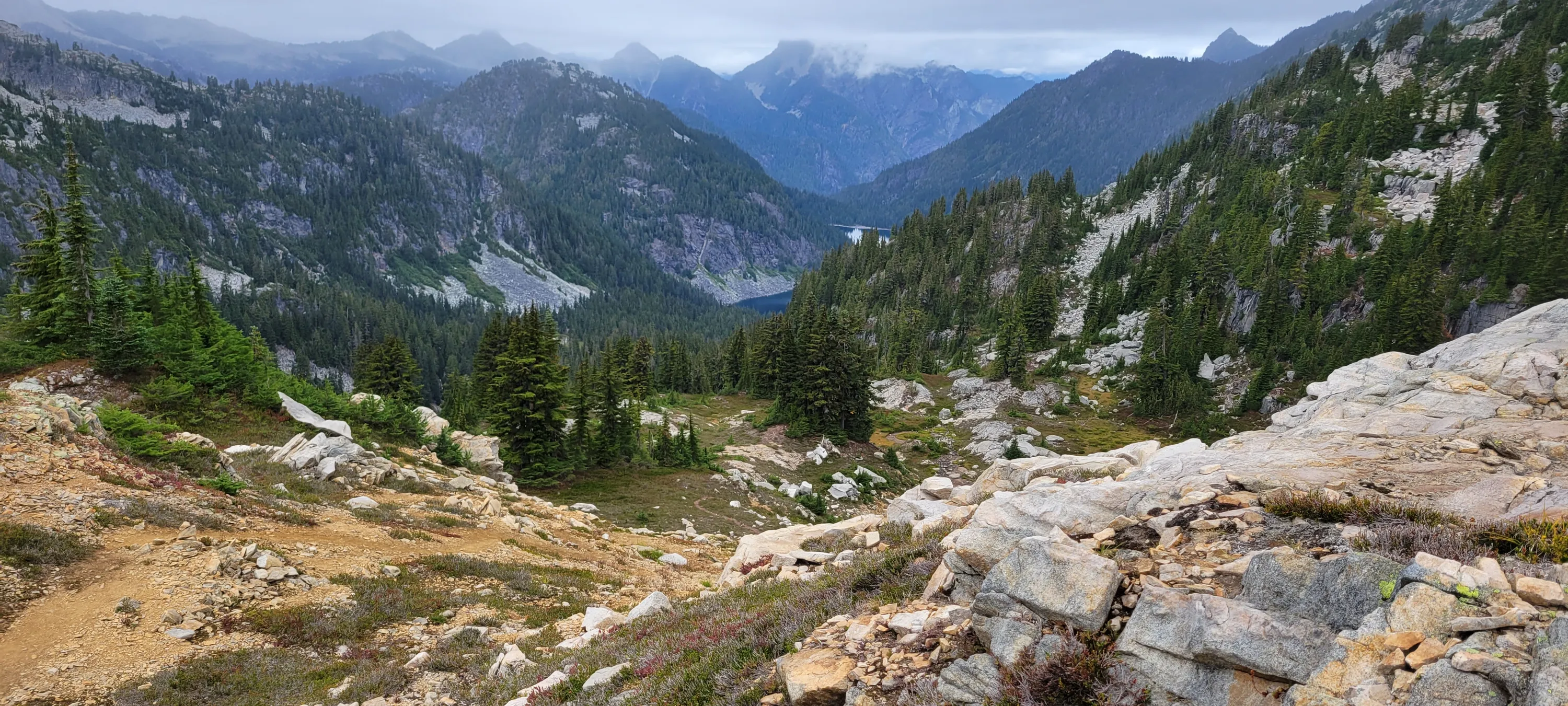
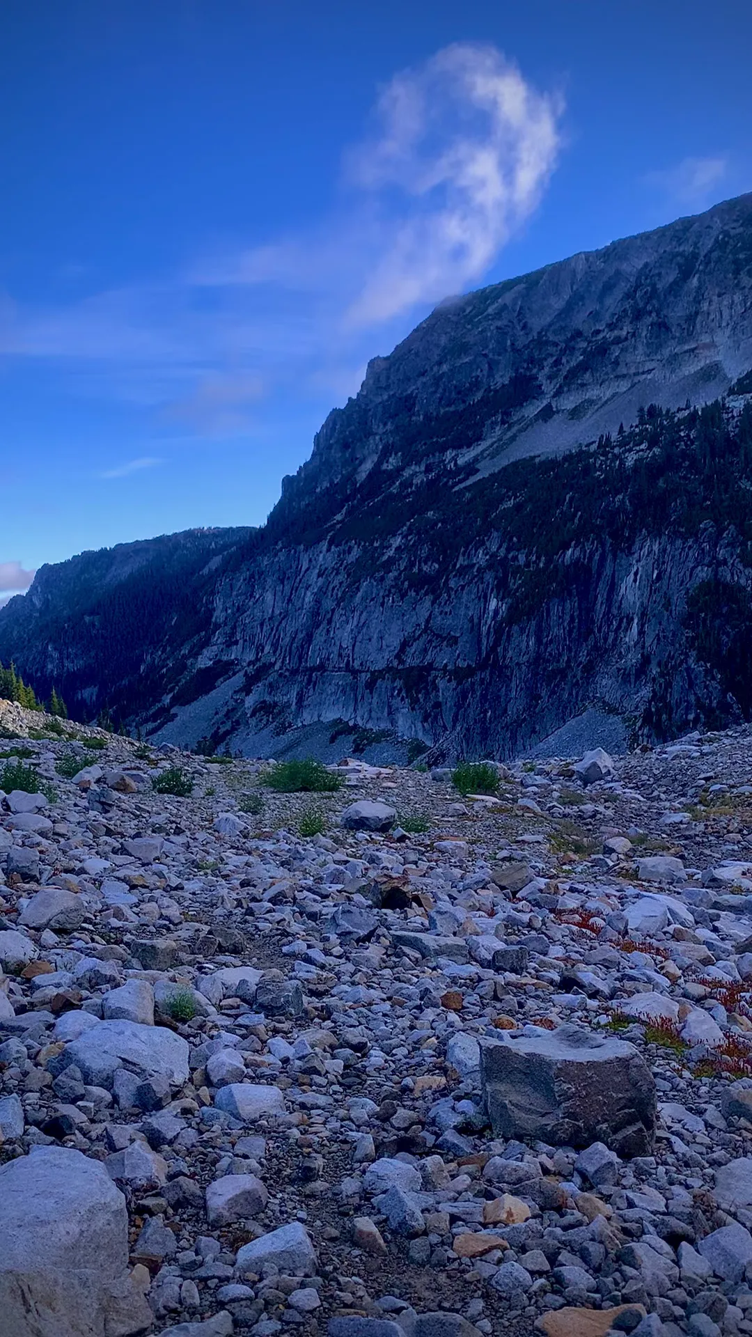
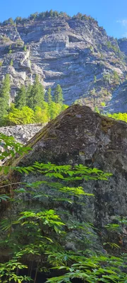 Looking up from the Necklace Valley trail
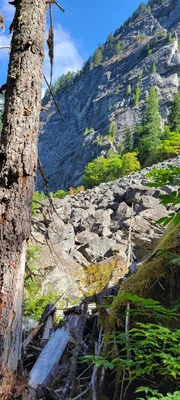
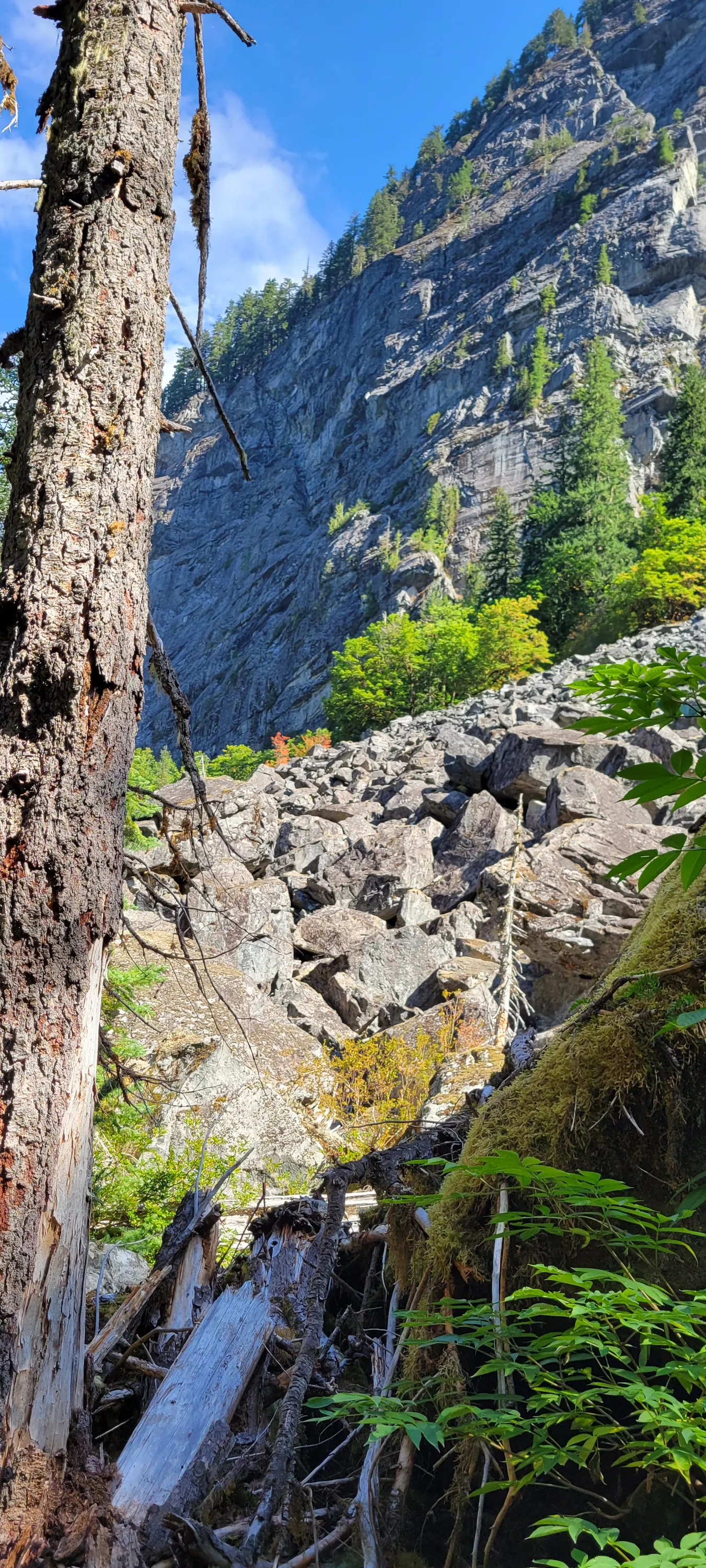
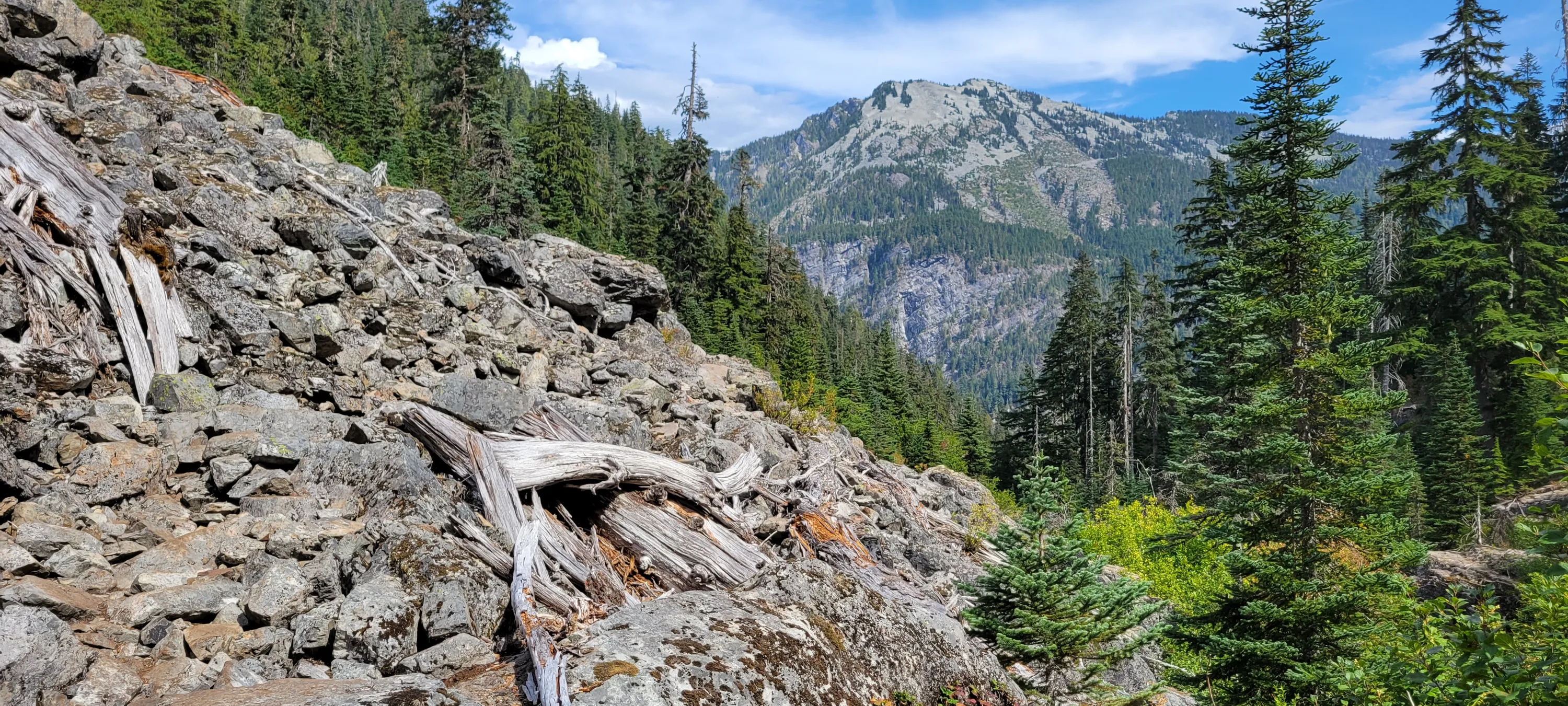
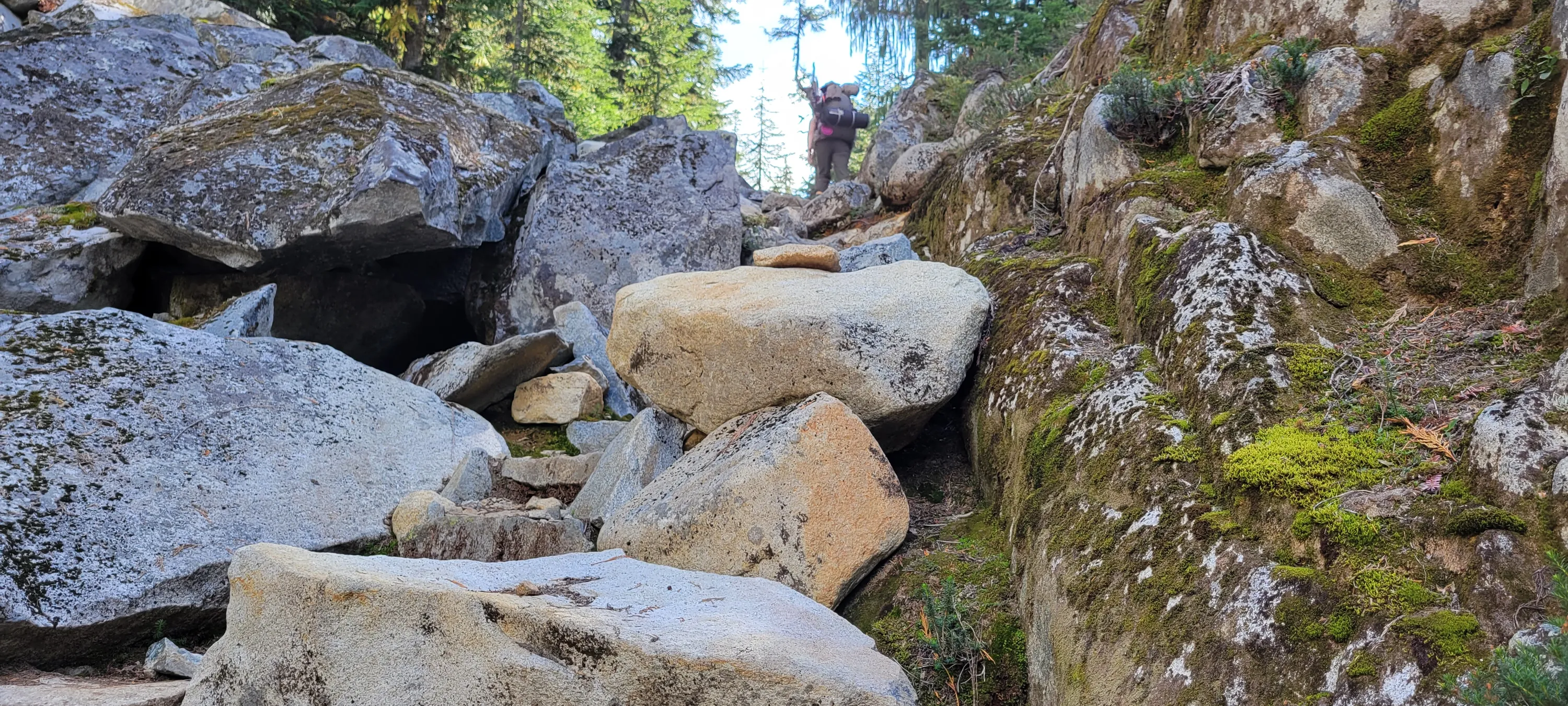
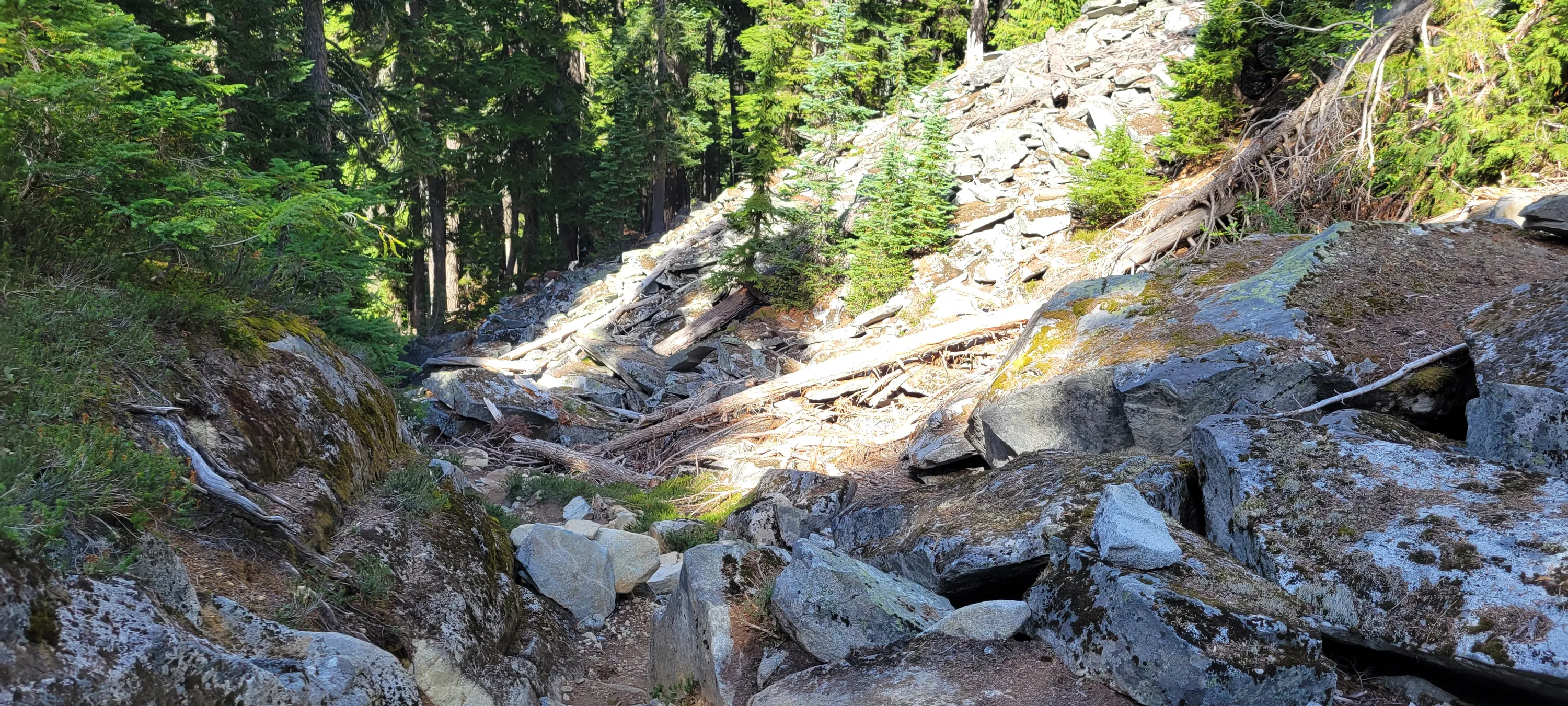
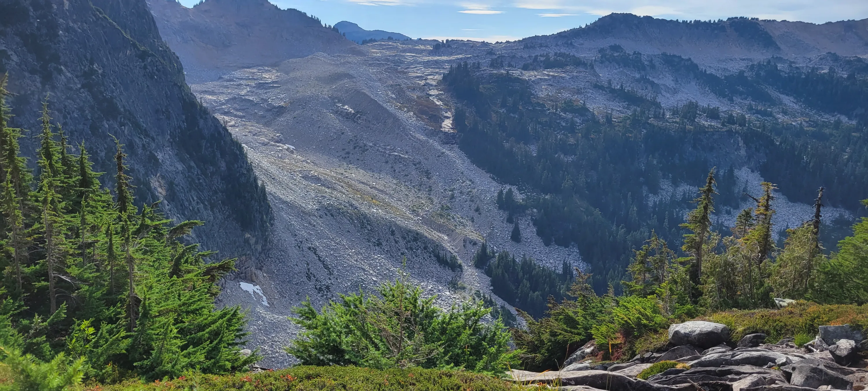
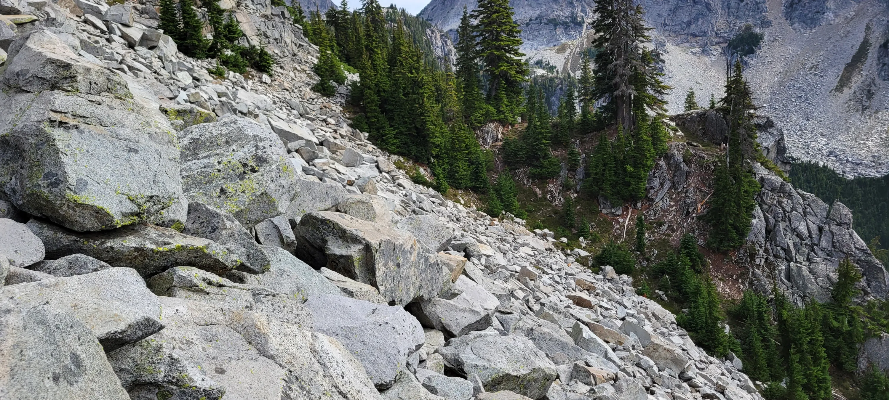
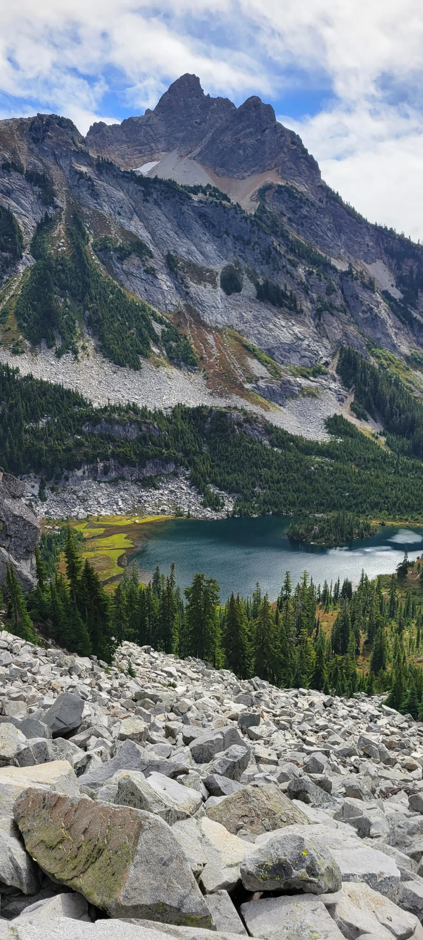
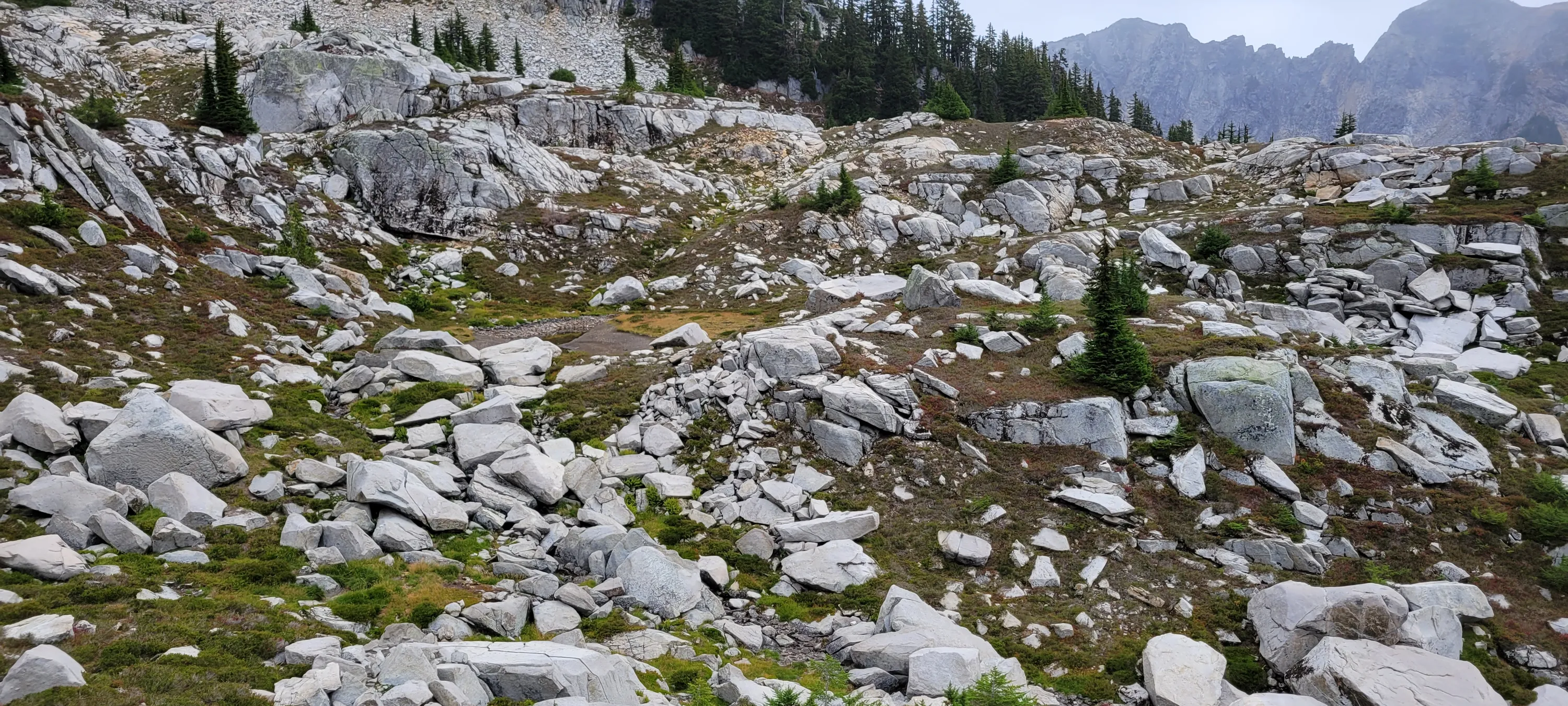
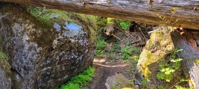 A jumble below a rockslide on the Necklace valley trail
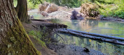 East Fork of the Foss River on the Necklace Valley trail
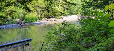 East Fork of the Foss River on the Necklace Valley trail
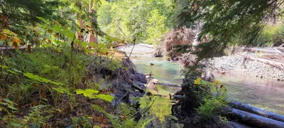 East Fork of the Foss River on the Necklace Valley trail
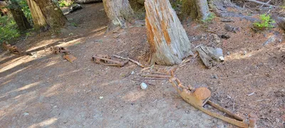 Old mining remnants at a camp on the East Fork Foss river - Necklace Valley trail
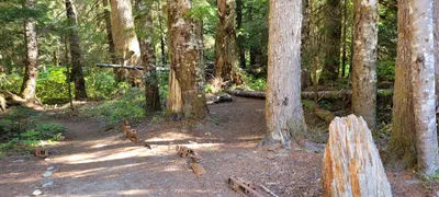 Campsite and old mining remnants at a camp on the East Fork Foss river - Necklace Valley trail
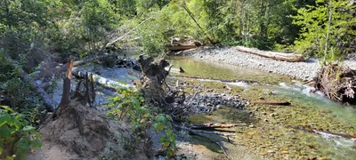 East Fork Foss river - Necklace Valley trail
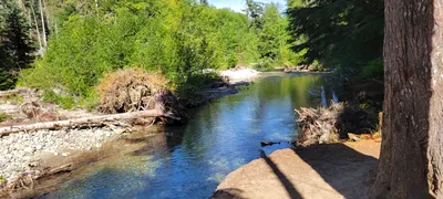 East Fork Foss river - Necklace Valley trail
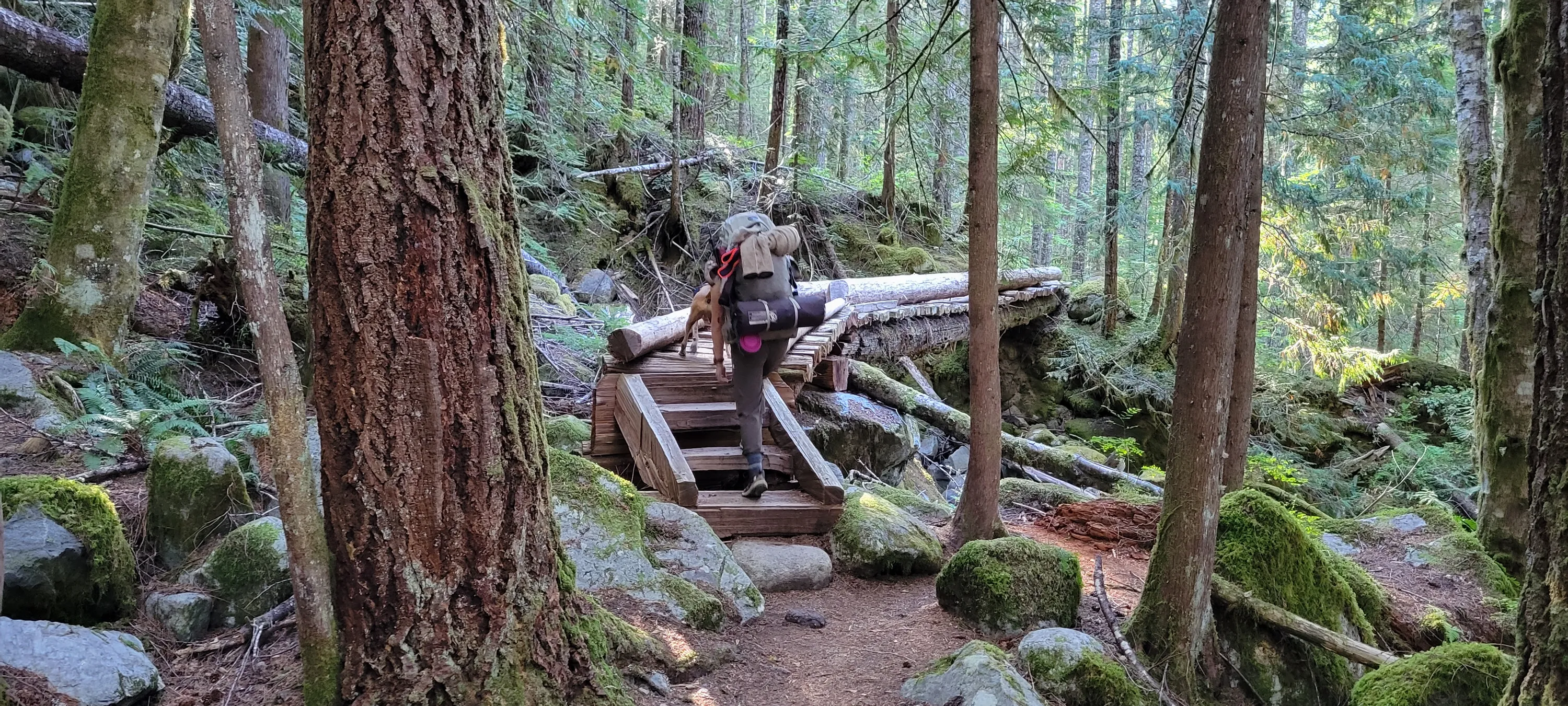
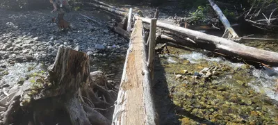 Bridge crossing East Fork Foss river - It has seen better days - Necklace Valley trail - At this point, the day became a lot harder
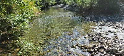 East Fork Foss river - Necklace Valley trail
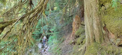 The initial ascent after crossing the East Fork Foss River - Necklace Valley trail
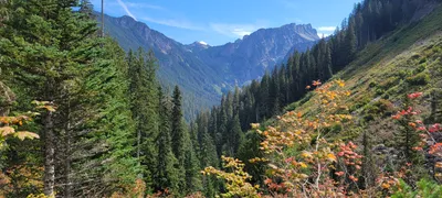 Looking to the east from Necklace Valley trail - I believe this is Dip Top Peak (although the maps don't show it)
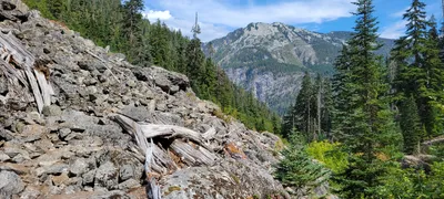
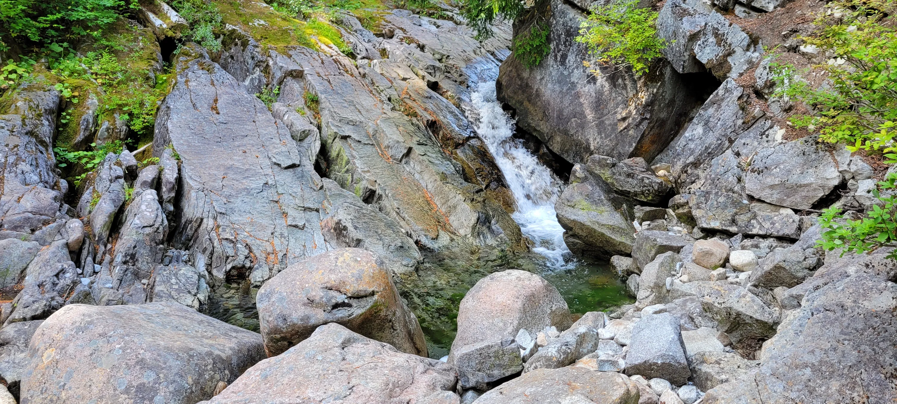
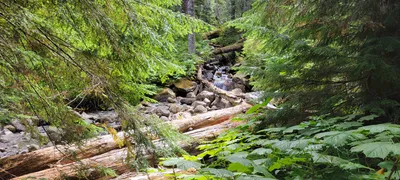 The creek we followed uphill on the Necklace Valley trail
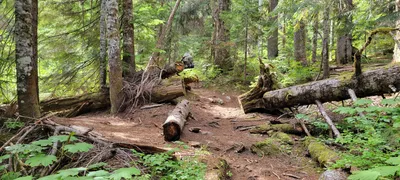 On the Necklace Valley trail
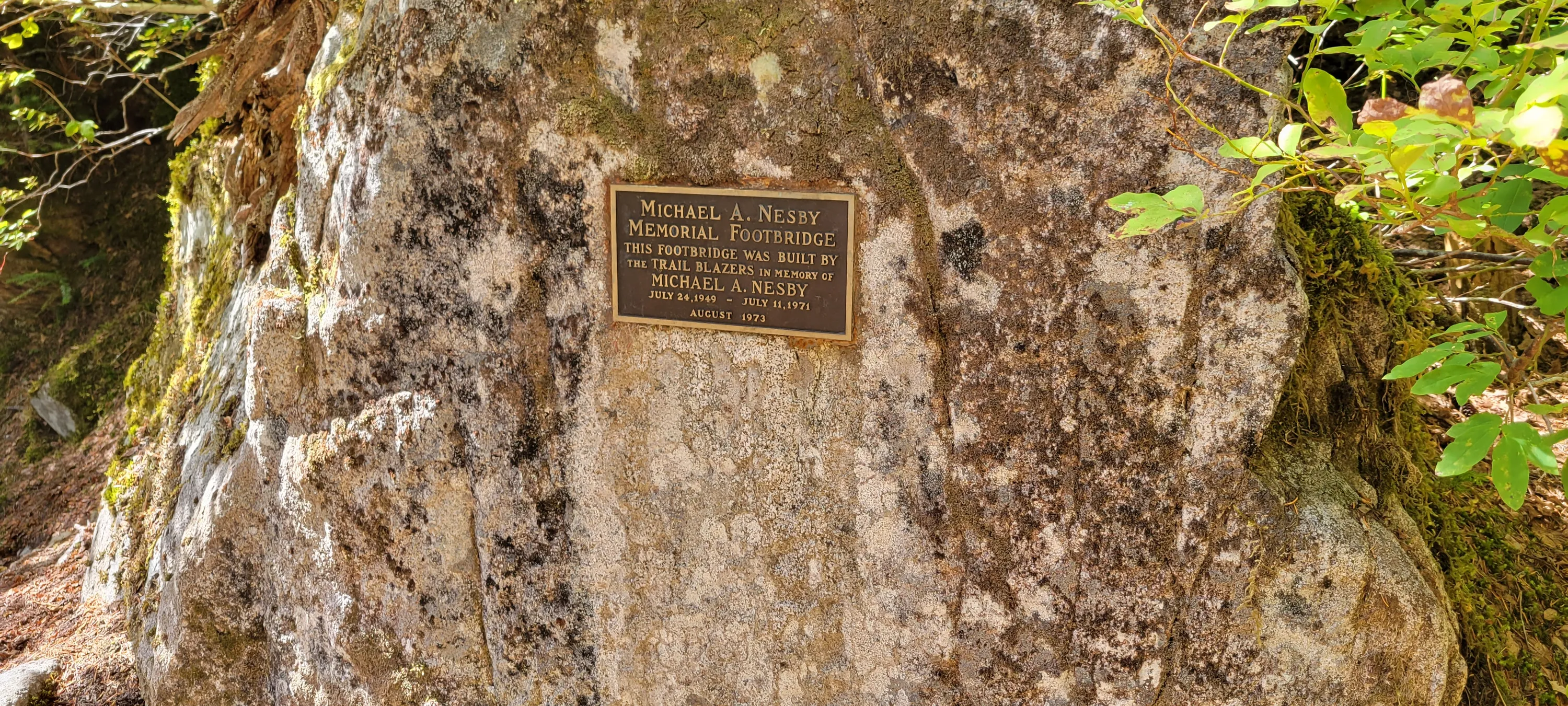
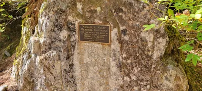 Memorial sign on the Necklace Valley trail
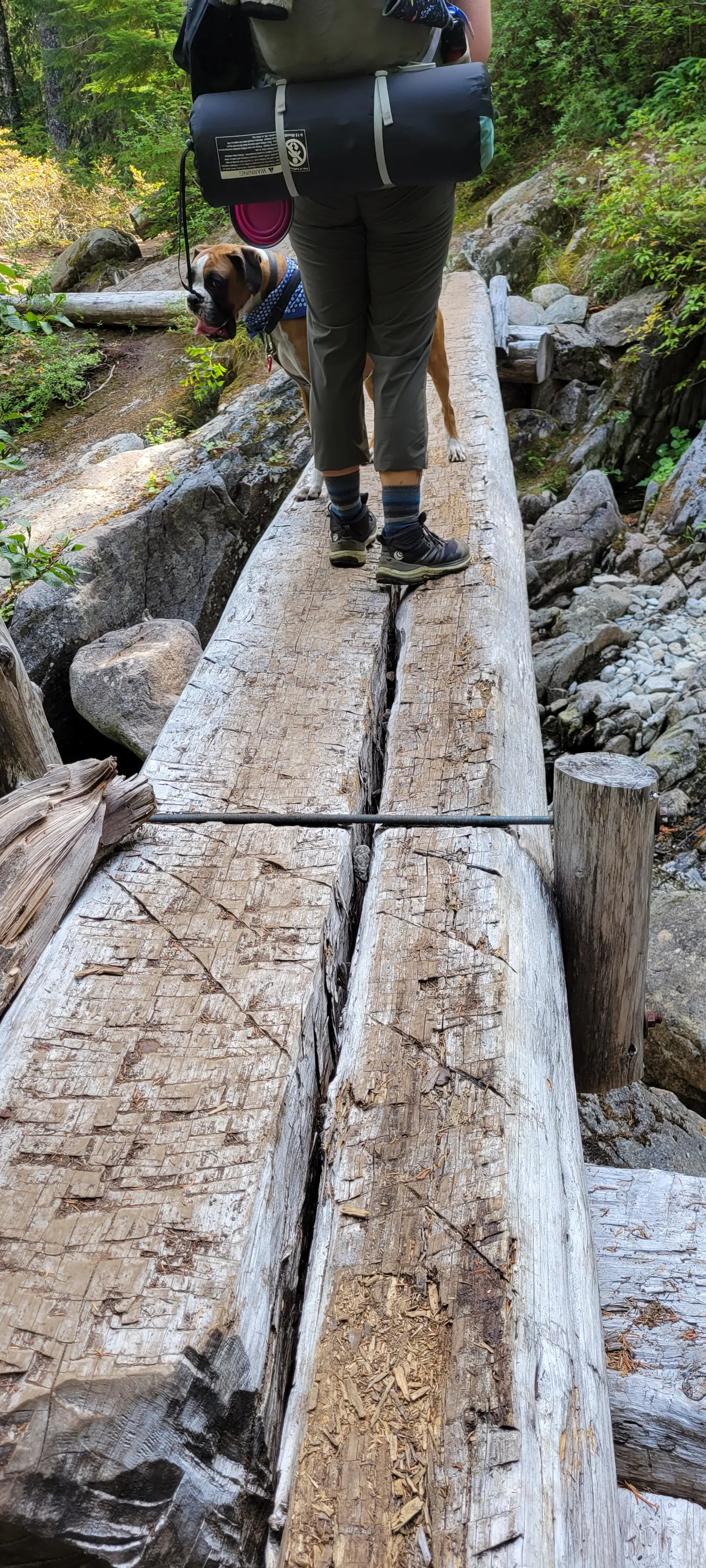
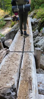 Footbridge the memorial sign on the Necklace Valley trail is referring to
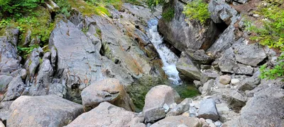 Crosssing the un-named creek on the Necklace Valley trail - at the memorial bridge
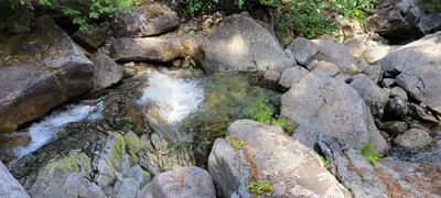
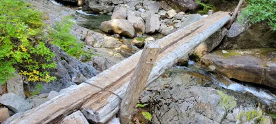 Another photo of the memorial bridge on the Necklace Valley trail
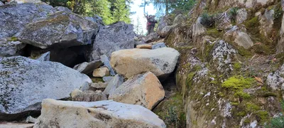 Going UP the Necklace Valley trail
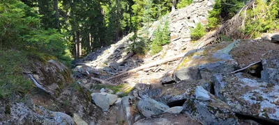 Looking down the trail - Necklace Valley trail - it gets pretty steep in places
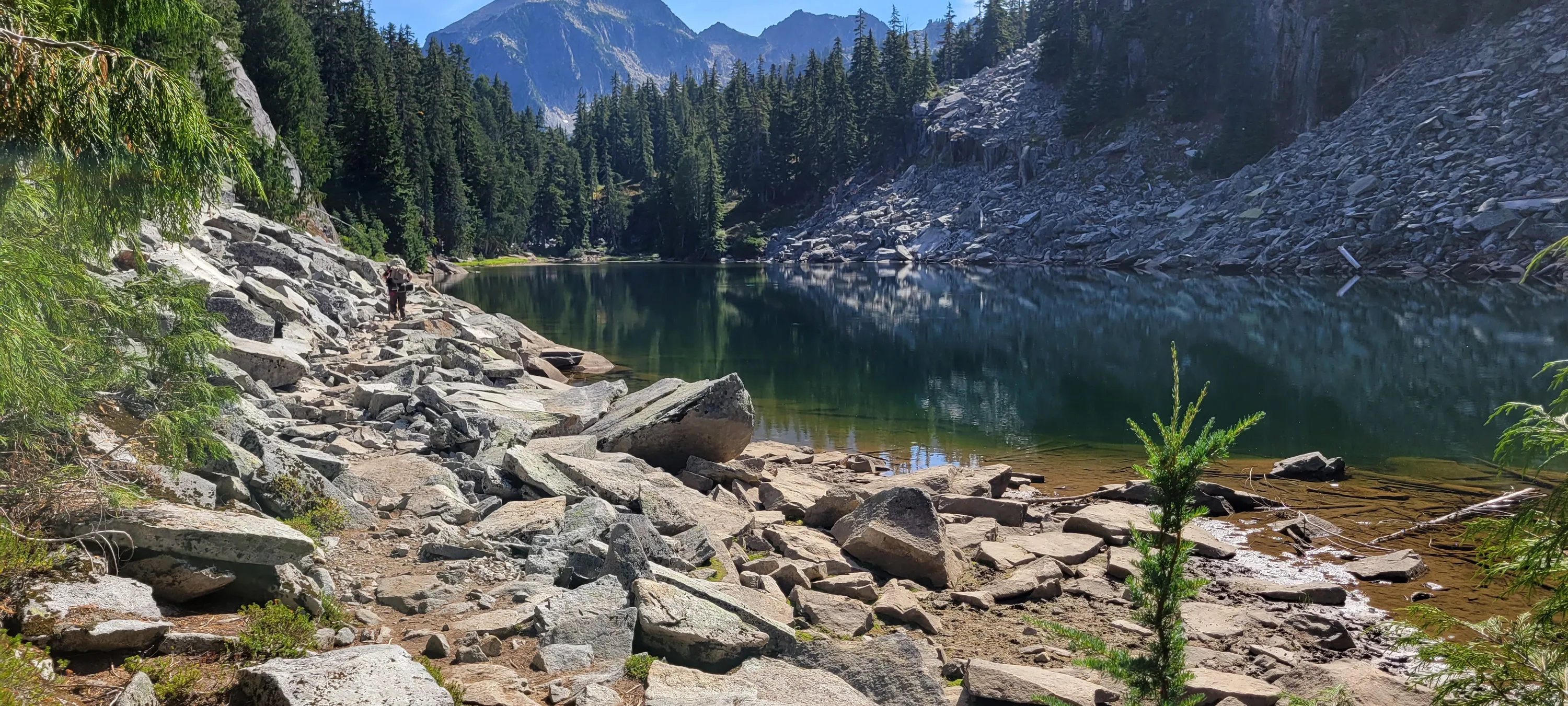
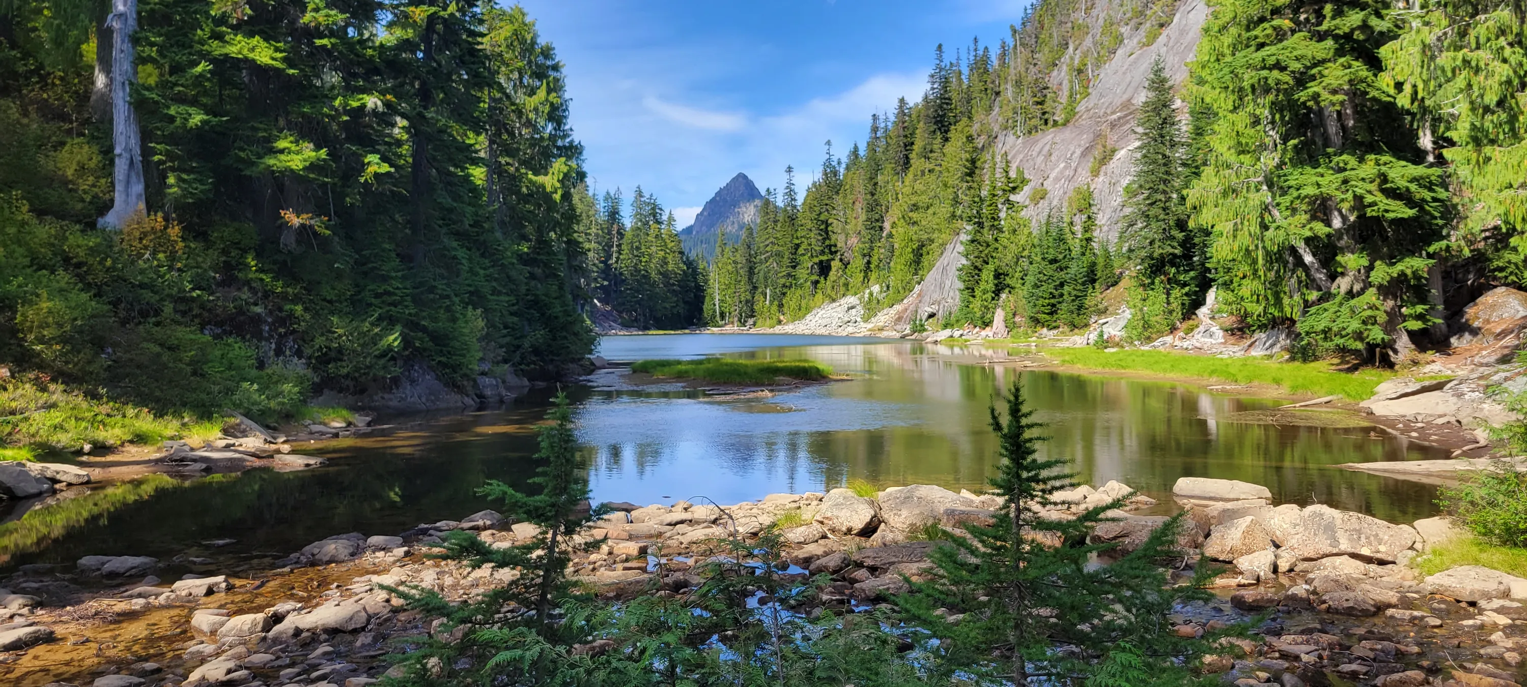
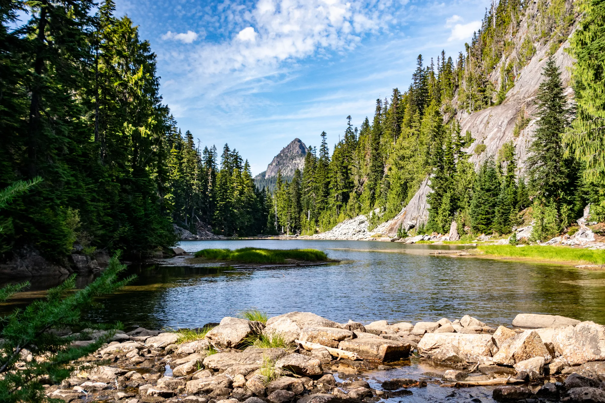
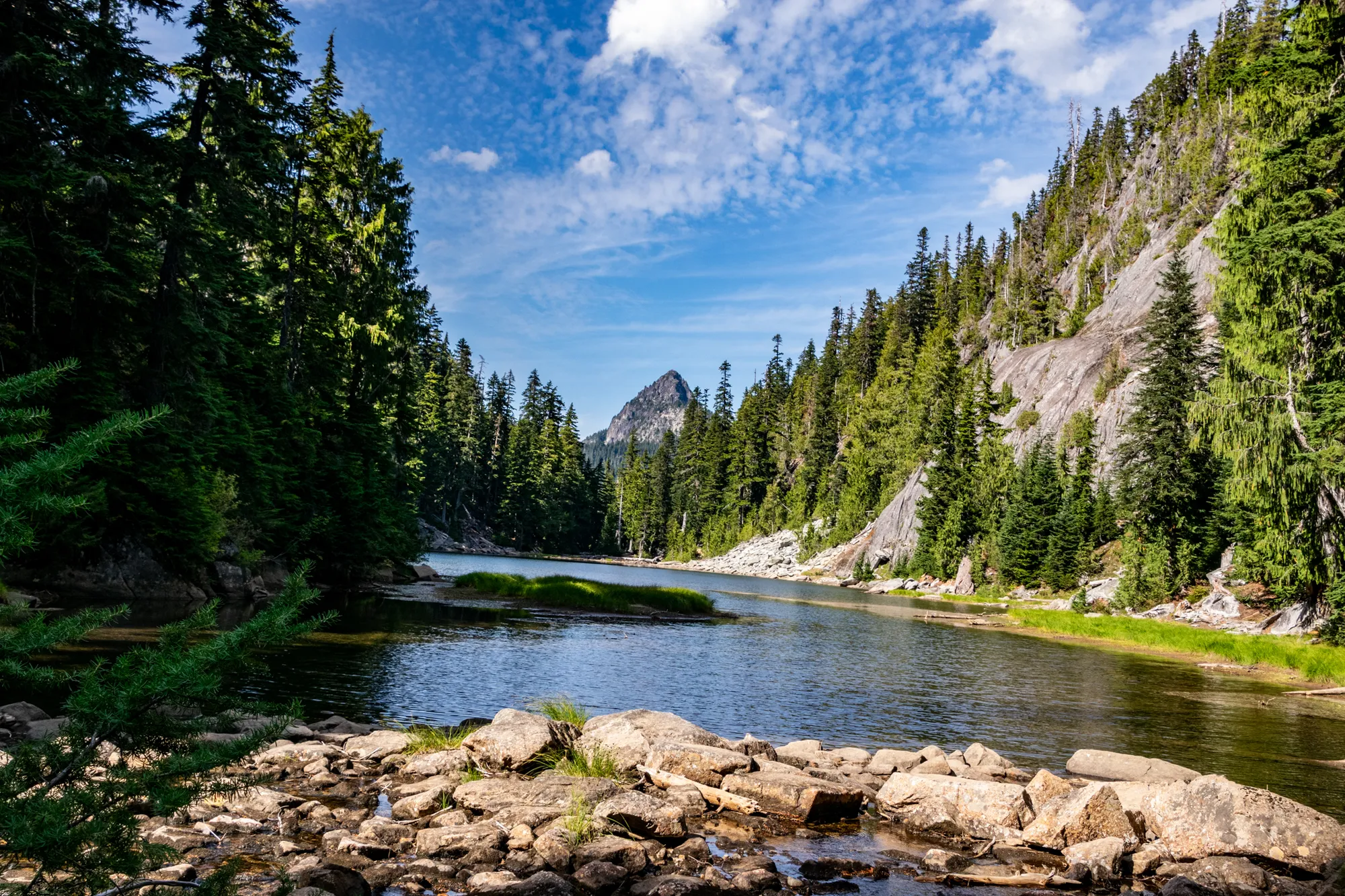
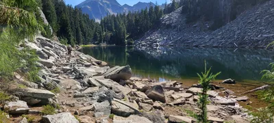 Jade Lake from the north end looking south - Necklace Valley trail
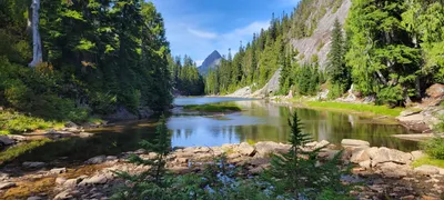 Jade lake from the campsite at the south end of the lake - looking north - Necklace Valley trail - That might be Bald Eagle peak in the distance
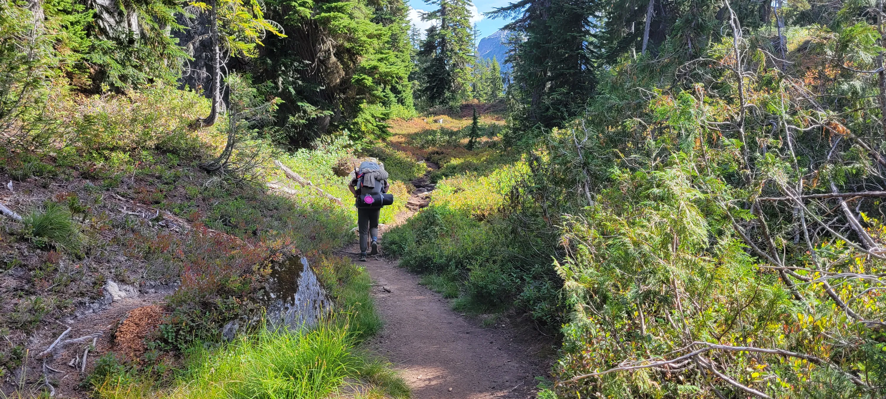
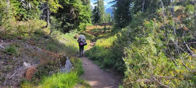 After getting to Jade Lake the trail levels out for a bit - lots of huckleberries - Necklace Valley trail
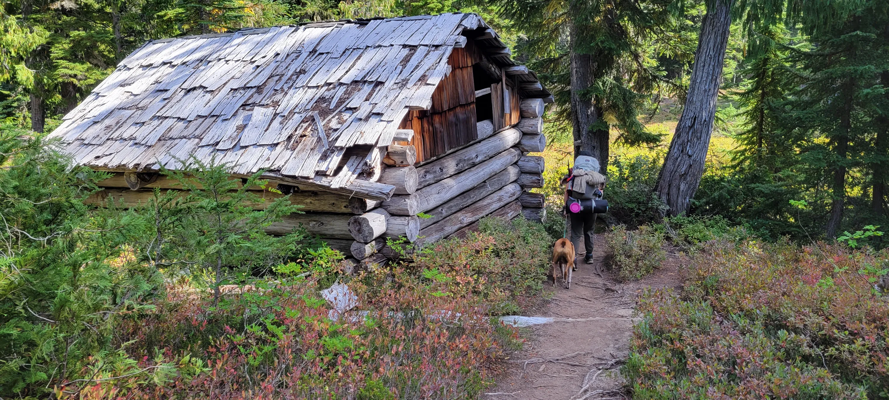
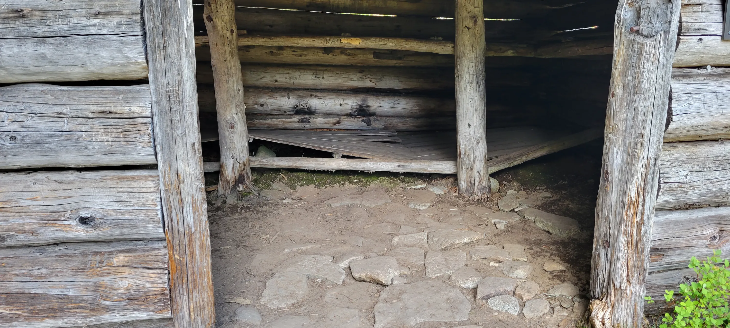
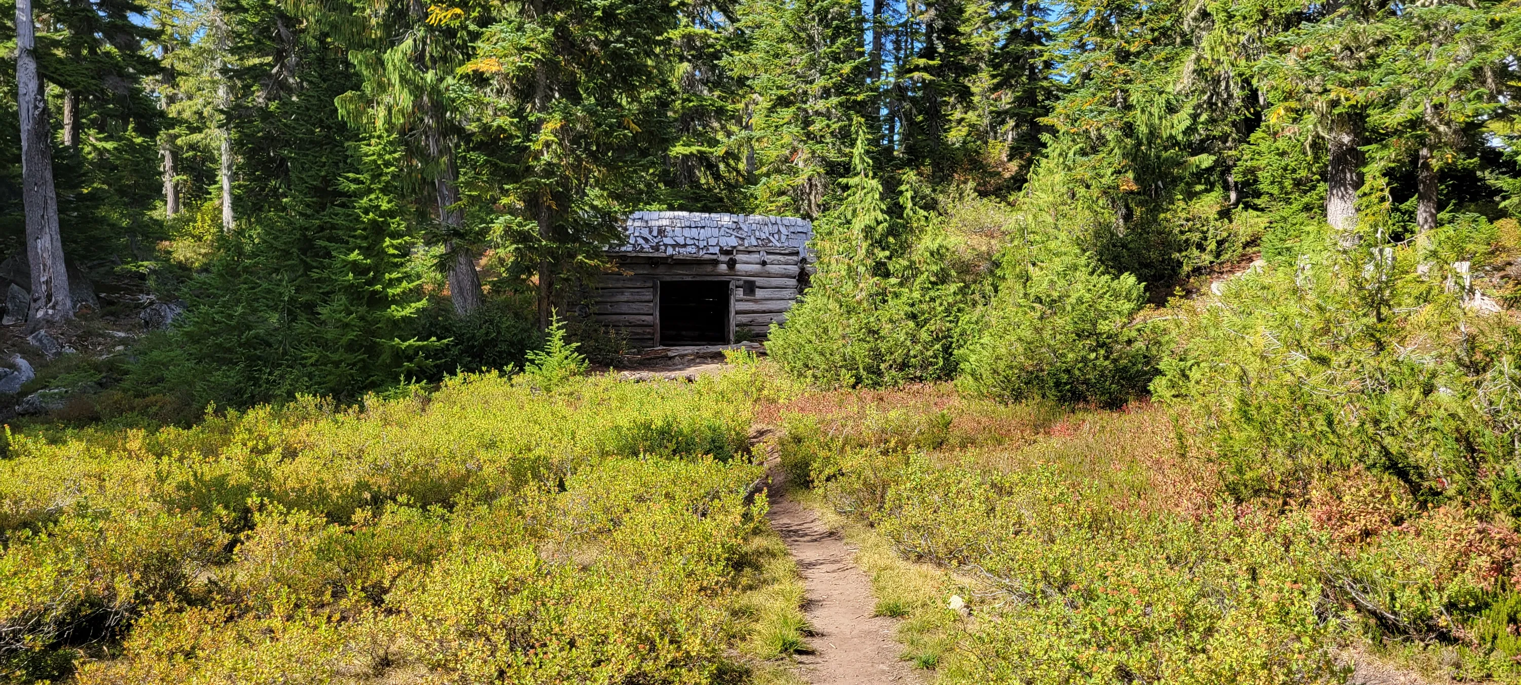
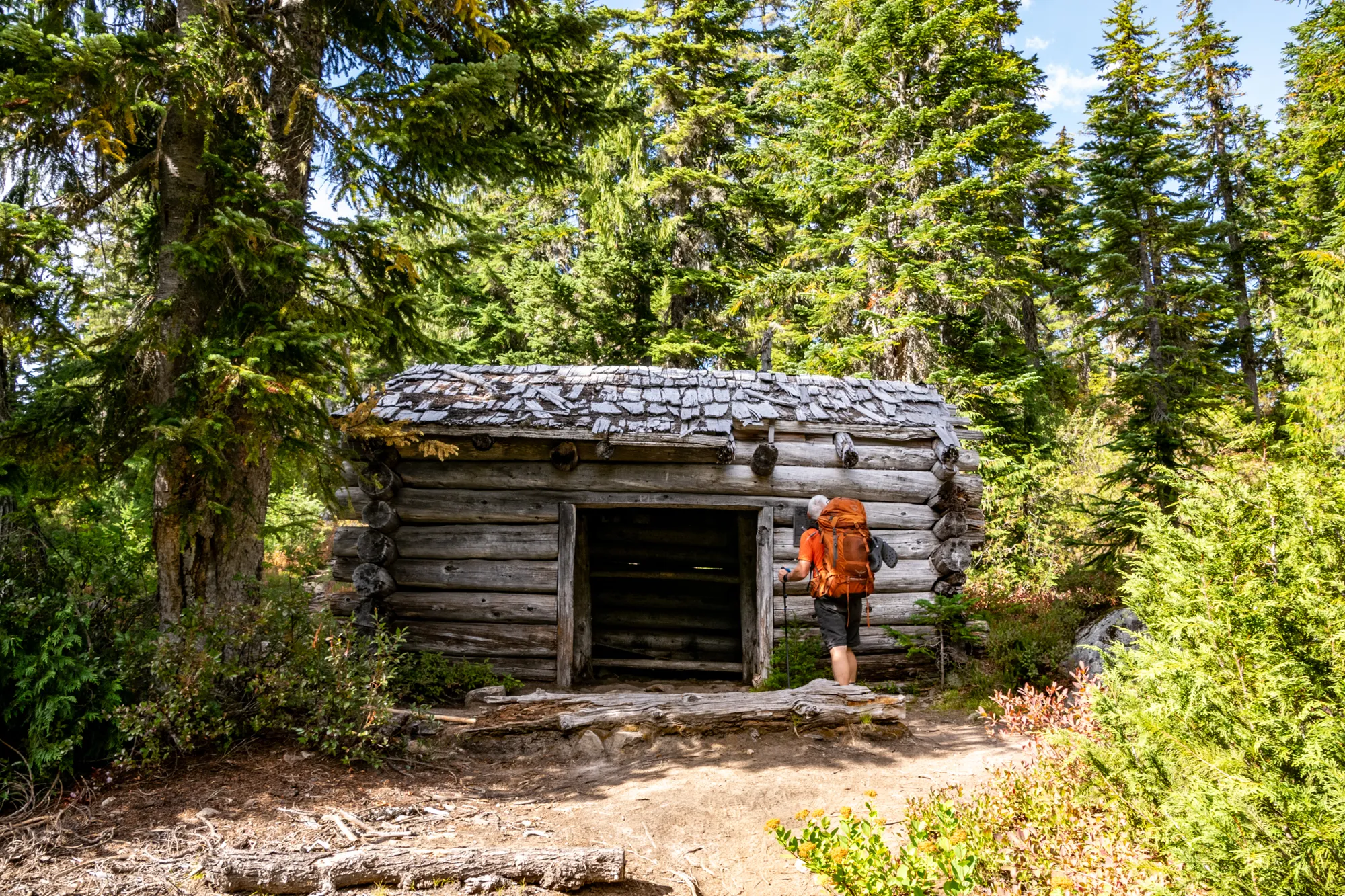
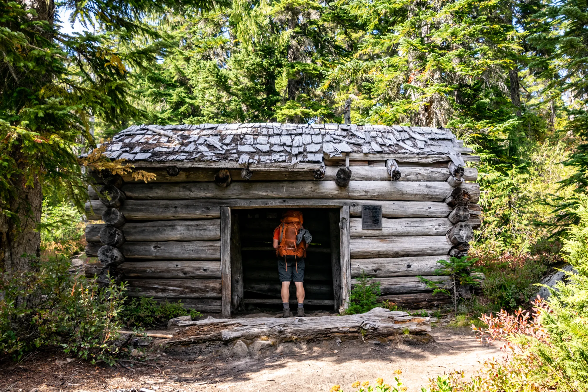
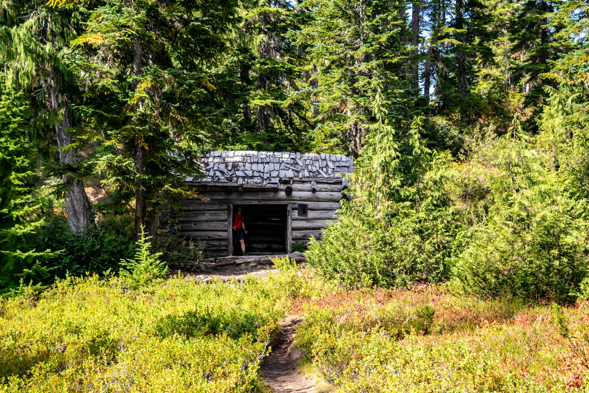
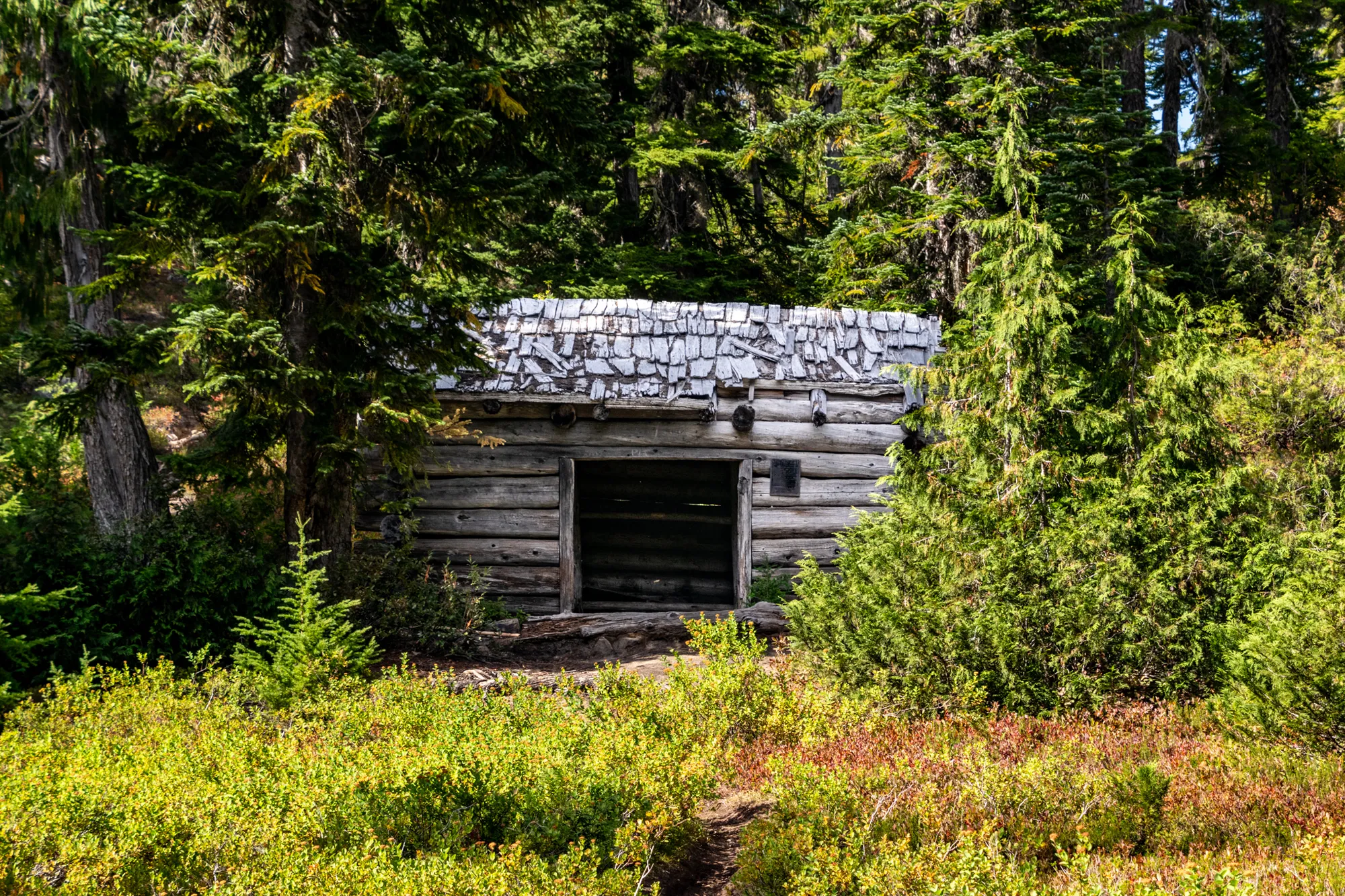
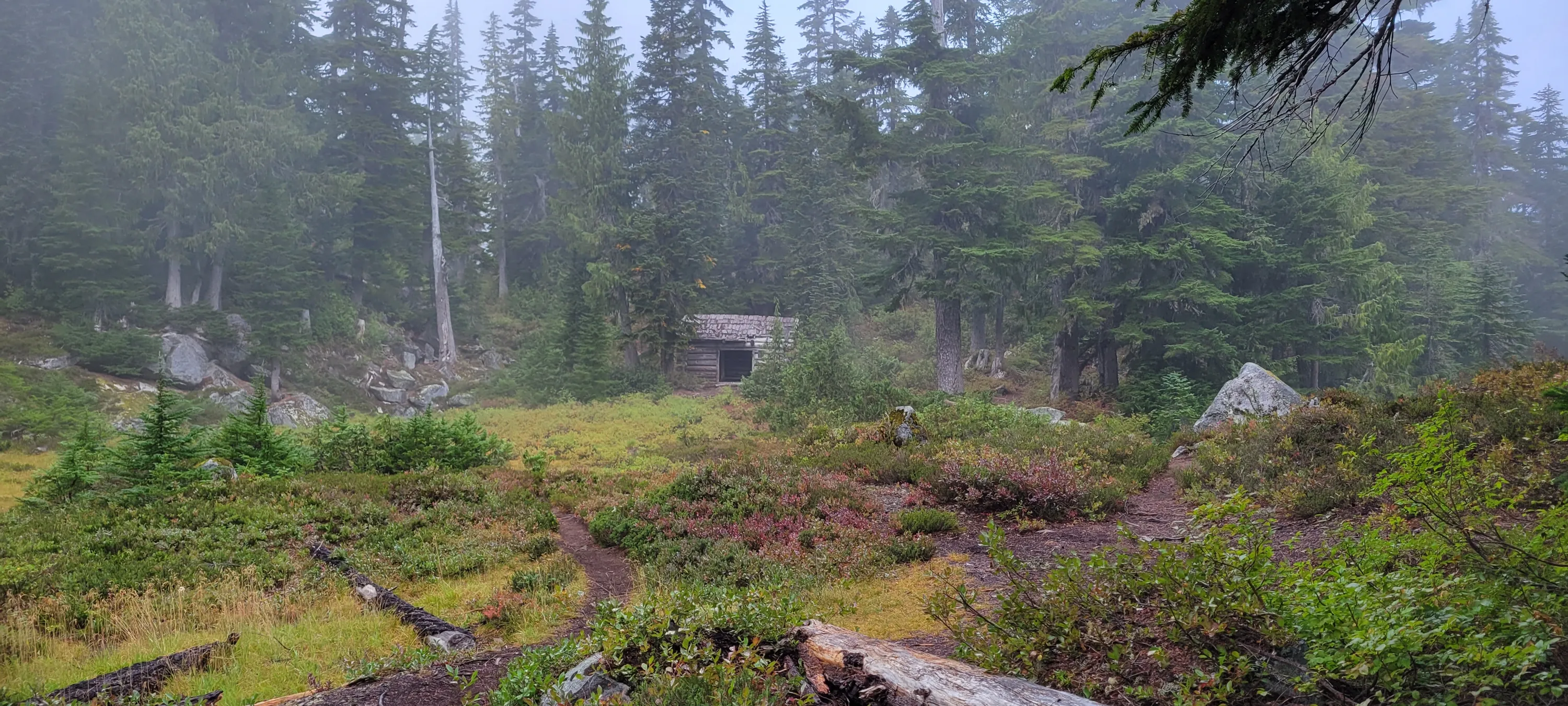
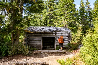
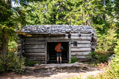
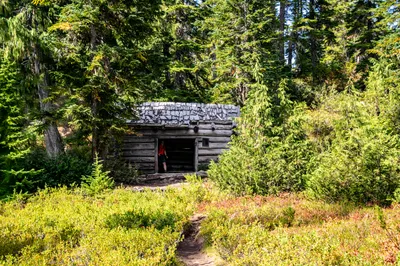
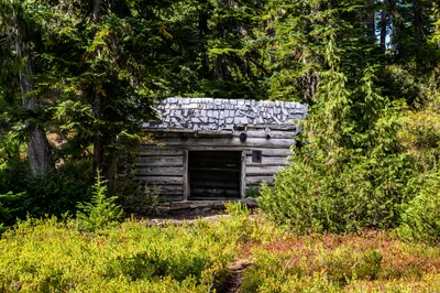
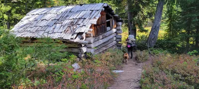 Cabin at Emerald Lake - Necklace Valley trail
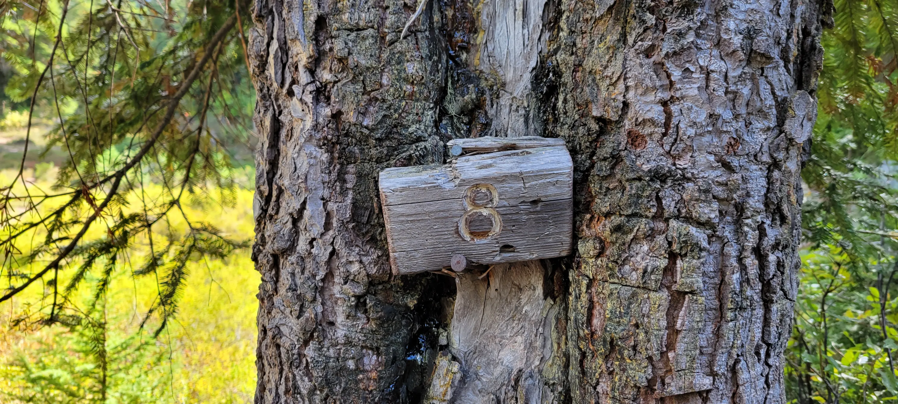
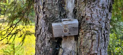 Milepost 8 at Cabin at Emerald Lake - pretty sure this is 8 miles from the trailhead - Necklace Valley Trail
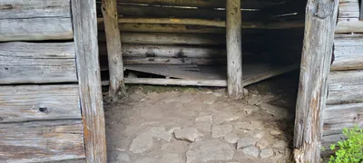 Cabin at Emerald Lake - Necklace Valley trail
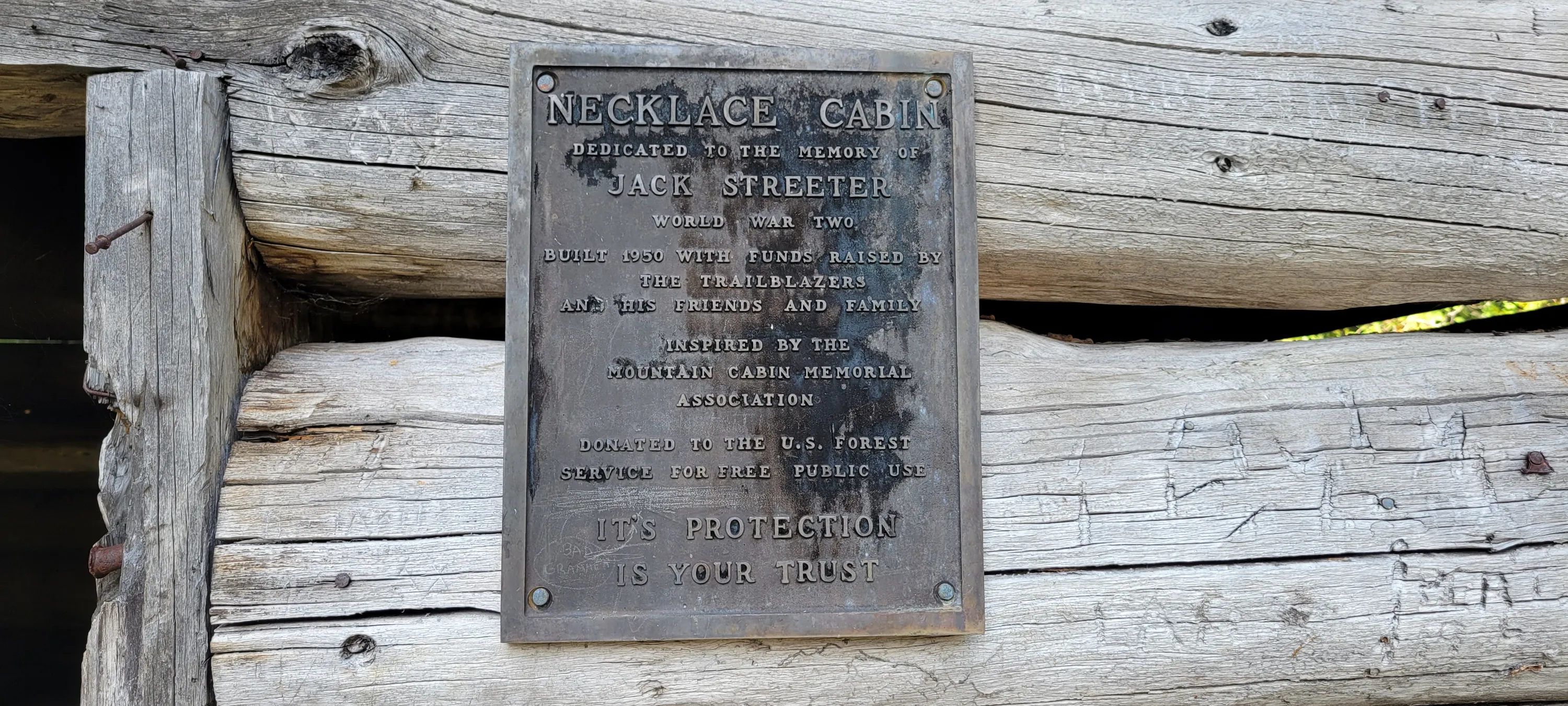
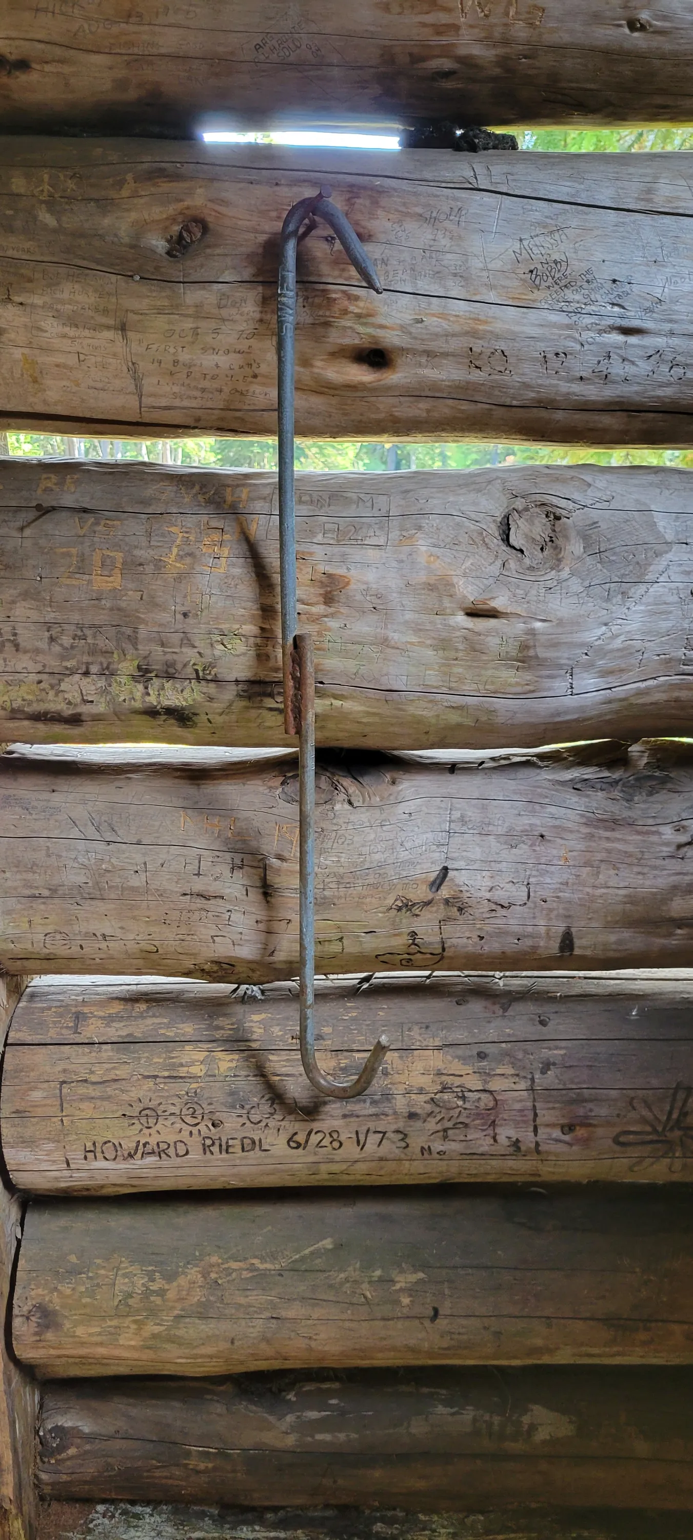
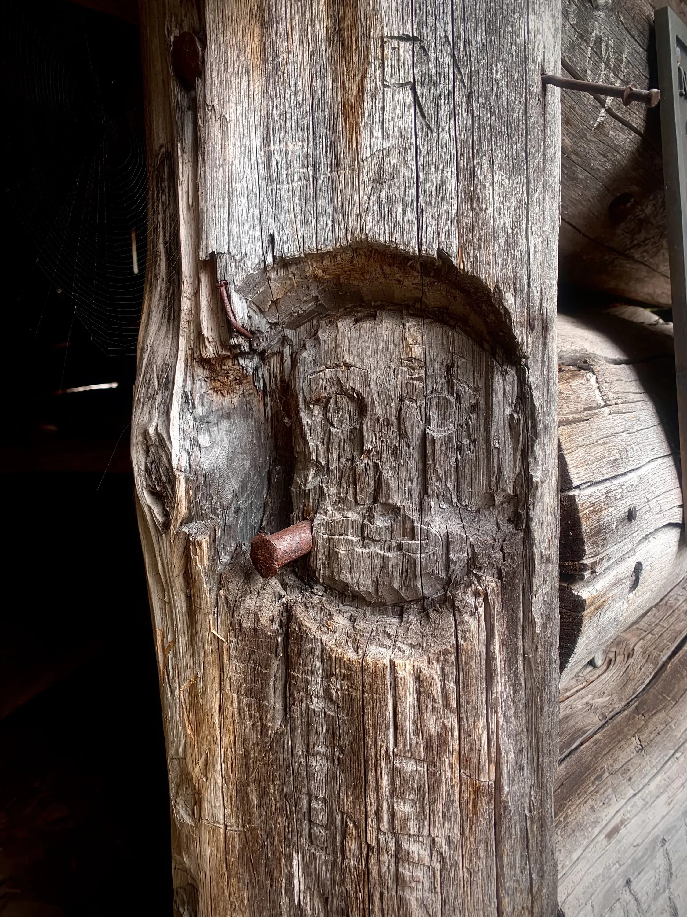
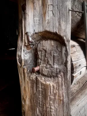
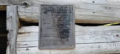 Sign on cabin at Emerald Lake - Necklace Valley trail
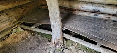
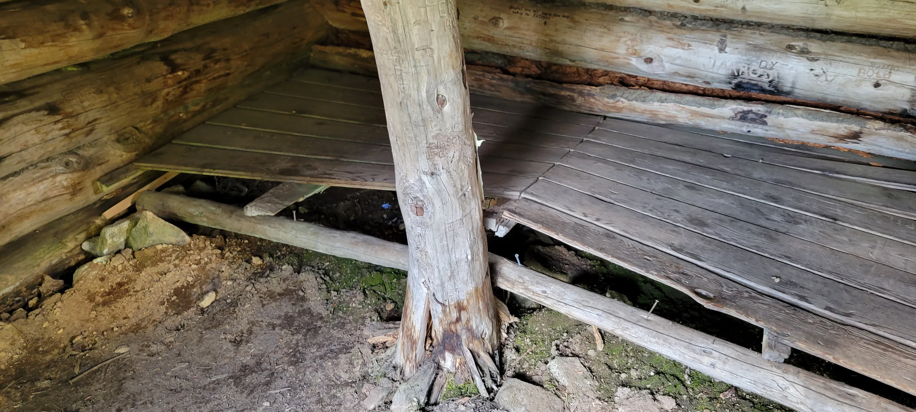
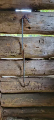 Inside the cabin at Emerald Lake - Necklace Valley trail
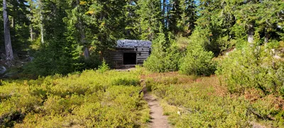 Looking back at the cabin at Emerald Lake - Necklace Valley trail
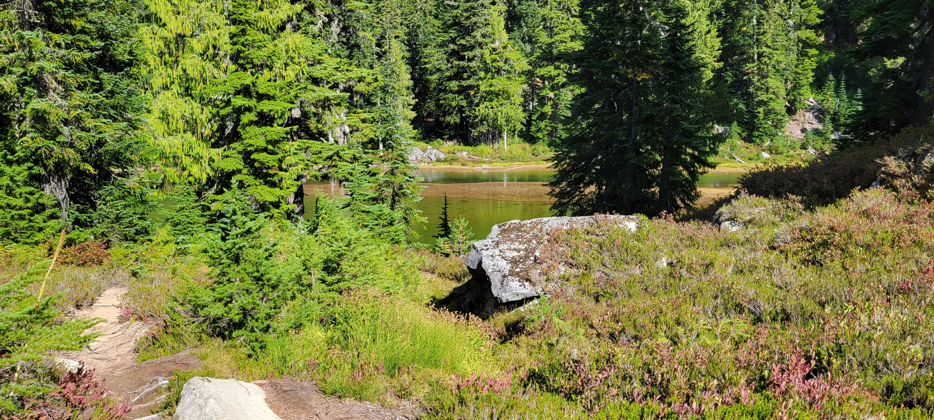
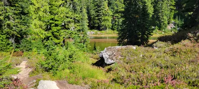 Emerald Lake - Necklace Valley trail
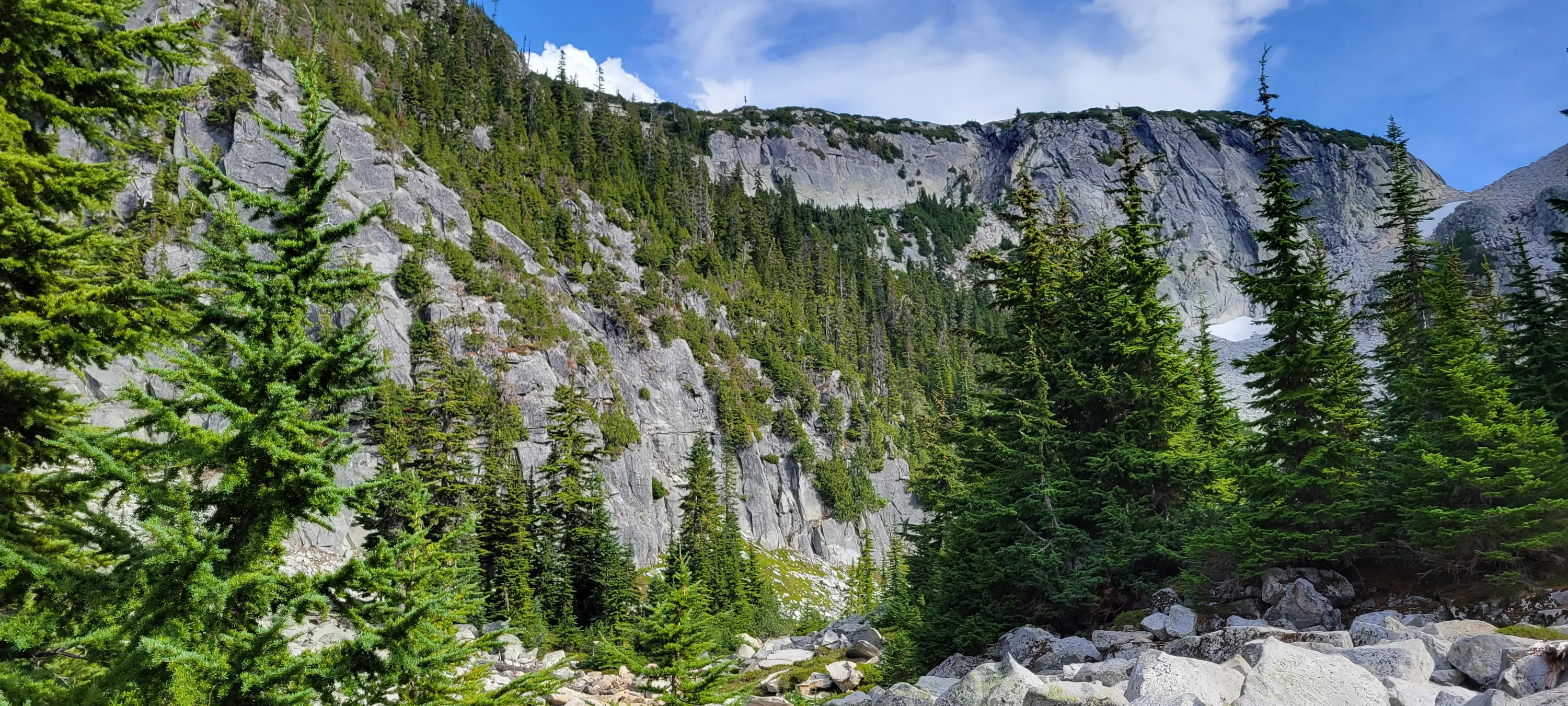
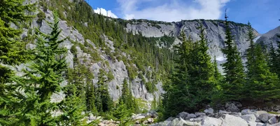 Looking up to where we will be later in the day - La Bohn Lakes - Necklace Valley trail
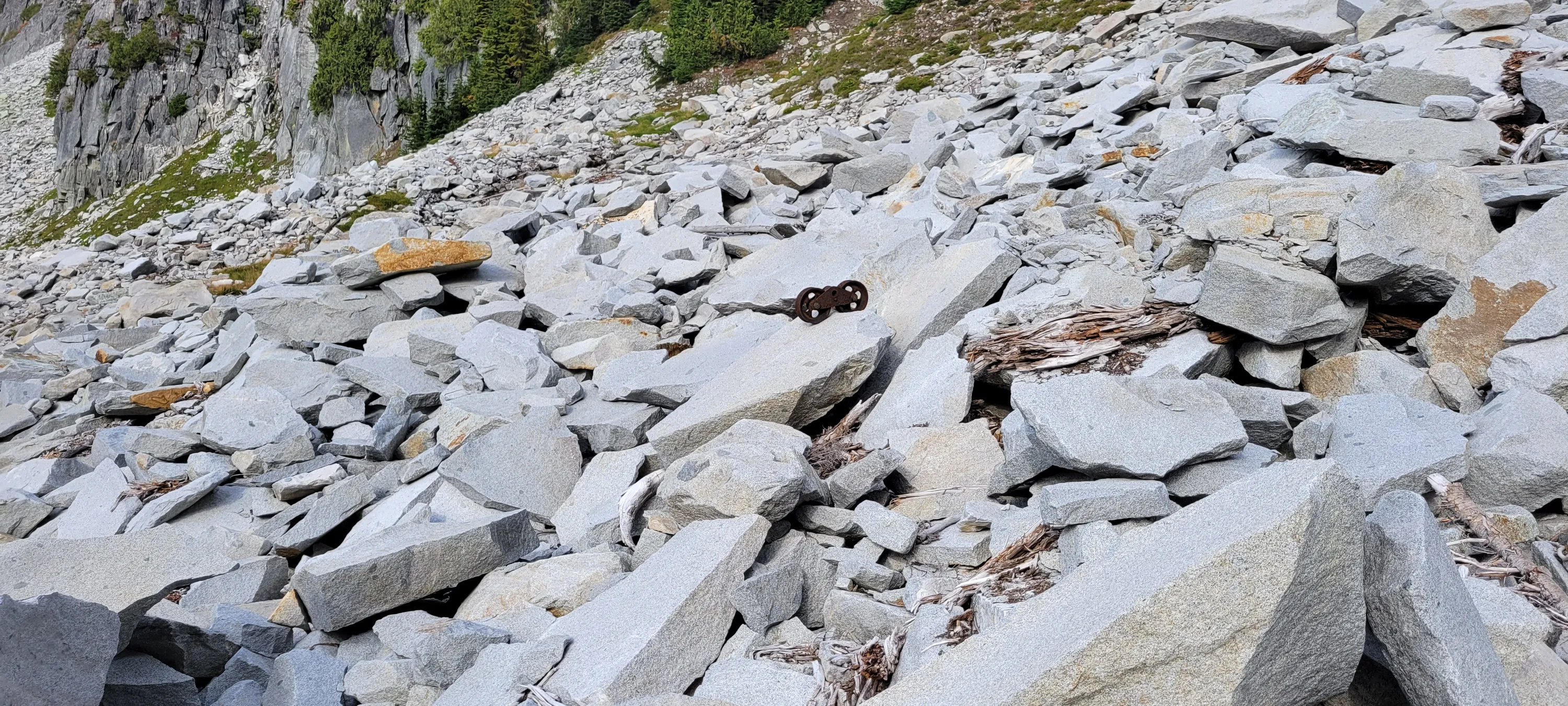
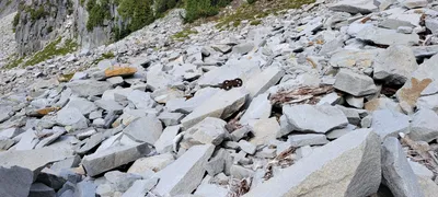 Heading up to La Bohn lakes - what appears to be an old mining artifact - a trolley of some sort - Necklace Valley
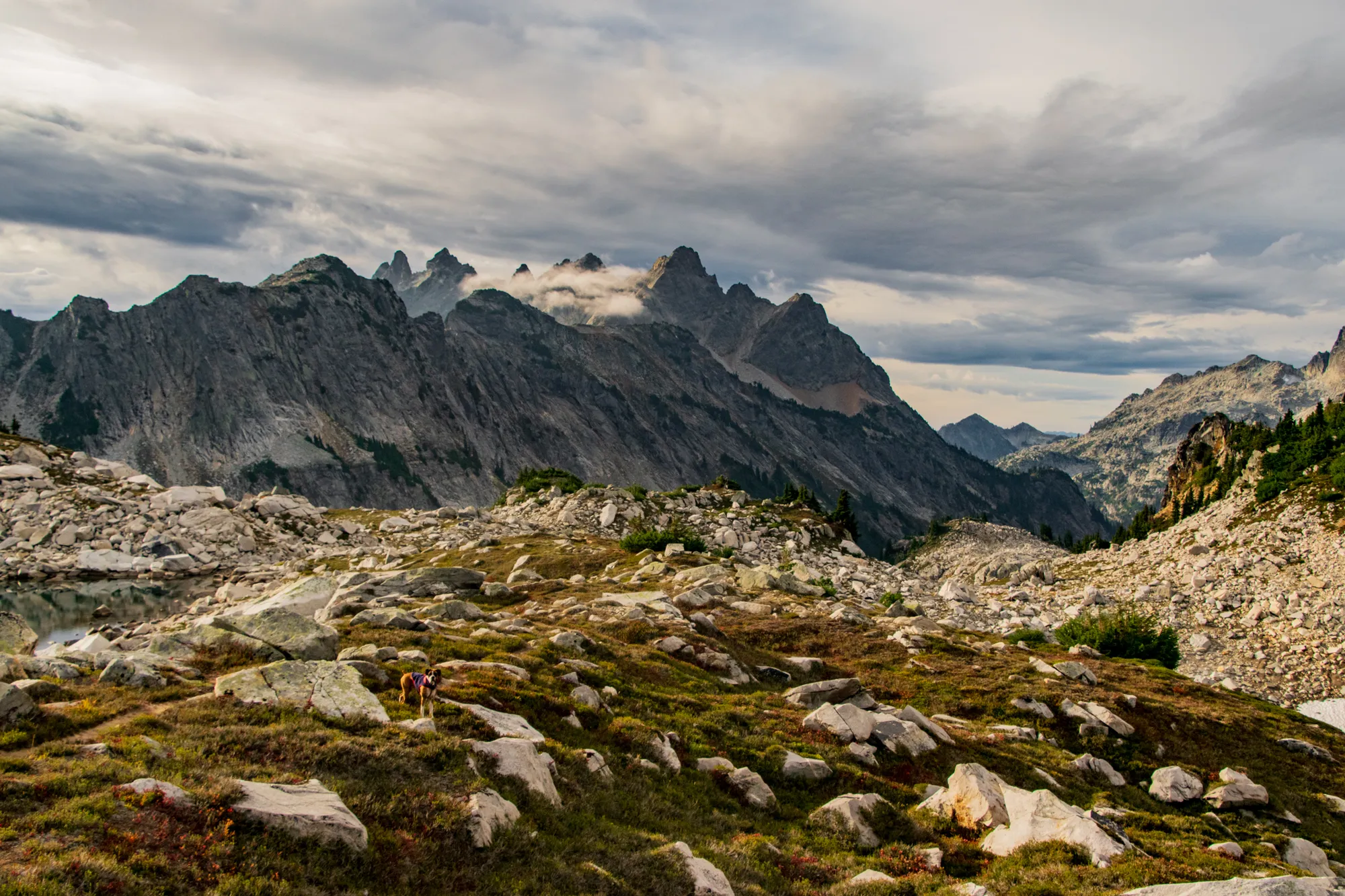
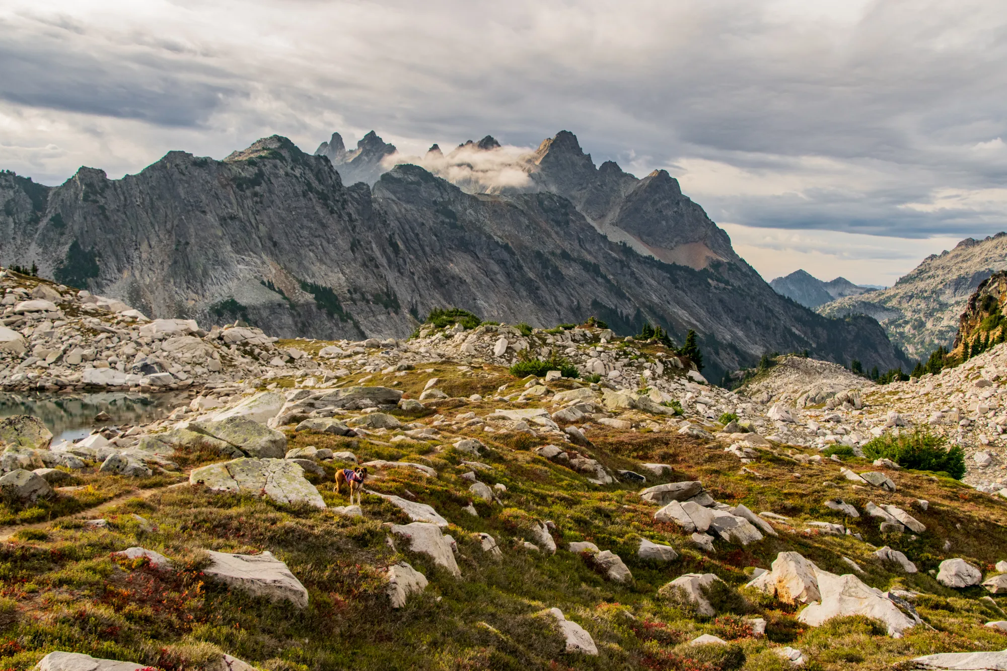
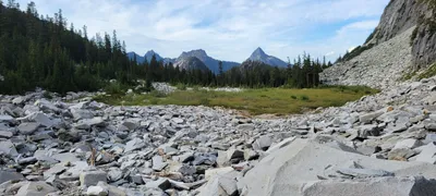 Bald Eagle peak right center, Silver Eagle peak left center - Necklace Valley - Ascending to La Bohn Lakes
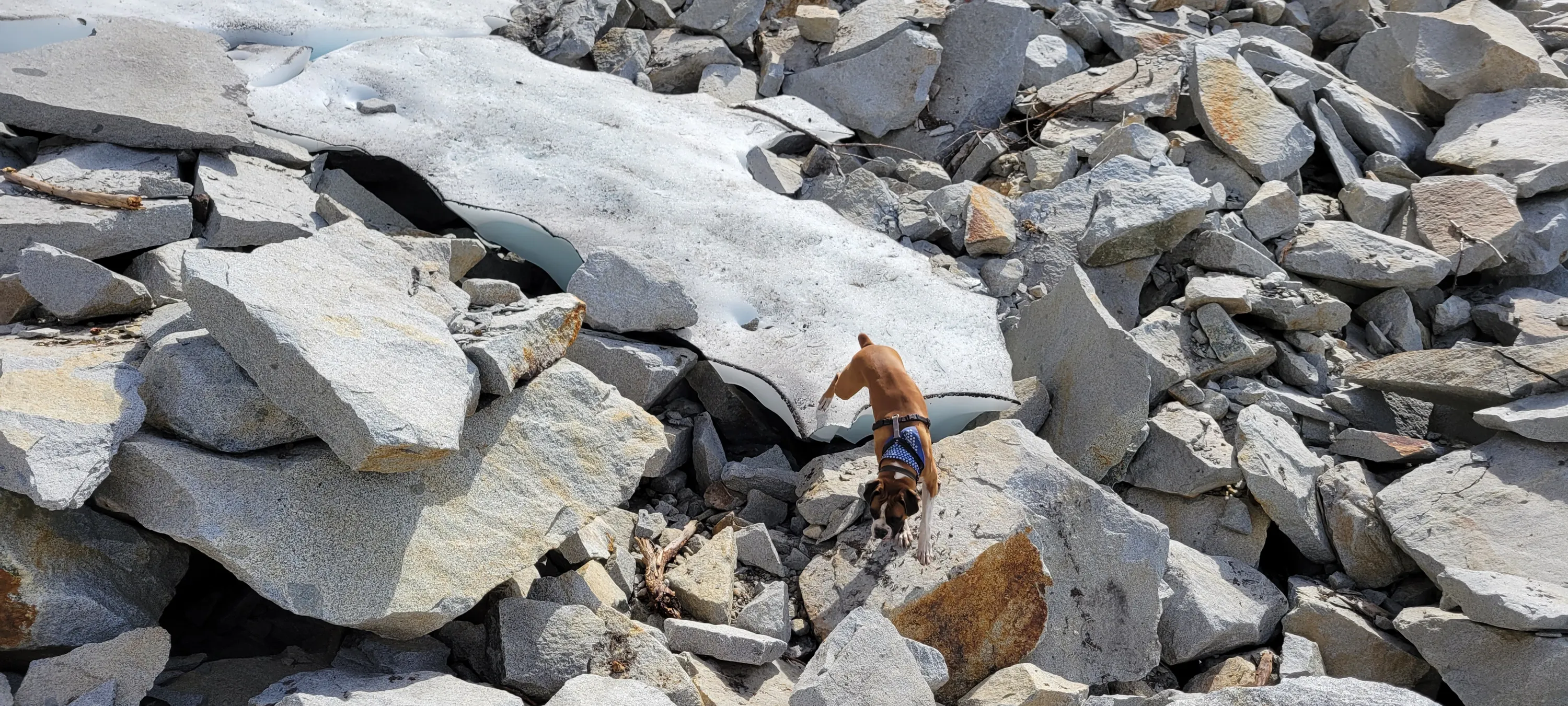
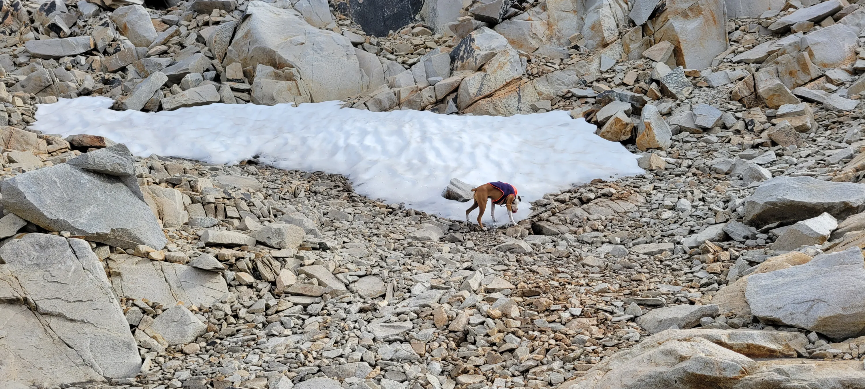
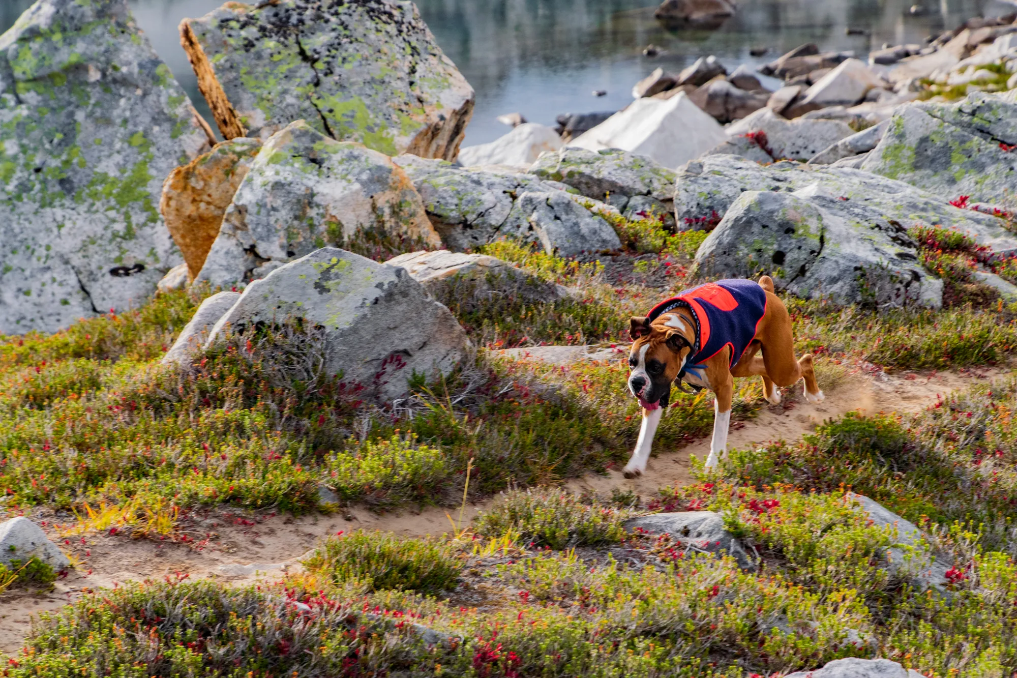
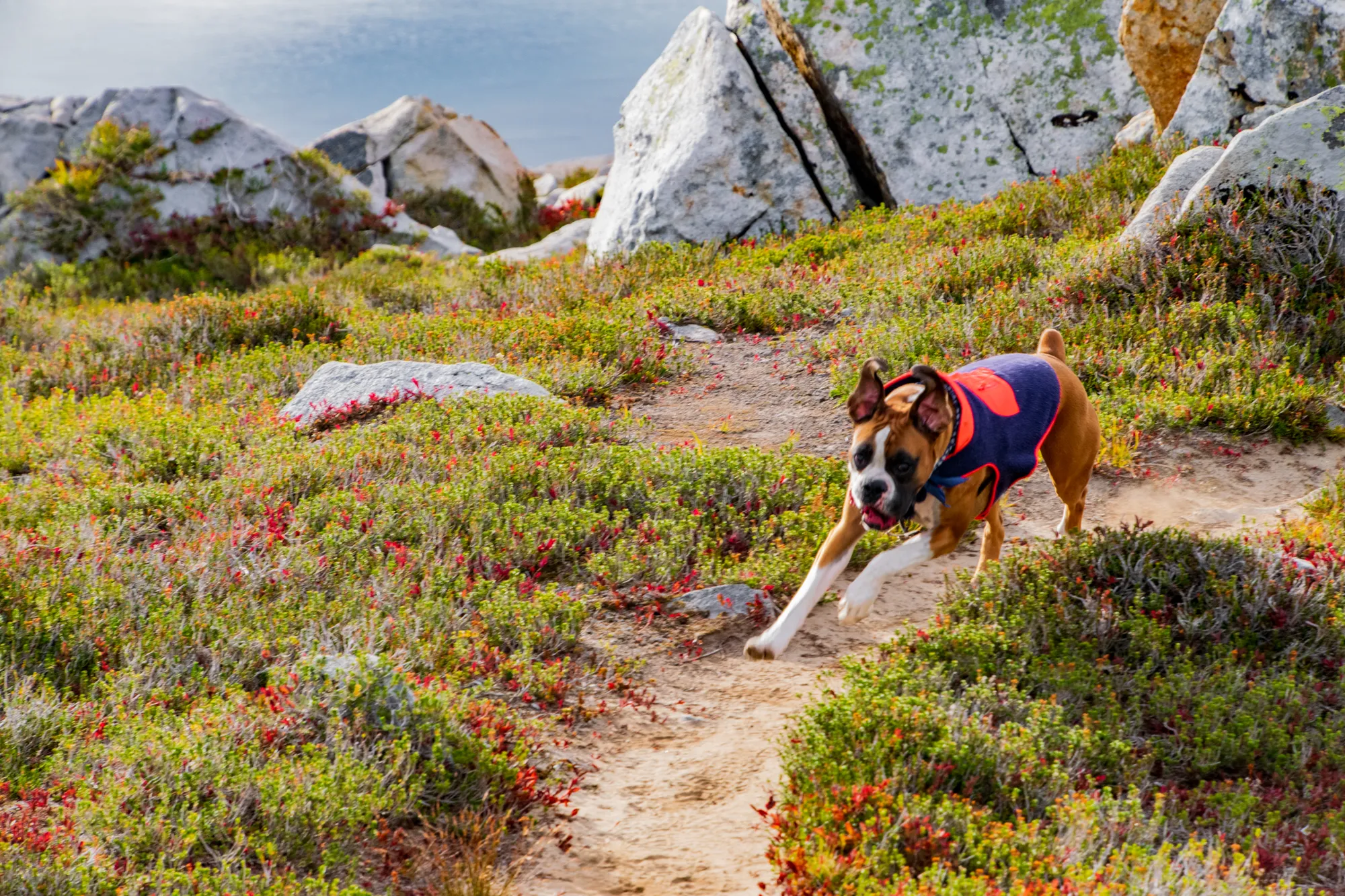
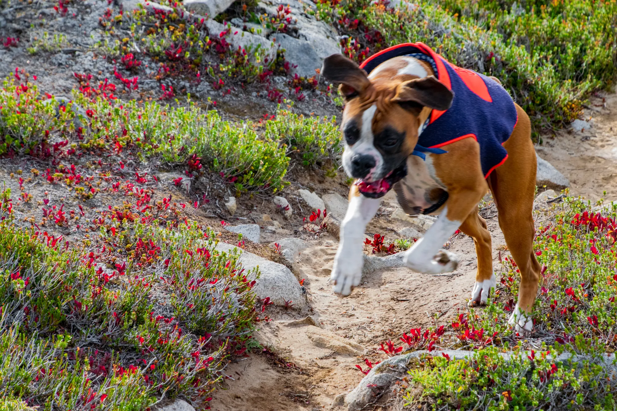
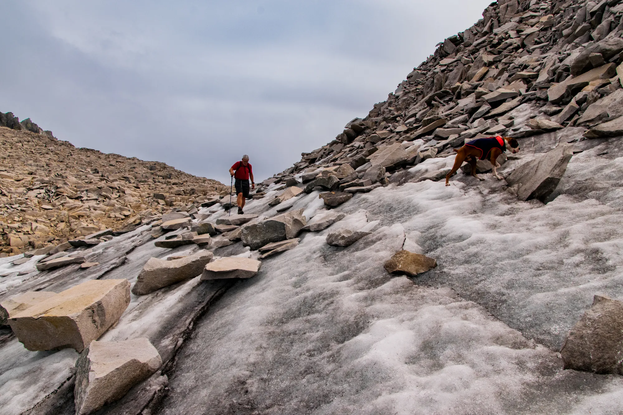
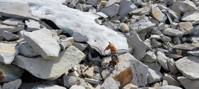 Otis playing in some snow remnants - Necklace Valley - ascending to La Bohn Lakes
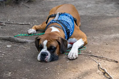
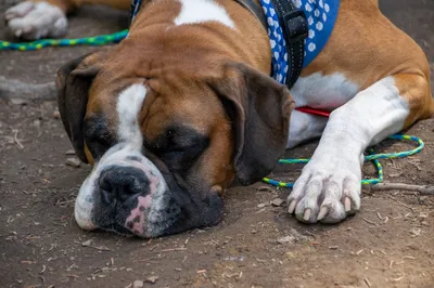
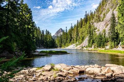
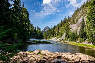
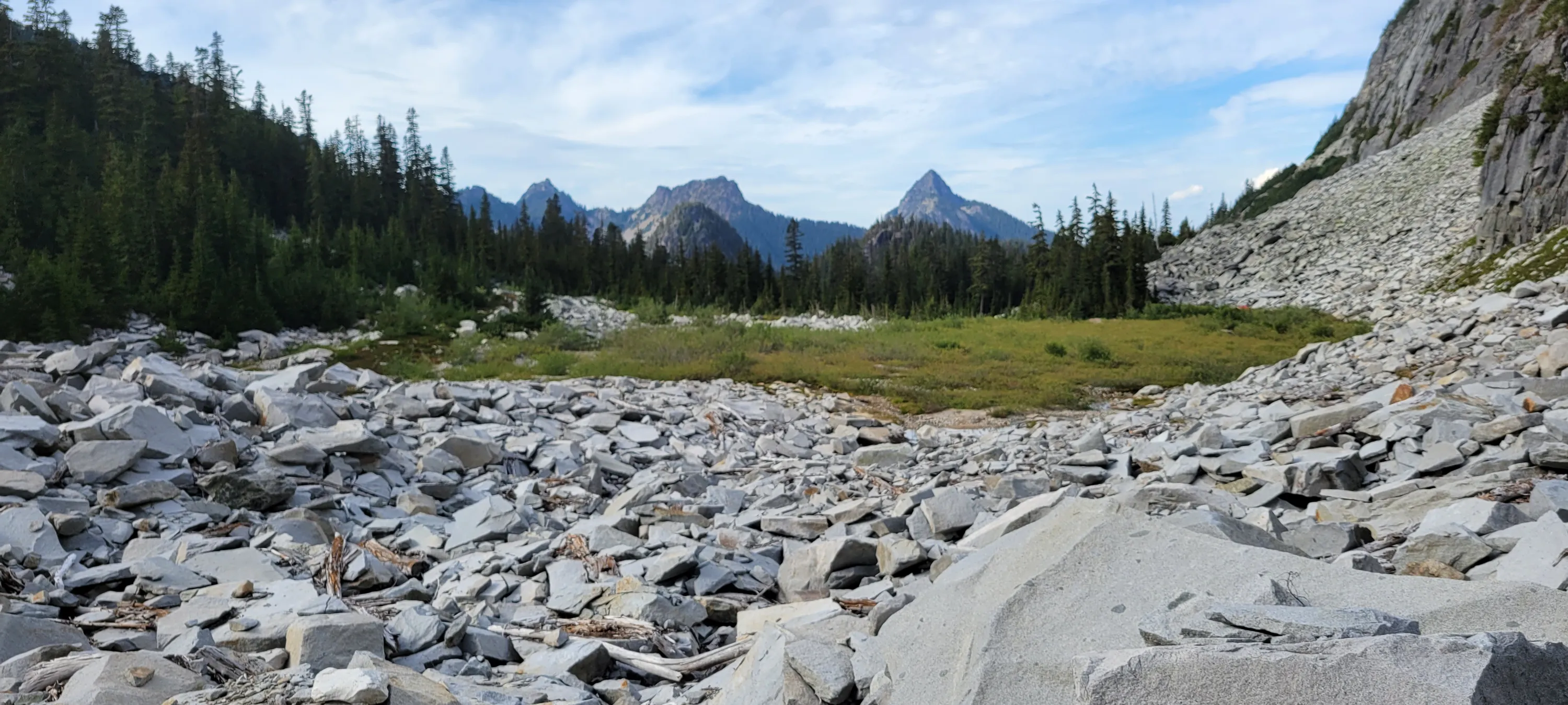
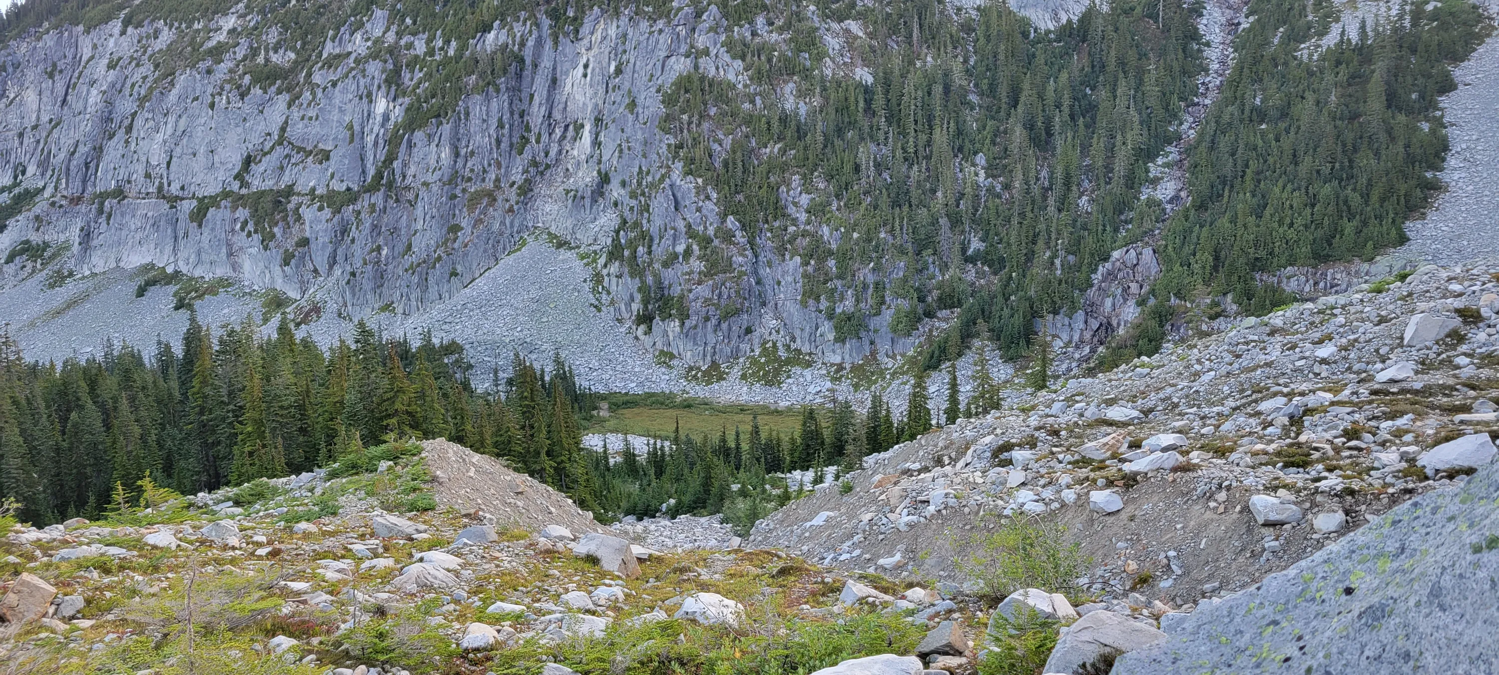
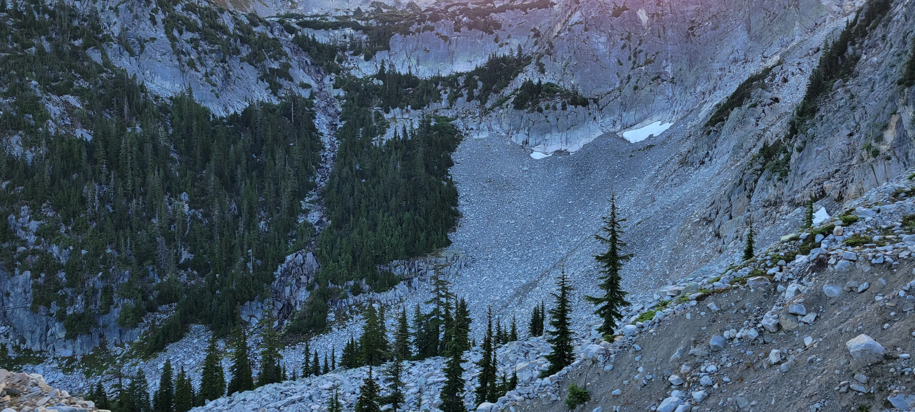
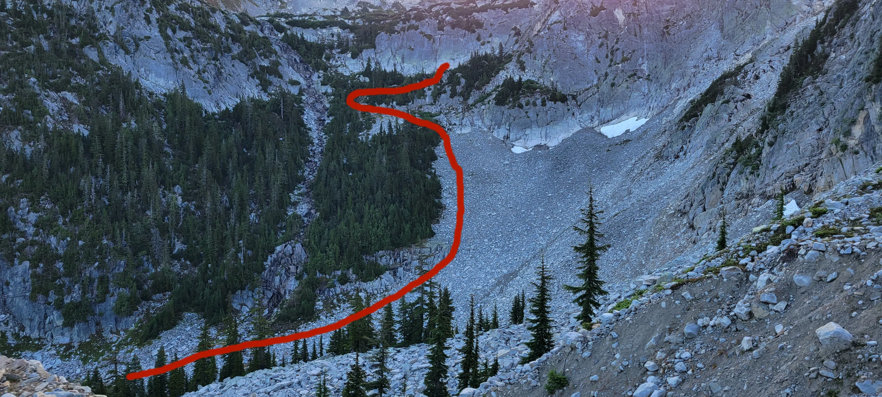
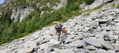 Ascending to La Bohn Lakes - Necklace Valley - "Waterfall route"
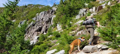 Ascending to La Bohn Lakes - Necklace Valley - "Waterfall route"
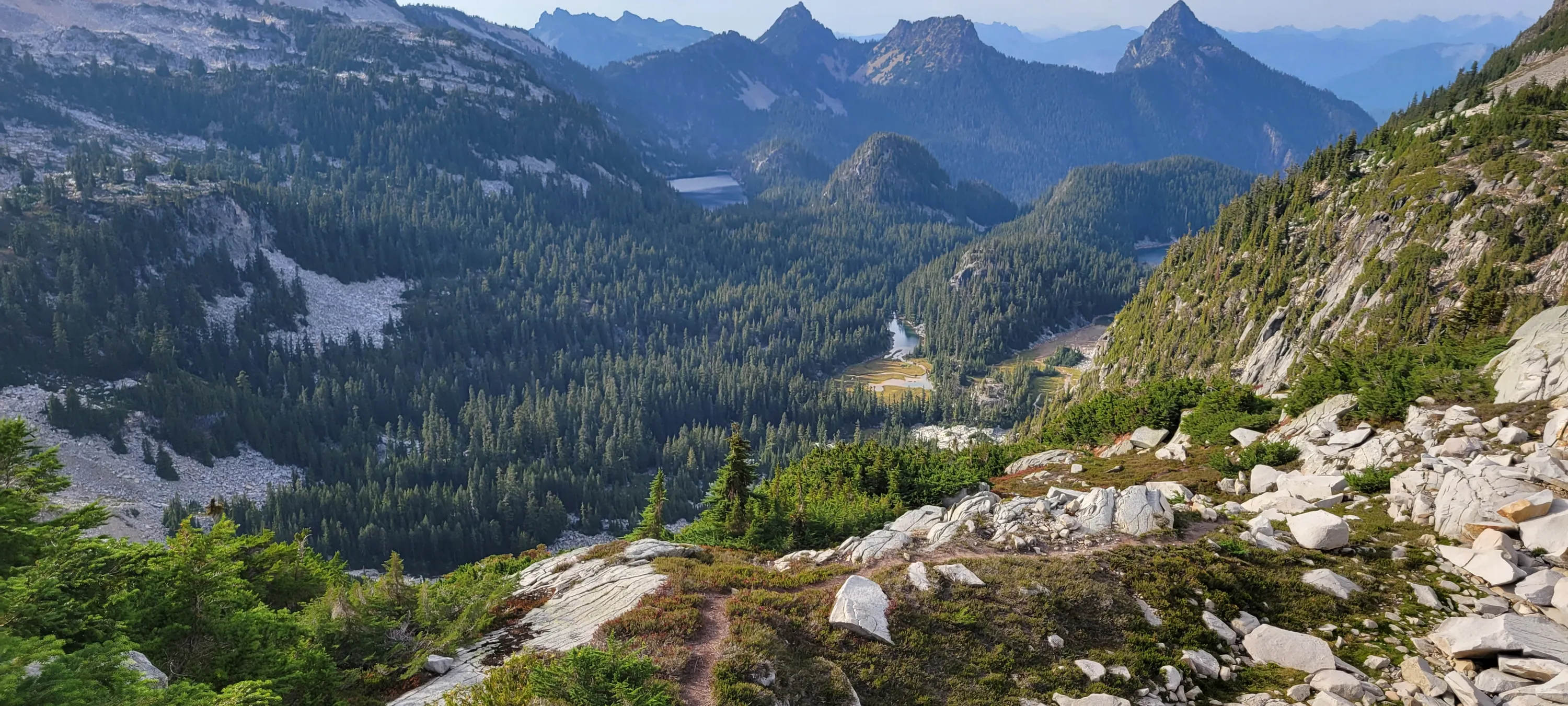
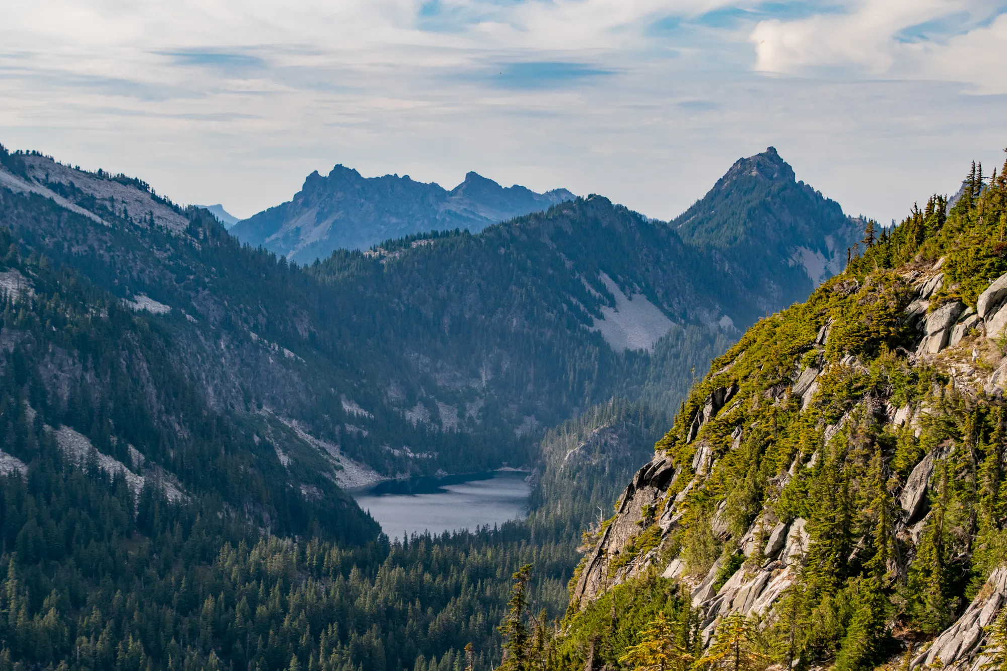
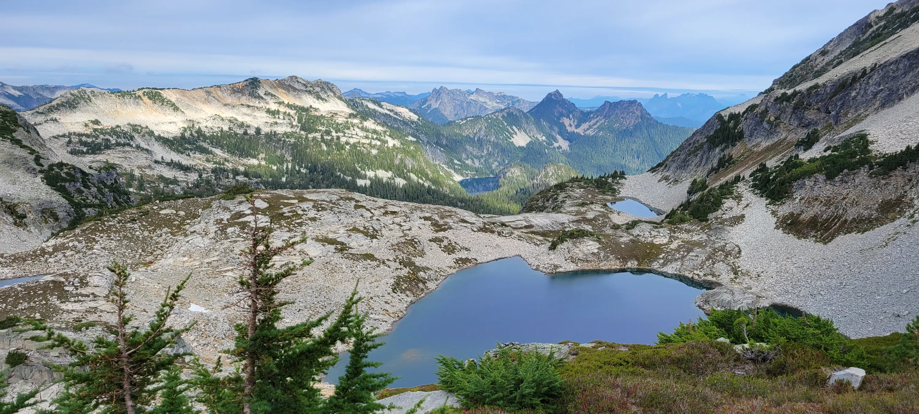
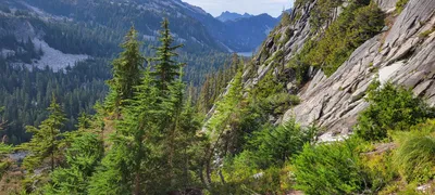 Ascending to La Bohn Lakes - looking north - I think the large lake is Lake Iiswoot
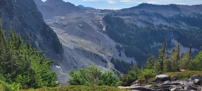 Ascending to La Bohn Lakes - Looking west - Necklace Valley
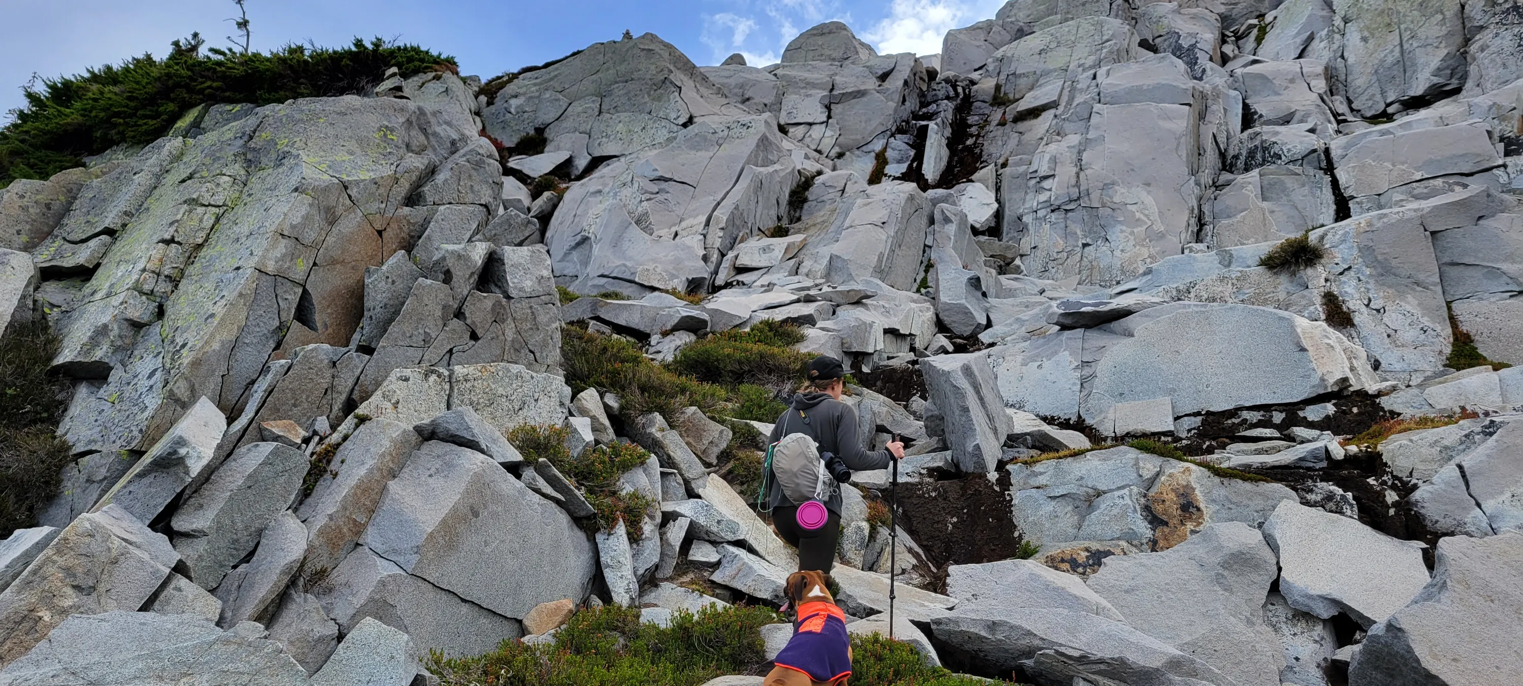
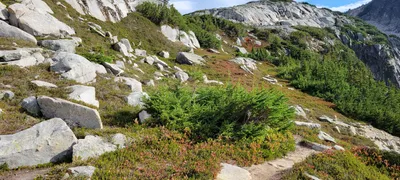 Ascending to La Bohn Lakes - we did find pieces of trail here and there
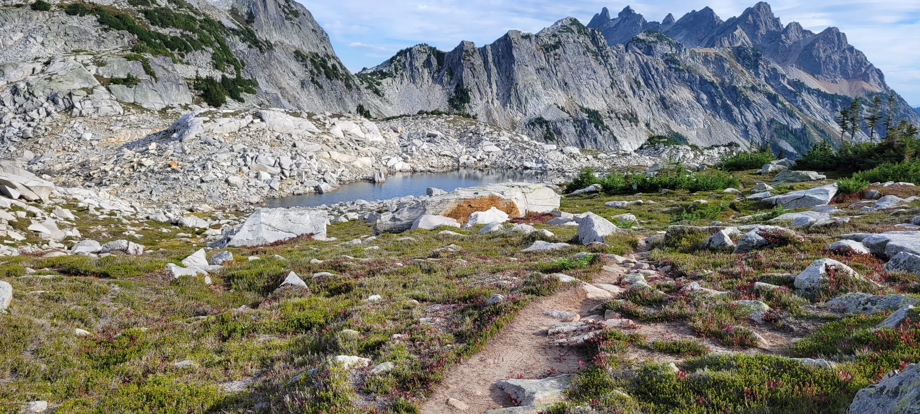
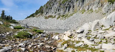 First La Bohn Lake - Necklace Valley
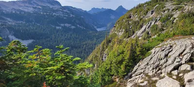 At La Bohn Lakes - Looking north up Necklace Lake valley - Lake Iiswoot in the distance
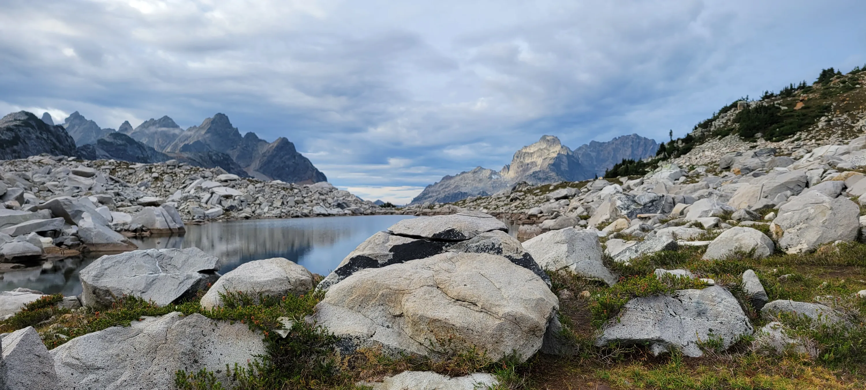
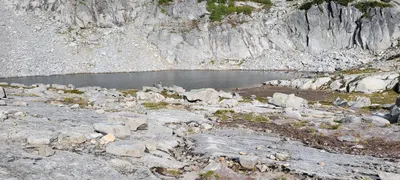 Another one of La Bohn Lakes - Necklace valley
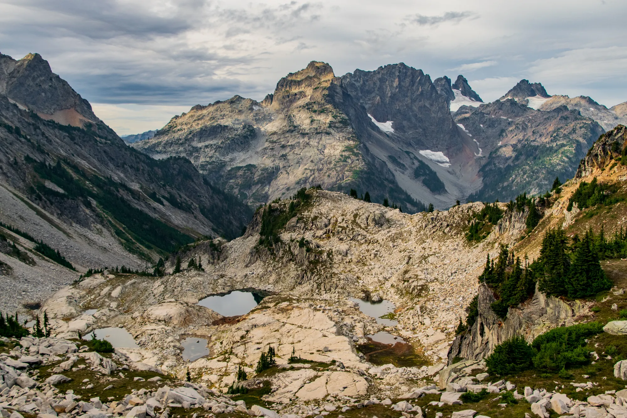
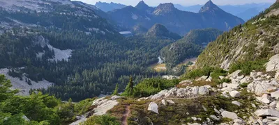 I think Locket Lake is in the upper left, the corner of Lake Iiswoot is in the upper right and Opal lake is in the right center - Necklace Valley
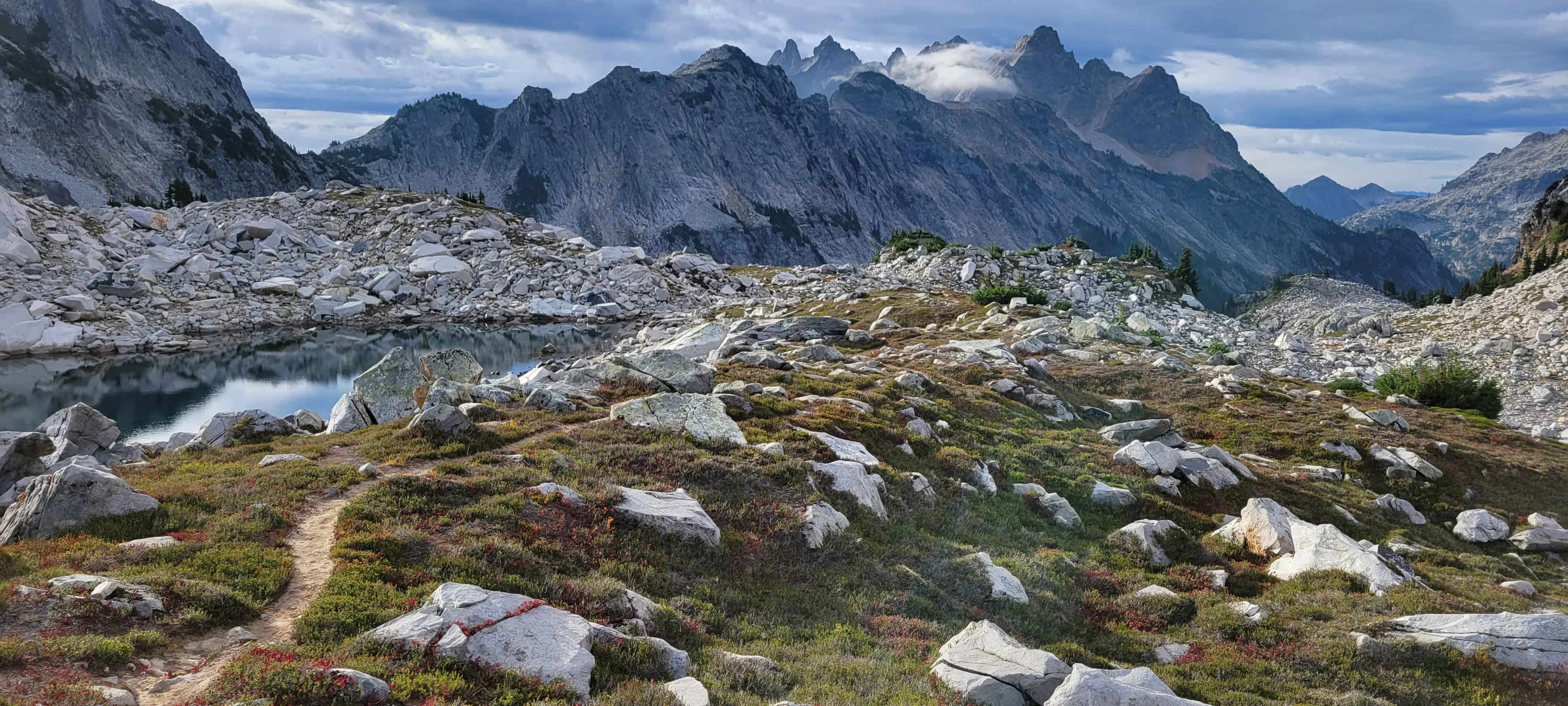
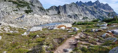 Another La Bohn Lake - Necklace Valley
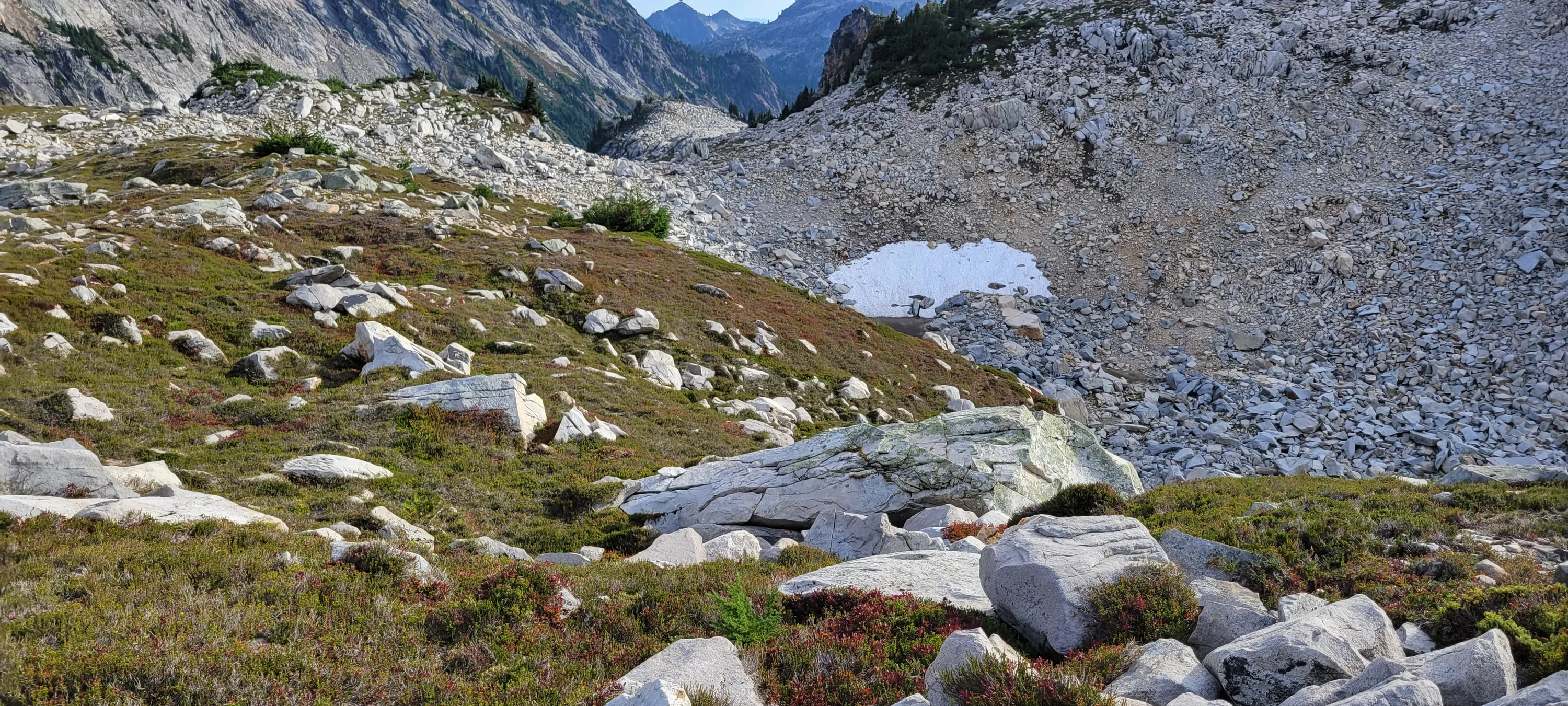
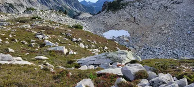 Still snow remnants in places - Necklace Valley
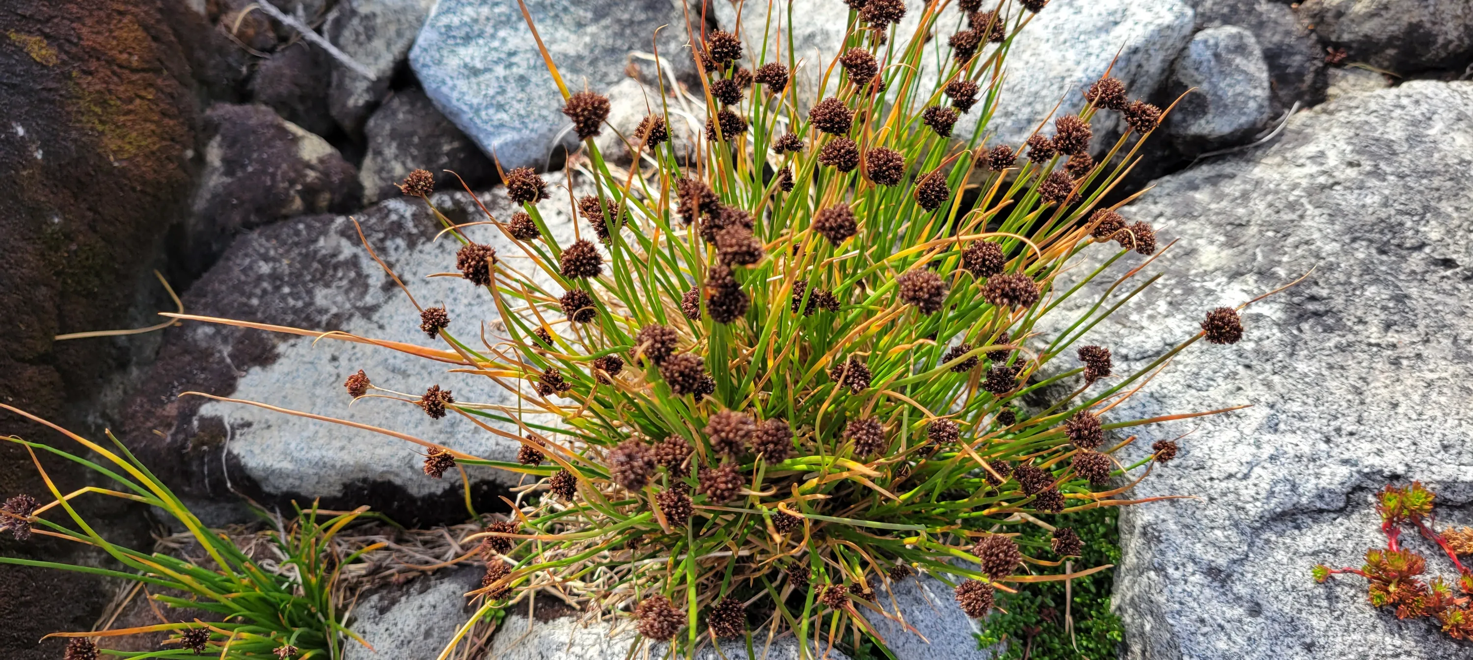
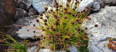 I think this is called Duran's Rush or Merten's Rush - it was all over the place in the high alpine - Necklace Valley
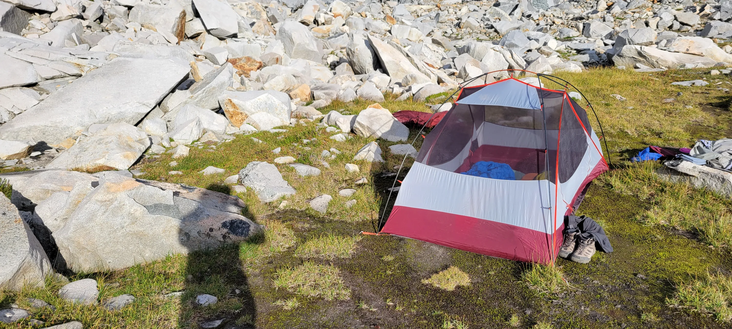
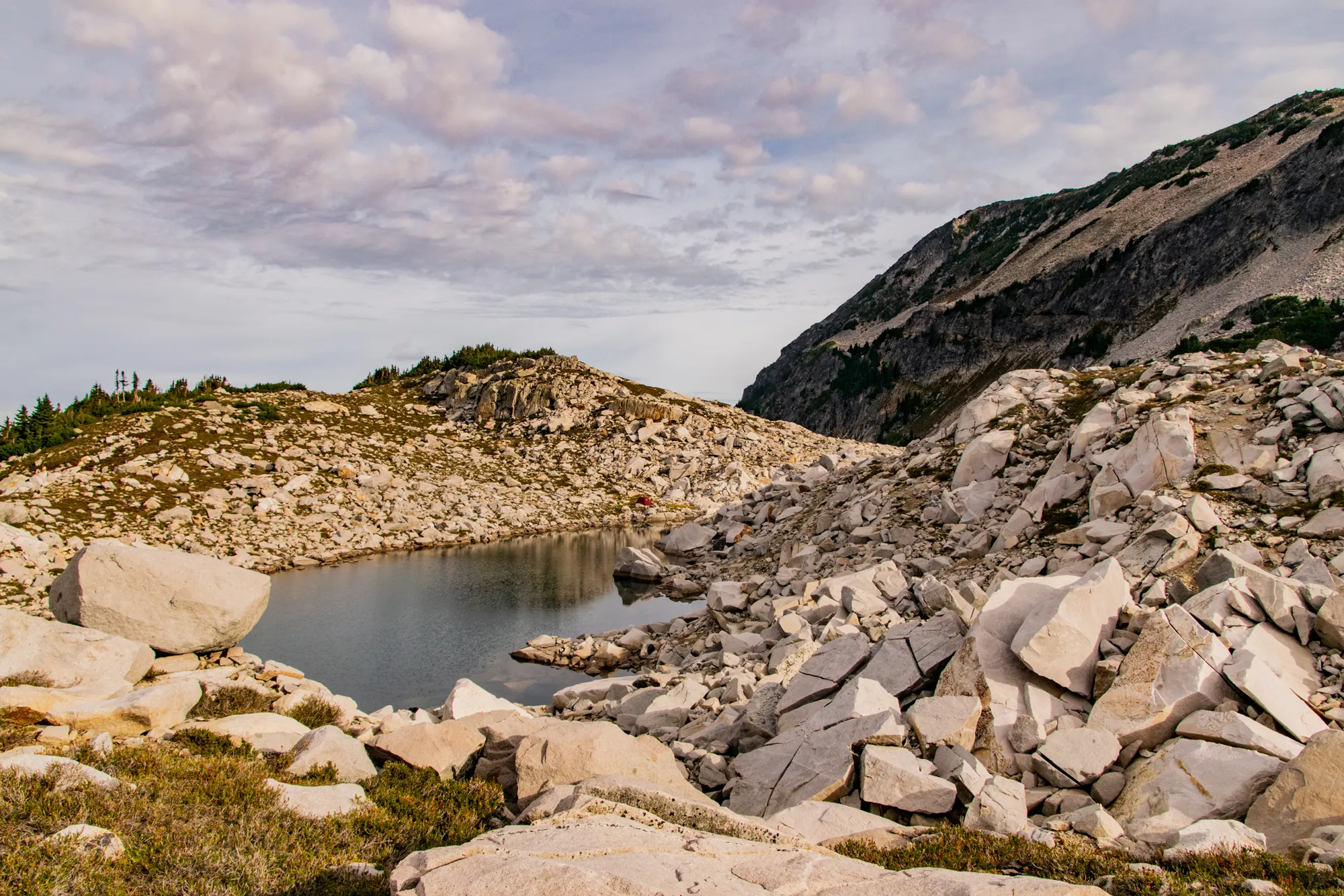
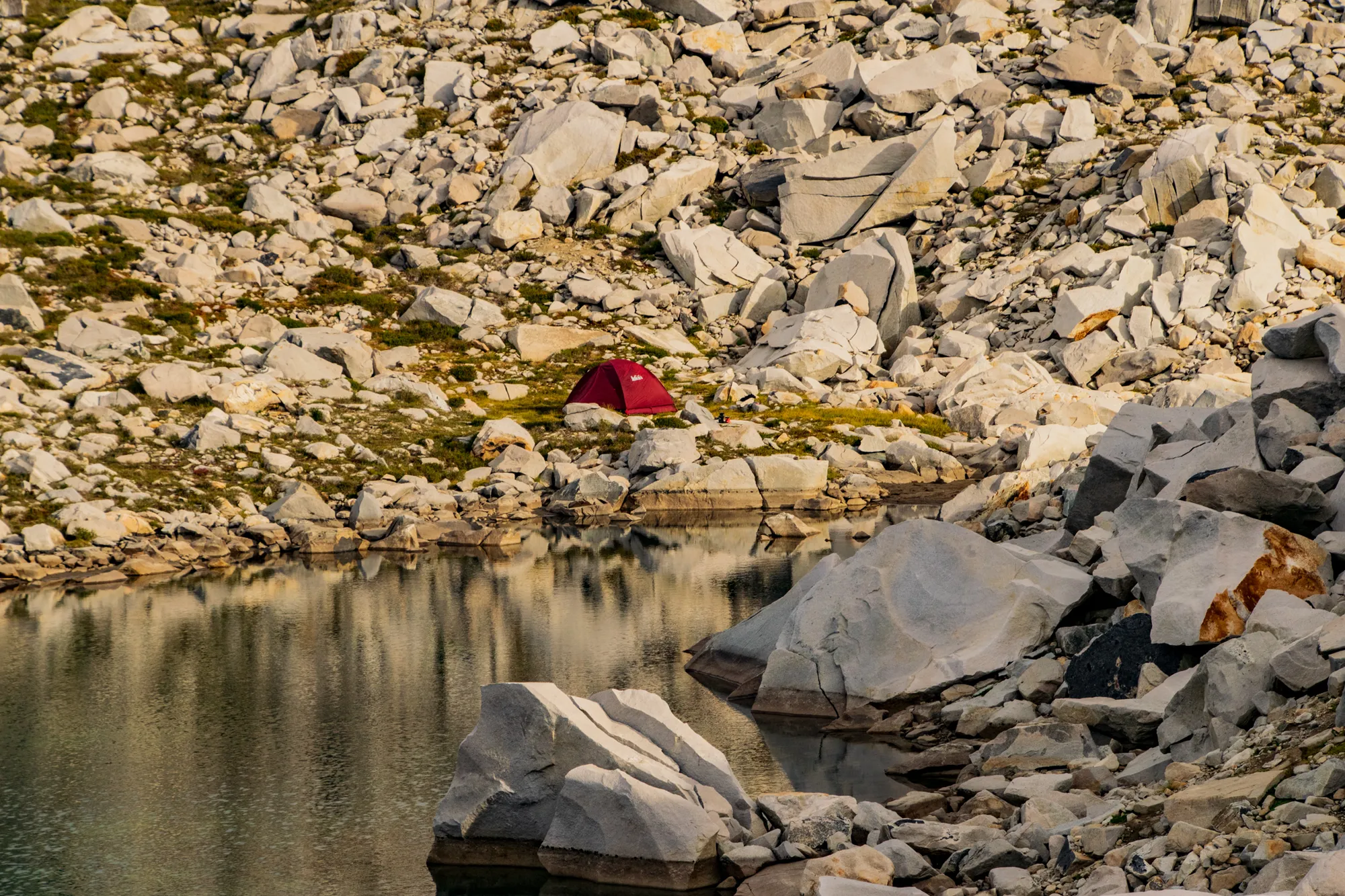
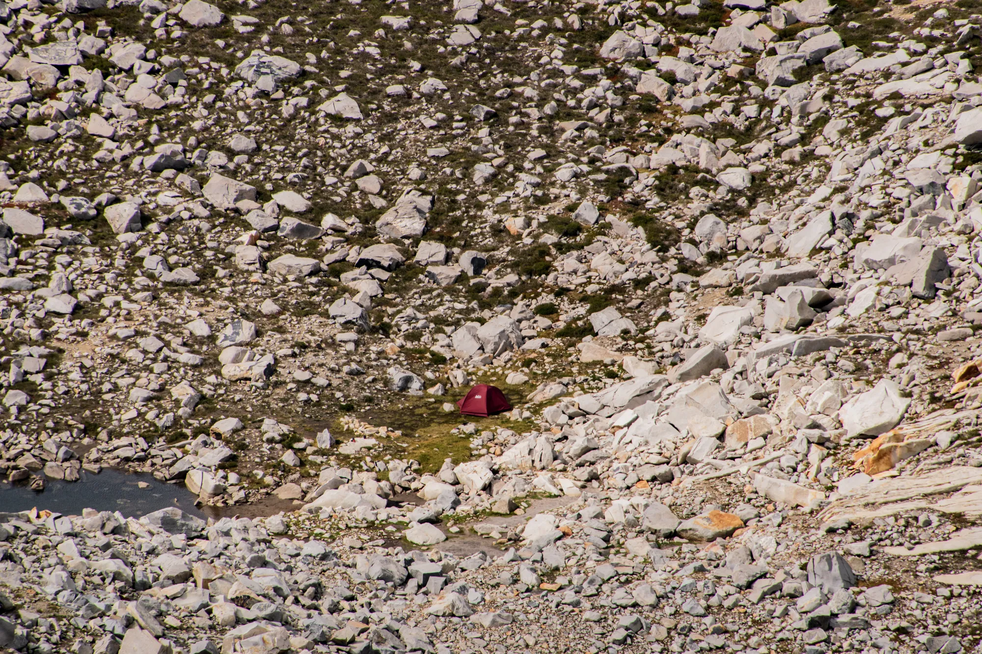
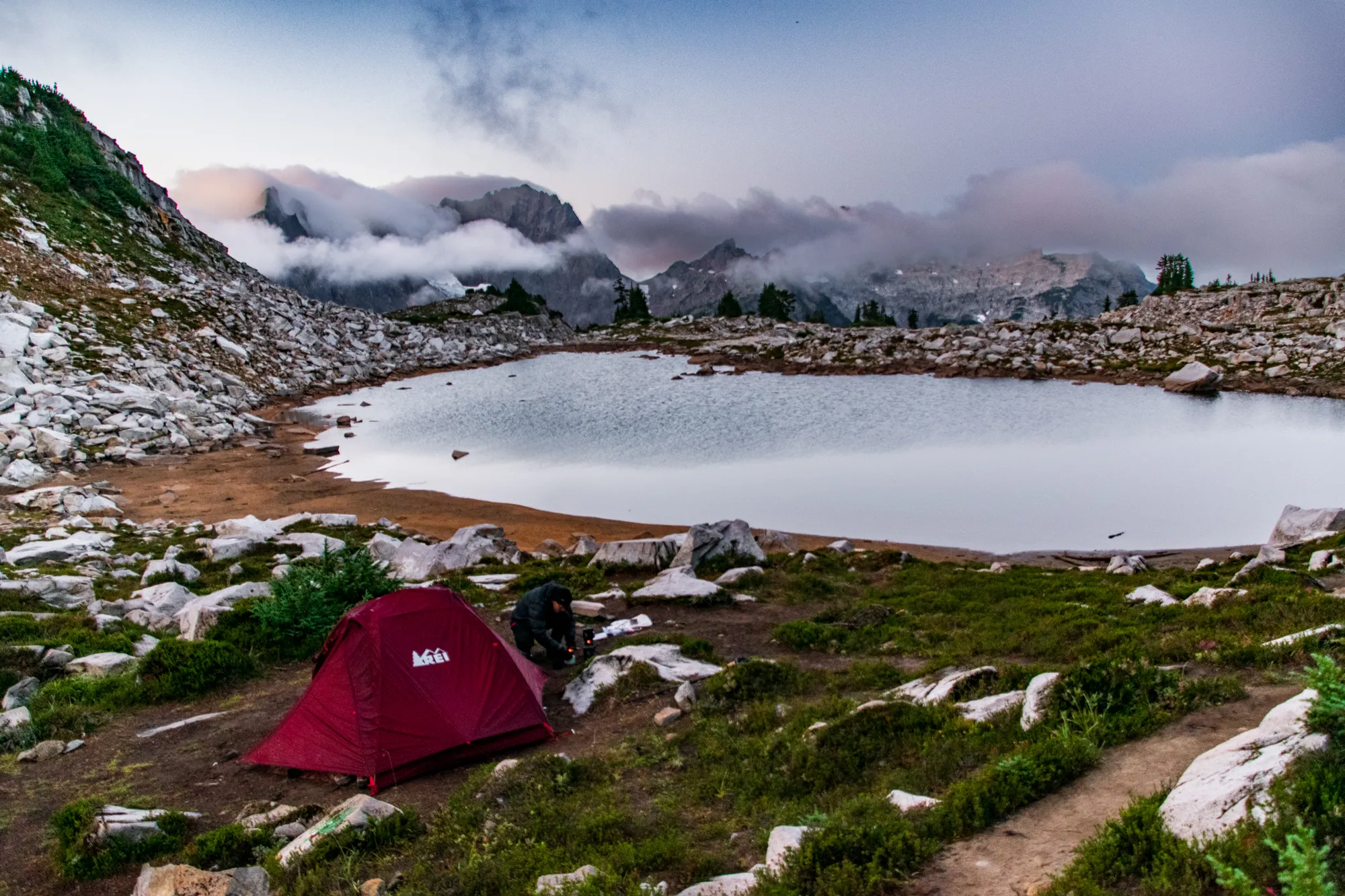
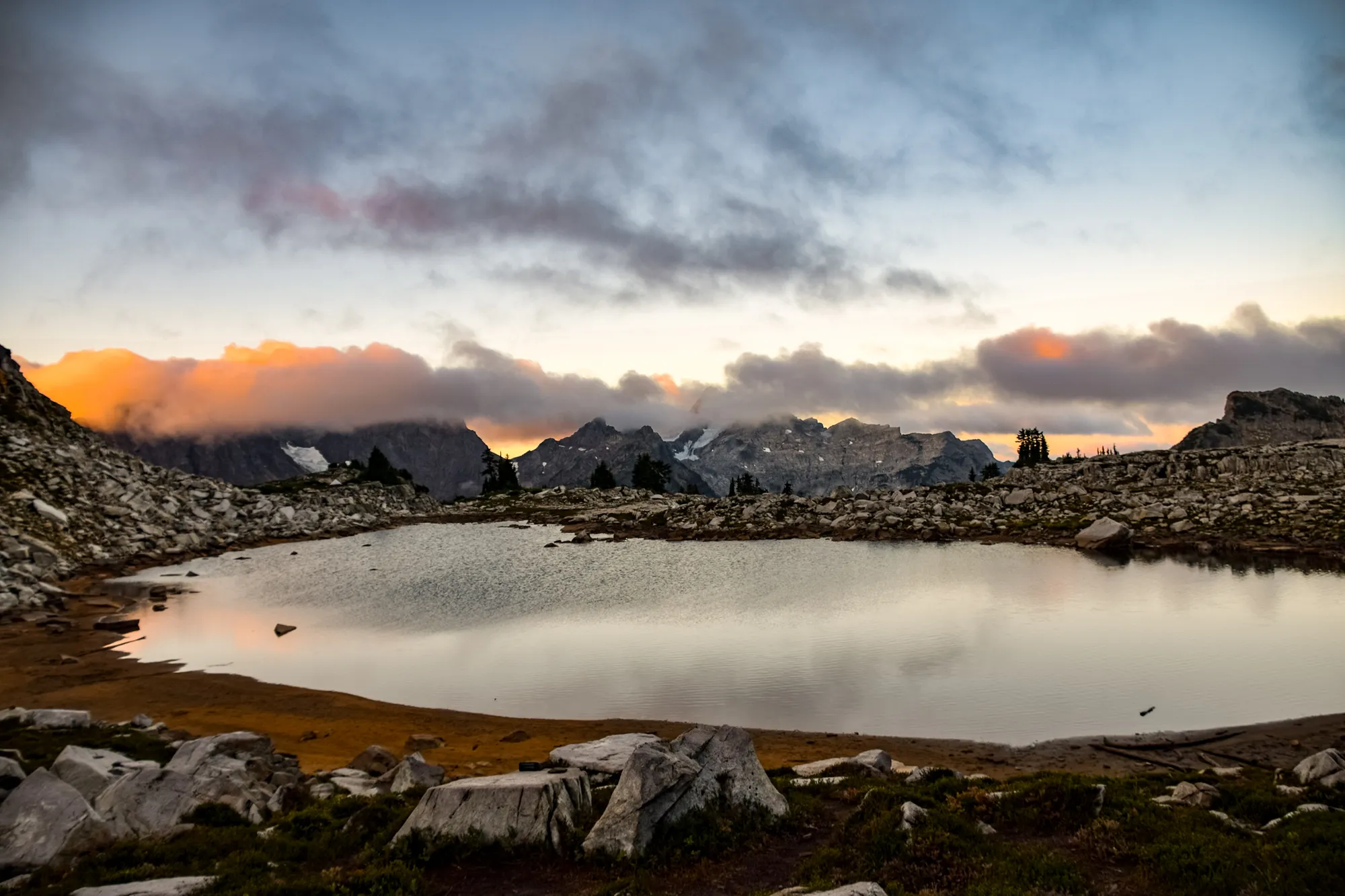
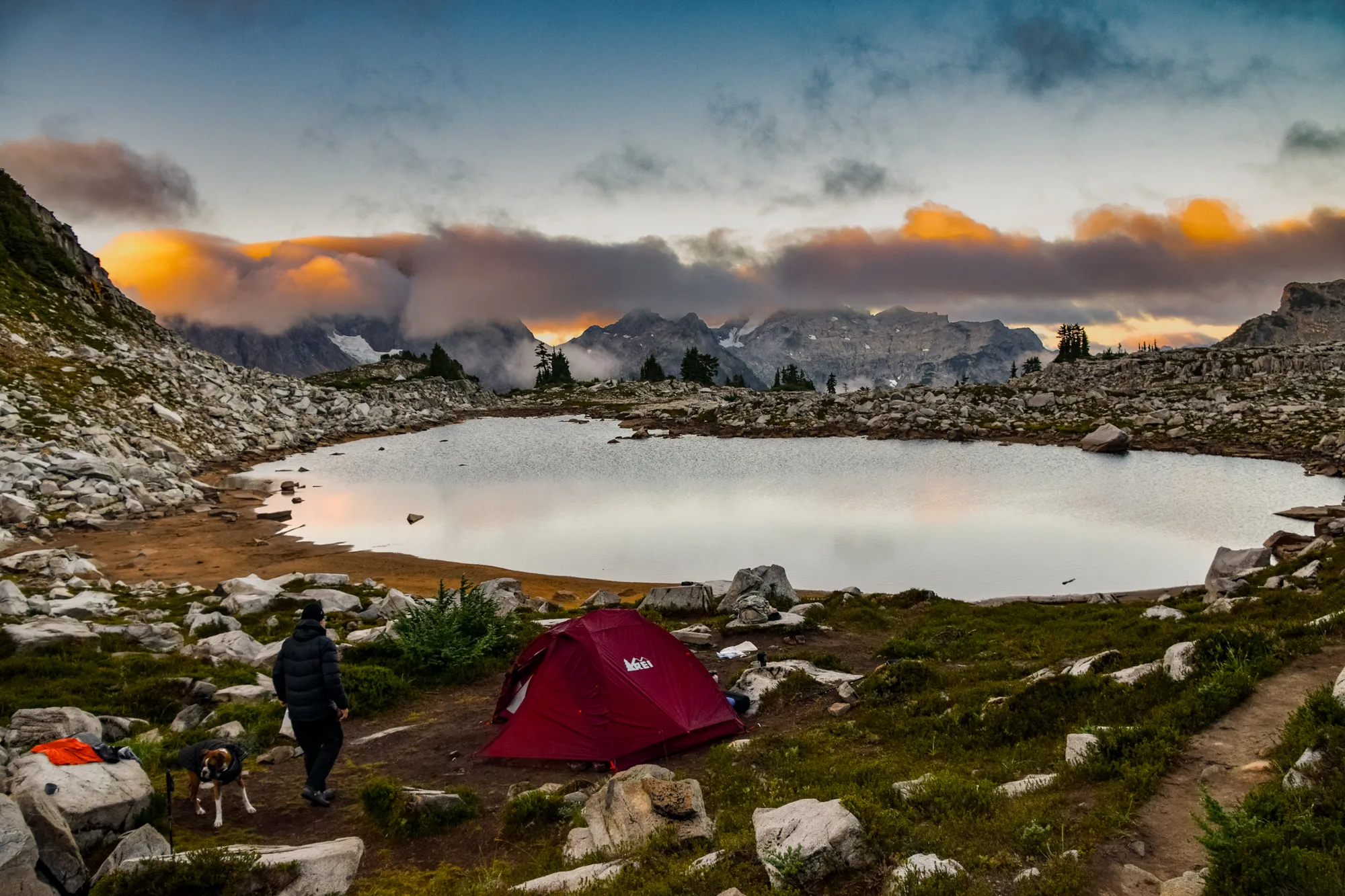
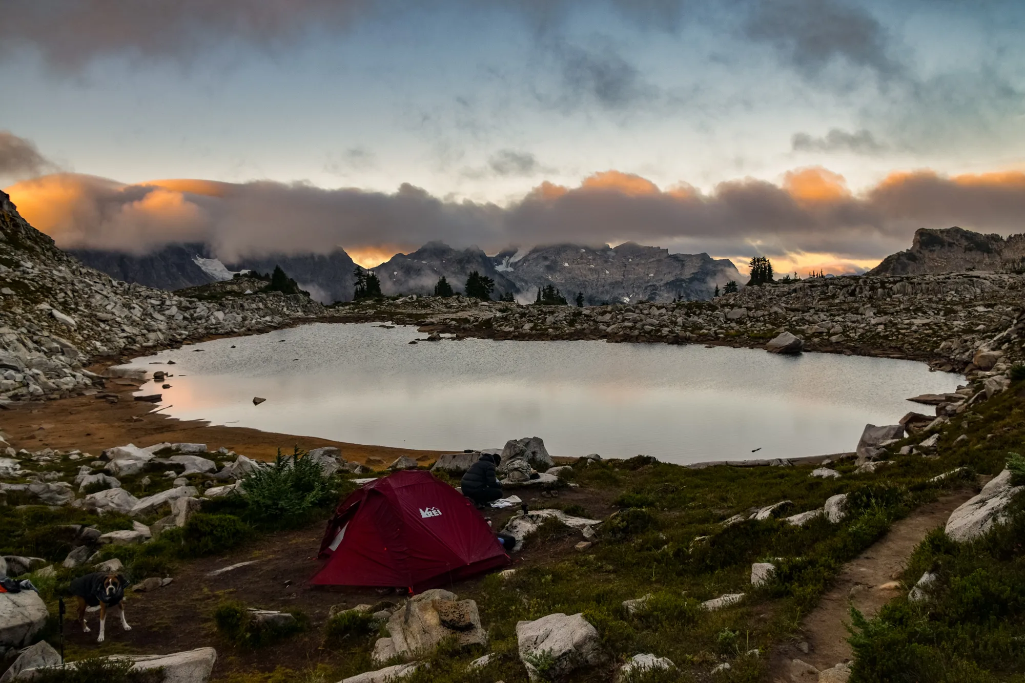
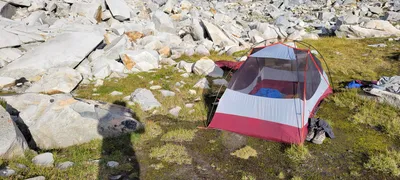 Our campsite at La Bohn Lakes - Necklace Valley
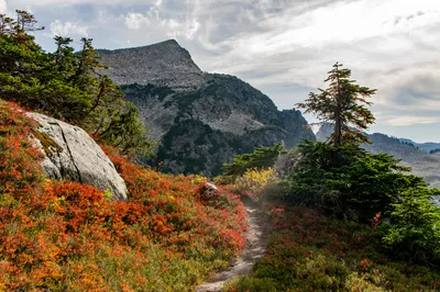
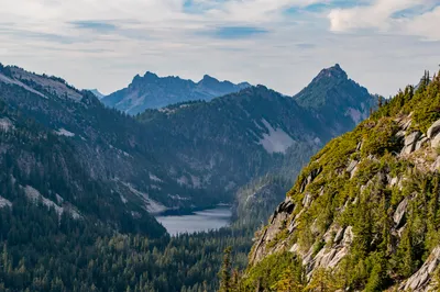
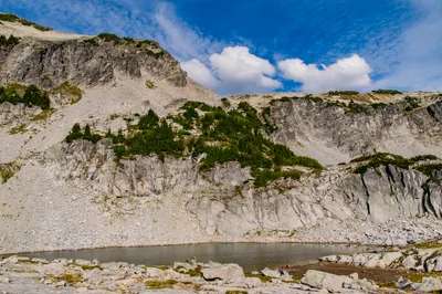
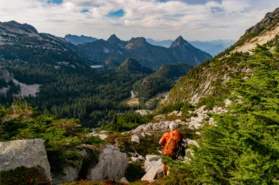
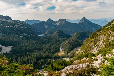
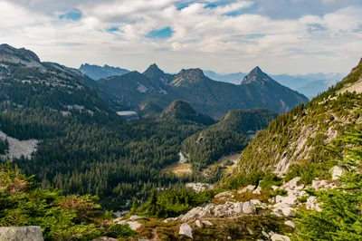
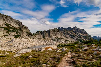
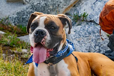
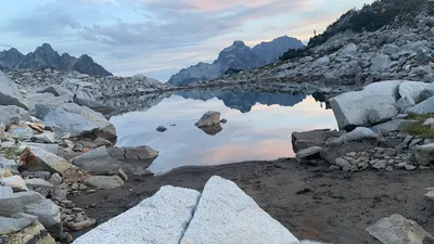
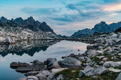
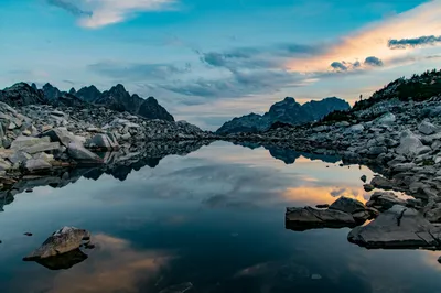
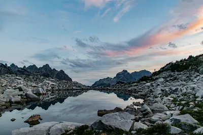
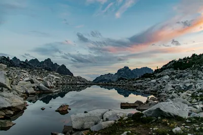
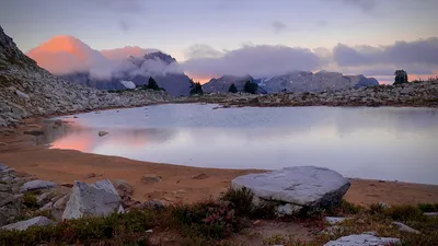
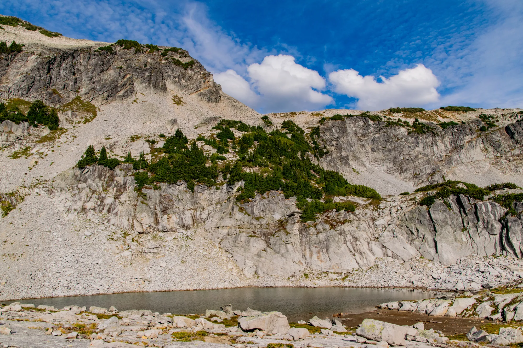
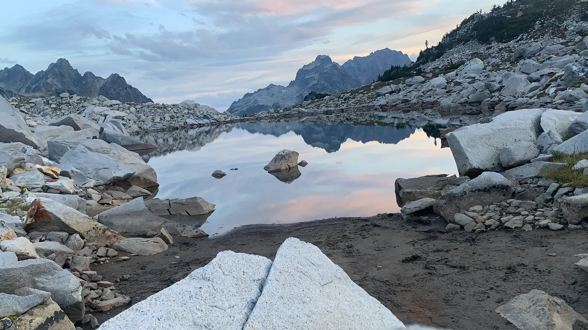
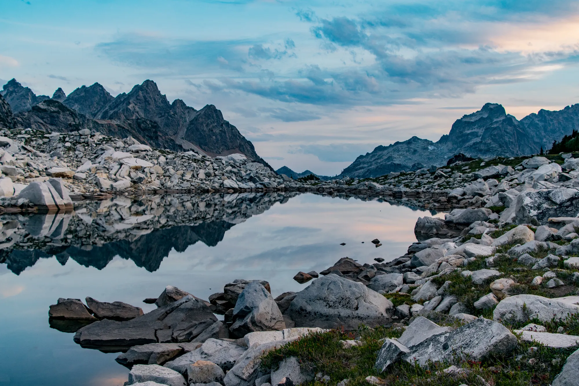
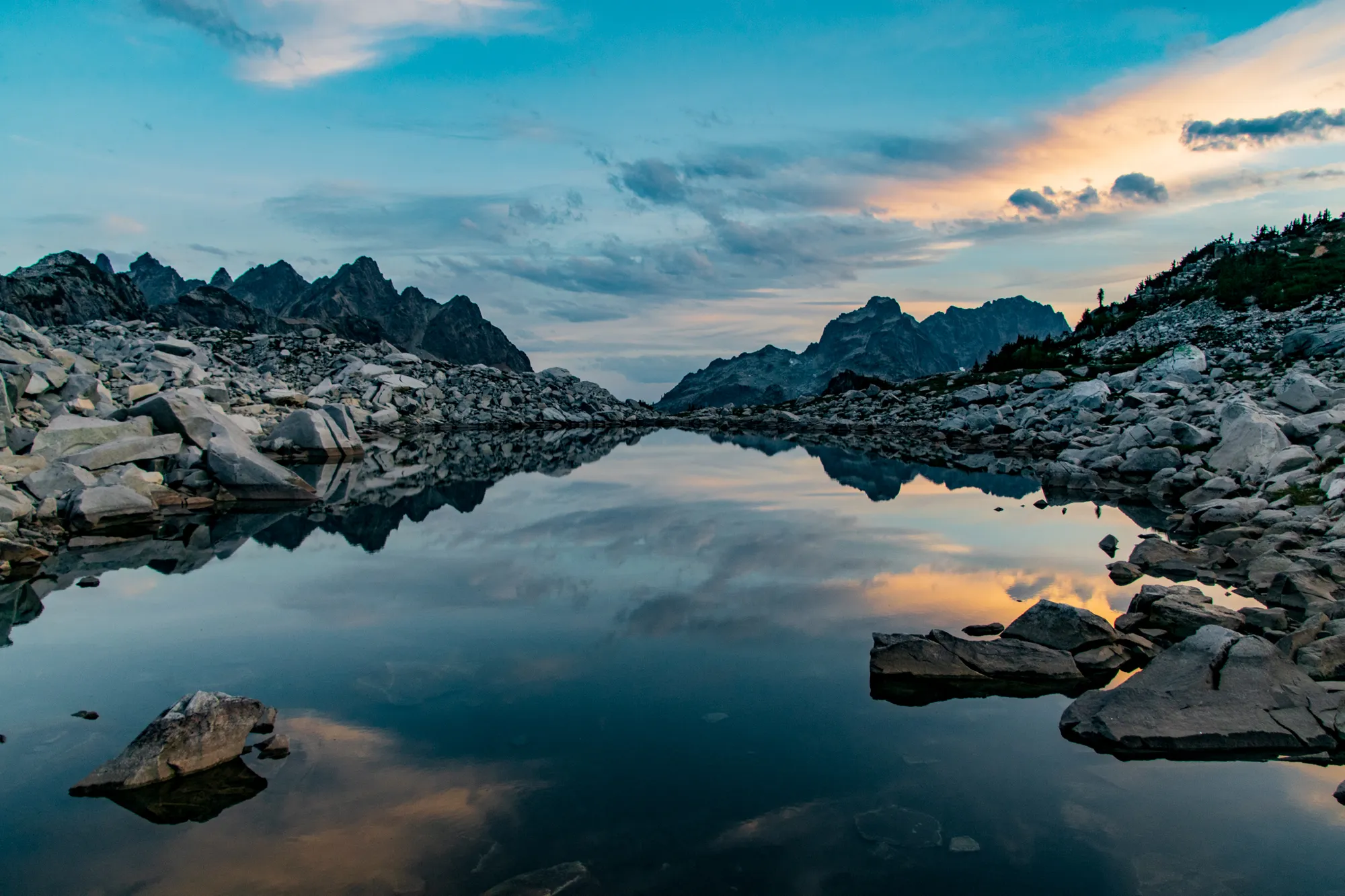
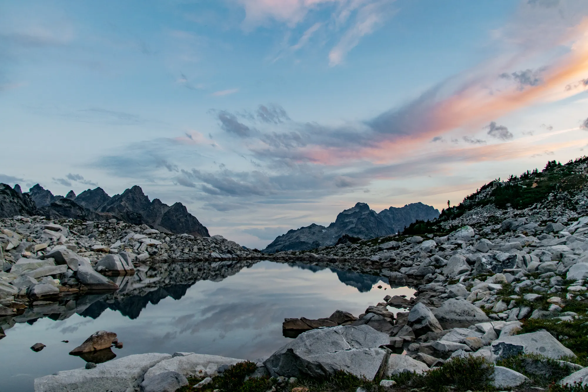
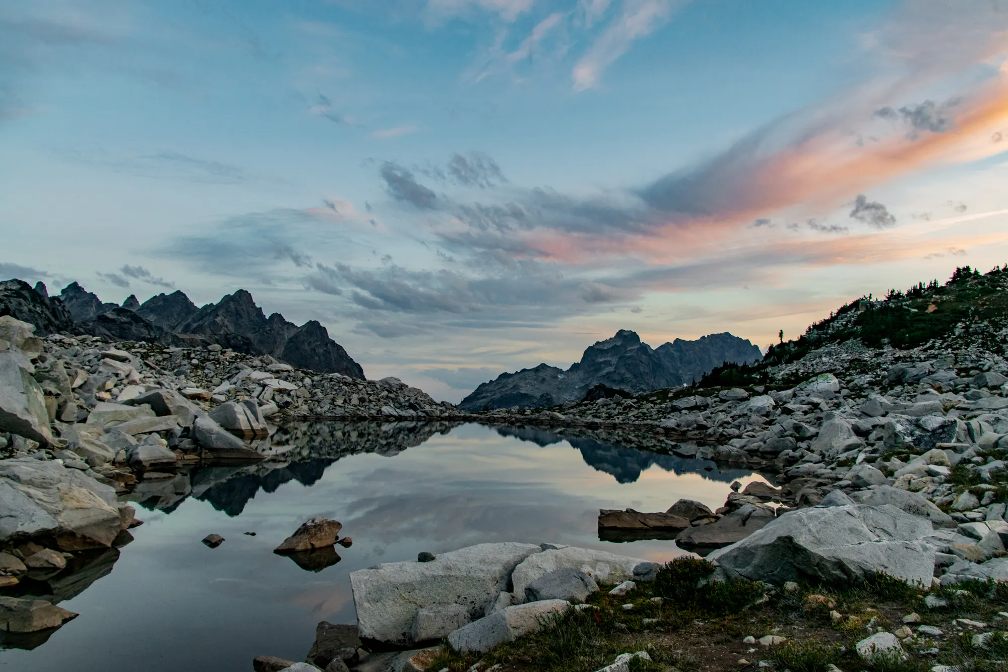
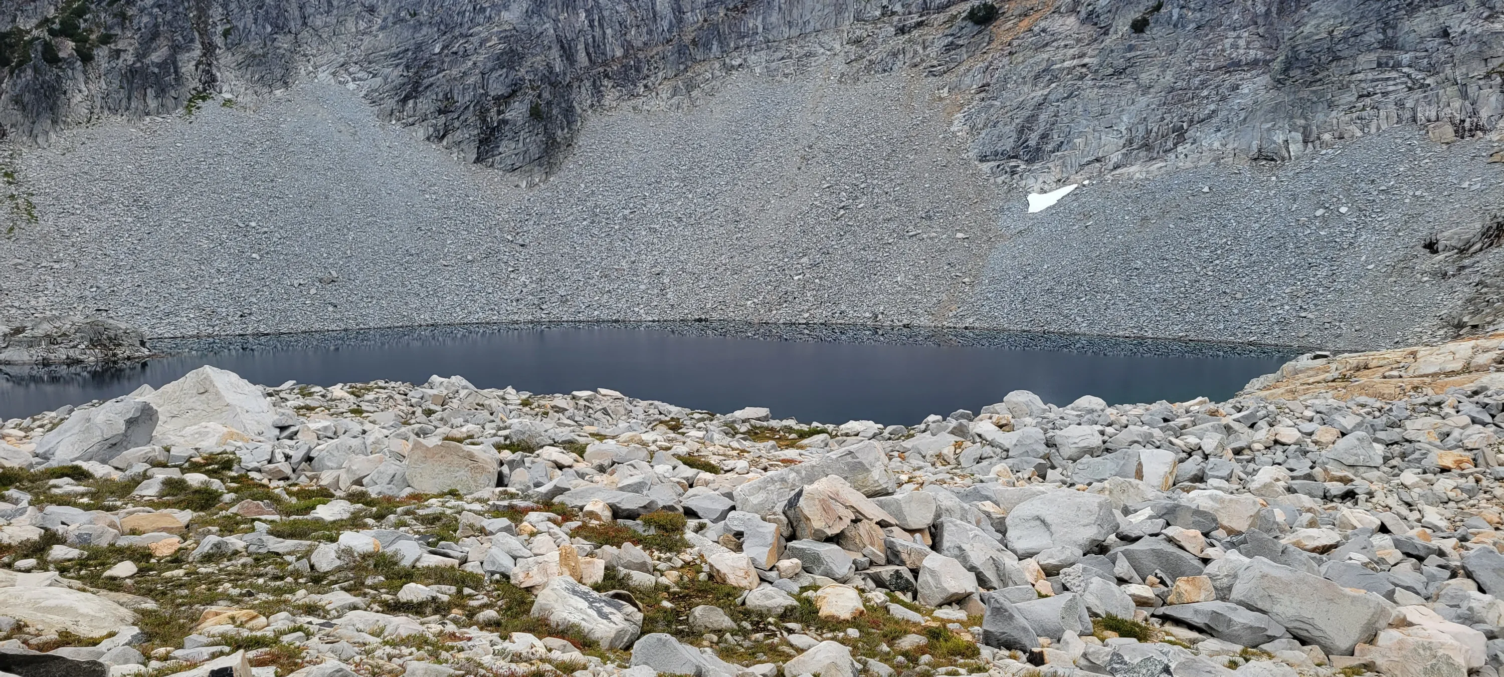
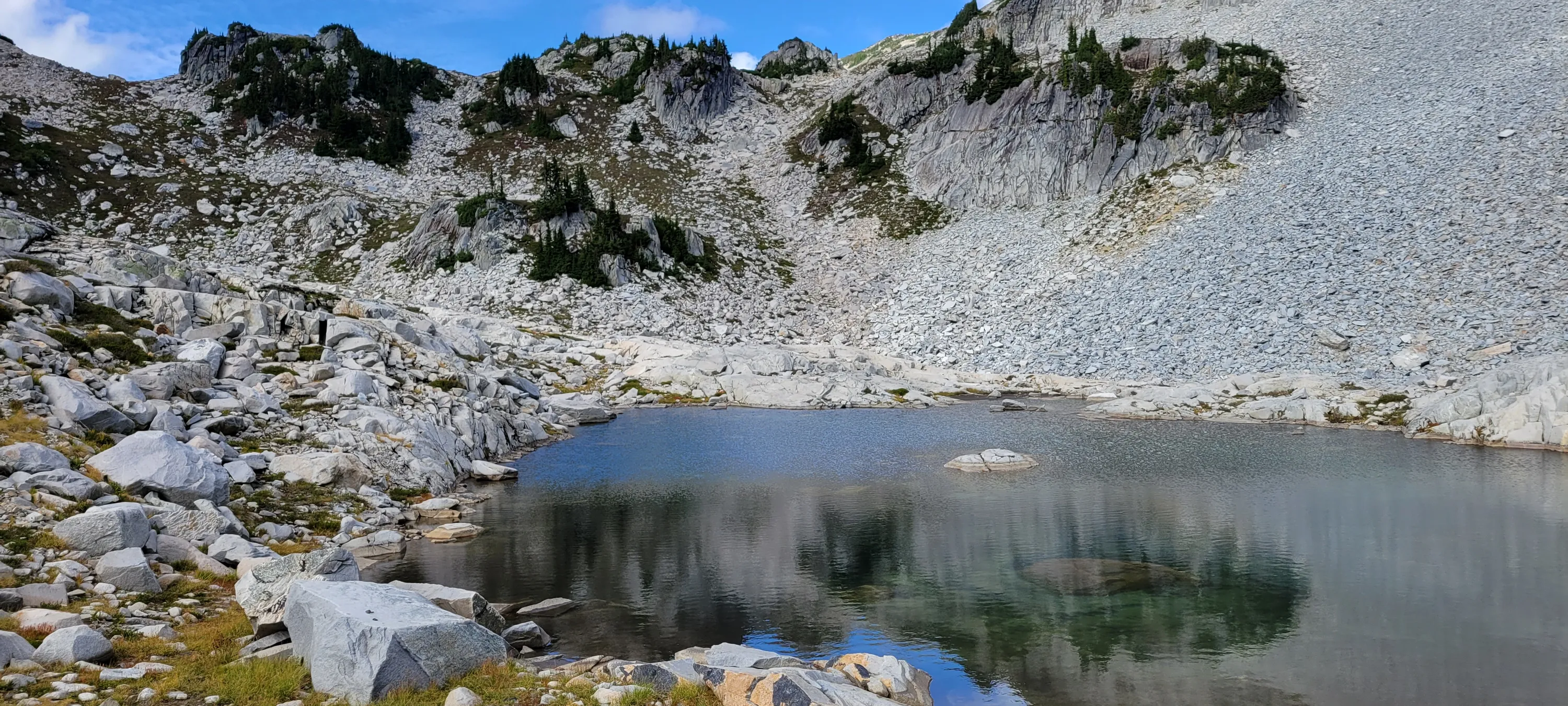
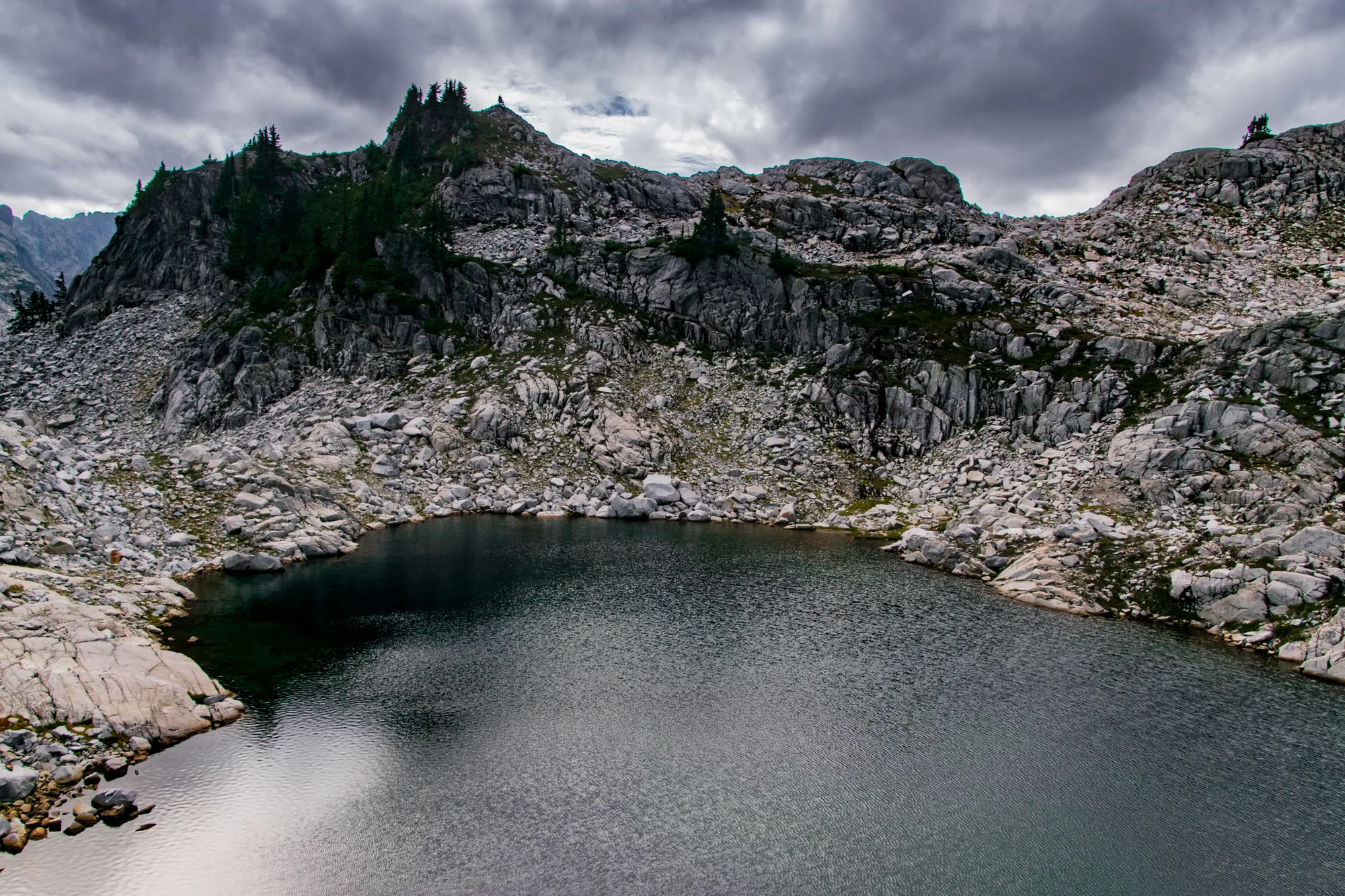
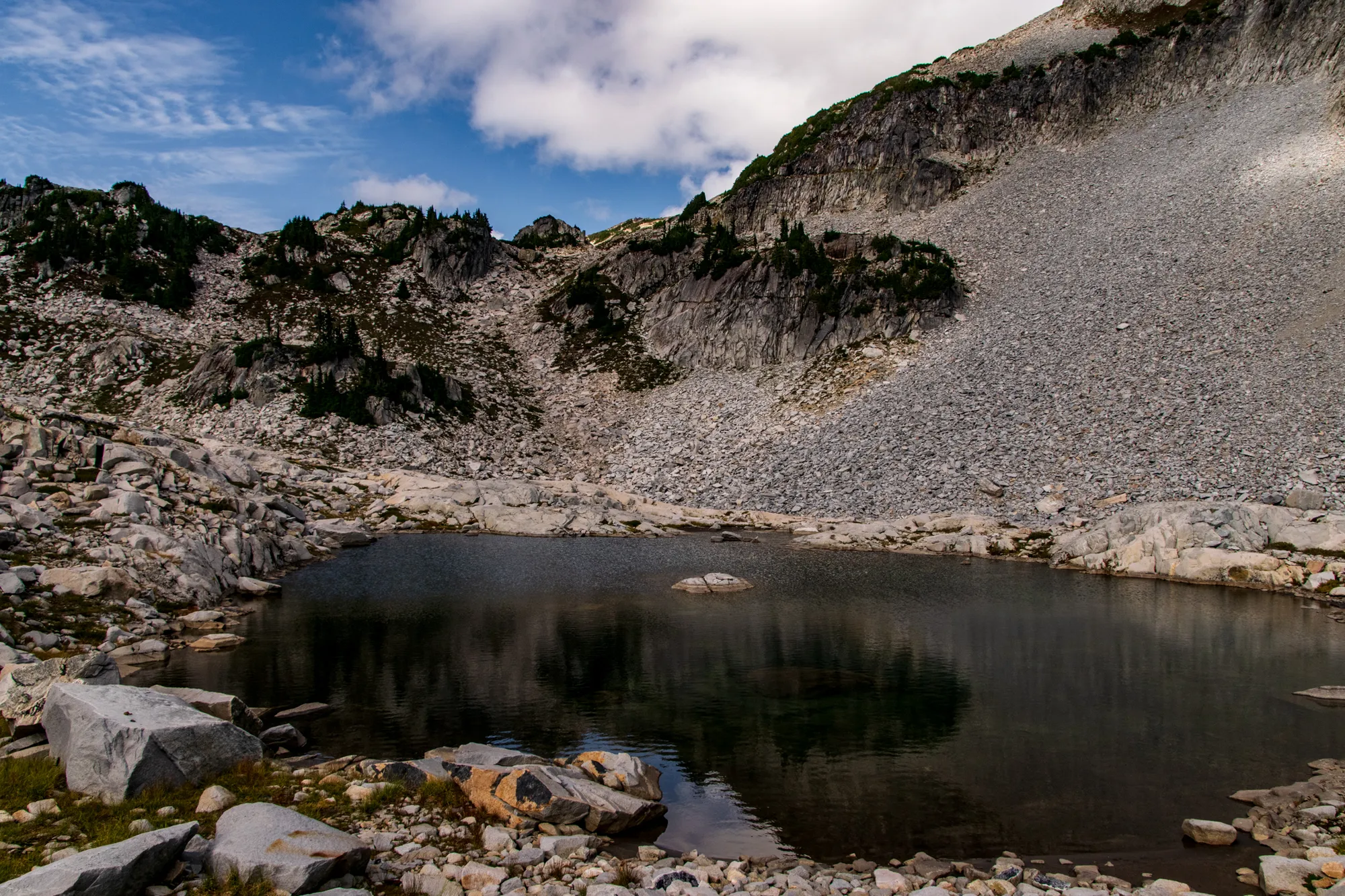
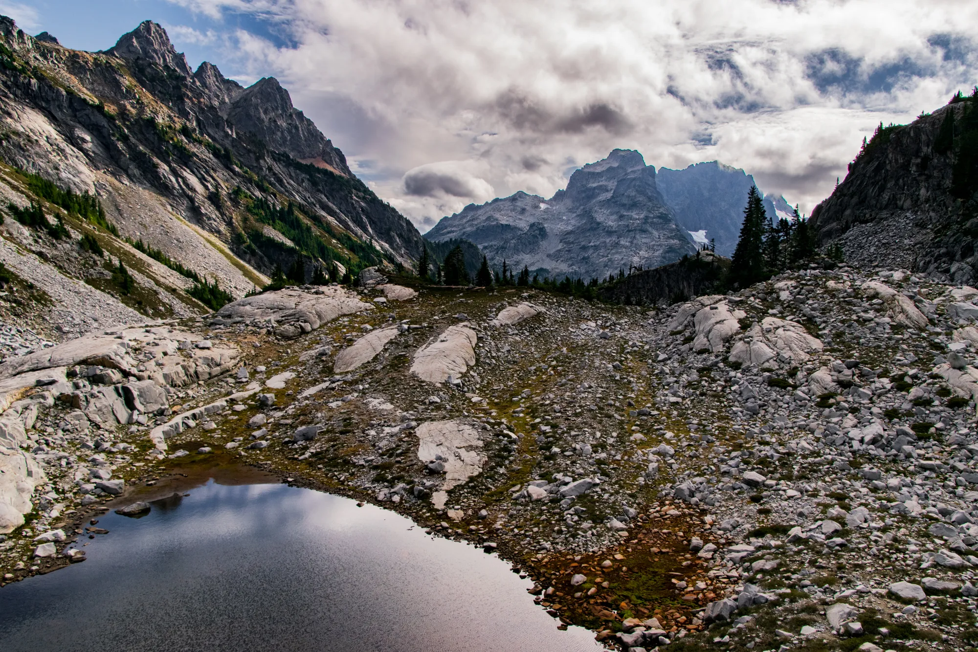
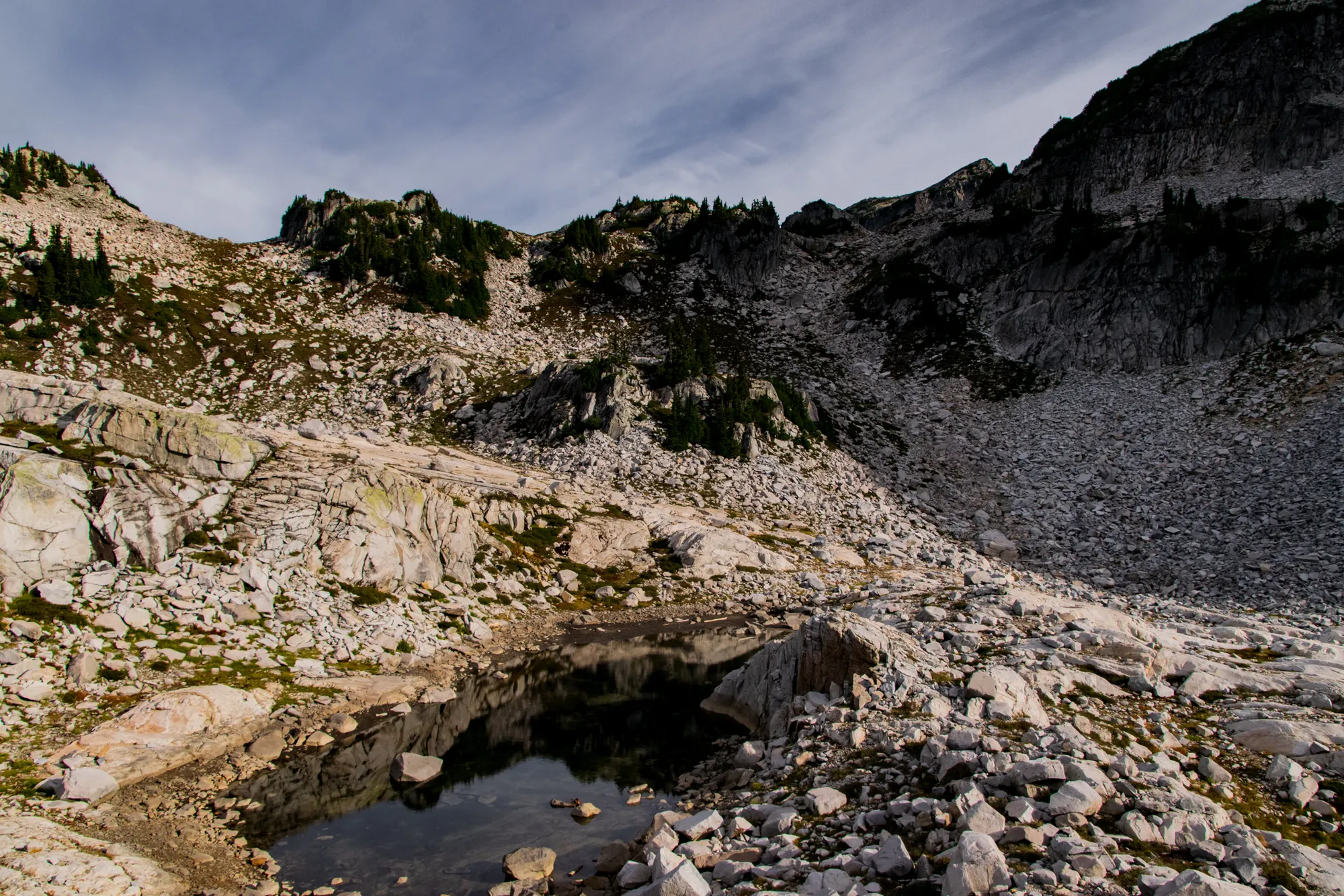
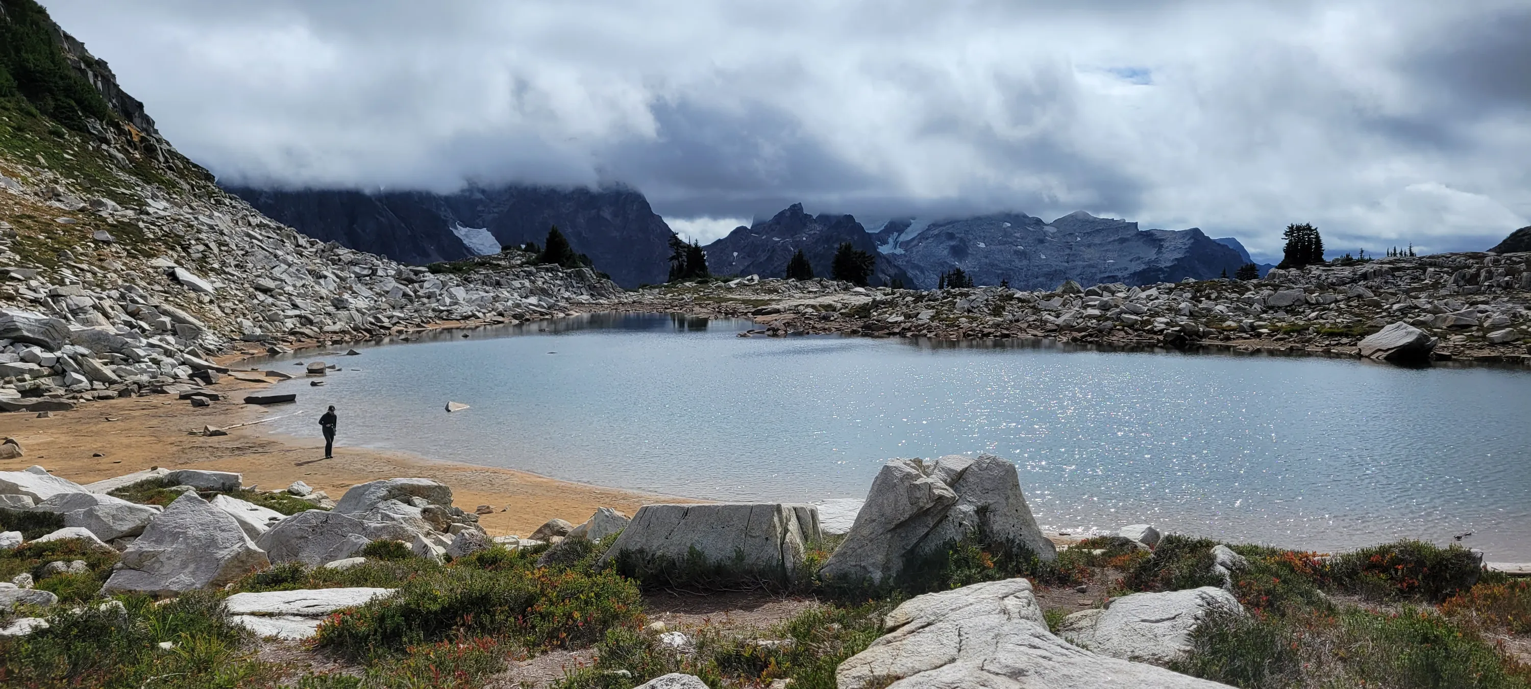
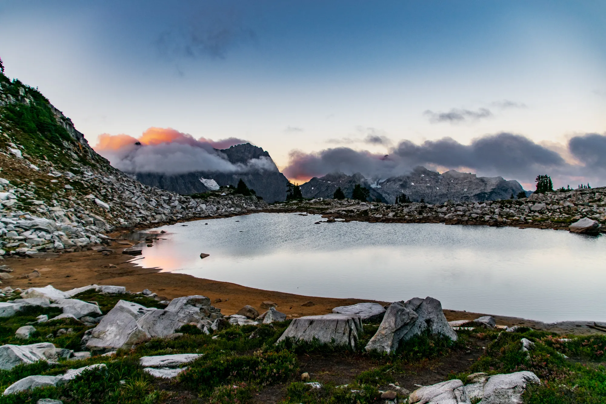
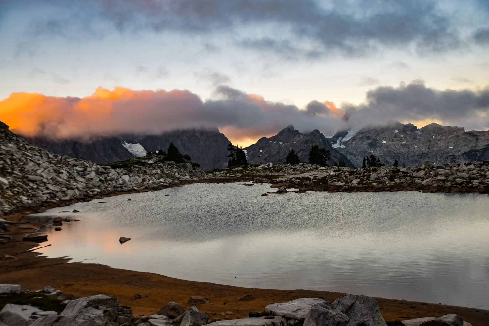
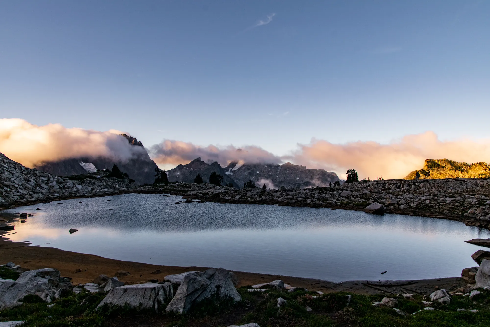
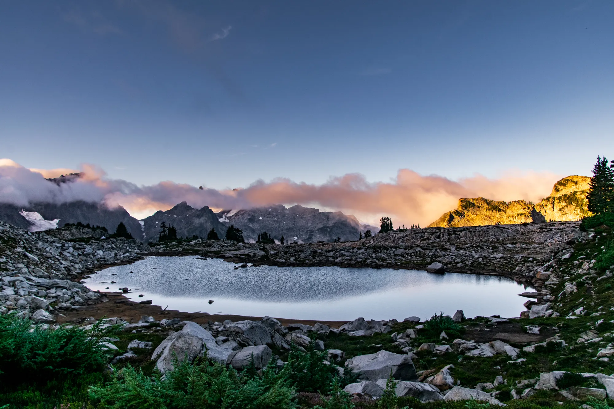
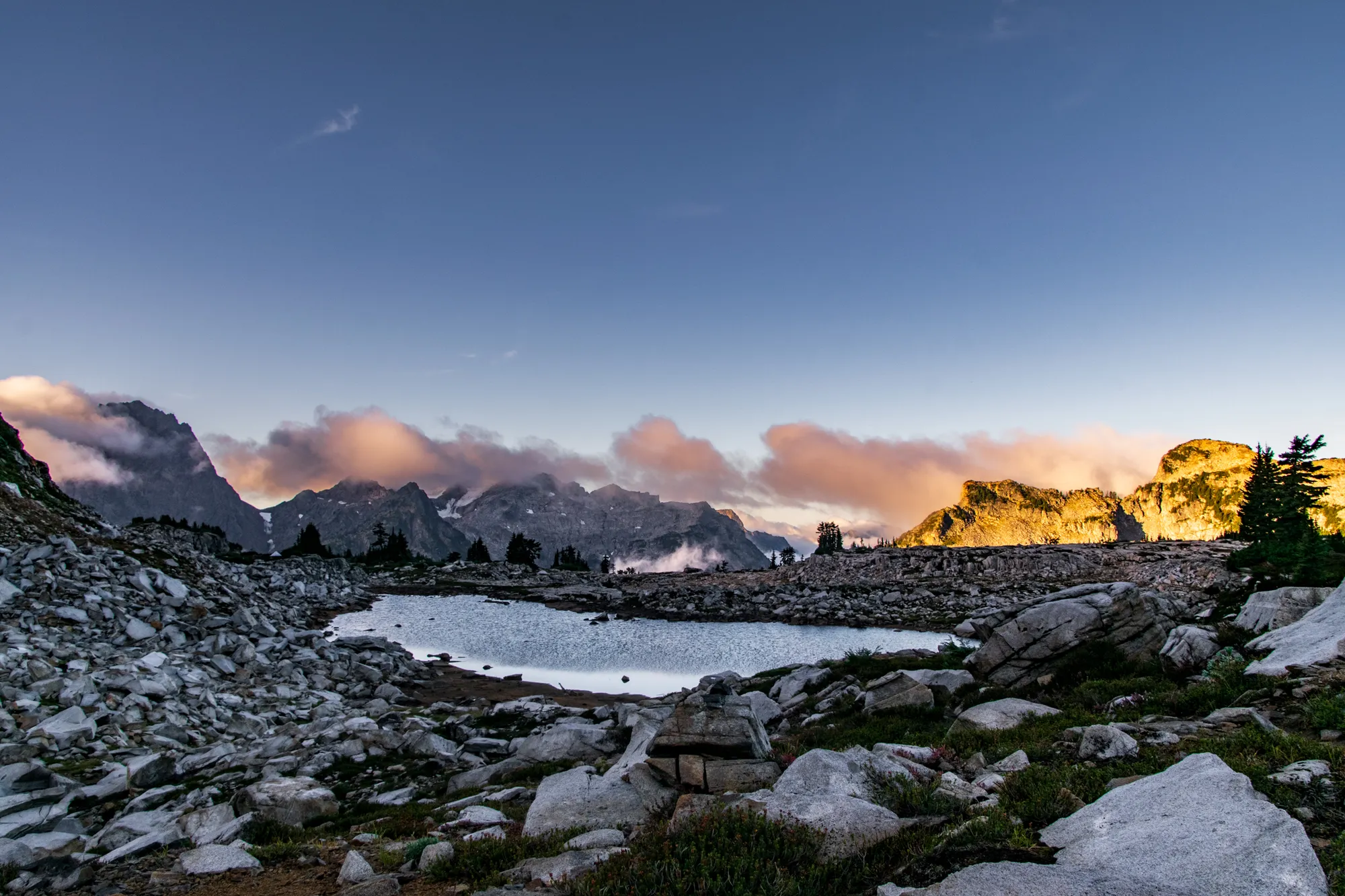
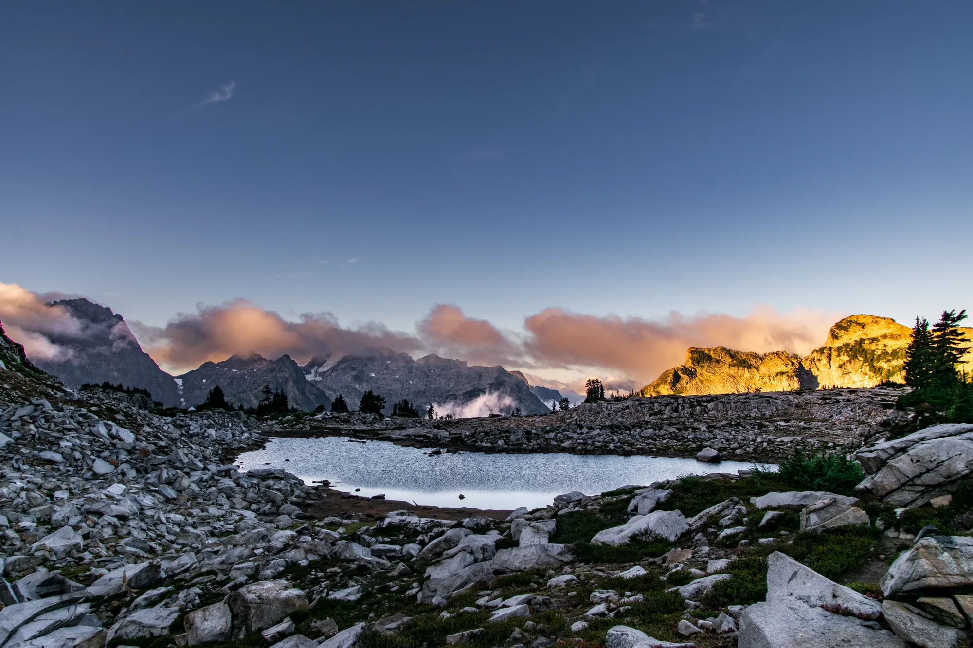
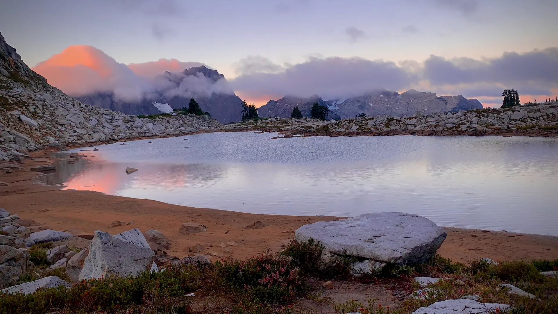
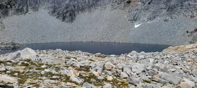 I think this was the largest lake at La Bohn - Necklace Valley - I also thought it was interesting to see the reflection of the rocks in the water
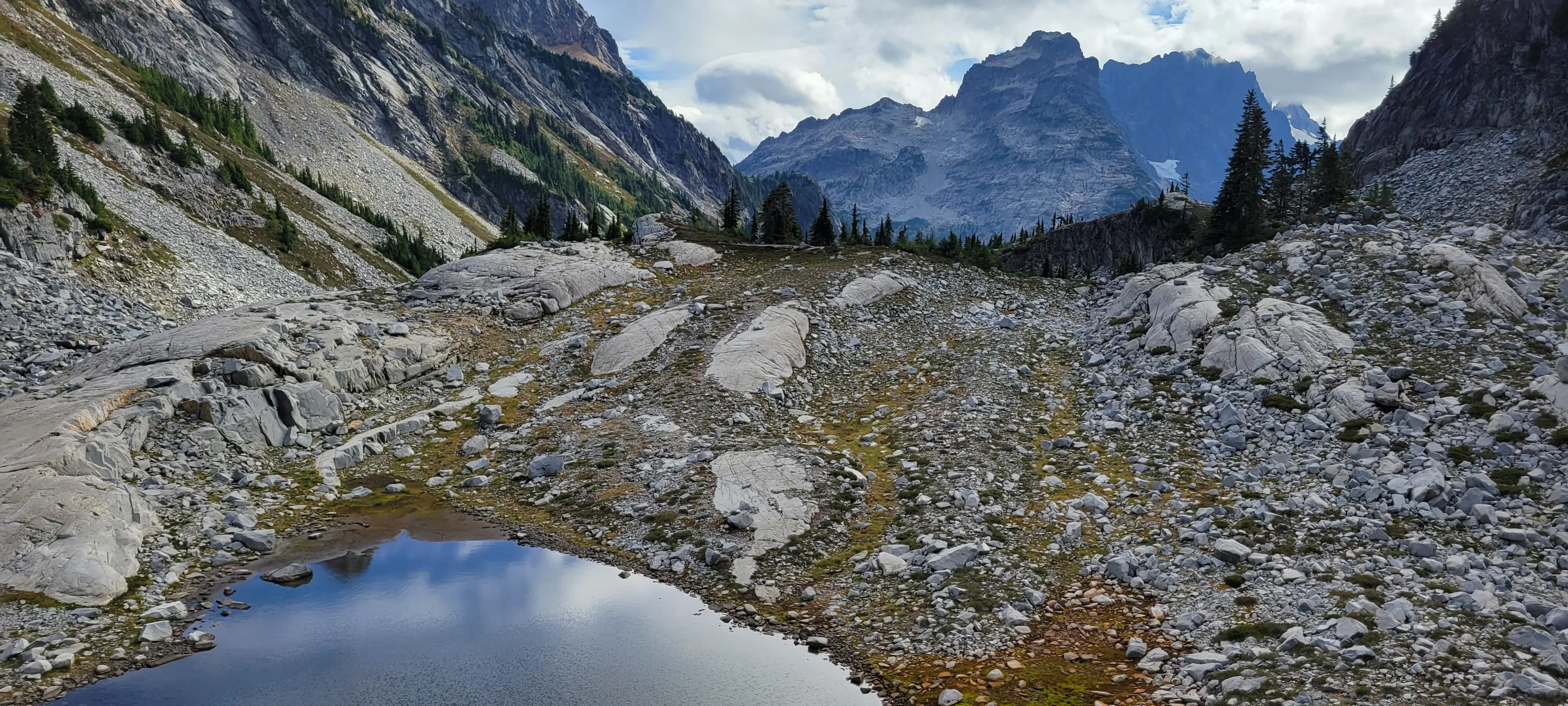
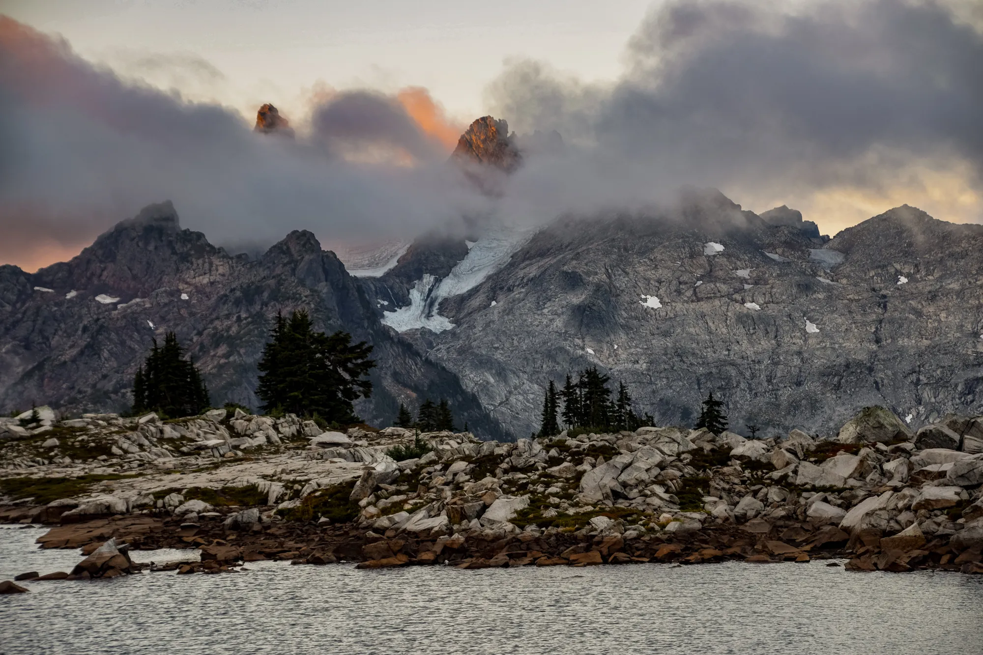
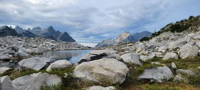 Little Big Chief to the center right, Little Big Chief to the right of it - I think that might be Bears Breast Mountain to the left center - Necklace Valley
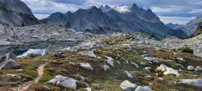 I think that is Bears Breast Mountain in the right center - Necklace Valley
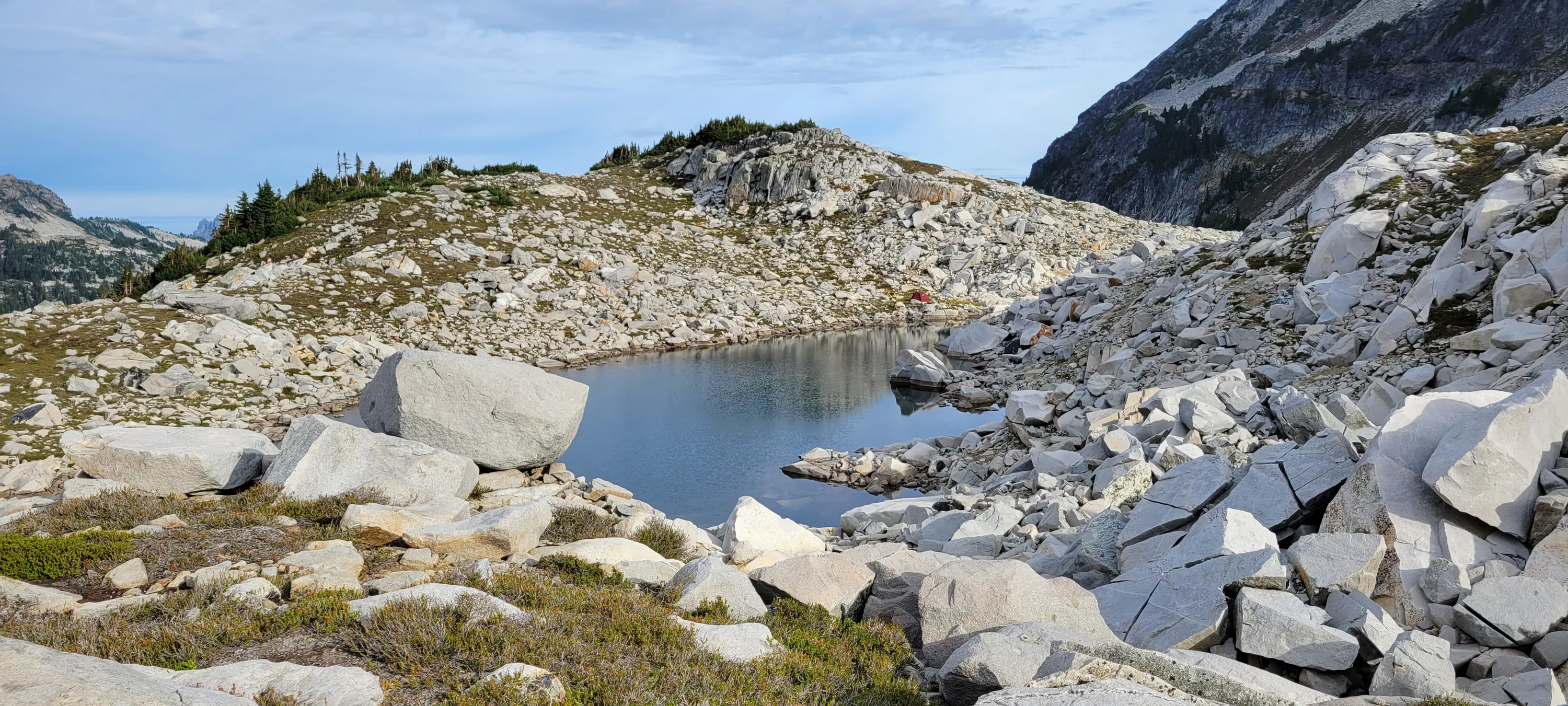
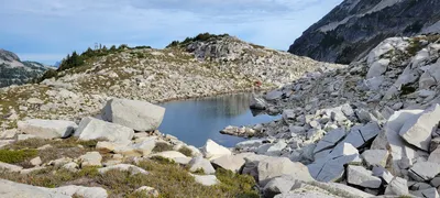 Our campsite at one of the La Bohn Lakes - Necklace Valley
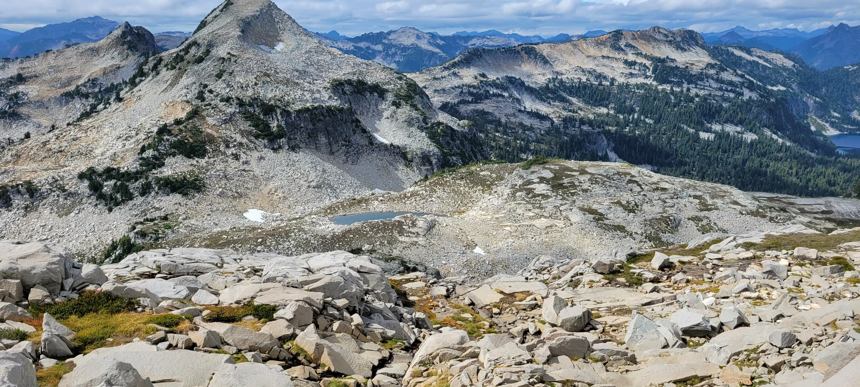
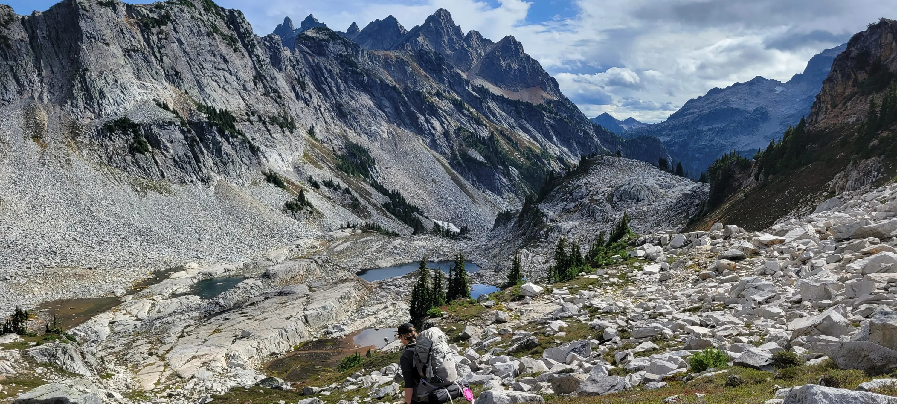
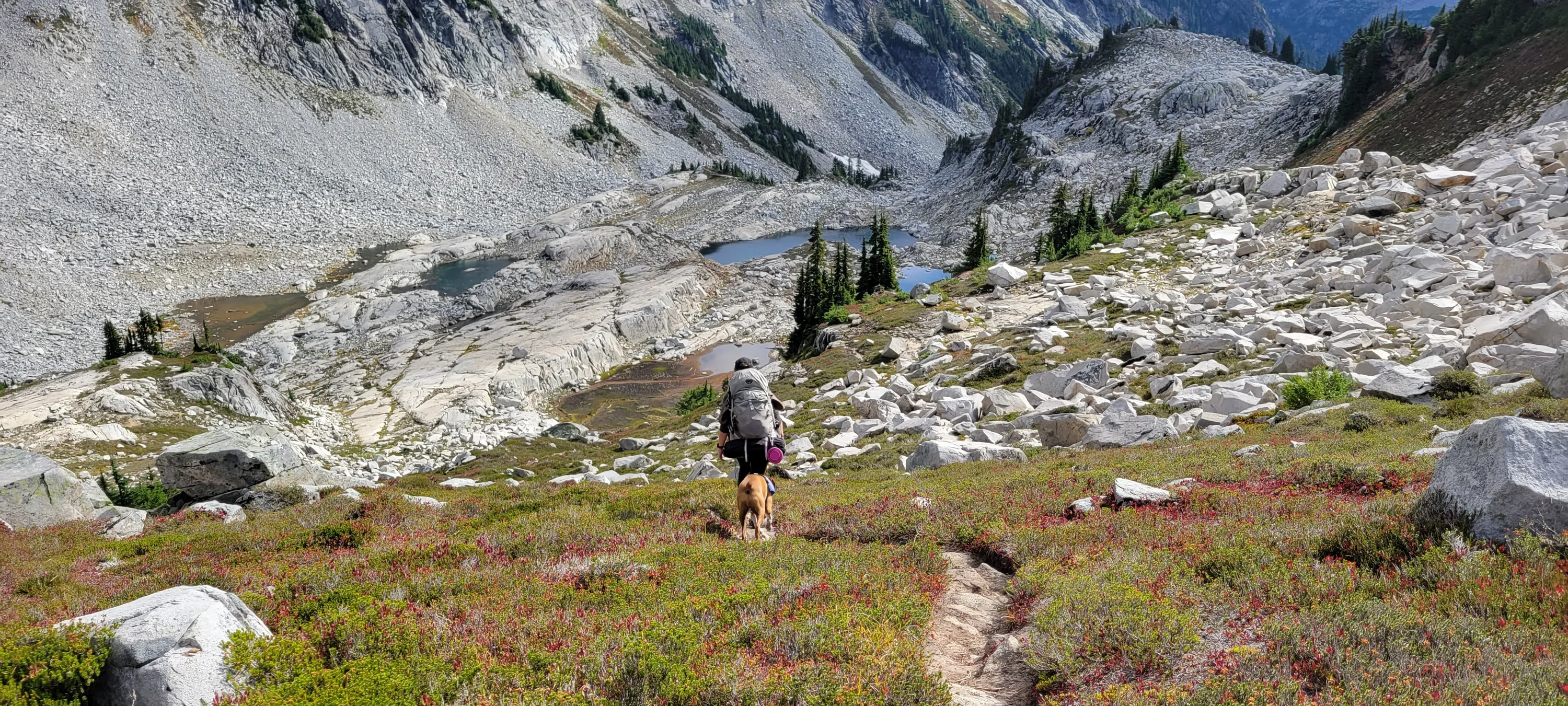
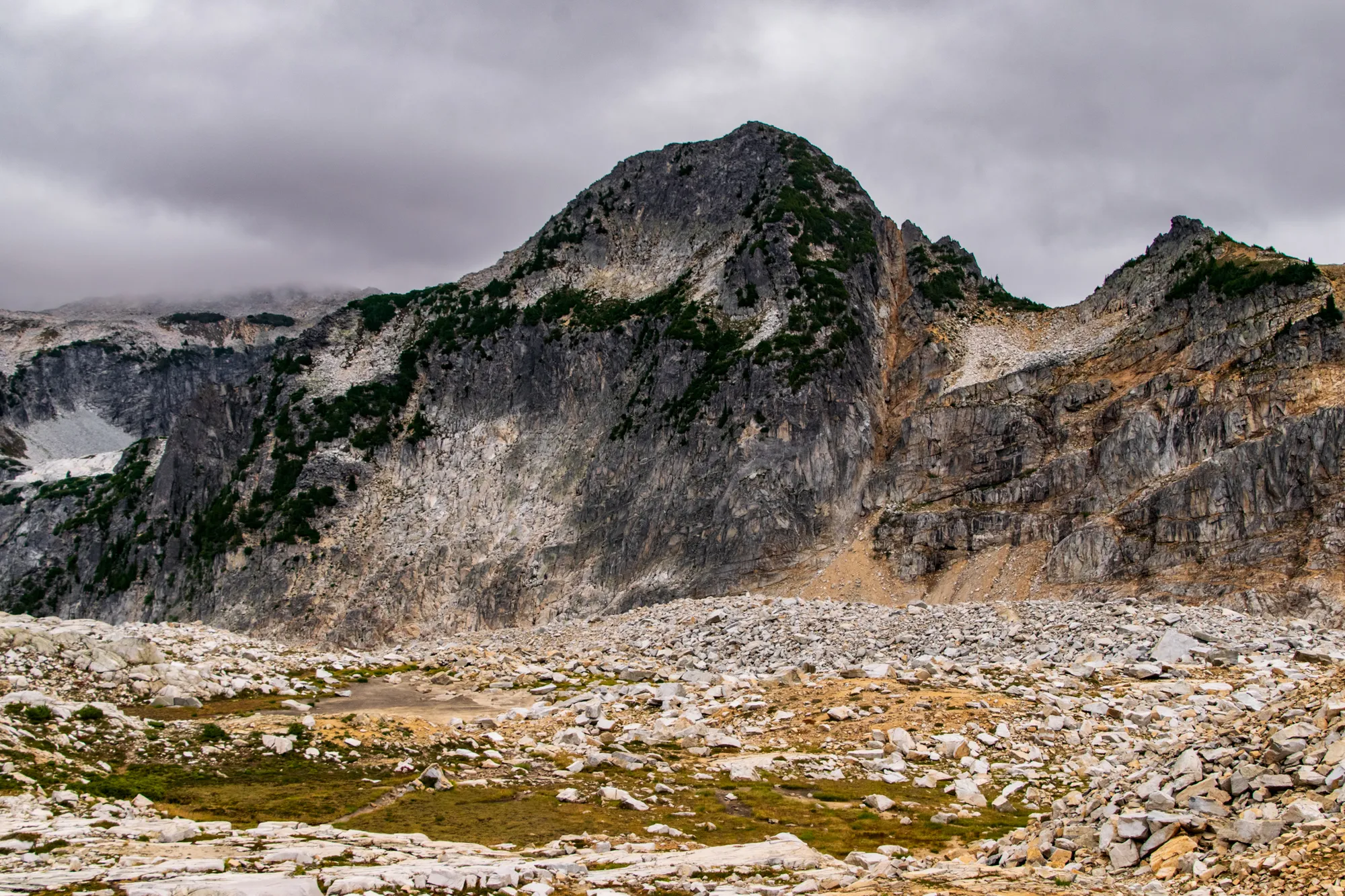
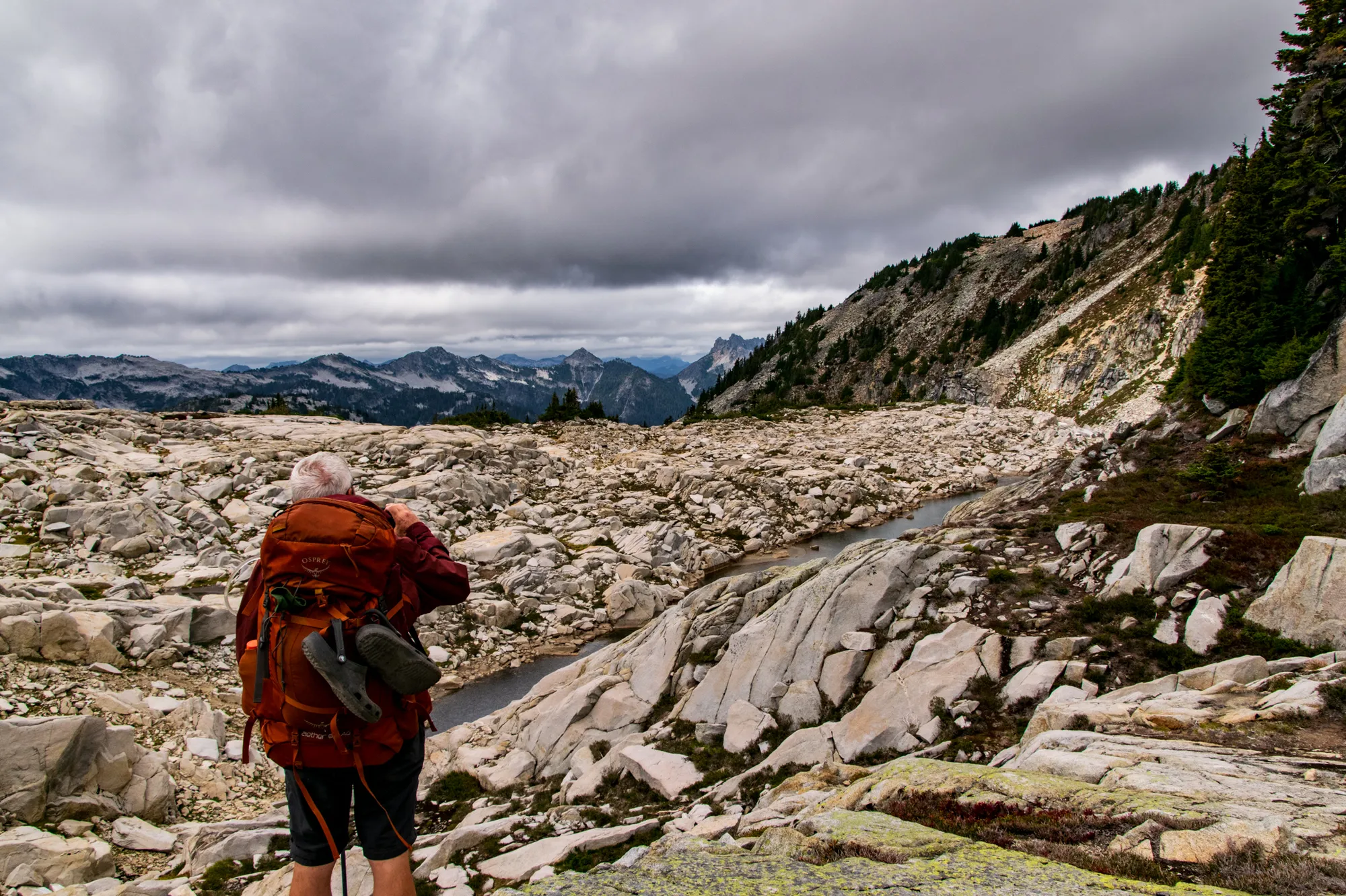
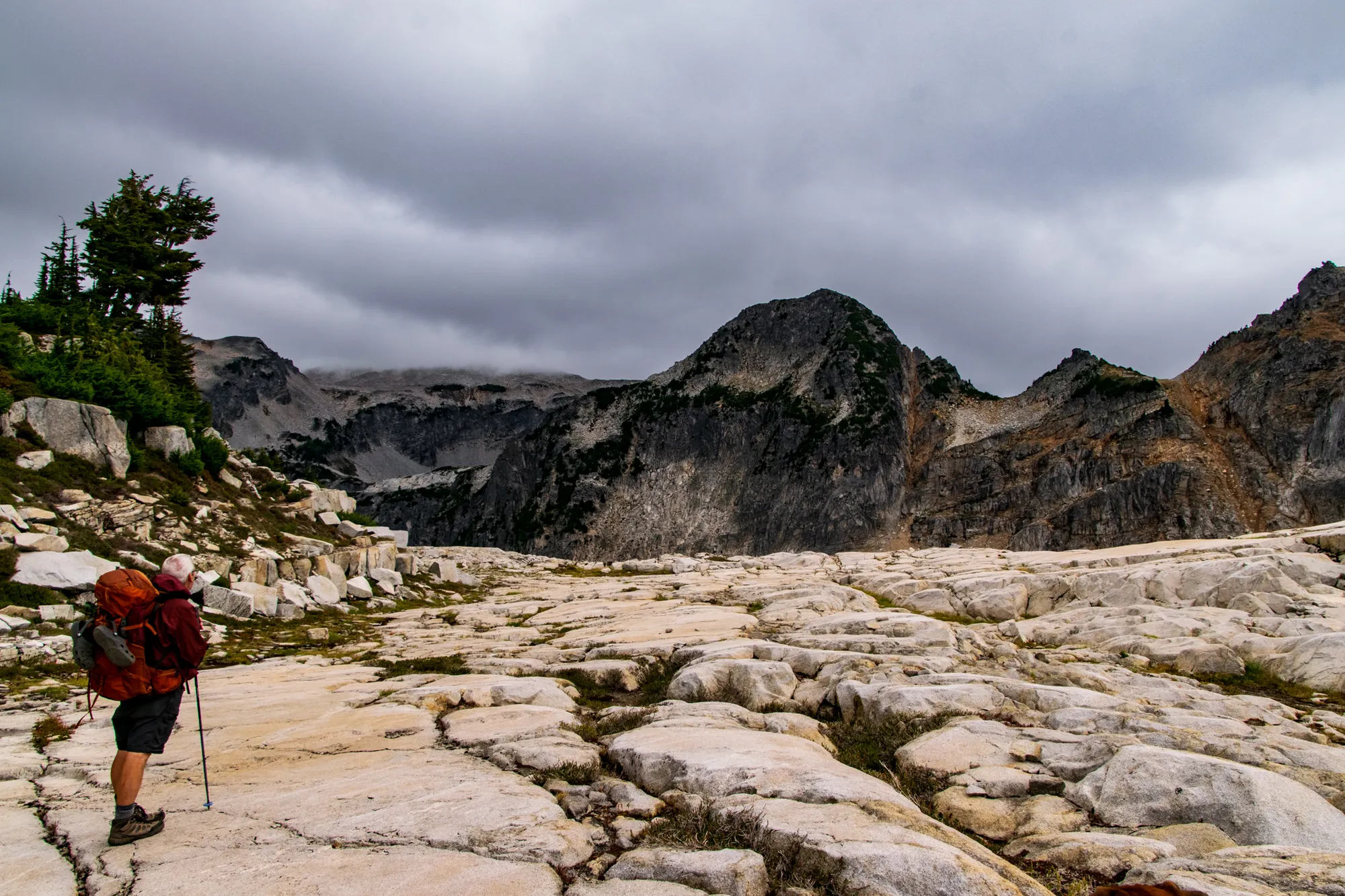
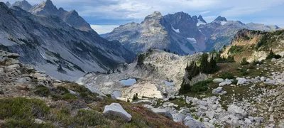 Starting our ascent to Hinman Mountain - Little Big Chief, Summit Chief, Chimney Rock - Necklace Valley
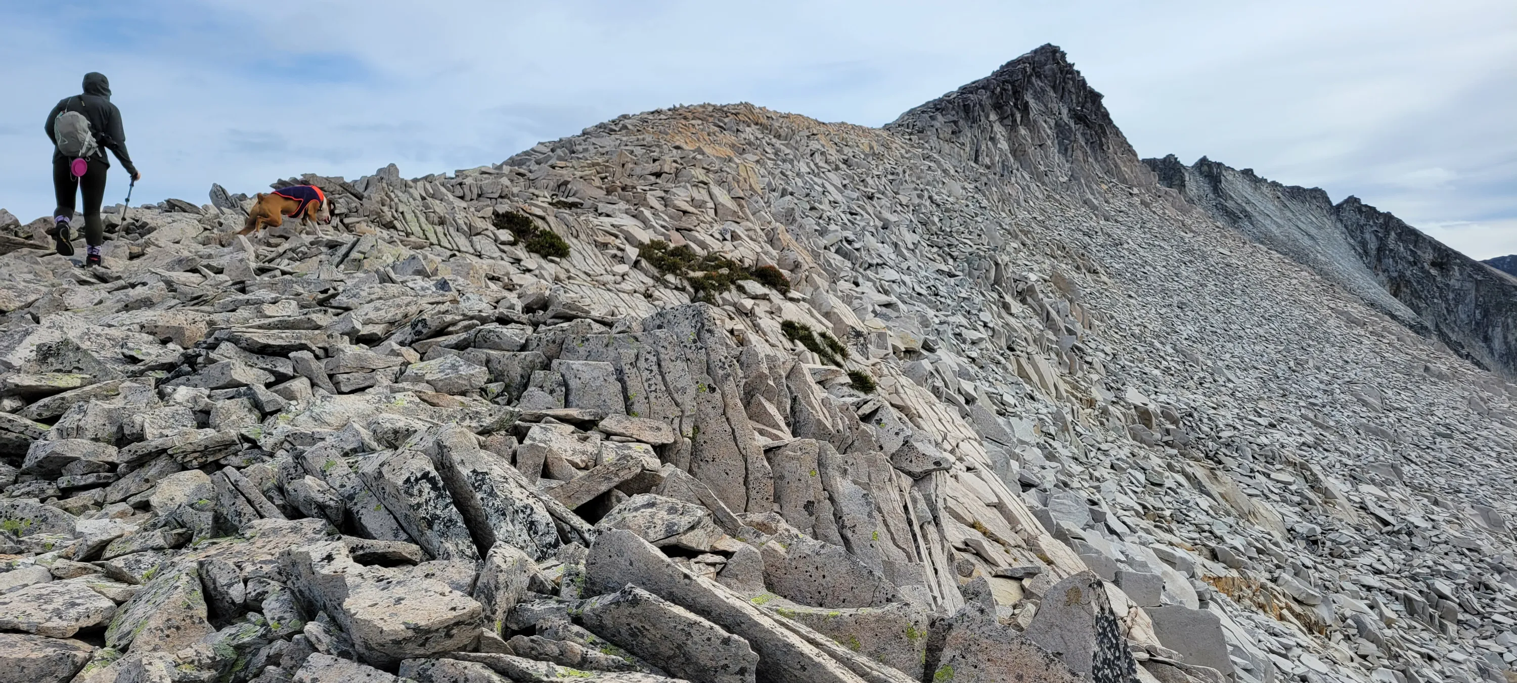
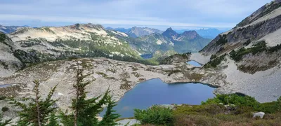 Ascending to Hinman Mountain - Necklace Valley
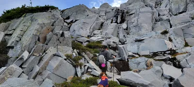 Ascending to Hinman Mountain - Necklace Valley
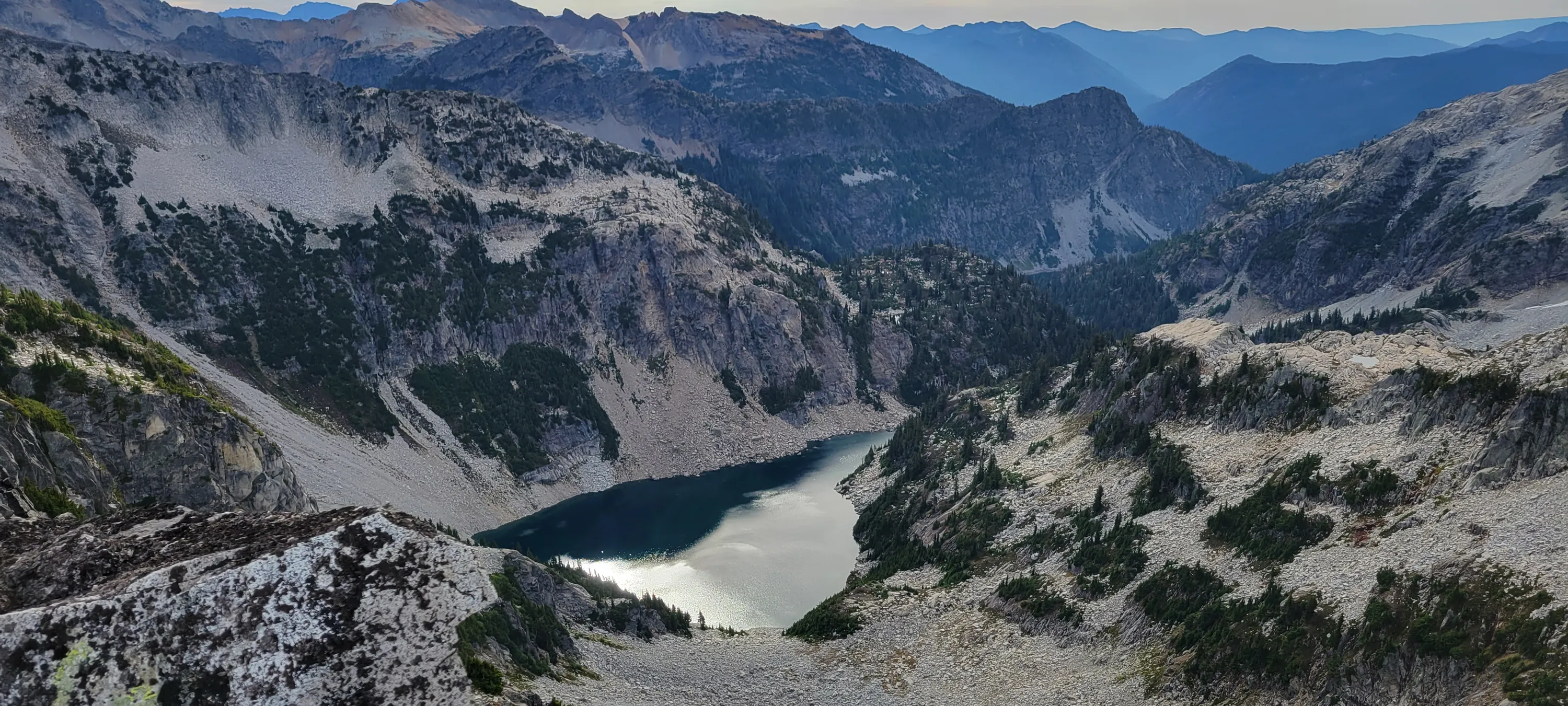
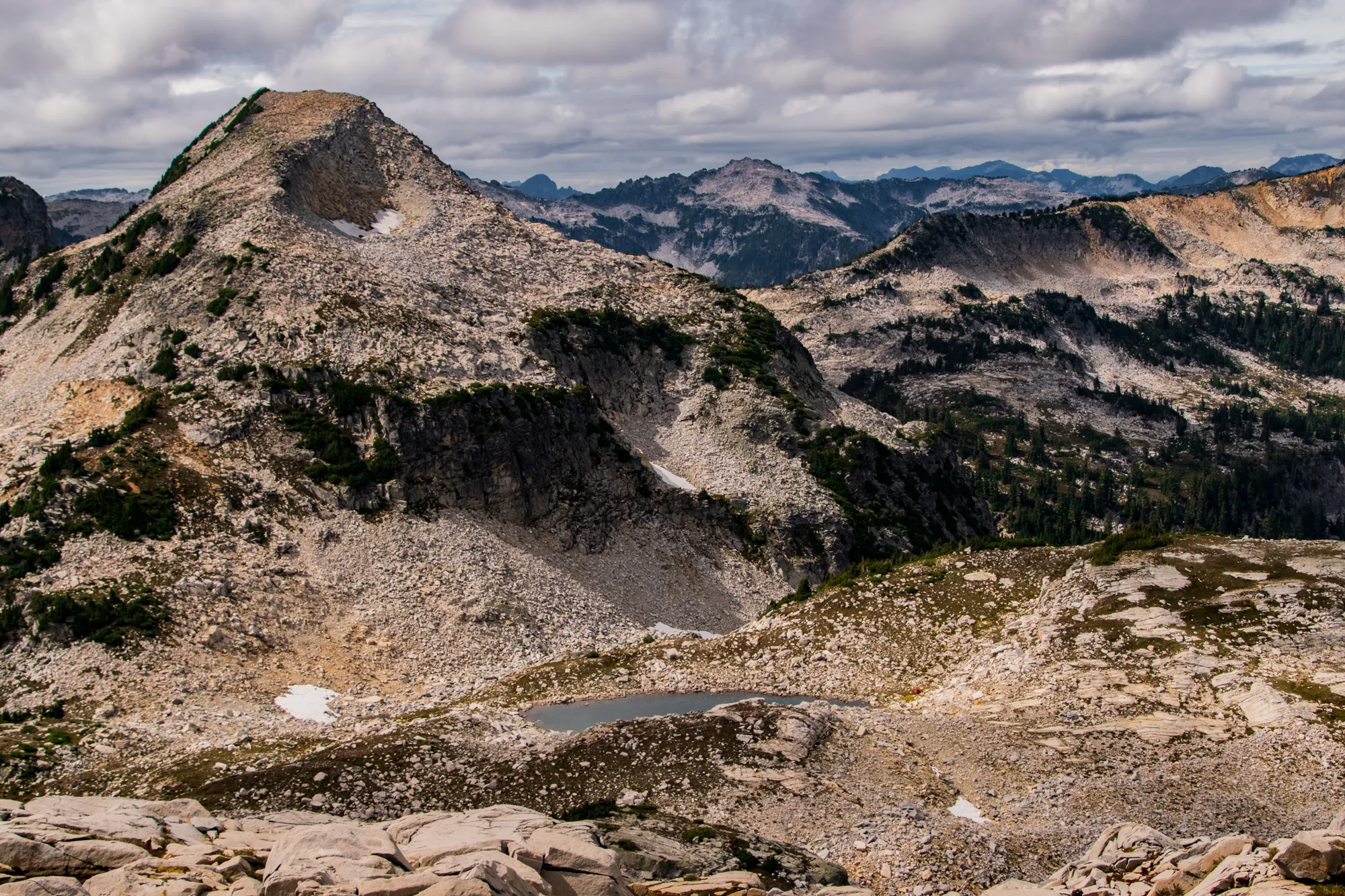
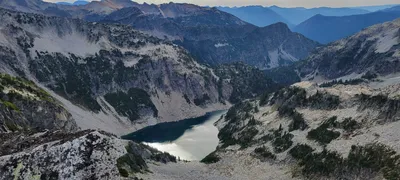 I think this might be Lake Rowena - ascending to Hinman Mountain - Necklace Valley
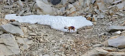 Ascending to Hinman Mountain - Otis playing in a snowbank remnant- Necklace Valley
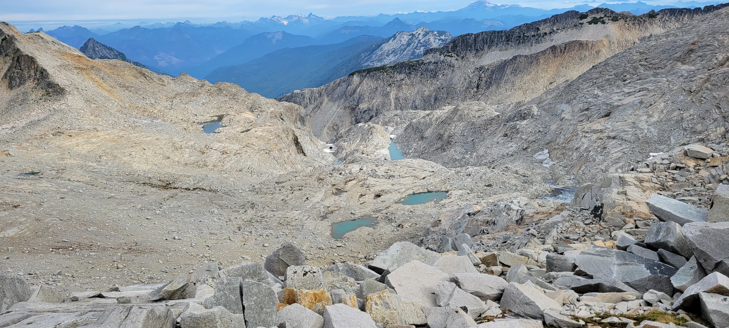
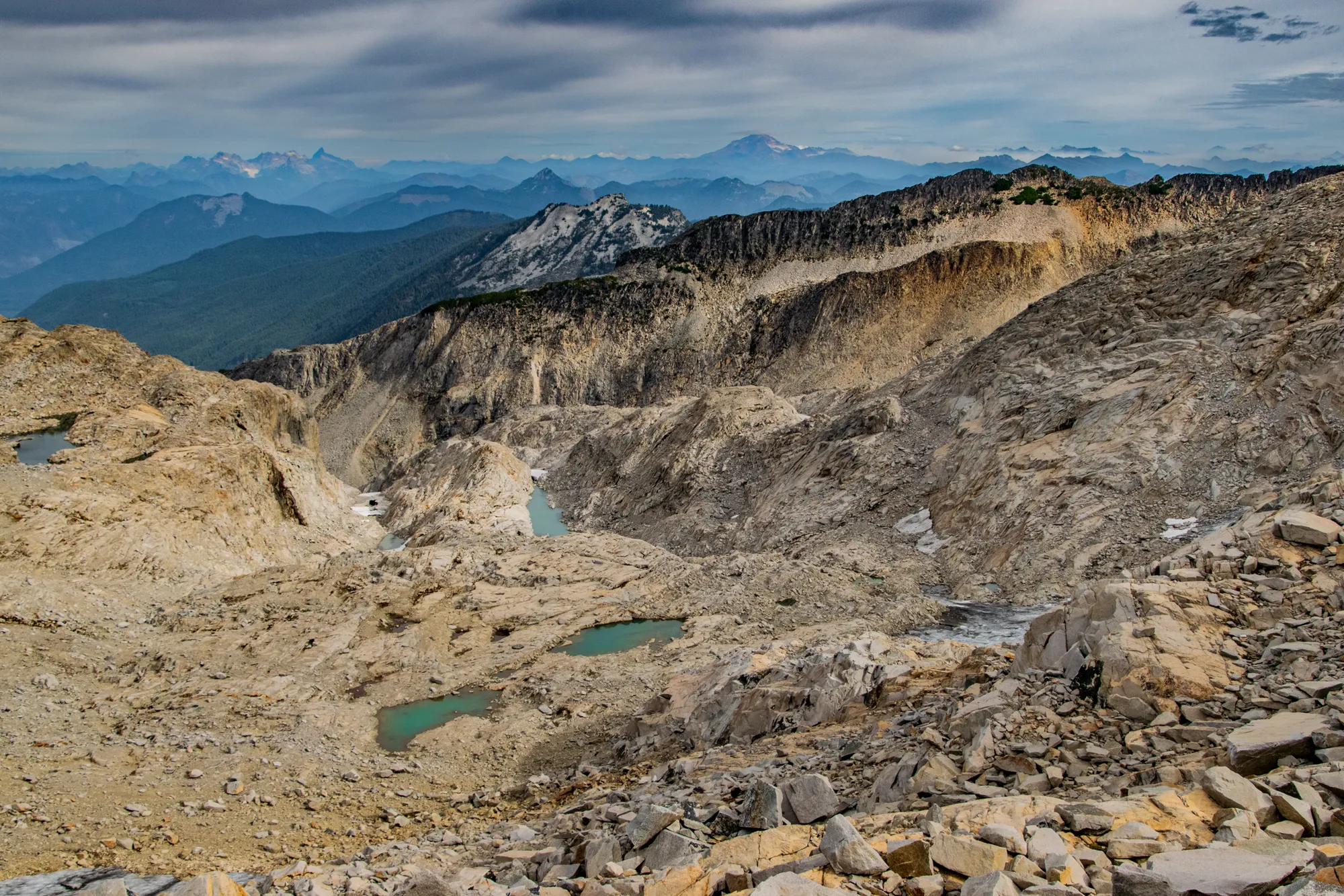
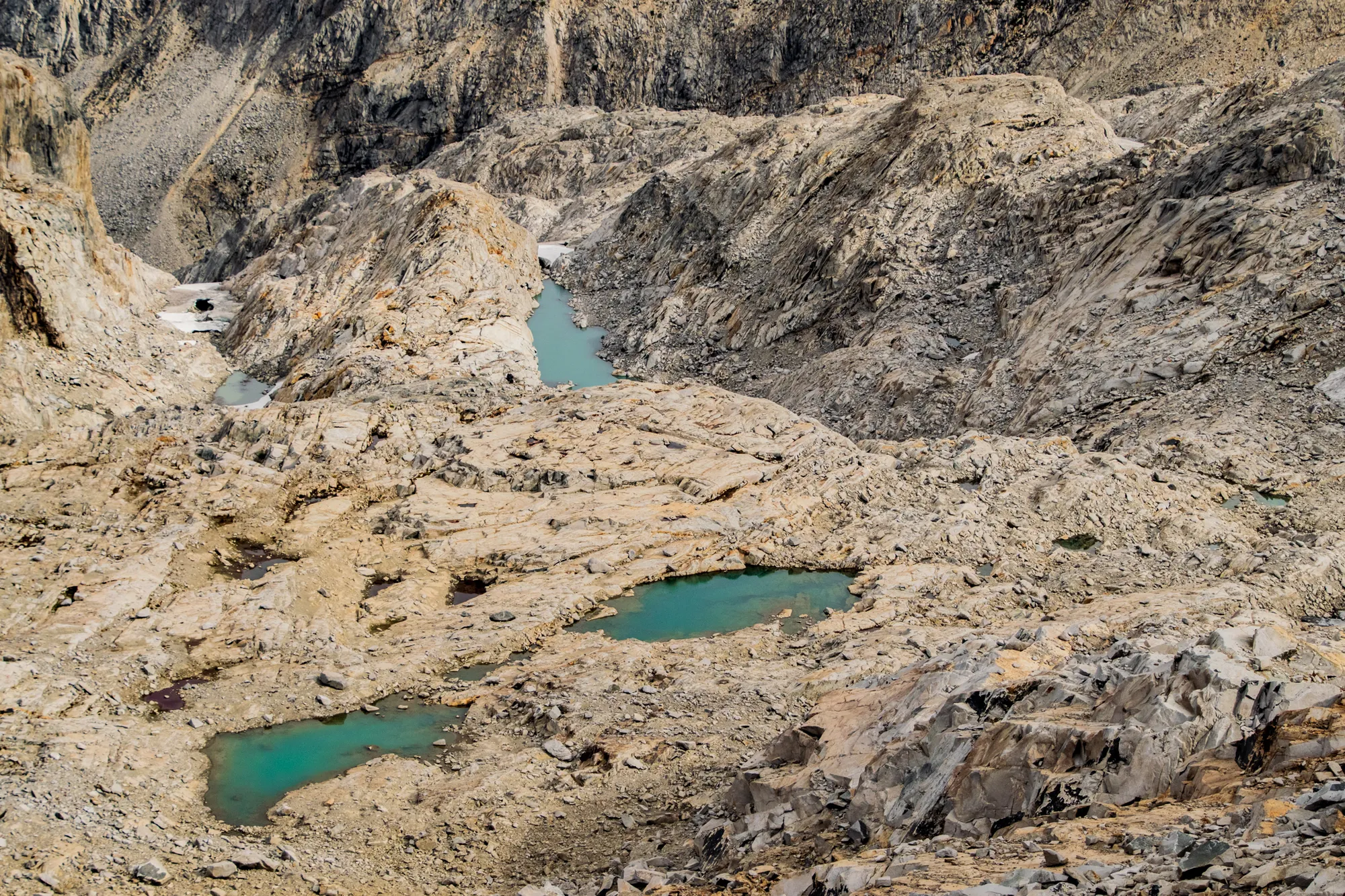
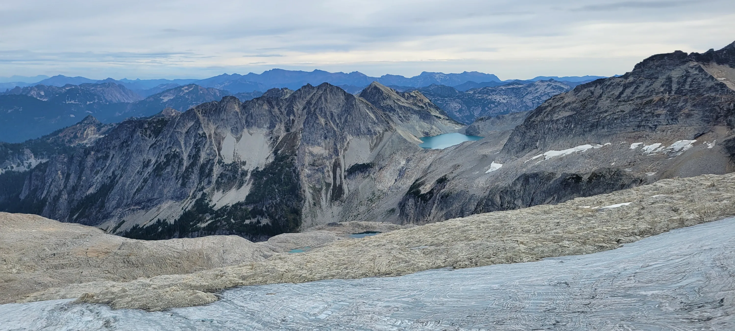
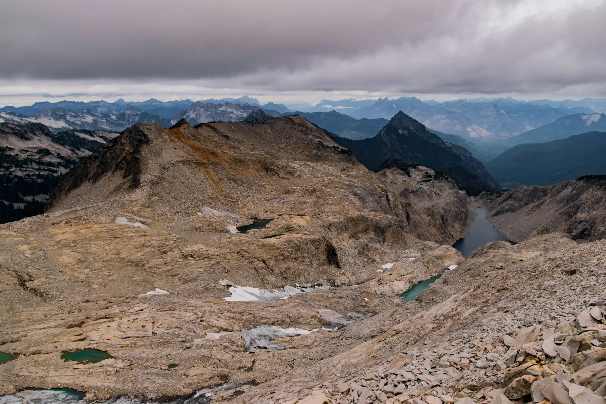
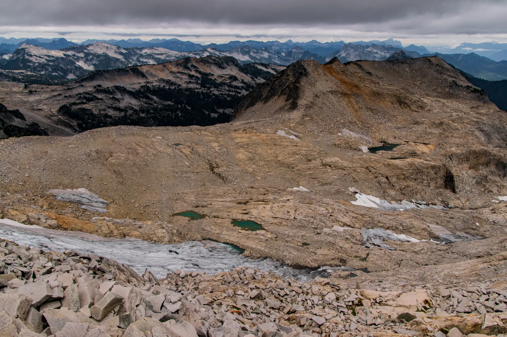
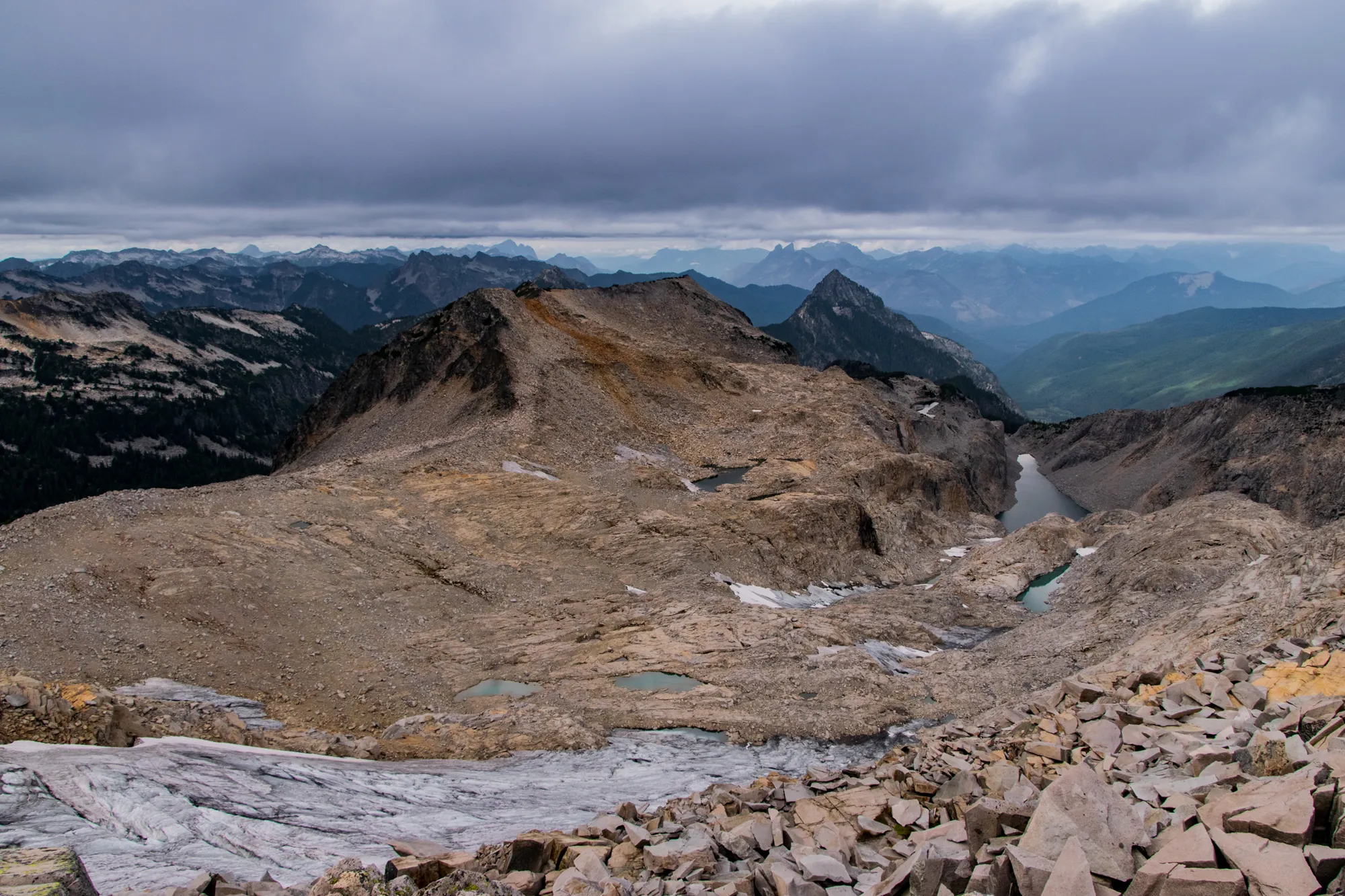
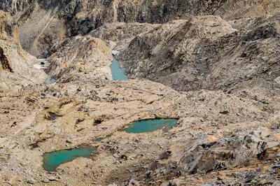
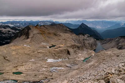
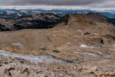
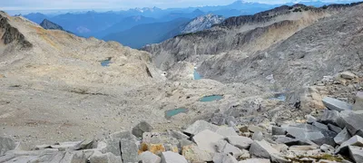 Un-named lakes below the Hinman Glacier - Necklace Valley
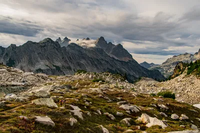
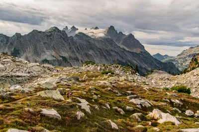
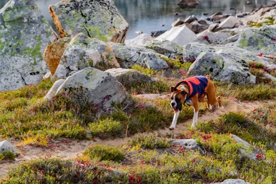
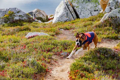
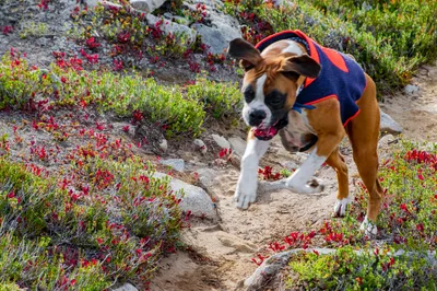
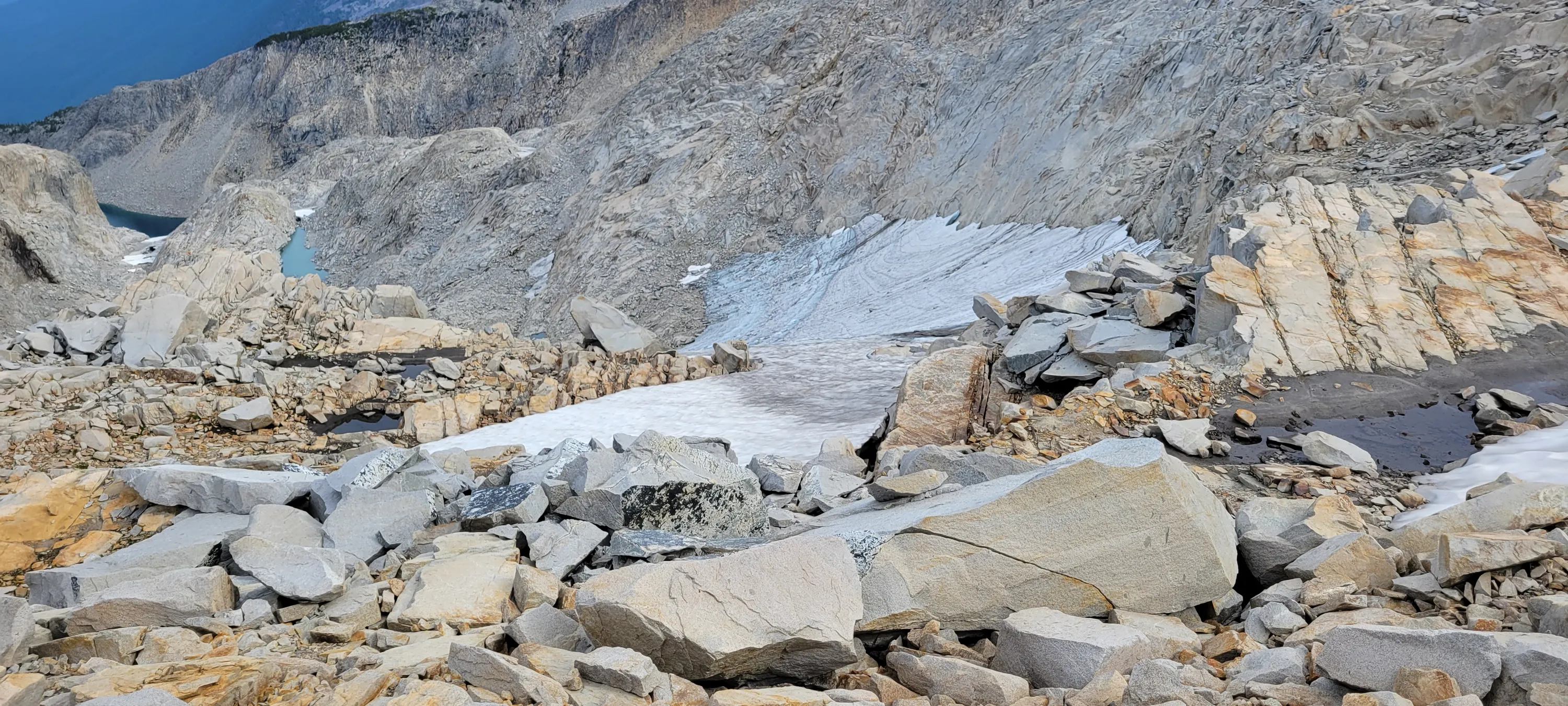
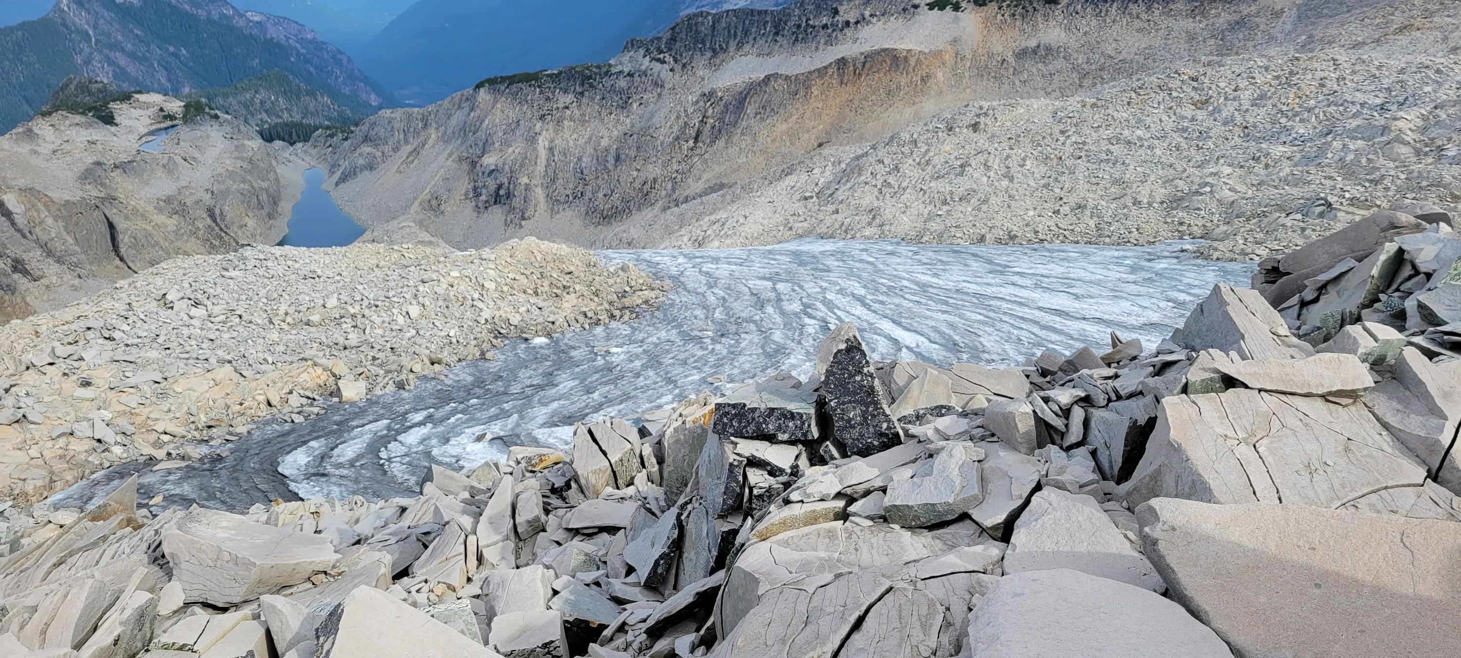
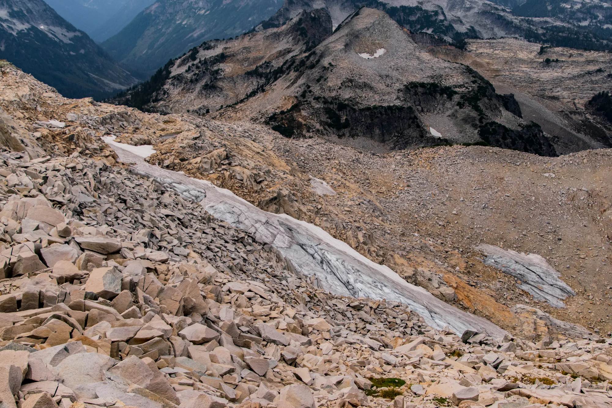
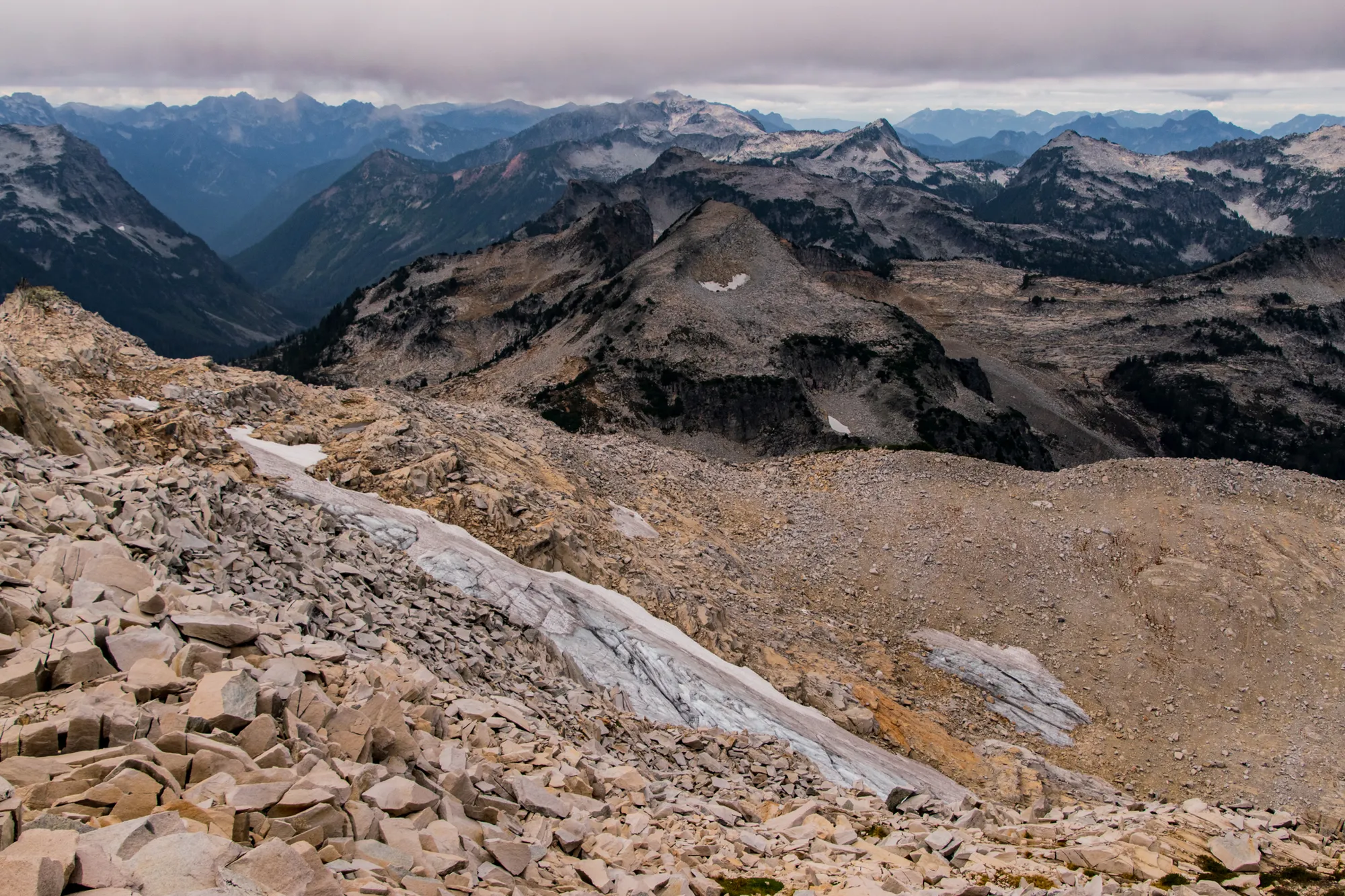
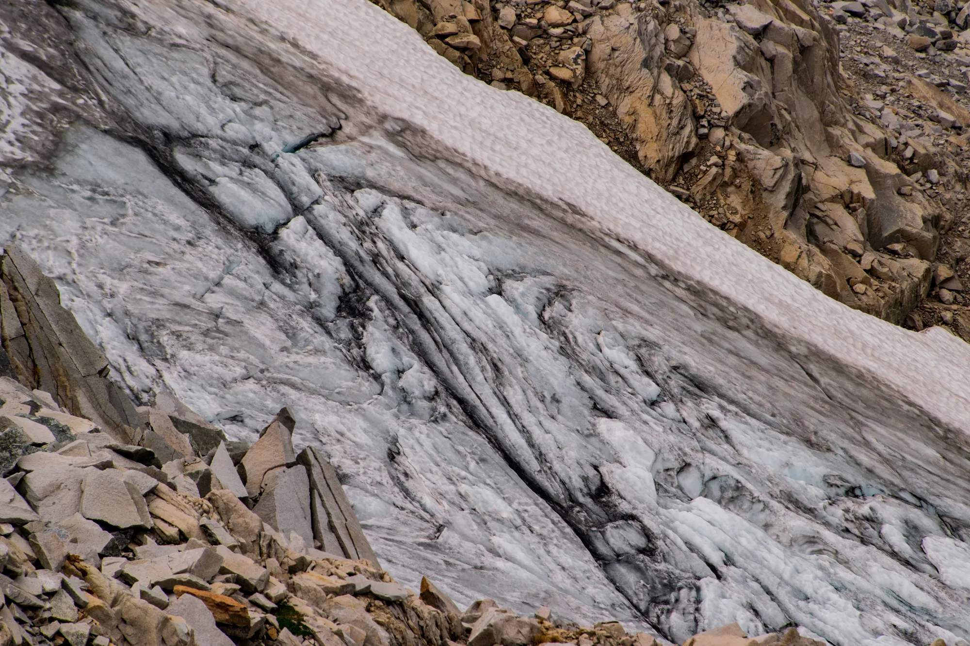
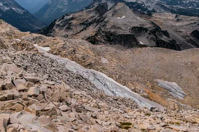
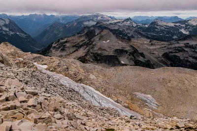
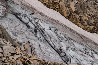
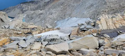 One of the Hinman Glaciers - Necklace Valley
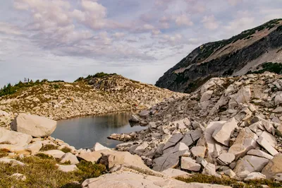
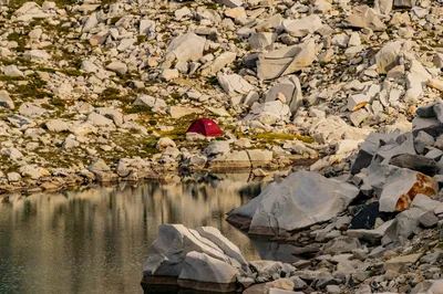
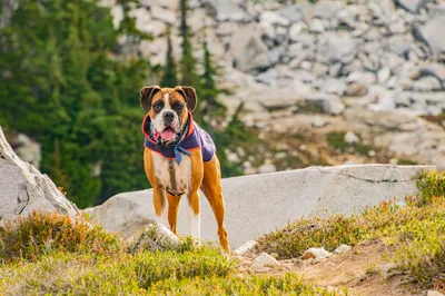
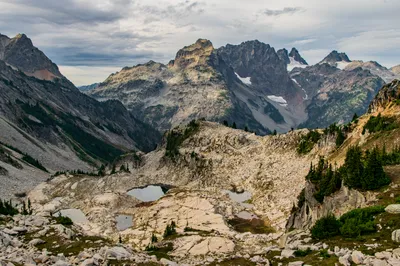
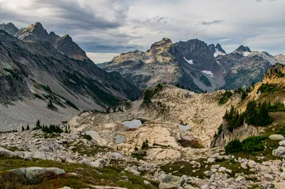
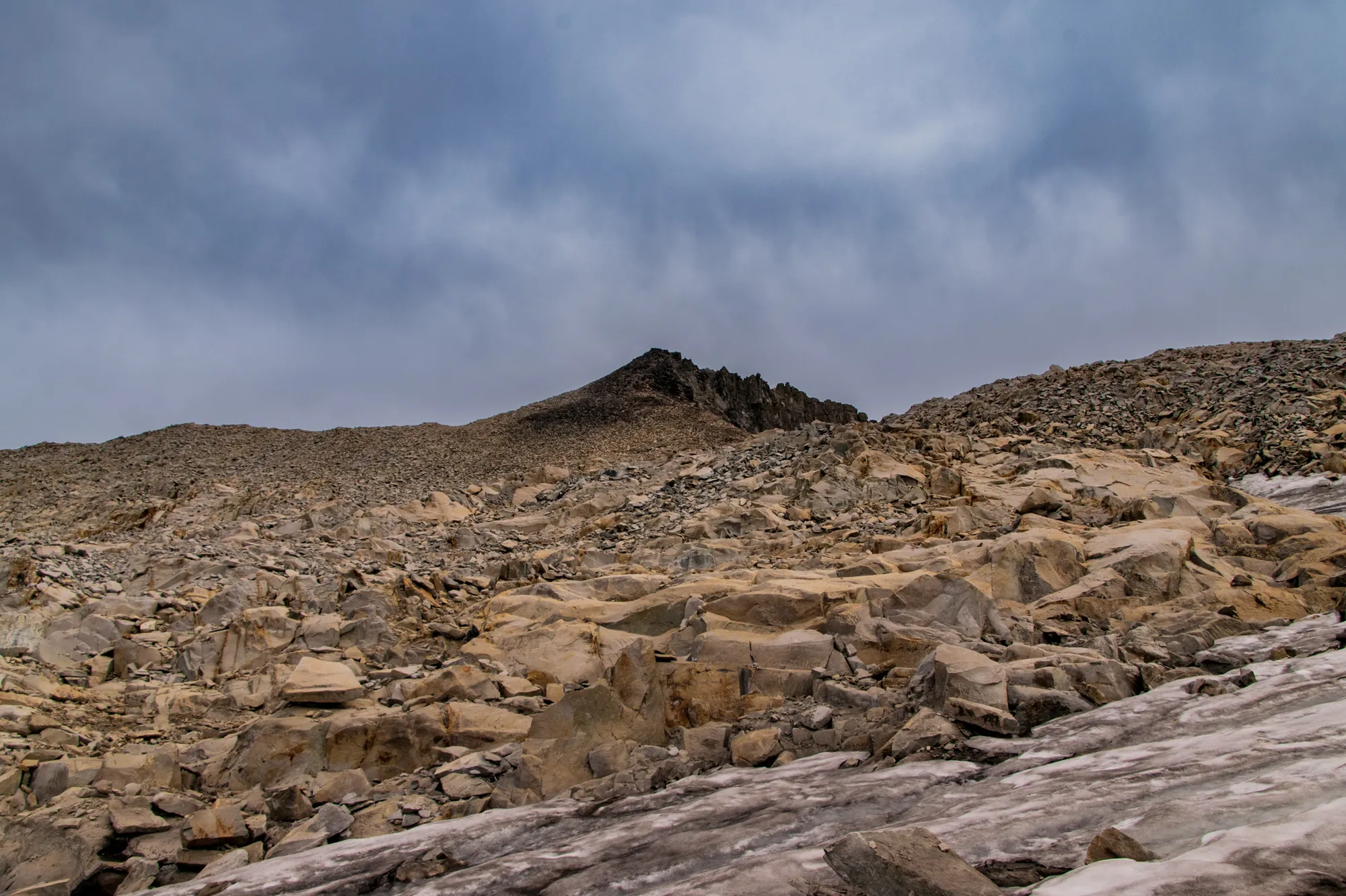
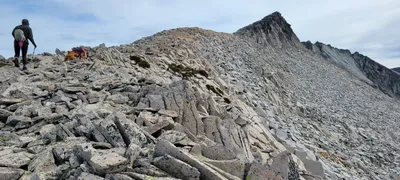 We though the triangle was the top of Hinman but we got fooled - Necklace Valley
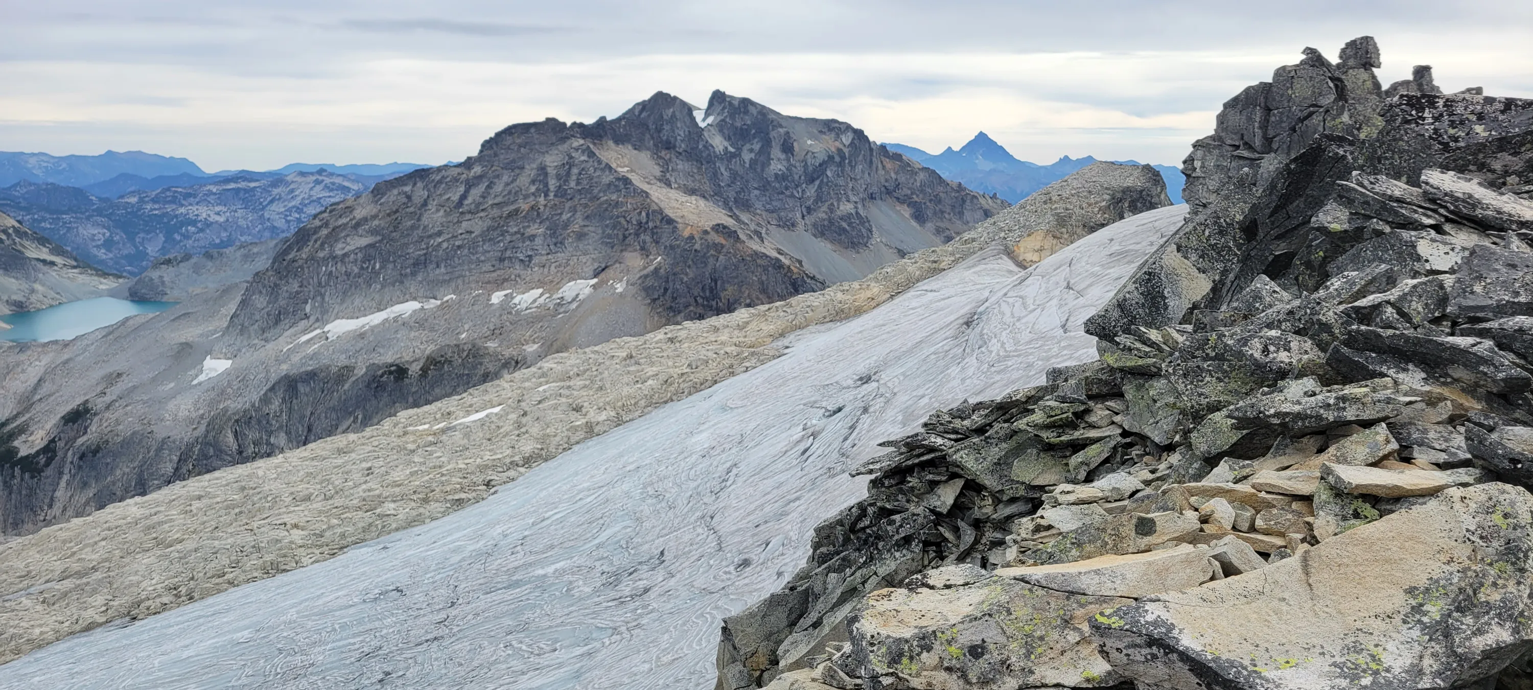
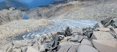 Another one of the Hinman Glaciers - Necklace Valley
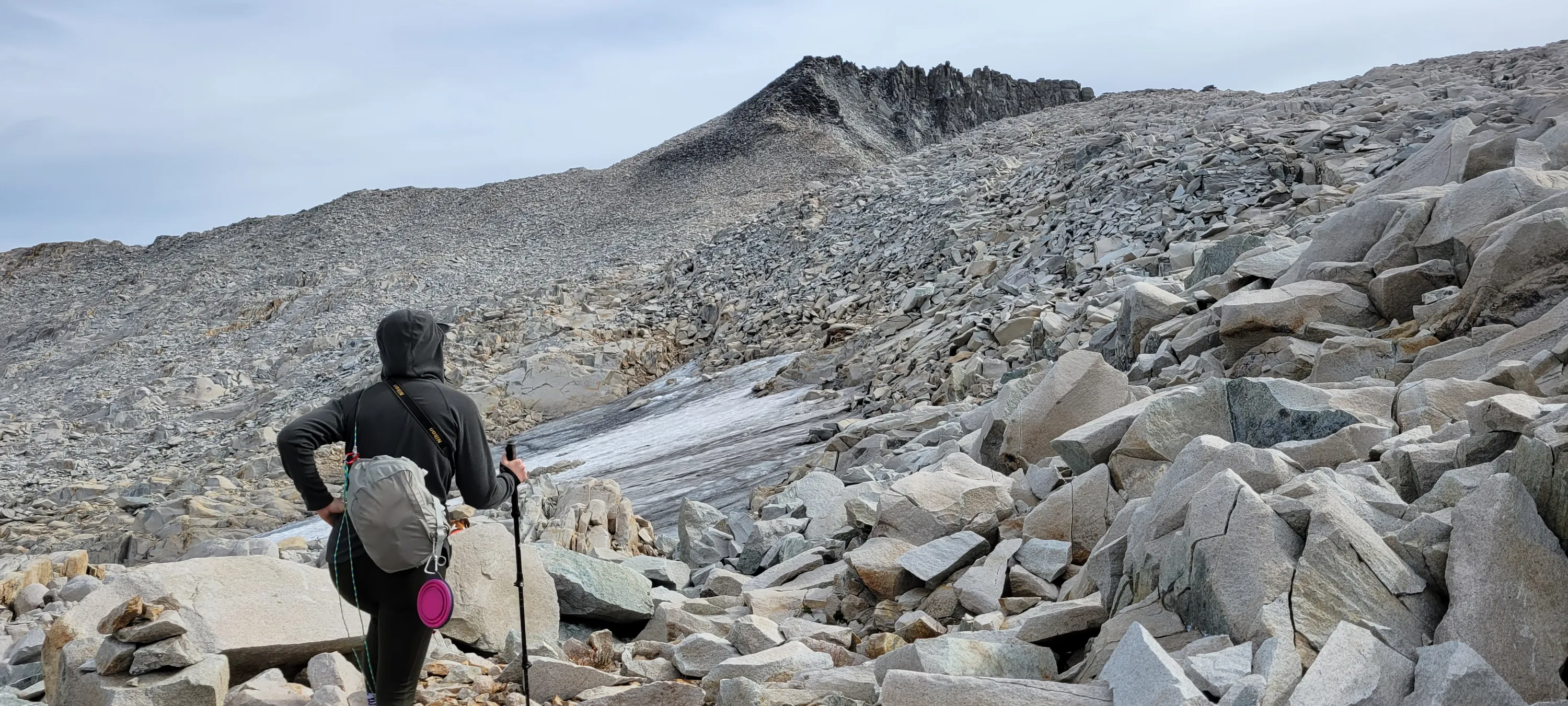
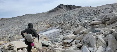 We finally see the top of HInman Mountain - Necklace Valley
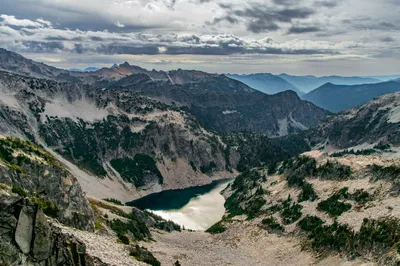
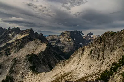
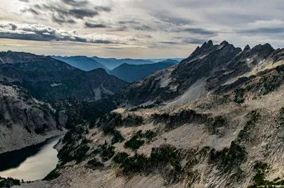
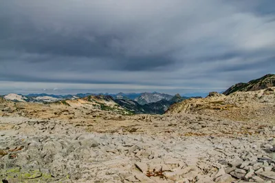
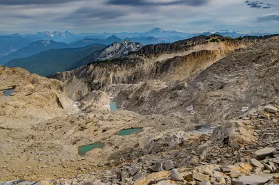
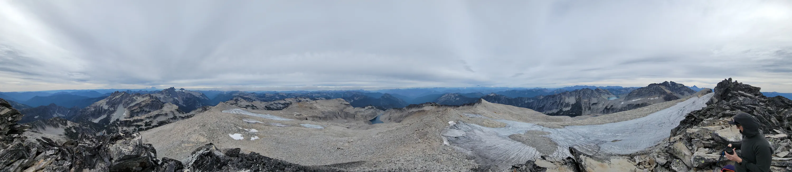
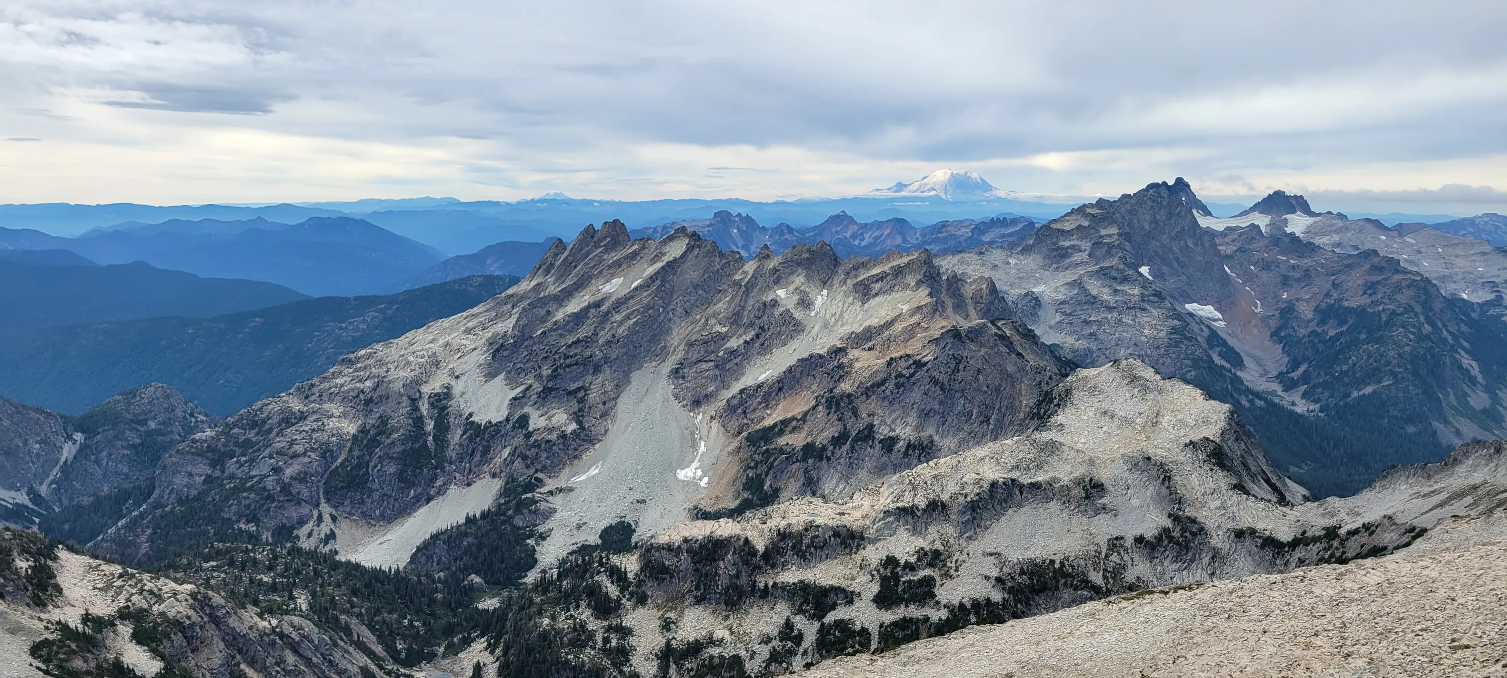
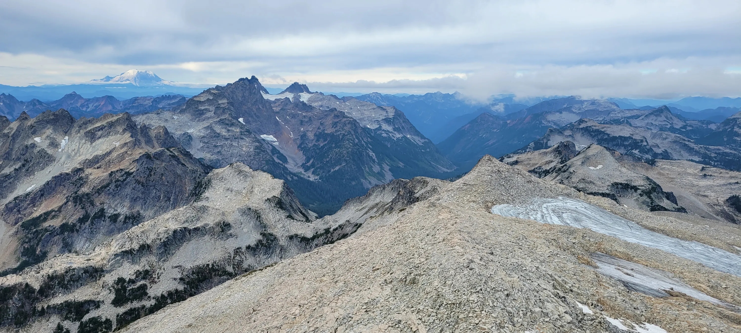
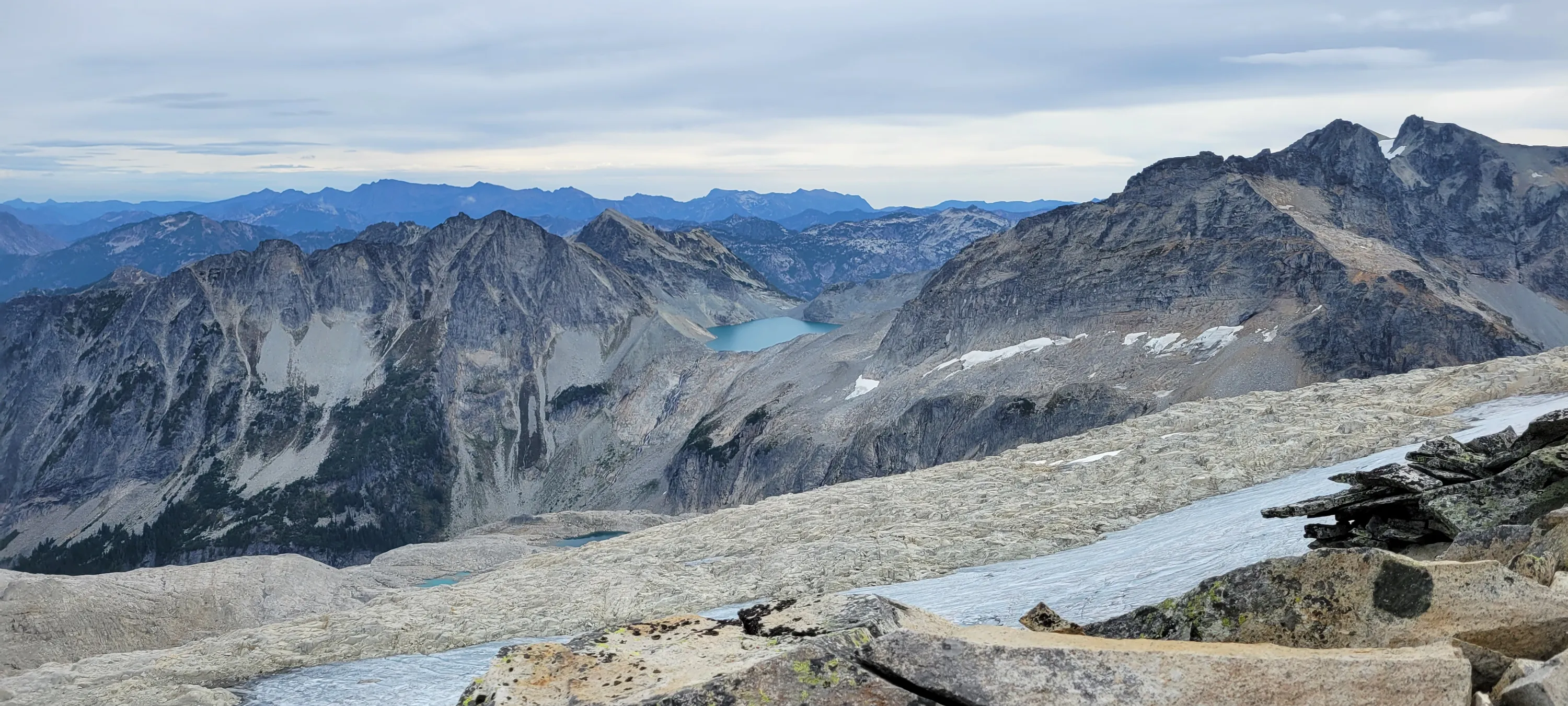
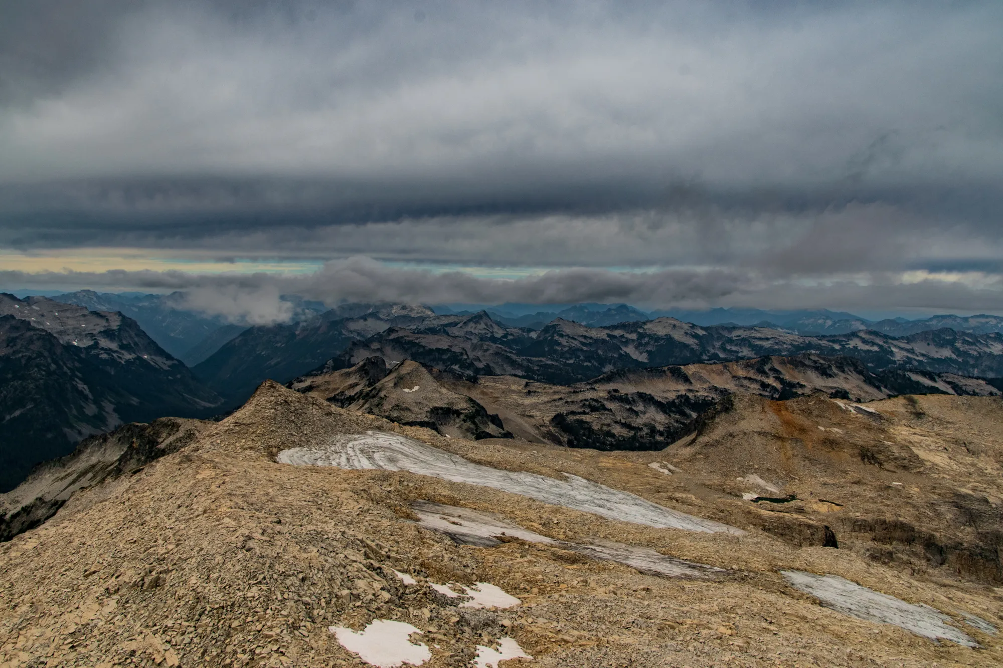
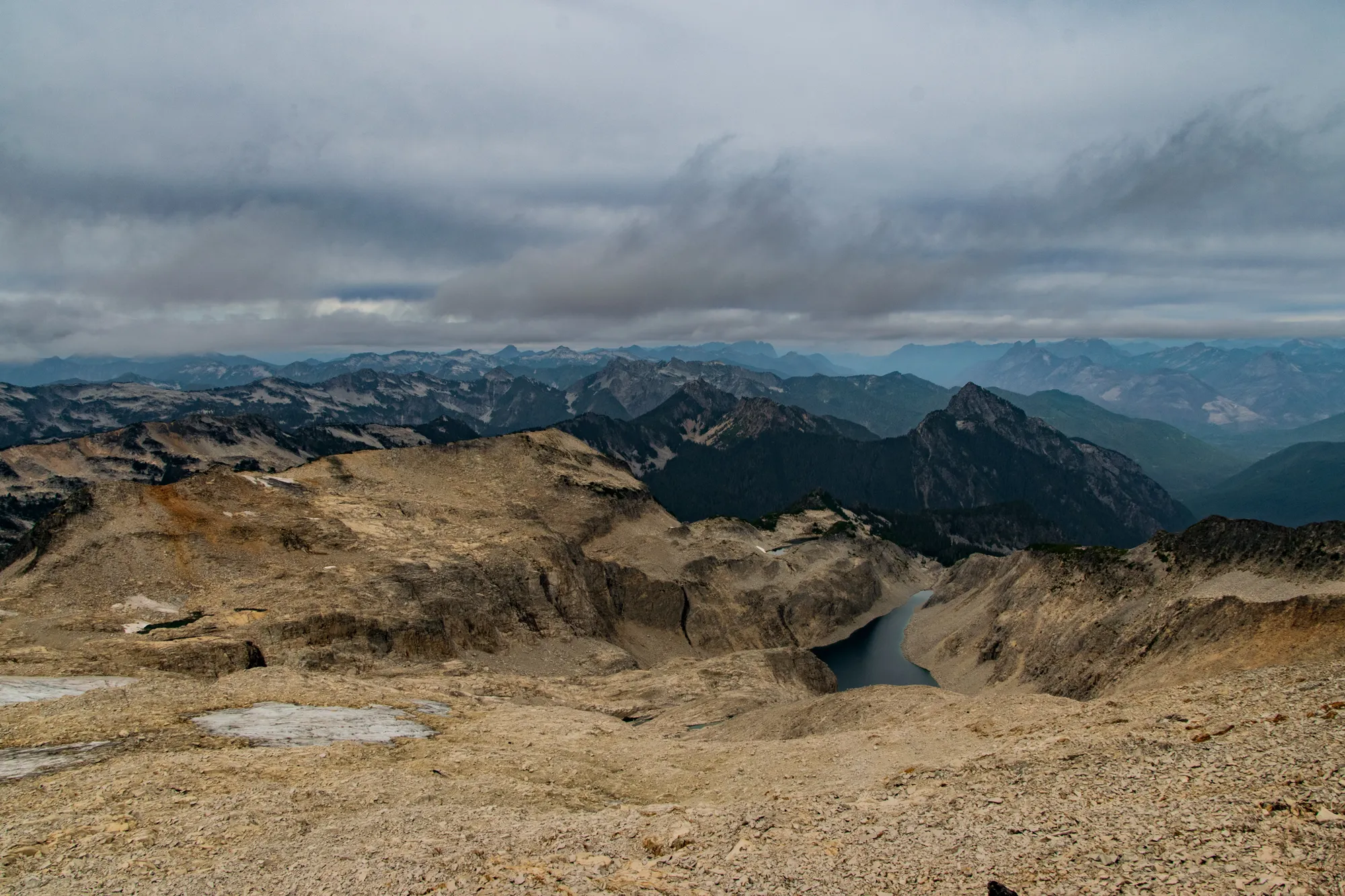
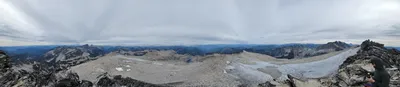 Panorama from the top of Hinman Mountain - Necklace Valley
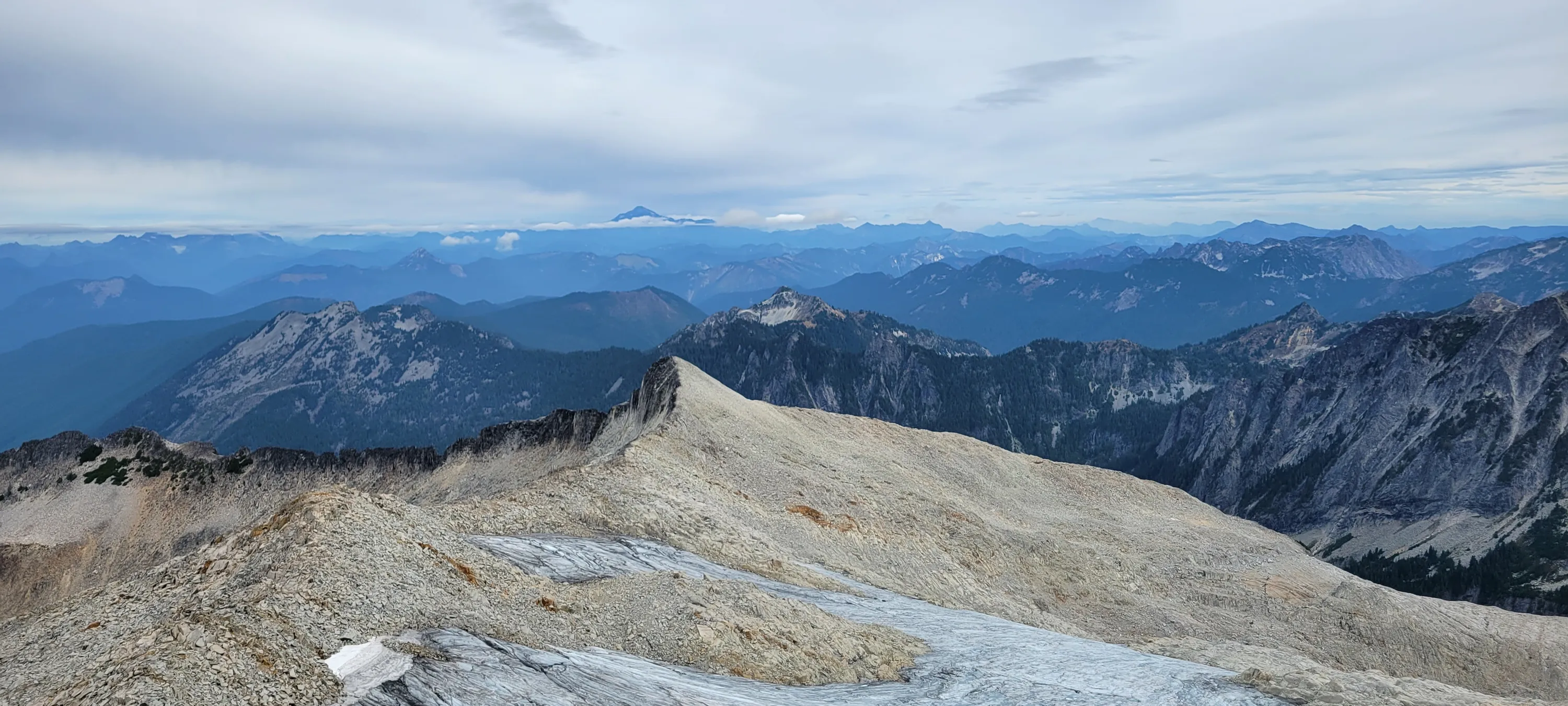
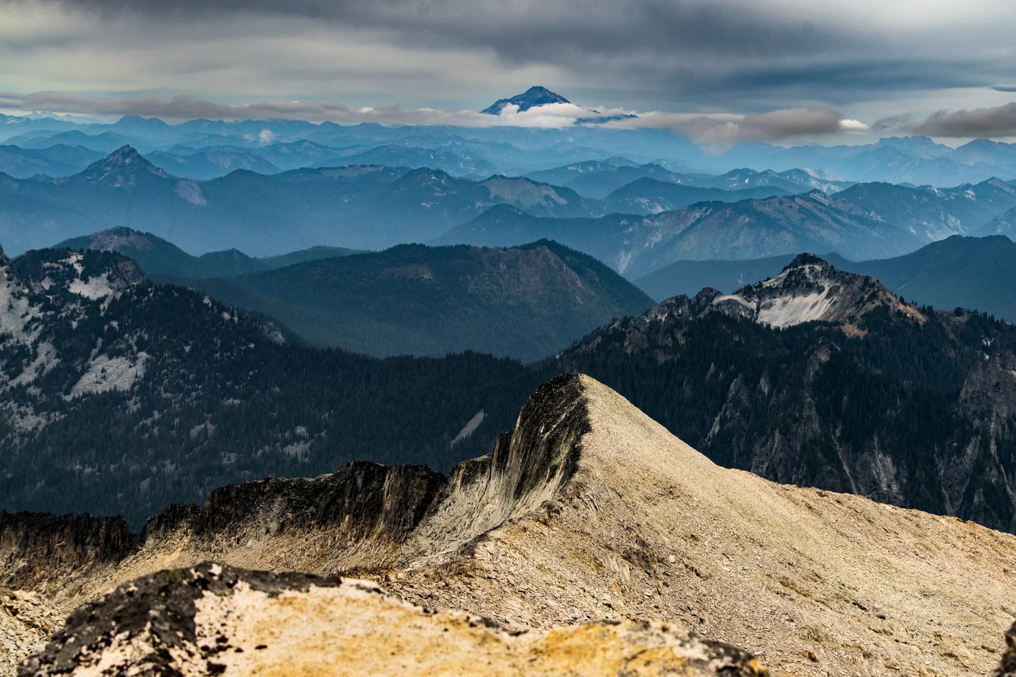
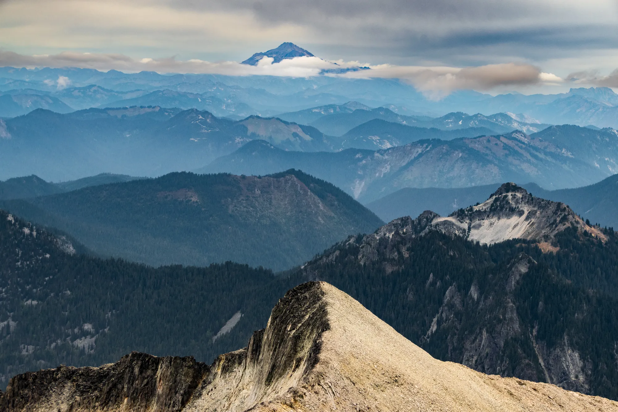
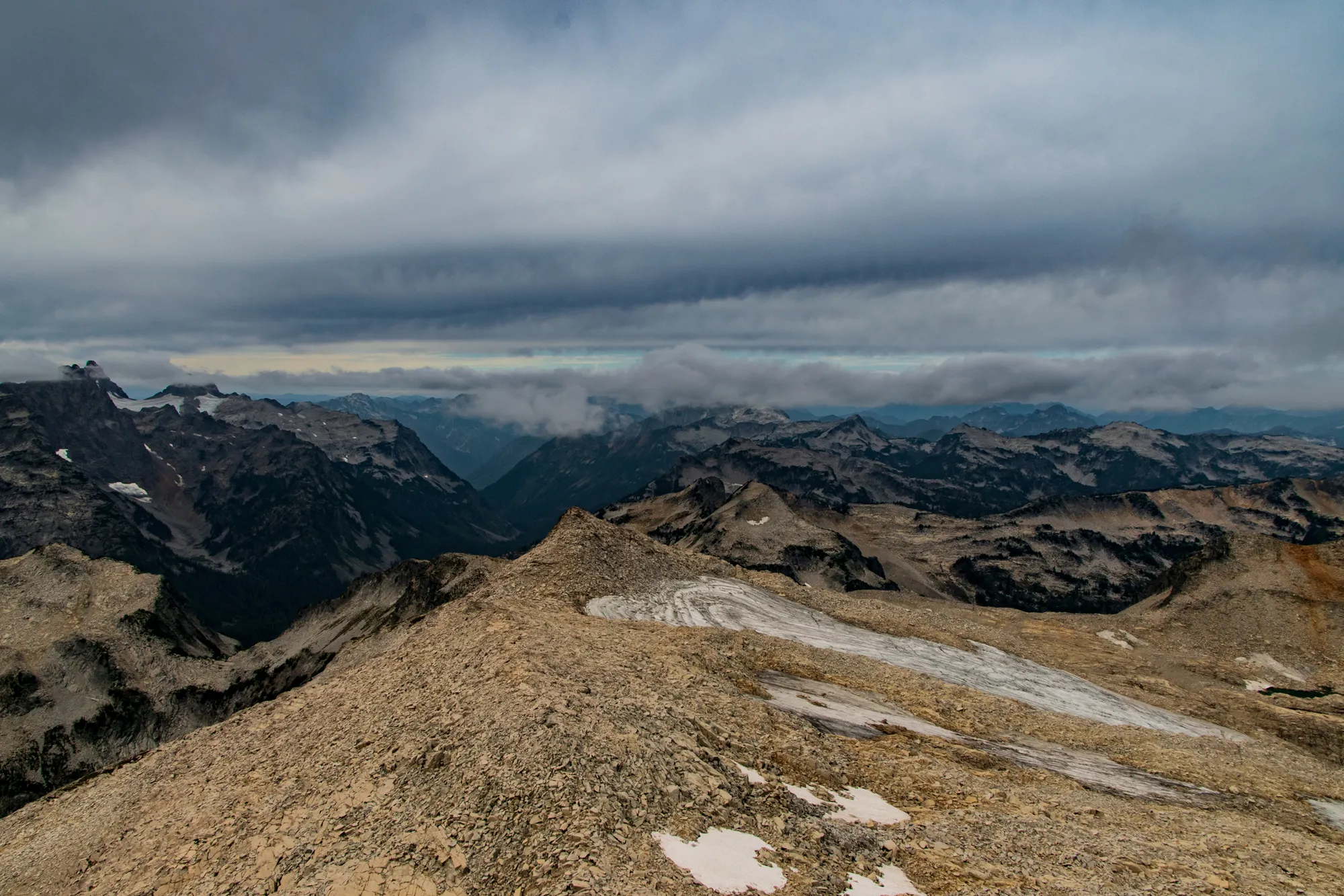
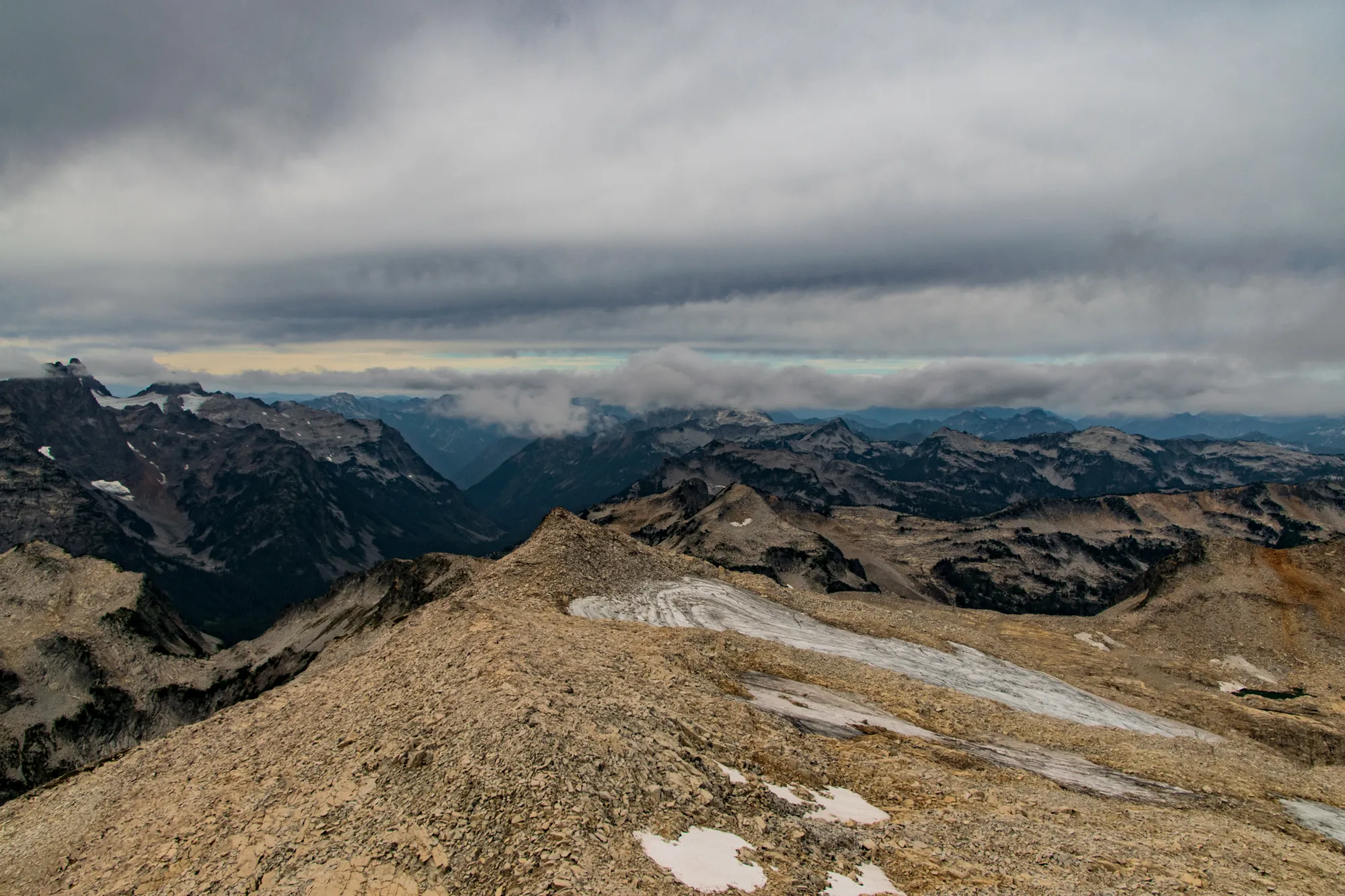
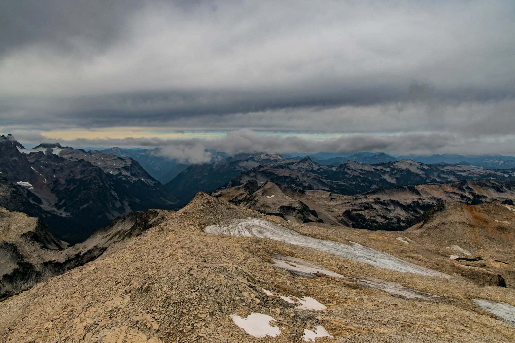
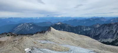 On top of Hinman - Glacier peak in the distance - looking north
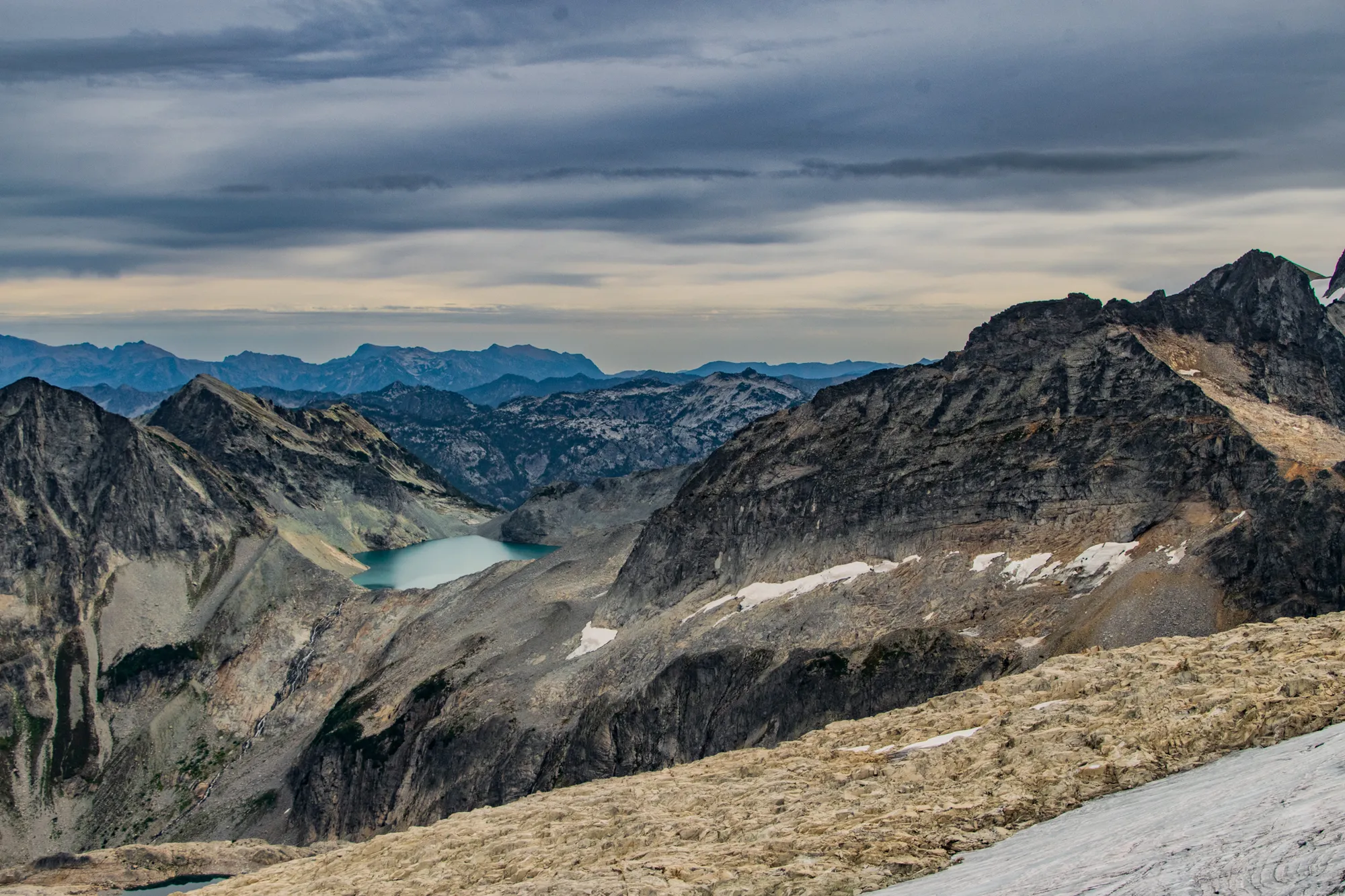
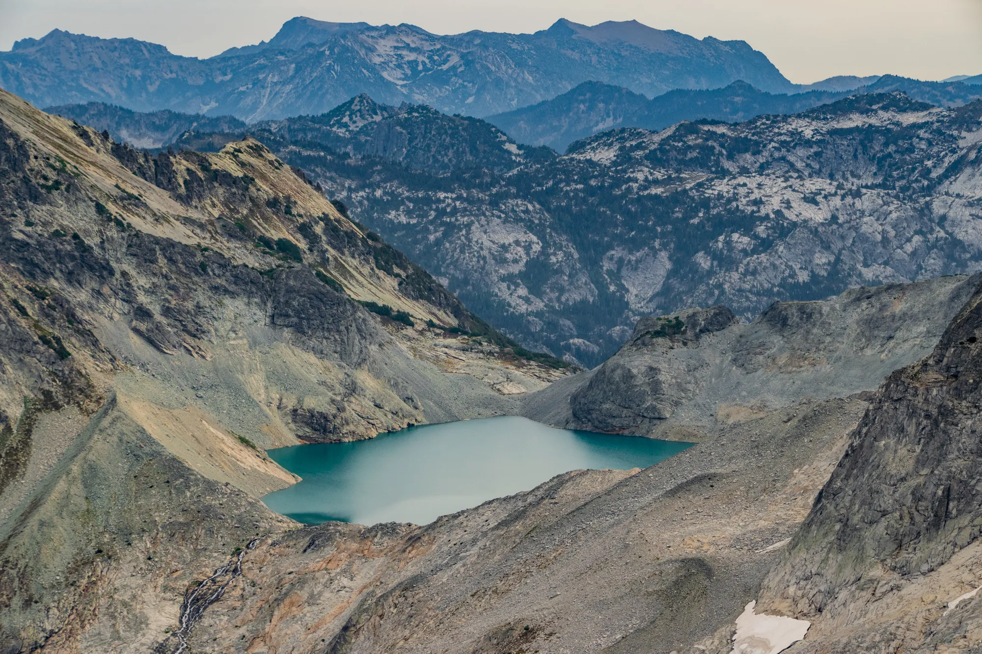
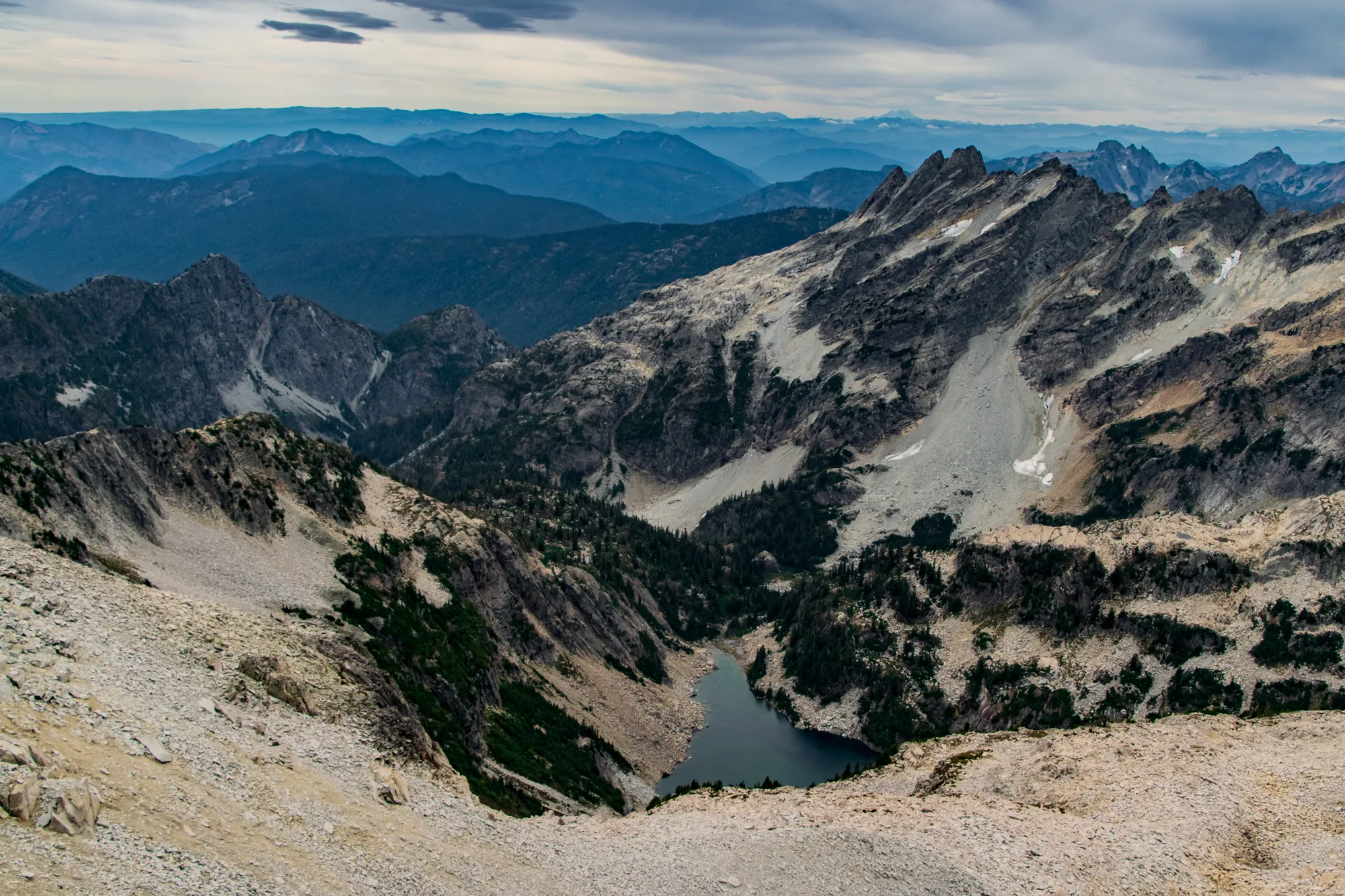
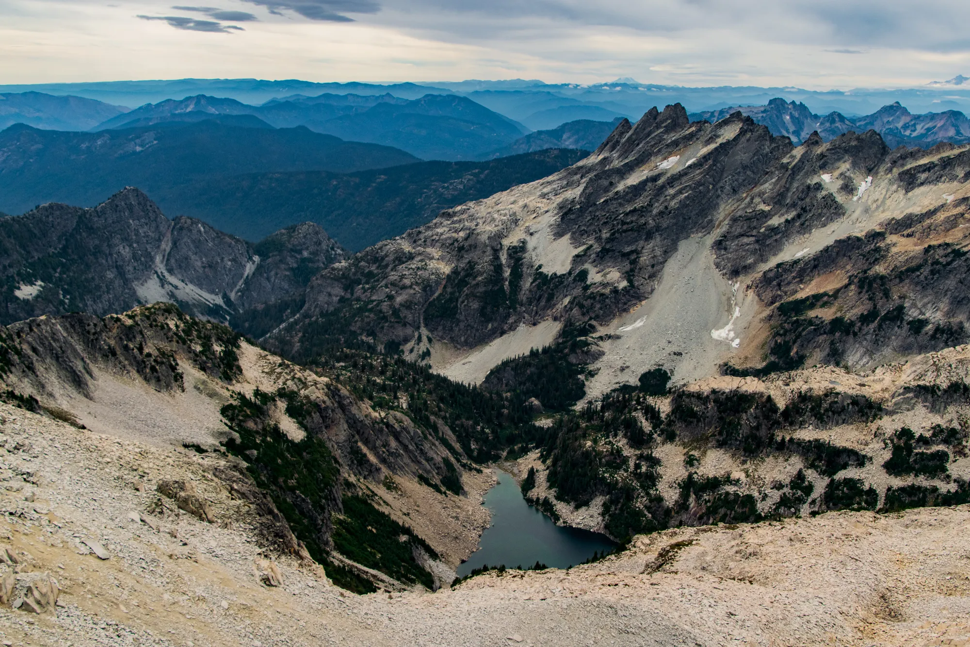
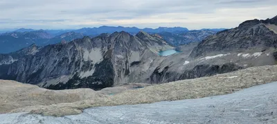 Pea Soup Lake
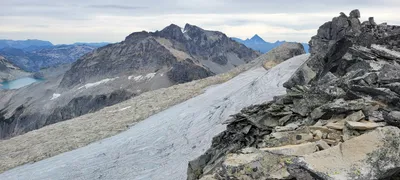 Mt Daniel in the center
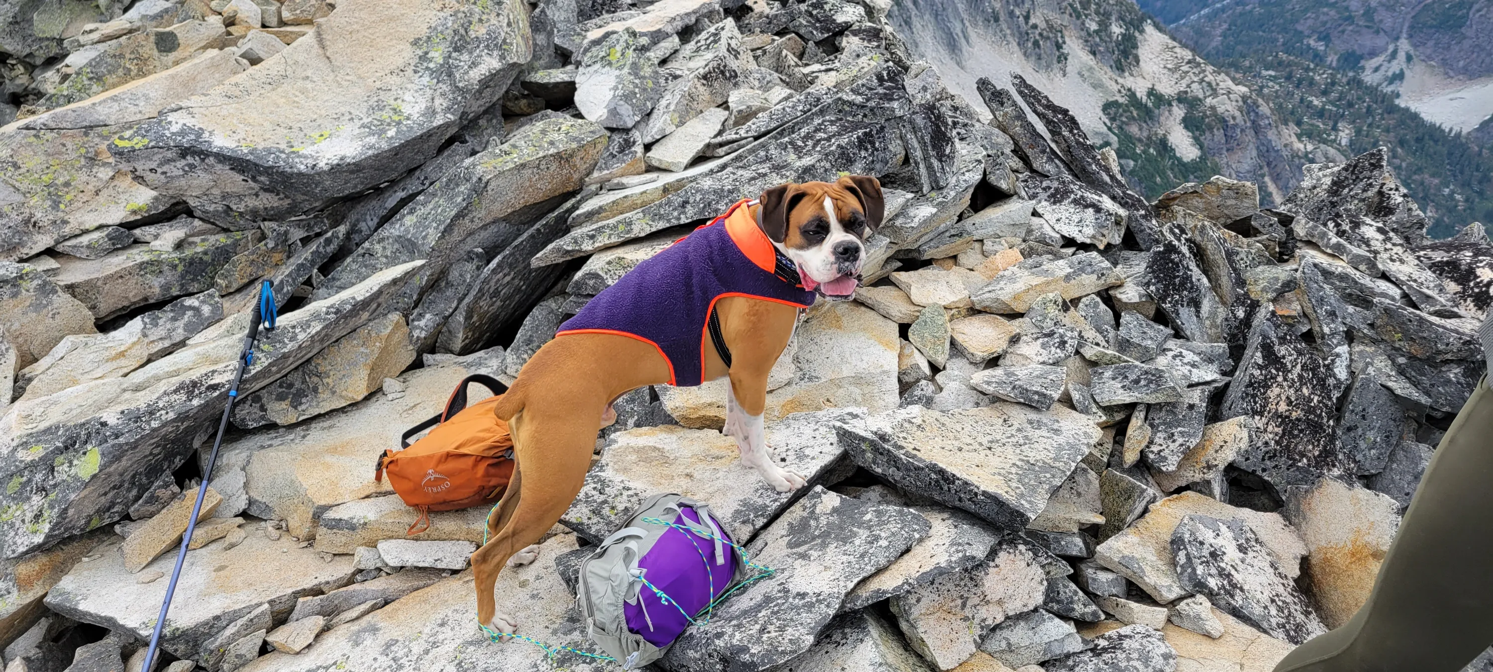
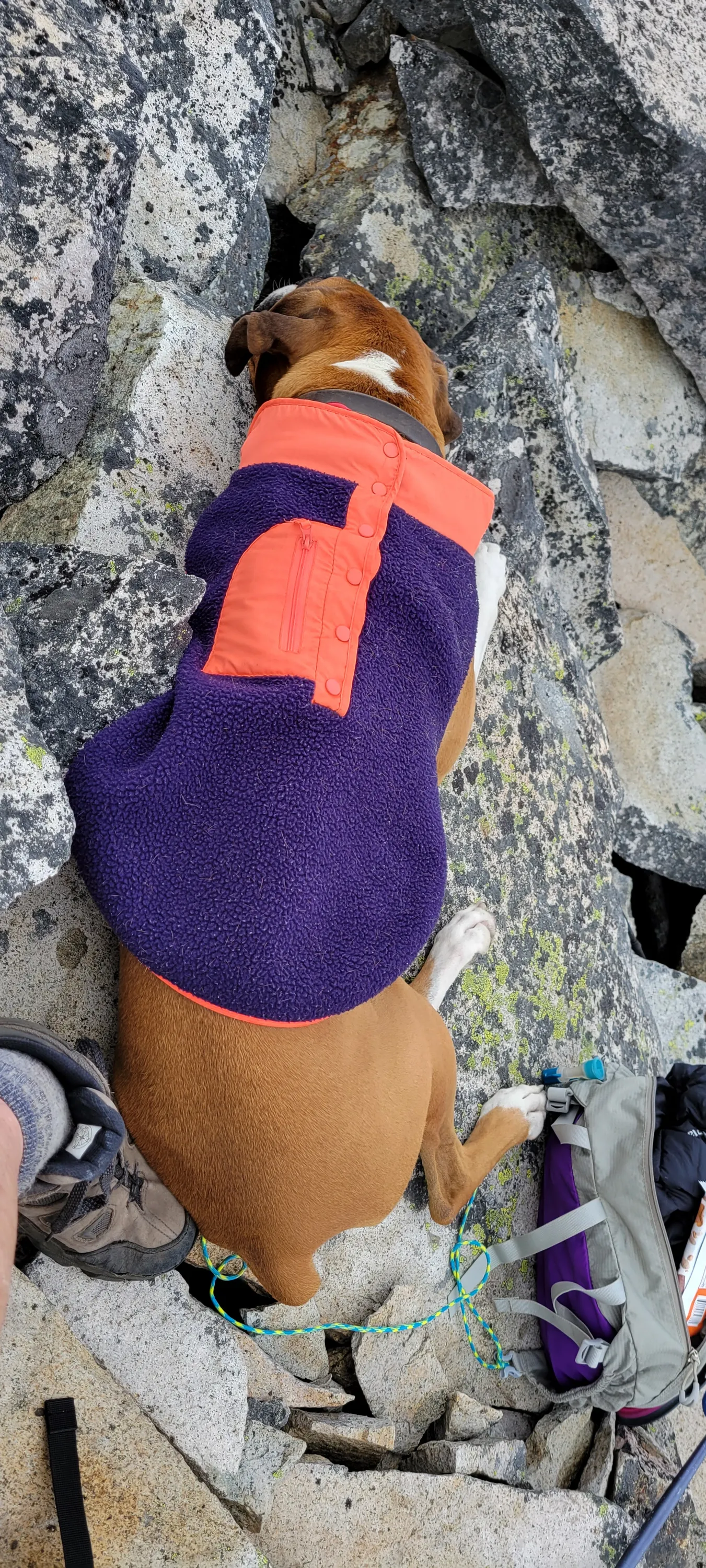
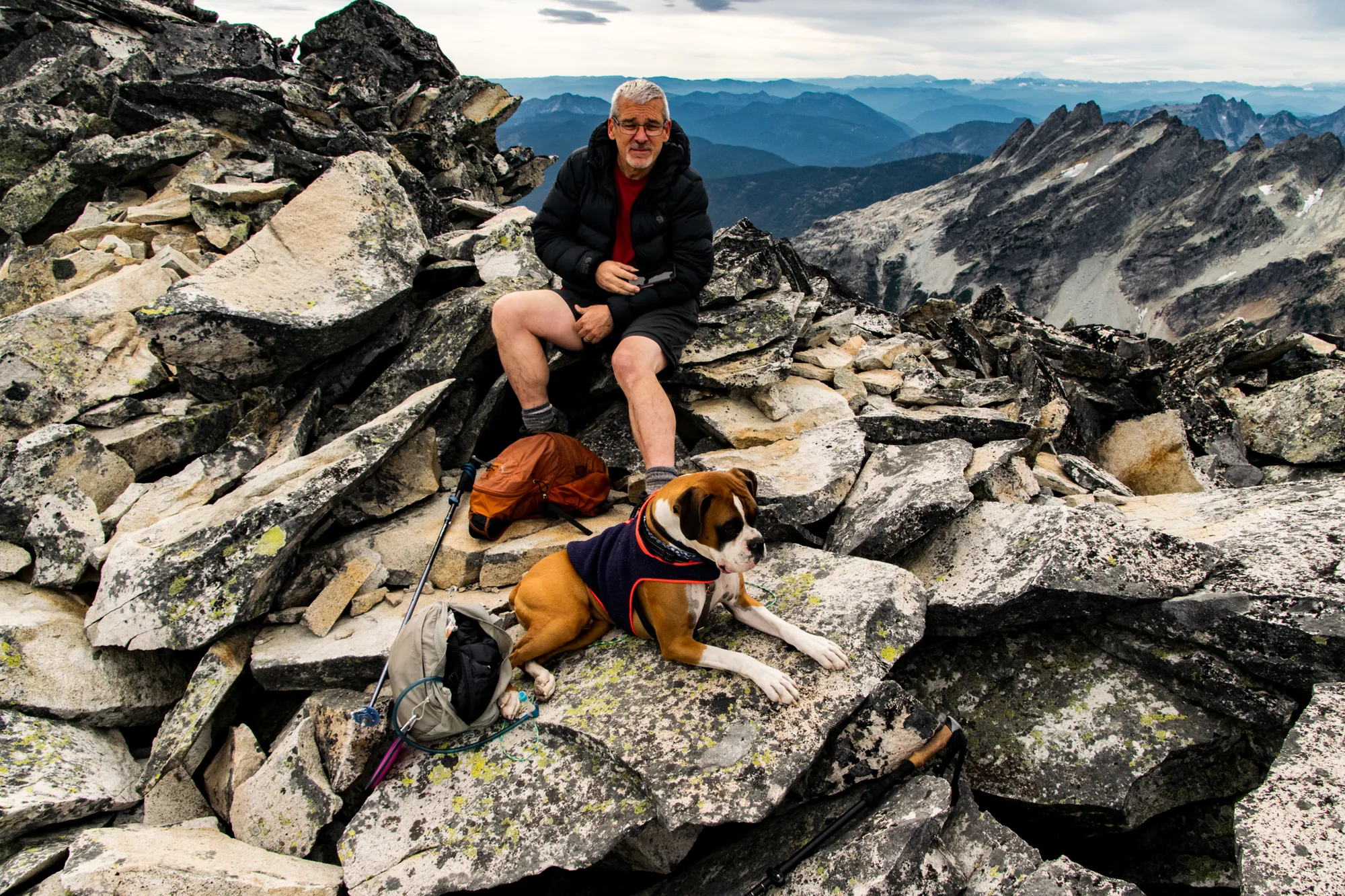
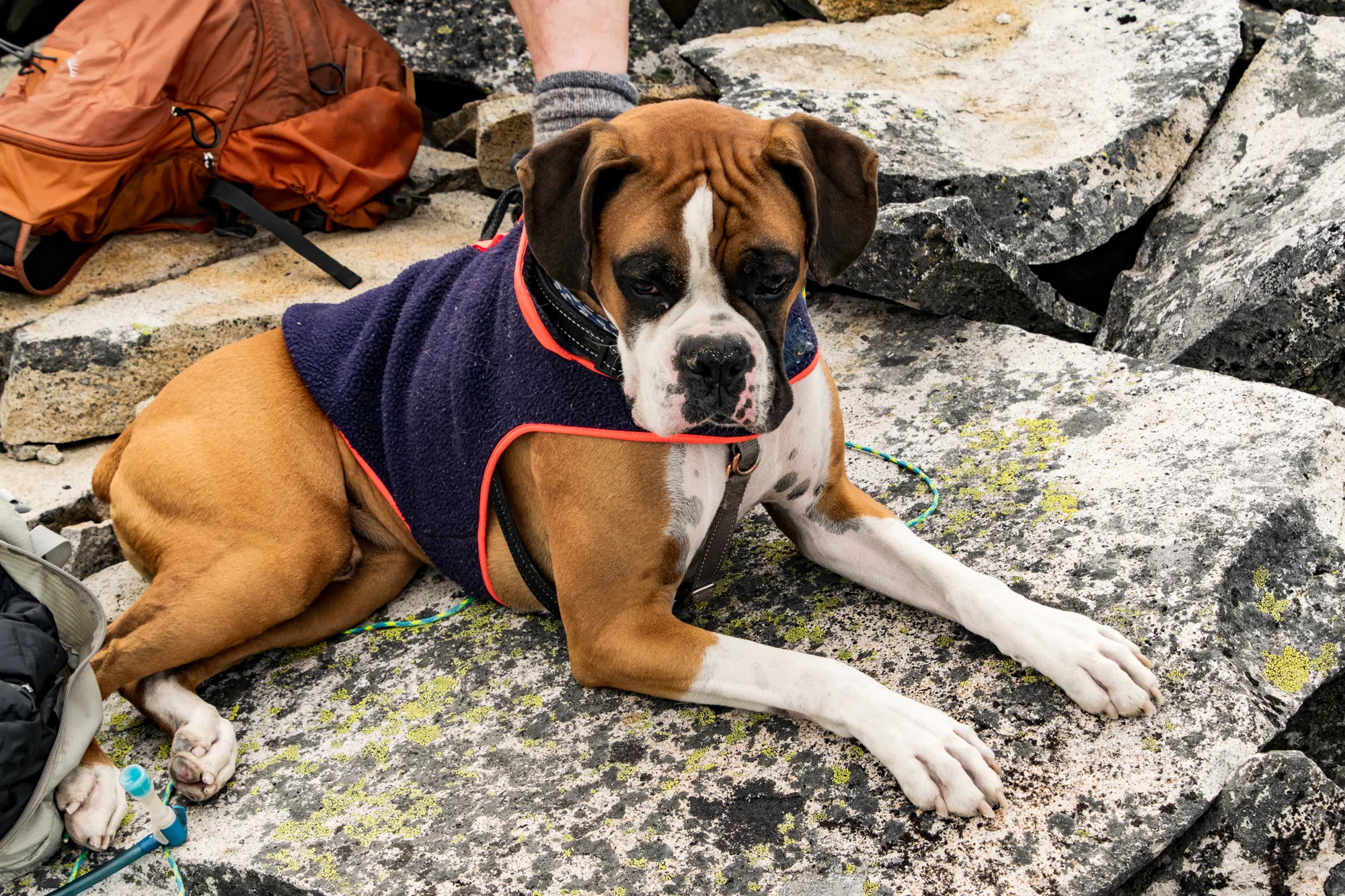
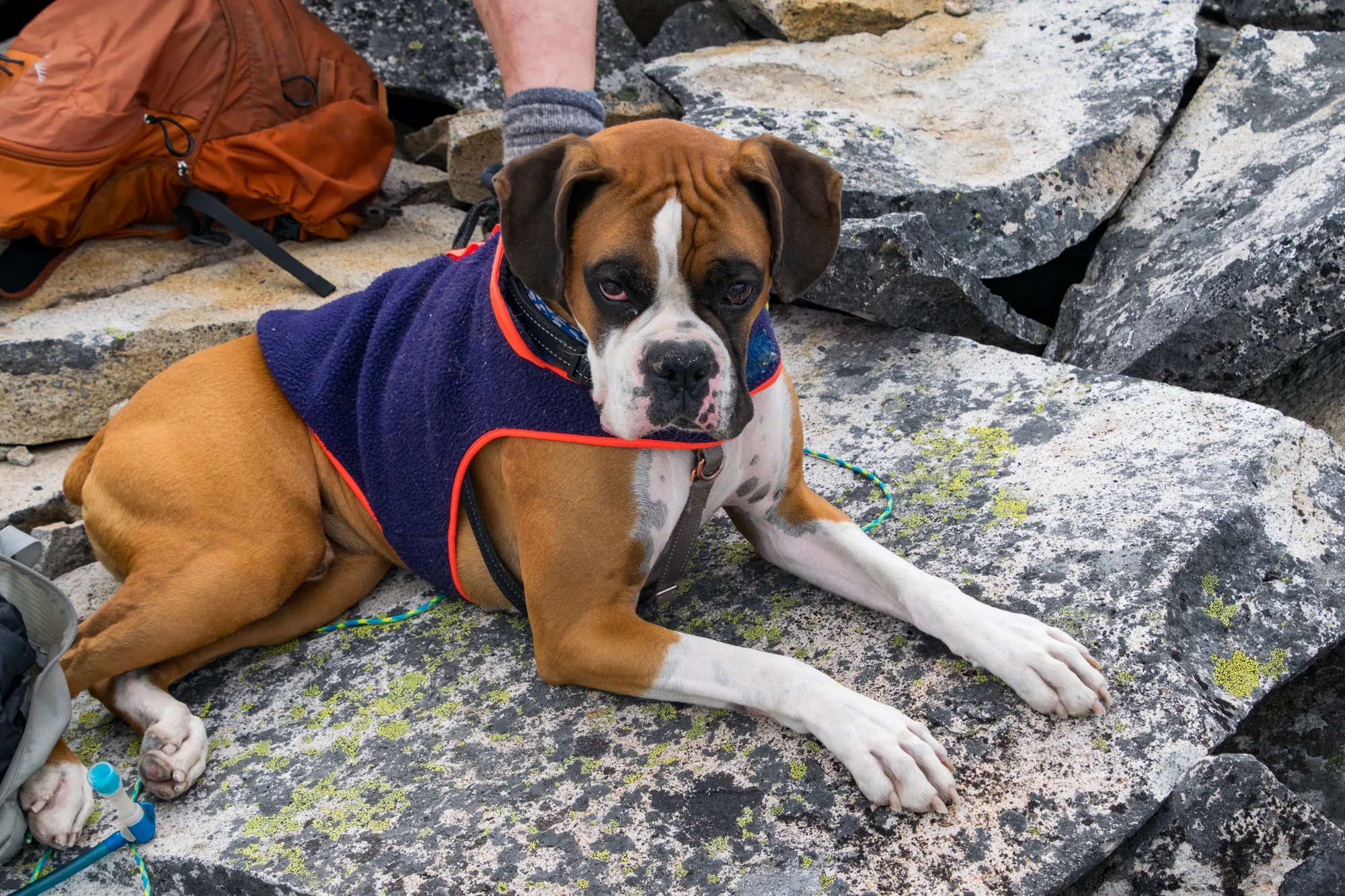
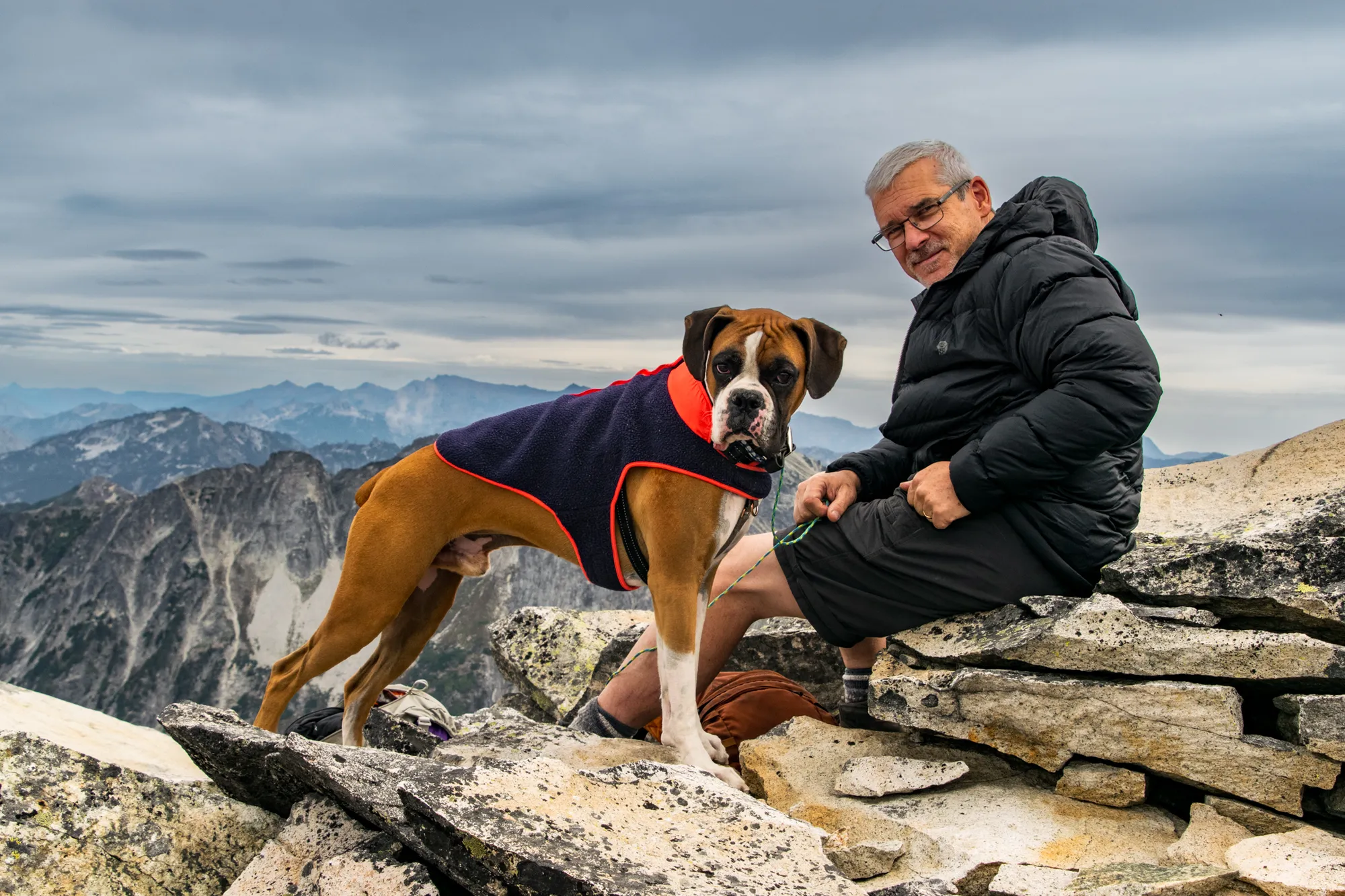
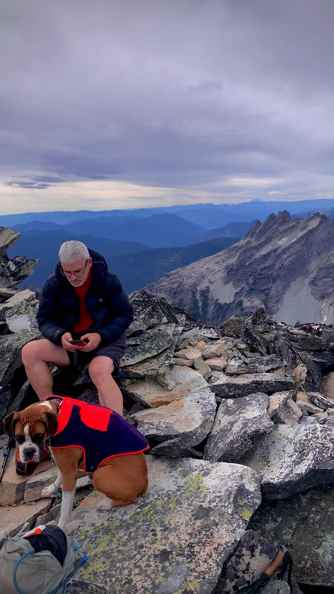
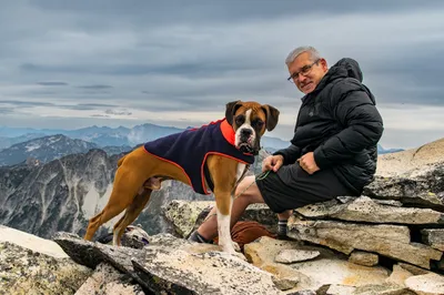
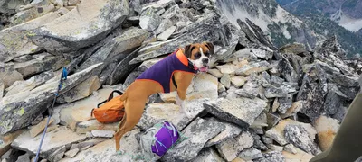 Otis on top of Hinman
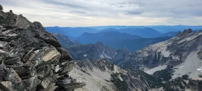
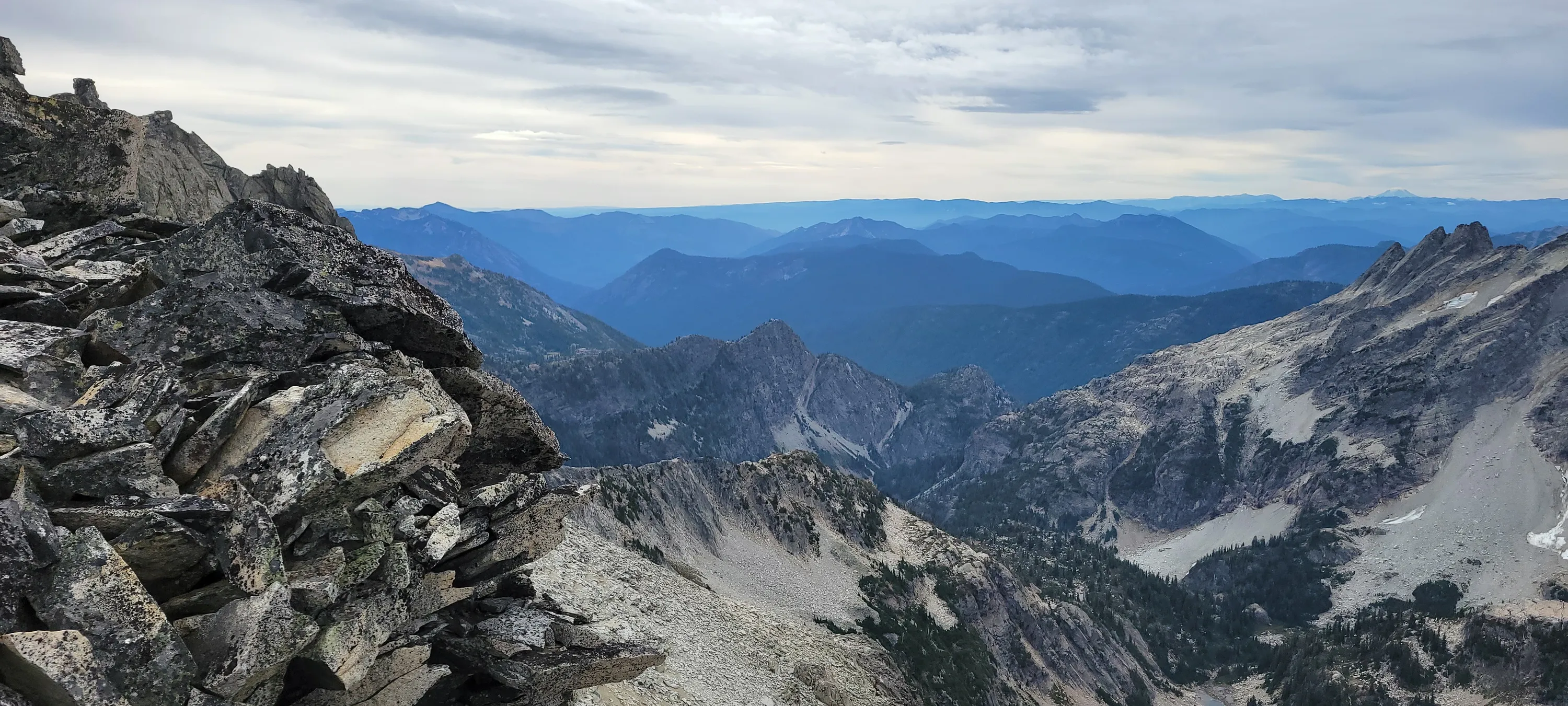
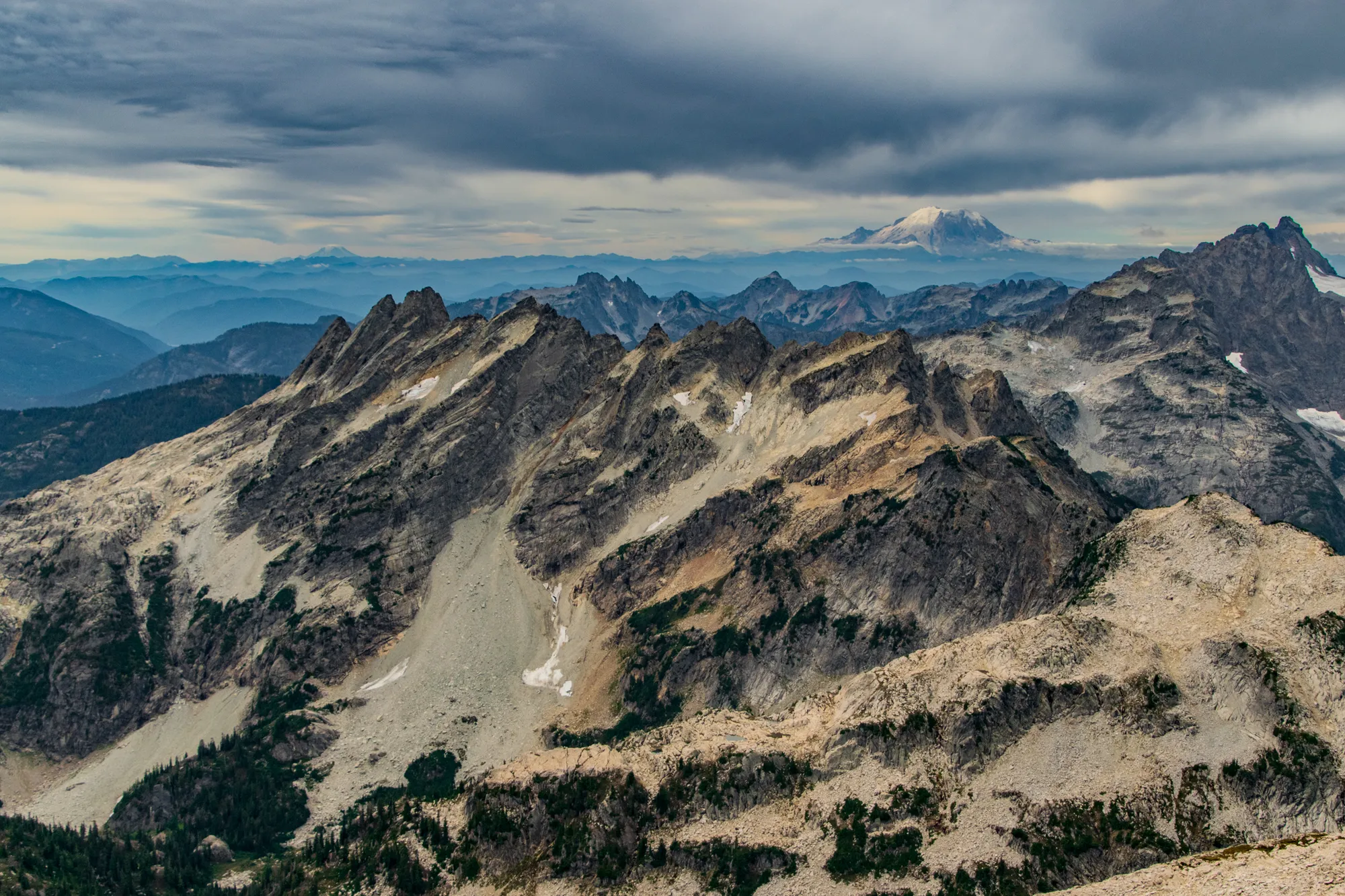
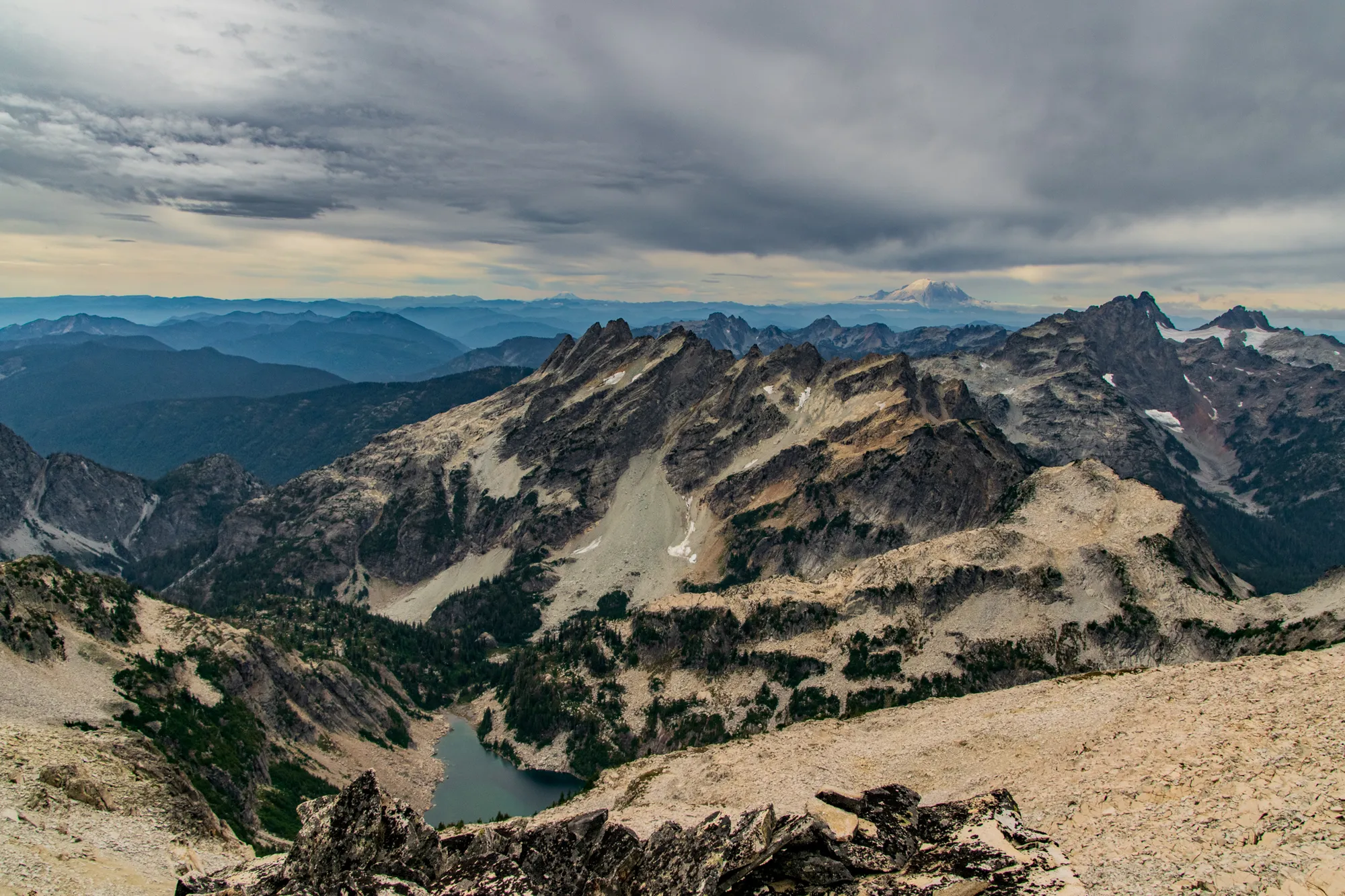
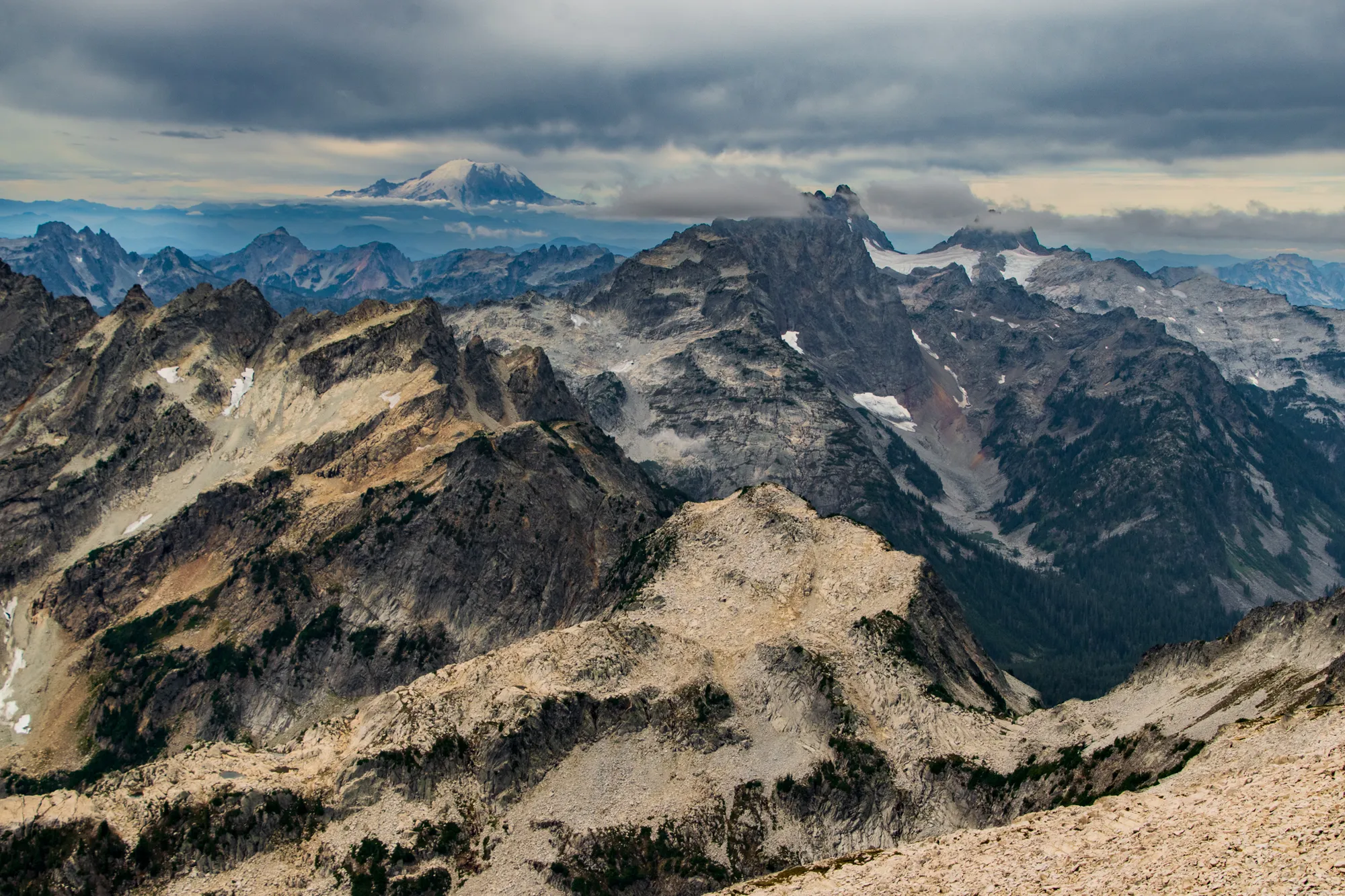
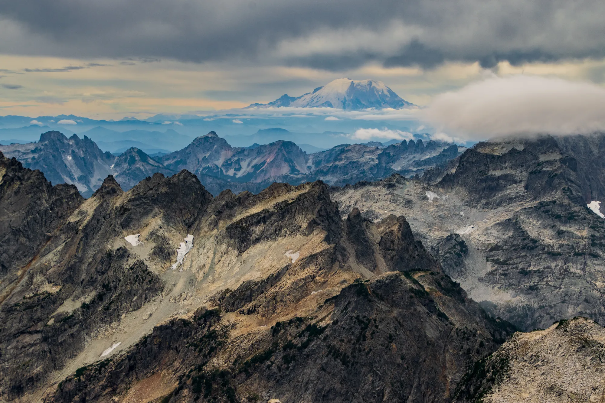
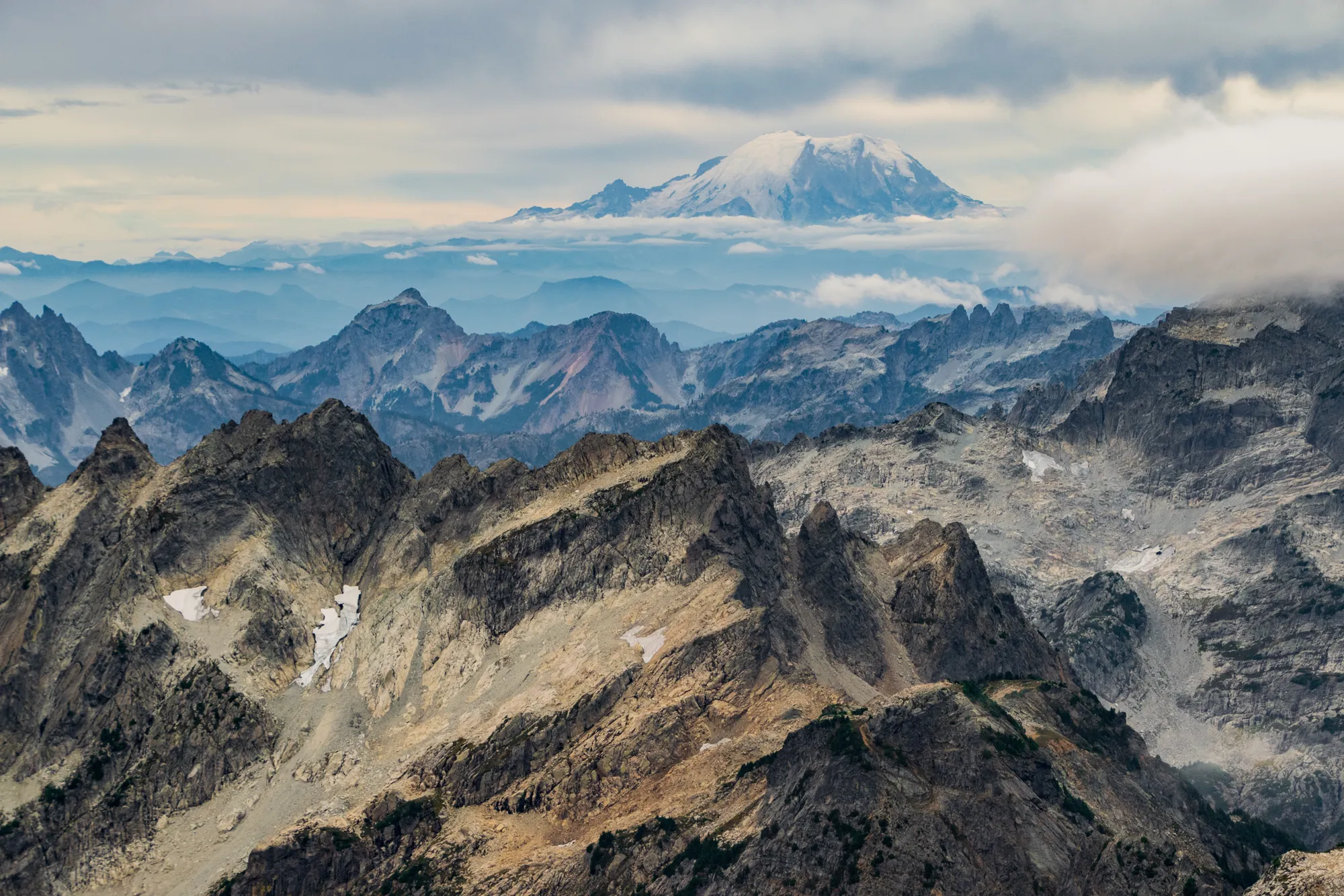
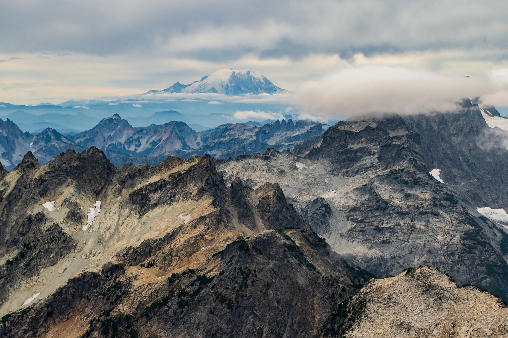
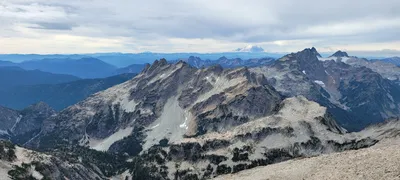 Mt Ranier from Hinman
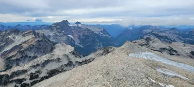 Mt Ranier, looking down the southwest flank of Hinman
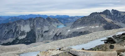 Pea Soup Lake
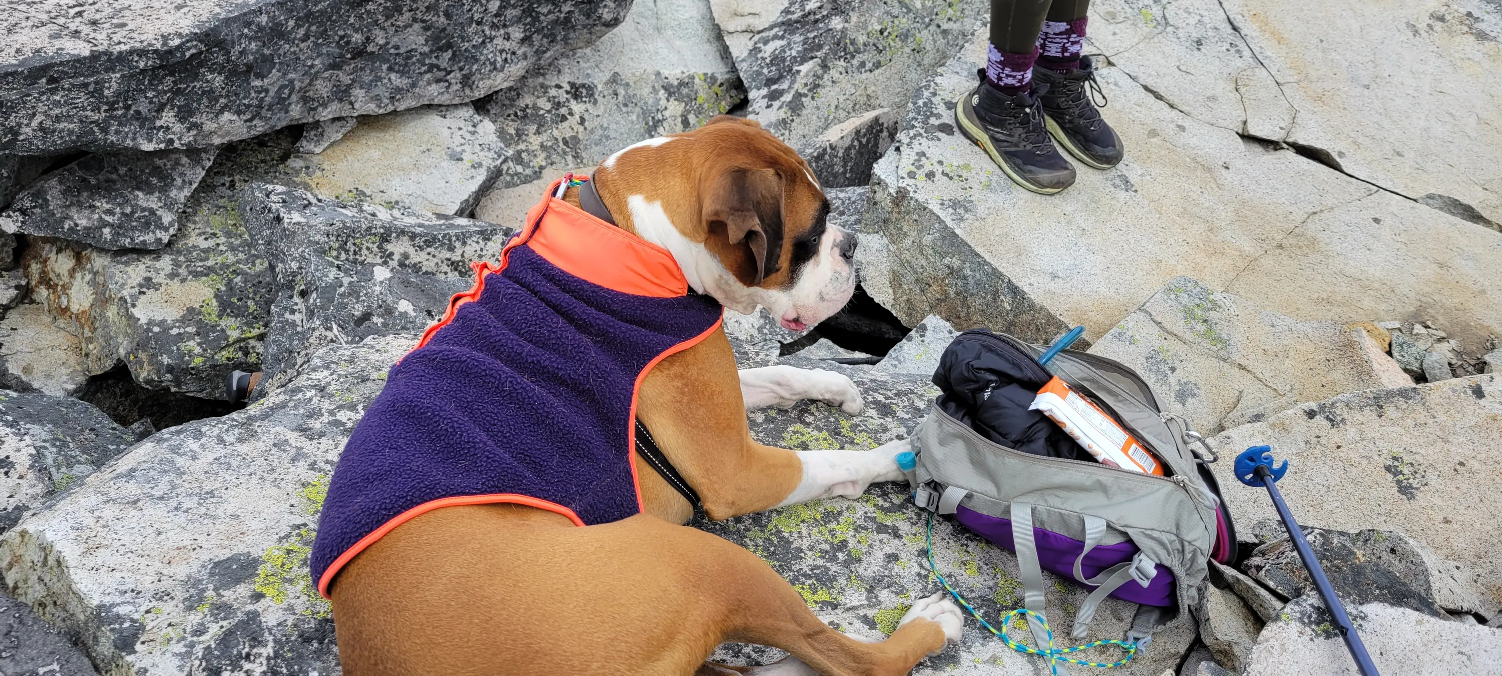
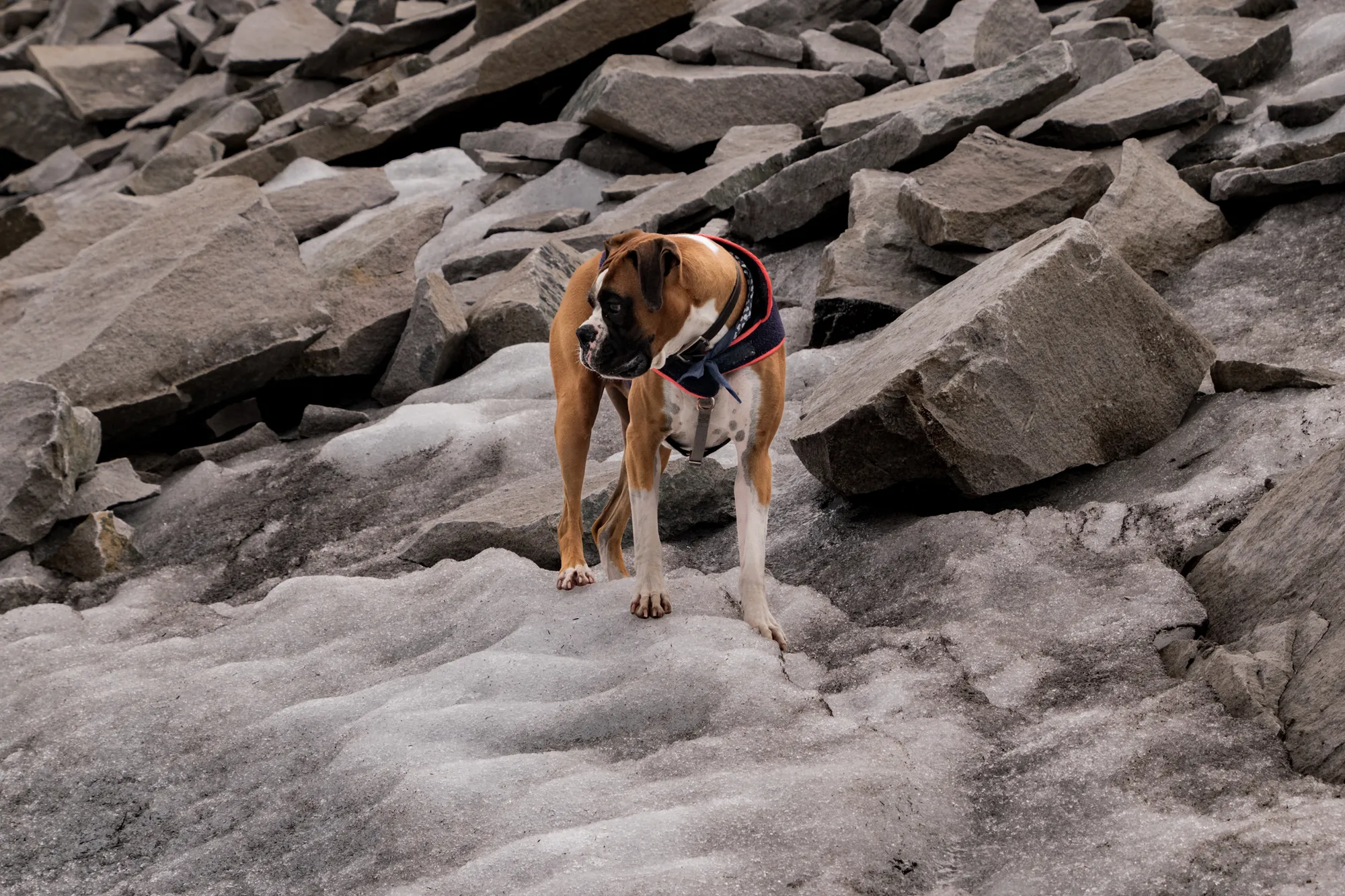
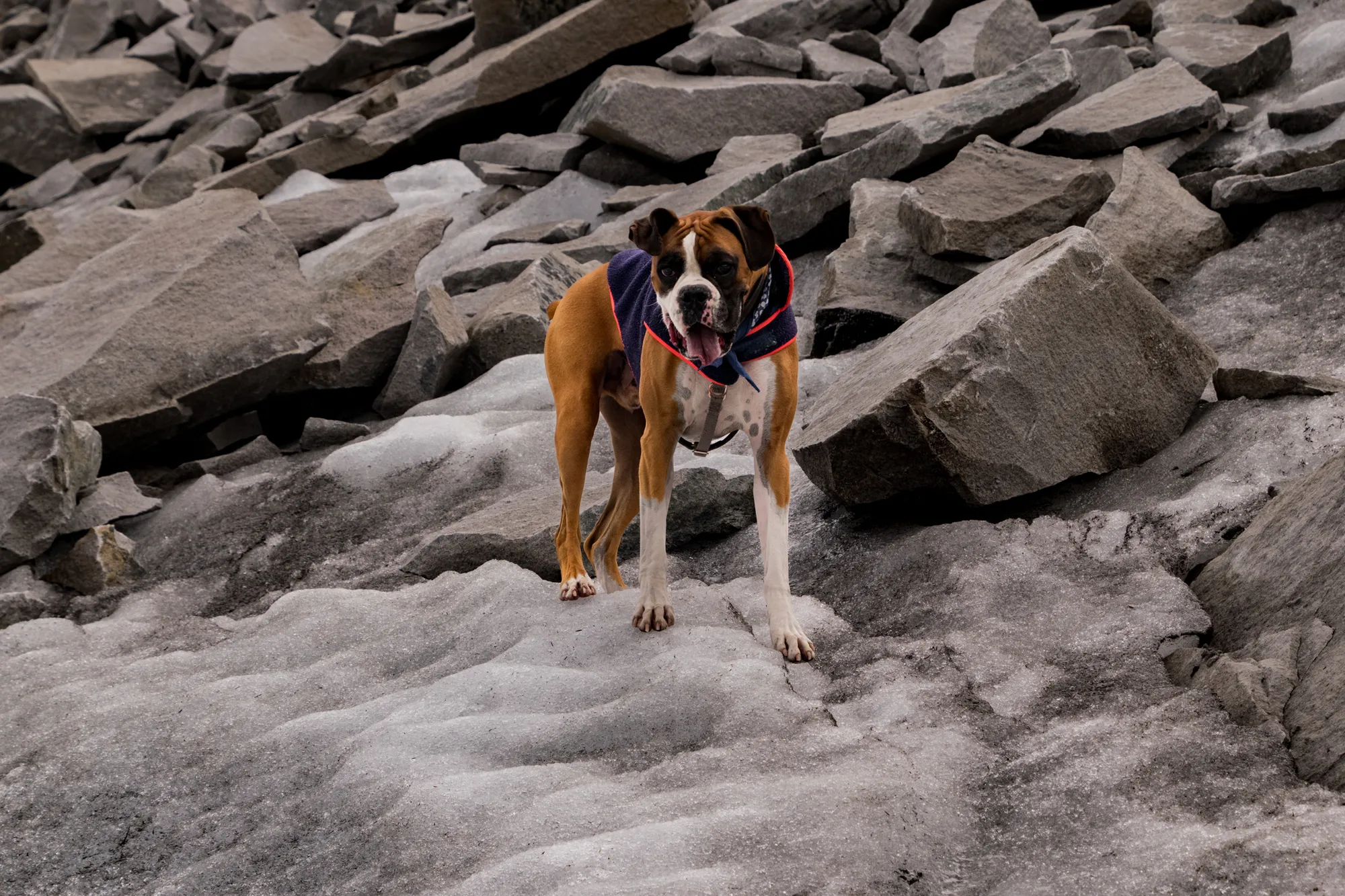
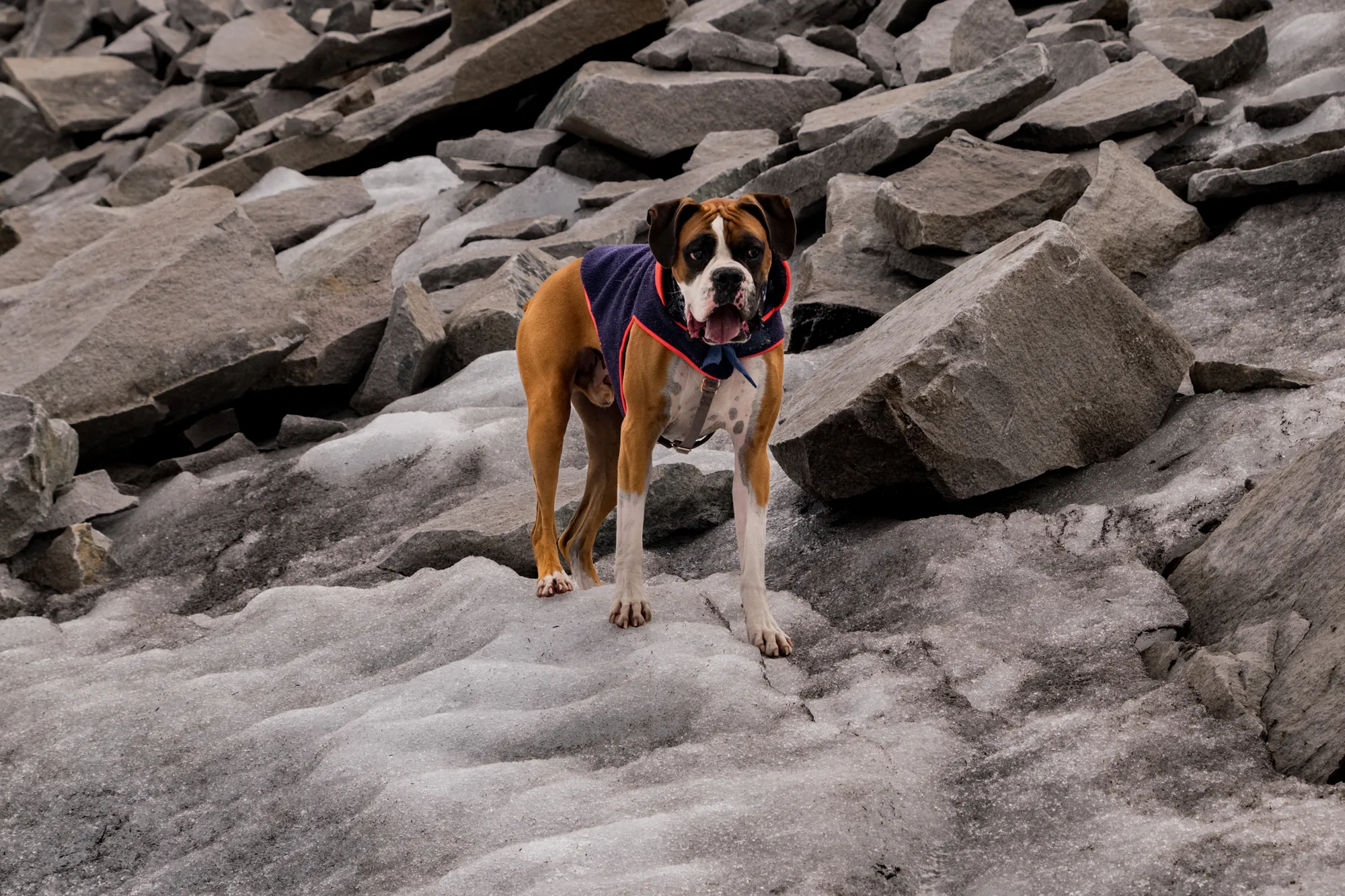
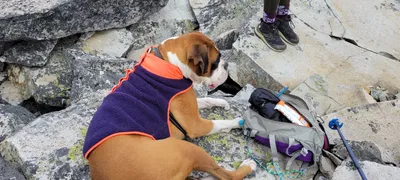 Otis resting on top of Hinman
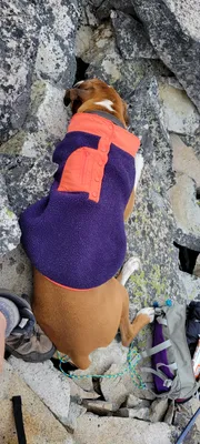 Otis resting on top of Hinman
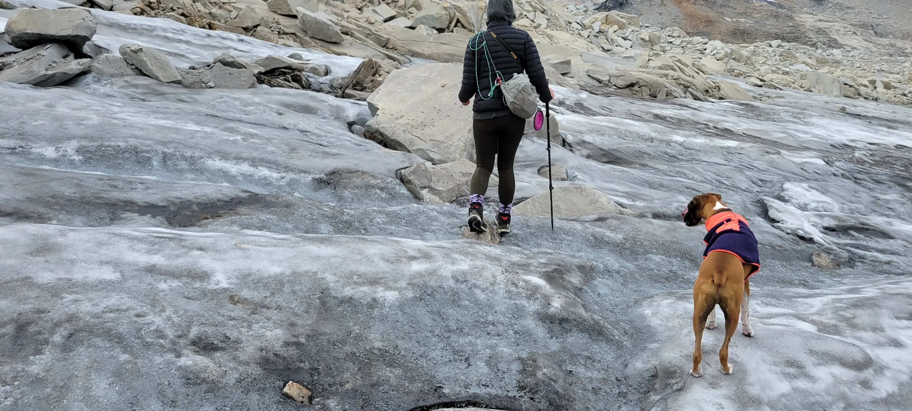
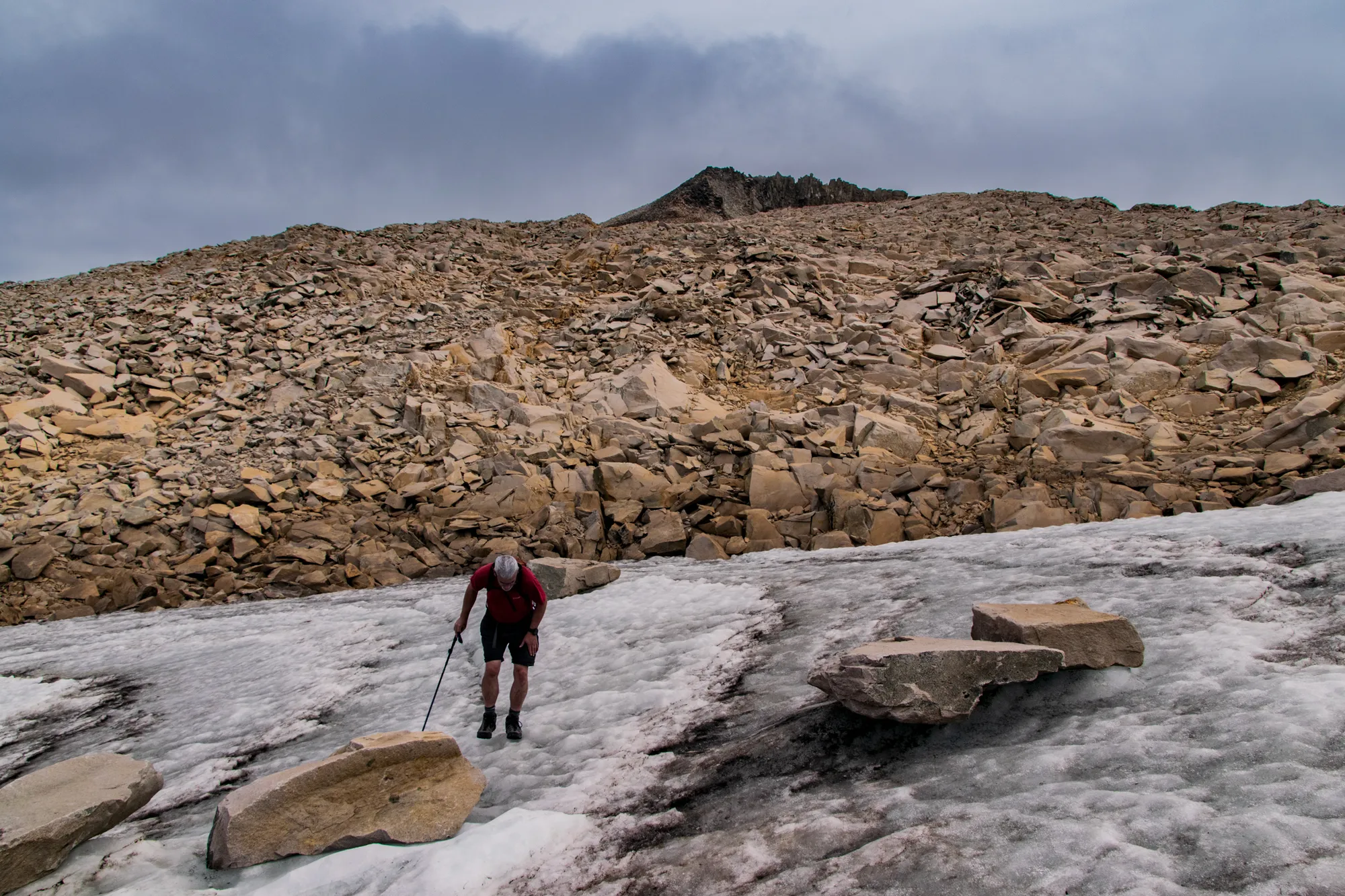
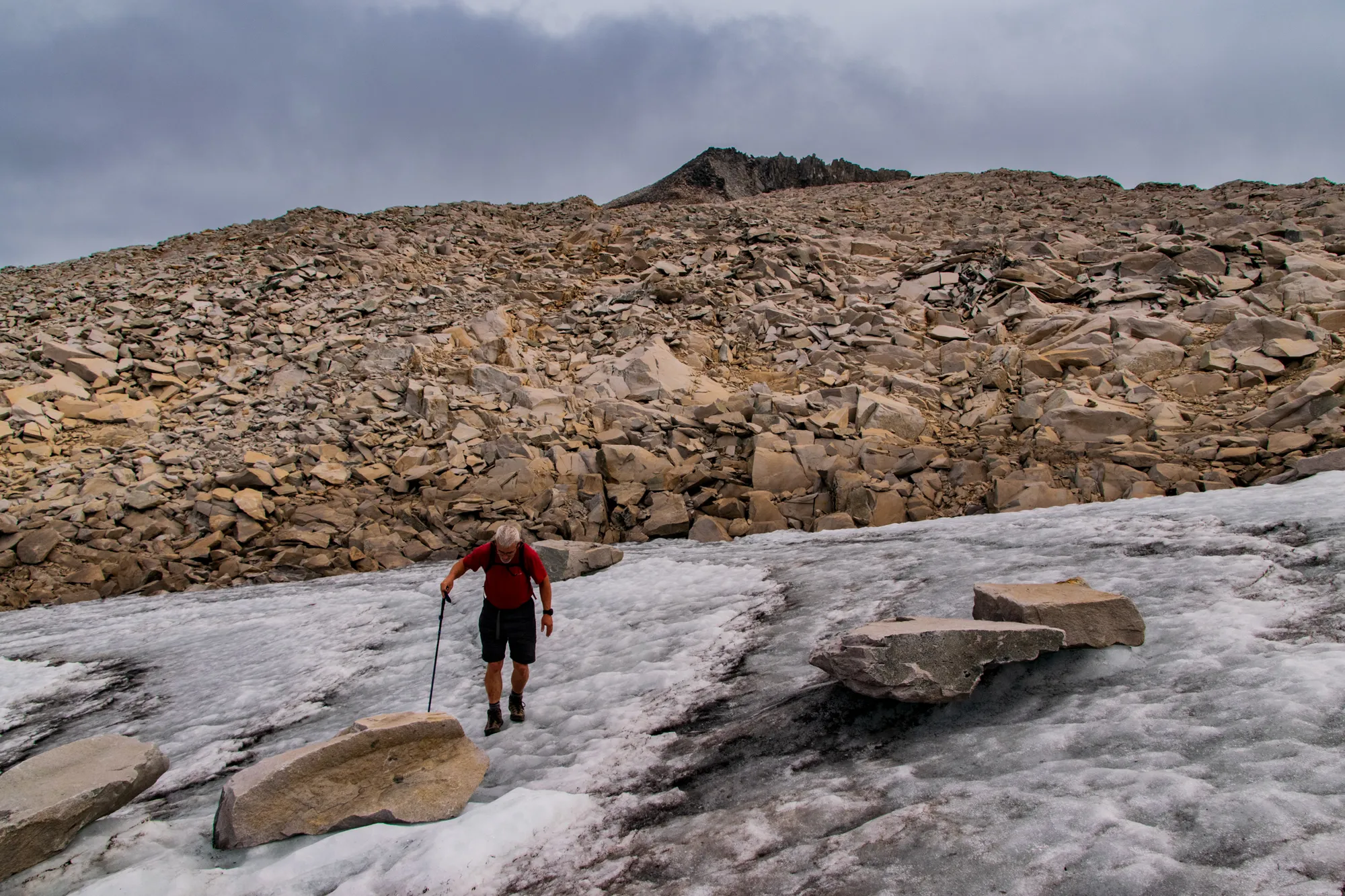
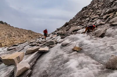
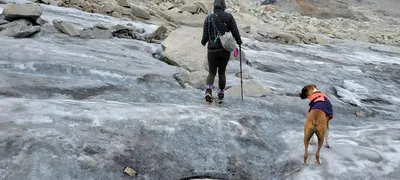 Traversing one of the Hinman Glaciers
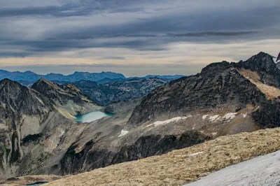
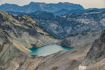
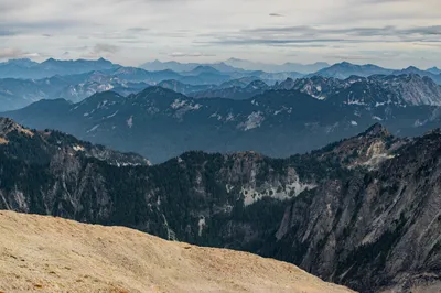
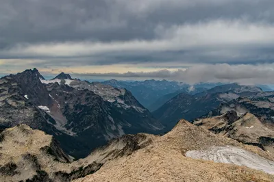
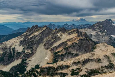
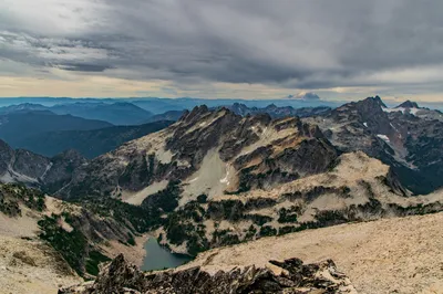
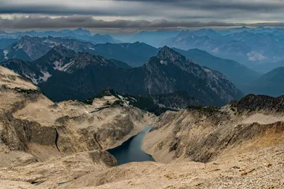
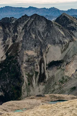
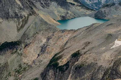
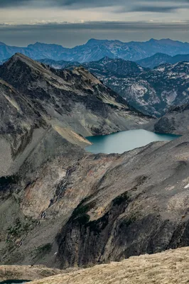
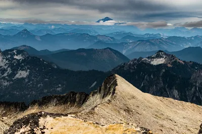
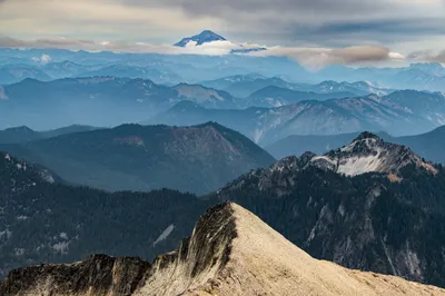
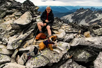
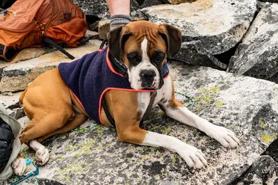
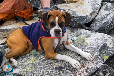
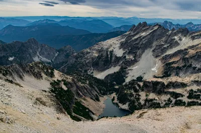
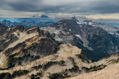
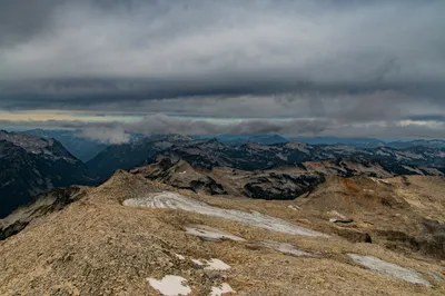
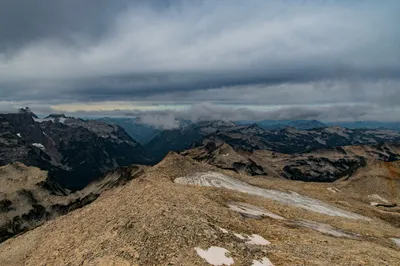
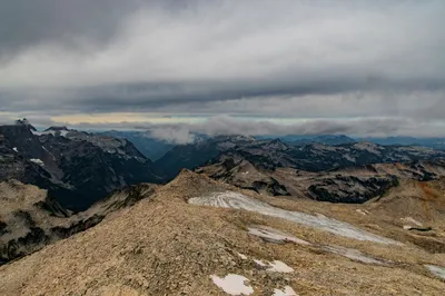
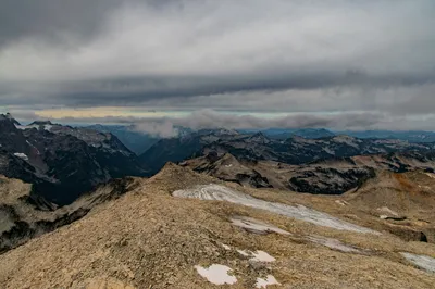
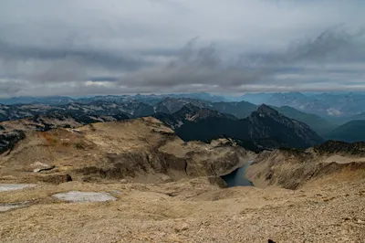
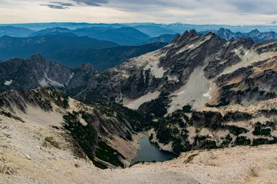
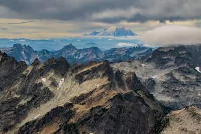
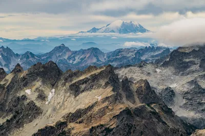
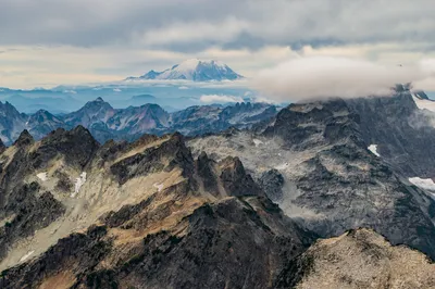
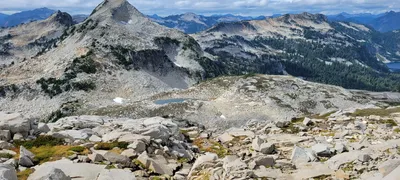 Coming down from Hinman
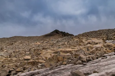
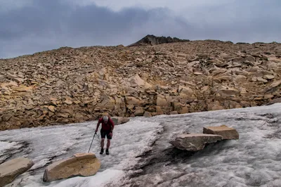
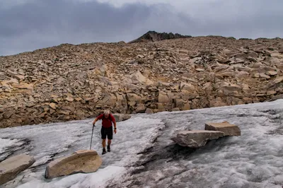
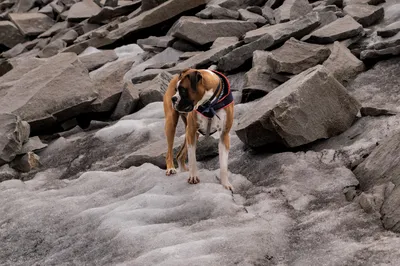
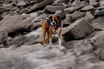
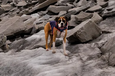
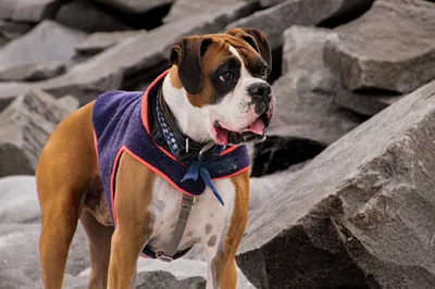
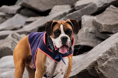
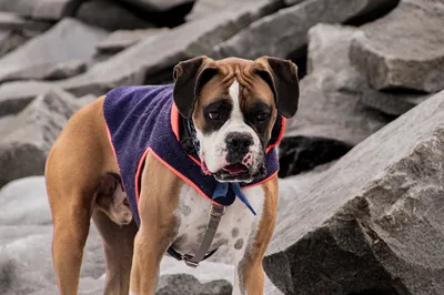
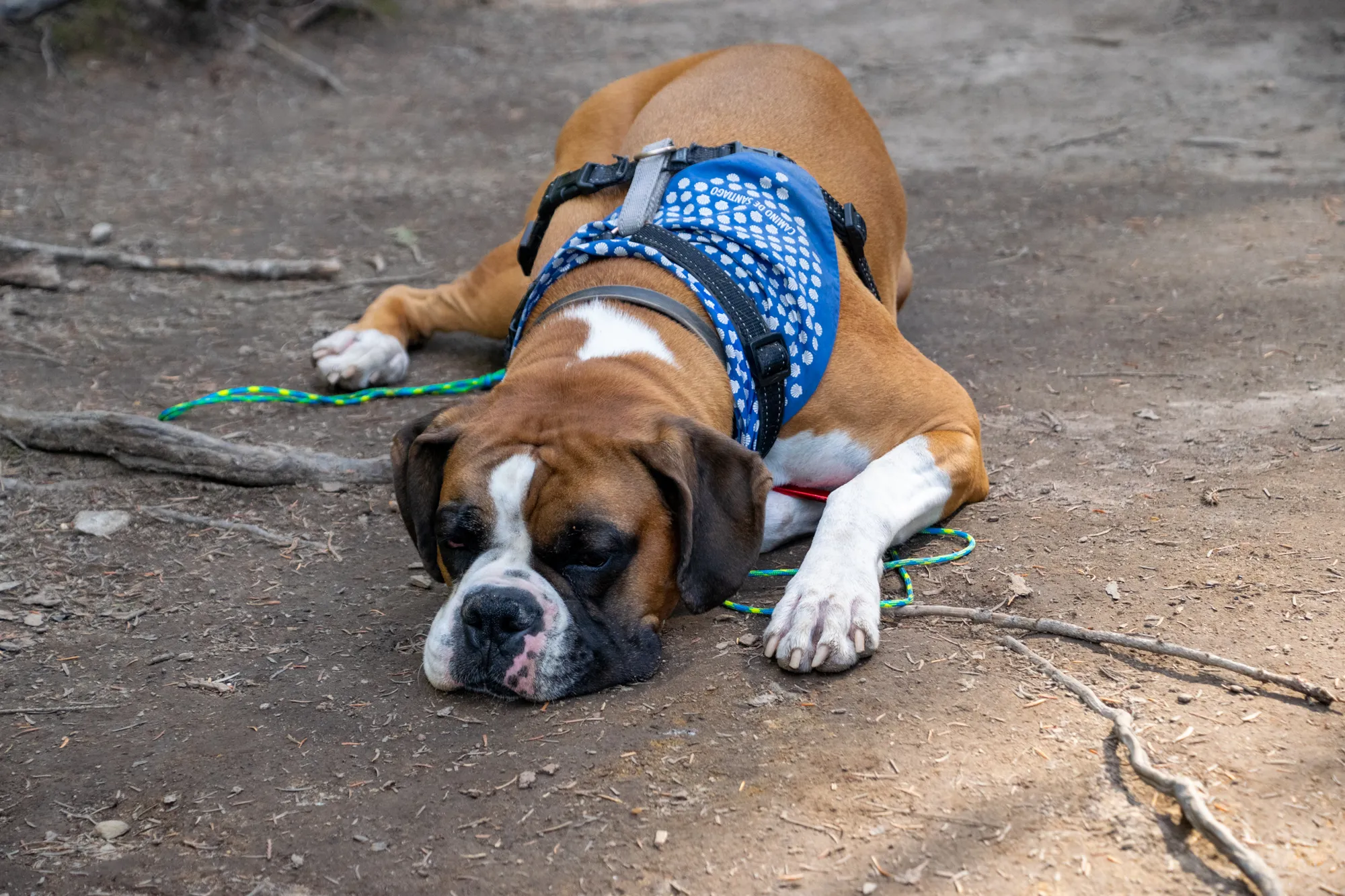
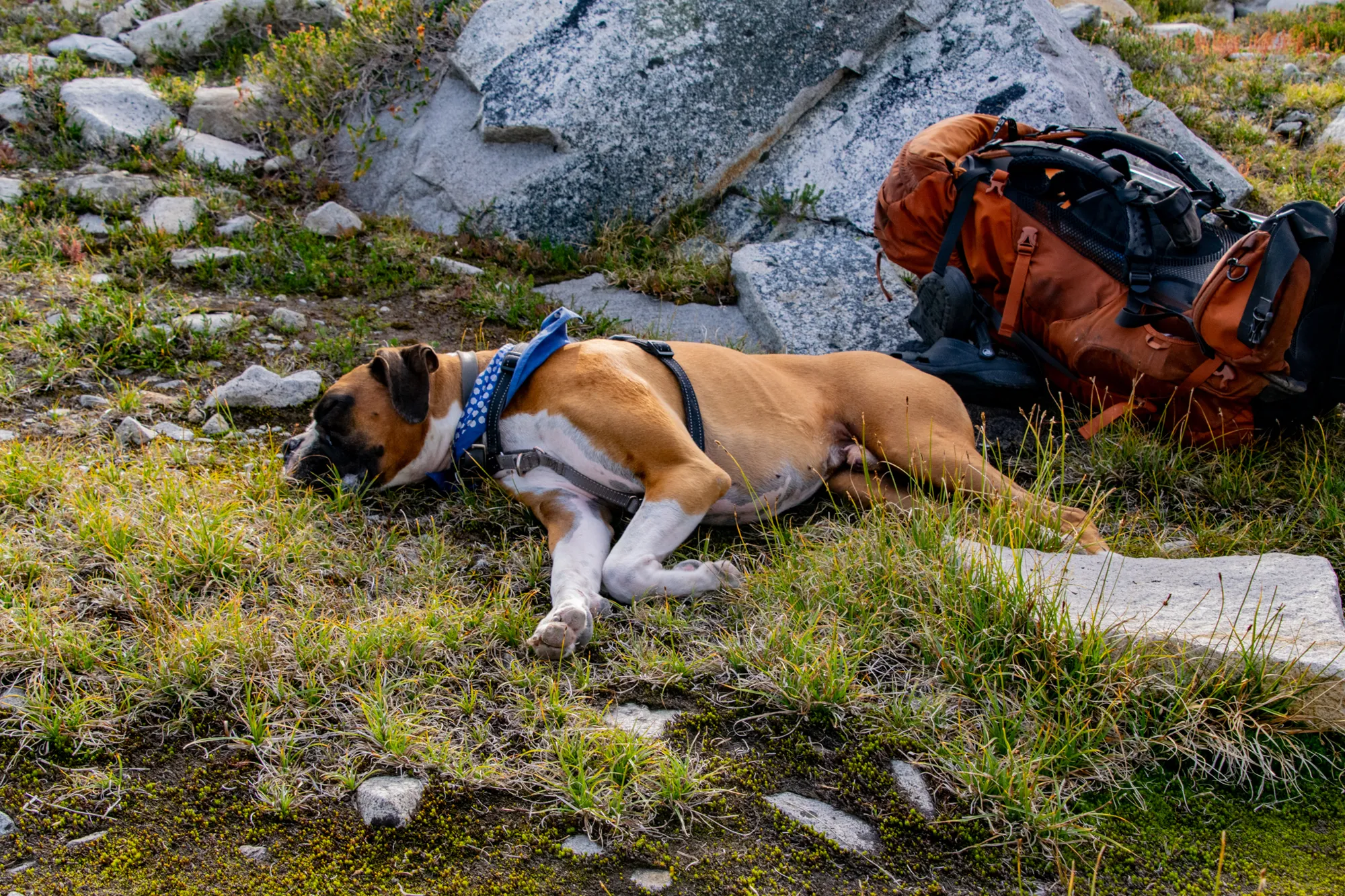
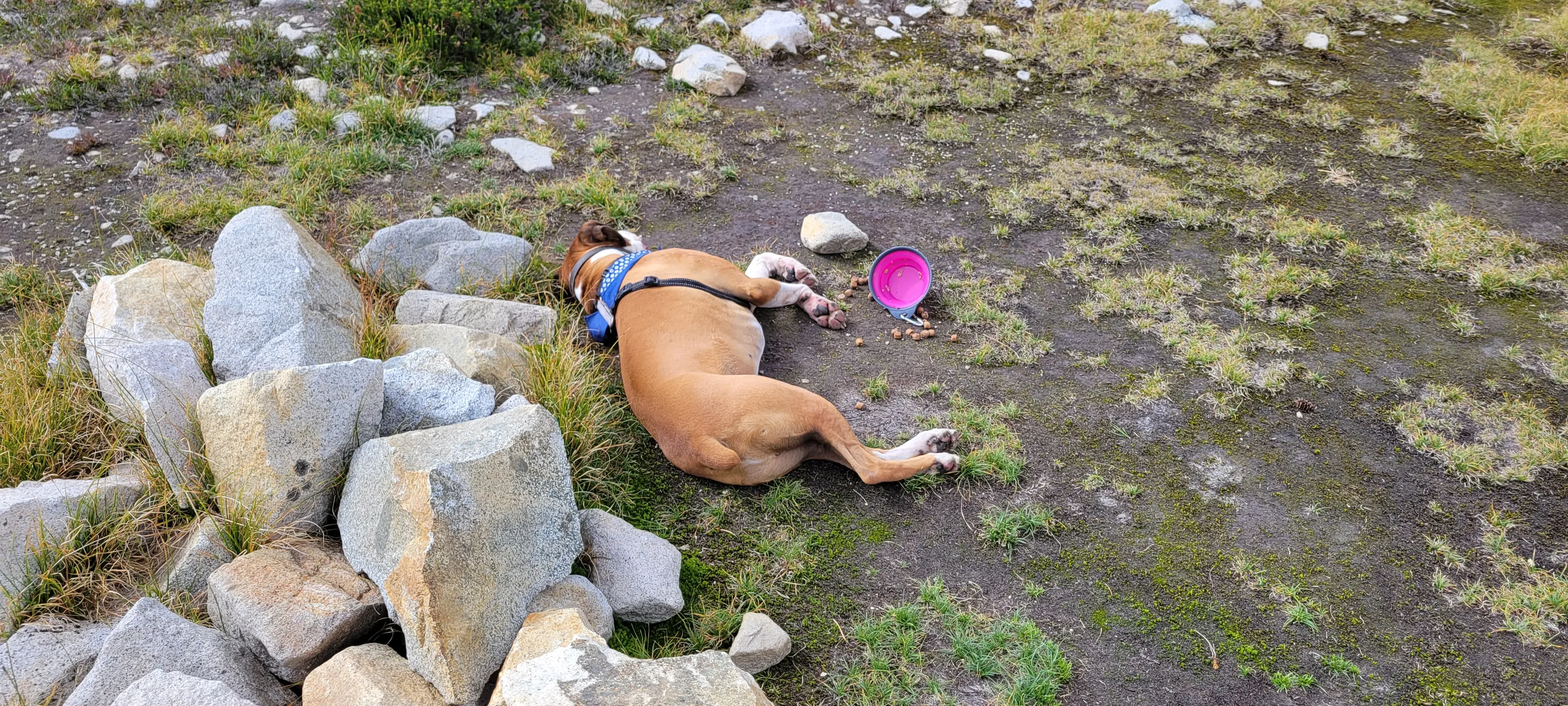
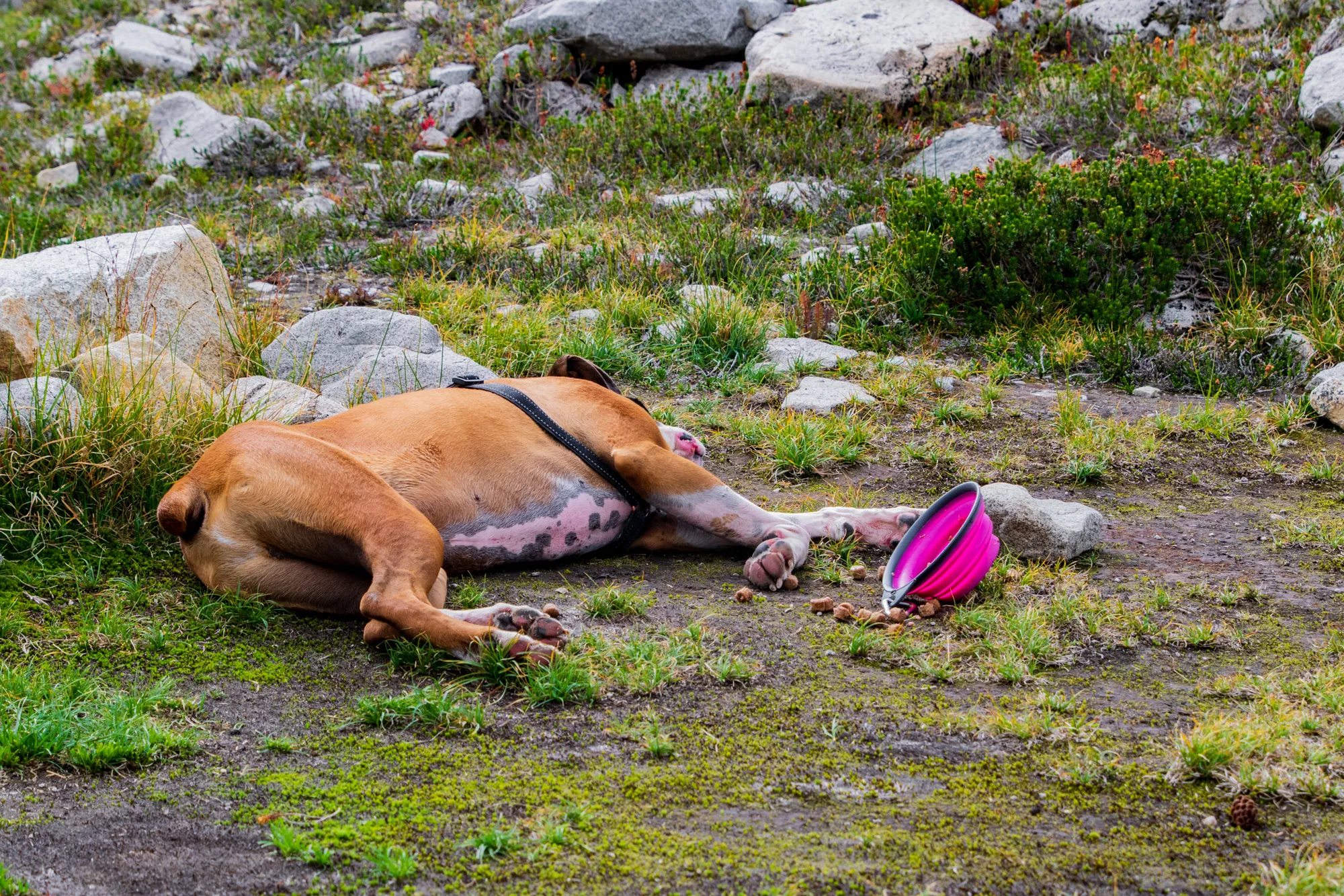
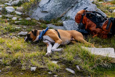
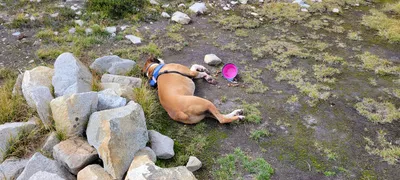 After we got back to camp, Carly fed Otis - he ate most of it an then just passed out
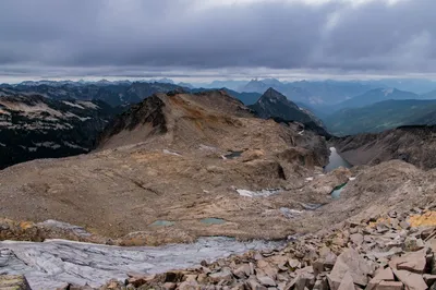
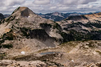
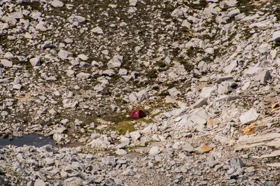
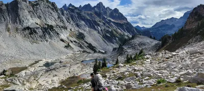 Heading down to Chain Lakes basin - Necklace Valley
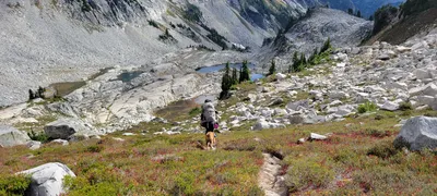 Heading down to Chain Lakes basin - Necklace Valley
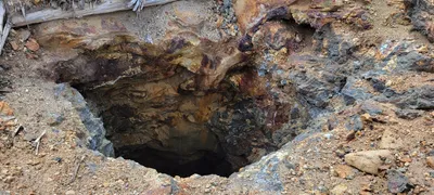 Shaft at top of main mine at Chain Lakes - Necklace Valley
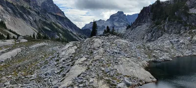 Little Big Chief from Chain Lakes
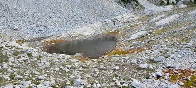 One of the Chain Lakes
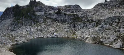 One of the Chain Lakes
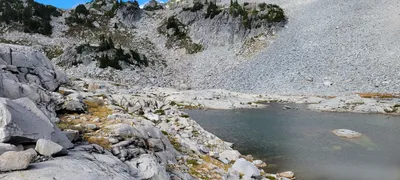 The view from our campsite at Chain Lakes - looking north
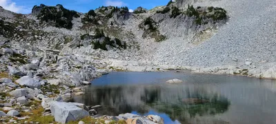 The view from our campsite at Chain Lakes - looking north
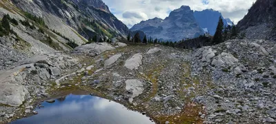 Chain lakes - the old cabin was on the hill above the lake I think
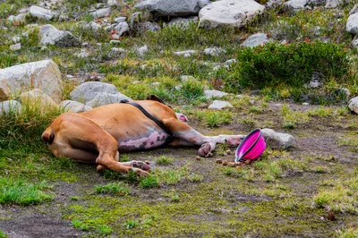
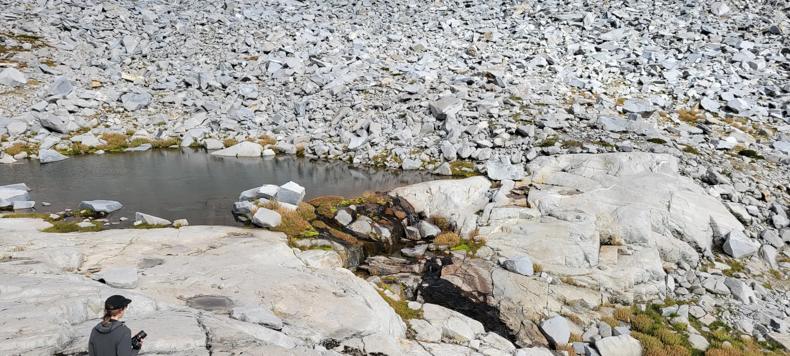
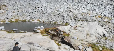 Another one of the chain lakes with a little waterfall
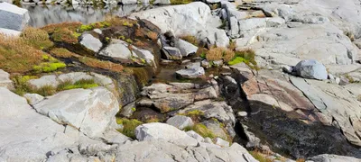 Little waterfall from one of the chain lakes
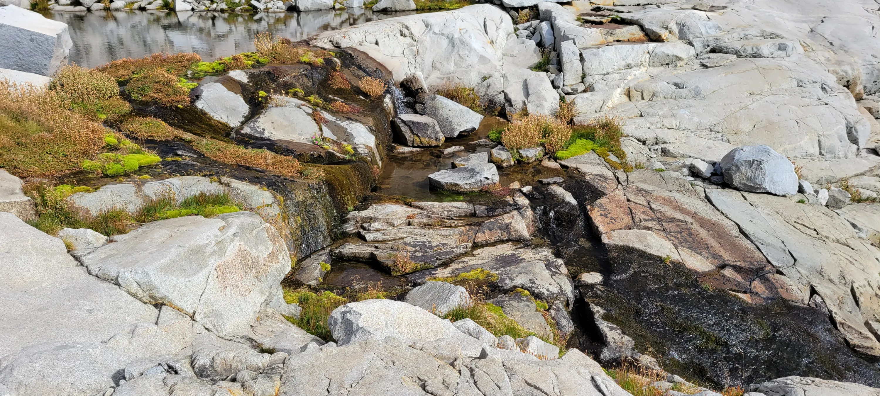
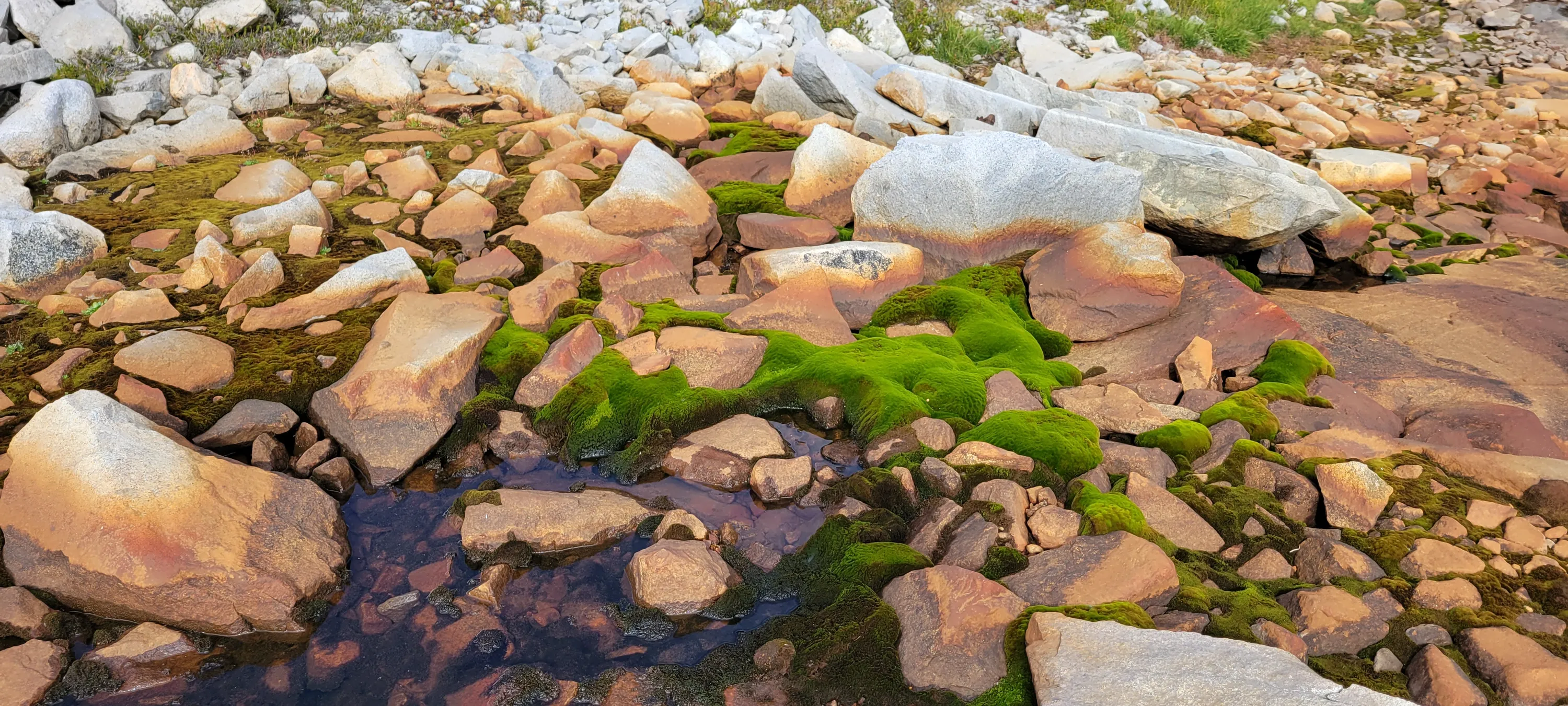
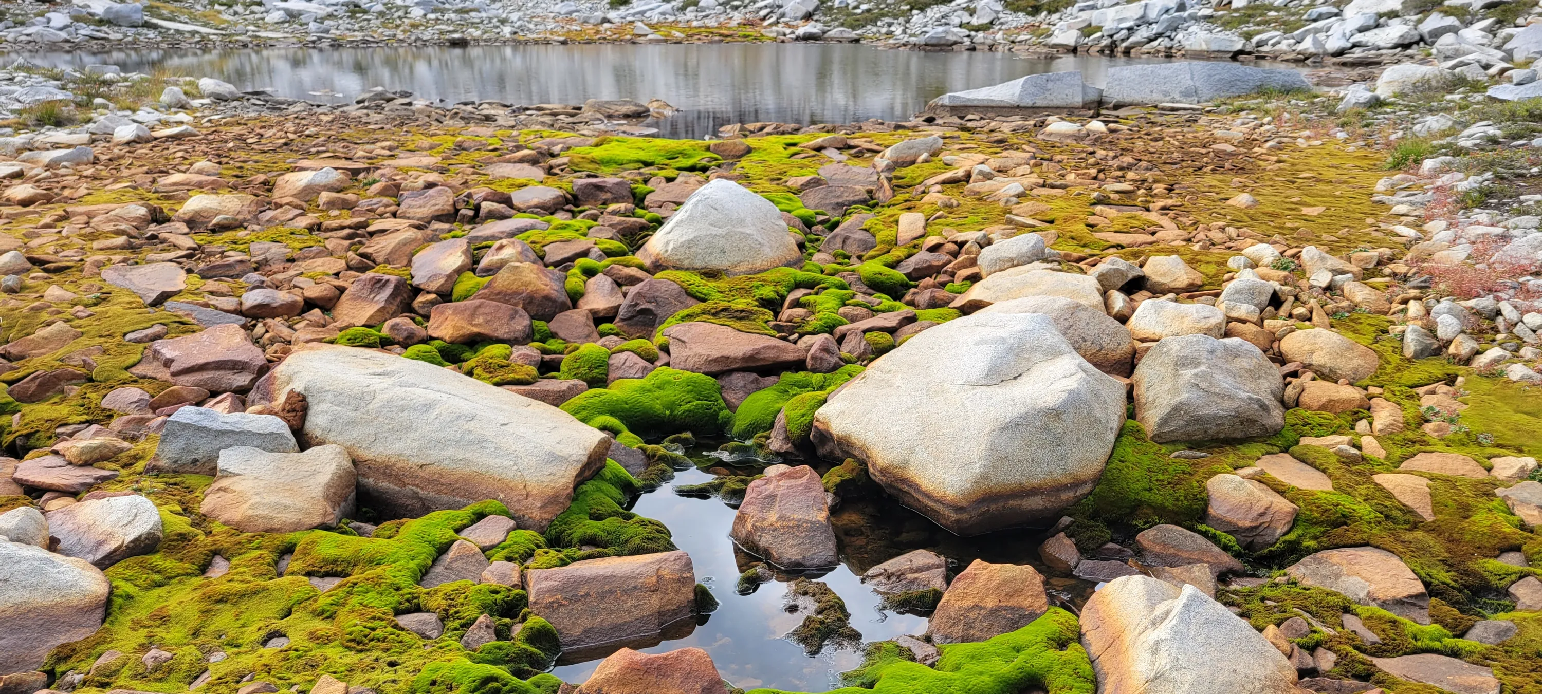
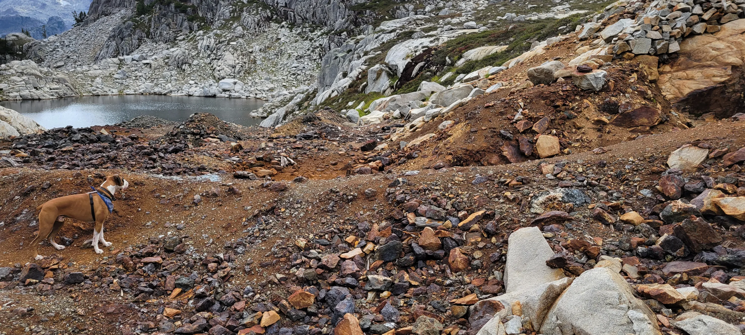
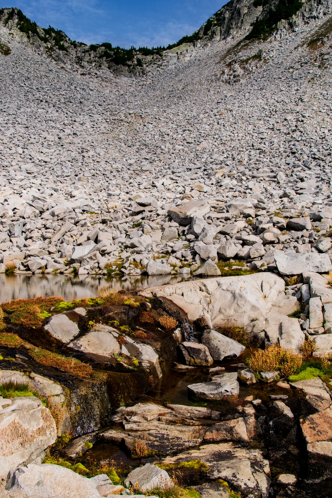
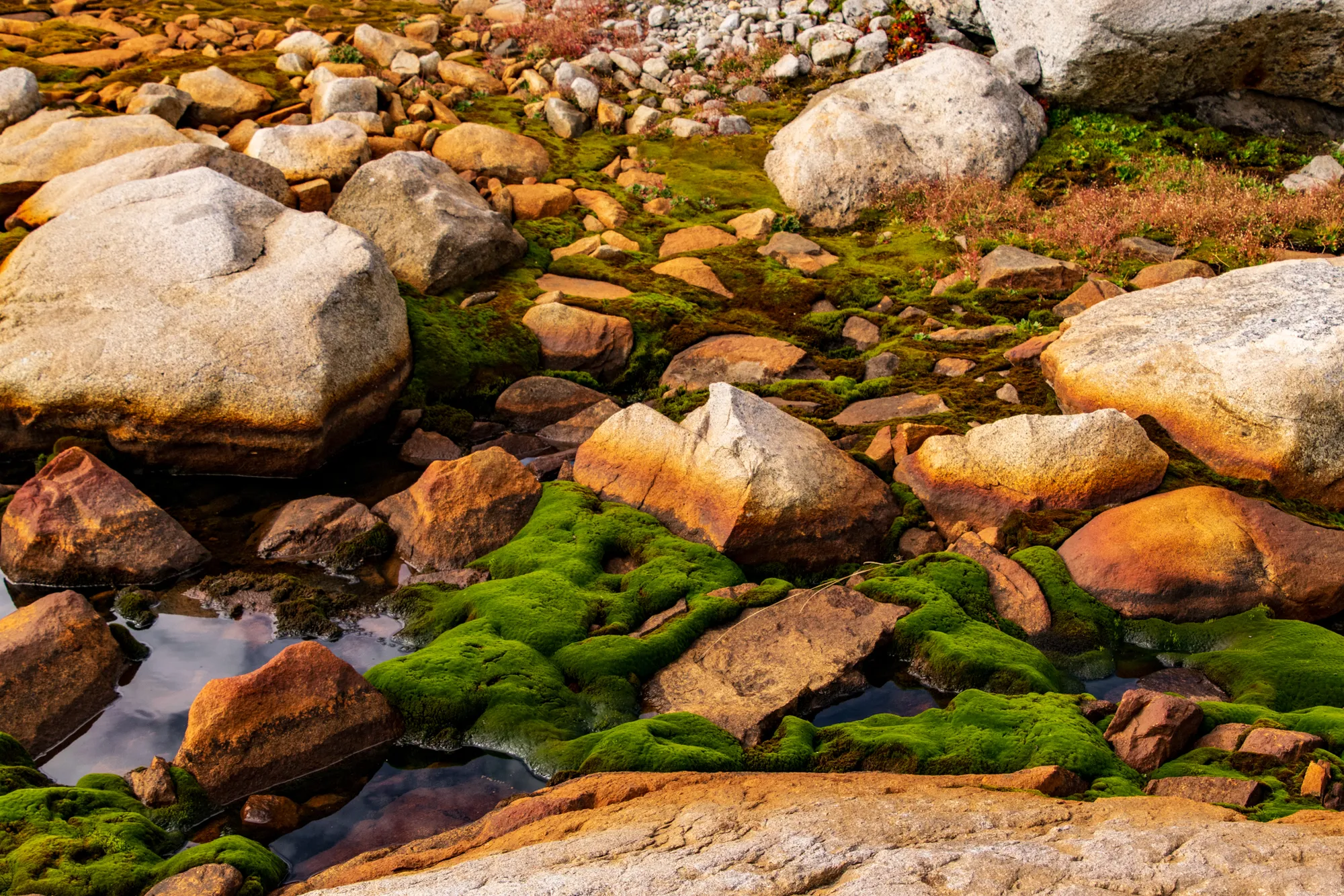
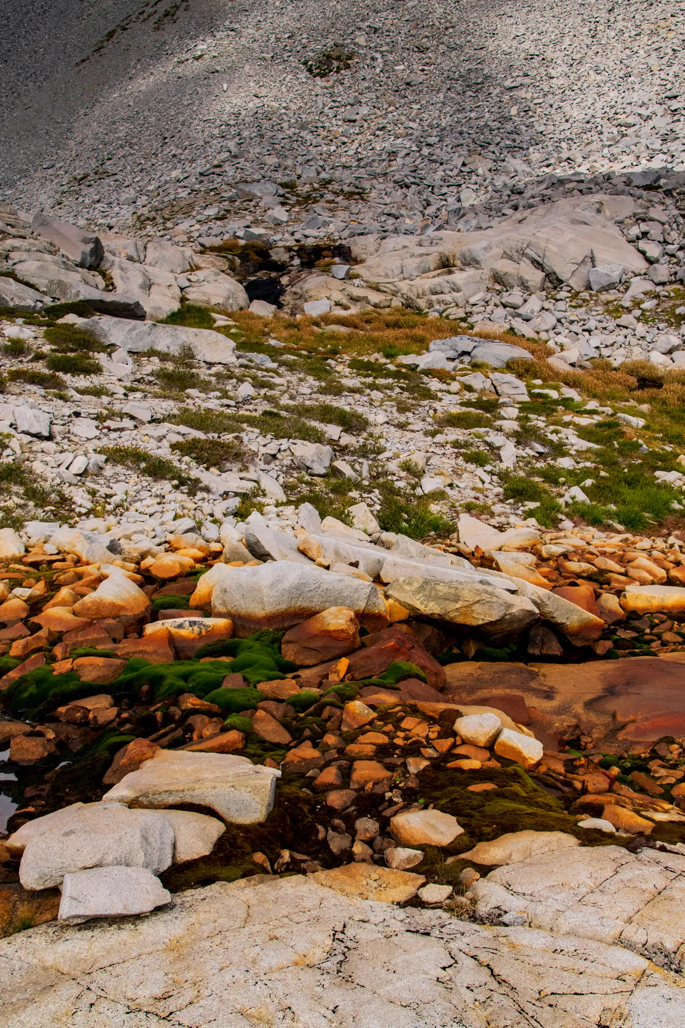
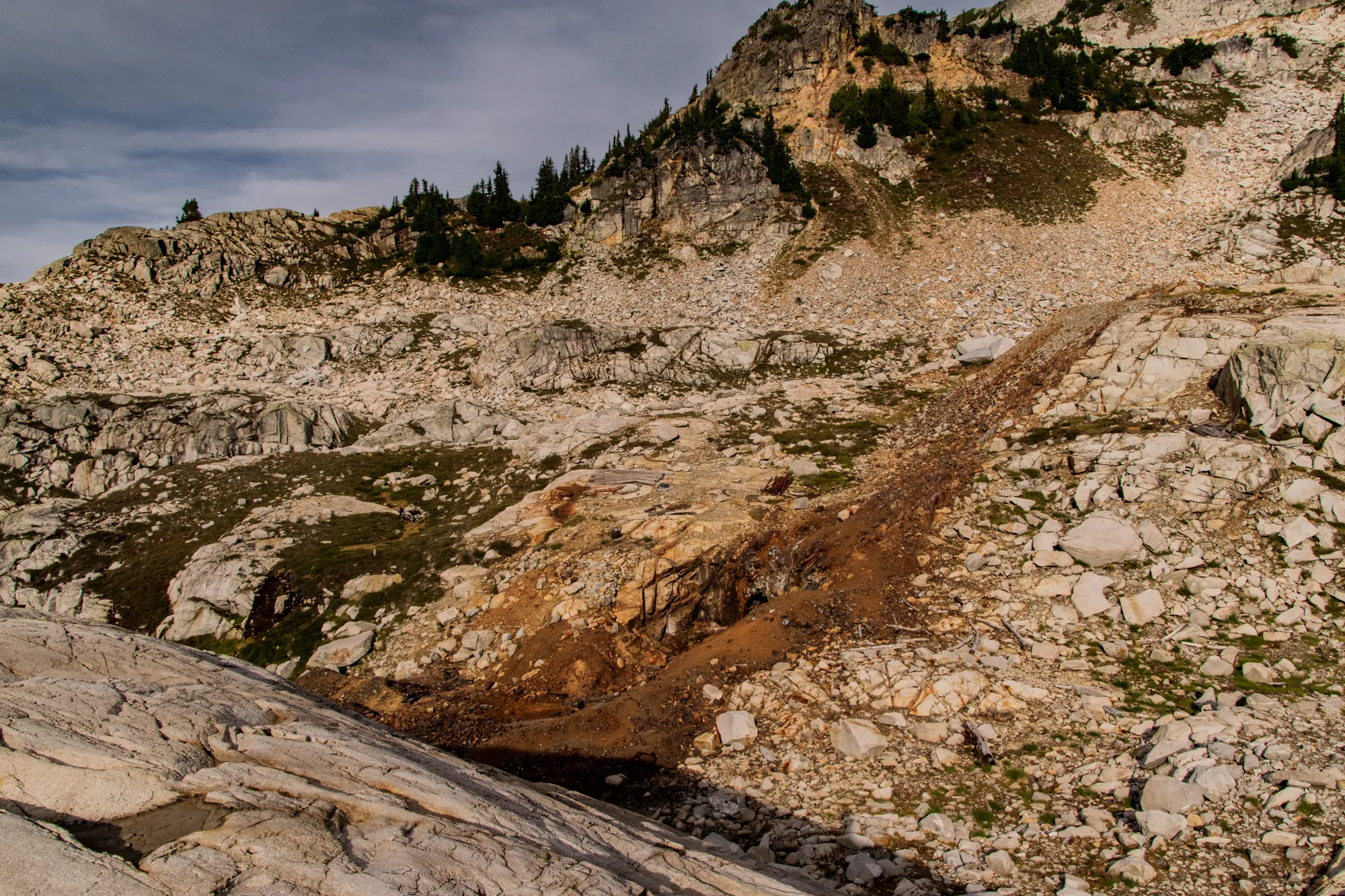
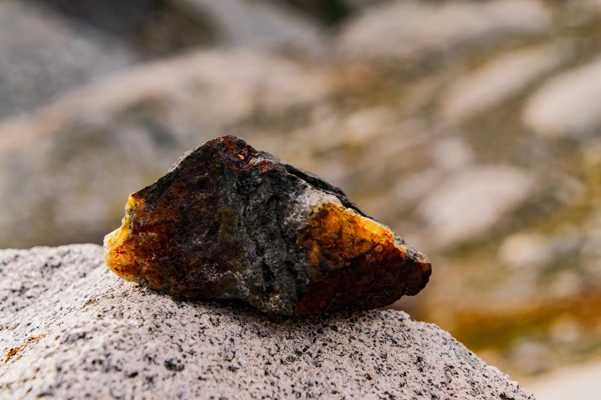
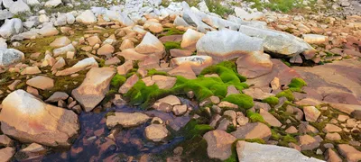 This looks like iron ore staining, but the most seemed to LOVE it - Chain Lakes basin
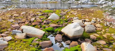 This looks like iron ore staining, but the most seemed to LOVE it - Chain Lakes basin
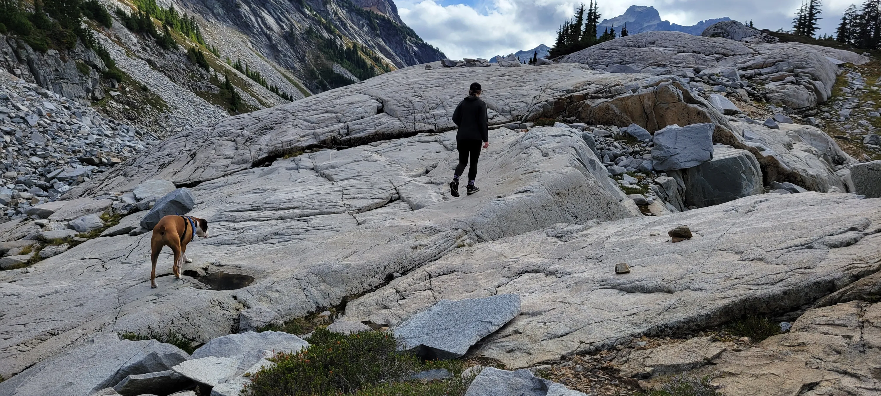
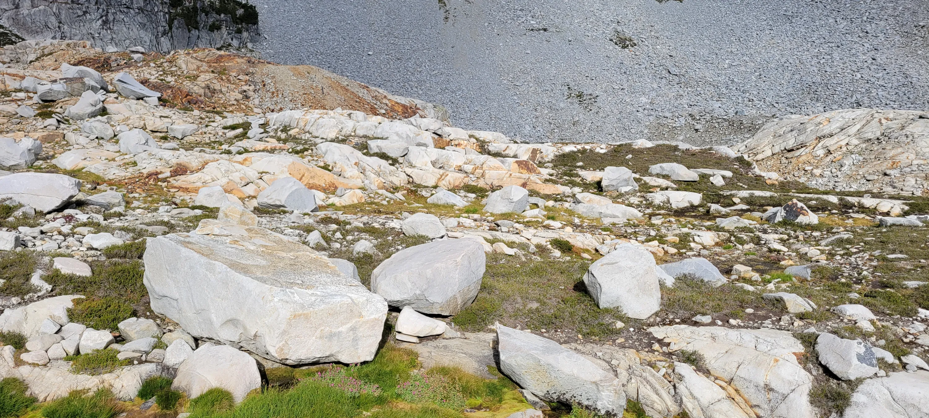
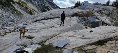 Some of the big granite slabs in the Chain Lakes basin
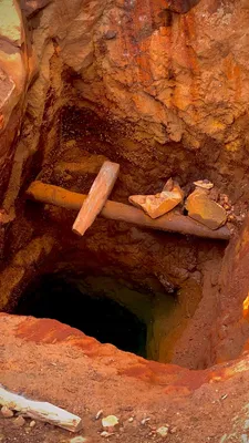
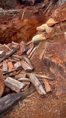
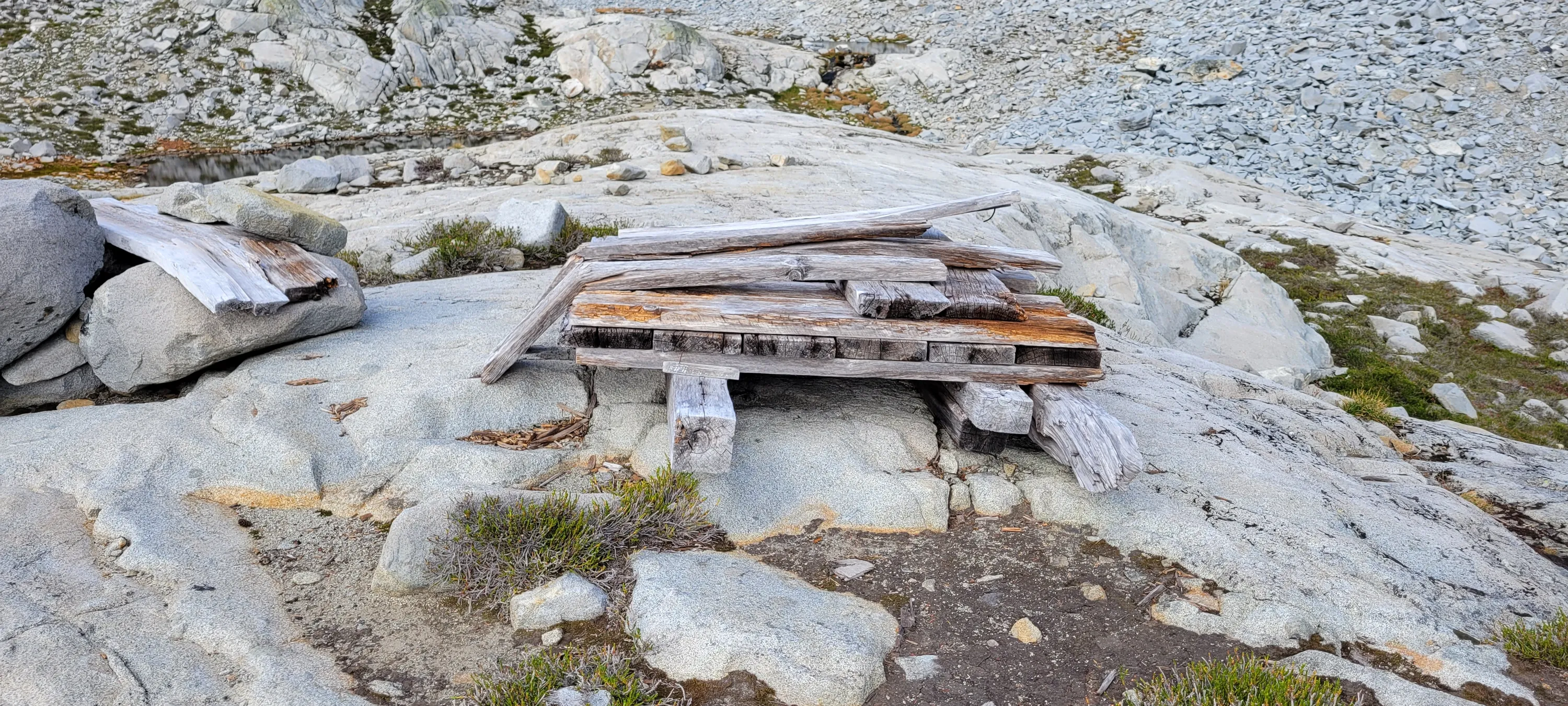
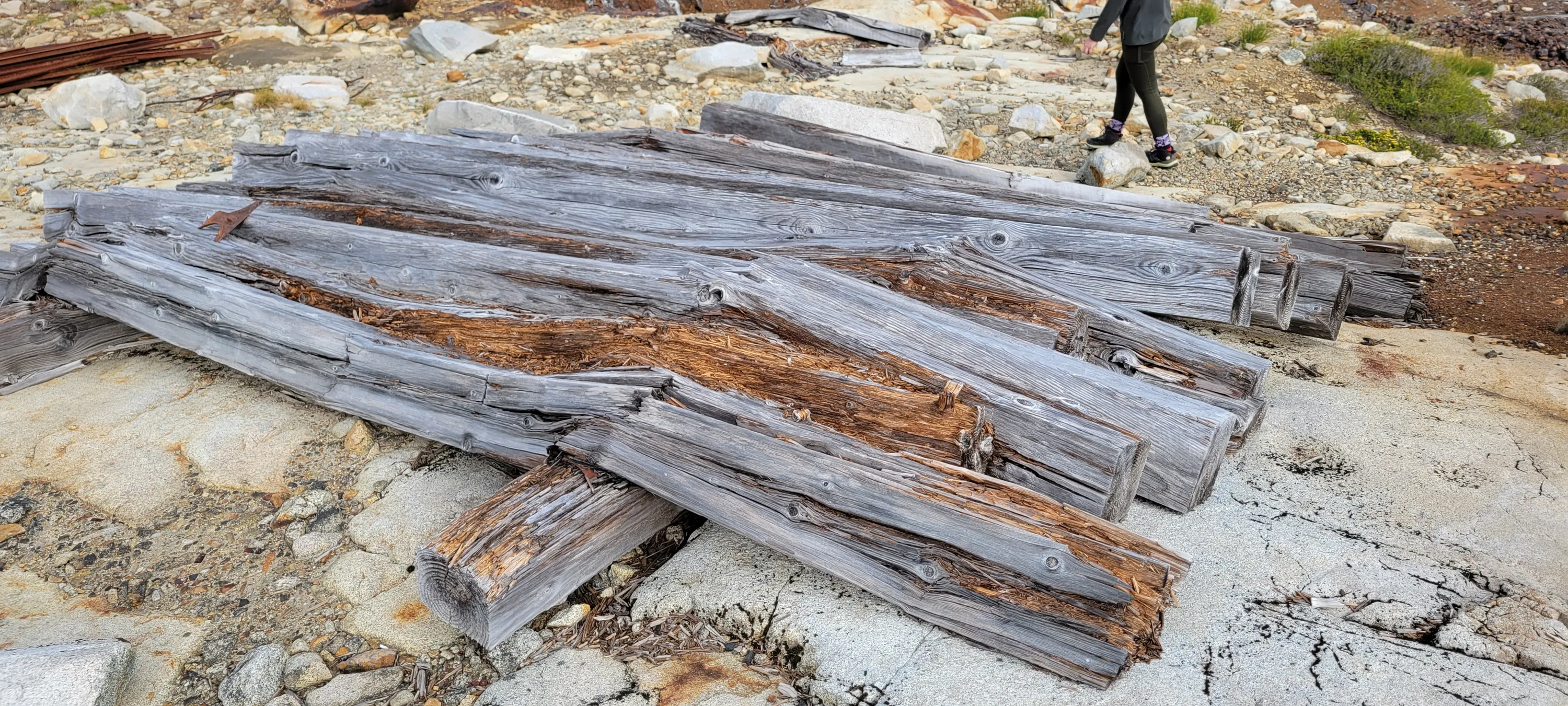
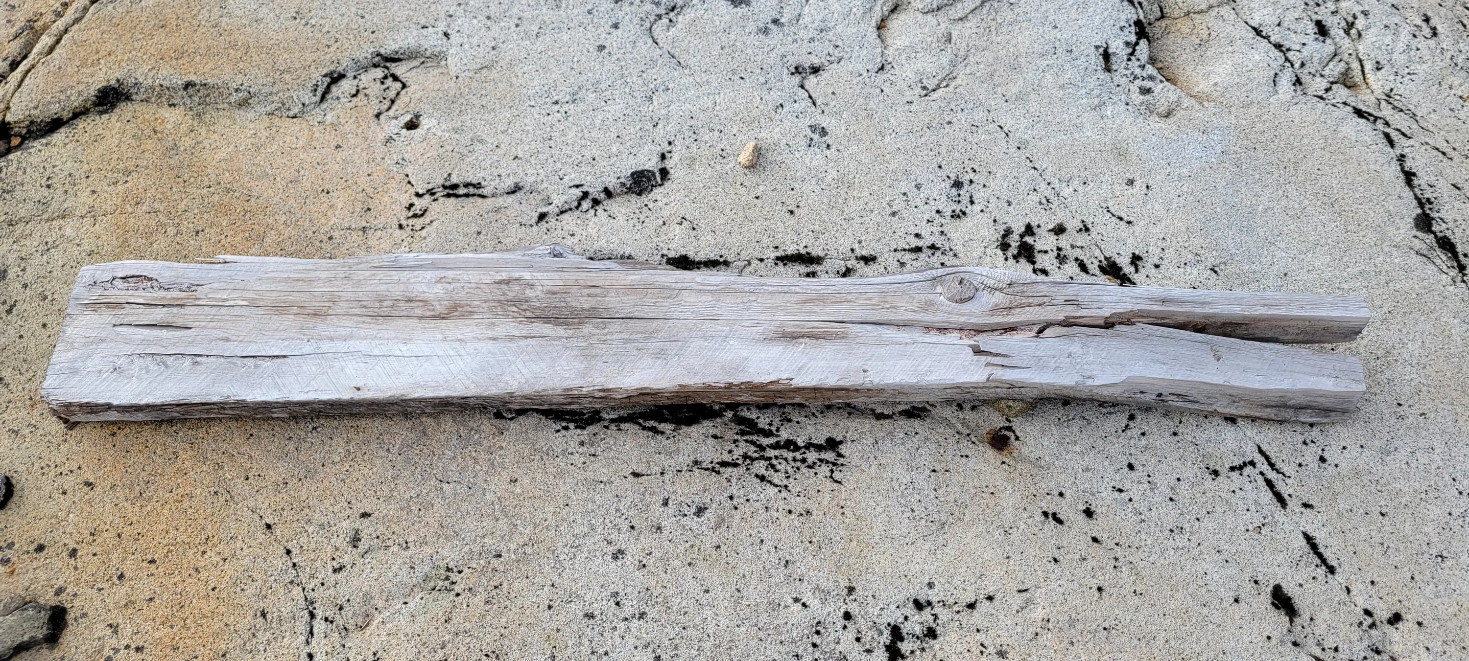
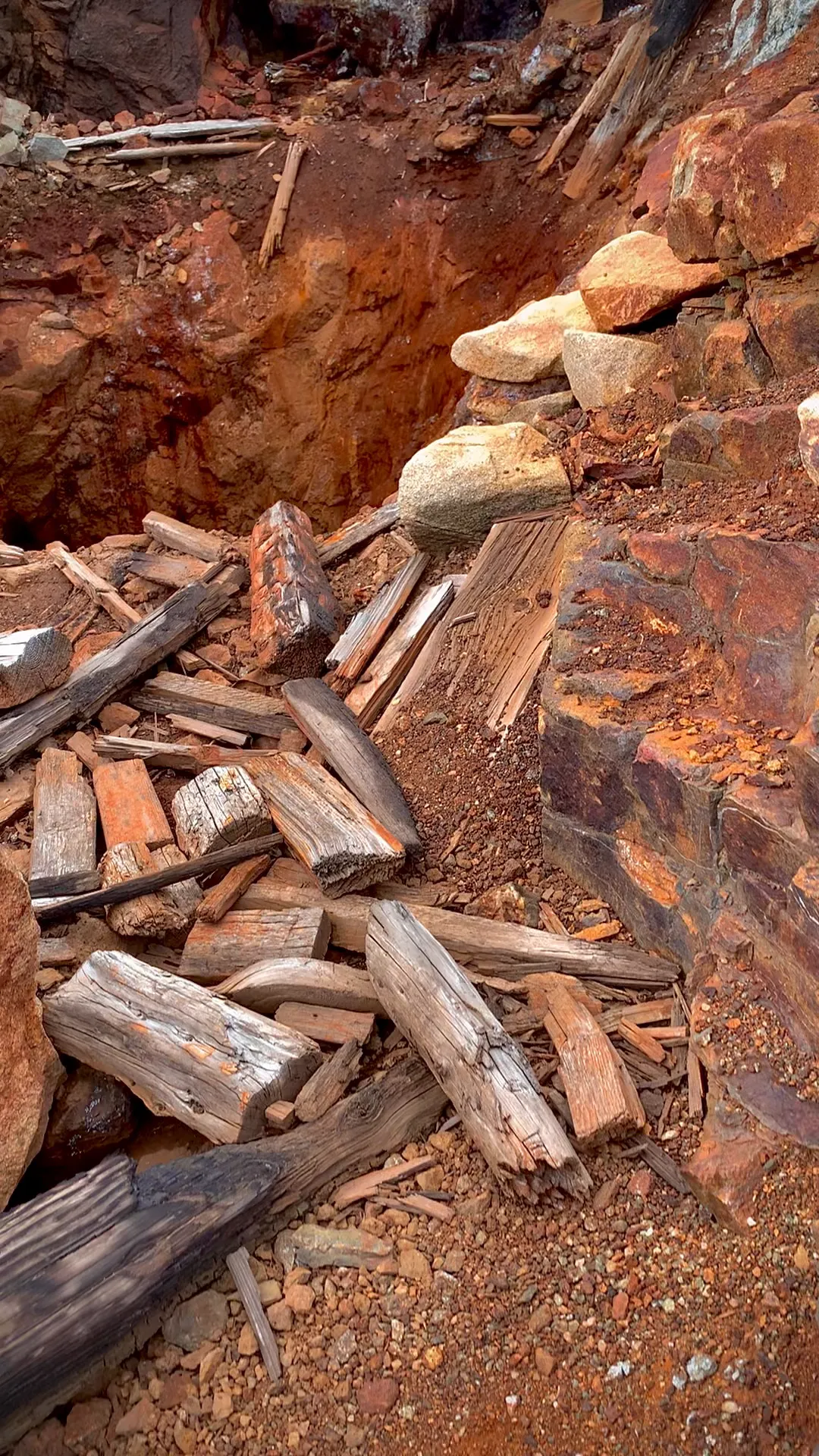
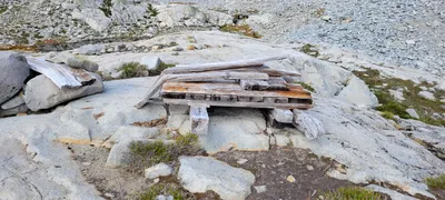 Old wood in the Chain Lakes basin - I'm assuming this was to shore up the mine shafts
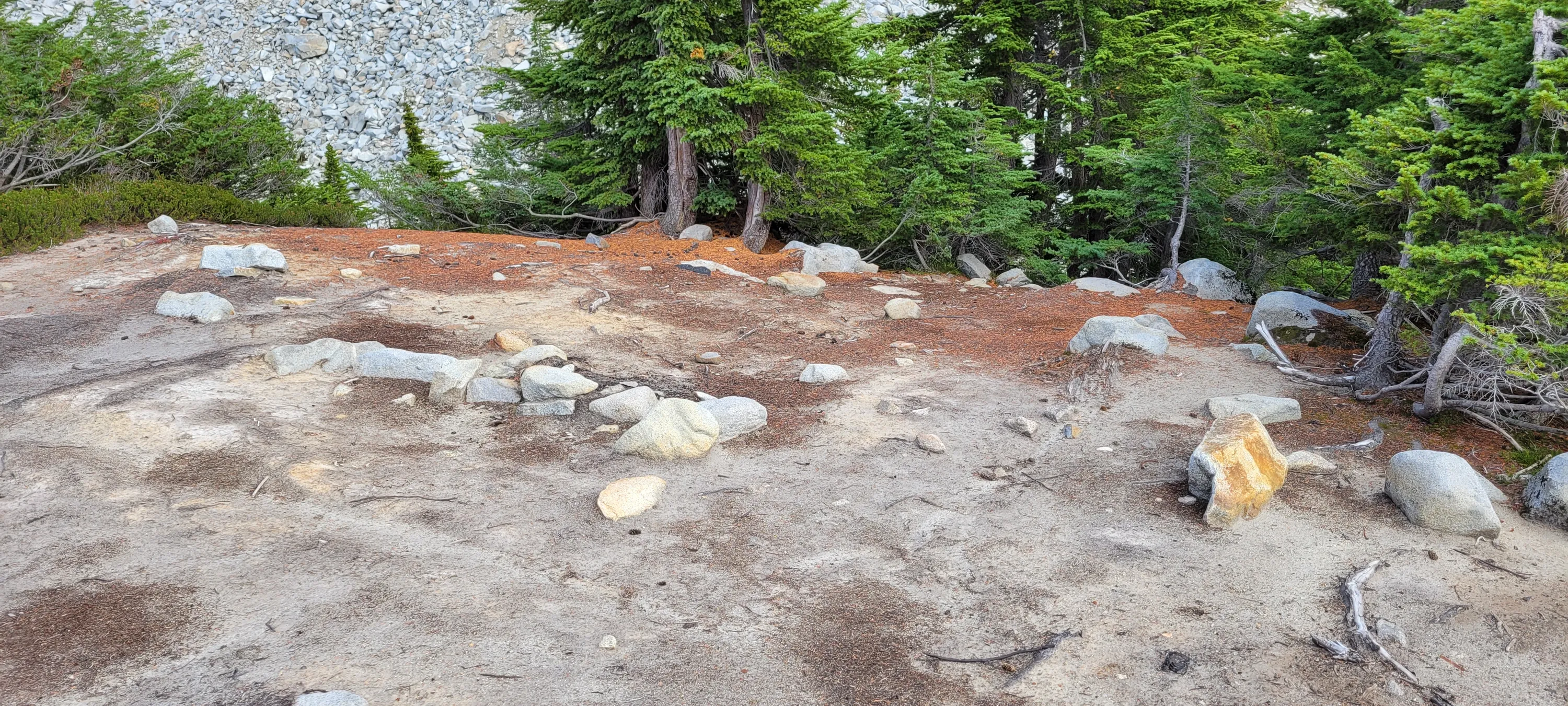
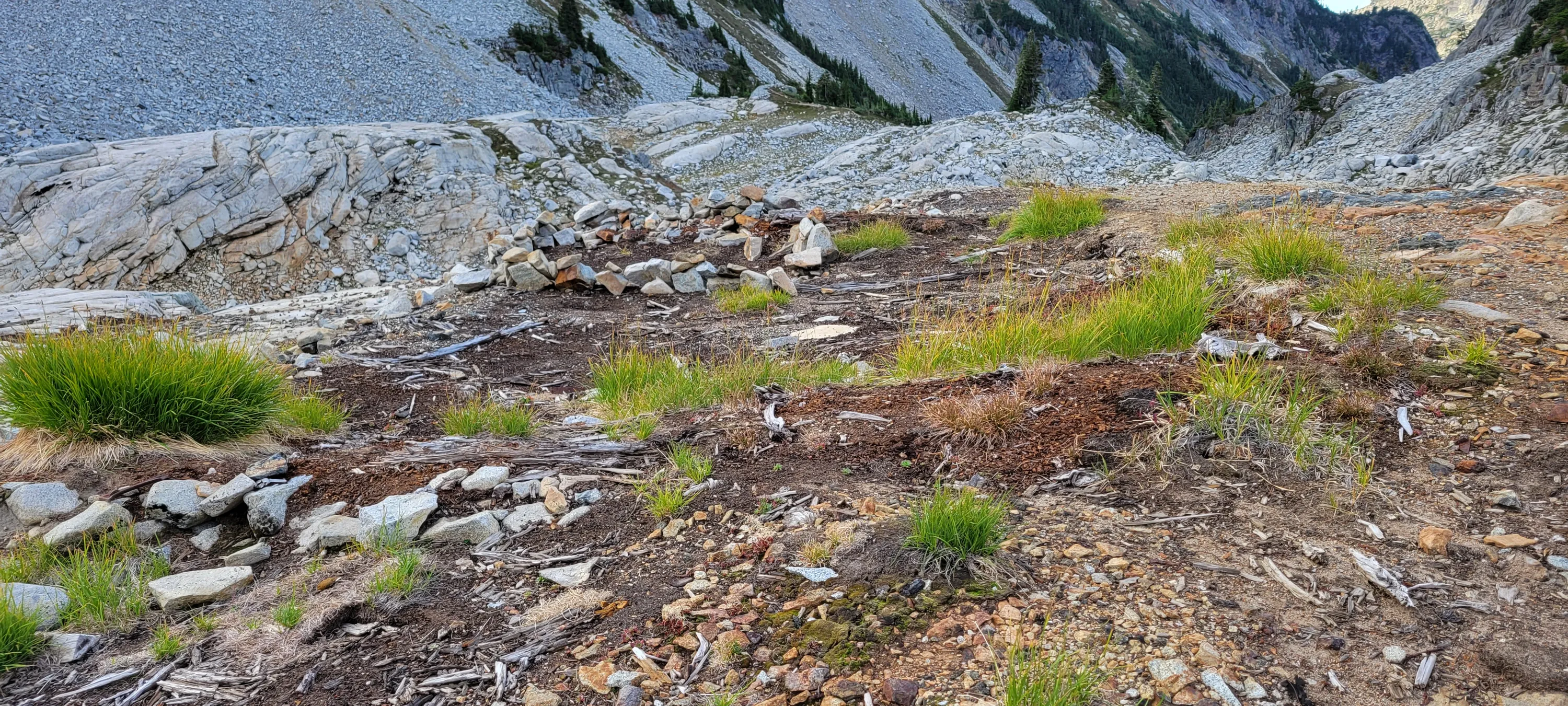
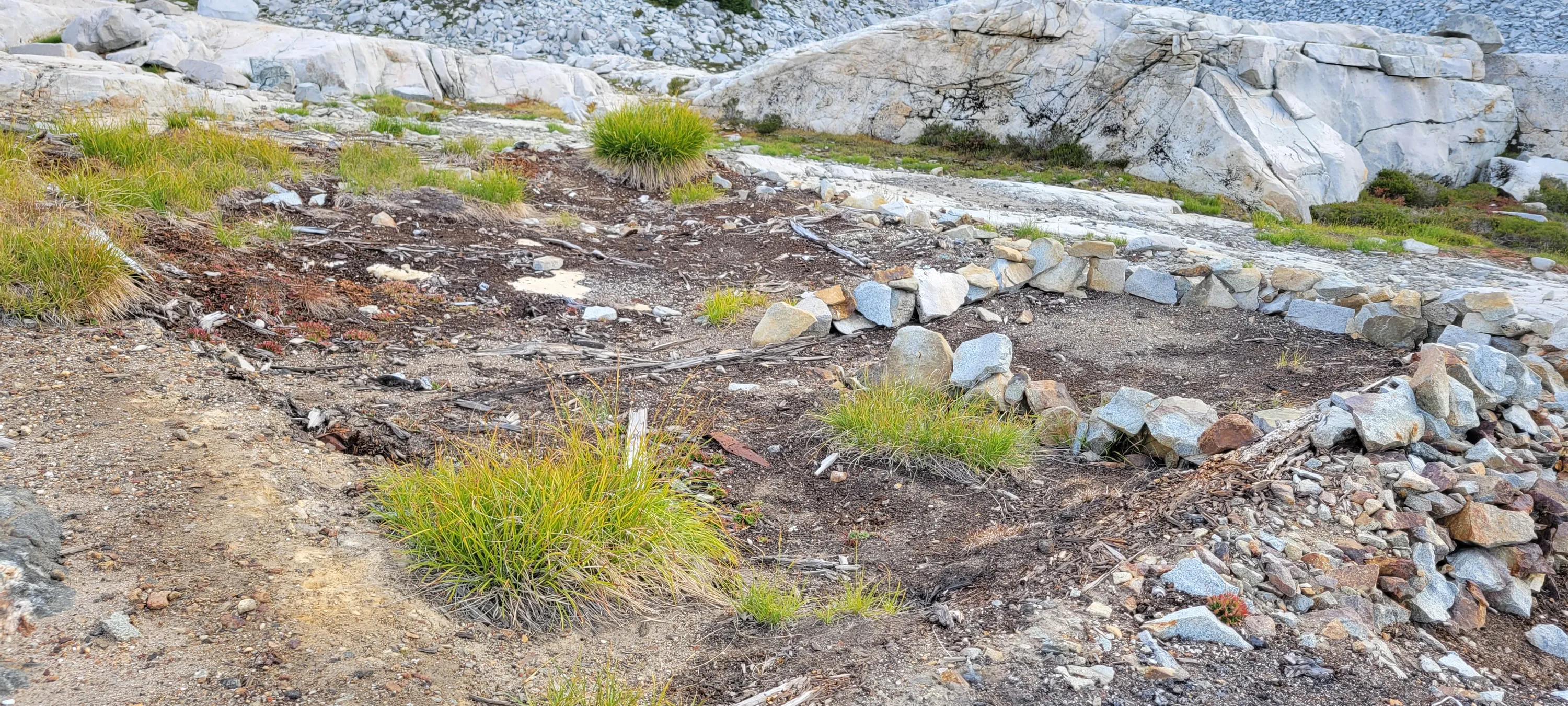
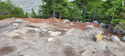 I think this is where the old Cabin was for the mining operation in the Chain Lakes basin
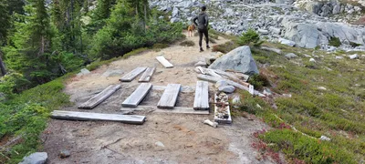 This is another spot above the mining operation in the chain lakes basin - the cabin might have been here as well
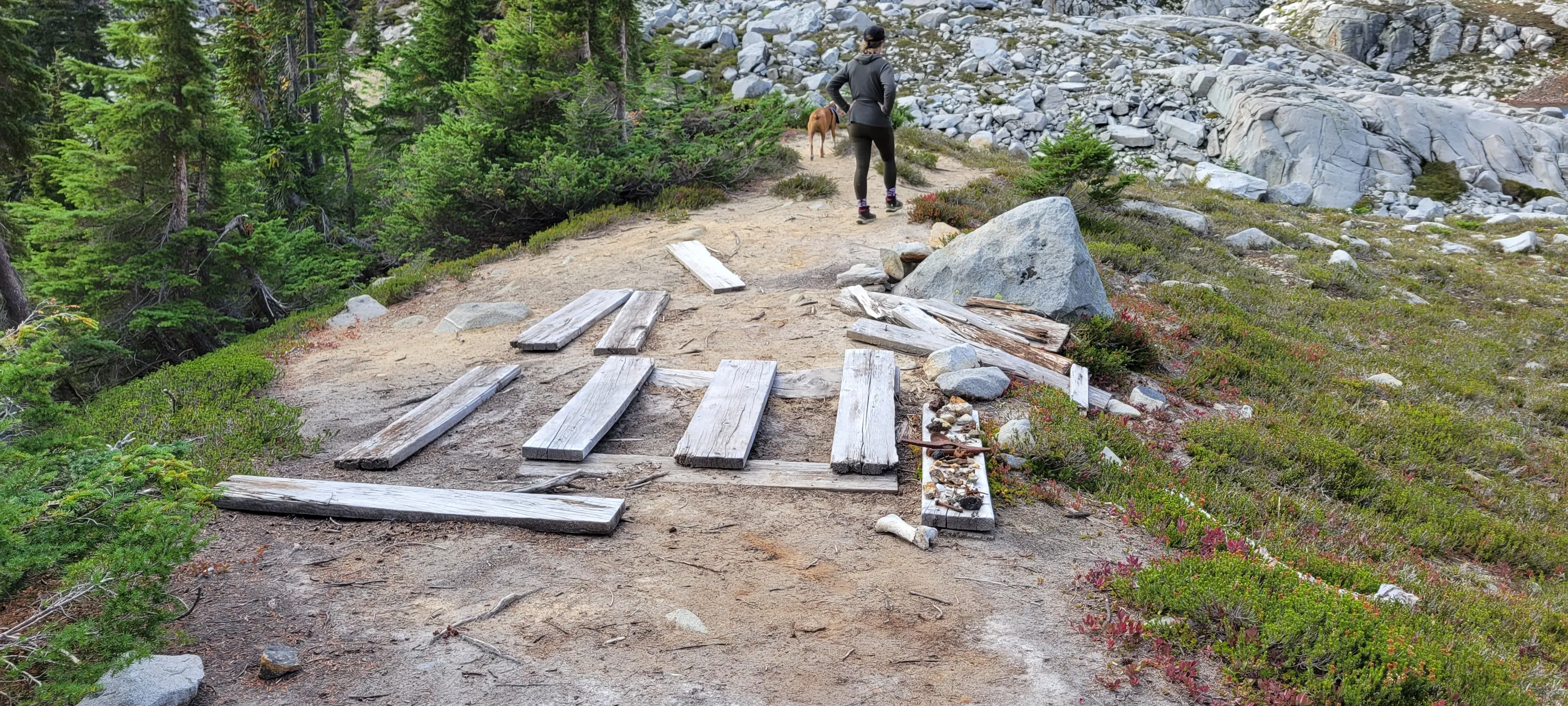
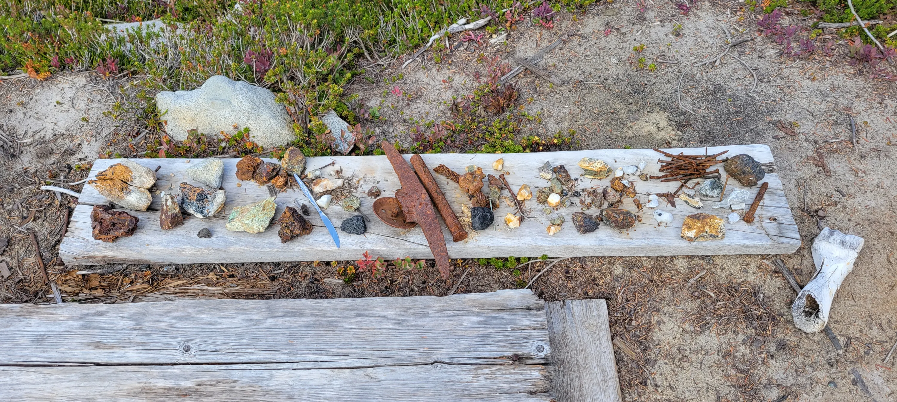
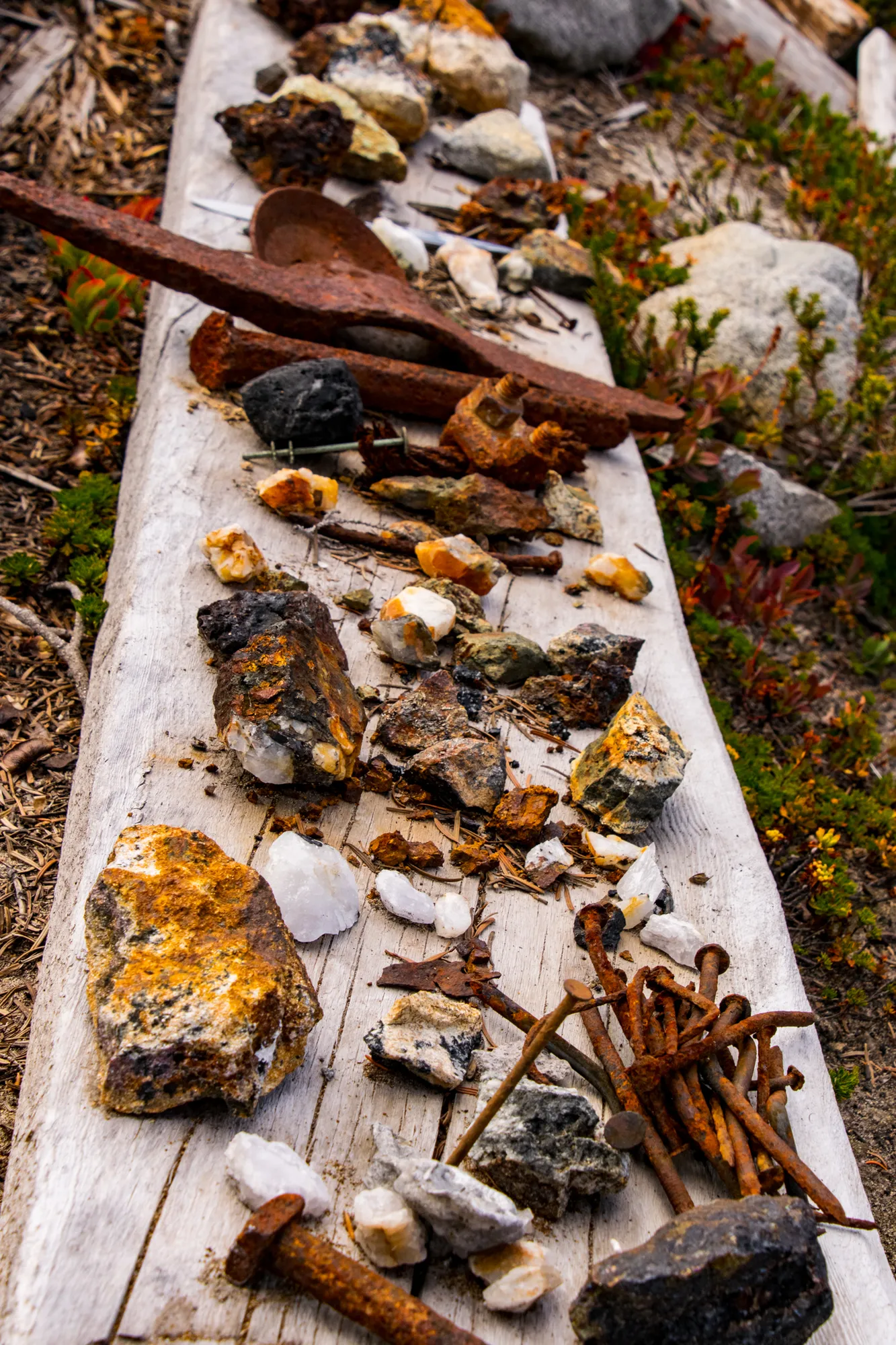
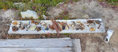 Artifacts someone laid out in the Chain lakes basin
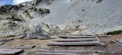 More artifacts in the Chain lakes basin
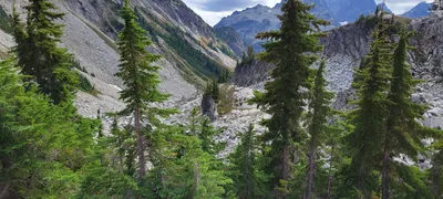 Looking south from the chain lakes basin (from the site of the old cabin)
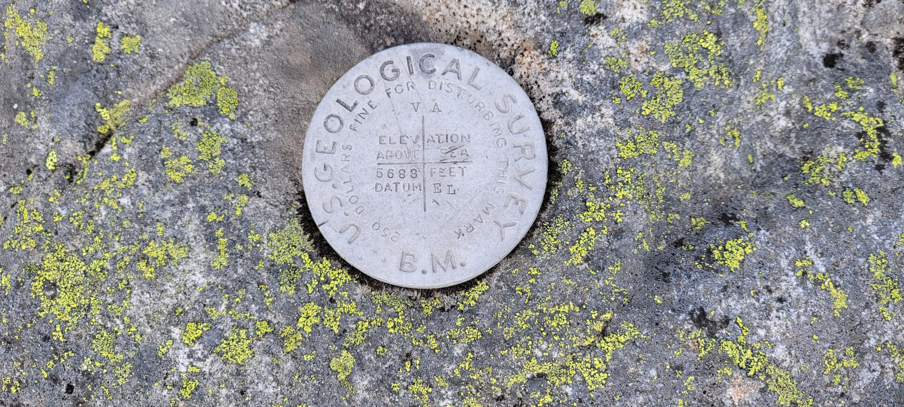
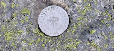 Benchmark on a rock above the Chain Lakes basin
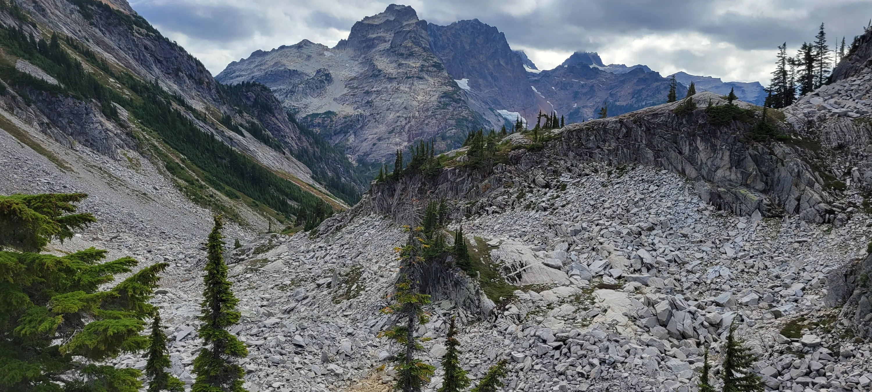
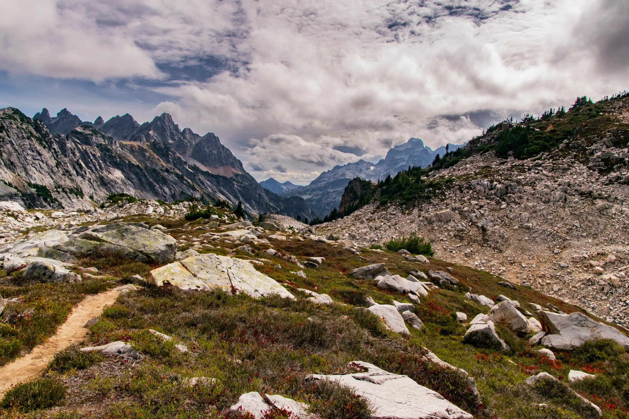
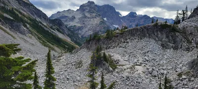 Looking south from the chain lakes basin
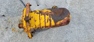 Some sort of old pipe from one of the Chain Lakes - I'm wondering if they had a water system they used?
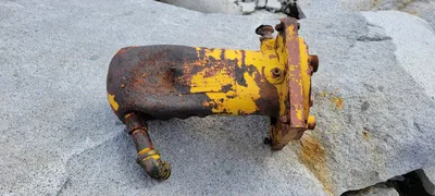 Some sort of old pipe from one of the Chain Lakes - I'm wondering if they had a water system they used?
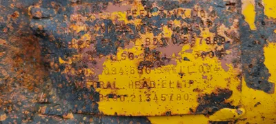 Tag from the pipe remnant at Chain Lakes
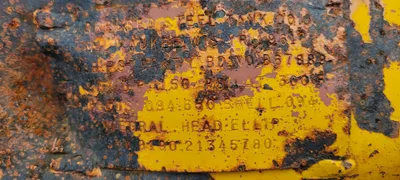 Tag from the pipe remnant at Chain Lakes
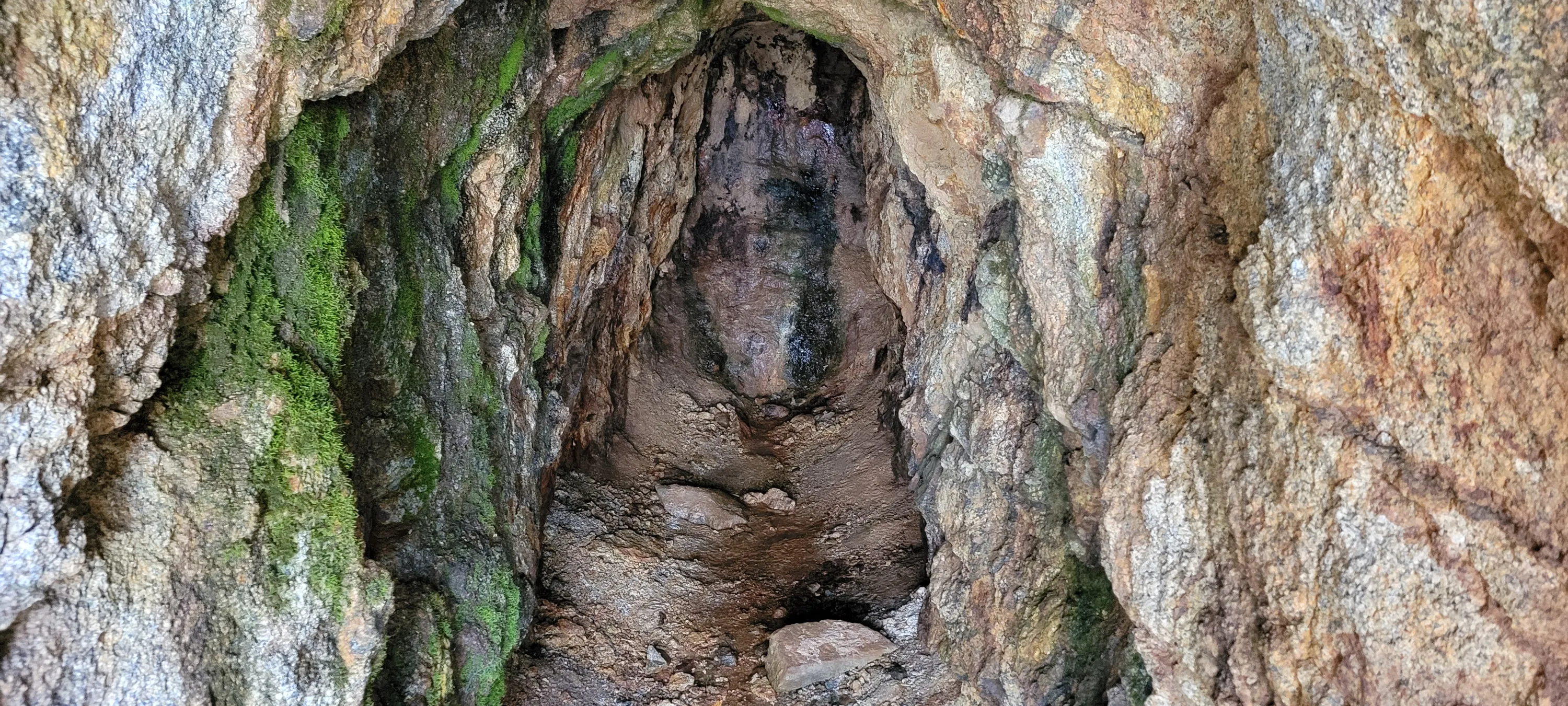
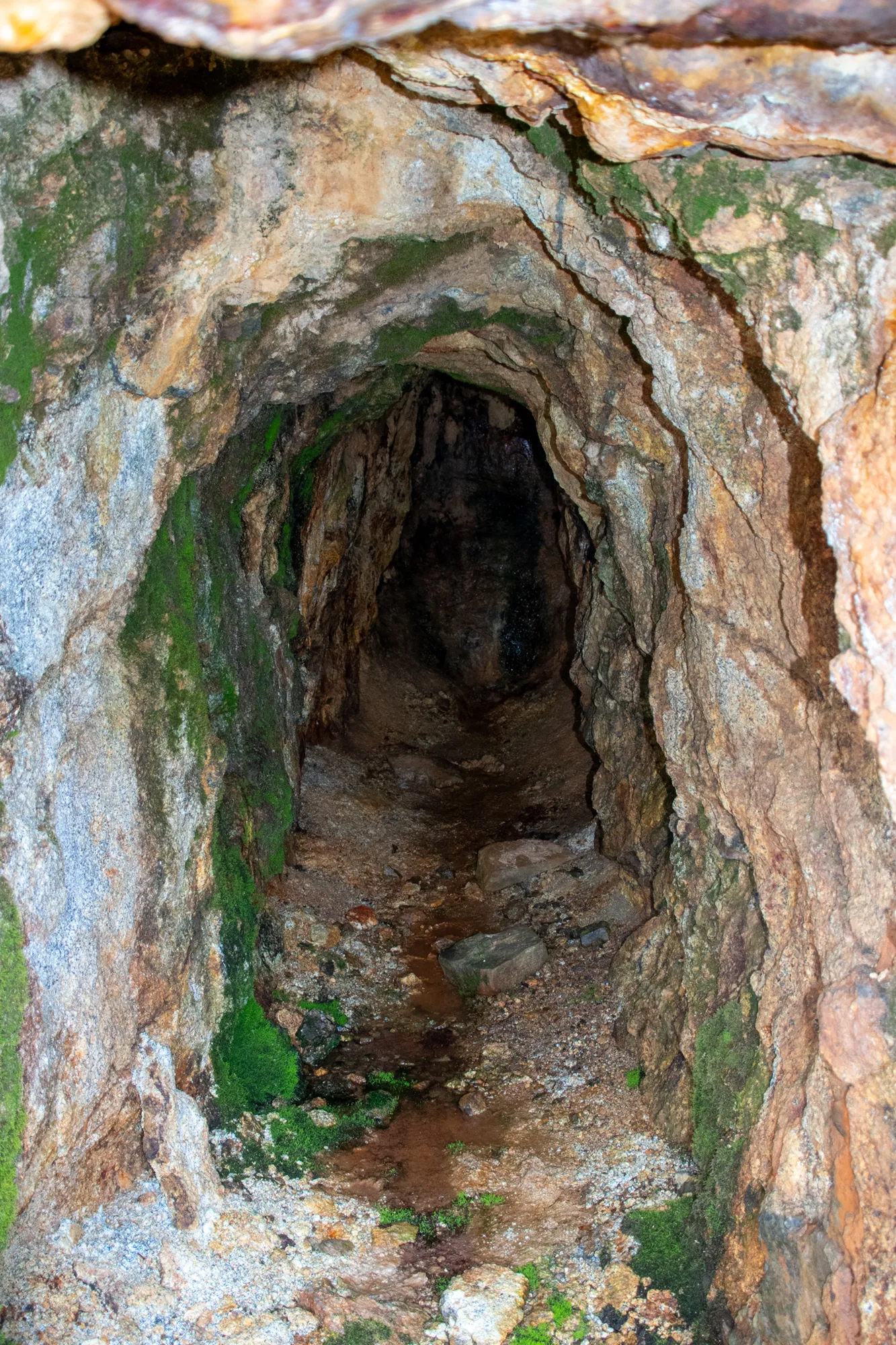
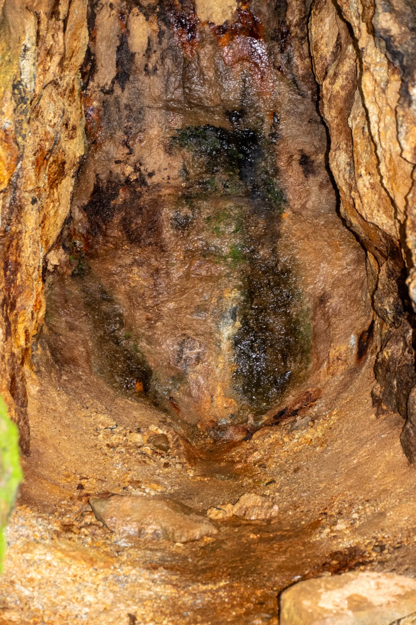
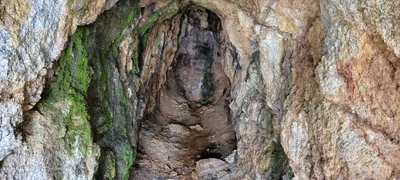 Inside the mine on the west side of the basin - this mine was not very deep - Chain Lakes basin
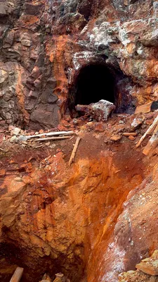
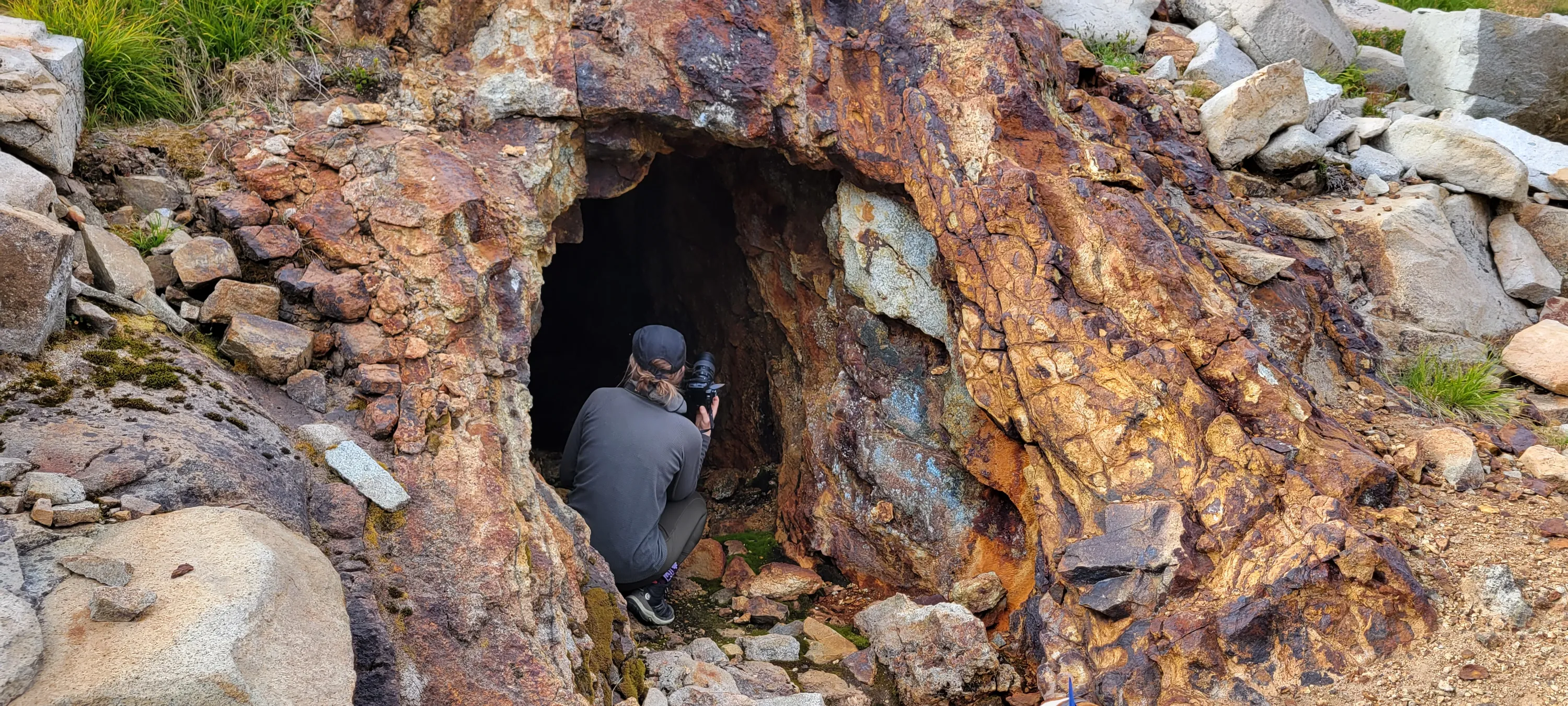
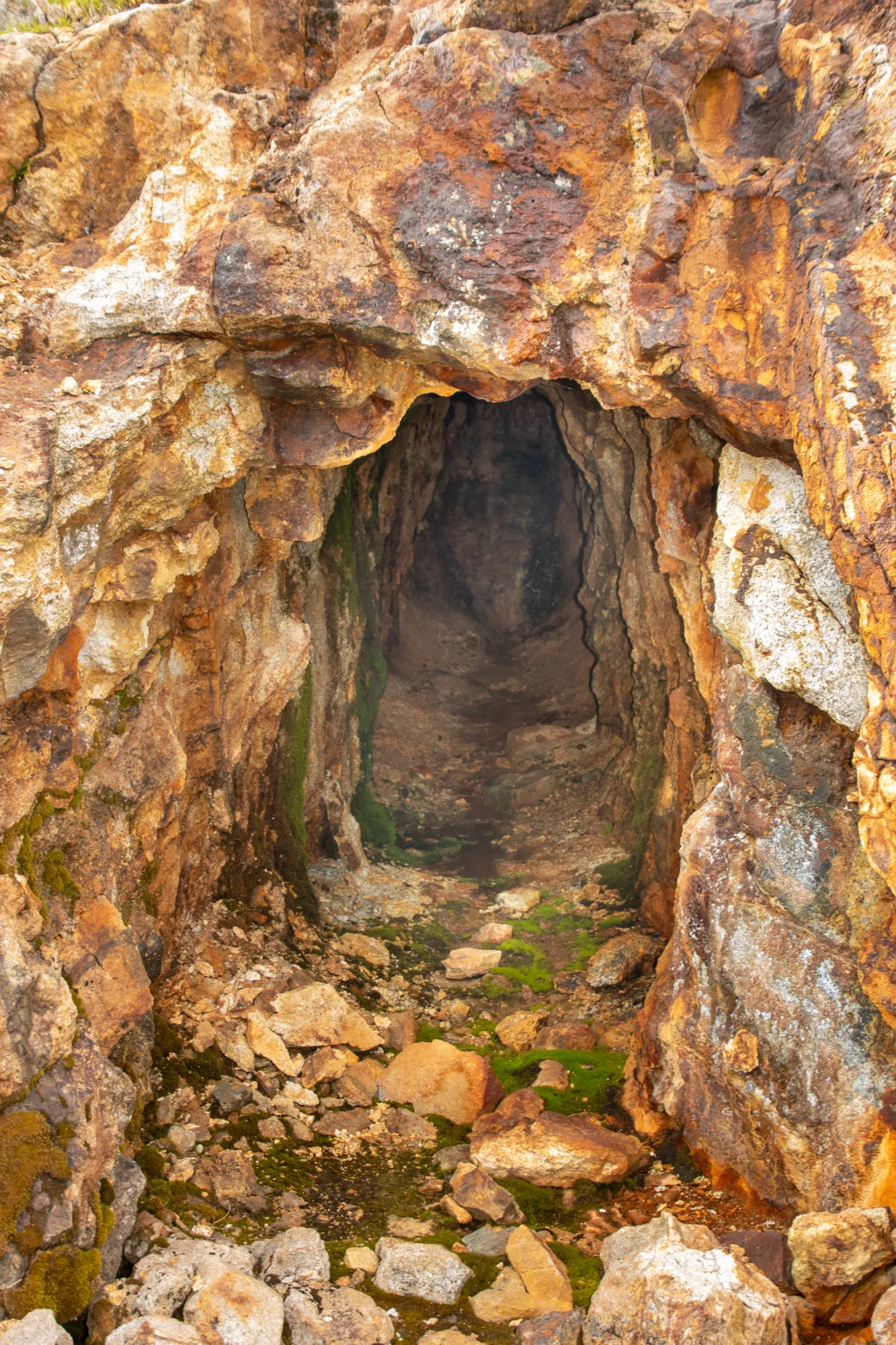
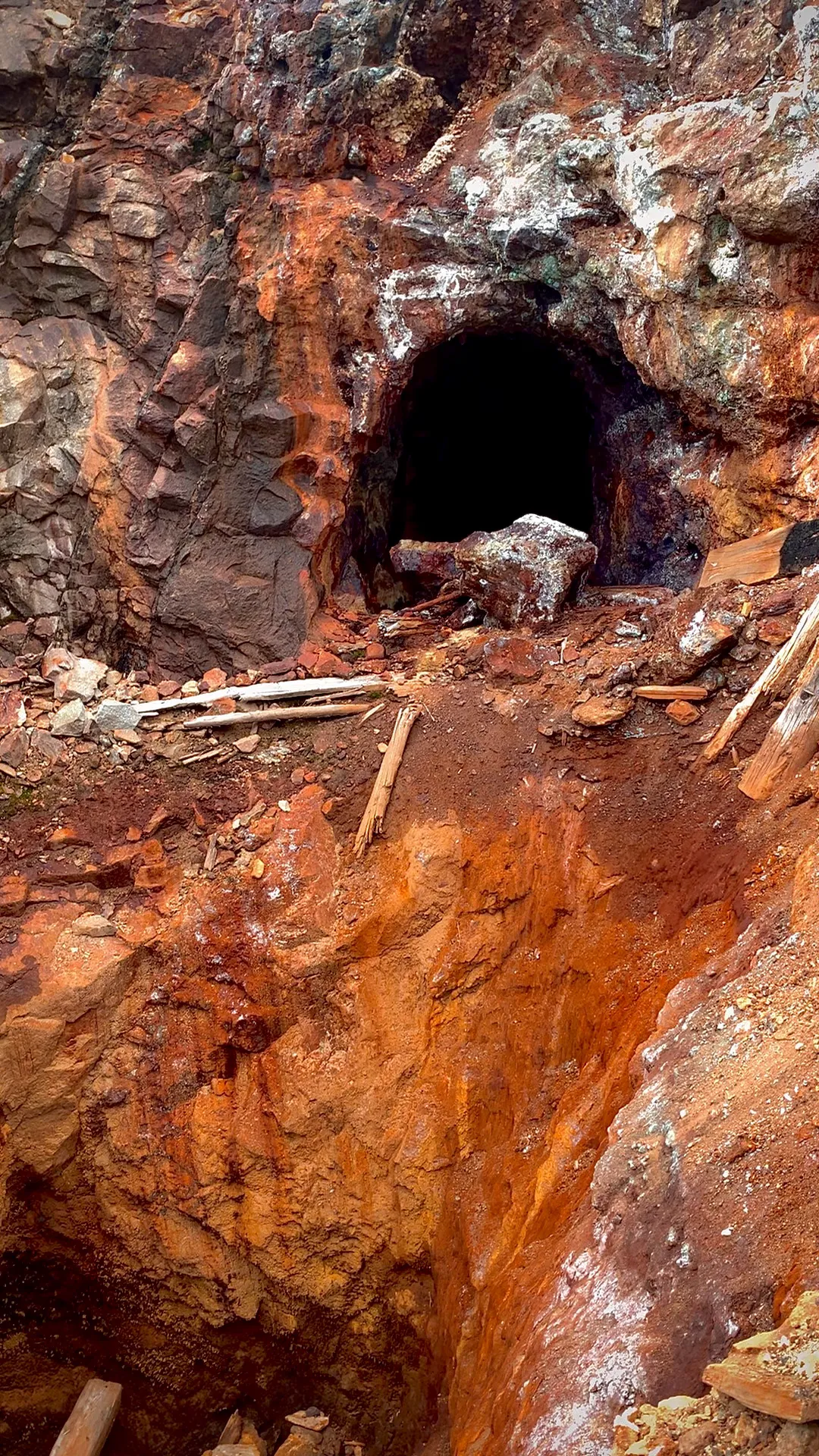
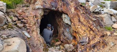 Entrance to the mine on the west side of the Chain Lakes basin
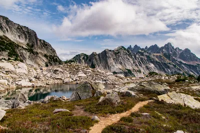
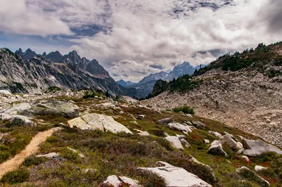
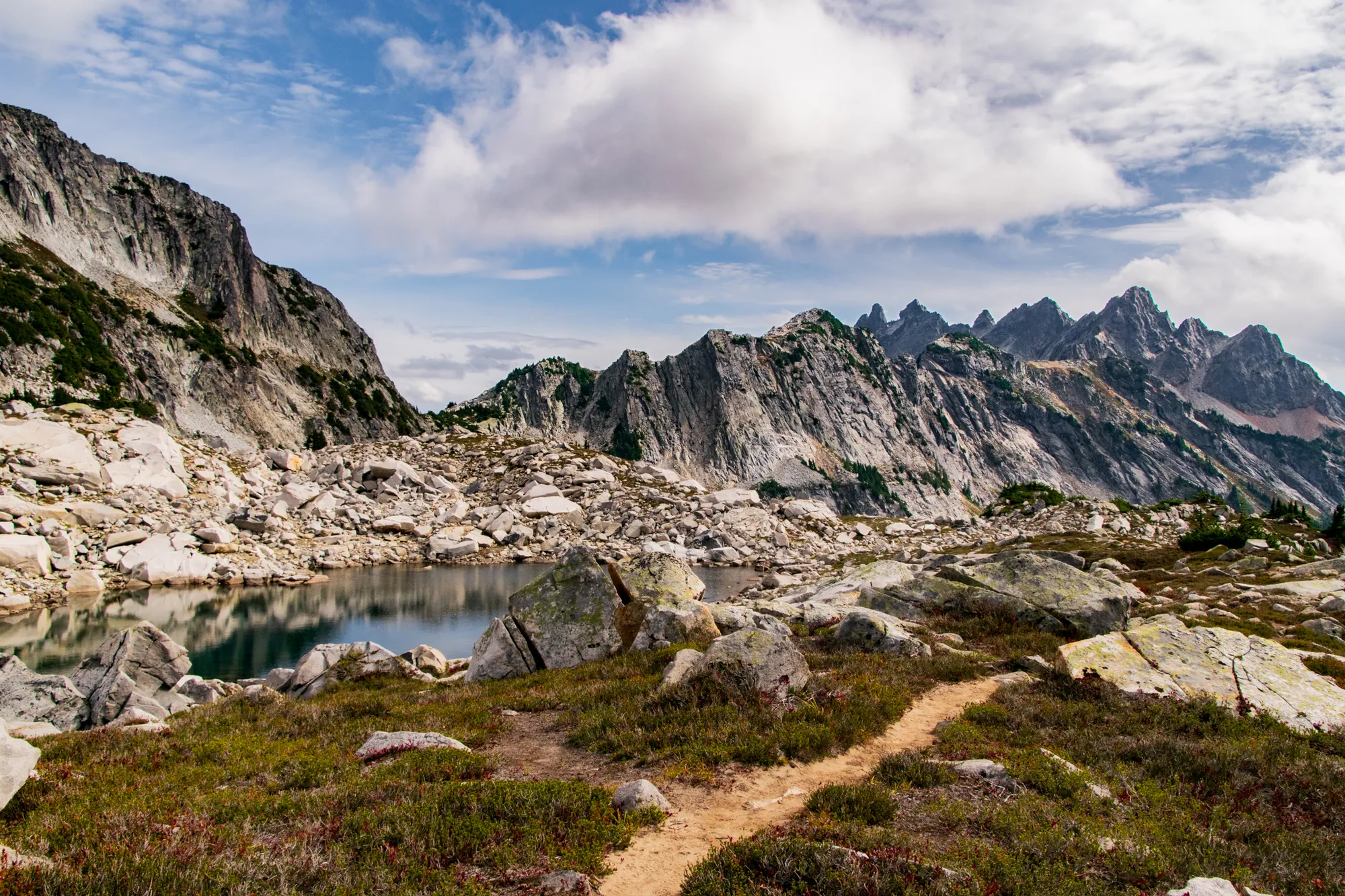
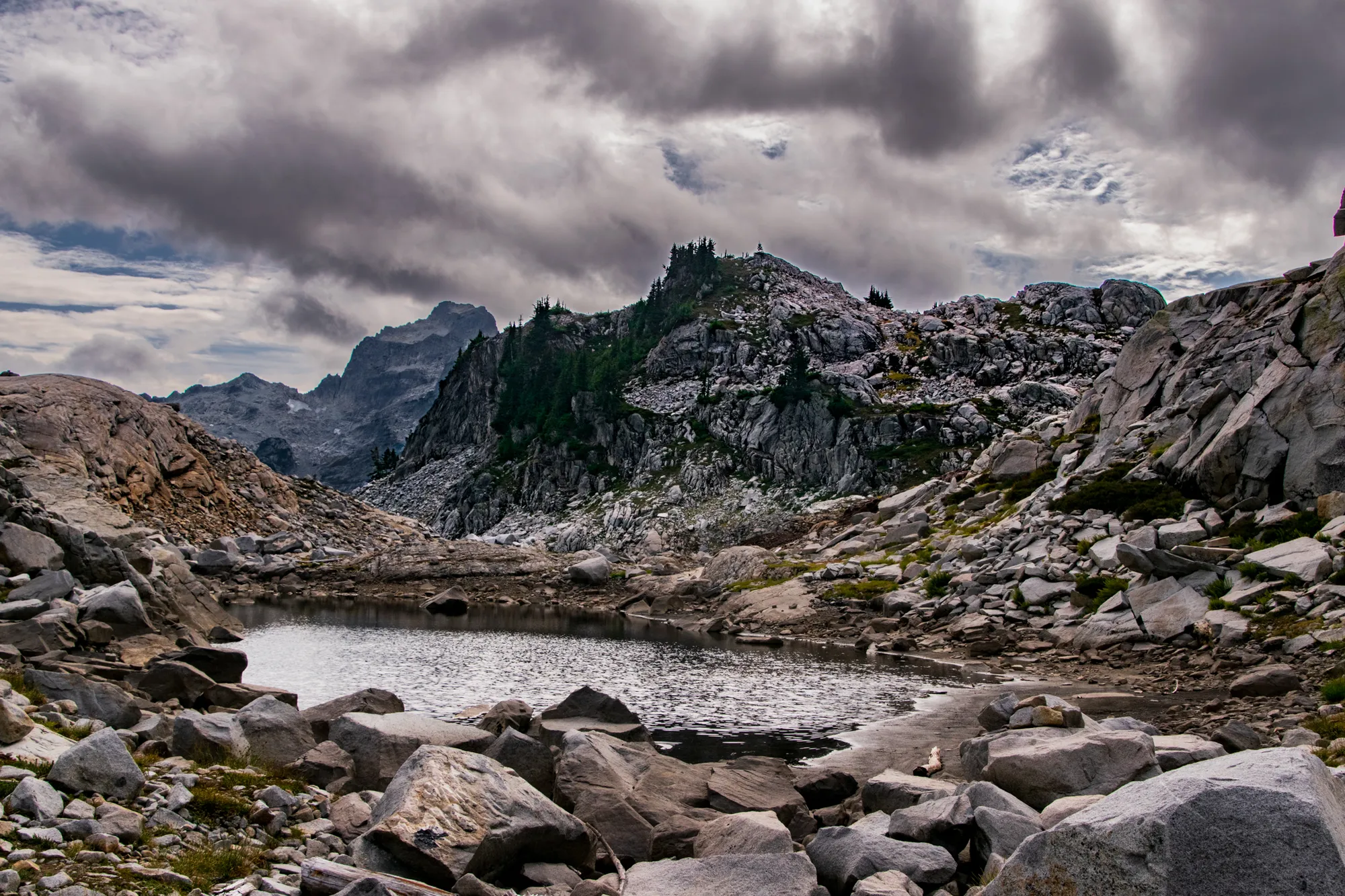
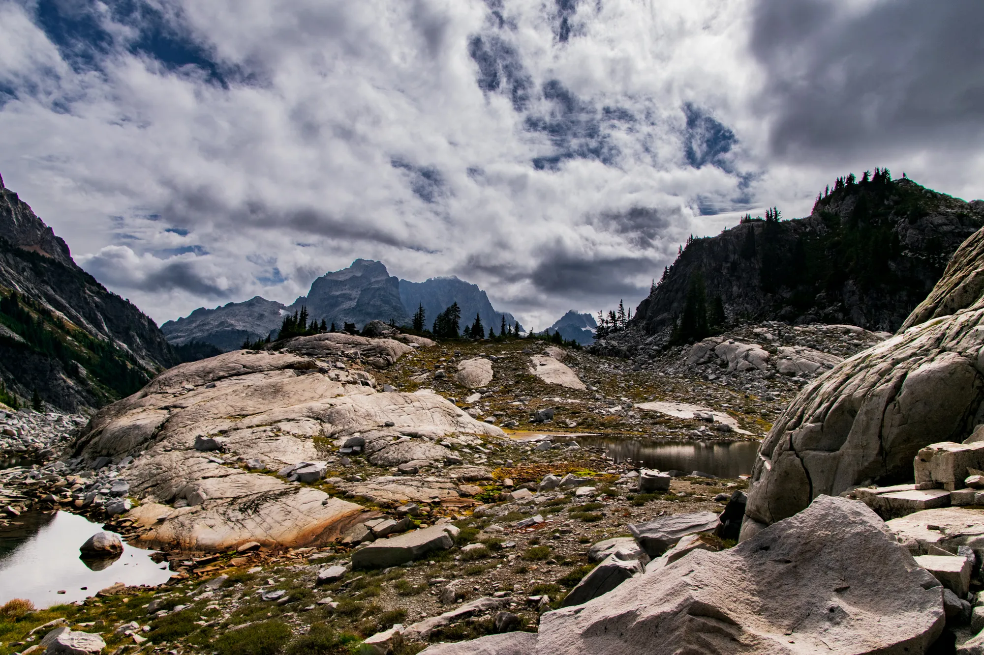
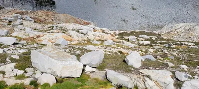 Chain Lakes basin
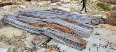 Old timbers in the Chain lakes basin - I'm guessing these were to support the mine shafts
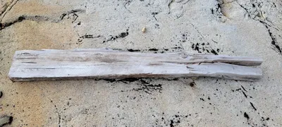 Old timber in the Chain lakes basin - I'm guessing this was to support the mine shafts
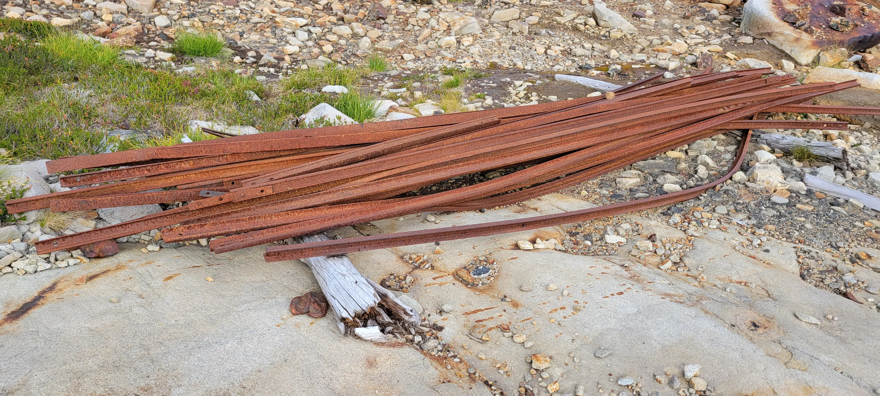
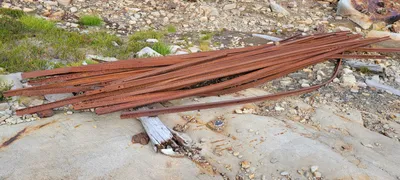 Old railroad rails in the Chain Lakes basin
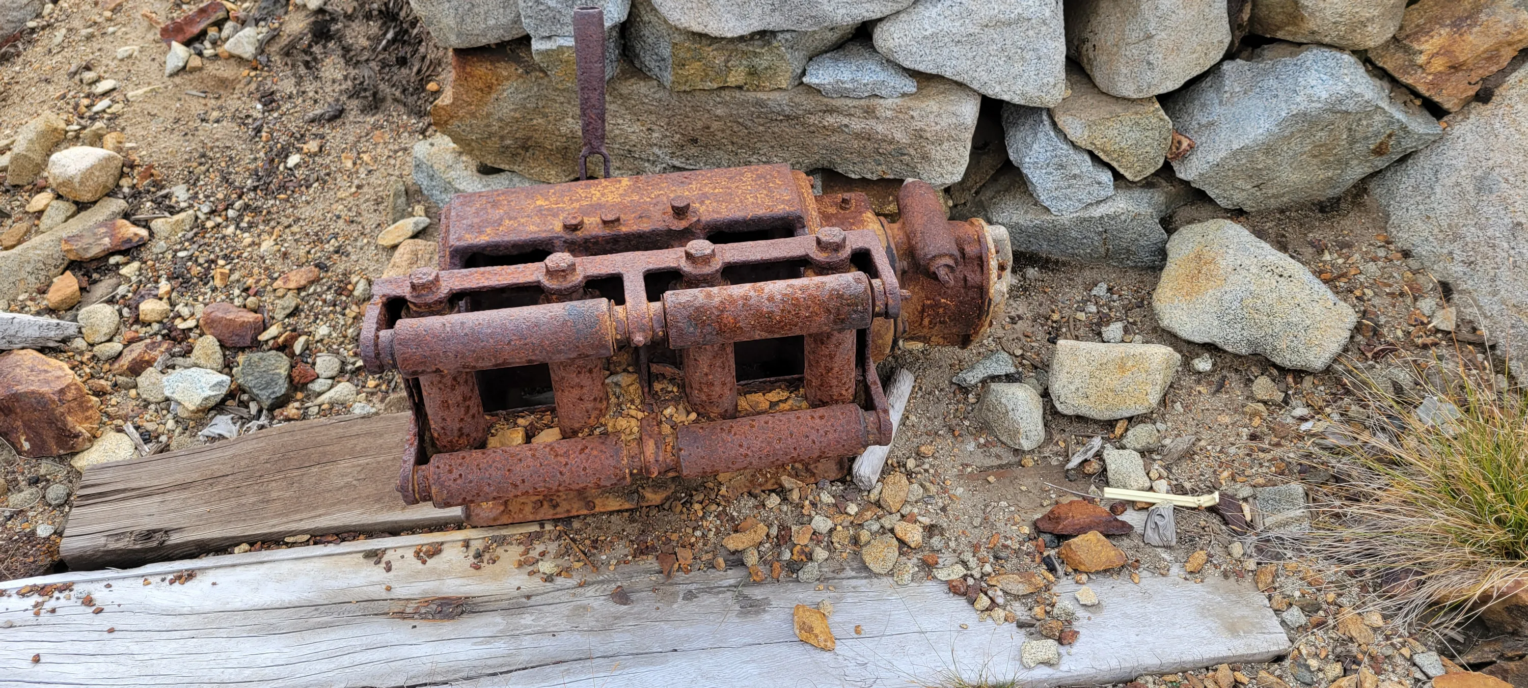
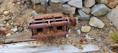 Looks like some kind of old winch in the Chain Lakes basin
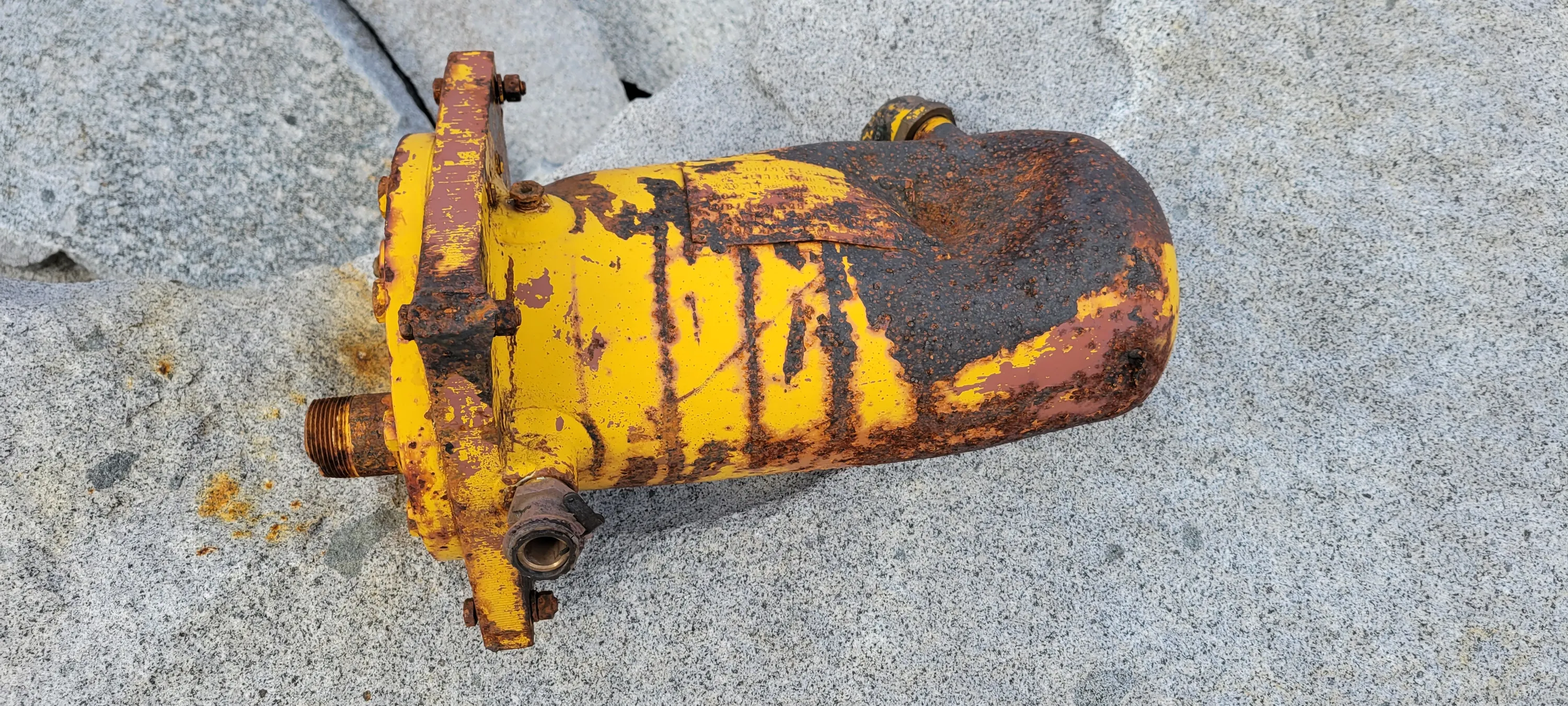
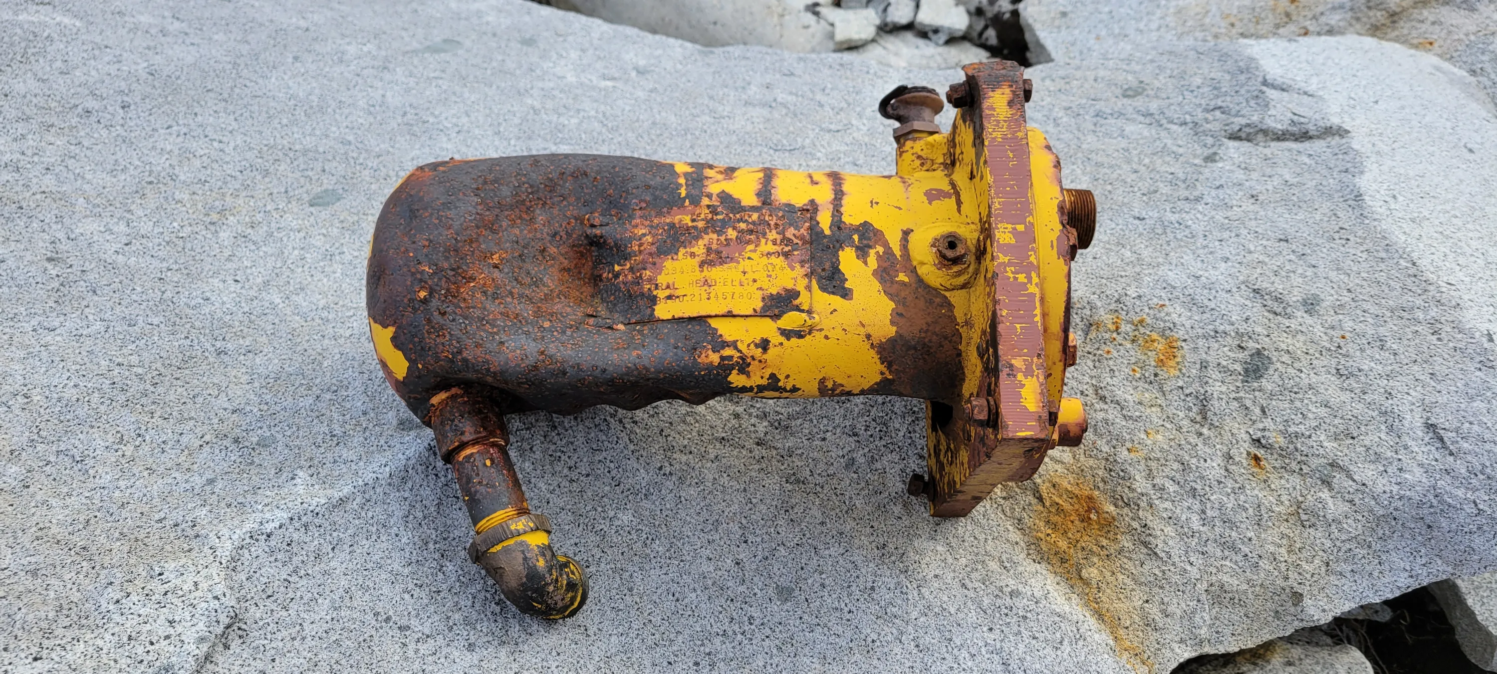
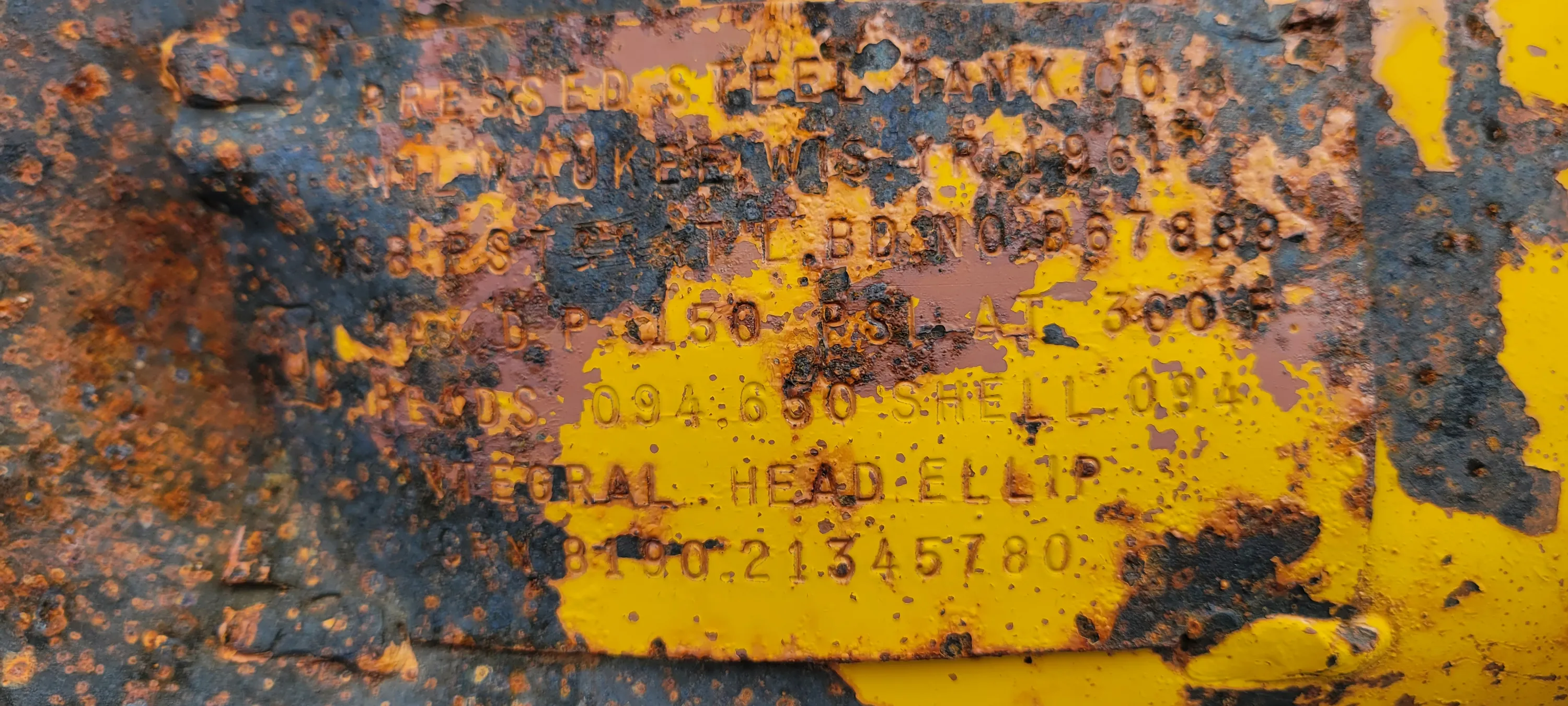
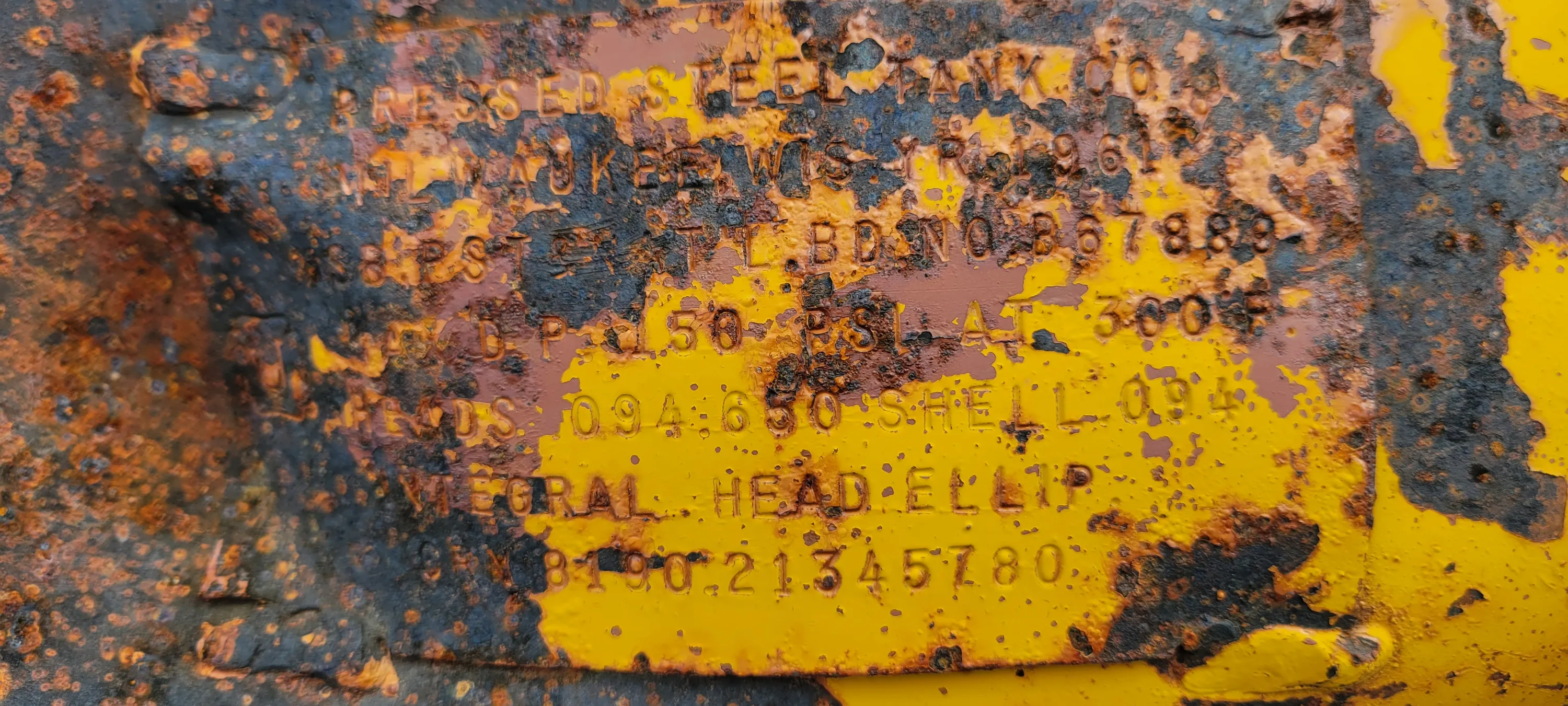
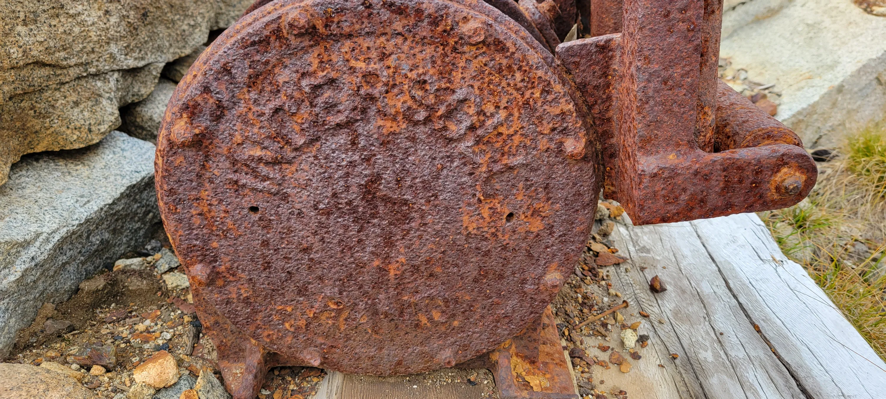
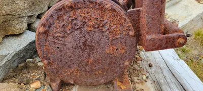 The side plate from the old "winch" in the Chain lakes basin - I couldn't read it
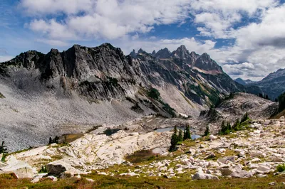
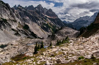
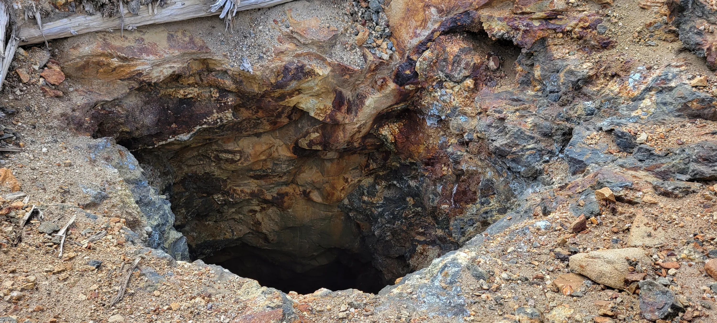
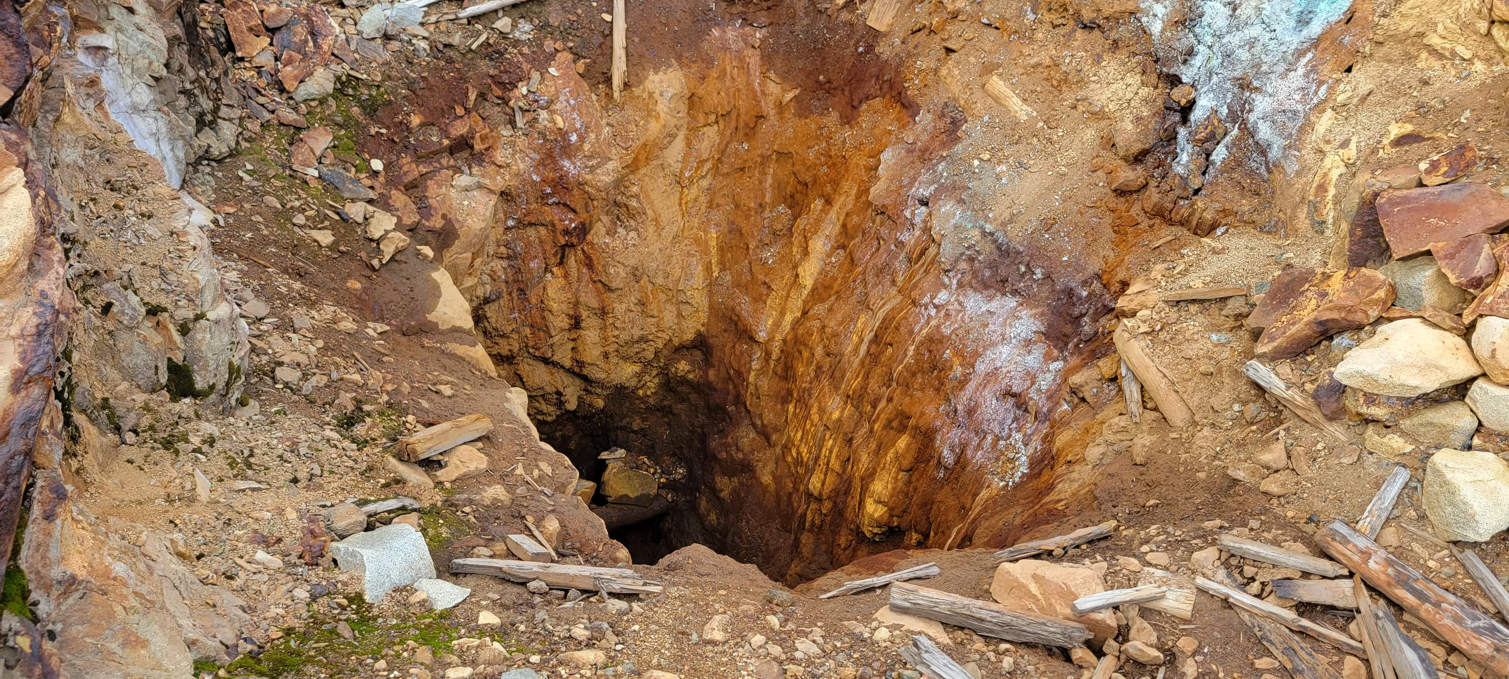
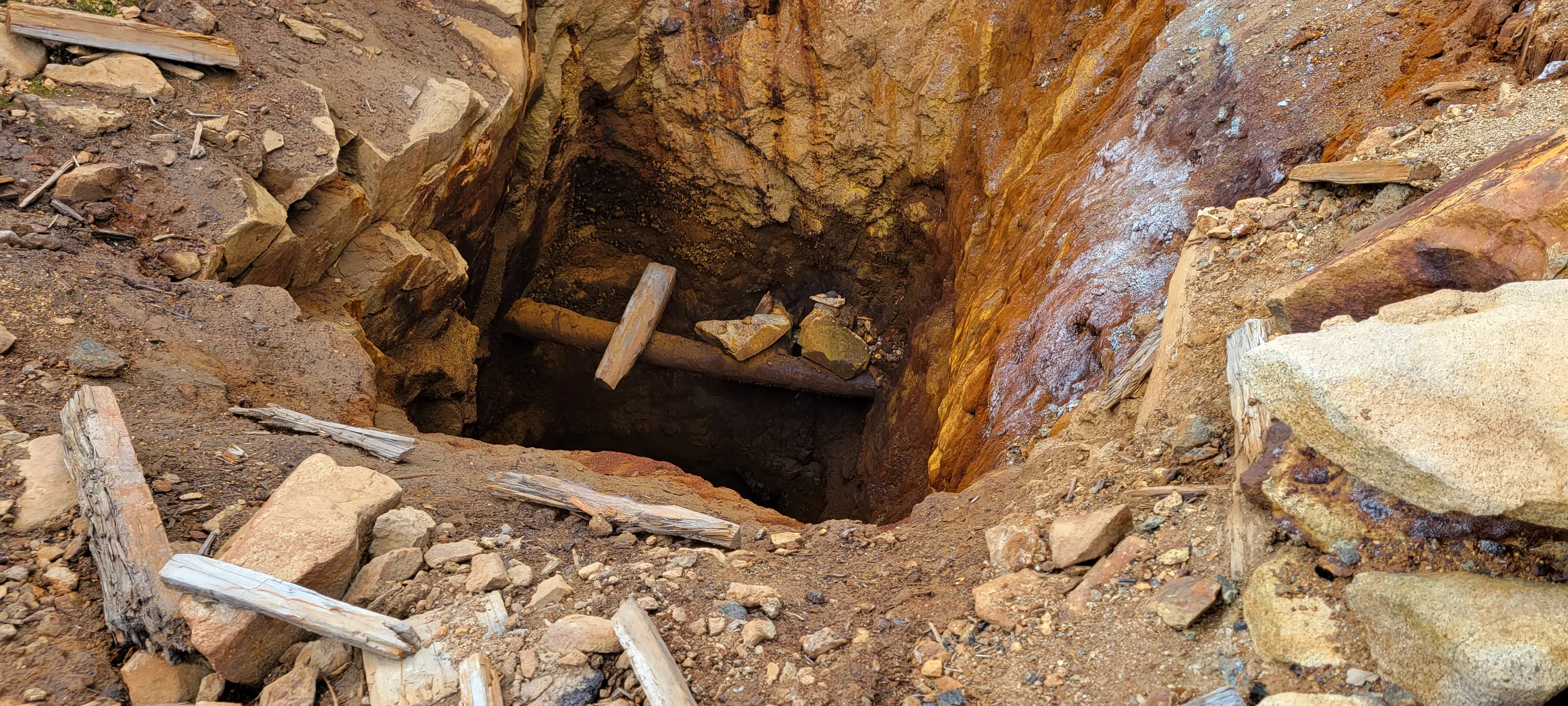
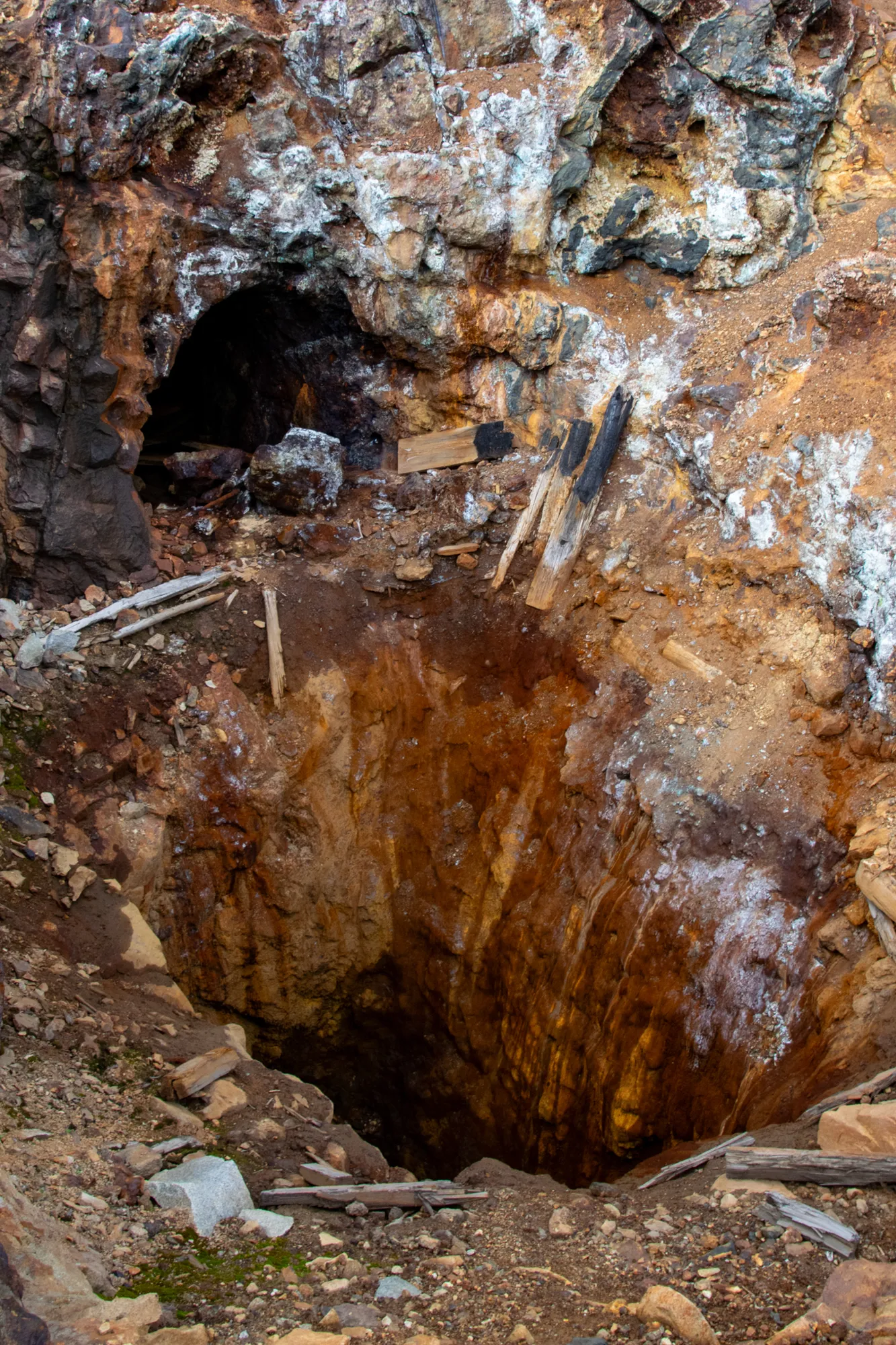
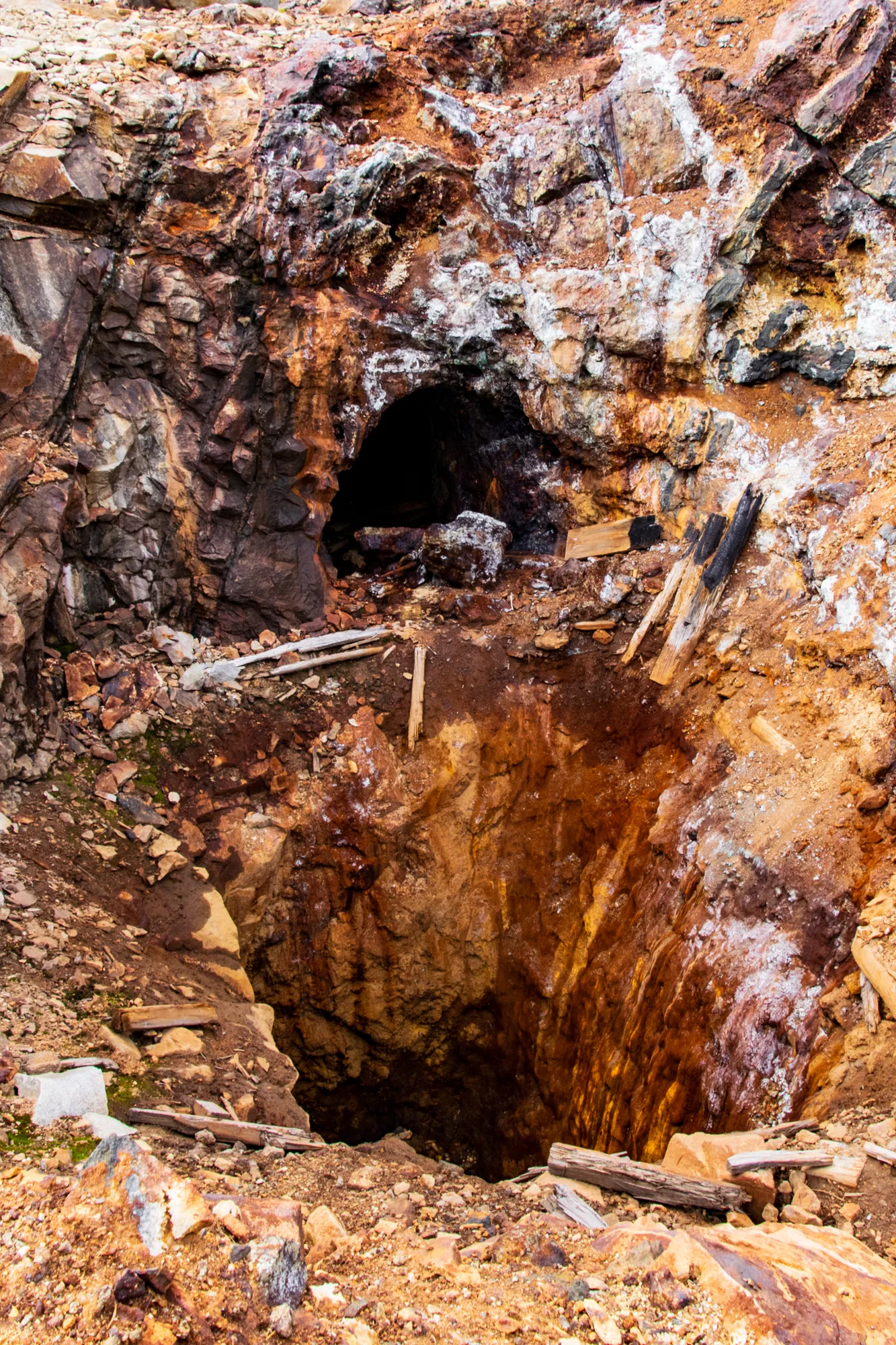
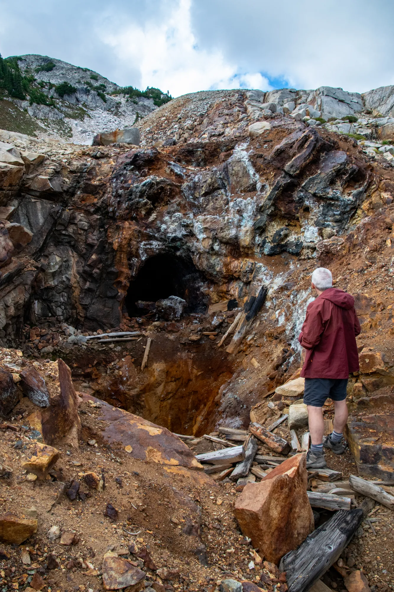
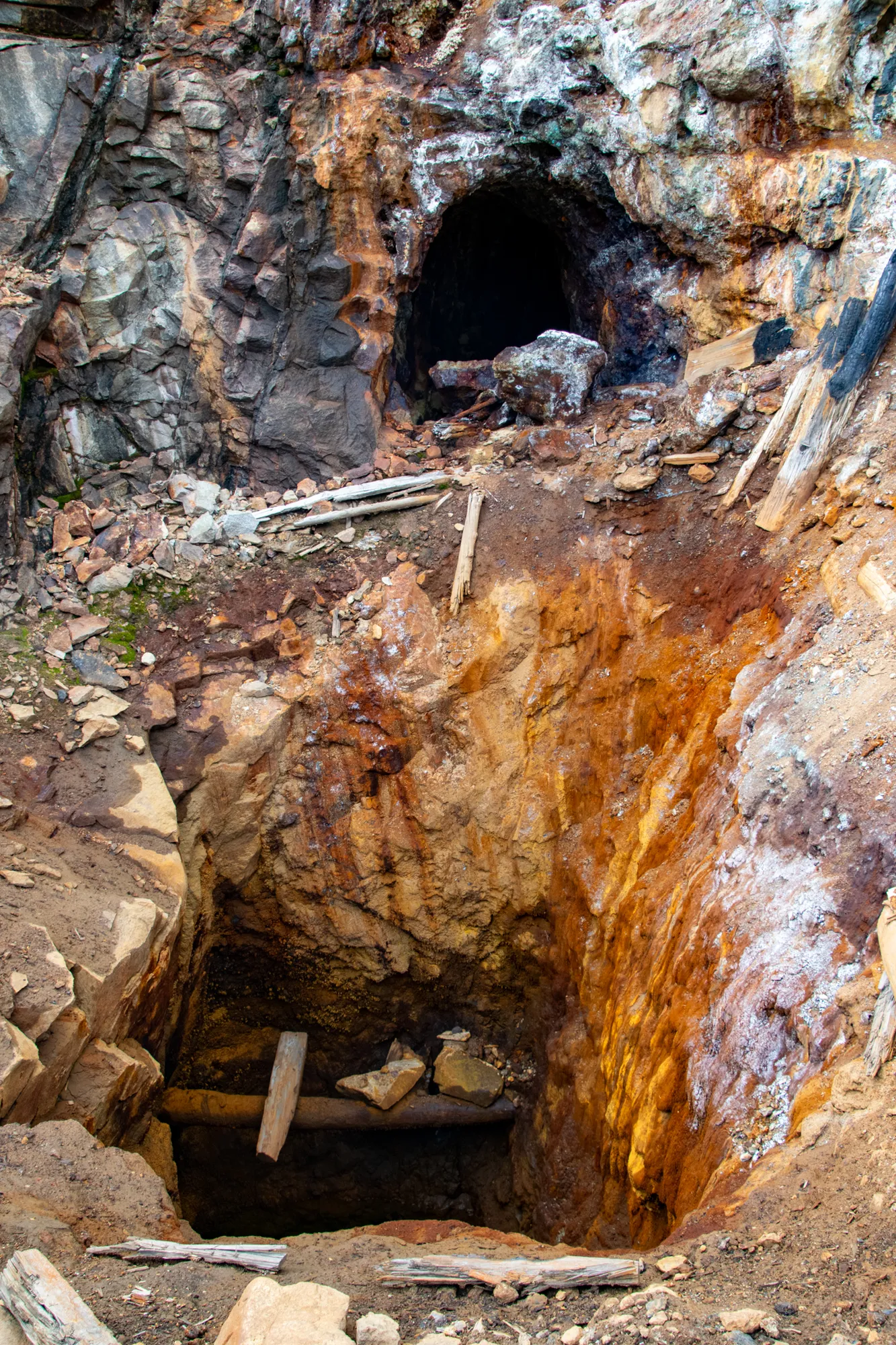
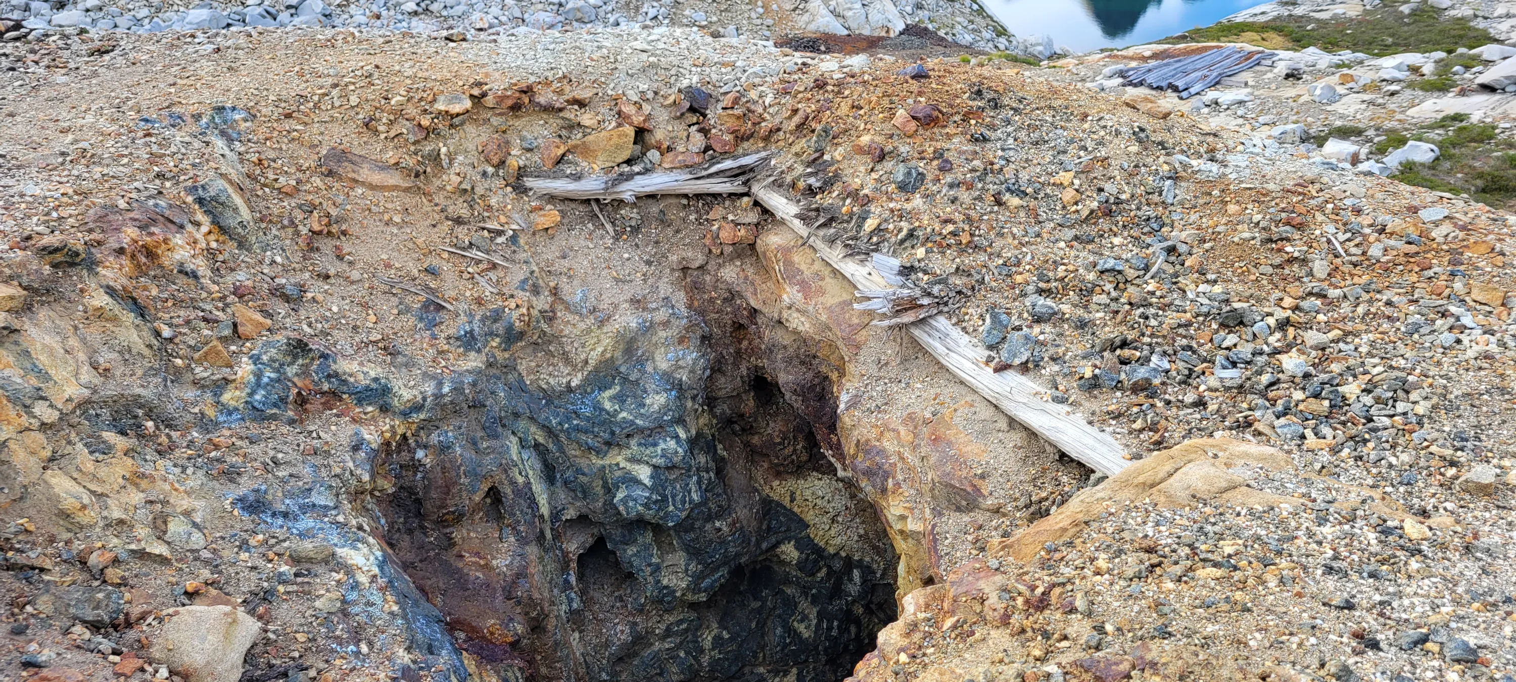
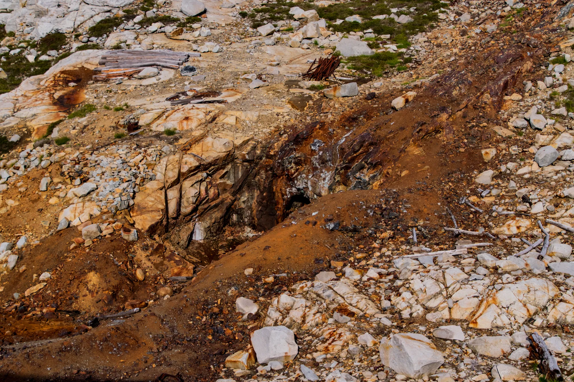
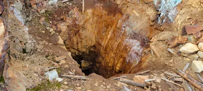 The hole in front of the main mine shaft in the chain lakes basin
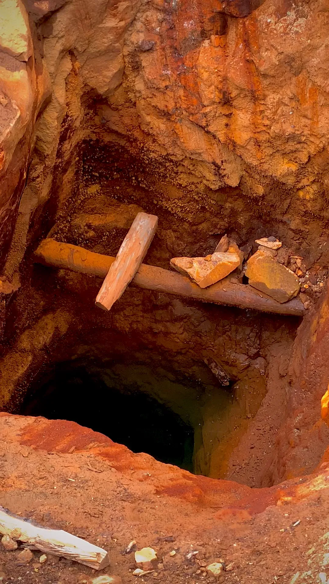
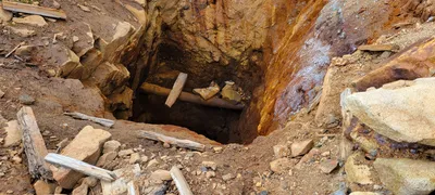 The hole in front of the main mine shaft in the chain lakes basin - that looks like some sort of water pipe or something in this hole
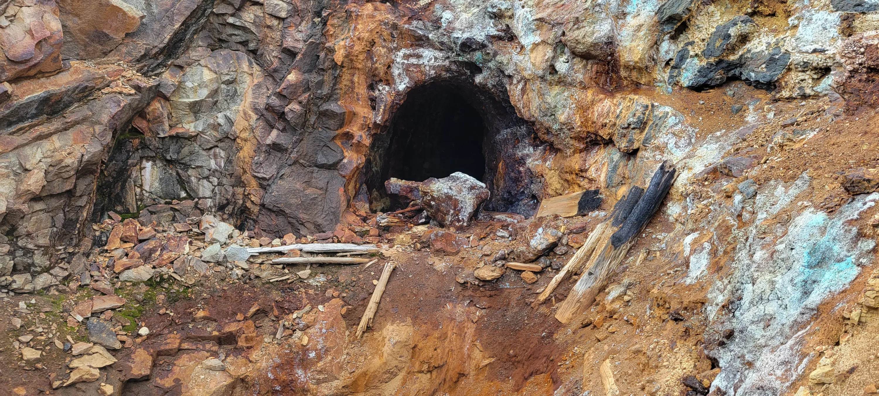
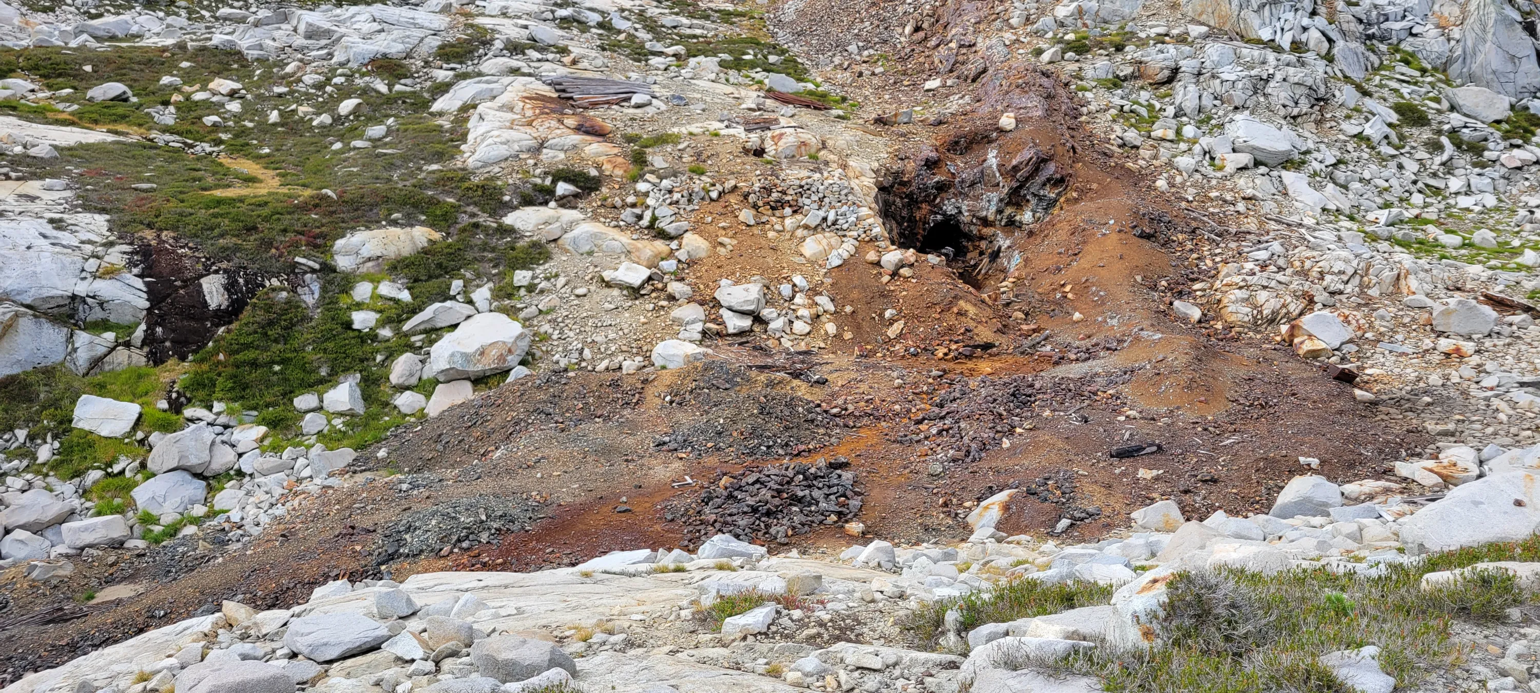
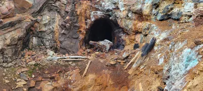 The main mine in the chain lakes basin
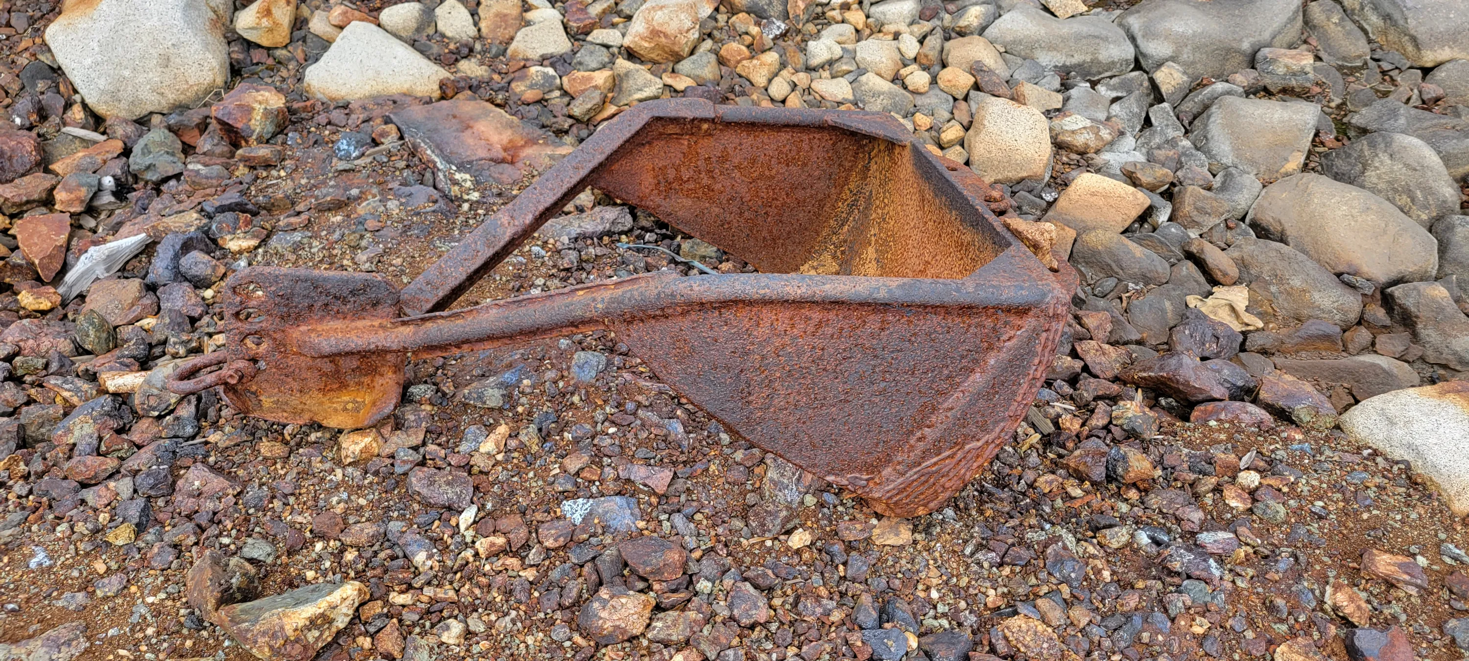
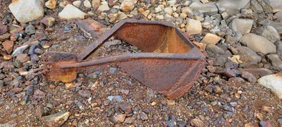 What looks like half of a clam shell shovel in the chain lakes basin
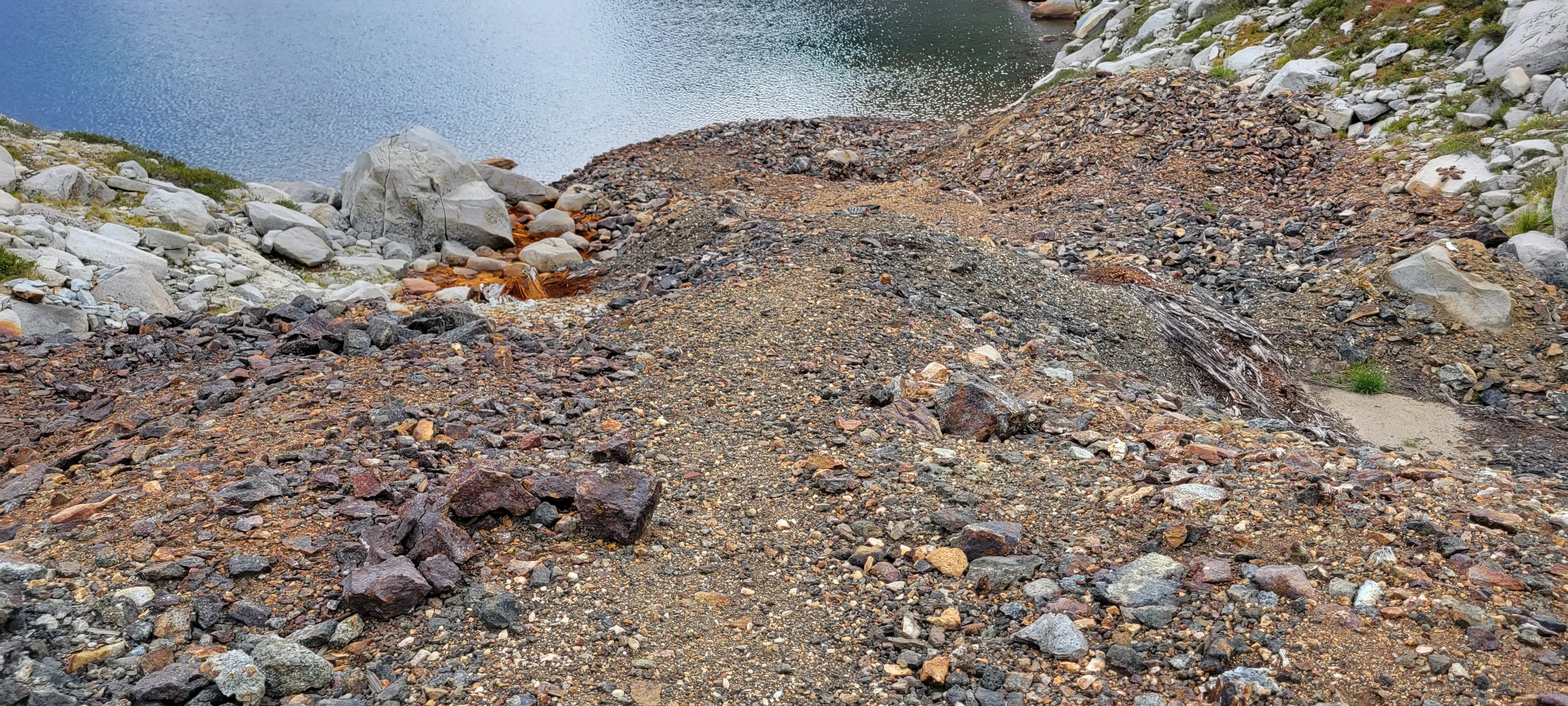
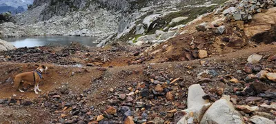 All the tailings from the main mine in the chain lakes basin
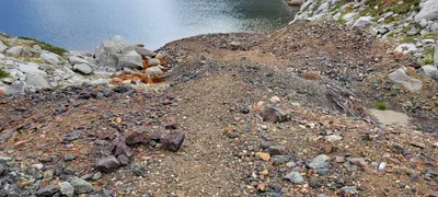 All the tailings from the main mine in the chain lakes basin
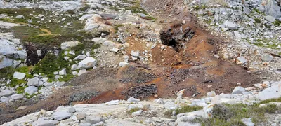 A picture of the main mine shaft with all the tailings - you can see the old pilings and rails above it on the ground - Chain Lakes basin
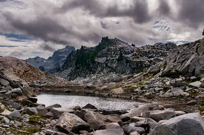
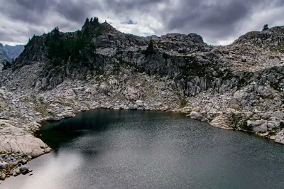
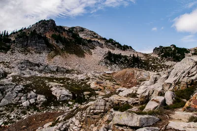
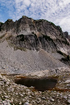
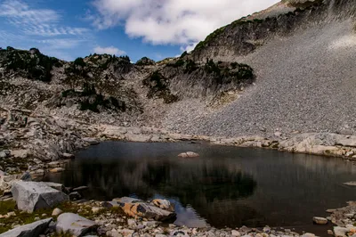
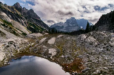
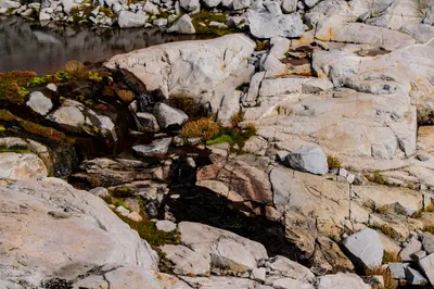
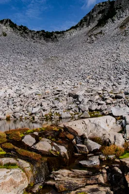
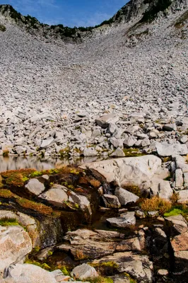
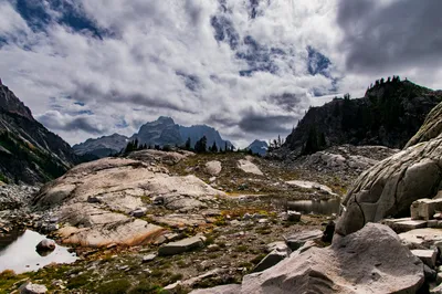
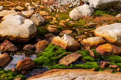
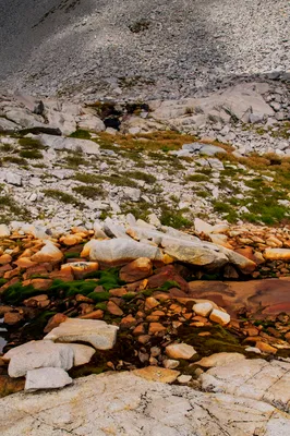
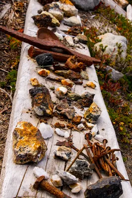
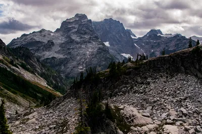
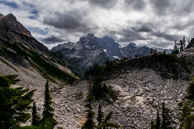
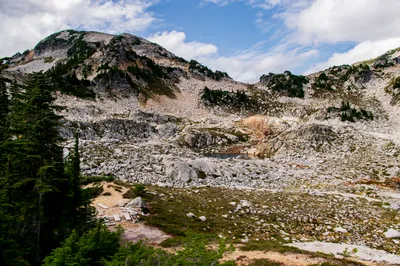
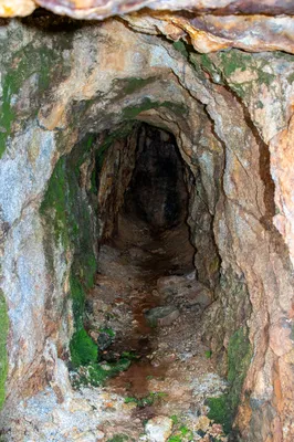
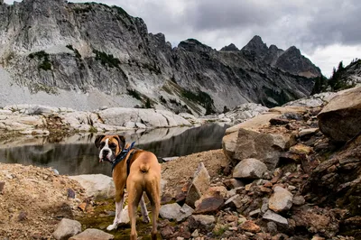
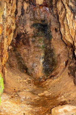
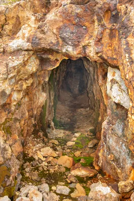
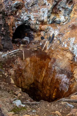
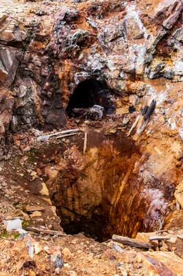
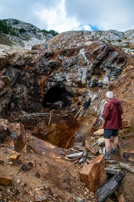
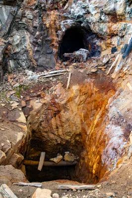
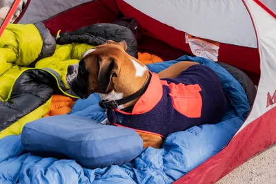
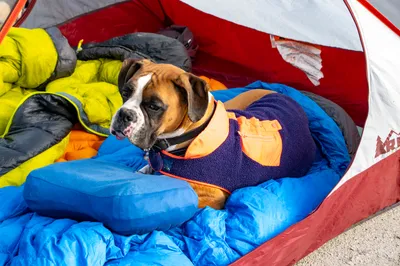
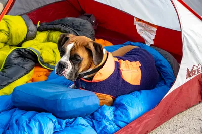
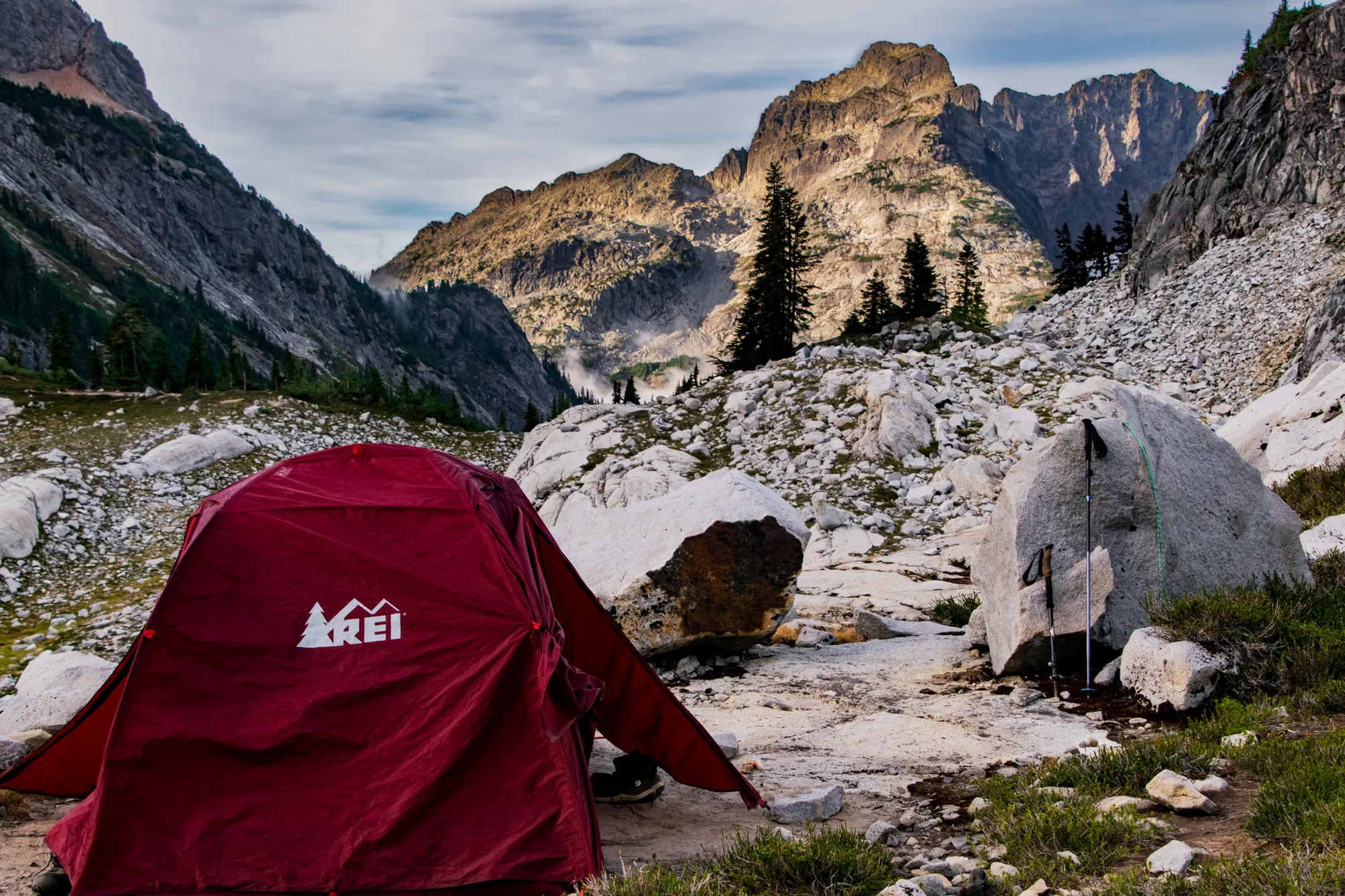
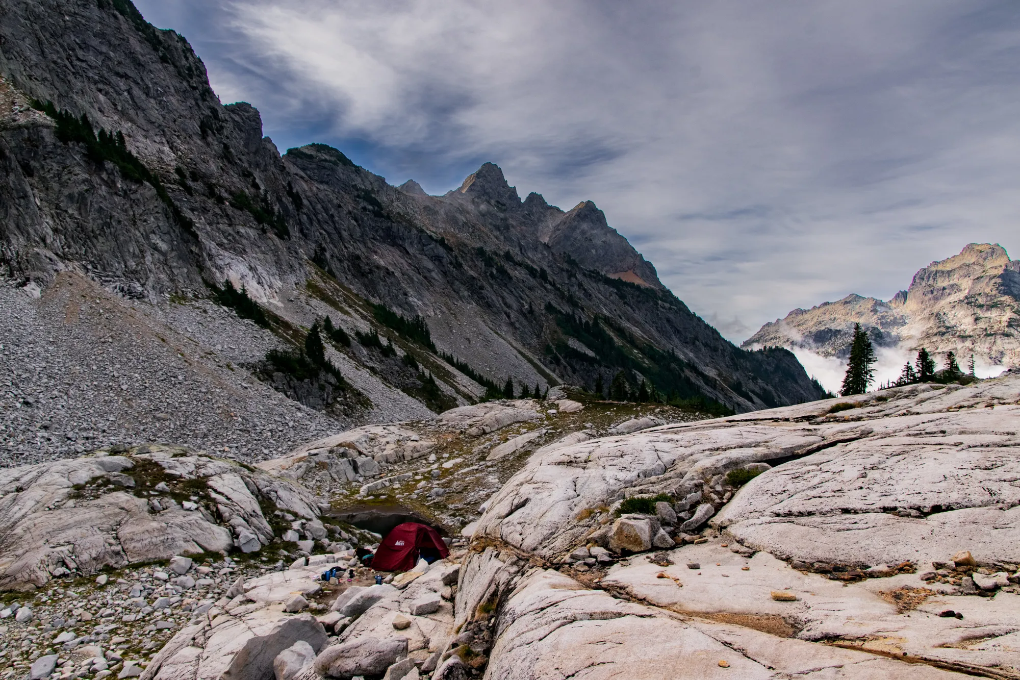
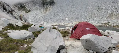 Our campsite at the Chain lakes basin
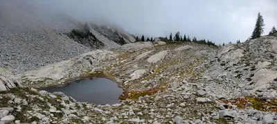 As the day progressed, the clouds started moving into the Chain lakes basin
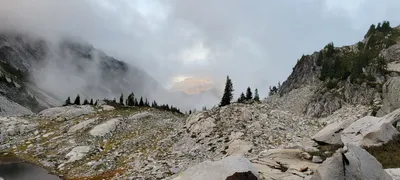 As the day progressed, the clouds started moving into the Chain lakes basin
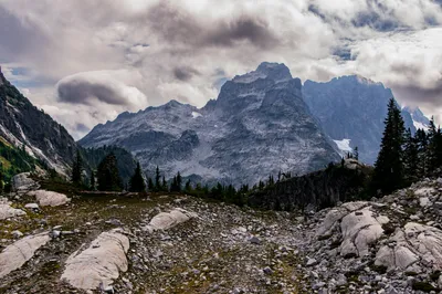
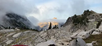 The view south from our campsite in the chain lakes basin
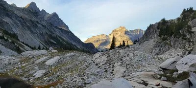 The view south from our campsite in the chain lakes basin
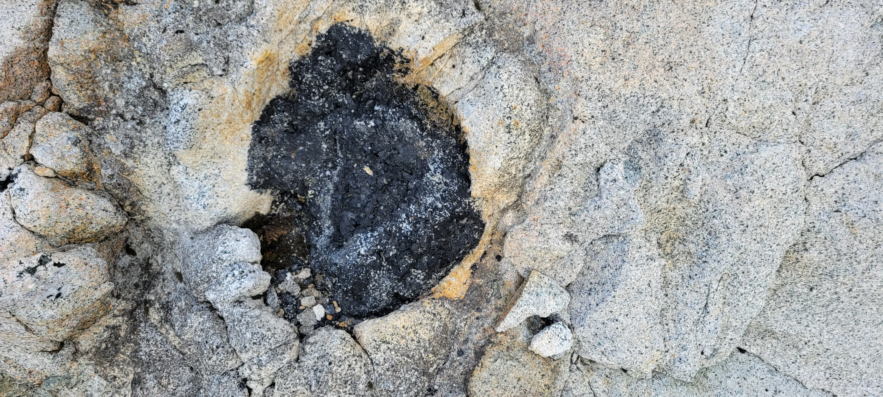
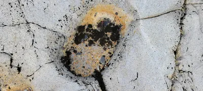
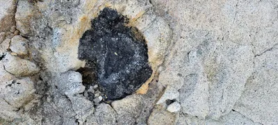 Saw lots of these in the granite slabs in the Chain lakes basin - It looks like a tree trunk
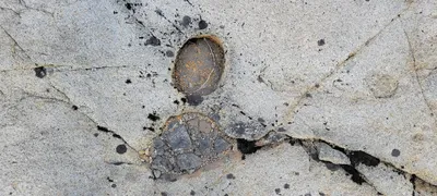 Saw lots of these in the granite slabs in the Chain lakes basin - It looks like a tree trunk
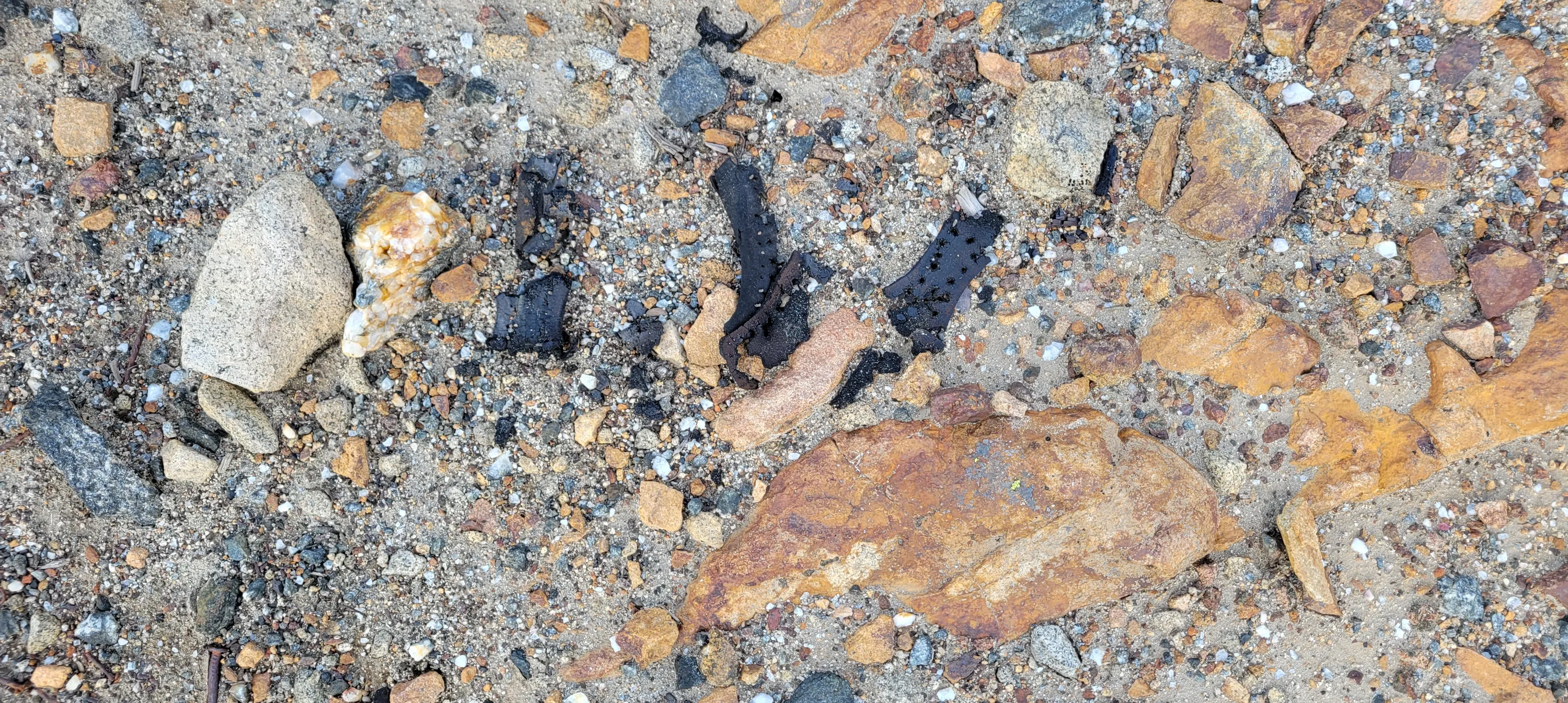
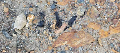 This looked like remnants from a leather boot - Chain lakes basin
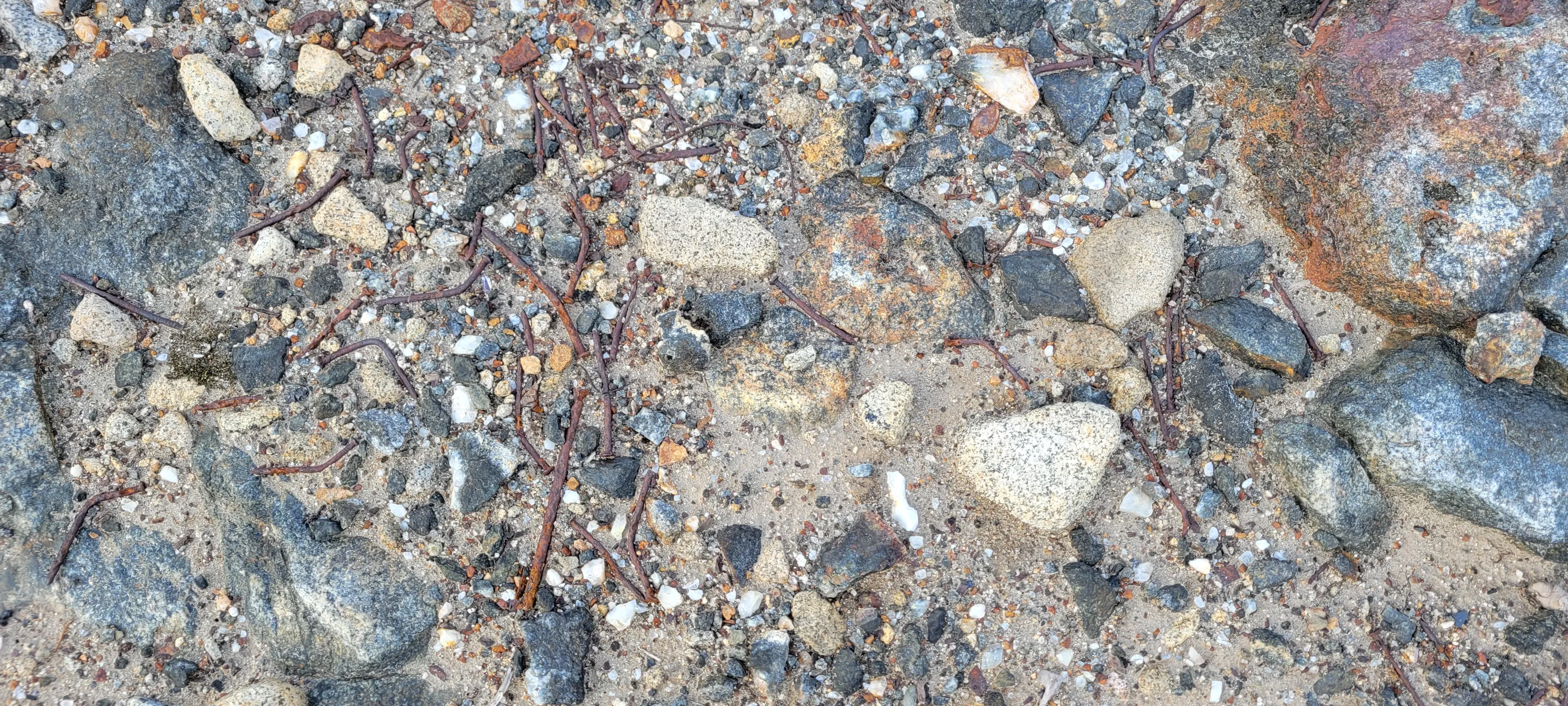
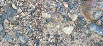 Nails in the chain lakes basin
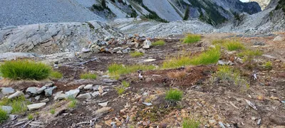 Some sort of old structure in the Chain Lakes basin - maybe an equipment shed or something? It was basically square
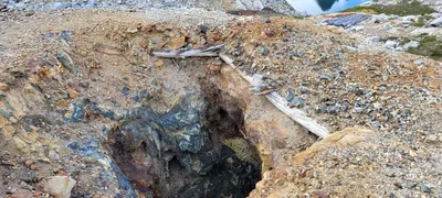 This mine went down to the lower shaft I think - it is pretty dangerous since there is nothing to keep you from falling in it - Chain lakes basin
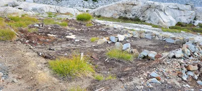 Some sort of old structure in the Chain Lakes basin - maybe an equipment shed or something? It was basically square
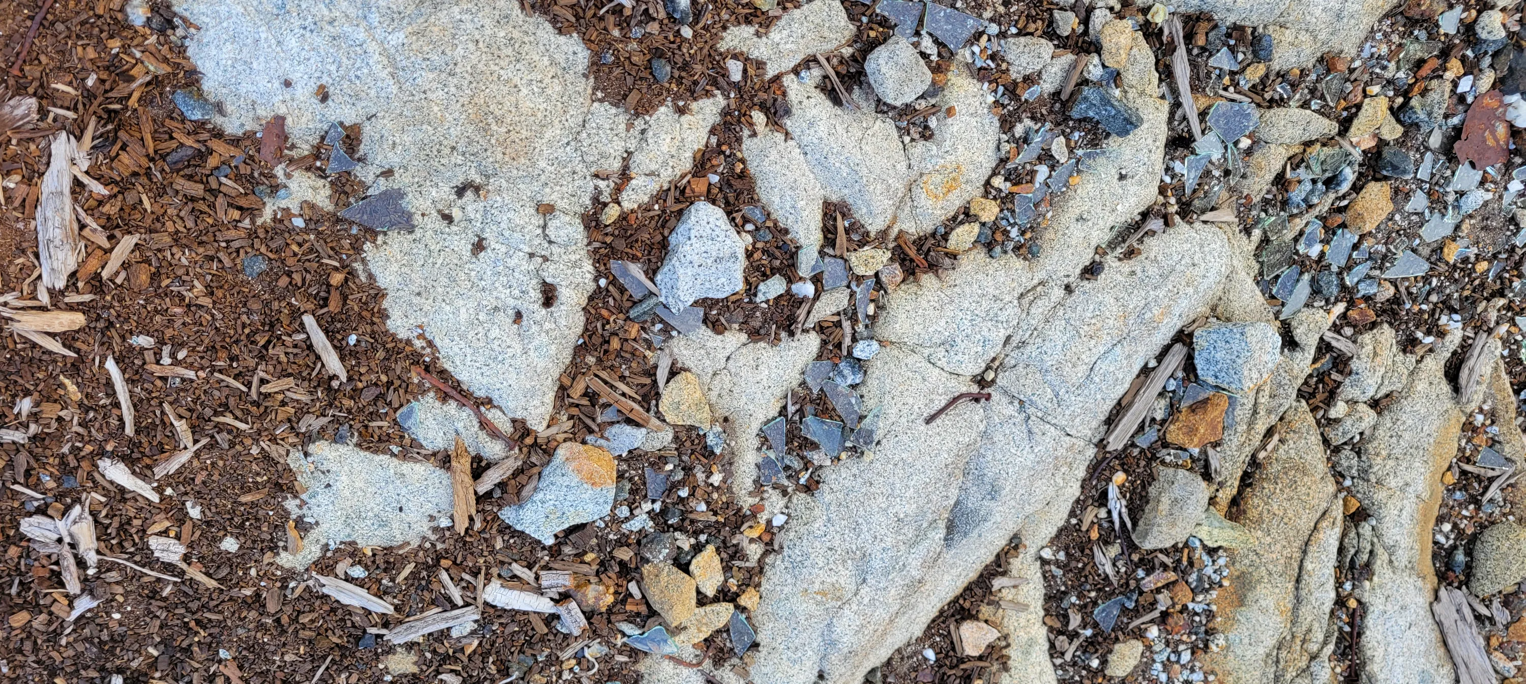
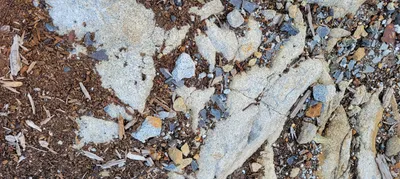 Hard to see but this was a bunch of plate glass pieces - Chain Lakes basin
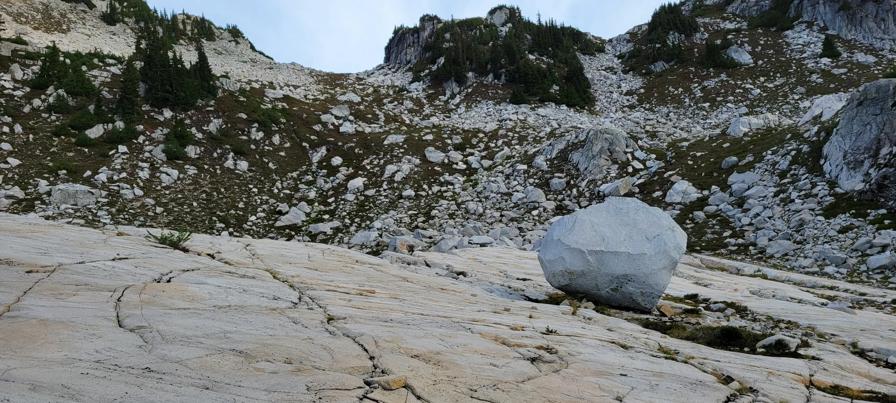
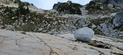 I thought this huge rock looked out of place - it was probably 15' tall - Chain Lakes basin
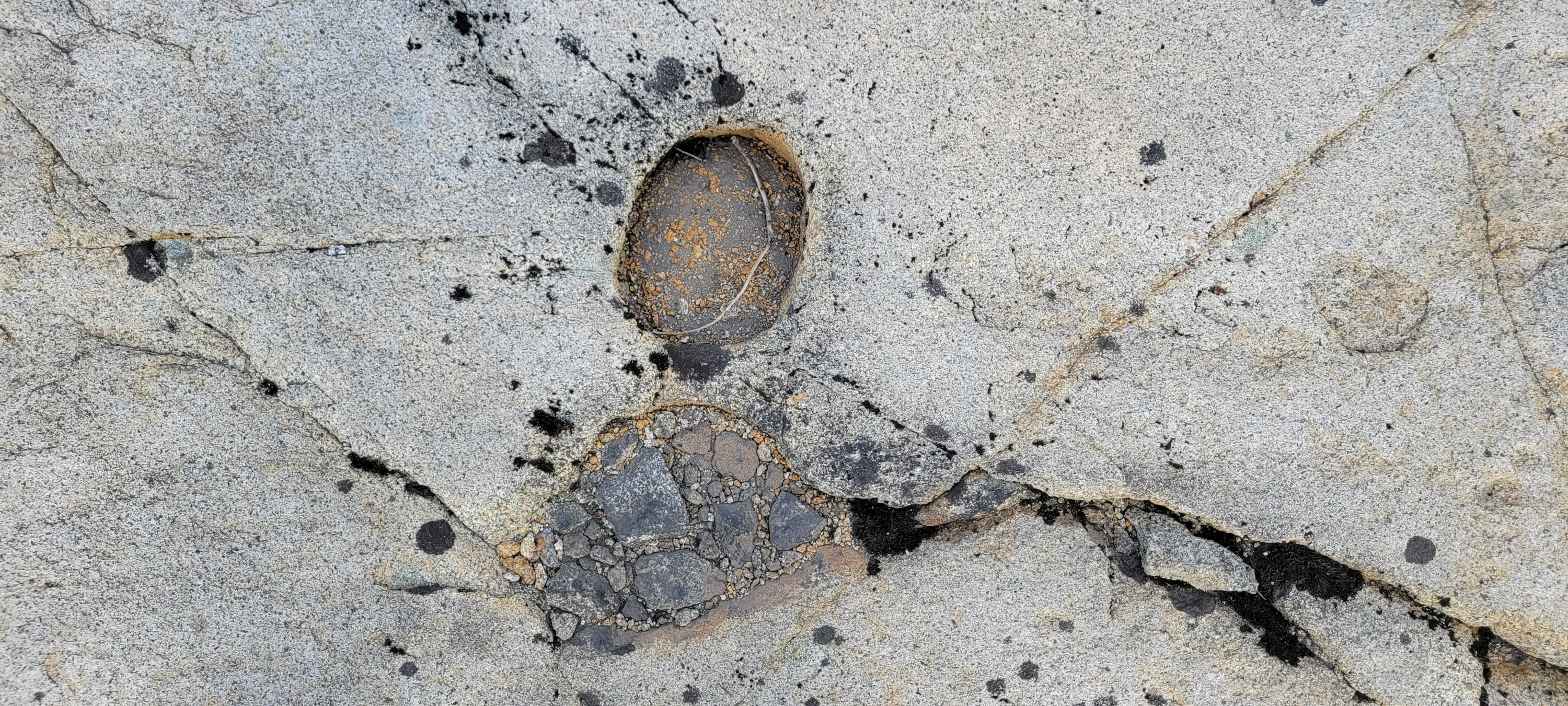
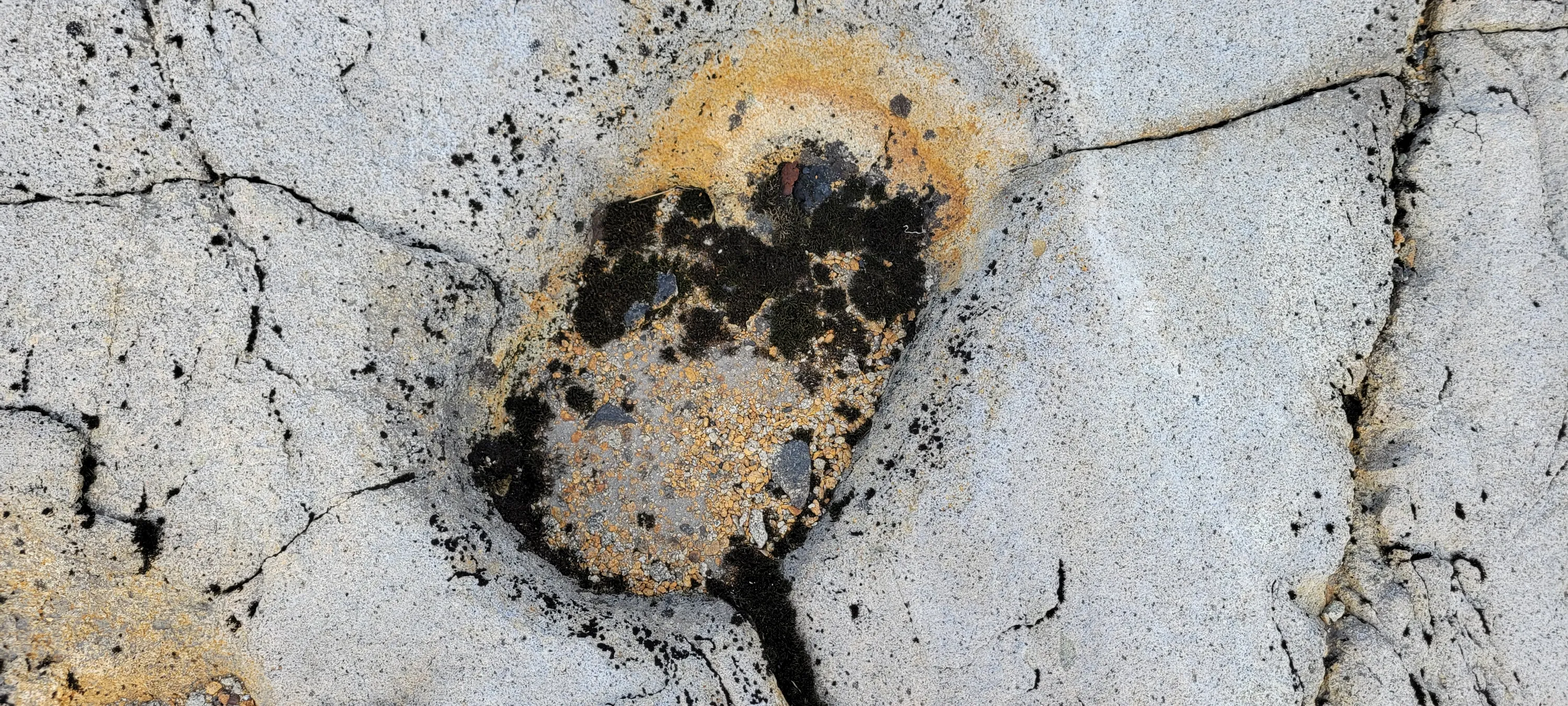
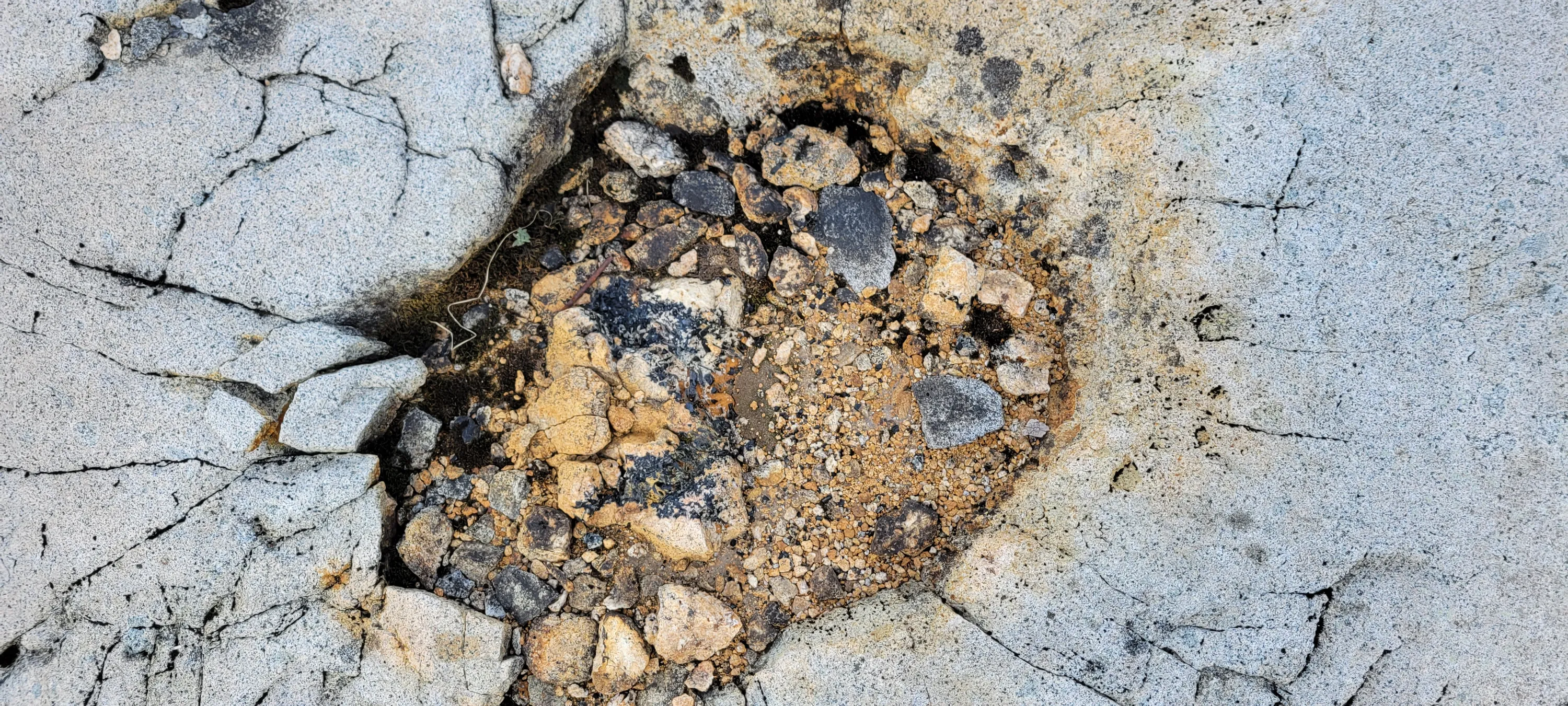
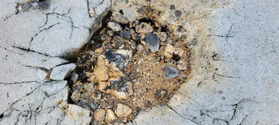 Another "hole" in the granite slabs that looked like it could have been a tree - Chain lakes basin
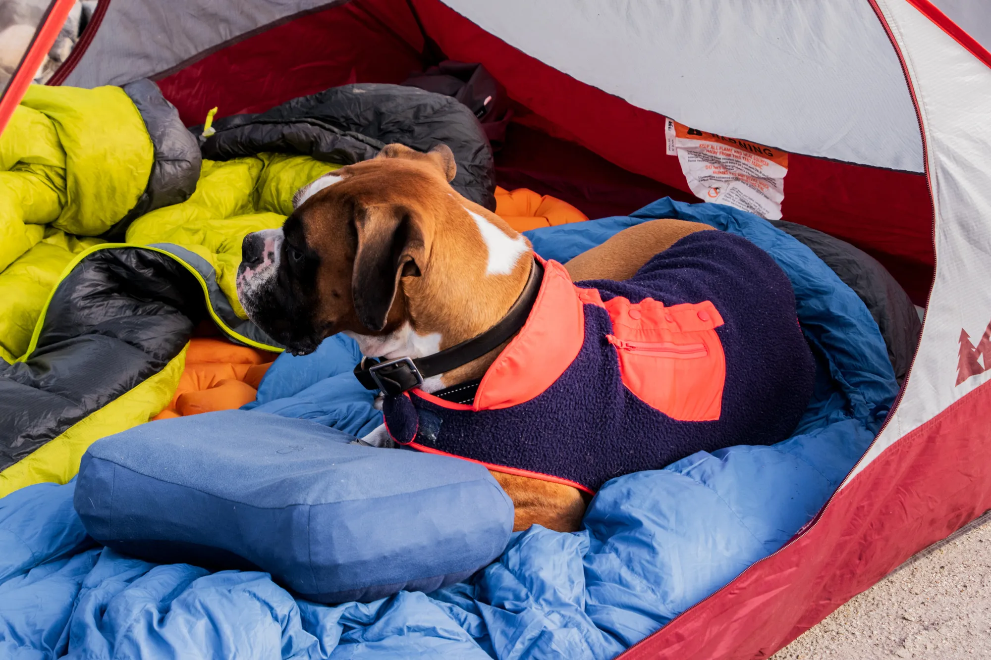
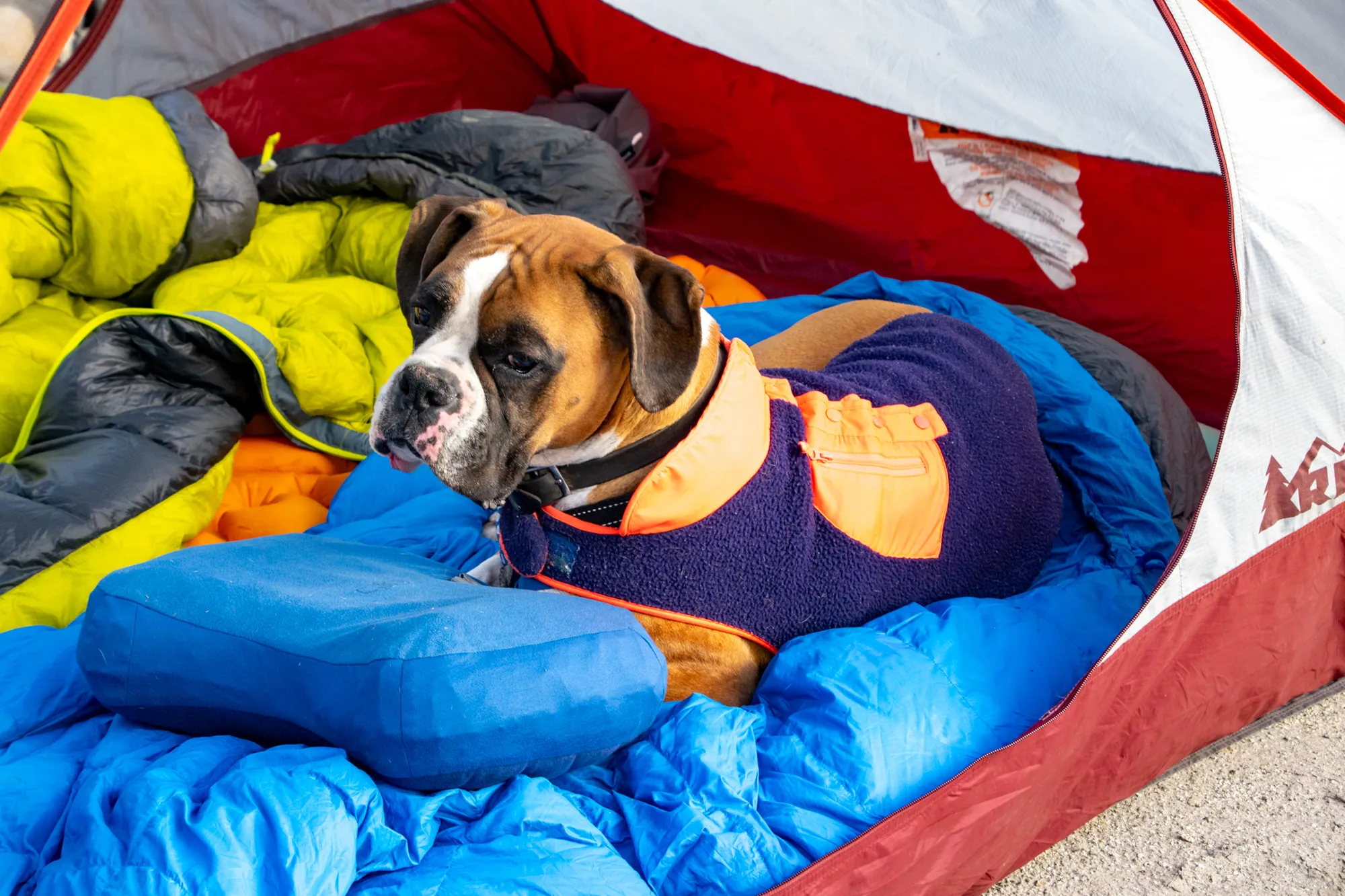
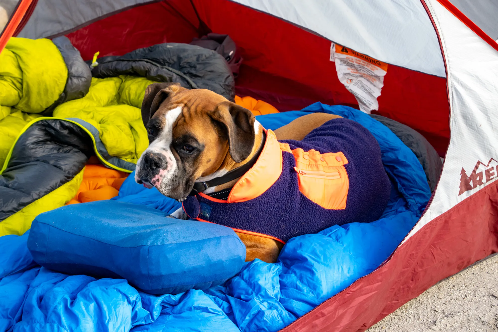
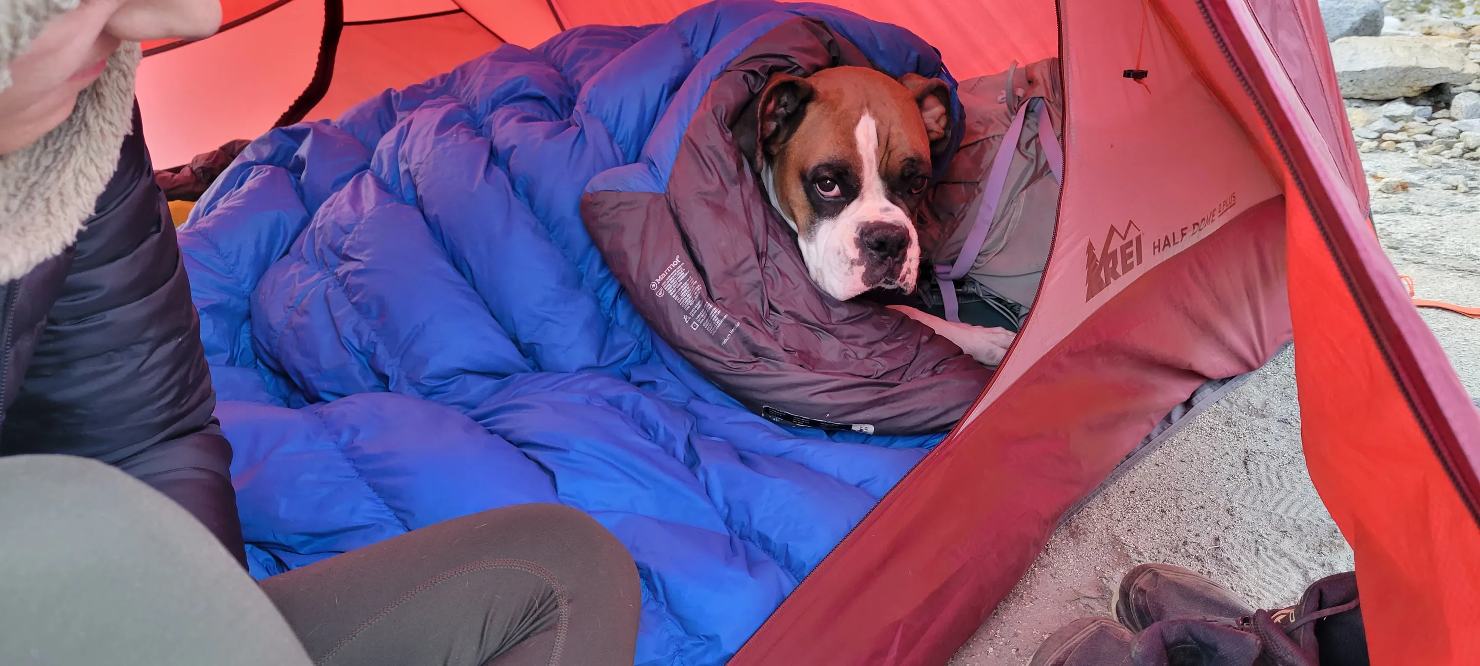
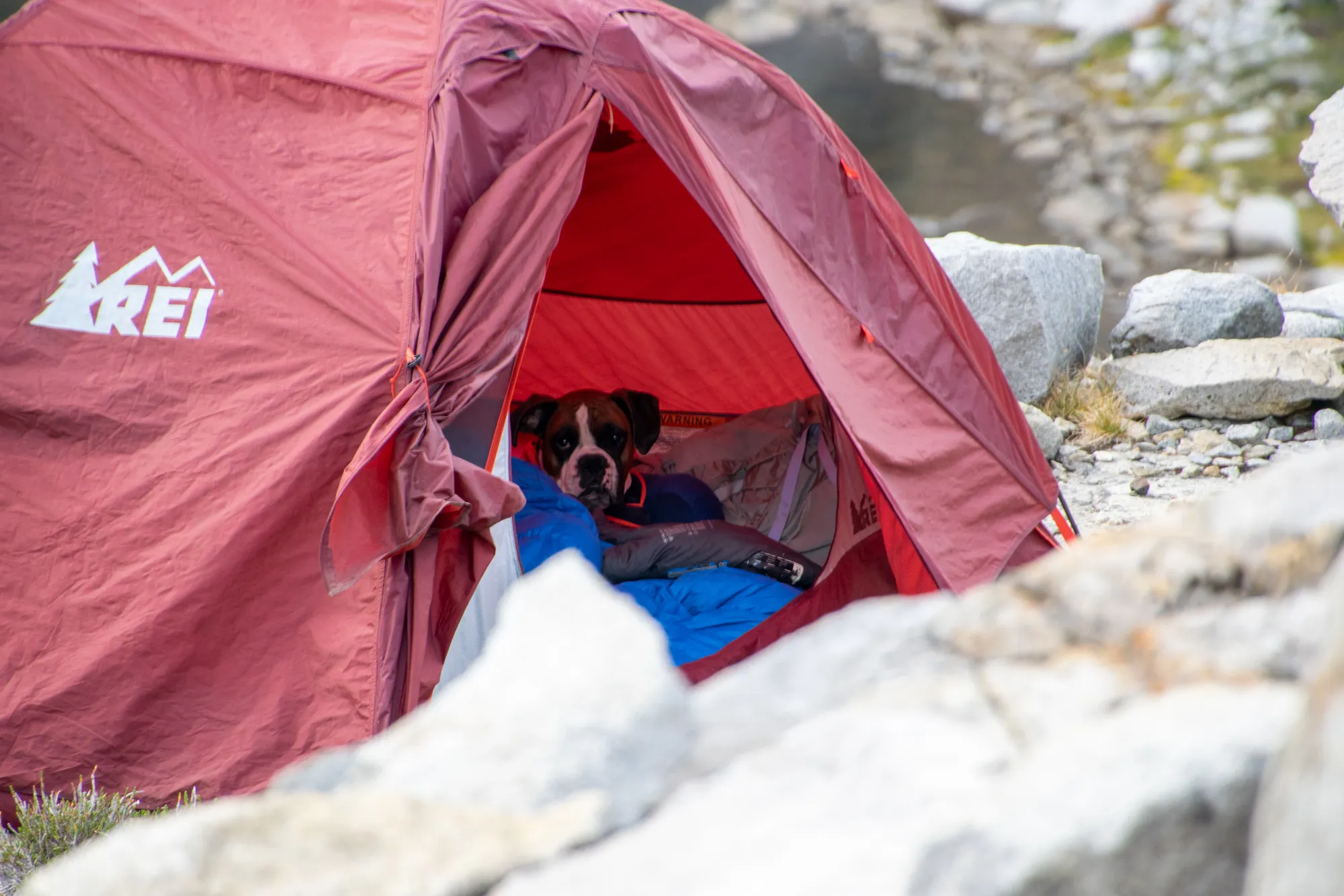
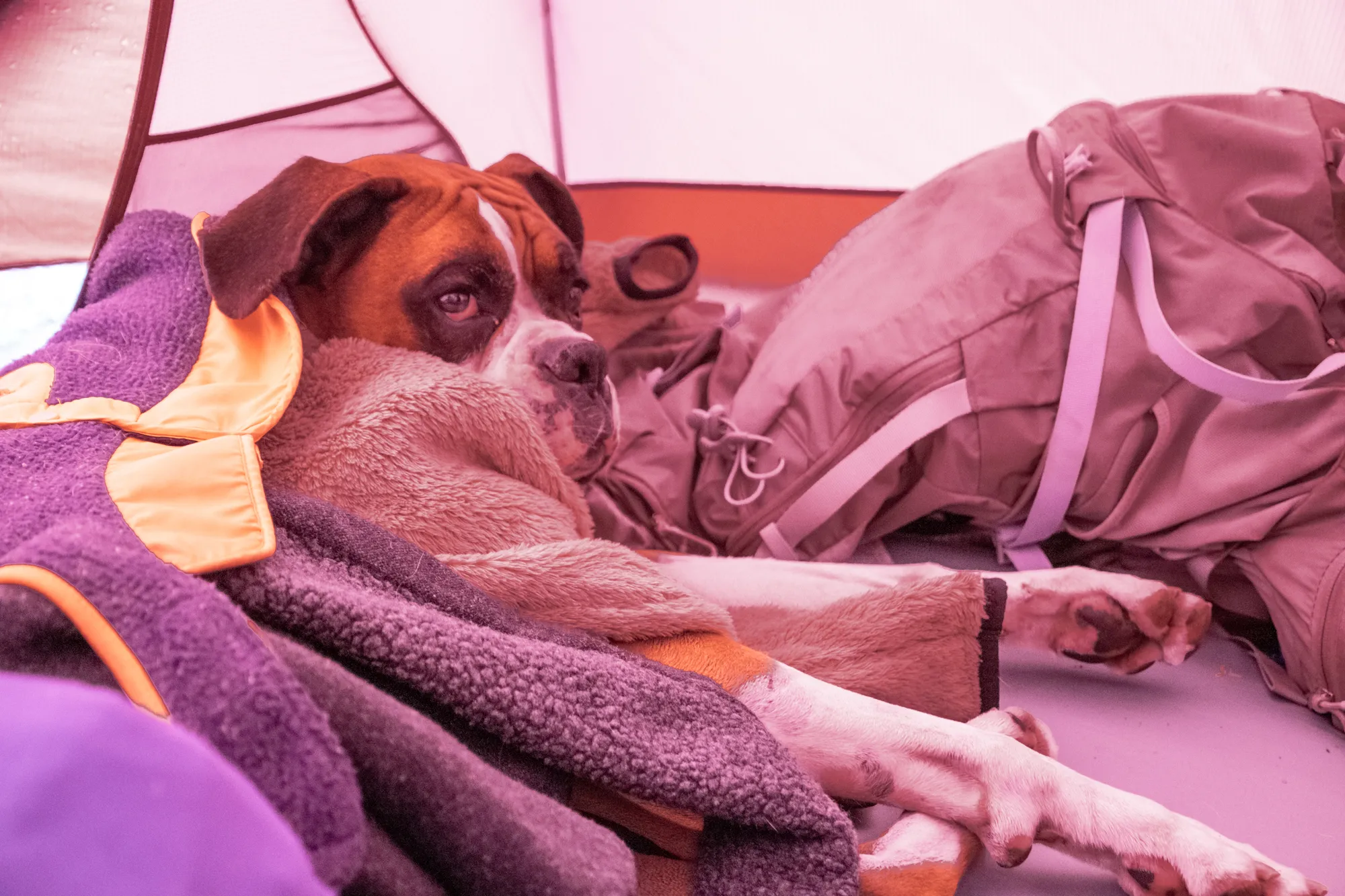
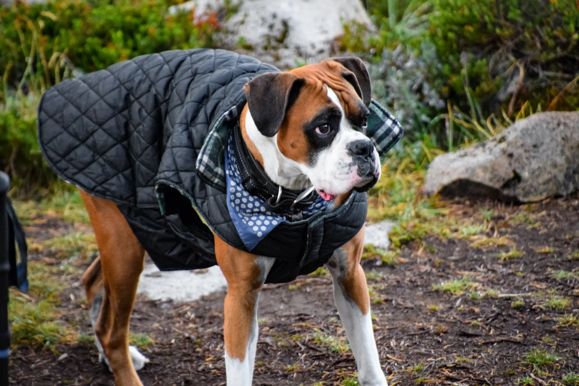
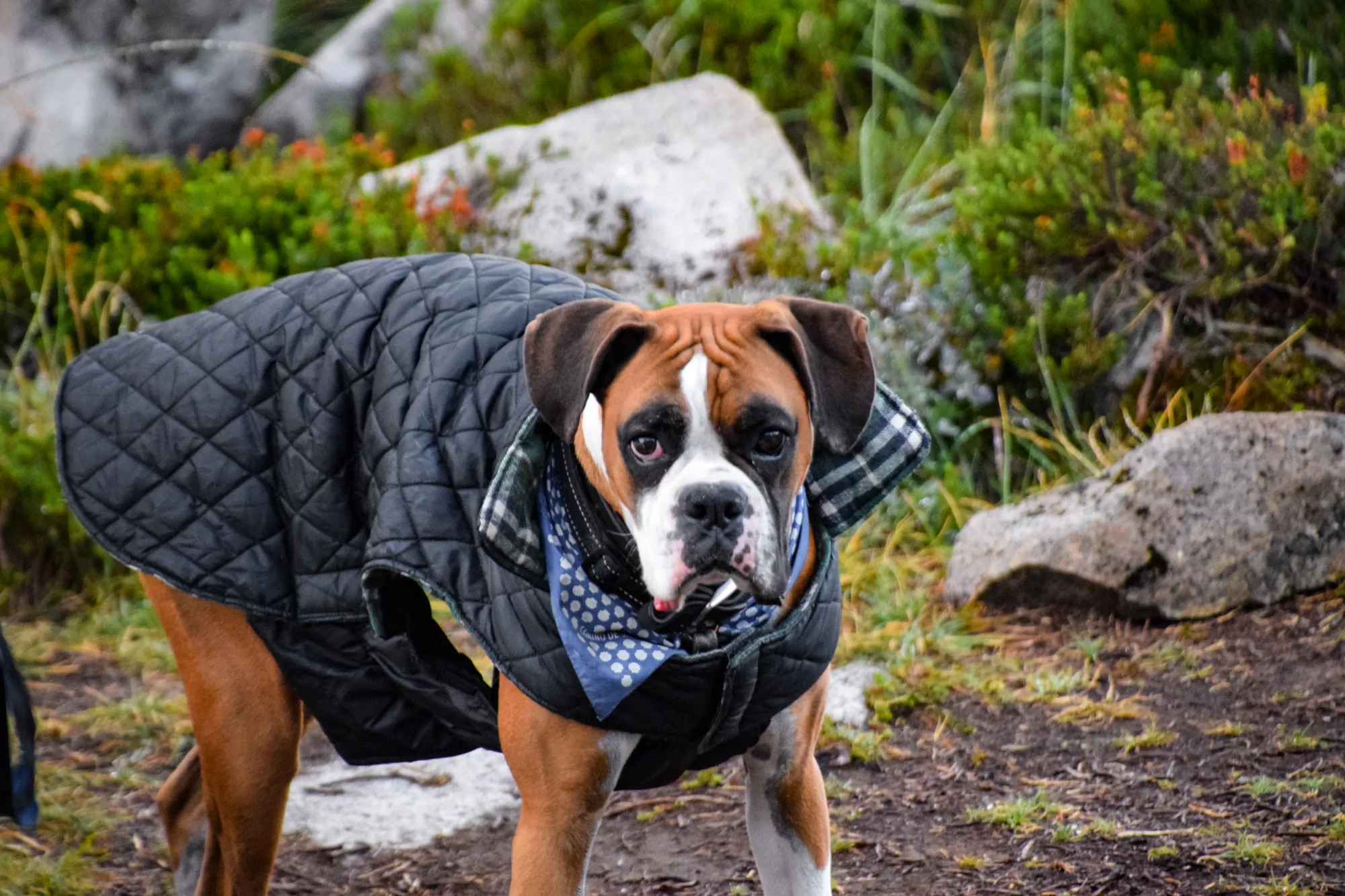
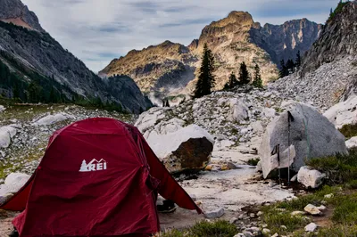
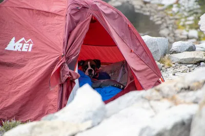
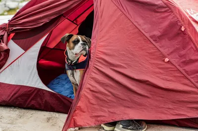
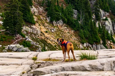
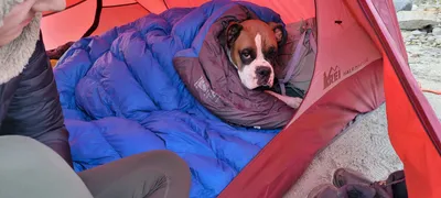 Otis chilling in the tent - Chain lakes basin
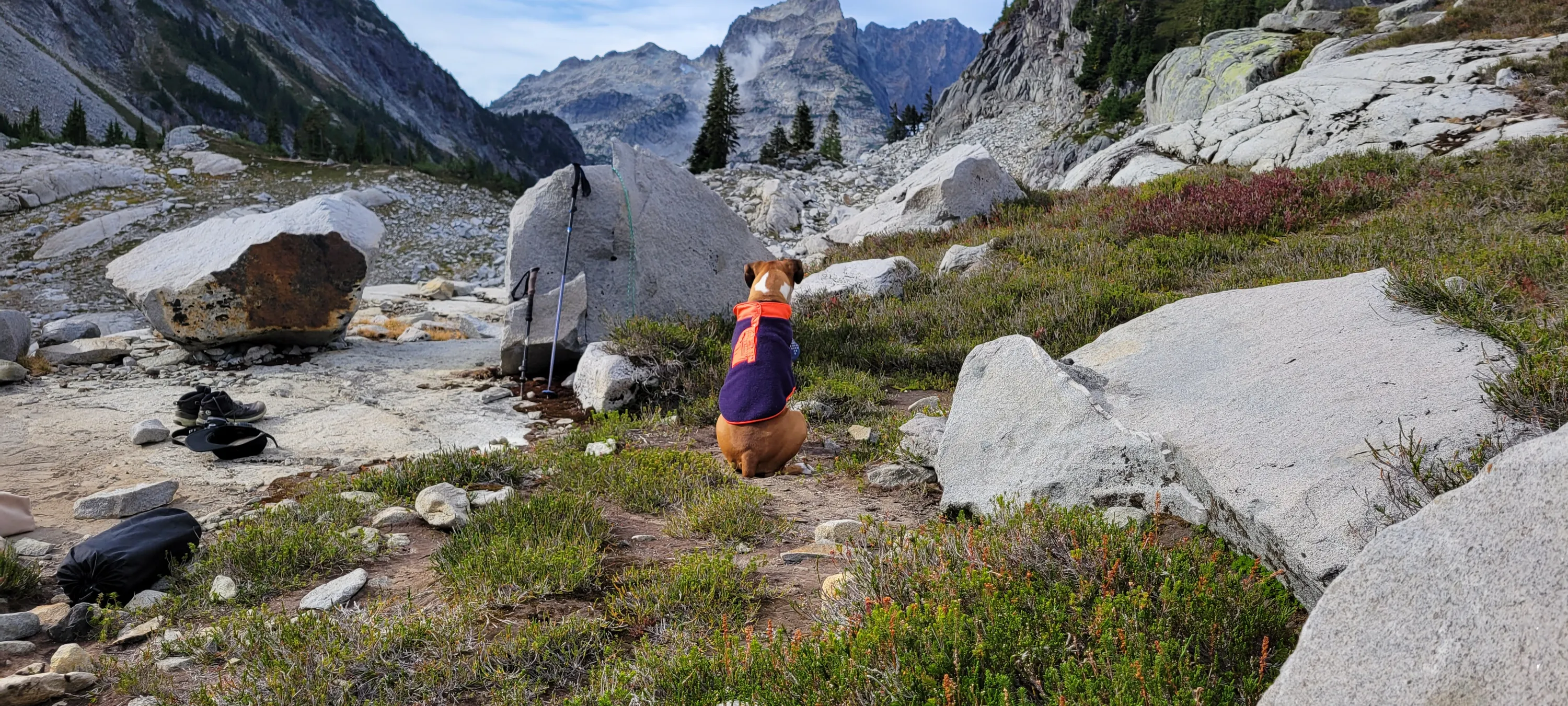
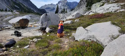 Otis contemplating life - Chain lakes basin
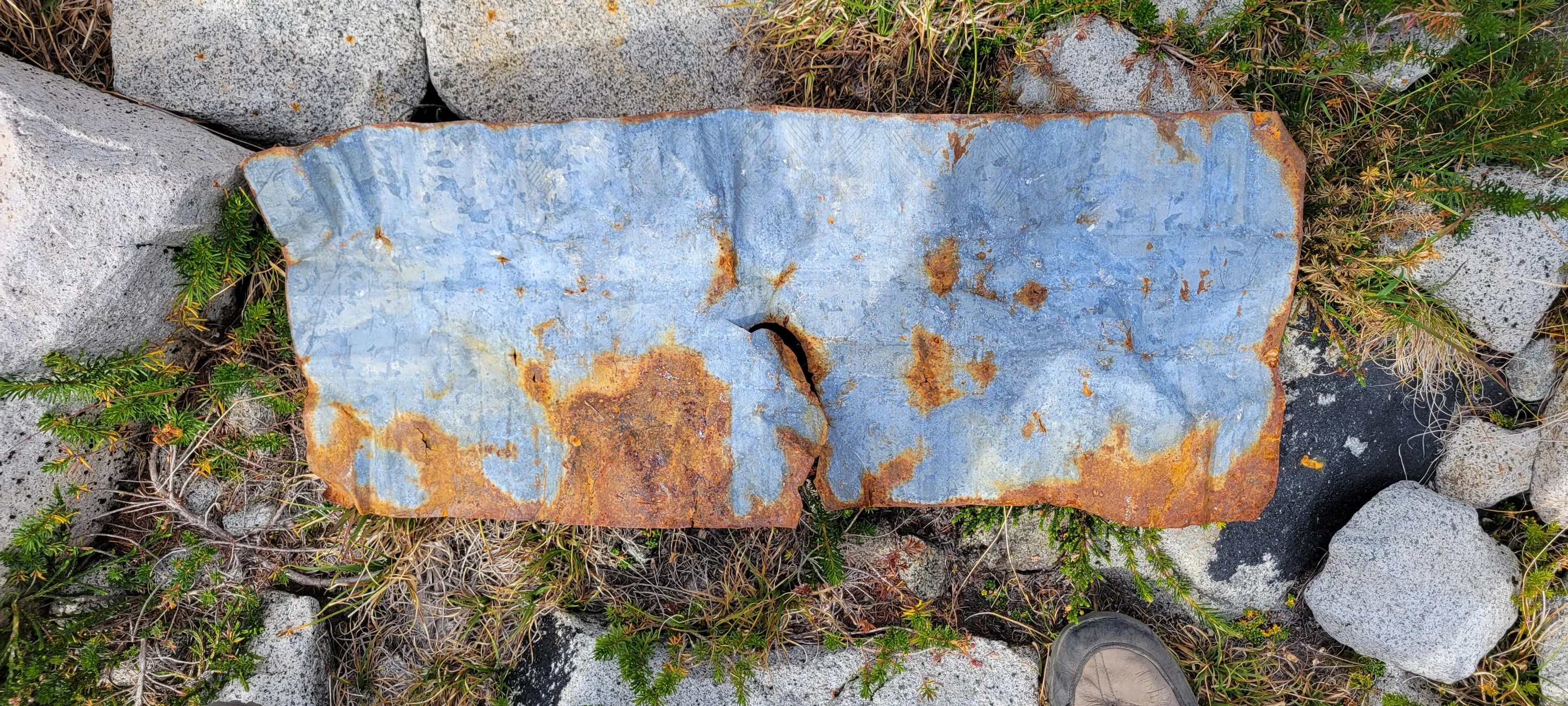
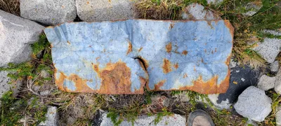 No idea what this was - it wsa an old piece of tin for something that was below our campsite - Chain lakes basin
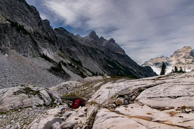
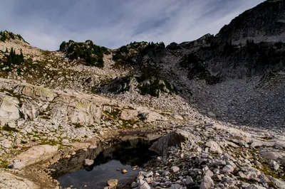
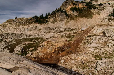
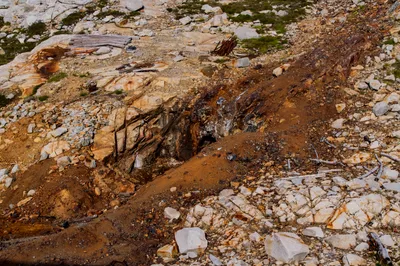
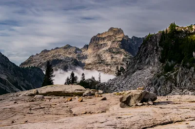
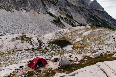
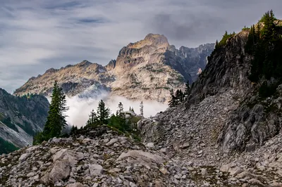
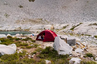
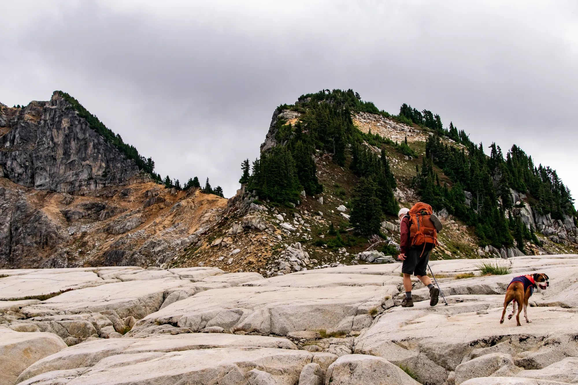
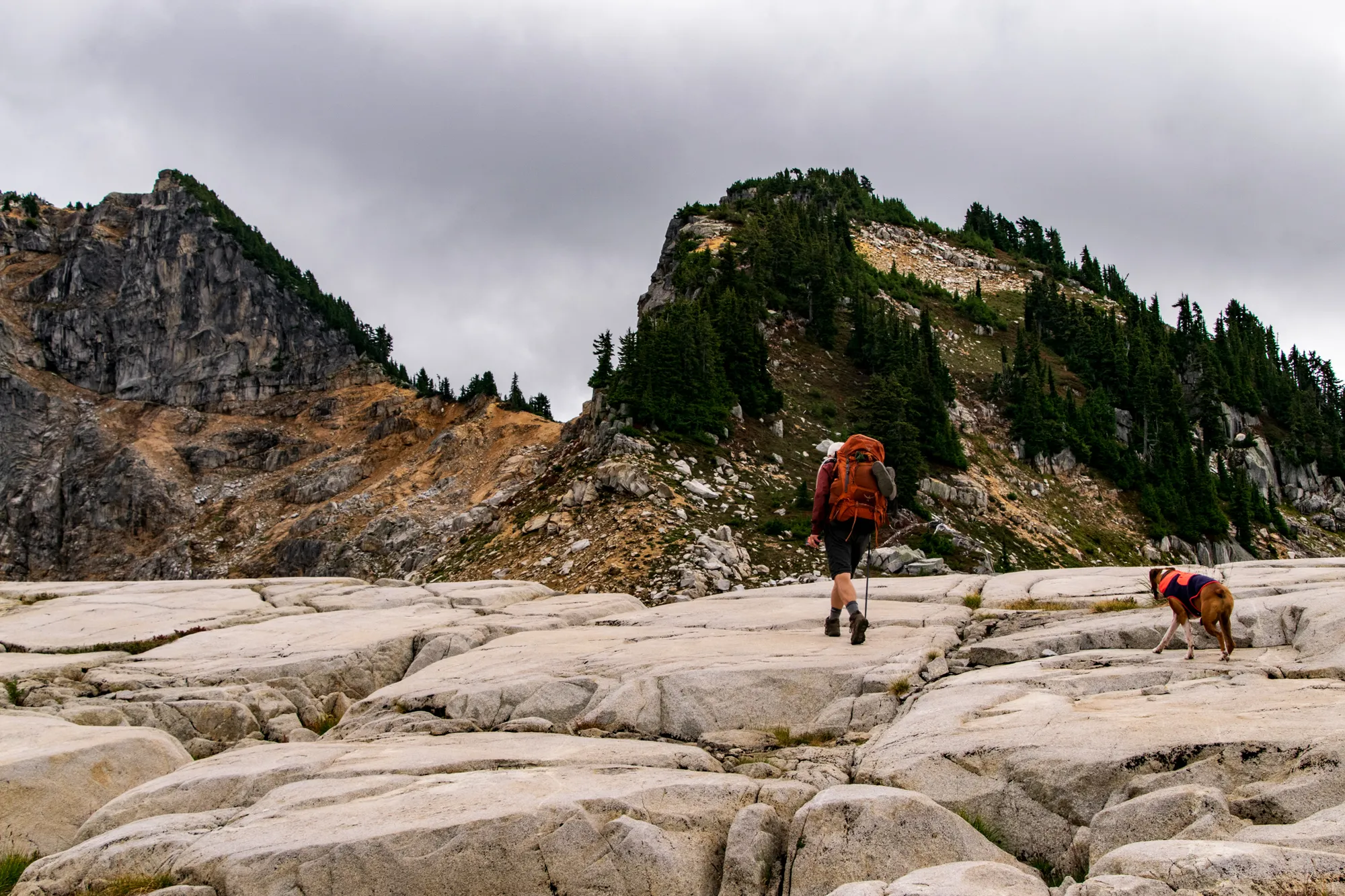
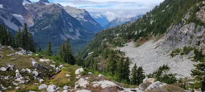 We needed to head that way to get to Tank Lakes
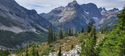 This is on our way to Tank Lakes - I think that is Iron Cap Mtn
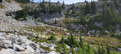 That is the hill we just came down from Chain Lakes
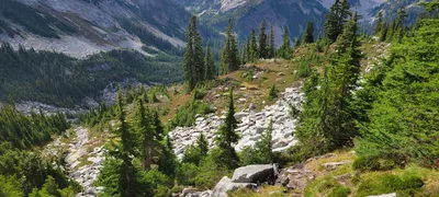 Making our way over to Tank Lakes
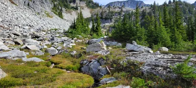 We've now negotiated the steep hillside as well as the big boulder field and are about halfway to Tank Lakes I think
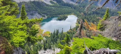 Williams Lake - Necklace Valley - I belive there was a mine there as well
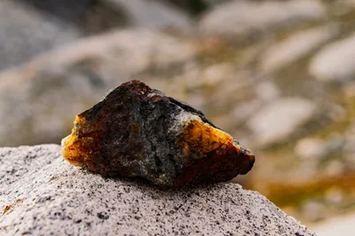
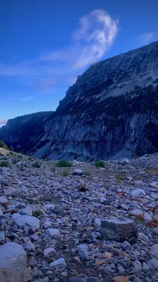
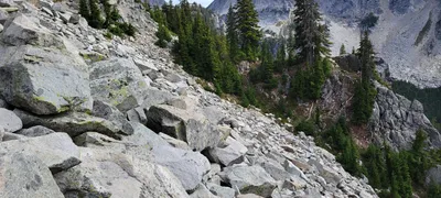 This was part of the rock field we went across on the way to Tank Lakes
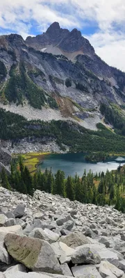 Williams Lake with Summit Chief mtn in the background
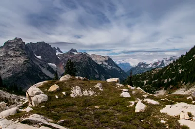
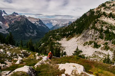
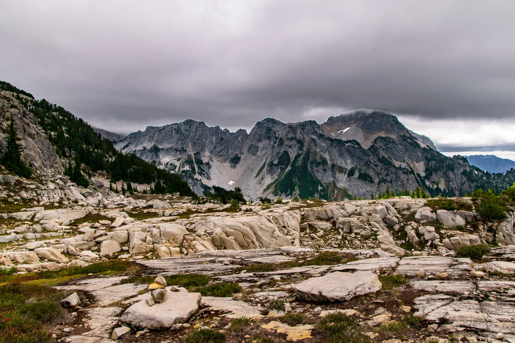
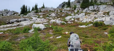 We finally made it to the "slabby" part of the cross country trek on the way to Tank Lakes! This was a LOT easier to walk on
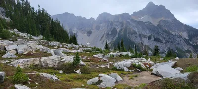 The "slabby" section we just came thru on our way to Tank Lakes - this section was reasonably flat.
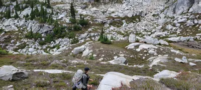 More of the "slabby" areas on the way to Tank Lakes
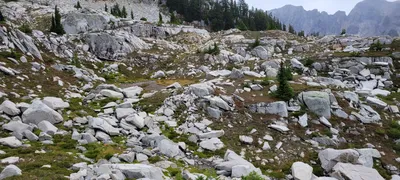 More of the "slabby" areas on the way to Tank Lakes
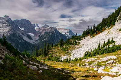
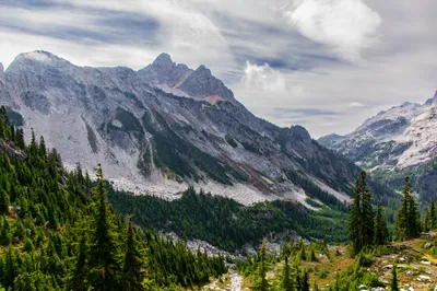
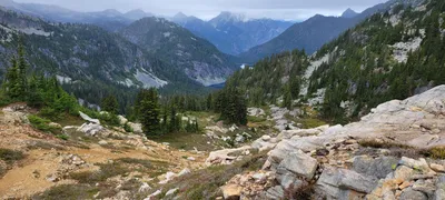 This is where we took a wrong turn - not knowing where the trails lead - I believe that is Bonnie lake below
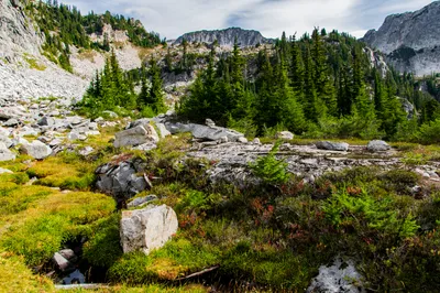
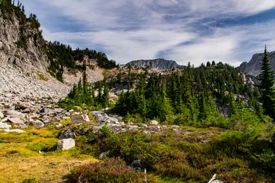
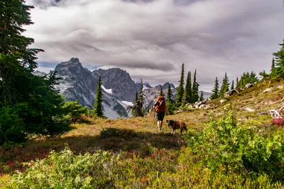
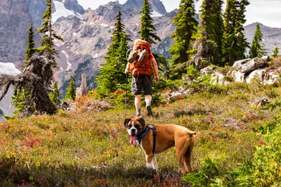
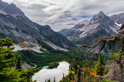
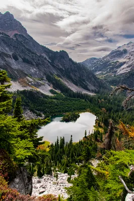
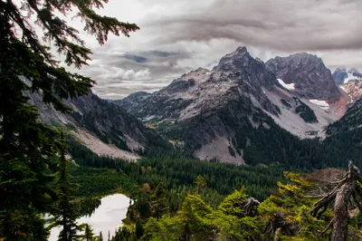
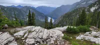 This is our view from lunch with Bonnie lake below - on our way to Tank Lakes
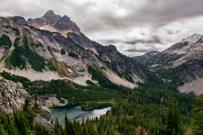
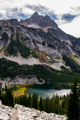
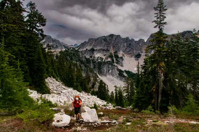
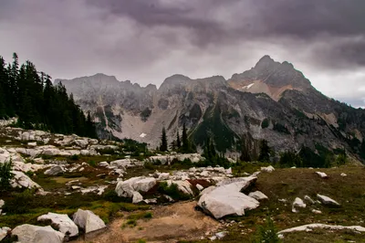
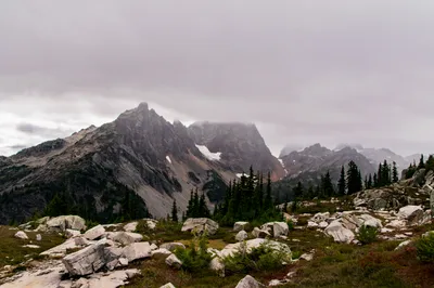
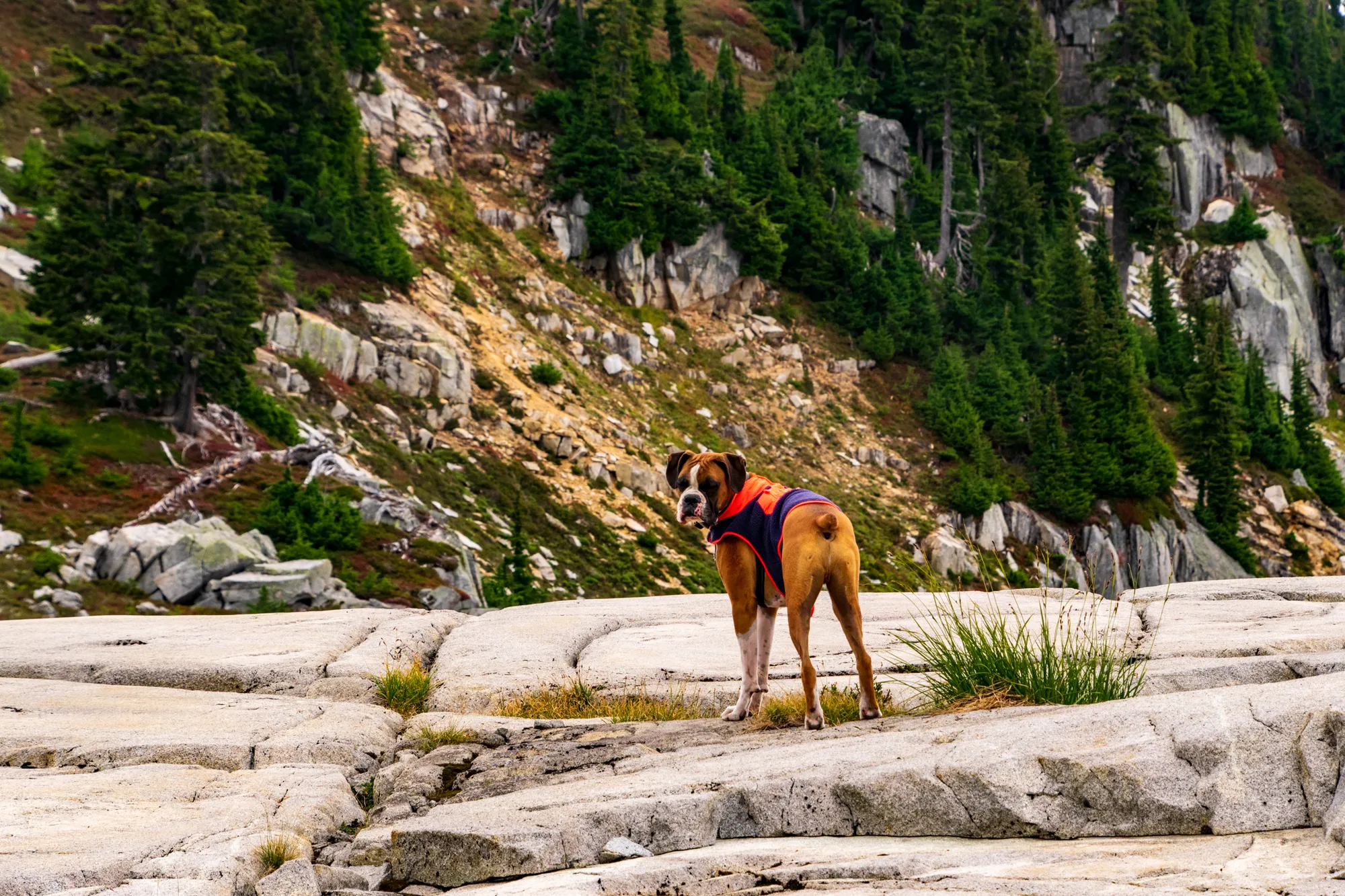
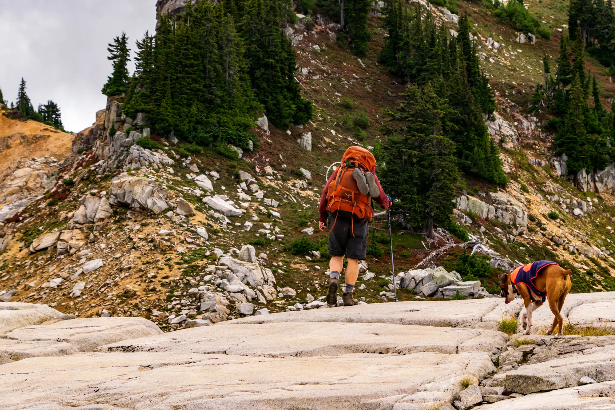
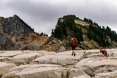
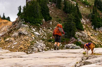
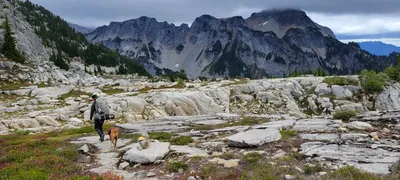 Making our way closer to Tank lakes - you can see a cairn on the rock behind Otis
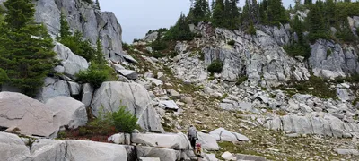 This was the trail we skipped on the way in - we though this was a shortcut, not the real trail to Tank Lakes
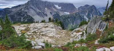 On our way to Tank Lakes
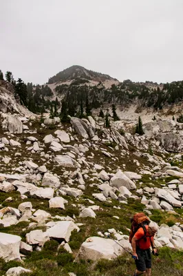
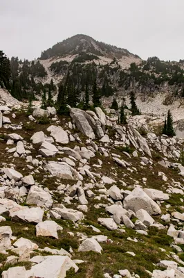
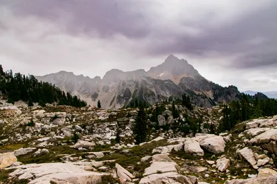
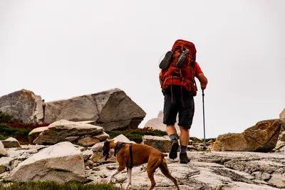
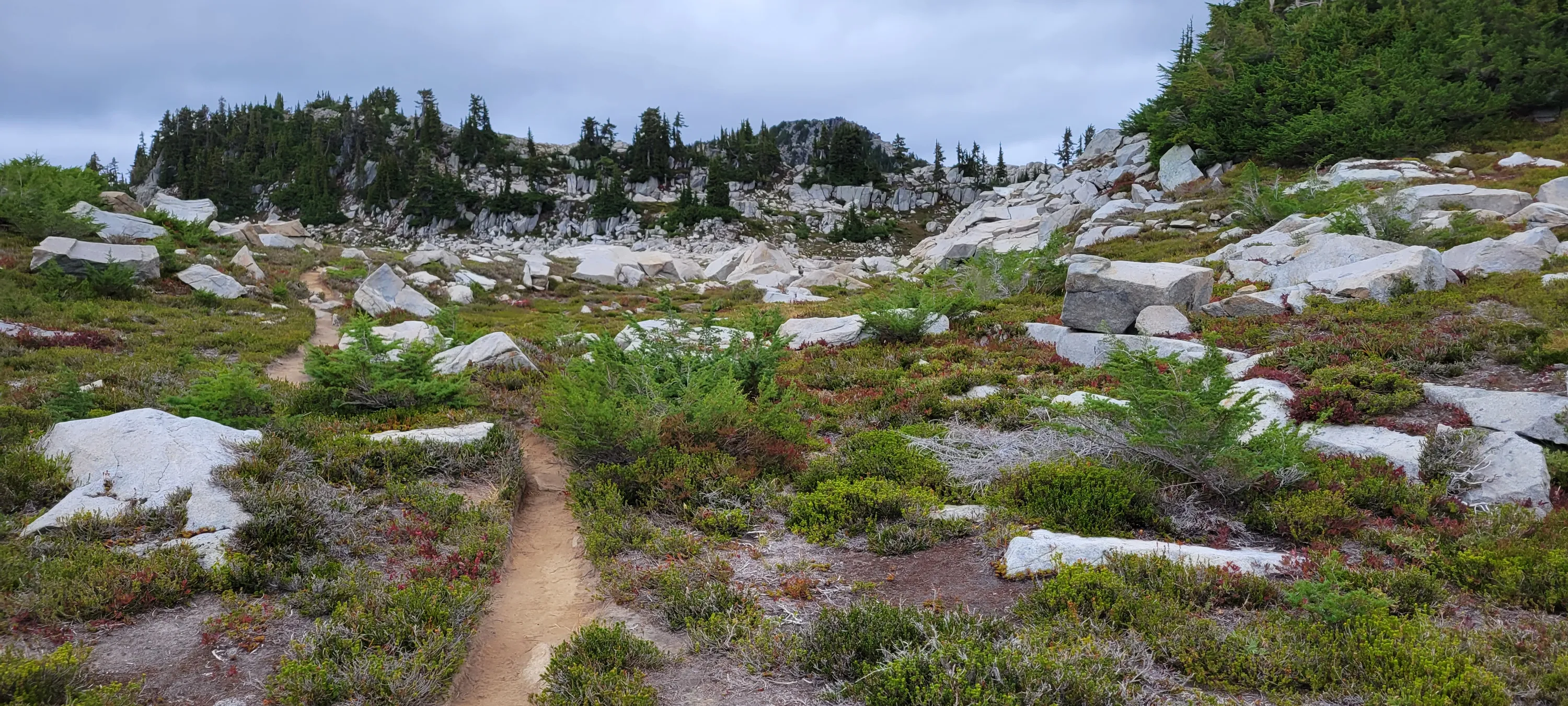
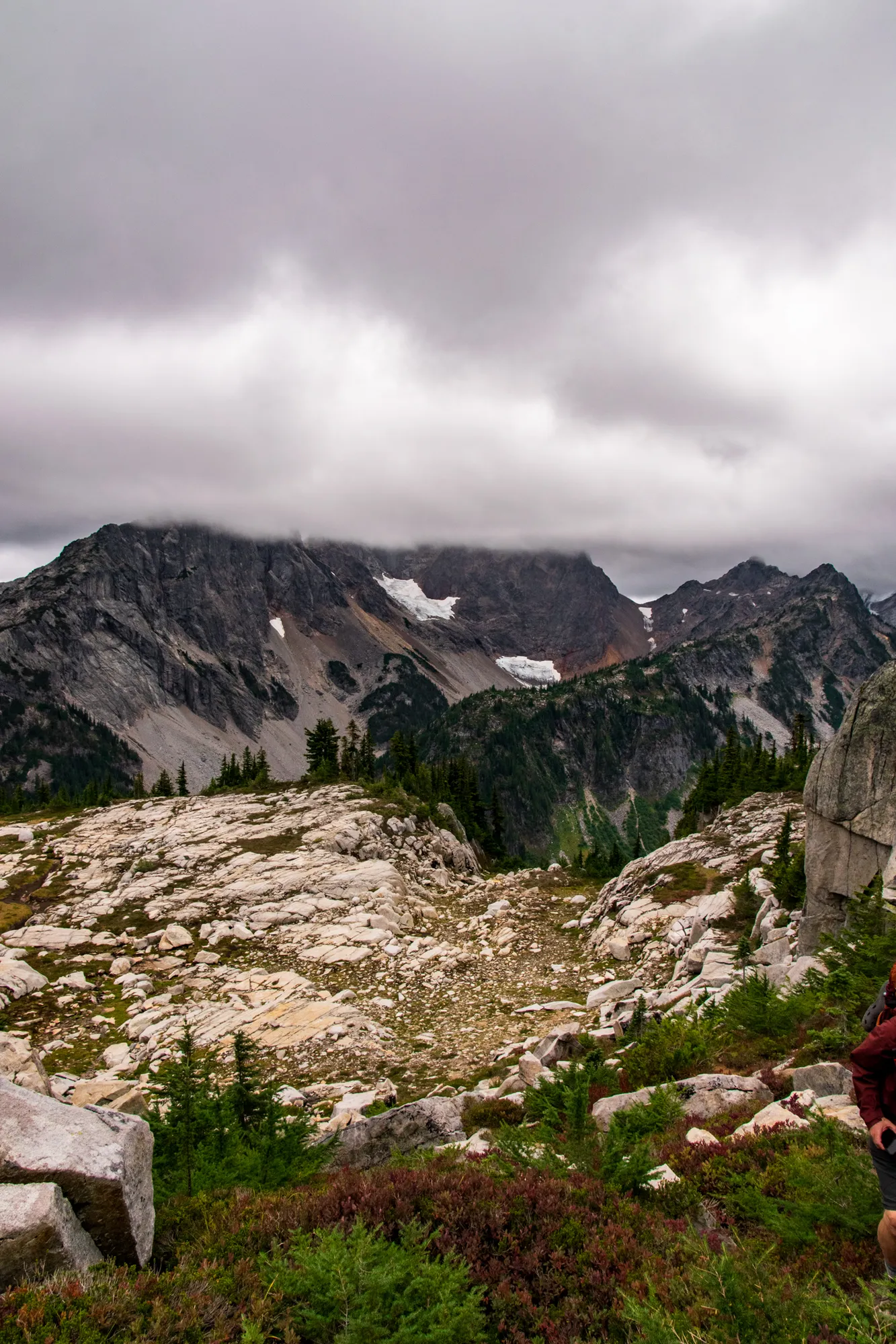
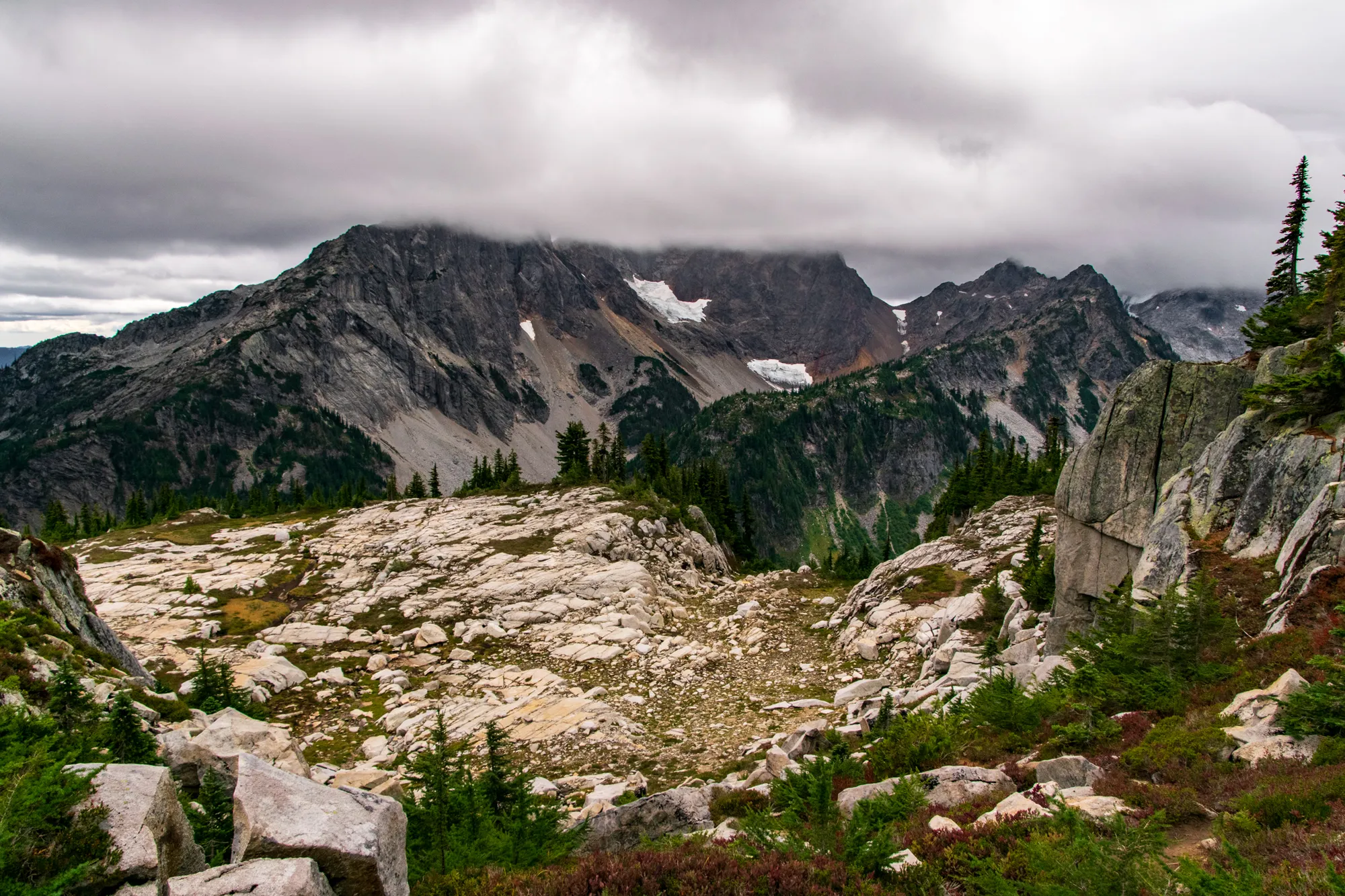
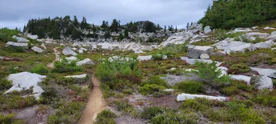 Trail approaching Tank Lakes
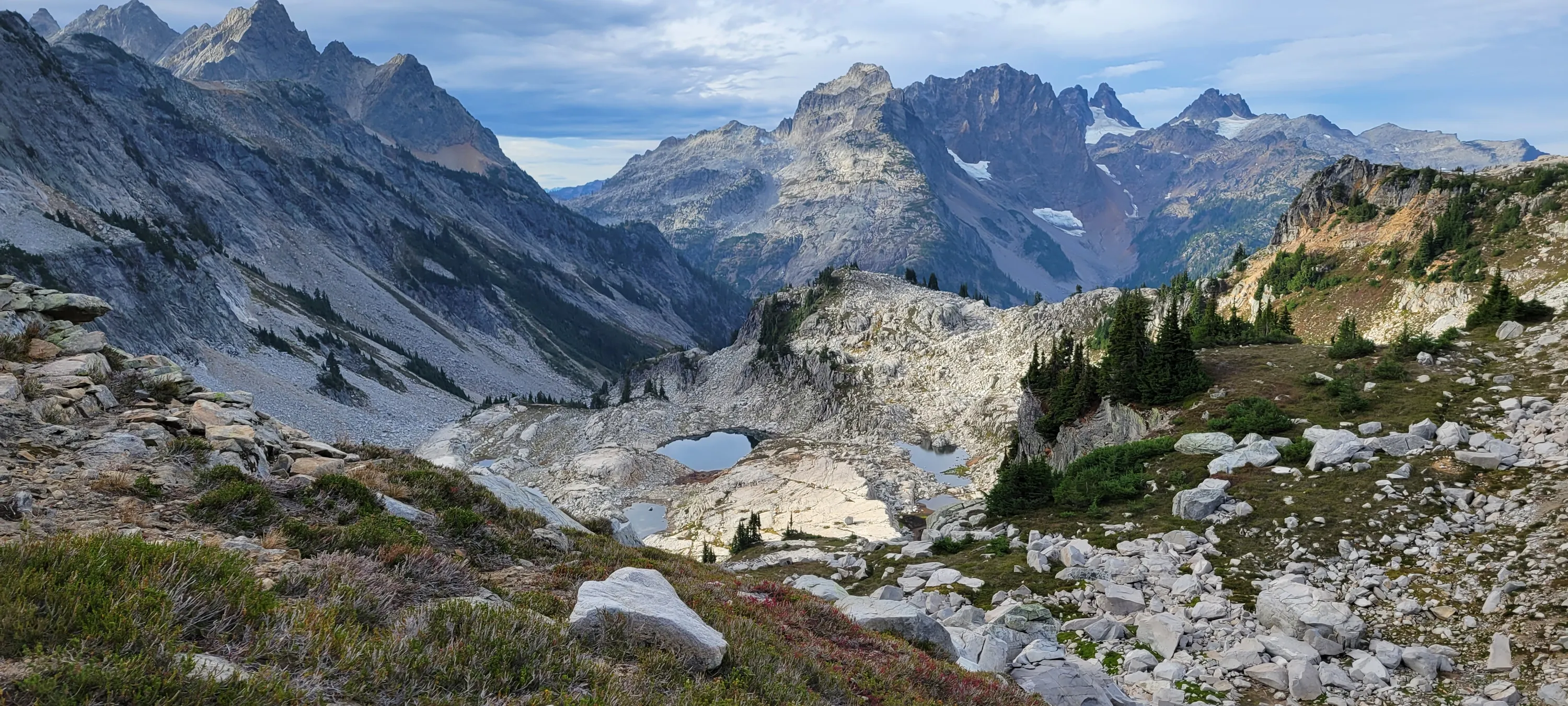
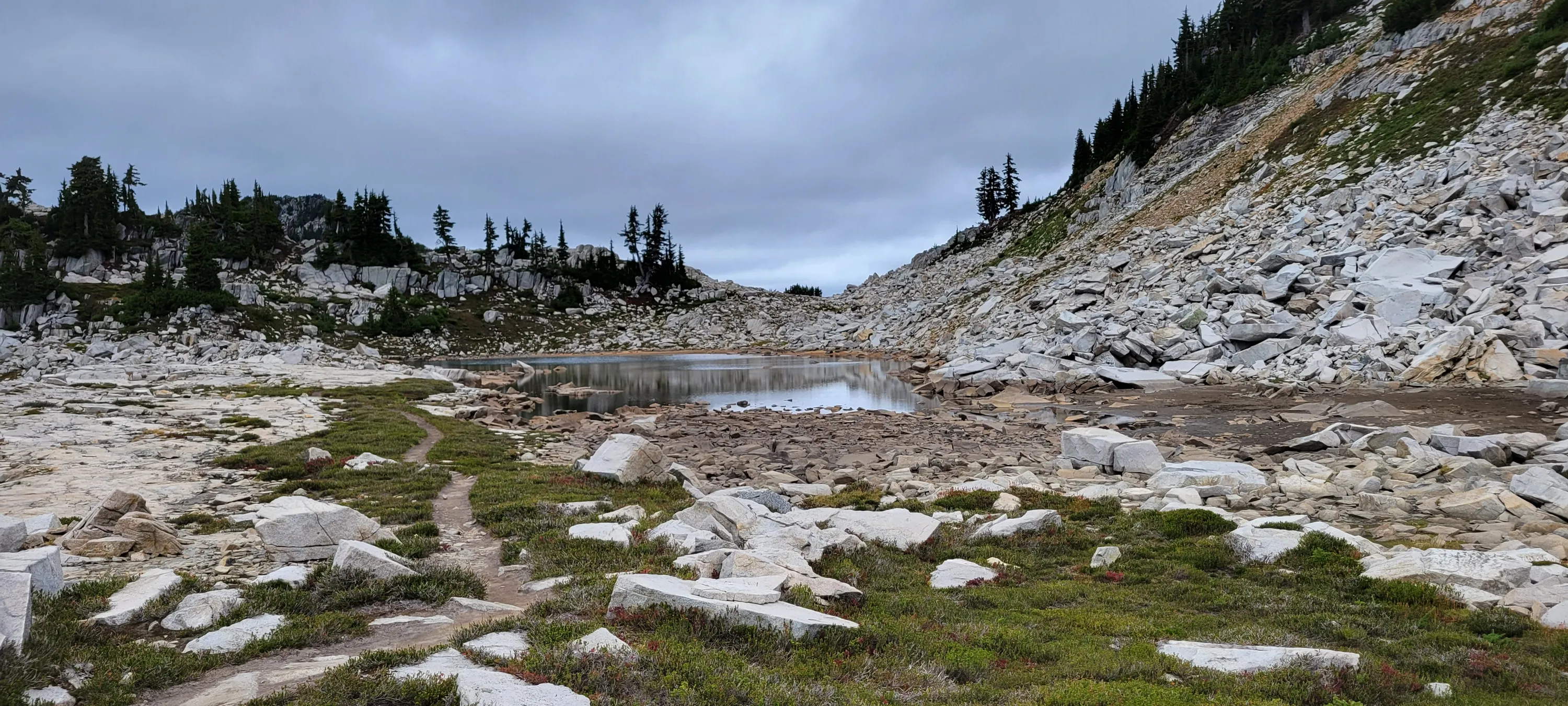
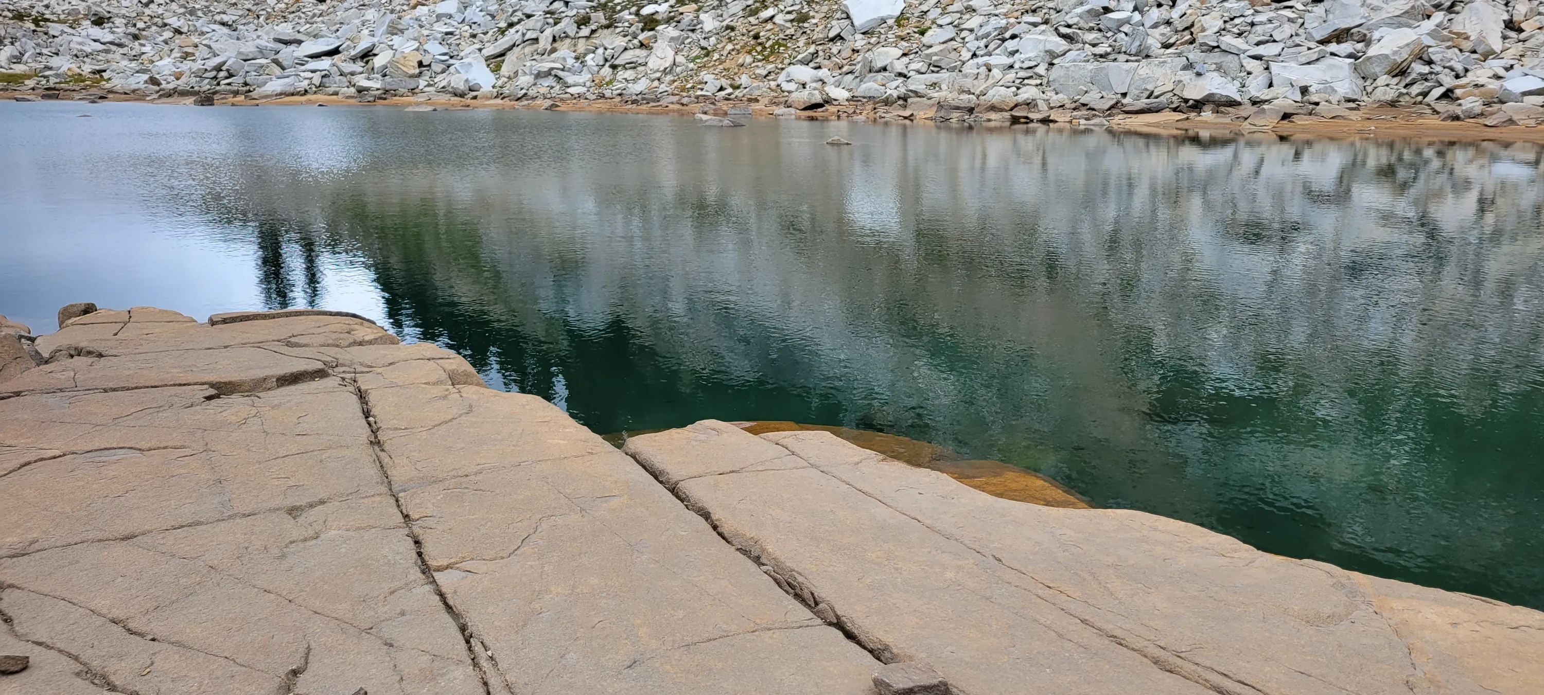
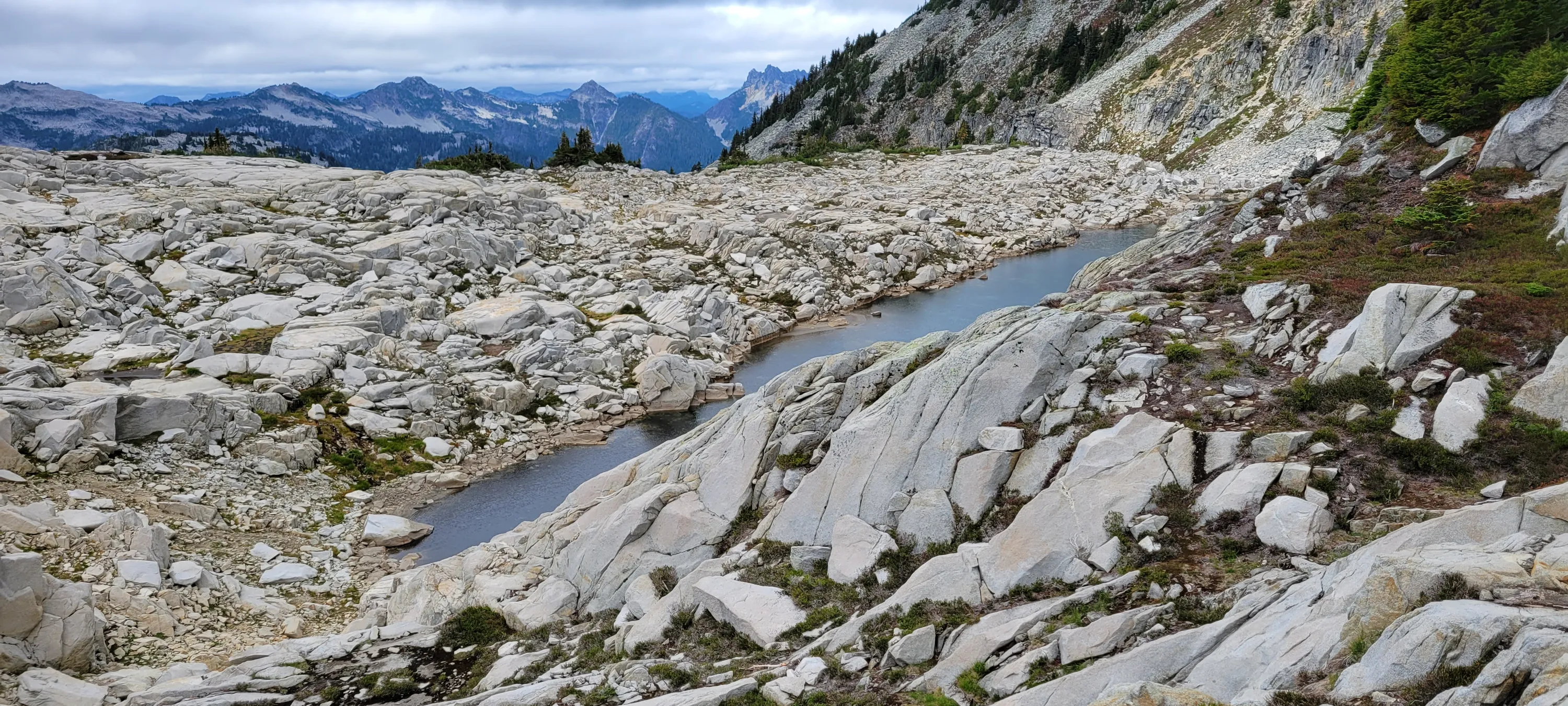
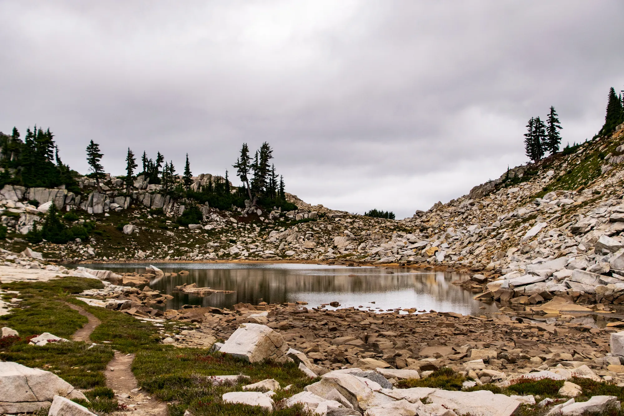
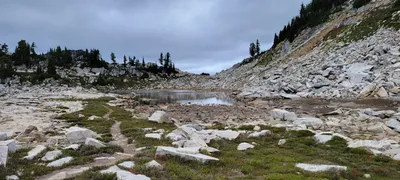 The first Tank Lake
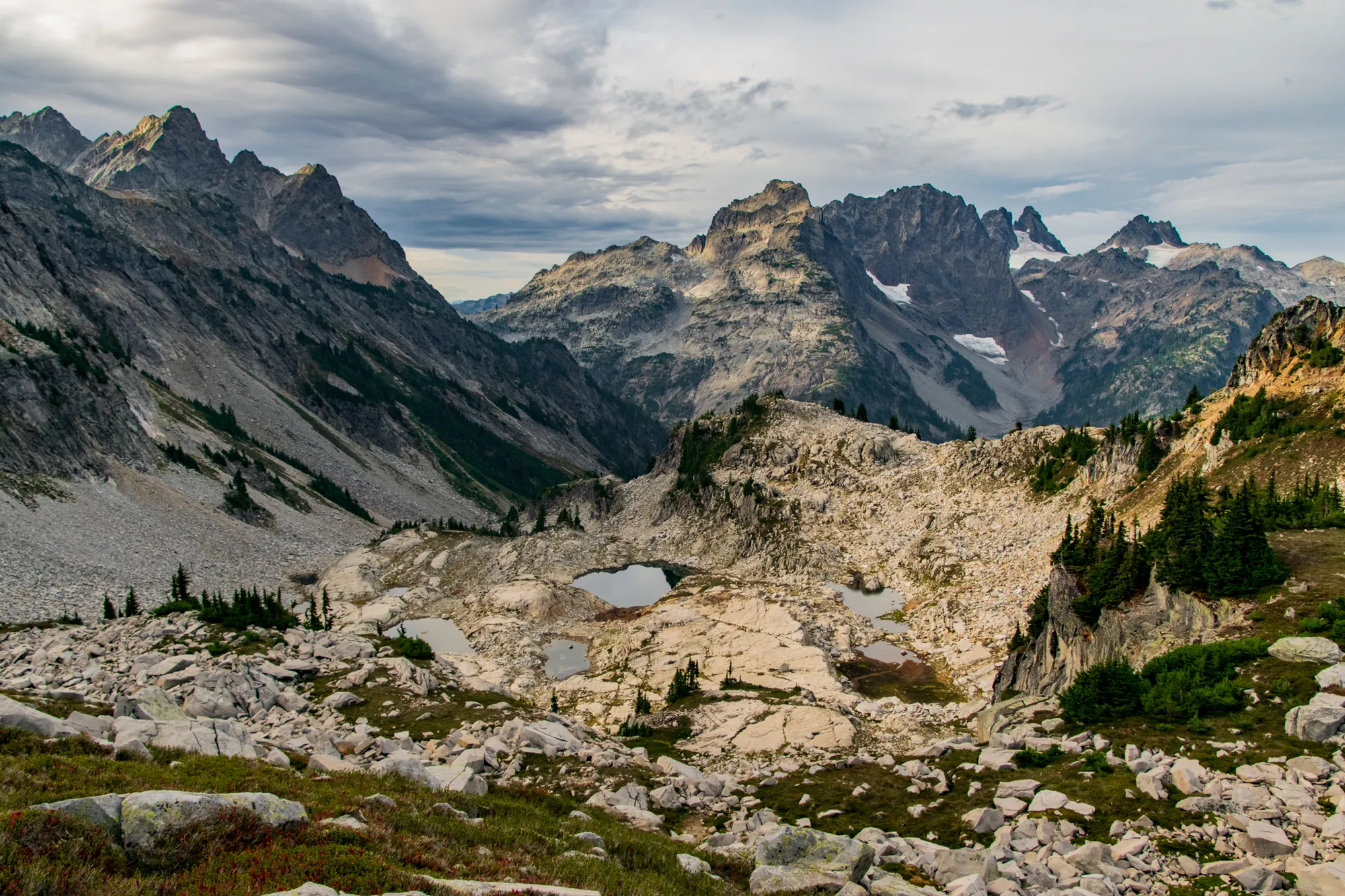
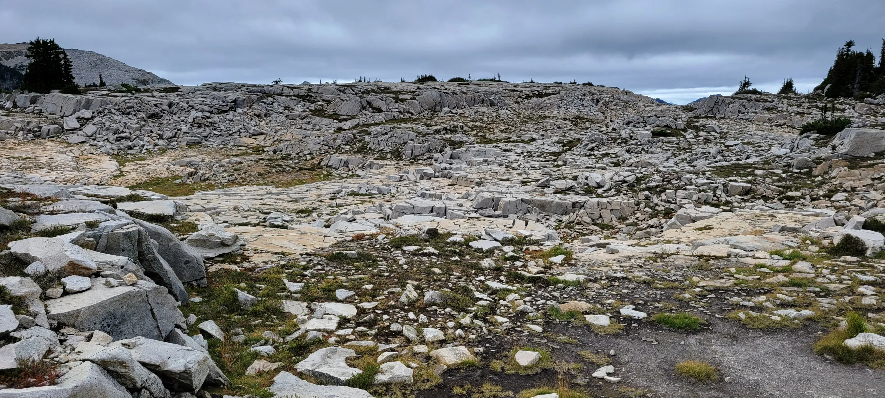
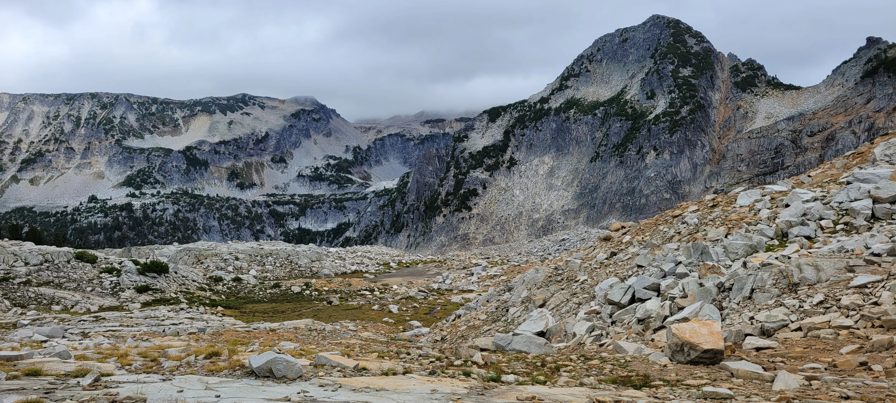
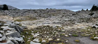 The Tank lakes basin
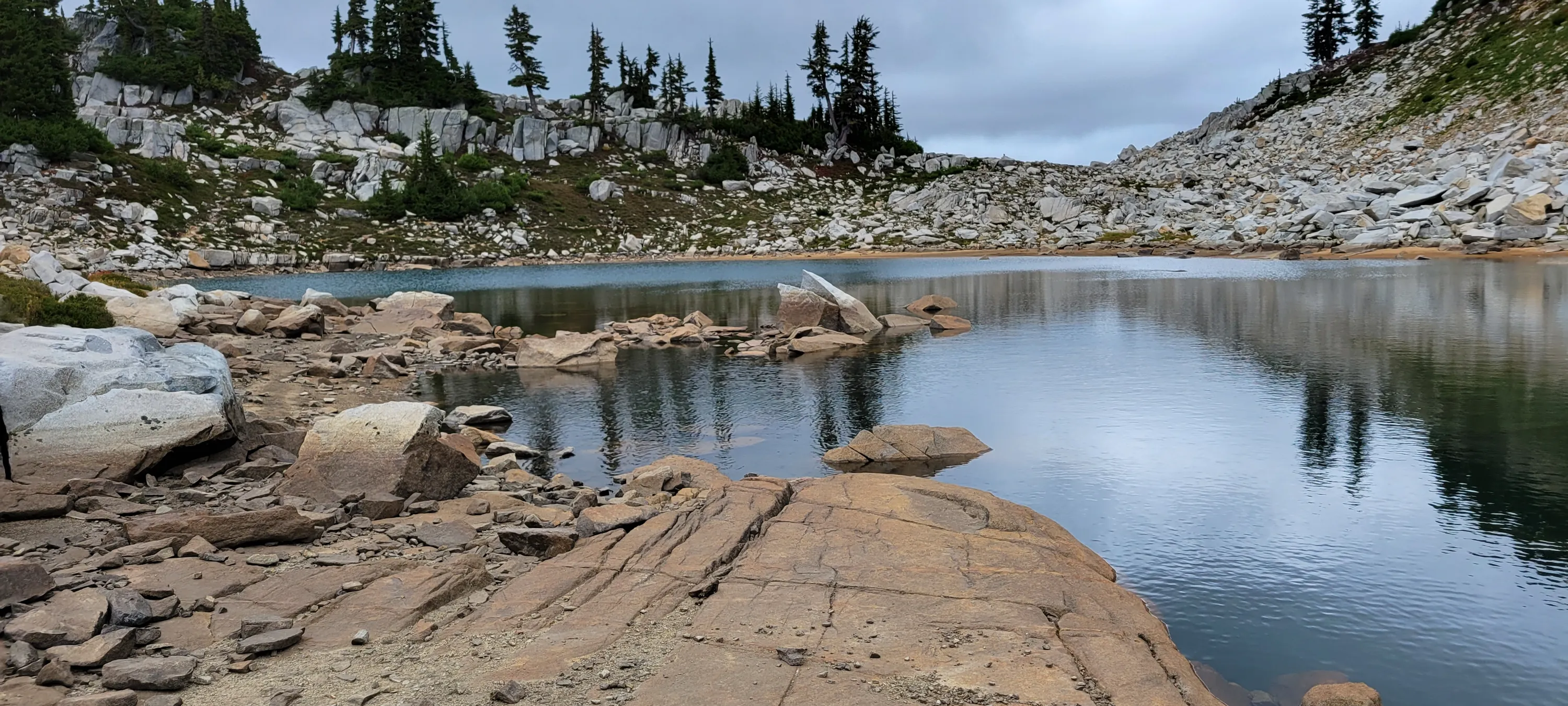
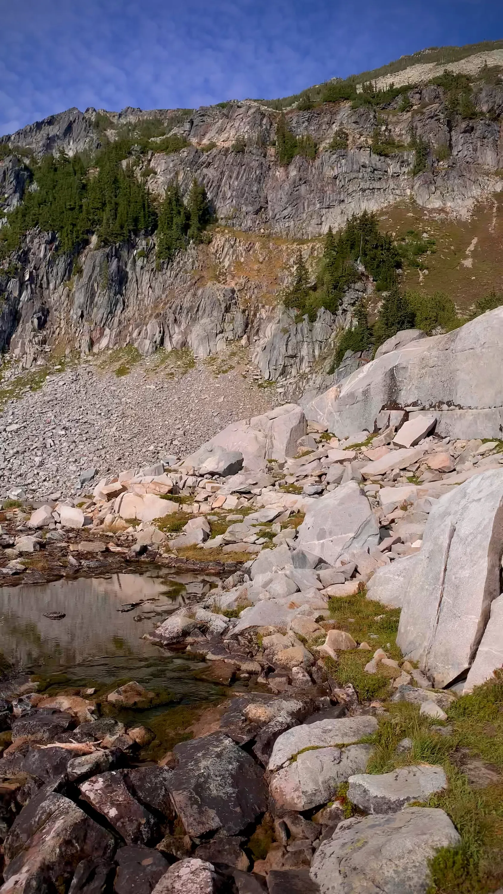
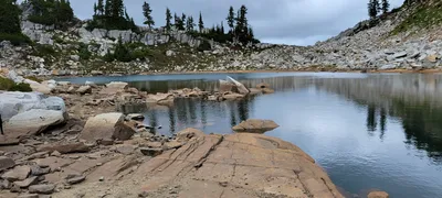 First Tank Lake with a cool shelf
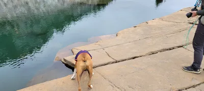 First Tank Lake with a cool shelf
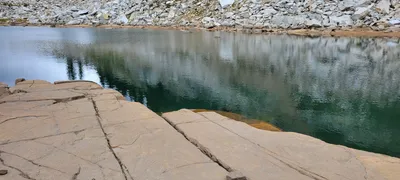 First Tank Lake with a cool shelf
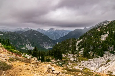
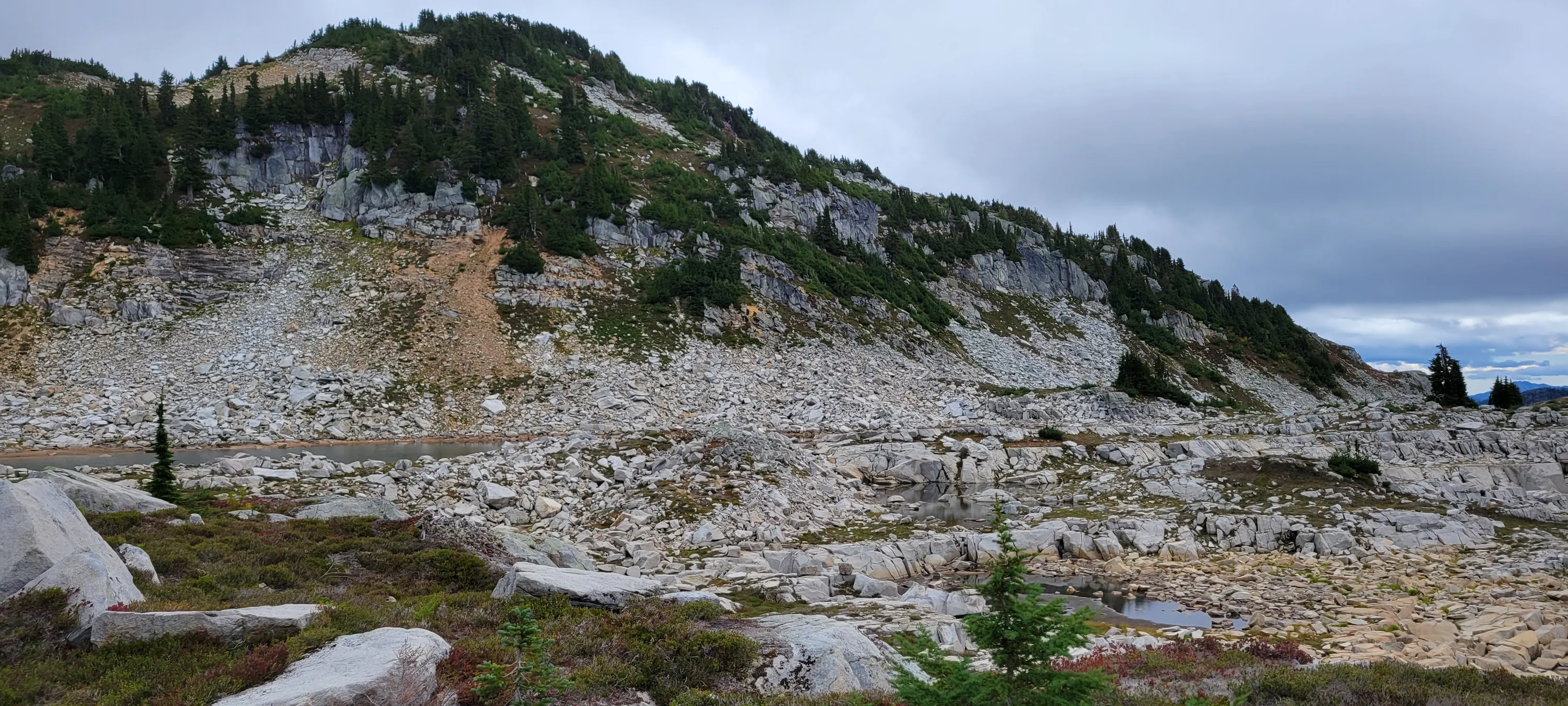
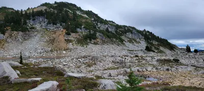 More of the Tank lakes basin
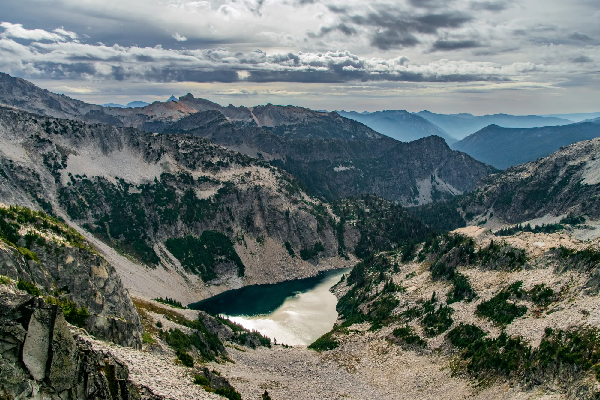
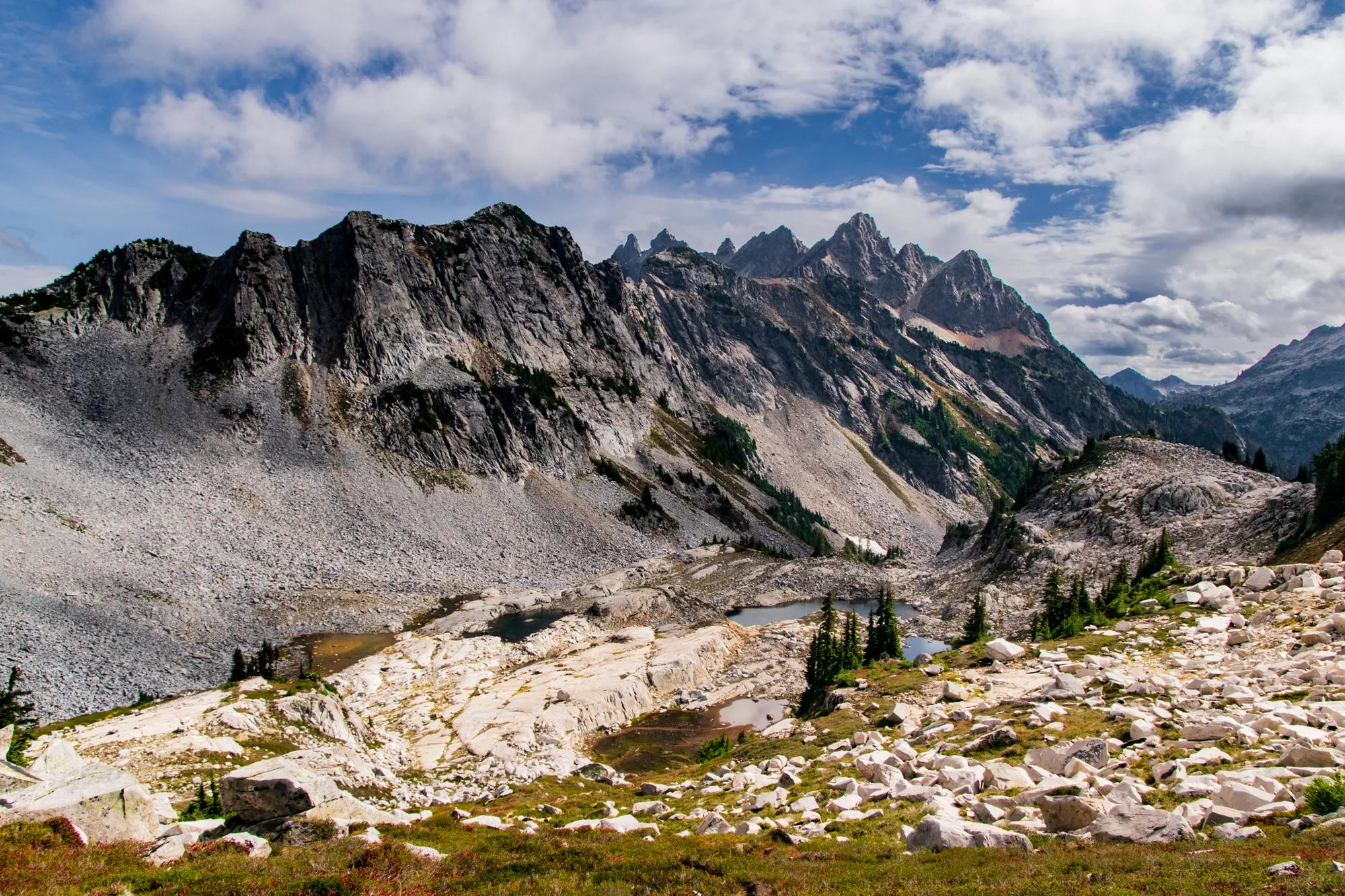
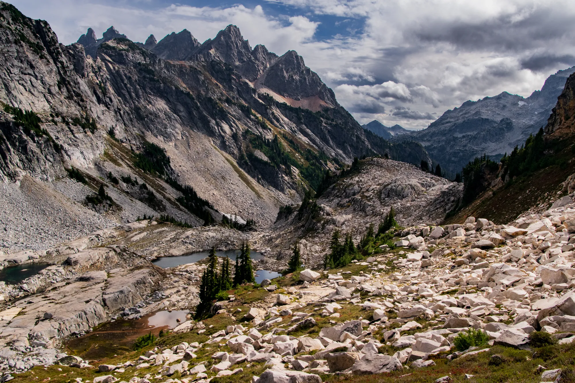
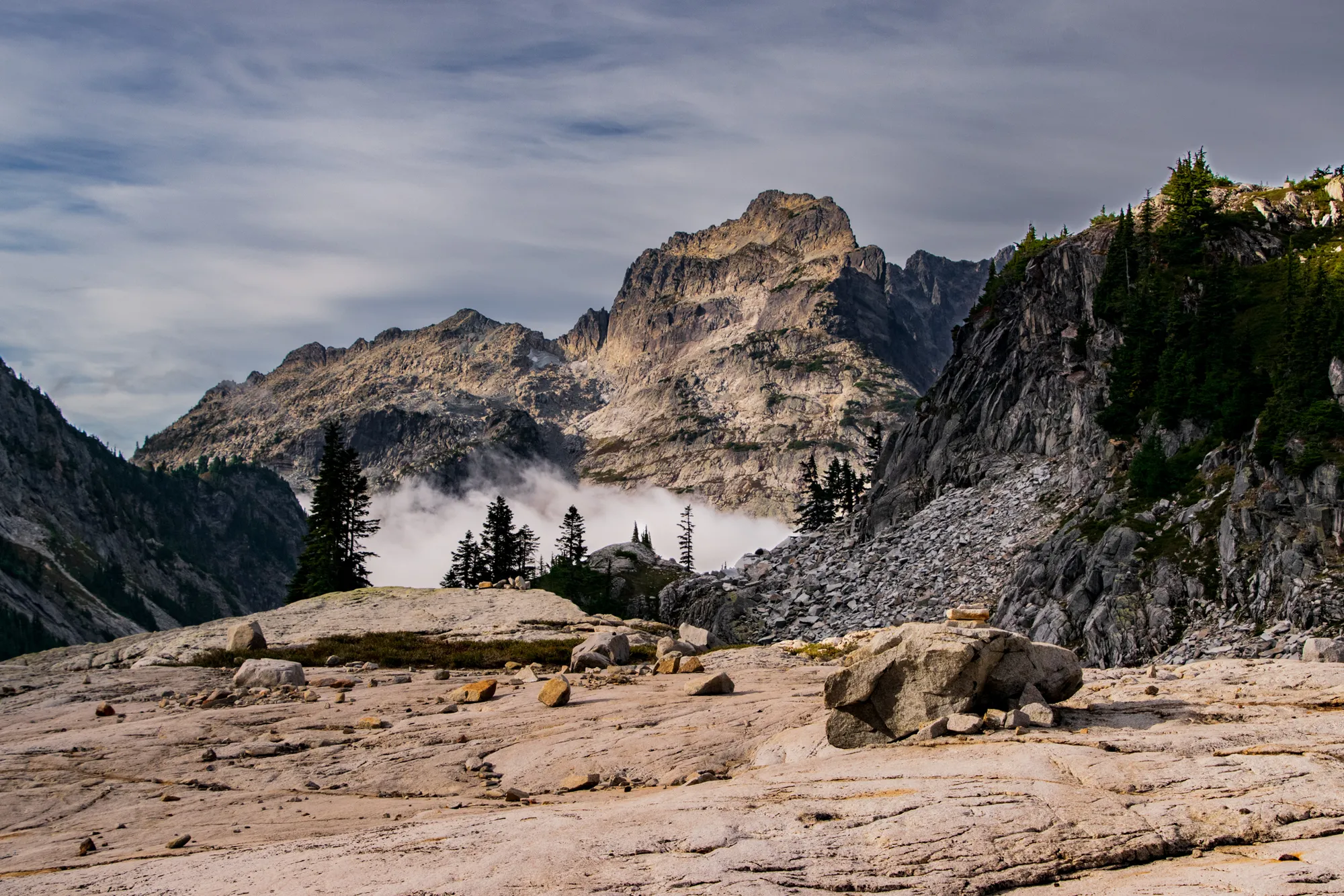
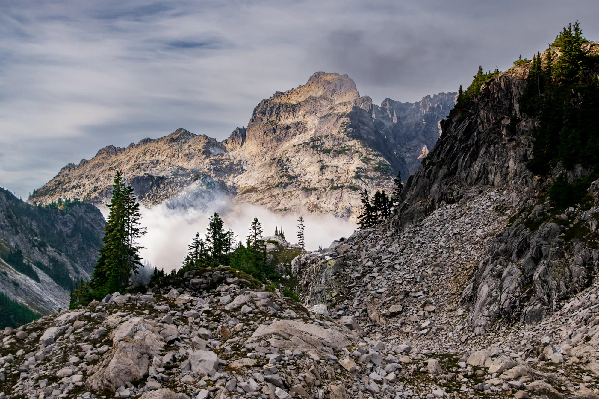
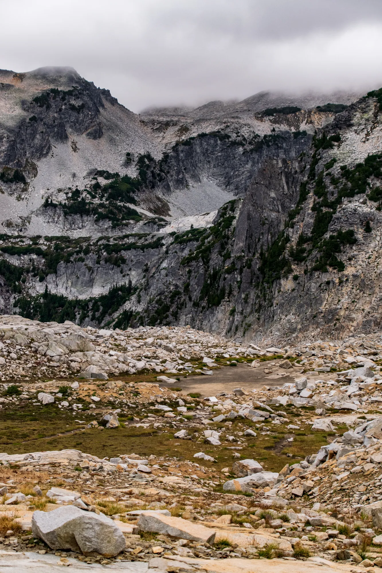
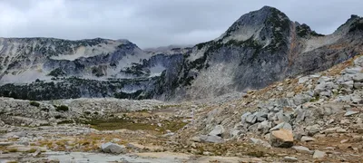 We were over on the other side on Sunday - that is the La Bohn lakes basin
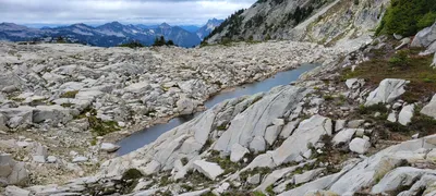 The second Tank Lake - we didn't go all the way down to it.
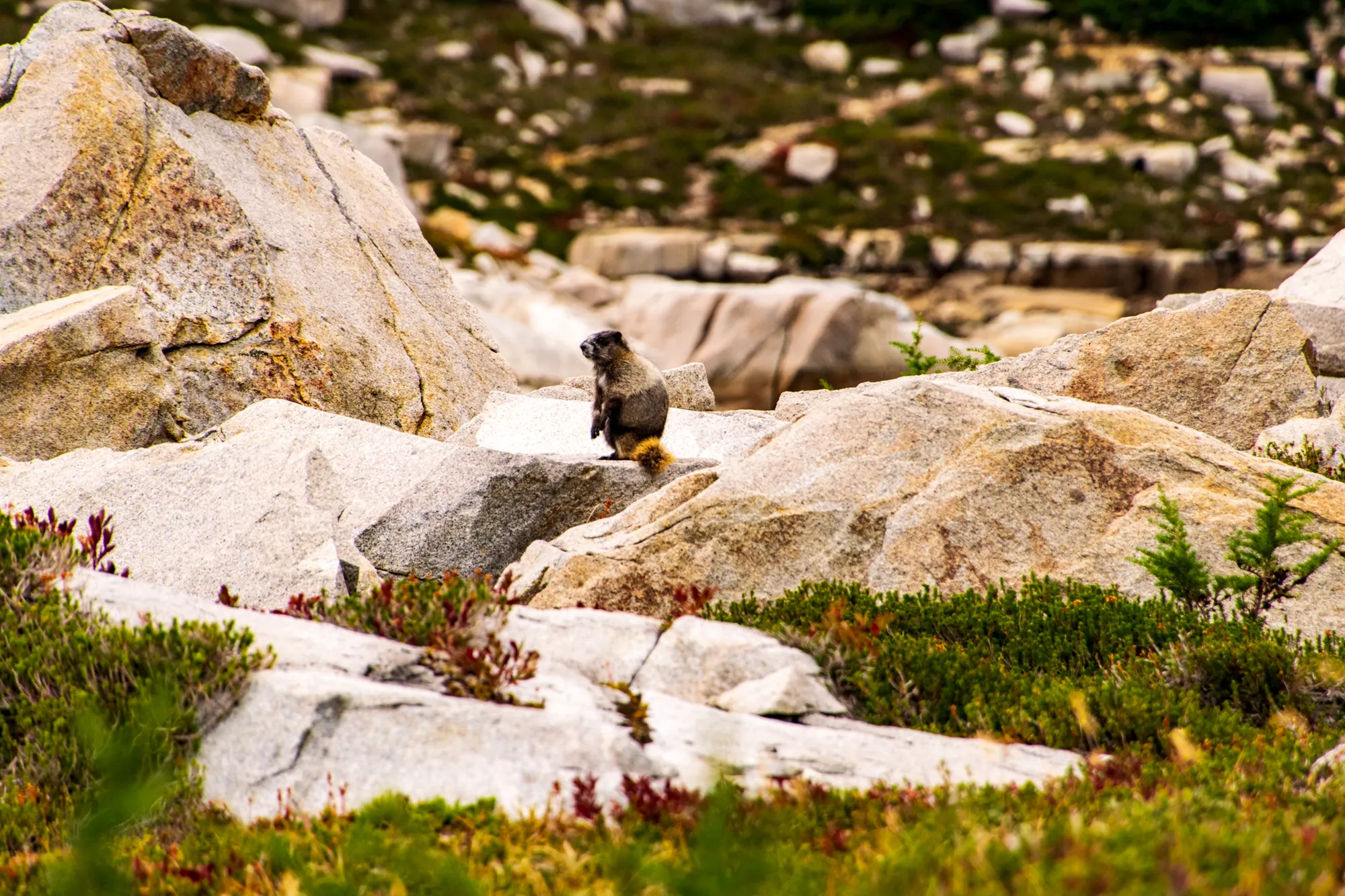
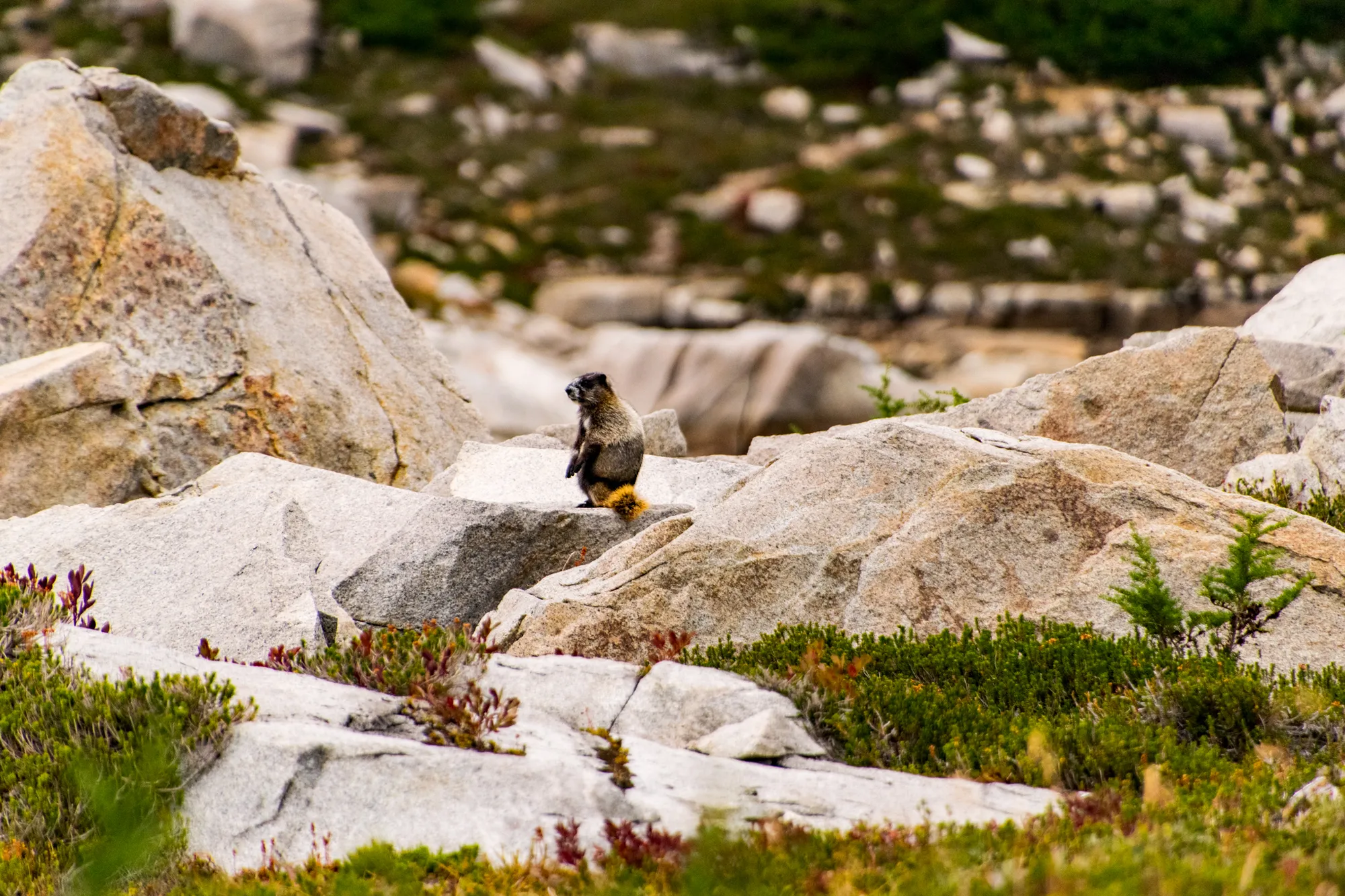
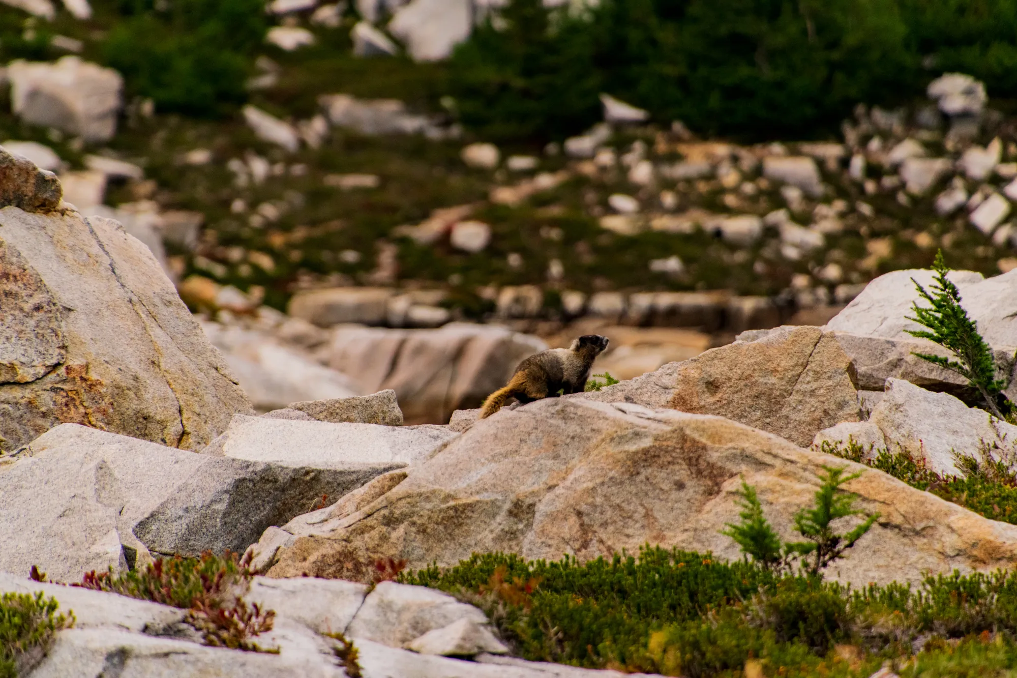
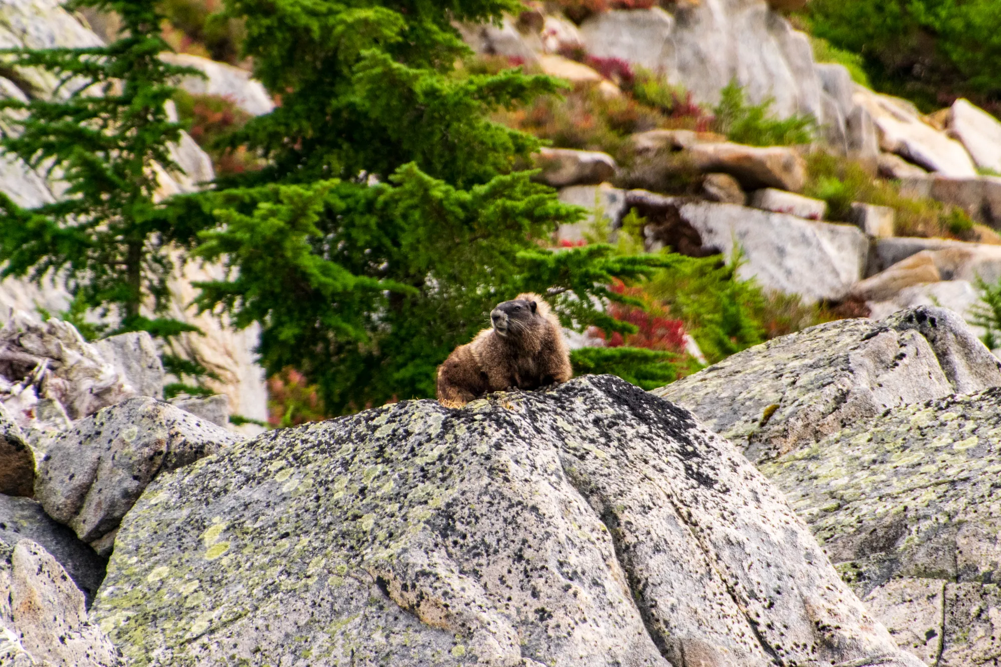
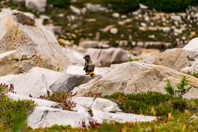
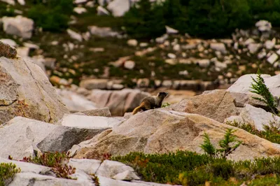
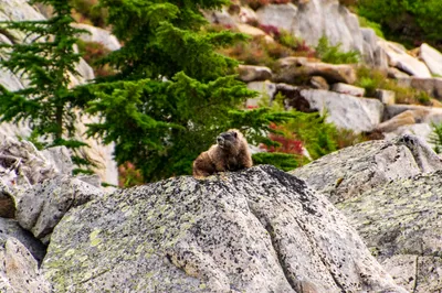
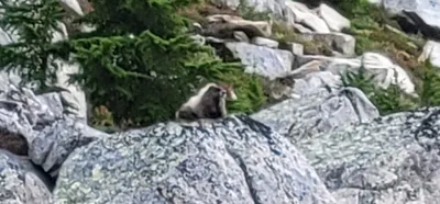 Marmot on a rock - a little blurry since it was so zoomed in
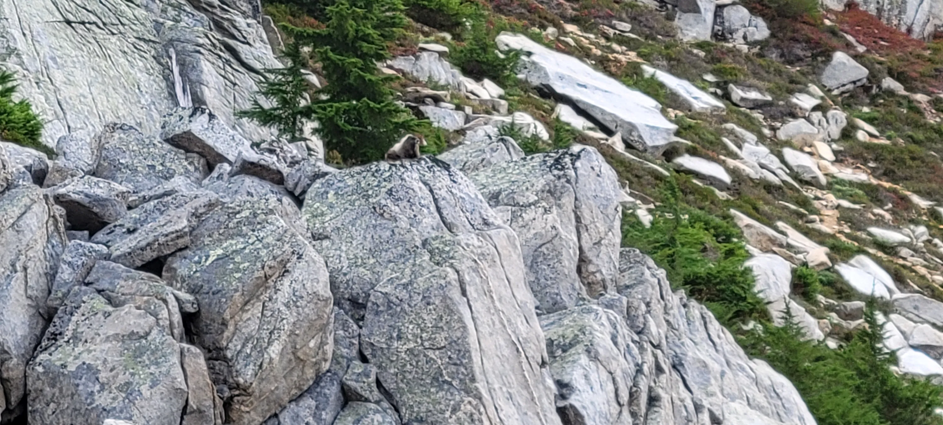
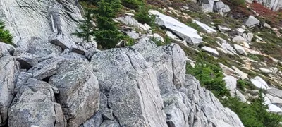 Marmot on a rock
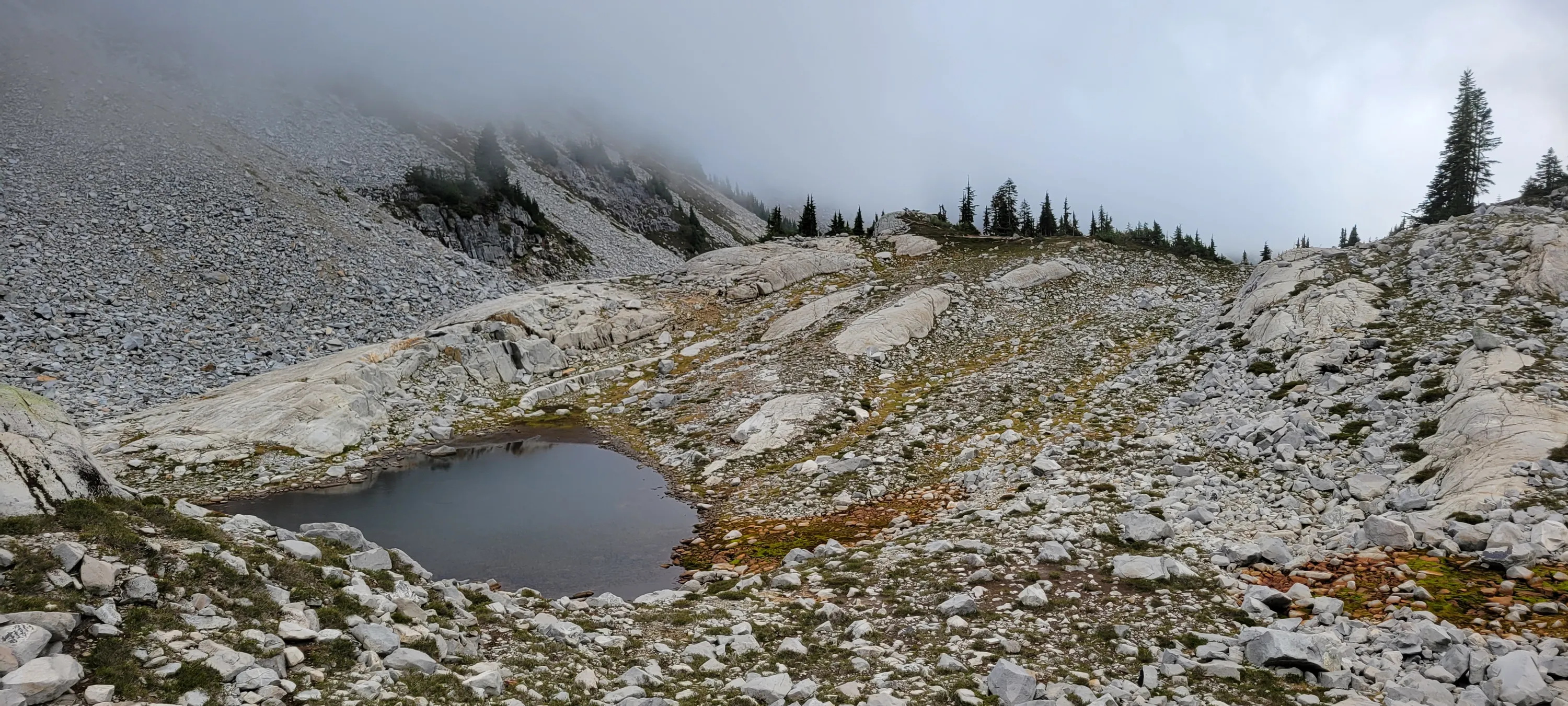
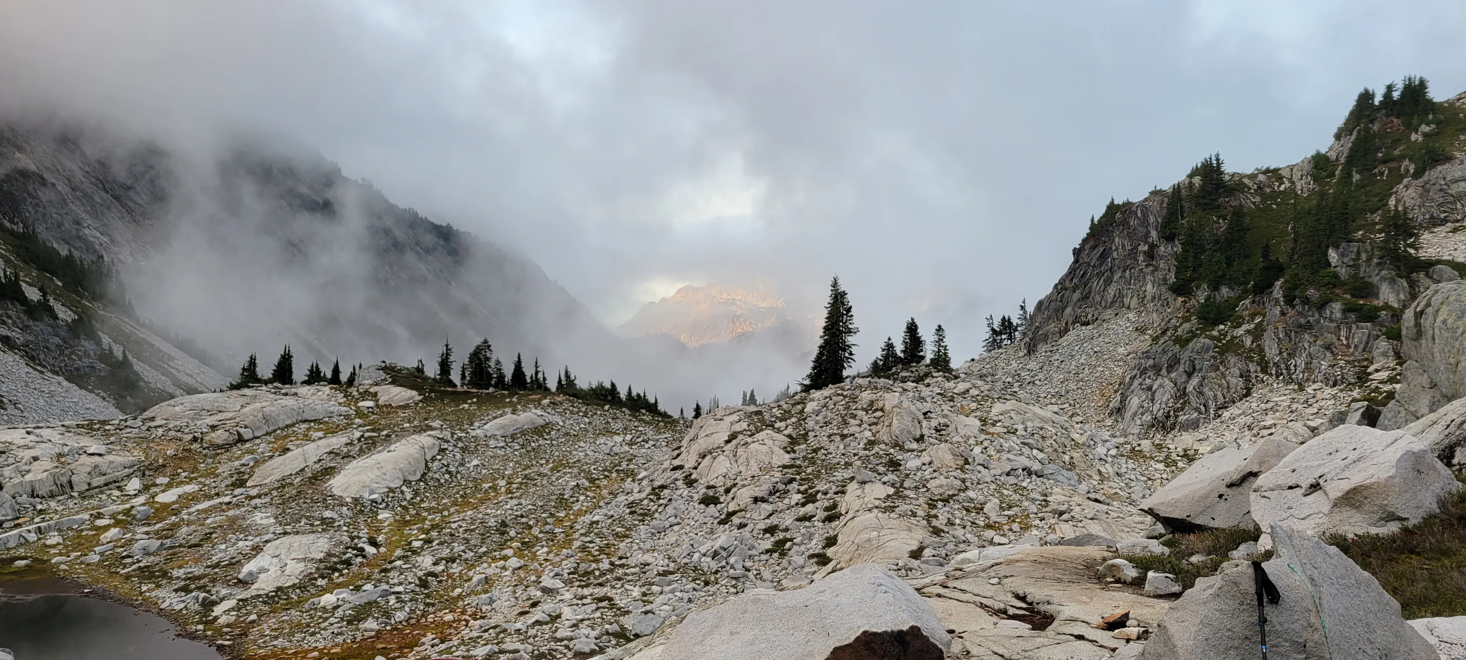
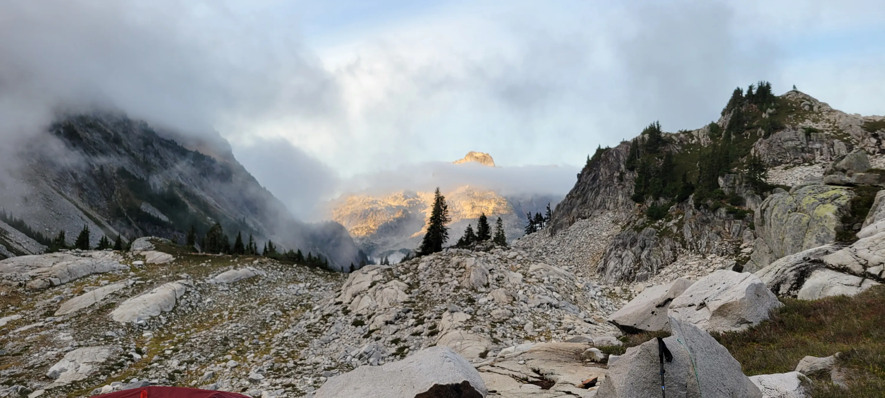
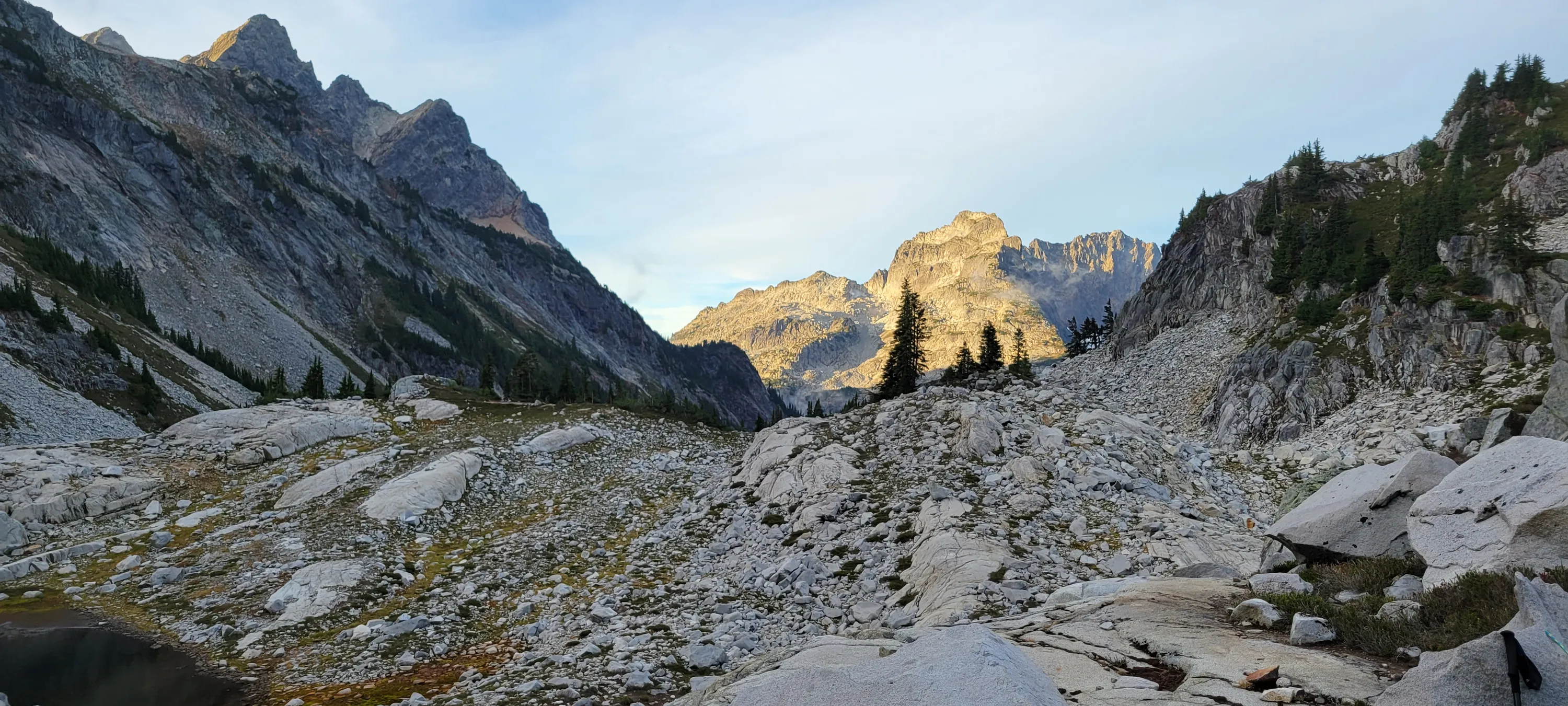
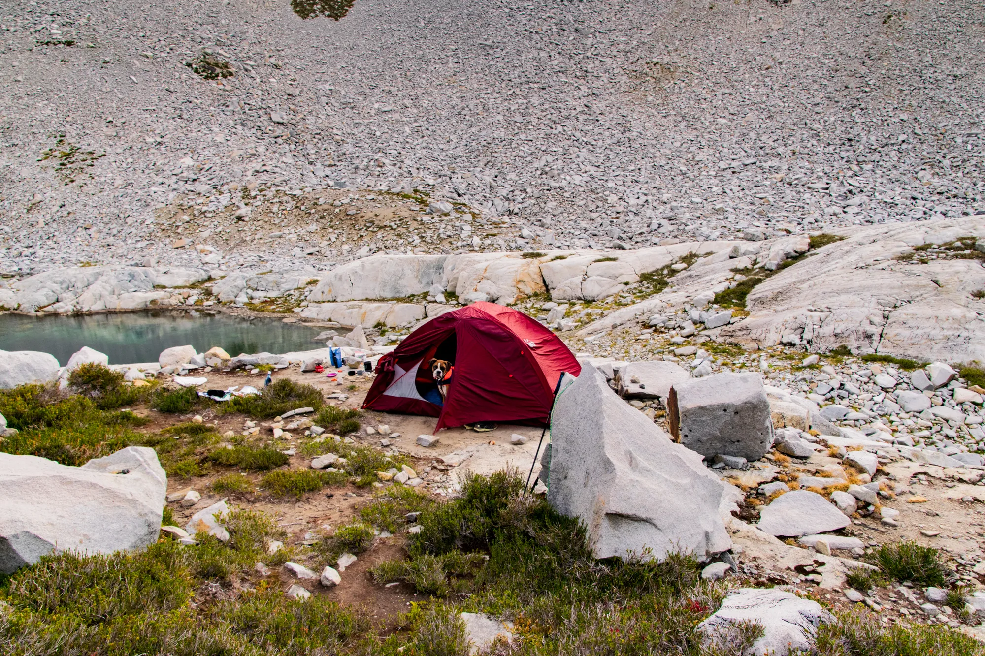
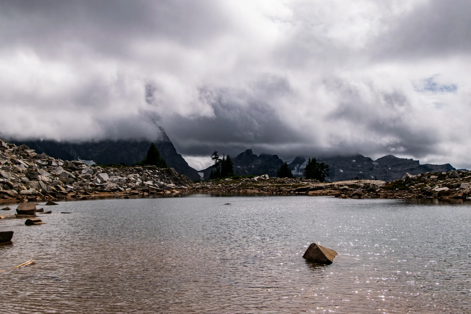
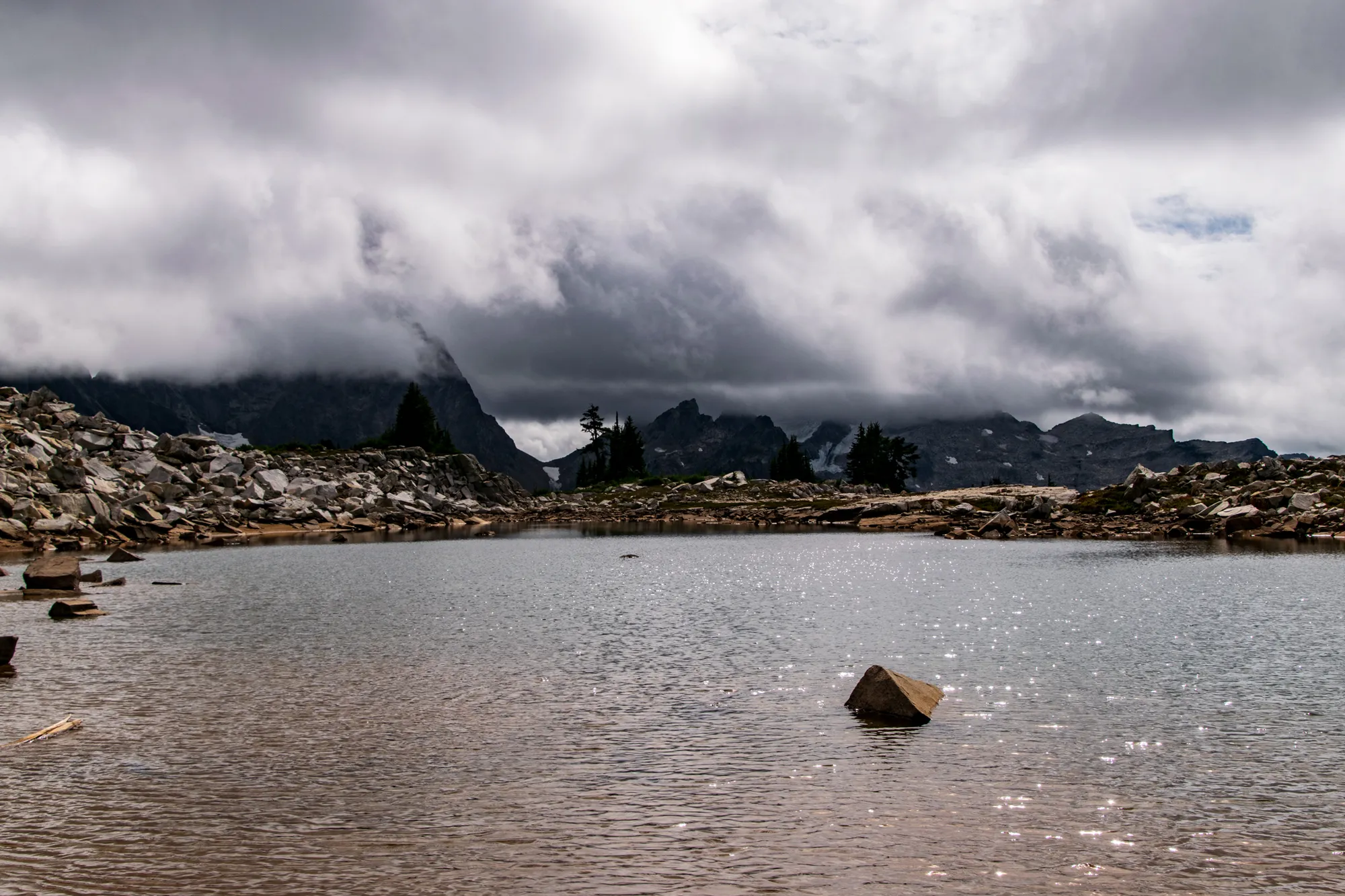
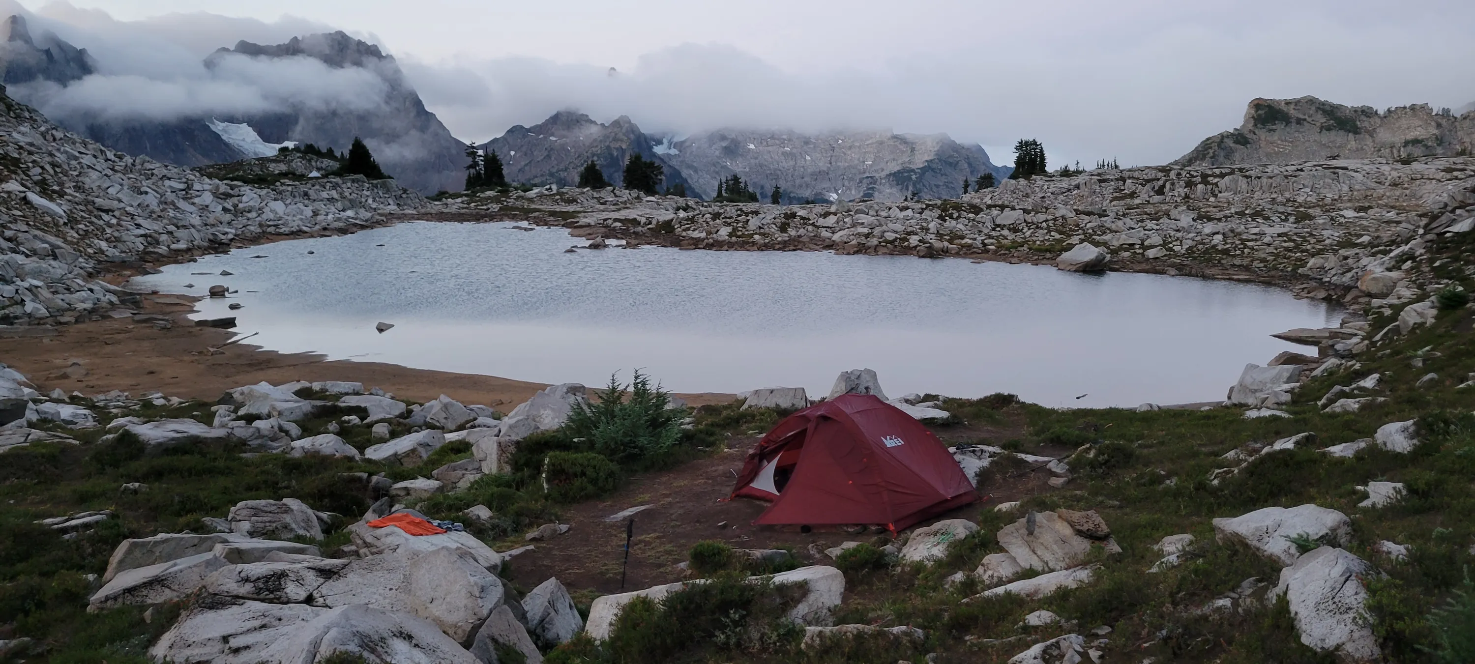
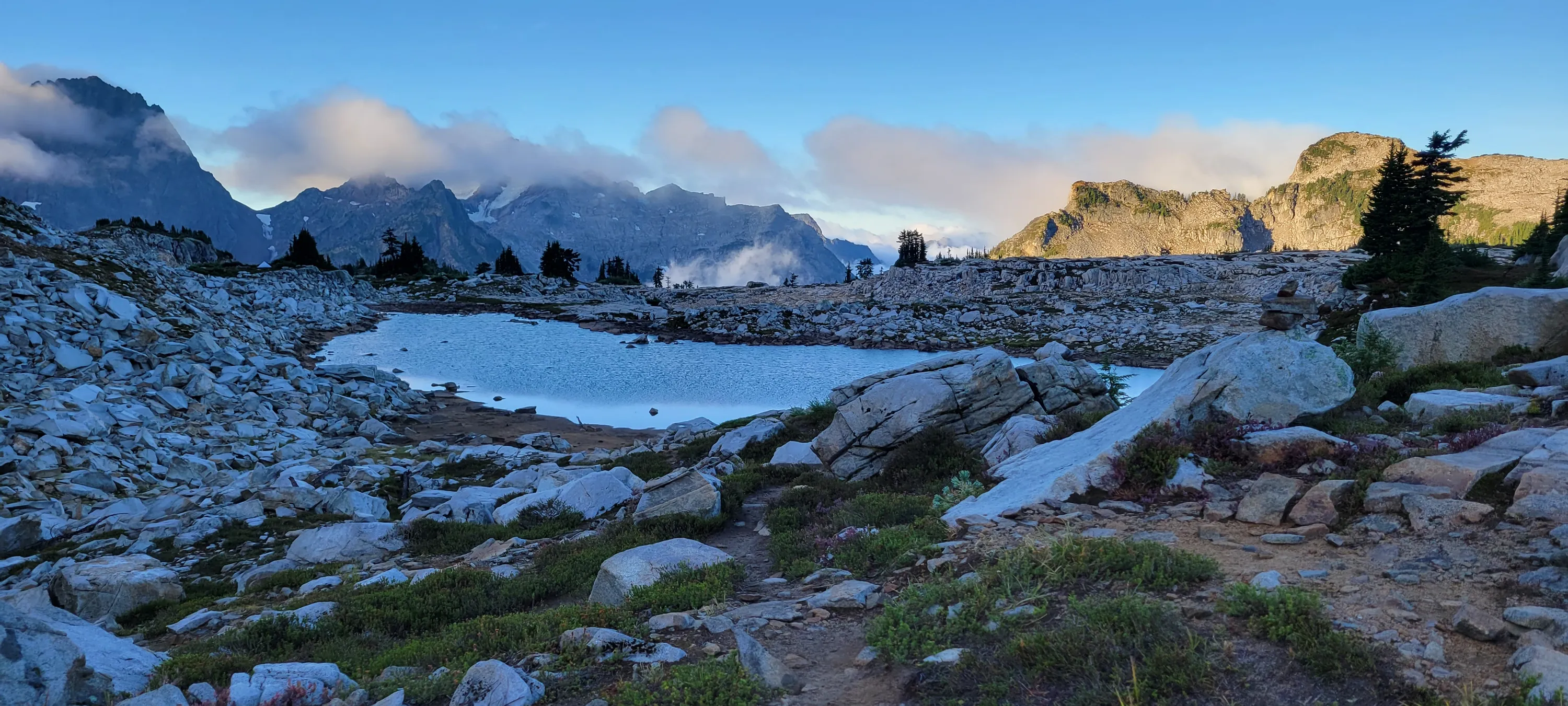
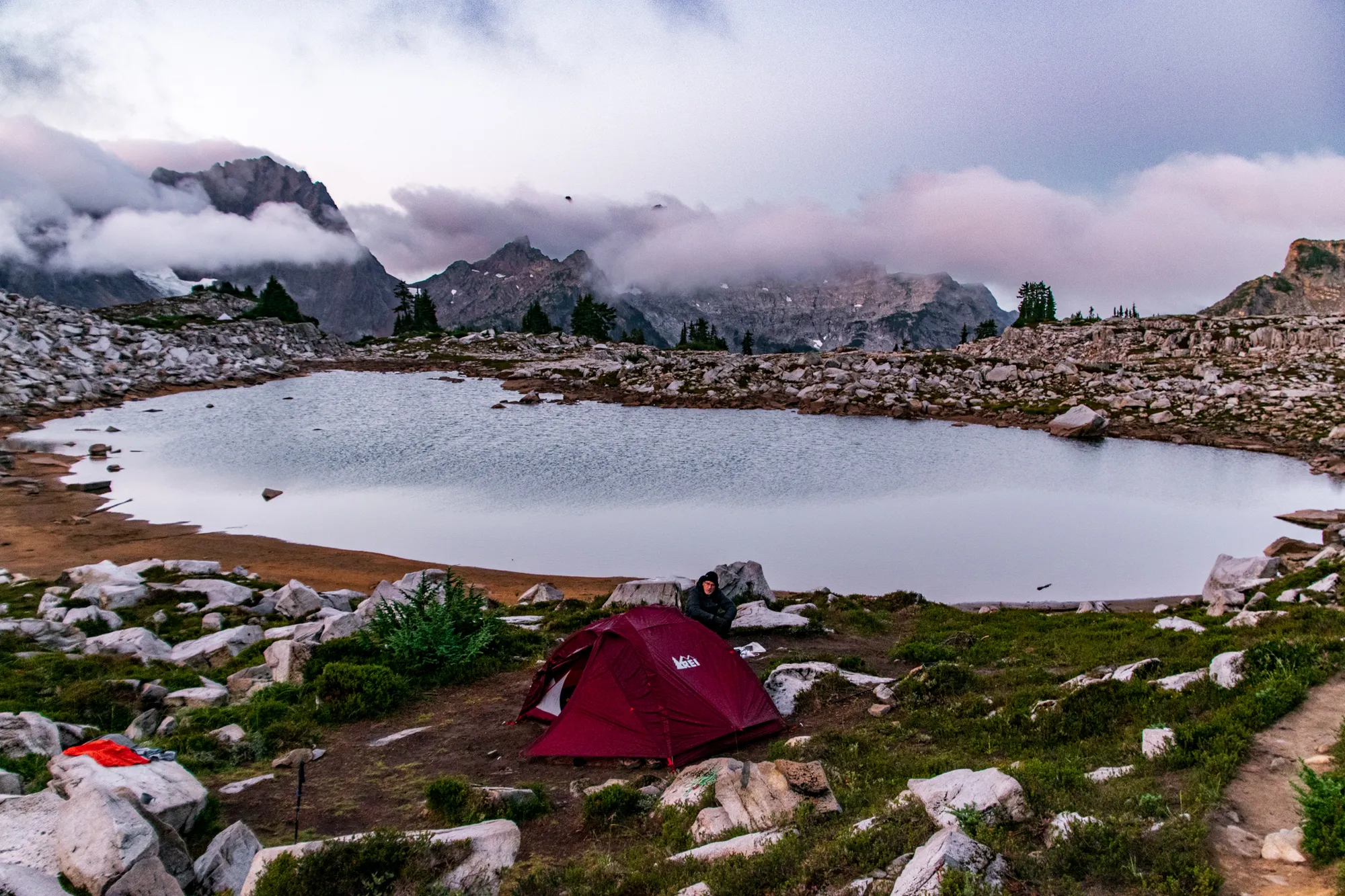
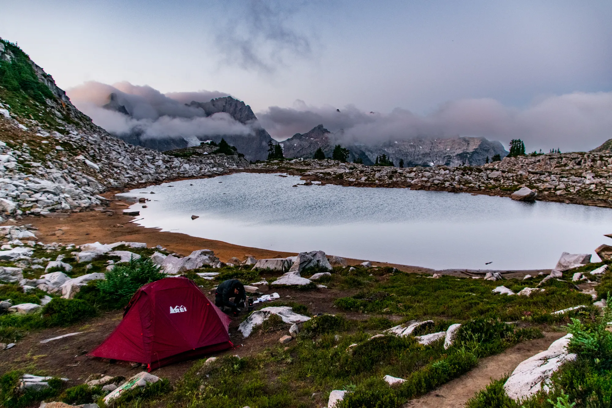
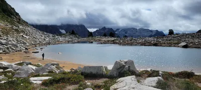 Tank Lake from our campsite - what a view!
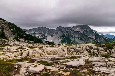
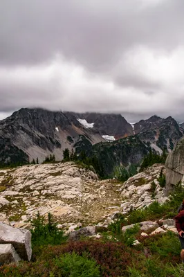
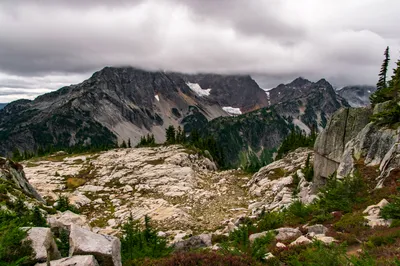
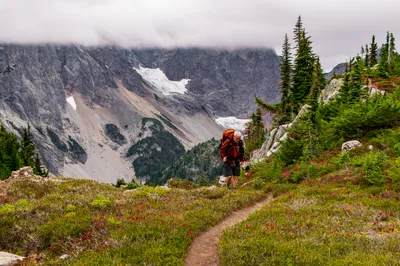
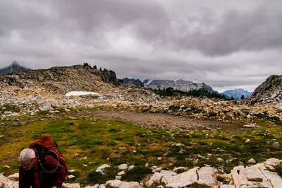
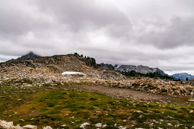
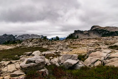
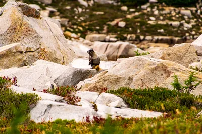
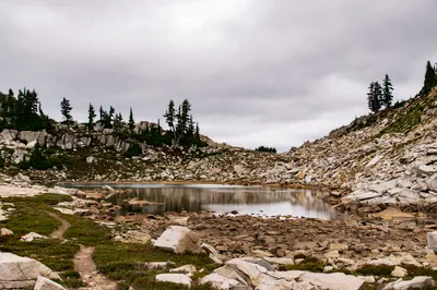
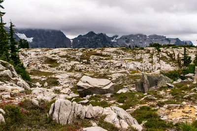
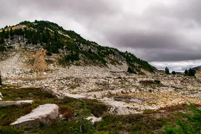
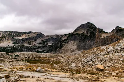
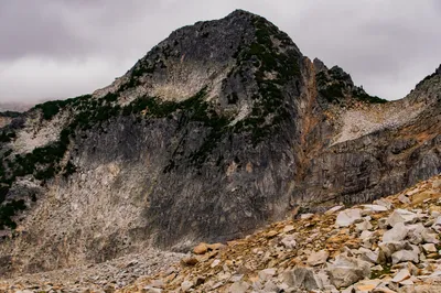
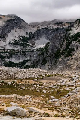
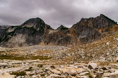
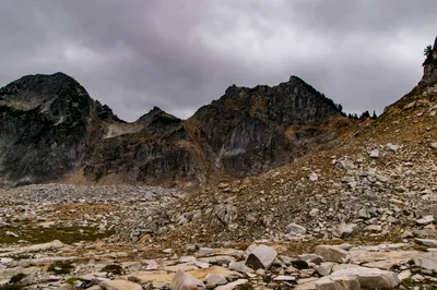
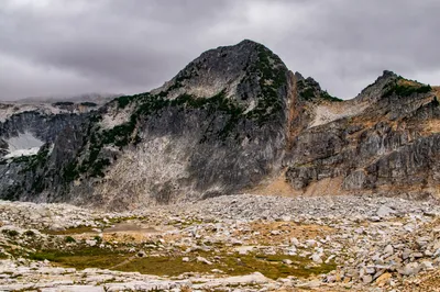
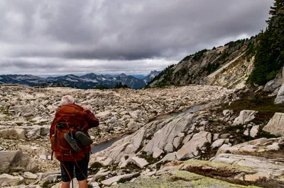
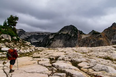
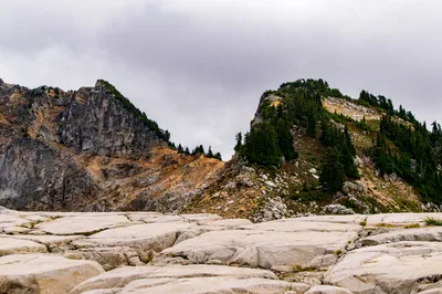
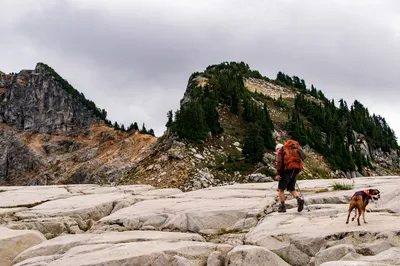
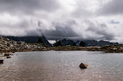
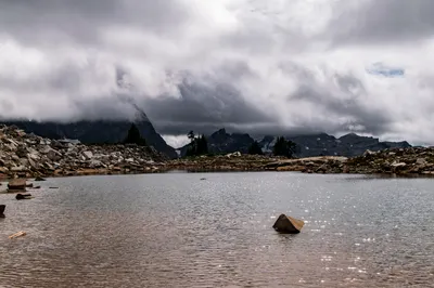
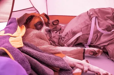
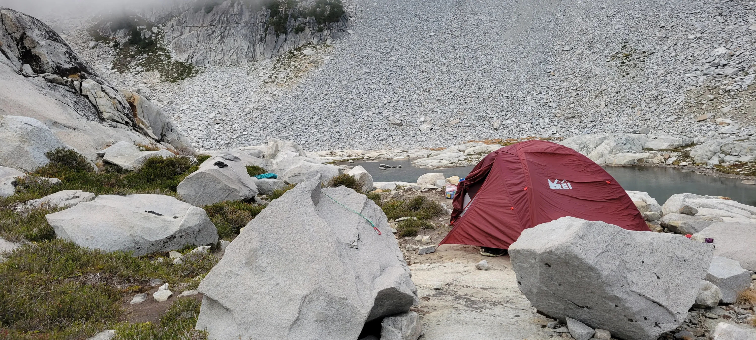
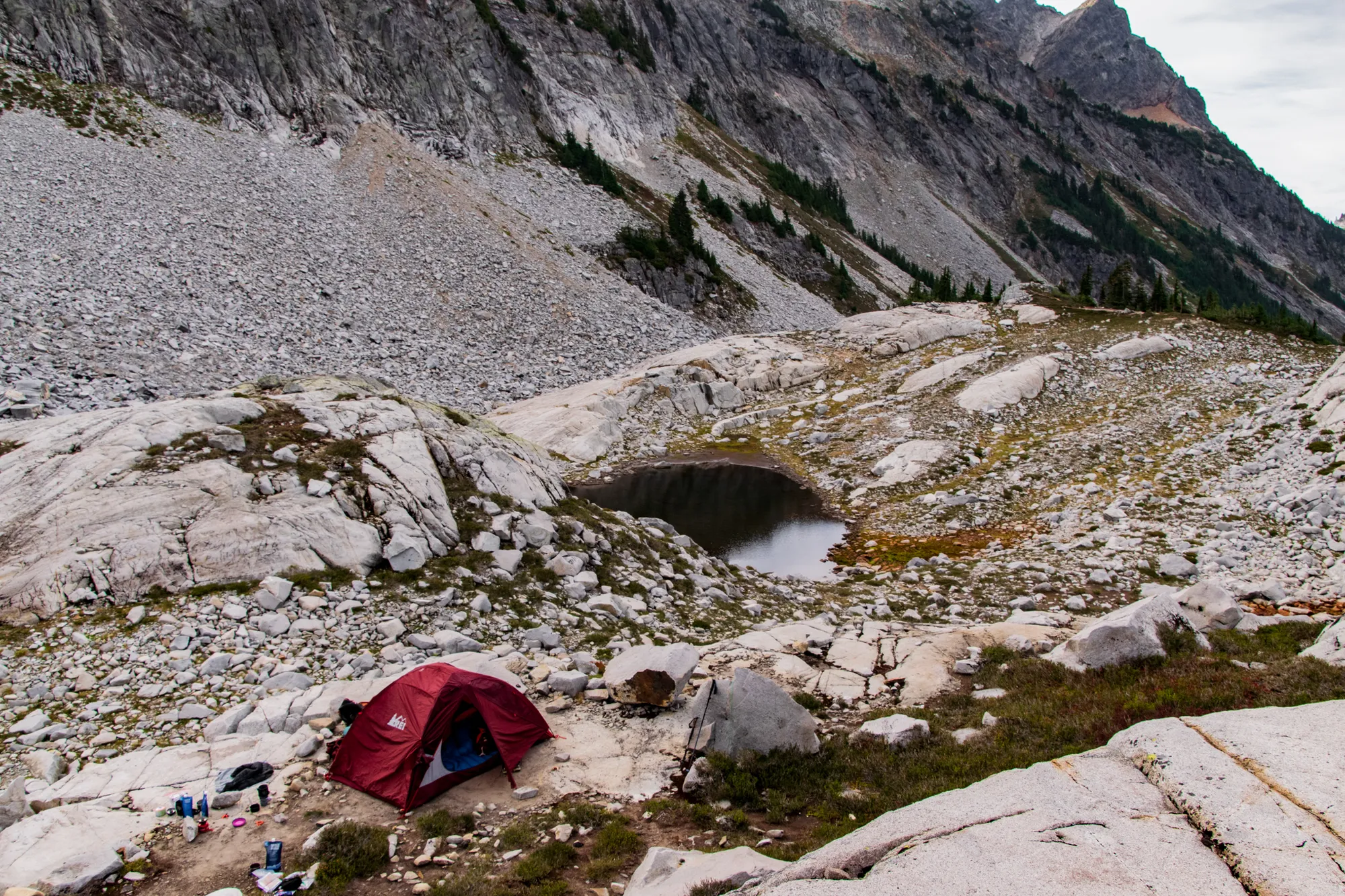
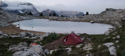 Our campsite at Tank Lake - this was after it had rained for a bit
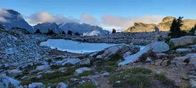 Saying goodbye to the Tank Lakes basin
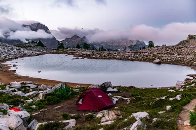
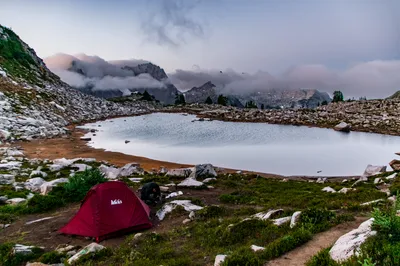
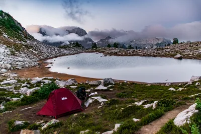
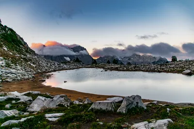
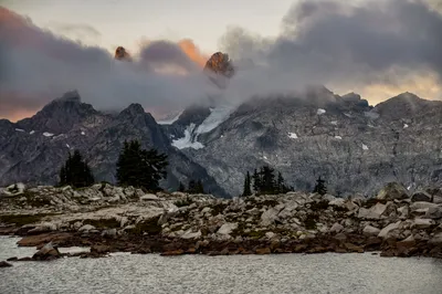
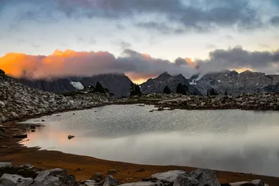
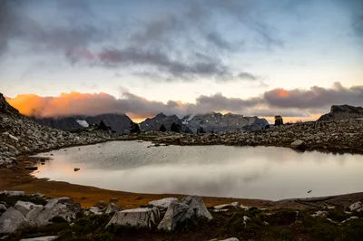
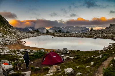
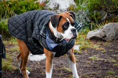
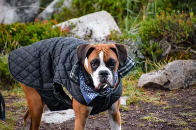
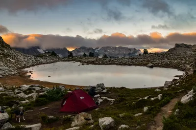
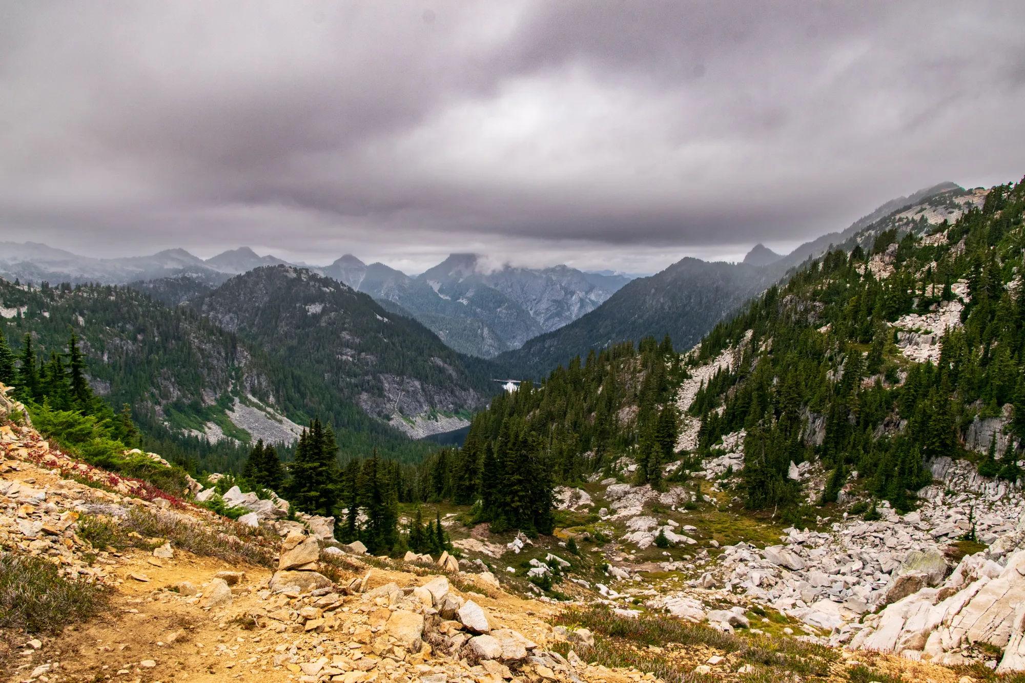
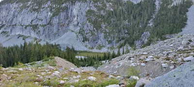 Coming back down to the Necklace Valley from Tank Lakes
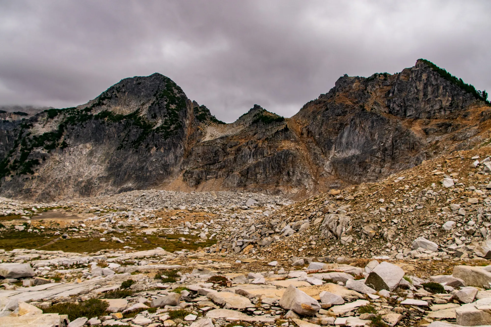
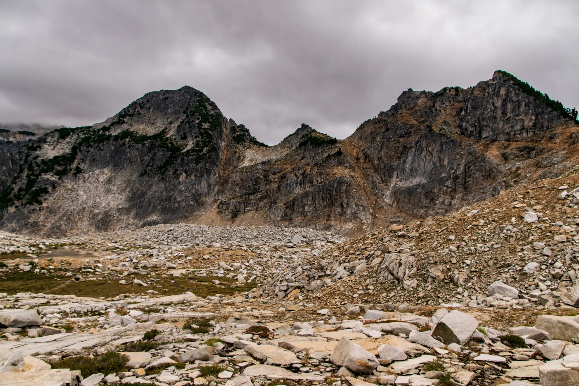
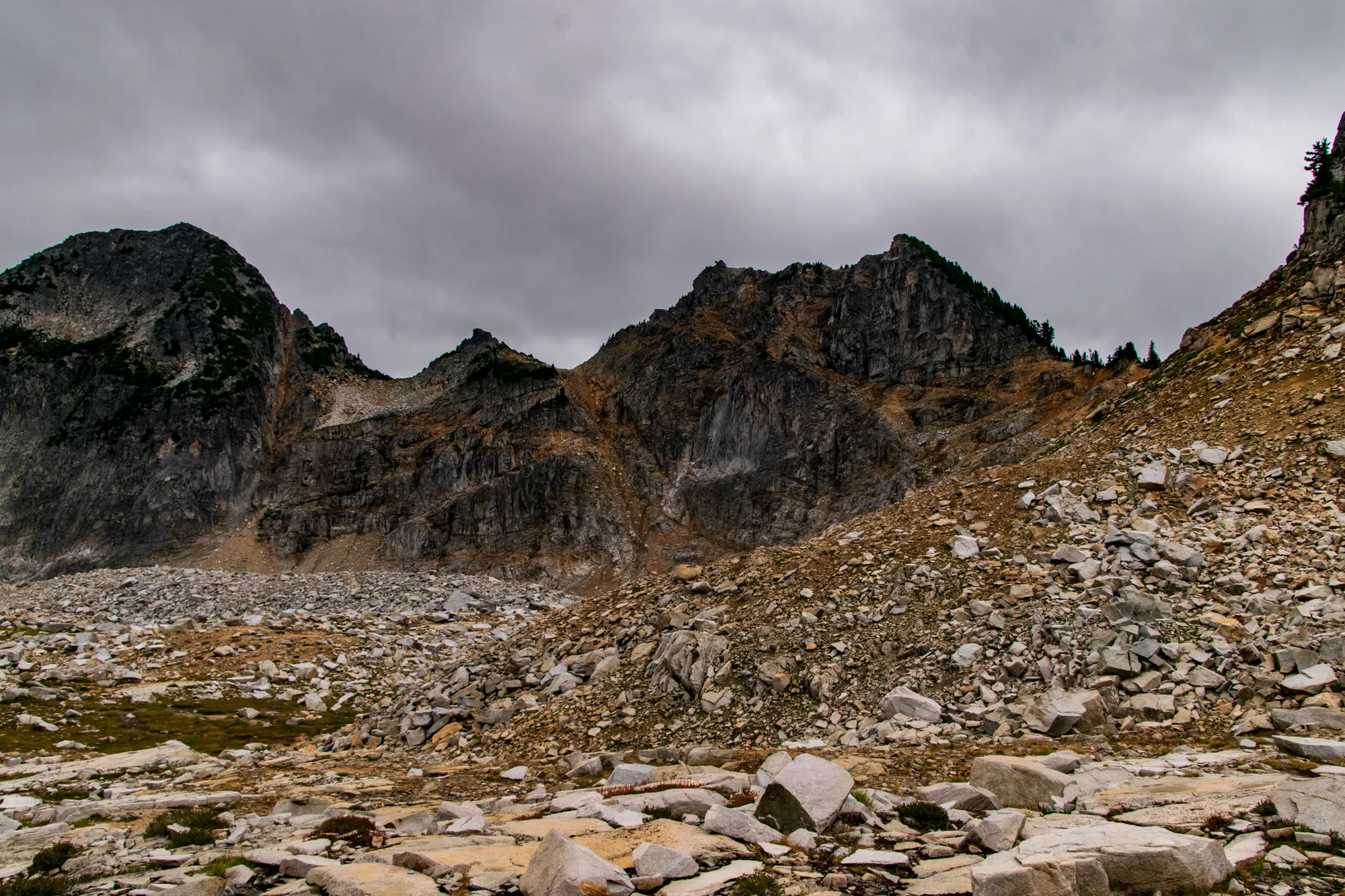
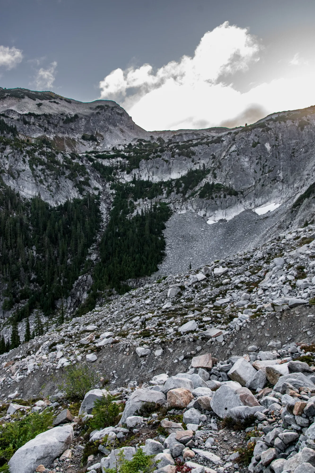
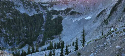 I still can't believe we actually made it up to that basin up there (La Bohn Lakes) - it looks impossible - but we did it
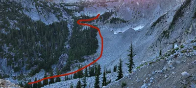 I still can't believe we actually made it up to that basin up there (La Bohn Lakes) - it looks impossible - but we did it
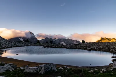
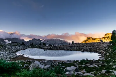
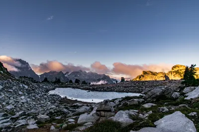
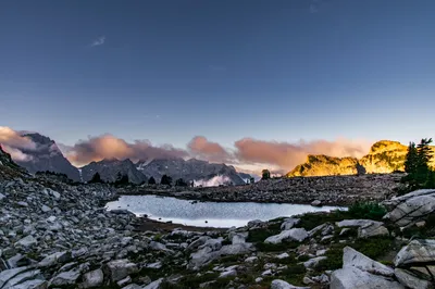
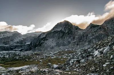
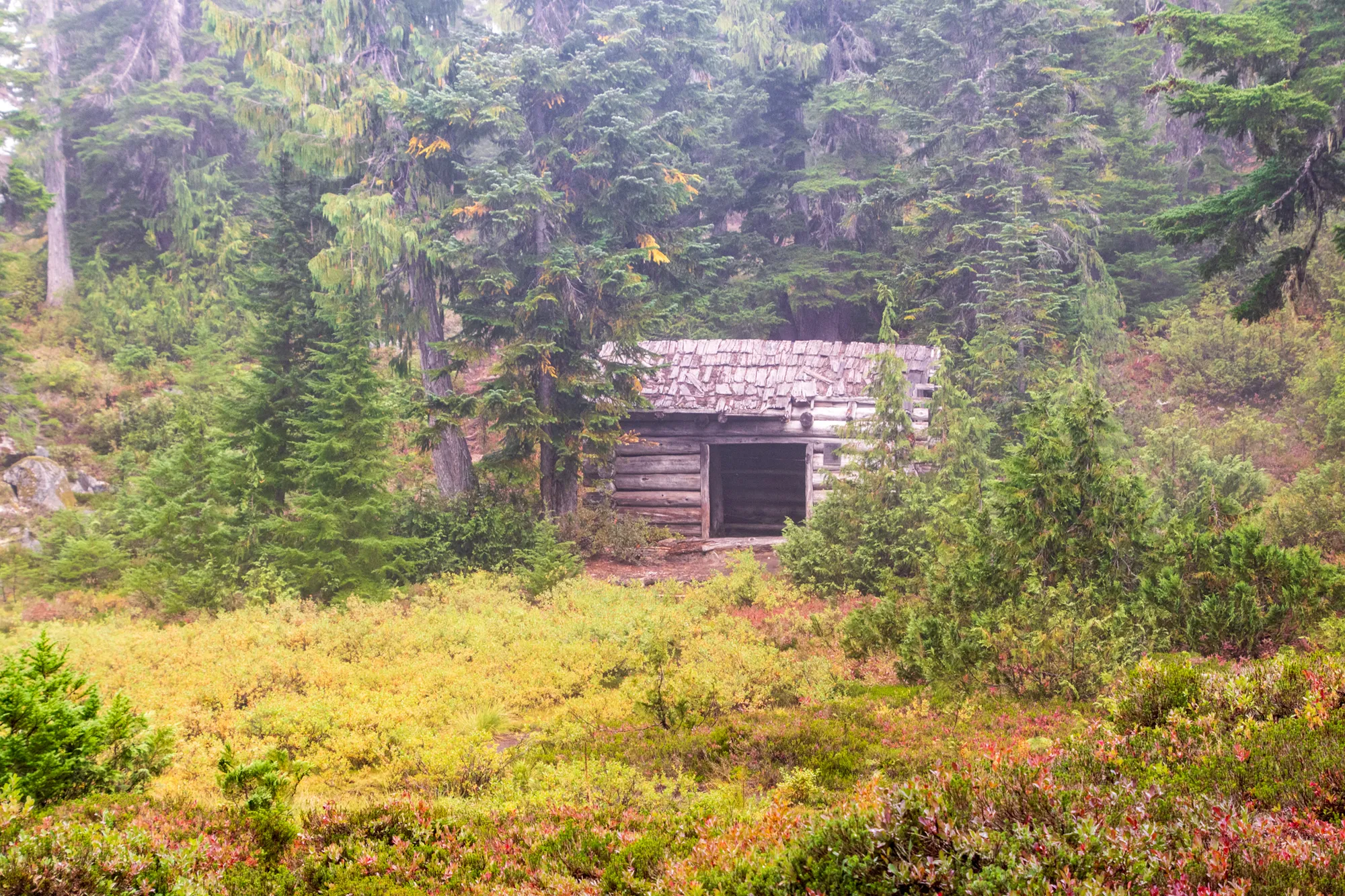
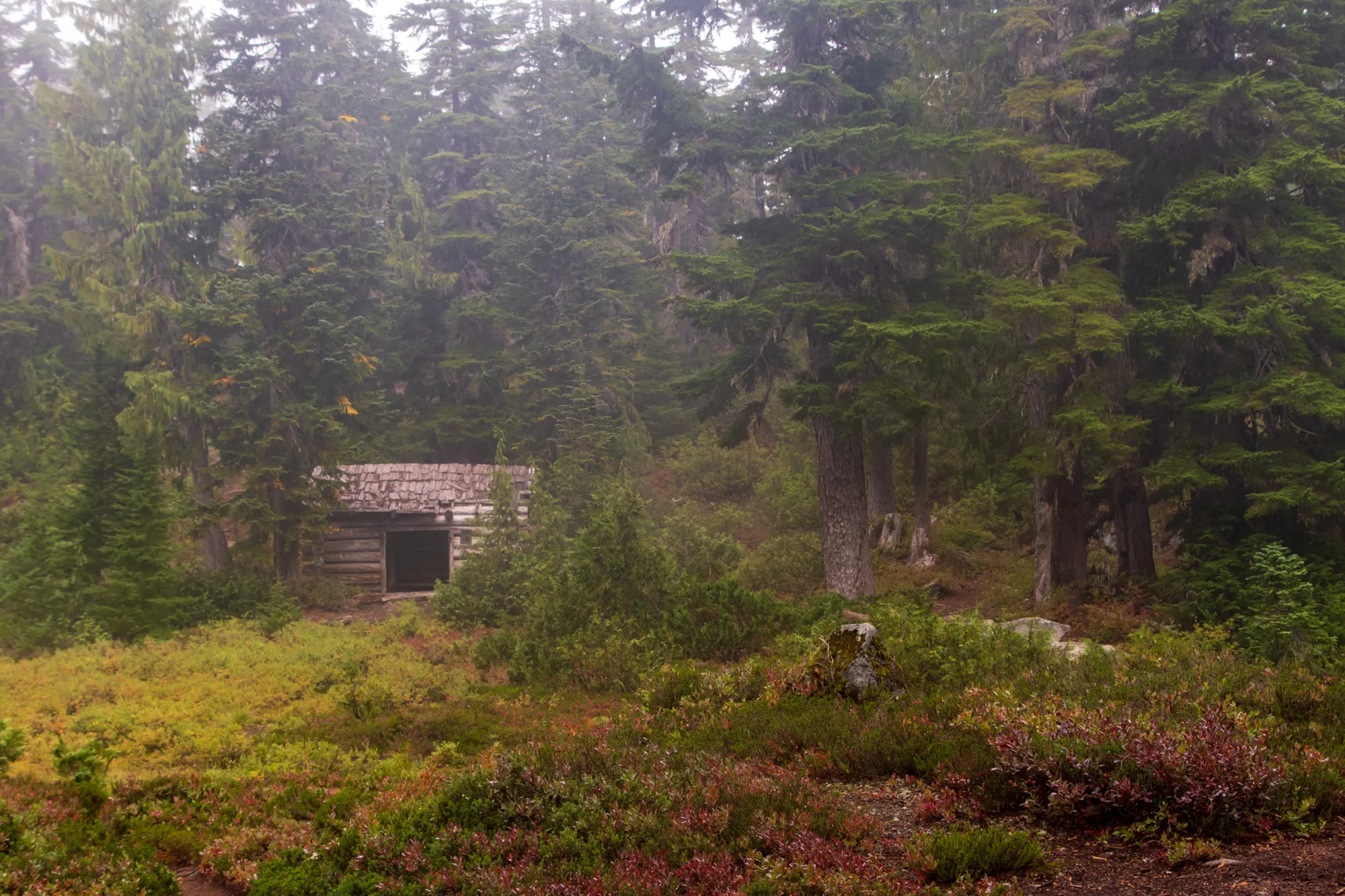
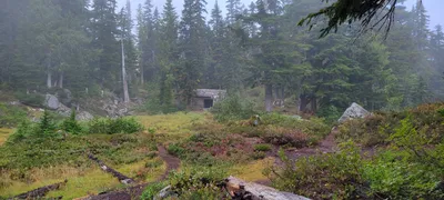 Cabin at Emerald Lake in the fog
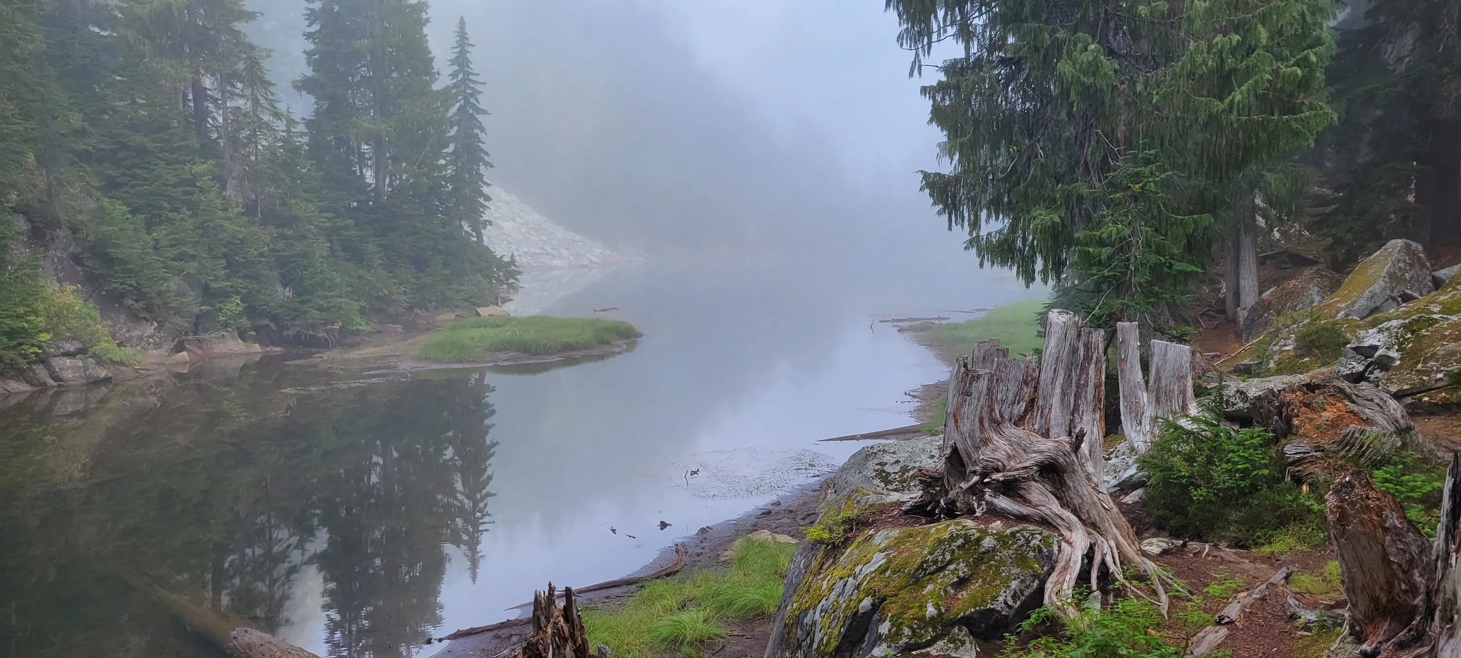
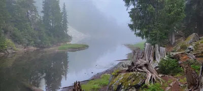 Jade Lake in the fog
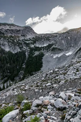
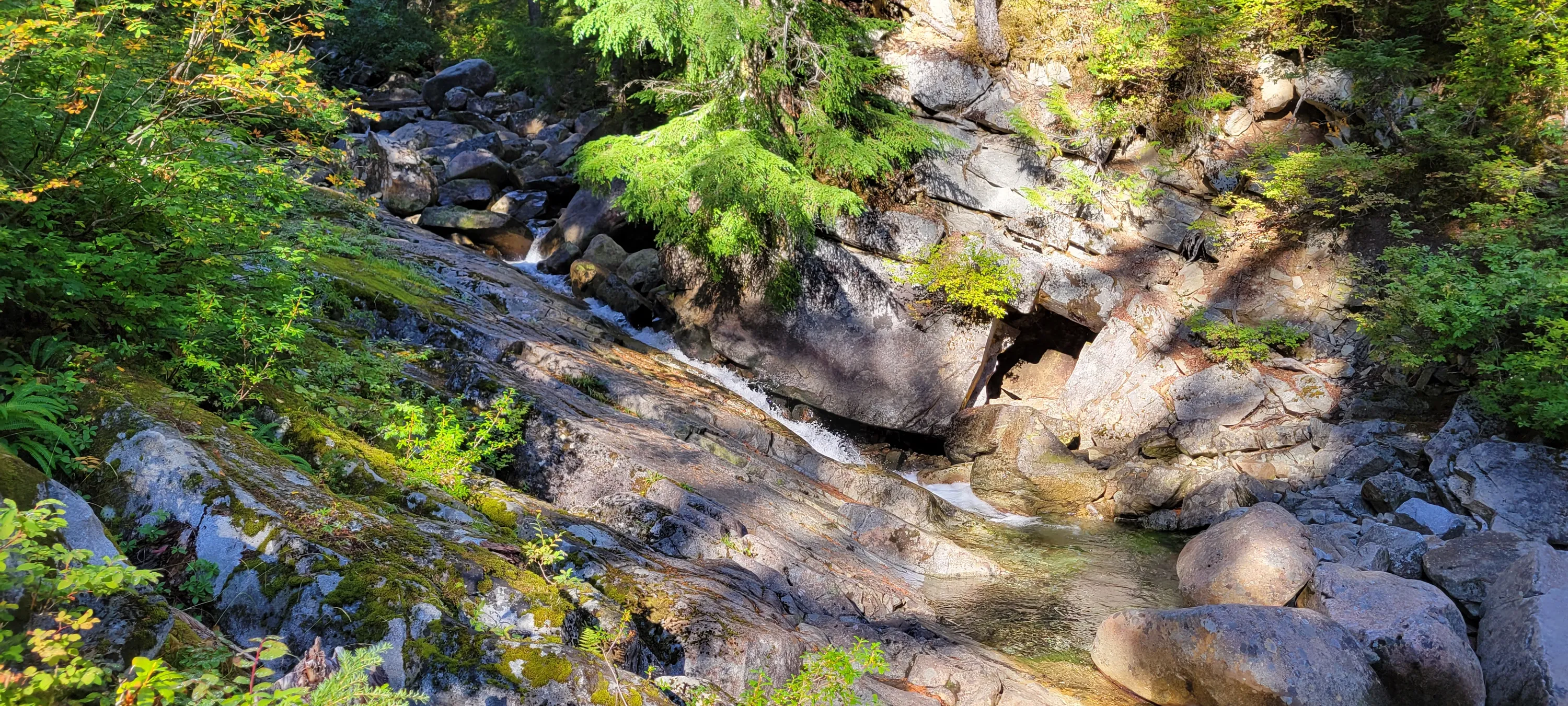
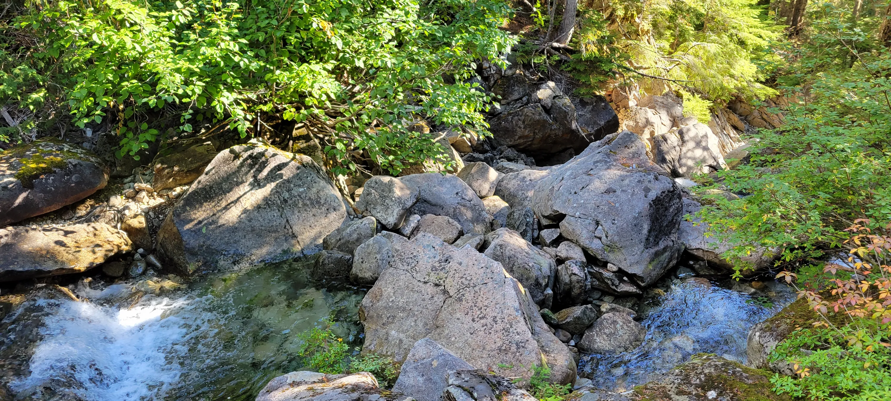
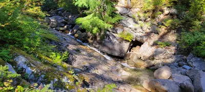 Un-named Creek in the sunshine
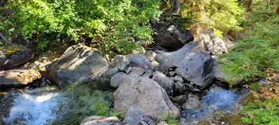 Un-named Creek in the sunshine