Robs Hiking Diary
Search
Search for:
Search
Hikes
2021
South Huckleberry Trail - Molalla
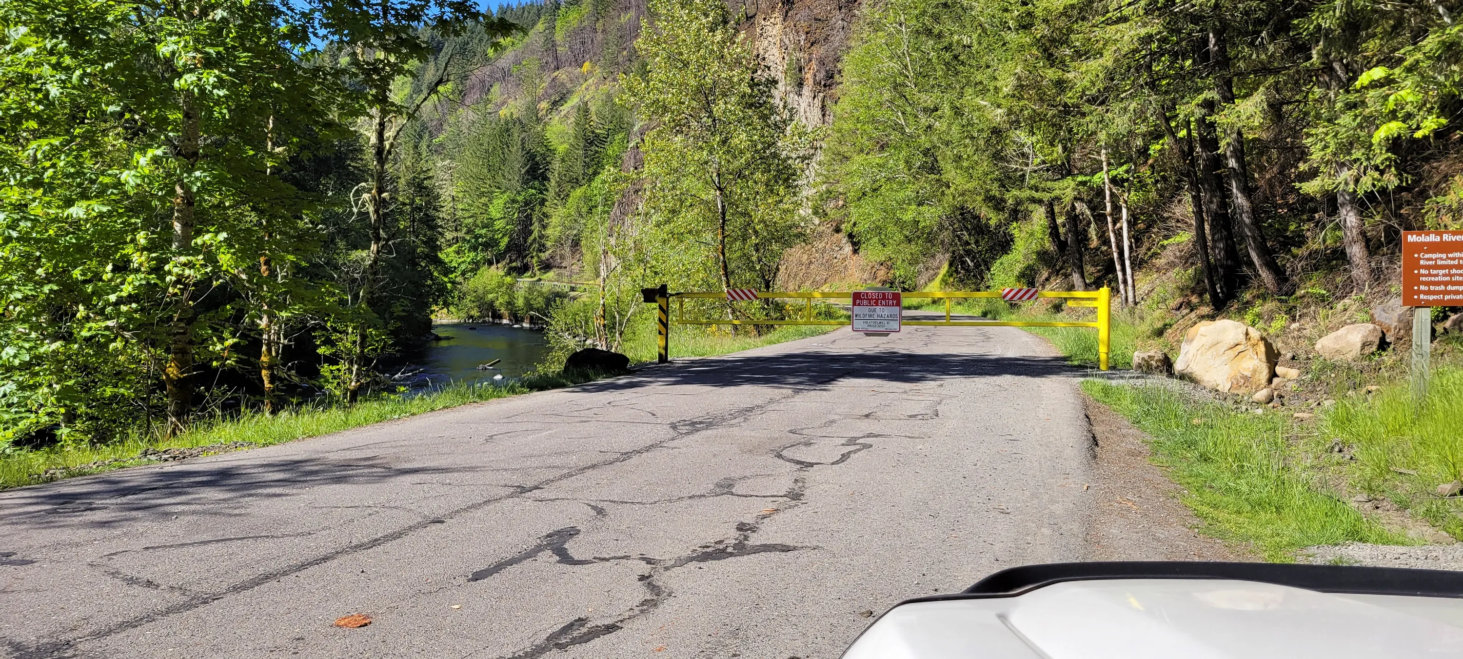
The Molalla Forest Road was closed about 5 miles up
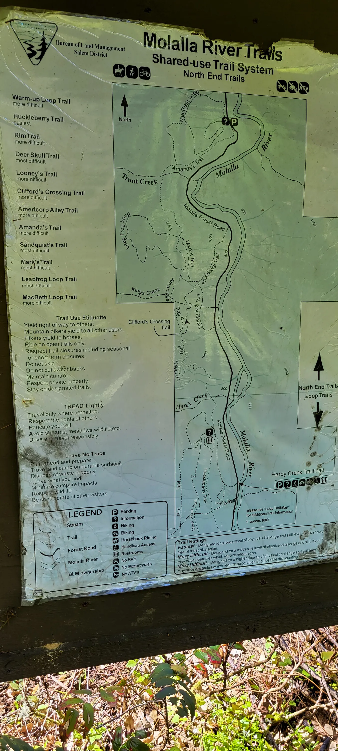
A sign we saw as we headed up the road
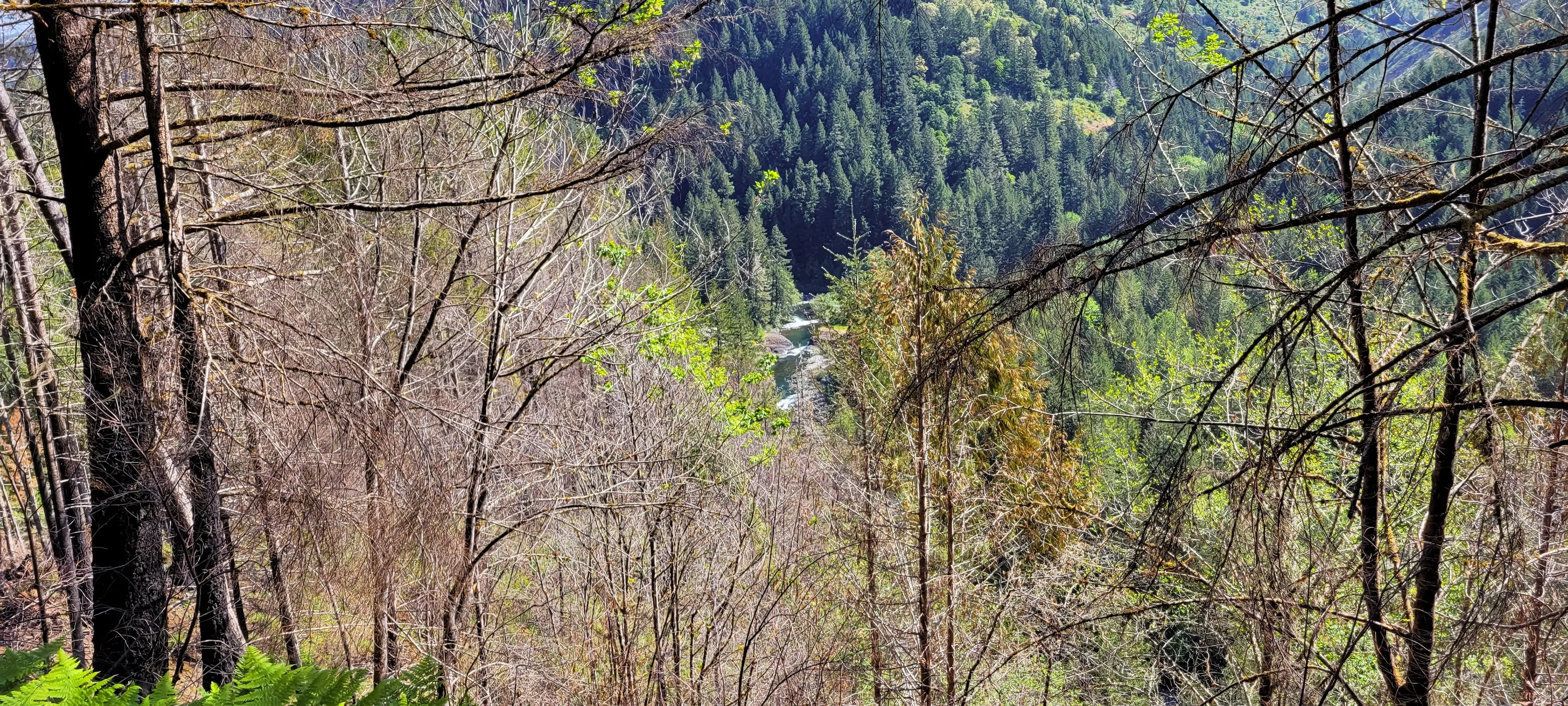
Looking down at the Molalla river
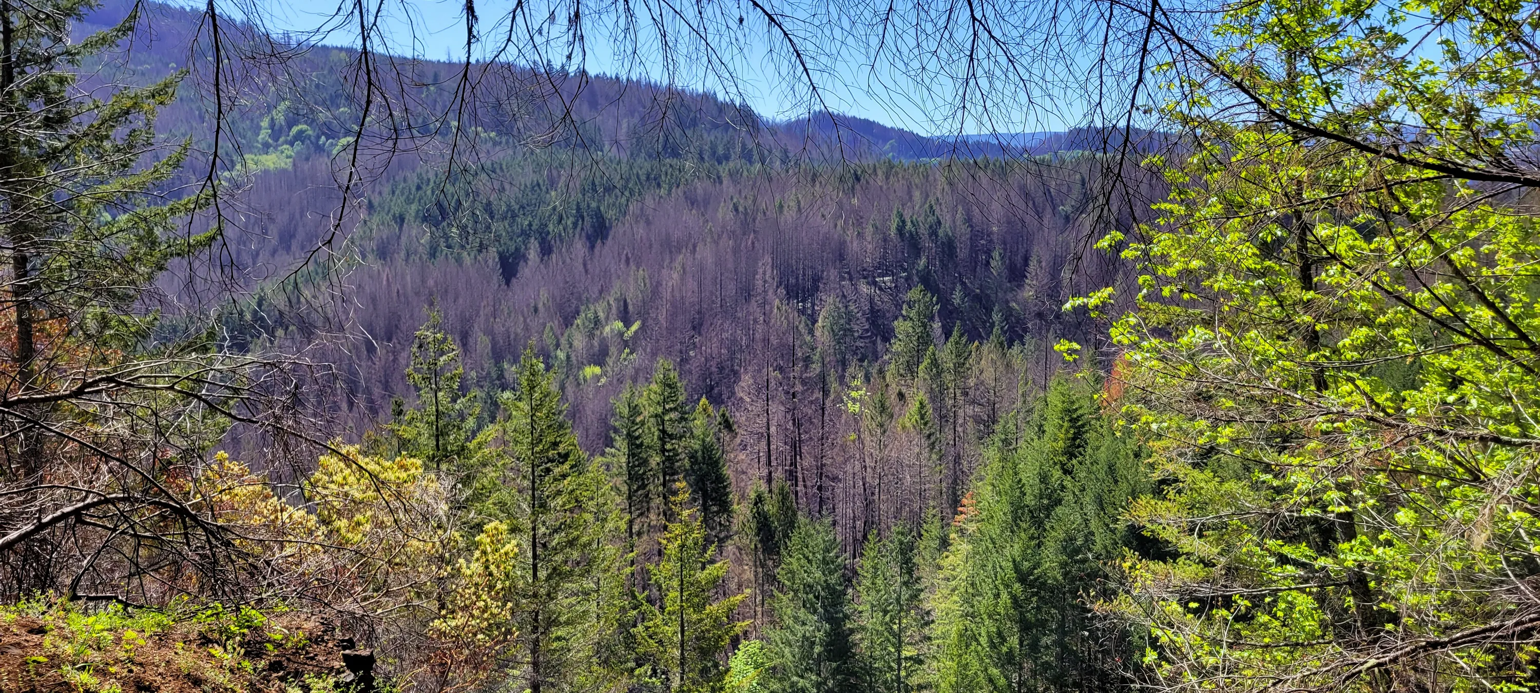
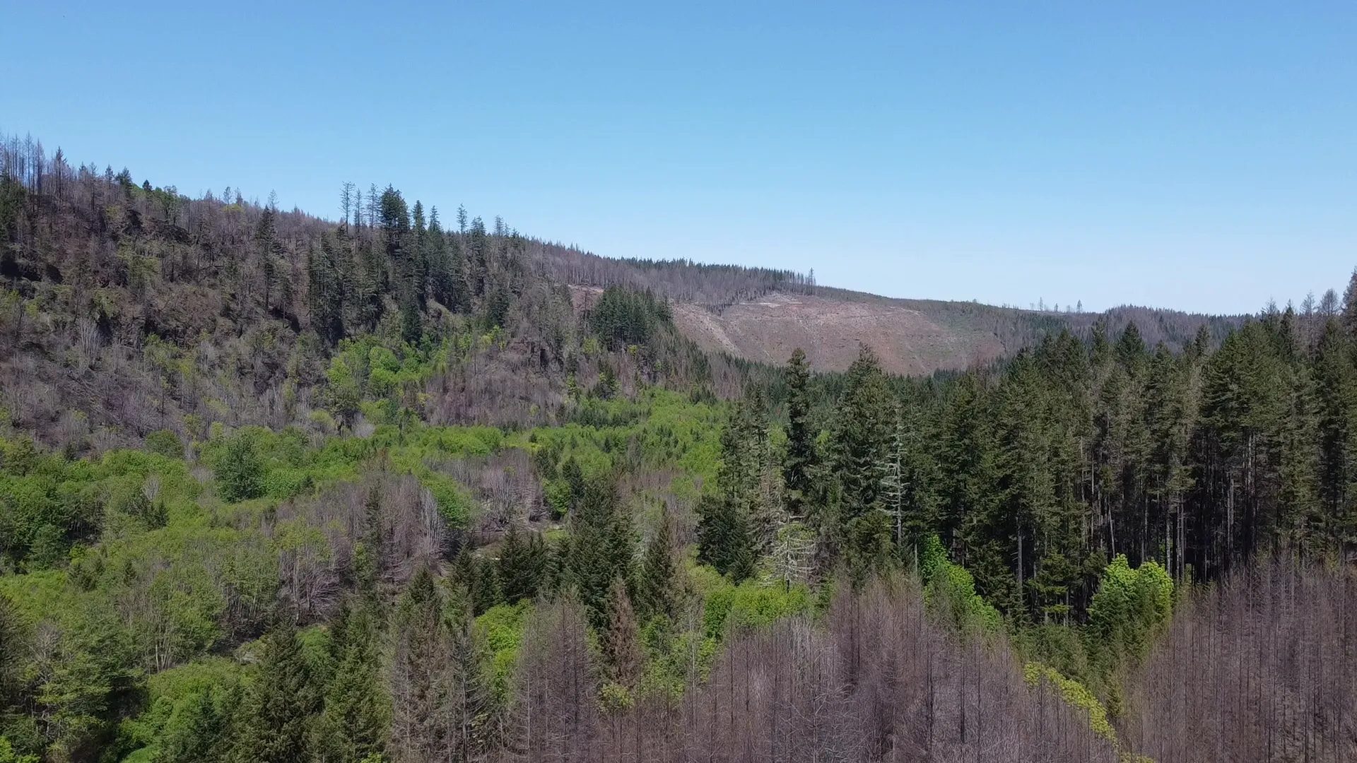
Looking across the Molalla to fire damage on the other side
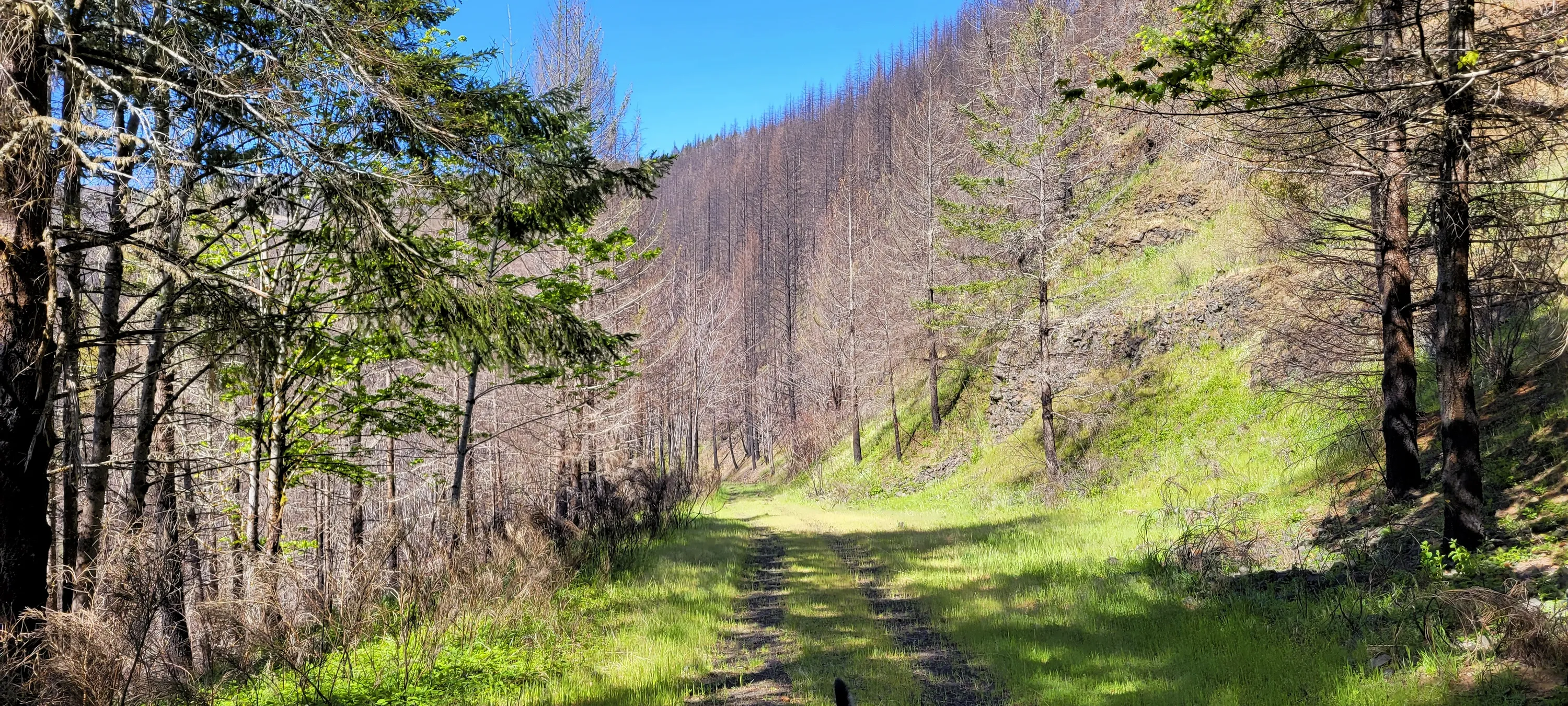
This is where we started to enter the fire area
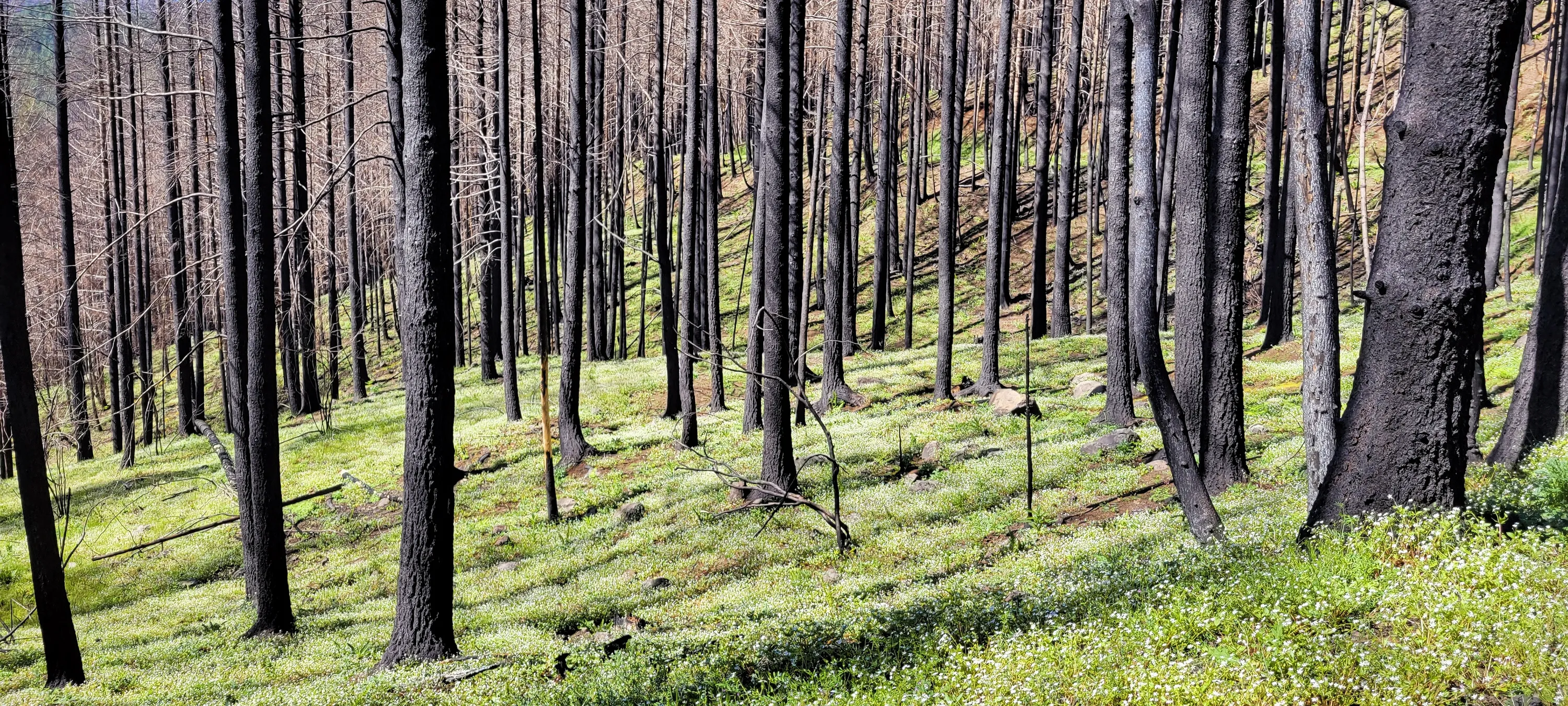
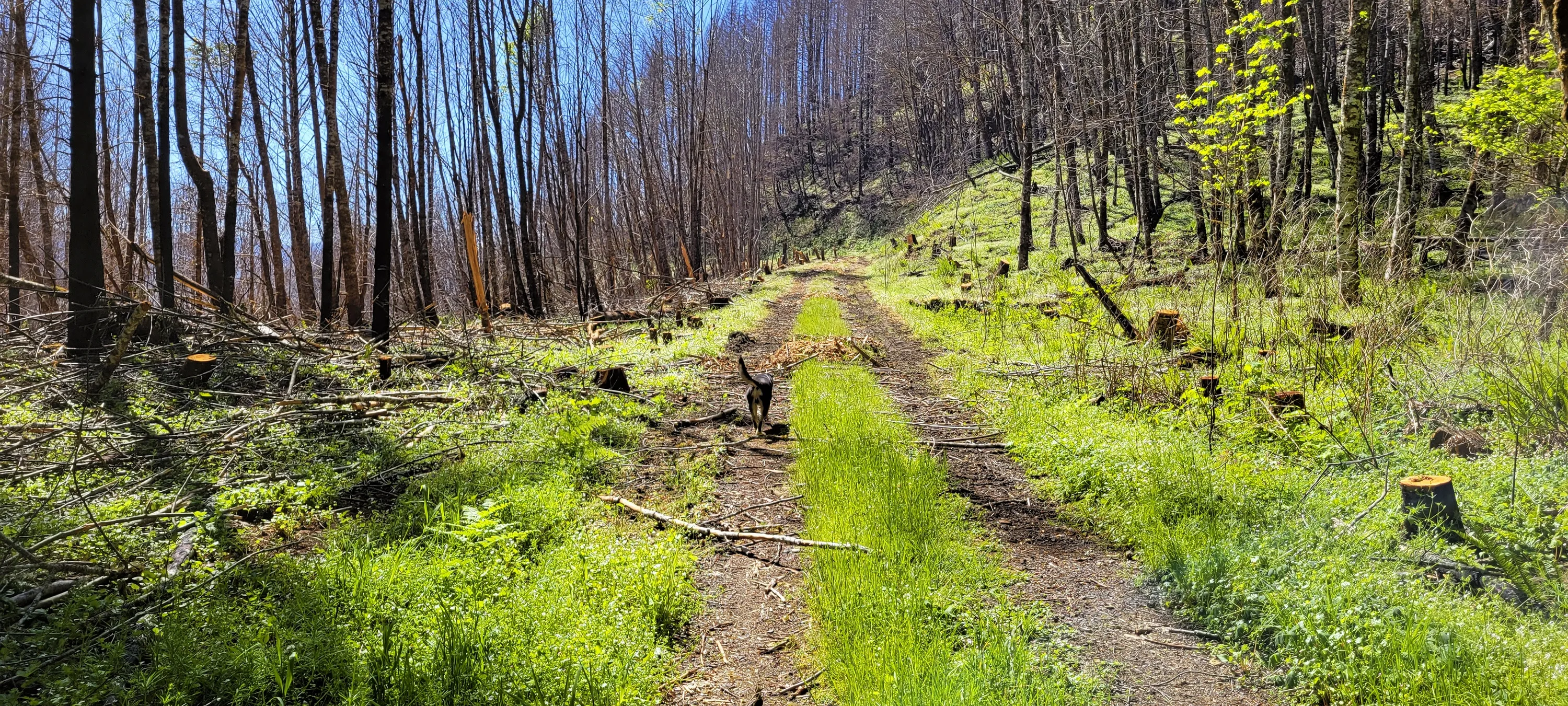
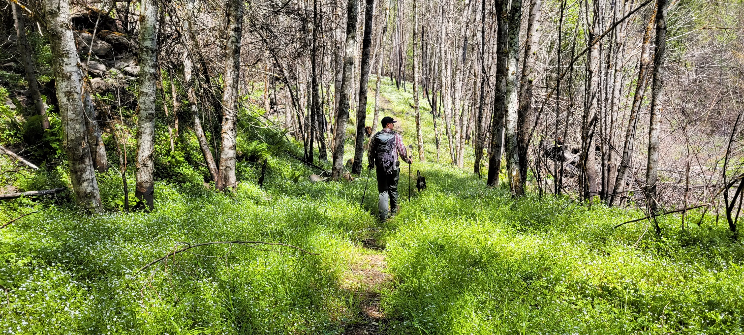
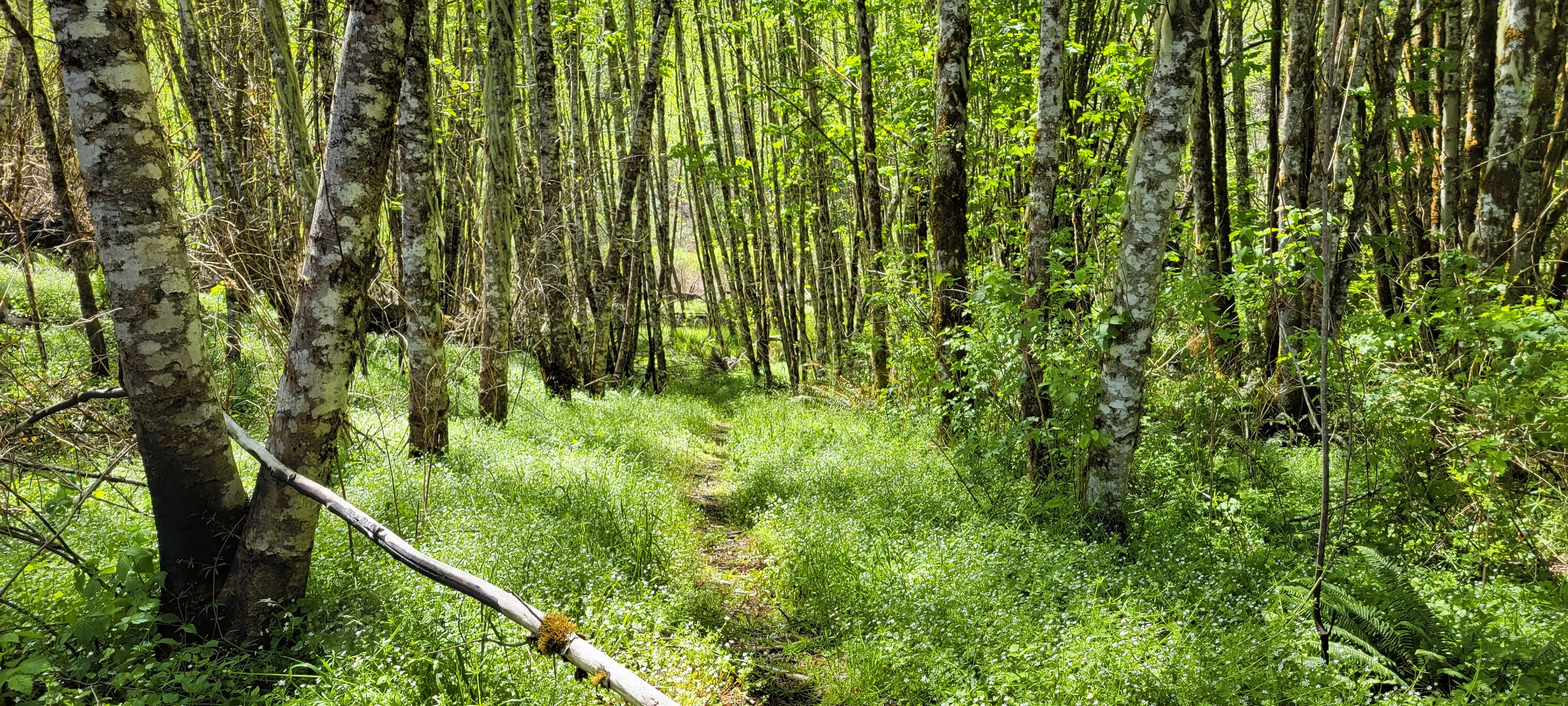
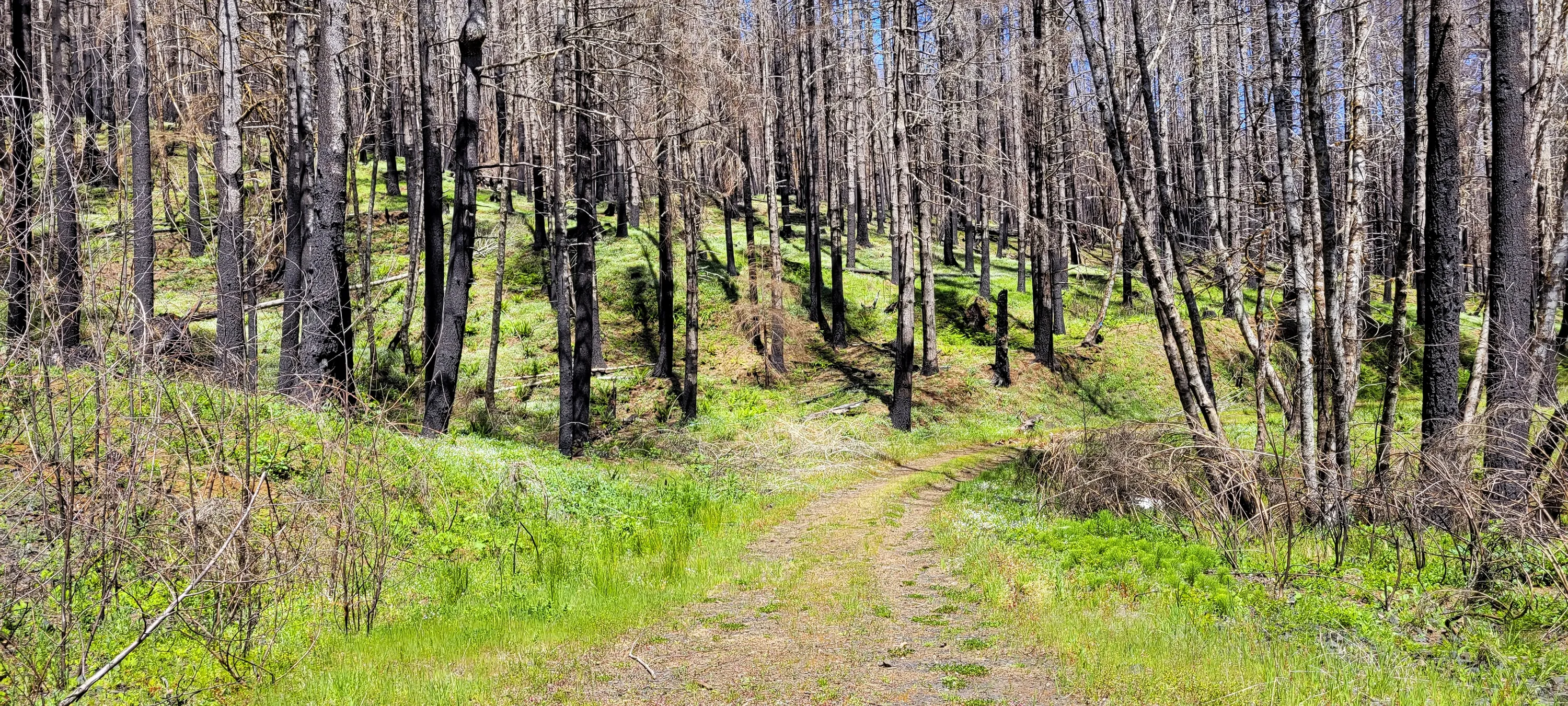
It was amazing to see a sea of green under all the burned trees
This was a strange side trail along the old road. We decided we would follow it on the way back
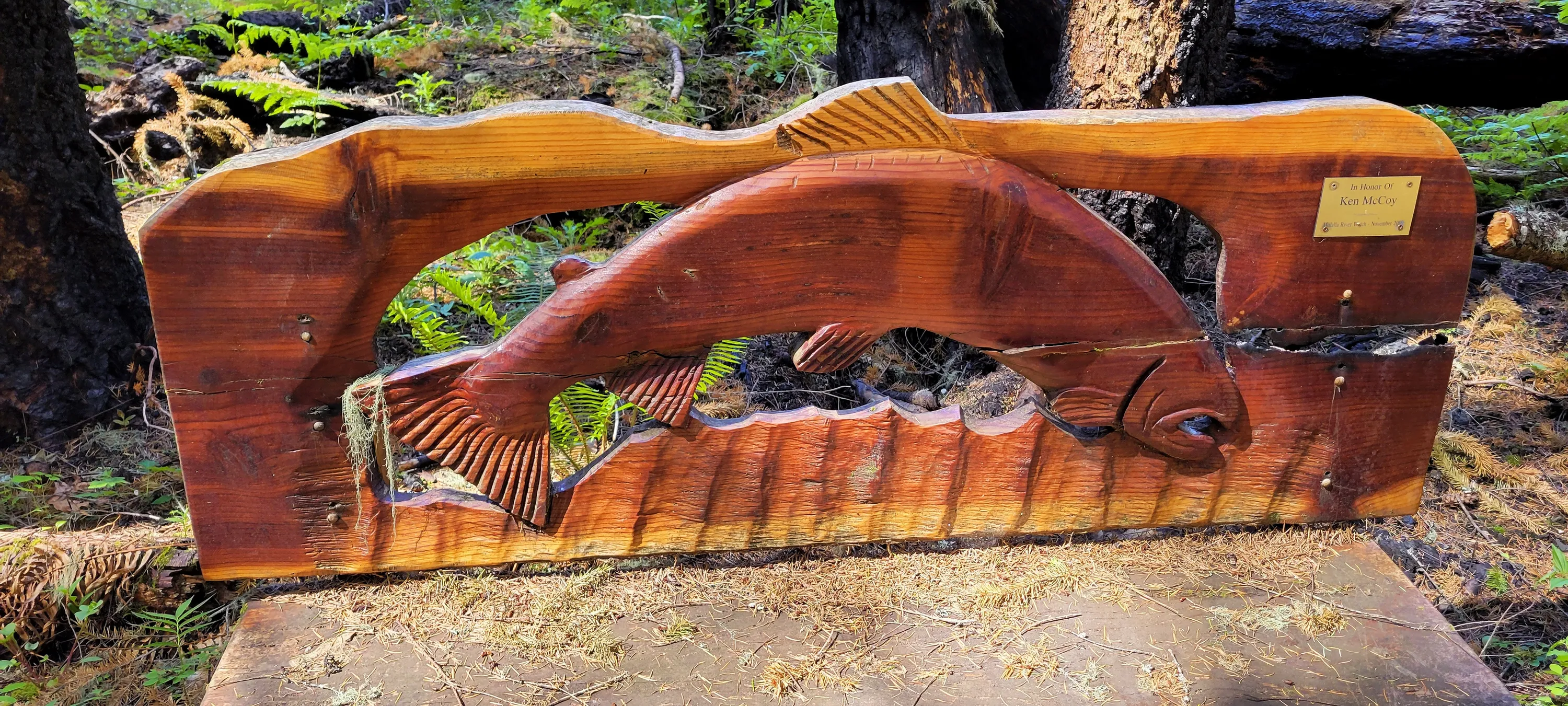
A bench along the South Huckleberry trail where it started to circle a wet area
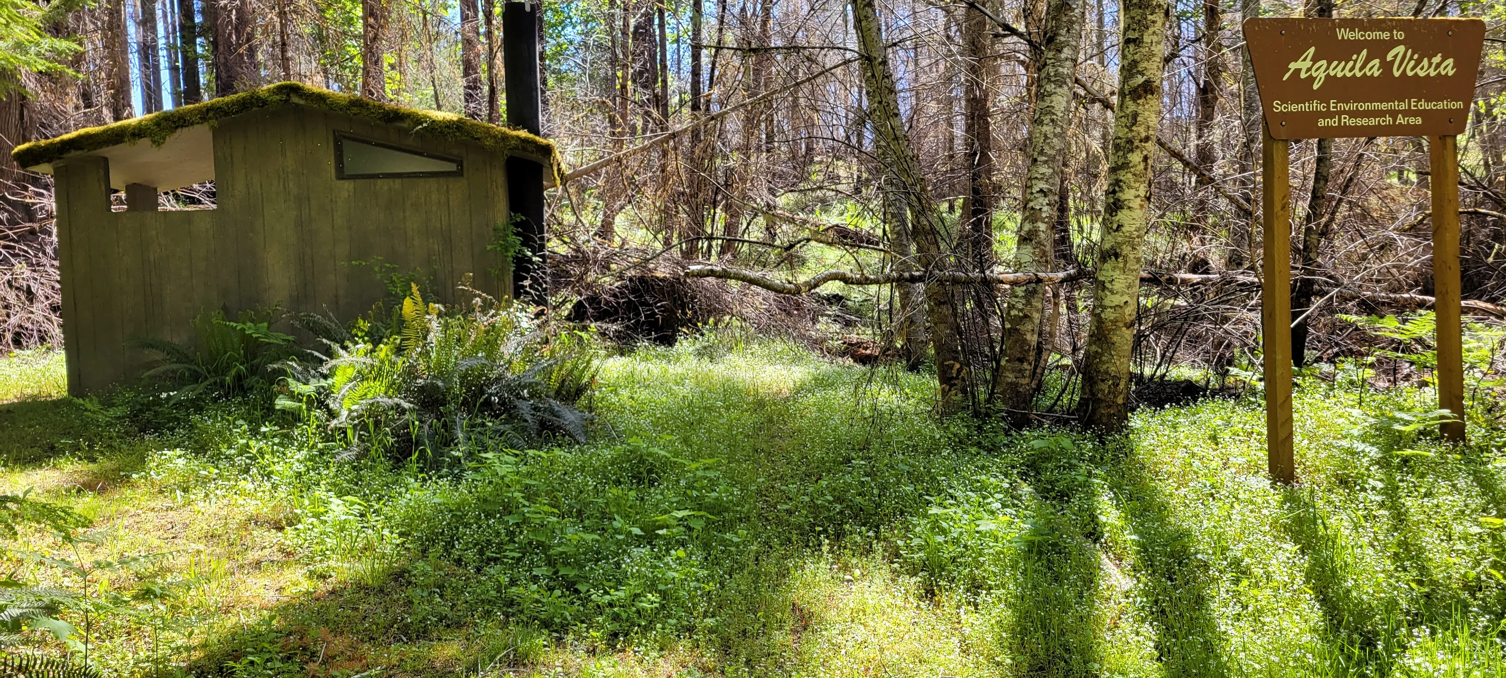
I guess this was a group camp area - not sure if it is still able to be used or not
I guess this was a group camp area - not sure if it is still able to be used or not
Sign at the group camp
This was getting into more burnt area
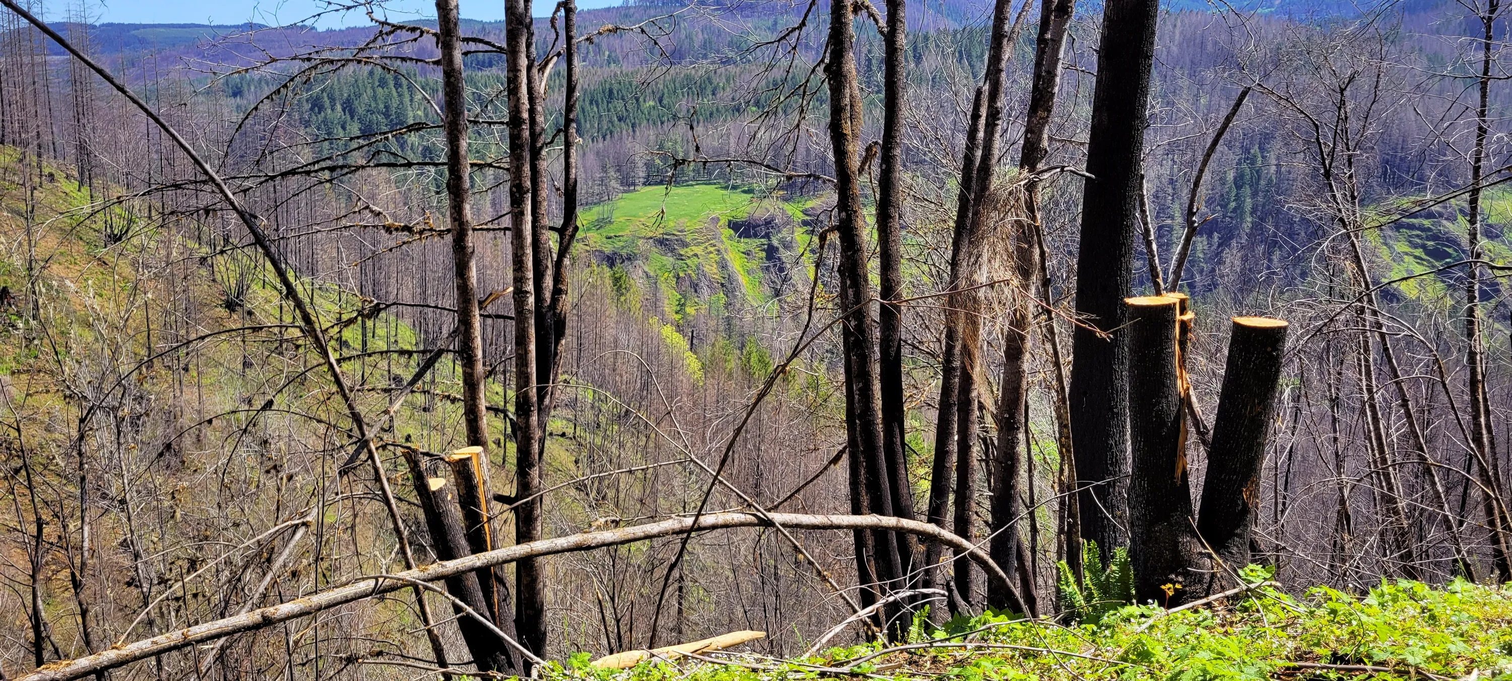
An interesing green plateau across the canyon
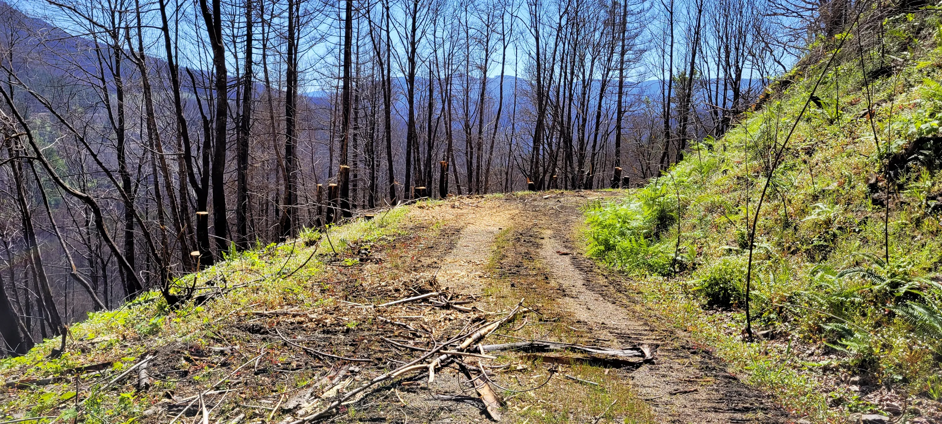
Continuing on the road into the burned ara
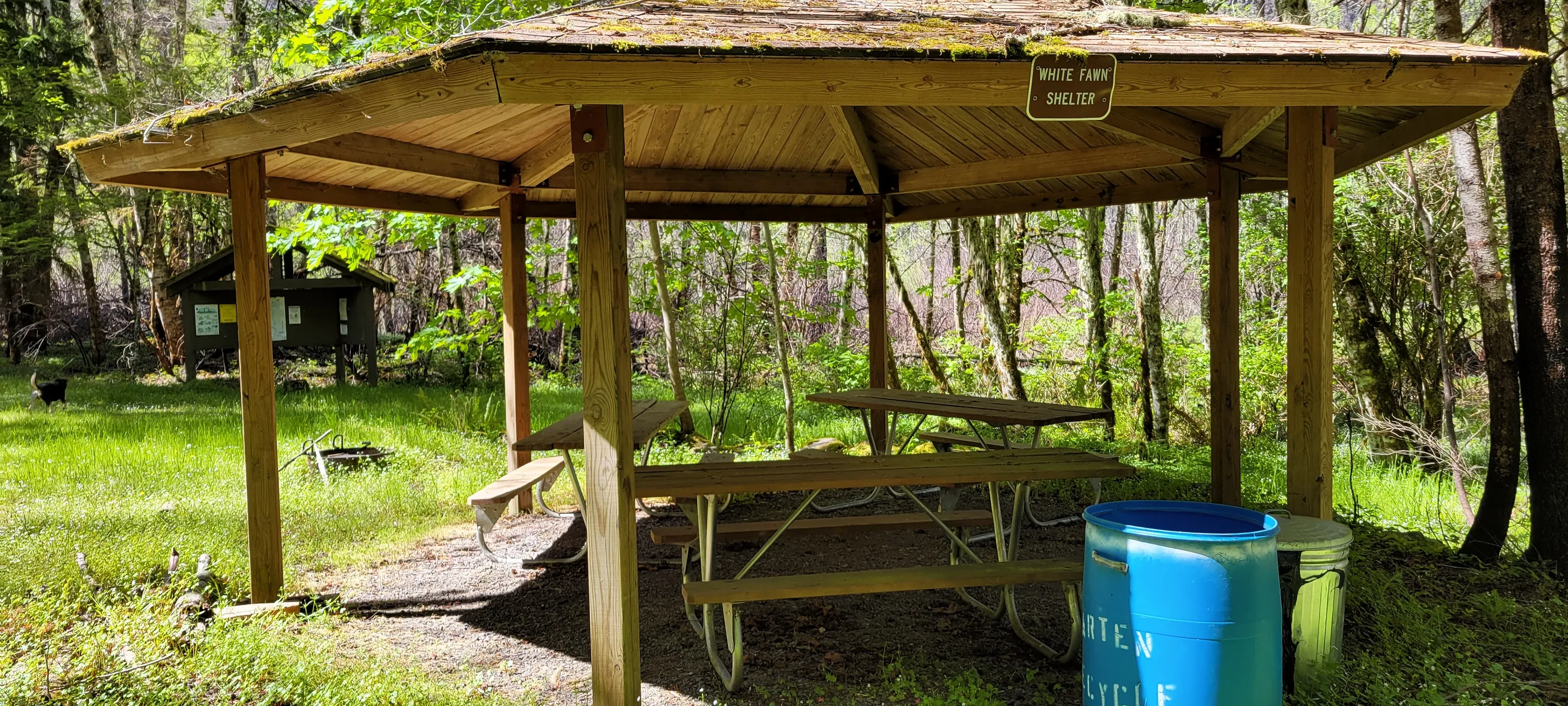
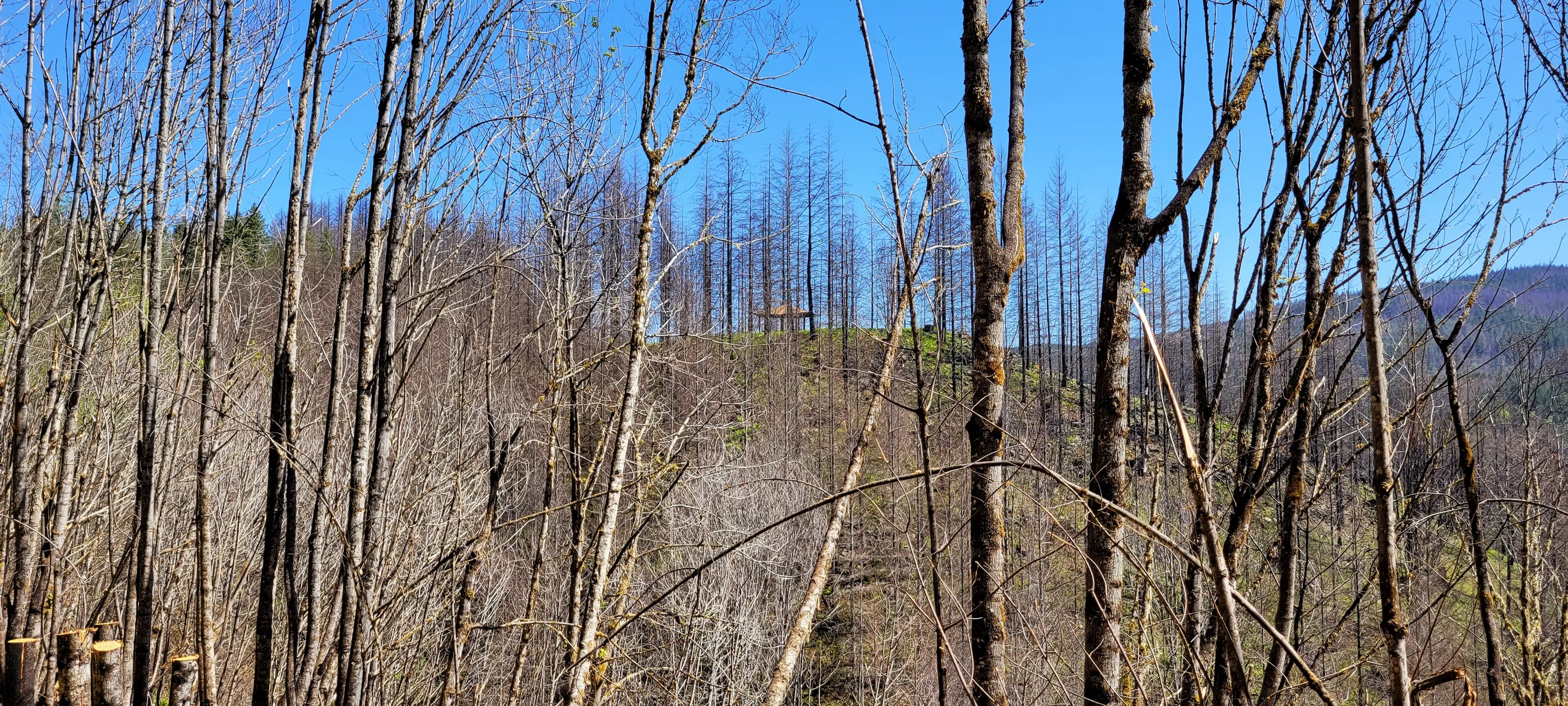
We noticed this picnic shelter - we decided we'd try and get up there to have lunch
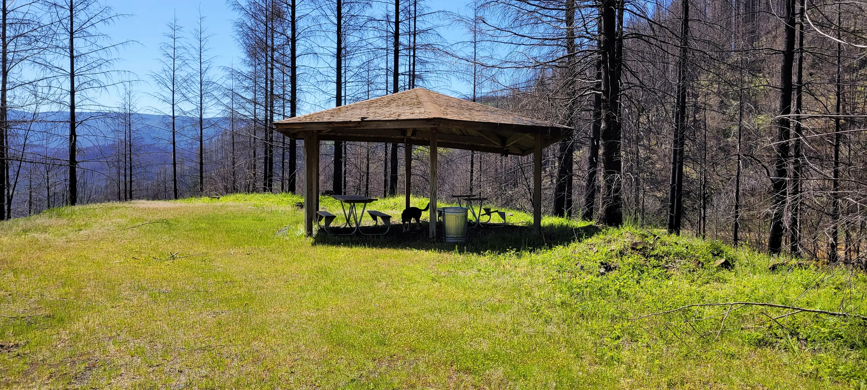
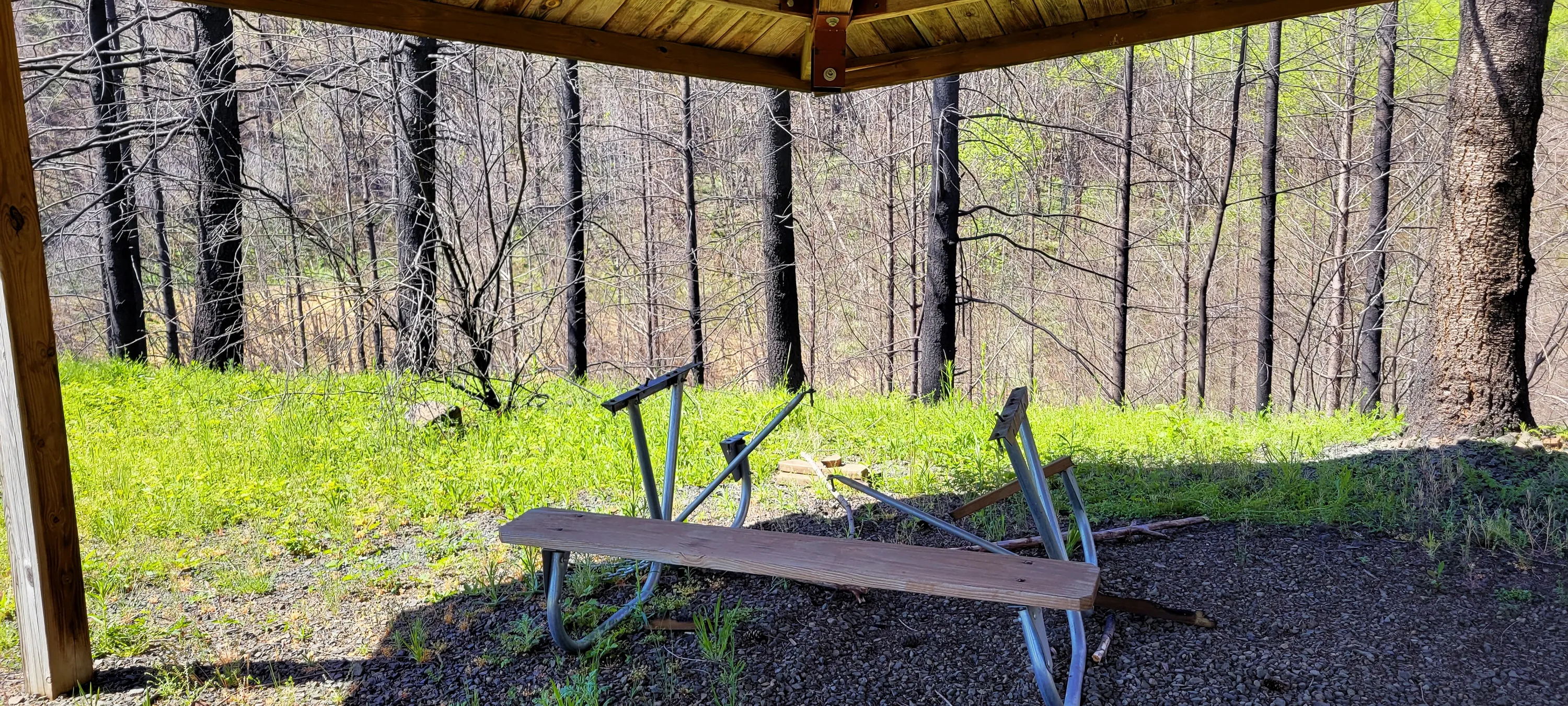
Picnic shelter where we had lunch
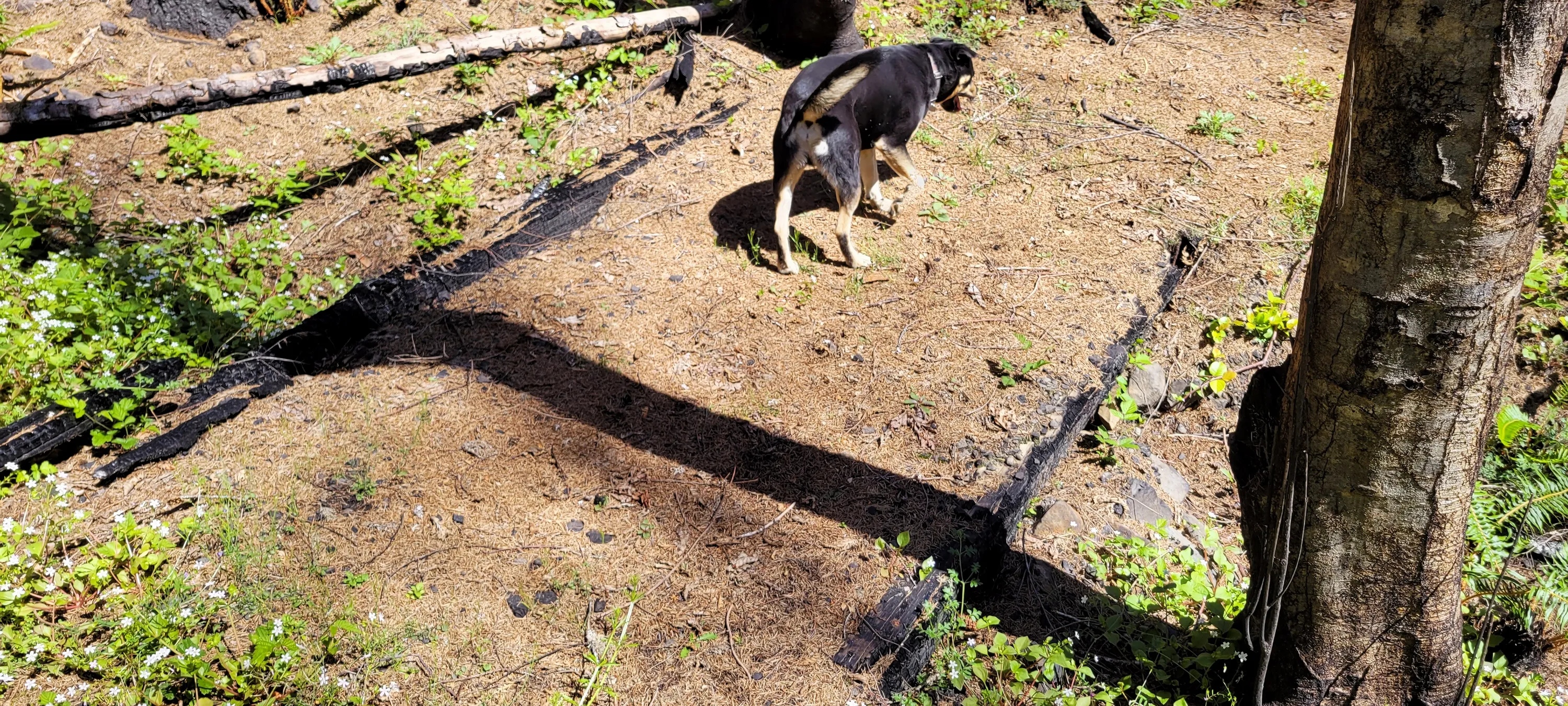
It burned out one of the posts for the shelter as well as one of the benches and the top of one of the picnic tables - the rest was untouched by the fire
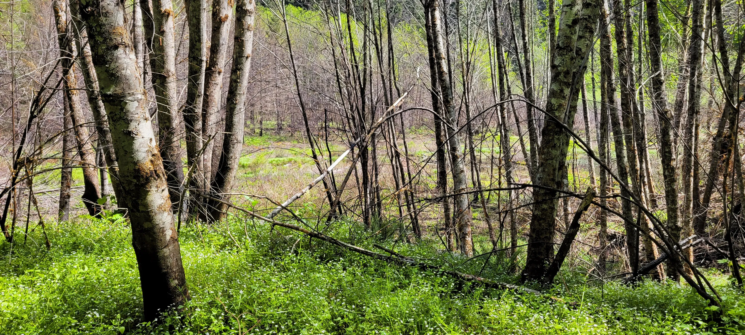
Heading around the Wetlands trail
Looking to the wetlands area
LOTS of green even though all this area burned
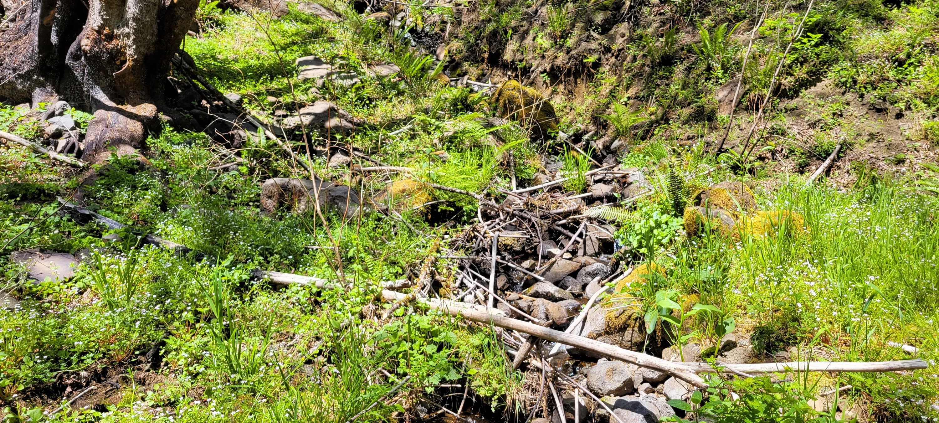
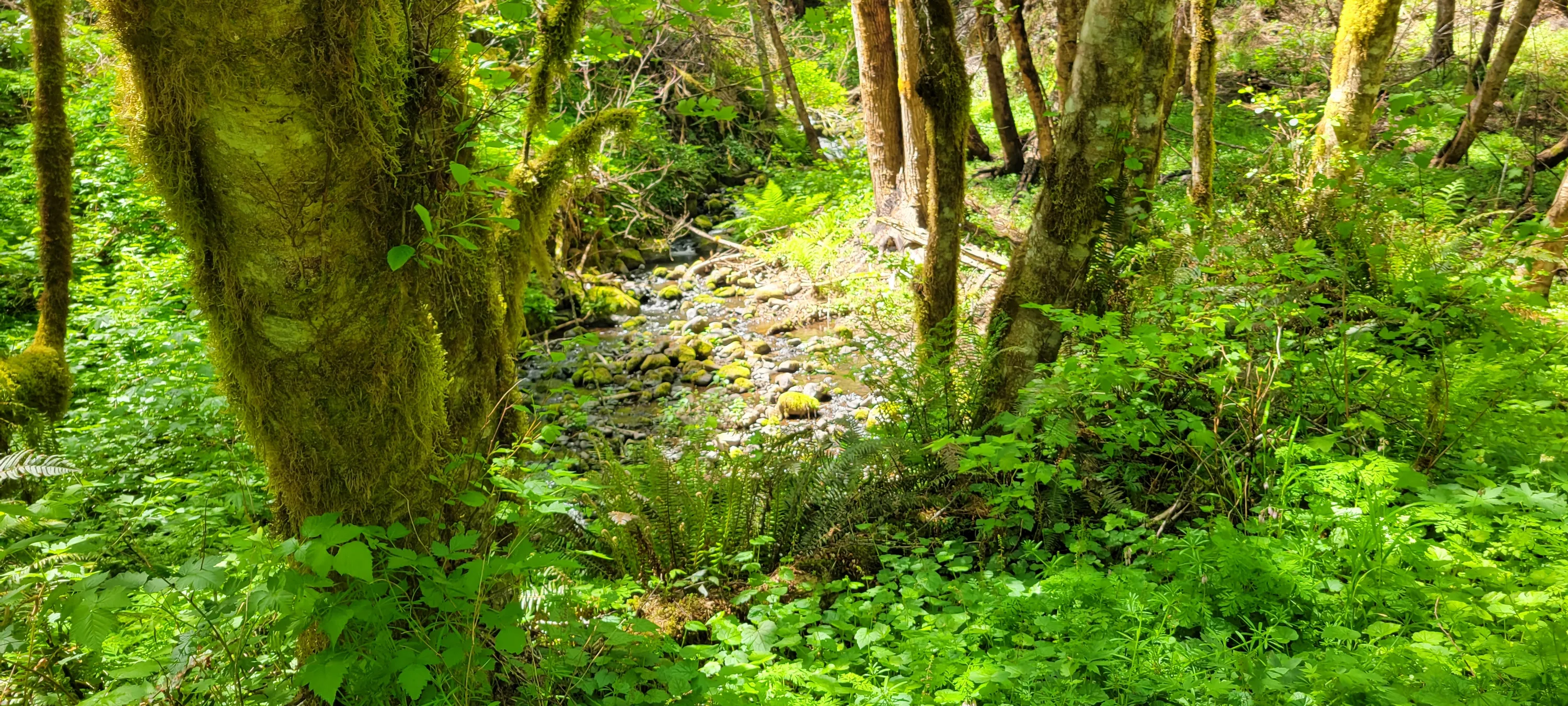
An un-named creek coming down the hill into the wetland area
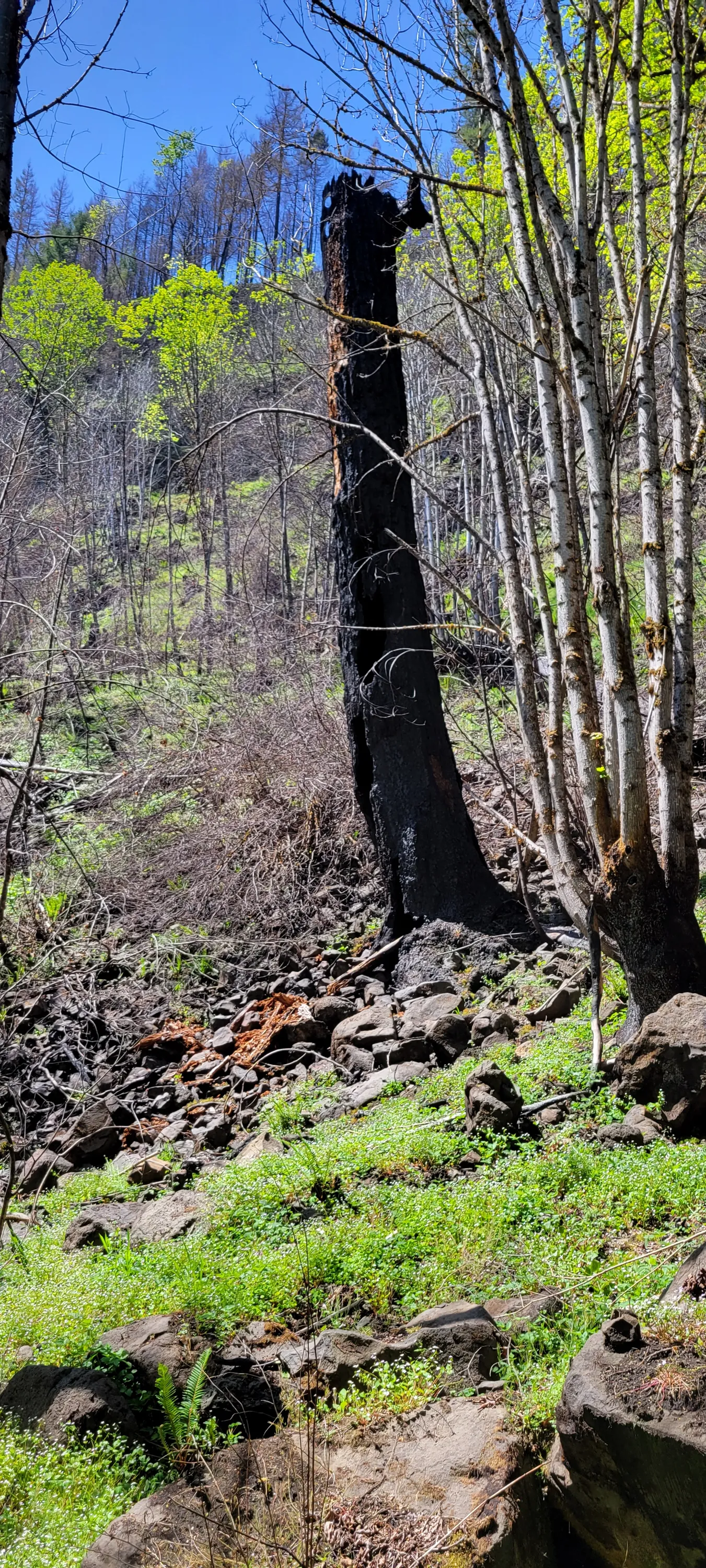
A totally burned out tree near the wetlands area
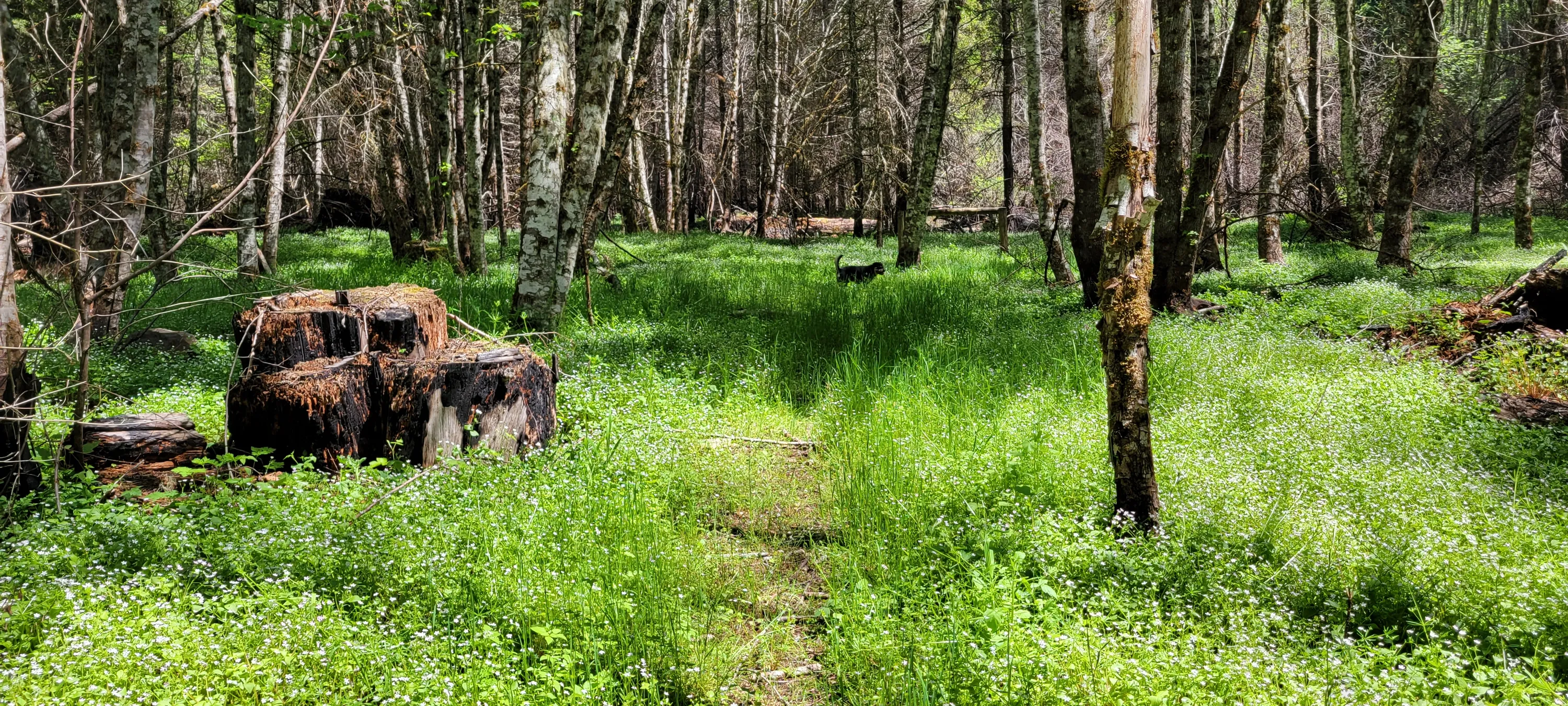
A huge old stunp along the wetland trail
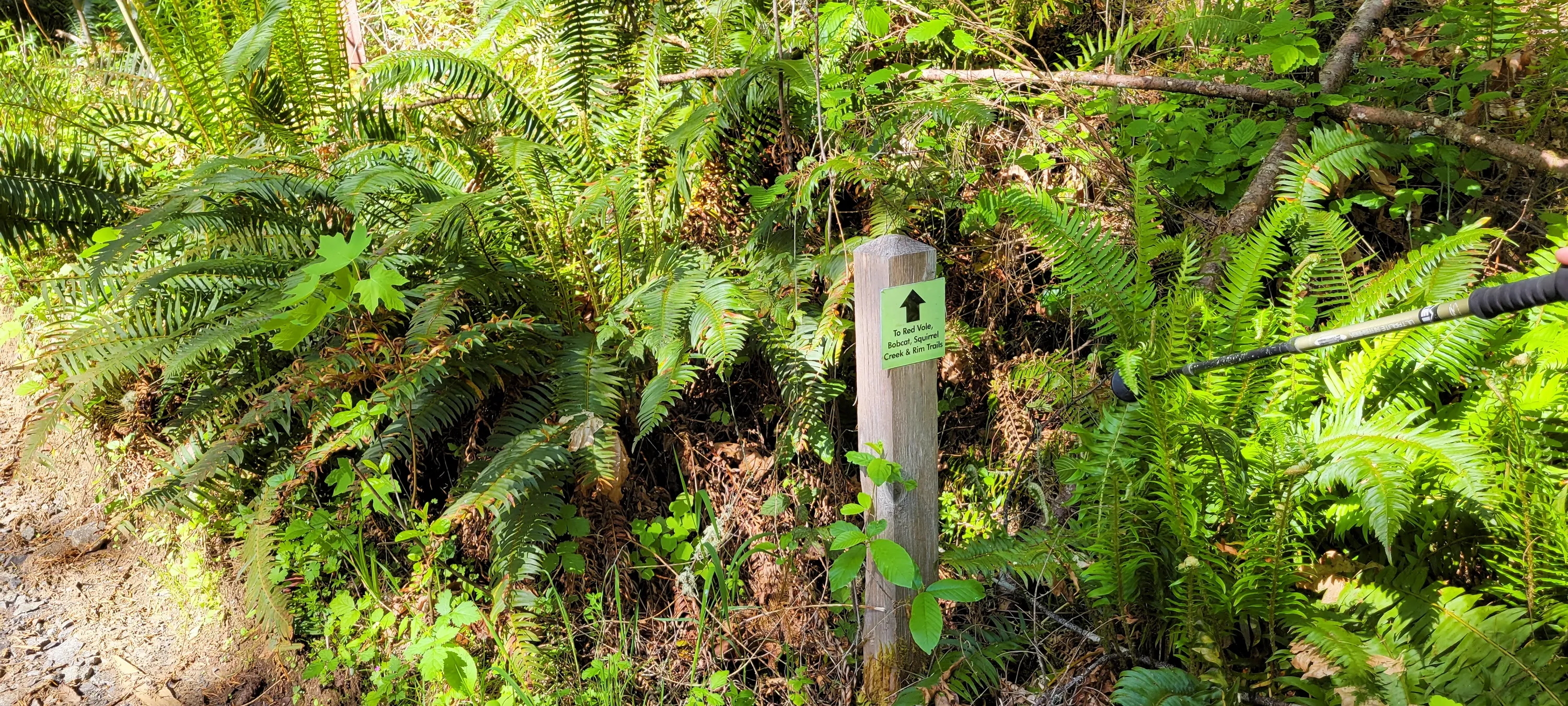
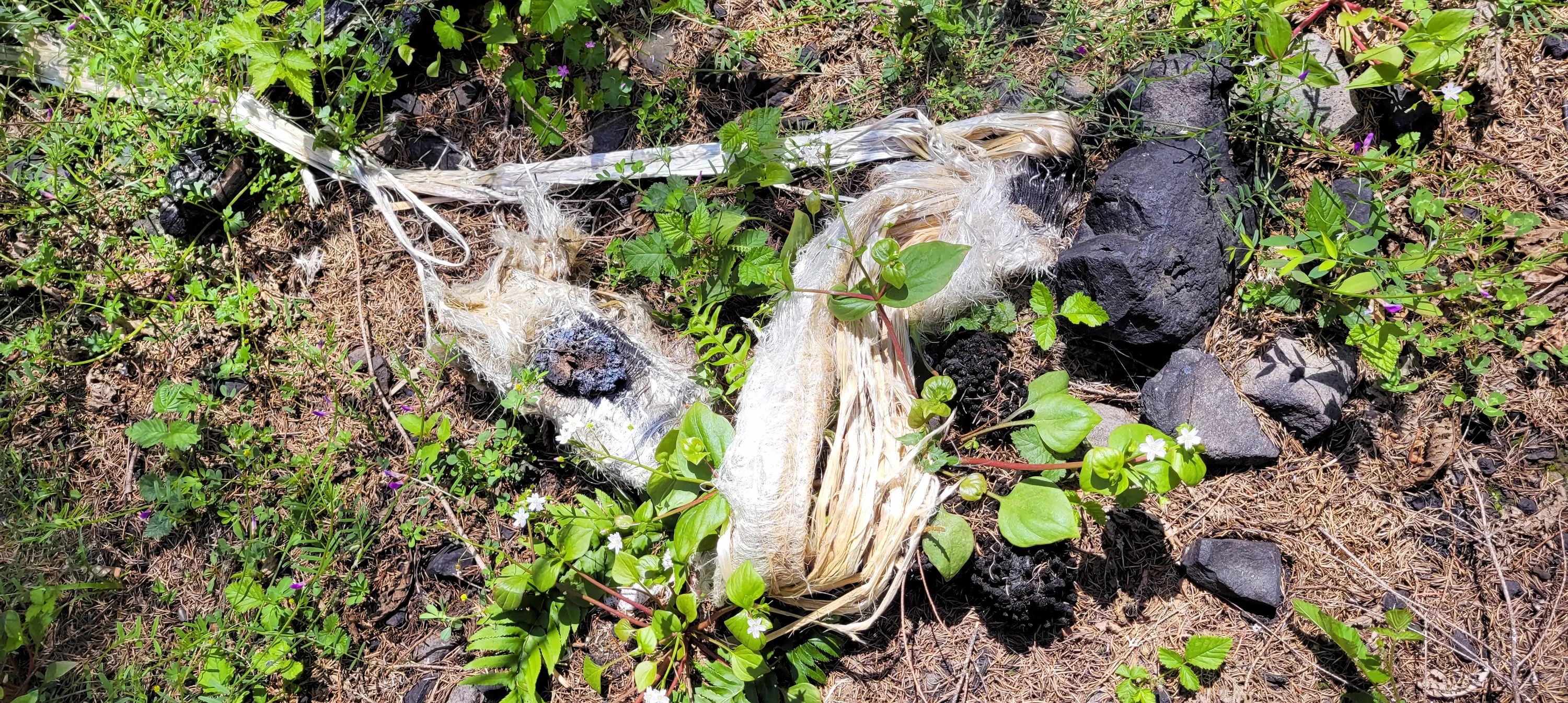
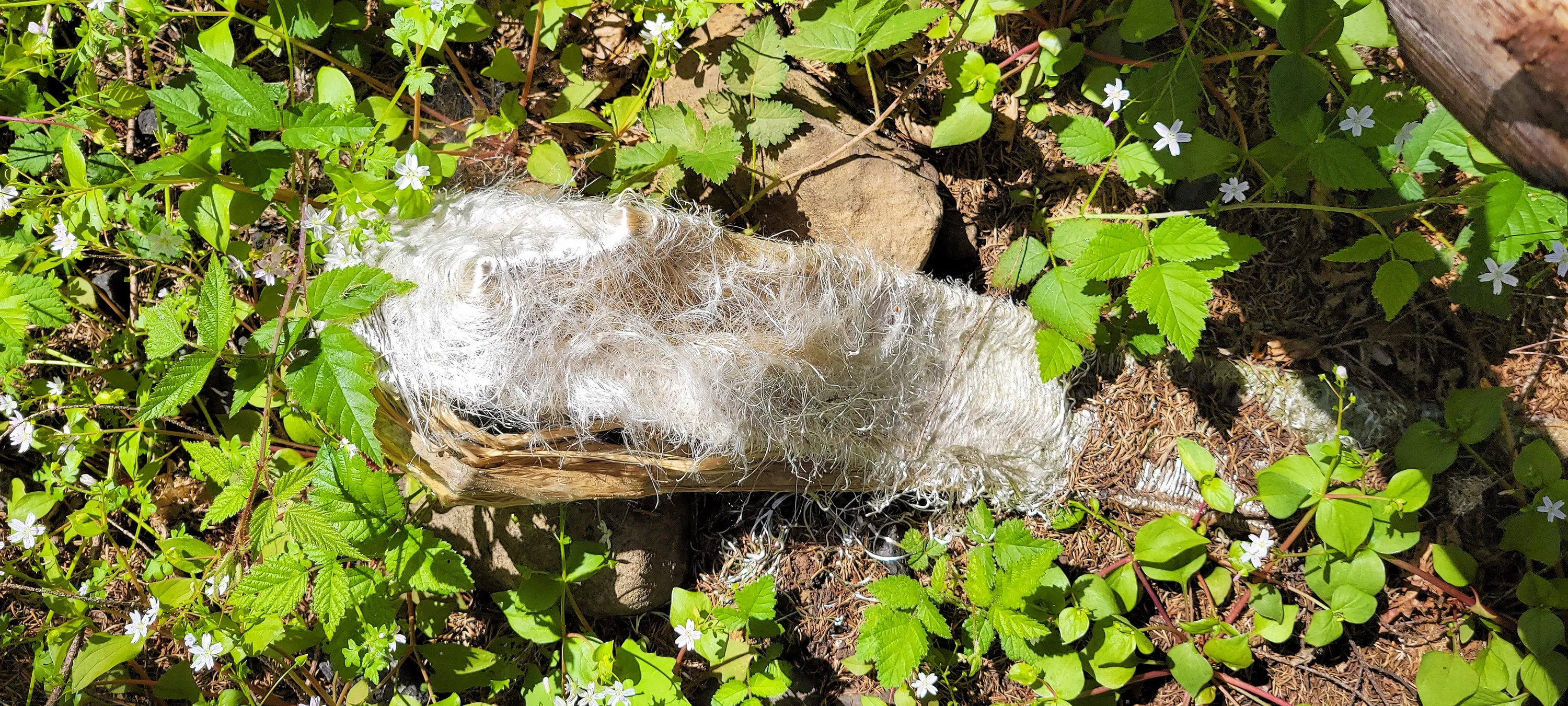
I believe these are old forest service/BLM marker posts (not sure what to call them) - the look like plastic but I think they are fiberglass
I believe these are old forest service/BLM marker posts (not sure what to call them) - the look like plastic but I think they are fiberglass
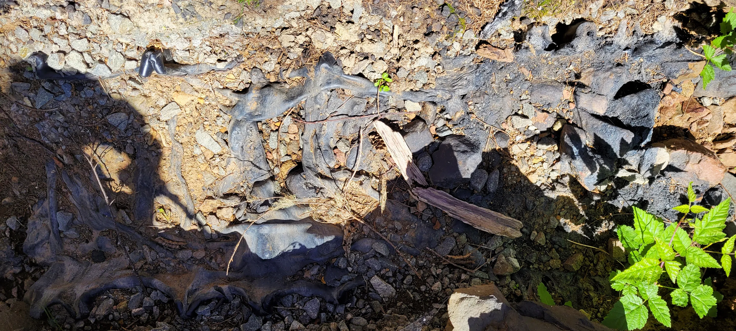
This was a plastiic culvert across the trail that melted in the fire. It looked like volcanic rock almost!
This jus struck me as we were walking - the black and all the green on the ground
Shotgun creek