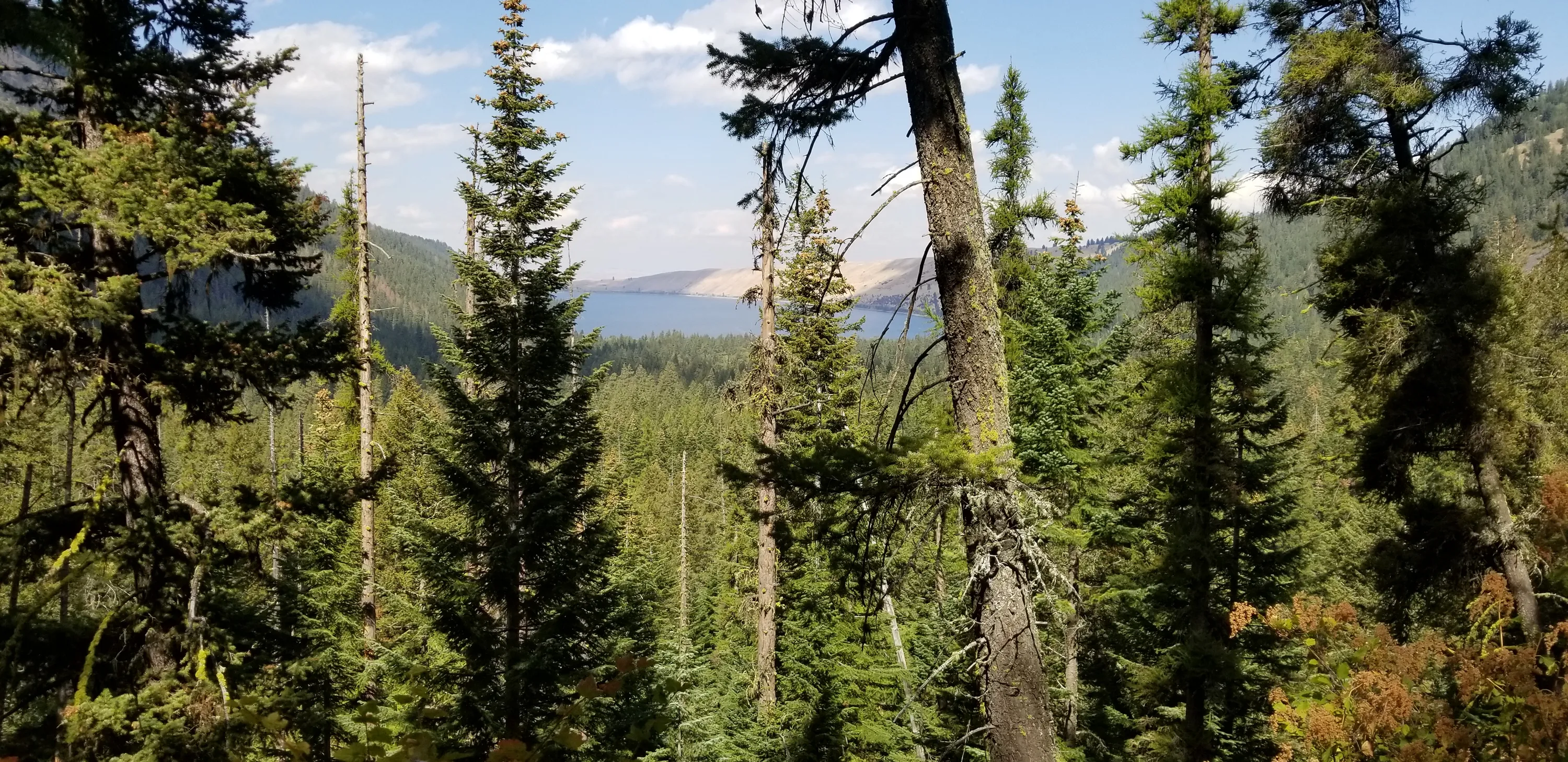
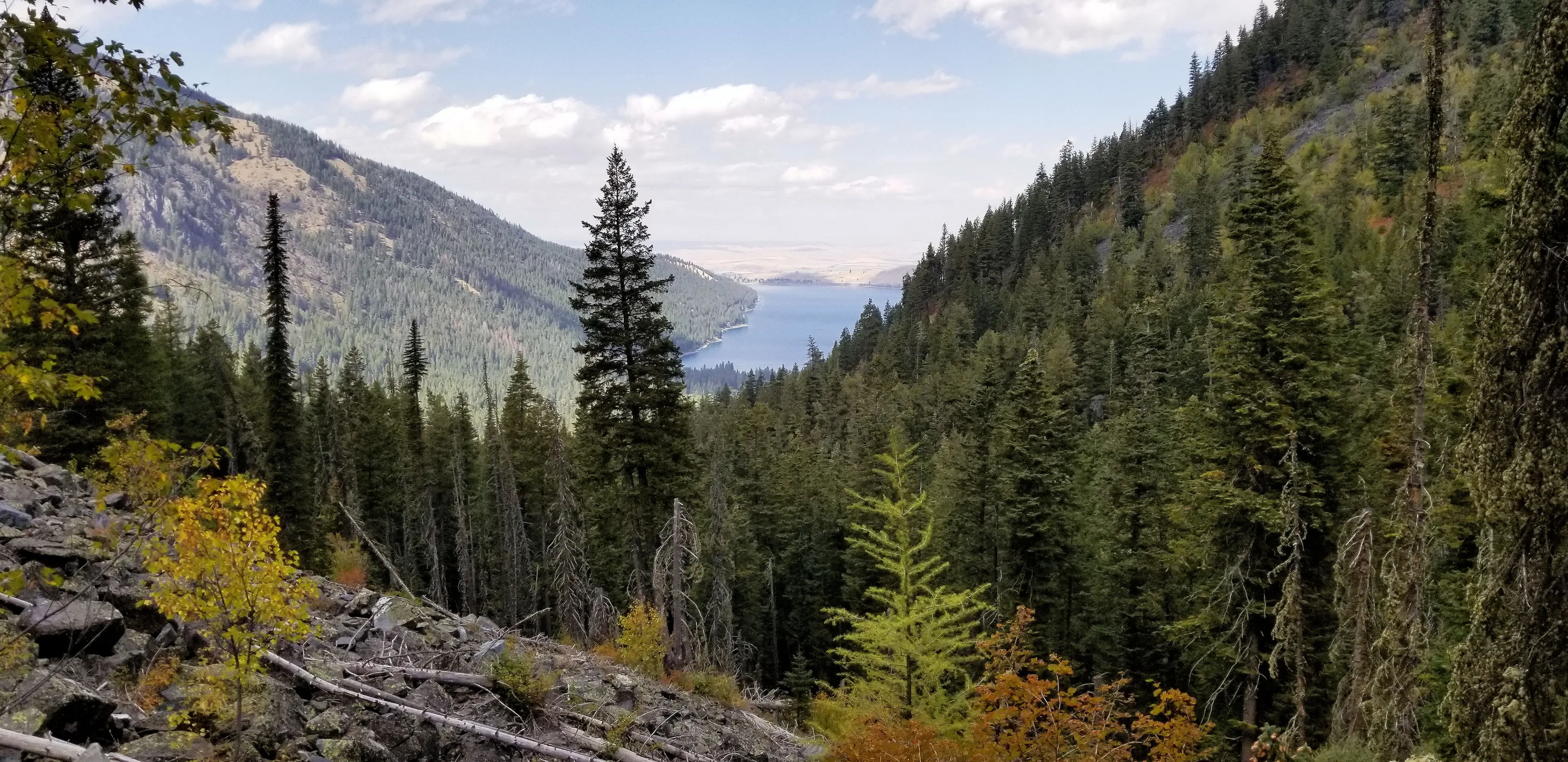
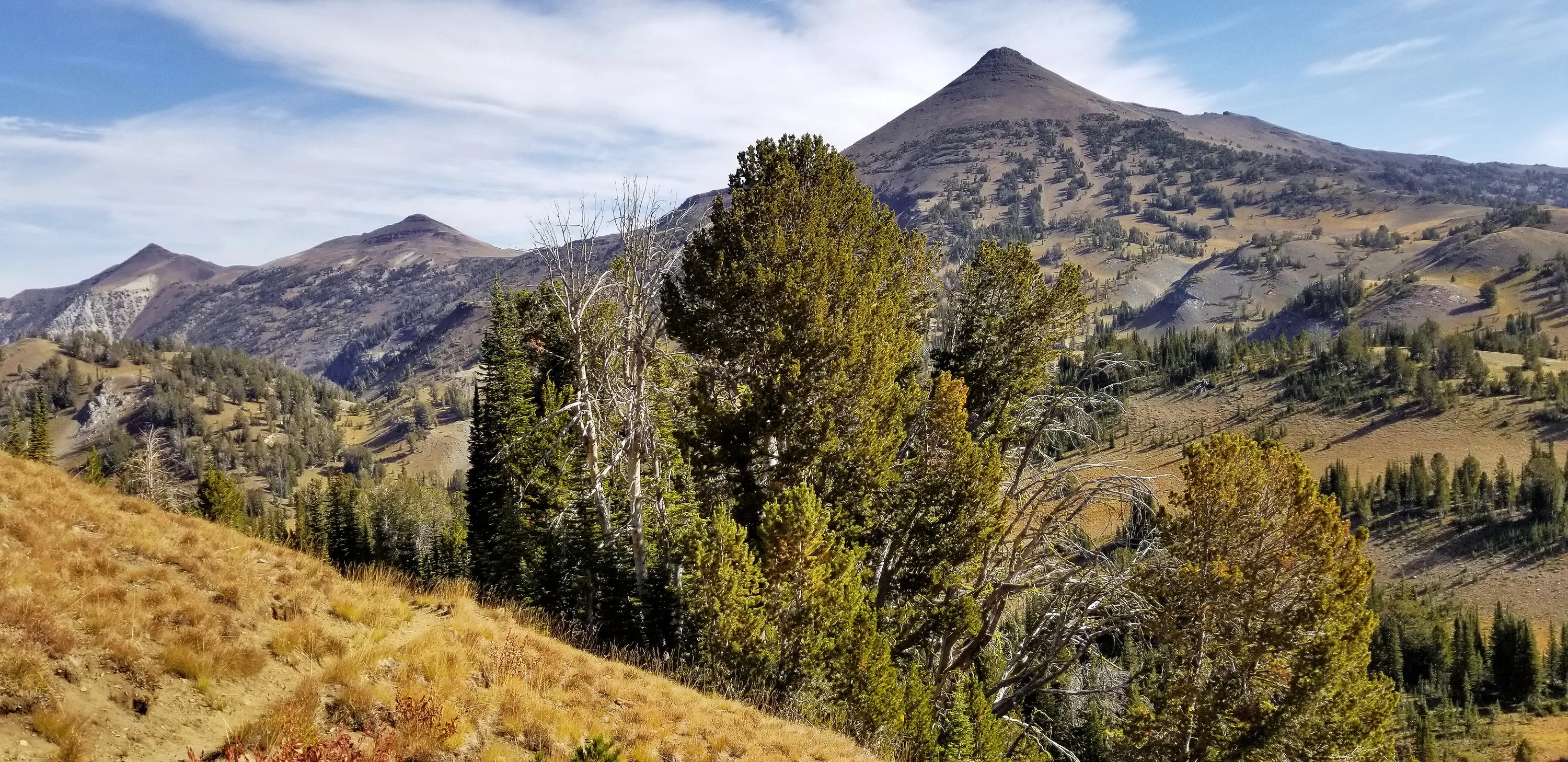
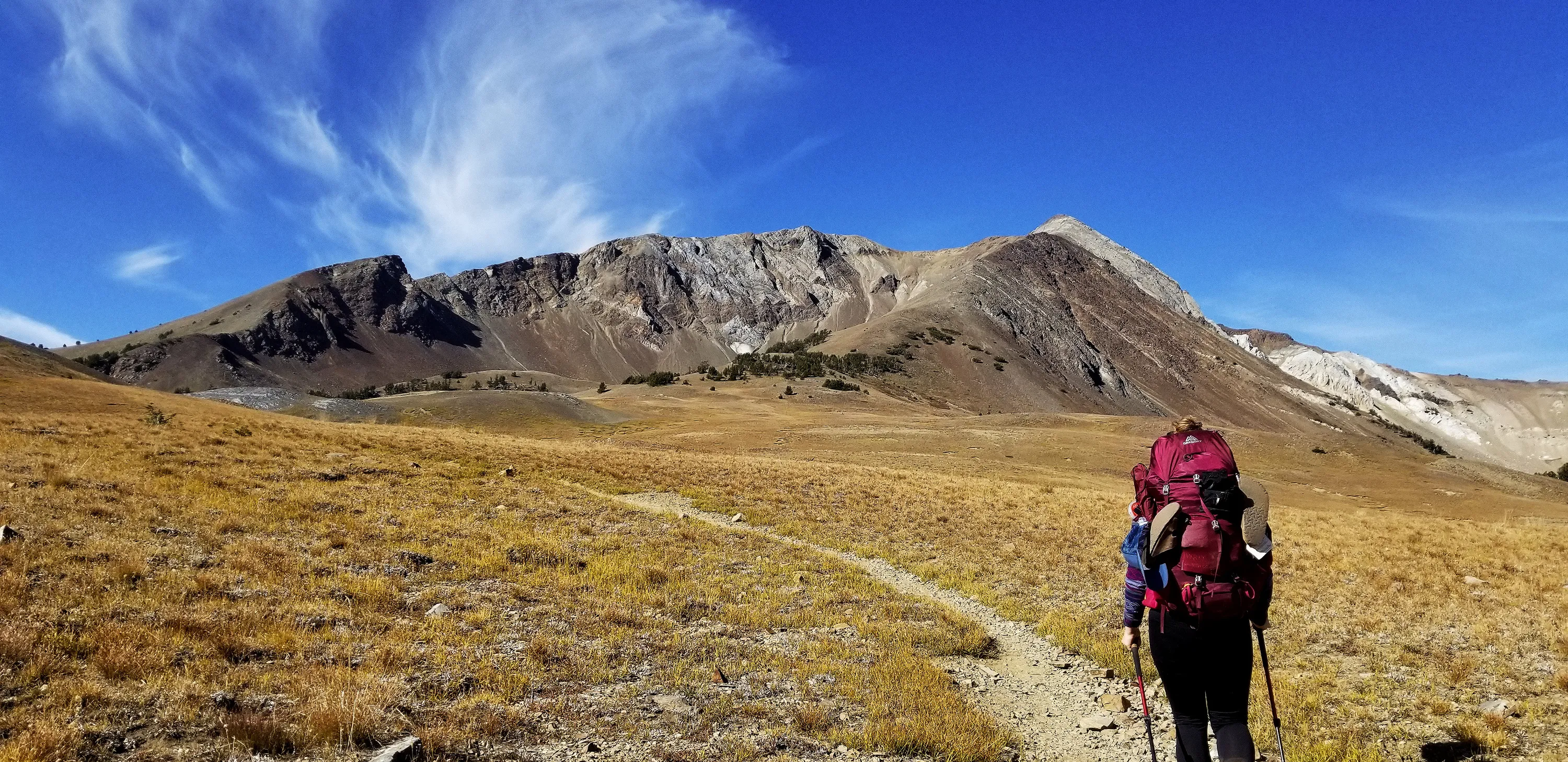
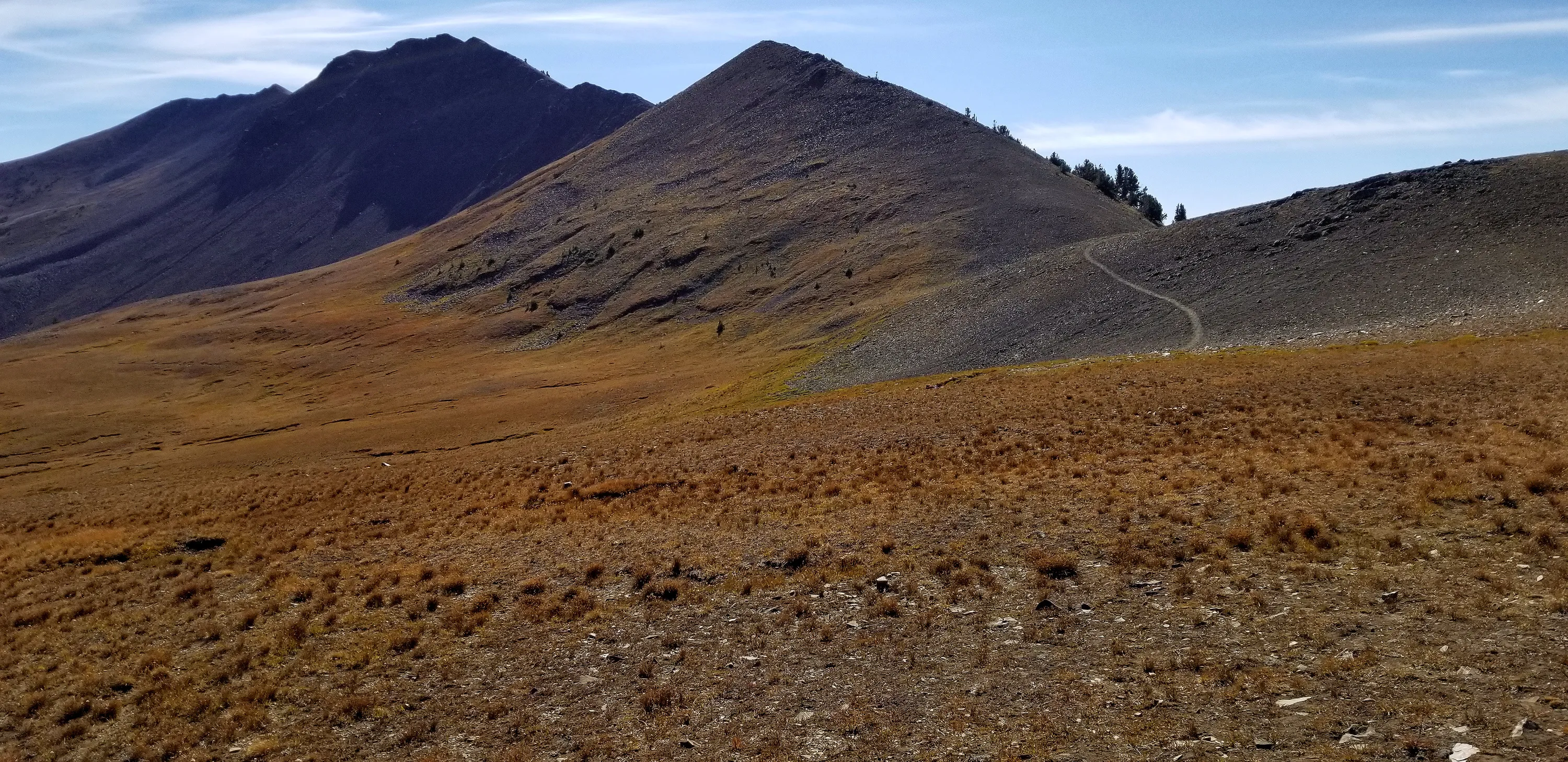
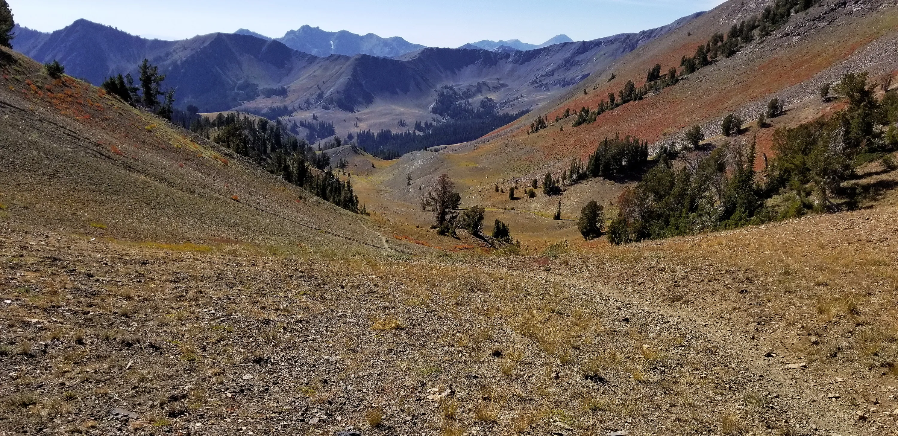
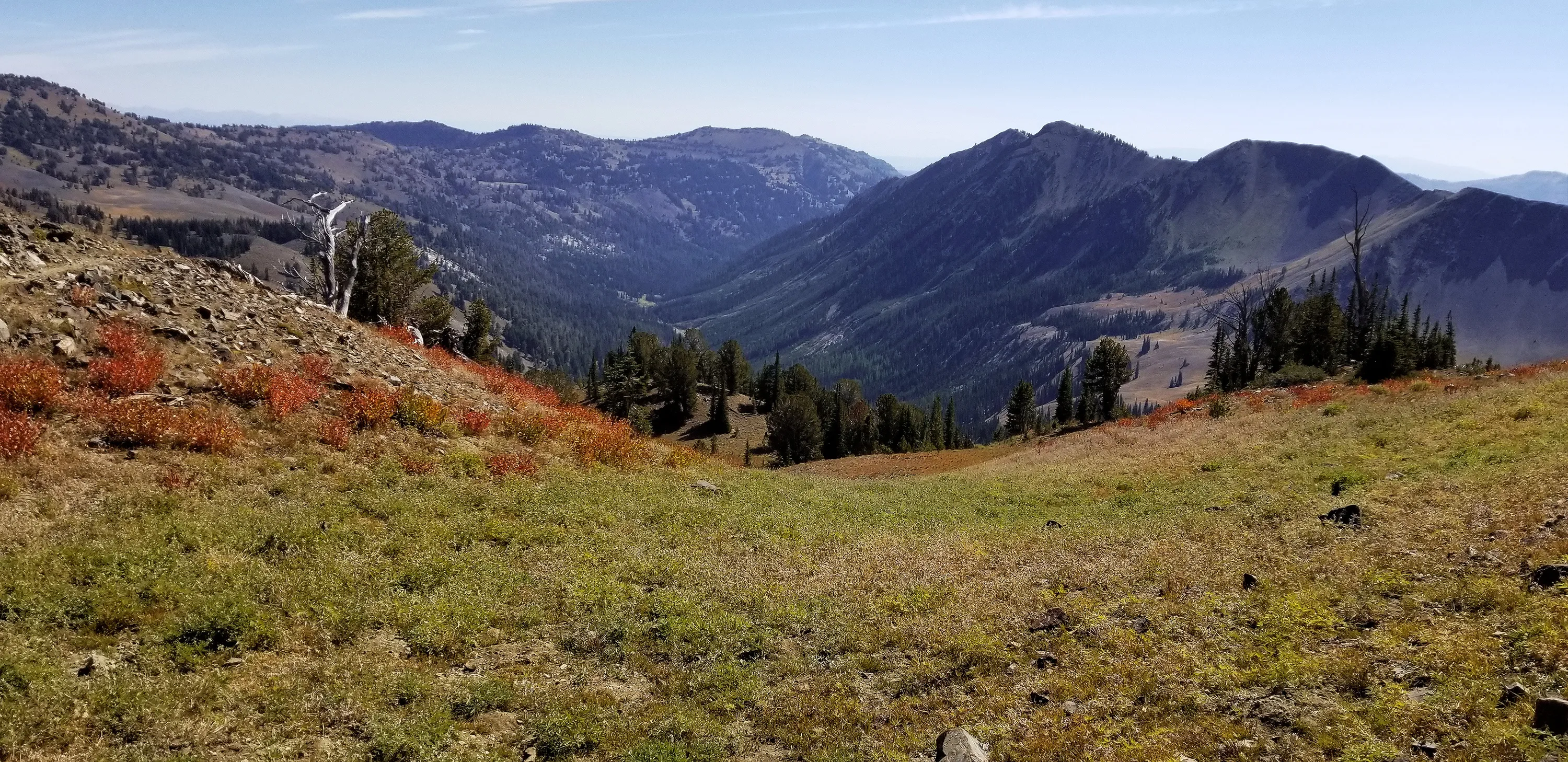
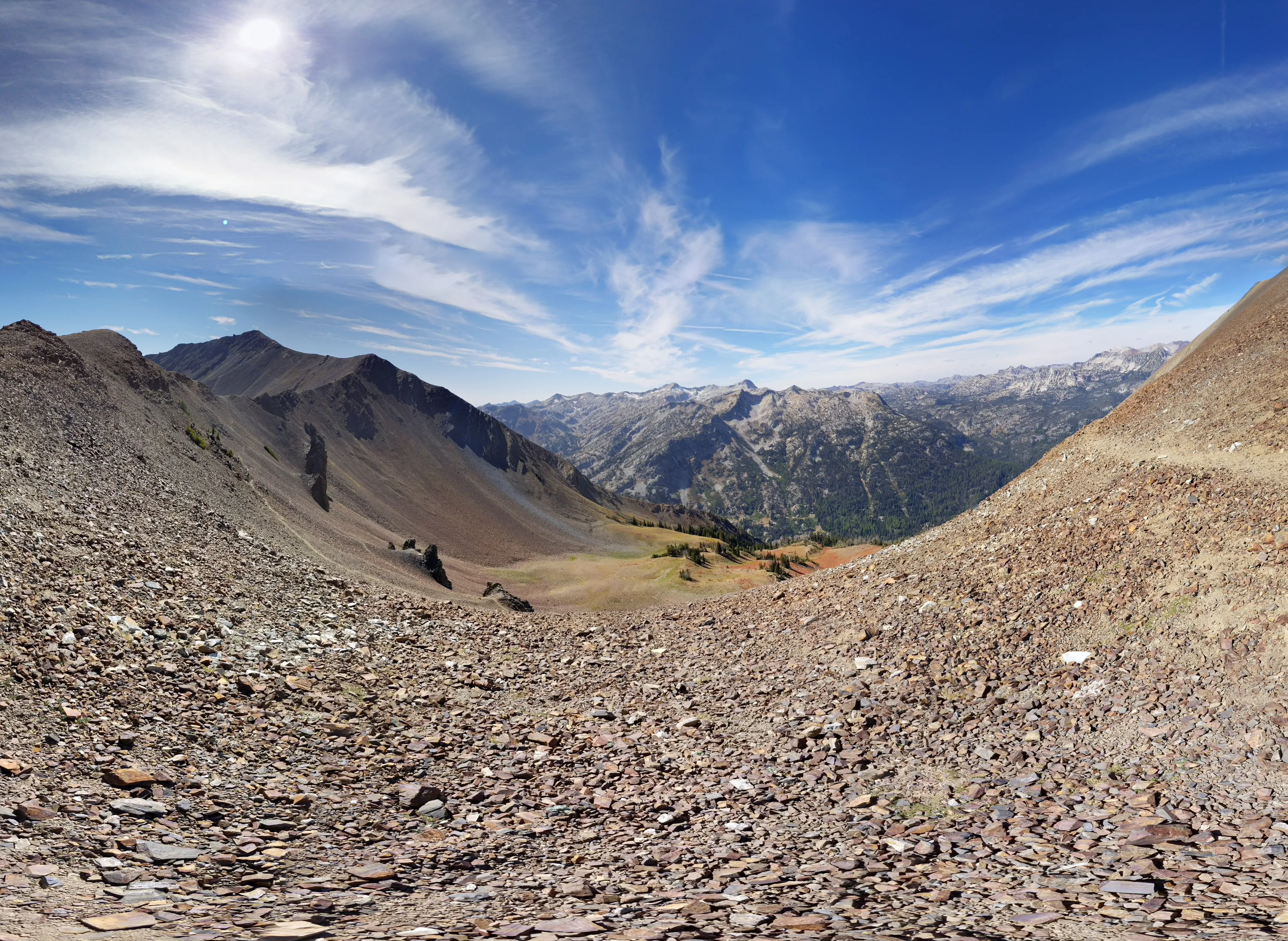
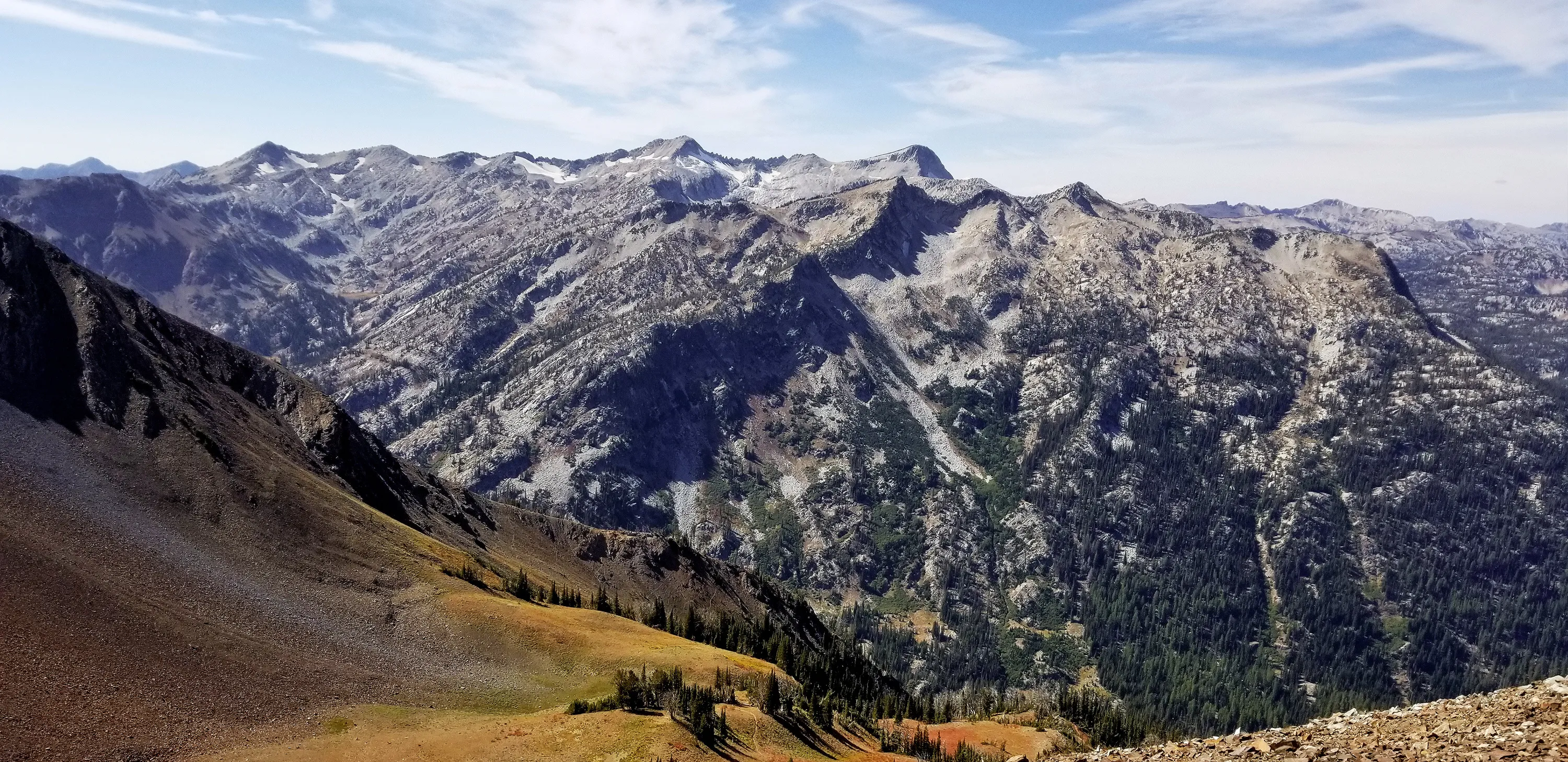
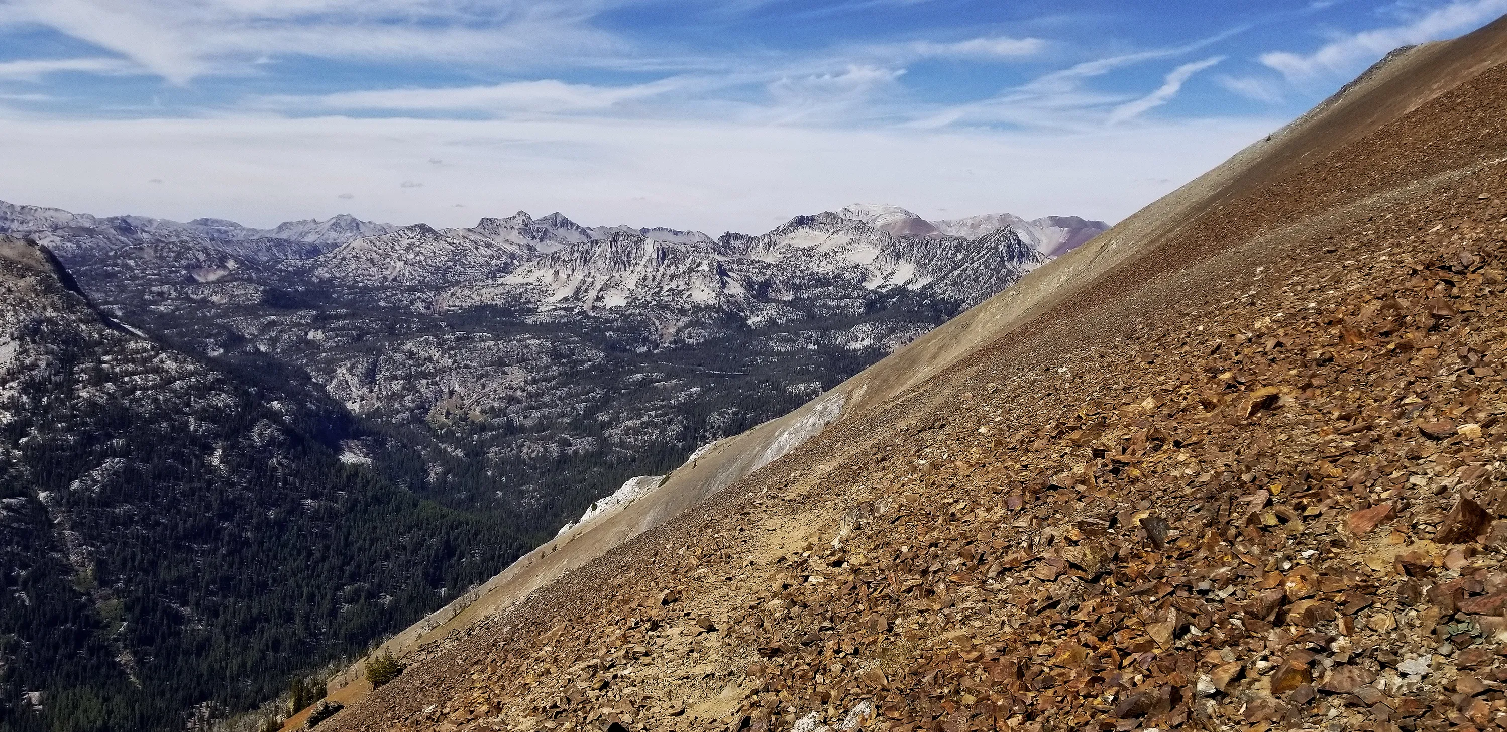
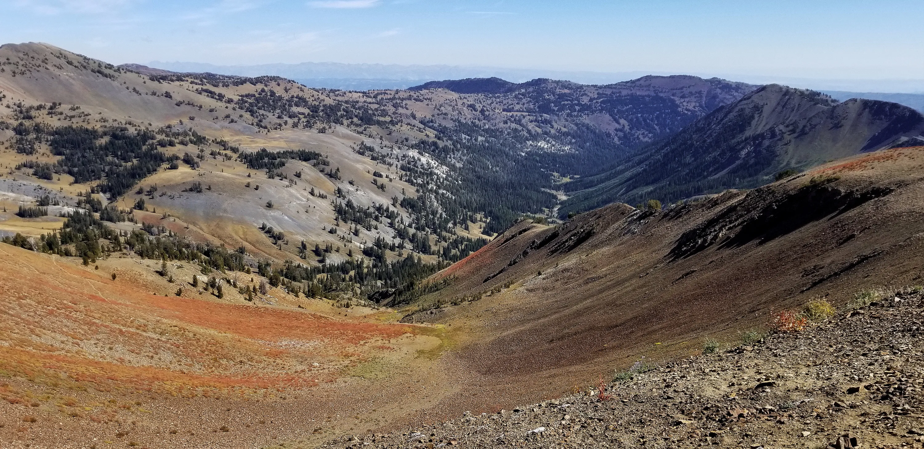
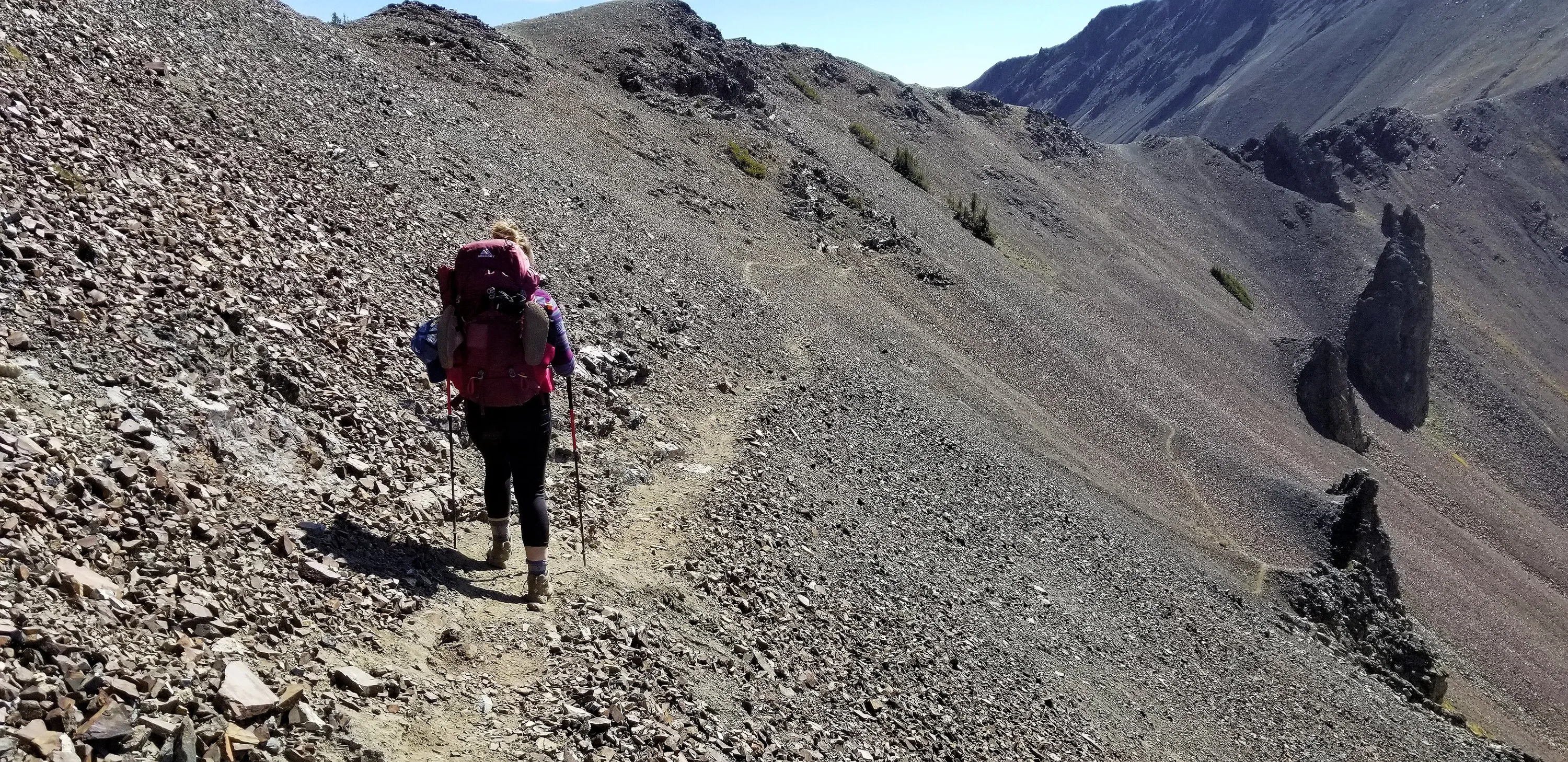
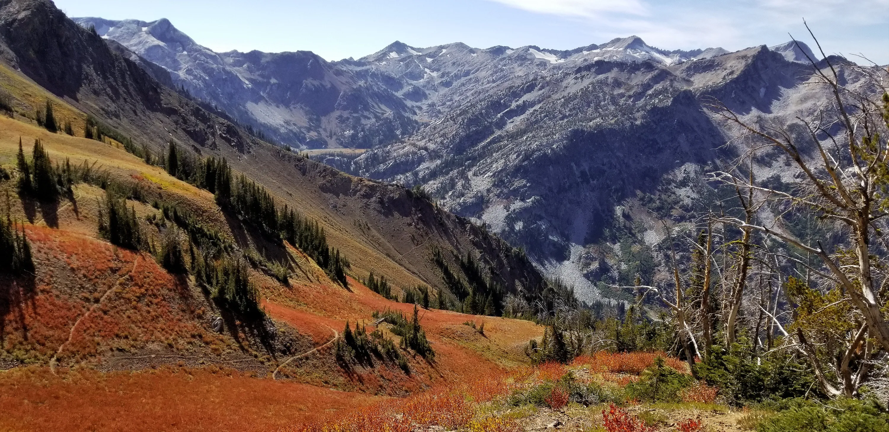
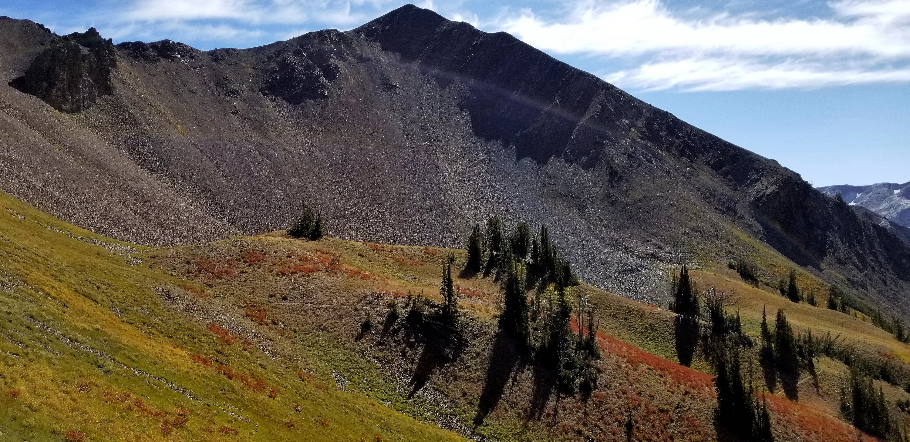
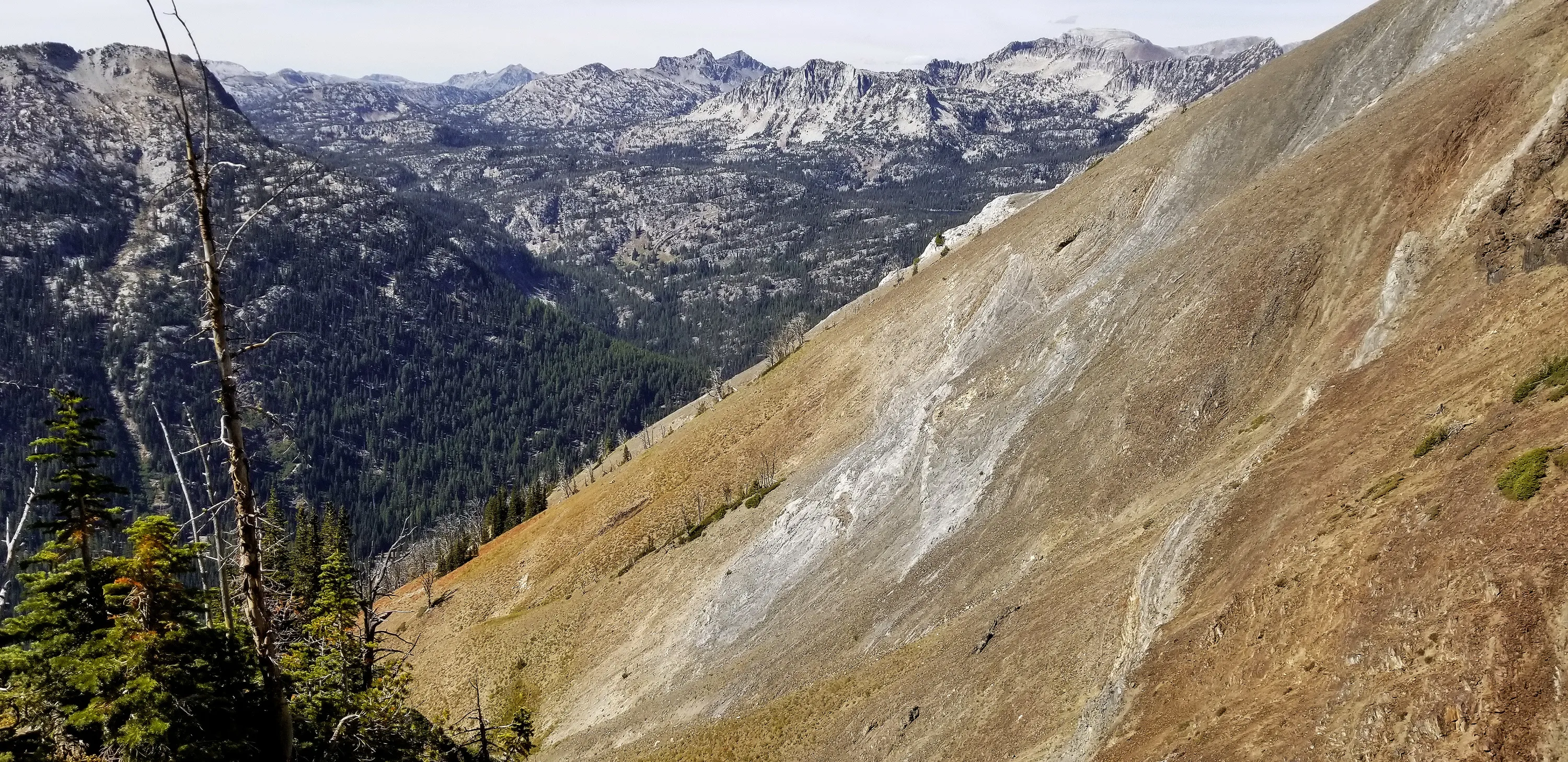
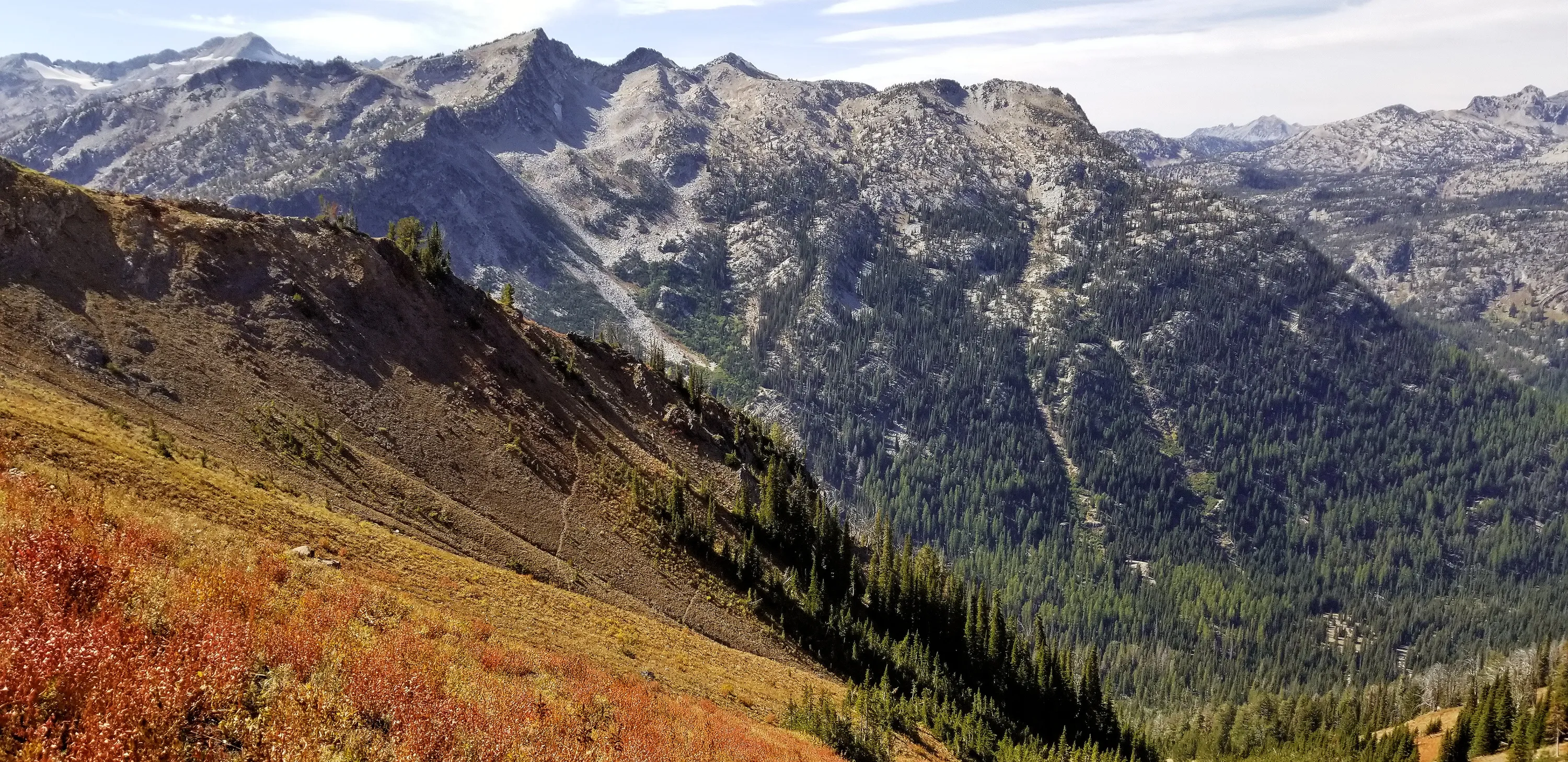
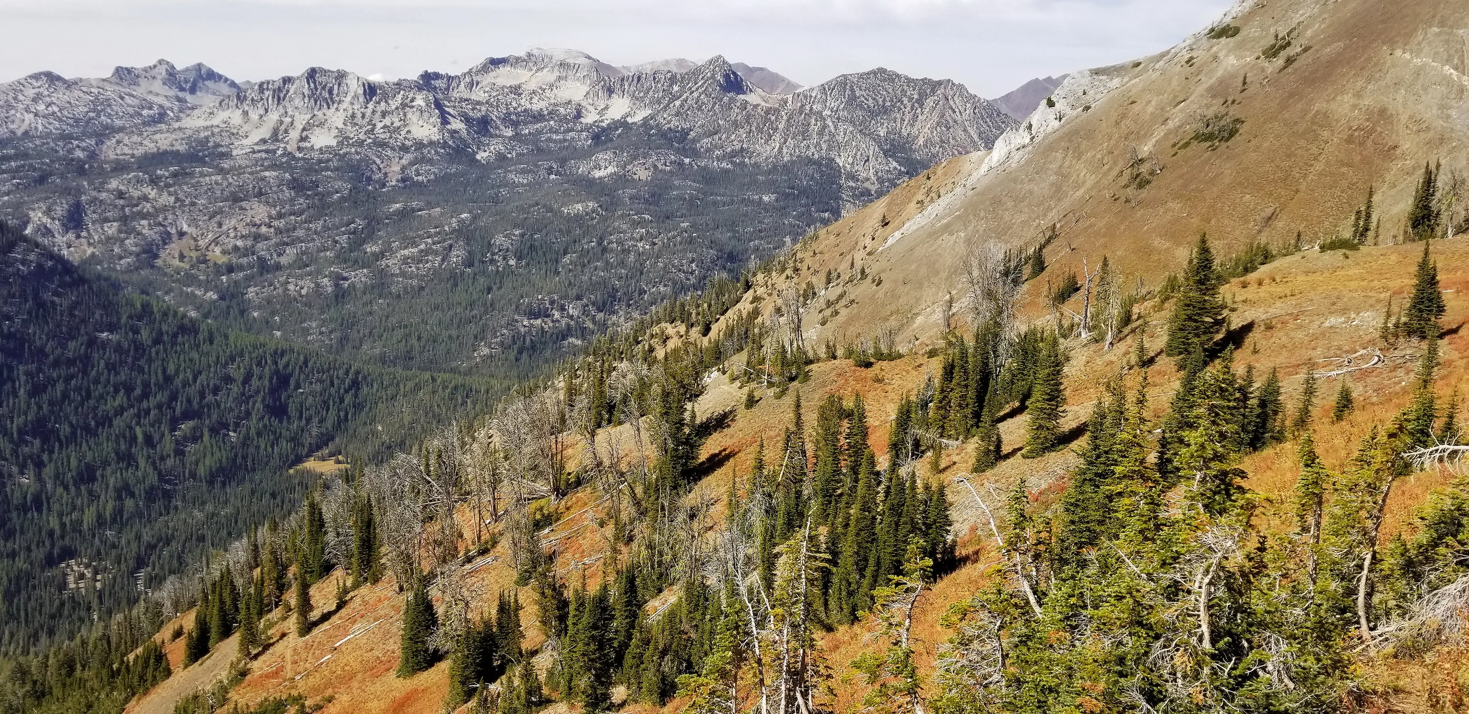
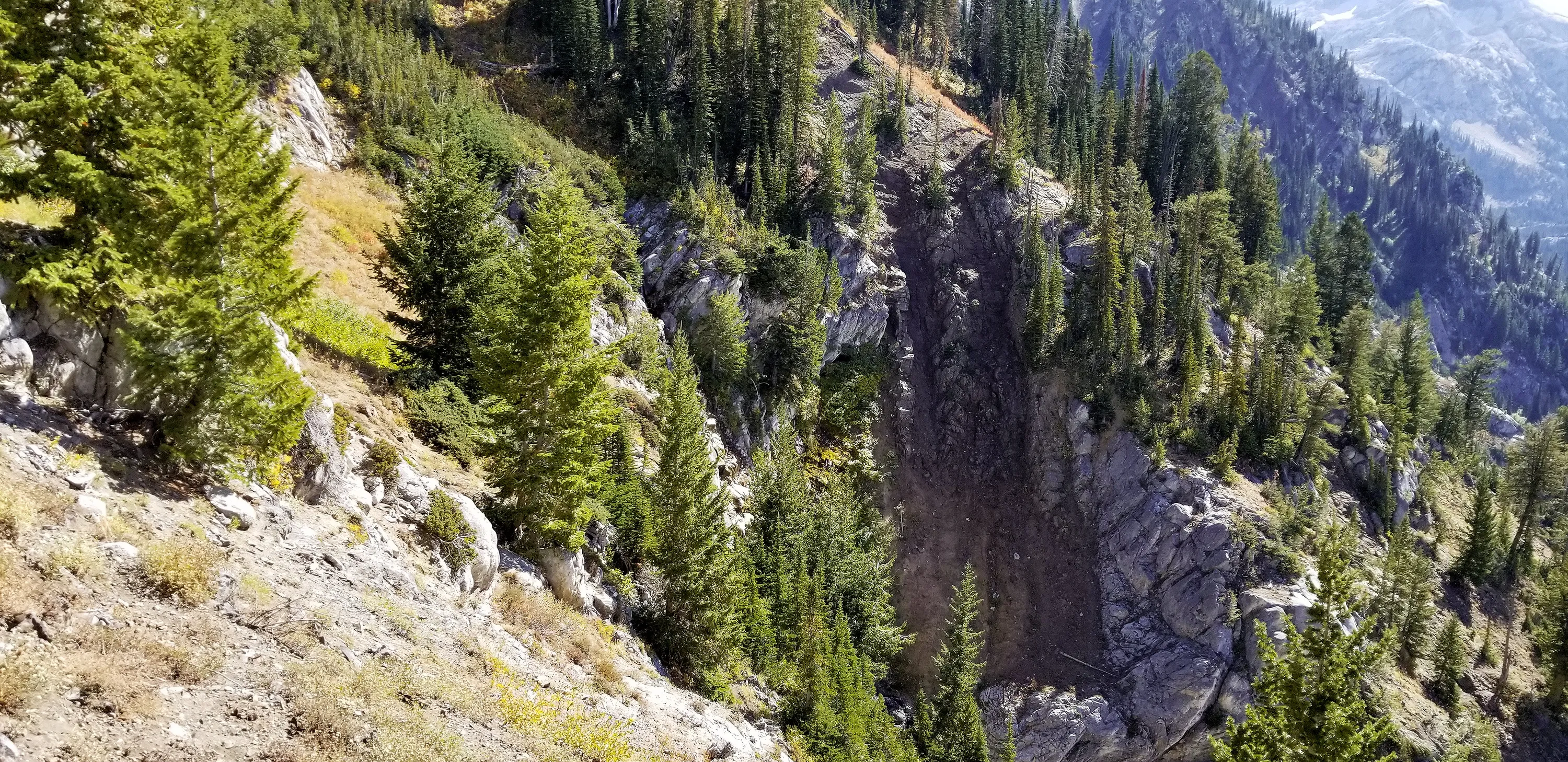
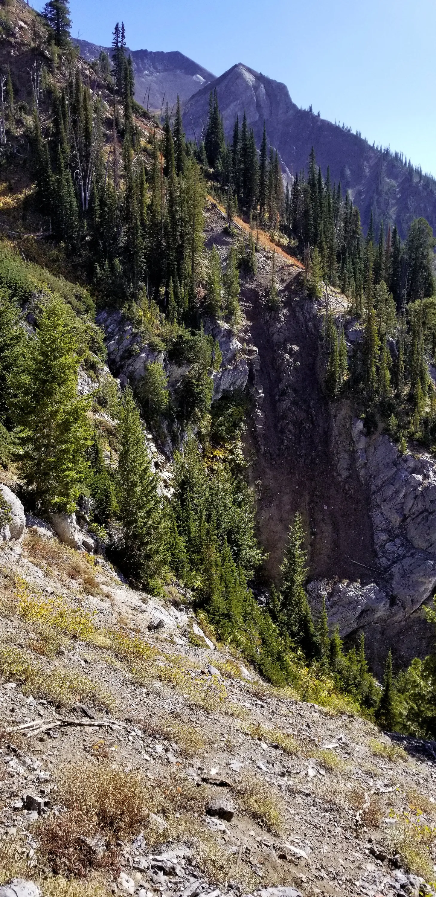
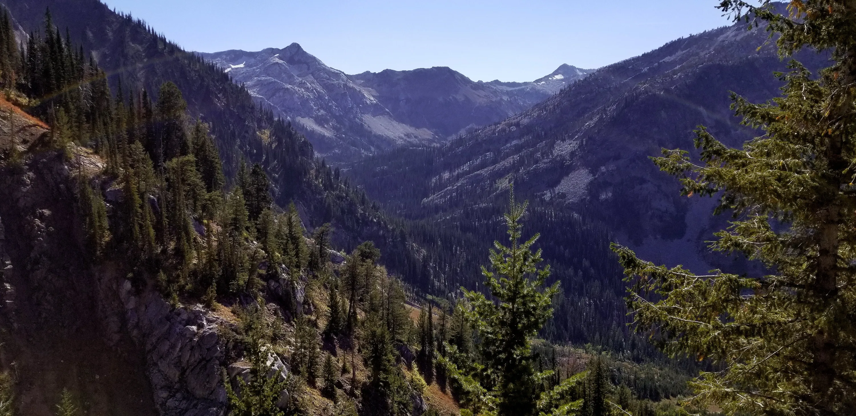
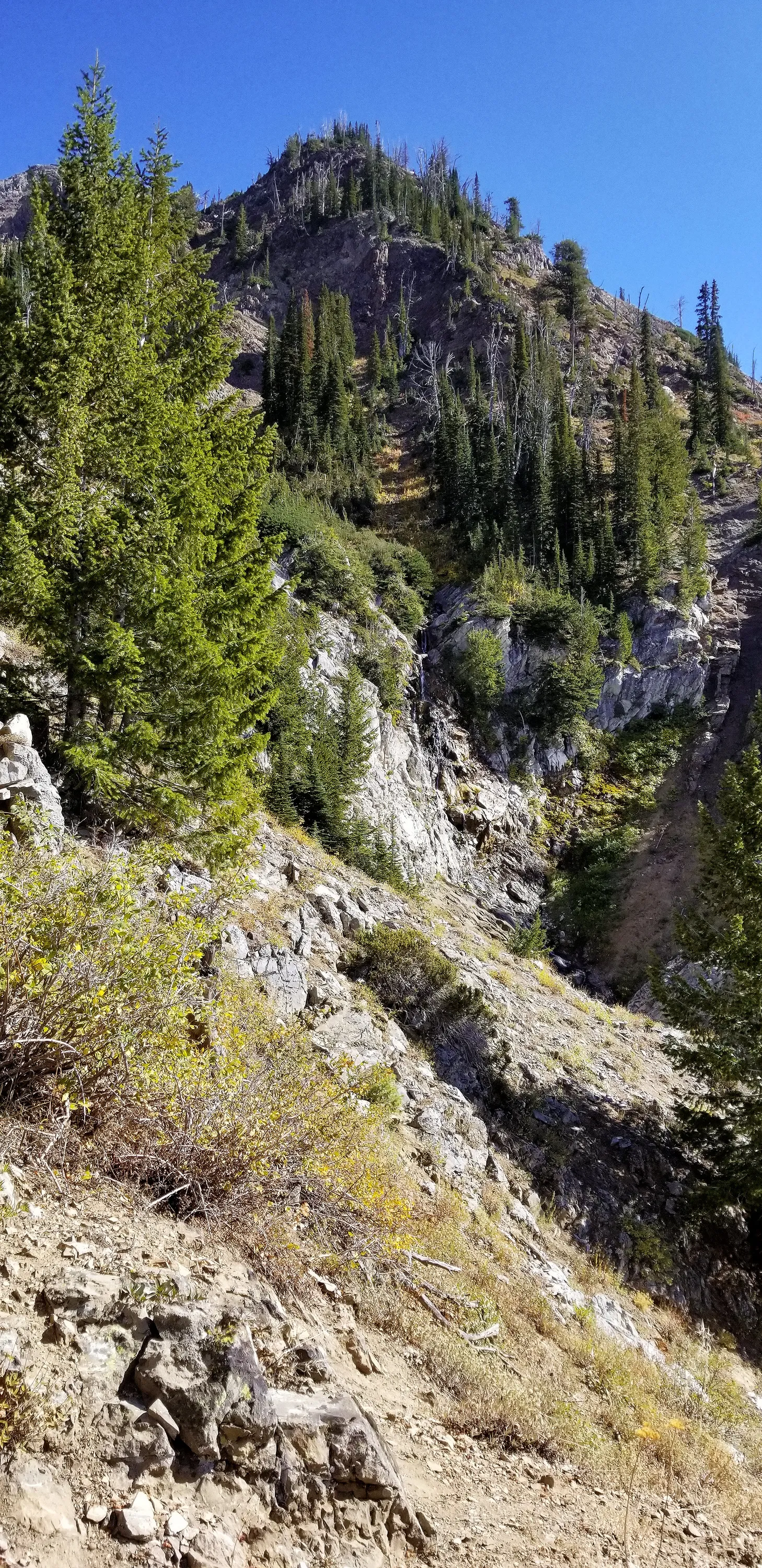
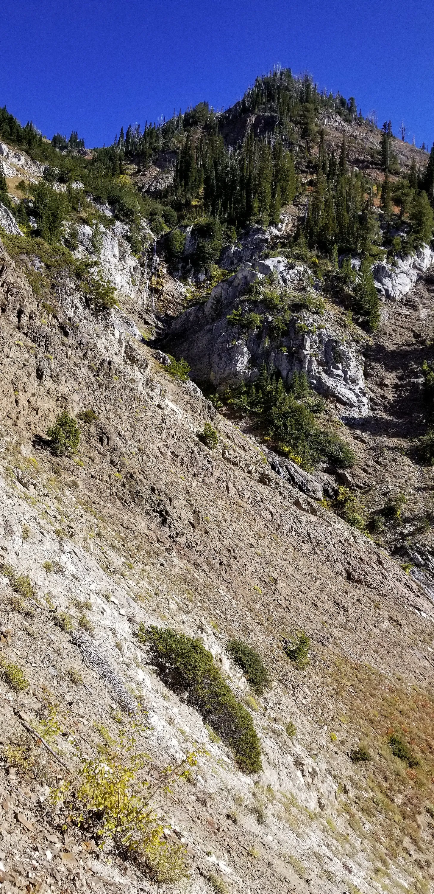
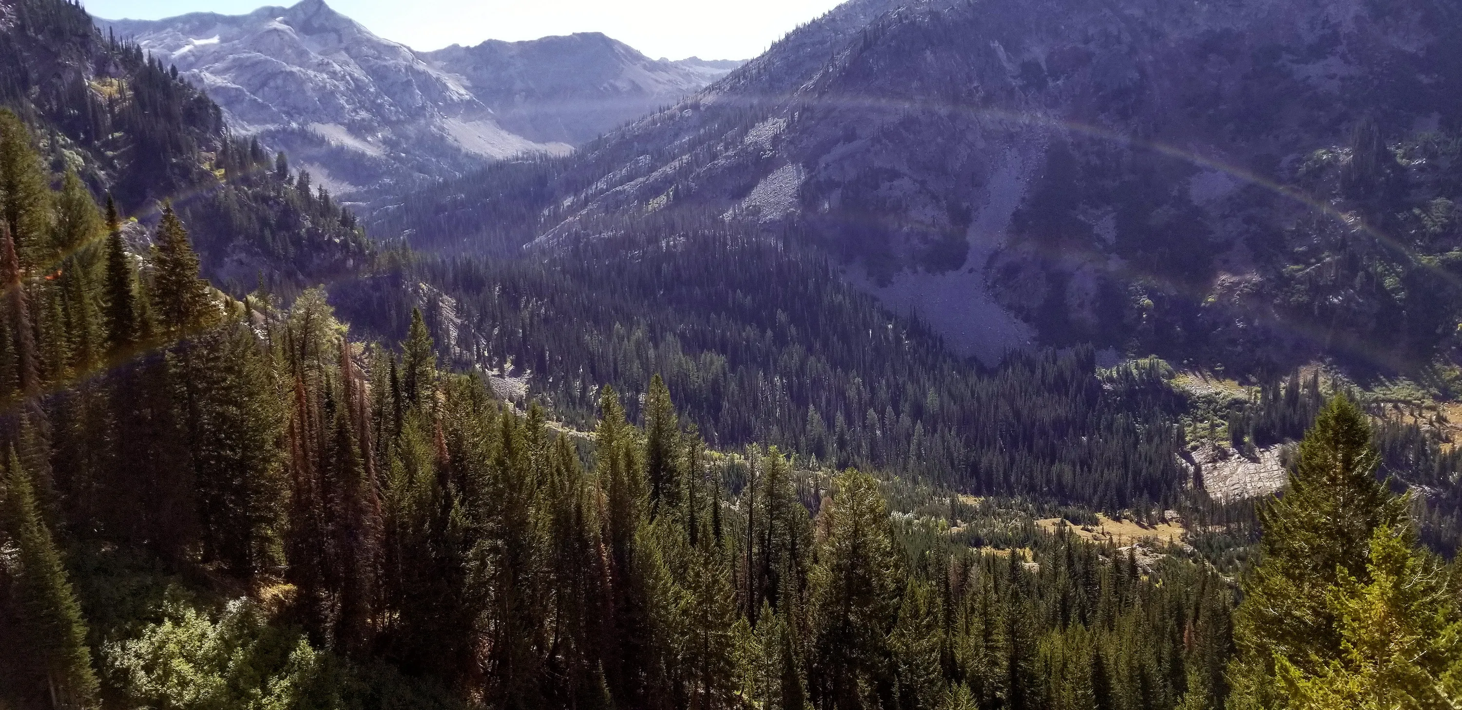
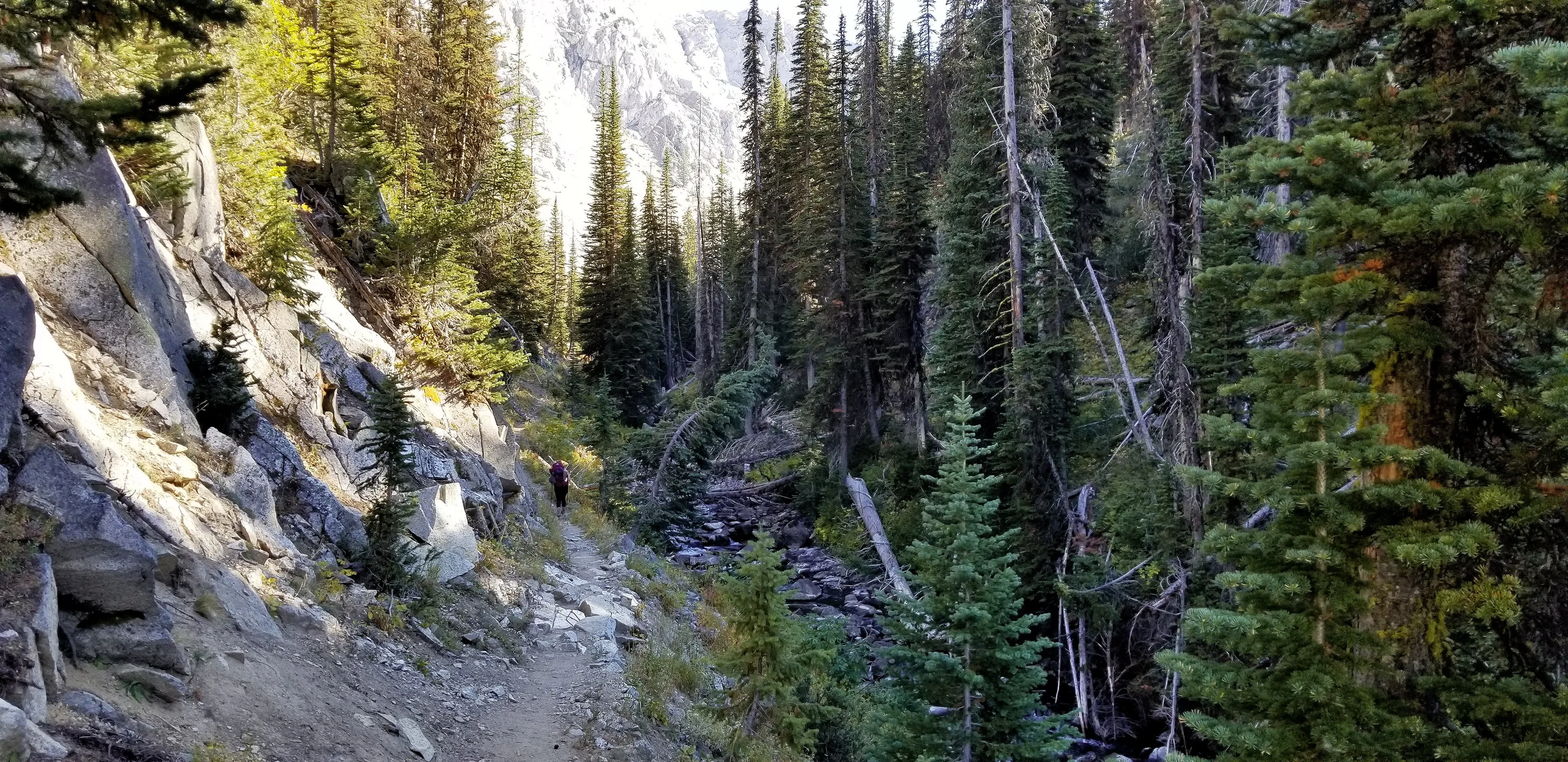
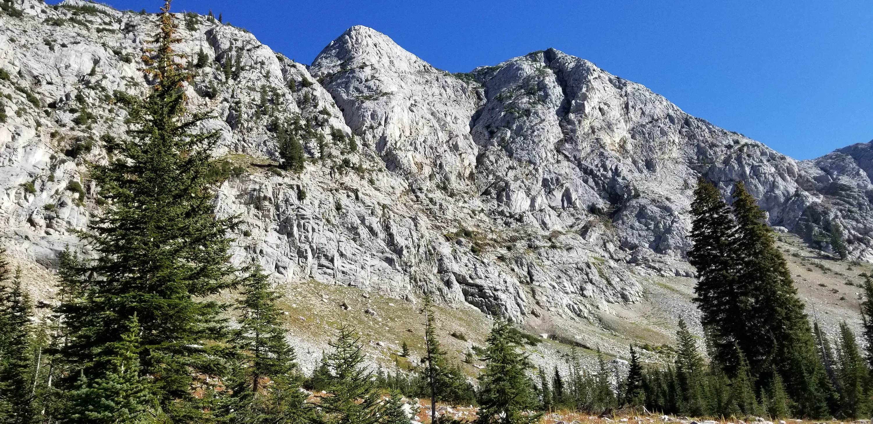
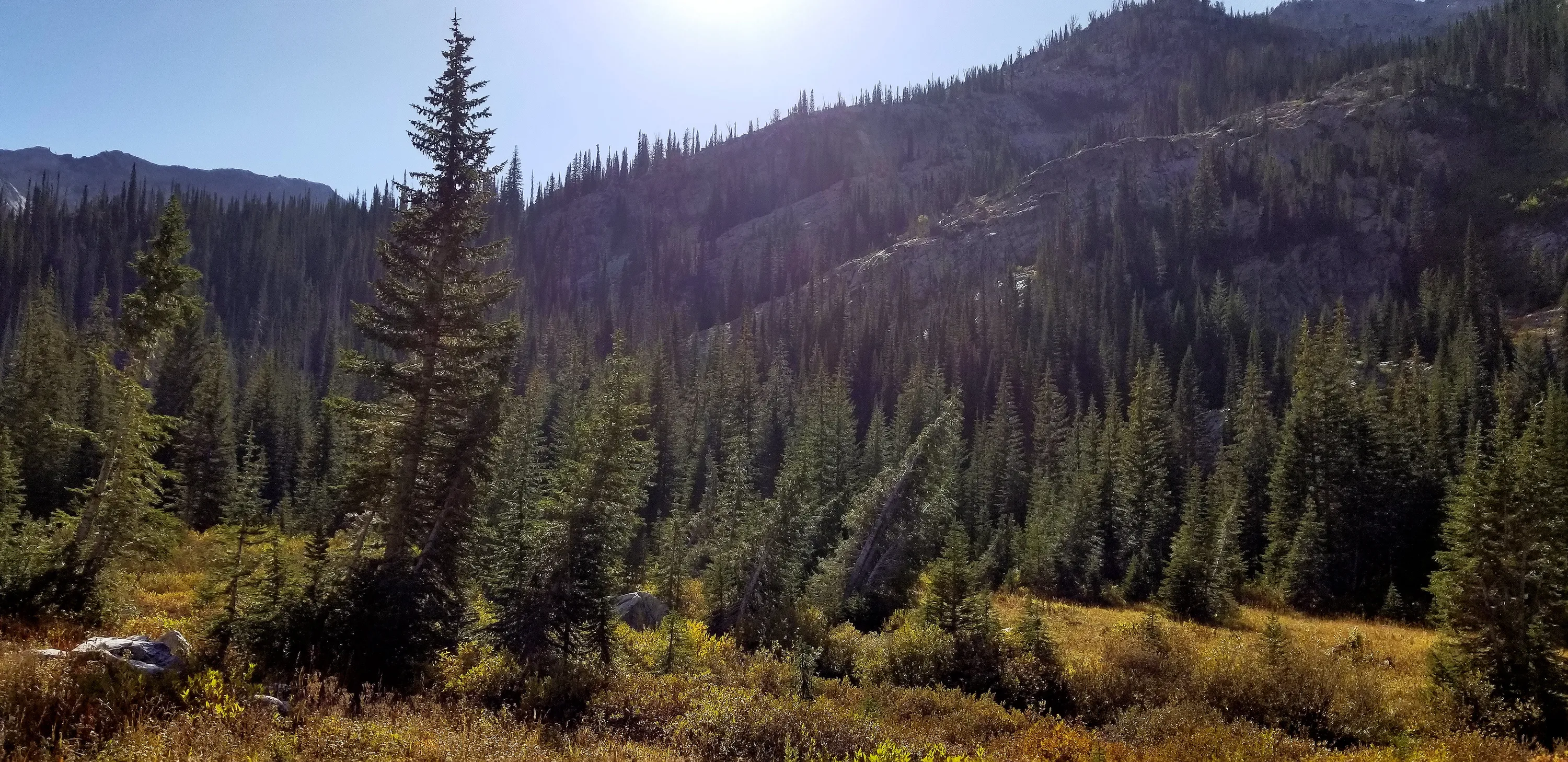
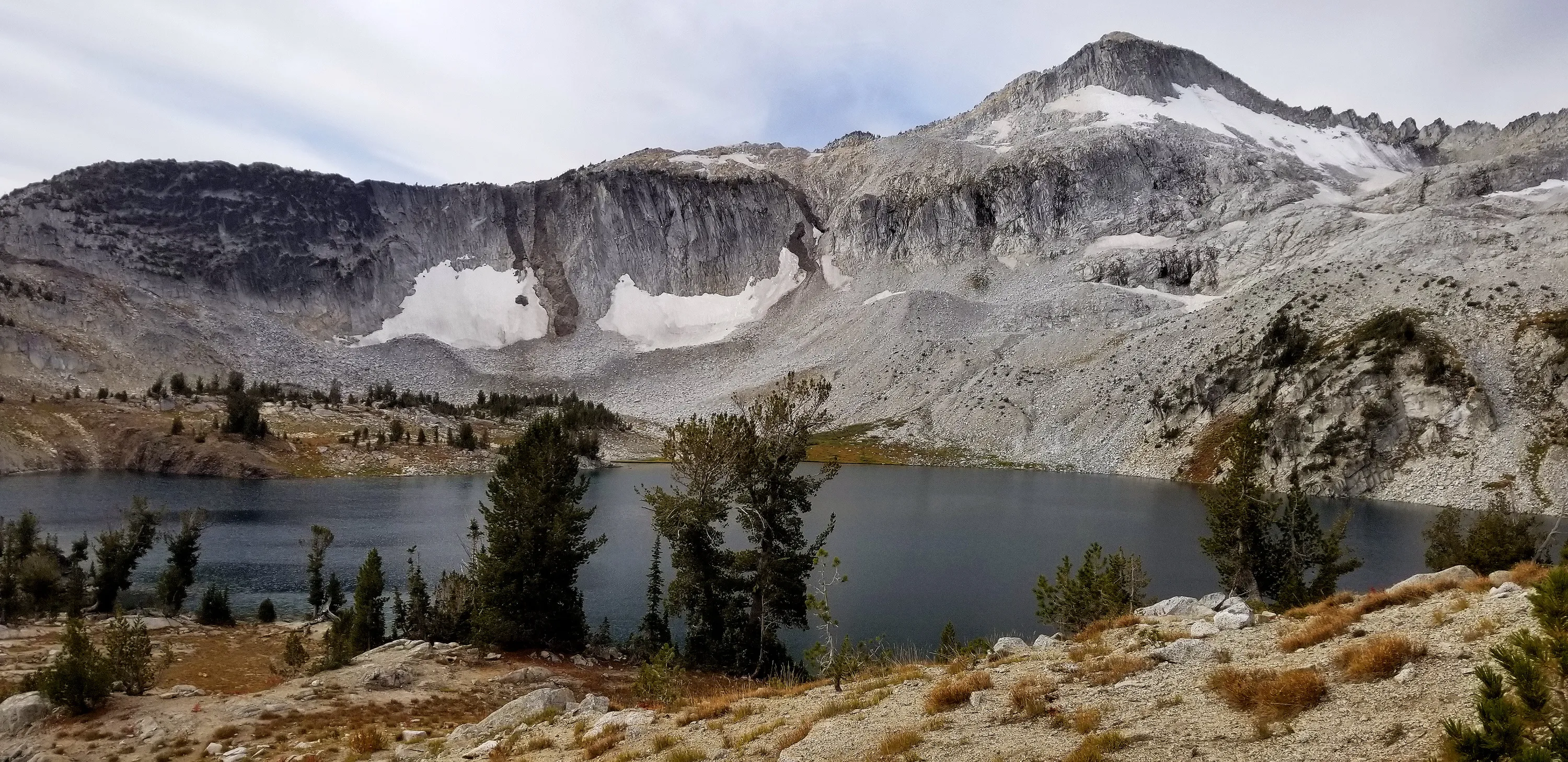
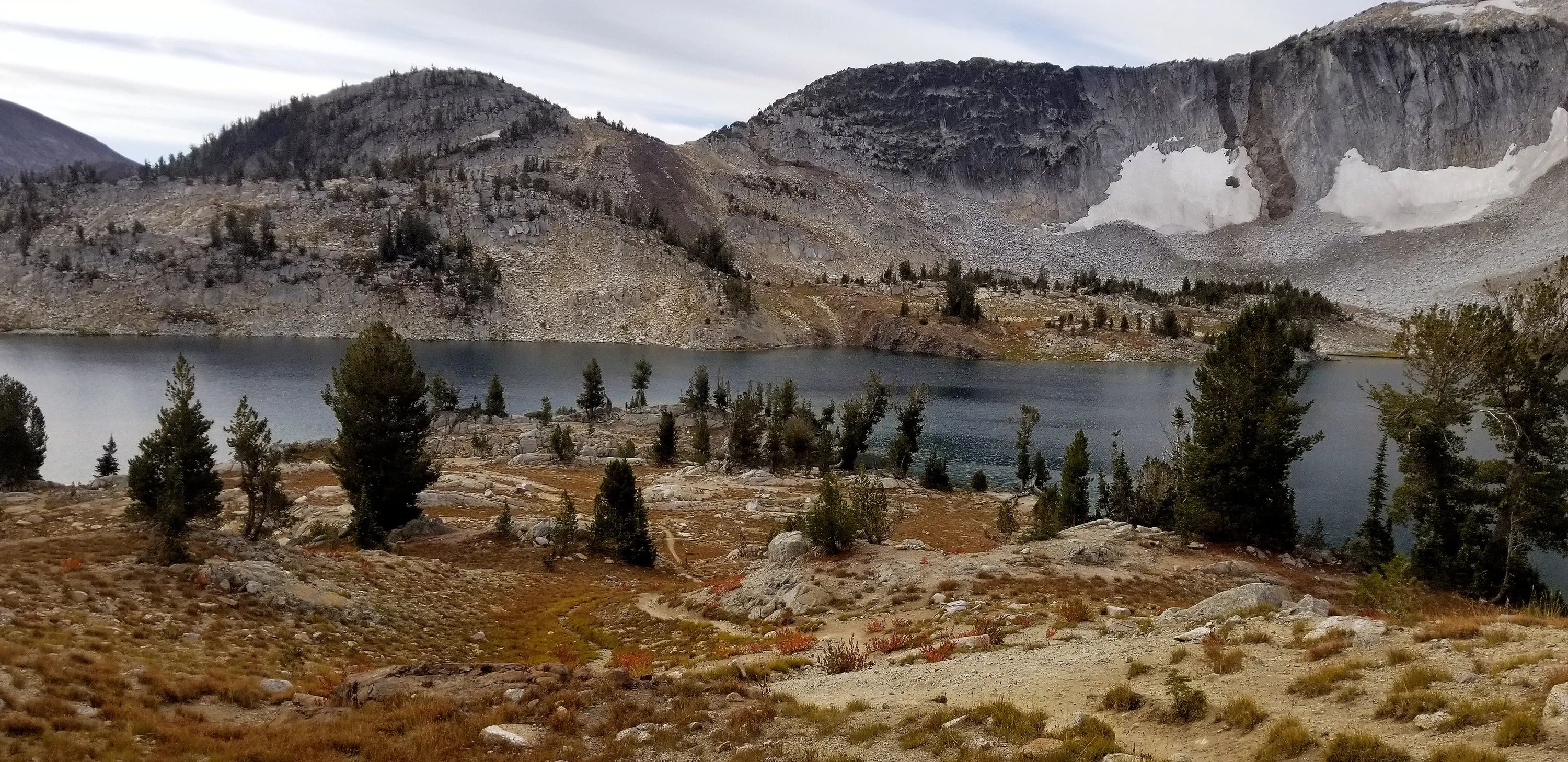
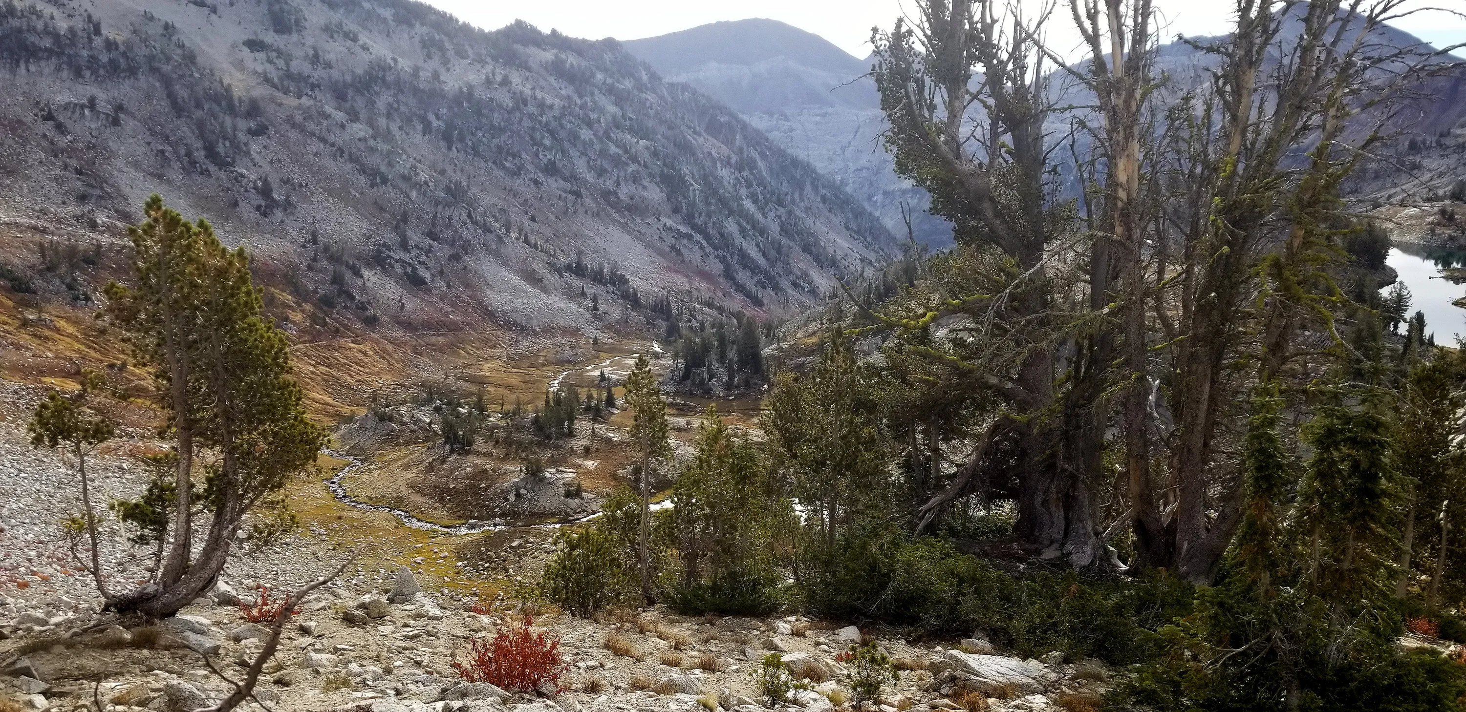
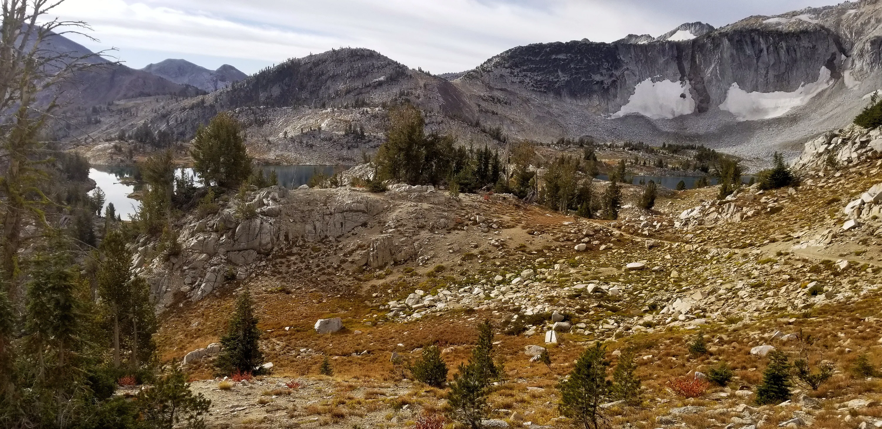
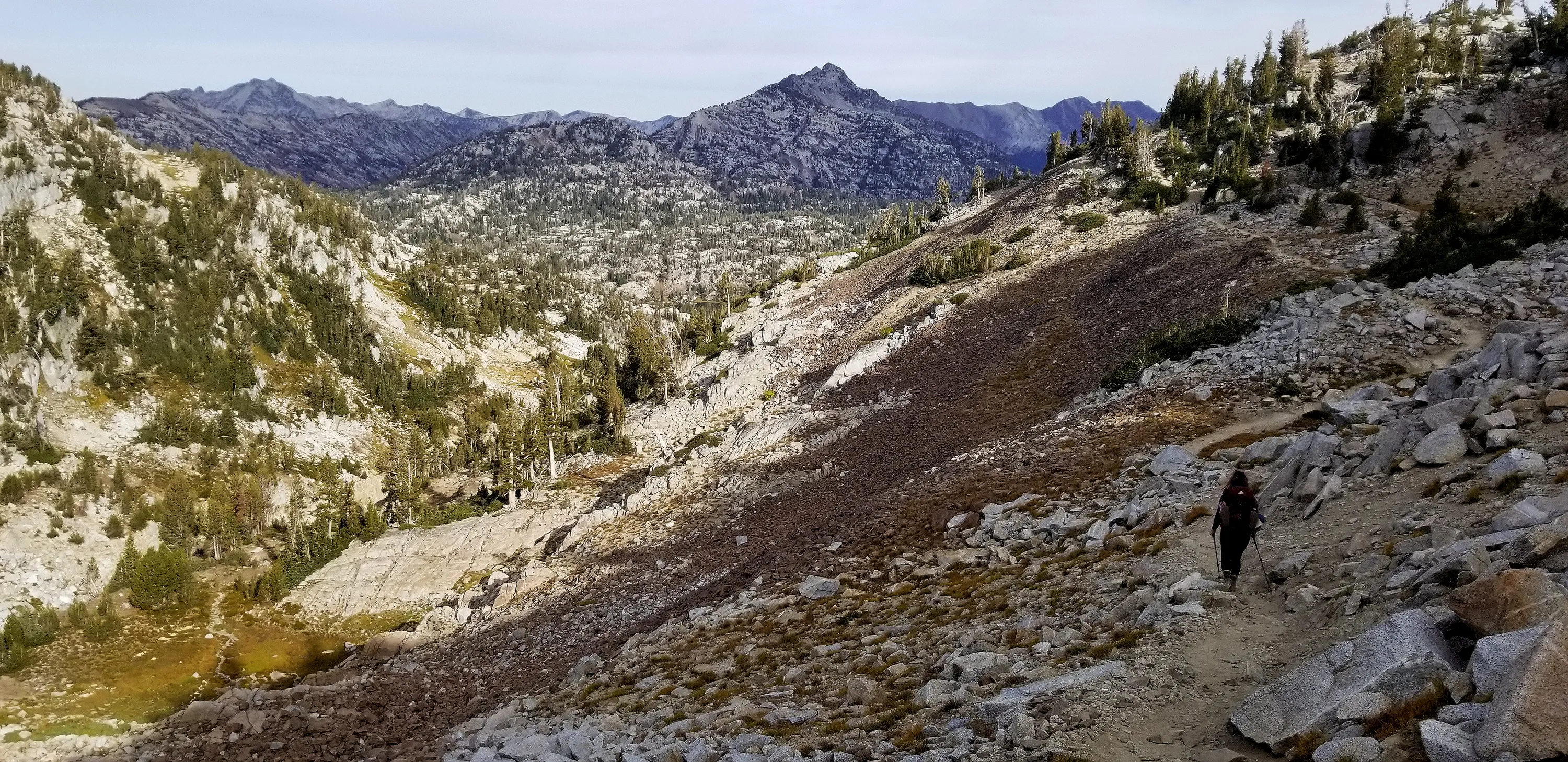
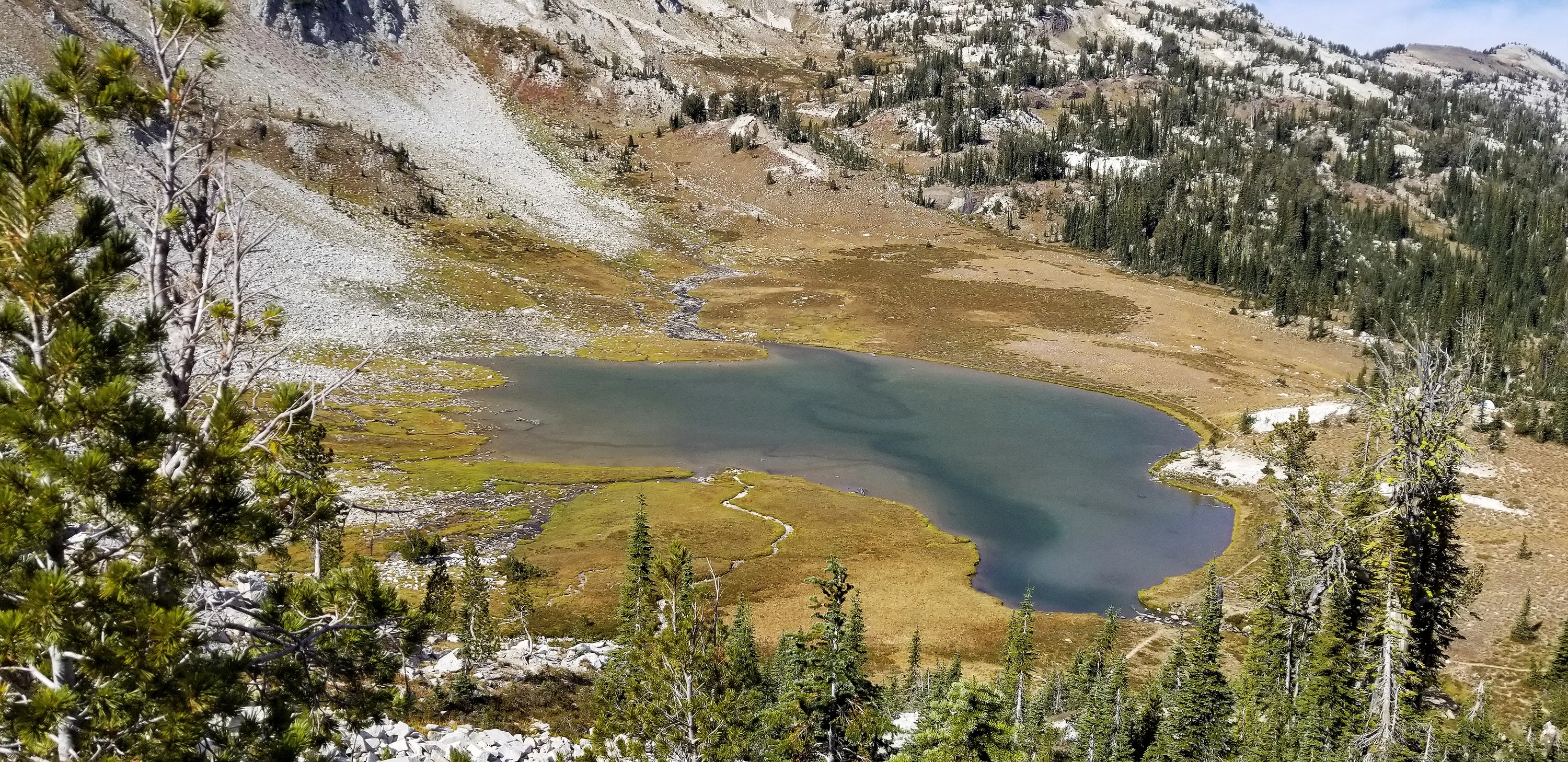
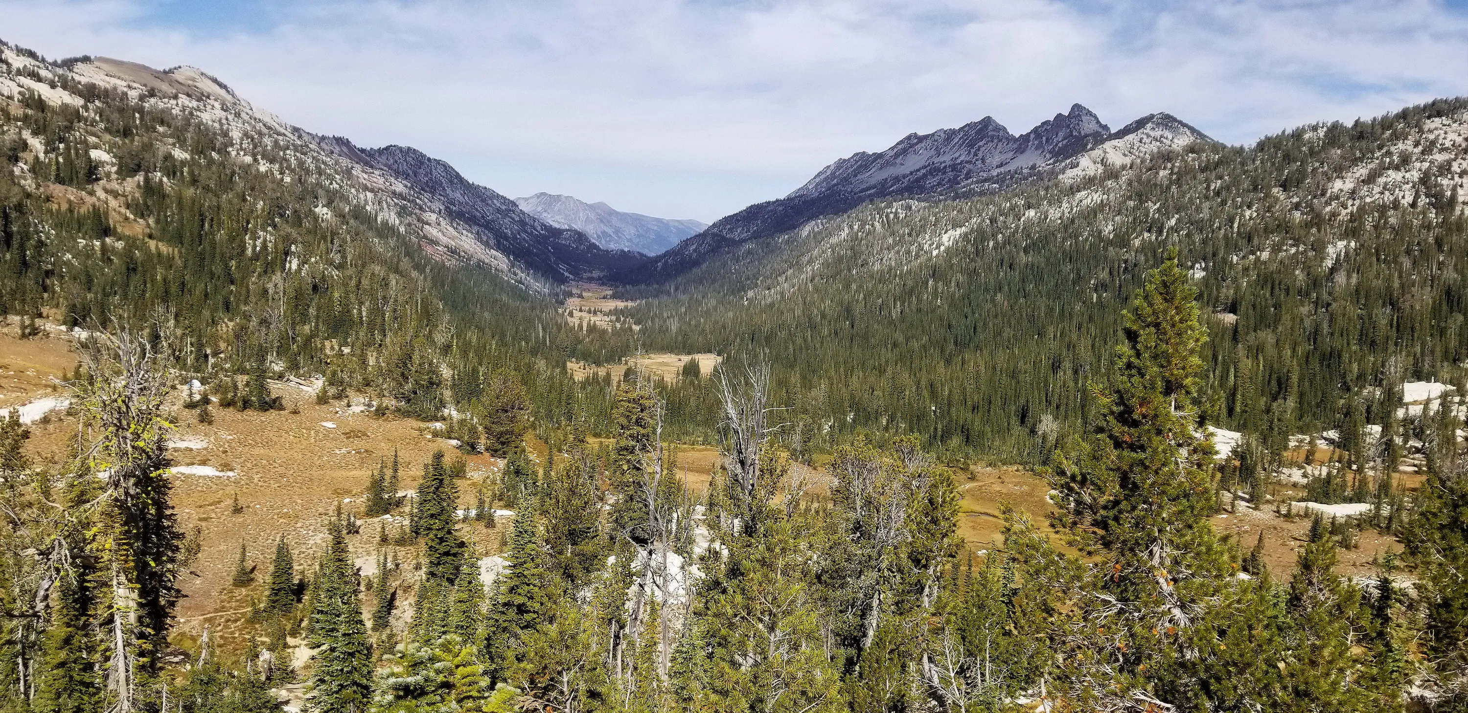
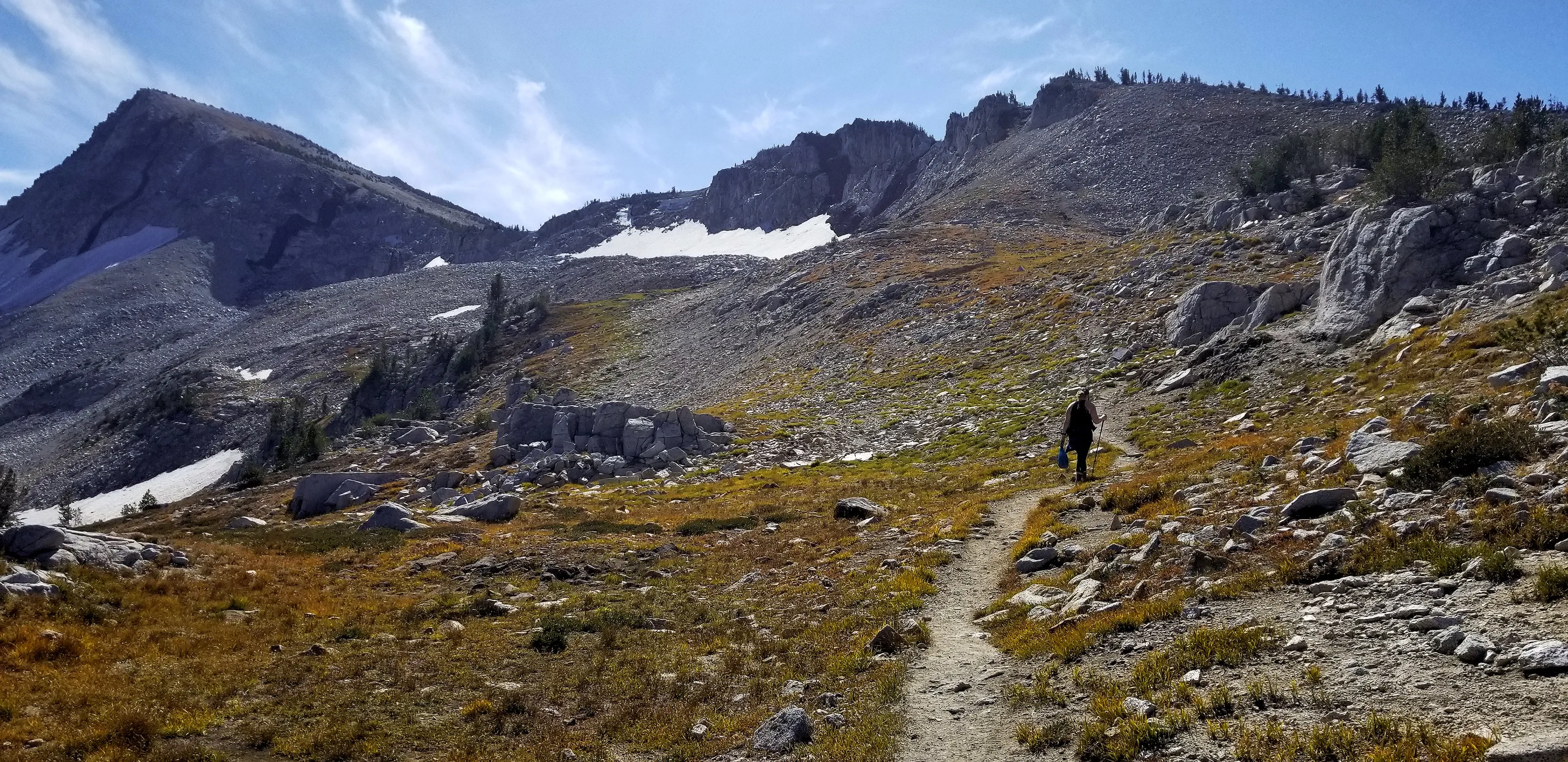
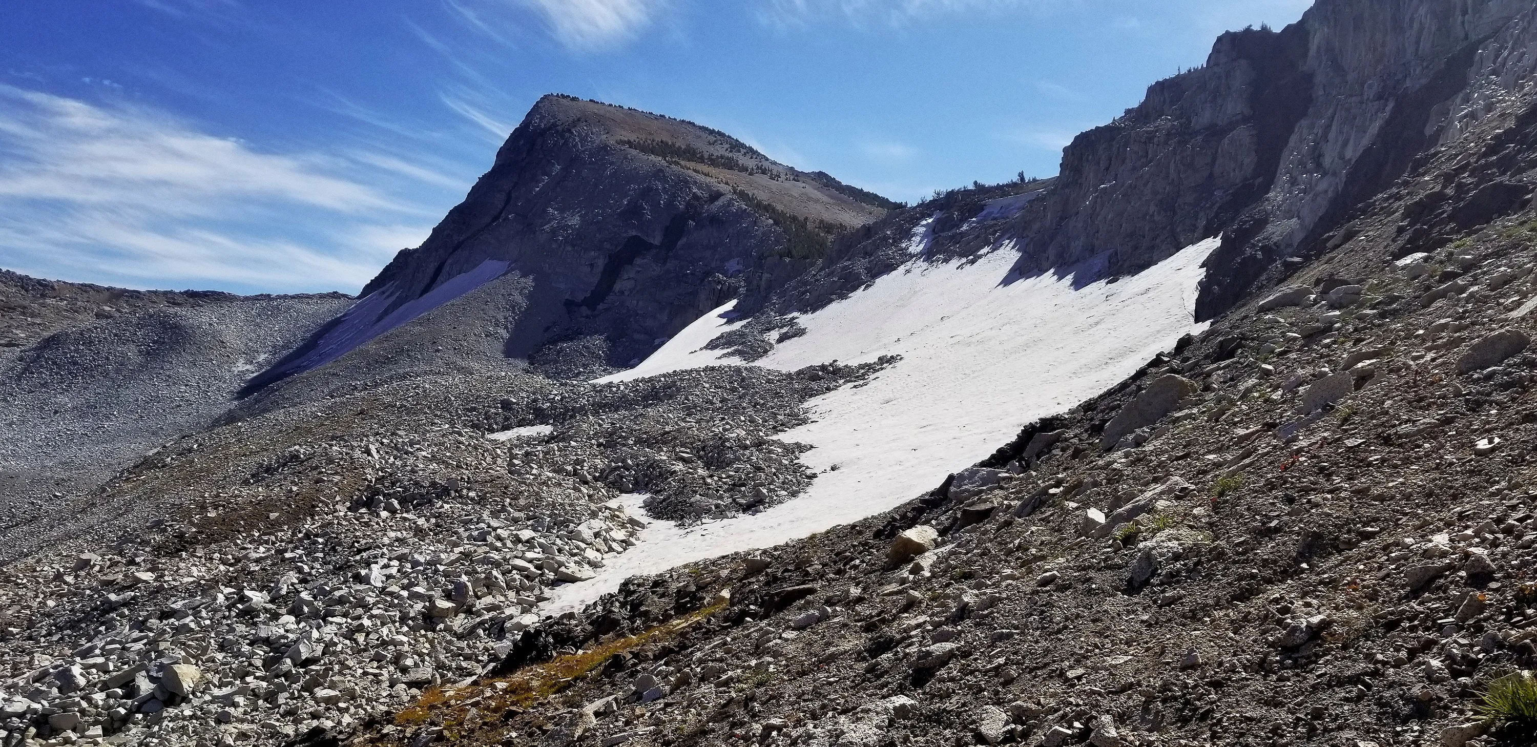
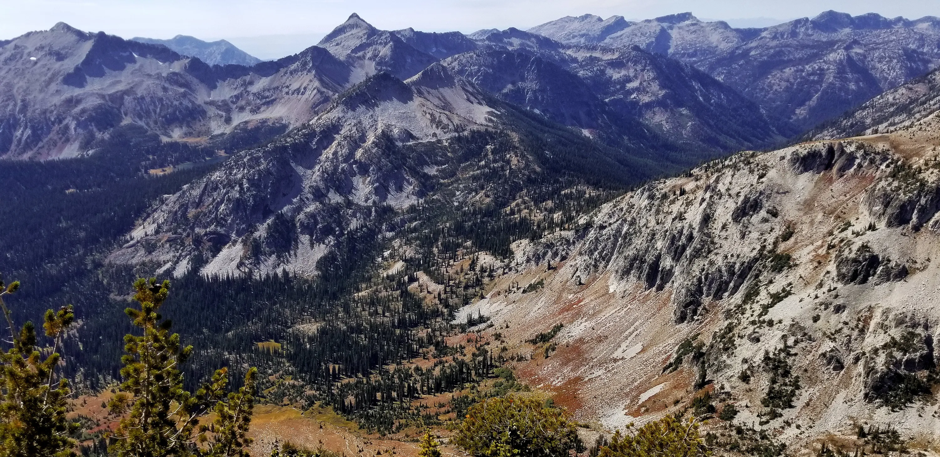
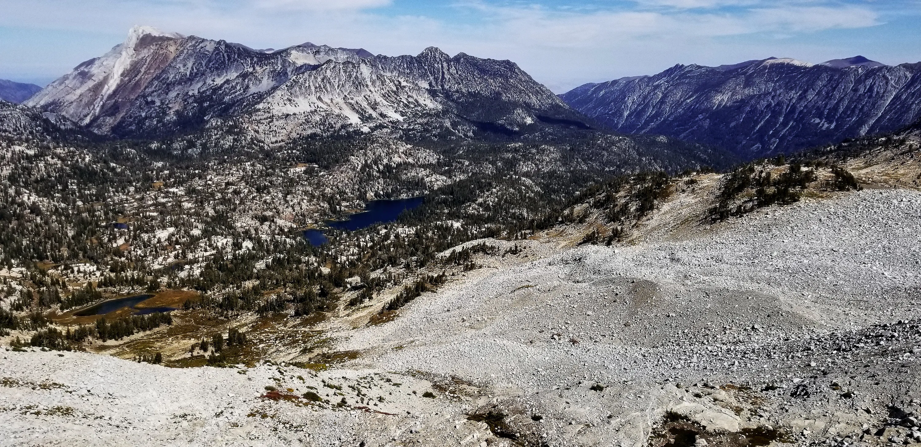
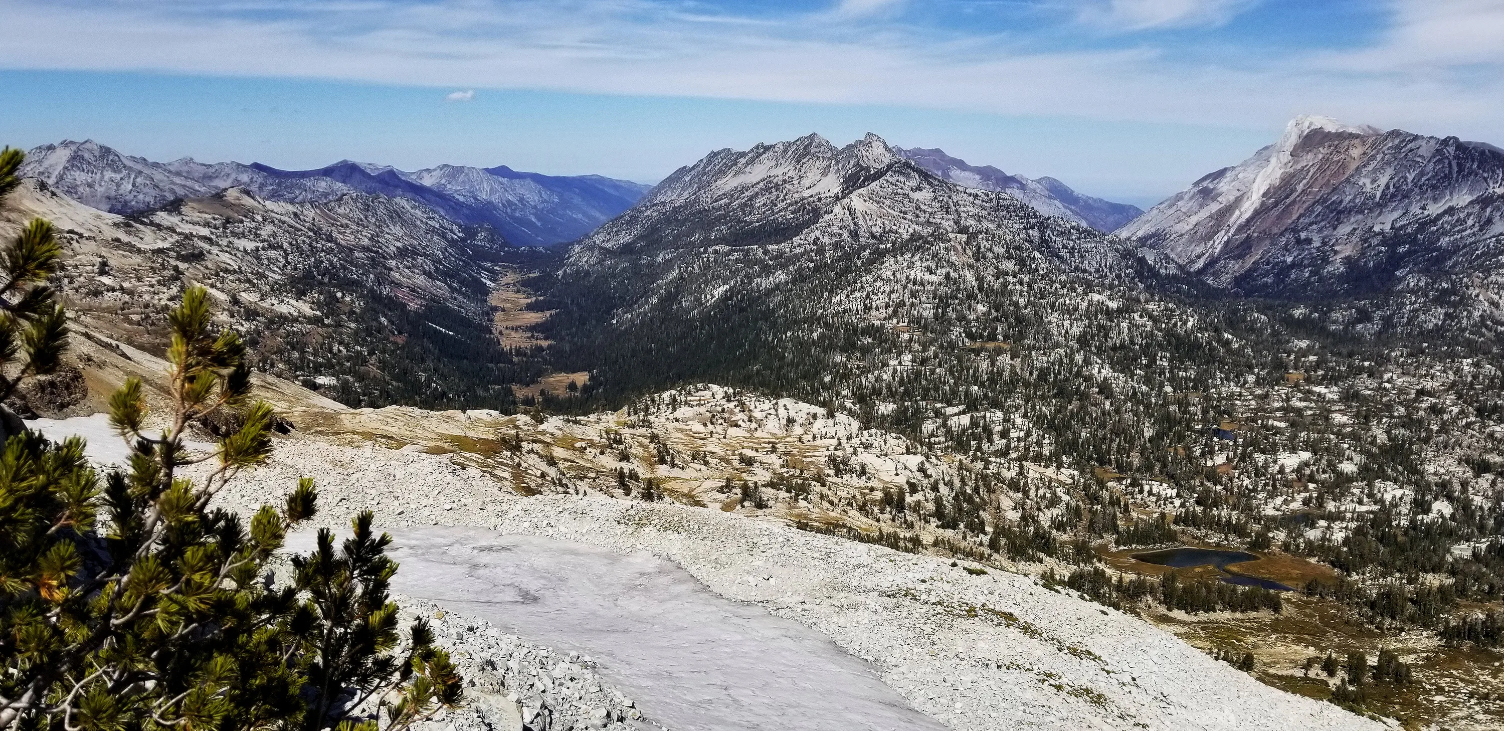
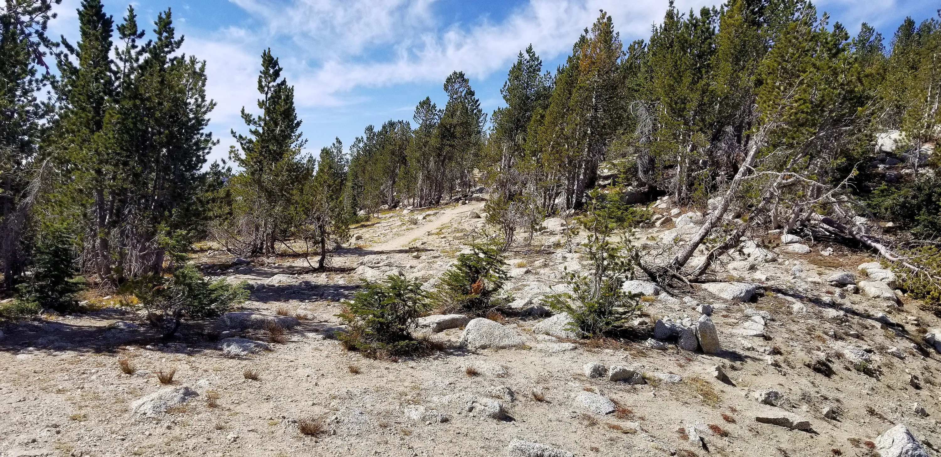
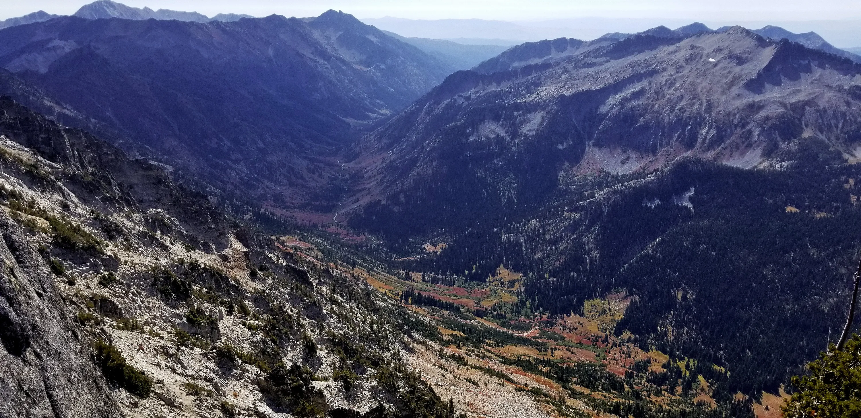
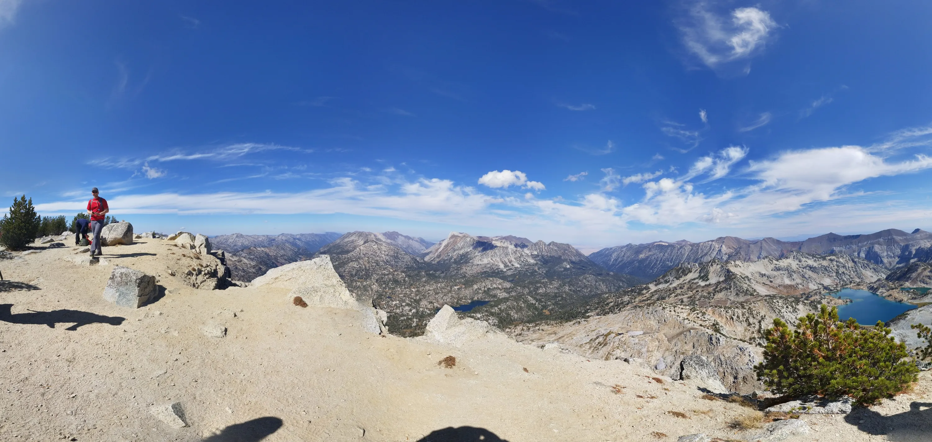
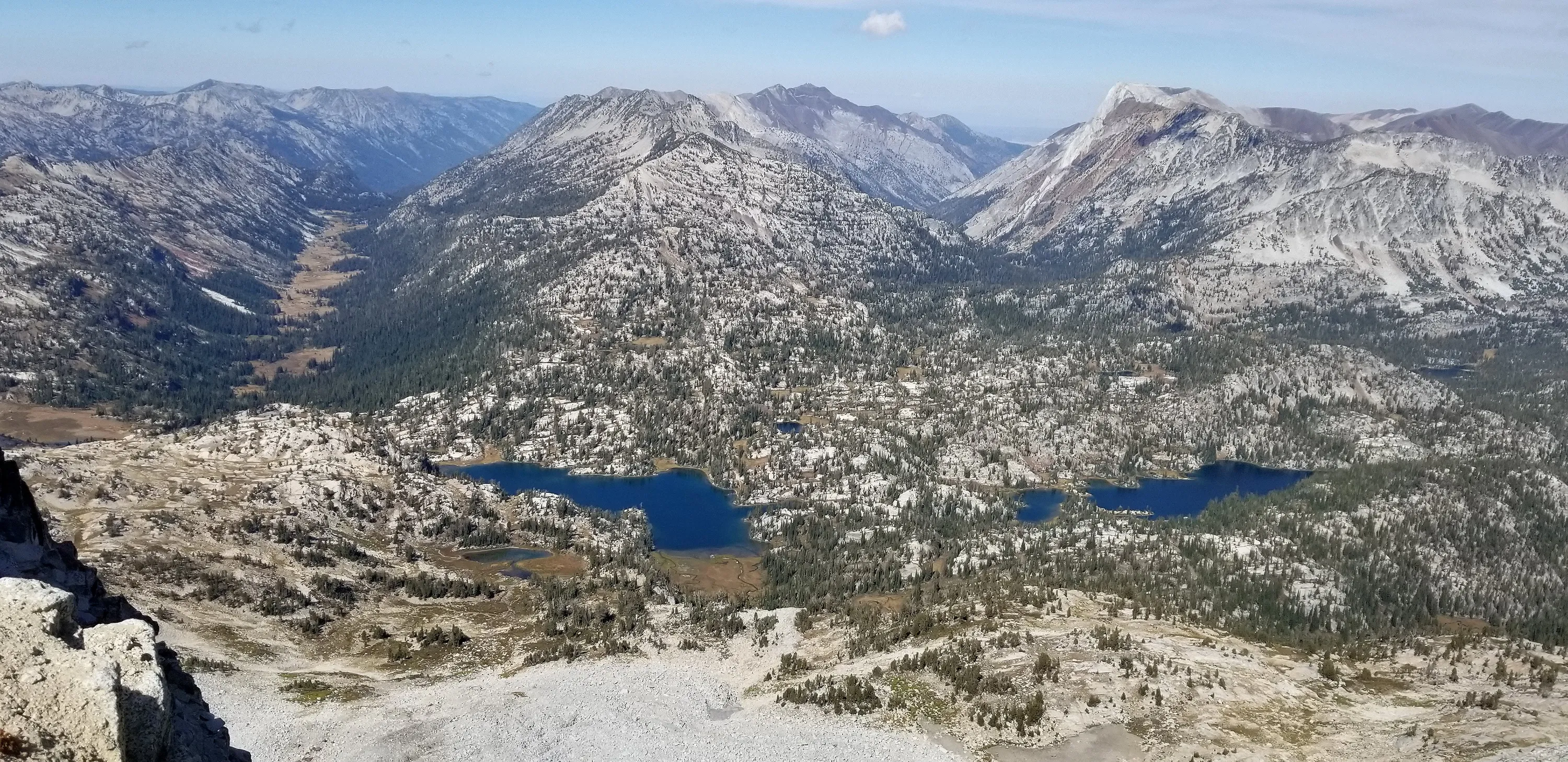
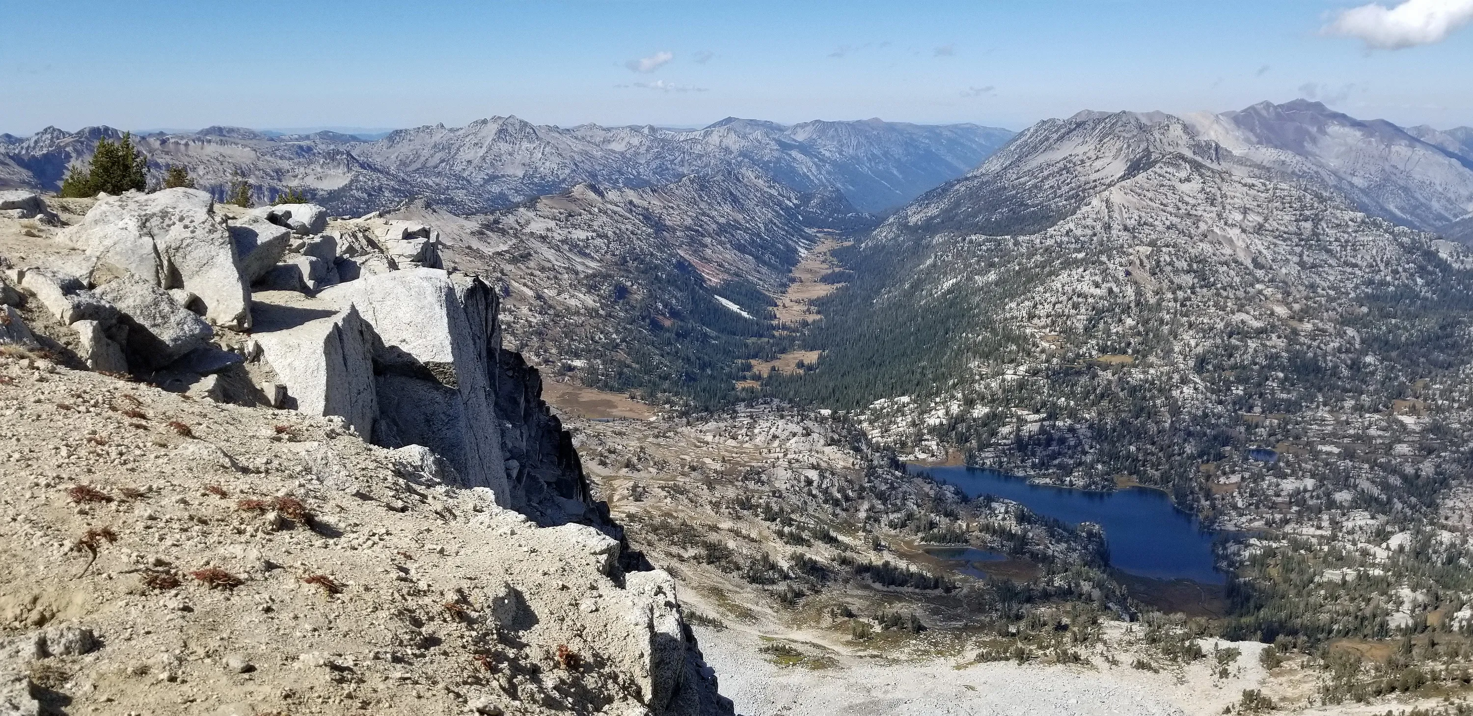
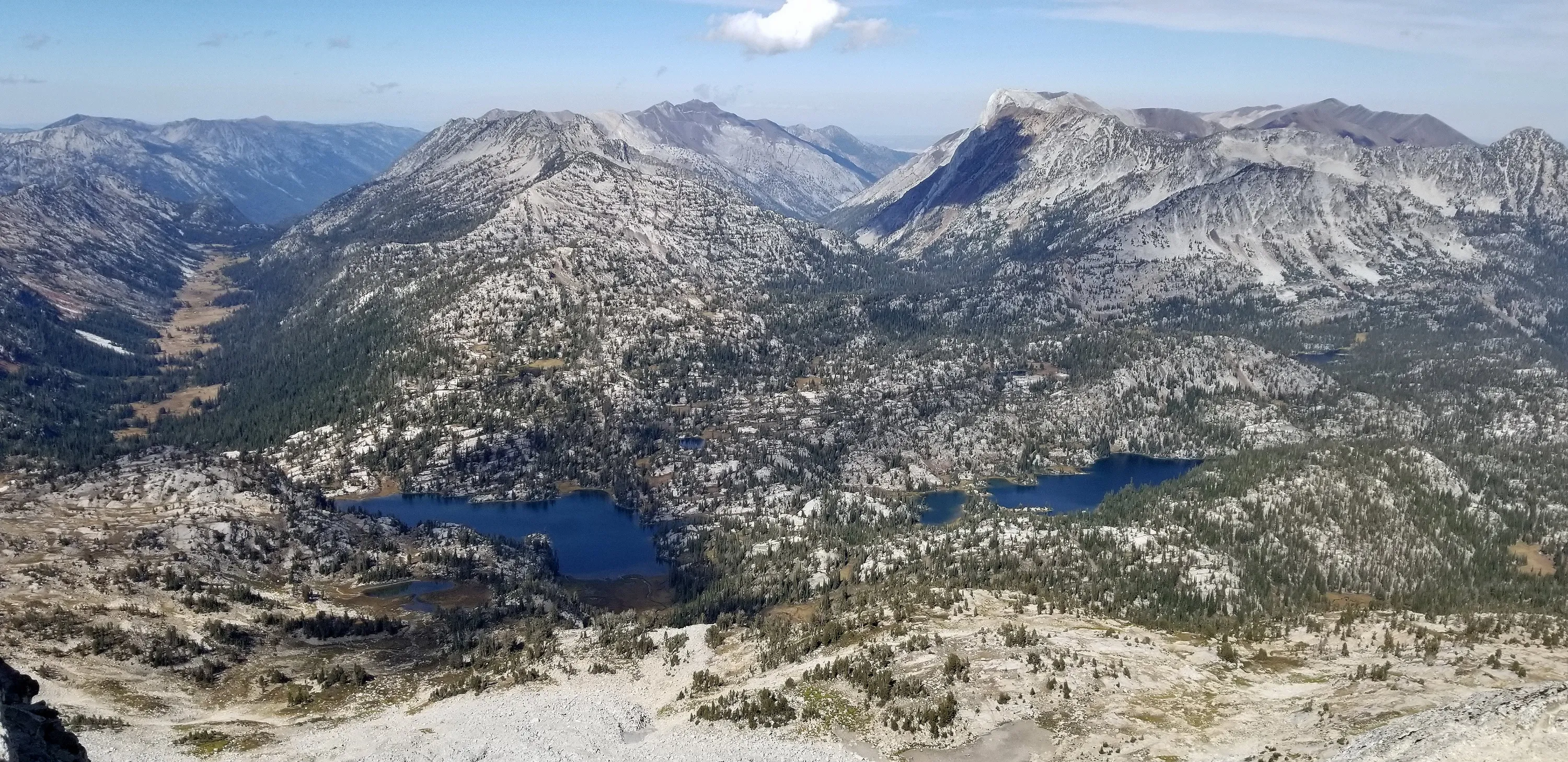
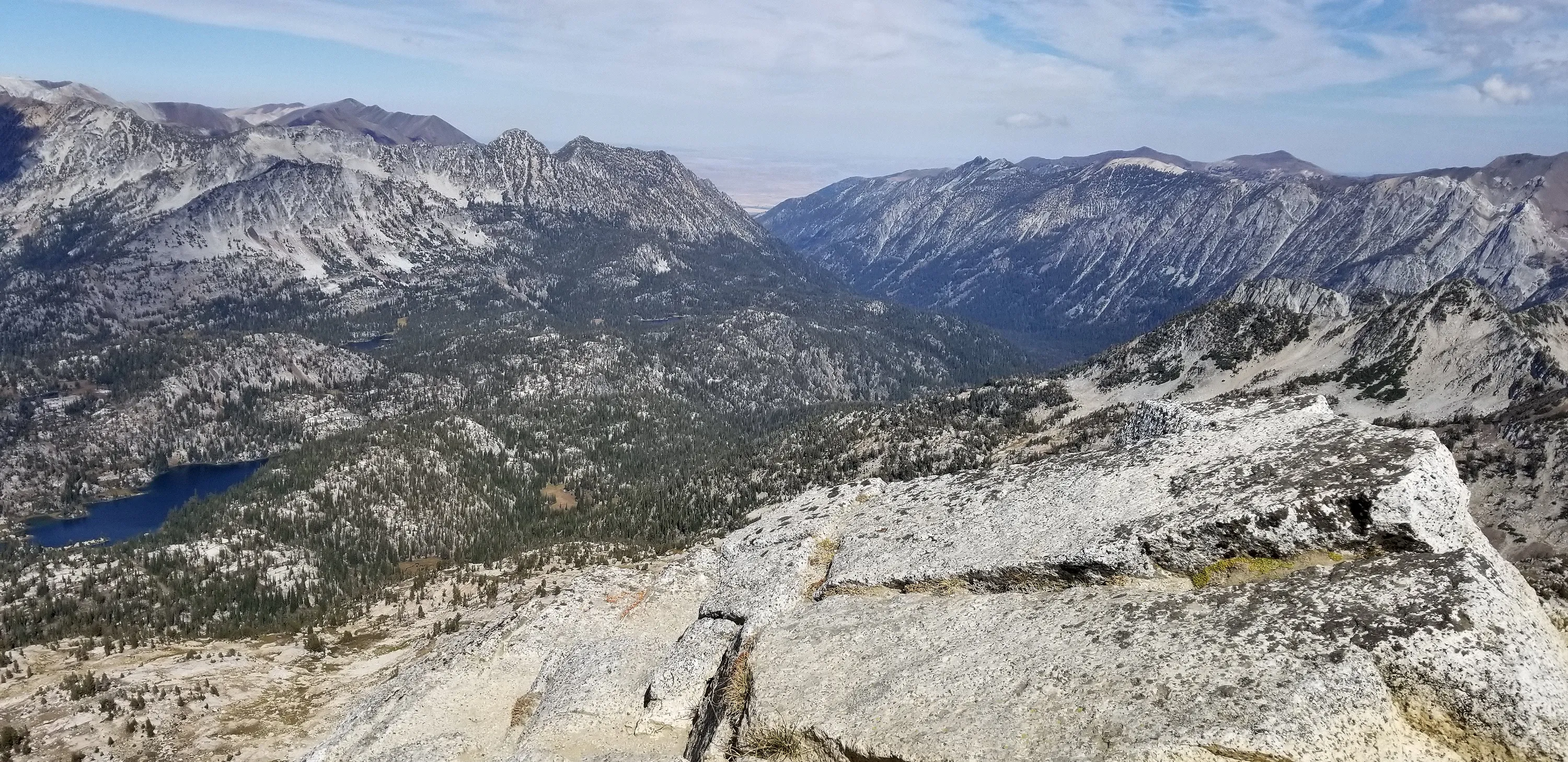
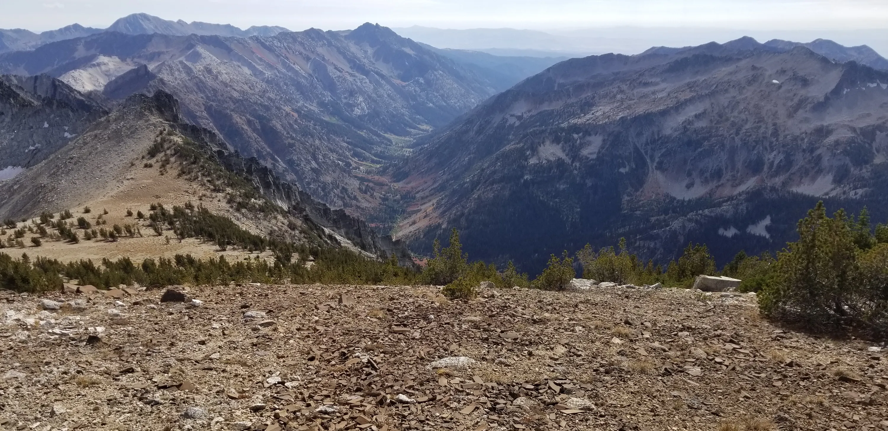
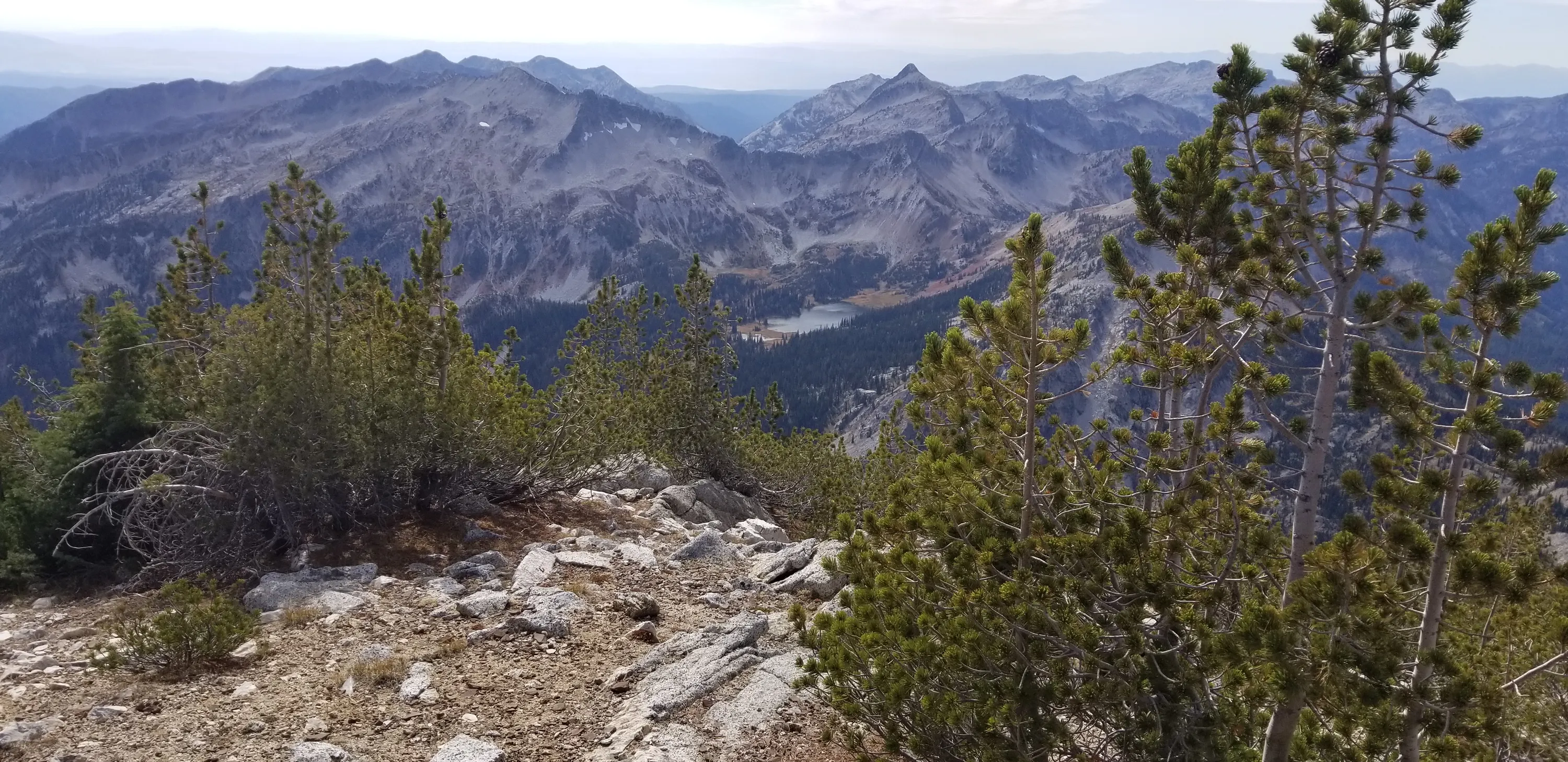
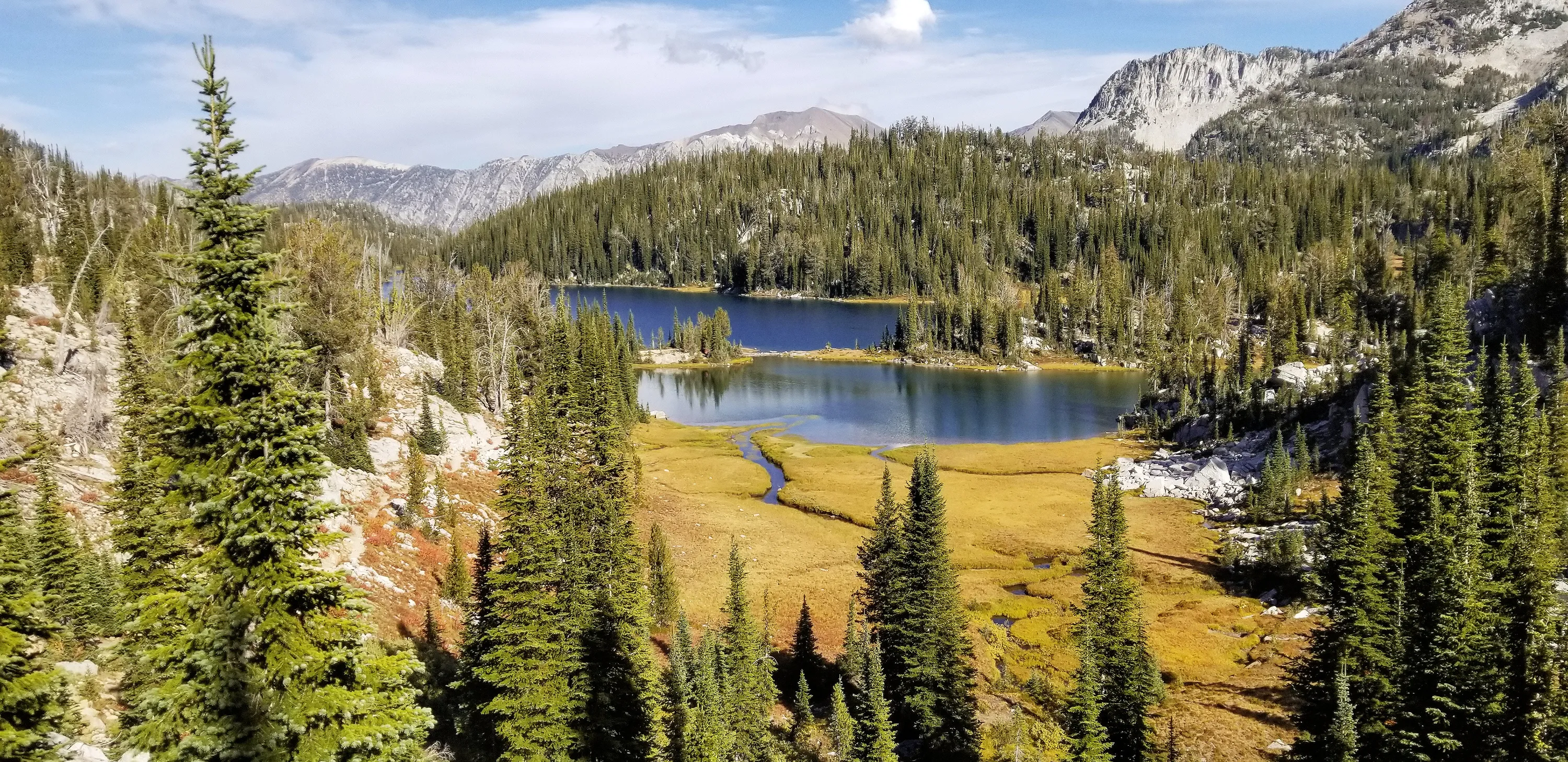
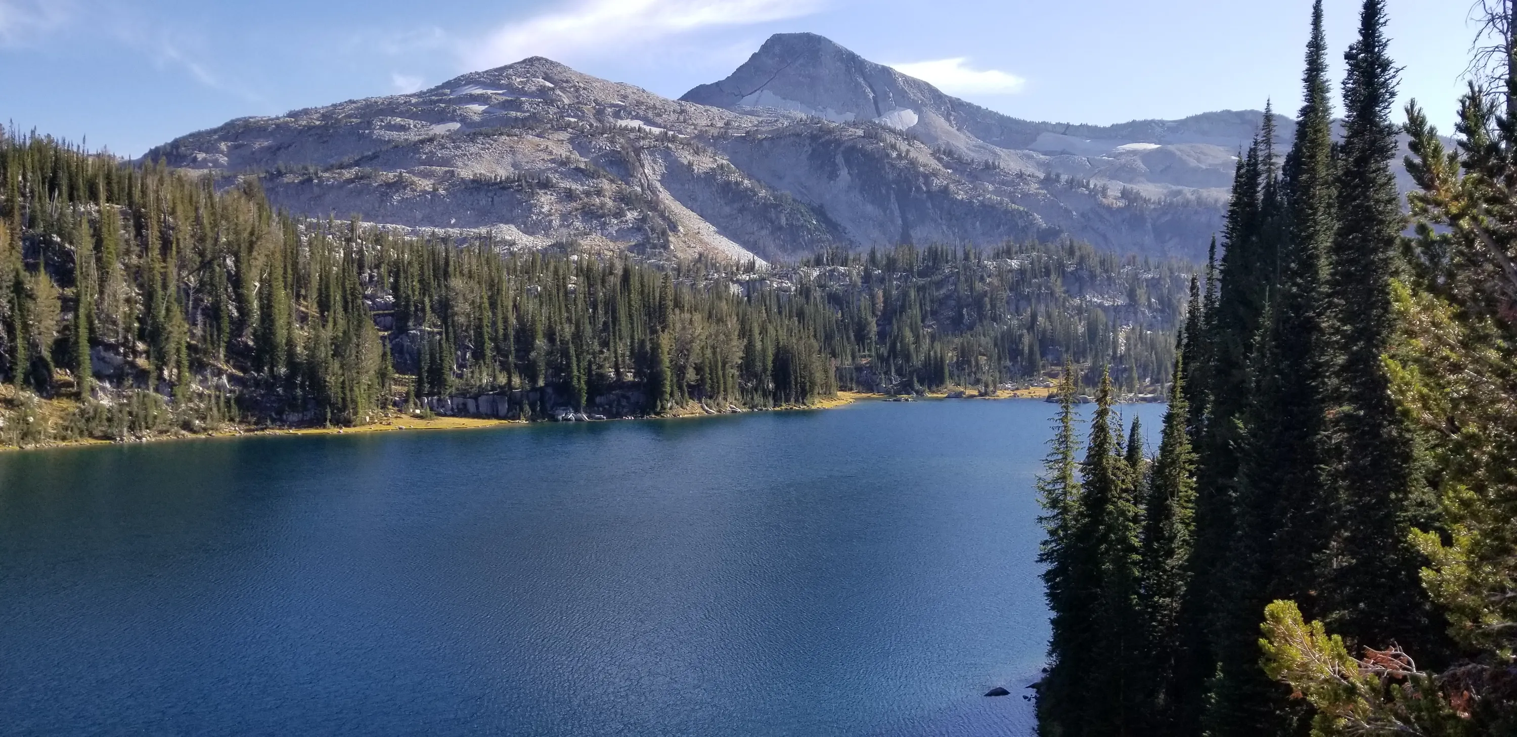
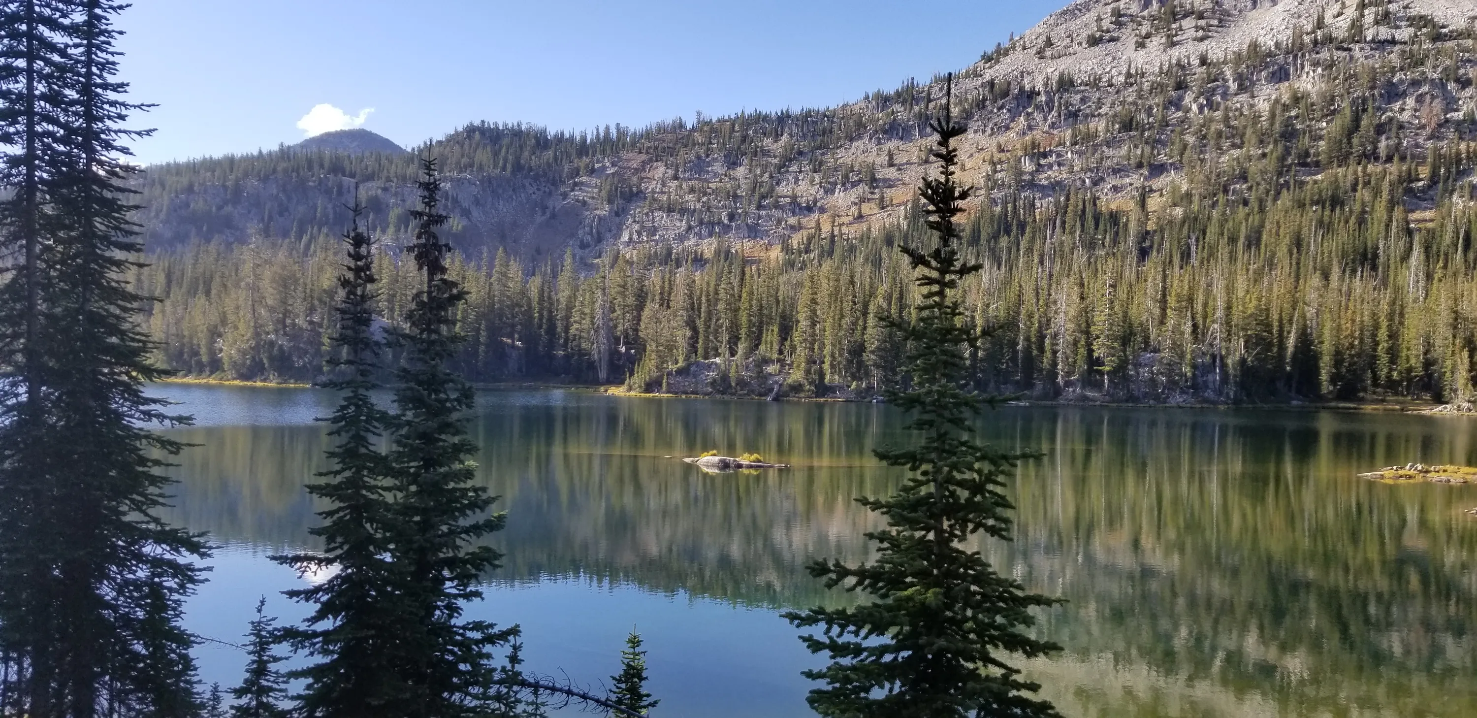
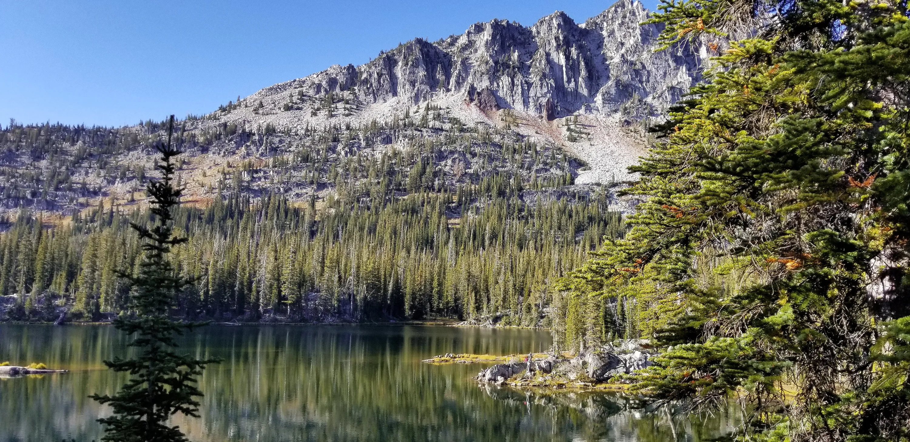
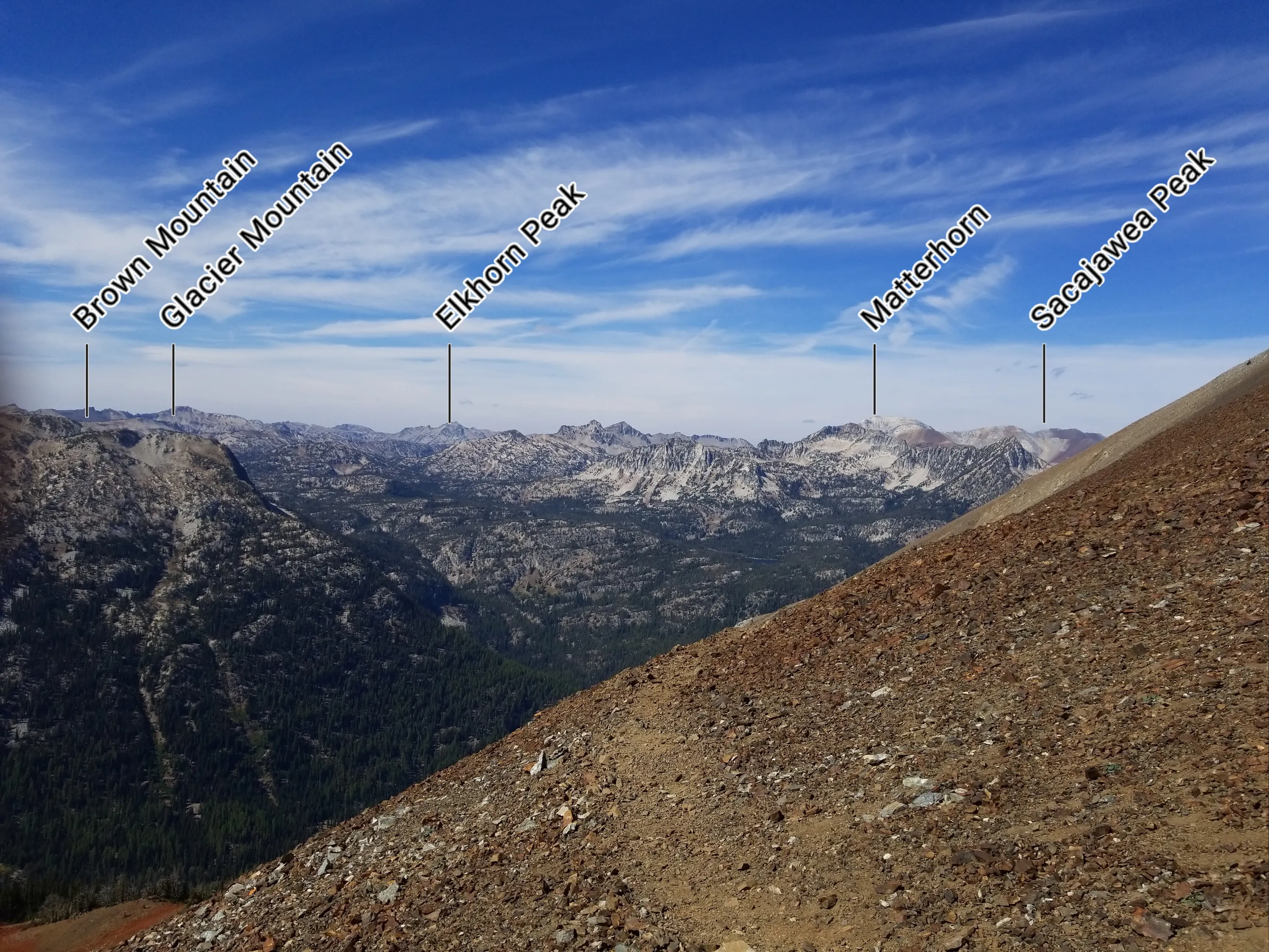
 Climbing above Wallowa Lake
 Climbing above Wallowa Lake
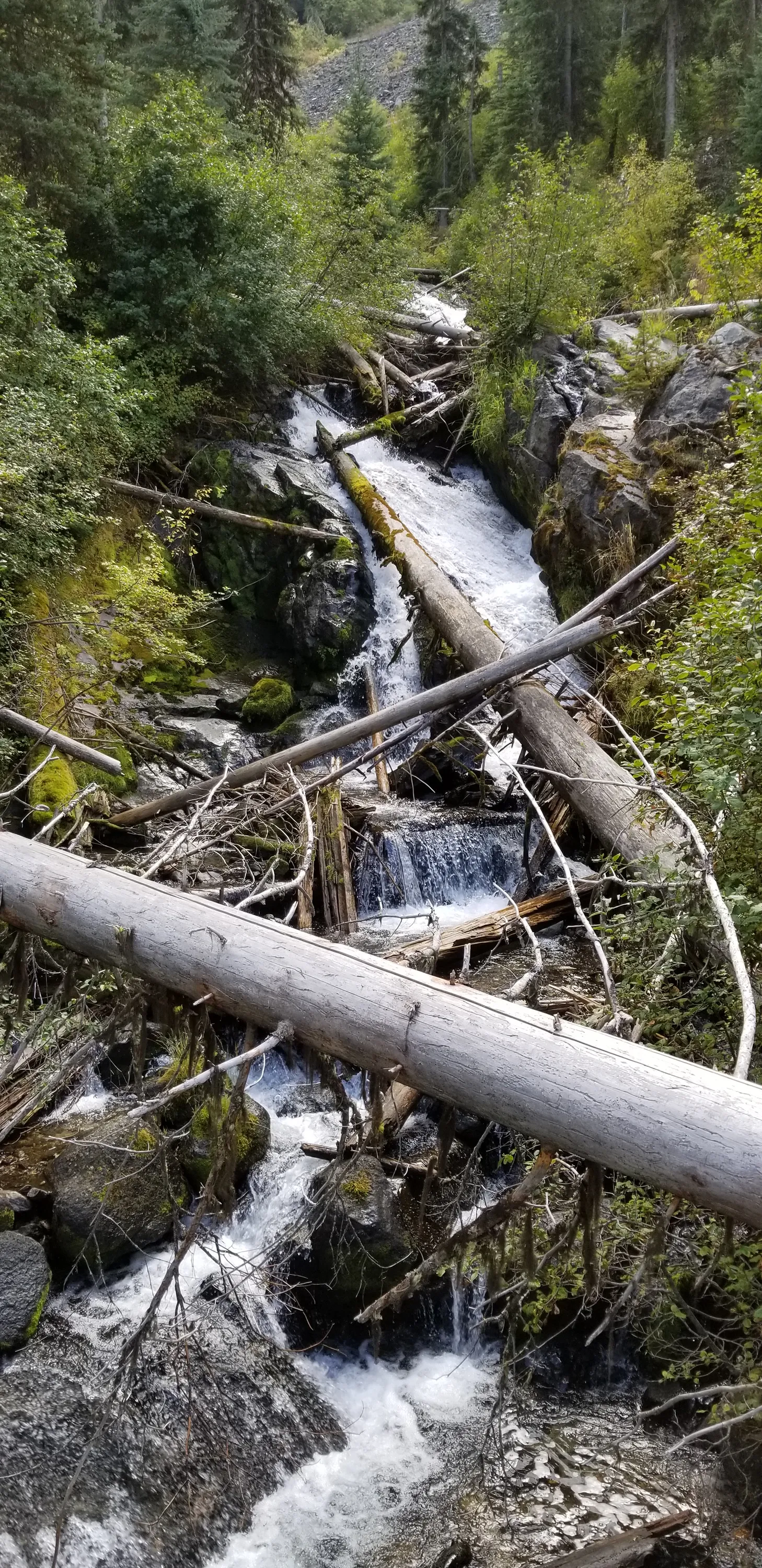
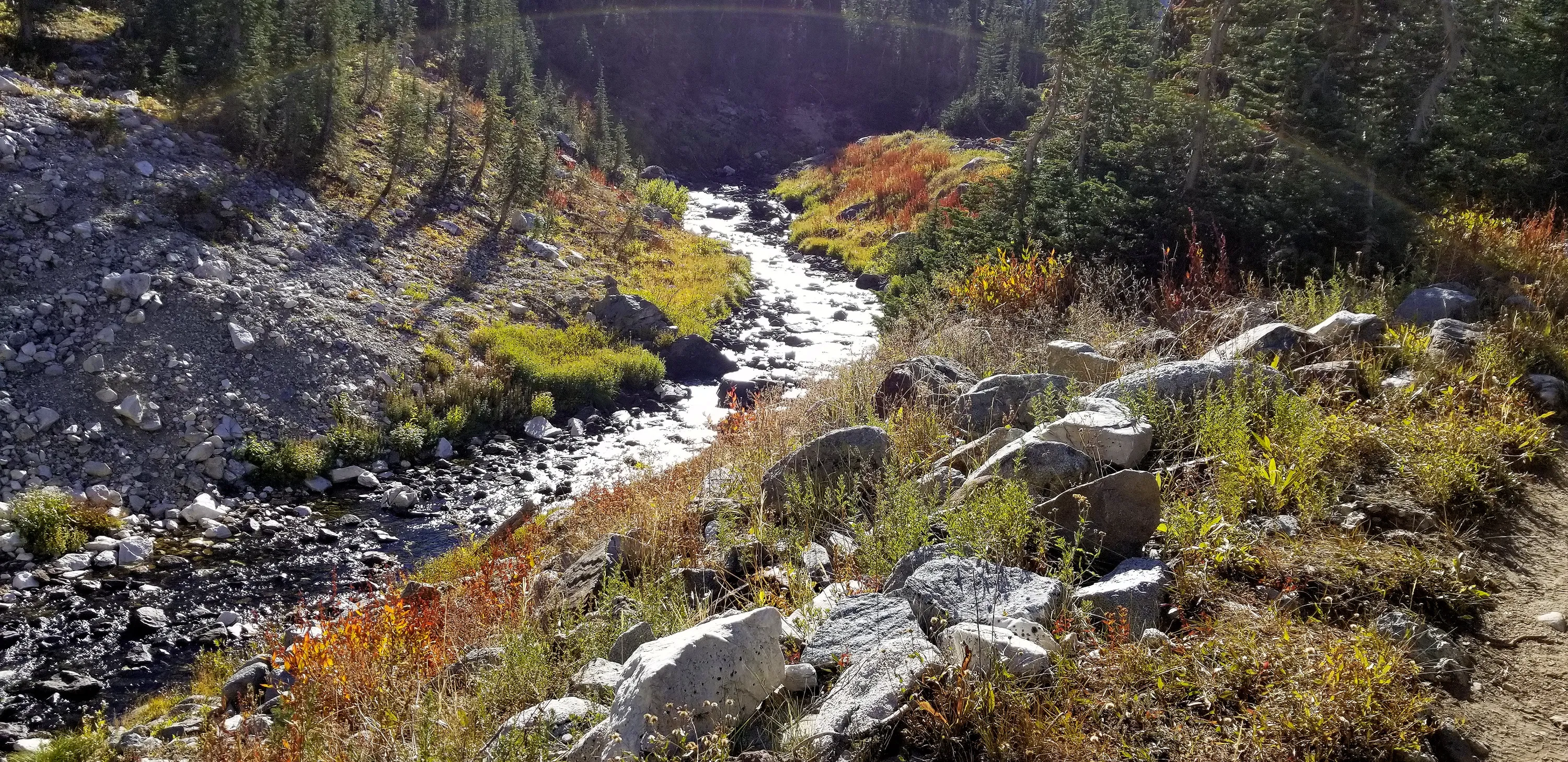
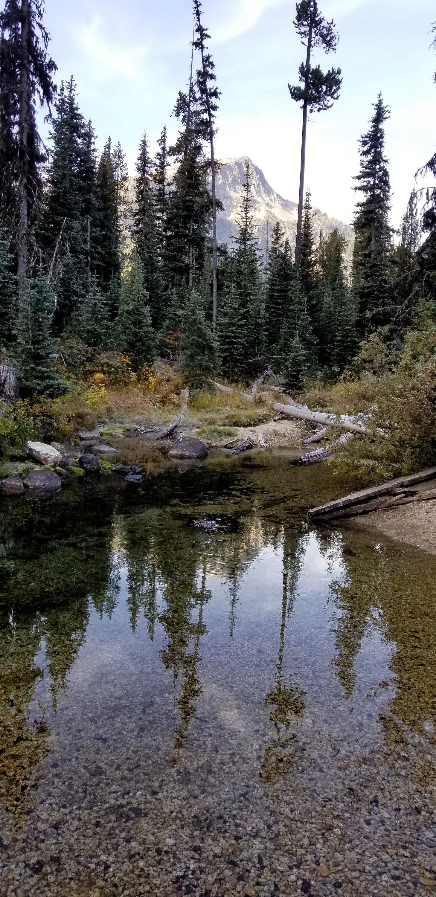
 One of the many pretty creeks along the East Fork Wallowa river
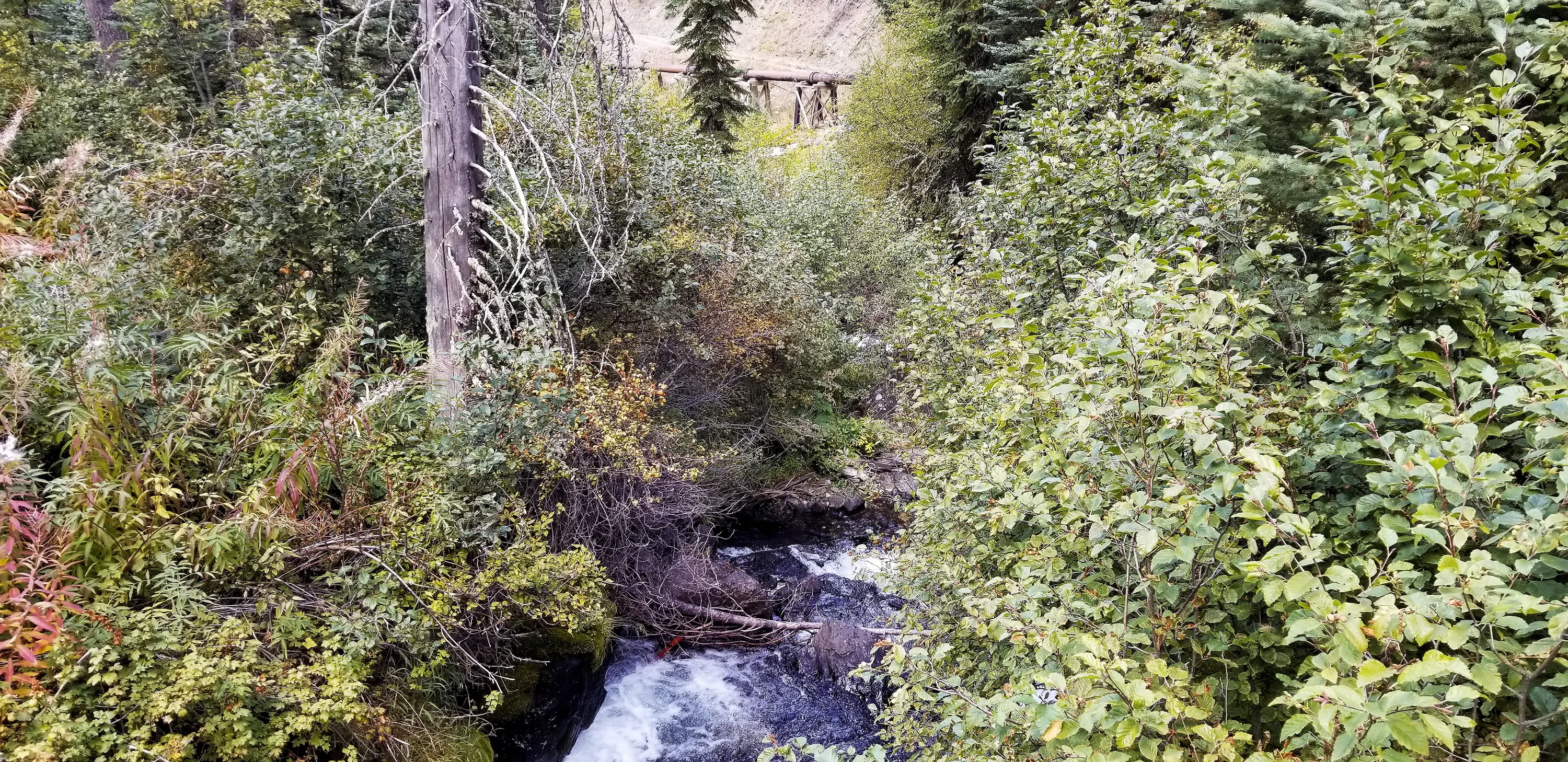
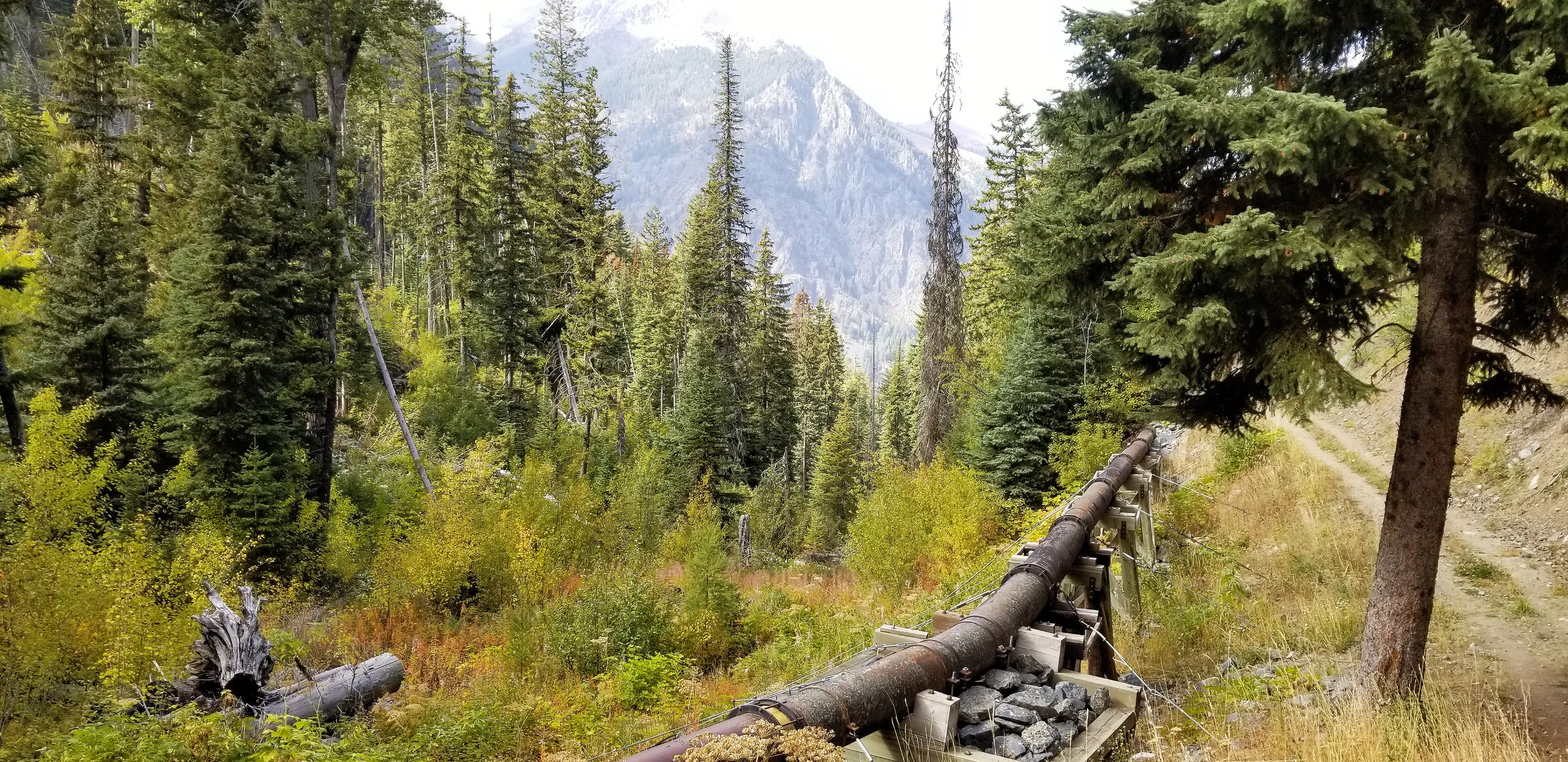
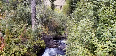 Old Water pipe along the East Fork Wallowa River
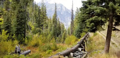 Old Water pipe along the East Fork Wallowa River - I found out that this is used to pipe water to the turbine at the start of the trail - it generates 1.1 MW of power according to the site I found
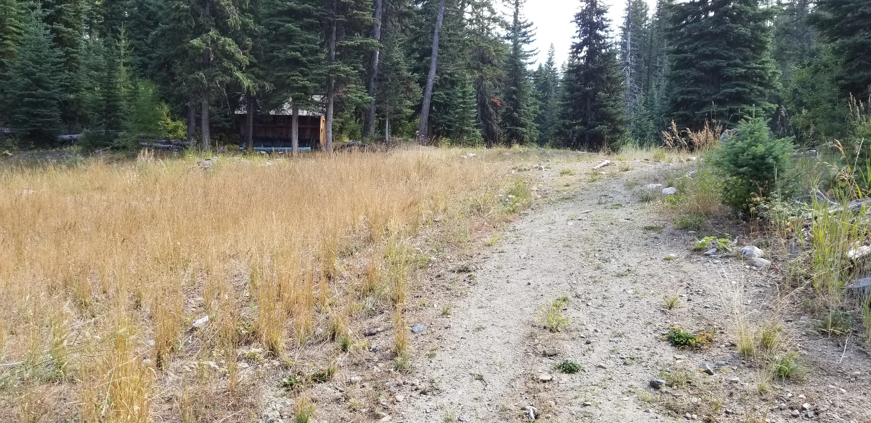
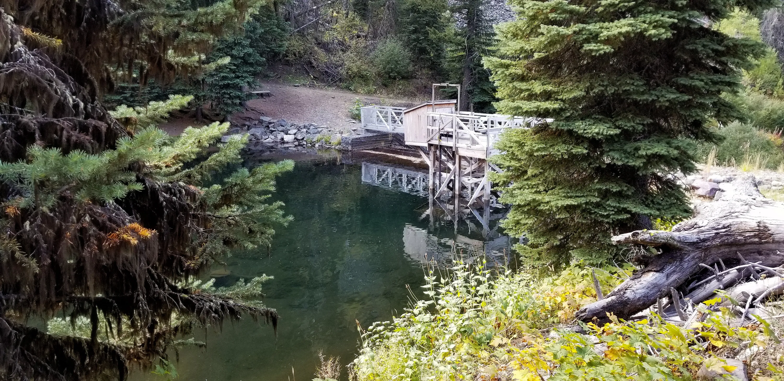
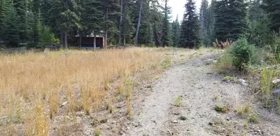 A small cabin next to the diversion dam
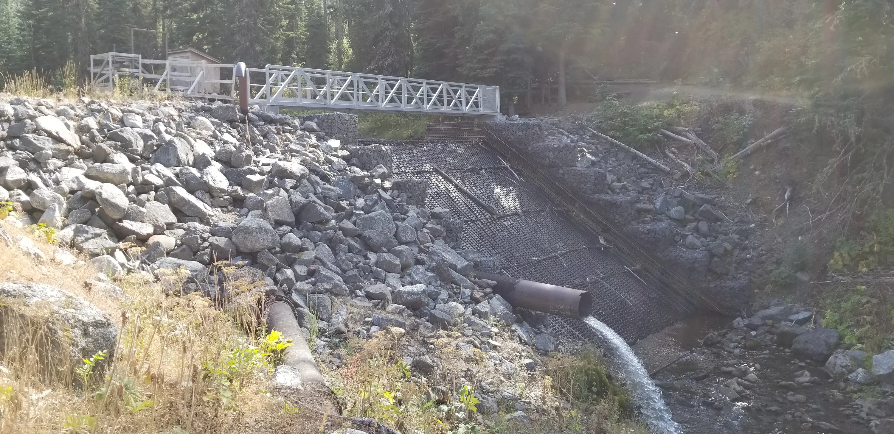
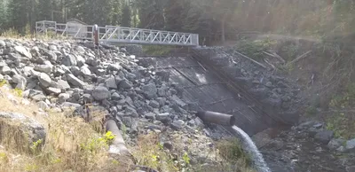 The diversion dam partway up the trail
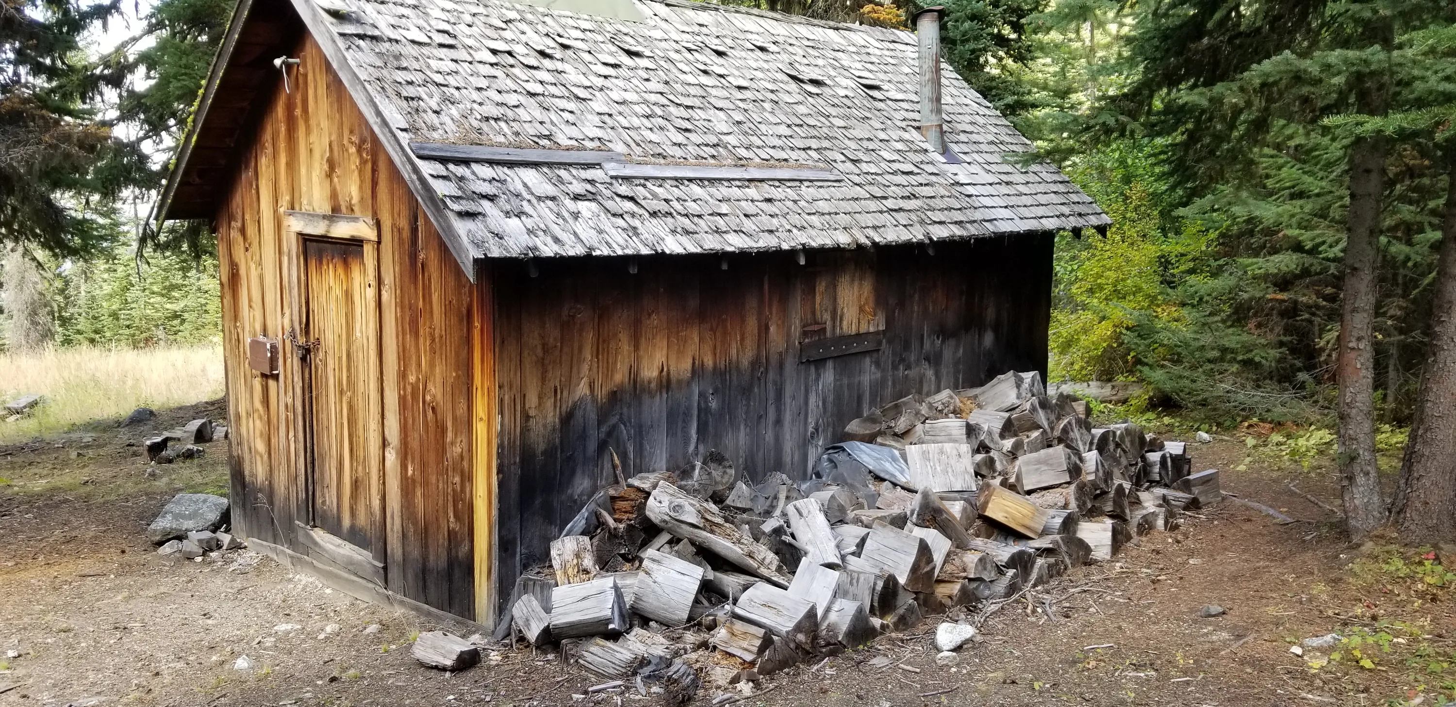
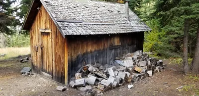 Closeup of the old cabin near the diversion dam - maybe this was related to the "Royal Purple Mine" listed on the map?
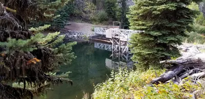 Different view of the diversion dam
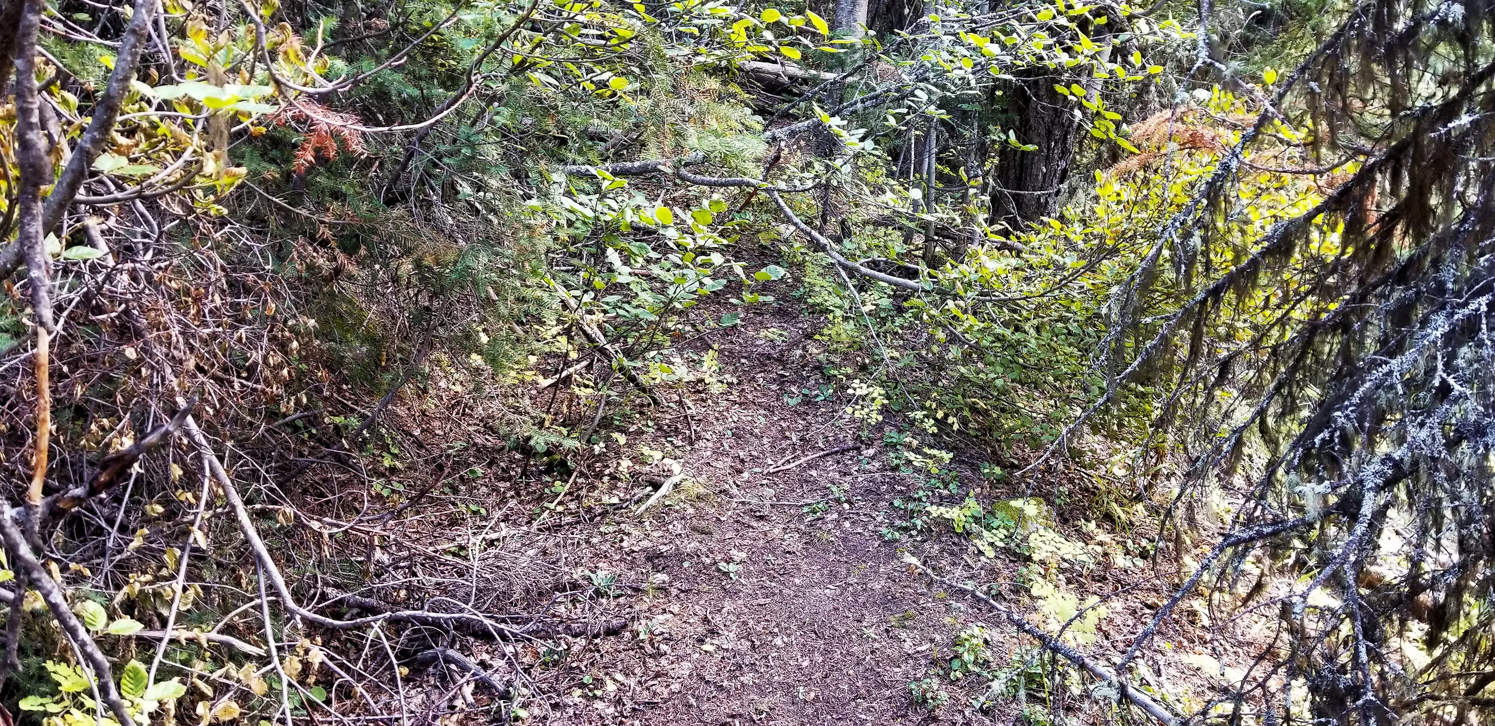
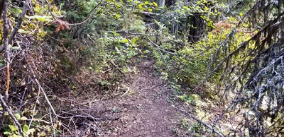 The "road" up the hill seems to have pretty much become a jungle. We were trying to find the old mine, but gave up after encountering this. We still had several miles to hike and didn't feel like negotiating all the brush
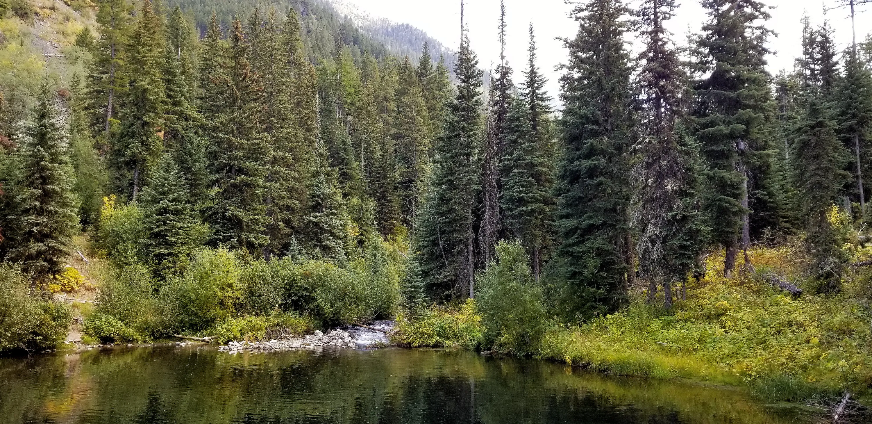
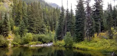 The lake behind the diversion dam
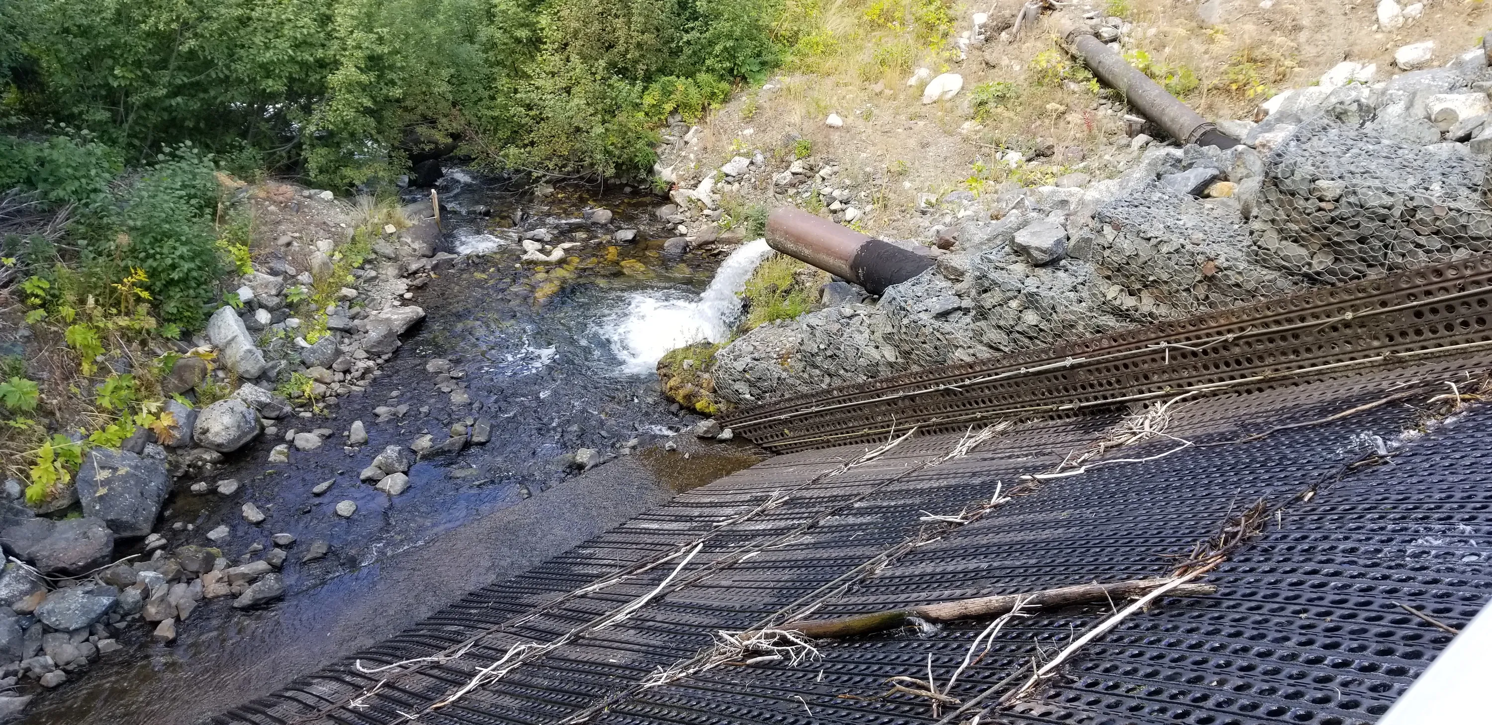
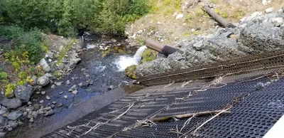 The spillway to the dam
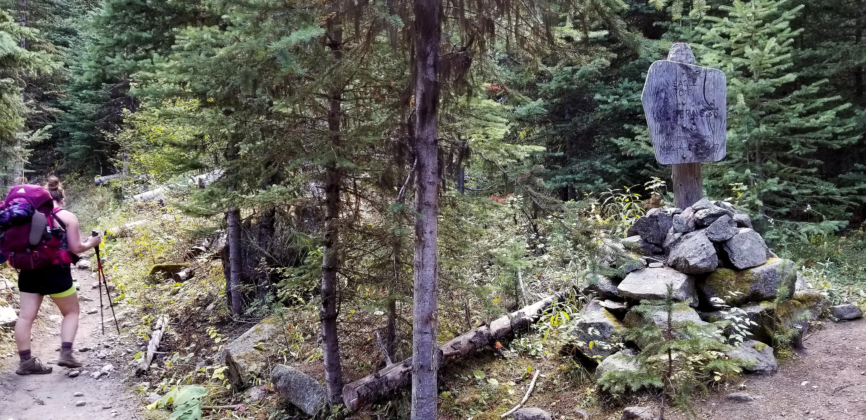
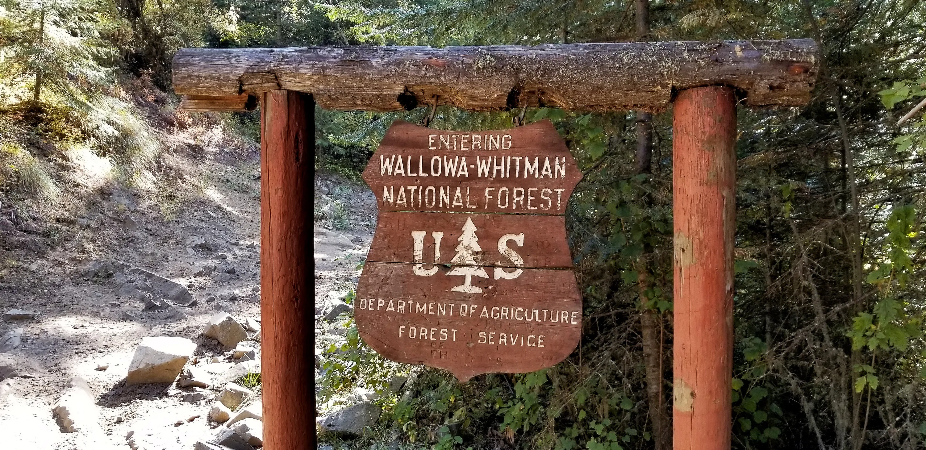
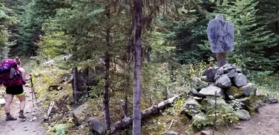 We are entering the wilderness now!
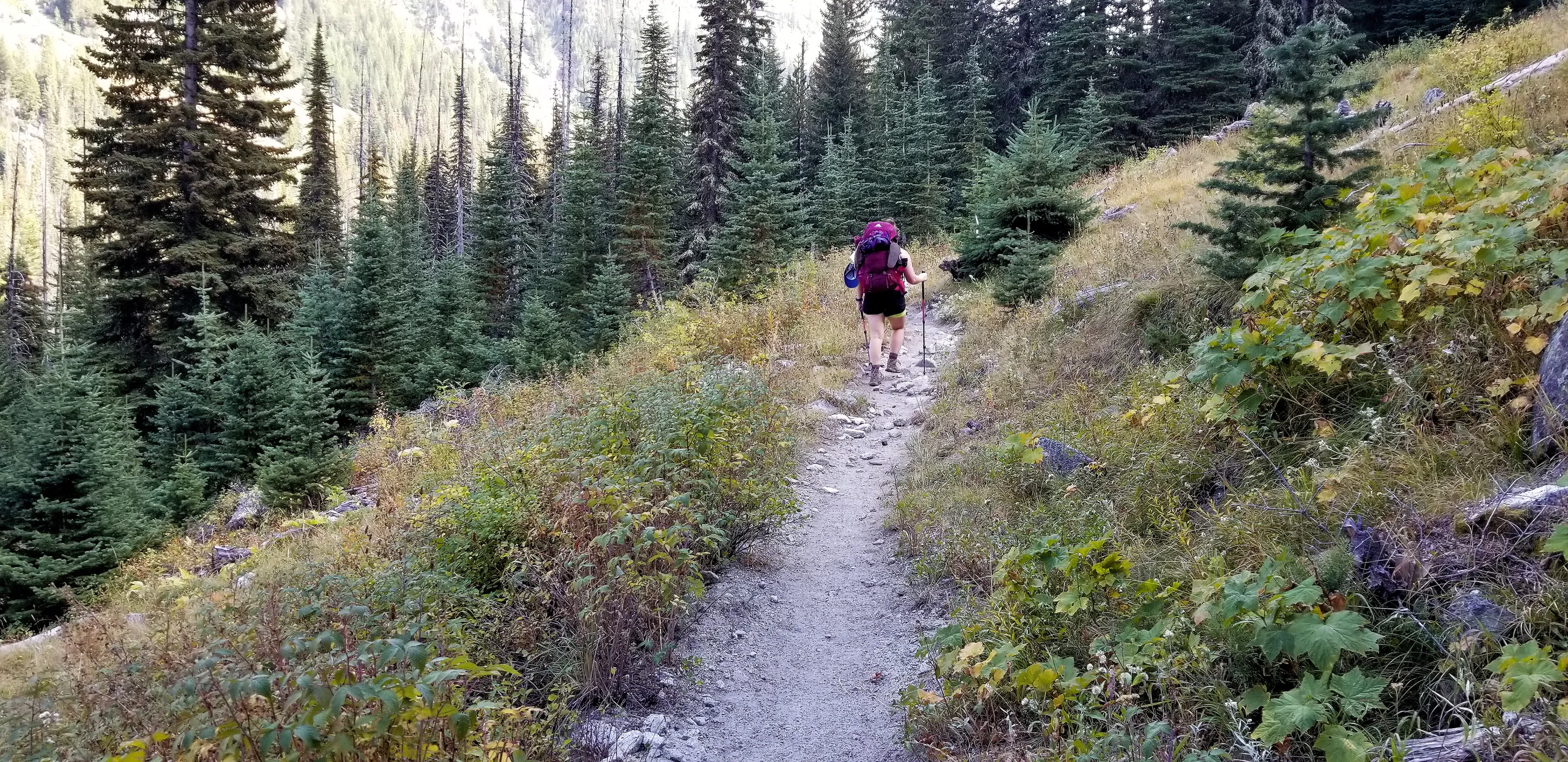
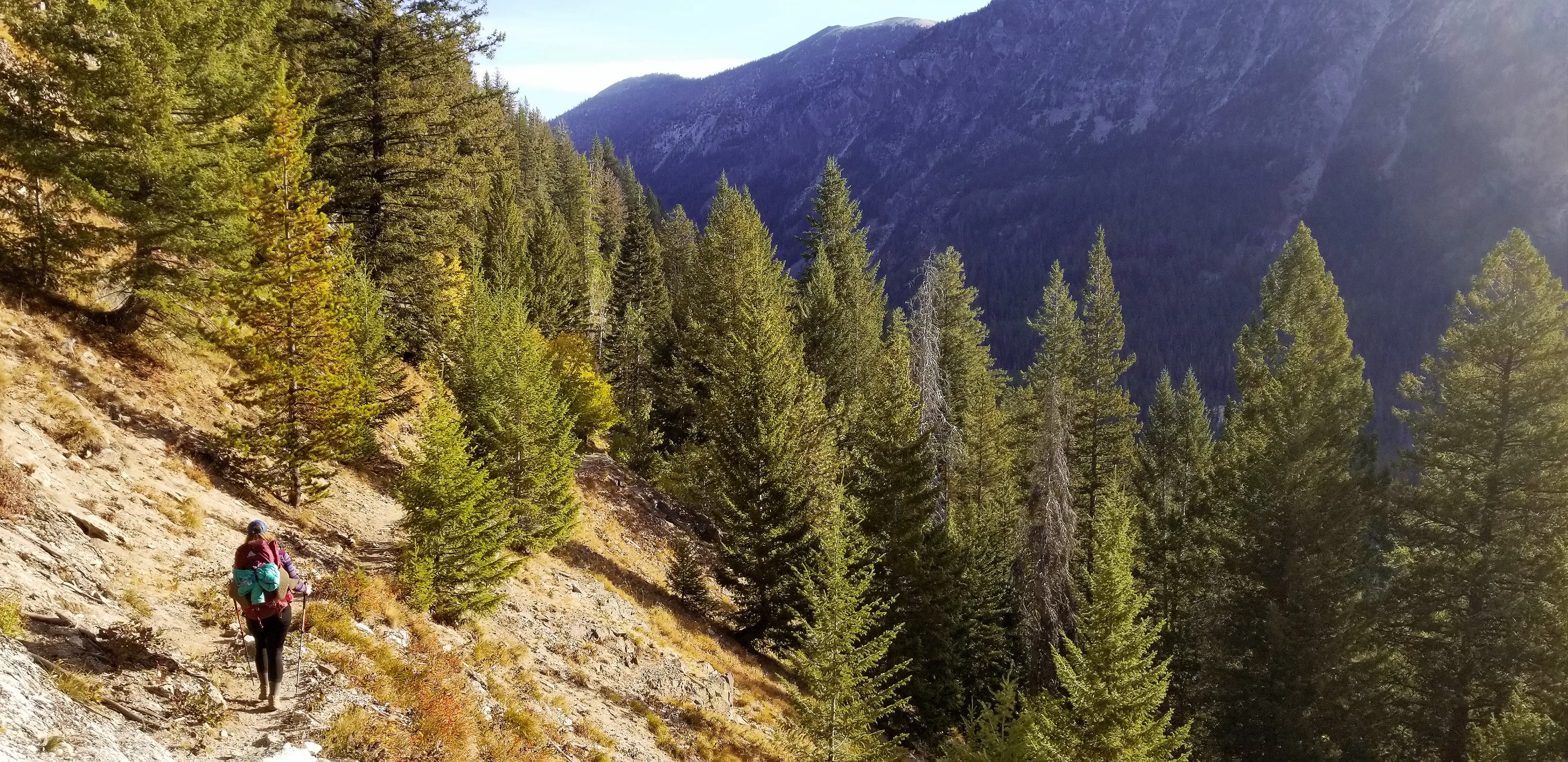
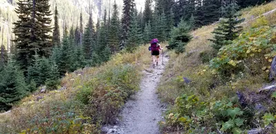 Climbing up the trail (a continuing theme on this trip)
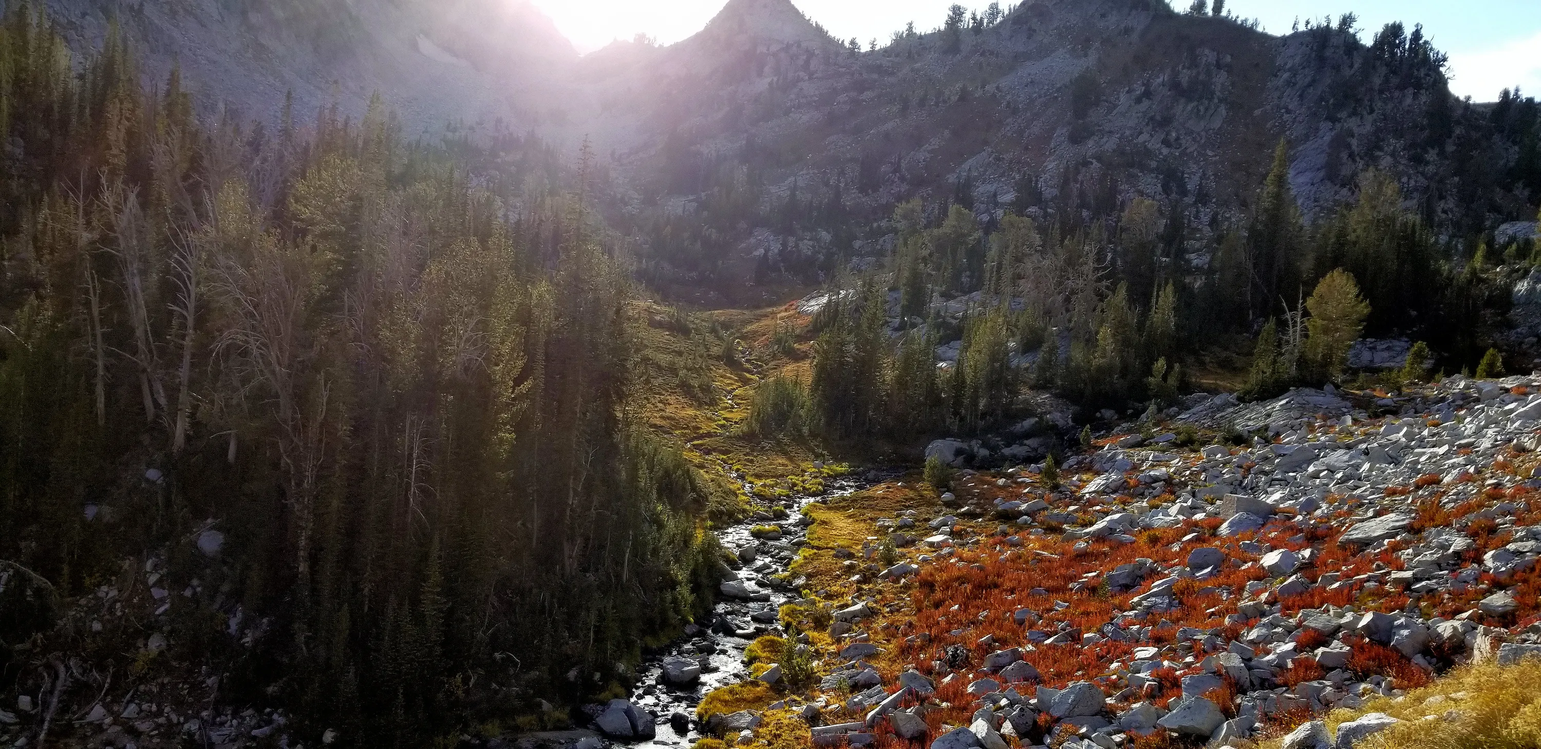
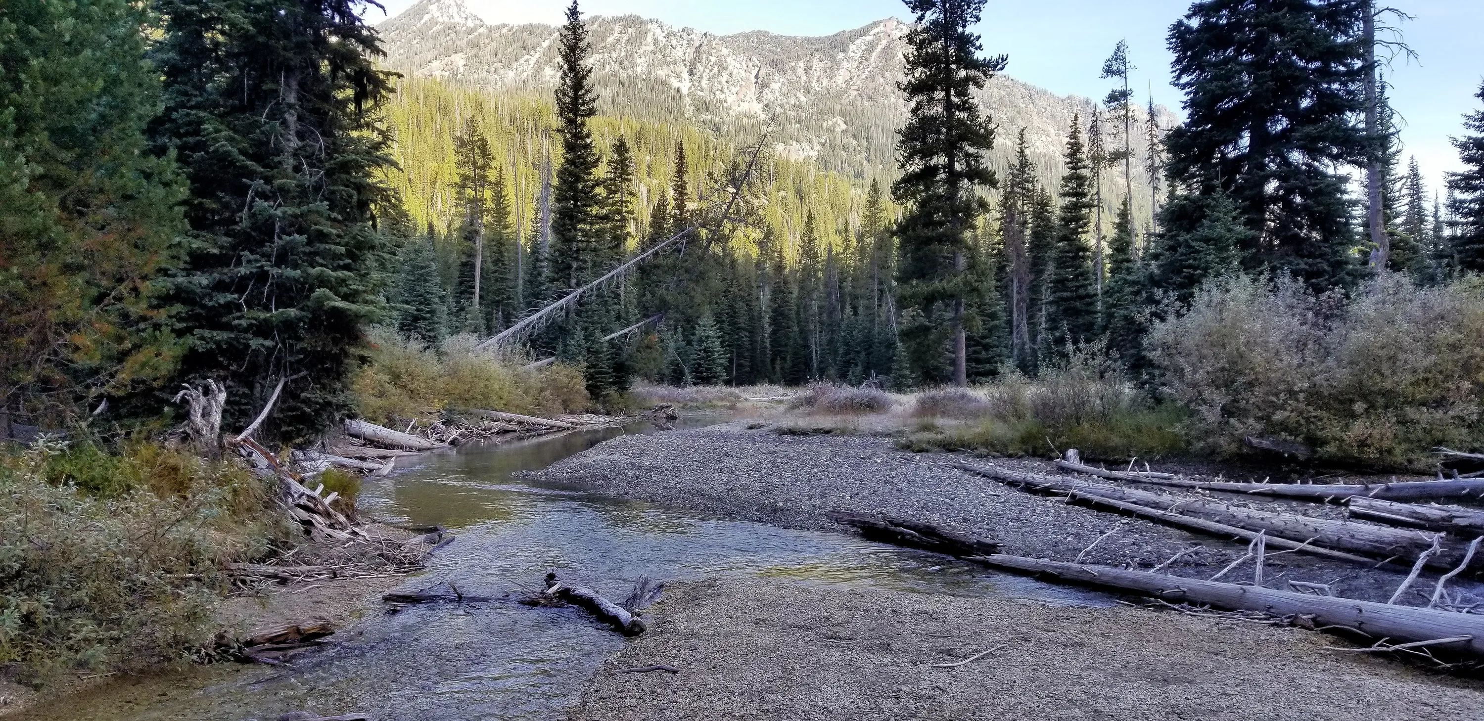
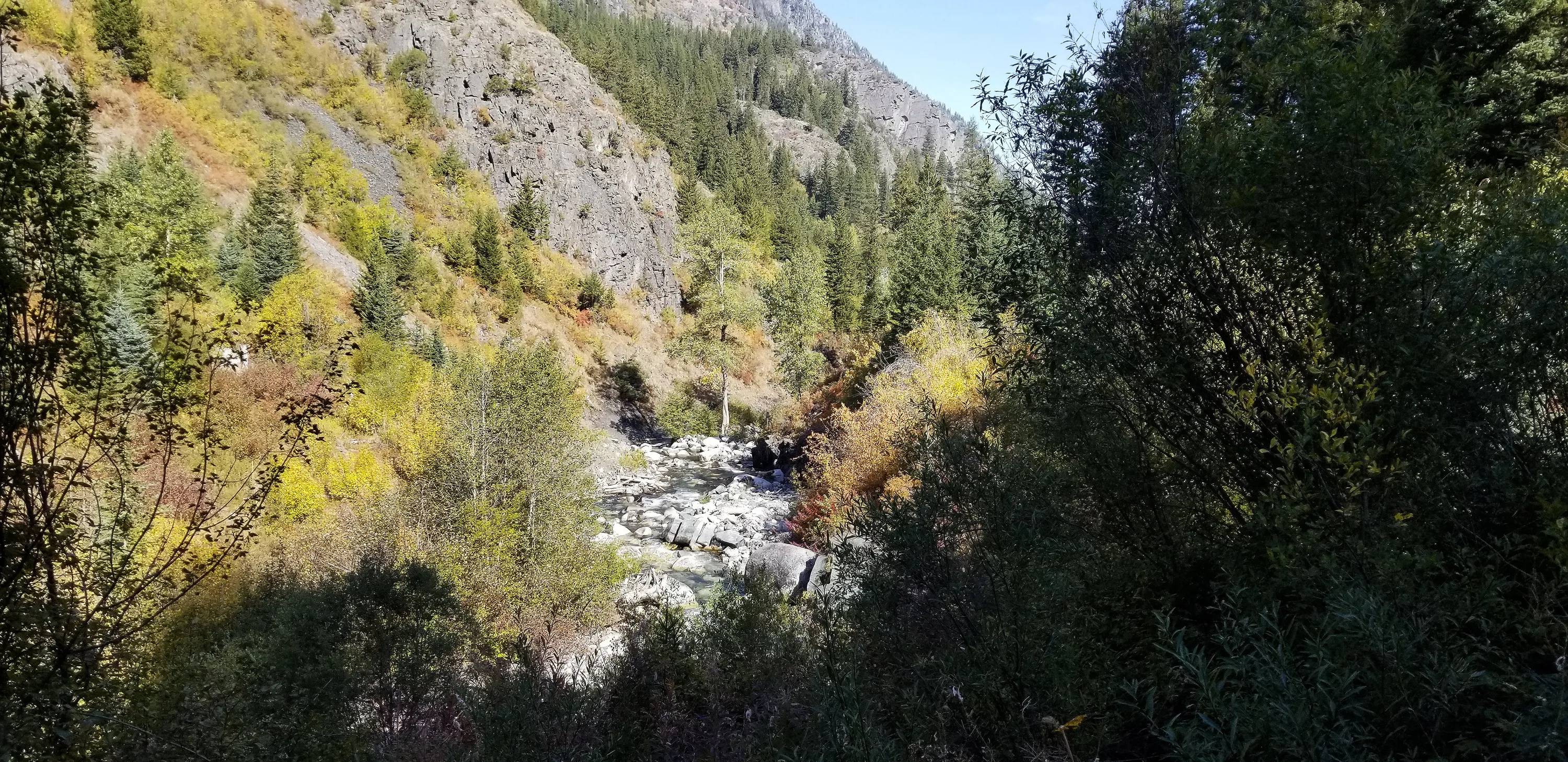
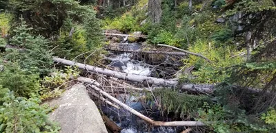 East fork the Wallowa river
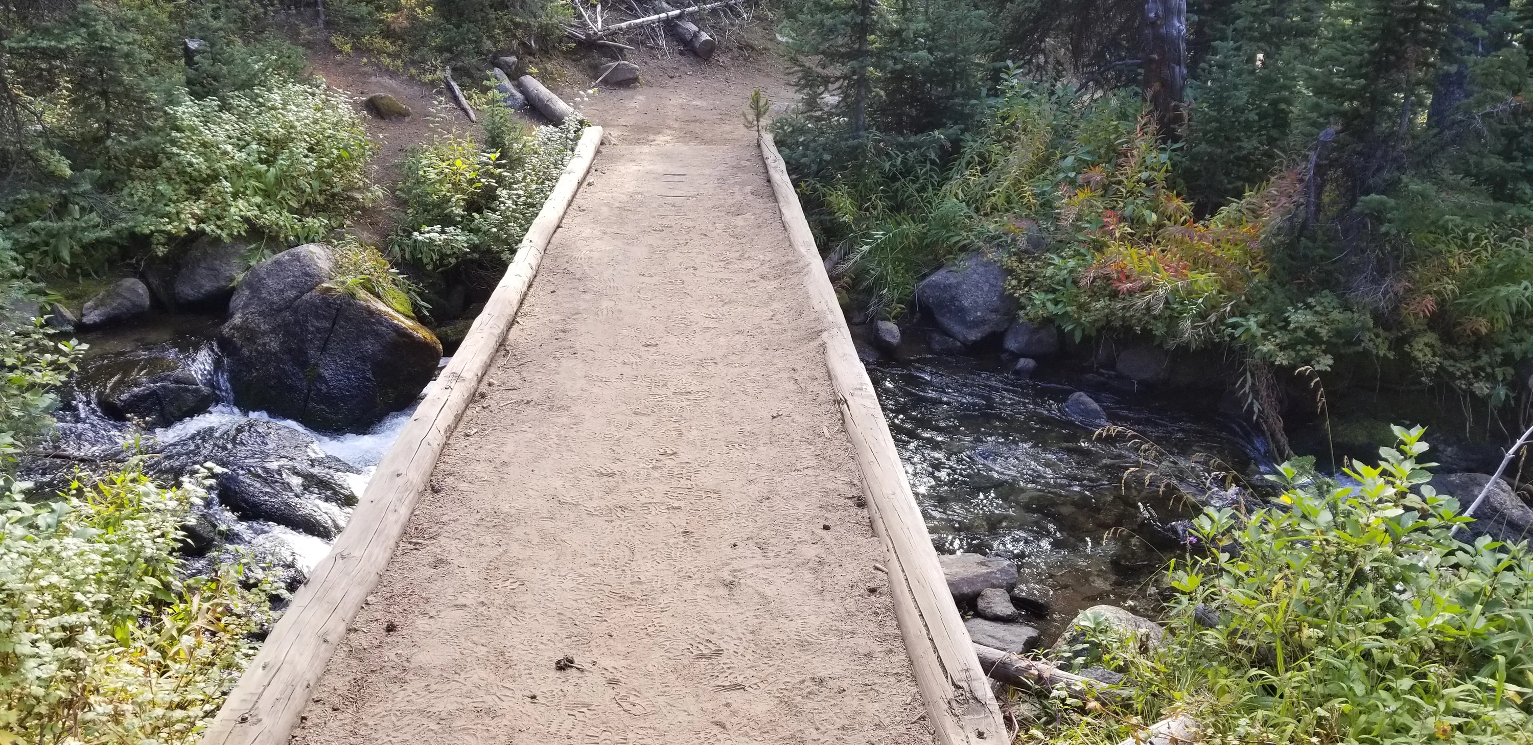
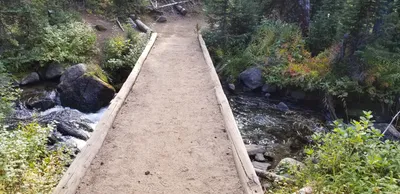 Crossing over the East Fork Wallowa river
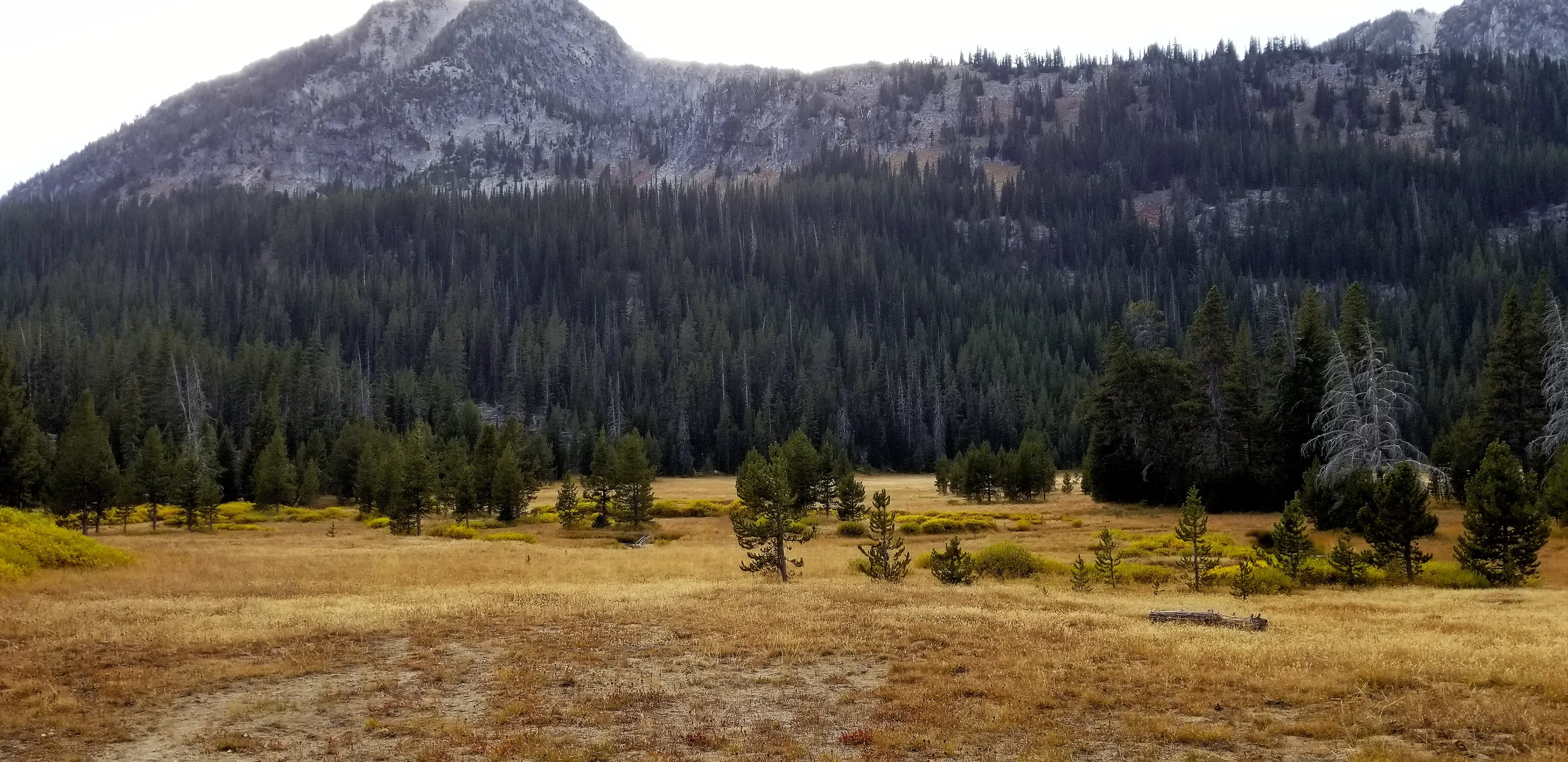
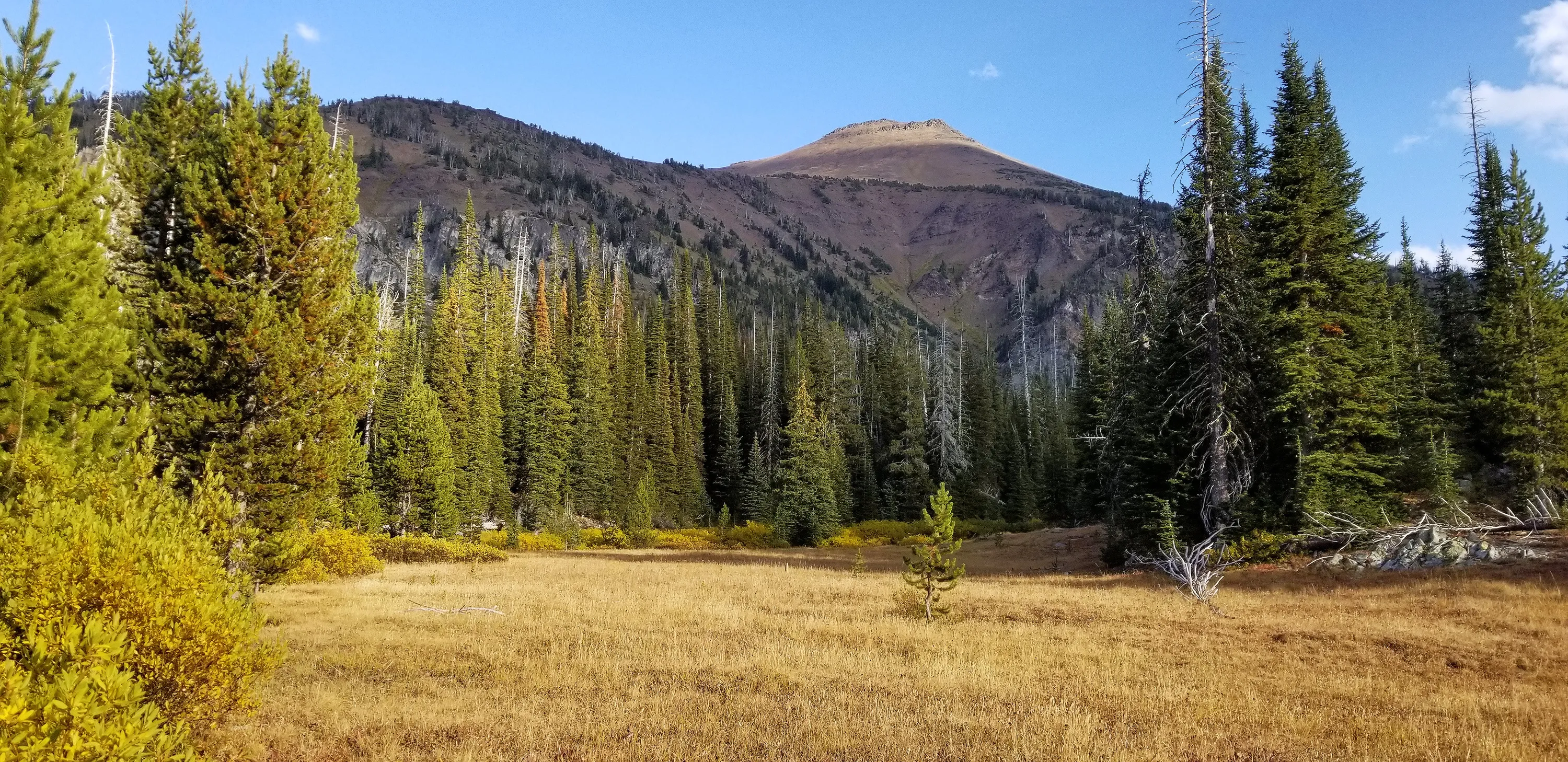
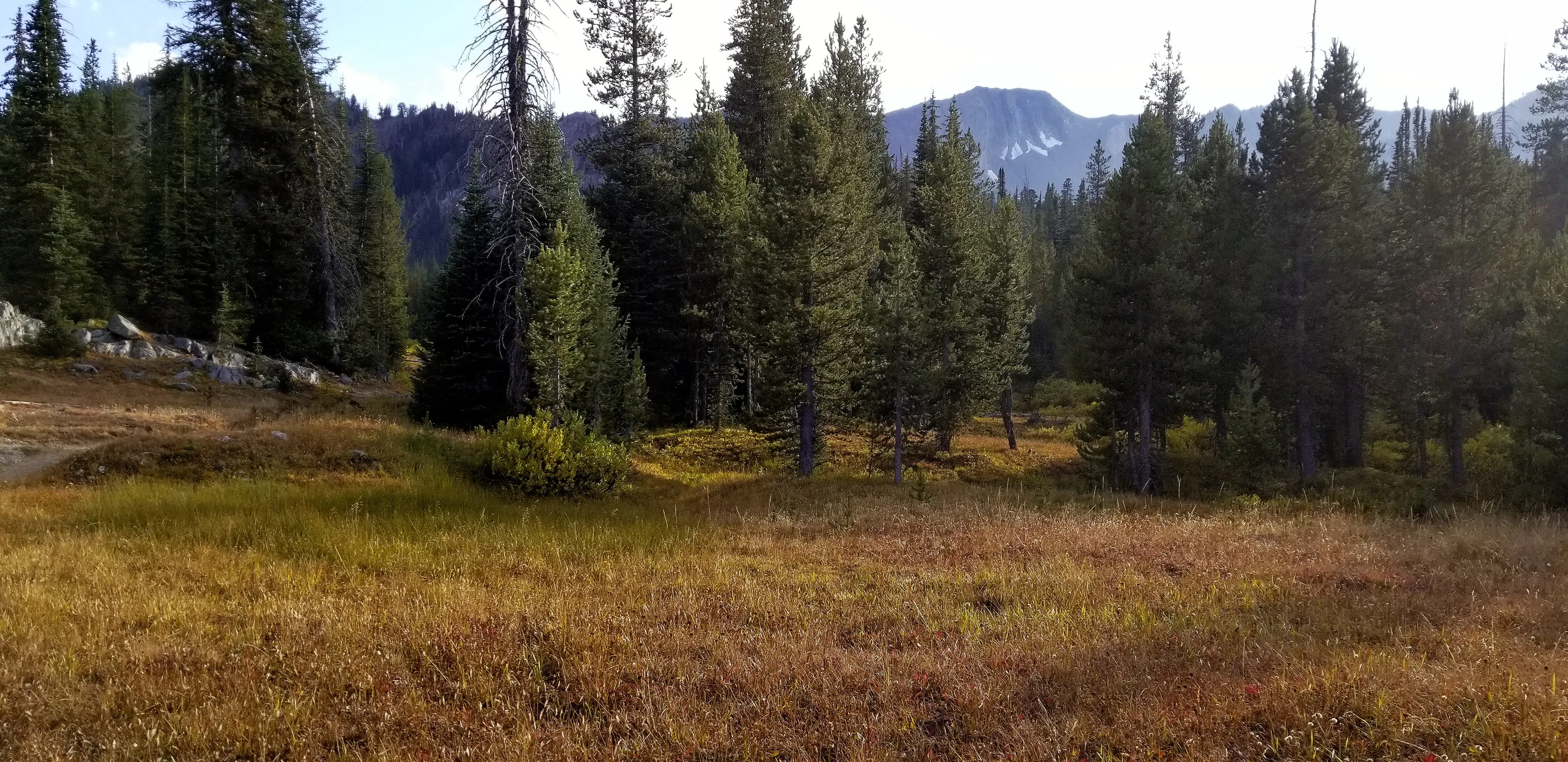
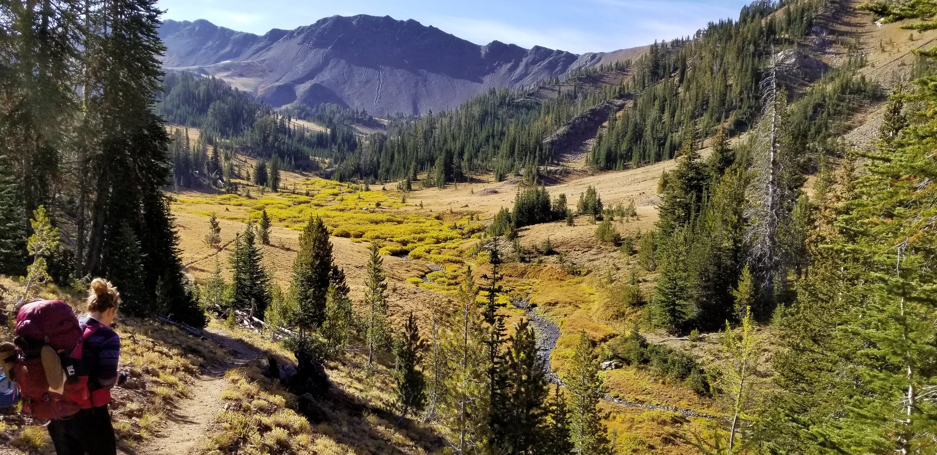
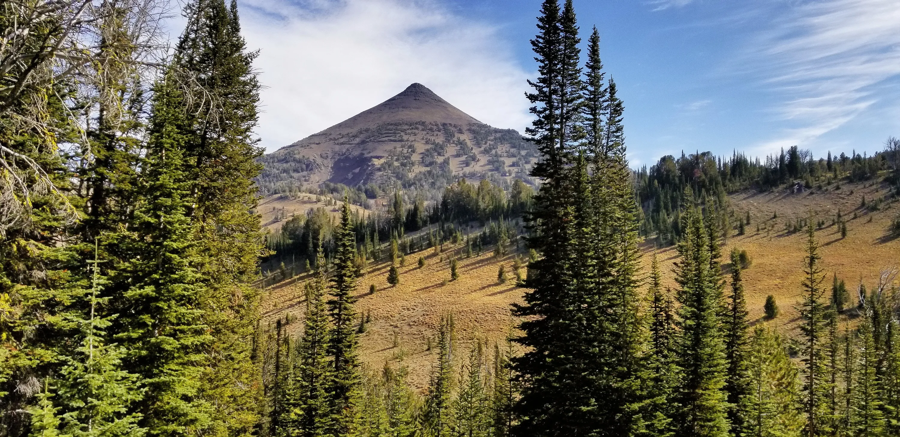
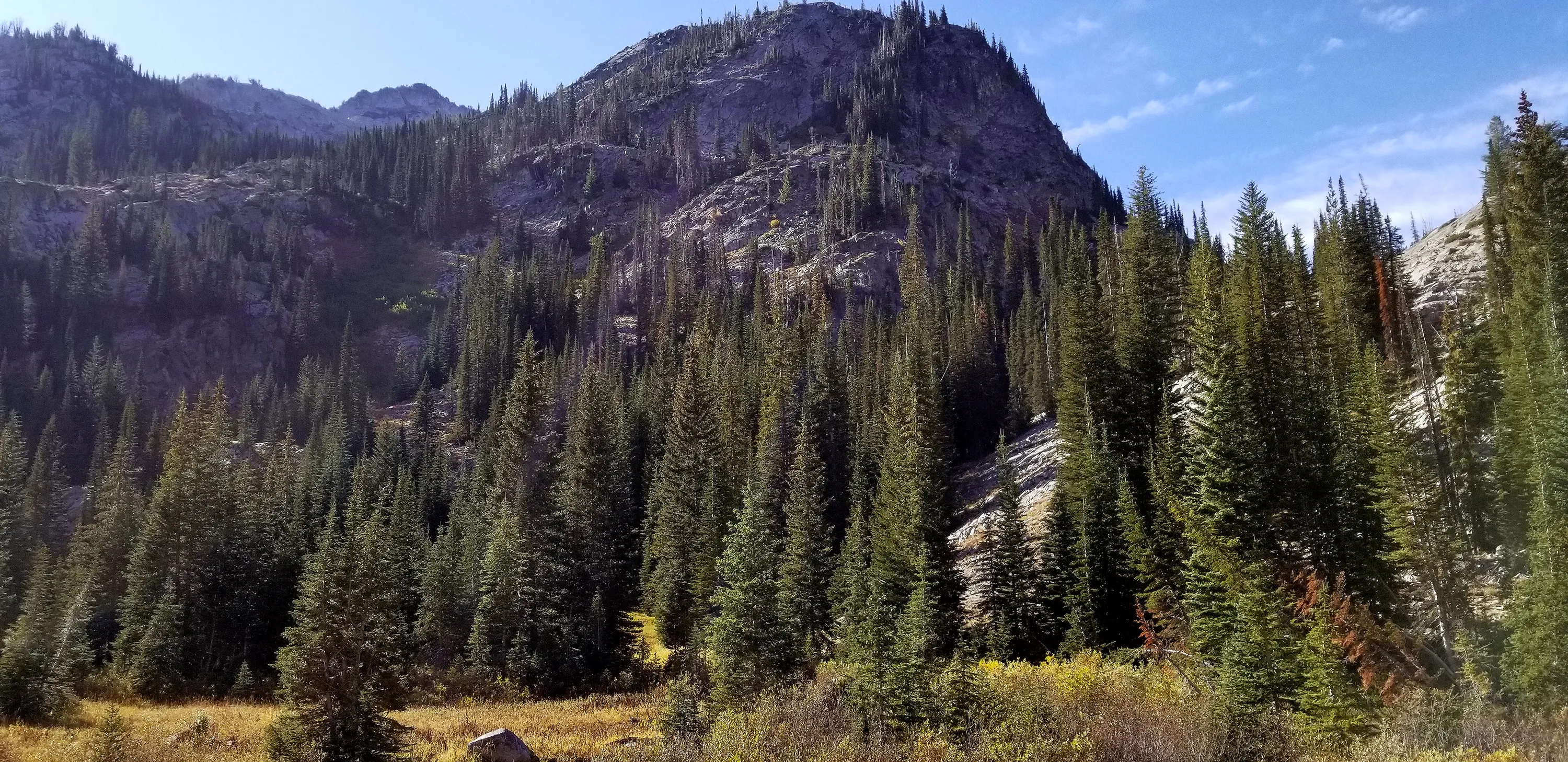
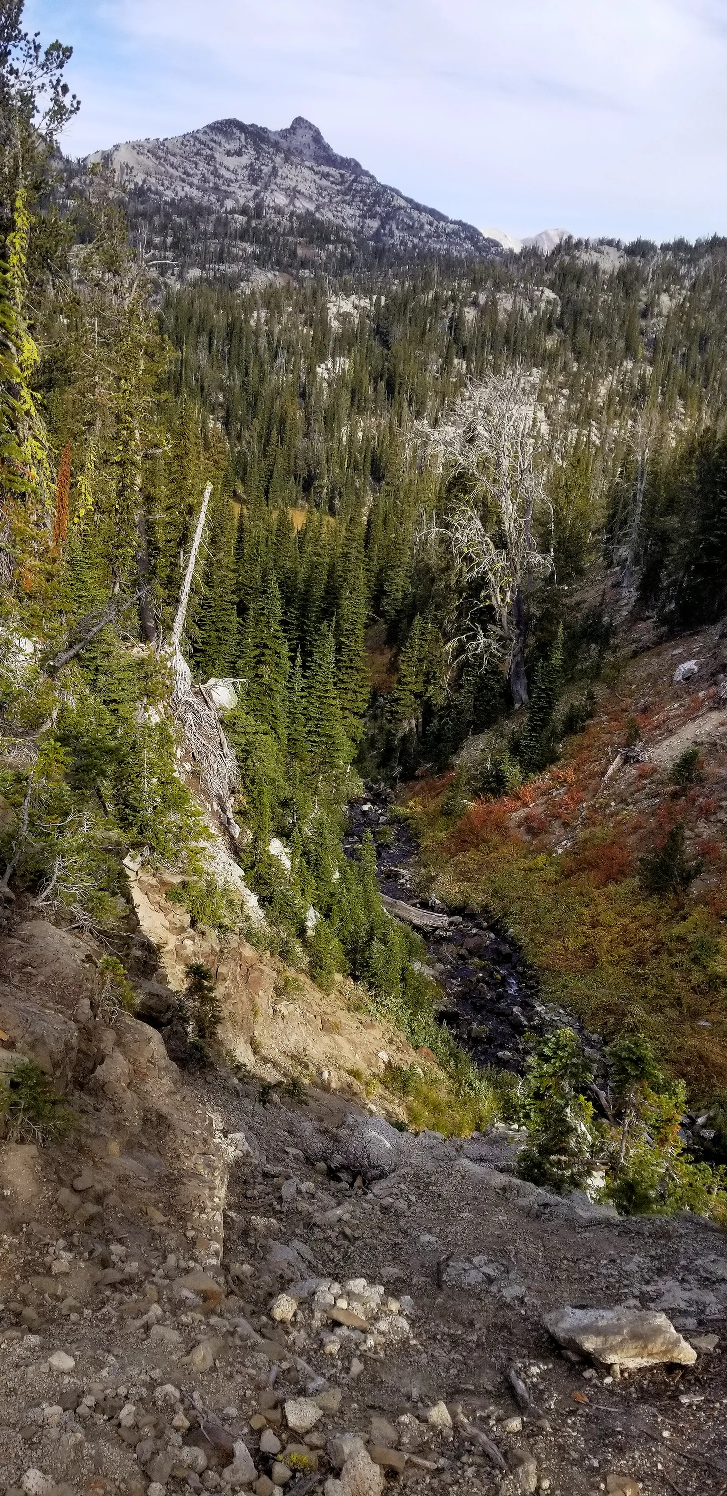
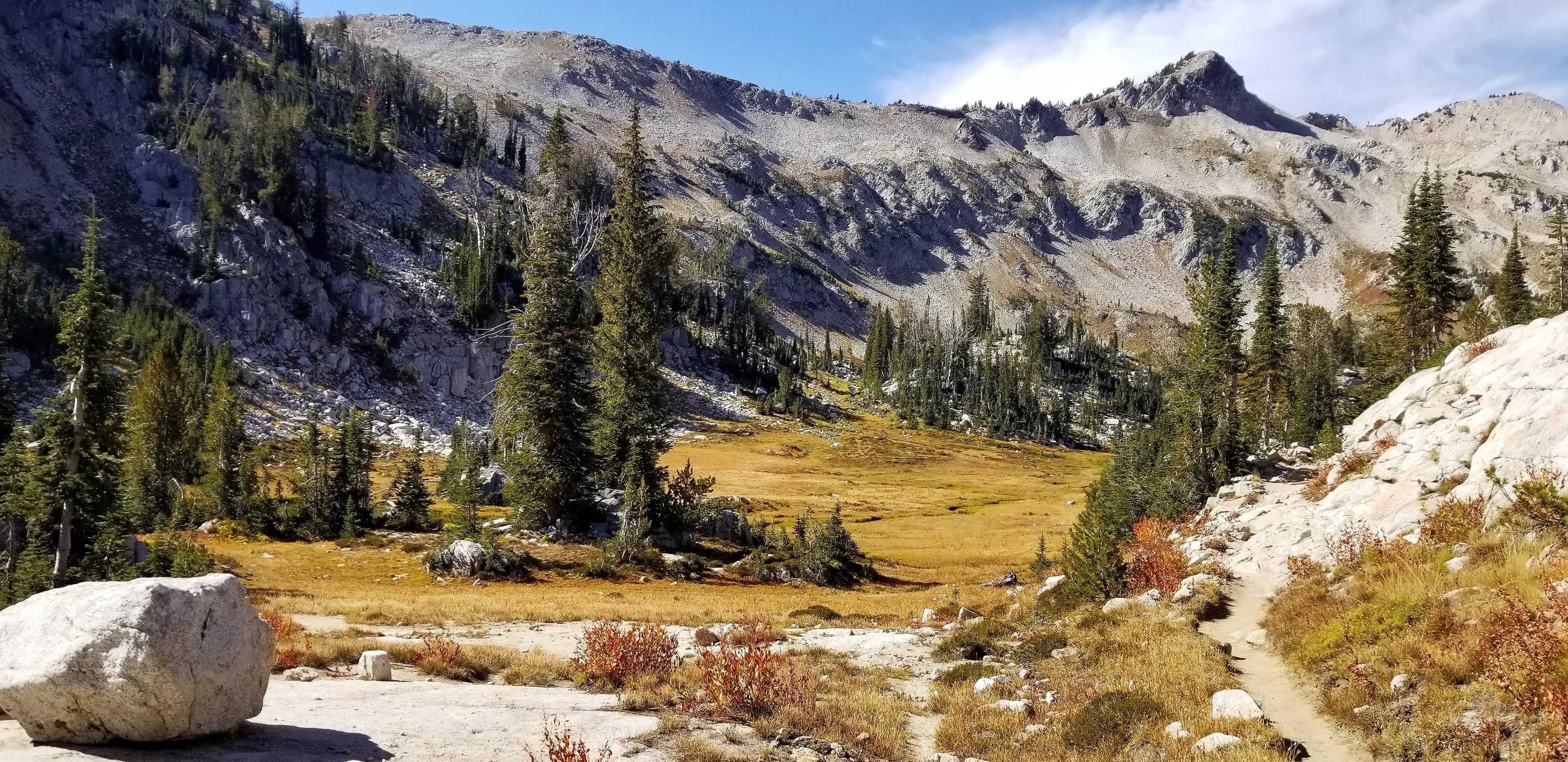
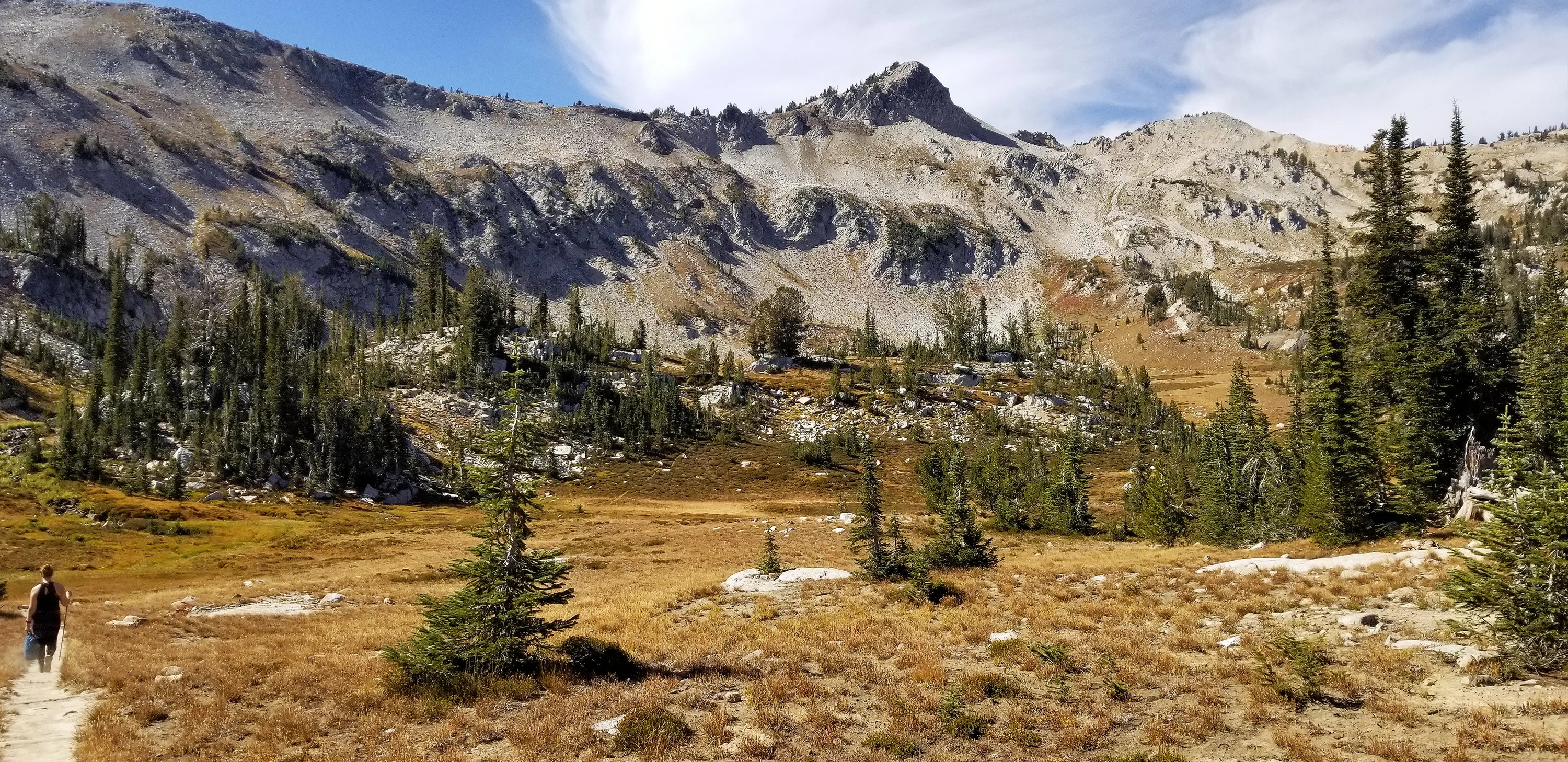
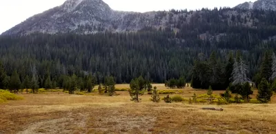 Opening up into our first meadow - unnamed mountain in the distance
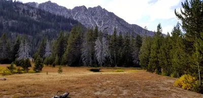 Opening up into our first meadow - unnamed mountain in the distance
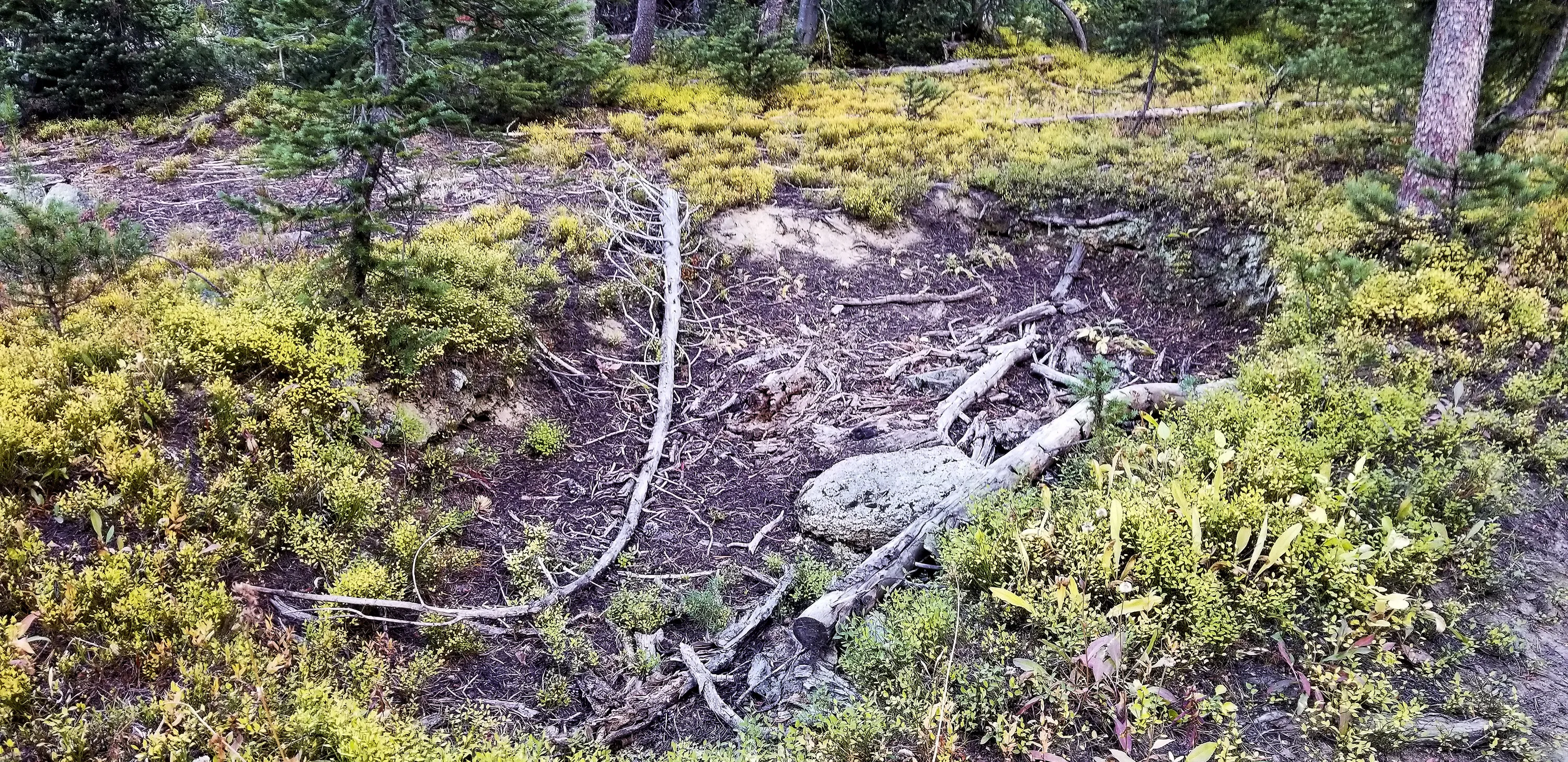
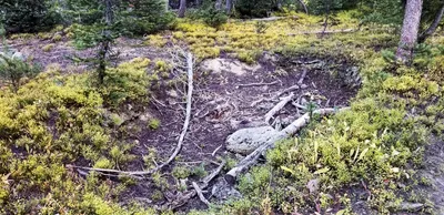 This was an odd looking "bowl" right next to the trail. It looked like someone had dug a small pond, but I'm sure it was completely natural.
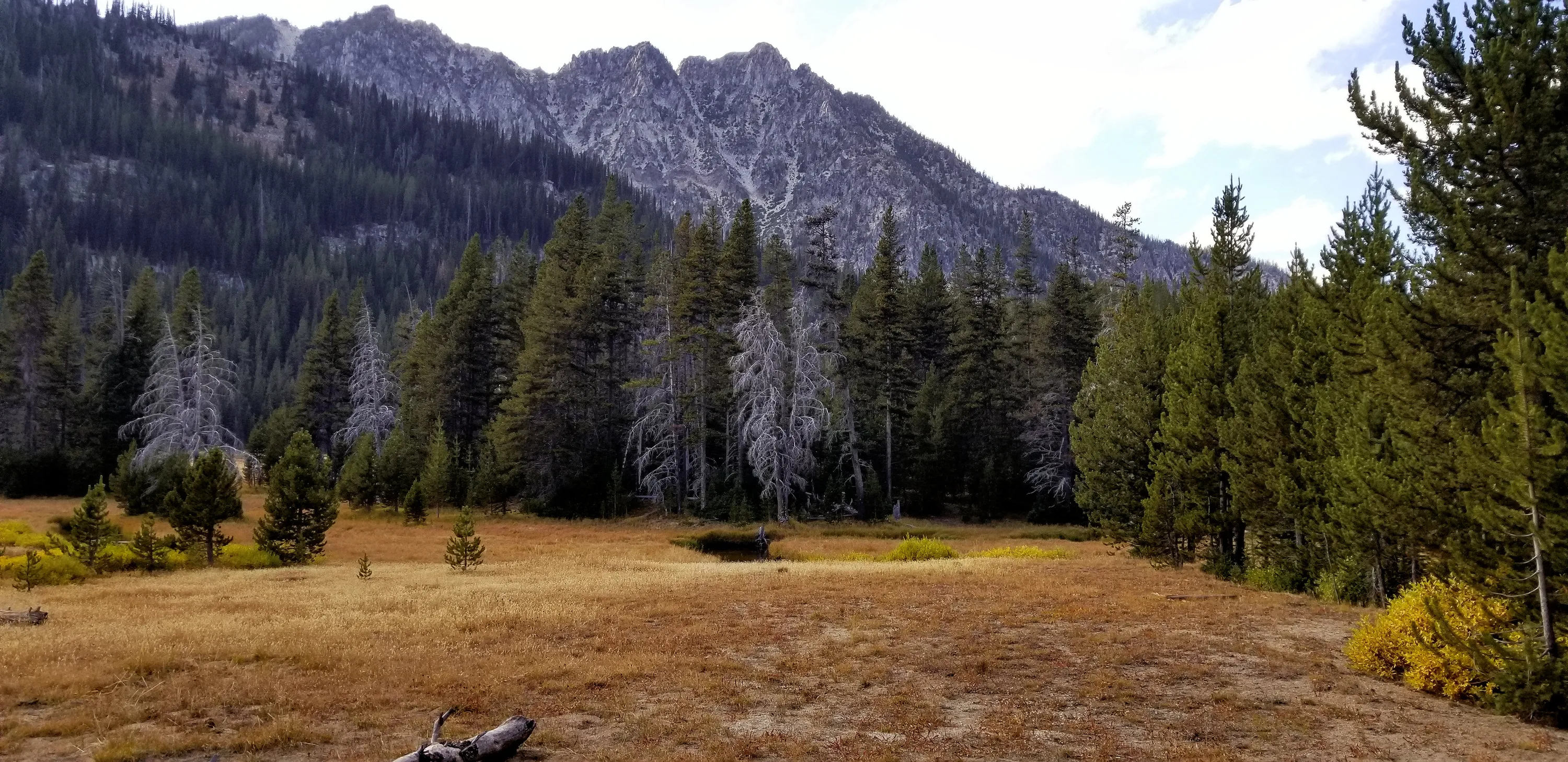
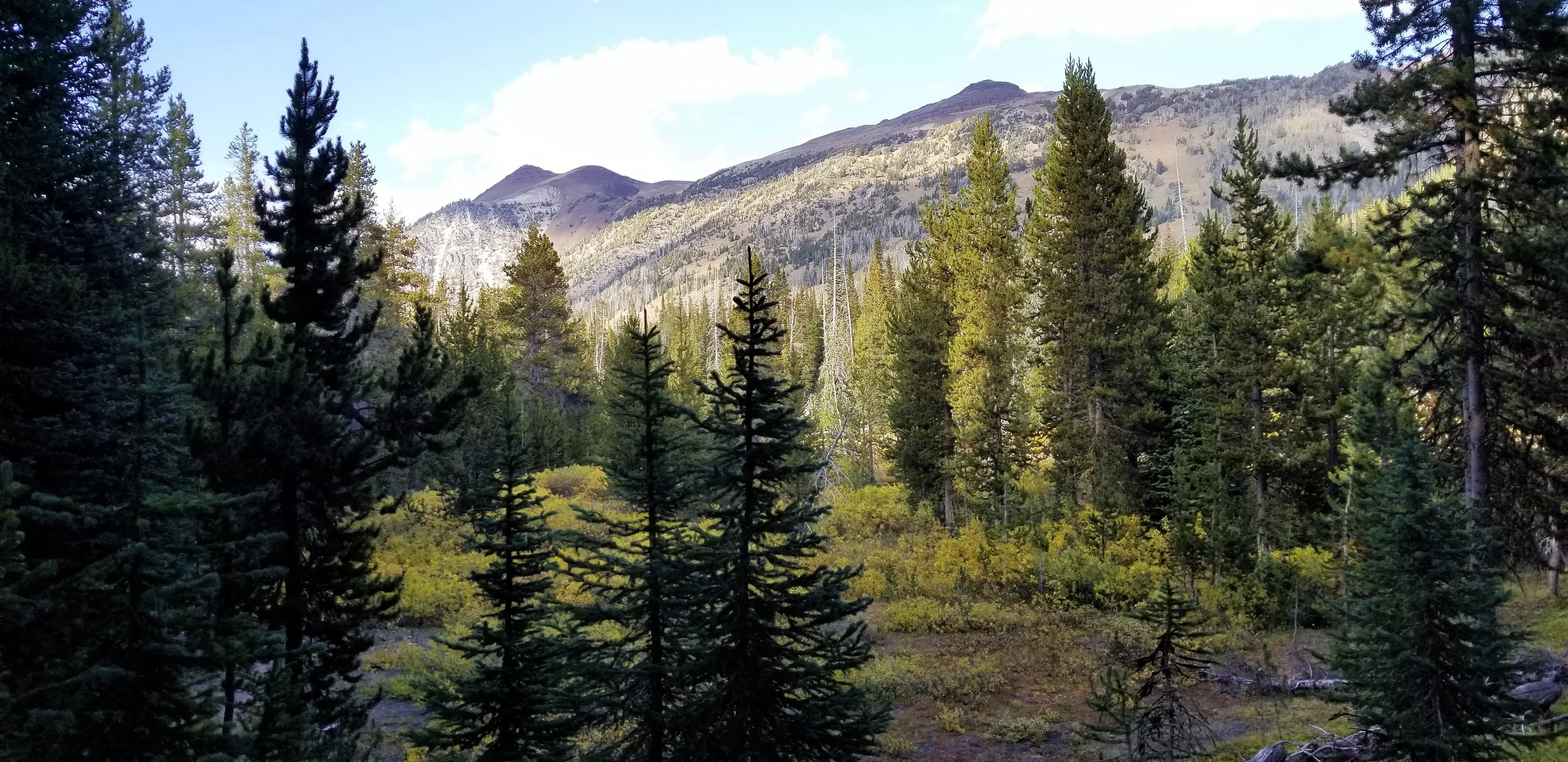
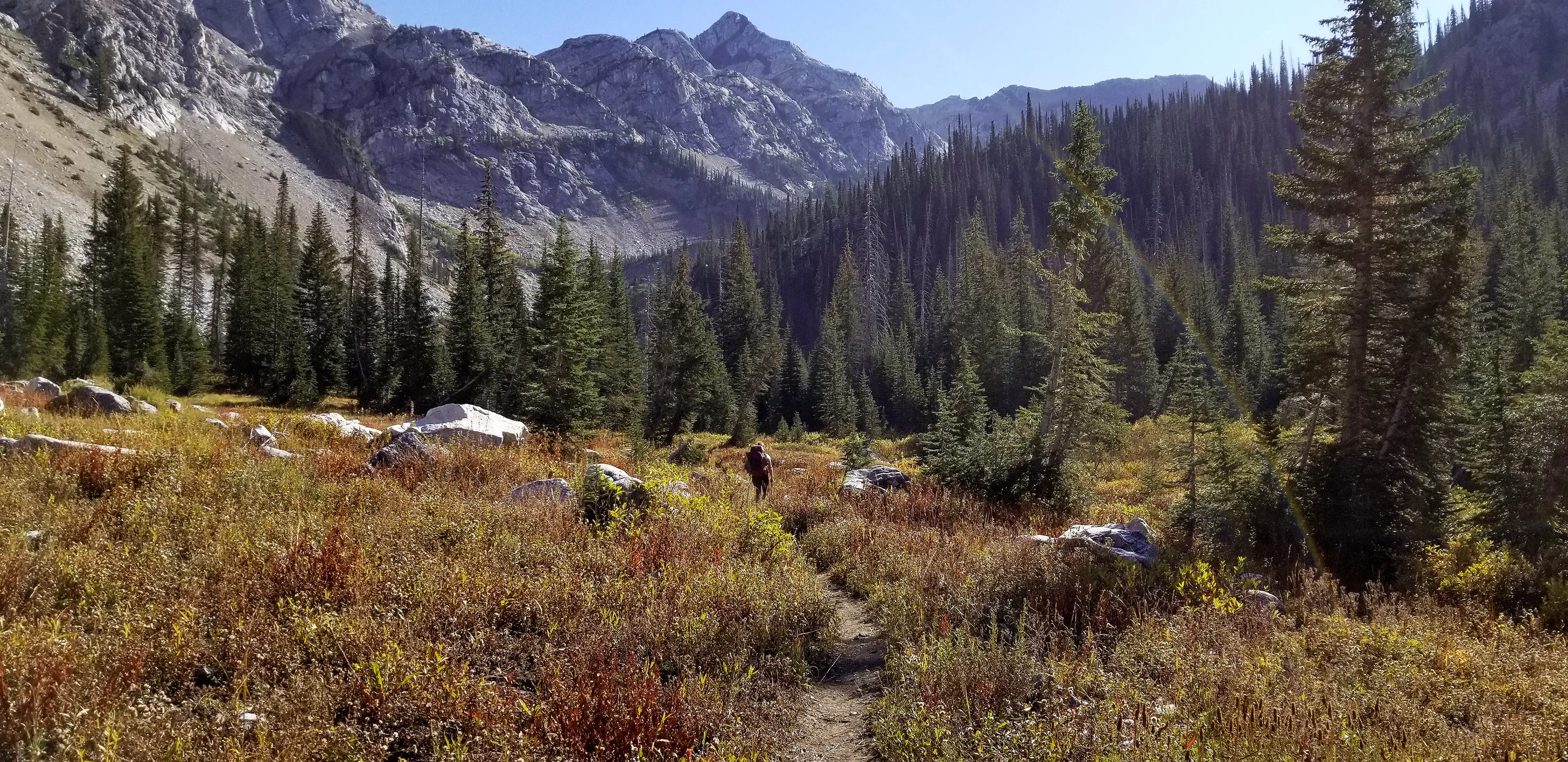
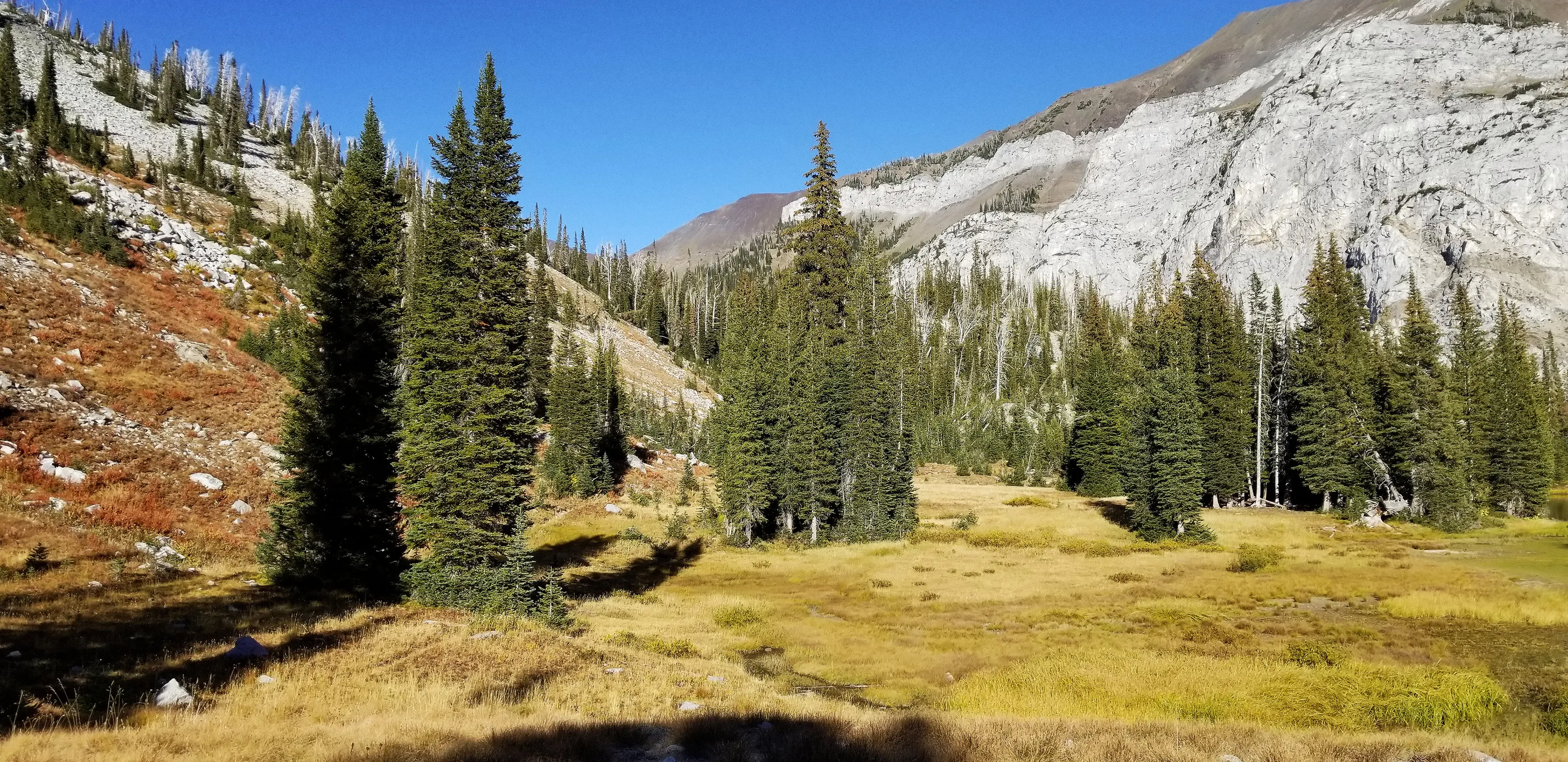
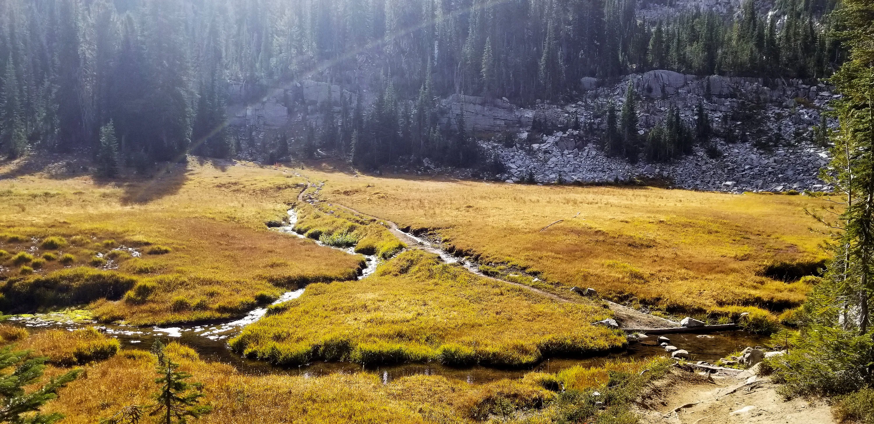
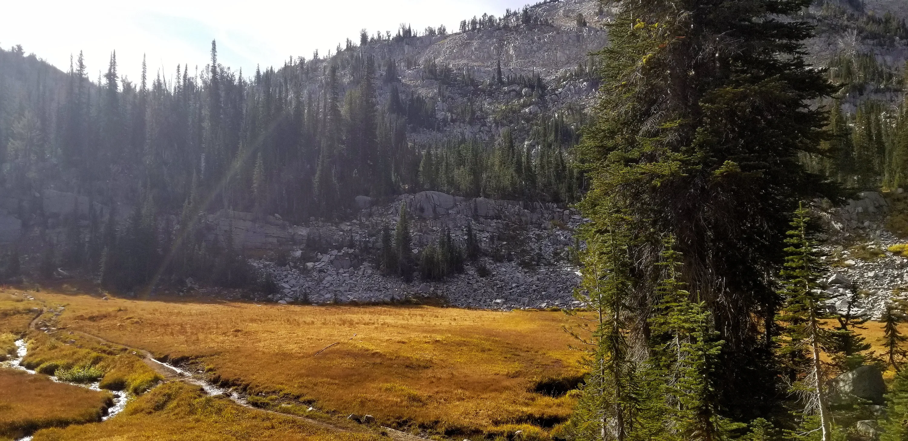
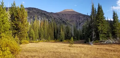 Meadow along East Fork Wallowa river trail
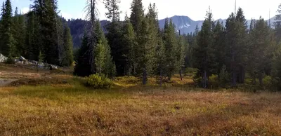 Meadow along East Fork Wallowa river trail
 Bad picture of the half moon at Aneroid Lake
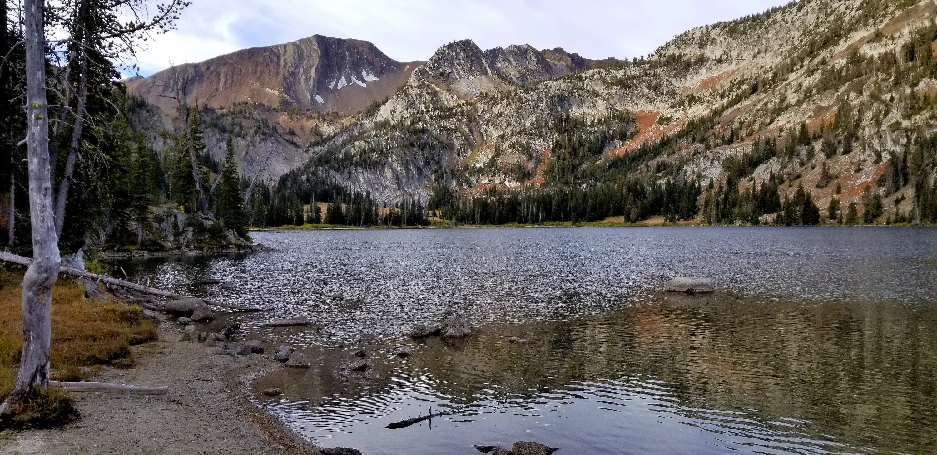
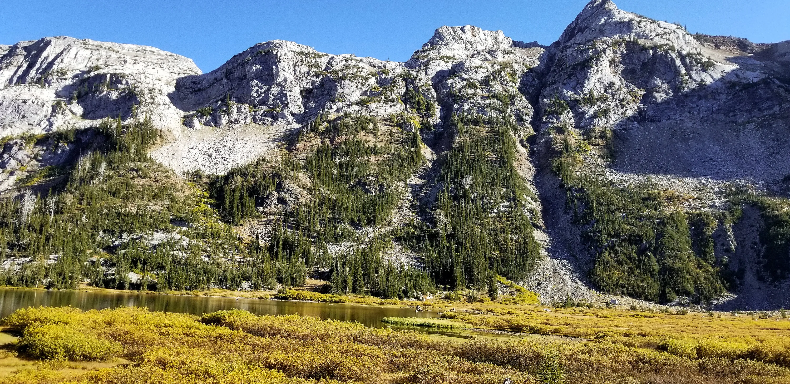
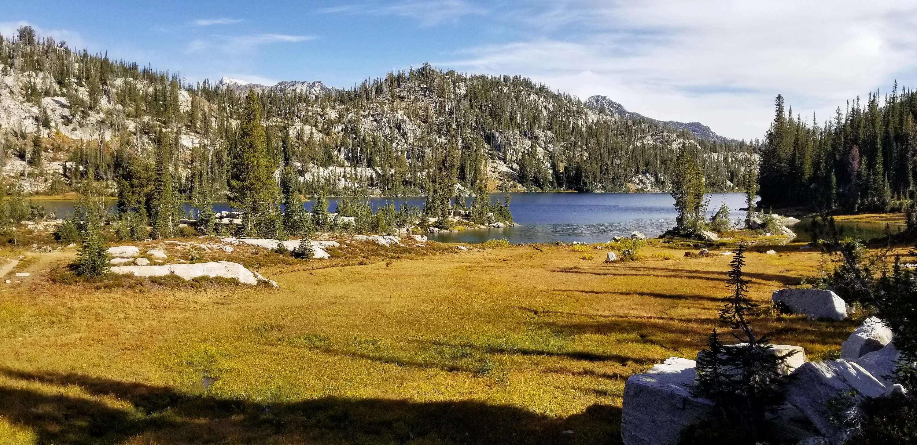
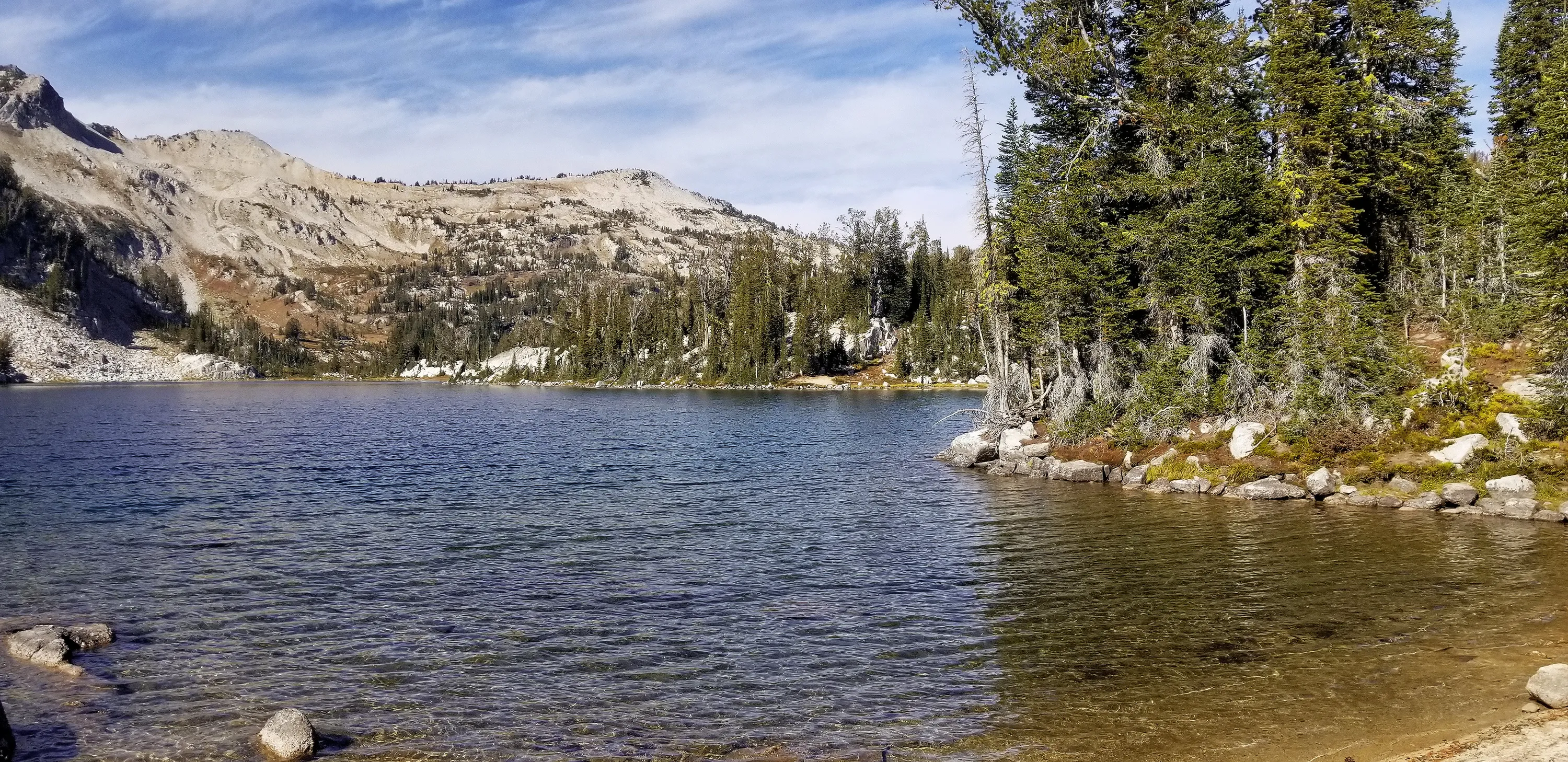
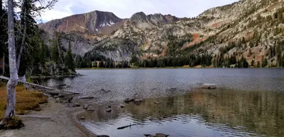 Aneroid Lake from near our campsite
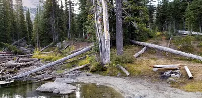 Looking back at our campsite (in the trees) at Aneroid Lake
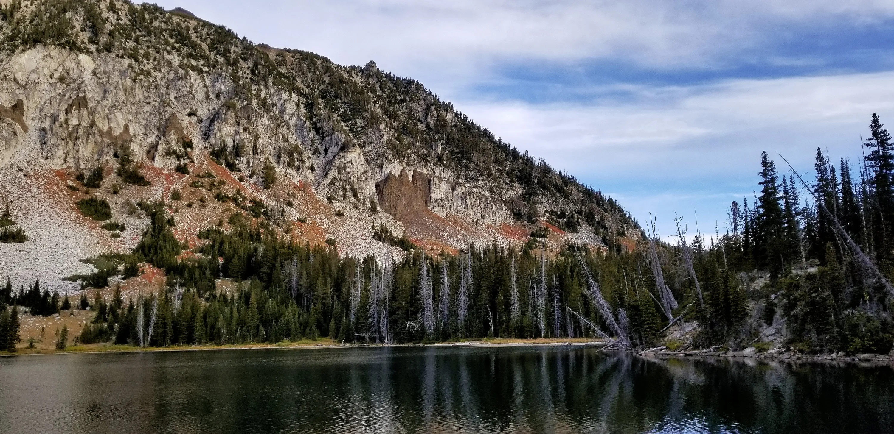
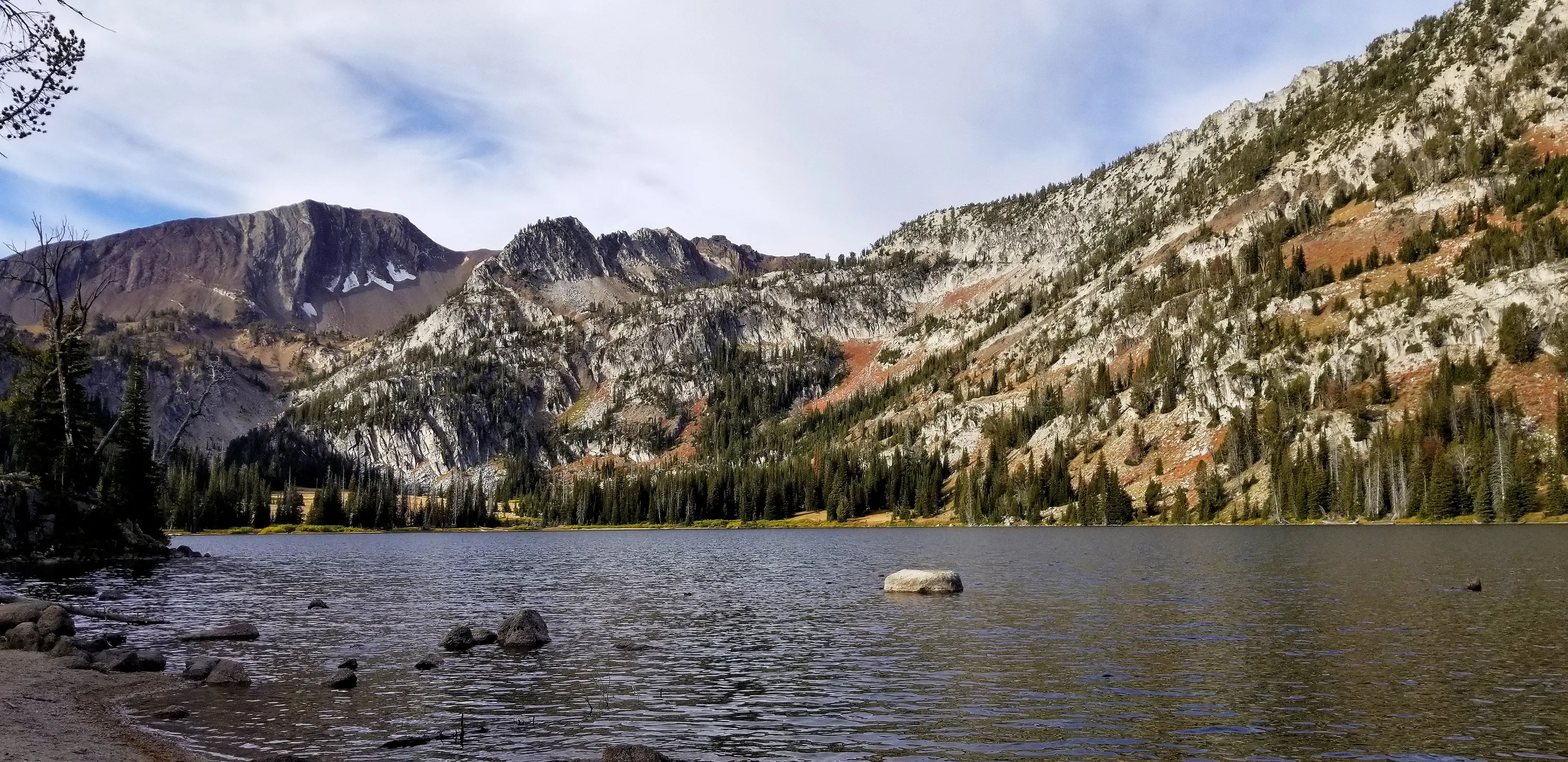
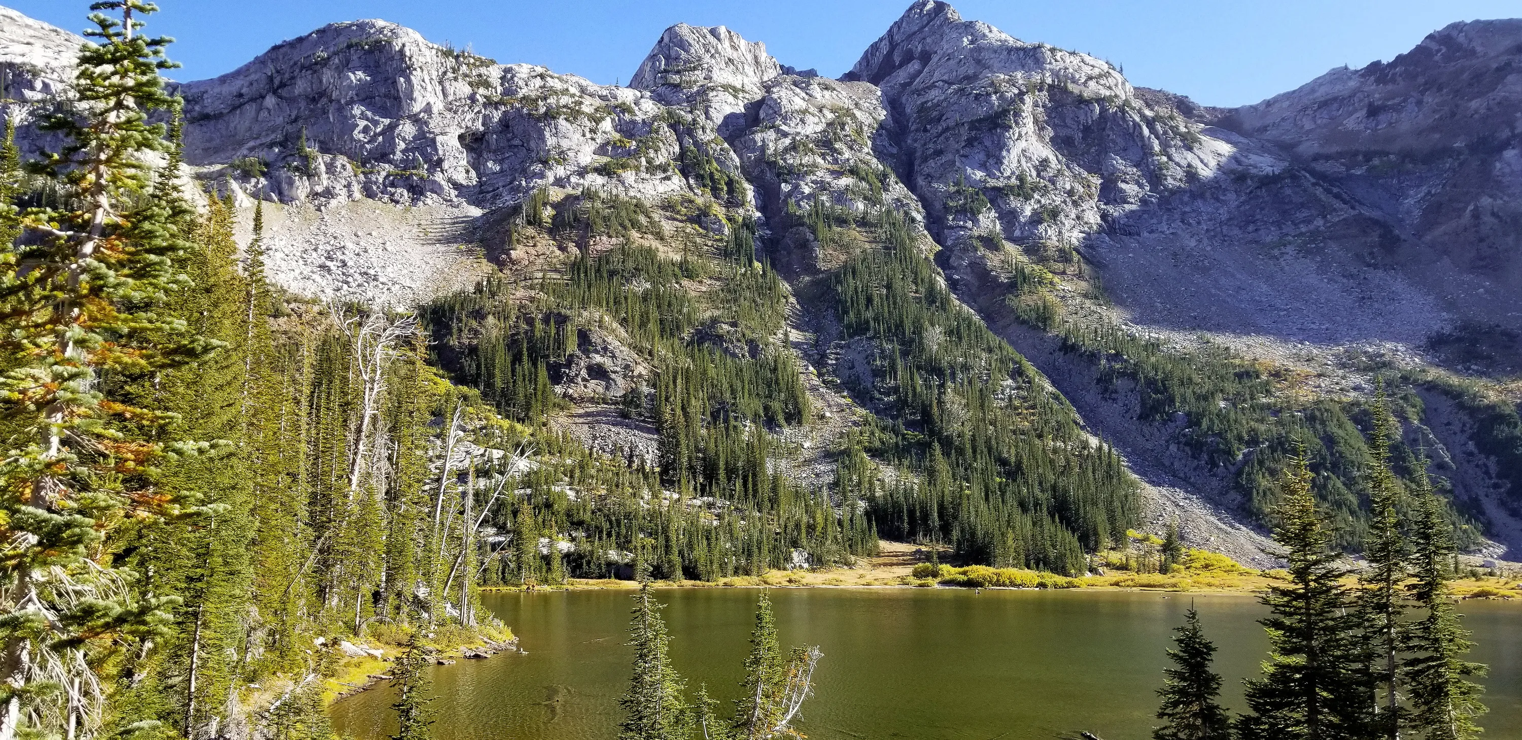
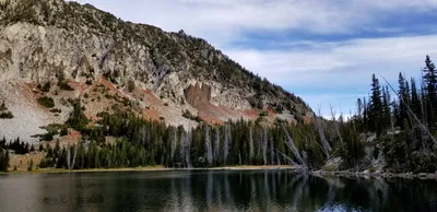 Aneroid Lake
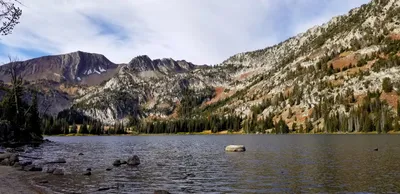 Aneroid Lake
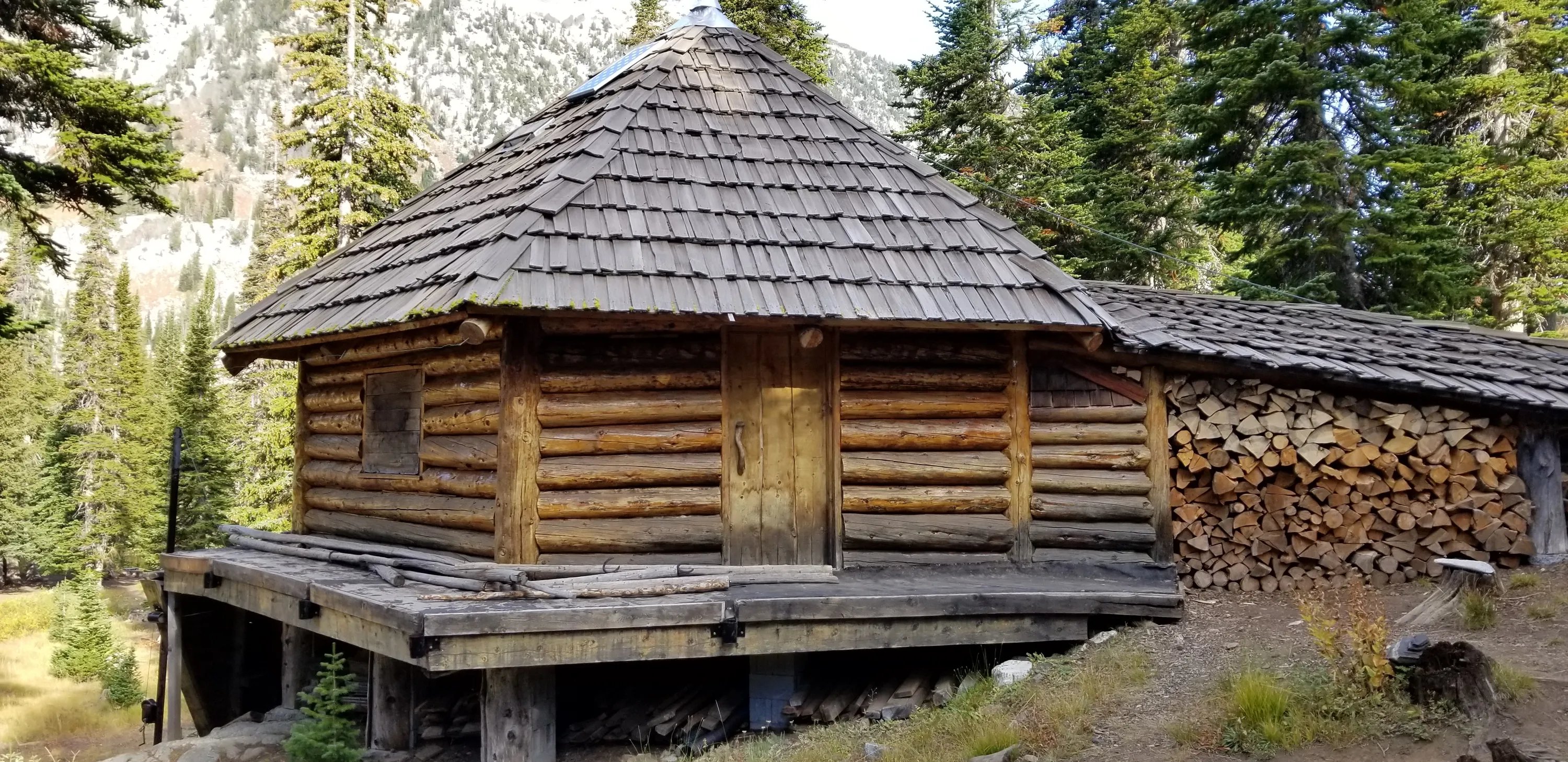
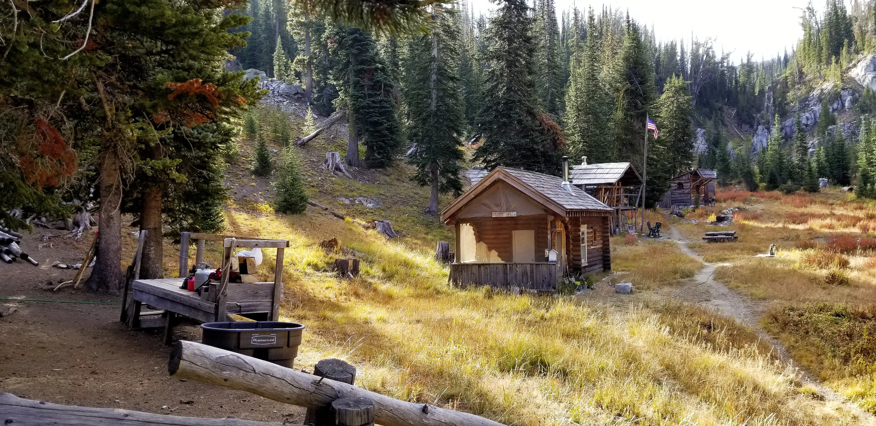
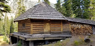 One of the cabins at Camp Halton on Aneroid Lake
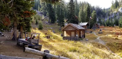 More cabins at Camp Halton on Aneroid Lake
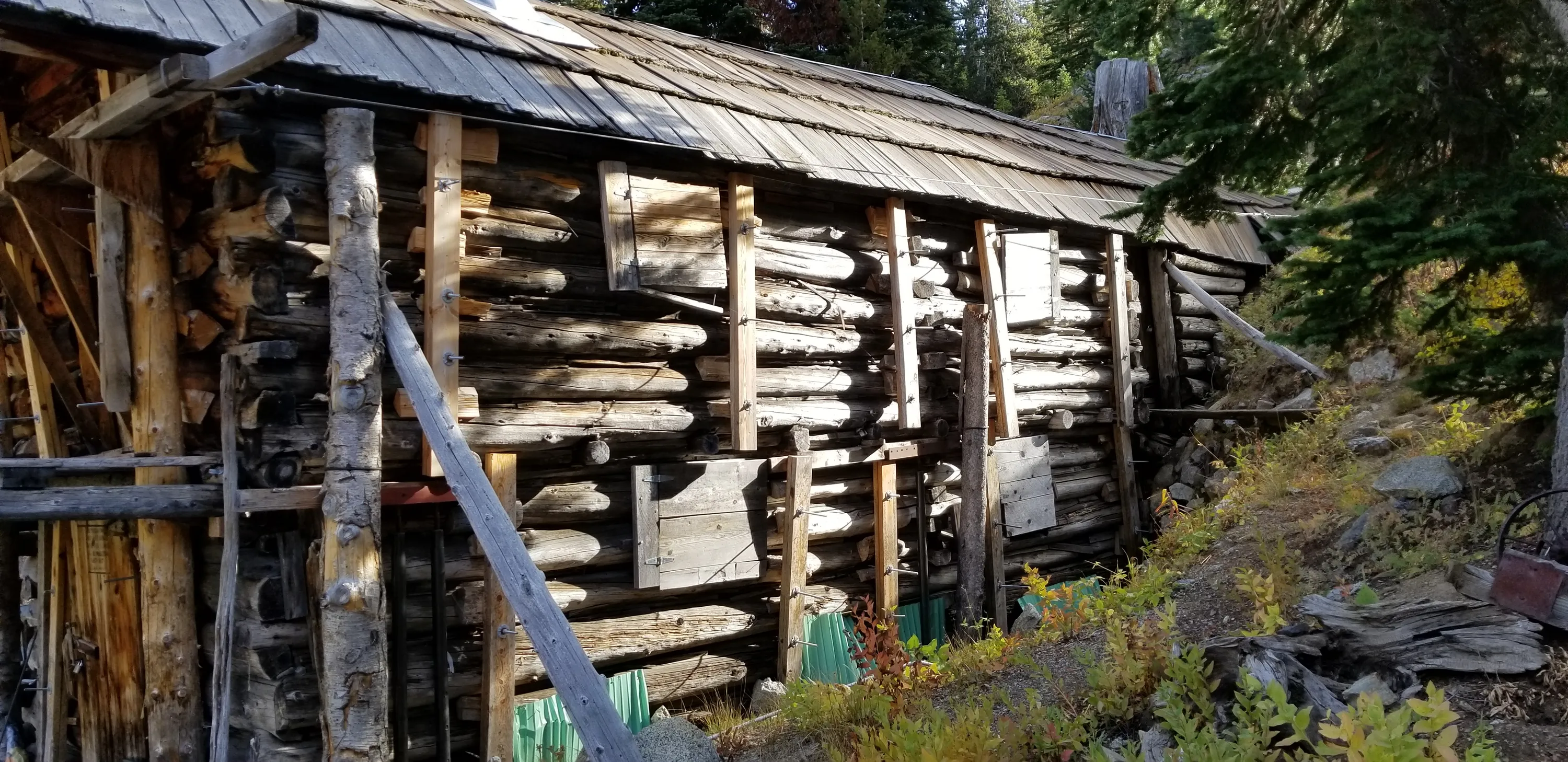
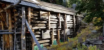 One of the cabins at Camp Halton on Aneroid Lake - this almost looks like it could have been a mine entrance.
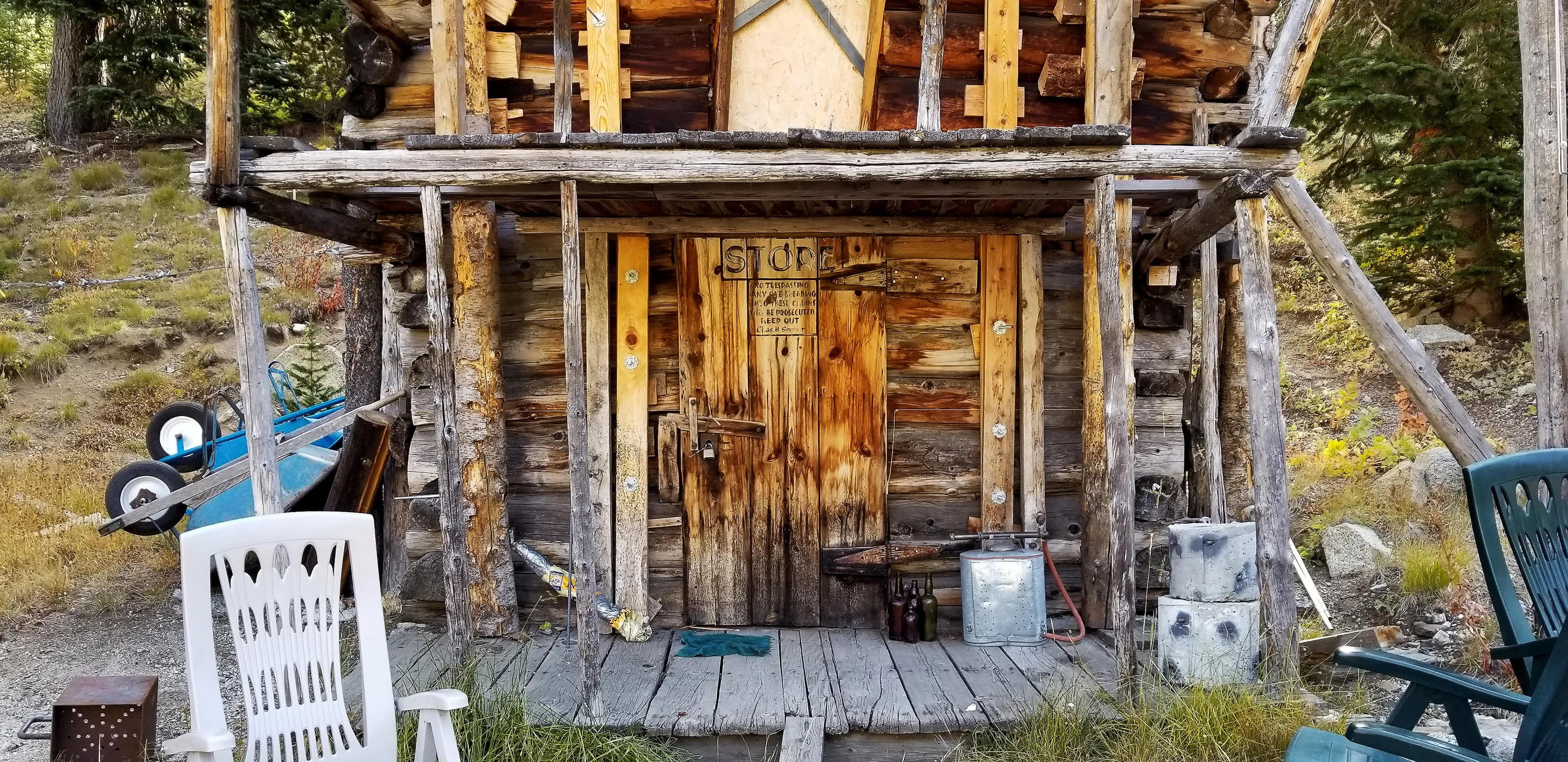
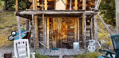 The "Store" at Camp Halton - Aneroid Lake
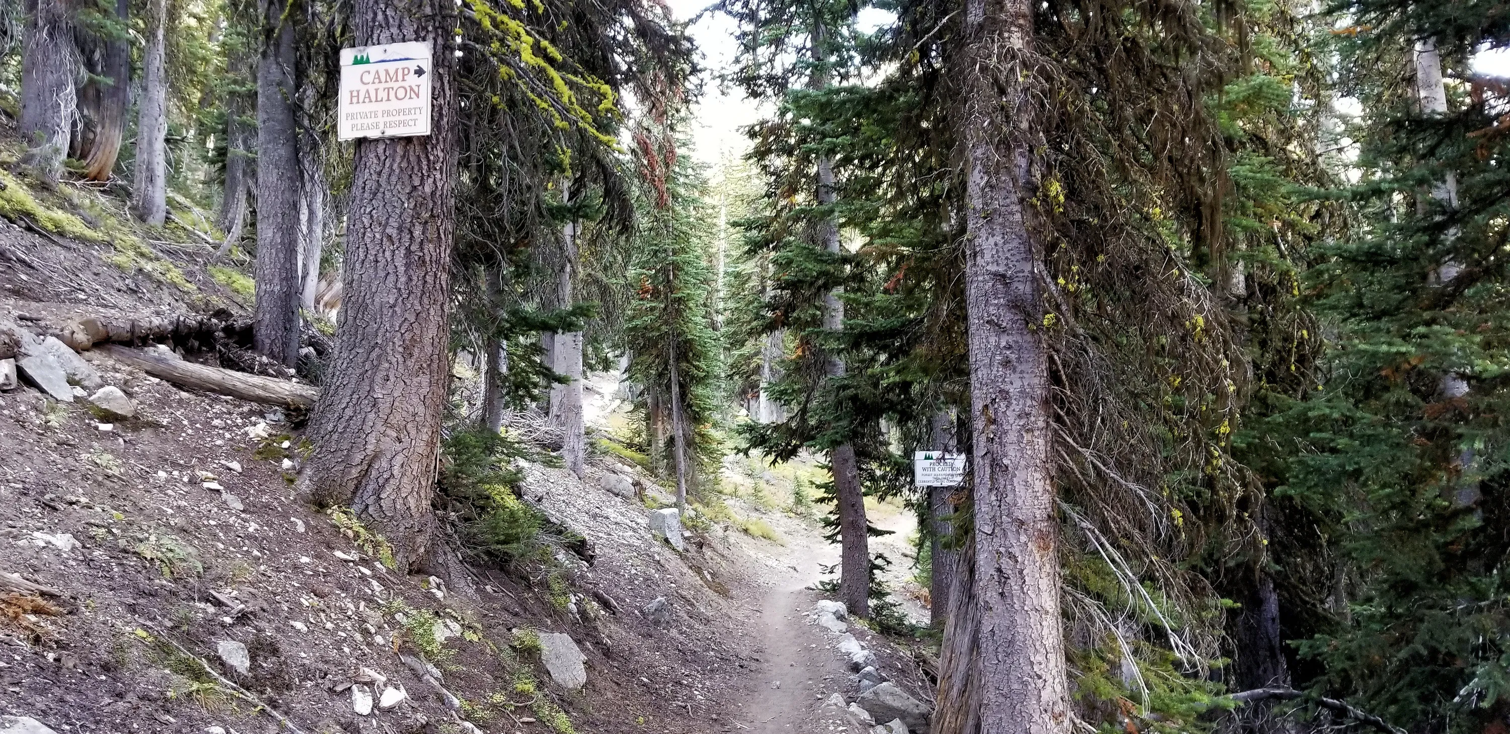
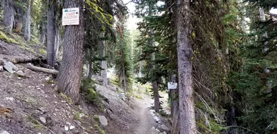 Sign for Camp Halton
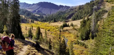 Starting the climb up to Tenderfoot pass
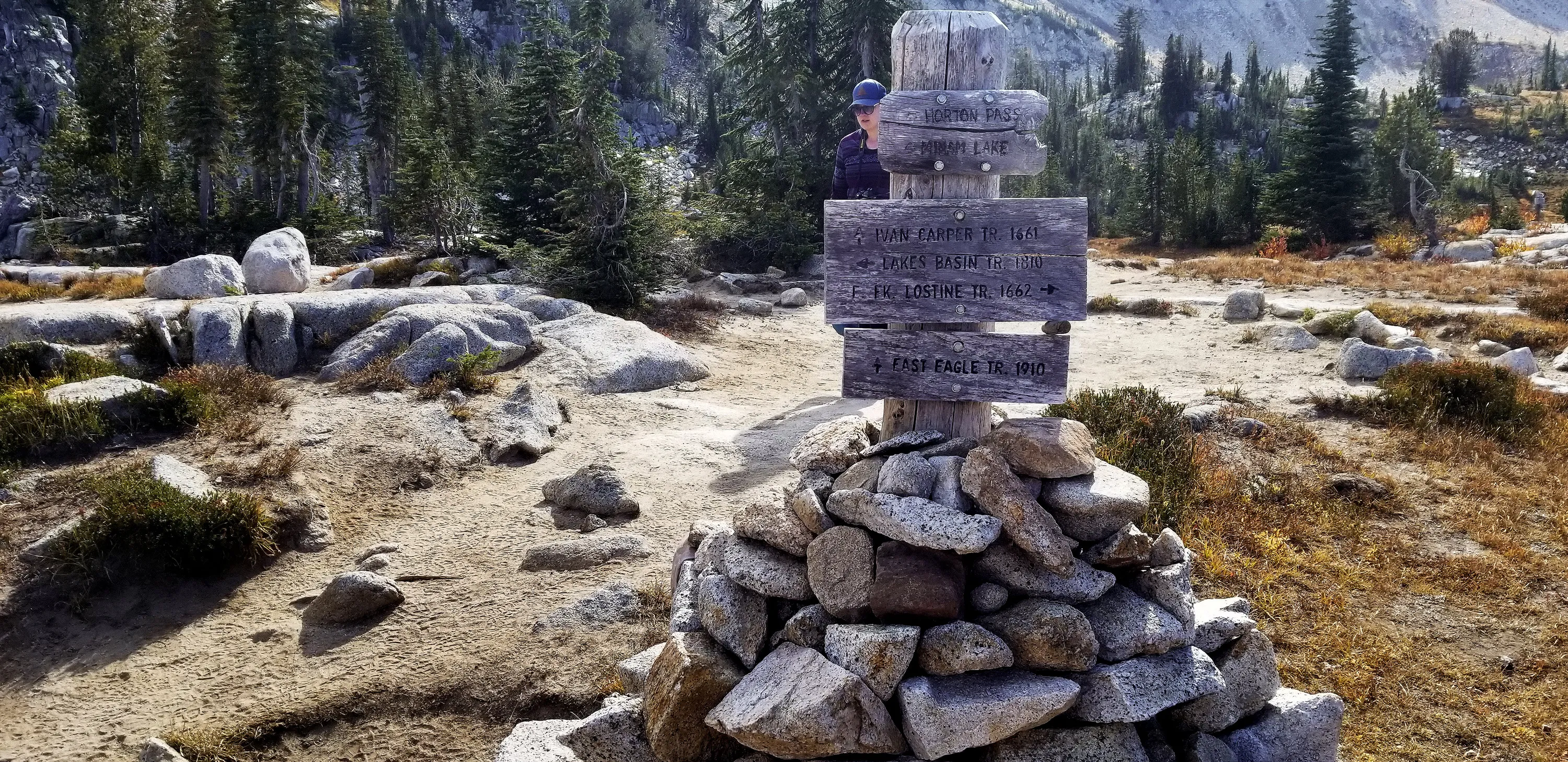
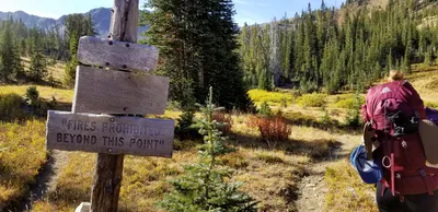 One of many trail junctions
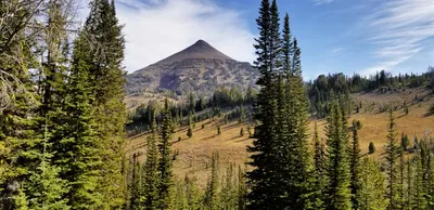 Aneroid Mountain
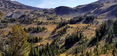 The hills around while we were climbing to Tenderfoot pass
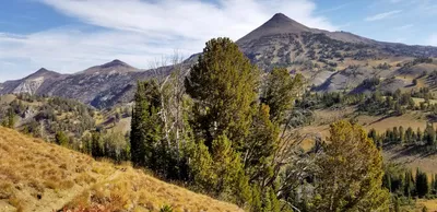 Aneroid Mountain and maybe East Peak and Mt Howard?
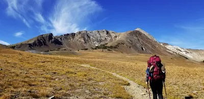 Getting close to tenderfoot pass
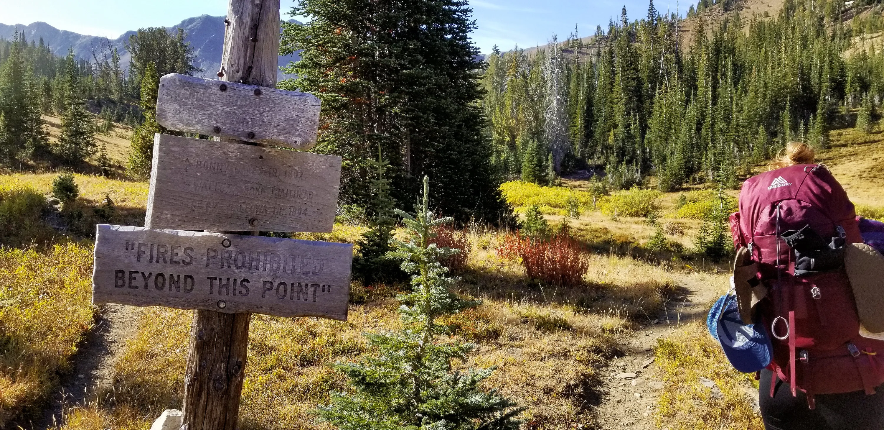
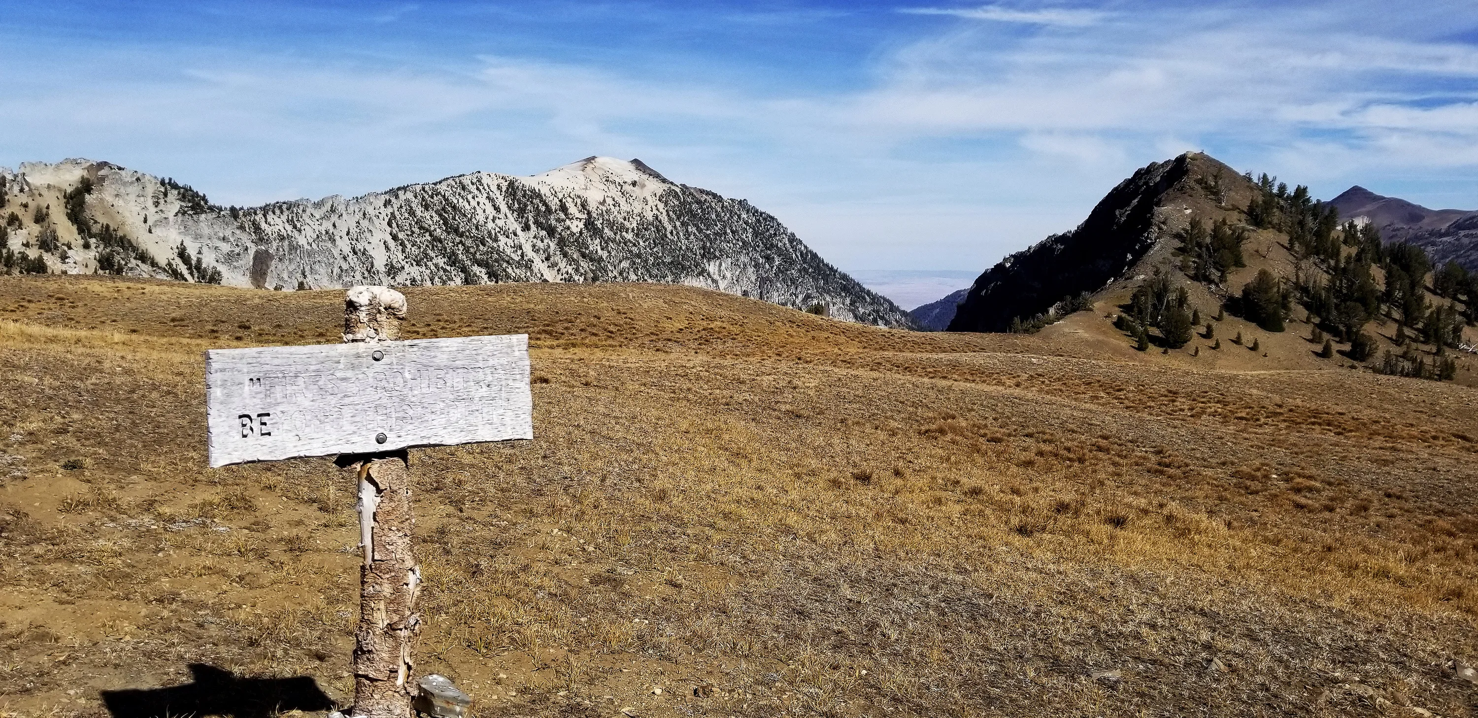
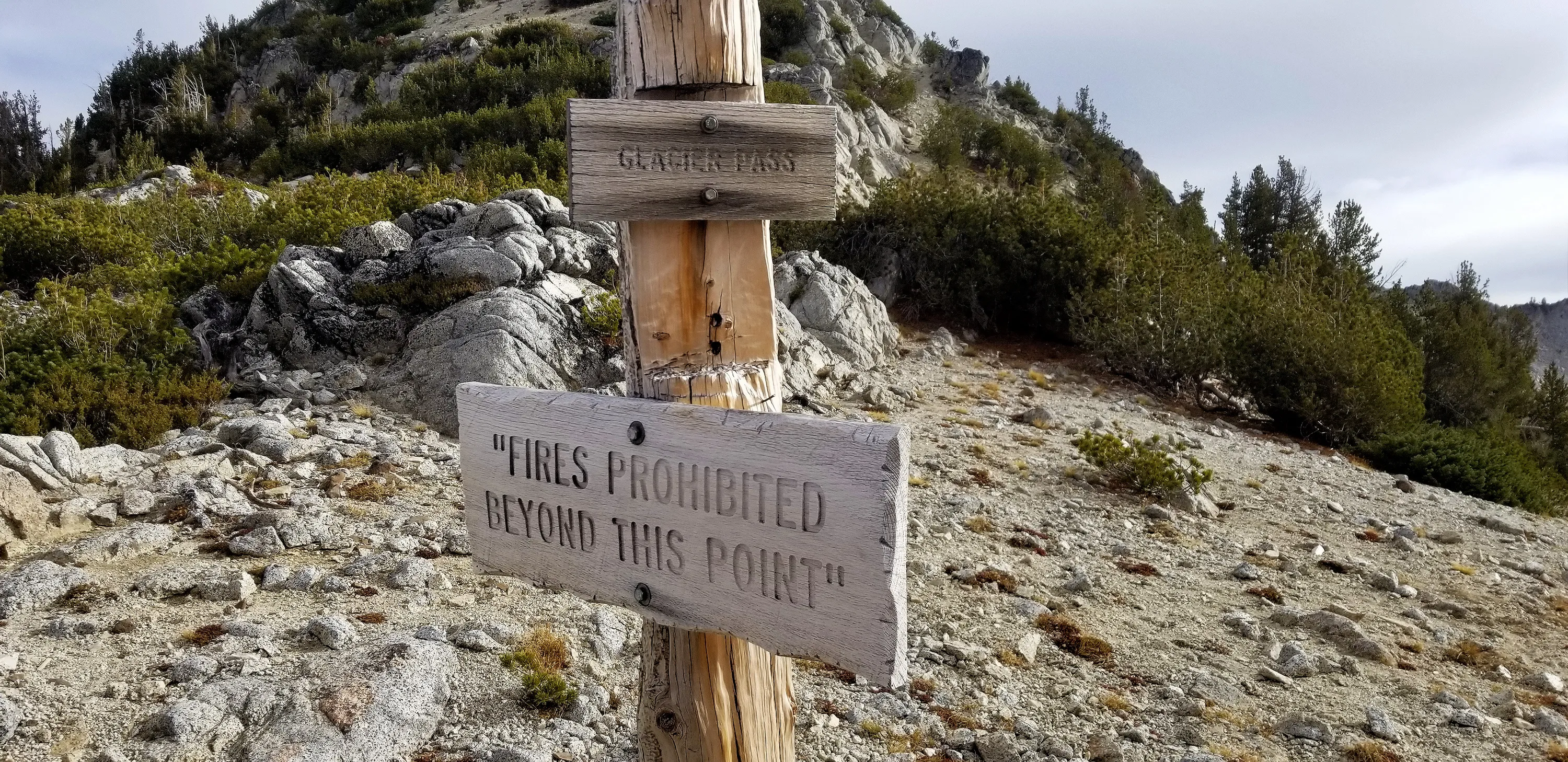
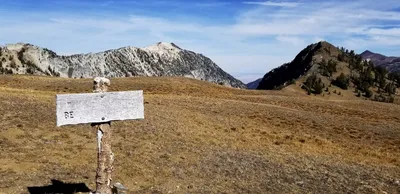 One of many "No Fires Beyond This Point" signs - we wondered why it was in quotes - it is weird since it is a statement, not a quote
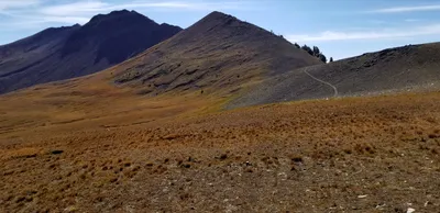 The last push up to Tenderfoot pass
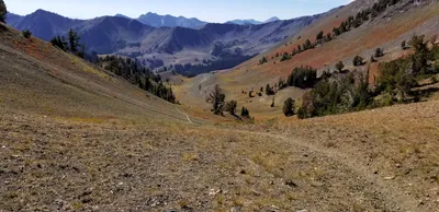 Heading over Tenderfoot pass - heading to Polaris Pass
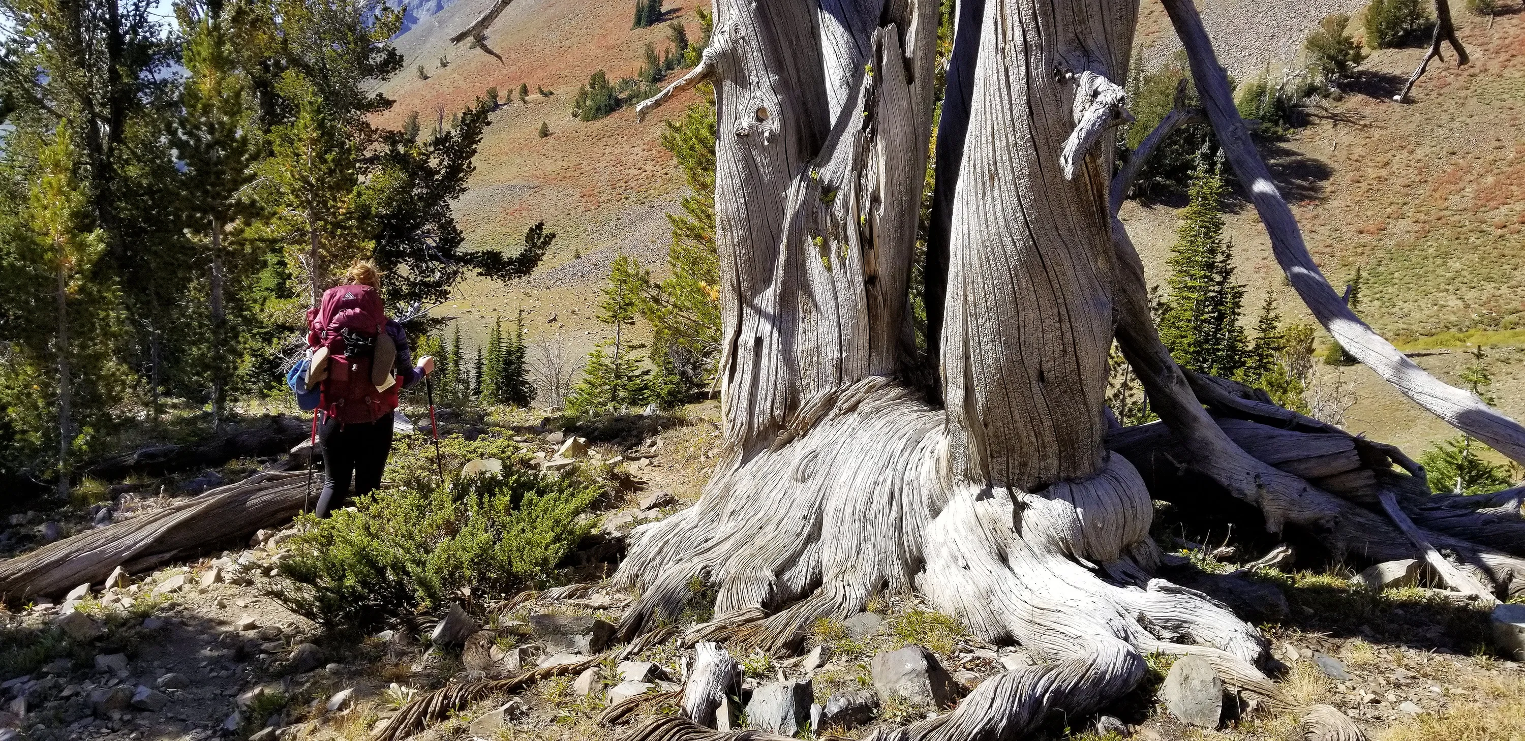
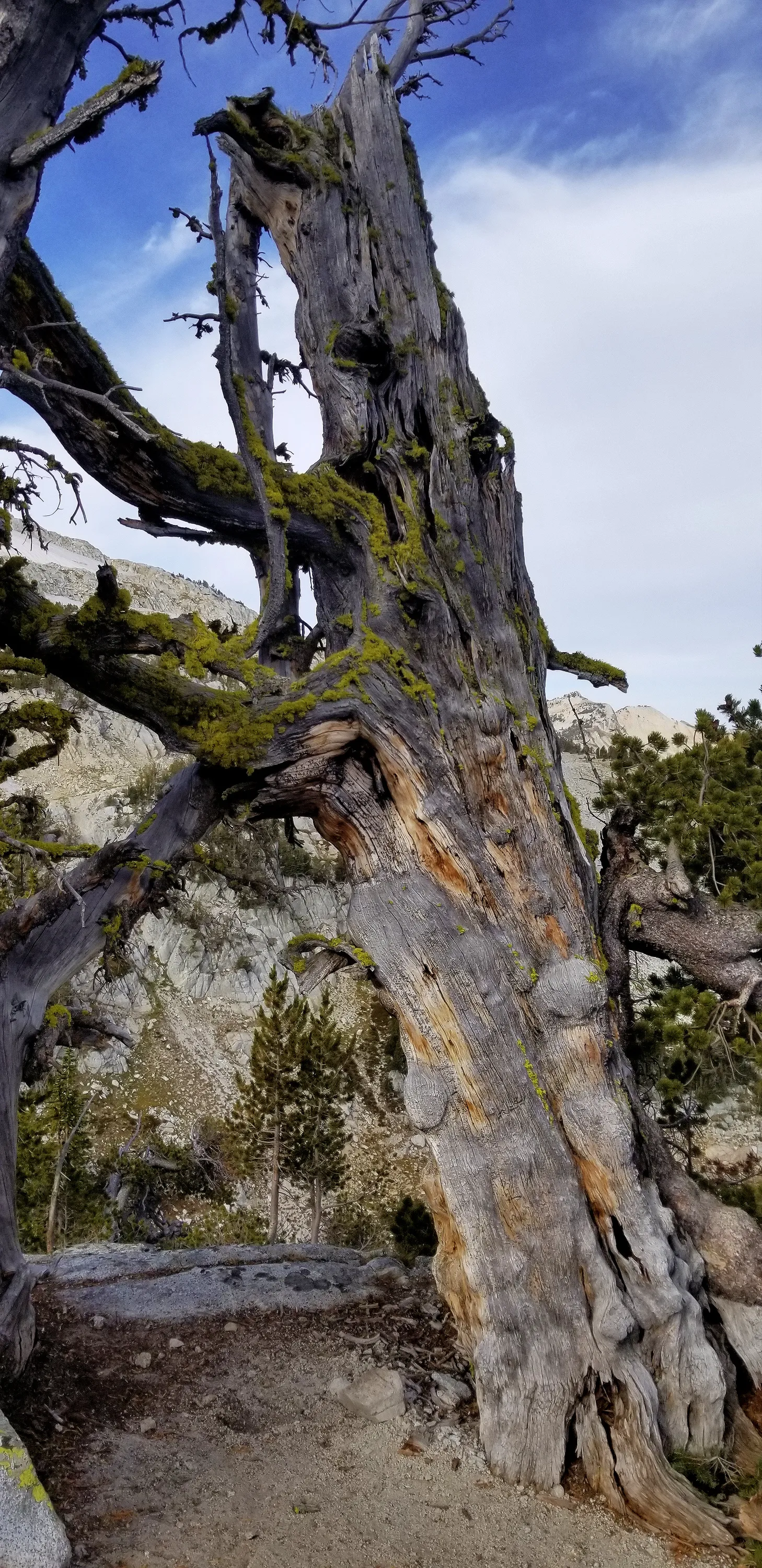
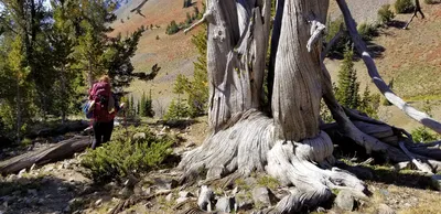 This tree has to be ancient - it is amazing it is still standing - all gnarled
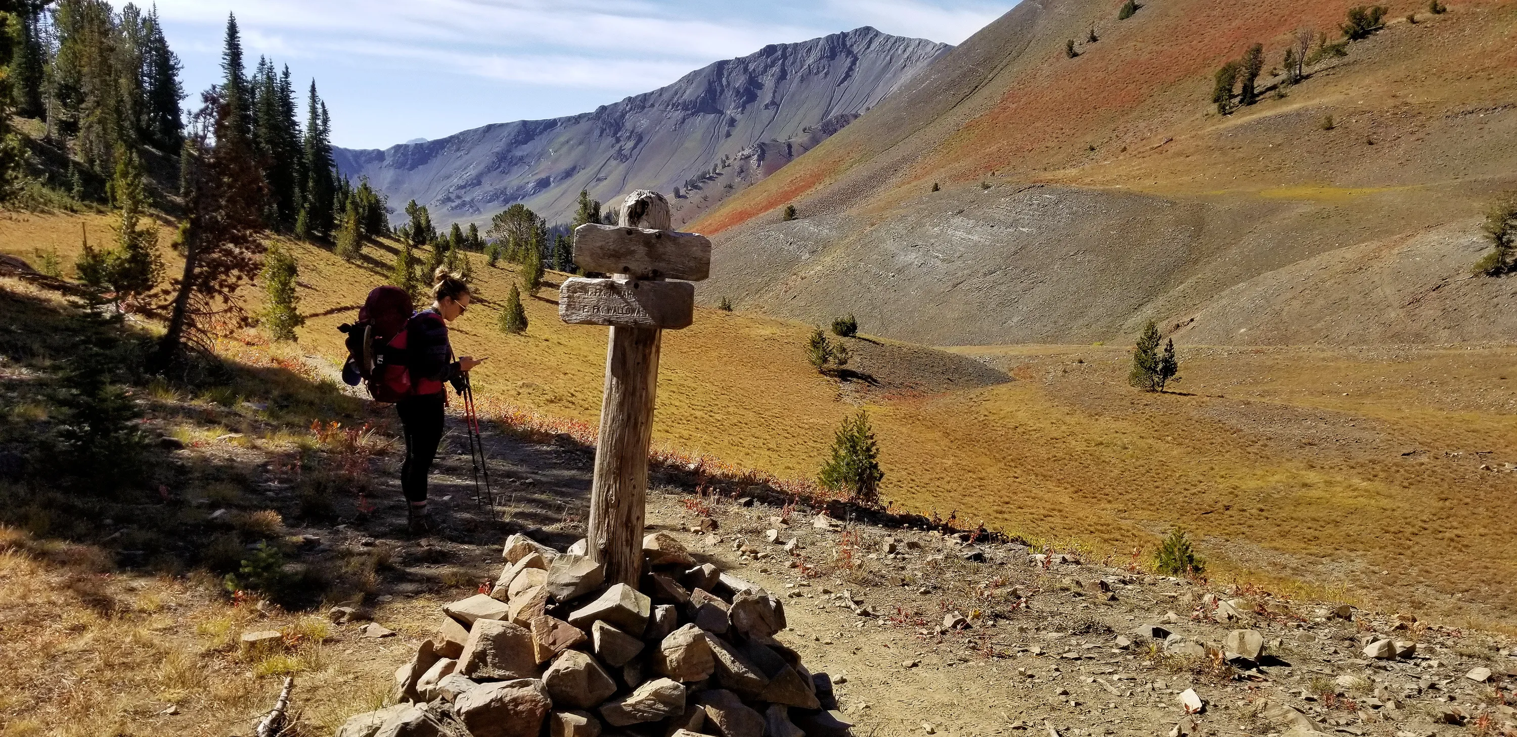
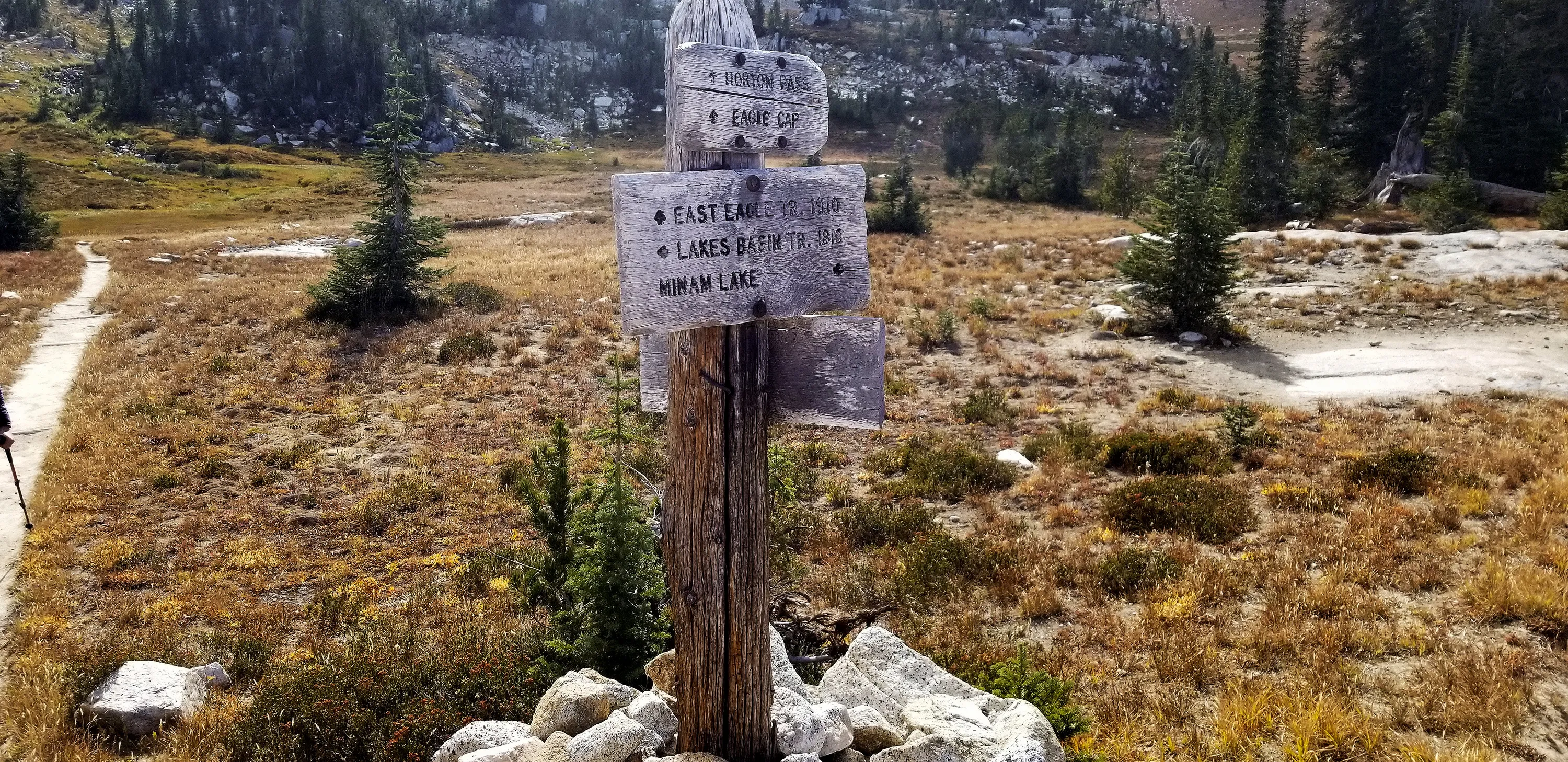
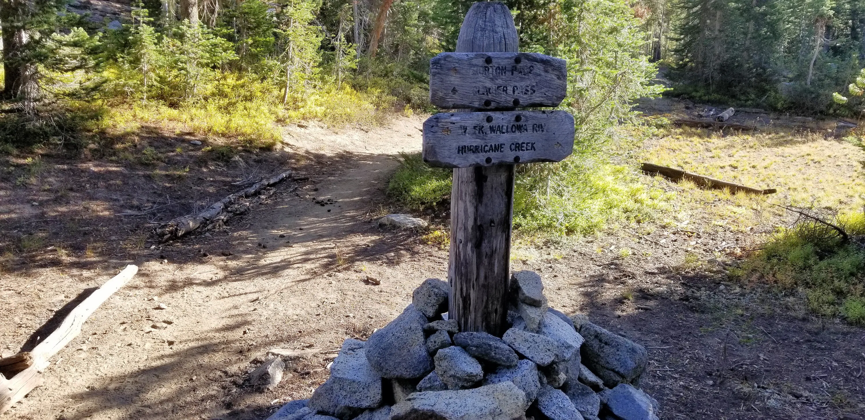
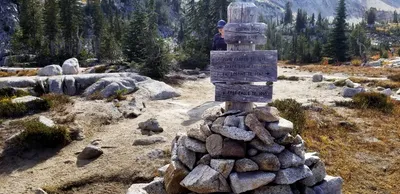
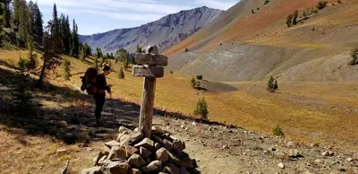 Making sure we were taking the right junction - many of the signs were hard to read they were so weathered. This trail headed up to the North Fork Imnaha river I think
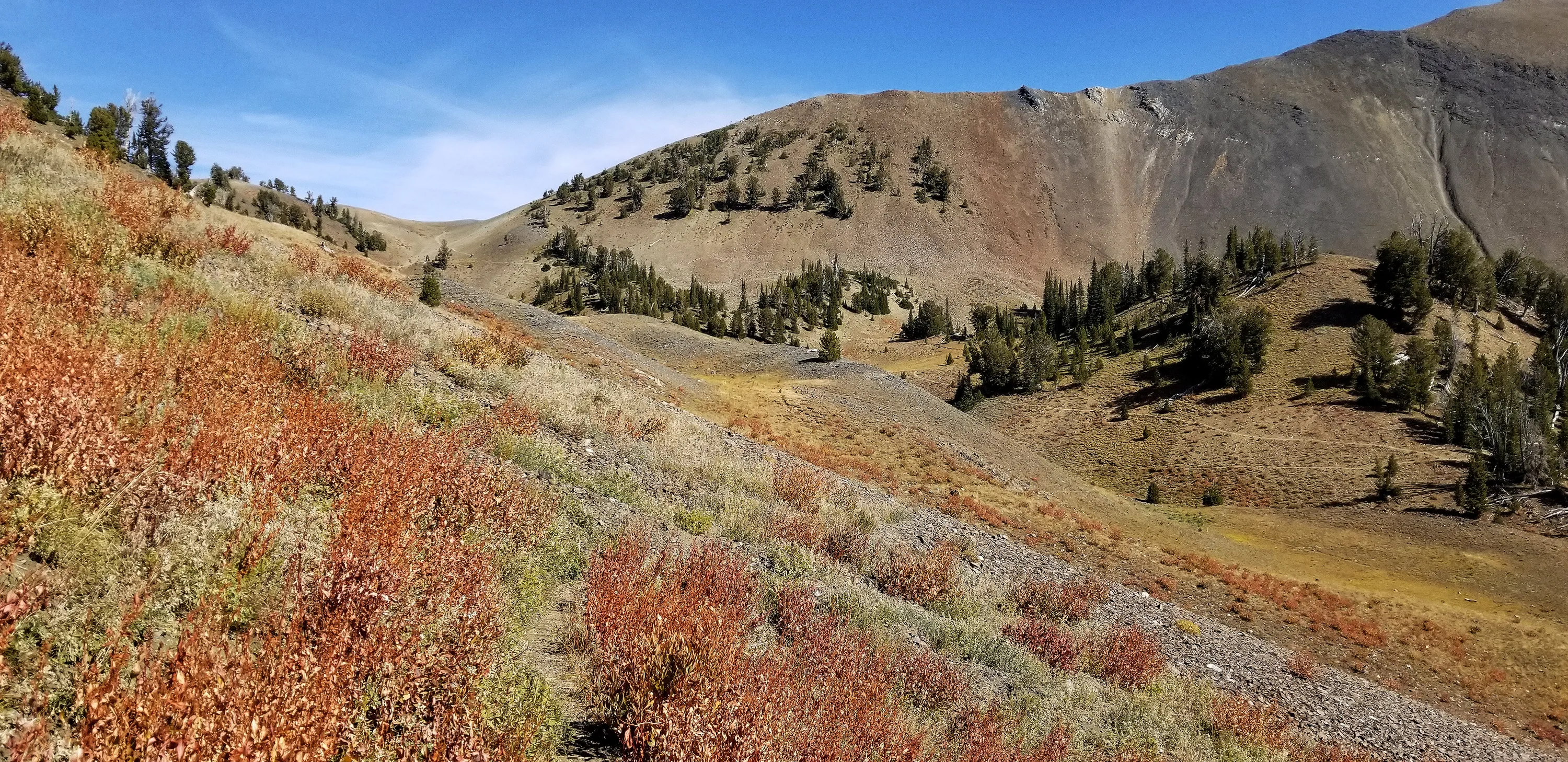
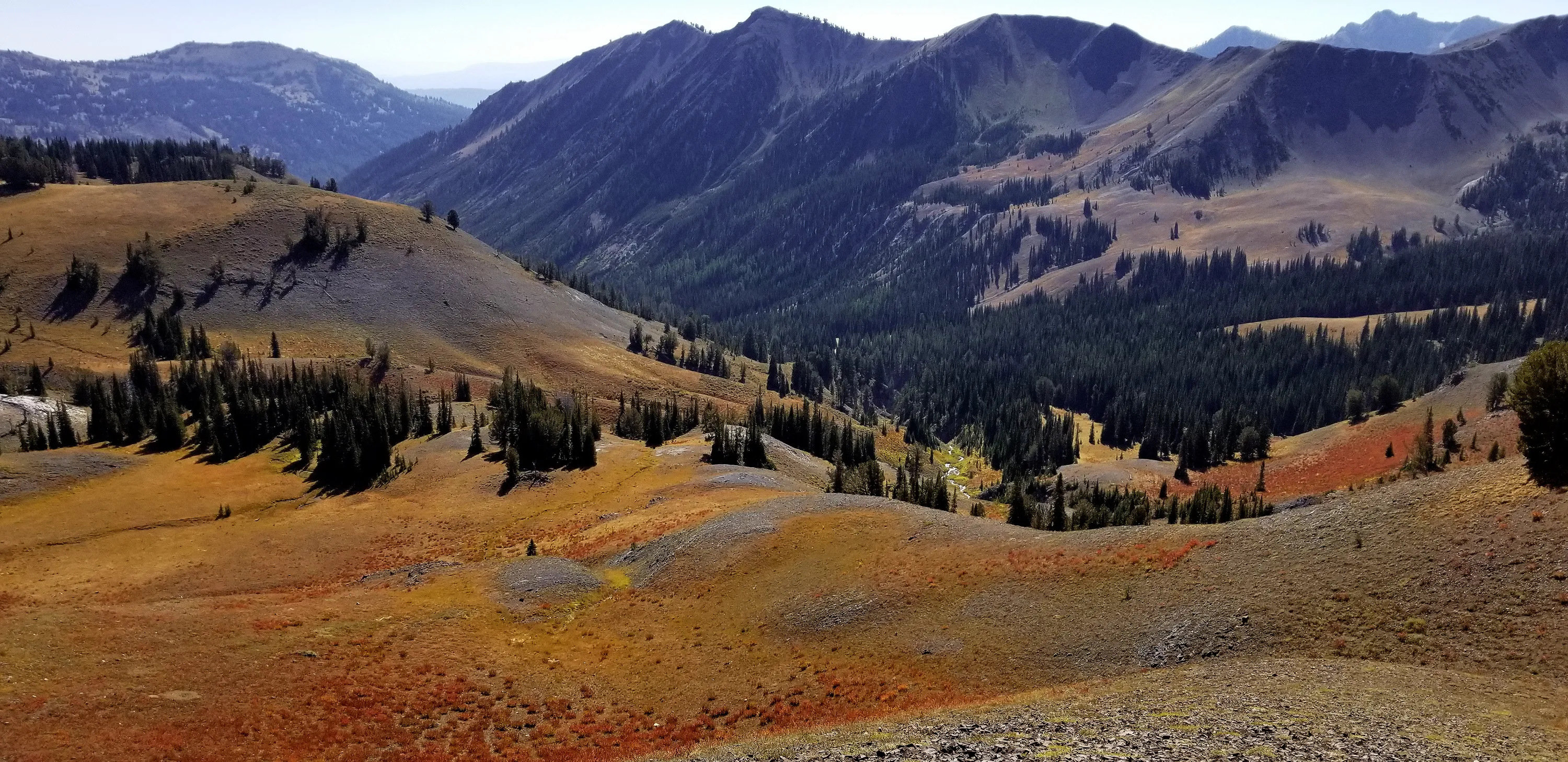
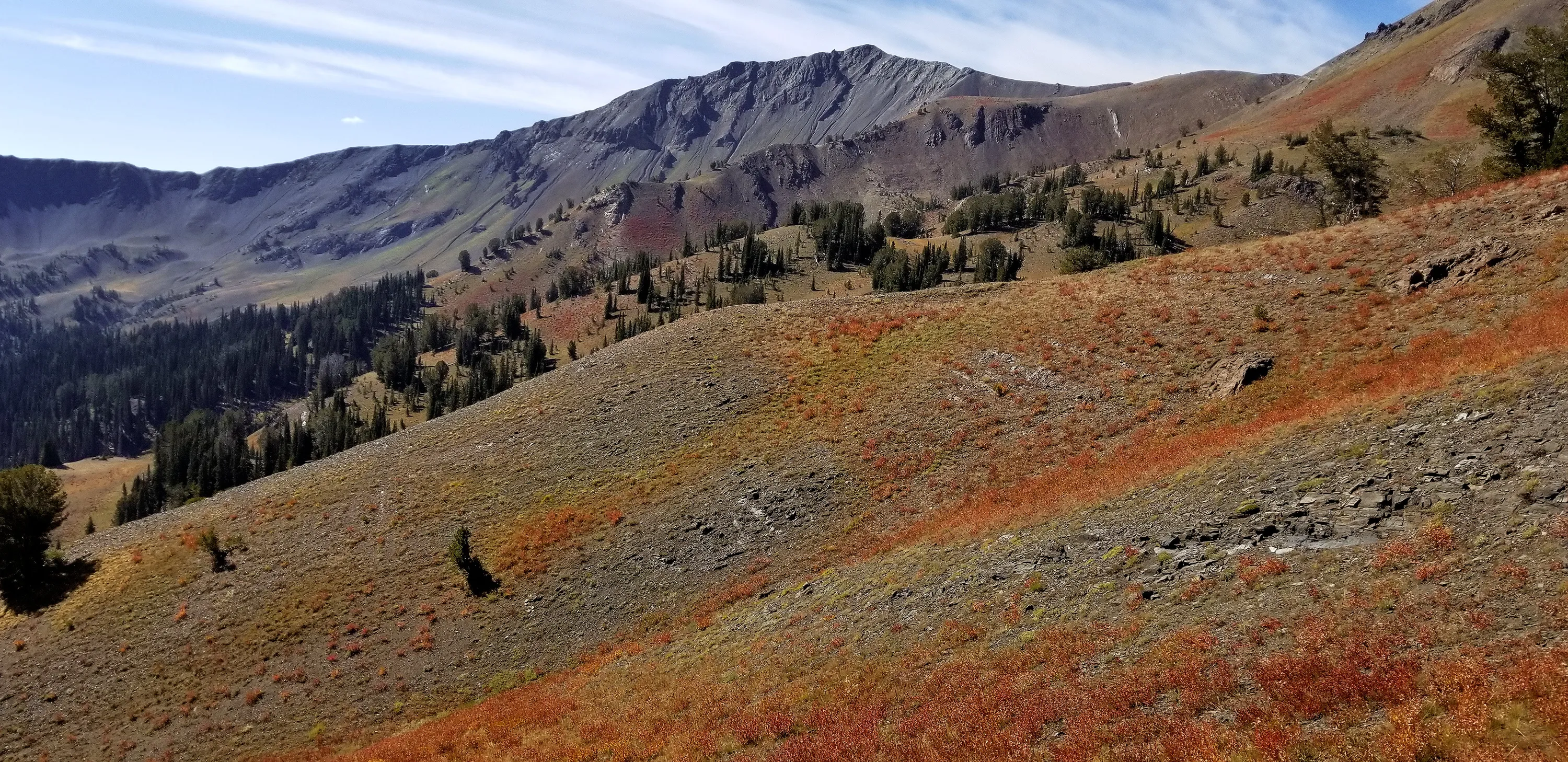
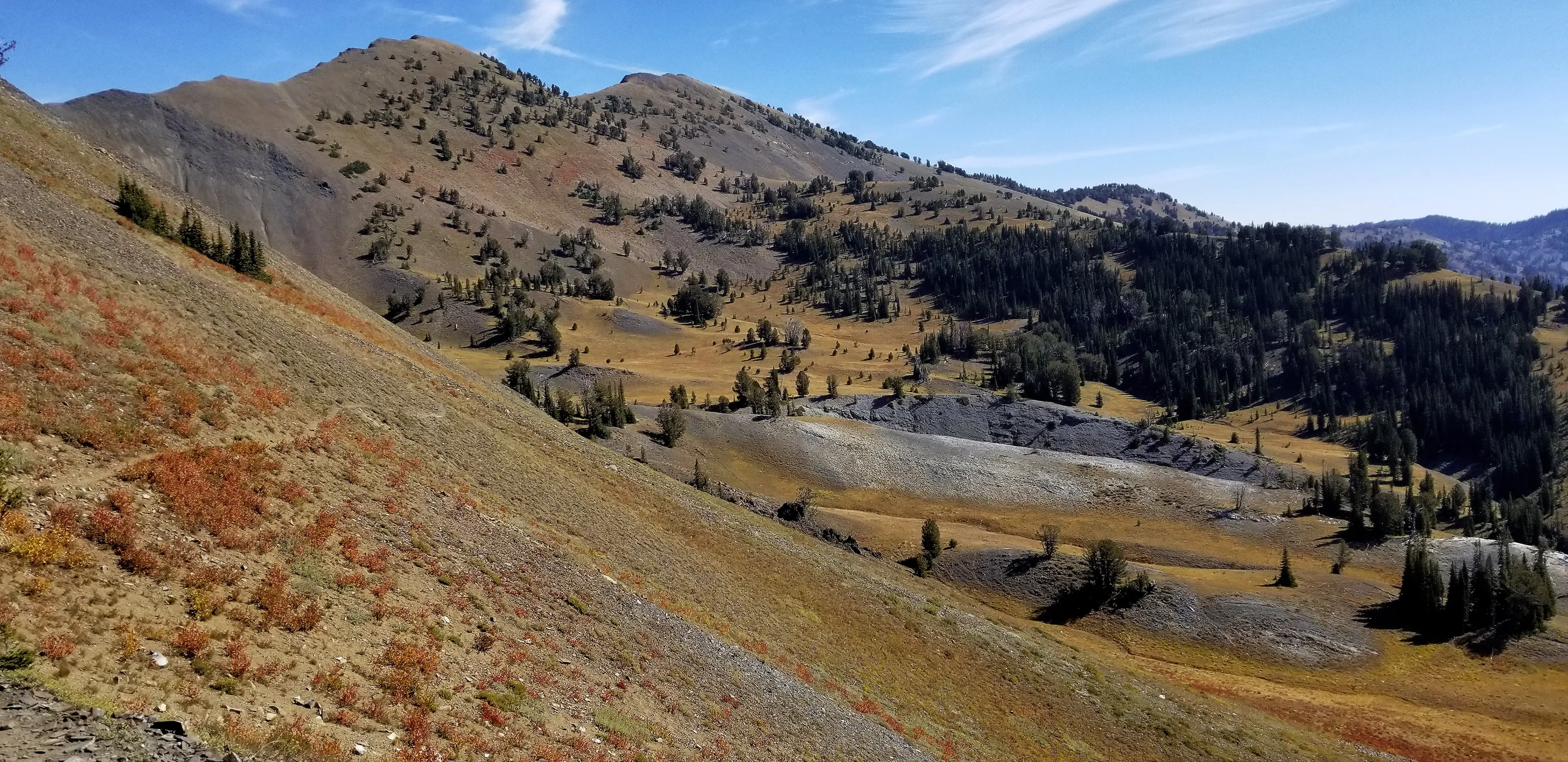
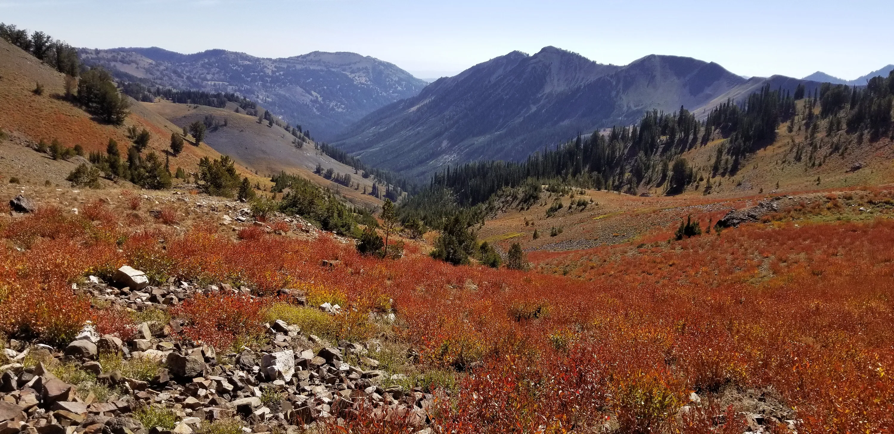
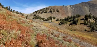 Beautiful fall colors covered the hillsides
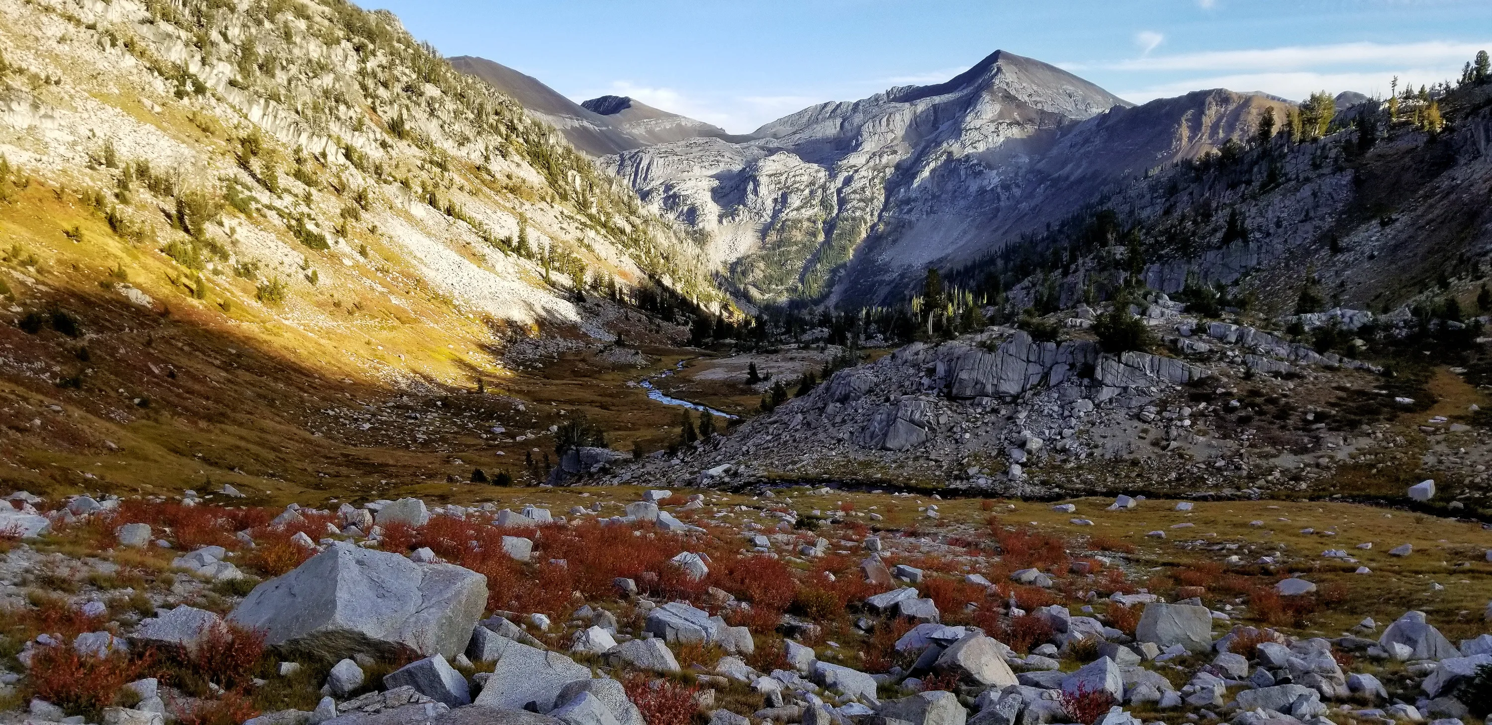
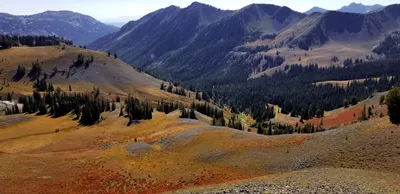 North Fork Imnaha river valley
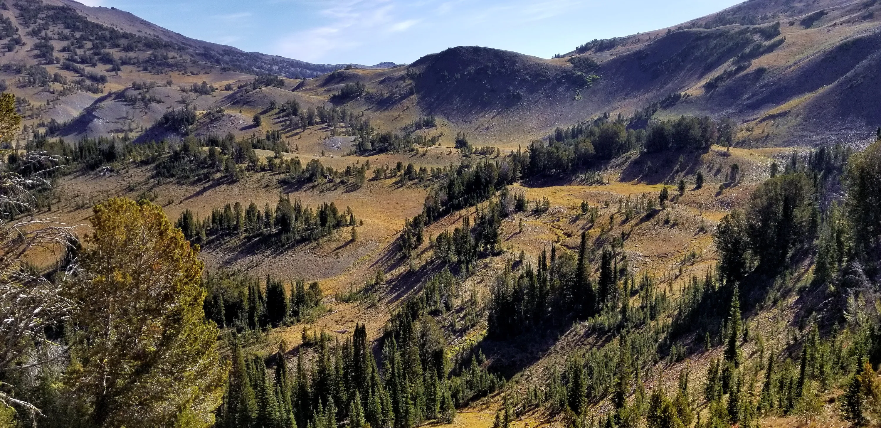
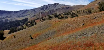 Wide open spaces - heading up to Polaris Pass
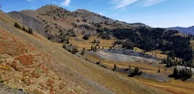 Wide open spaces - heading up to Polaris Pass
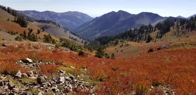 North Fork Imnaha river valley
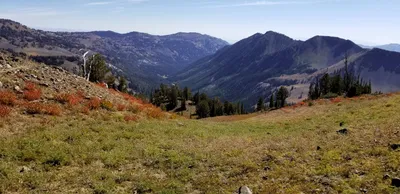 North Fork Imnaha river valley
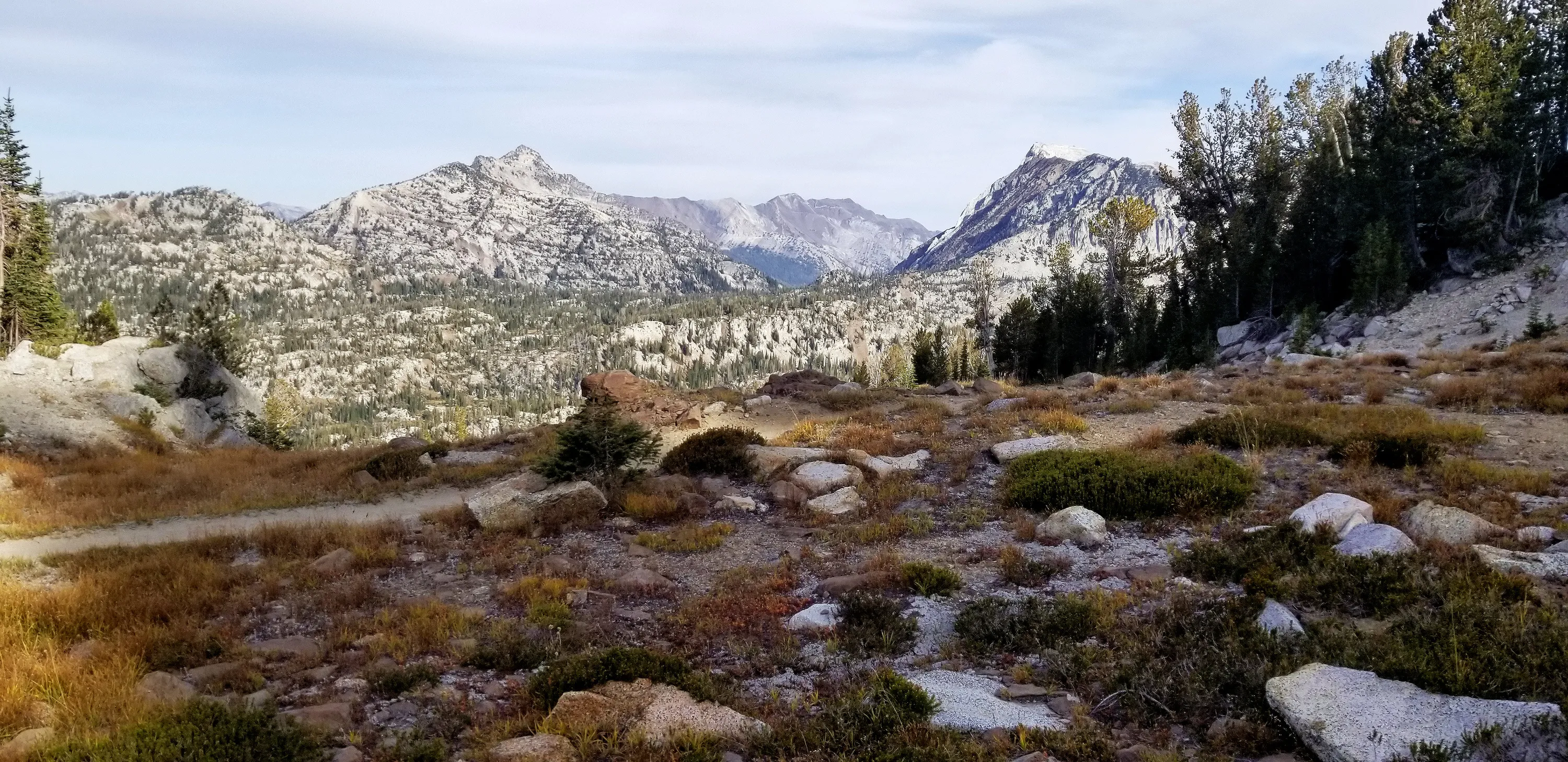
 Polaris Pass - looking into the West Fork Wallowa river valley - Sentinel peak to the left, Glacier Pass Peak in the middle, Pete's Sentinel ridge to the right
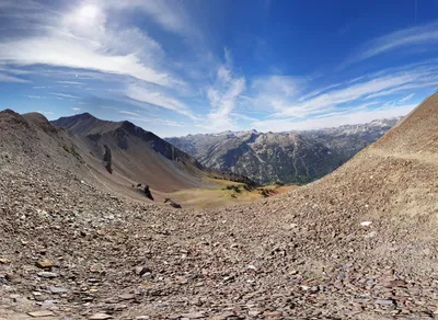
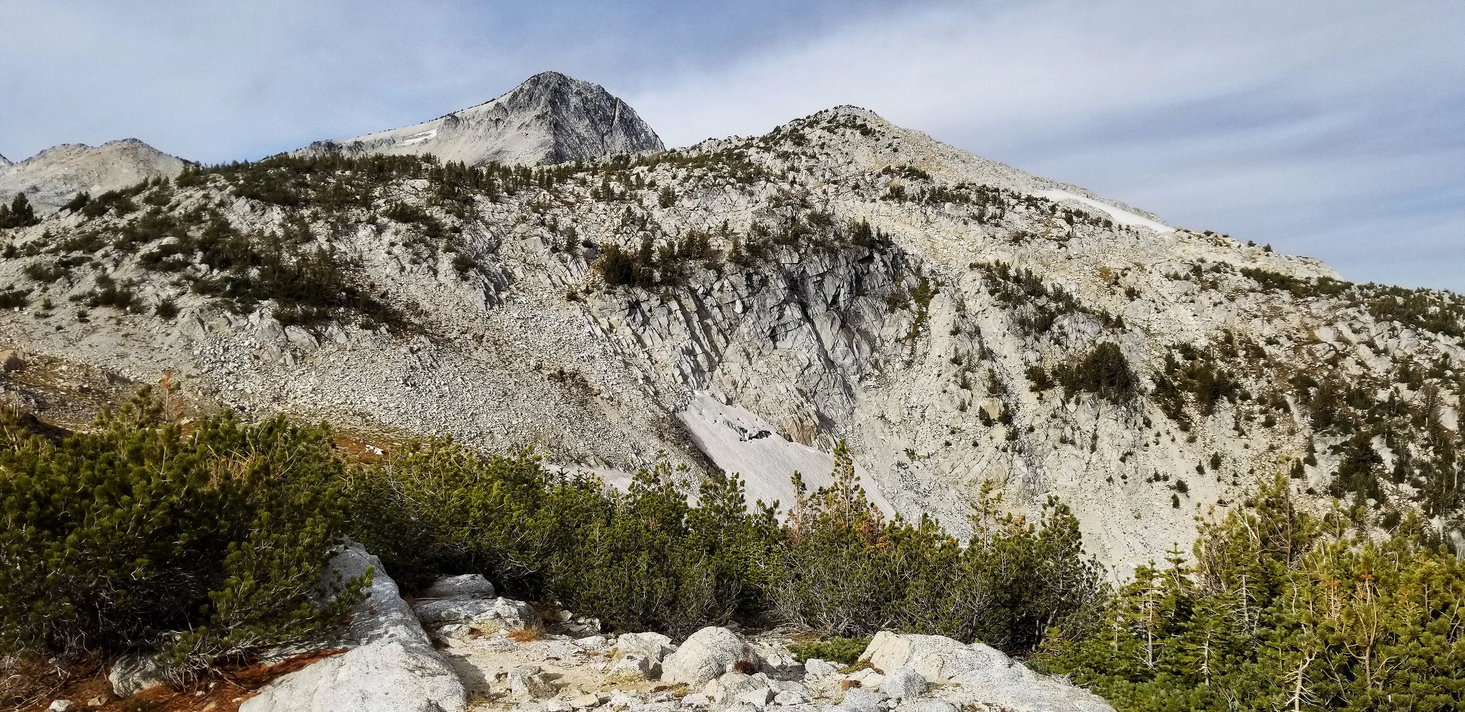
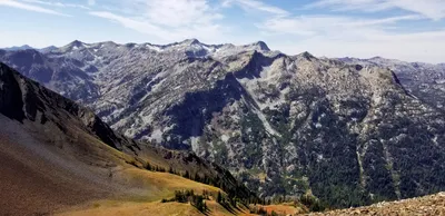 Polaris Pass - looking into the West Fork Wallowa river valley Glacier Pass Peak in the middle
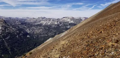
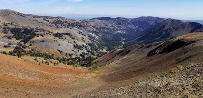 Looking north up the West Fork Wallowa River valley - we will be up there in 2 days.
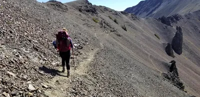 Headed down the first of MANY switchbacks (I think I counted 45)
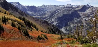 "Where on earth is this trail taking us?" Down, down, and down....It was interesting to see how it weaved its way down to the valley floor
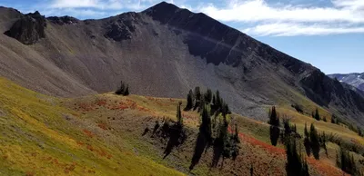 Sentinel Peak rising above us while we head down
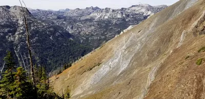 Interesting rock formations
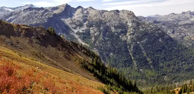
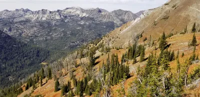
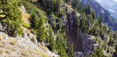 More interesting rock formations as we head down
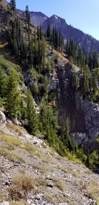 More interesting rock formations as we head down
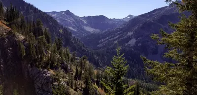 Looking south to where we will be heading
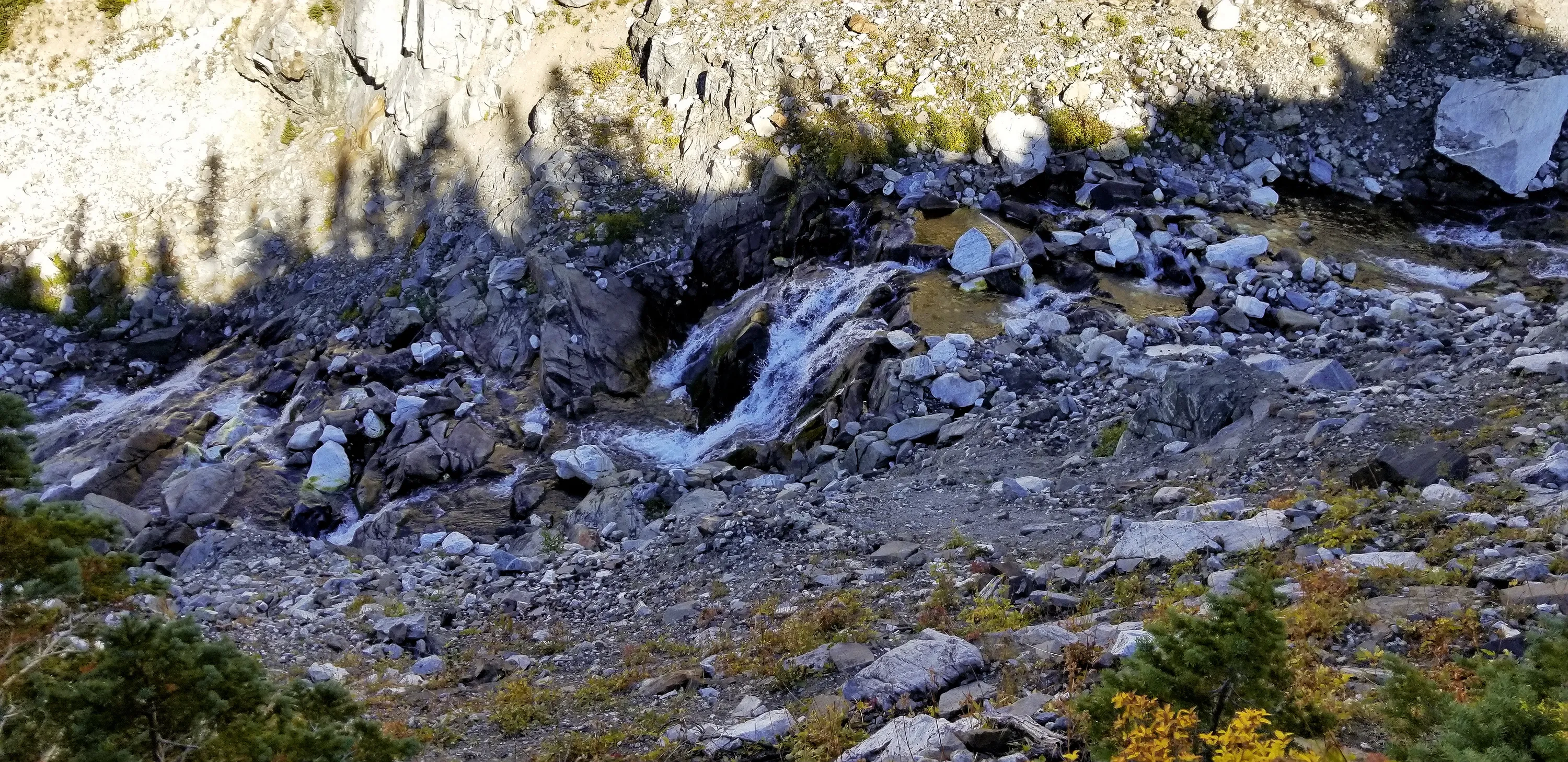
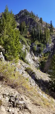 Waterfall coming down the side of the hill
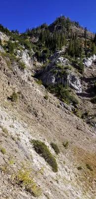 Cascading waterfall coming down the hillside - according to the map this is a spring
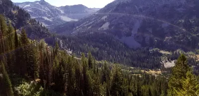 We will be down there later
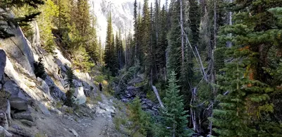 Finally finished all the switchbacks and we are now following the West Fork Wallowa river south.
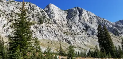 Un-named peaks above West Fork Wallowa river - east side
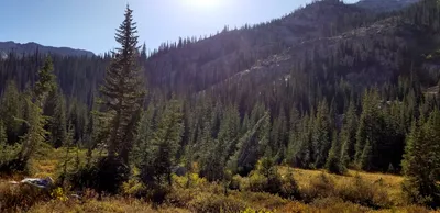 Trail opens up into a small meadow
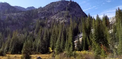 Un-named peak above West Fork Wallowa river - west side
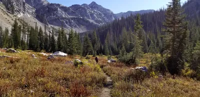 Heading south and then up to Frazier Lake
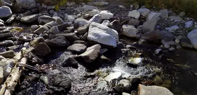 Crossing the headwaters of West Fork Wallowa River - starting climb to Frazier Lake
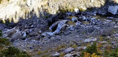 Small Waterfall on West Fork Wallowa River
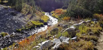 I was amazed at how big the river was, even this far up the canyon.
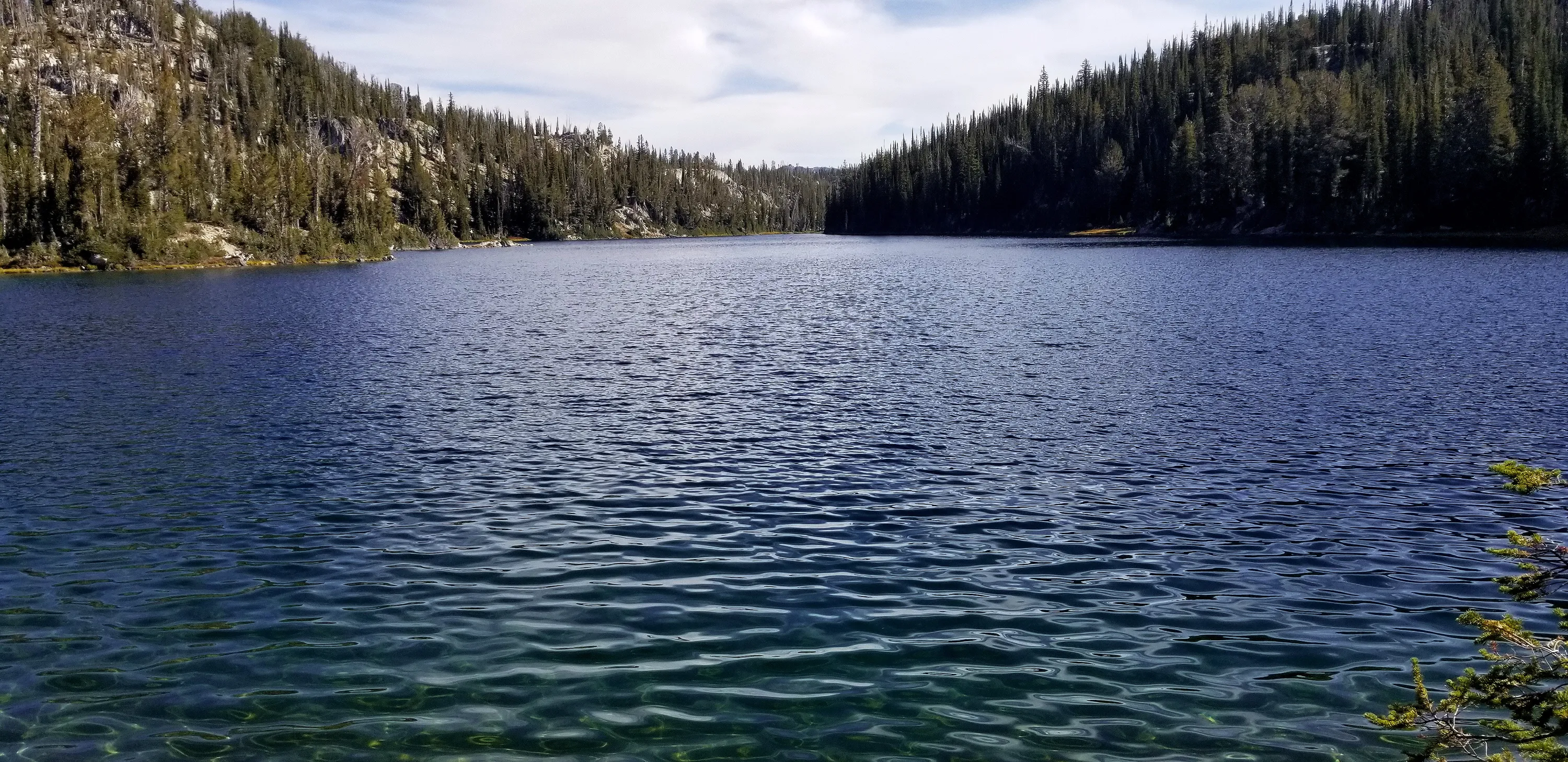
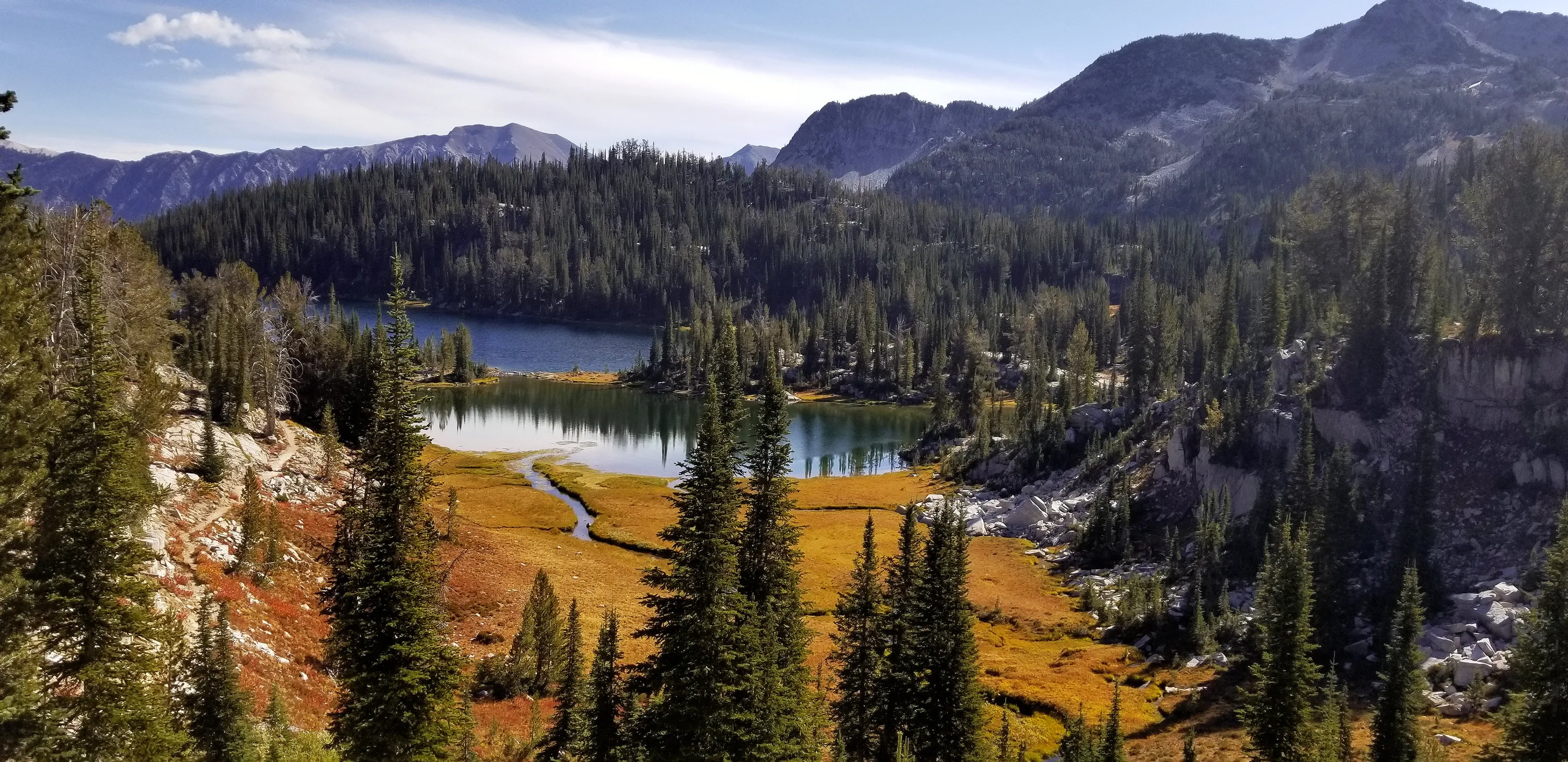
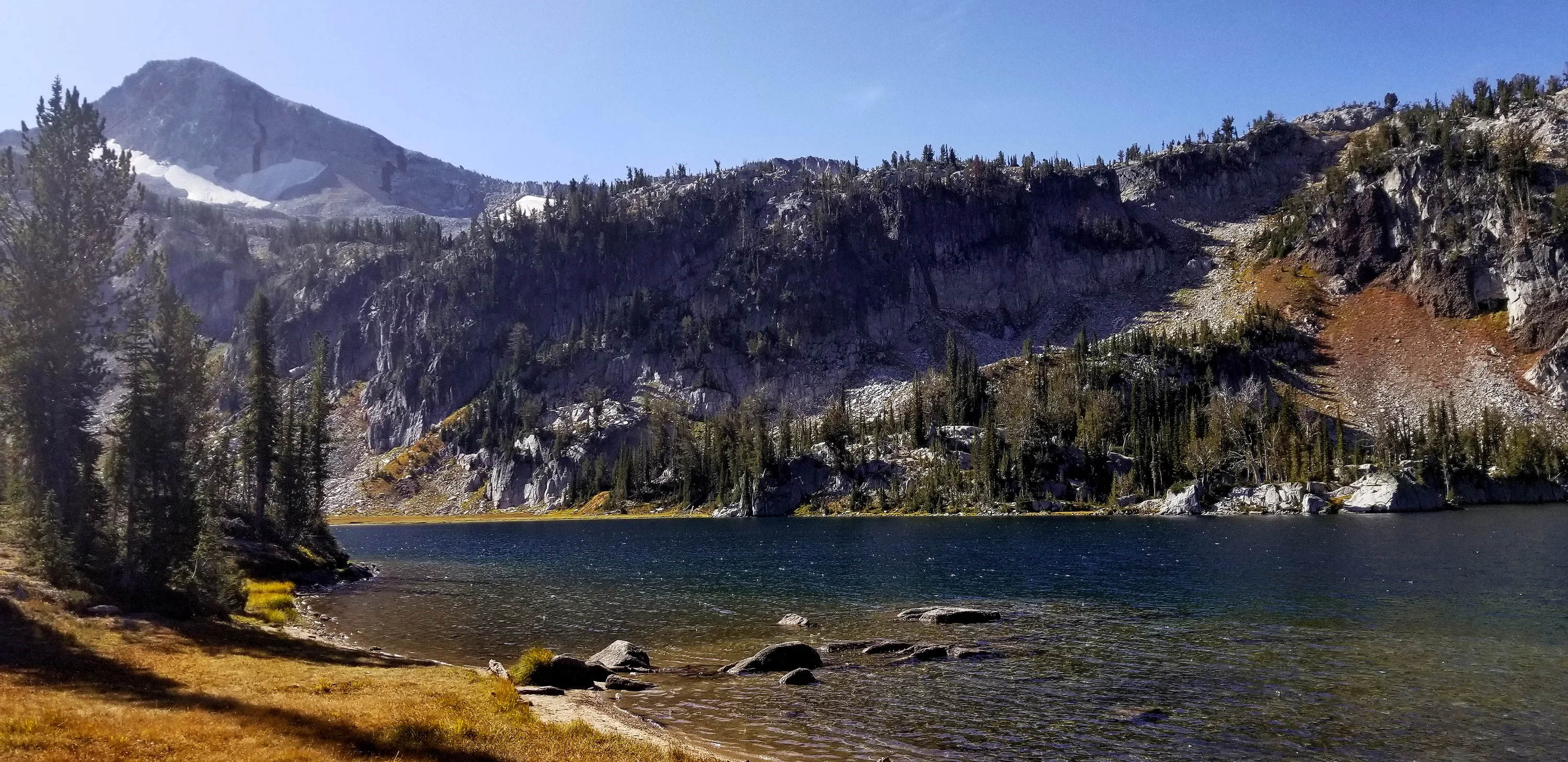
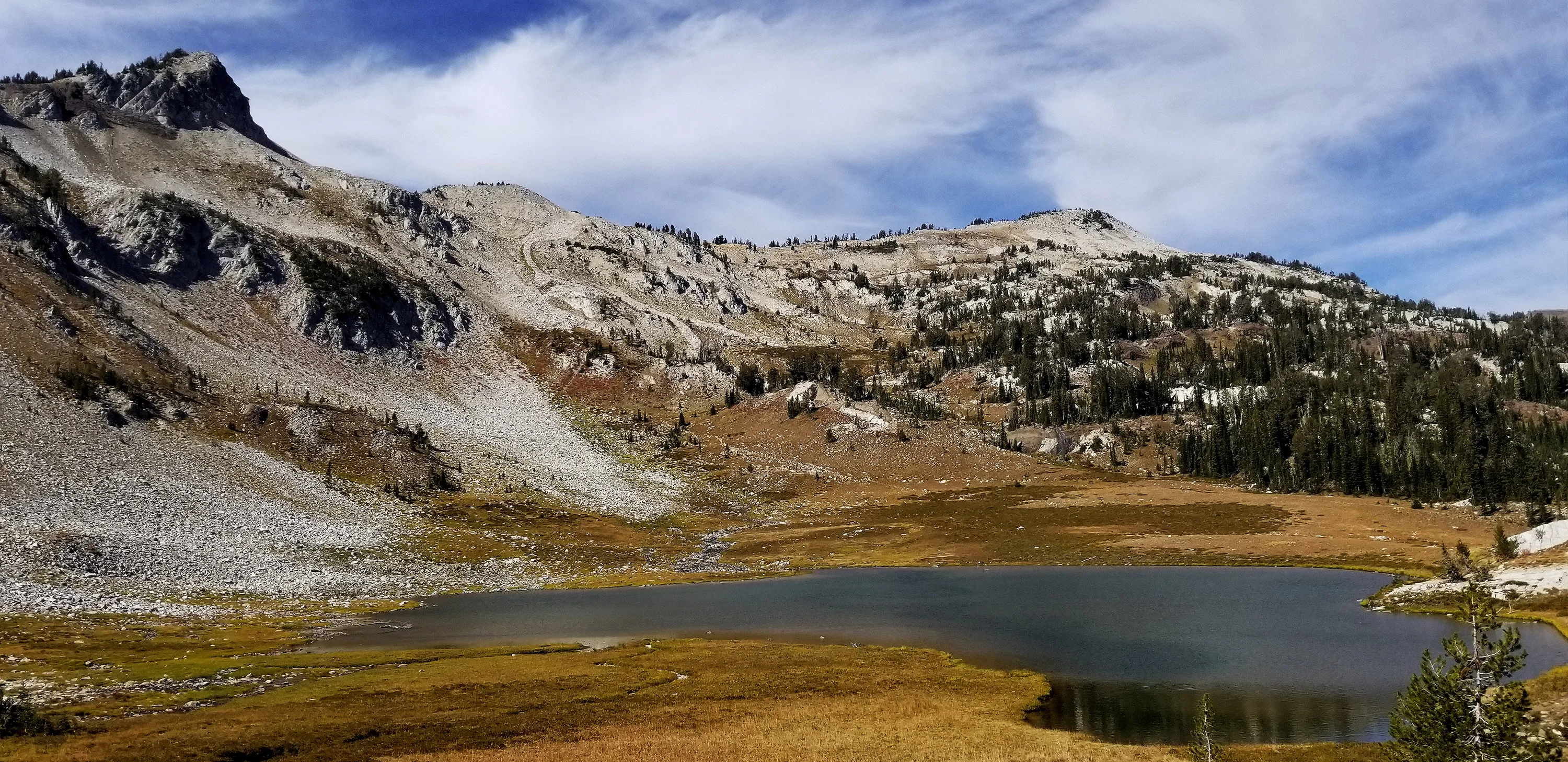
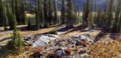 Frazier Lake
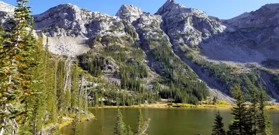 Frazier Lake
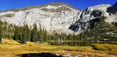 Frazier Lake
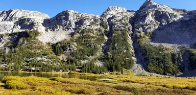 Frazier Lake
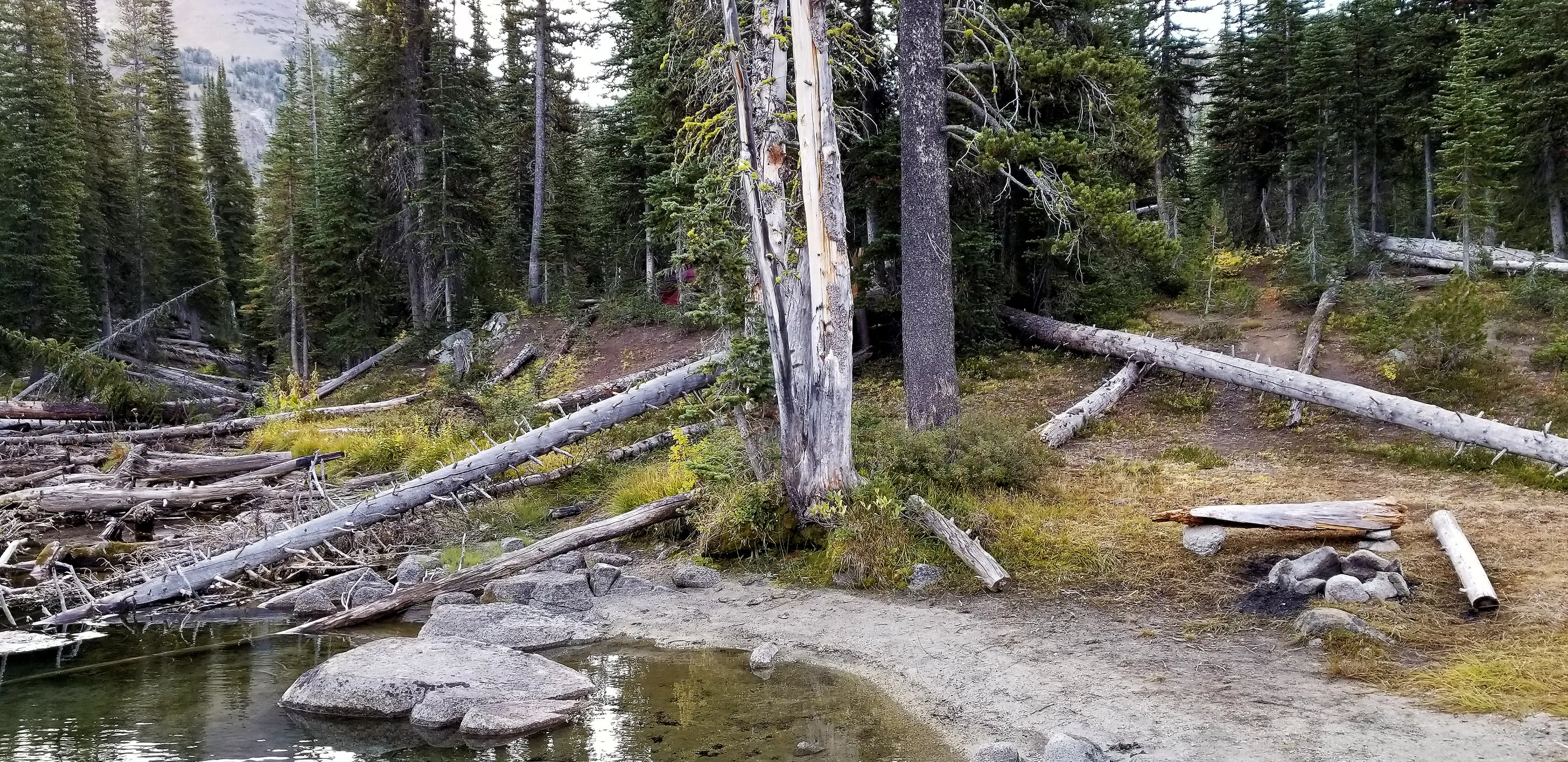
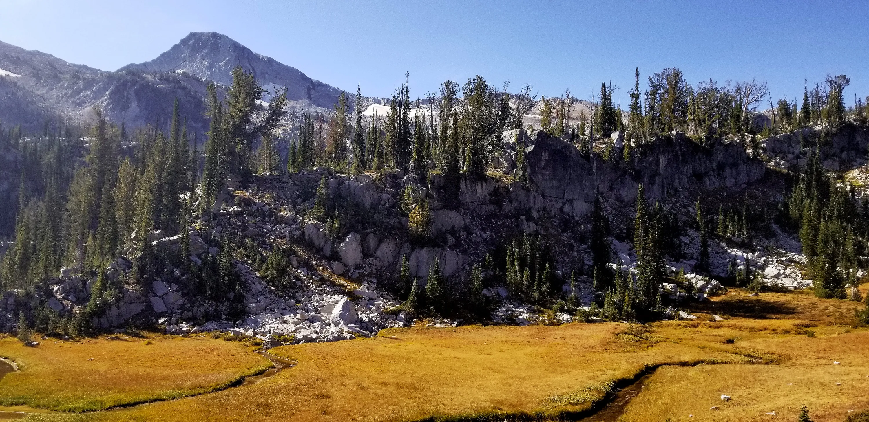
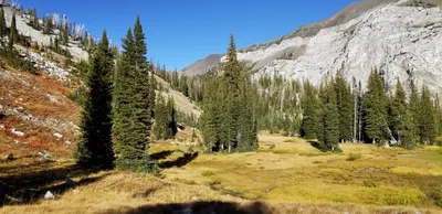 The west side of Frazier lake is meadowy/swampy
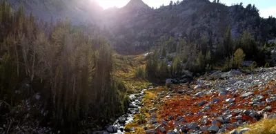 After leaving Frazier Lake, we followed the West Fork Wallowa River to its headwaters - Glacier Lake - our camp for night 2
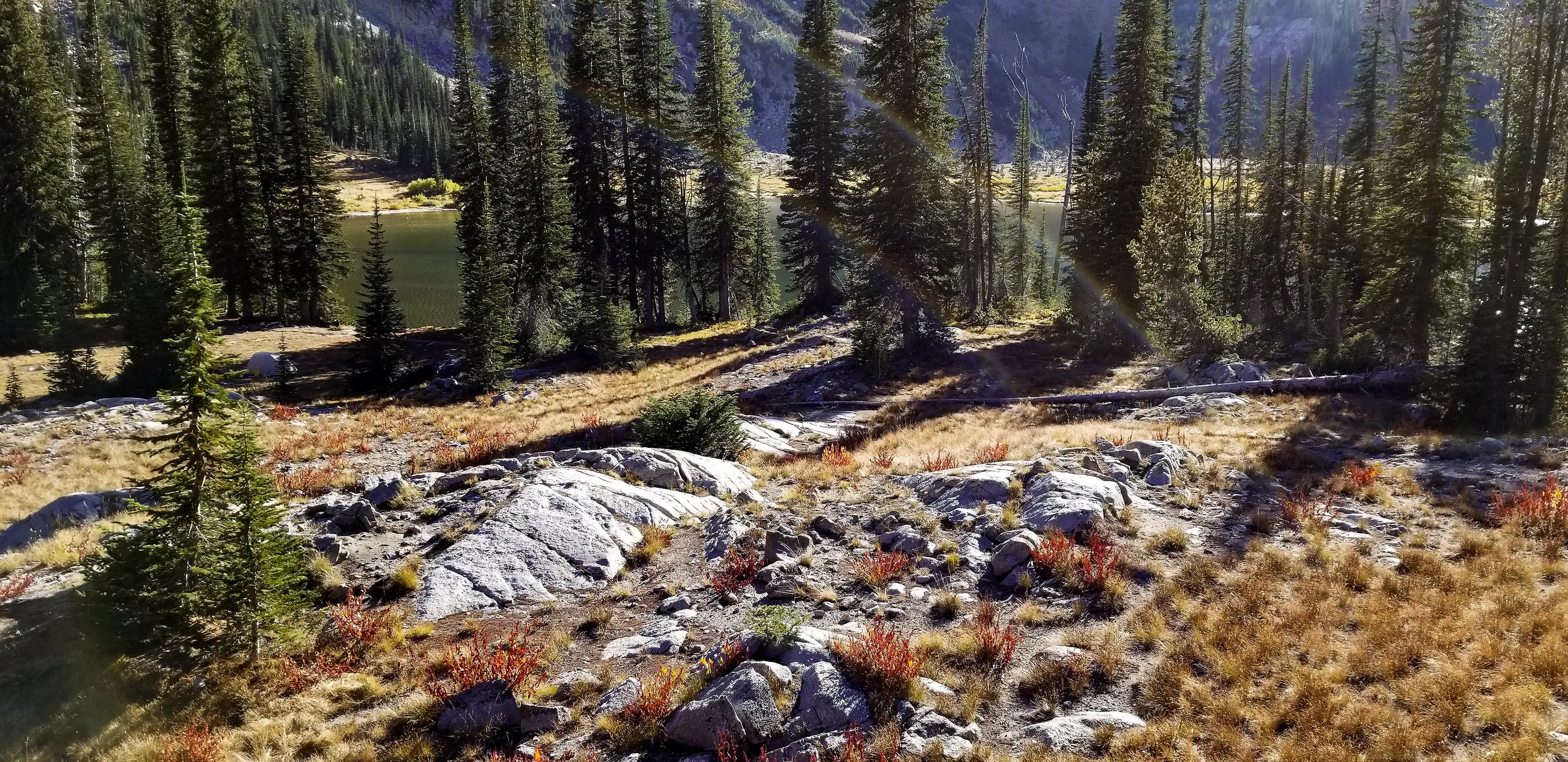
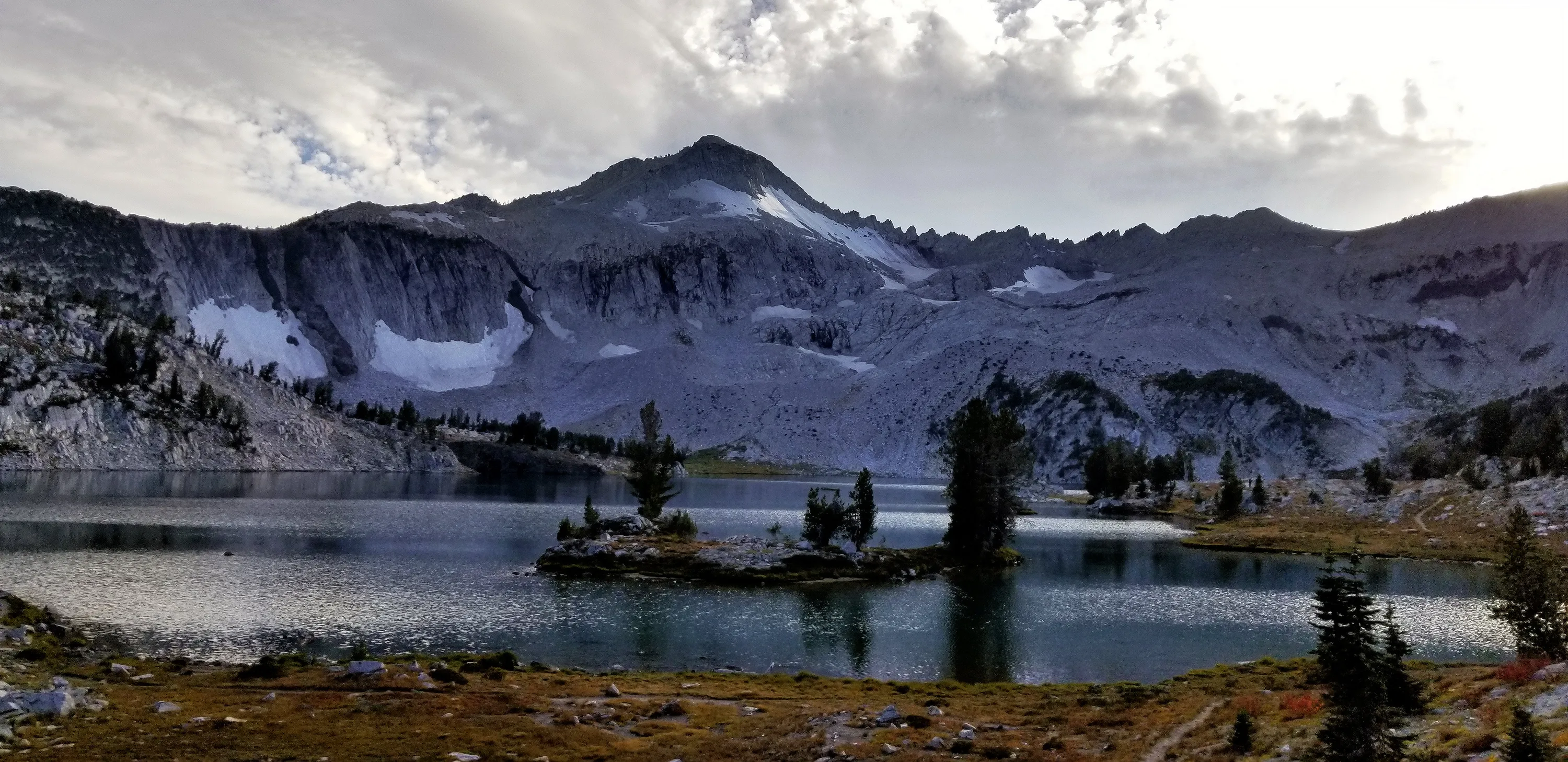
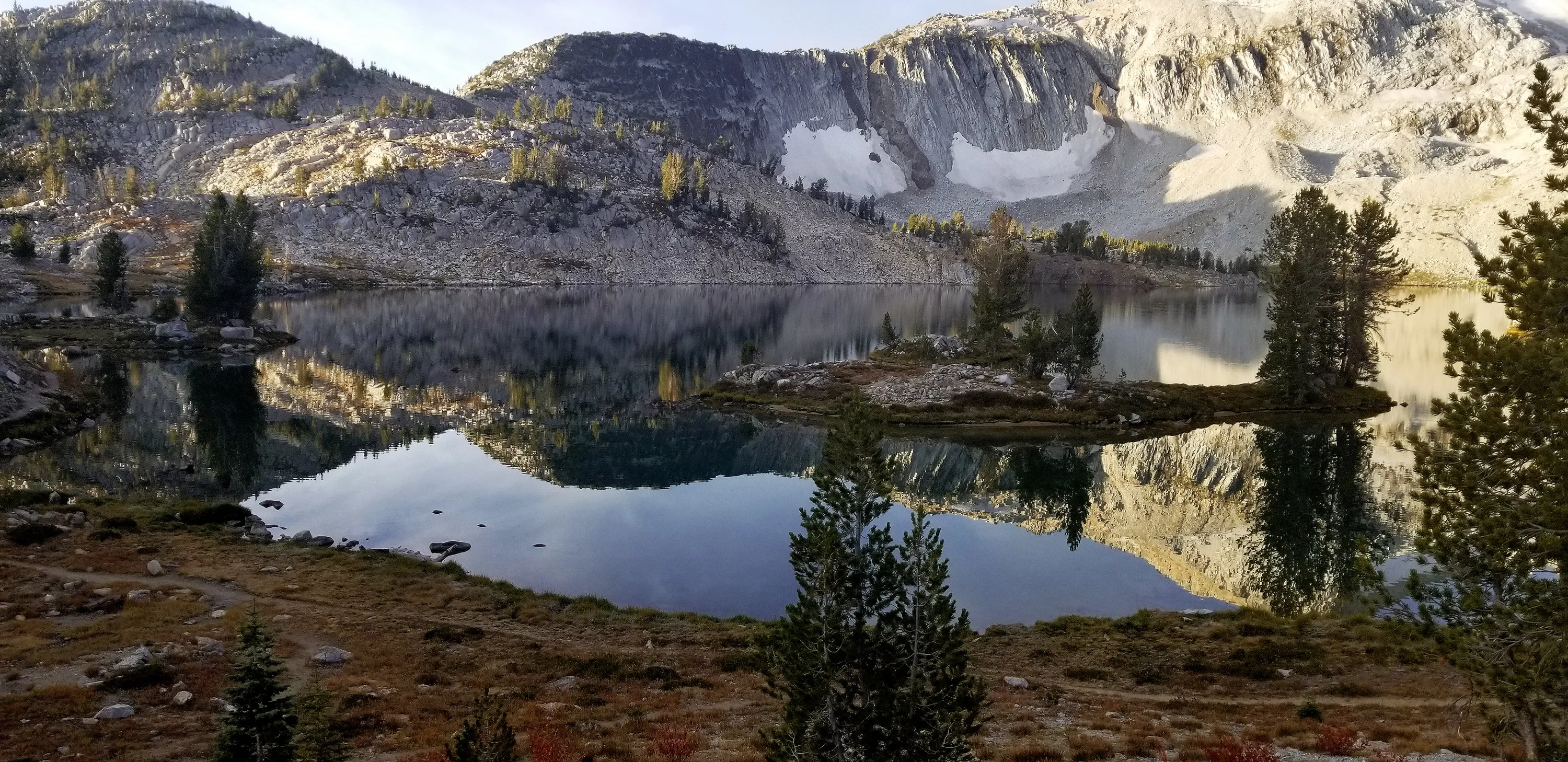
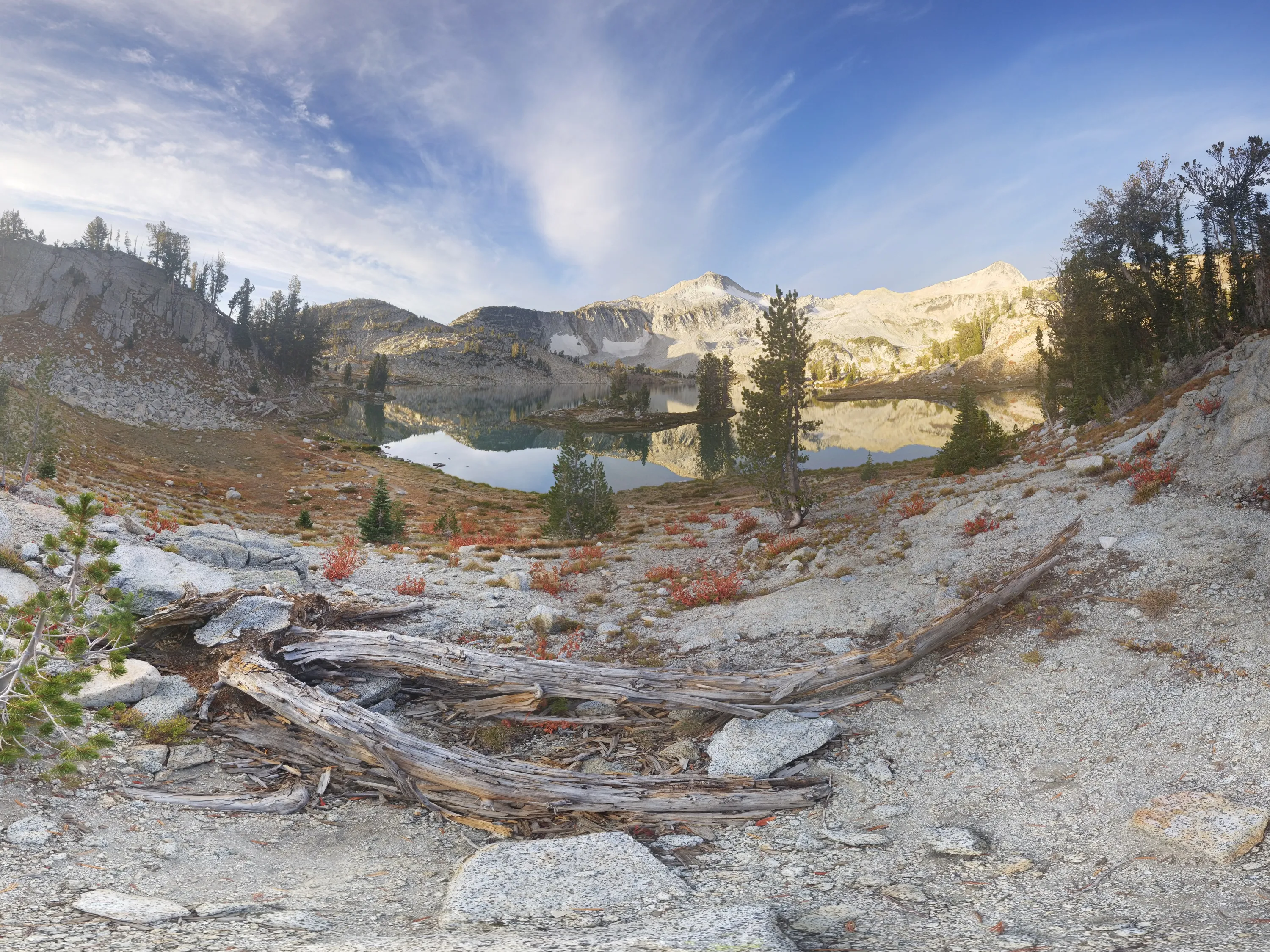
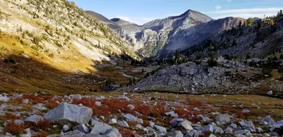 Looking back down from where we camp - at Glacier Lake
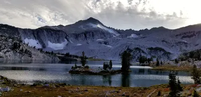 Glacier Lake with Glacier Peak in the background
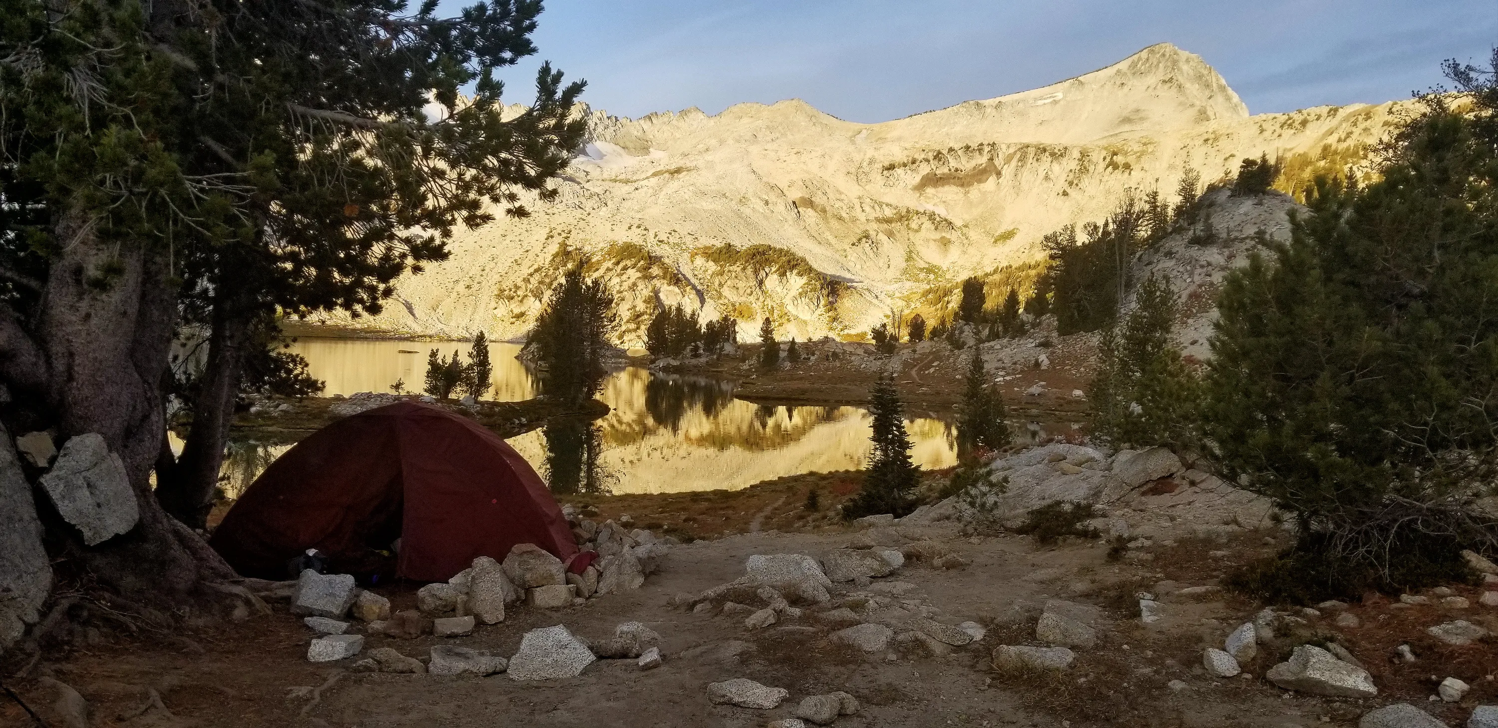
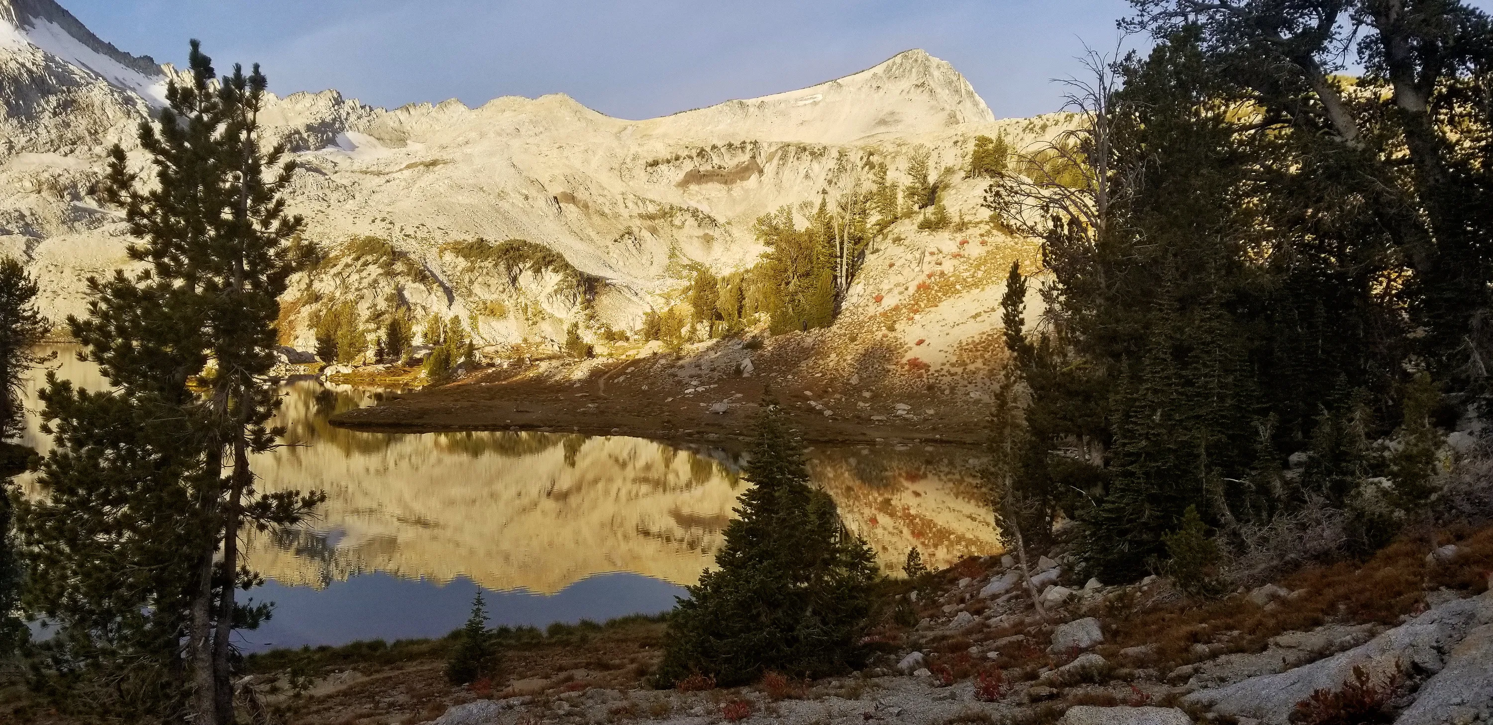
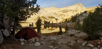 Our campsite with Eagle Cap in the background
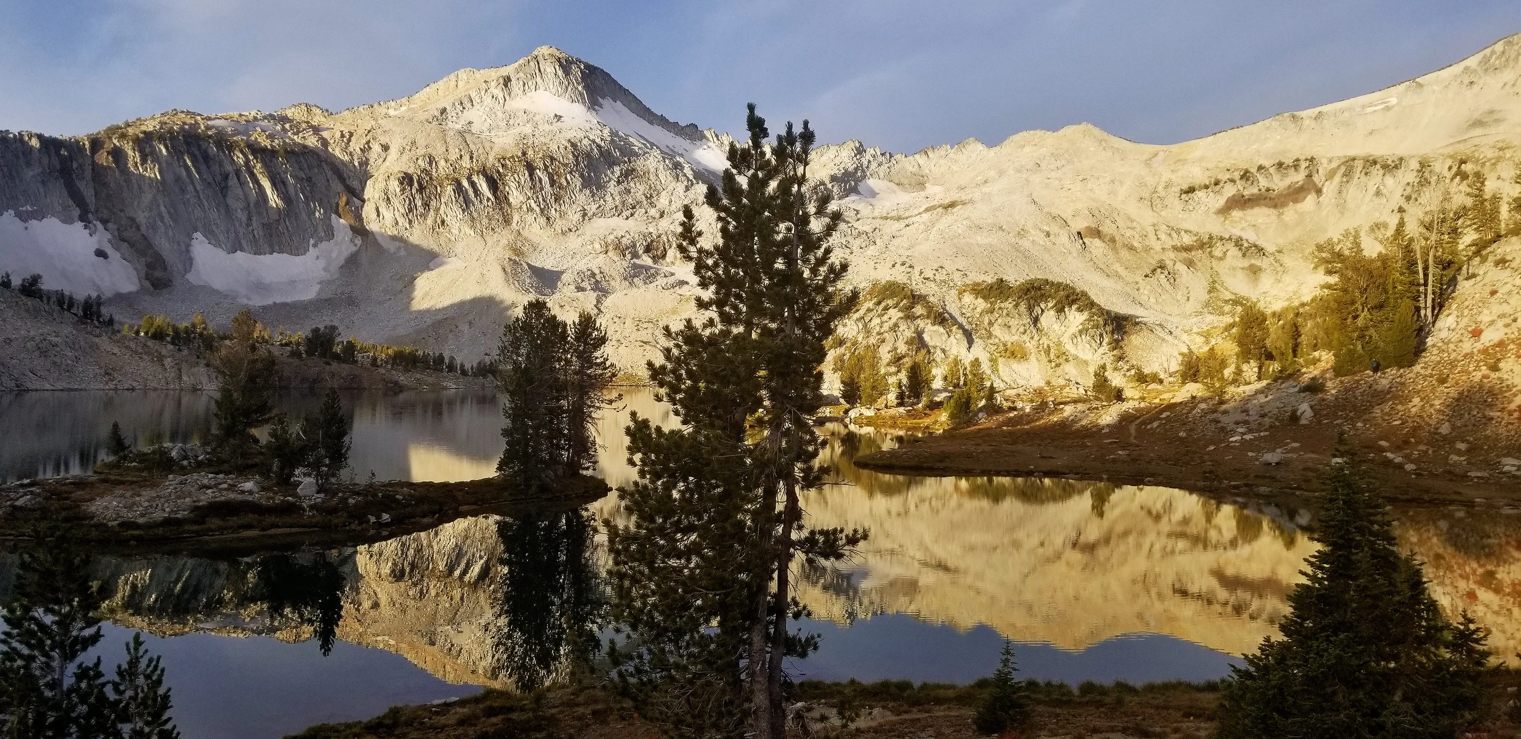
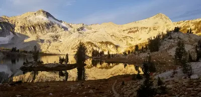 Glaicer Peak and Eagle Cap rising above Glacier Lake
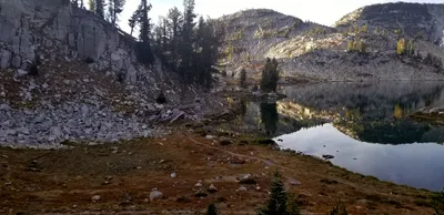 Another island on Glacier Lake
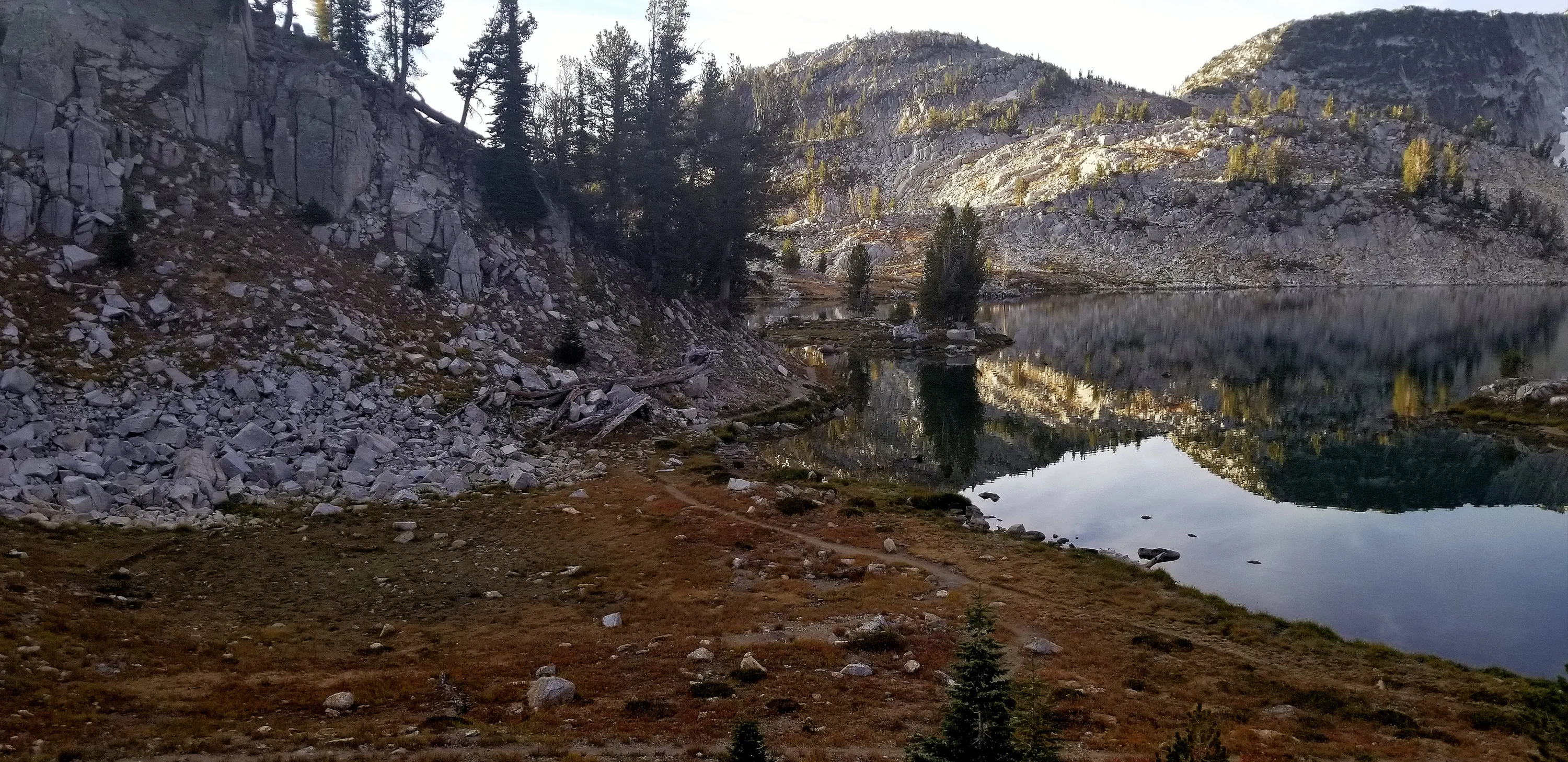
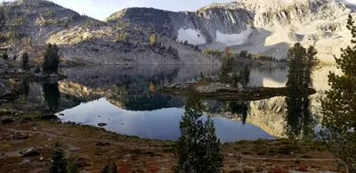 Glacier Lake
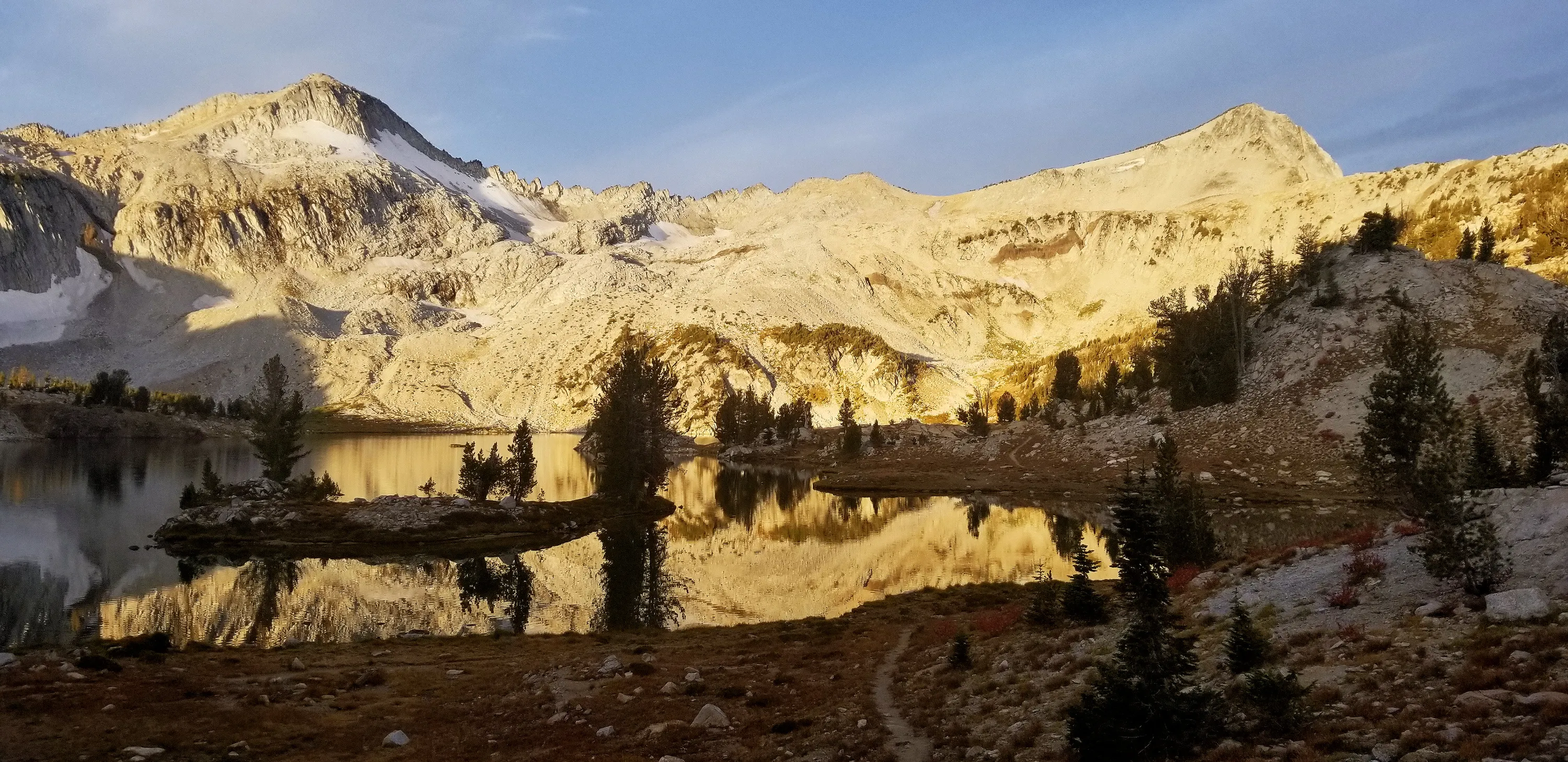
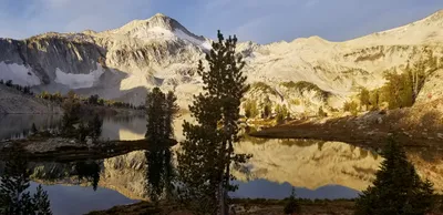 Morning Light on Gliacier Lake - Glacier Peak above
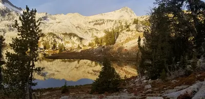 Morning light on Glacier lake - Eagle Cap above
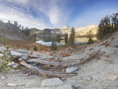
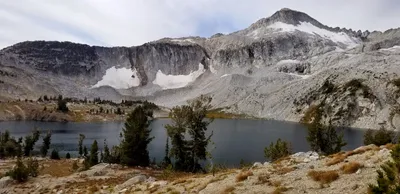 Climbing above Glacier lake to Glacier Pass
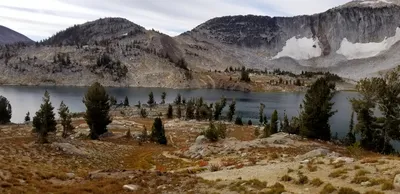 Climbing above Glacier lake to Glacier Pass
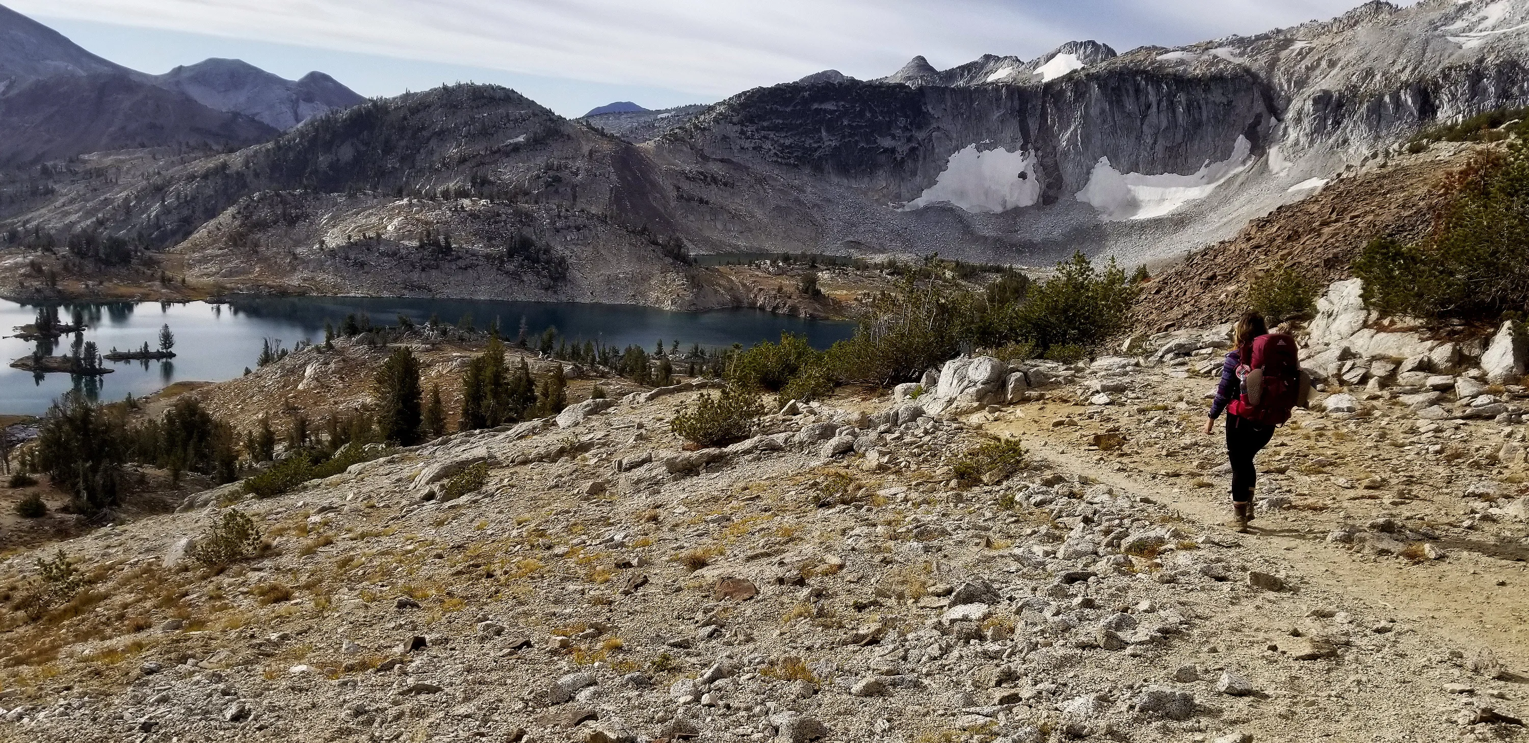
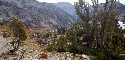 Looking back down at Glacier Lake and the West Fork Wallowa river valley
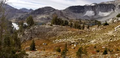 Almost to Glacier Pass
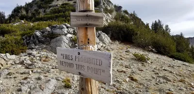 Glacier Pass
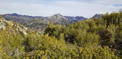 Interesting how much the scenery changes on the other side of the pass - Carly and I both liked the Glacier Lake side better
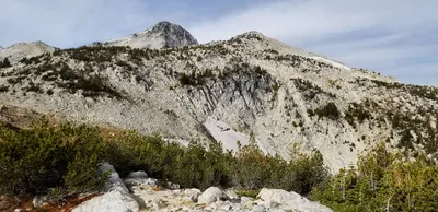 Eagle cap rising in the distance. We will be up there later in the day
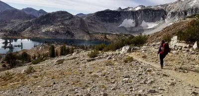 Last look at Glacier Lake?
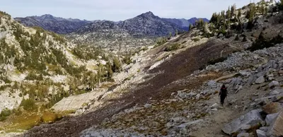 Heading down to Moccasin Lake
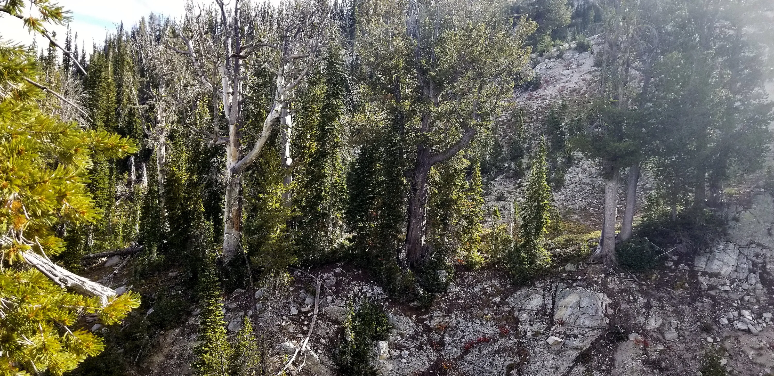
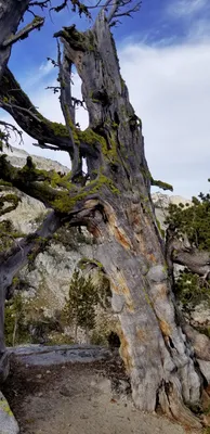 Another anicent gnarly tree
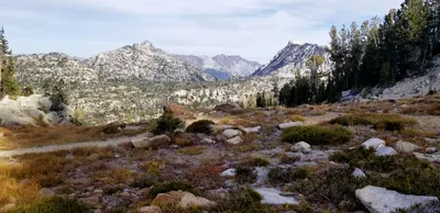
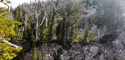 Two trees almost look the same - one alive, one dead
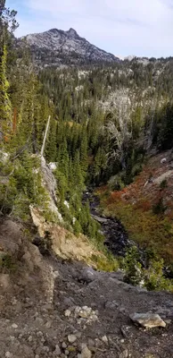 We followed this creek down the hill
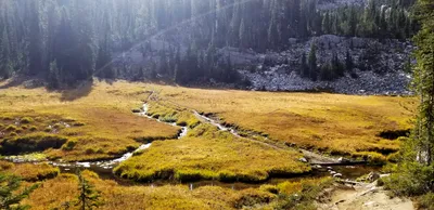 We finally made it down to the flat meadowy area near Moccasin lake -
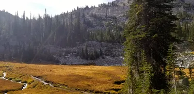 We finally made it down to the flat meadowy area near Moccasin lake -
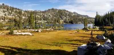 Our first look at Moccasin Lake - another large lake
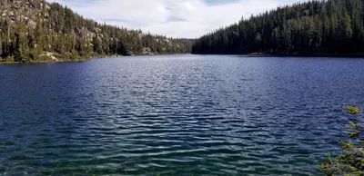 Moccasin Lake
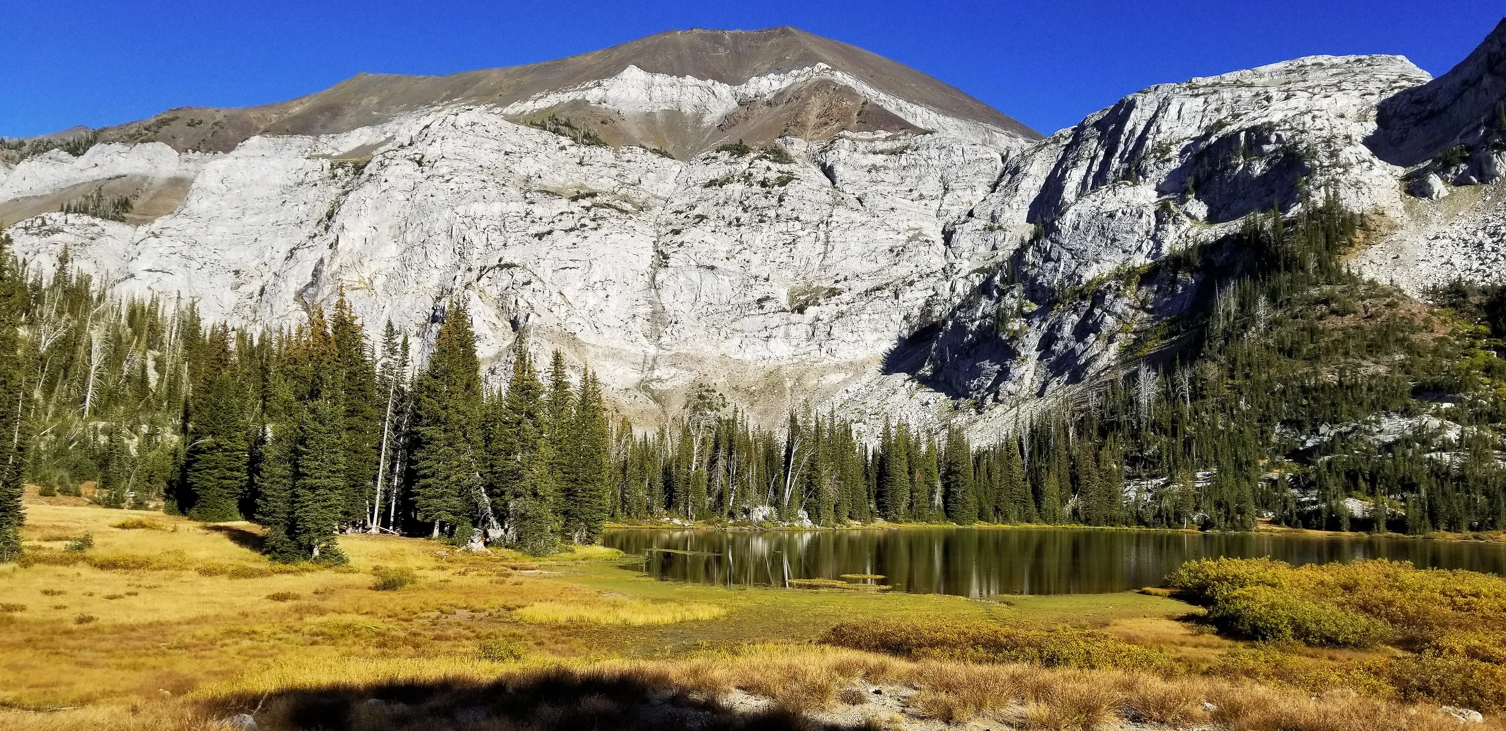
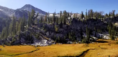 Eagle Cap rising above the meadows at Moccasin Lake
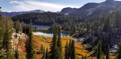 We dropped our packs and are now clibming up to Eagle Cap
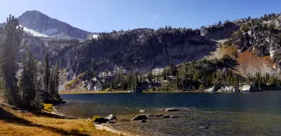 Mirror Lake
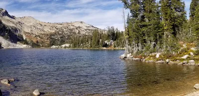 Mirror Lake
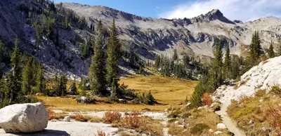 Climbing out of the valley
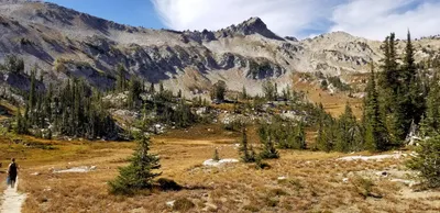
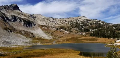 Upper Lake
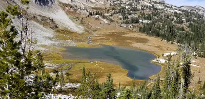 Climbing above Upper Lake
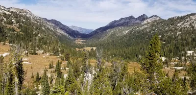 East Losting River Valley
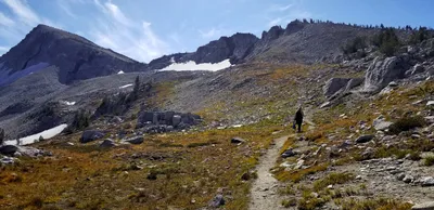 Heading UP- Eagle cap is getting closer - as we got higher the trail got steeper
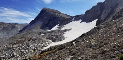 Eagle Cap
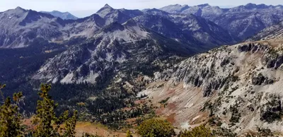 I think this is the East Fork Eagle Creek valley
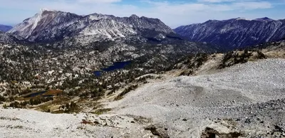 Partway up - the view of the Lakes Basin
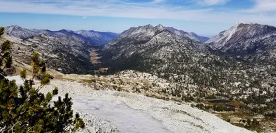 Partway up - the West Lostine River Valley and part of the Lakes basin
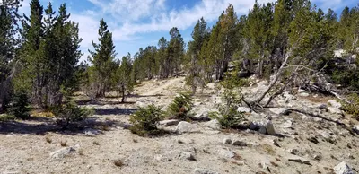 Nearing the top of Eagle Cap - finally! The trail kind of levels out near the top
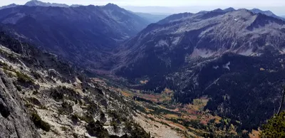 I think this is the East Fork Eagle Creek valley
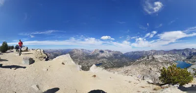
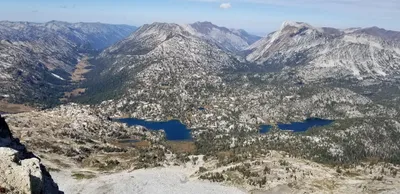 Lakes basin from on top of Eagle Cap
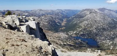 East Fork Lostine River valley and Mirror Lake
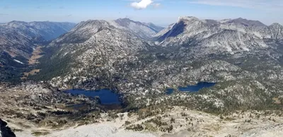 Lakes basin from top of Eagle Cap
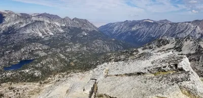 Looking towards the West Fork Wallowa River
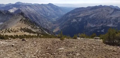 Looking mostly south down the East Fork Eagle Creek valley
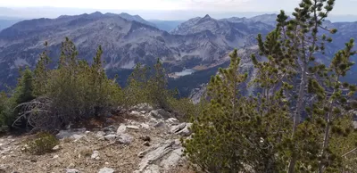 I think this is Blue lake - West of Eagle Cap
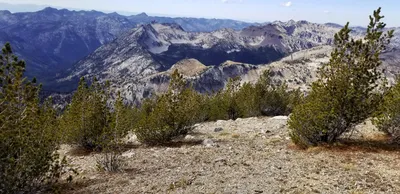 More mountains to the west of Eagle cap (as we came back down)
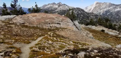 I thought this was a cool red rock in the midst of lots of white granite
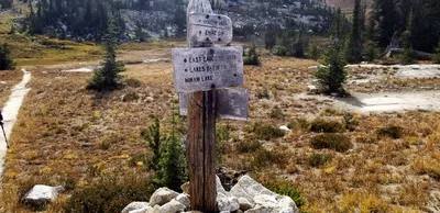 We are back down at the lakes basin
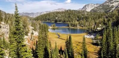
 We are back down at the lakes basin
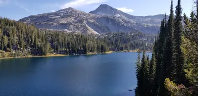
 Coming back to Moccasin Lake
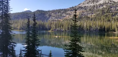
 Moccasin Lake
 Douglas Lake - I was consistently amazed at how big and deep these lakes were
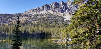 Douglas Lake
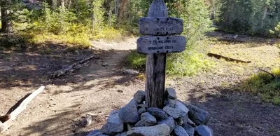
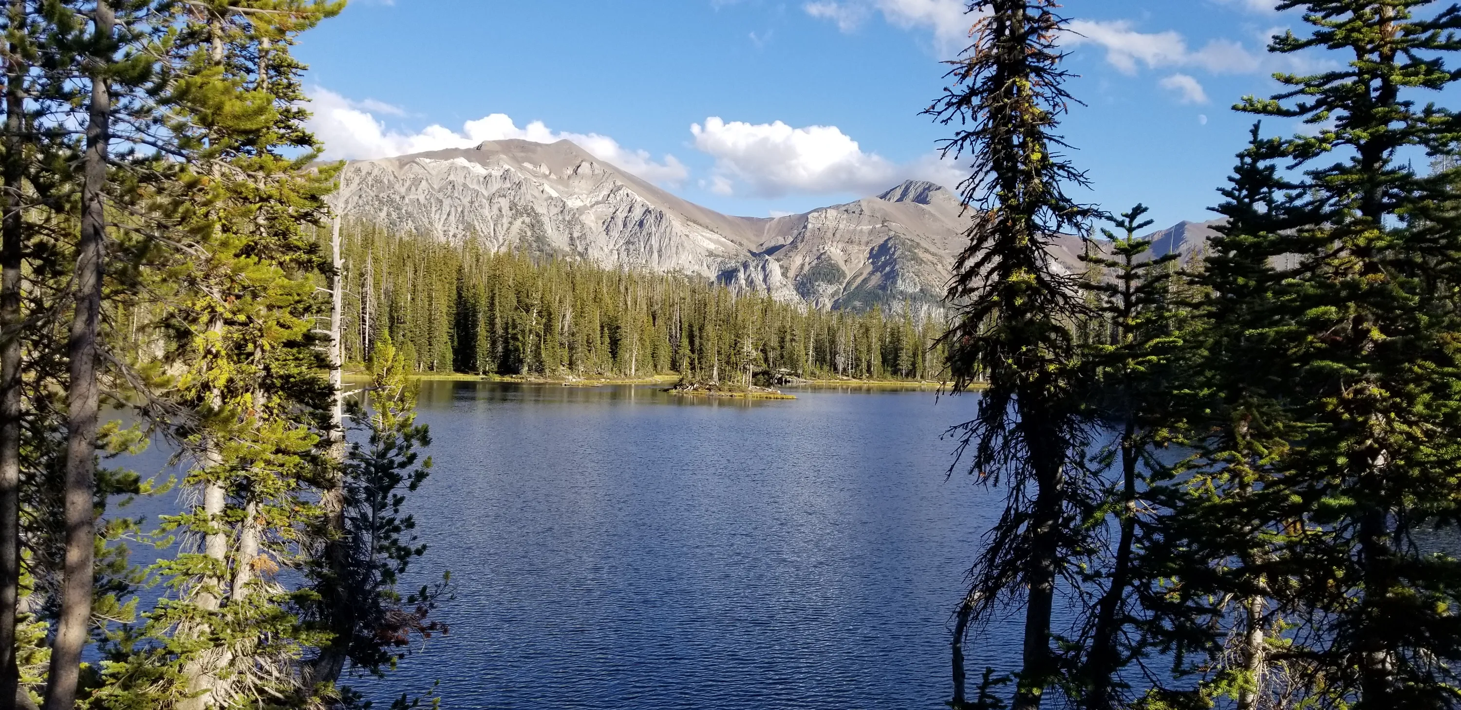
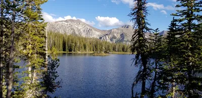 Horseshoe Lake - our camp for the third night
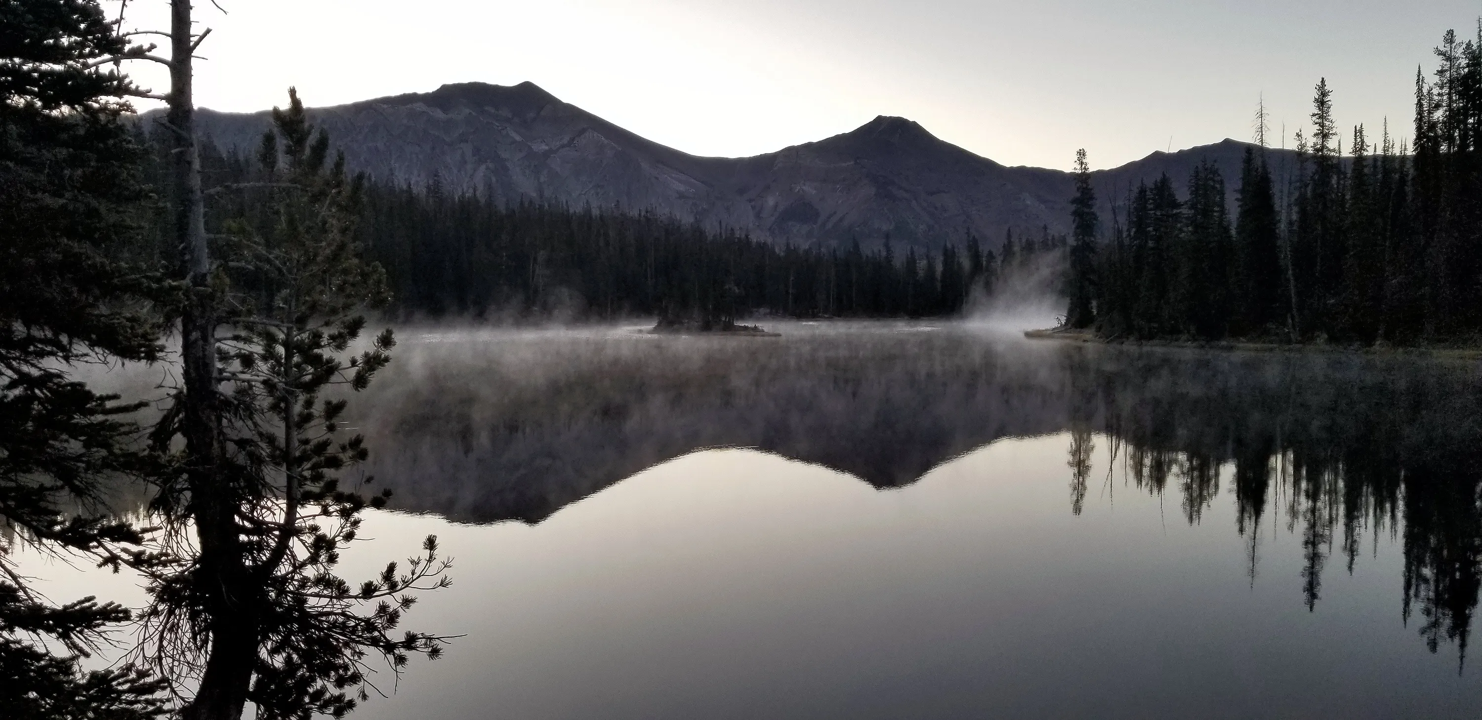
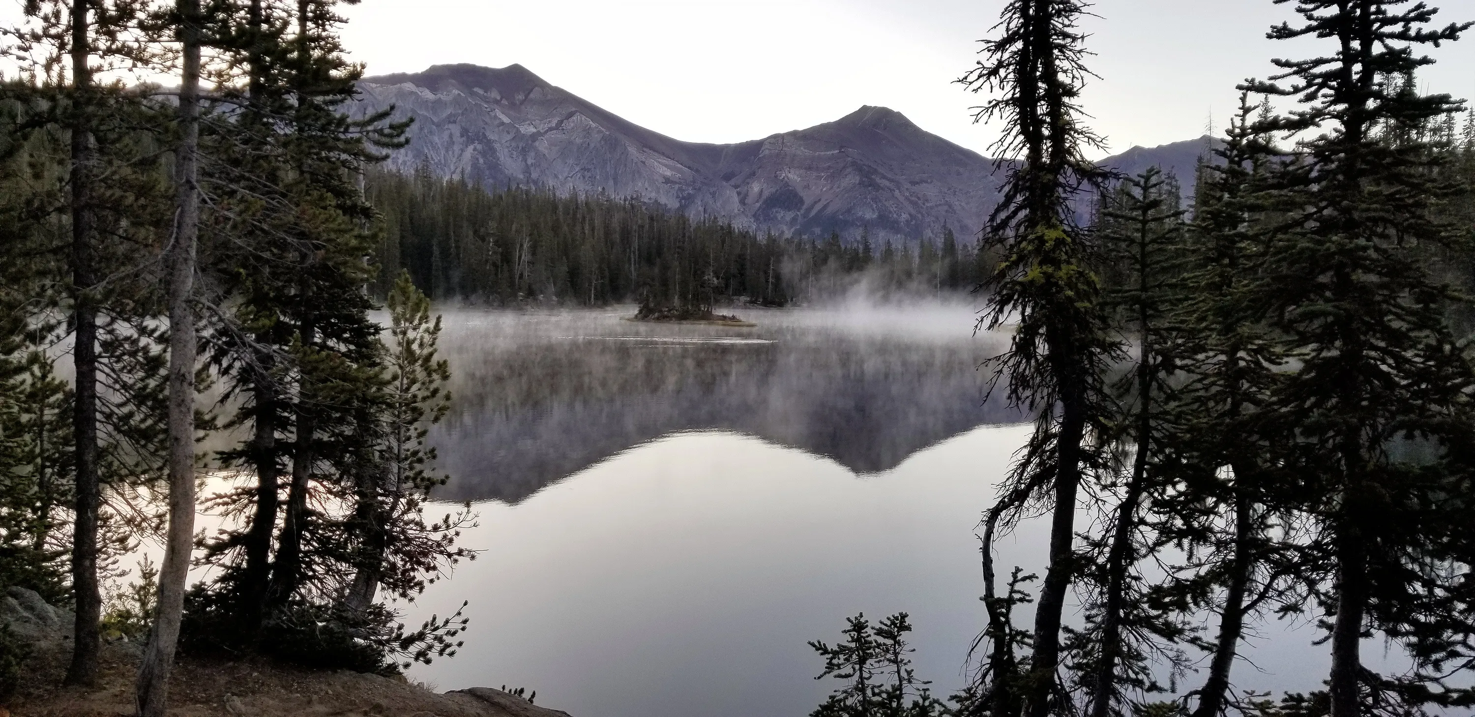
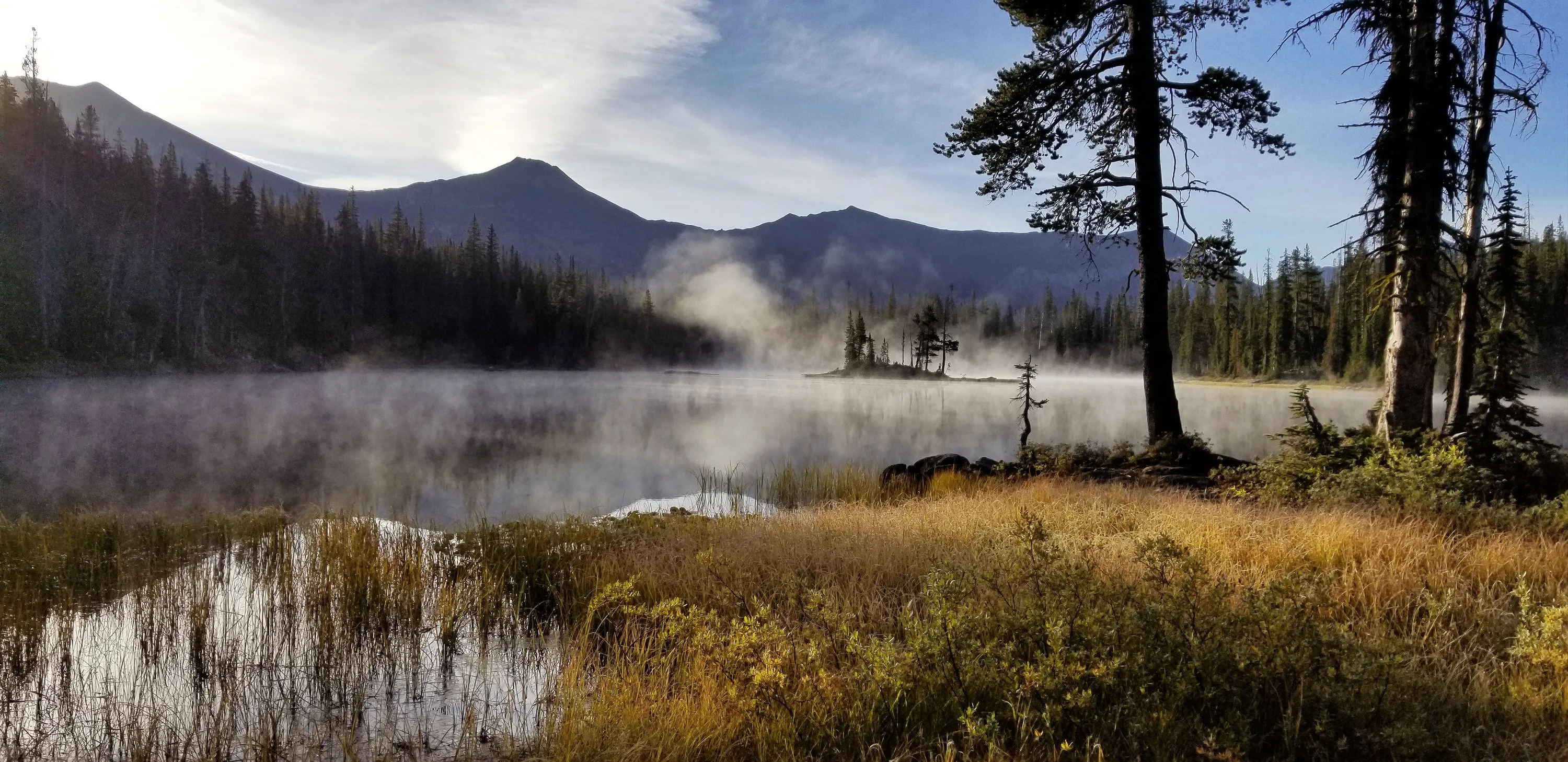
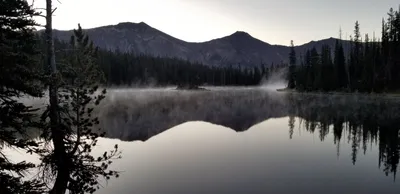 Horseshoe Lake in the morning mist
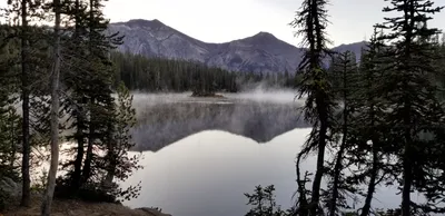 Horseshoe Lake in the morning mist
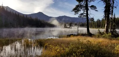 Horseshoe Lake in the morning mist
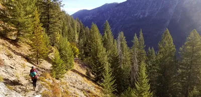 Heading back down to the six mile meadow
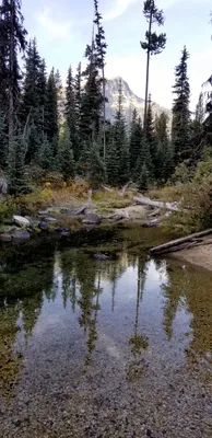 Lake creek crossing?
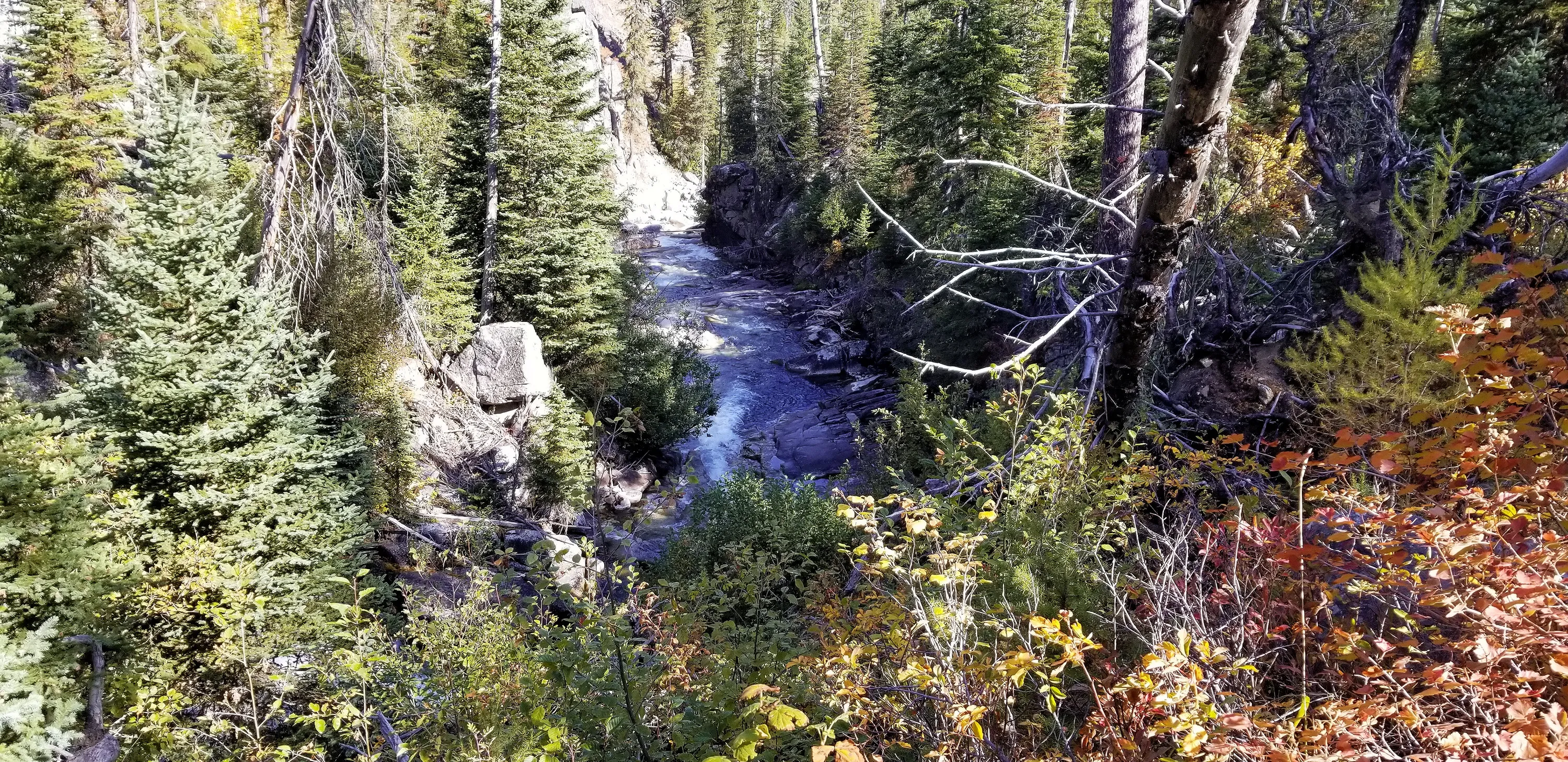
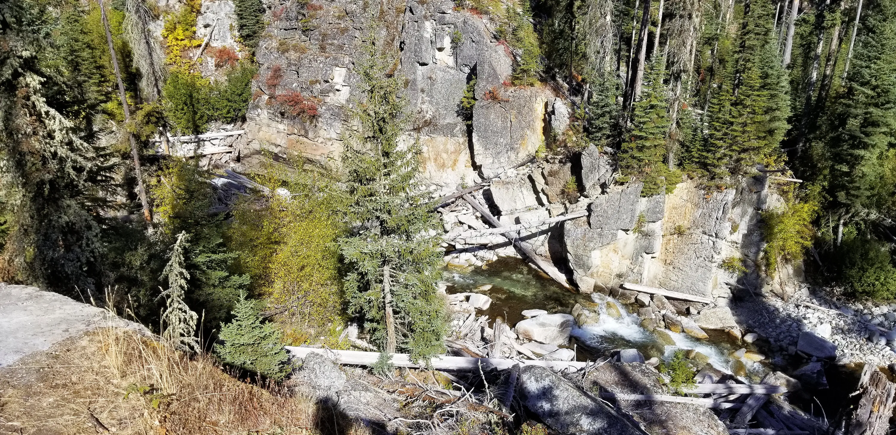
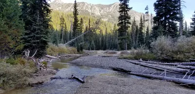 West Fork Wallowa river
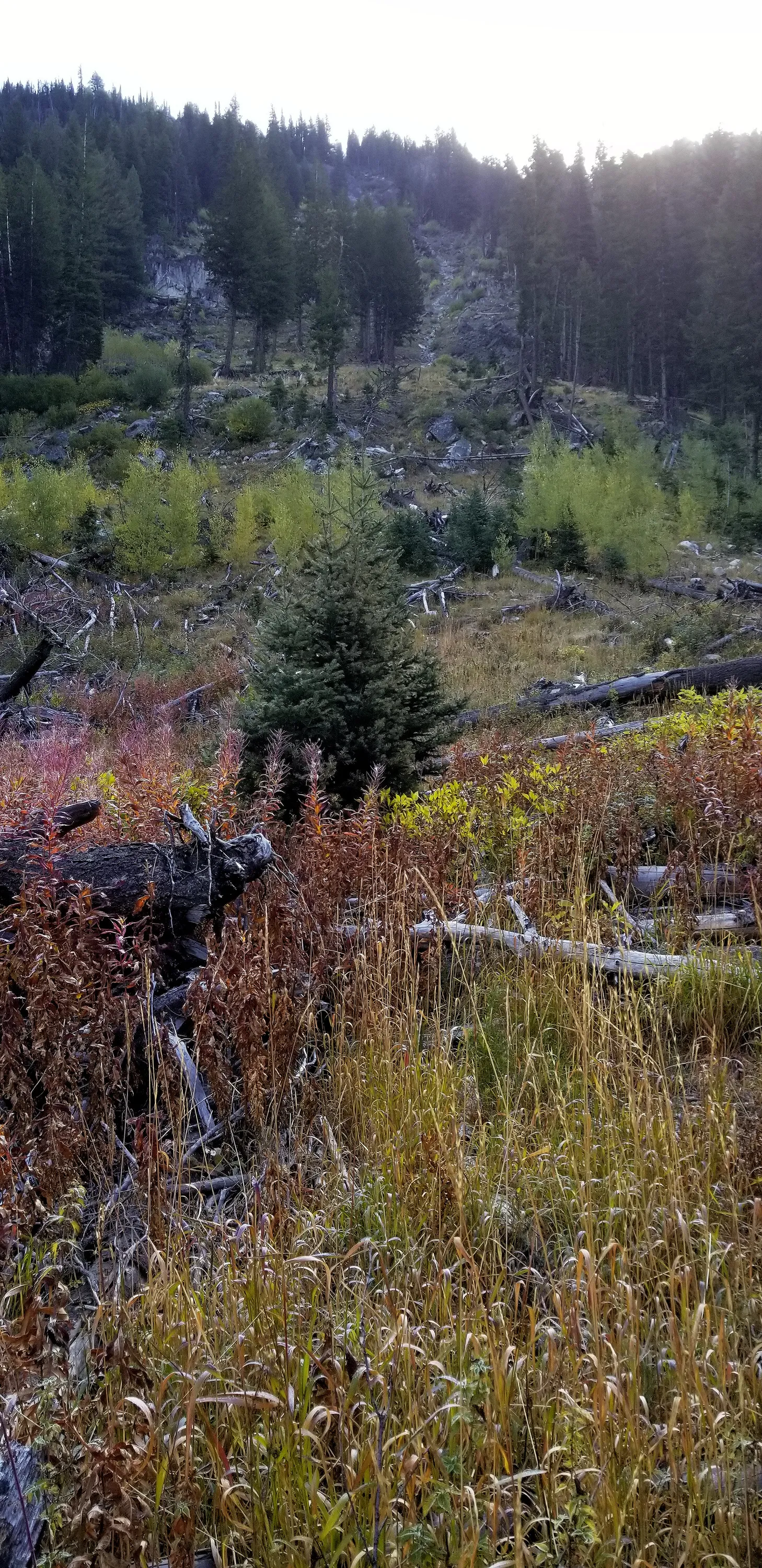
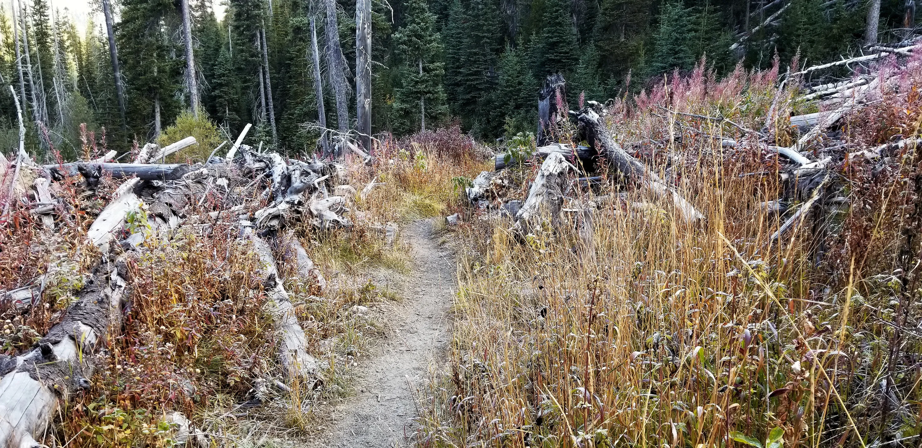
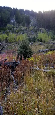 Avalanche damage along west fork Wallowa river trail
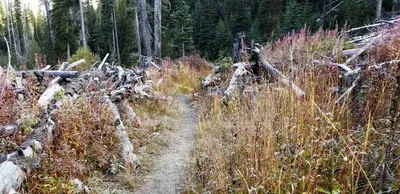 Avalanche damage along west fork Wallowa river trail
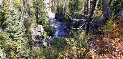 West Fork Wallowa River
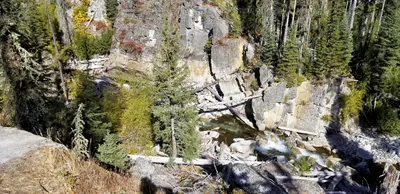 West Fork Wallowa River
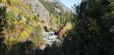 West Fork Wallowa River
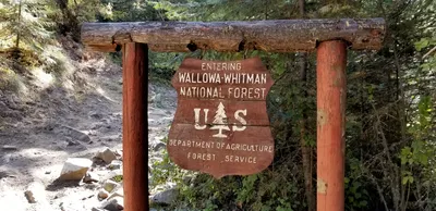 Cool old sign as we were leaving the forest (I took it from the back side)
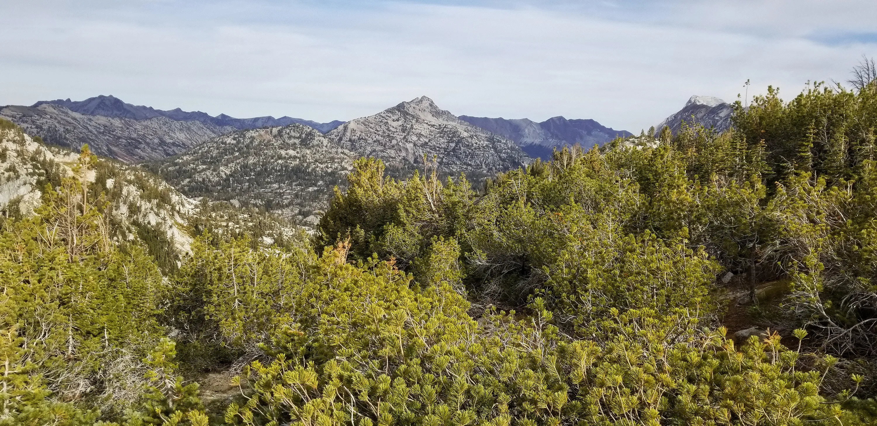
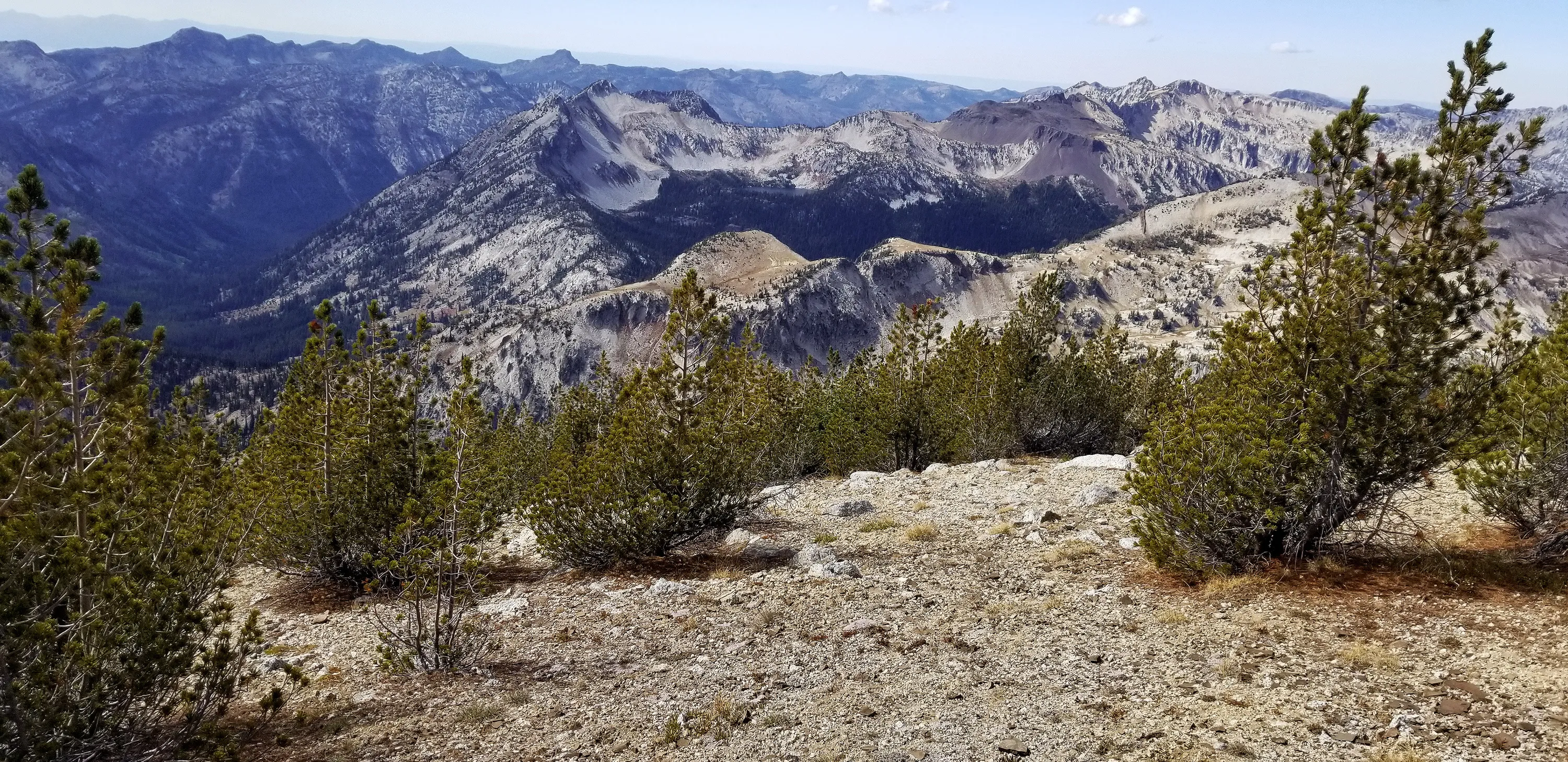
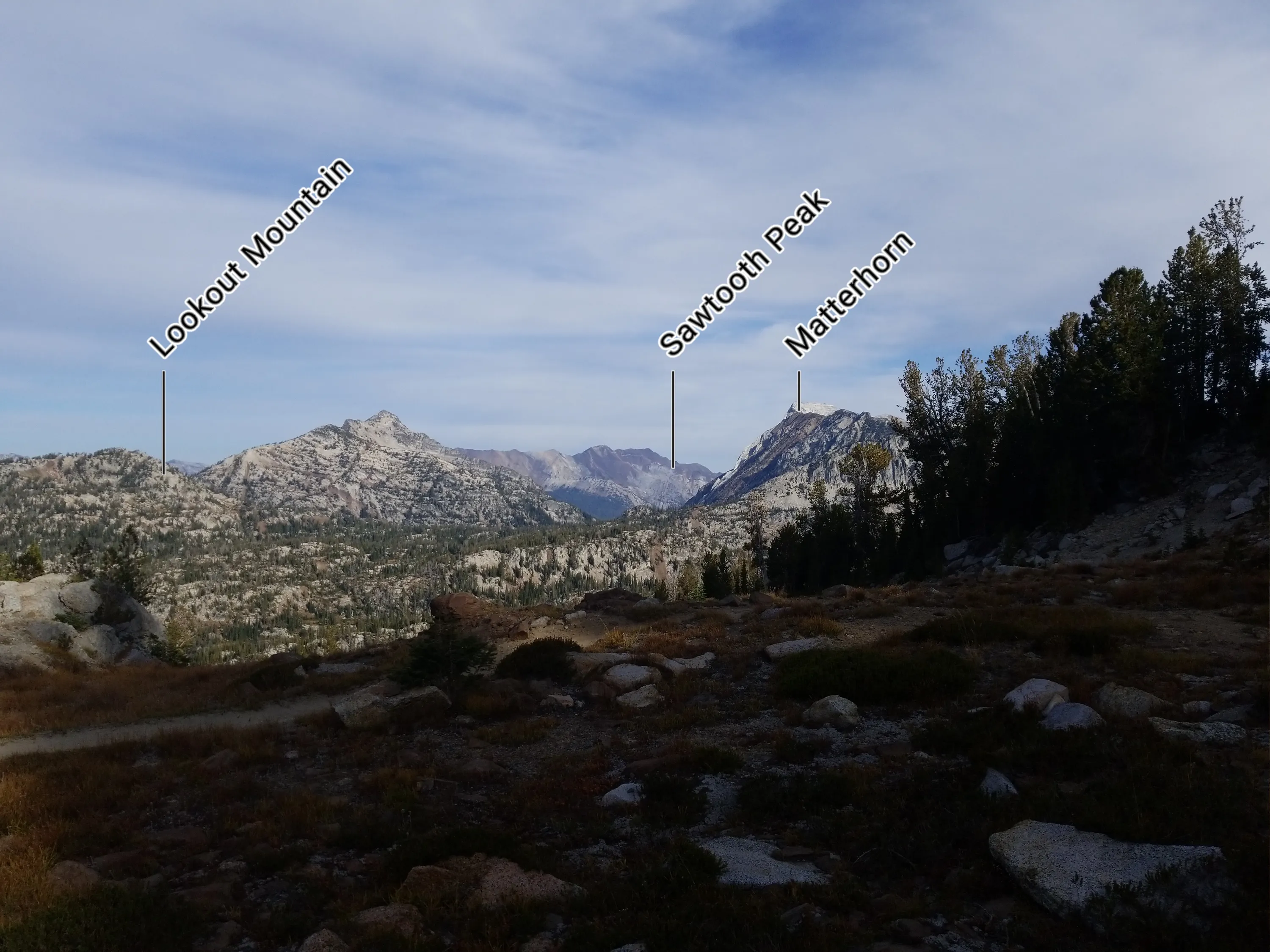
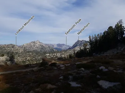 Looking north from near Glacier Pass
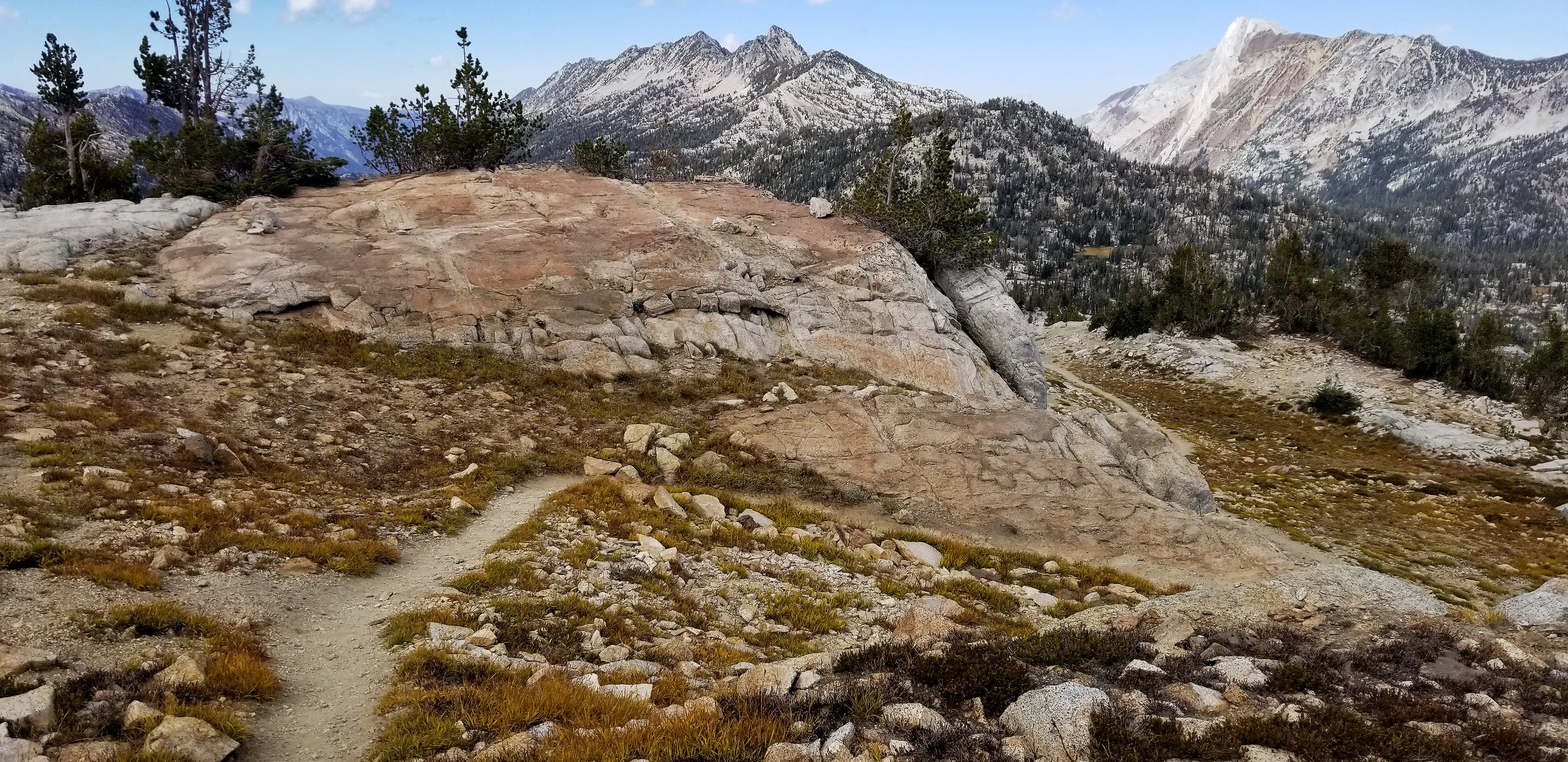
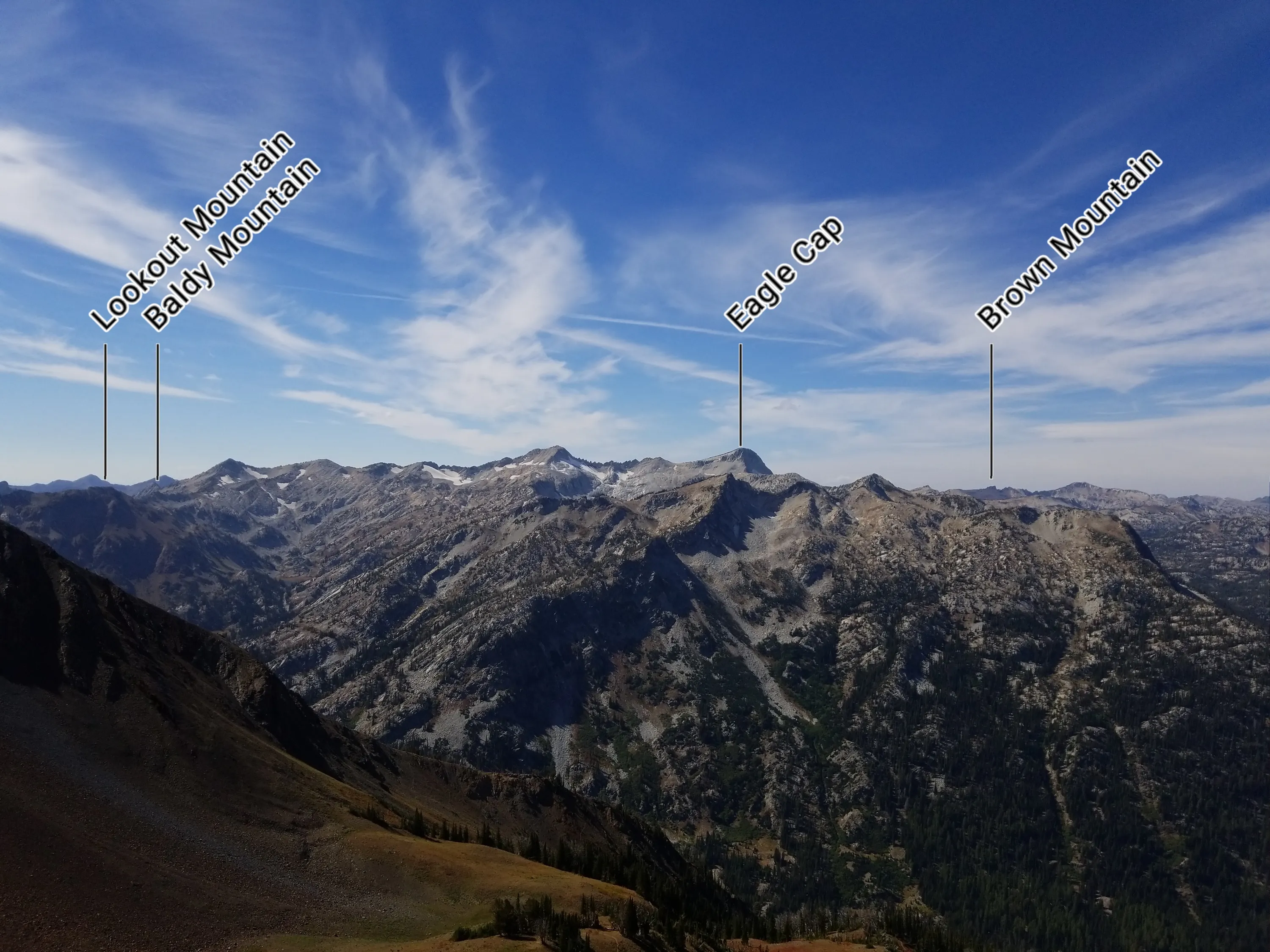
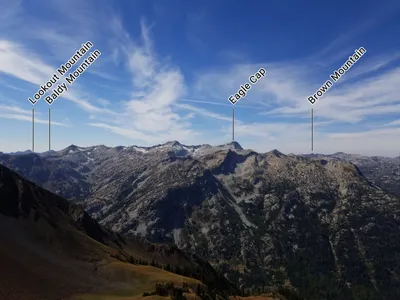 Looking east from Polaris Pass
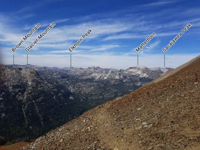 Looking kind of north/northeast from Polaris pass