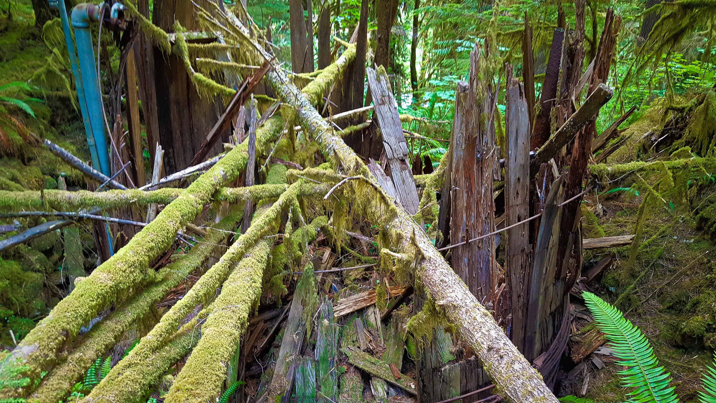
 Old Water barrel at the beginning of the East Fork Quinalt river trail - maybe used for the campground?
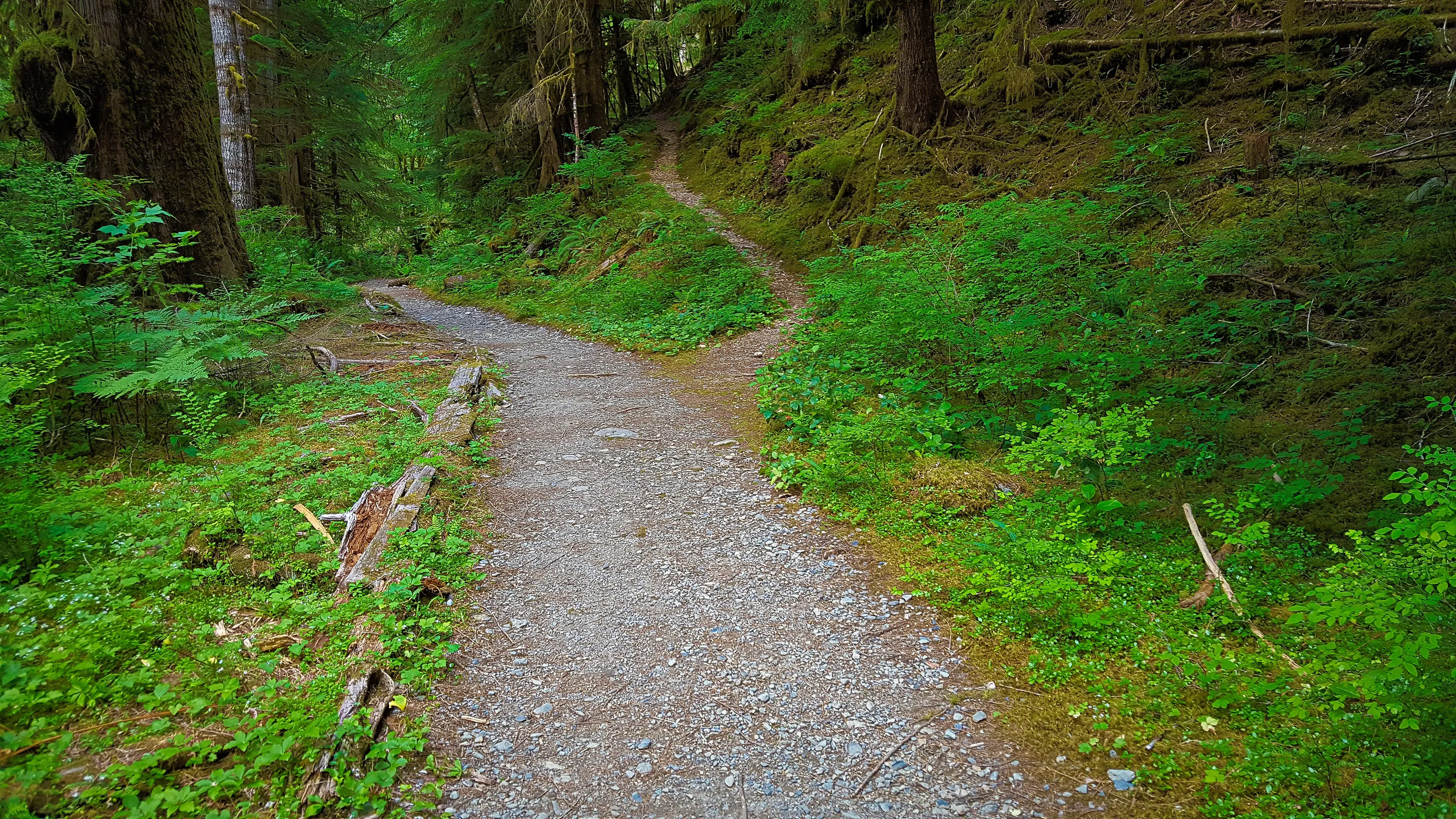
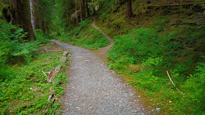 Junction with the Graves creek trail - near the beginning of the East Fork Quinalt river trail
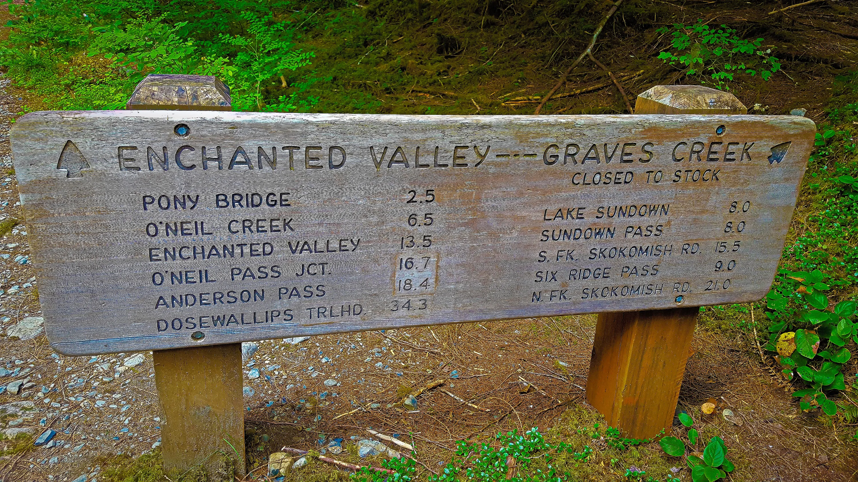
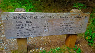 Anderson Pass will be our eventual goal on Friday (day 3)
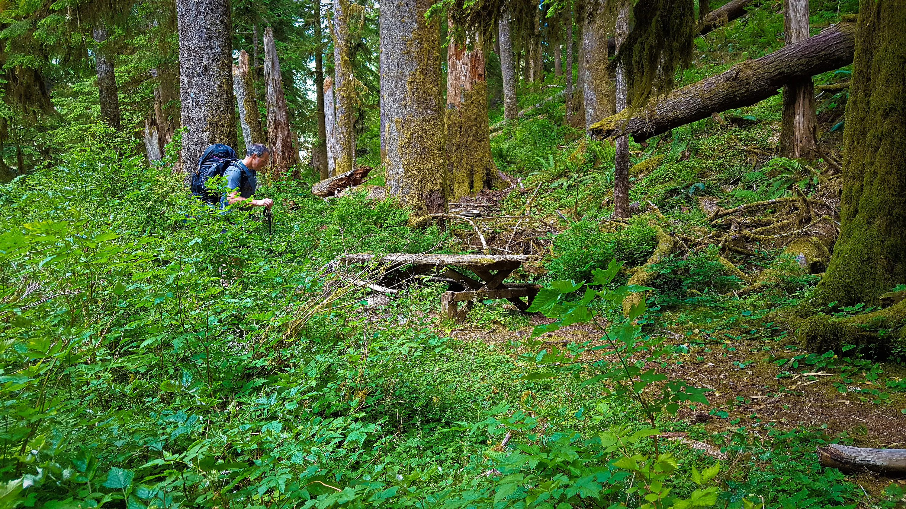
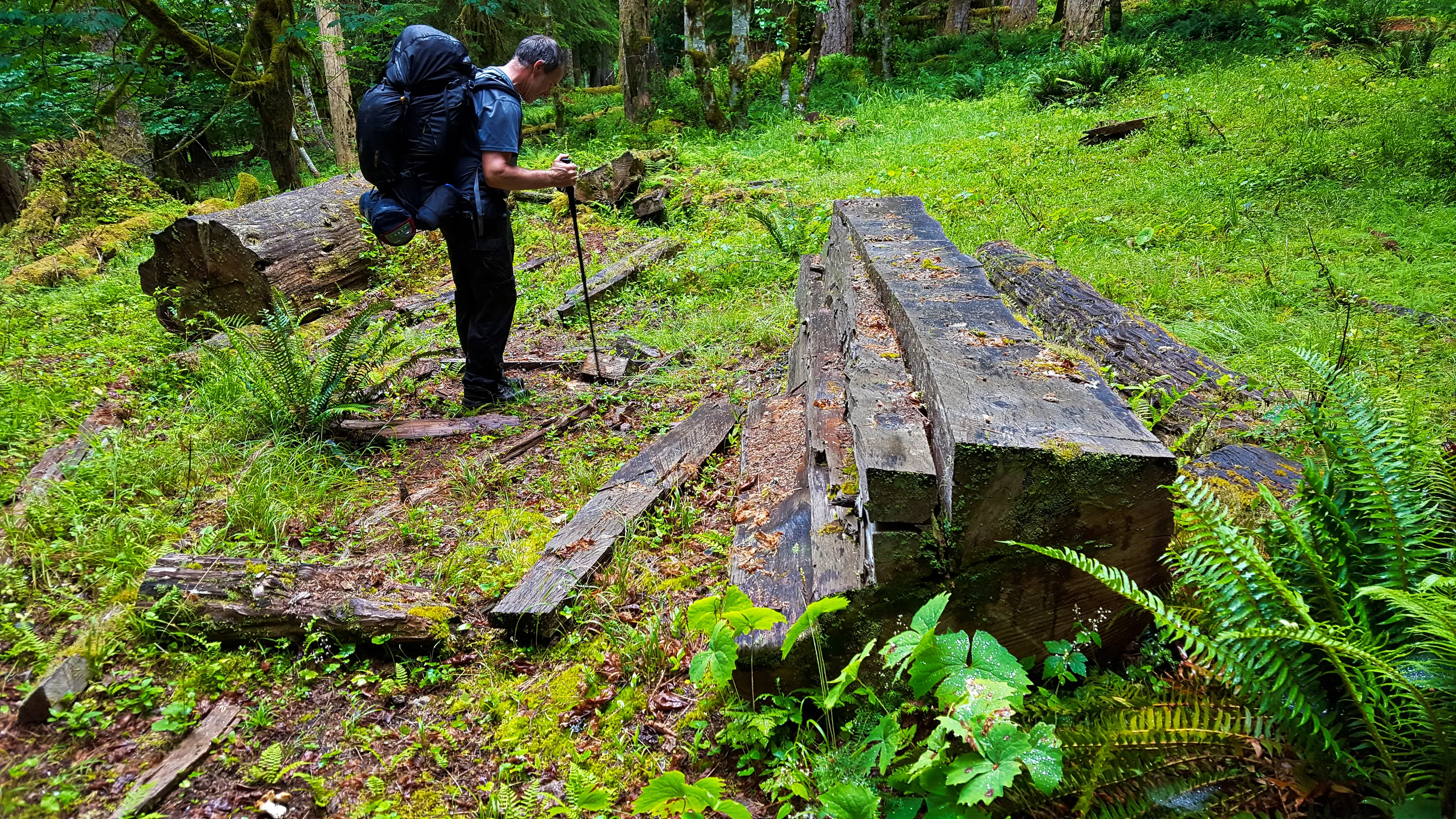
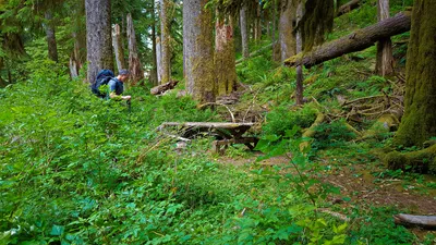 Very old picnic table alongside trail near the start - East Fork Quinault river trail
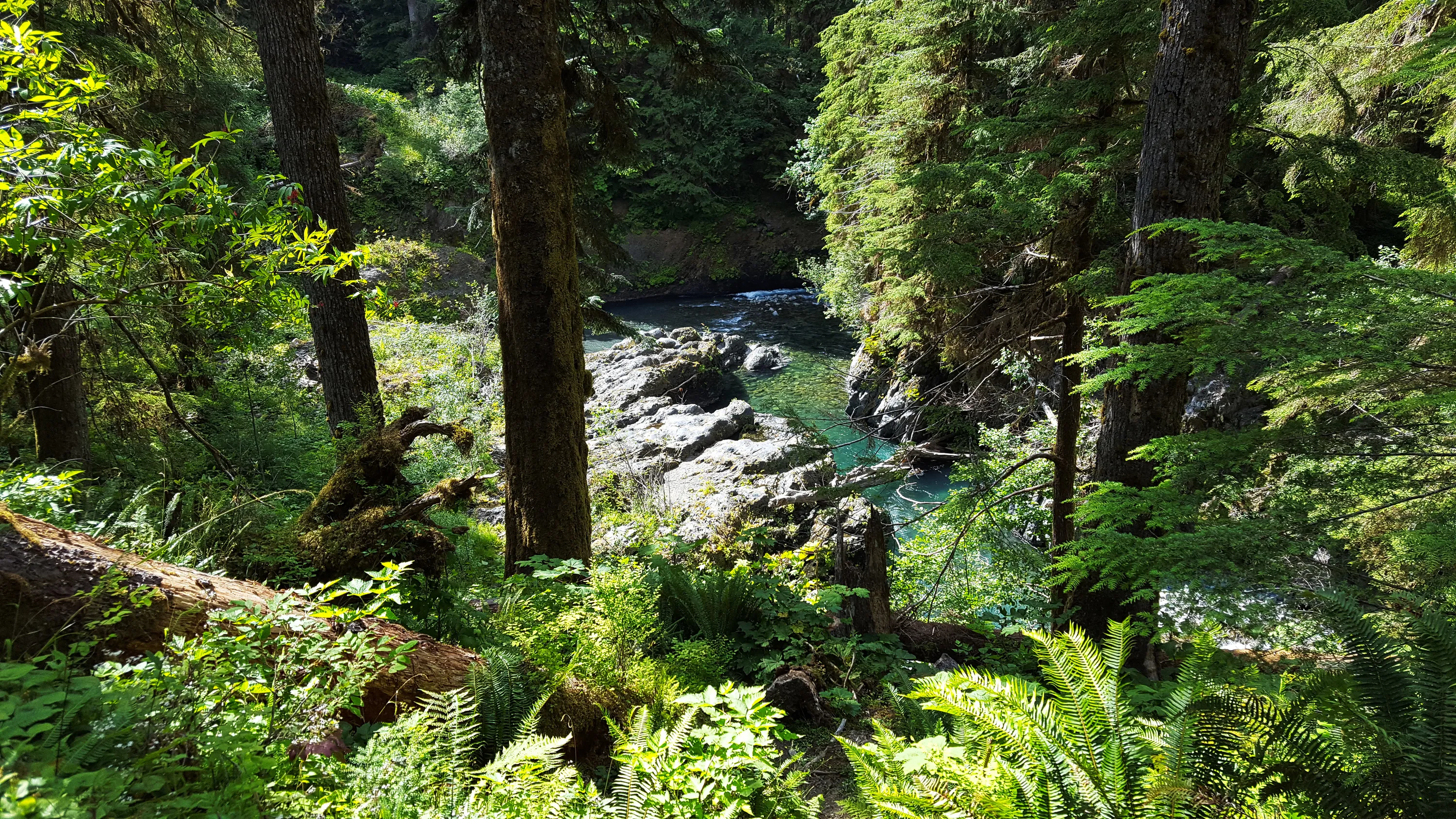
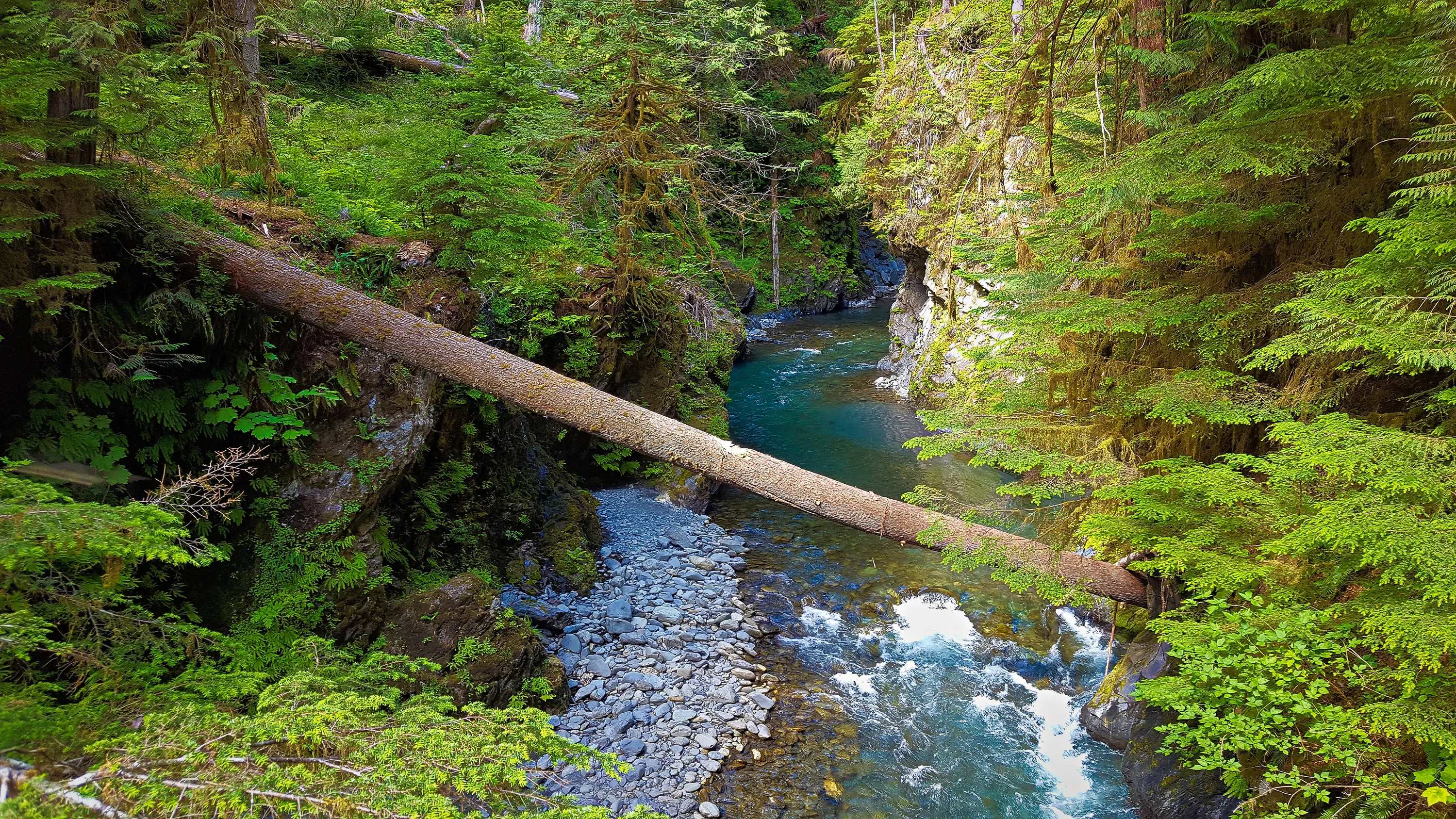
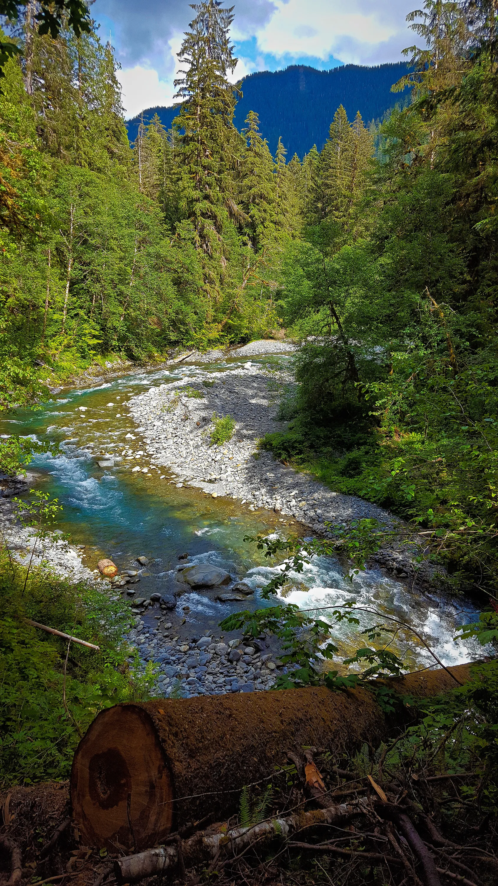
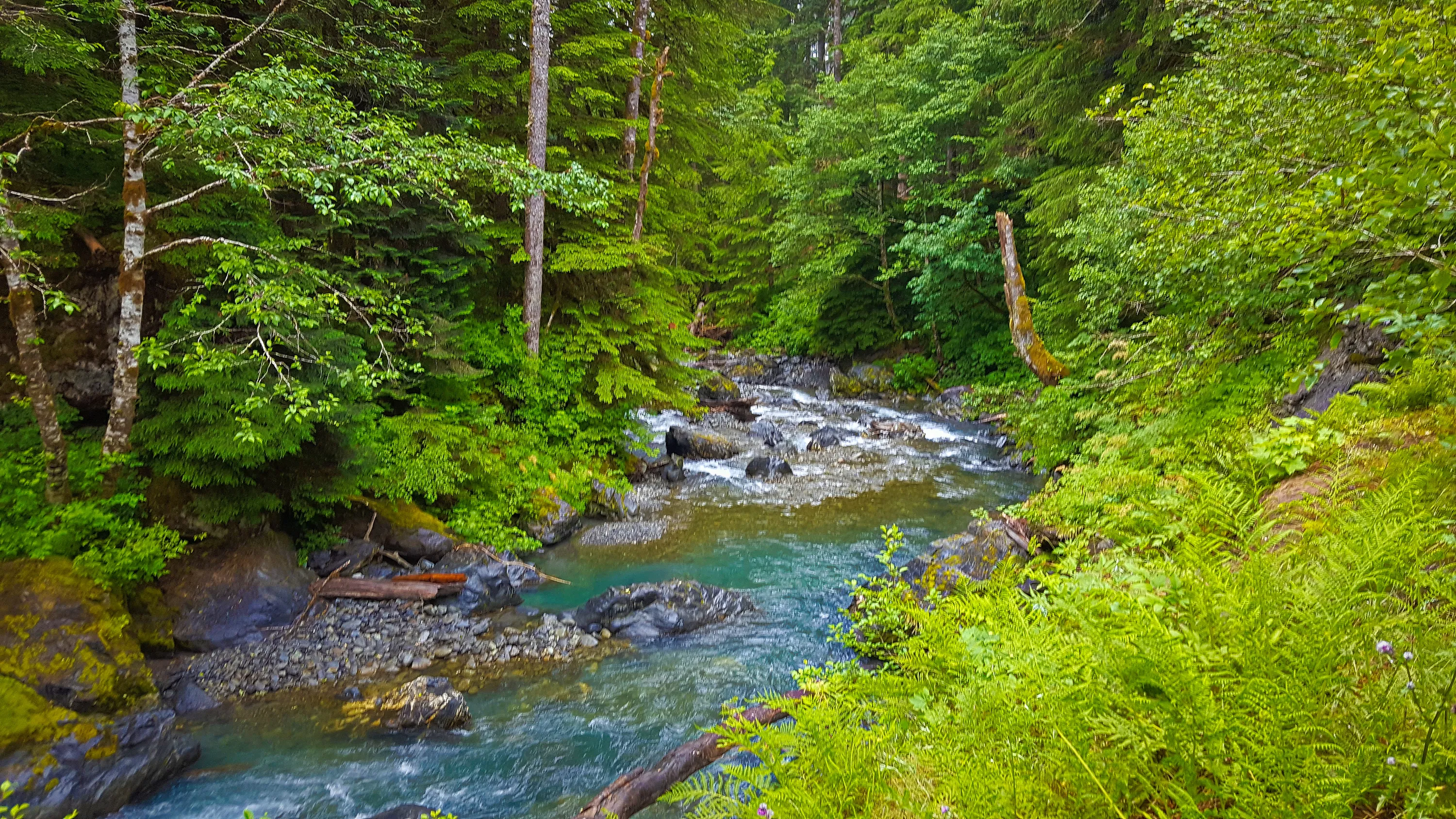
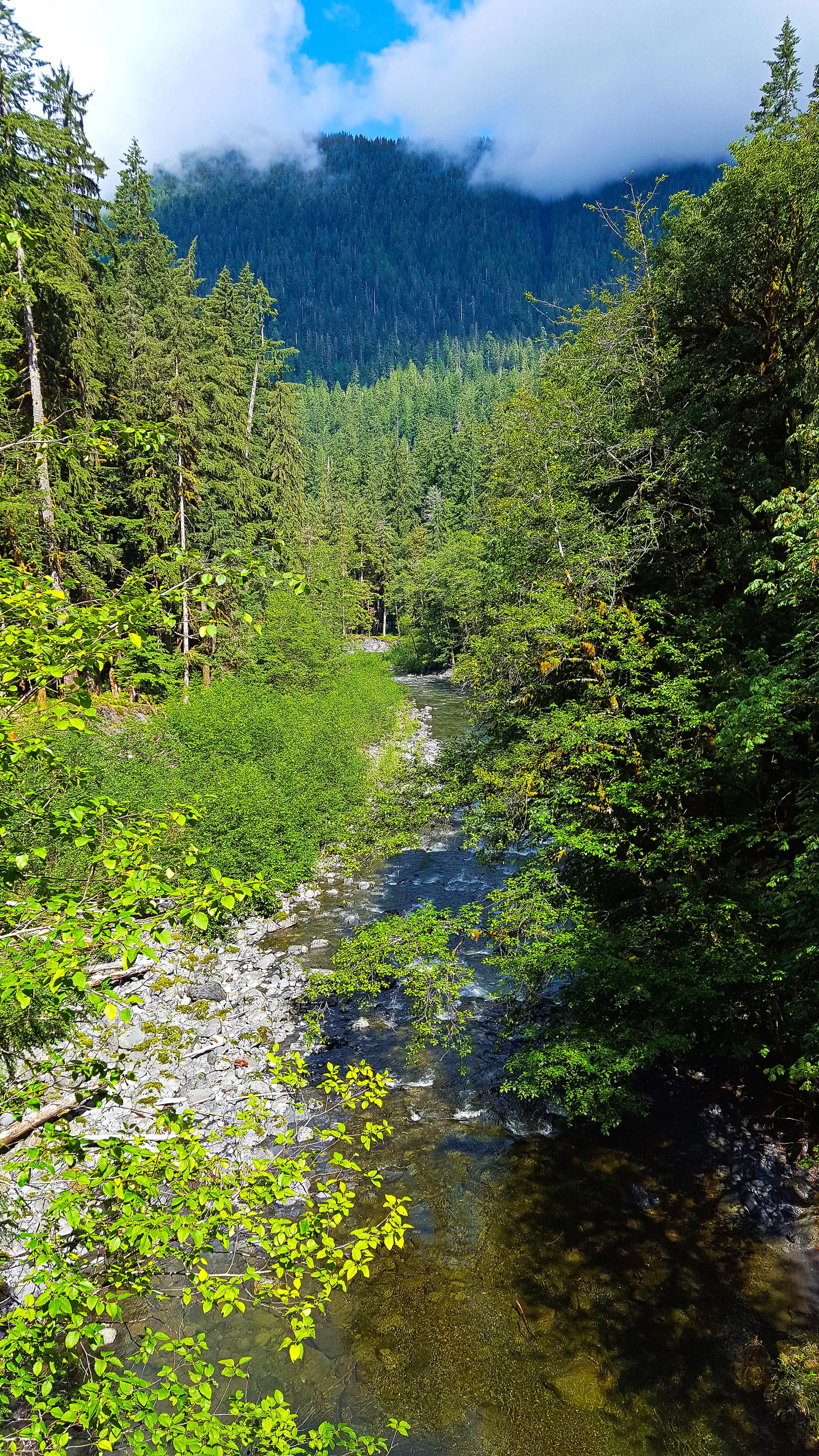
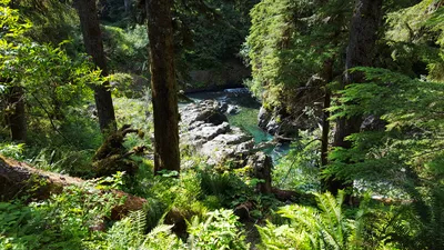 East Fork Quinault River
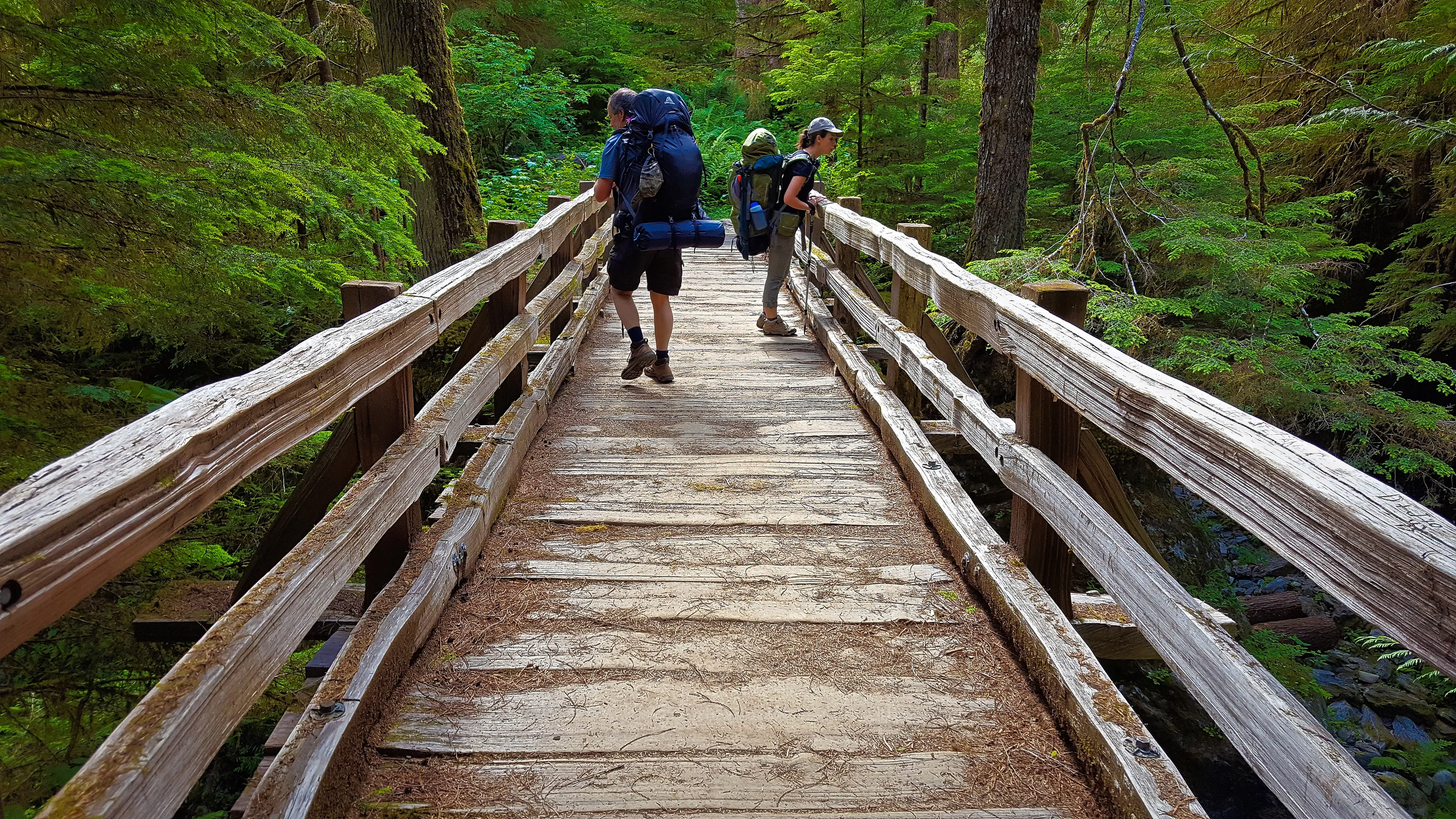
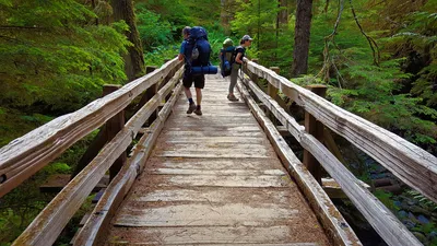 Pony Bridge
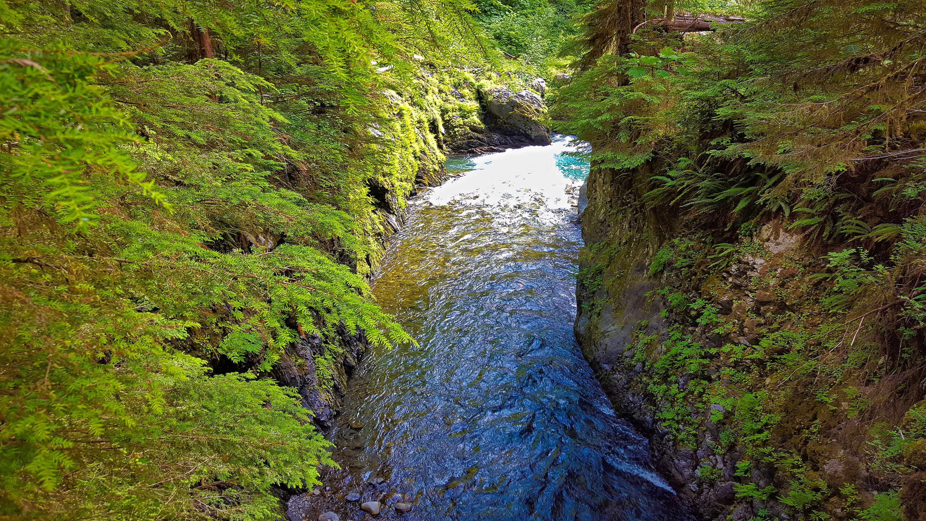
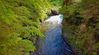 East Fork Quinalt River at Pony Brdge
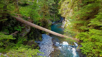
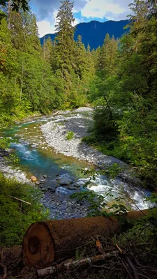 East Fork Quinalt River
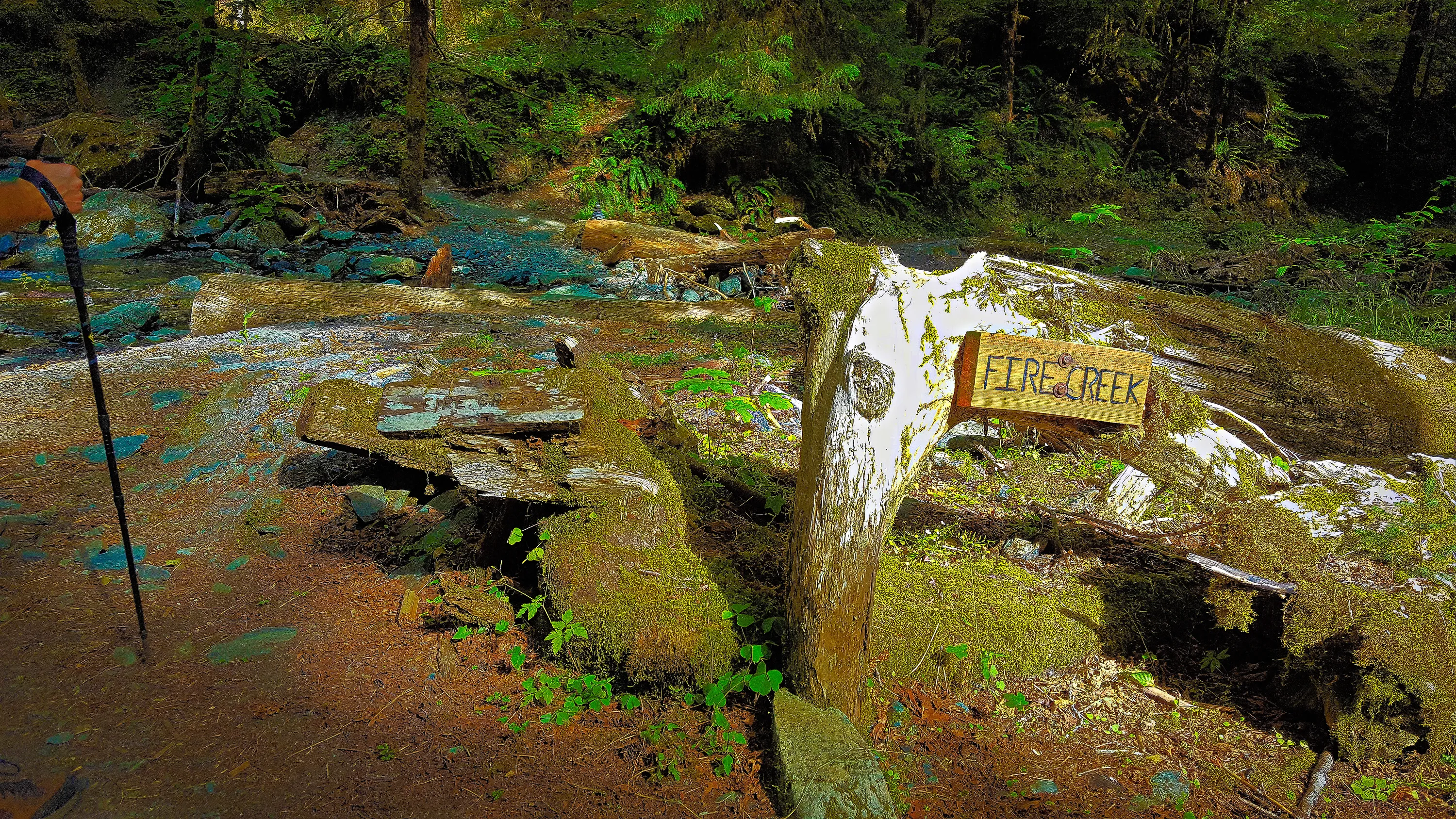
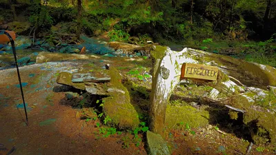 Signs at Fire Creek crossing on East Fork Quinalt River
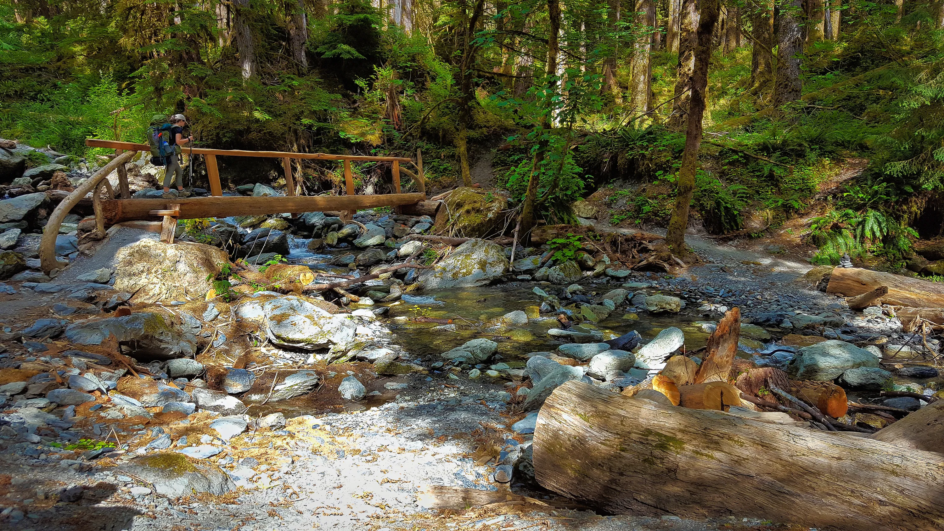
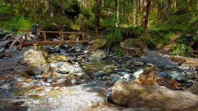 Bridge at Fire Creek crossing - East Fork
Quinalt River
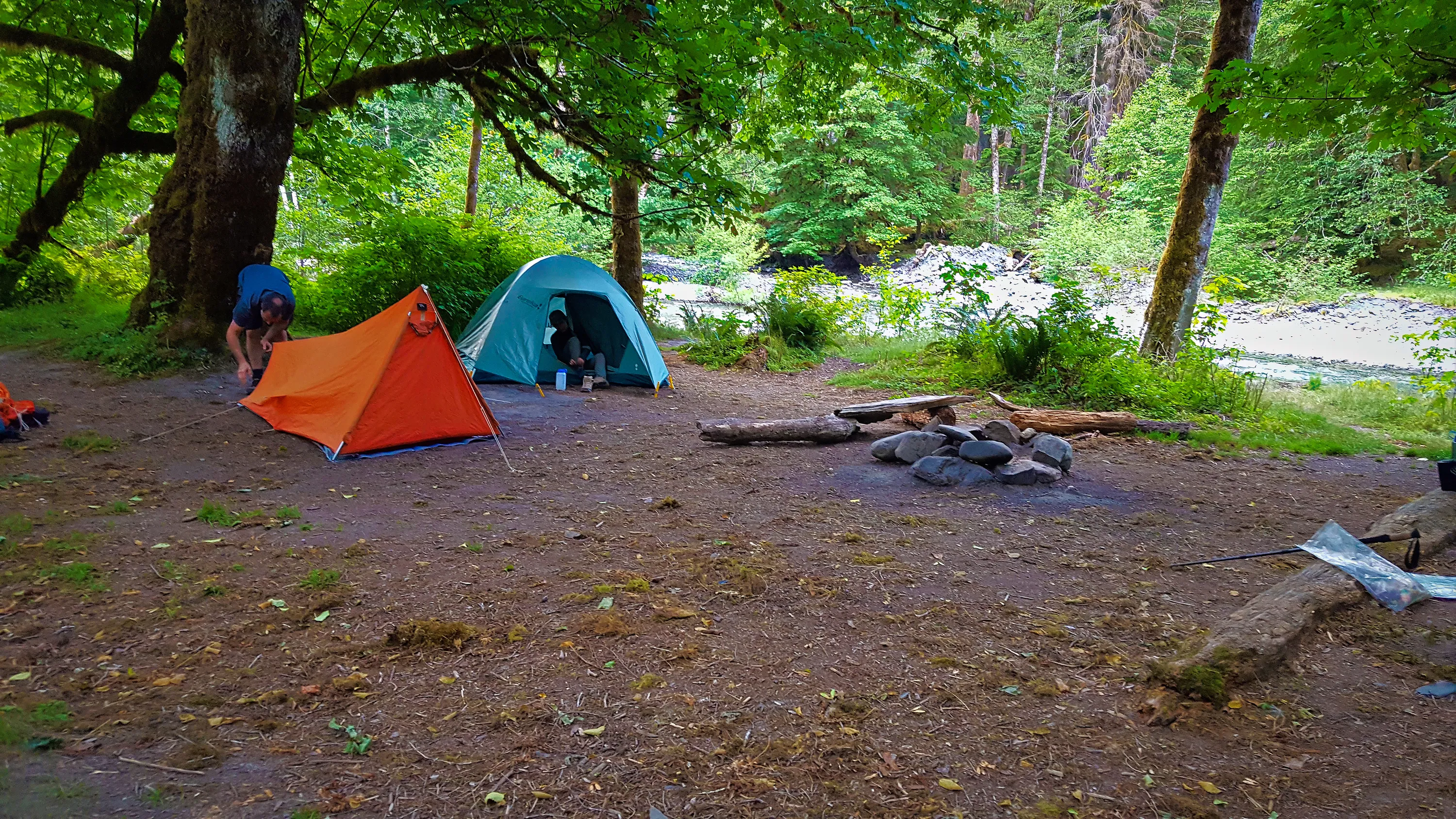
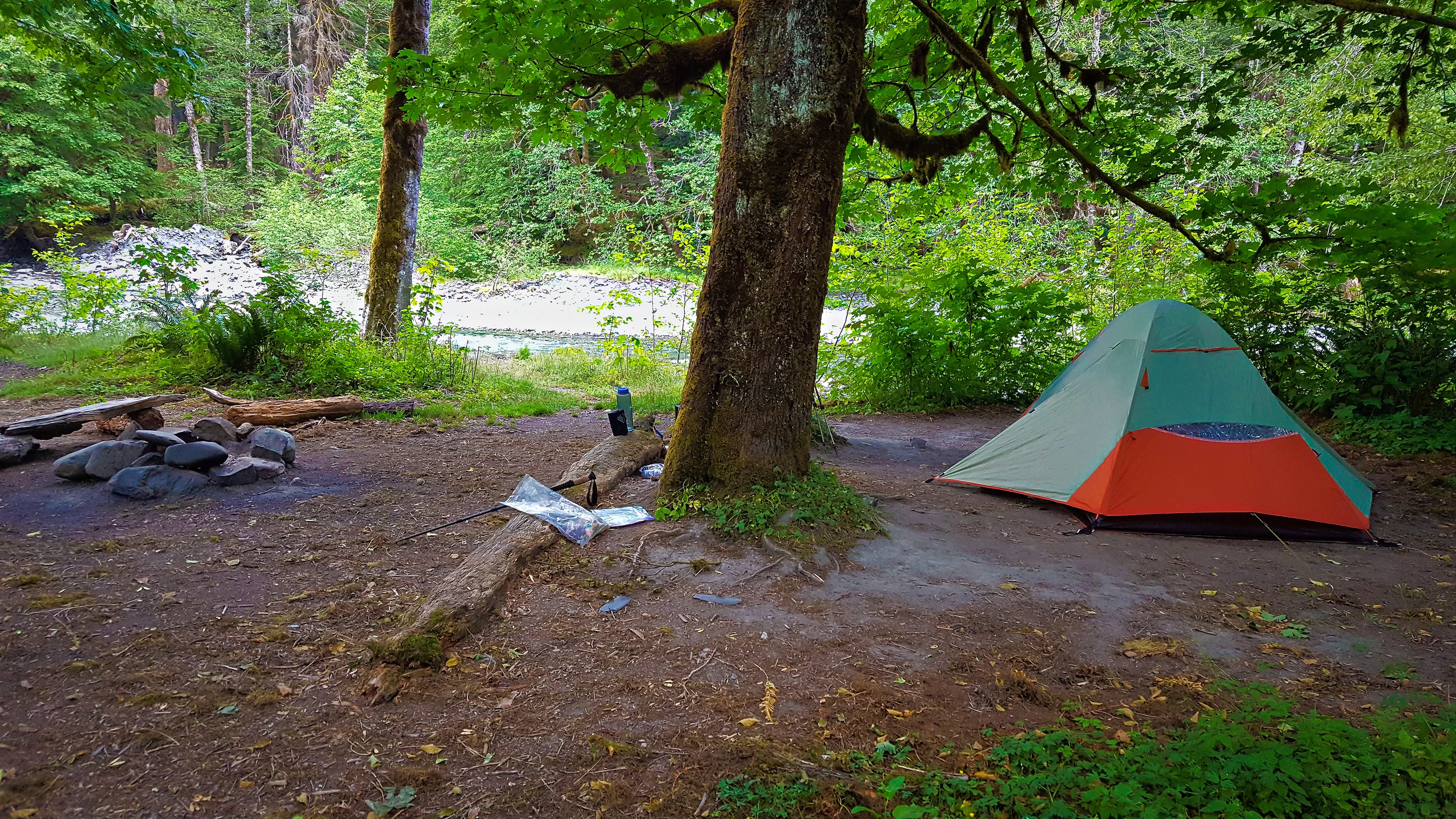
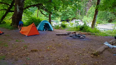 Camp at O'Neil creek - East Fork Quinalt River
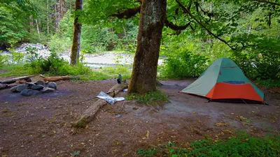 Camp at O'Neil Creek - East Fork Quinalt River
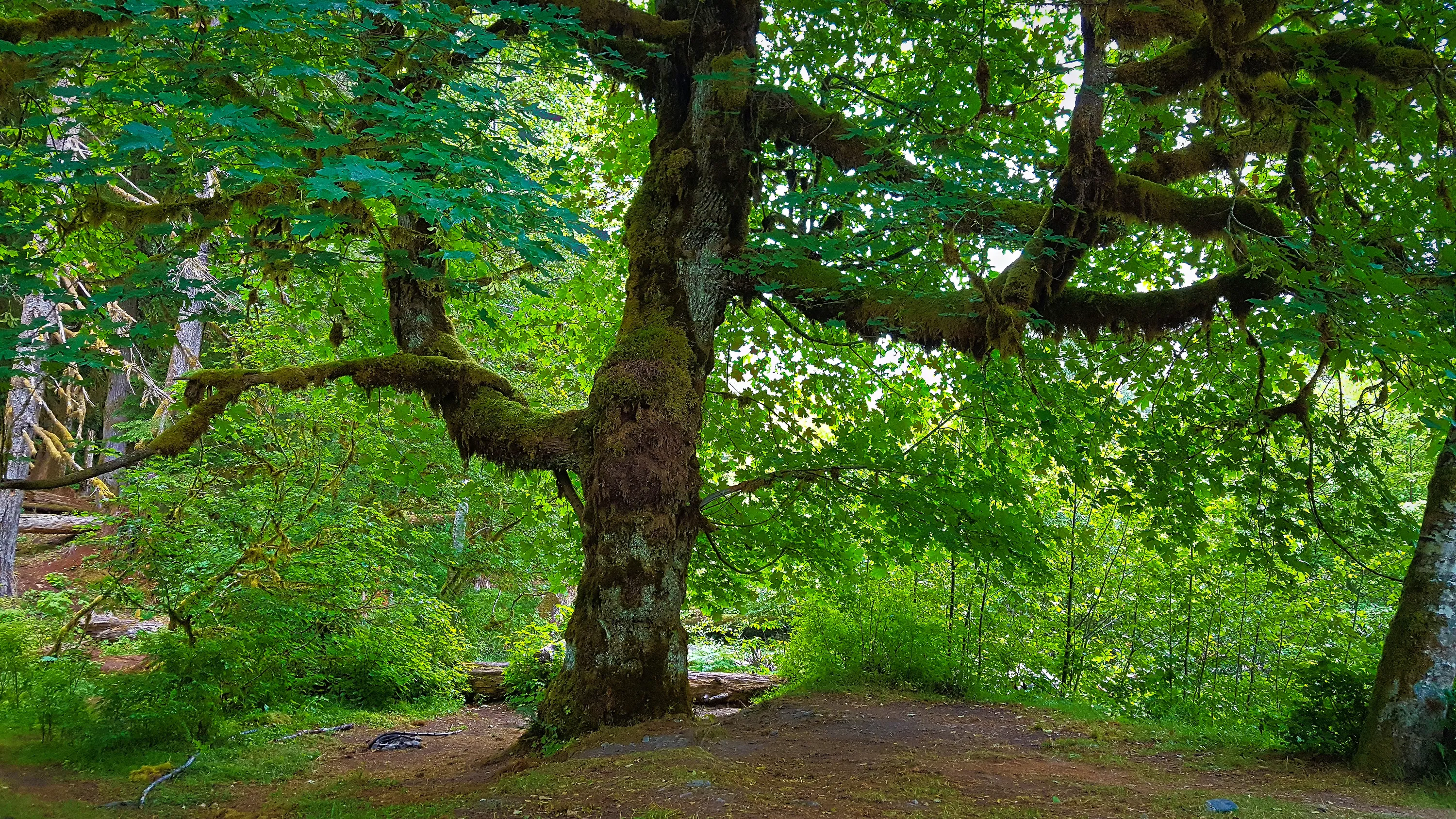
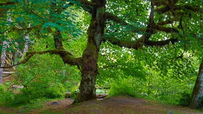 Huge Maple tree at O'Neil Camp - East Fork Quinalt River
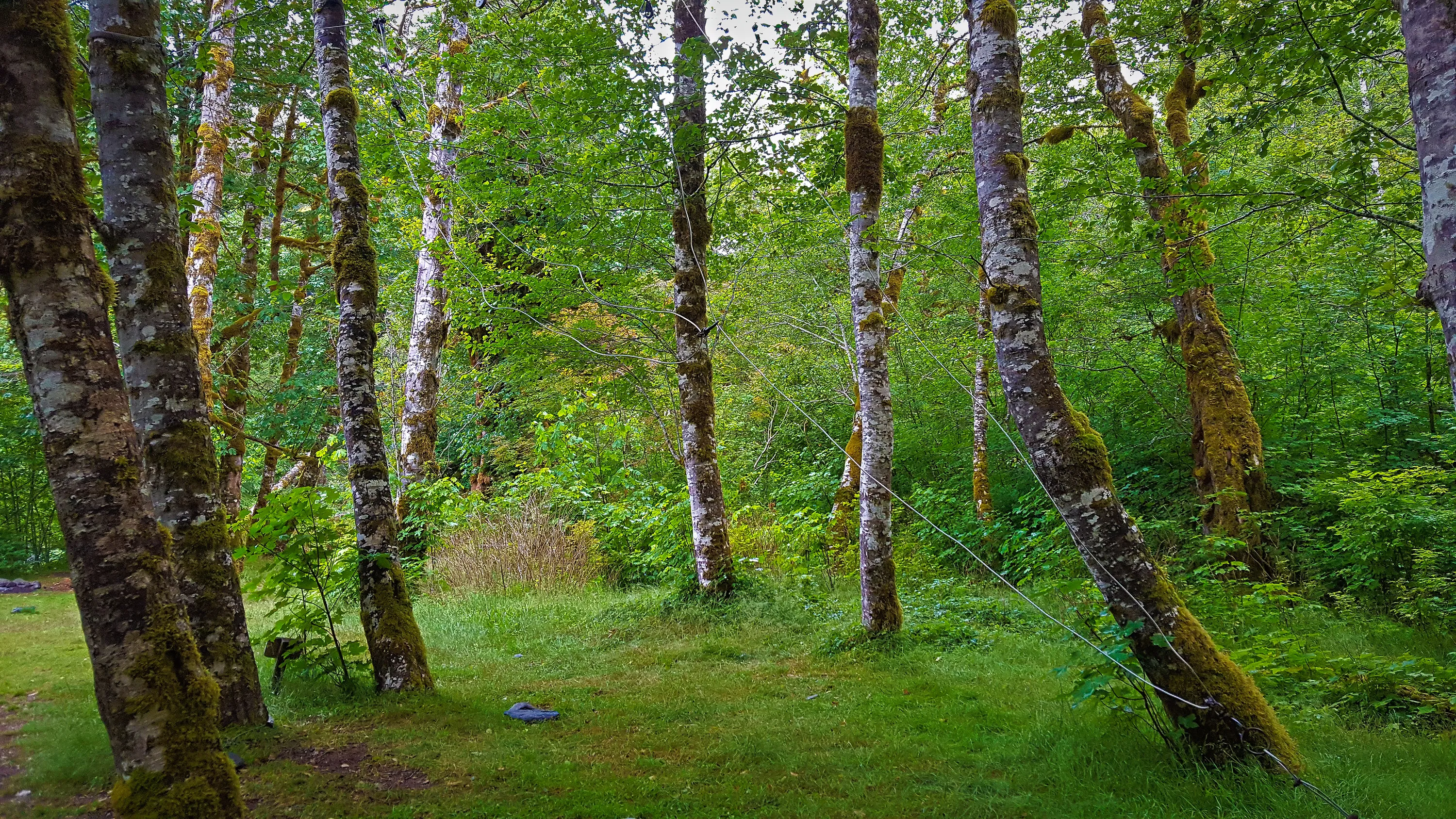
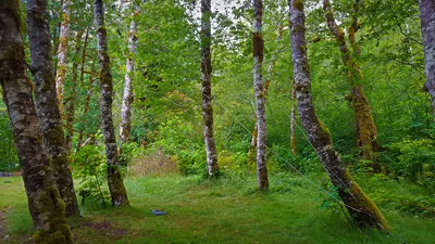 Bear wire at O'Neil camp - East Fork Quinalt River
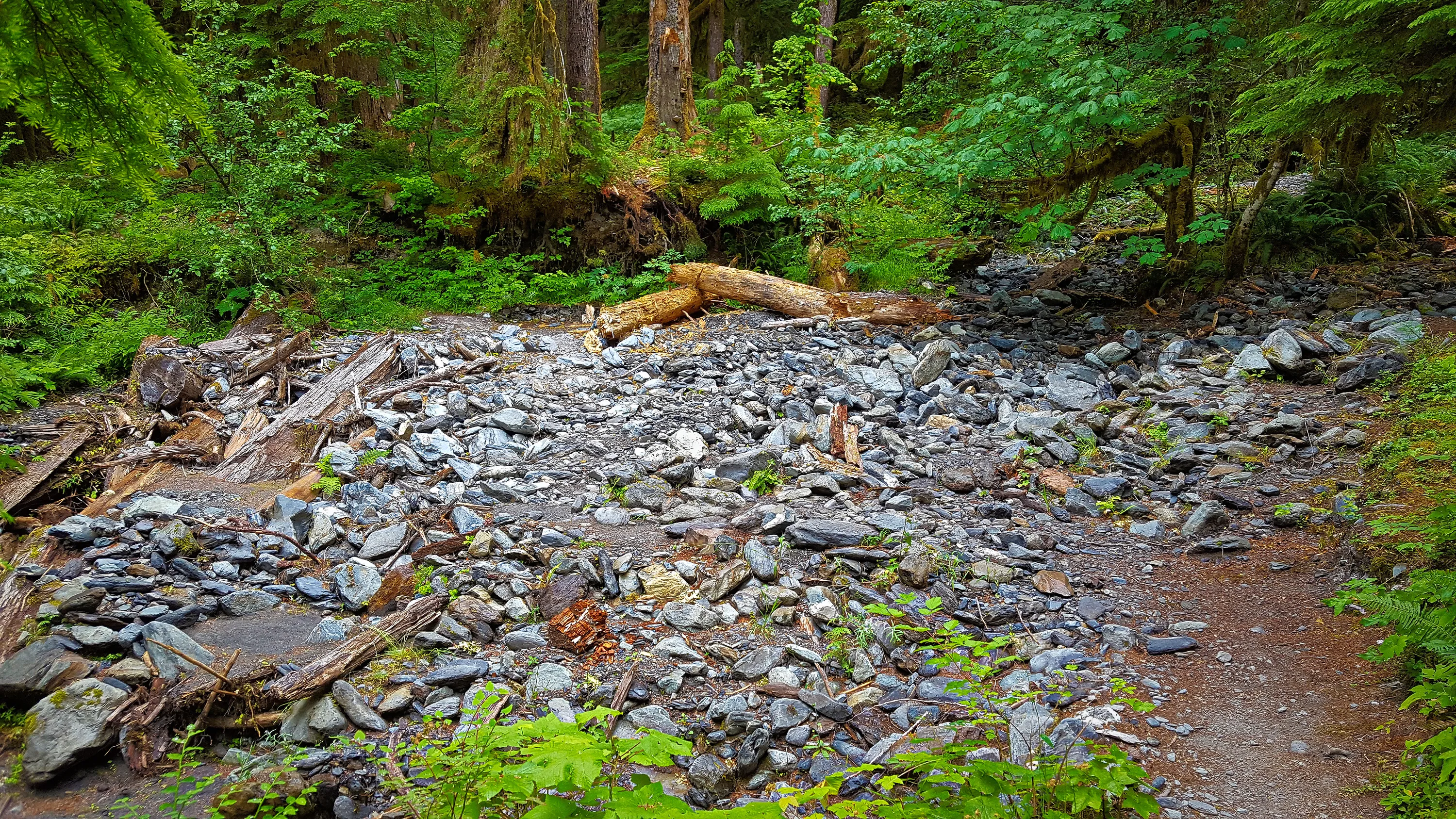
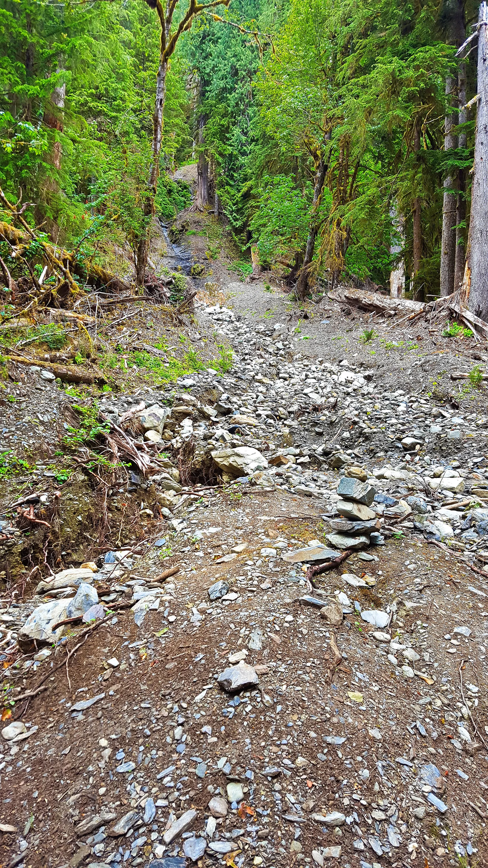
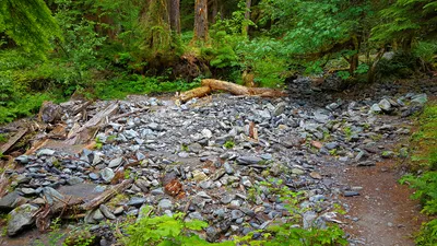 One of the MANY washouts from side creek/drainages that seem to occur almost yearly.
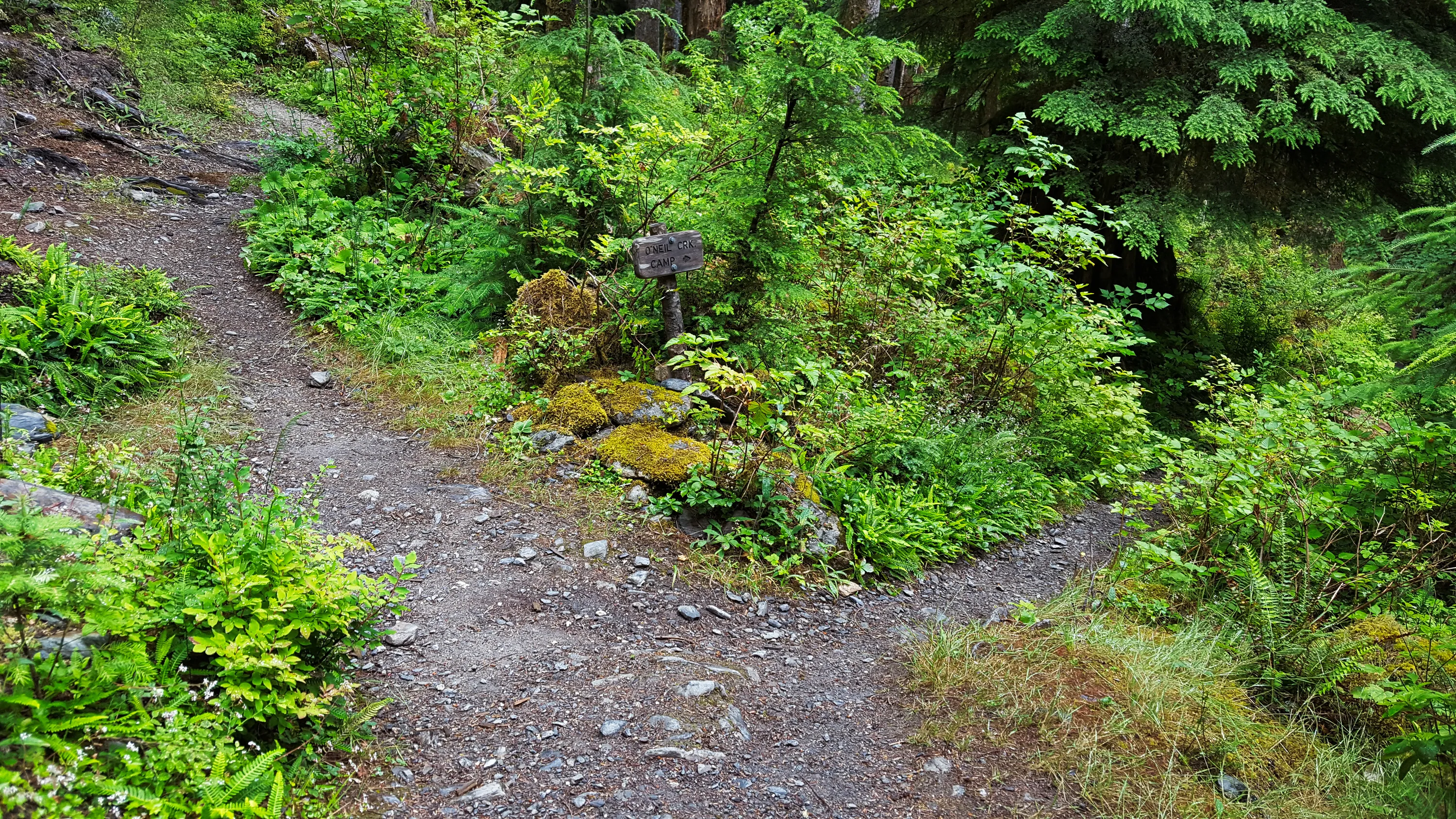
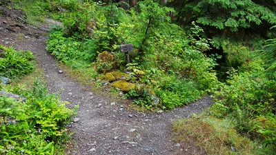 Junction down to O'Neil Creek camground - Night 1 - East Fork Quinault River
trail
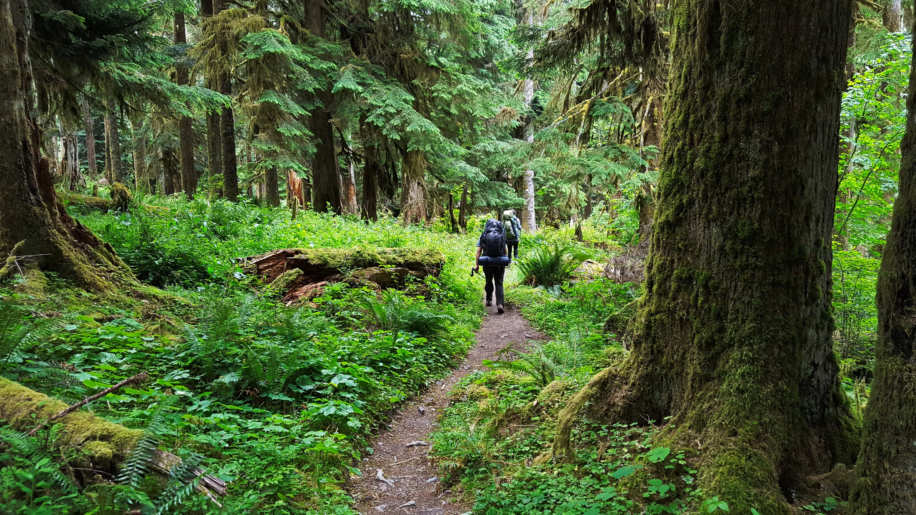
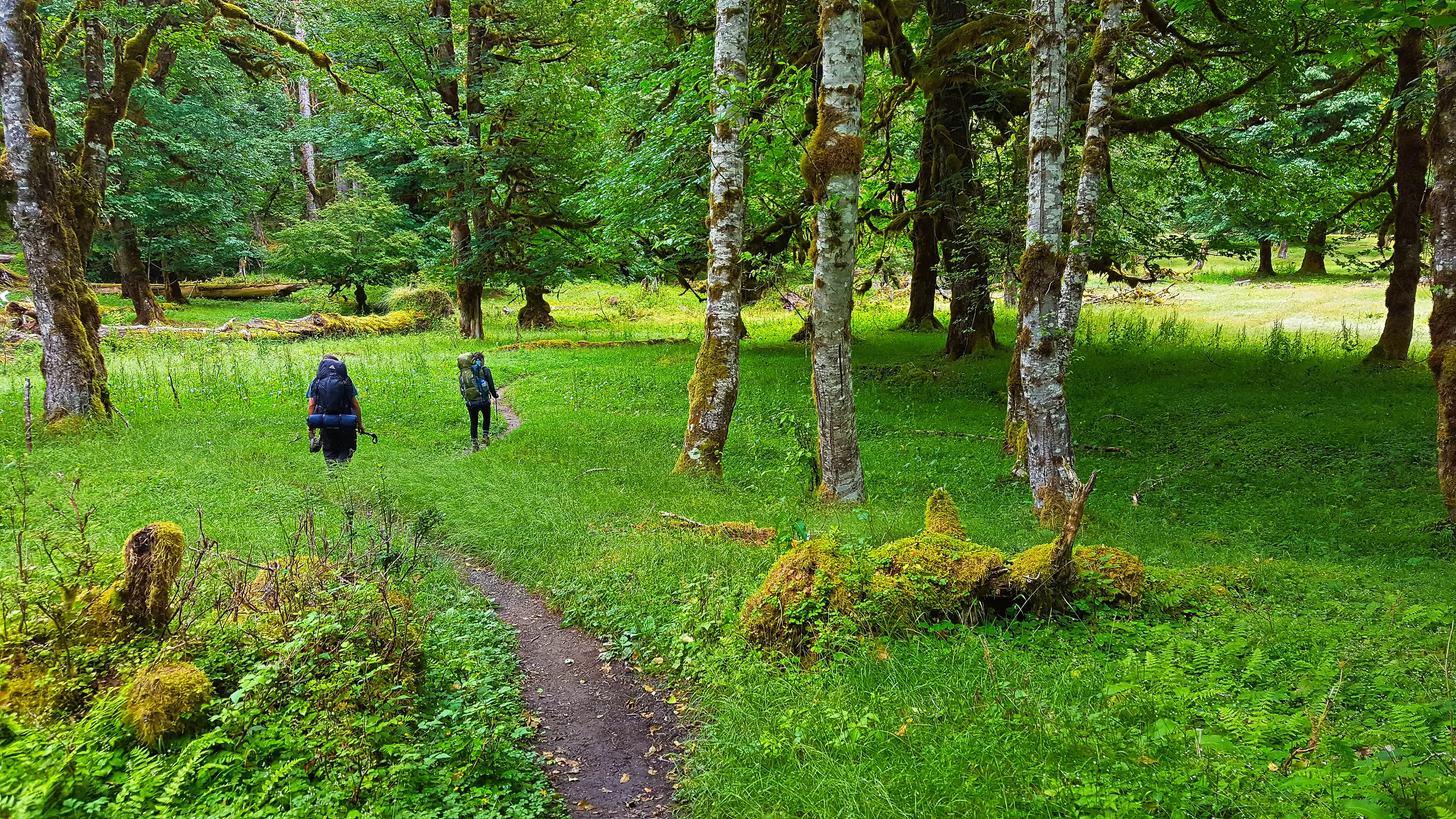
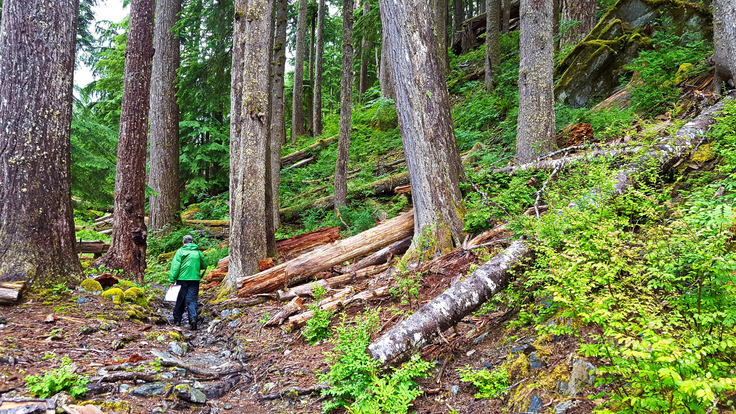
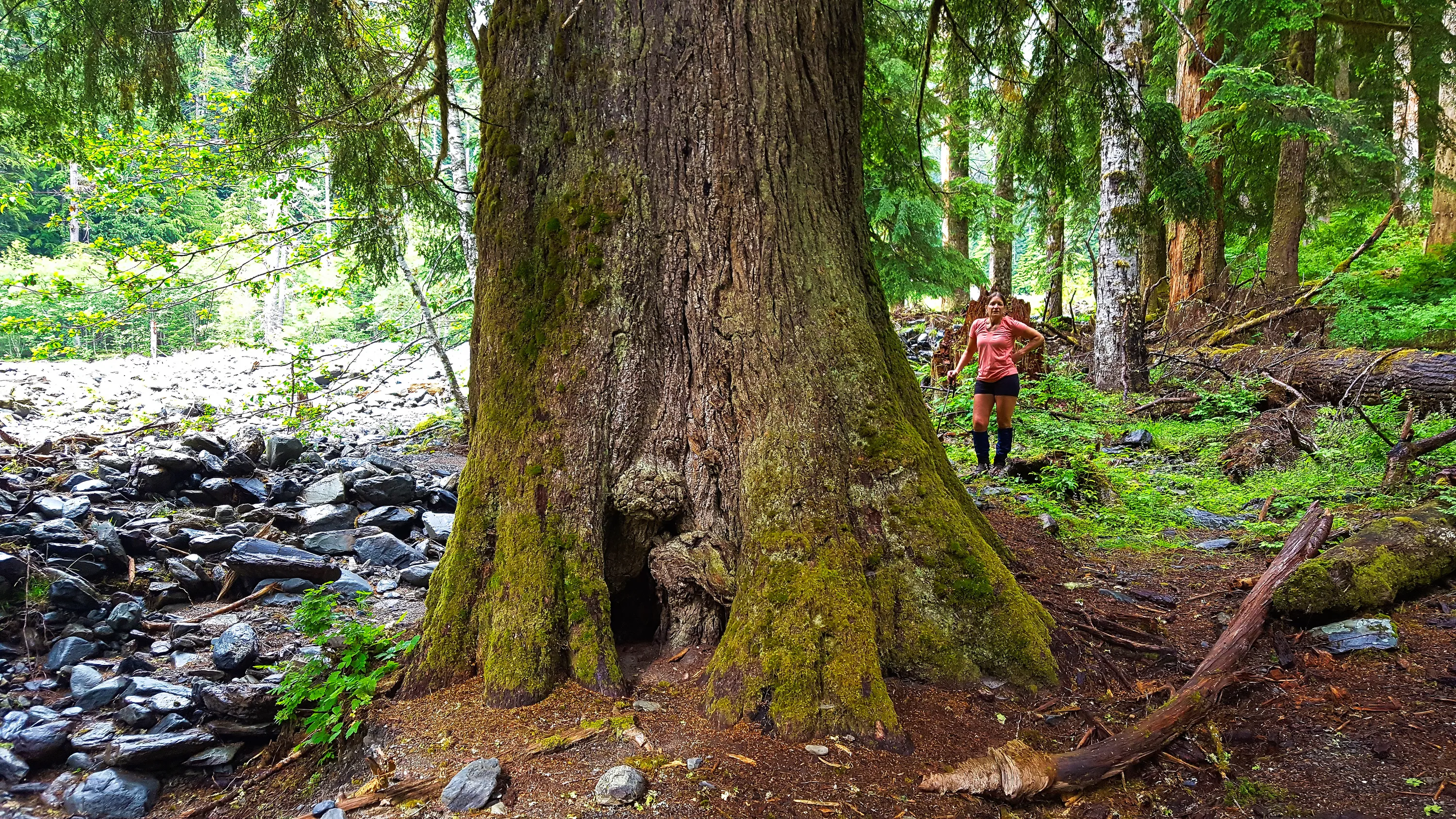
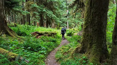 Hiking thru the giants on the East Fork Quinault River trail
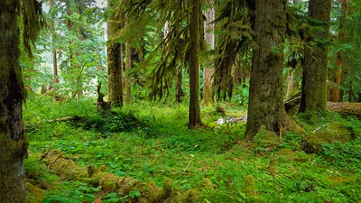 Huge trees everywhere on the East Fork Quinault River trail
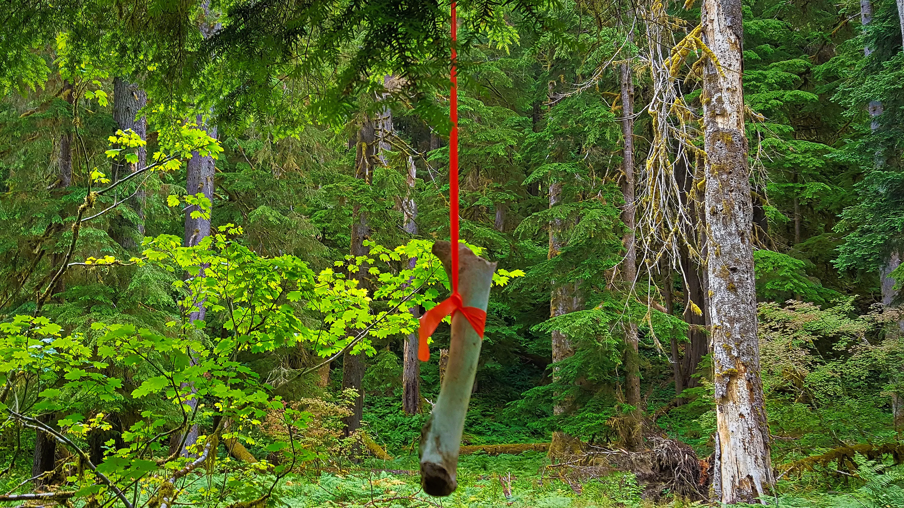
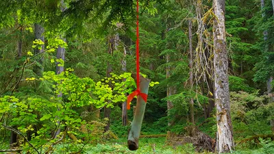 This was interesting - never seen flagging with a bone tied to it - it marked the beginning of the quarter mile washout of the trail. We were wondering if this might have been to make sure the flagging was more visible? On the
East Fork Quinault River trail
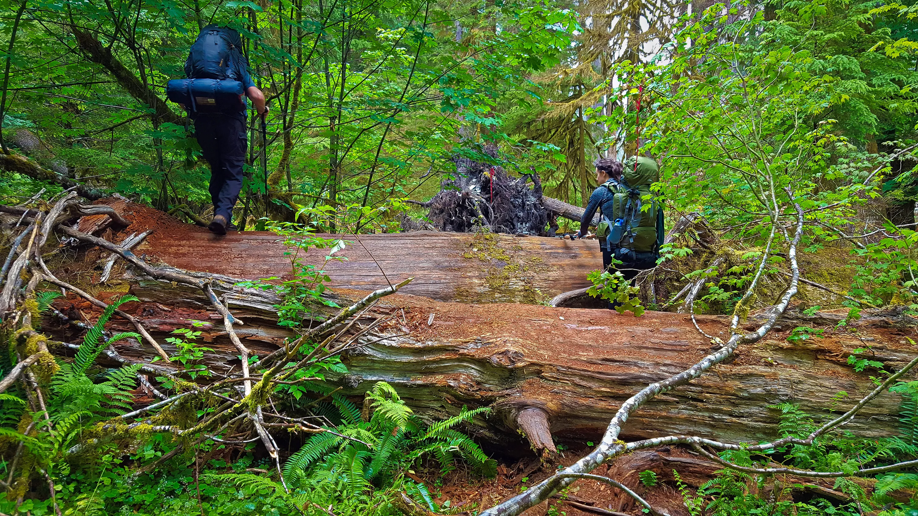
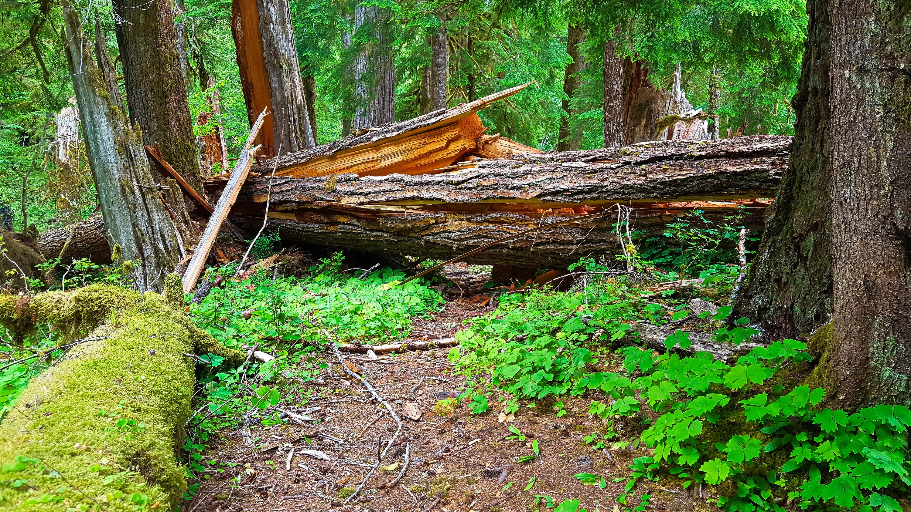
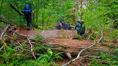 Some of the large blowdown you have to go thru on the quarter mile "re-route" - on the East Fork Quinault River trail
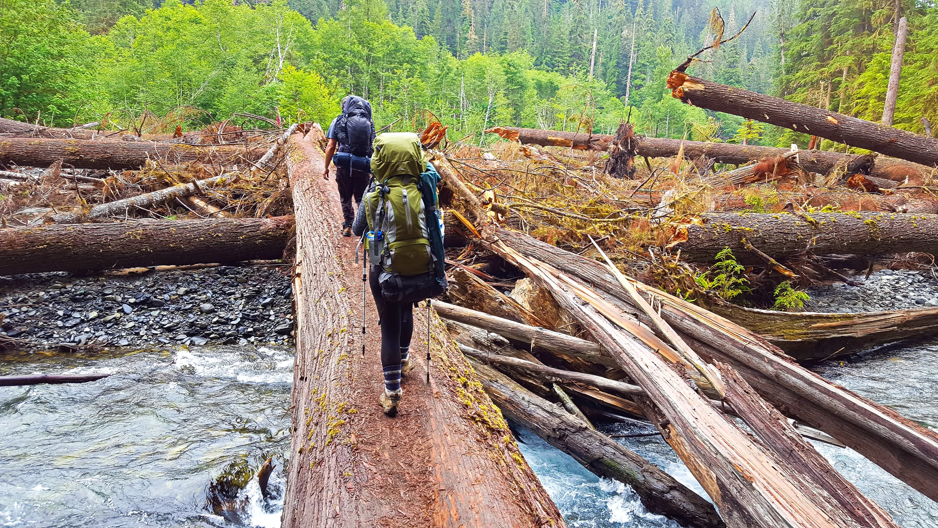
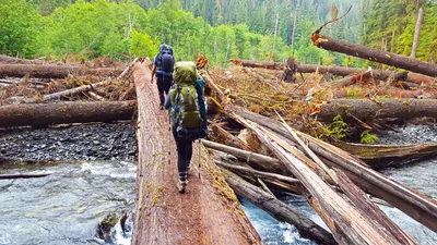 Crossing the Quinalt river on a huge log - at the quarter mile washout of the trail
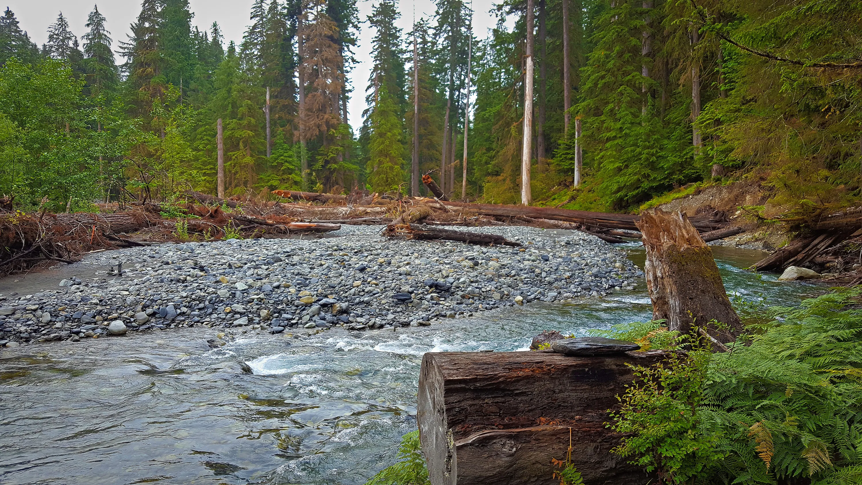
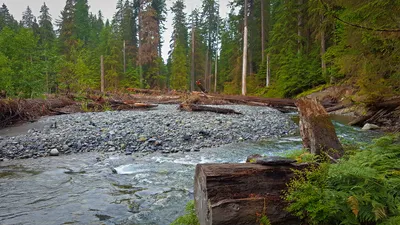 This is looking back at the major washout area - the trail used to go on the right saide of the photo - the log in the distance is the log we crossed over to the gravel bar on, then we crossed back over on another log. East Fork Quinault River trail
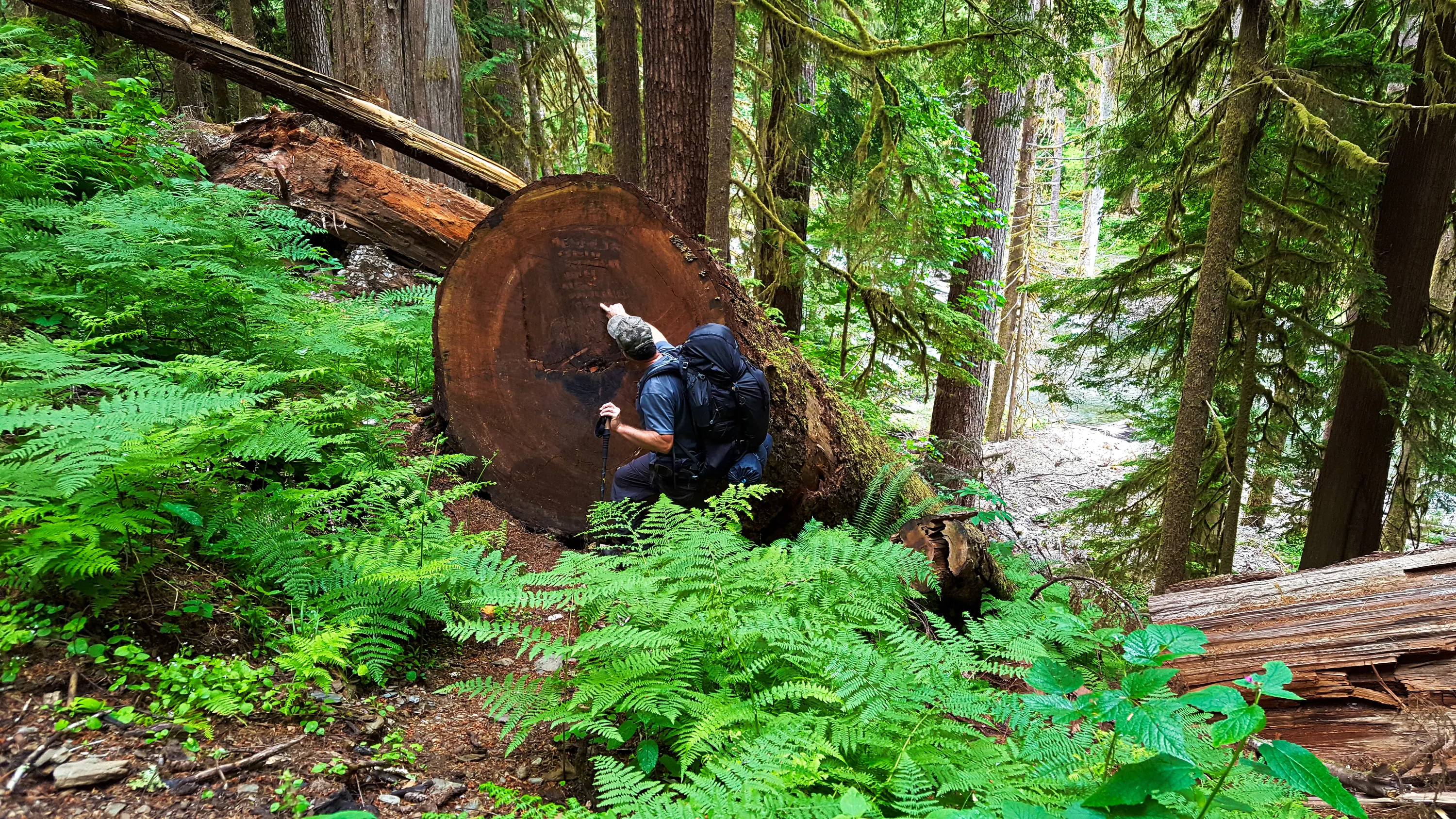
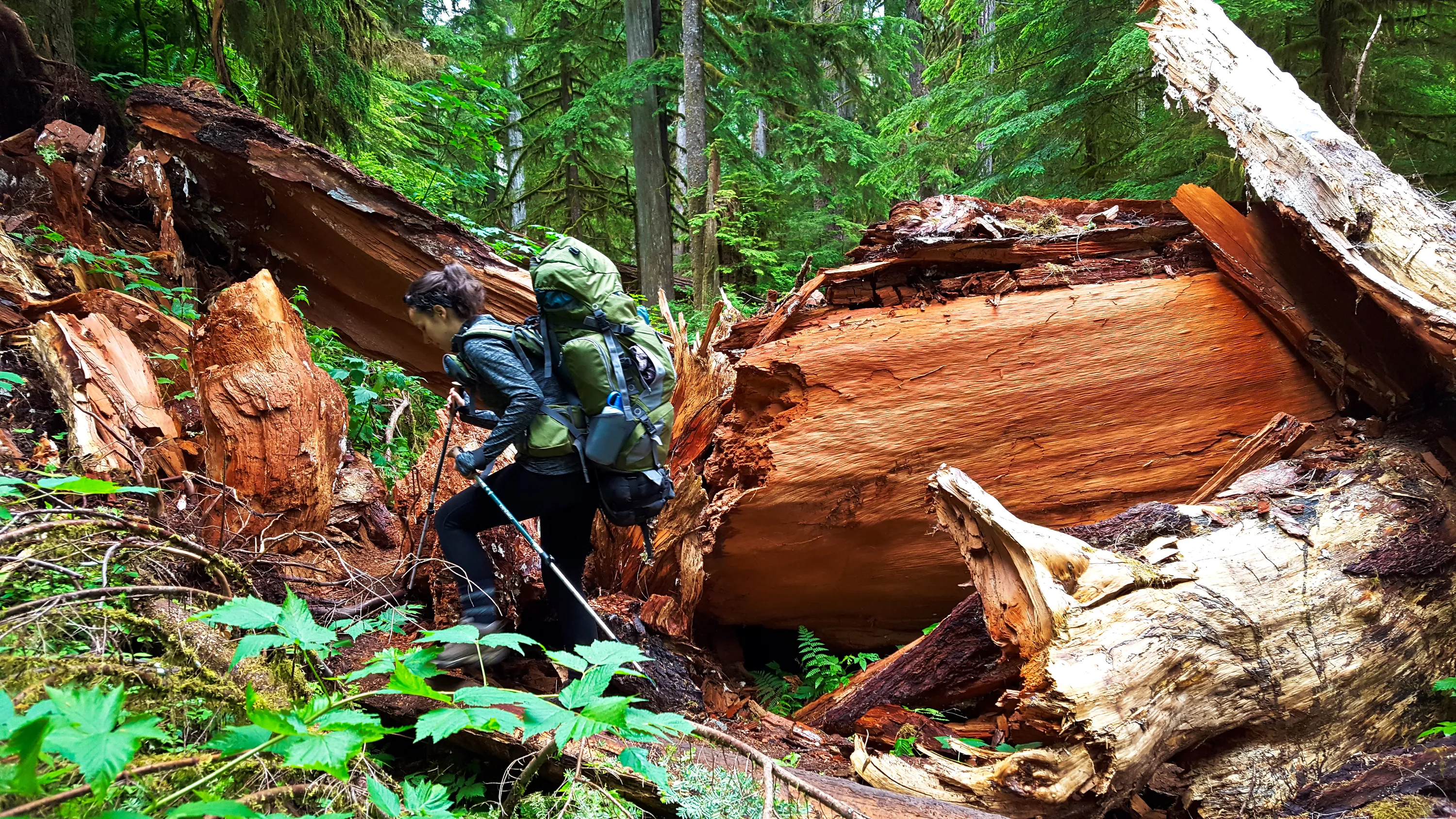
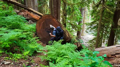 Amazingly huge log cut off the trail - East Fork Quinault River trail - the rootball end of it is just barely visible in the lower right hand corner of the photo
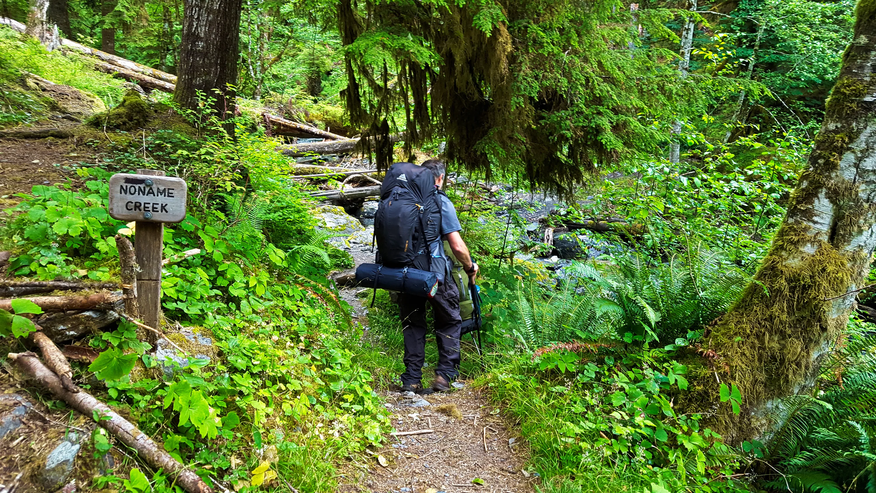
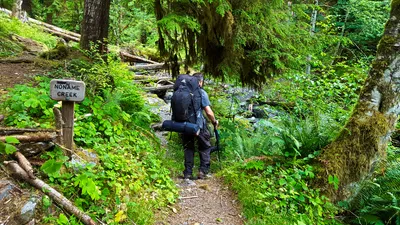 Noname creek crossing - East Fork Quinault River trail
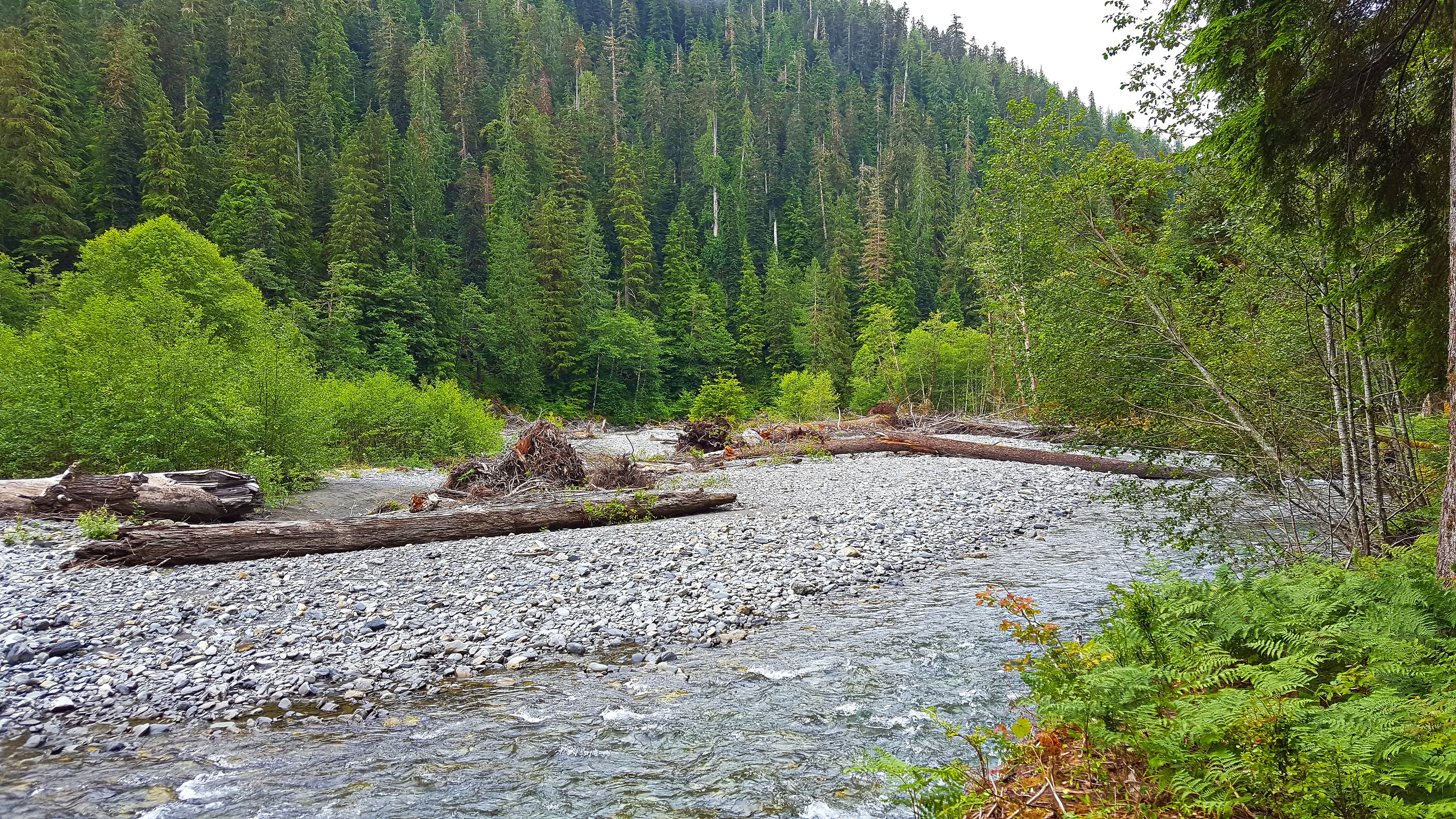
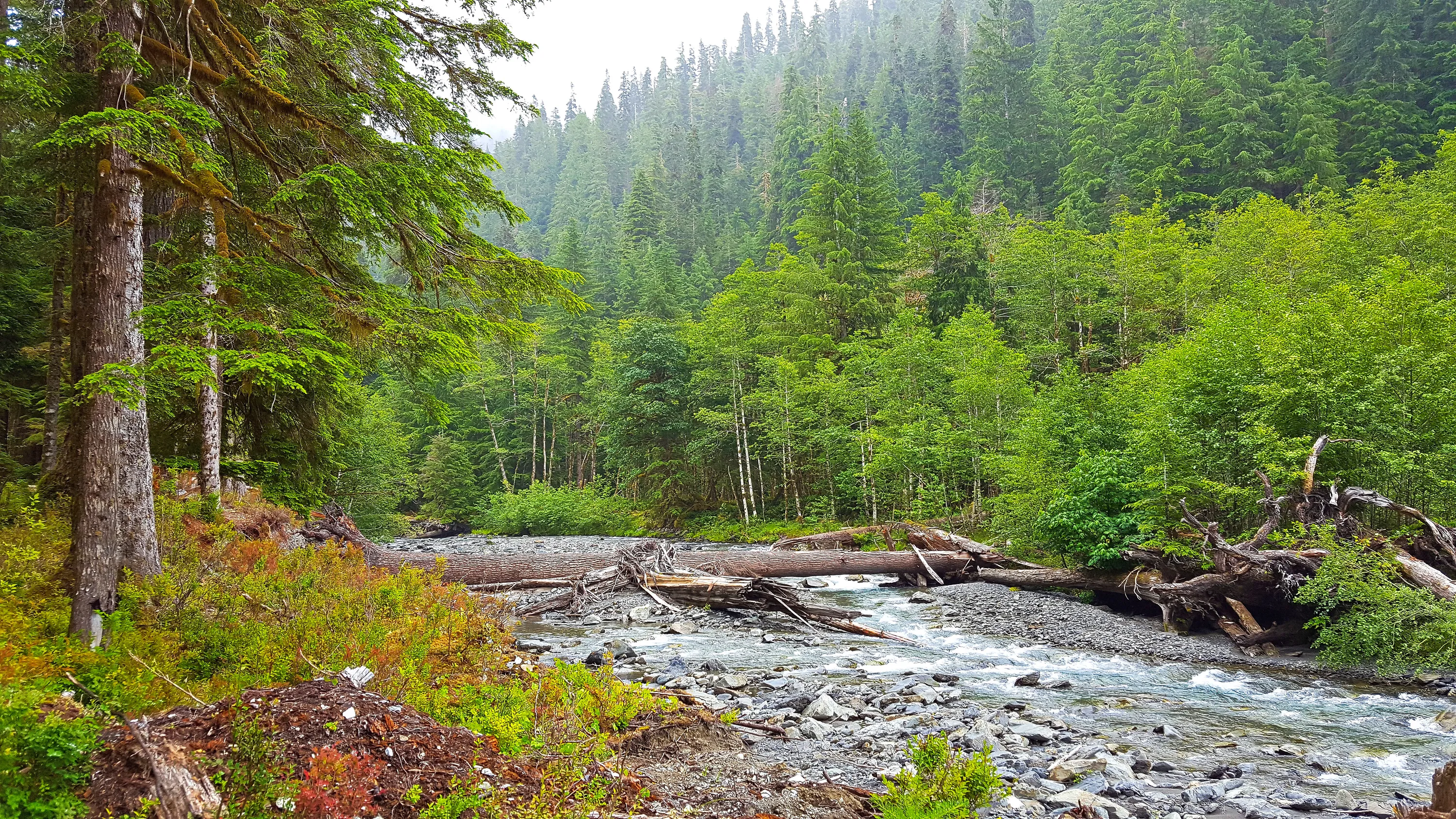
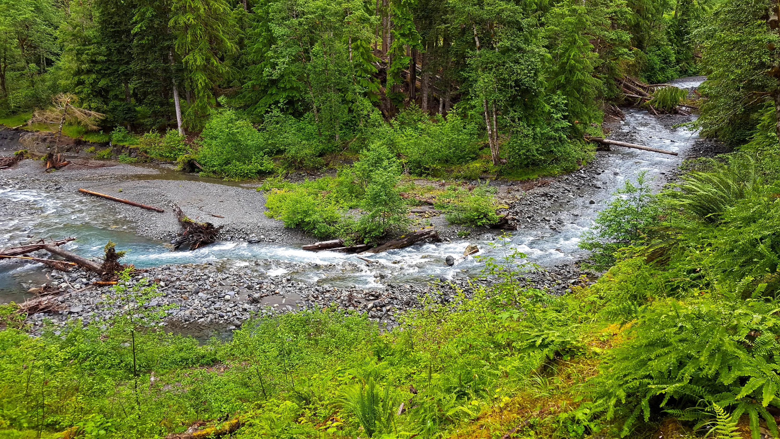
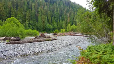 East Fork Quinault River
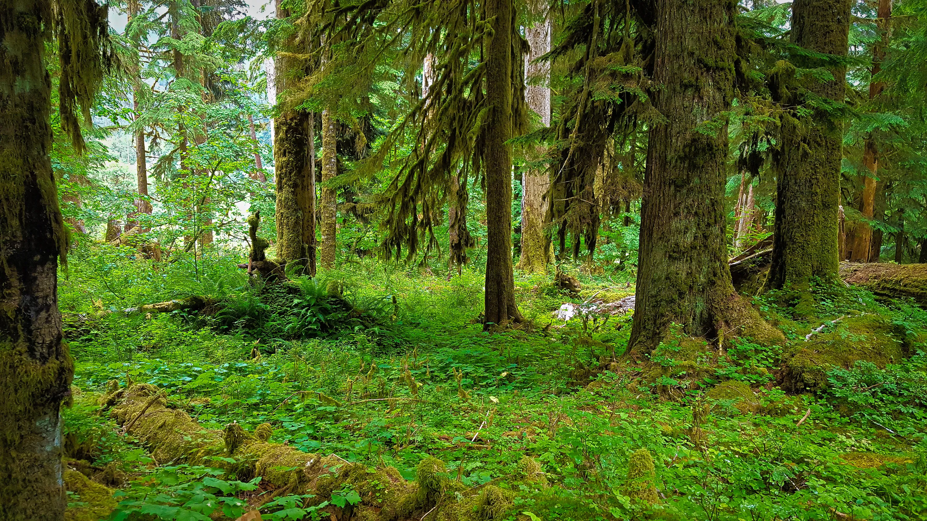
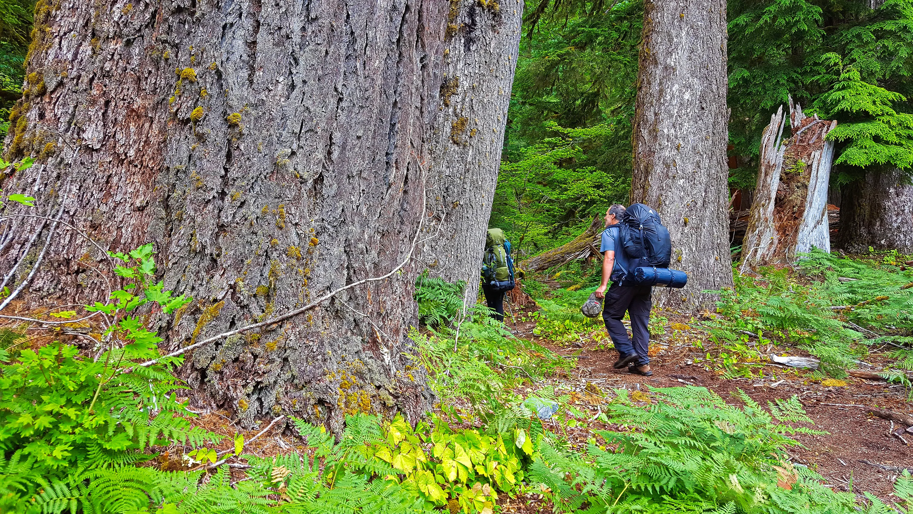
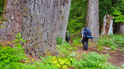 Hiking amongst the giant trees - East Fork Quinault River trail
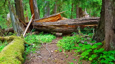 Some of the REALLY large blowdown on the East Fork Quinault River trail
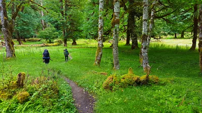 Beginning our journey into the Enchanted Valley - East Fork Quinault River trail
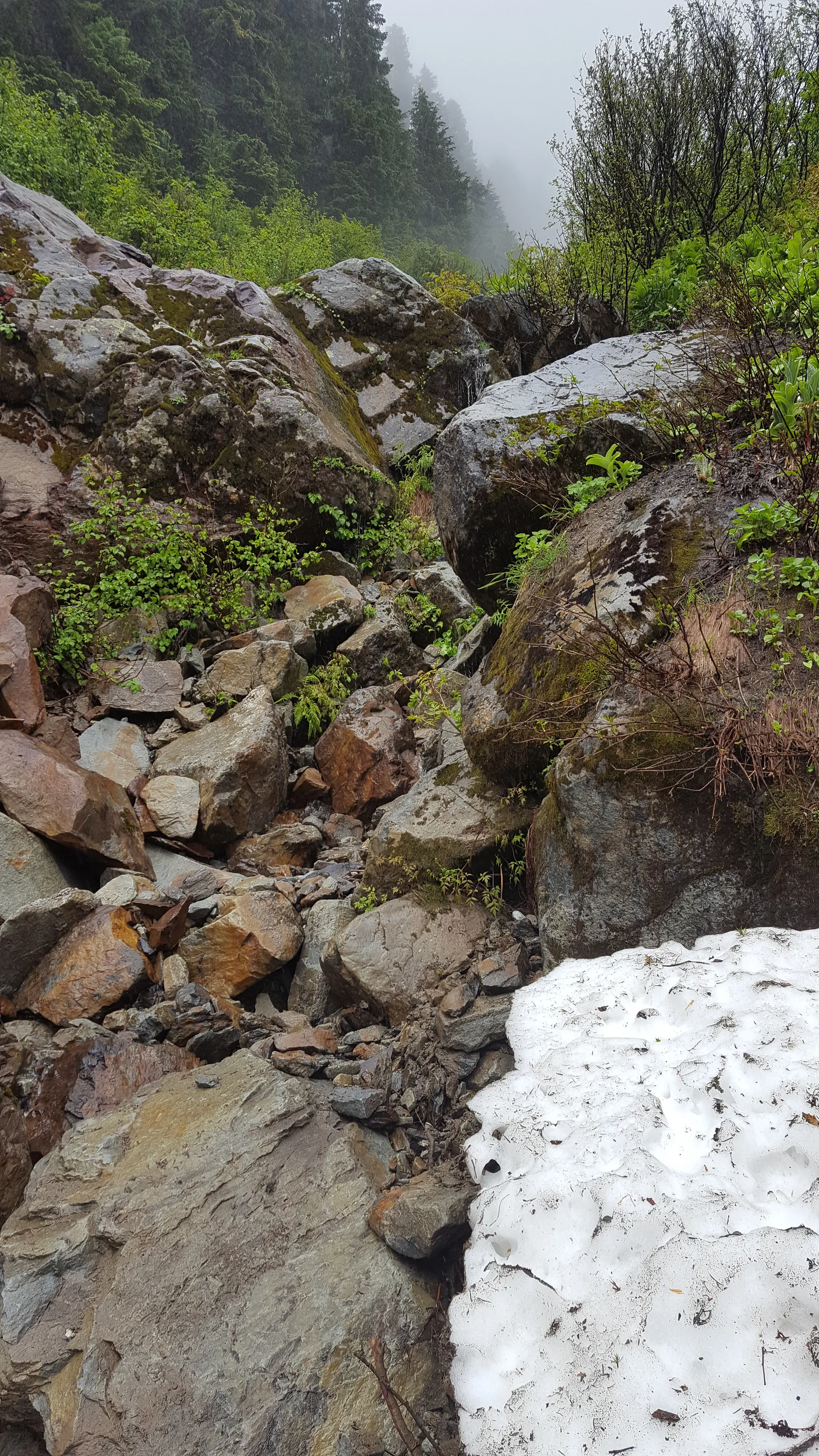
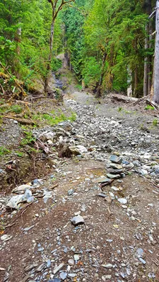 Another of the many side creek washouts that appear to occur almost yearly. East Fork Quinault River trail
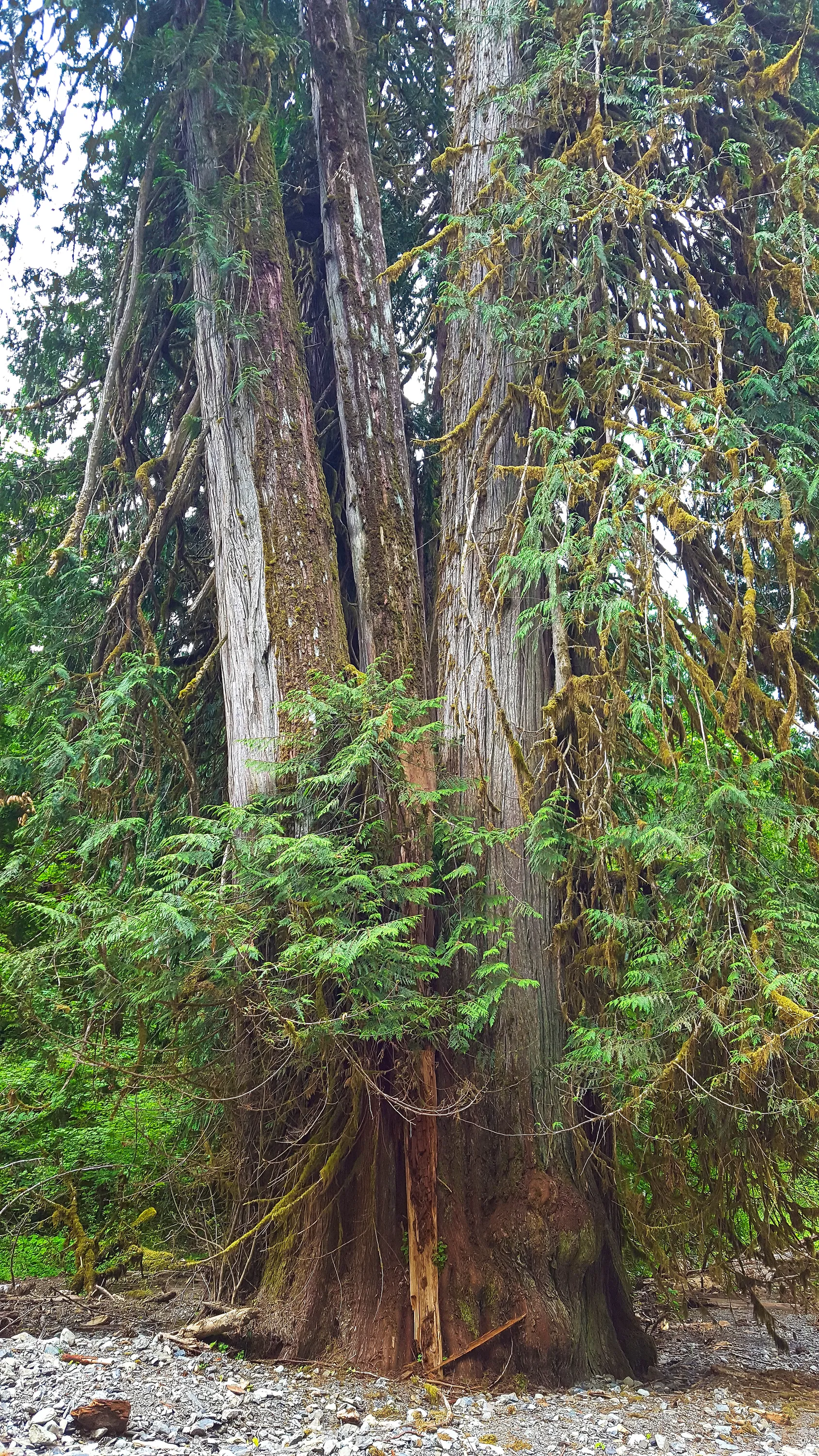
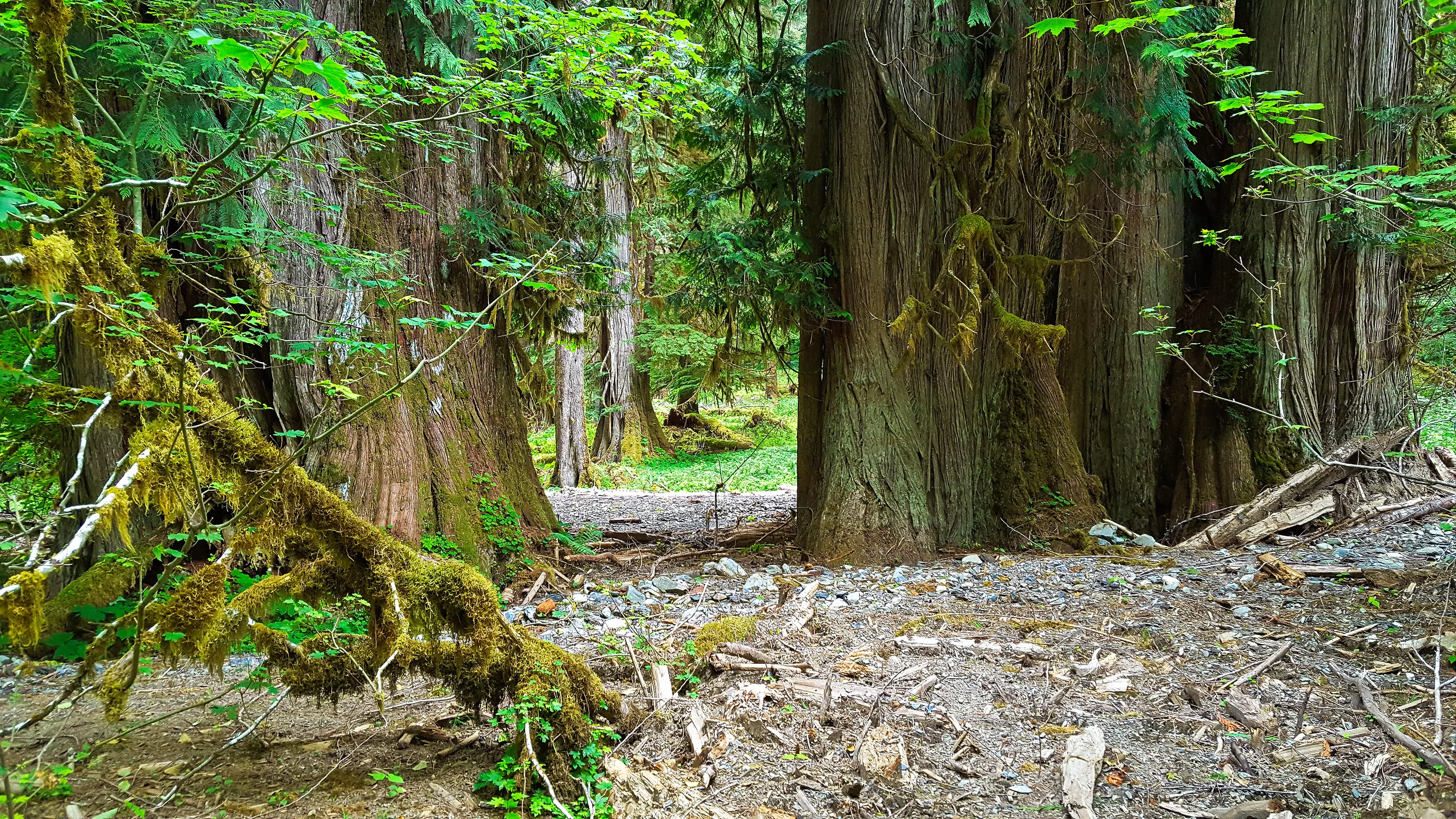
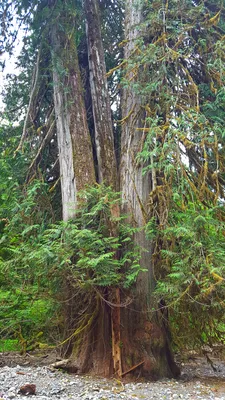 Interesting huge cedar trees
- was this one tree that split into multiple stems? Or was this multple trees that grew together? It must have been 12-15 feet across at the base at least - East Fork Quinault River trail
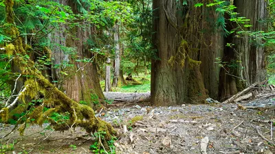 Another view of these Interesting huge cedar trees - East Fork Quinault Rive
r trail
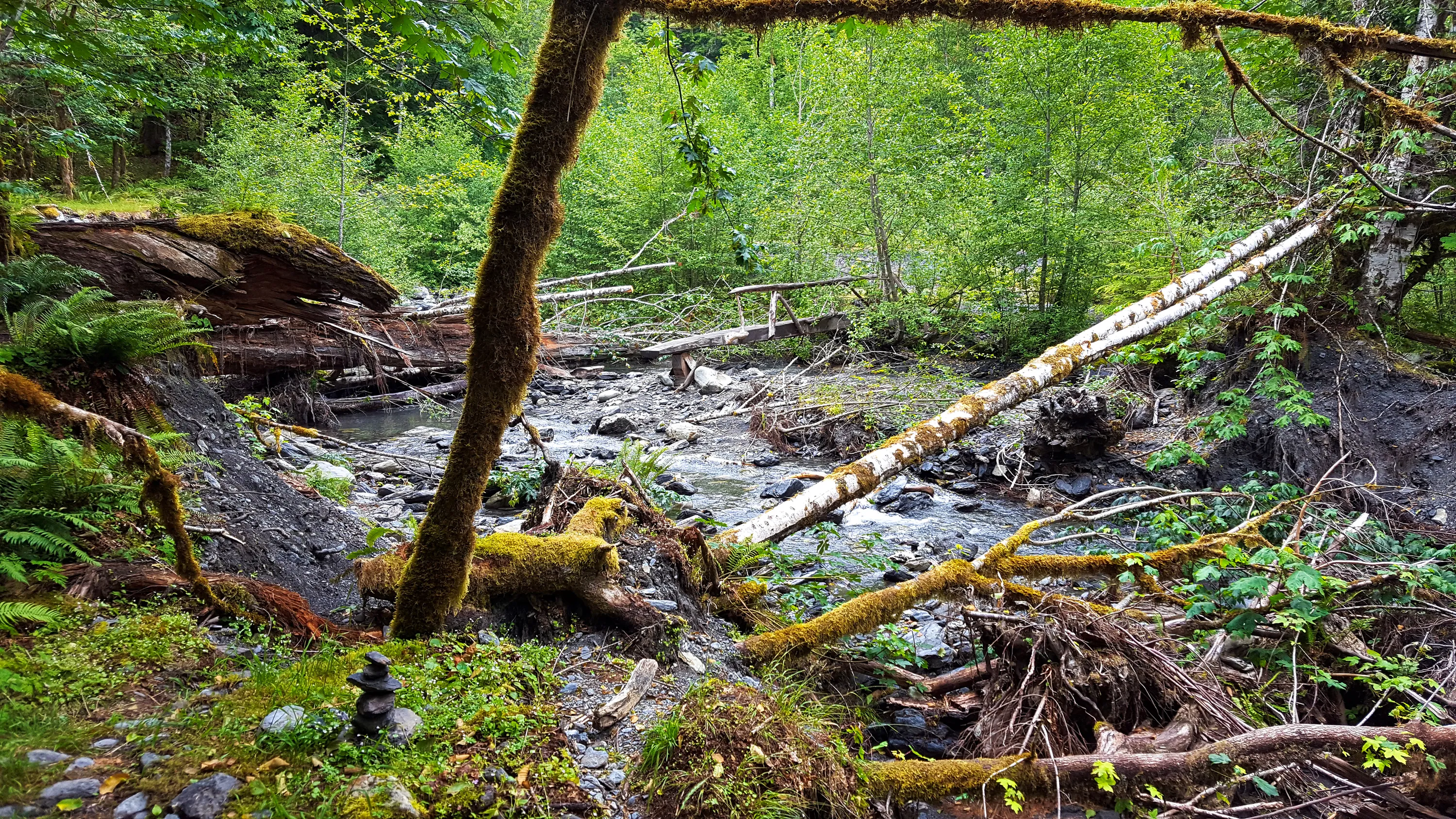
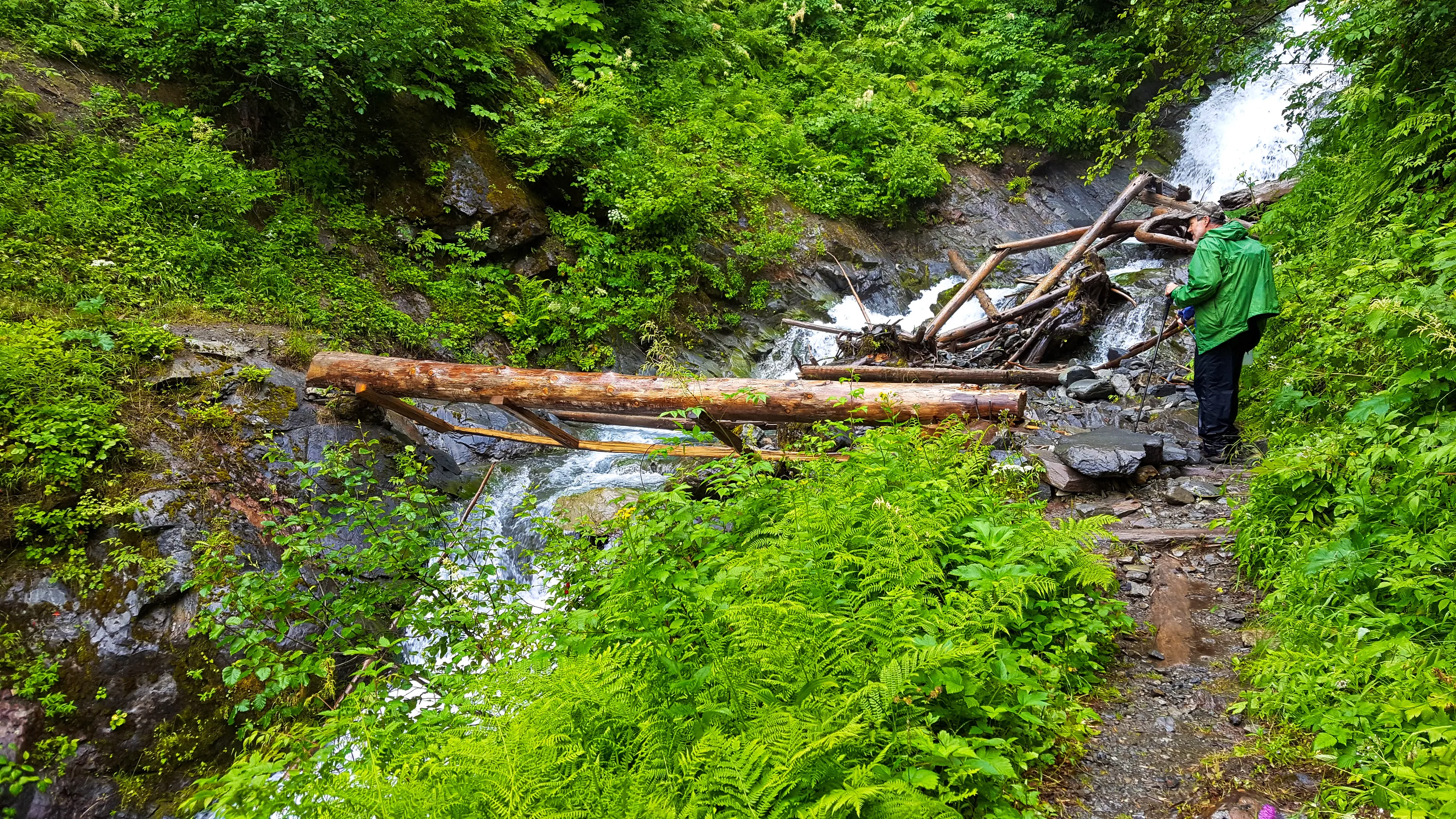
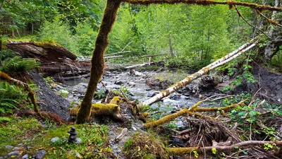 Pyrites Creek crossing - interesting they only created a bridge for half the creek - although it might have been that the left side was washed out this year - hard to tell. - East Fork
Quinalt river trail
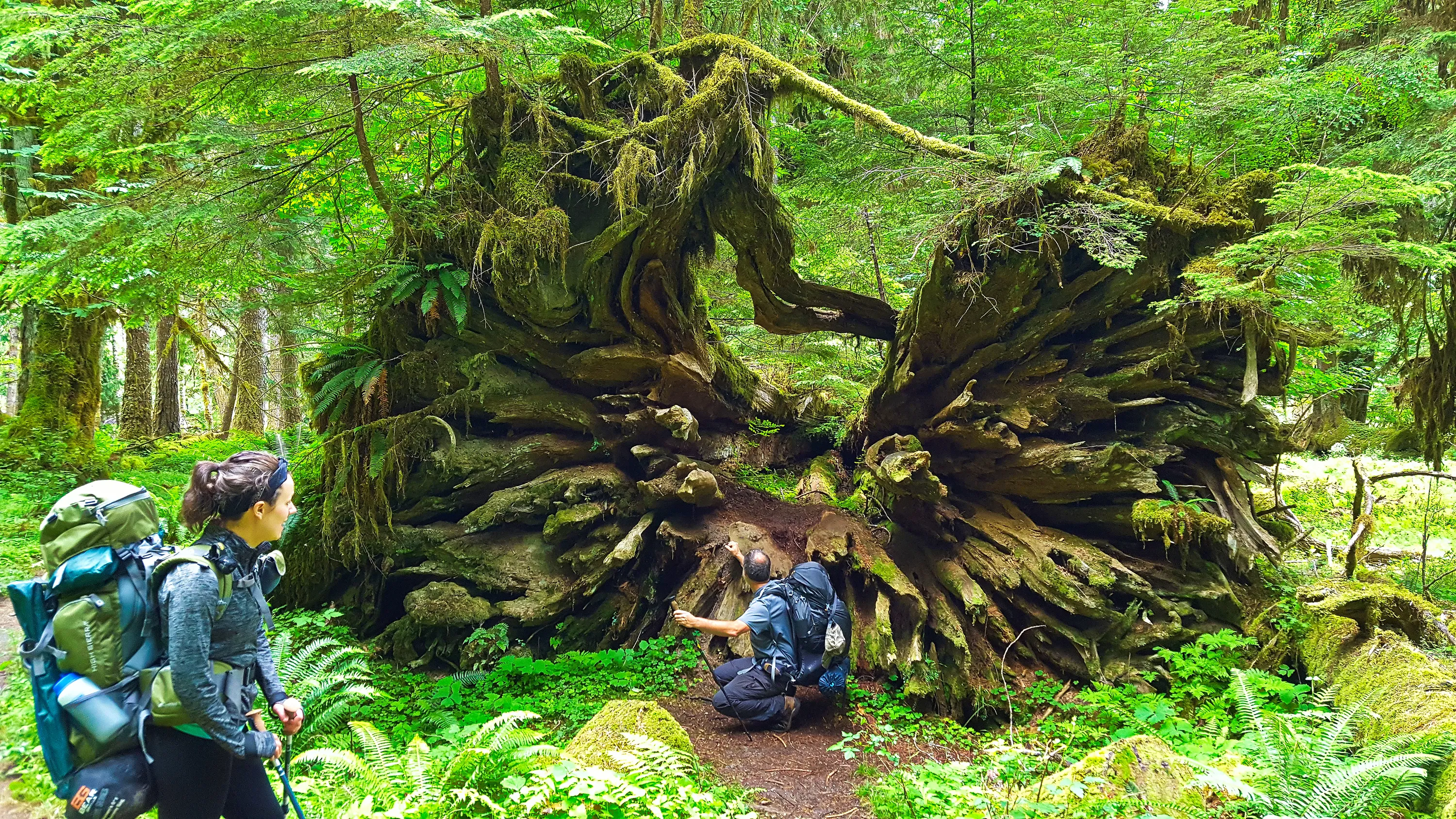
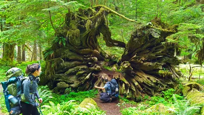 Sarach called this "Forest art". It was a huge cedar tree that had fallen a long time ago. It was absolutely massive - East Fork Quinalt river trail
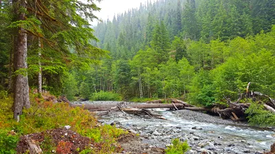 More logjams on the East Fork Quinalt river trail
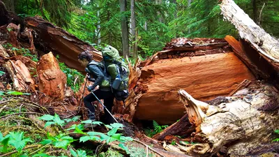 More big blowdown to navigate around - East Fork Quinalt river trail
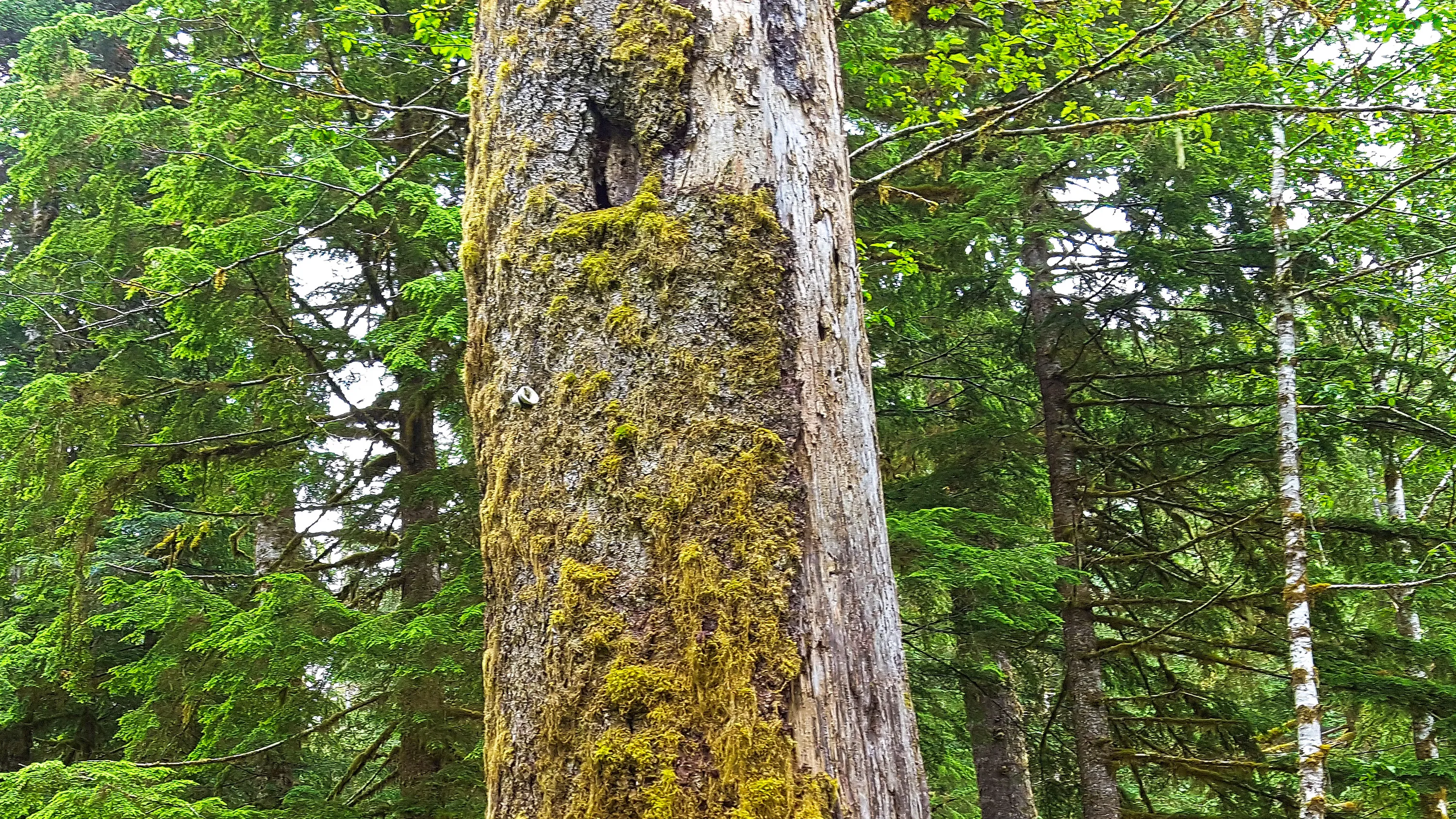
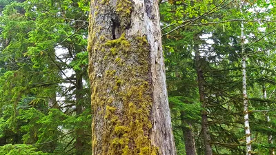 Interestingly enough, we found old phone line insulators along the trail - we think the phone line must have gone up to the Chalet - East Fork Quinalt river trail
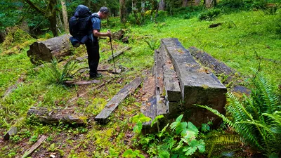 An off trail area where they were cutting wood for "projects" - East Fork Quinalt river trail
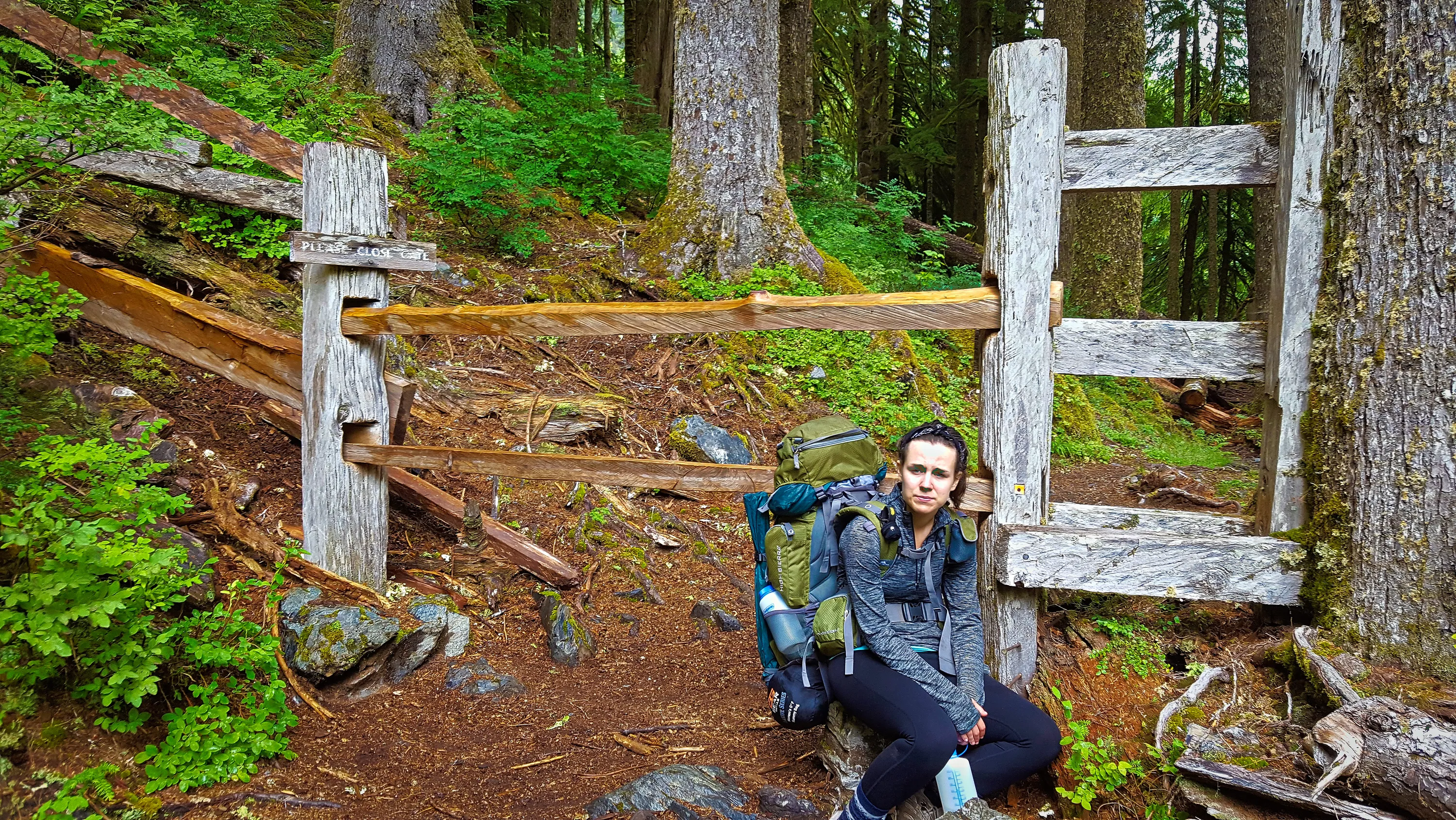
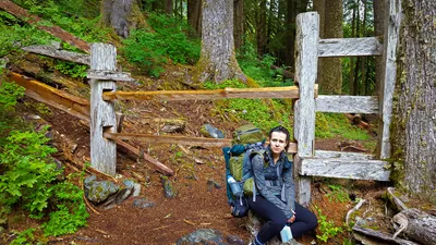 There was this weird gate/fence near the entrance to the "Valley proper" - We were guessing that at one time this was to keep the horses in the pastures of the valley. East Fork Quinalt river trail
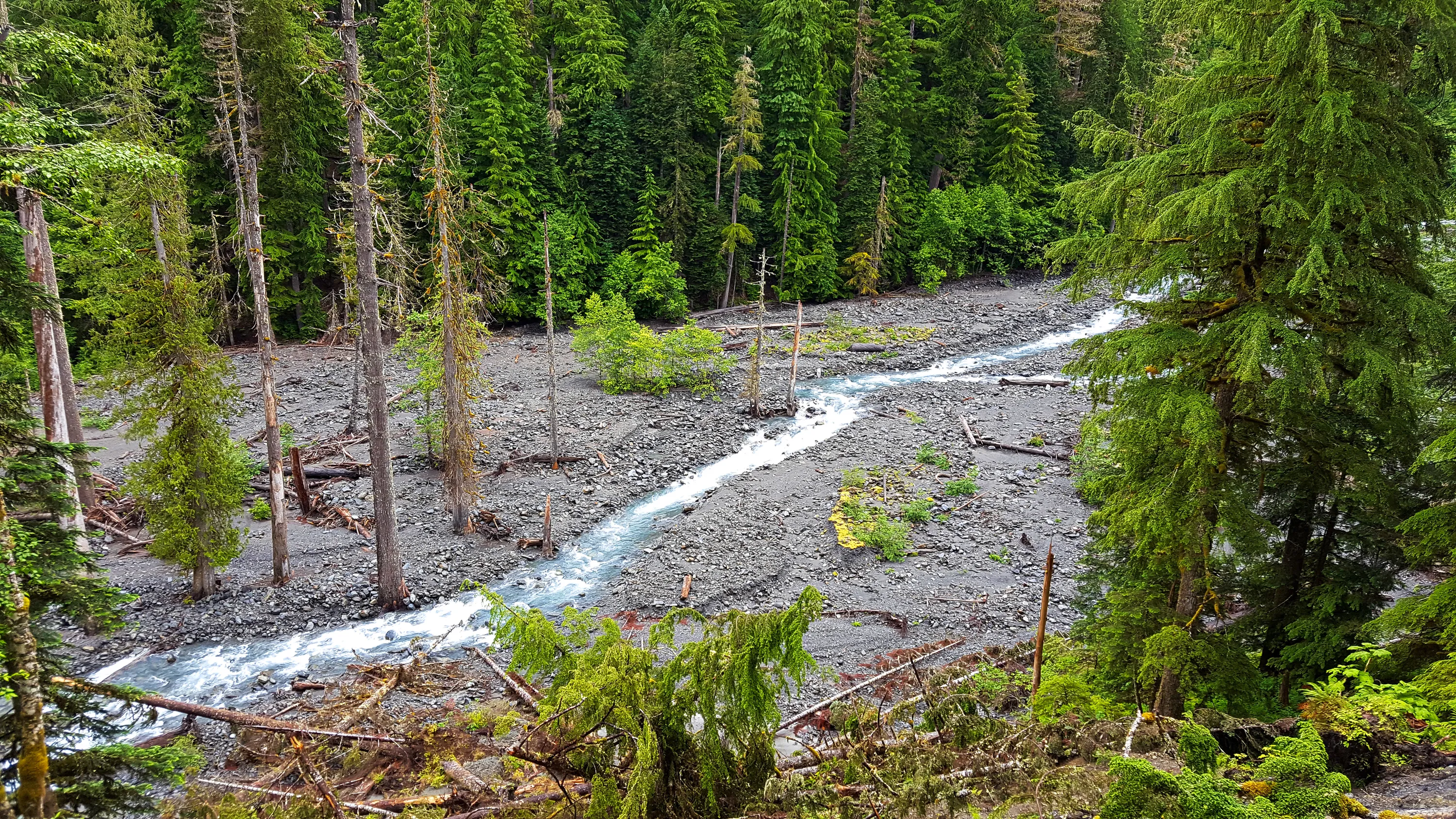
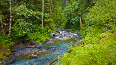 East Fork Quinalt river
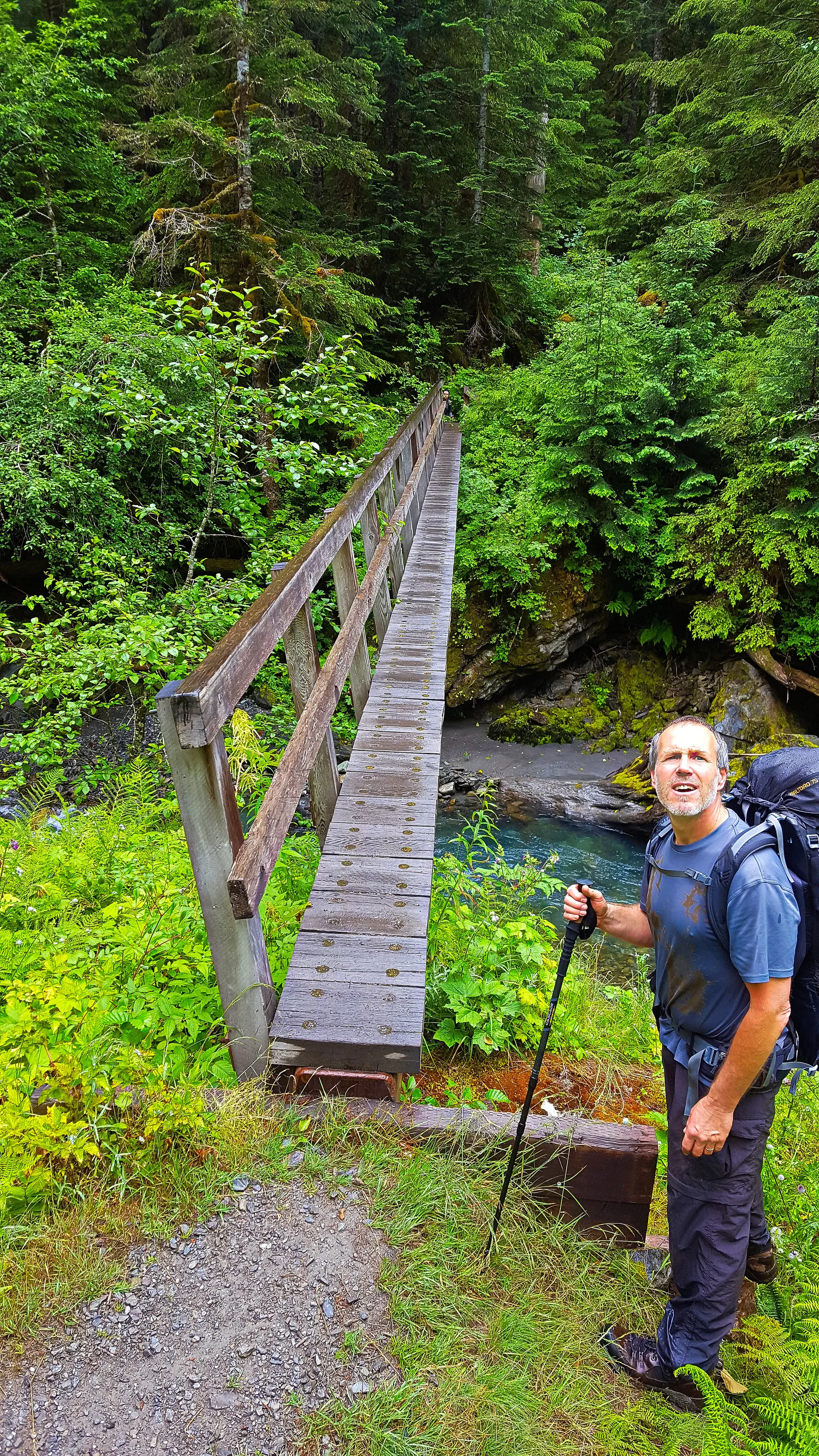
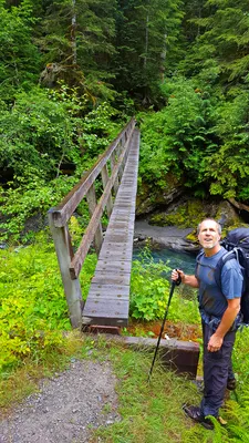 This was quite a bridge - 80-100' long and probably 30-40' down to the river - it was a little un-nerving to only have a handrail on one side. East Fork Quinalt river trail
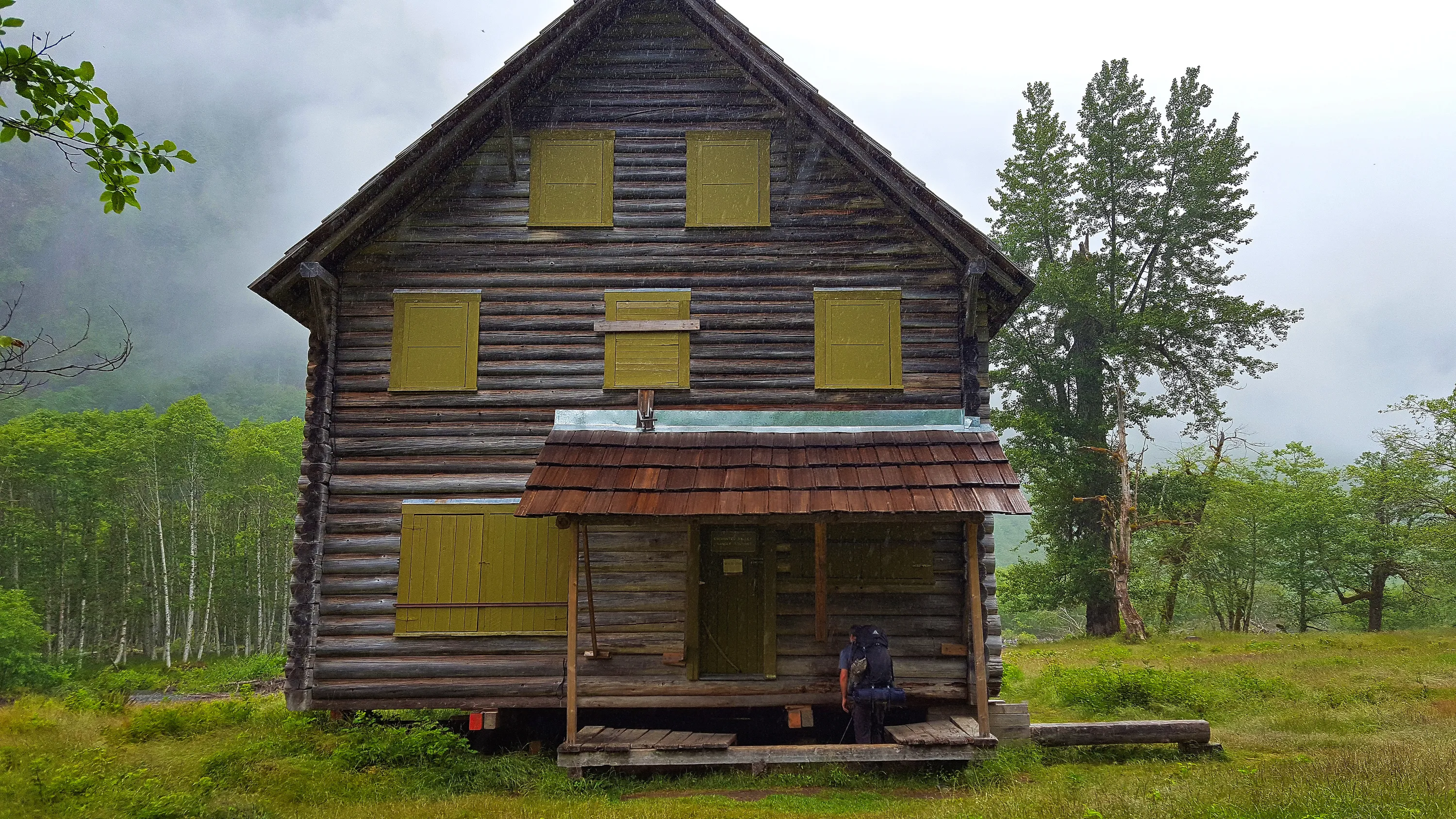
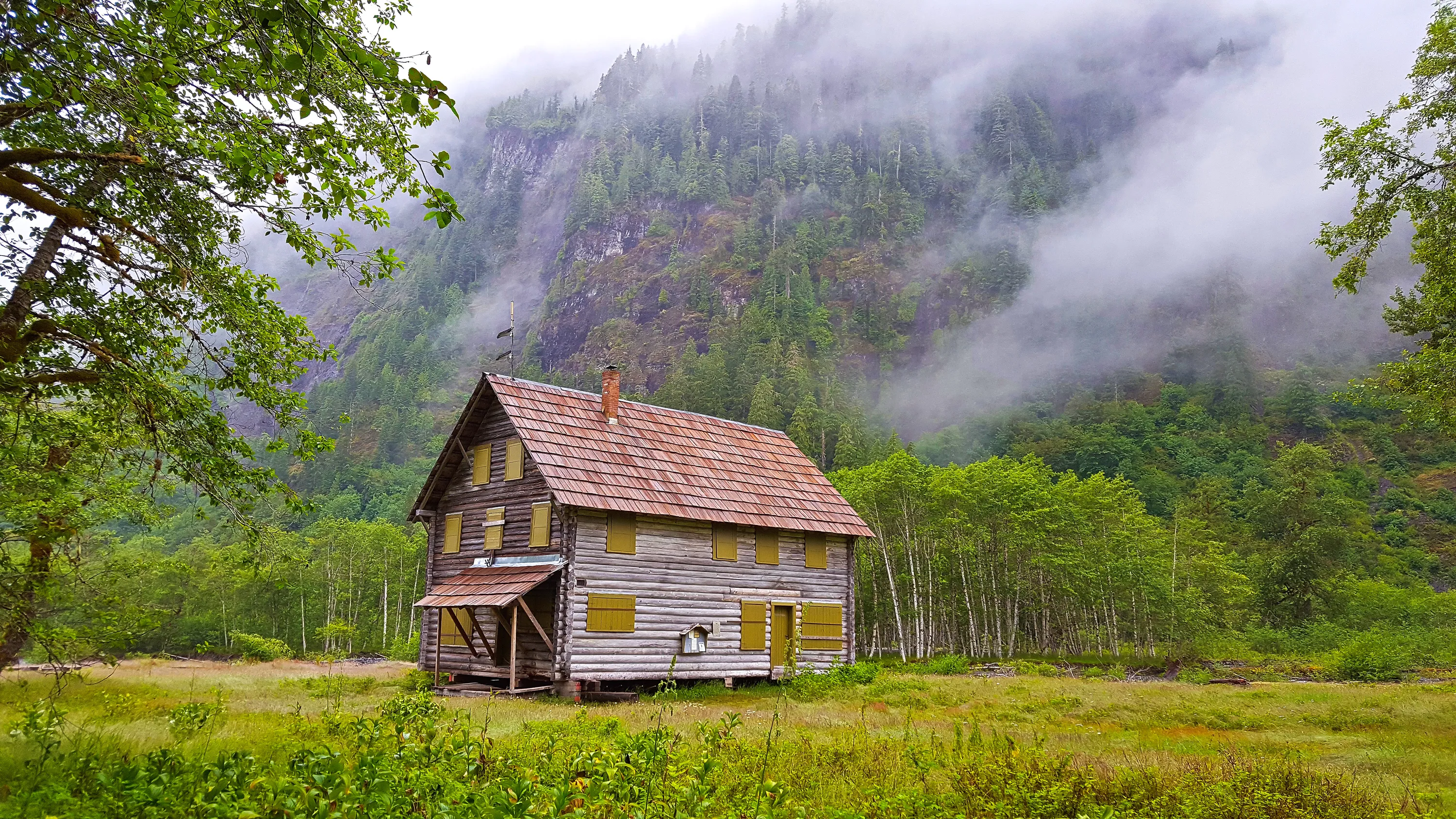
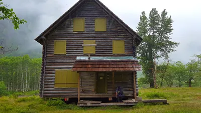 The Enchanted Valley Chalet - also known as the Enchanted Valley Ranger station. This was moved back from the river about 100' to keep it from falling into the river. East Fork Quinalt river trail
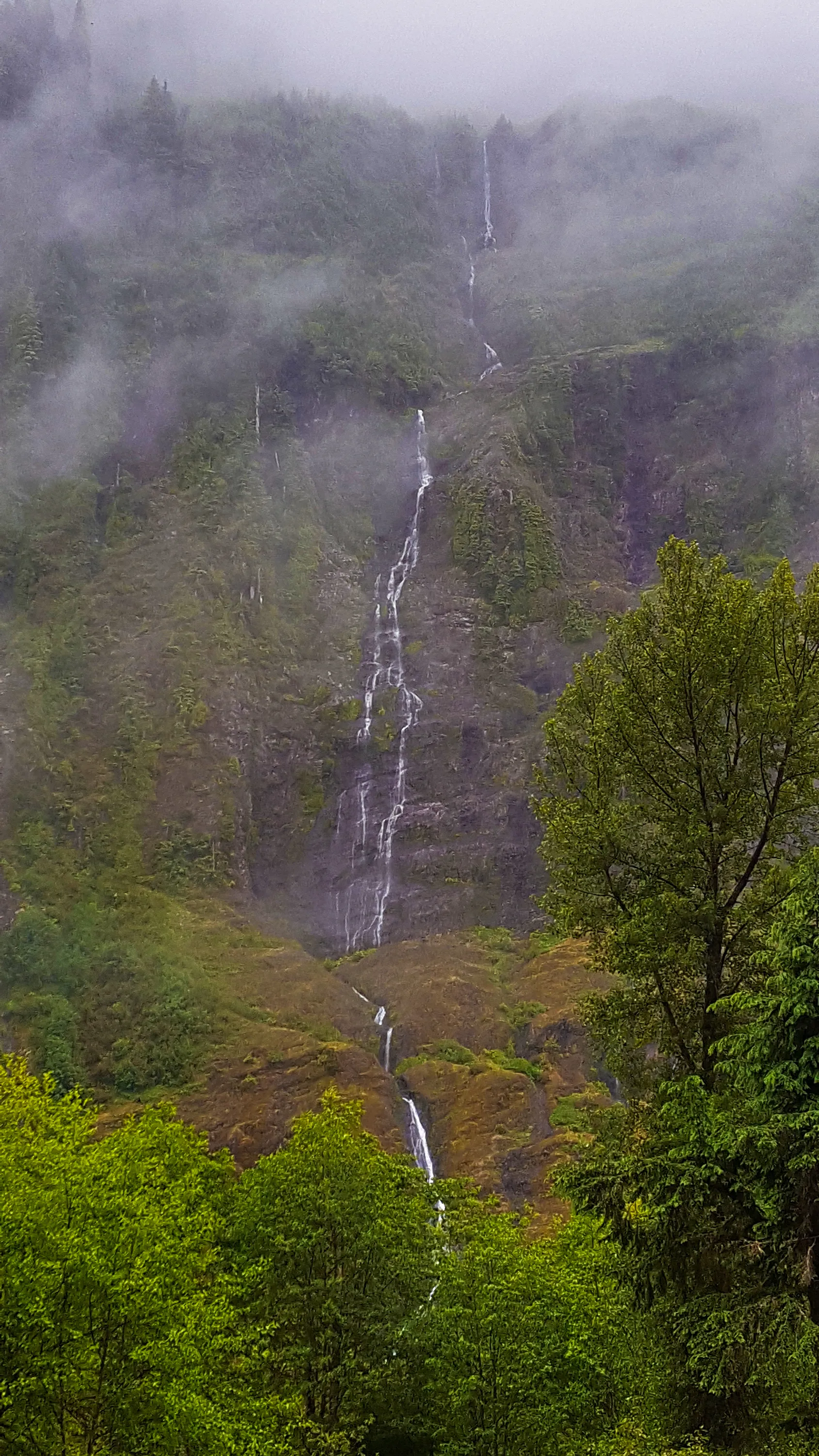
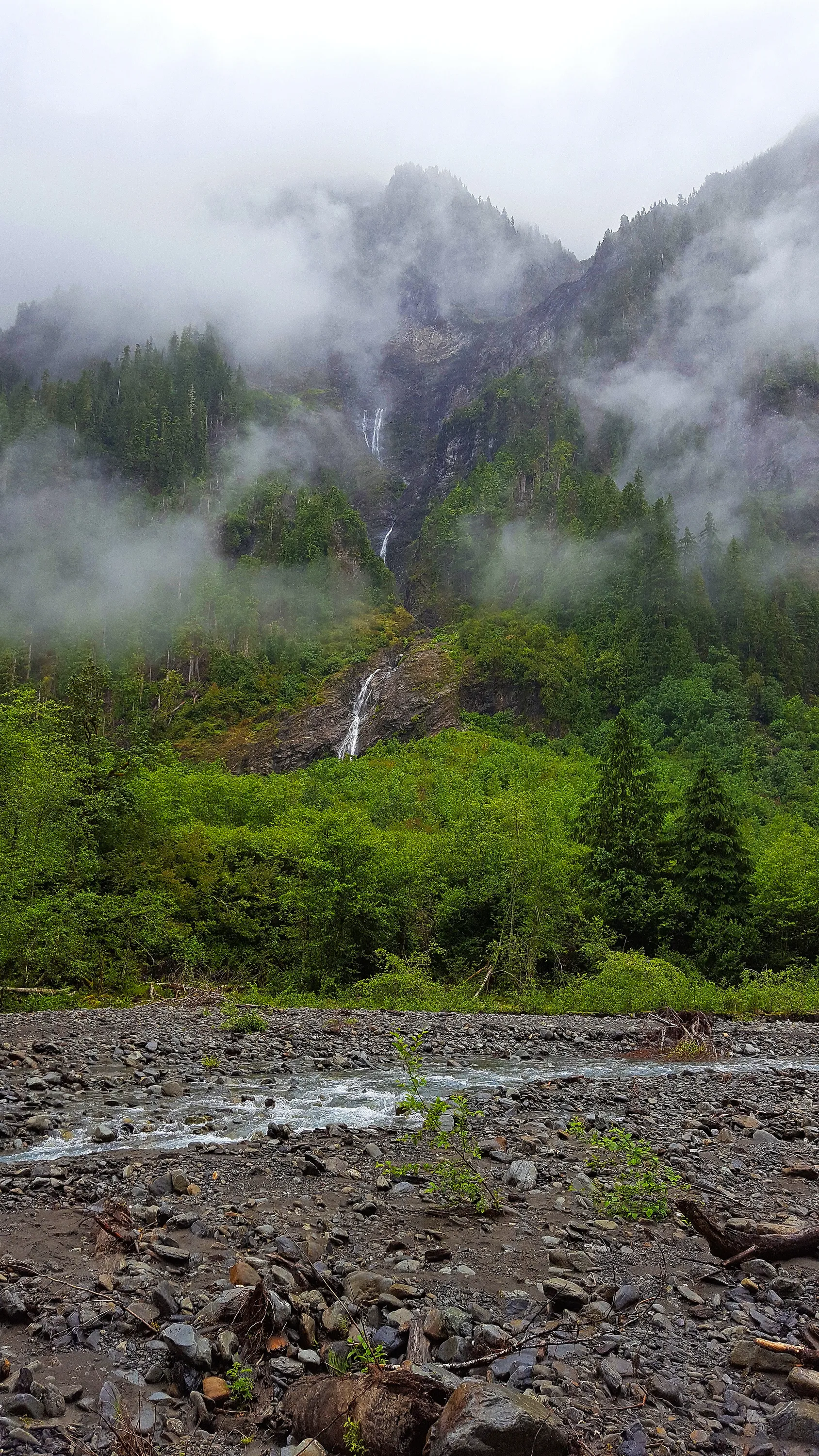
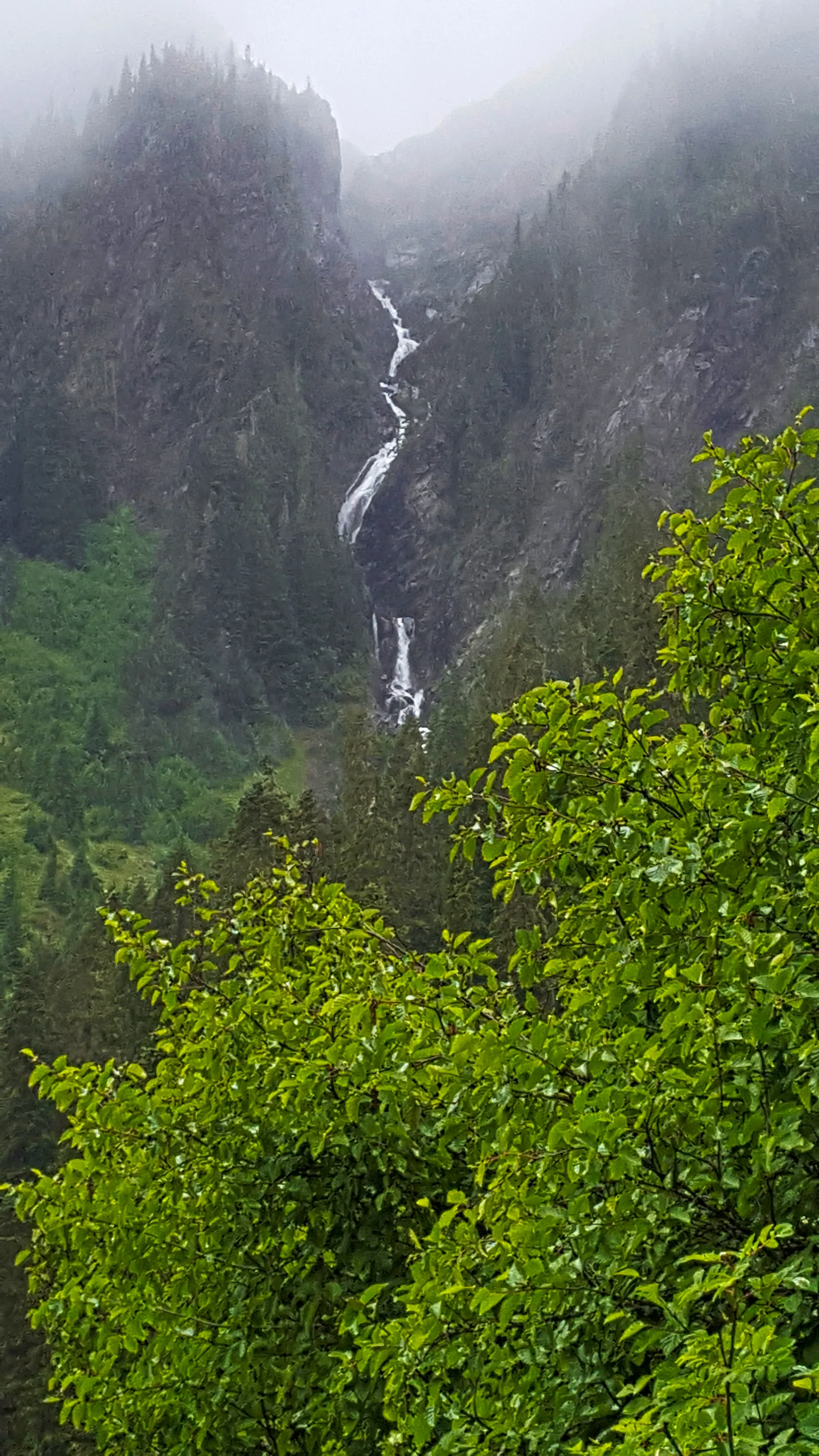
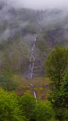 Waterfall on west side of Enchanted Valley - East Fork Quinalt river trail
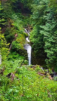 Waterrfall above the Enchanted Valley chalet - at one point this was the source of water for the chalet, but landslides, etc have broken the pipe - East Fork Quinalt river trail
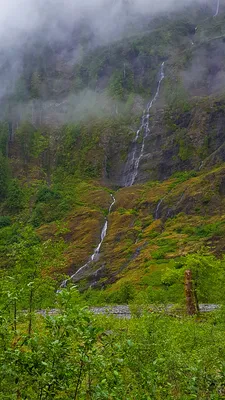 Photo of the waterfall on west side Enchanted Valley showing lower section down to river - East Fork Quinalt river trail
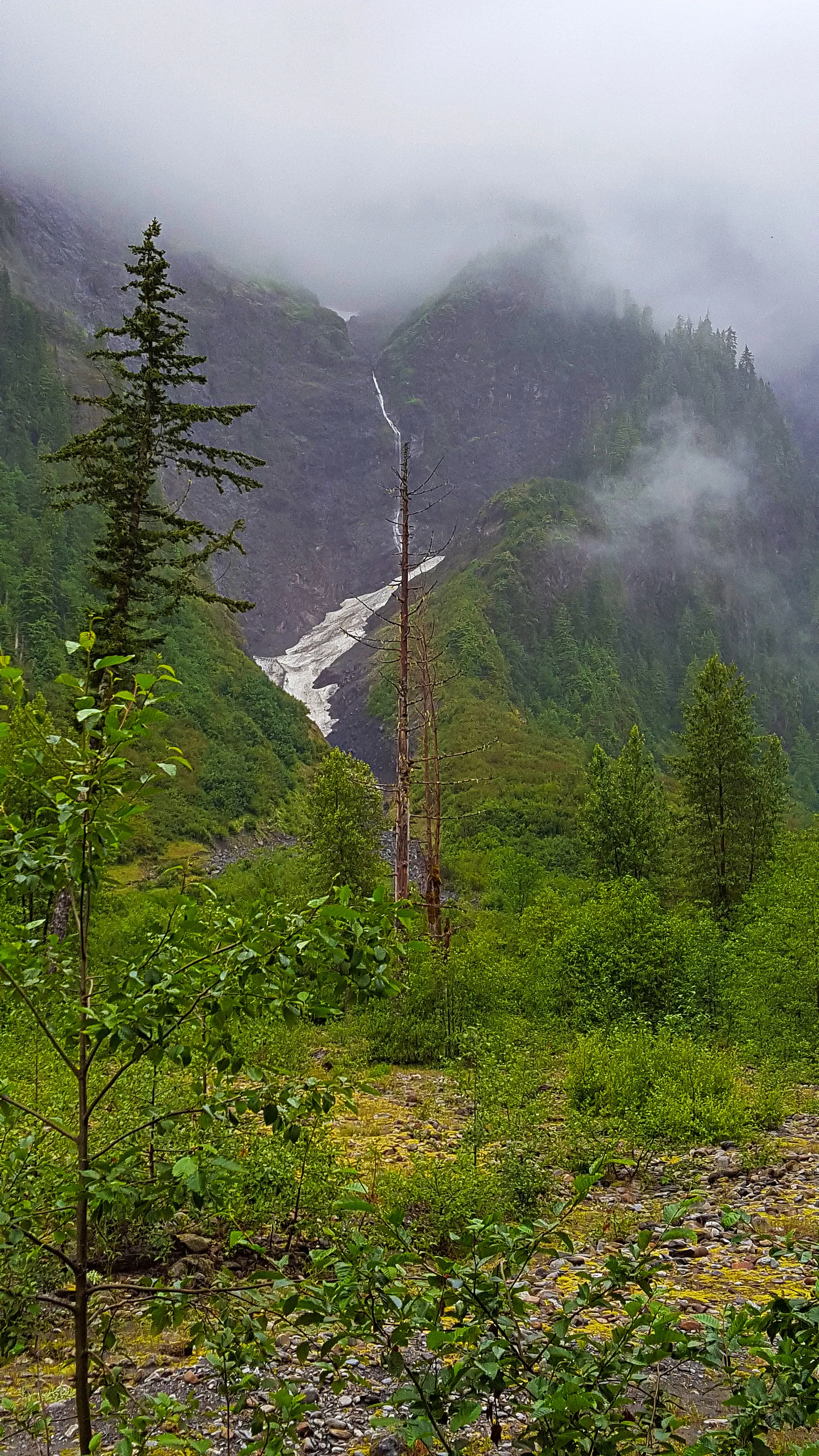
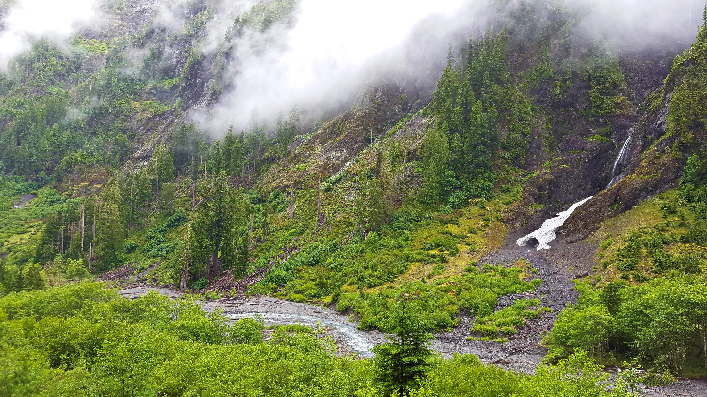
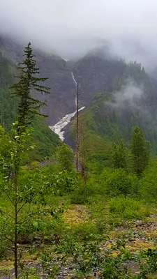 Another big waterfall on west side of Enchanted Valley above snowfield - East Fork Quinalt river trail
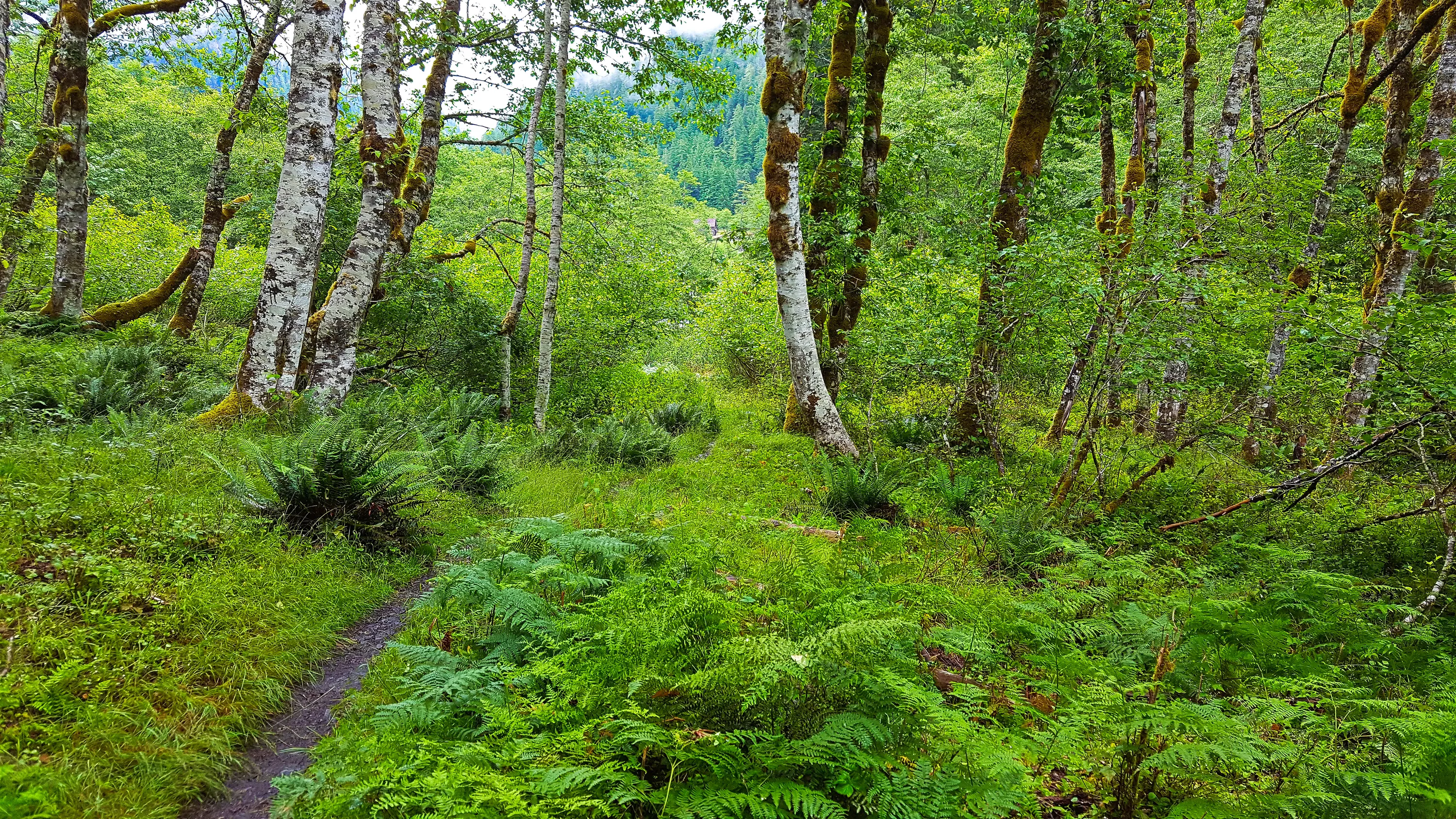
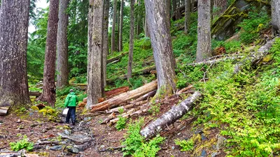 Hiking north up the Enchanted Valley - East Fork Quinalt river trail
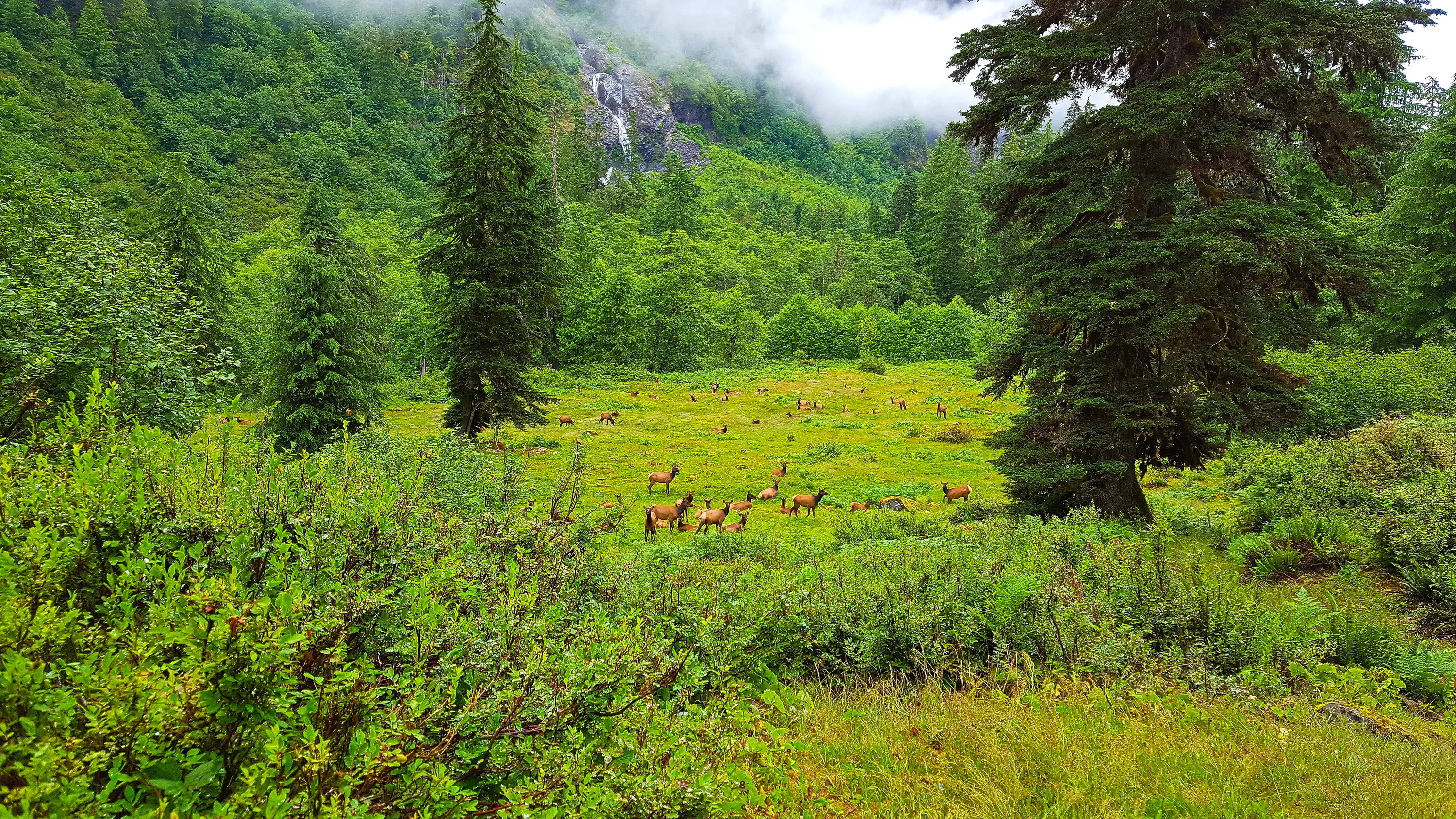
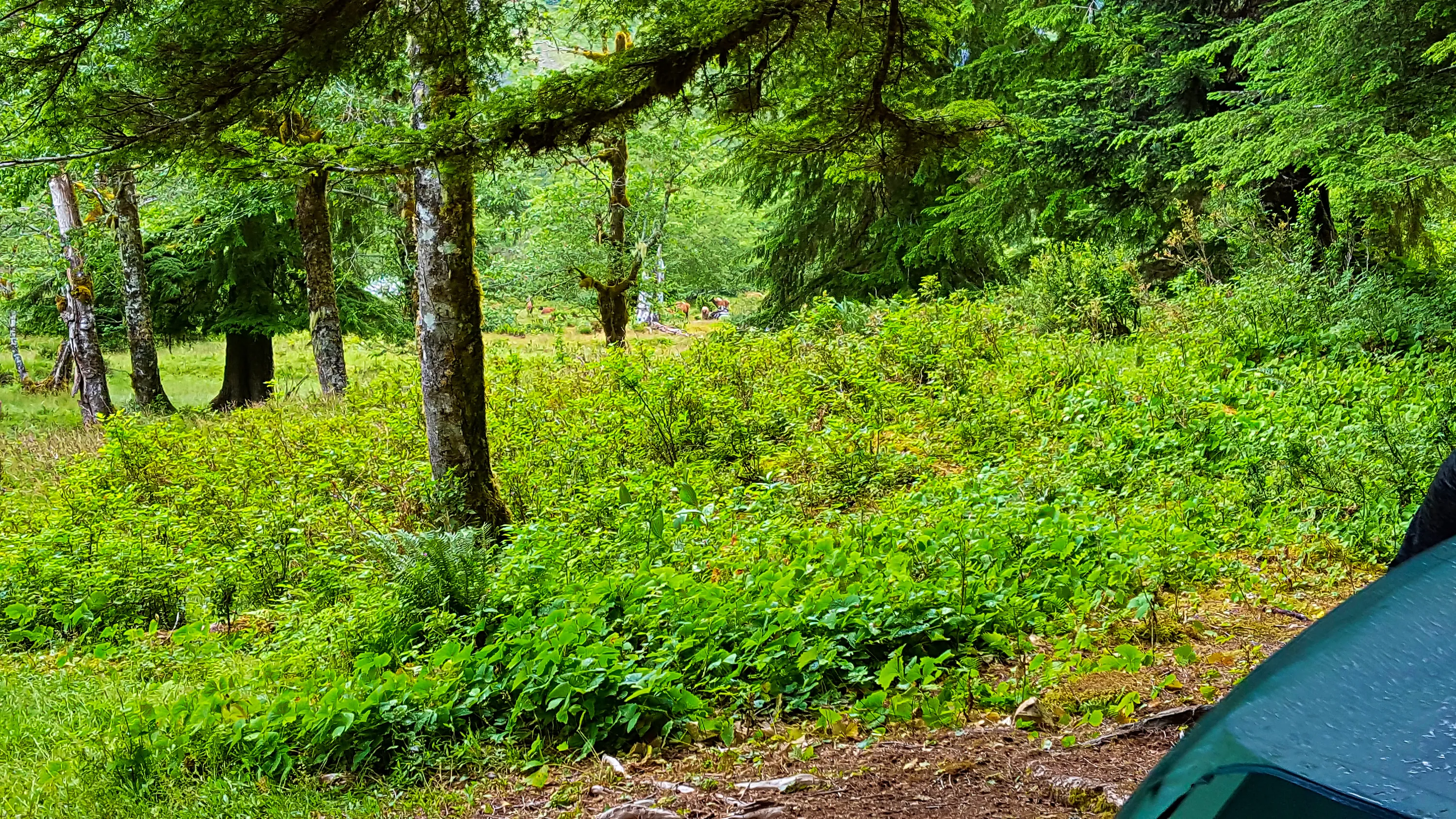
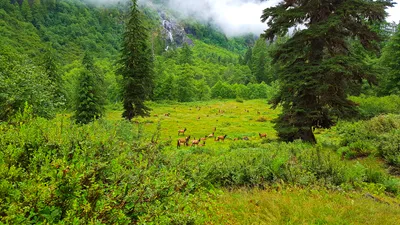 Wildlife sighting #1 - Herd of Elk in meadow just north of our camp at Enchanted valley - as soon as they heard us they started heading uphill - East Fork Quinalt river trail
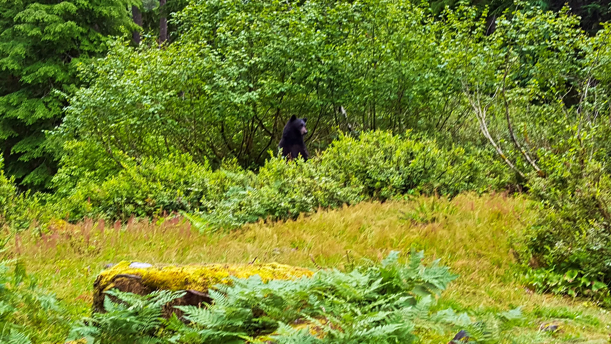
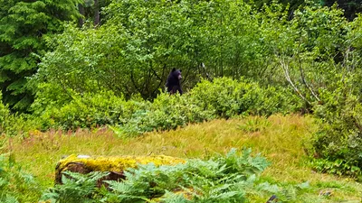 Wildlife sighting #2 - Immediately after sighting #1 - while we were waiting for the elk to move uphill I heard rustling in the bushes behind me - Then i saw a black head and then he stood up to see what was going on. He didn't seem too interested in us, though. As soon as he saw what as going on, he went back to munching on huckleberries. It doesn't look like in the photo - but he was 20-25' from me. Scary and exciting at the same time.
East Fork Quinalt river trail
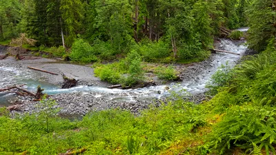 East Fork Quinalt River up the valley from the Chalet.
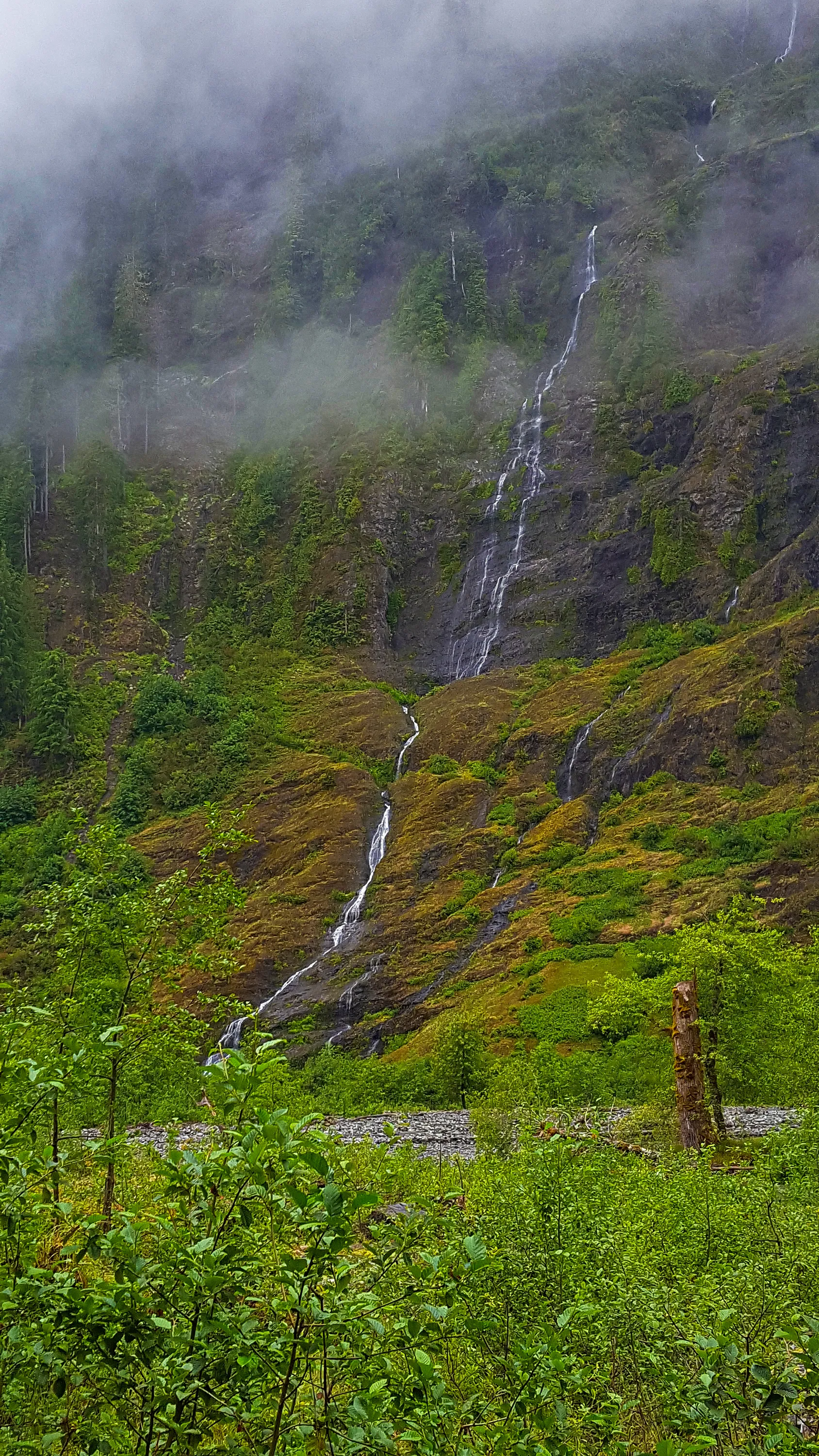
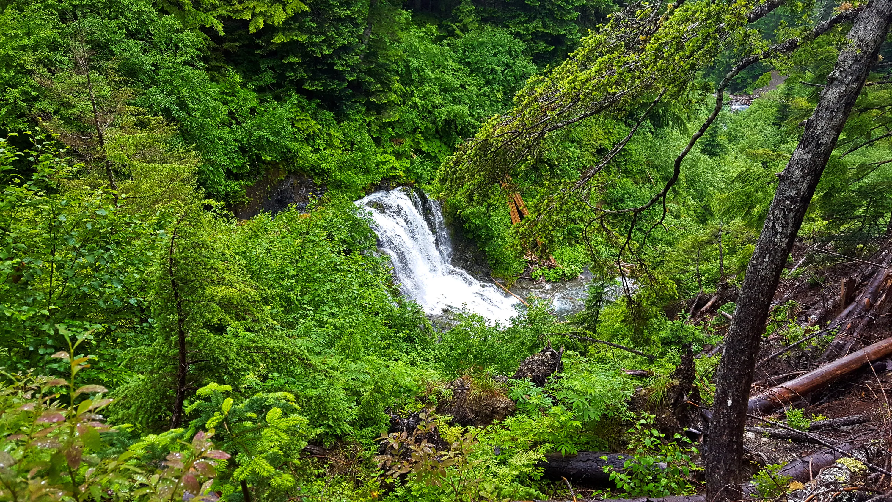
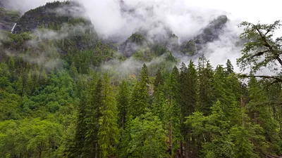 Several waterfalls along the upper valley - East Fork Quinalt river trail
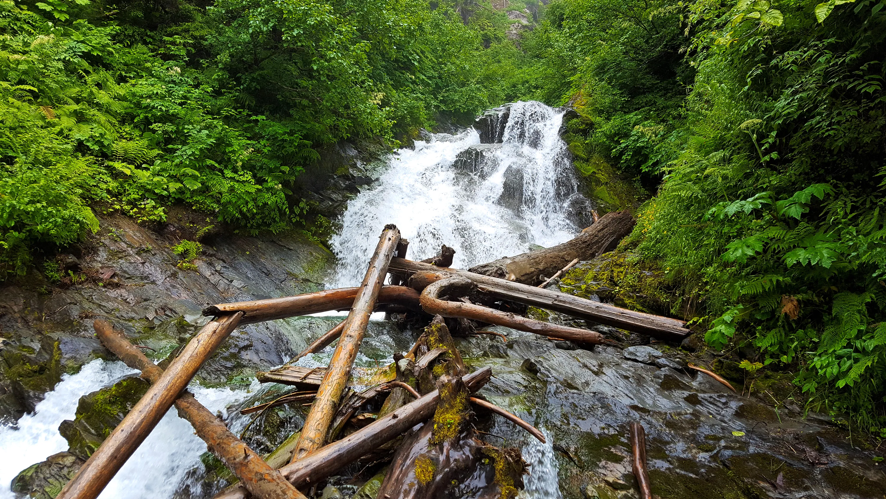
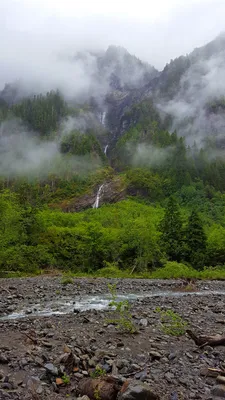 Another of the many waterfalls on the East Fork Quinalt river trail
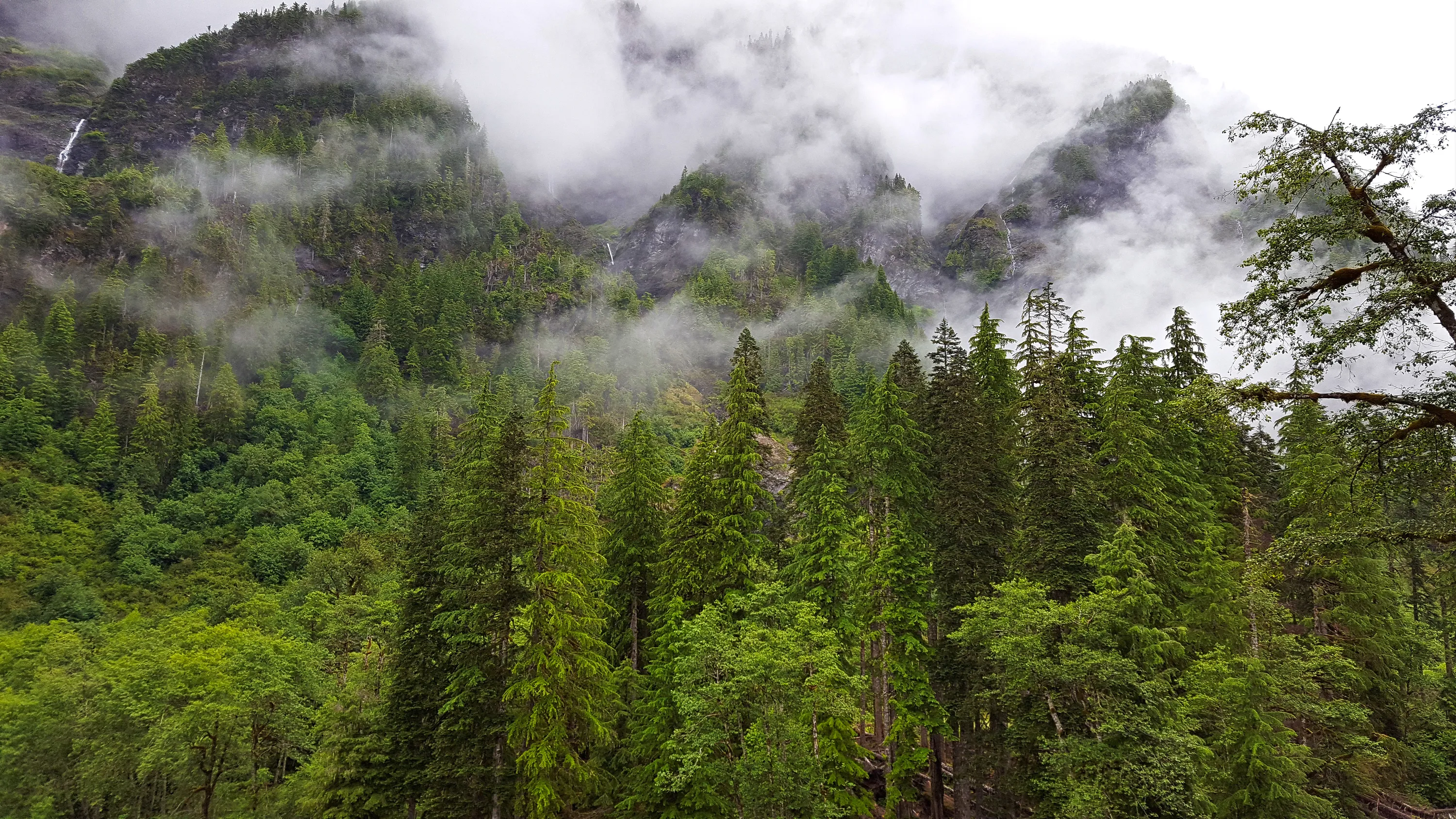
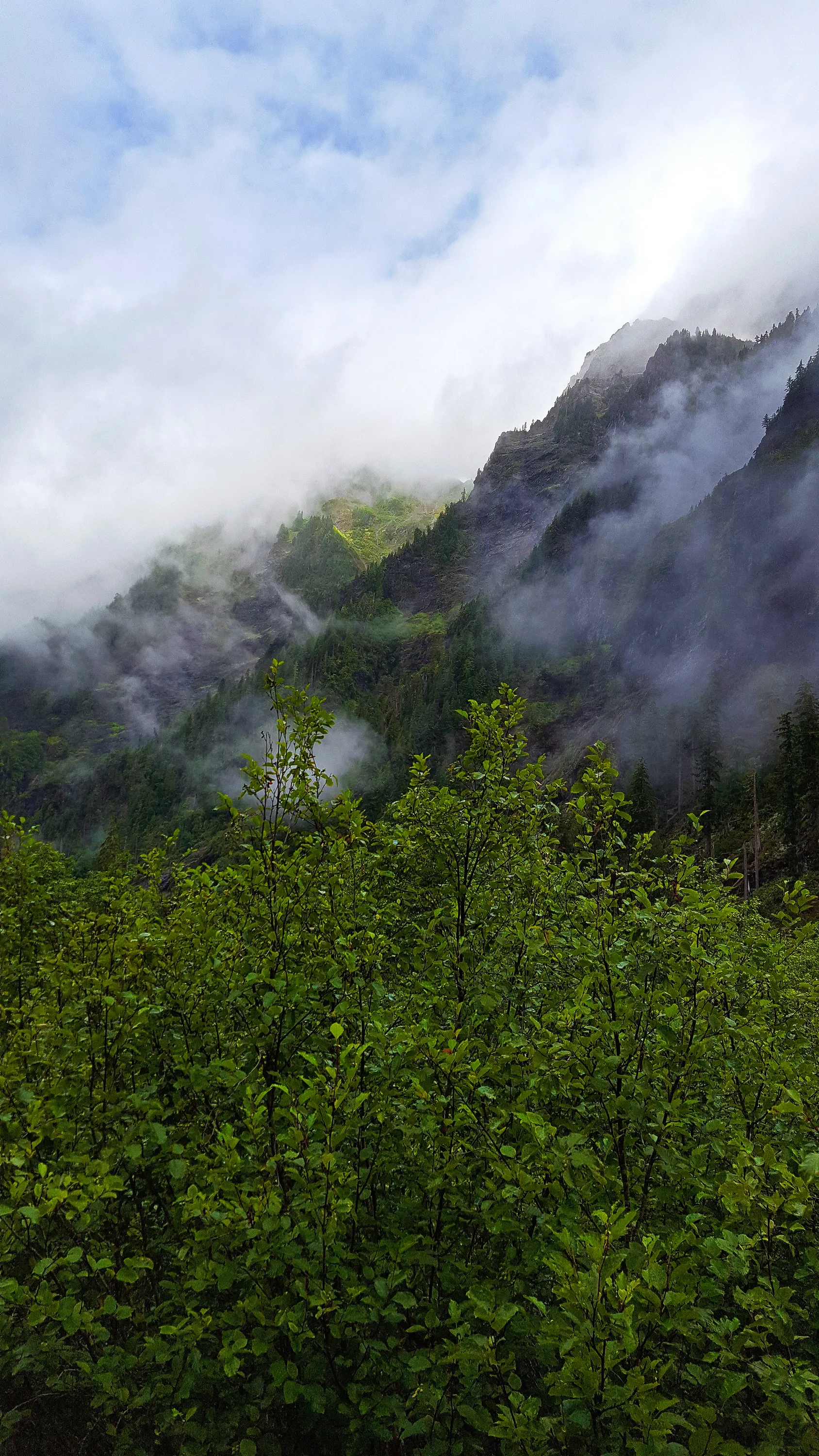
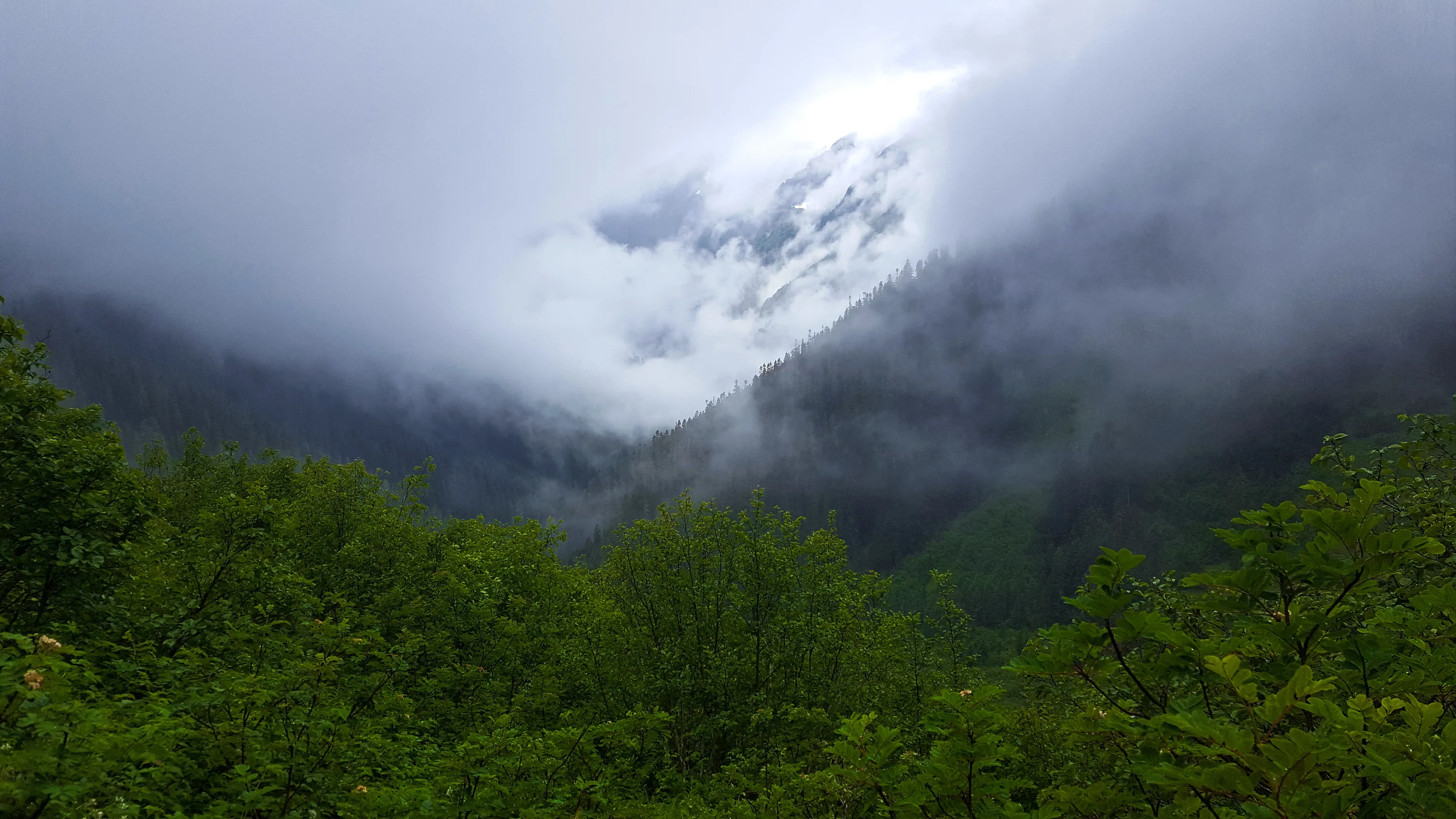
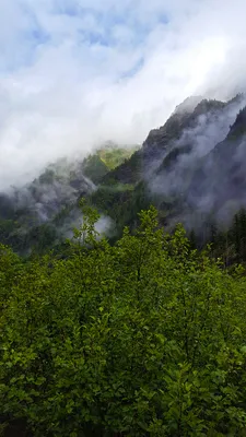 Looking west down the Enchanted Valley thru the fog
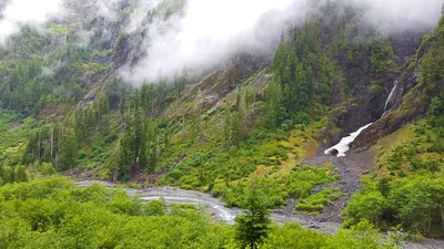 Waterfall and snow tunnel - East Fork Quinalt river trail
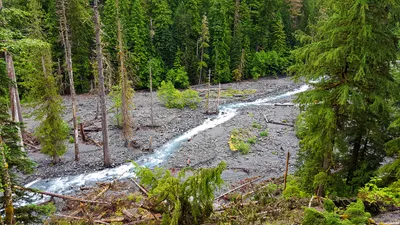 Looking down at the wide Alluvial plain on the Quinault River
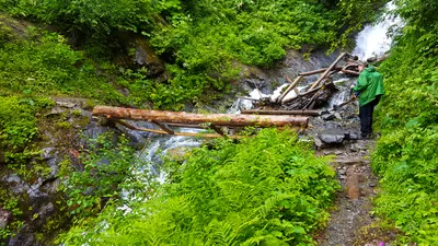 White creek crossing - the "real" bridge has been tipped over by the force of the creek - a temporary log was put in place. East Fork Quinalt river trail
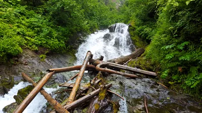 Waterfall on white creek just above the crossing point - East Fork Quinalt river trail
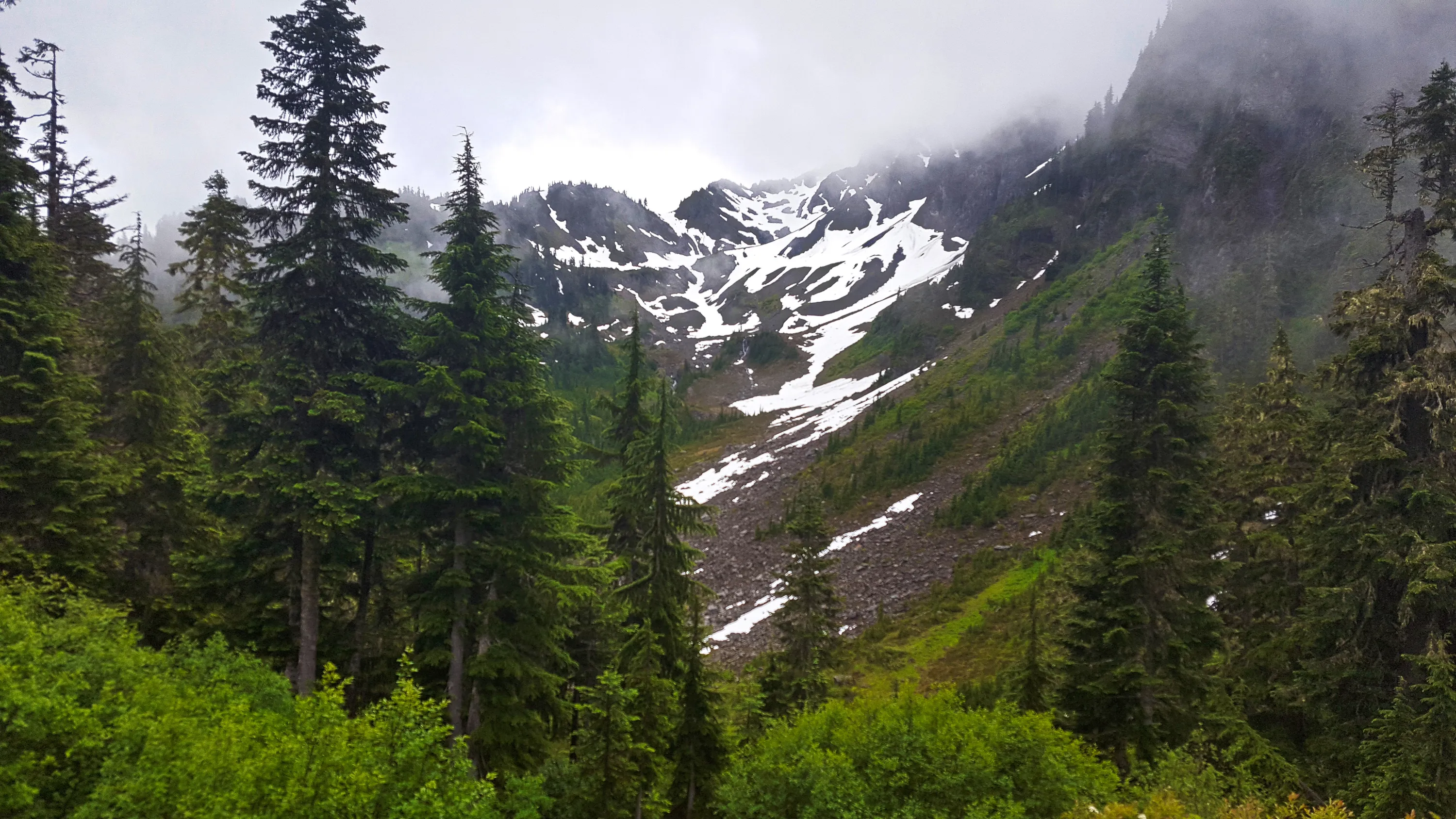
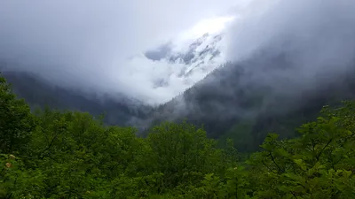 On a clear day, this must be an awesome view - ascending to Andersaon Pass on the East Fork Quinalt river trail
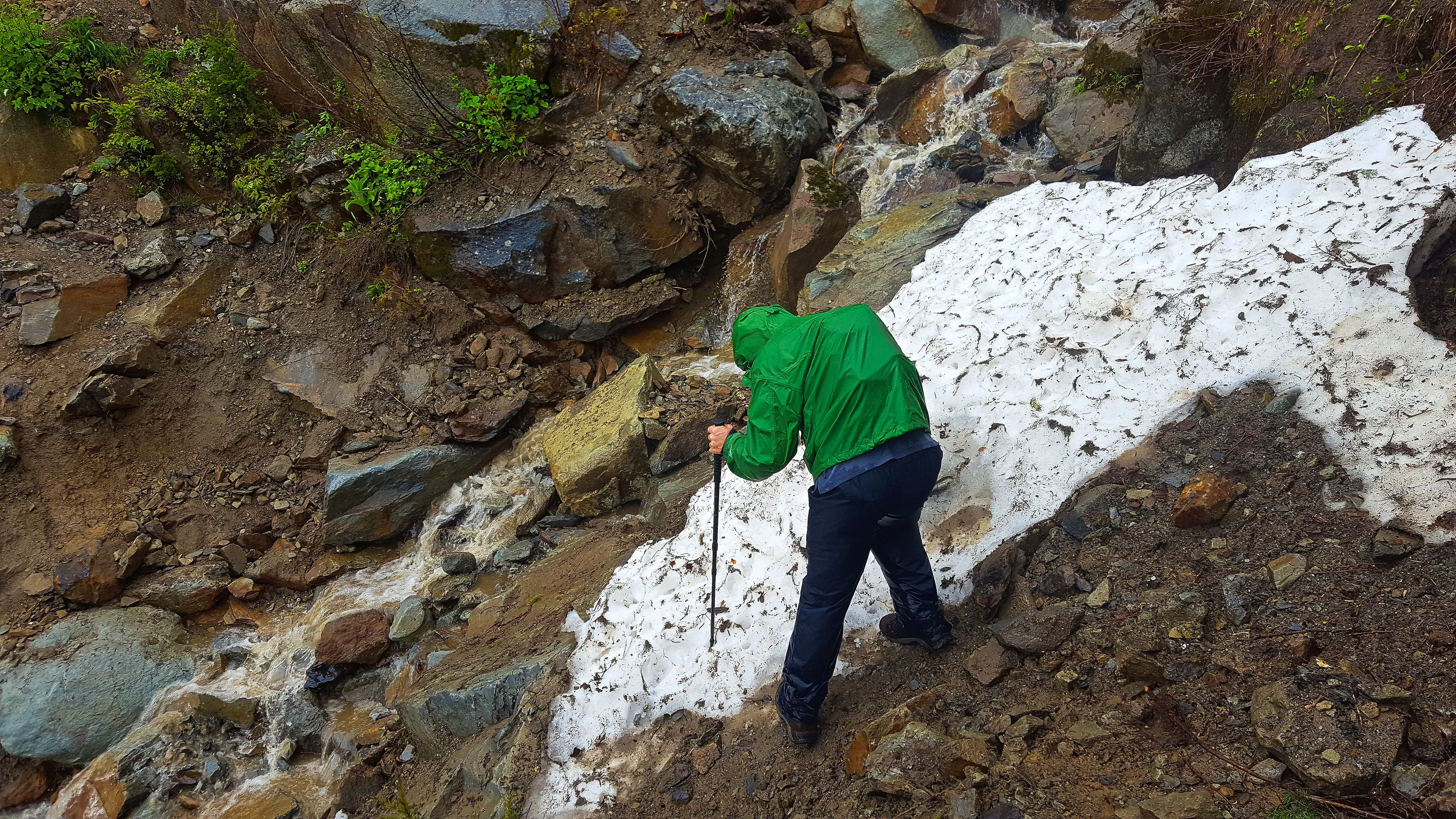
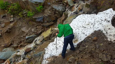 This was a very interesting crossing - when we crossed it on the way up, the flow was pretty good (as seen here) and the water was very brown. On the way back down, it was hardly flowing at all and what water there was was clear. - East Fork Quinalt river trail
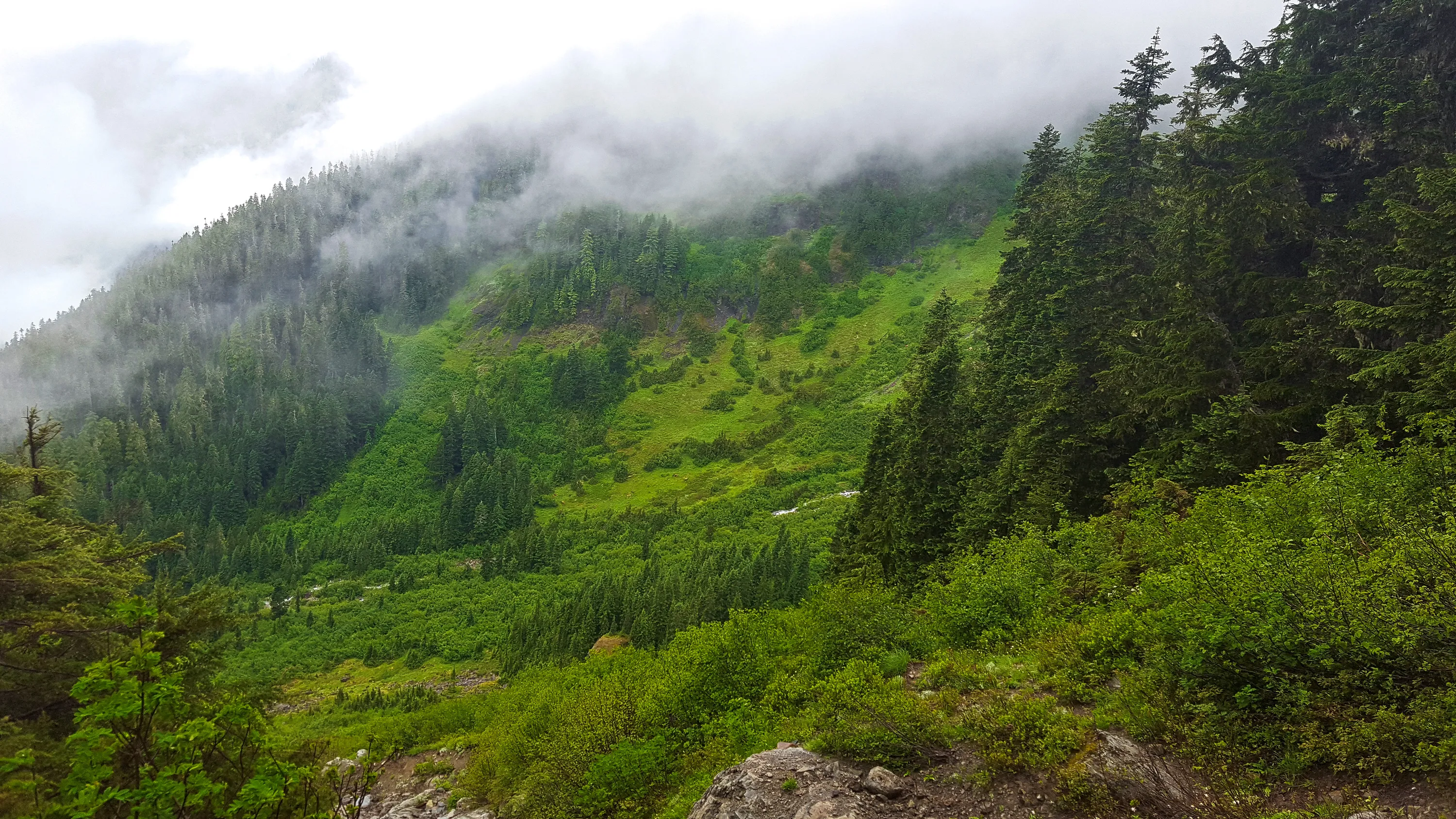
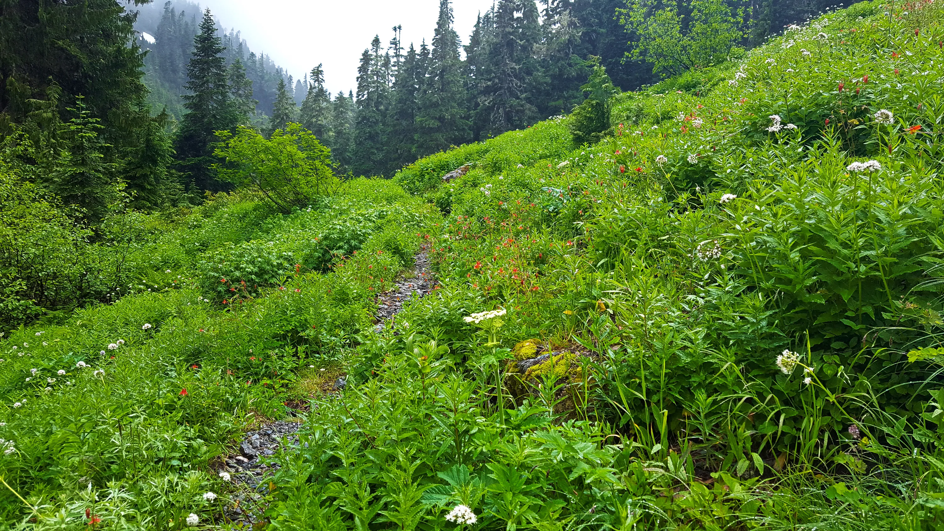
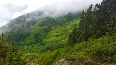 On the way up to Anderson Pass. It is hard to see, but there is a river just about center photo - that river is the Quninalt river that comes from the Anderson glacier up above.
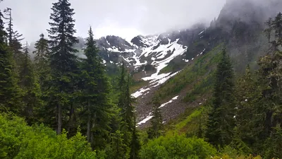 I believe this is Mount LaCrosse just over Anderson Pass - on our way down to Camp Siberia
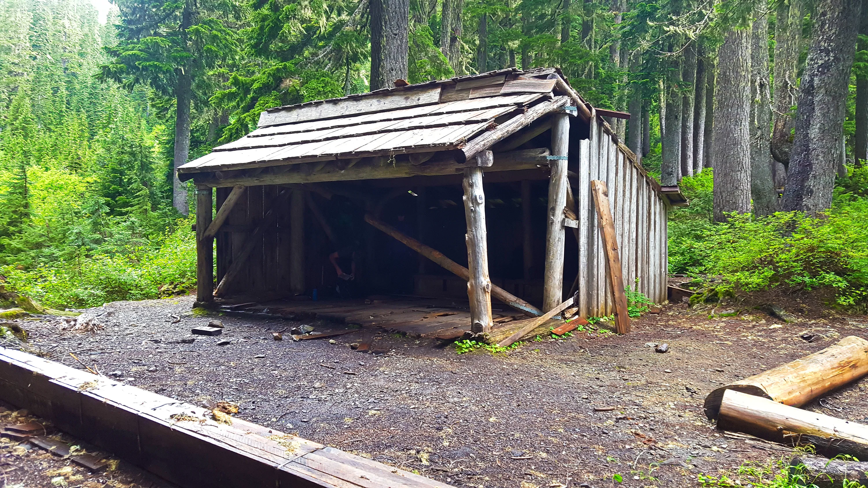
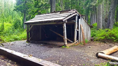 This is the shelter at Camp Siberia (just over Anderson Pass). It was in somewhat rough shape, but had some repairs done to it.
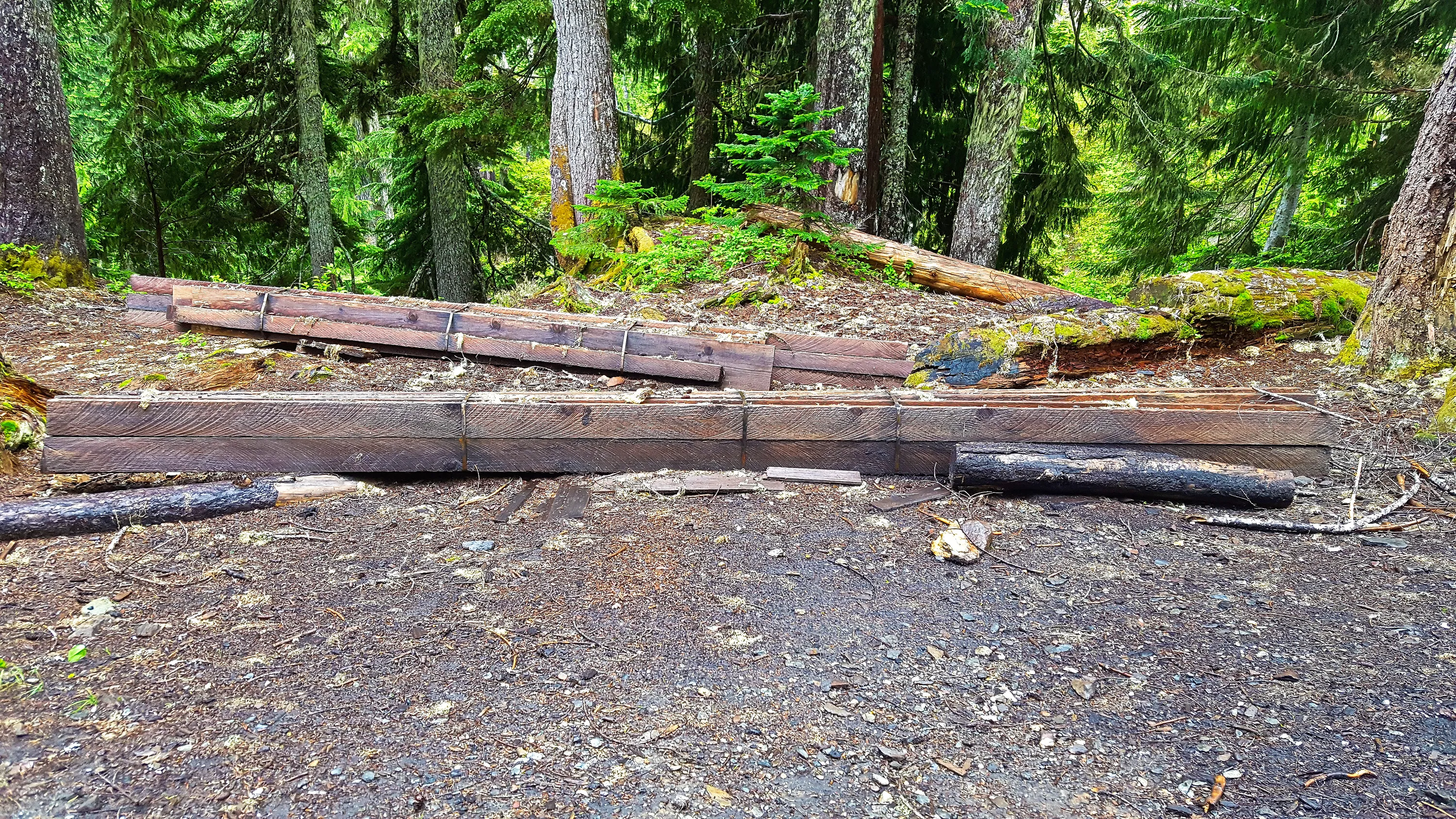
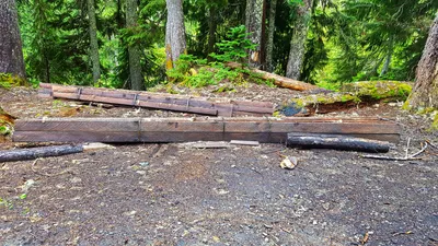 Lumber to be used for repairs to the shetler - we were told these were flown in by helicopter.
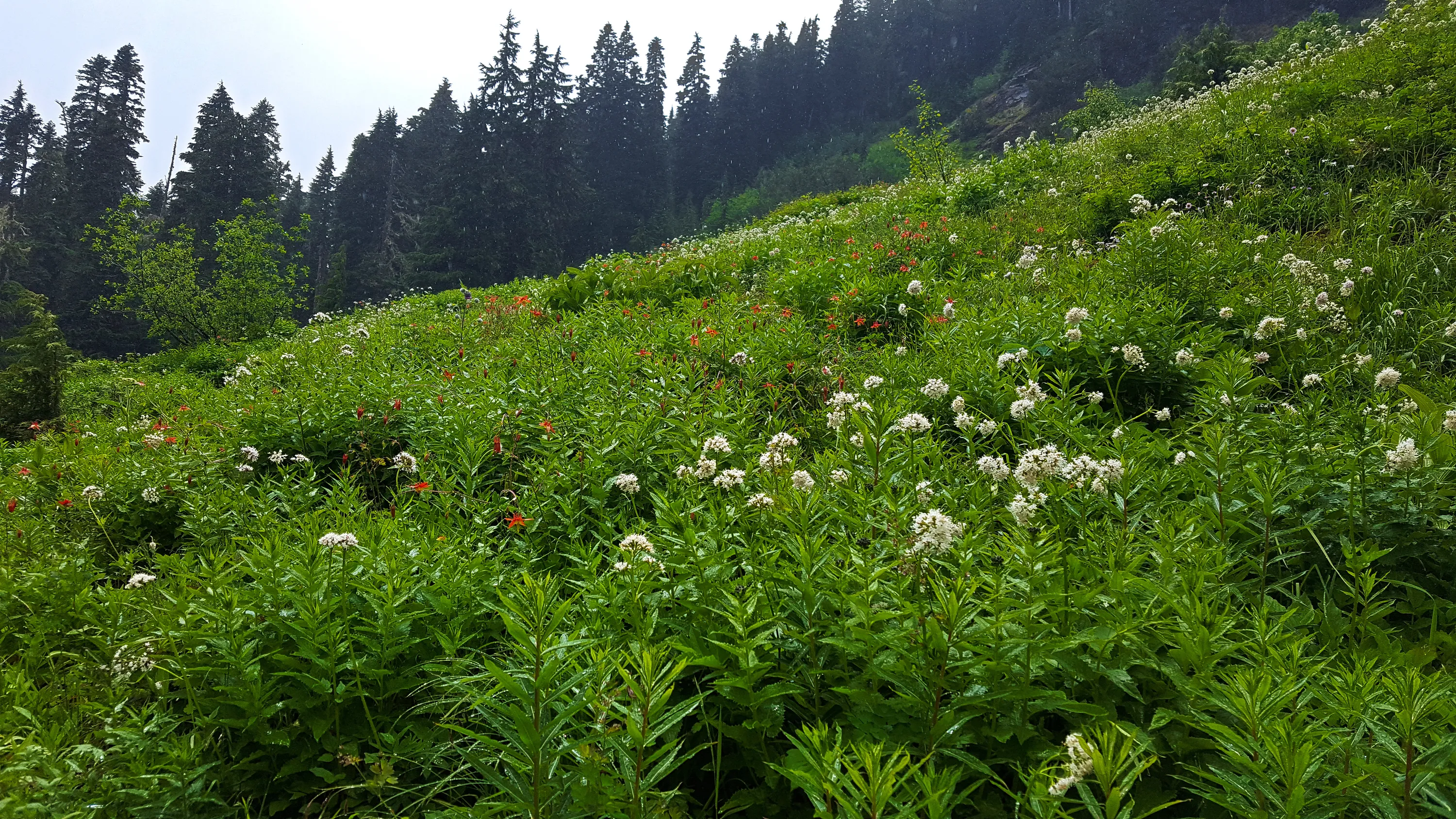
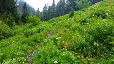 Flowers on east side of Anderson Pass
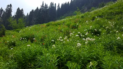 Wildflowers on trail east of Anderson Pass - above Camp Siberia.
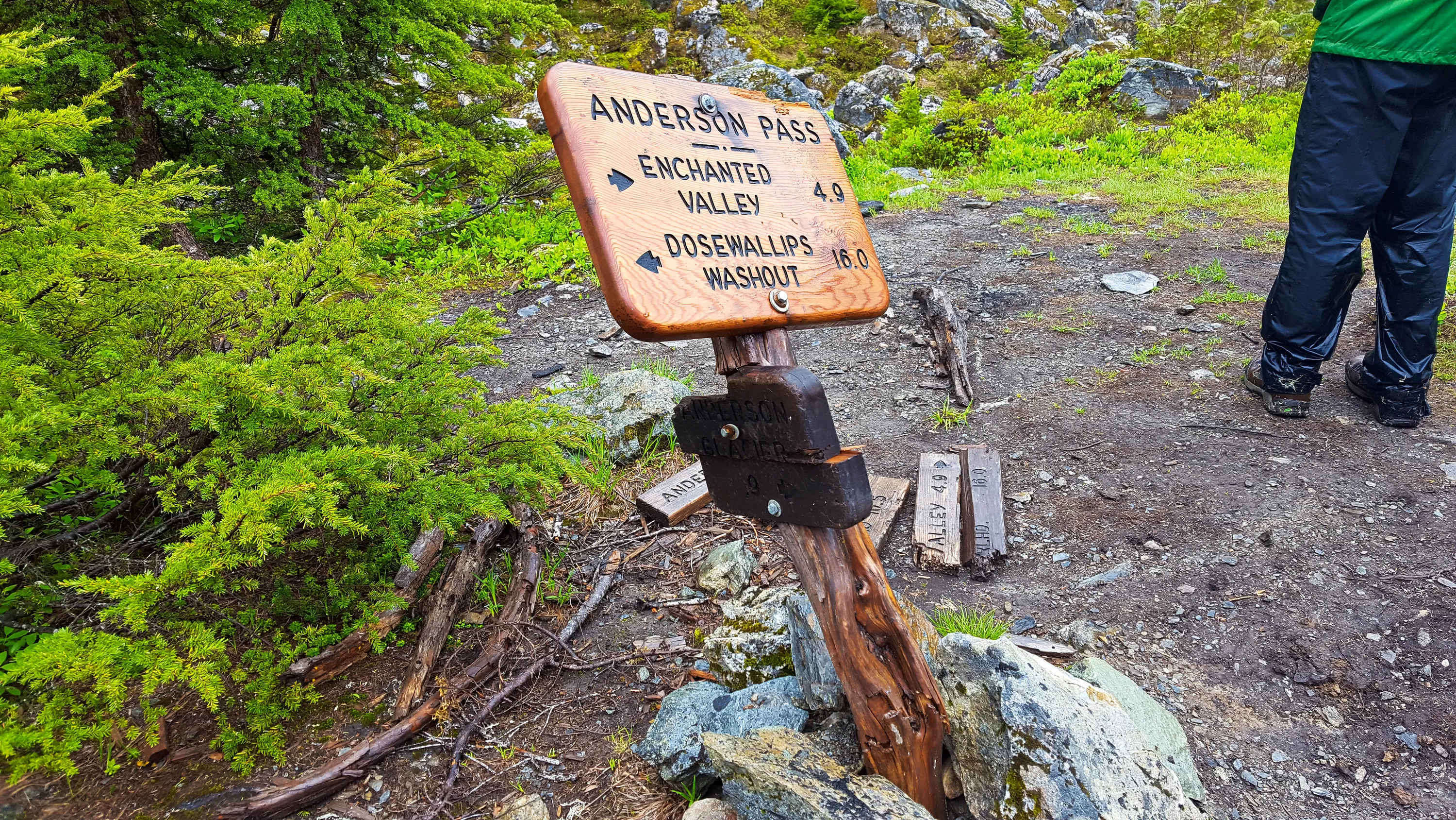
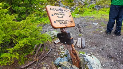 Sign at Anderson Pass - East Fork Quinalt river trail
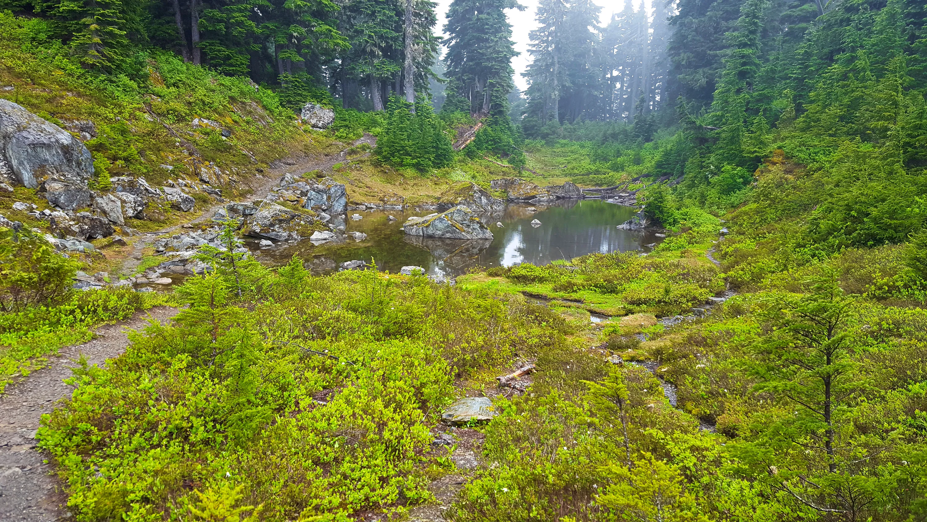
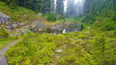 Small tarn/lake at Anderson Pass - East Fork Quinalt river trail
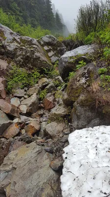
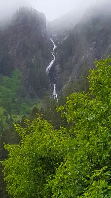 I think this is the outflow from the lake below Anderson Glacier that starts the Quinalt river. On the
East Fork Quinalt river trail
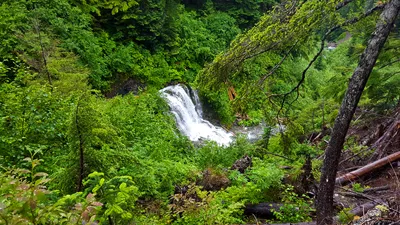 Waterfall below White creek crossing - it is kind of interesting - it makes almost a 90 degree turn before going over the falls - there is a solid rock along the hillside that forces it to bend. - East Fork Quinalt river trail
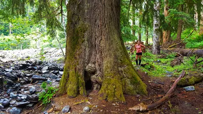 According to the sign, this is the largest recorded Western Hemlock - it certainly was a pretty large tree, but I don't know if that is still accurate - it is dying.
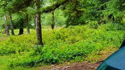 The elk herd came back in the evning - we walked right by them on the trail when we returned (although they were 50-75' off the trail). This is from our campsite at Enchanted Valley.
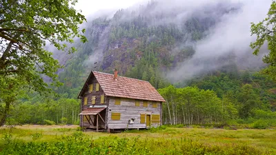 Enchanted Valley Chalet with cliffs in the background - East Fork Quinalt river trail
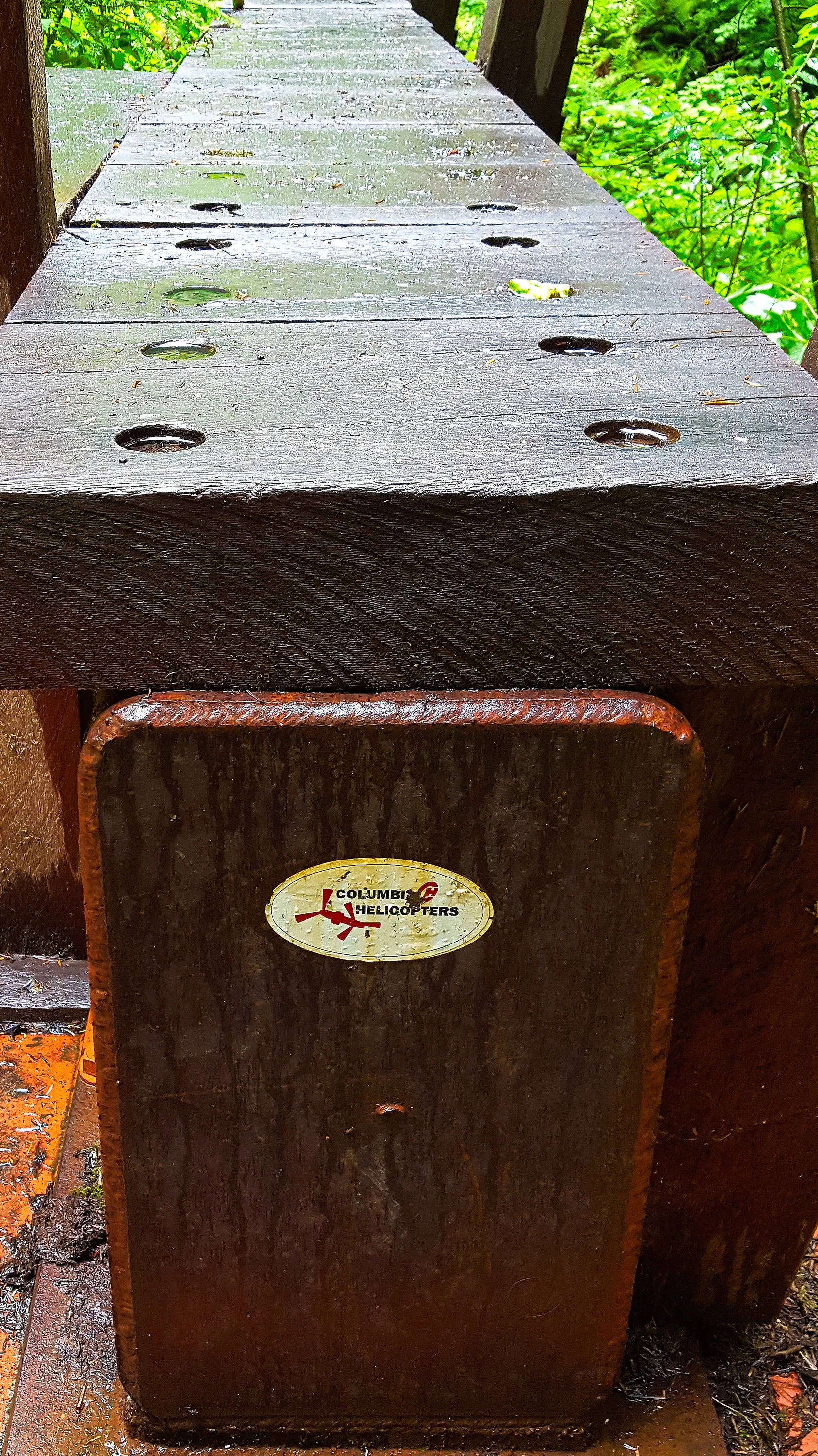
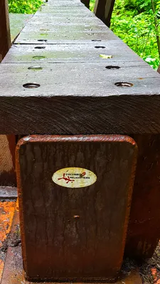 Just kind of an interesting footnote - this steel bridge was flow into place by Columbia Helicopters. - East Fork Quinalt river trail
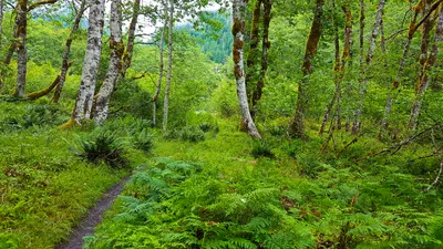 Our last glimpse of the chalet as we headed out - You can see the roofline in the middle of the photo.
East Fork Quinalt river trail
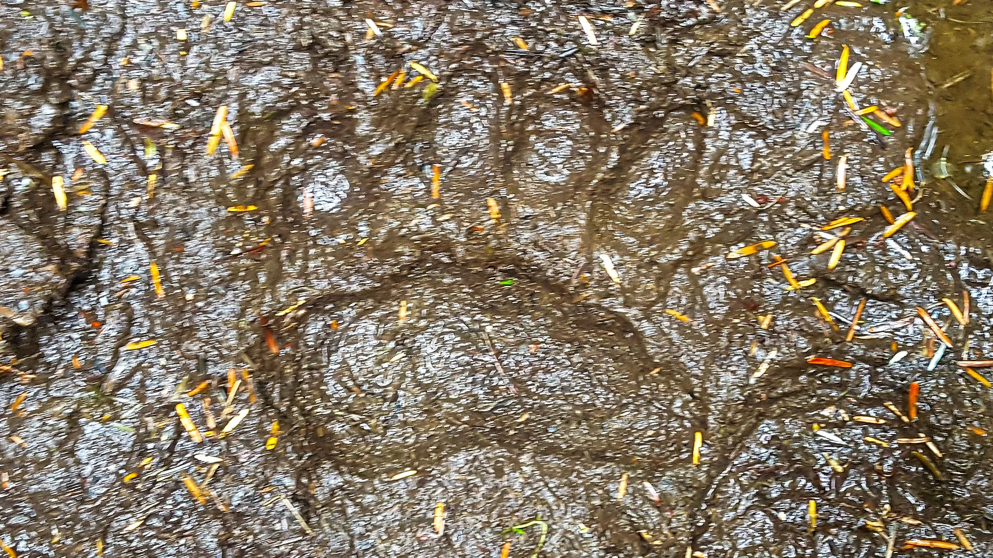
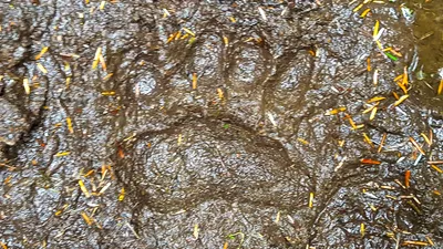 A very nice bear paw print on the trail
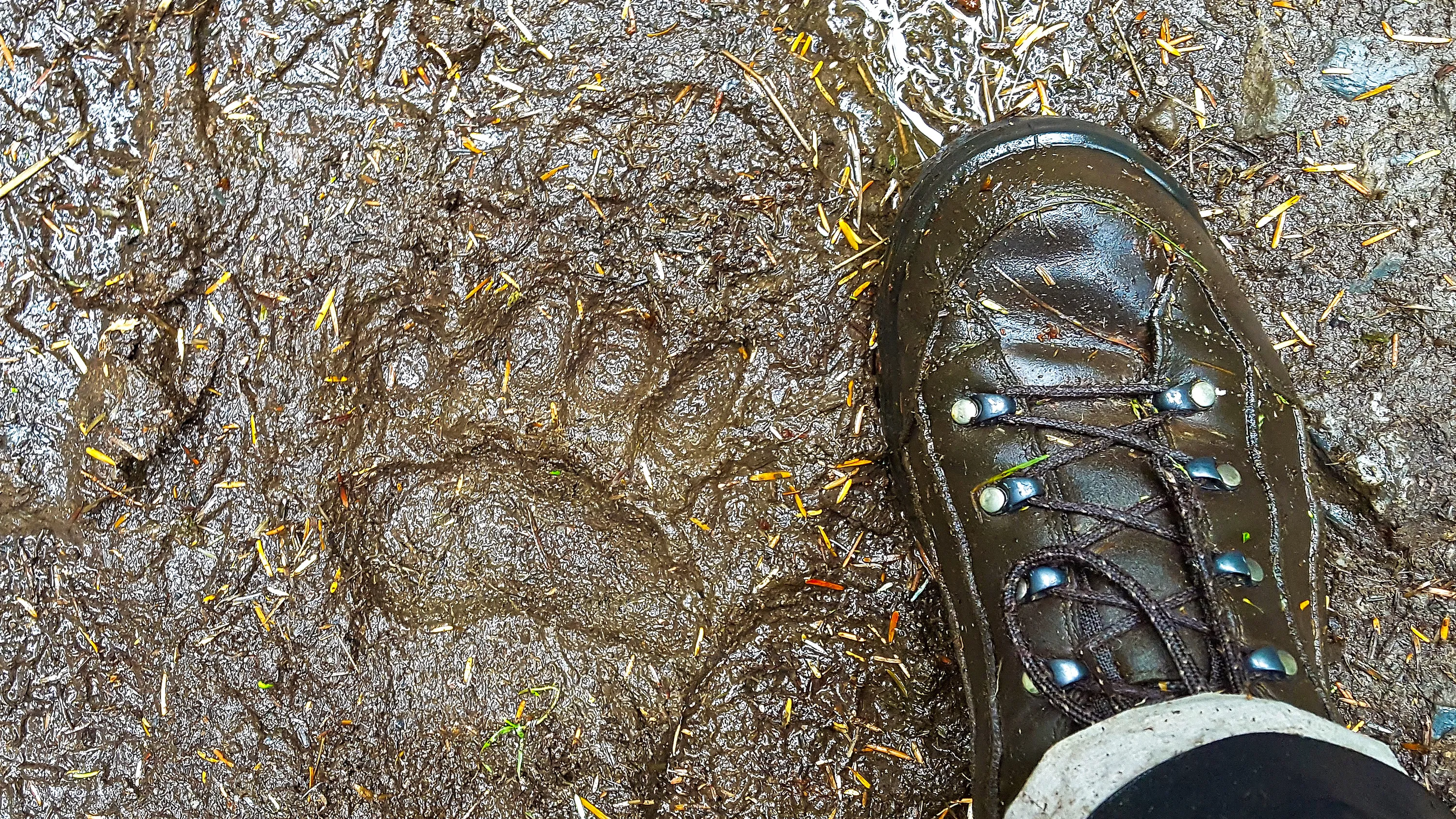
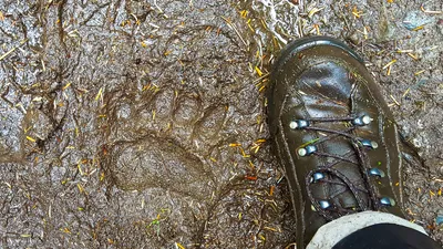 Bear print on the trail with my boot for size
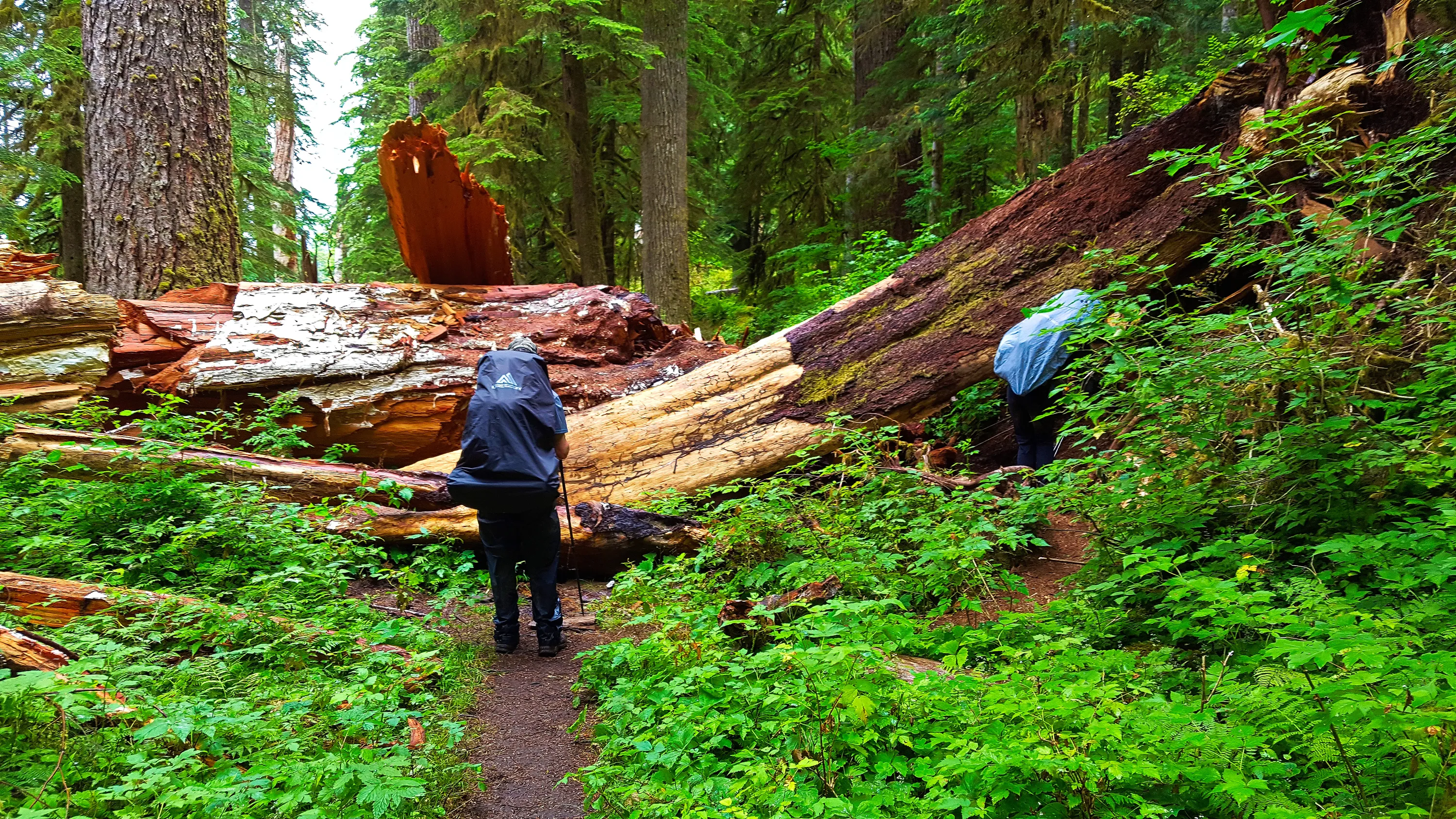
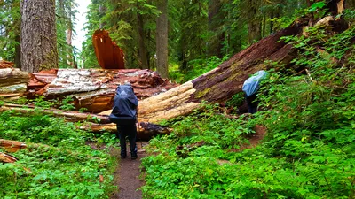 More big blowdown on the trail - East Fork Quinalt river trail
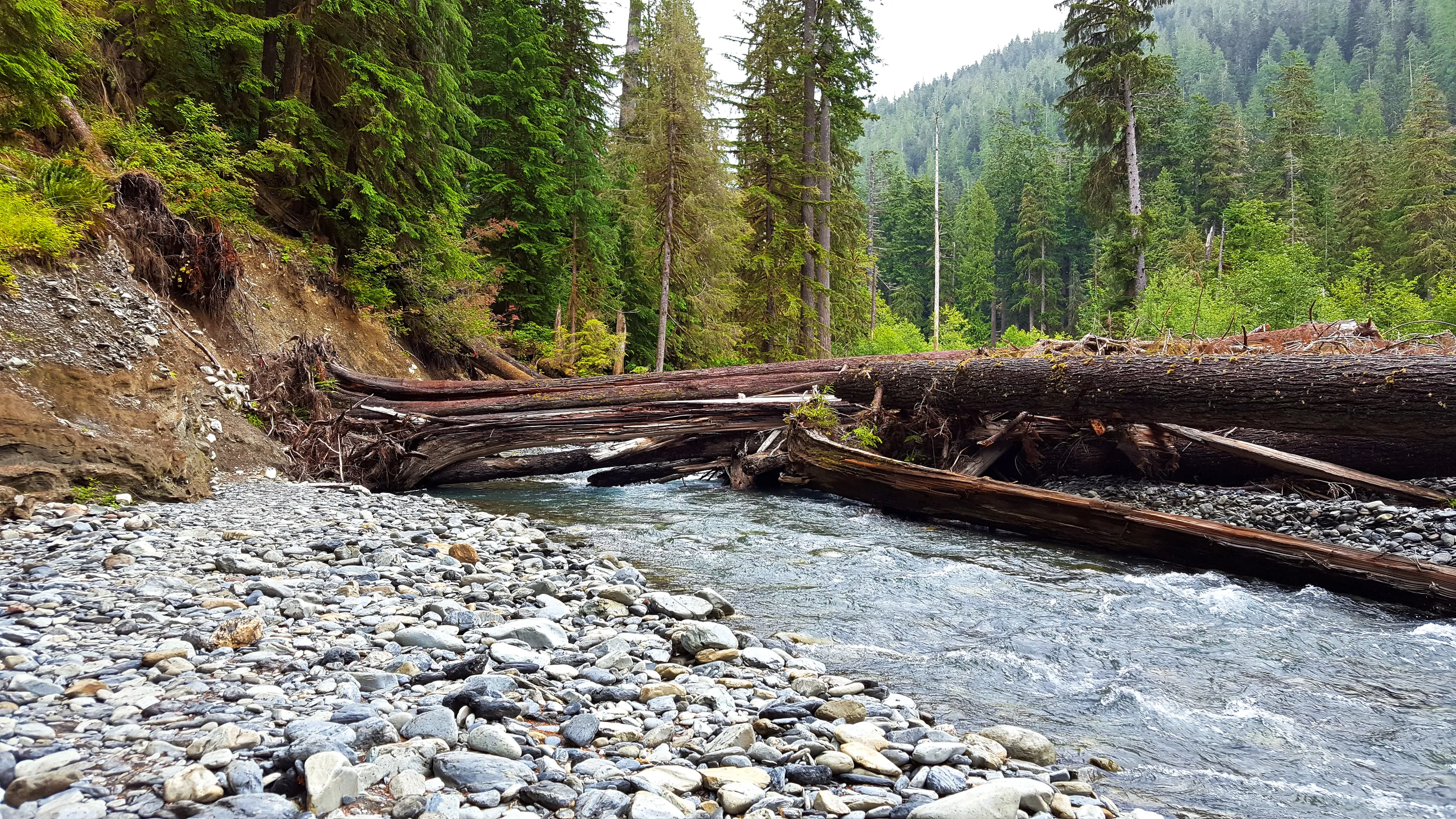
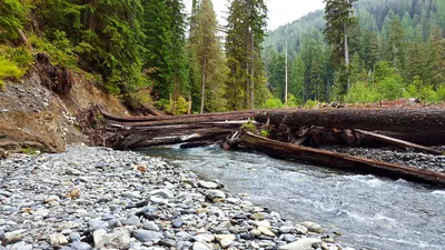 The other log that we crosseed the river on at the big washout
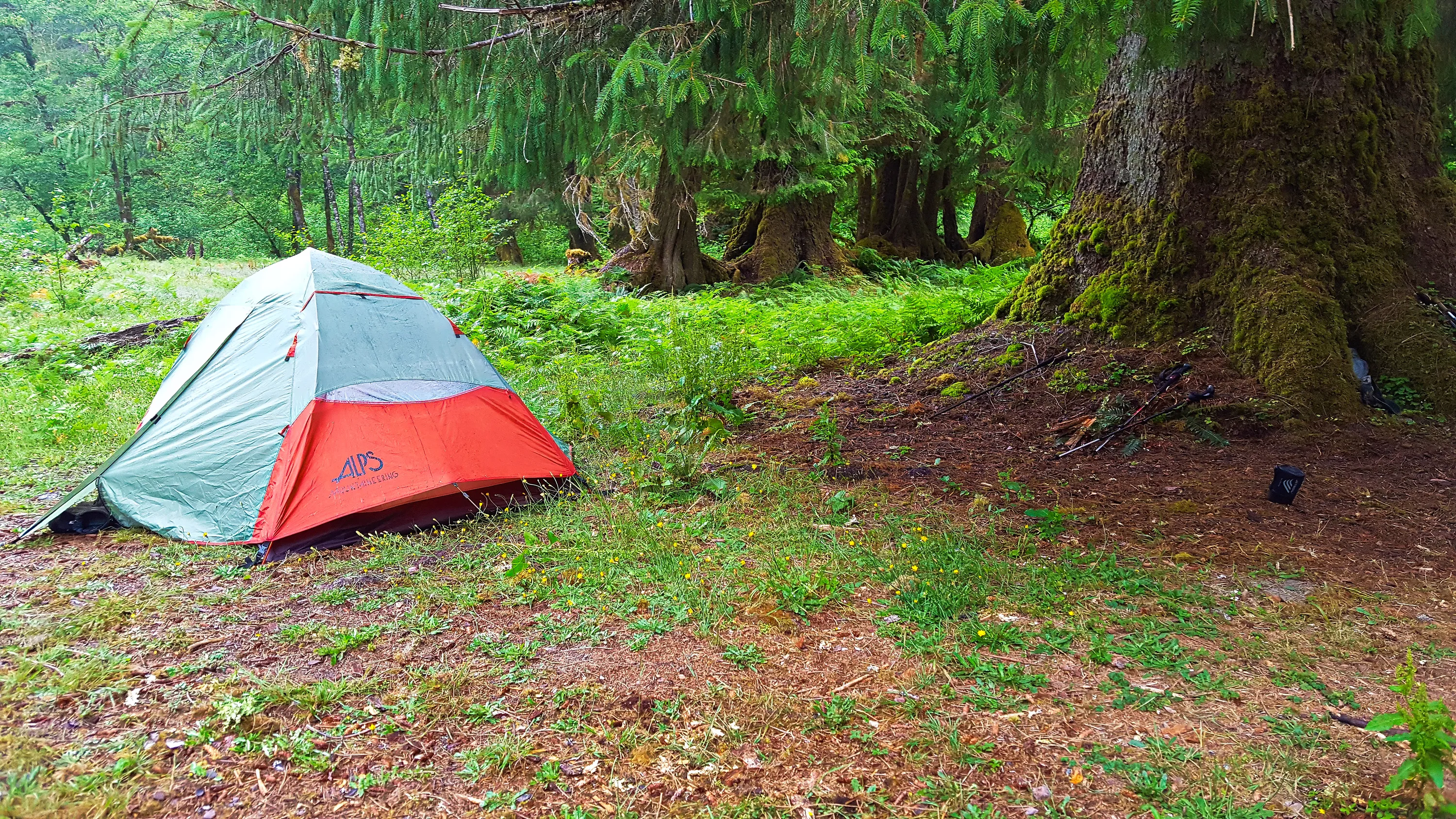
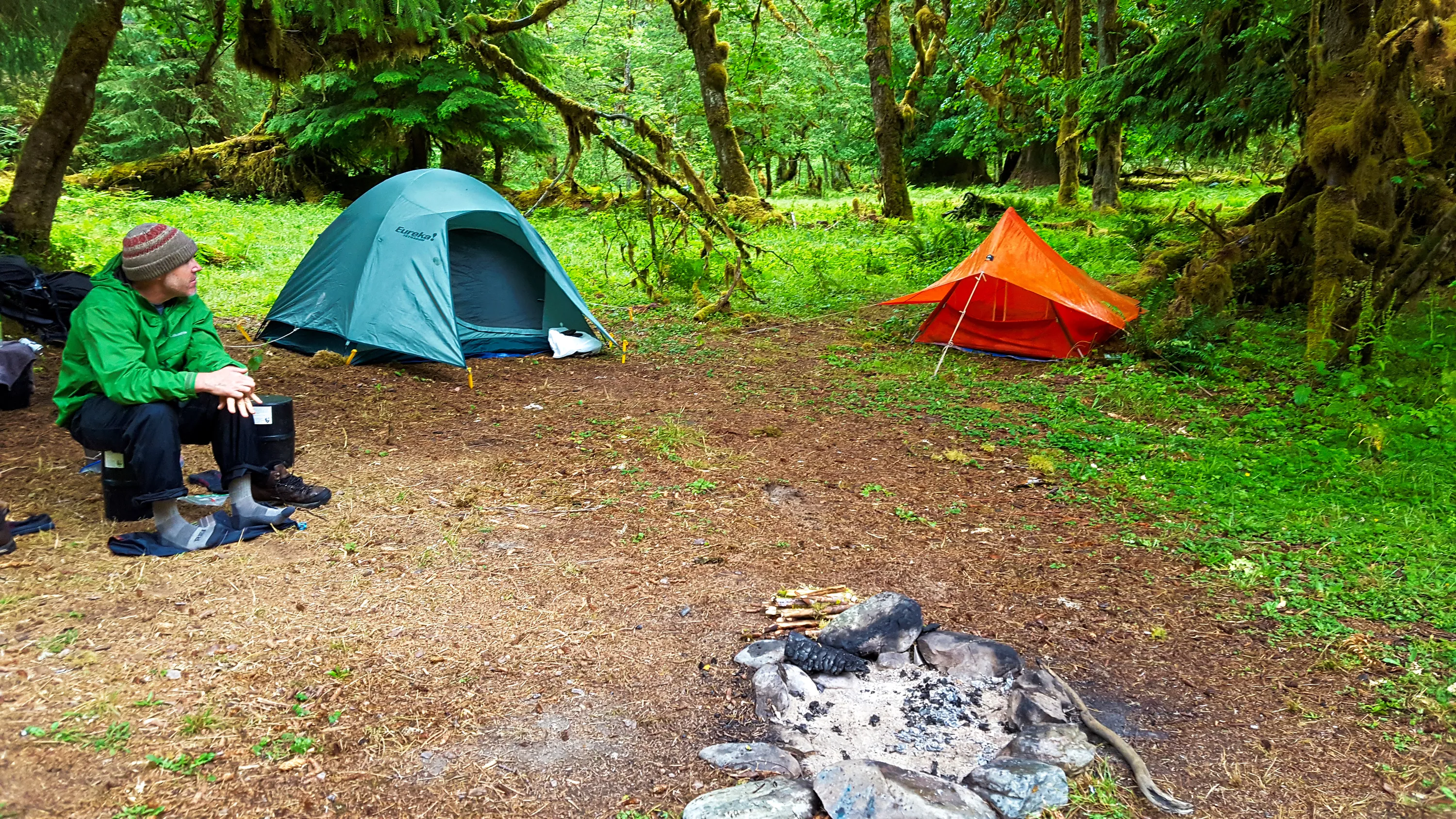
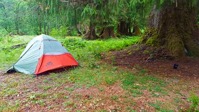 Saturday night camp - we think this was a trail crew camp - right on the river but a little bit off the trail. East Fork Quinalt river trail
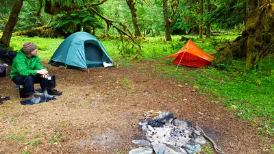 Saturday night camp along the Quinalt river. - East Fork Quinalt river trail
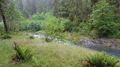
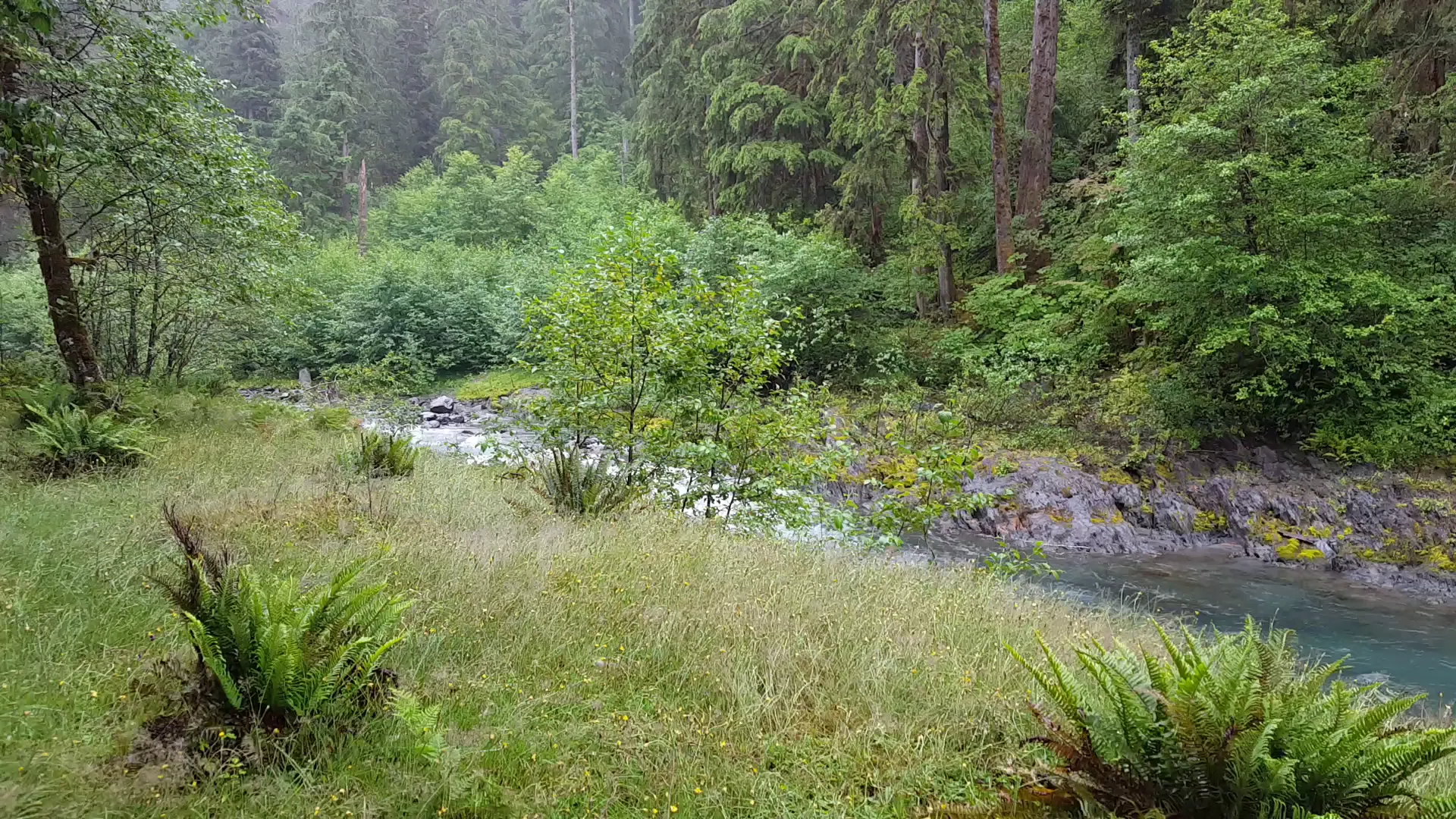
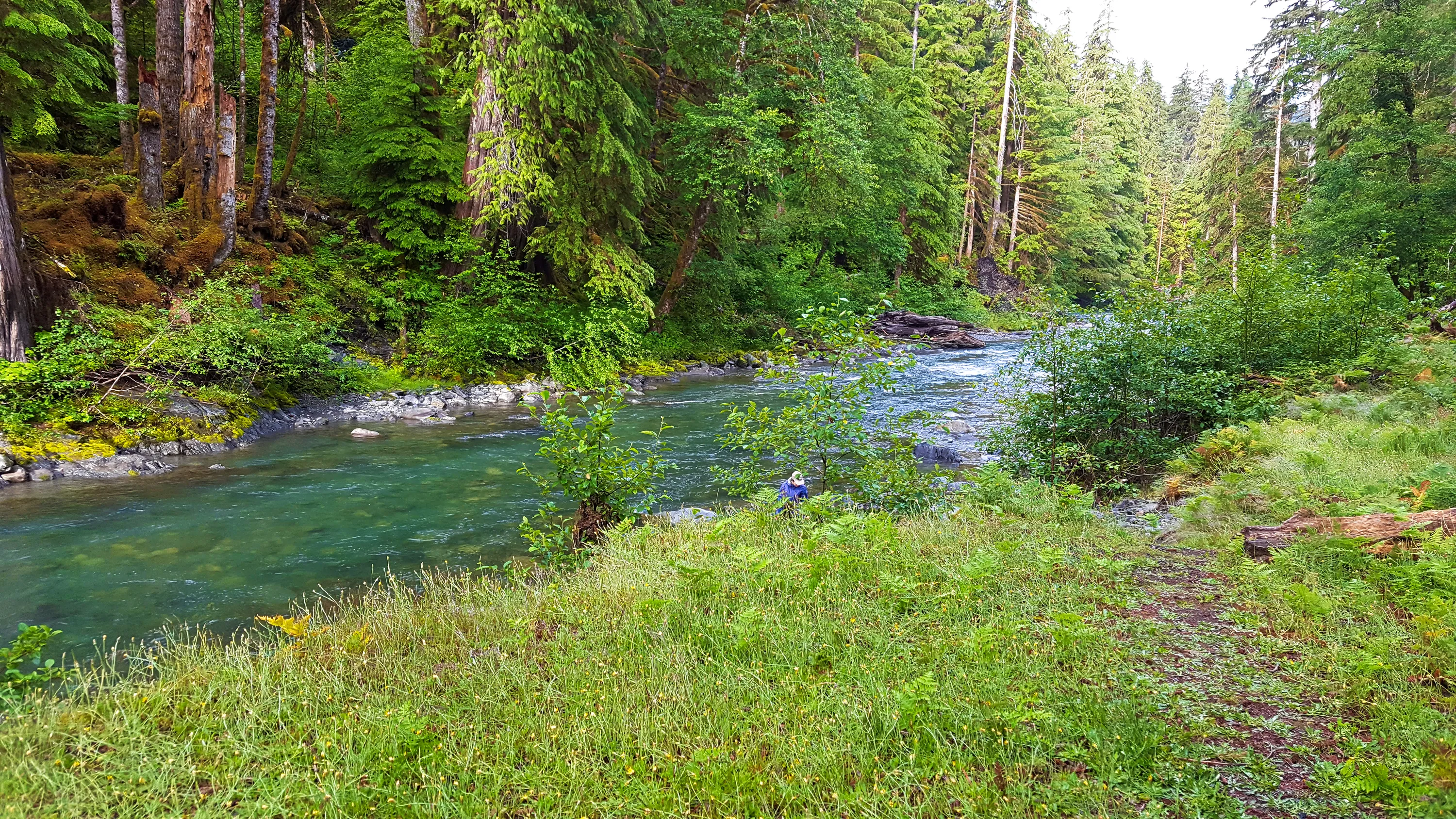
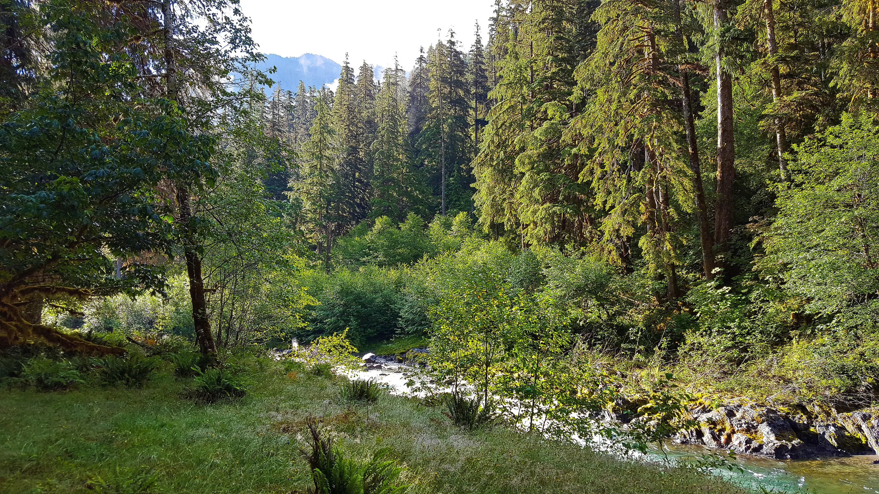
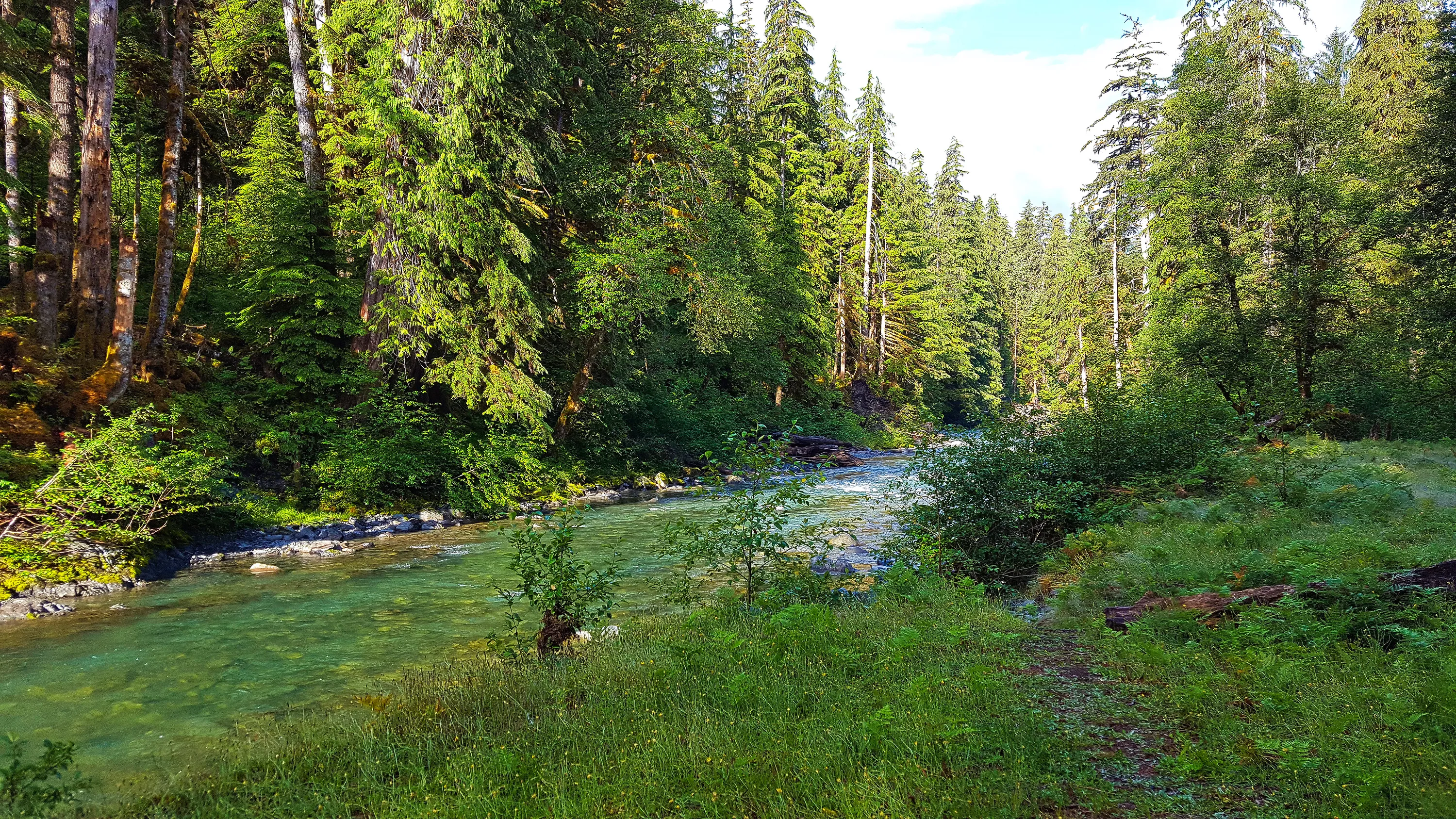
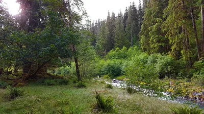 Looking at the river from Saturday night campsite. East Fork Quinalt river trail
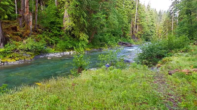 Looking downstream from our Saturday night campsite along the Quinalt river - this was just before it started raining - most of the night. East Fork Quinalt river trail
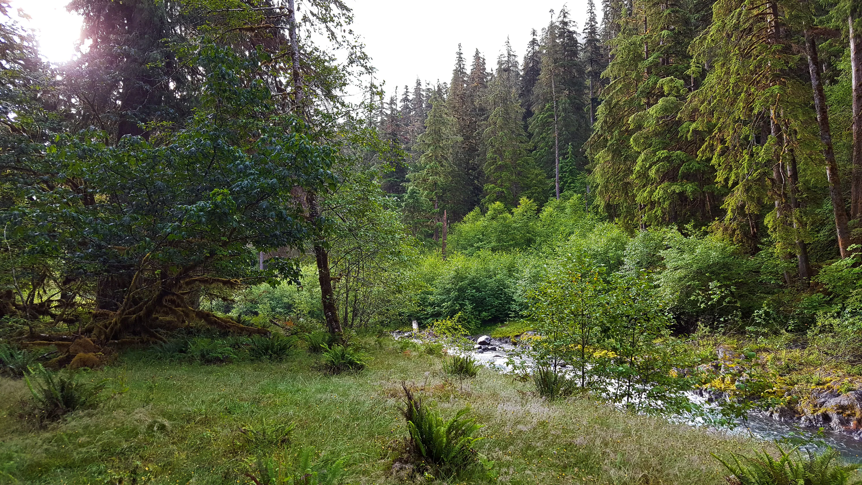
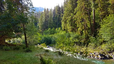 Sunshine! Sunday morning we finally got some real sunshine - the first real sunshine of the trip. East Fork Quinalt river trail
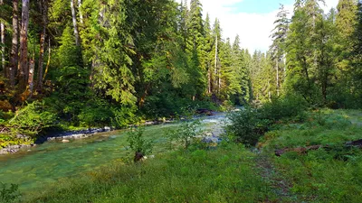 Sunday morning sunshine from camp - East Fork Quinalt river trail
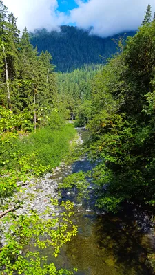 East Fork Quinalt river trail
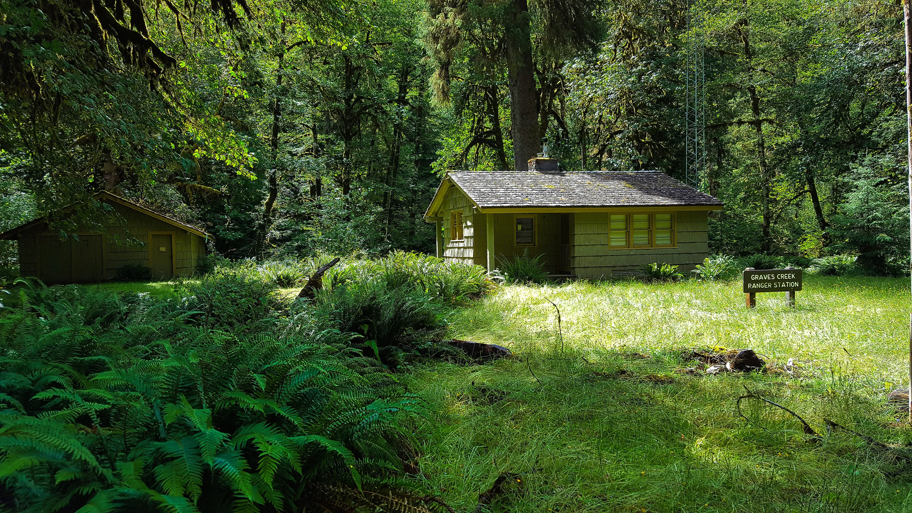
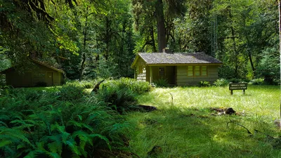 Graves creek ranger station - East Fork Quinalt river trail
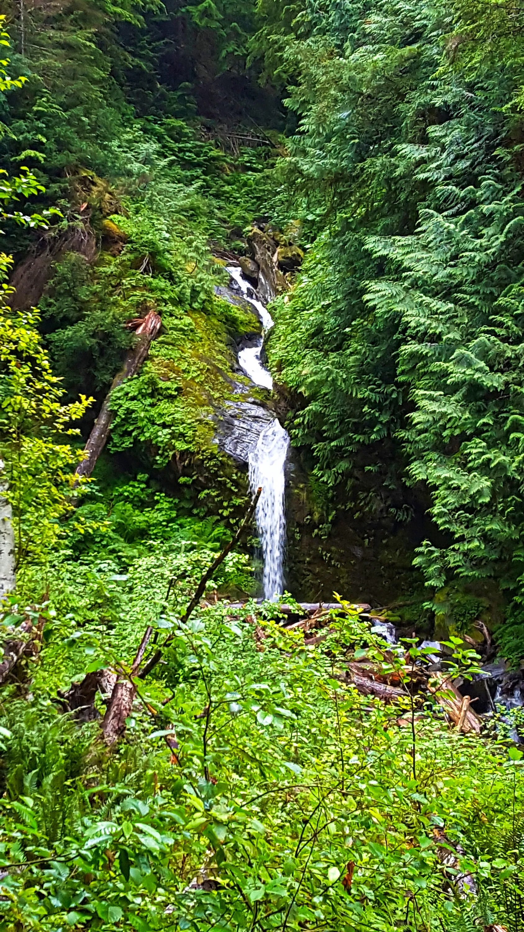
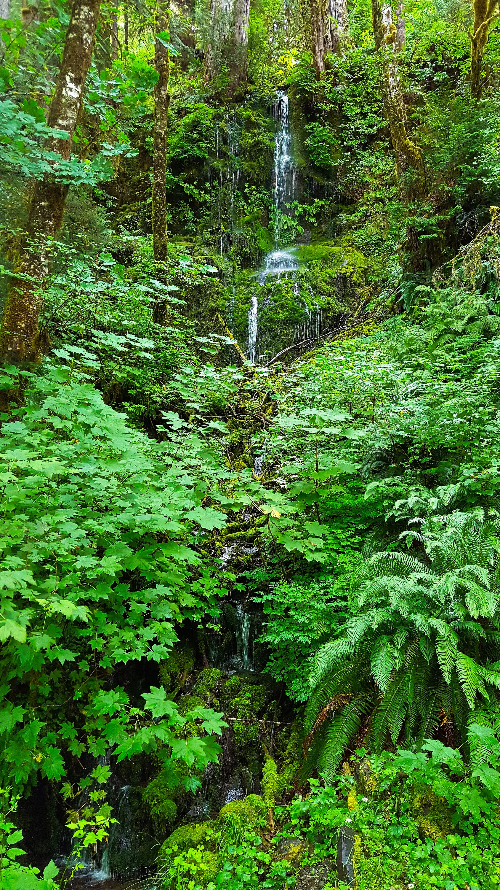
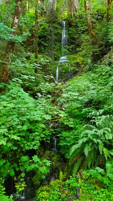 Waterfall on the road into the East Fork Quinalt river trail - the road was closed due to a washout and was only accessible on foot.