Robs Hiking Diary
Search
Search for:
Search
Hikes
2015
Whetstone Mountain
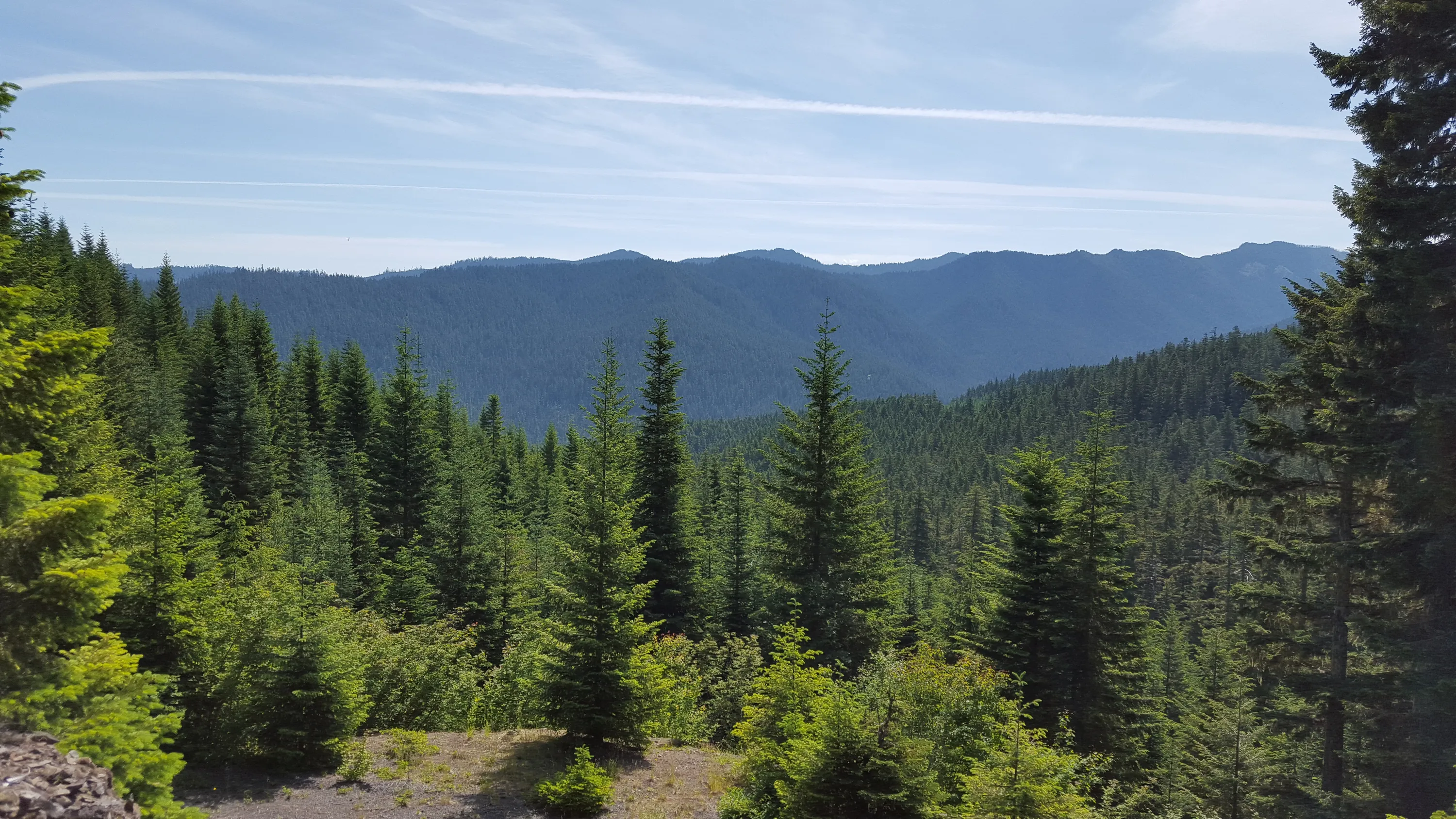
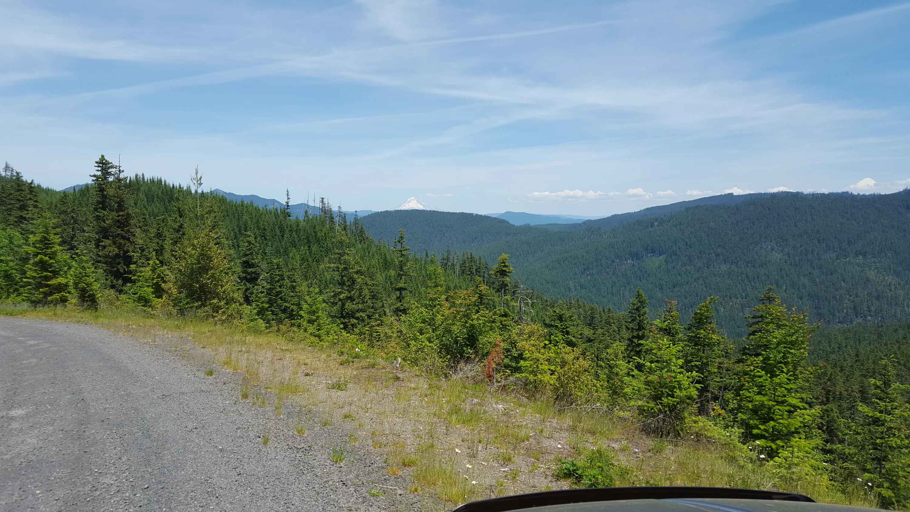
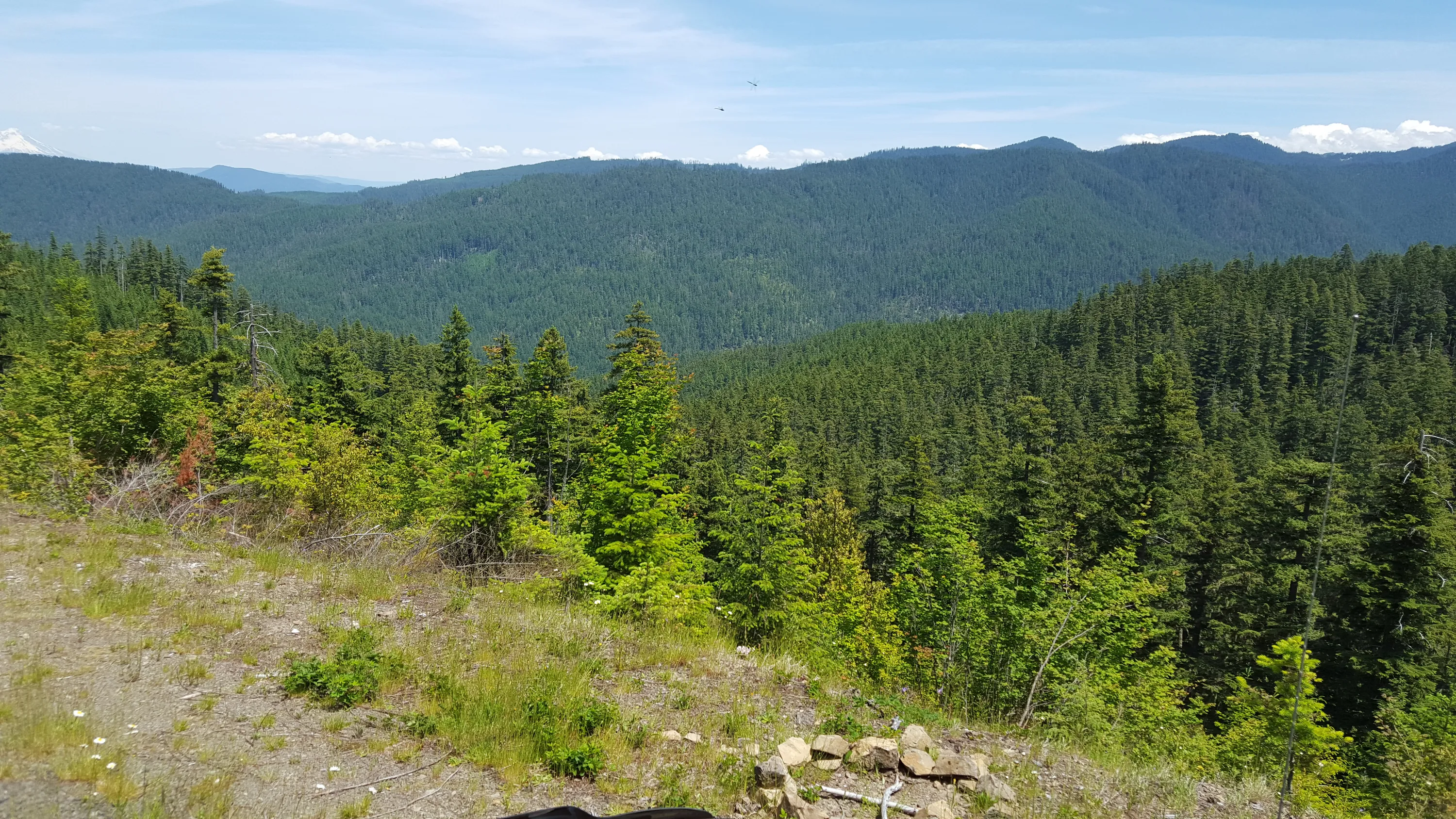
View from the 7020 road
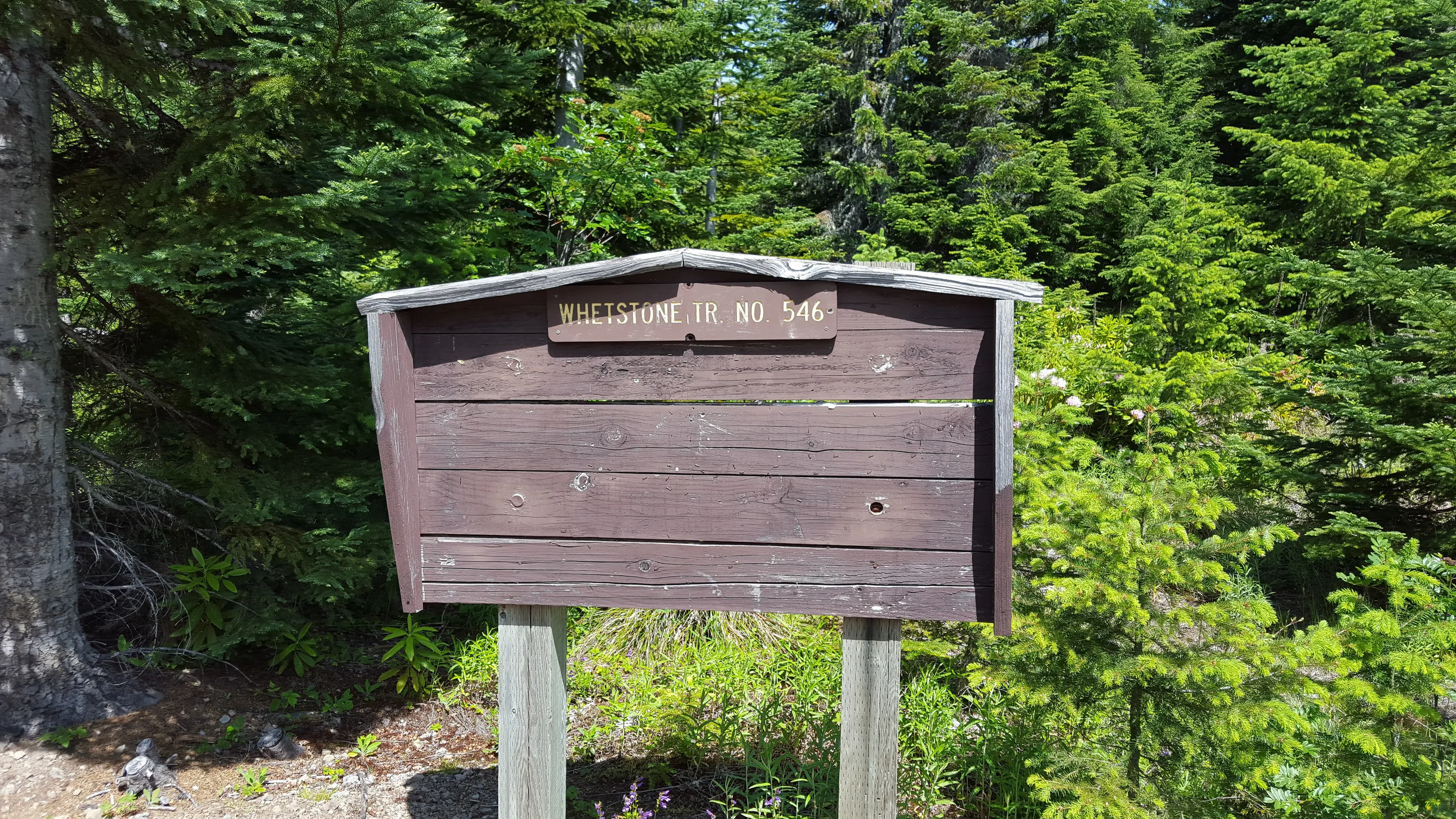
Signboard at Trailhead - not very informative, though
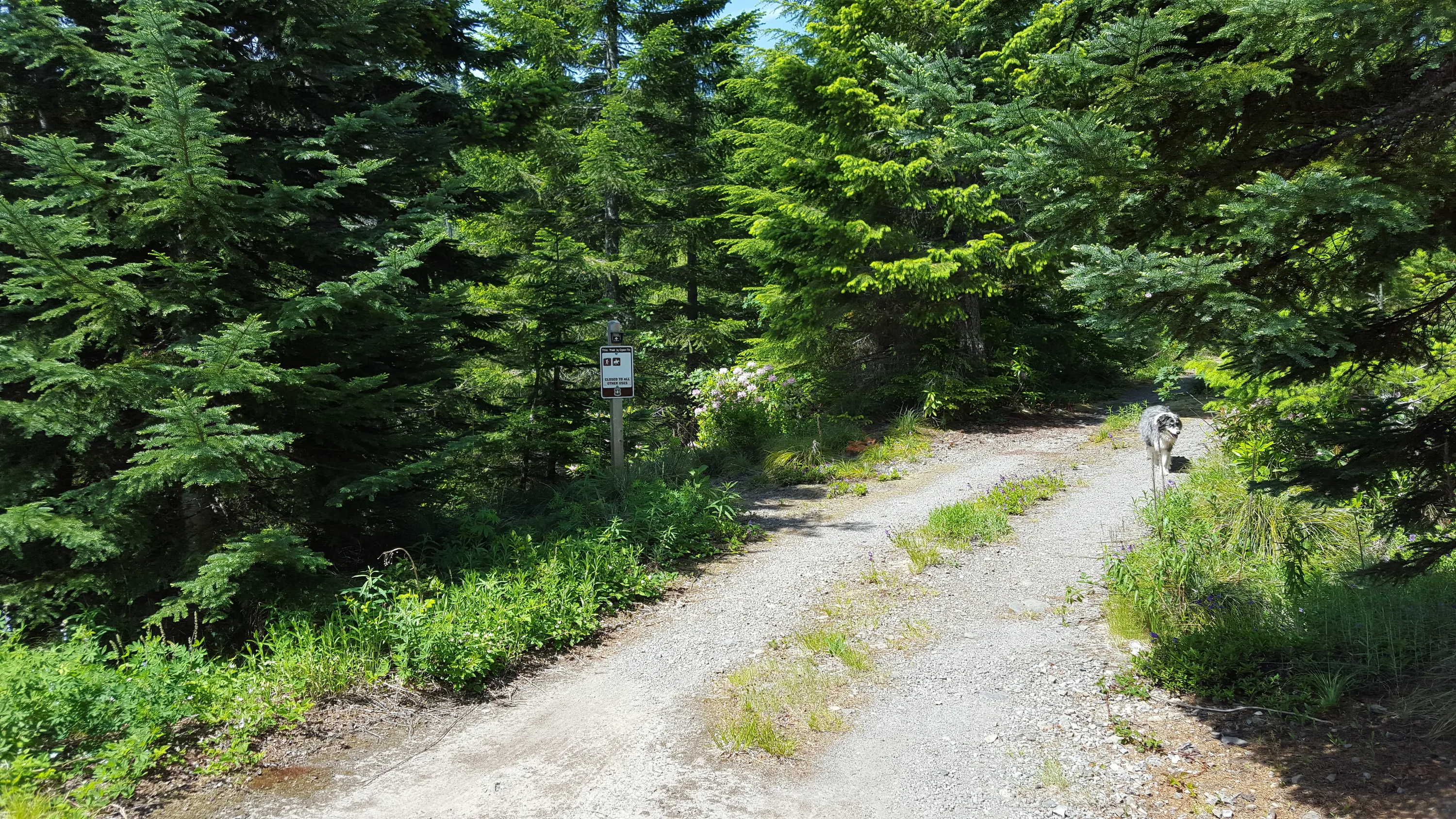
Trailhead at the end of 7020-020 (I think) road
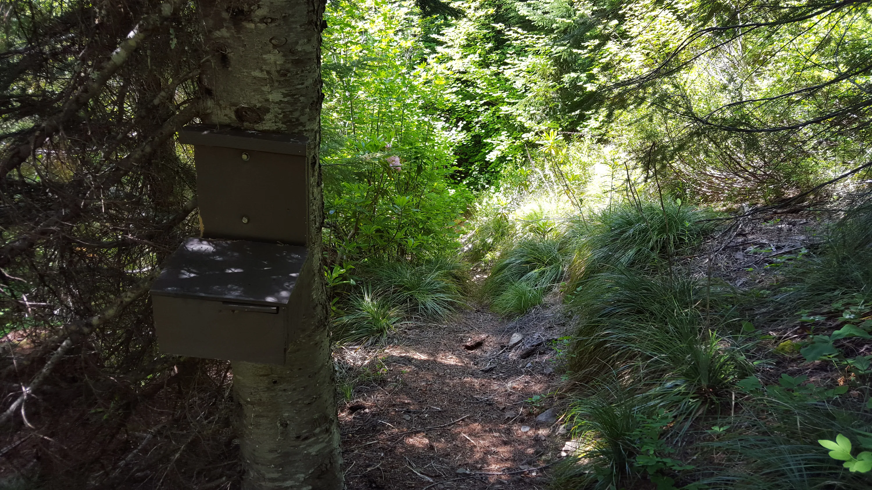
Wilderness box - empty as usual
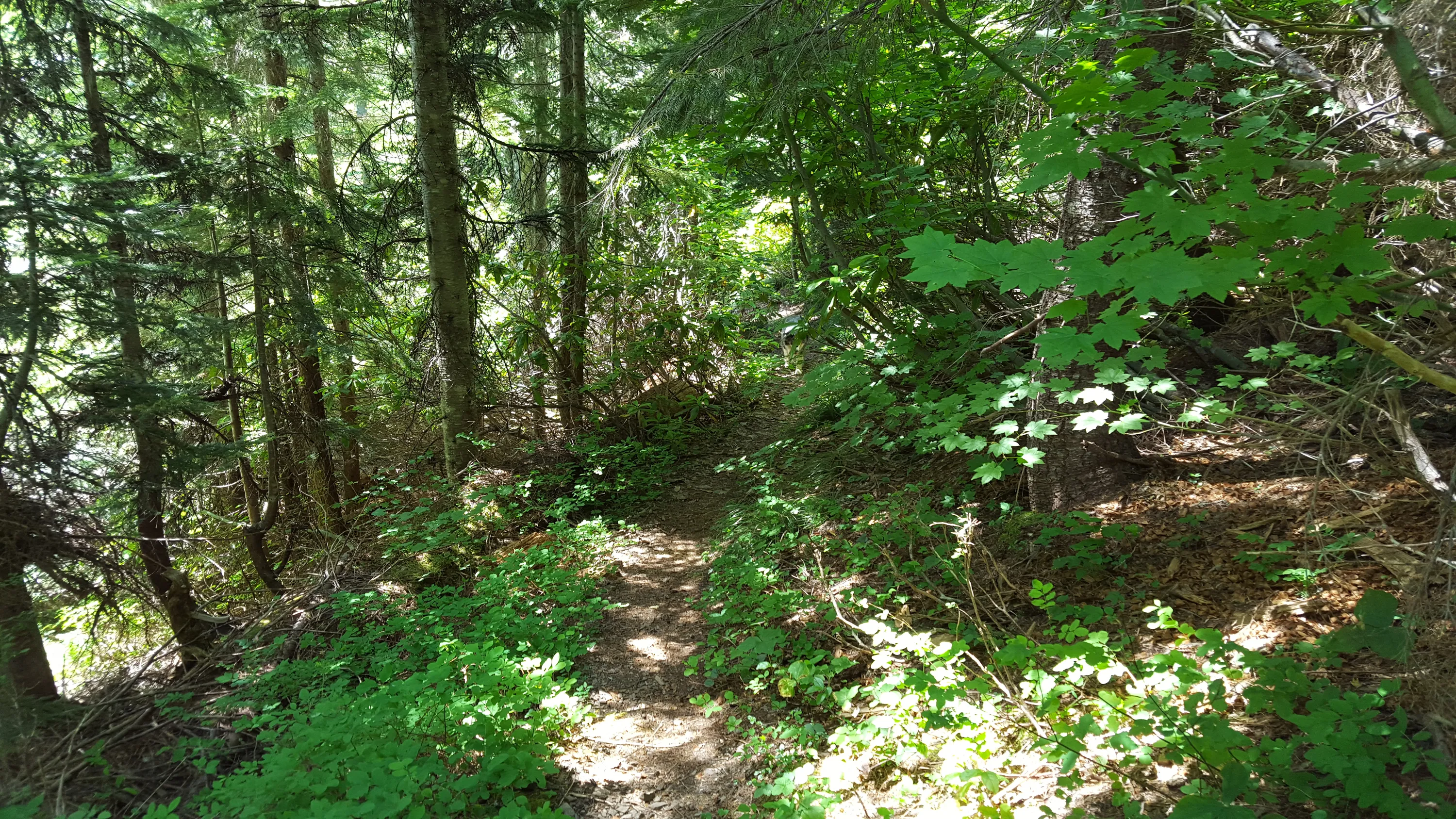
Start of the trail in cut area
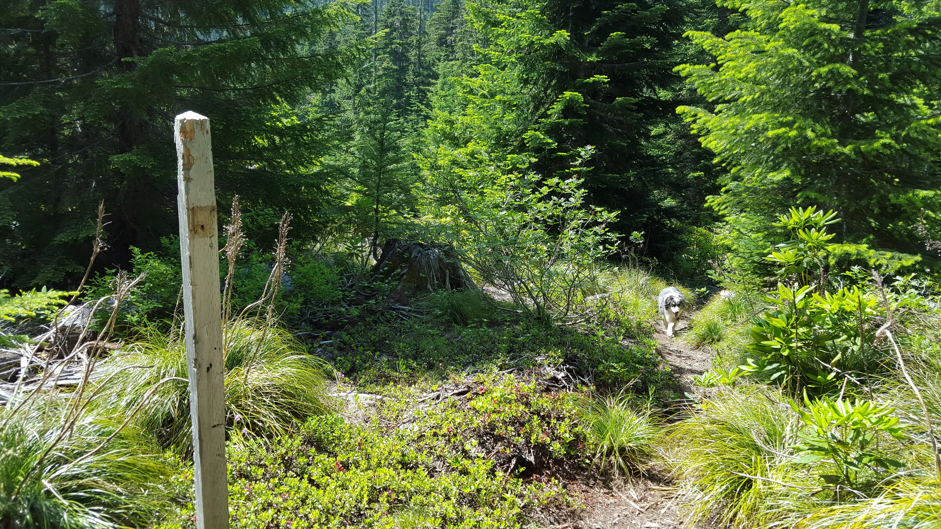
The empty signpost - what was on it?
This is where the trail enters the uncut forest
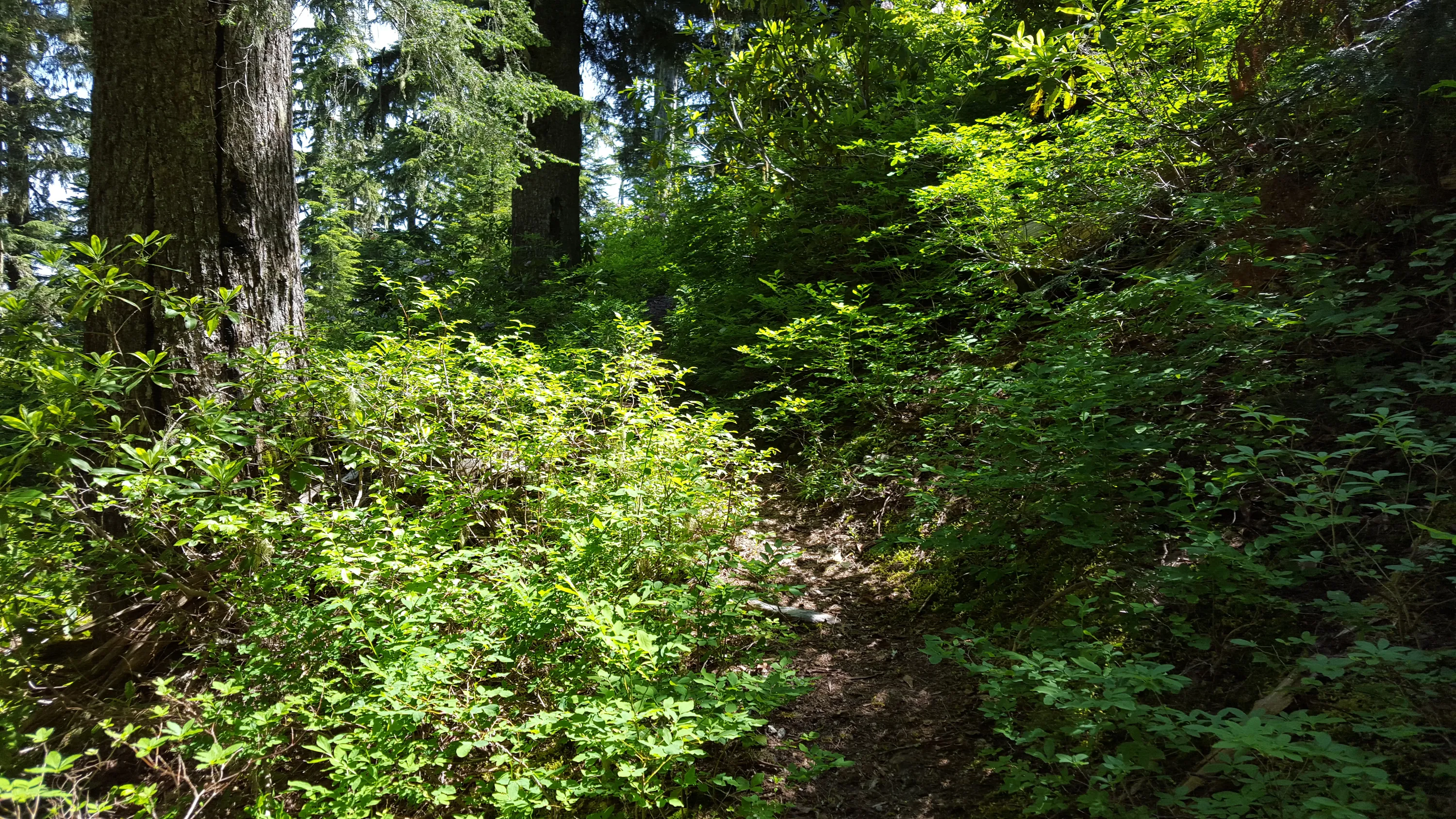
The brush was growing vigorously
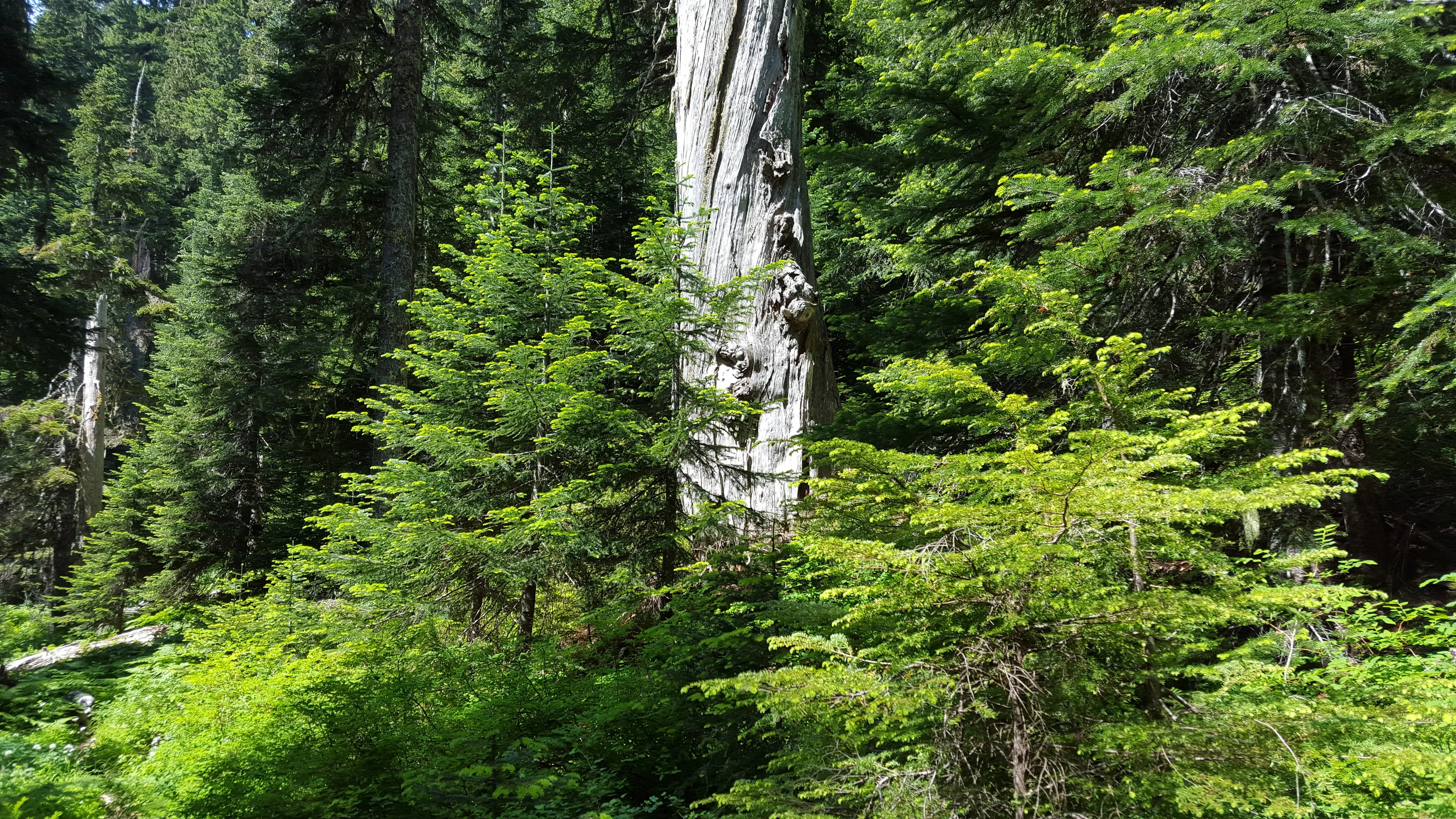
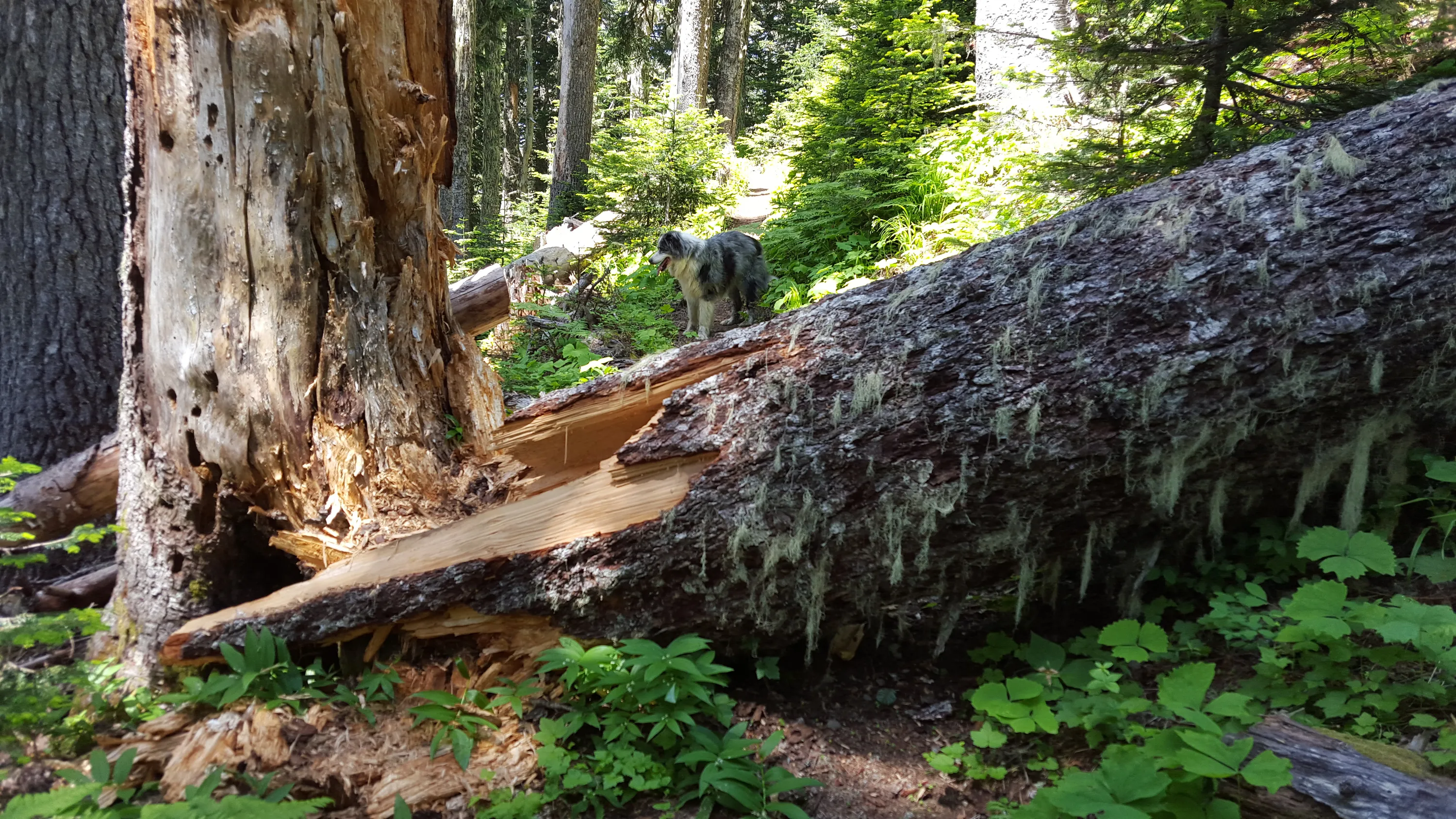
This was a neat old snag, and was HUGE
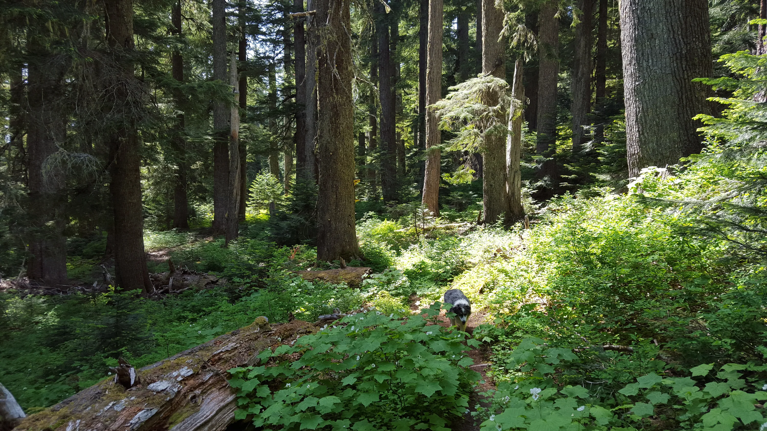
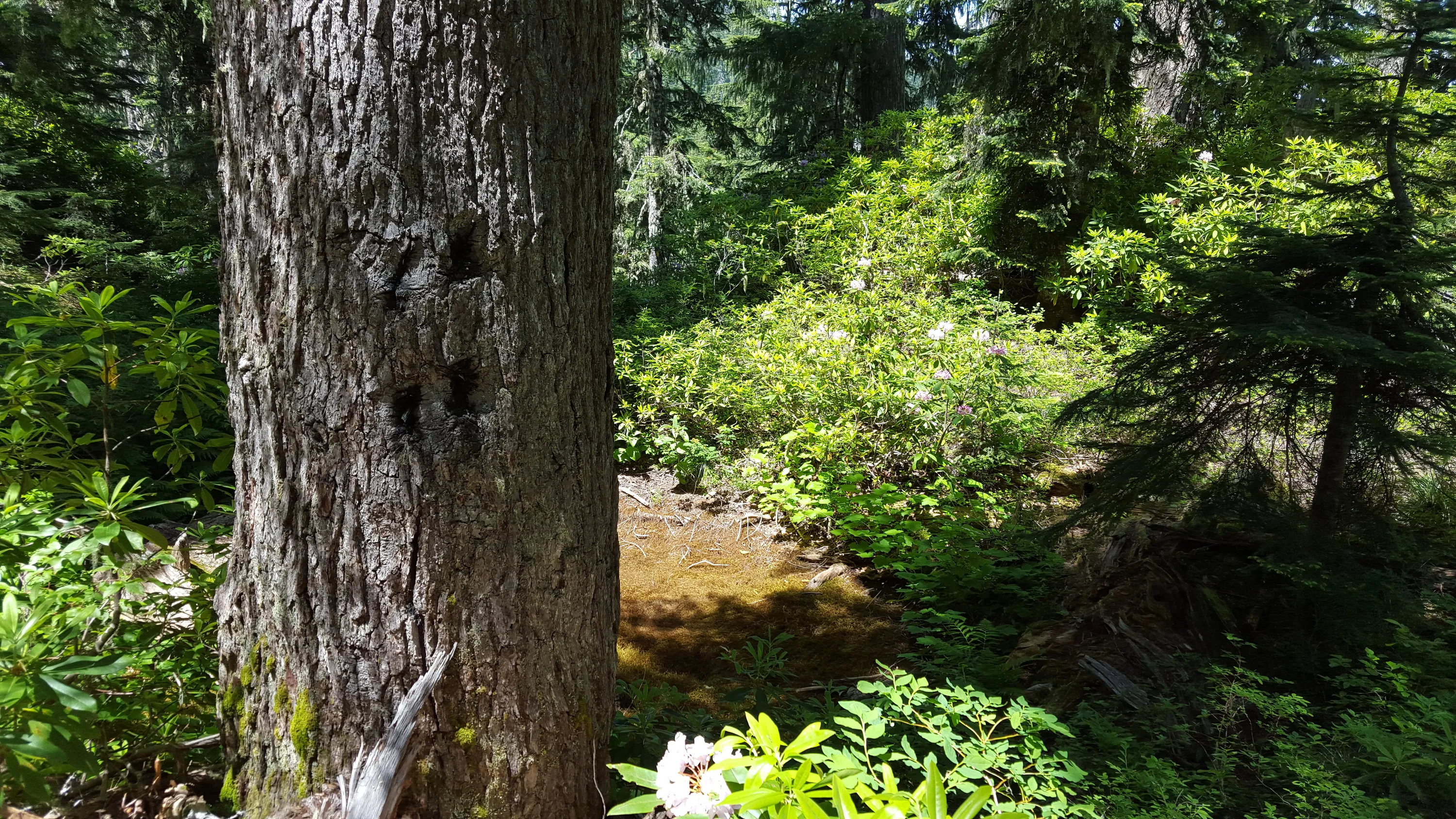
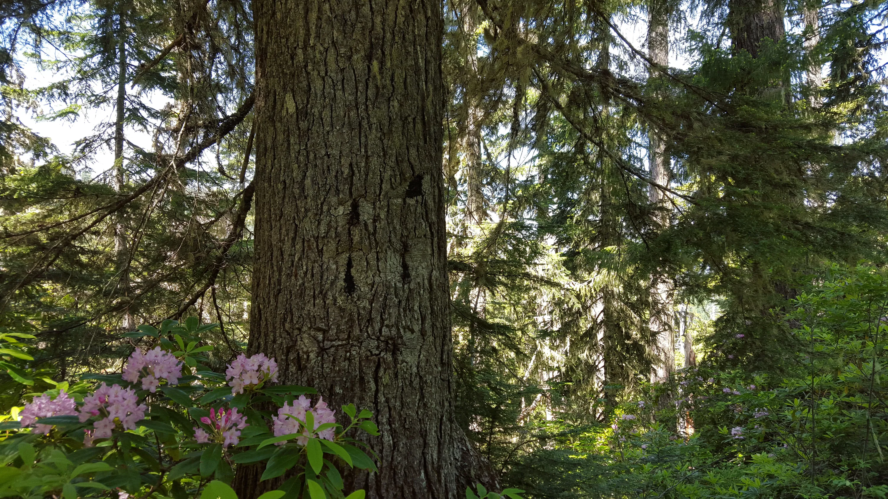
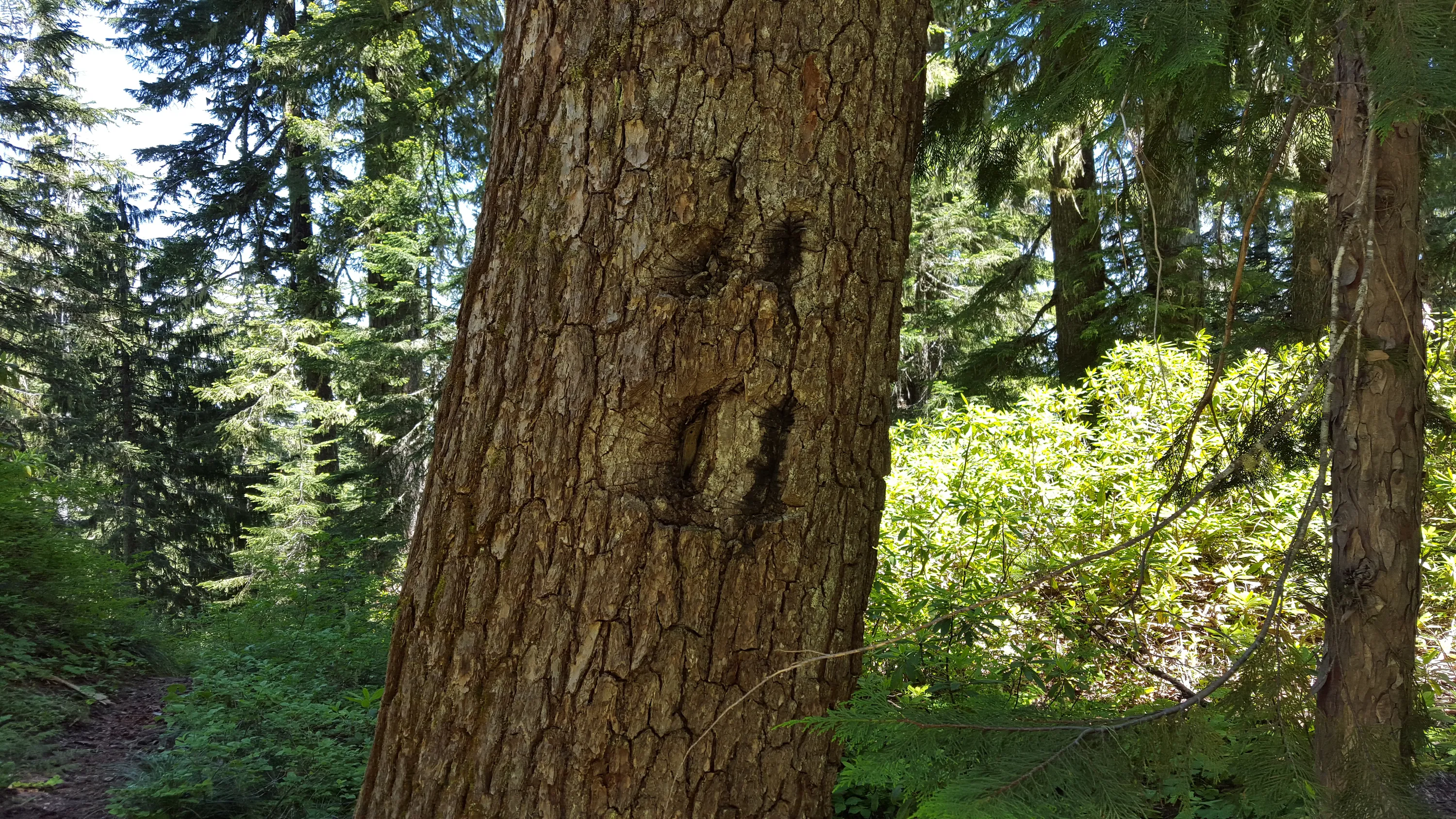
The trees along this trail are pretty large
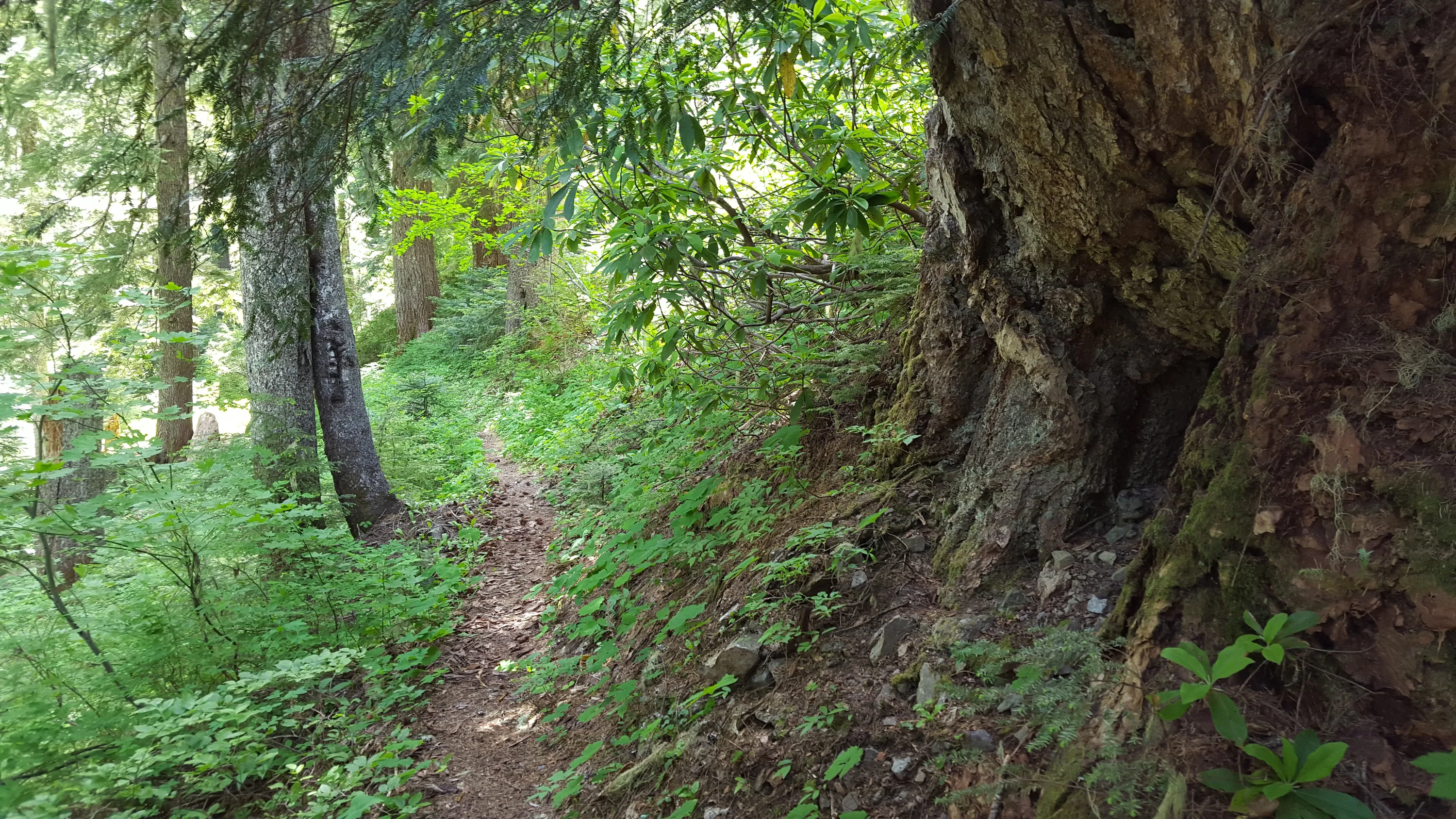
I remember taking a photo of this interesting root last time I was on this trail (almost 9 years ago-Sept of 2006)
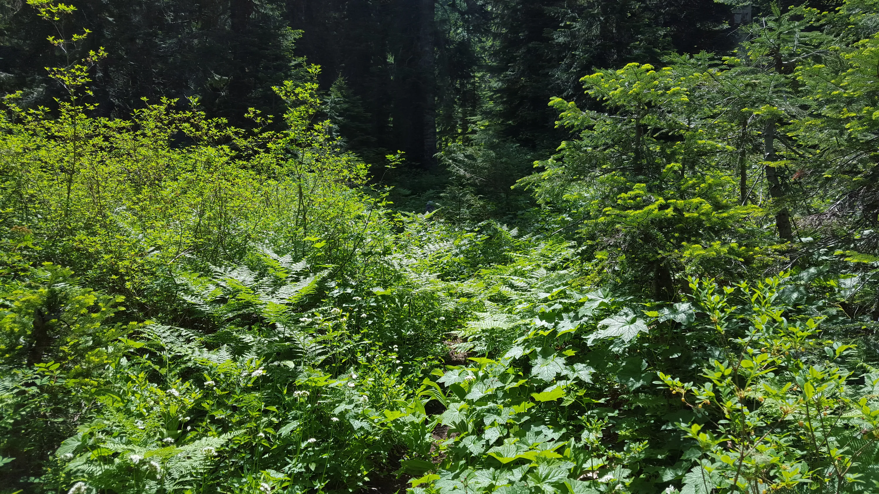
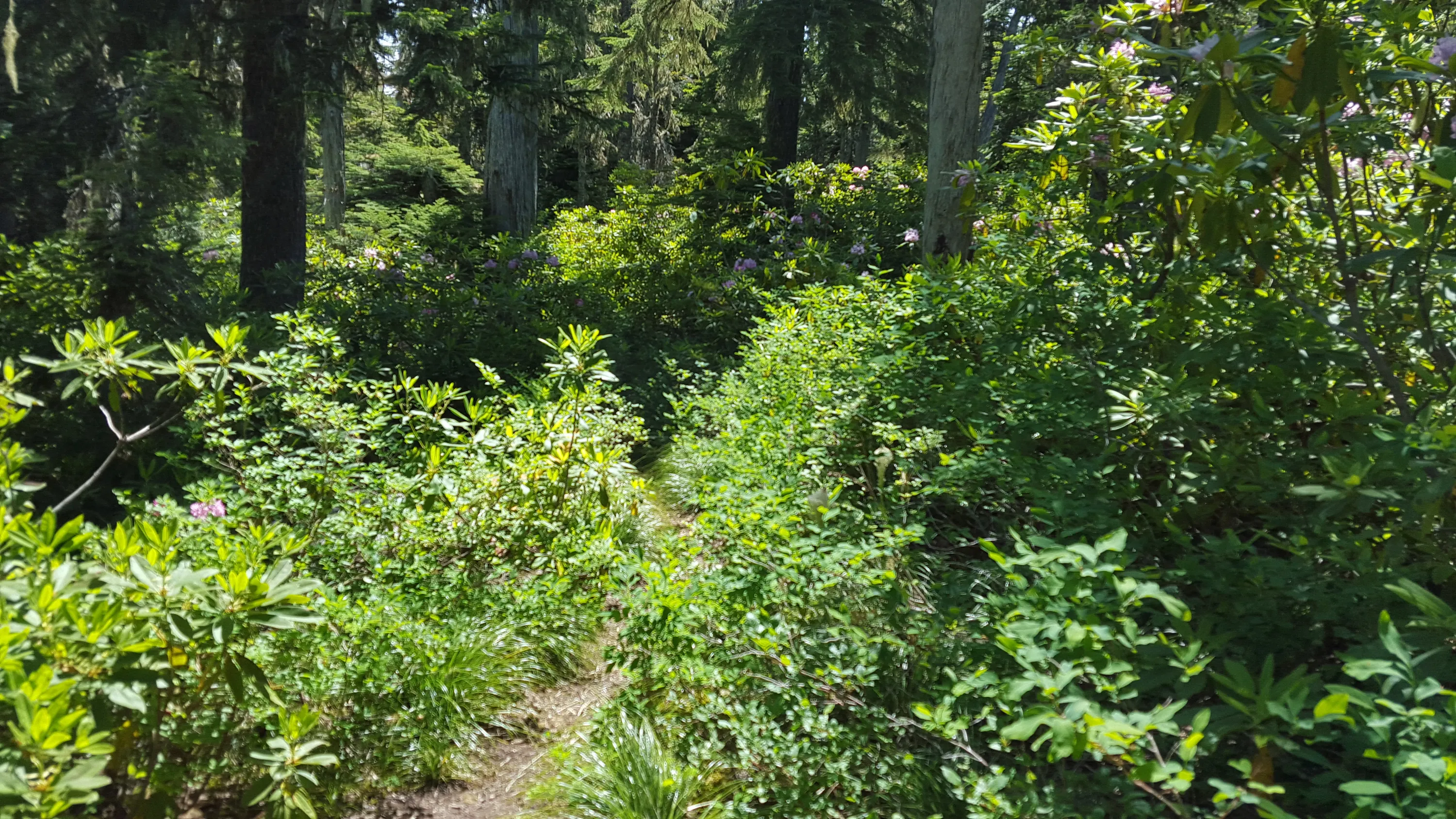
The trail is under that brush somewhere! - actually it wasn't as bad as it looks - early in the season or in the fall it will be easy
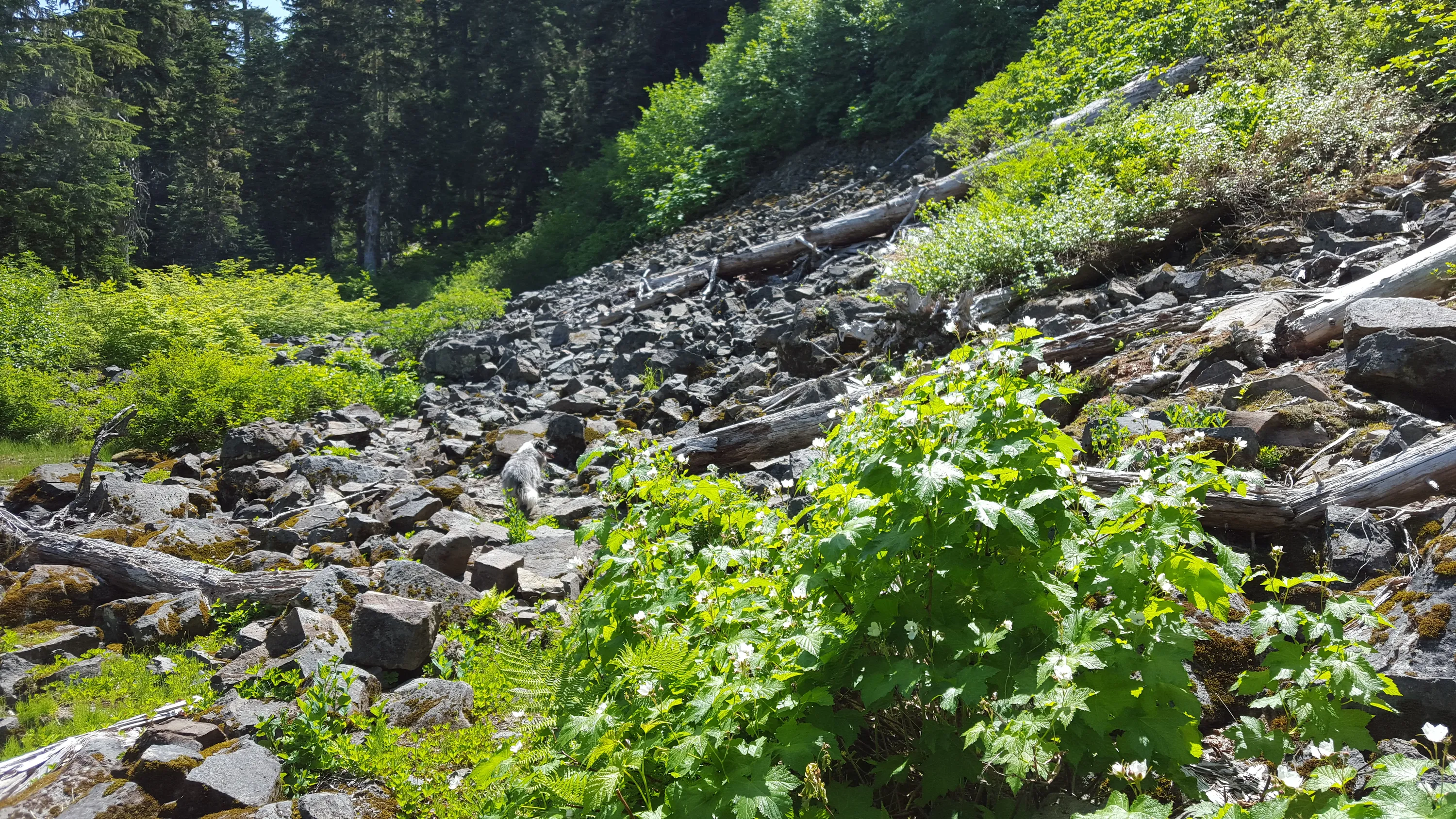
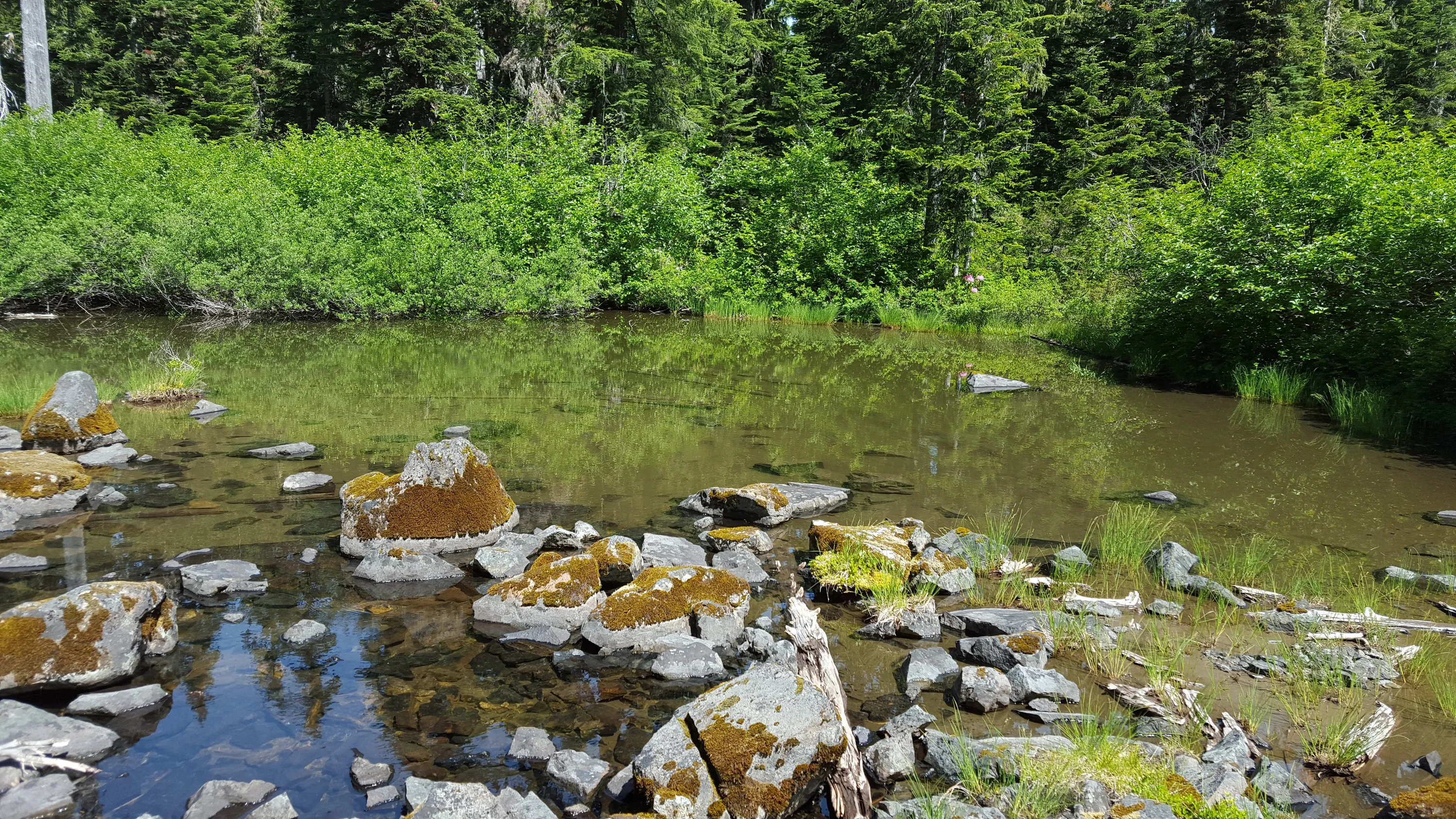
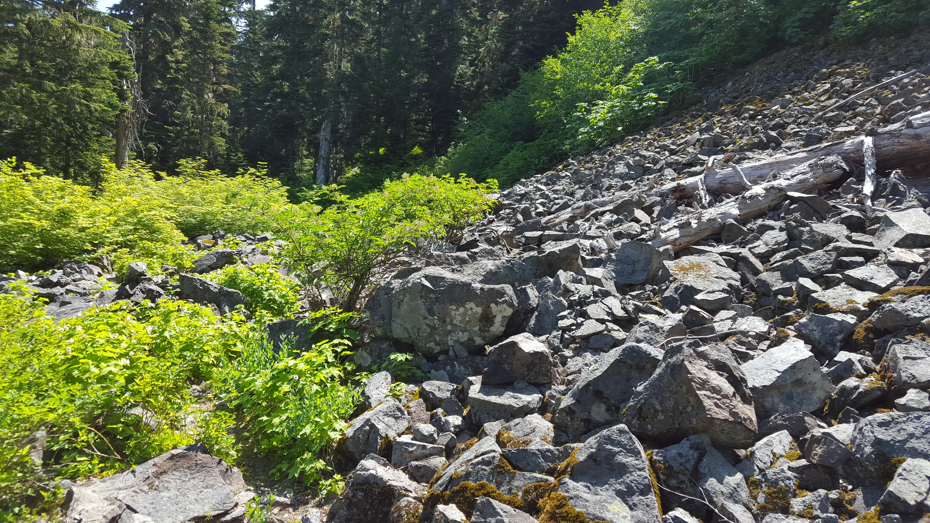
Rockslide with small pond beneath it
Small pond beneath rockslide - it is quickly drying up
Trail along the bottom of the rockslide
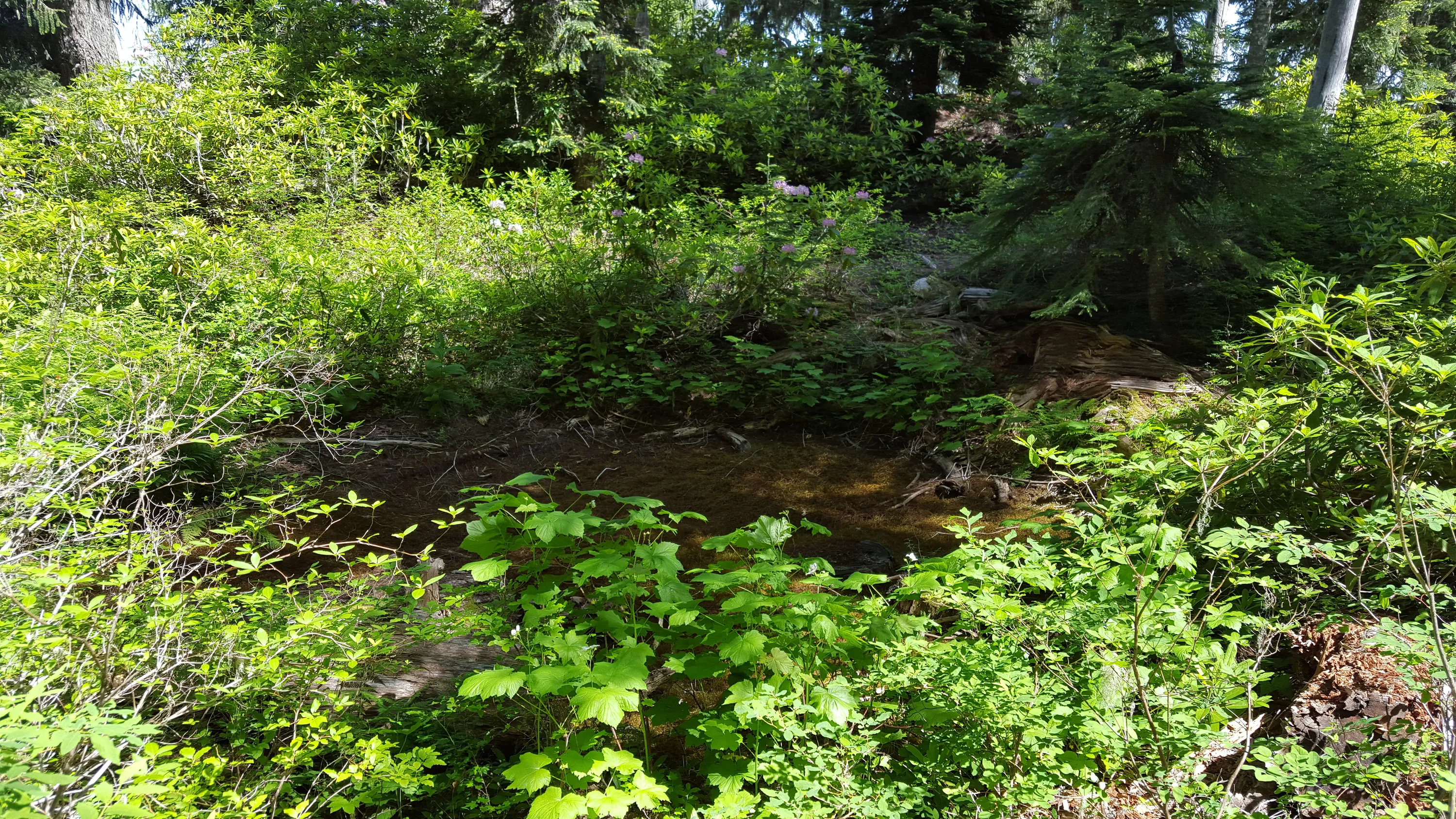
This probably holds water earlier in the year
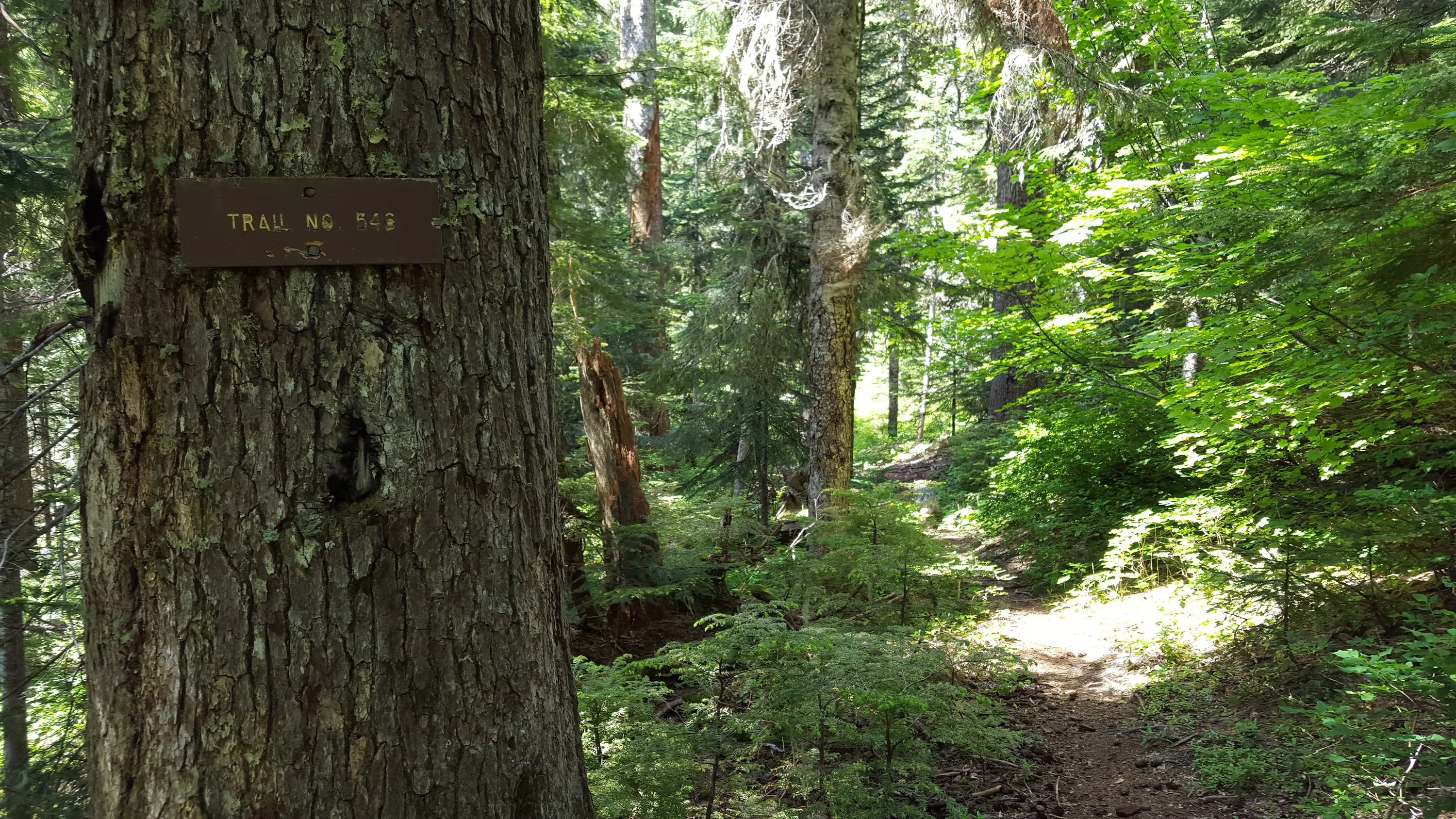
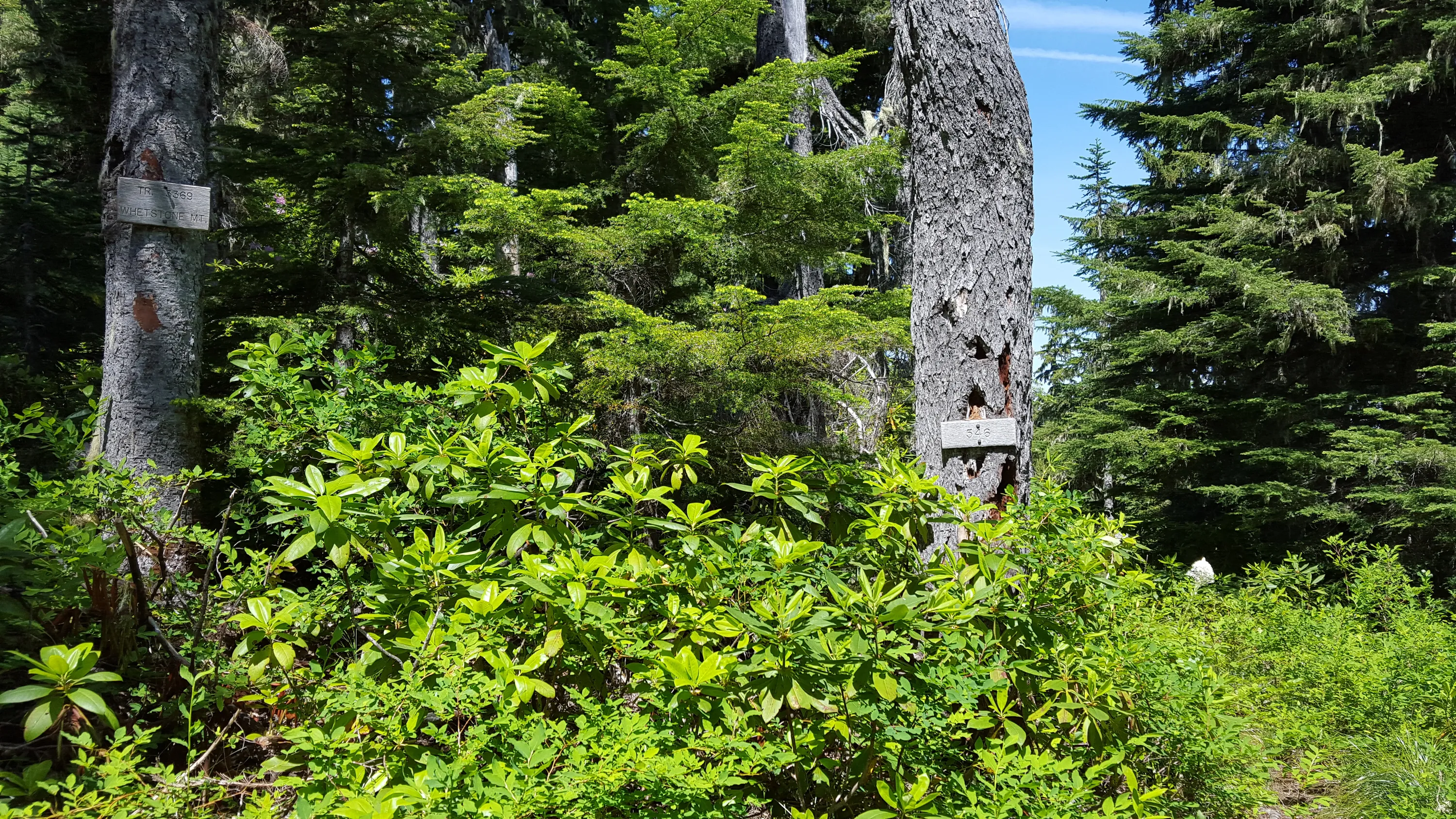
Jct of 546 and 3369 trails - 3369 heads up to the lookout location
Heading up to the lookout
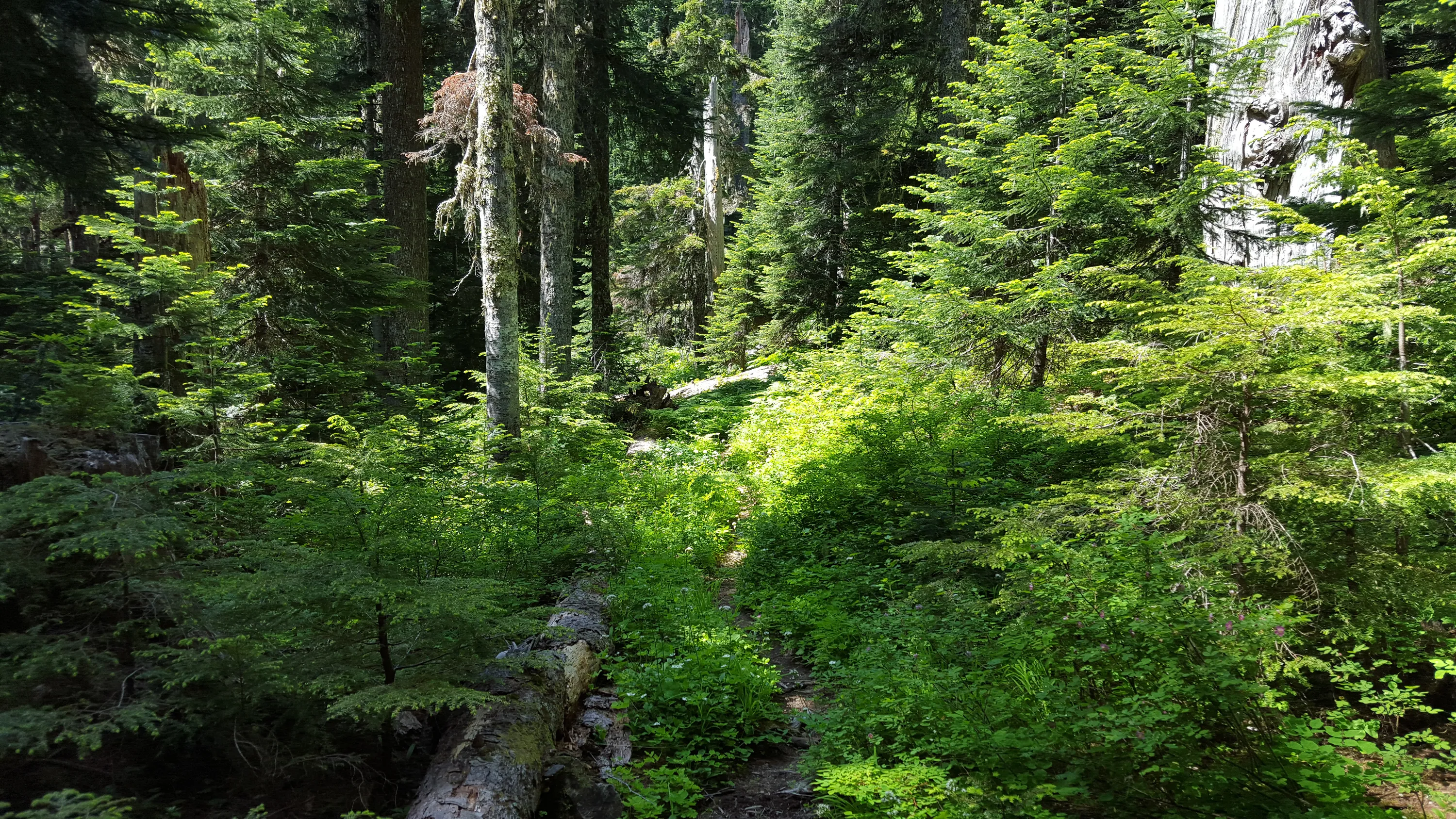
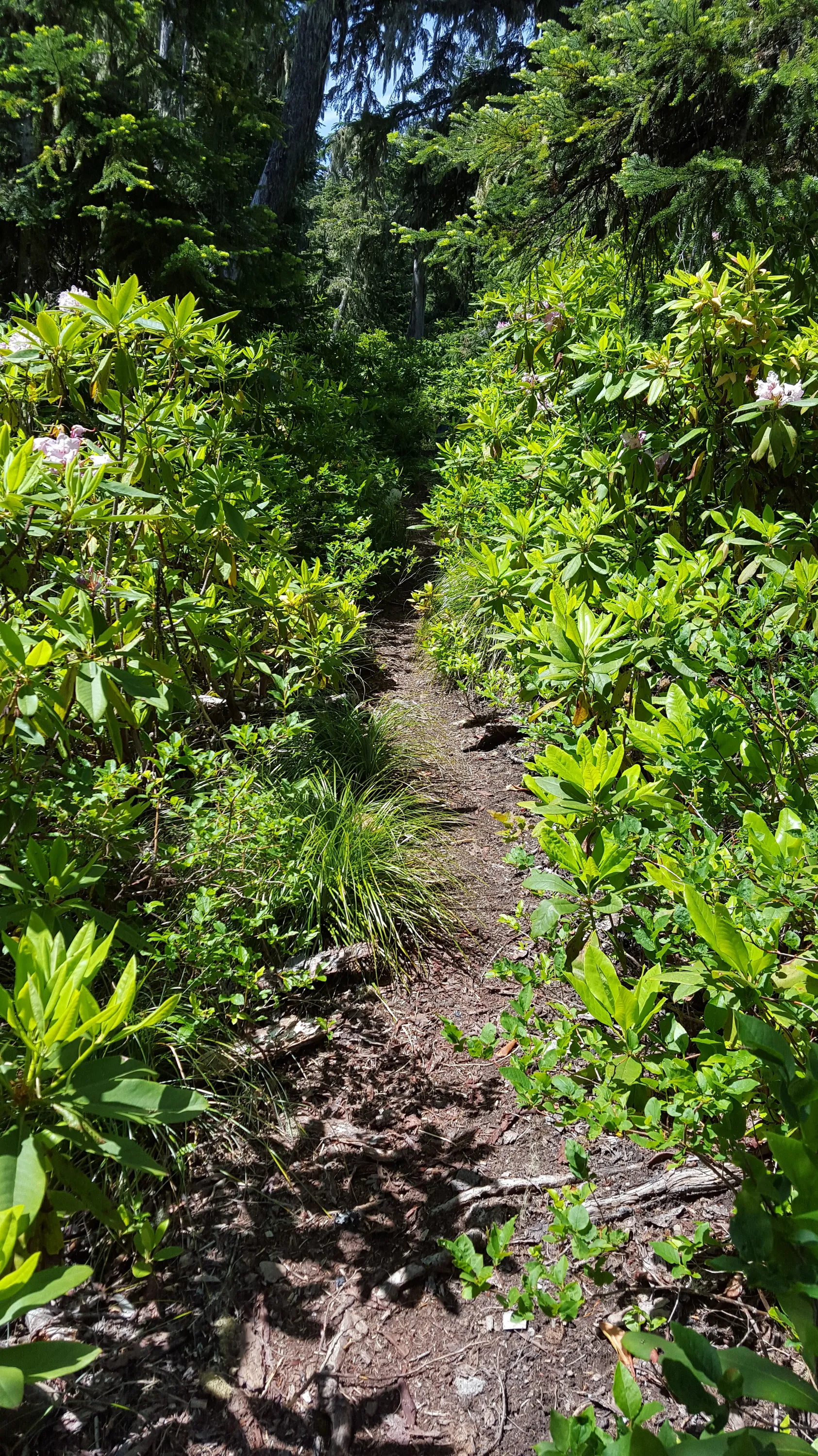
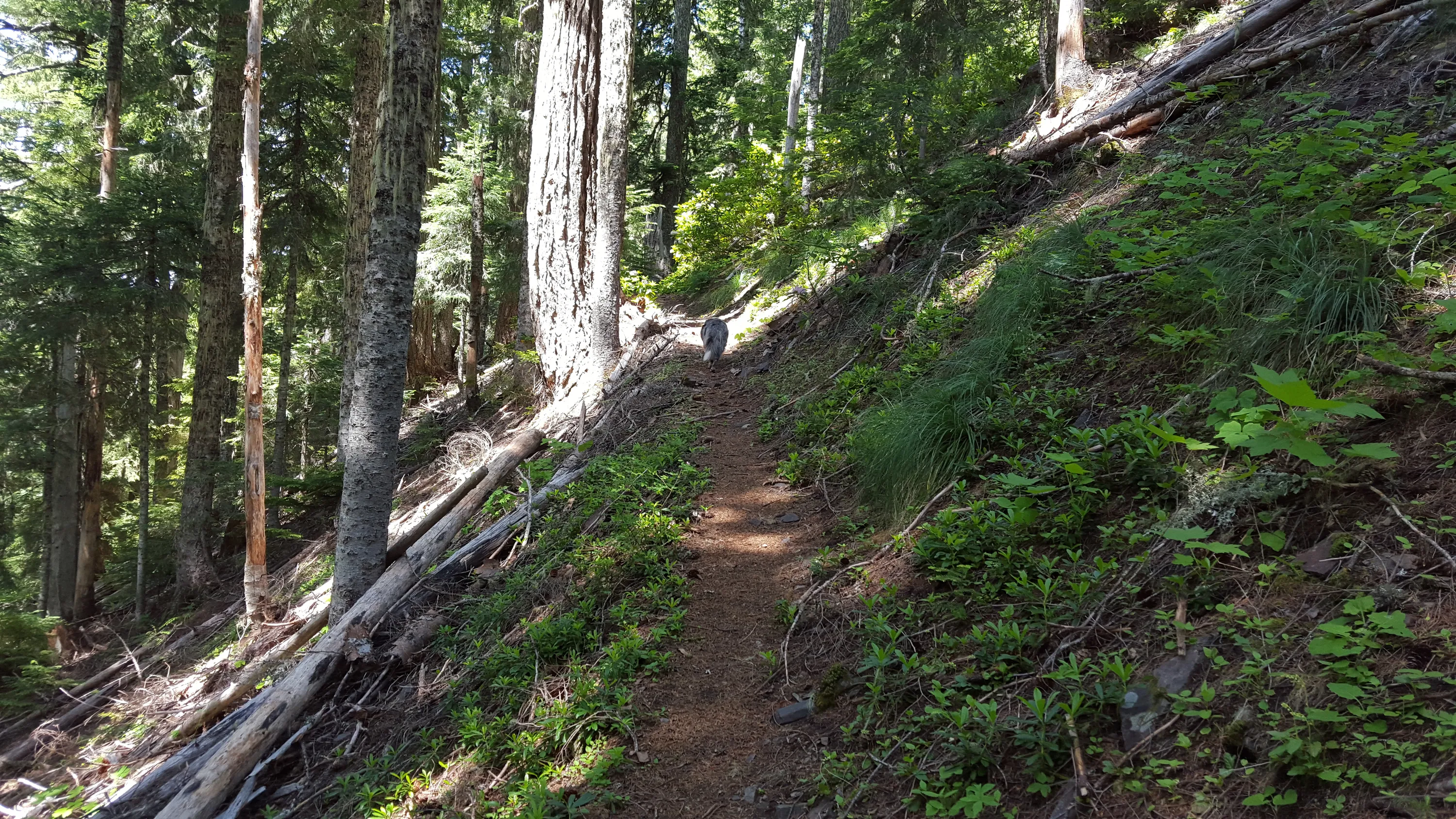
When the trail gets back into the forest it is much more apparent
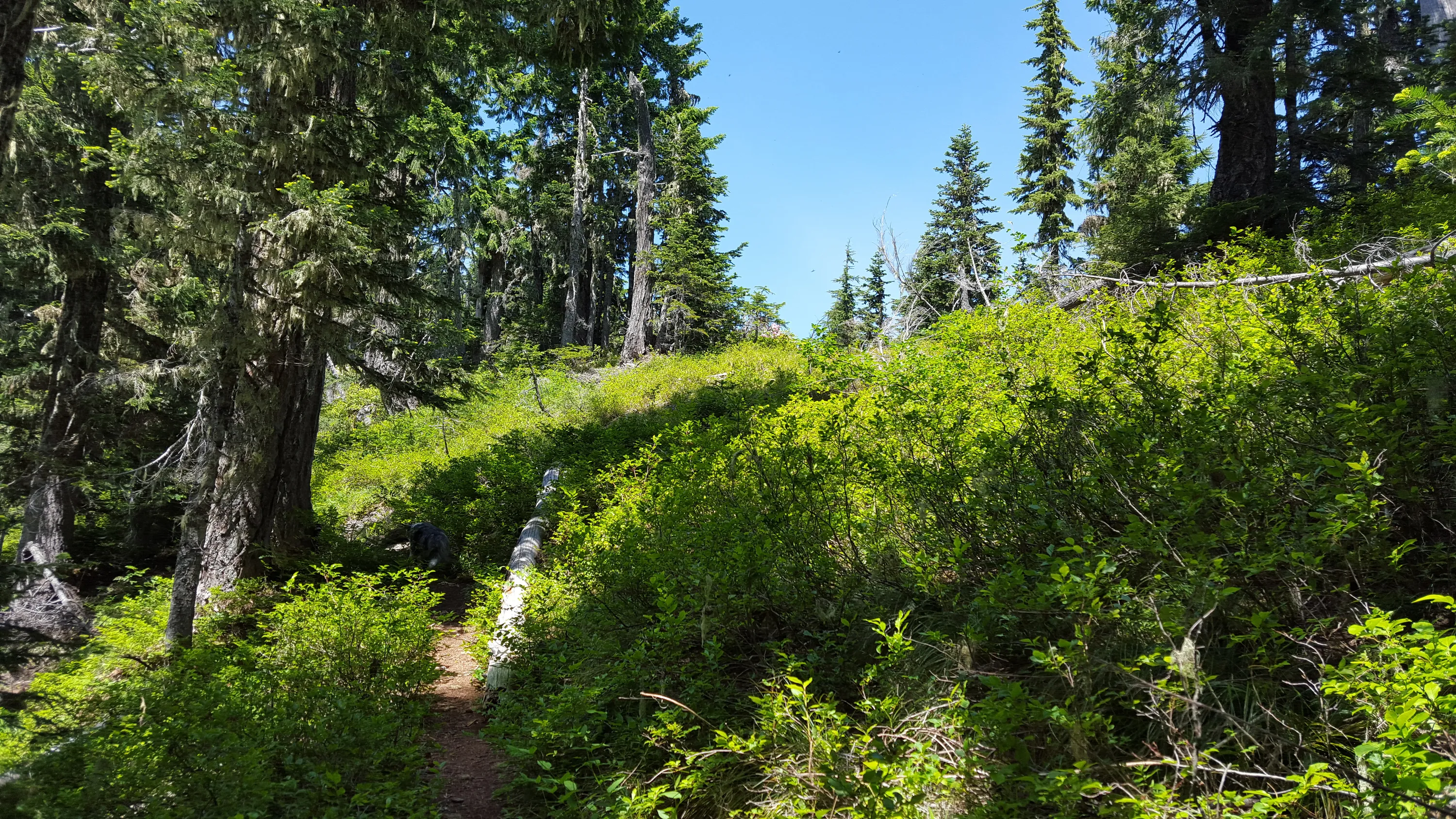
Sea of huckleberries - although didn't see any blooms - too dry I think
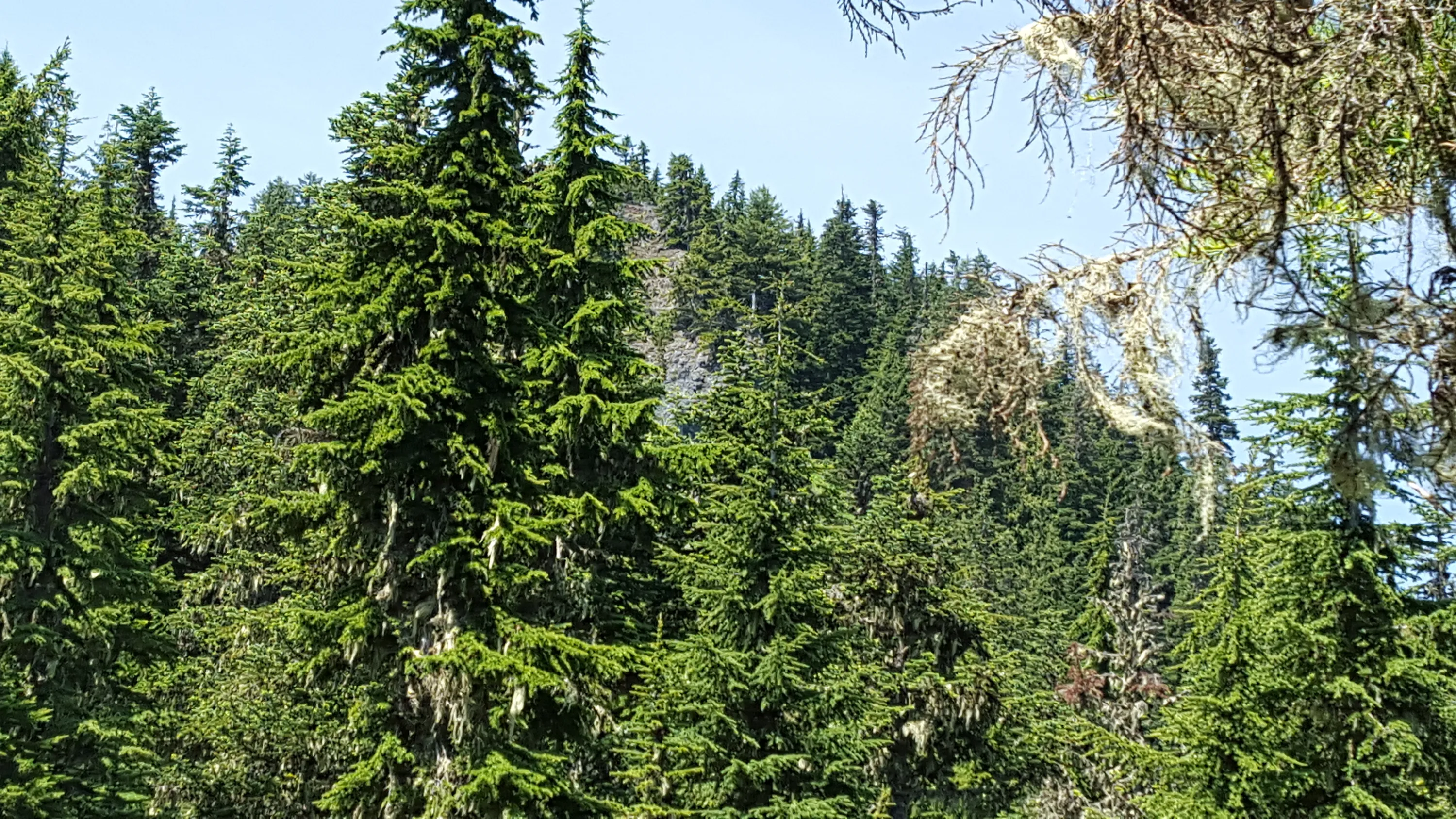
Whetstone Mountain from a small viewpoint - we stopped for a drink
The only real blowdown that was harder to get around. This came down very recently.
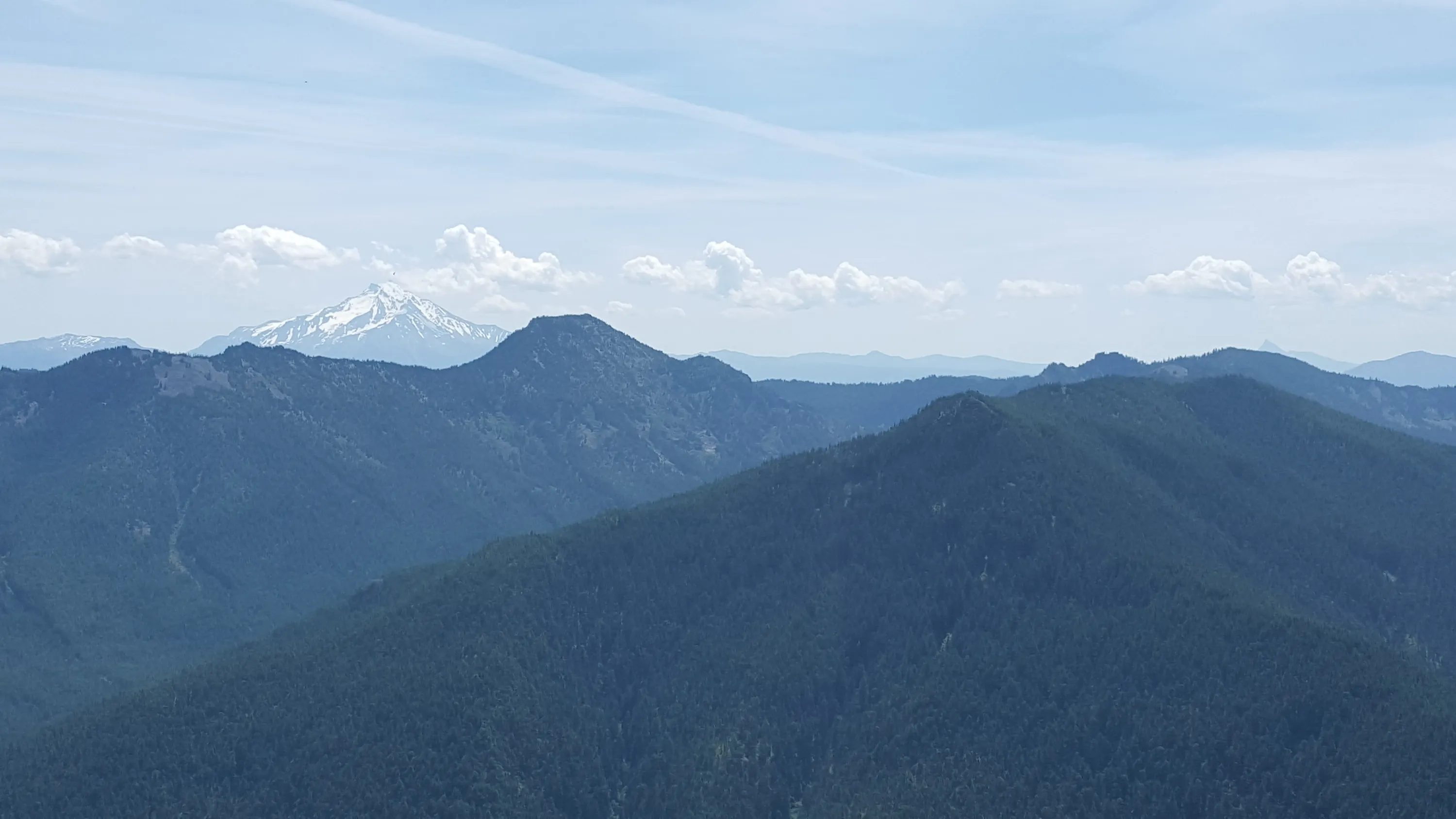
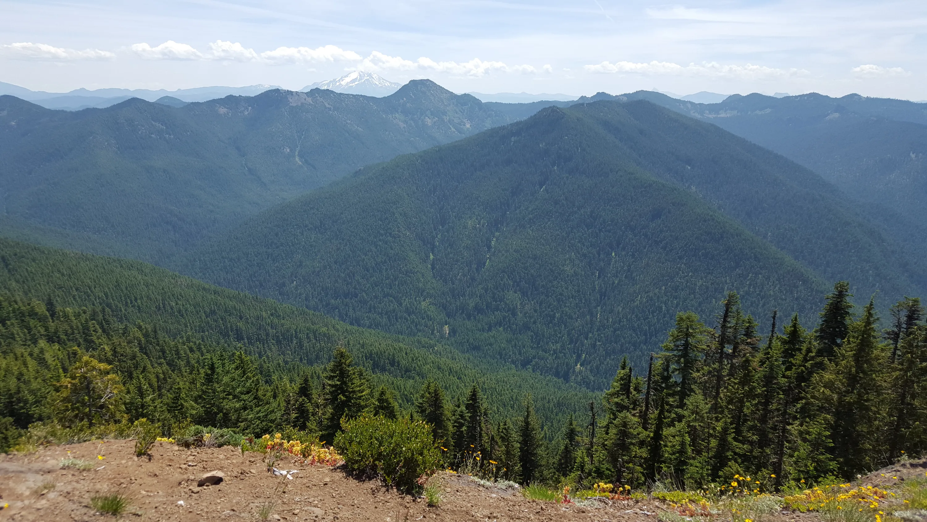
Jefferson, Battle Ax and Mt Beachie - A little hazy today
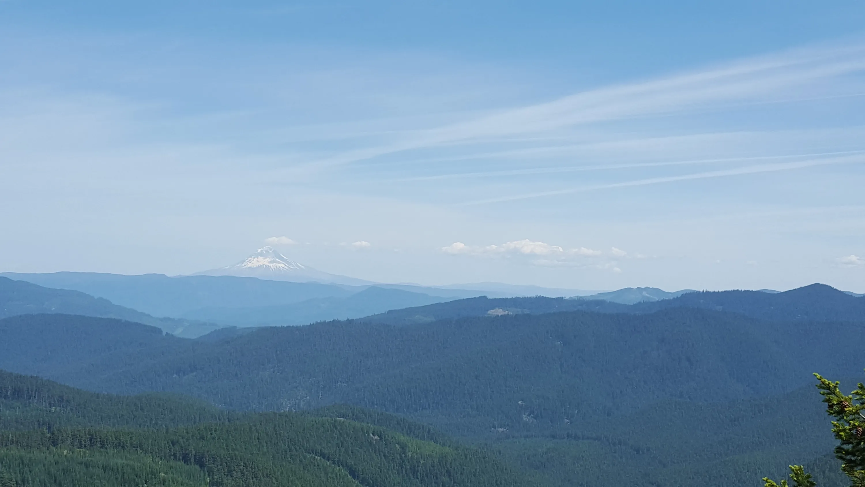
Mt Hood and looking north
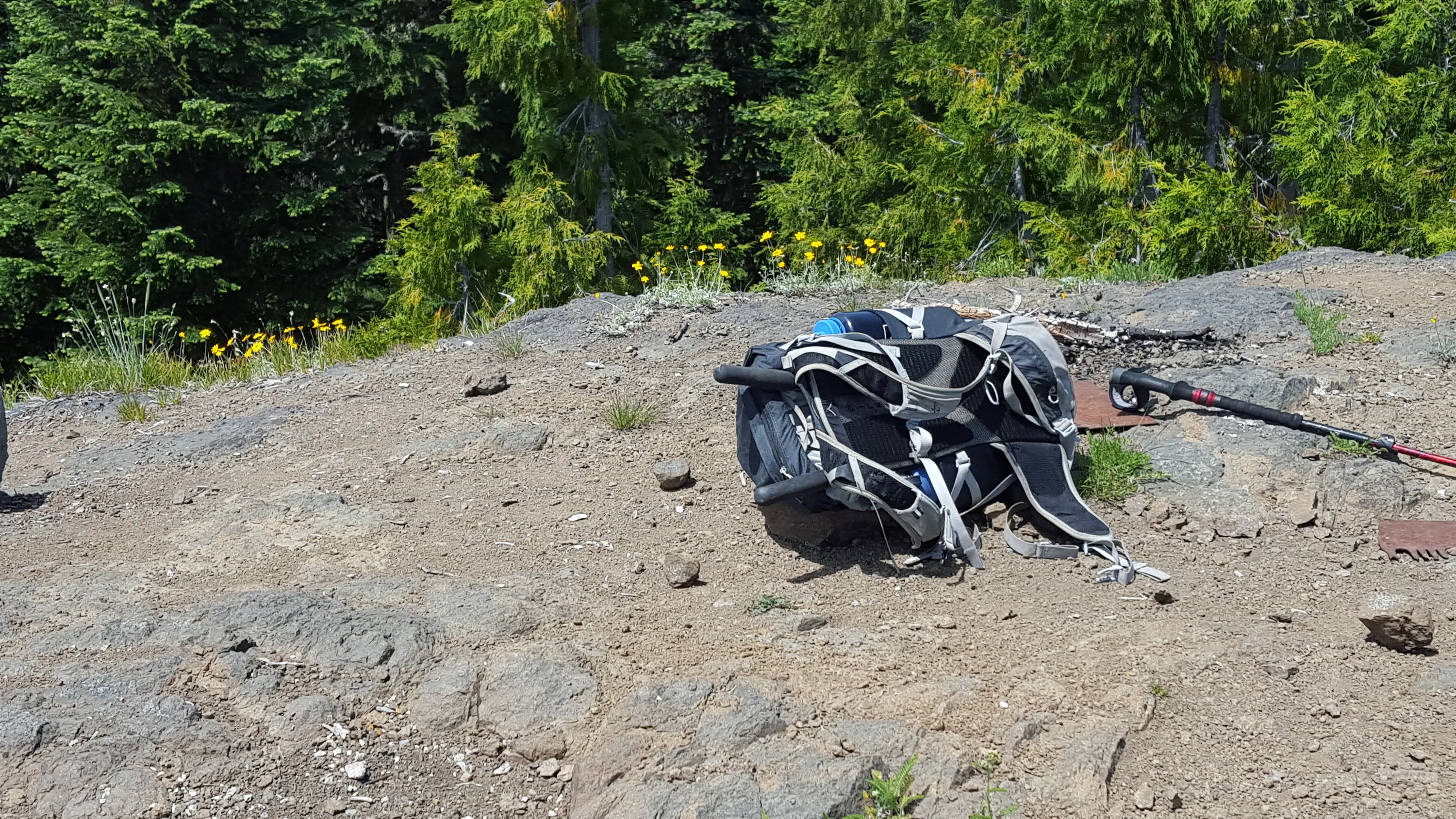
Not much left of the old lookout - a couple pieces of a crosscut saw and the corner foundations
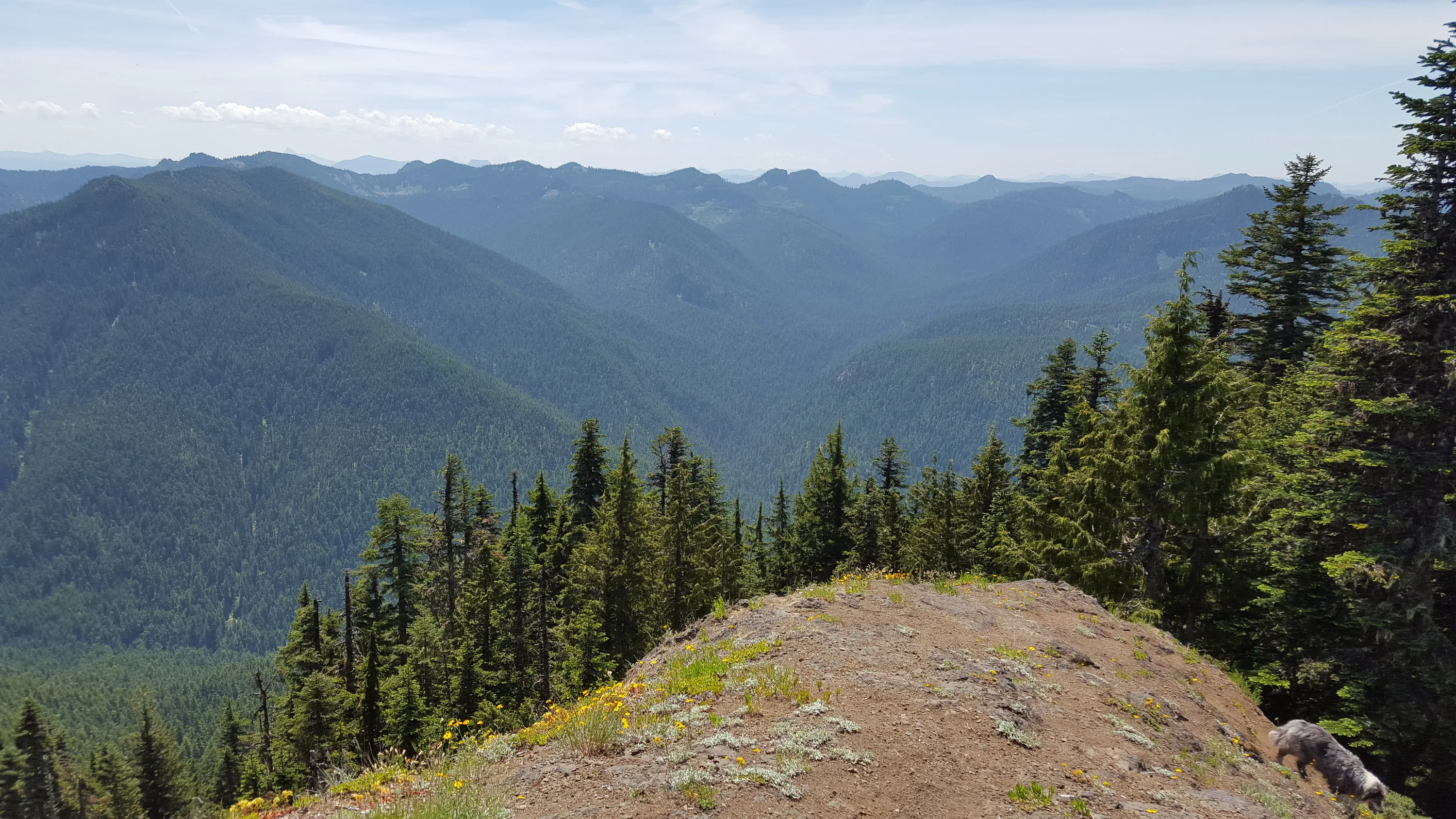
Looking mostly west I think
Looking South - Mt Jefferson, Battle Ax, Mt Beachie
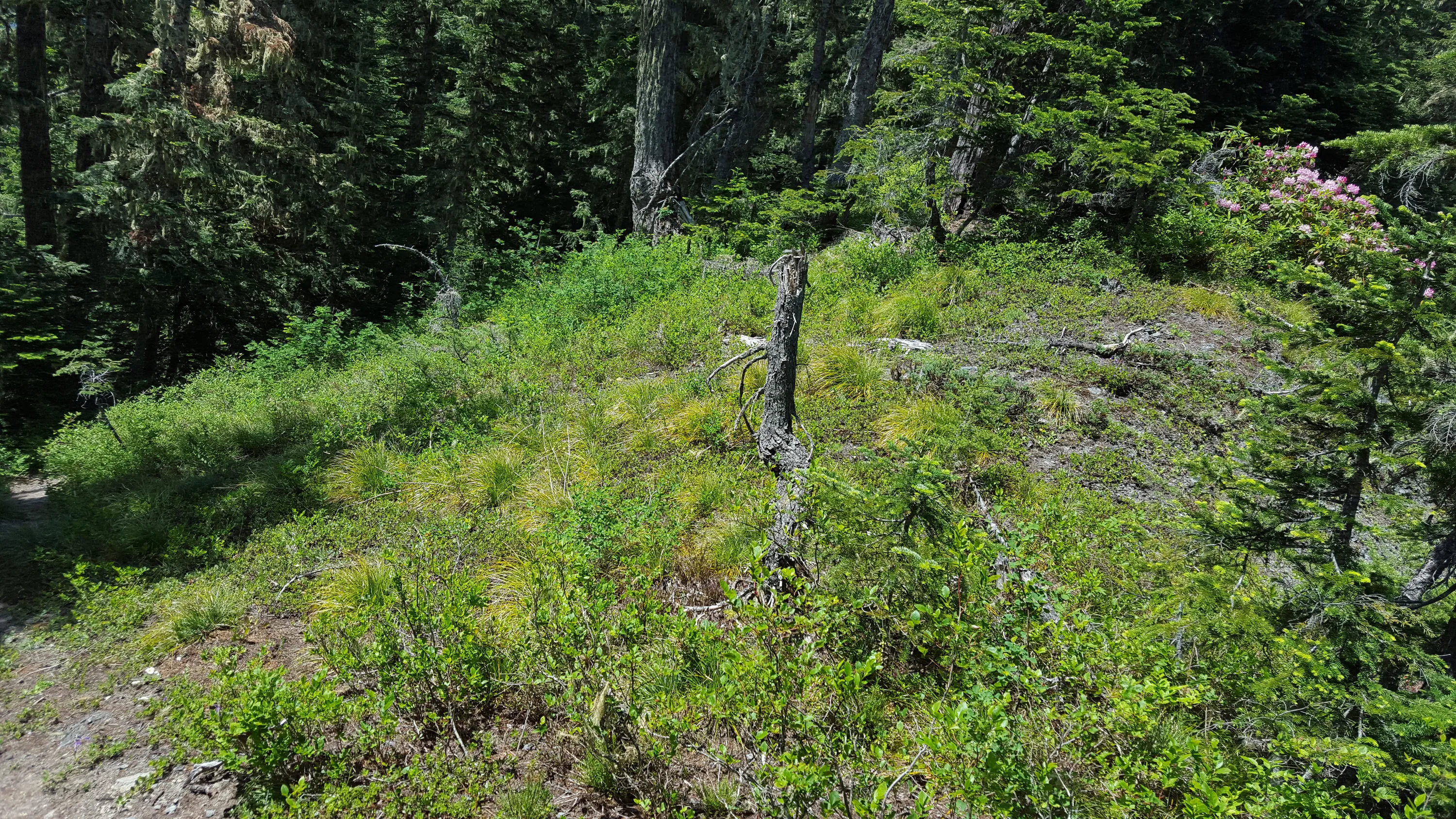
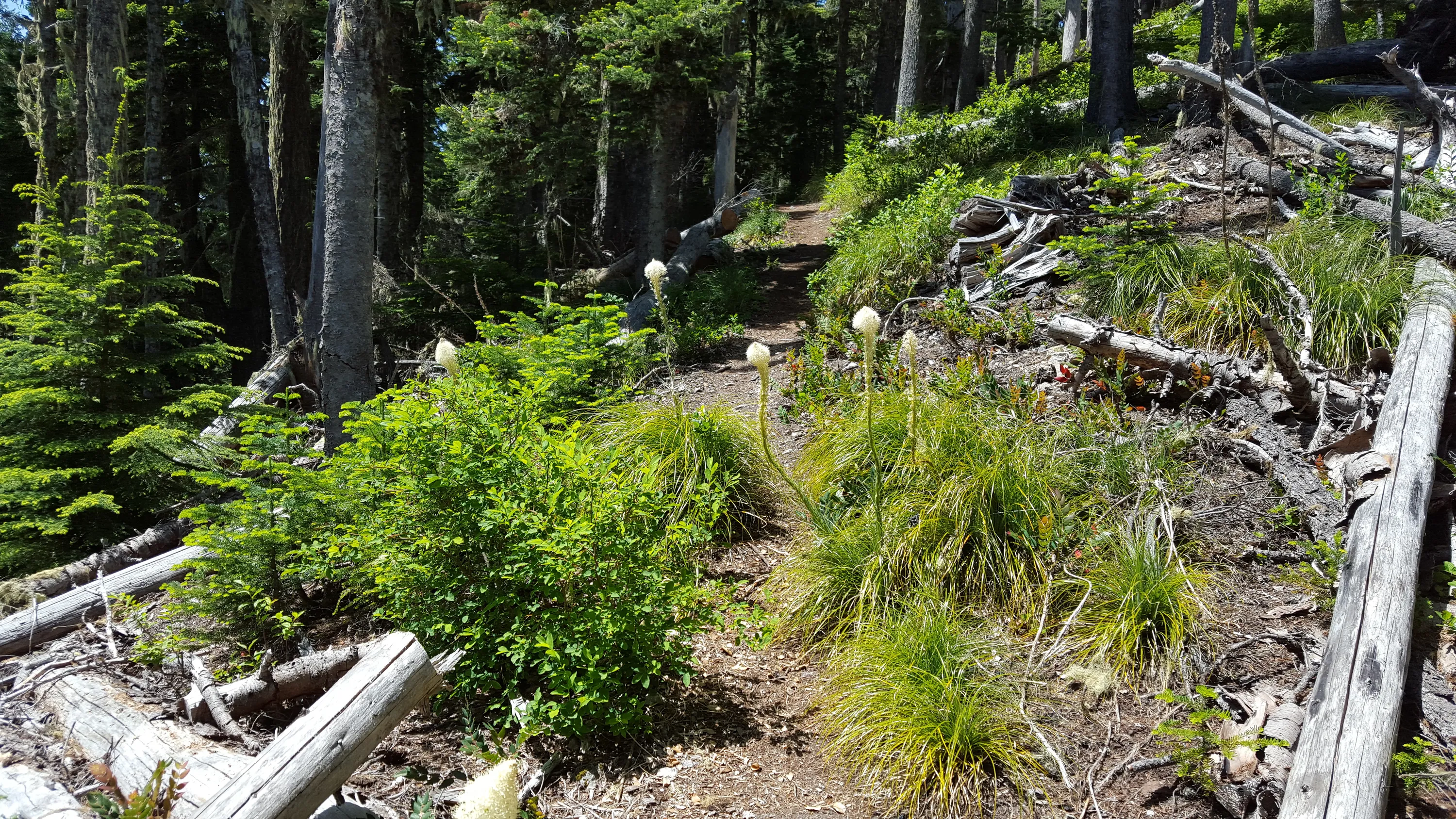
Beargrass on the way down - not a ton of it, but in was blooming in places
Intersting double blaze - does this mean water source?
Another double blaze
A third double blaze
The tip of Mt Hood on the way home
Looking over to Bull of the Woods I think