Robs Hiking Diary
Search
Search for:
Search
Hikes
2015
Baty Butte
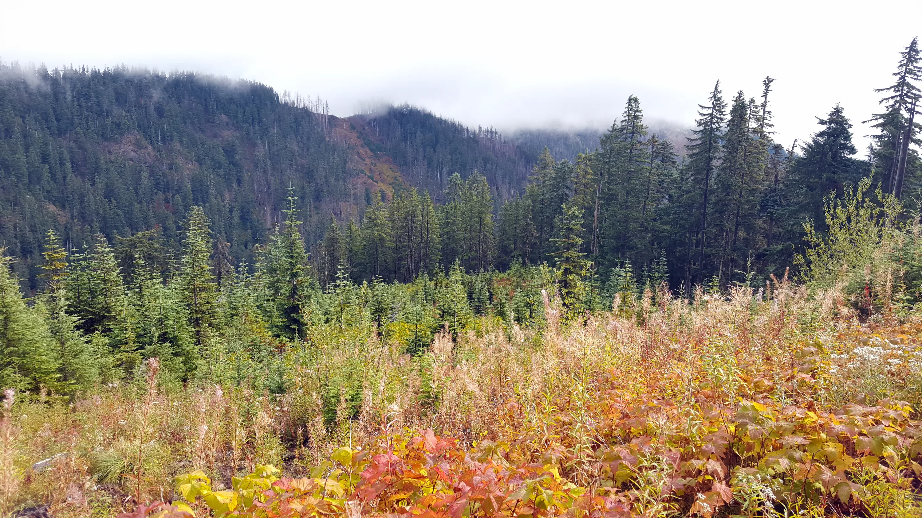
Fall colors were in full swing!
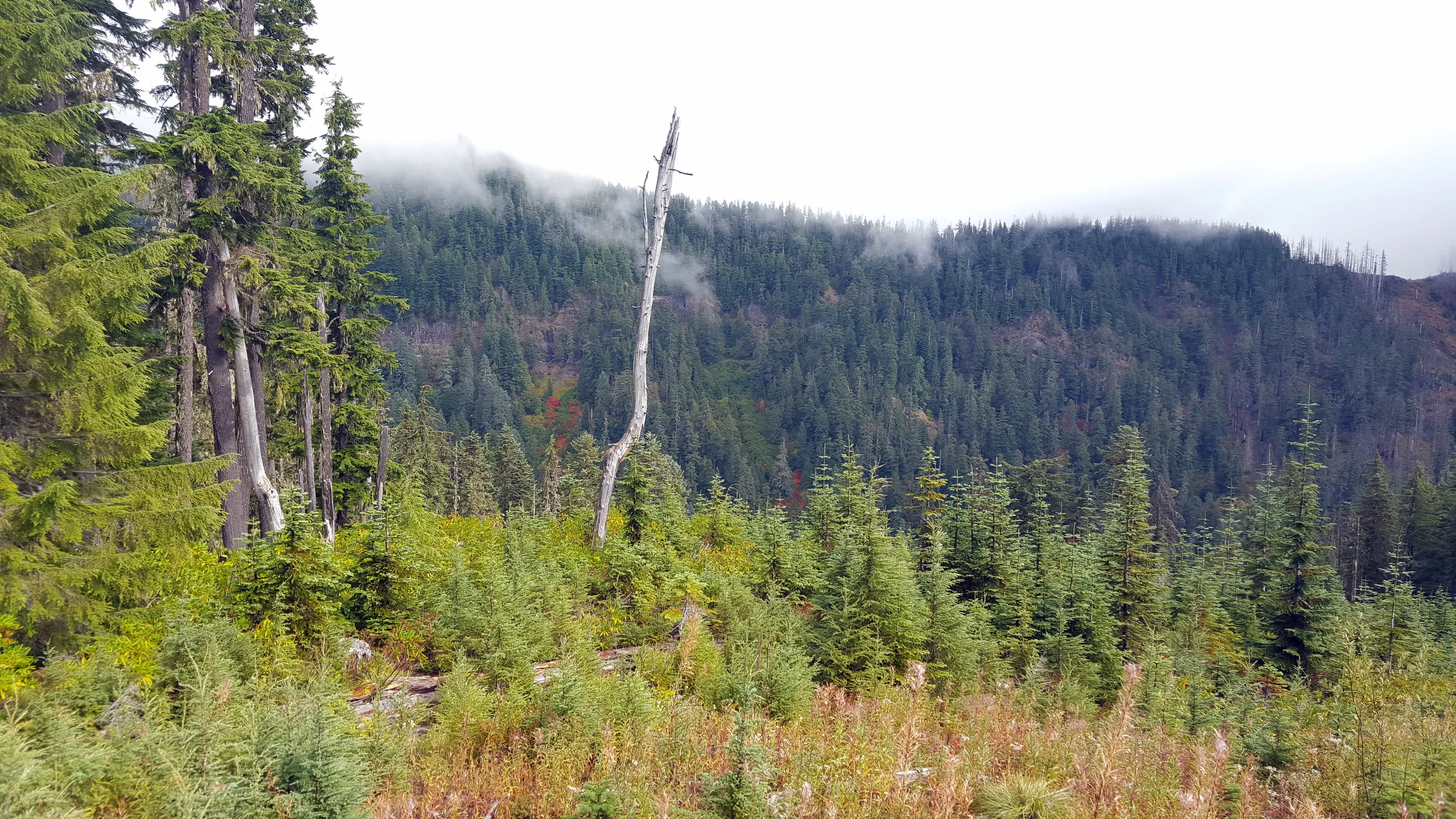
Looing Northeast from where I parked the truck - kind of foggy in the morning
Looking towards Thunder Mountain - still in the clouds
The trailhead - someone has hung flagging to make it more apparent - you can see the old "Temporary Sign" as well
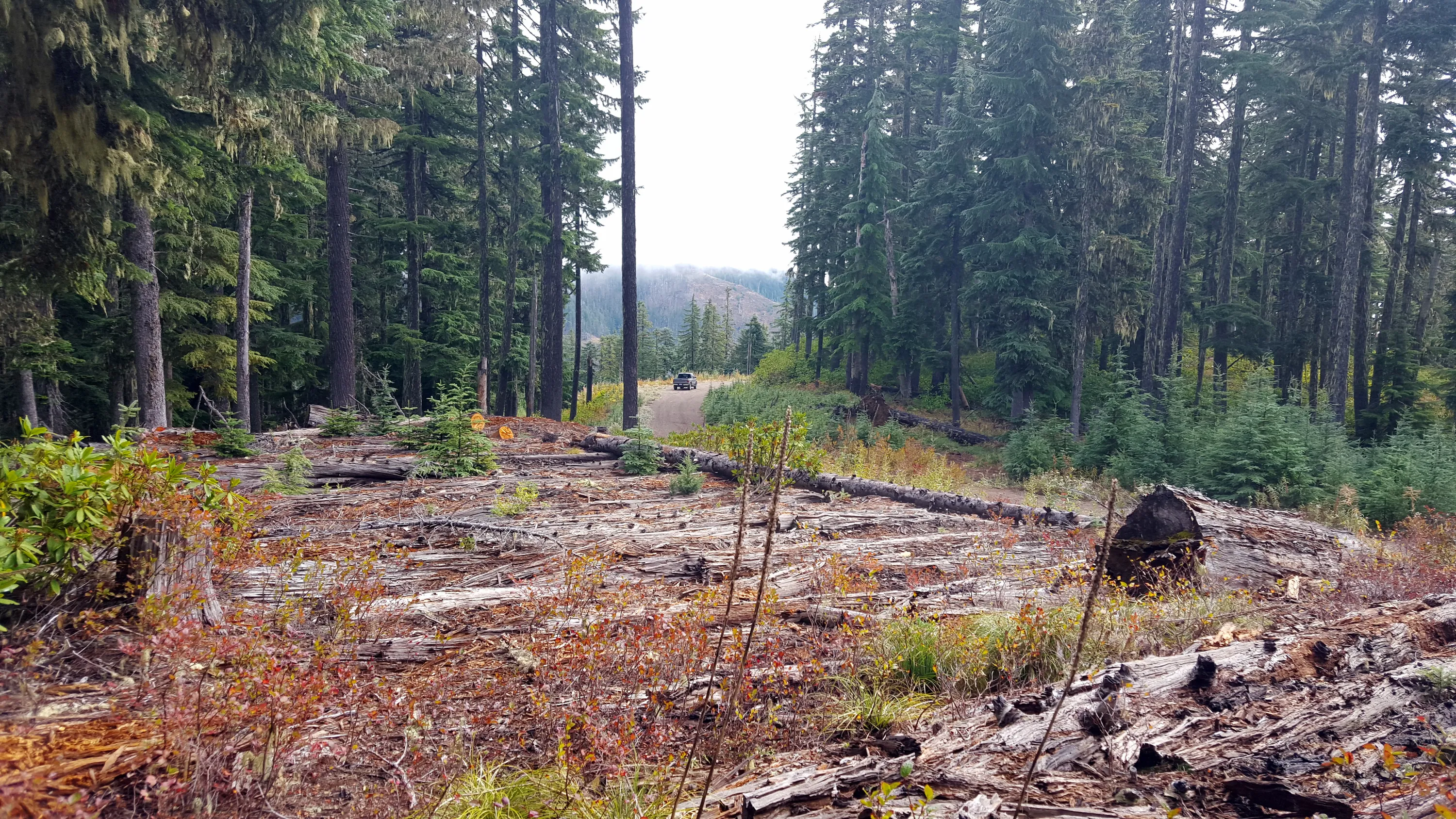
Looking back to where I parked
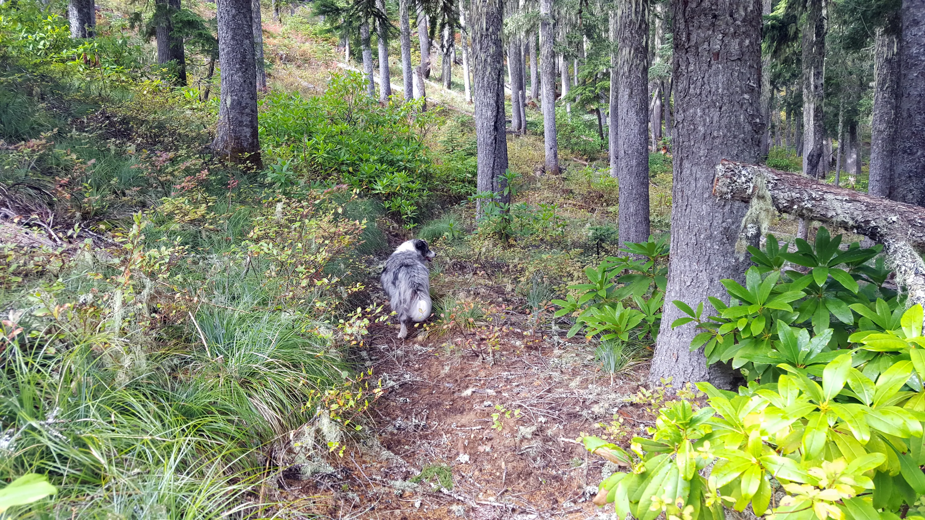
Starting down the trail
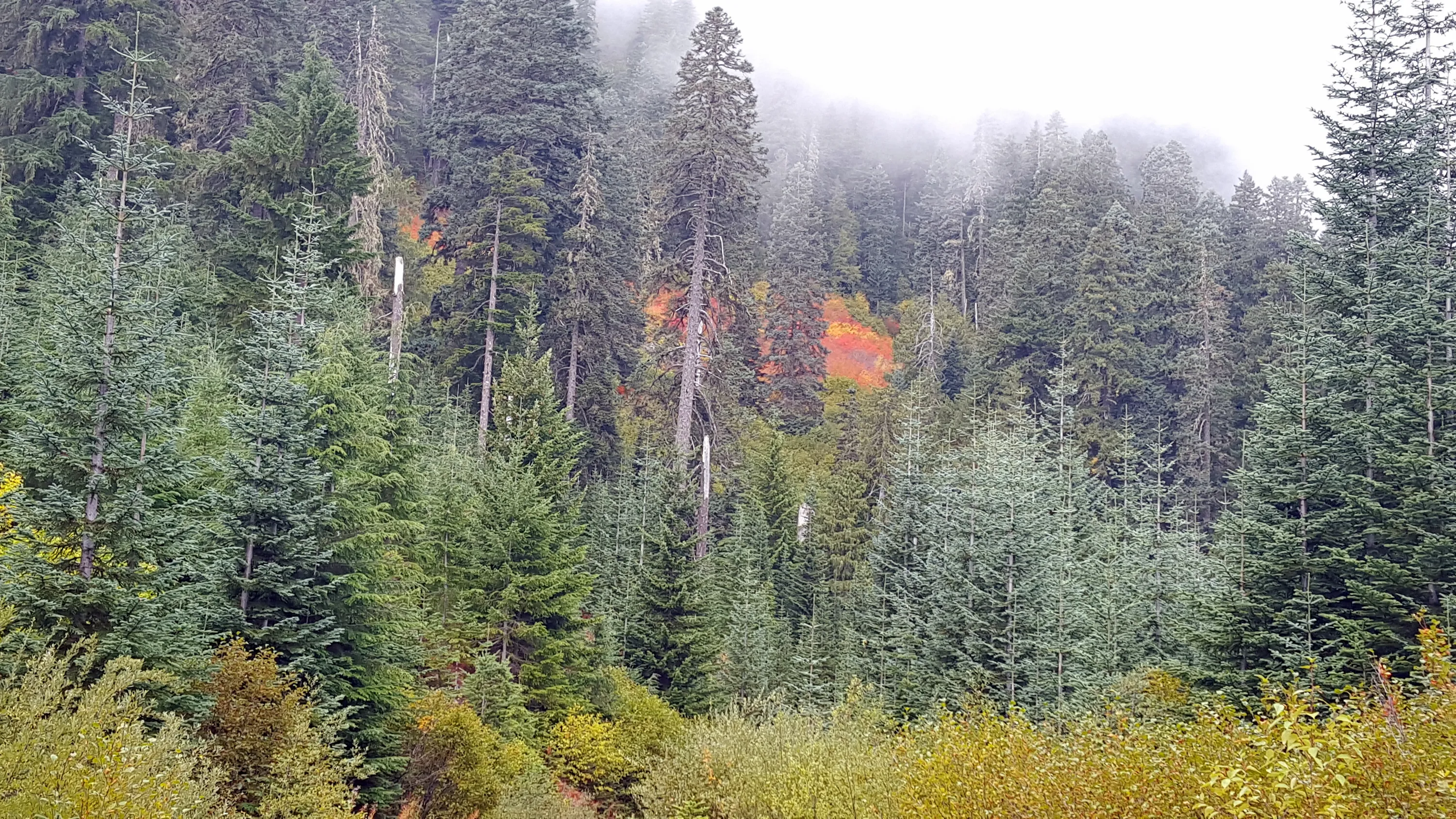
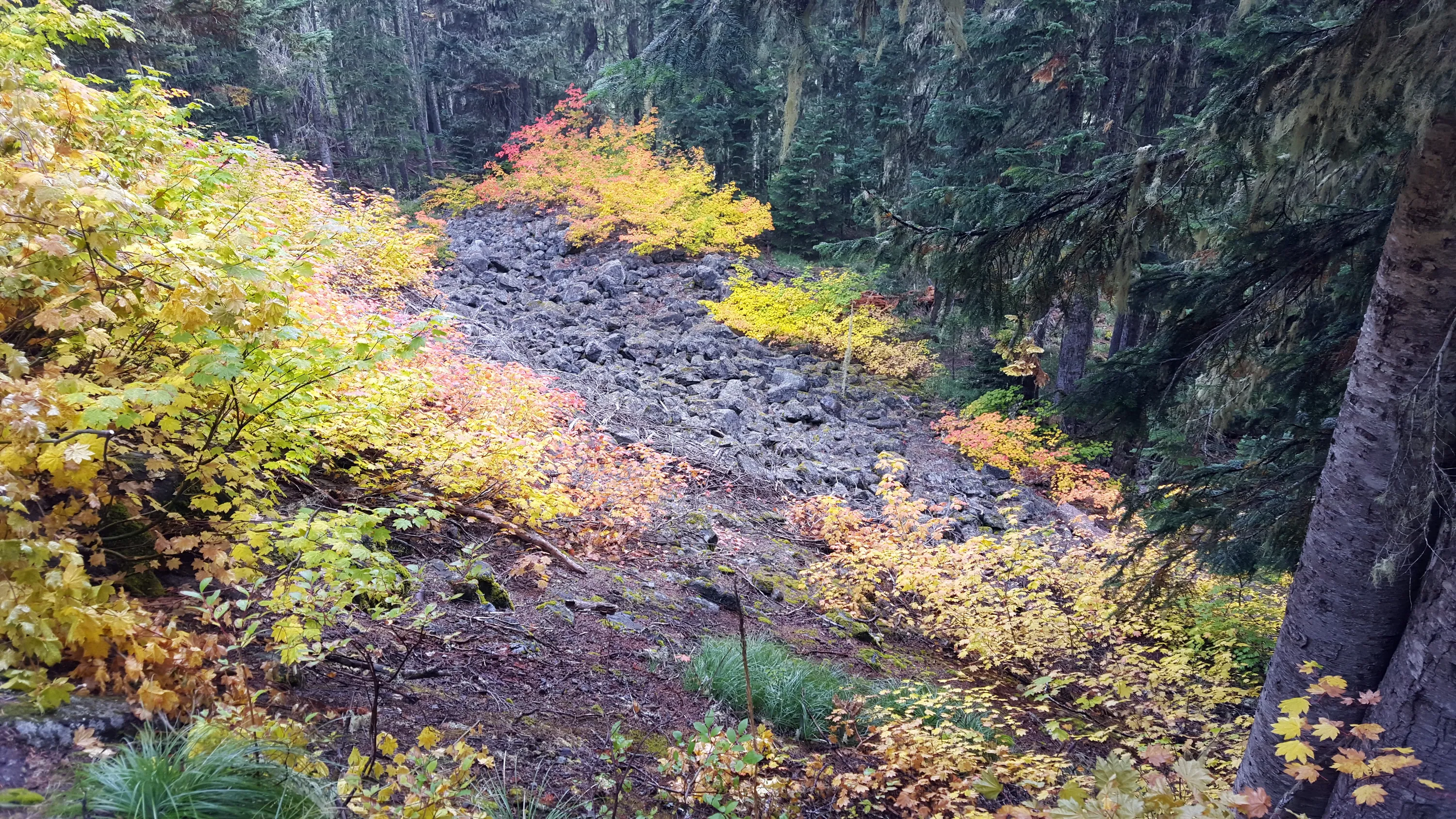
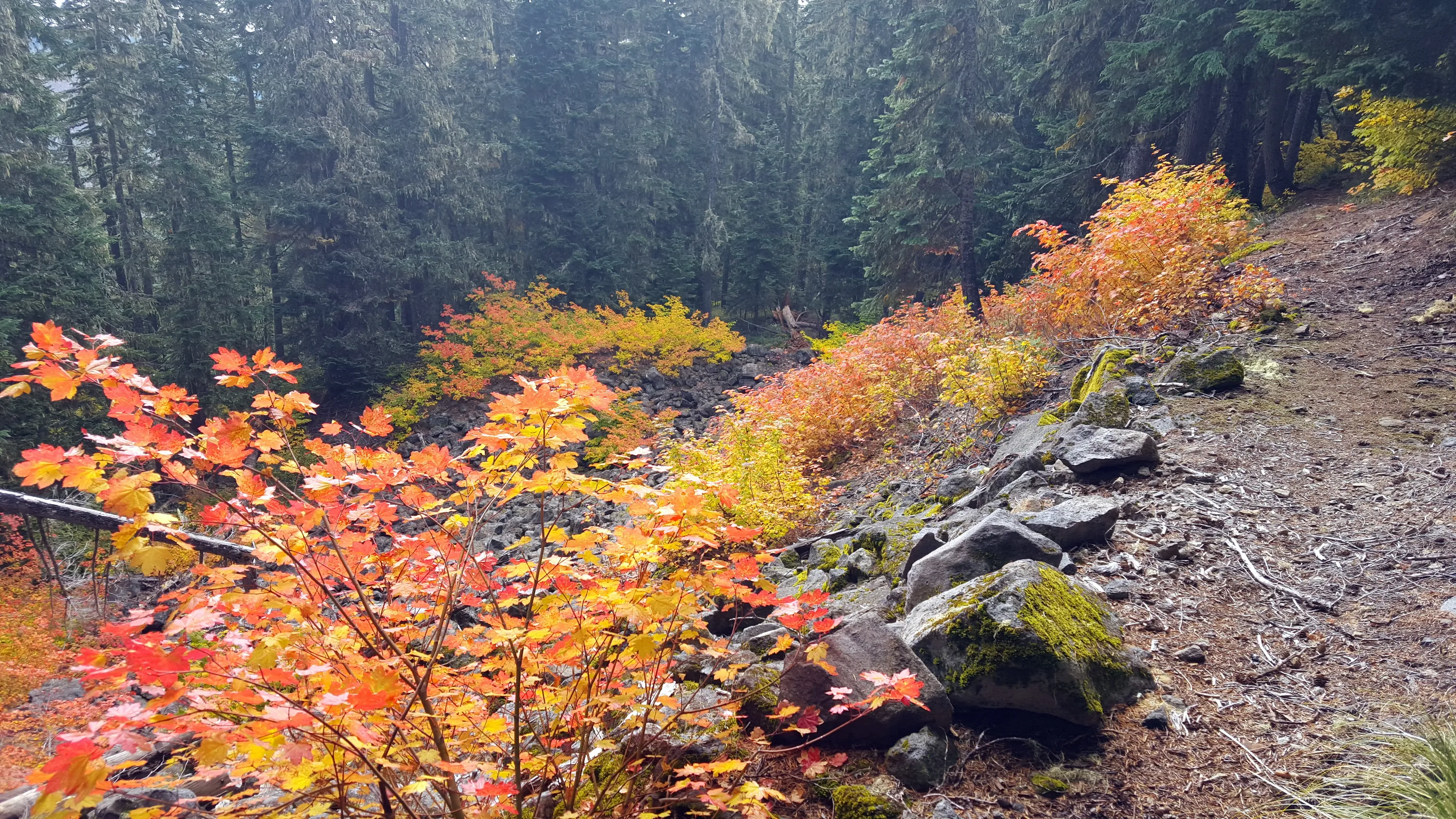
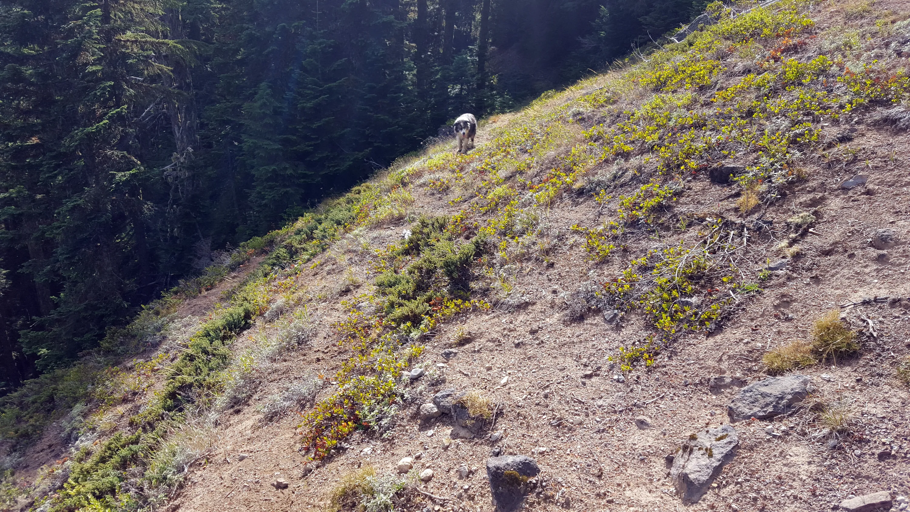
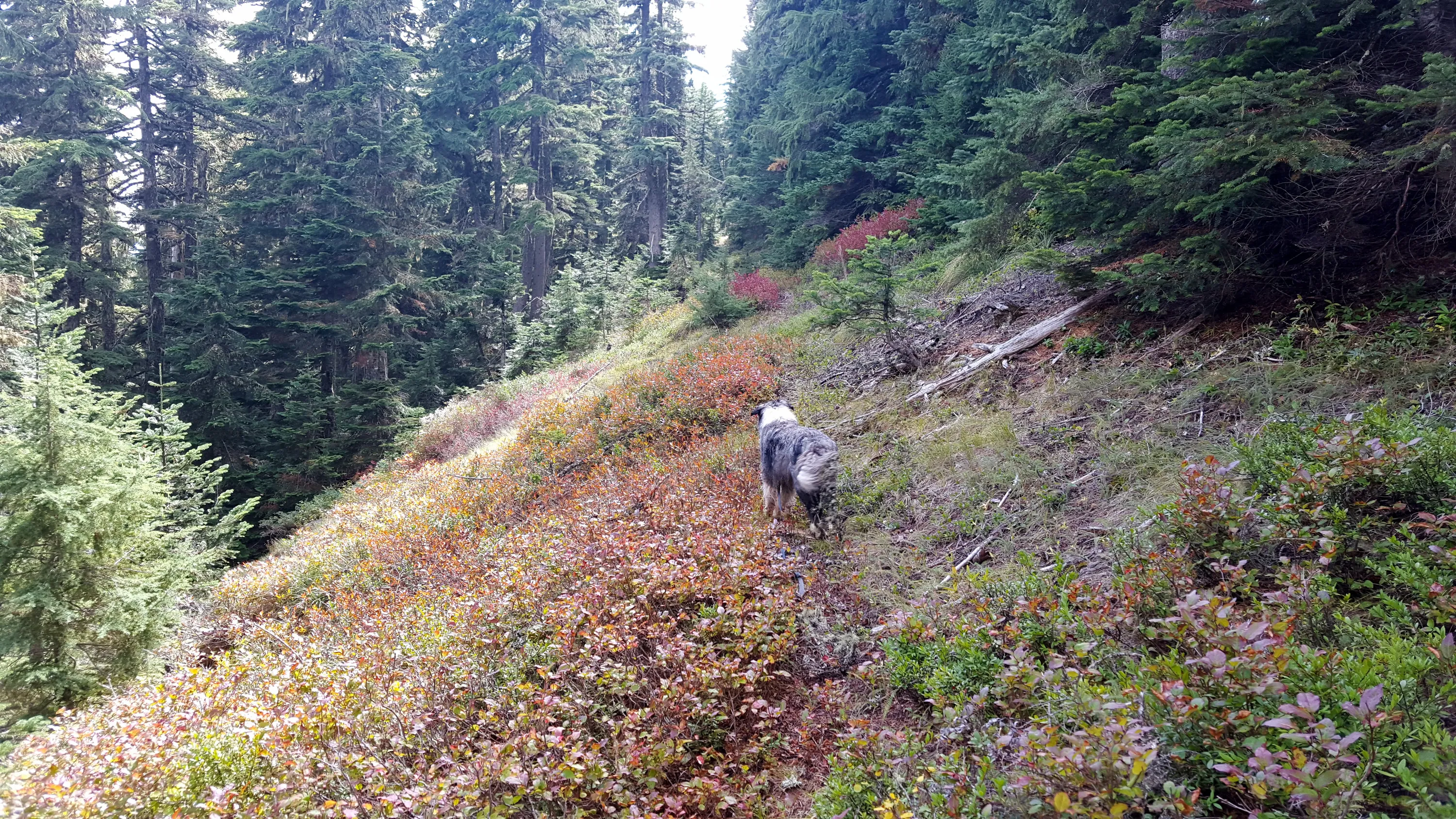
Beautiful fall colors at the first rockslide - this photo doesn't do it justice - the colors were flourescent!
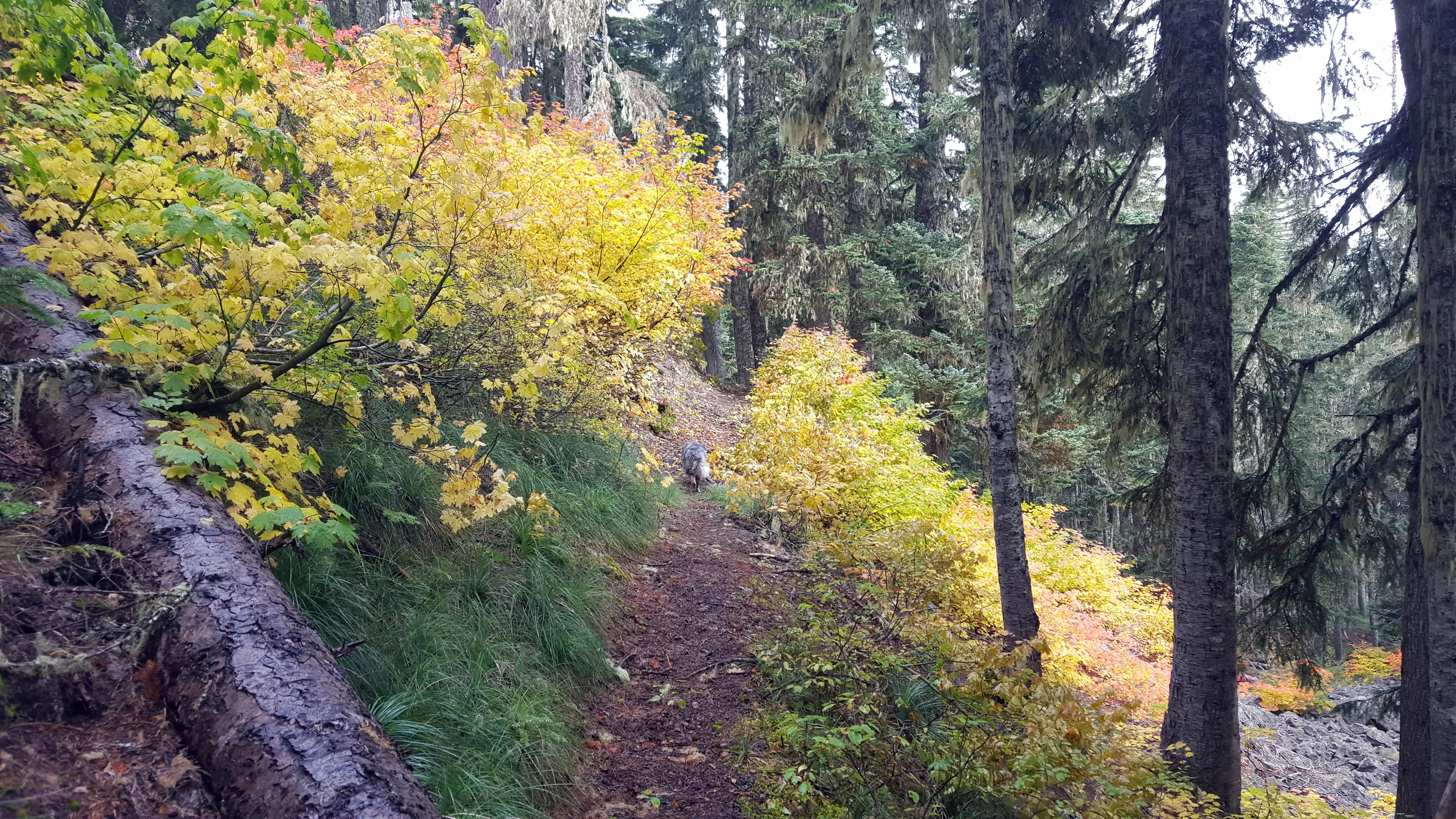
More fall colors - they really were amazing
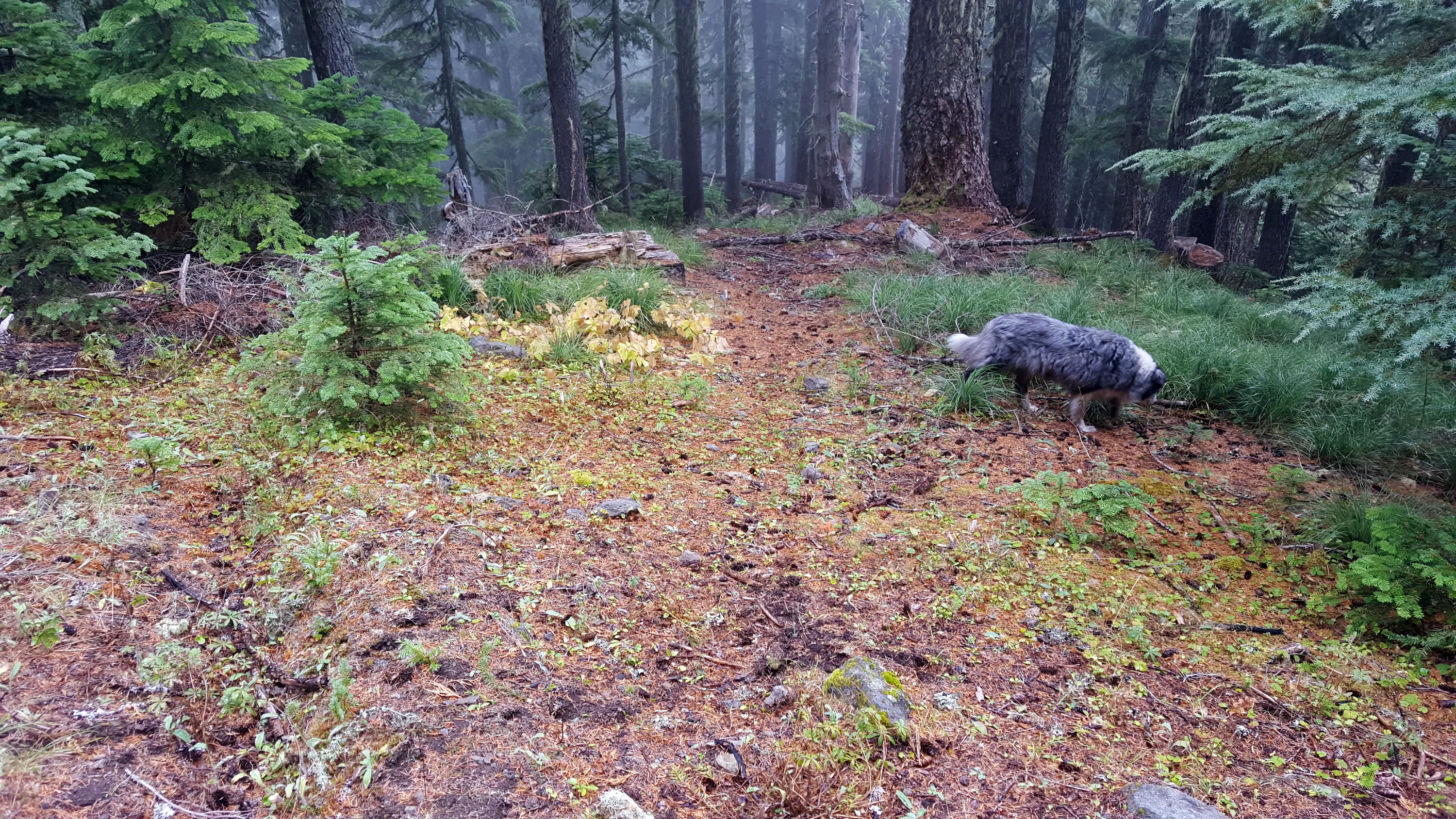
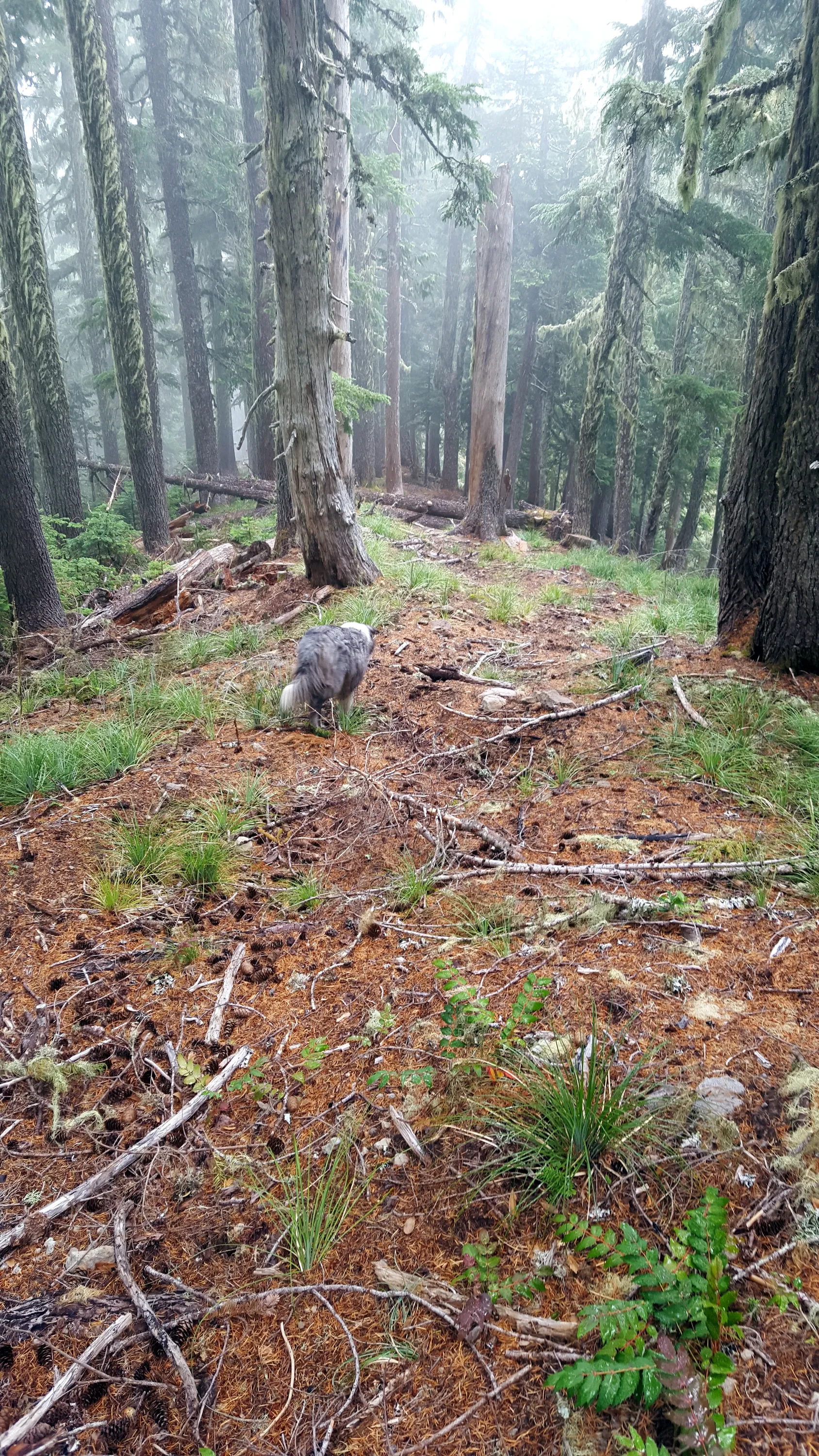
We found old tread when heading up to the top of Baty Butte - faint but definite tread
More tread going up the east side of Baty Butte
More recognizeable tread
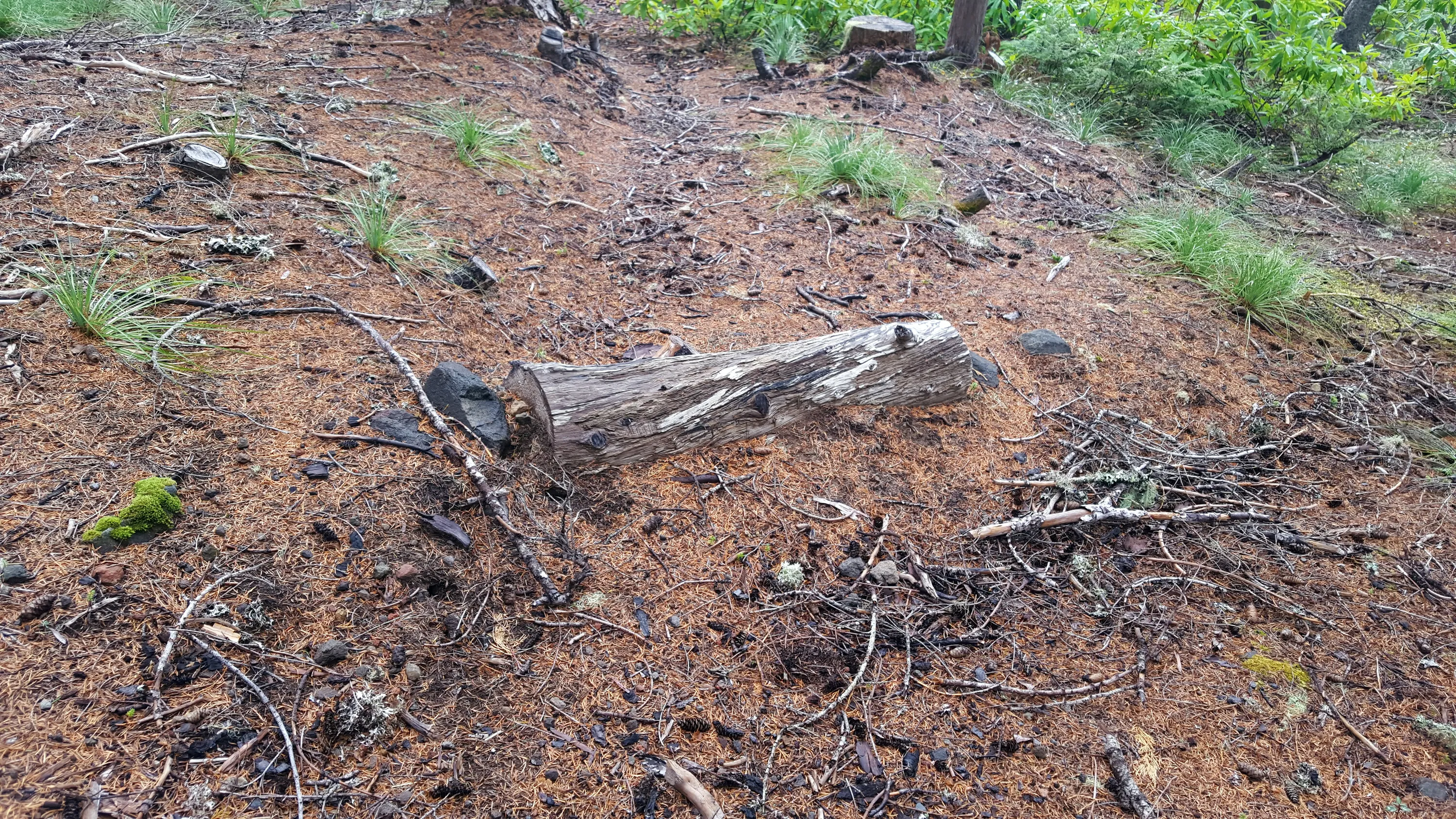
This looks suspiciously like a water bar in the tread - rocks on either end and a cut log
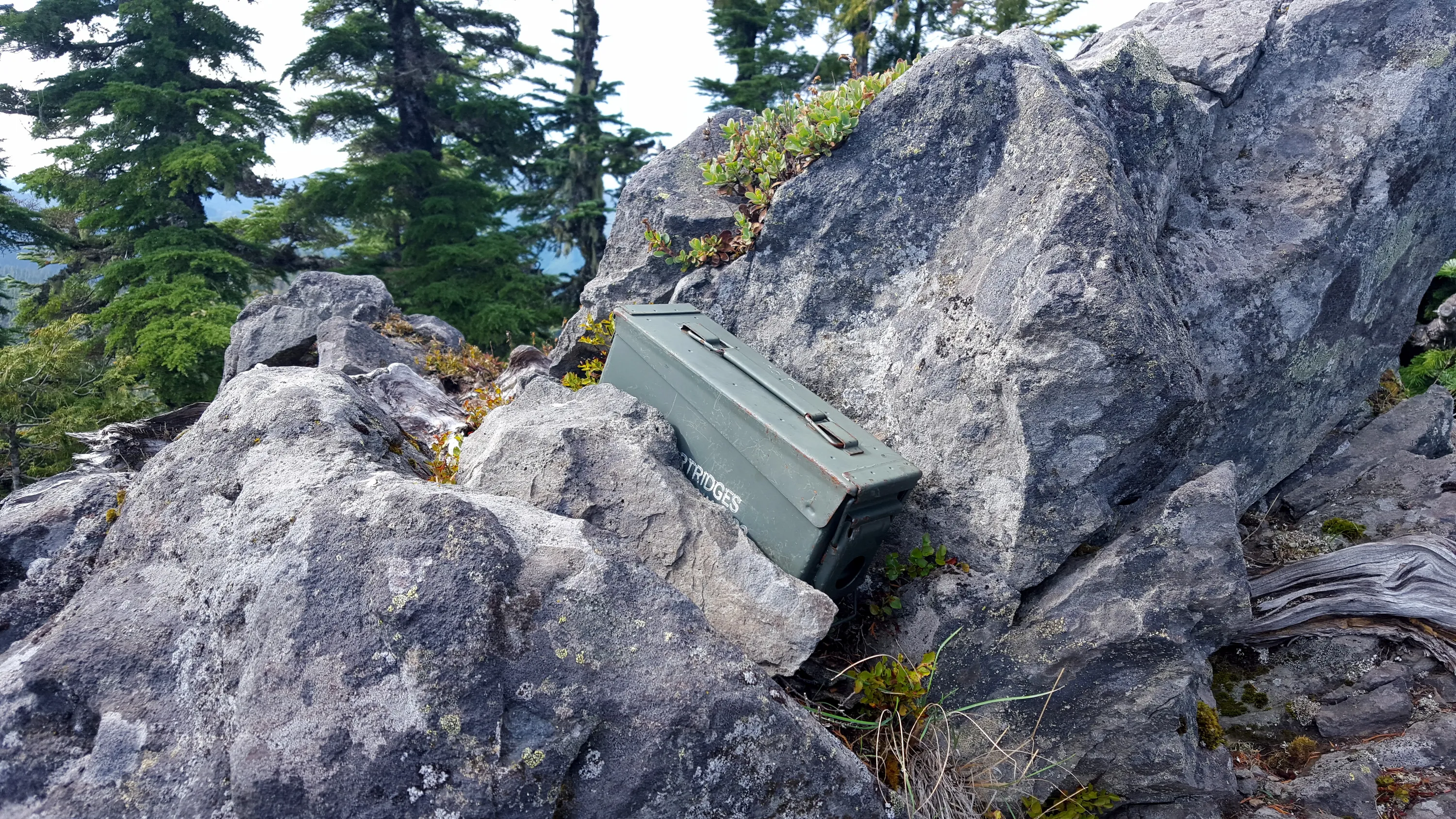
The geocache on top of Baty Butte
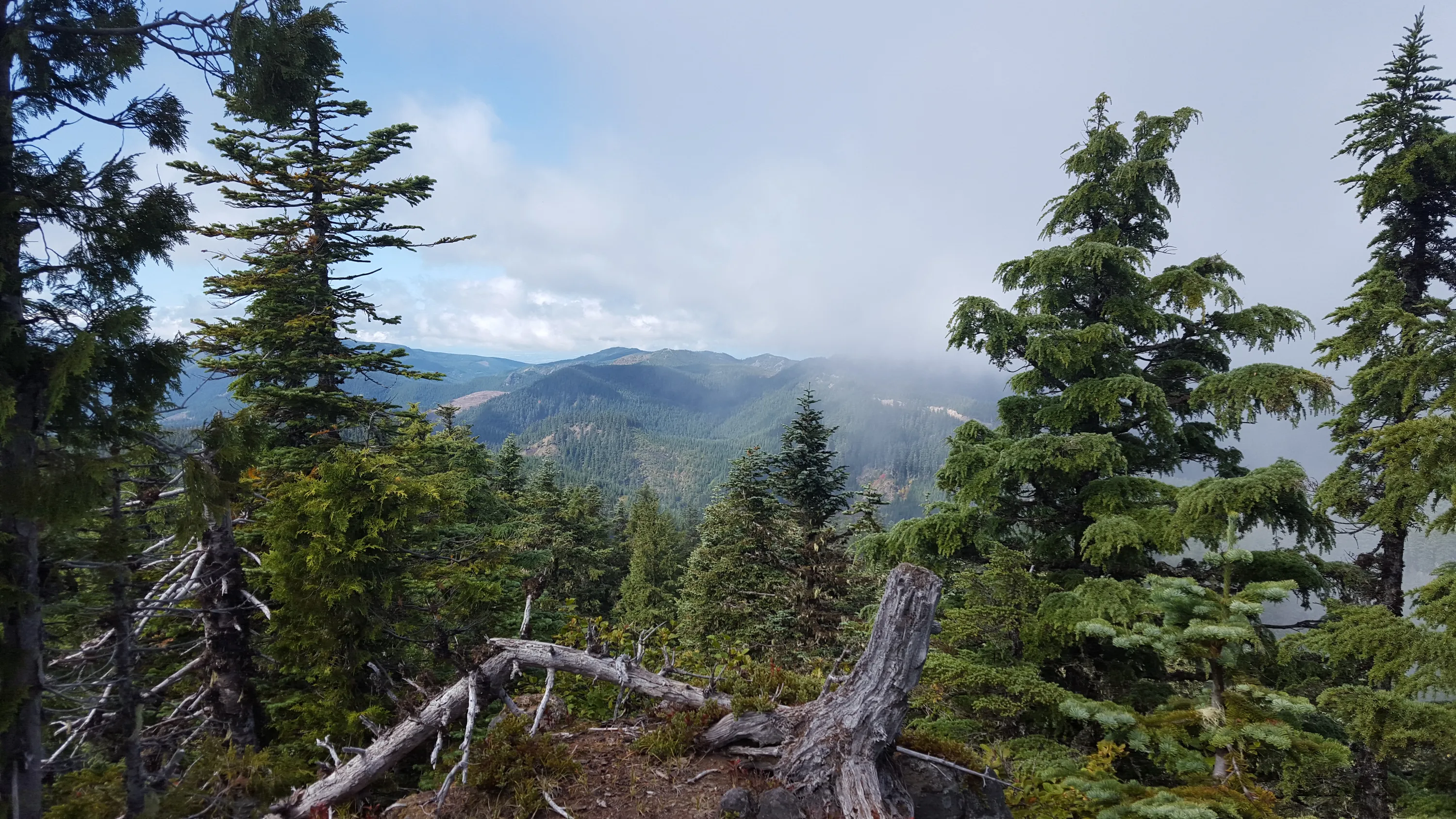
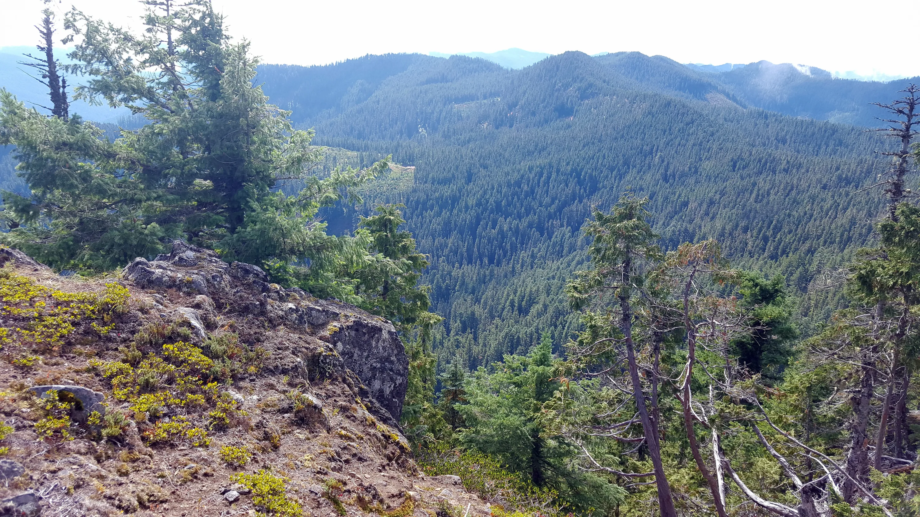
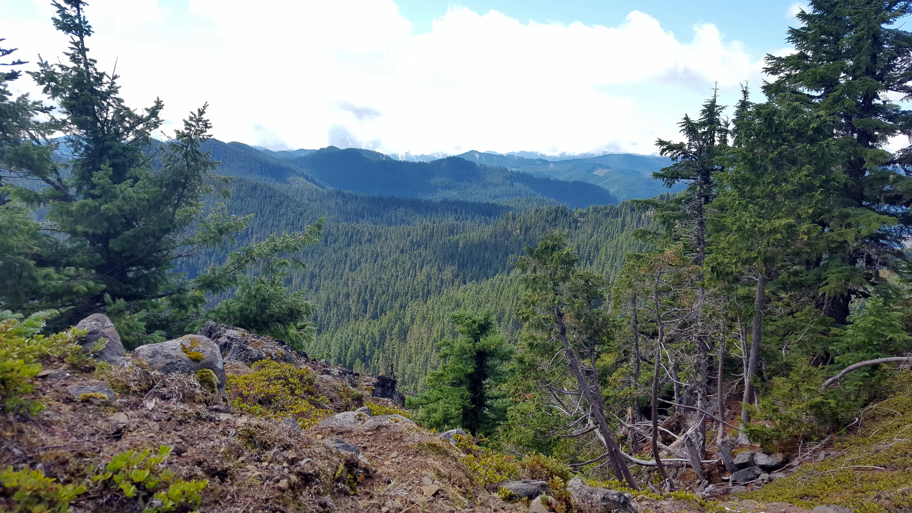
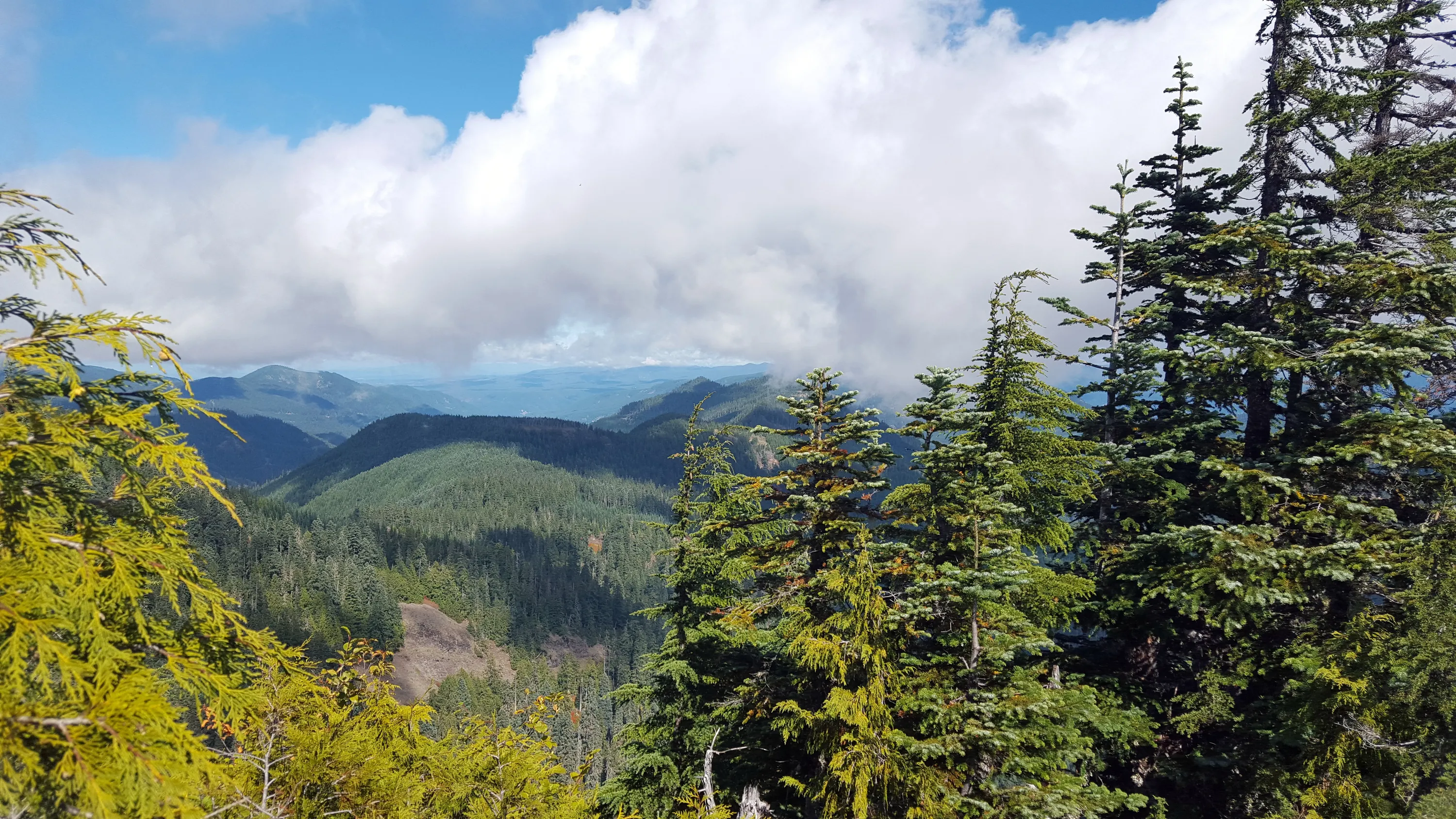
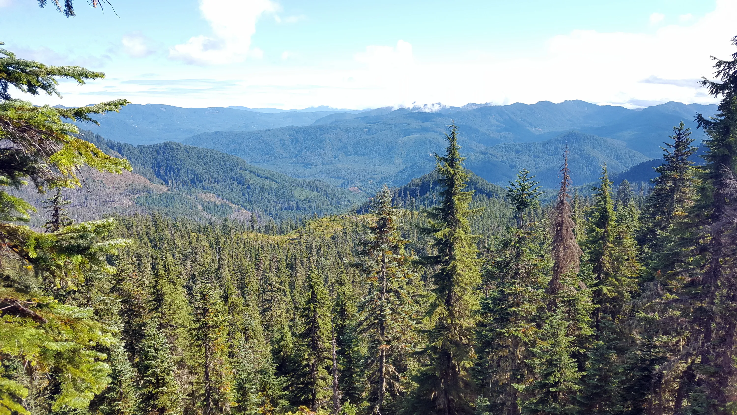
Looking west from the top of Baty Butte
I think this was looking kind of Southwest from the top of Baty Butte - the truck is down there behind those trees.
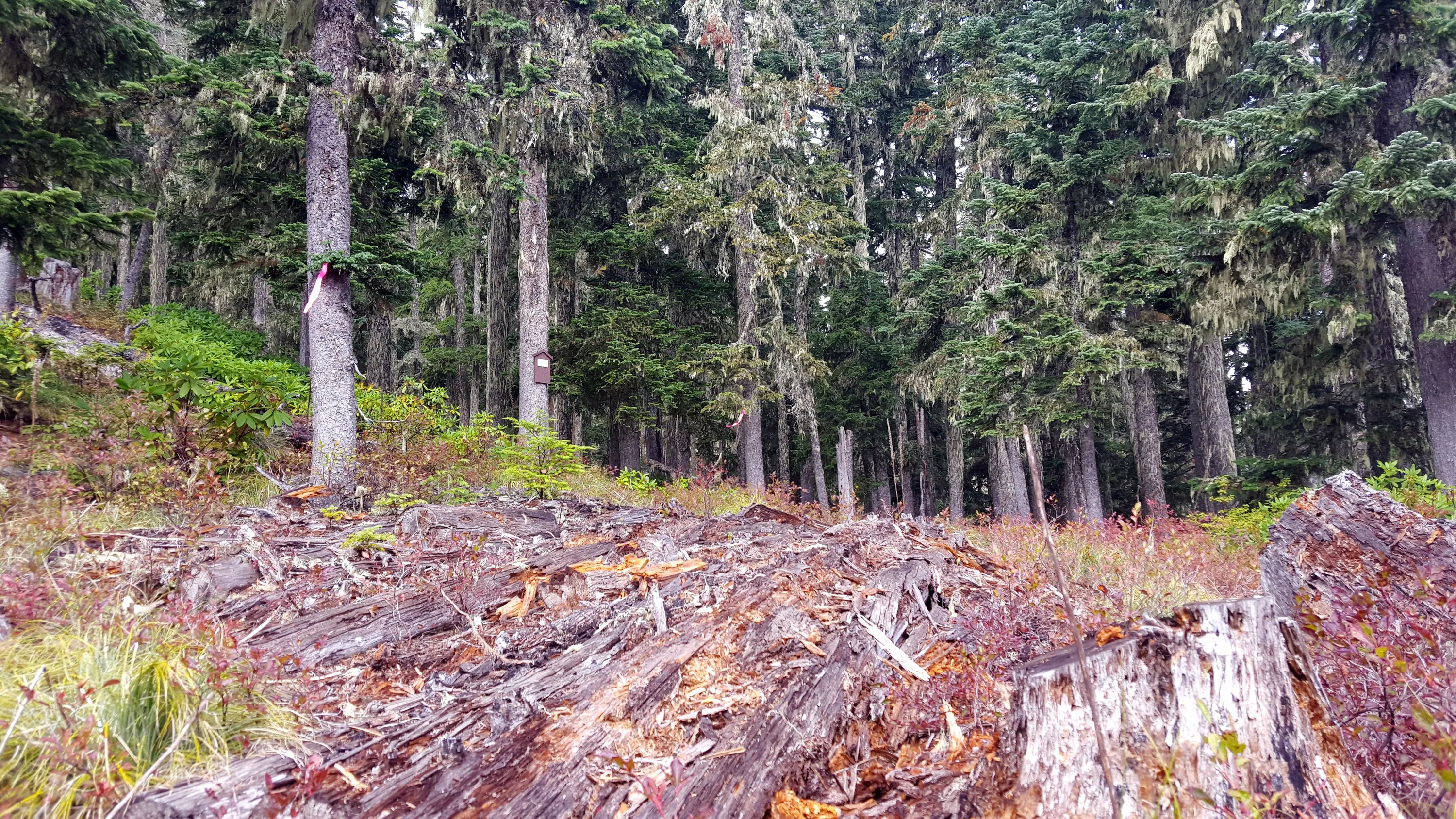
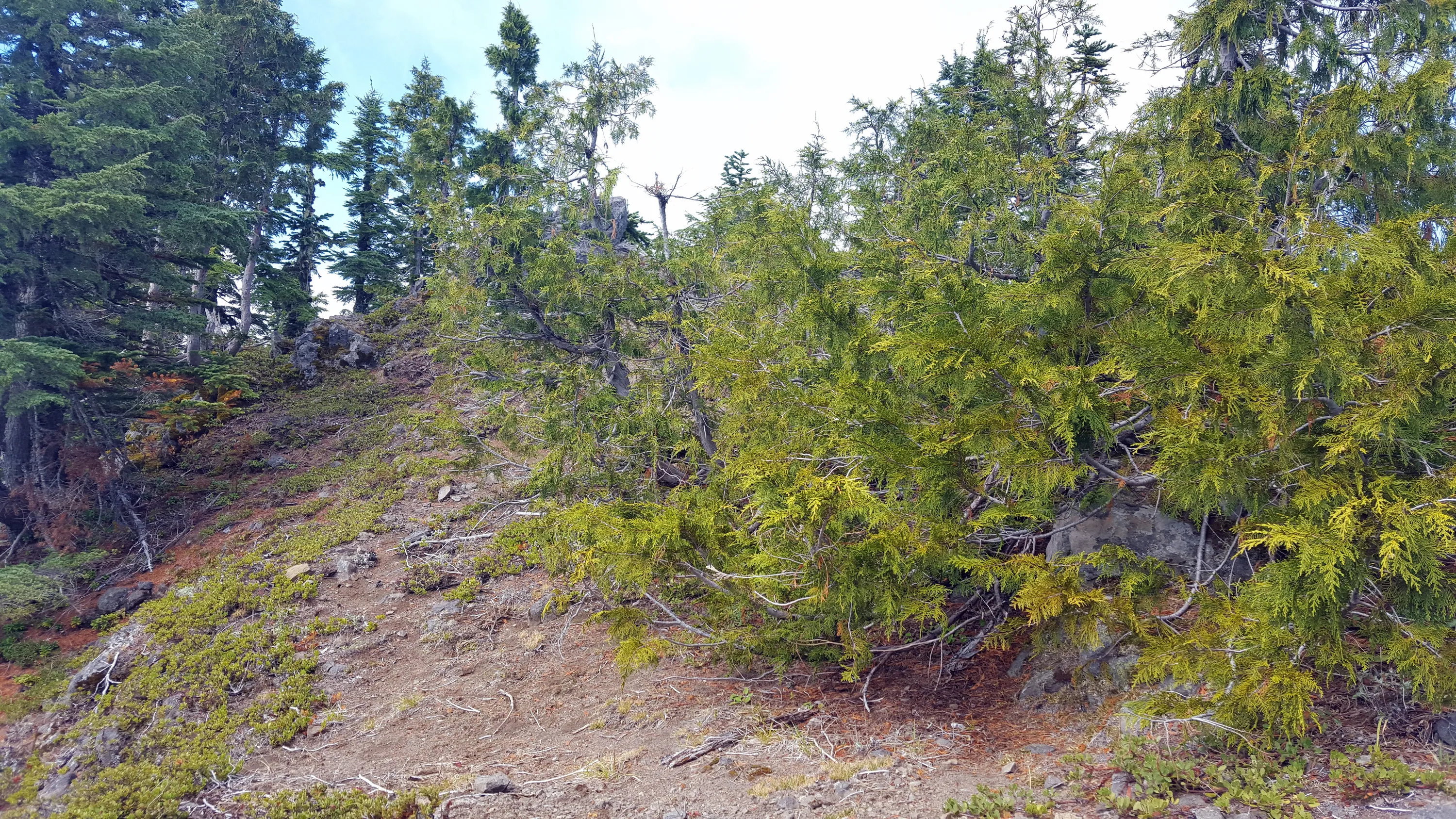
I believe the lookout would have to have been up behind this tree - that is the highest point - but it was VERY small - where the geocache was
Looking south from on top of Baty Butte
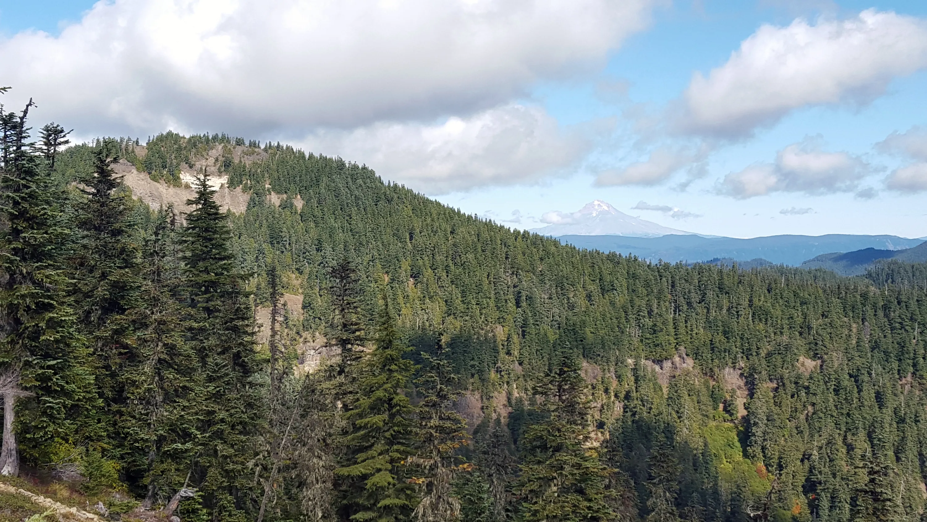
Looking North from the top of Baty Butte - Mt Hood Hiding in the clouds still
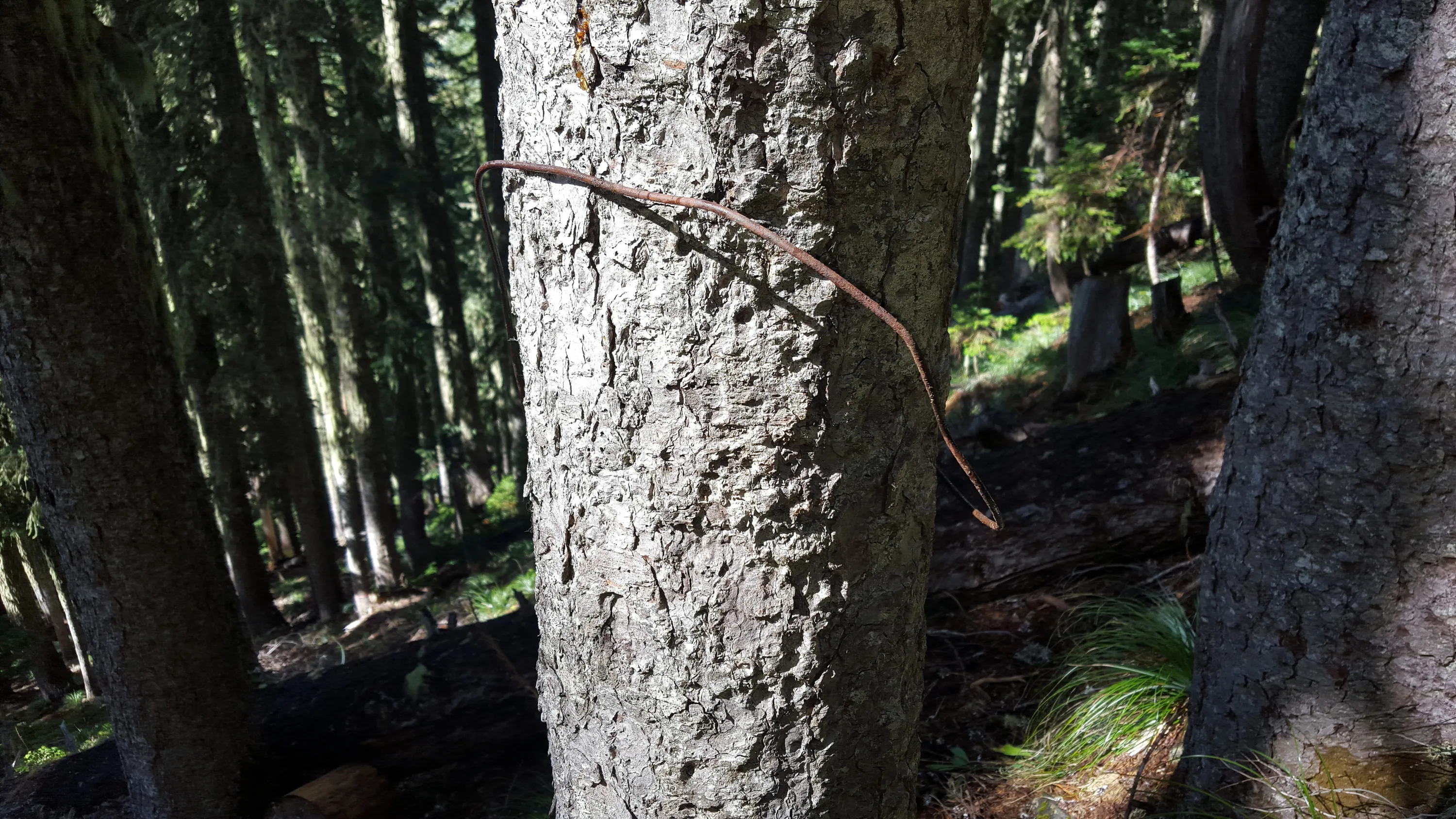
On the way down the west side of Baty Butte, I literally tripped over this old piece of phone line
Baty Butte (whitespot) and Mt Hood
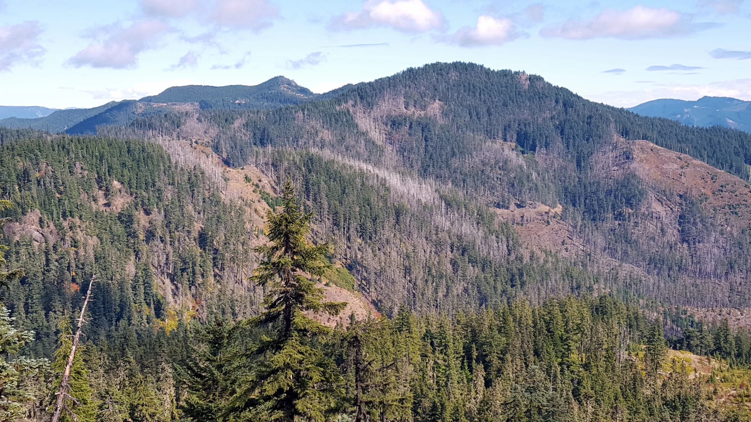
Thunder Mountain
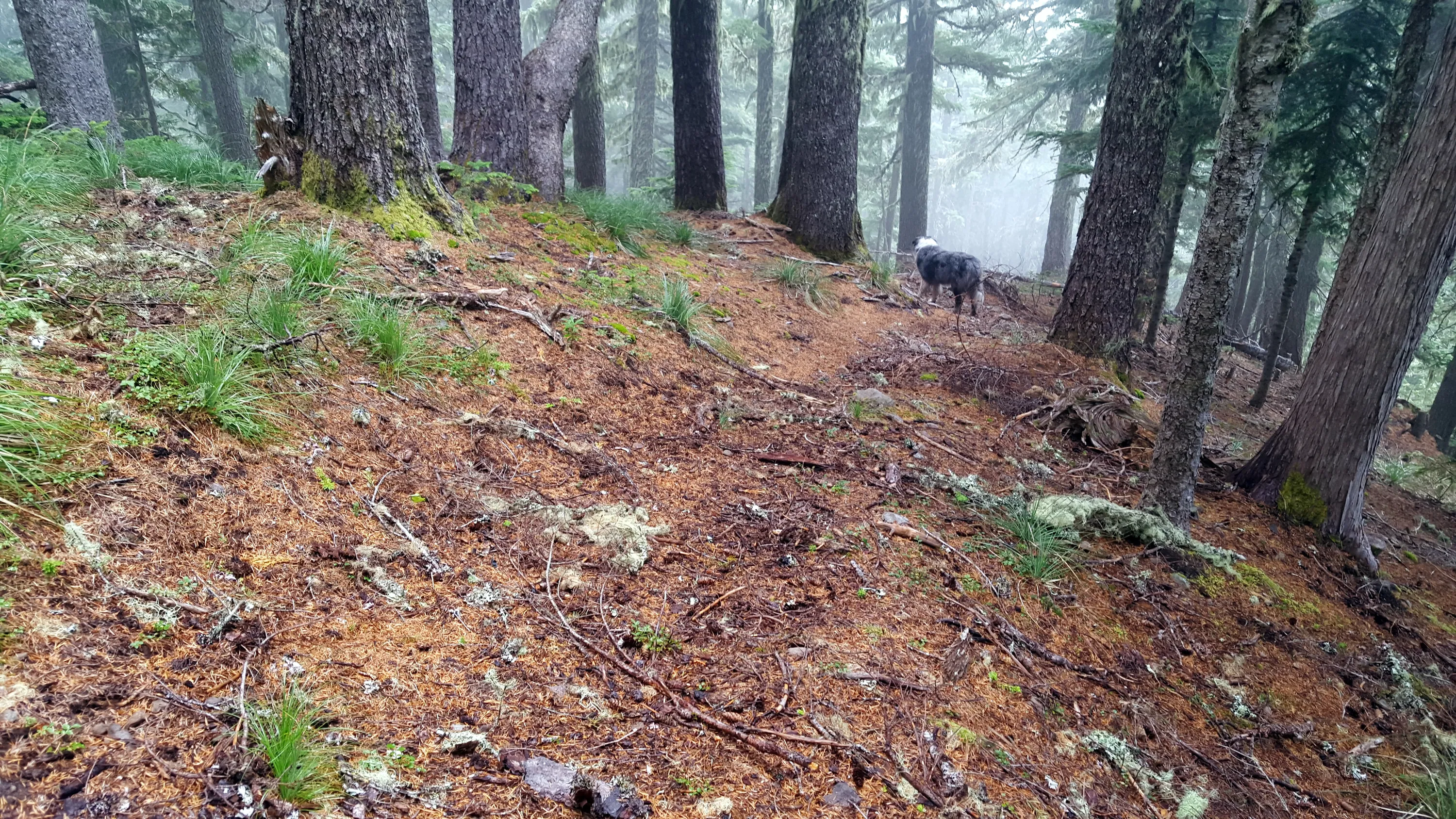
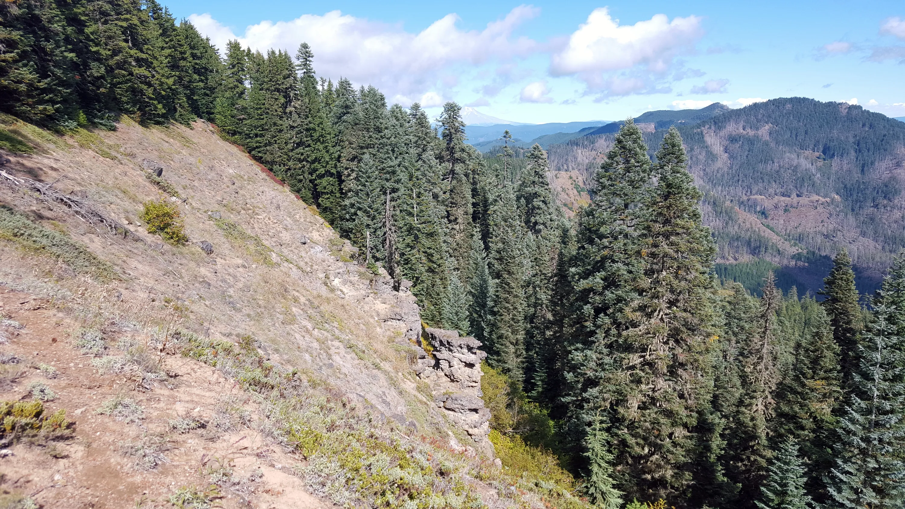
Along the ridge on Baty Butte
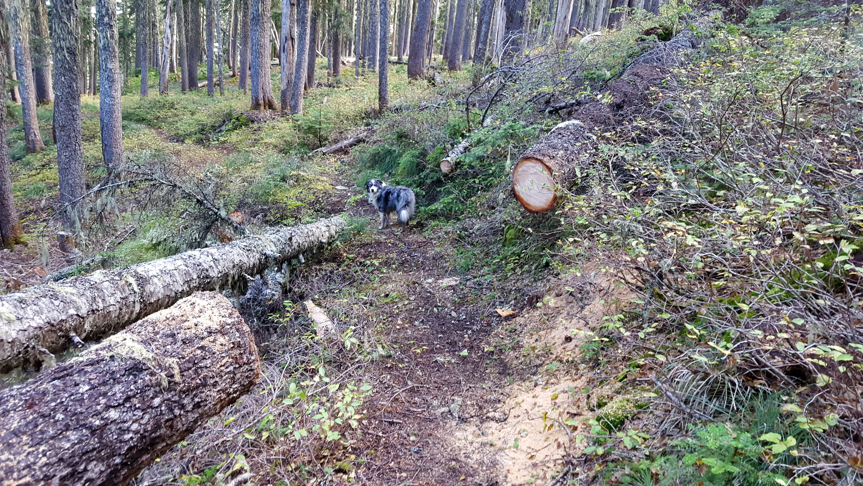
Someone has done some very recent logging out on the connector trail to Baty Butte
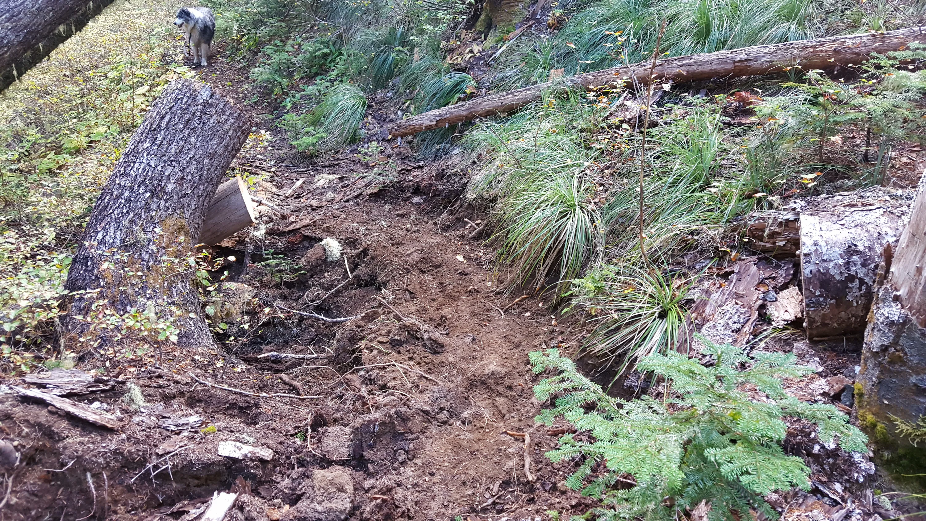
And even some tread work as well as cutting!
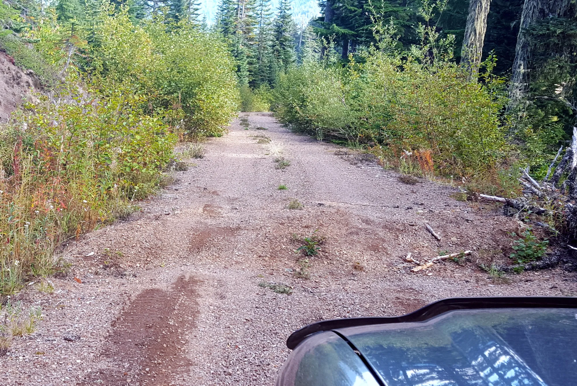
One of the many deep water bars cut into the 7010-160 road - you have to cross these SLOWLY