Robs Hiking Diary
Search
Search for:
Search
Hikes
2014
Enchantments Backpack
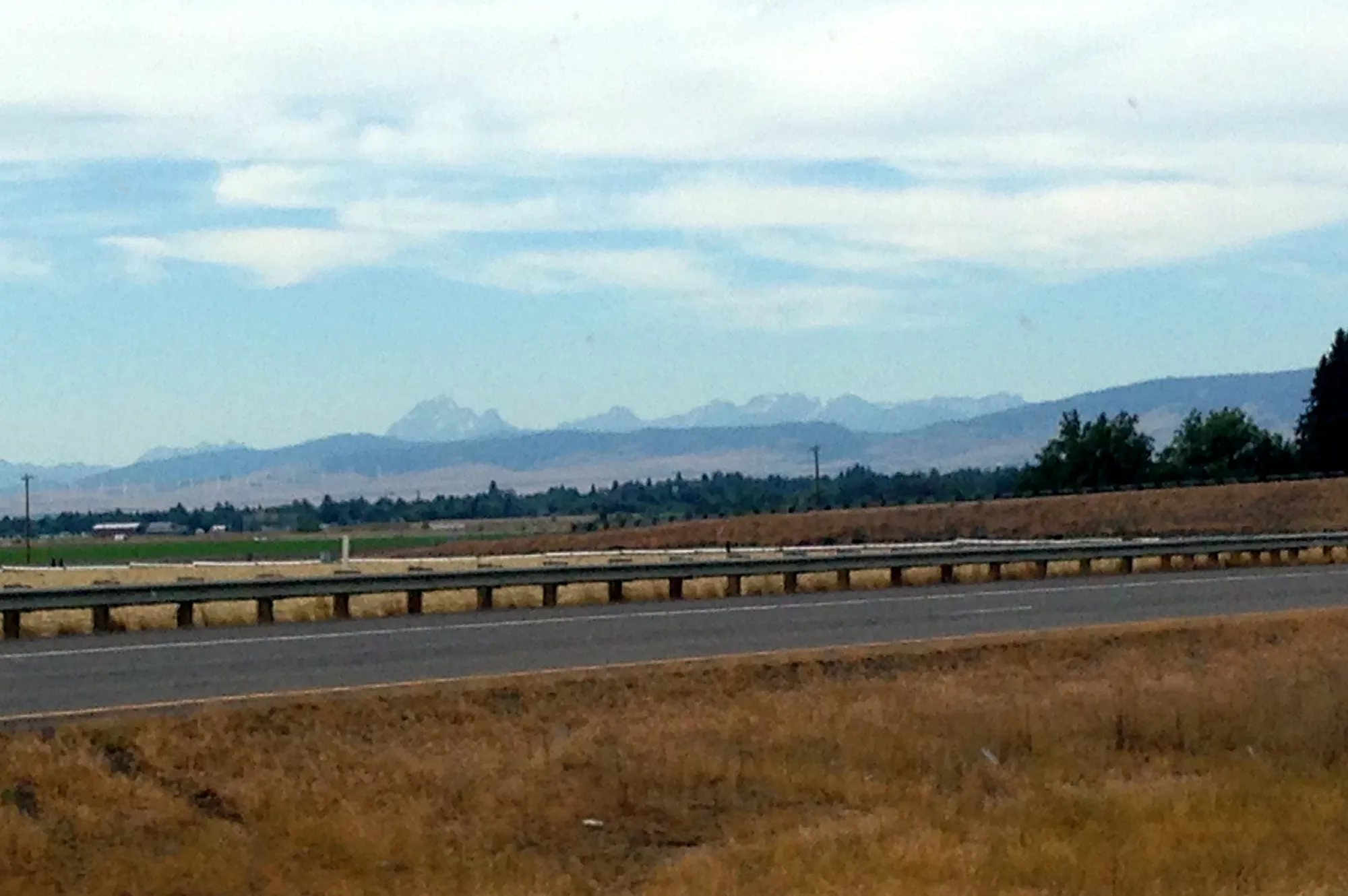
What I think is our first look at the Enchantments - on highway 97 driving up
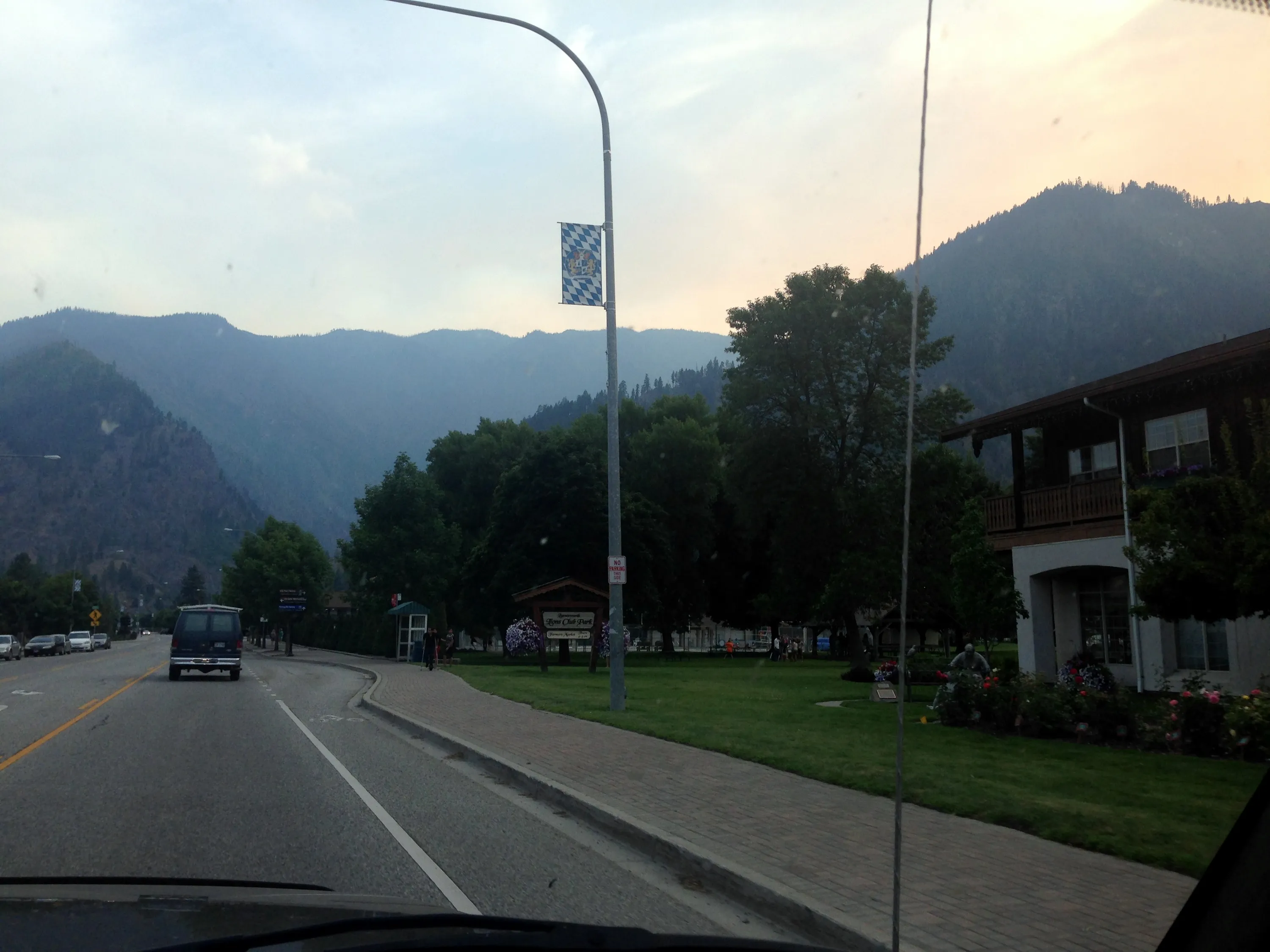
Driving through Leavenworth - you can see all the smoke from the fires
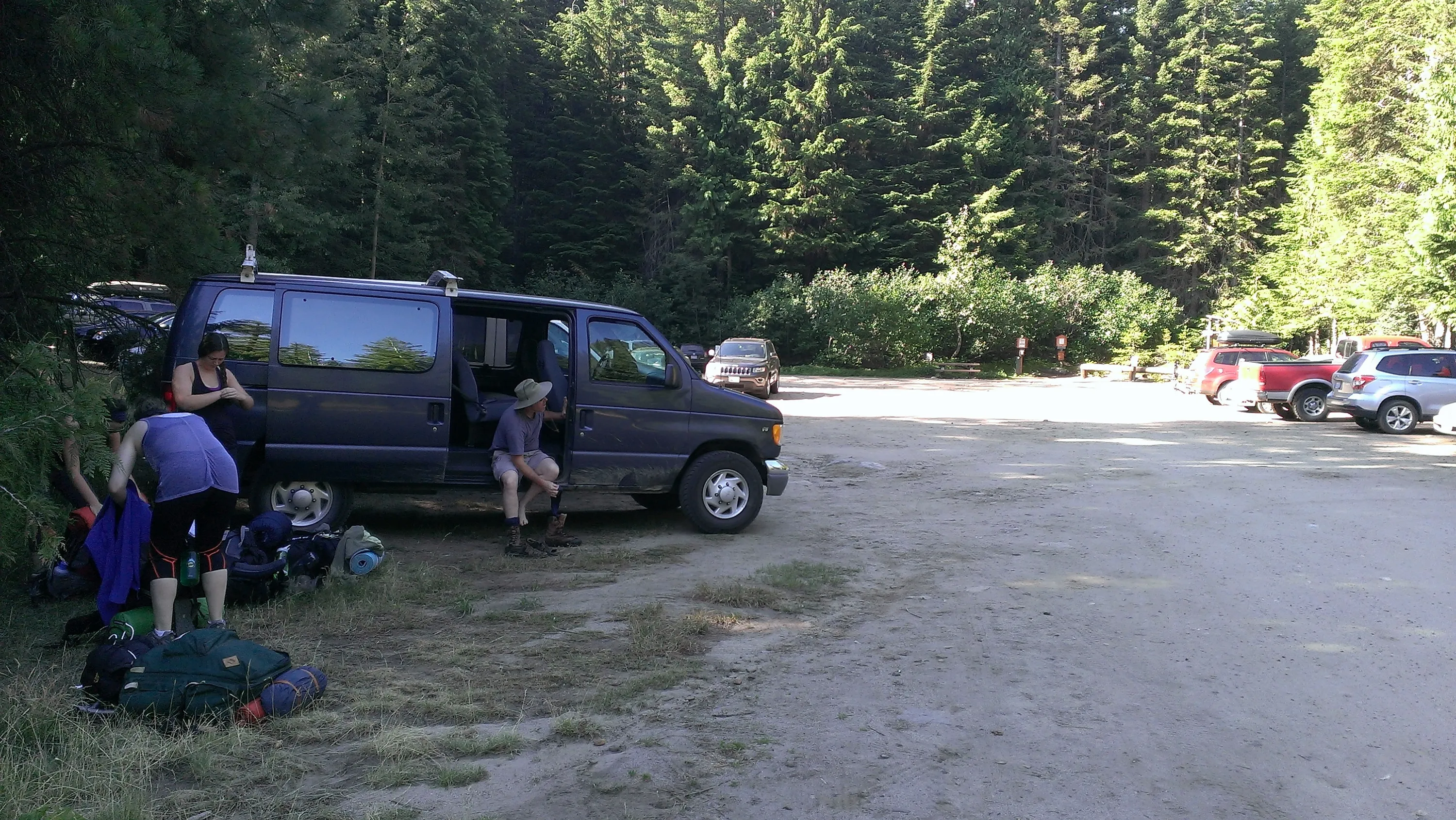
Stuart Lake Trailhead - getting ready for the big trip
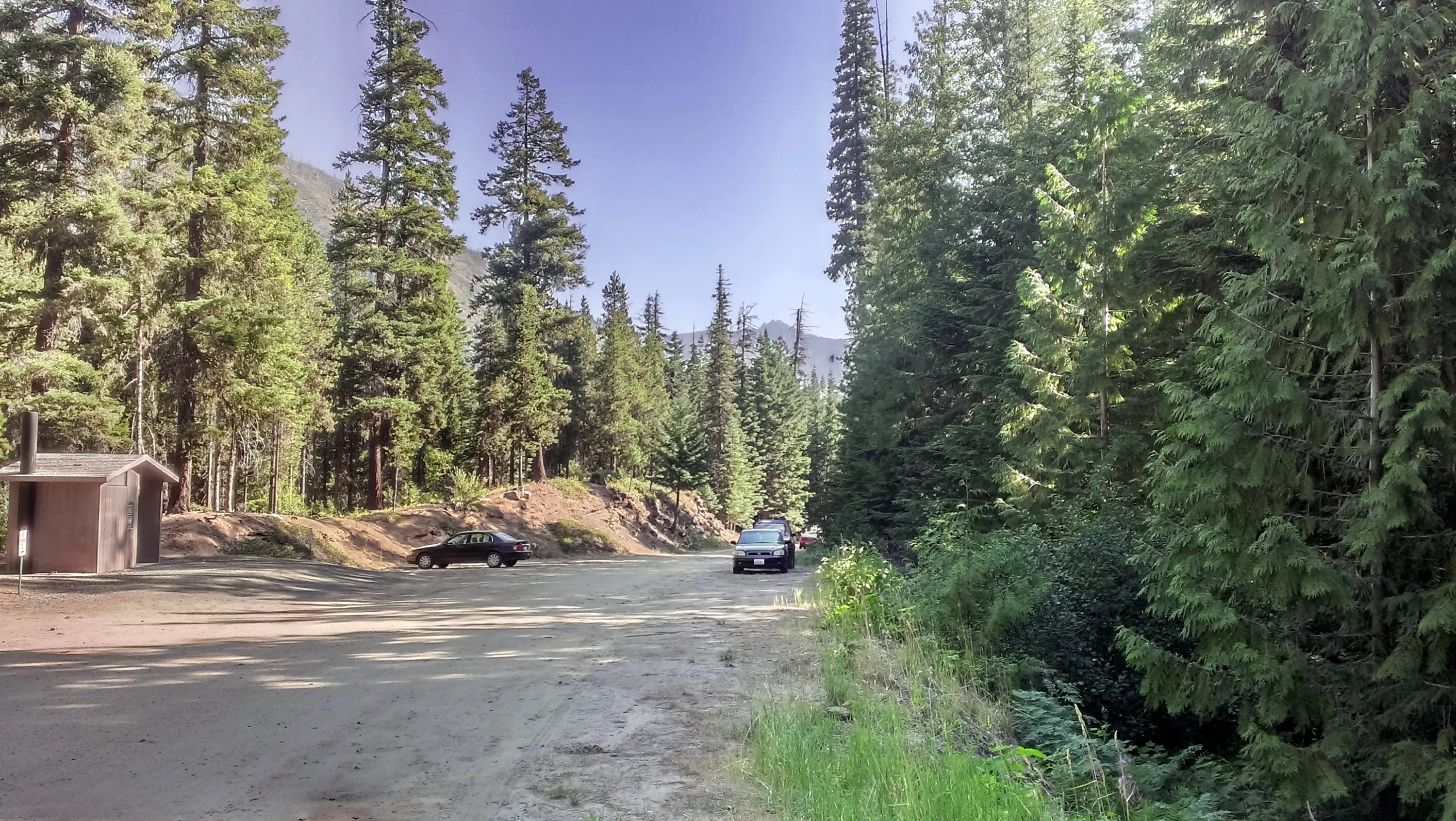
This is a BIG parking lot, although today it was only about half full - Expected for early on a Monday morning
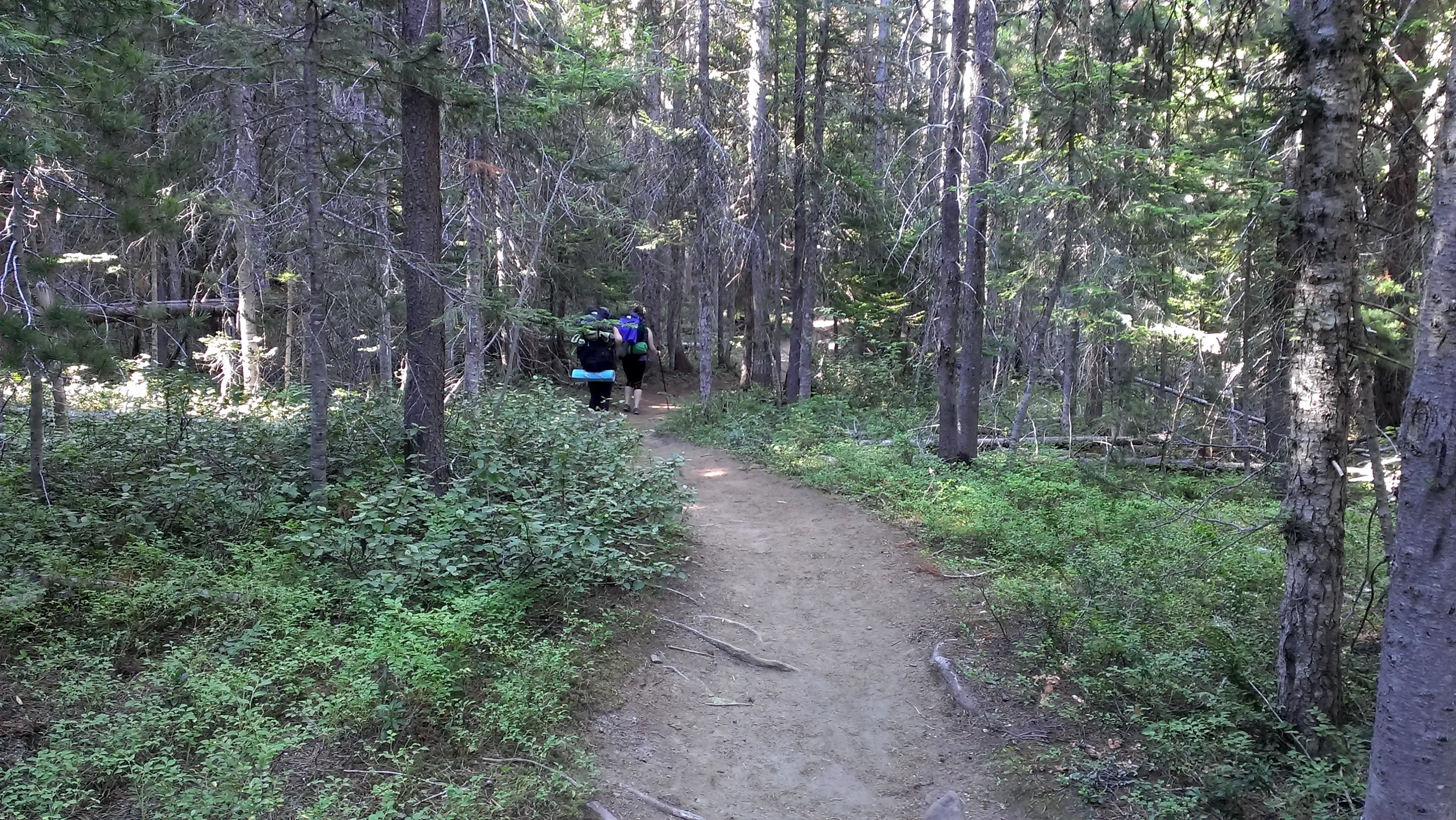
The beginning of the Stuart Lake trail - goes through small timber
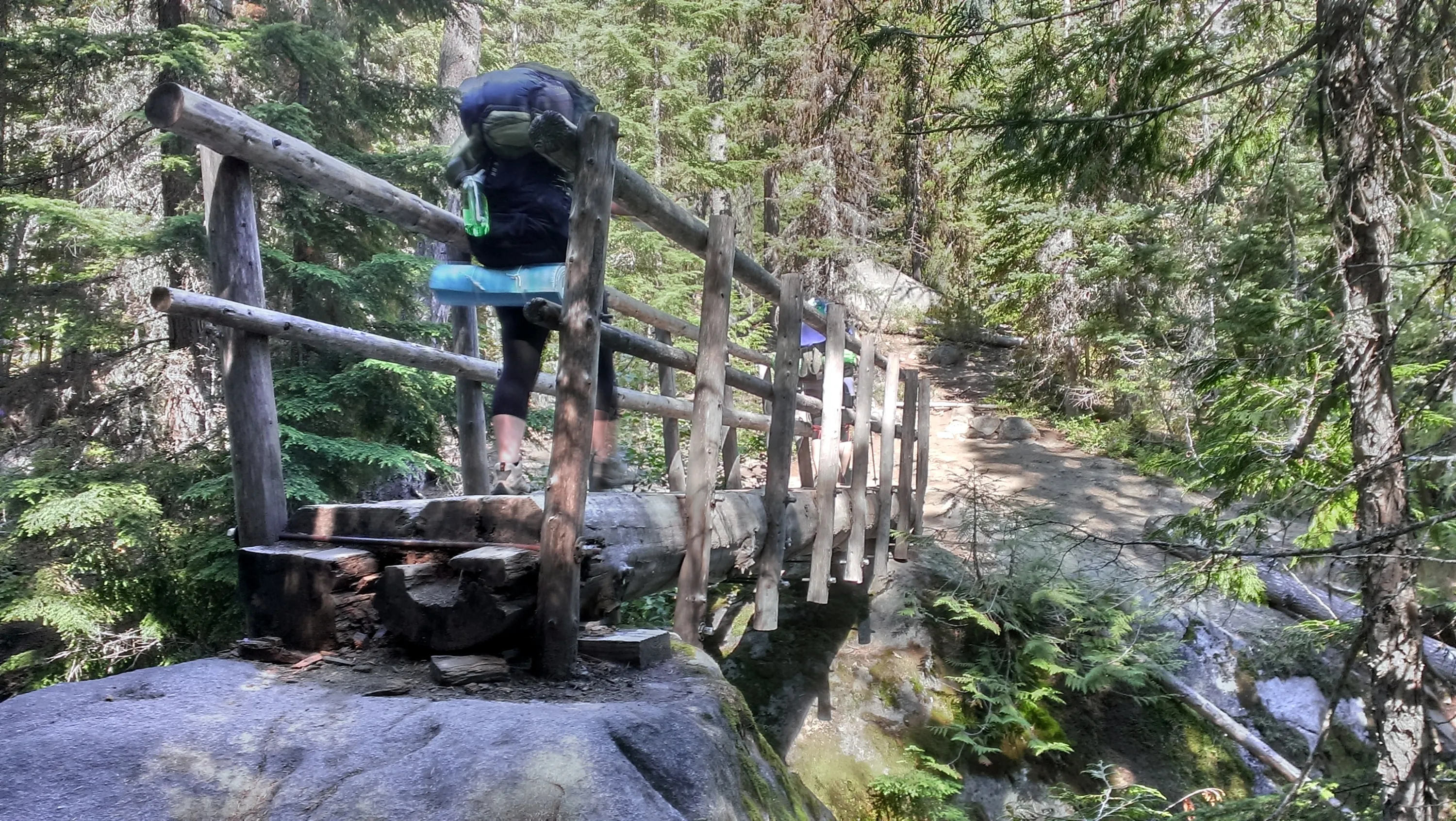
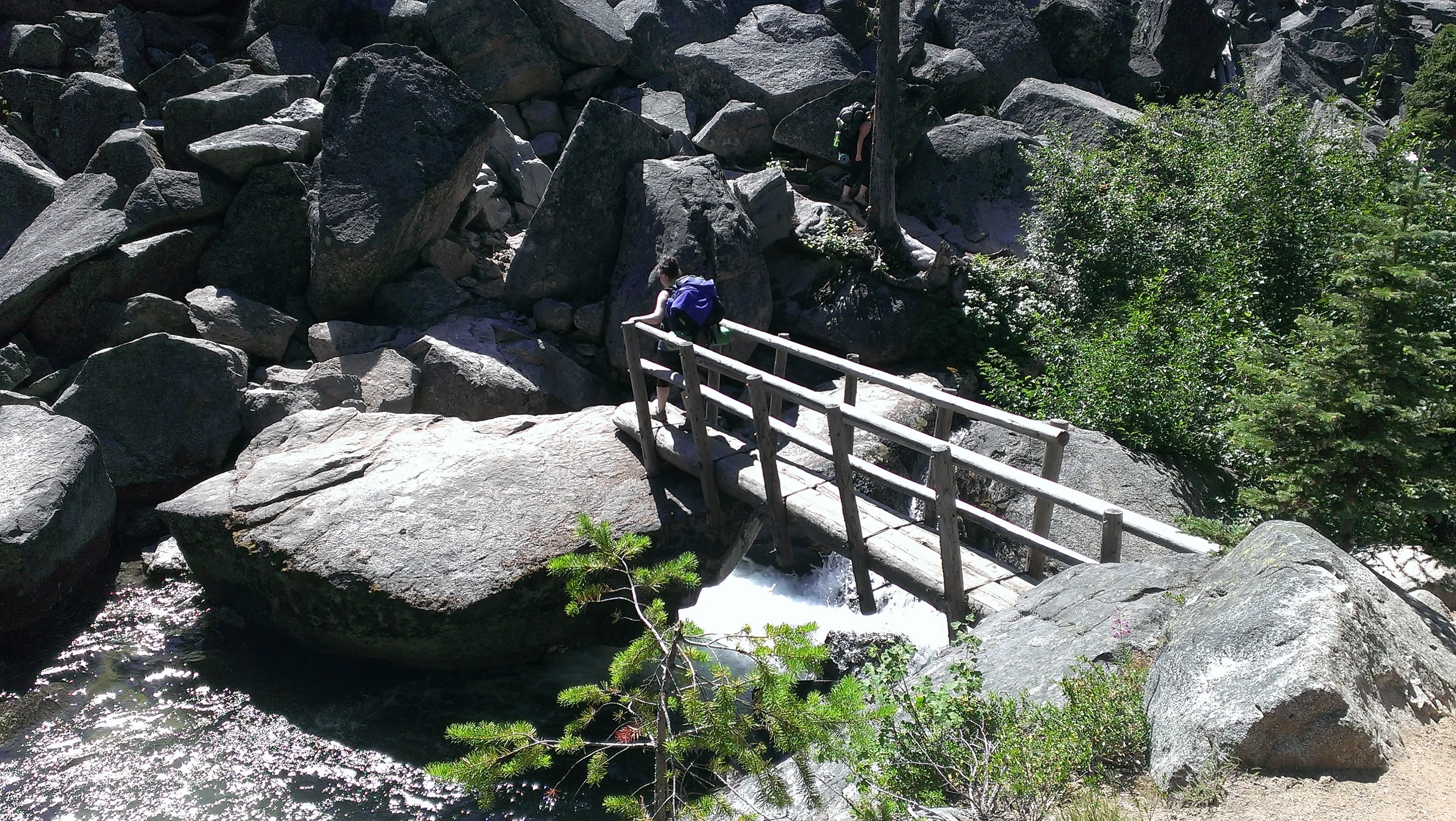
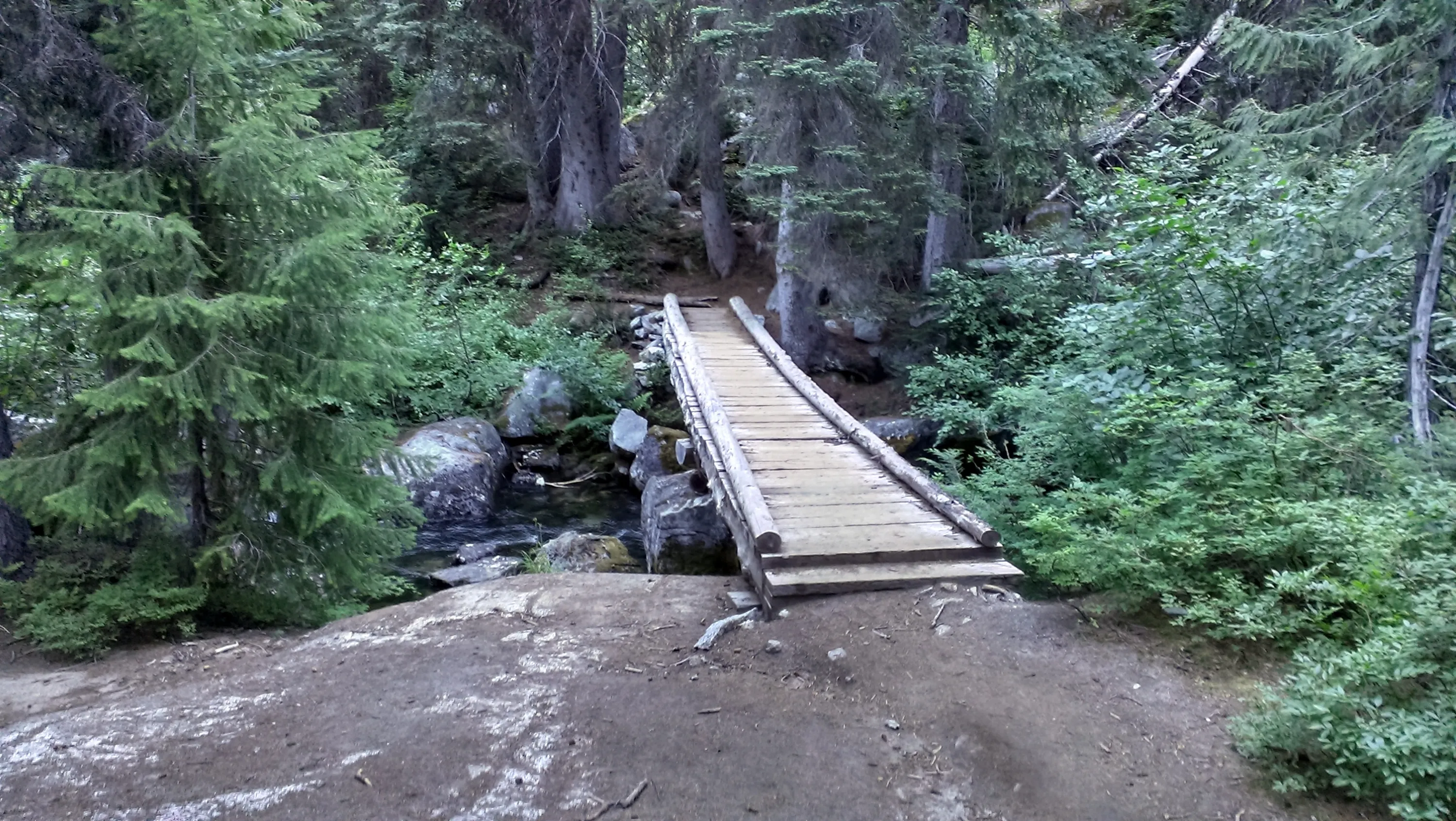
Crossing Mountaineer Creek
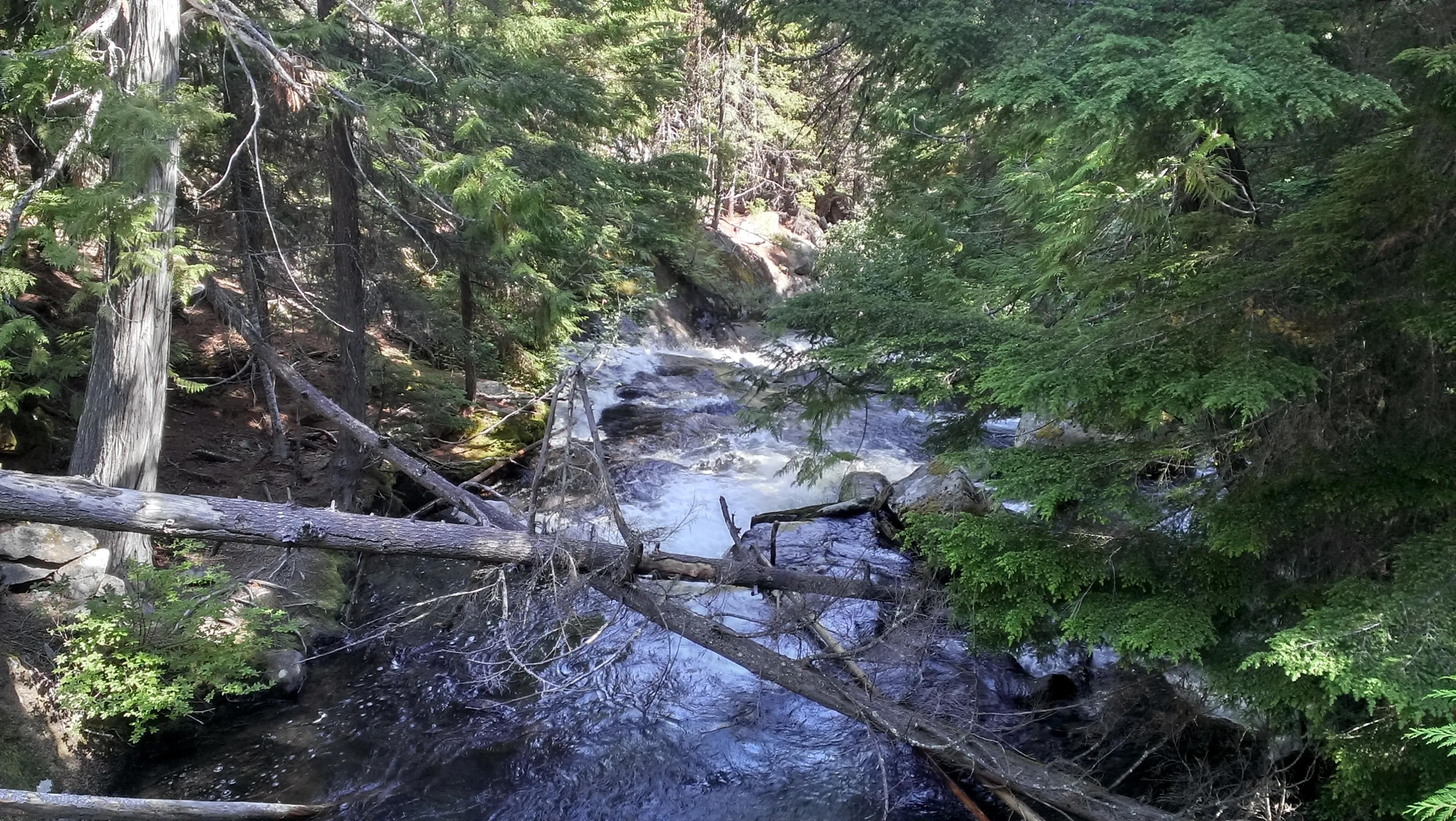
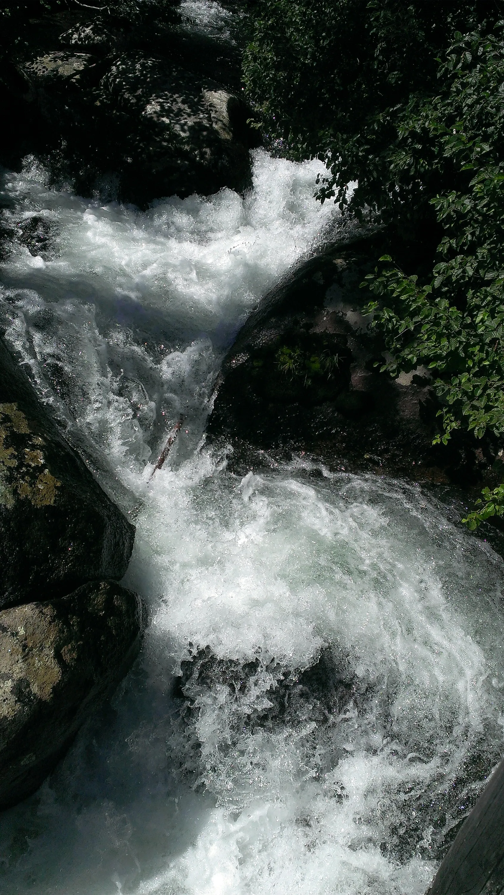
Mountaineer Creek upstream from the bridge
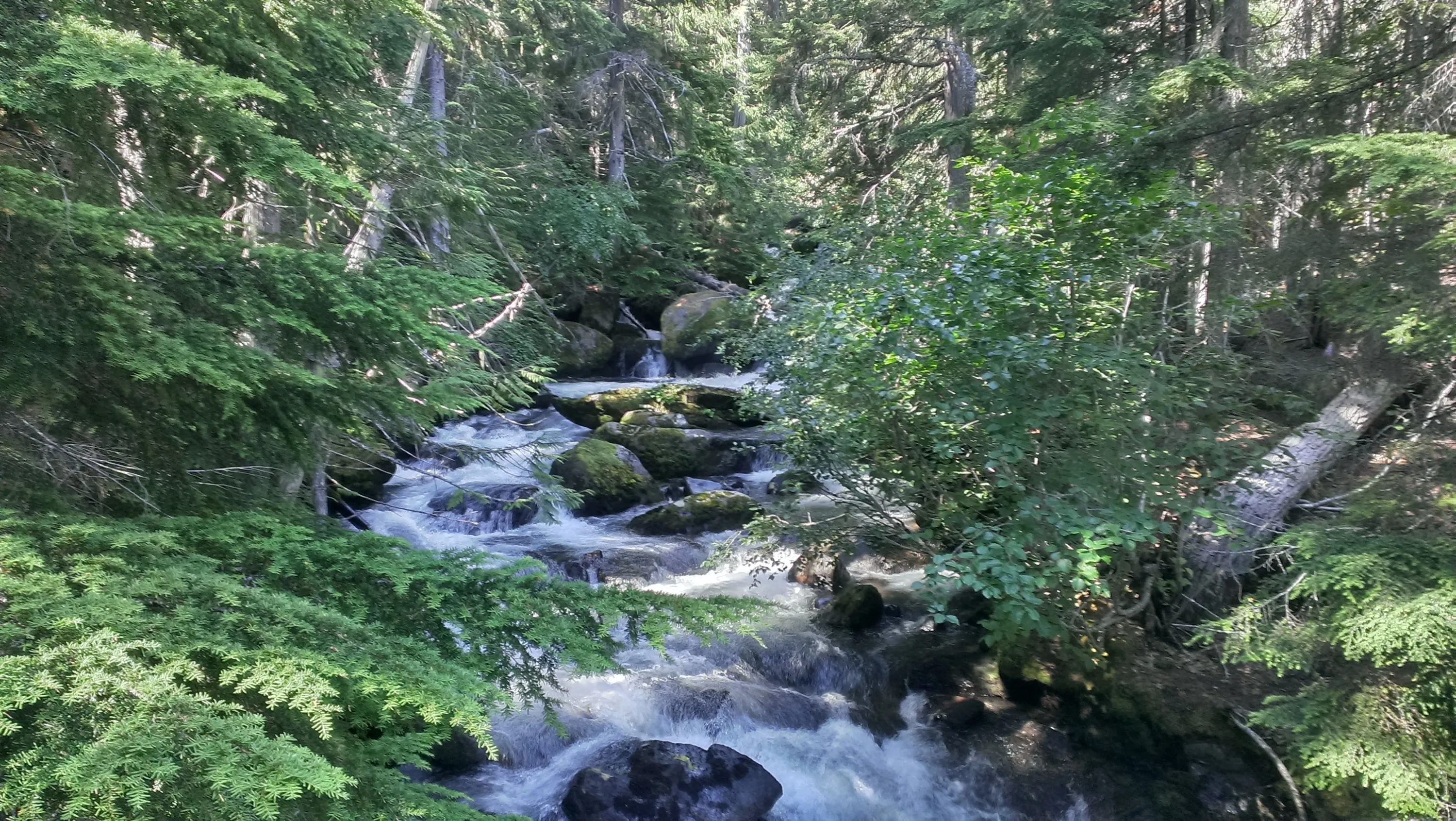
Mountaineer Creek downstream from the bridge
Crossing Mountaineer Creek for the second time
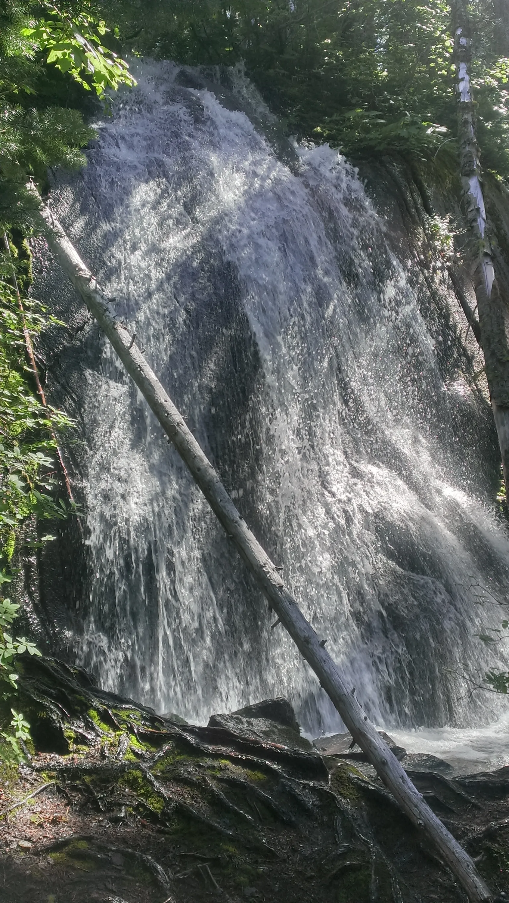
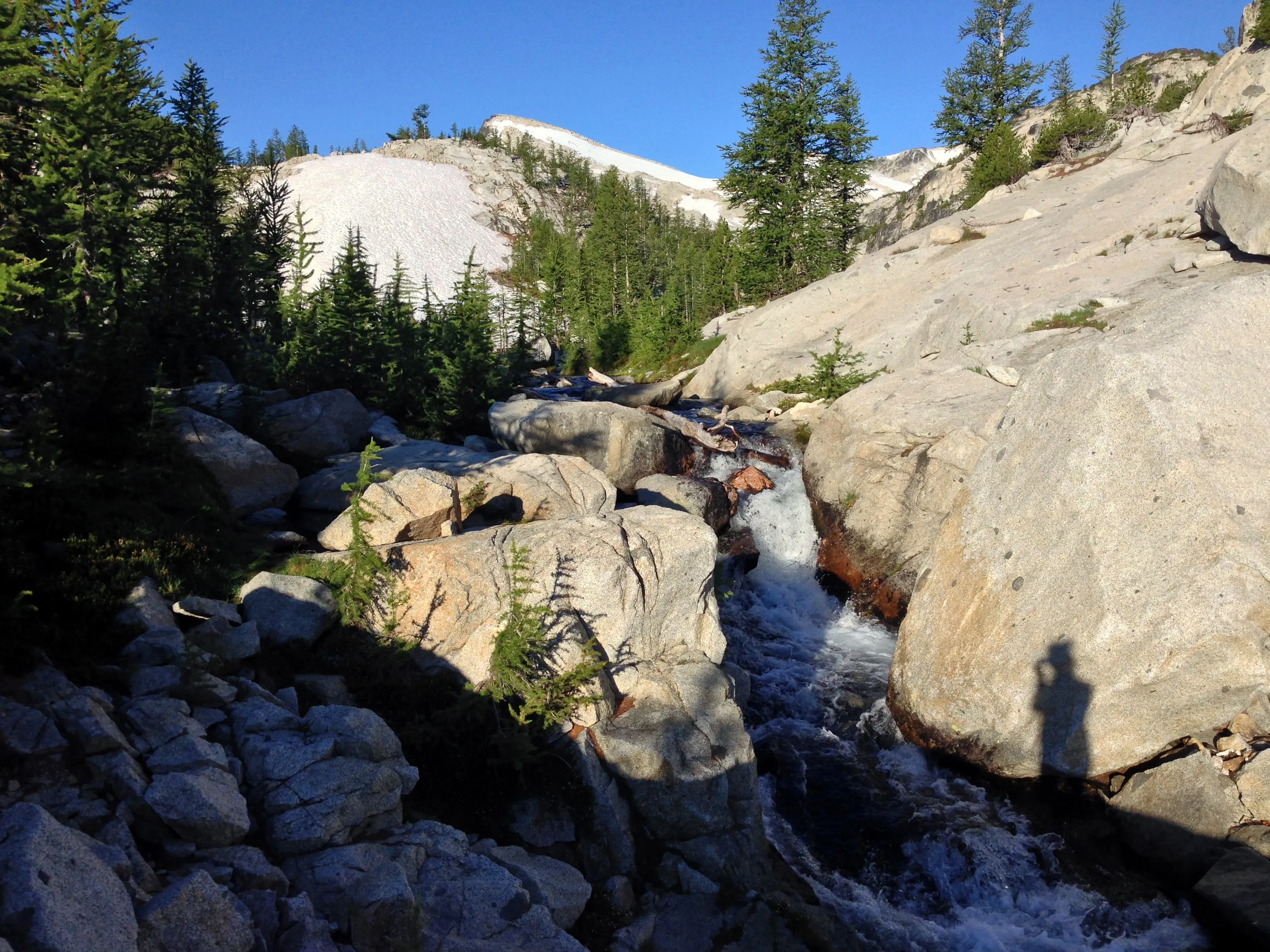
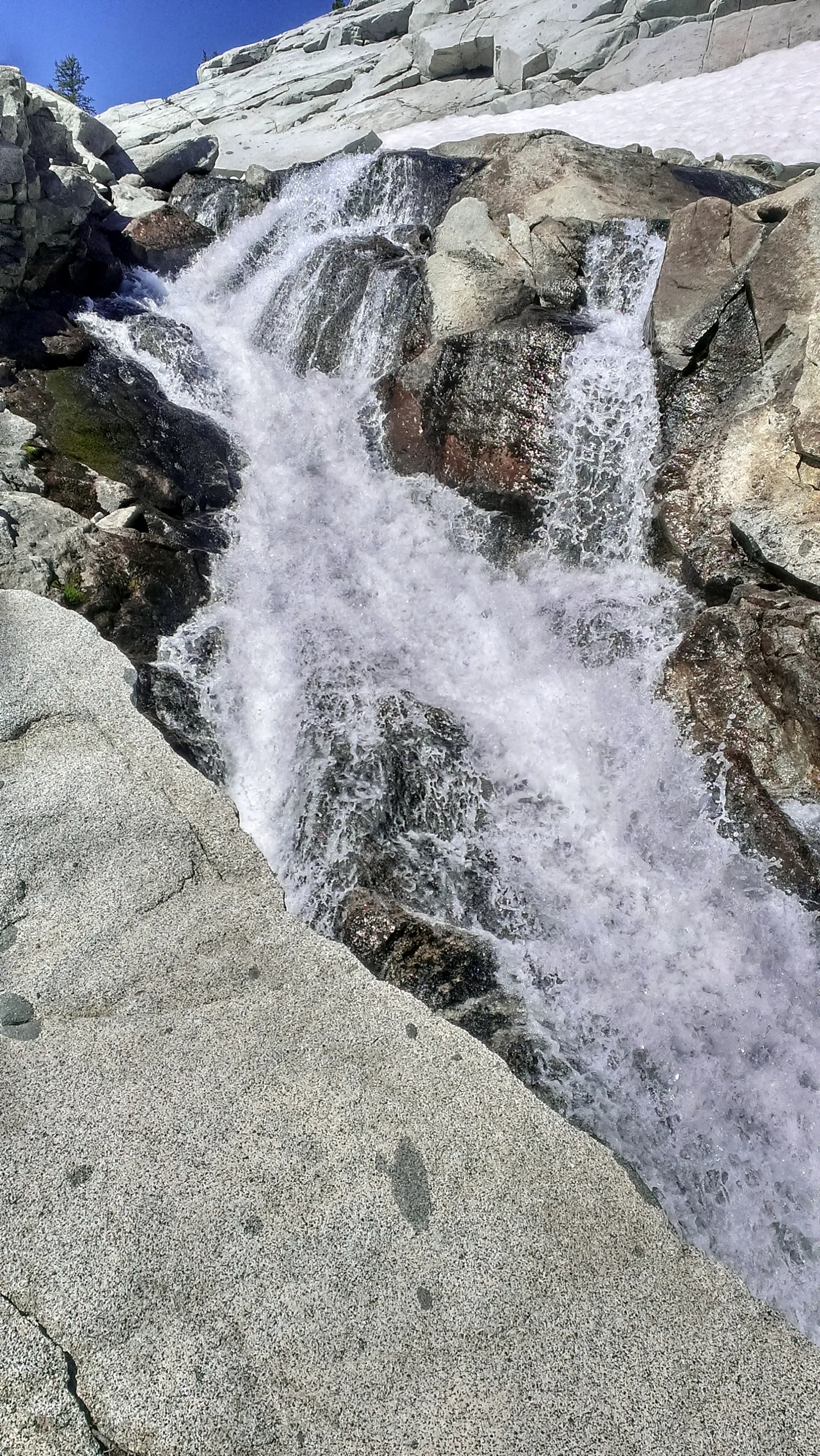
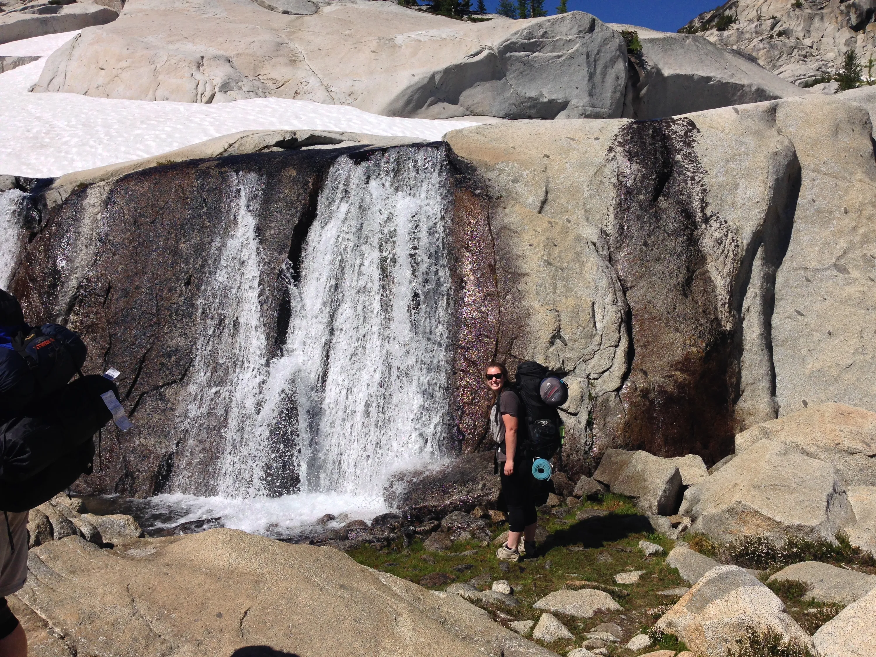
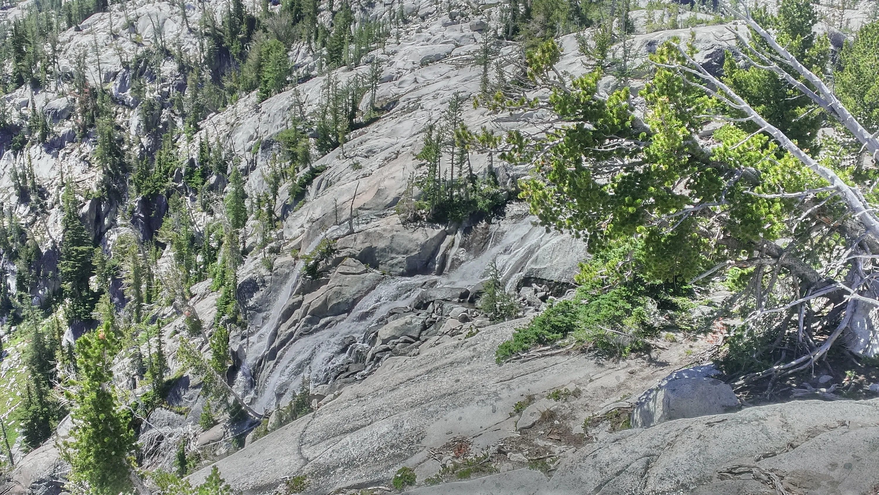
Waterfall on Mountaineer Creek
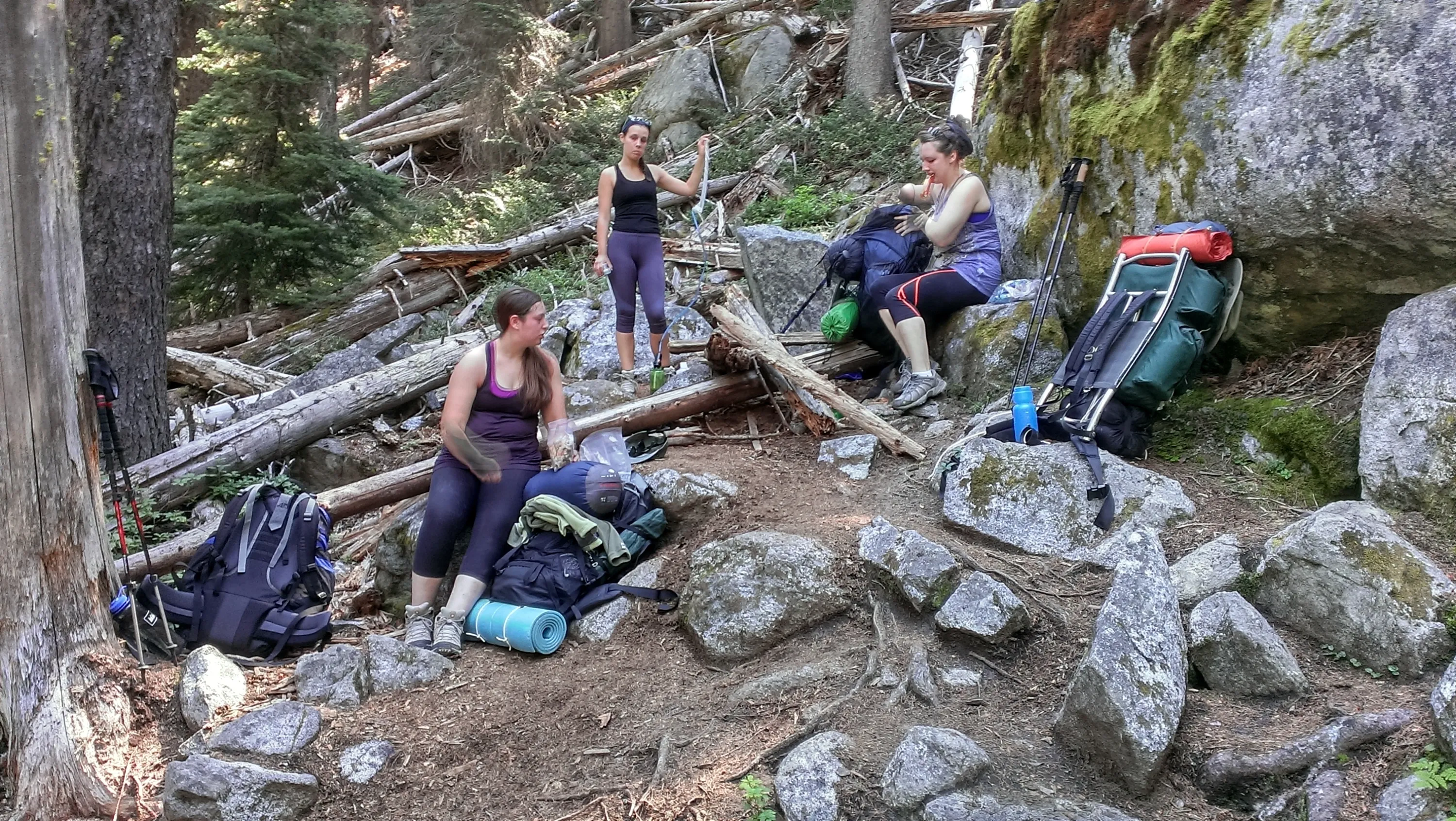
Taking a break on the way up to Colchuck Lake
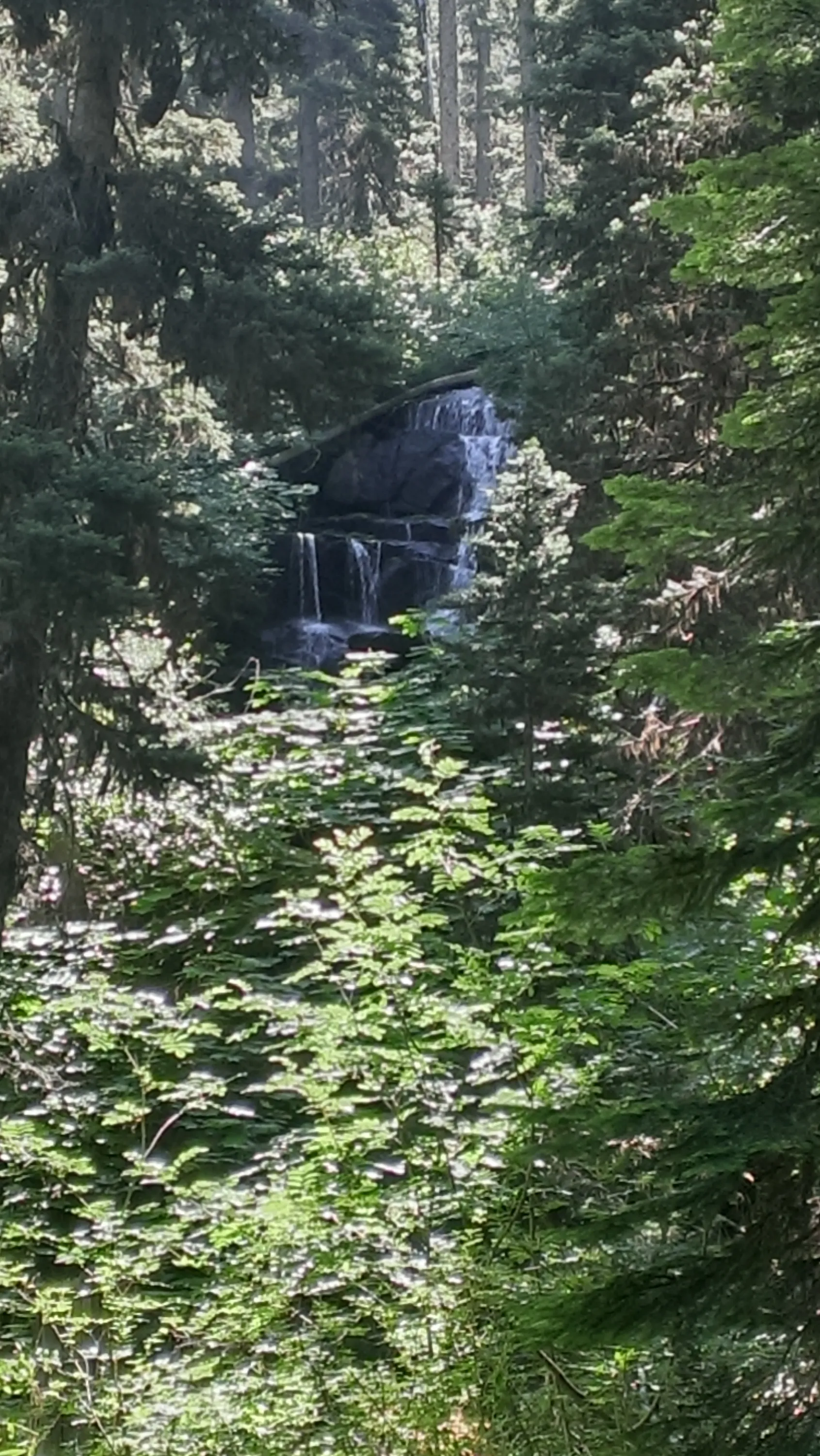
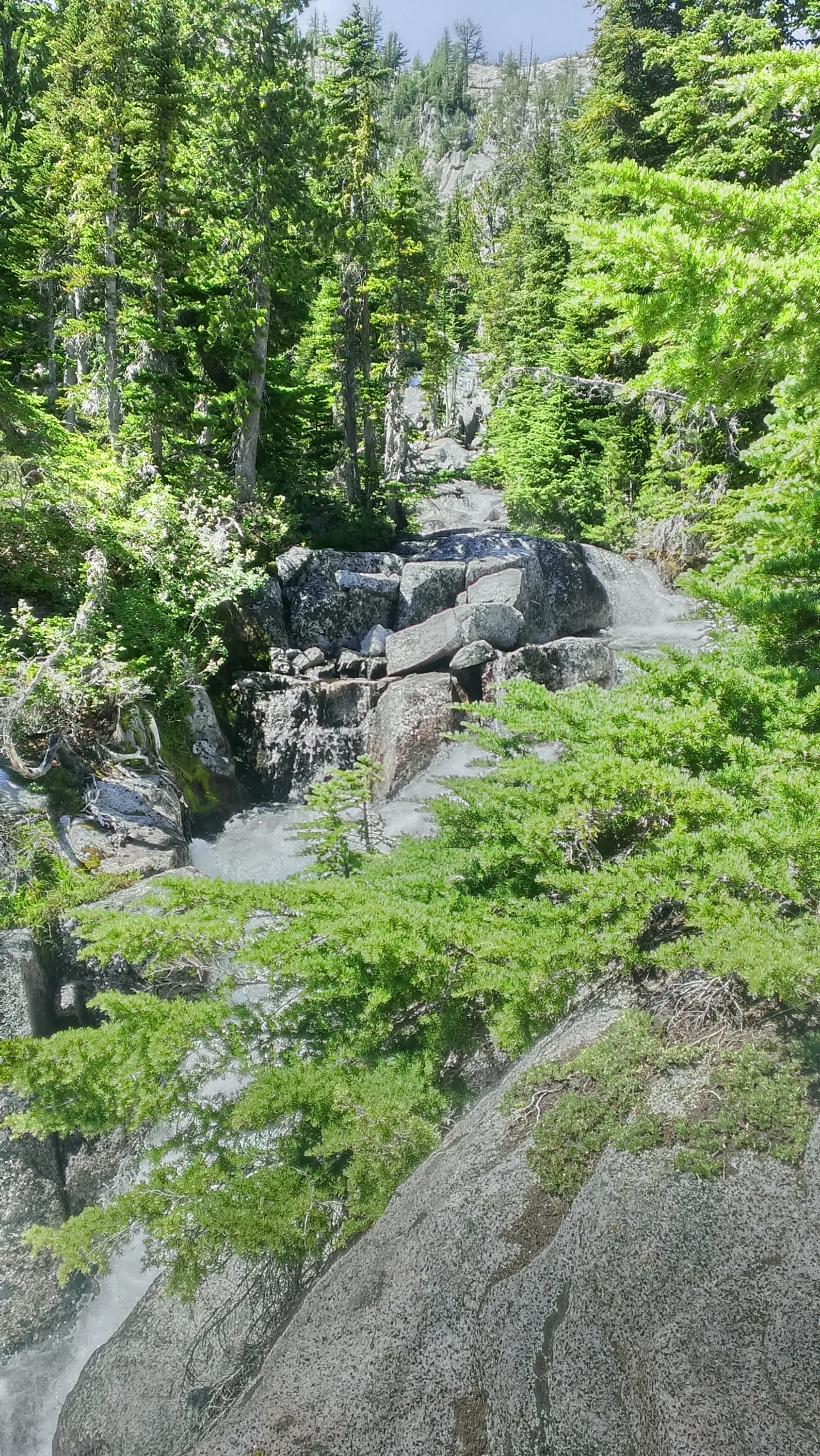
Waterfall on un-named creek below Colchuck Lake
Another waterfall on un-named creek below Colchuck Lake
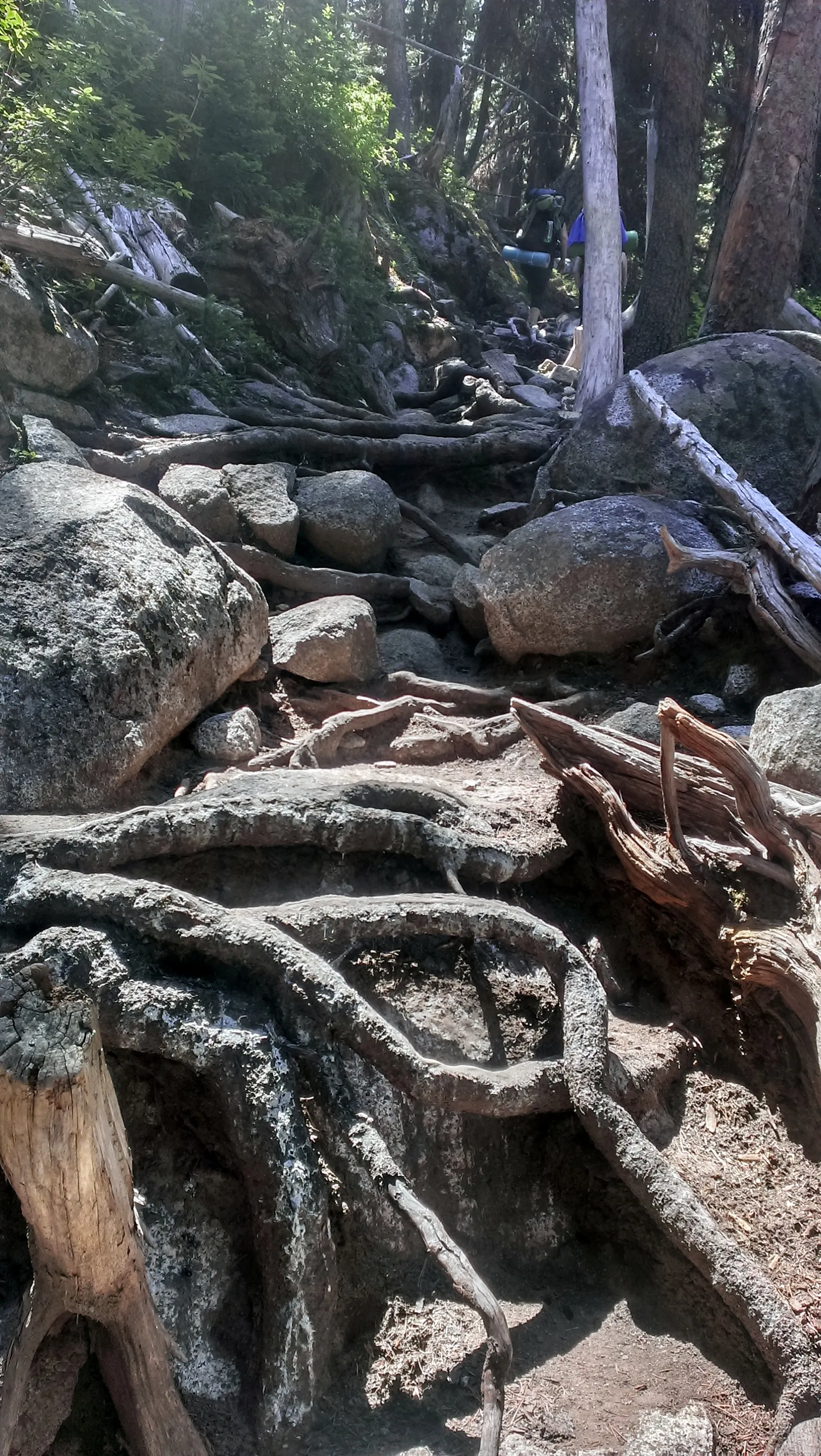
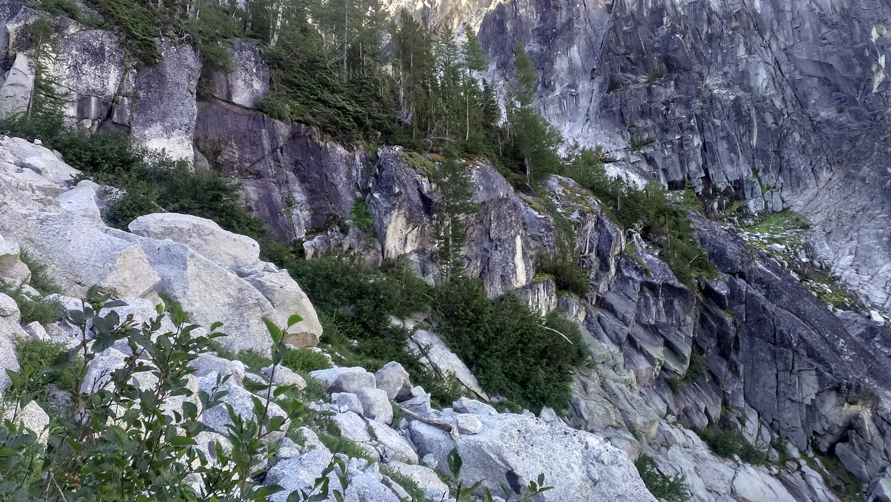
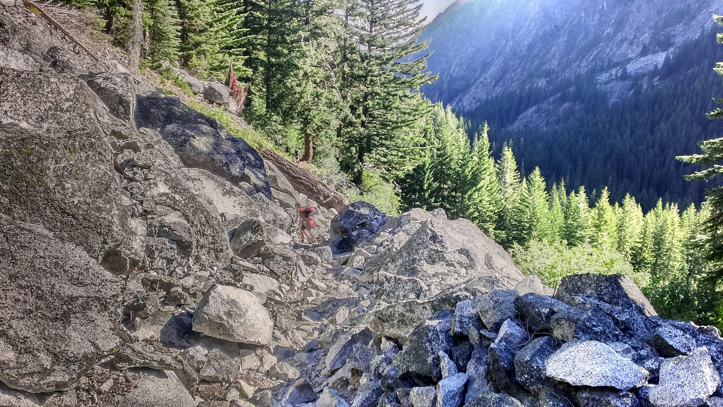
This is trail? Pretty rough
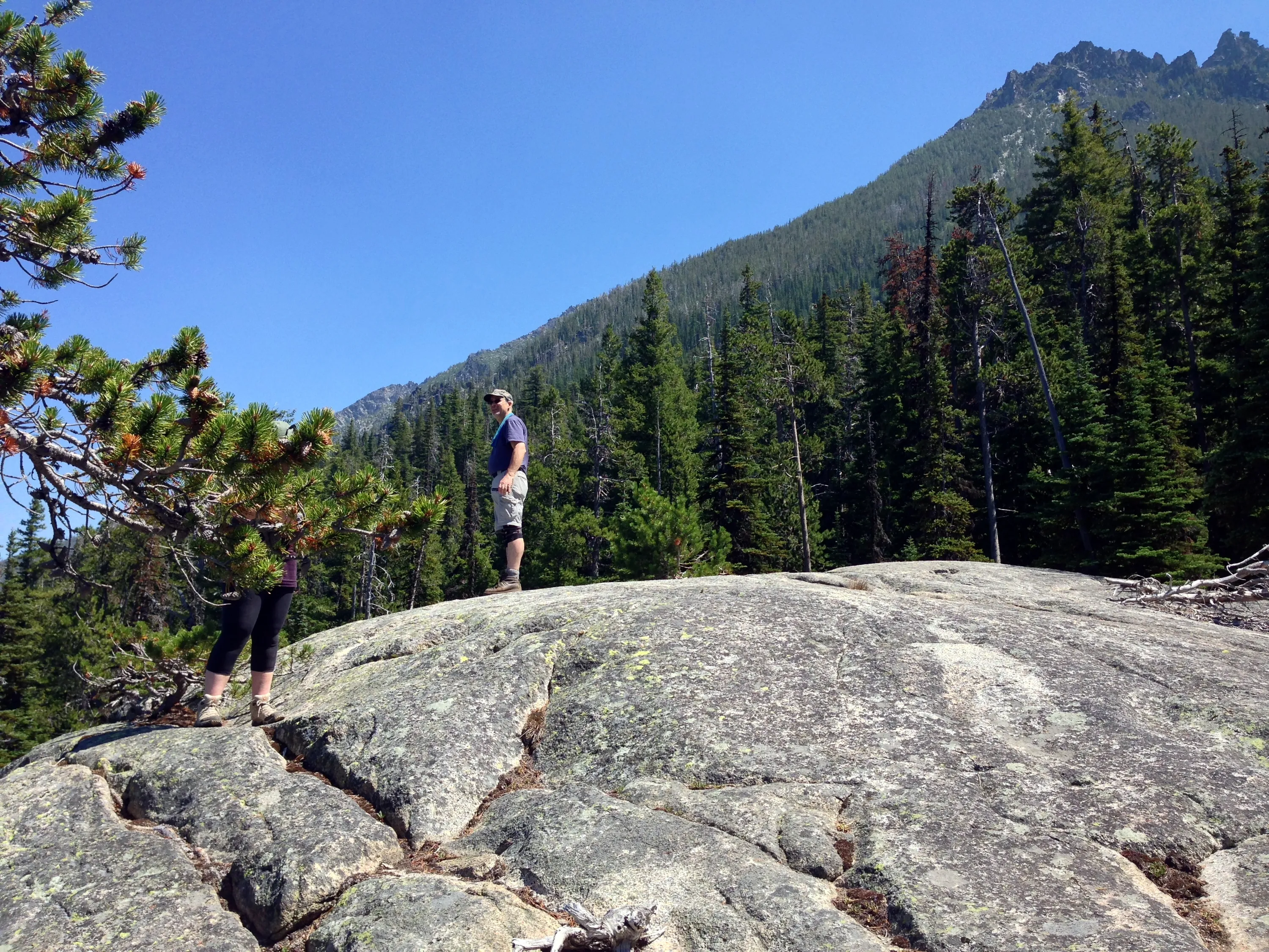
Dad in his dorky outfit - knee braces and all
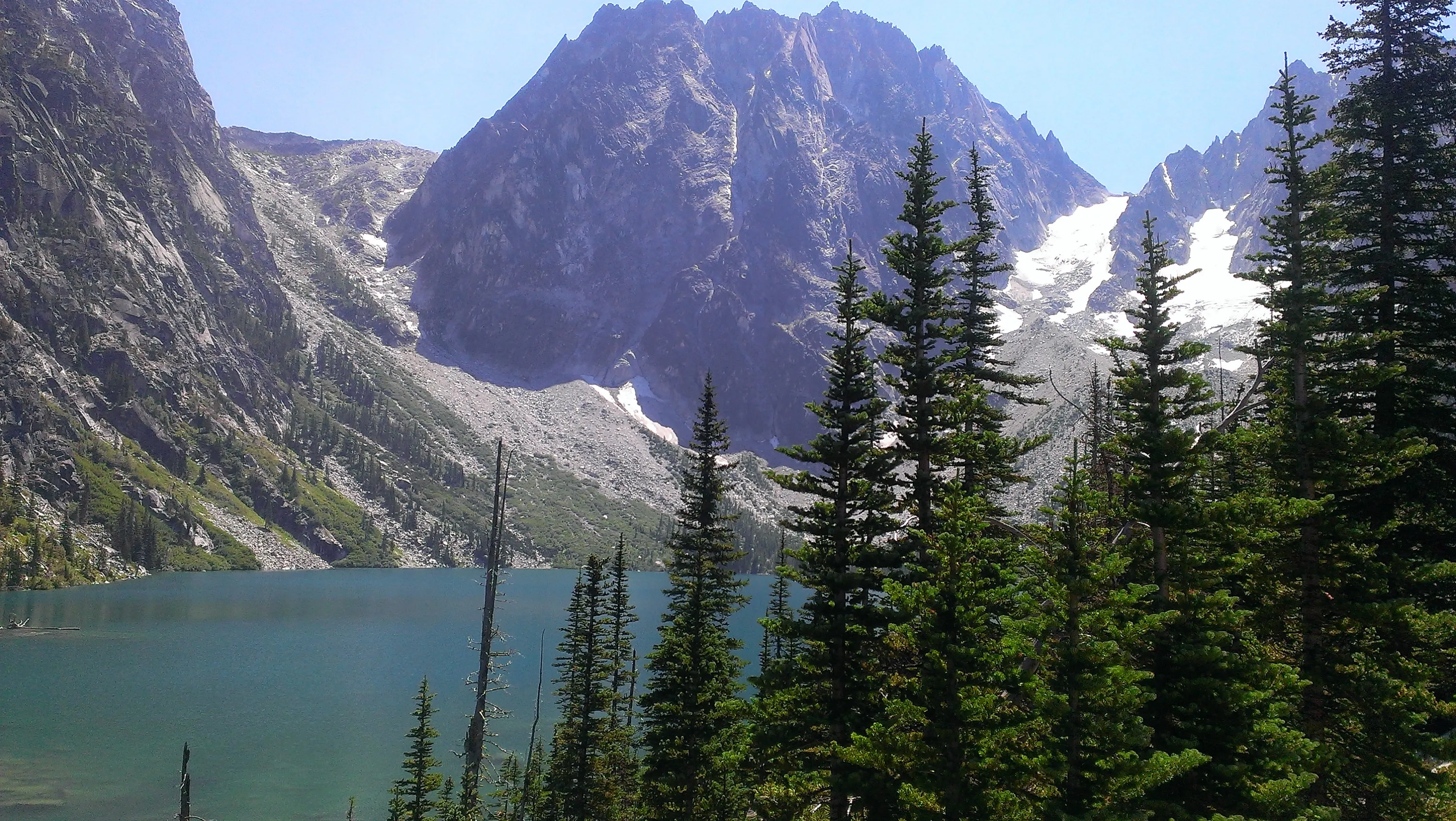
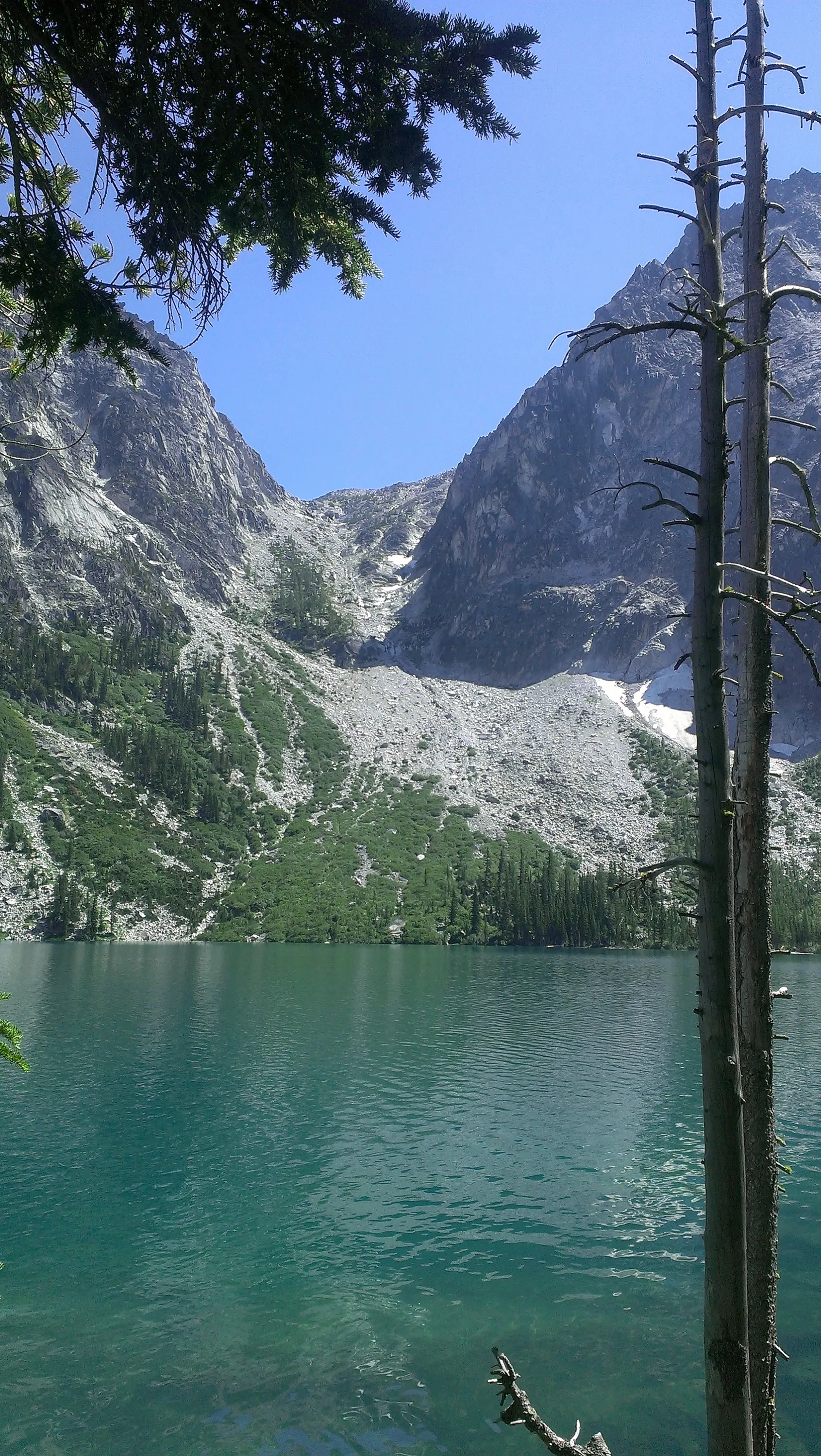
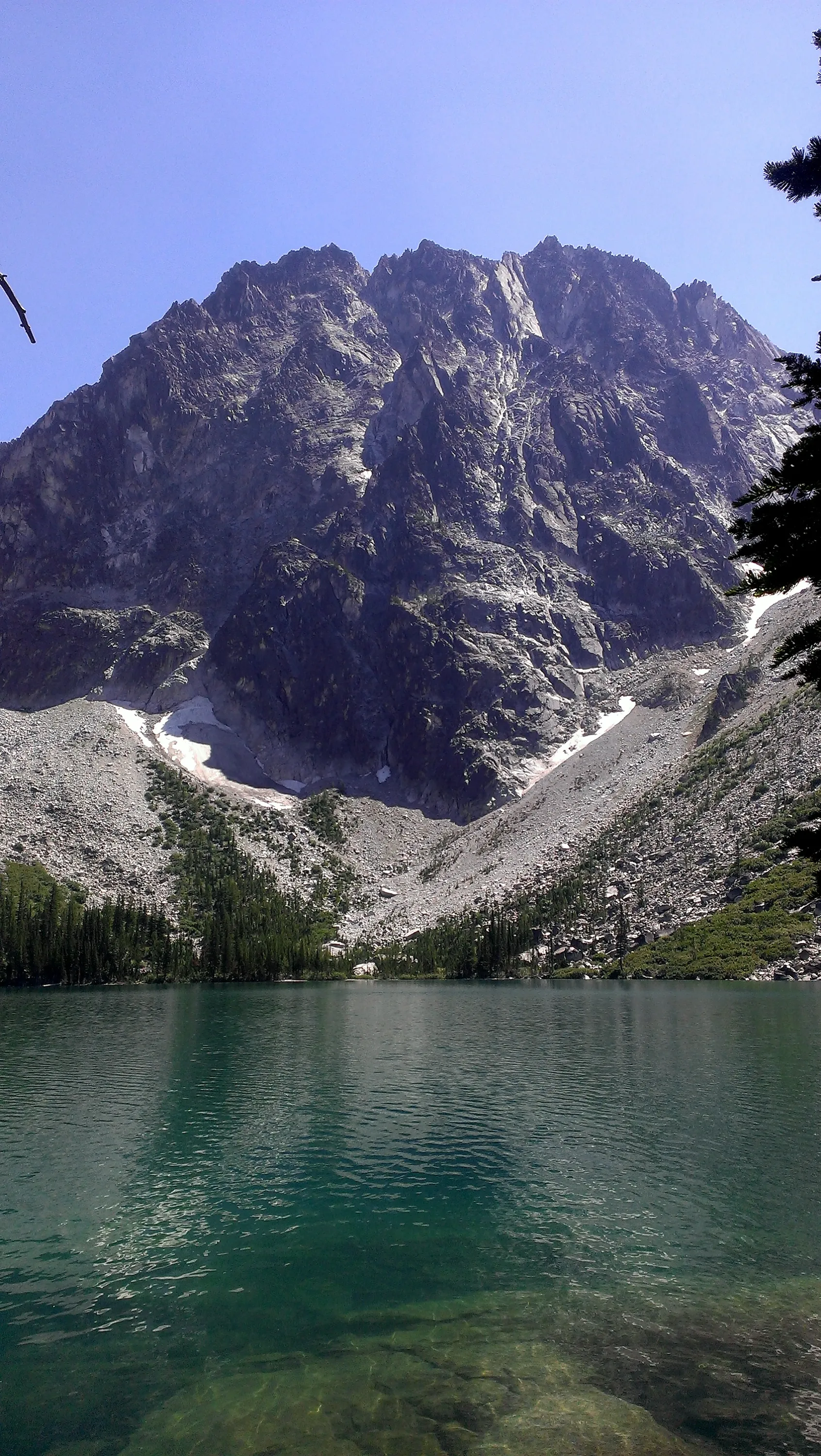
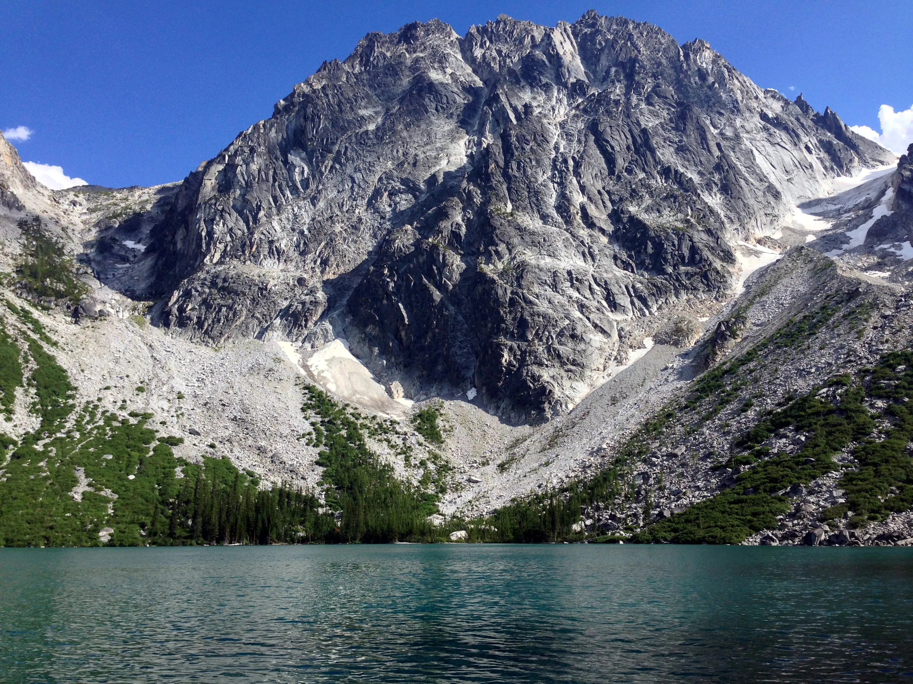
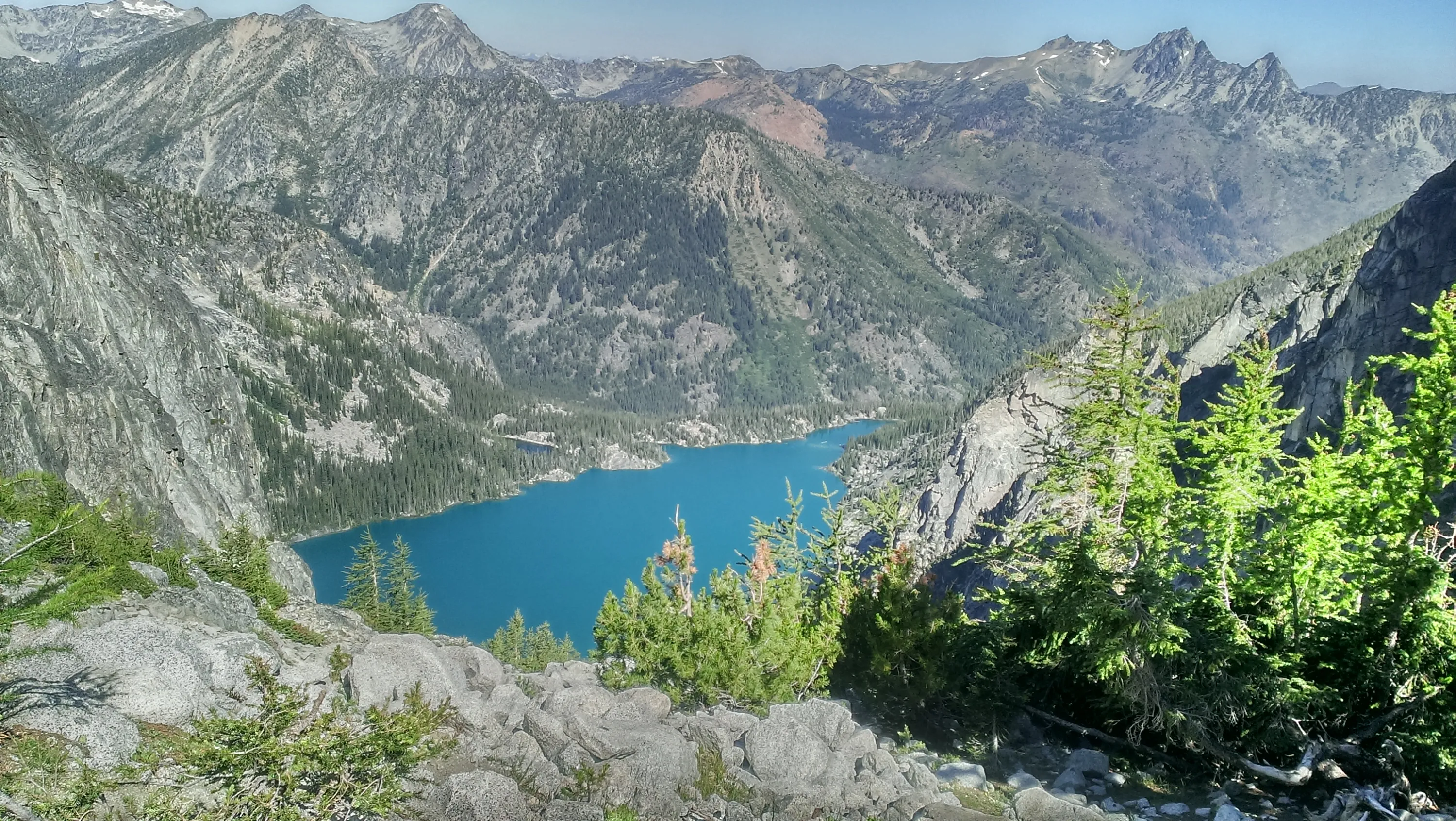
First view of Colchuck Lake - Aasgard pass to the left and Dragontail Peak in the center
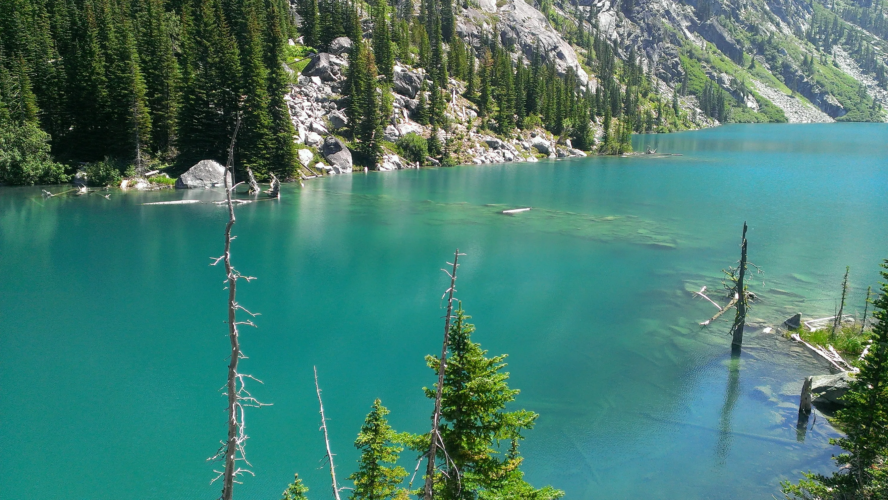
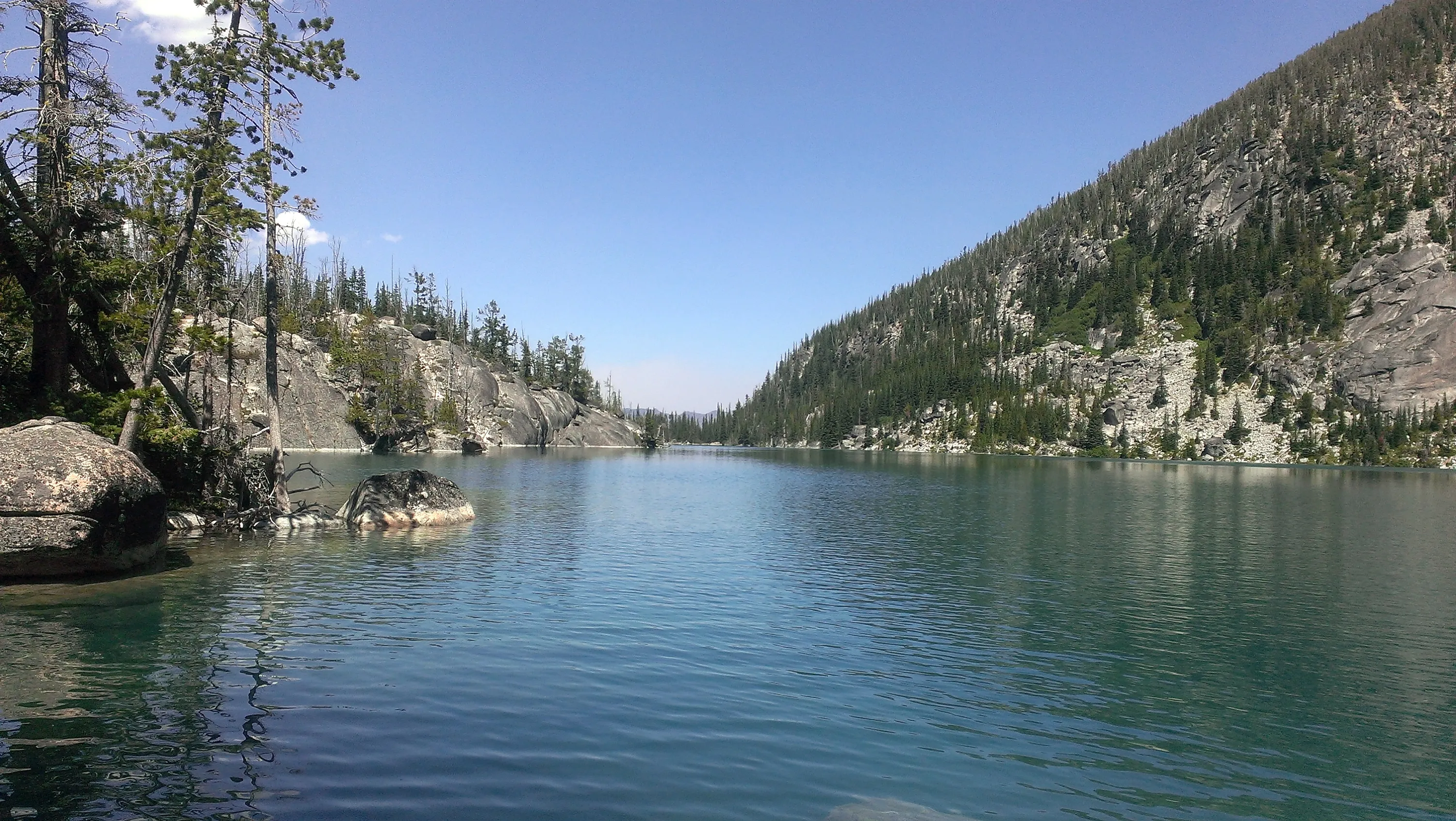
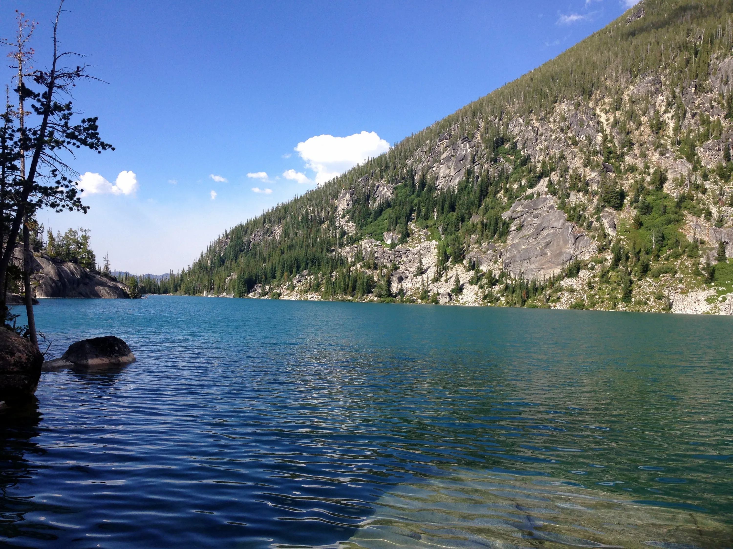
North end of Colchuck Lake
North end of Colchuck Lake
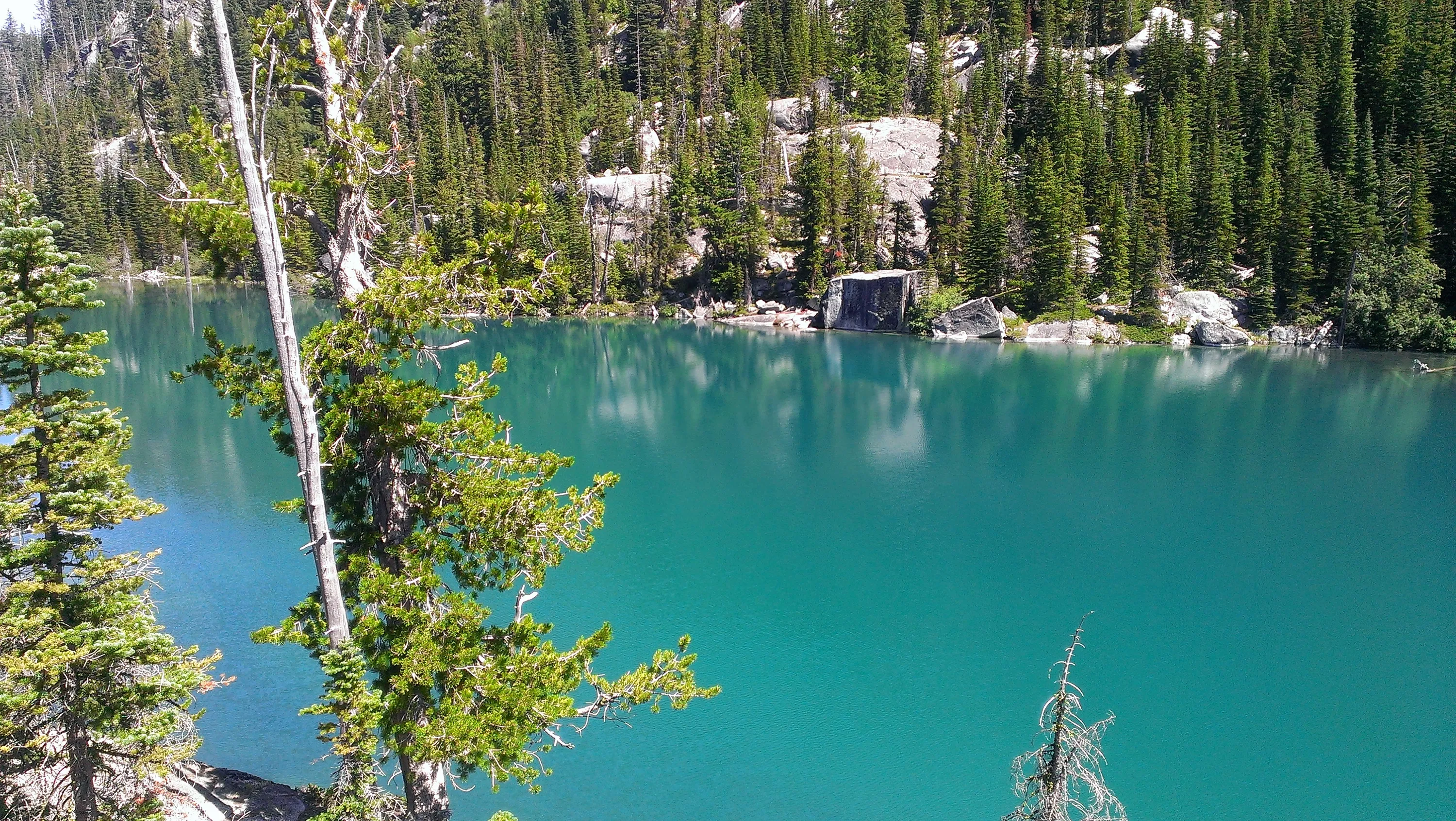
Cool diving rock in Colchuck Lake - looks like it is hard to get to, though
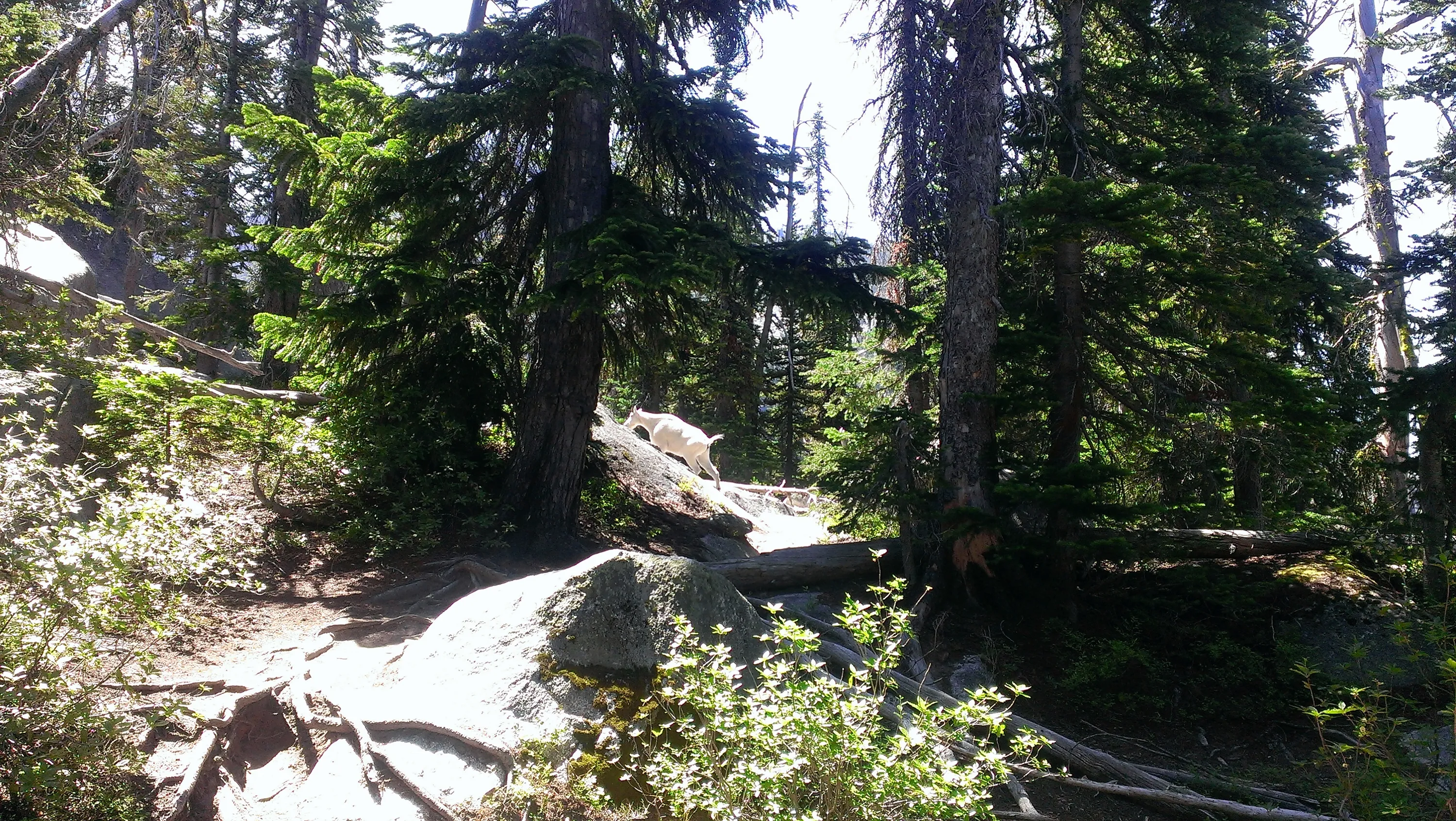
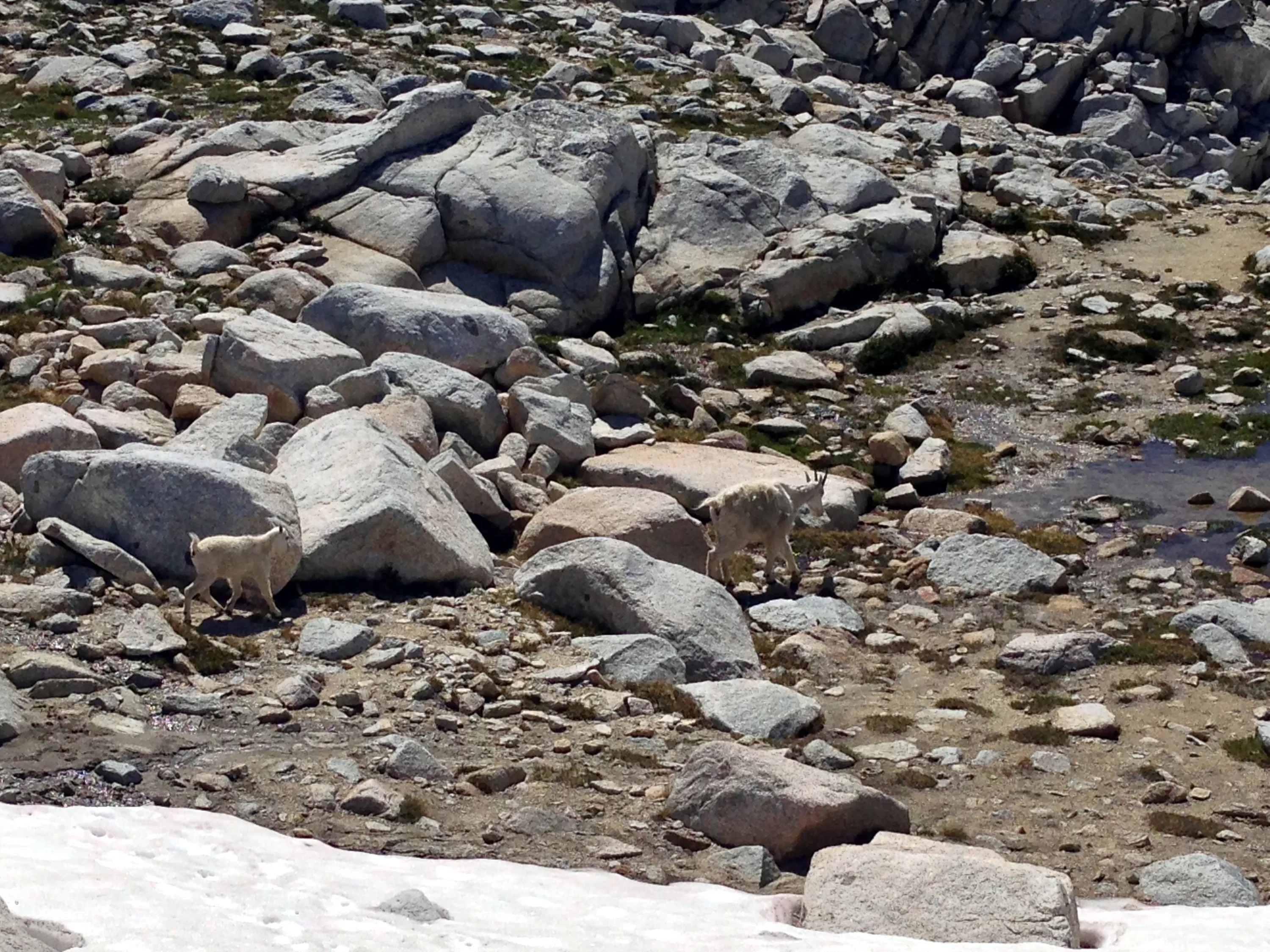
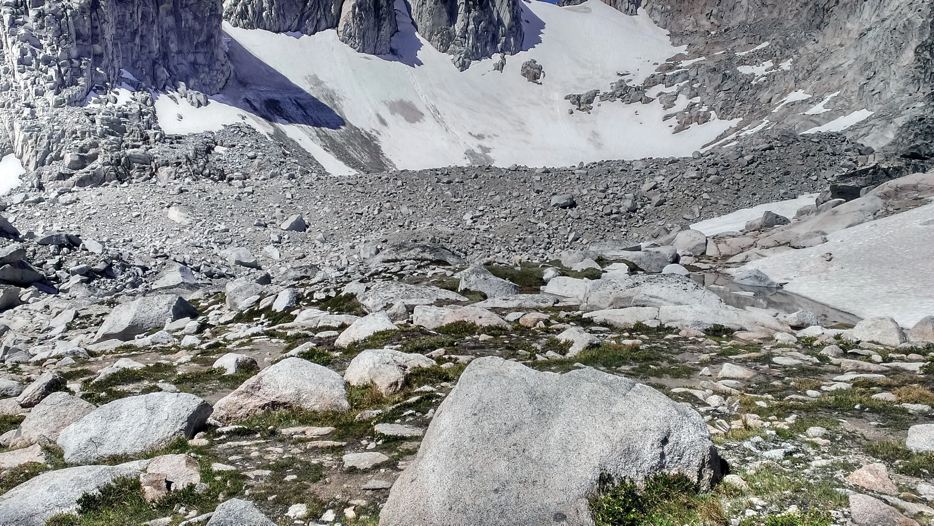
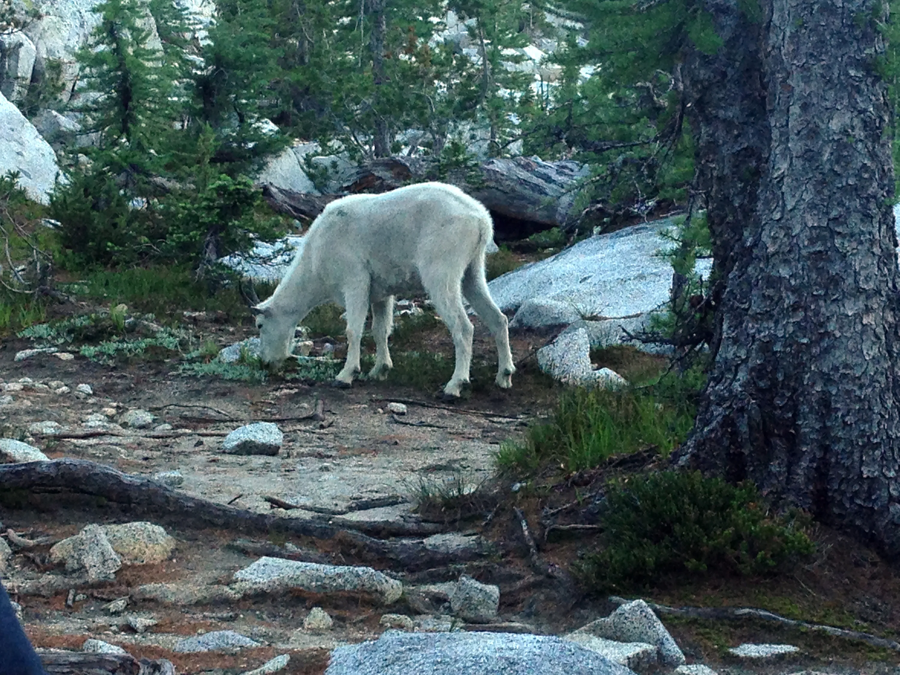
Our first goat sighting
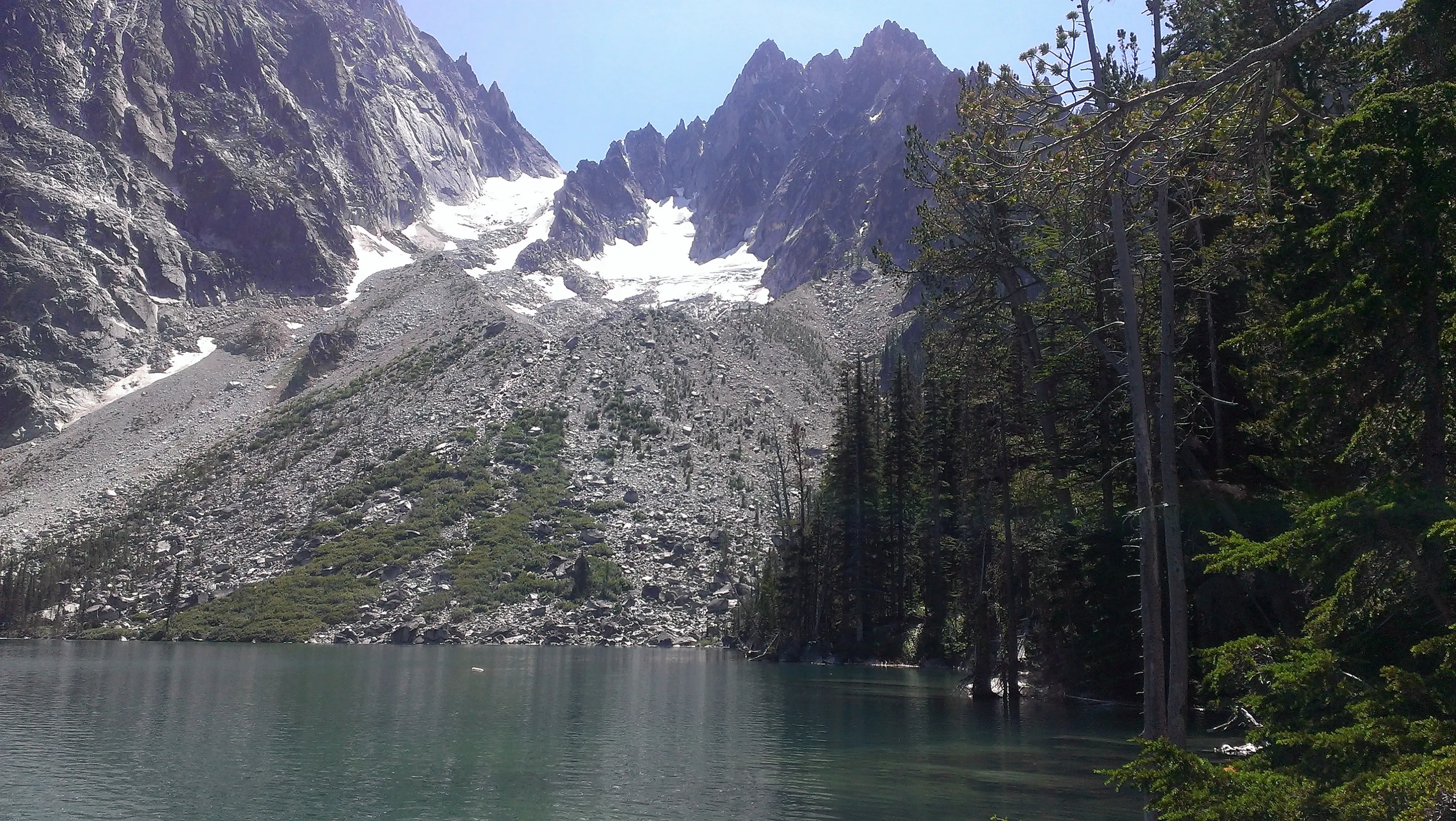
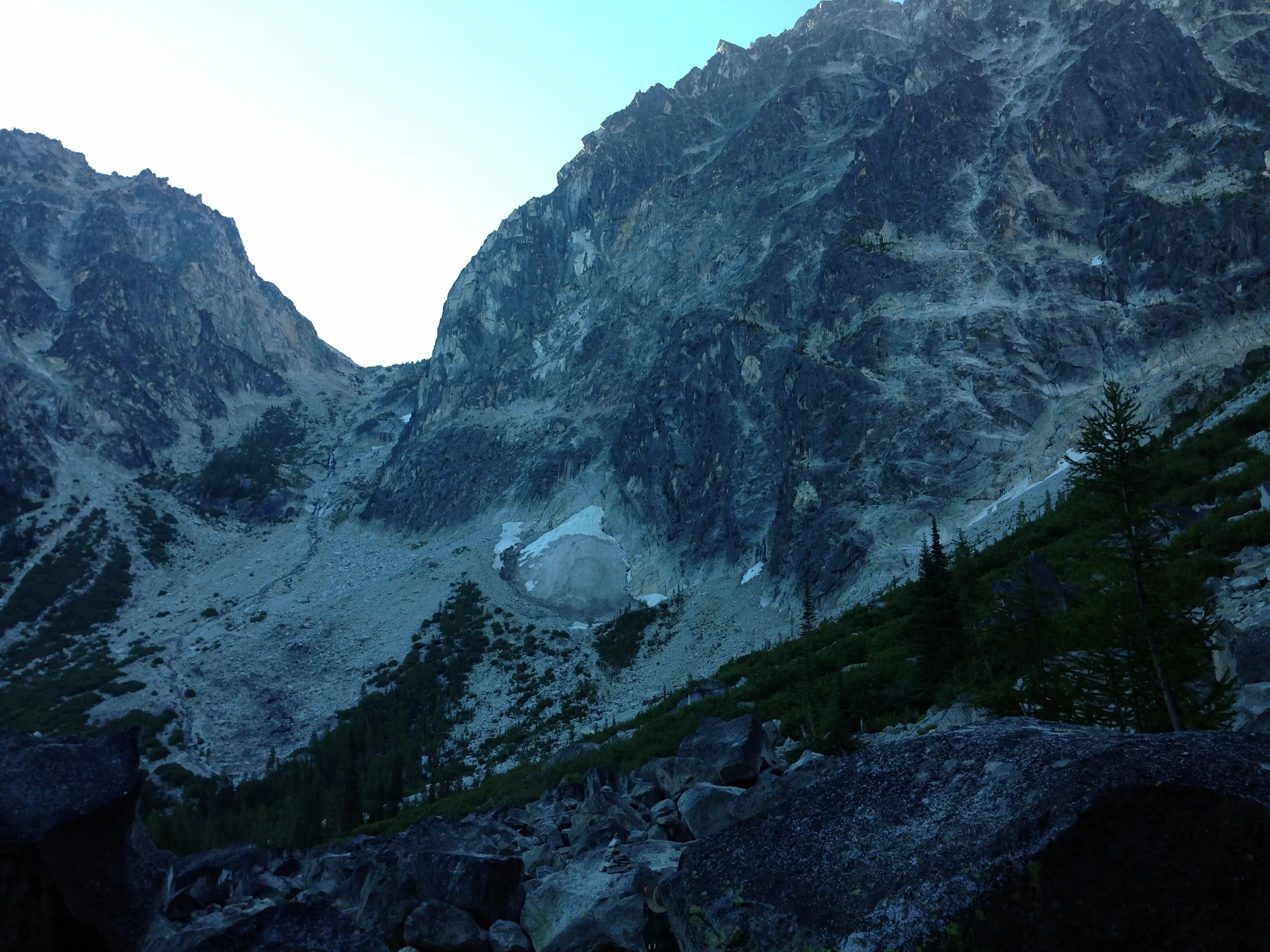
Aasgard pass - our challenge for Tuesday
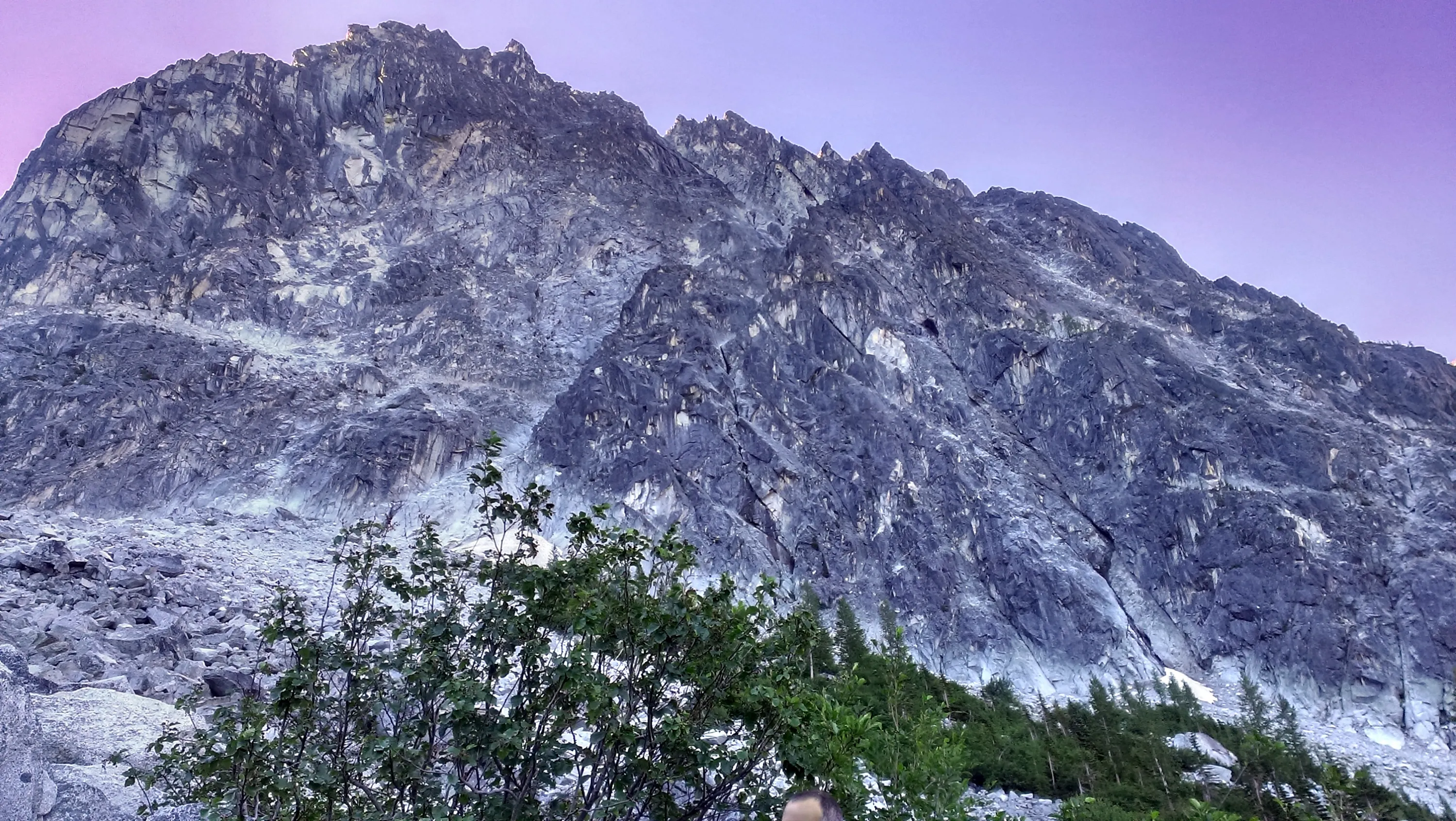
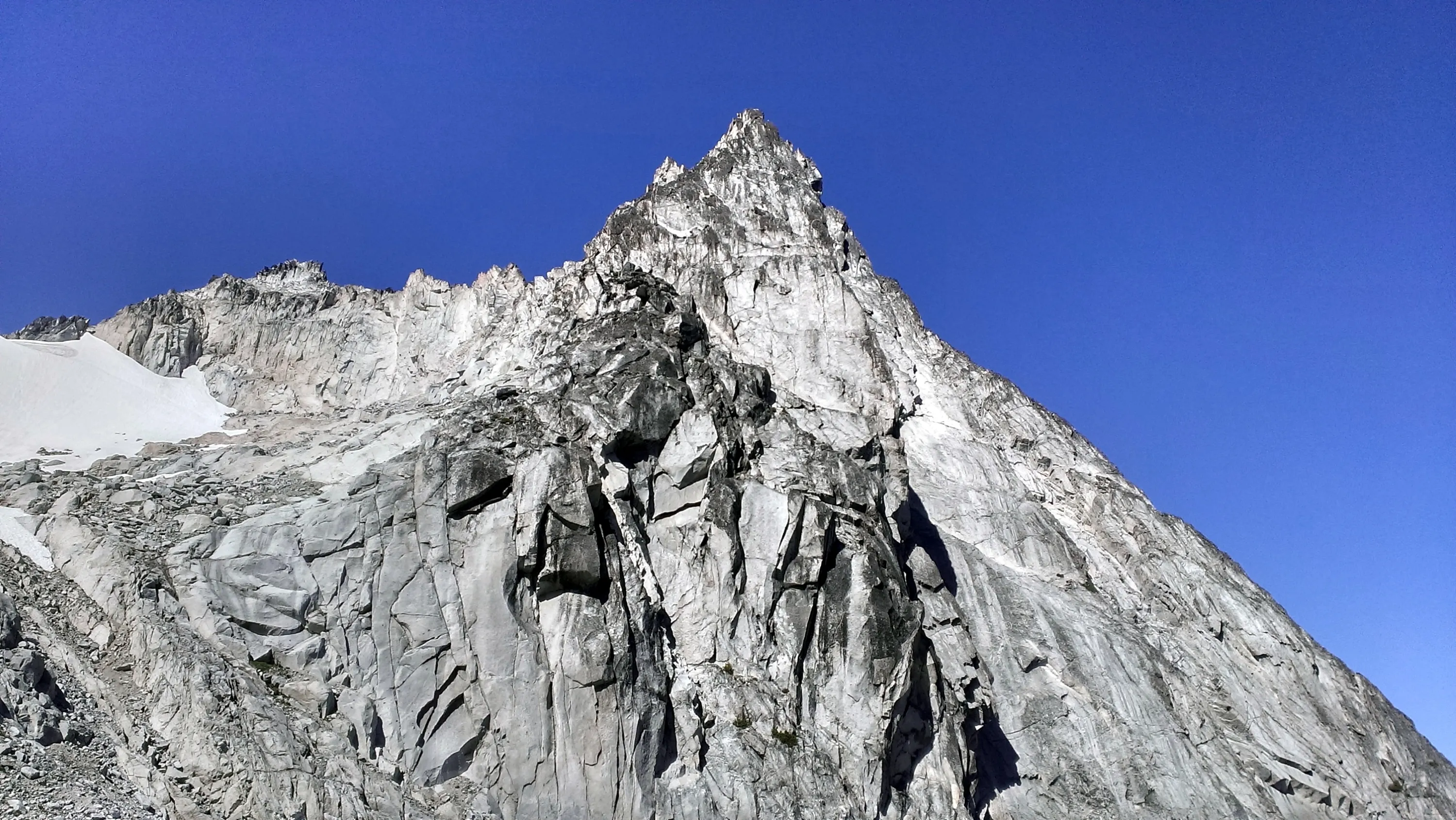
Dragontail Peak
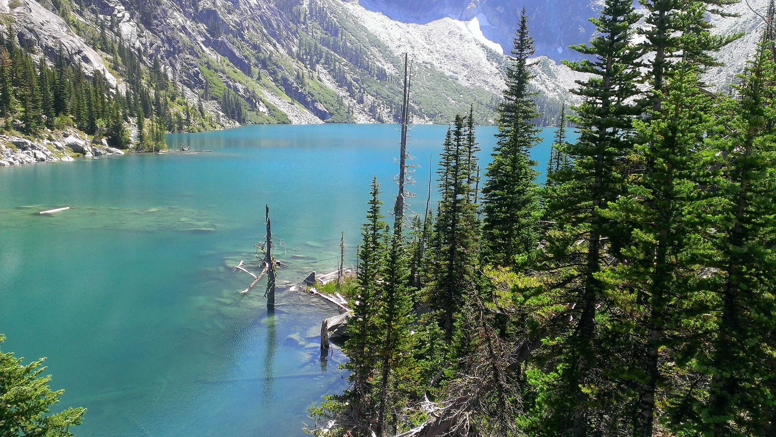
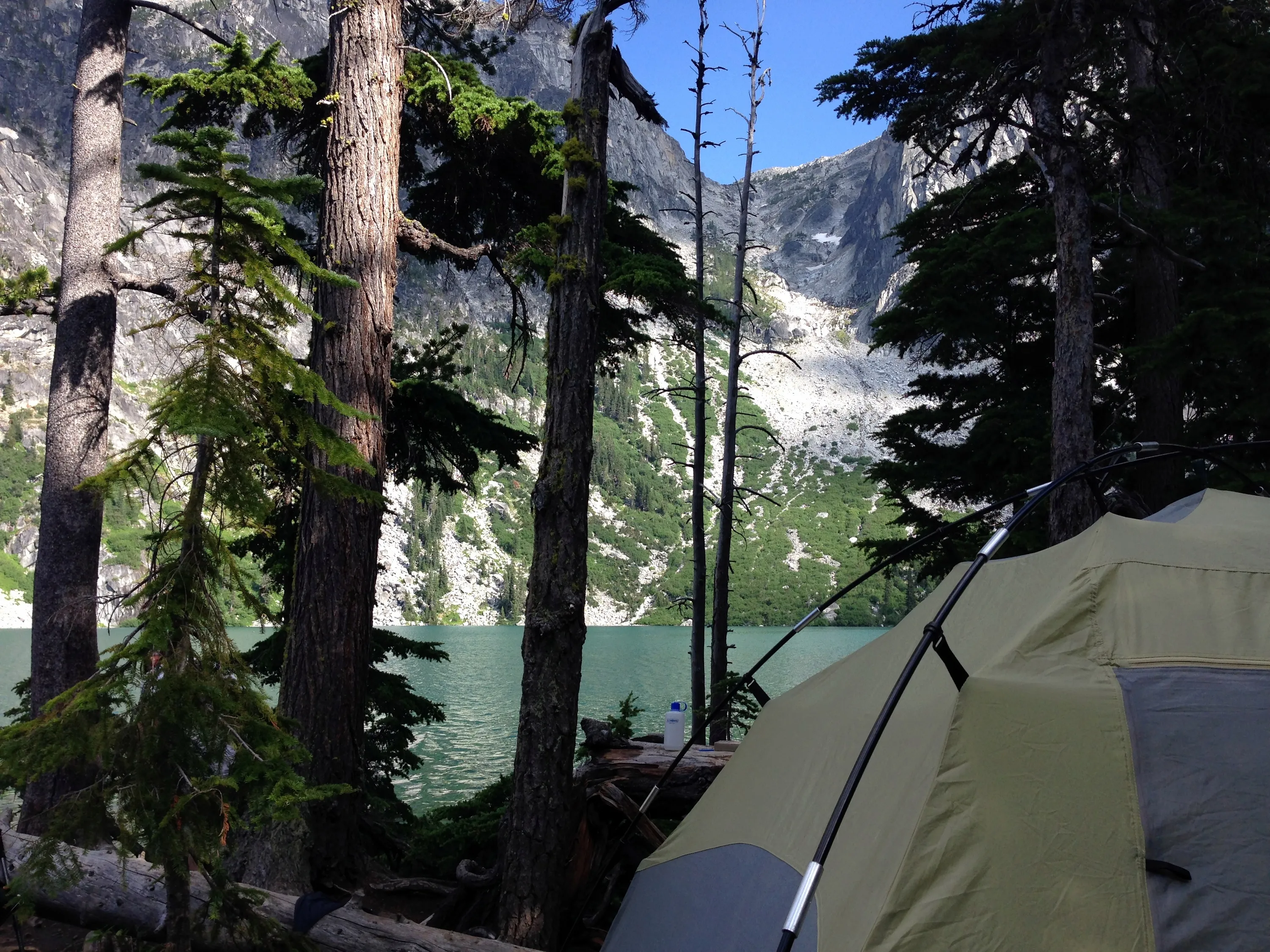
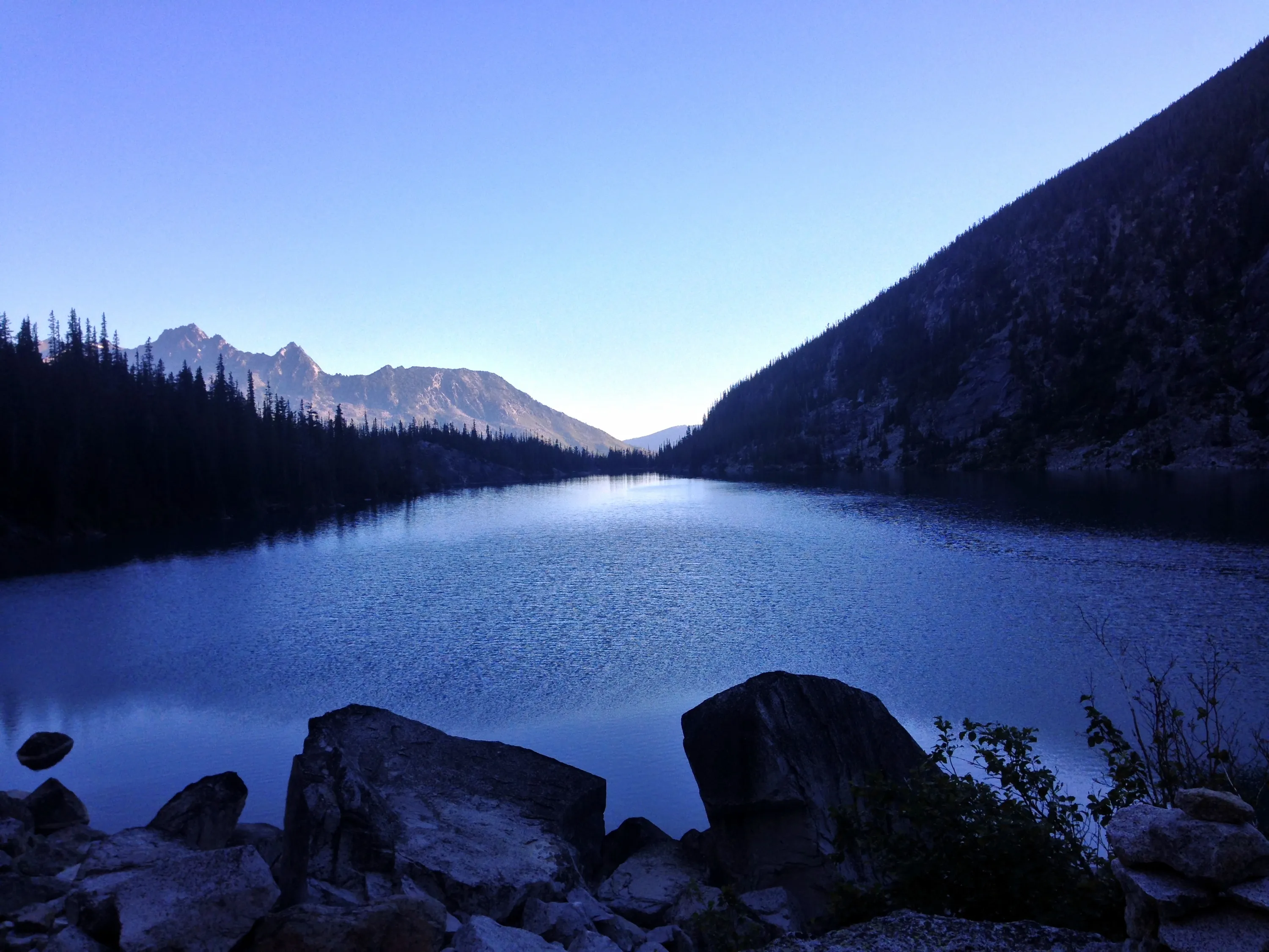
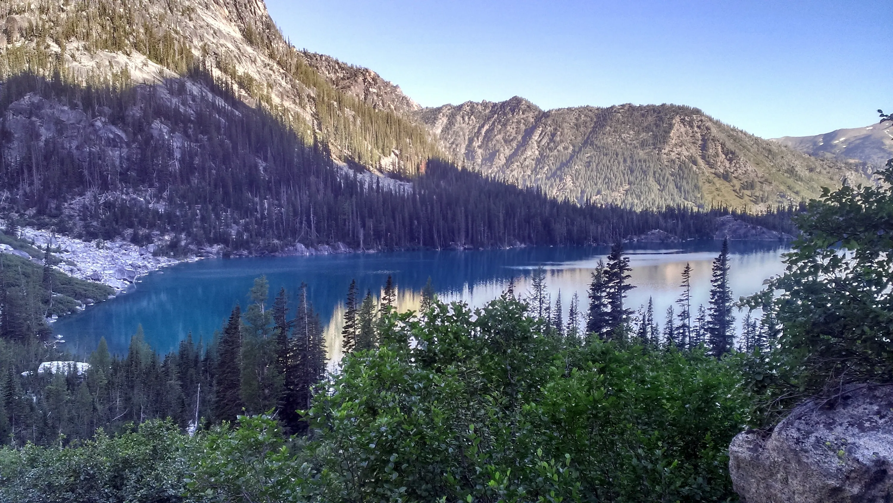
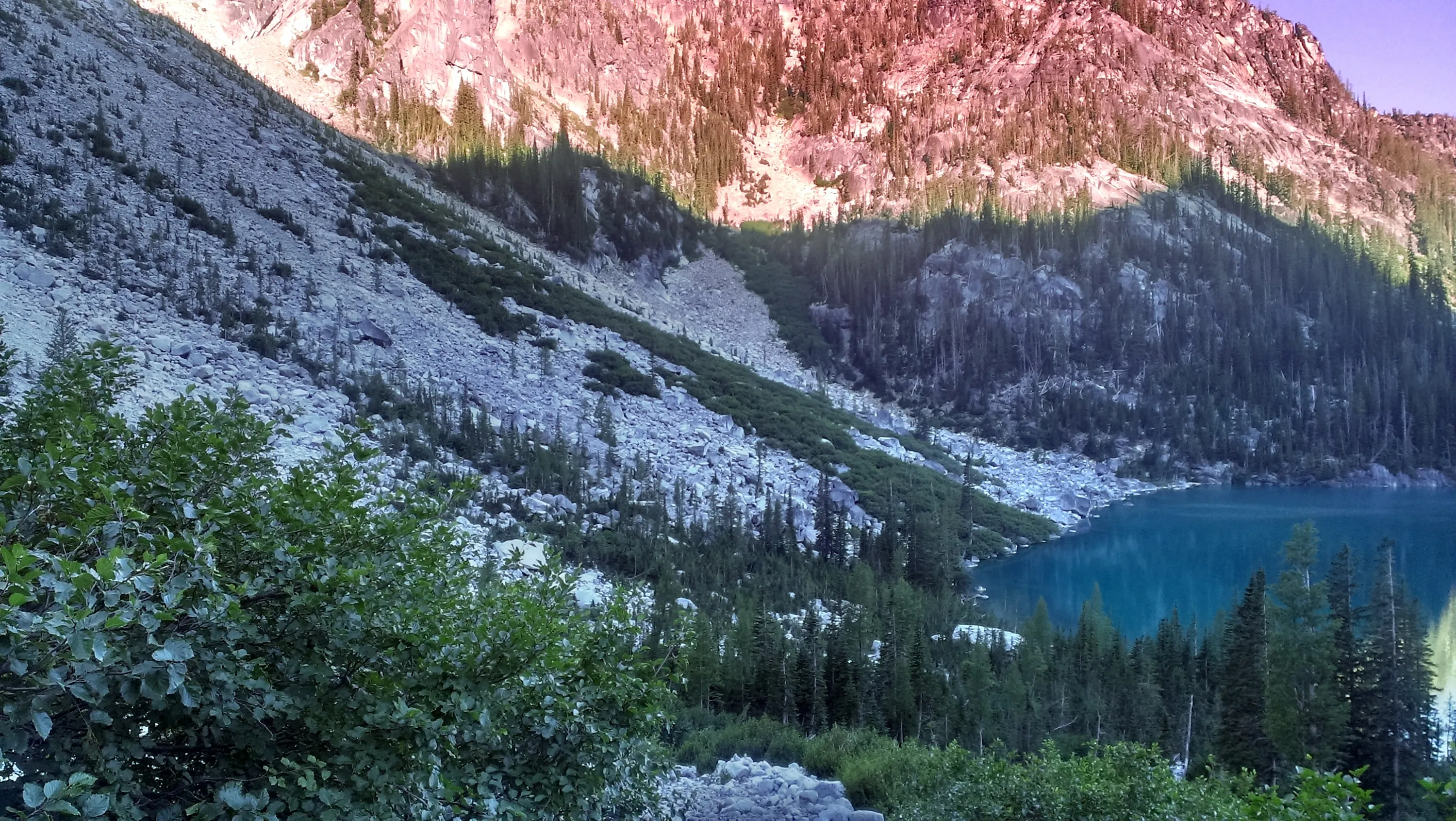
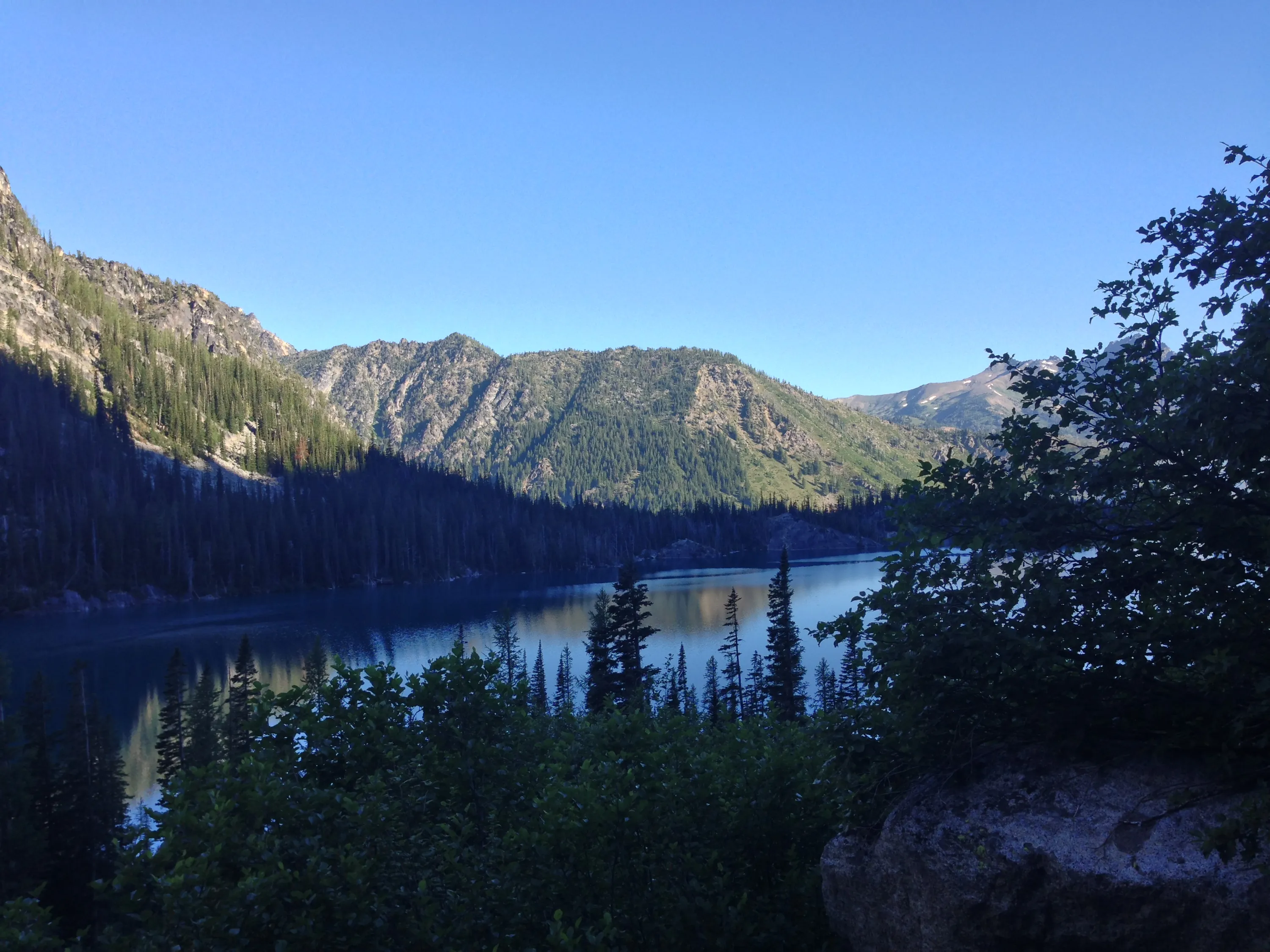
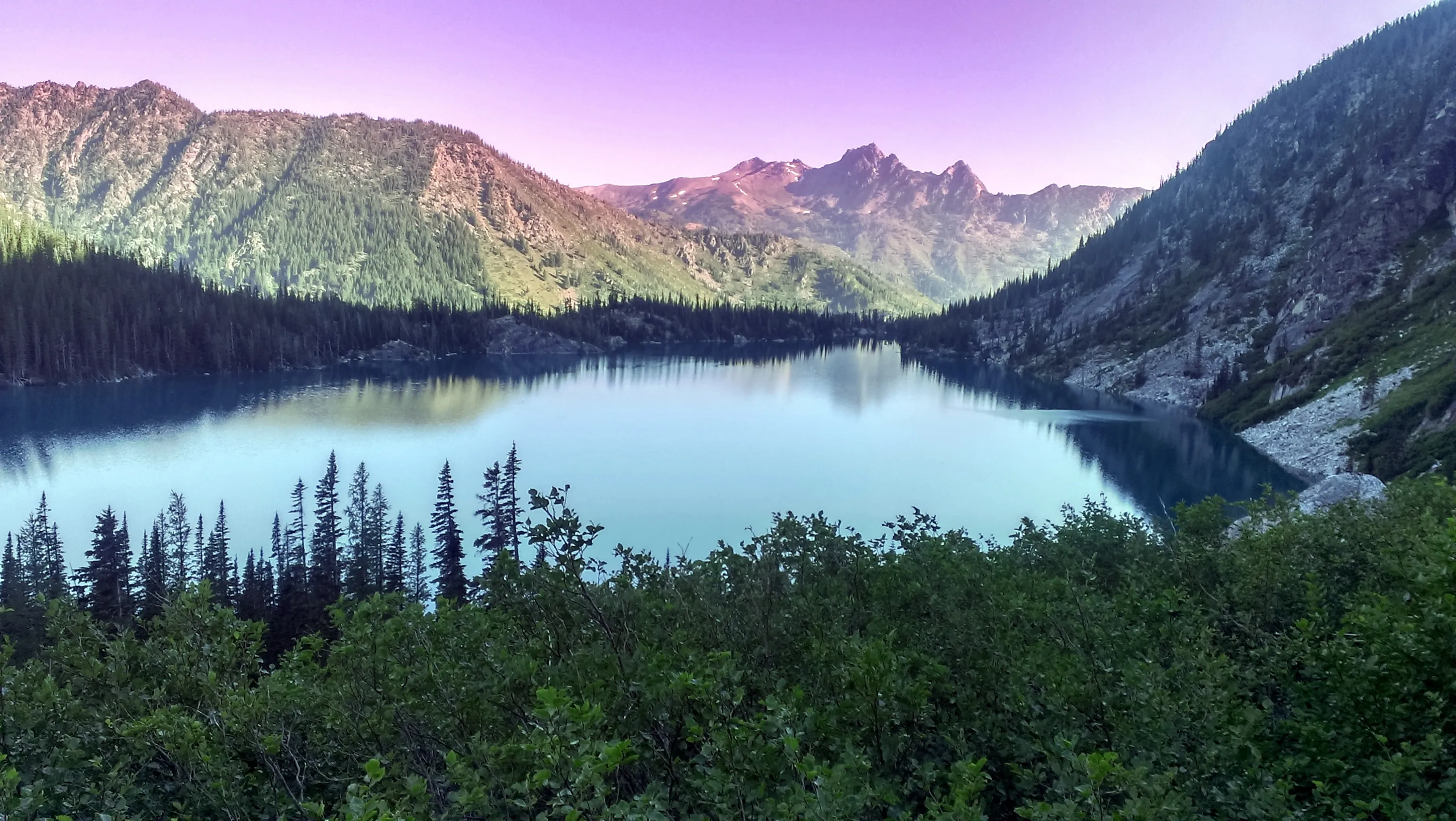
Colchuck lake from our campsite
Colchuck Peak
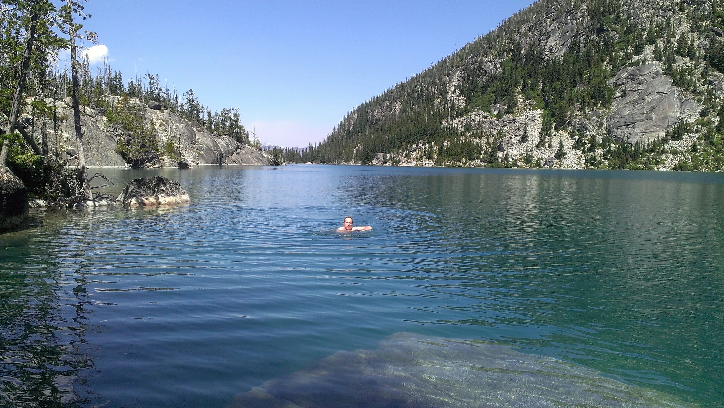
Kirk swimming in Colchuck lake
Colchuck Lake - Dragontail Peak in the middle and Aasgard Pass to the left - our challenge for the next day
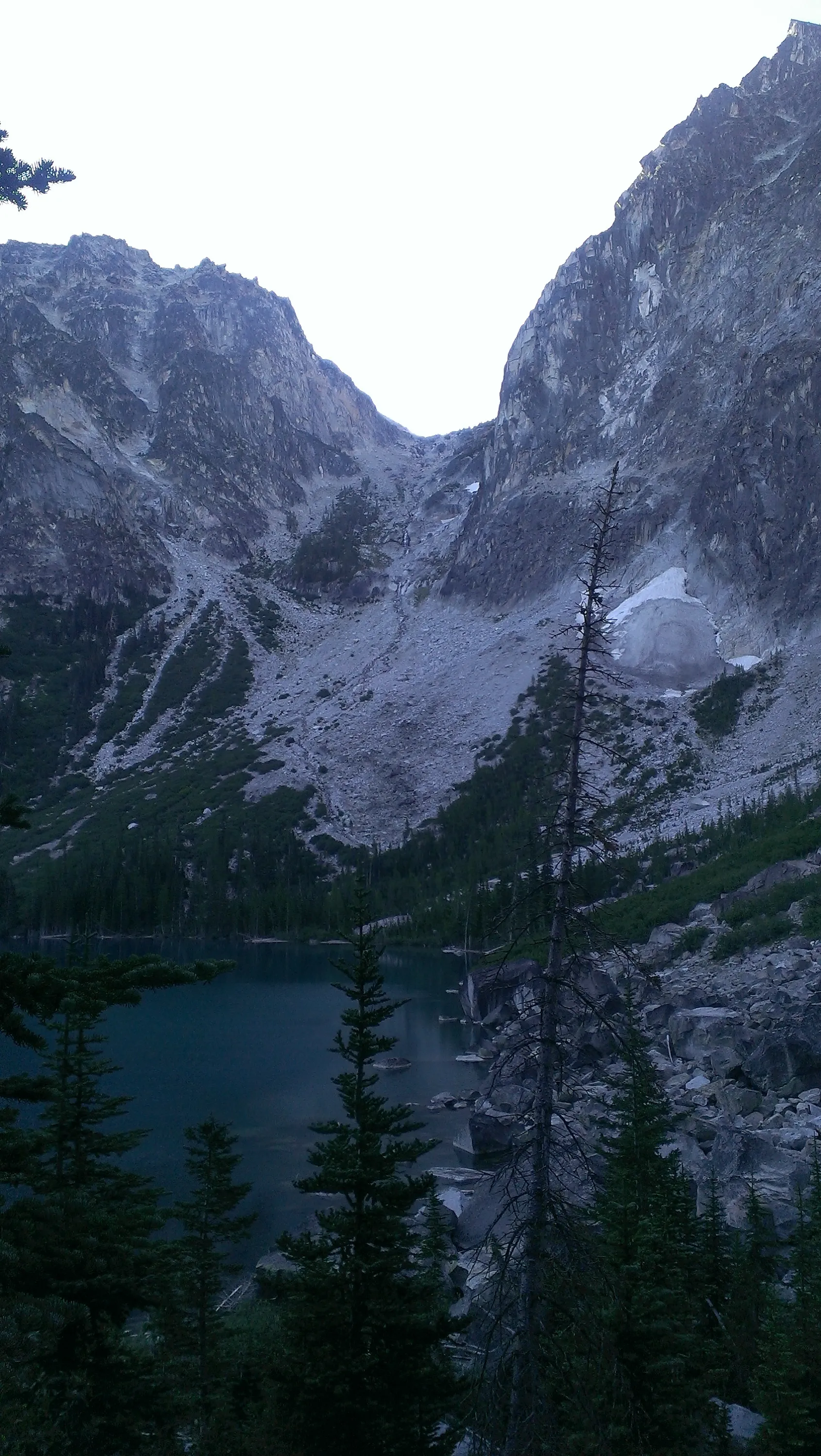
Aasgard pass from our campsite at Colchuck lake
Colchuck lake from our campsite - you can see the big rock that was just underwater - it was great for wading in the lake!
Heading out early on Tuesday to tackle Aasgard pass - before the sun hits it
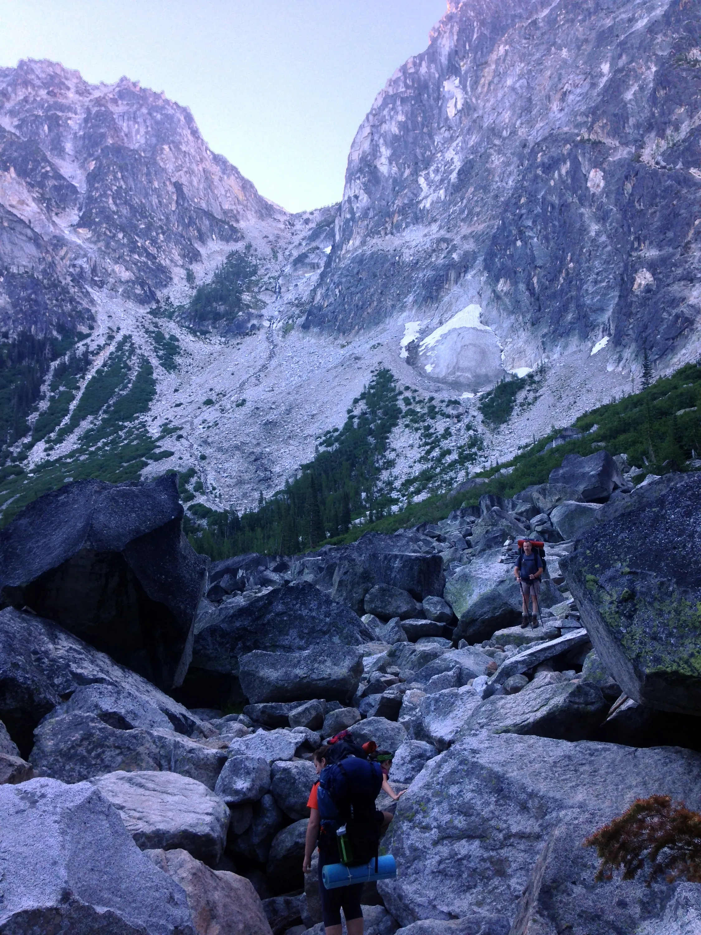
Early in the morning - getting ready to ascend Aasgard pass - we wanted to do it before the sun hit the rocks
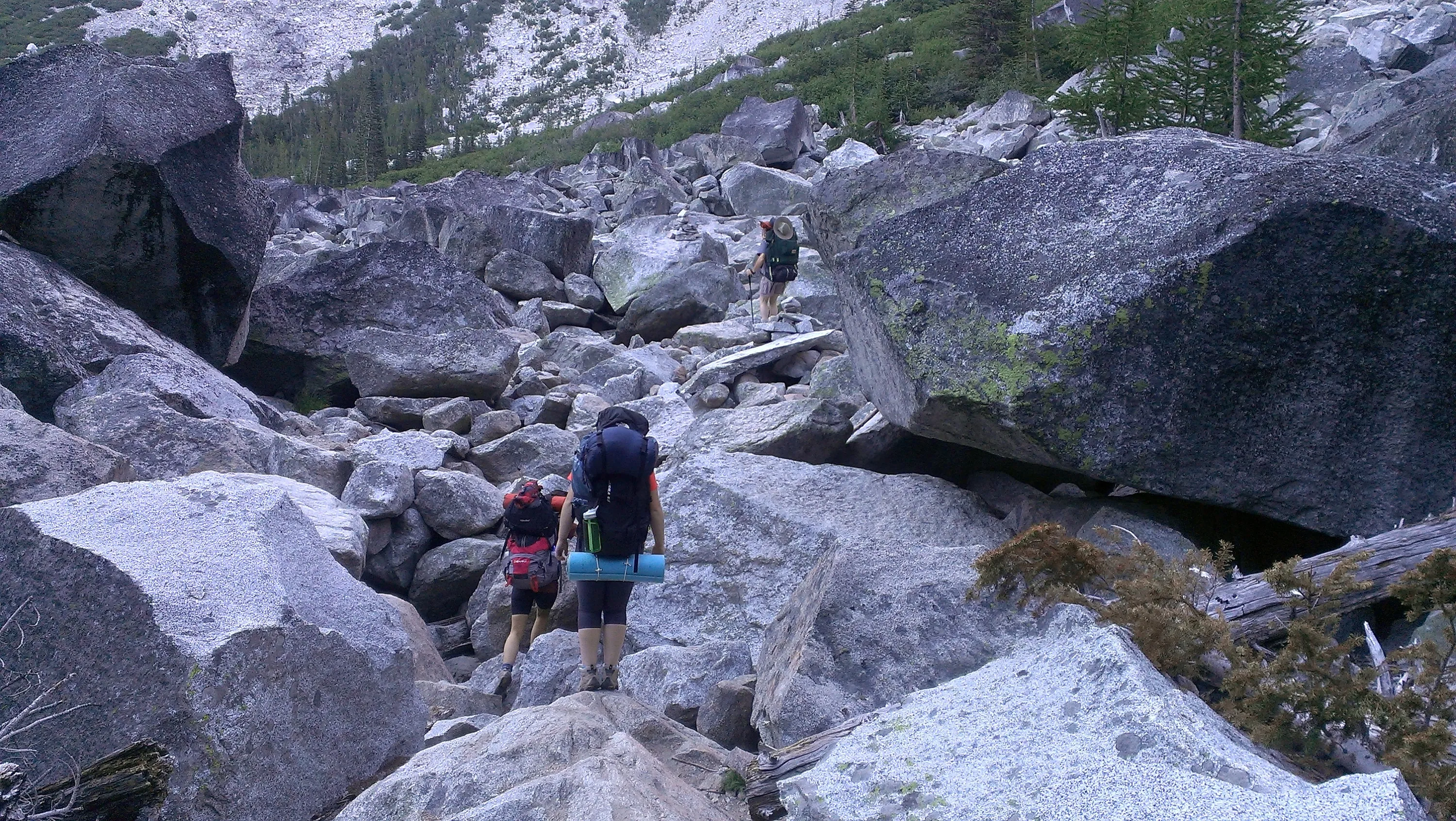
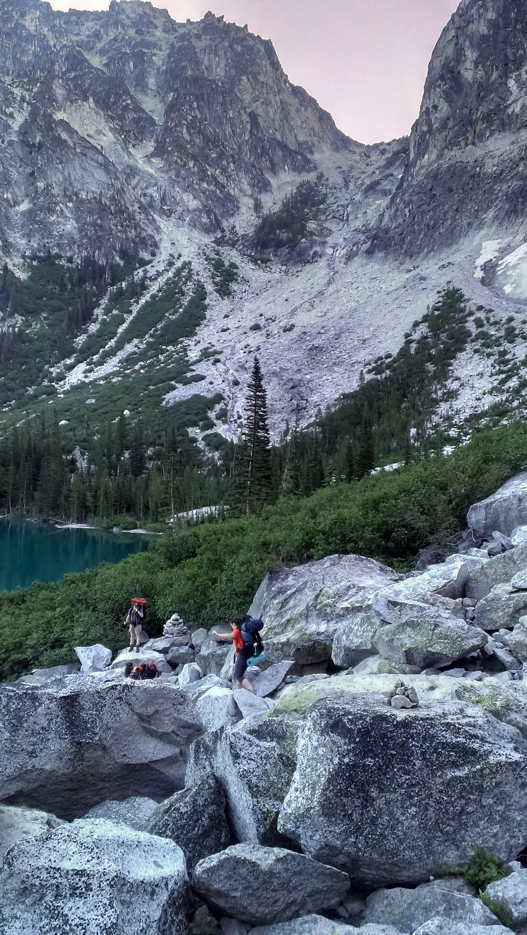
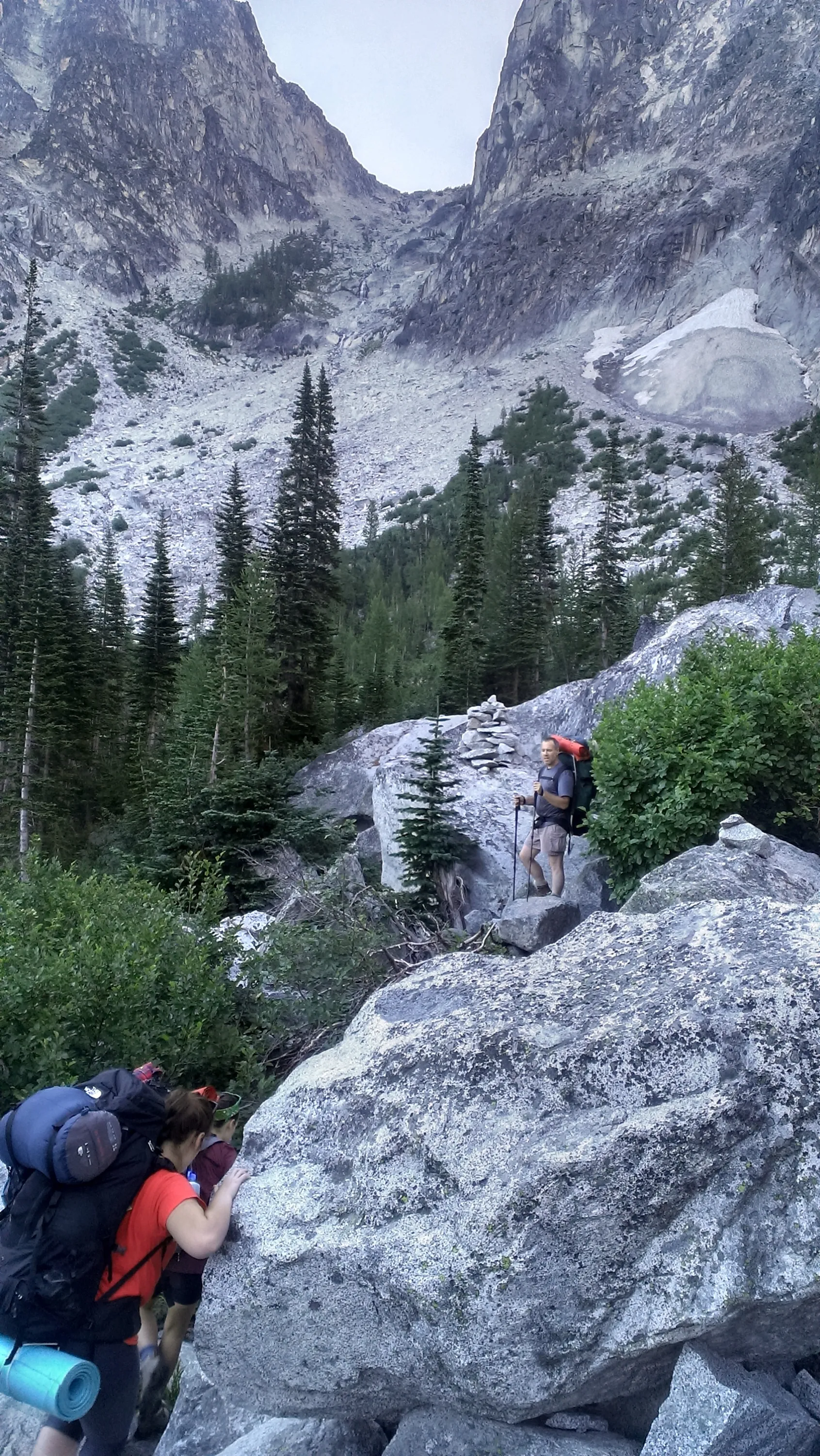
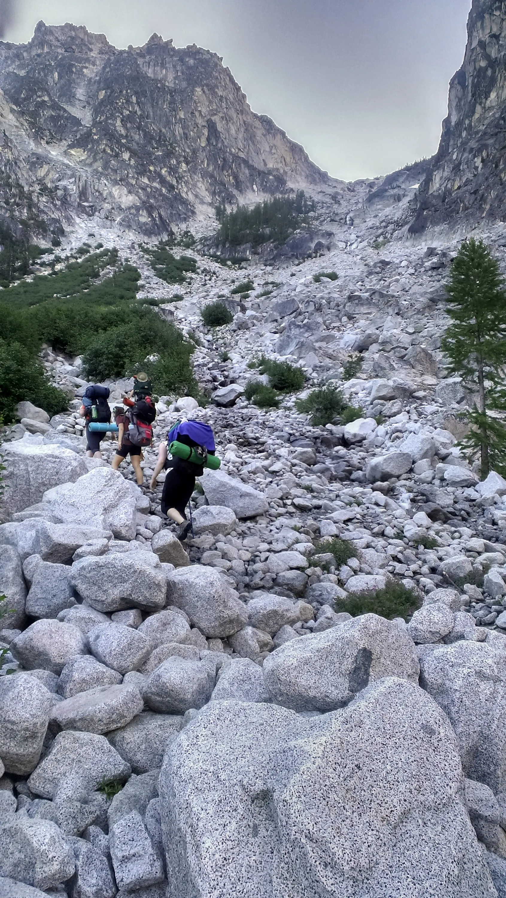
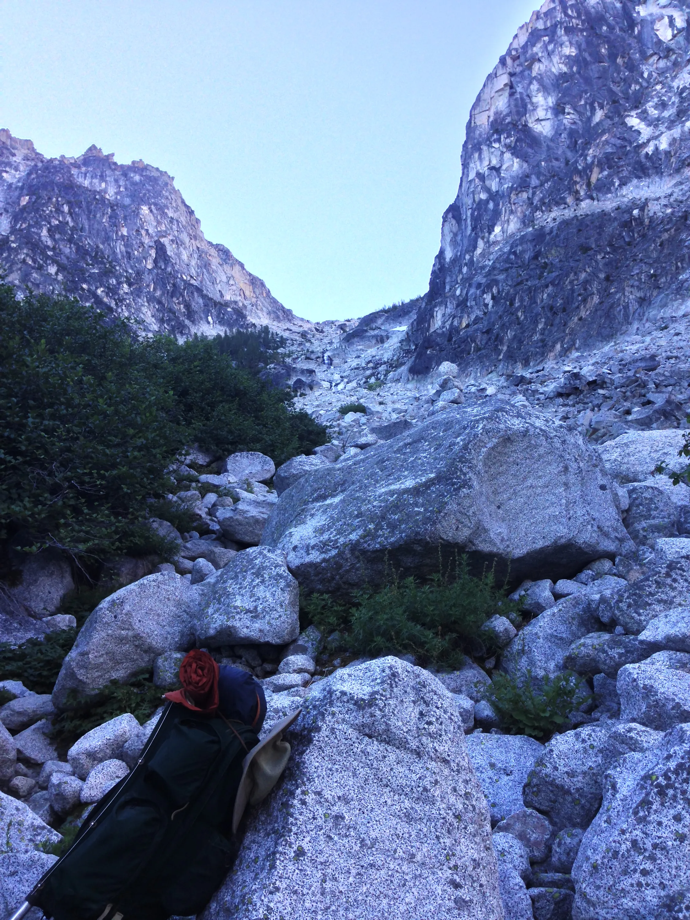
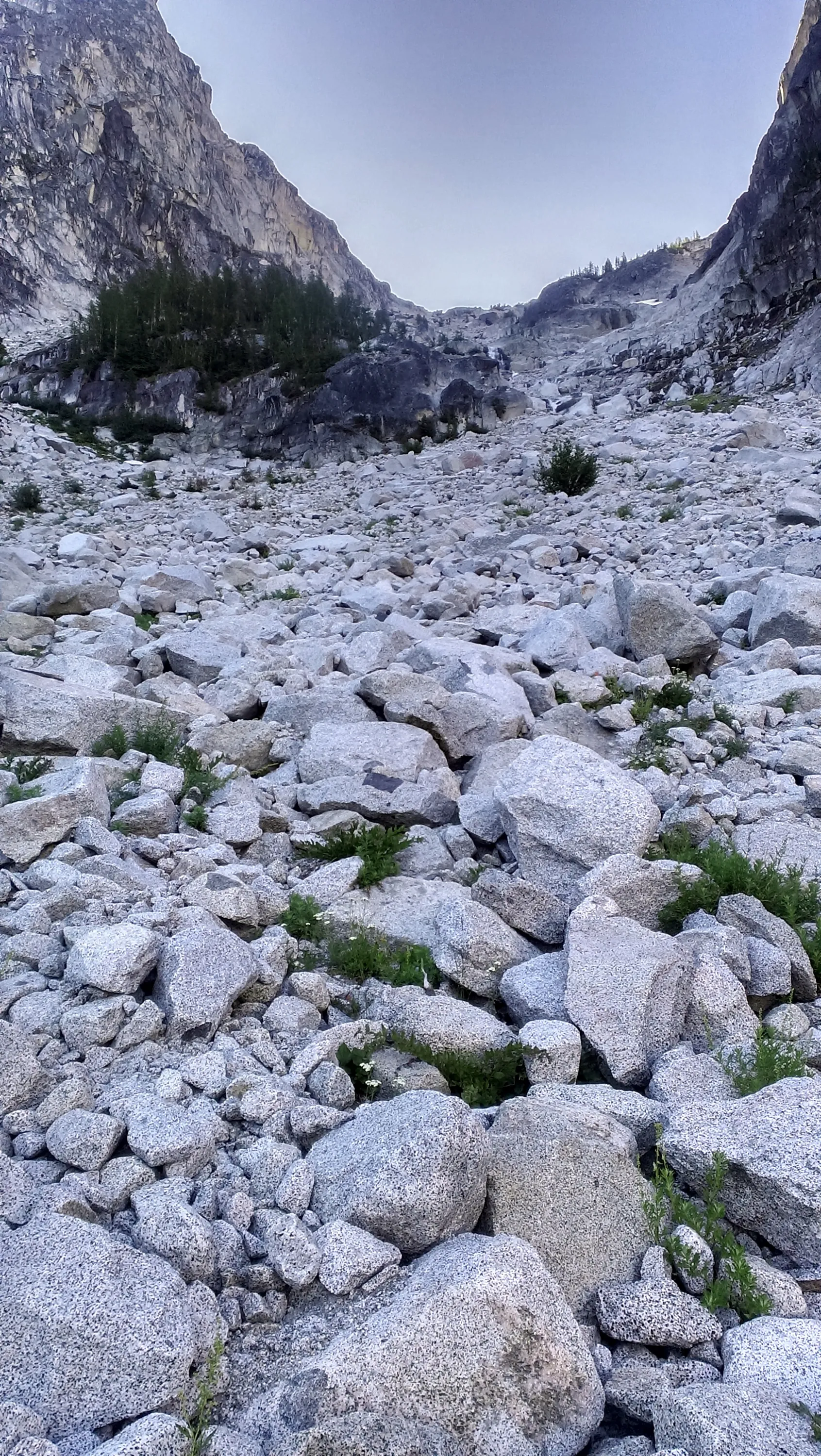
Navigating the first boulder field - those were BIG boulders!
Navigating the big boulder field
South end of Colchuck lake - looking north - you can see the smoke from the fires in the distance
Perspective on where we have to go
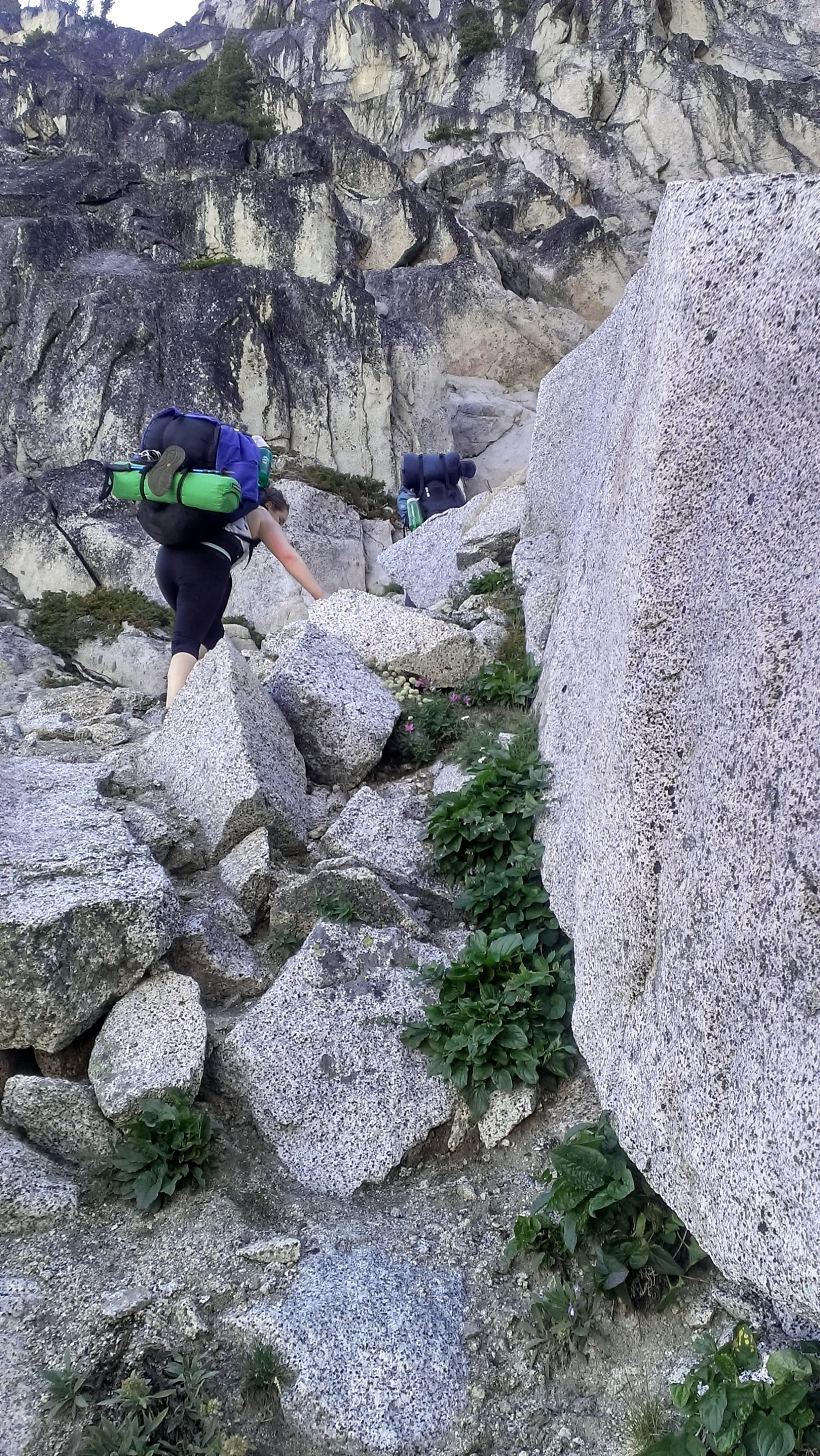
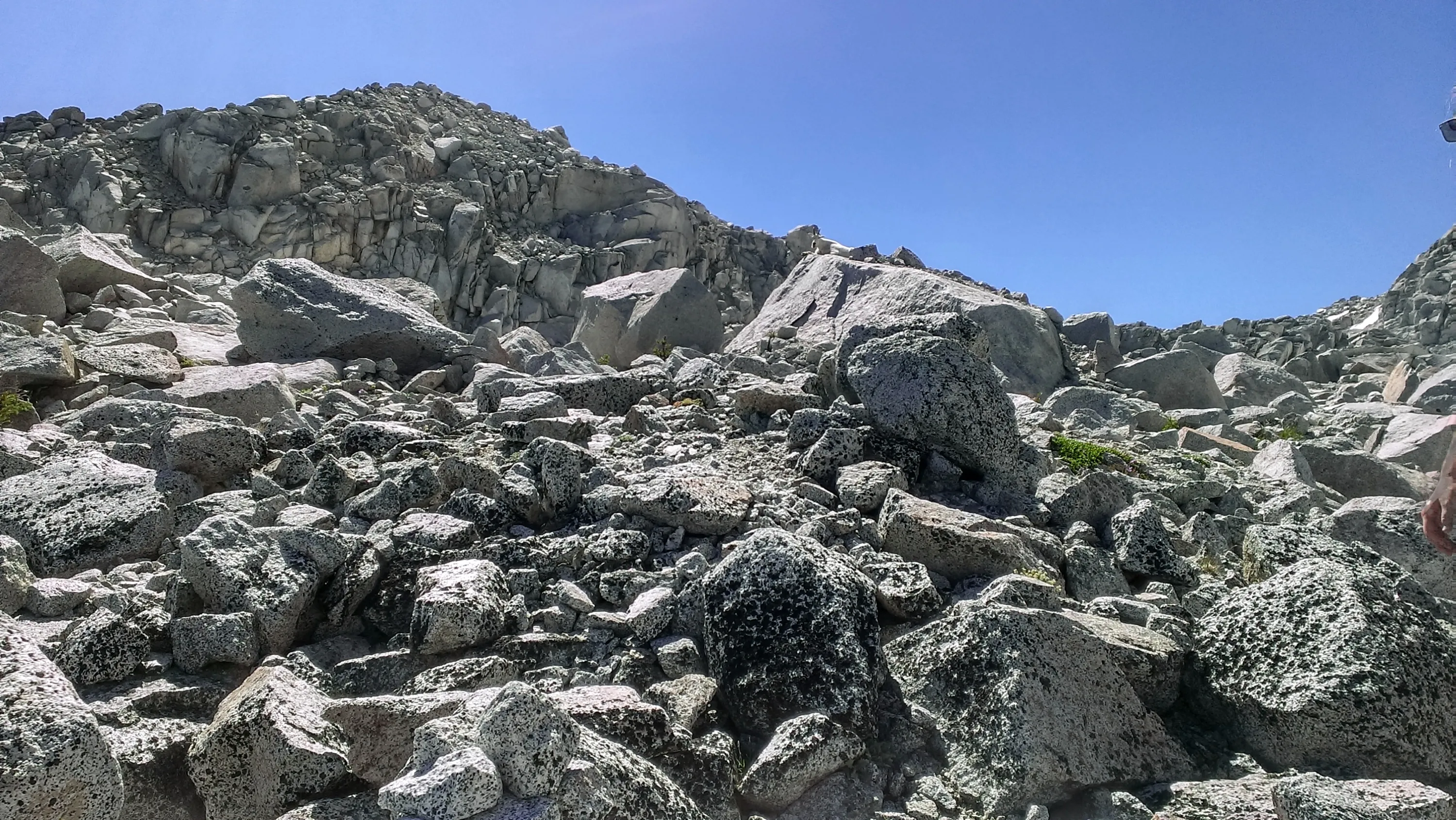
Some of the boulder field was tough going - tight in spots
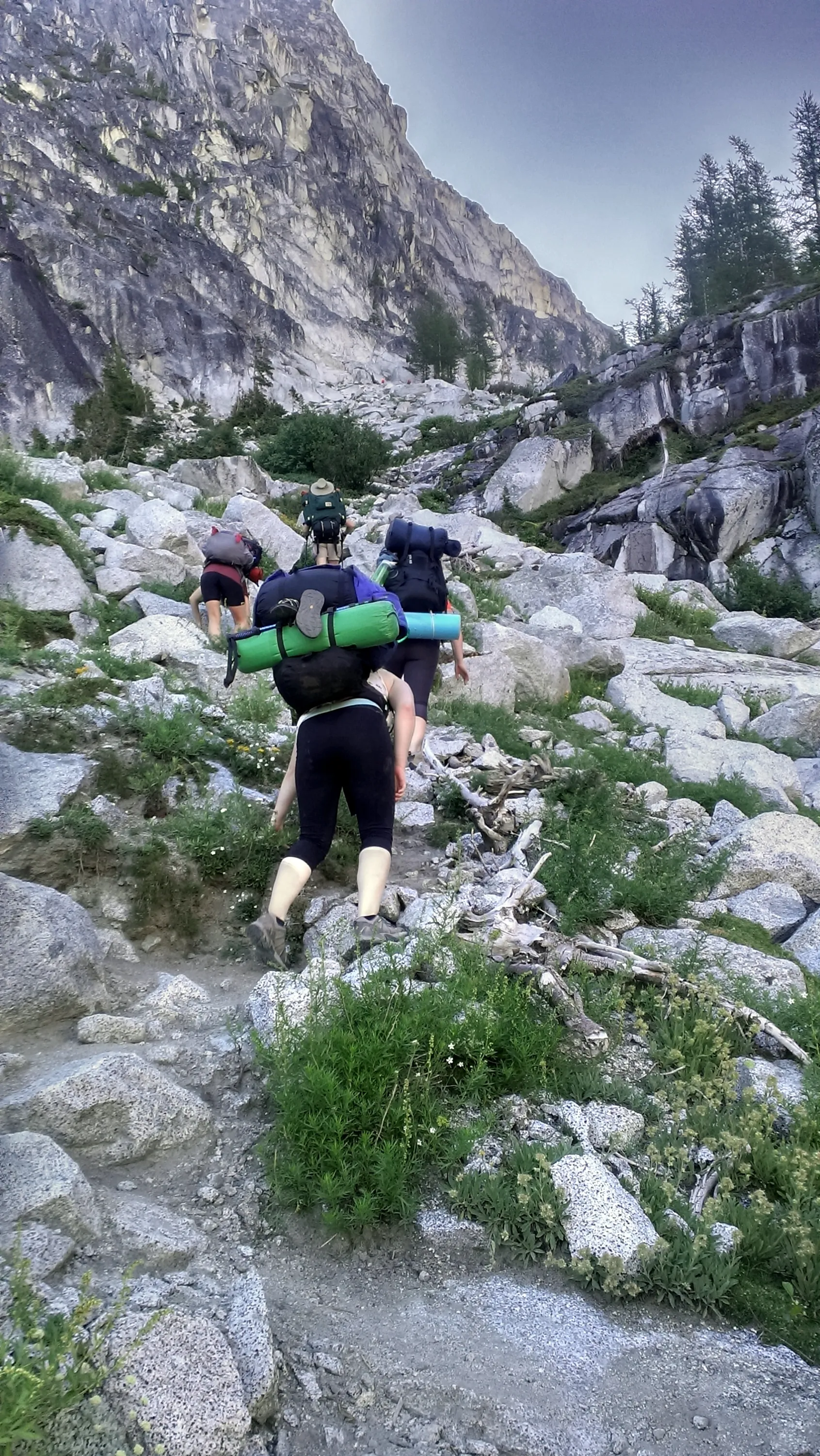
And we start up Aasgard pass - it is as steep as it looks
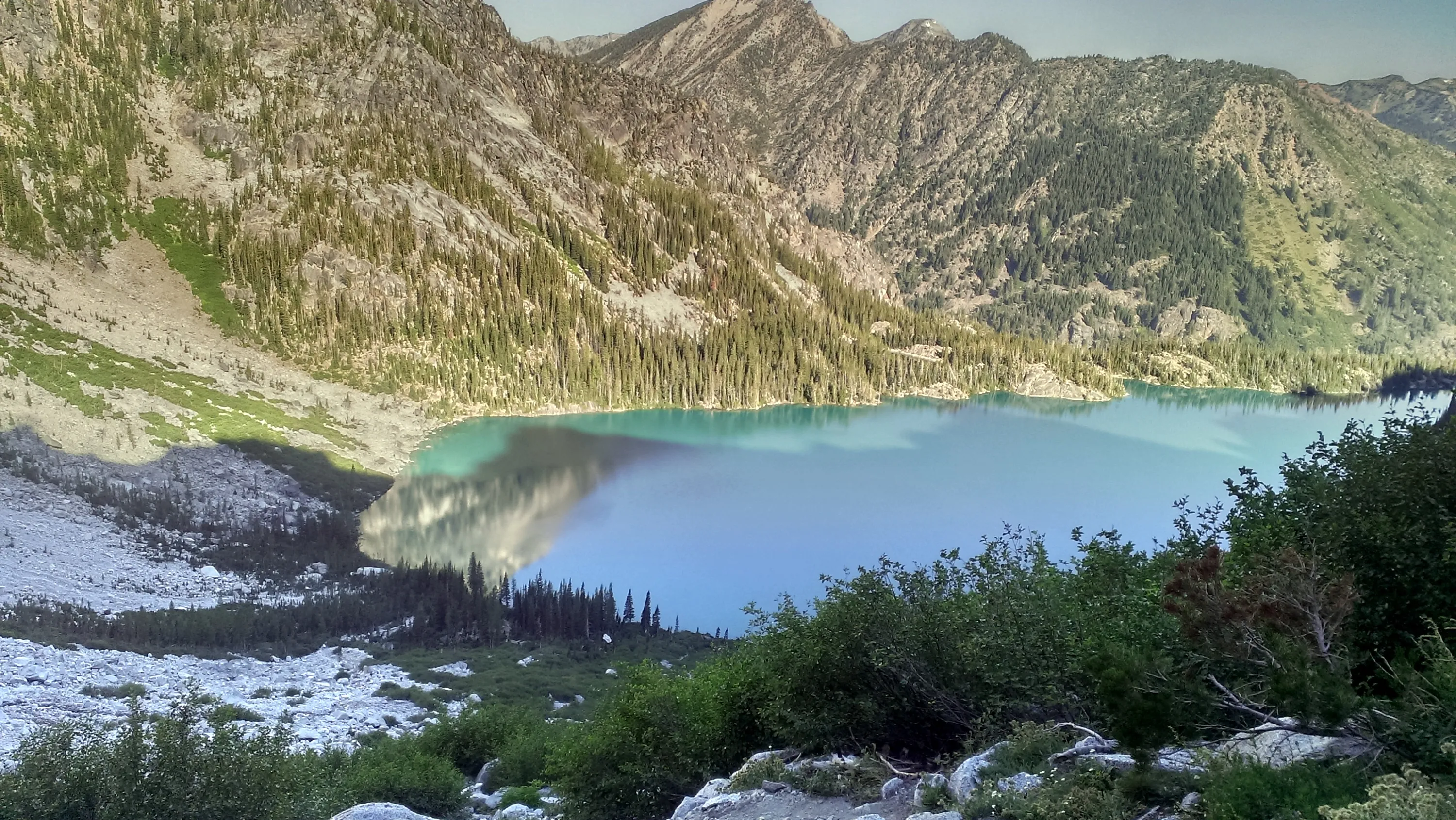
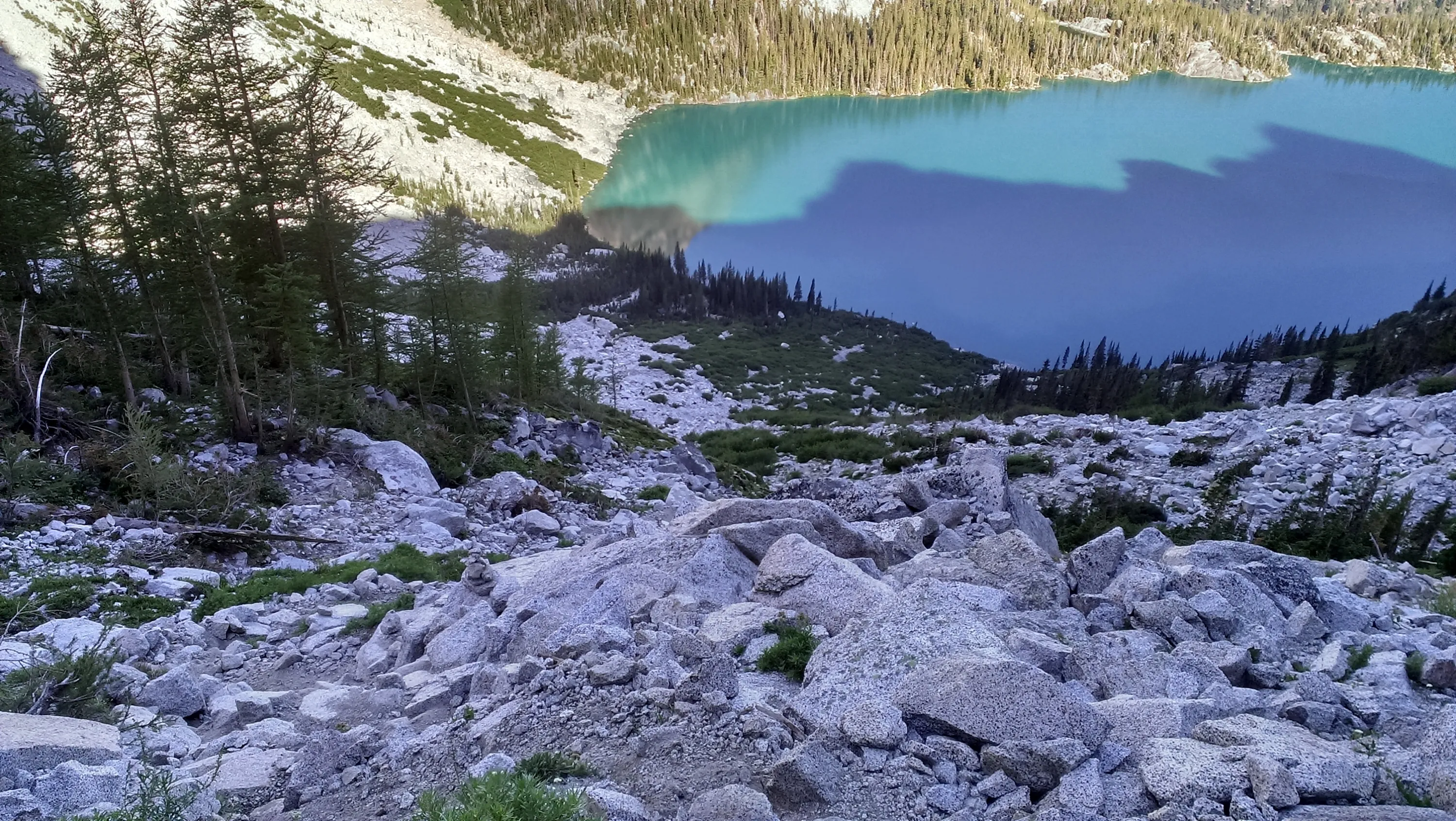
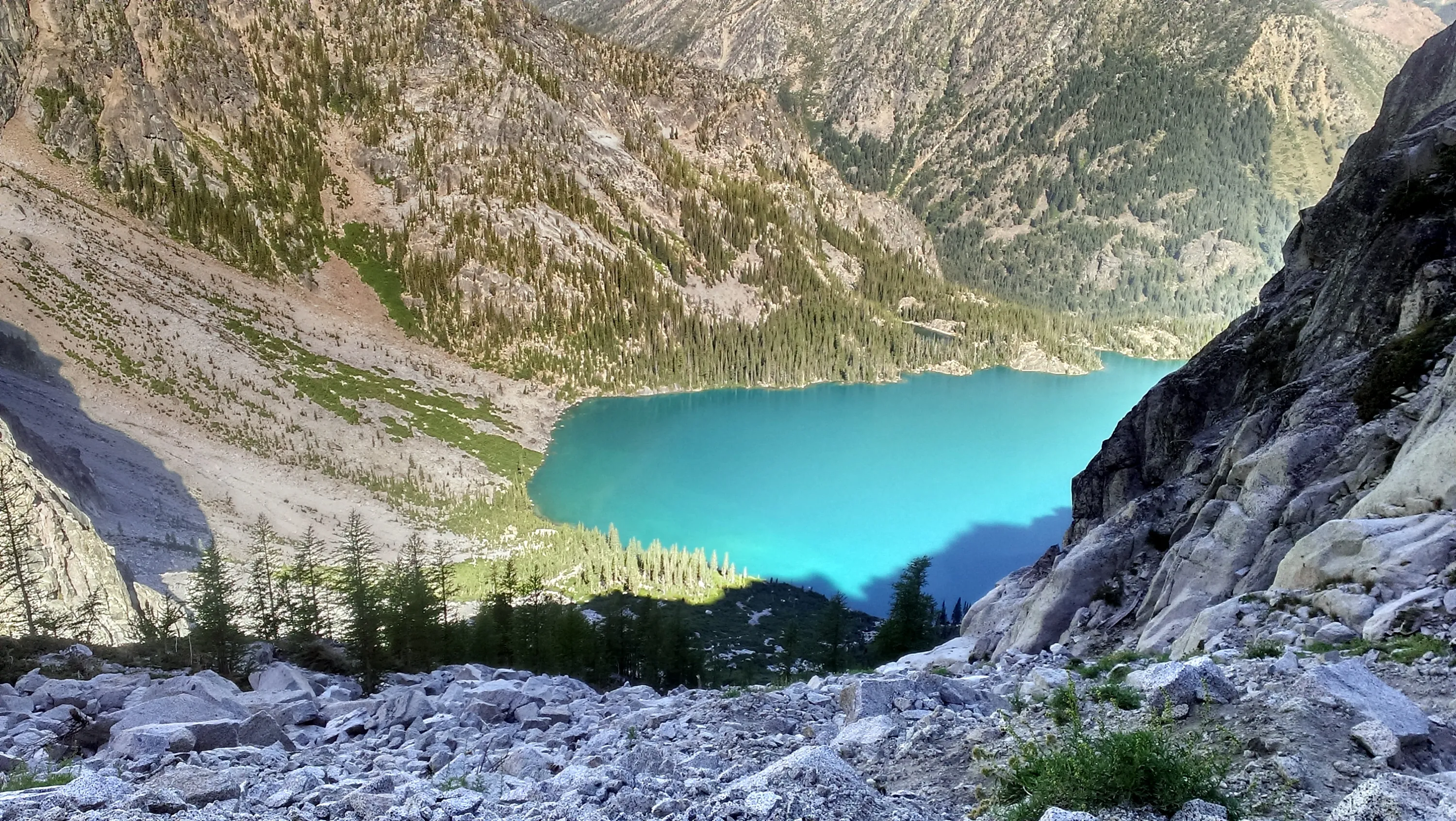
Looking back at Colchuck Lake - we have climbed a bit
We came across the boulder field at the south end of the lake
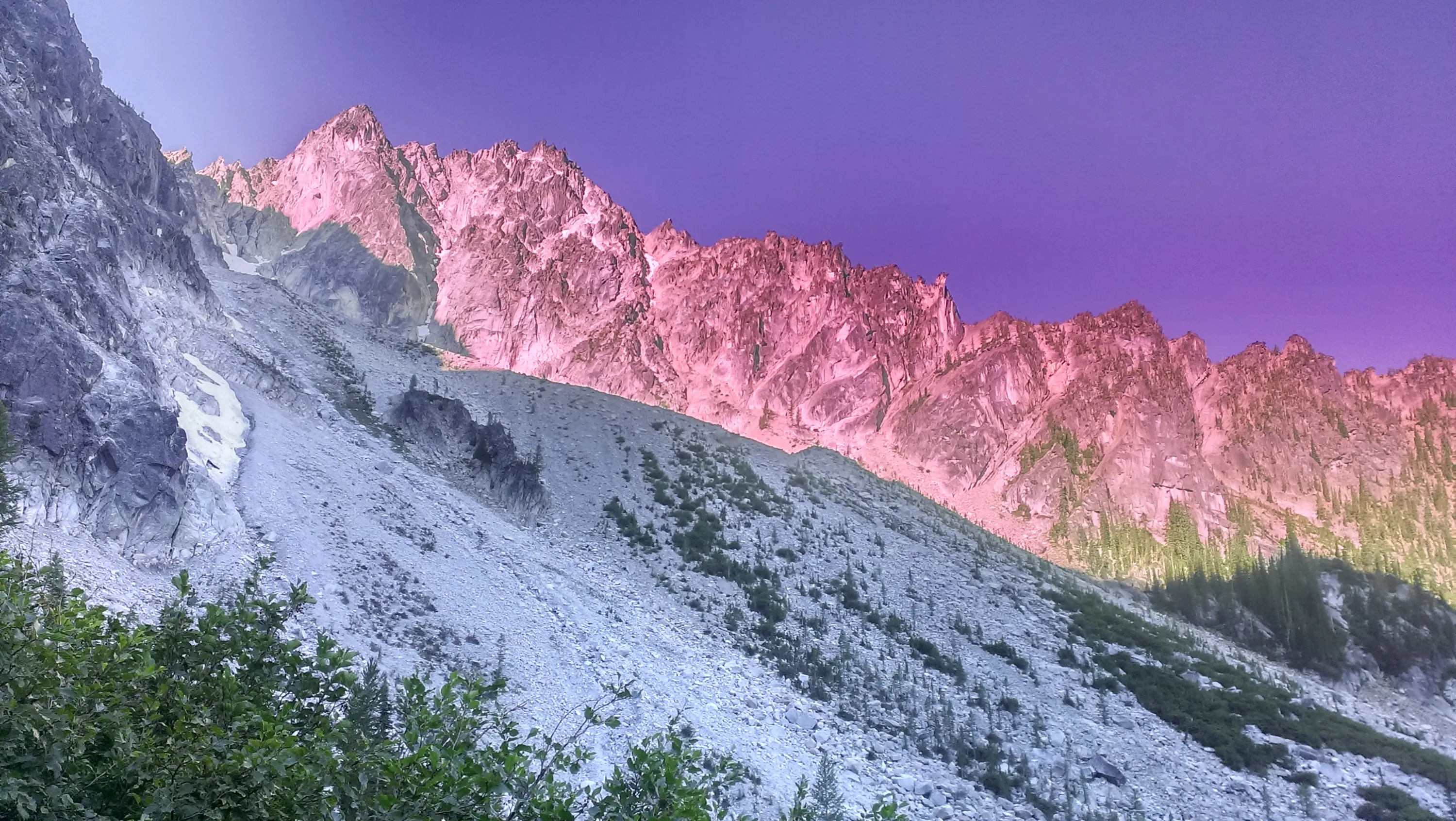
Alpenglow on Colchuck Peak
Beginning the ascent of Aasgard pass
Dragontail peak from below
Colchuck lake
Climbing higher - Colchuck Lake from above some of the scrubby trees
Where we still have to go - a long ways up
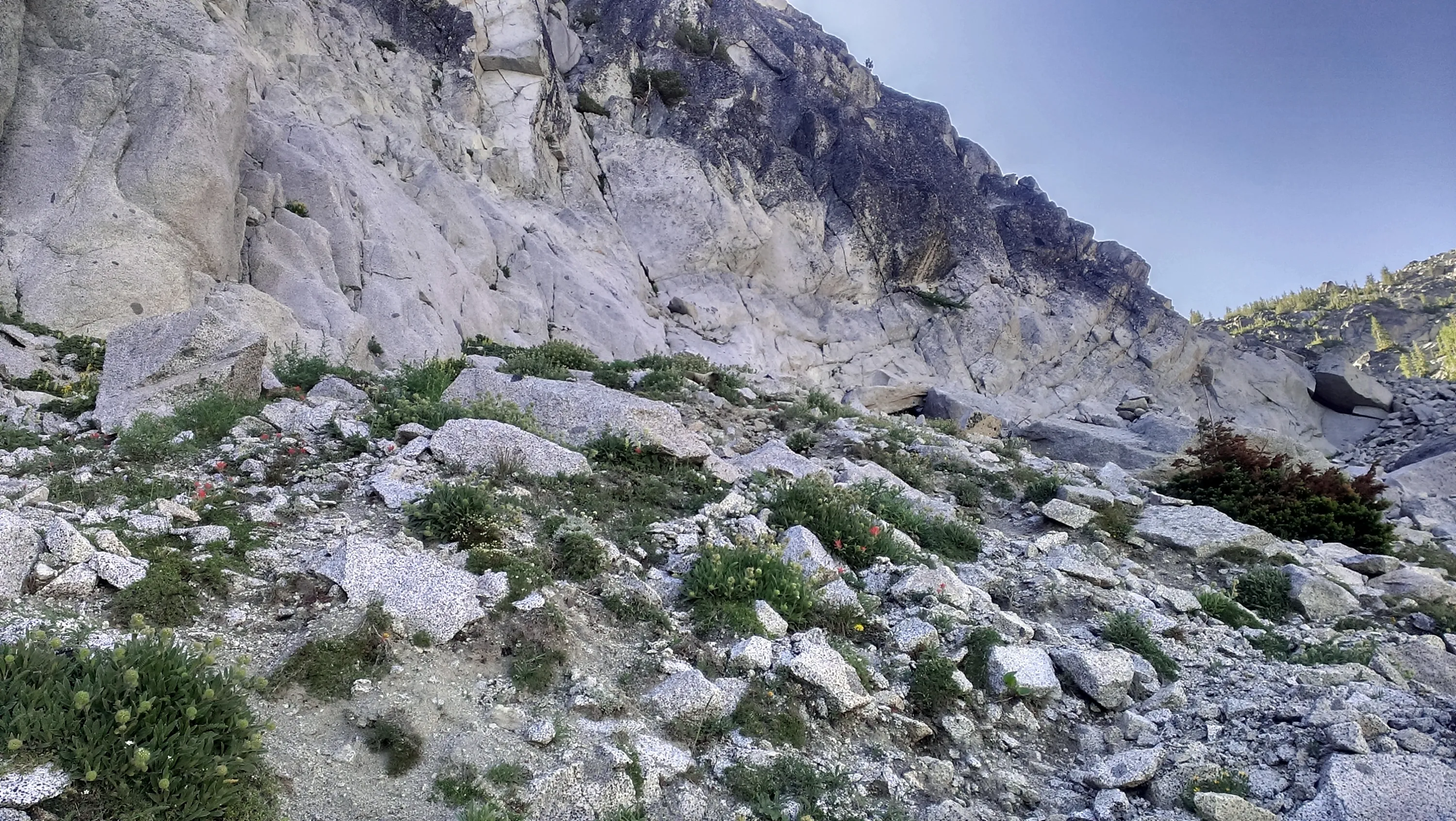
Cool rock outcroppings part ways up
We have climbed quite a ways above Colchuck - but not even halfway yet
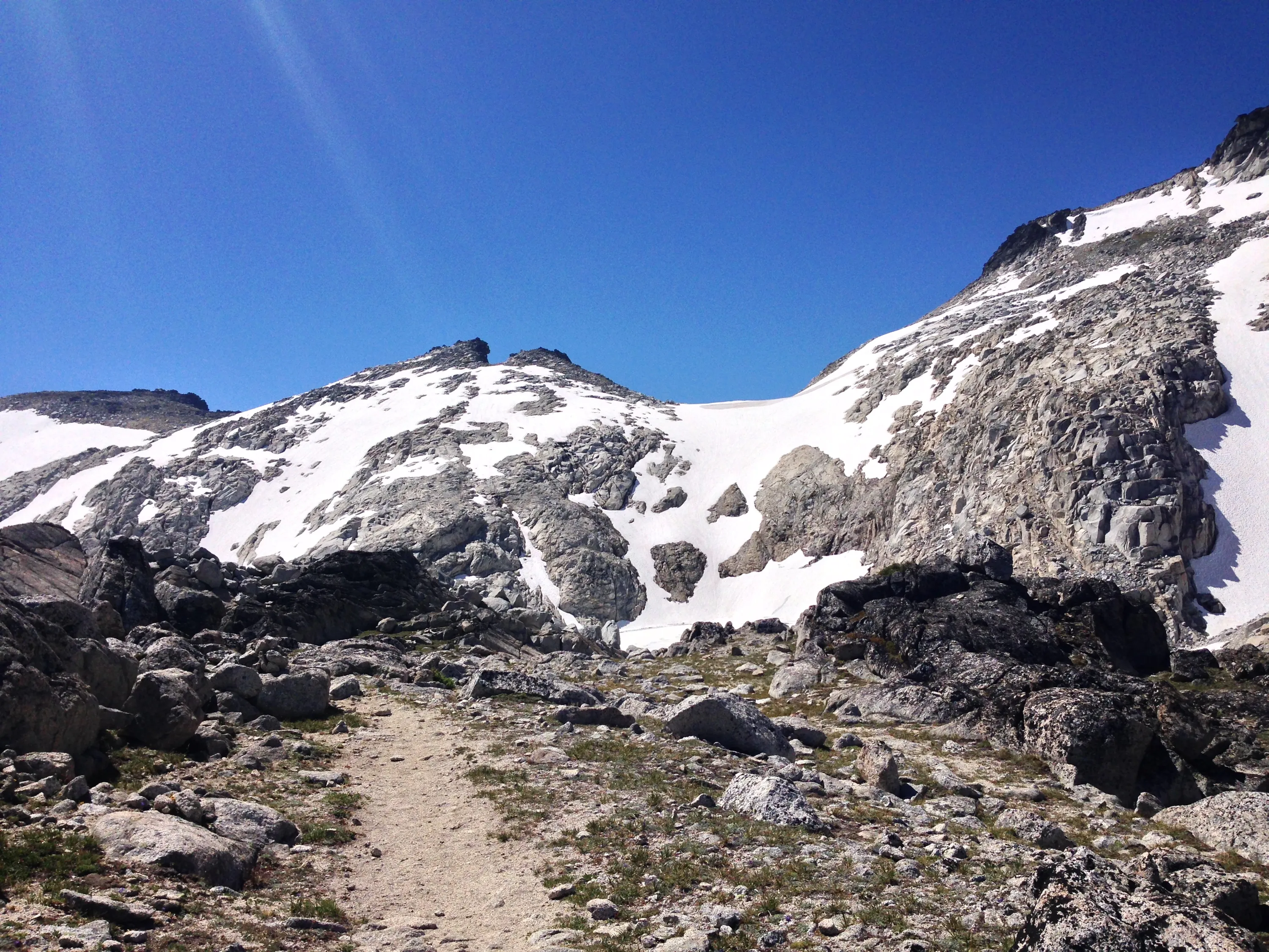
The trail gets steeper, the farther up you go
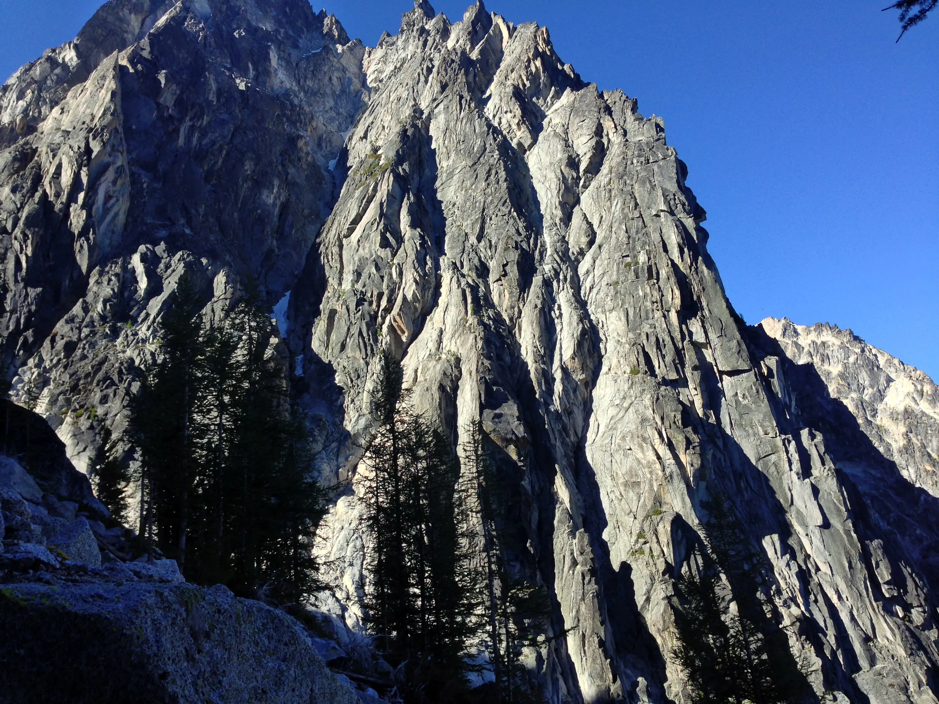
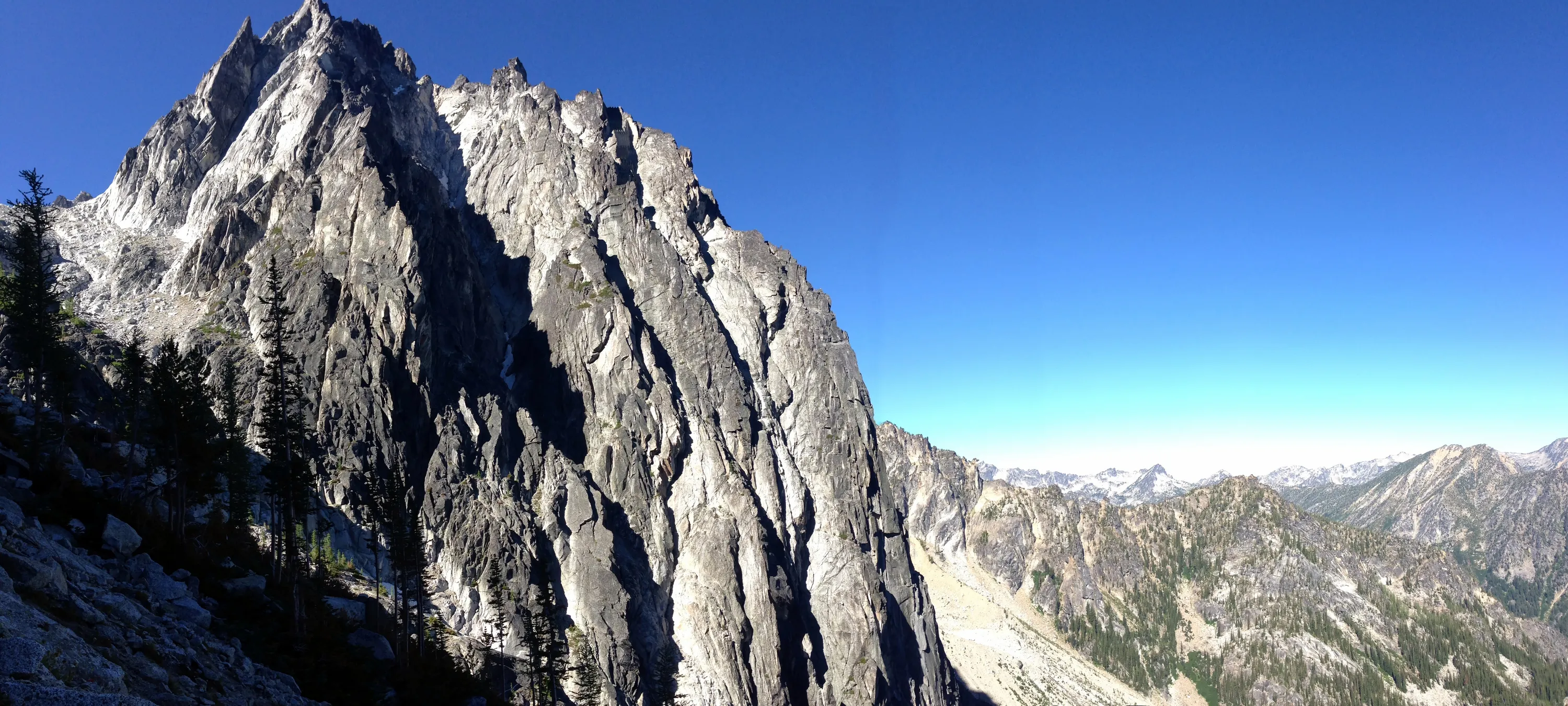
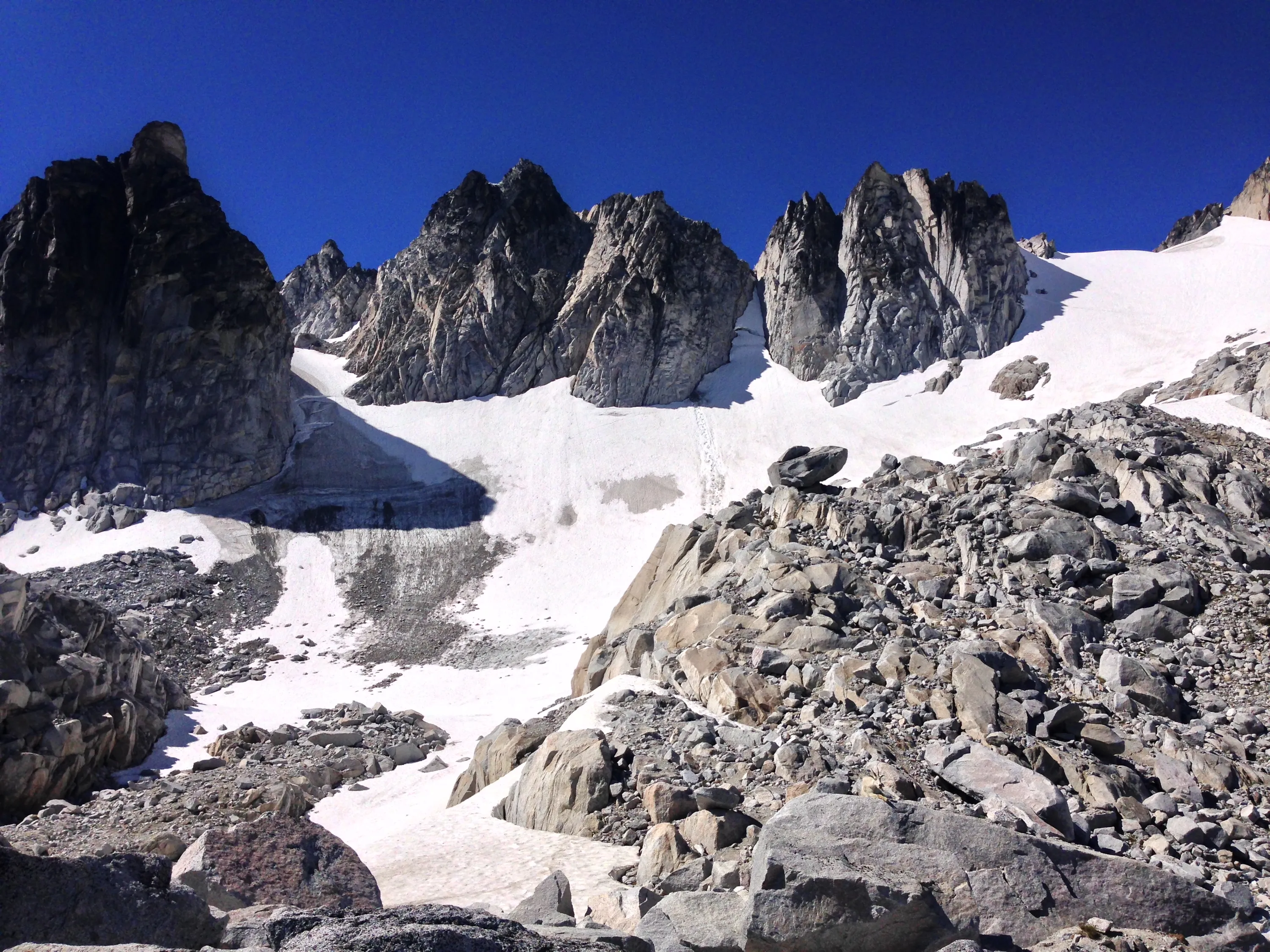
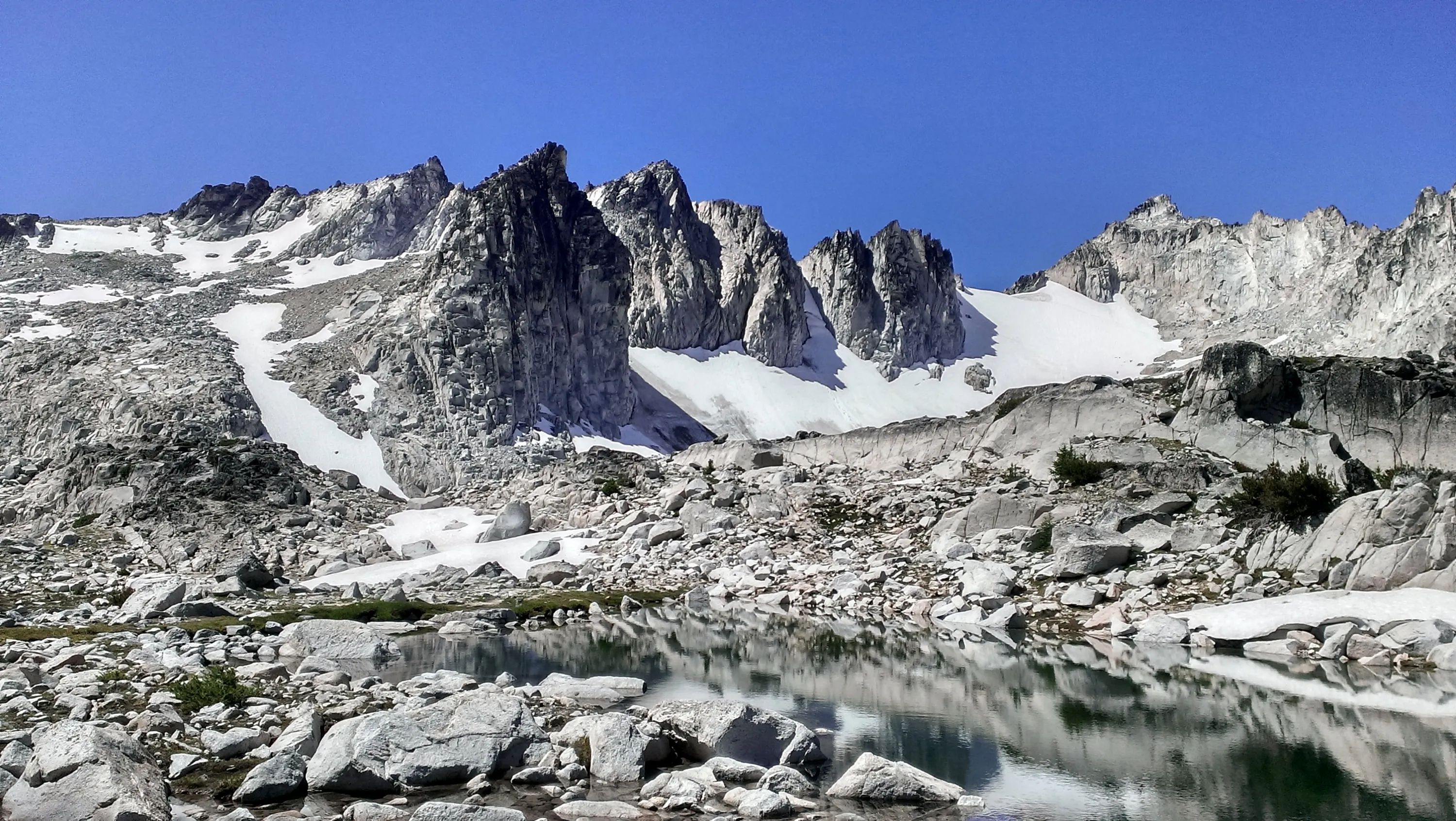
Dragontail peak - it looks even more impressive when you are right next to it
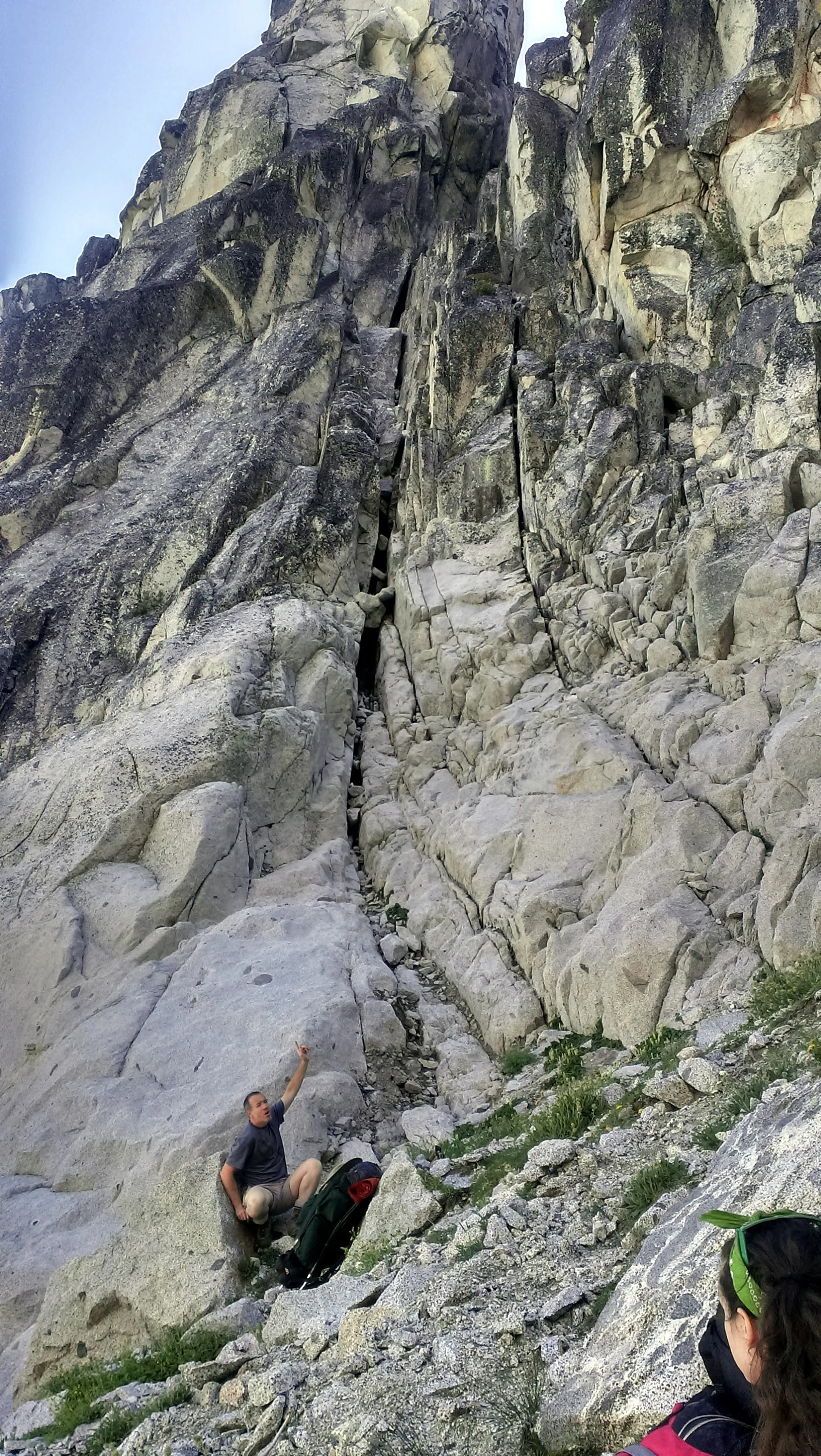
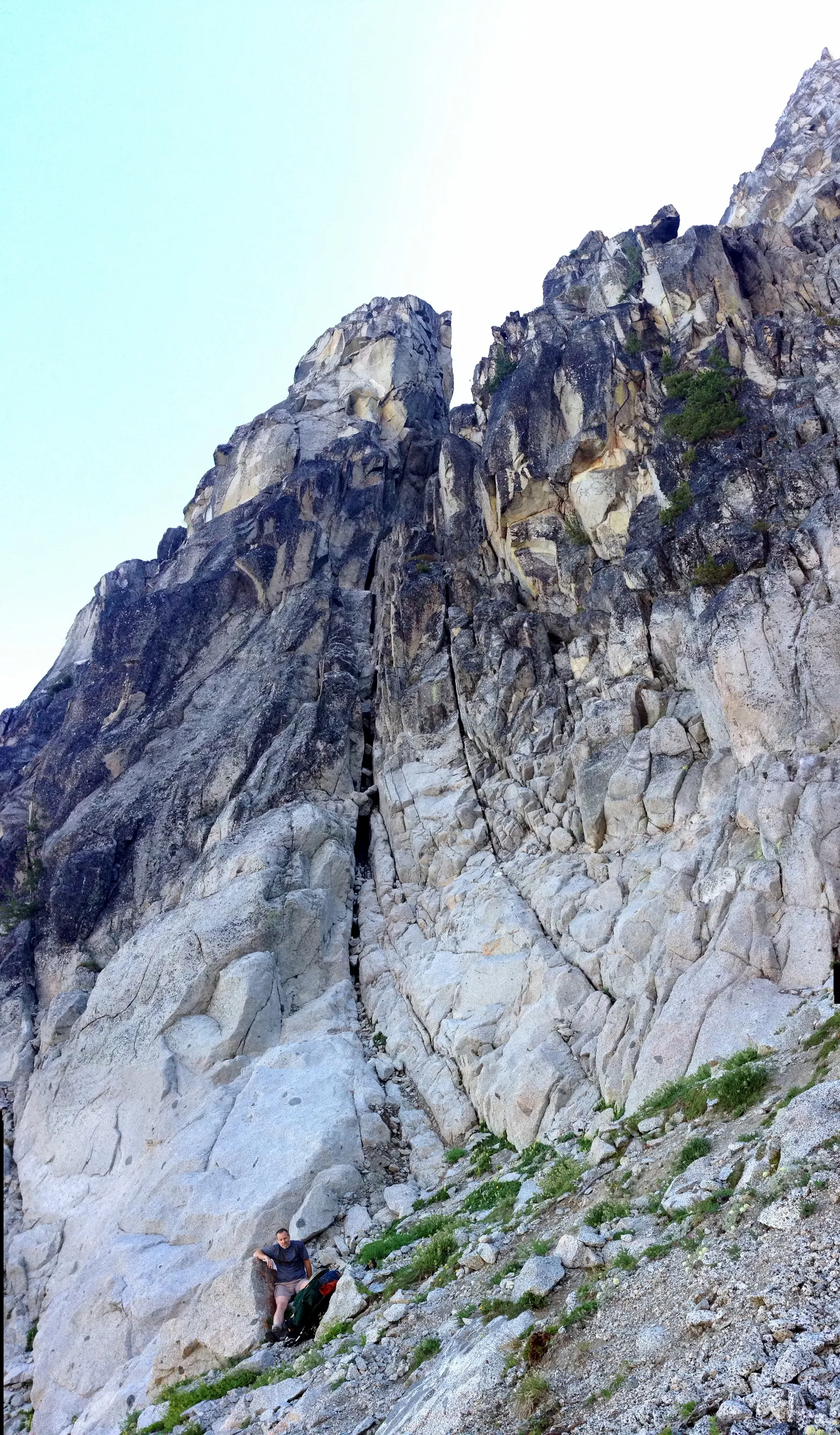
Huge crack in the wall - Kirk for scale
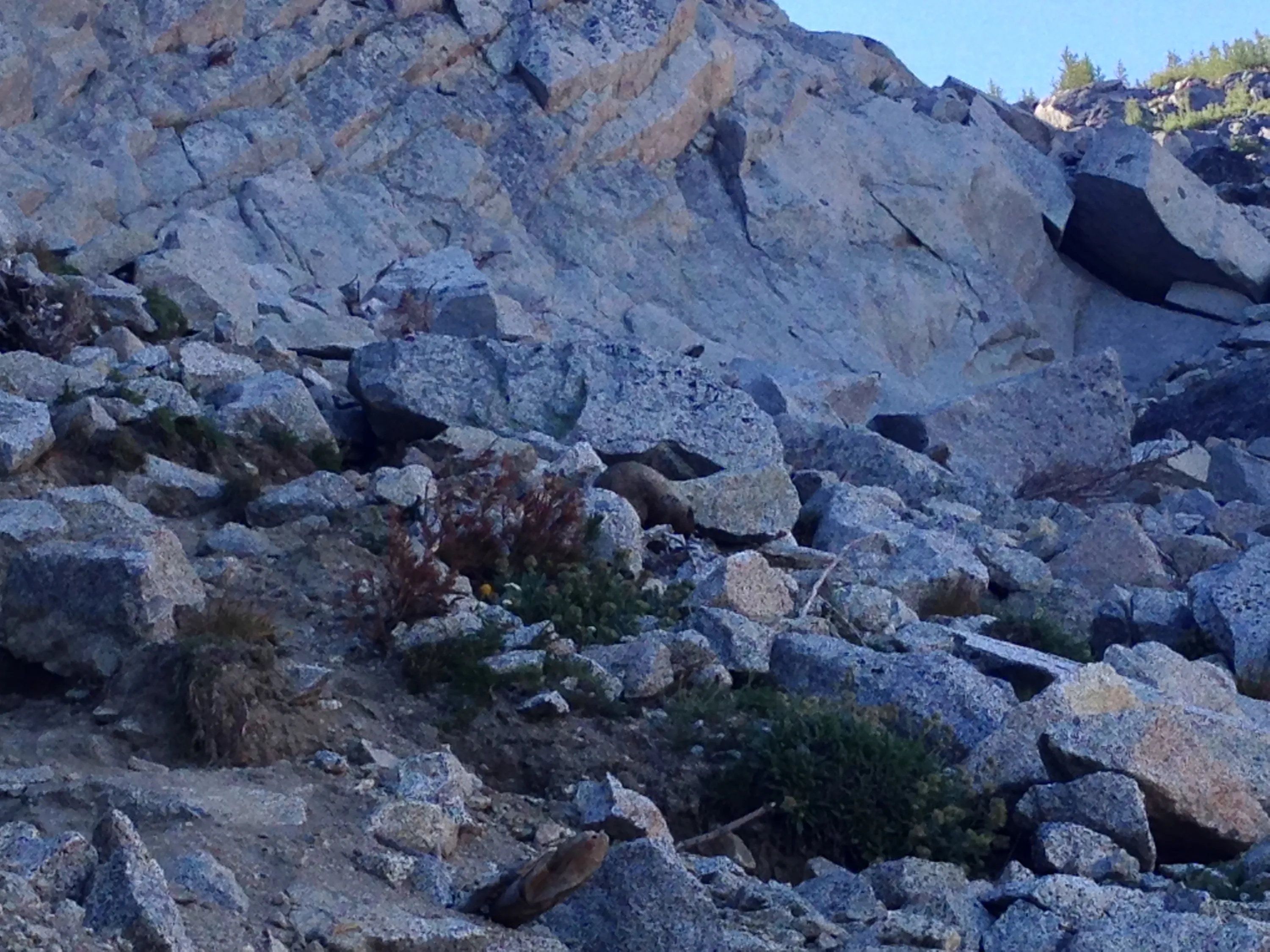
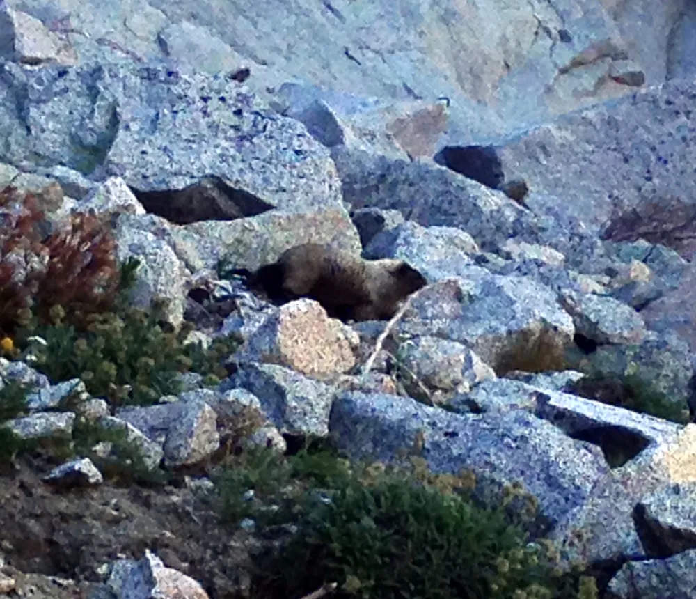
Marmot we encountered part way up Aasgard pass - he wasn't too interested in us. He was hungry and looking for food
That was quite a crack in the rock - Kirk shows the scale of the crack - part way up Aasgard pass
Colchuck lake
Dragontail peak
Getting there
Proceeding up Aasgard pass
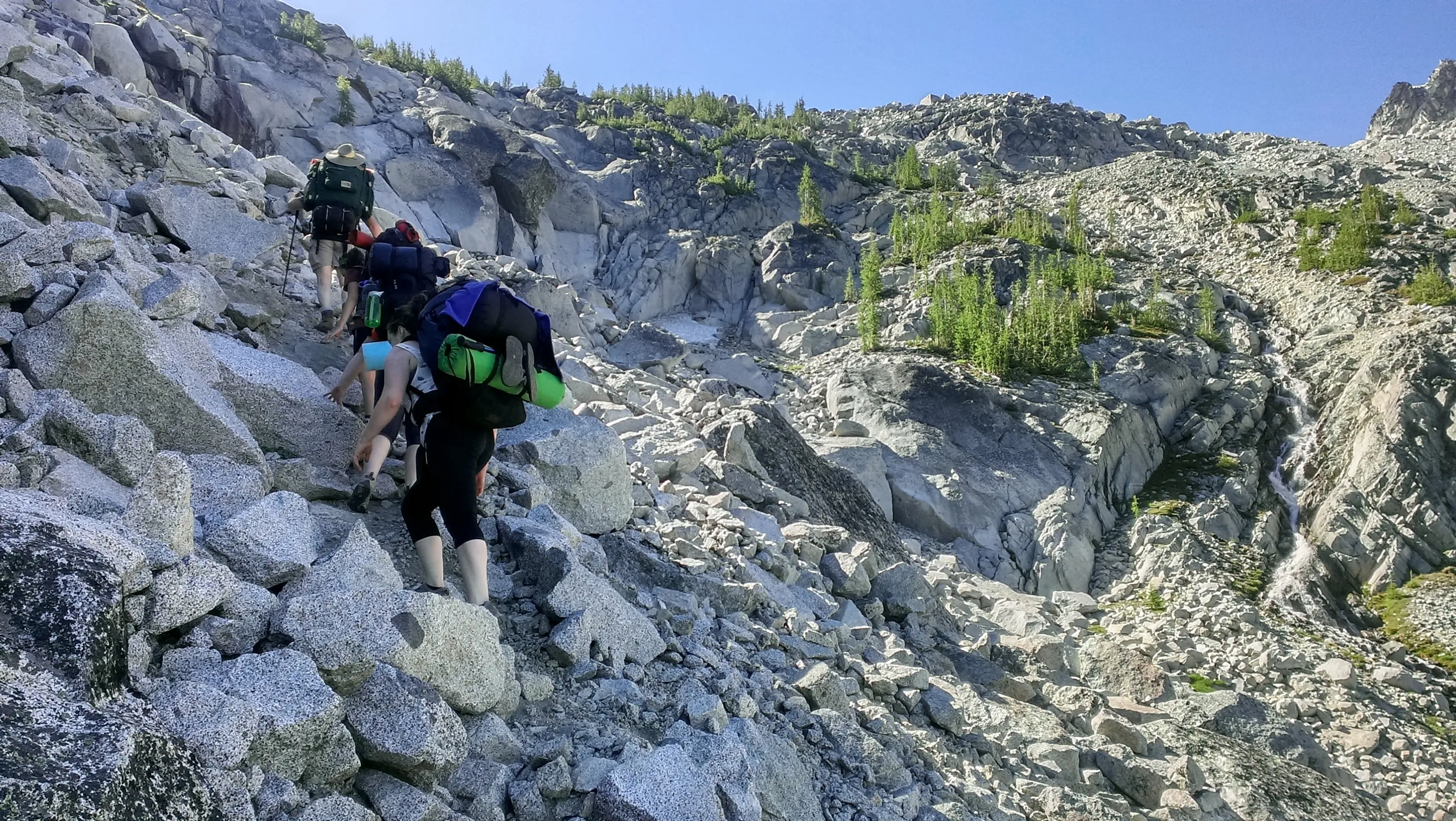
Keeps getting steeper
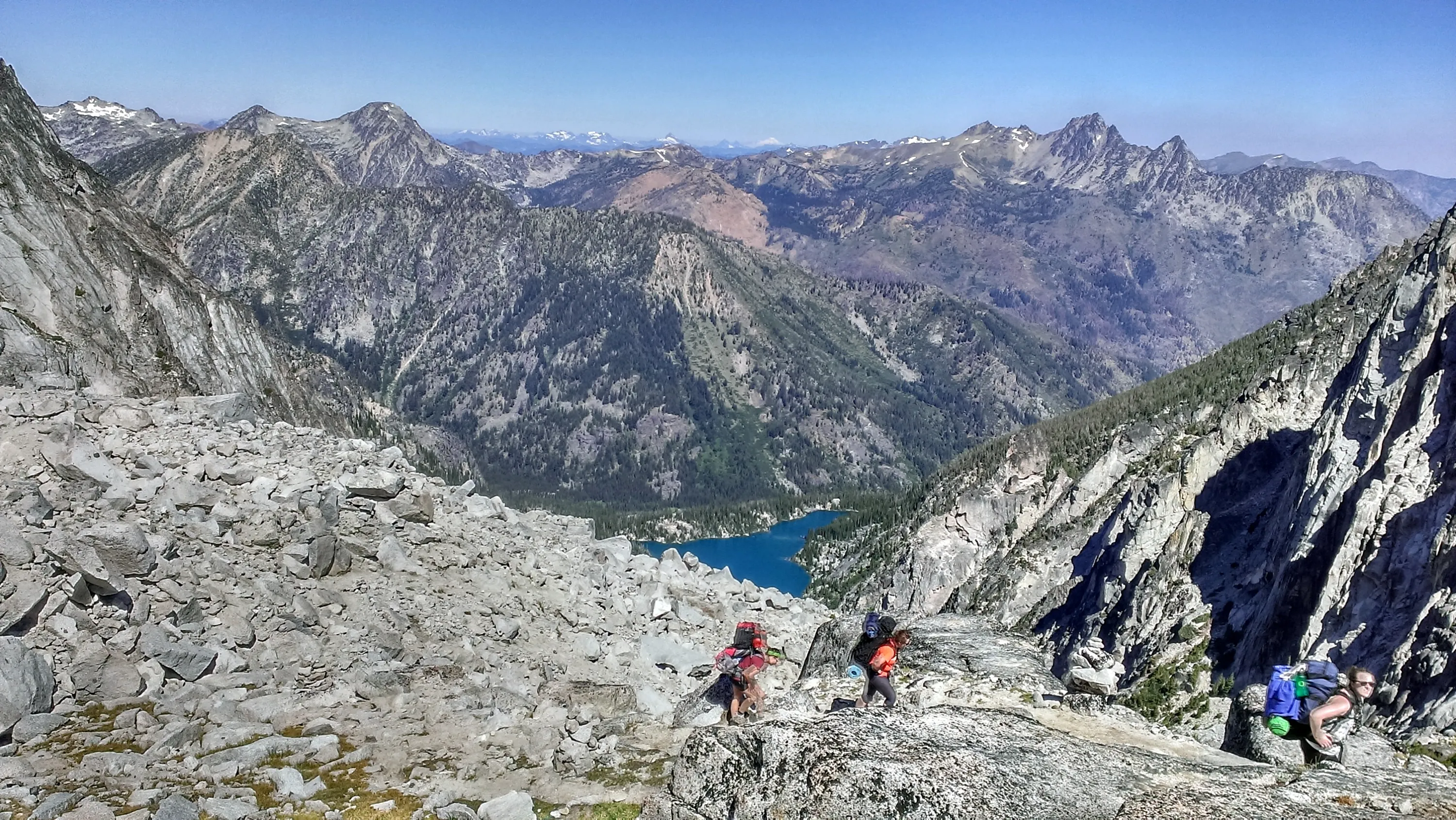
Continuing up Aasgard pass - Colchuck lake is getting smaller!
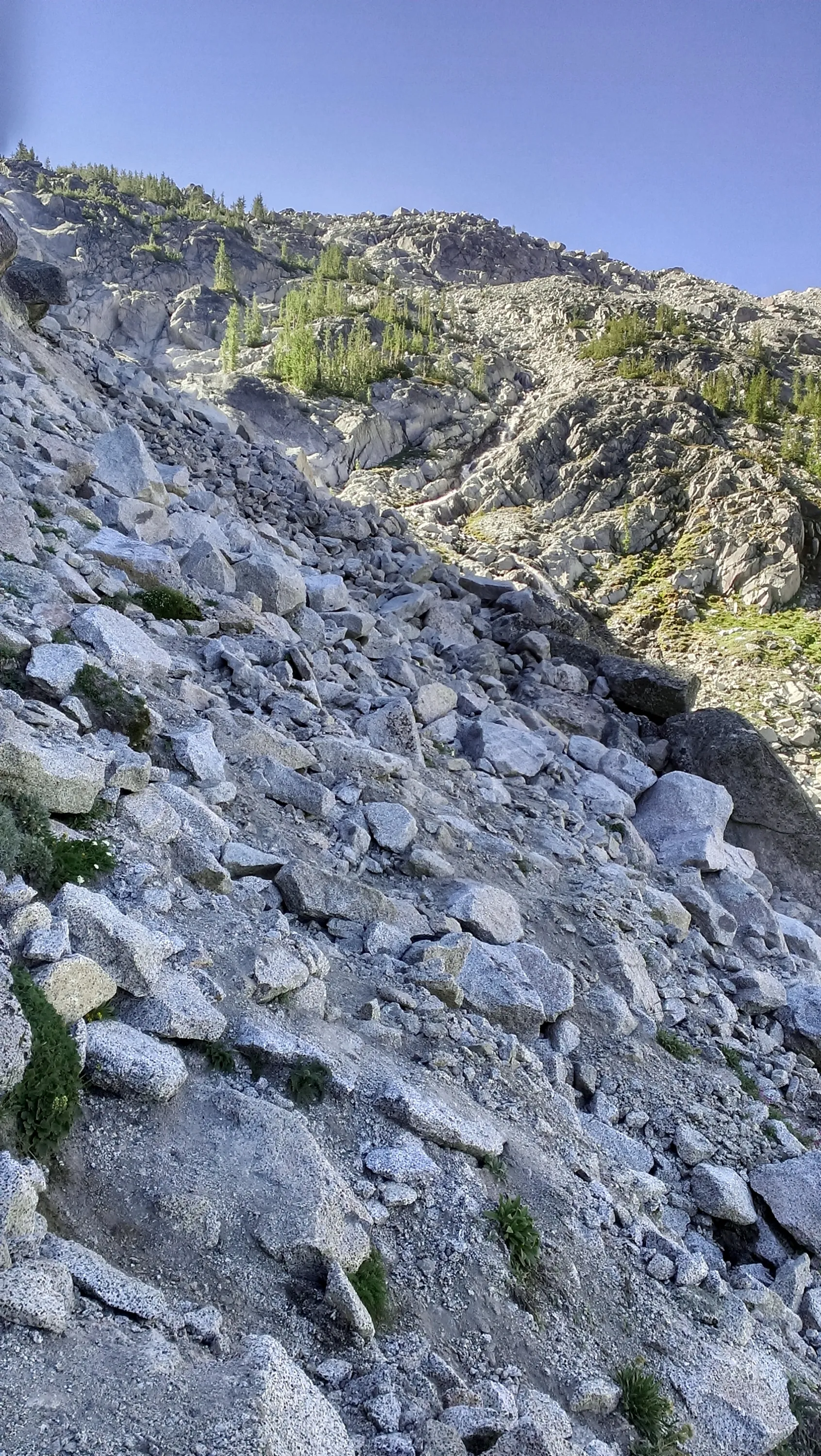
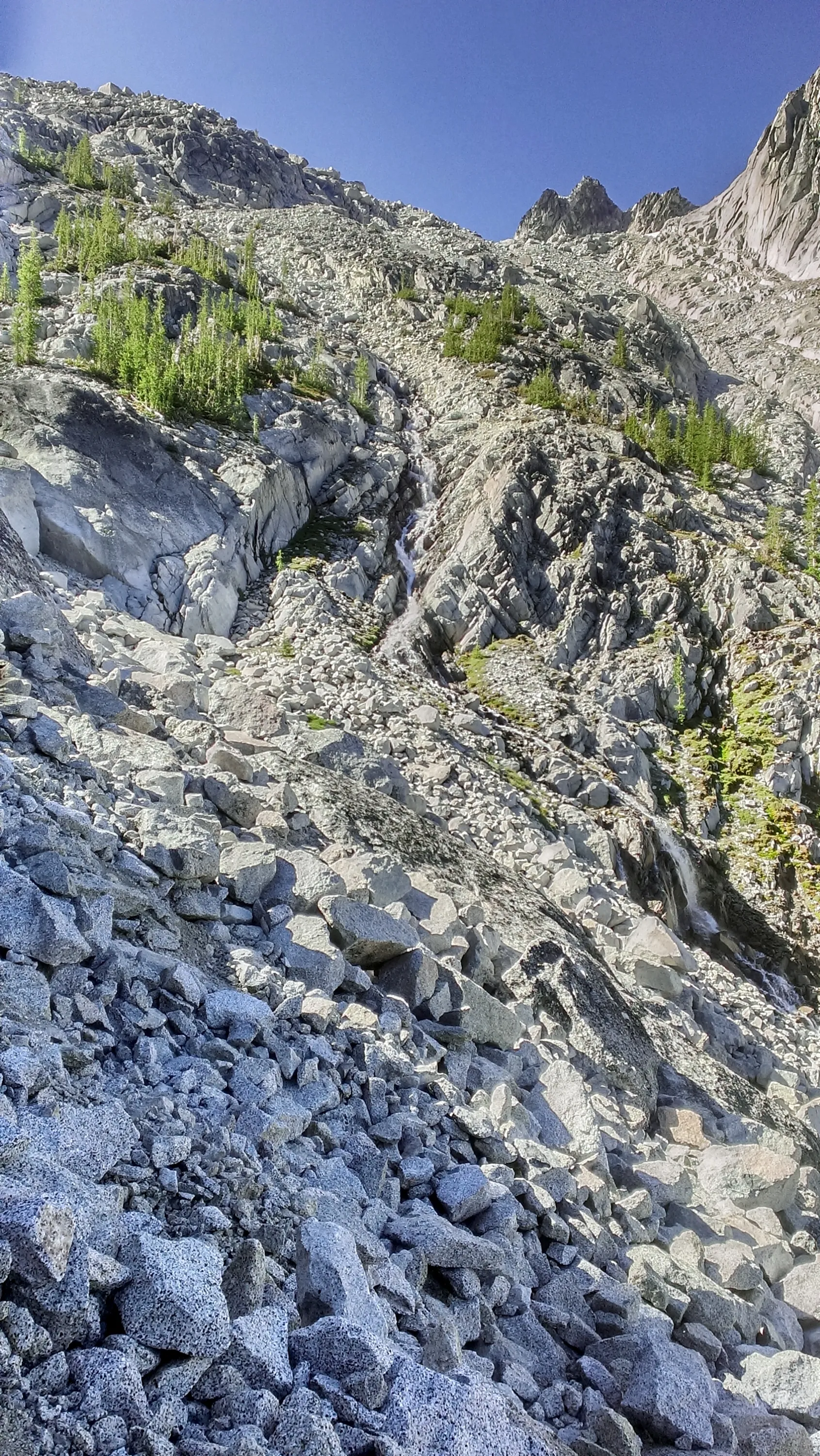
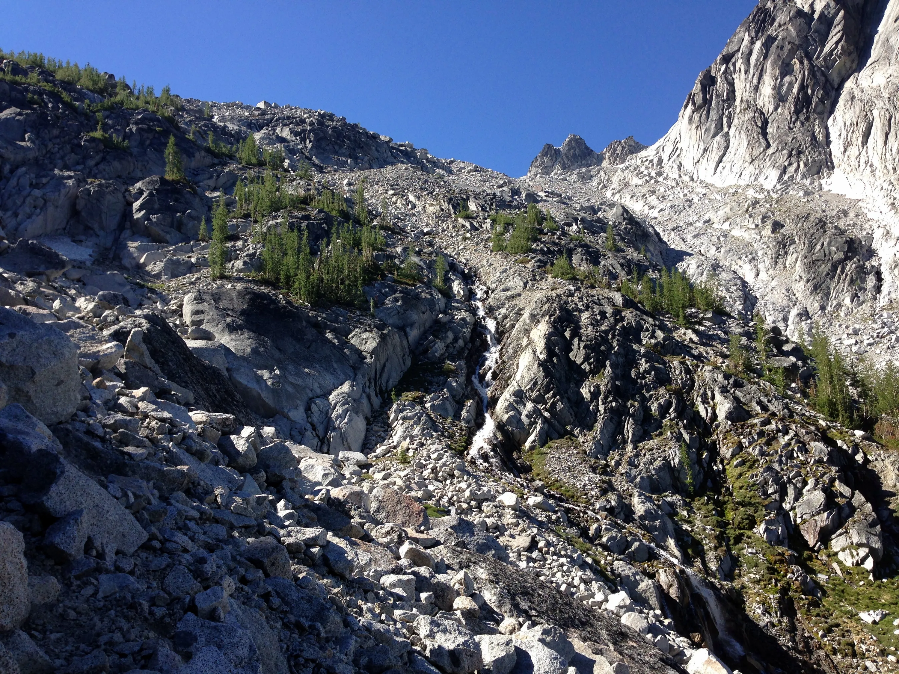
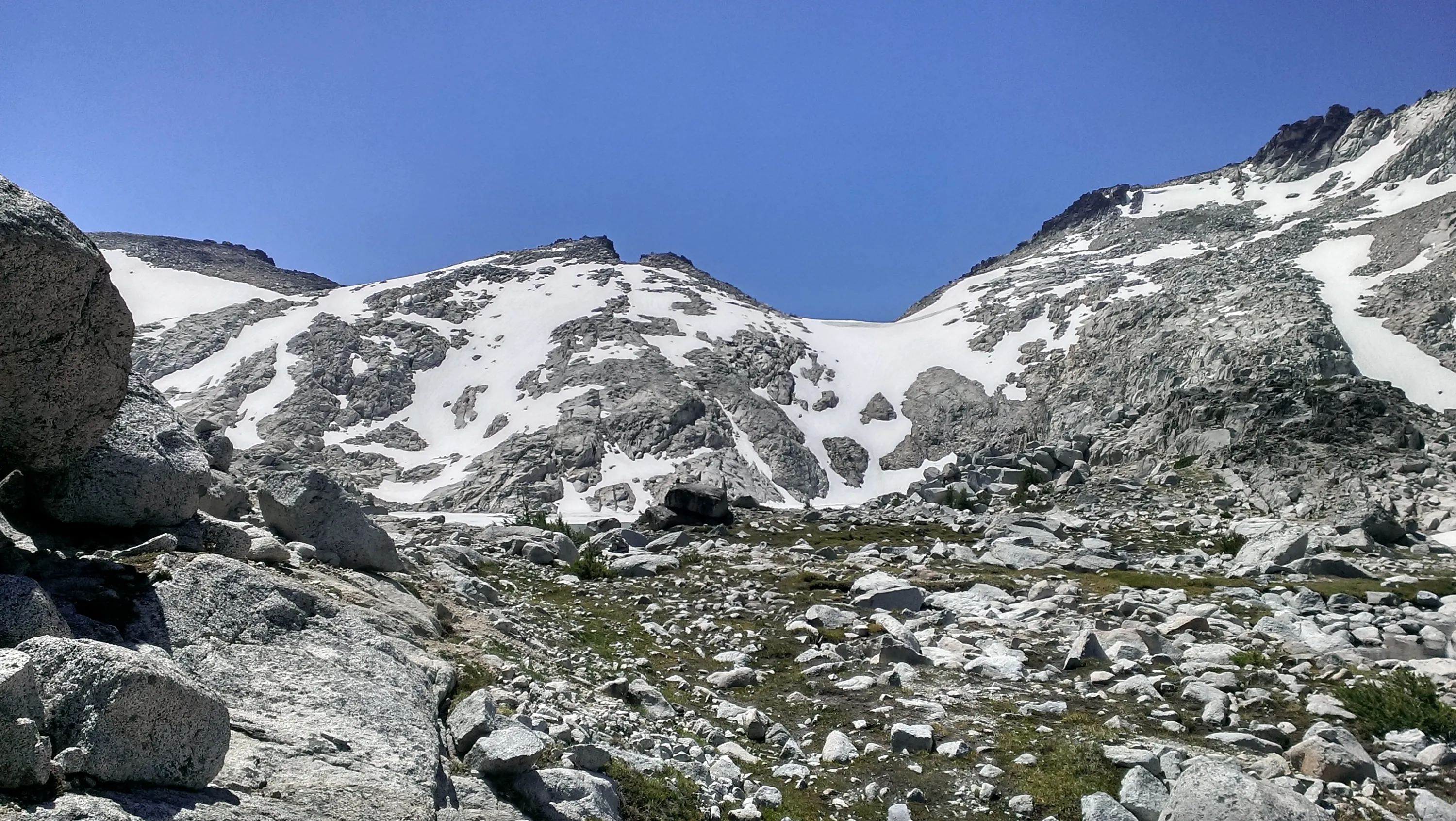
We still have to get UP that!
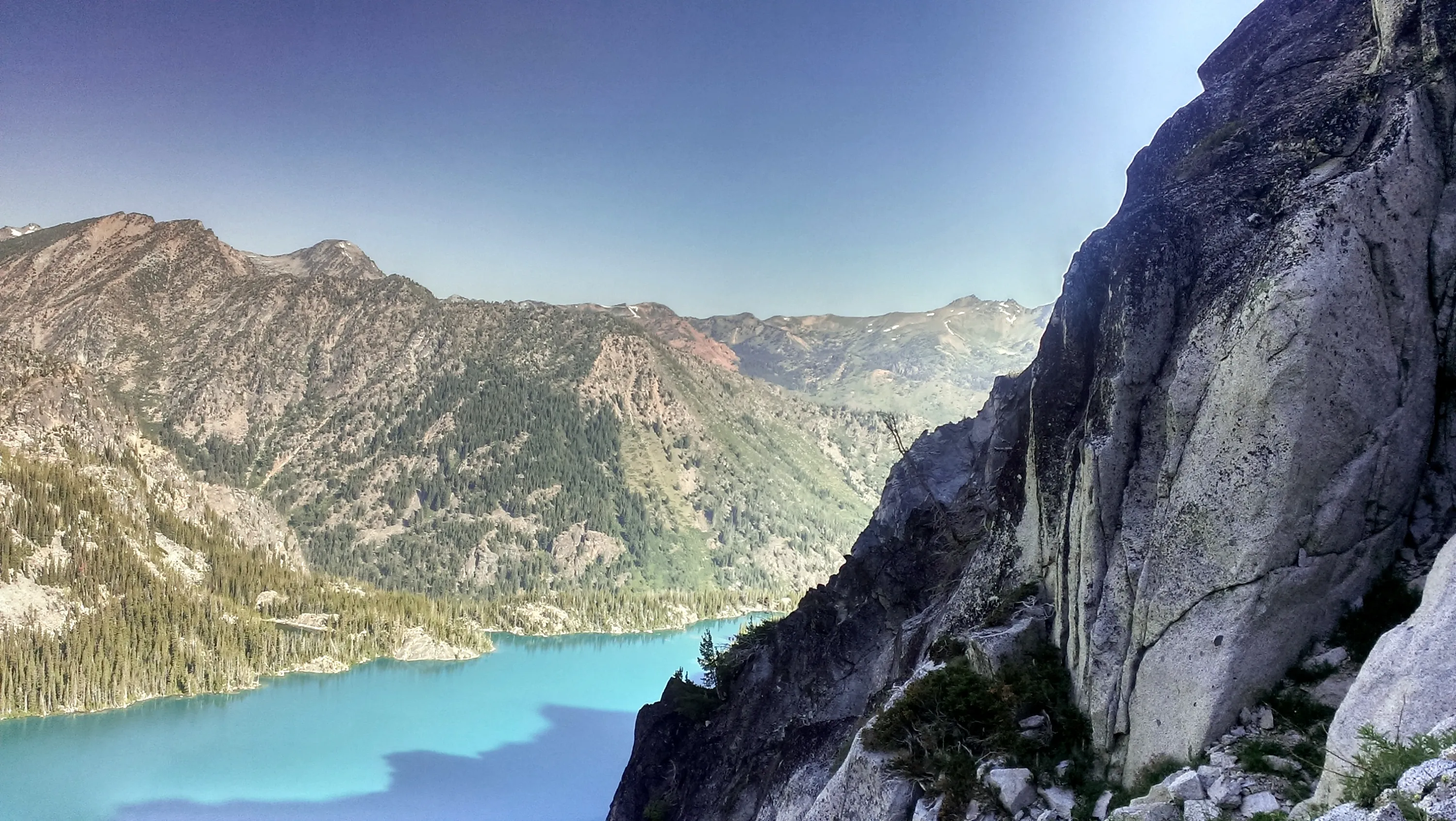
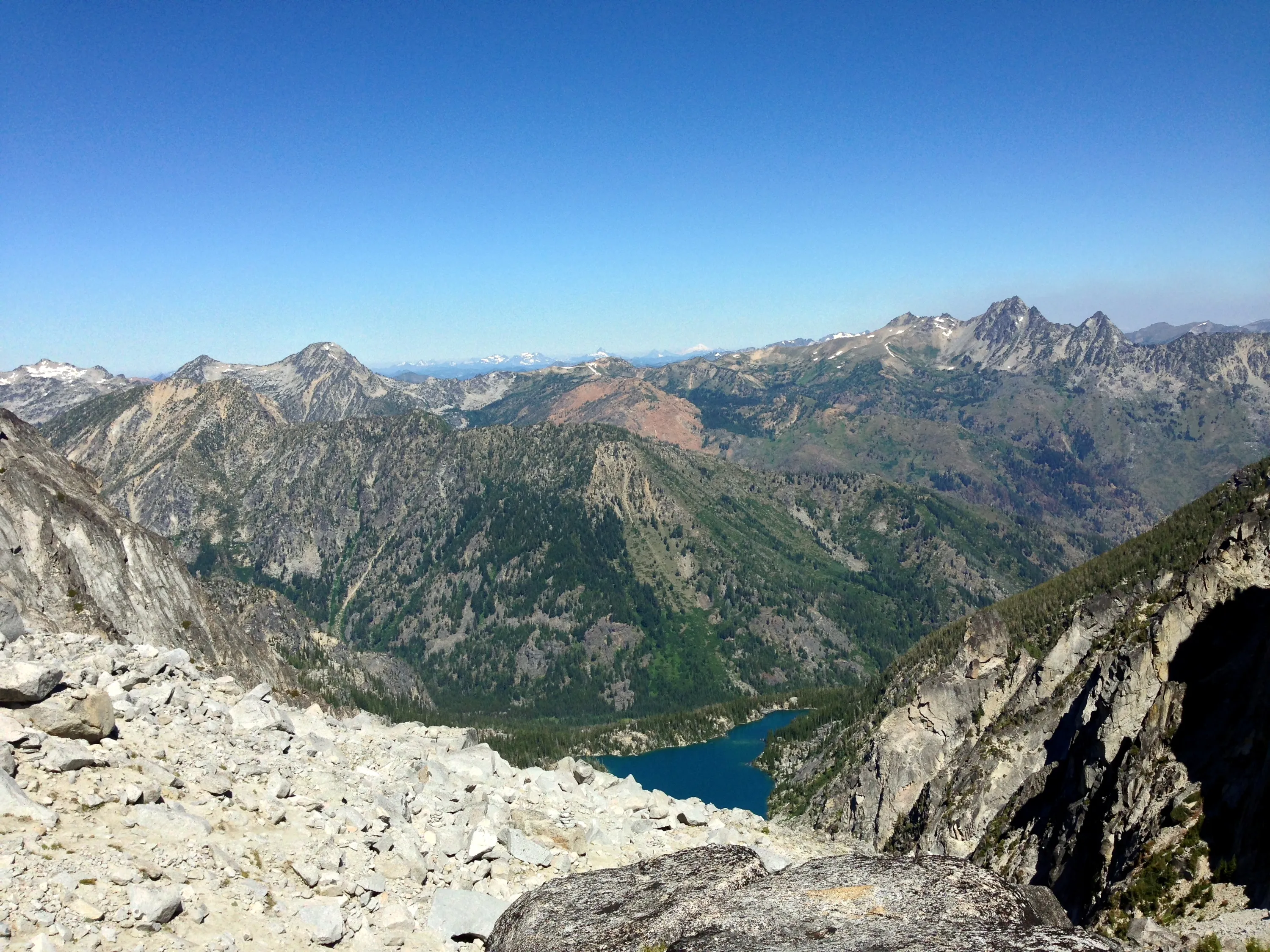
Last peek at Colchuck Lake from Aasgard pass - Canon mountain in the distance?
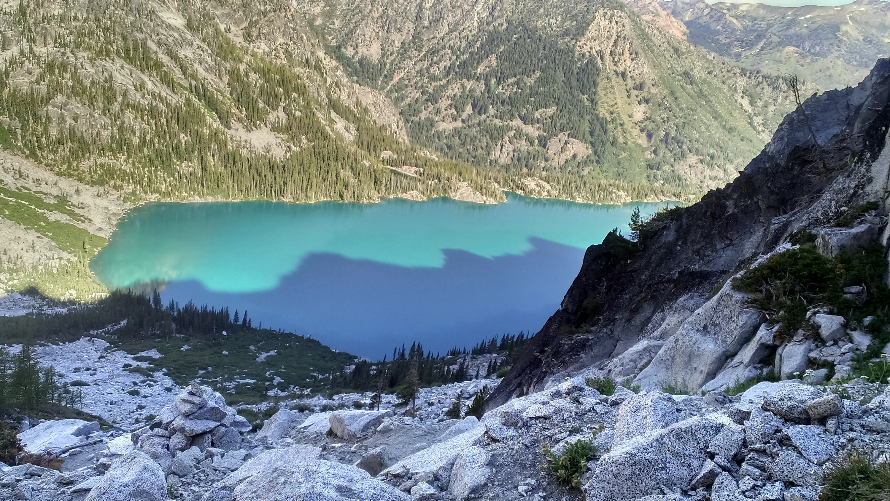
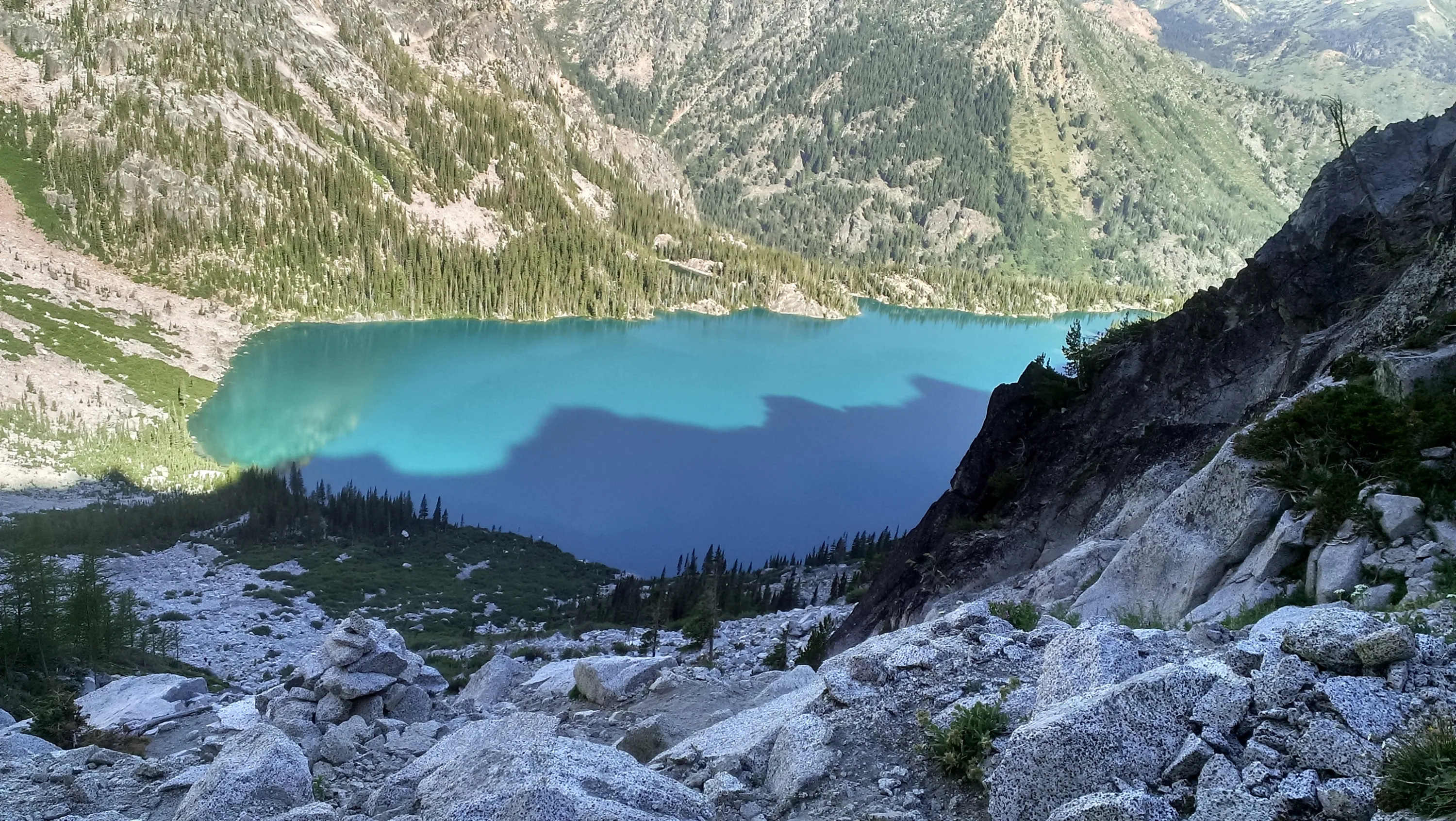
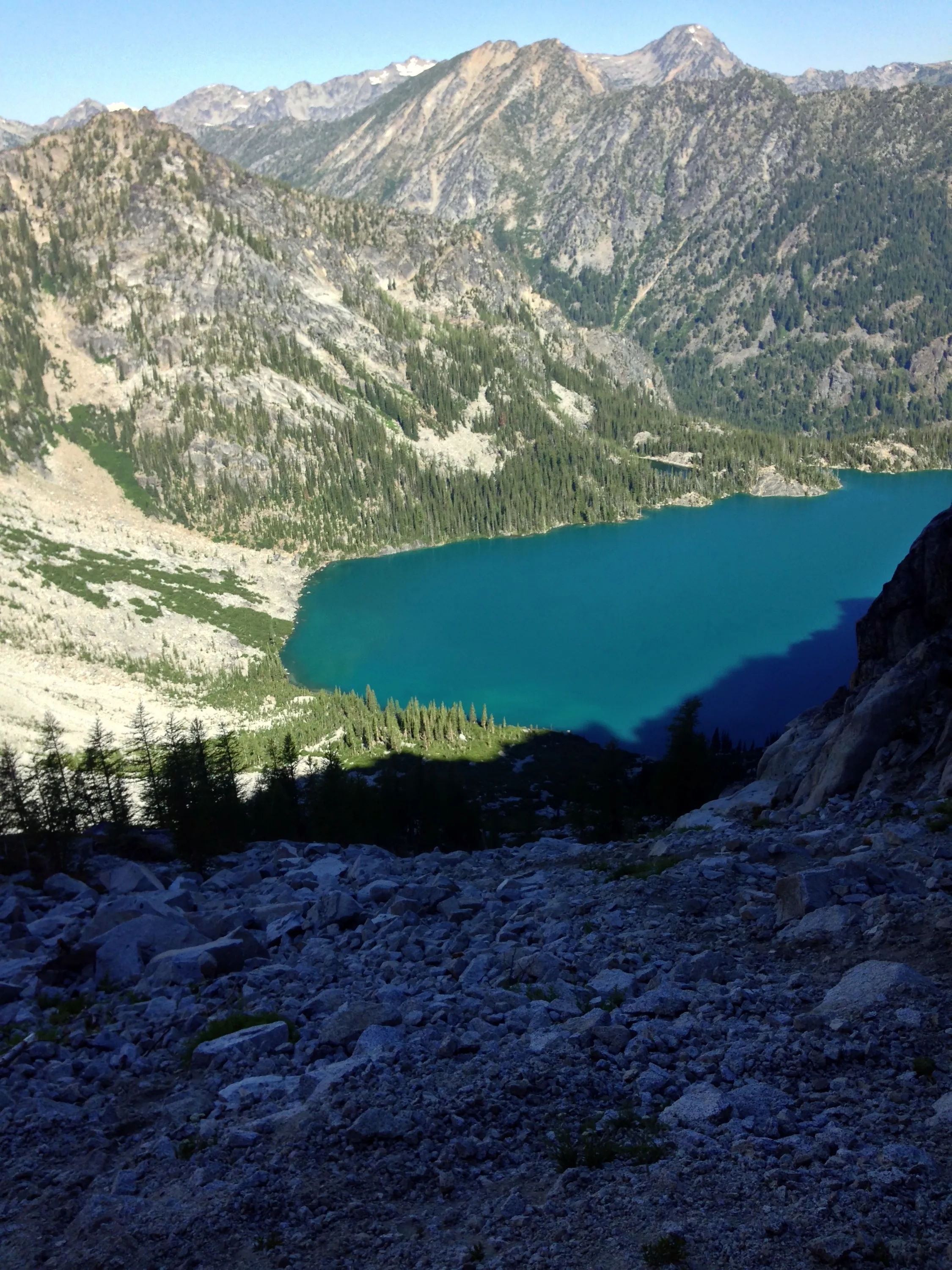
Looking down on Colchuck lake - almost to the top
Dragontail Peak from the east side - looks a lot different from this angle
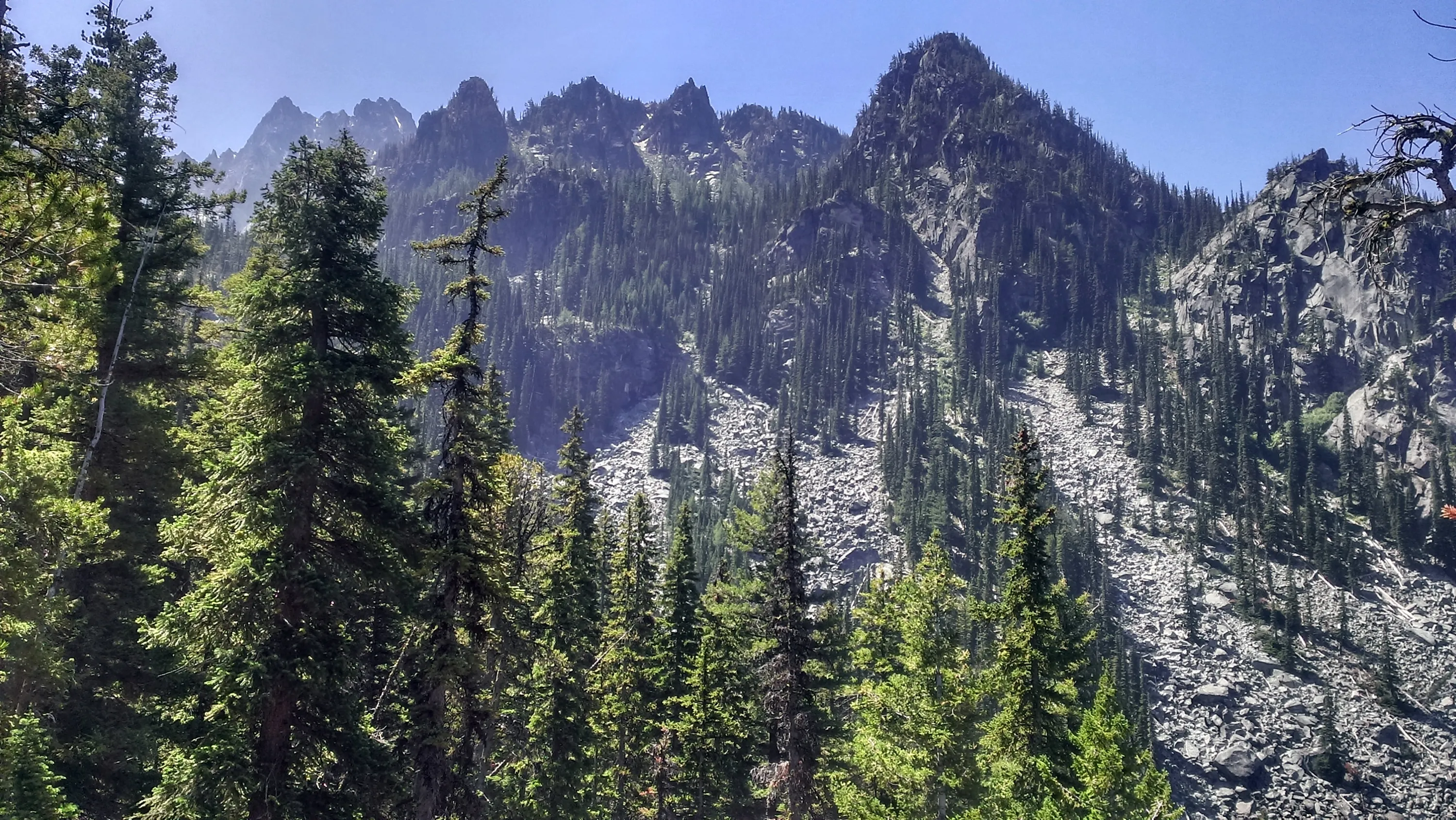
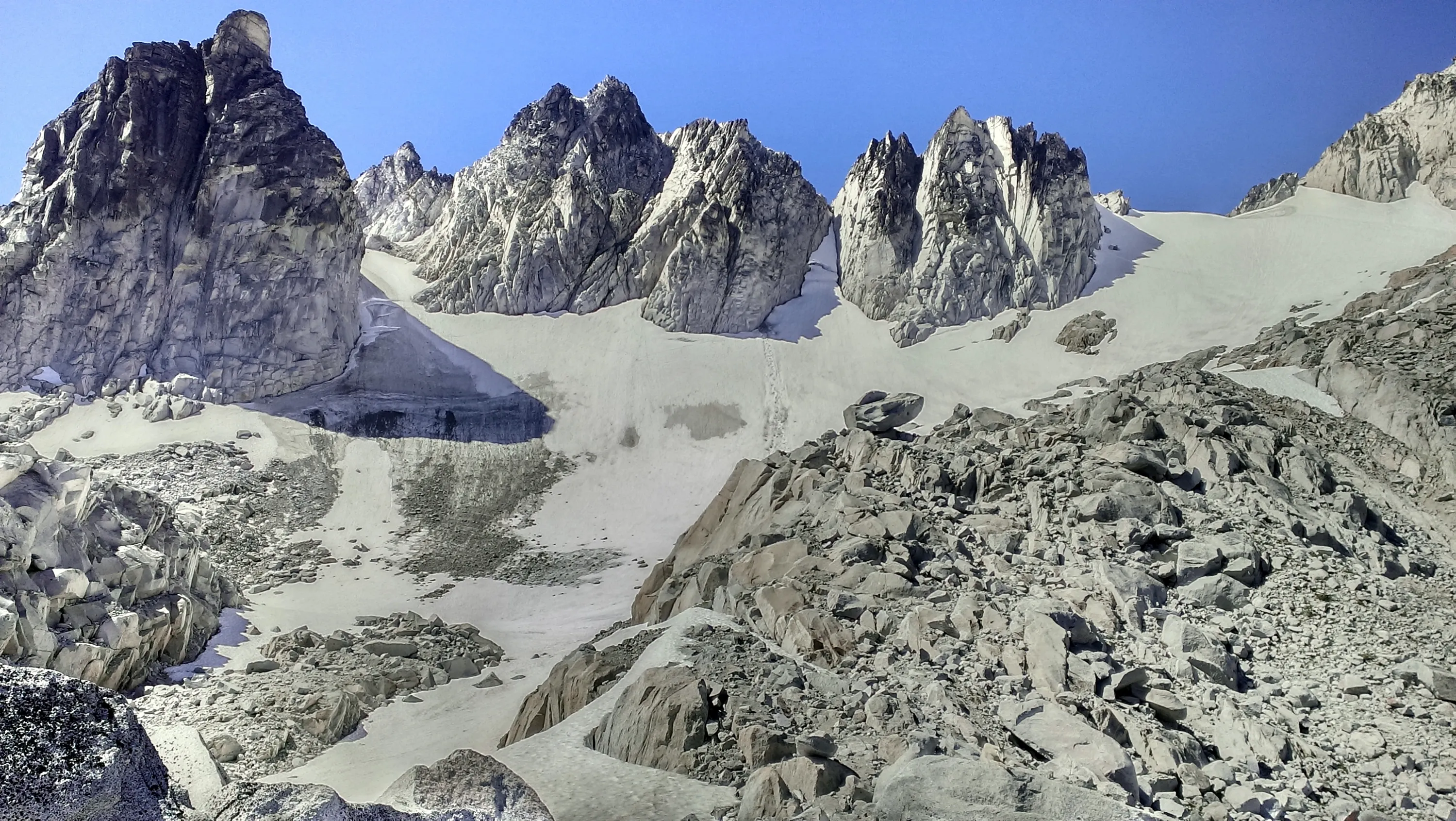
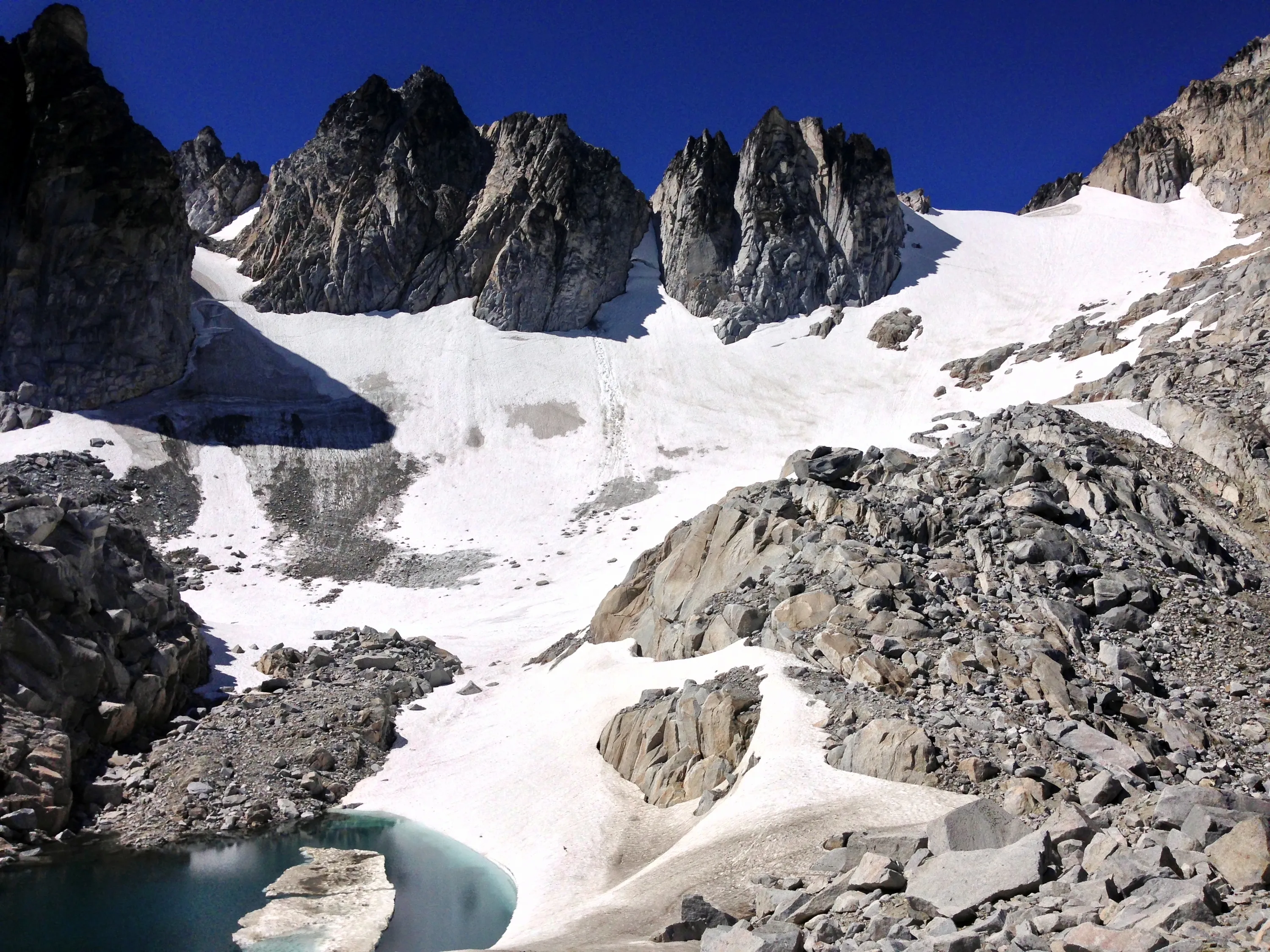
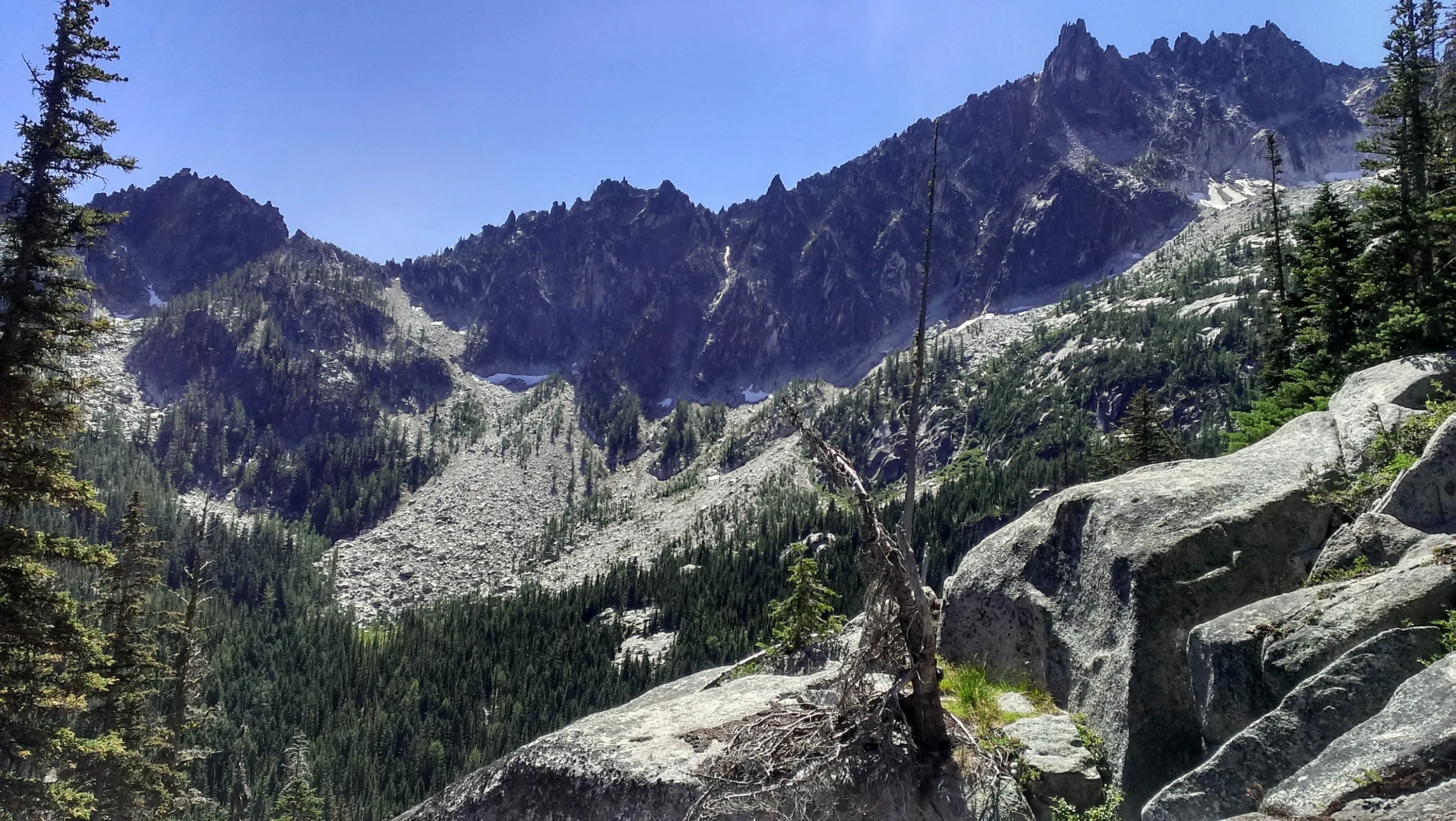
The unnamed peaks south of Dragontail Peak
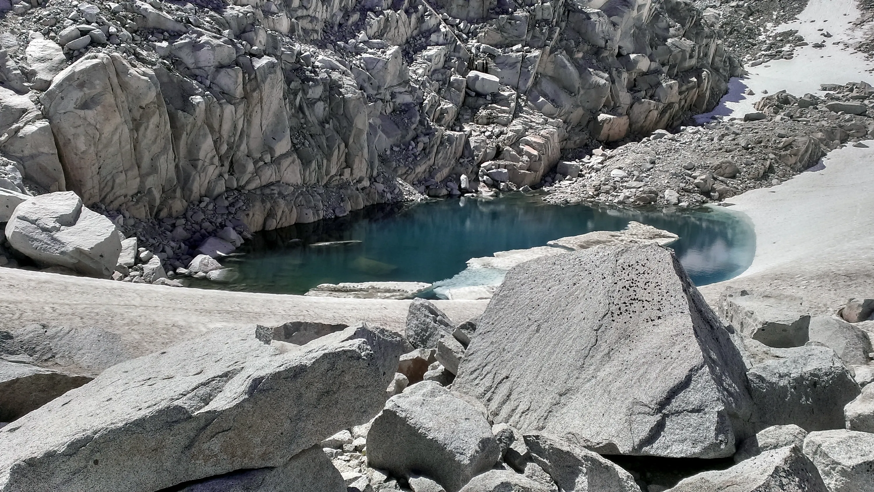
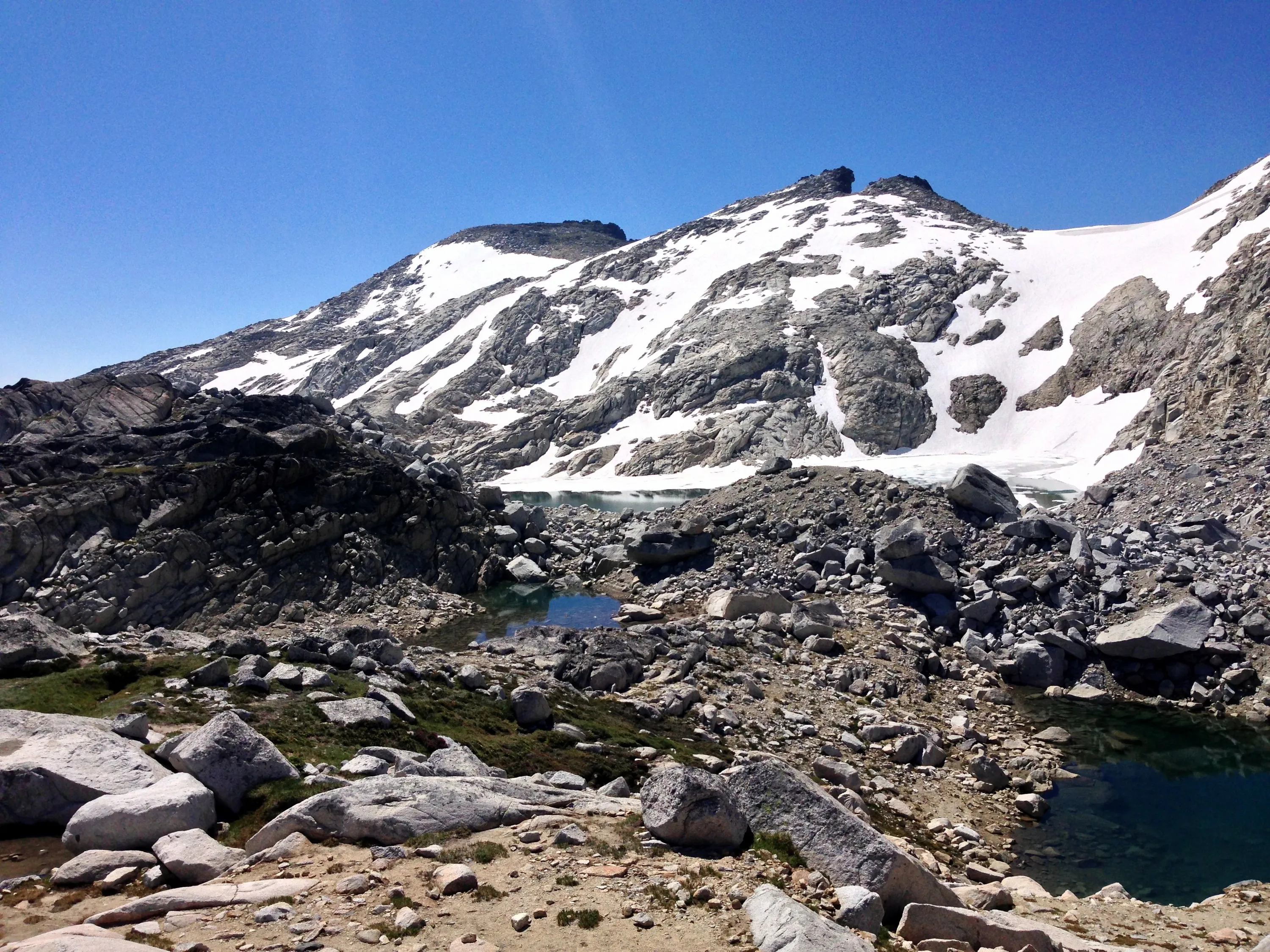
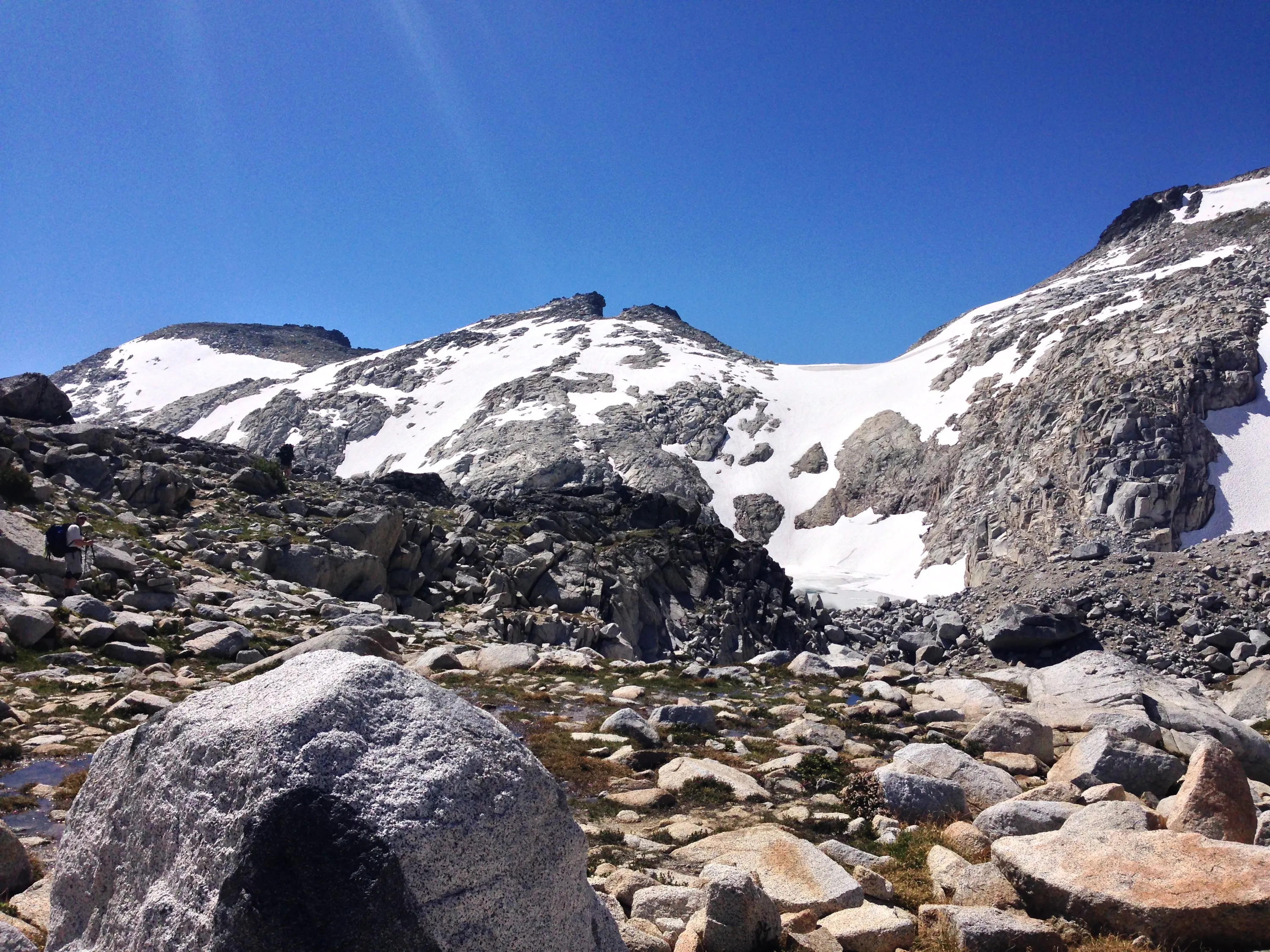
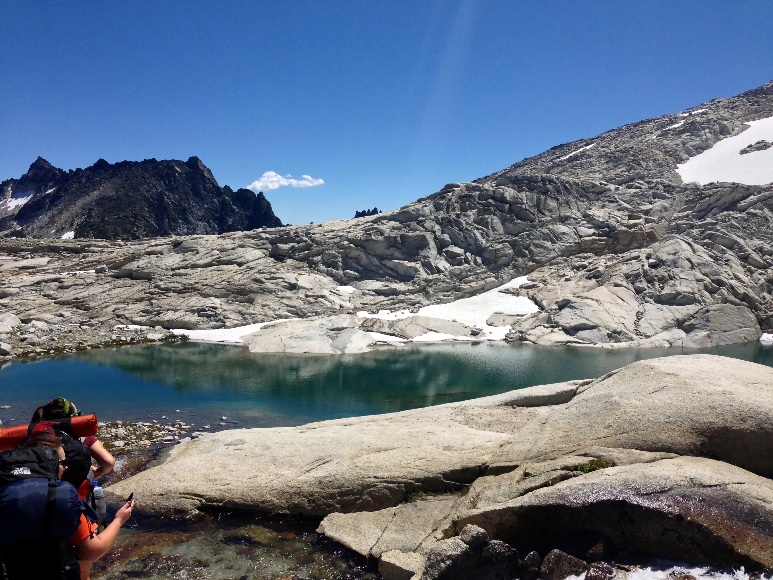
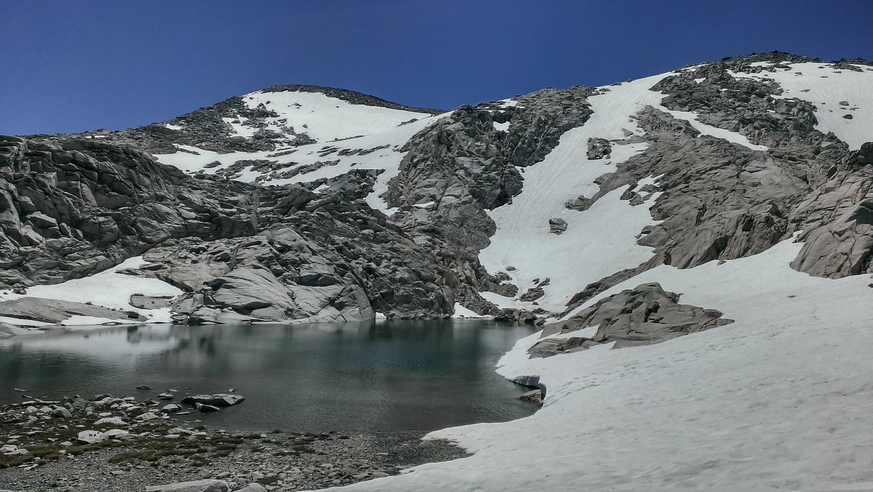
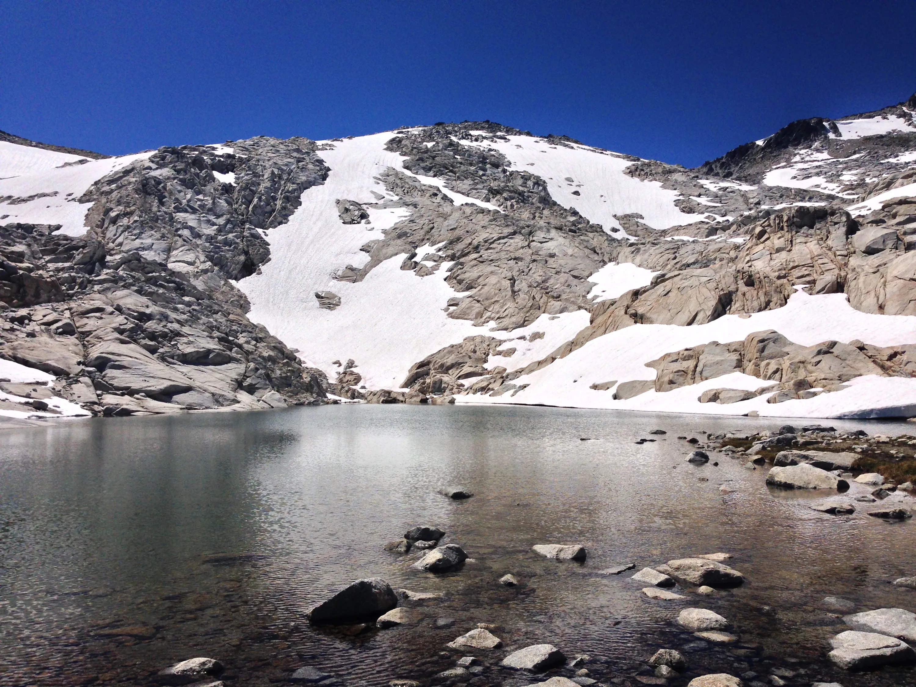
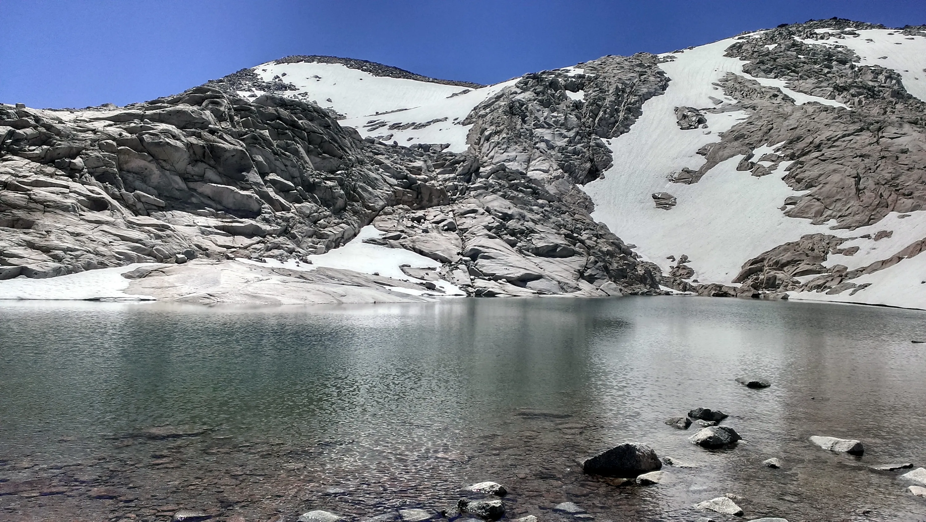
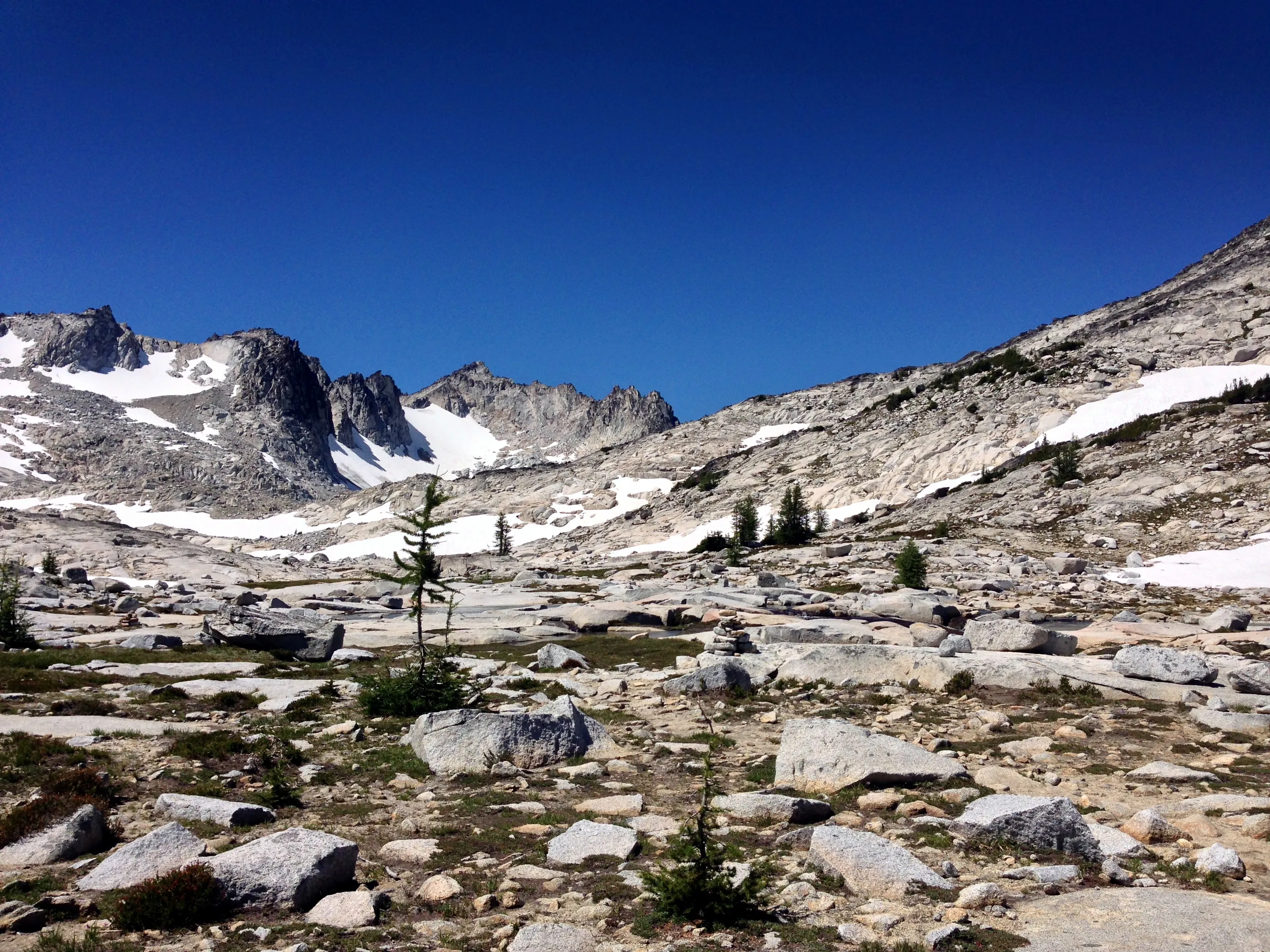
Small tarn/snowmelt at the top of Aasgard pass
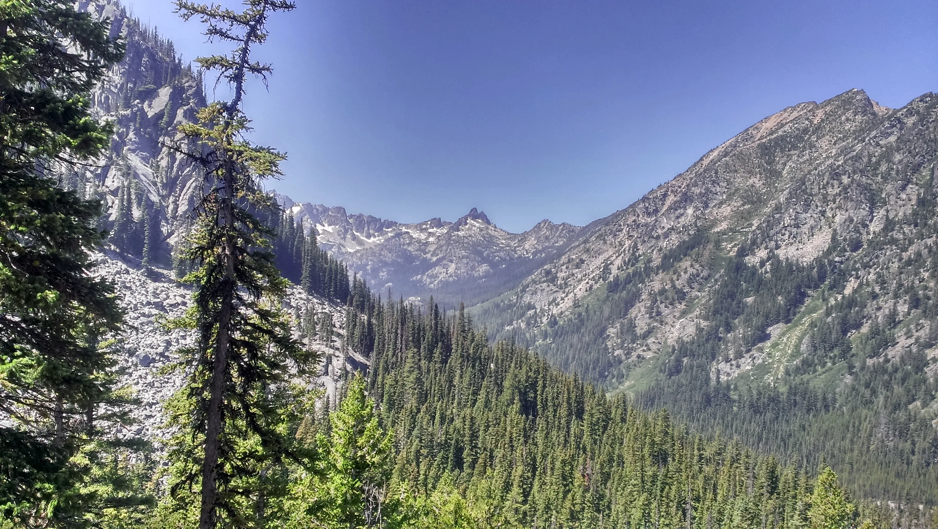
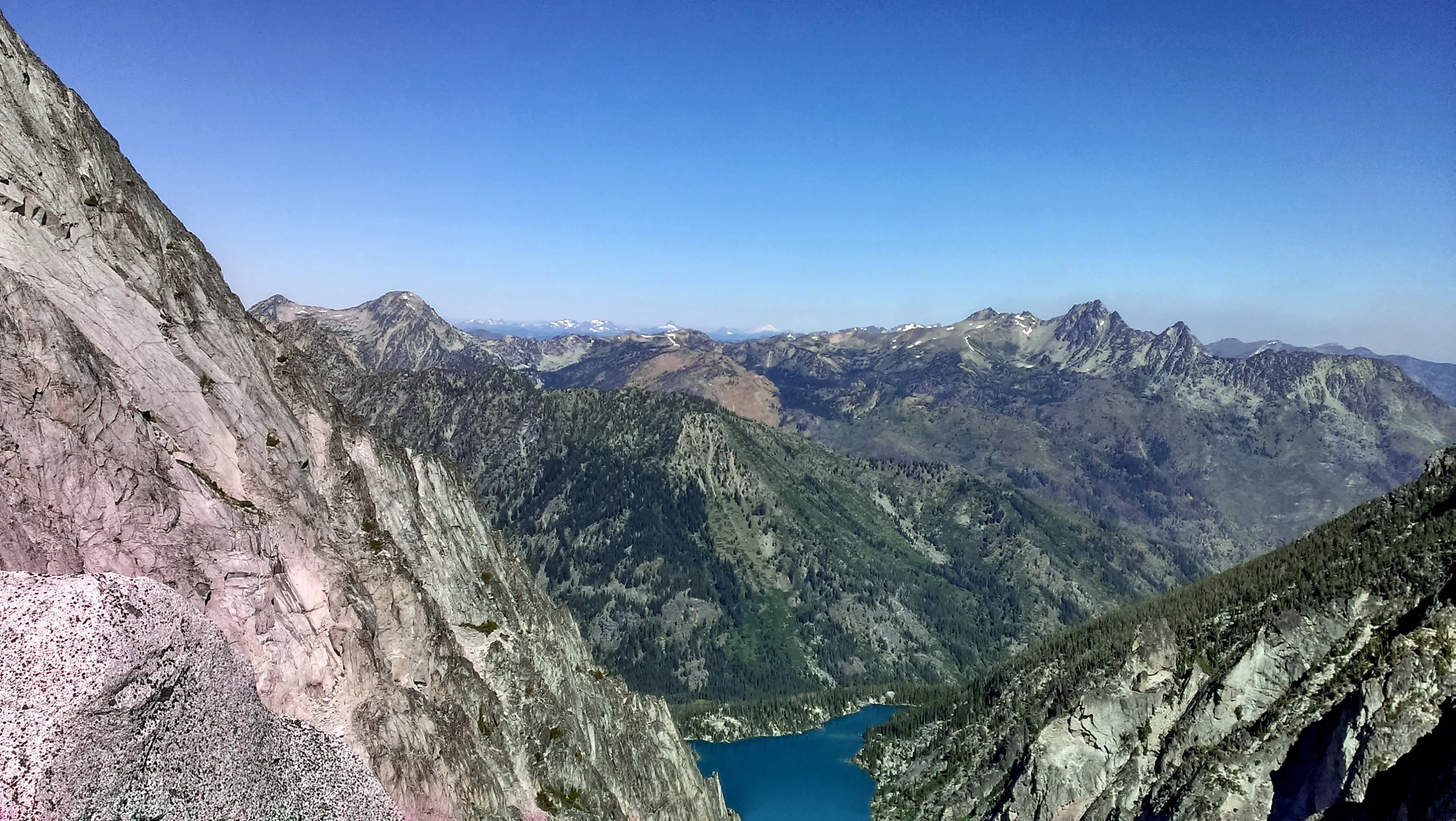
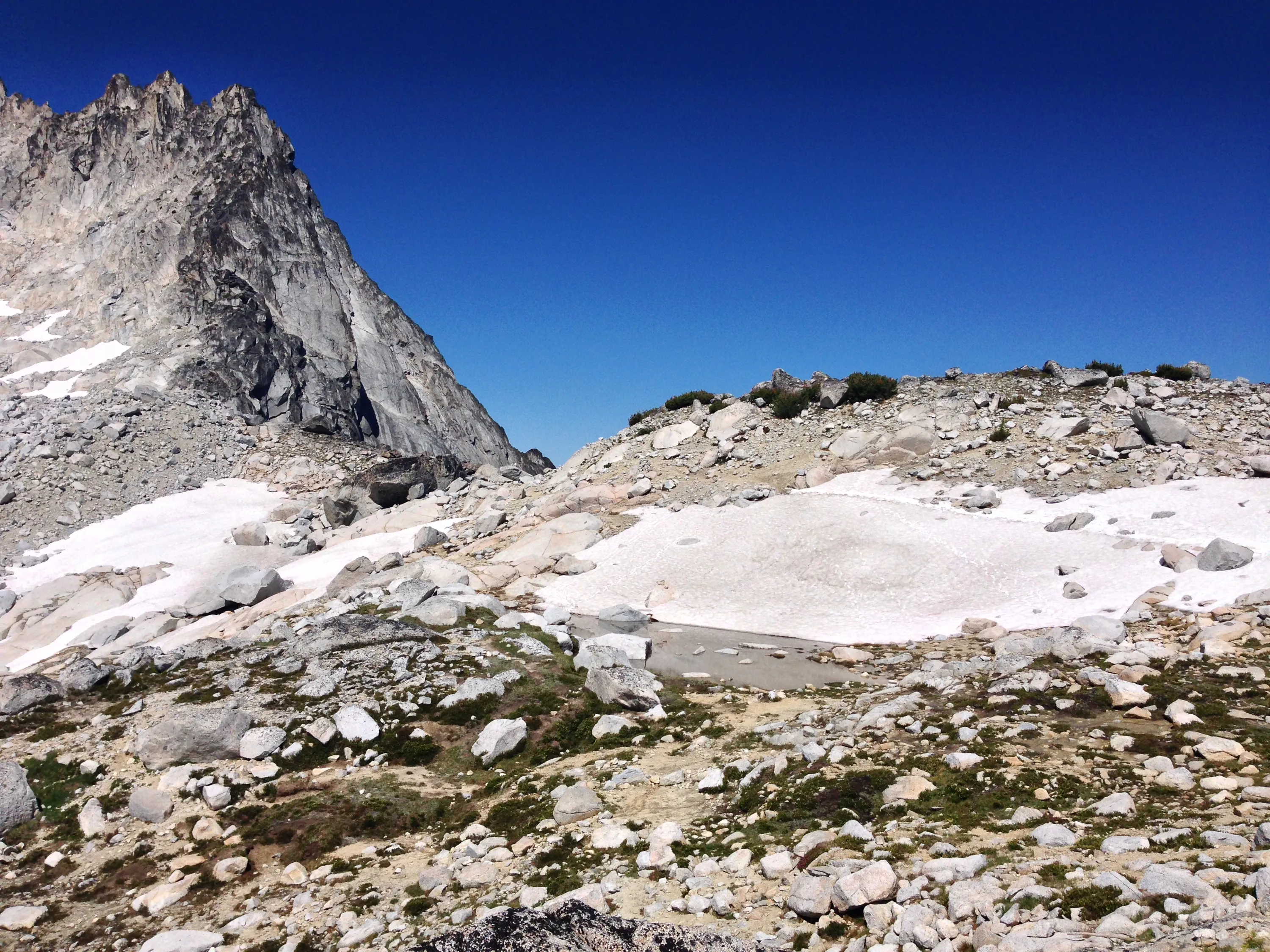
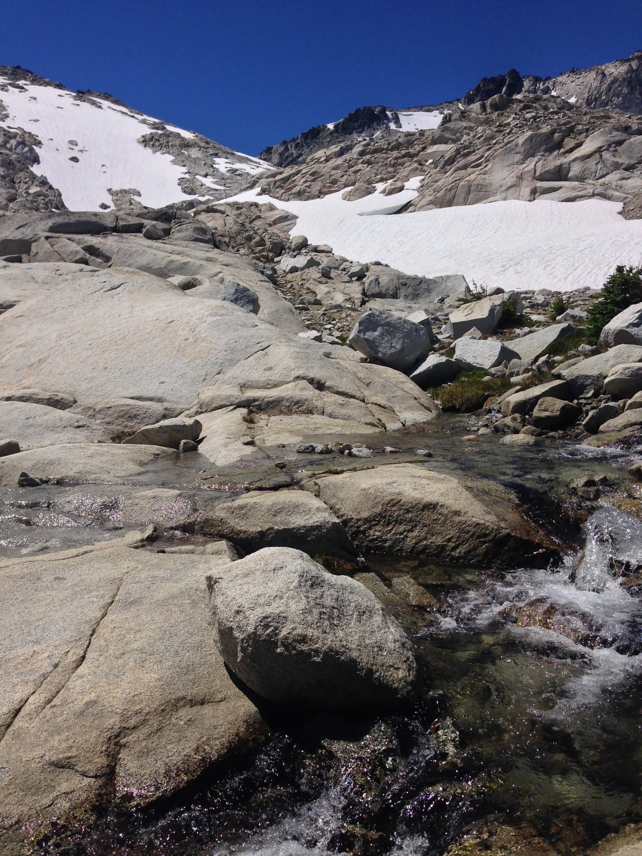
View from Aasgard pass
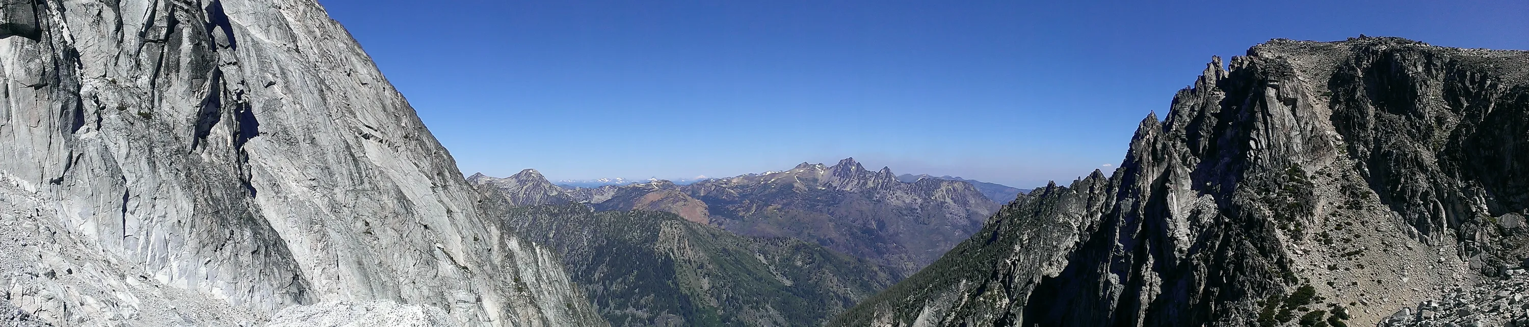
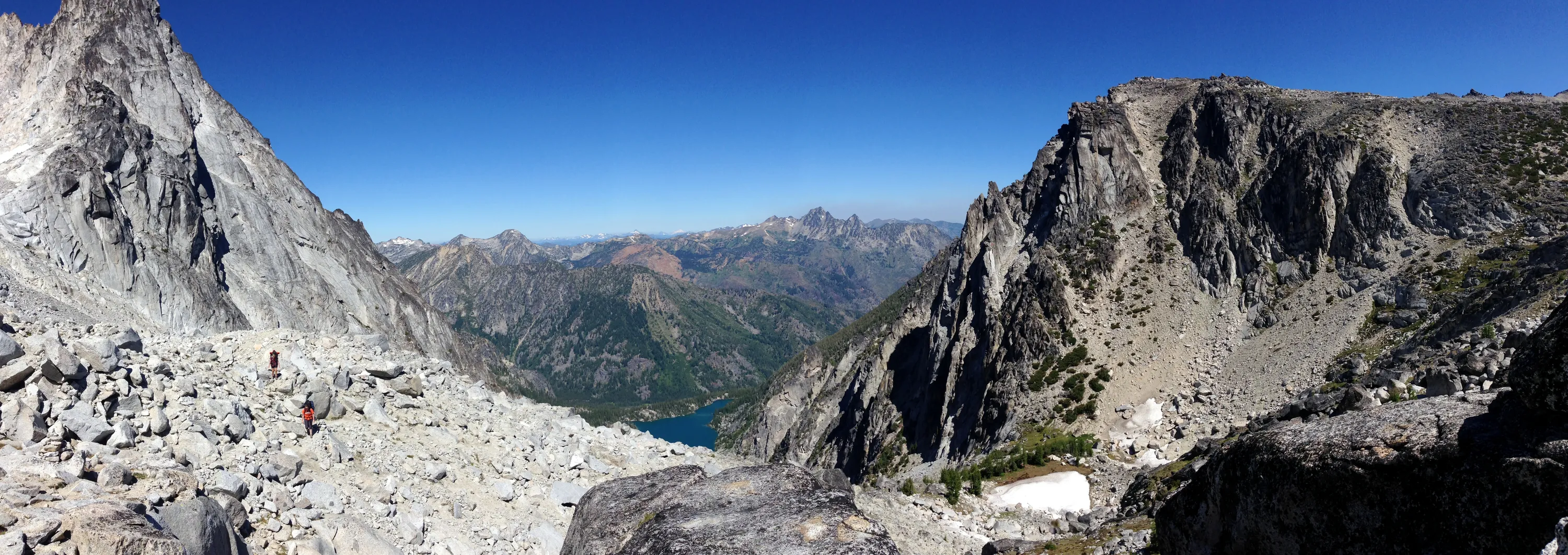
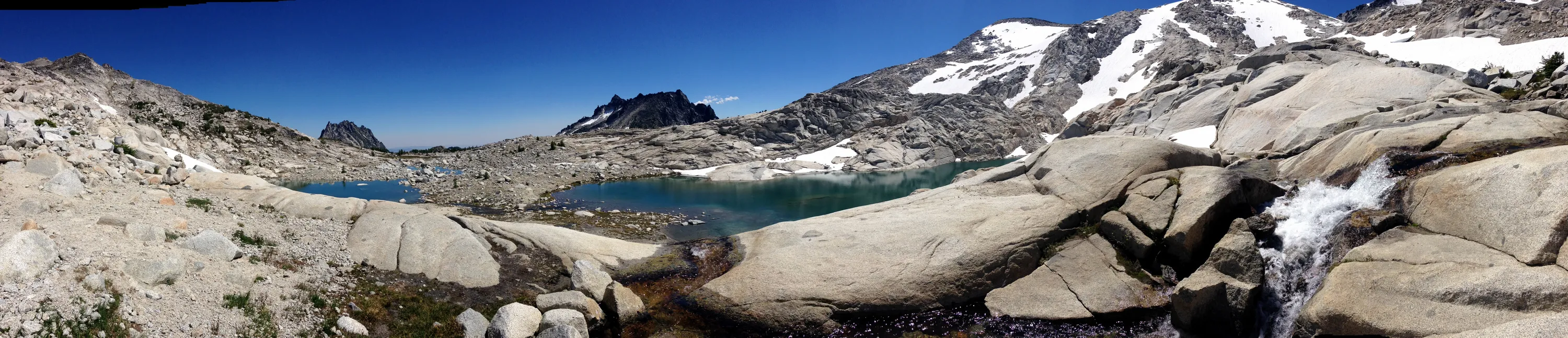
Panorama from Aasgard pass - see people for scale
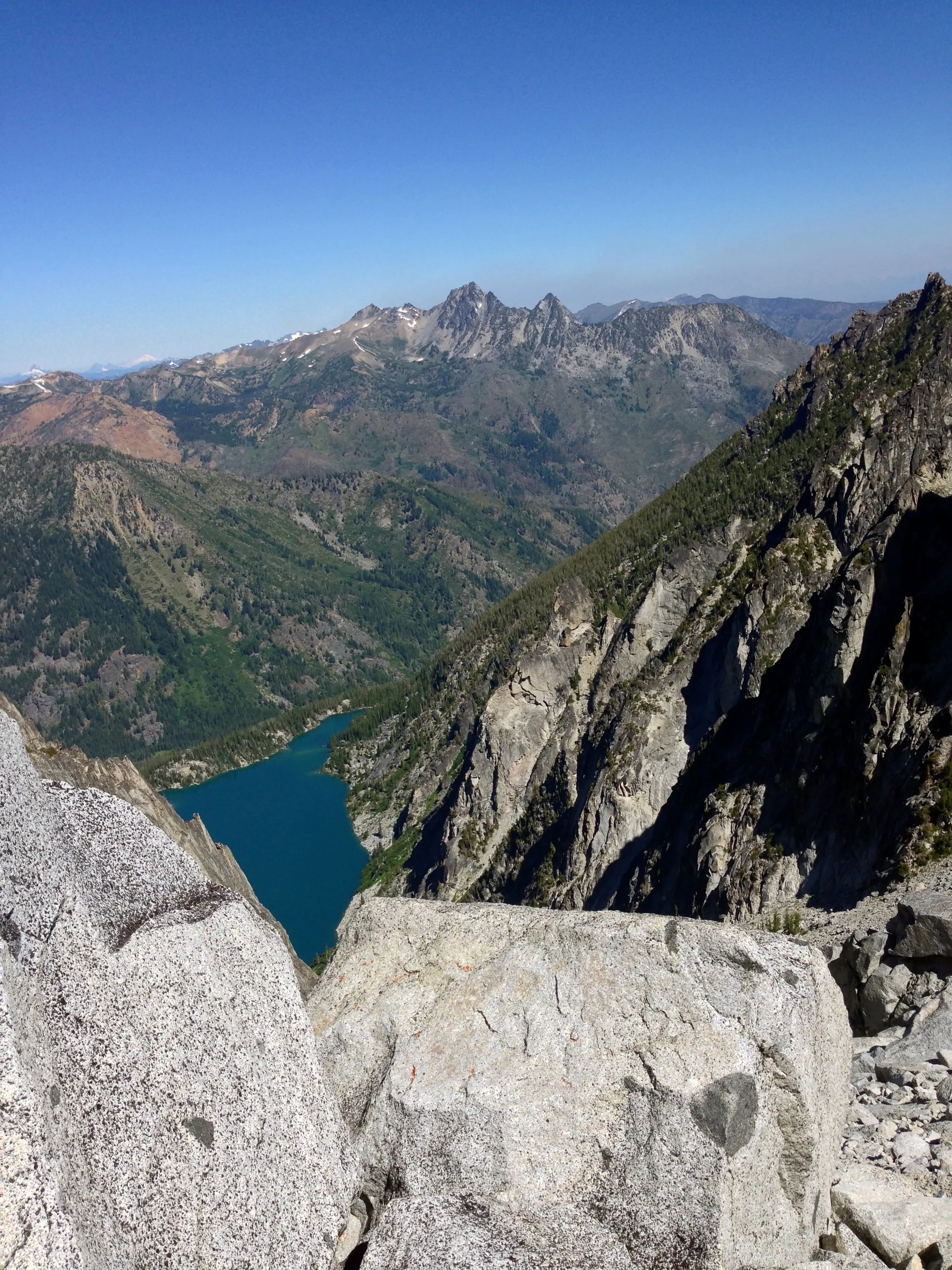
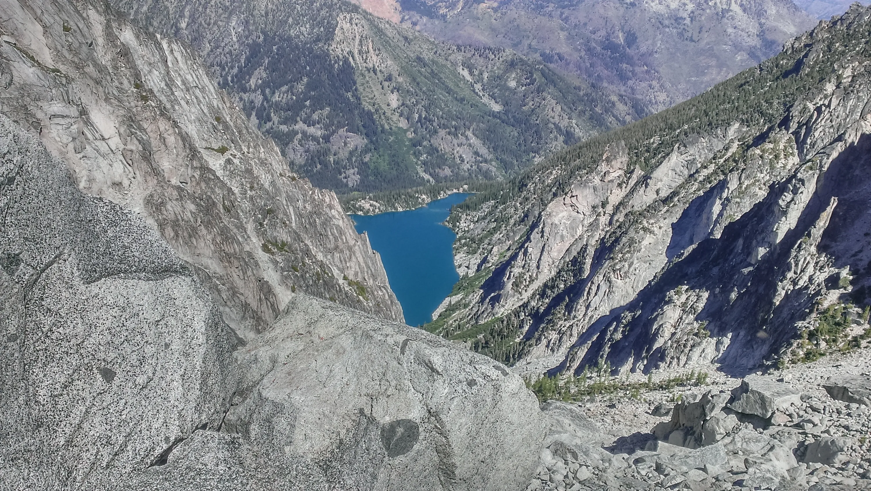
Looking down at Colchuck lake from Aasgard Pass
I think that is isolation lake in the distance
Our second view of the goats - they were quite abundant
Aasgard Pass
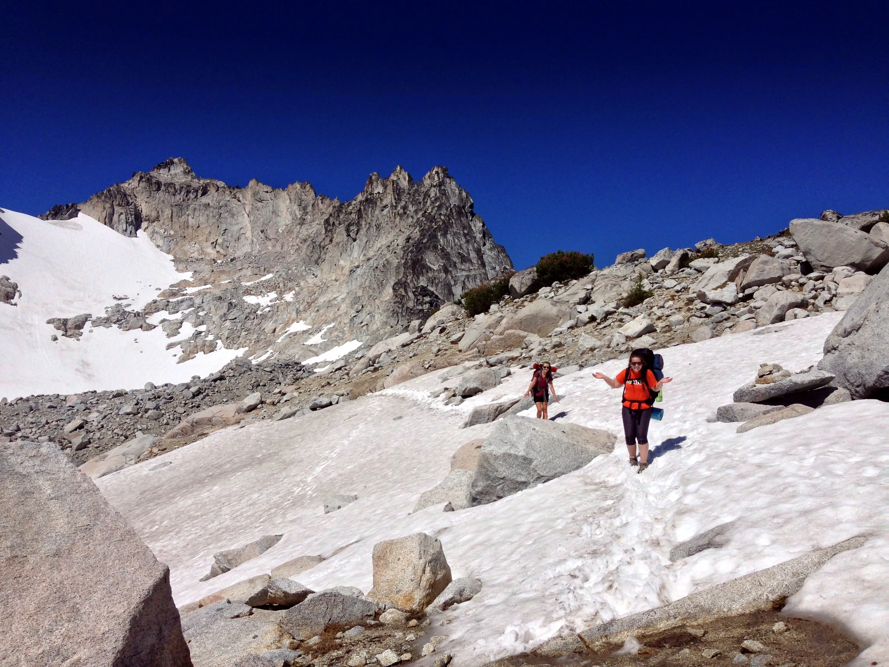
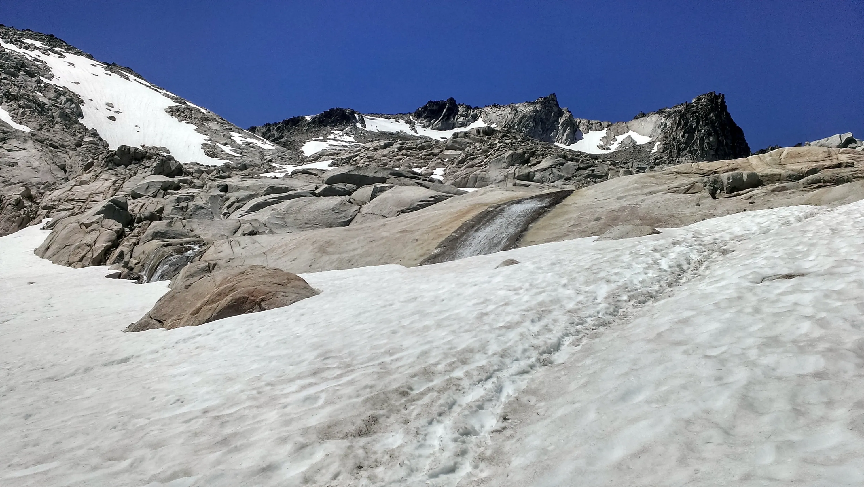
Navigating the snow fields
I think that is McClellan peak in the distance
Making our way down to Tranquil Lake - where we will have lunch - we were looking for some shade
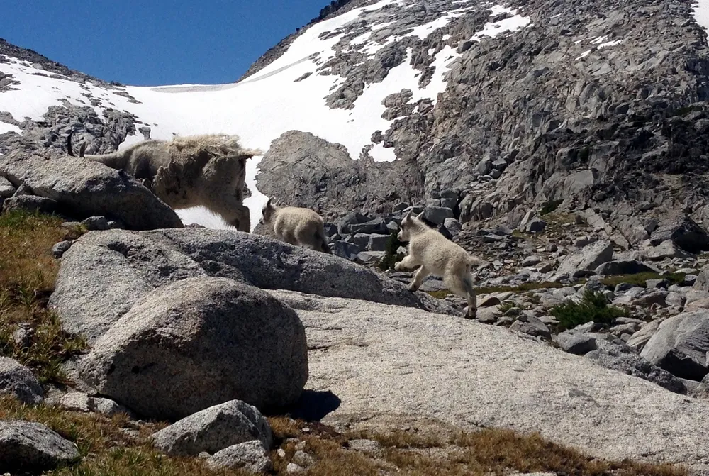
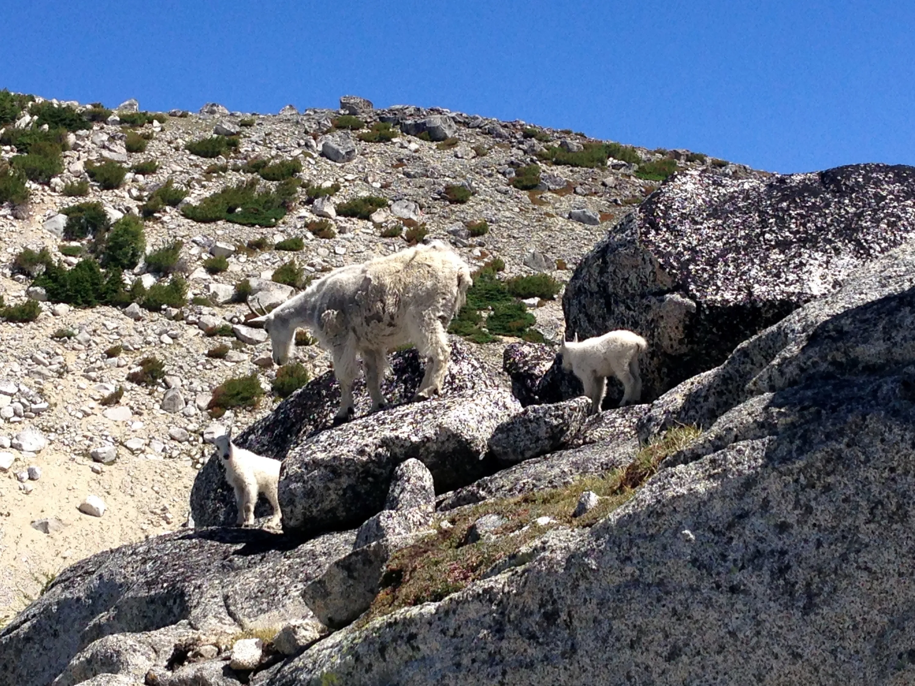
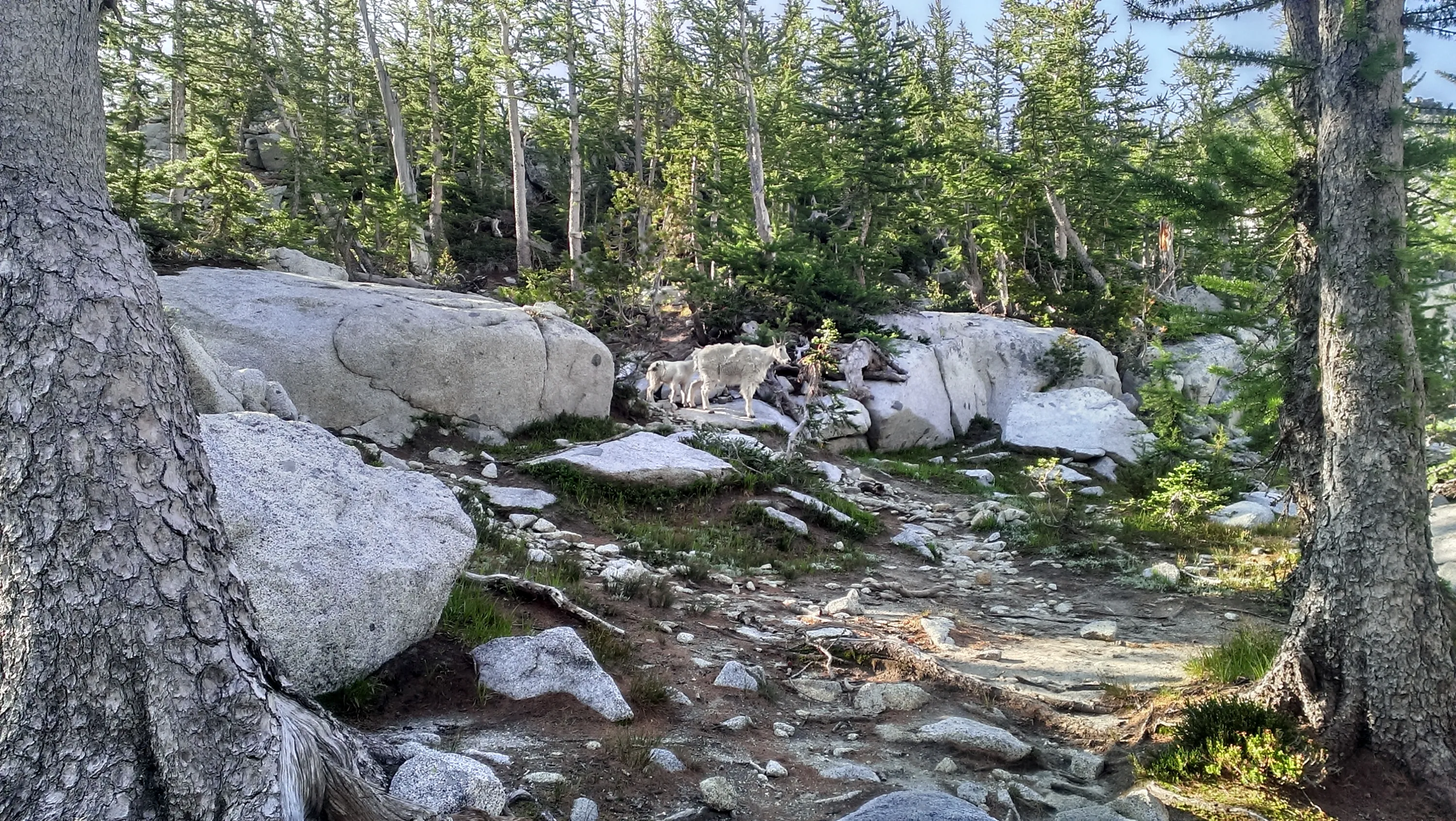
Mama goat and her twins
Mama goat and her twins - they hung out above where we ate lunch for a bit
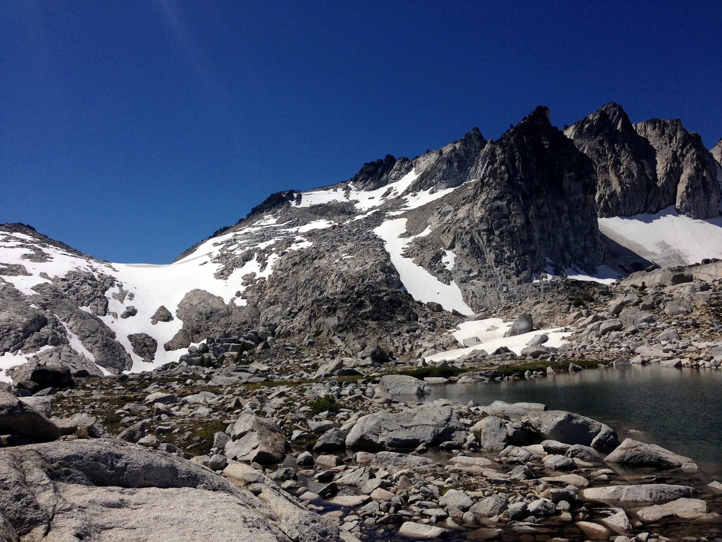
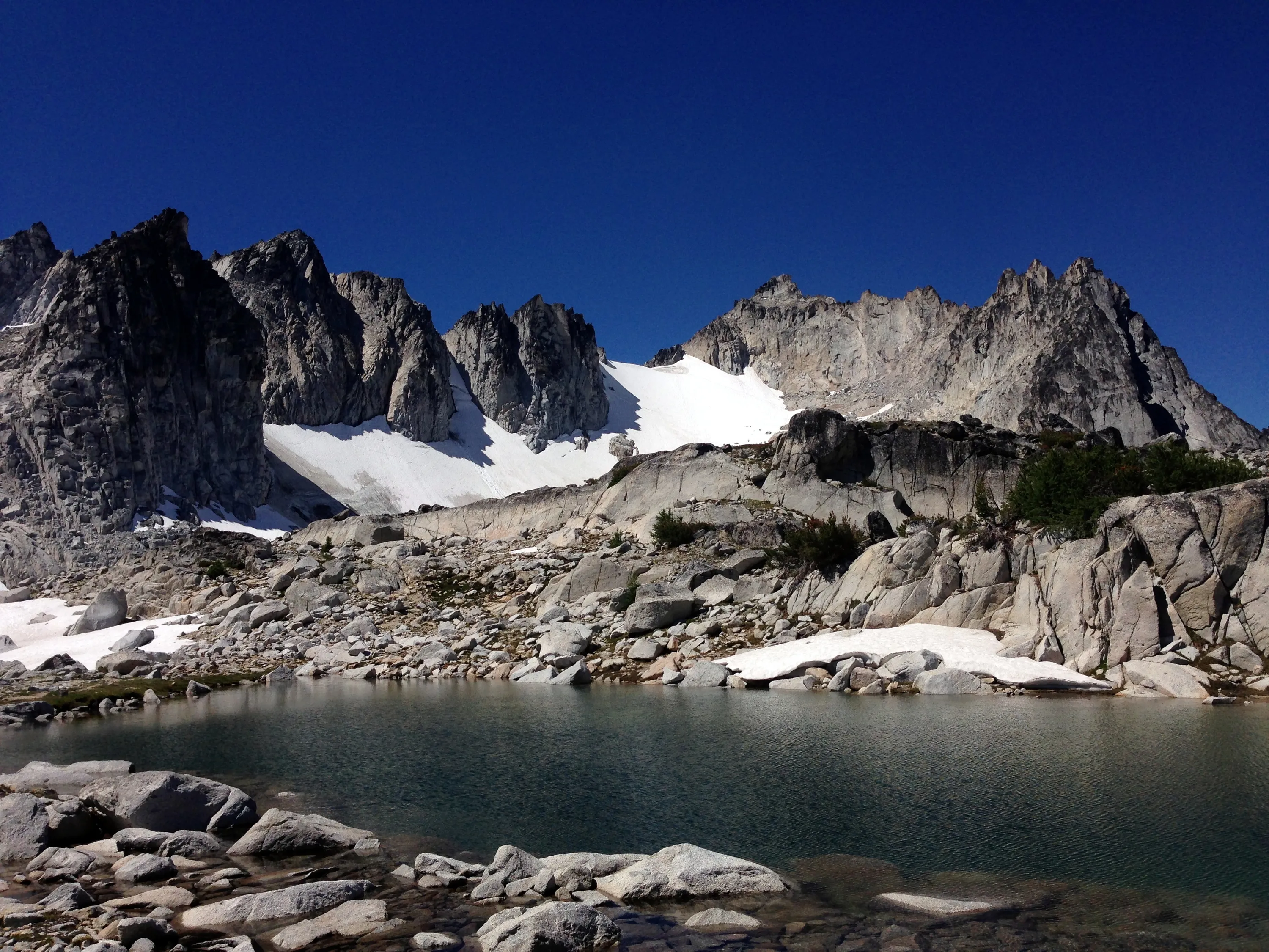
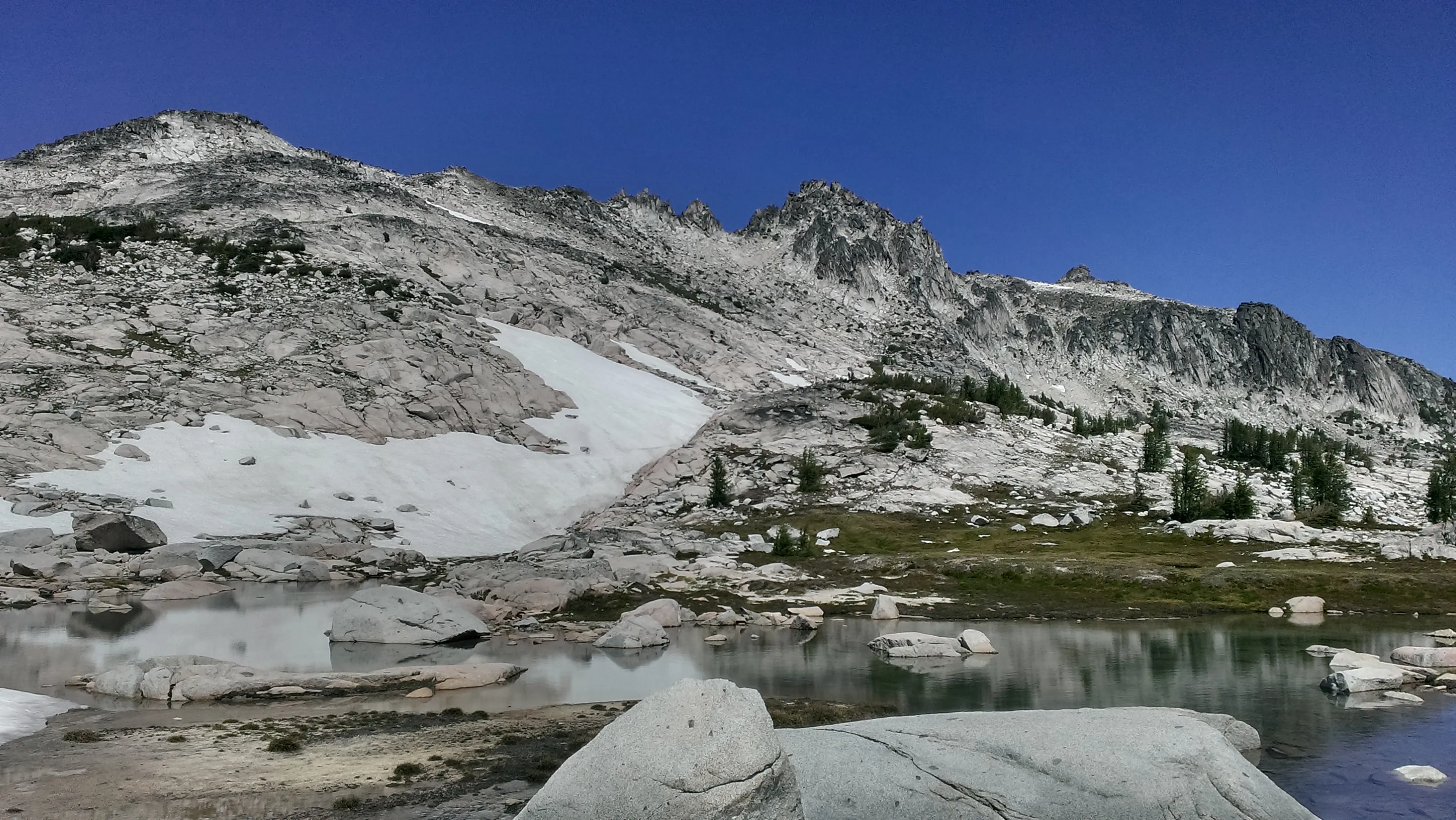
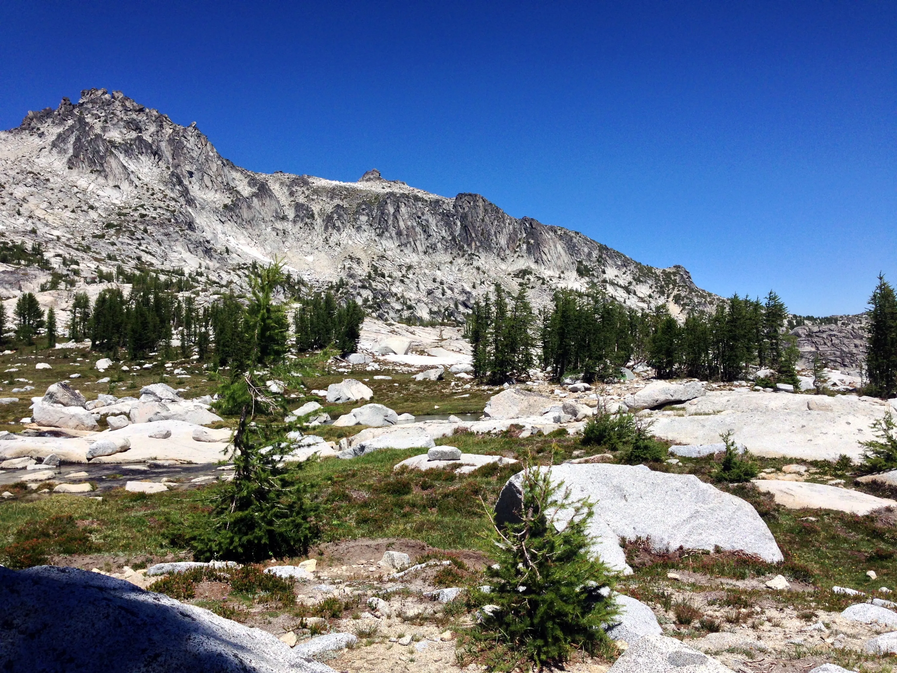
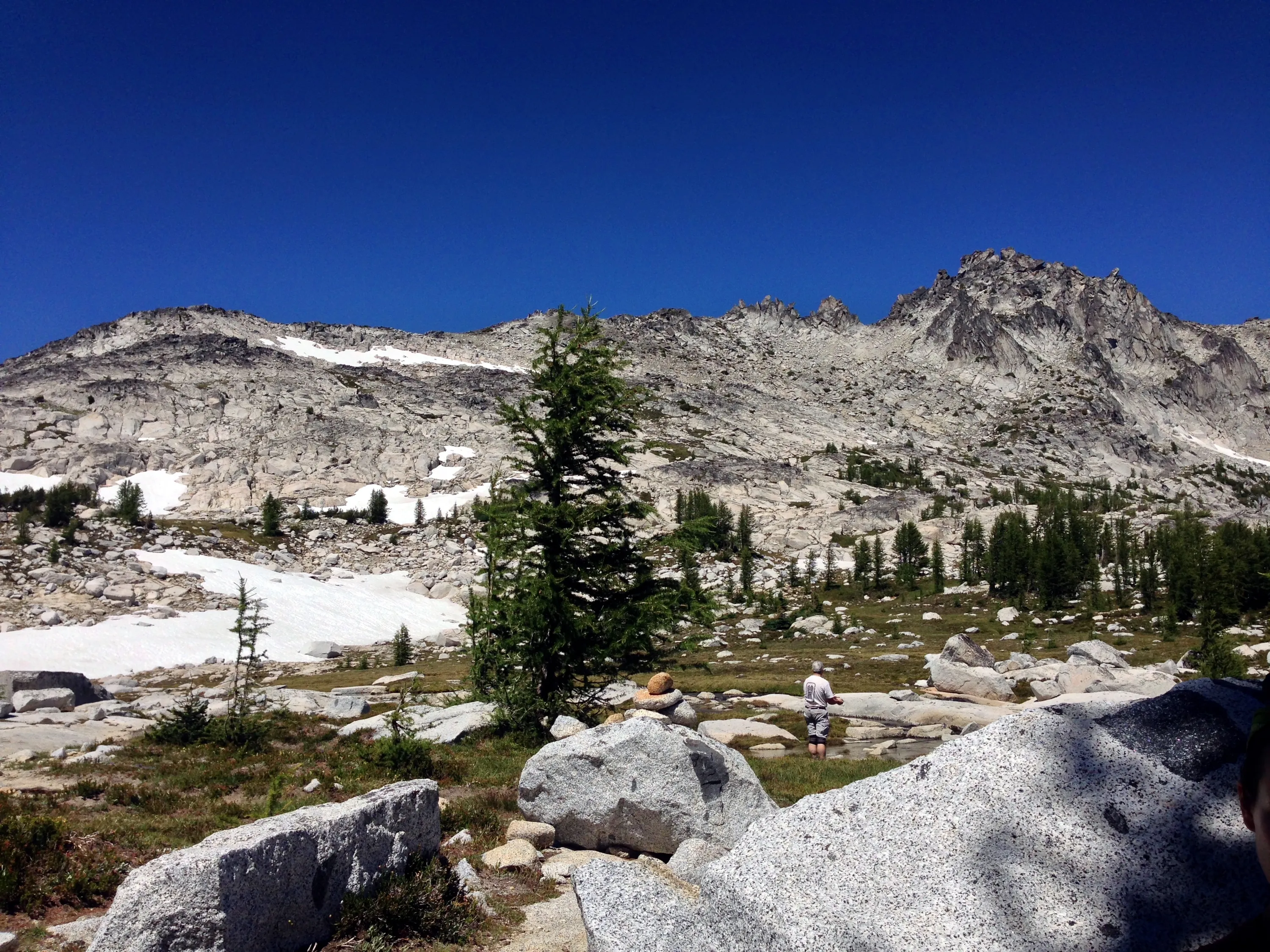
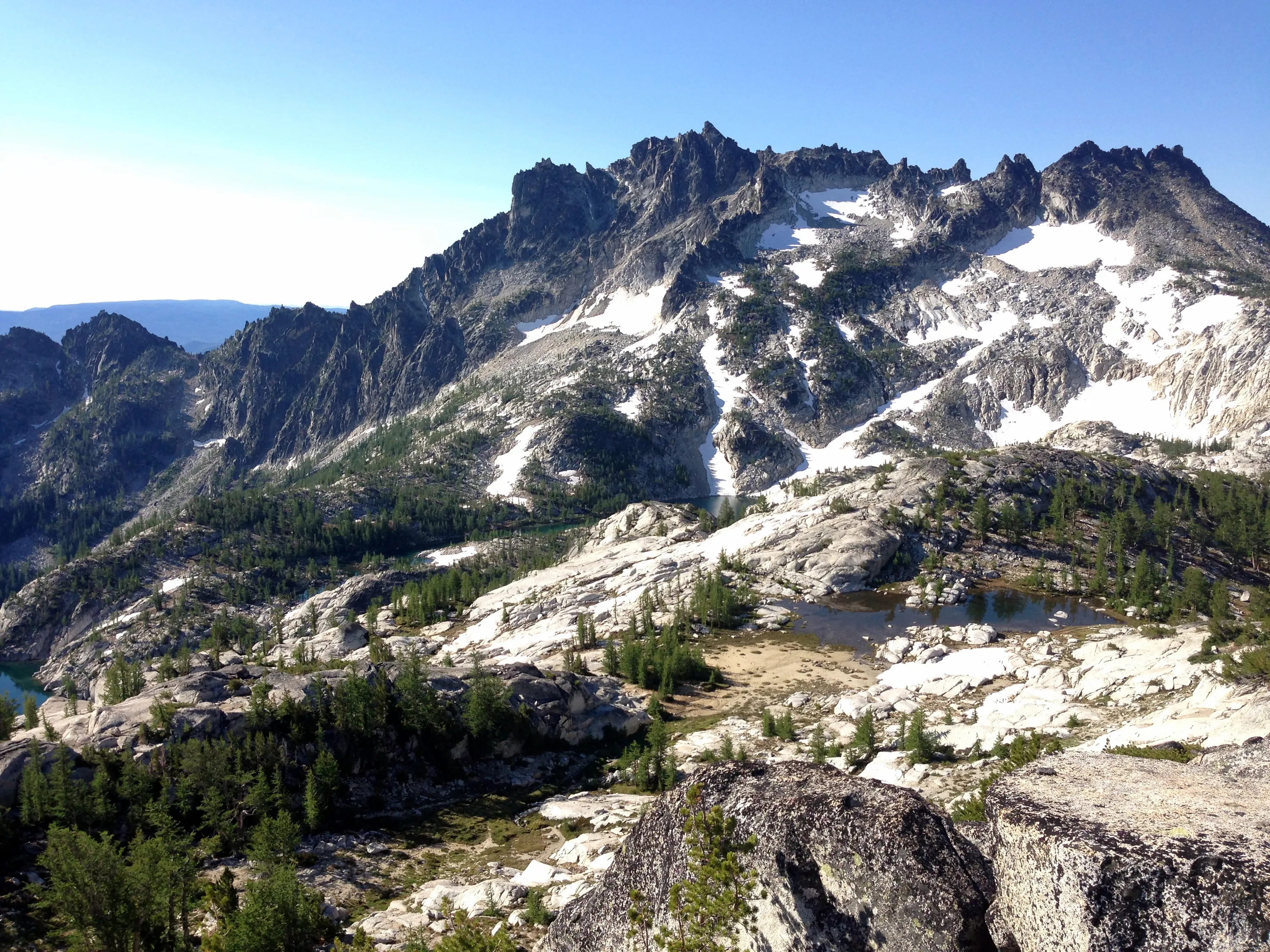
Upper Lakes Basin - Enchantments - McClellan Peak
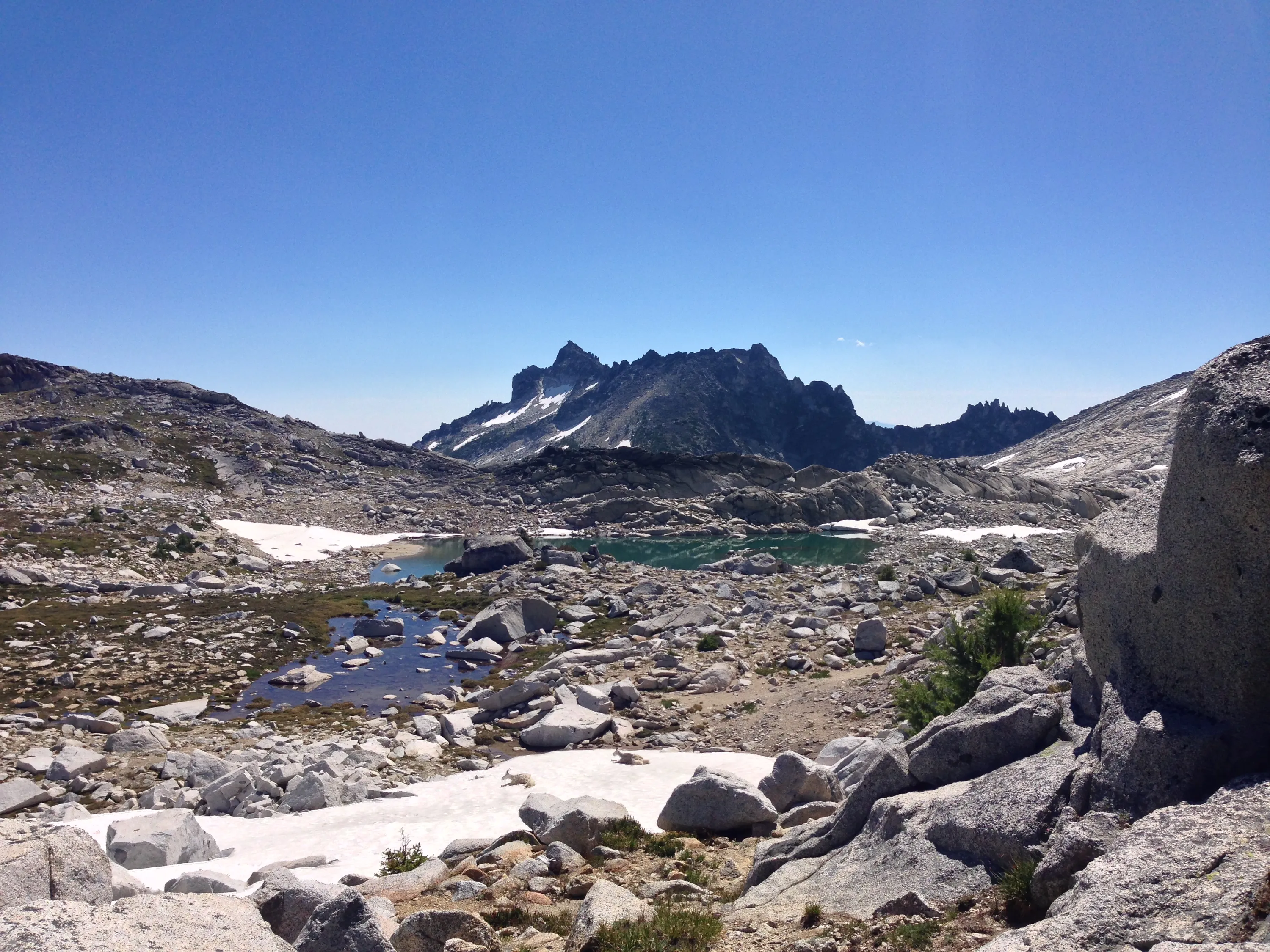
Un-named lake in upper Enchantments
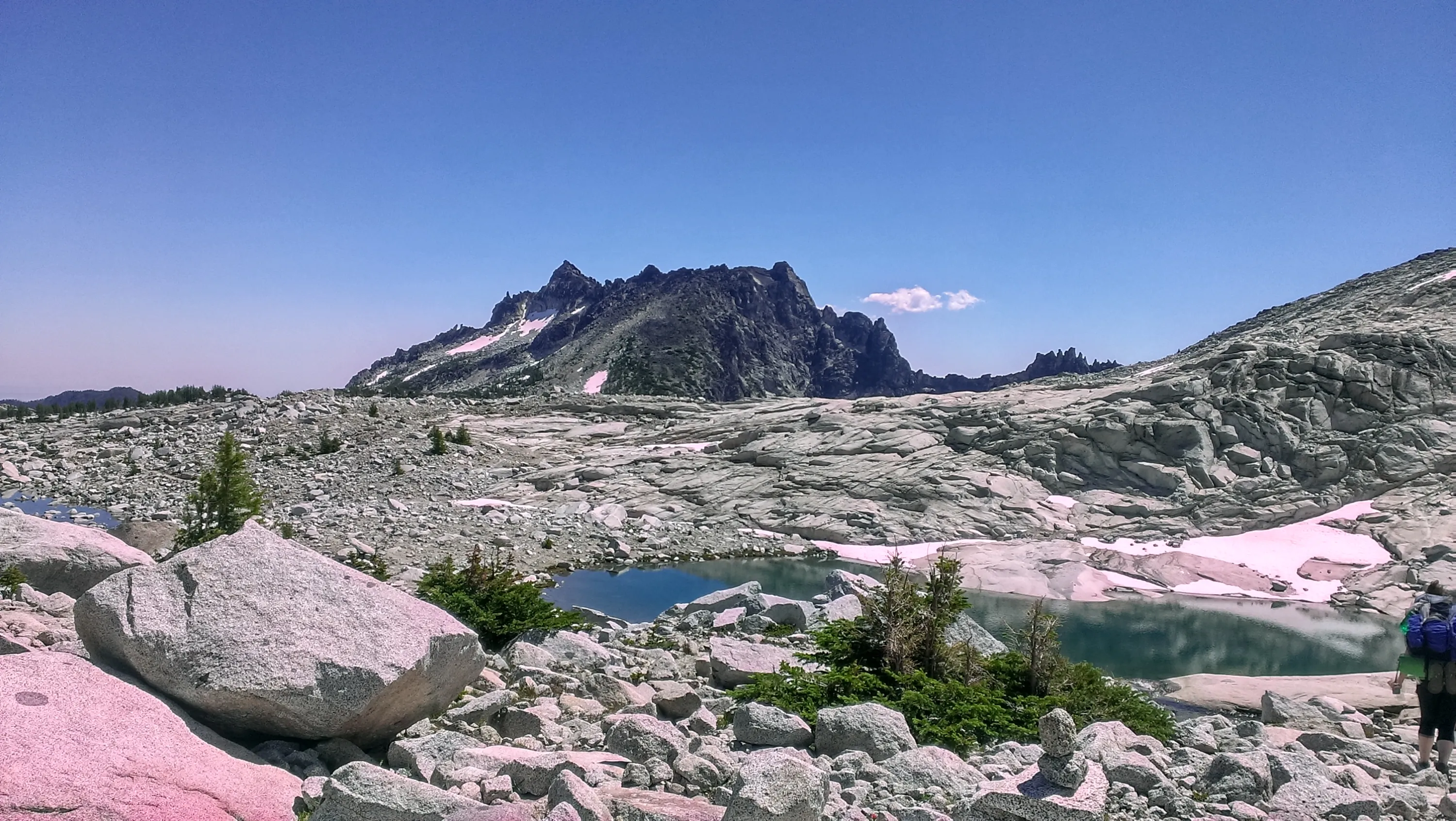
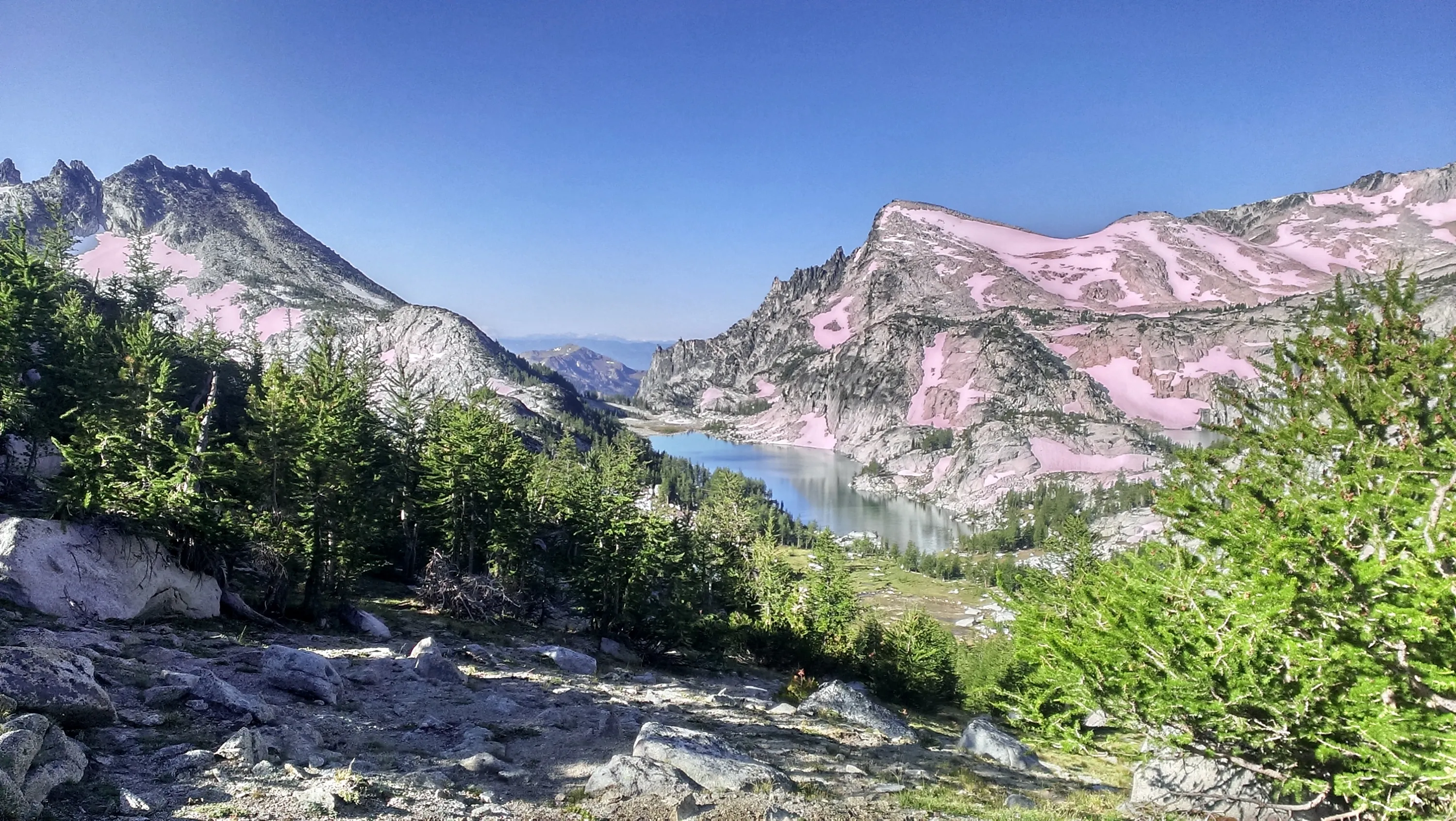
Some strange colors in this photo - I don't remember those pinks
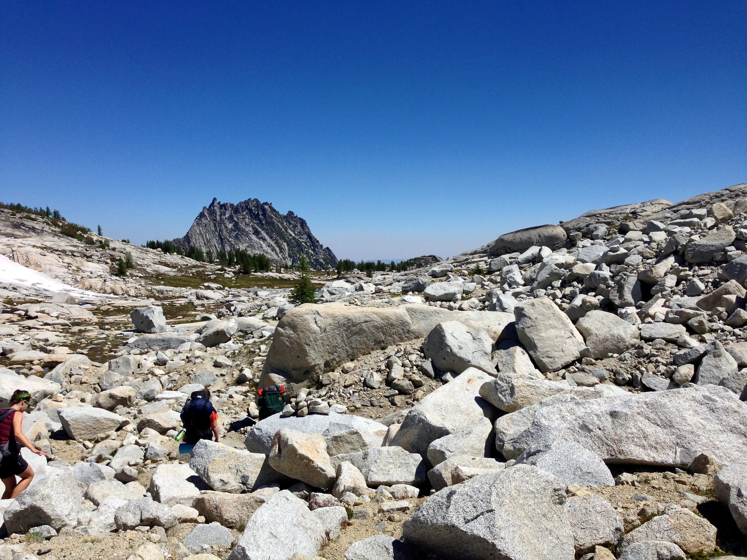
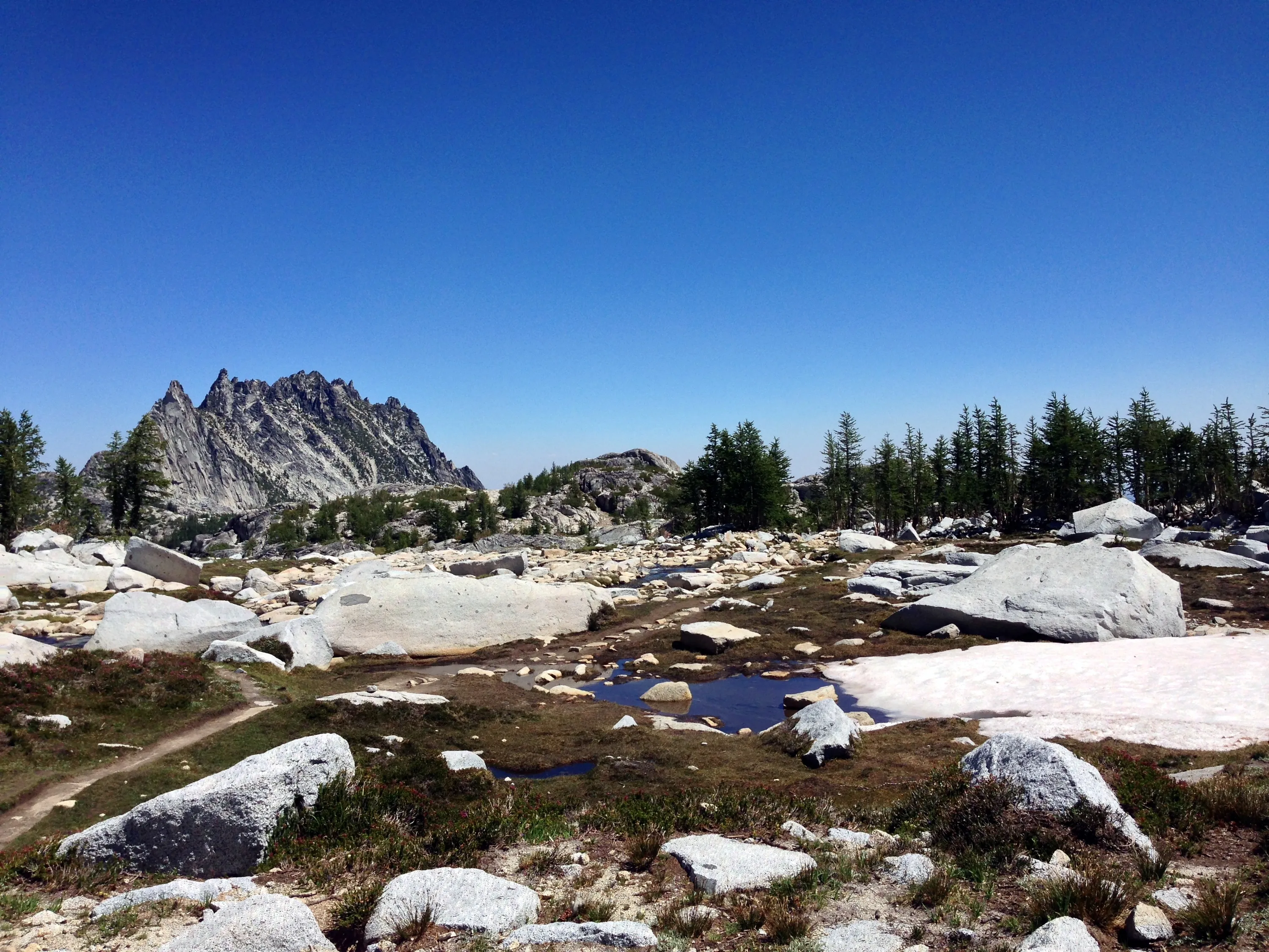
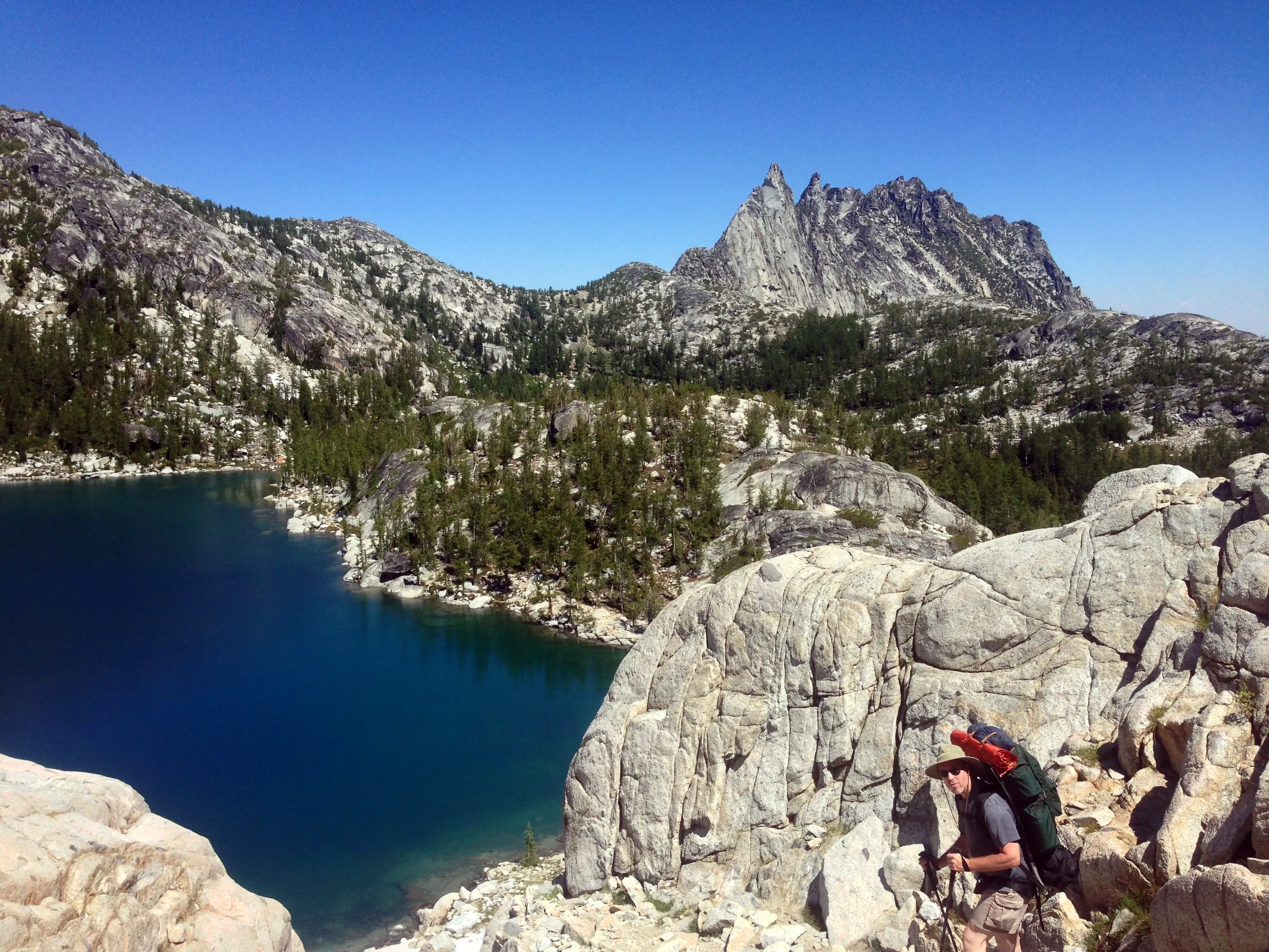
Prusik Peak to the left, McClellan to the right
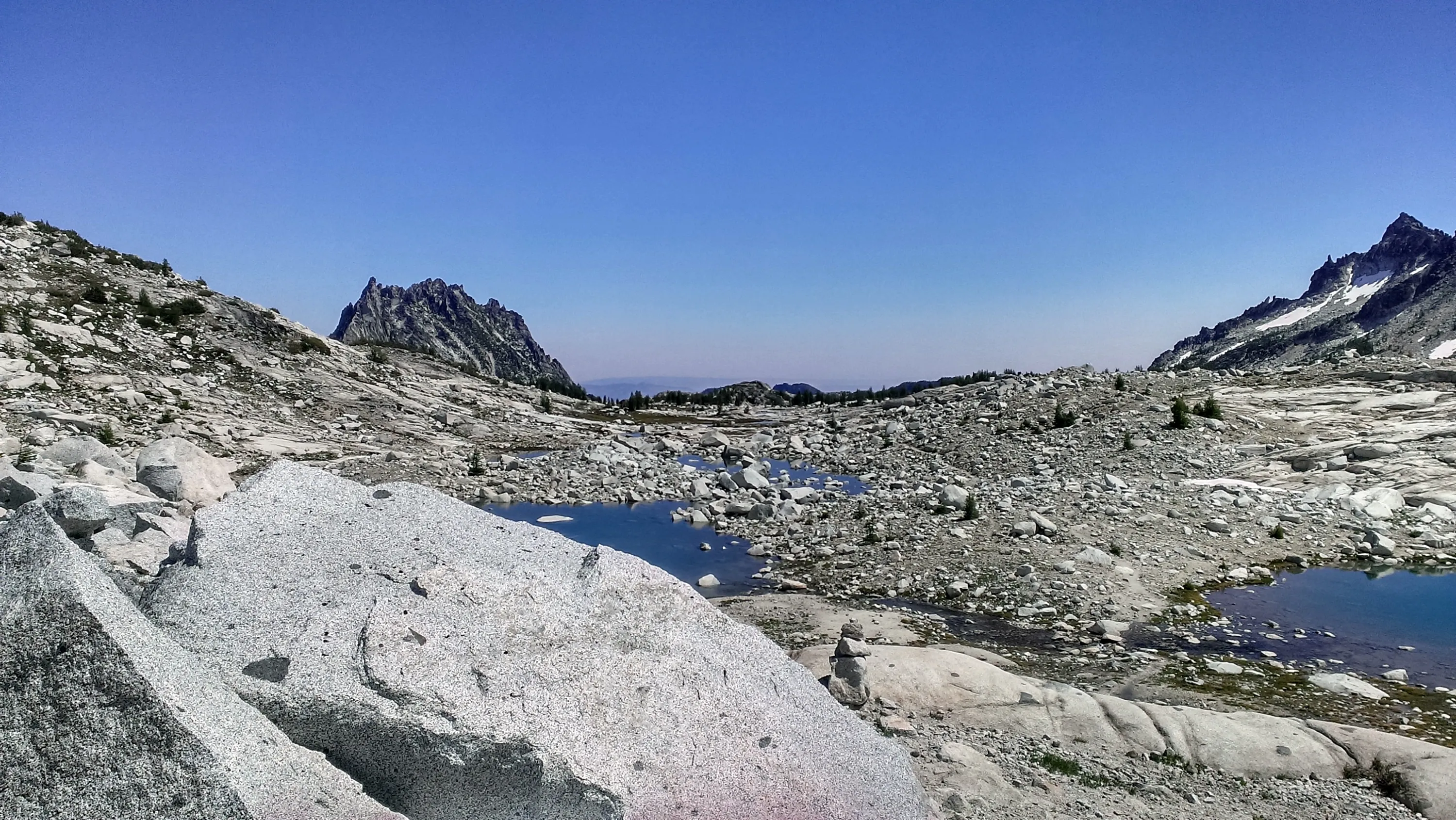
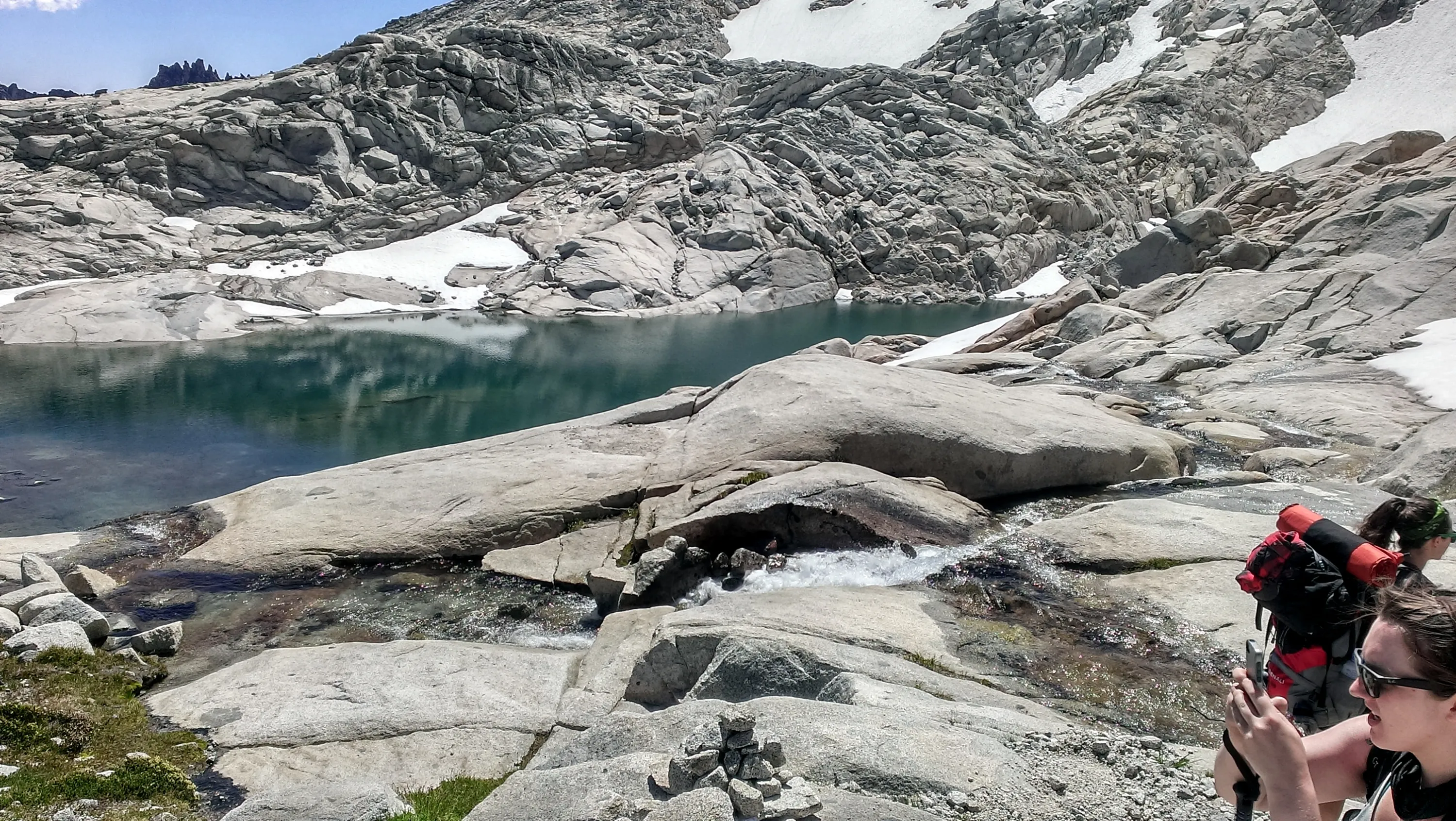
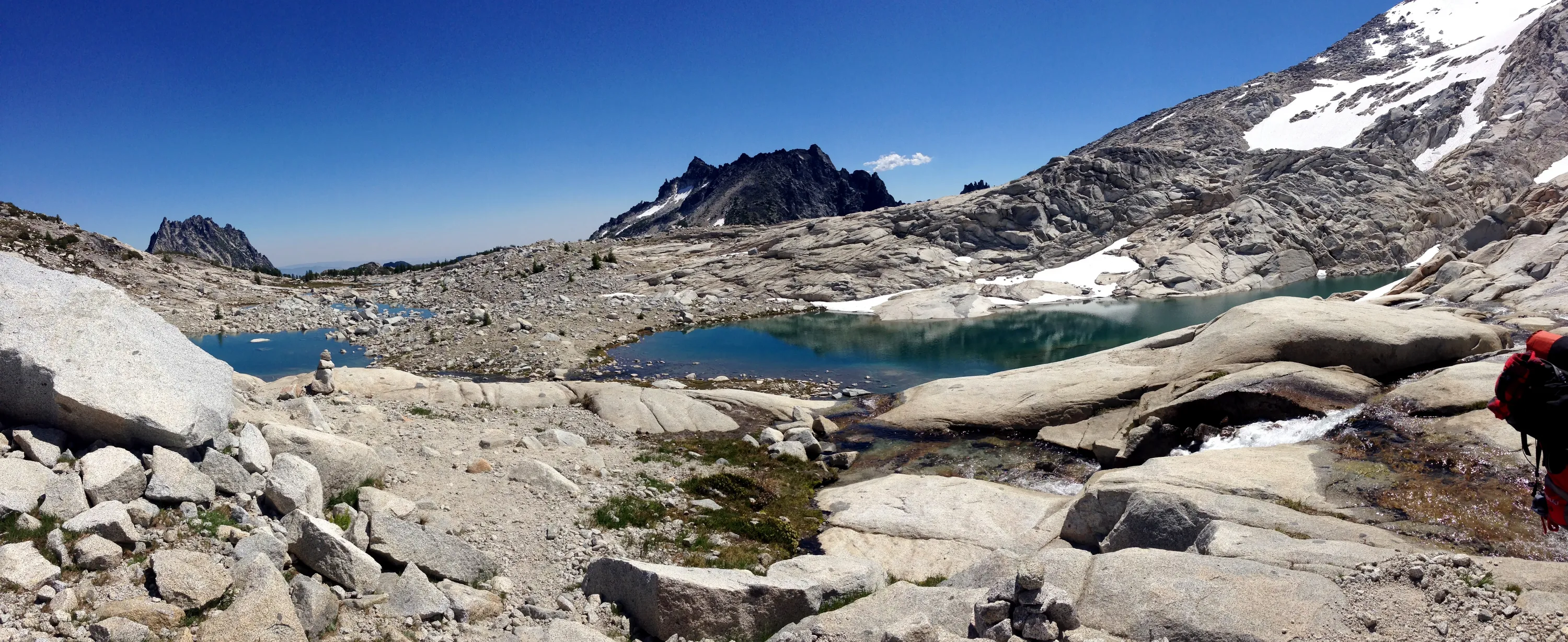
Un-named lake in upper basin
Heading across the upper basin
Un-named lake in upper basin
Prusik Peak in the background
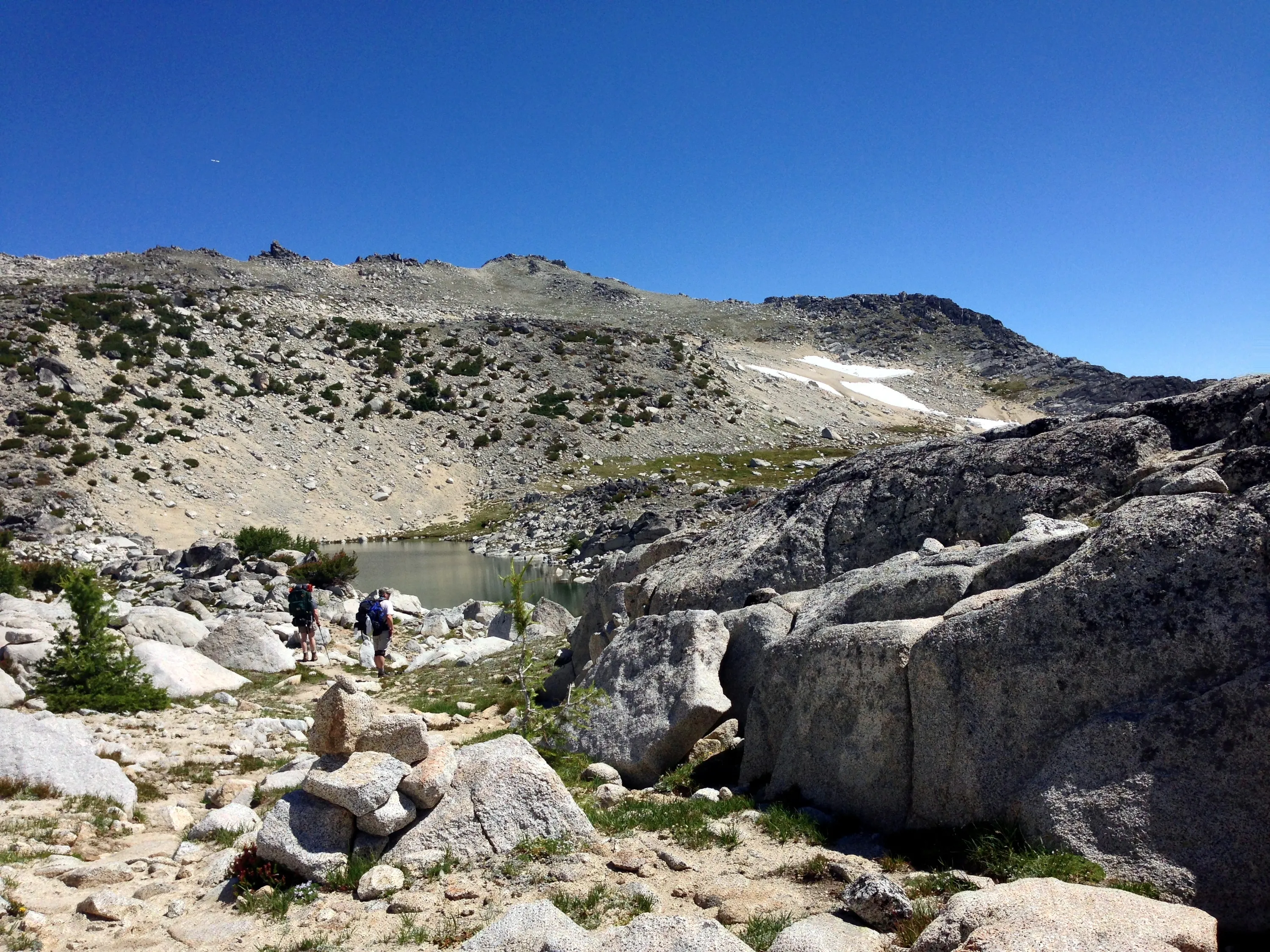
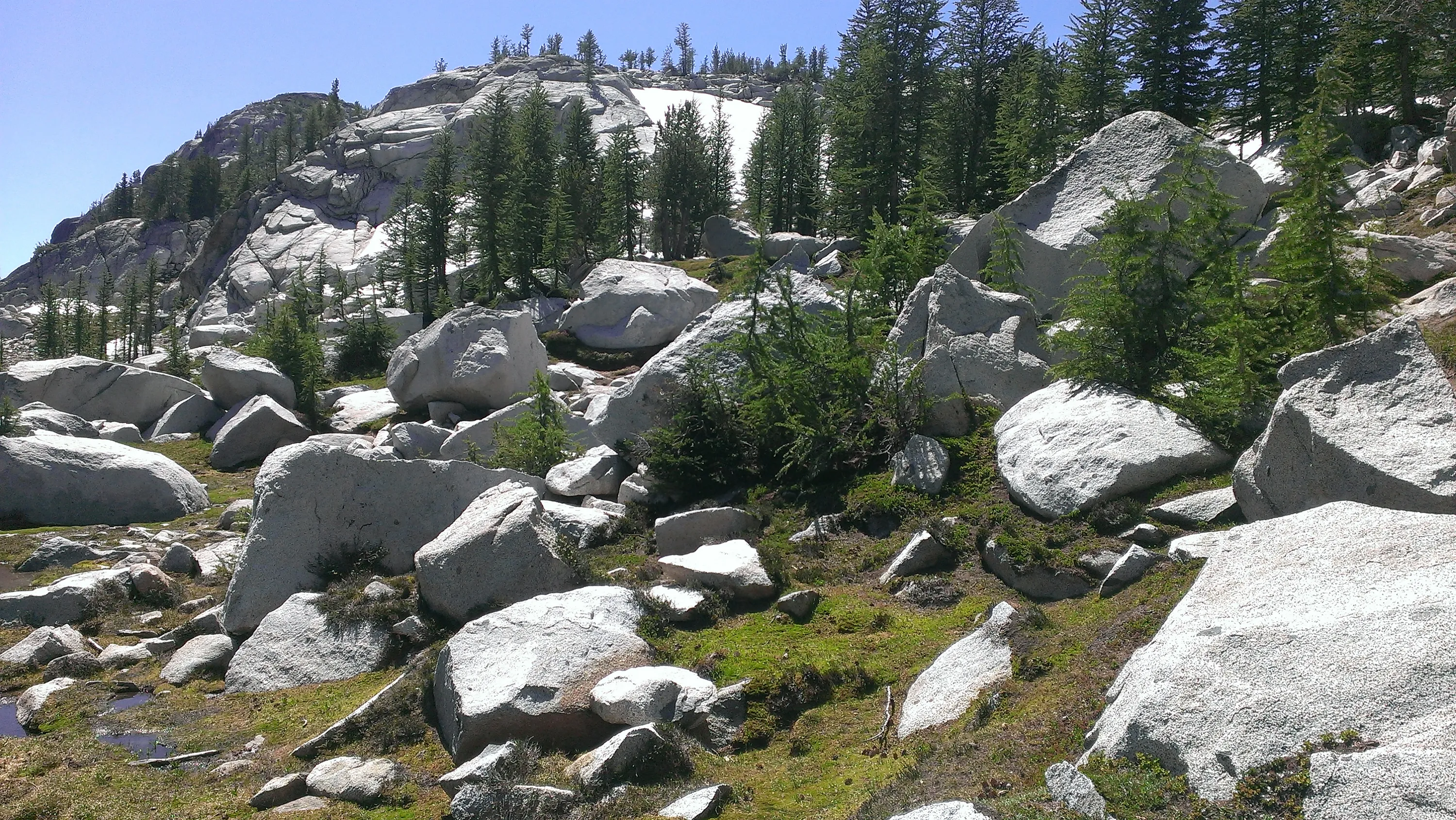
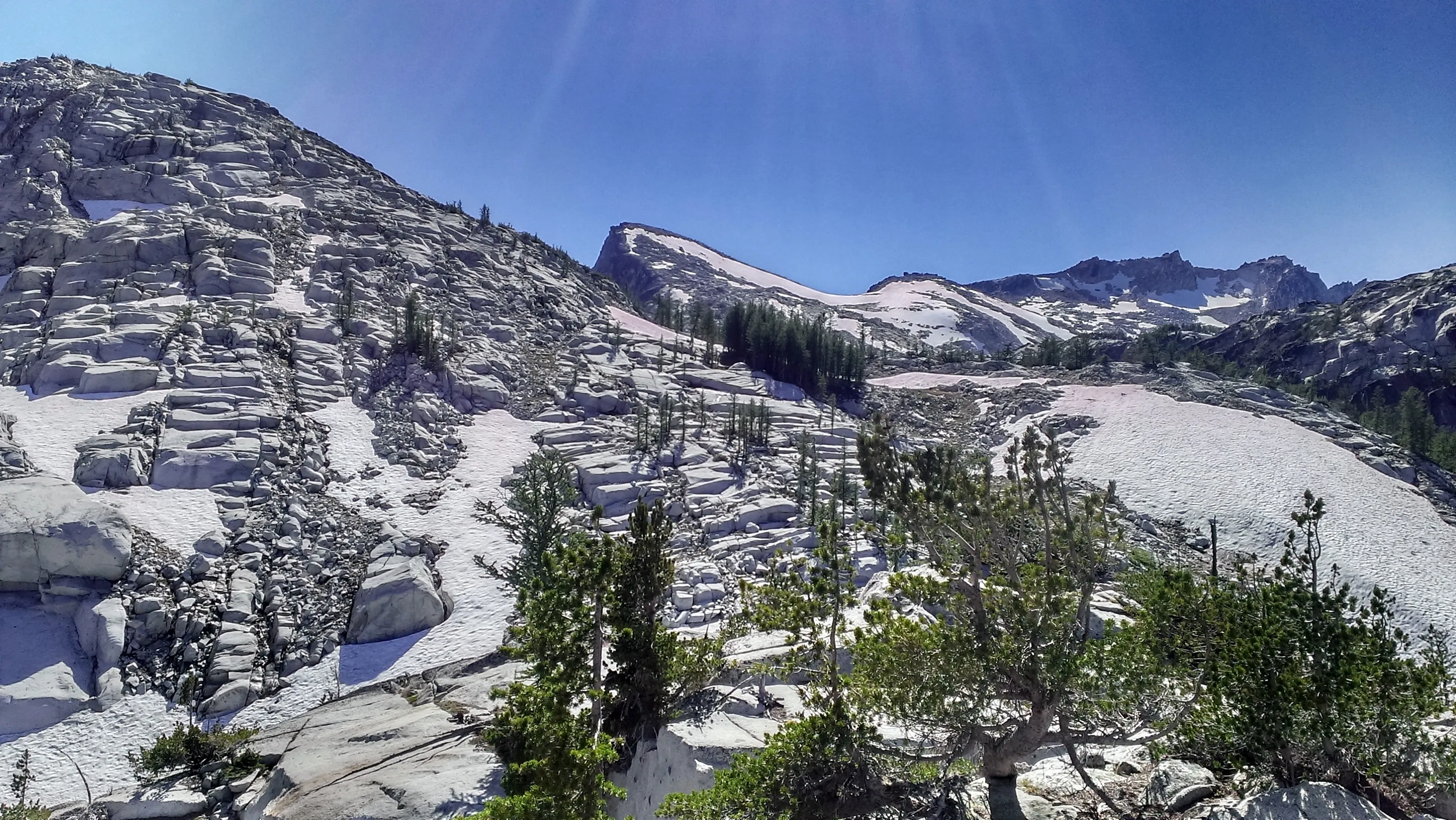
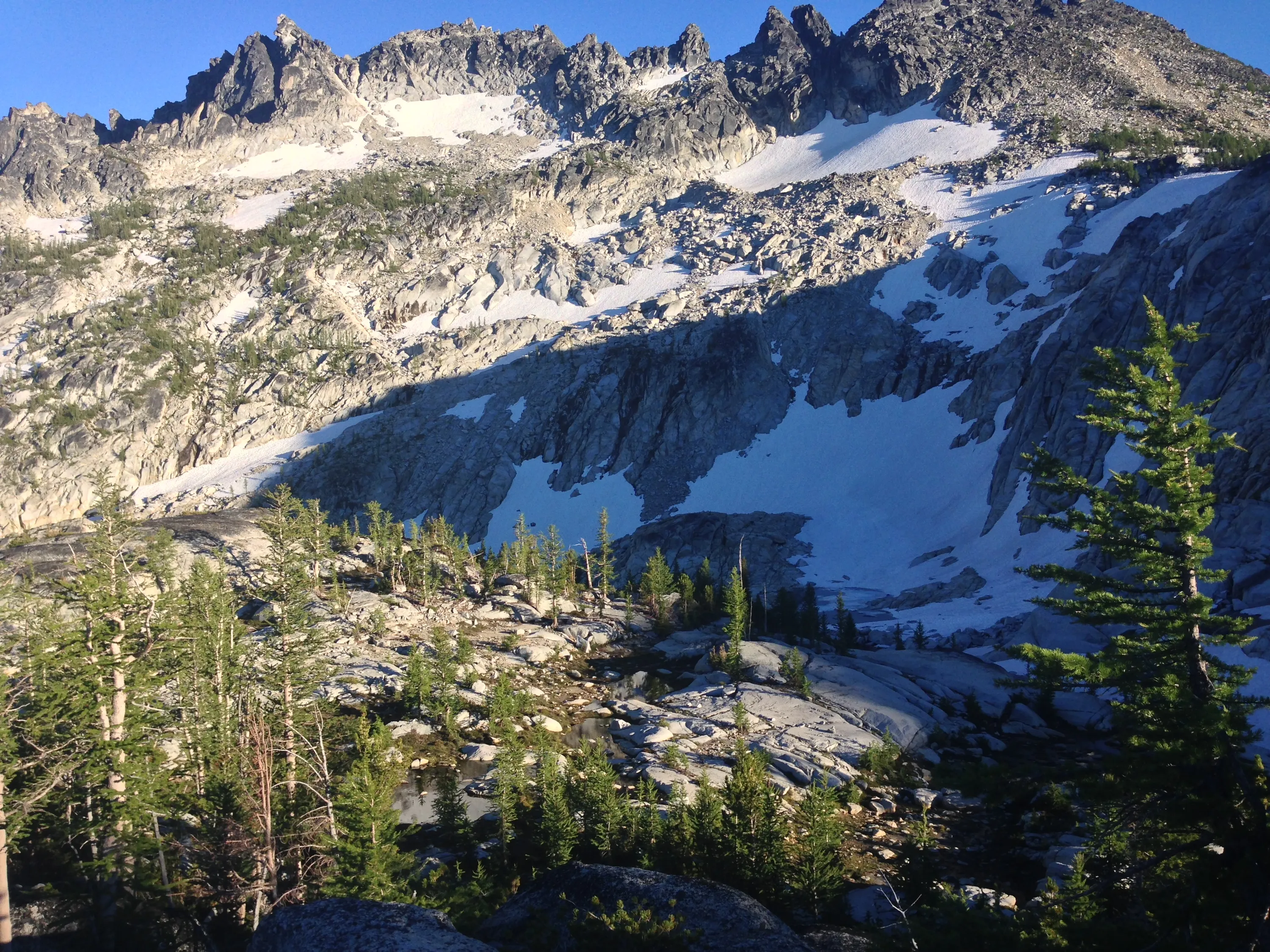
Pretty barren at this elevation - trees have to be pretty hardy to survive here
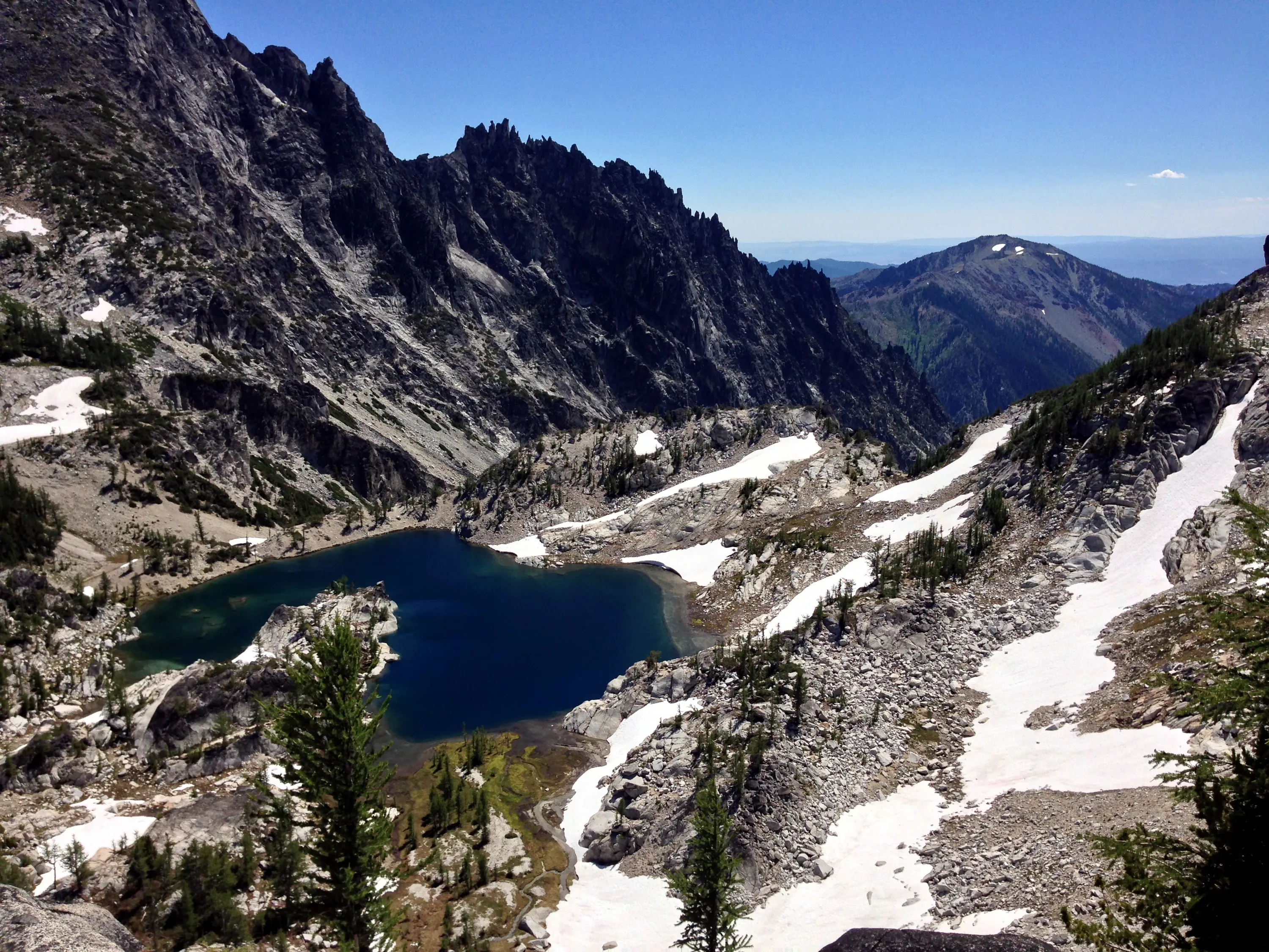
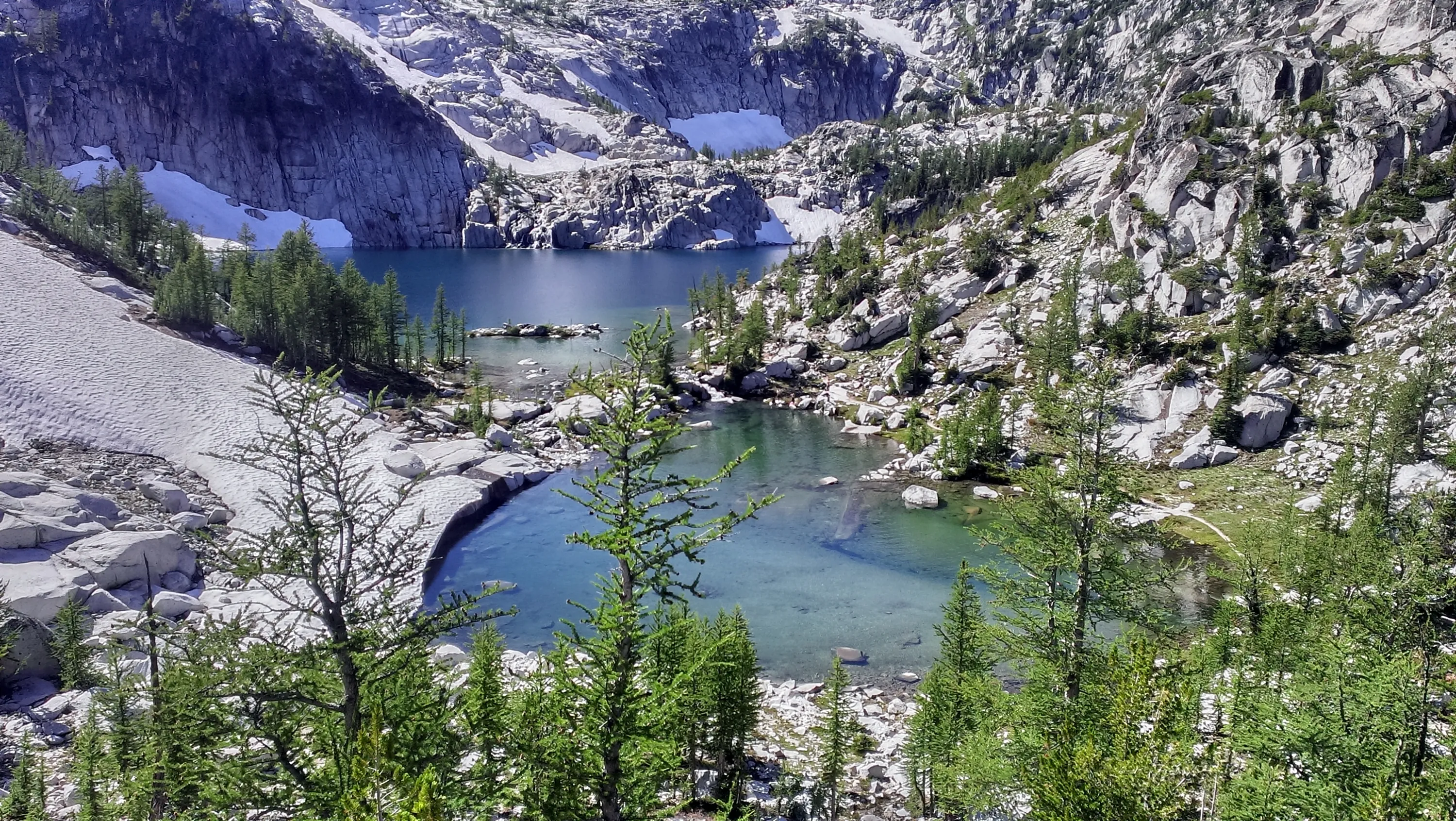
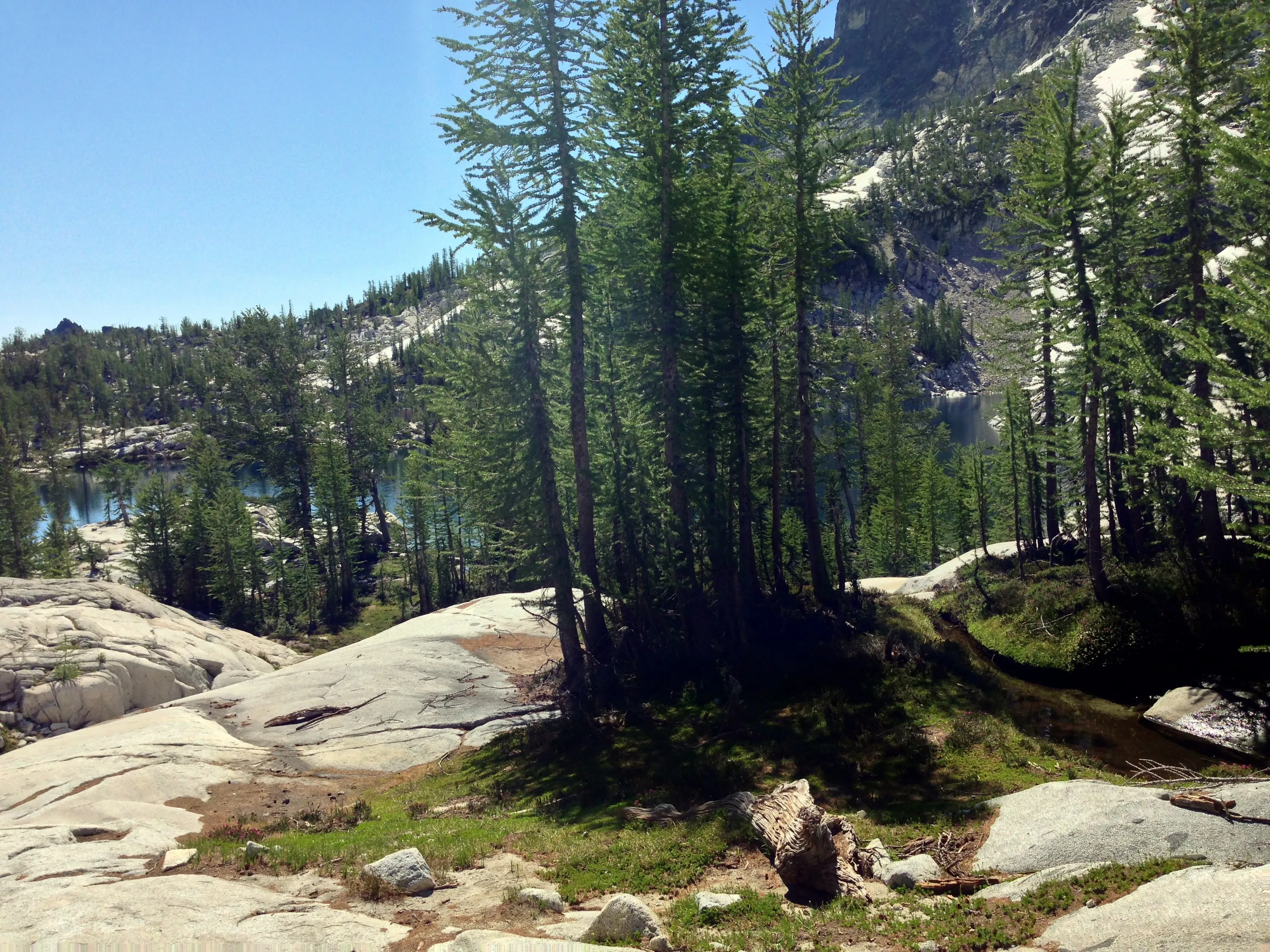
Crystal Lake
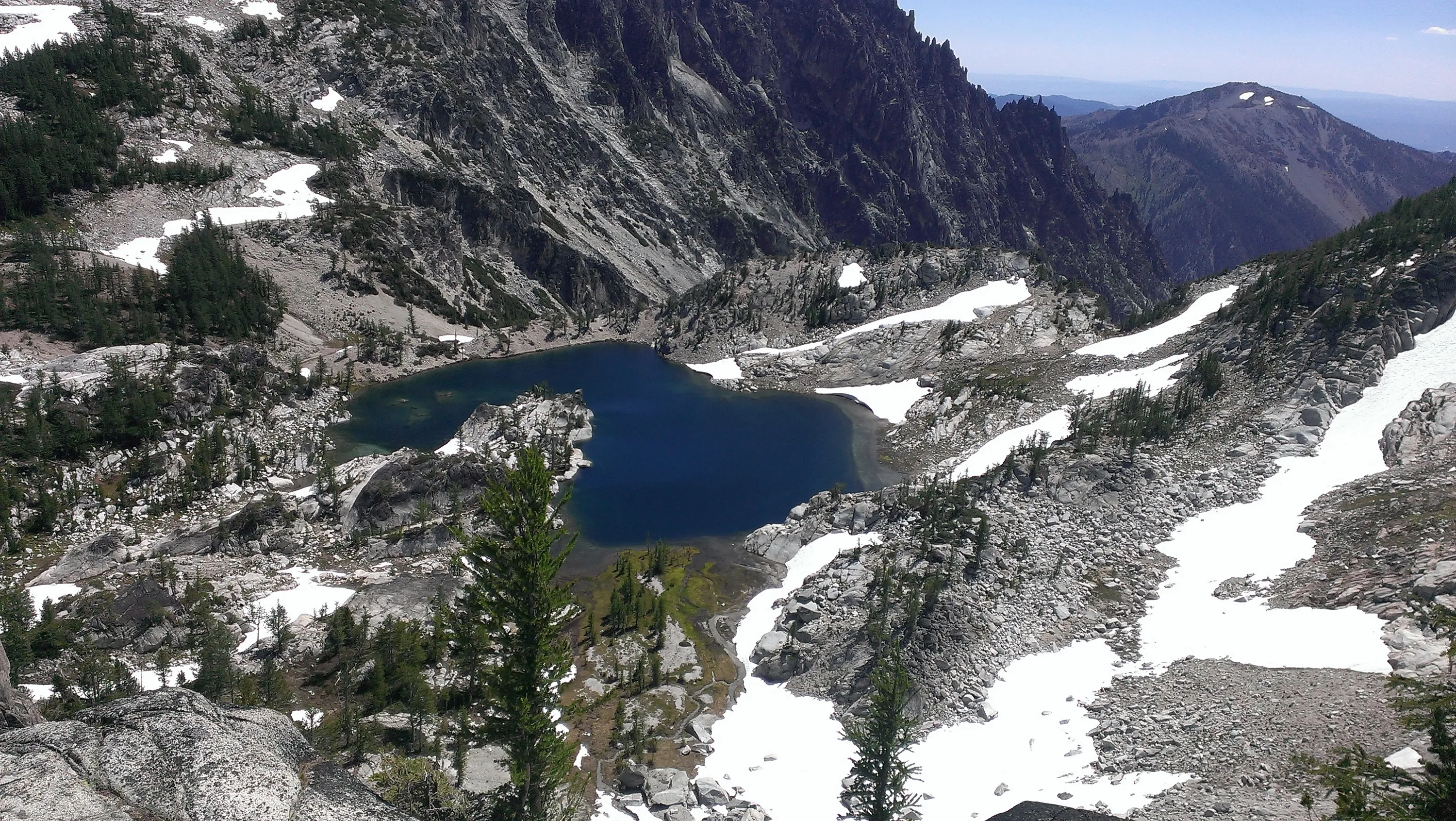
Crystal Lake from above
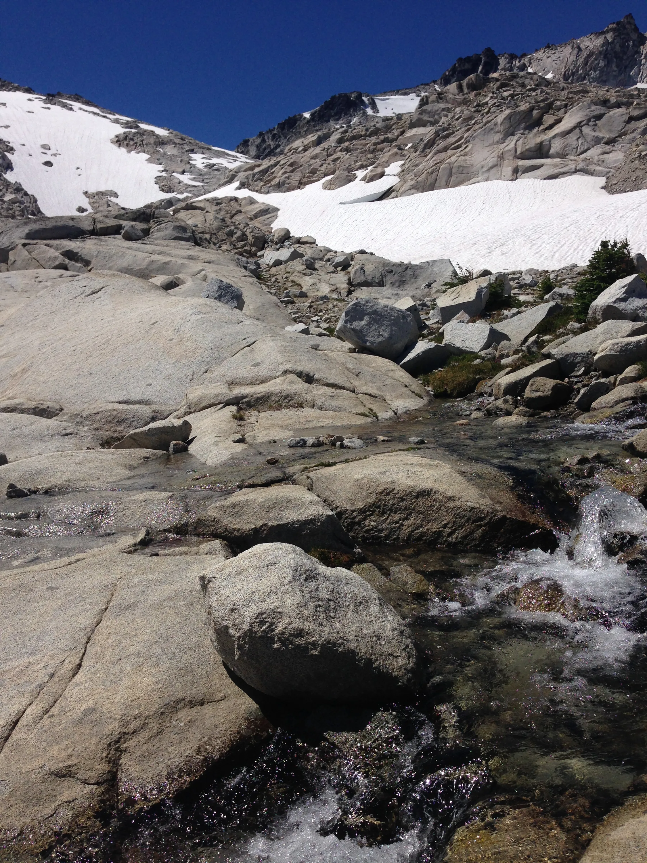
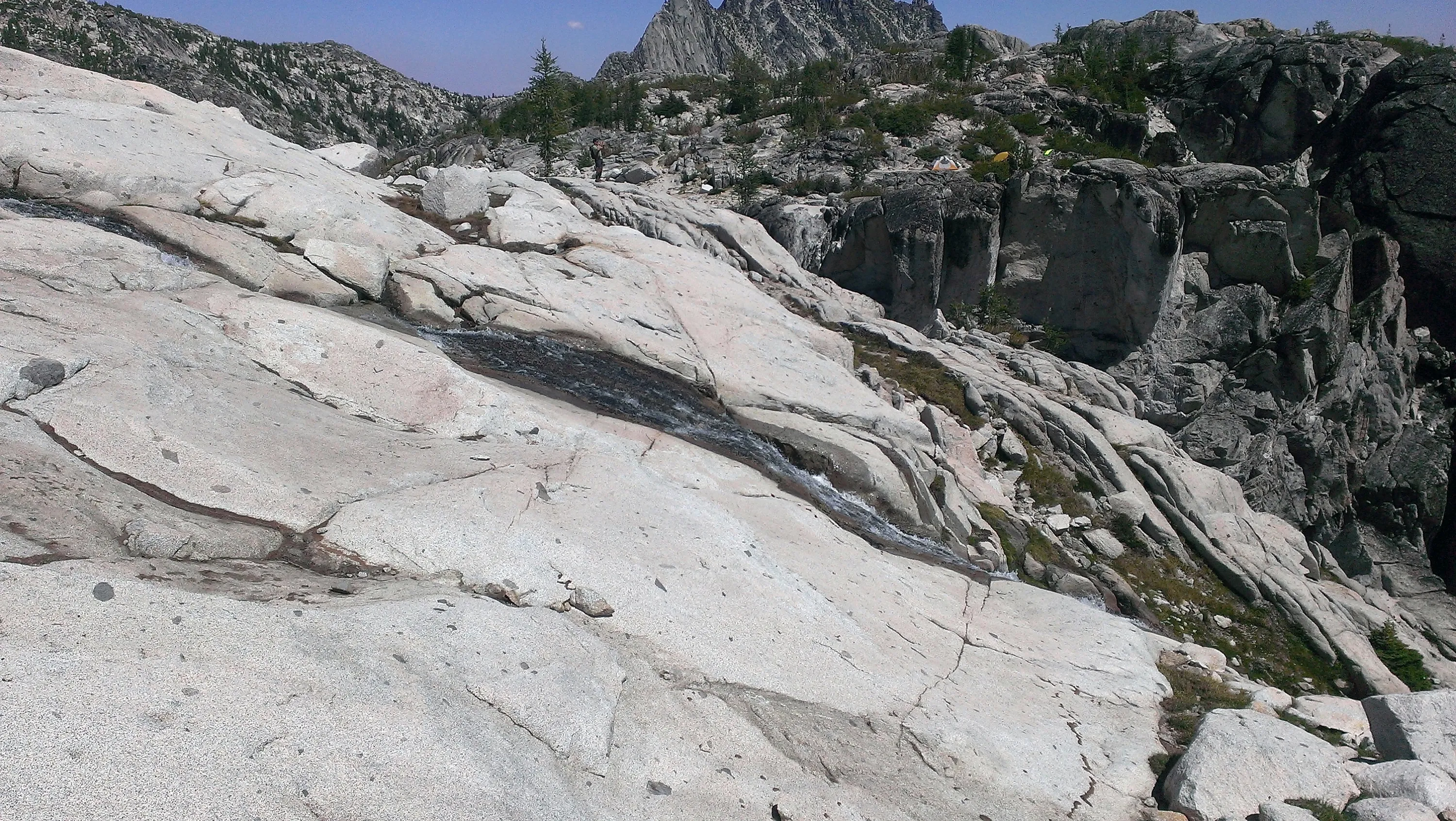
Little waterfall feeding Crystal Lake
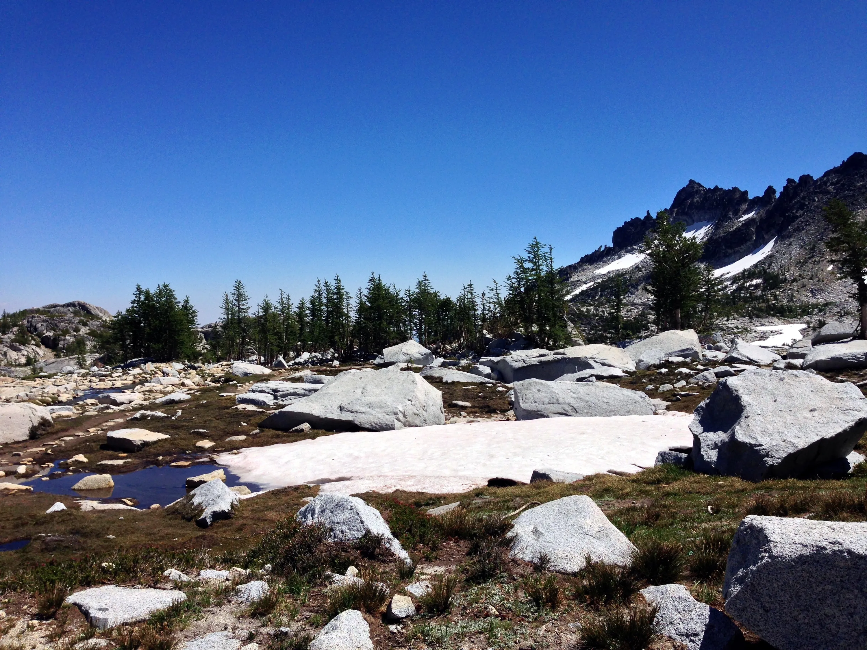
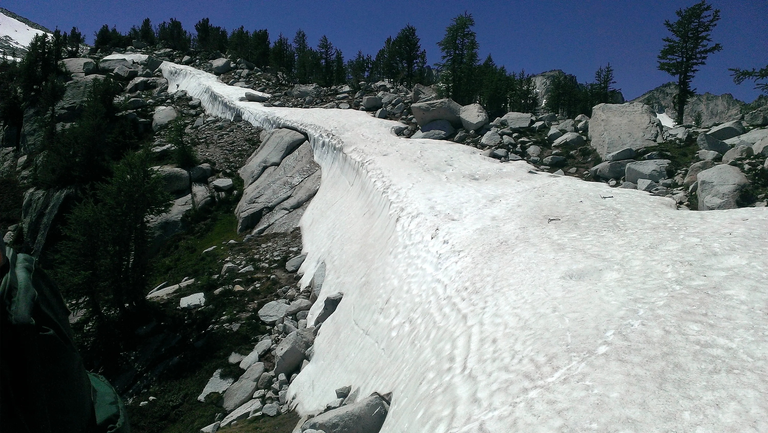
Quite a snowbank still - you can see goat tracks on it
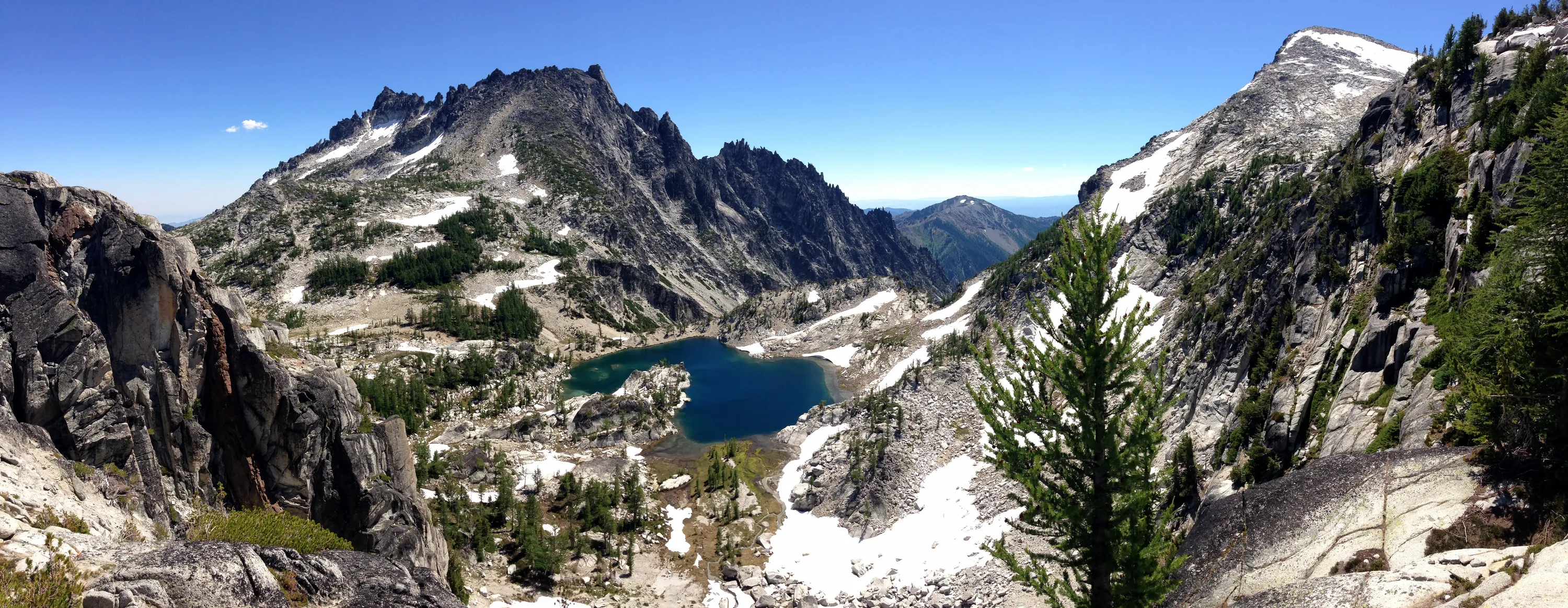
Panorama of Crystal Lake
Dropping down into Inspiration Lake
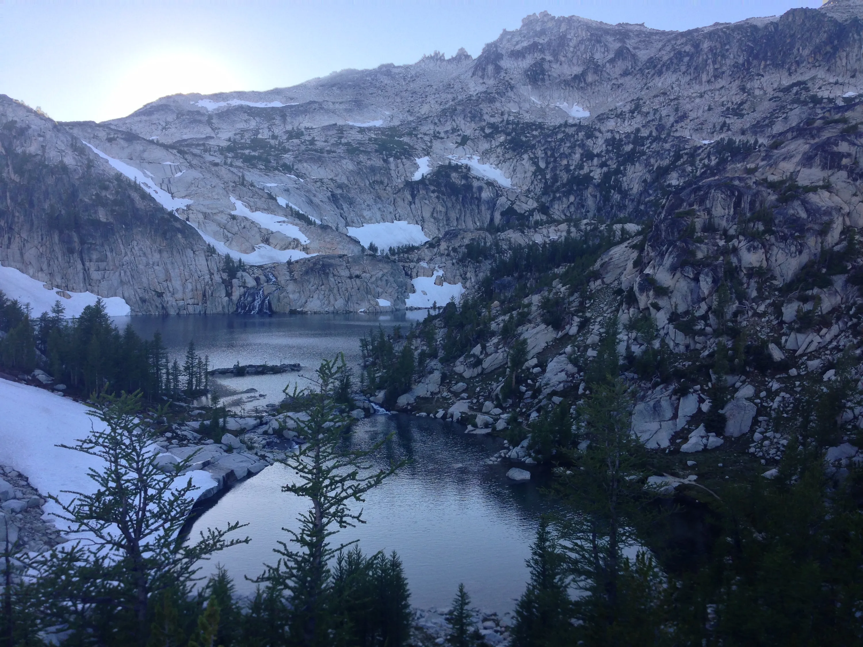
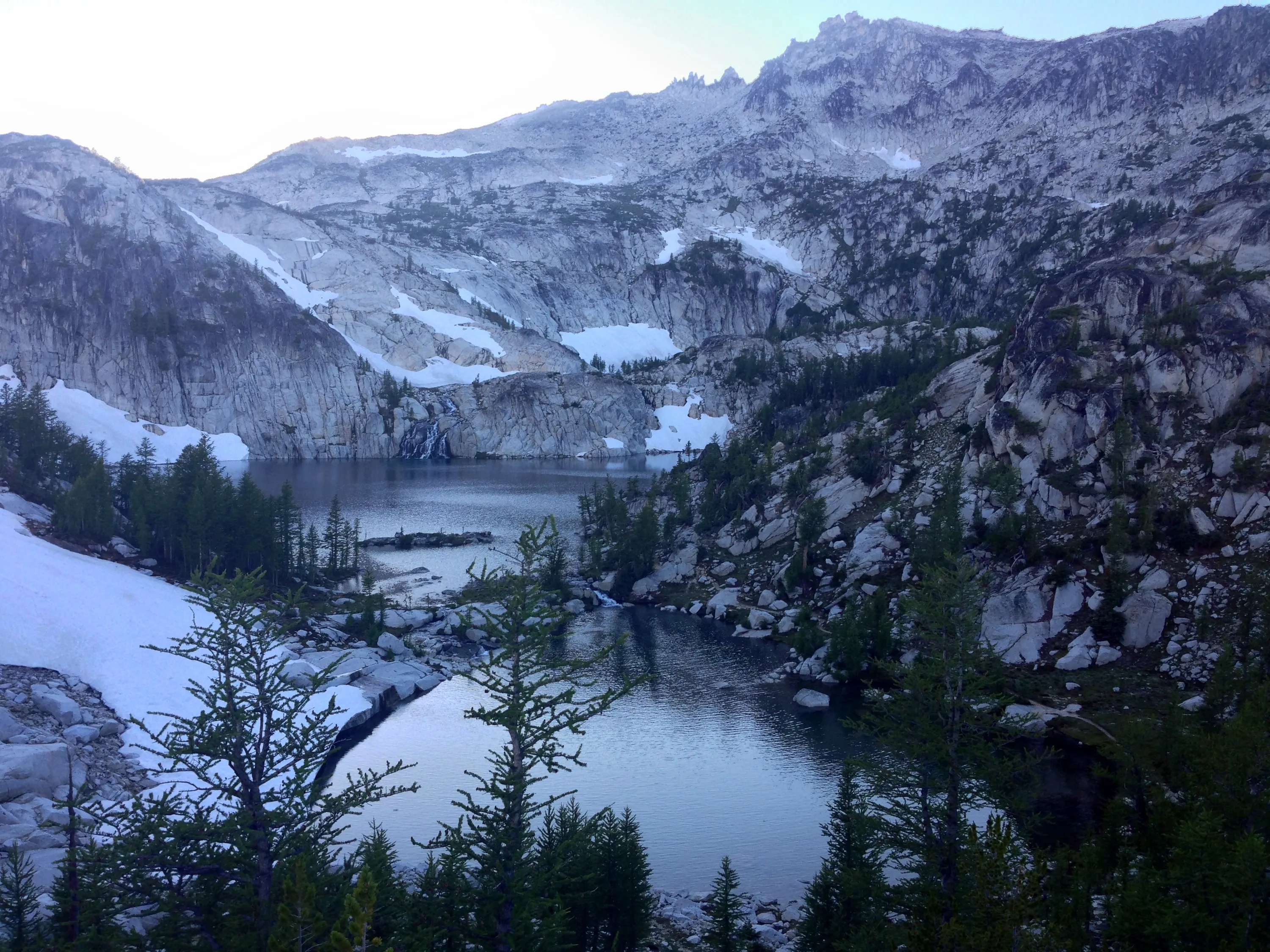
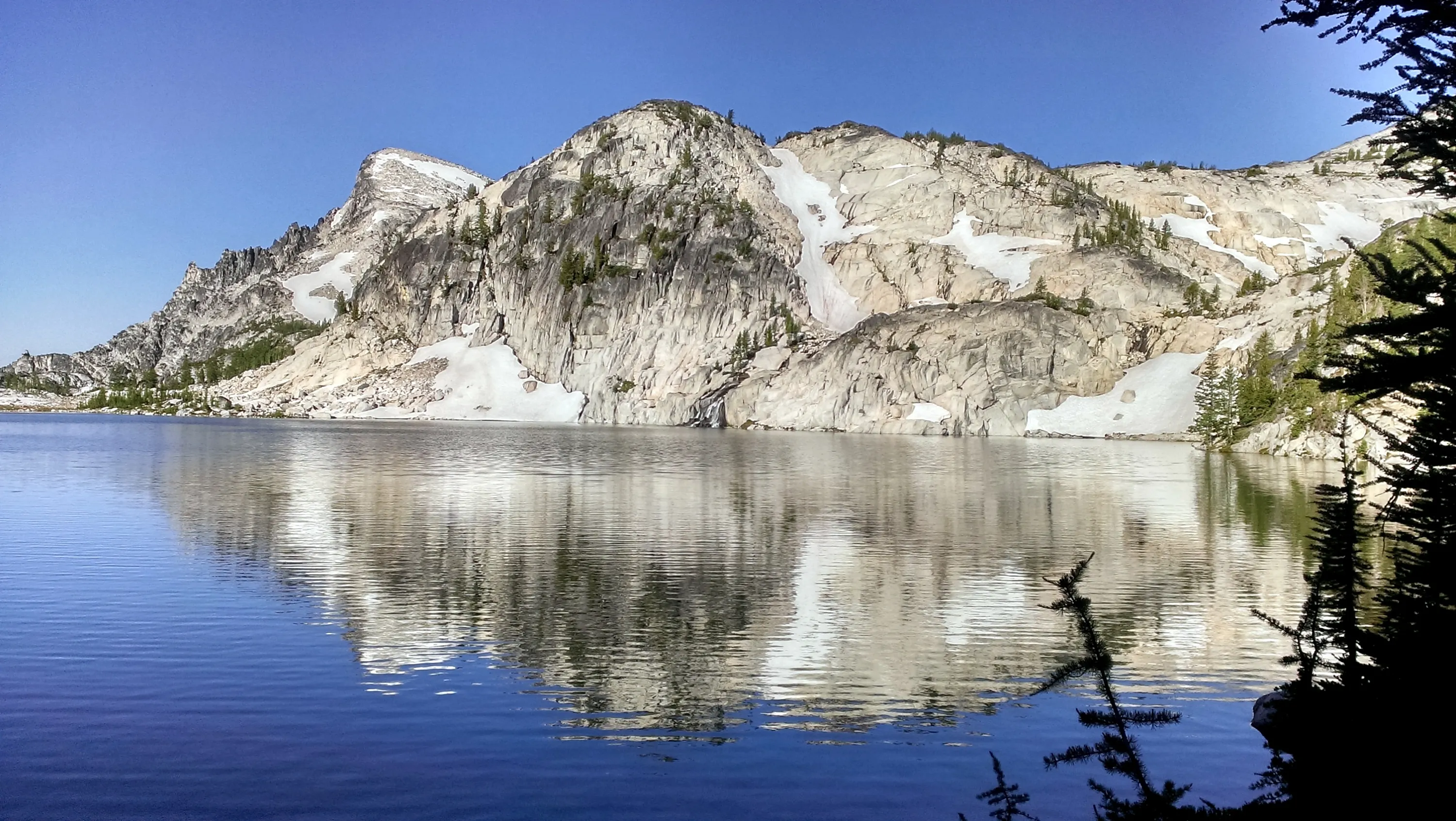
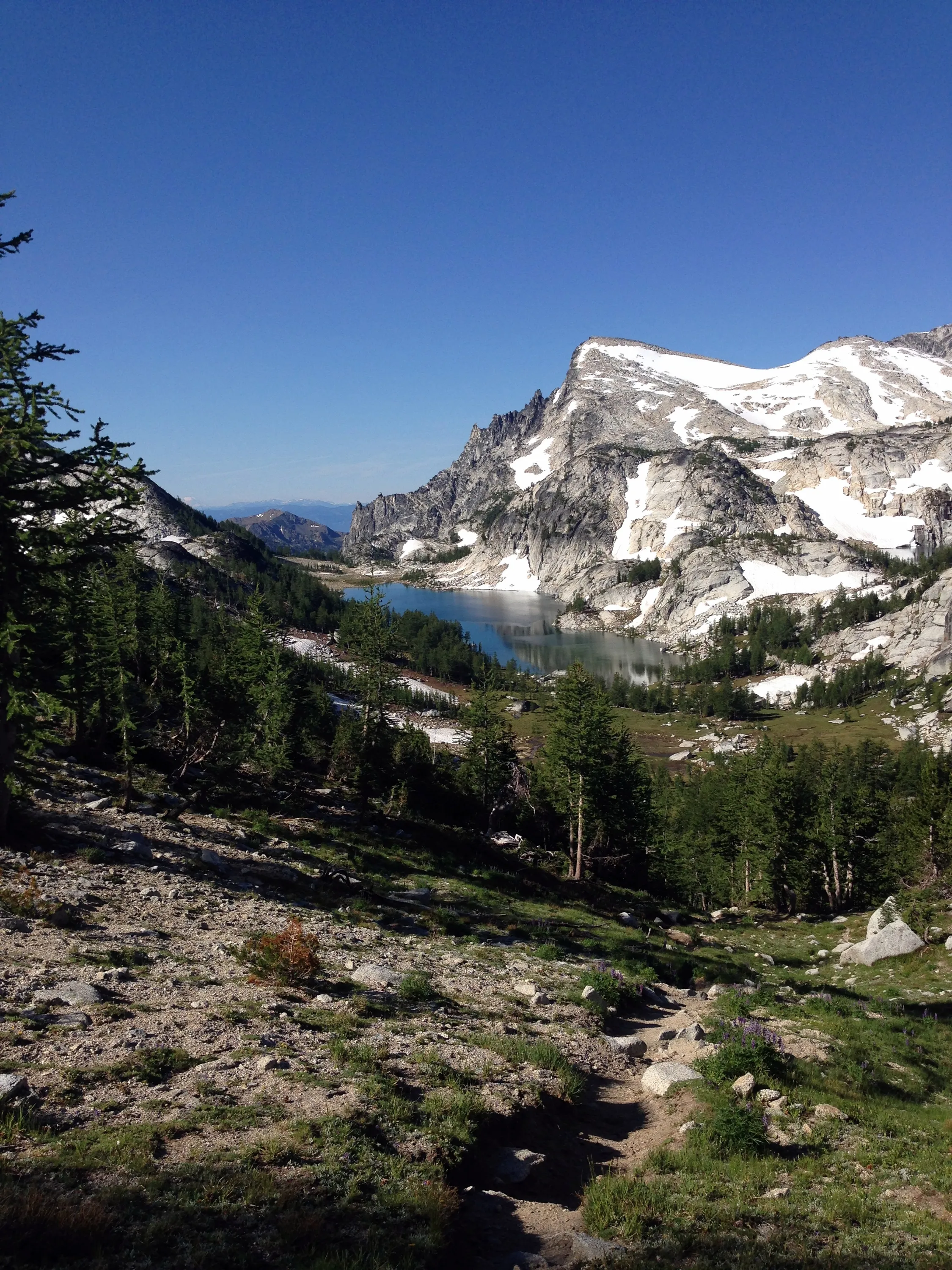
Perfection Lake looking South
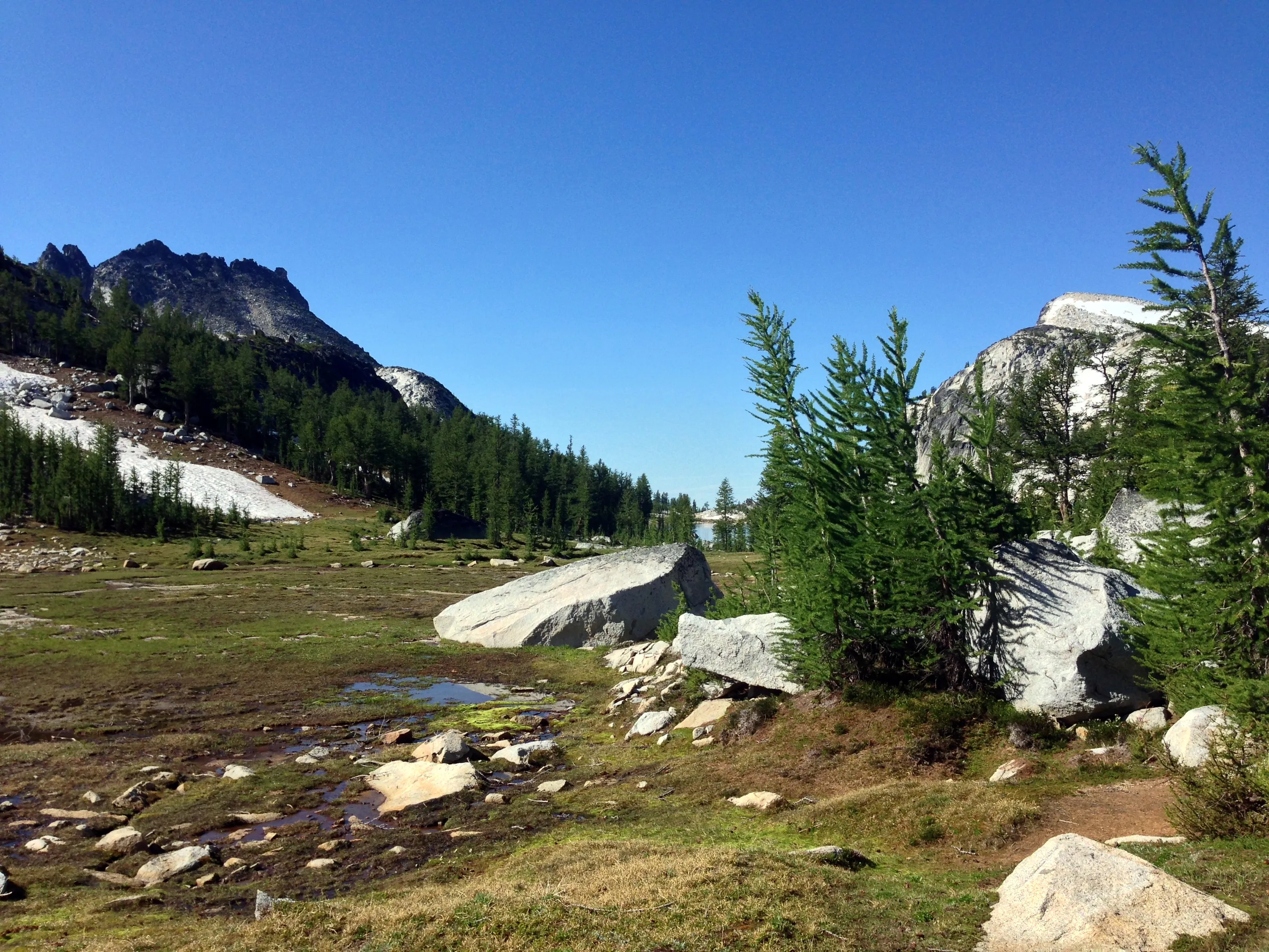
Meadows around Perfection Lake
Meadows around Perfection Lake North end
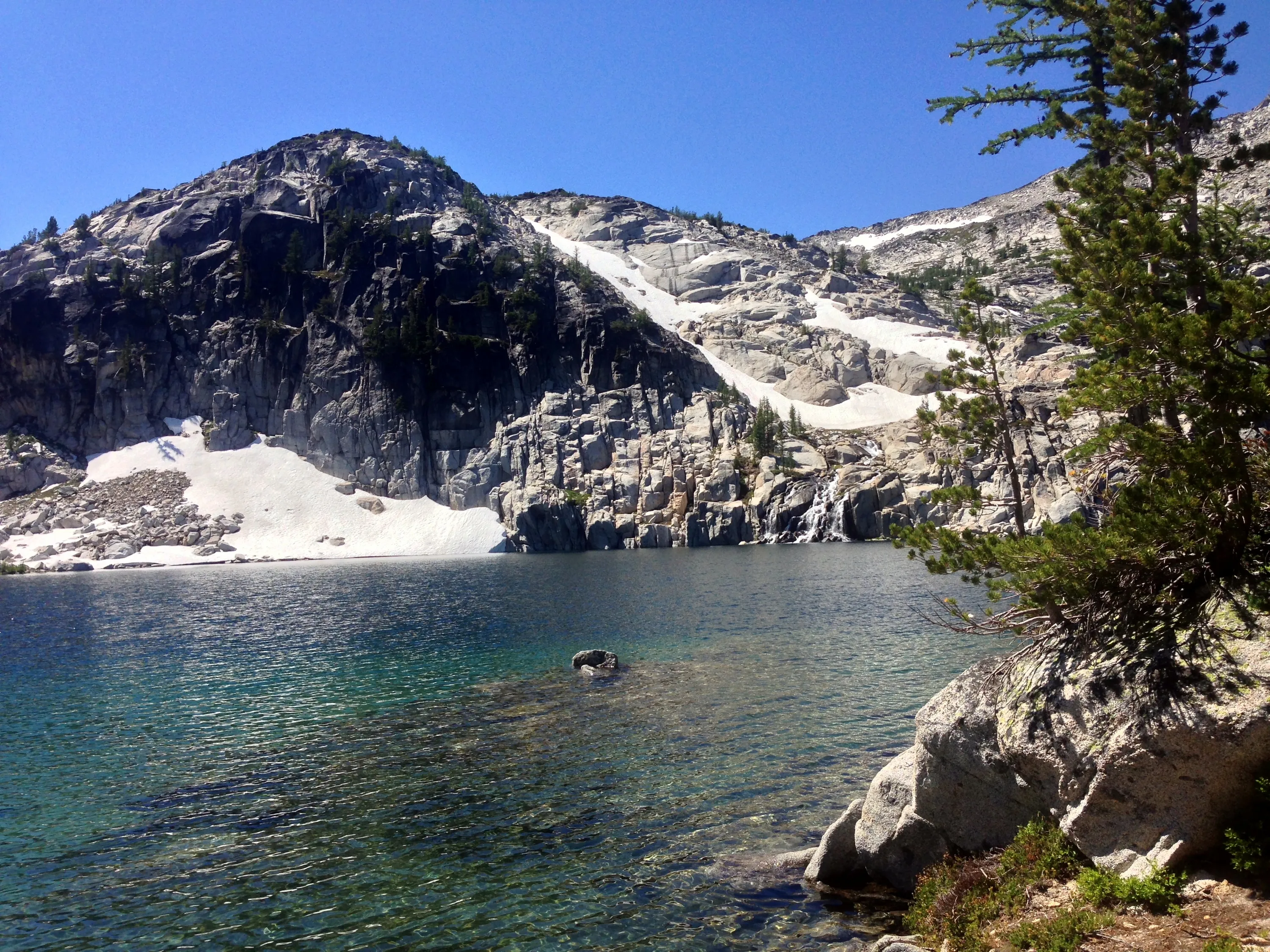
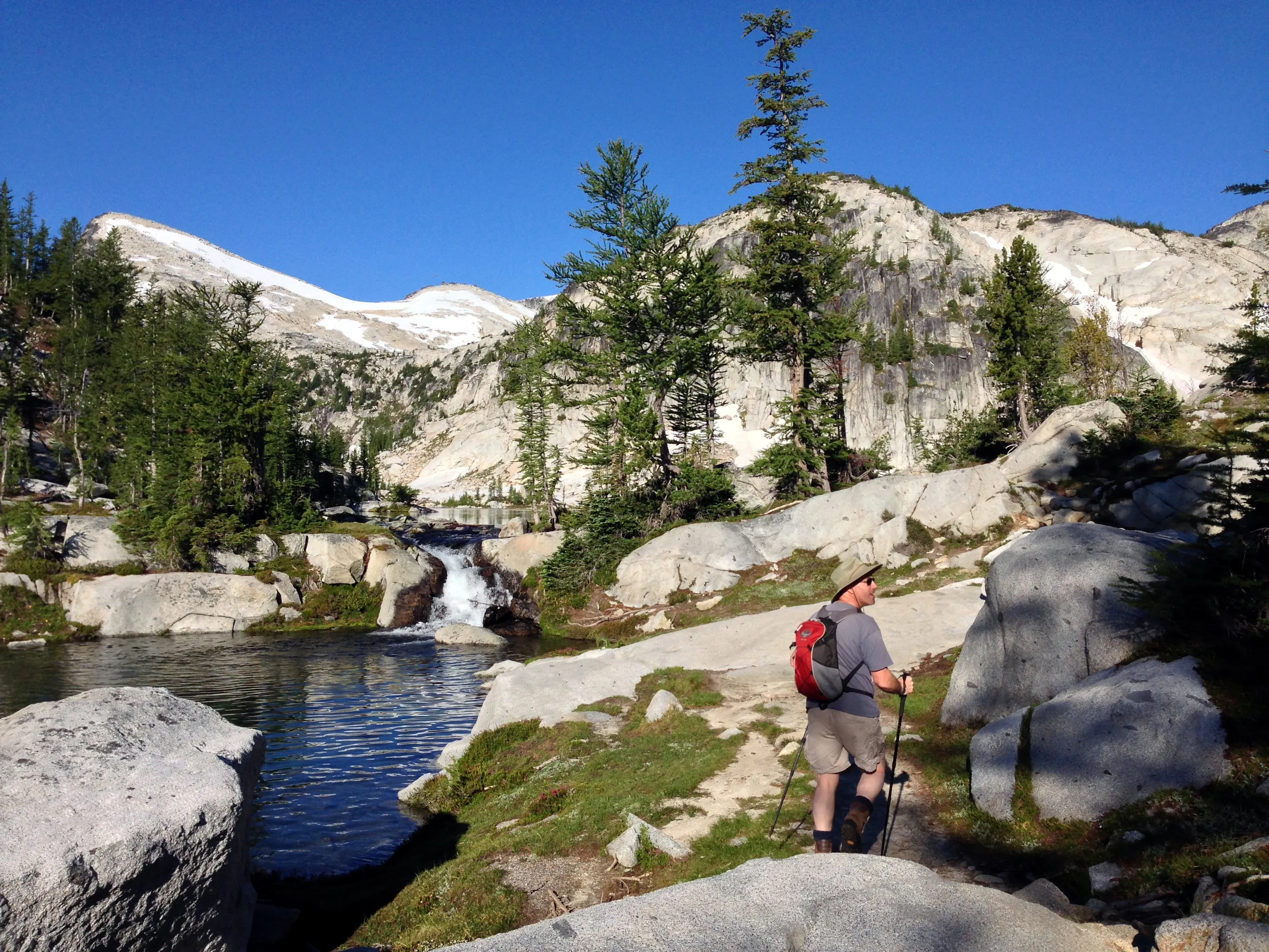
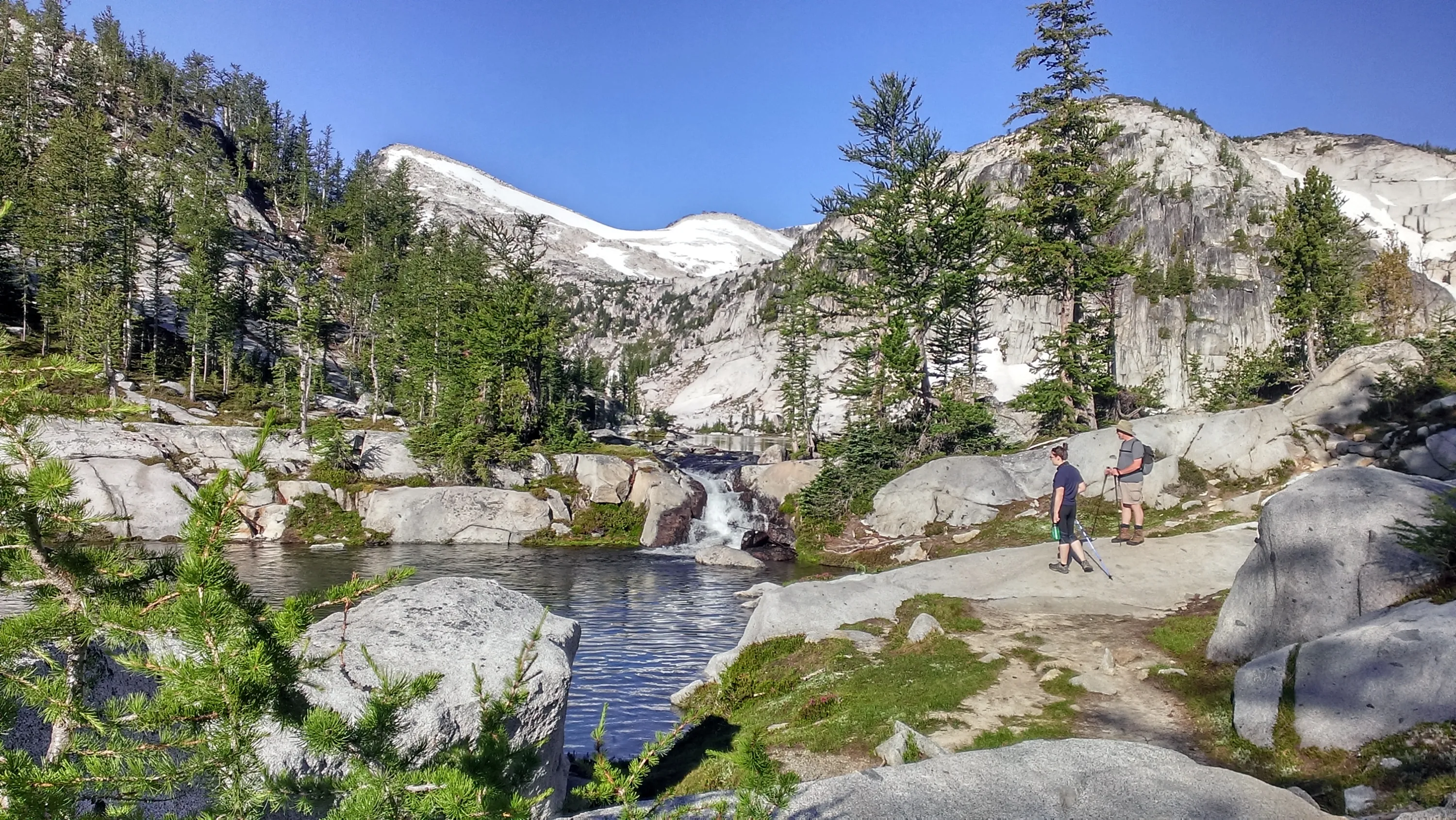
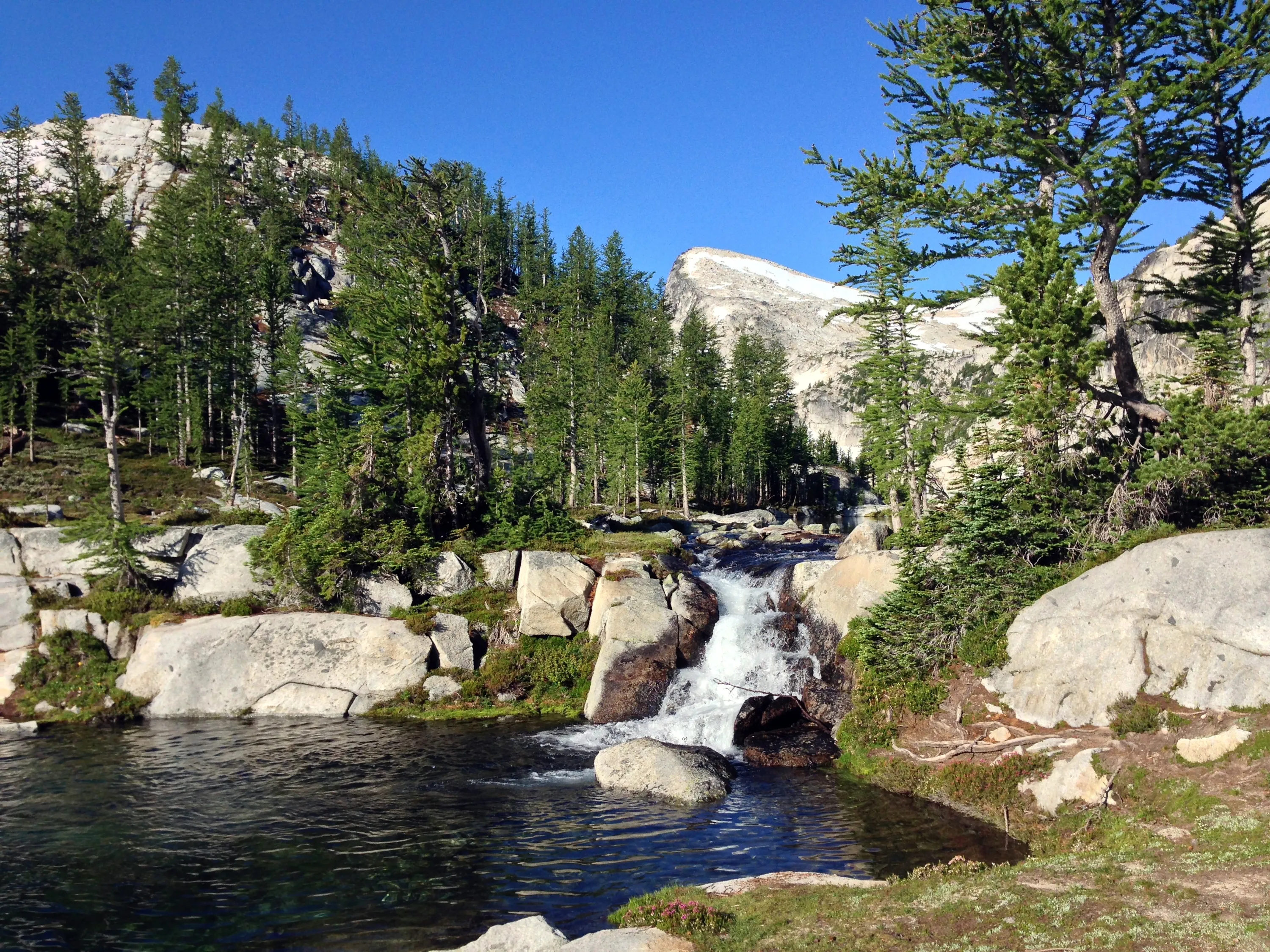
Waterfall on Perfection Lake west side
Better view of waterfall
Little Annapurna from Perfection Lake
Perfection Lake - Cool waterfall on the west side of the lake
Leprechaun Lake
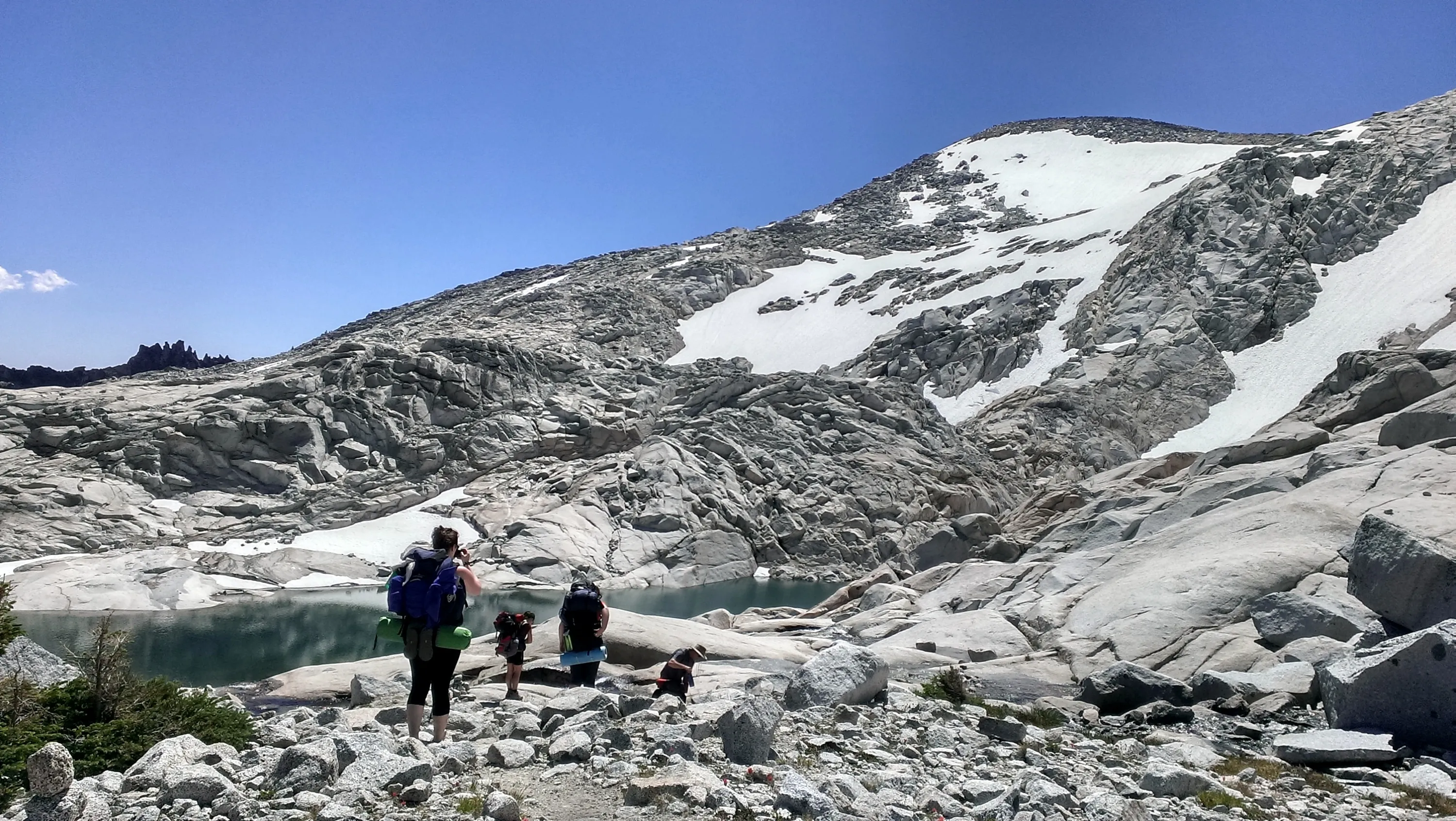
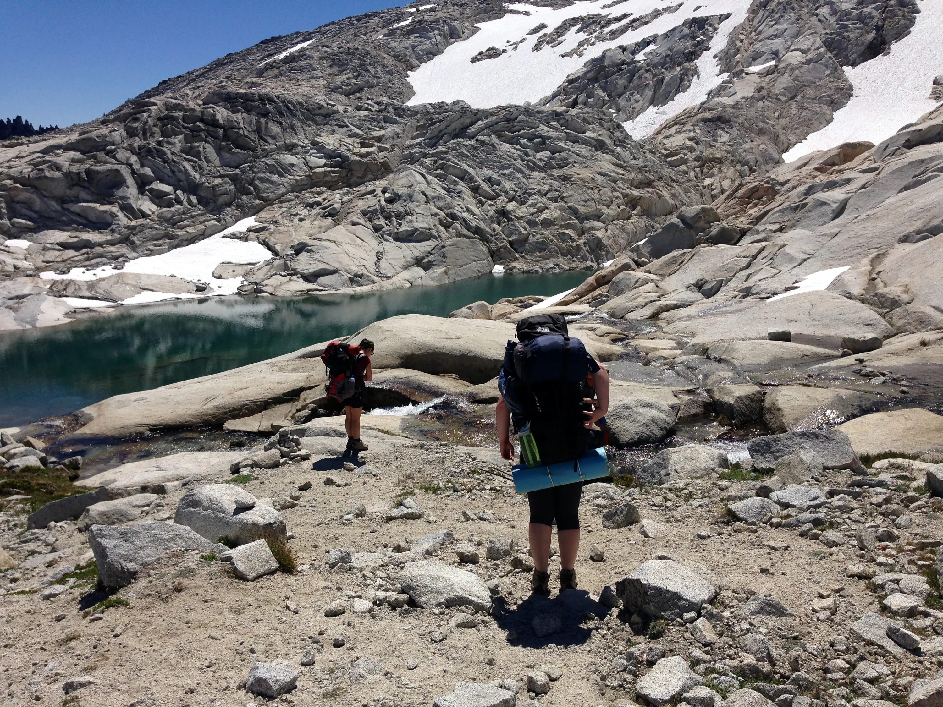
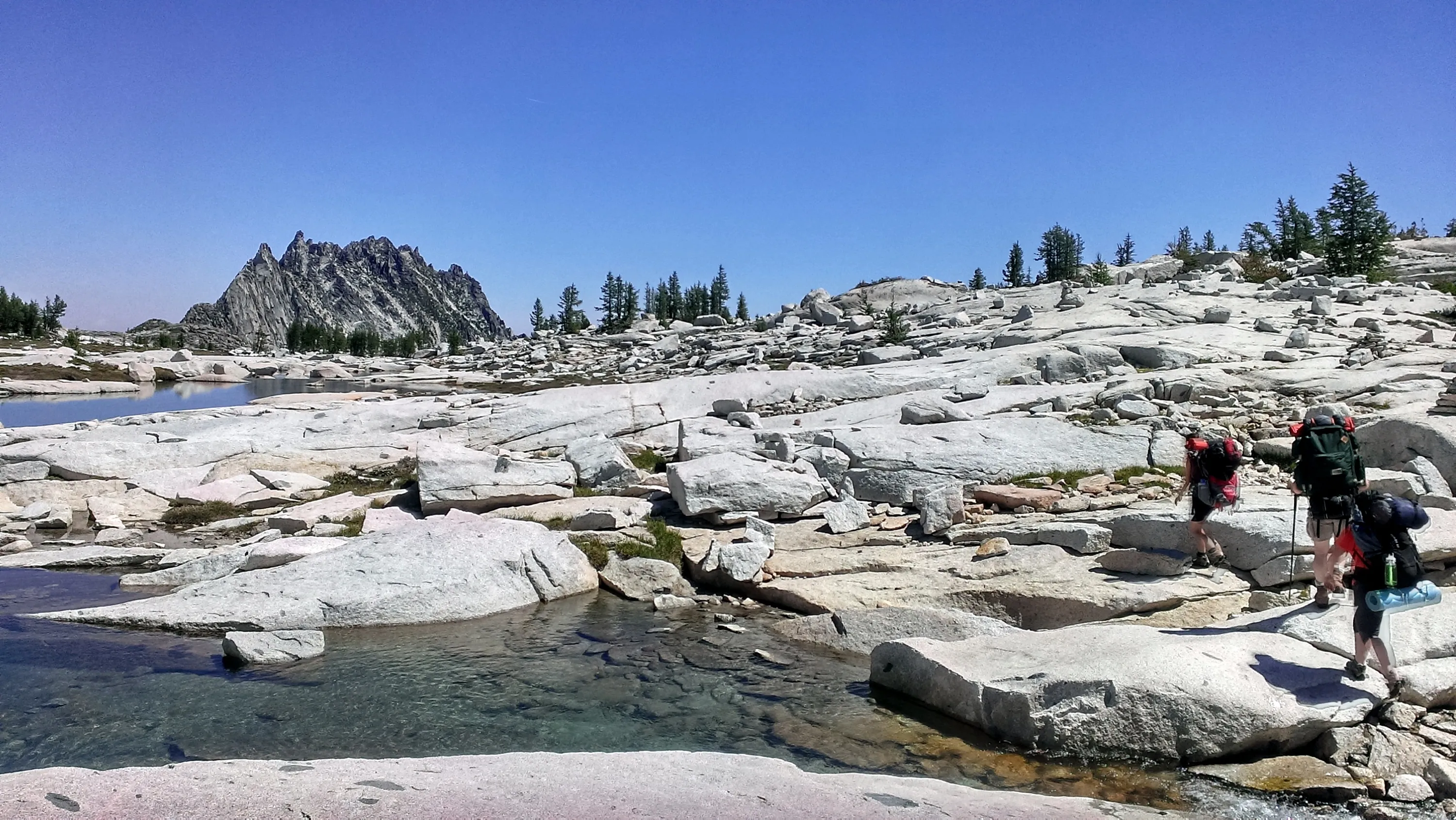
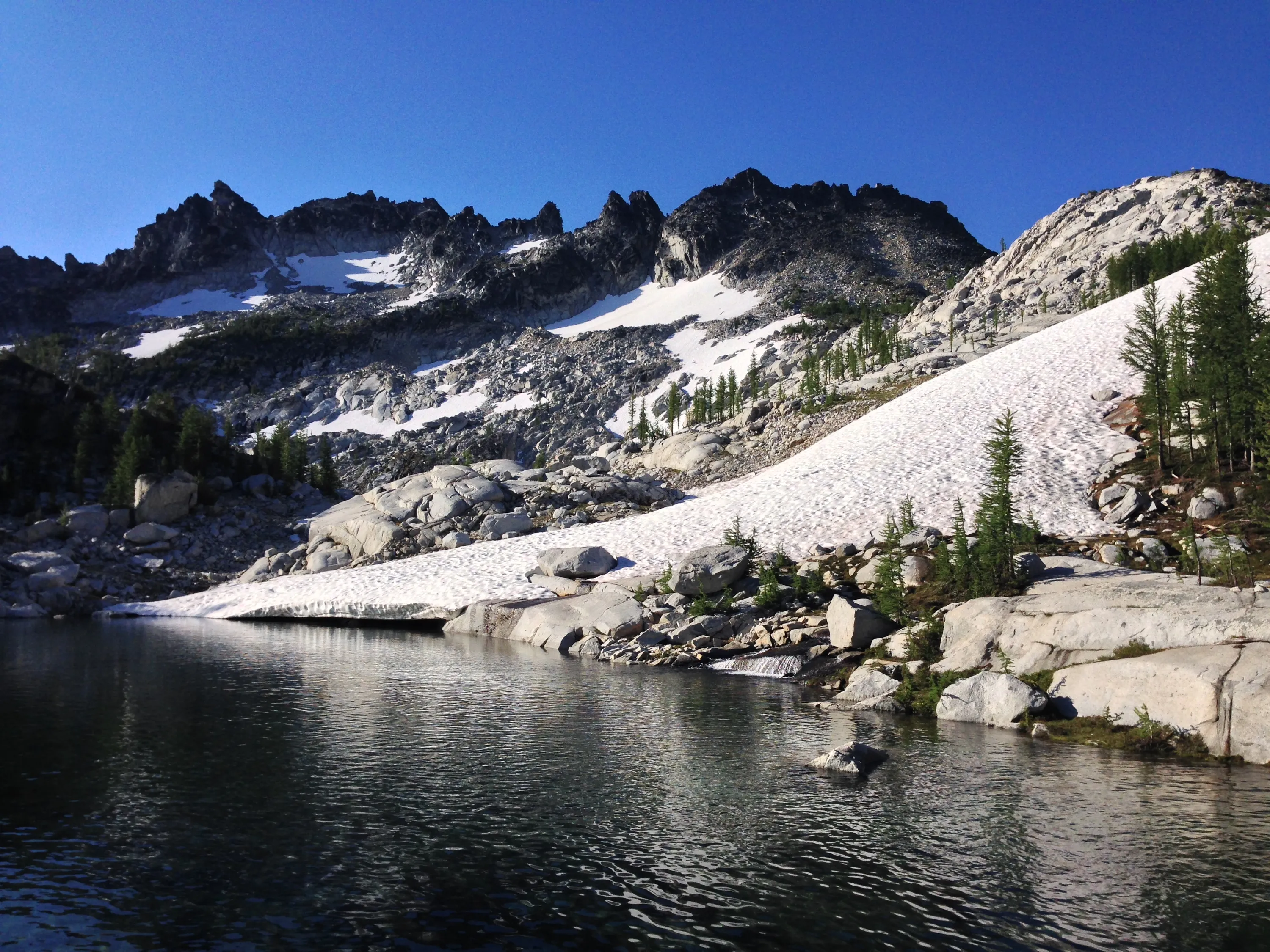
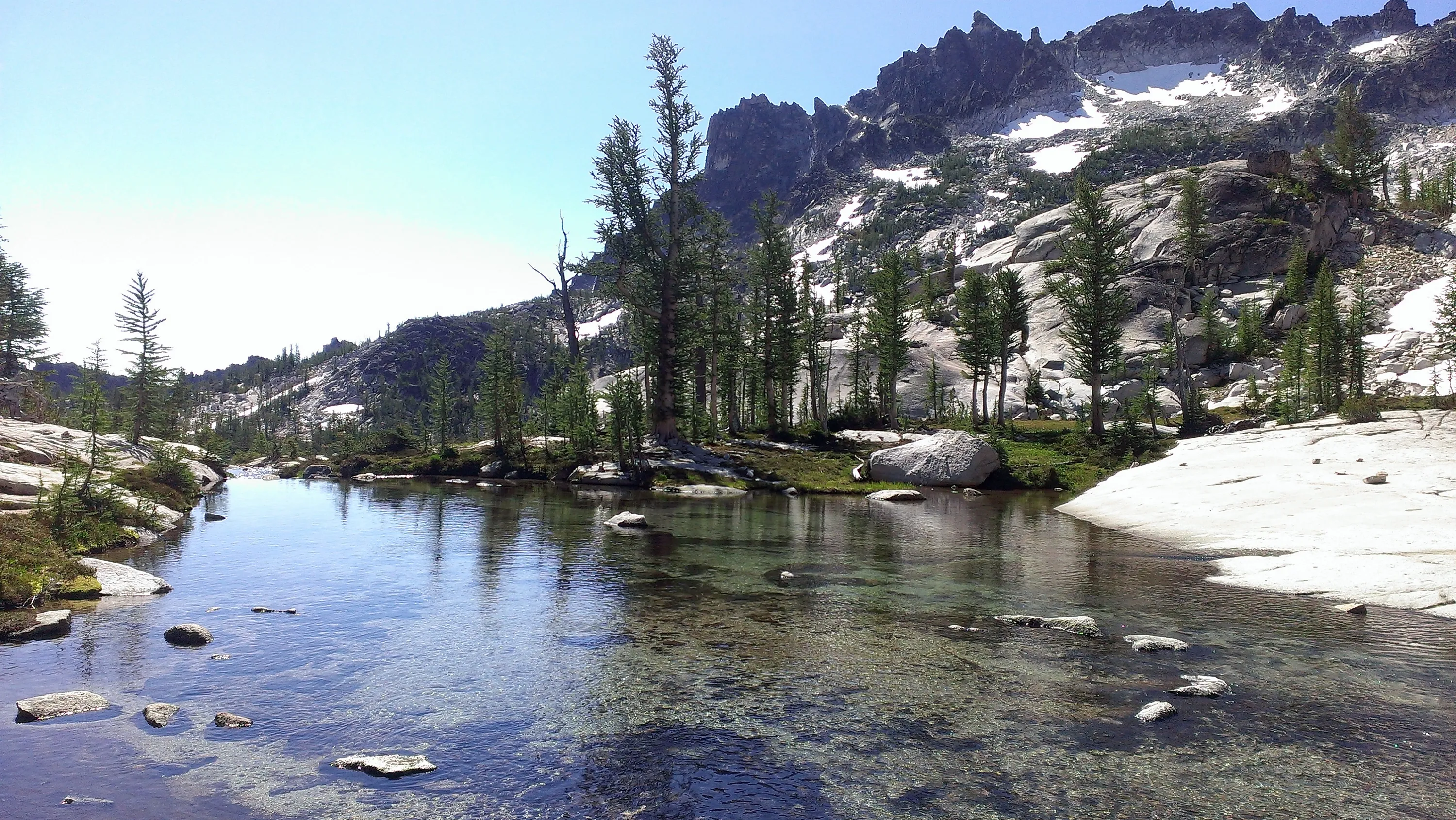
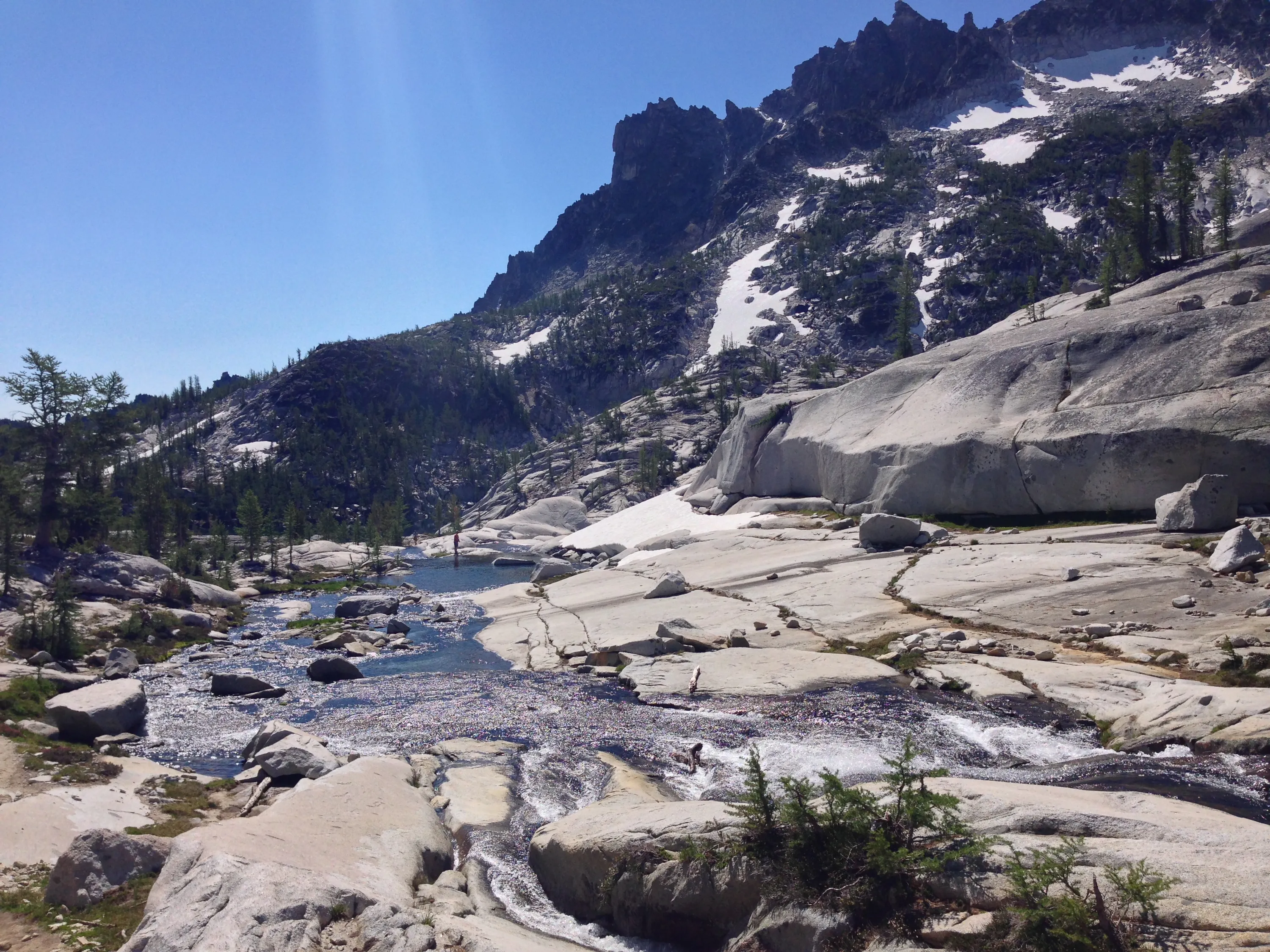
Interesting pools below Sprite Lake
Little Annapurna in the background center
Perfection Lake feeding into Sprite Lake
Goat in the distance waiting and watching
On top of the hill near Sprite lake looking down into the strange "pools" below Sprite Lake
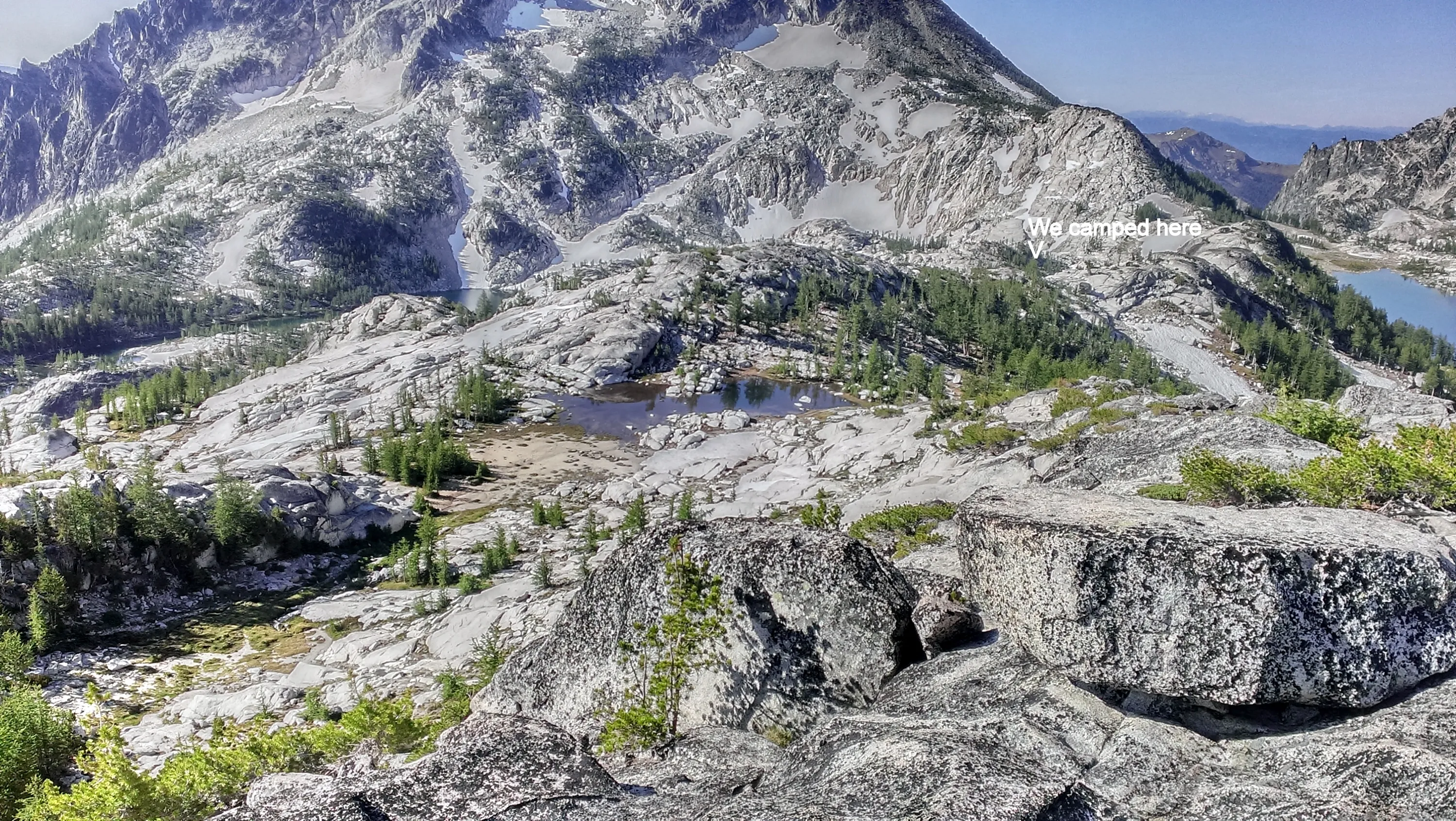
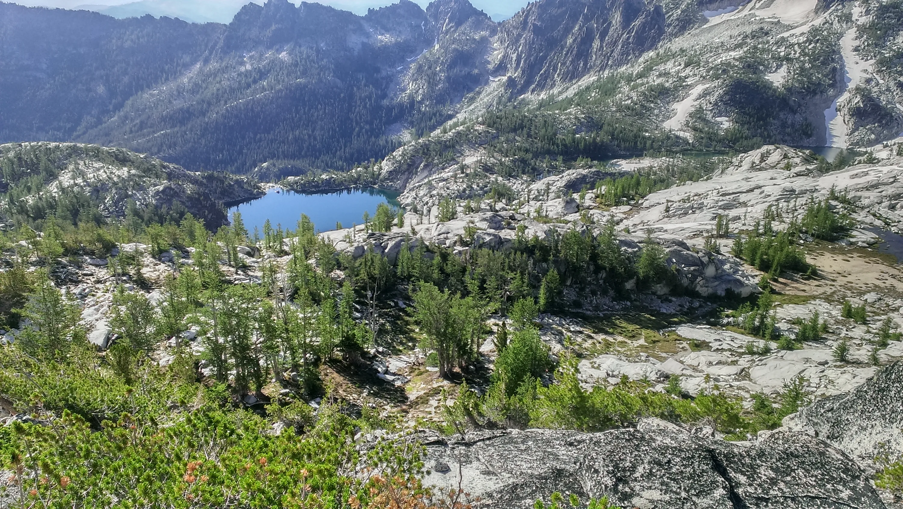
Perfection Lake emptying into Sprite Lake - view from the hill above our campsite - night 2
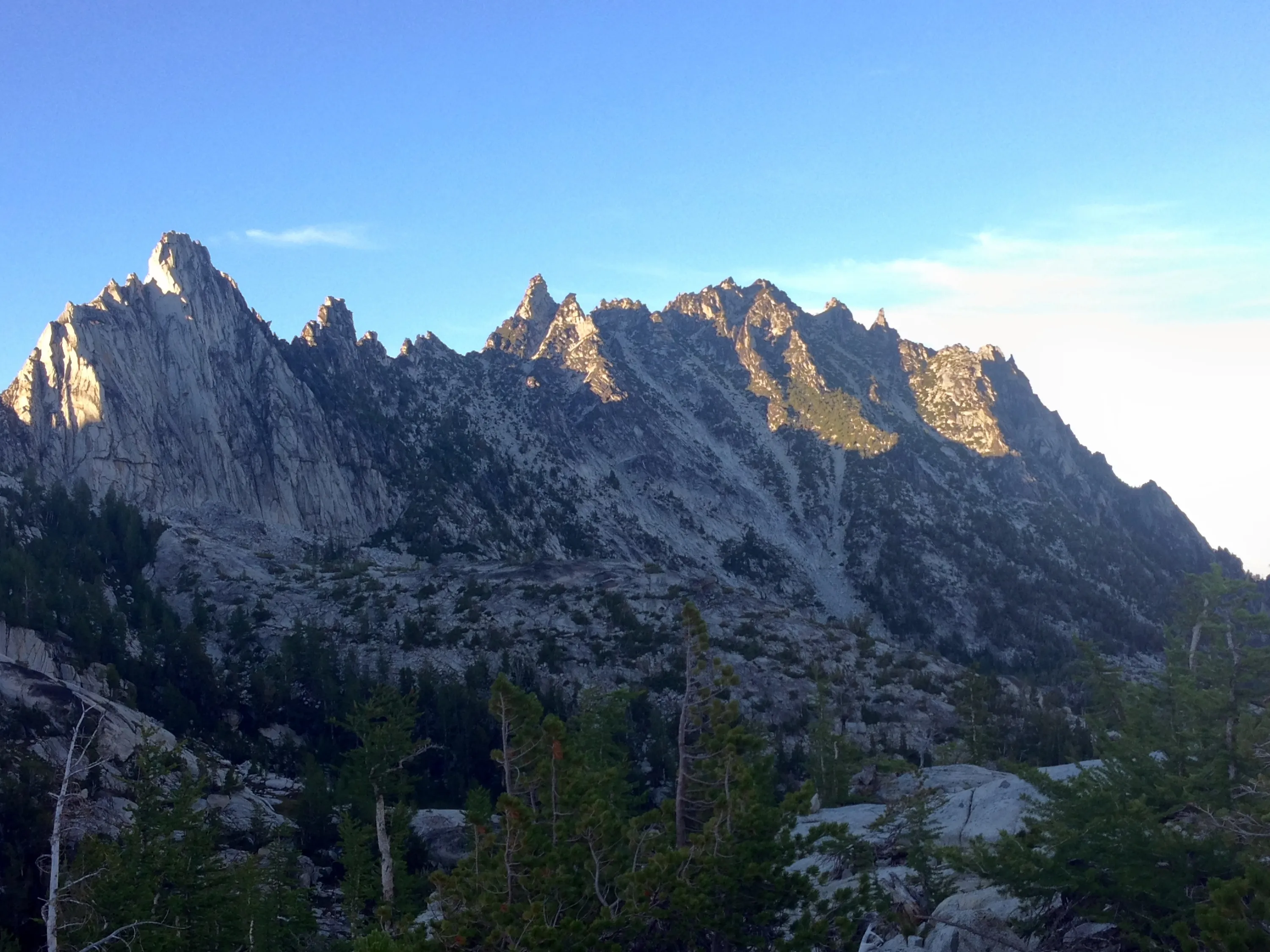
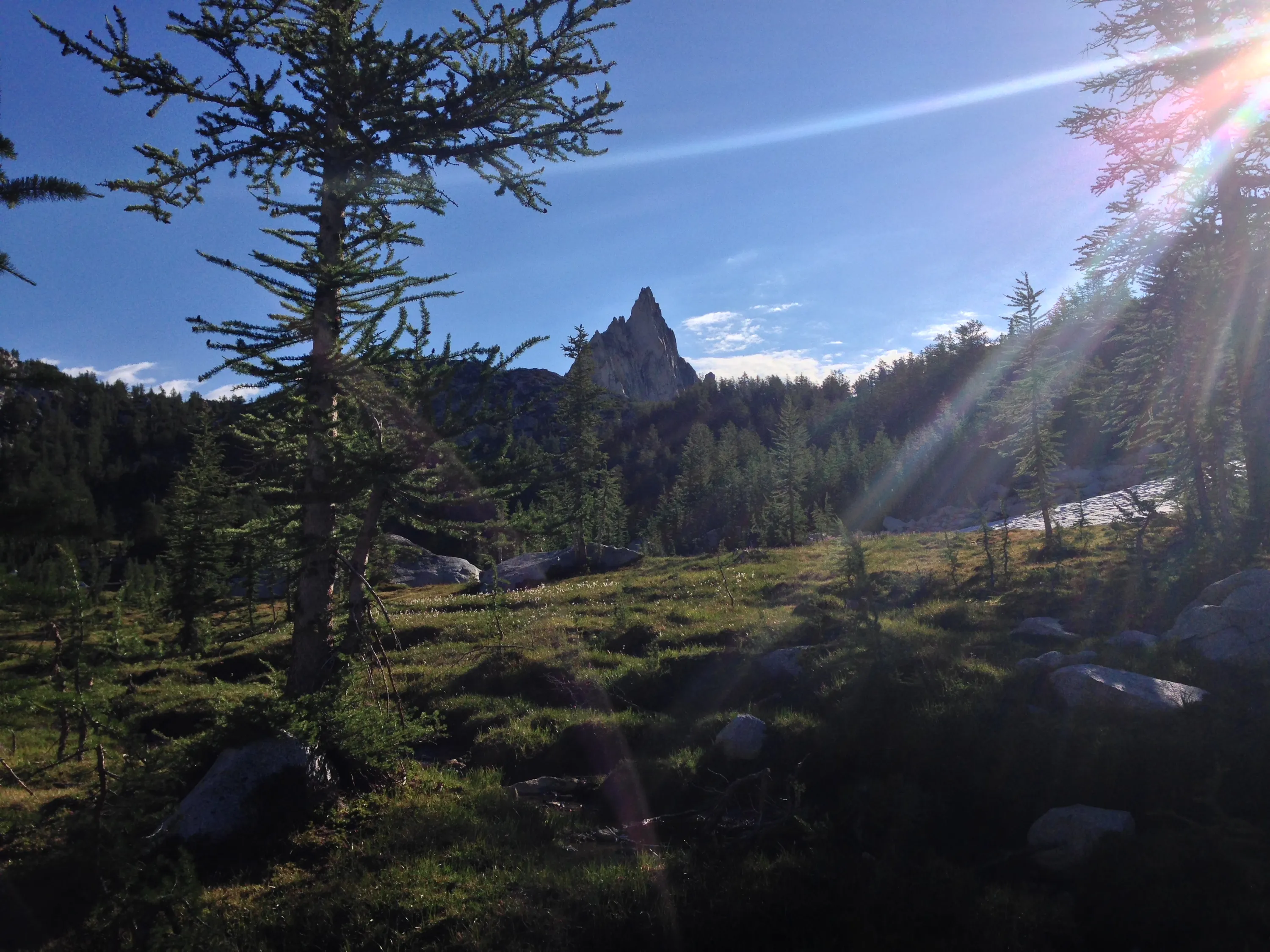
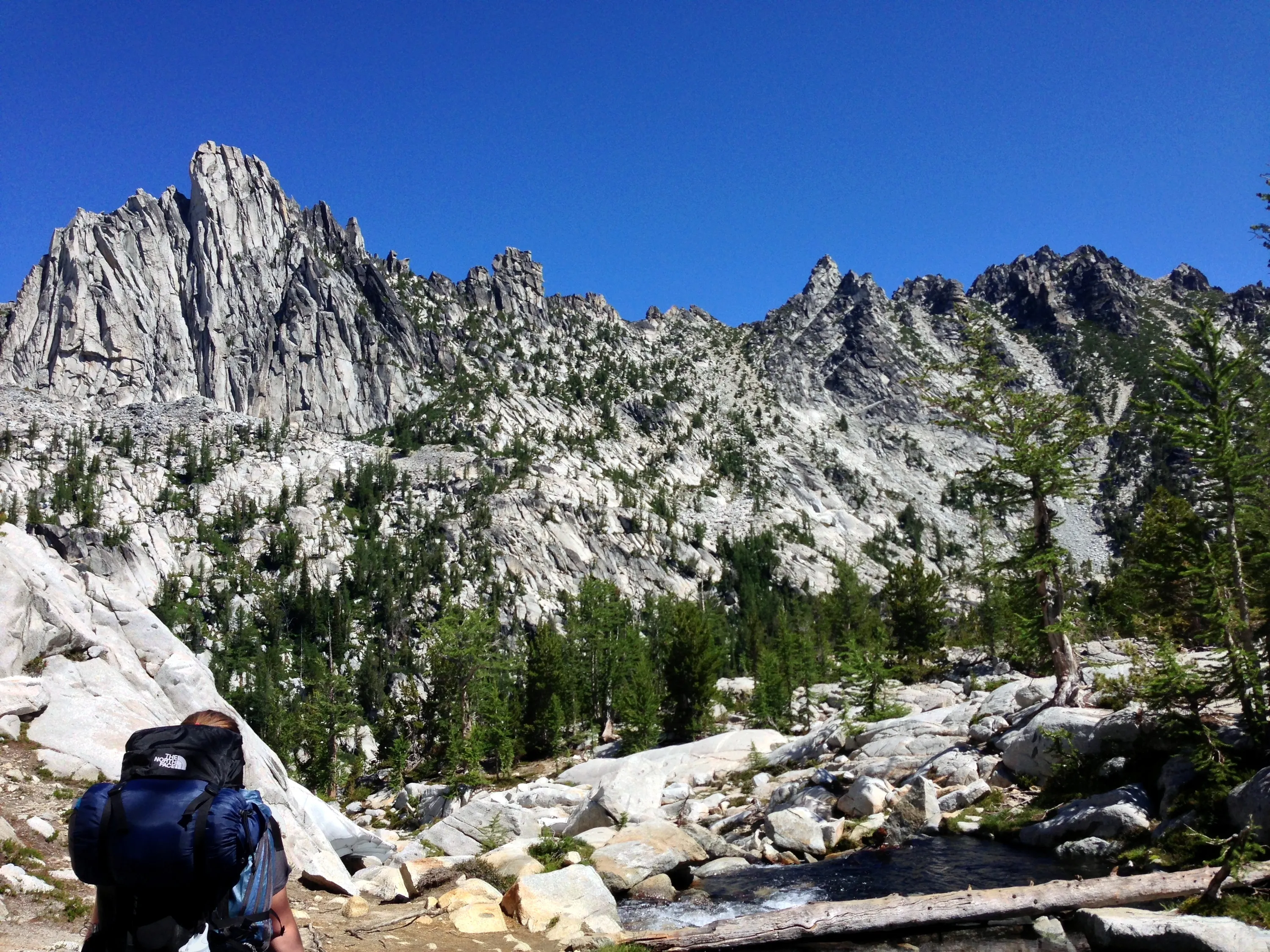
Prusik Peak the the left and "The Temple" to the right.
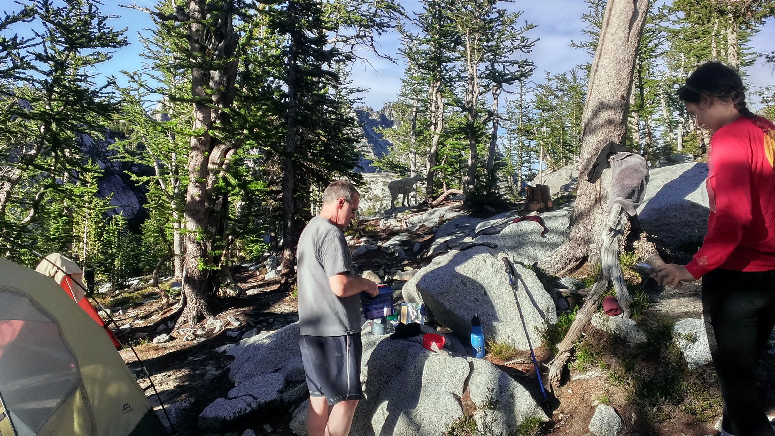
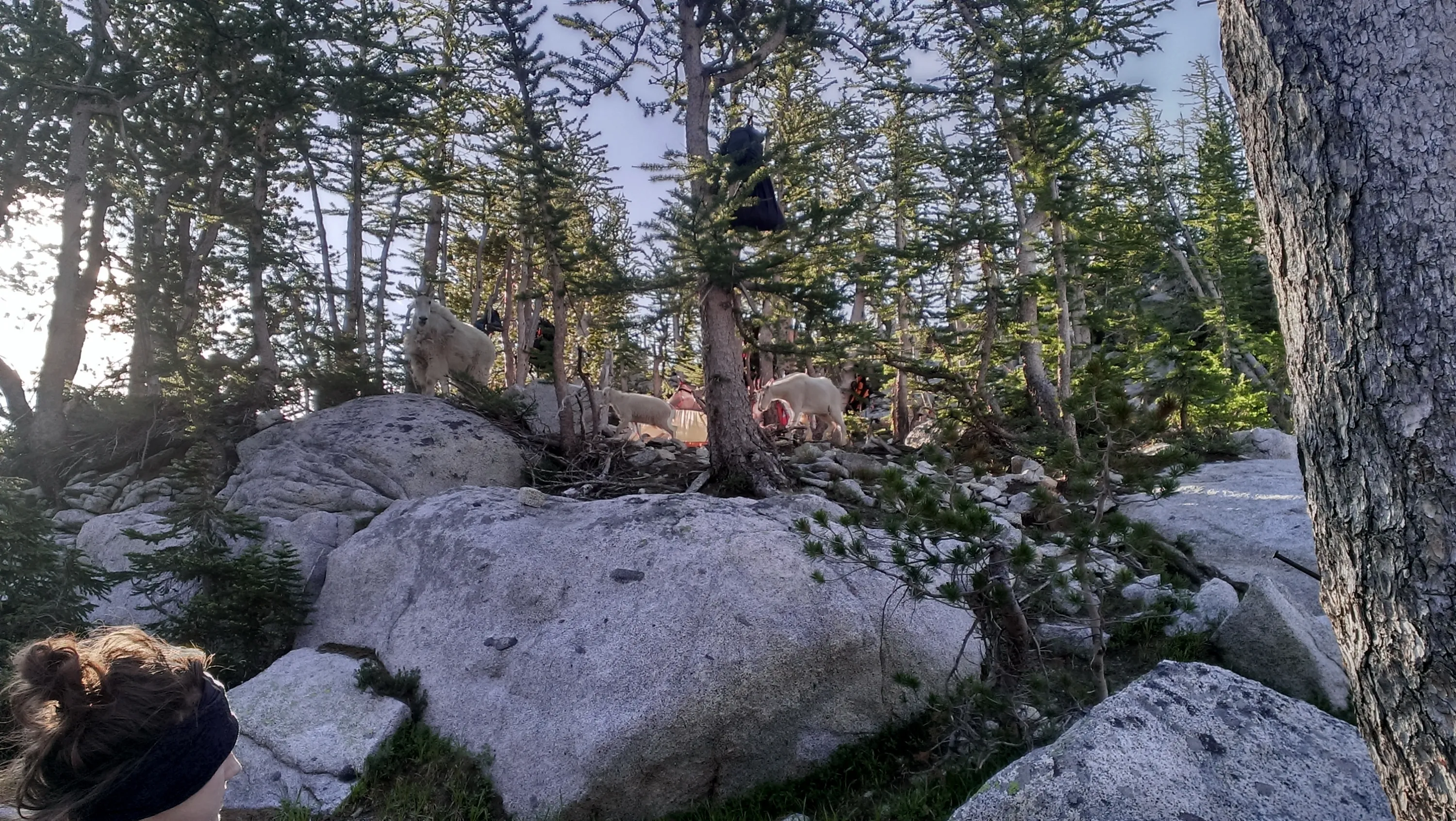
One of the many goats that "patrolled" our campsite
Waterfall below our campsite
Goats were a constant irritant - they patrolled regularly - looking for pee
A small goat family patrolling together
Perfection Lake emptying out into Sprite Lake - Heading back up the trail to Prusik Pass
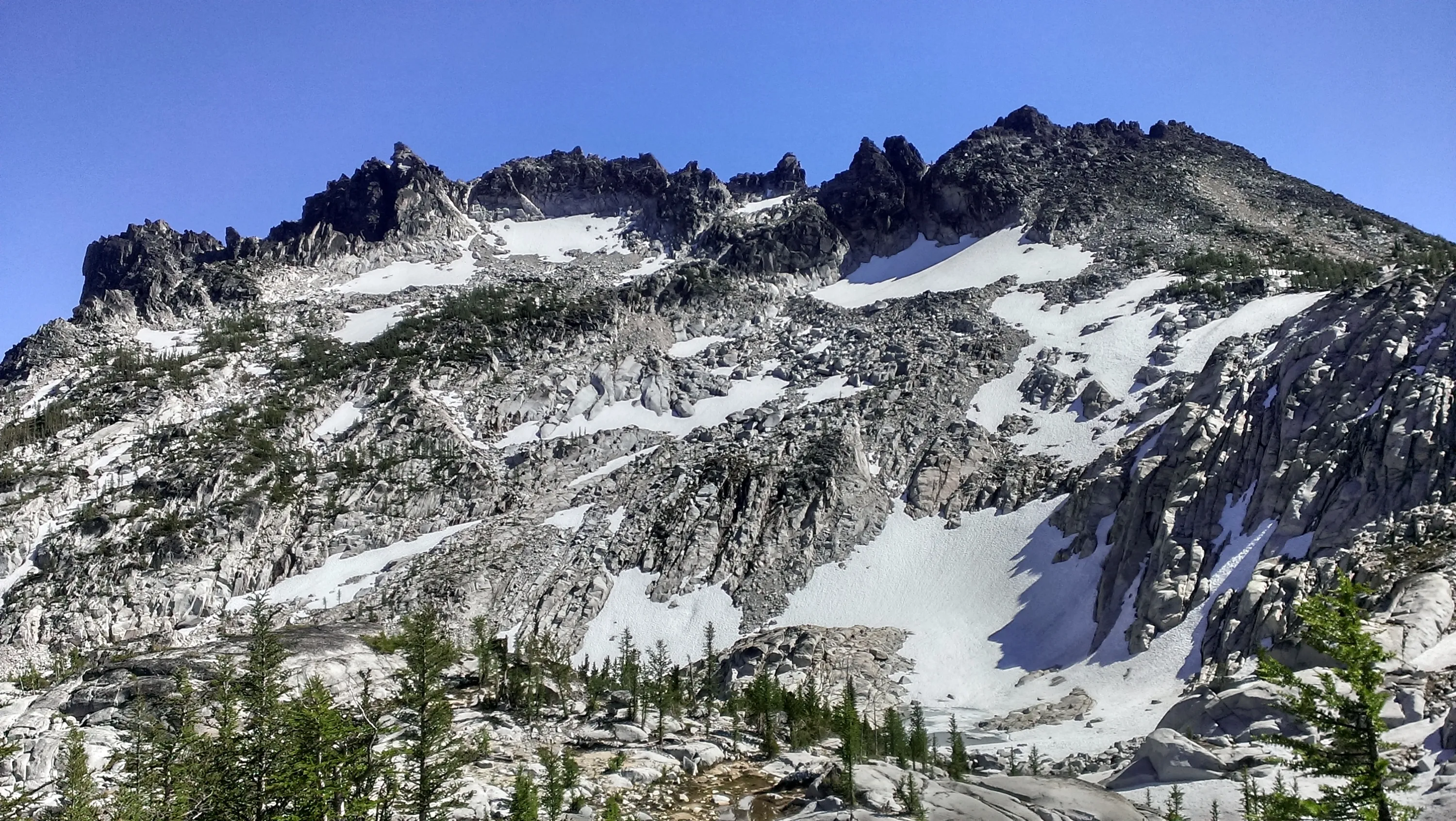
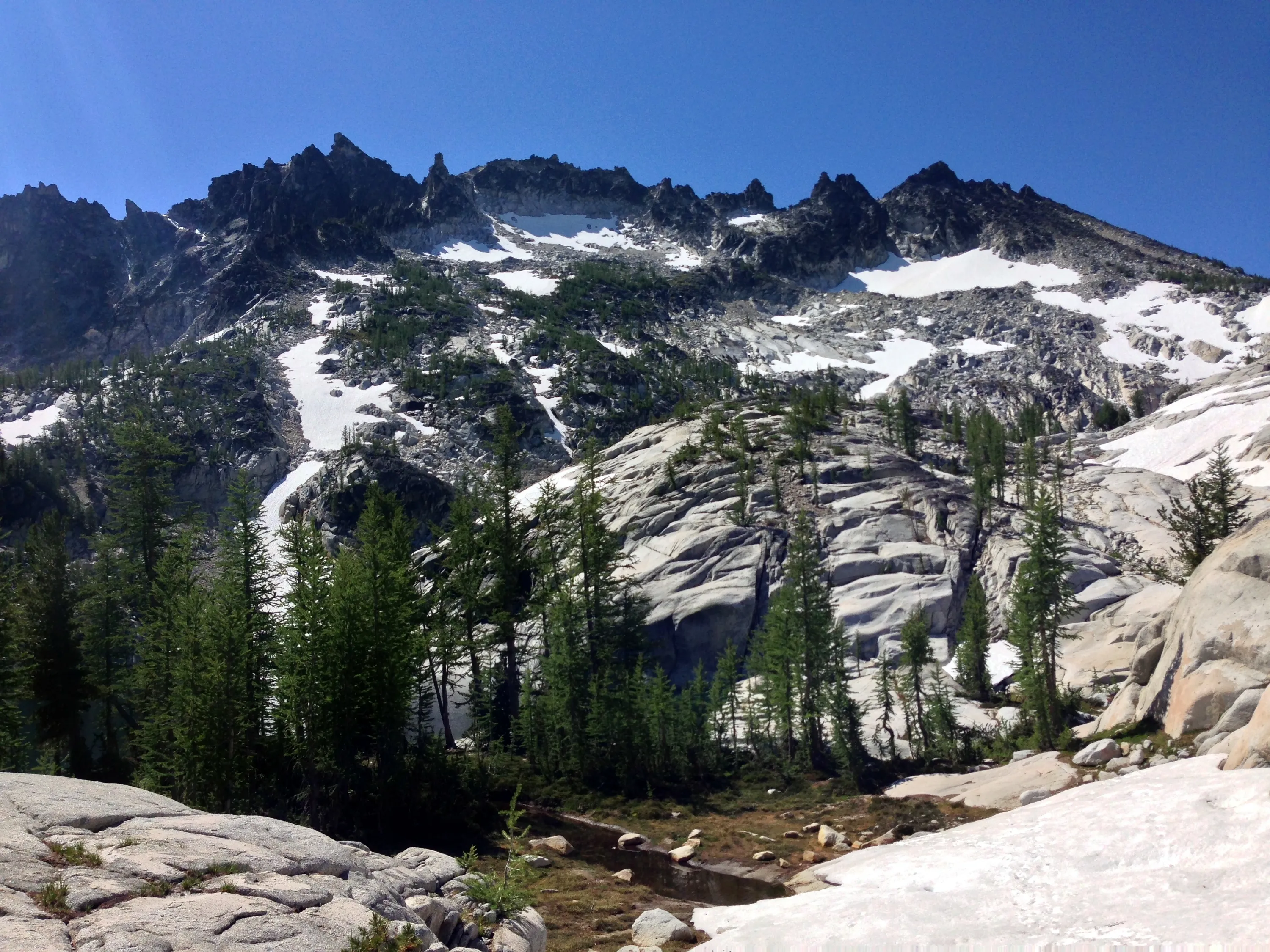
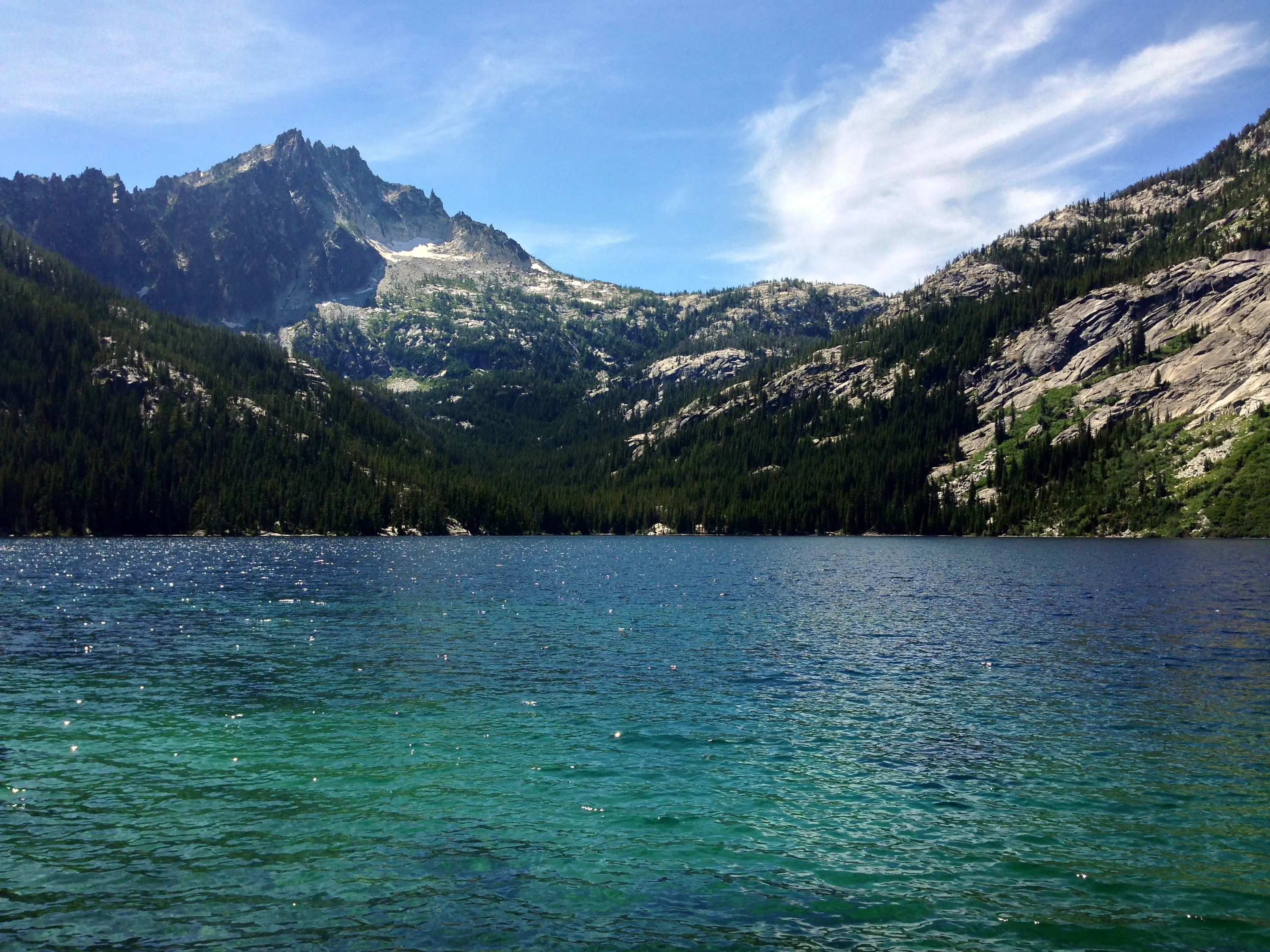
McClellan Peak above Sprite Lake
Waterfall from Perfection Lake into Sprite Lake
Little Annapurna in the background to the left - this was on our short morning side trip - sans backpacks - to Prusik Pass
Prusik Peak from below - near Perfection Lake
Little Annapurna above Perfection Lake - from Prusik Pass
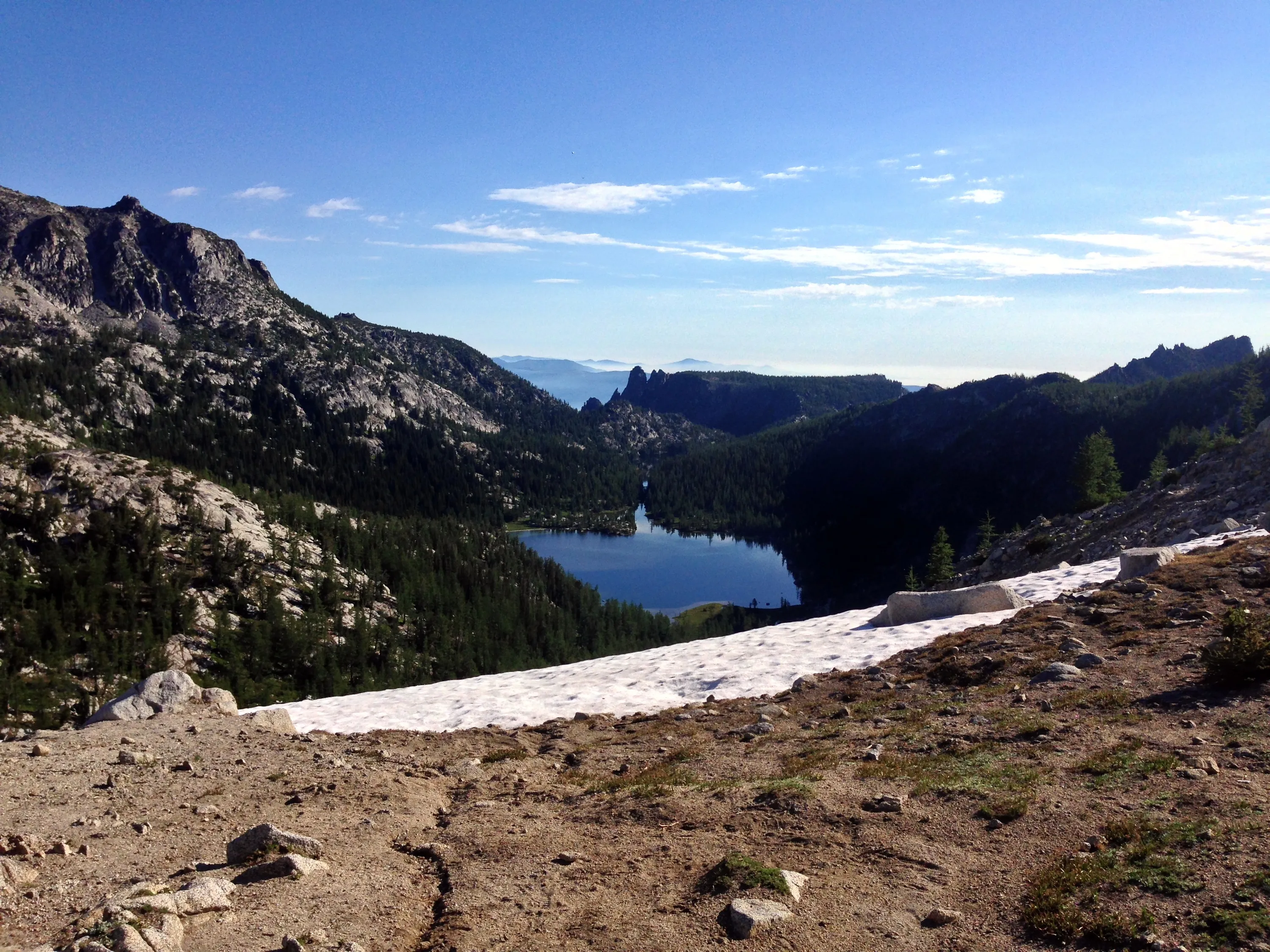
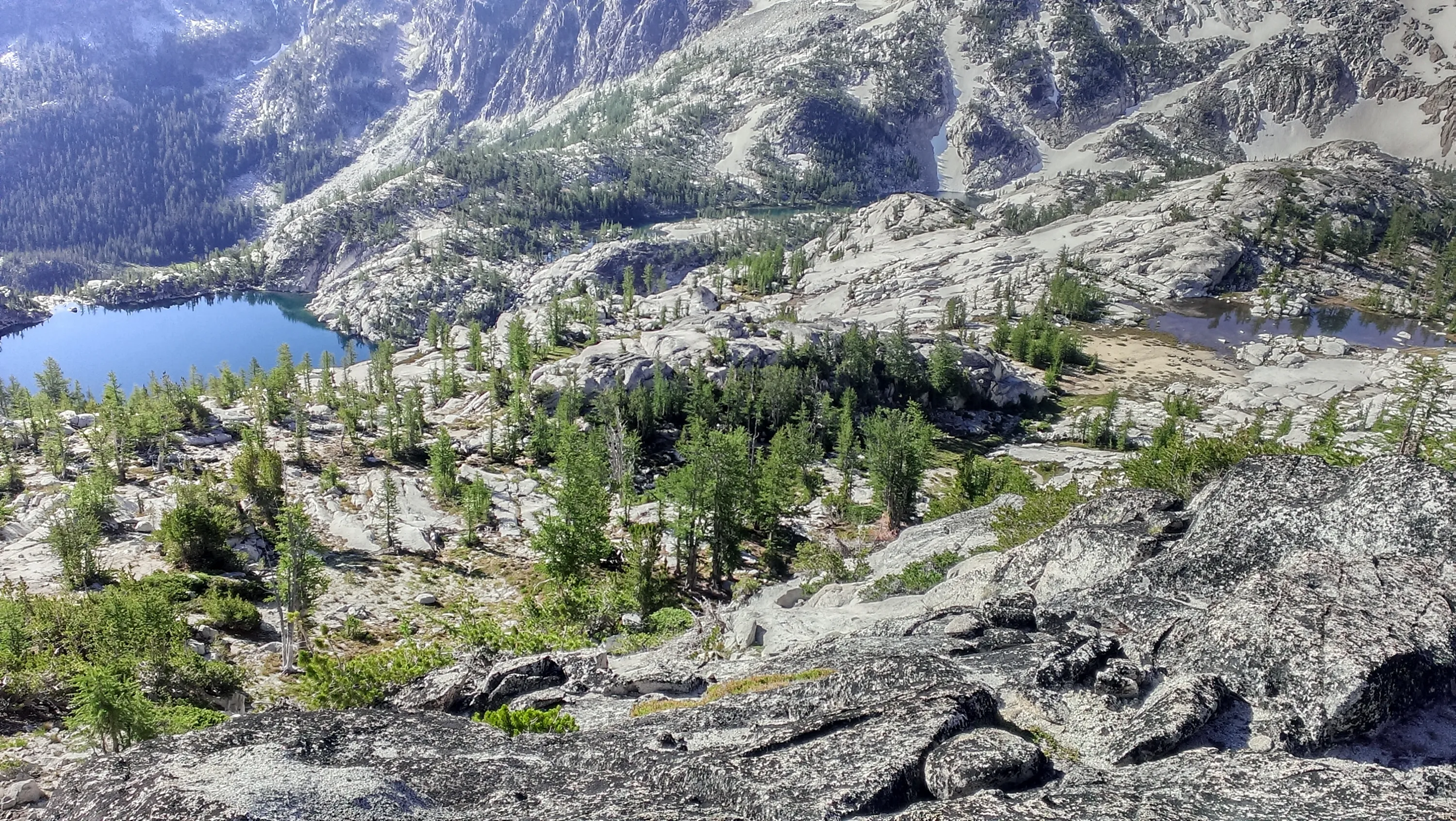
Shield Lake from Prusik Pass
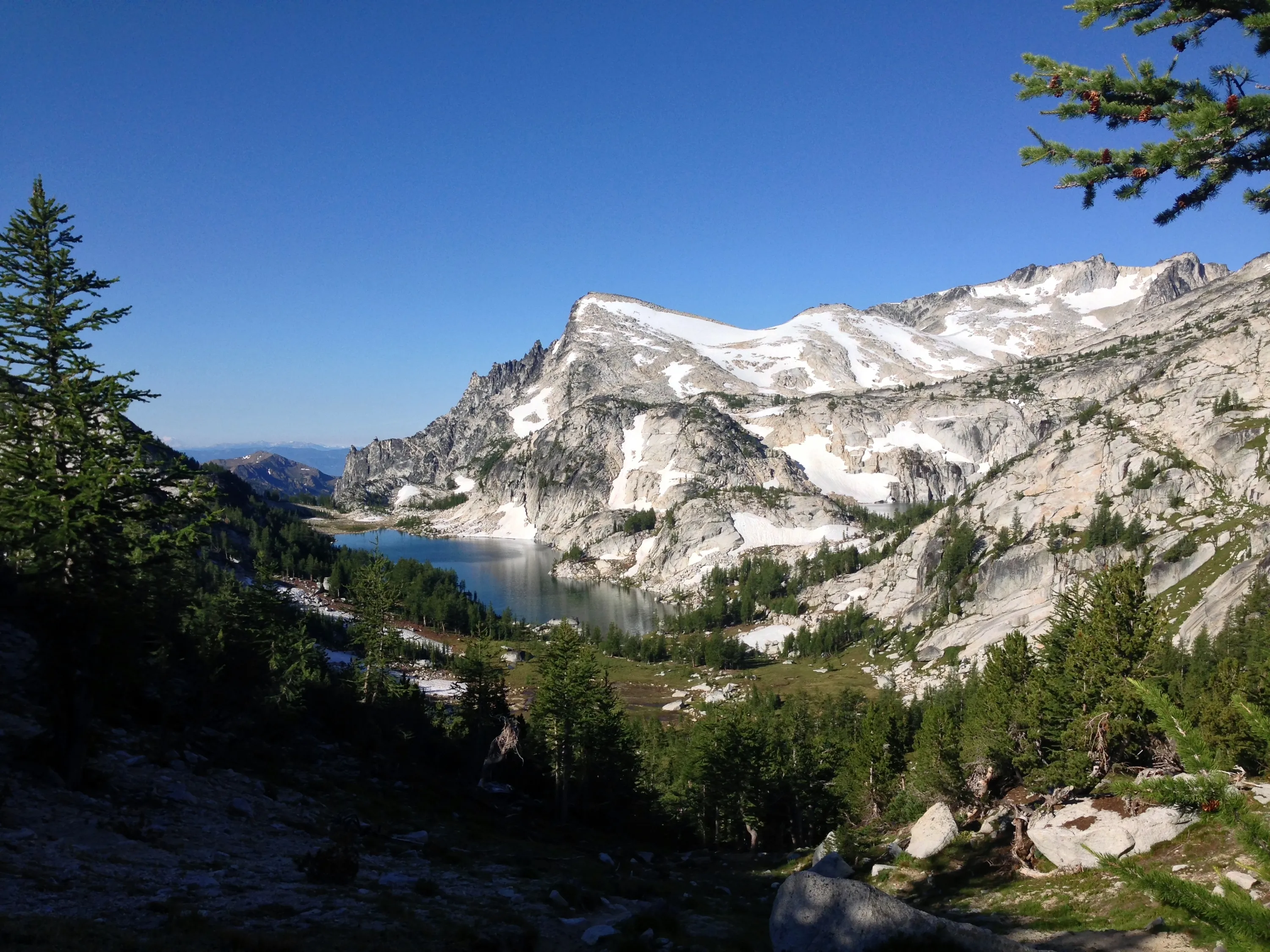
Perfection Lake from Prusik Pass
Looking NW from Prusik Pass - Smoke from the fires is visible in the distance
Little Annapurna from Prusik Pass
Shield Lake from Prusik Pass
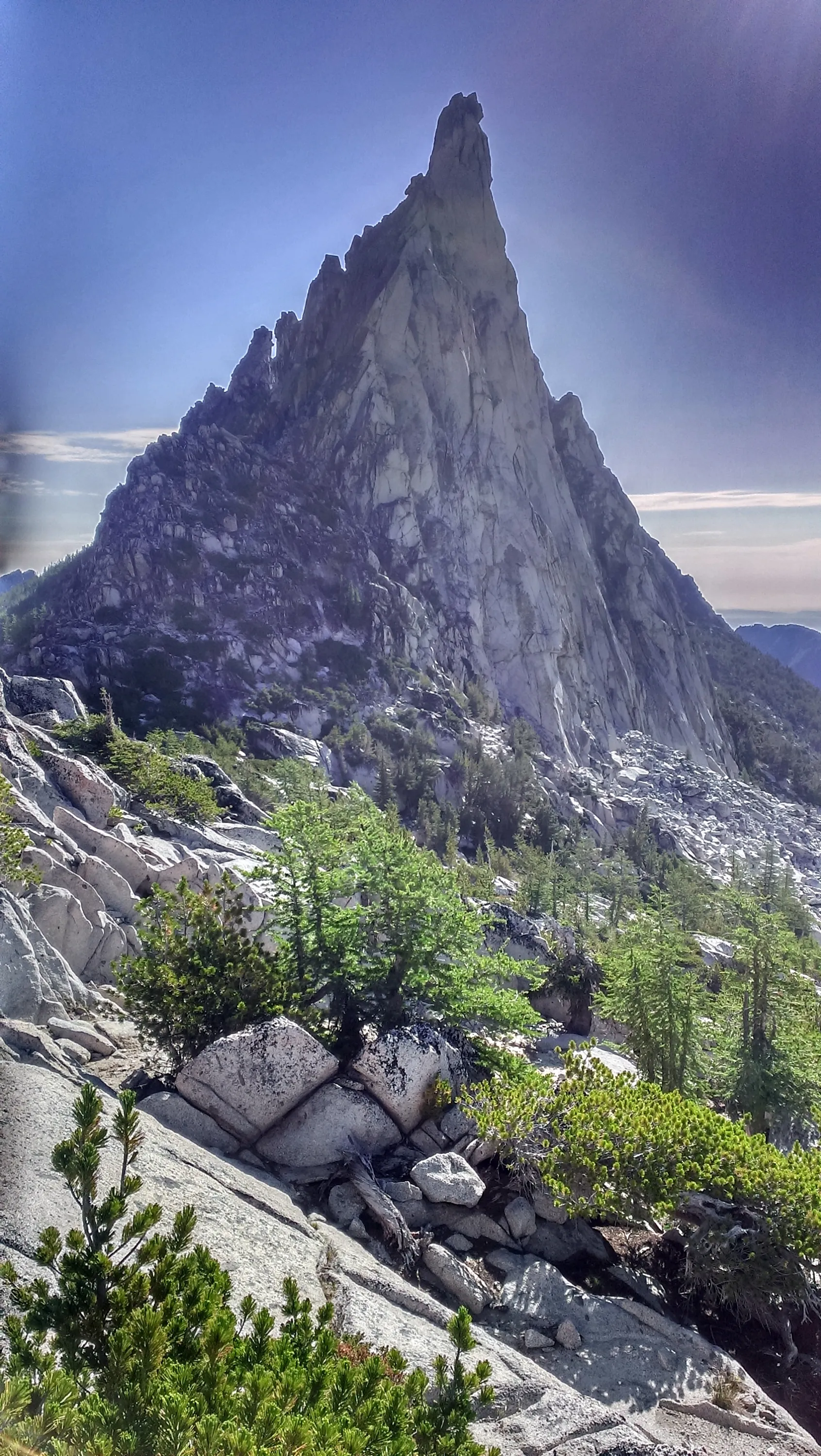
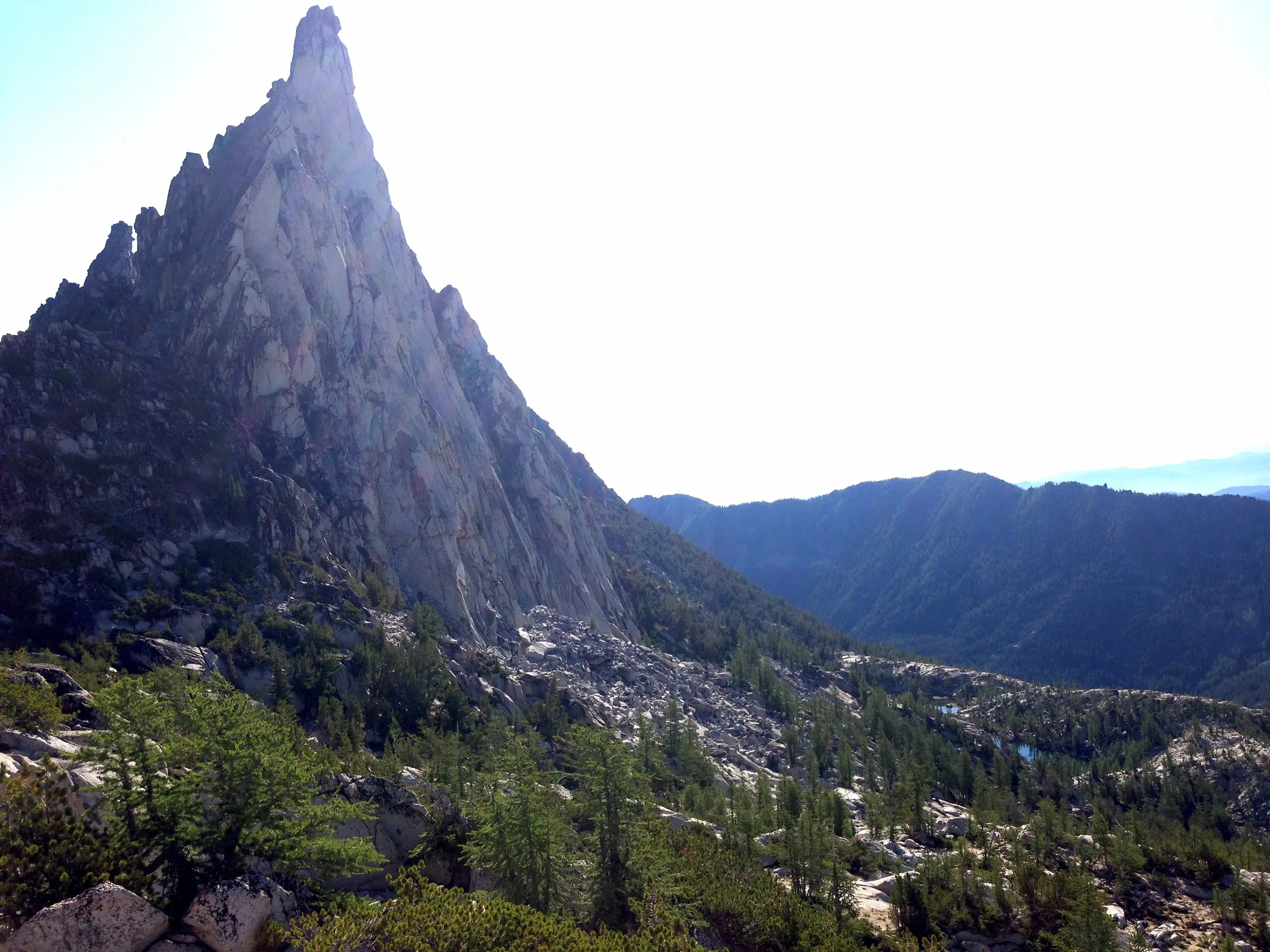
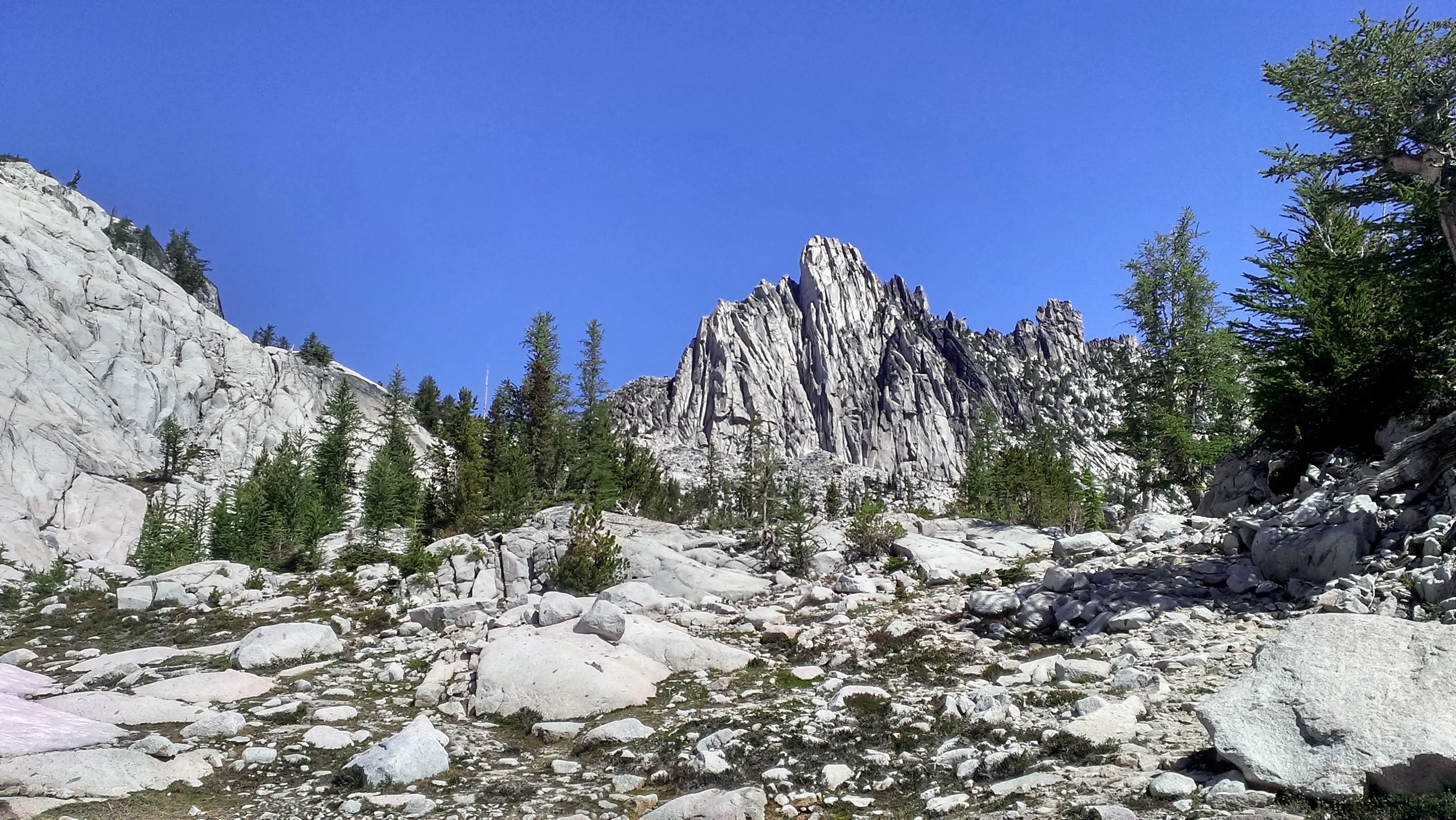
Prusik Peak
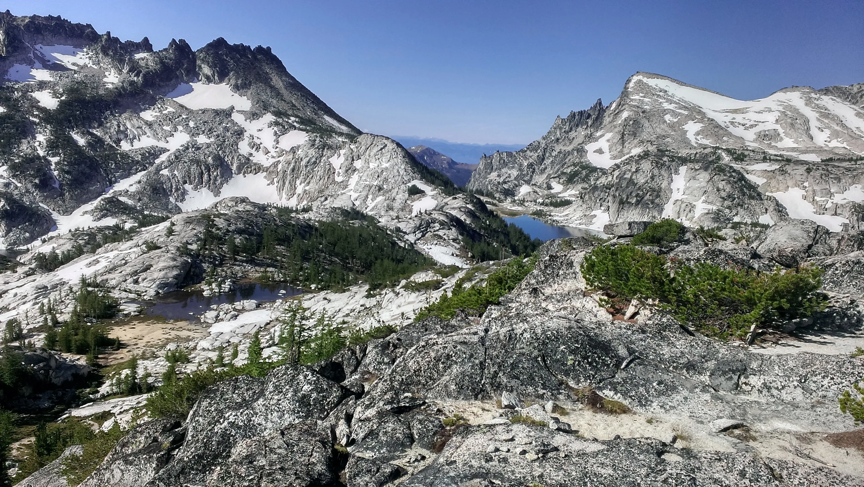
View of the perfection lake area from Prusik Pass
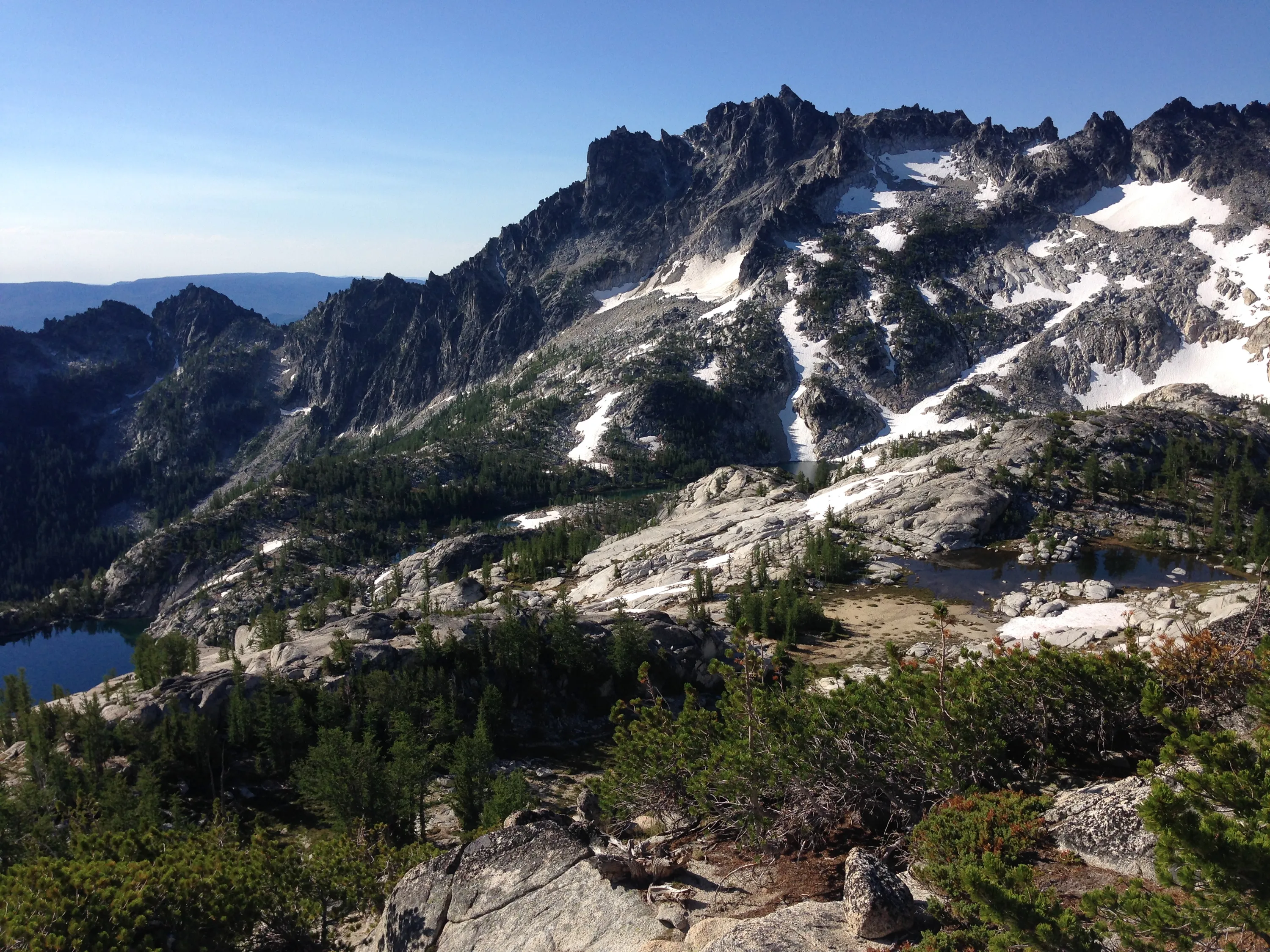
McClellan Peak
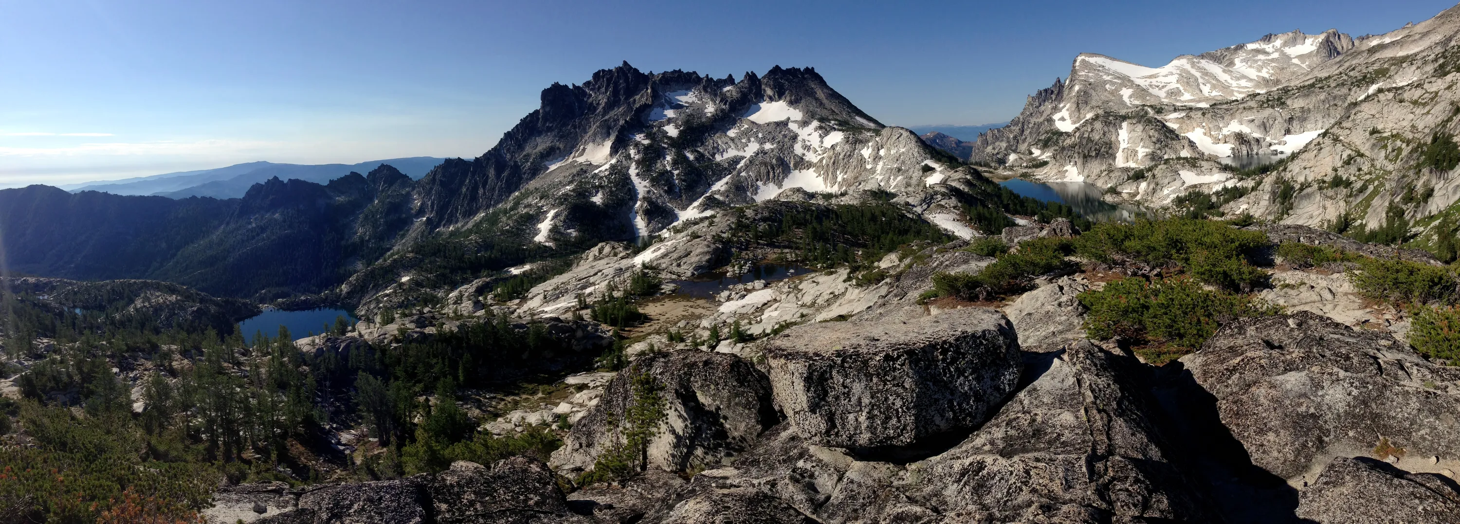
Panorama of McClellan Peak and Little Annapurna
Gnome Tarn
Lake Viviane?
Prusik Peak
Prusik Peak
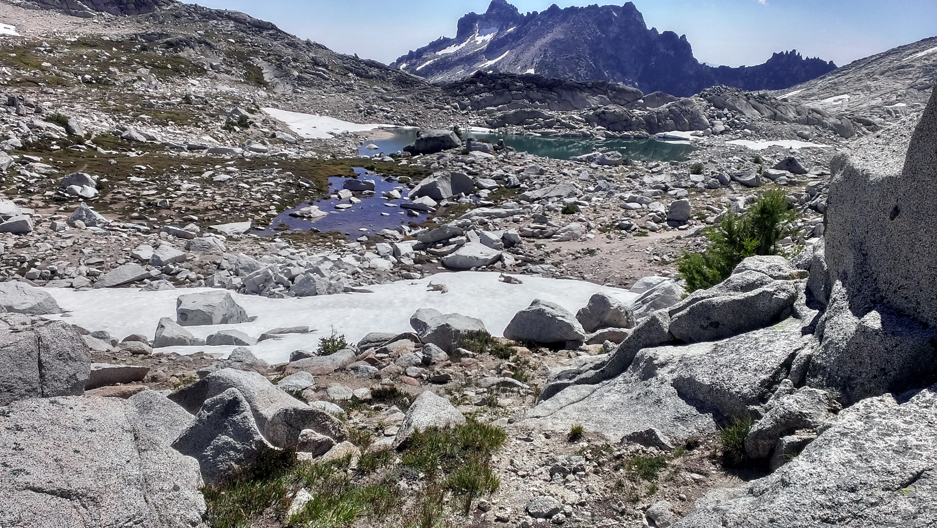
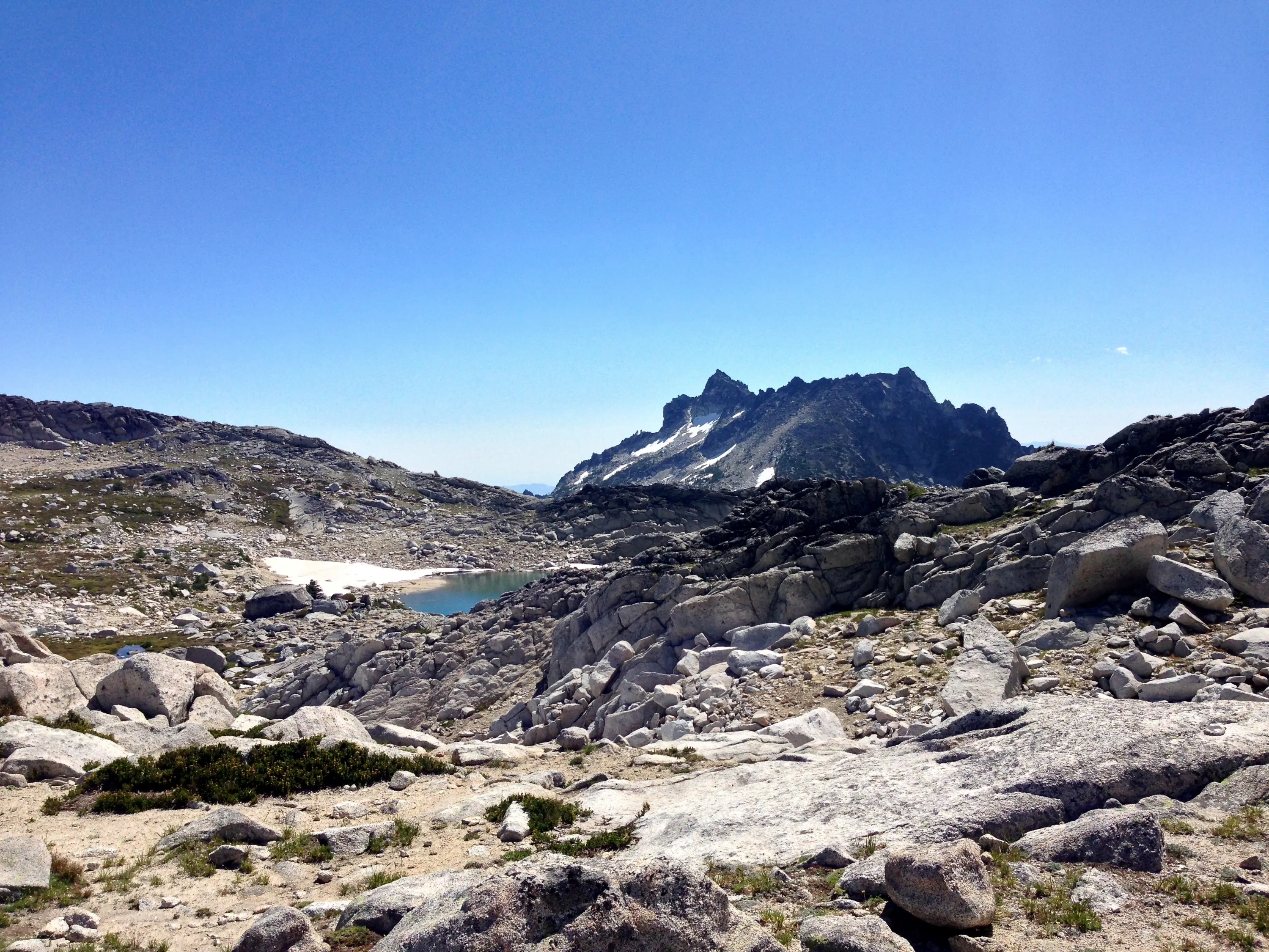
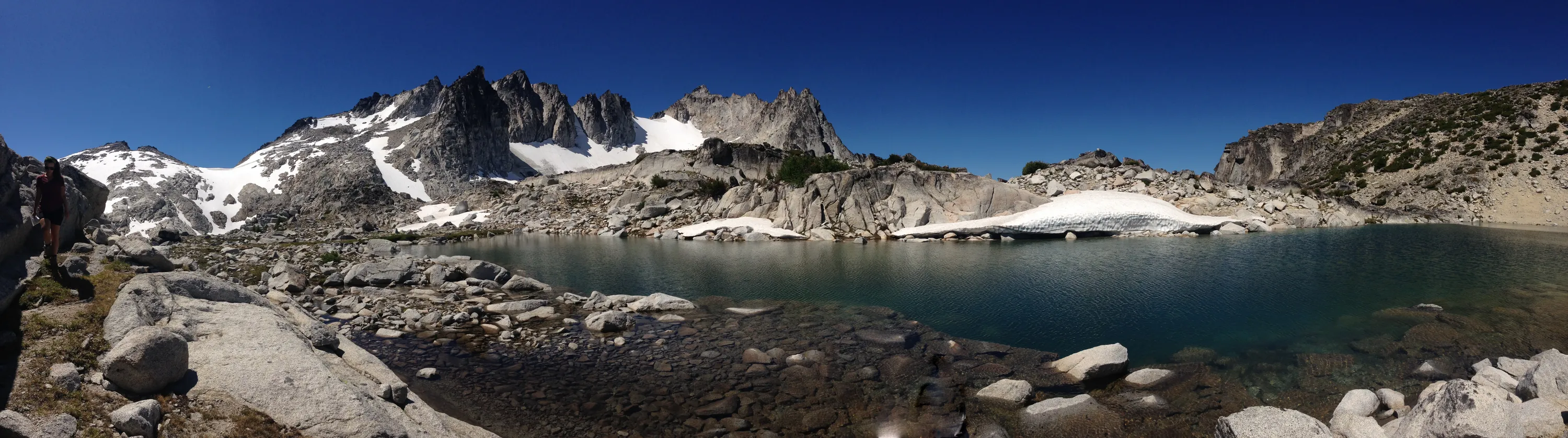
Panorama from Prusik Pass
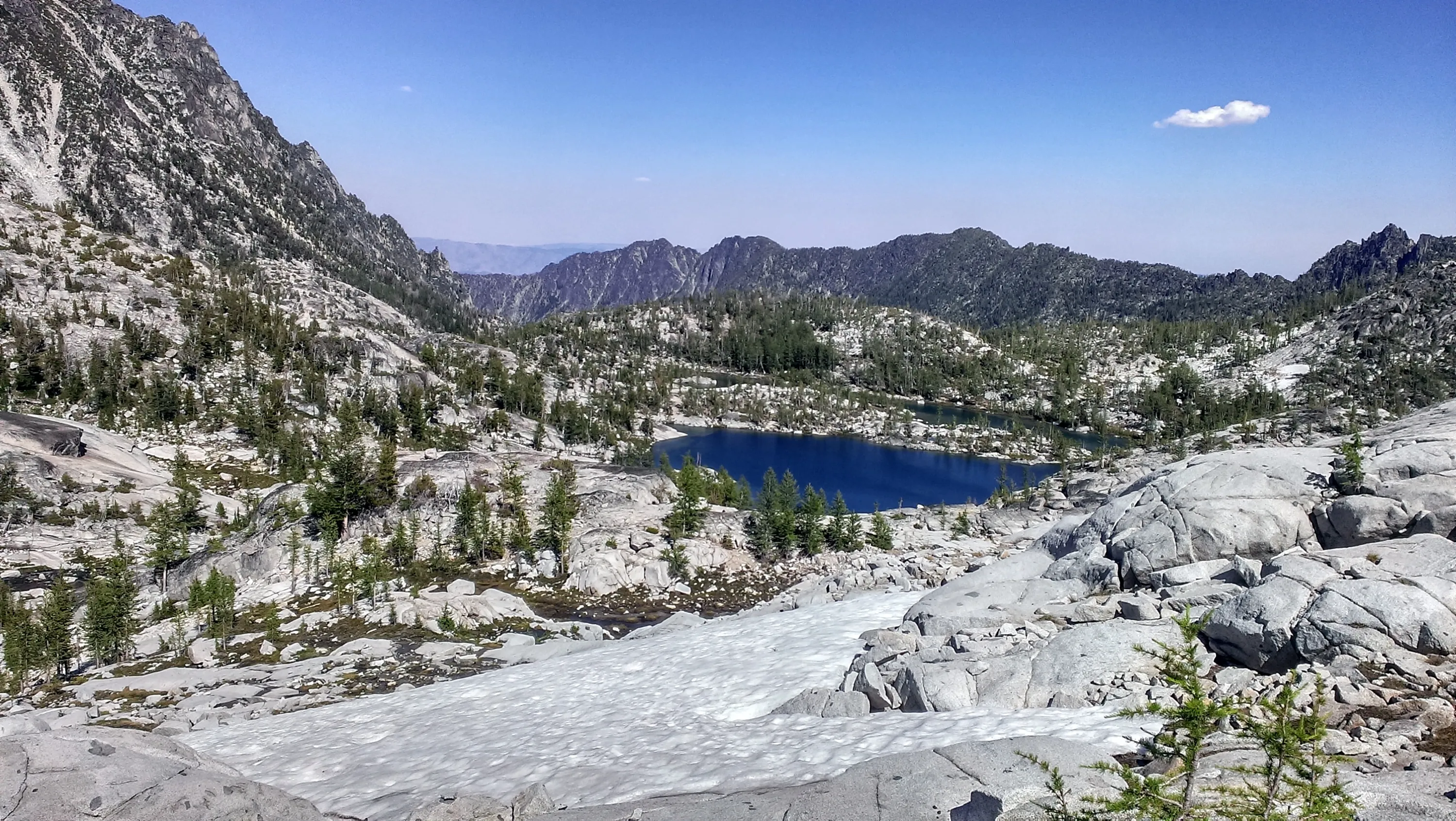
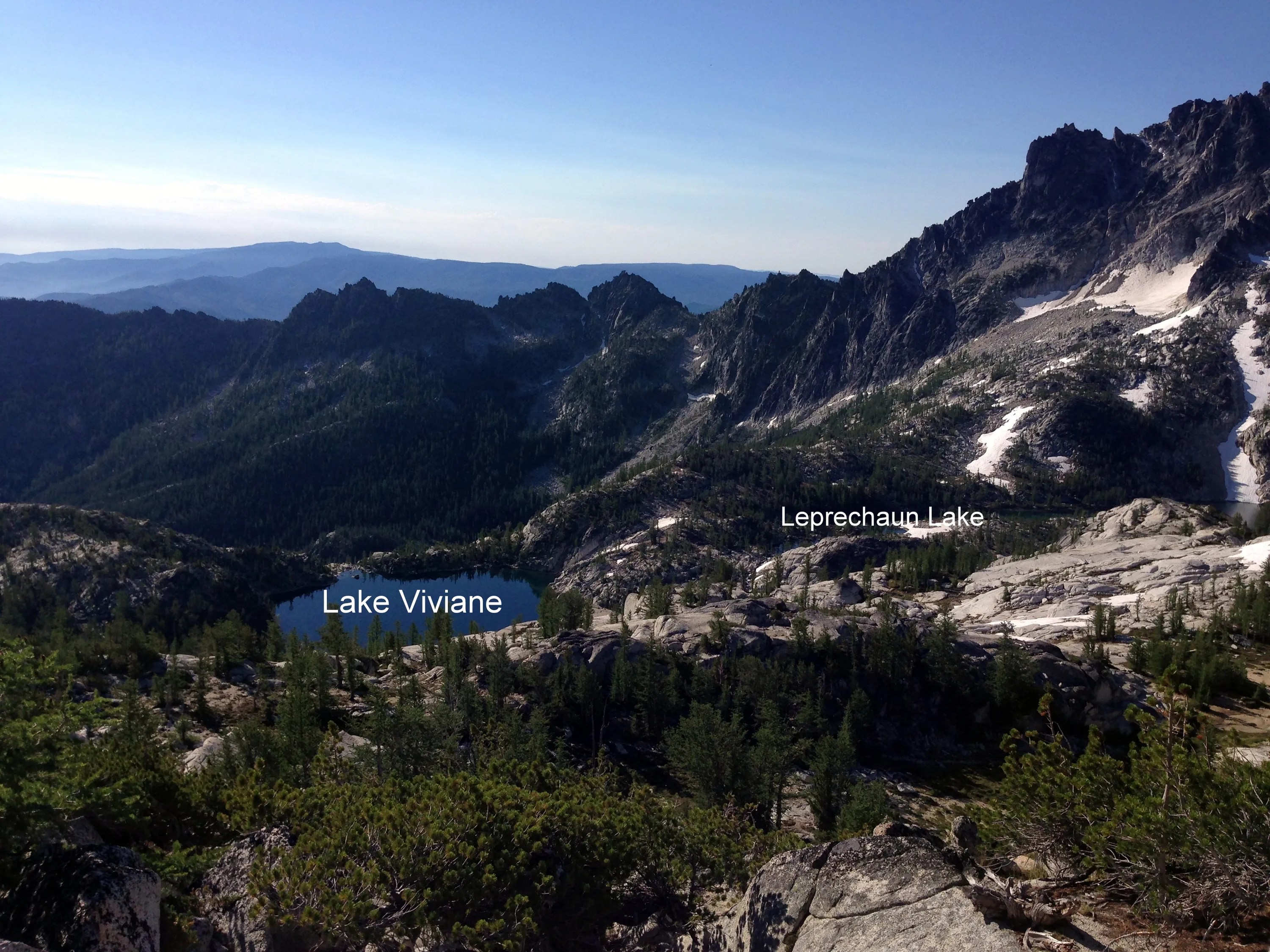
Gnome Tarn, Leprechaun Lake and Lake Viviane
Little Annapurna and Perfection Lake Below
Little Annapurna above Perfection Lake
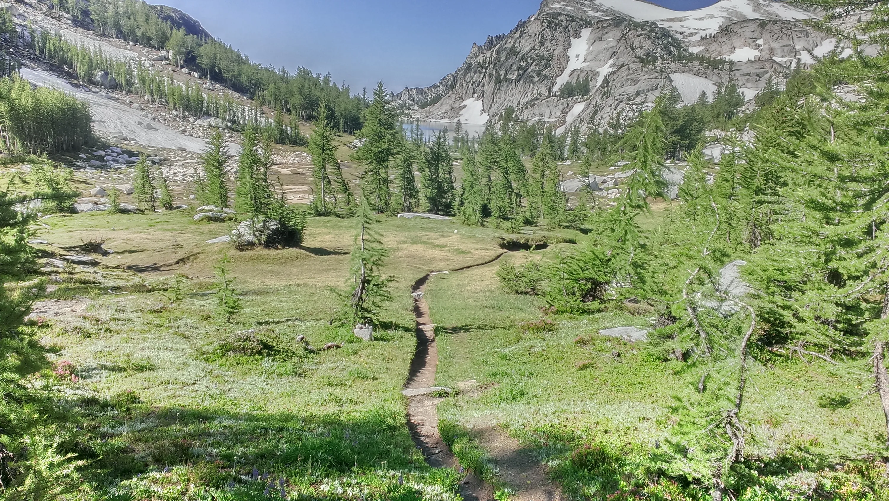
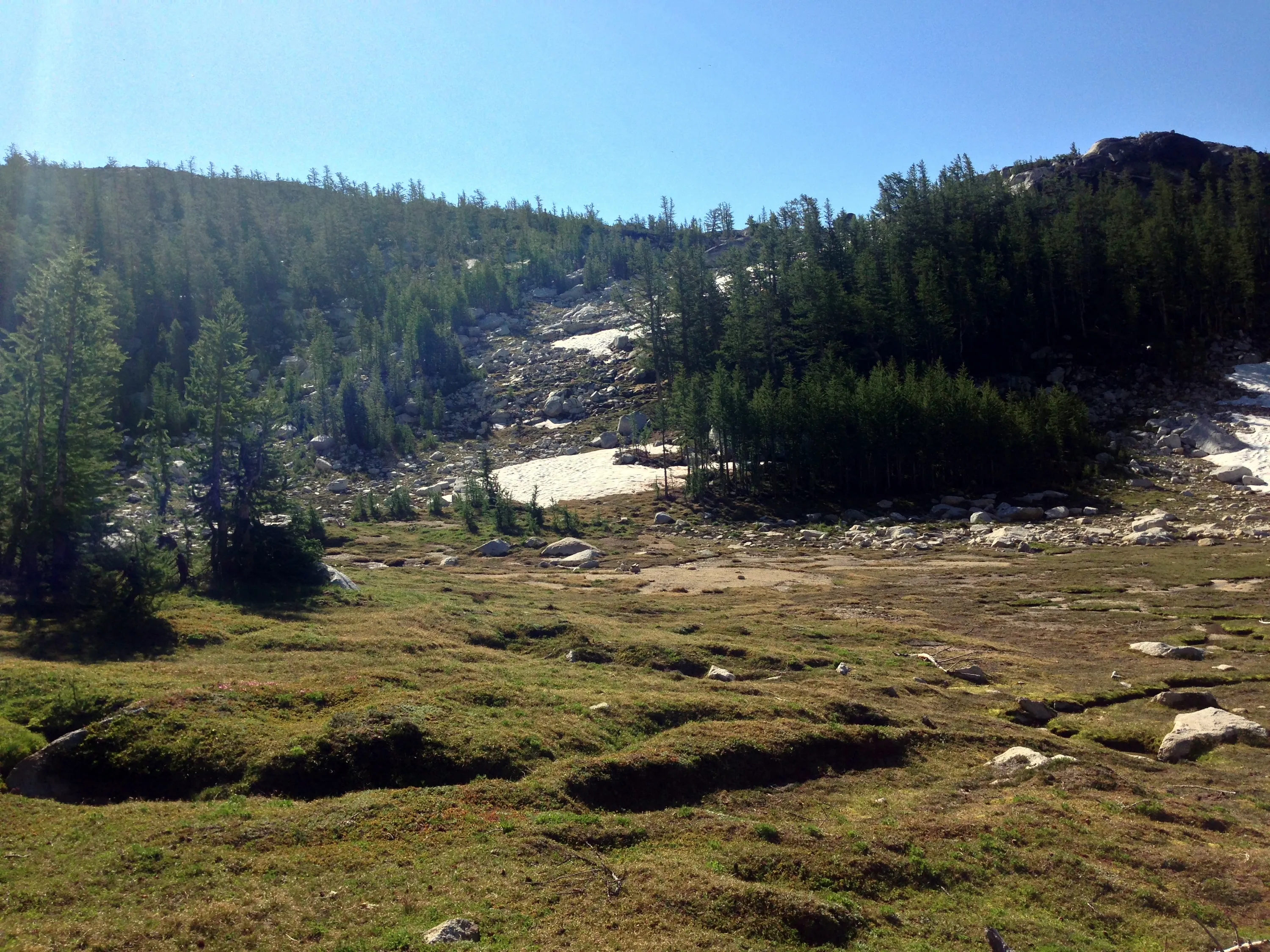
Meadows above Perfection Lake
Meadow above Perfection Lake
Meadow above Perfection Lake
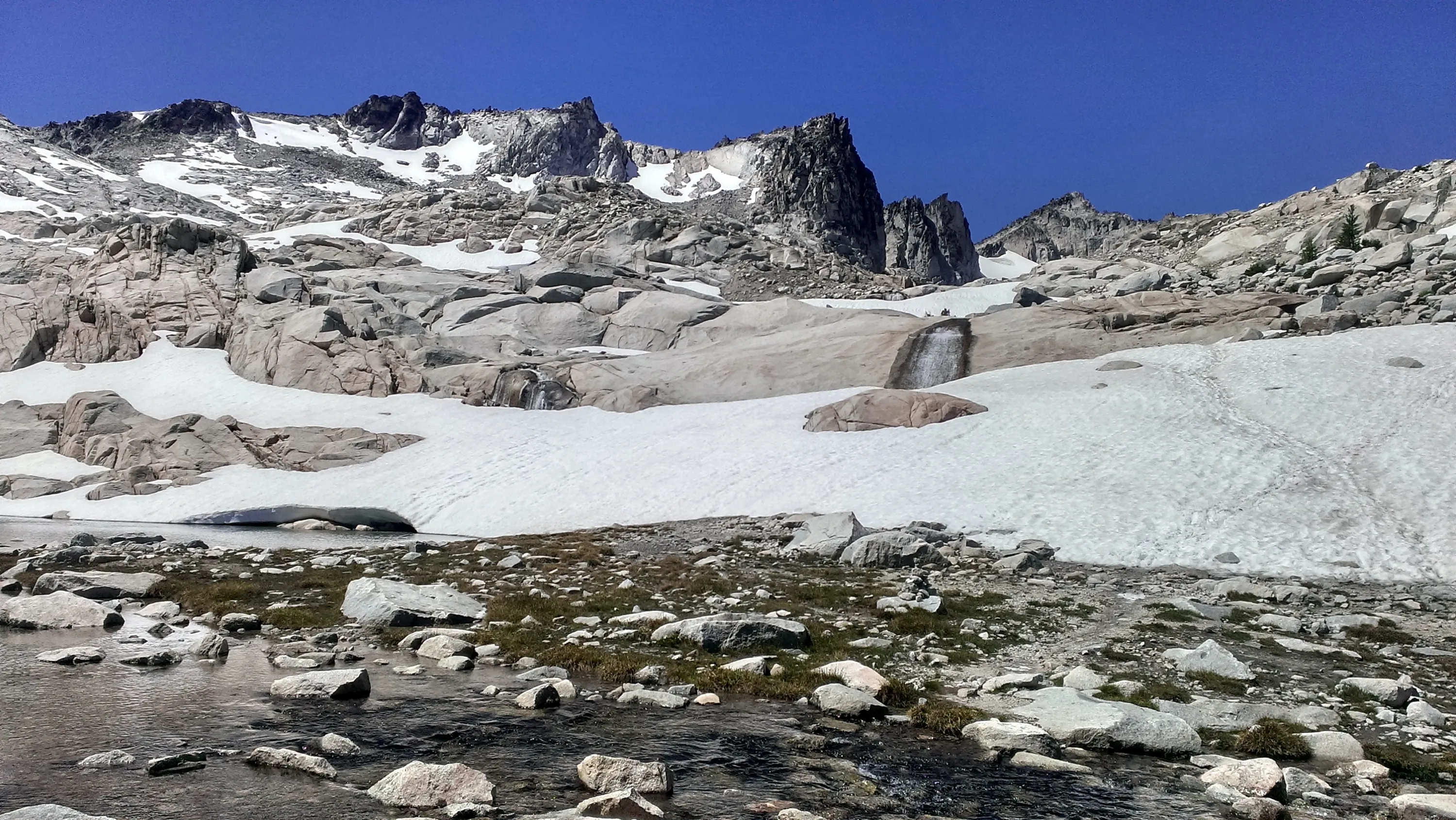
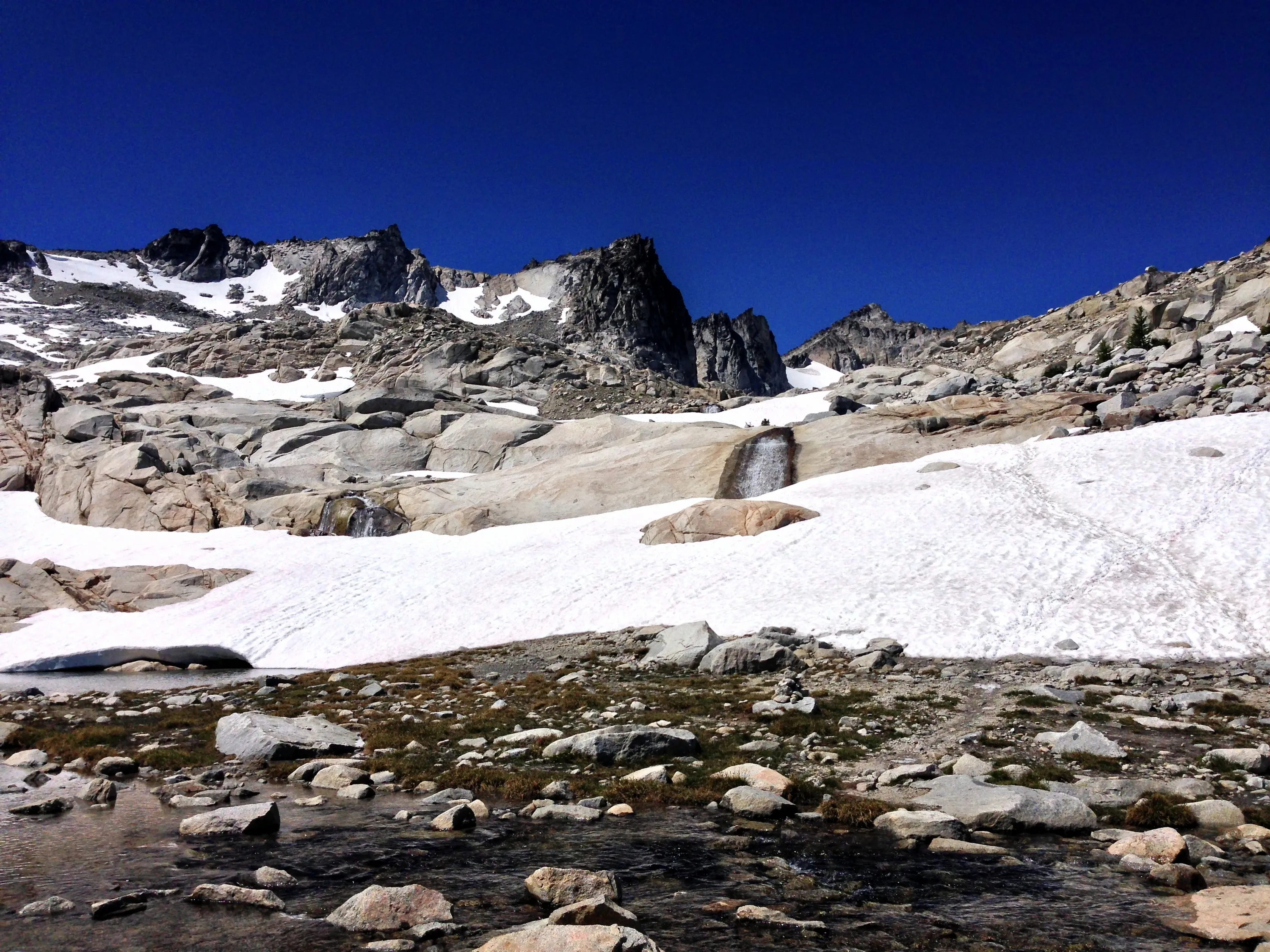
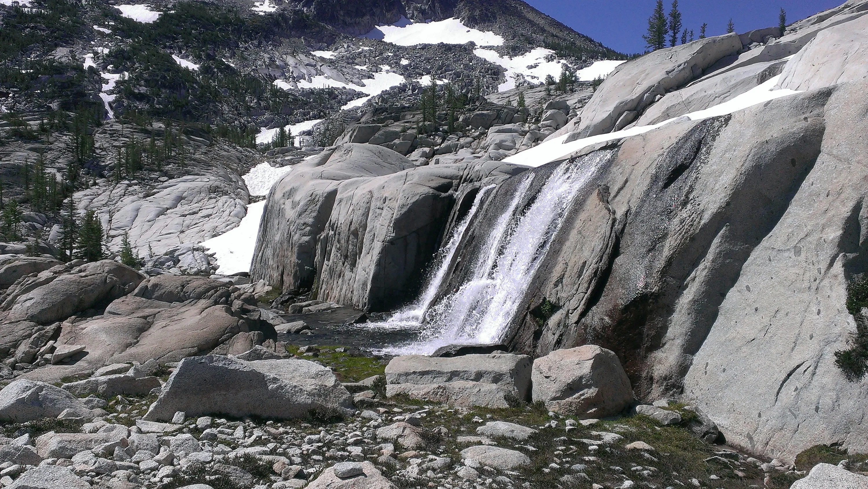
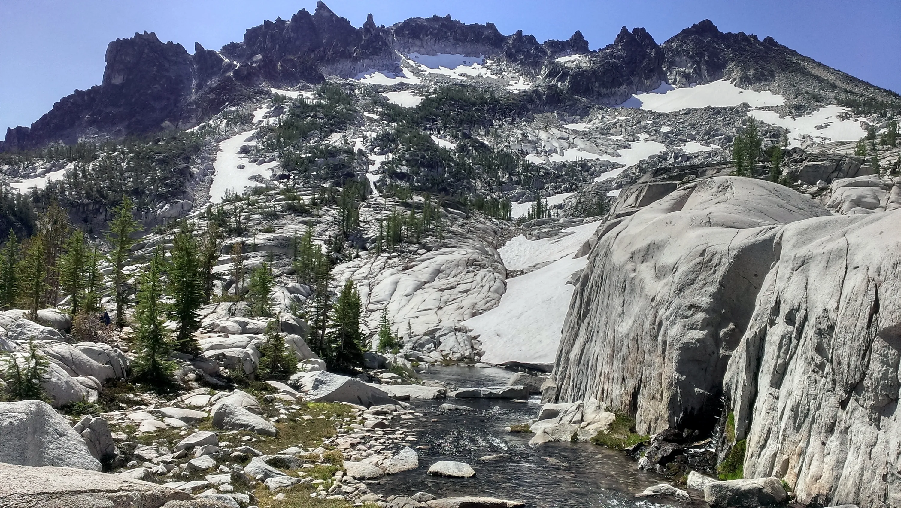
Waterfall below Sprite Lake
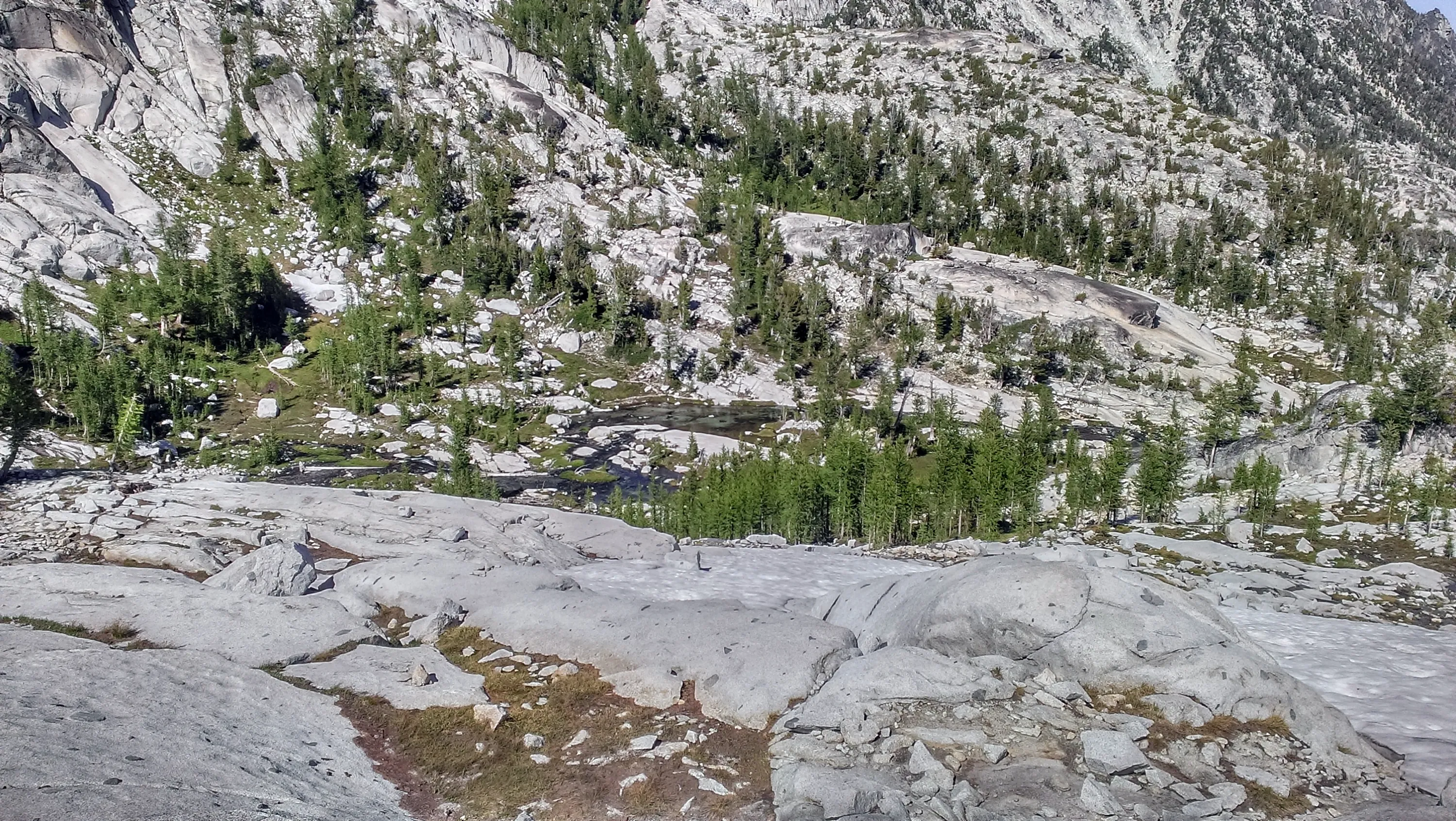
Pools below Sprite Lake
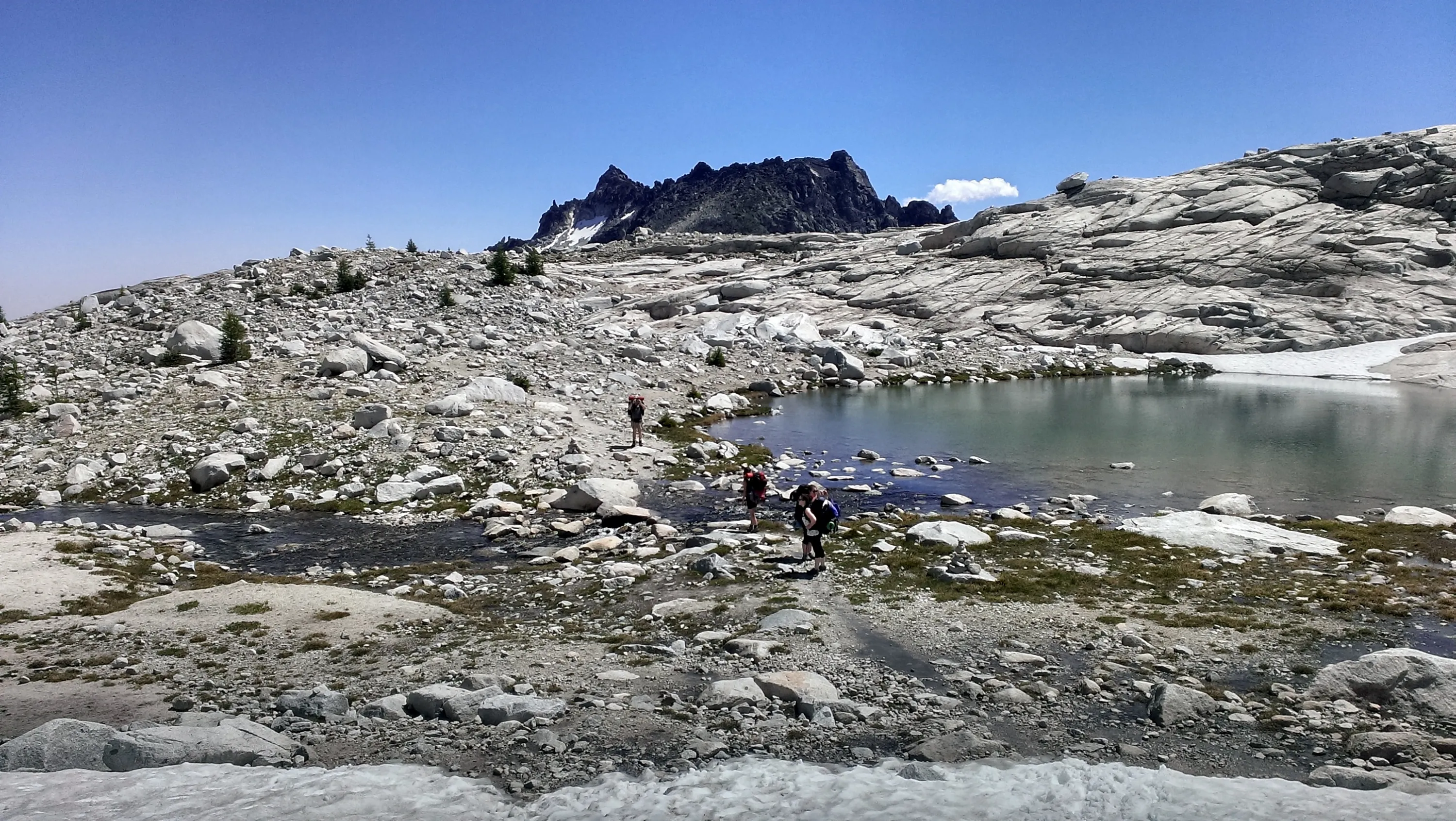
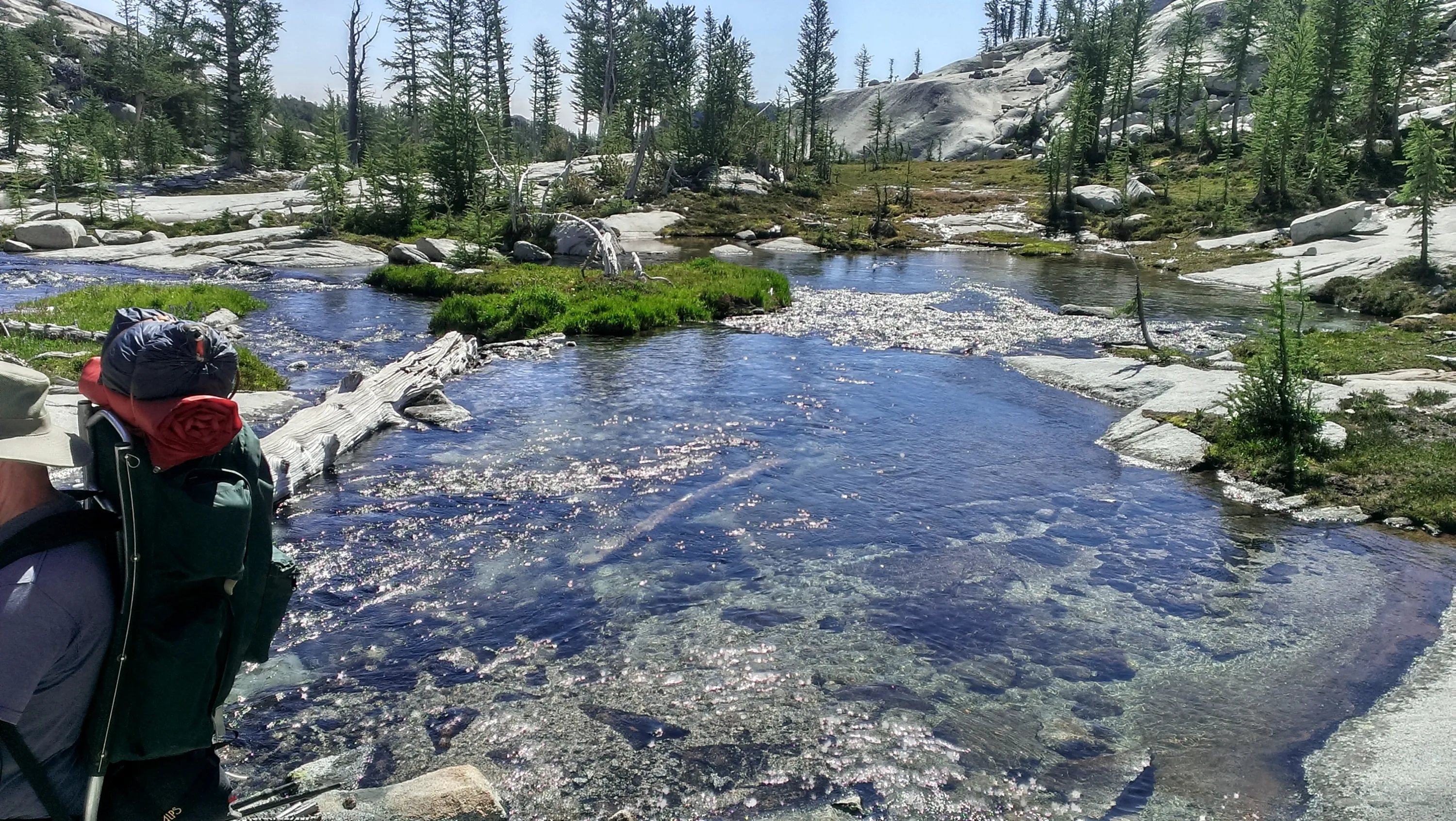
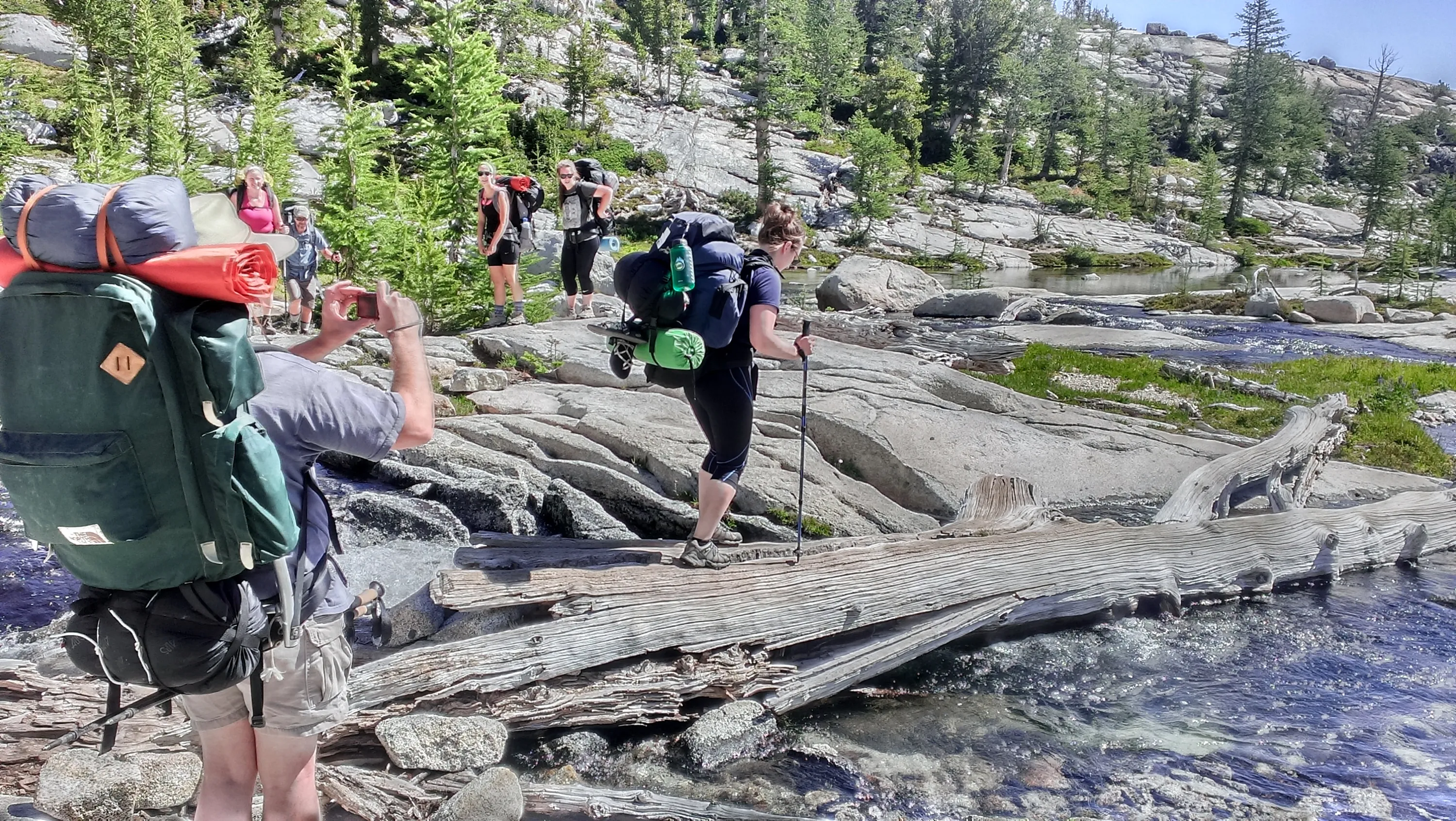
Crossing over one of the creeks
Creek heading down into Leprechaun Lake
First view of Leprechaun Lake
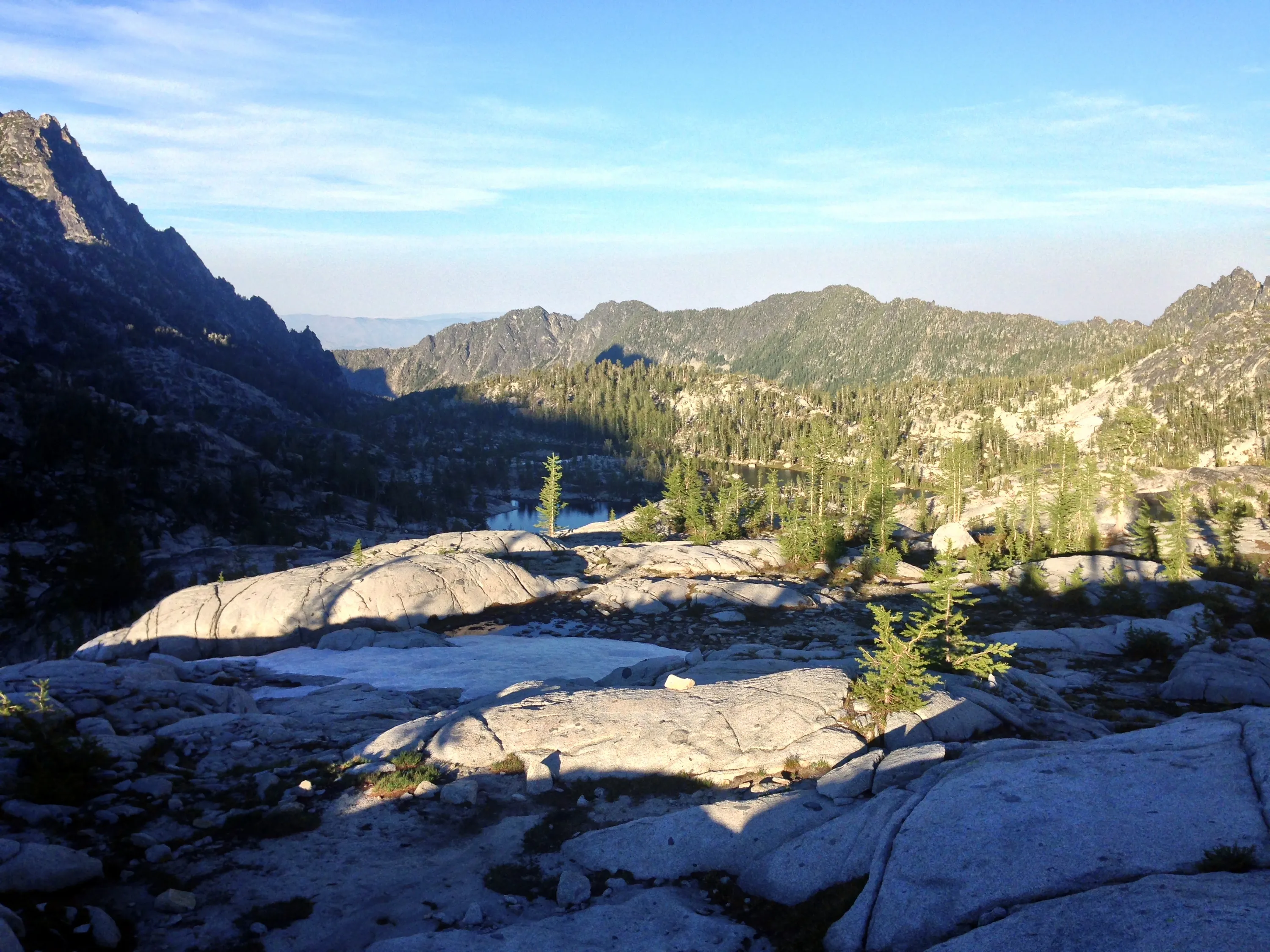
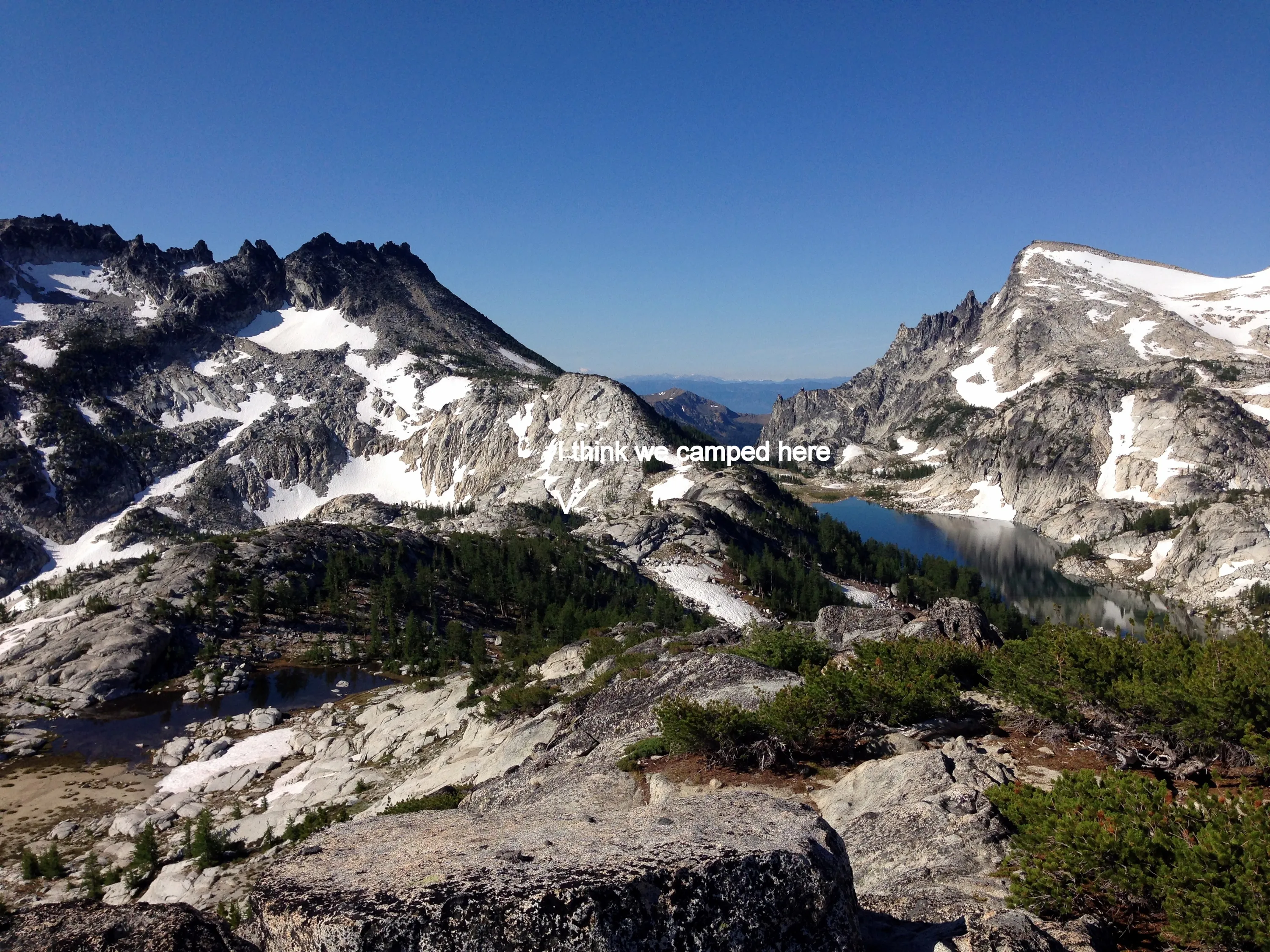
Looking back to where we camped on Tuesday night
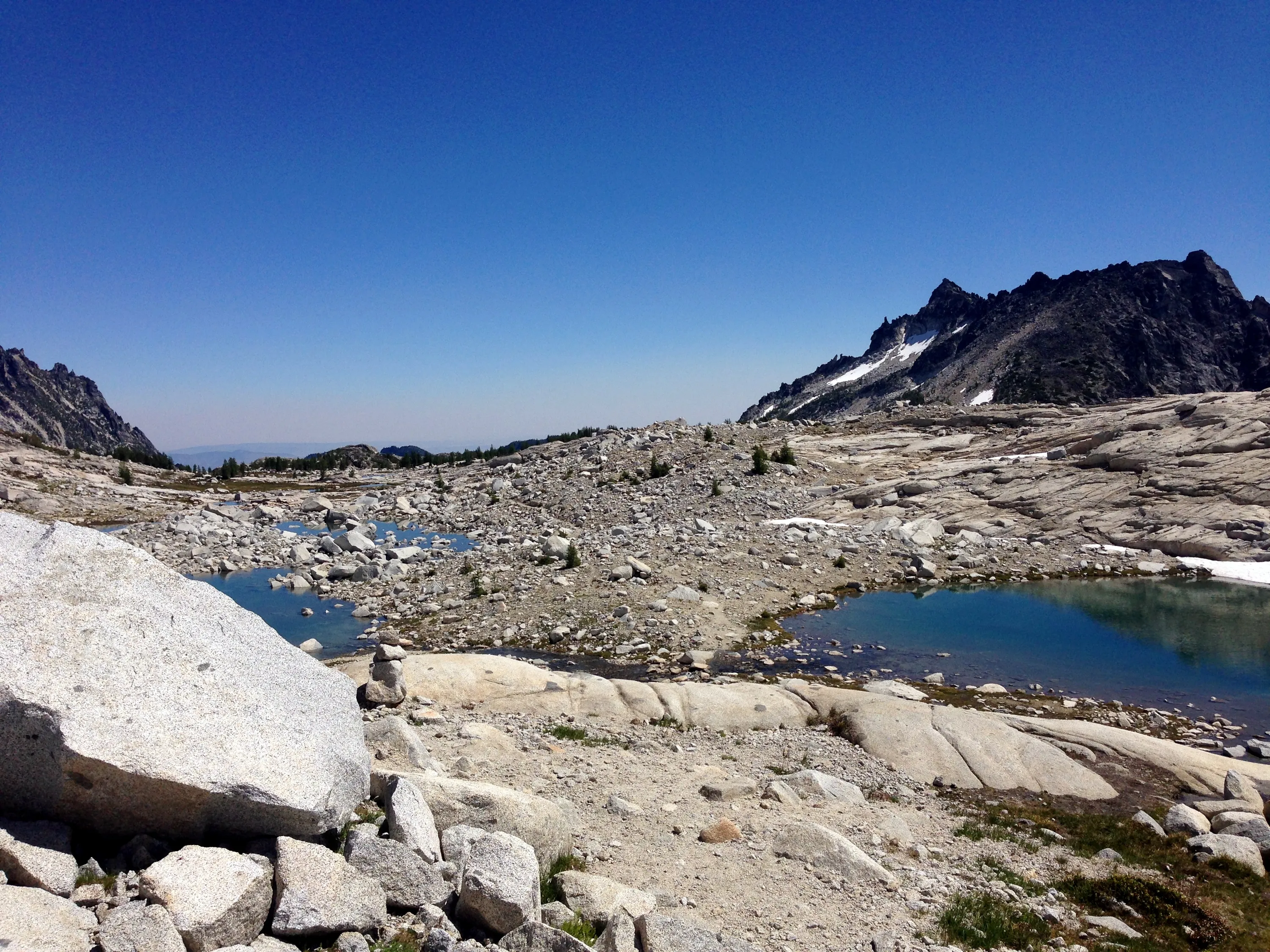
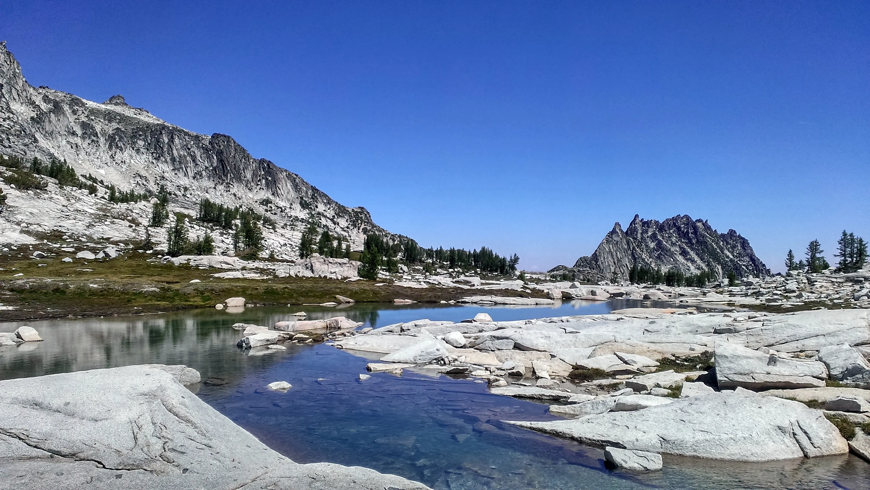
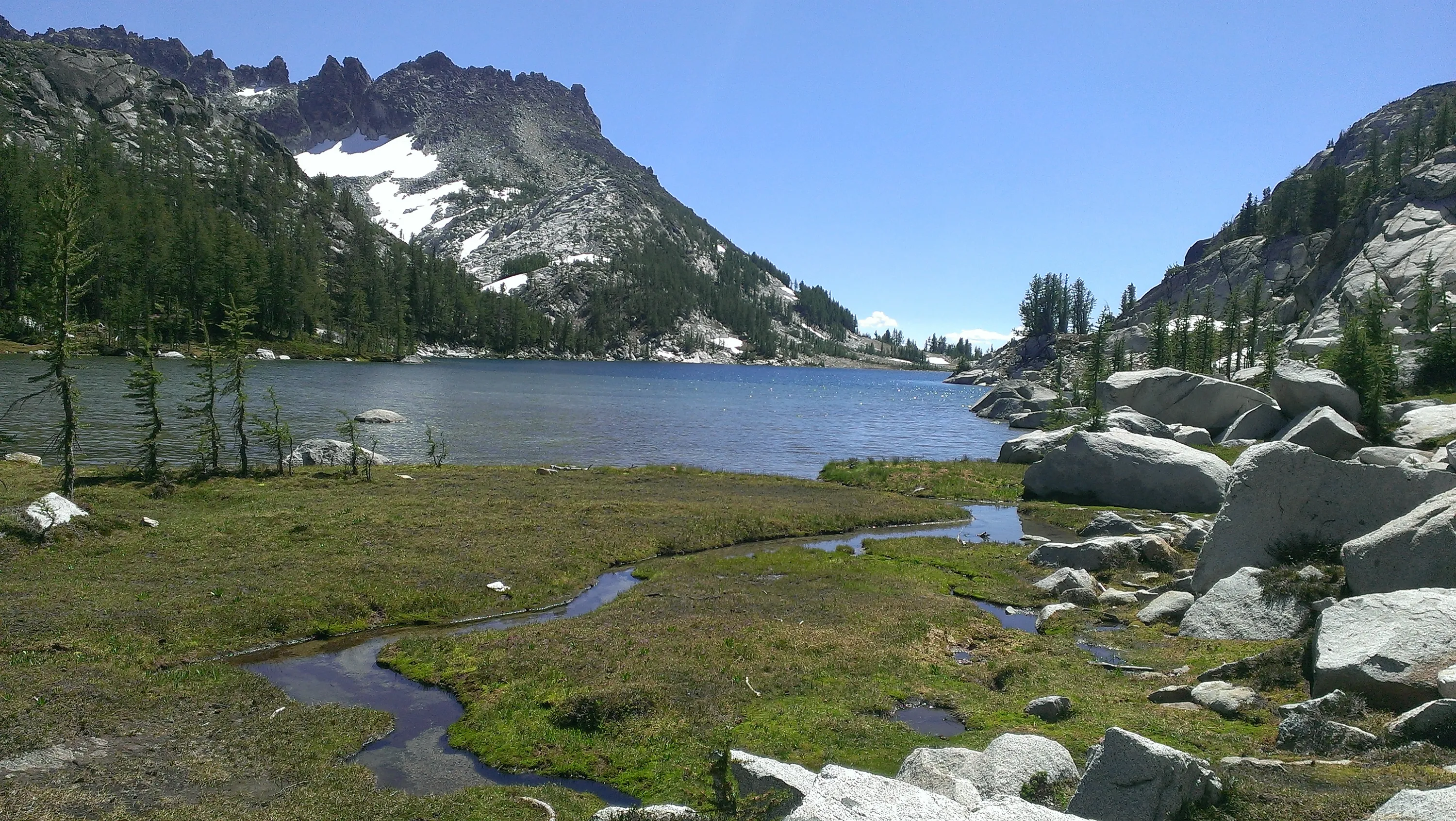
Un-named pool - McClellan Peak in the background
Water draining into Leprechaun Lake
Neat waterfall above Leprechaun Lake
Waterfall above Leprechaun Lake
Leprechaun Lake
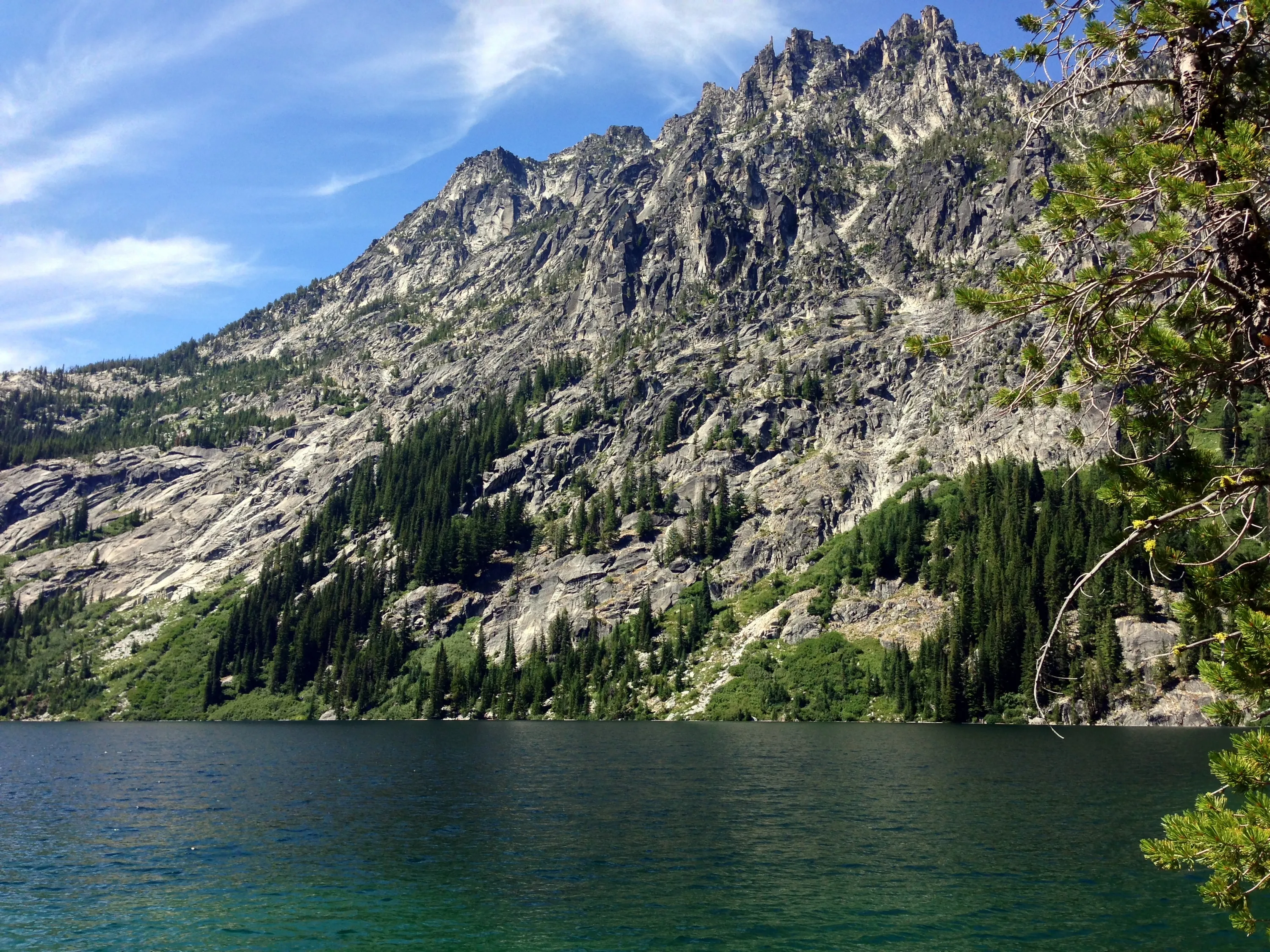
McClellan Peak above Leprechaun Lake
Leprechaun Lake
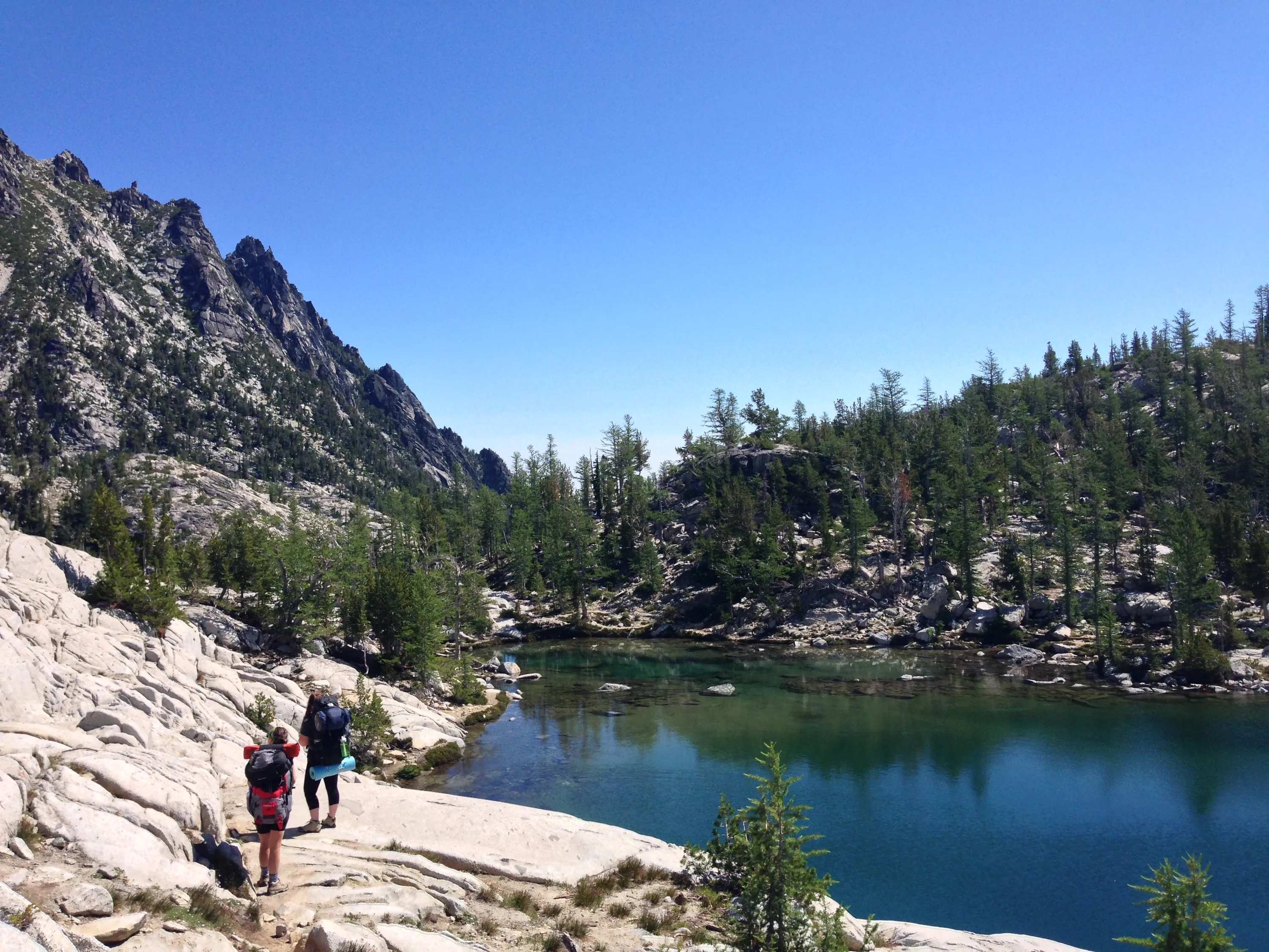
Making our way around Leprechaun Lake
McClellan Peak above Leprechaun Lake
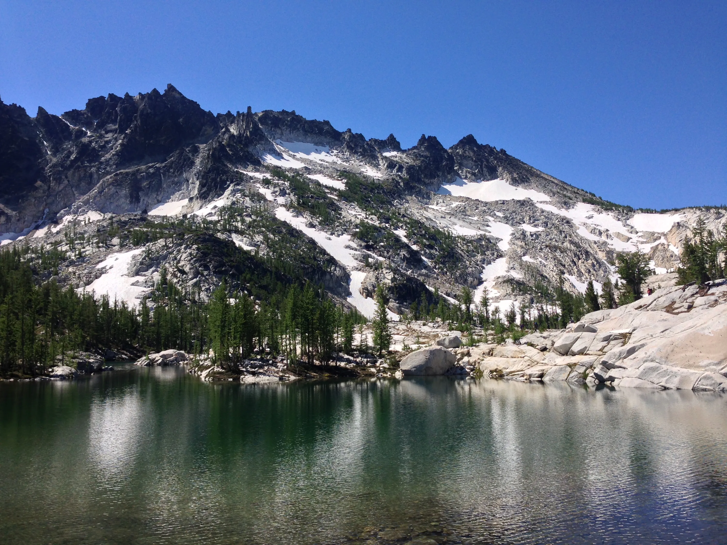
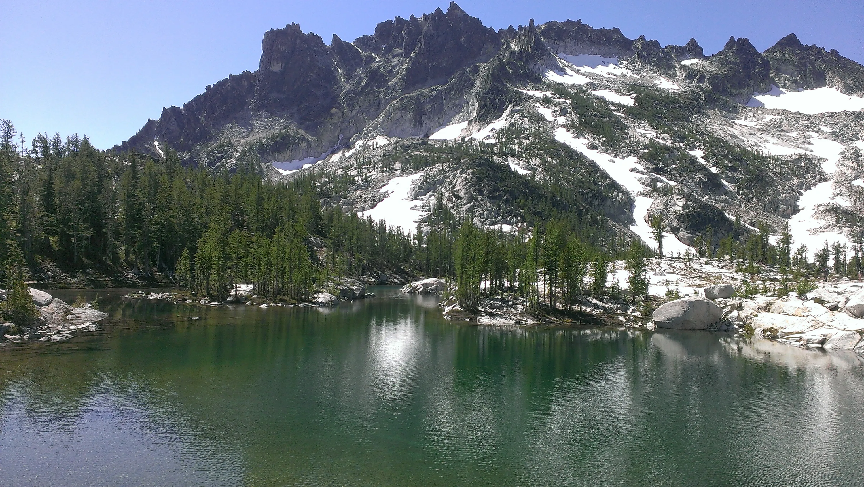
Leprechaun Lake with McClellan Peak in the background
Prusik Peak and "The Temple" from the outlet of Leprechaun Lake
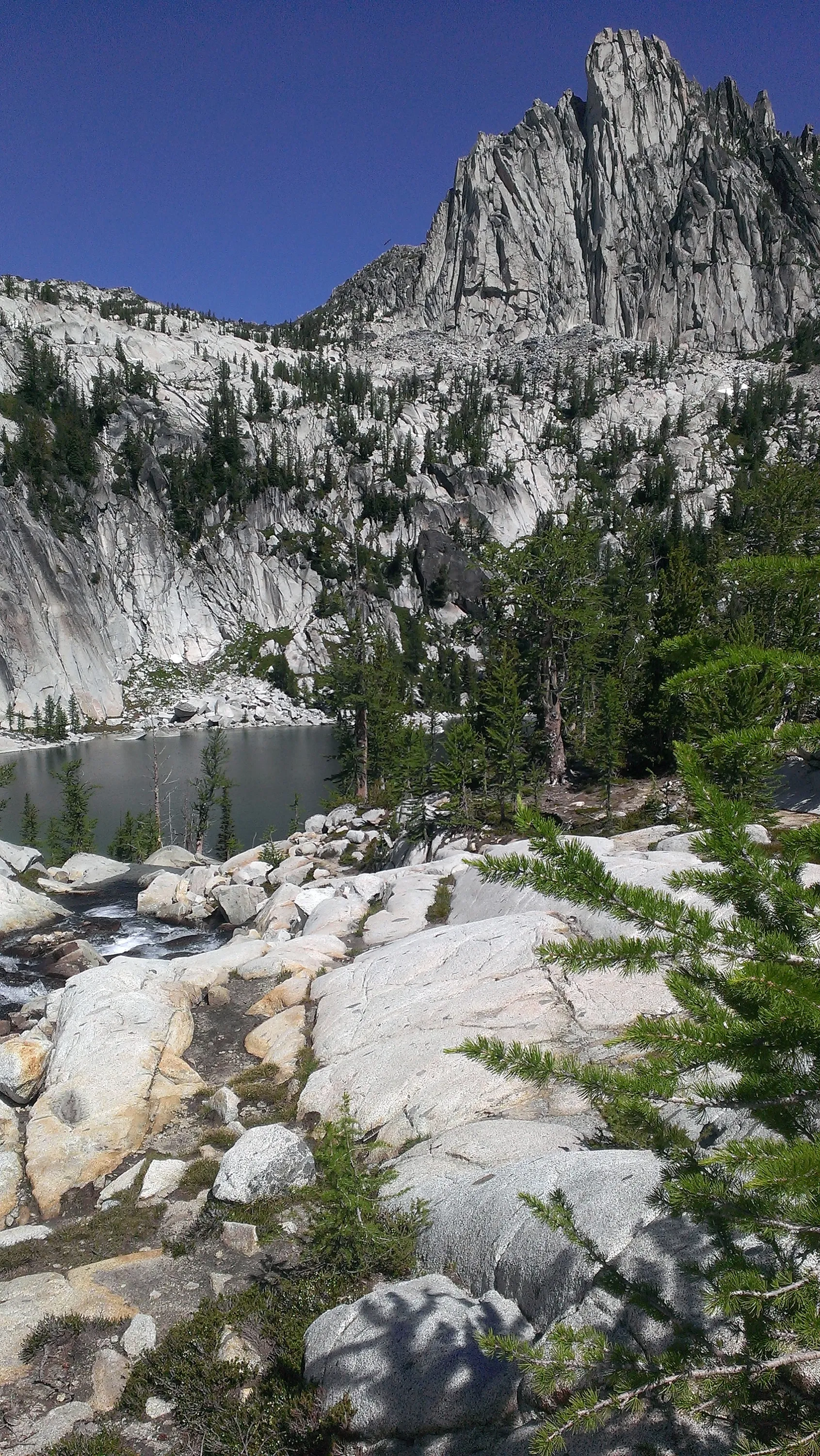
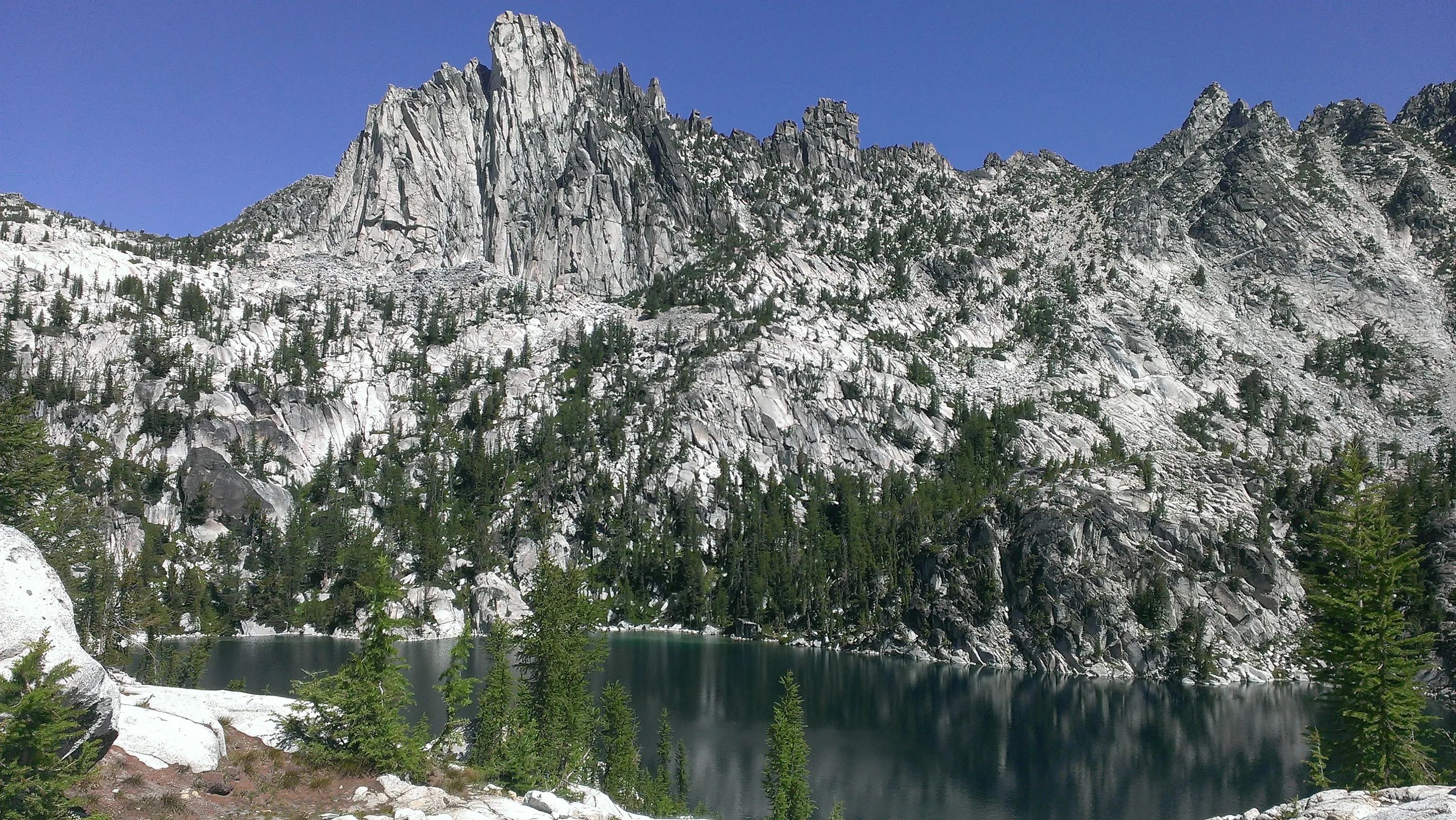
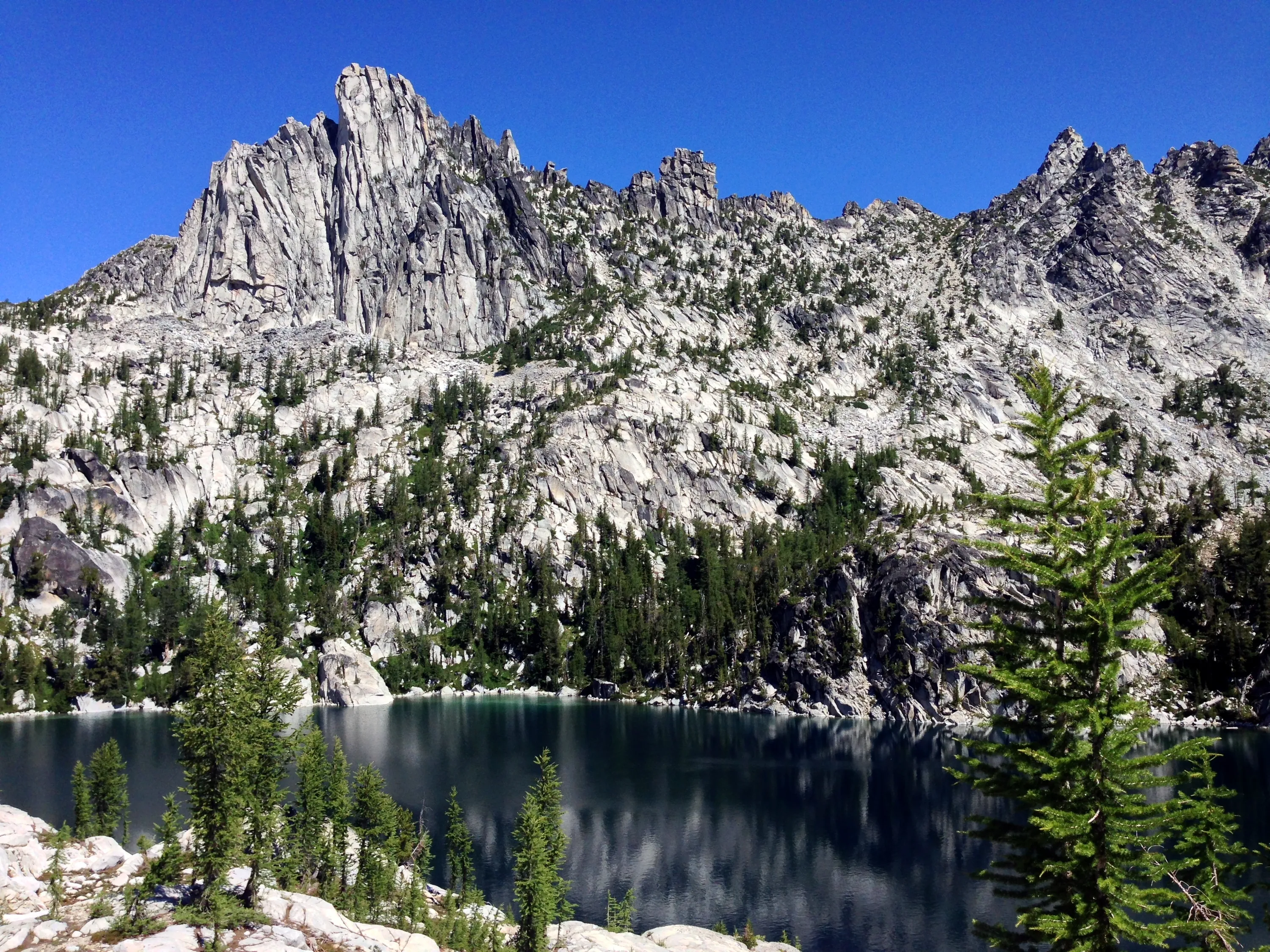
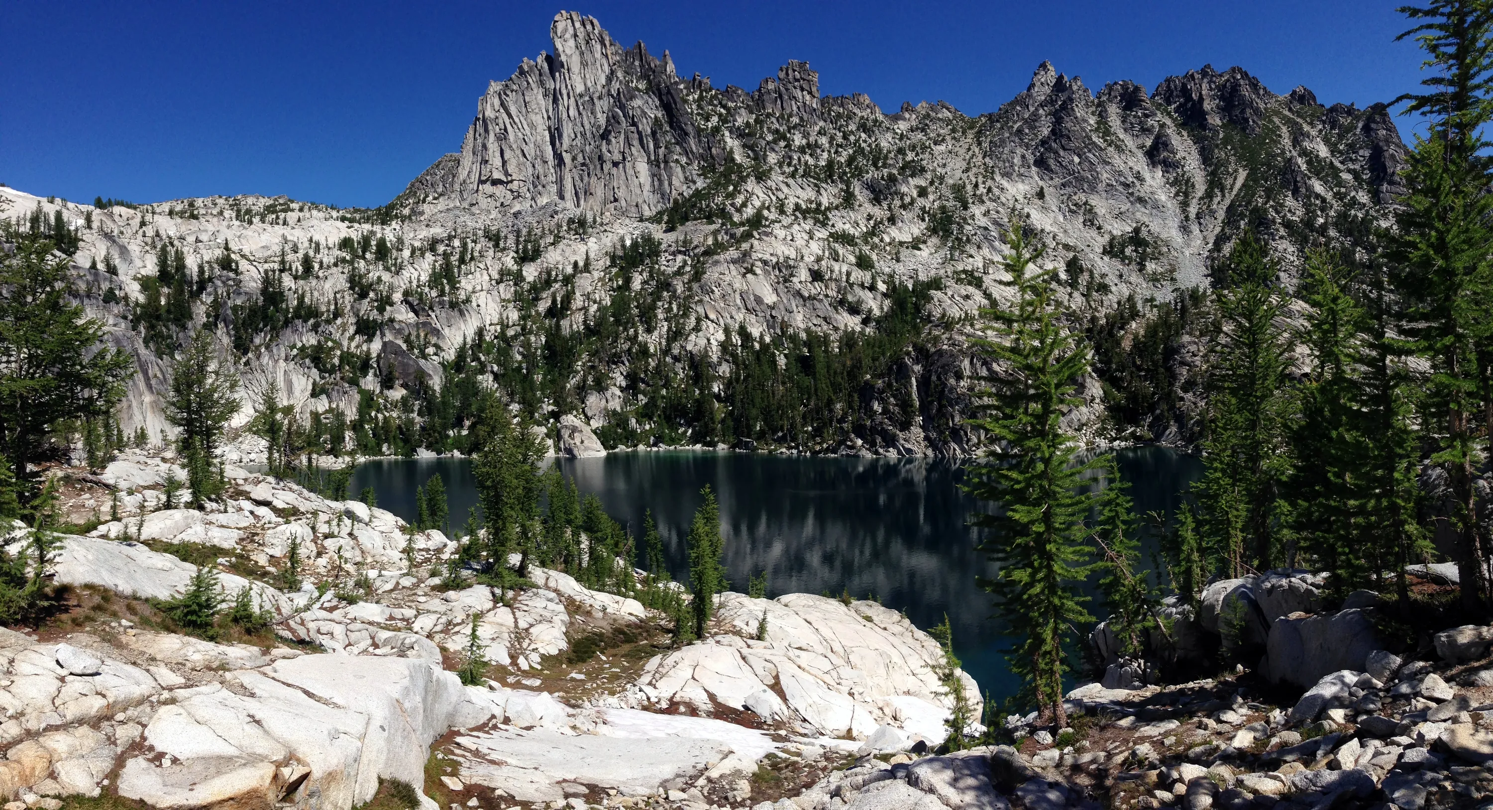
Lake Viviane with Prusik Peak in the background
Lake Viviane with Prusik Peak in the background
Prusik Peak and part of "The Temple" above Lake Viviane
Prusik Peak and "The Temple" above Lake Viviane
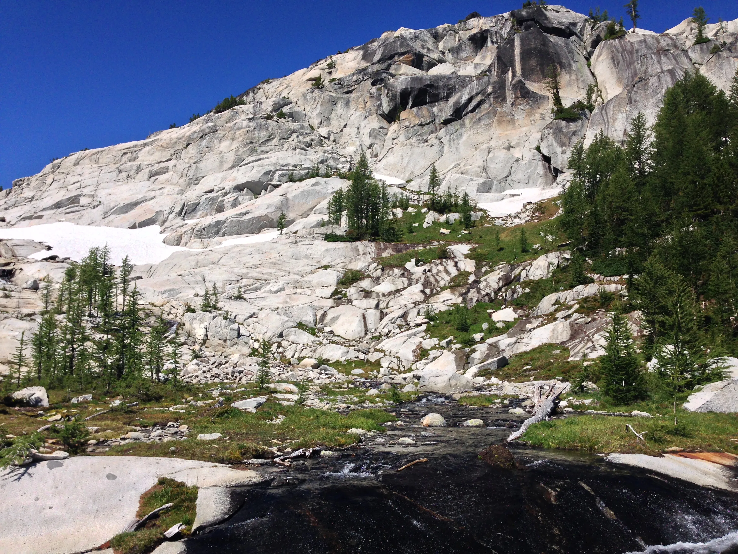
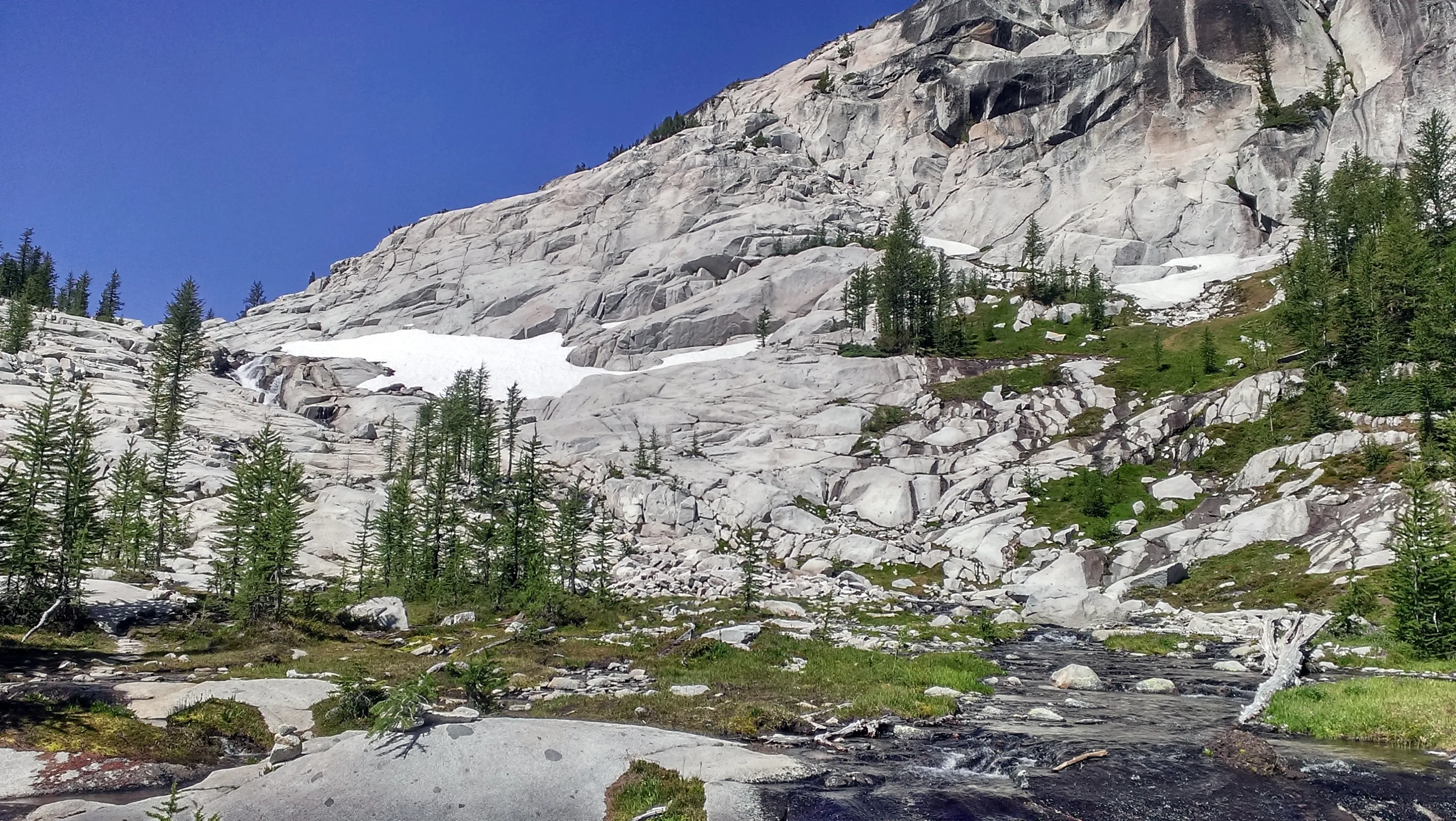
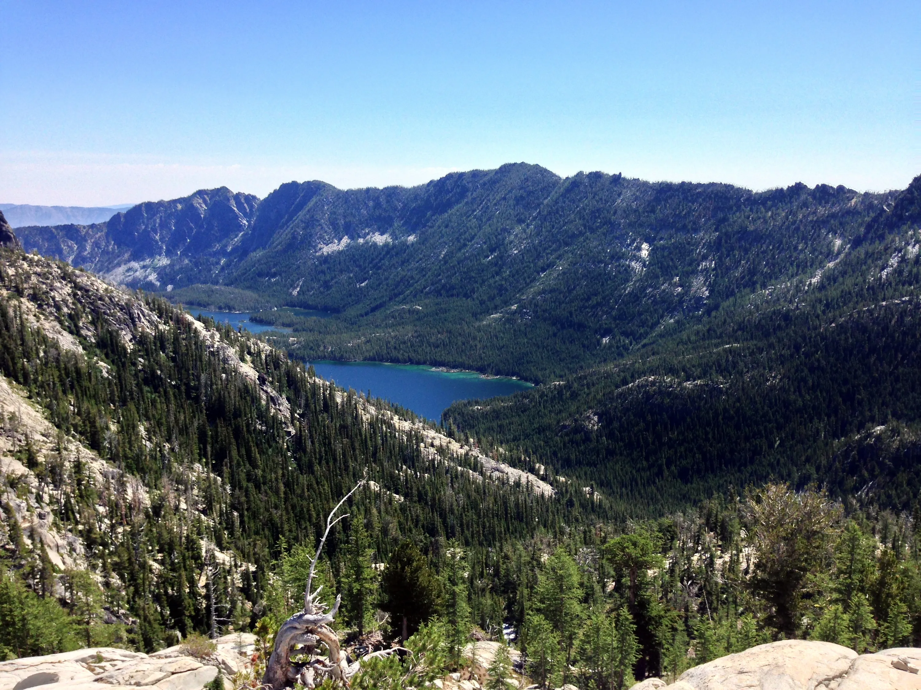
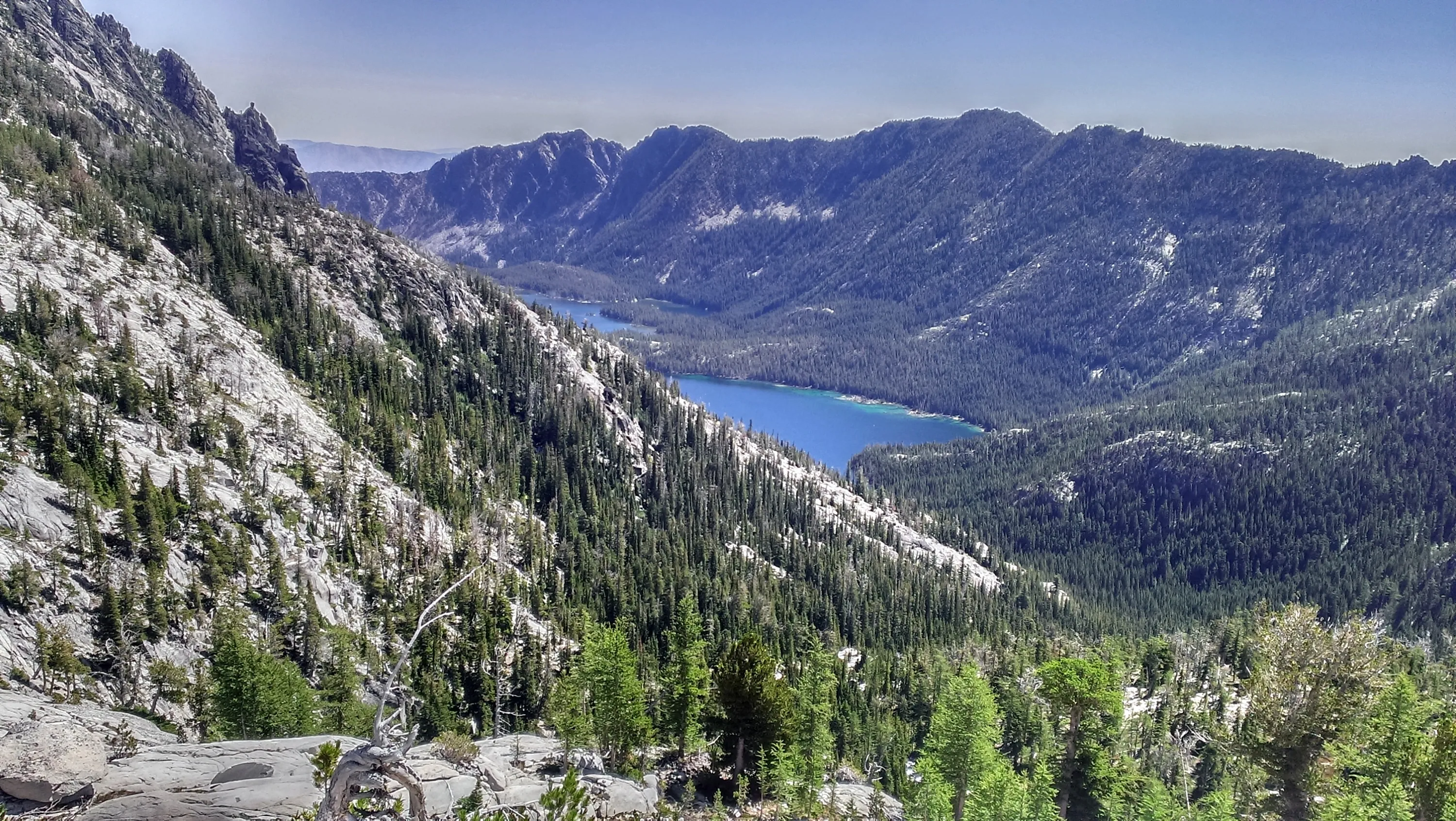
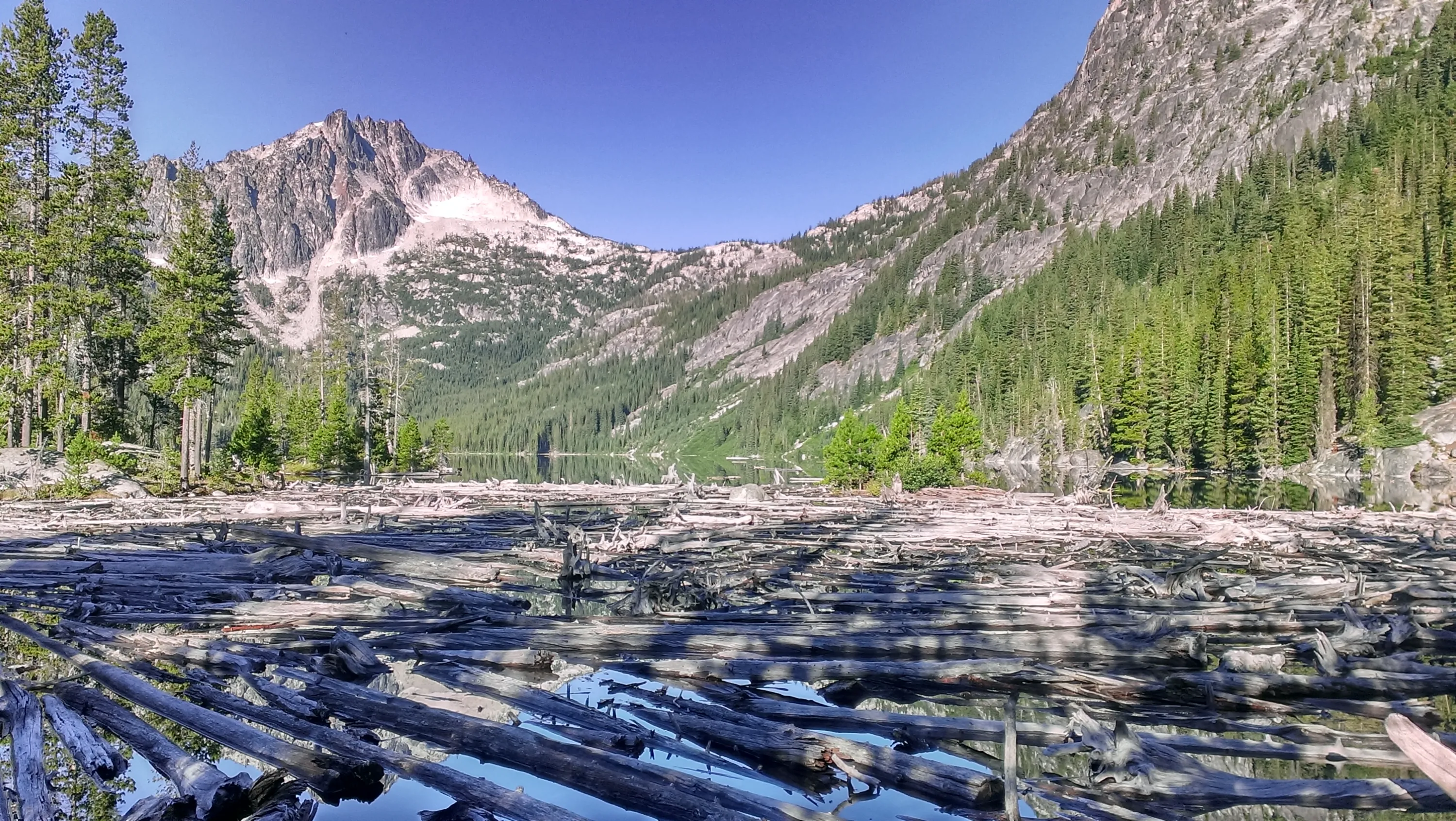
Snow Lakes - our destination for Wednesday night
Our destination for Wednesday night - Snow Lakes
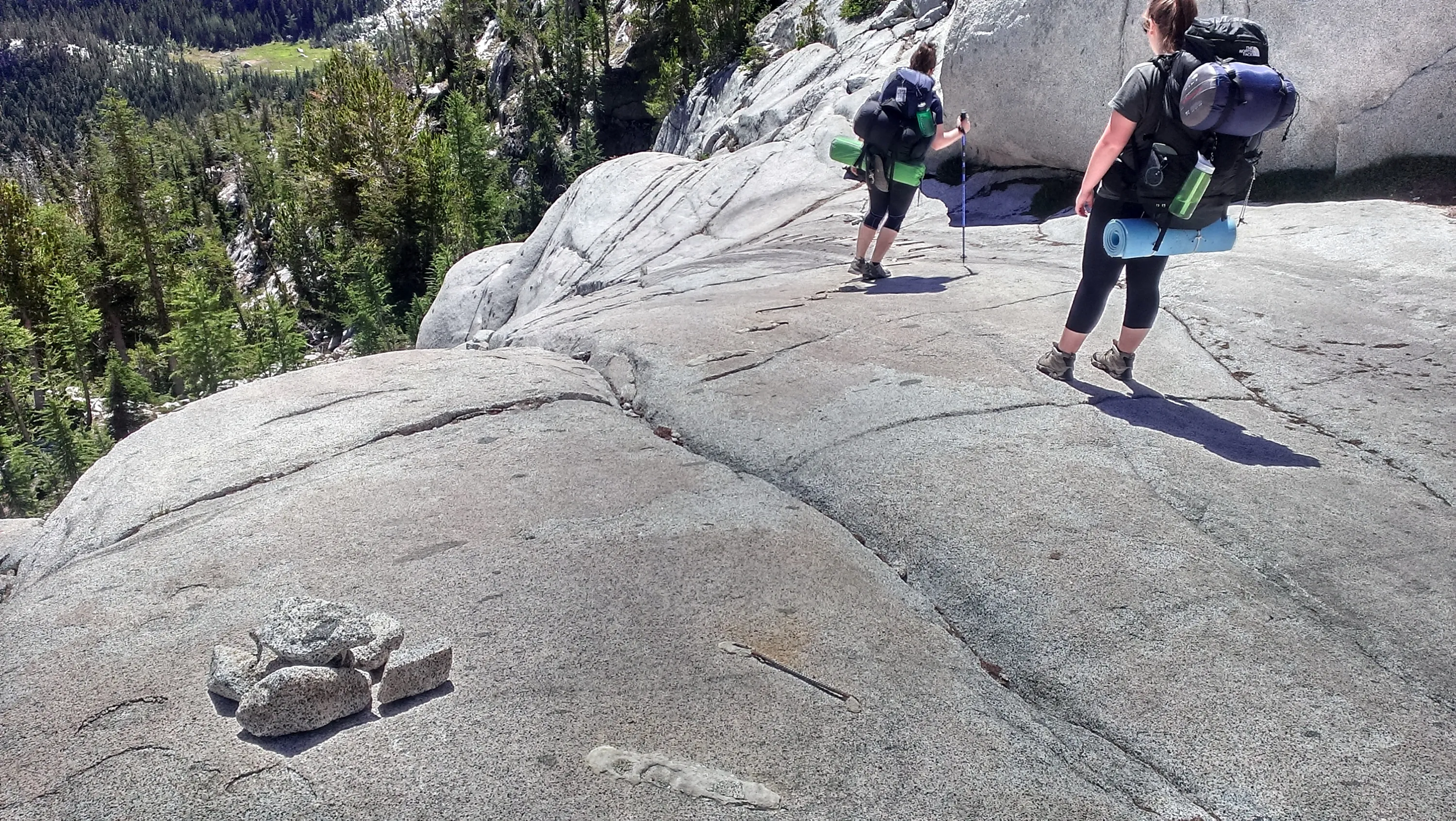
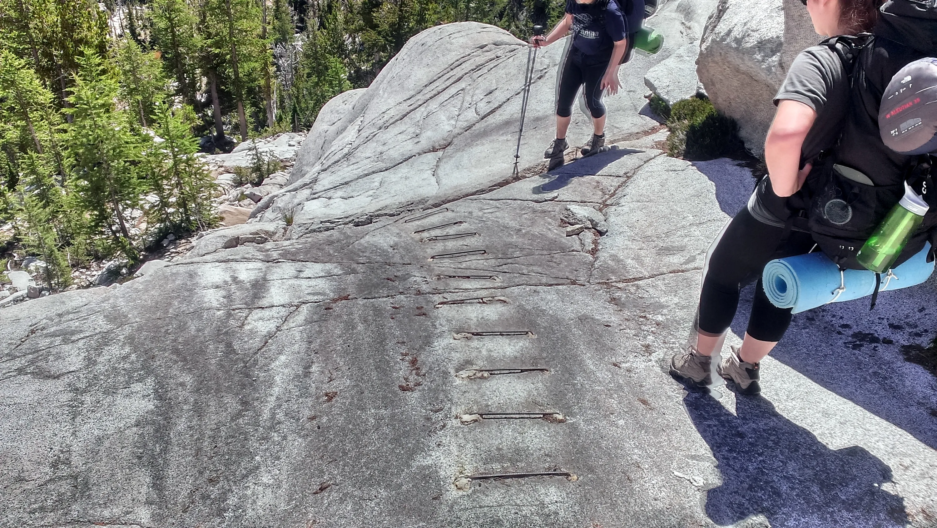
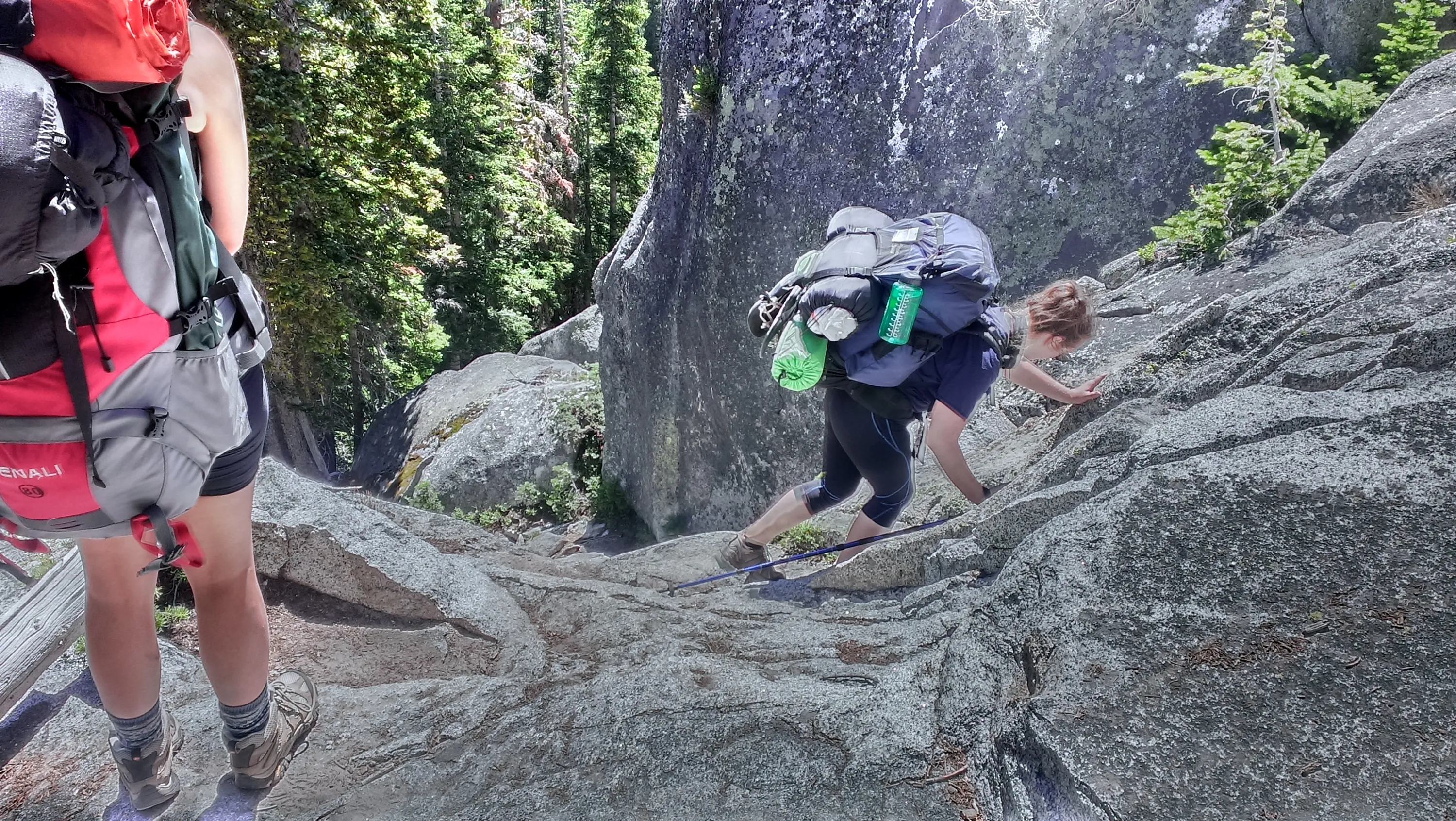
The first of many steep rock walks - there was rebar epoxied into the rock for traction
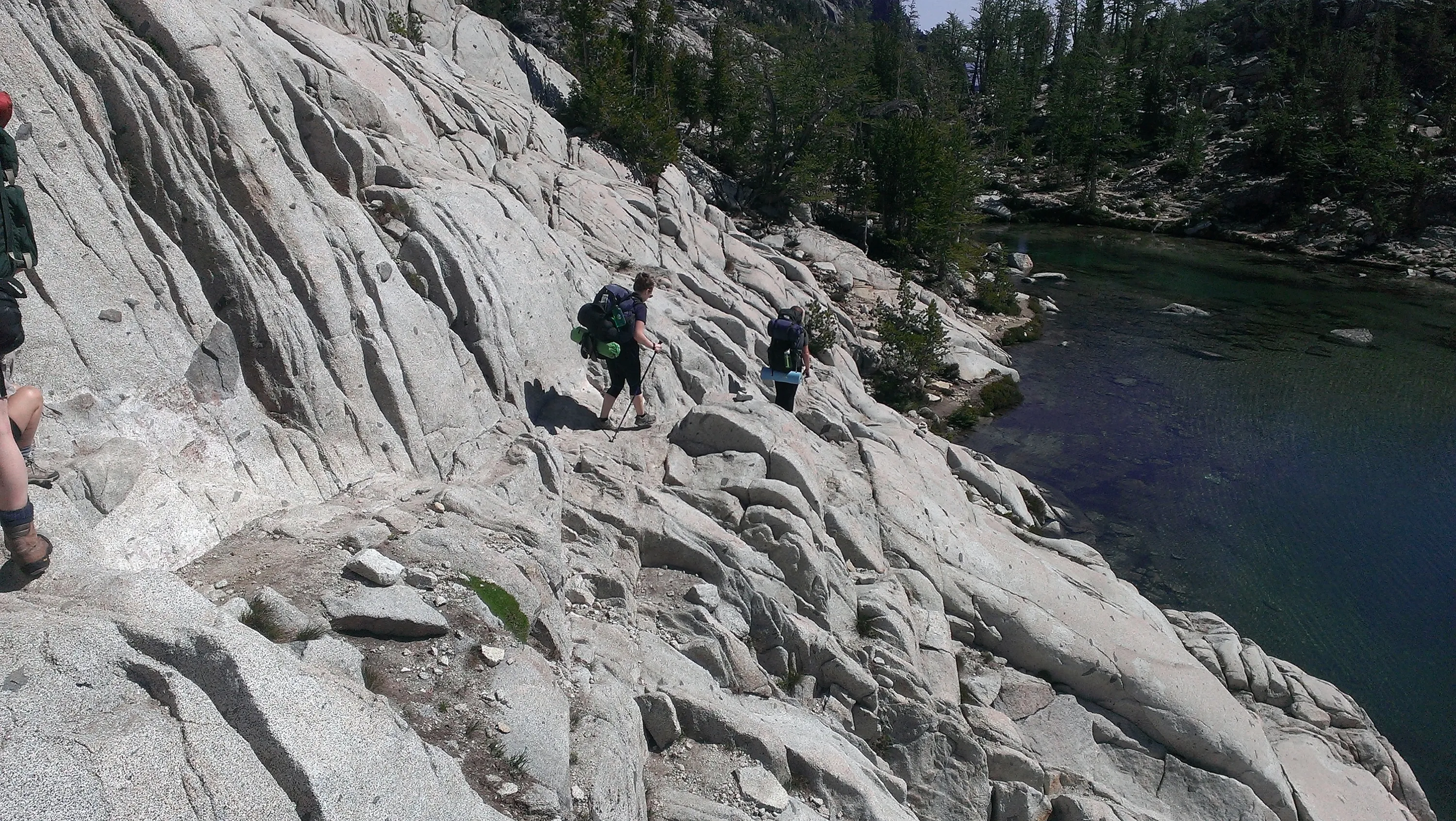
I won't lie - this was a bit scary - but everything was dry, so it wasn't as bad as it looked - you just had to take it slow and carefully.
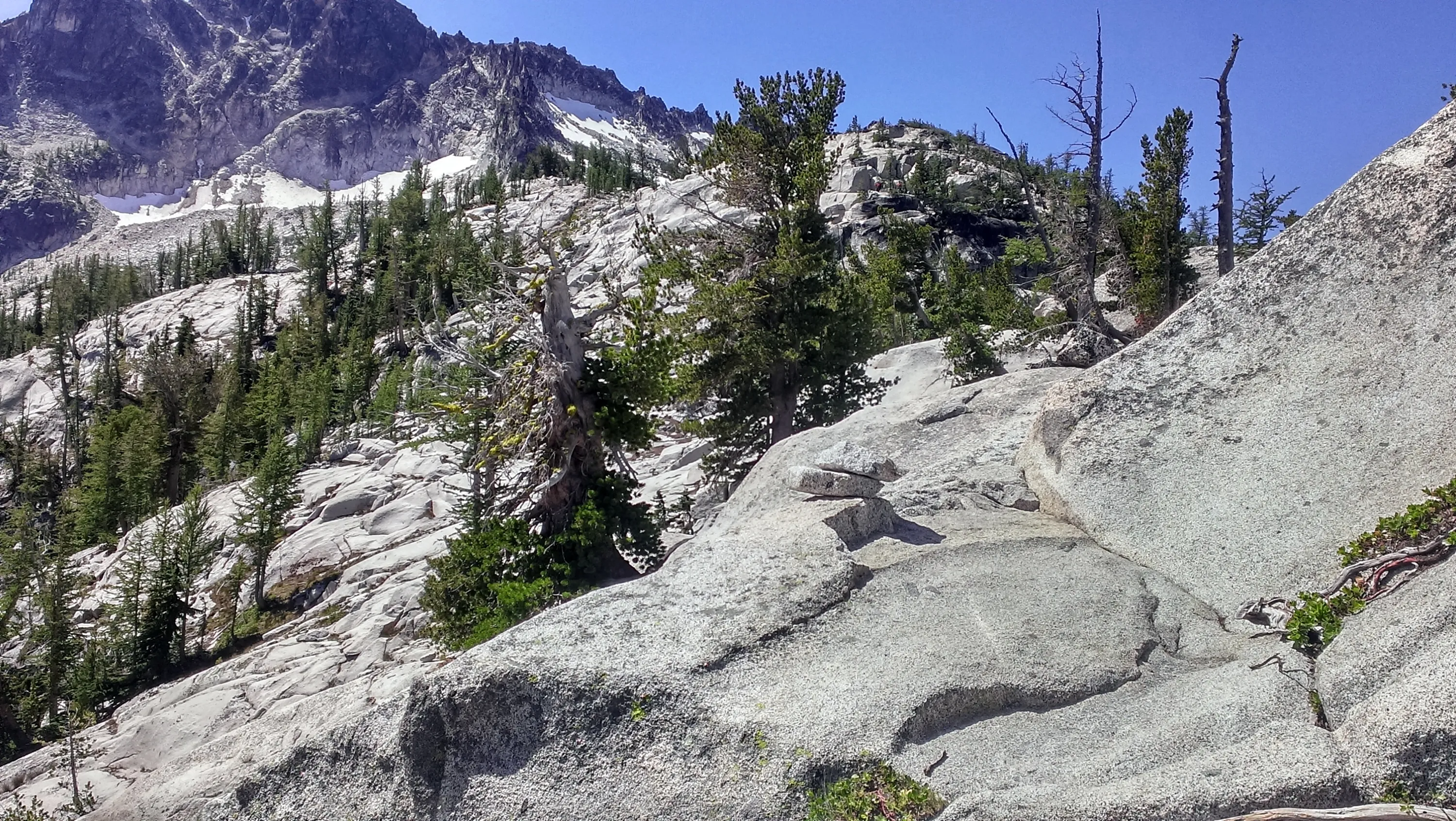
Navigating our way down the rocky hill
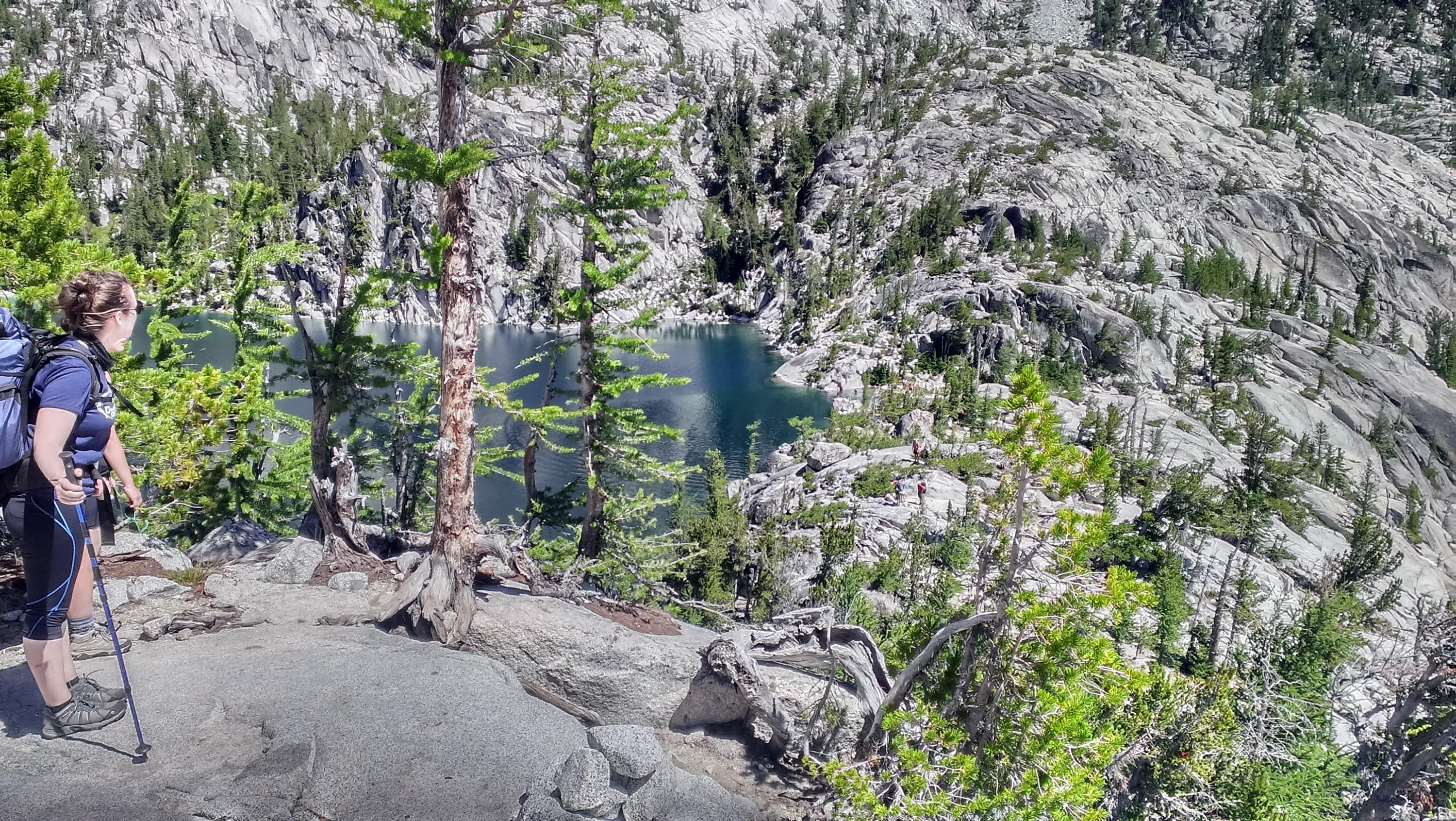
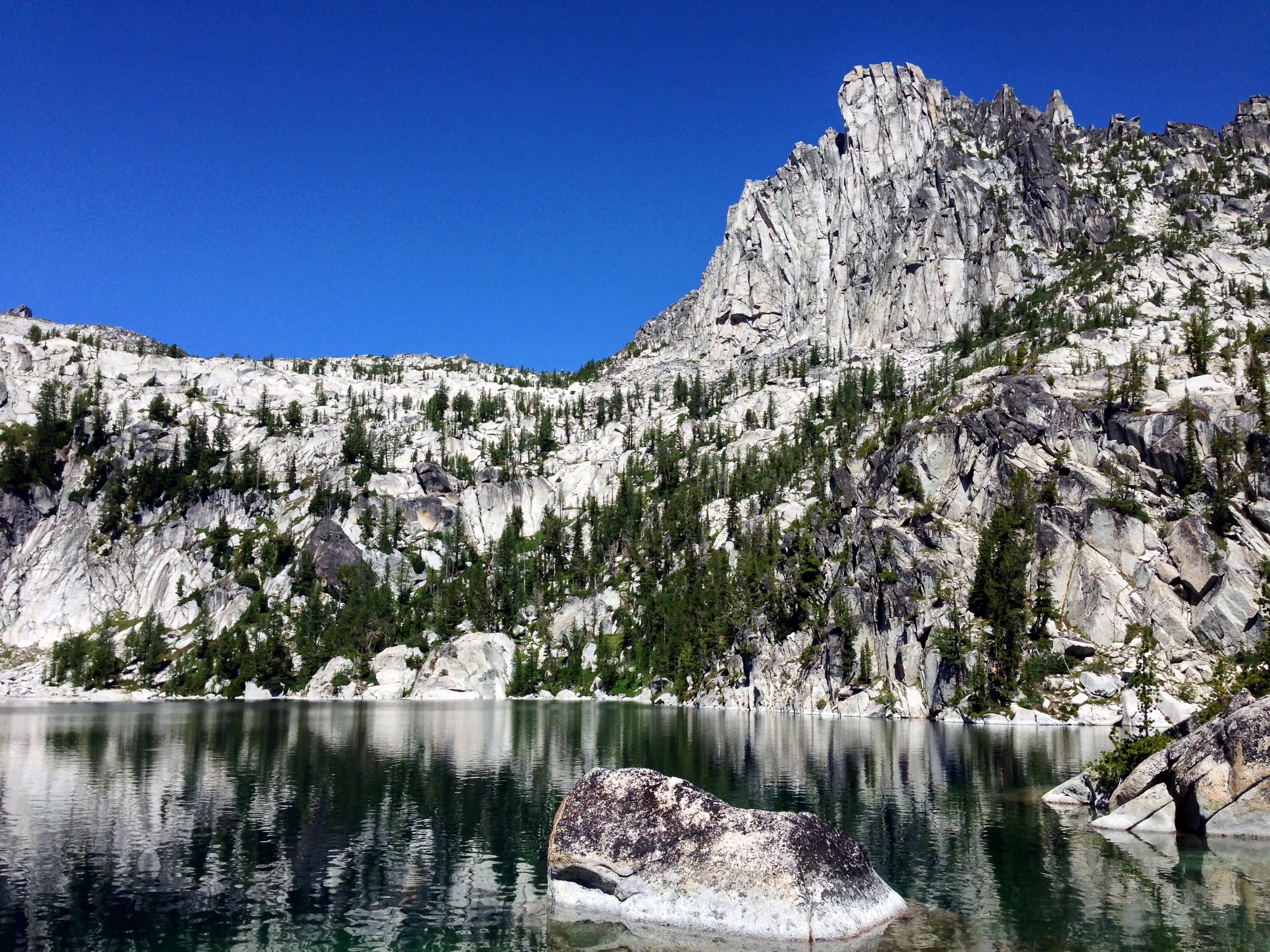
Lake Viviane - Prusik Peak above
Crossing the outlet of Lake Viviane
What a view!
Part of the waterfall = the outlet of Lake Viviane
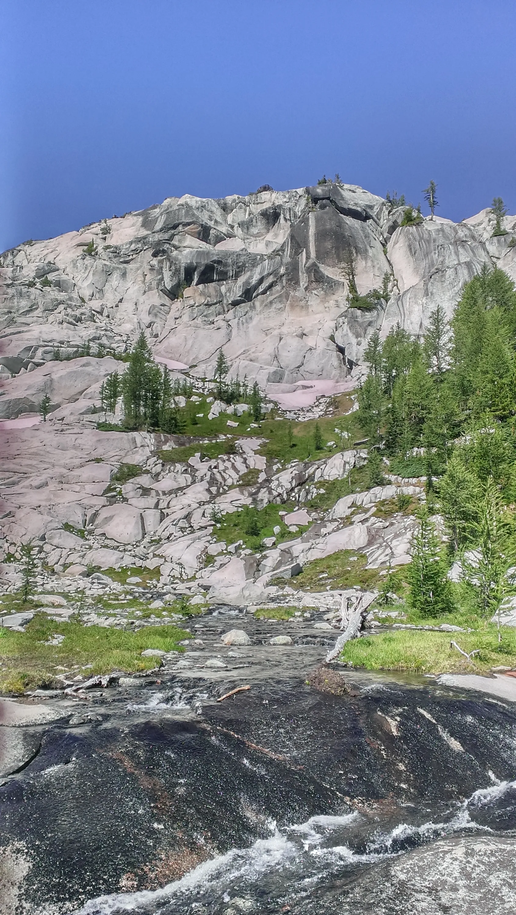
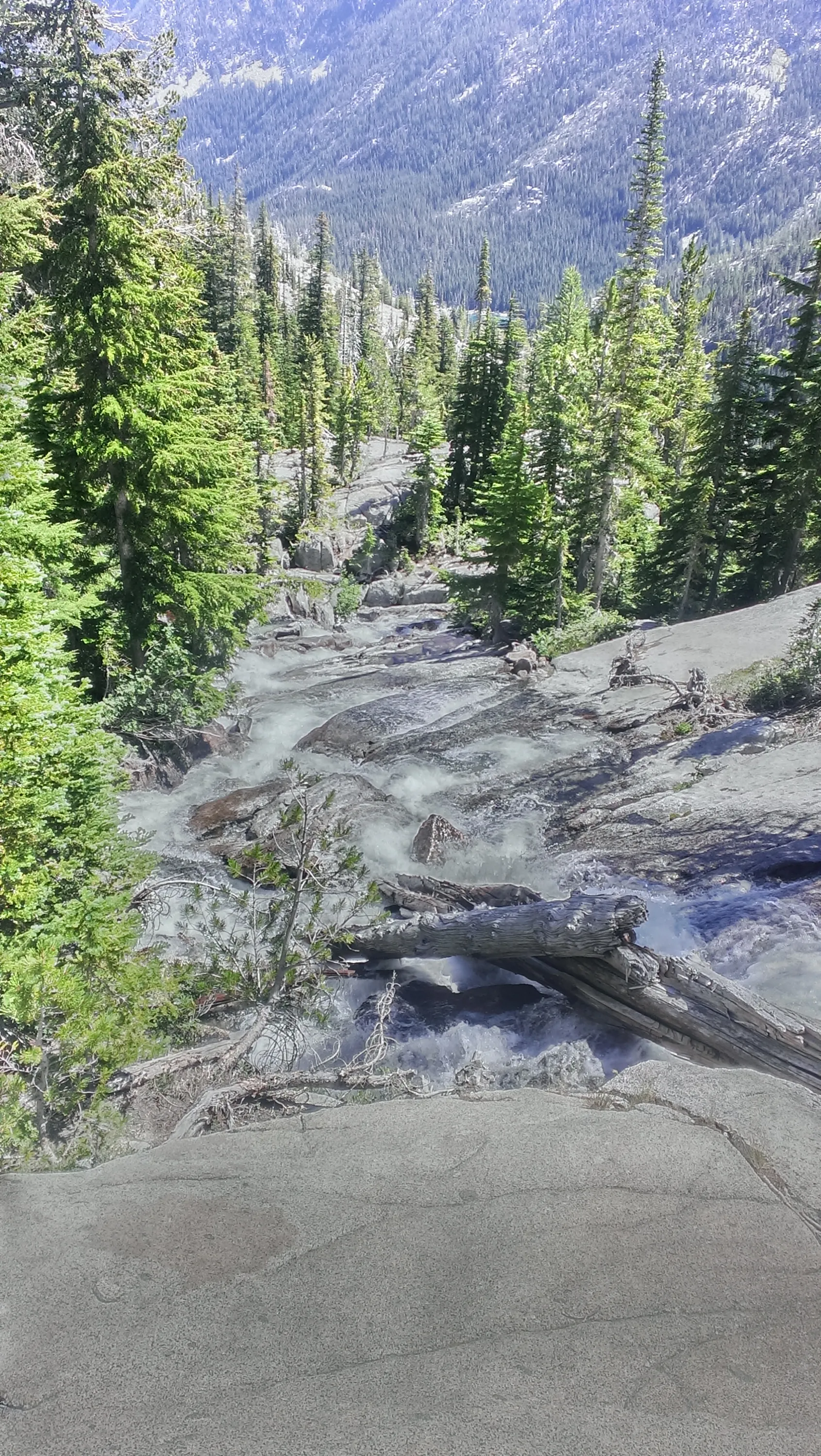
More waterfall on the outlet from Lake Vivieane - Snow Creek I believe it is called at this point
Looking back up at some of the waterfalls on Snow Creek
It is steeper than it looks - a long ways down to Snow Lakes
Working our way down some more rocky sections - these were very steep
Upper Snow Lake
The Temple above upper Snow Lake
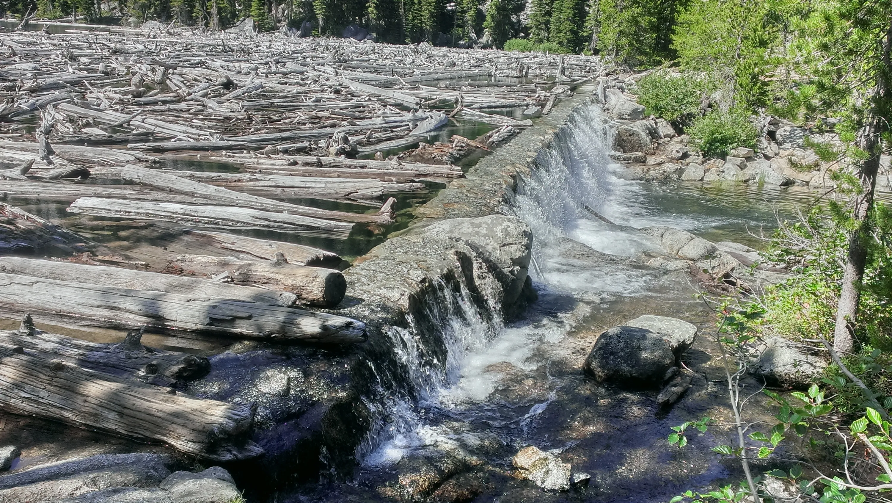
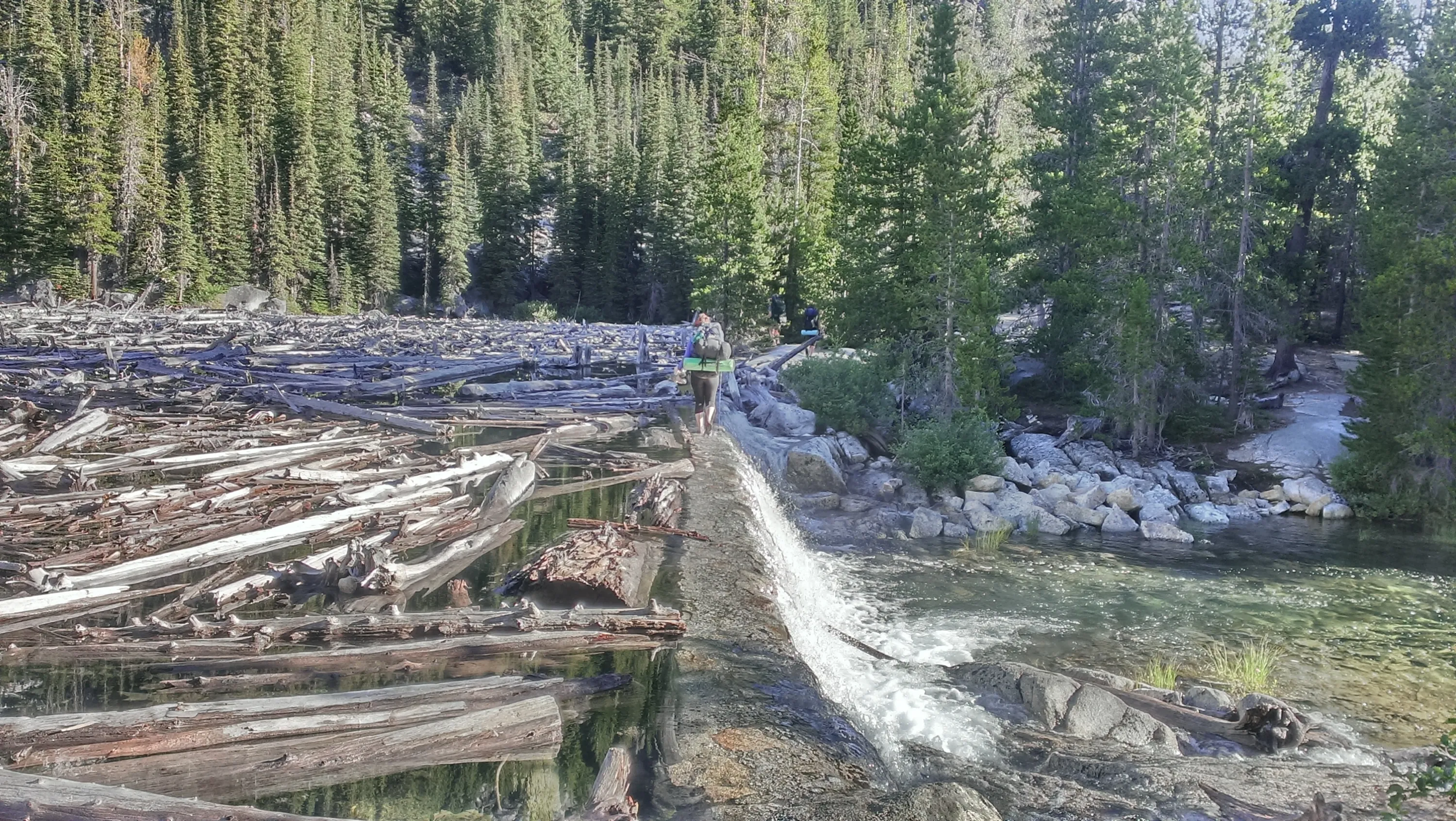
The dam at Snow Lake - this was our "bridge" to cross on. Not too bad - the water was only 1-2" deep.
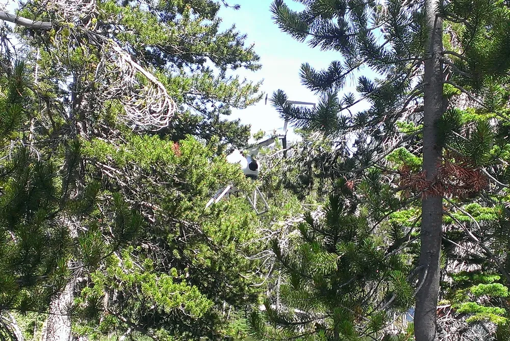
Hard to see, but this was the helicopter that buzzed the lake twice then swooped in near the dam and hovered about 10' off the water for about a minute - we weren't sure what the deal was. It kicked up a lot of spray from the lake
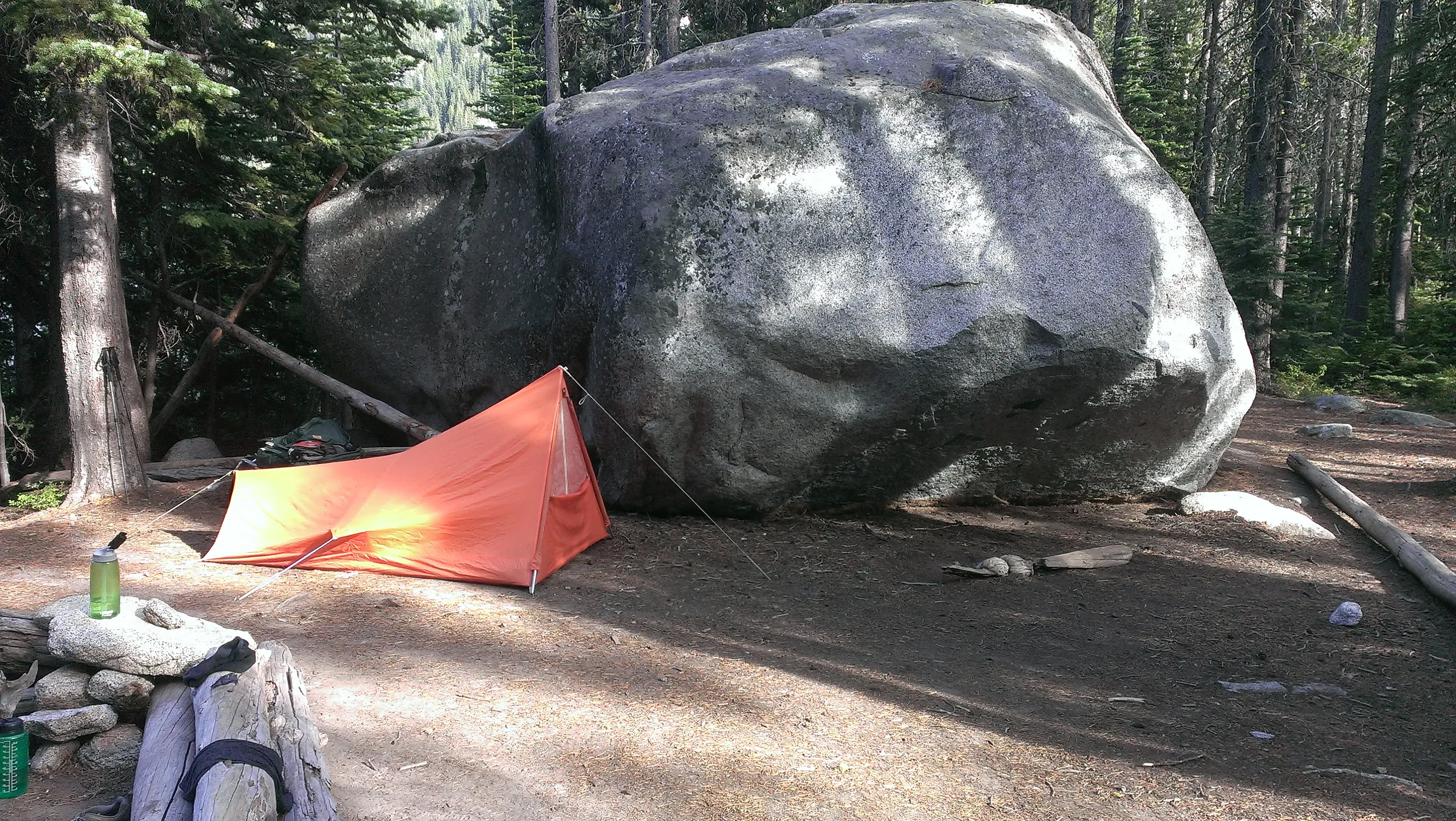
Our campsite on Wednesday evening - that rock was HUGE!
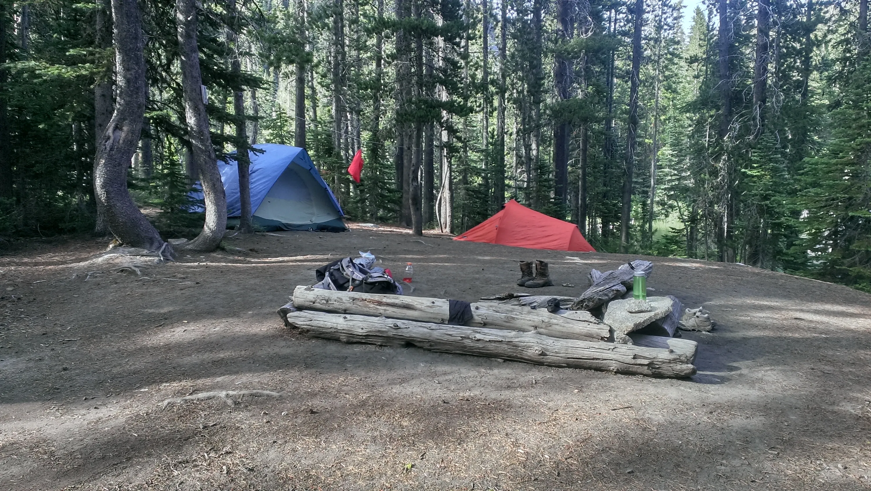
Looking at our campsite from the other angle - it was pretty big, unlike our other two nights.
Walking across the dam - our last day in the wilderness
Snow Lake from the dam
Nada Lake from above on the trail
Heading down the rocky trail
Footbridge across snow creek
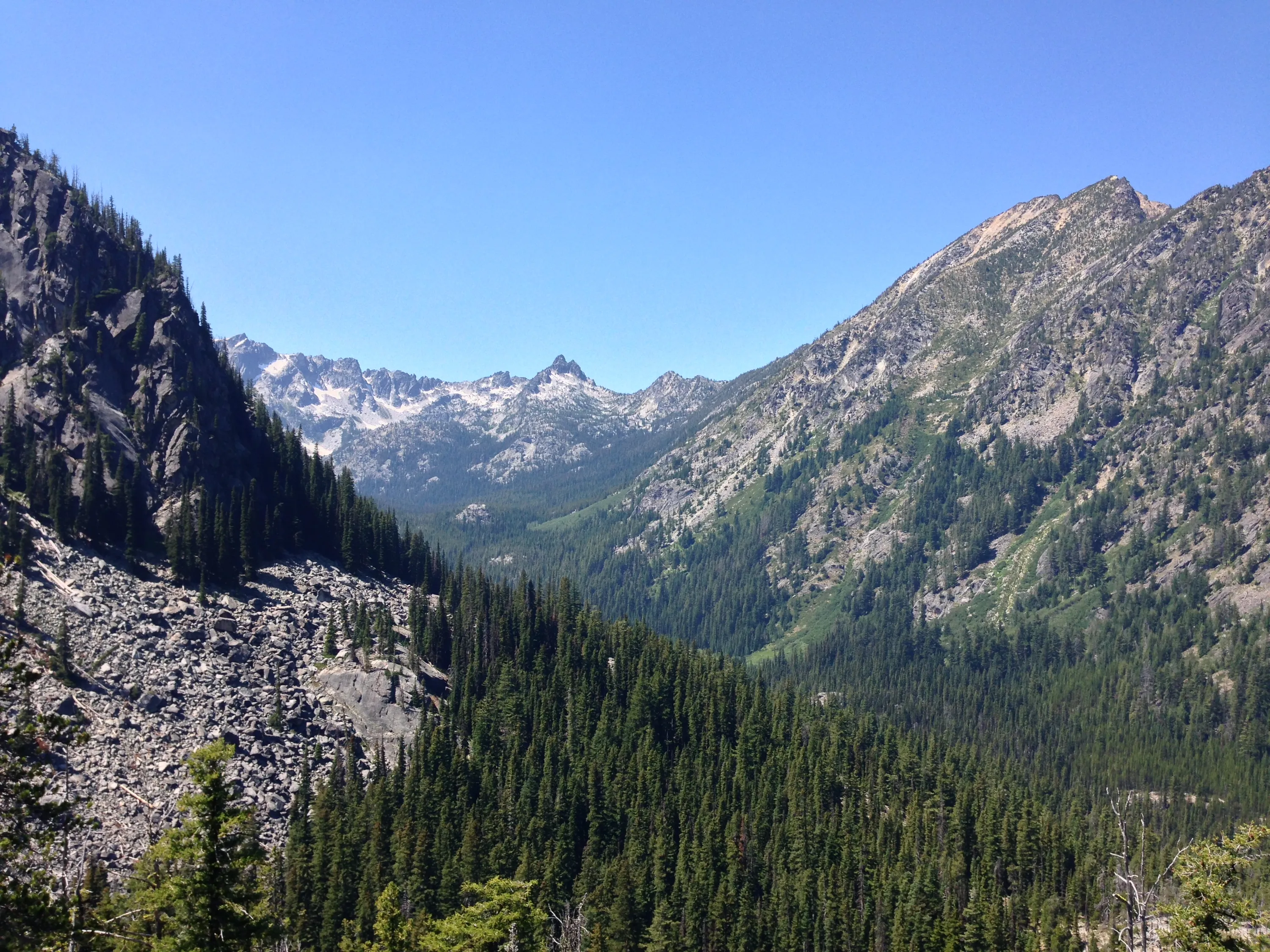
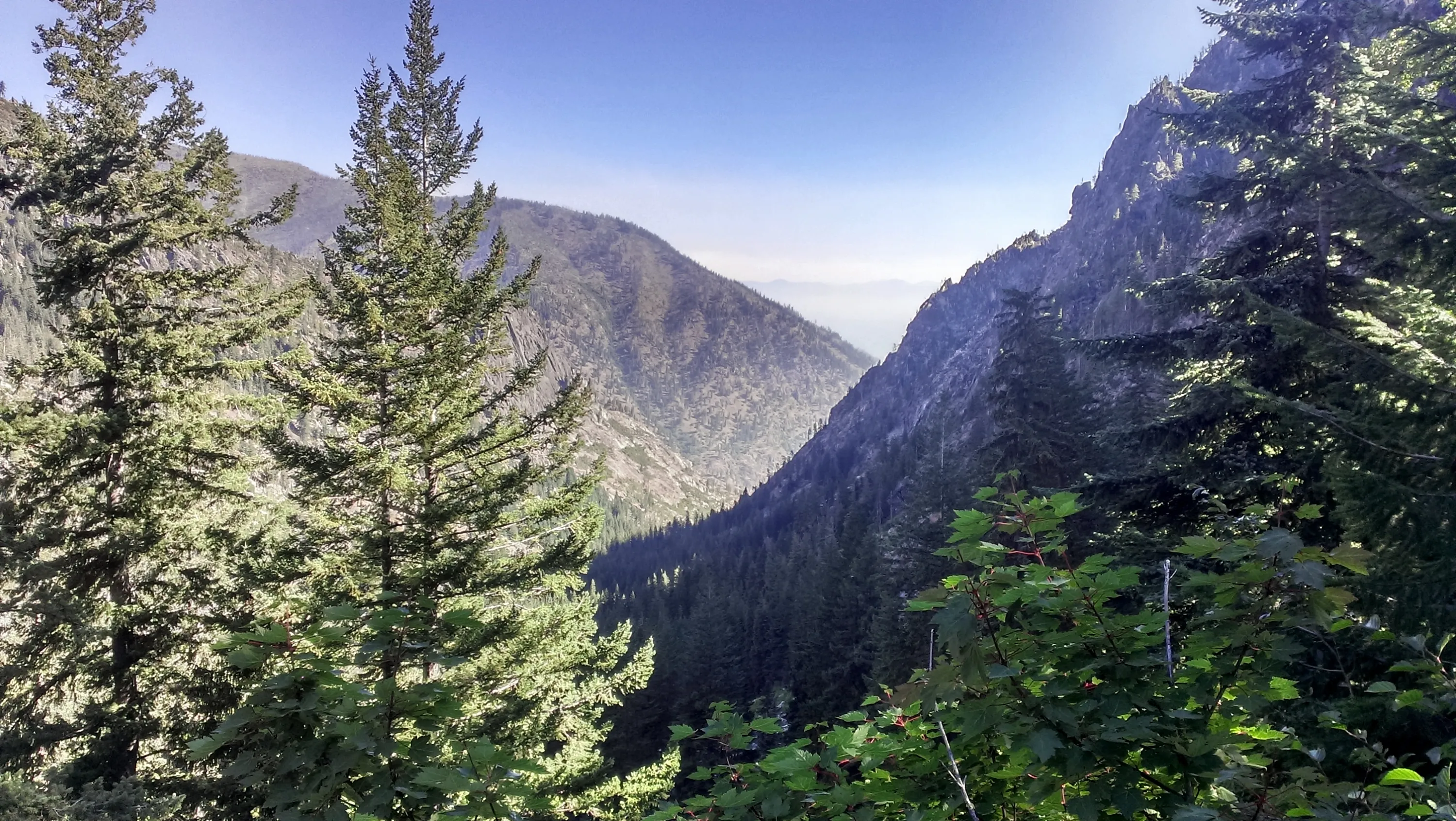
We have to keep going down this valley - lots of elevation loss on this day - about 4000'
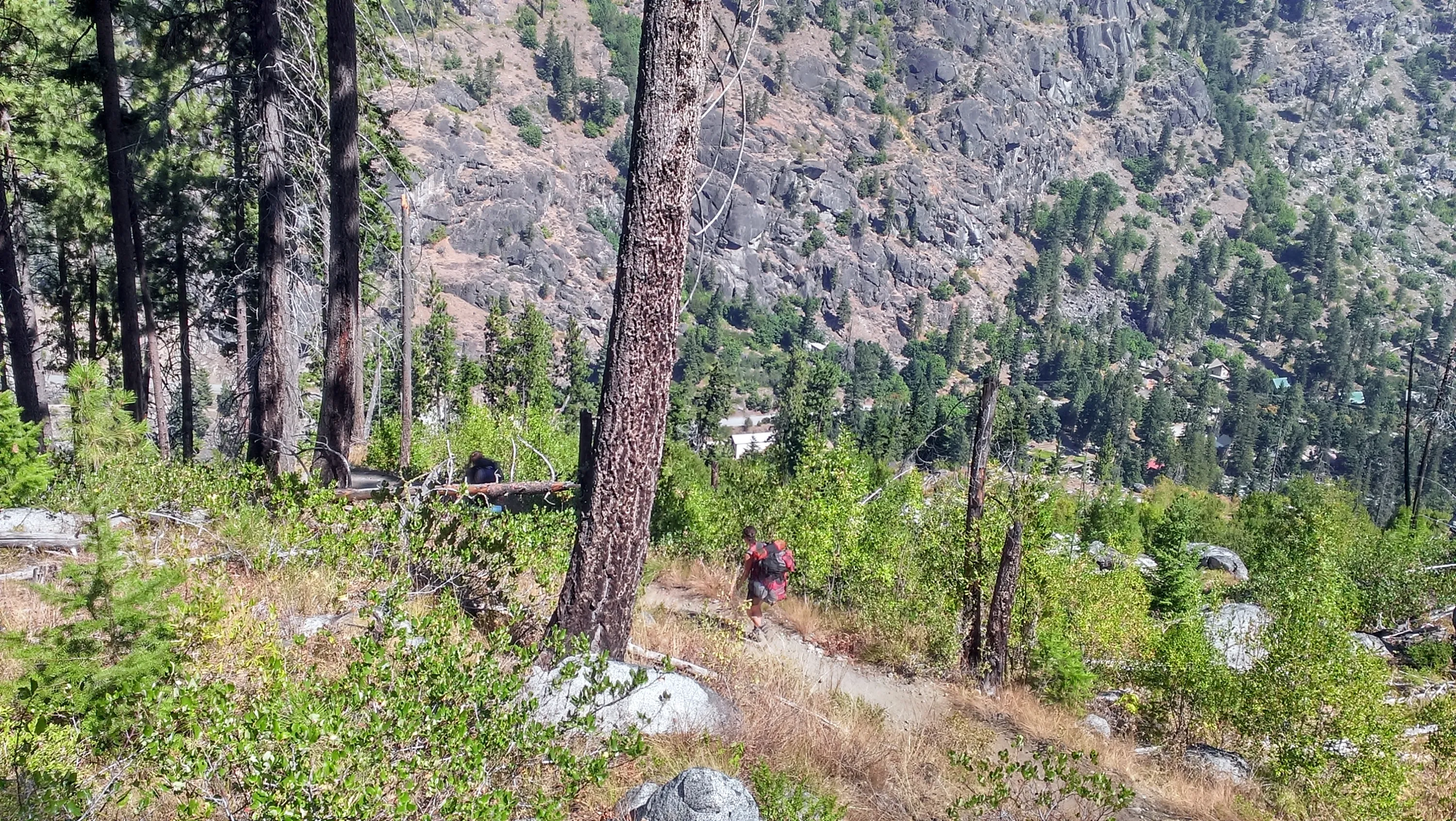
These were the final switchbacks down to the trailhead - you can barely see the parking lot in the center of the photo - this went thru a burned area.
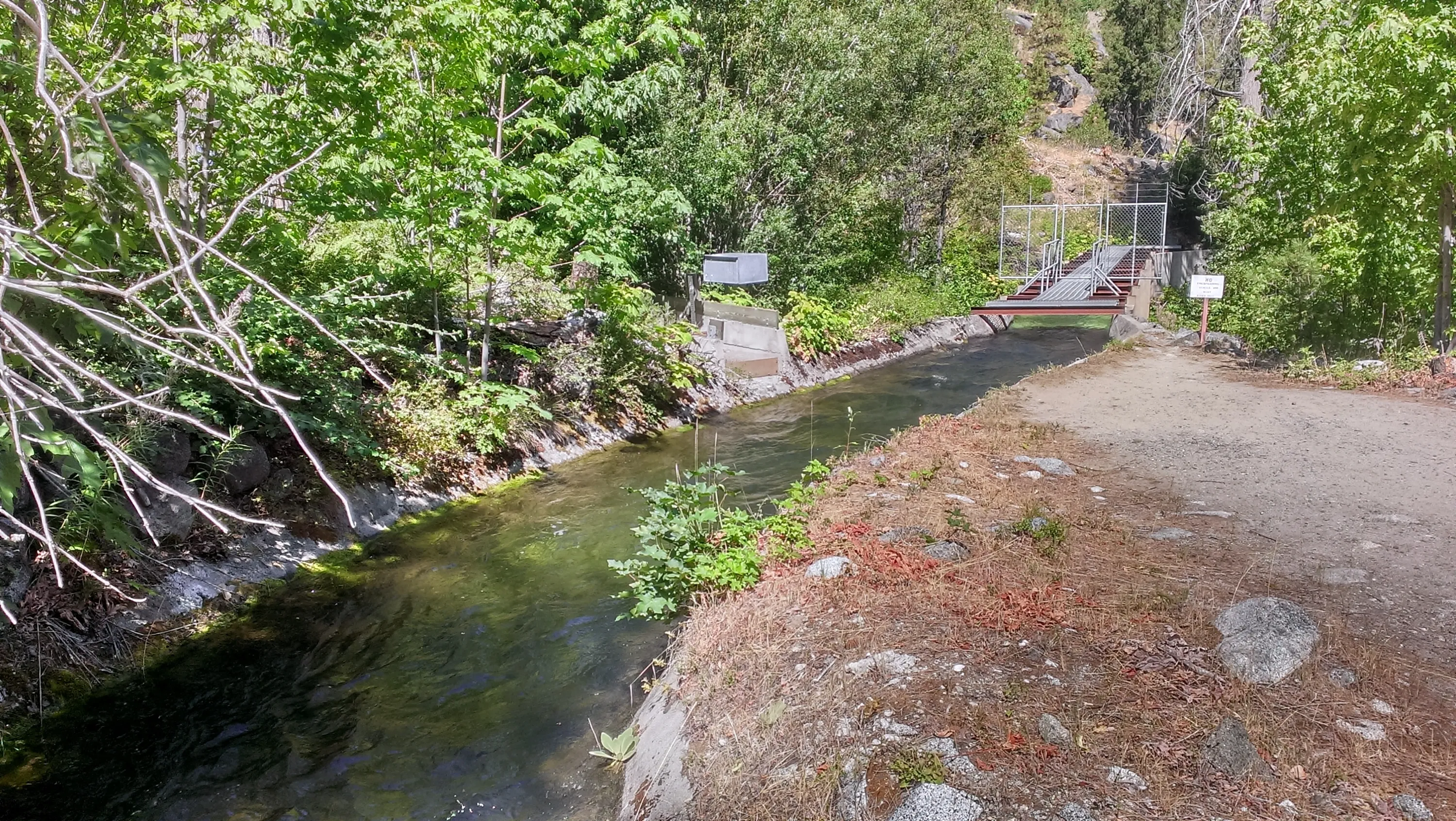
Aqueduct above the trailhead
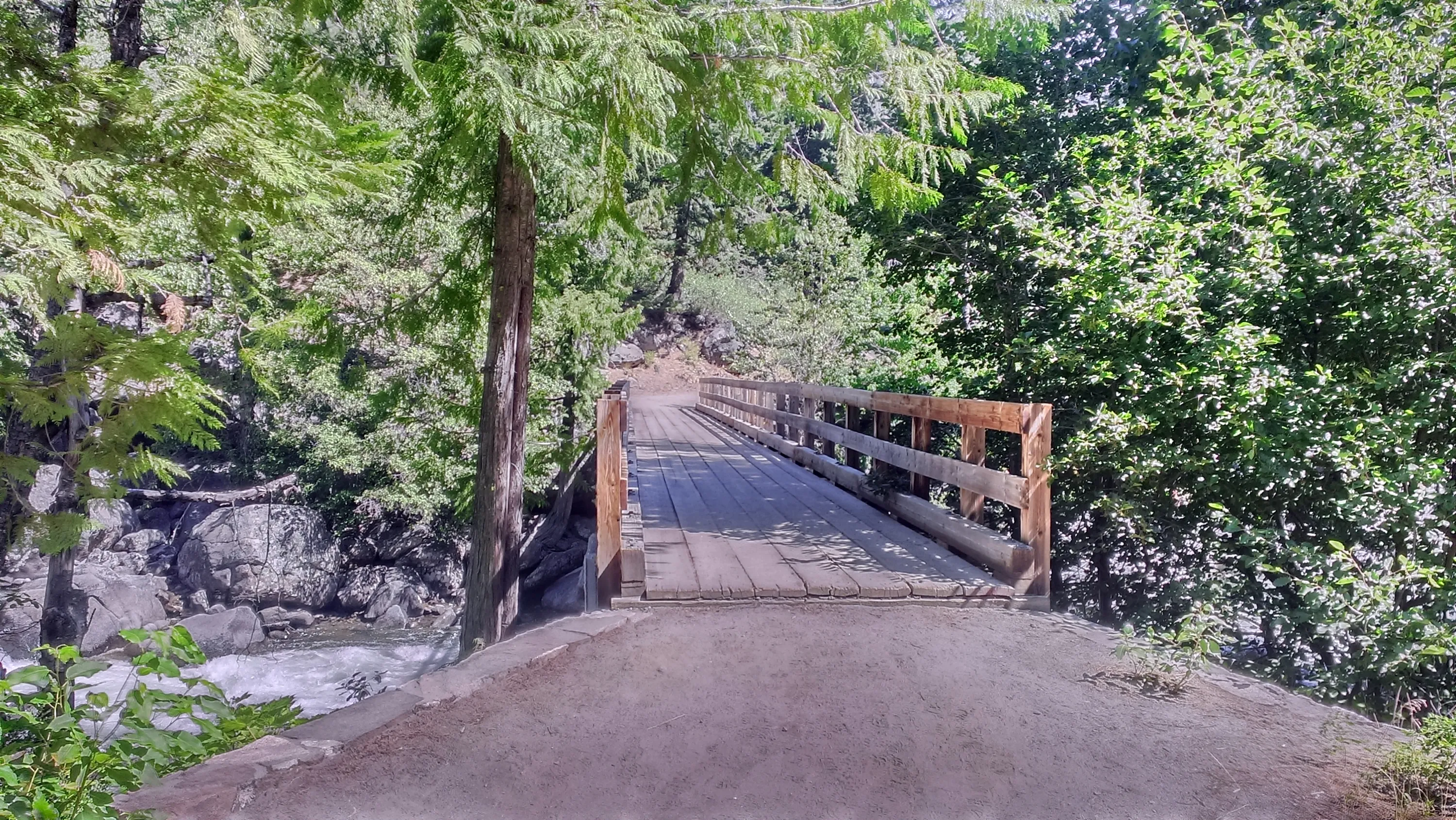
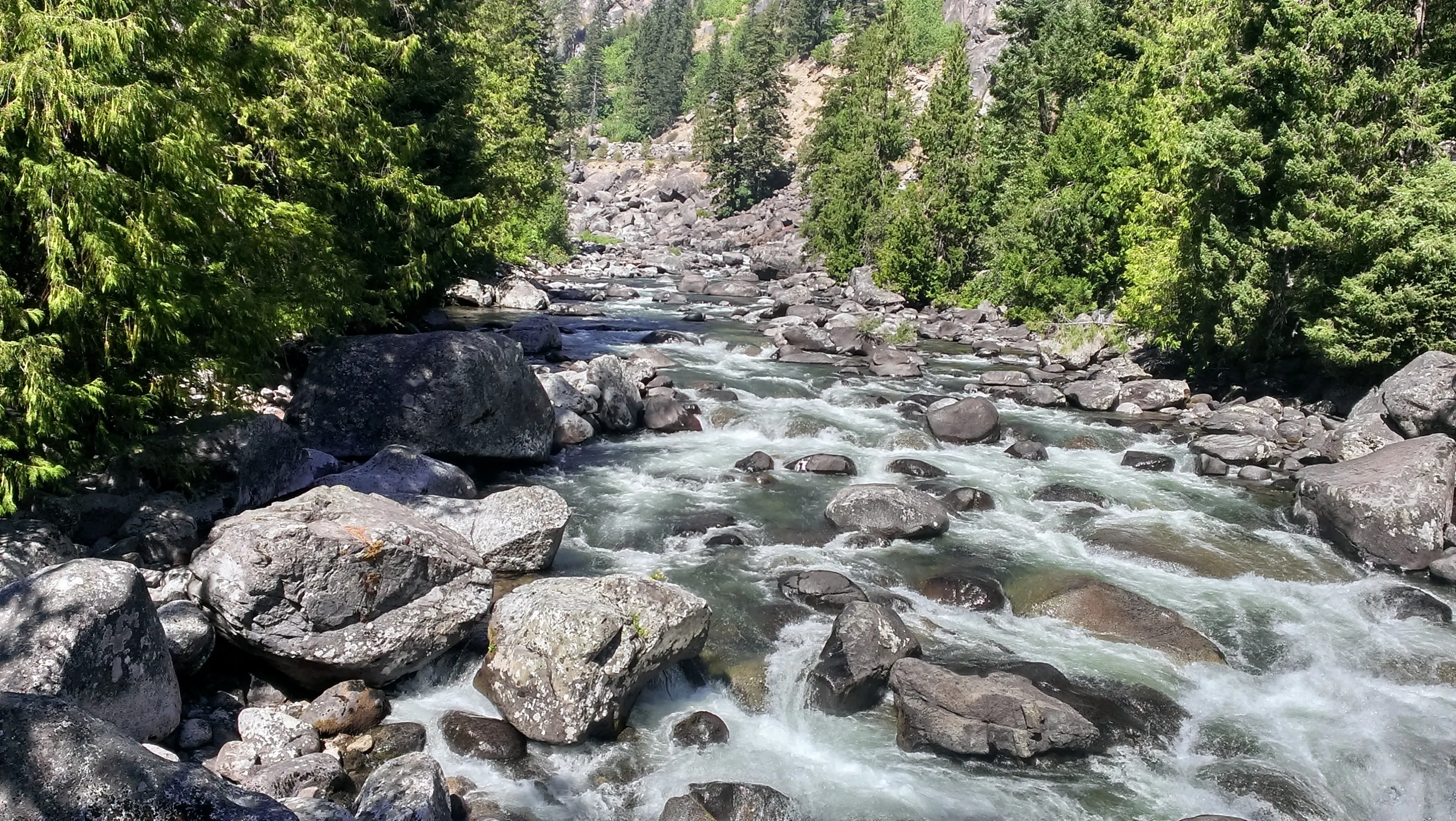
Last footbridge across icicle creek (more of a river really)
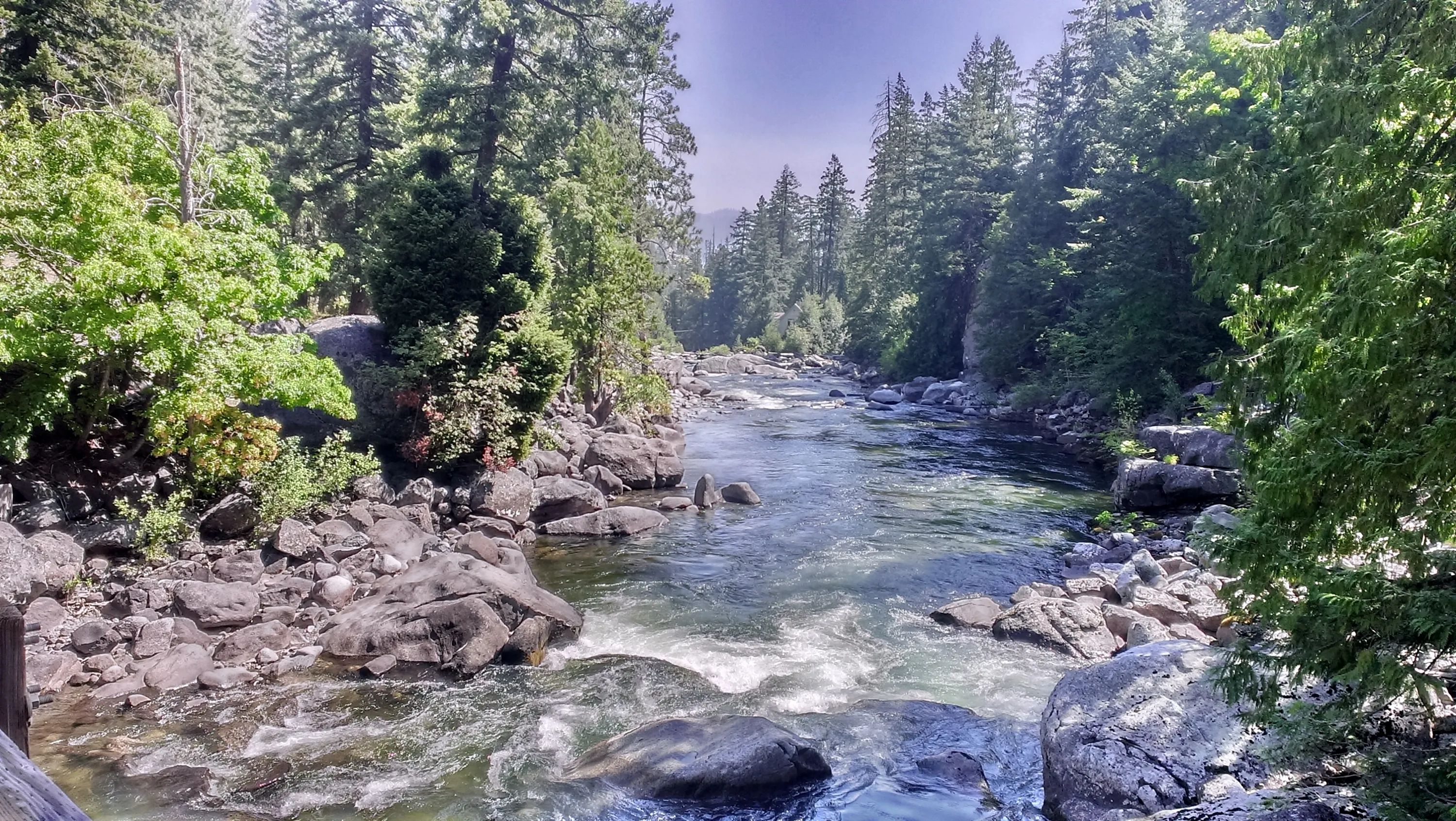
Icicle Creek
Icicle creek
Panorama from Prusik Pass
Panorama from Prusik Pass