Robs Hiking Diary
Search
Search for:
Search
Hikes
2013
Hillockburn Trail
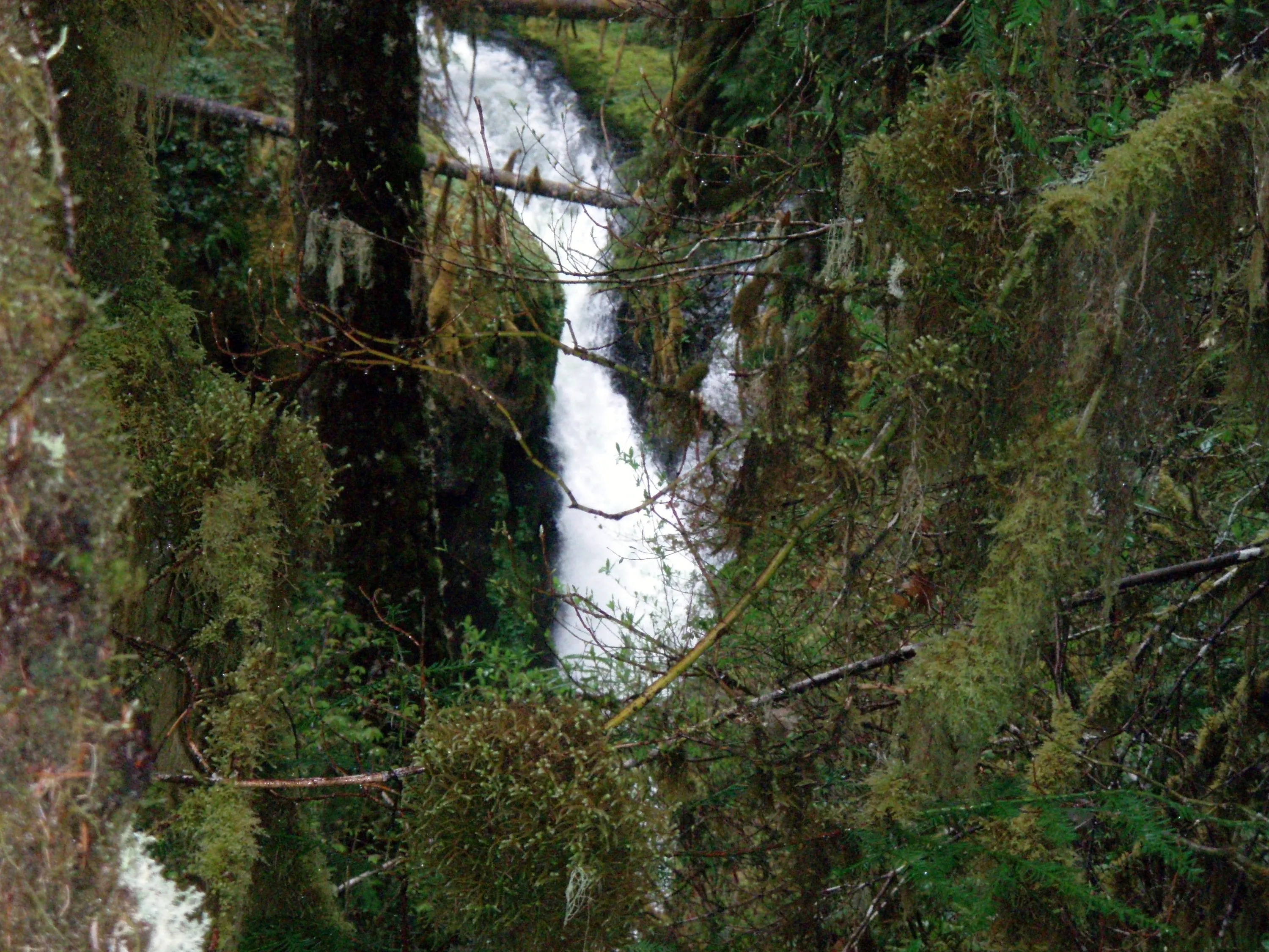
First look at upper Clackamas Falls - South fork of the Clackamas river
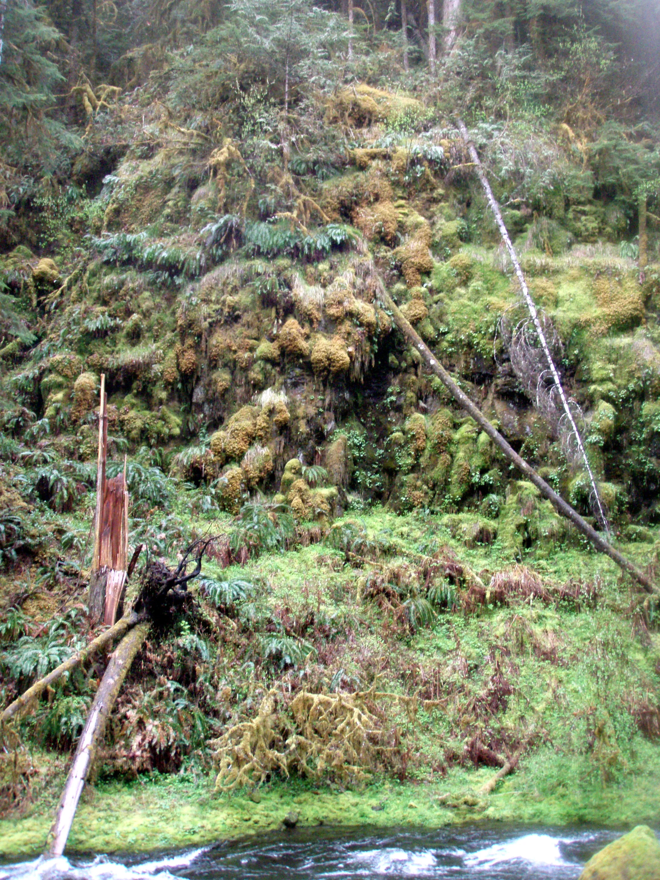
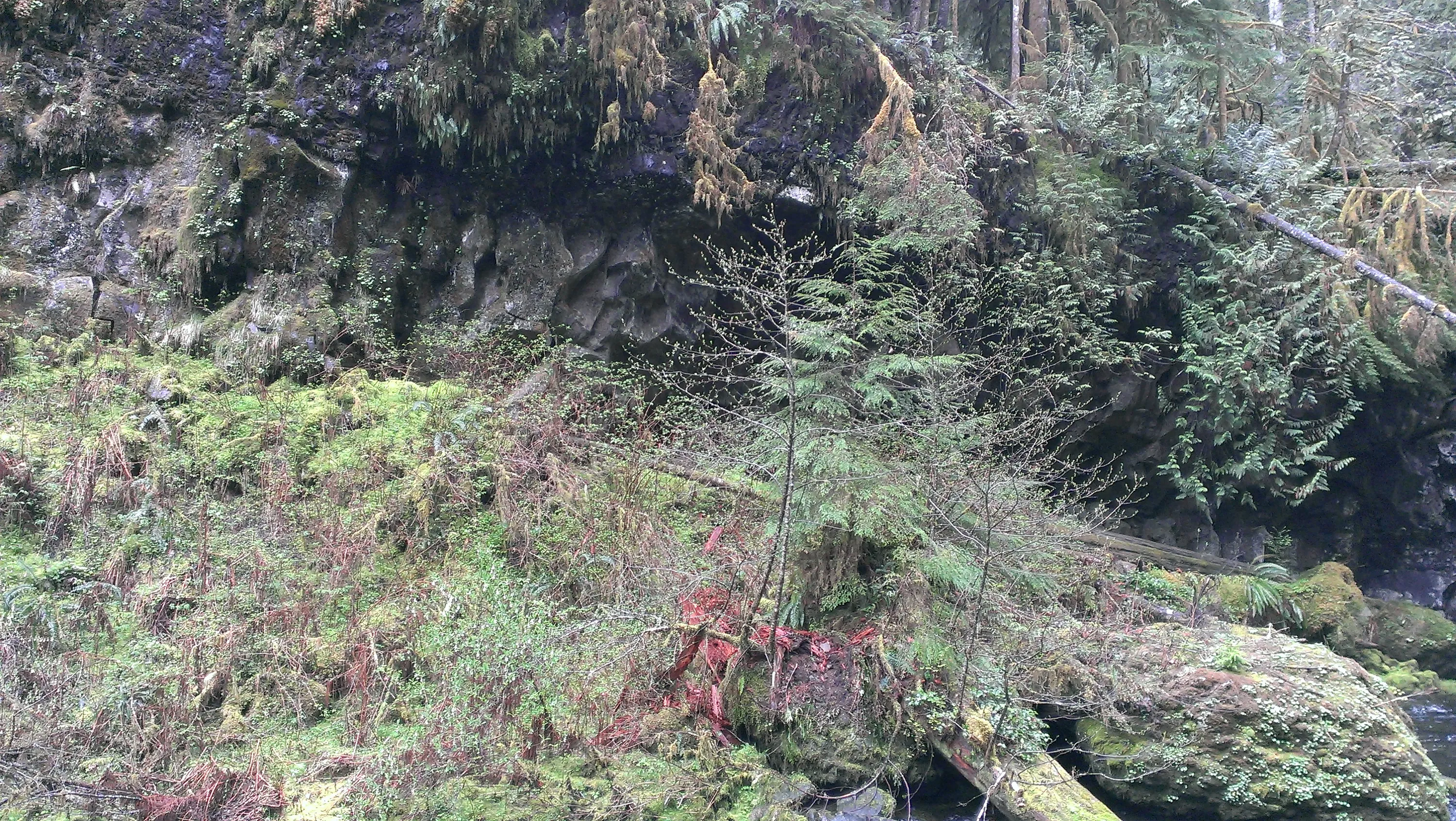
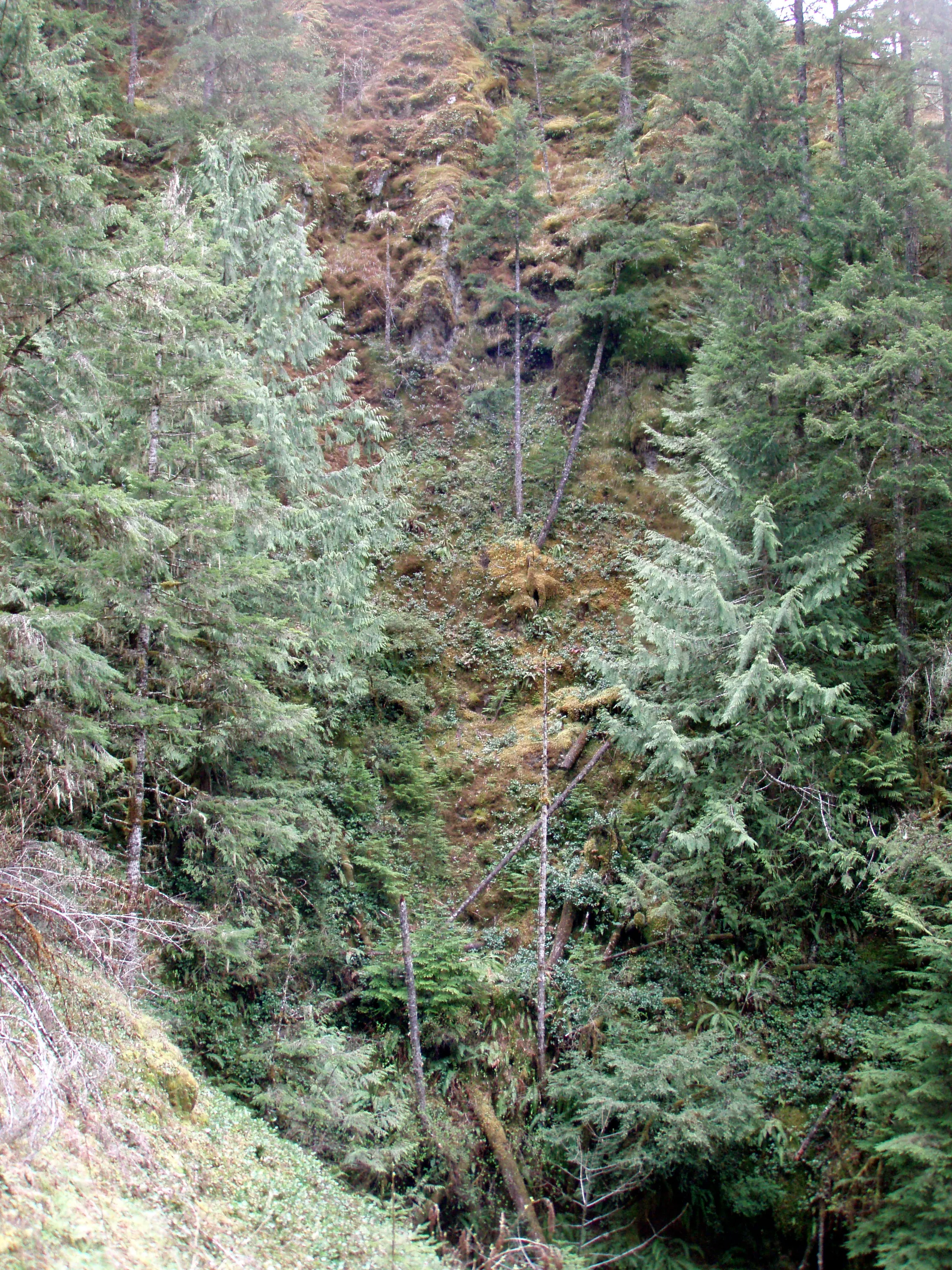
Cliff opposite upper falls
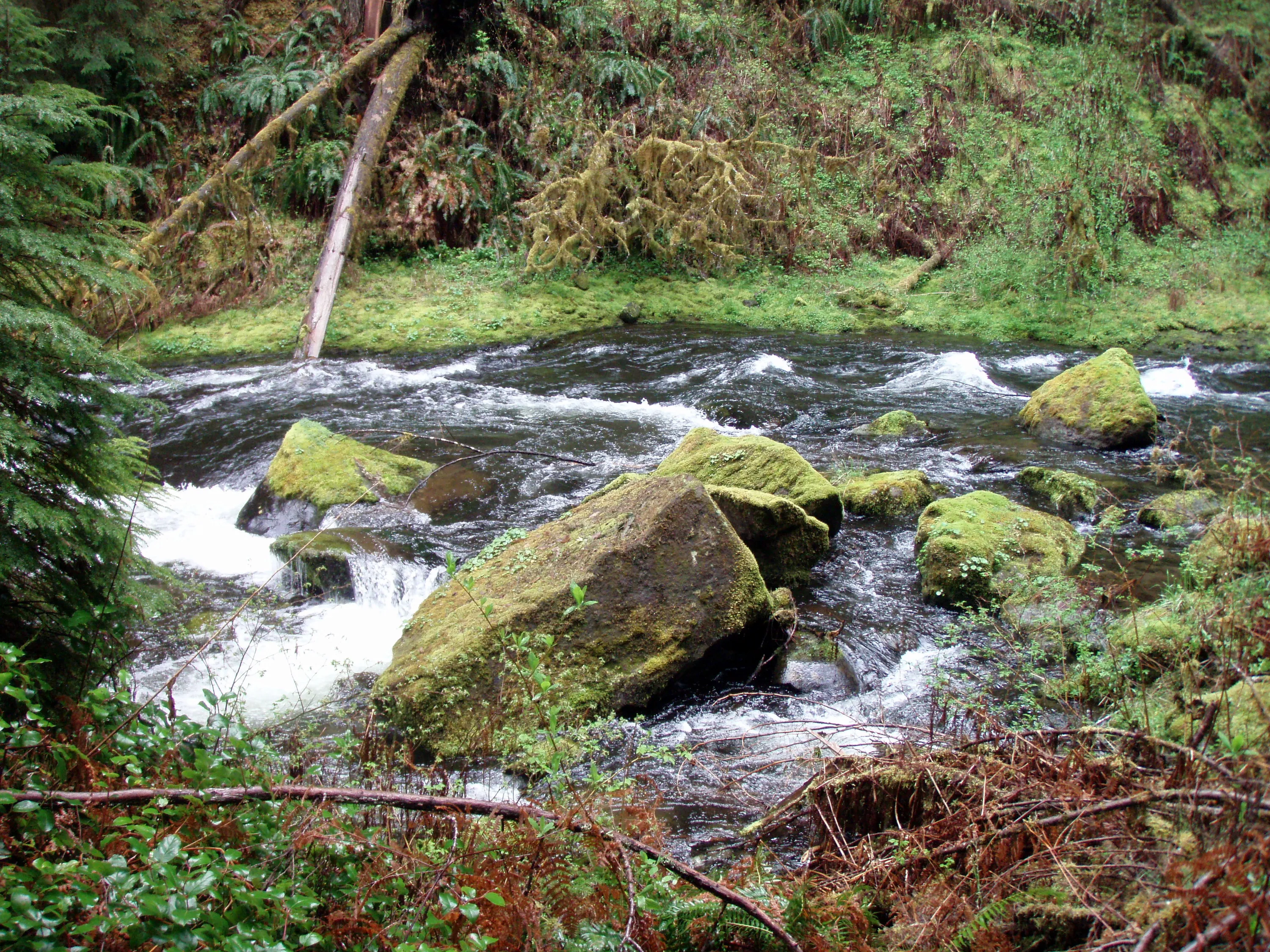
Upper falls from river level
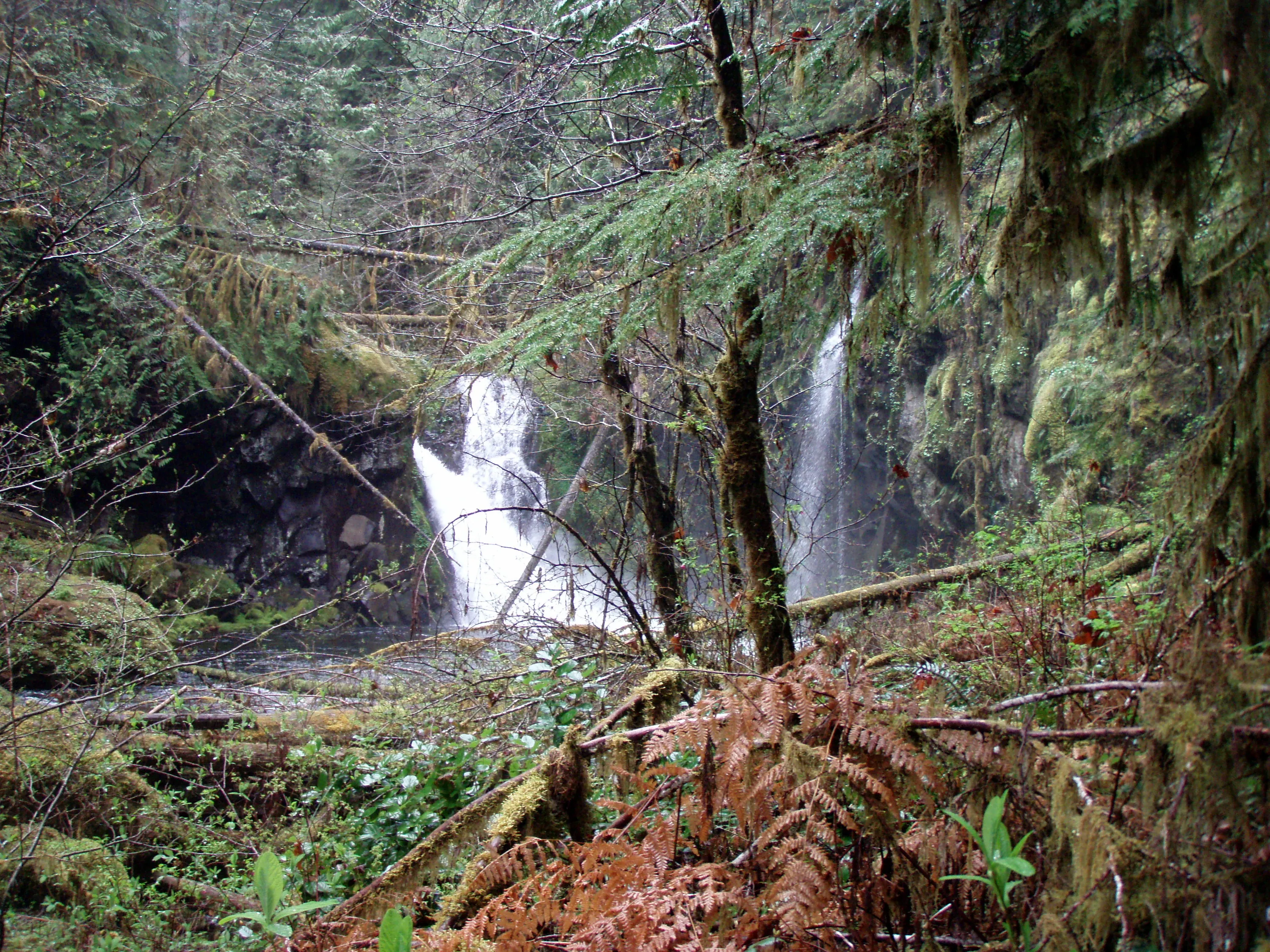
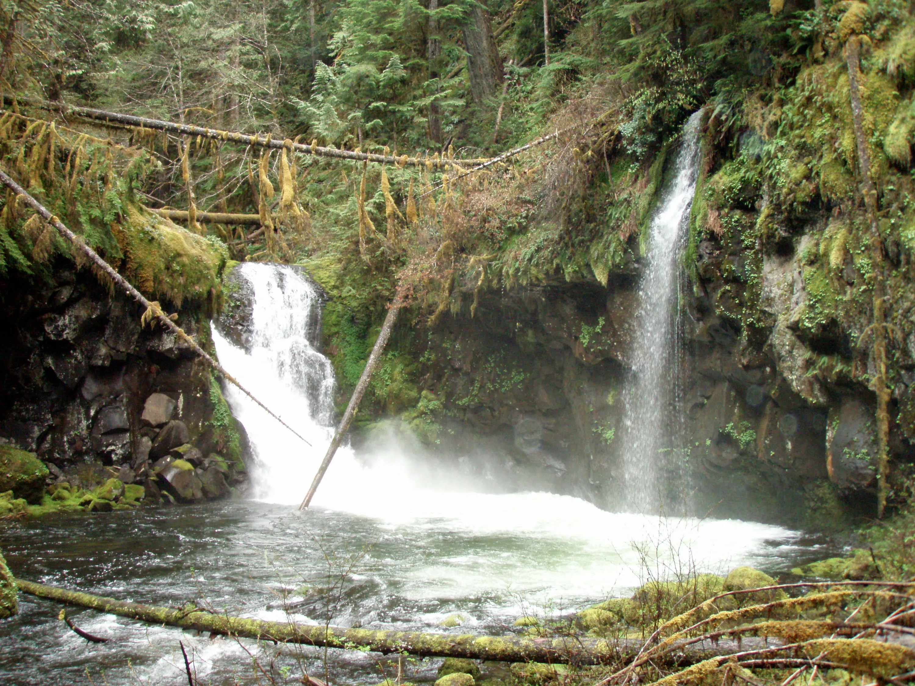
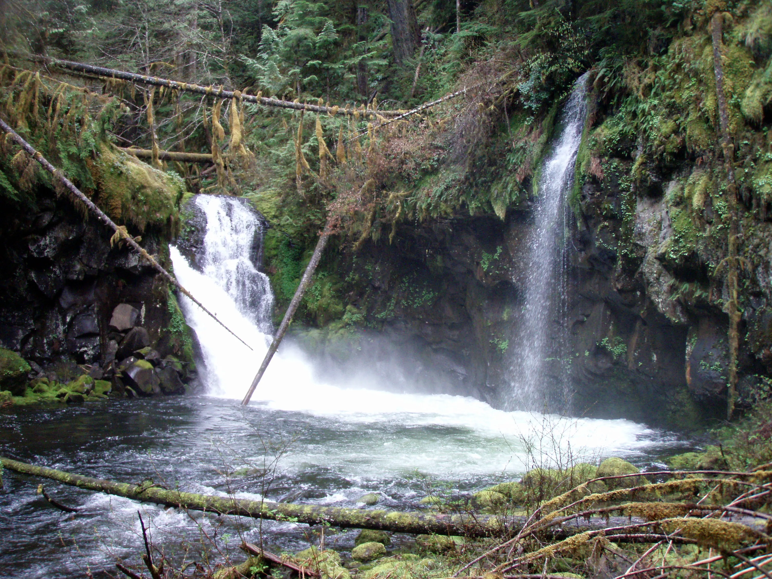
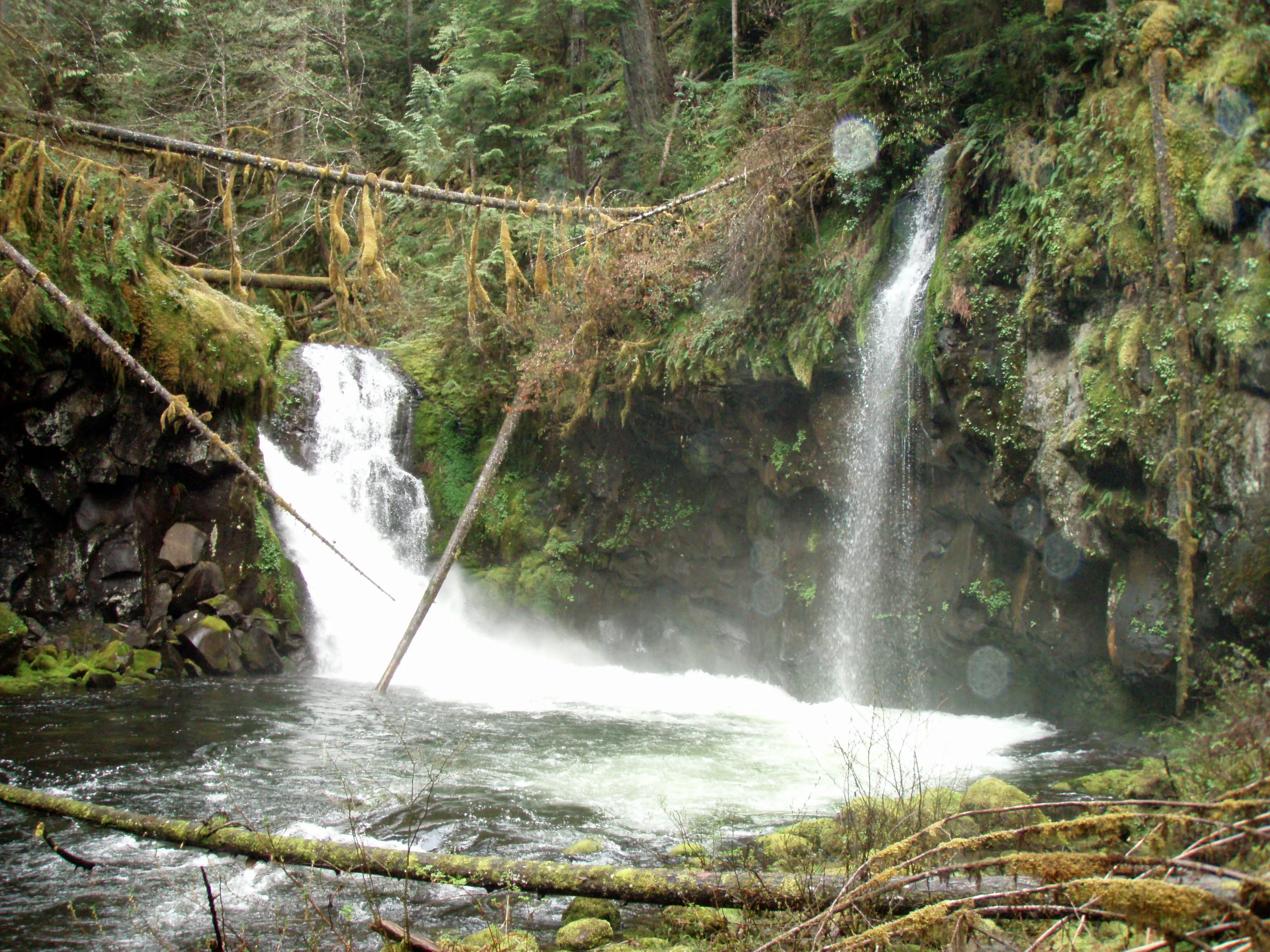
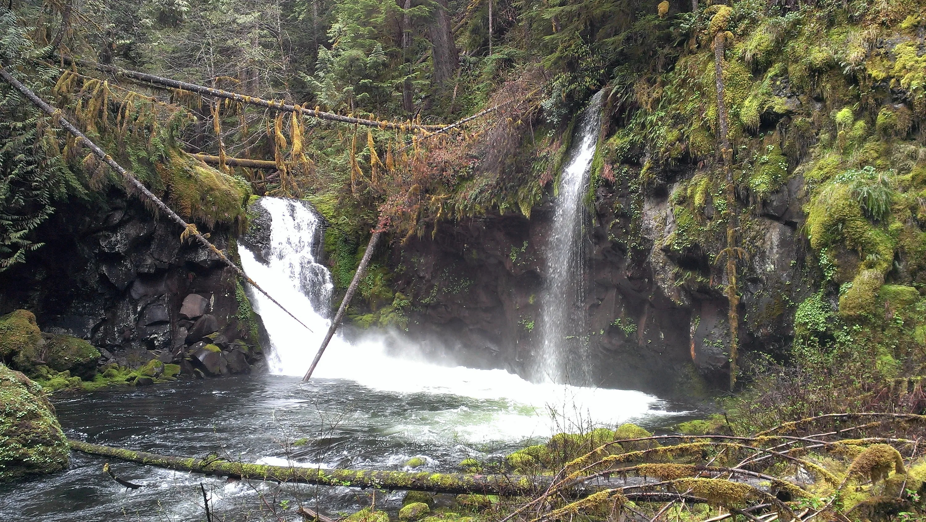
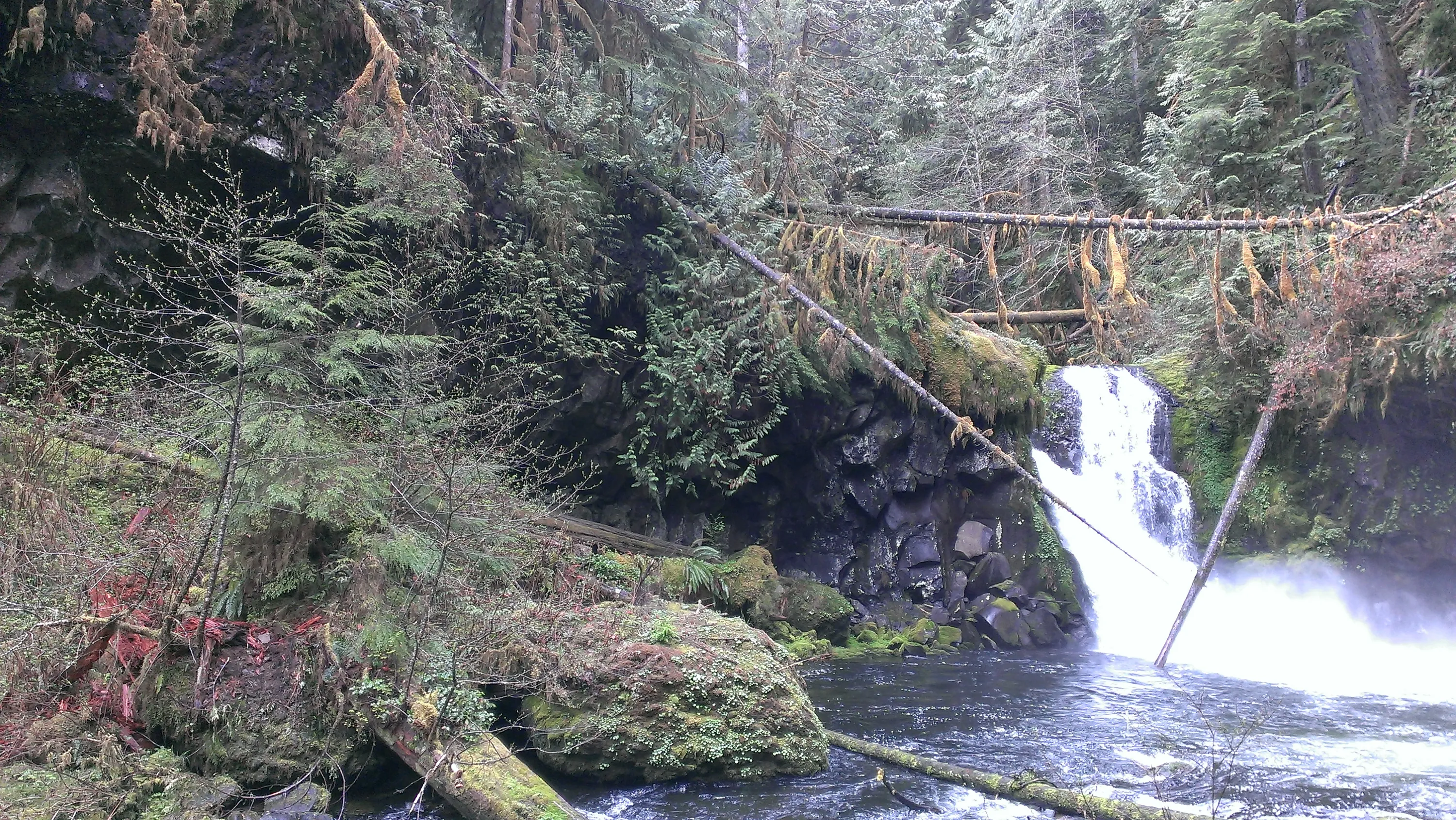
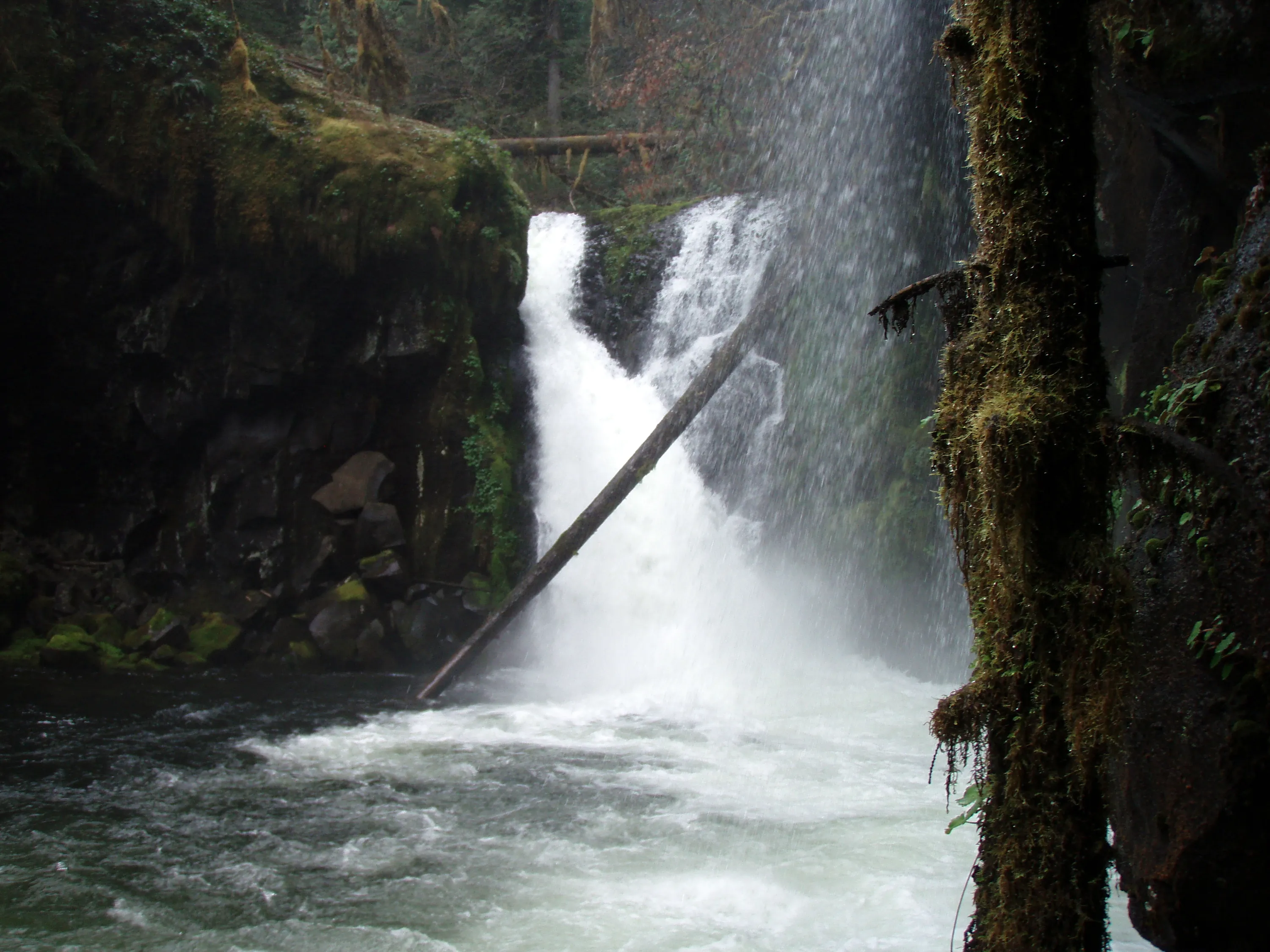
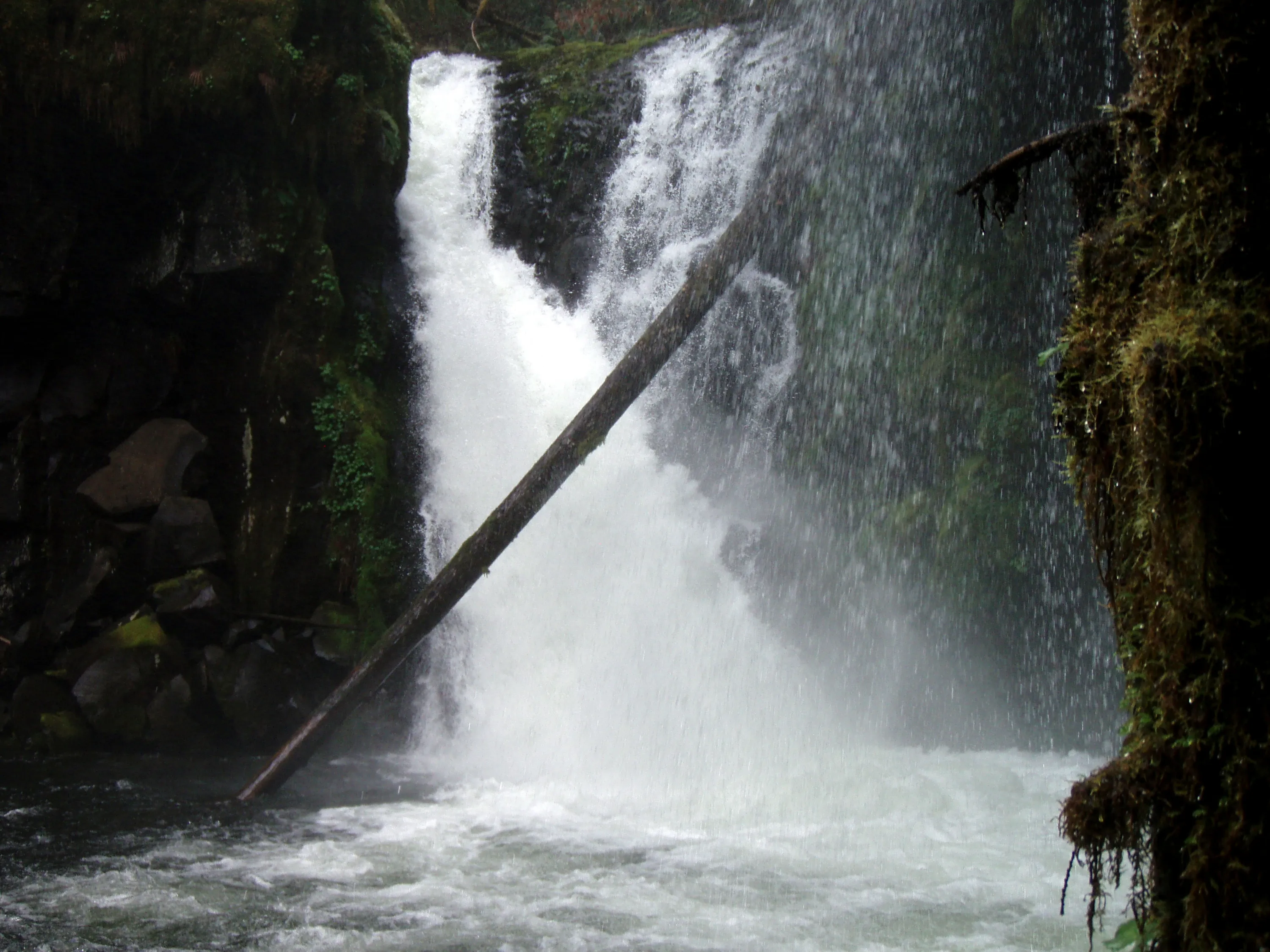
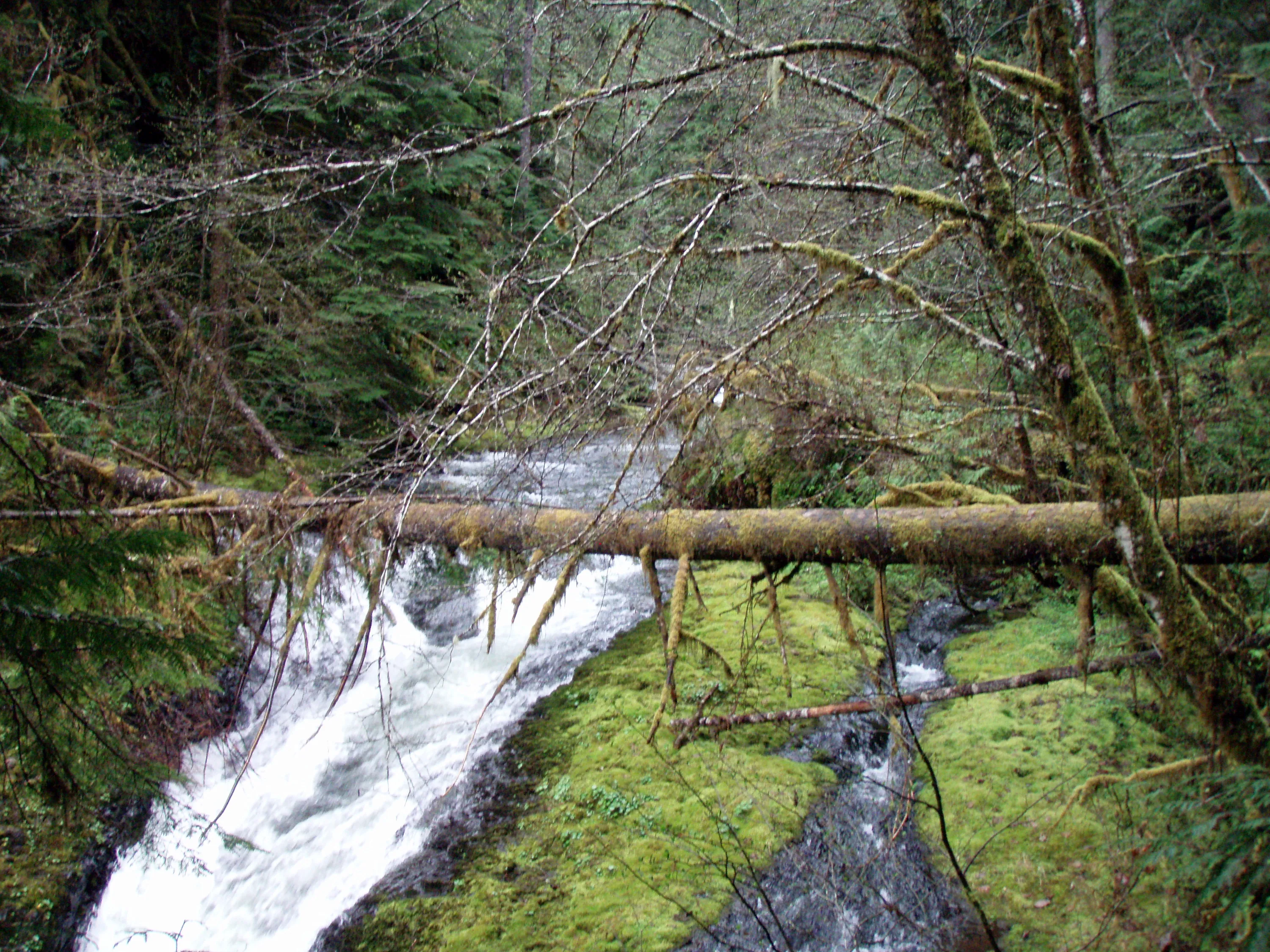
Upper Falls - South Fork Clackamas River
Upper Falls - South Fork Clackamas River
Upper Falls - South Fork Clackamas River
Upper Falls - South Fork Clackamas River
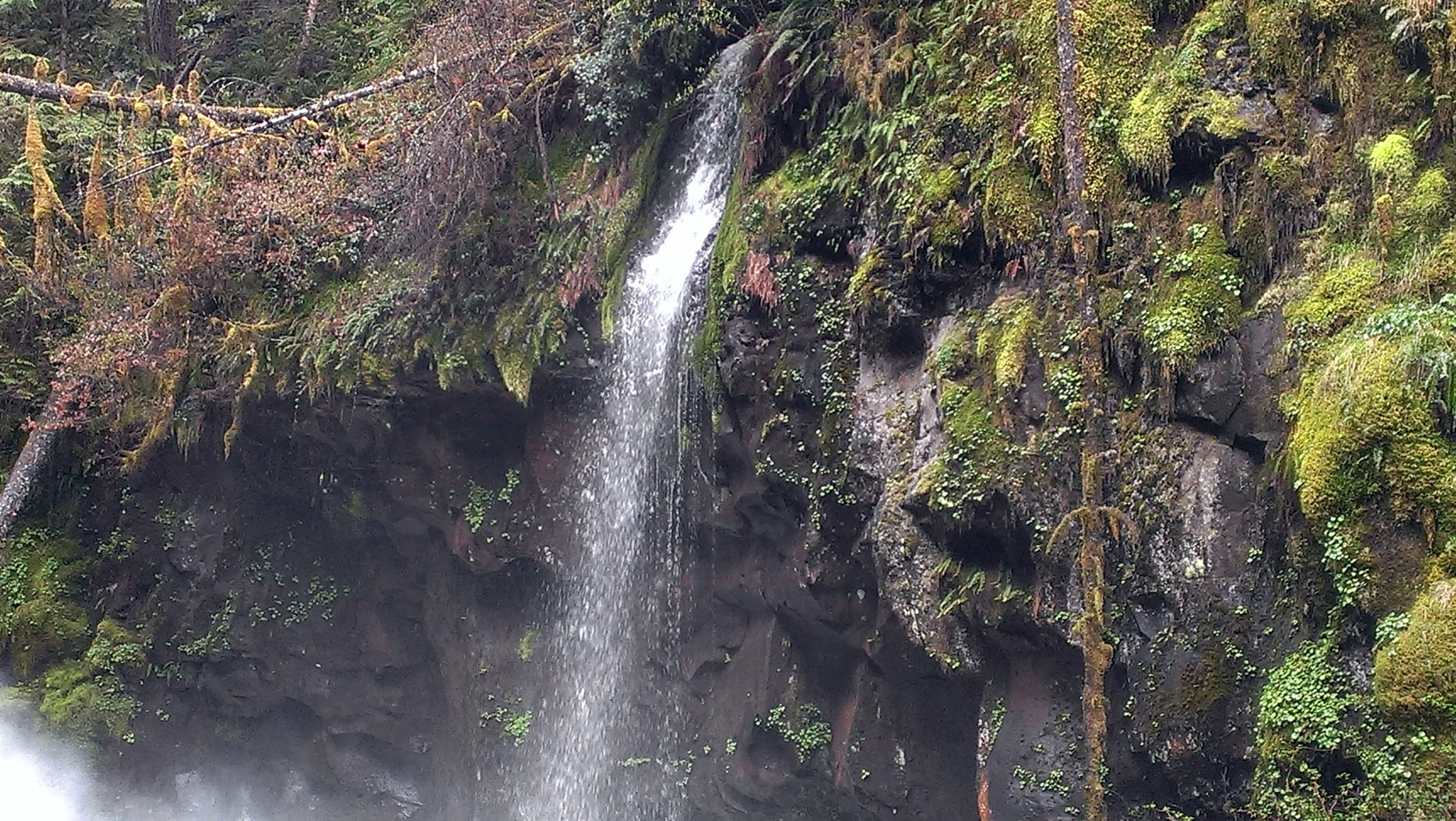
Side Creek coming into Upper Falls ampitheater on South Fork Clackamas River
Upper Falls - South Fork Clackamas River
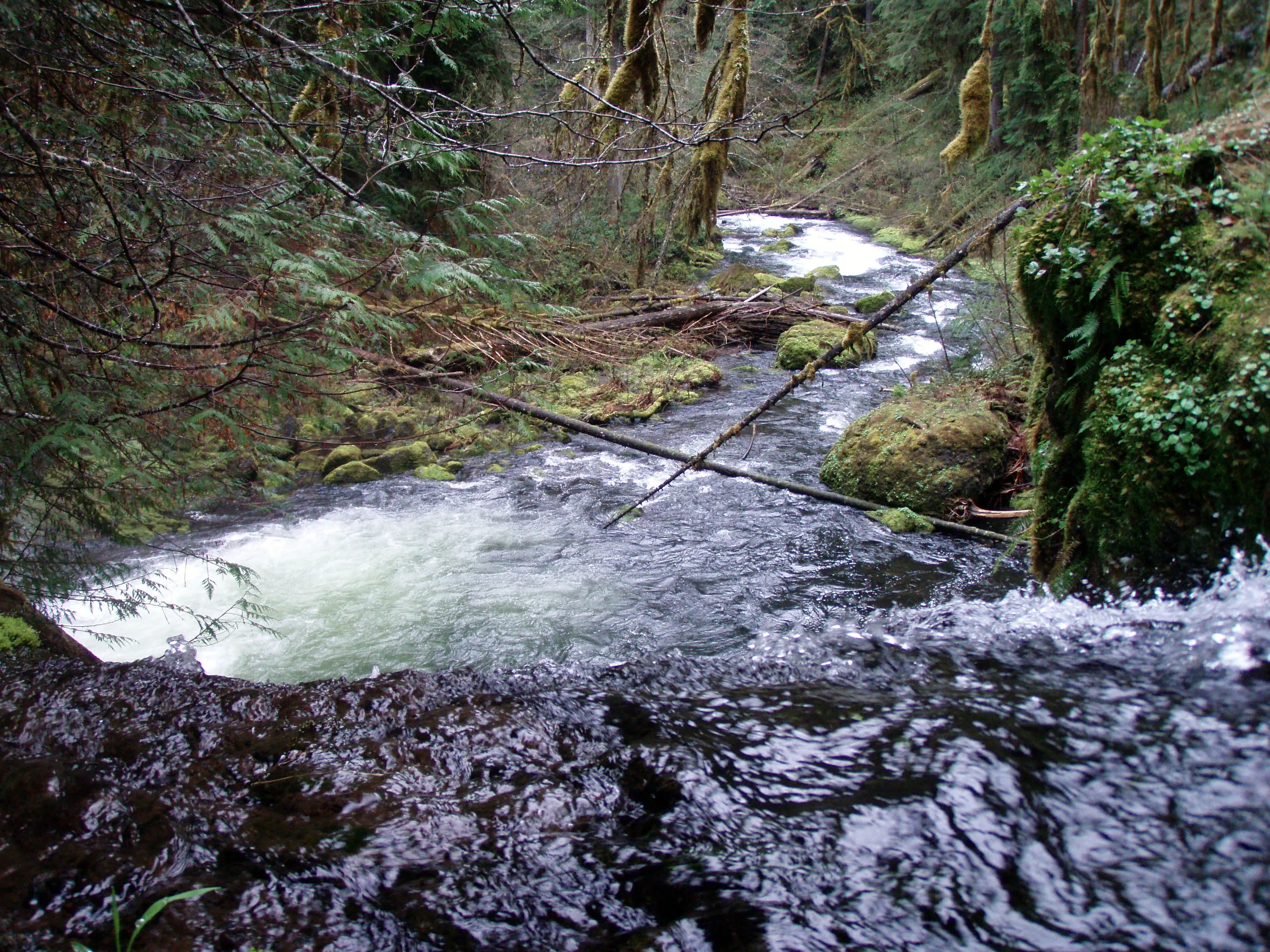
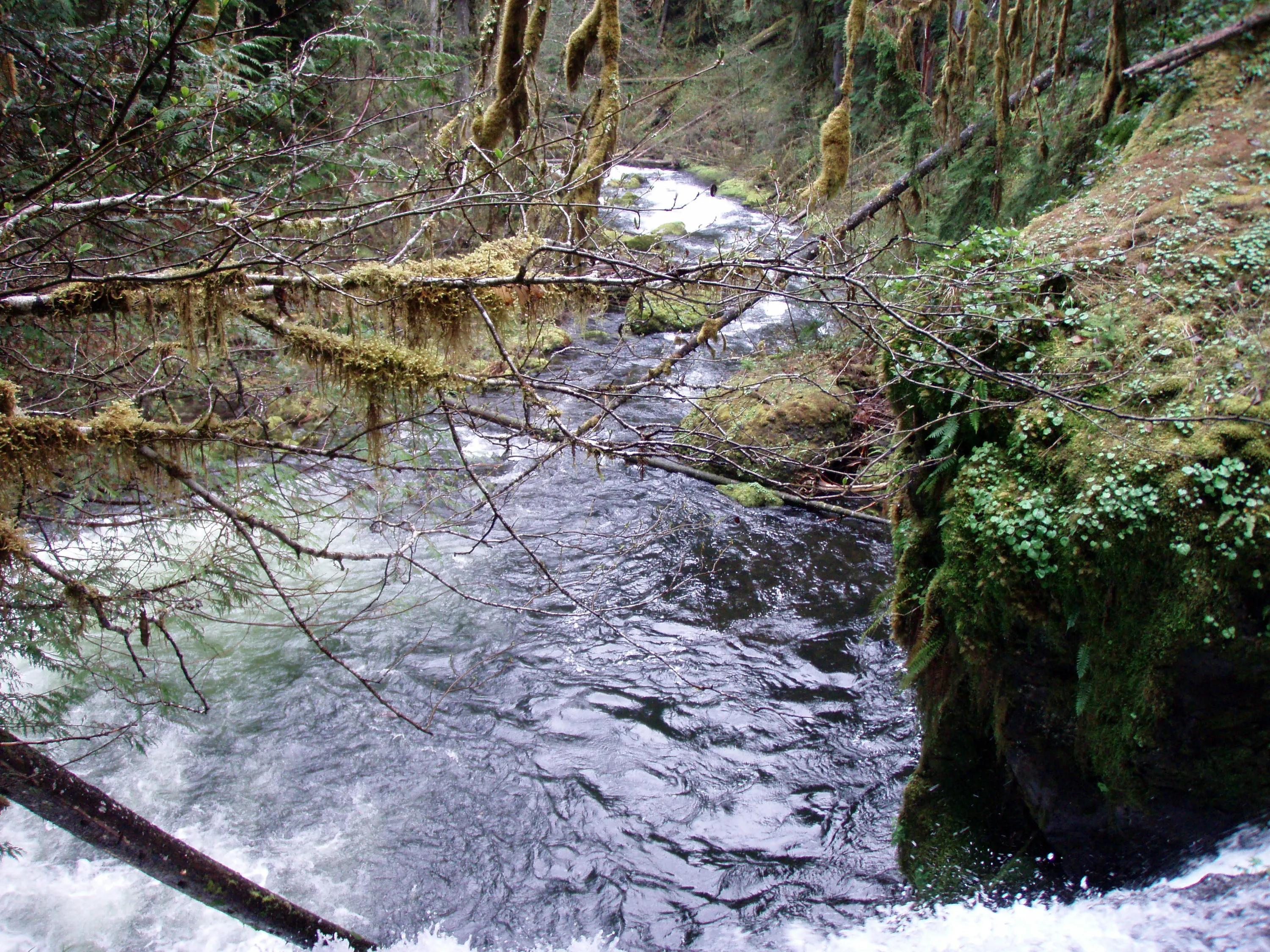
View from the top of Upper Falls - South Fork Clackamas River
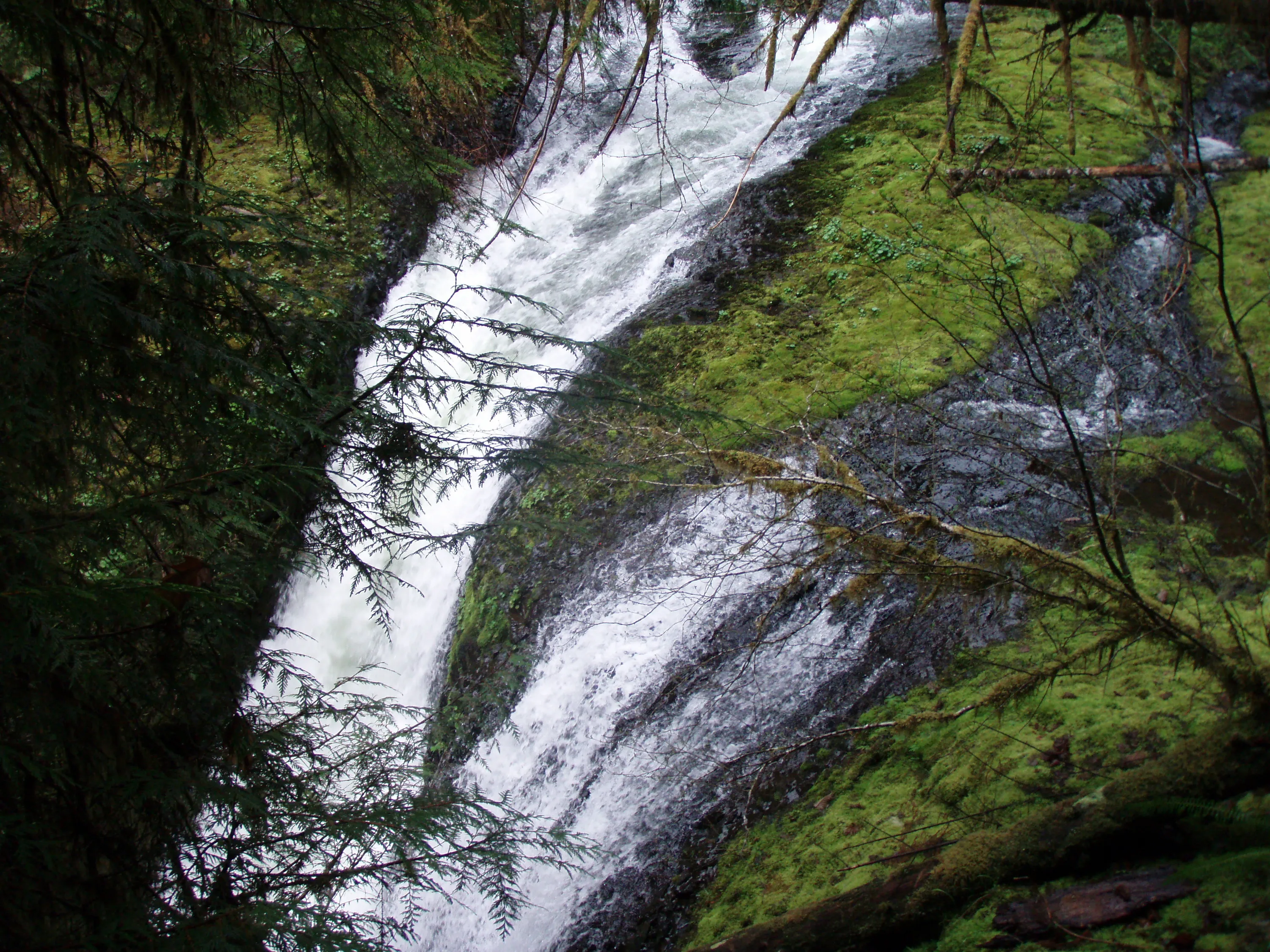
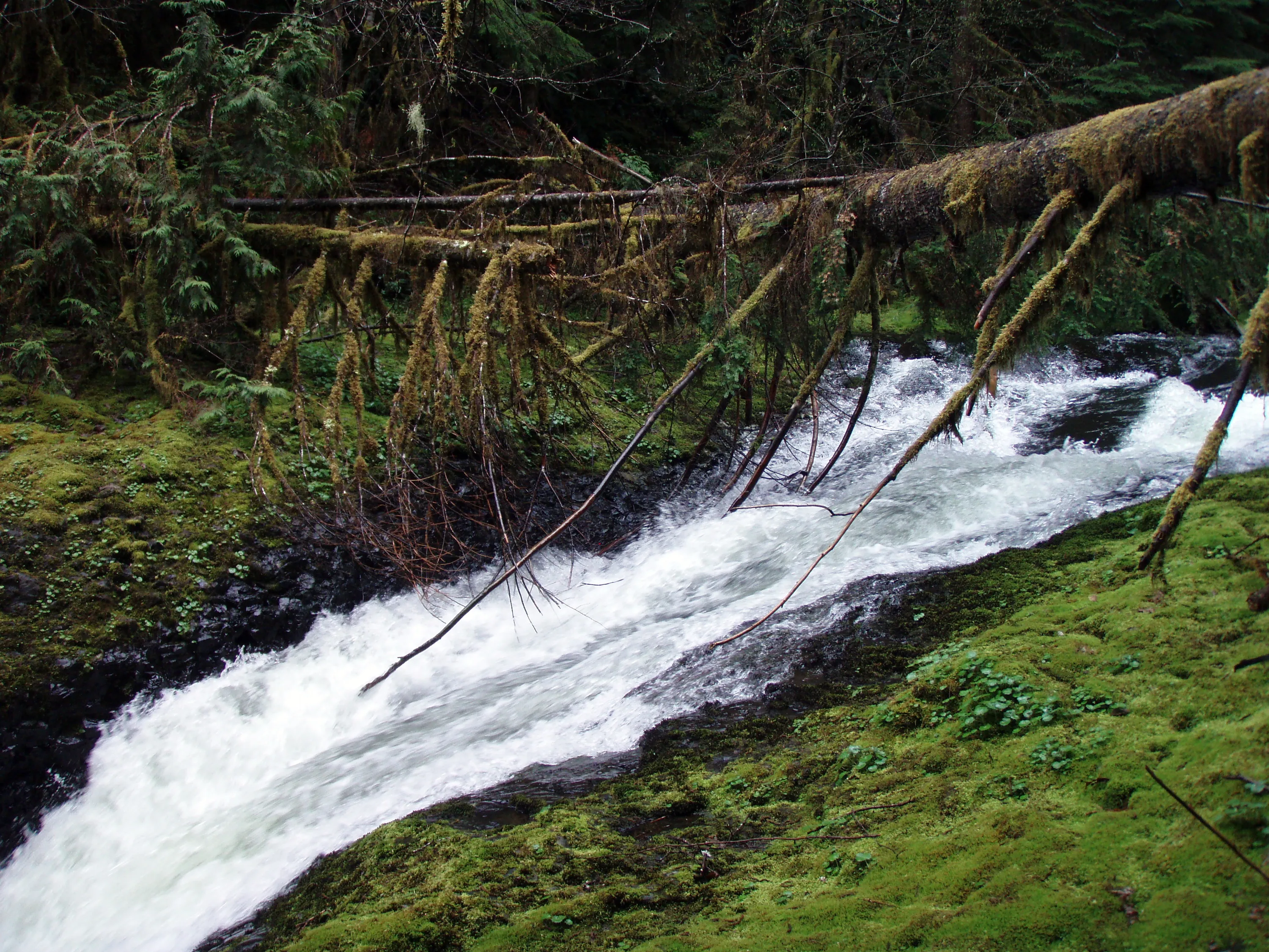
Upper Falls - South Fork Clackamas River -from the side
Top of Upper Falls - South Fork Clackamas River
View from the top of Upper Falls - South Fork Clackamas River
View of Upper Falls - South Fork Clackamas River
View from the top of Upper Falls - South Fork Clackamas River
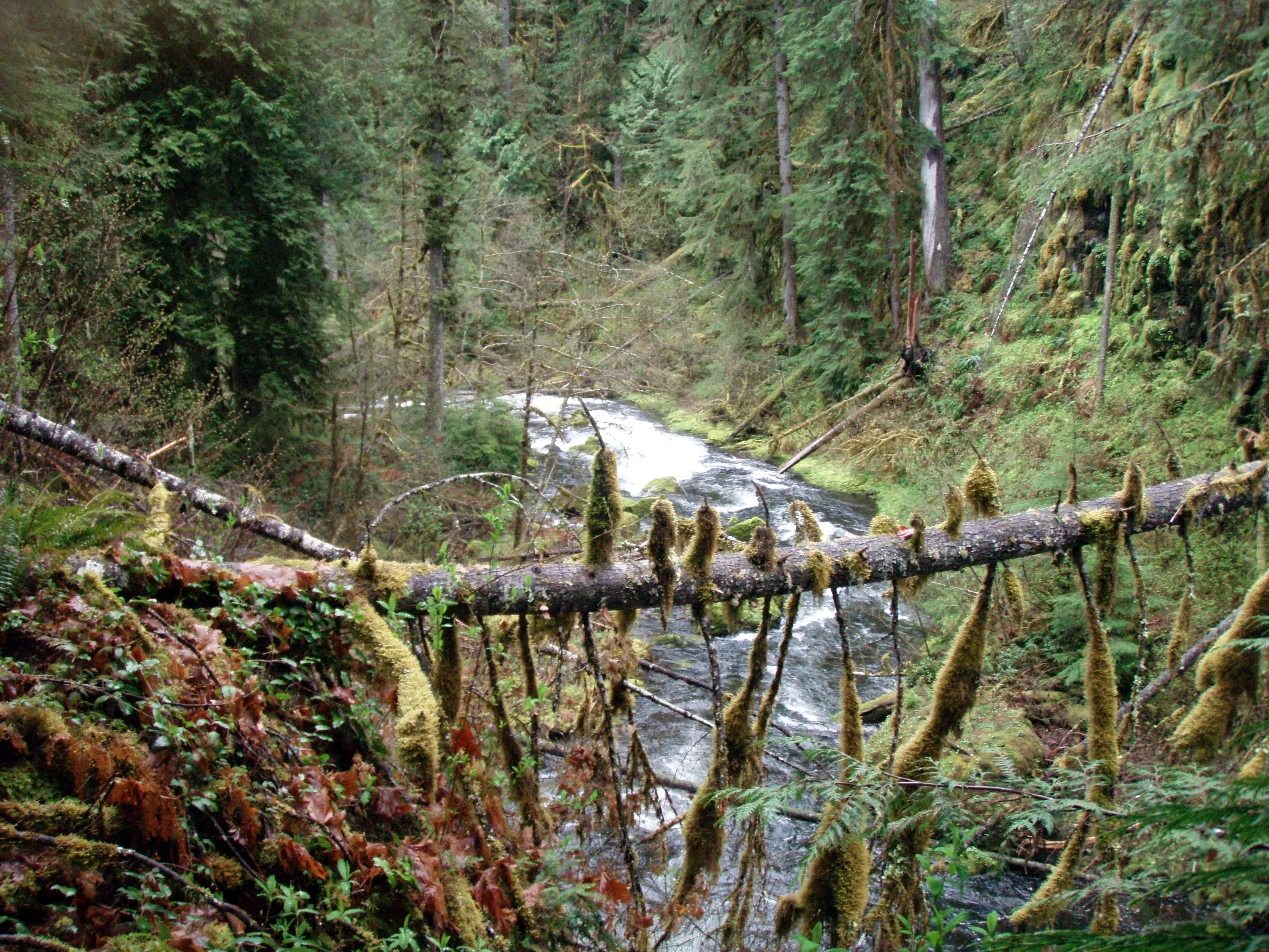
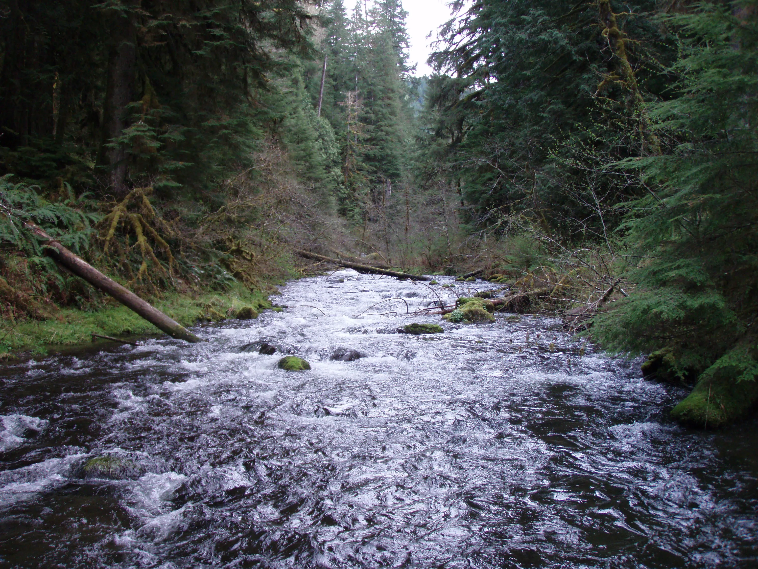
South Fork Clackamas river - splits at the top
Soutth Fork - bottom of Hillockburn trail - Trail continues up the other side
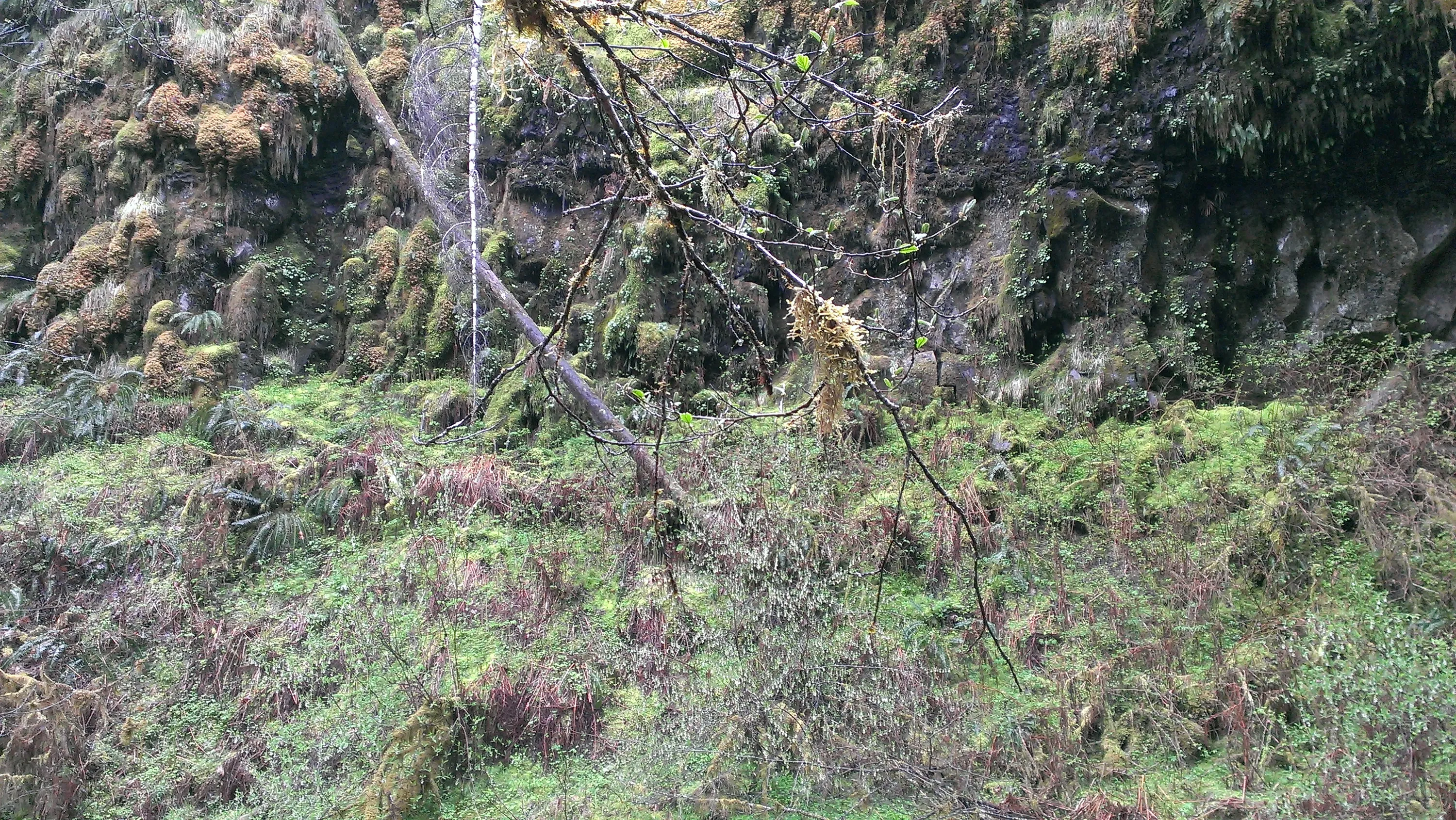
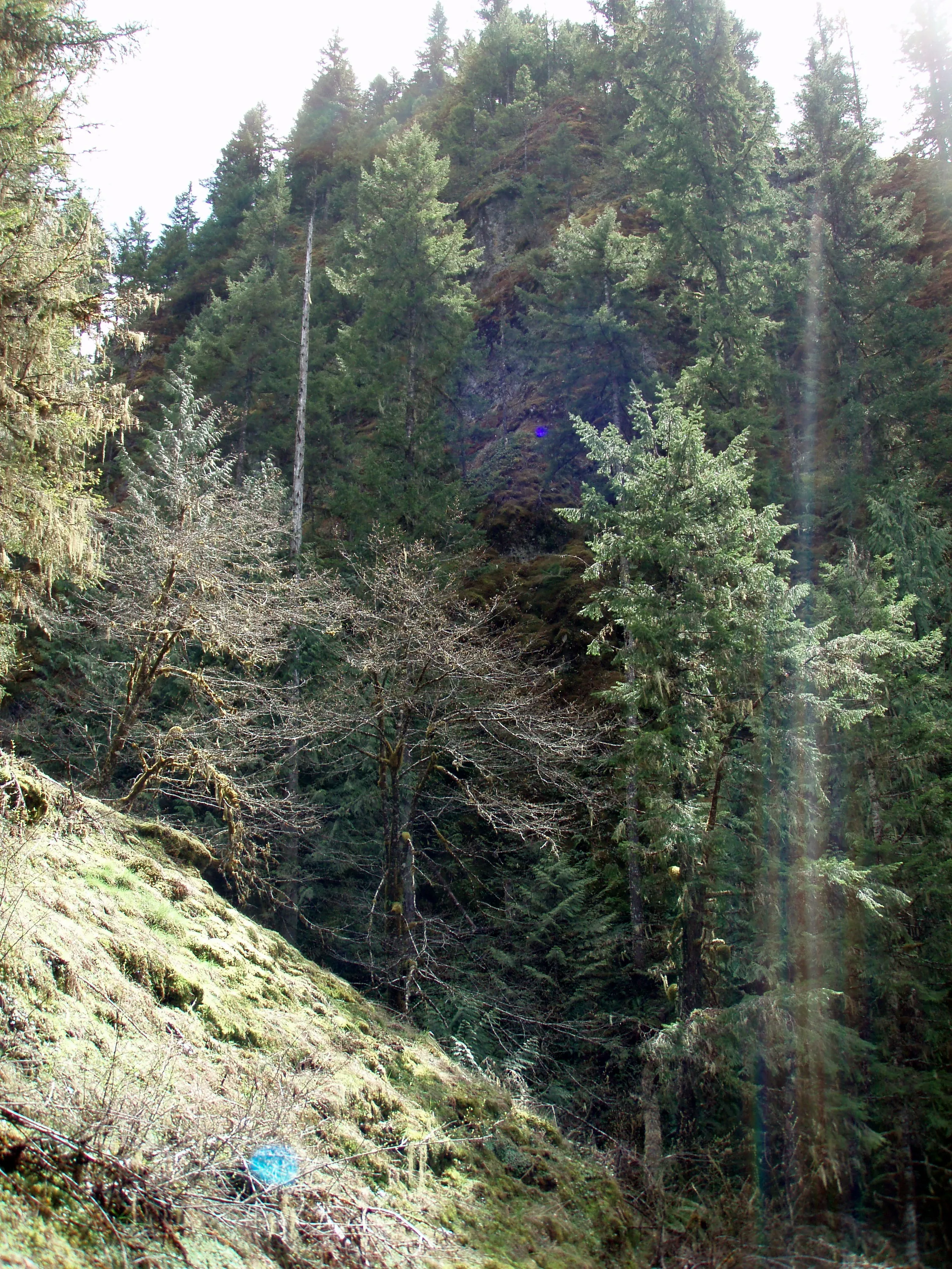
Cliff Above South Fork Clackaams River
Waterfall on side creek - South Fork Clackamas River
Upper Meadow - East side above South Fork Clackamas River
Interesting Rock Formation - East Side of South Fork Clackamas River
Trail on east side of South Fork Clackamas River - Old Memaloose Trail according to 1956 map
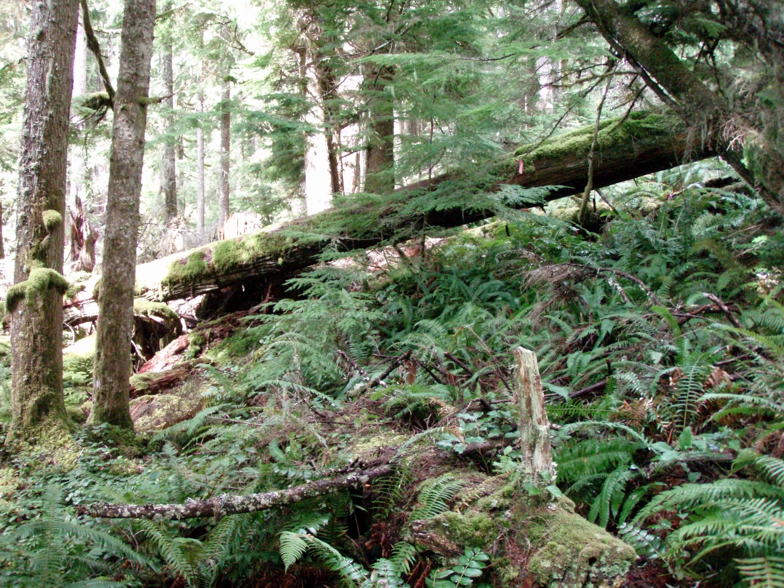
Memaloose Trail - upper section - gets rather tough to follow with all the downed logs - This was where we turned around
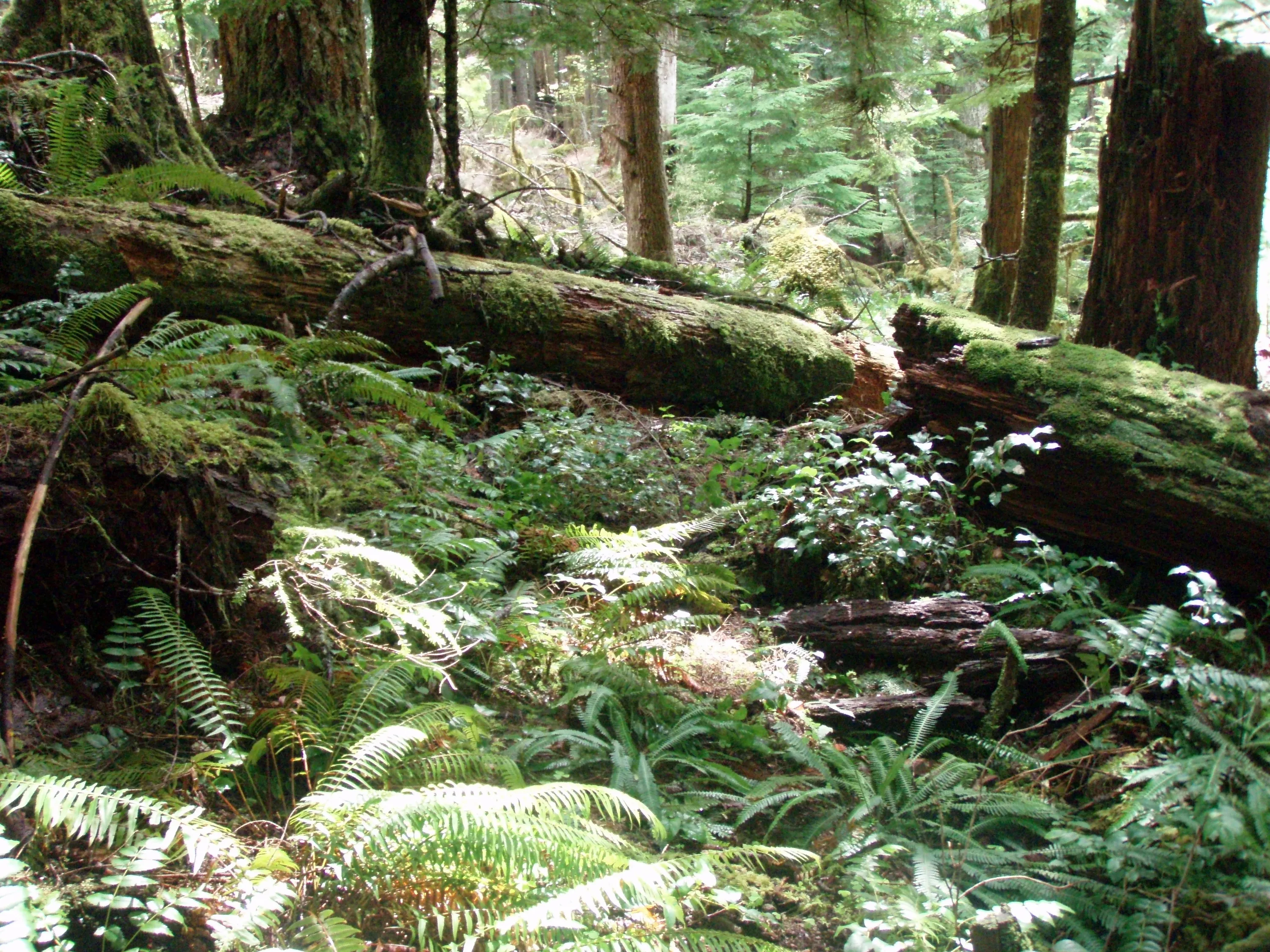
Upper Memaloose Trail - BIG logs
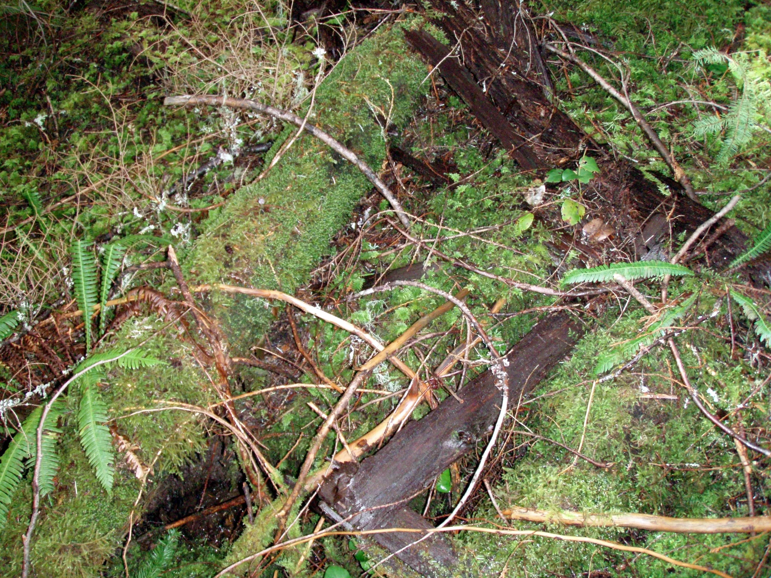
Old Bridge on Memaloose Trail
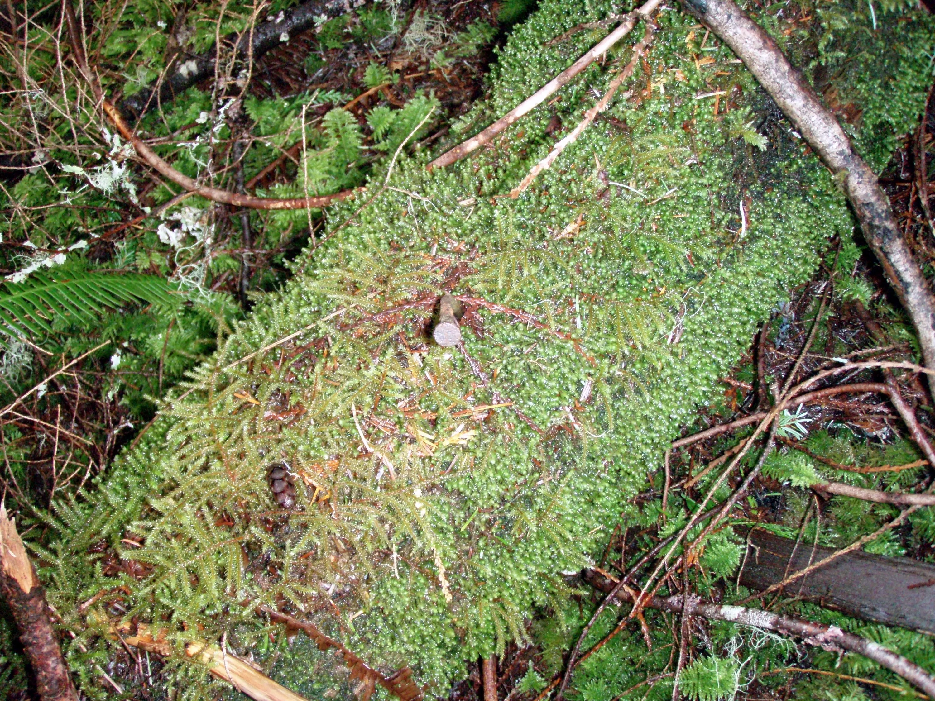
You can see the old nails from the old bridge
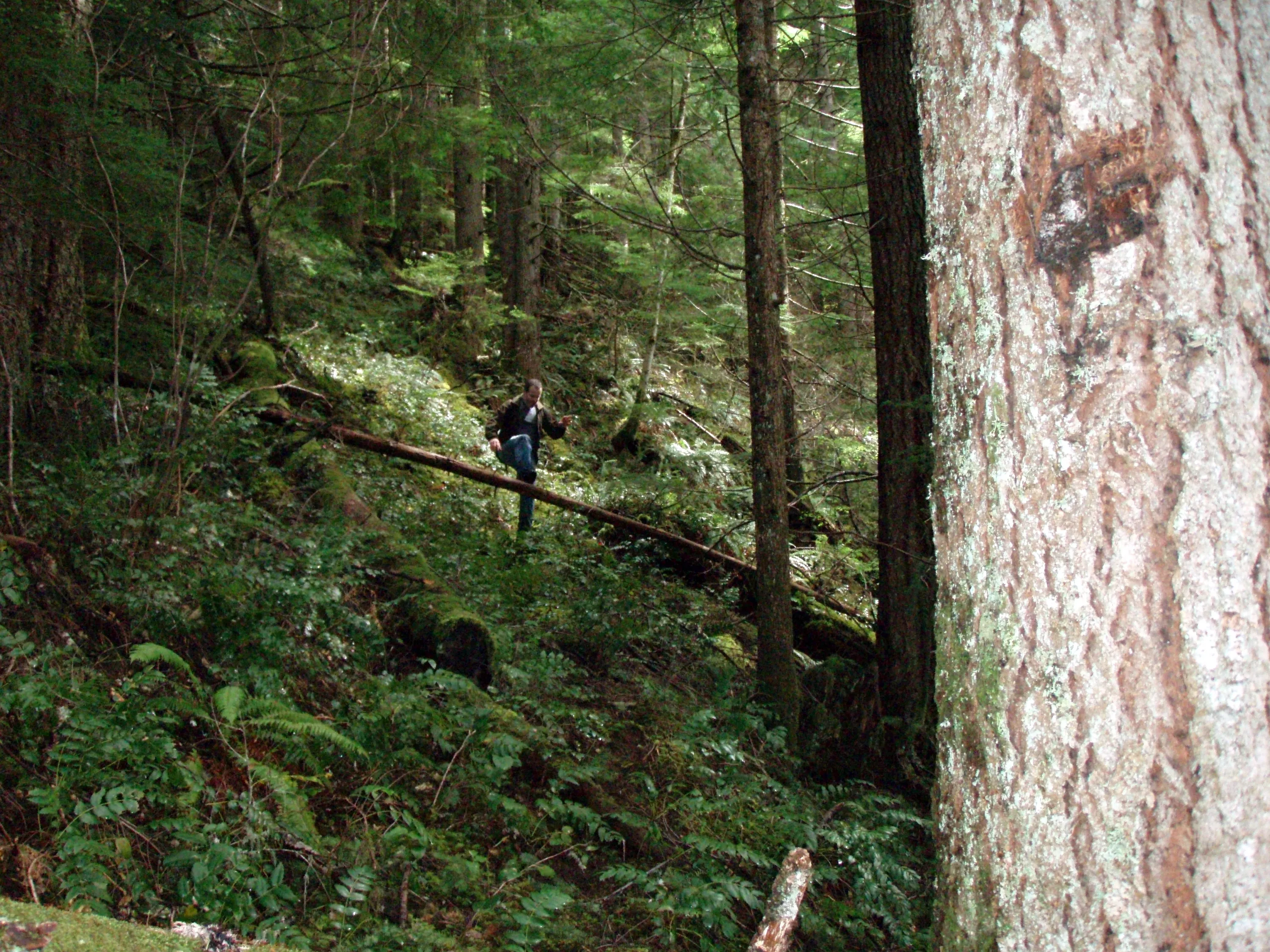
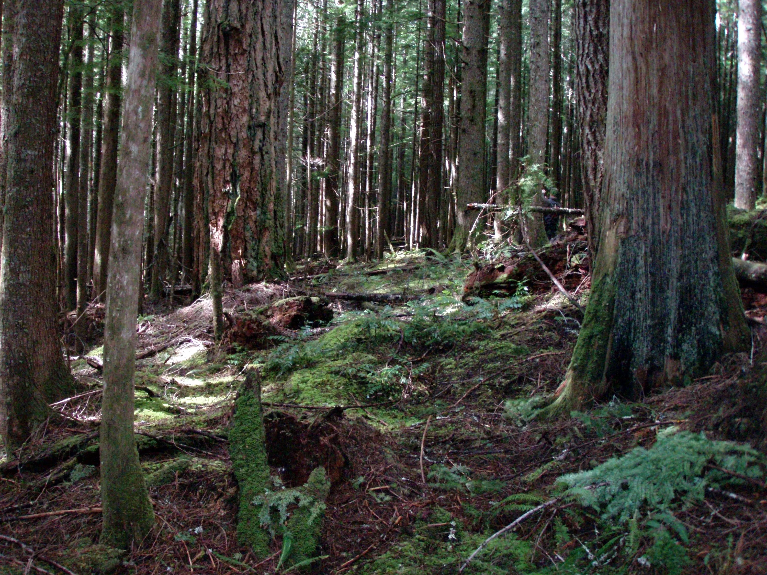
Some of the BIG trees on the Memaloose trail
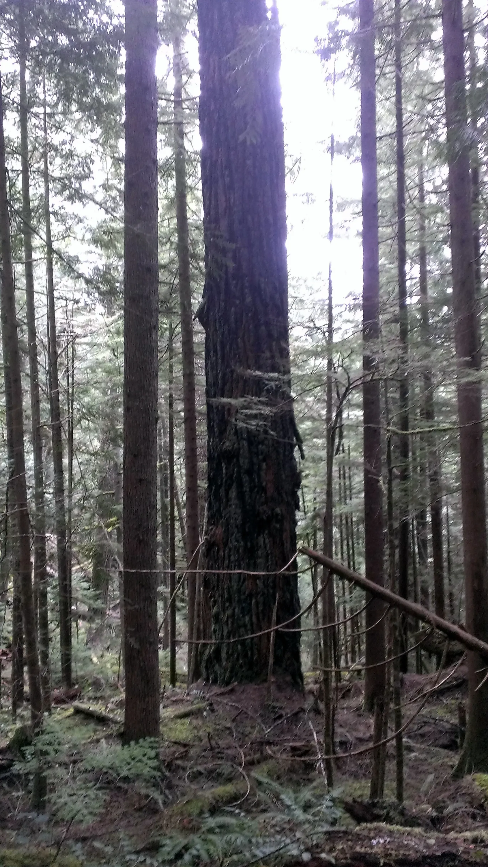
A really big tree that has gone through at least one big fire
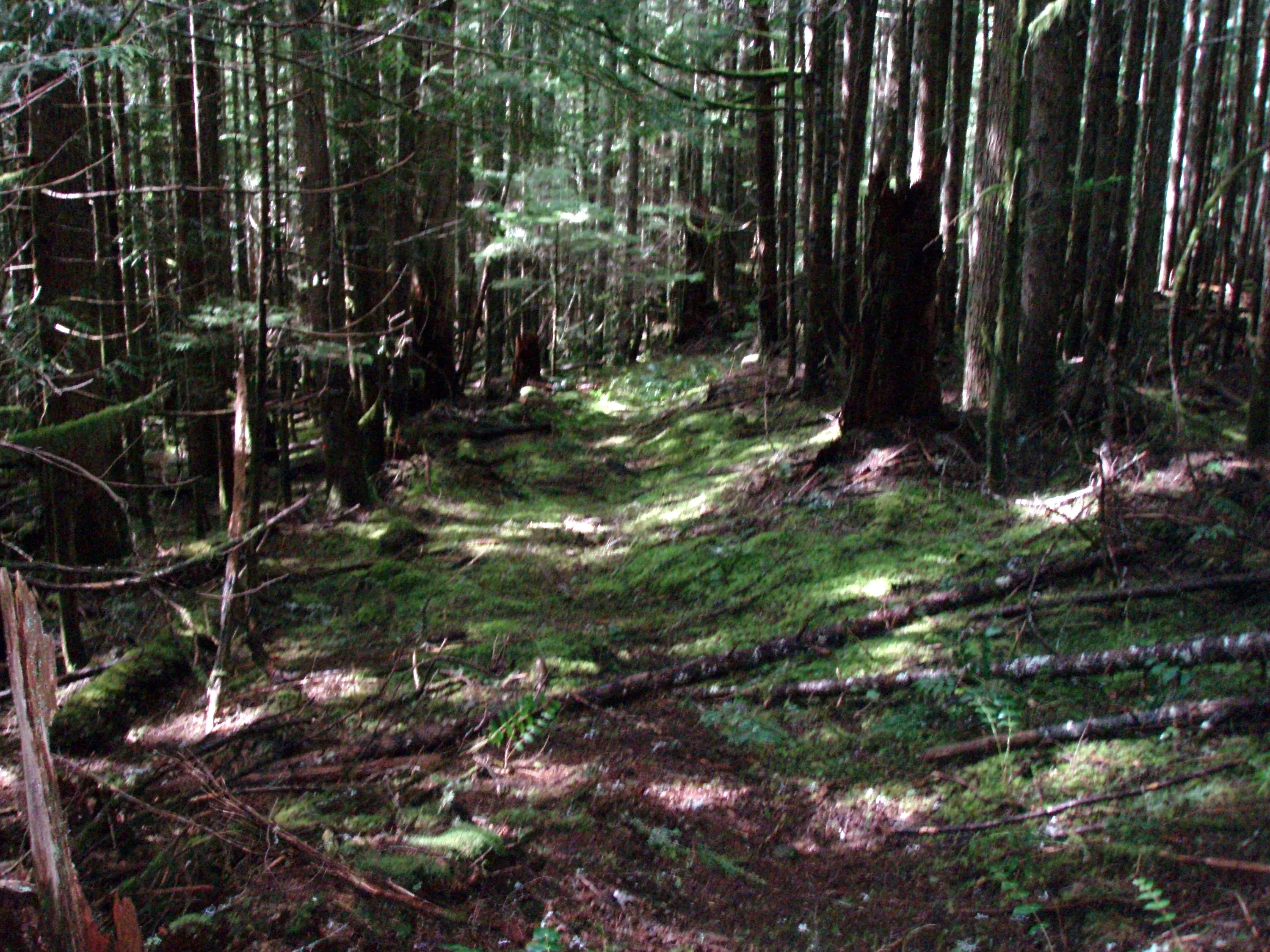
Some of the easy to follow trail on Memaloose trail
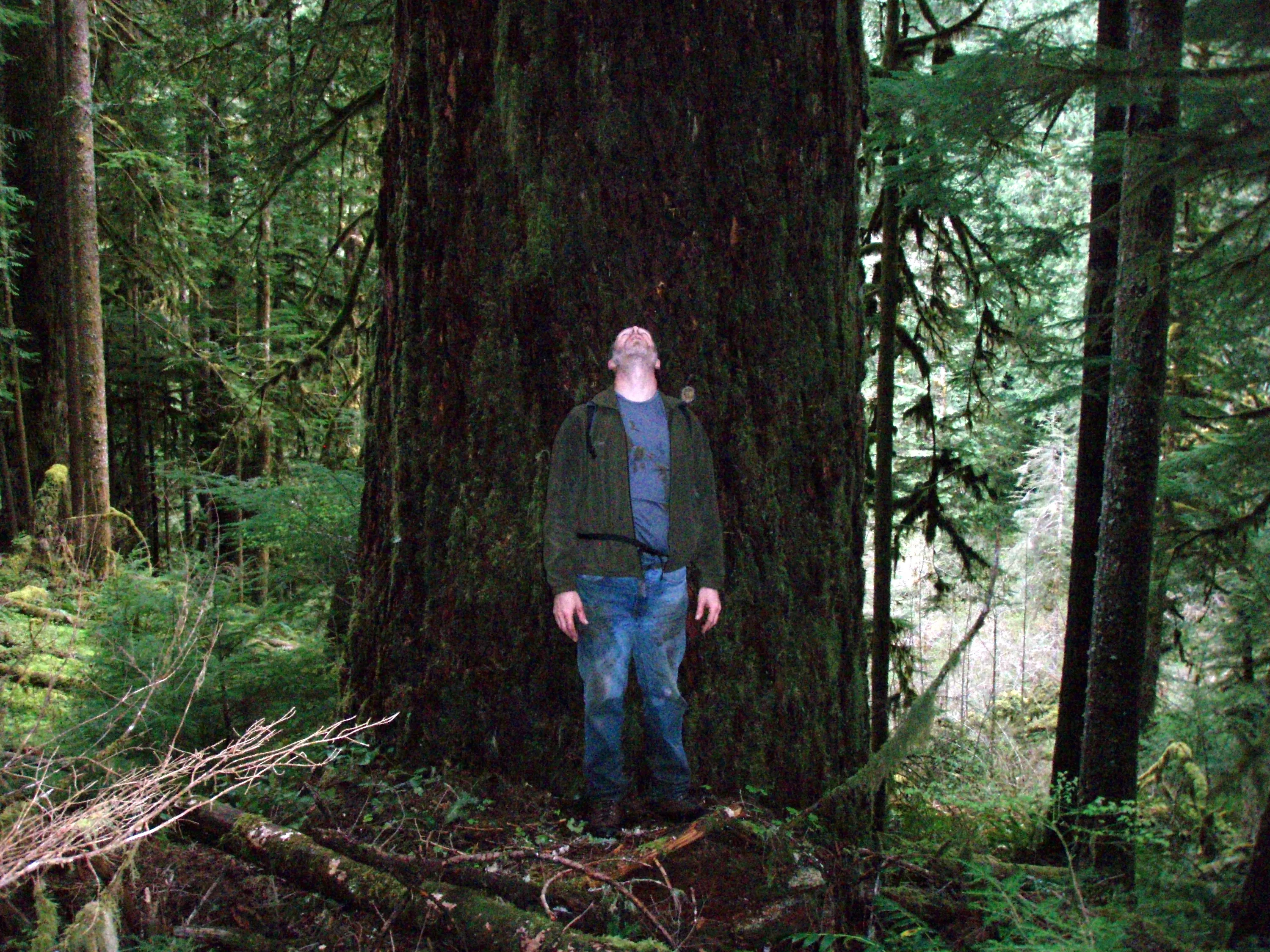
One of the REALLY BIG trees on Memaloose trail