Robs Hiking Diary
Search
Search for:
Search
Hikes
2013
Old Hillockburn Trail - Silvacultural Research Station
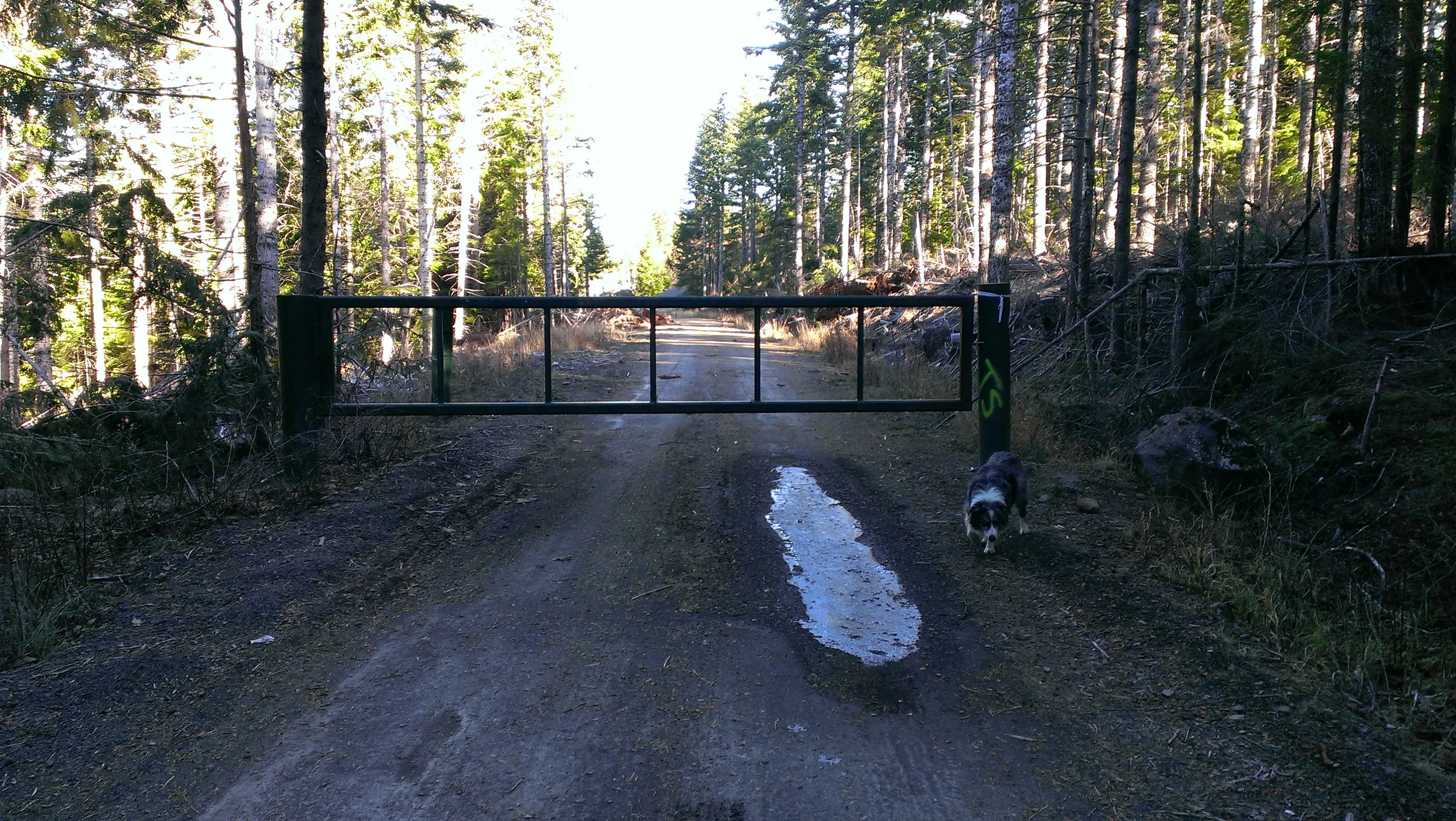
The locked gate right where spur 220 meets it. We will have to walk in.
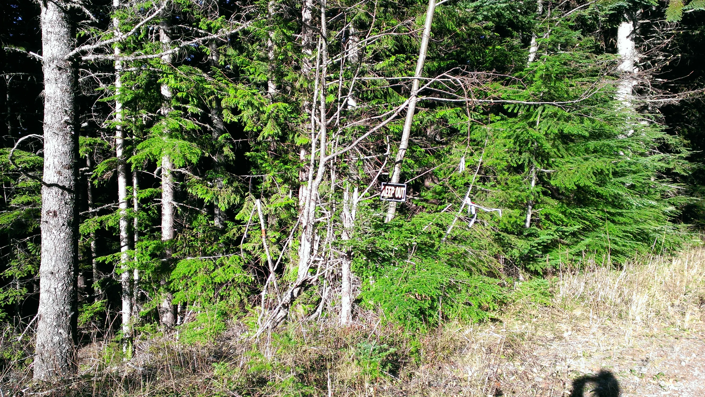
I have no idea what this "Keep Out" sign was for. It looked out of place.
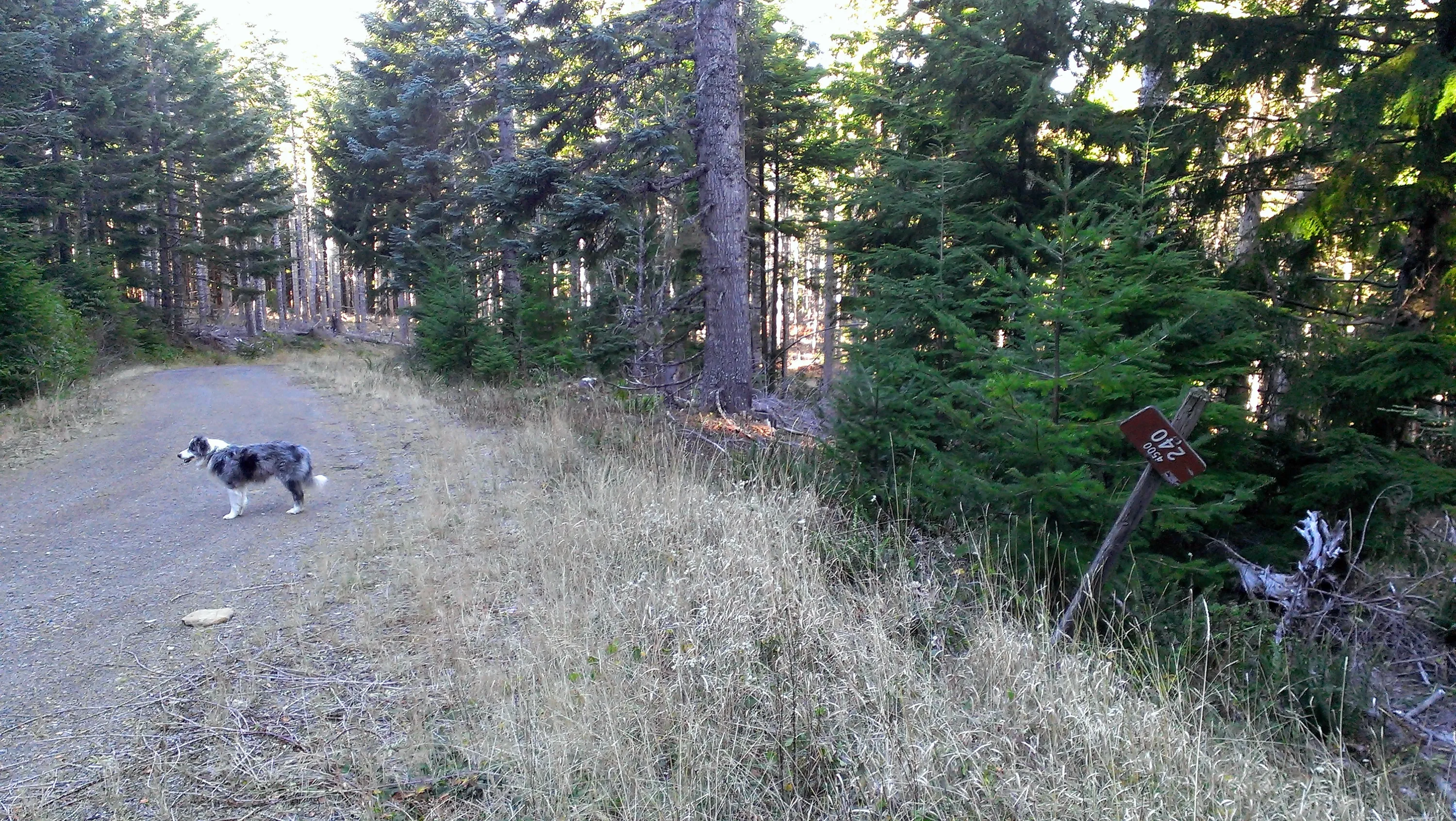
The 240 Spur junction - the sign has seen better days
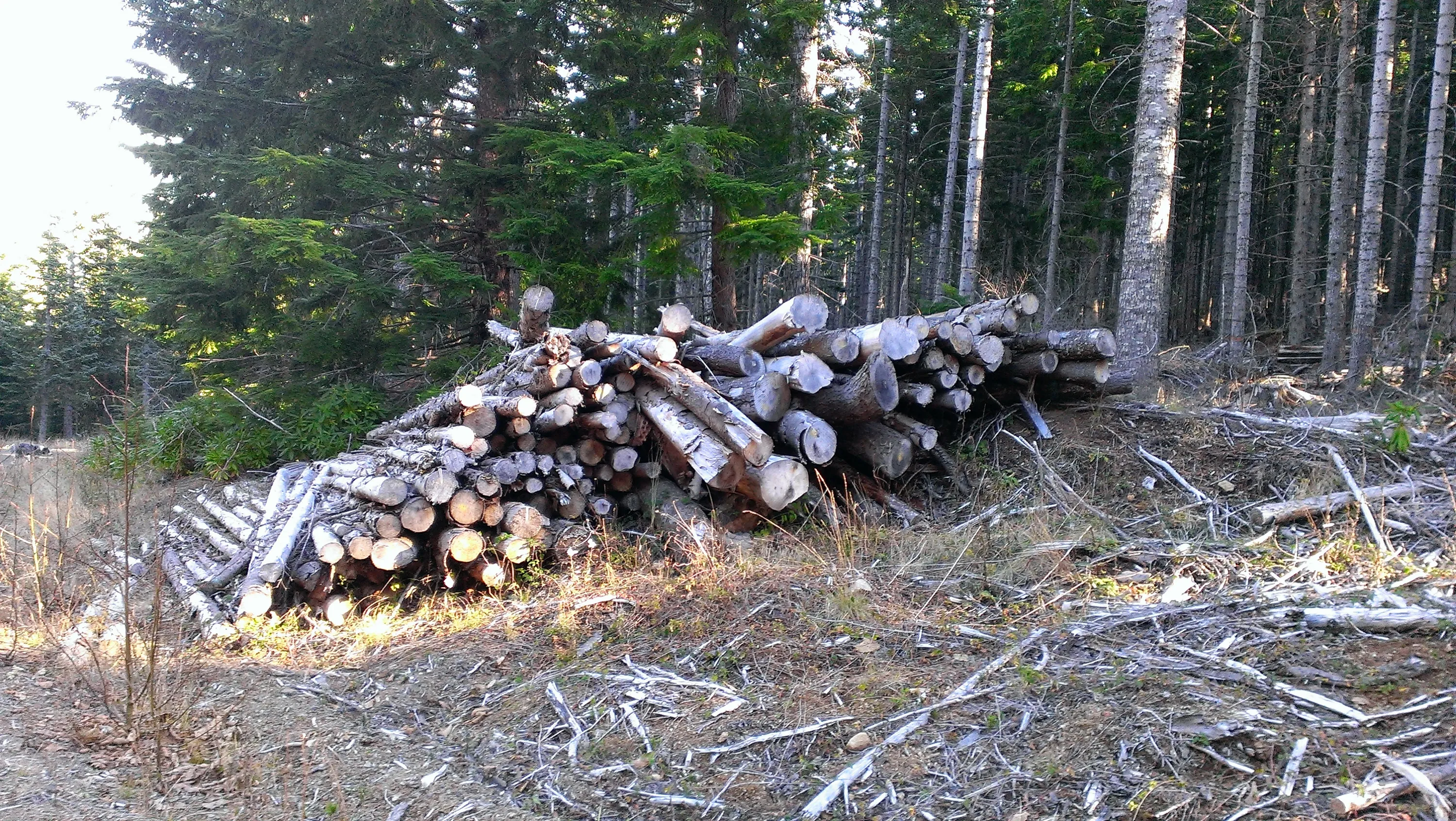
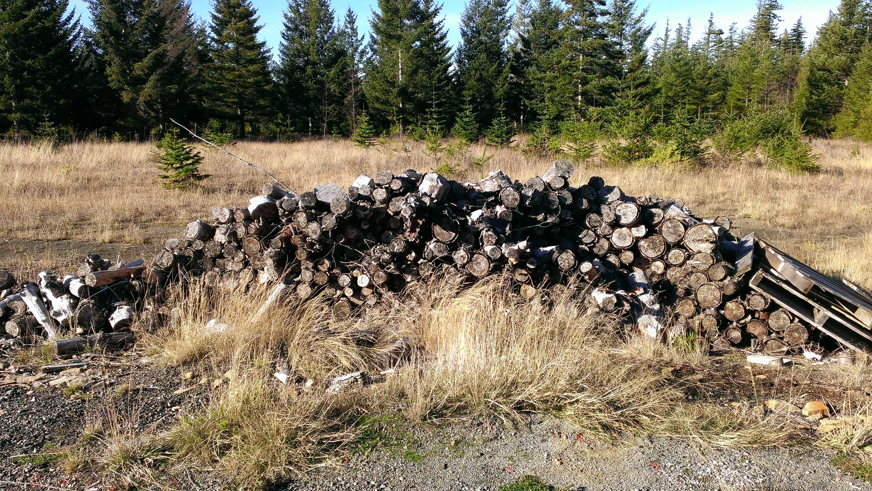
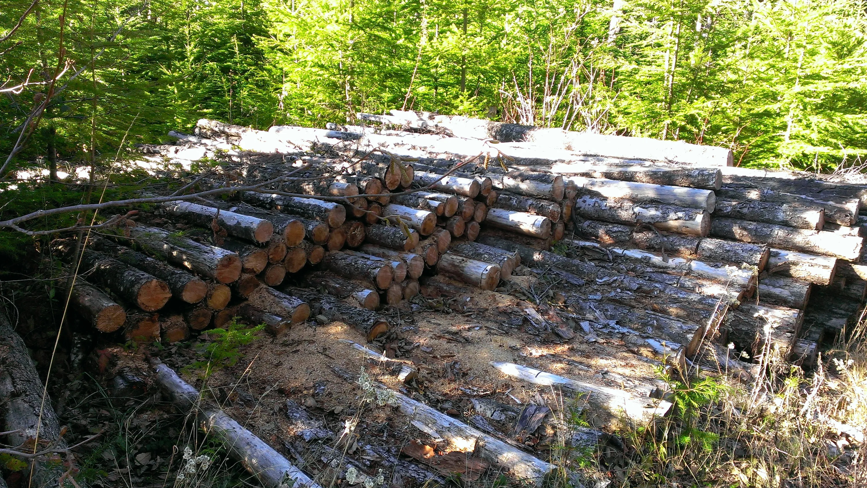
What a waste! There is probably 15 cords of firewood sitting here
Starting into the Silvacultural research area - it is on both sides of the road
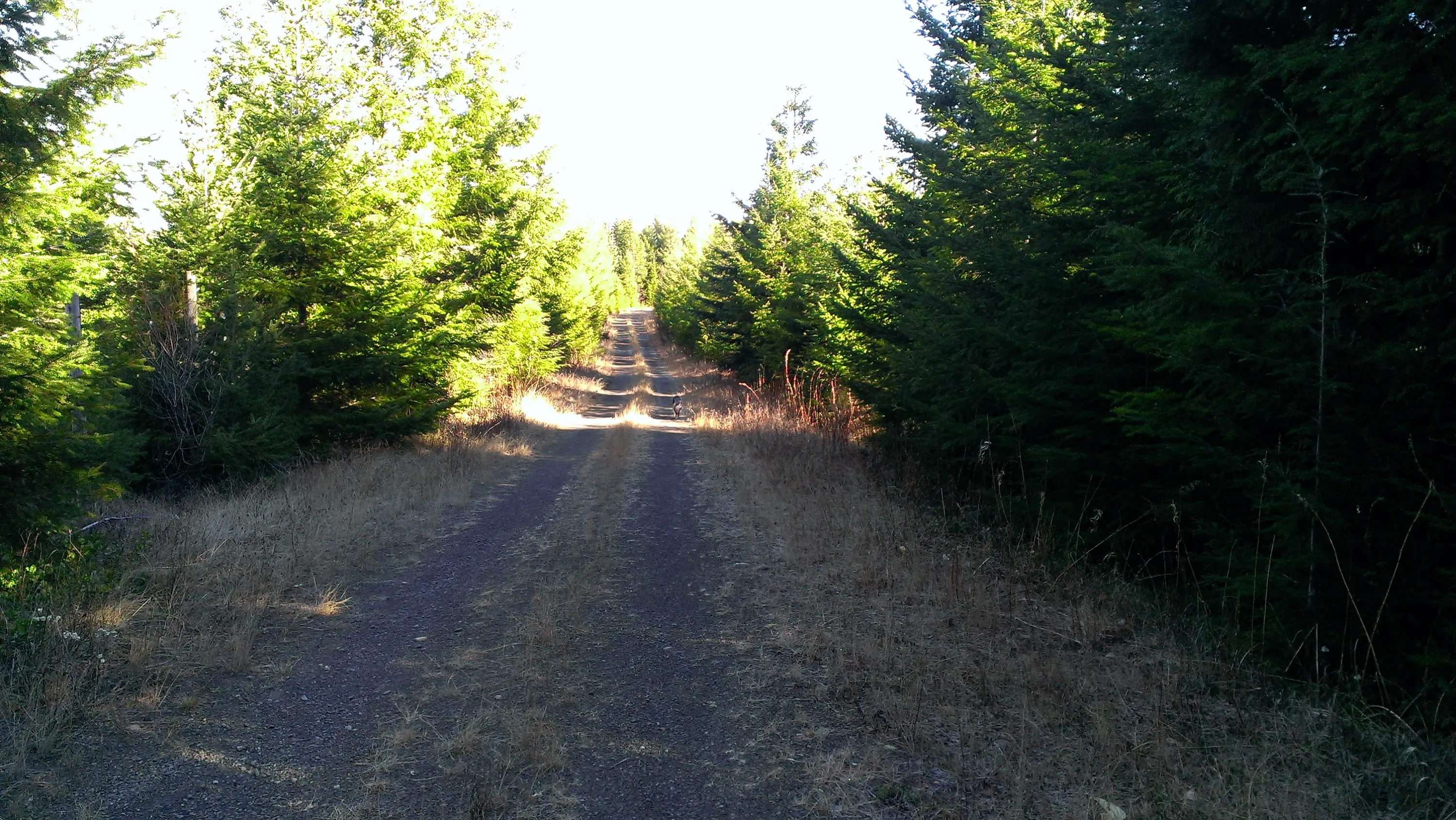
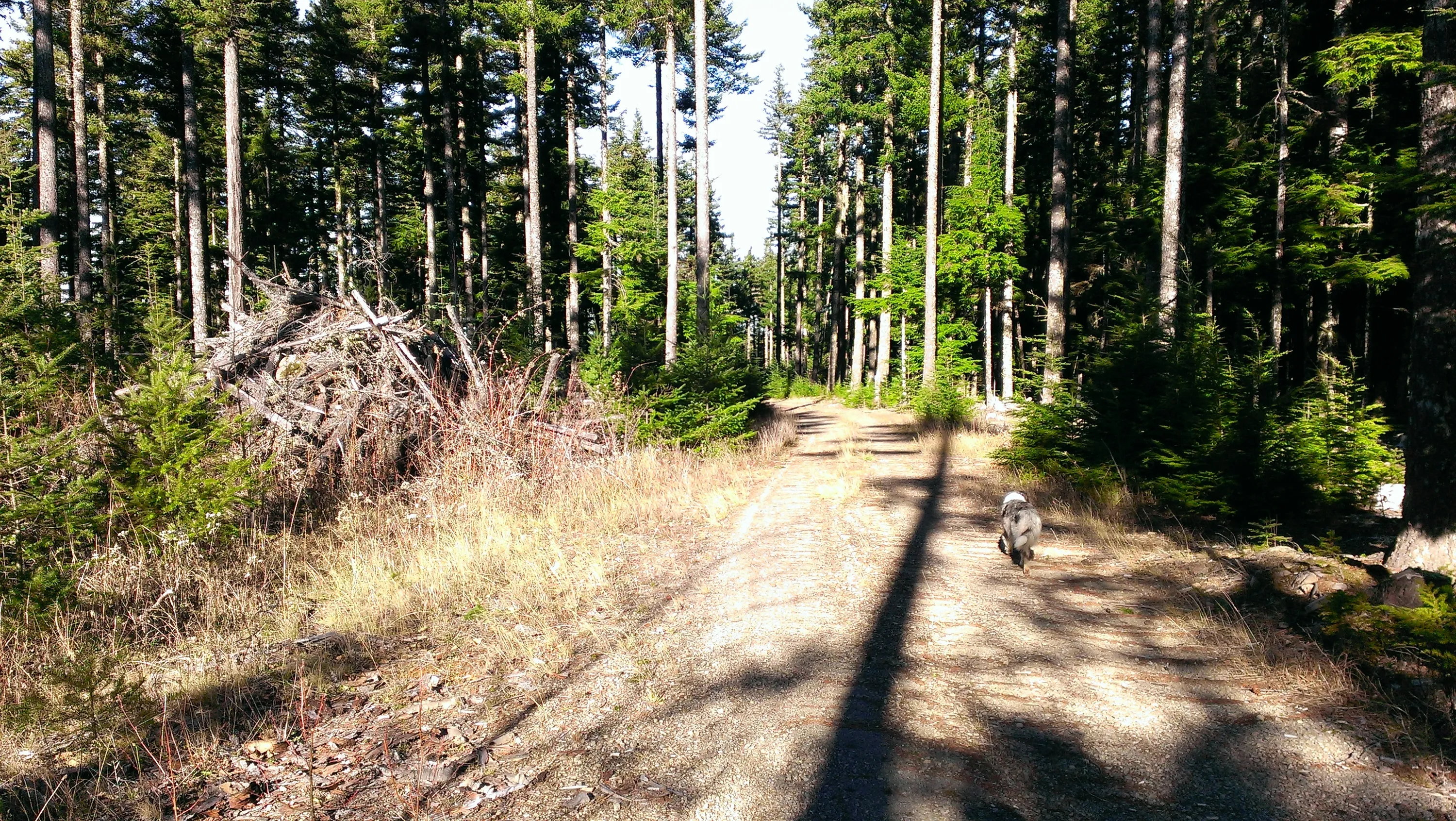
The 240 spur road - in pretty good shape - the Research area is on both sides of the road
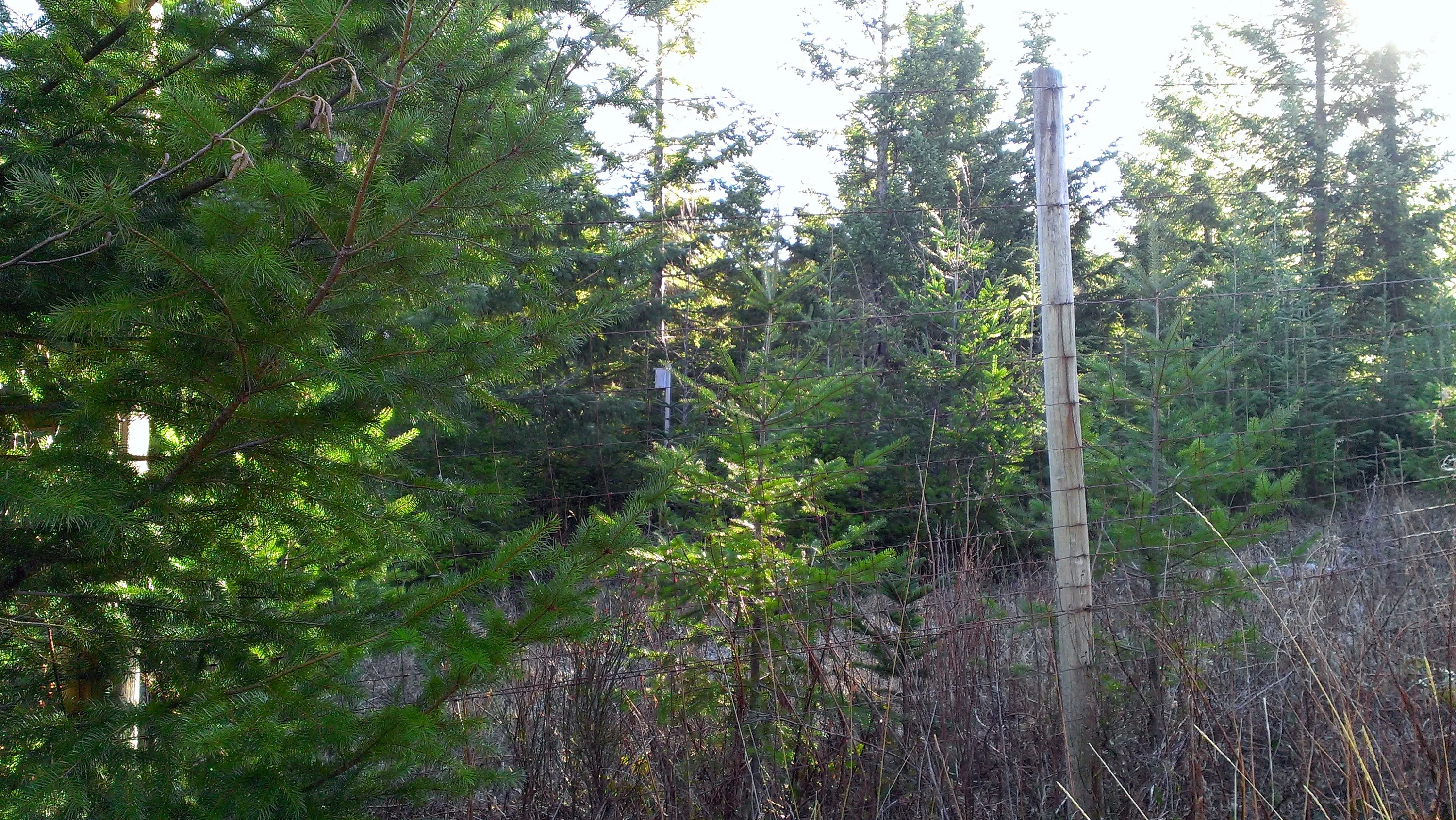
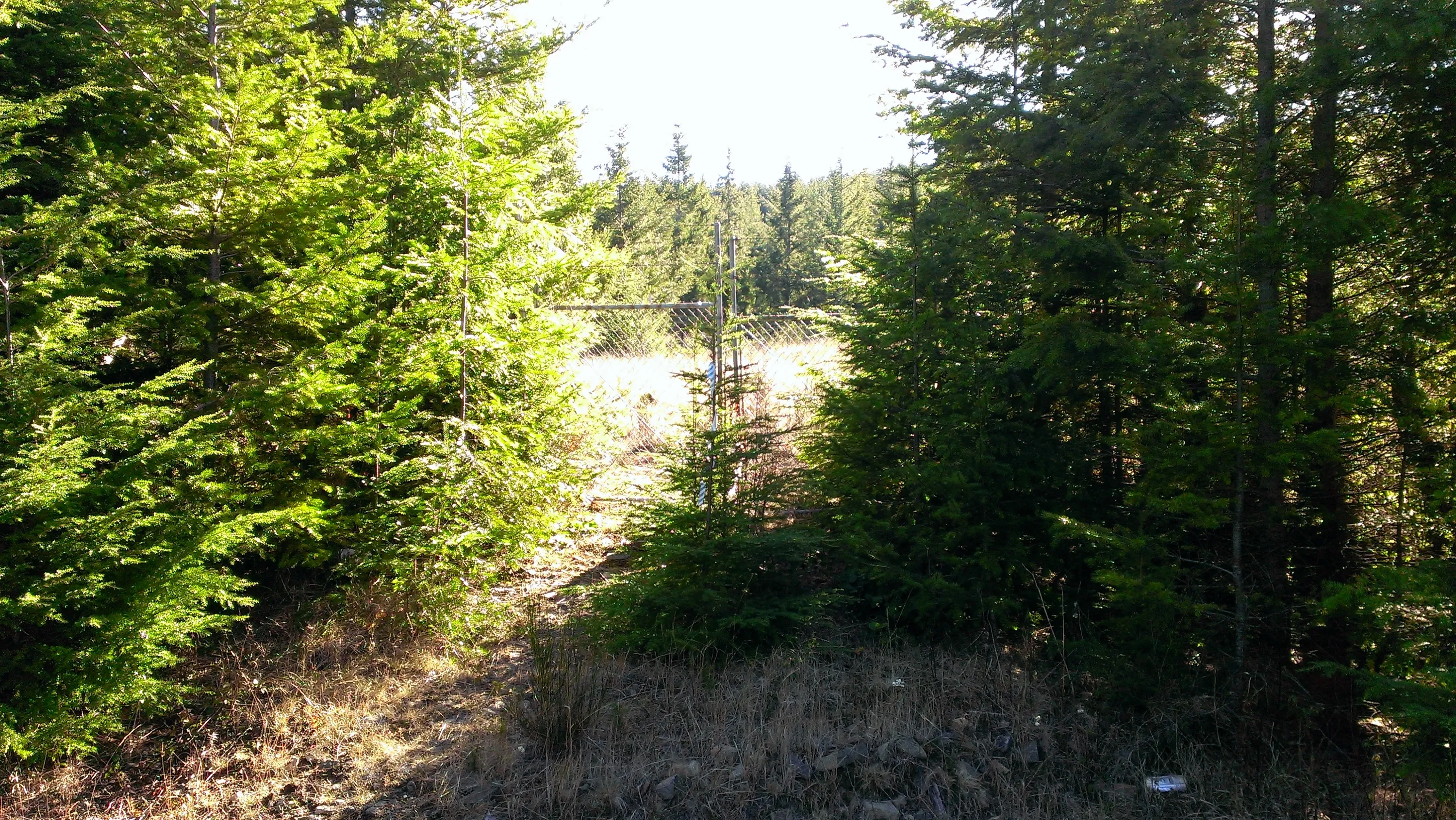
Here is a gate into the area on the north side of the road - it is obvious it hasn't been used in a long time - see the trees growing in front of the gate
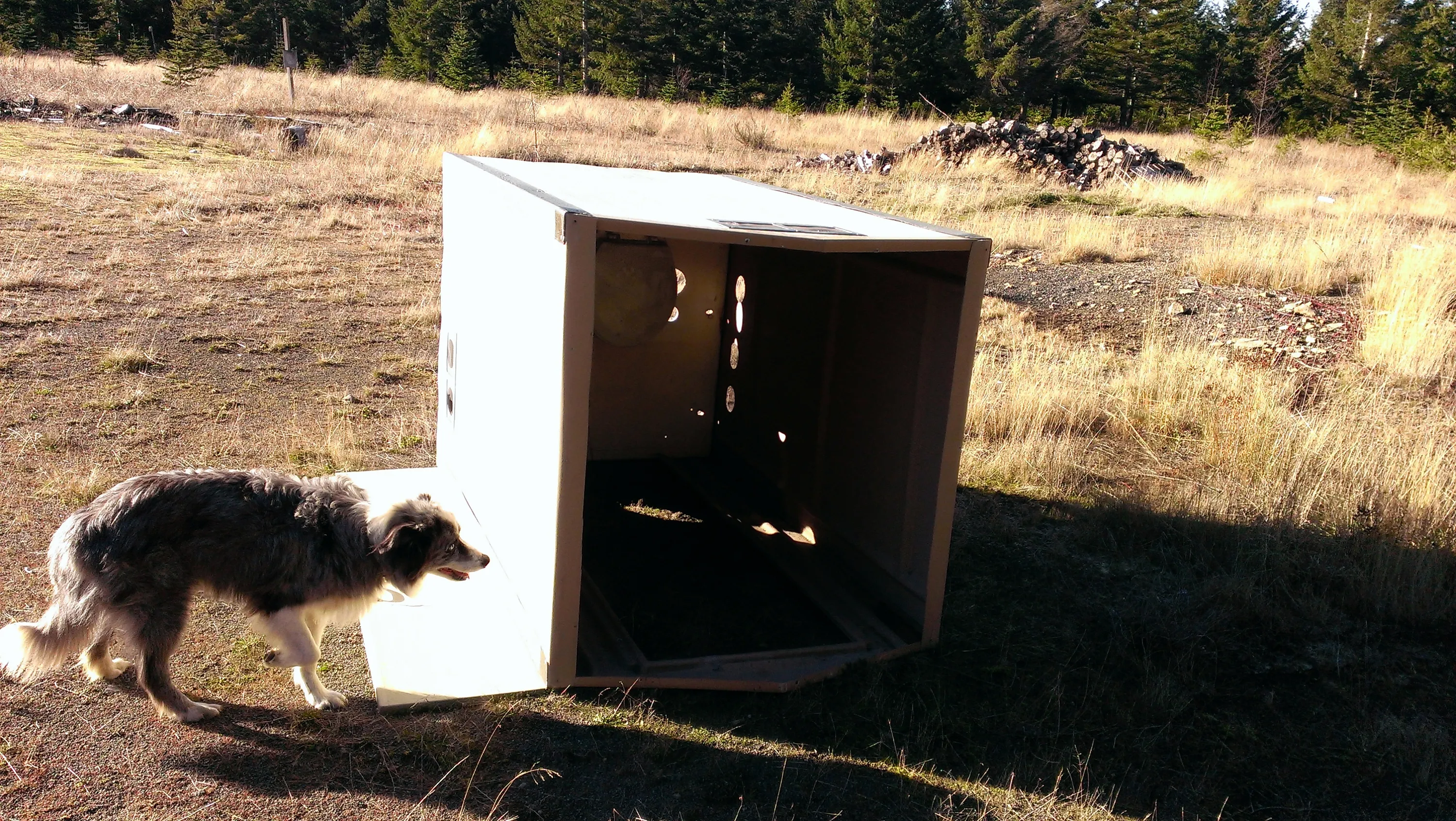
Looks like an out outhouse (on its side) at the site of the old reasearch facility.
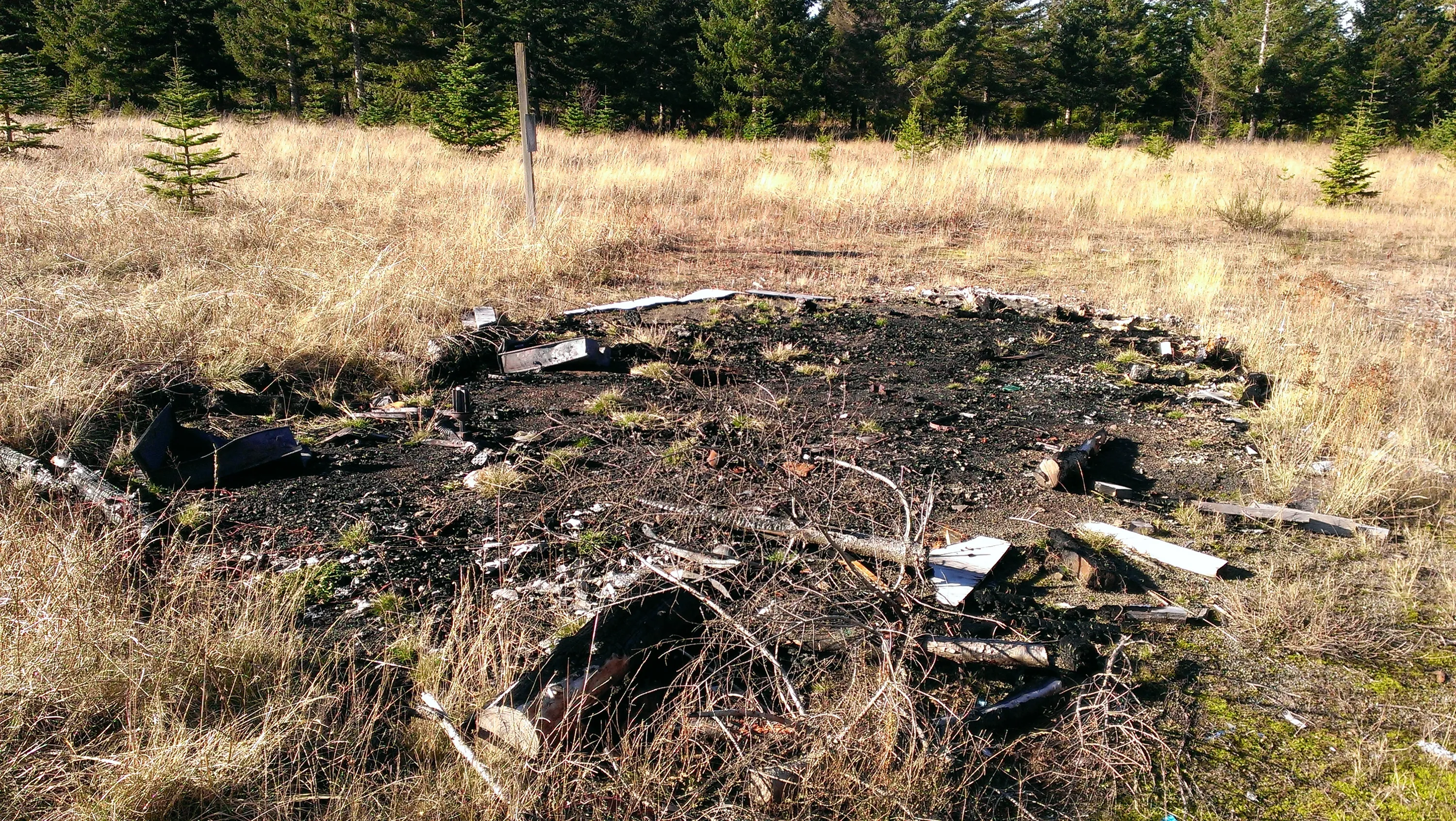
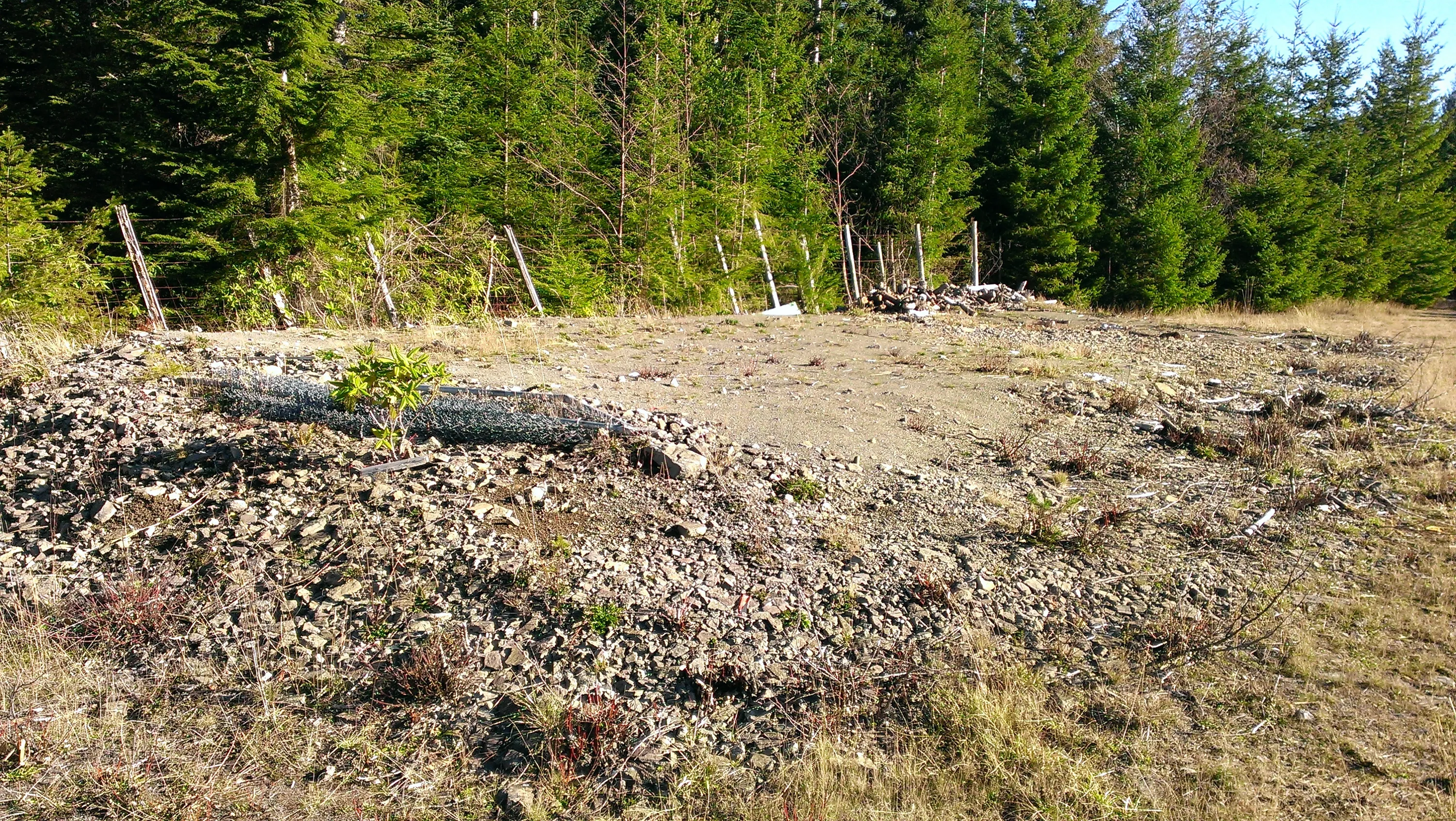
The remains of what was probably the ressearch building. Someone burned it down.
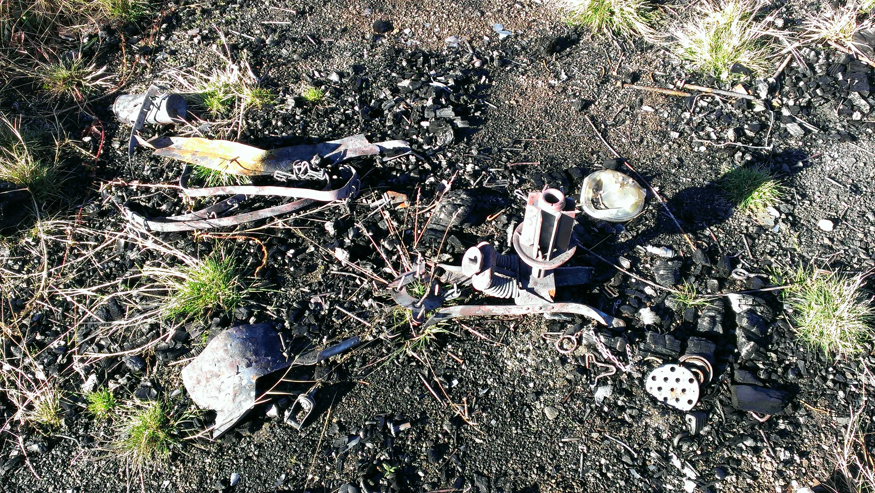
Burned artifacts from the building. I think the thing right of center is from an office chair.
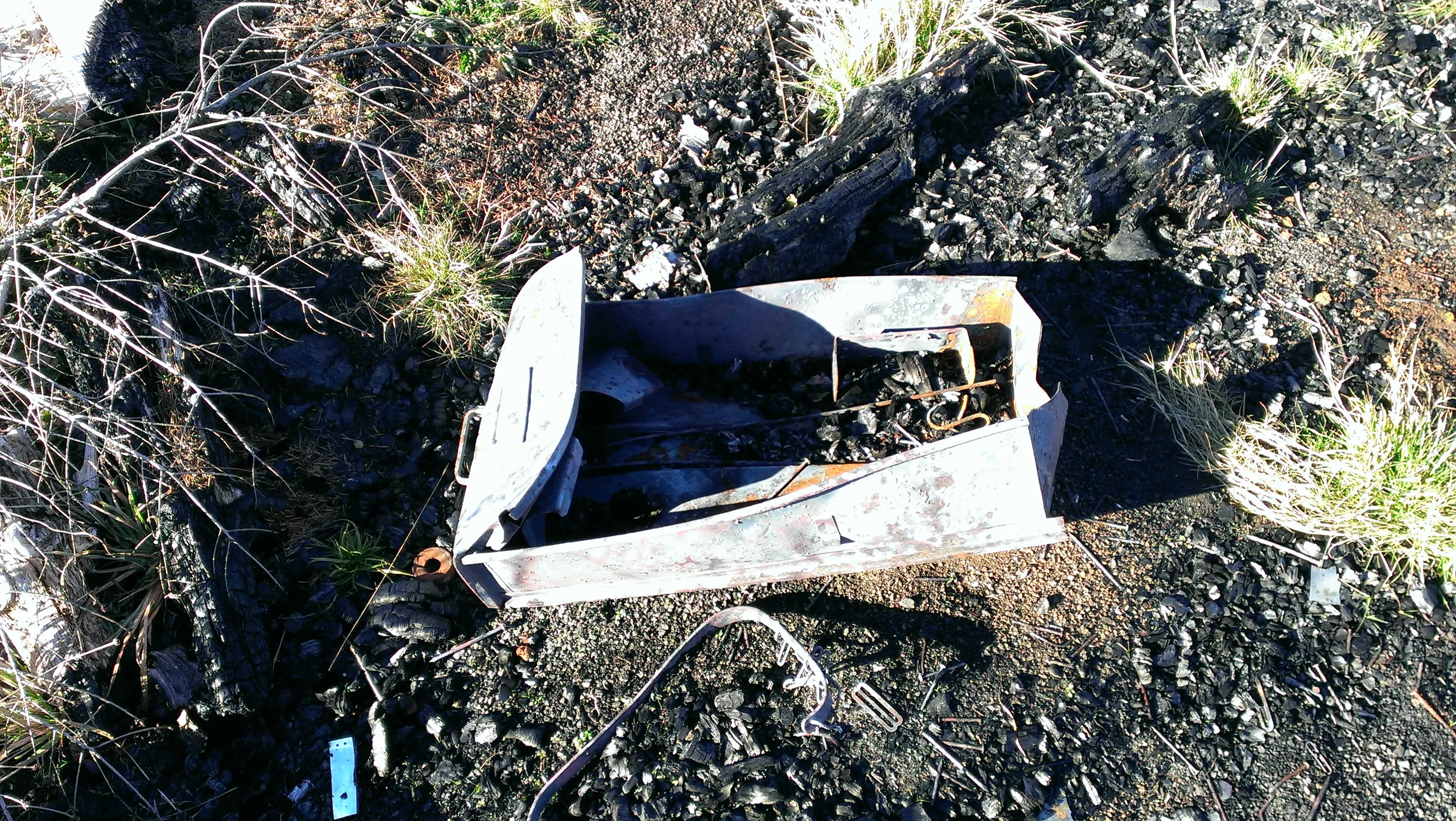
A filing cabinet drawer
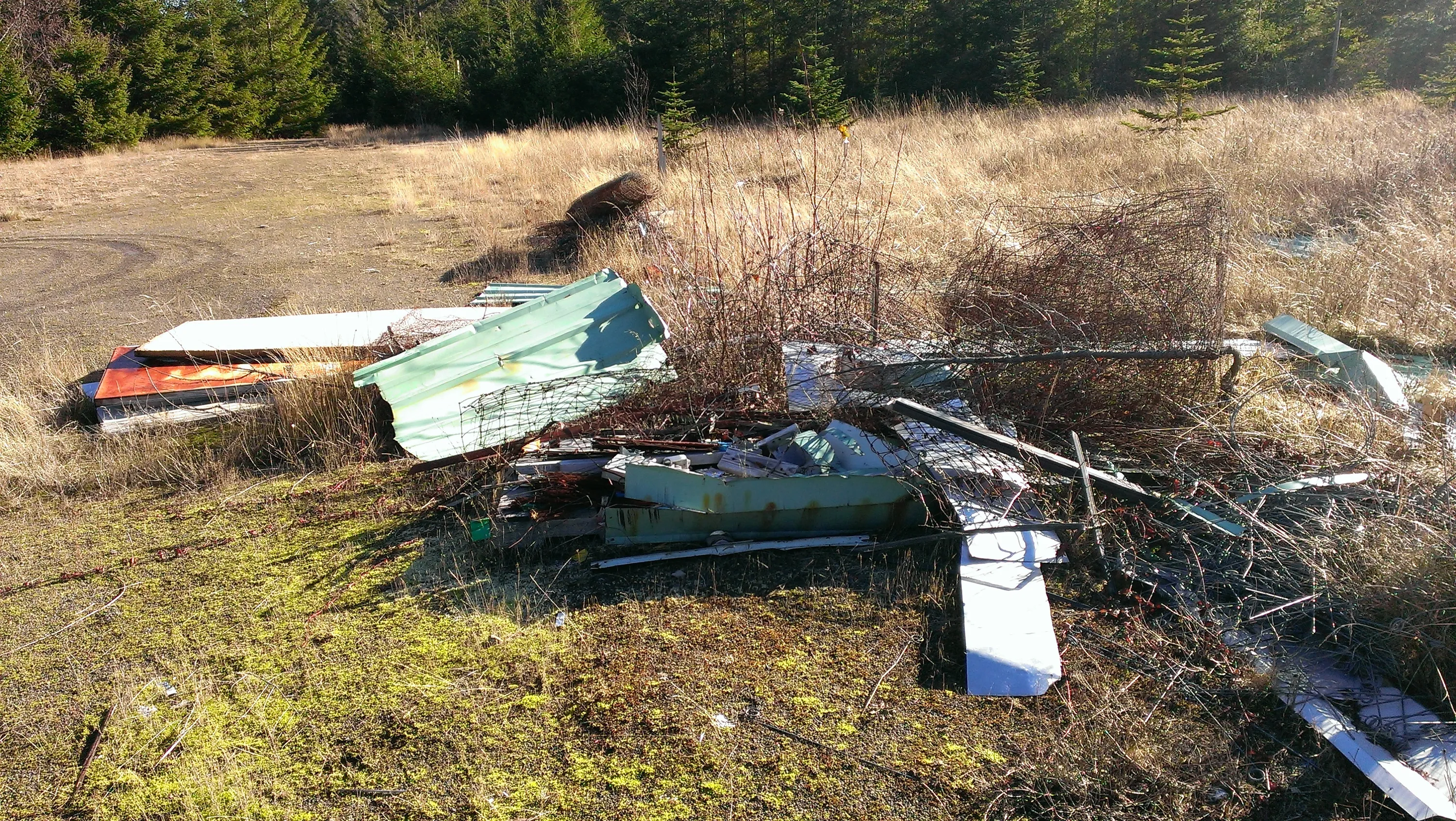
More garbage lying about the area near the burned building
They were ready to heat a building! LOTS of firewood
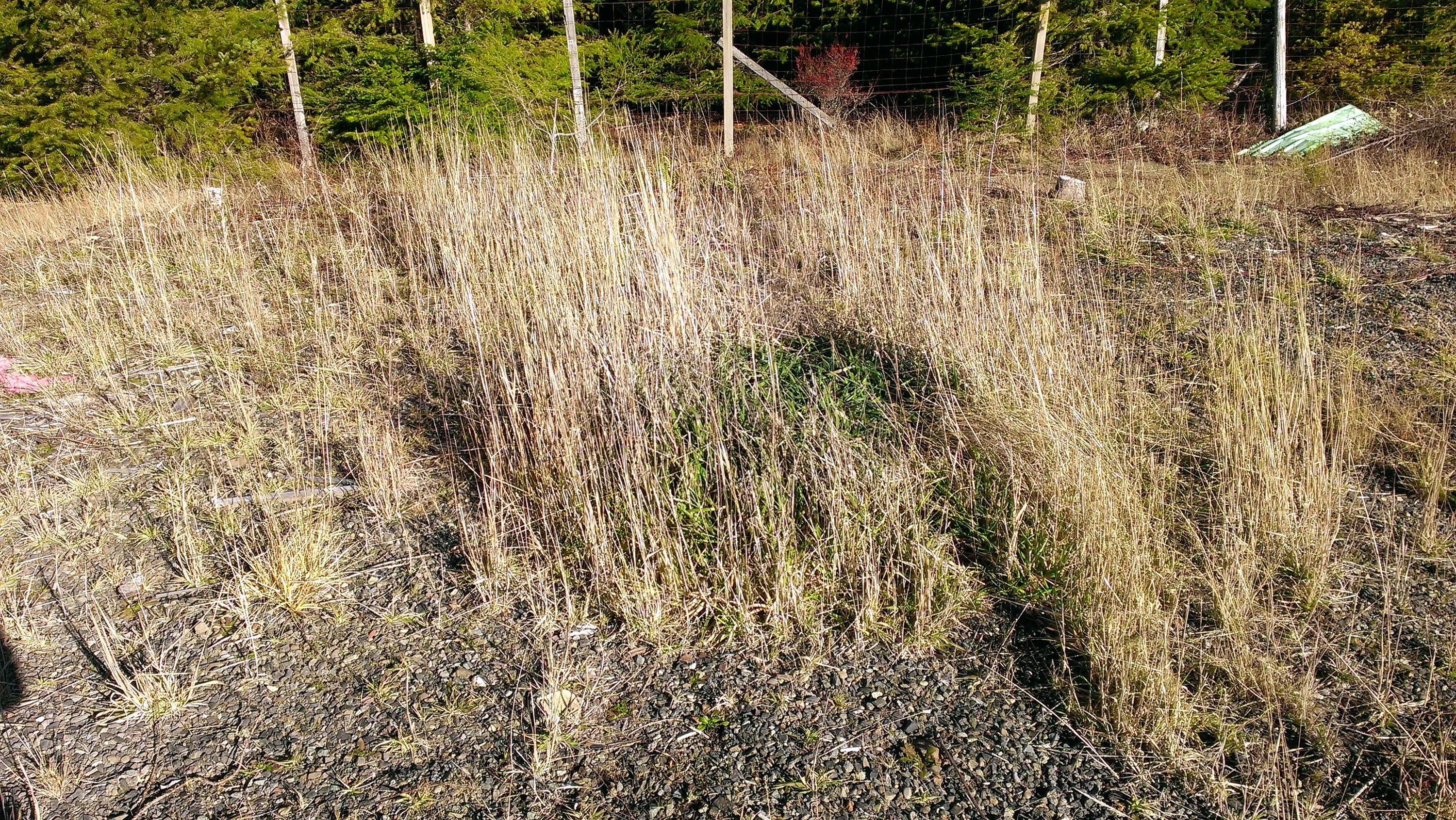
Seeing the green grass, I think this is where the outhouse was.
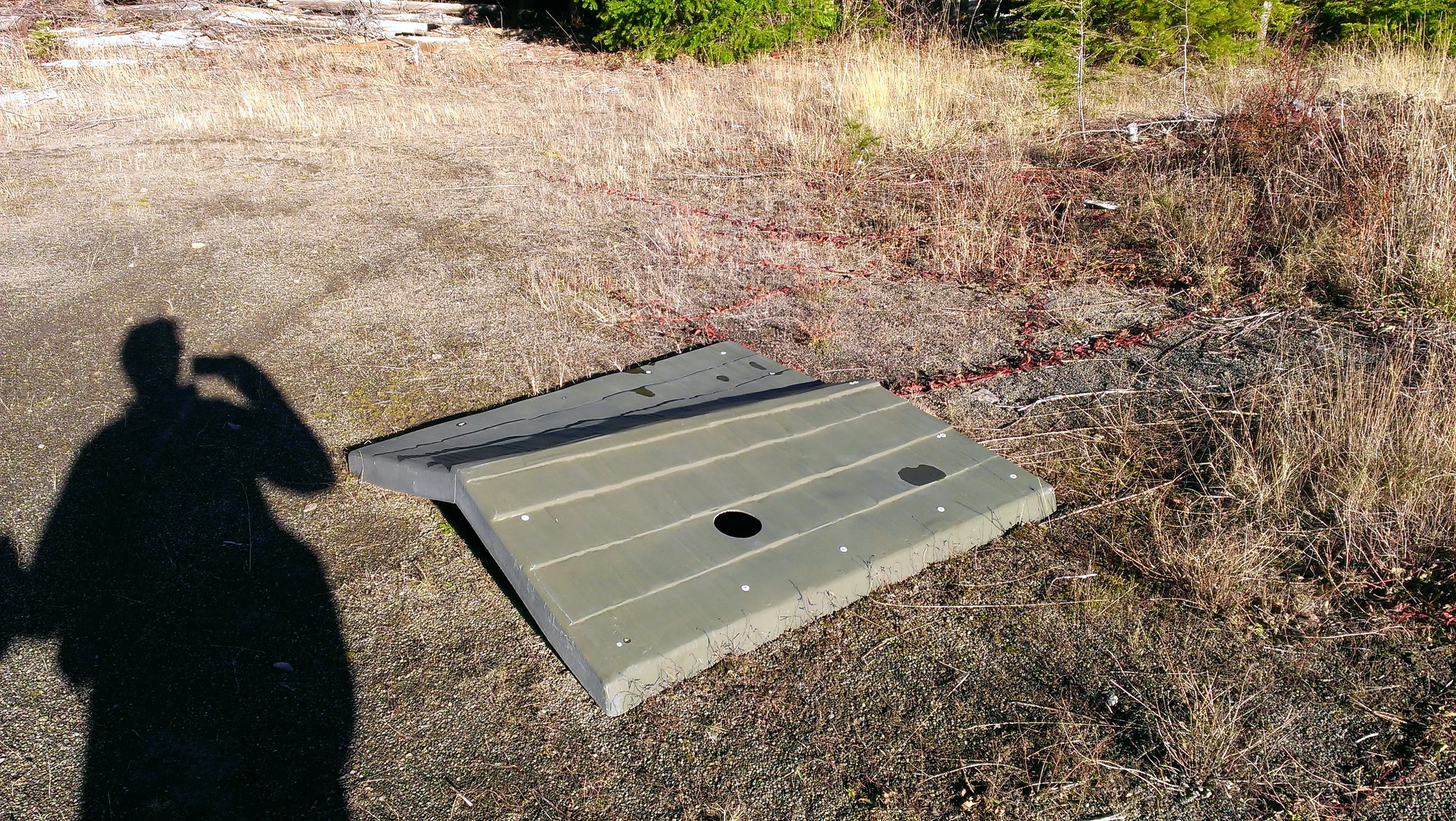
Here is the top of the outhouse
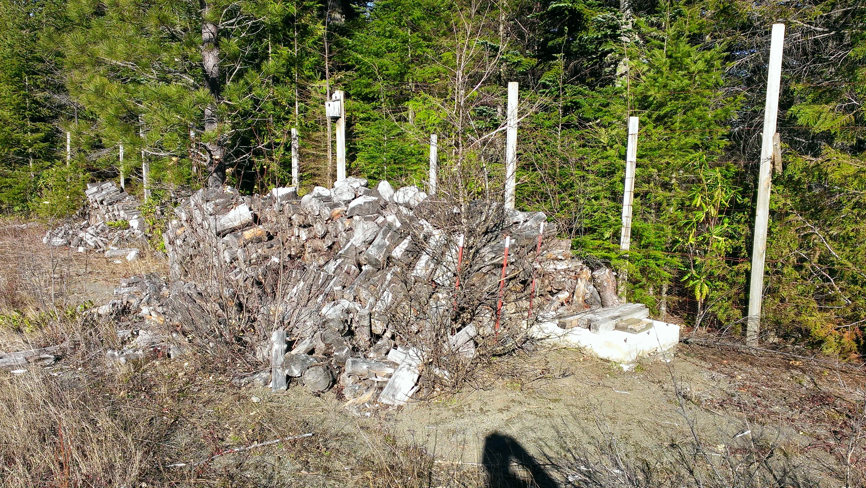
More firewood! You can see the fence of one of the areas behind the firewood
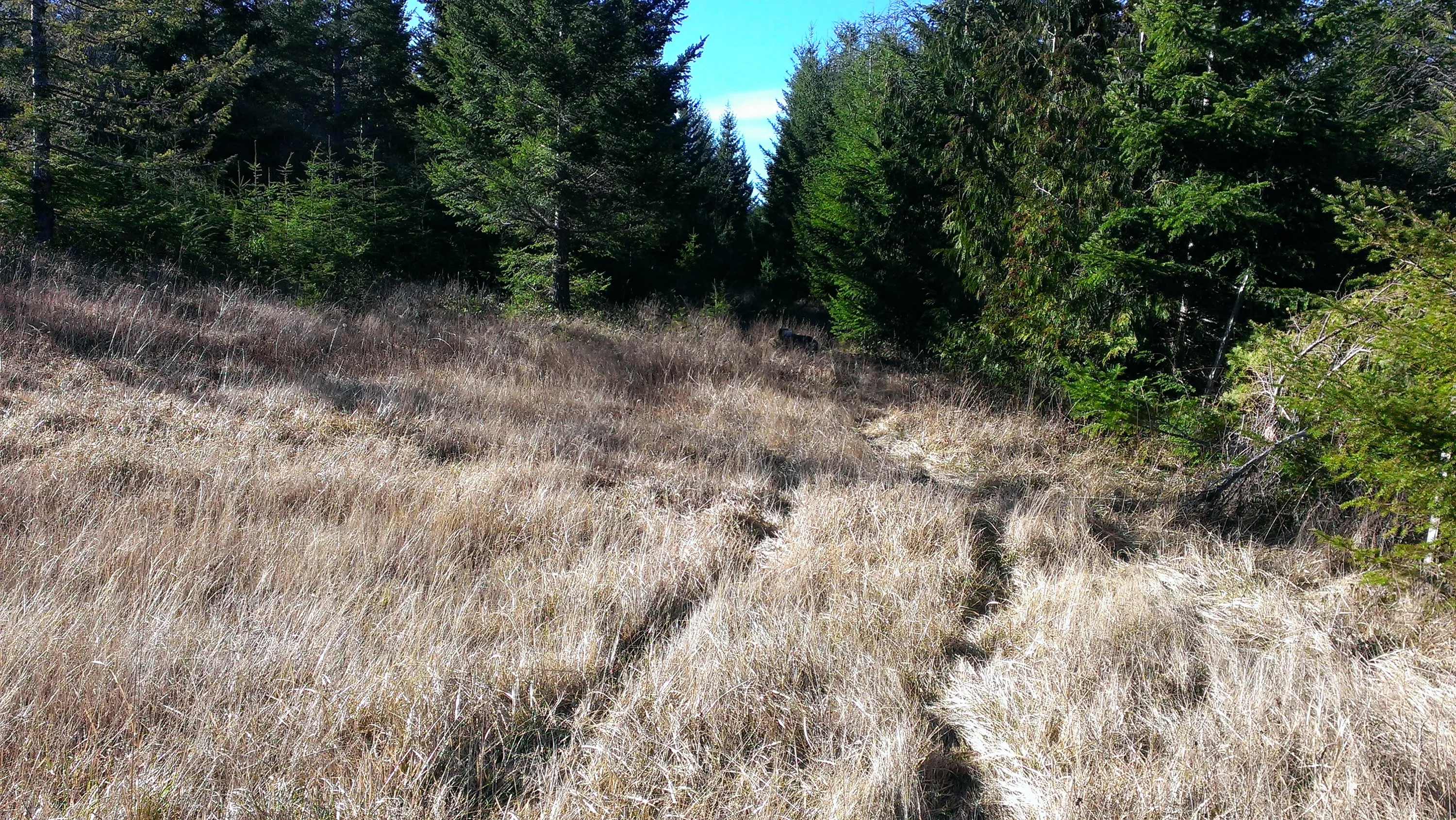
This is a "road" behind one of the areas. It went sort of Southwesterly along one of the fence rows. At first I thought this was the road I was supposed to follow.
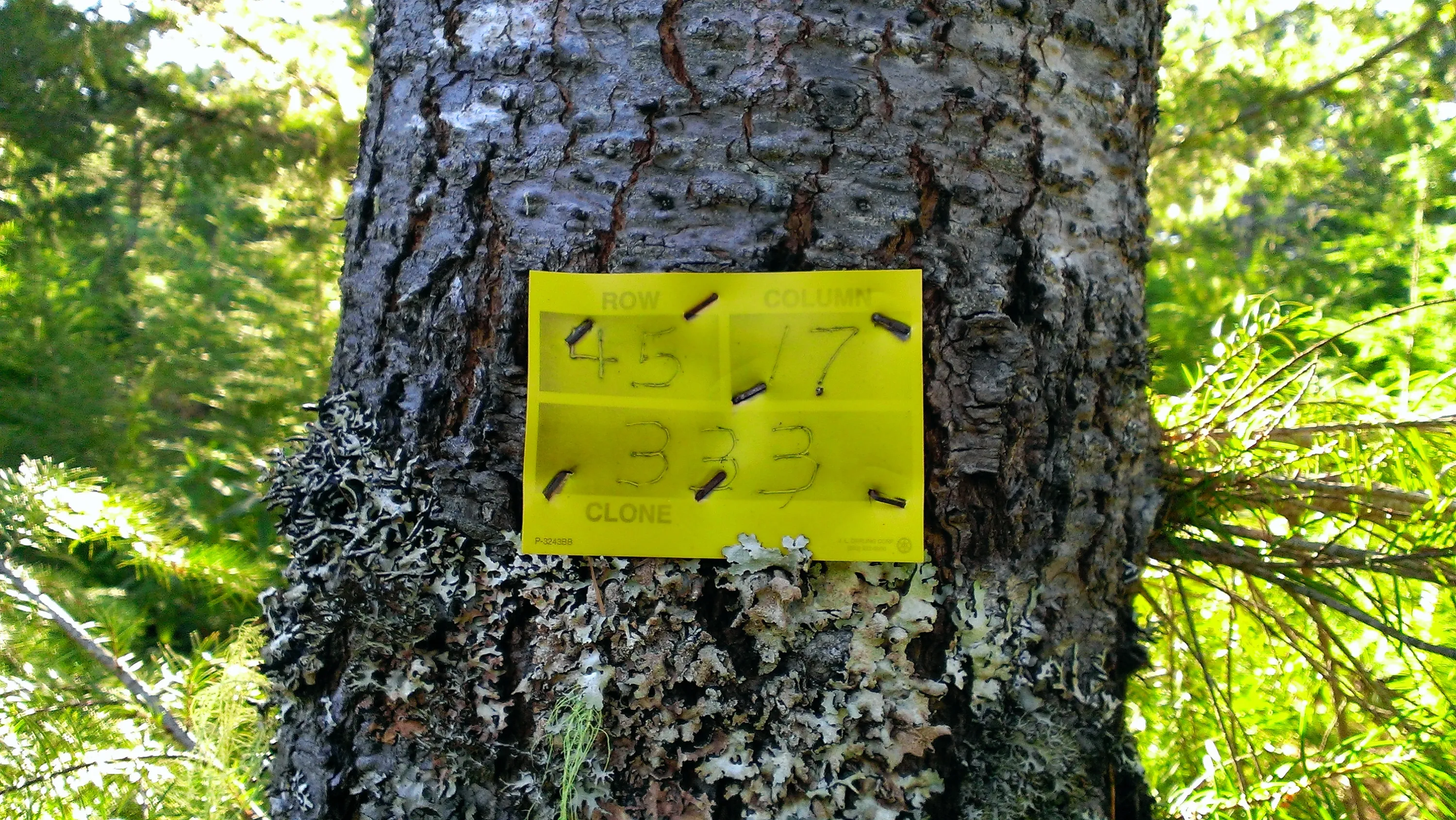
Tag one one of the trees in one of the research areas.
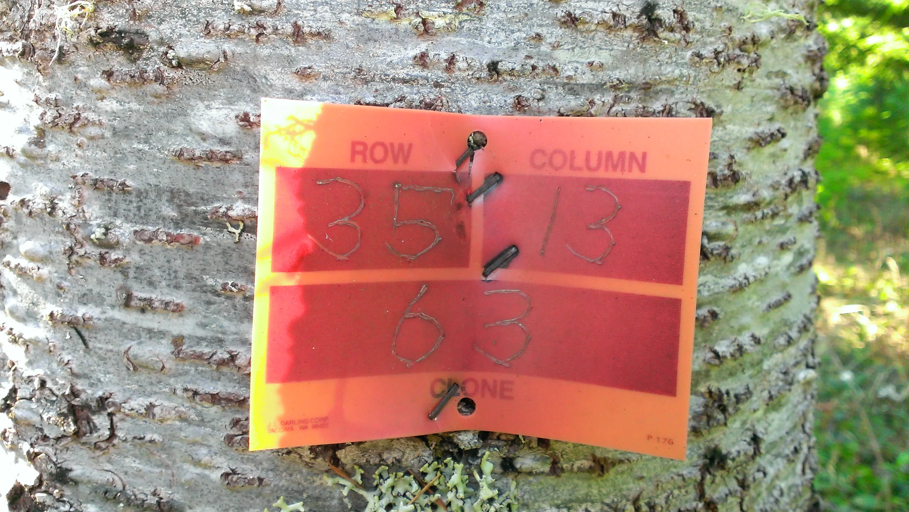
Another tag on a tree in the research area - not sure what the difference between orange and yellow means.
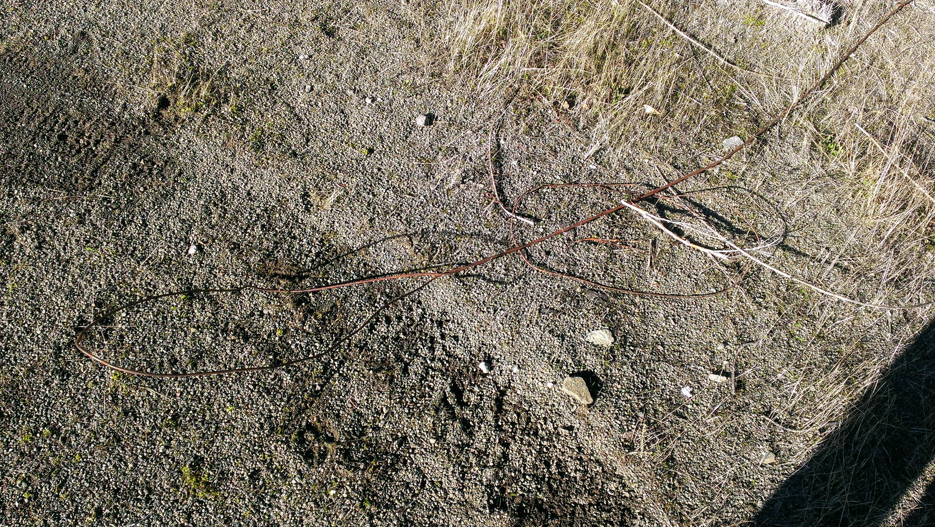
Looks like some old FS phone wire laying on the ground
This looked to be some sort of fenced area near where the building that burned was.
More wasted logs - someone had started cutting these at one point - there is probably 10+ cords of wood here!!!
Spur road 242 heading down to where we are going to jump off to try and find the east side of jteail.
There has been lots of thinning done in this area. Although they left a LOT of debris
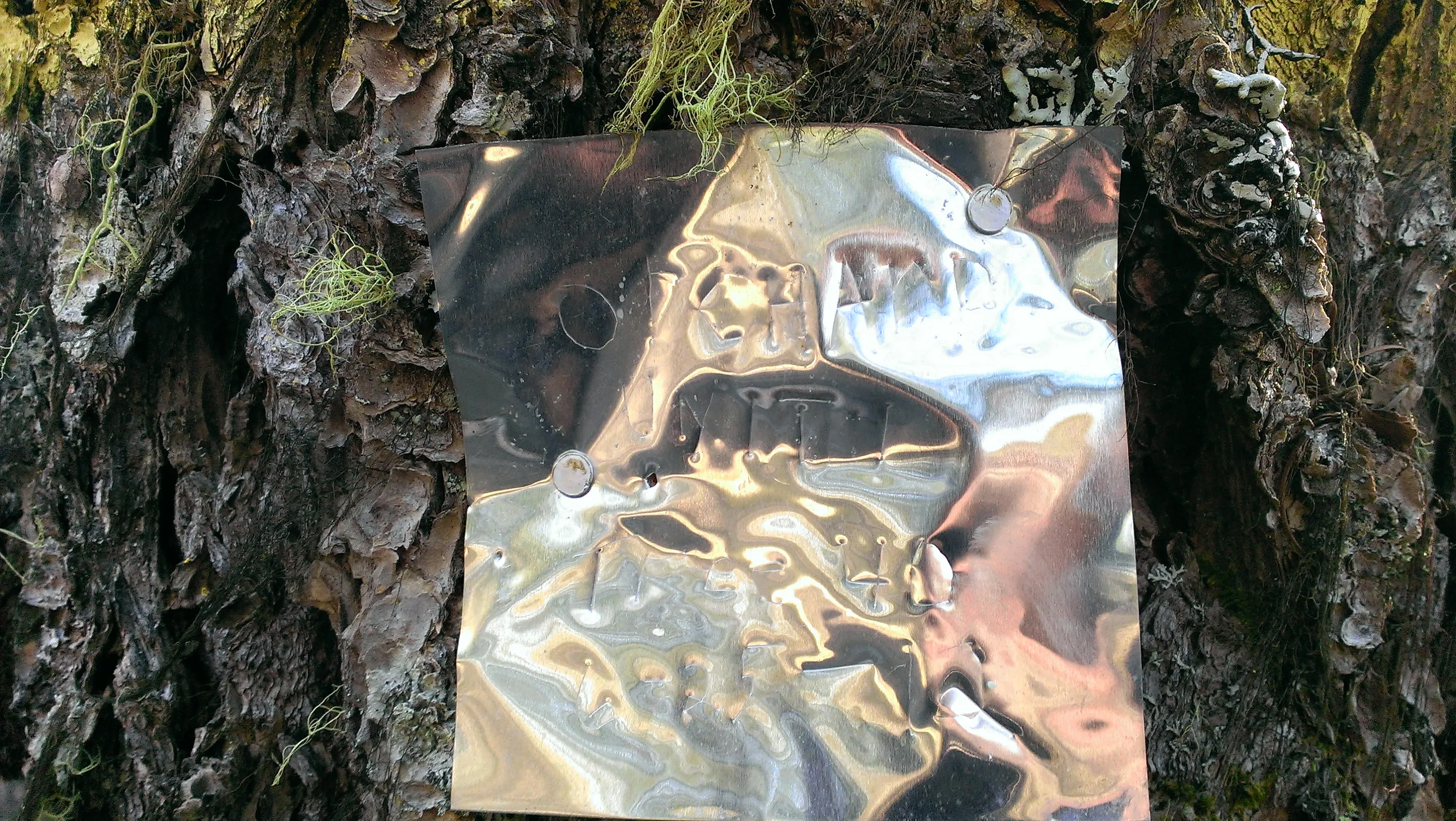
I have no idea what this said. I was kind of hoping I could read it on the computer if I massaged it a bit.
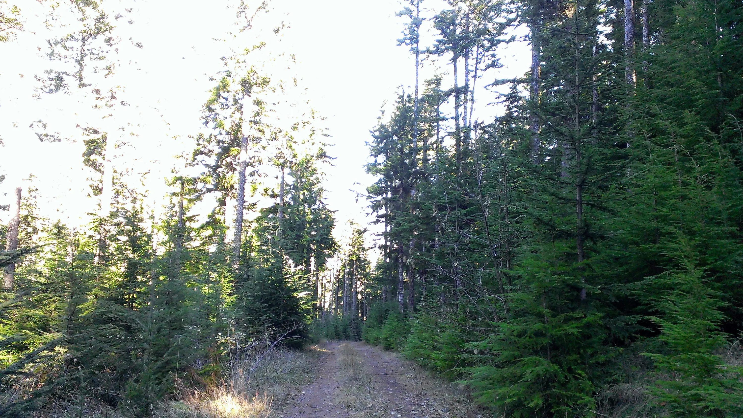
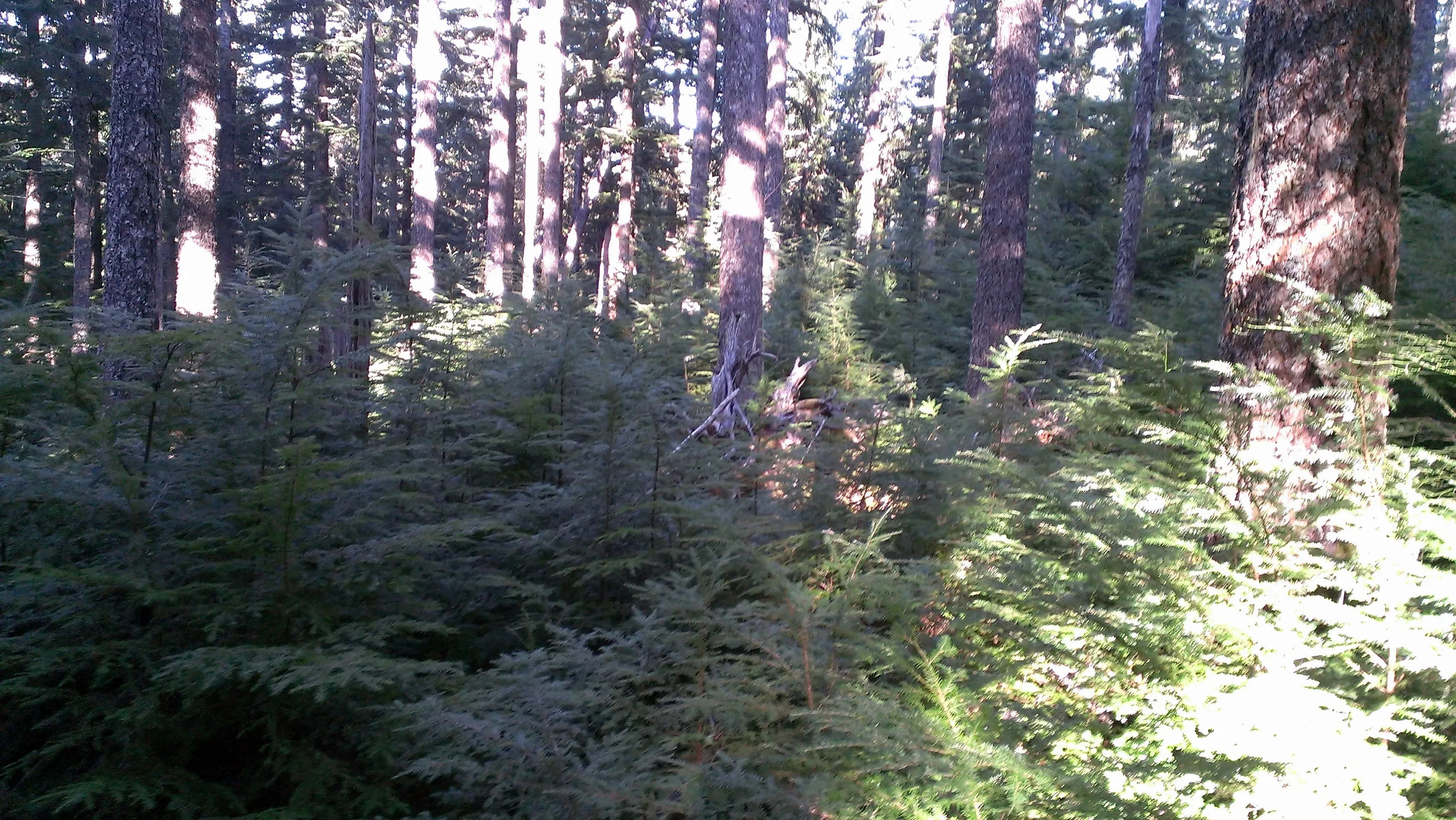
As you headed north, the trees got much bigger
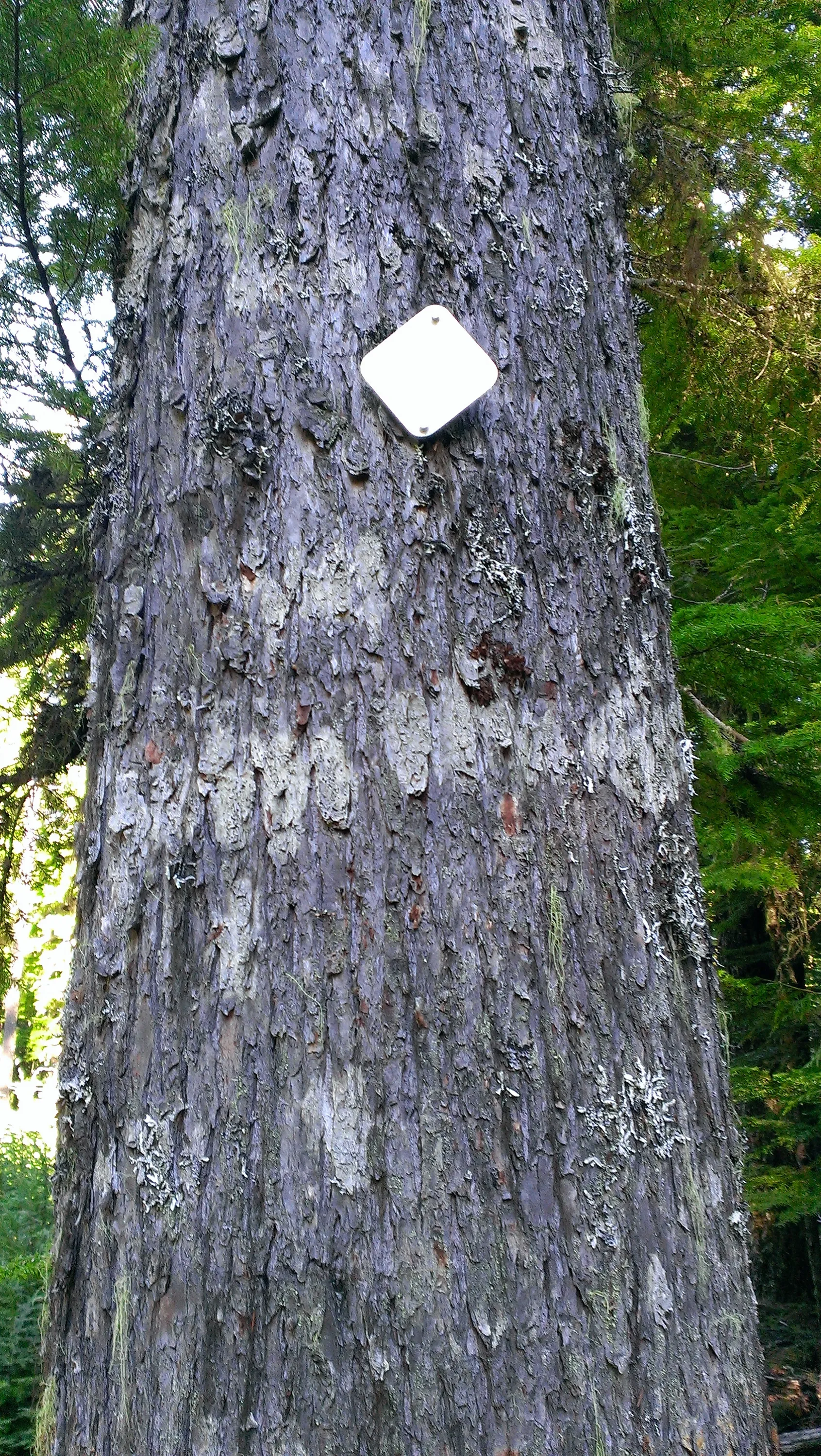
This tree had this triangle on both sides of the tree. No markings, just a silver triangle.
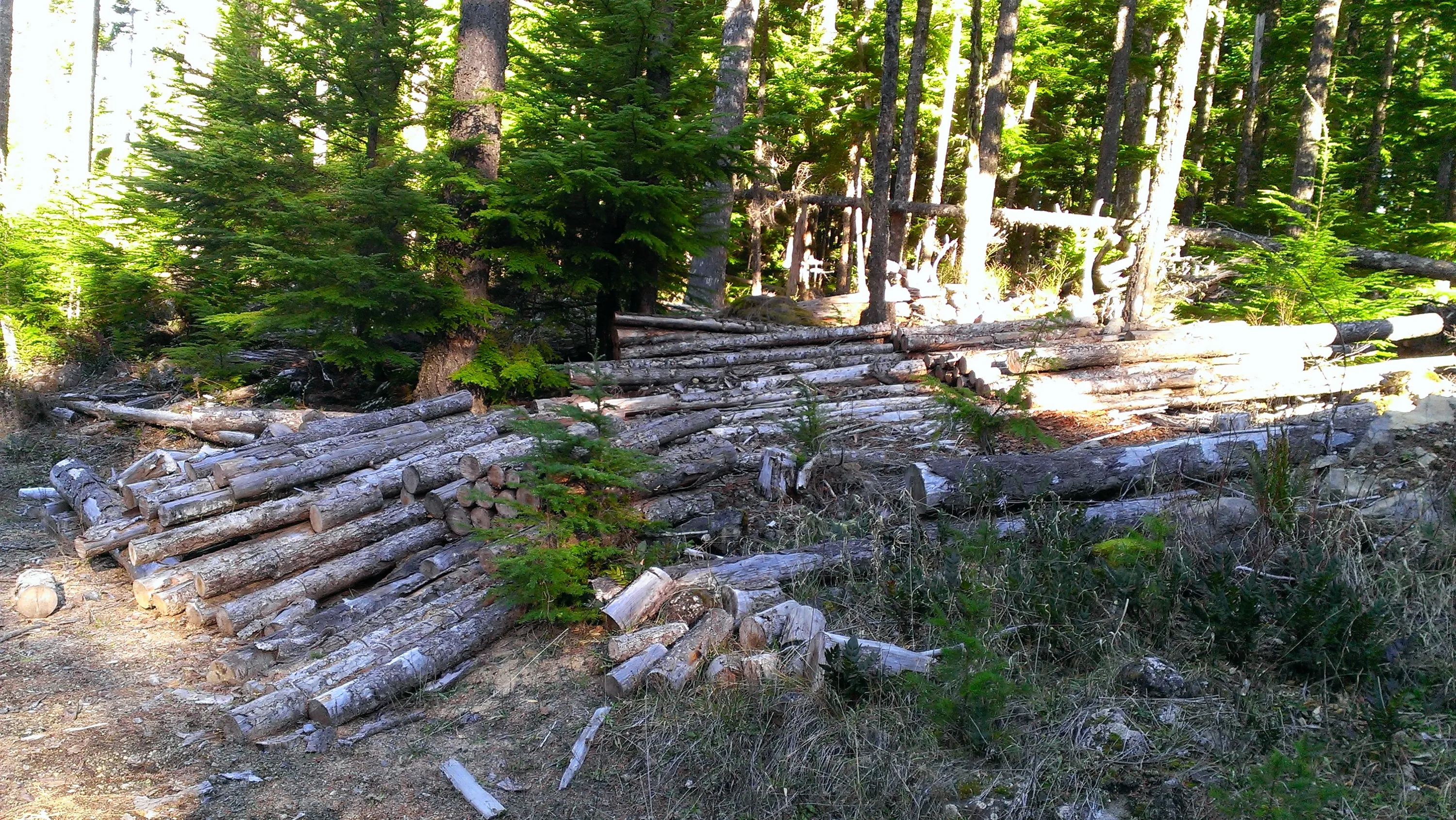
More wasted wood. Another 10 cords easily.
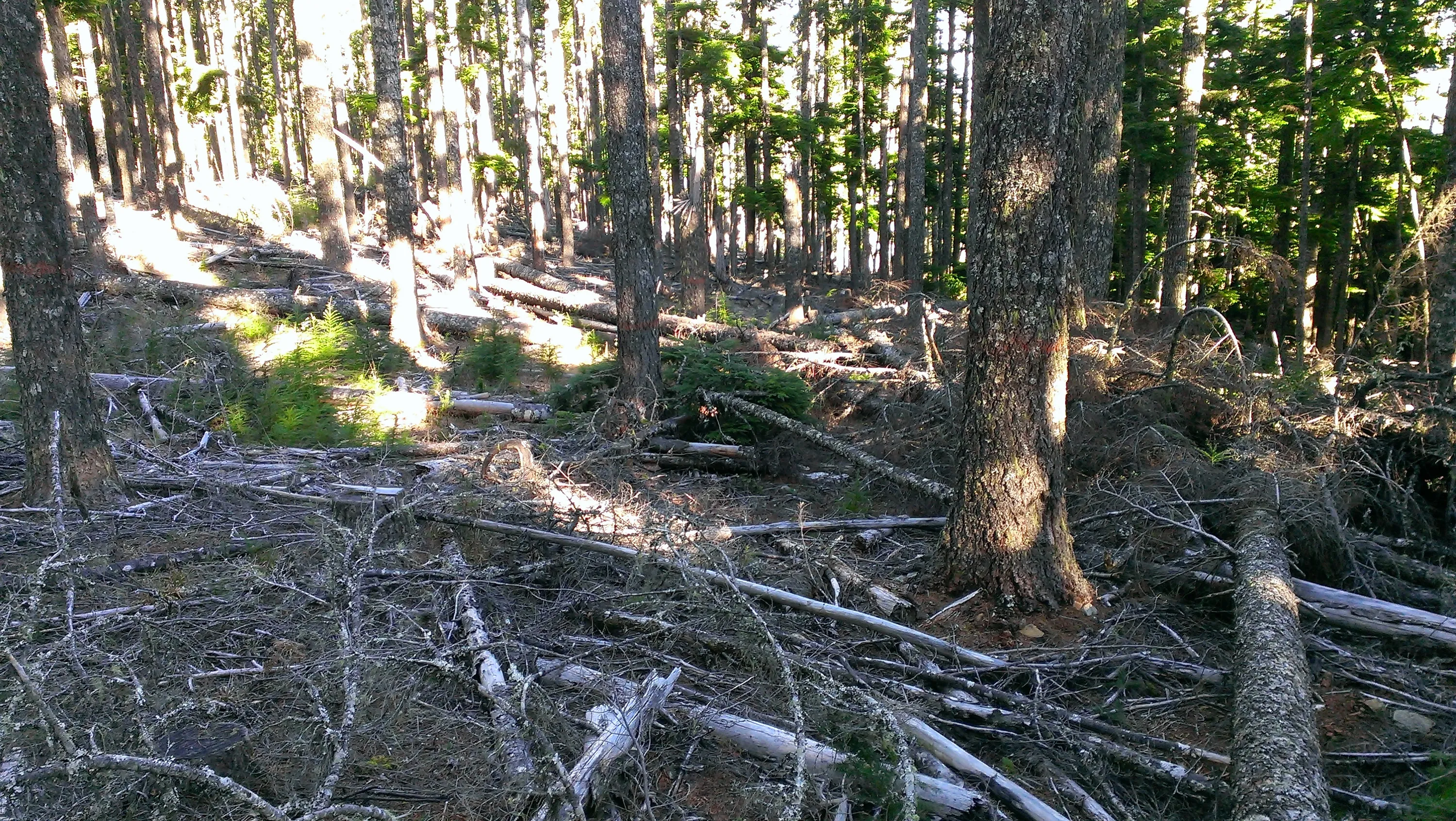
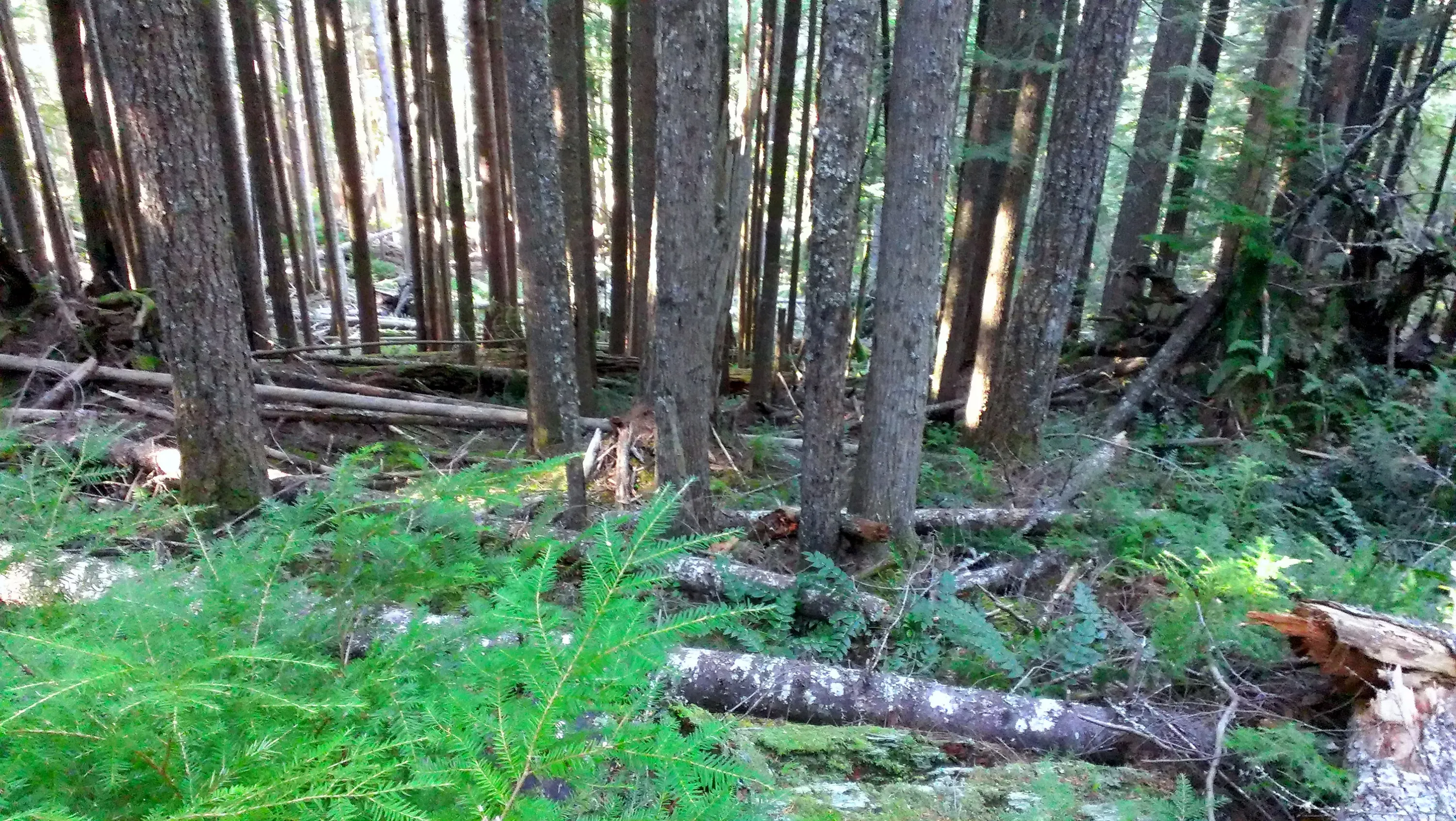
After going partway down the hill, this is what awaited us - LOTS of downed logs - as far as you could see down the hill. Quite a mess.
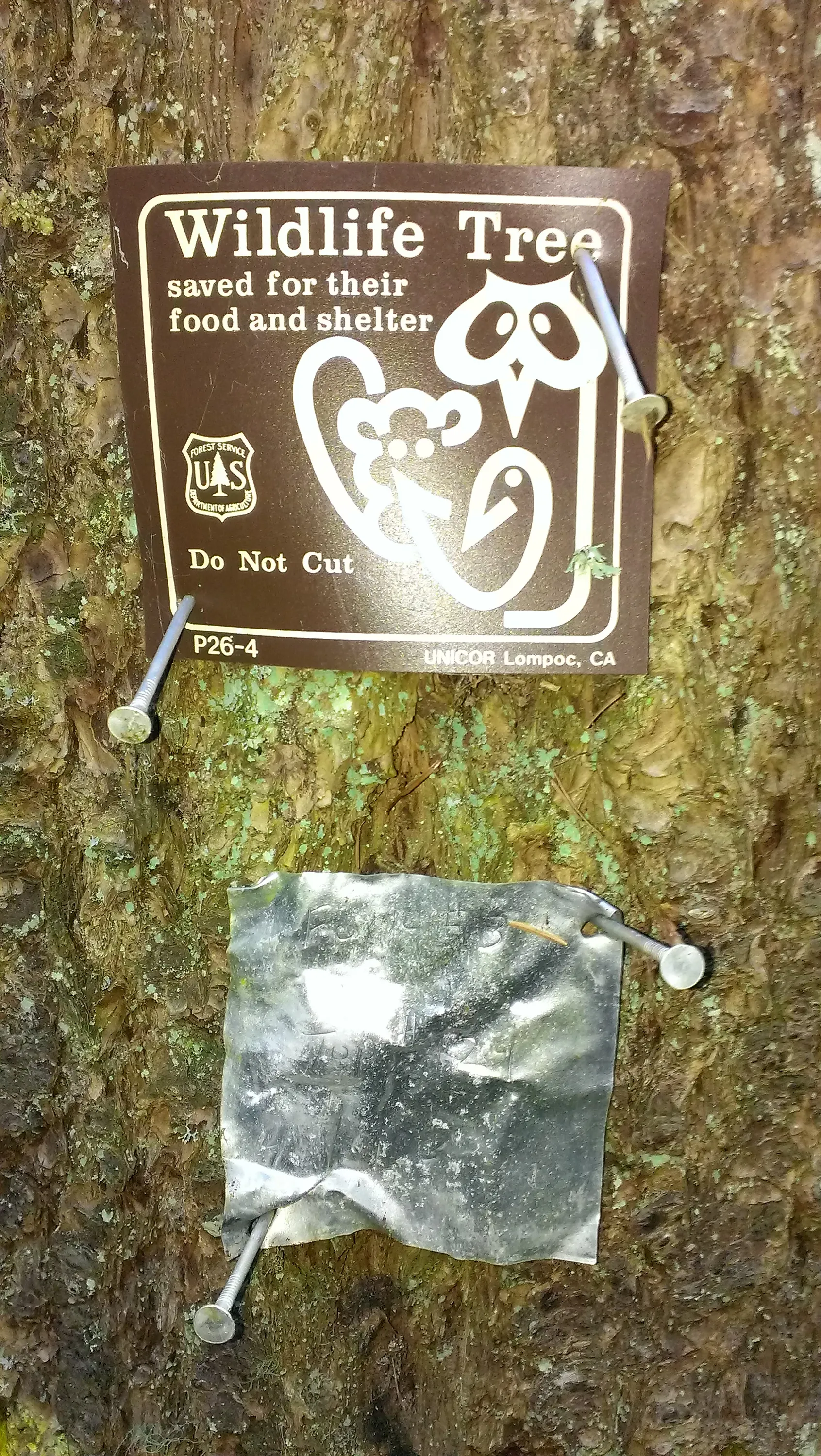
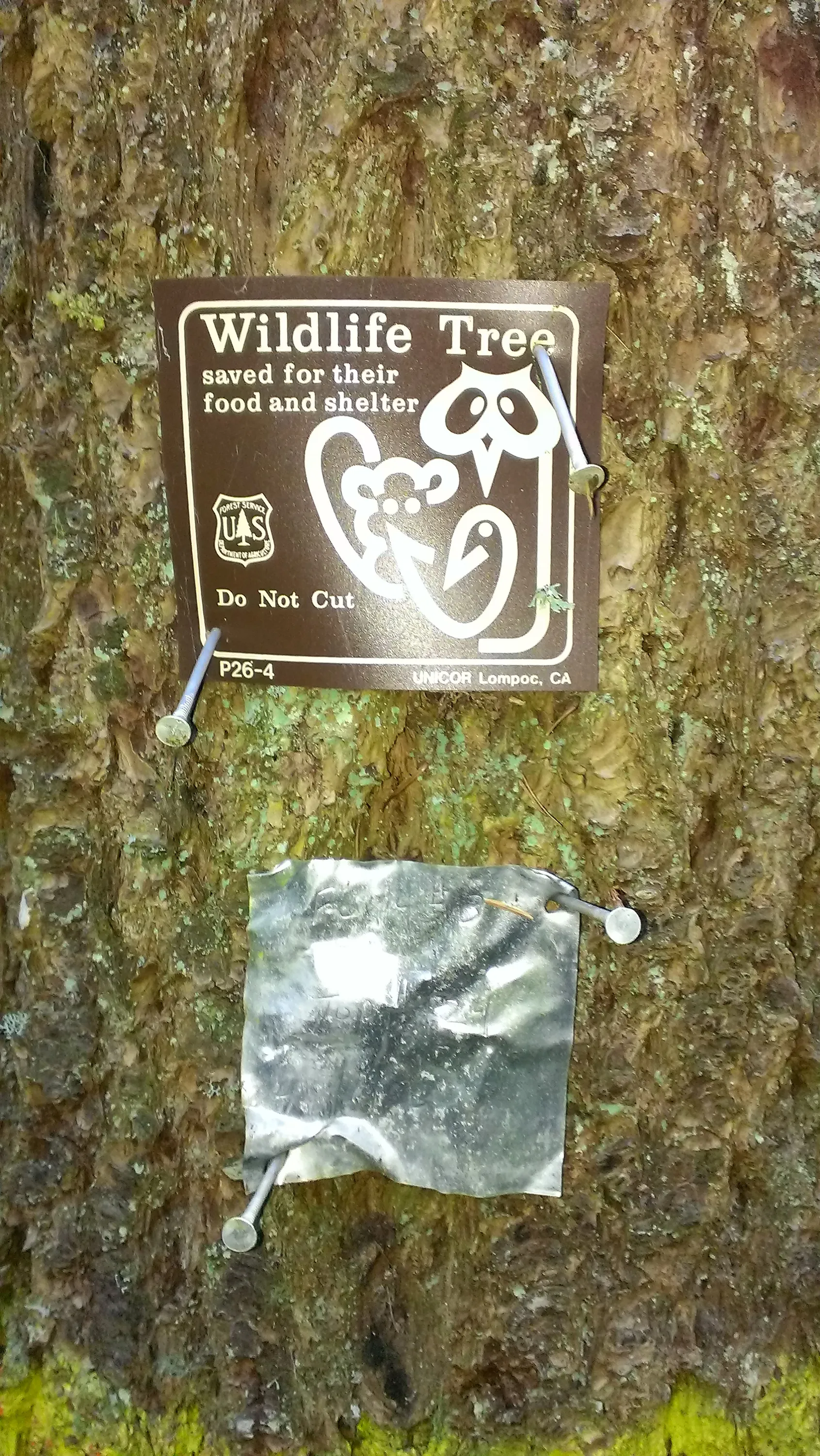
Found a couple of these wildlife trees
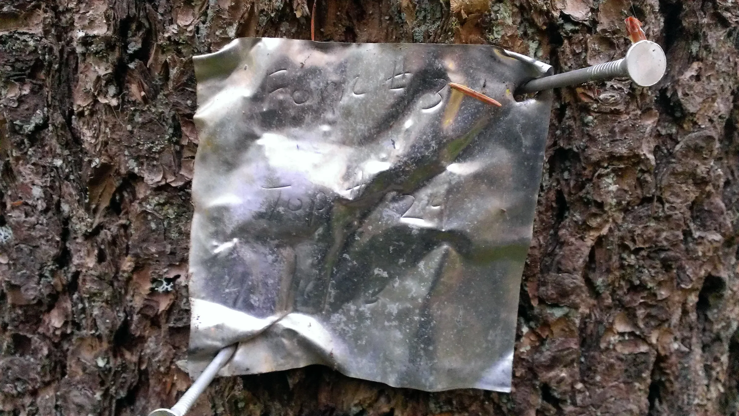
I could make out a few things on this note - "Fork #3" "Top # 124" - I think it was dated 1993
This was uphill from all the downed logs - so we went thru this thick undergrowth, only to be presented wtih a bunch of downed logs to climb over!
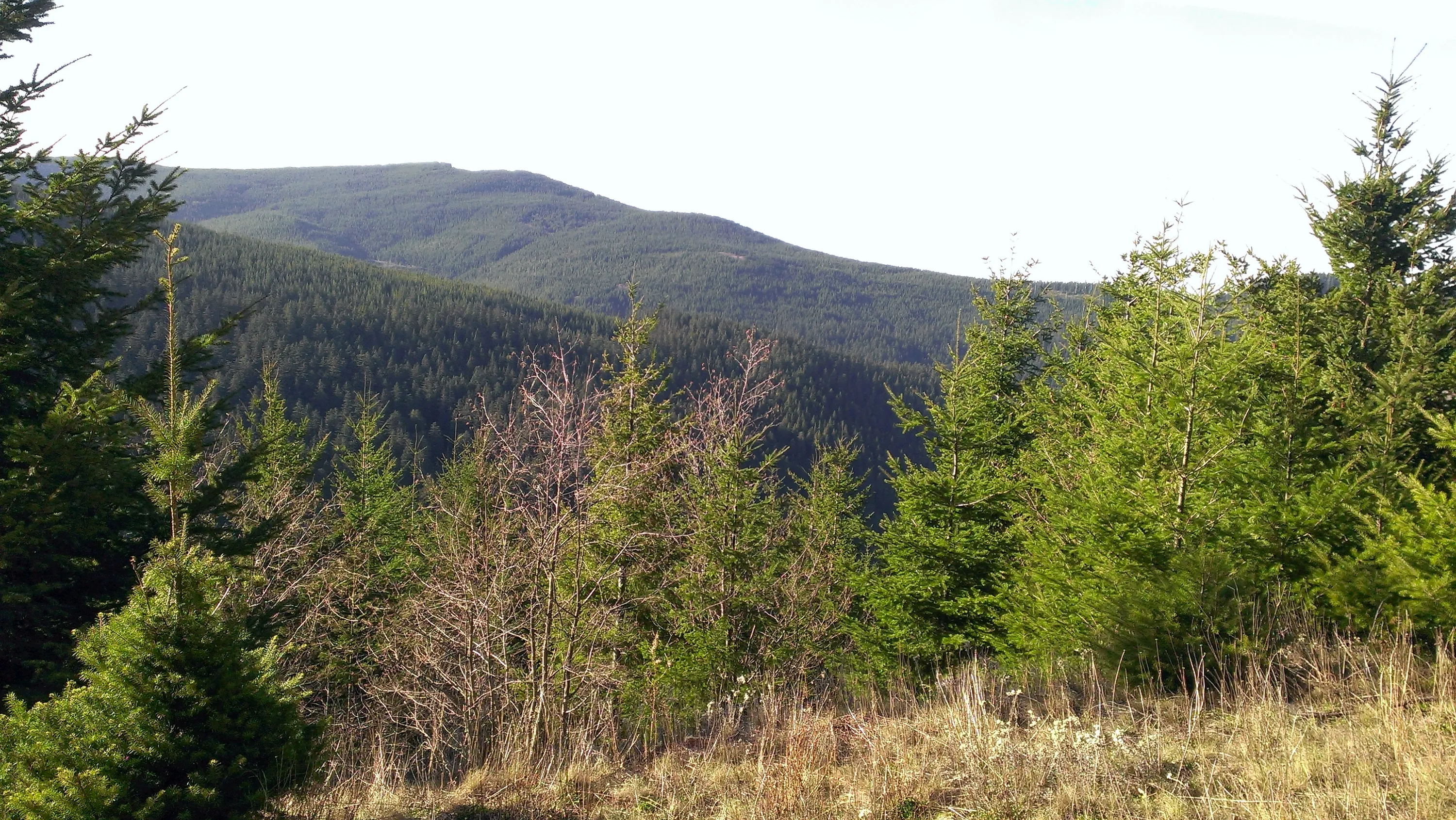
Looking west from road 45 - on the way home - nice view of the valley and hills west