Robs Hiking Diary
Search
Search for:
Search
Hikes
2013
Goat Rocks Backpacking
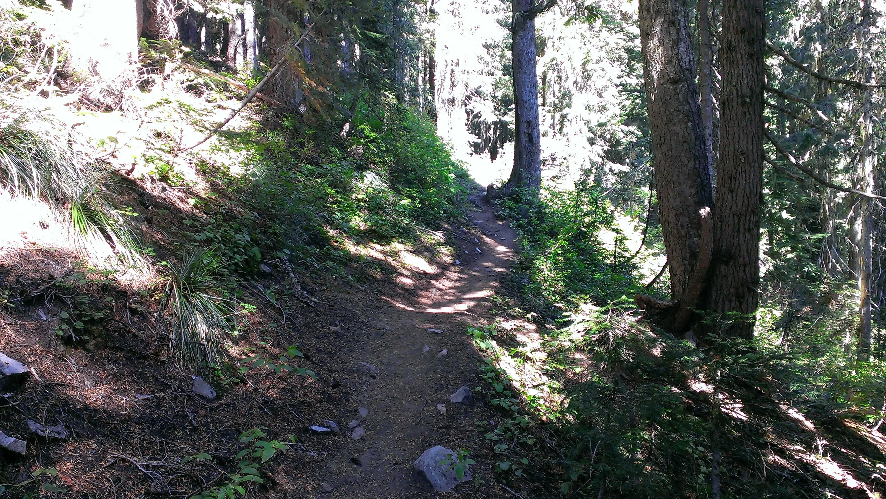
Goat Ridge Trail - you can see an old blaze on a tree
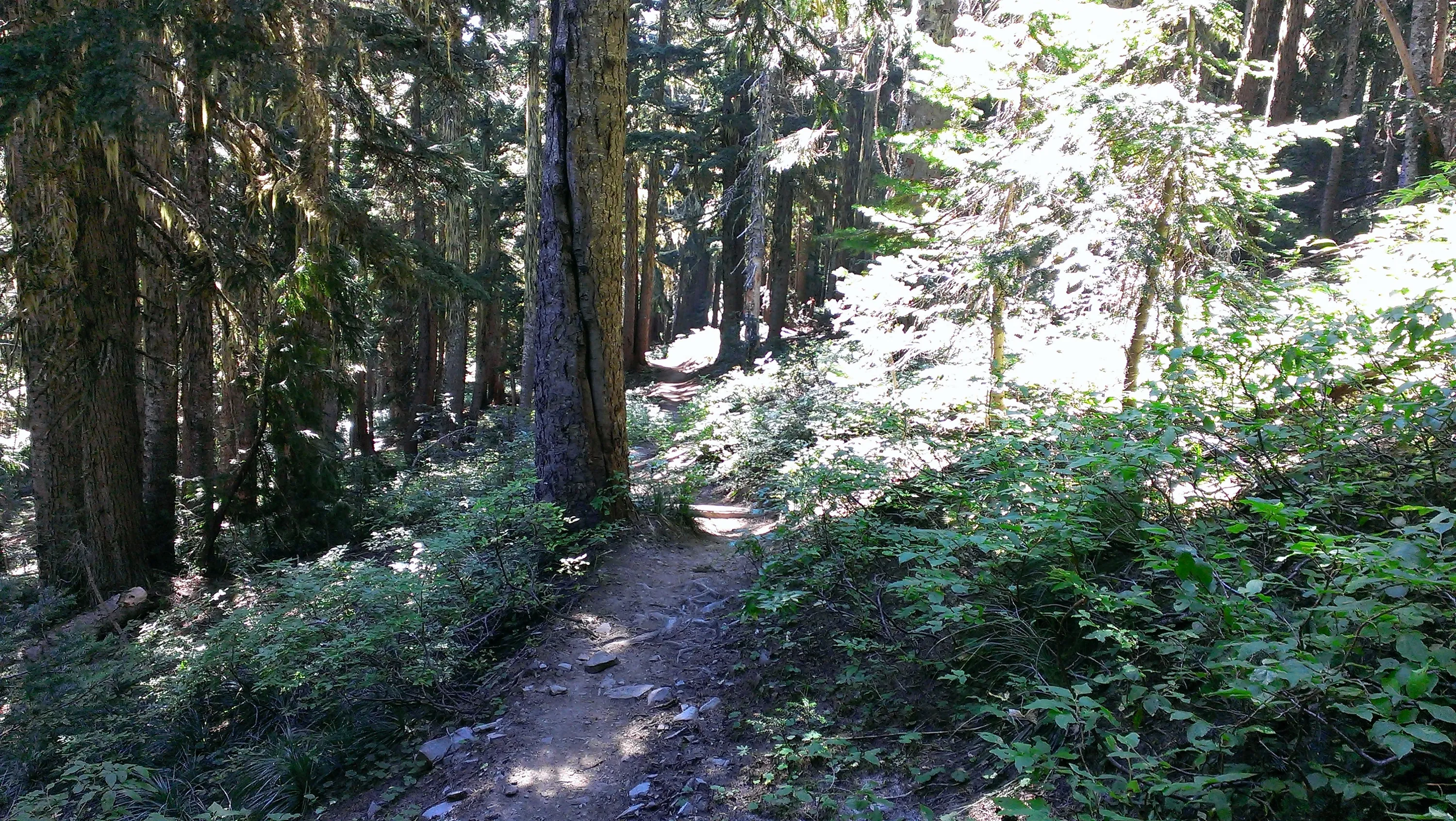
Goat Ridge Trail
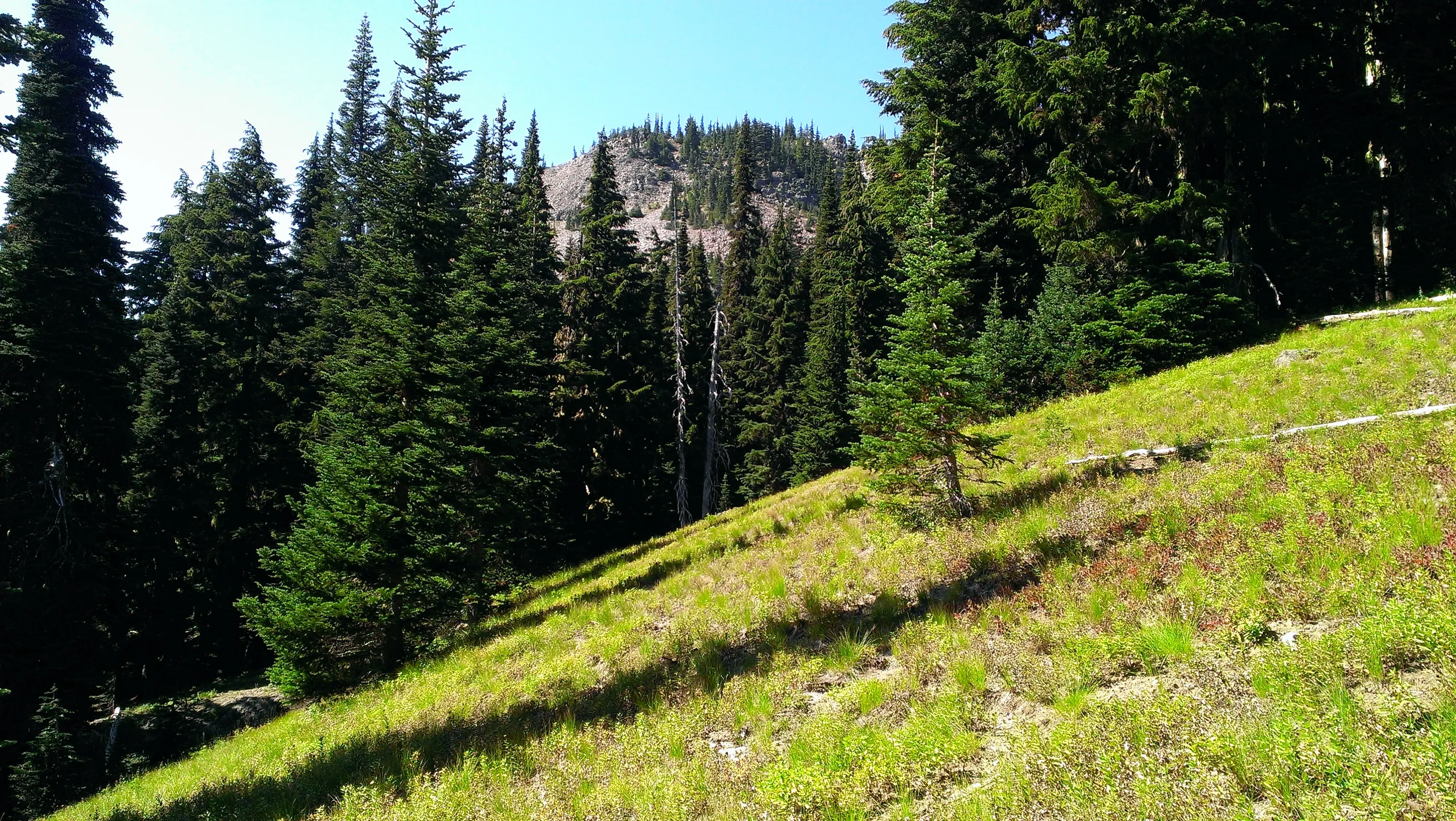
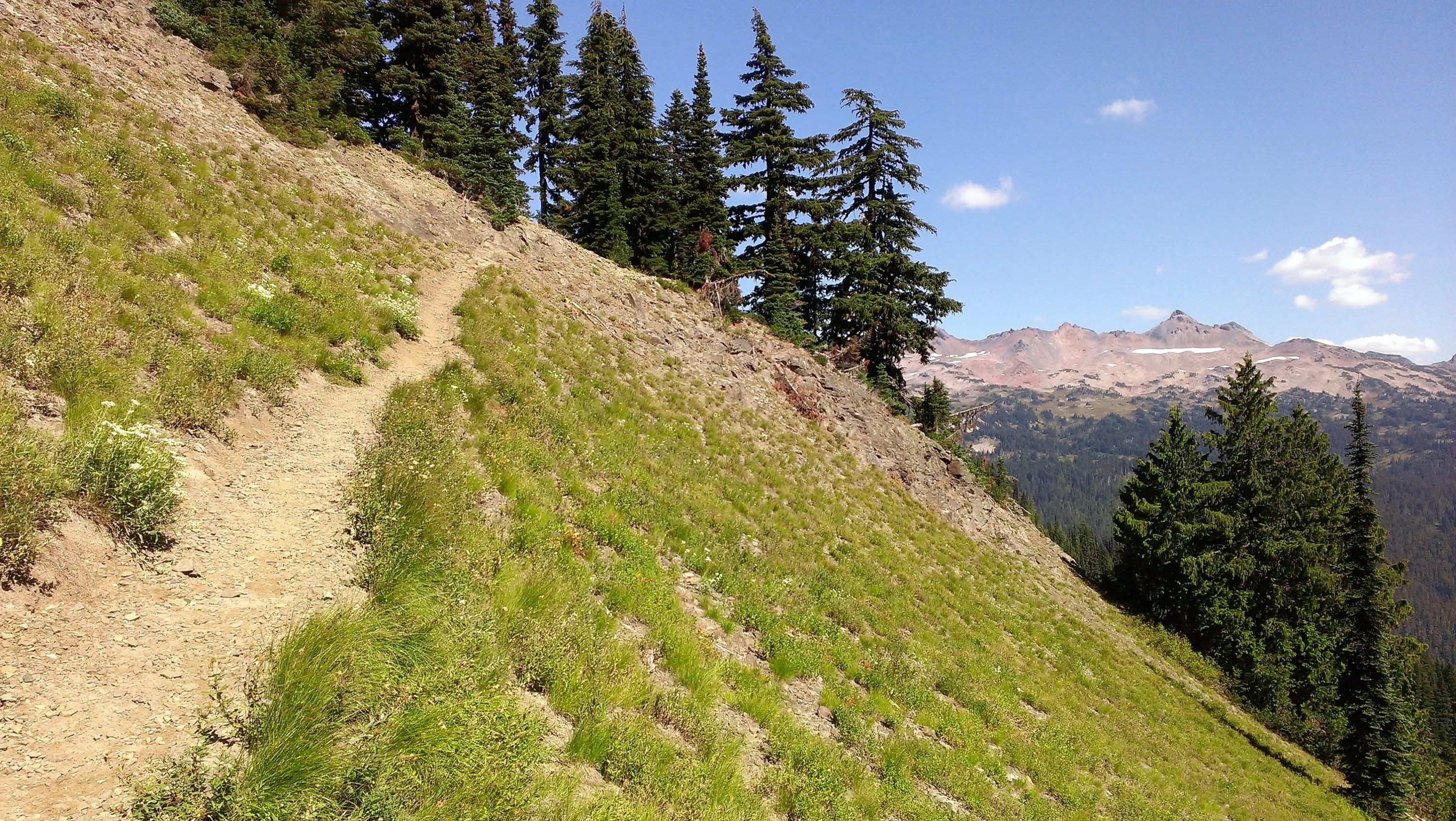
Sidehill Meadow on the Goat Ridge Trail
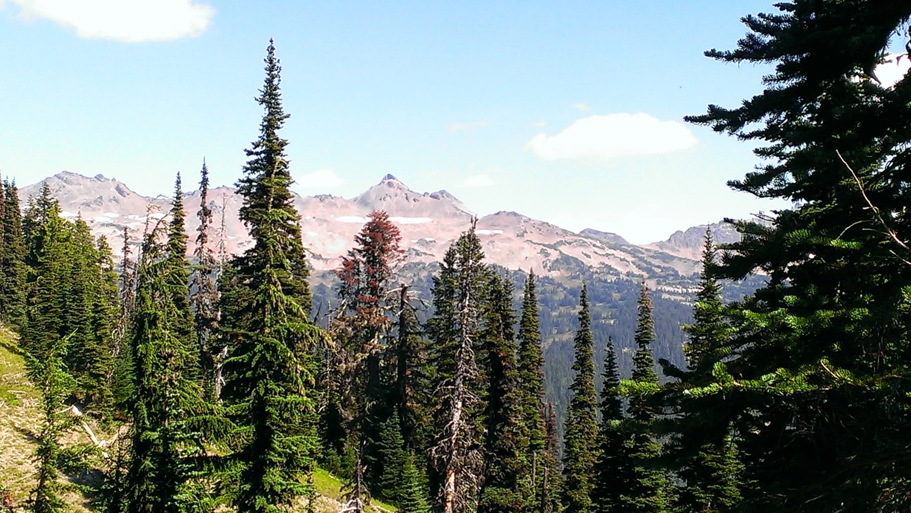
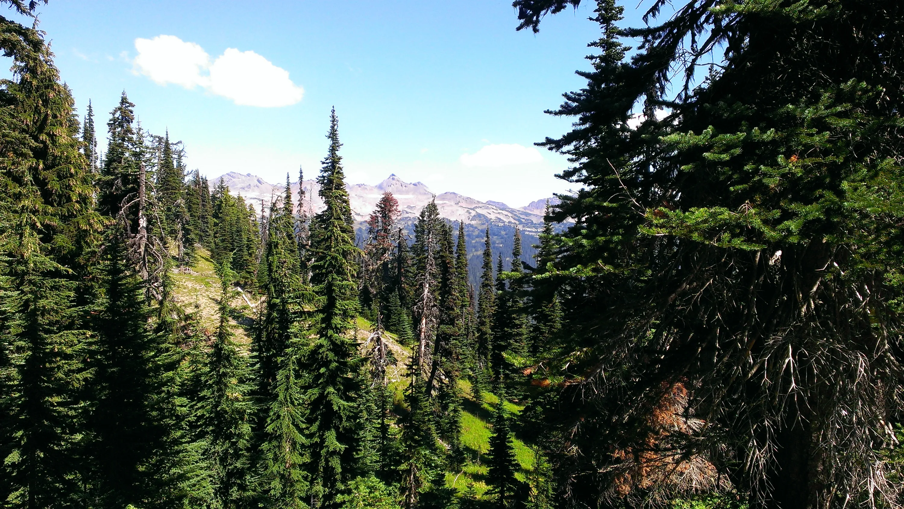
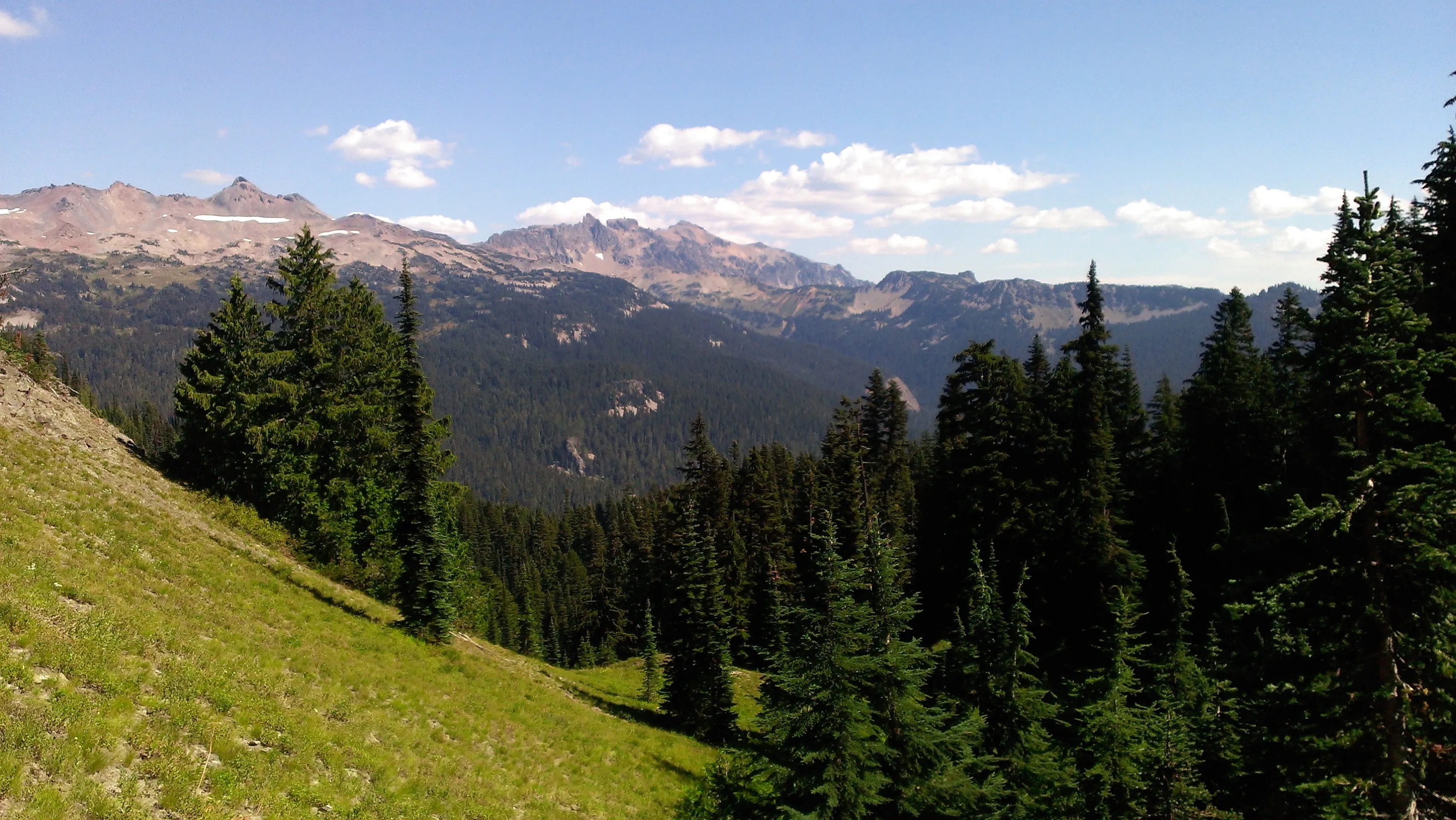
Old Snowy to the left - I think Ives Peak may be in the center
Old snowy to the left - I think Ives Peak in the center - taken from Goat Ridge trail
More wide open views on the Goat Ridge Trail
Heading up the Goat Ridge Trail
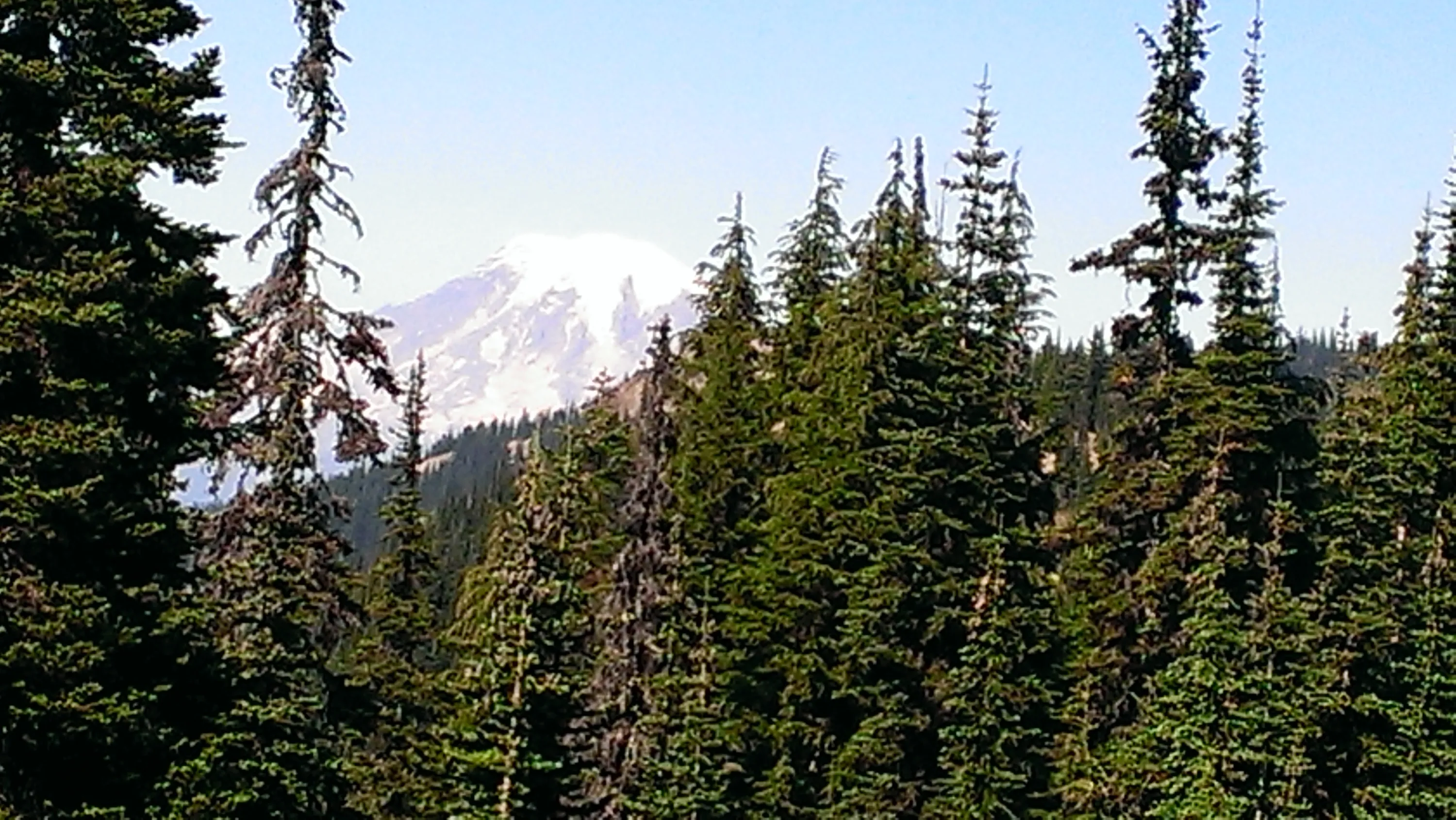
I think this was Mt Ranier - but it could be Mt Adams - one was to the north, the other to the south - both very close
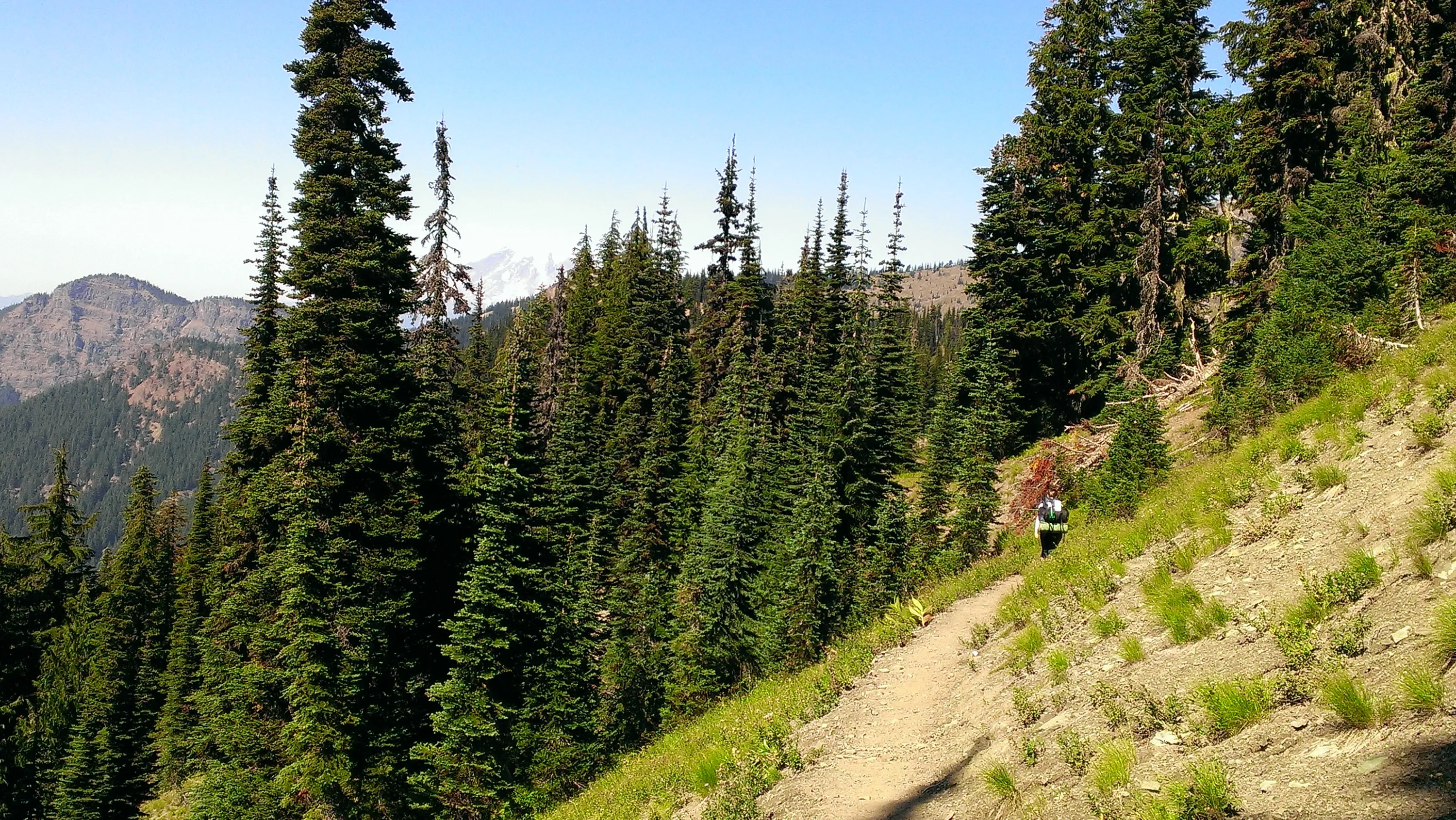
This must be Mt Ranier since we are headed north. Carly is way ahead of me as usual.
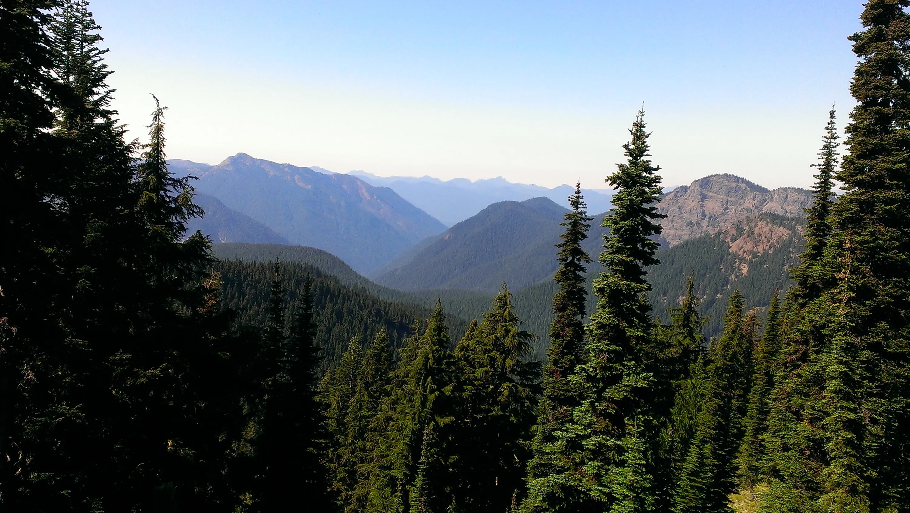
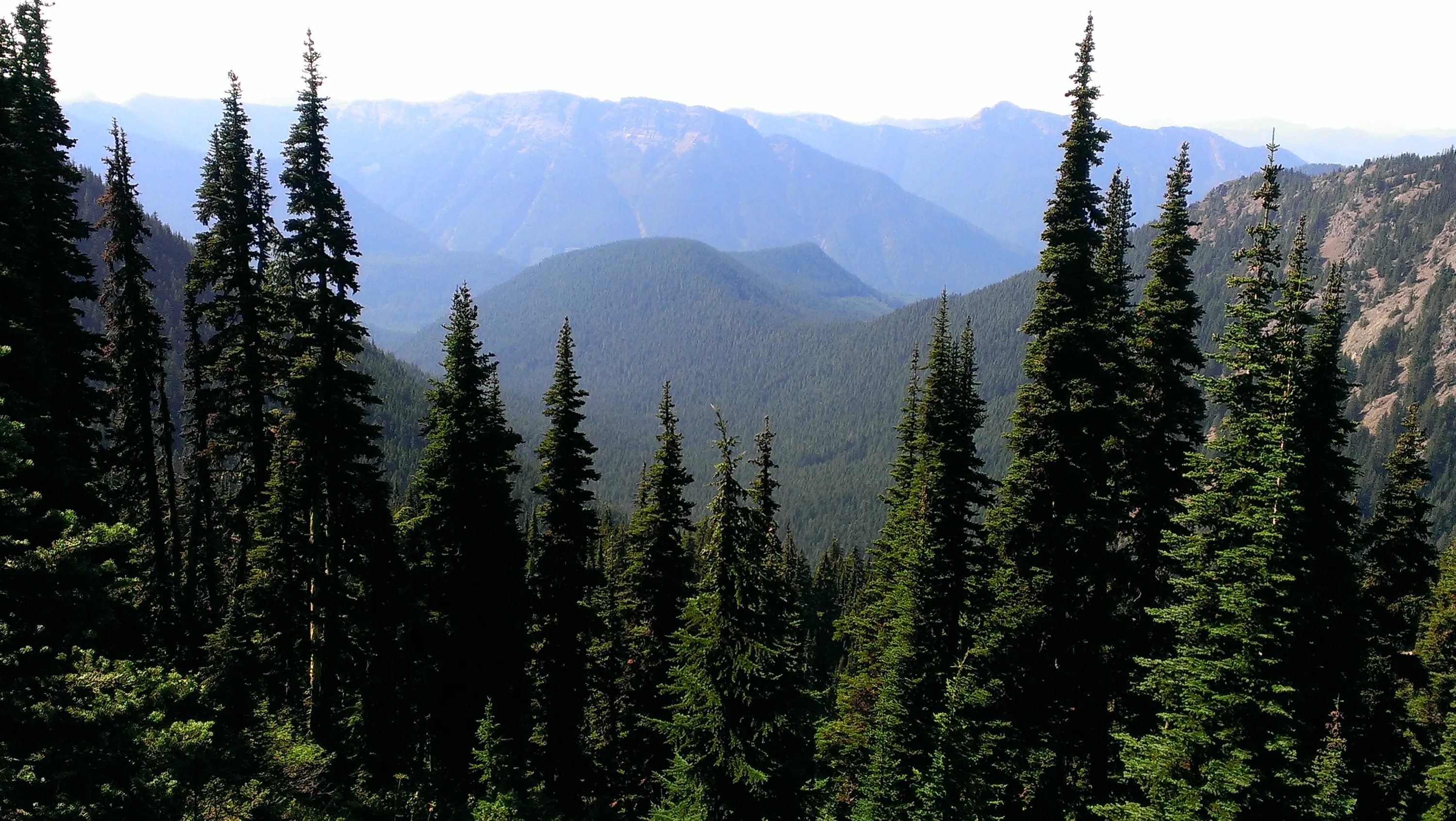
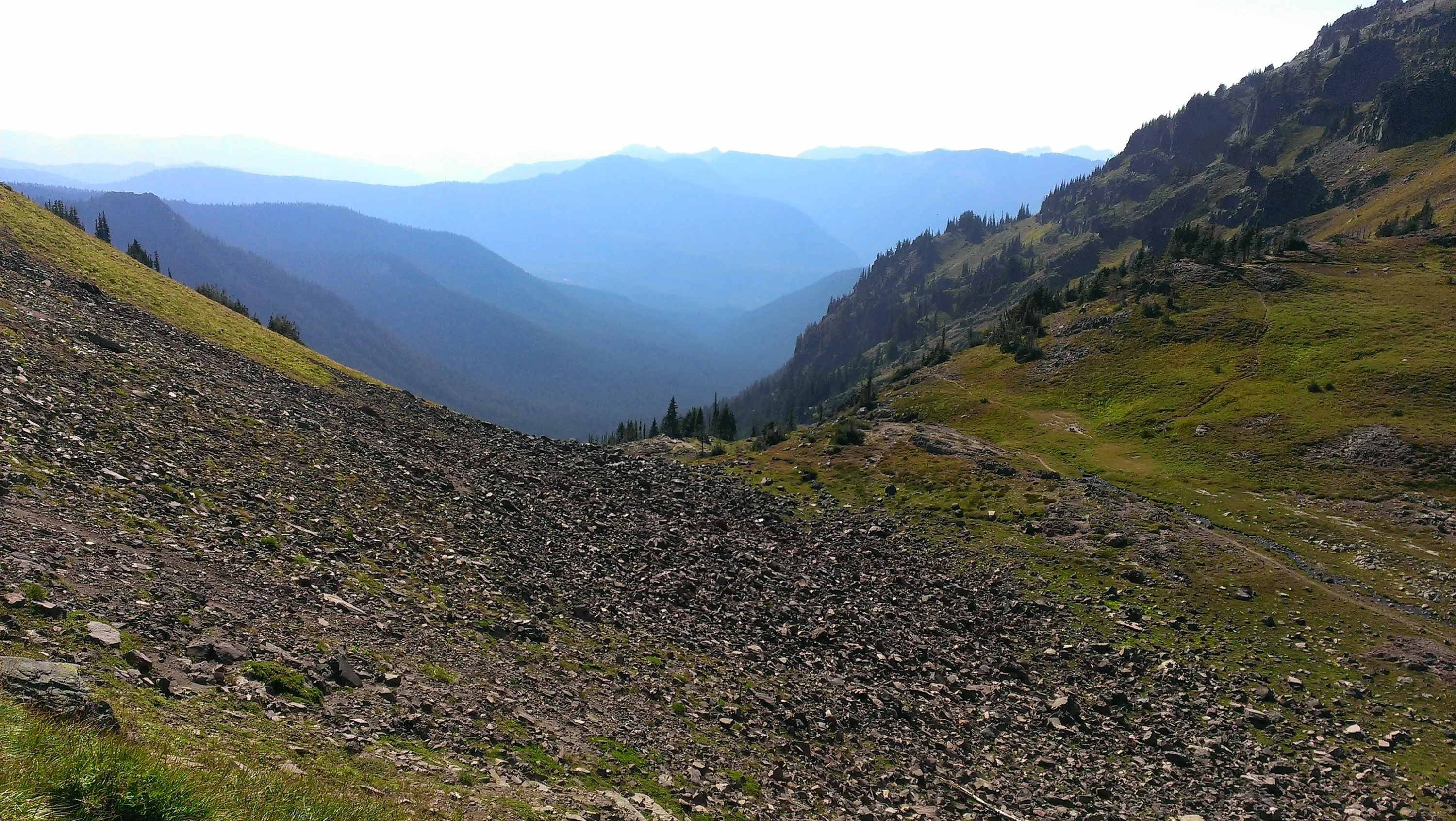
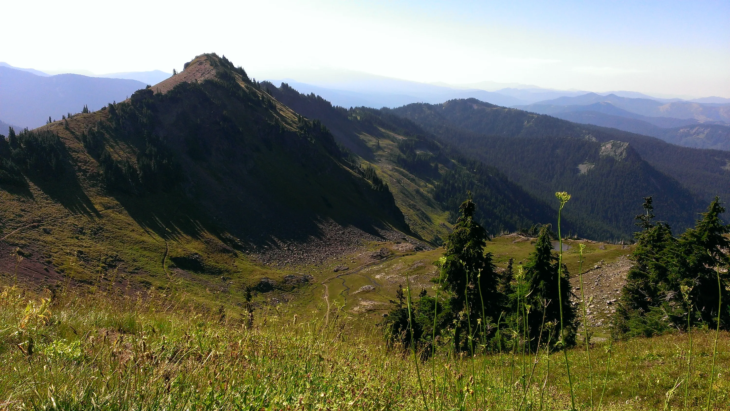
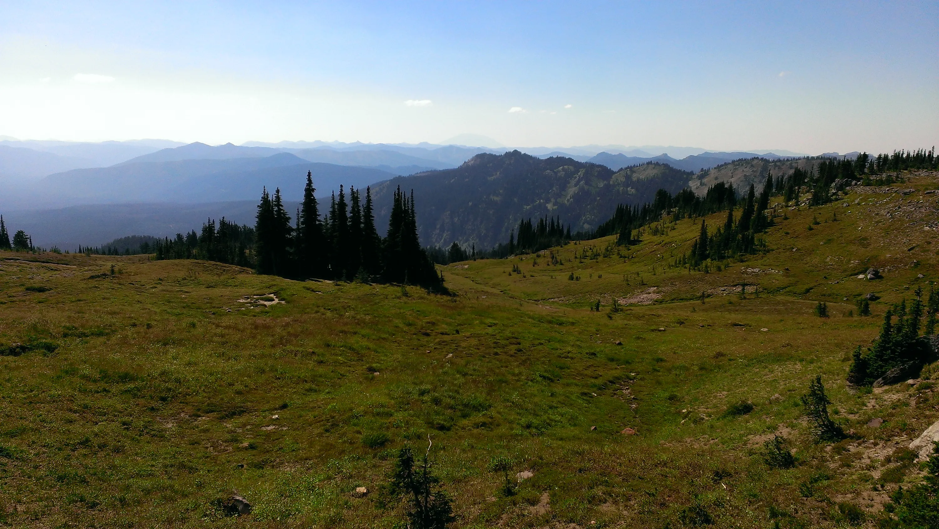
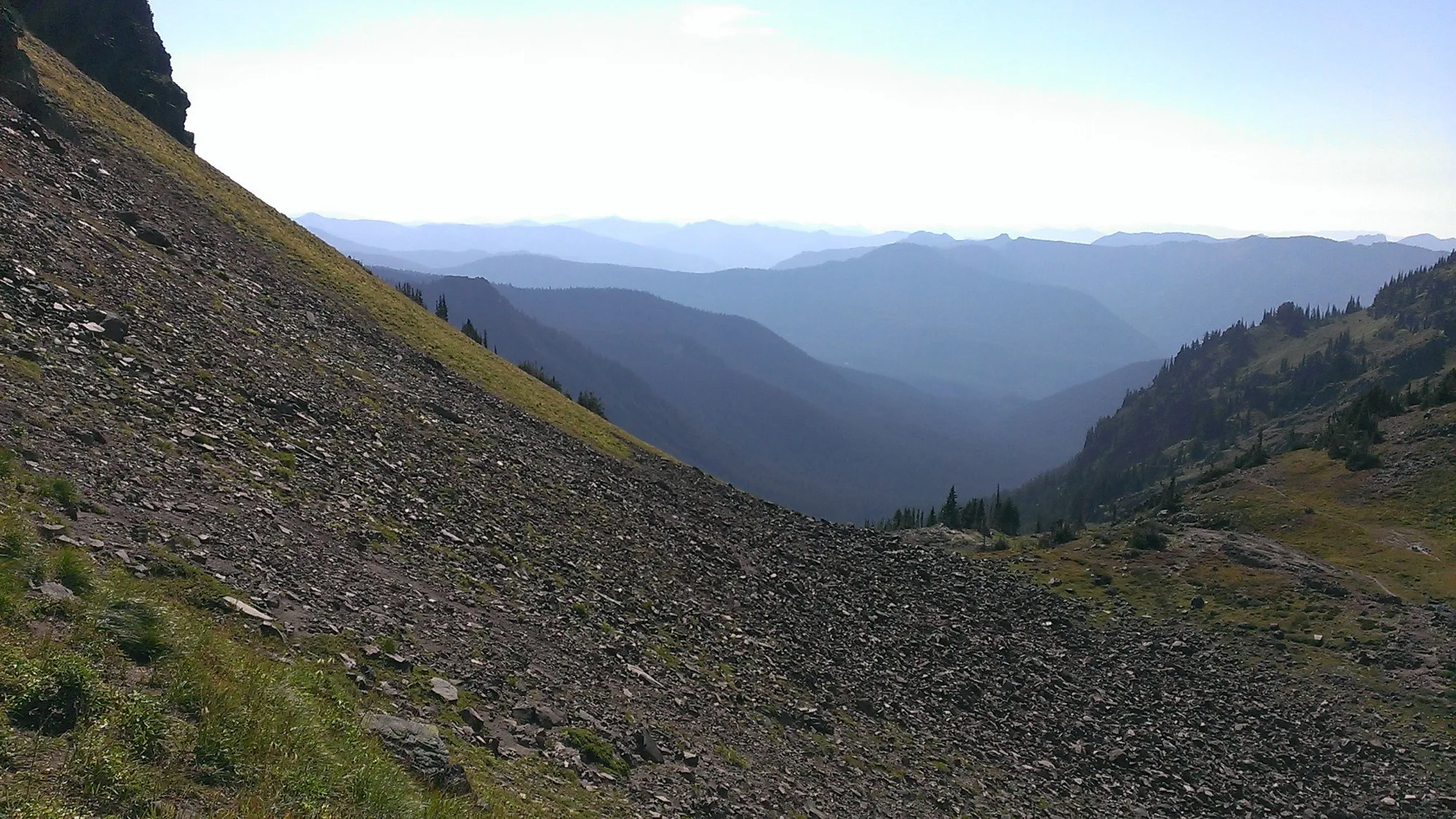
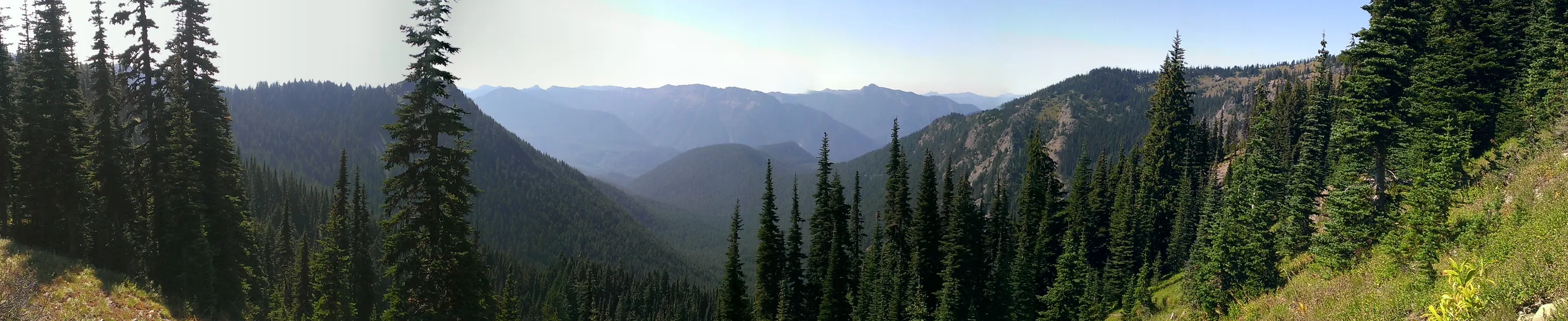
I think this is the Jordan Creek basin - we haven't crested over to the Goat Creek basin yet
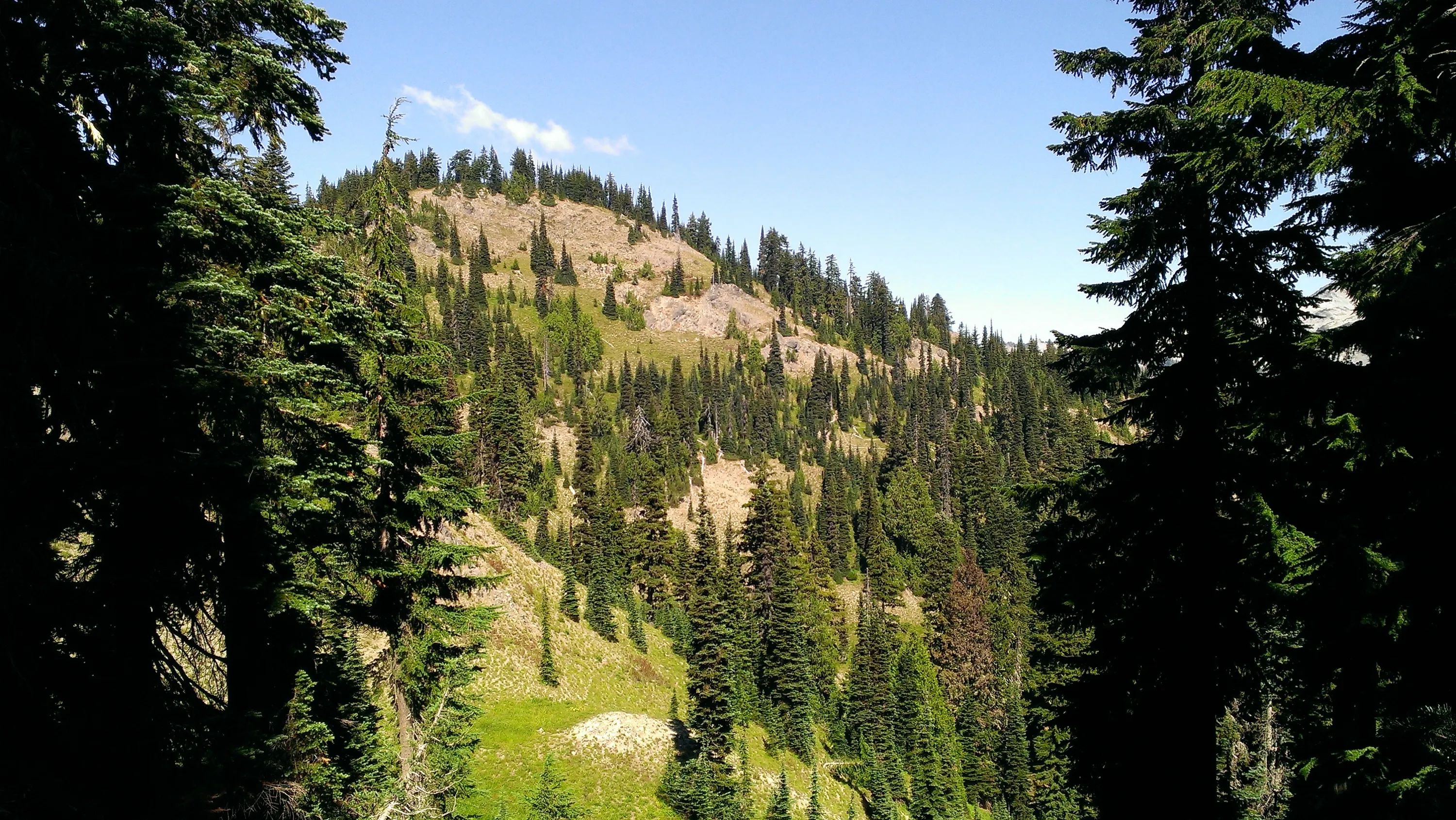
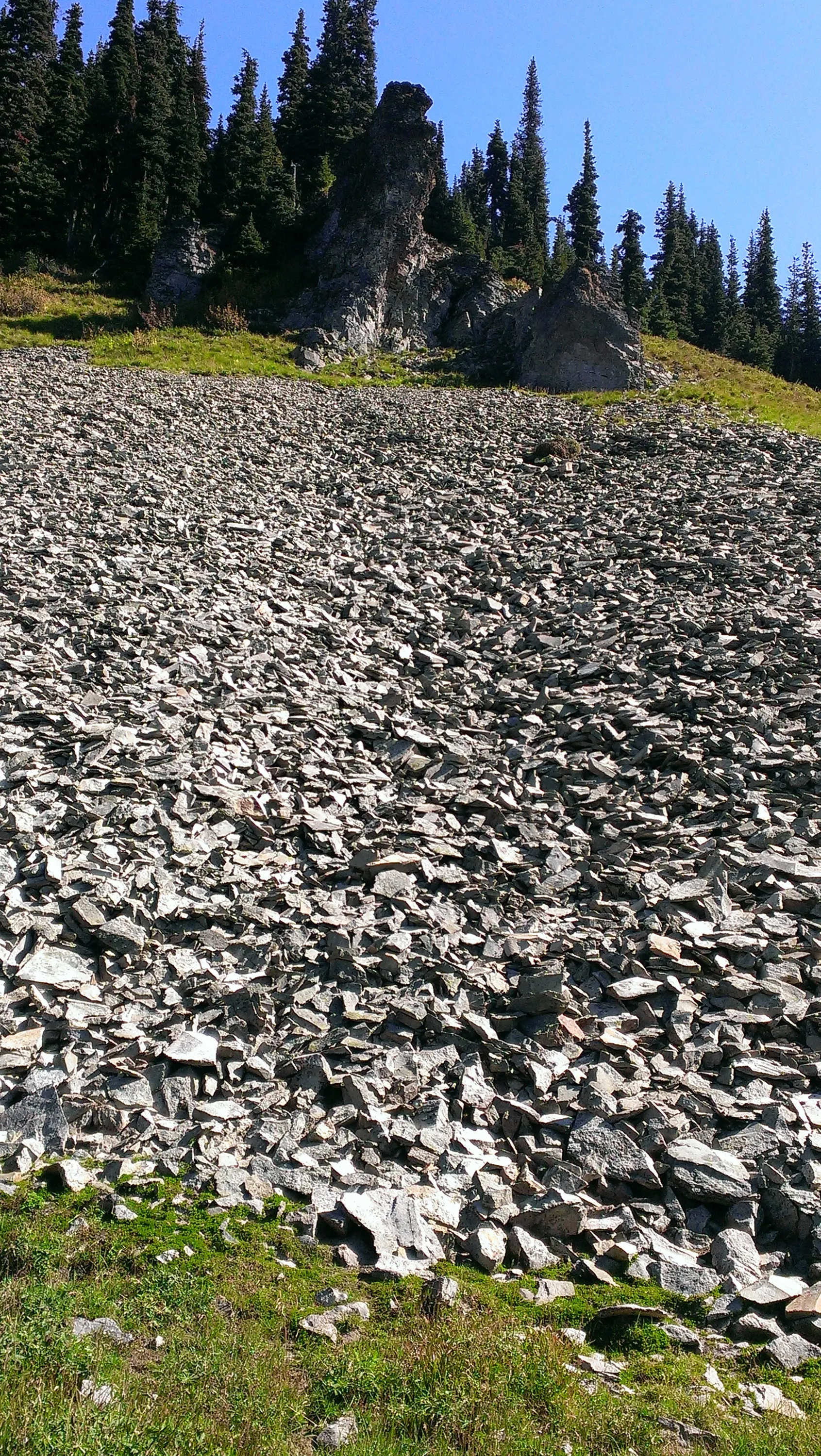
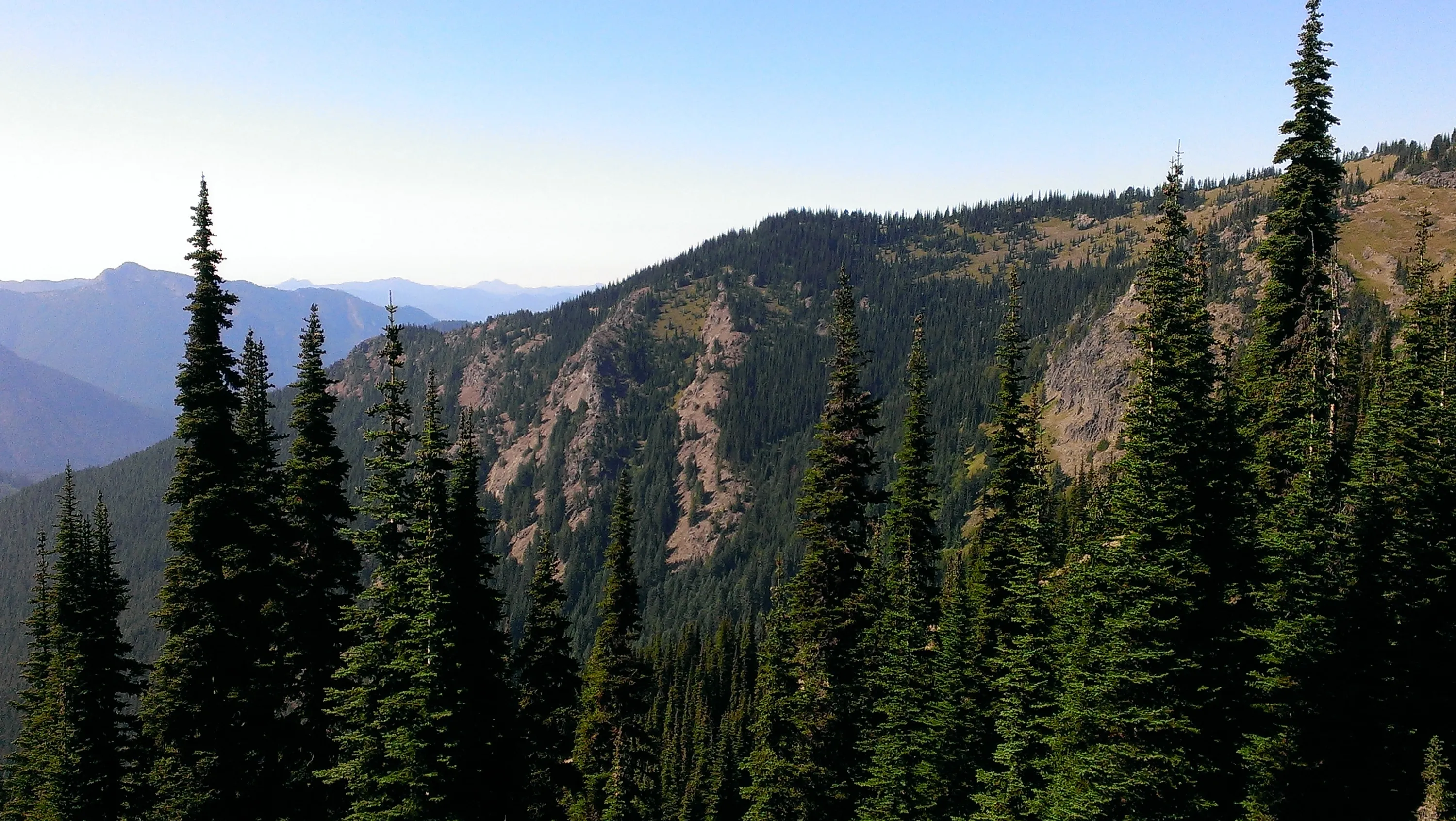
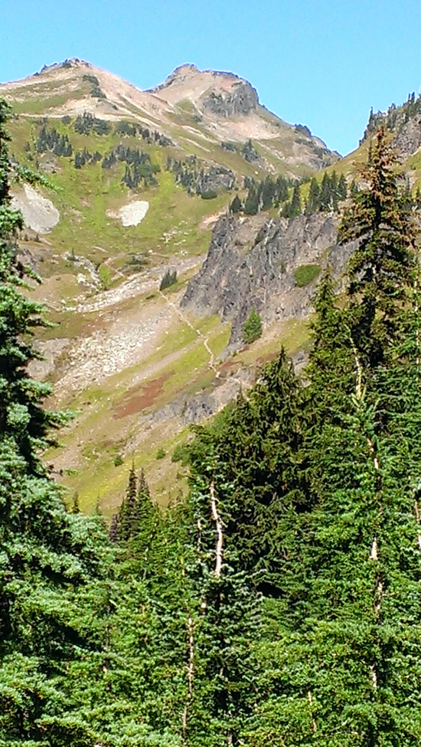
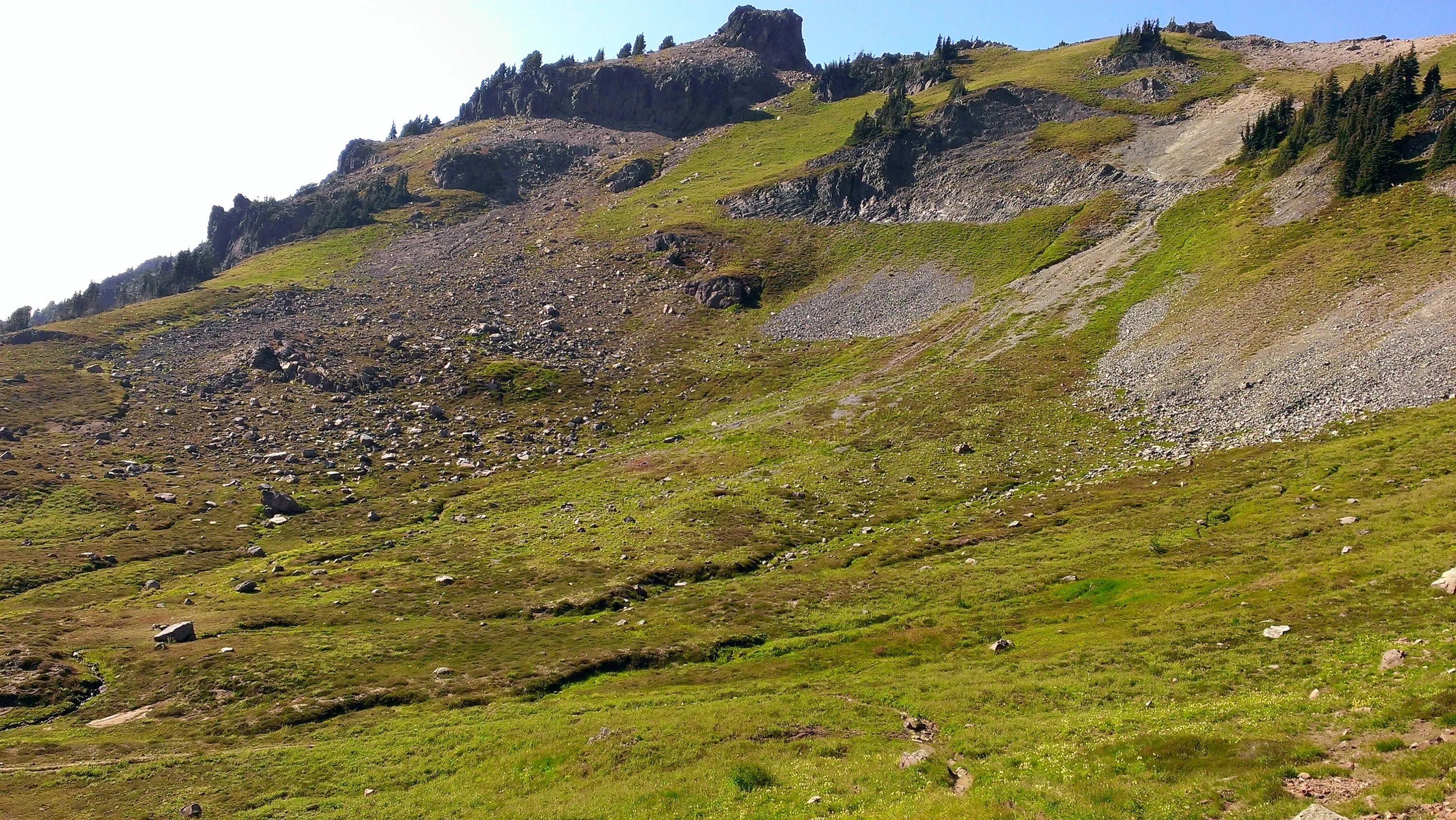
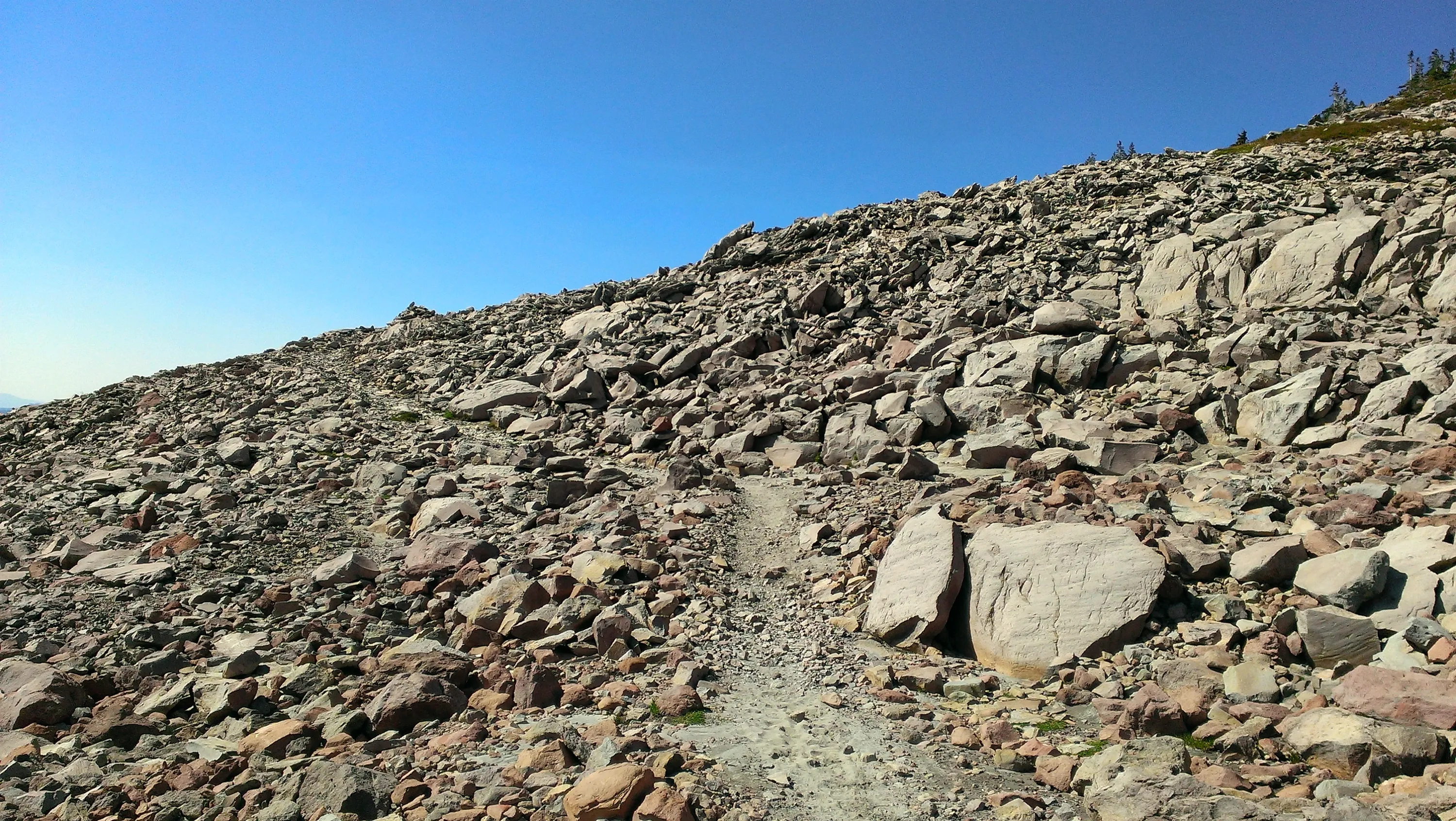
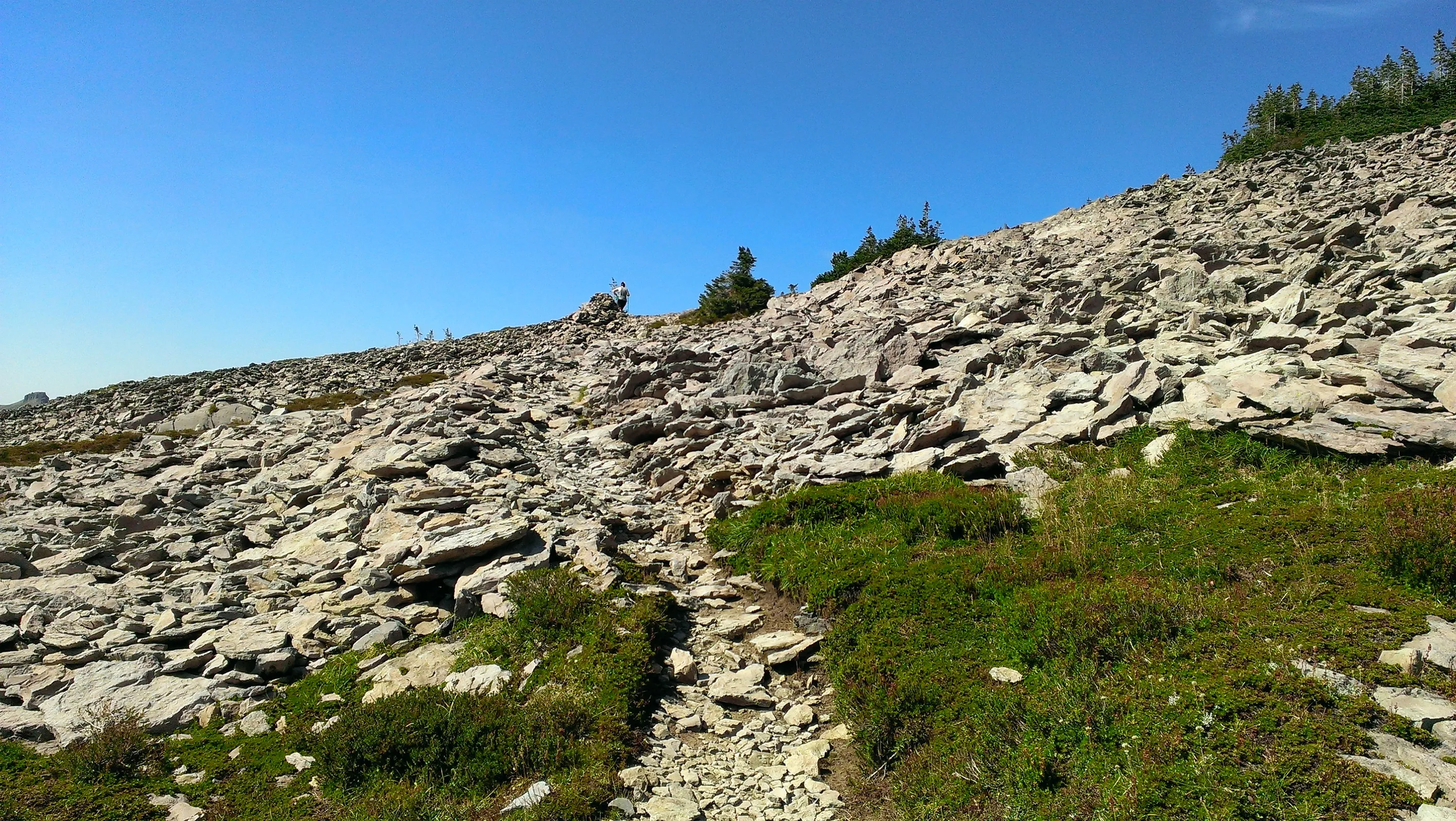
Interesting rockslide and rock formation up hill - on Goat Ridge Trail
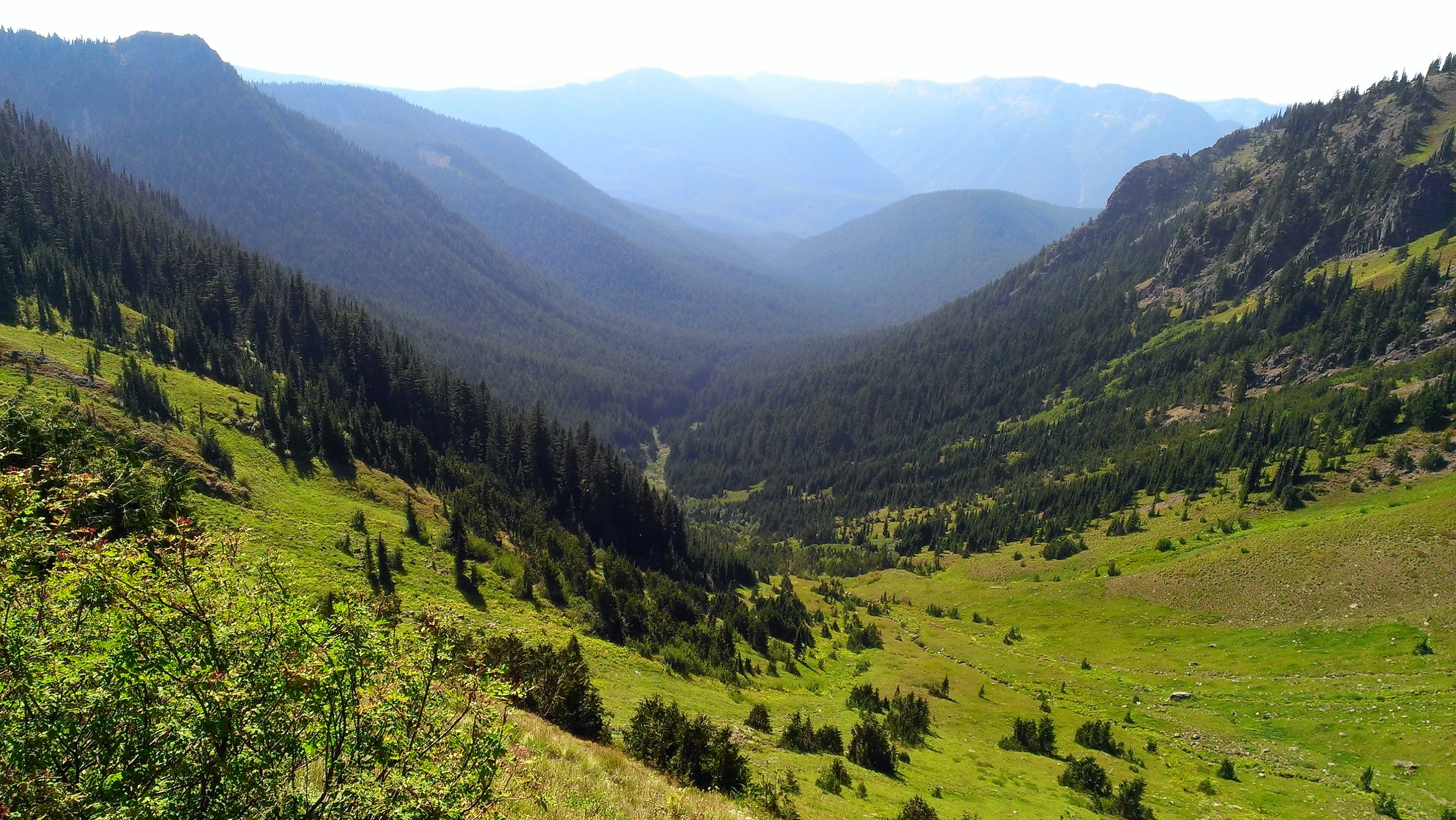
I believe this is a better shot of the Jordan Creek basin
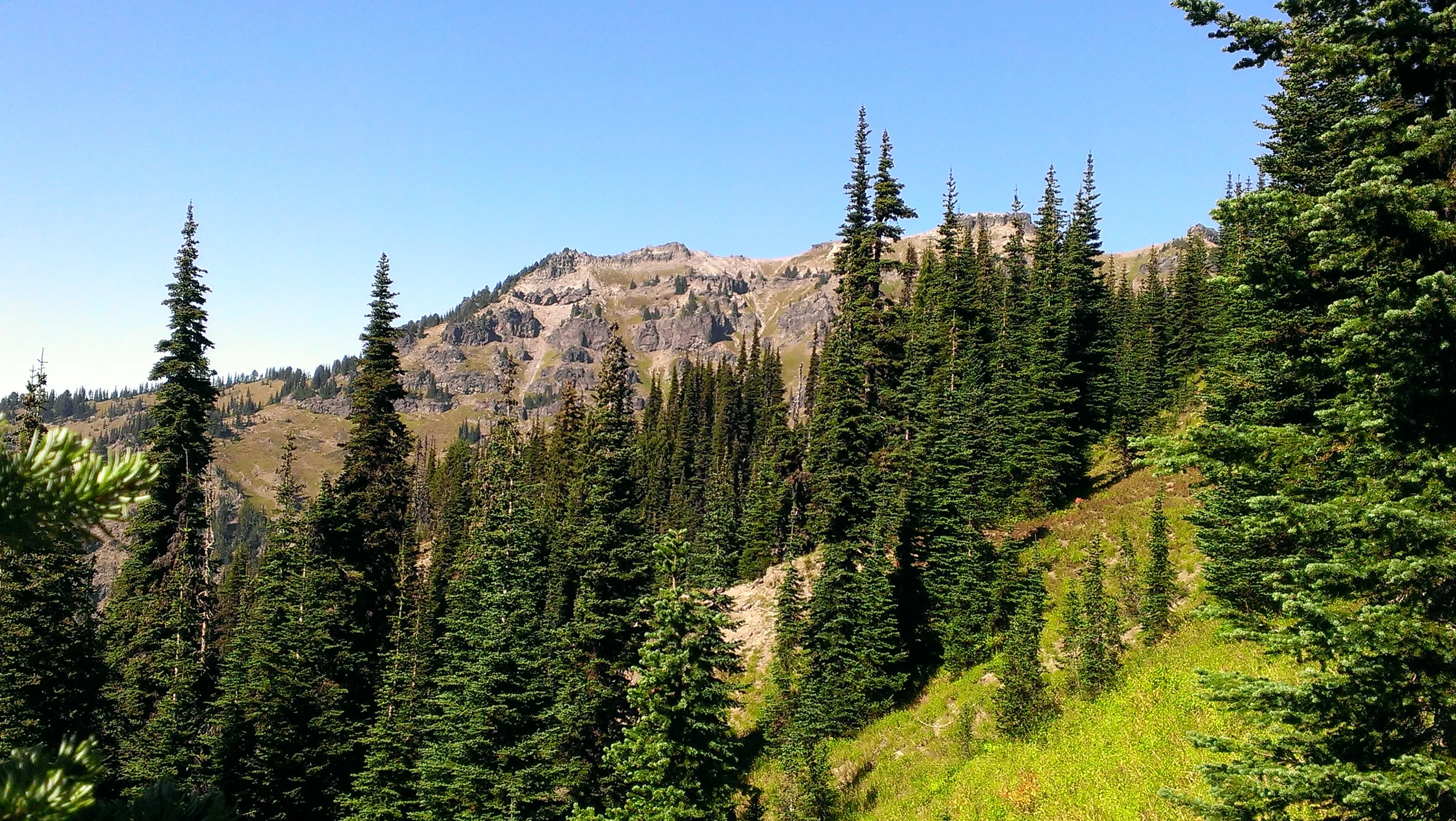
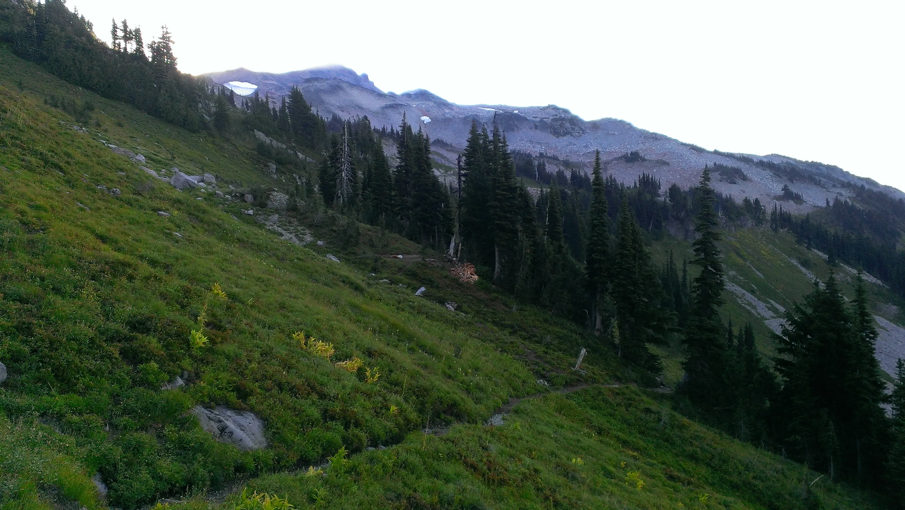
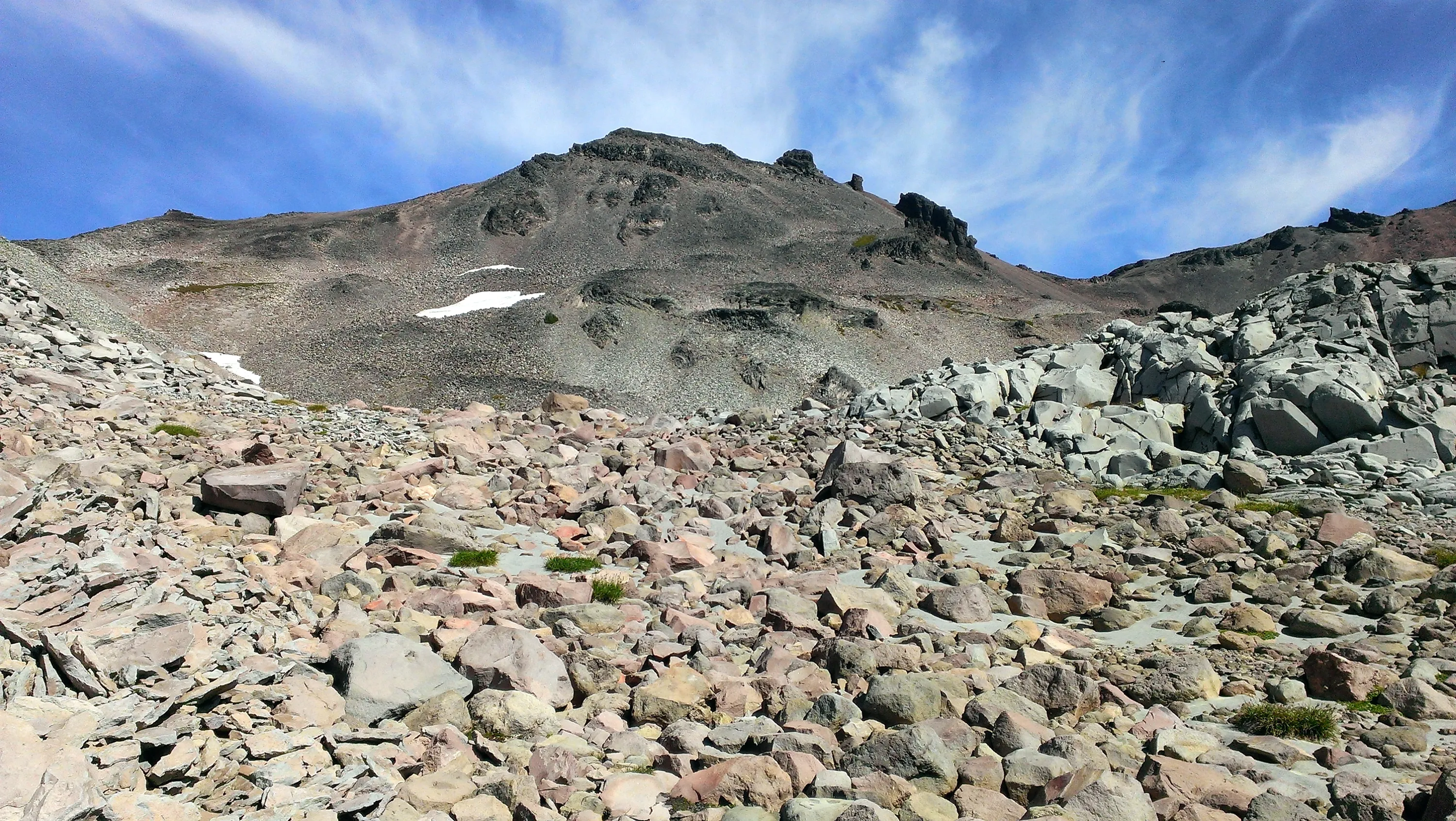
We are starting to see the rocky landscape as we approach treeline - still on the Goat Ridge Trail
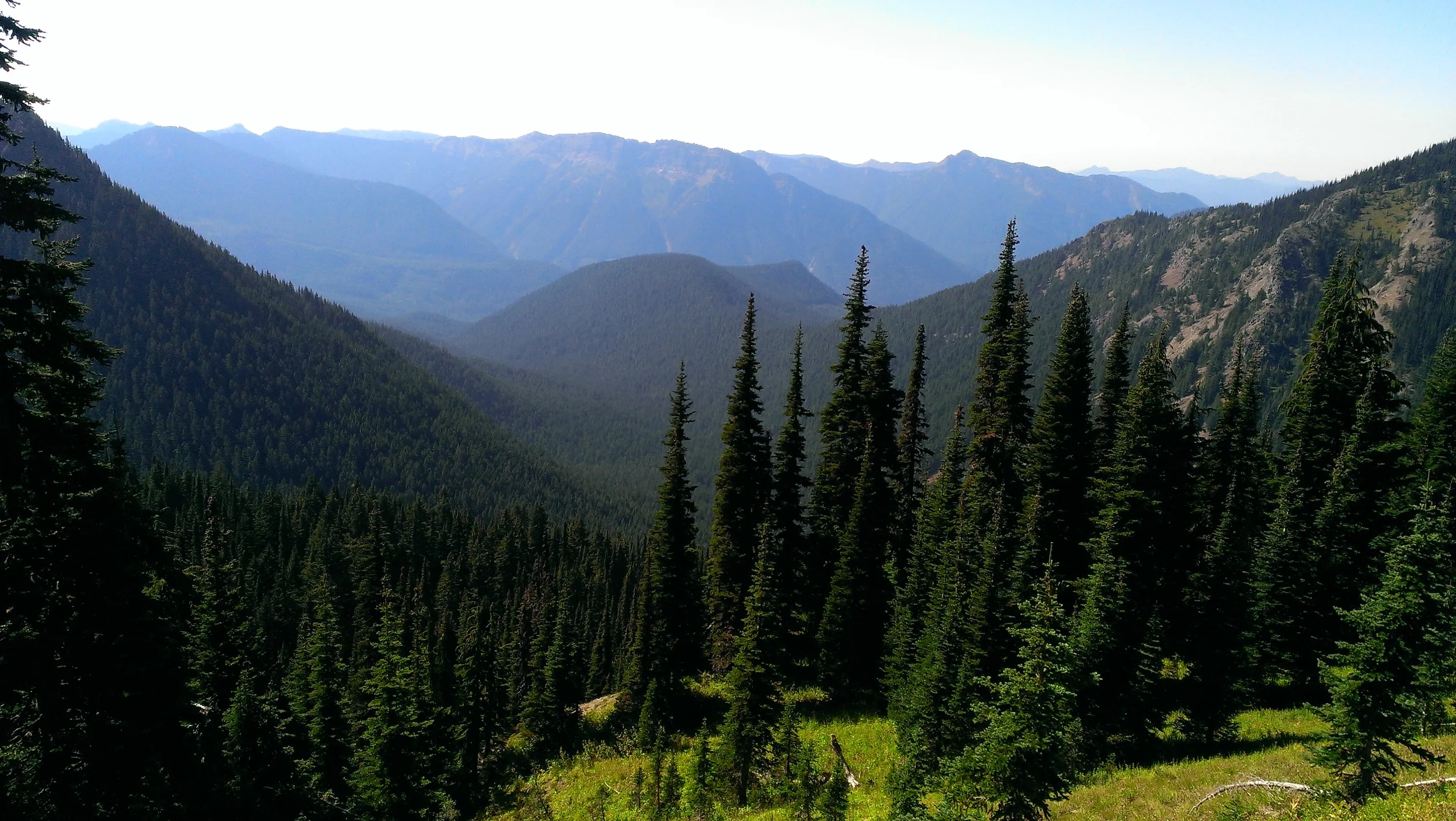
Even better view of Jordan Creek Basin
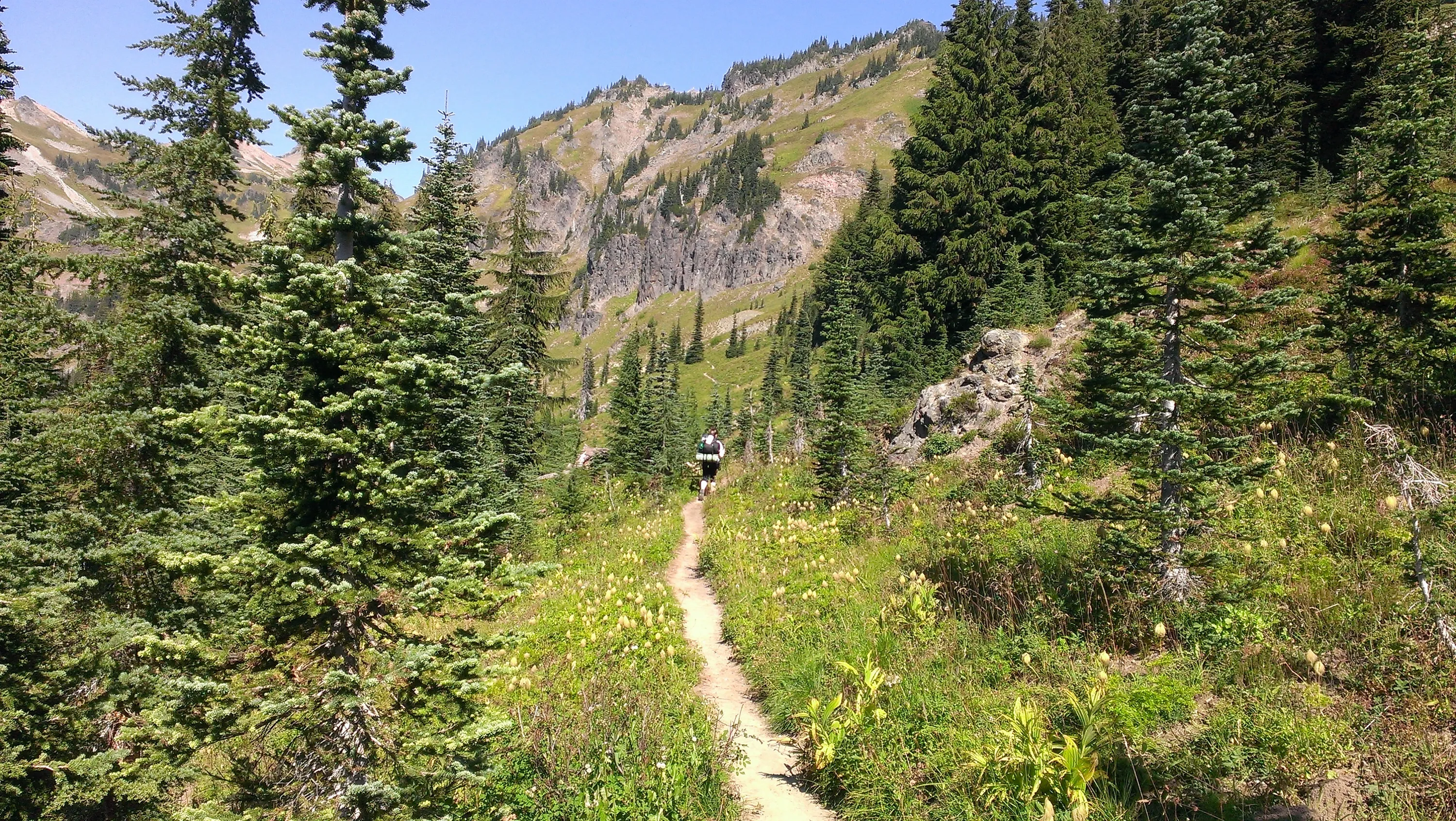
We can see where we are going to go through the saddle and finally see the Goat Creek basin. The trail climbs a lot in here
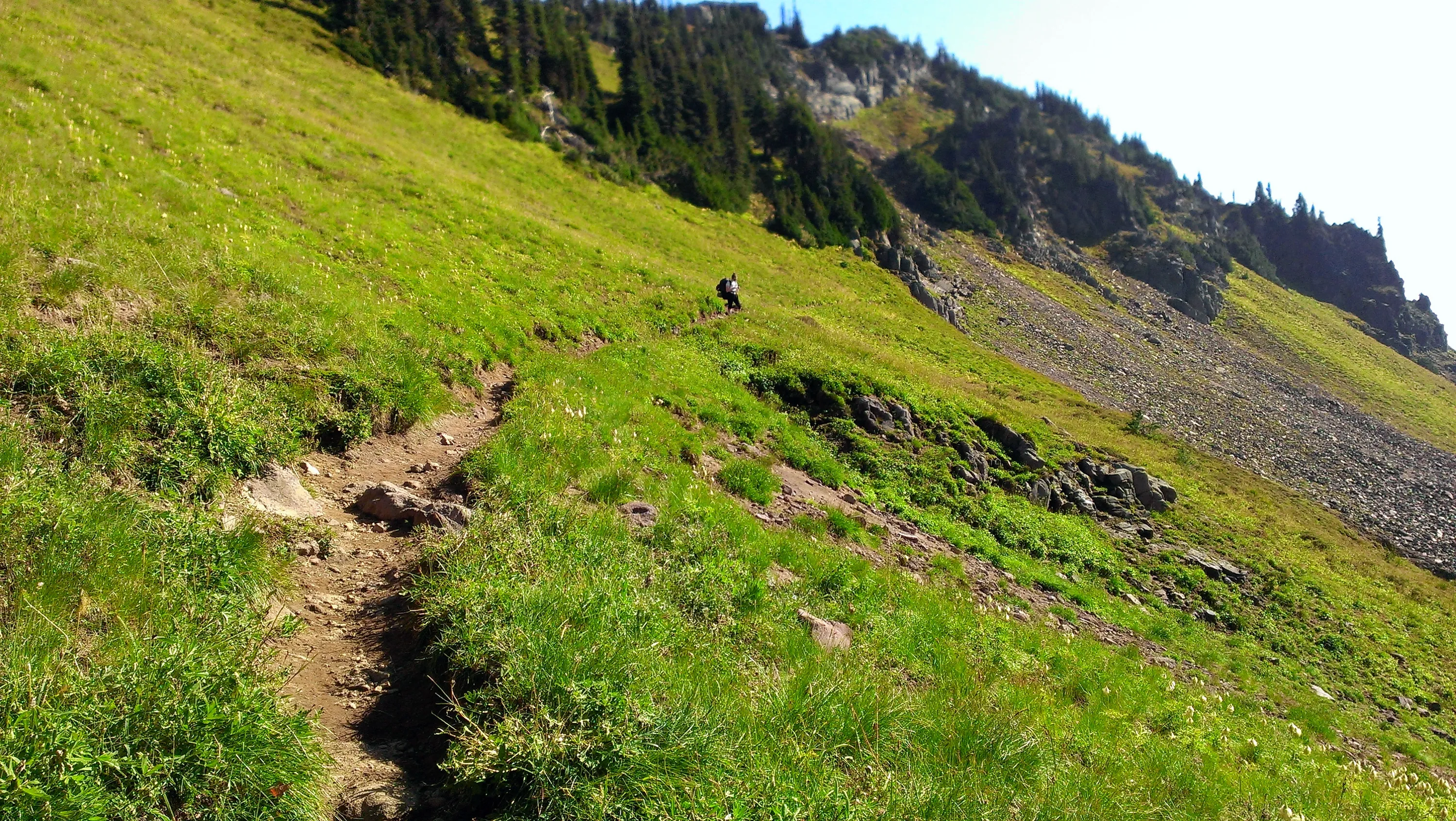
Carly ahead of me and you can see the trail in the distance heading up the hill
Jordan Creek Basin
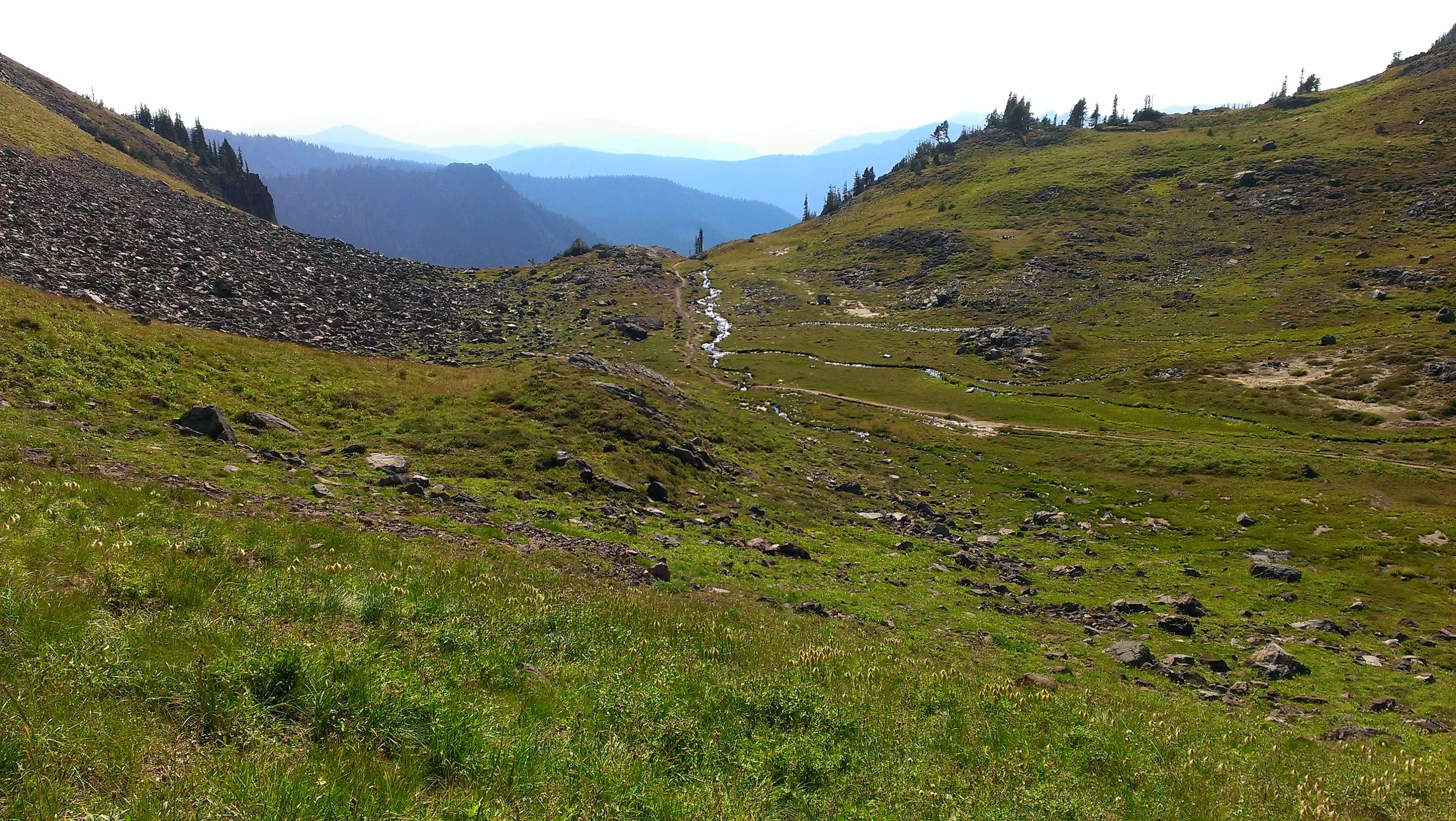
The meadow at the top of Jordan Basin - nice little creek going through it with several campsites.
The hills above the upper Jordan basin
Heading up out of Jordan Basin to the Goat Creek basin
The view of the upper meadow/basin and the lower basin (a little hazy)
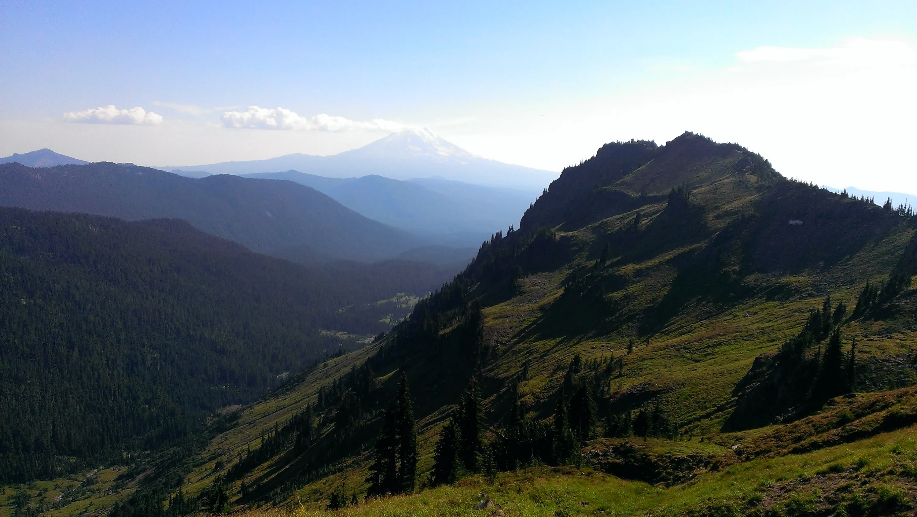
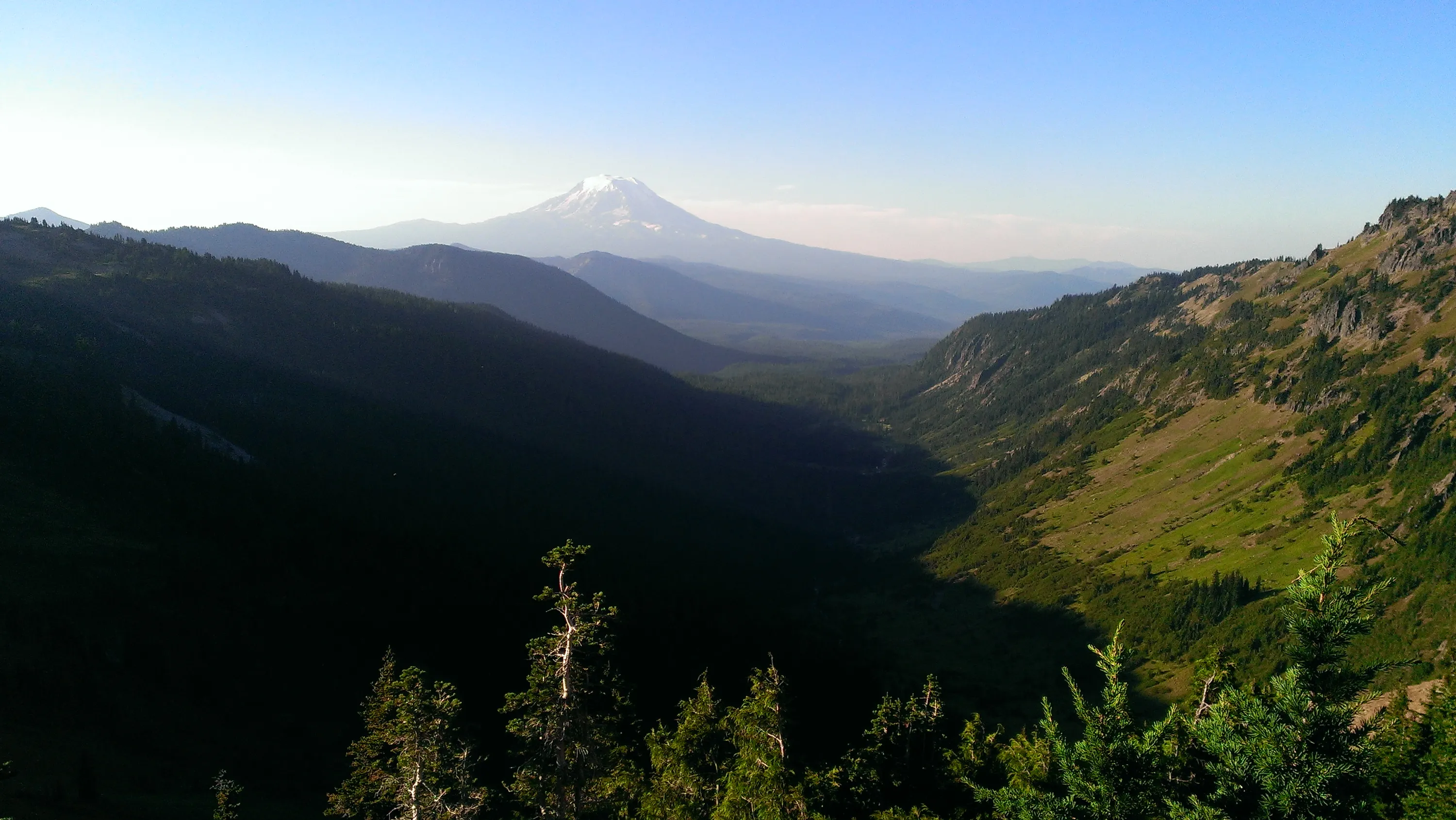
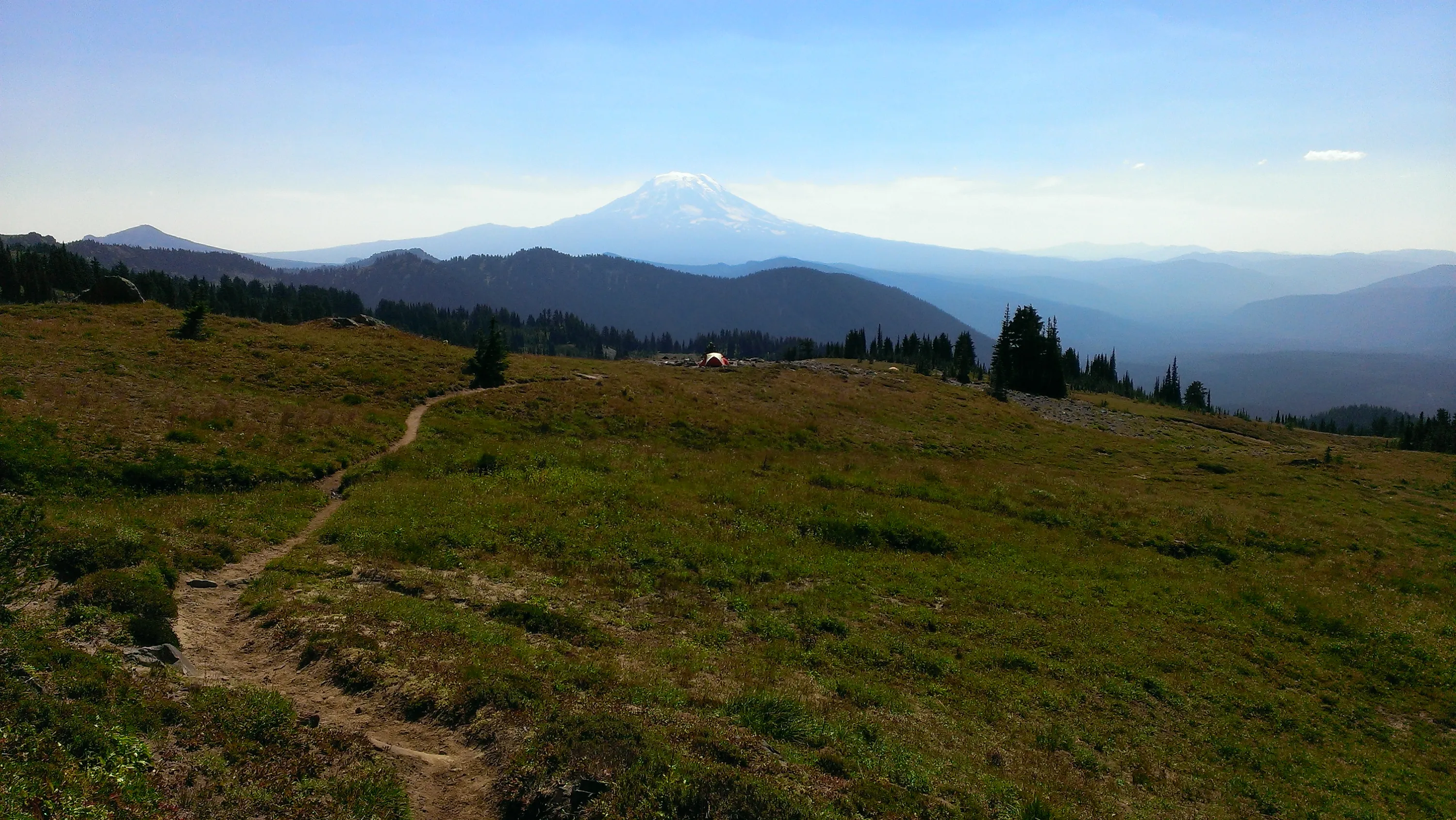
I believe this is Mt Adams
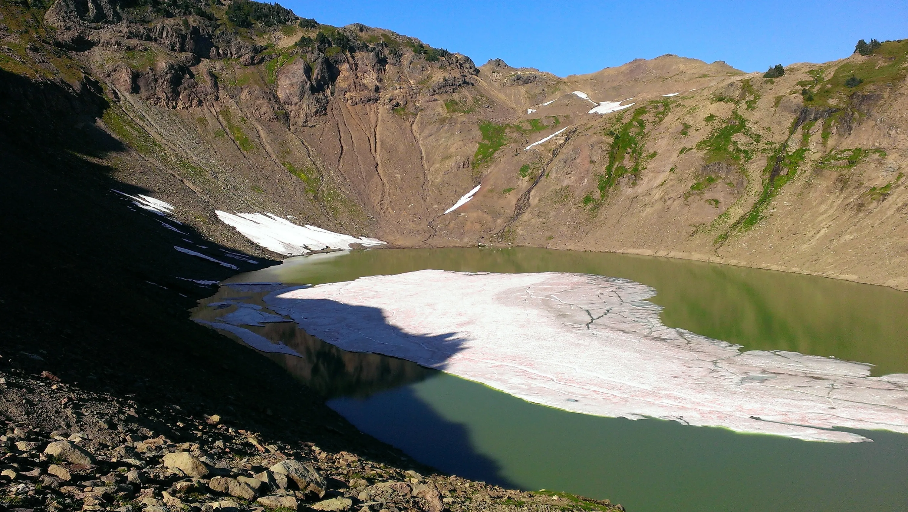
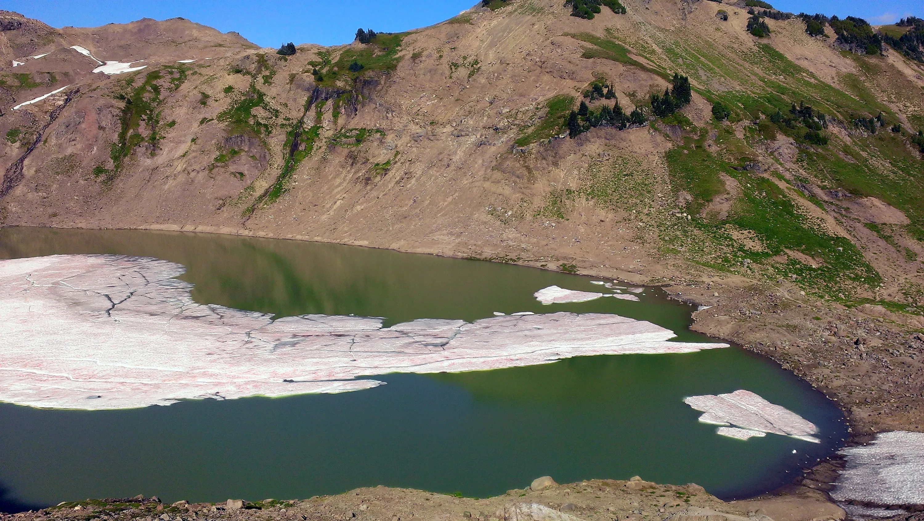
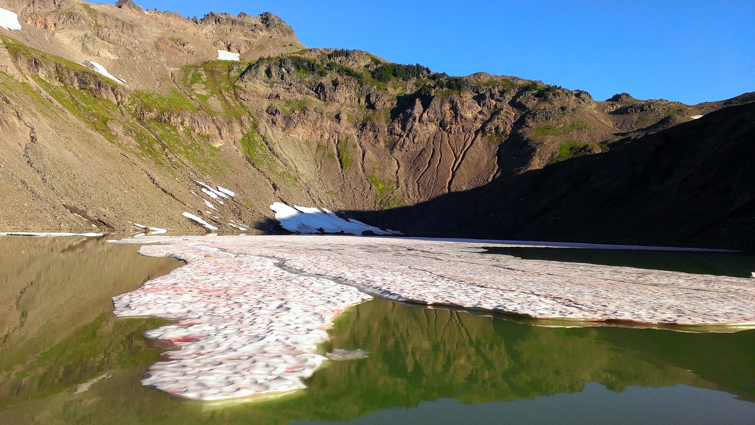
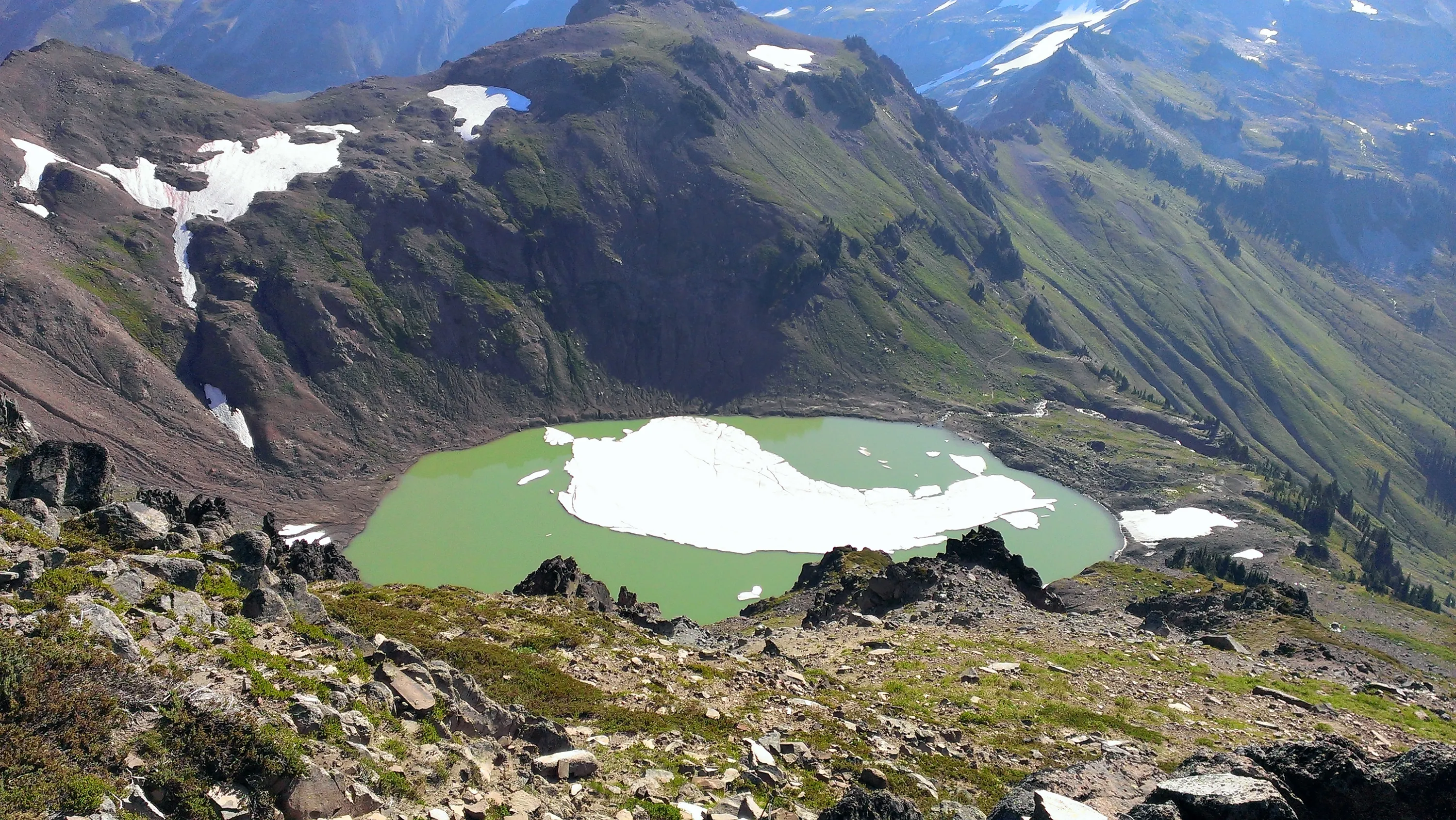
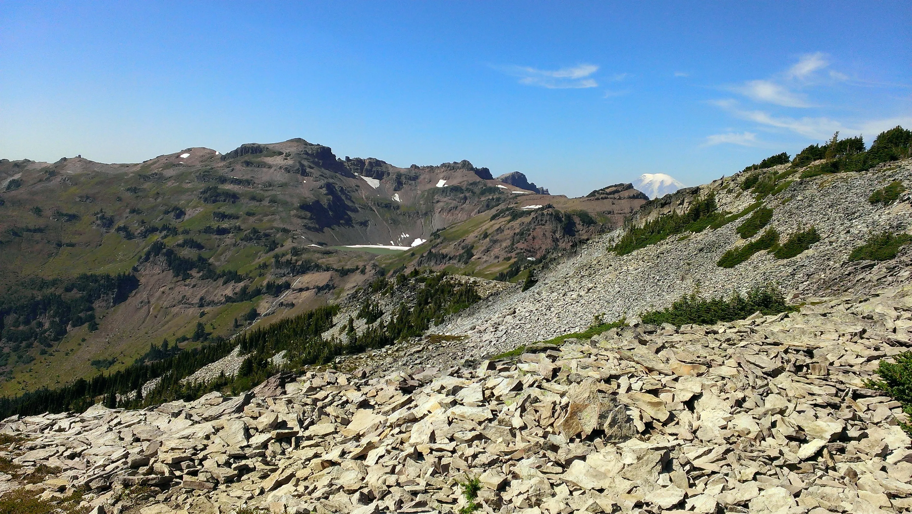
Our first look at Goat Lake - it is in a very deep bowl and it was amazing it still had ice in it. This was the middle of September!!!!
Goat Lake
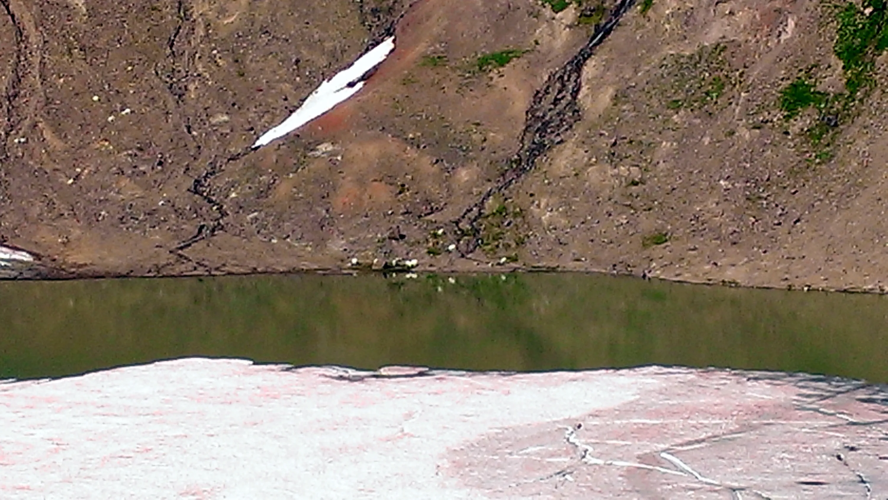
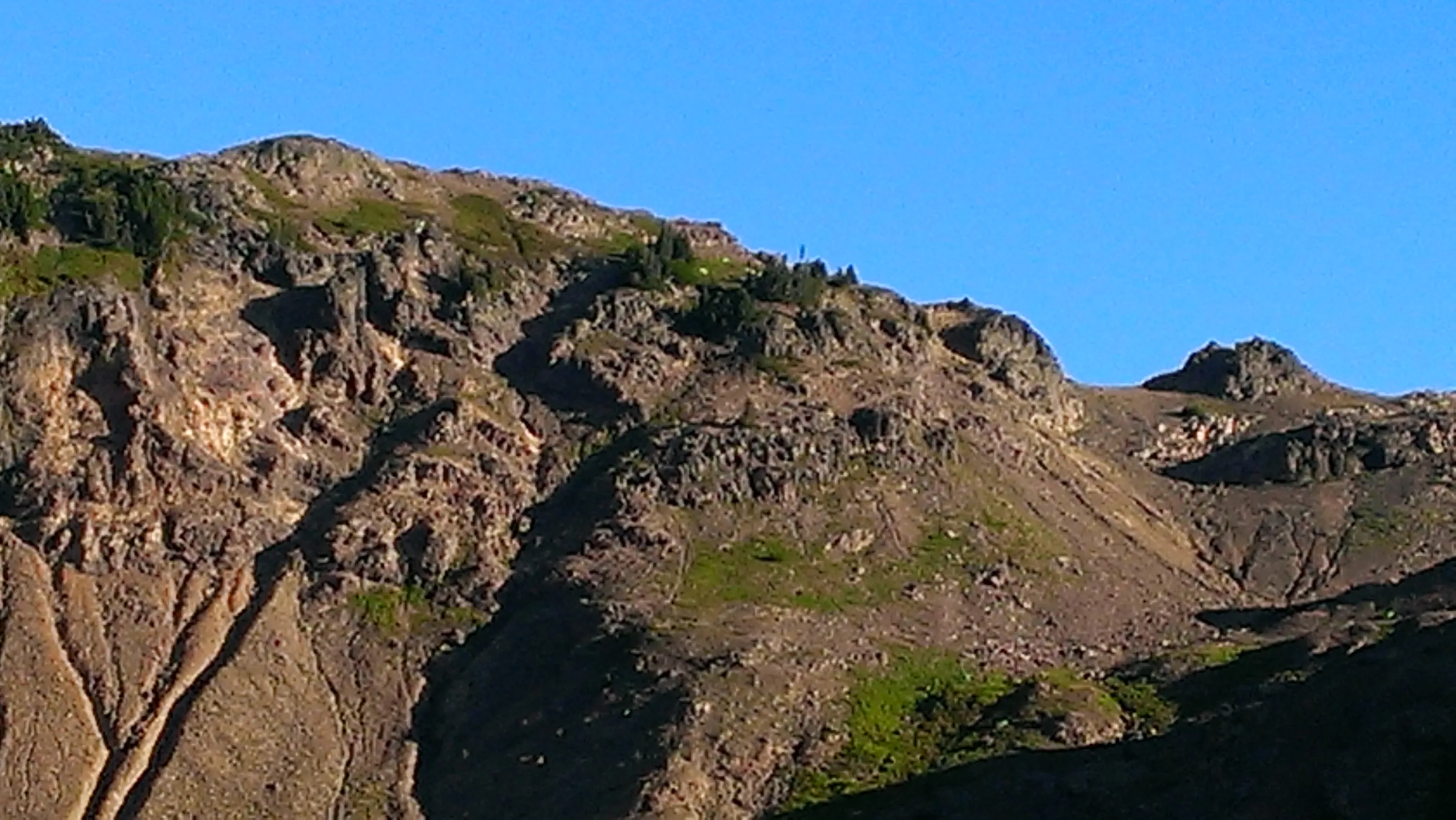
Hard to see, but those white specks on the far side of the lake are goats. This was the best view we got of them all weekend.
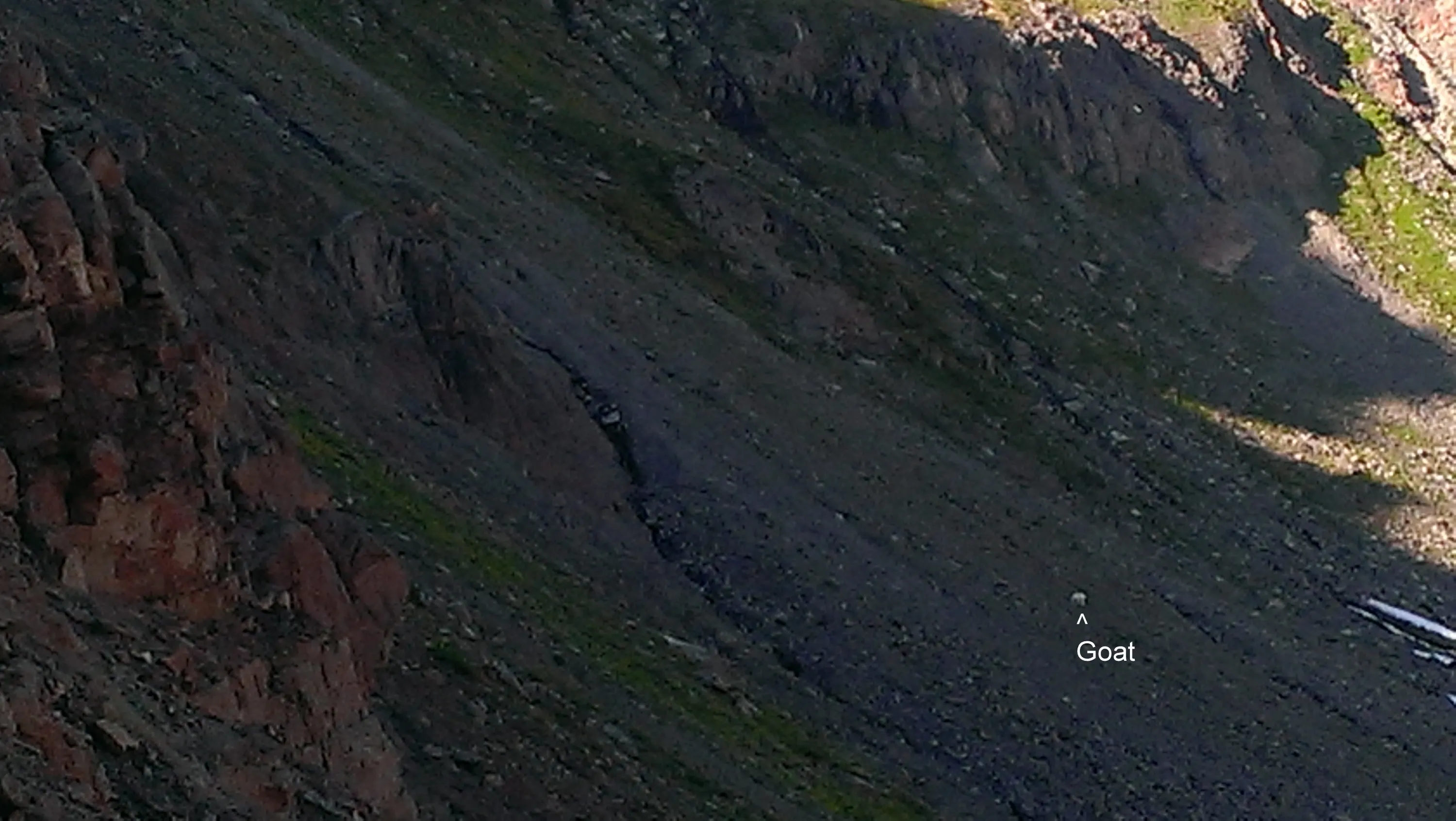
One lonely goat
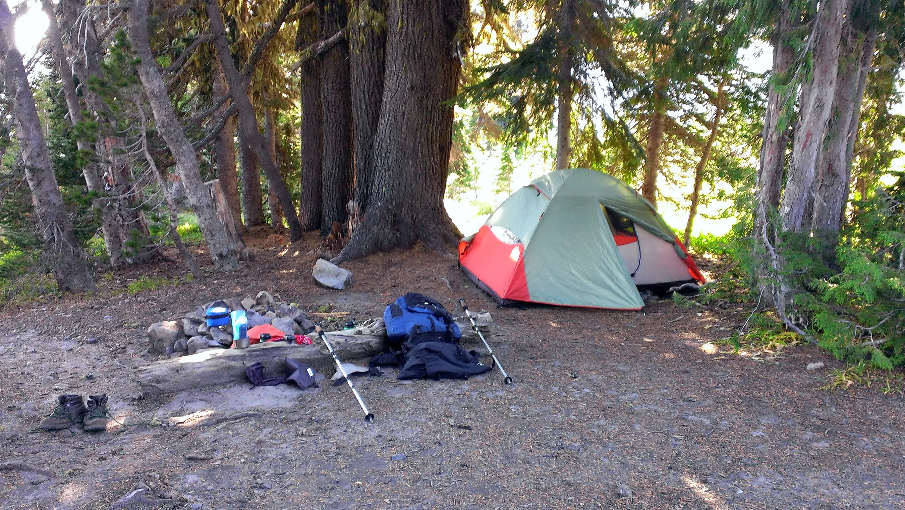
Our home for the weekend
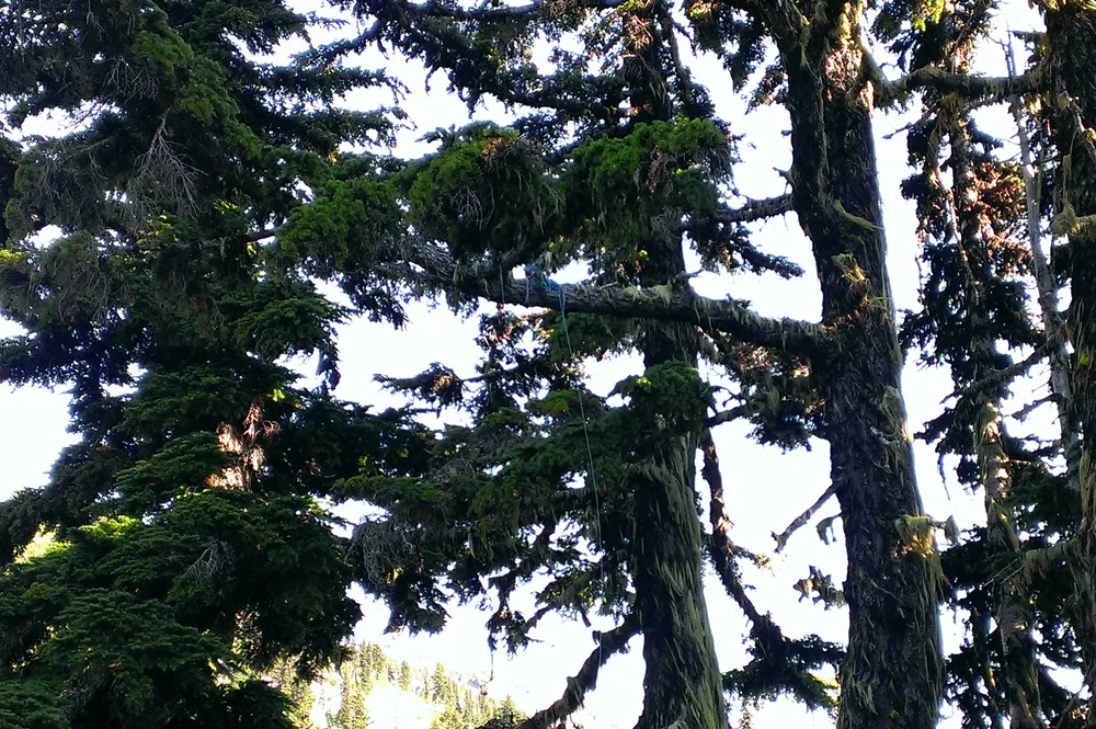
One of the prior guests got their bear bag rope stuck in the tree.
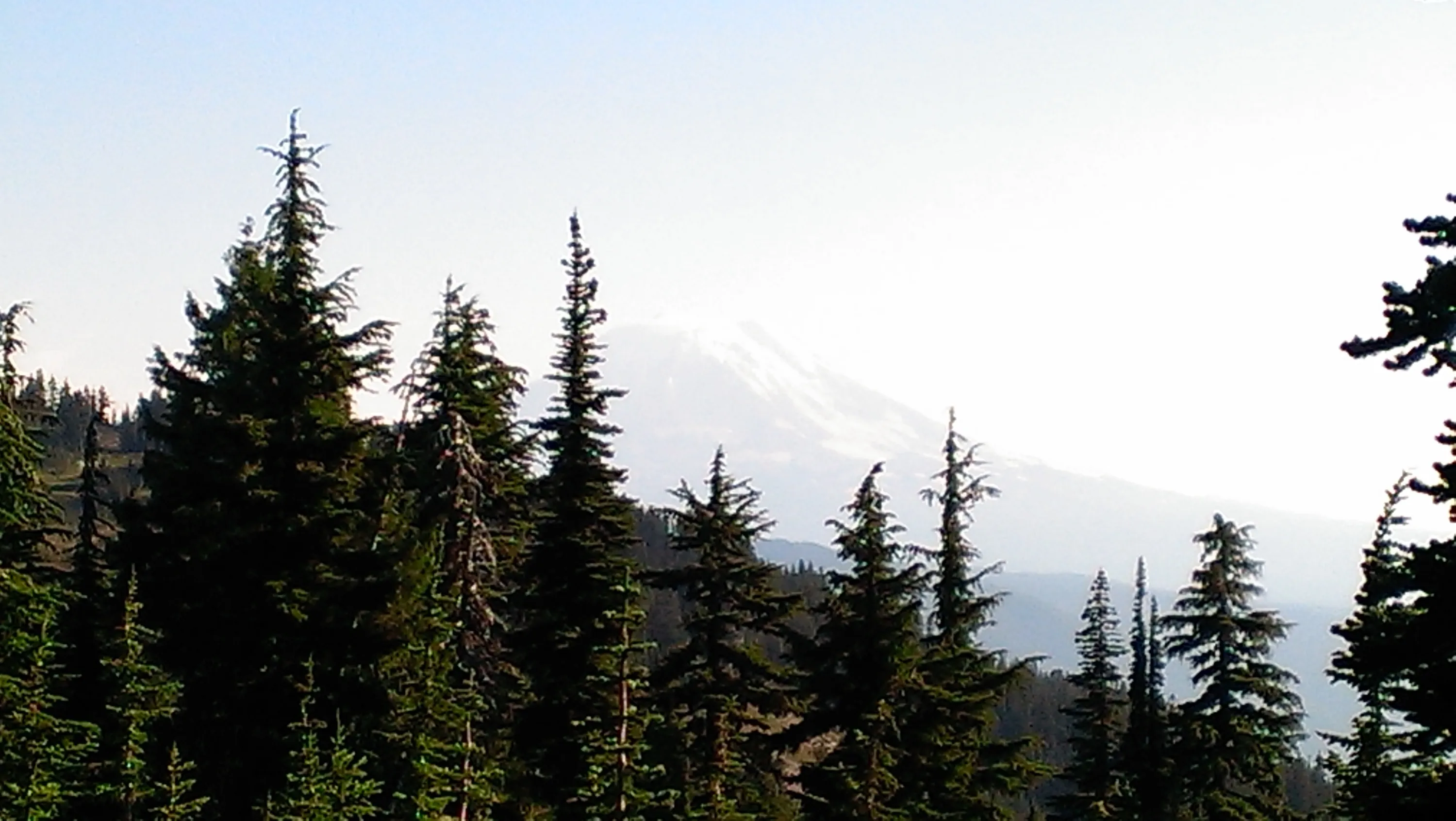
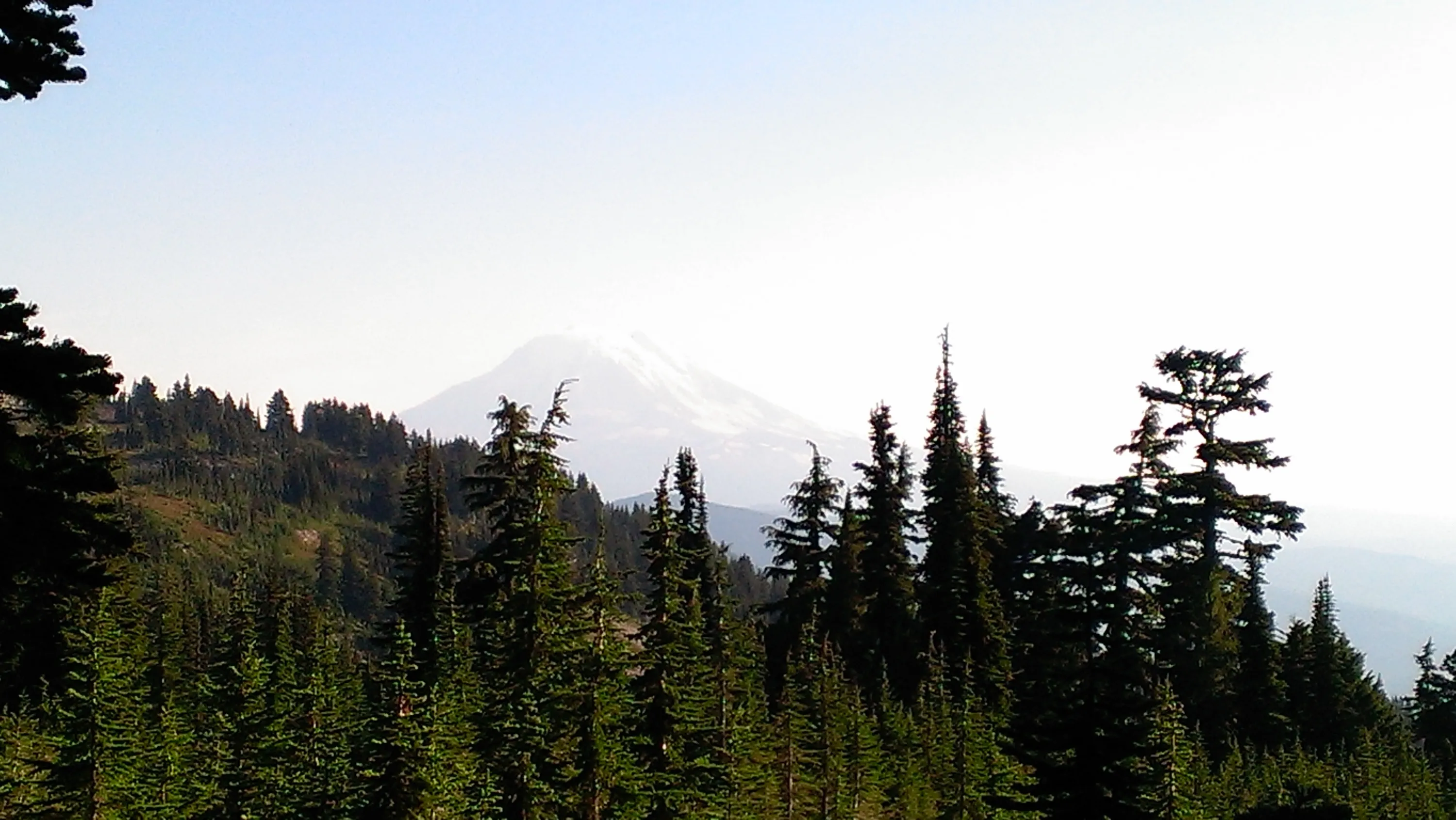
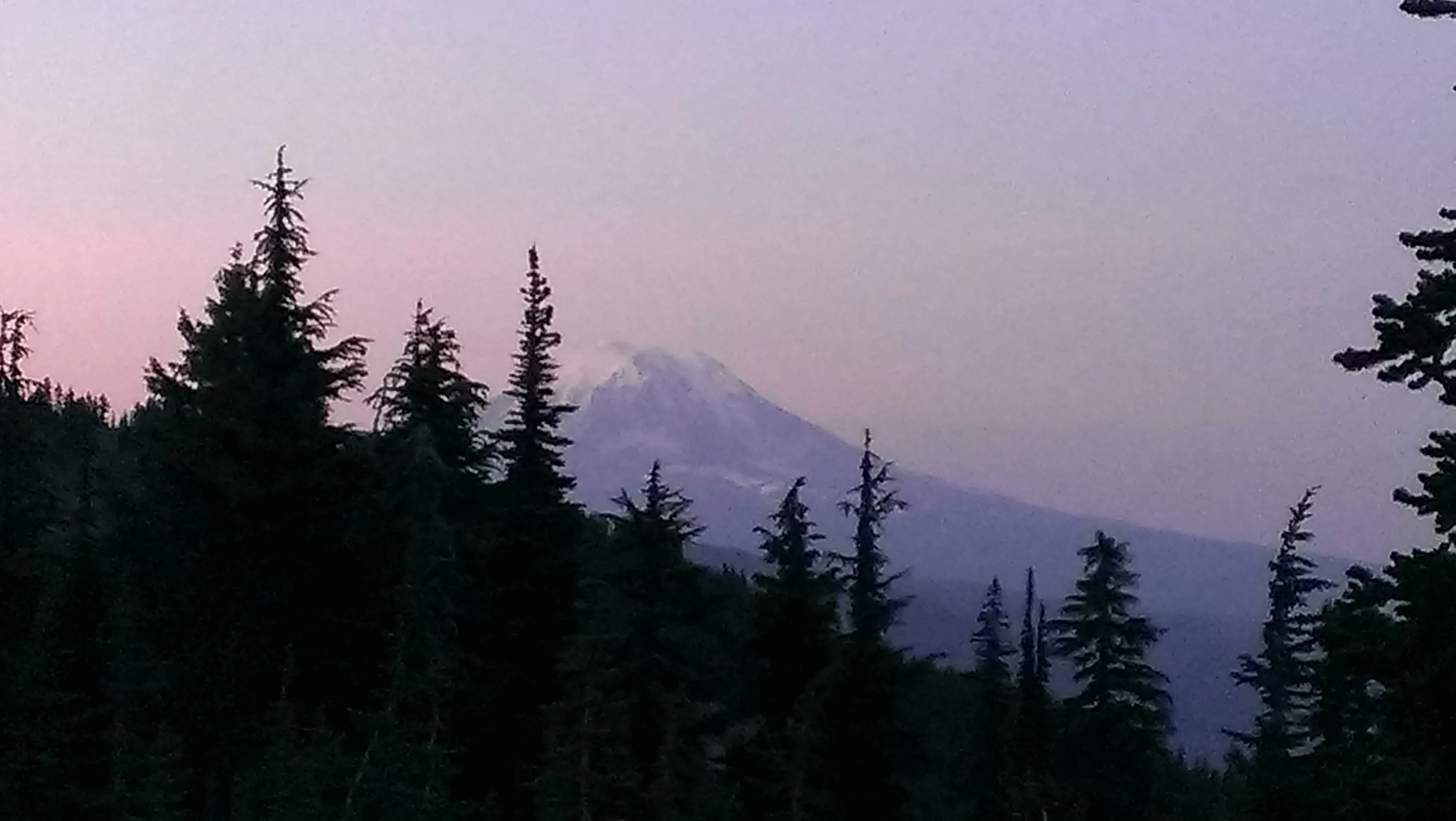
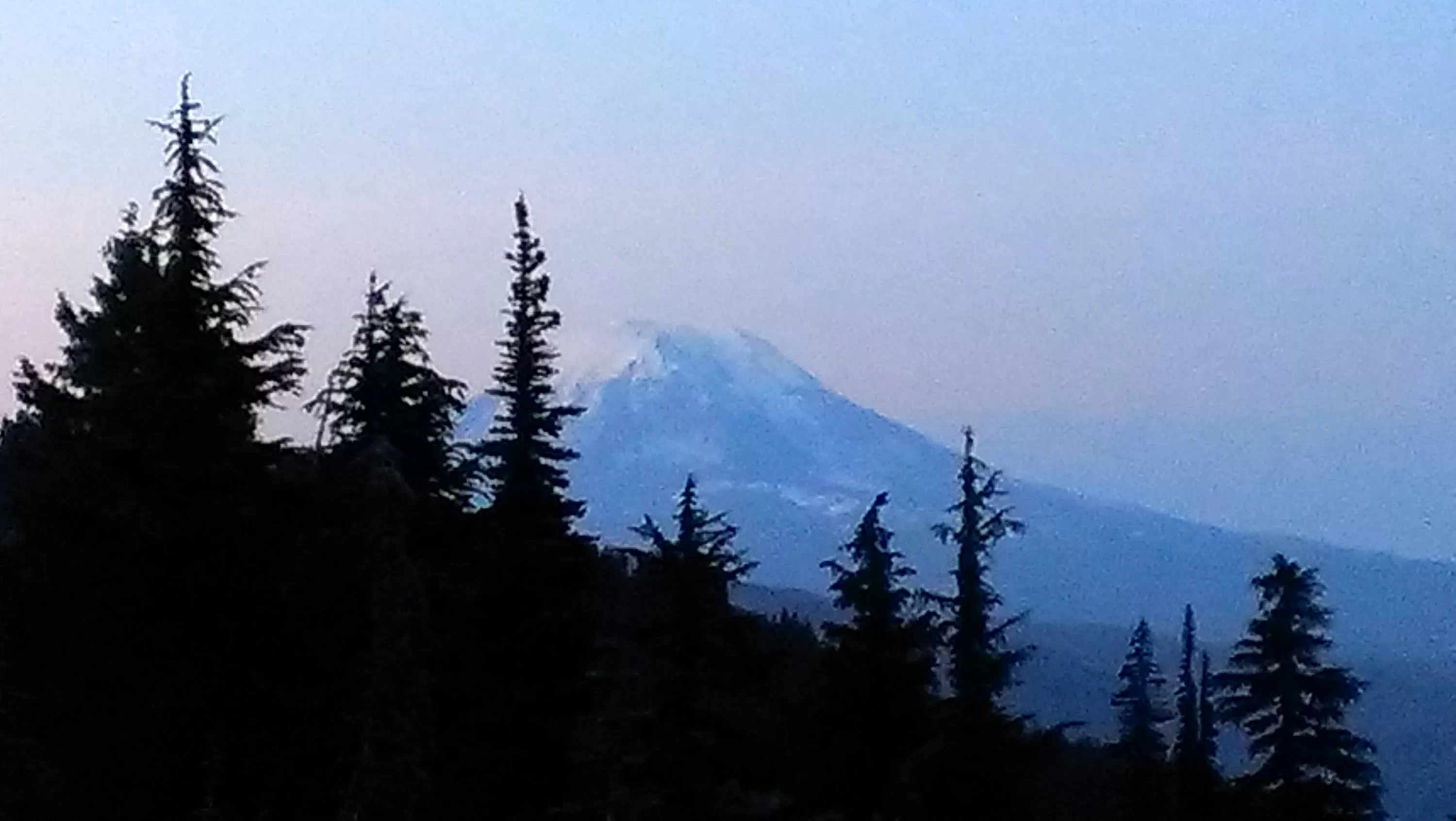
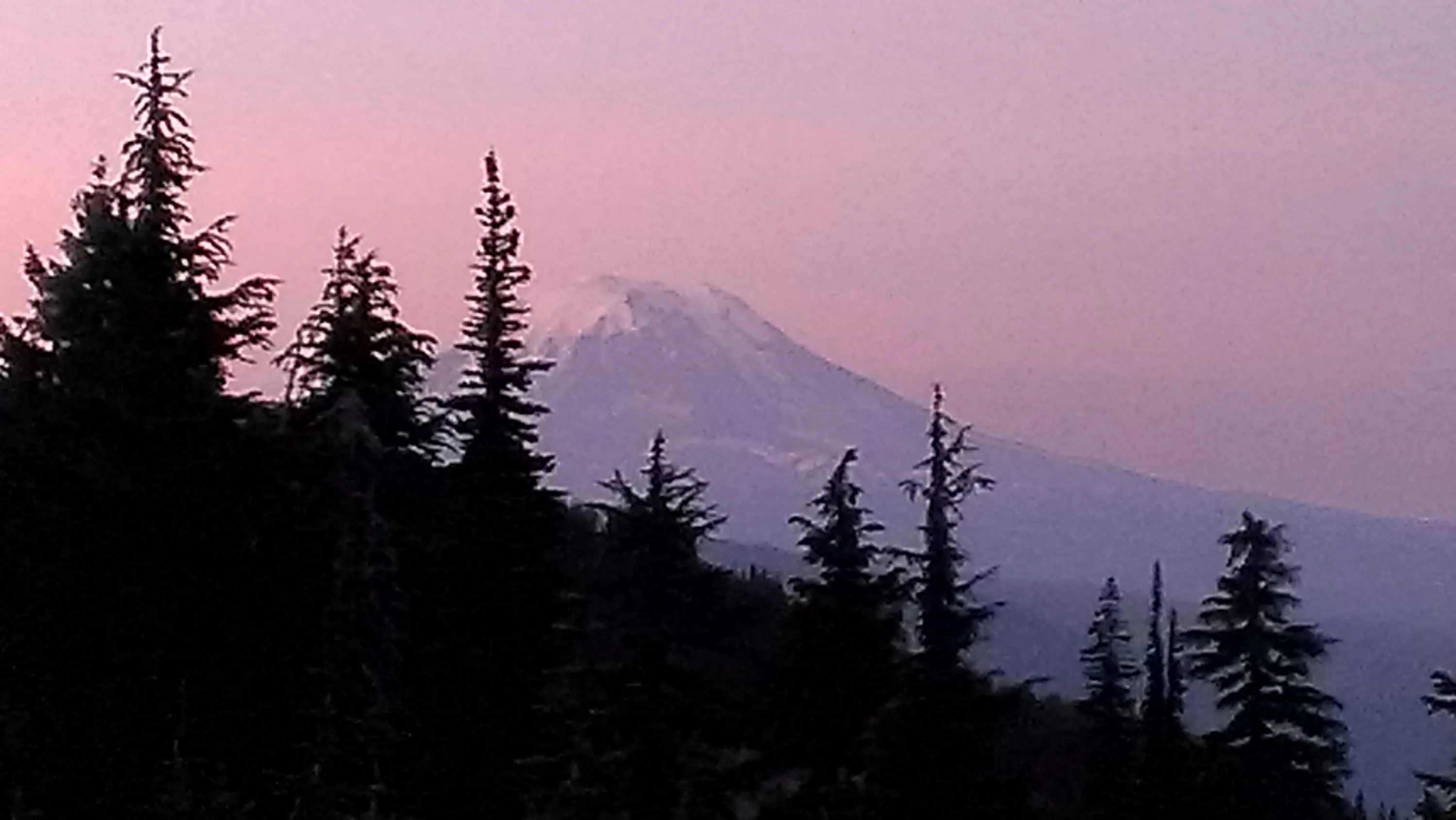
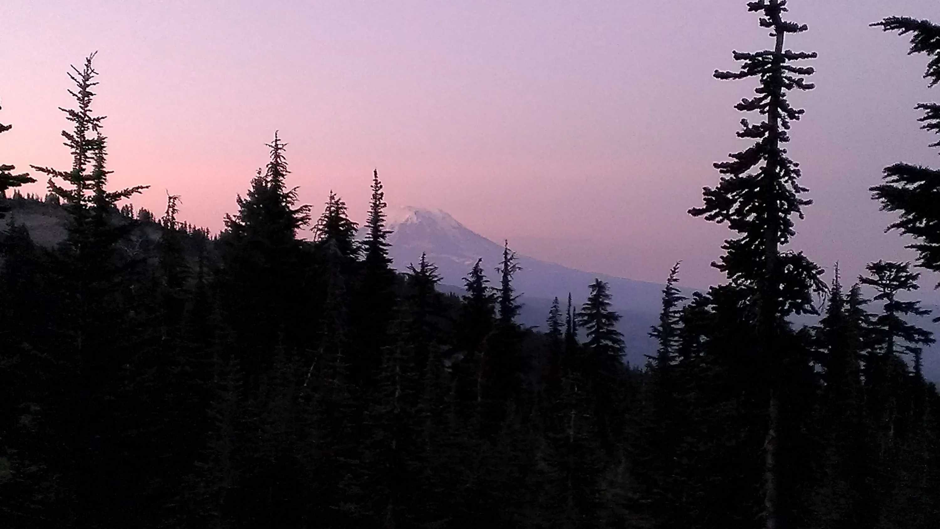
Mt Adams from our campsite
Mt Adams from our campsite
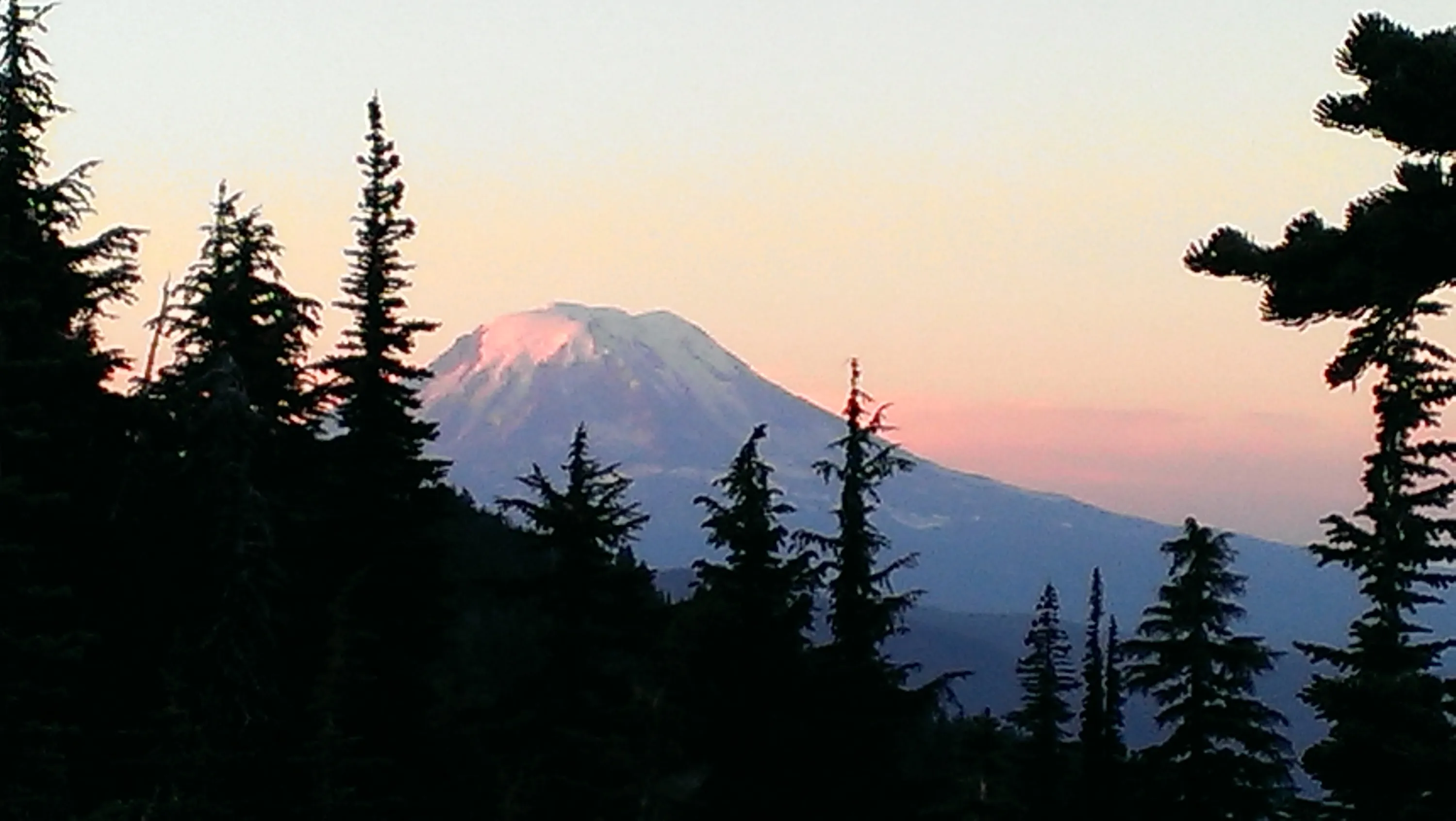
Mt Adams from our campsite - nearing sunset - trying to get the "alpenglow" - we missed it by a bit
Mt Adams from our campsite - near sunset - trying to get the "alpenglow" - we missed it a bit
Mt Adams from our campsite - near sunset
Mt Adams from our campsite
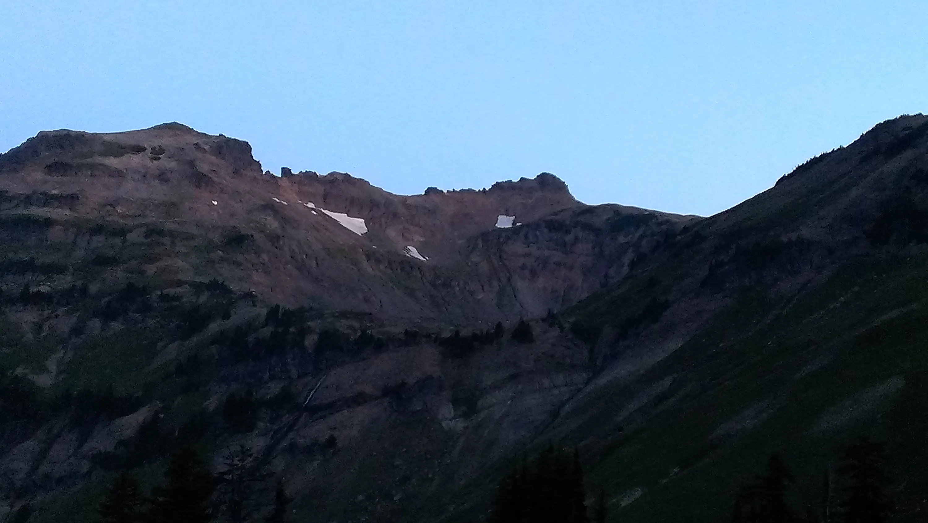
The bowl around goat lake near sunset
Mt Adams from our campsite
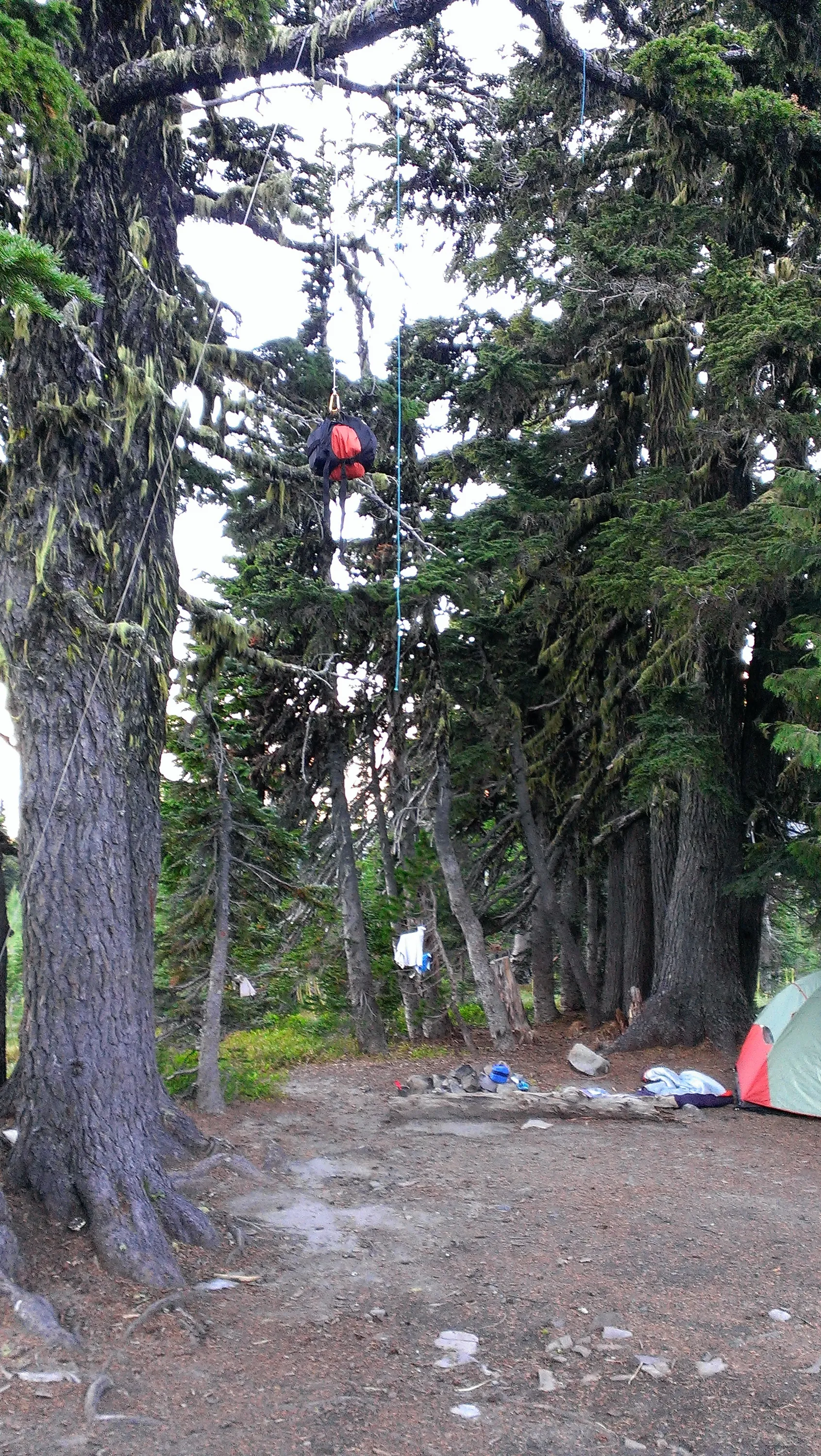
Our bear bag rigging - not bad for a first attempt
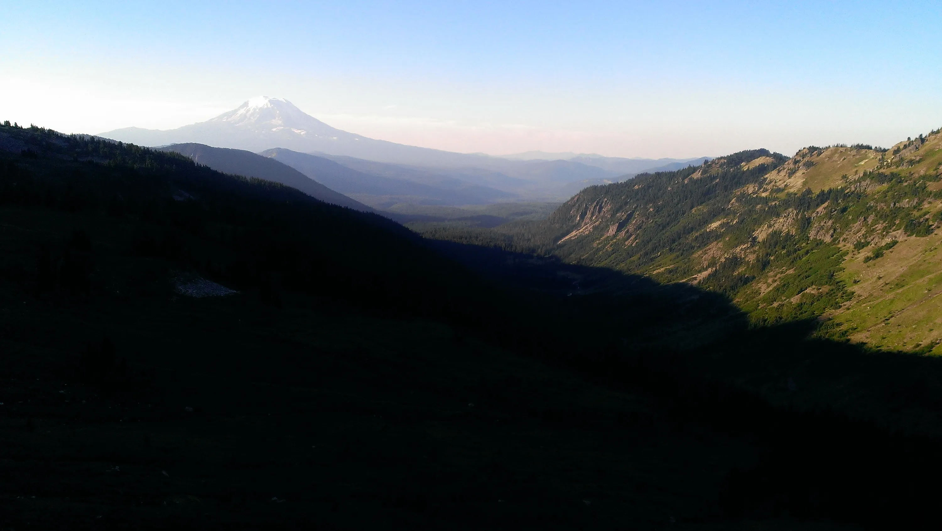
Mt Adams - looking down the Goat Creek drainage early in the morning - on our way to Hawkeye Point
Lily Basin Trail near our campsite - I think that is Old Snowy above - our destination (well, below it) for later in the day
Mt Adams and the Goat Creek drainage
Goat Lake in the morning
You can barely make them out - the goats were up on top of the hill in the morning - they are the little white specks
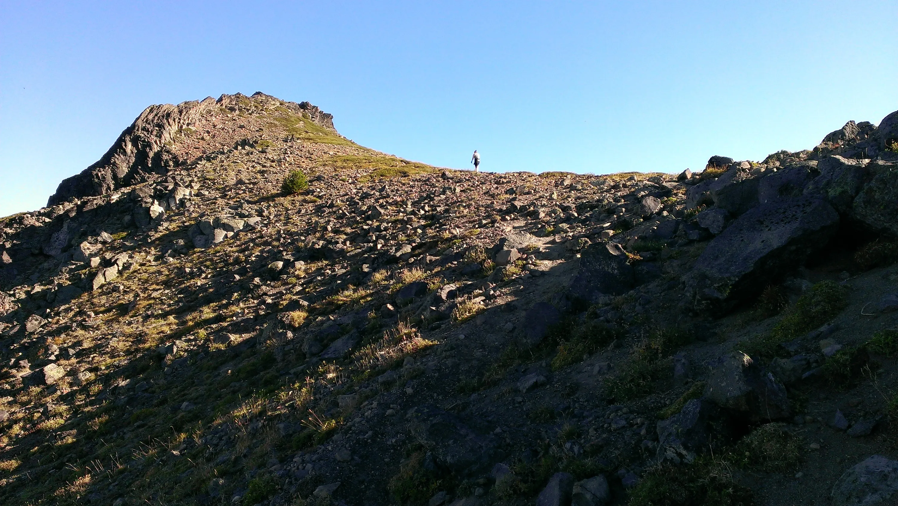
On they way up to Hawkeye Point - the trail was rather steep
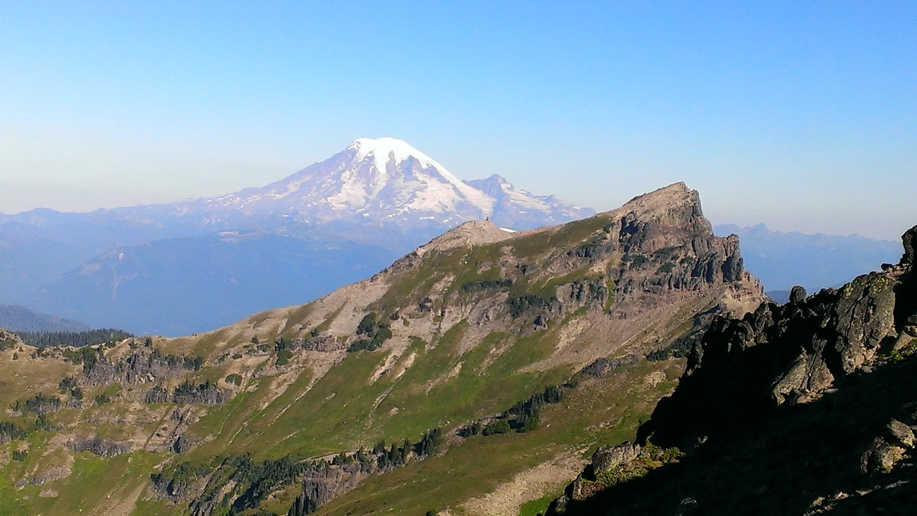
First look at Mt Ranier
Looking down on Goat Lake from Hawkeye Point - I guess there used to be a lookout up there
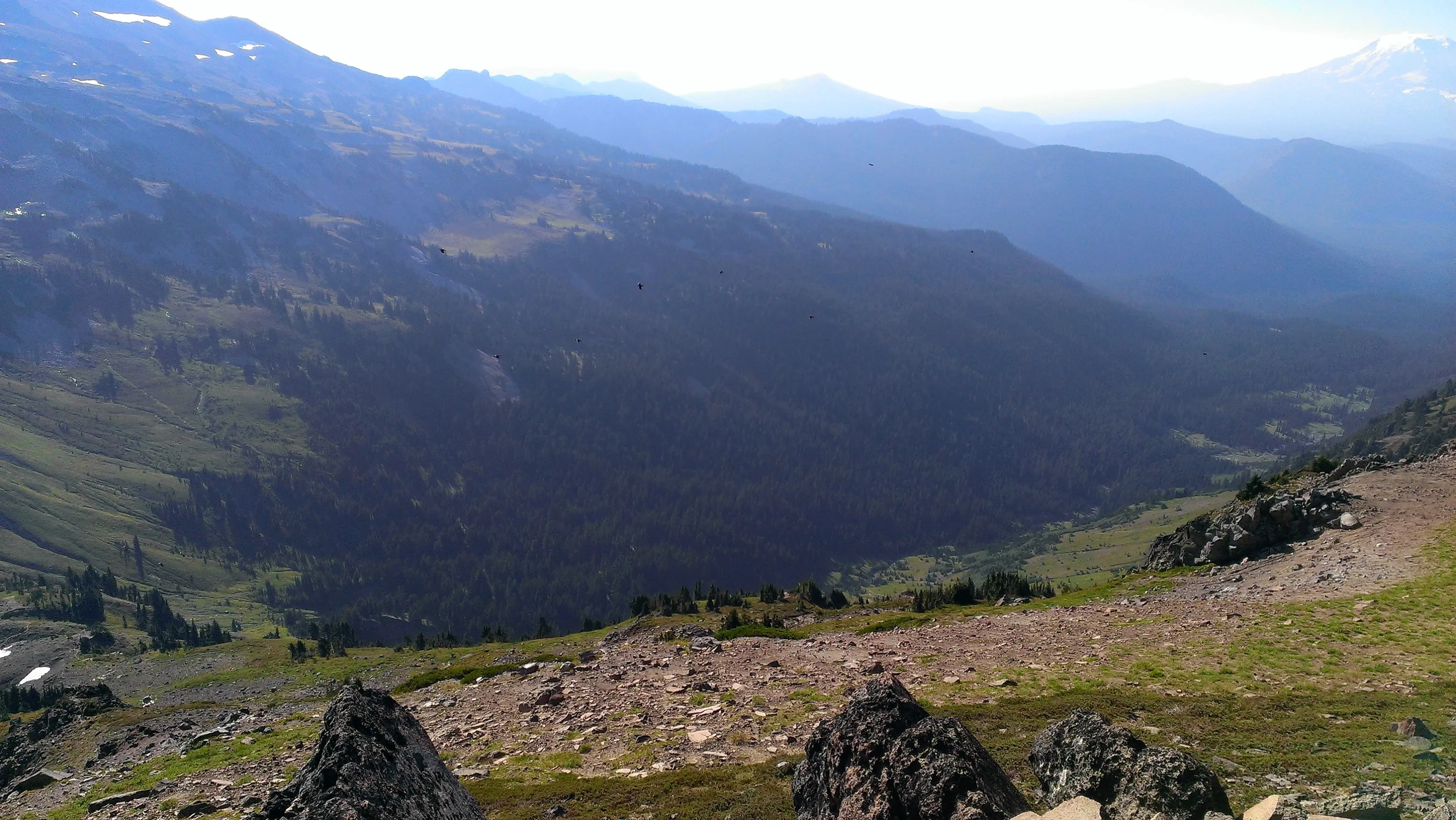
Goat Creek drainage with Mt Adams visible in the upper right corner
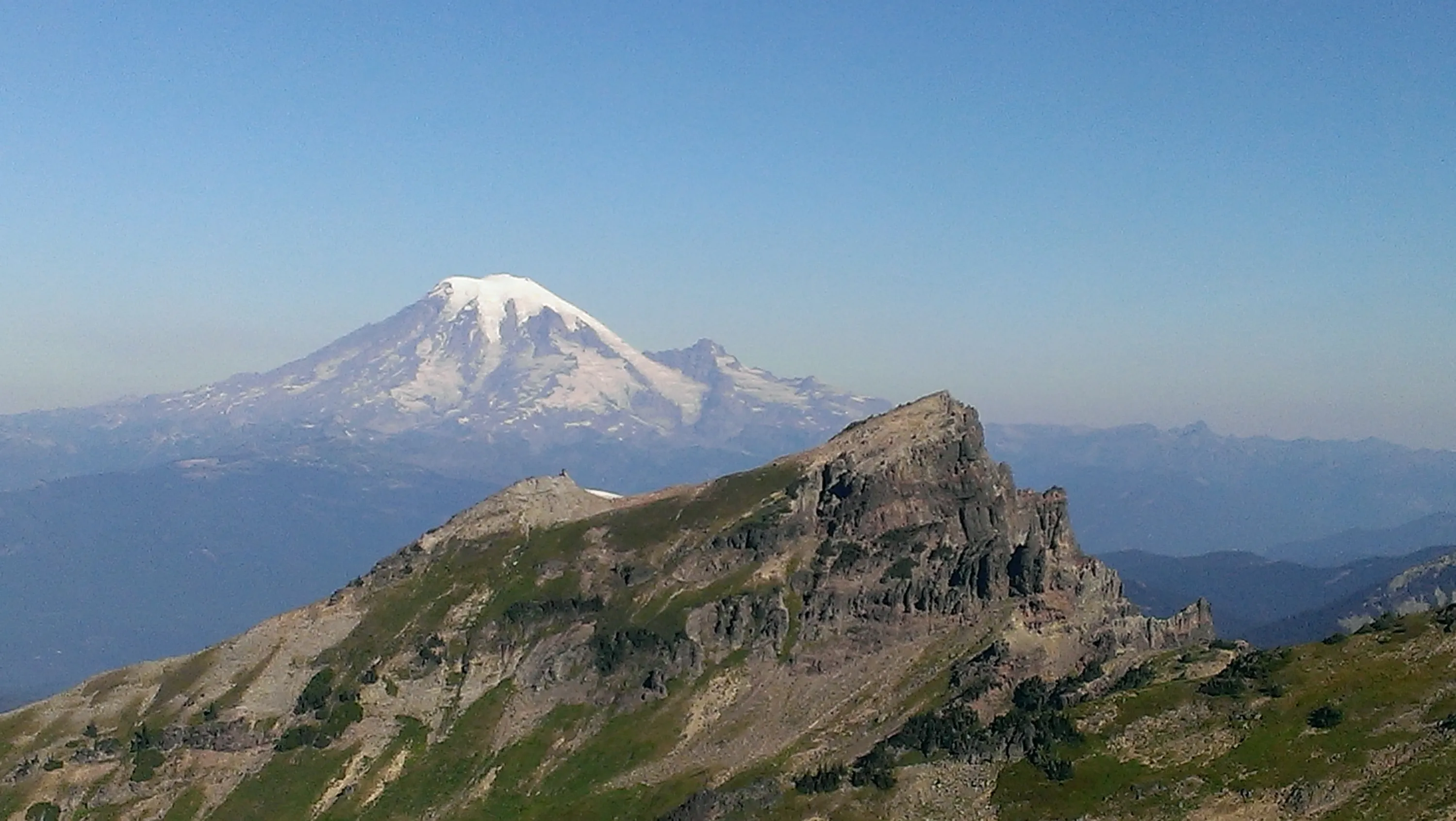
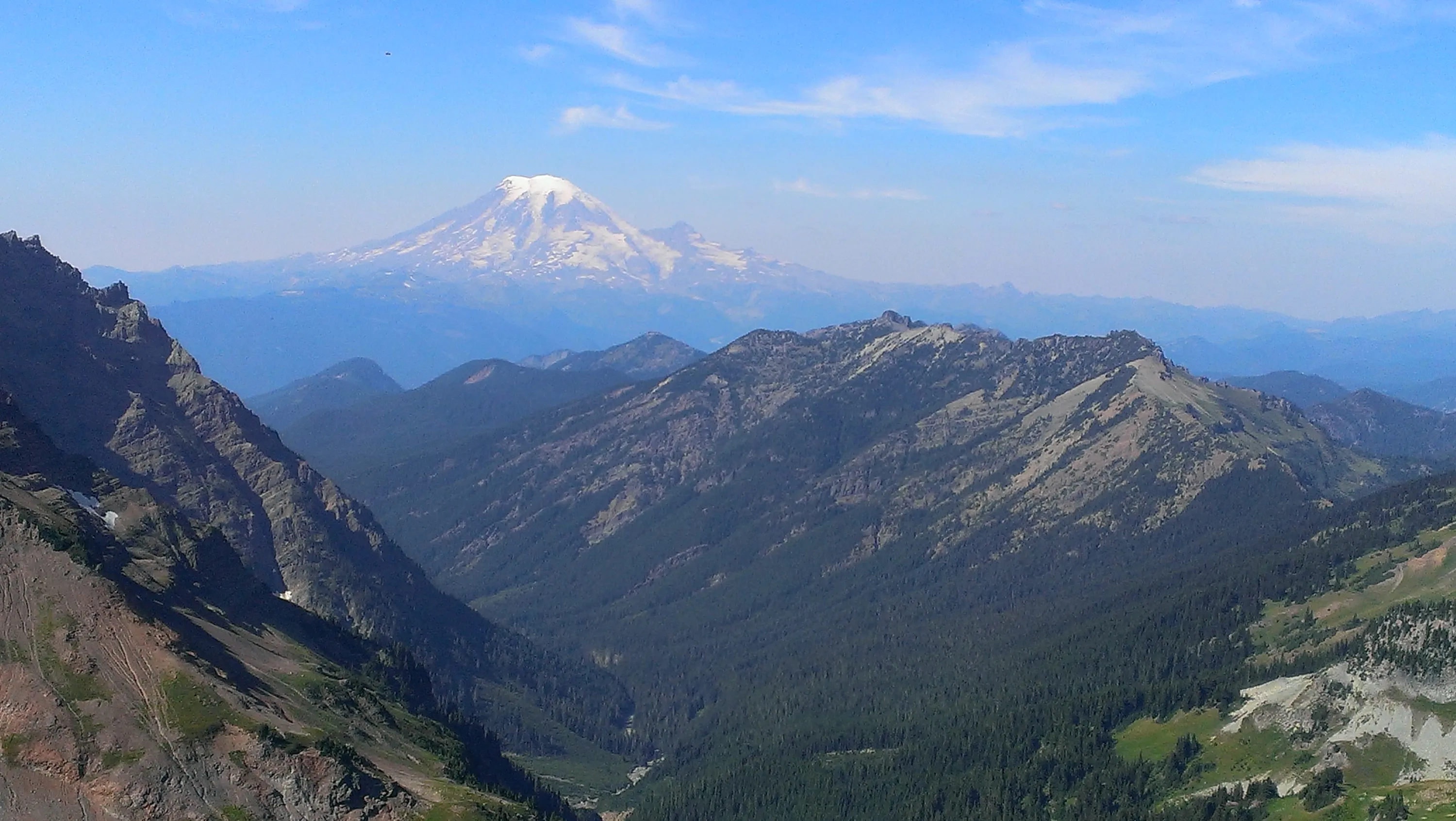
Mt Ranier from Hawekeye Point
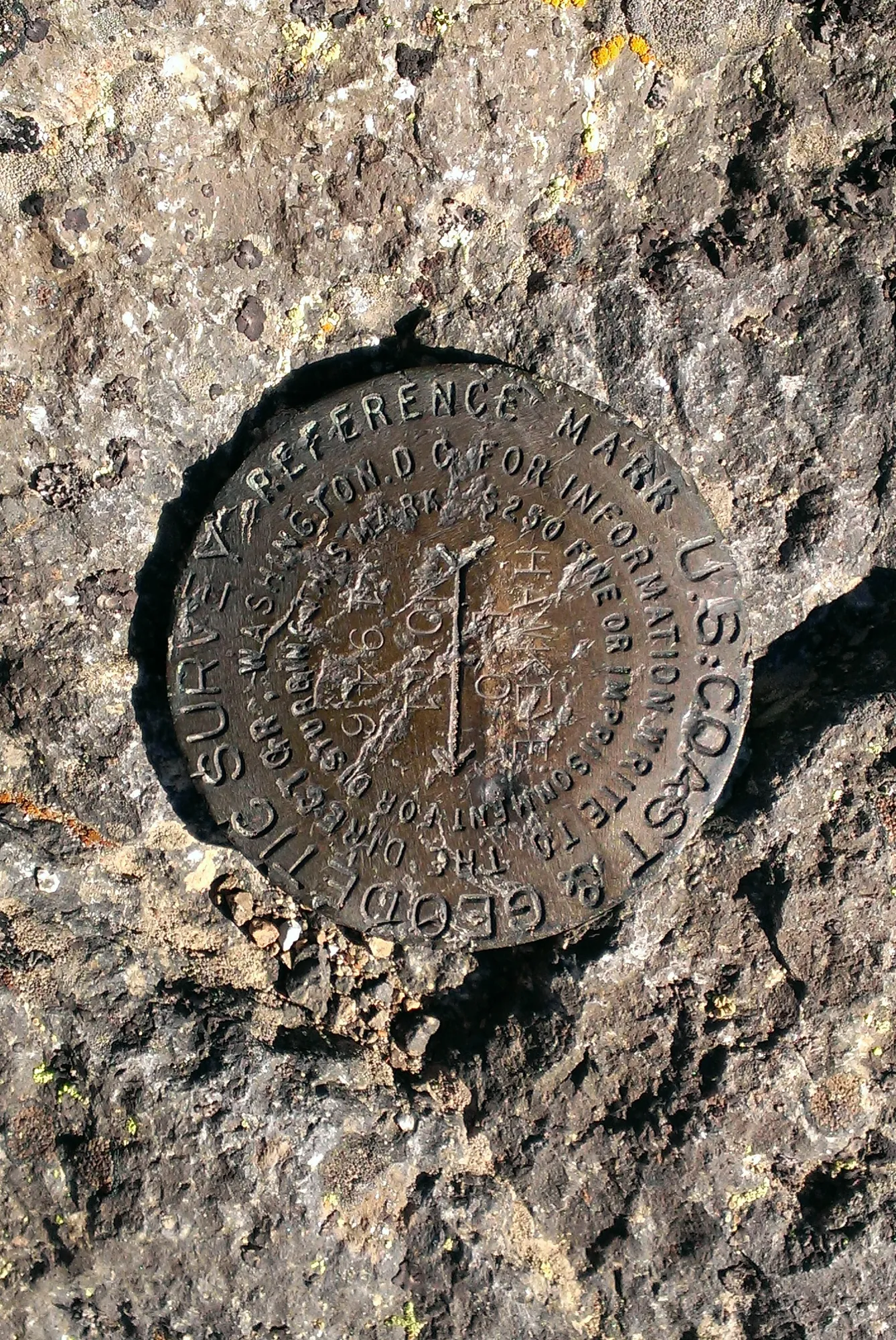
Benchmark on top of Hawkeye Point
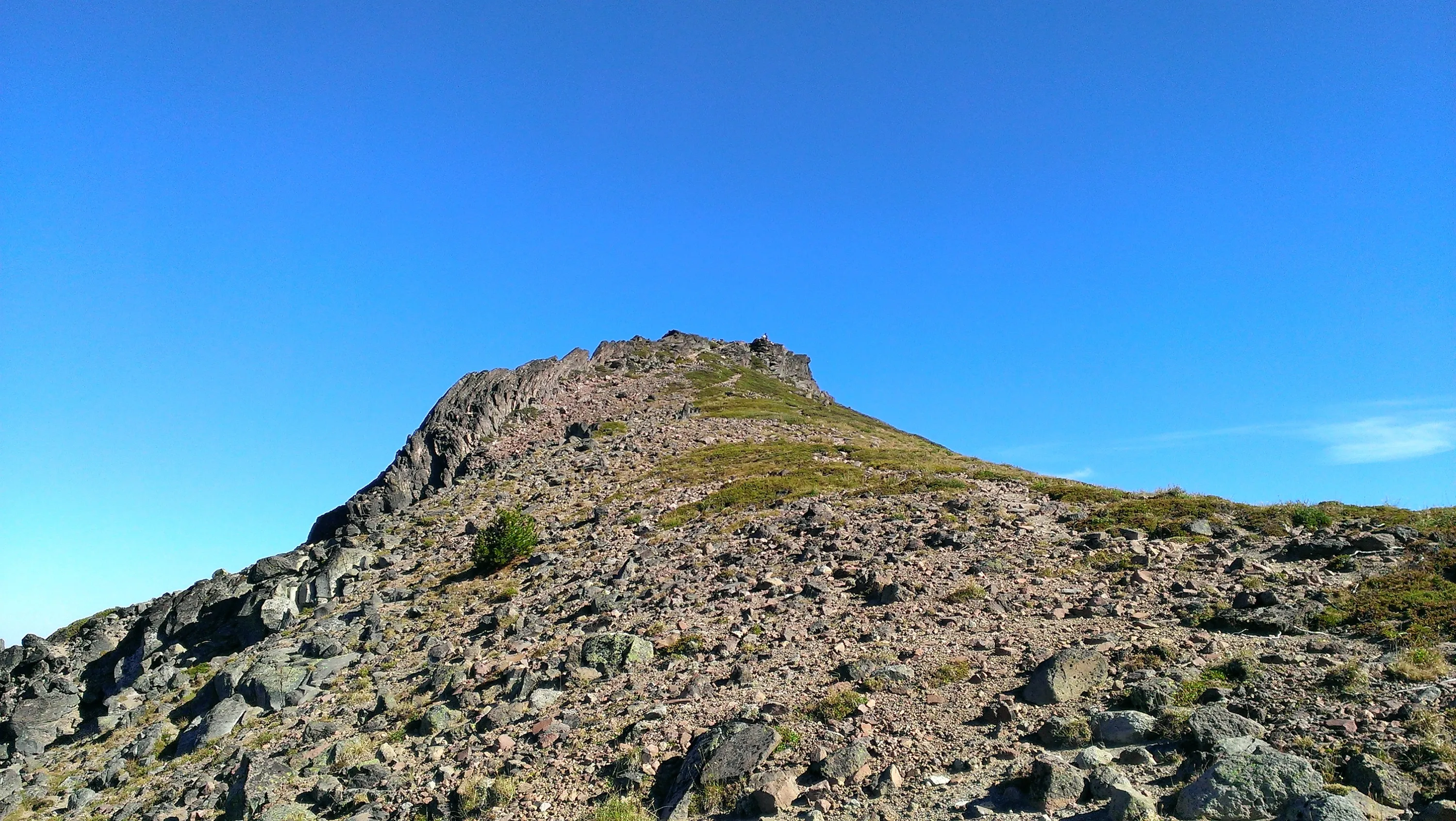
Looking back up the trail to Hawkeye Point
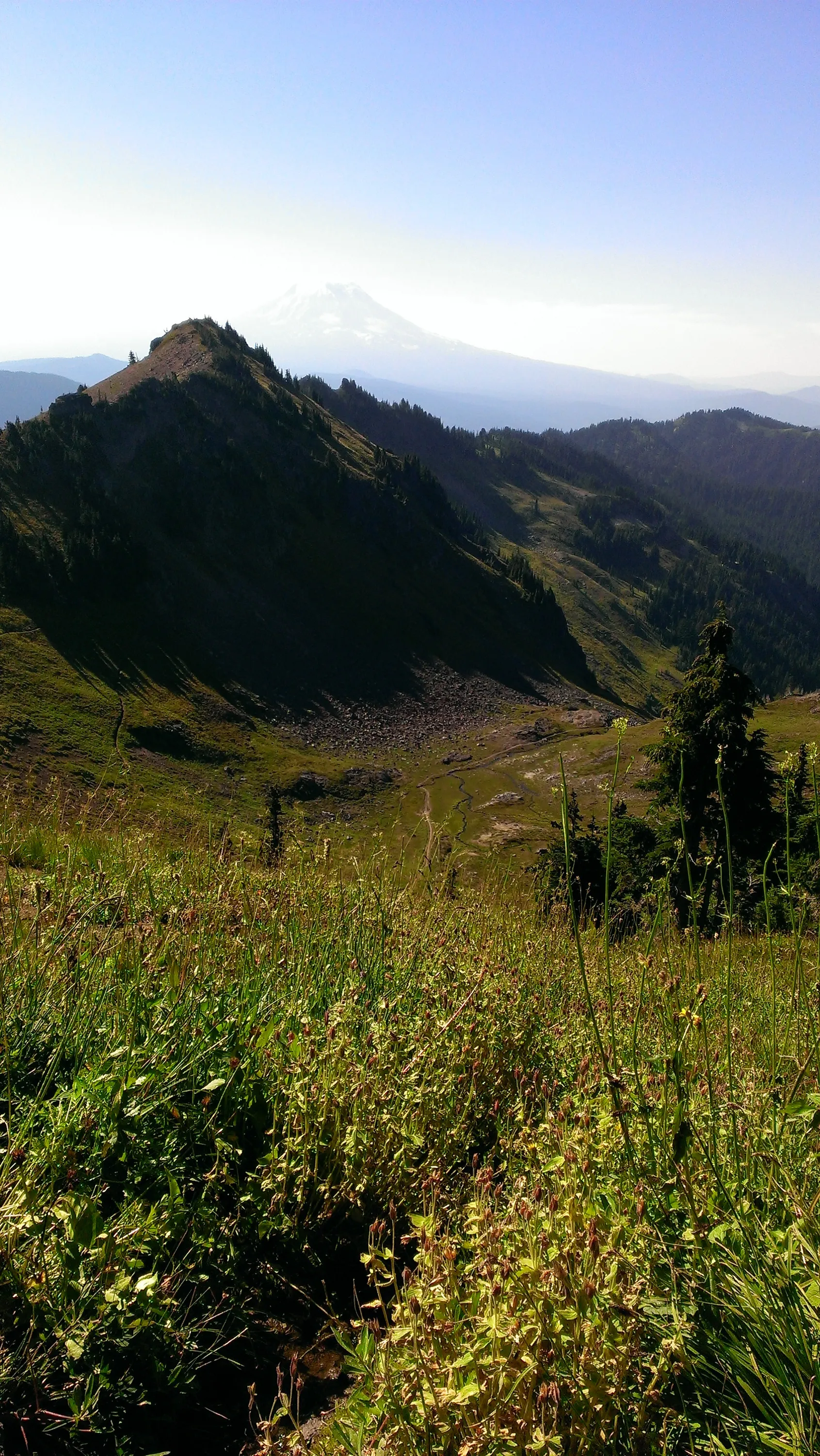
Nice view of the upper Jordan Basin with Mt Adams in the background (hazy)
Upper Jordan Basin - Mt Adams is back there but you can't really see it
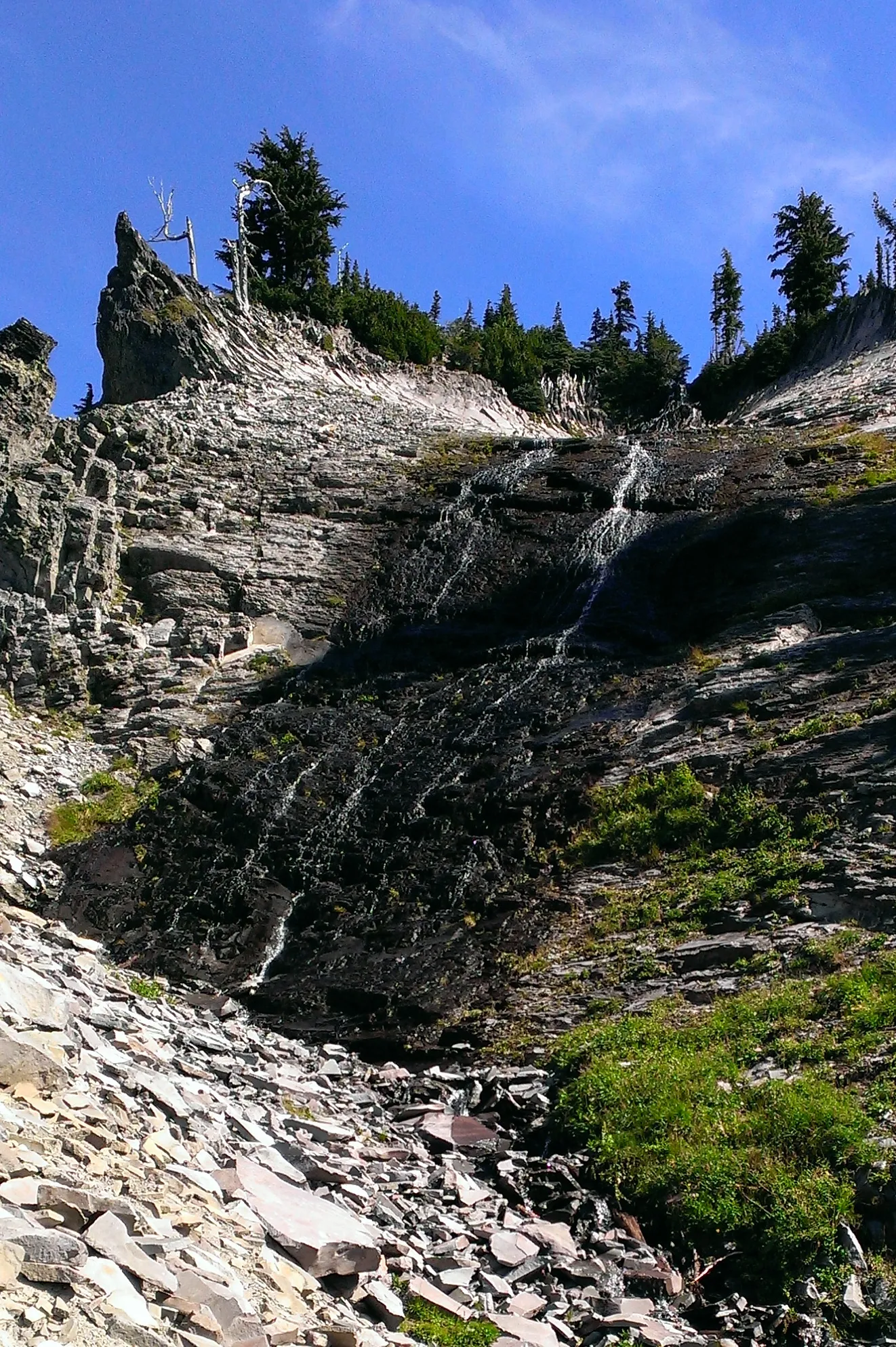
This is what one map referred to as "slide falls" - not terribly big, but really cool looking
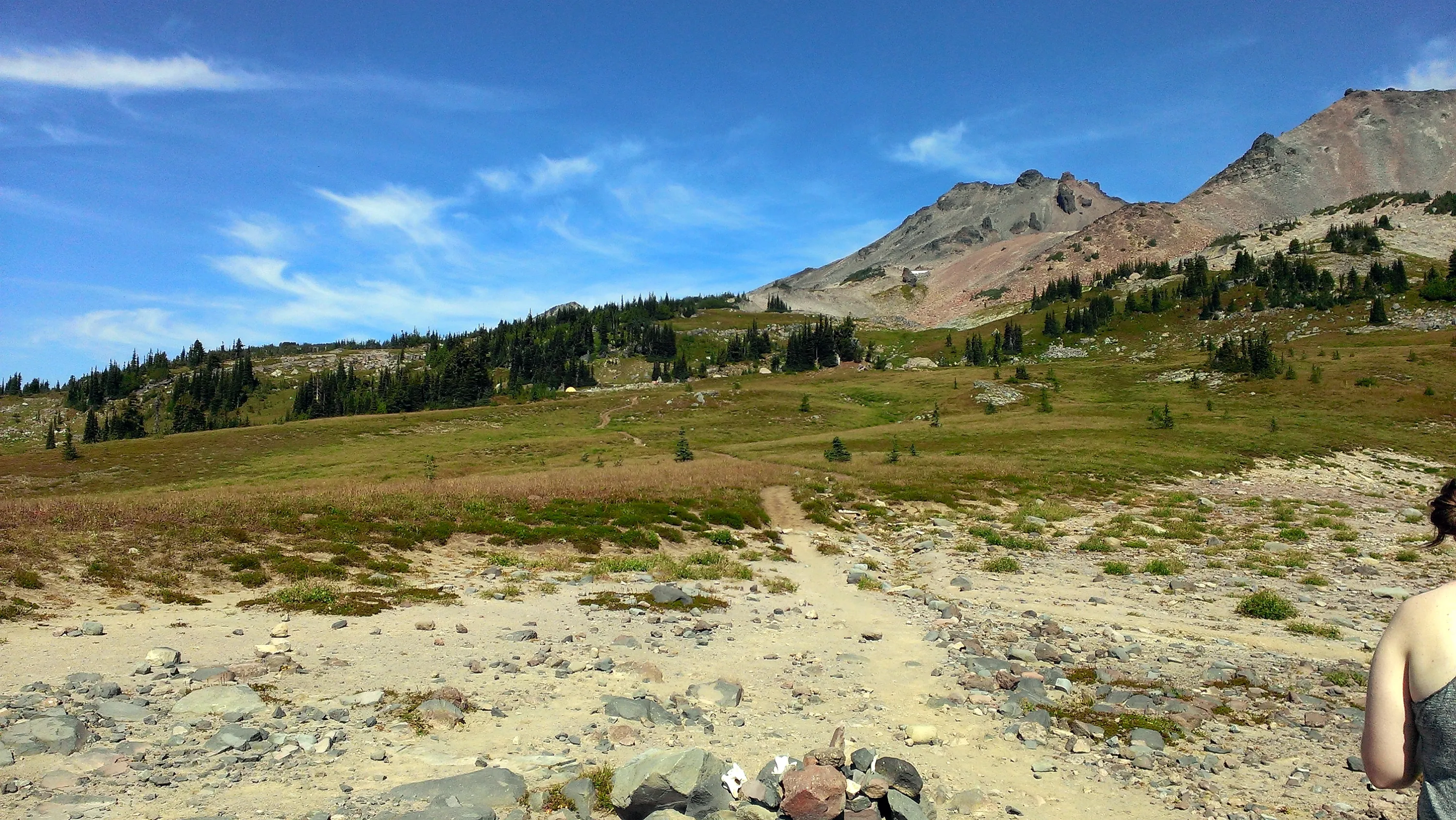
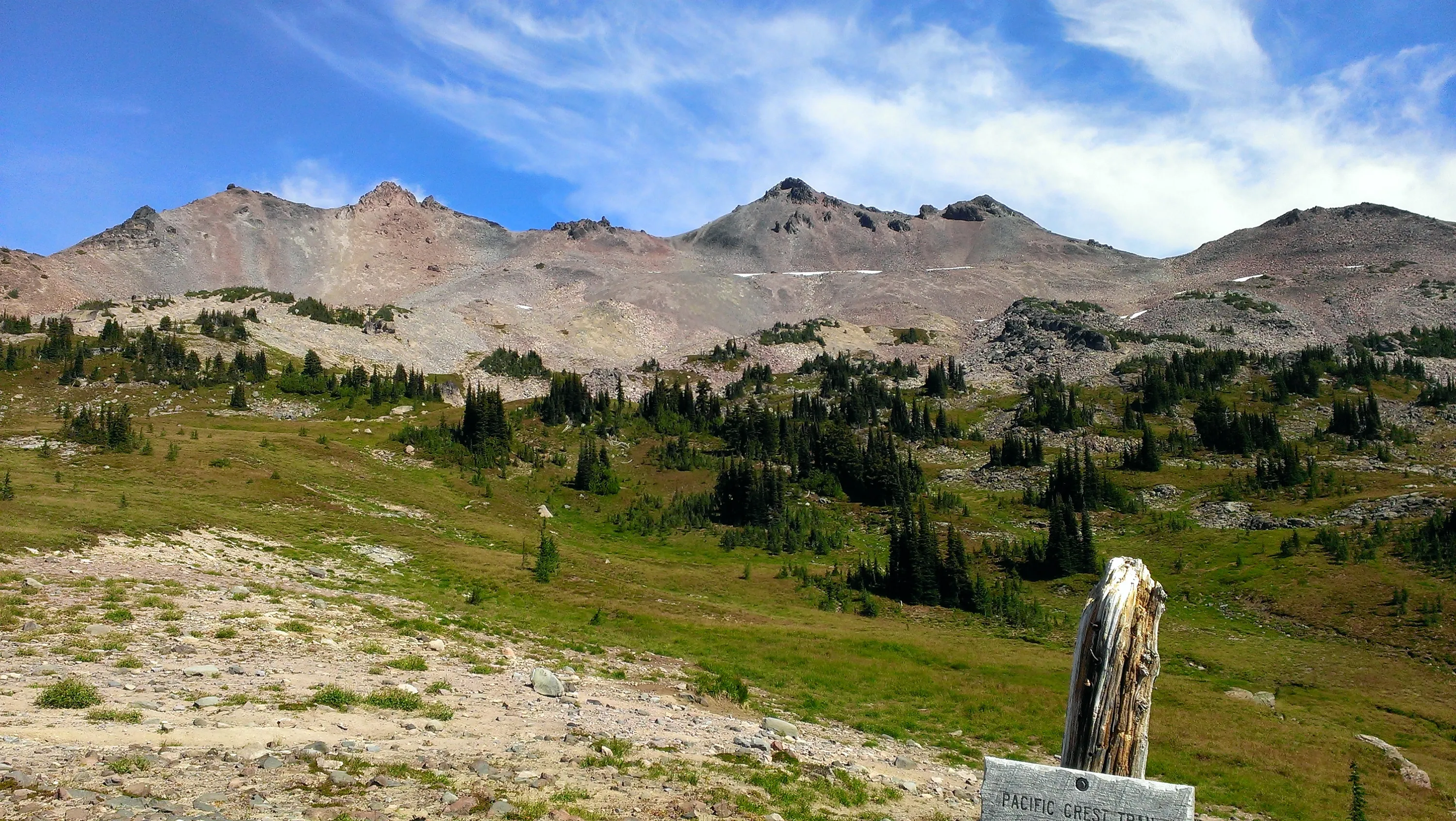
This is at the junction of the PCT and the Snowgrass trail - ware bascally above treeline here - LOTS of open spaces and very rocky. We headed north on the PCT from here
Mt Adams from the PCT
Big views from up on this high plateau
Old Snowy
The PCT as it starts (or continues) climbing
We continue climbing up the PCT
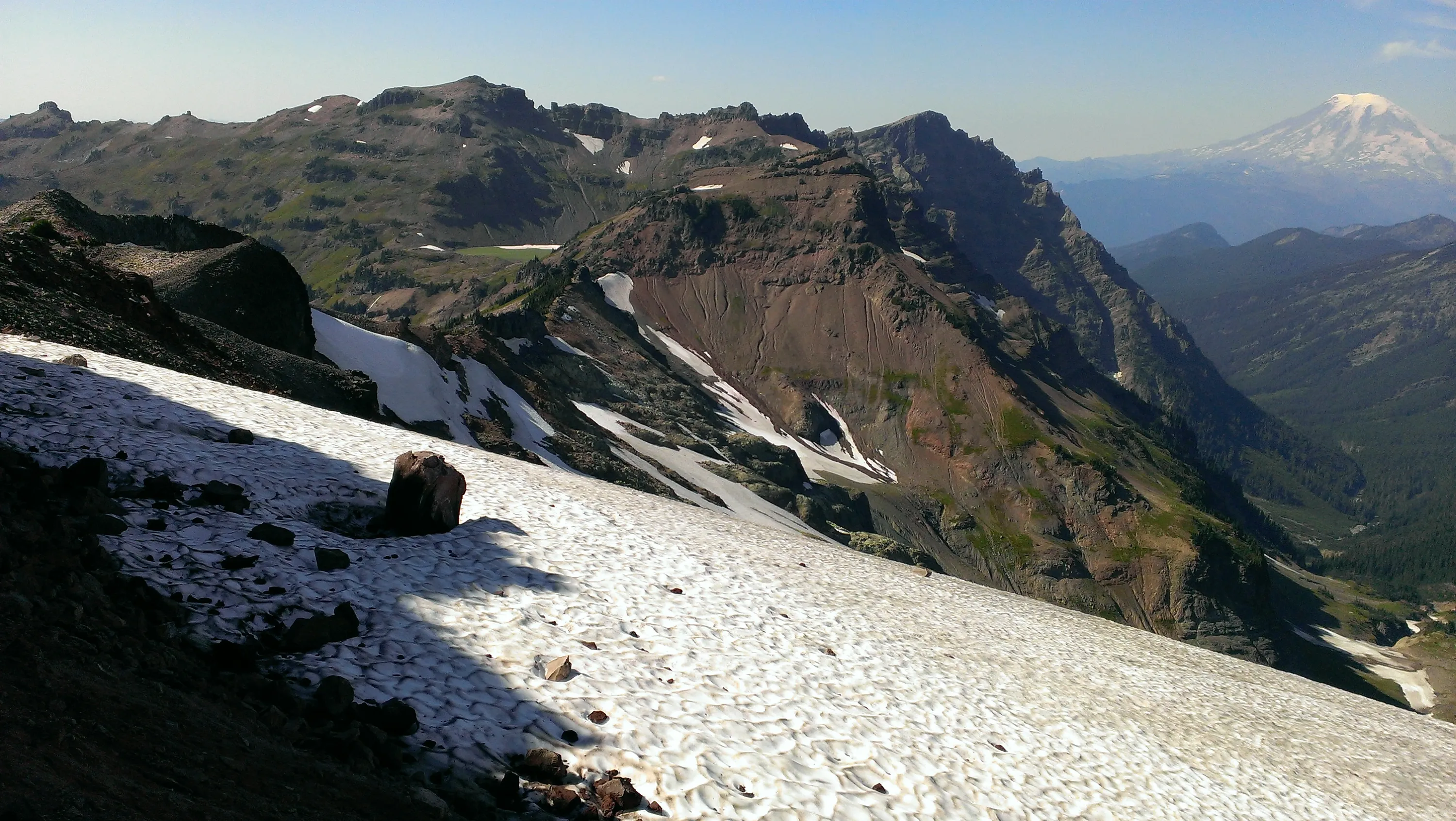
And here is a great view of Goat Lake from the PCT. You can see Hawkeye Point above Goat Lake
The PCT takes an easterly turn - and you see Goat Lake and then the beginning of the Lake Creek drainage.
Mt Rainier looking up the Lake Creek drainage
Packwood glacier with Goat Lake left of center and Mt Ranier in the upper right
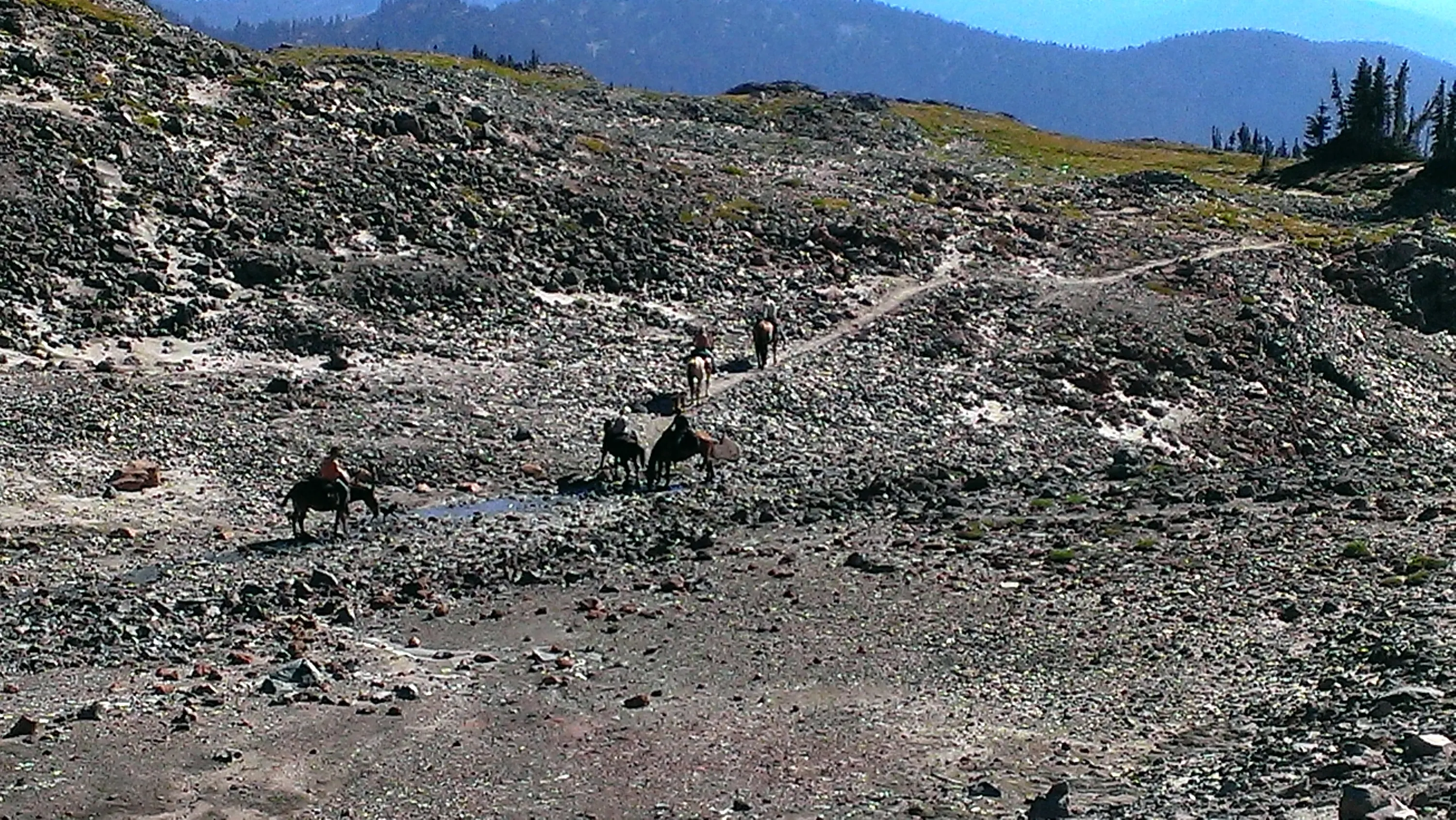
There was a group of horses that made day trip up the PCT a little ways. We kind of followed them back down the trail
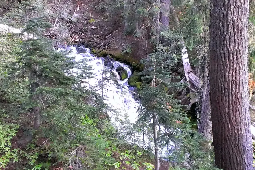
A little waterfall on the way down the Snowgrass trail - the trail goes right next to this unnamed creek.
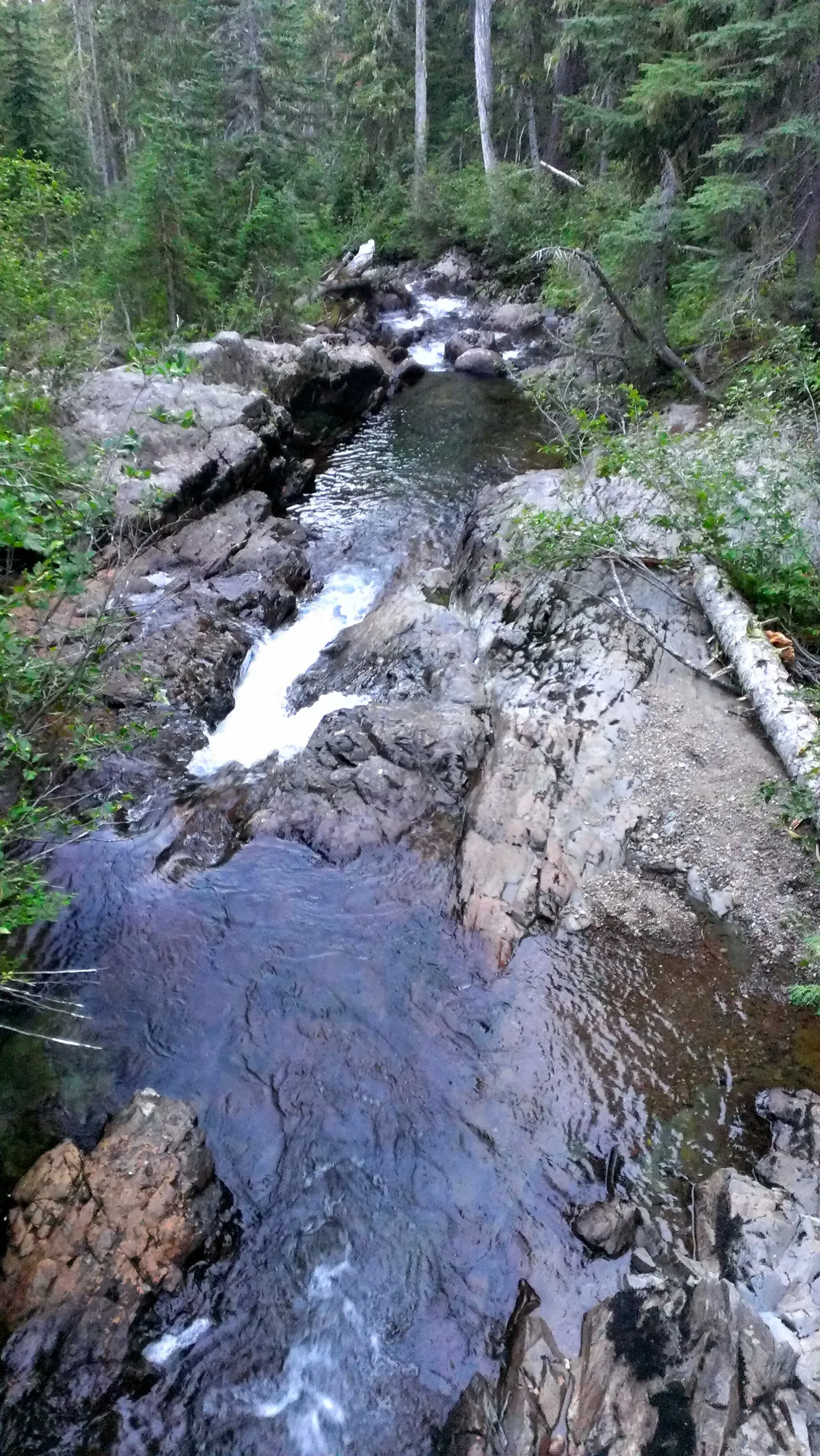
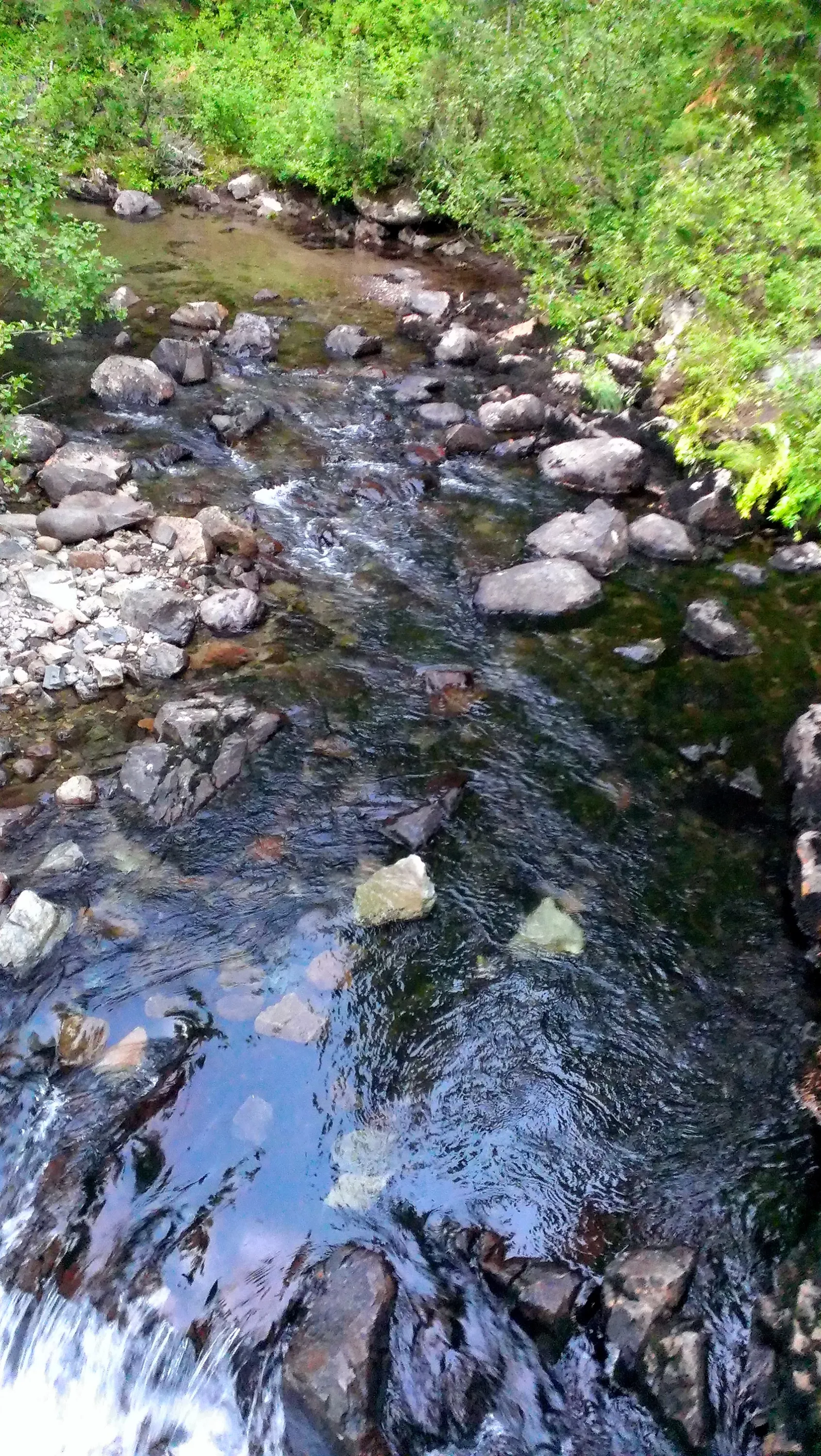
Crossing Goat Creek - looking downstream from the bridge
Goat Creek looking upstream from the bridge
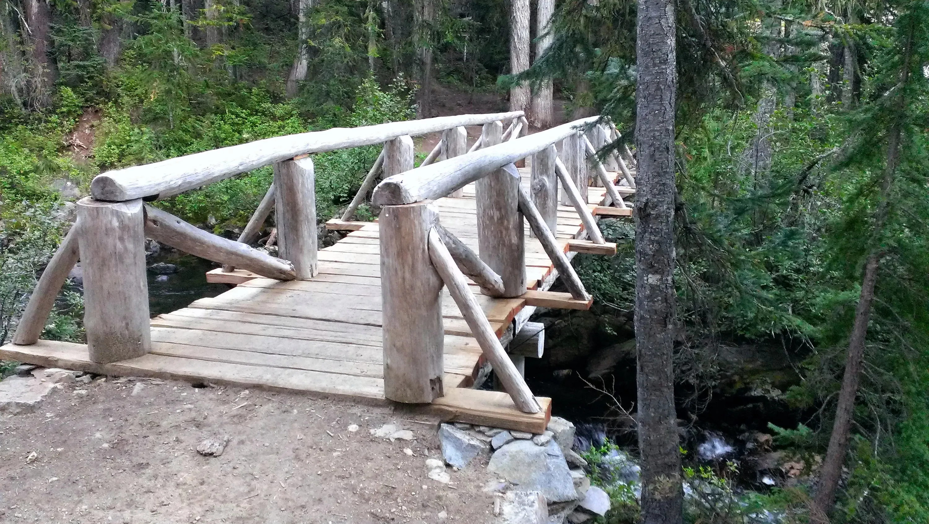
The very nice bridge crossing Goat Creek
Jordan Creek basin
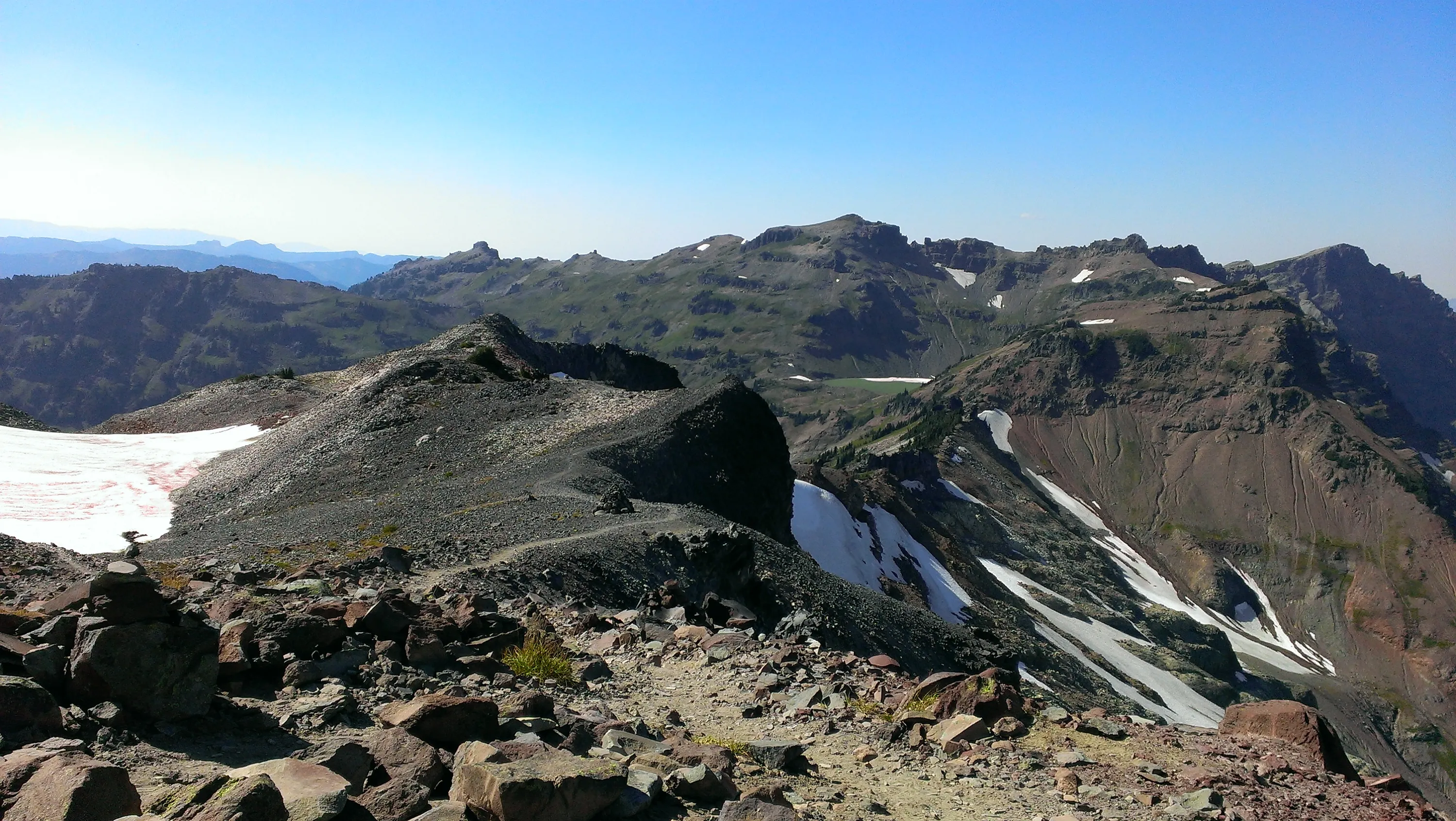
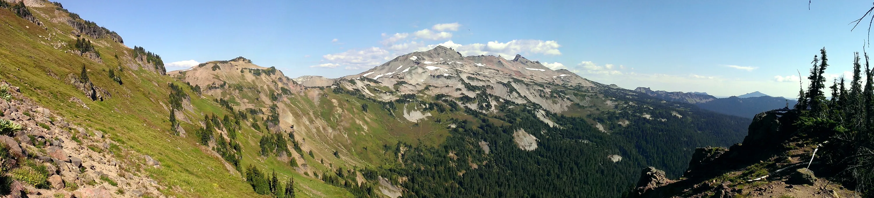
Panorama from saddle between Jordan Creek and Goat Creek basins. Looking at Old Snowy and friends
Jordan Creek basin panorama
Panorama from head of Goat Creek drainage
Panorama from on top of Hawkeye Point. Mt Ranier on the left, panning east
Panorama from Hawekeye Point - Looking south, panning west. Mt Adams to the left, Mt Ranier to the right