Robs Hiking Diary
Search
Search for:
Search
Hikes
2012
Salmonberry Canyon Recon Trip
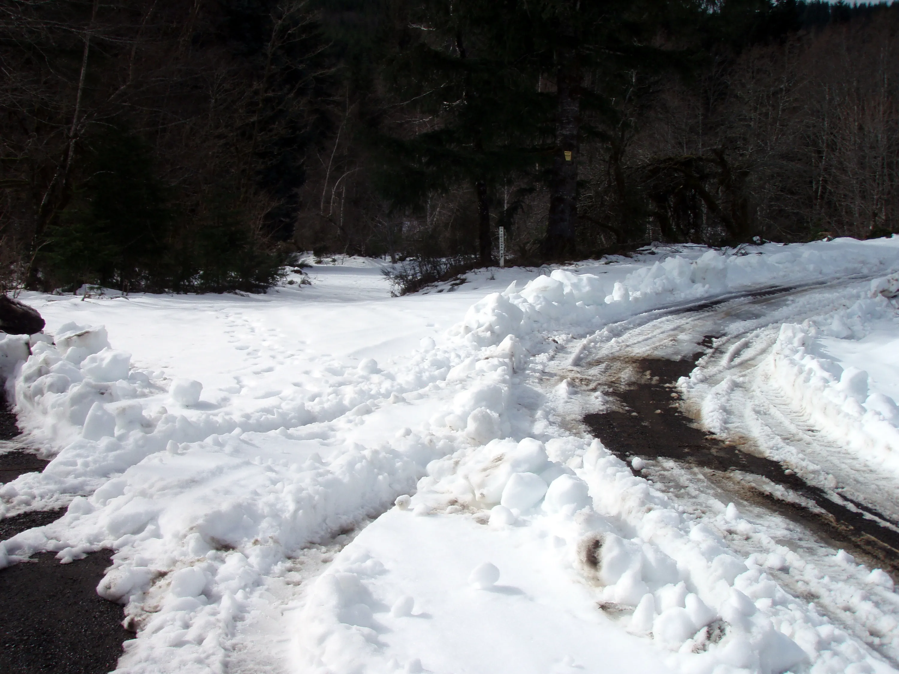
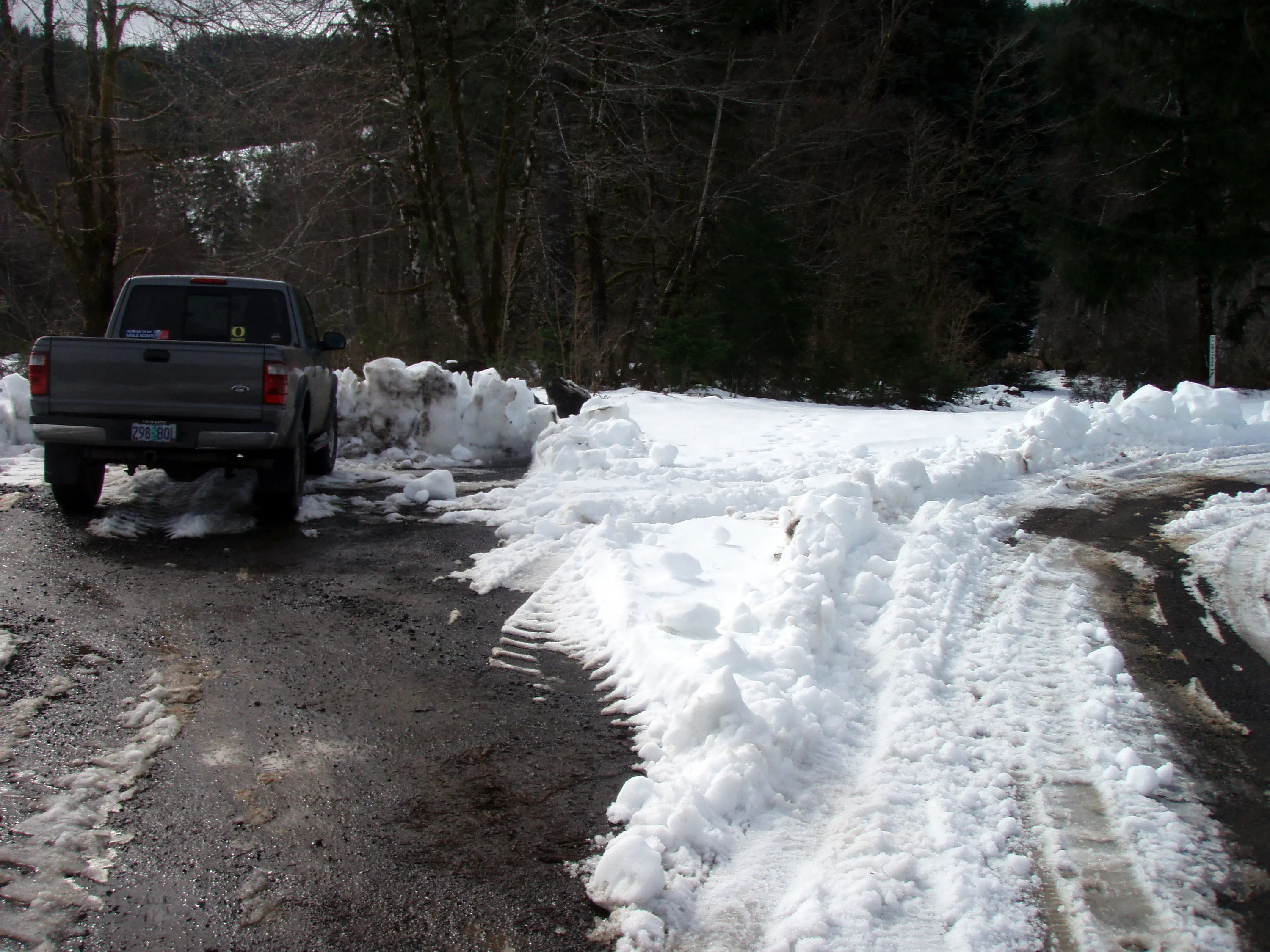
Cochran road junction near the "trailhead" - the trailhead is straight (I think), Cochran road goes to the right.
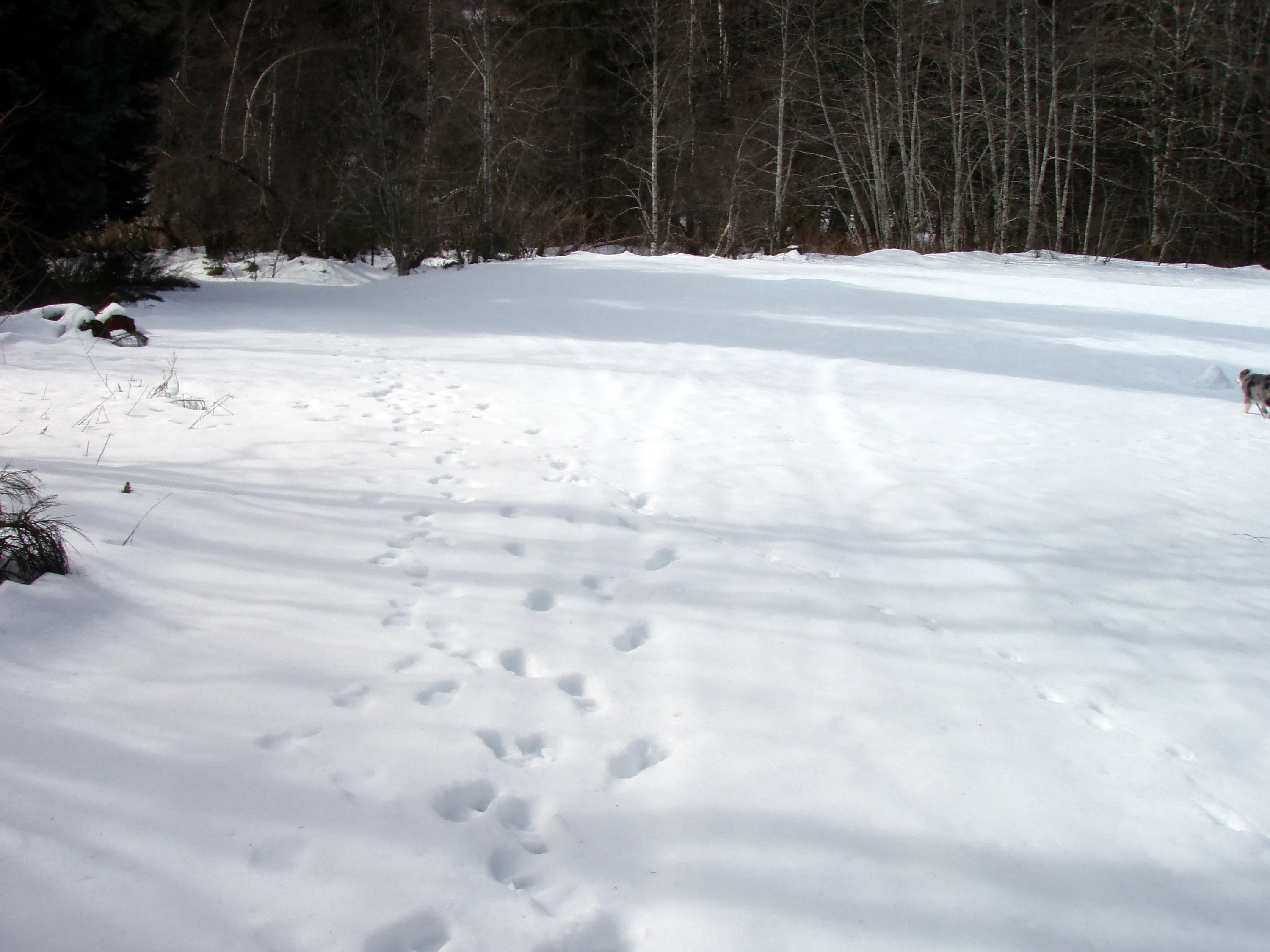
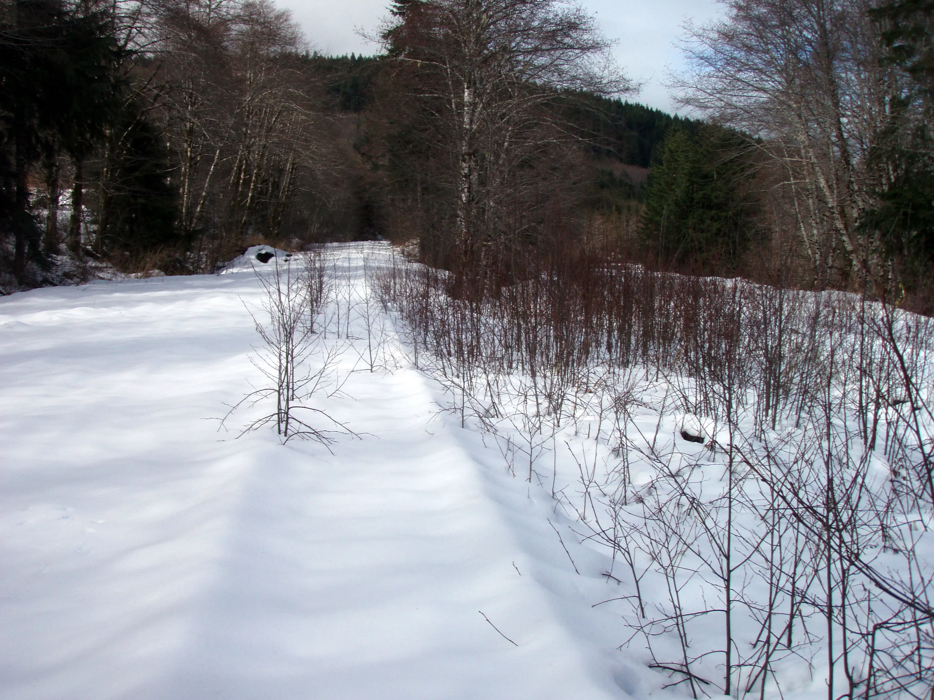
No one has been down here in a while.
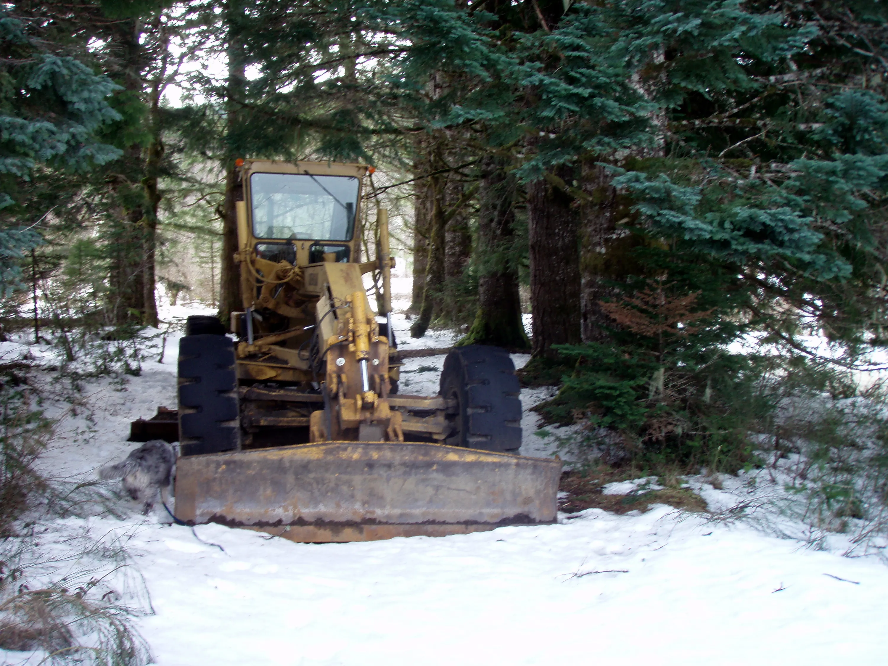
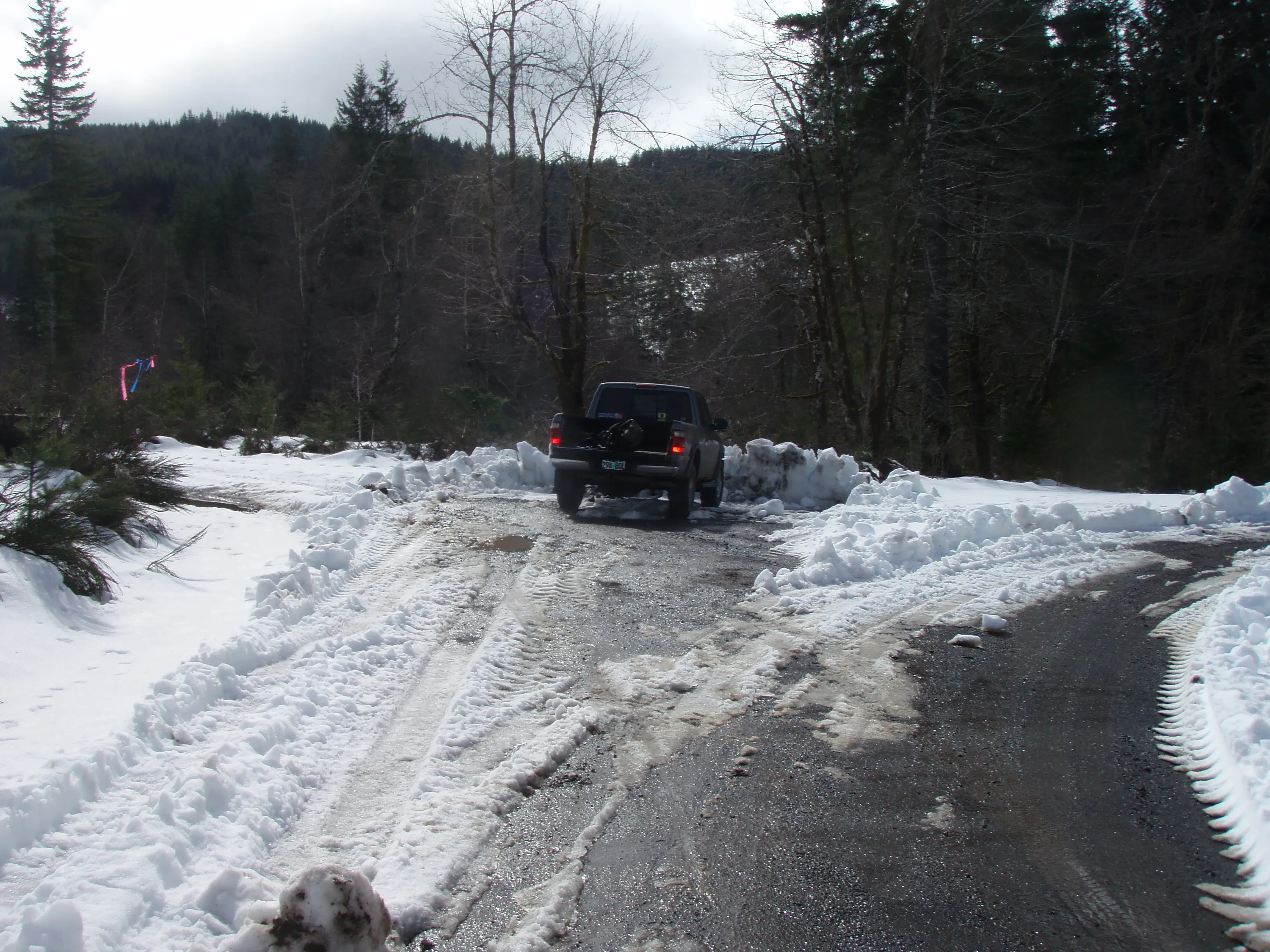
Maybe this is what plowed the road!
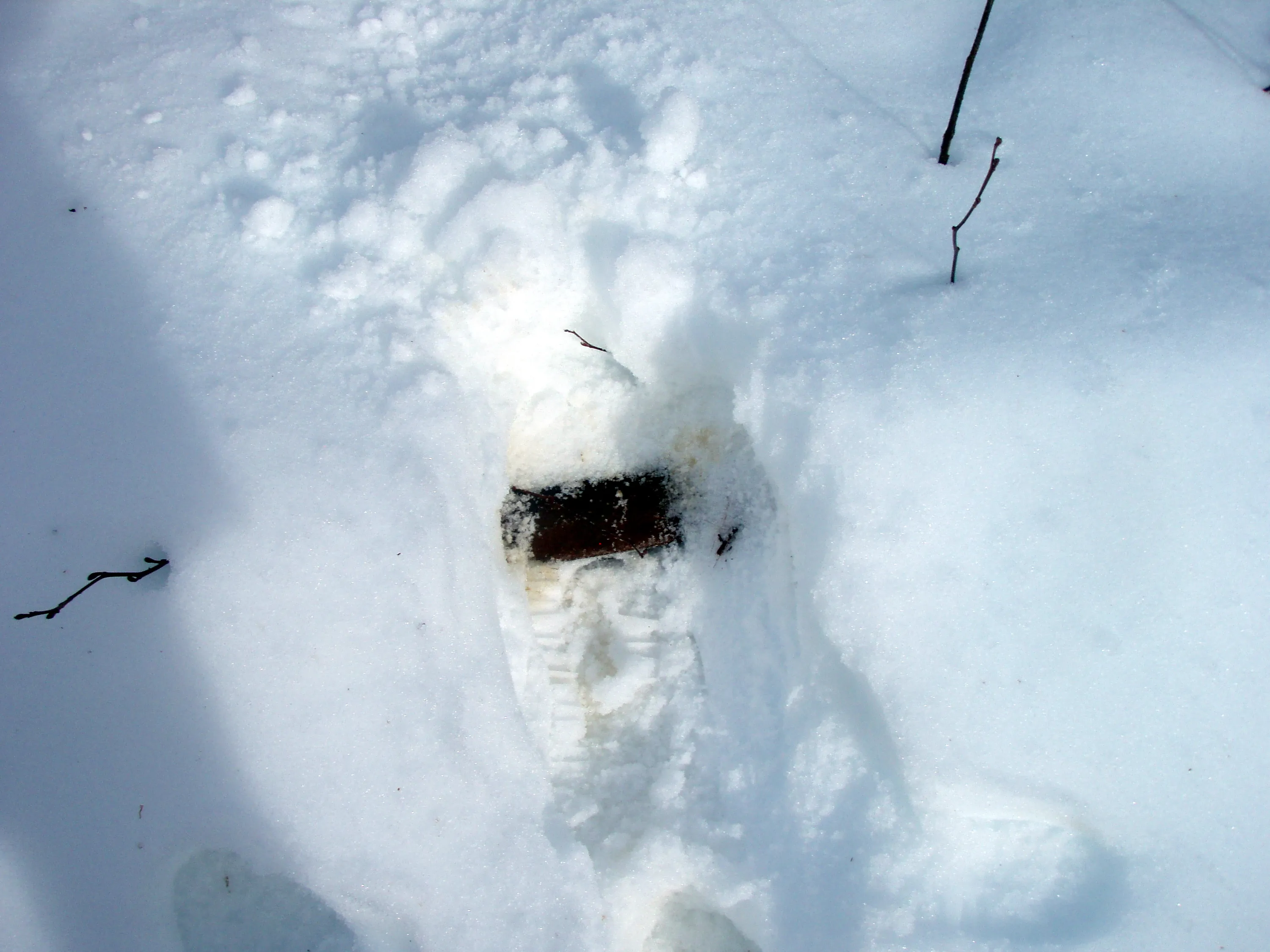
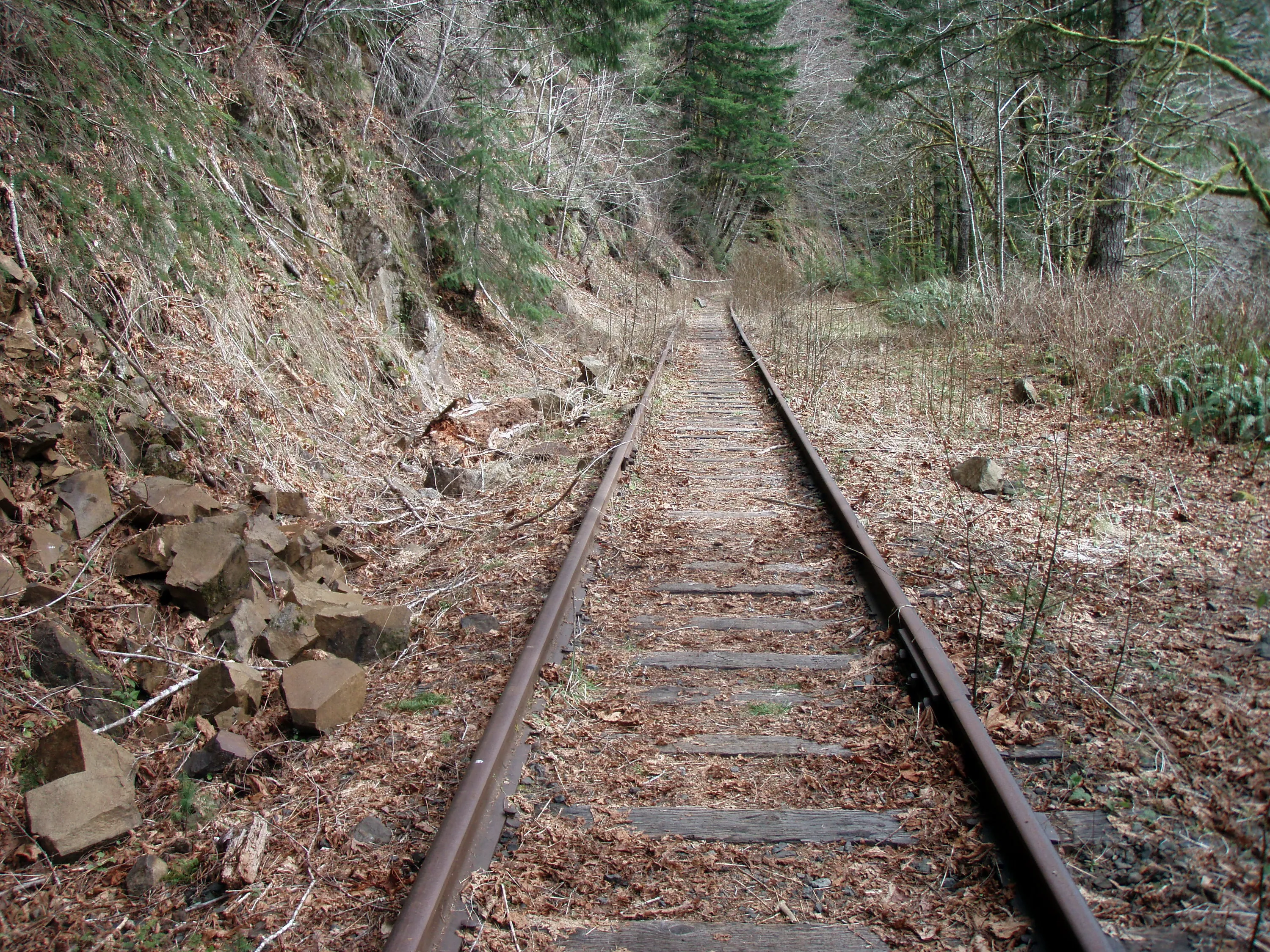
That is the train track about 6-8" down....
You can see the tracks popping through the snow - looking west
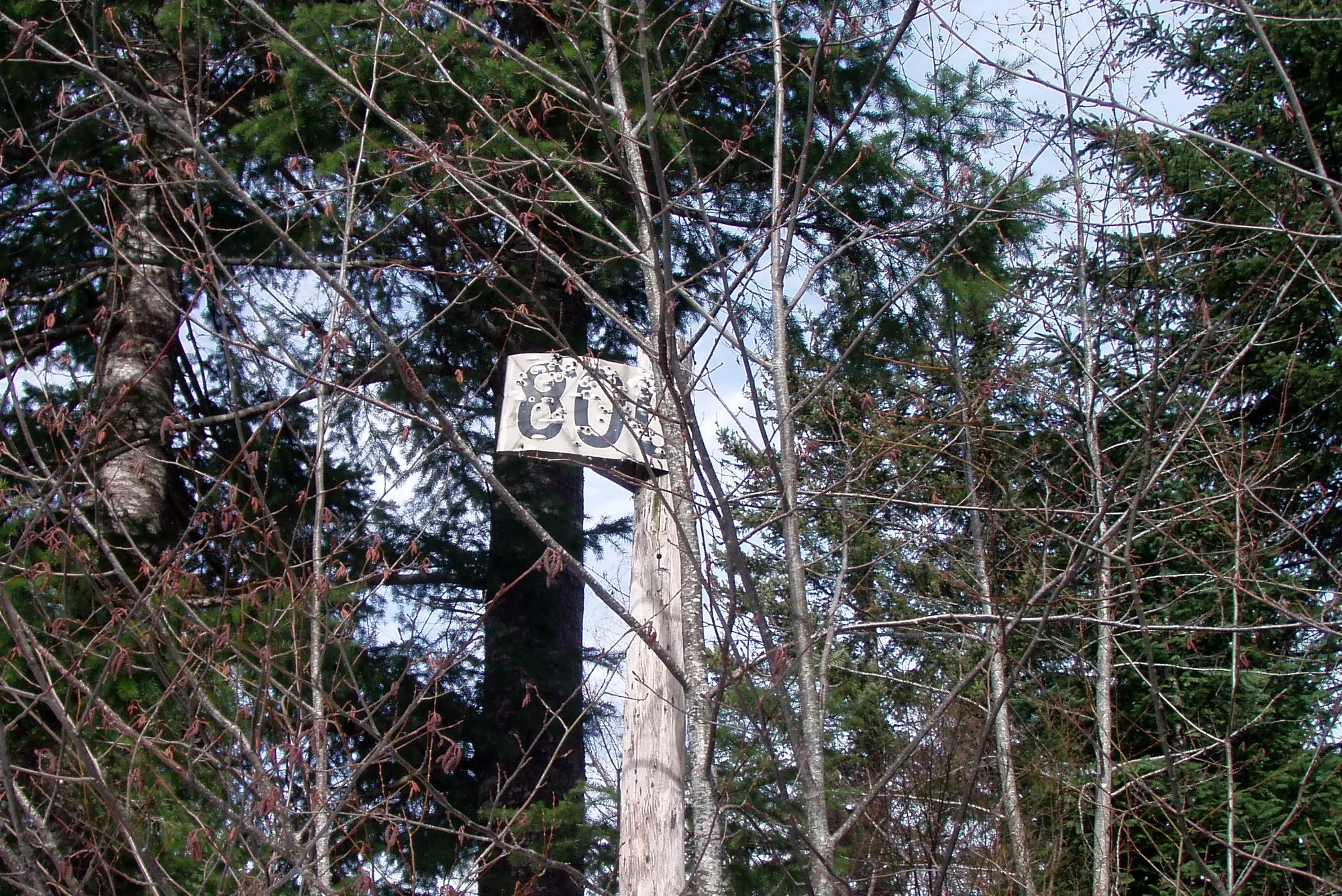
Mile marker 800 - 800 miles from Sacramento
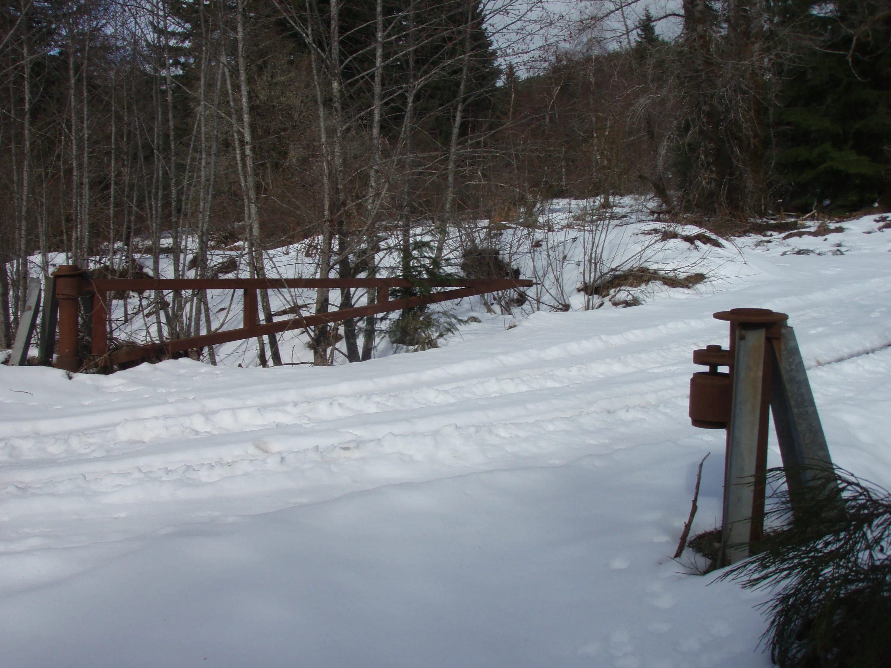
The old gate
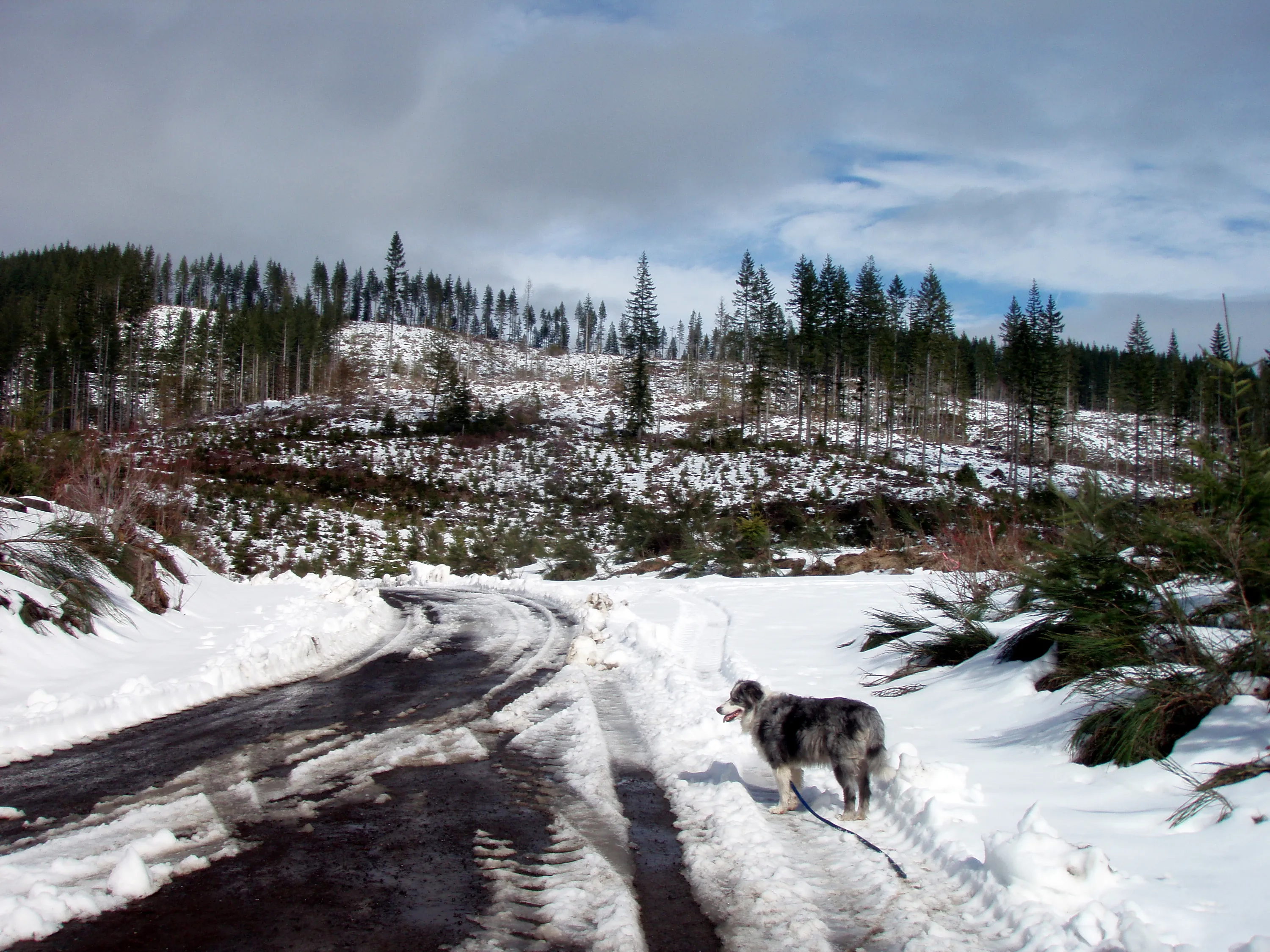
The clearcut just outside of the trailhead
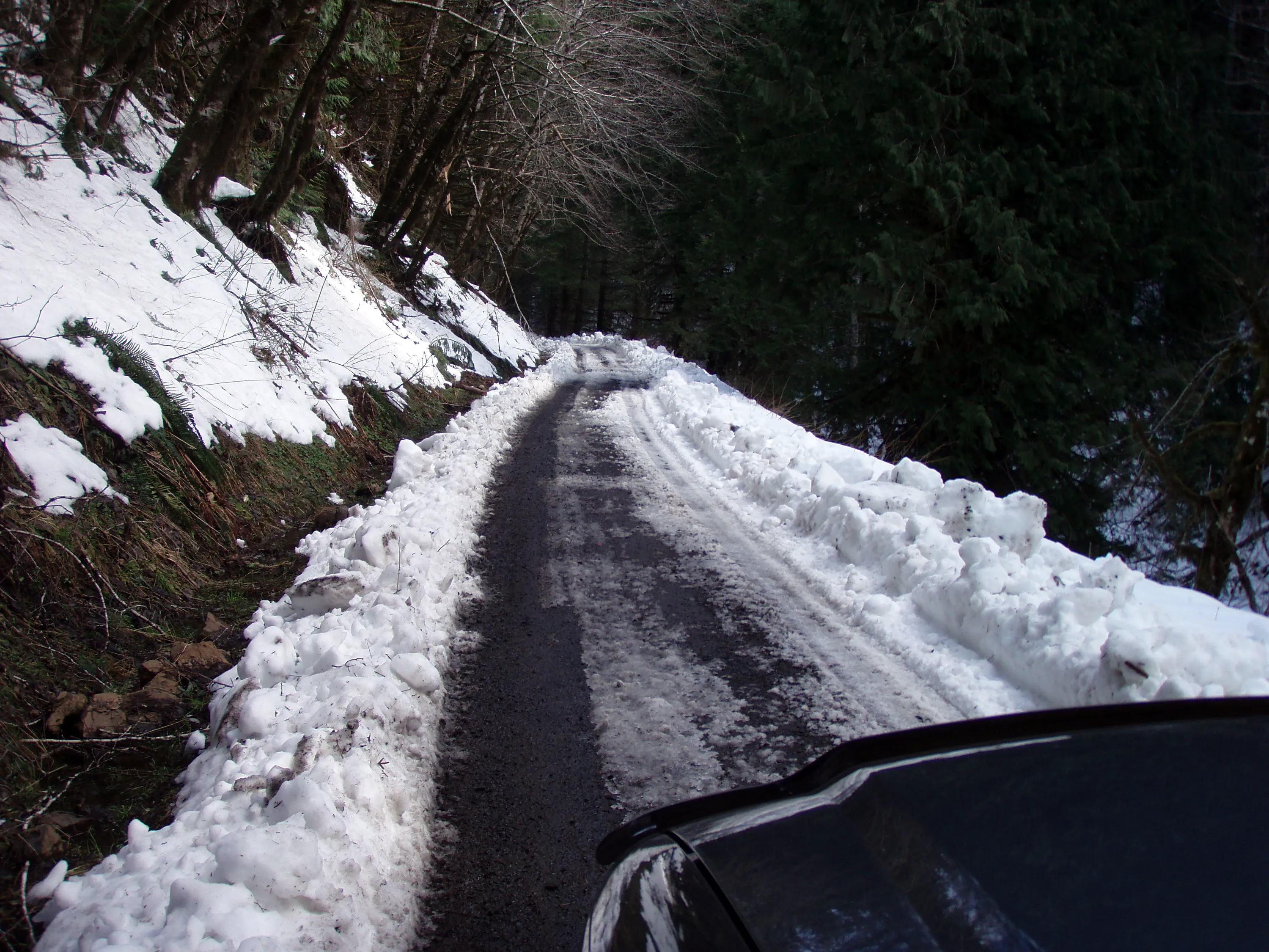
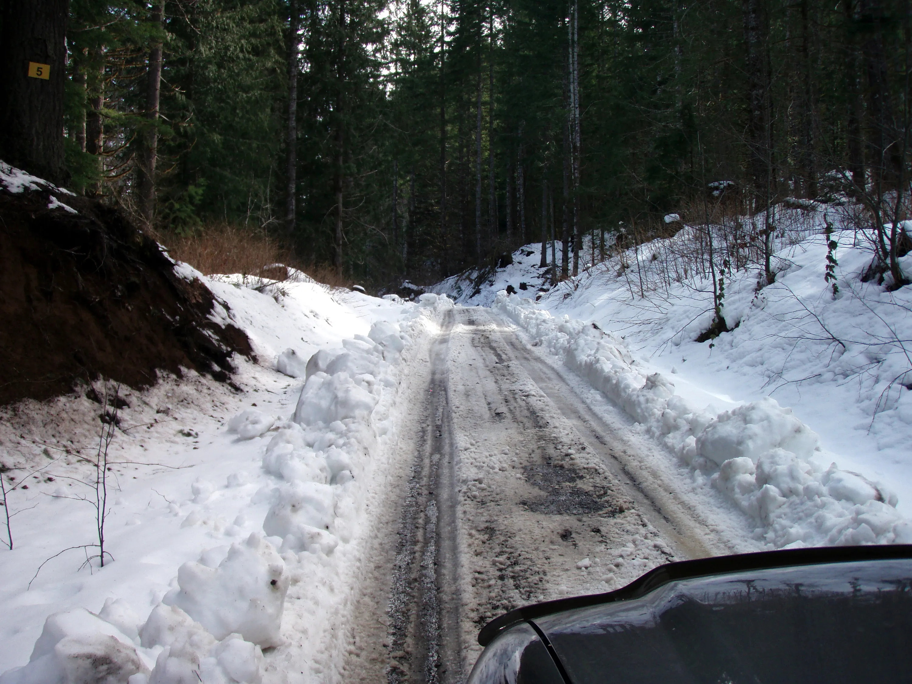
The 3 way junction - either straight or to the left gets you down to the tracks. The road to the right is Cochran road
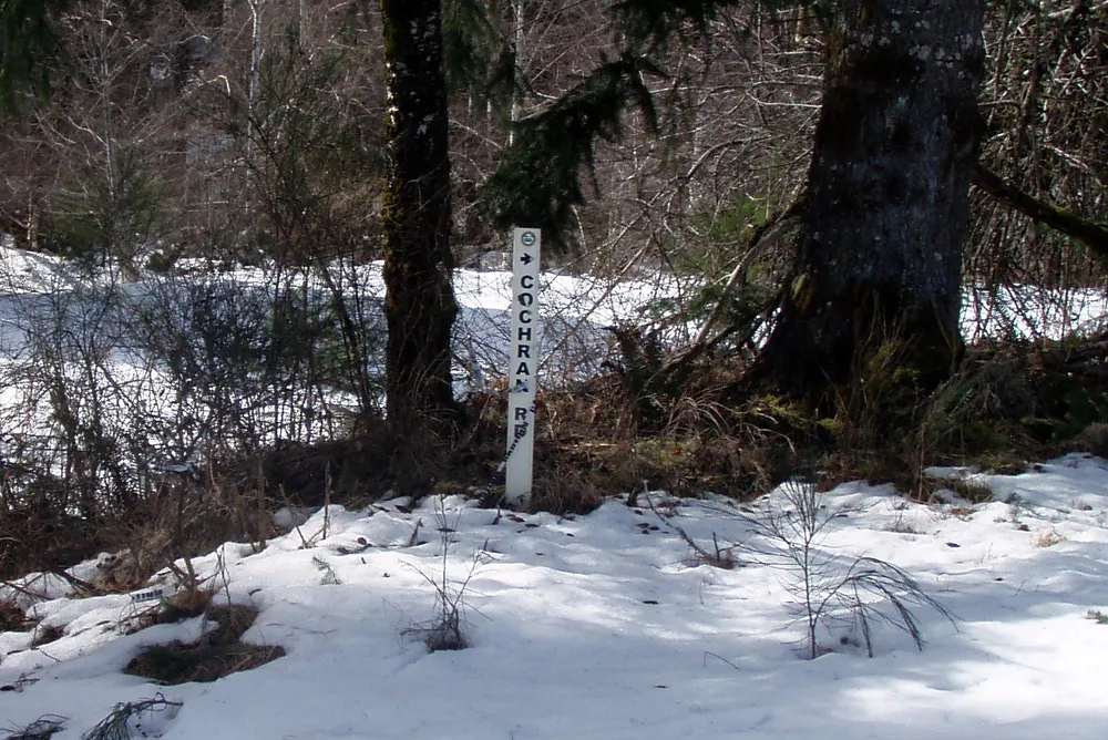
Sign for Cochran Road
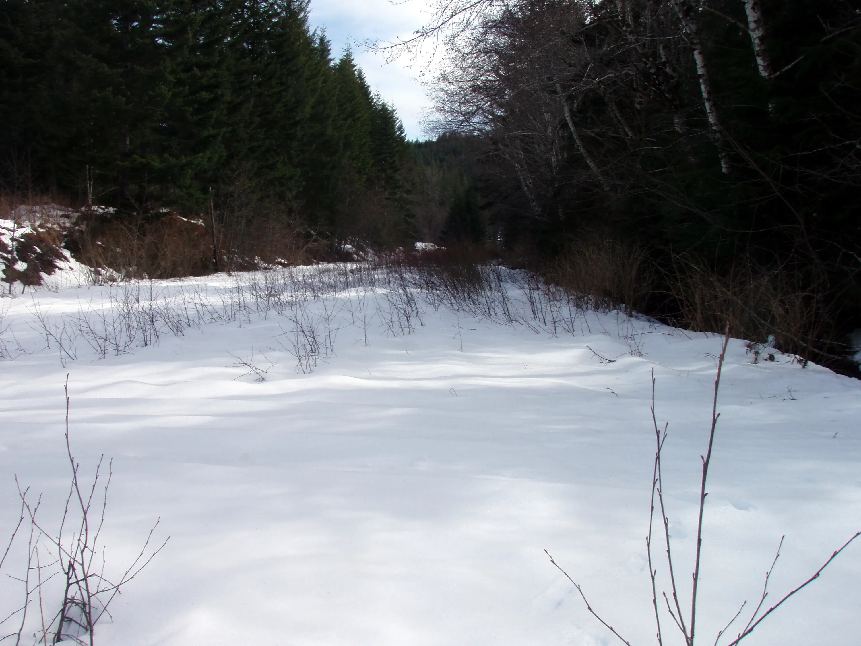
The road to Cochran
The road to Cochran
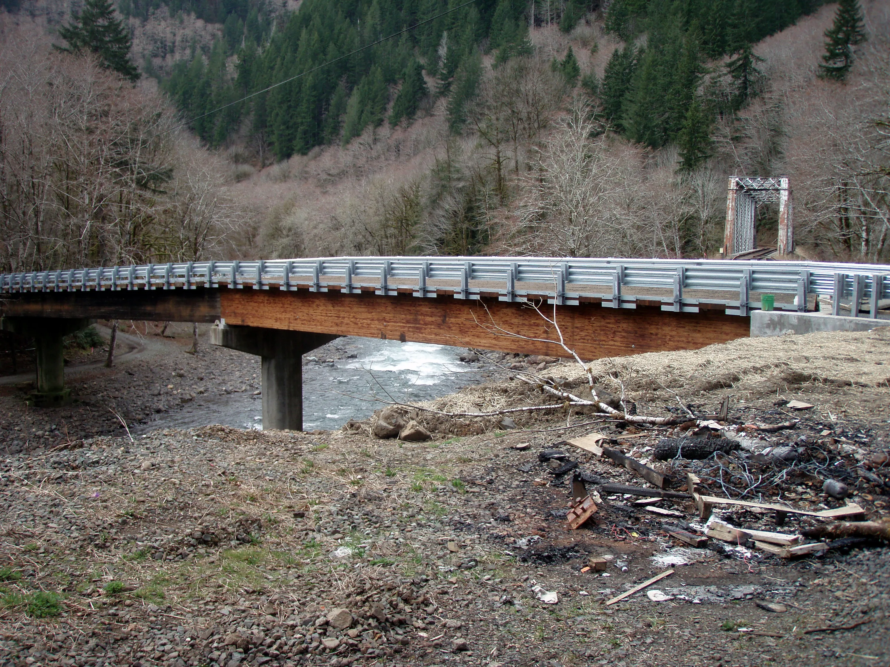
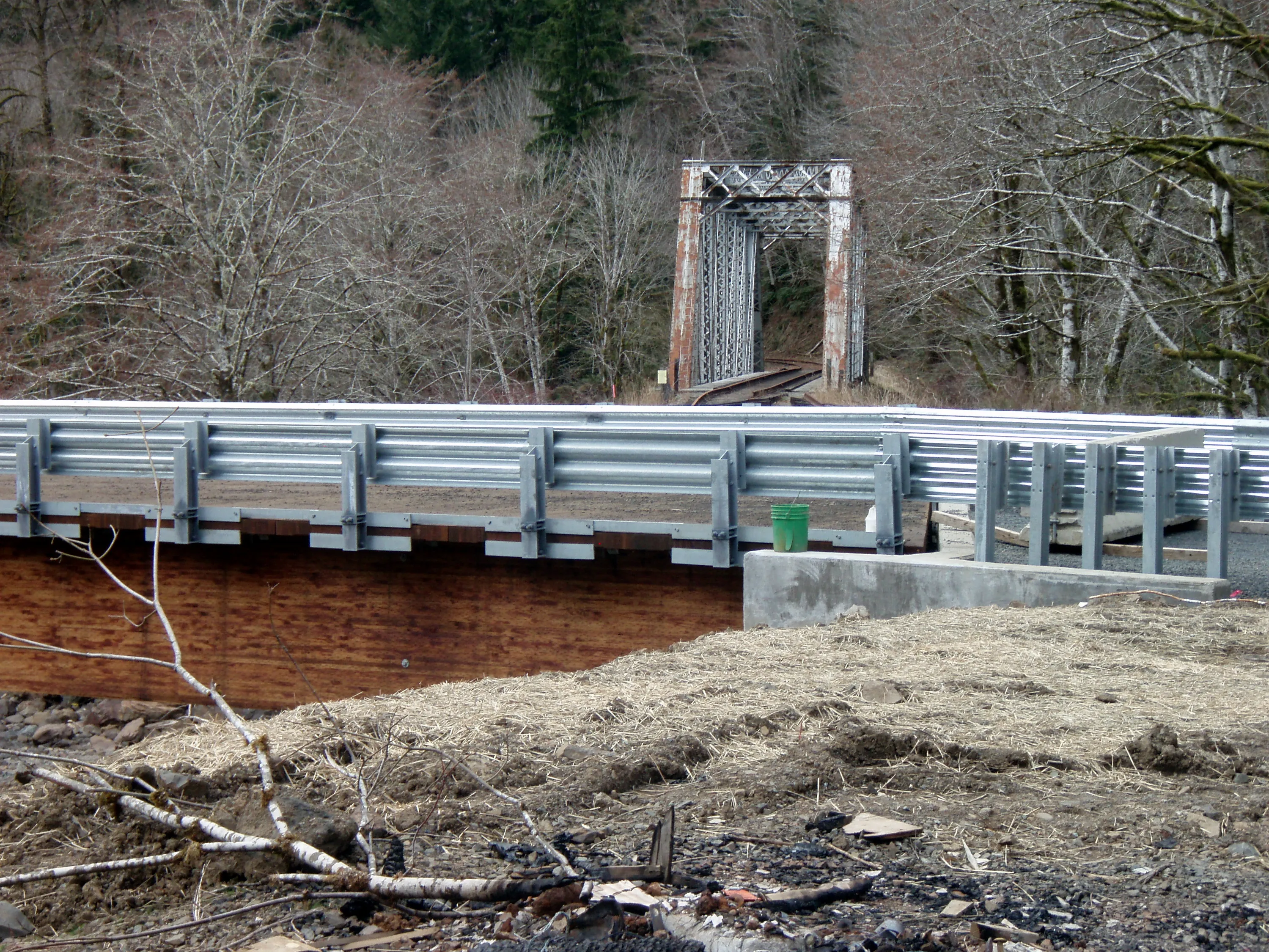
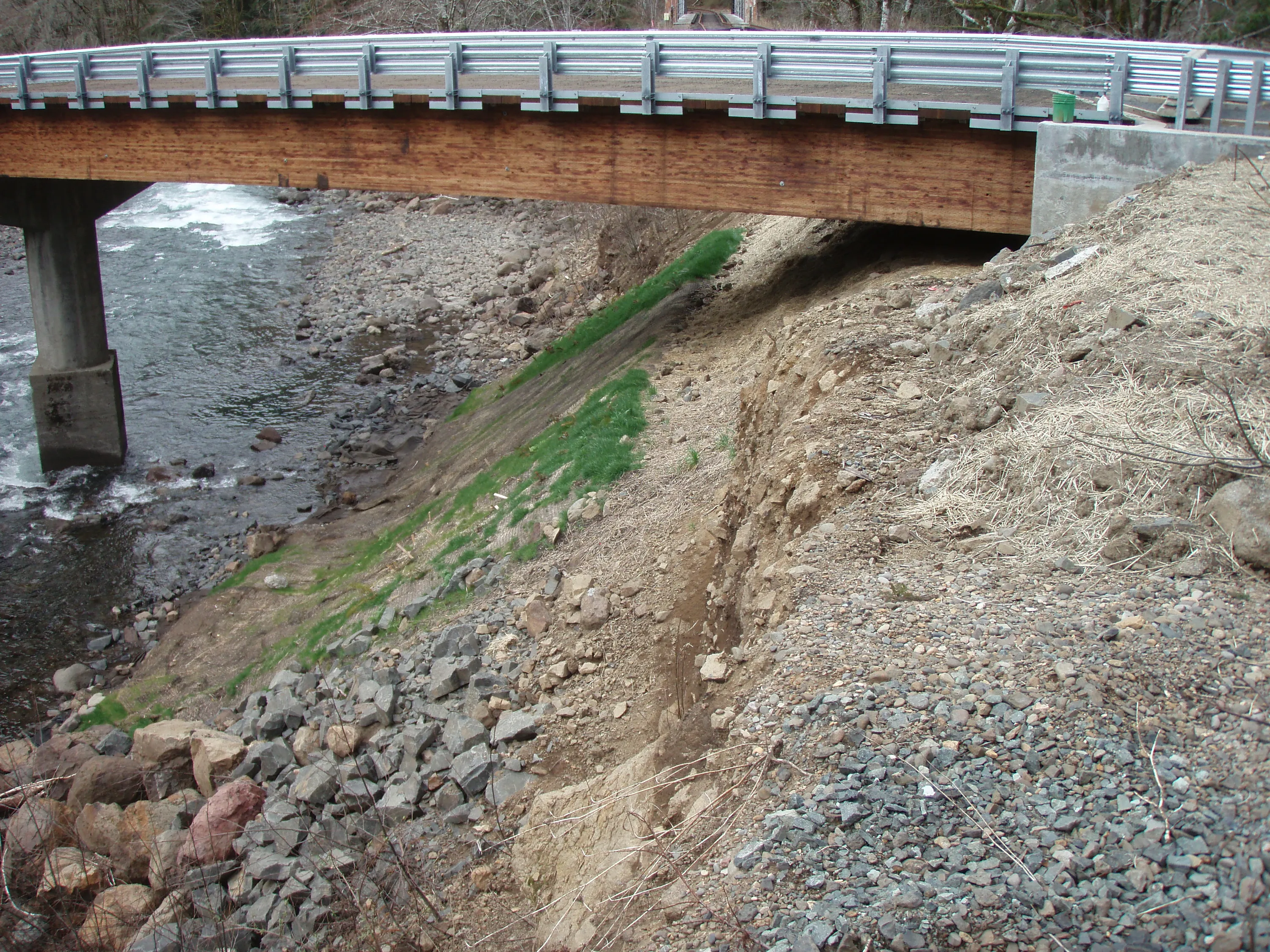
The new bridge at Salmonberry - it isn't open yet, but looks like it will be soon.
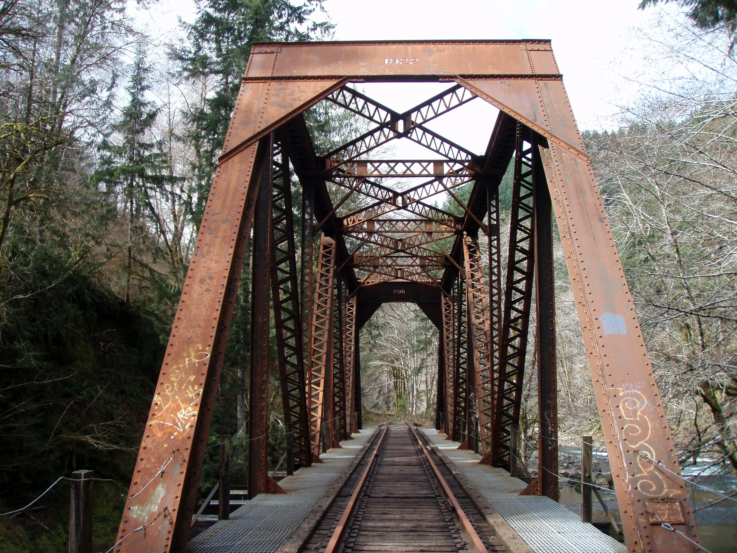
Closeup of the old rail bridge over the Nehalem river
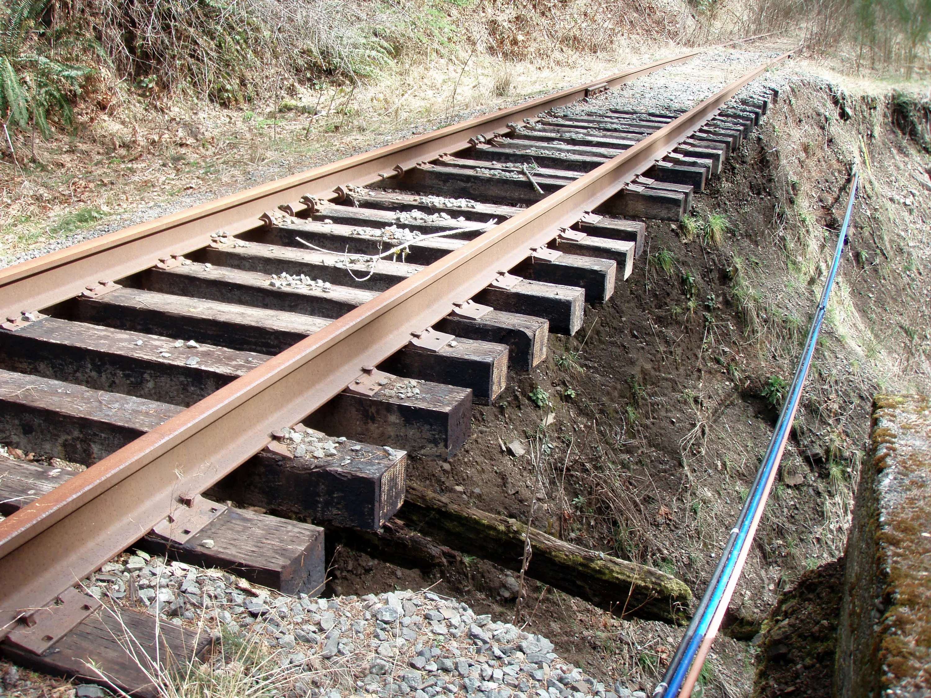
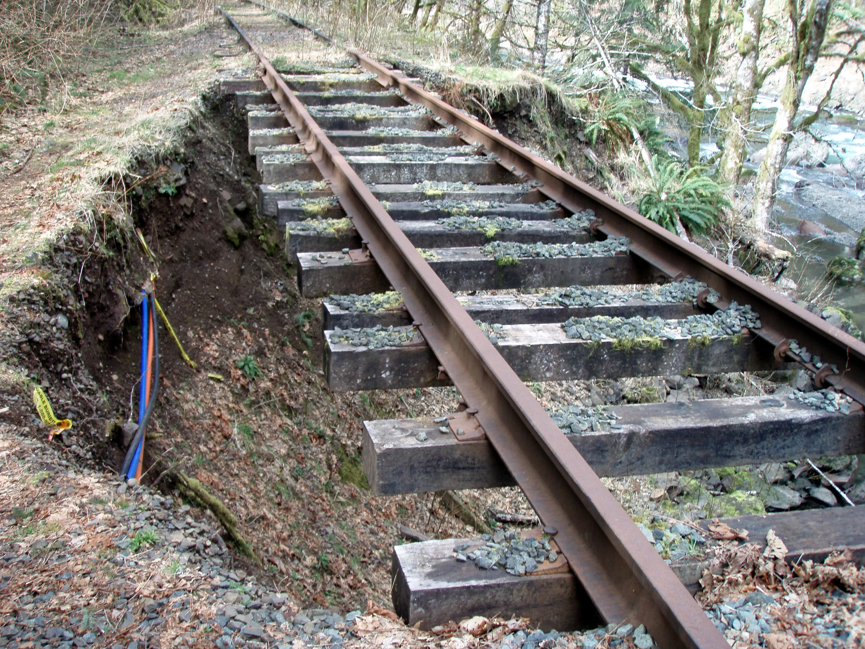
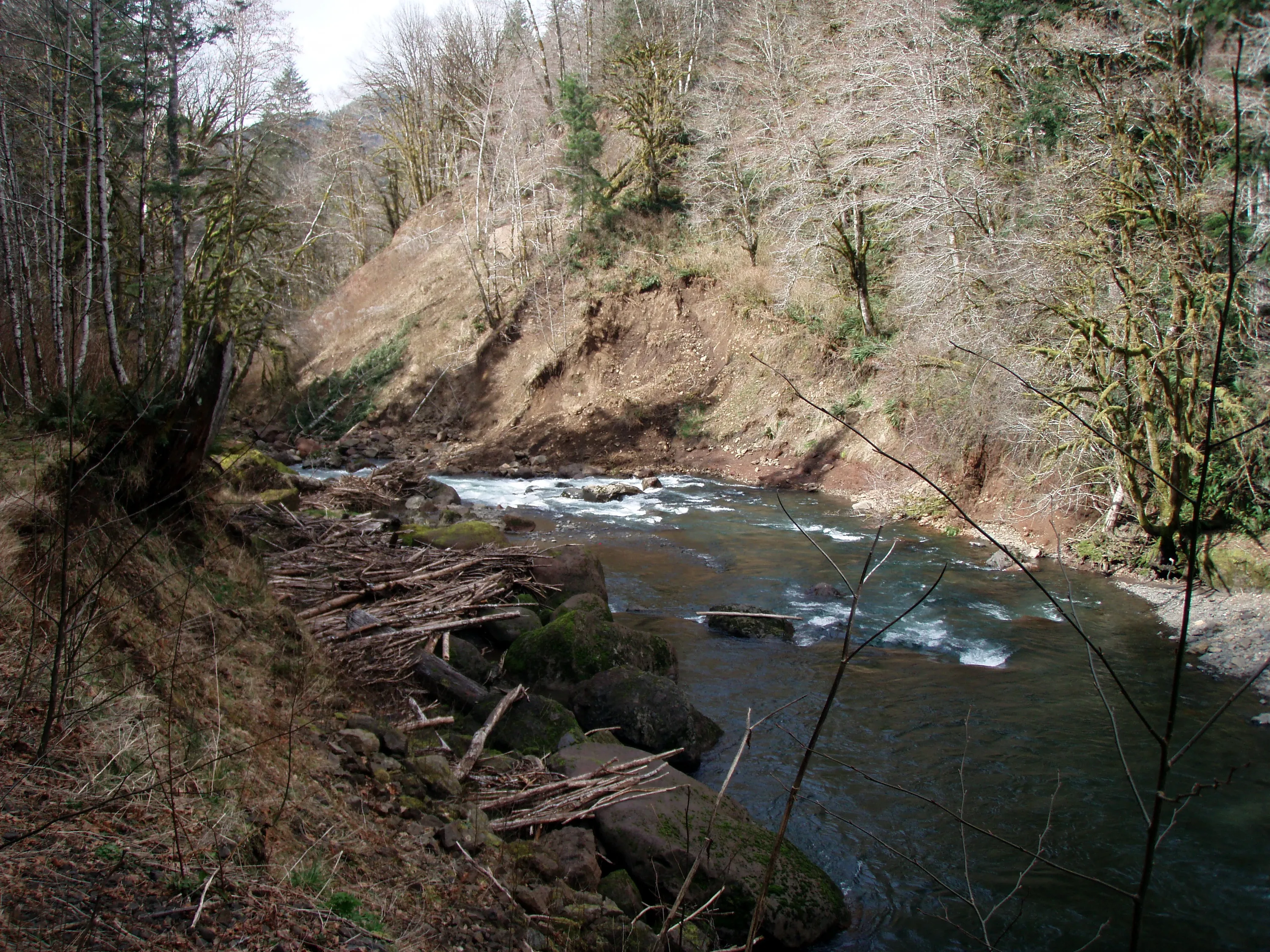
Where things washed out
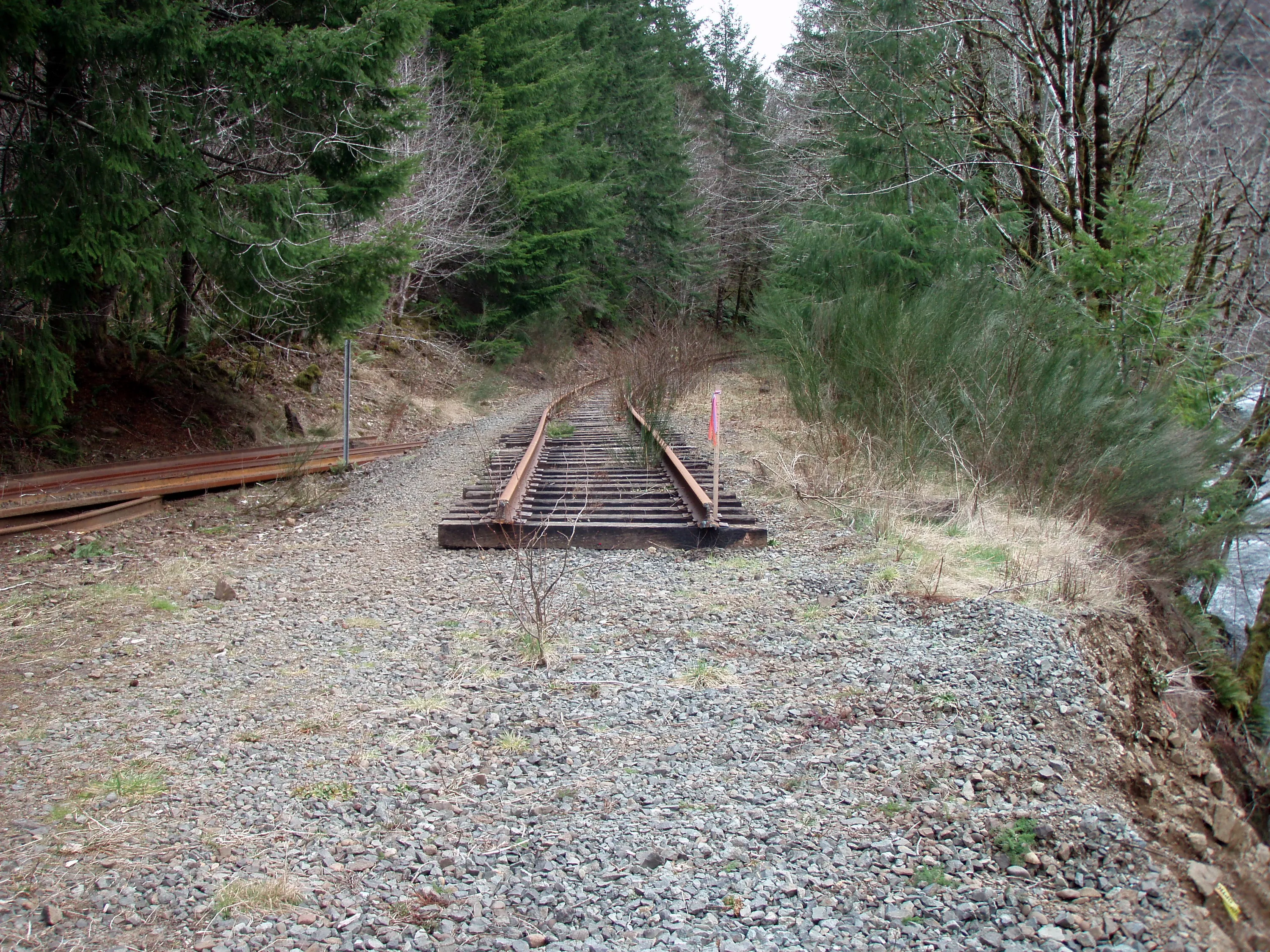
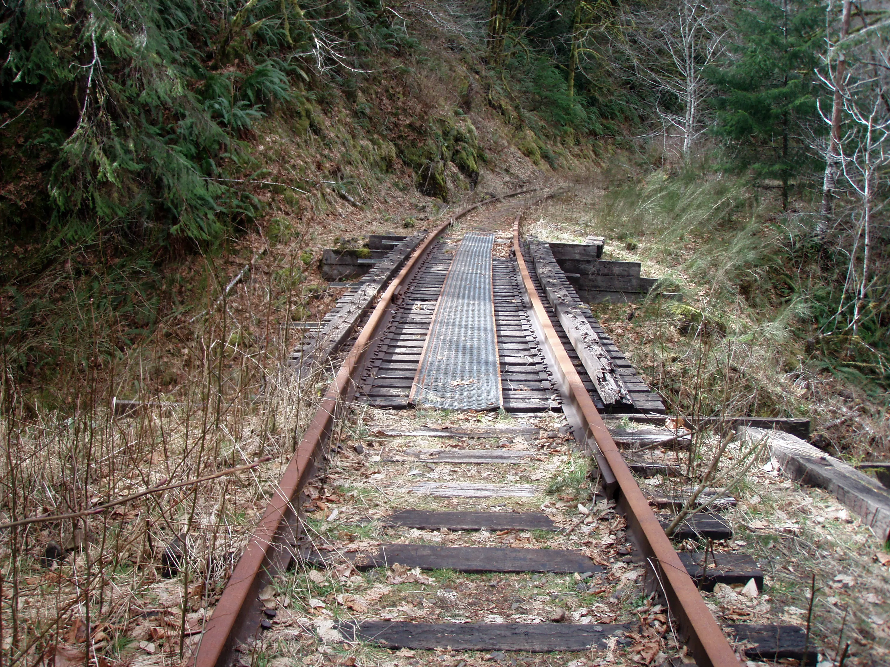
The start of the tracks (they removed some of the tracks to fix the bridge)
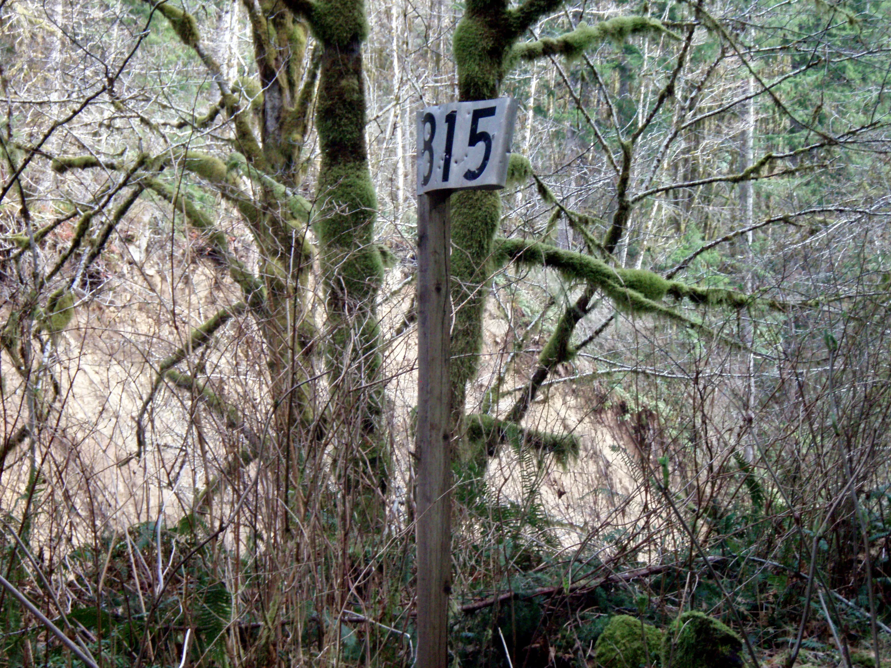
Milepost 815 - 815 miles from Scramento
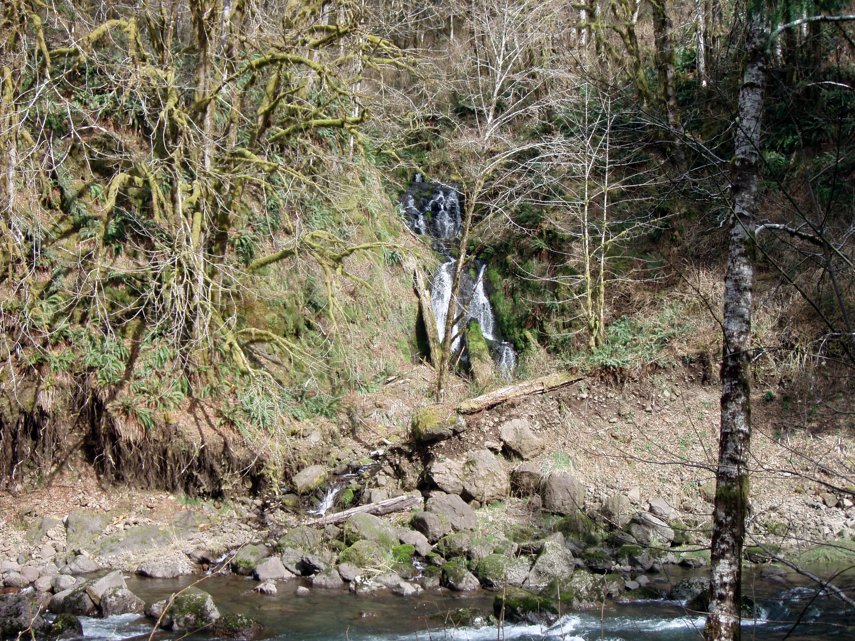
Waterfall across the river
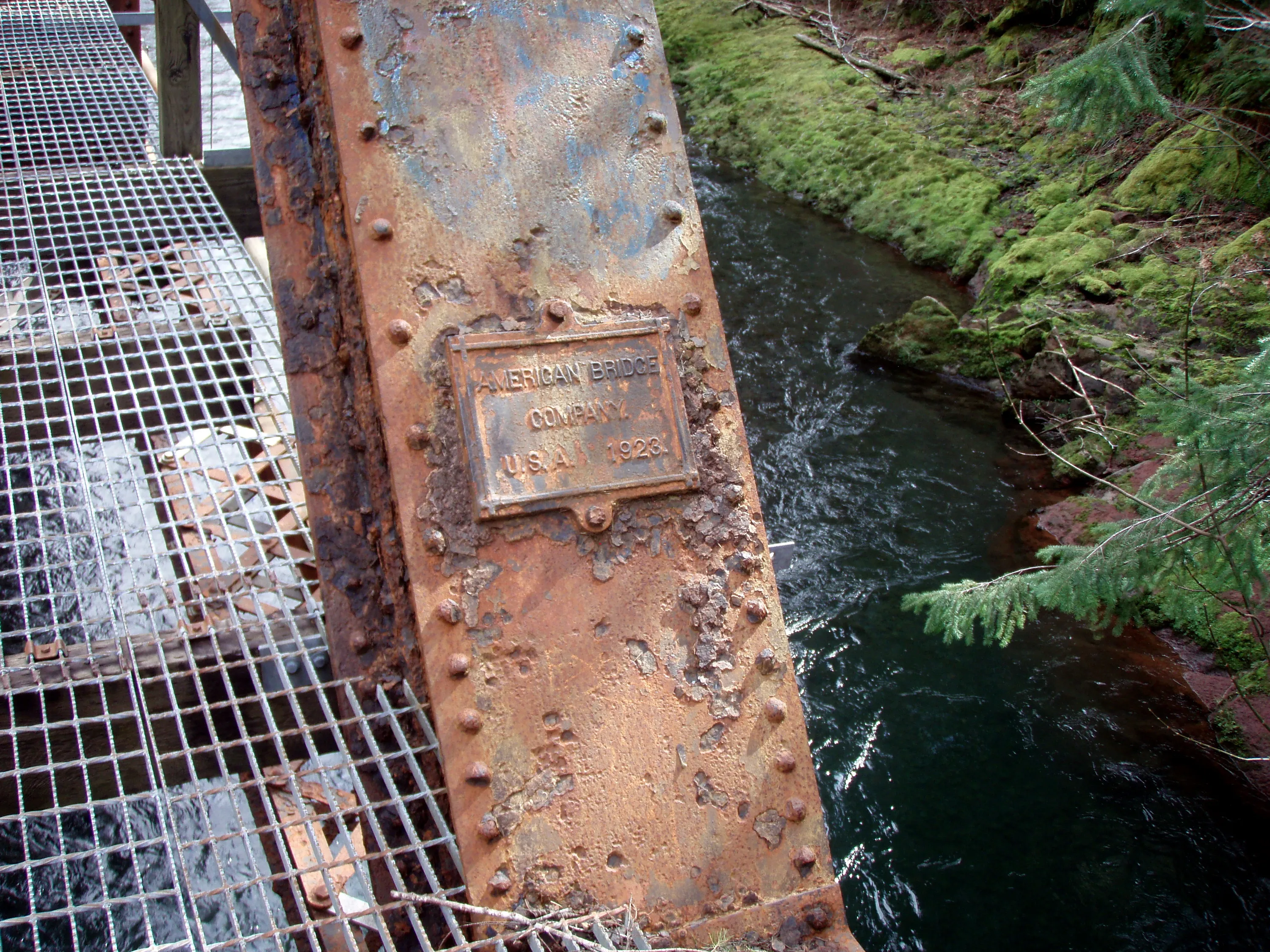
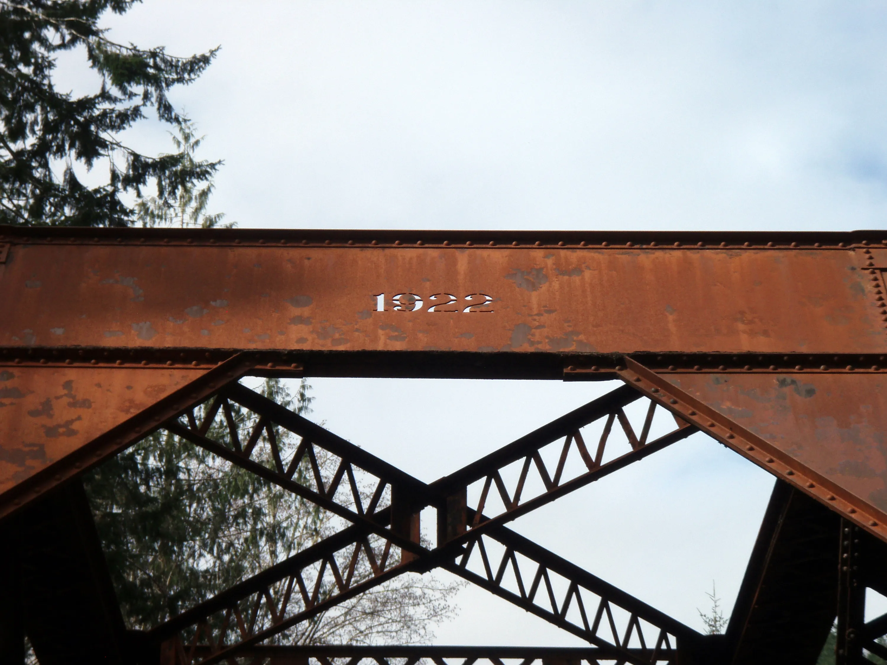
Looks like the bridge was installed in 1923
This was the turnaround point - a little over a mile up the tracks. Washout on the west end of the bridge
Another shot of the bridge looking east
Or was the bridge made in 1922?
Washout on the east end
Small trestle
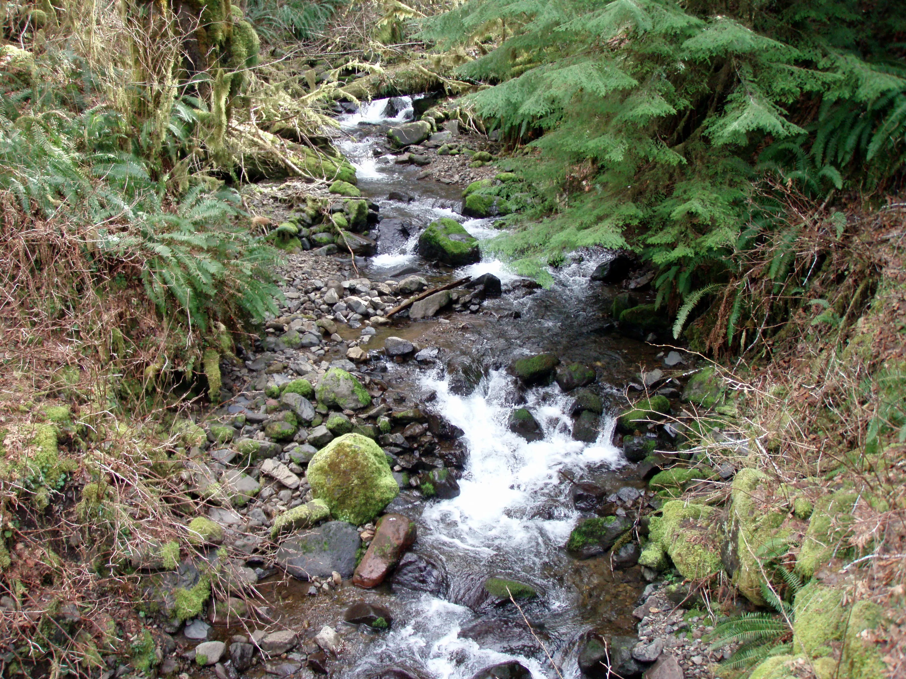
Creek under the trestle
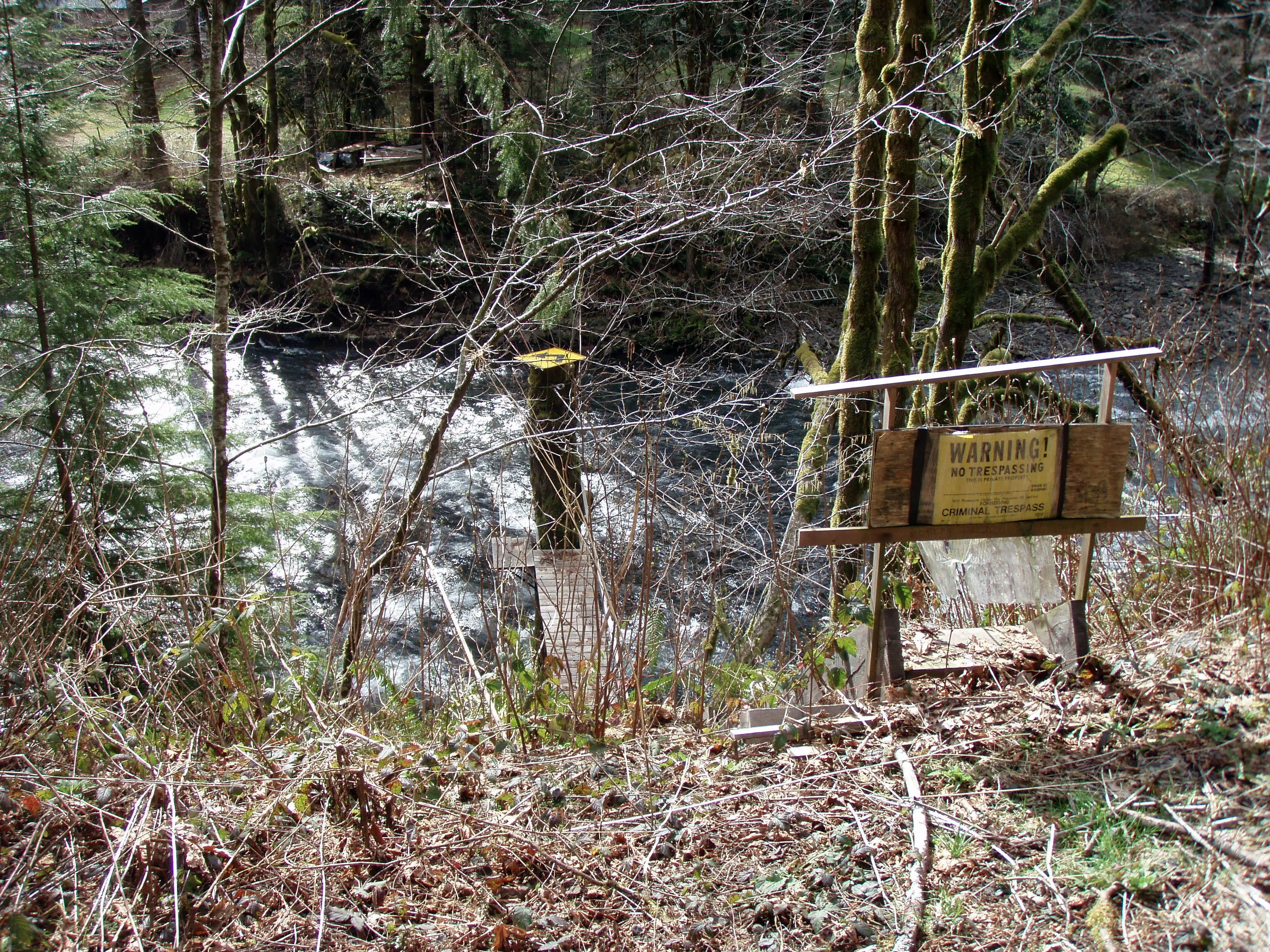
Interesting zip line across the river
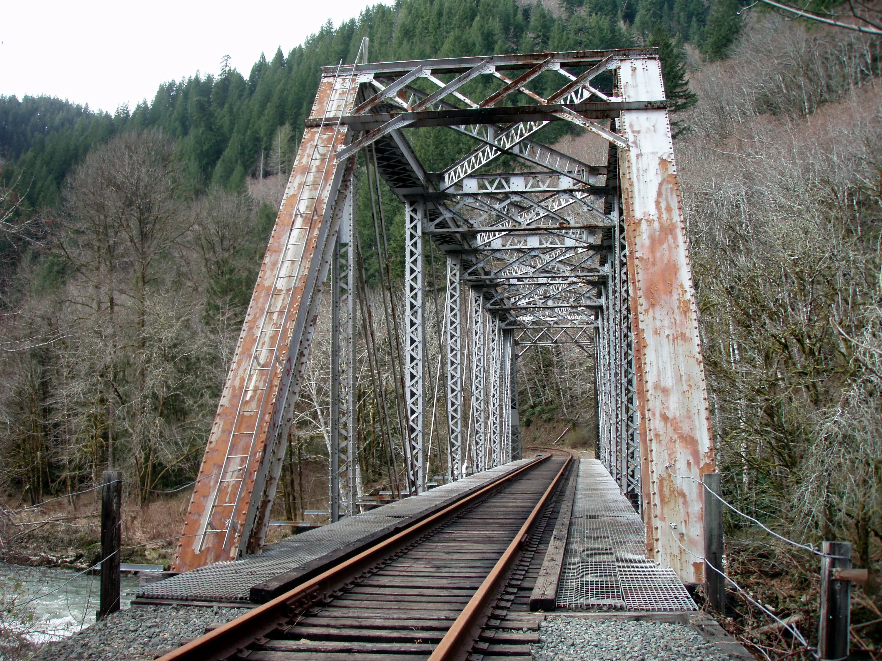
Railroad bridge over the Nehalem river - we didn't go any farther