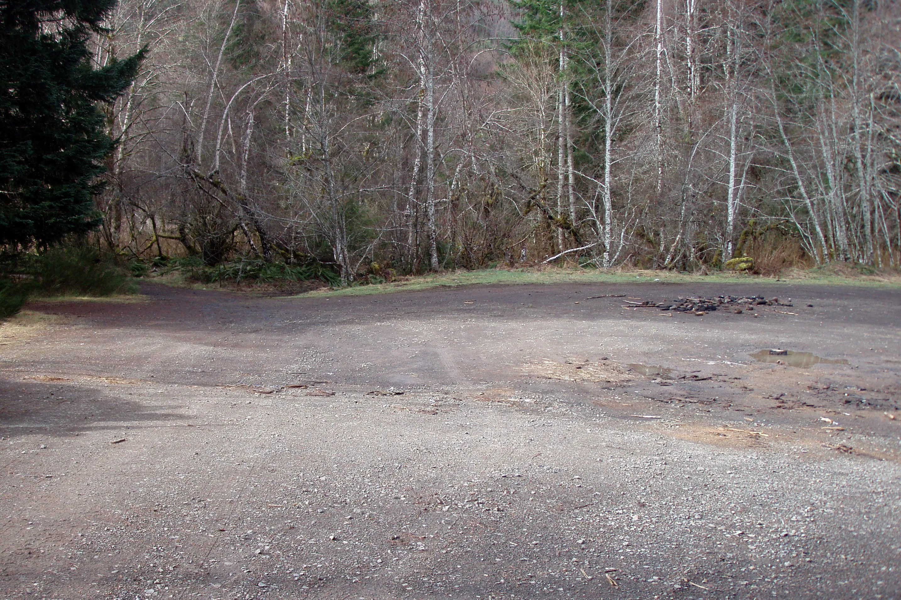
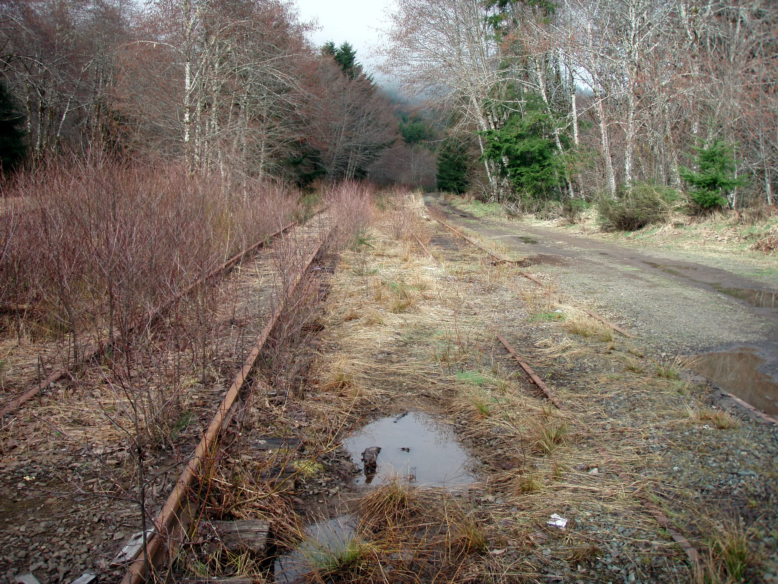
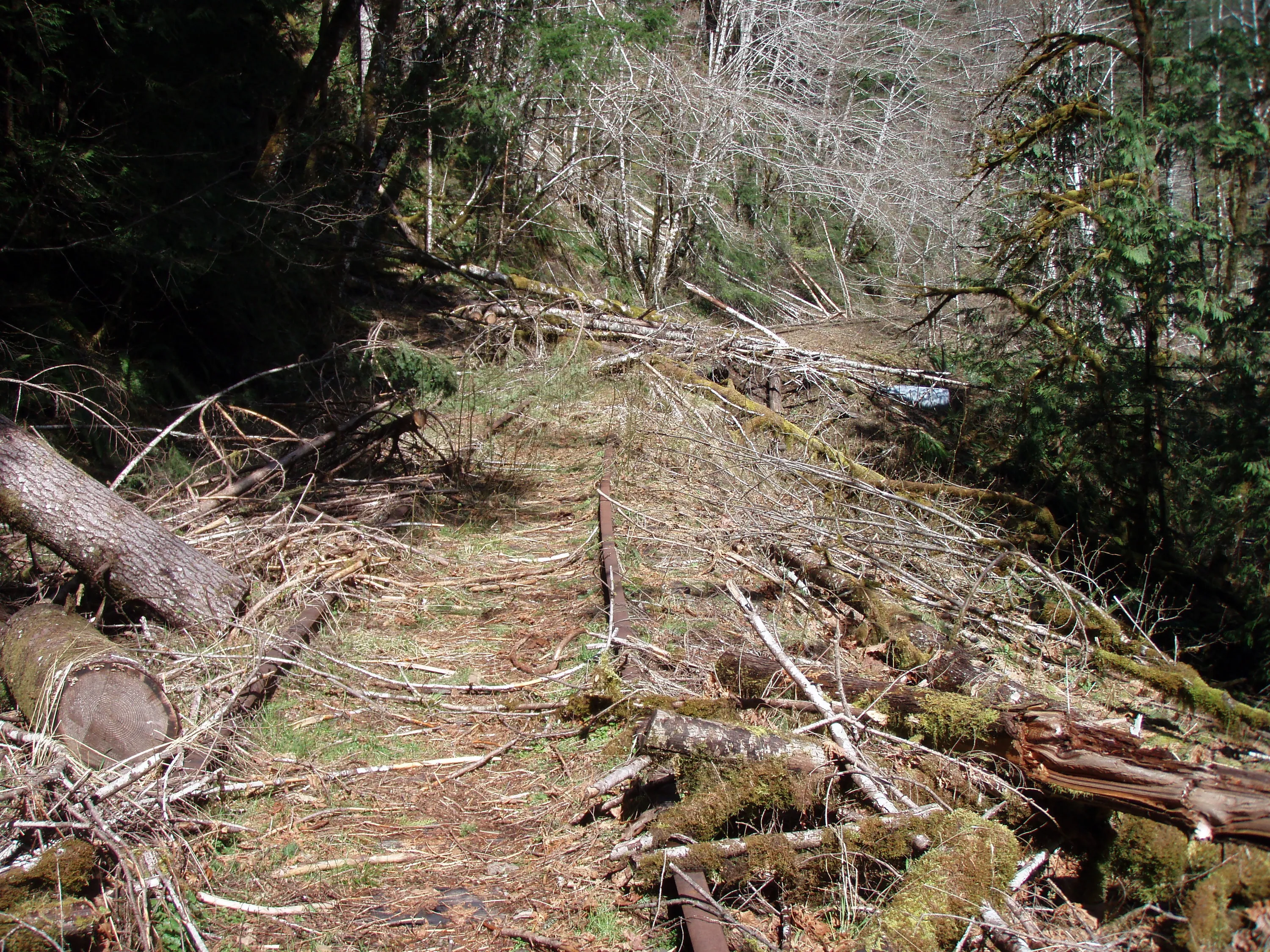
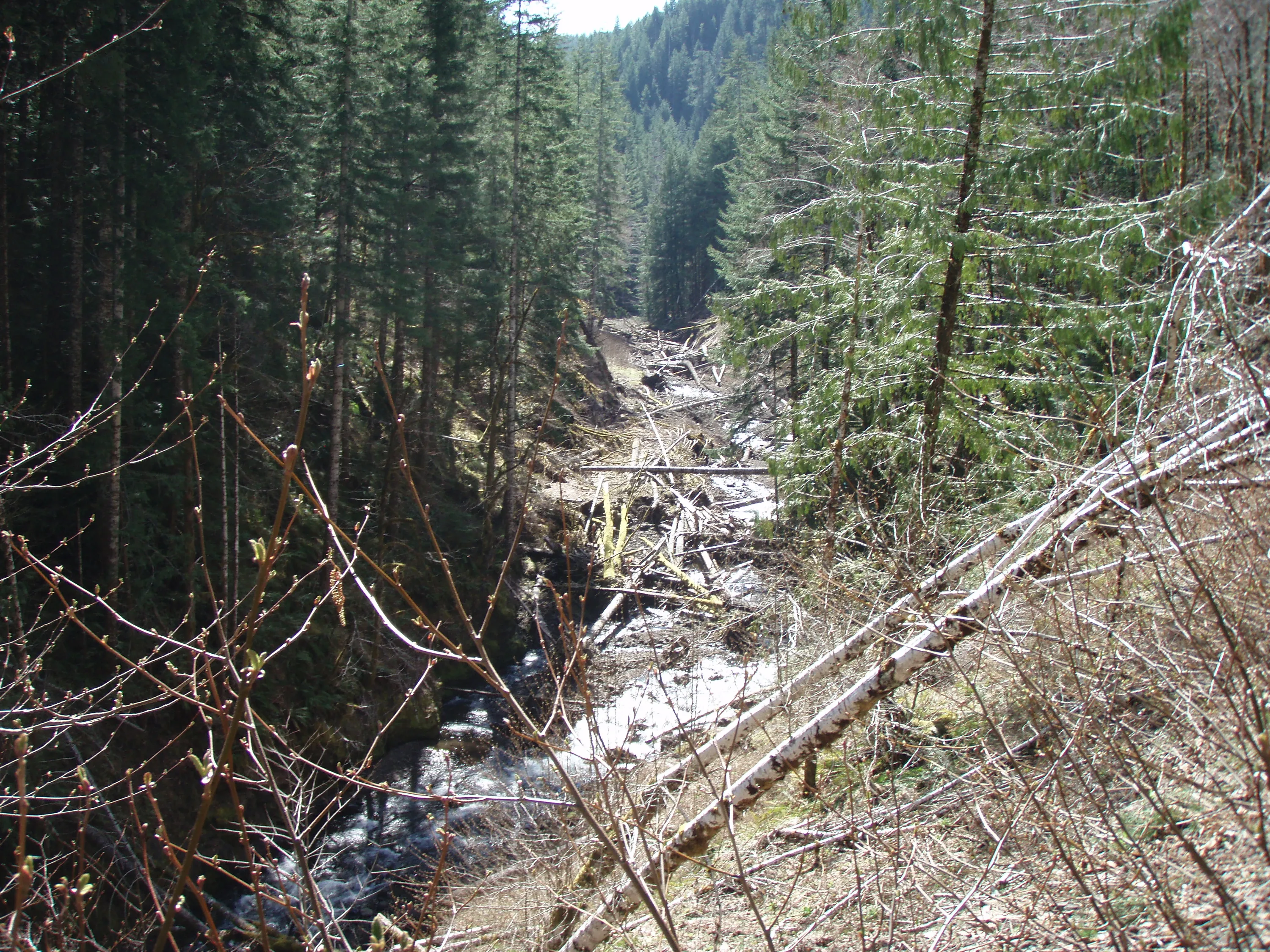
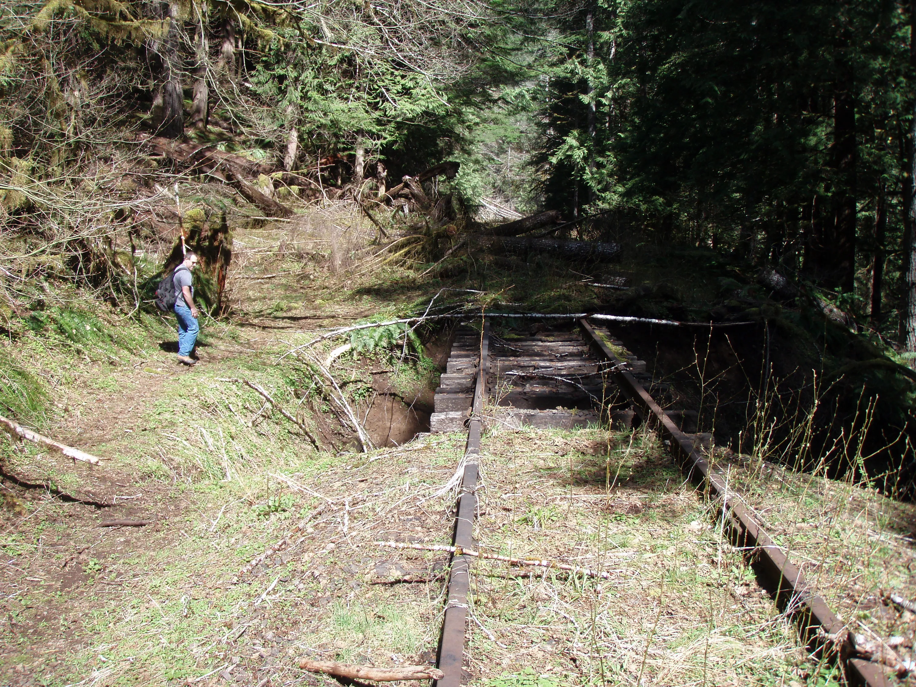
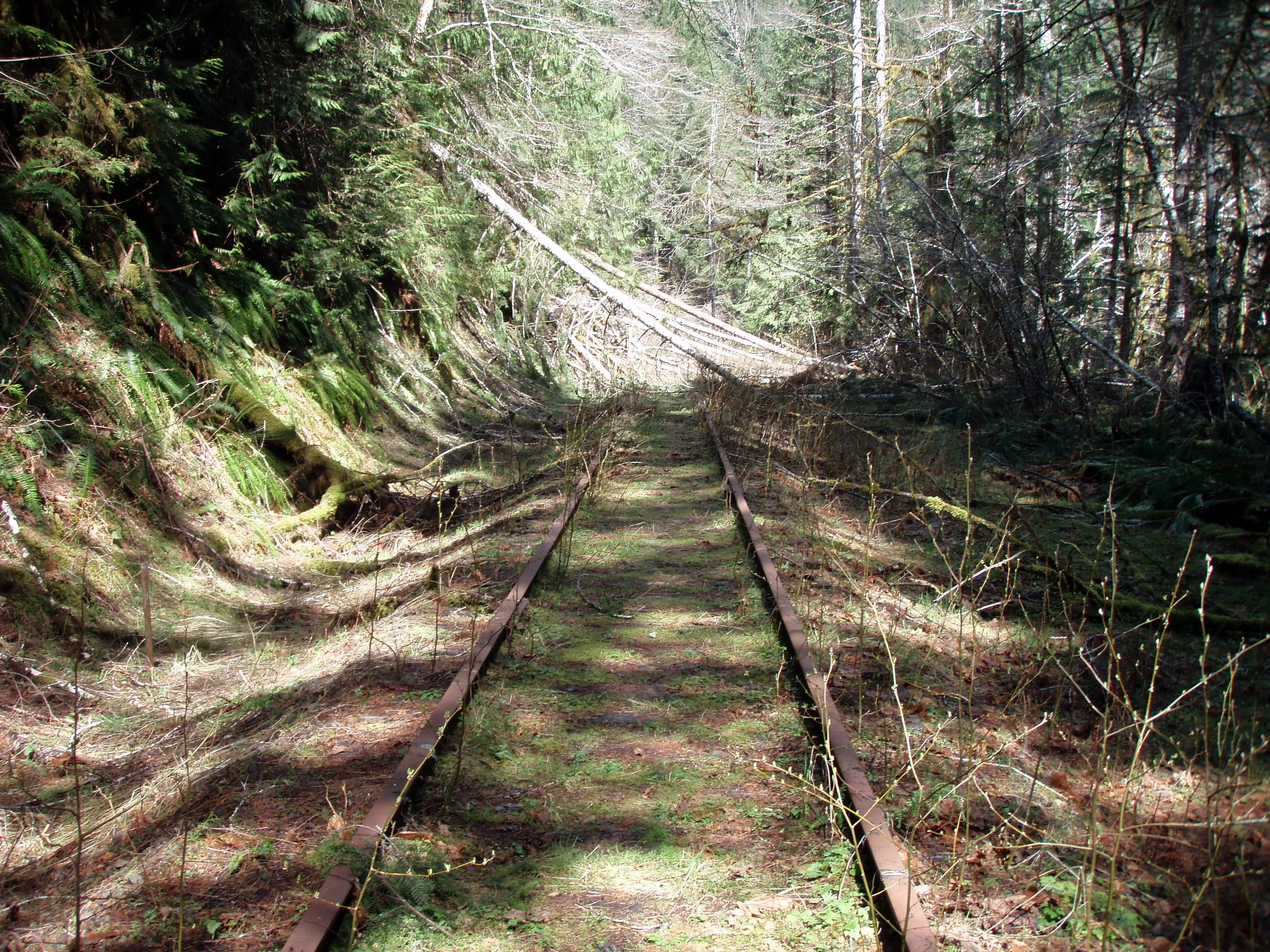
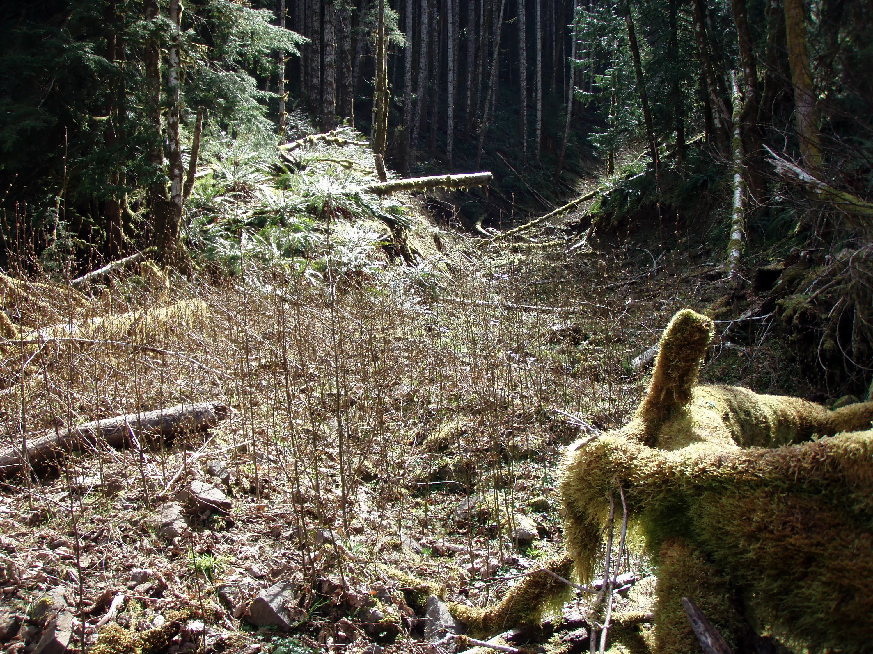
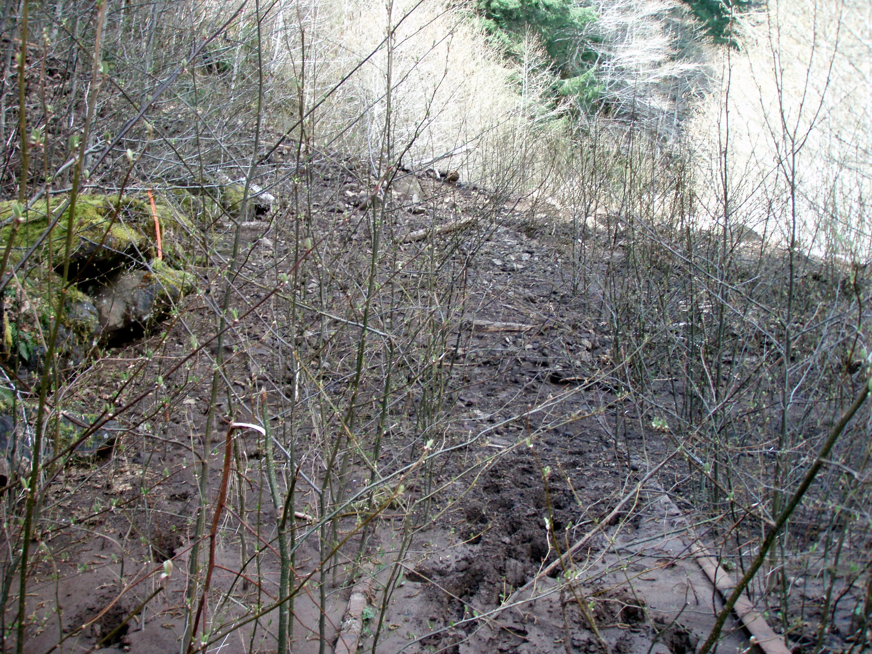
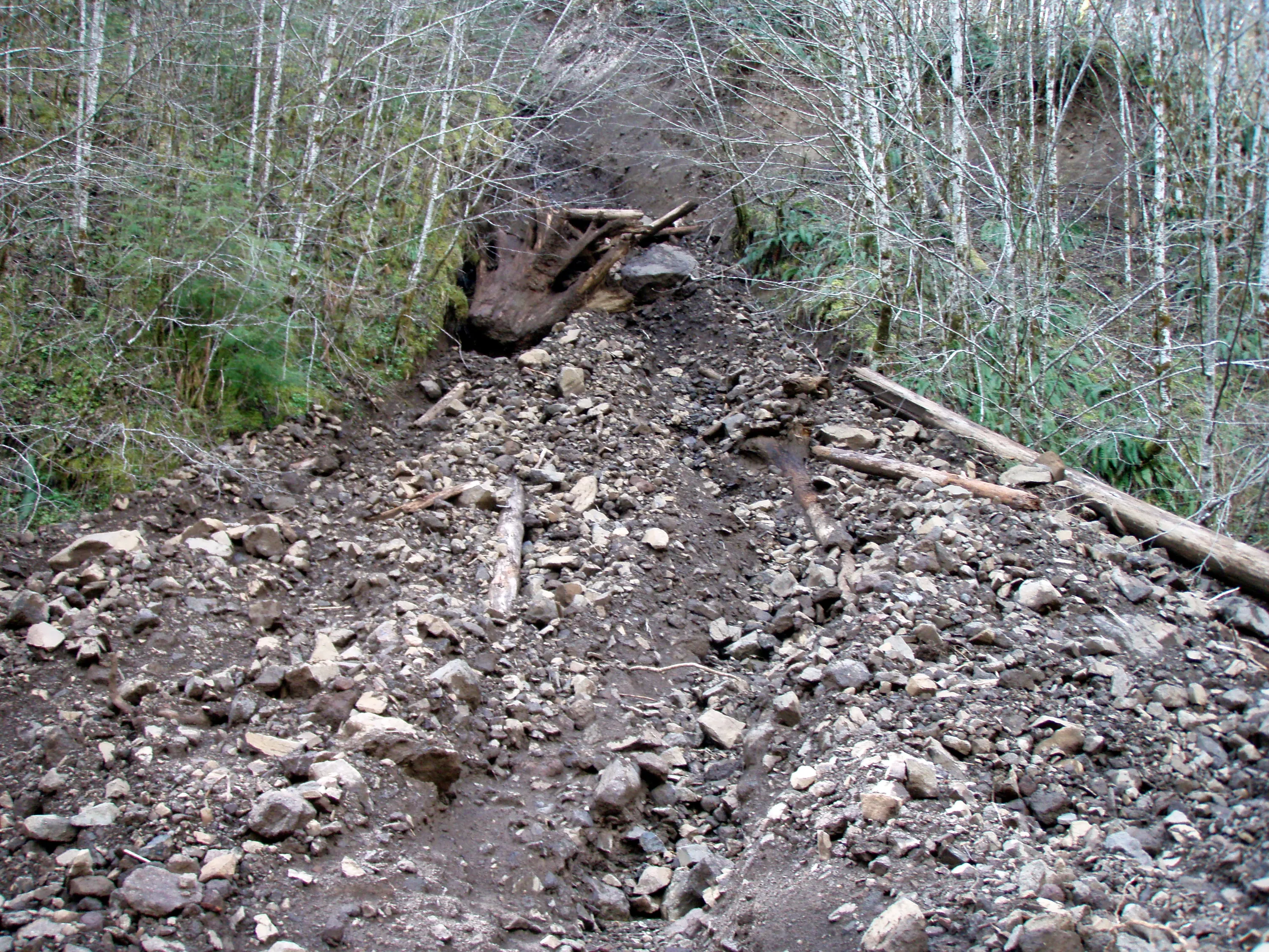
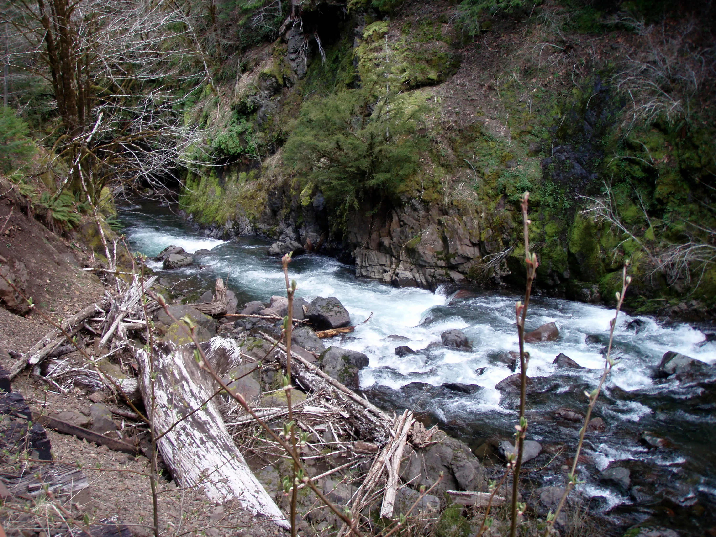
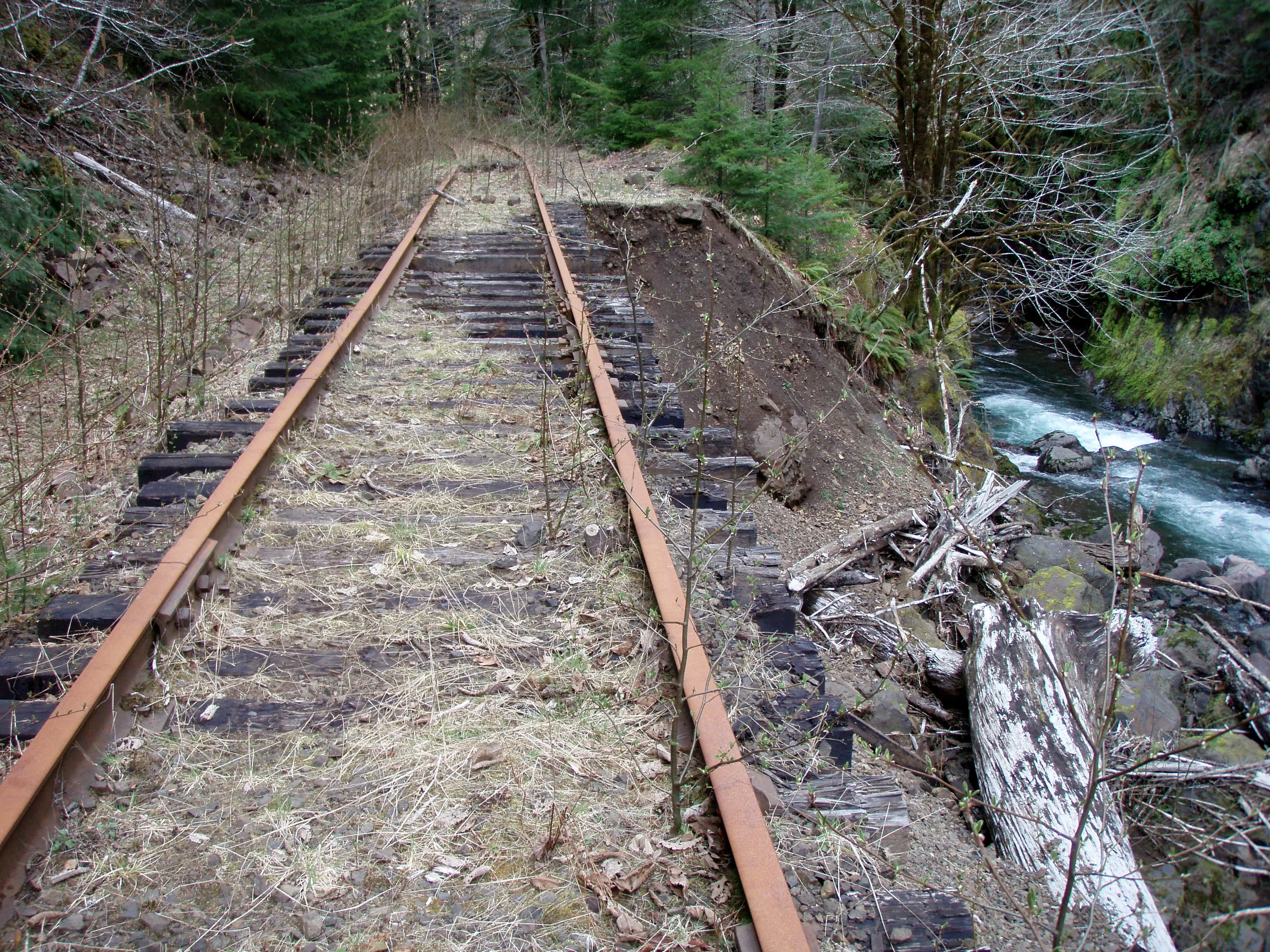
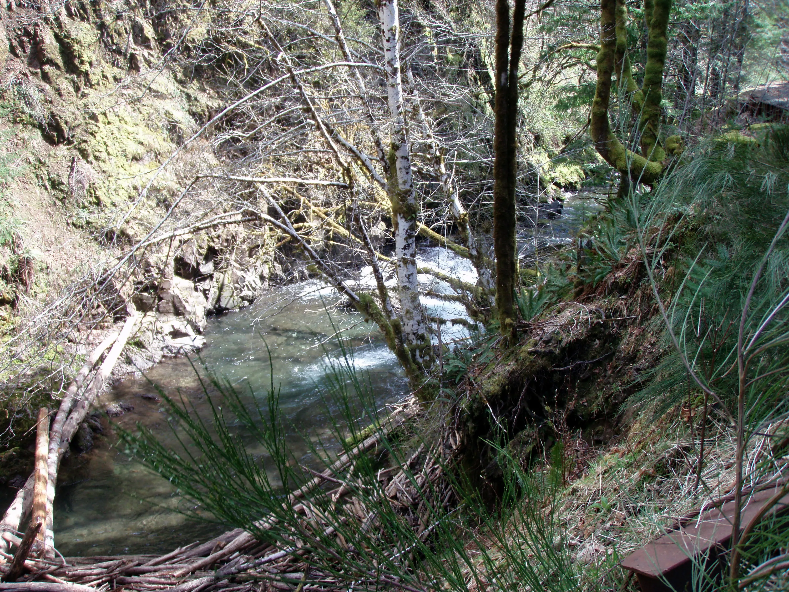
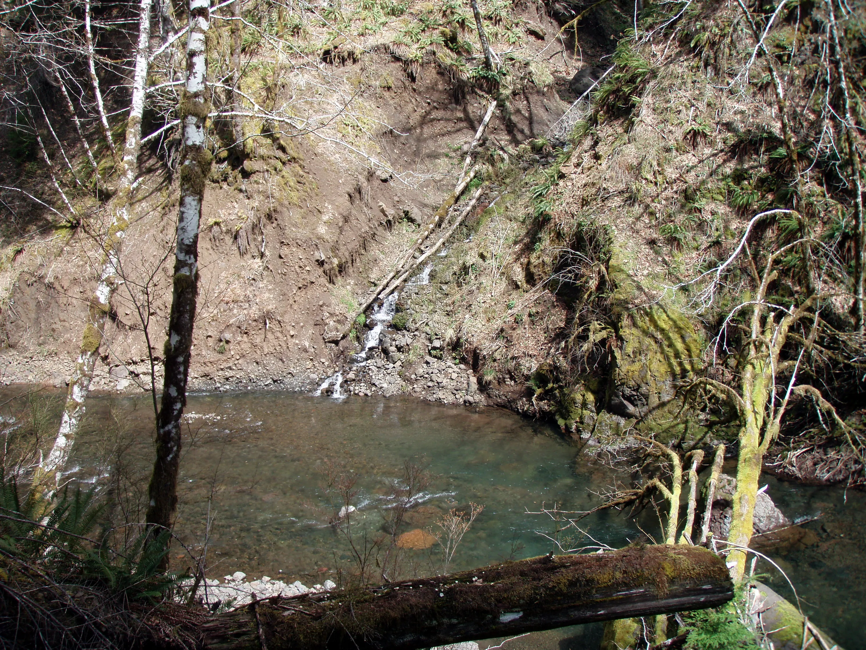
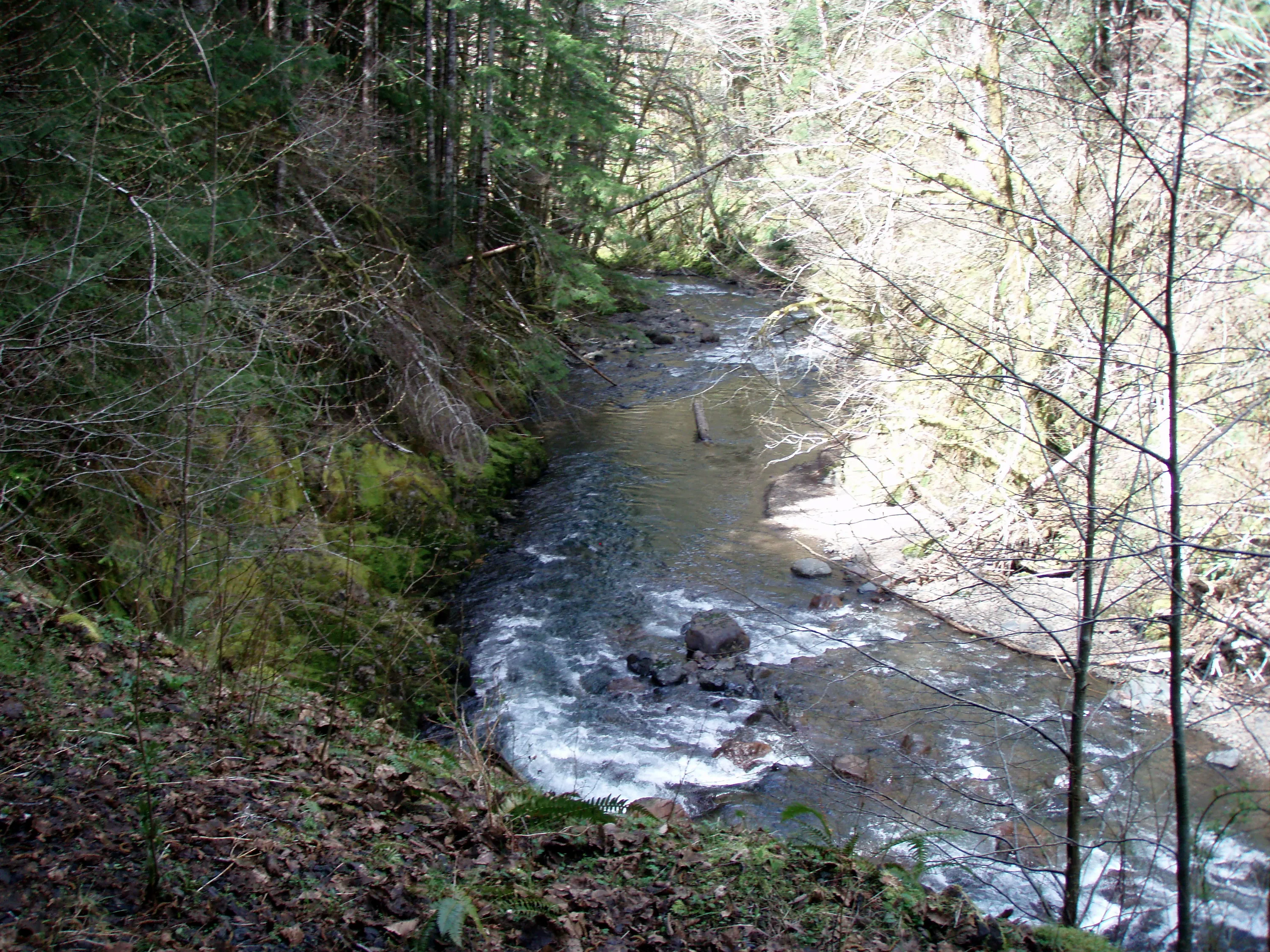
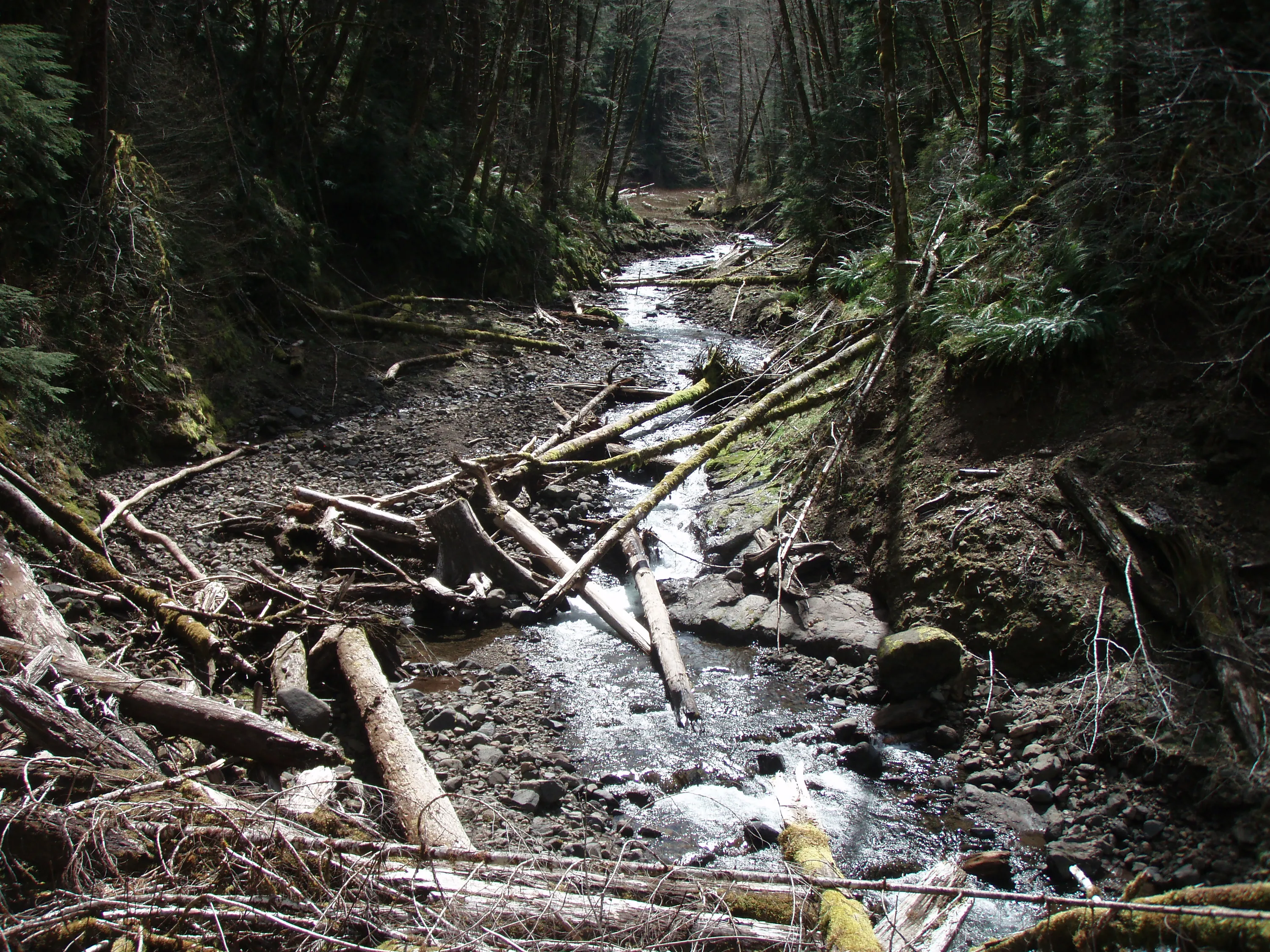
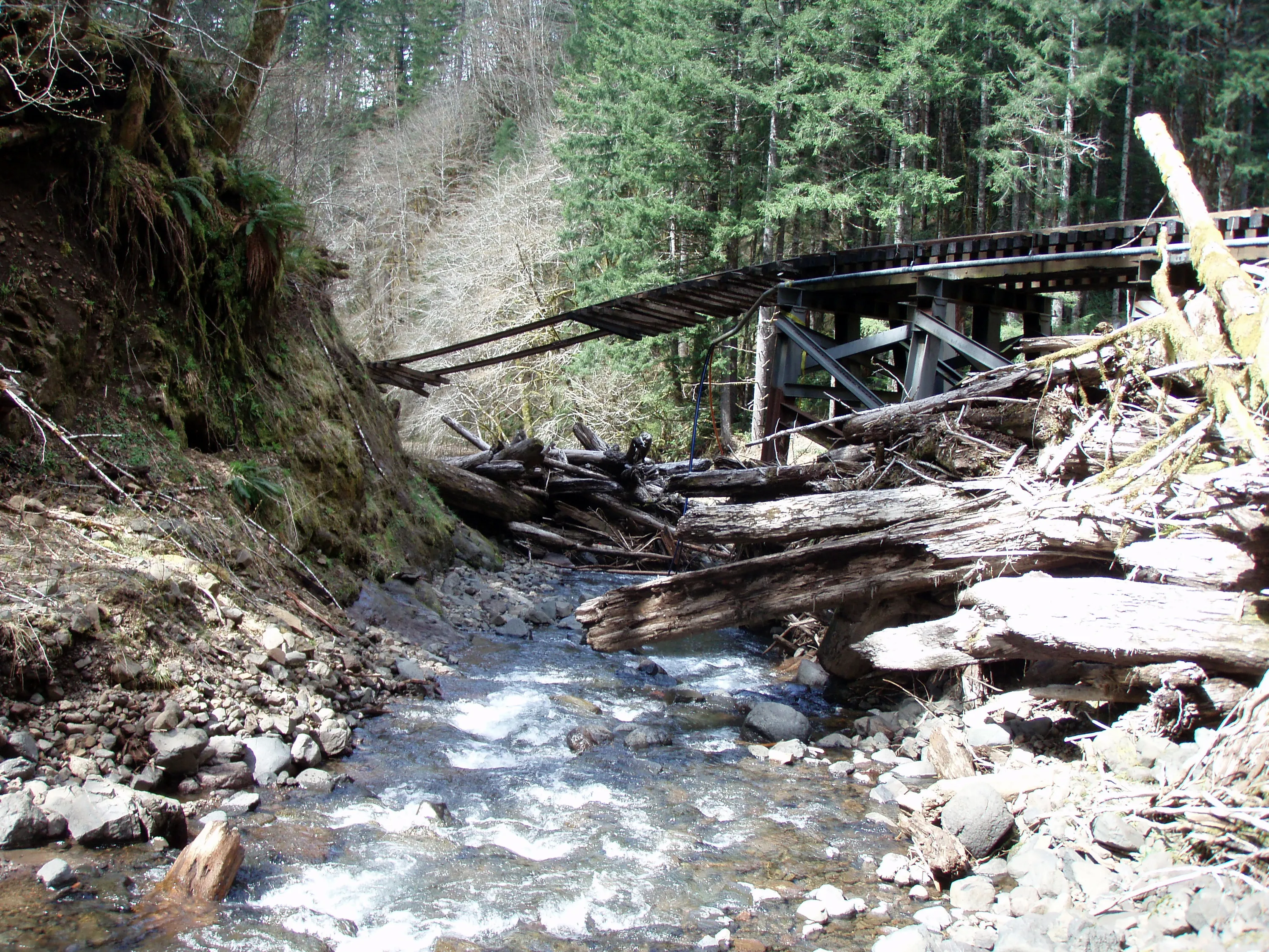
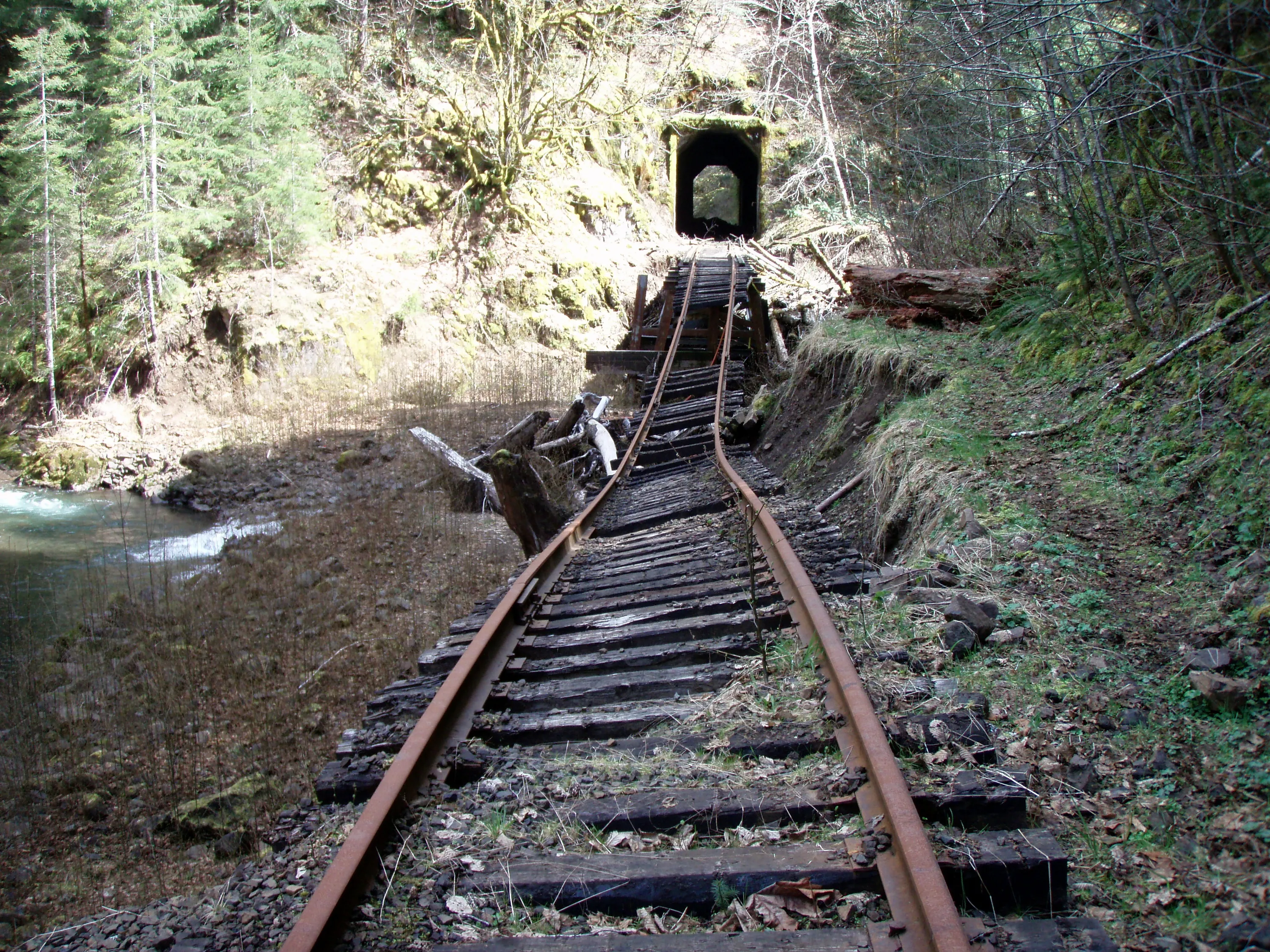
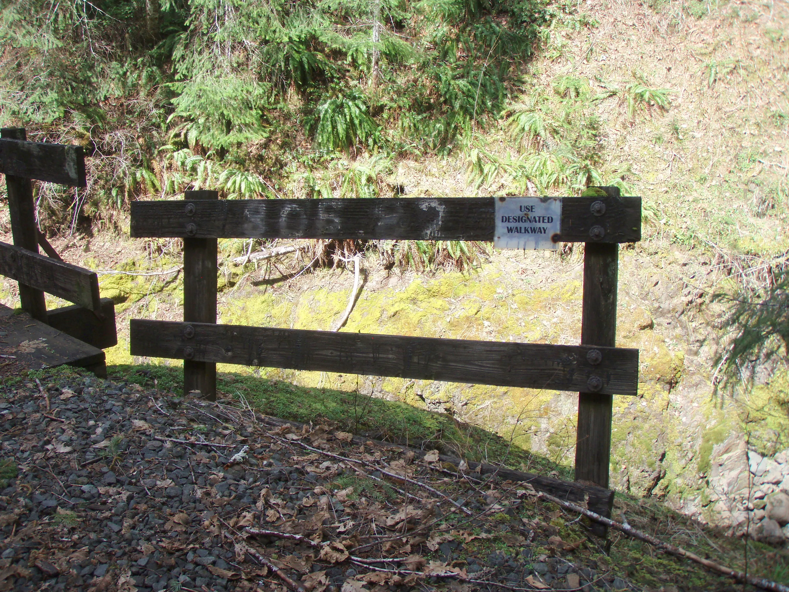
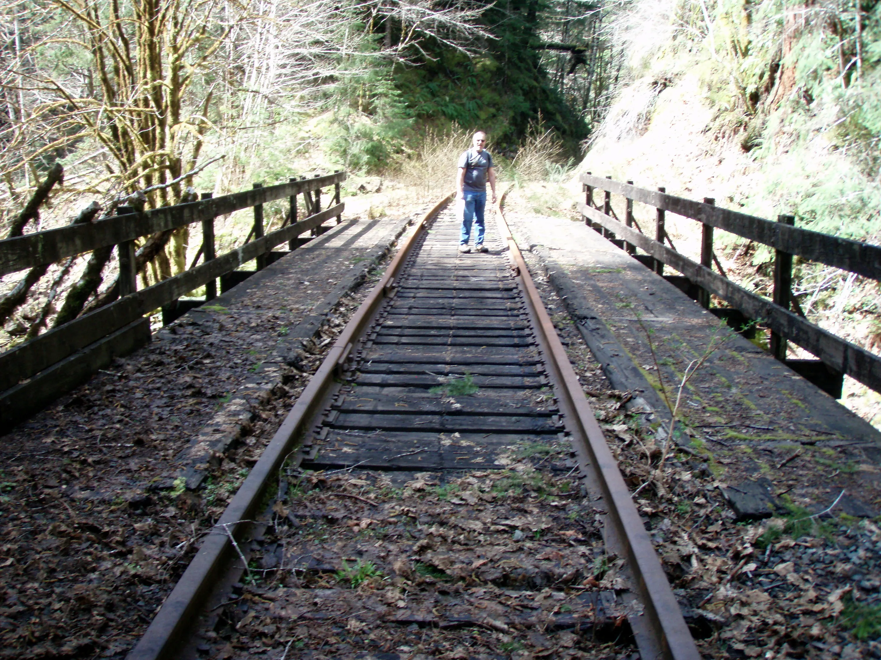
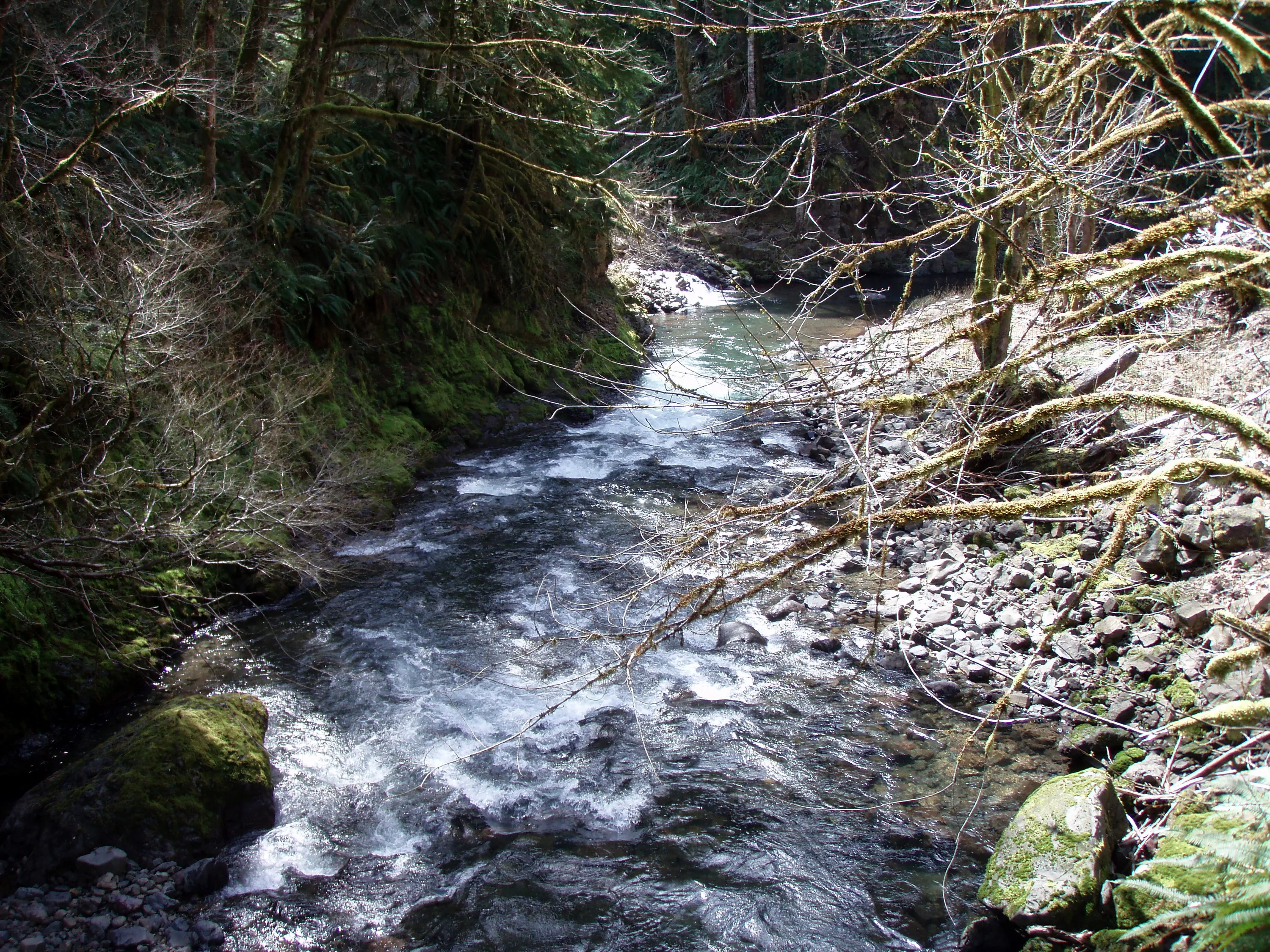
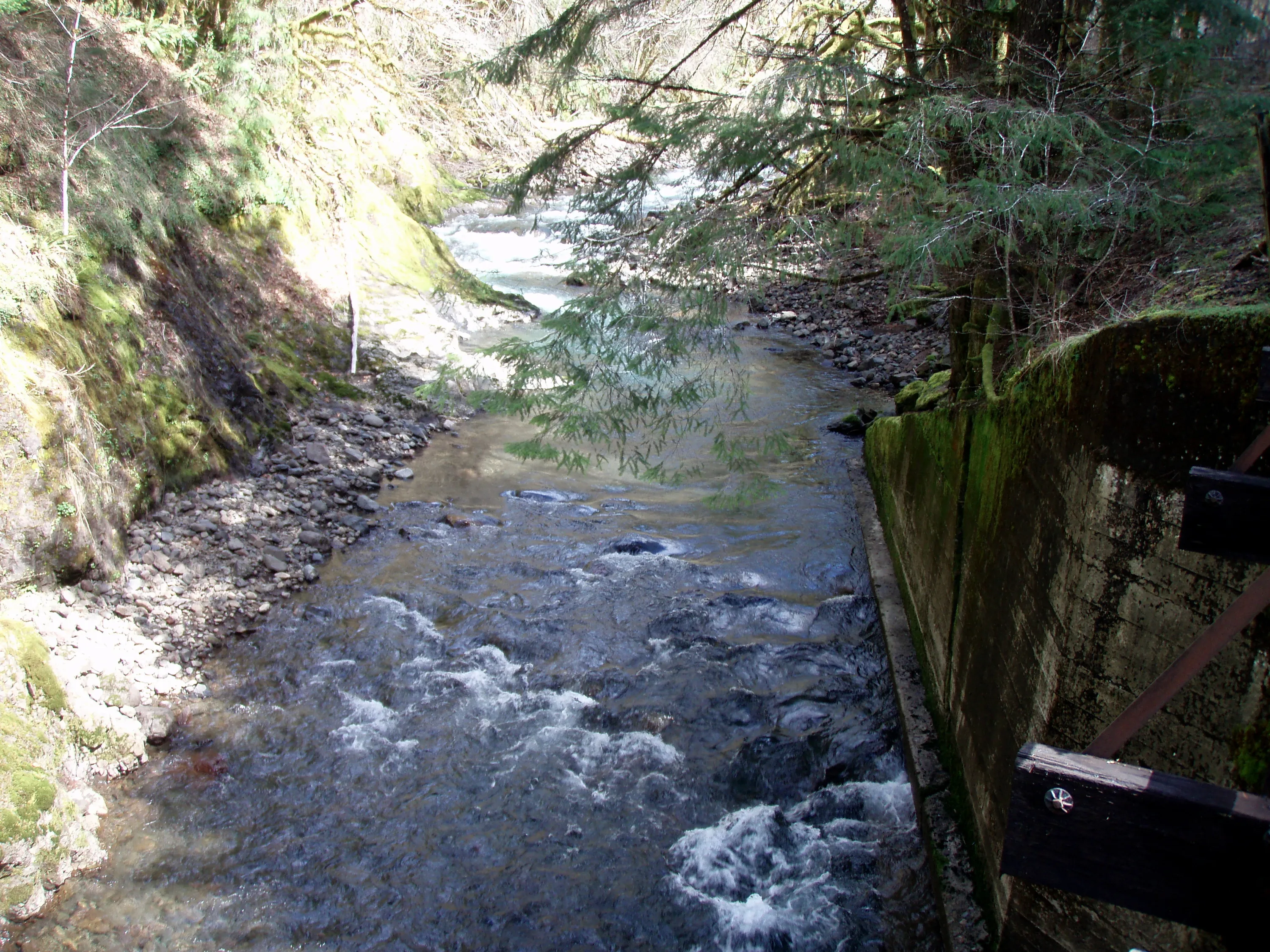
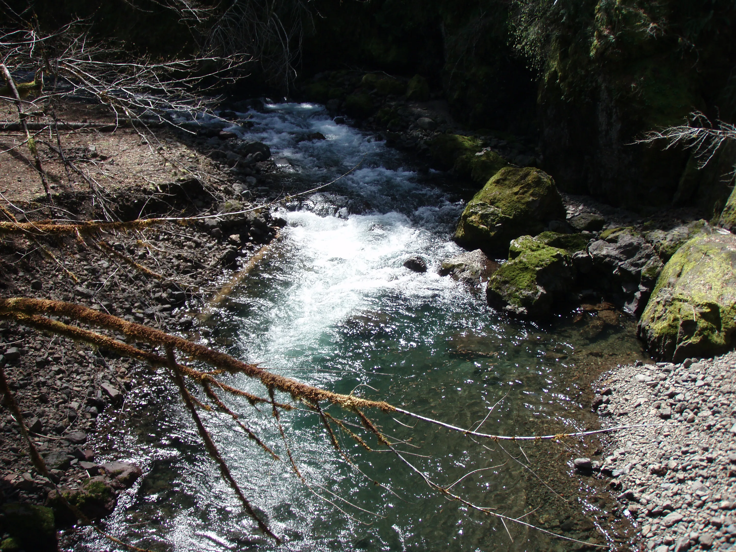
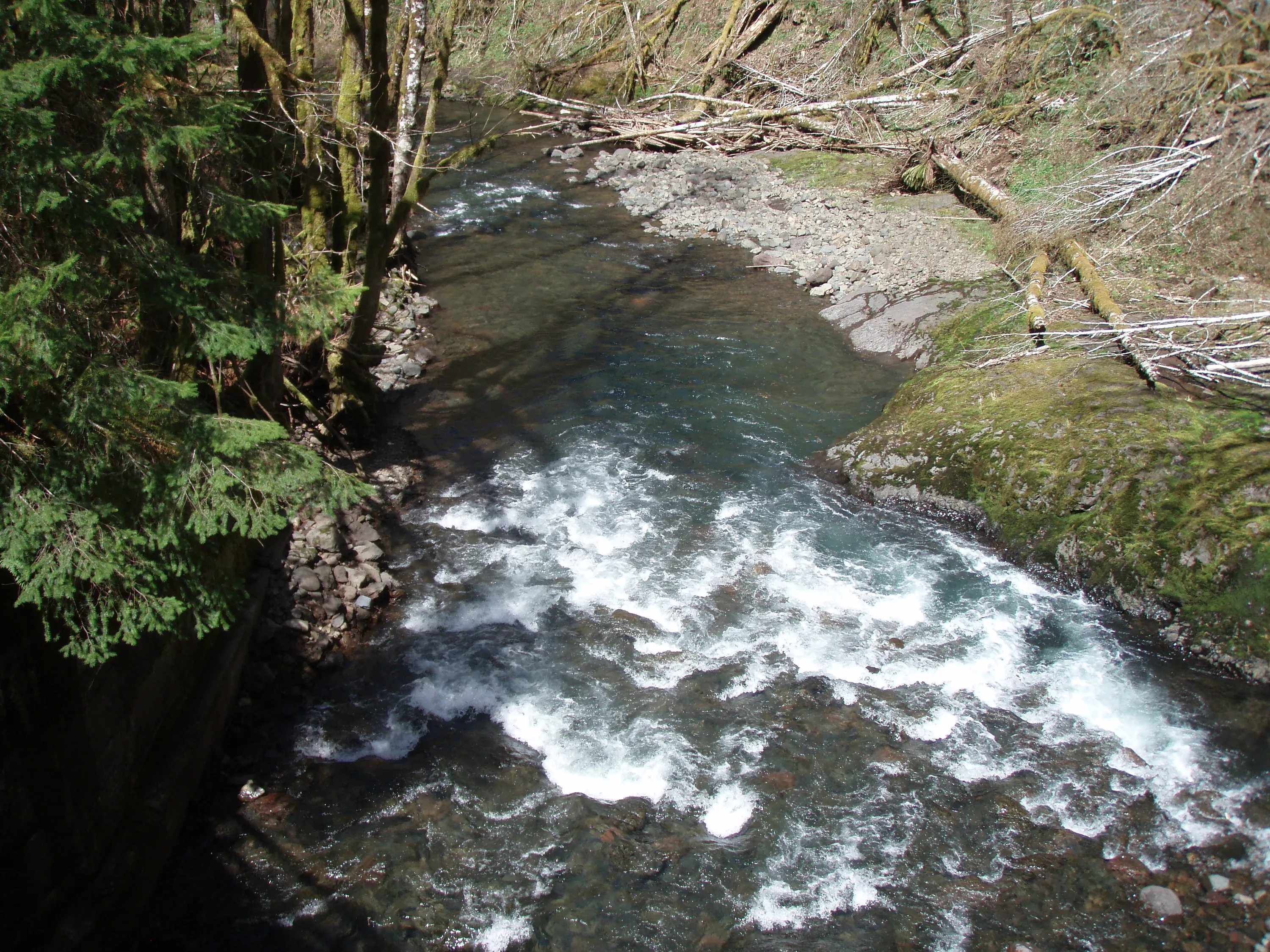
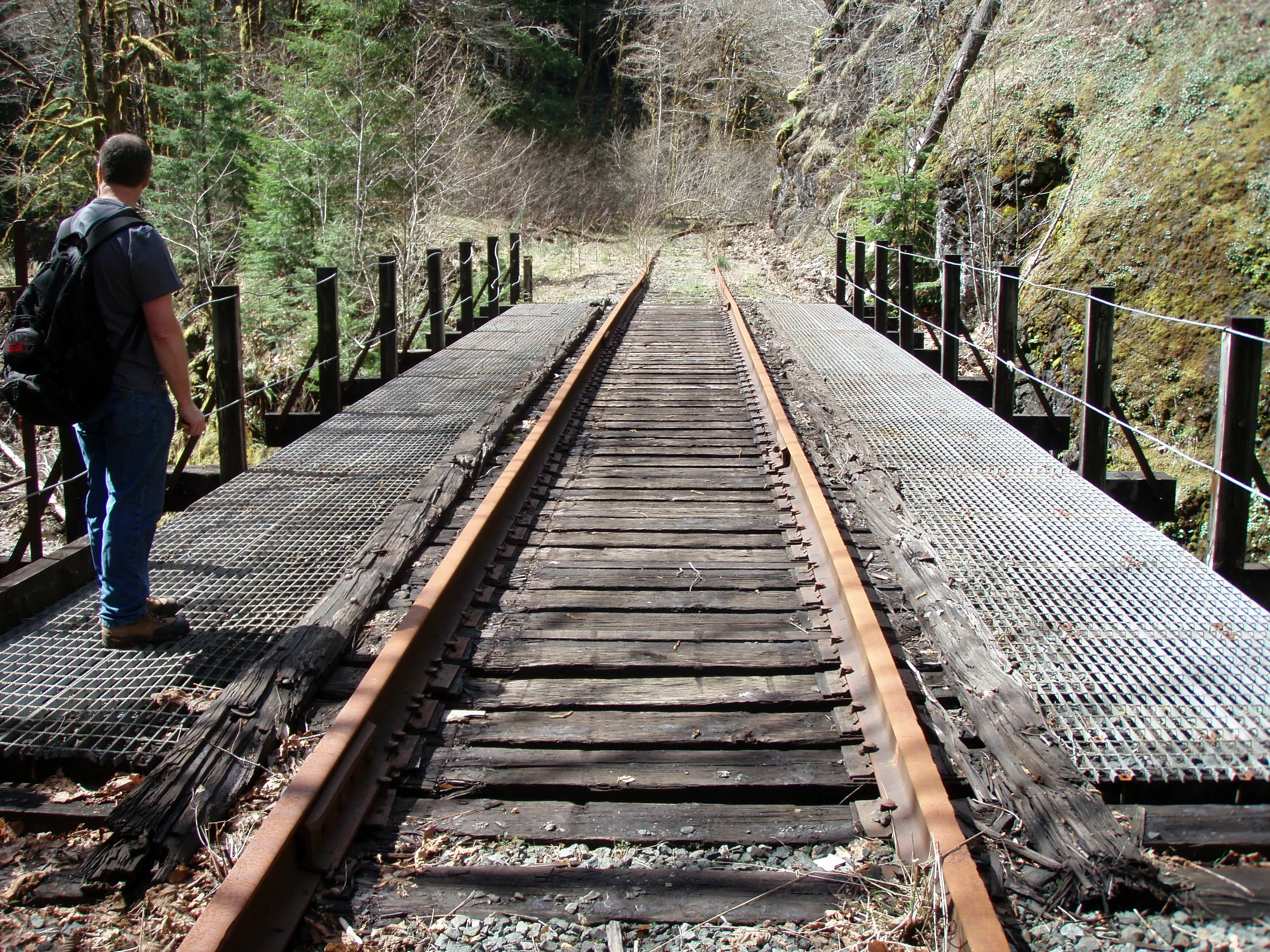
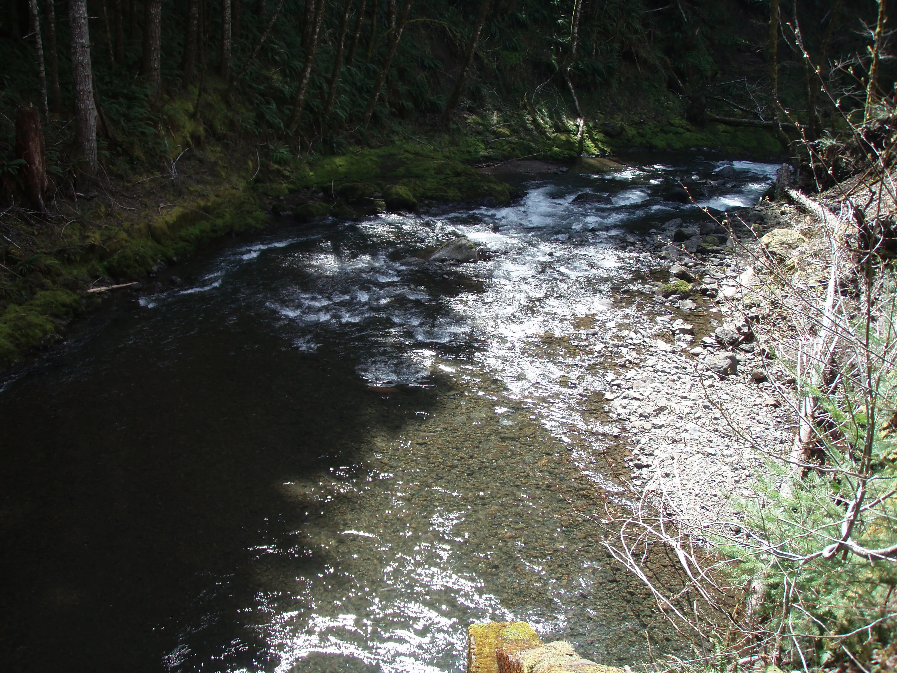
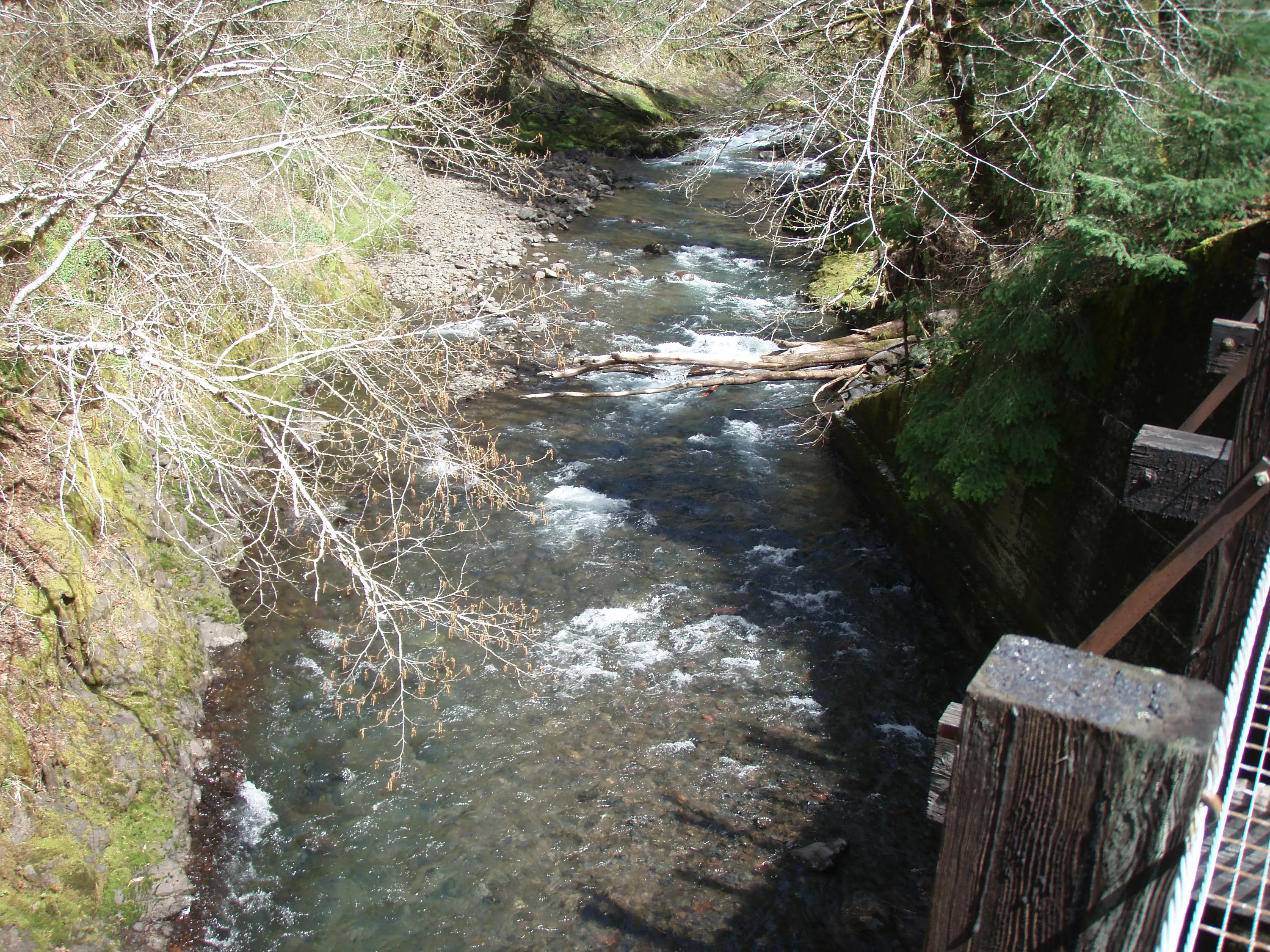
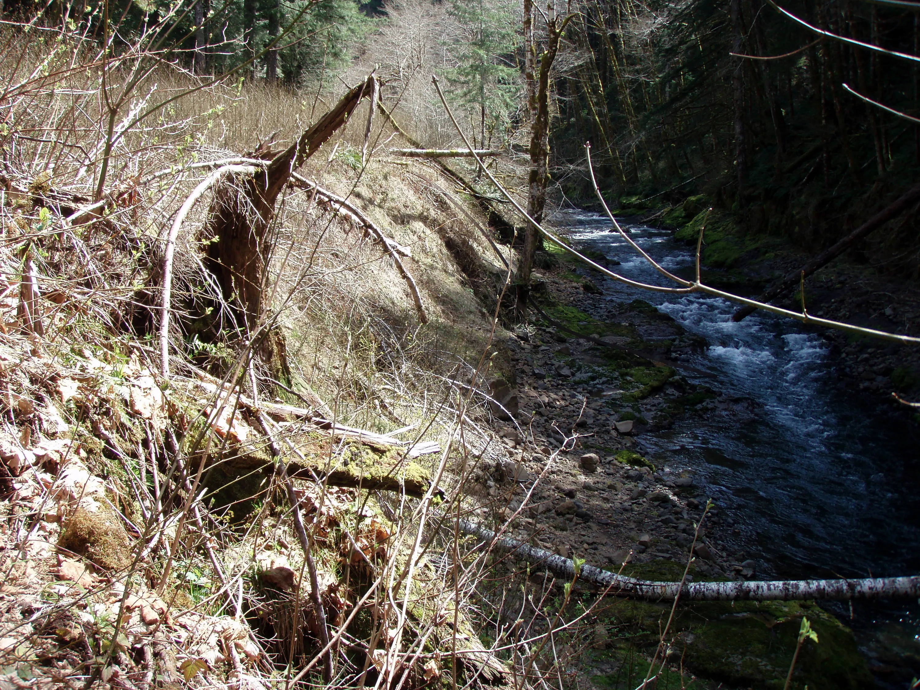
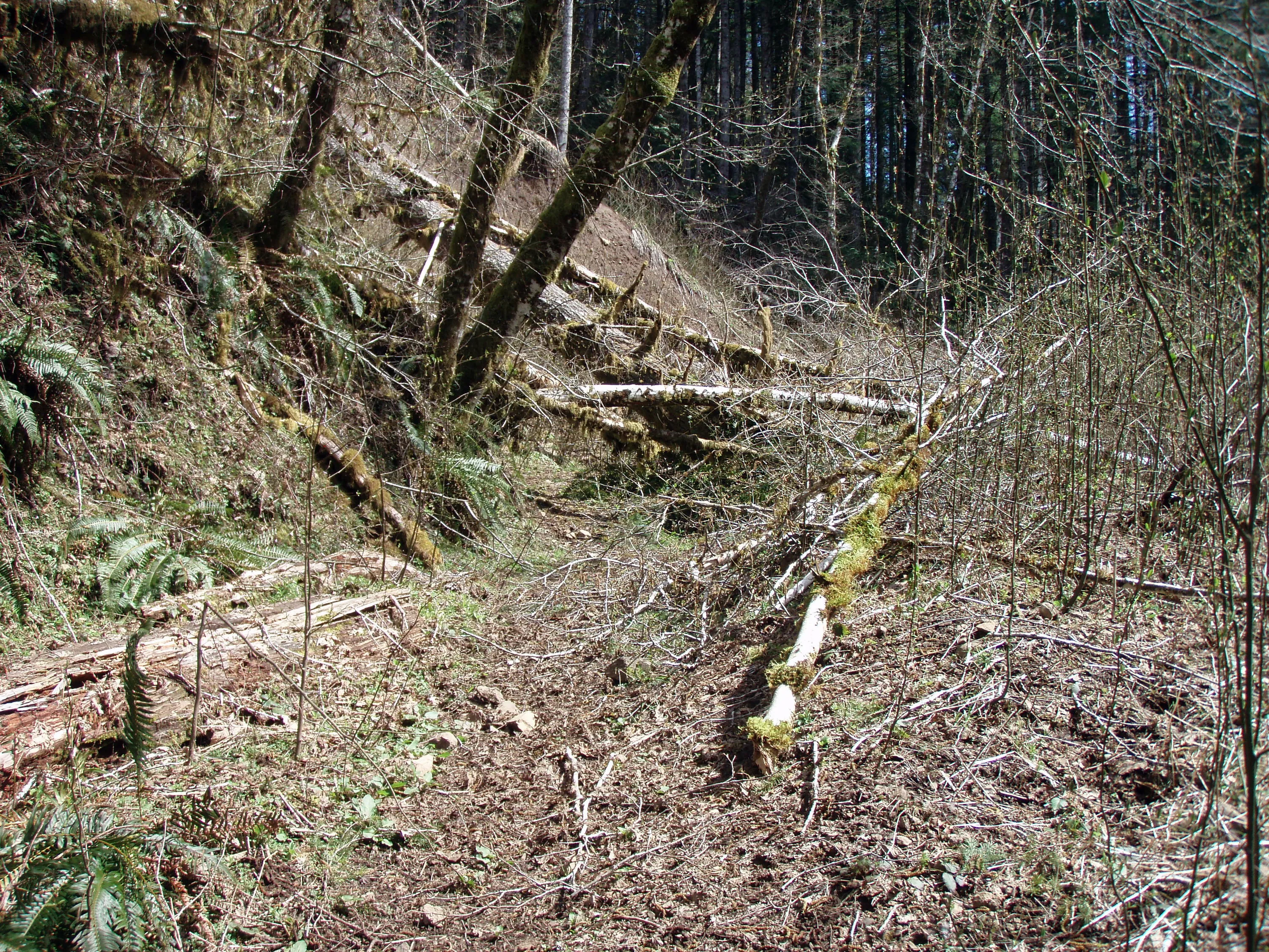
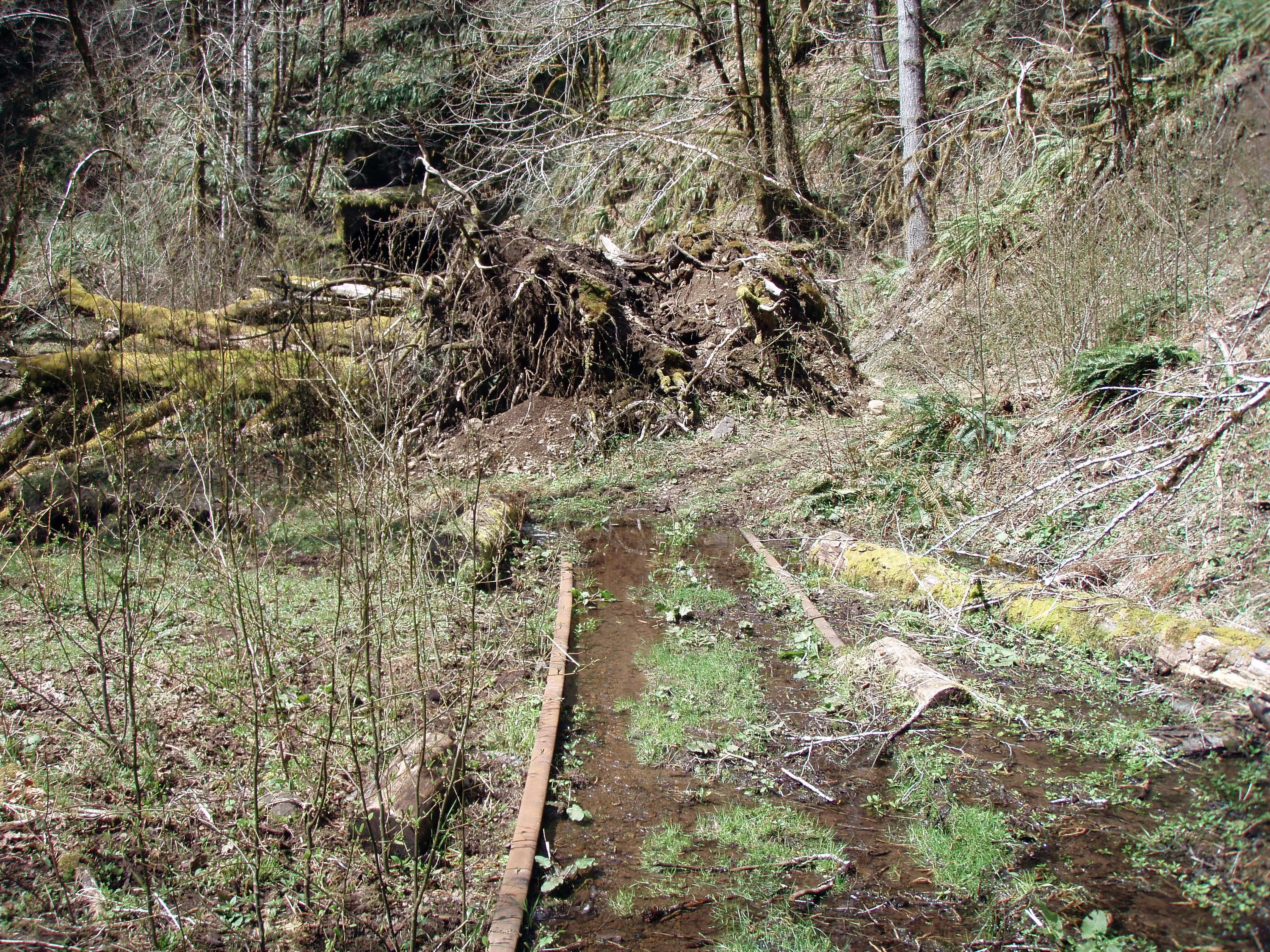
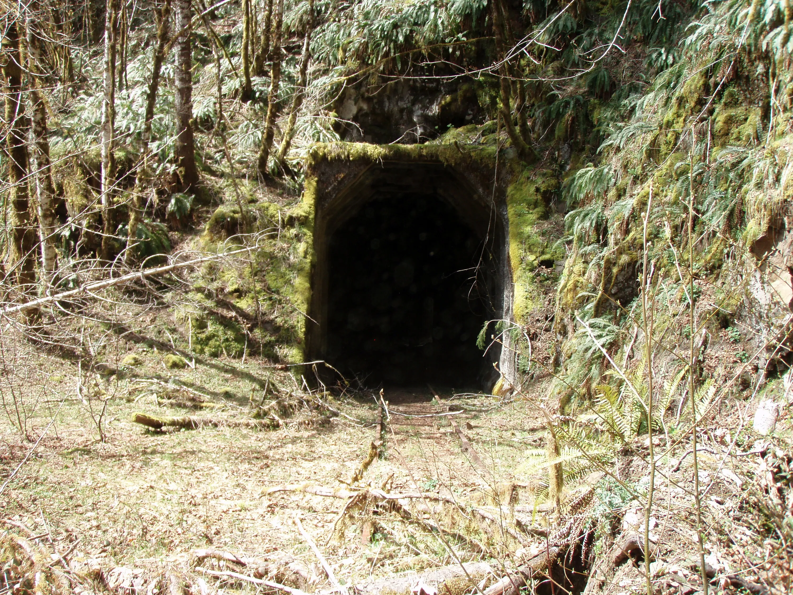
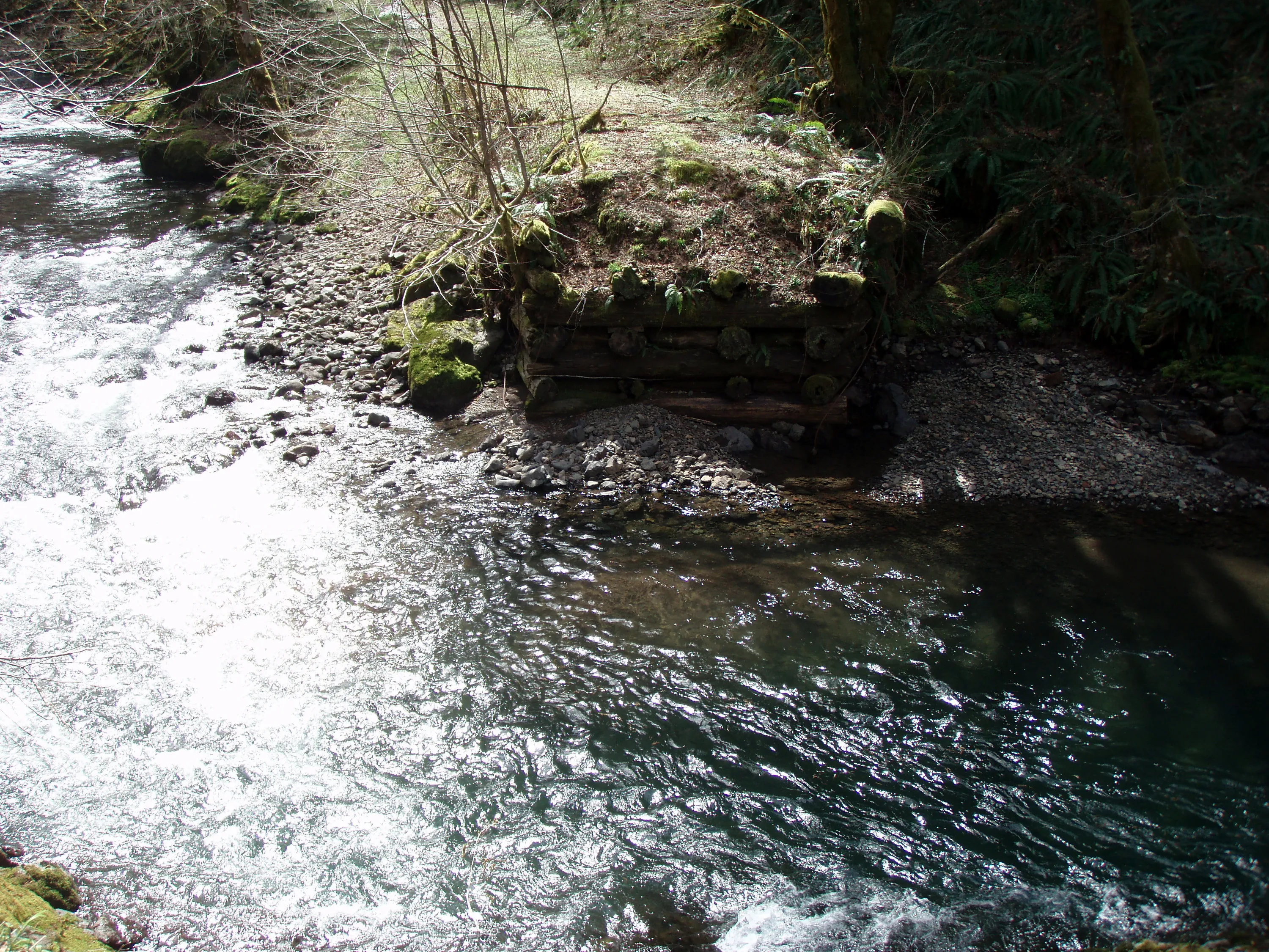
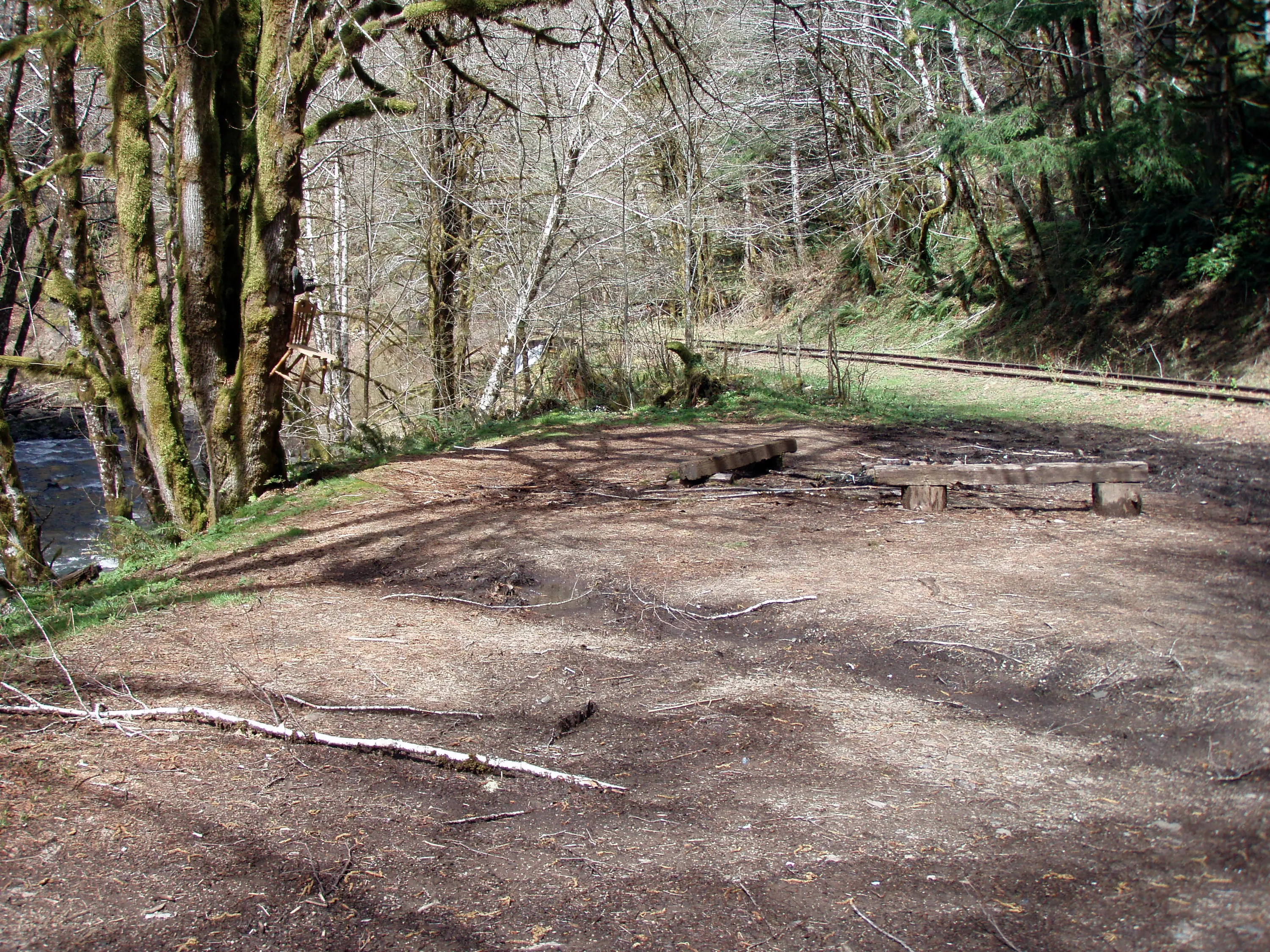
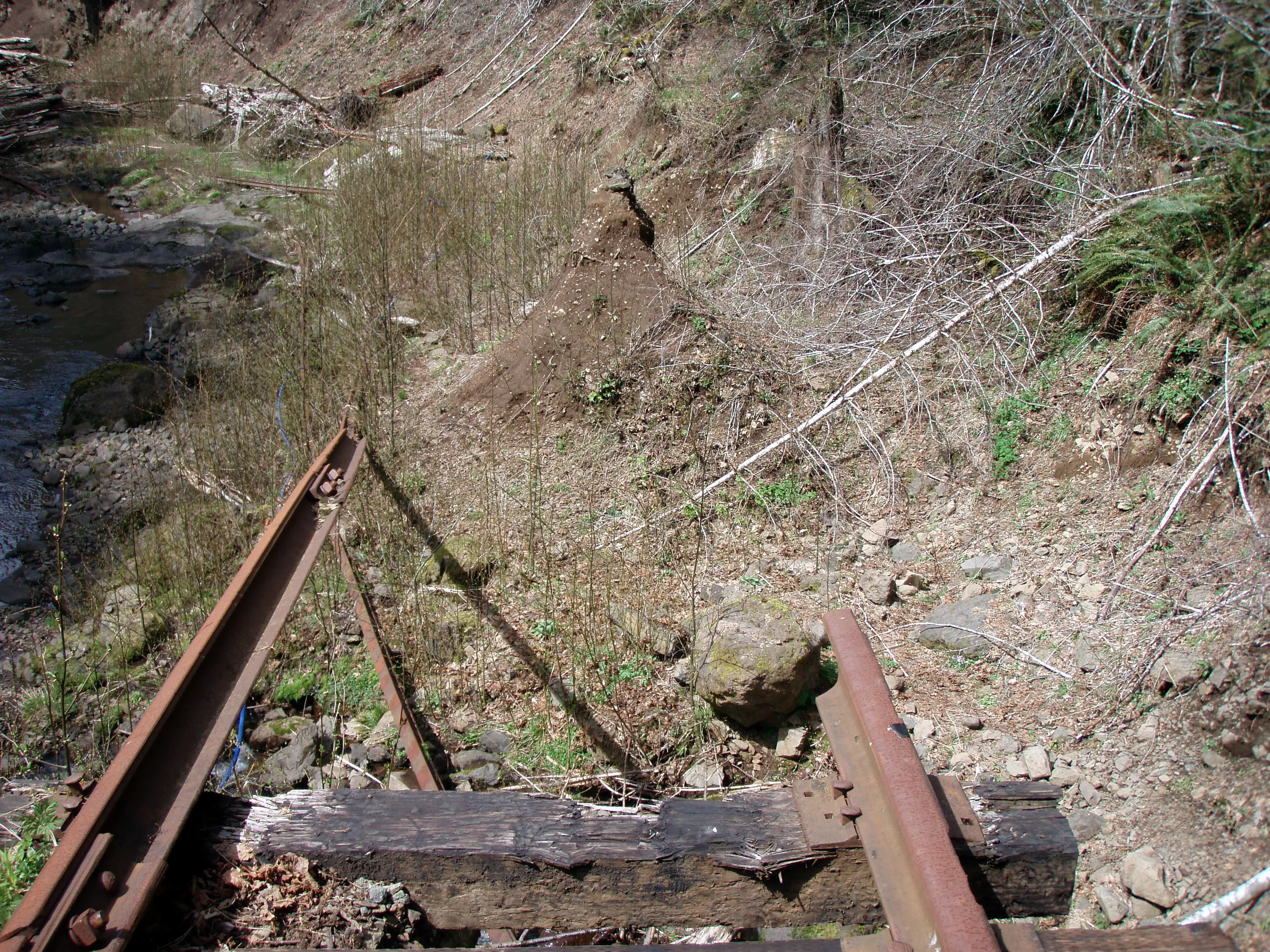
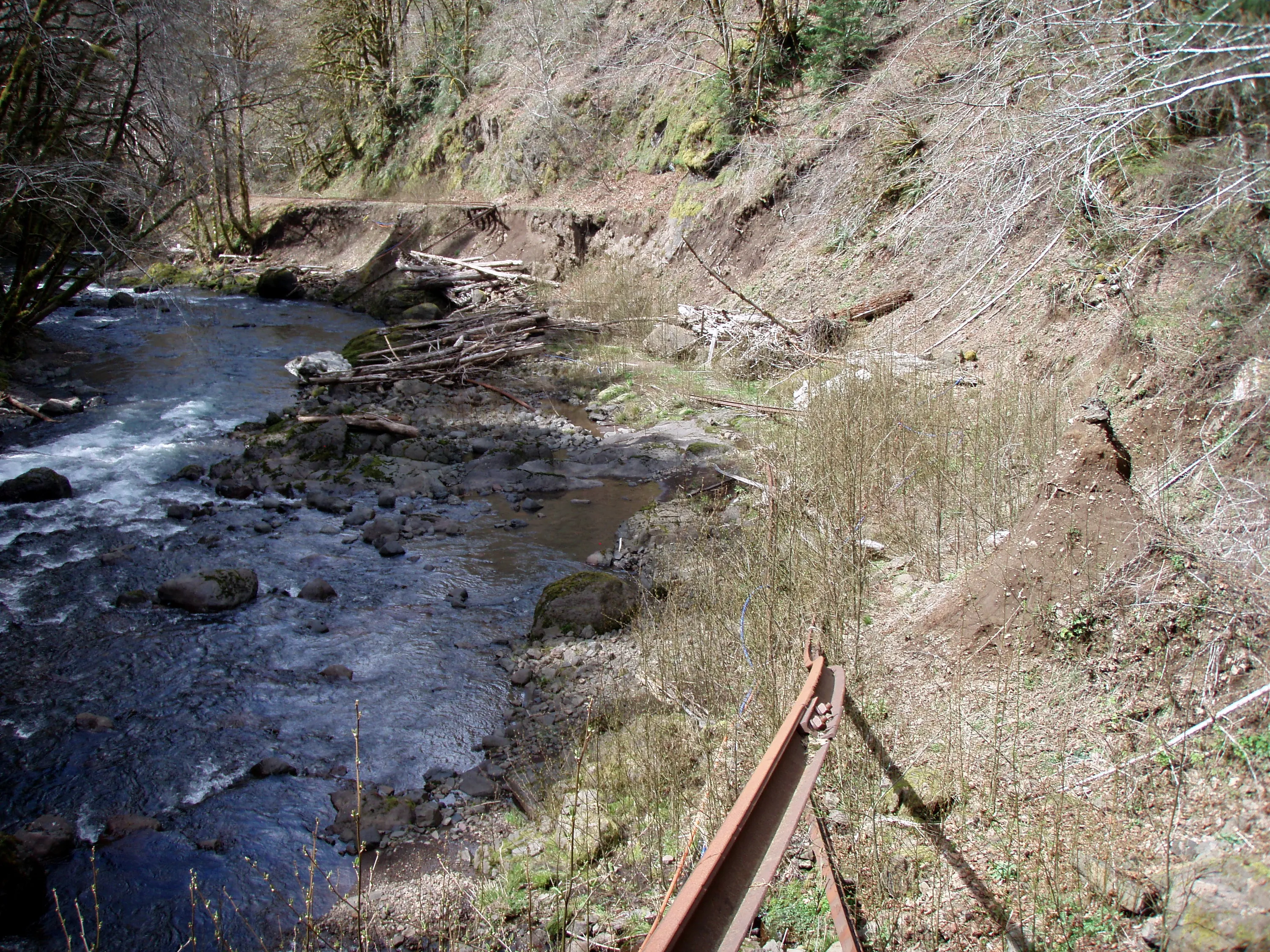
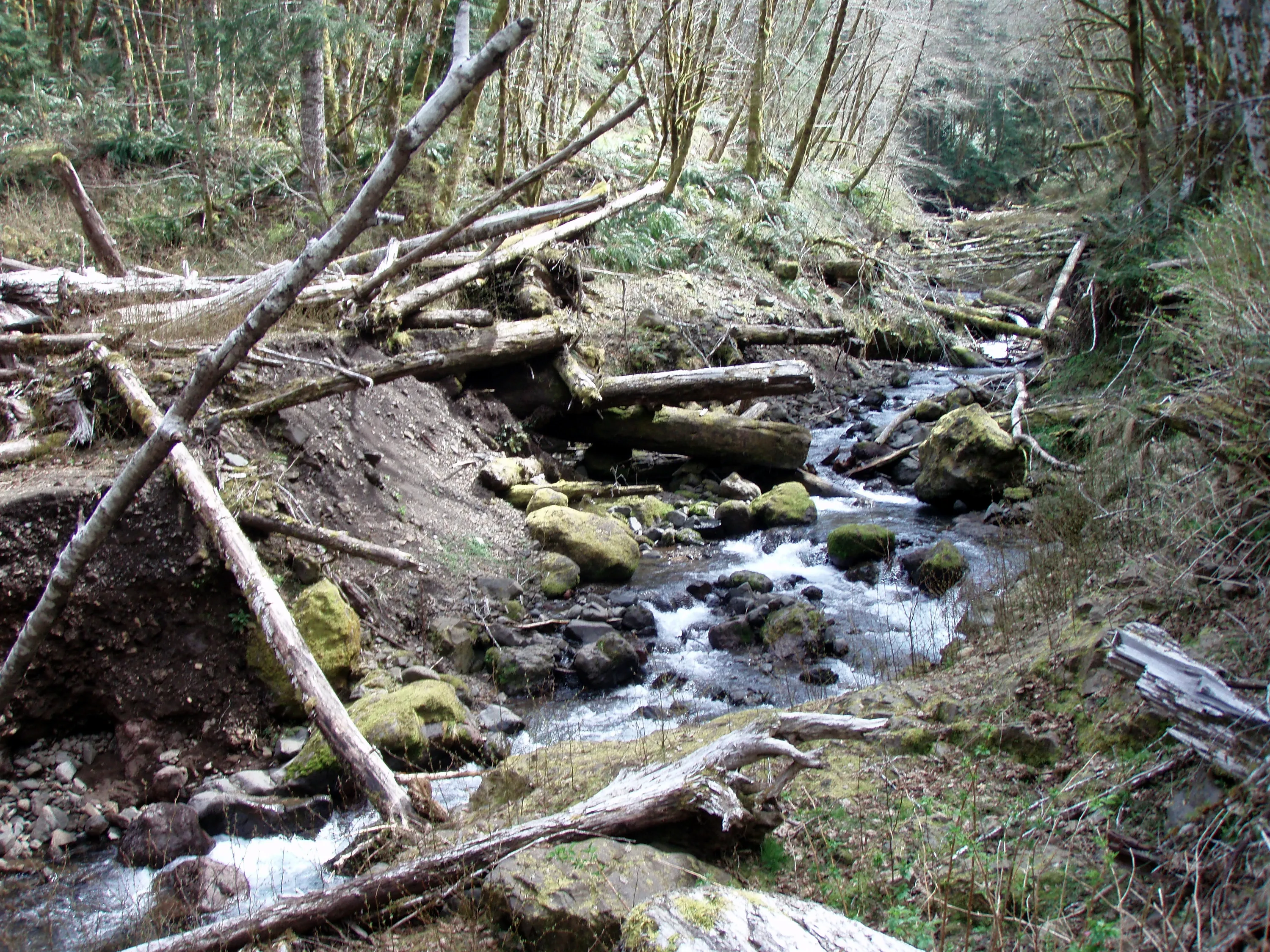
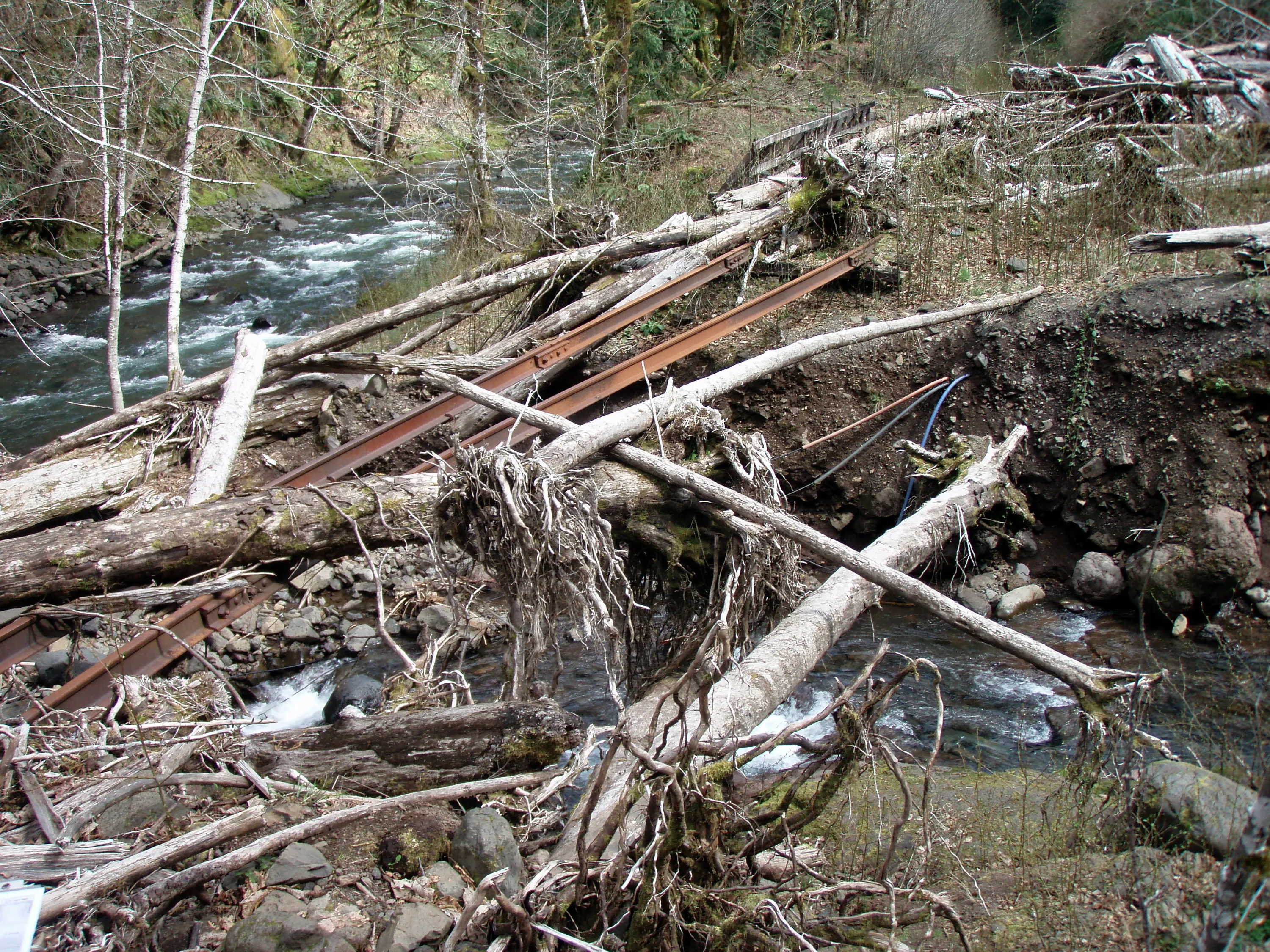
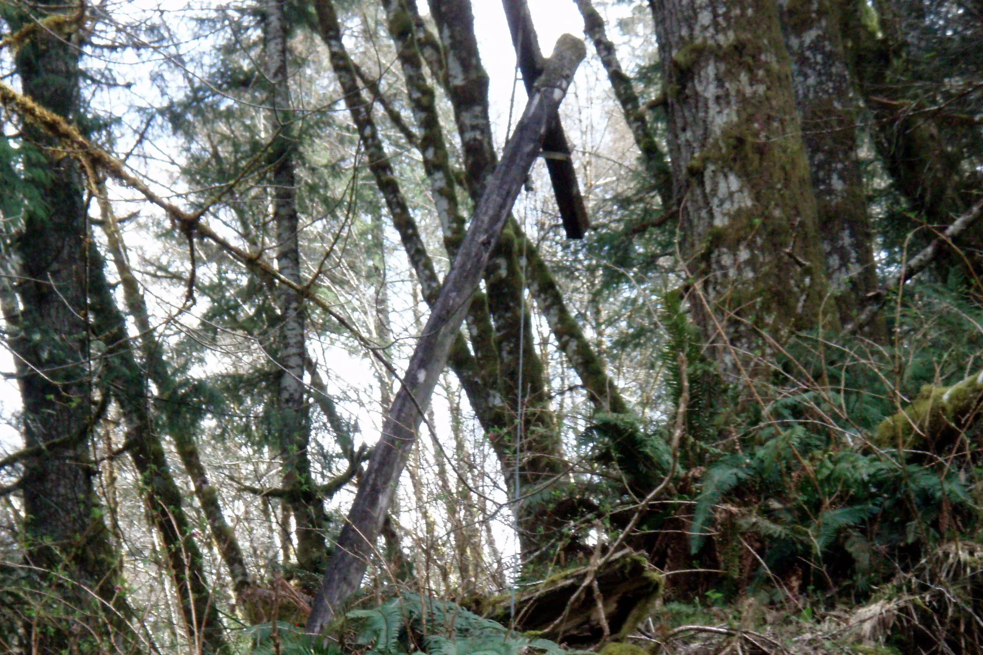
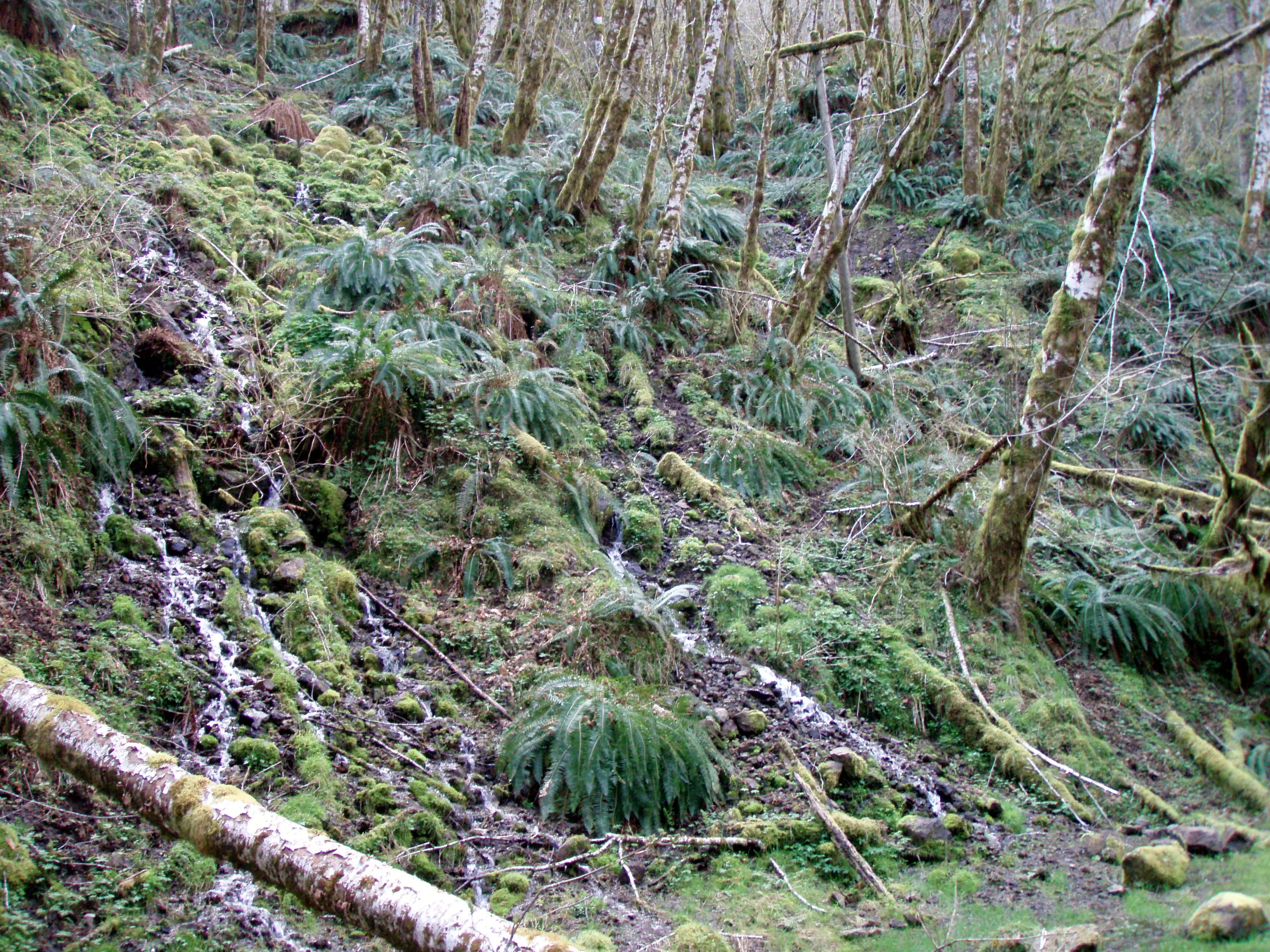
 Parking area at Cochran
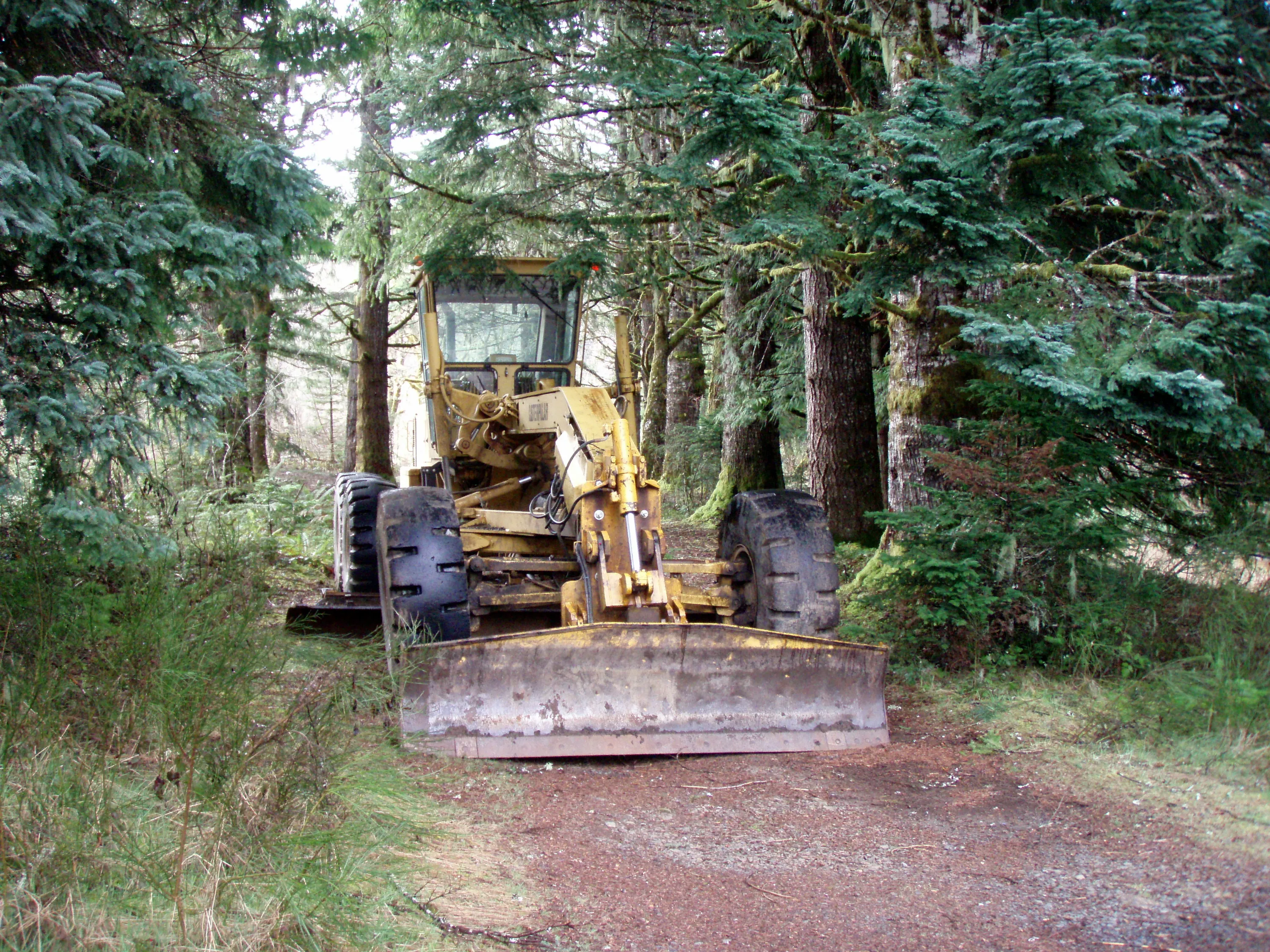
 Old Grader at Cochran
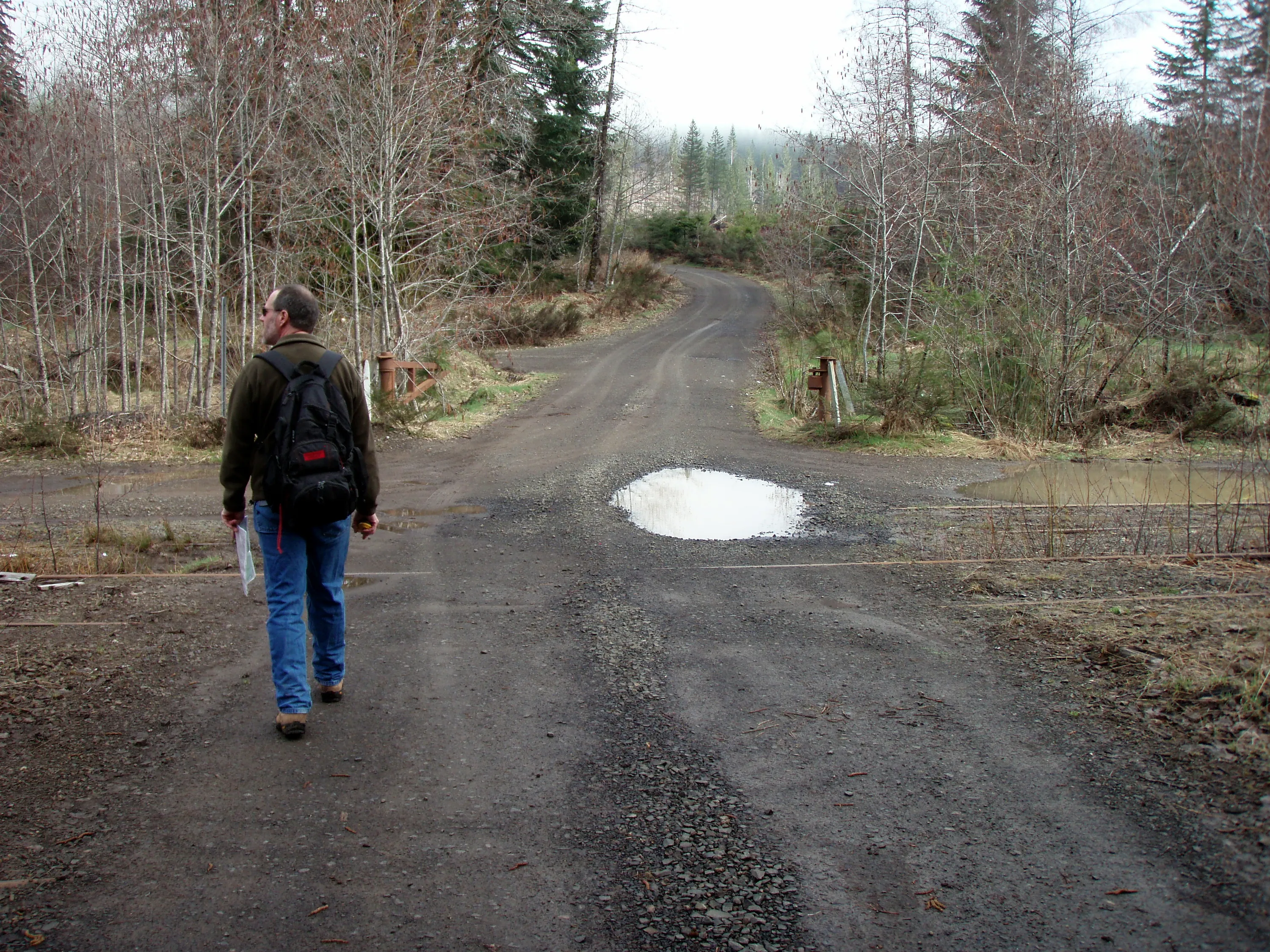
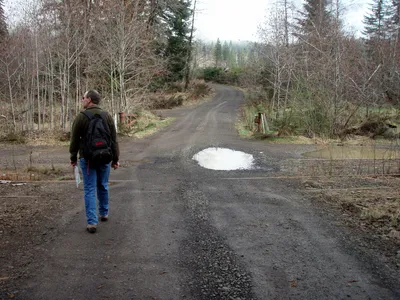 Road crossing the tracks at Cochran (Standard Grade Road)
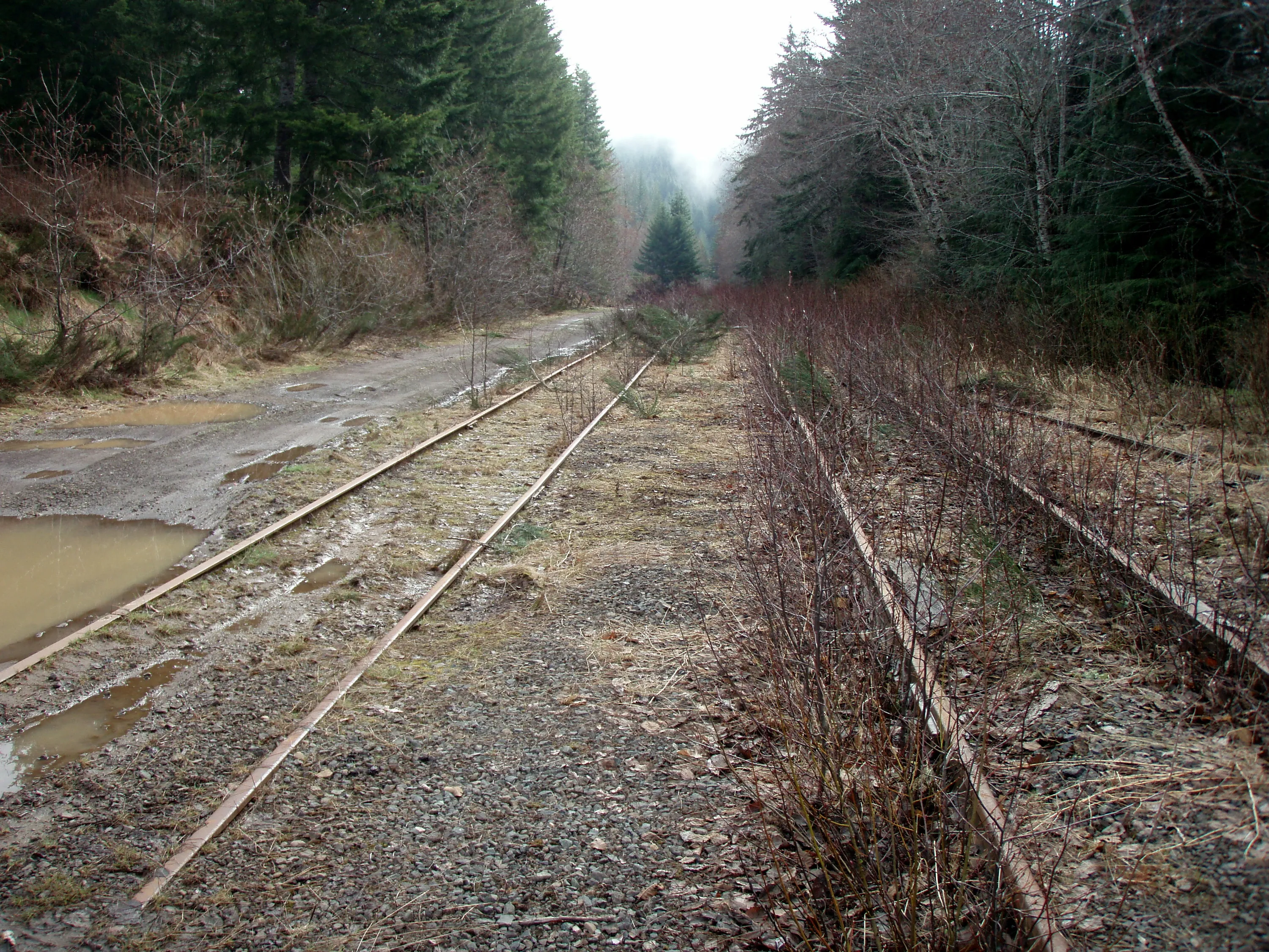
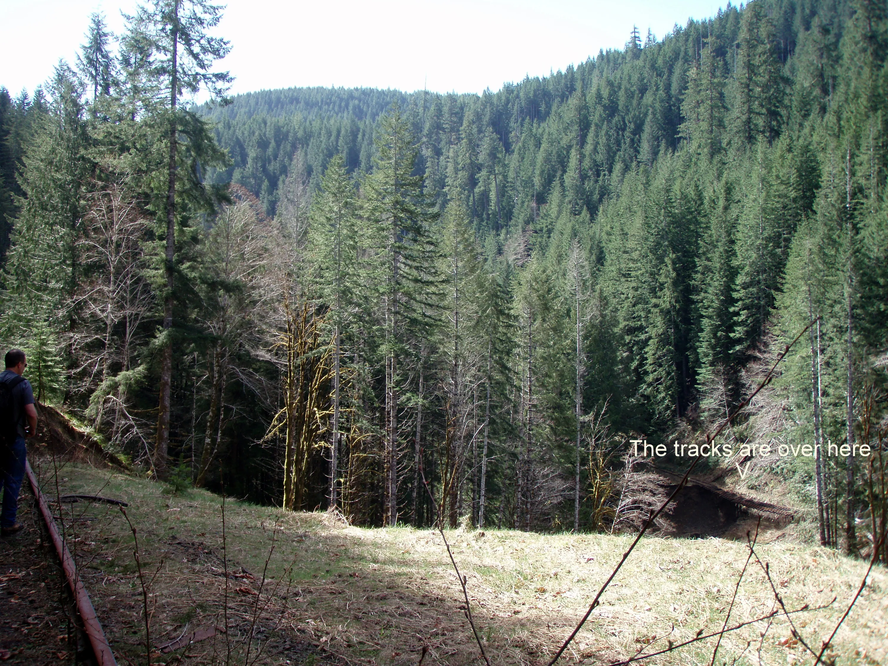
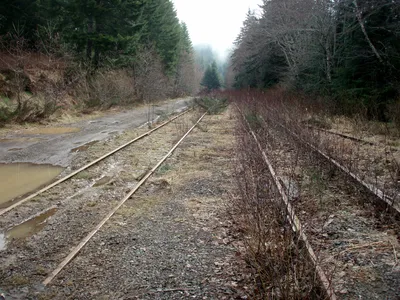 Looking easty from Cochran
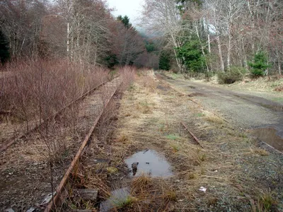 Looking west from Cochran
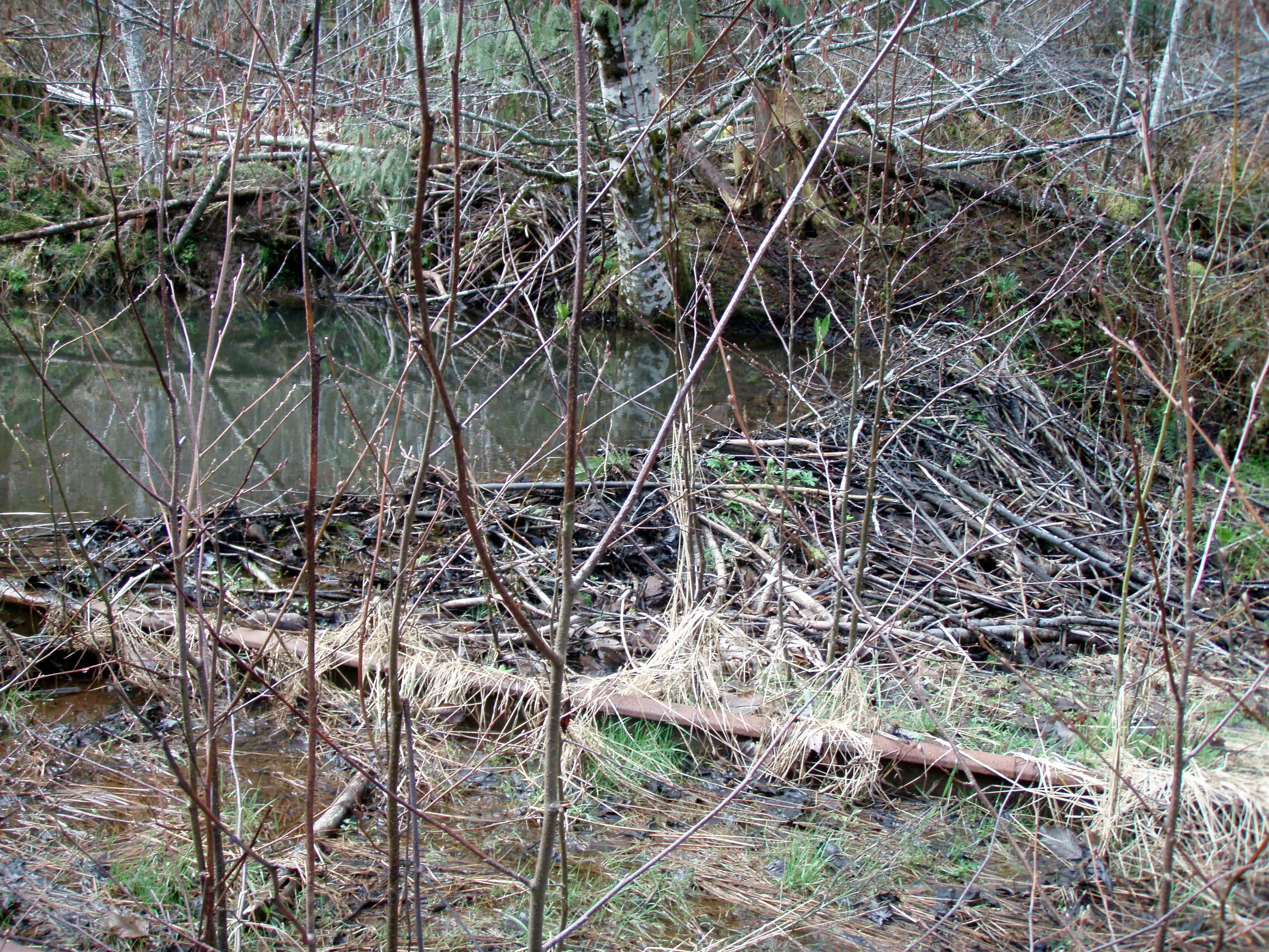
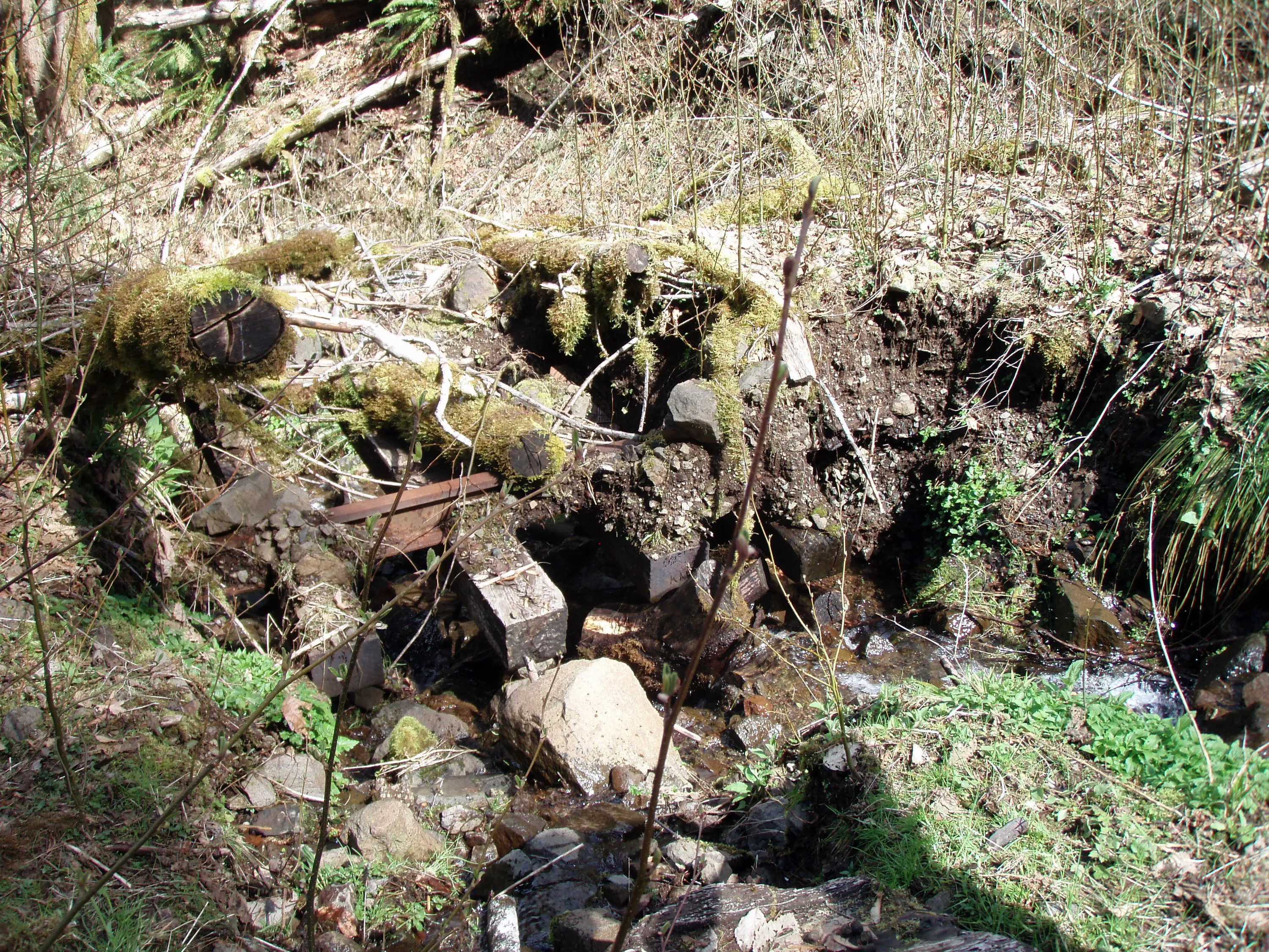
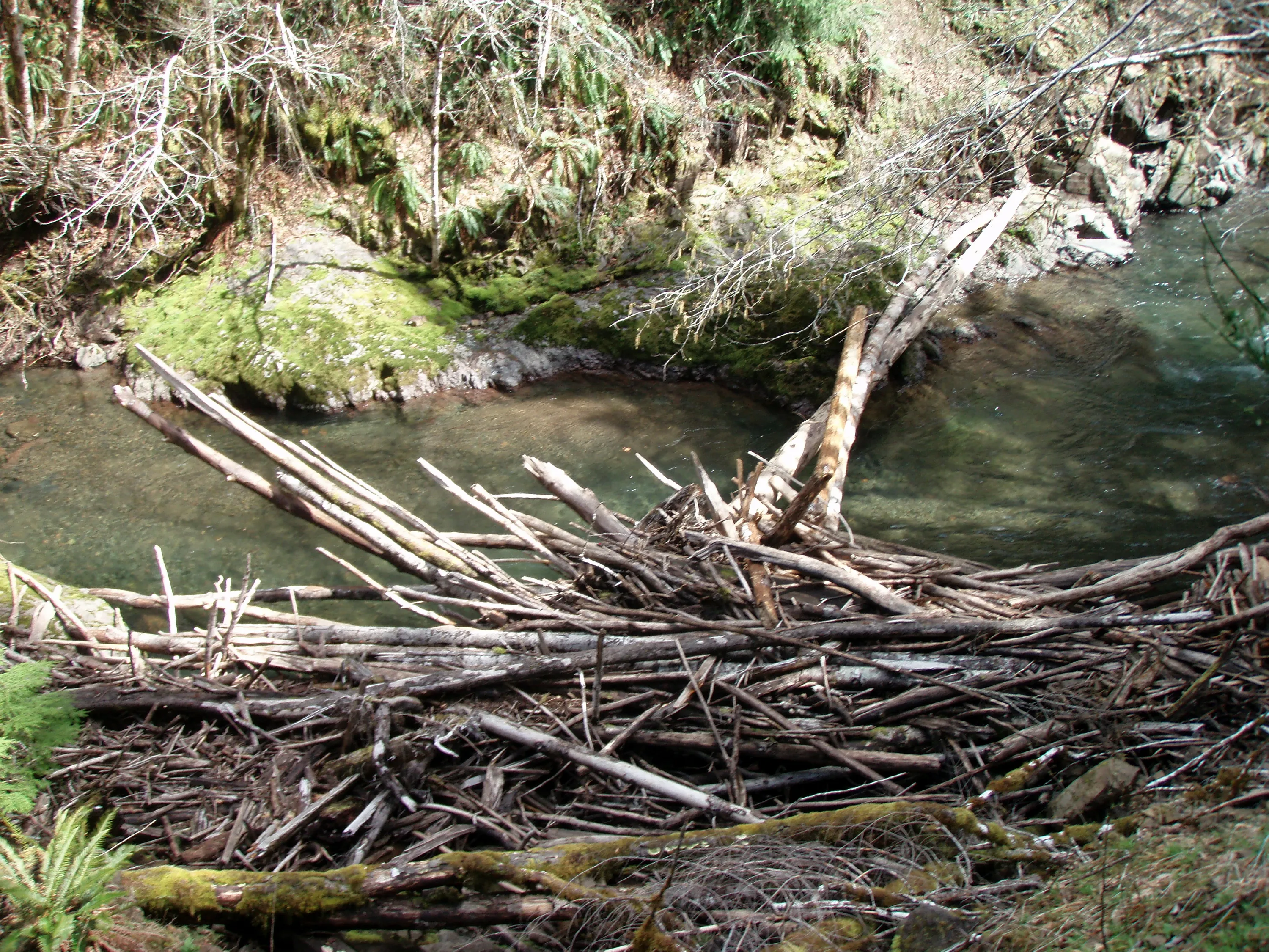
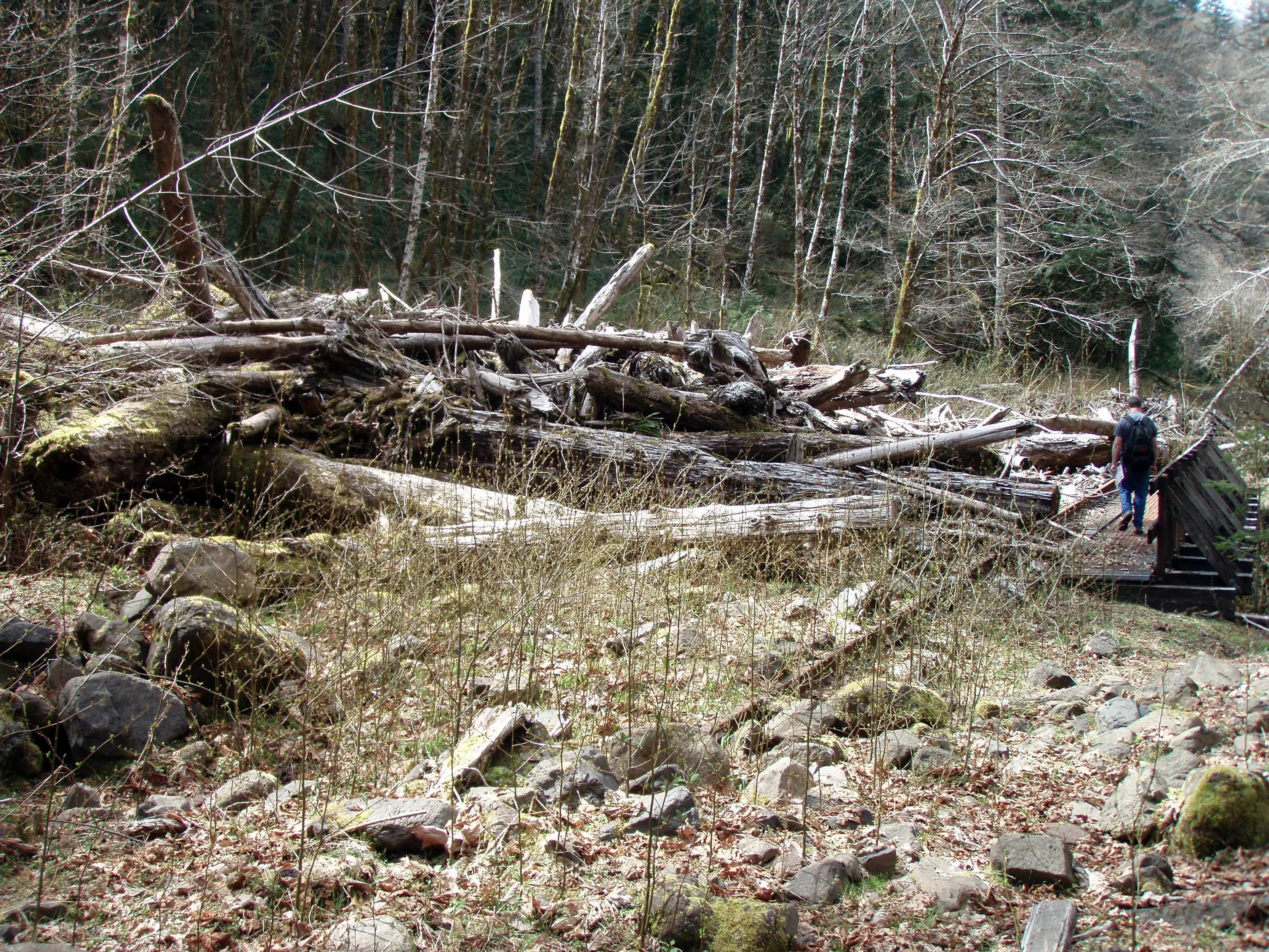
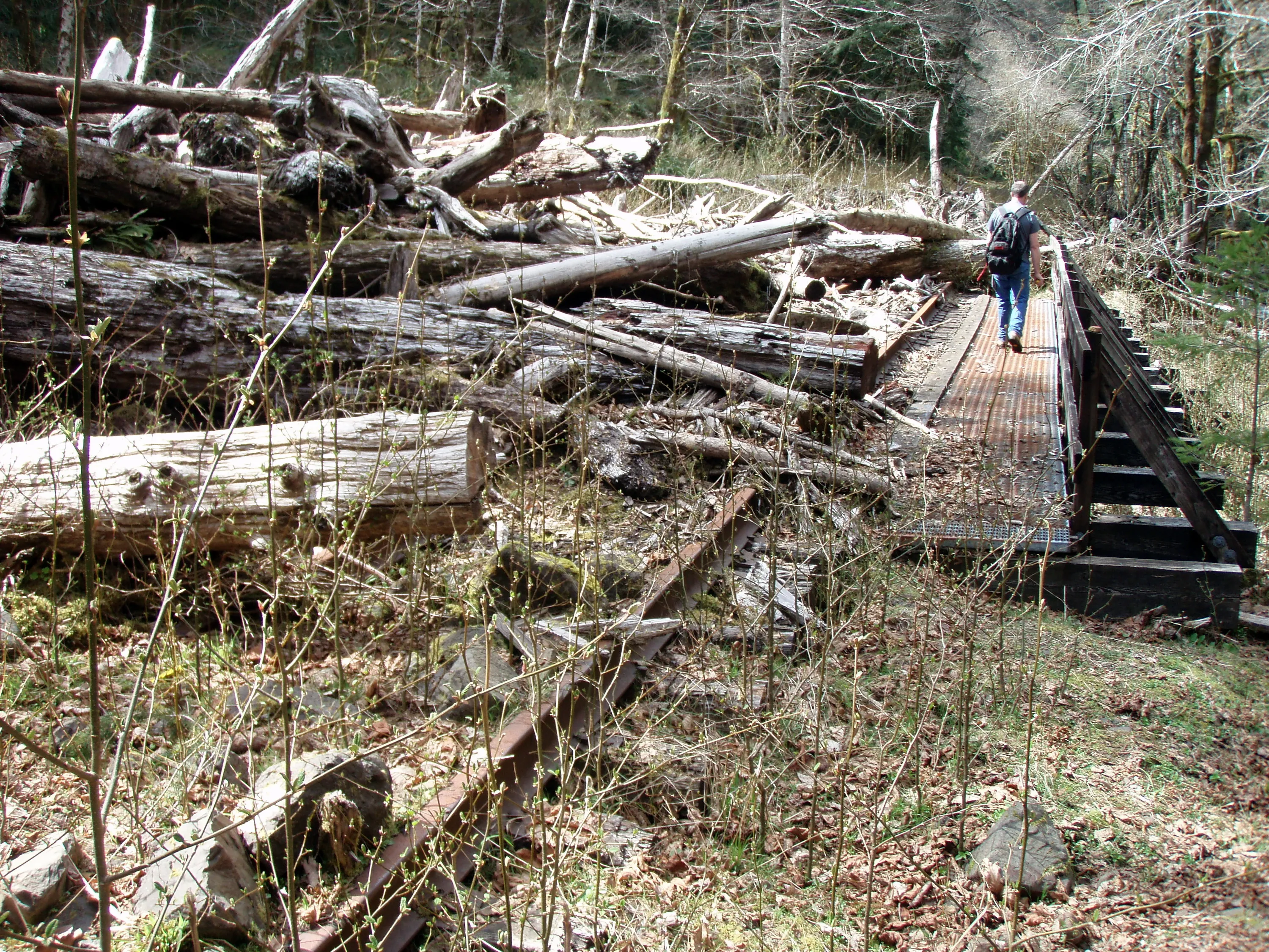
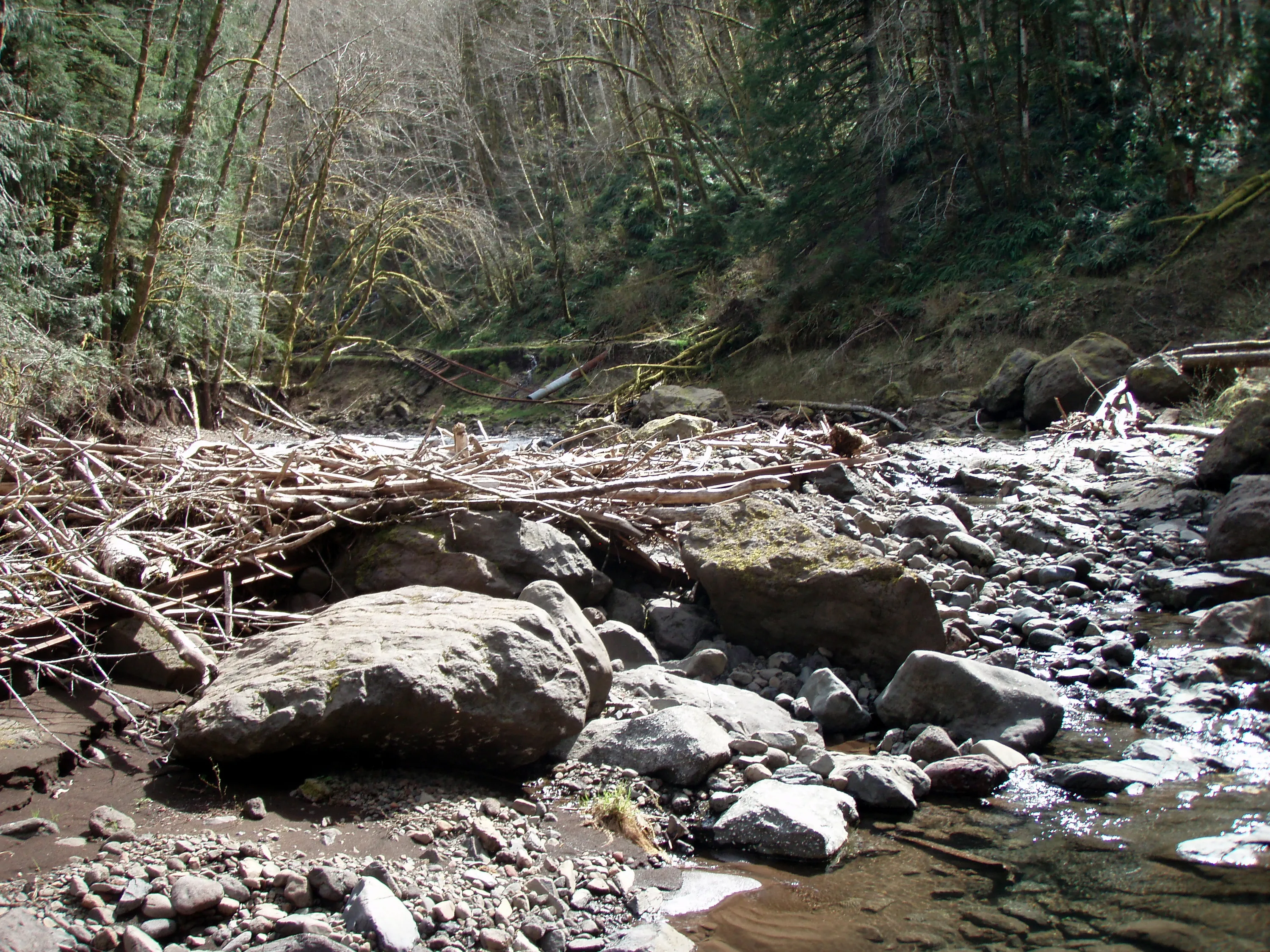
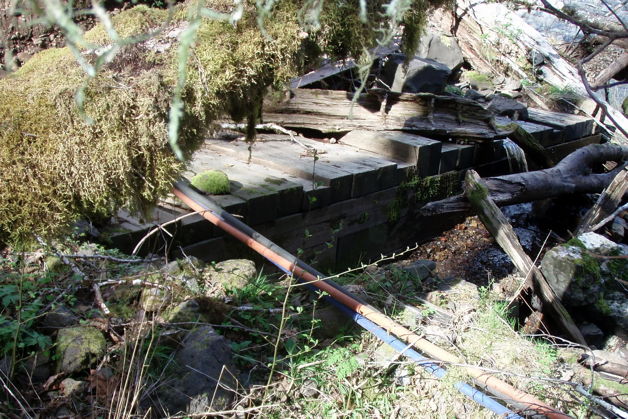
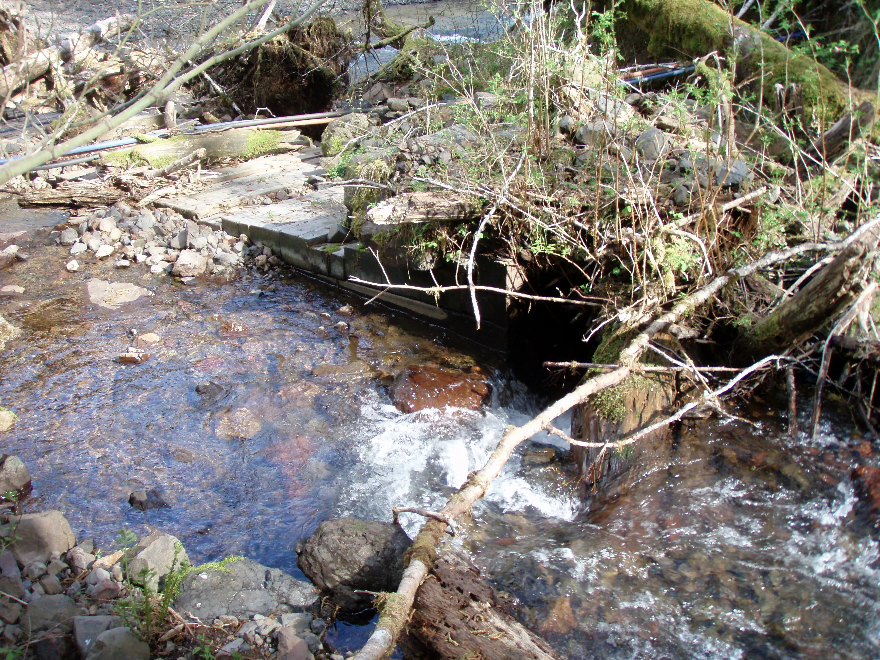
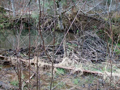 Beaver dam at Cochran (notice the rail in the foreground)
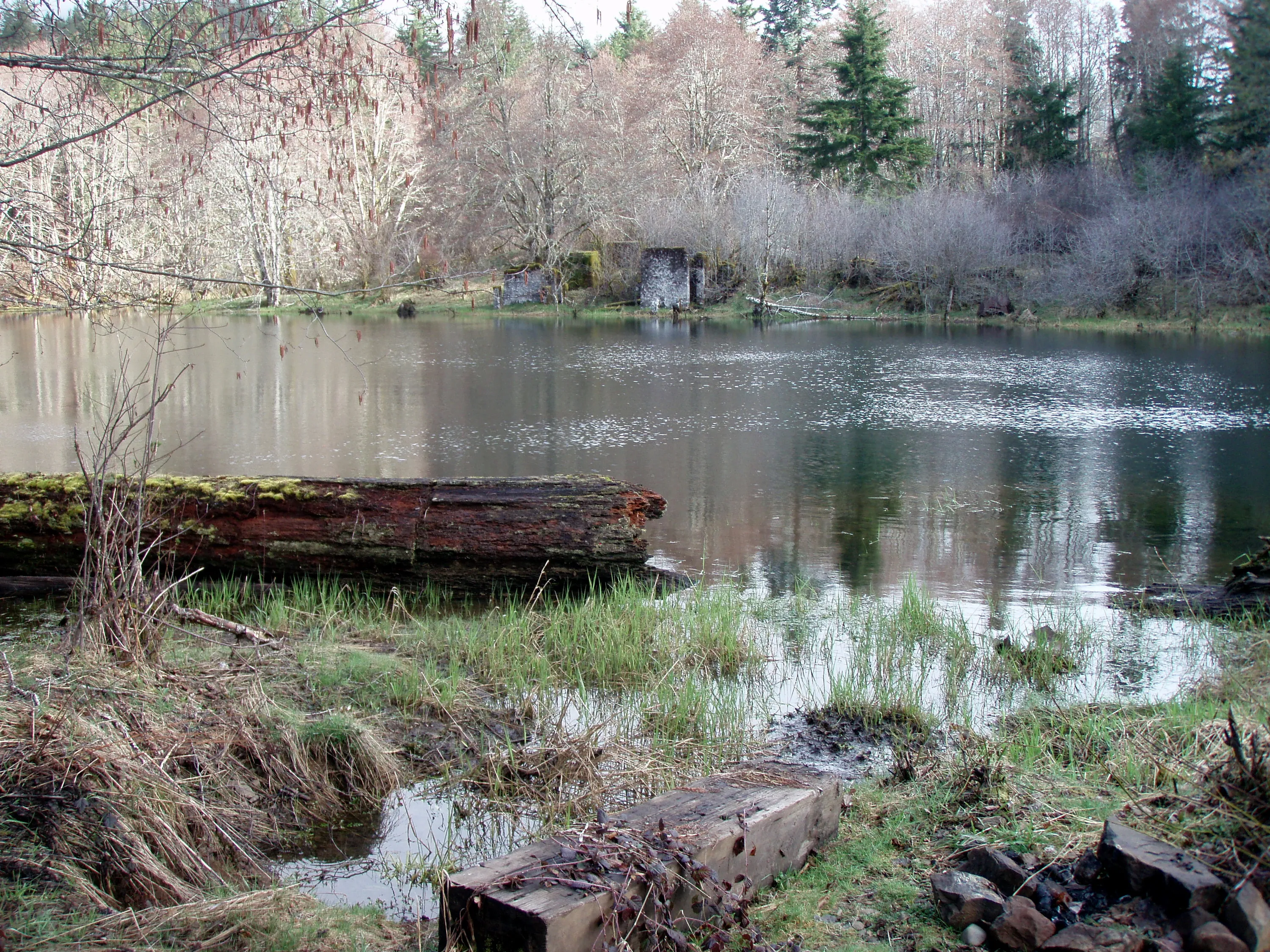
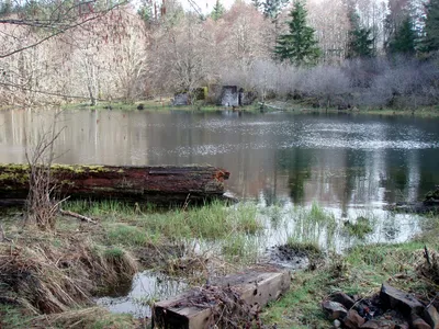 Old Mill at Cochran Pond
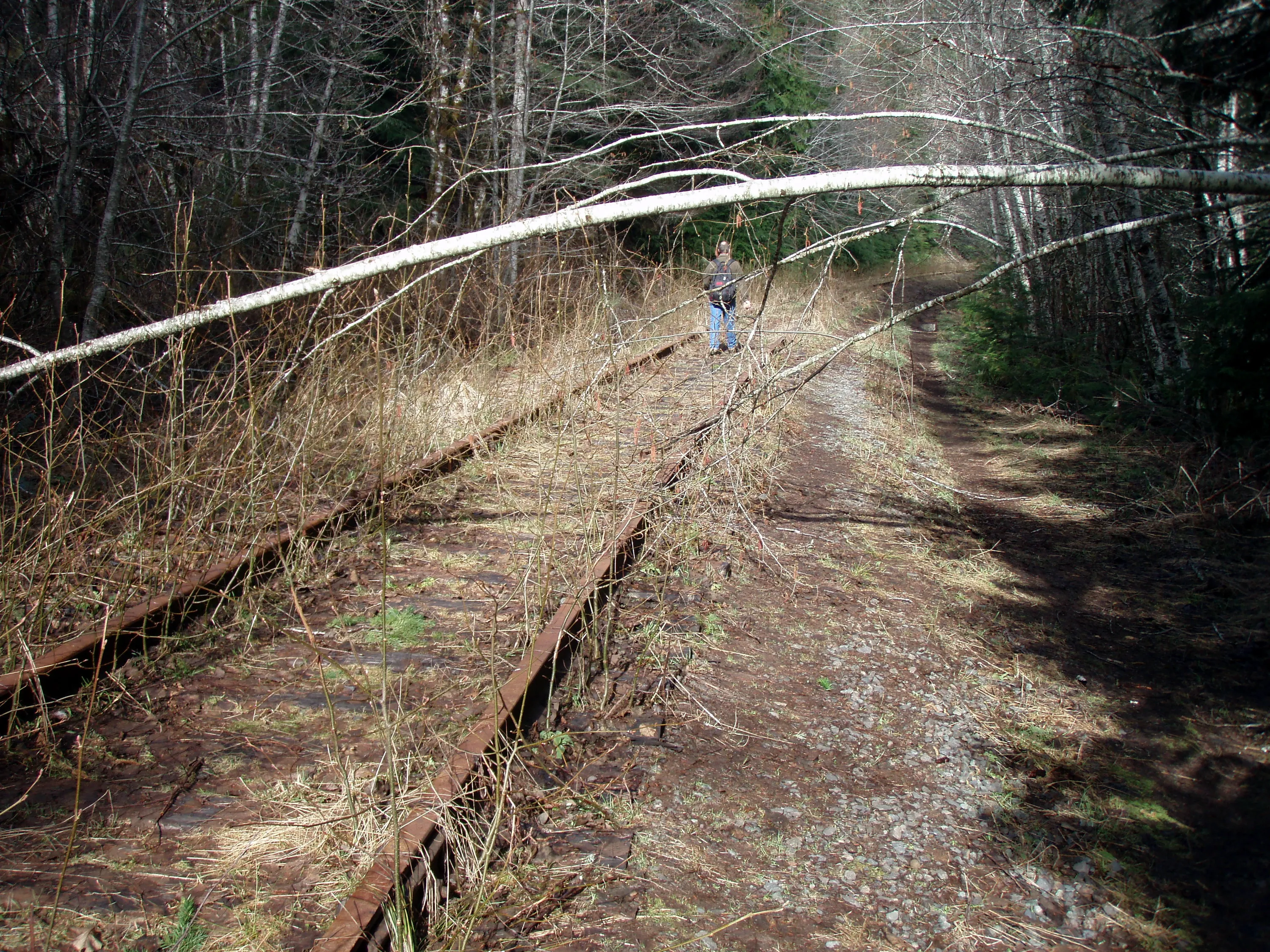
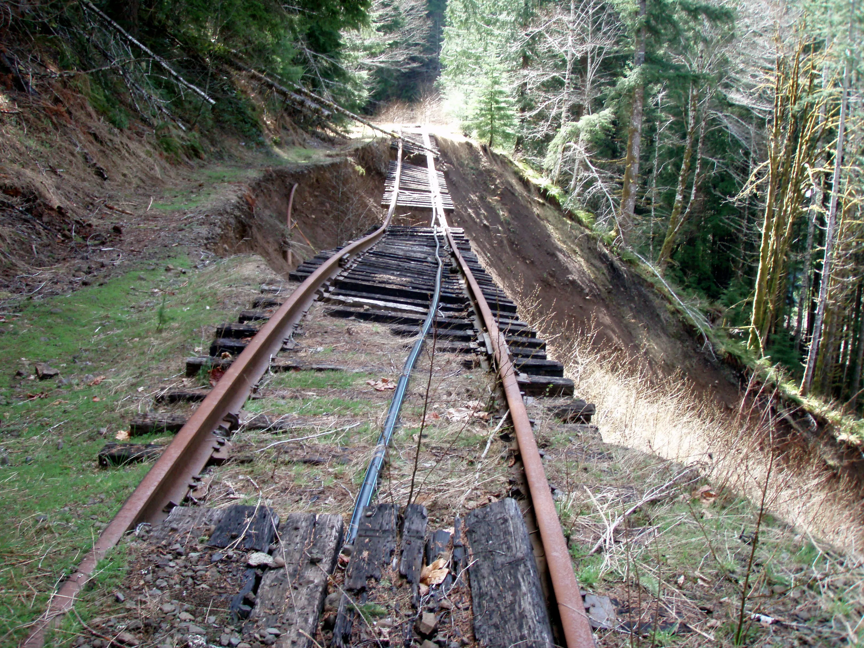
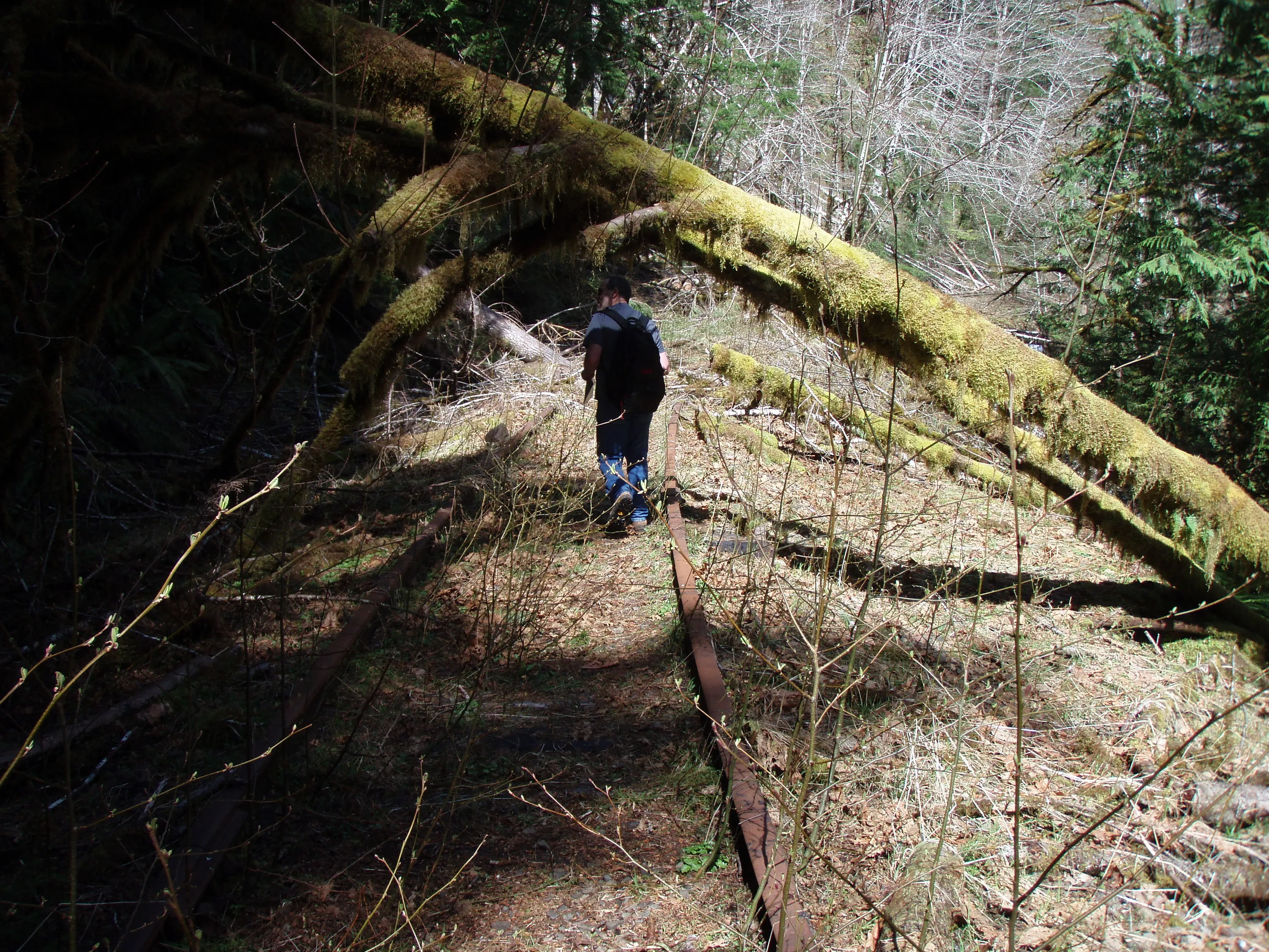
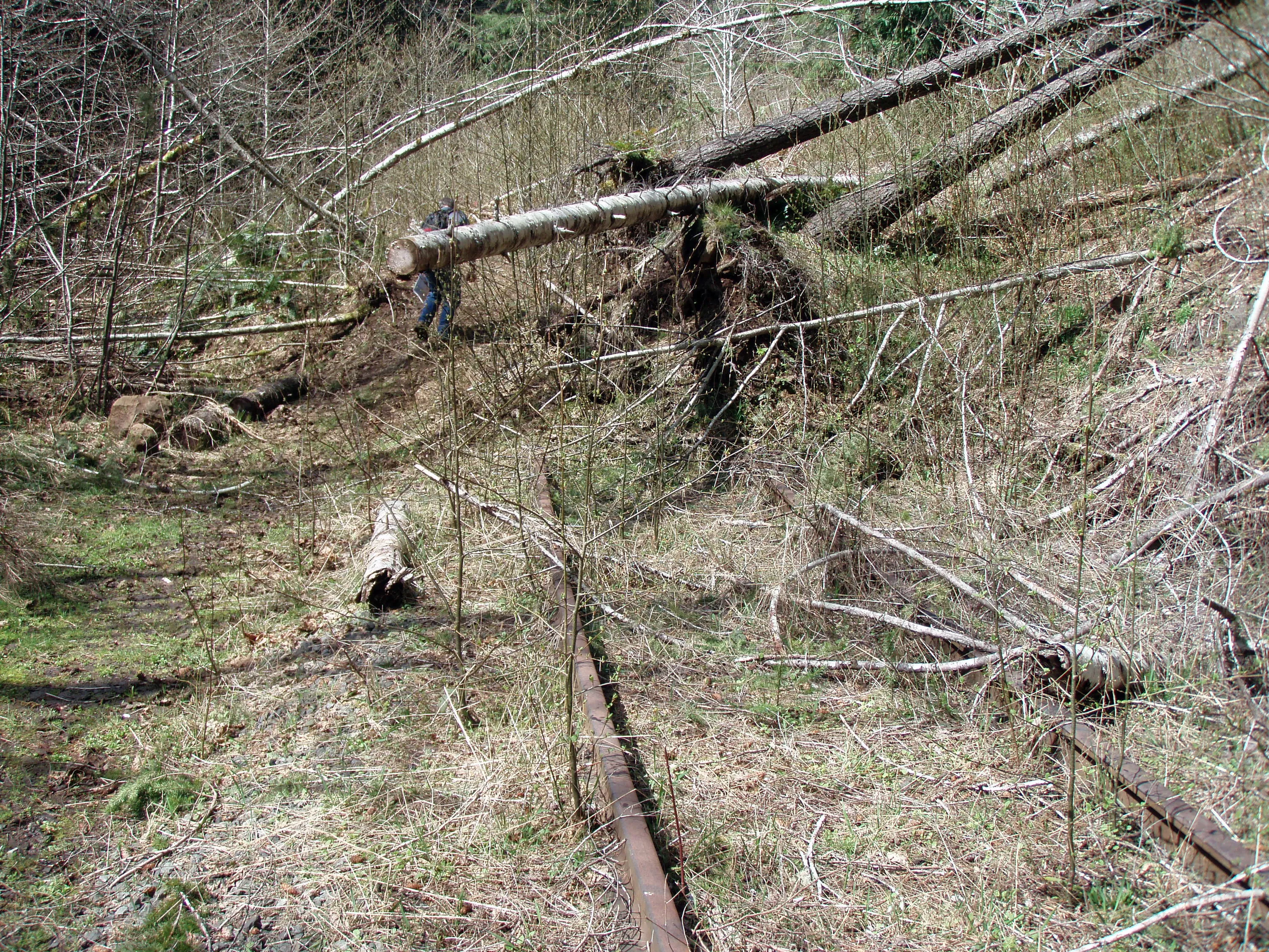
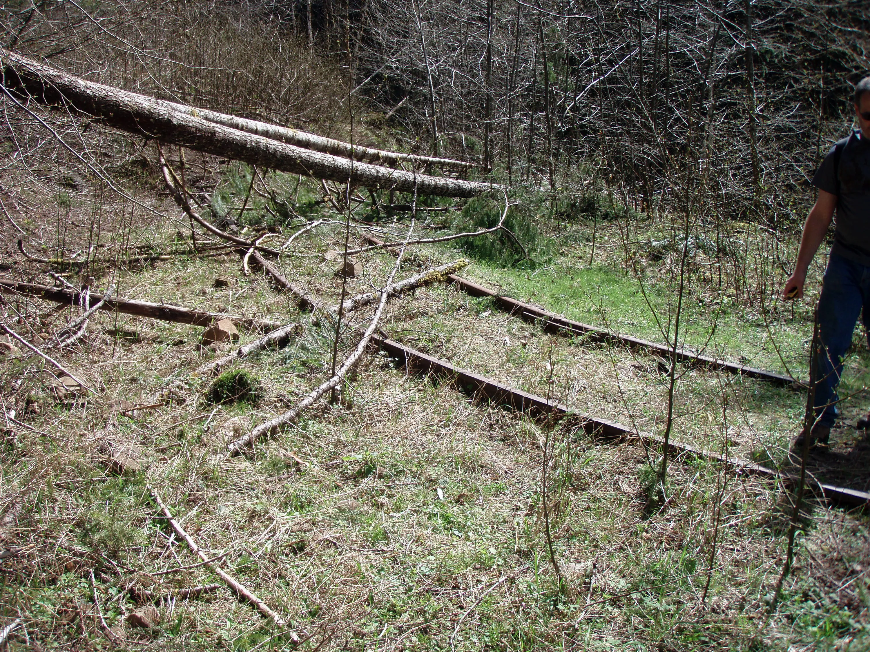
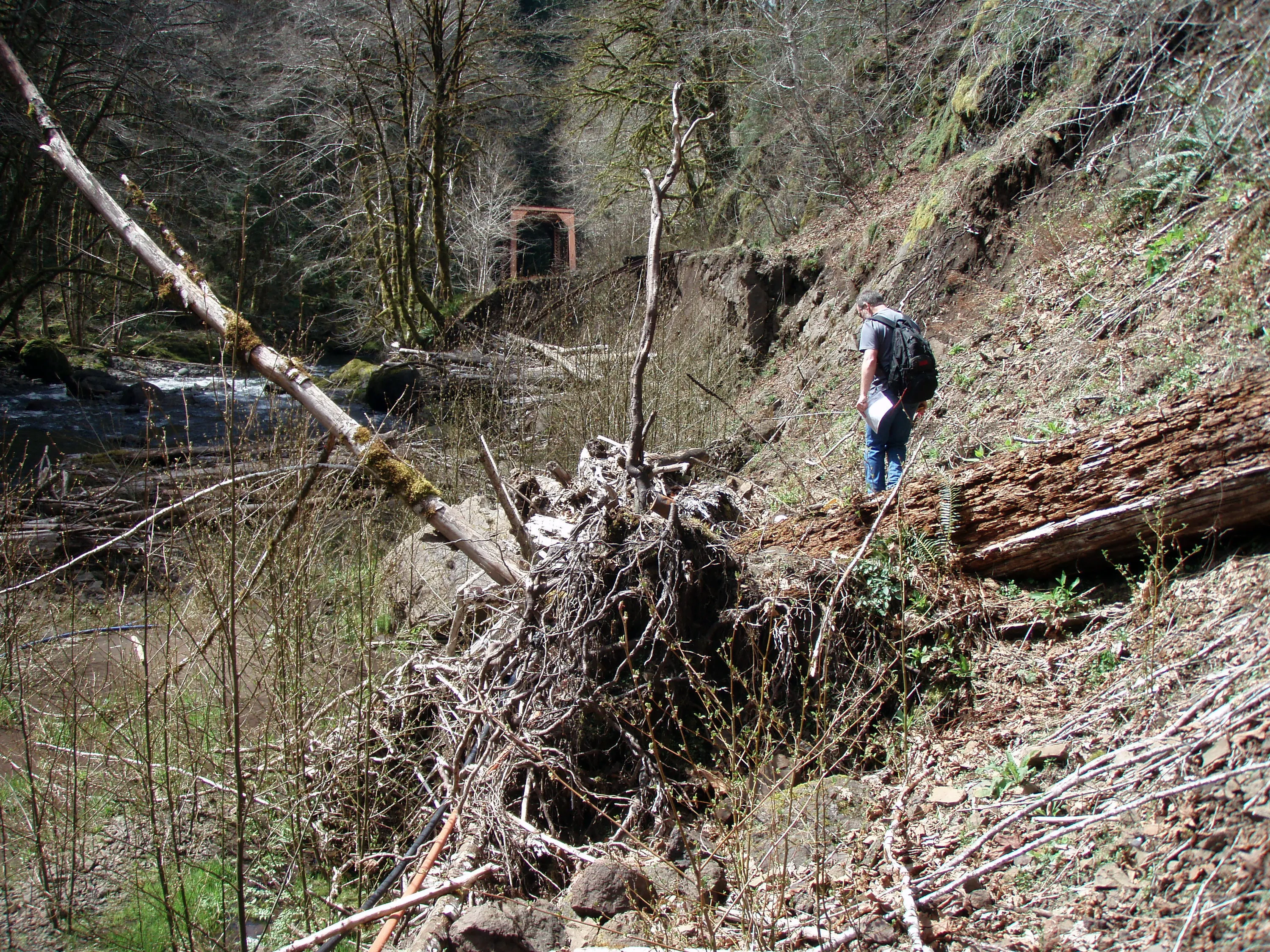
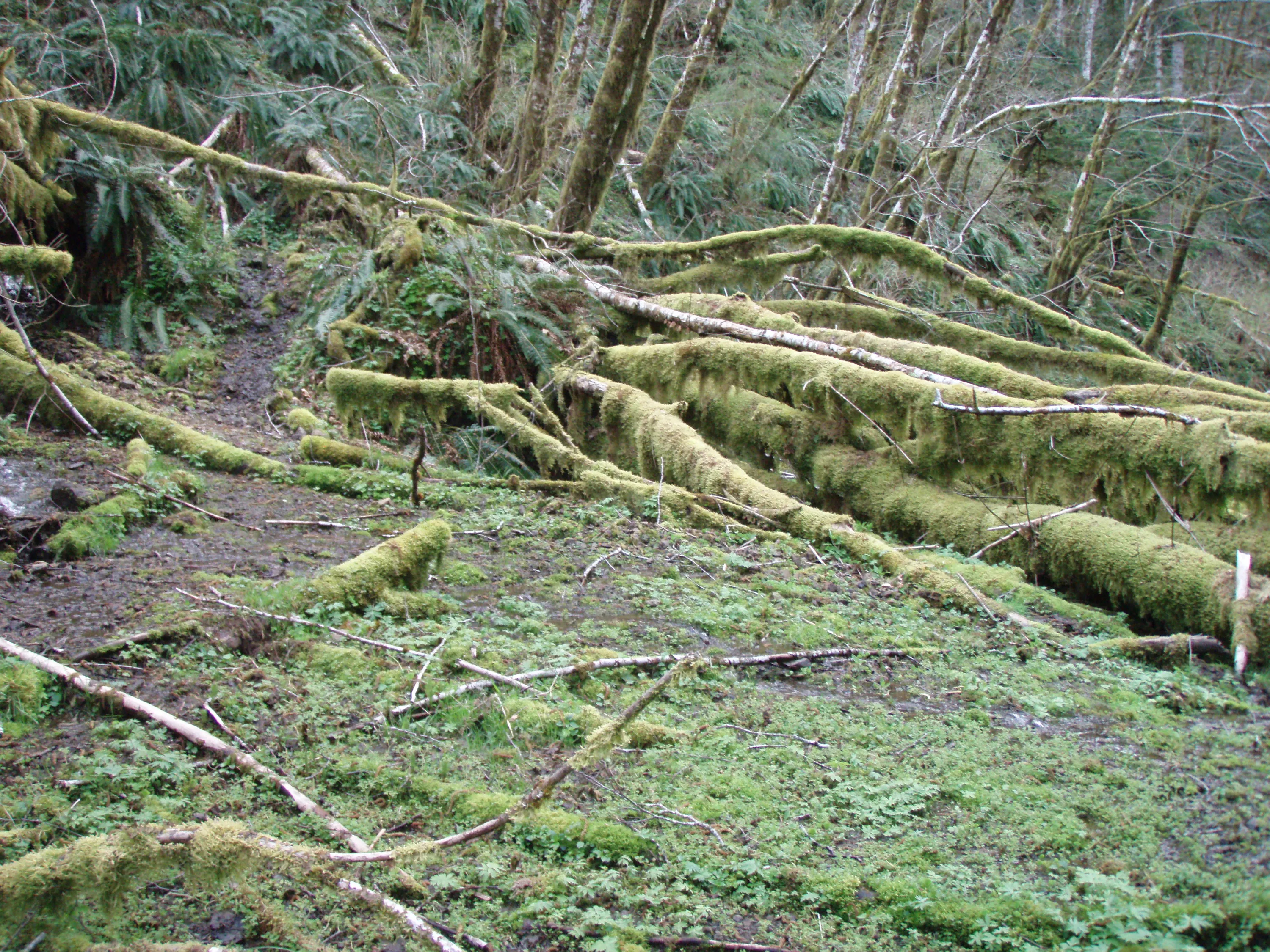
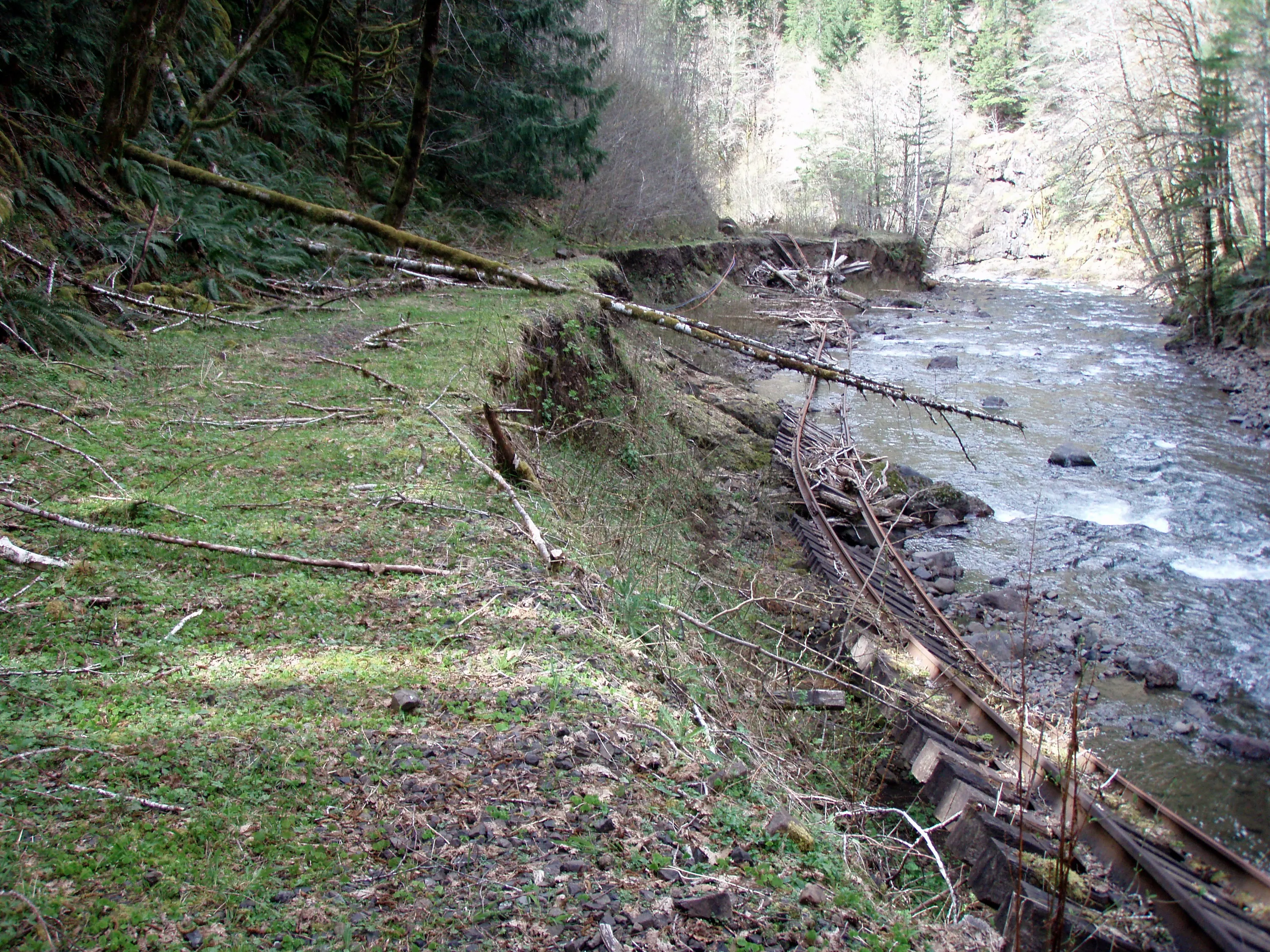
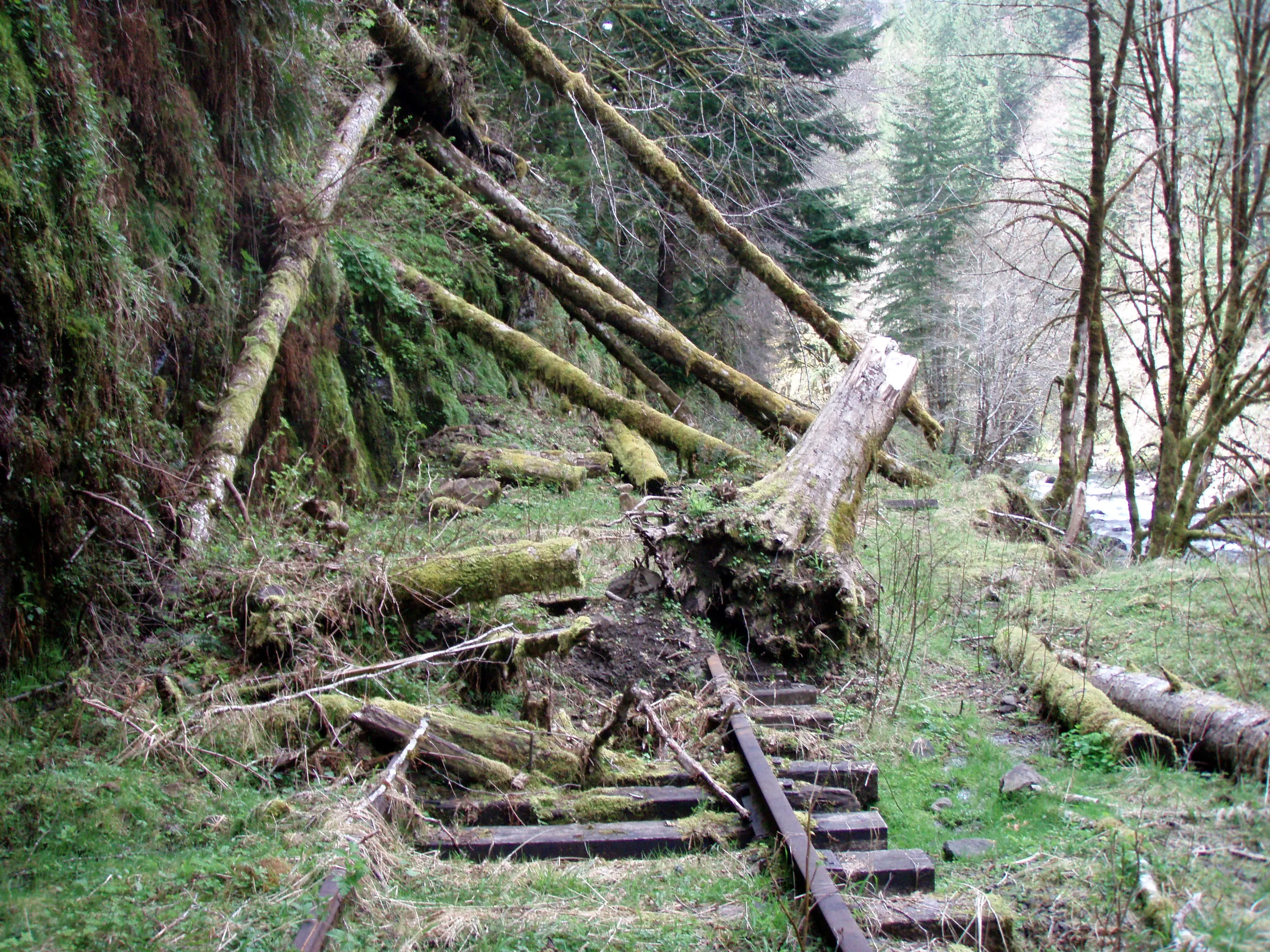
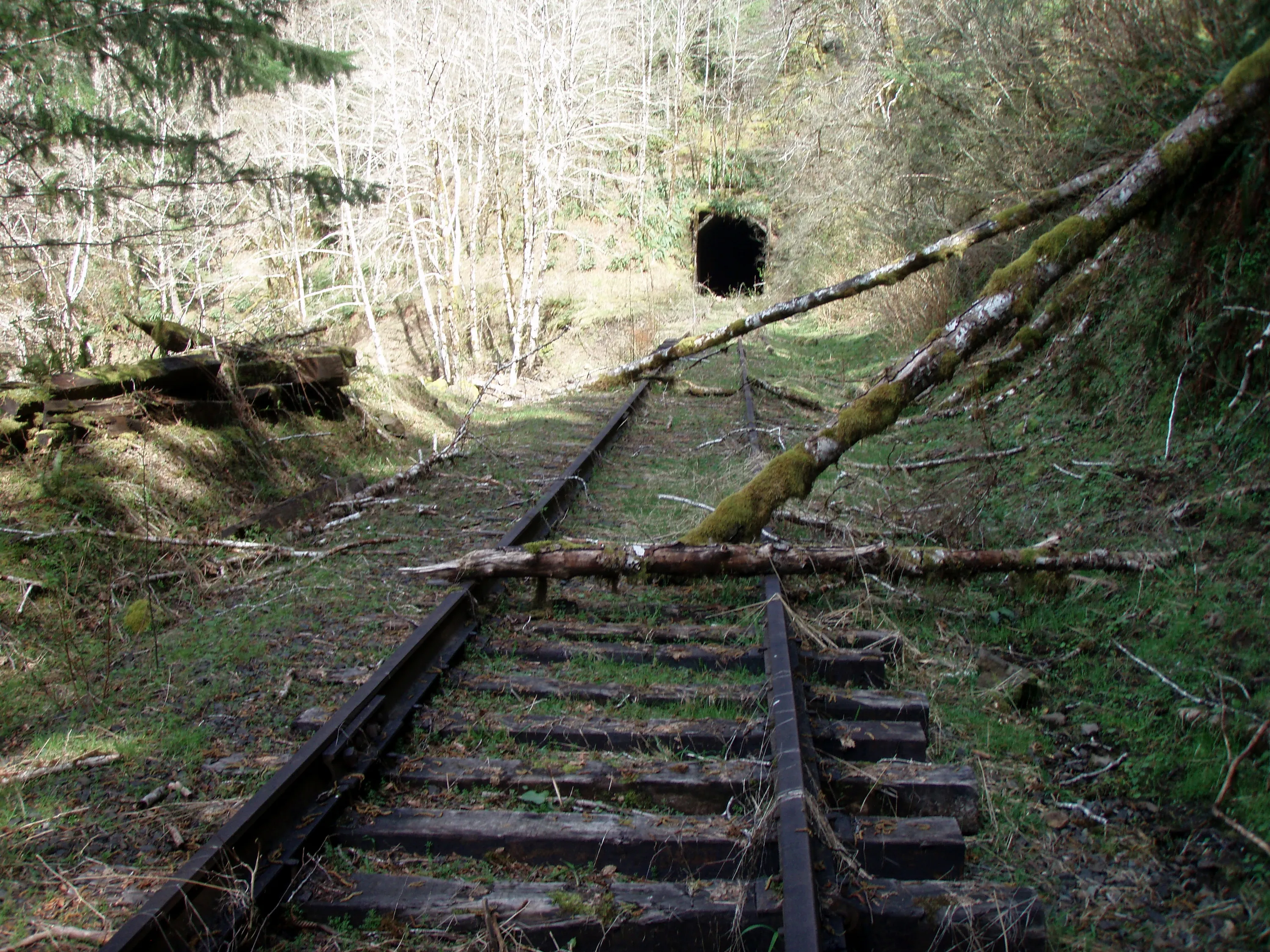
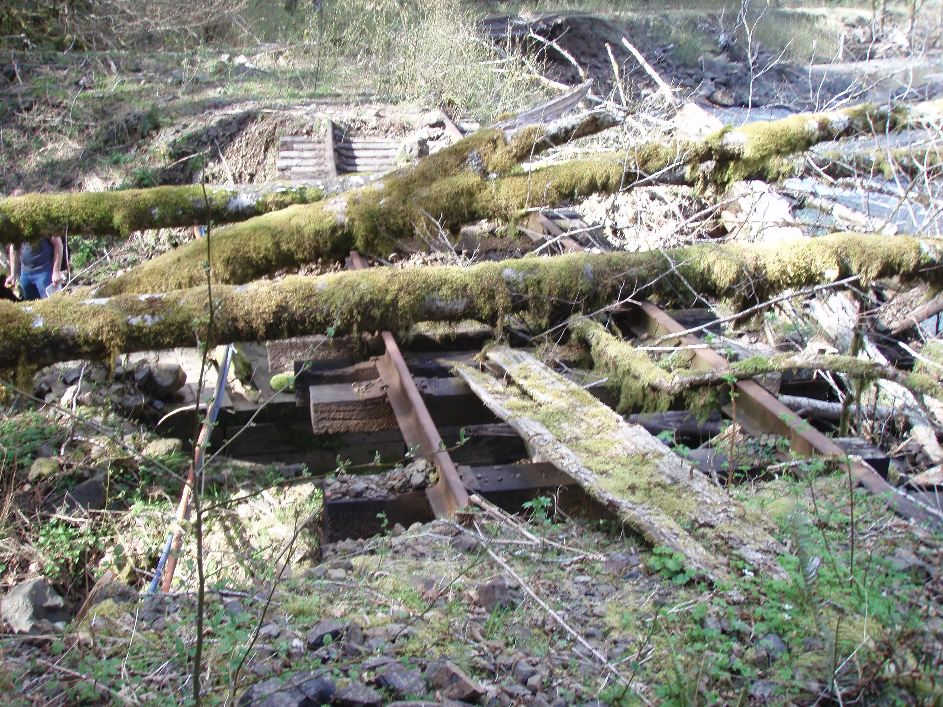
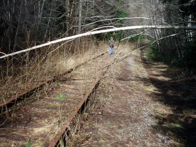 One of the MANY downed trees along the tracks
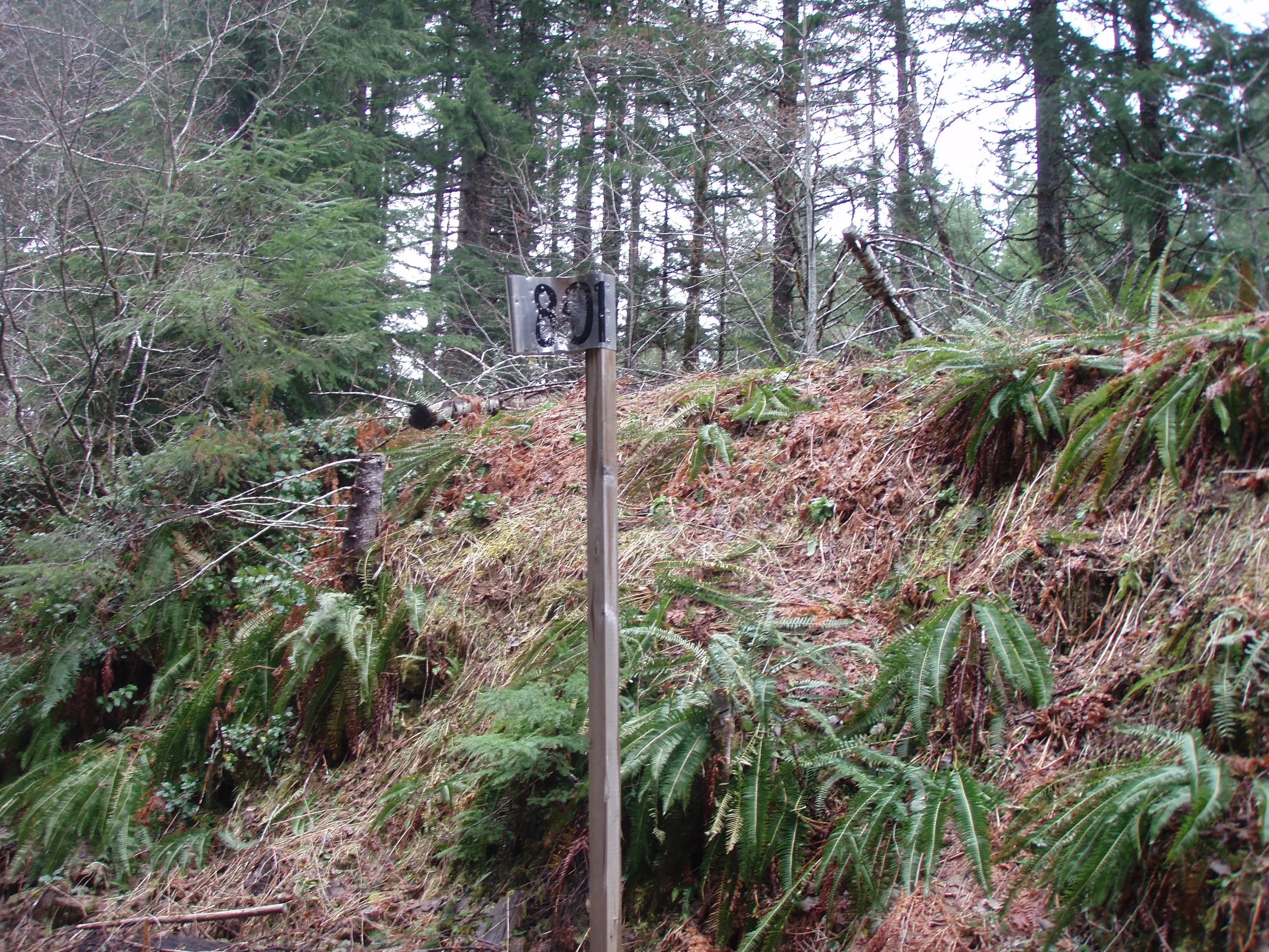
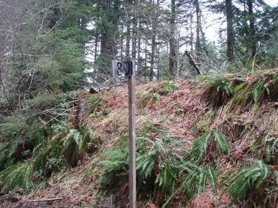 Milepost 801 - 1 mile down!
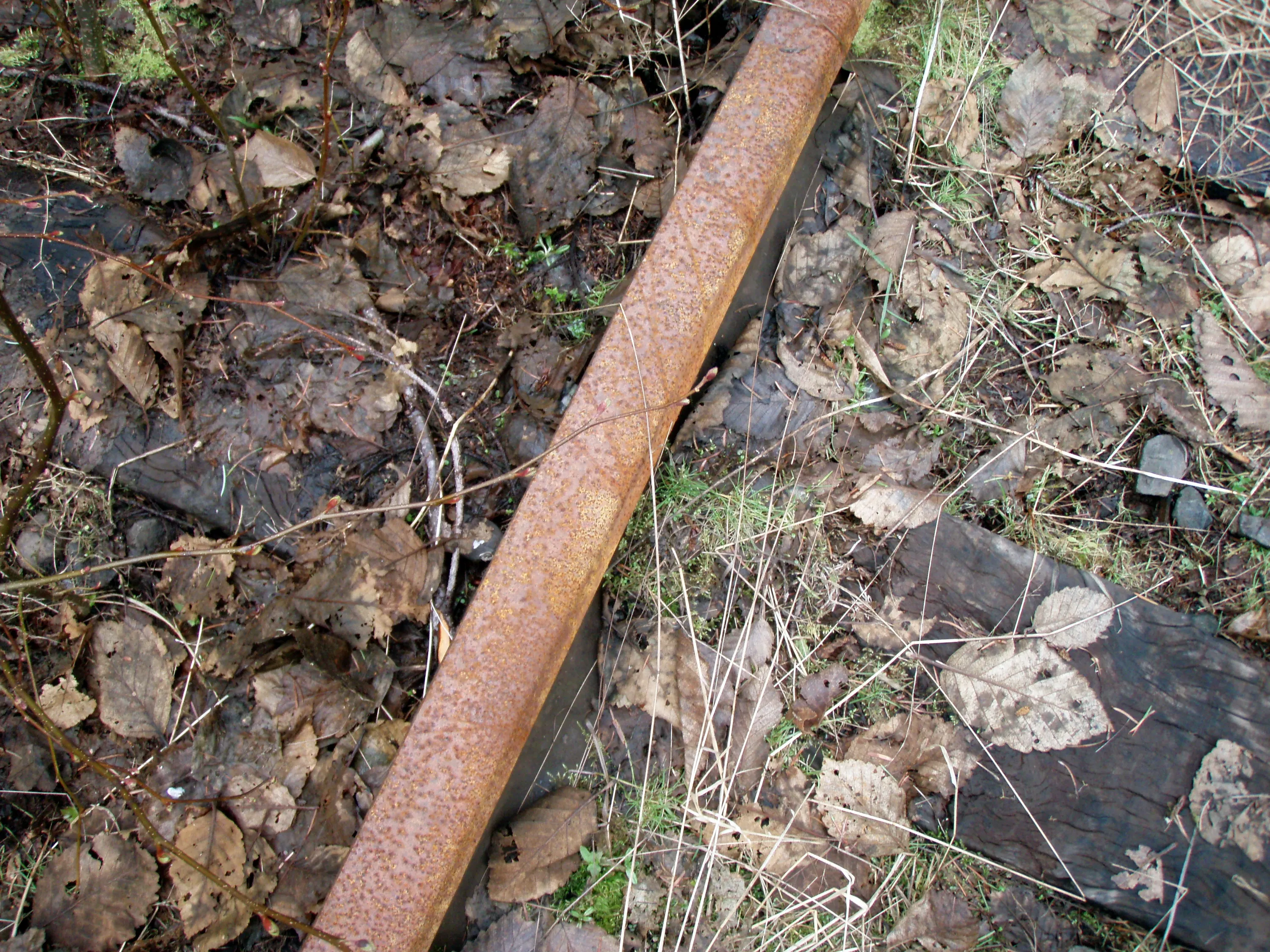
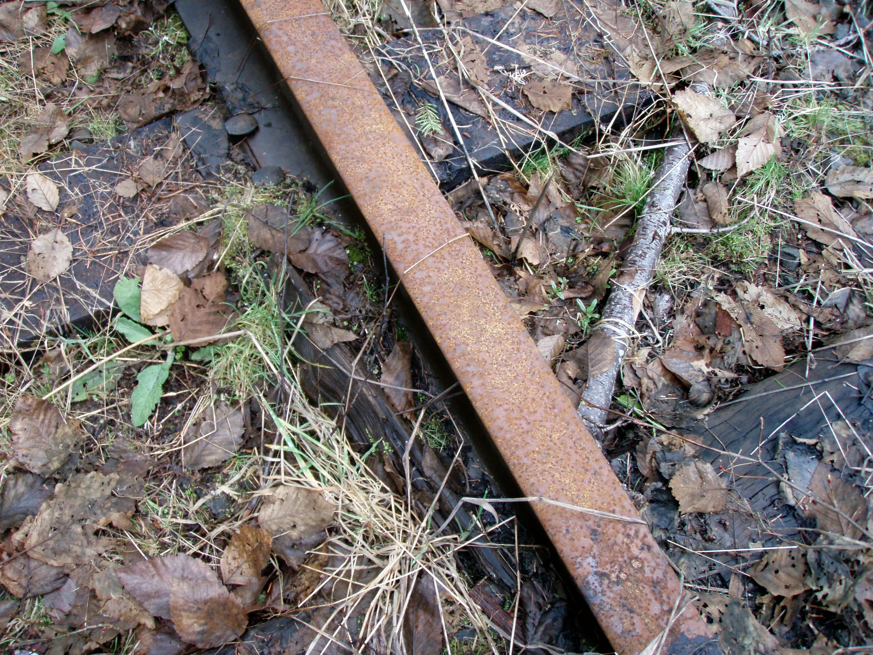
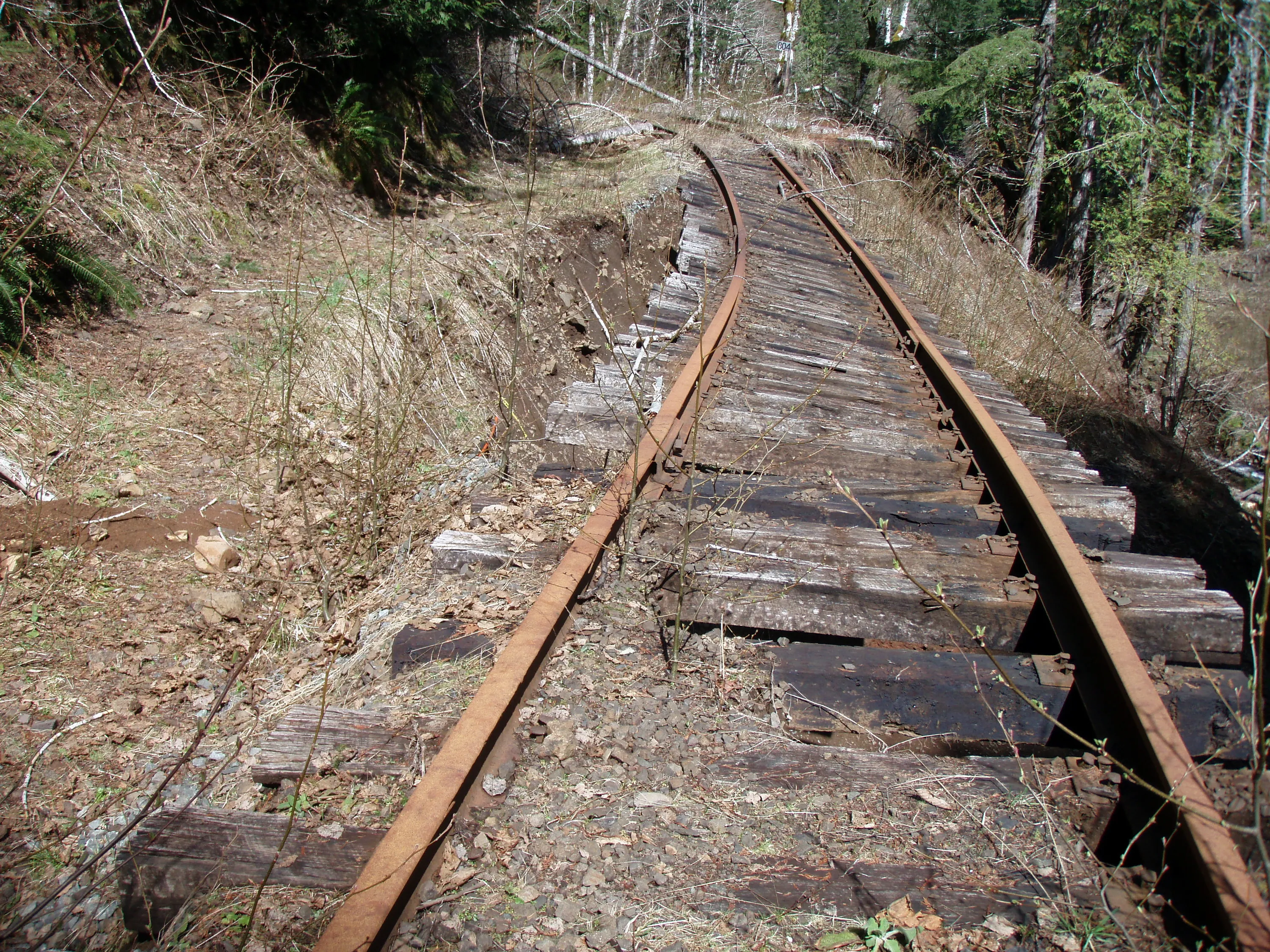
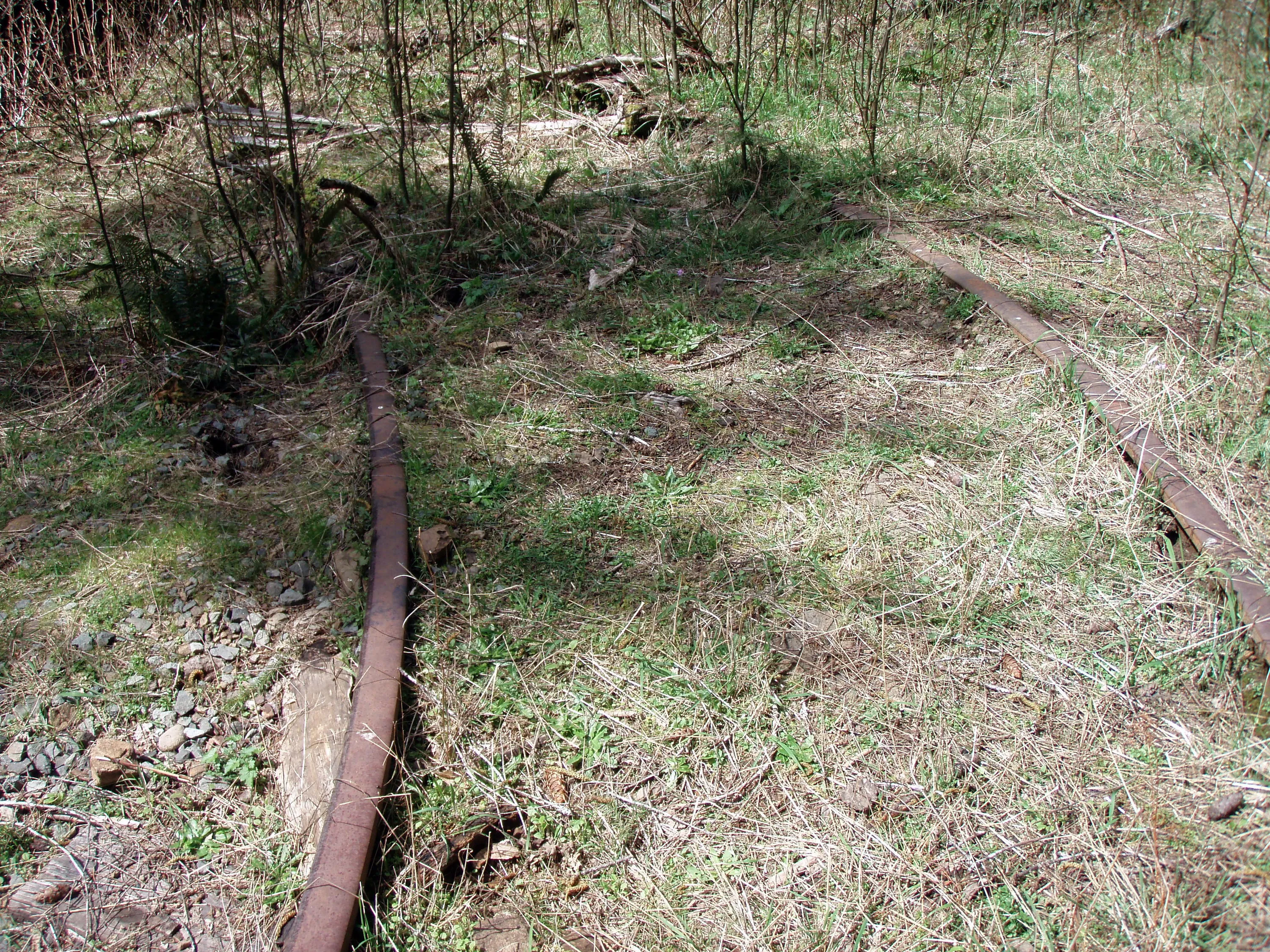
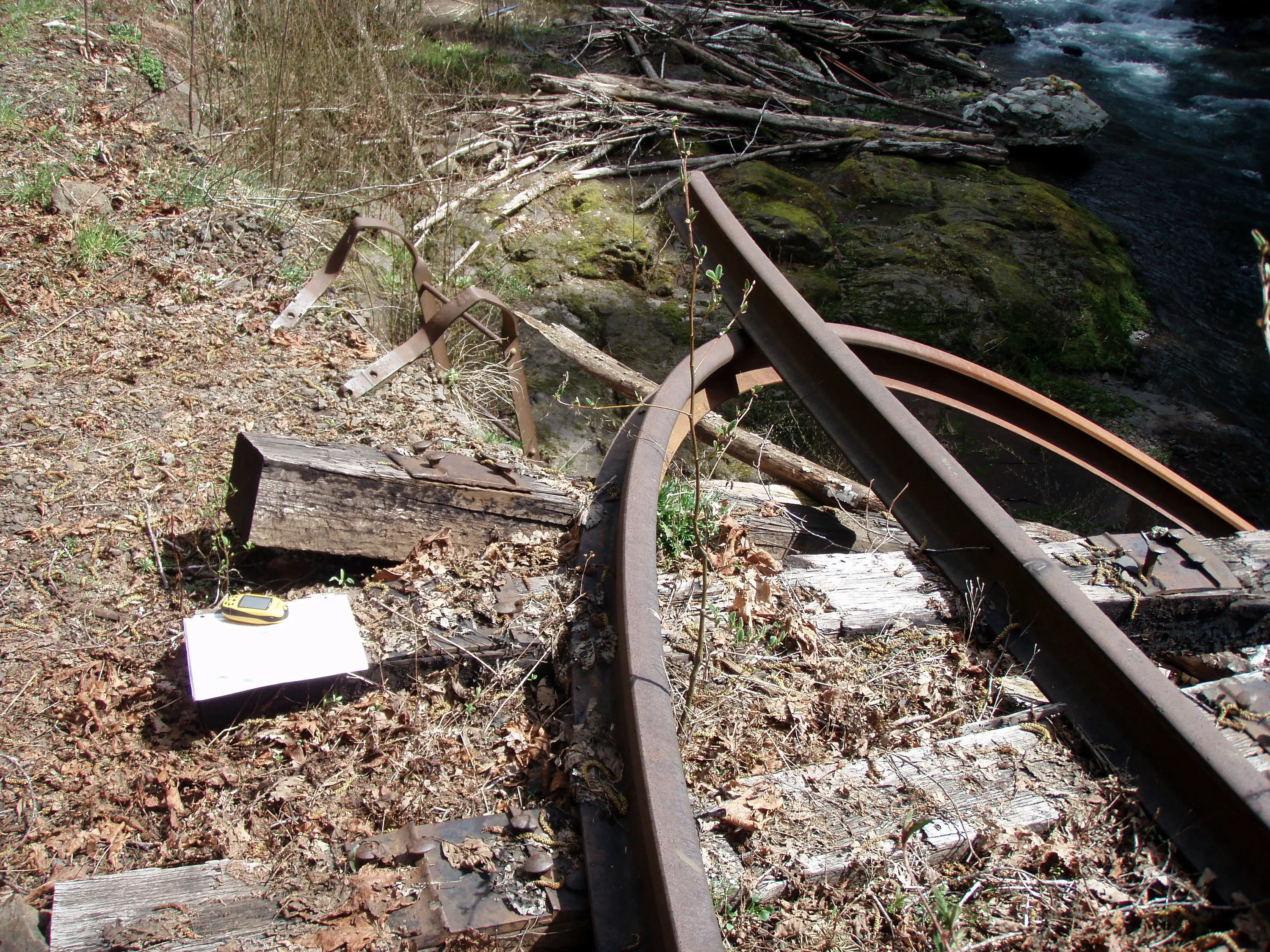
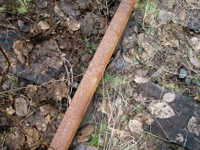 We noticed this kind of track is on the outside of turns (see the inner beveled edge)
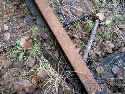 This kind of track is on the inside of turns
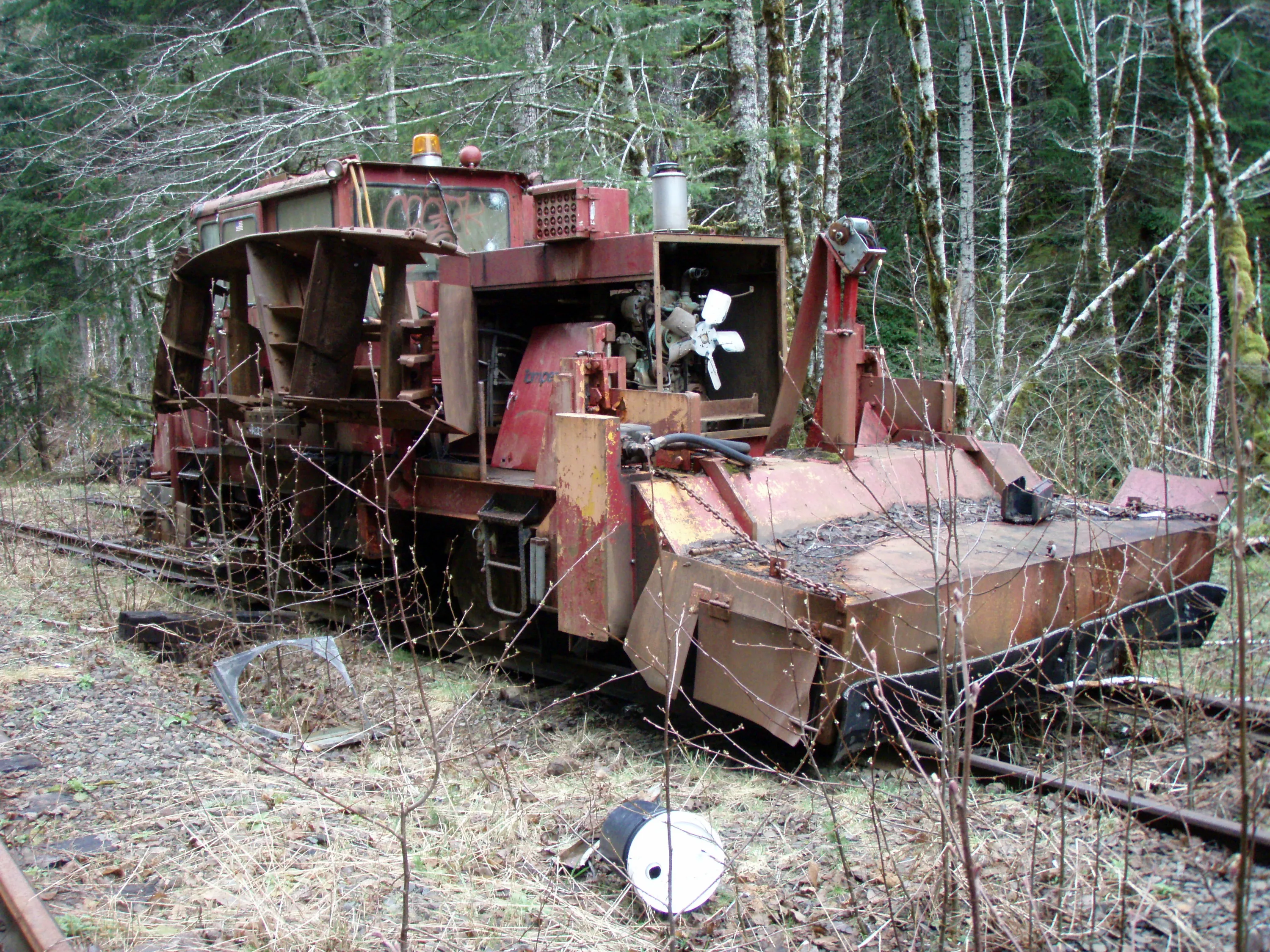
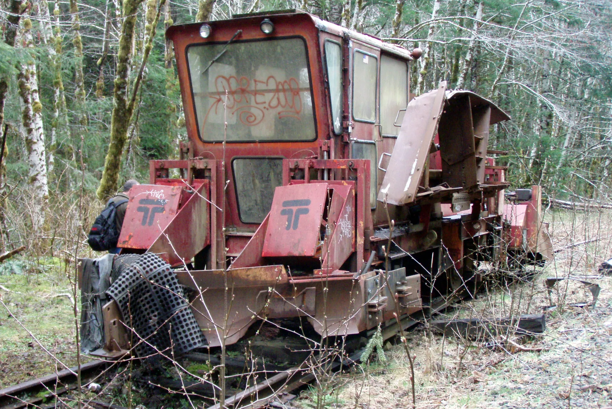
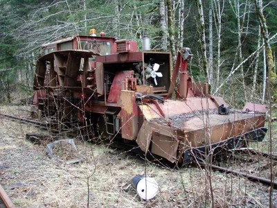 Old abandoned equipment - this is a "ballast regulator" It is used to smooth out the gravel (ballast) between the ties
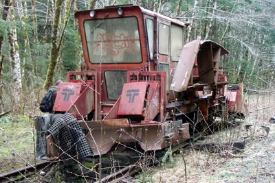 Other side of the ballast regulator
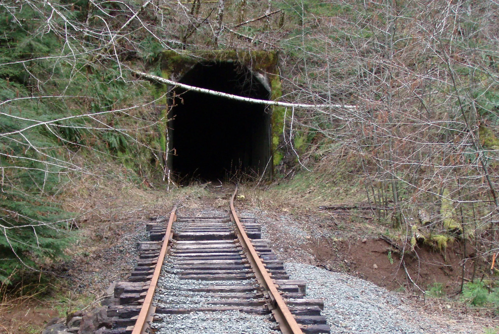
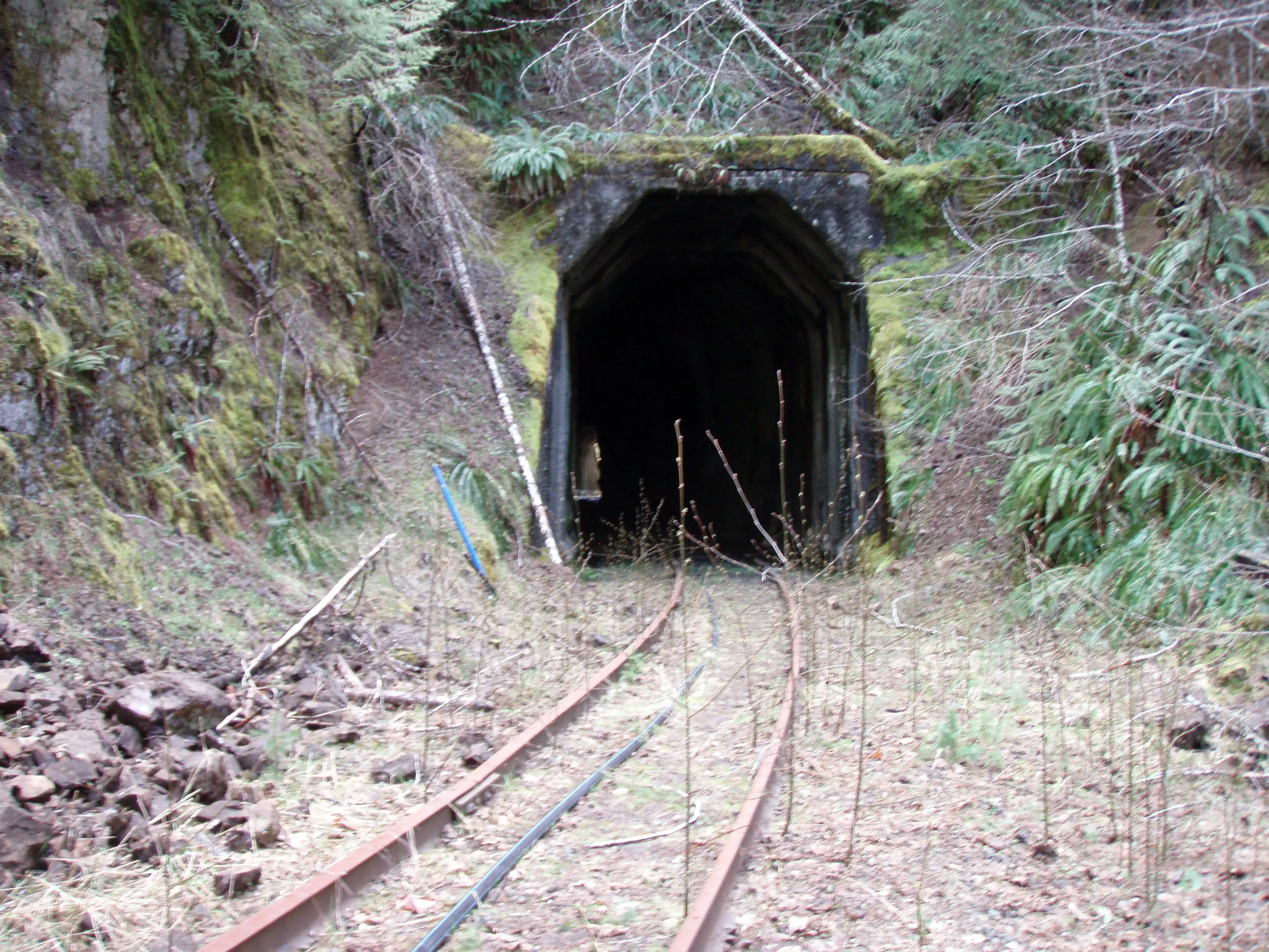
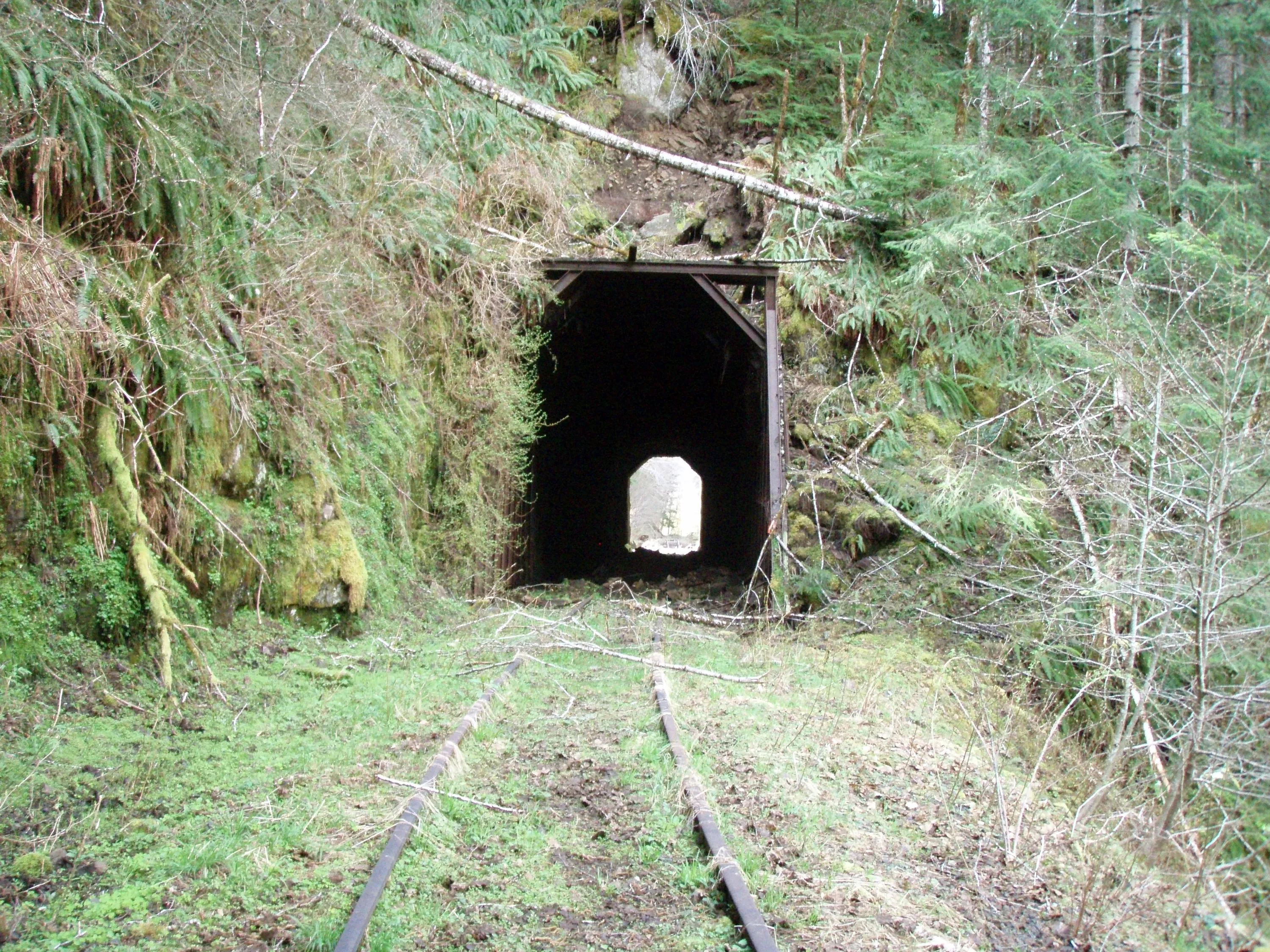
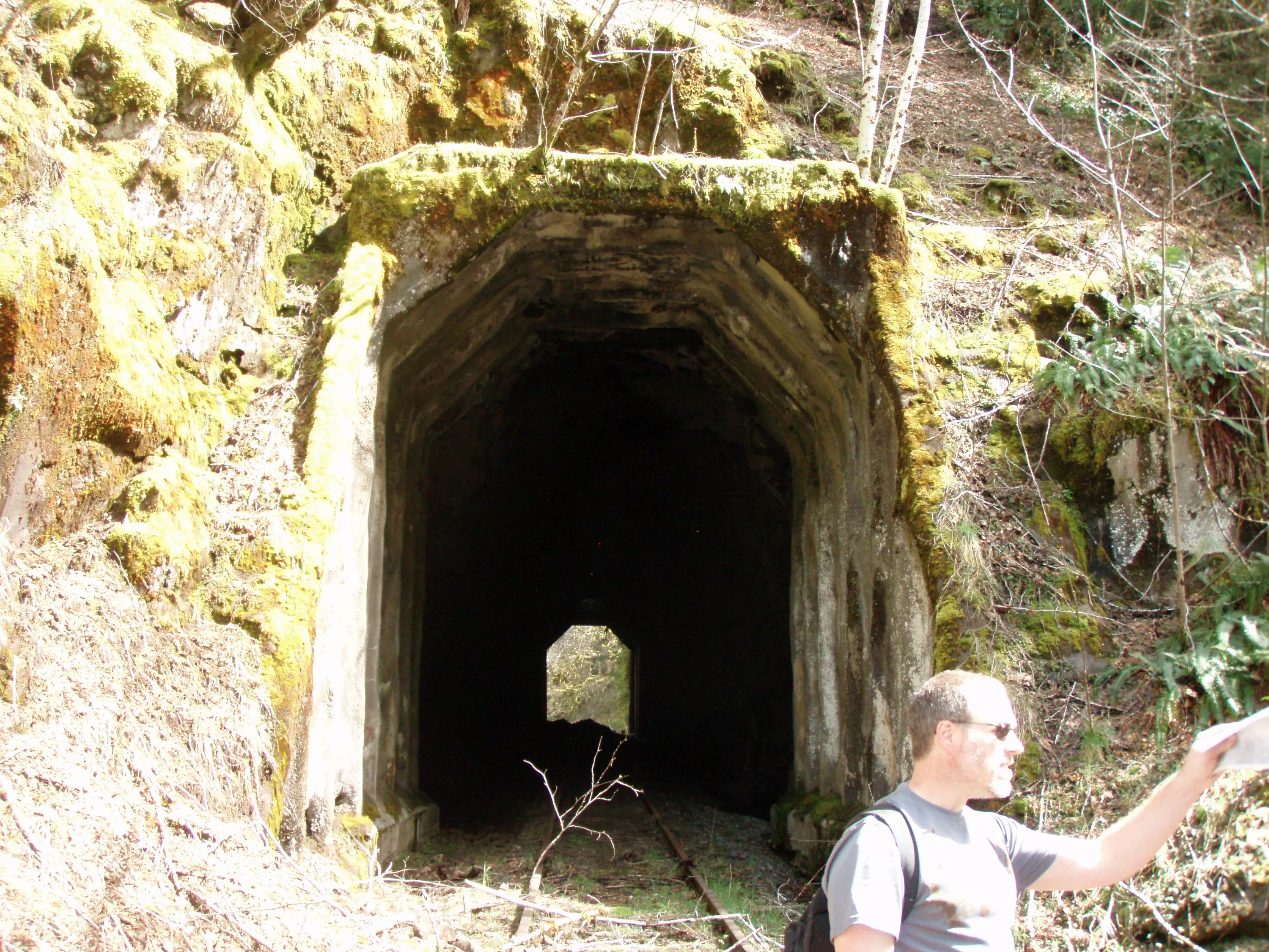
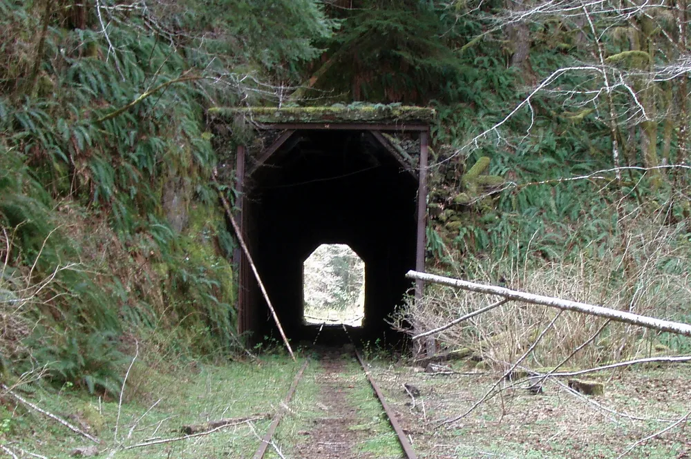
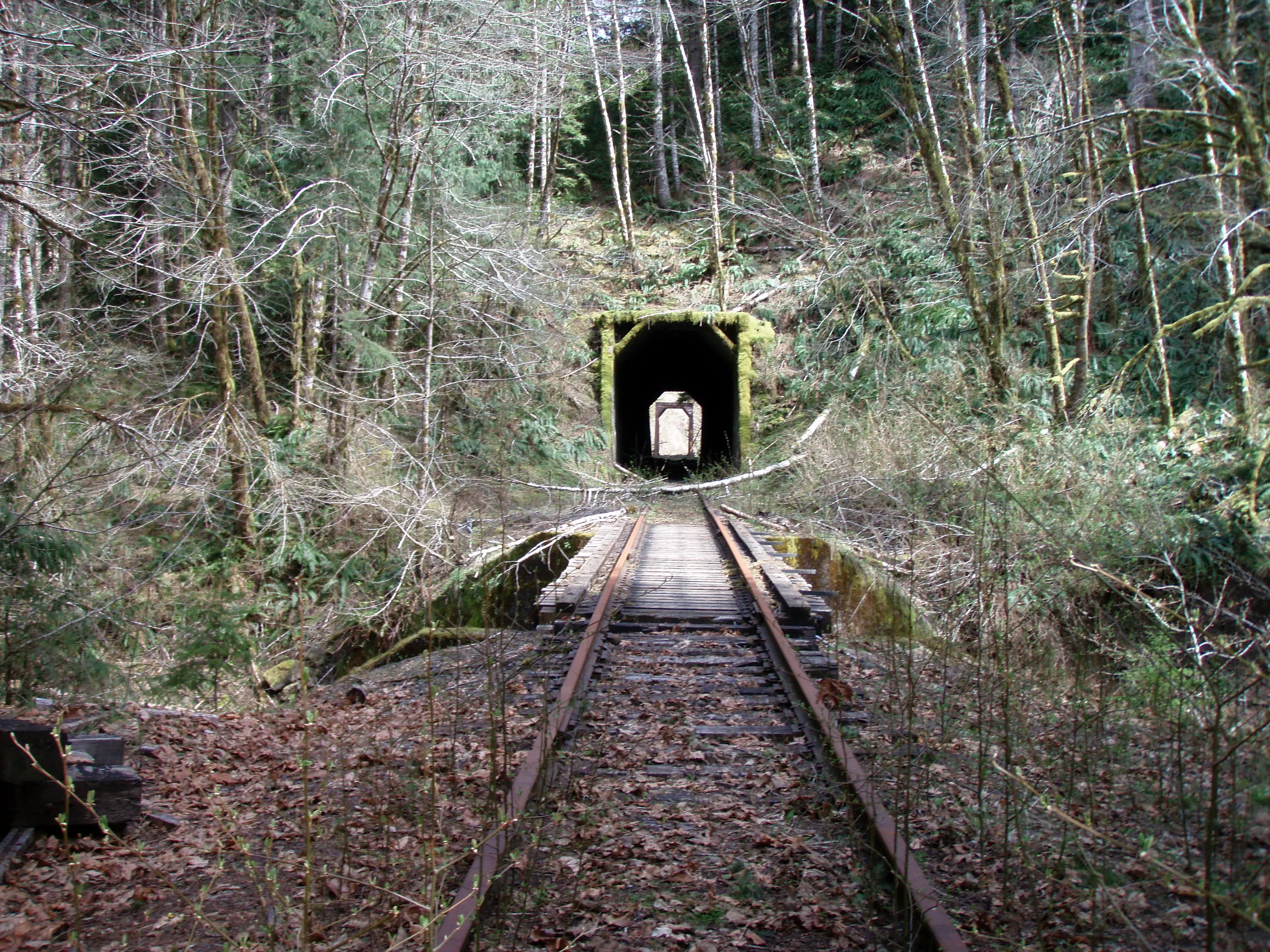
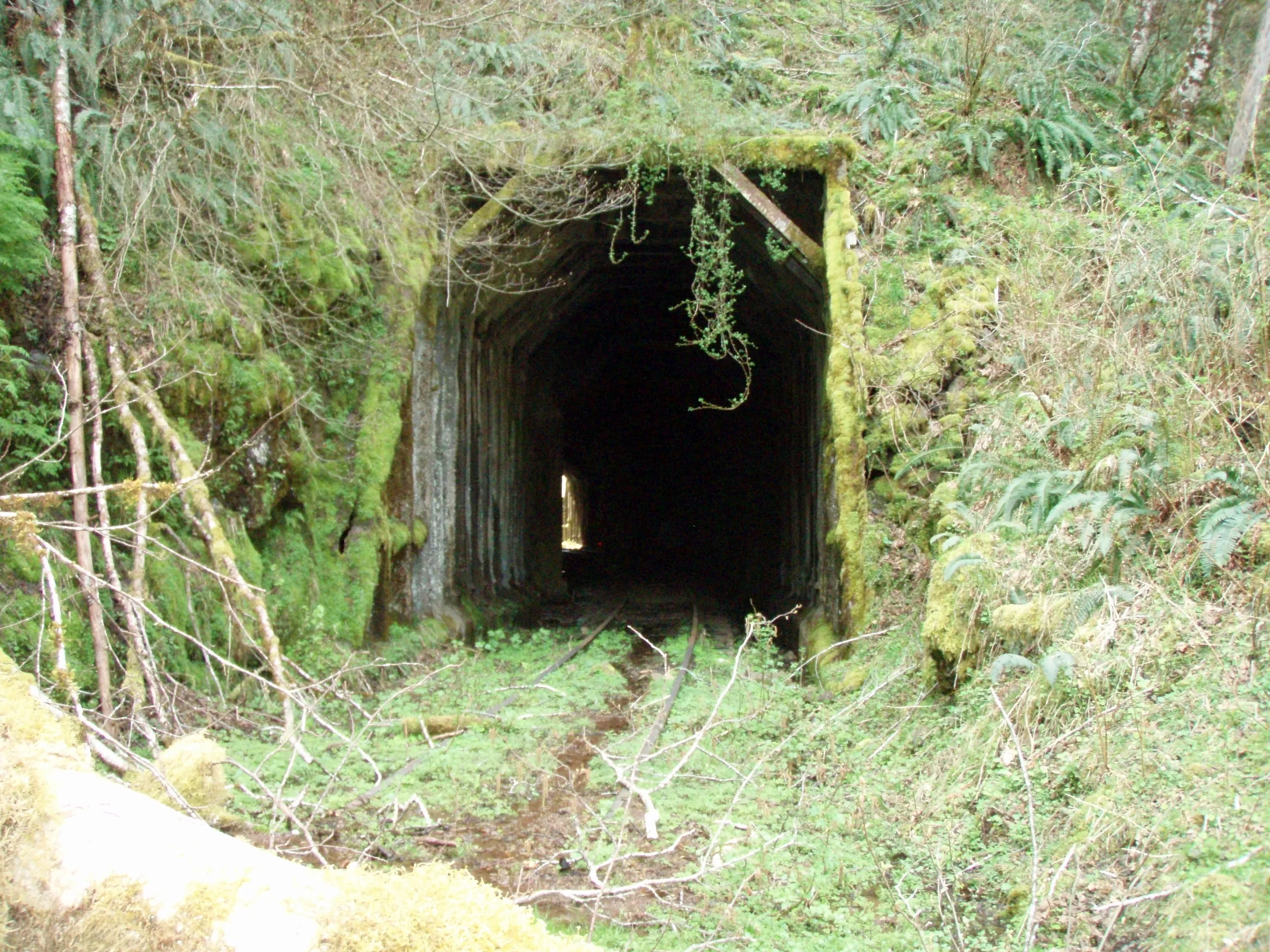
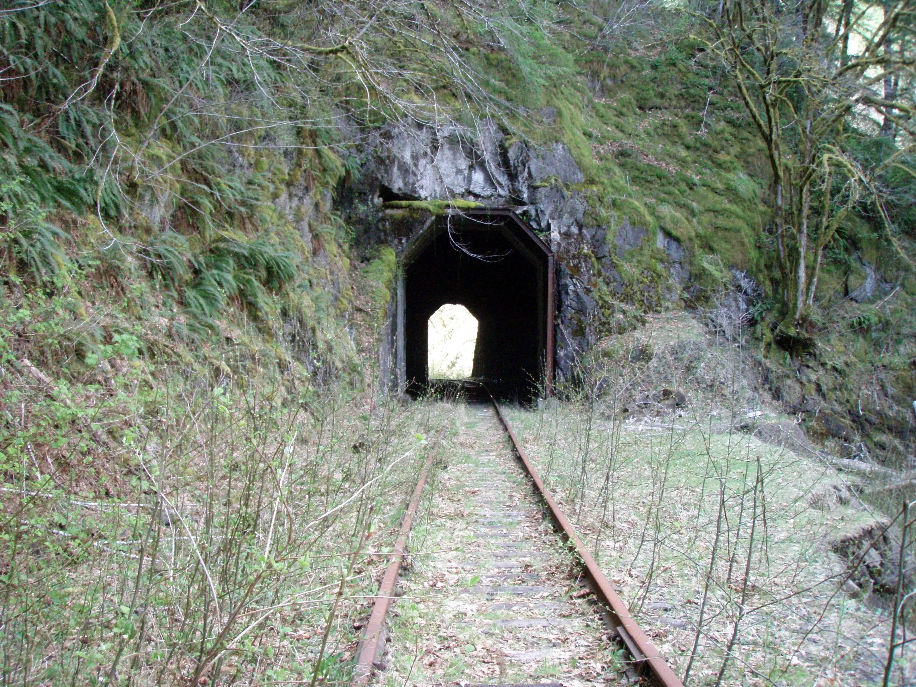
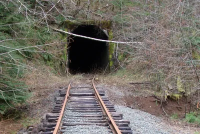 Tunnel 1
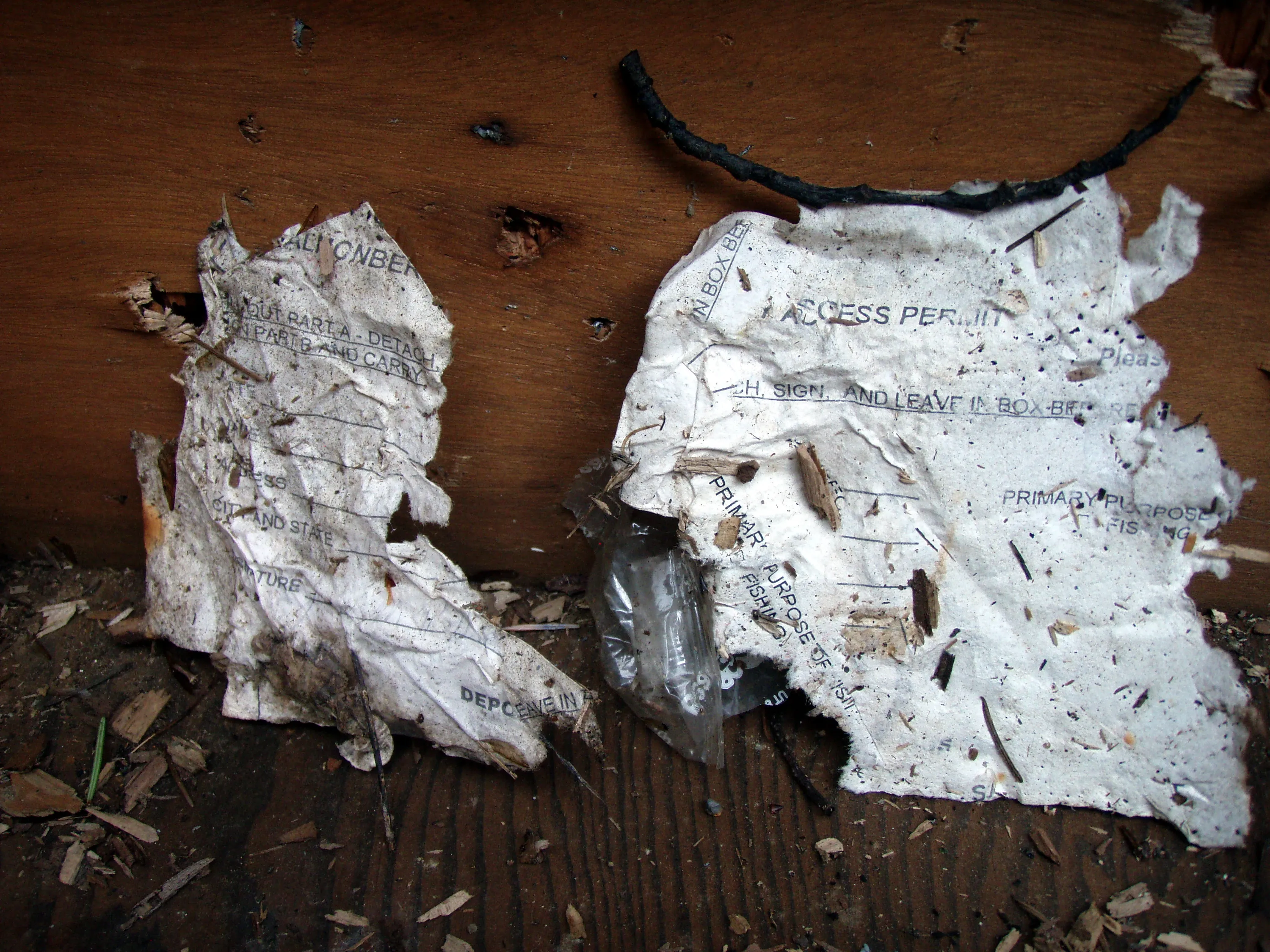
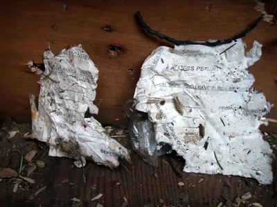 These were the only bits we could find of the old "access permits" that were used when the railroad was still active. There was a little box you were supposed to put them in - kind of like the wilderness permits
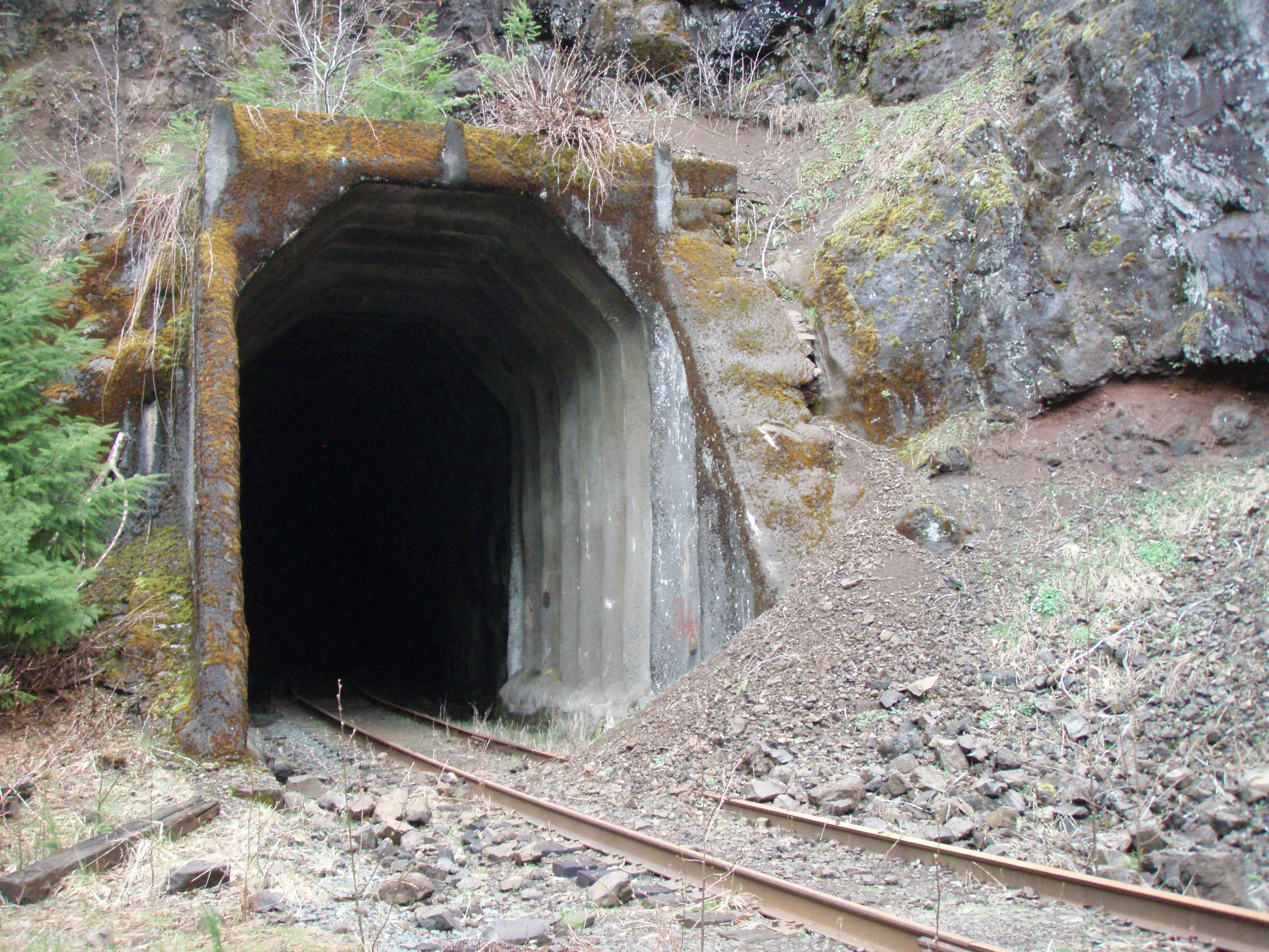
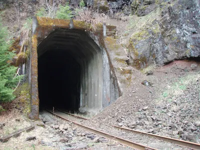 Back side of Tunnel 1
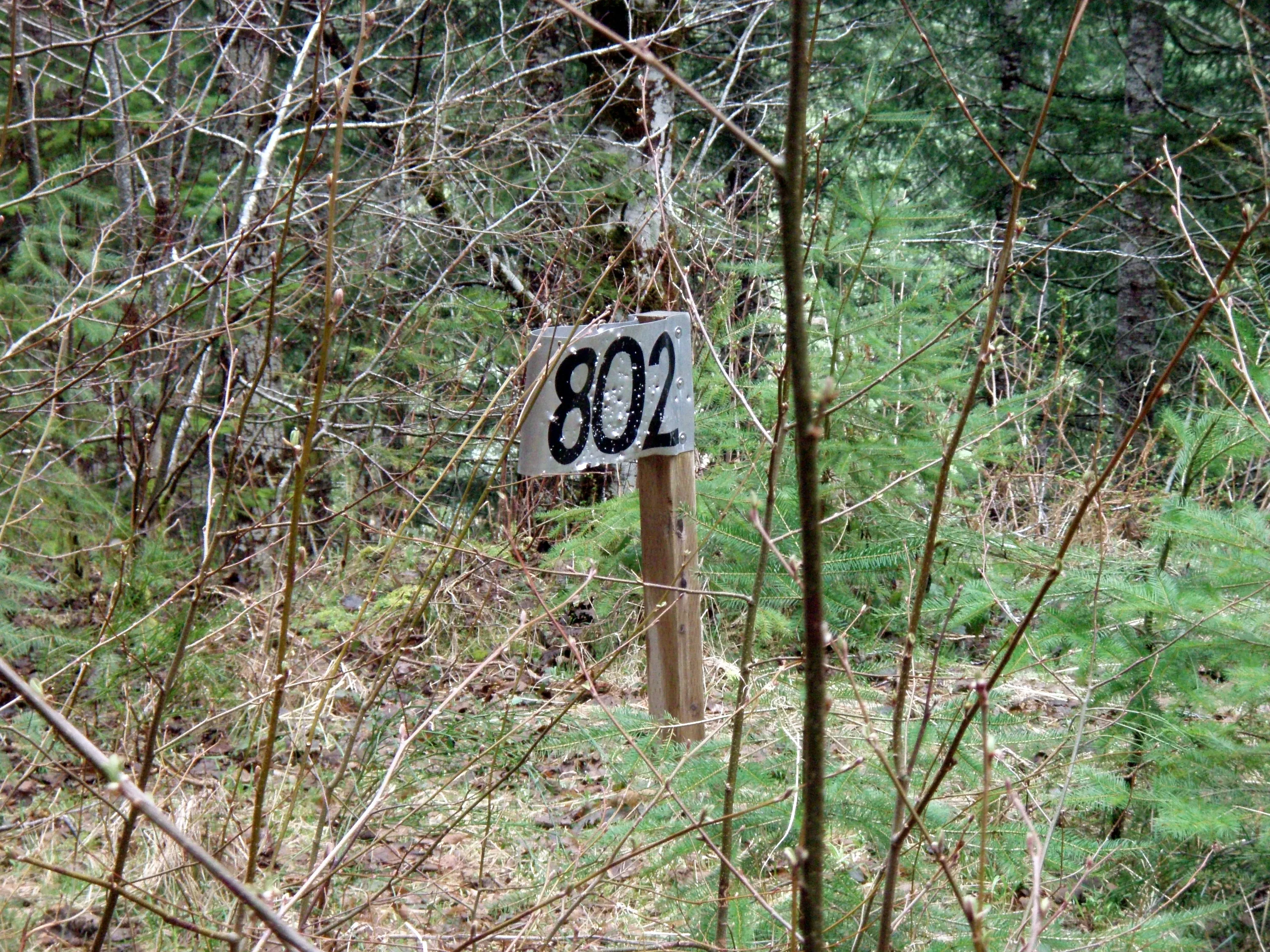
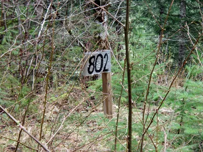 Milepost 802 - 2 miles down!
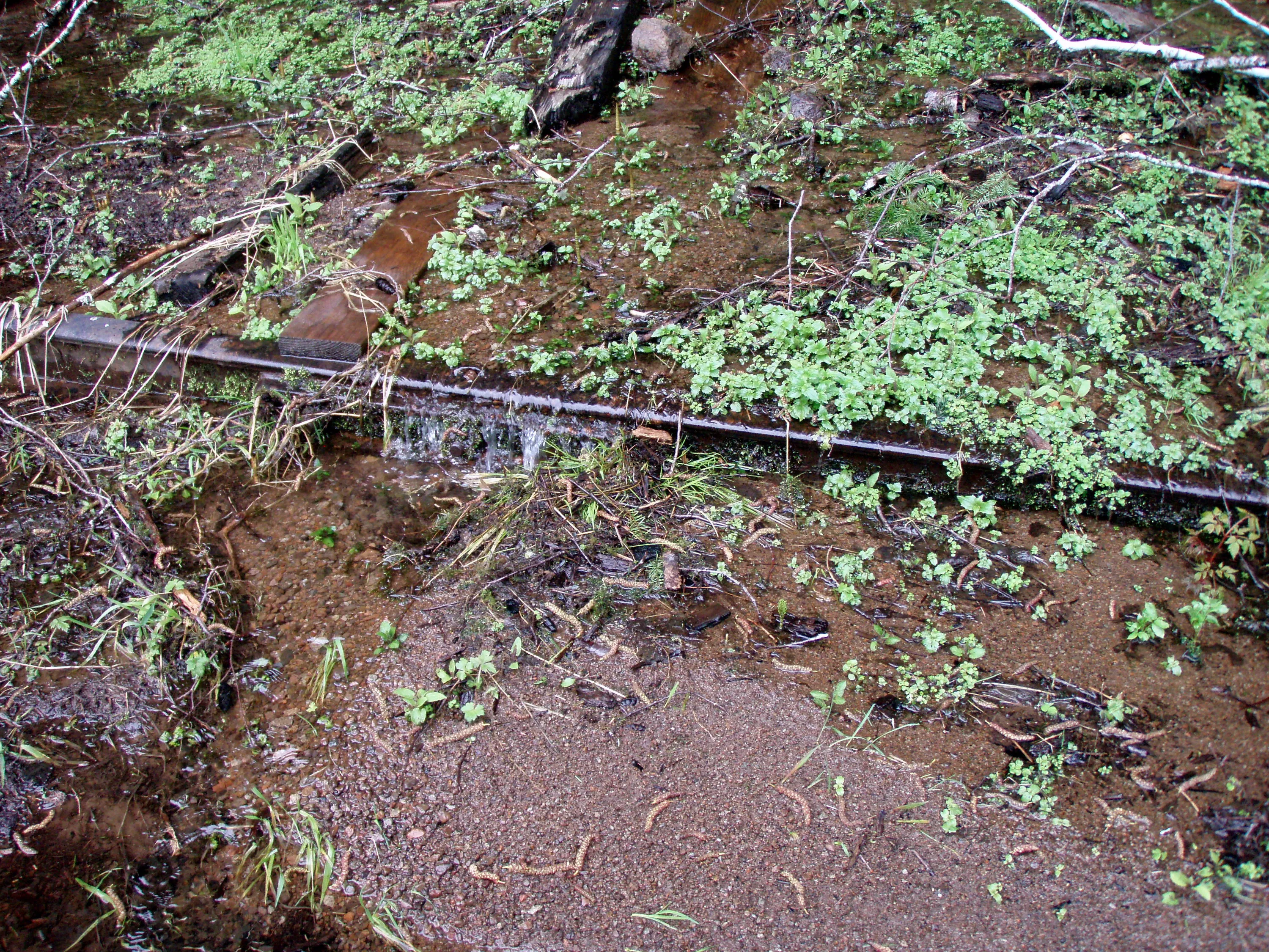
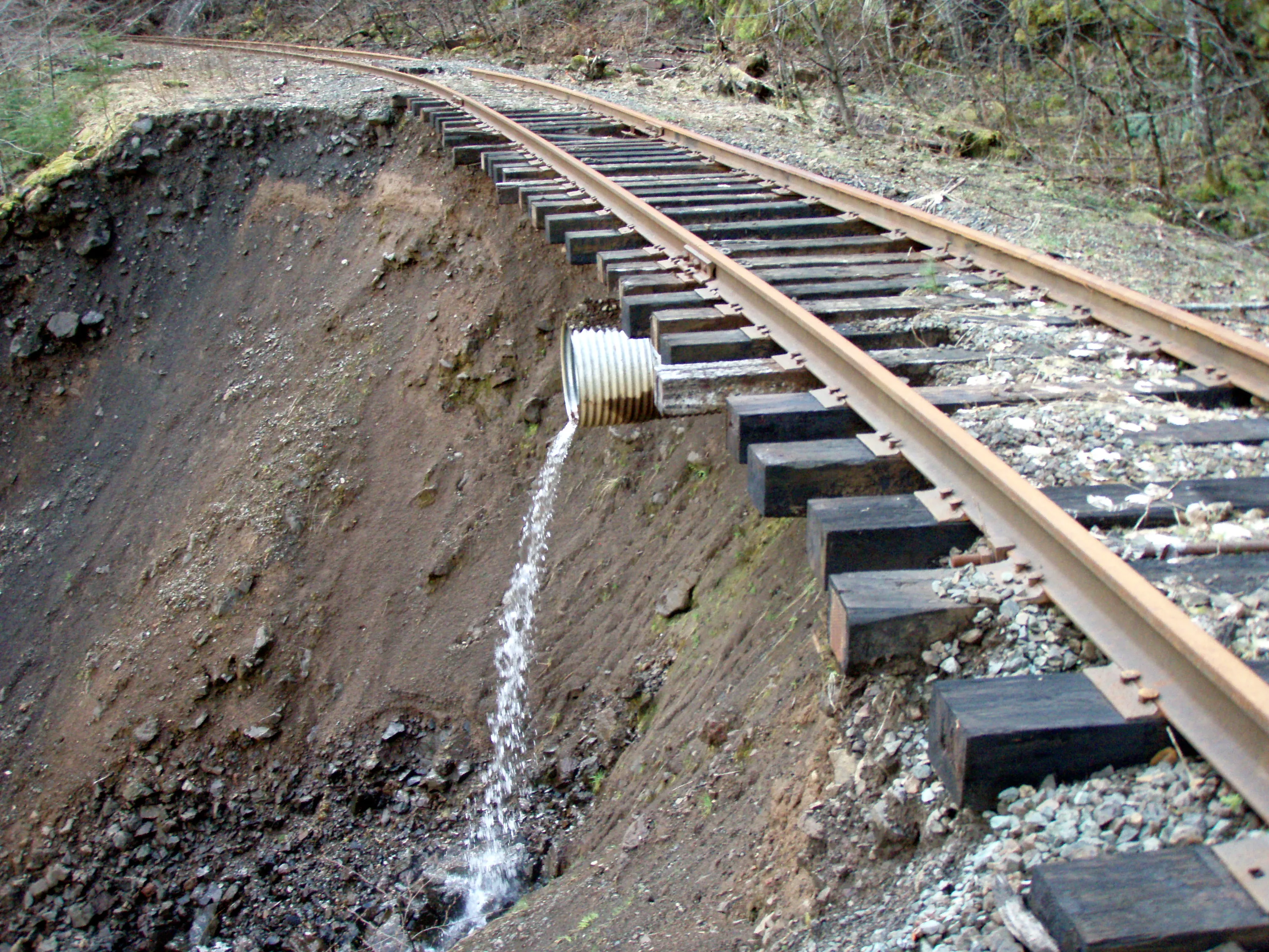
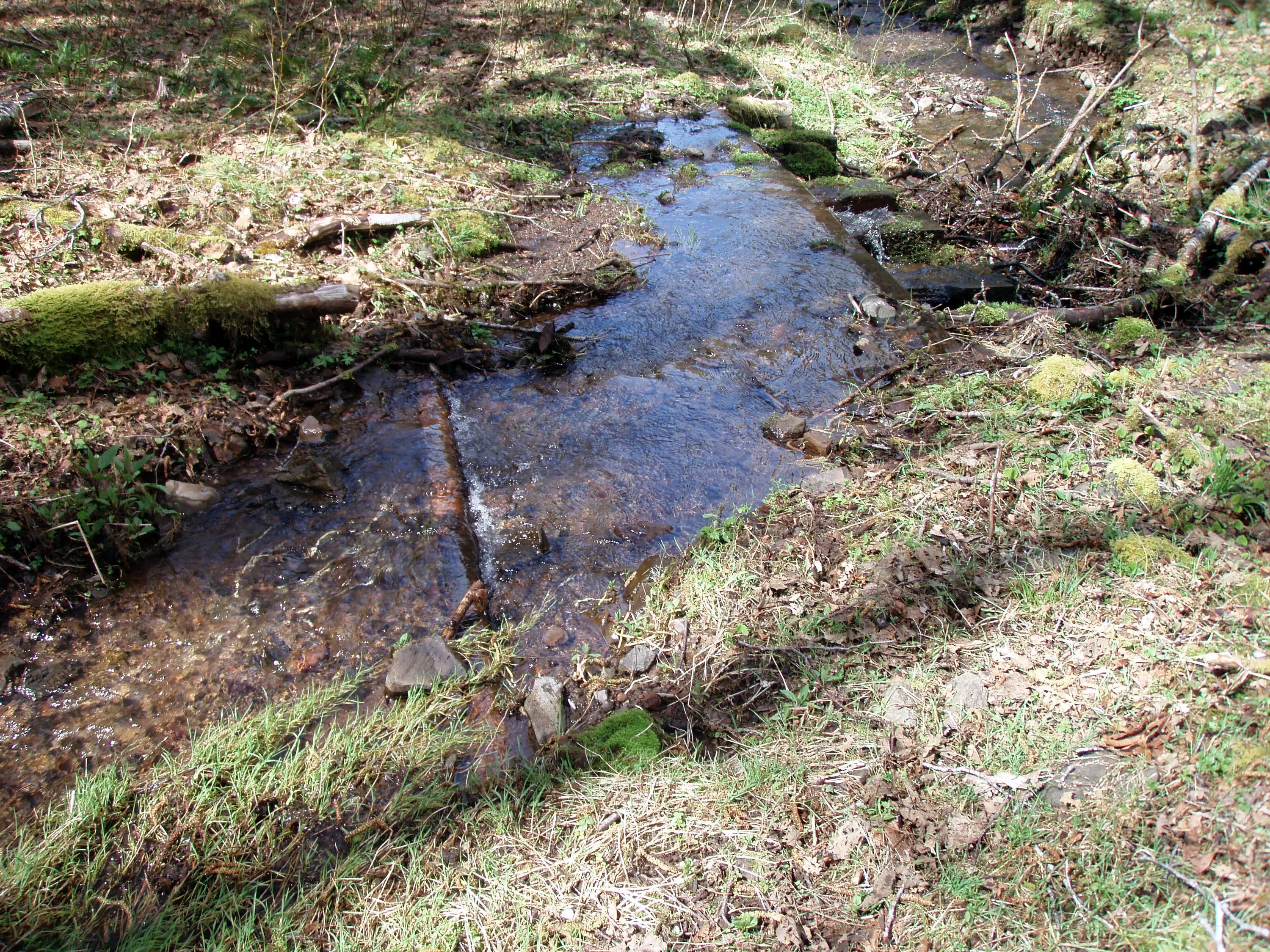
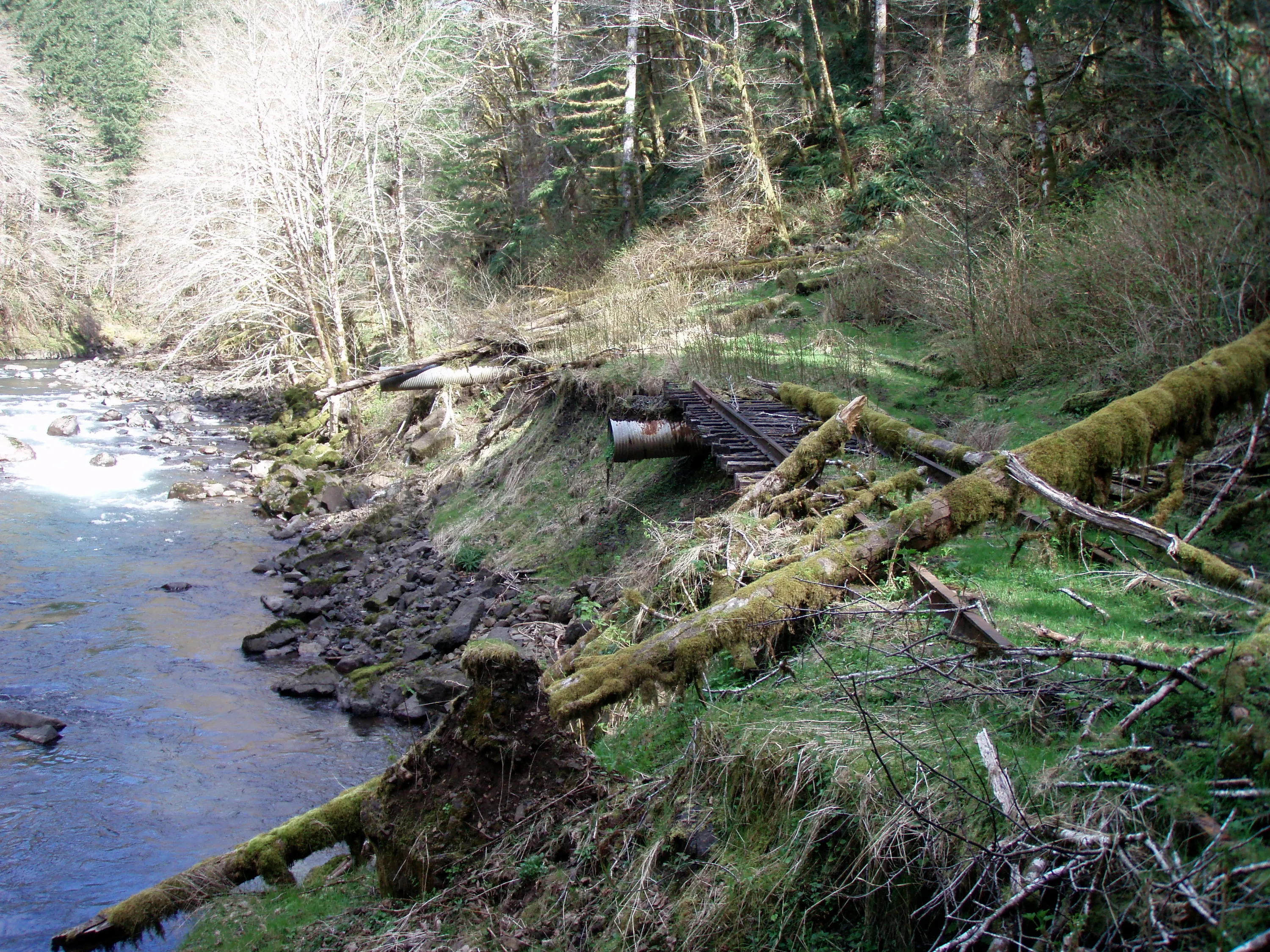
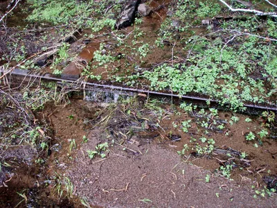 There were lots of areas like this - plugged up culverts making water run over the tracks
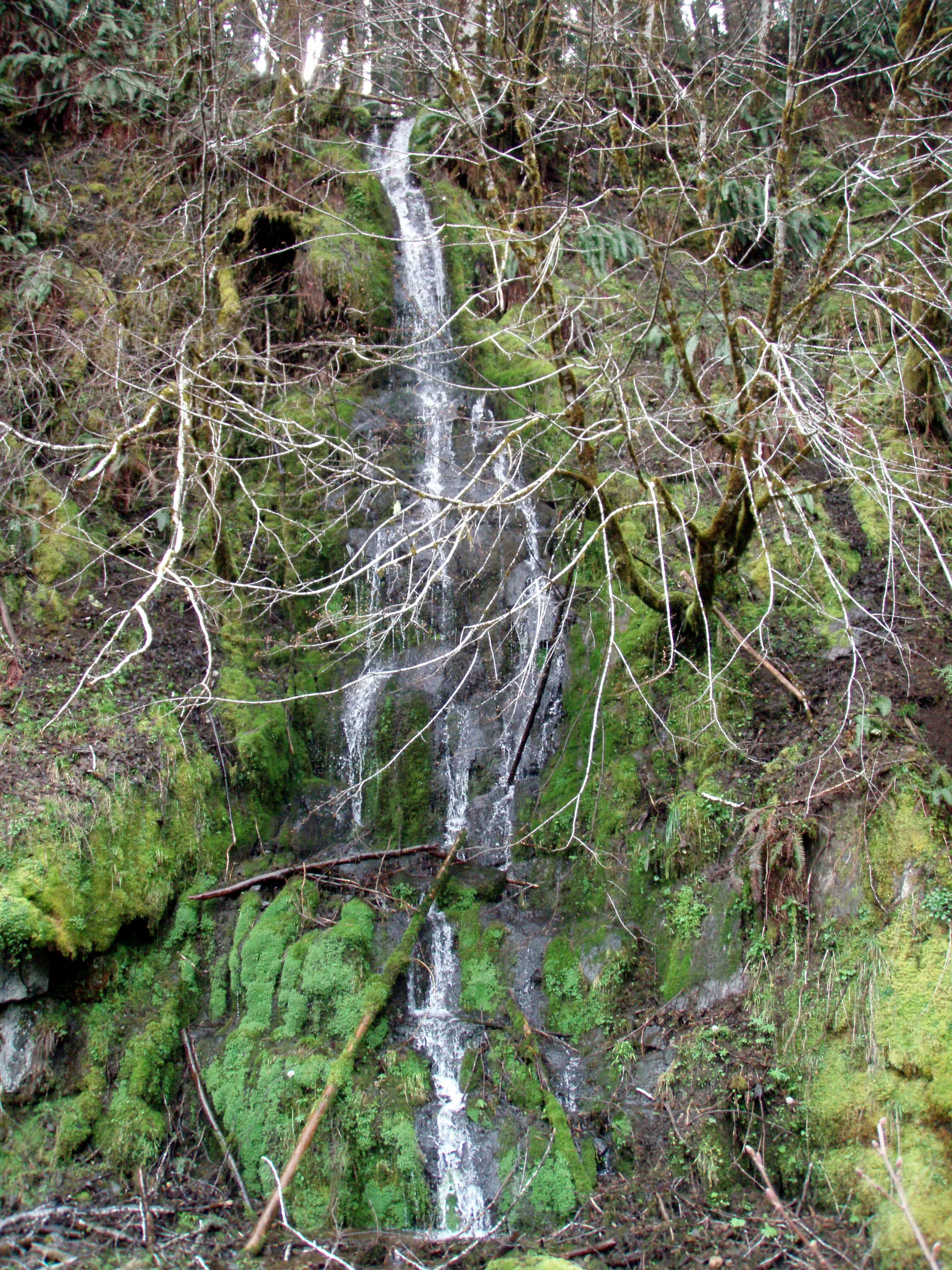
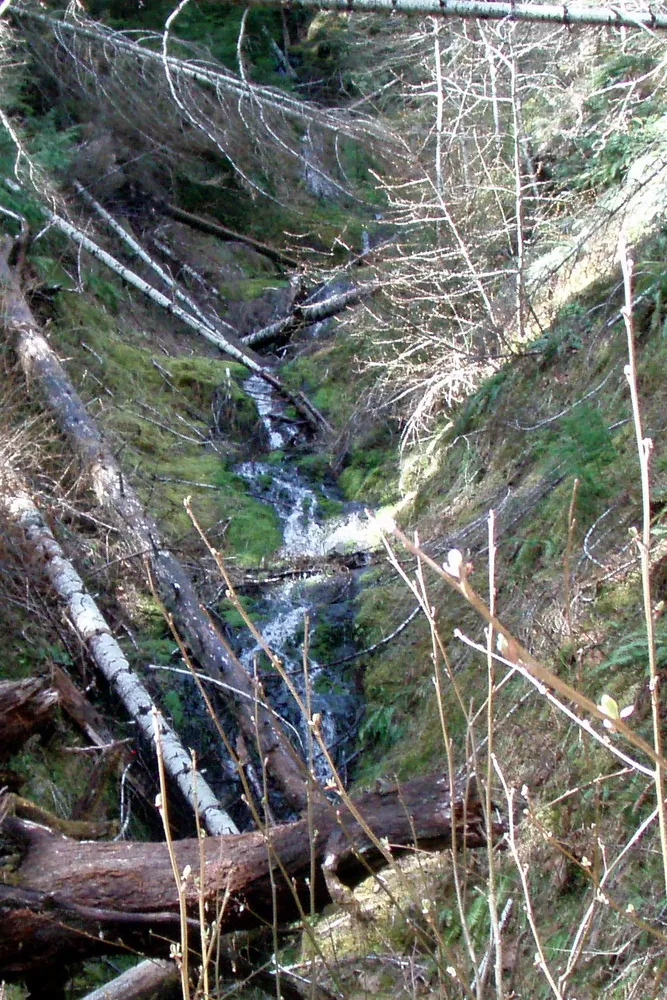
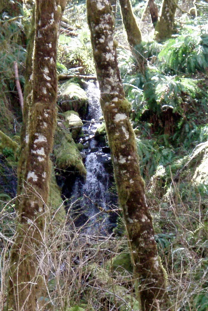
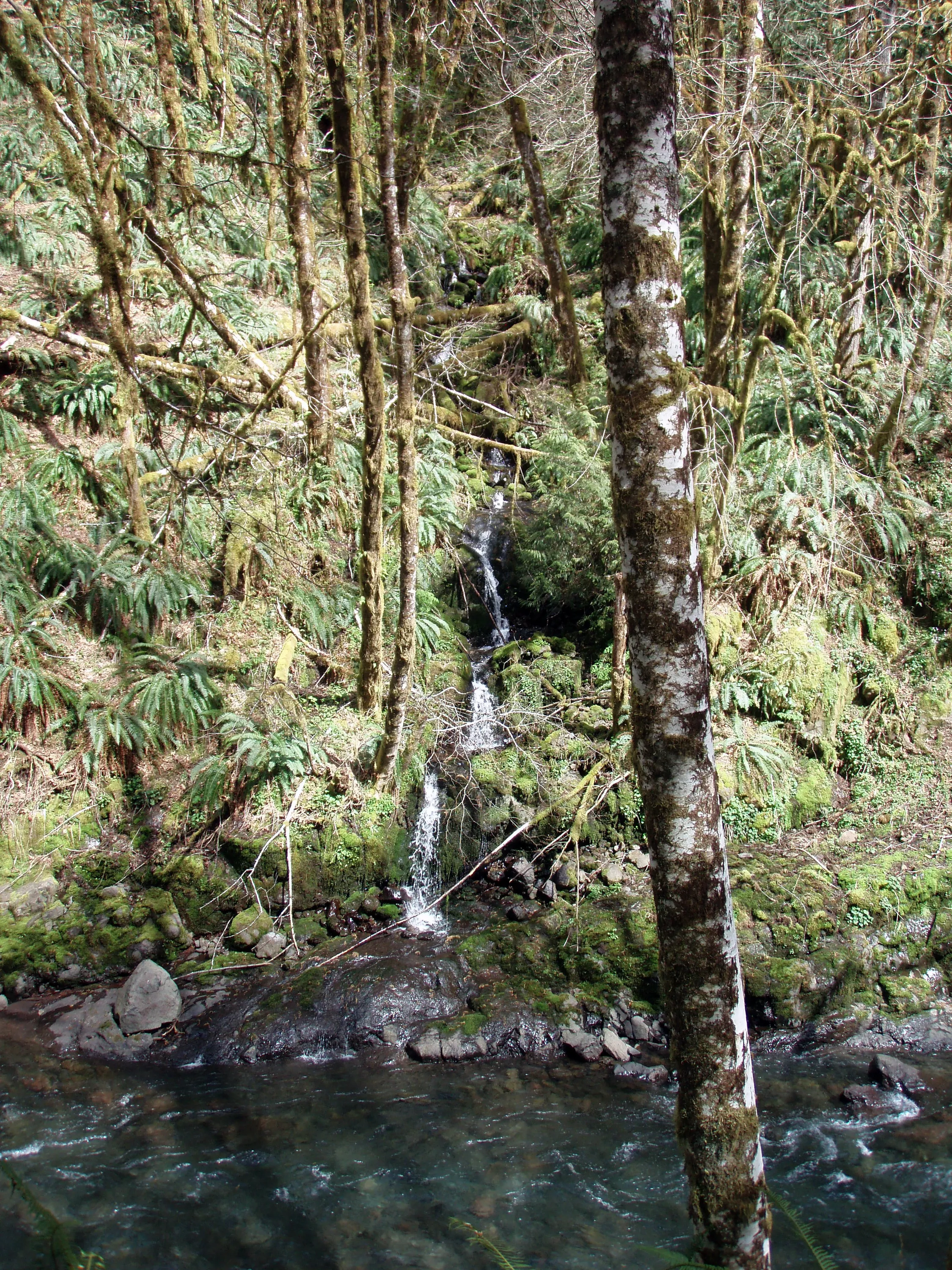
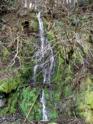 Pretty little trackside waterfall
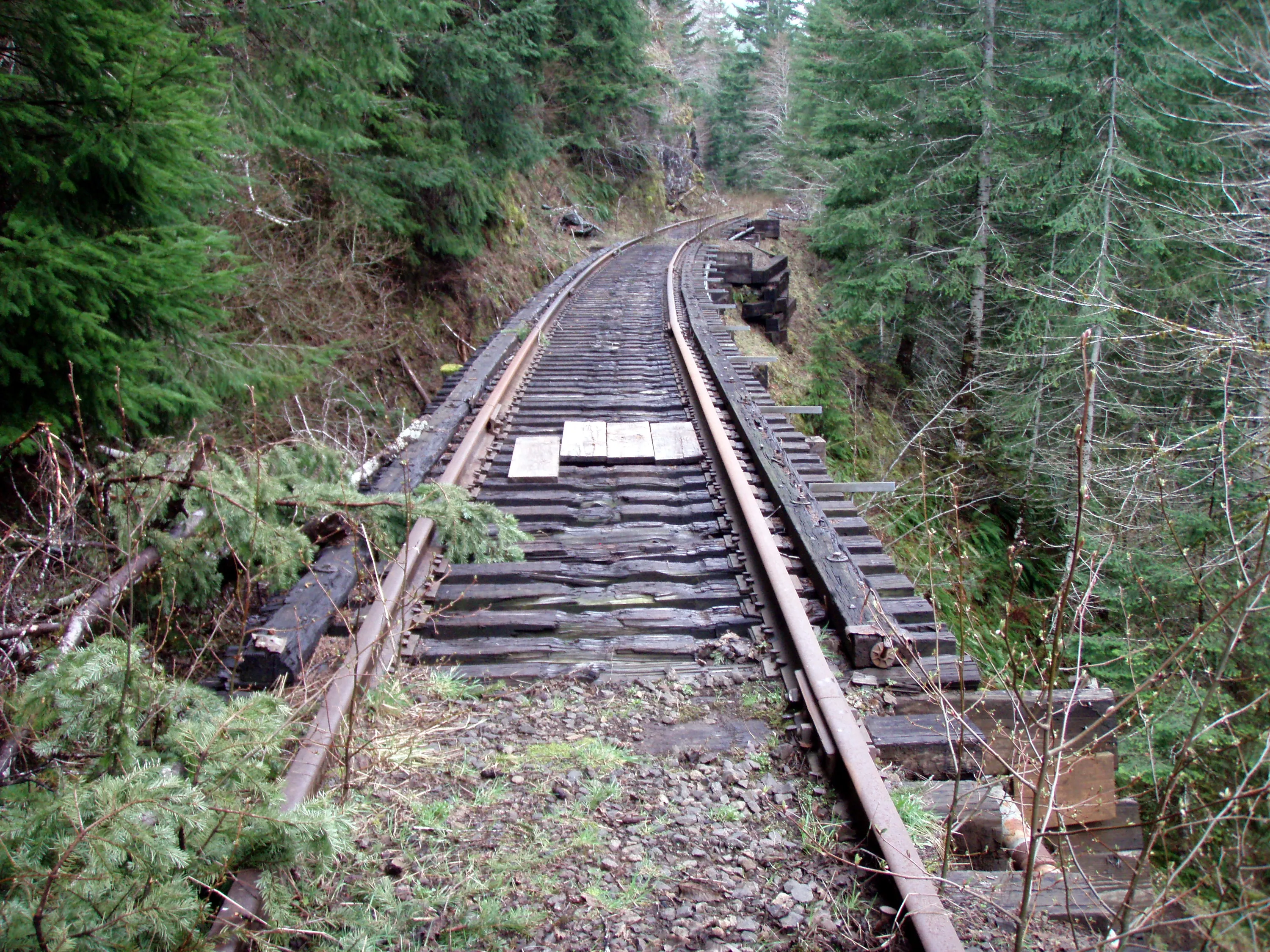
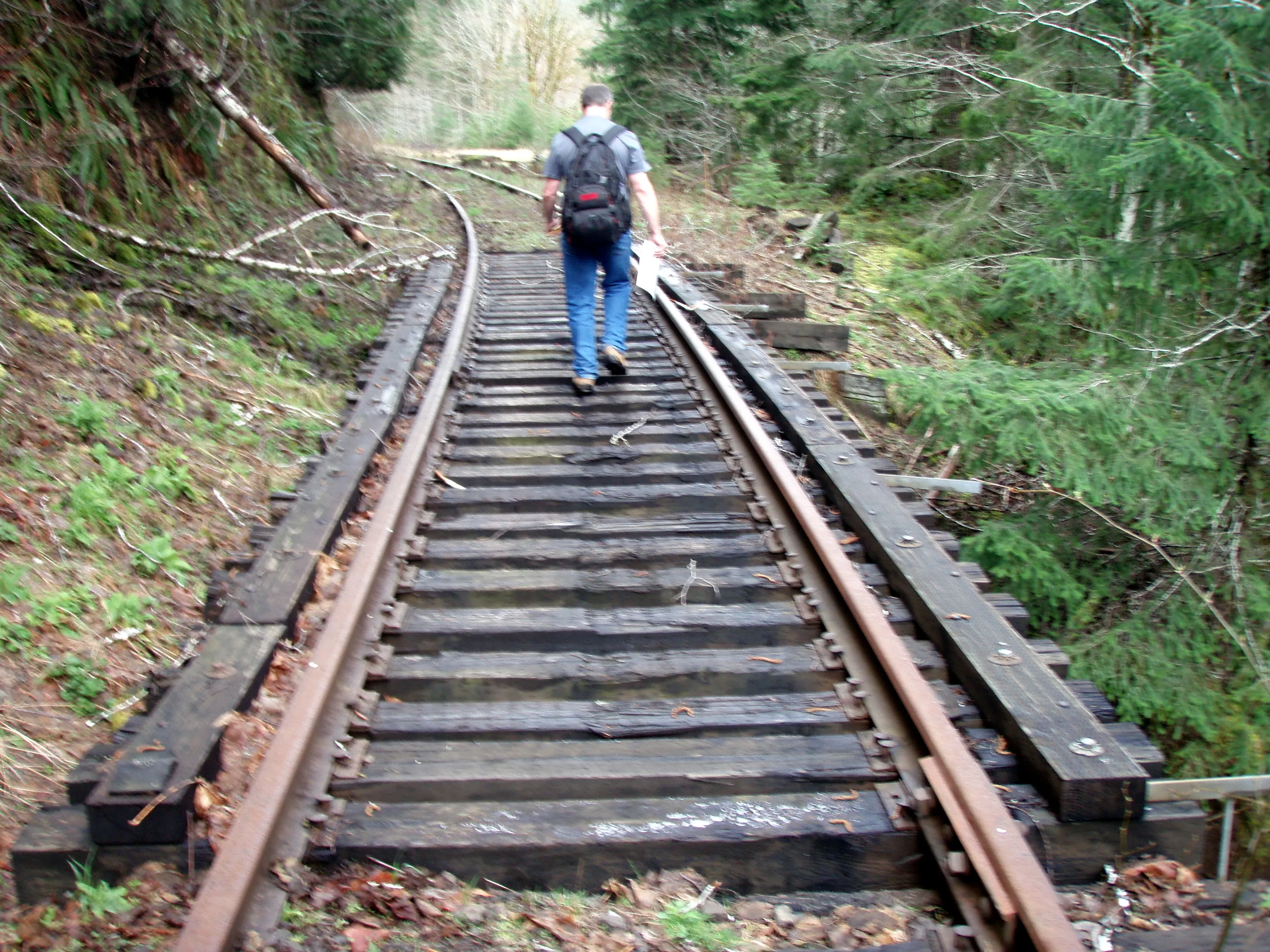
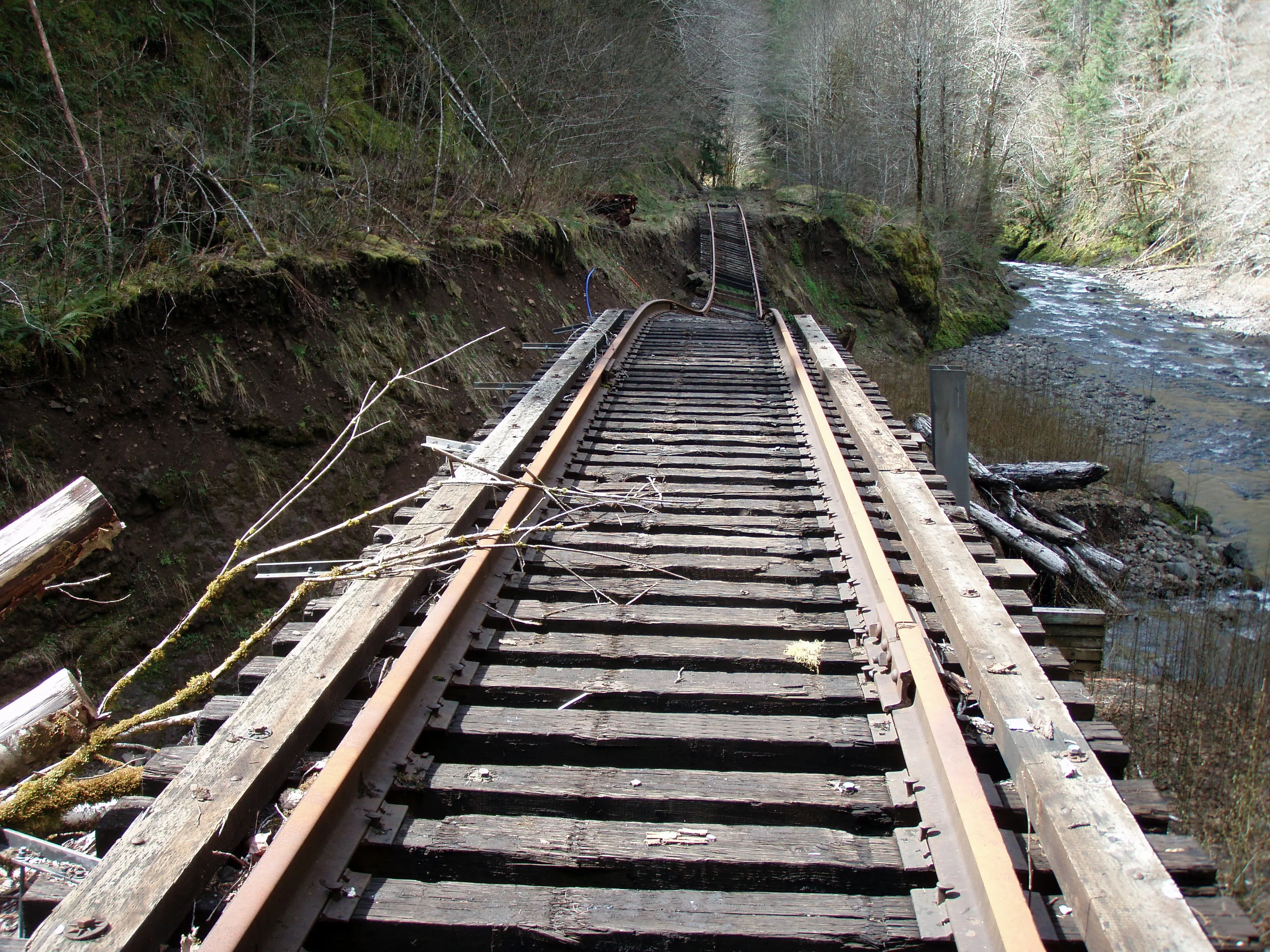
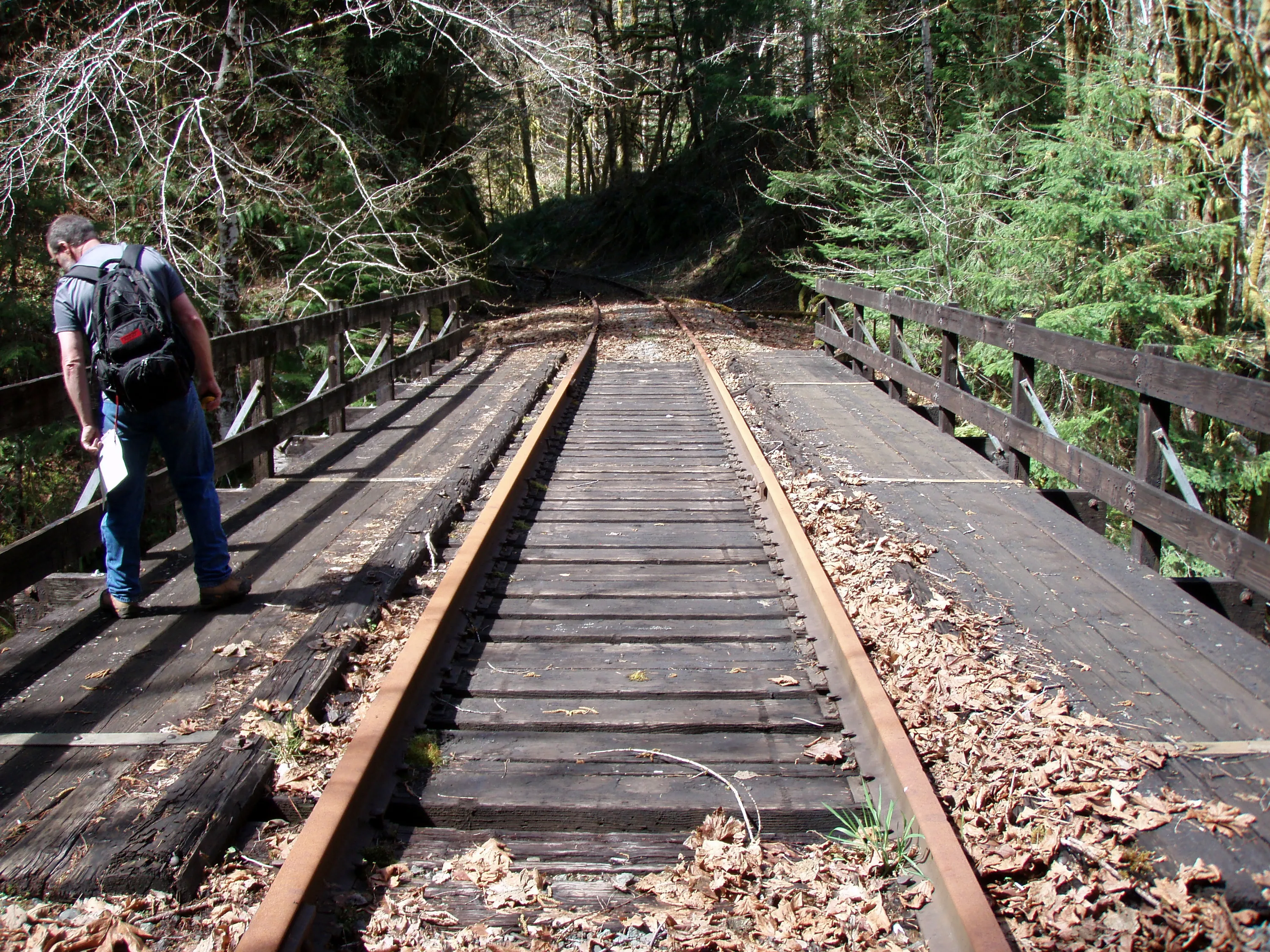
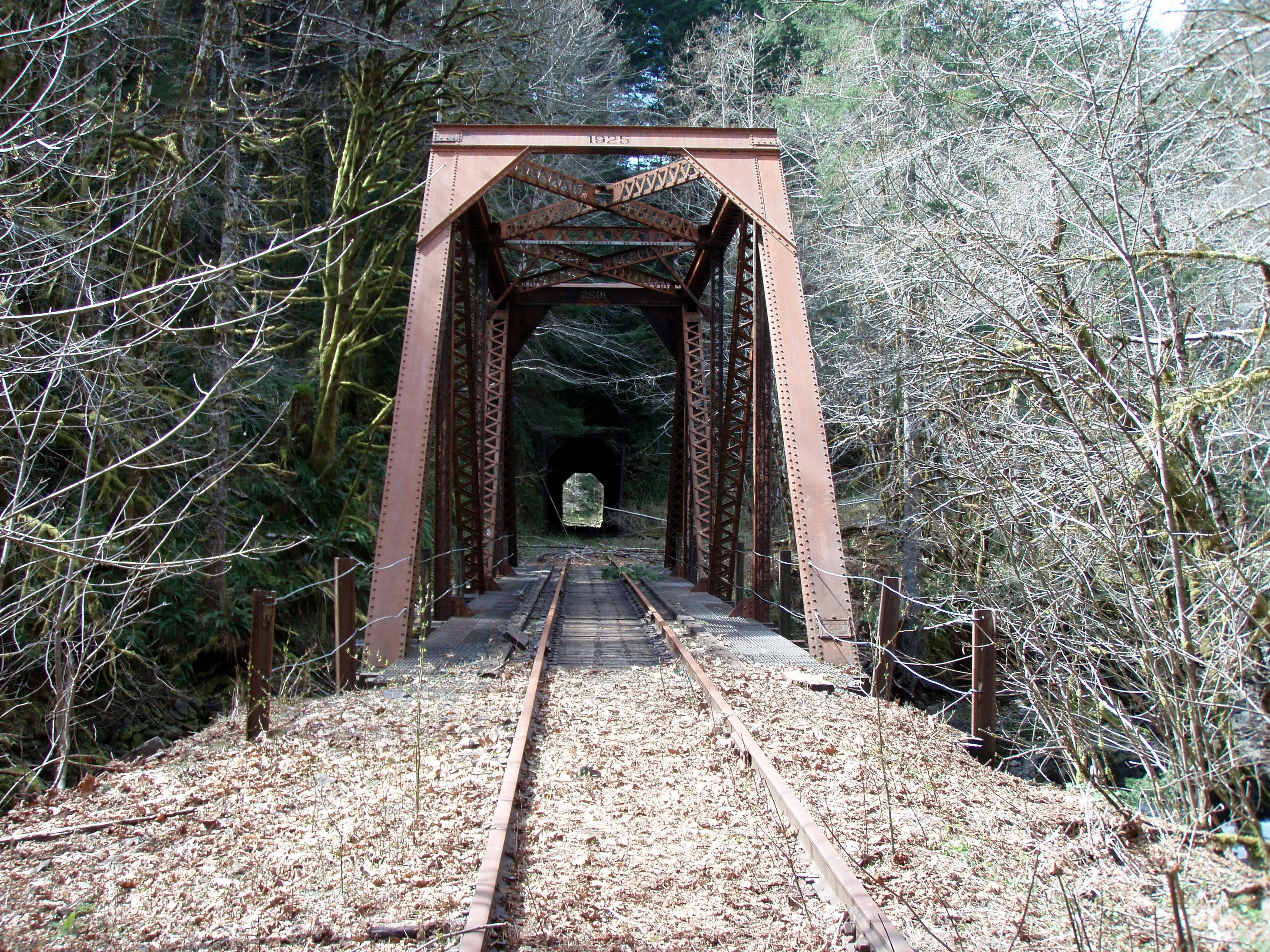
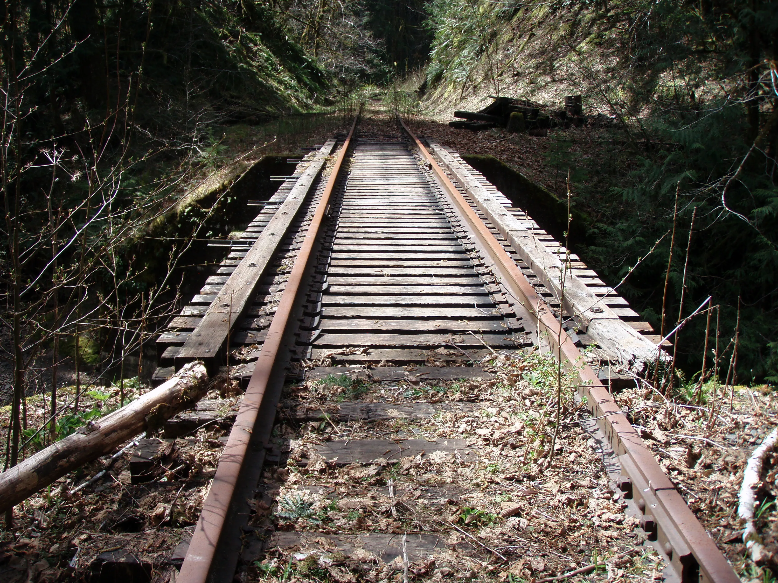
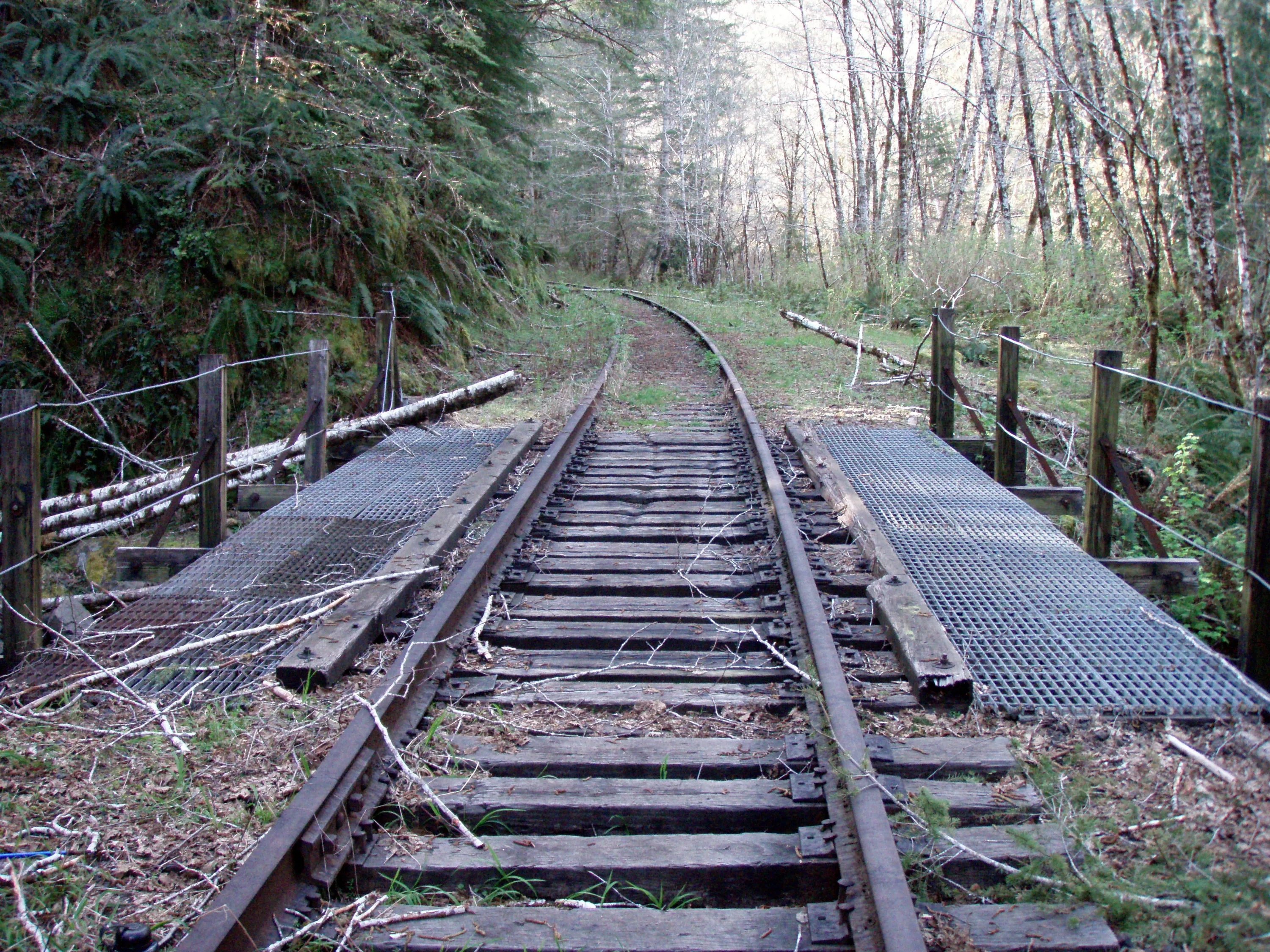
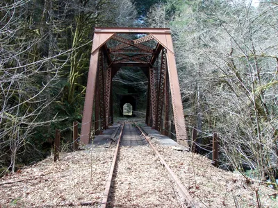
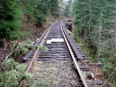 Trestle 1 - this is the one I slipped on a bit - the ties were a little slippery
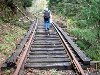 Blurry photo of trestle 2
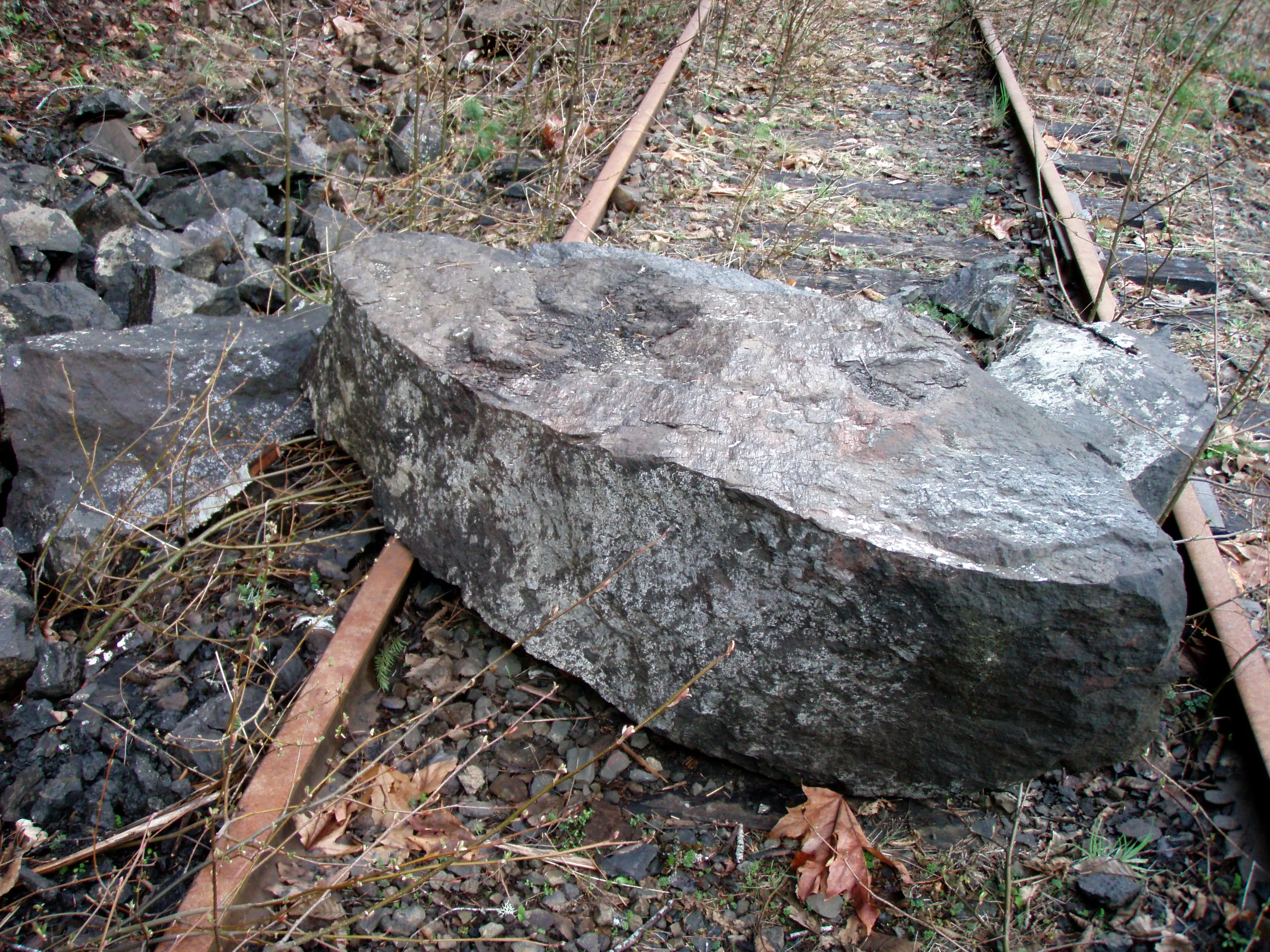
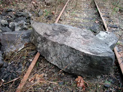 That was a BIG rock that came down very recently
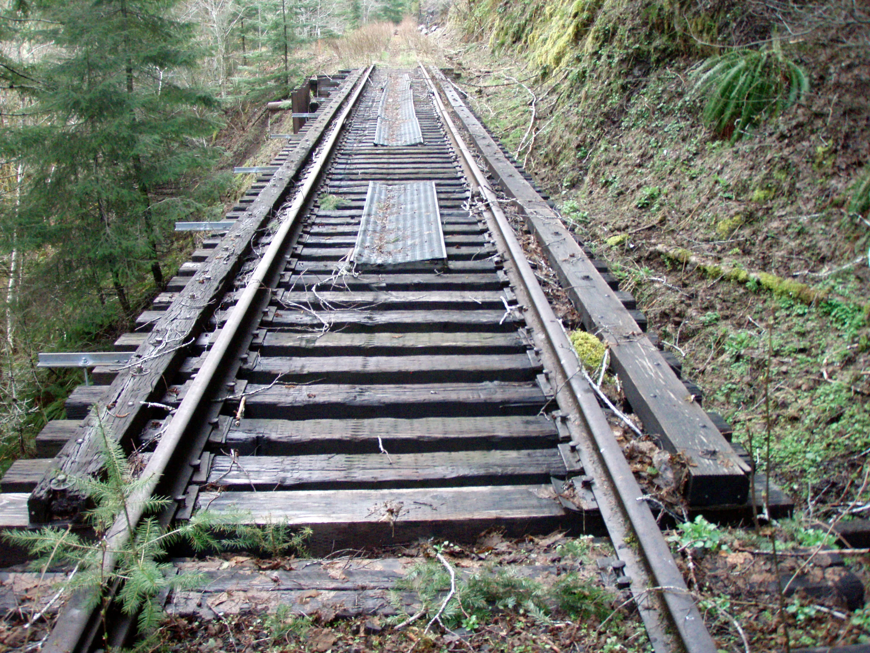
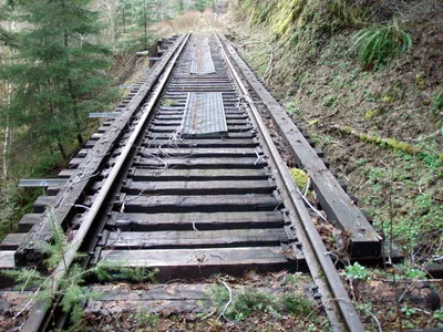 Trestle 3
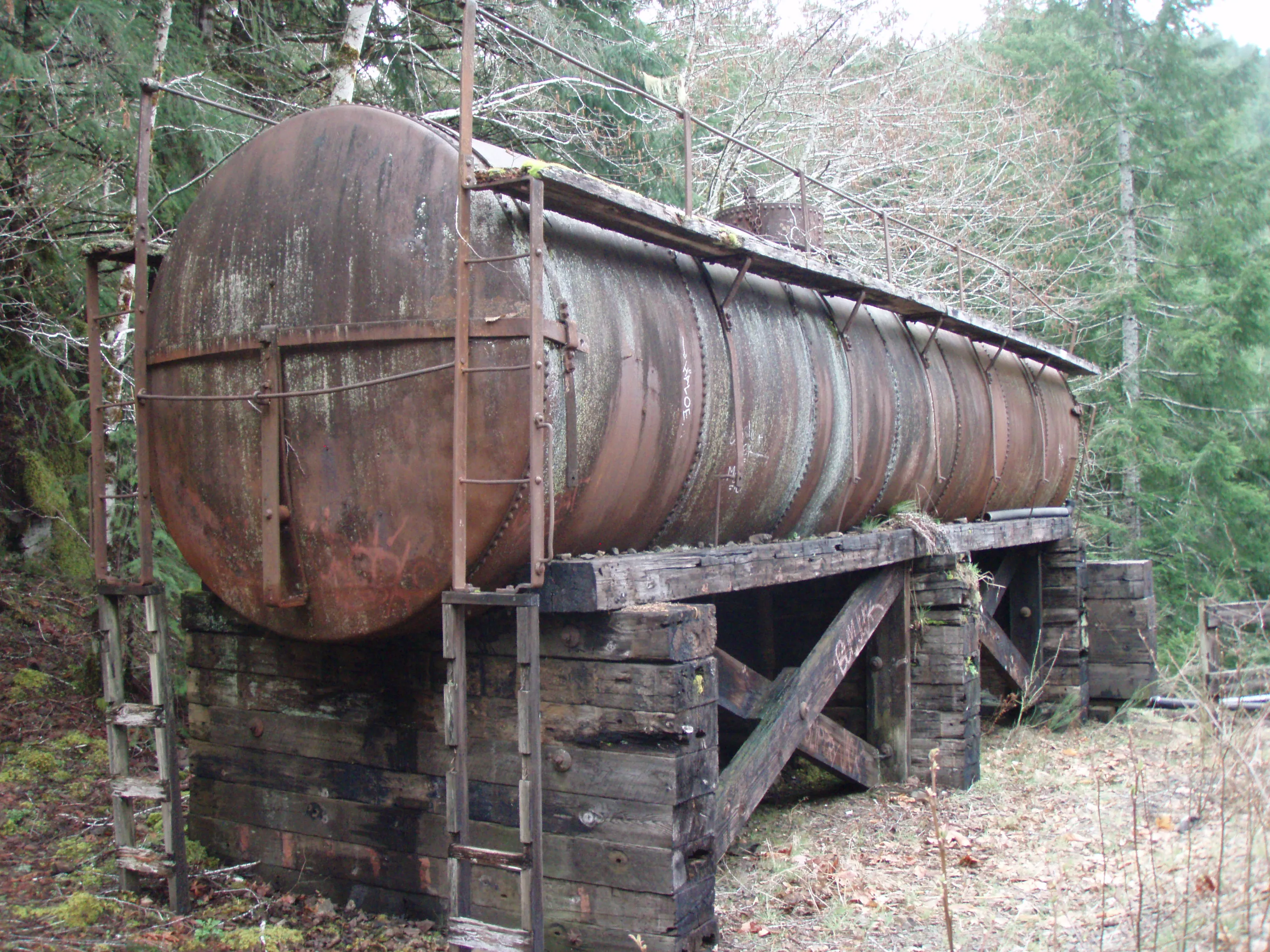
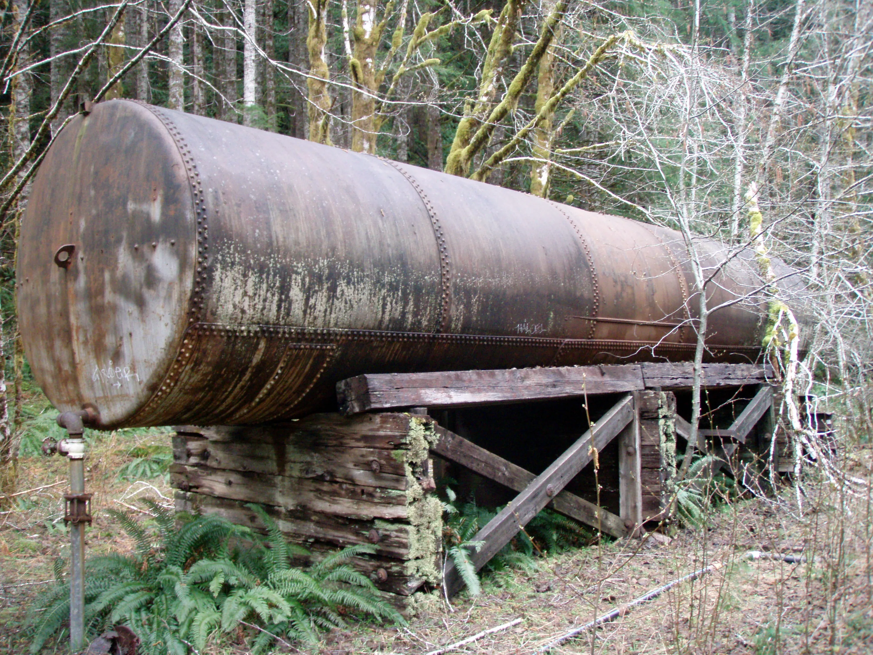
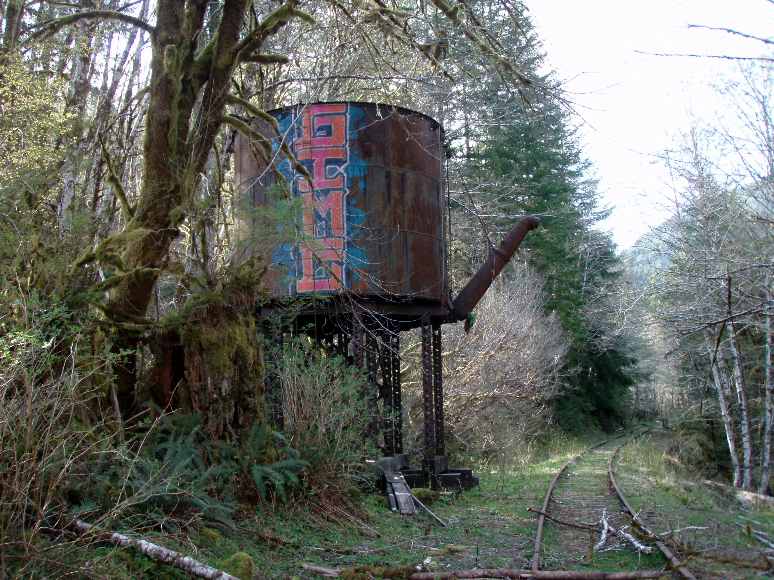
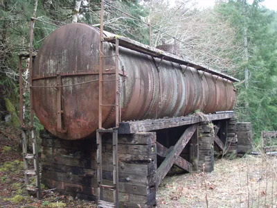 Old Water tank on east end of the Baldwin Creek Trestle - I think this was used for fire suppression on the trestle.
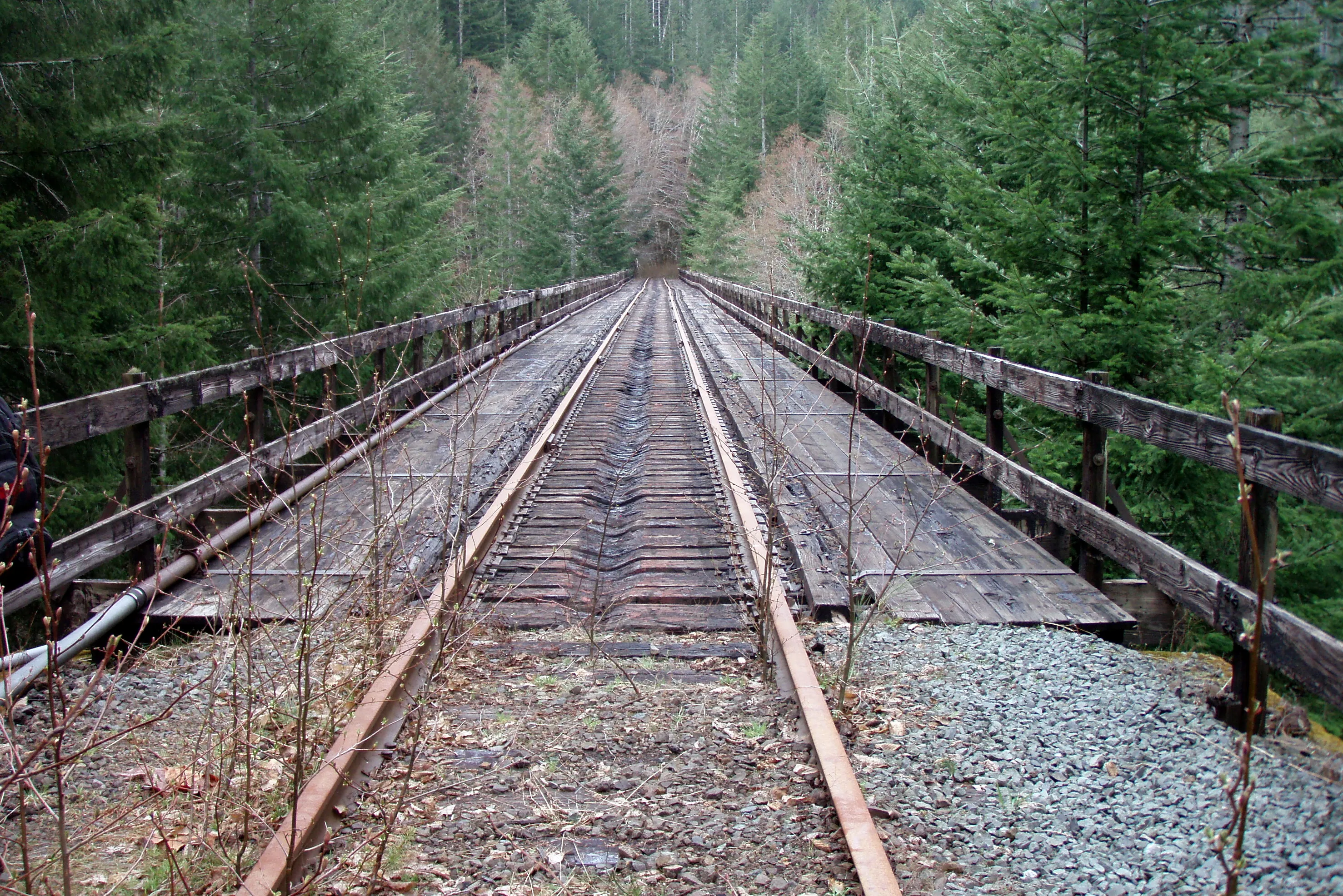
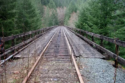 The Baldwin Creek Trestle - this is over 100' up from the creek!
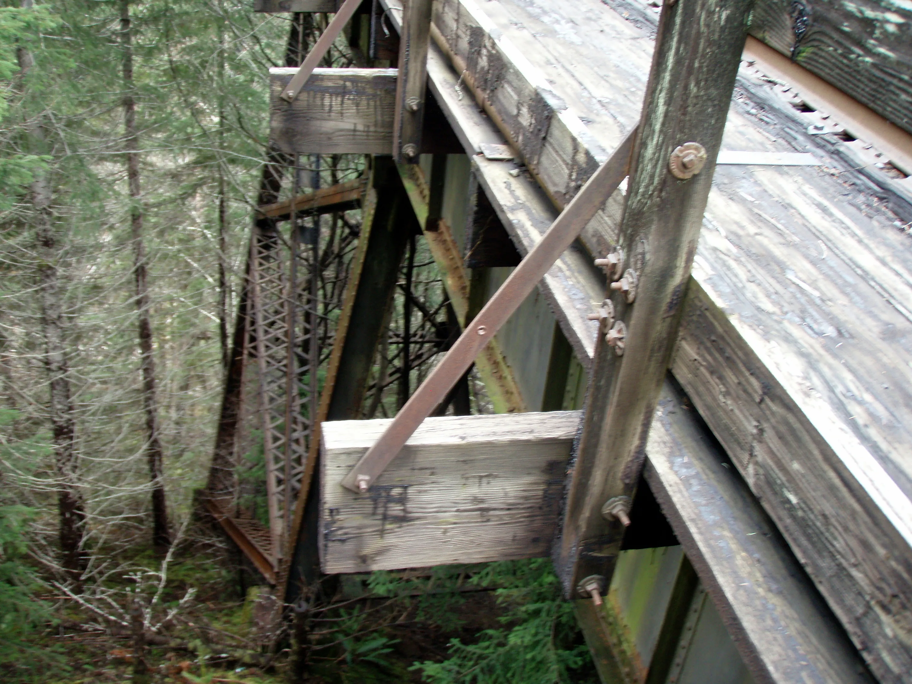
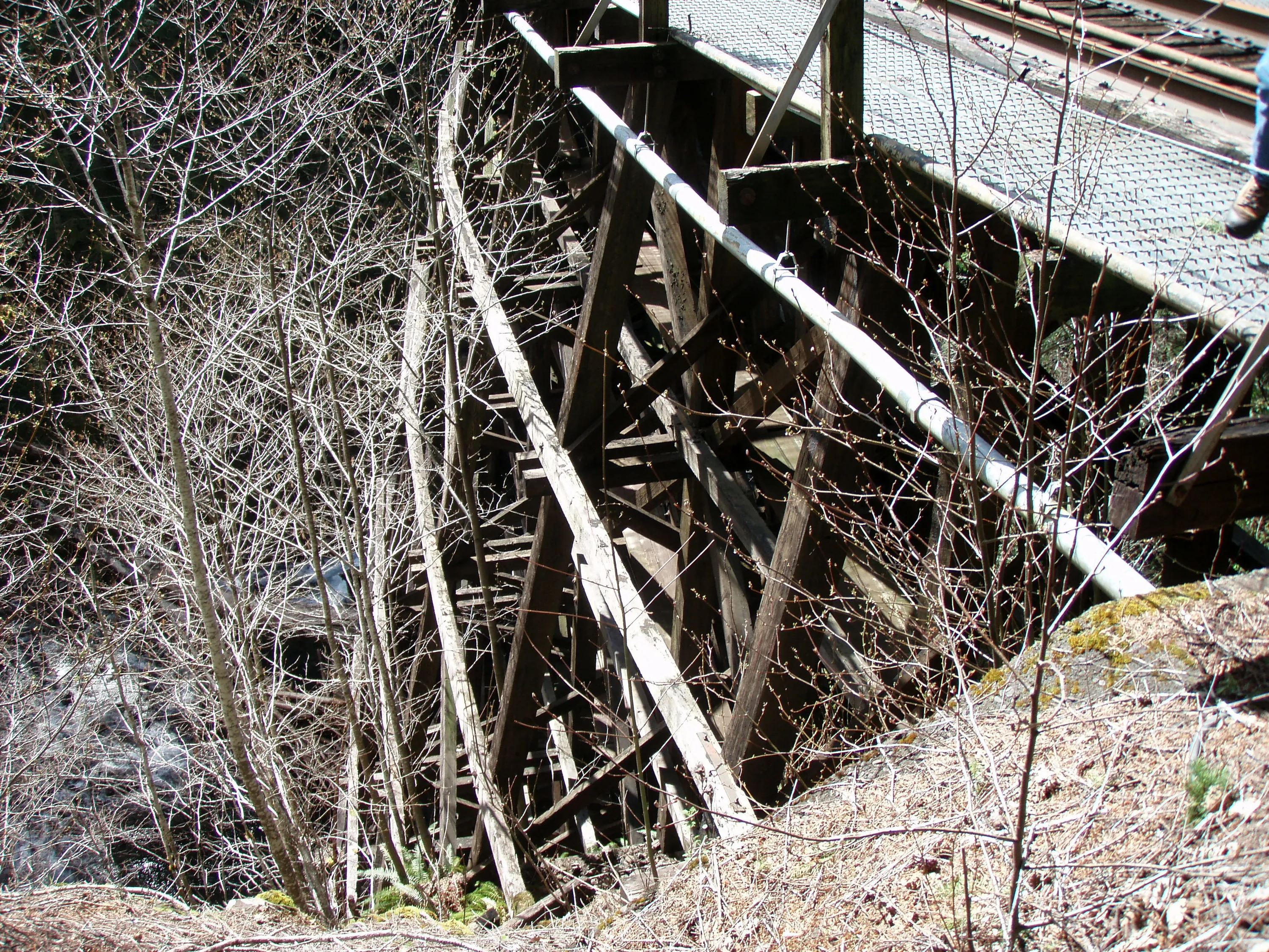
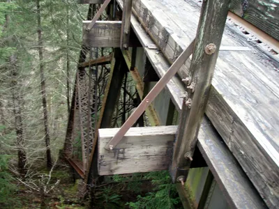 Looking down at the support for the Baldwin Trestle - all iron
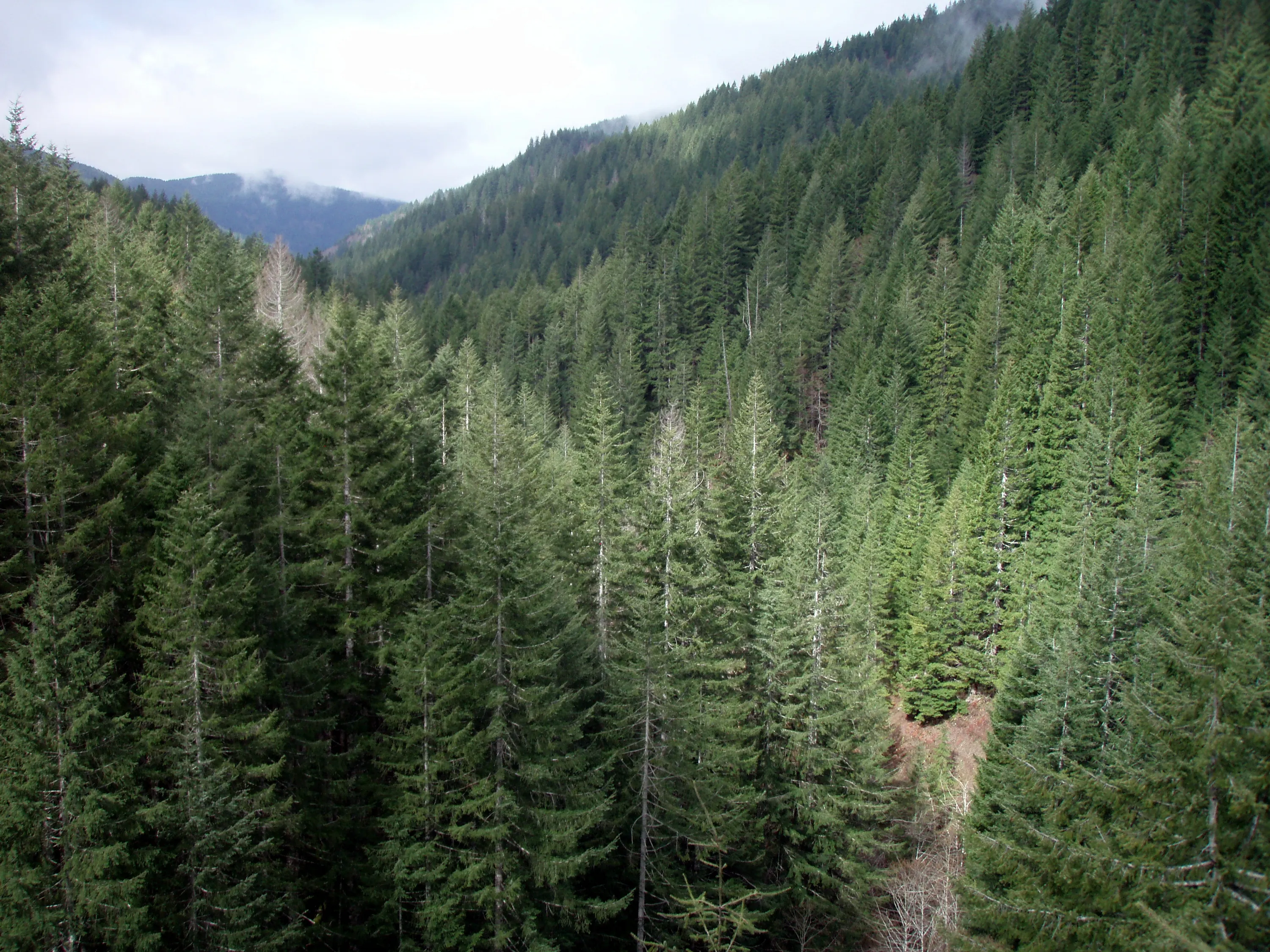
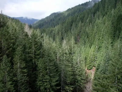 The view from the middle of the trestle - view South up the Baldwin Creek drainage.
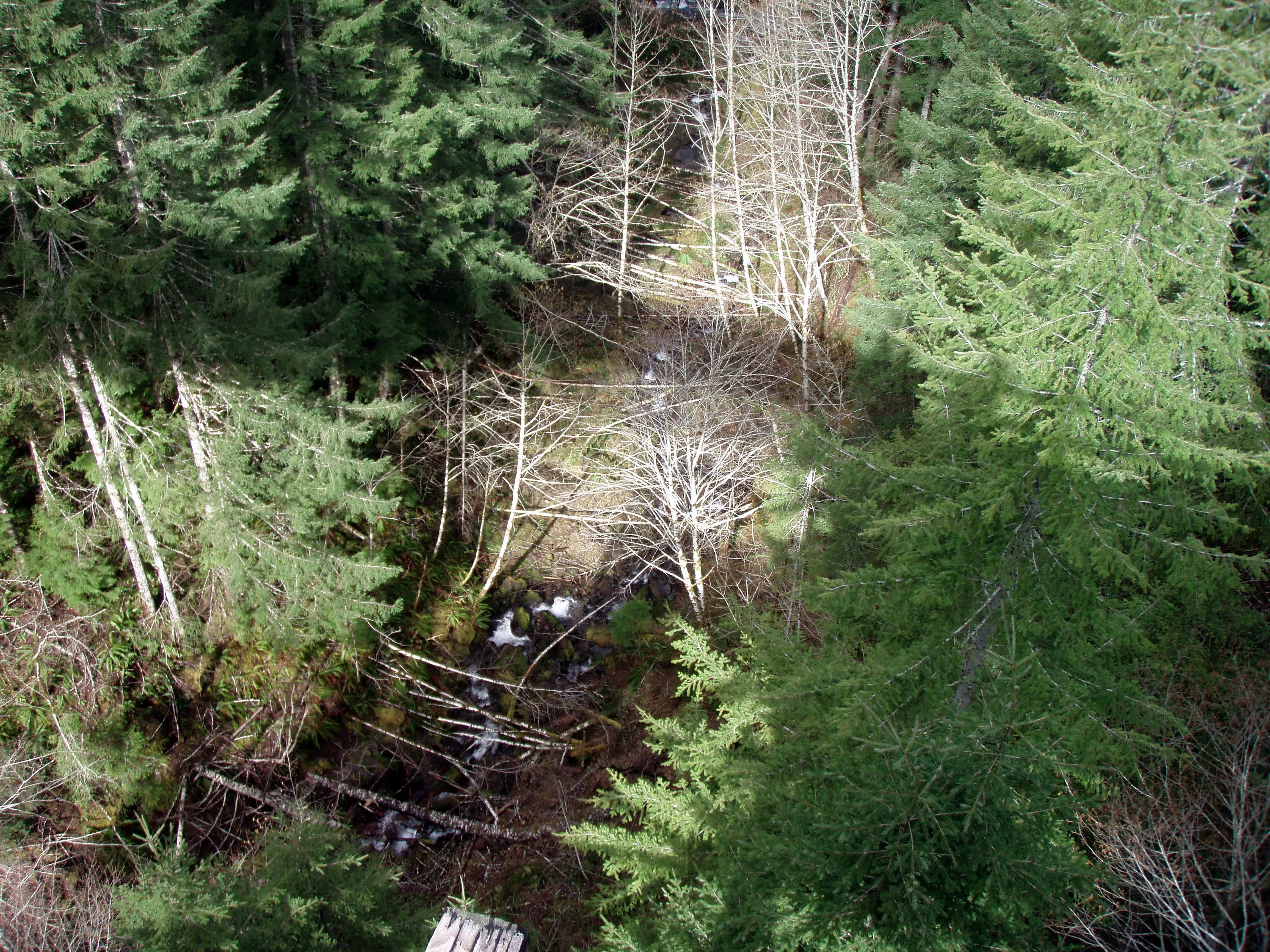
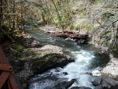
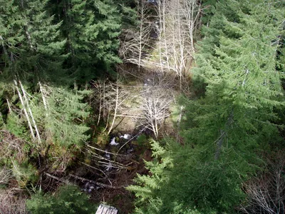 Looking down from Baldwin Creek Trestle at Baldwin creek.
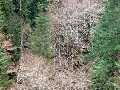 Waterfall on Baldwin Creek?
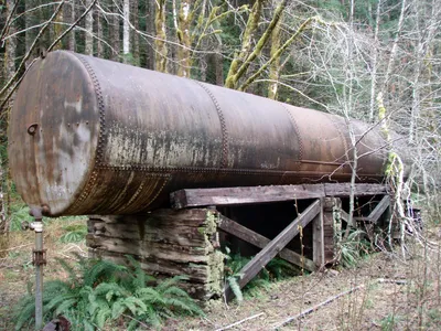 Water tank on West end of Baldwin Creek trestle
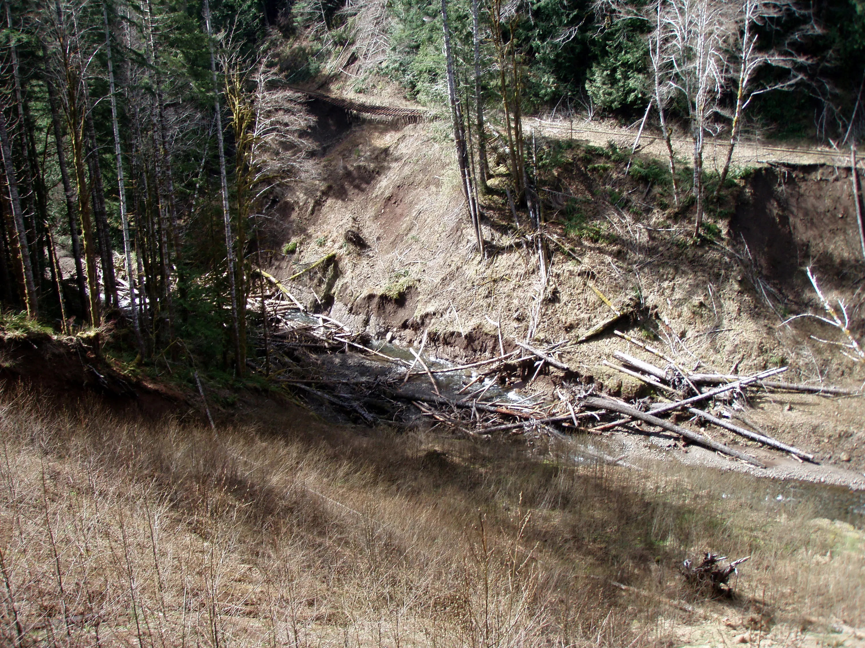
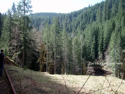 Looking at the washout on the west side of Wolf Creek
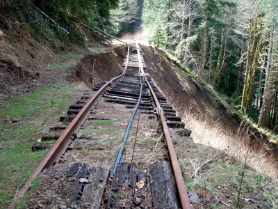 Washout on east side of Wolf Creek
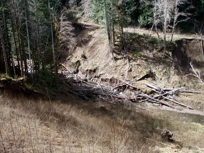 This is the slide under that washout - see the washouts on the west side of the creek
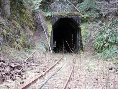 Tunnel at the south end of Wolf Creek
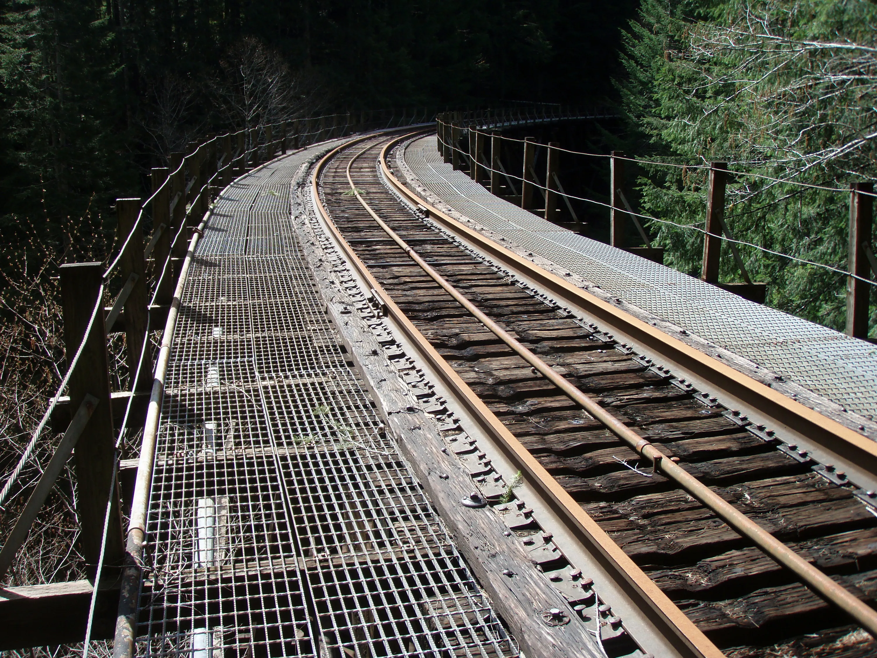
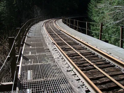 Wolf Creek Tresle
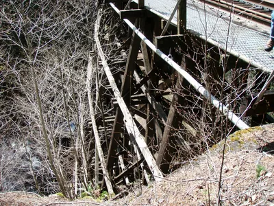 Photo of structure of Wolf Creek Trestle - this one is all wood!
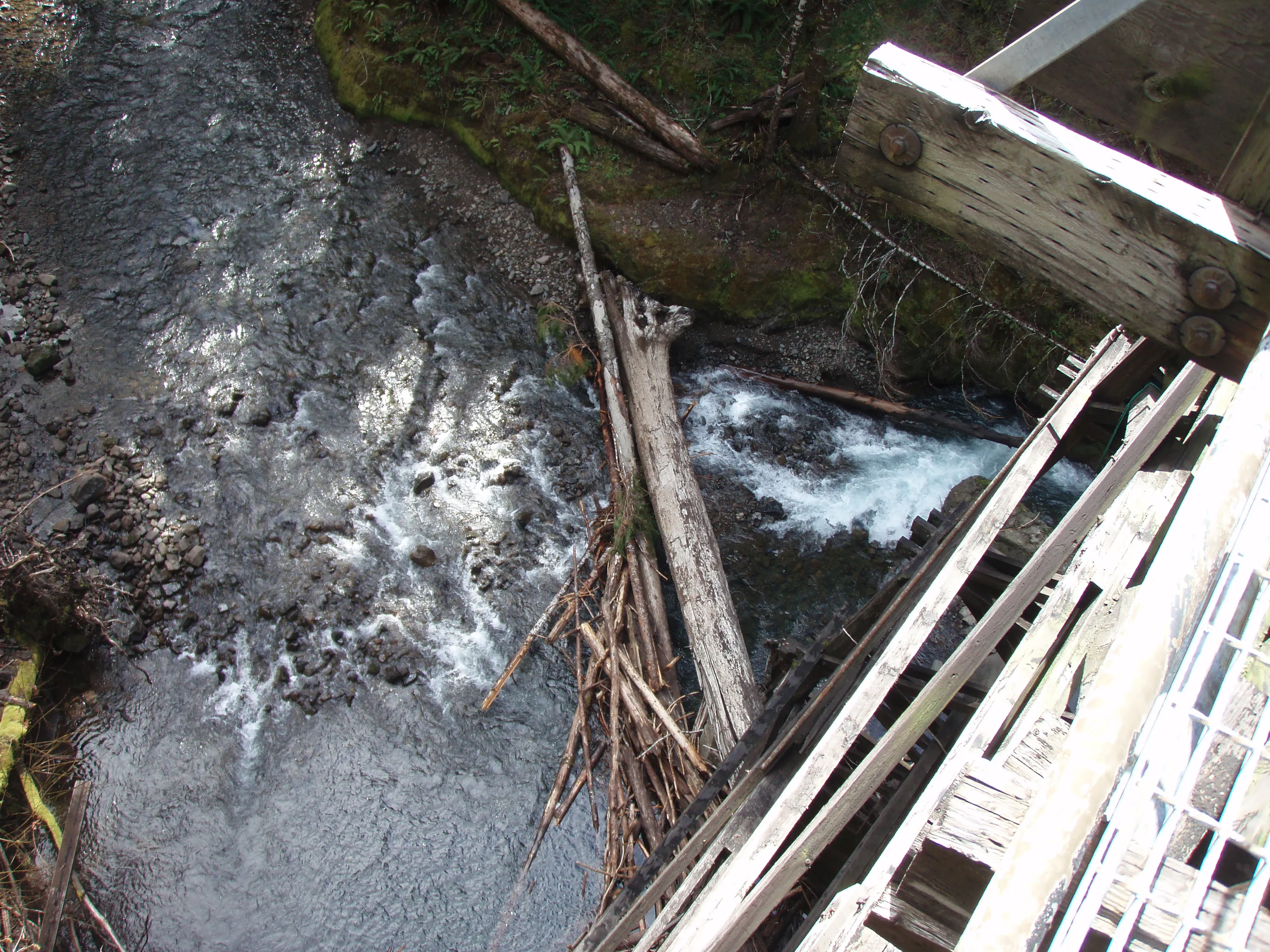
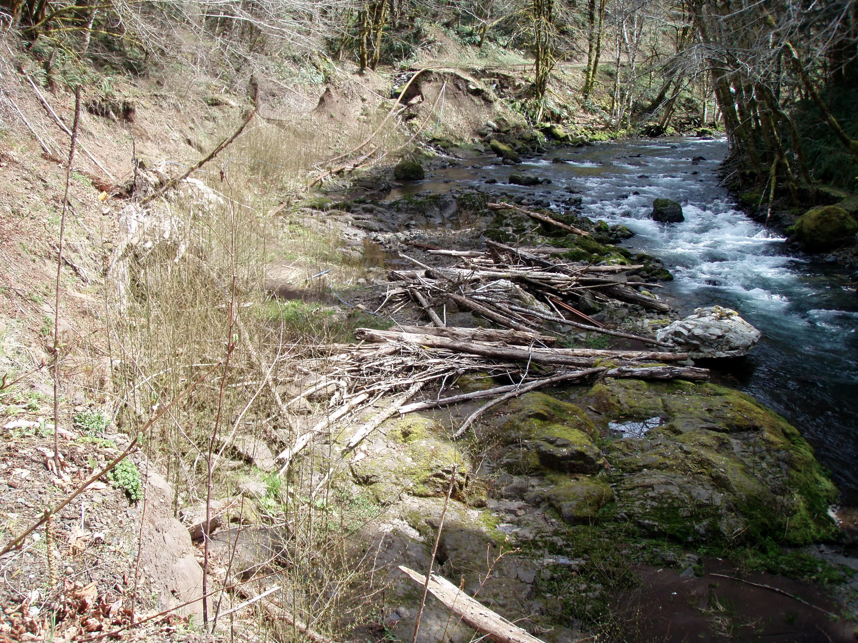
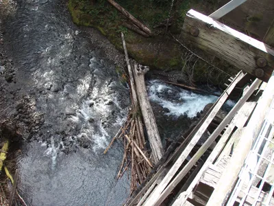 Looking down at an old logjam from the Wolf Creek trestle
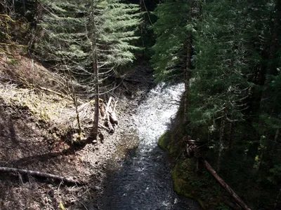 Wolf Creek
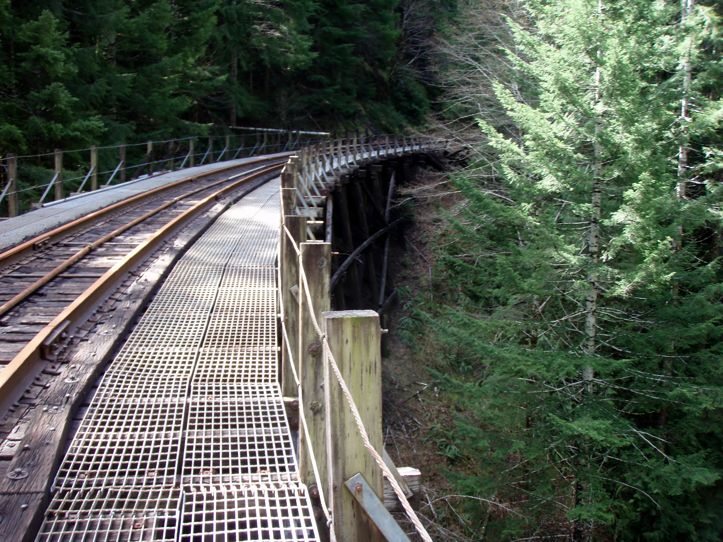
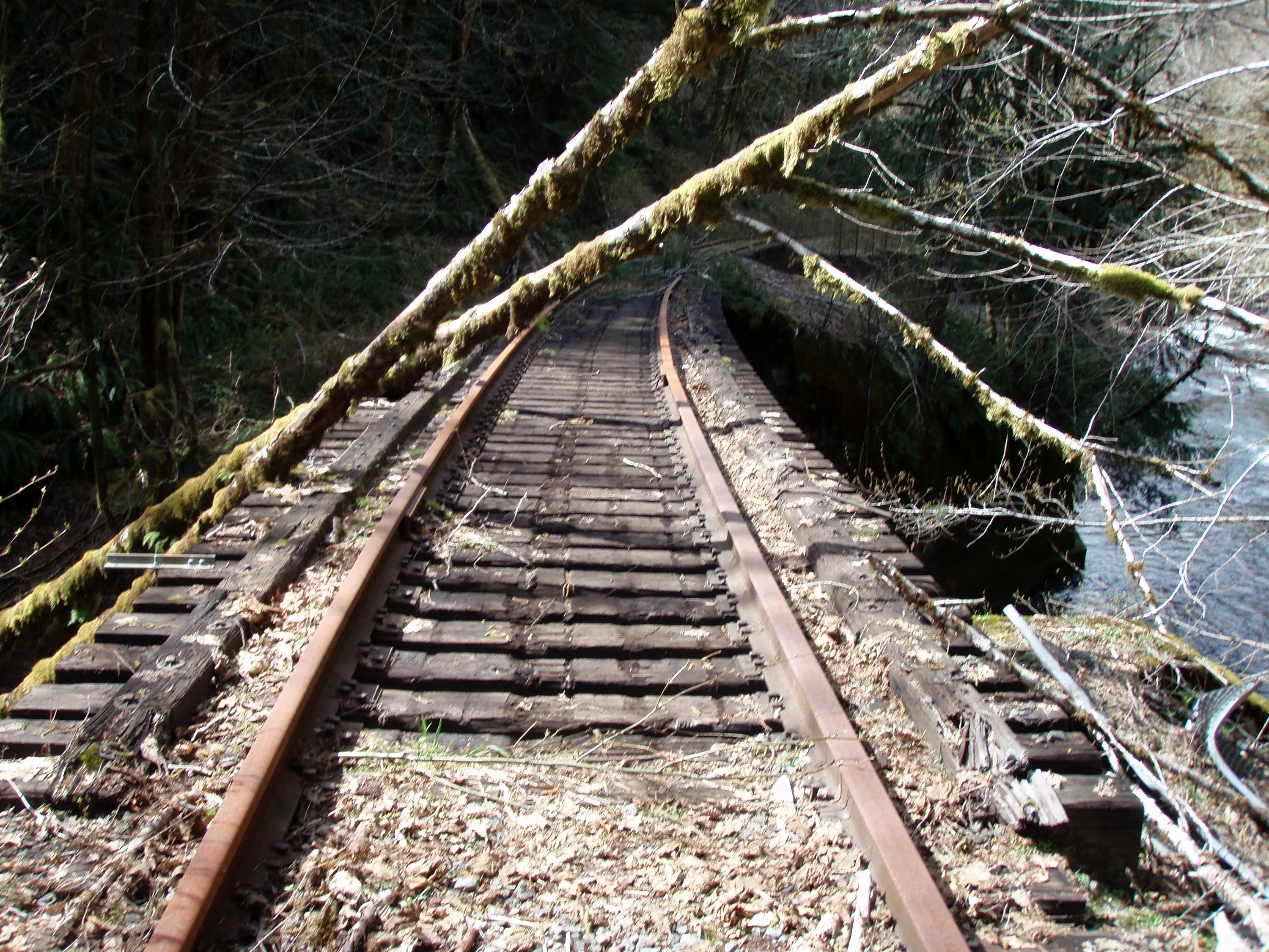
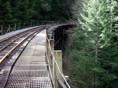 Wolf Creek trestle is curved
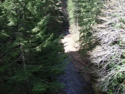 Wolf Creek
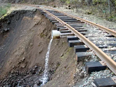 Washout on west side of Wolf Creek
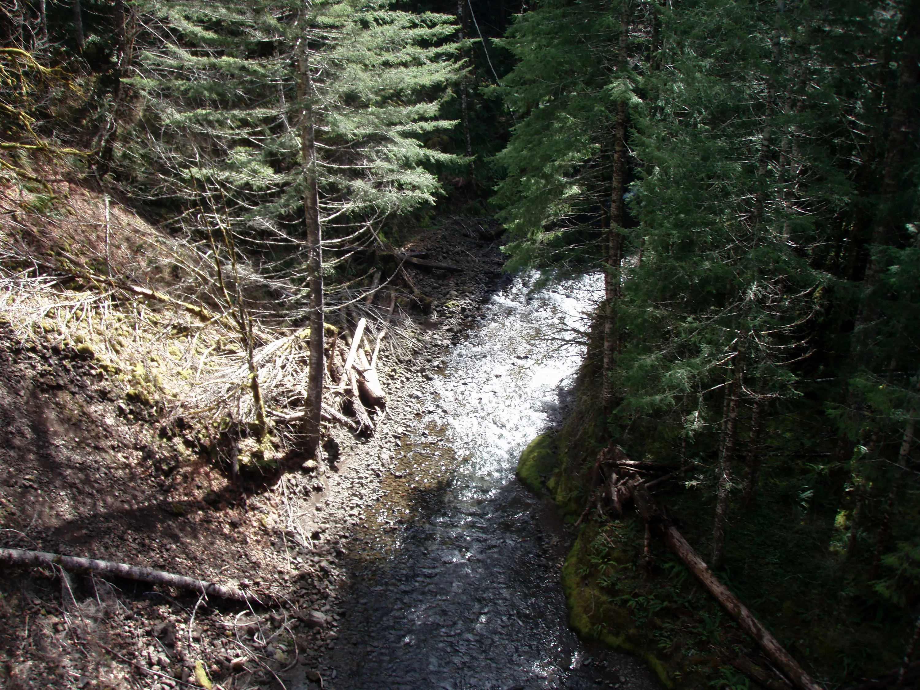
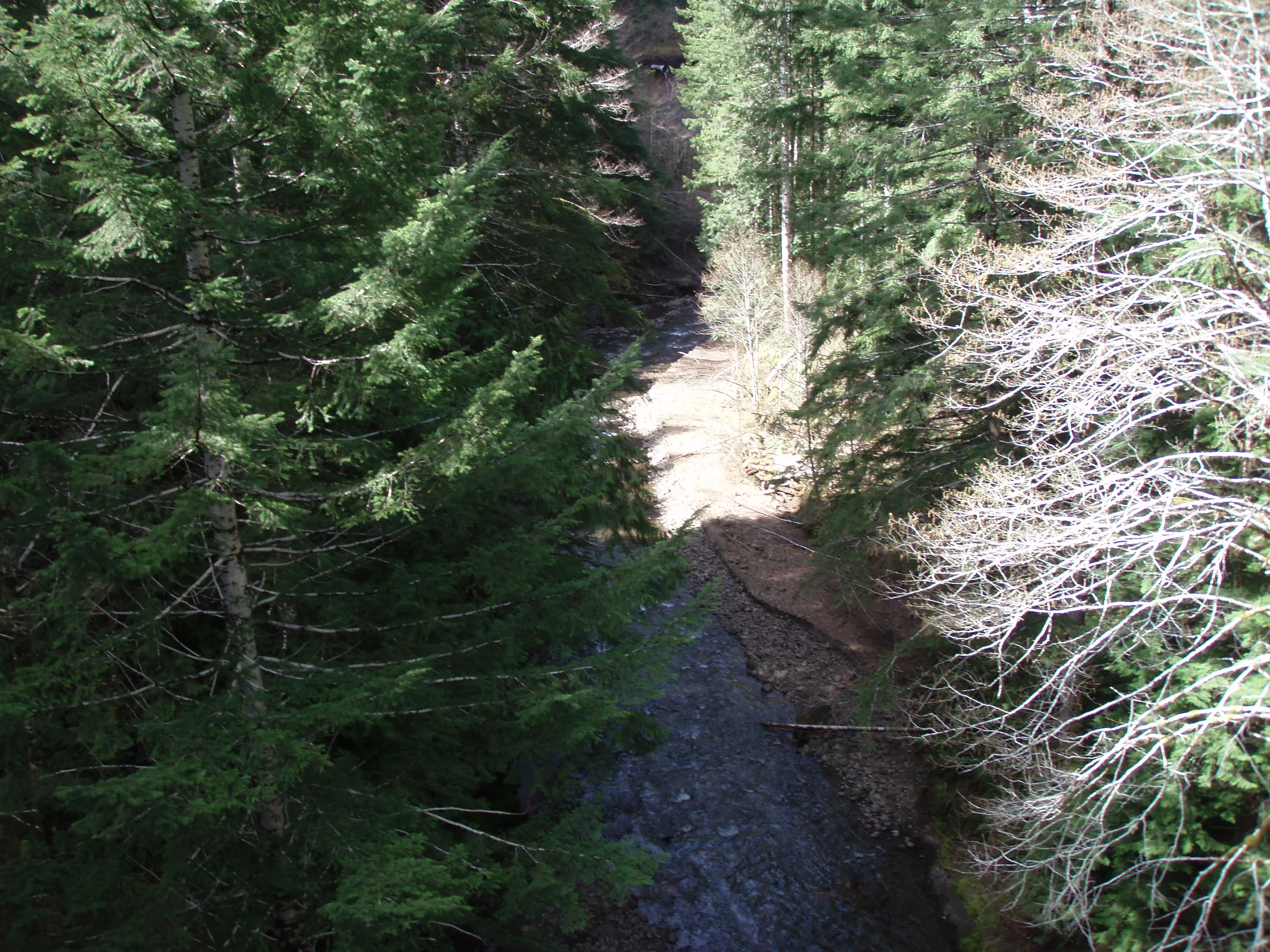
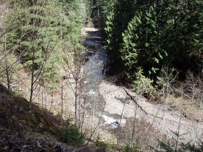 Looking up Wolf Creek
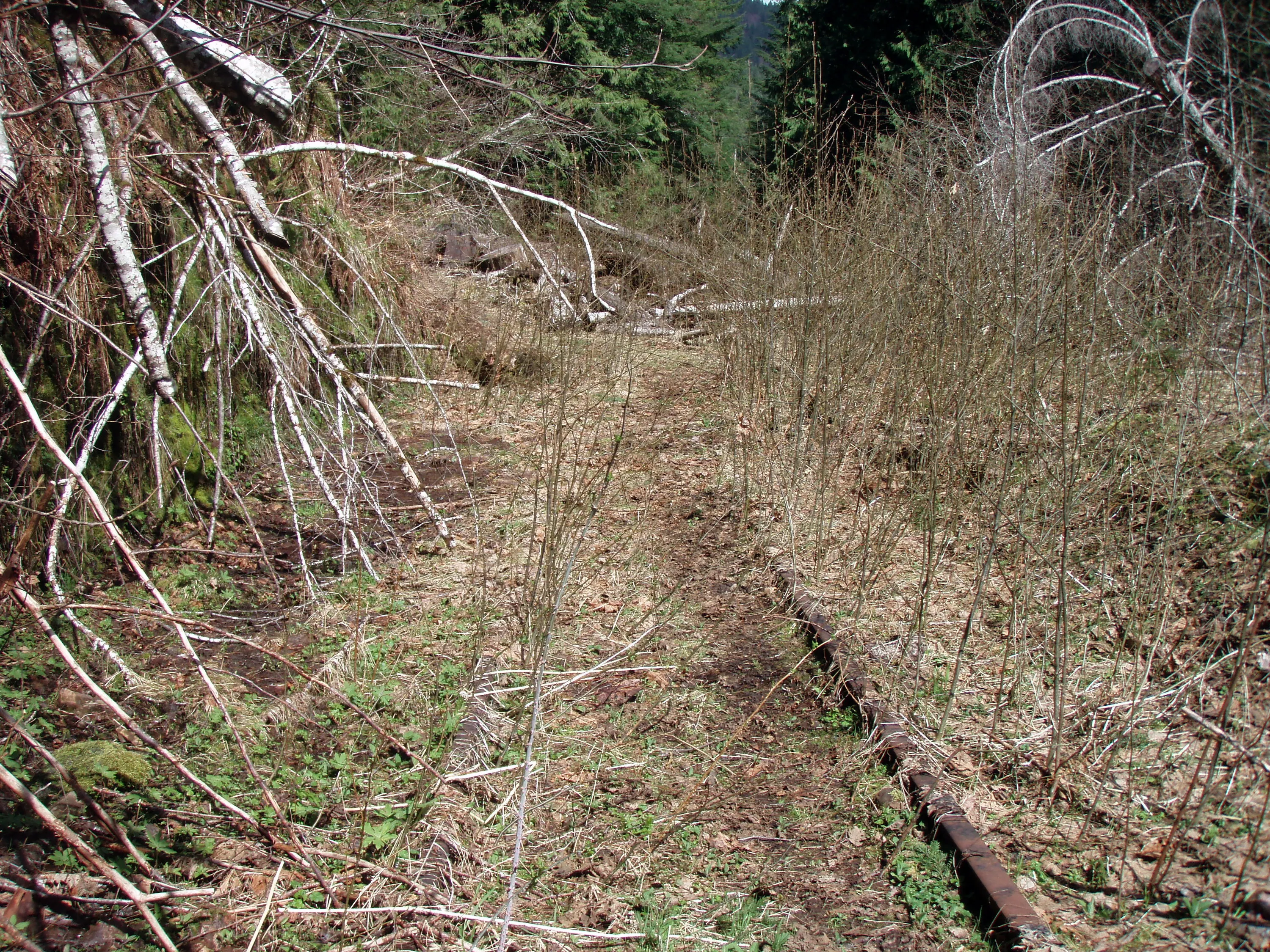
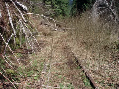 Alders growing up around the tracks - there were LOTS of small alders - in the background you can see trees across the tracks.
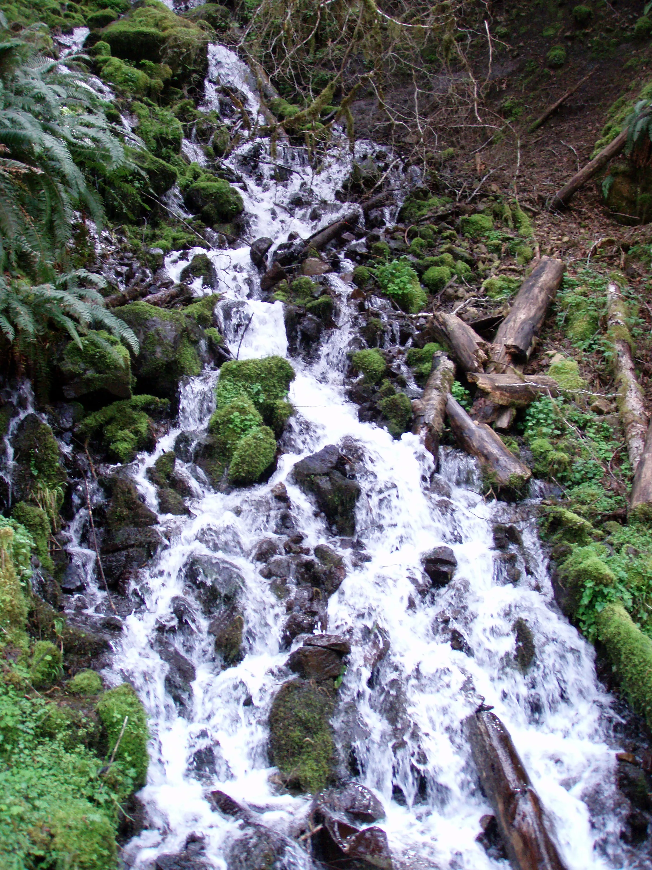
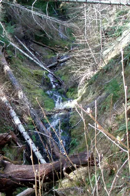 Neat little side waterfall
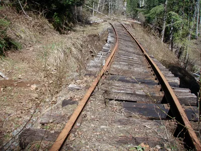 Another washout on Wolf Creek
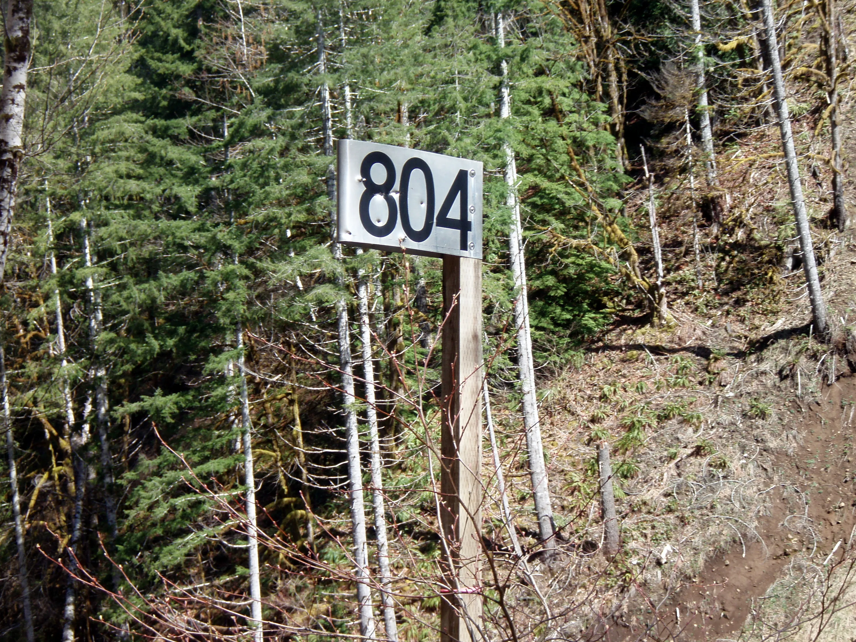
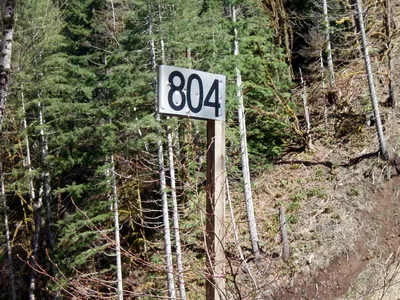 Mile 804 - 4 miles down!
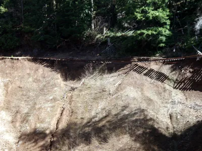 Looking over to the big slide on the east side of Wolf Creek (where we were earlier)
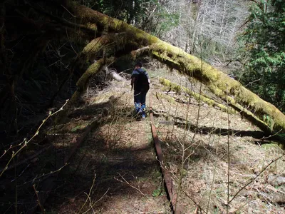 More alders and downed trees
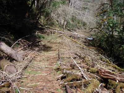 And more downed trees
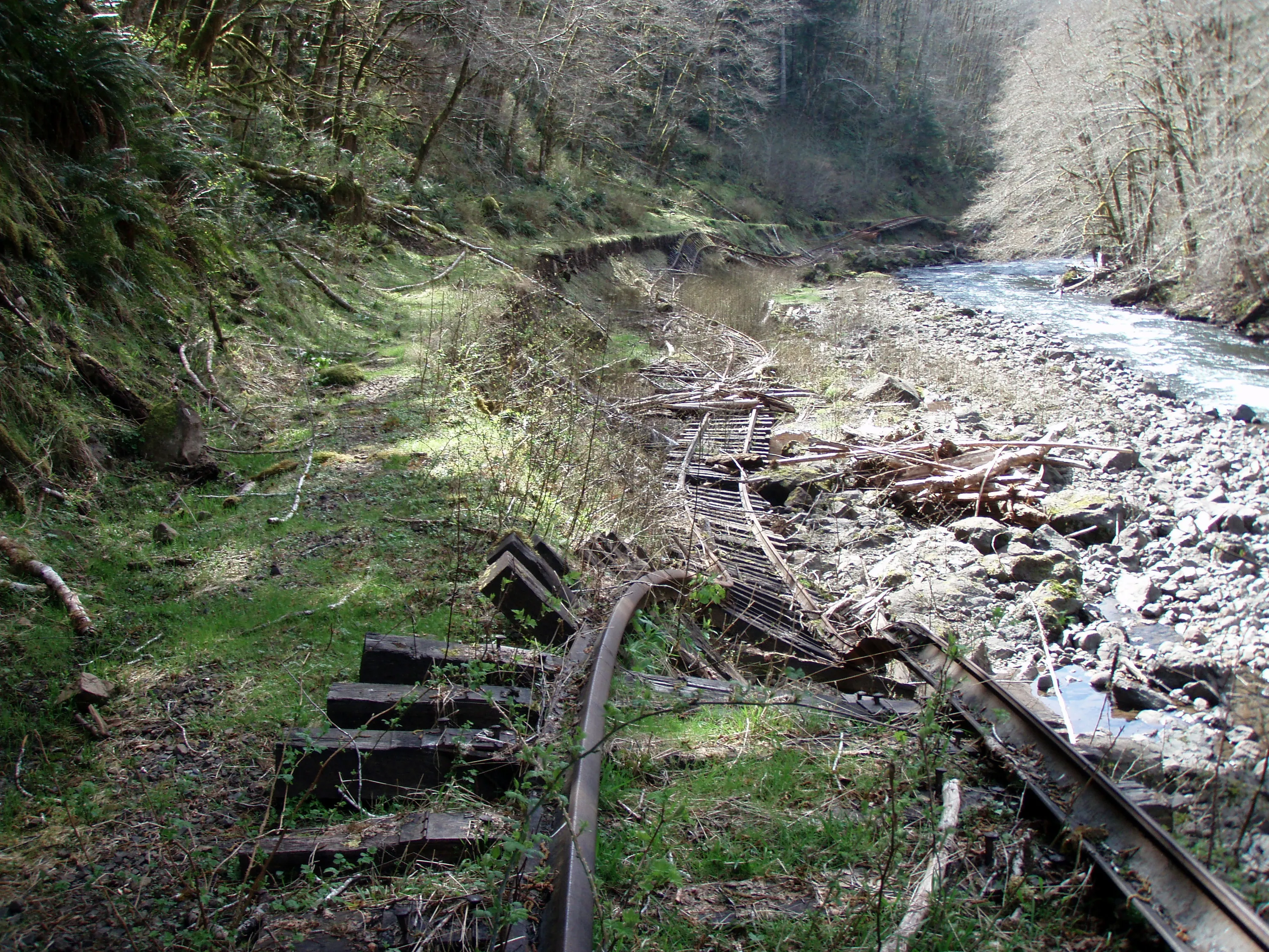
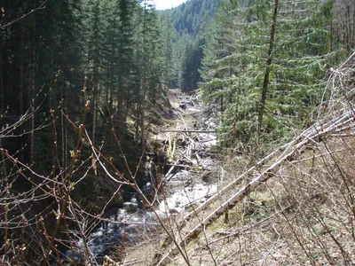 Imagine the carnage that took place in this canyon in 2007!!! Look at all those logs in the creek! This is looking south - up Wolf Creek
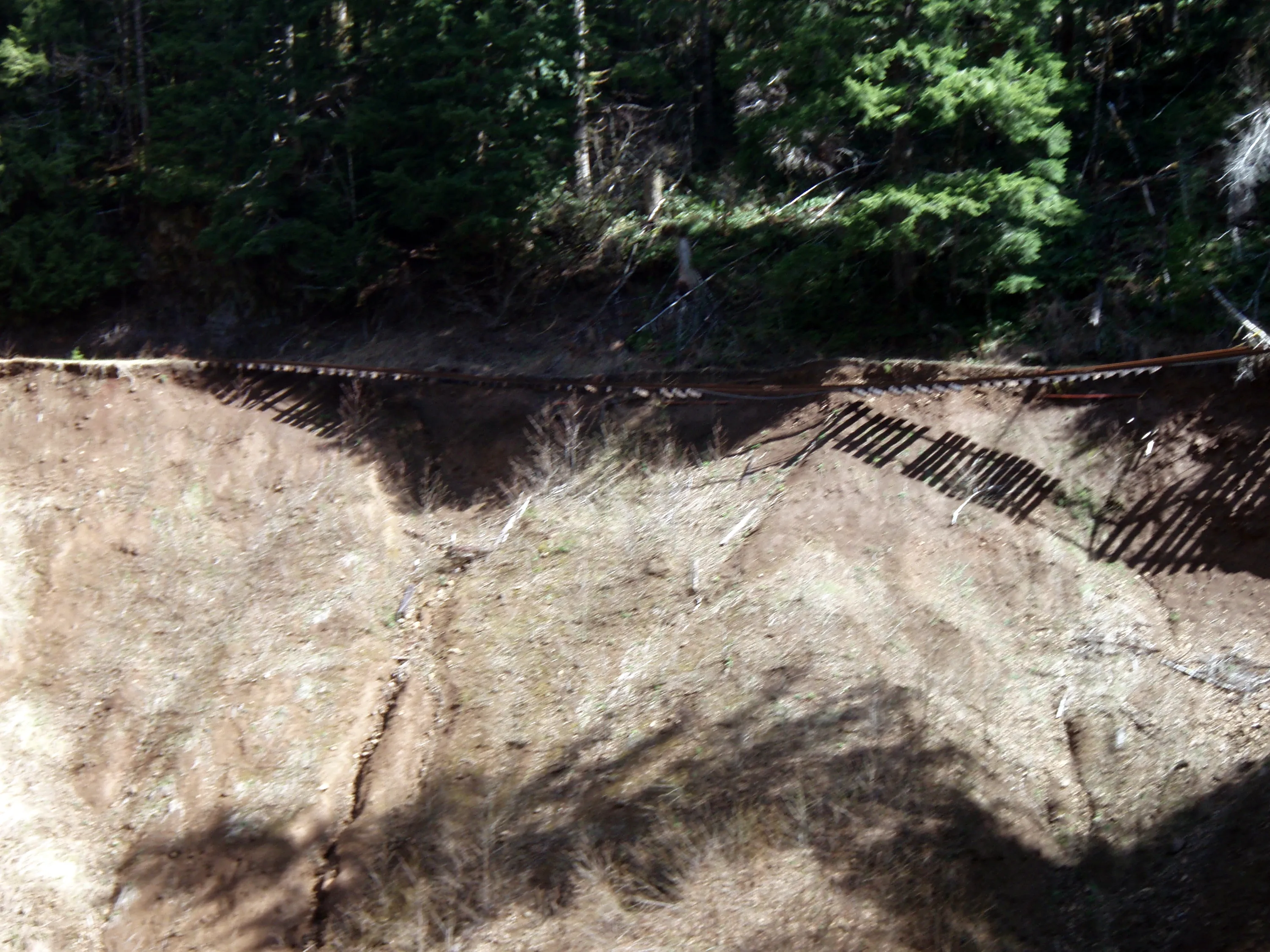
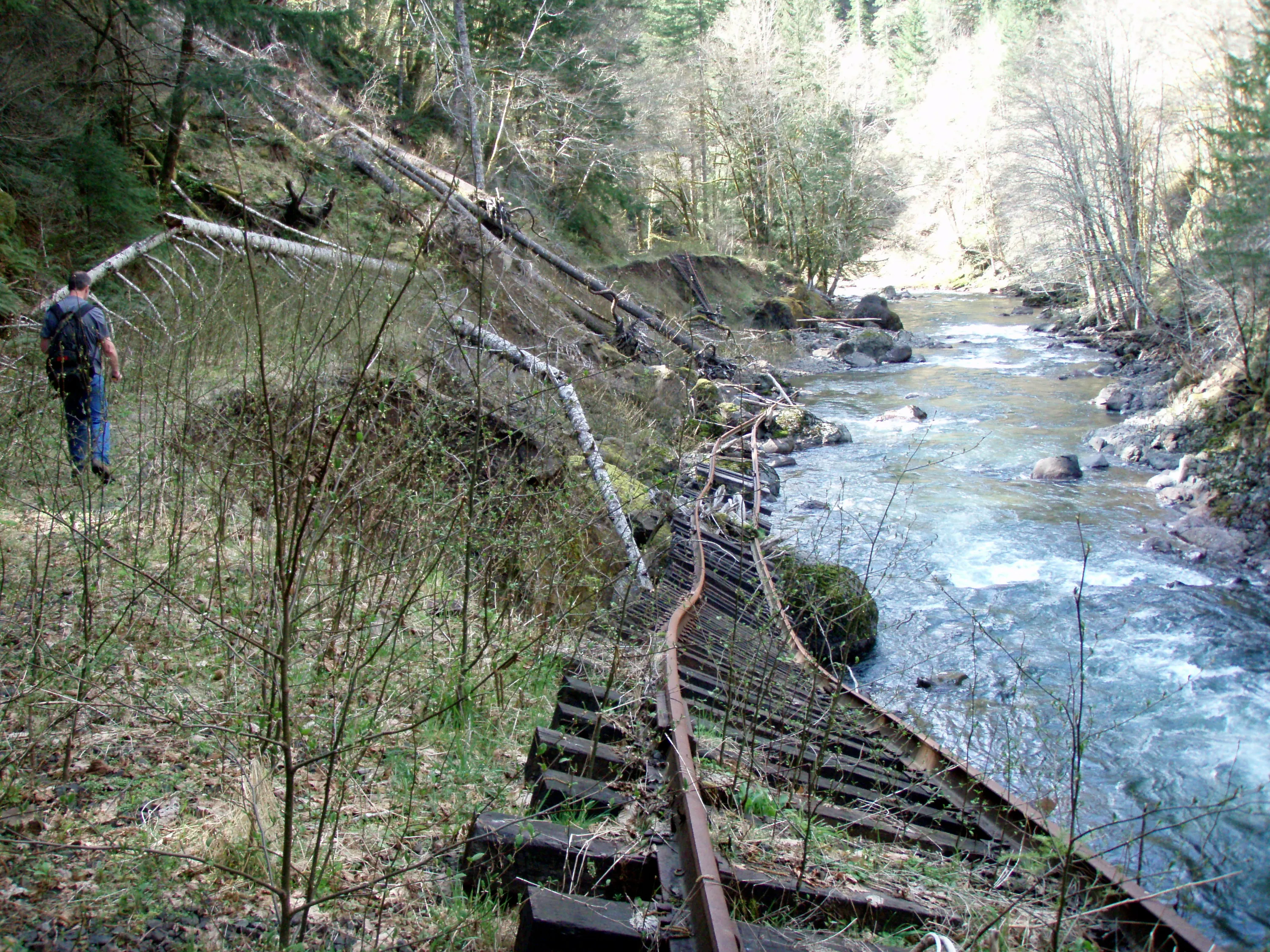
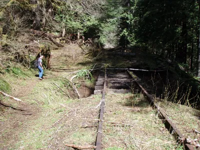 Yet another washout
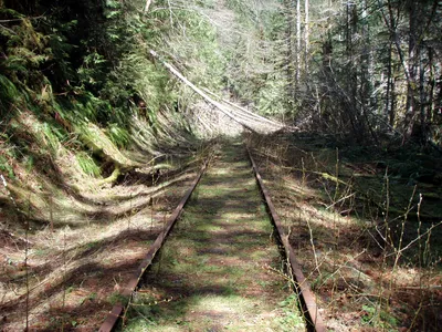 More downed trees
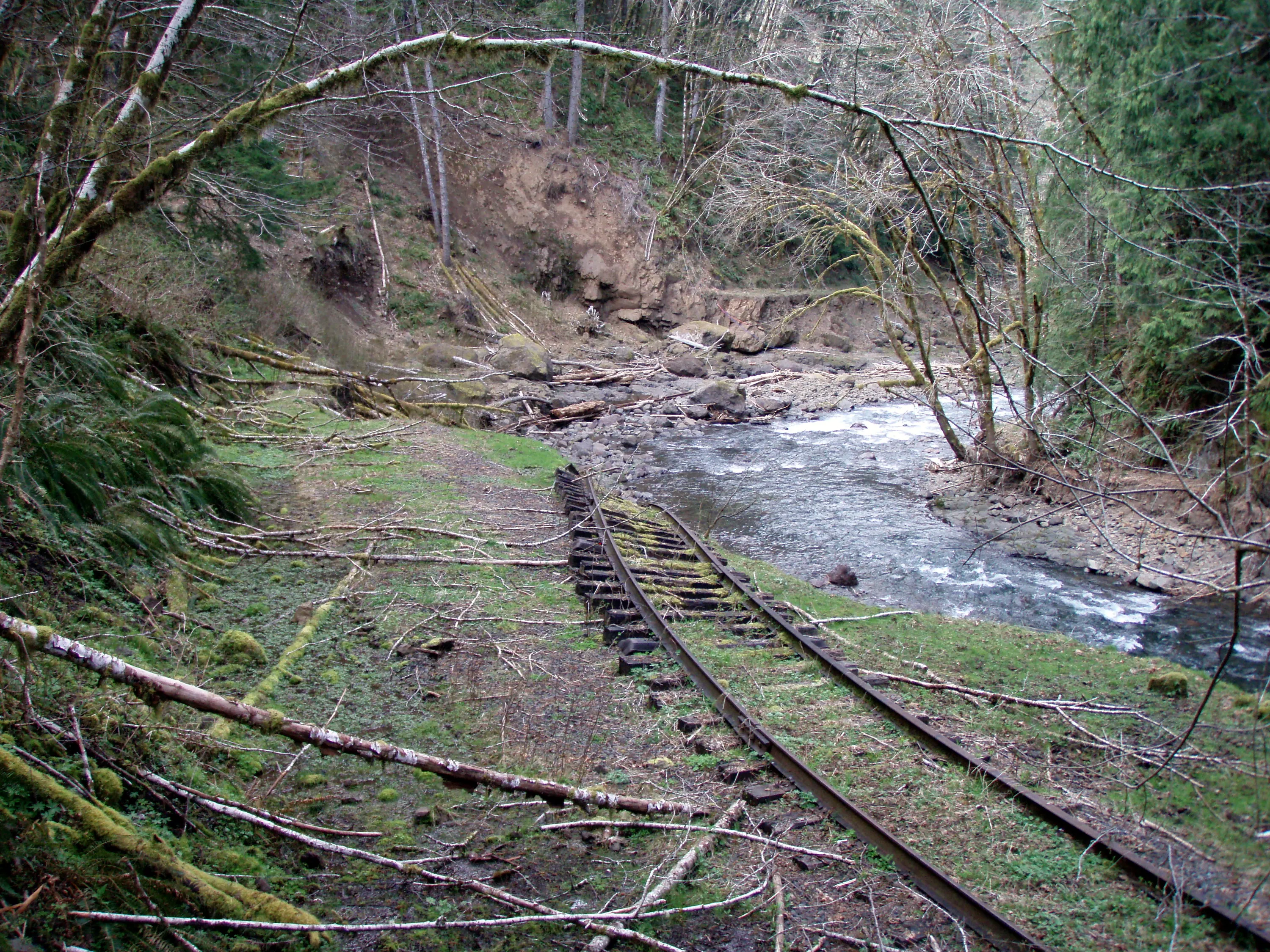
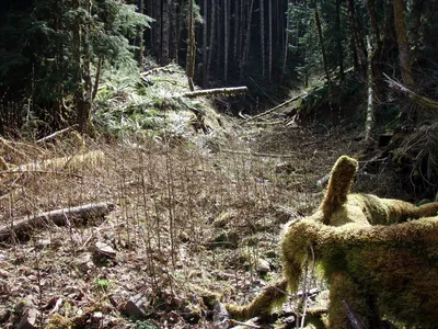 The track is down there somewhere.....
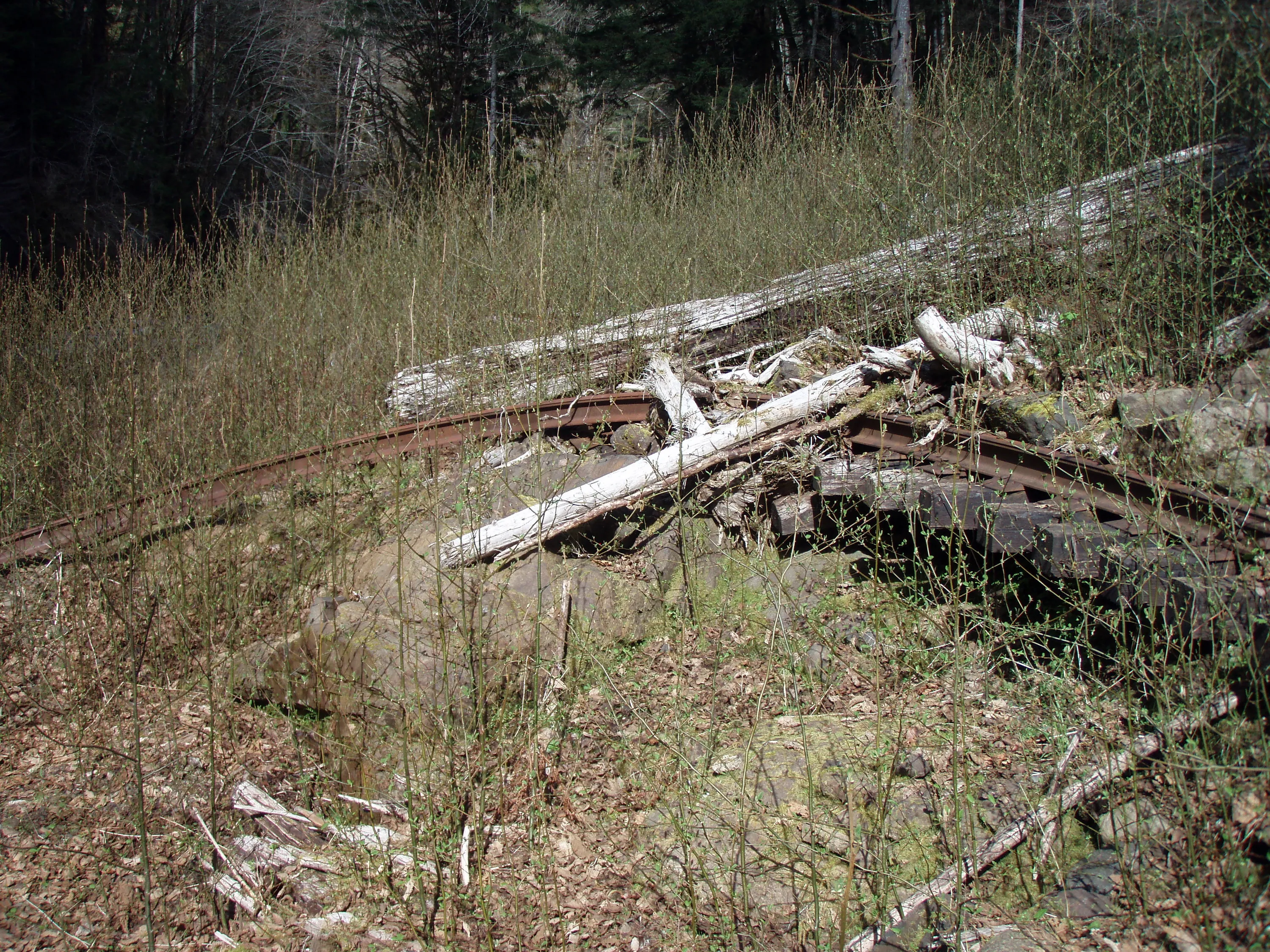
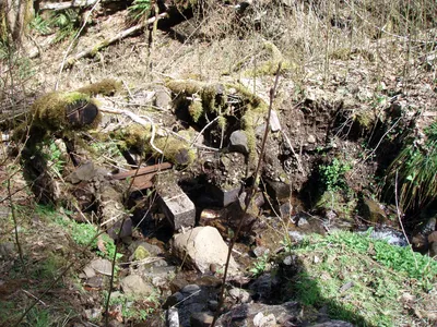 another slide covering the tracks
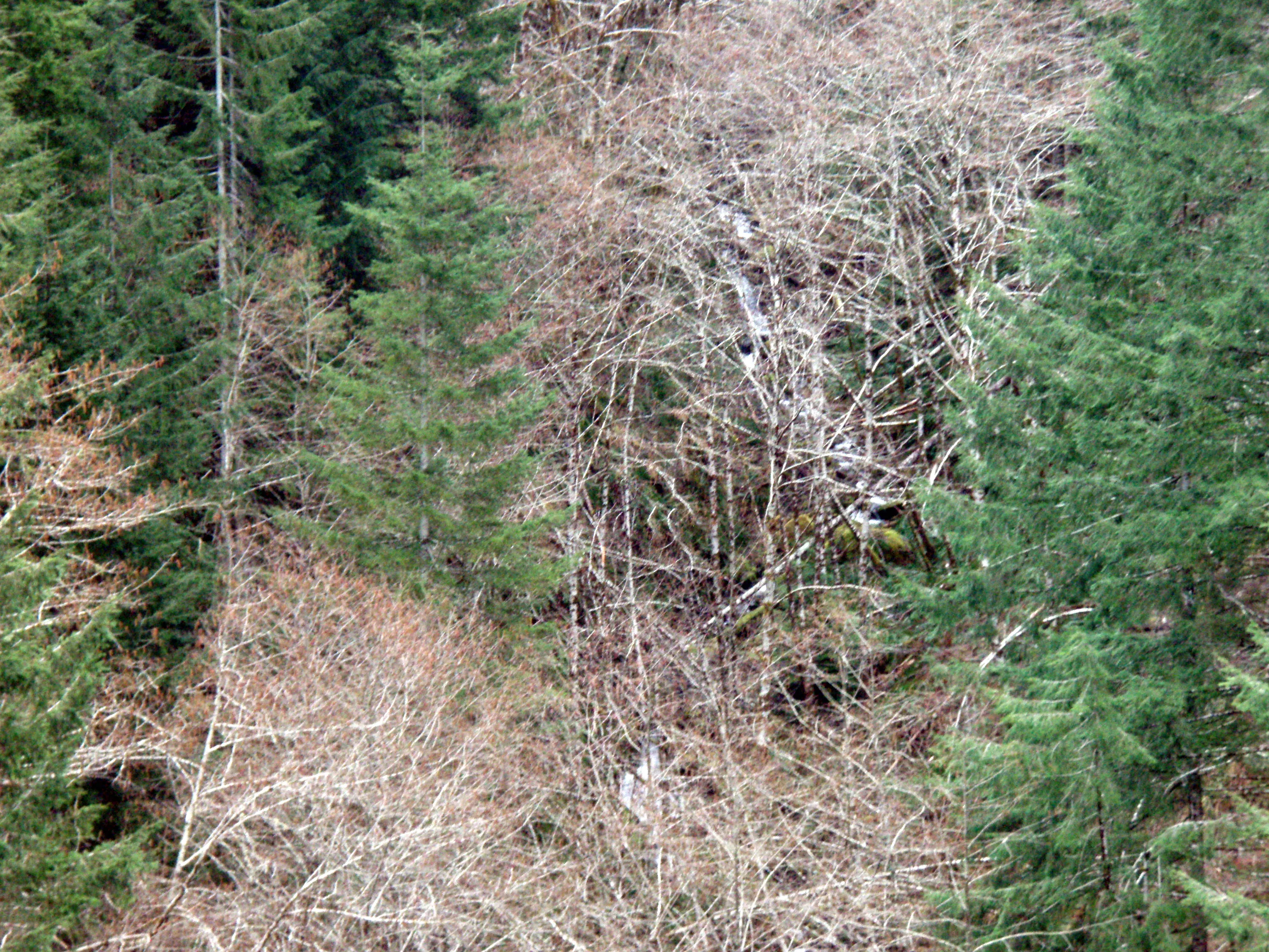
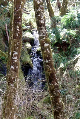 Another nice trackside waterfall
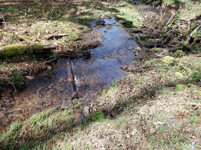 More plugged up culverts and slide activity
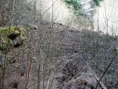 Some of the new alders and a BIG slide over the tracks.
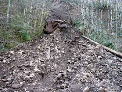
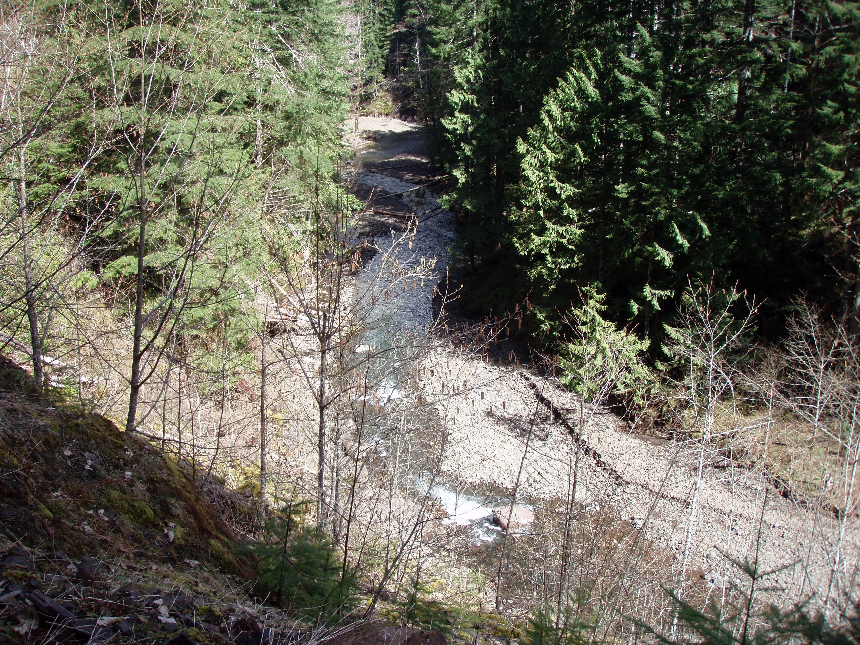
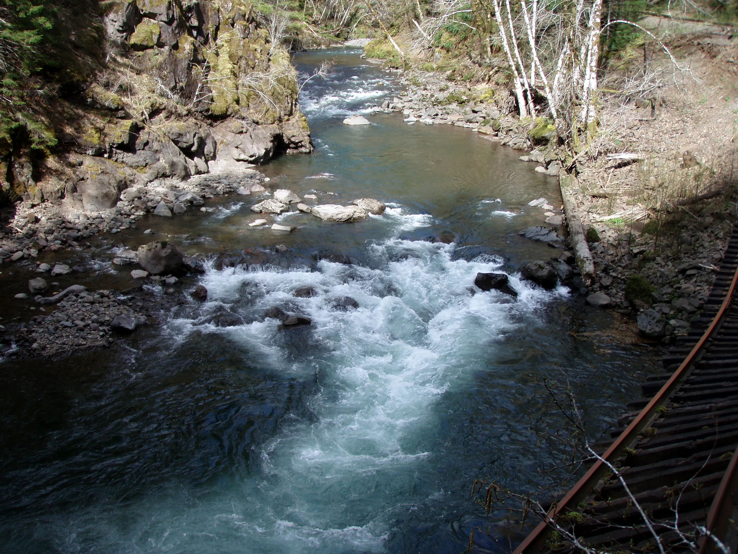
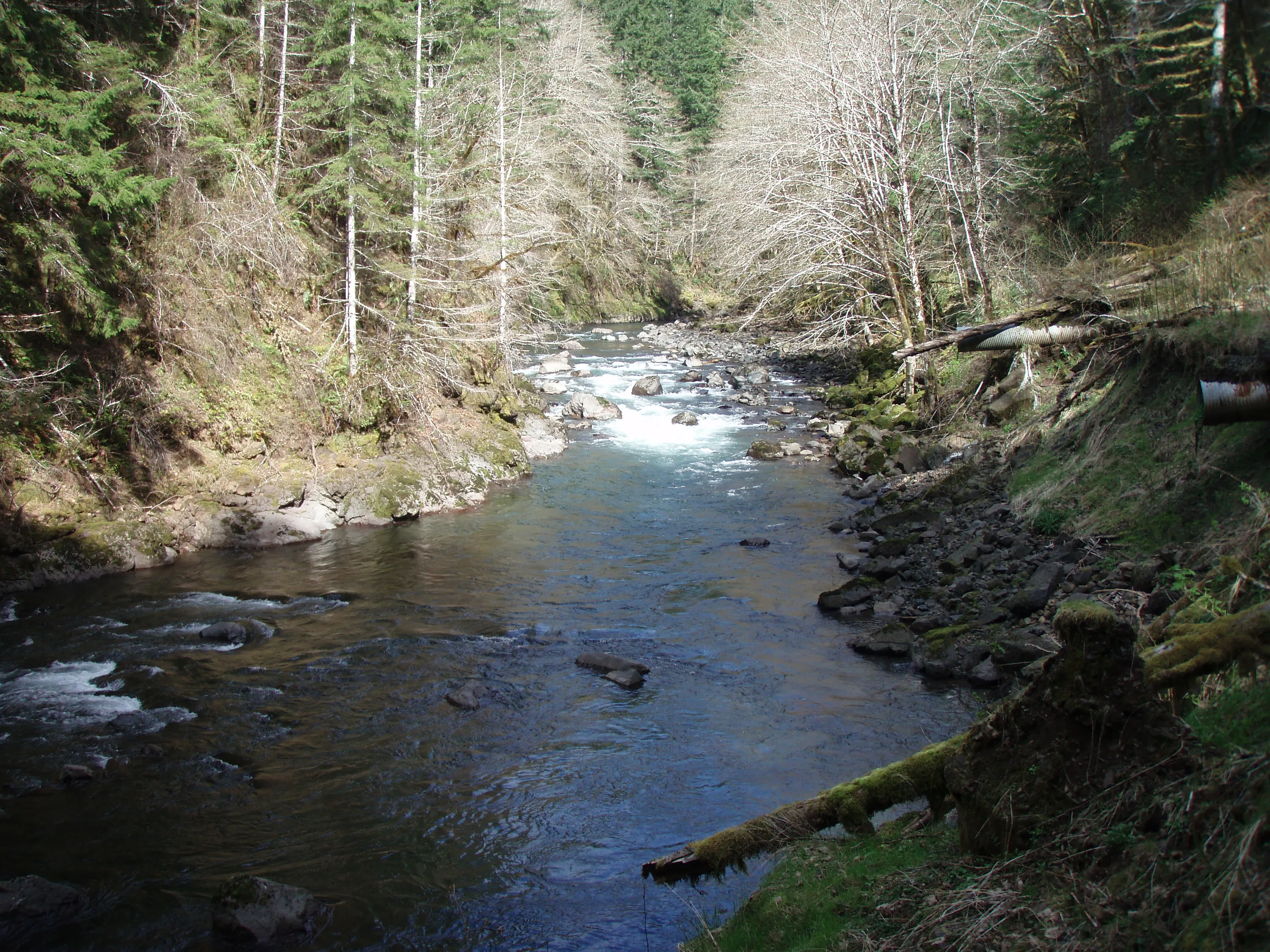
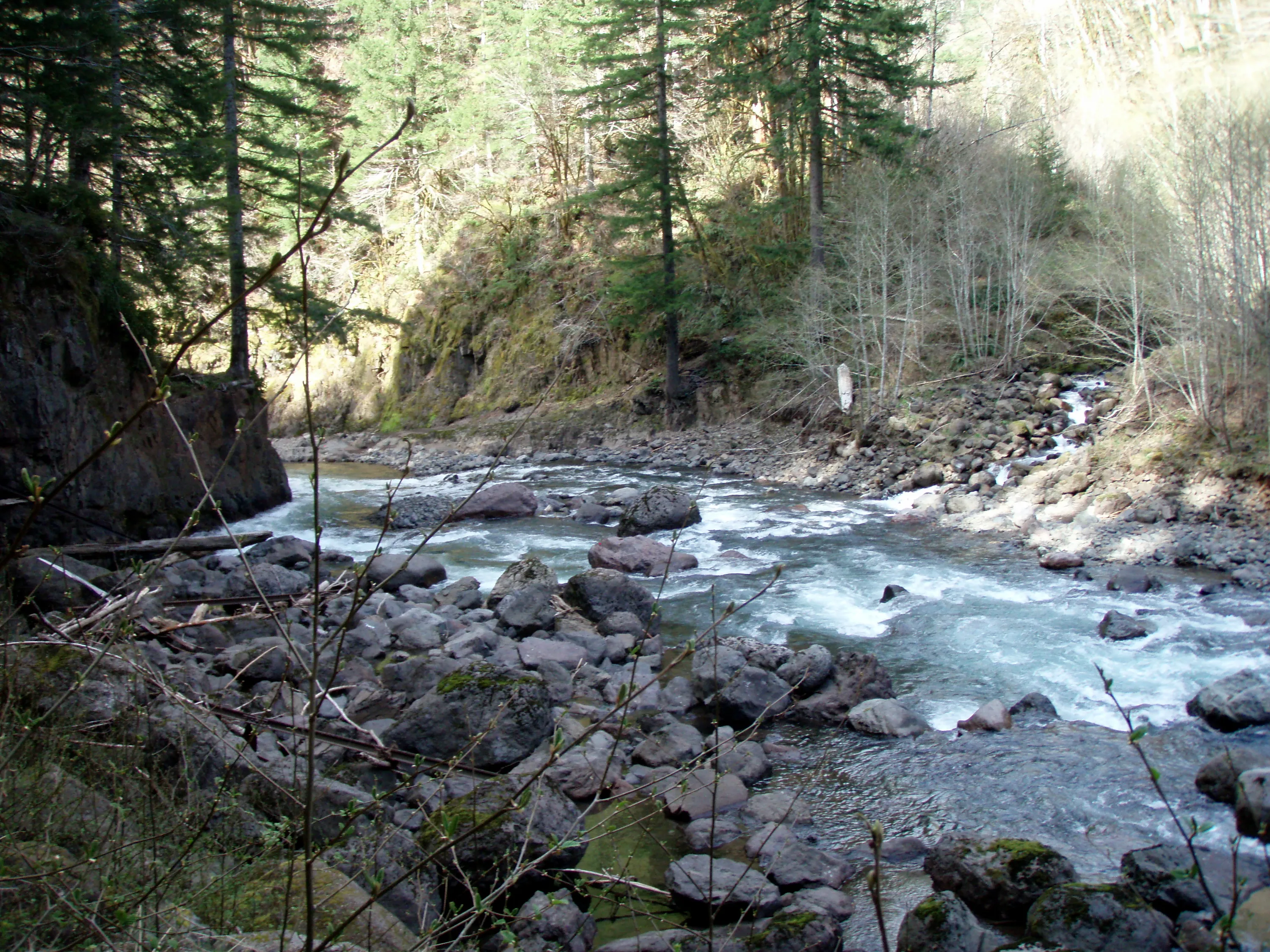
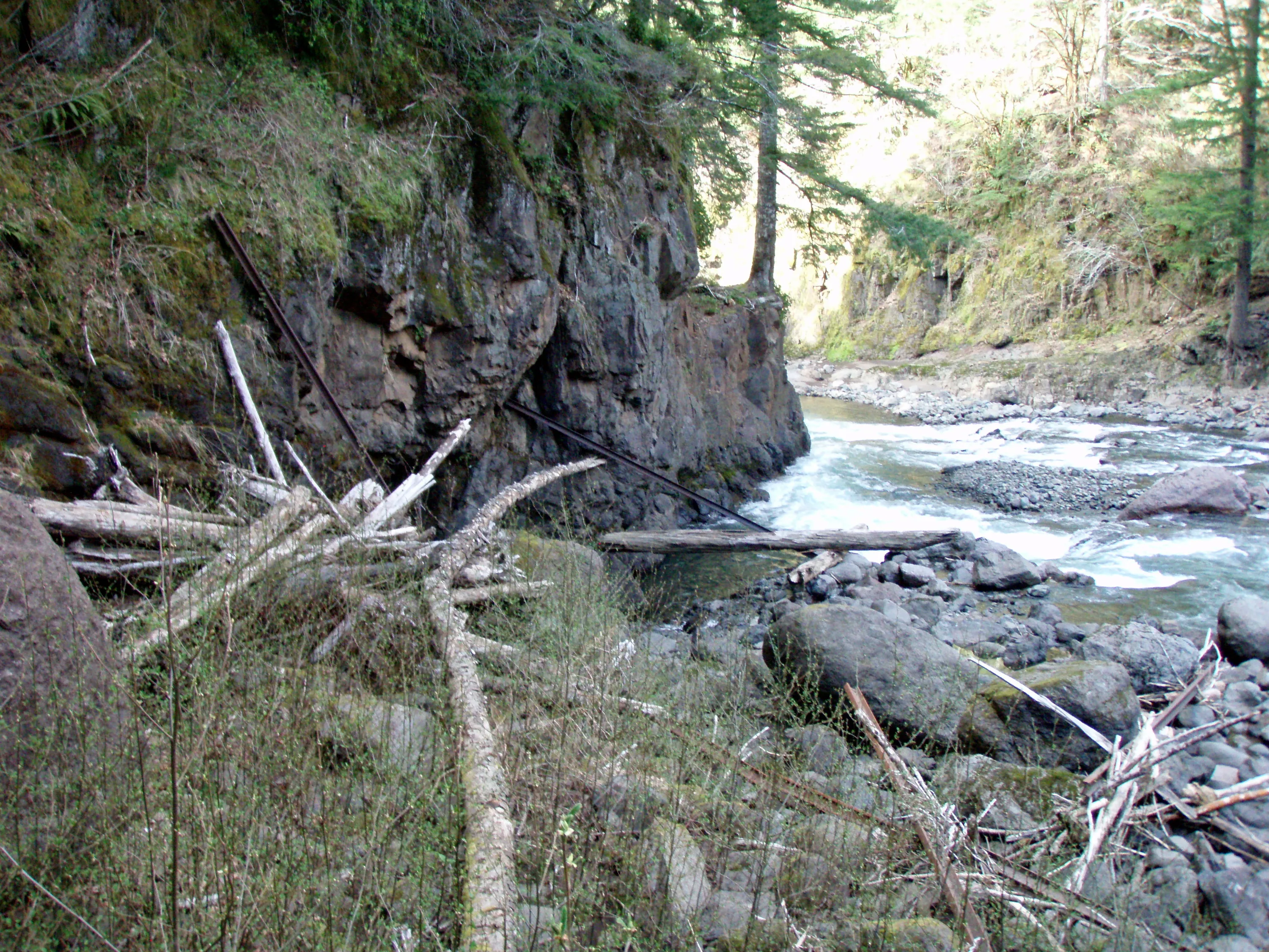
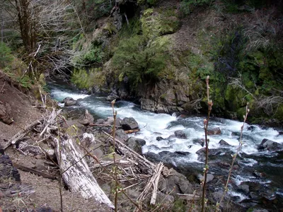 The beautiful Salmonberry river - this was a spot where it narrows, and get a lot faster (and louder)
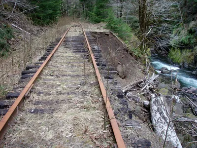 Another less catastrophic washout
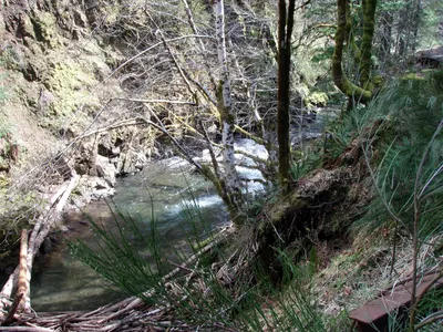
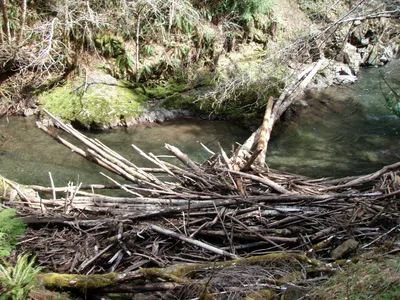 There were LOTS of logjams like this all over the river
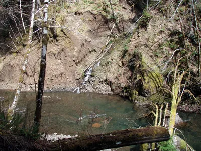 Another side waterfall - look how much it has cut the slope!
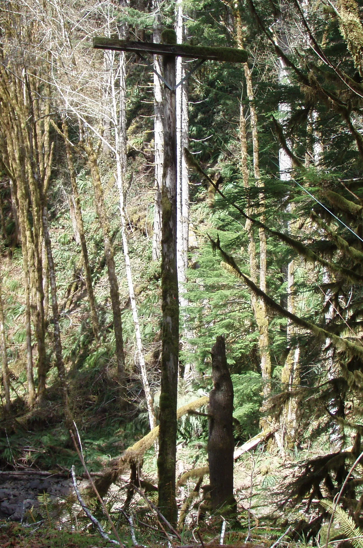
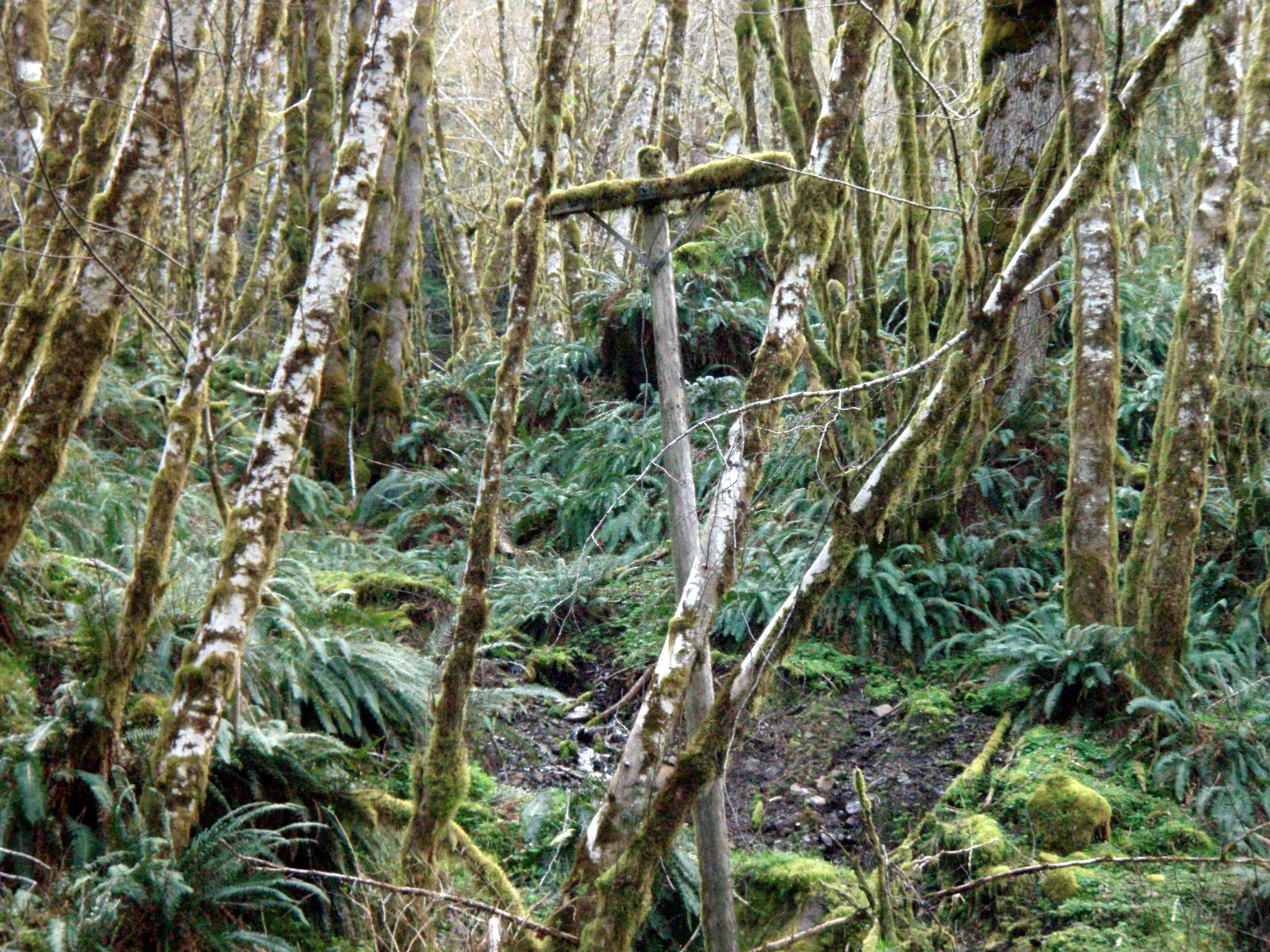
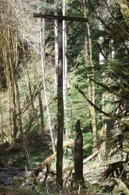 An old telephone pole with the wires still on it
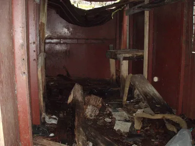
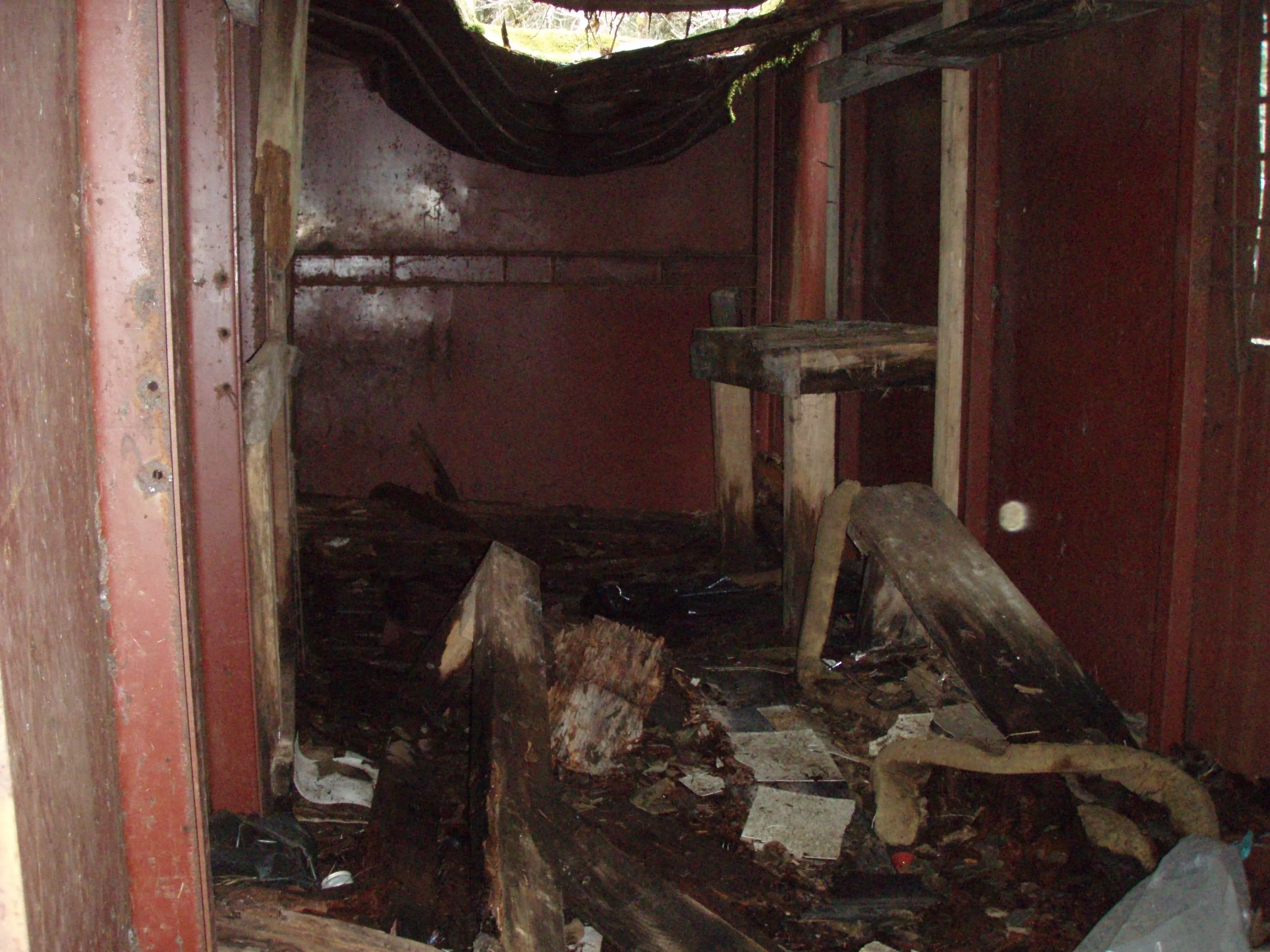
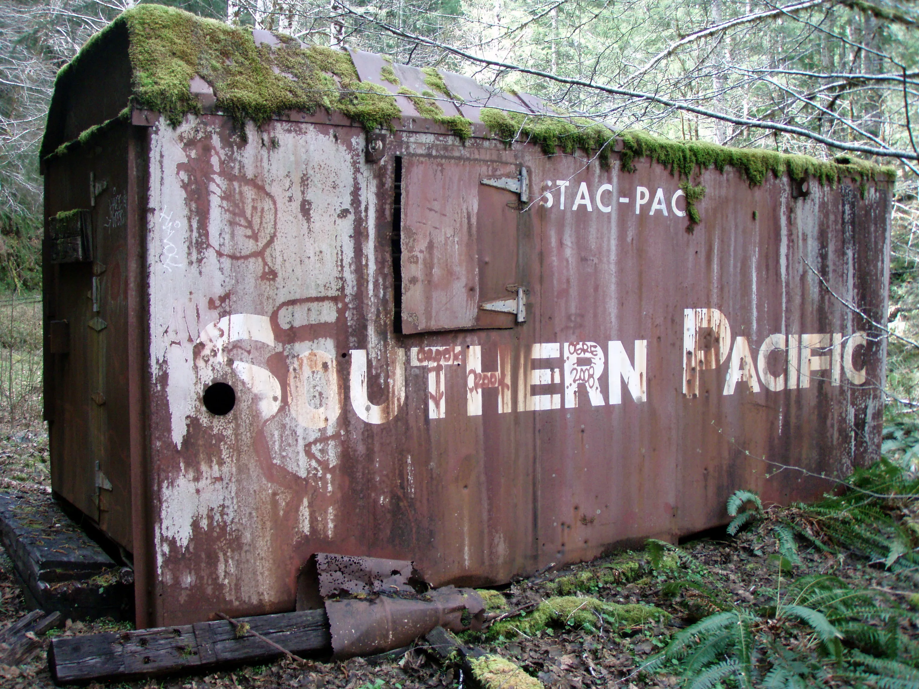
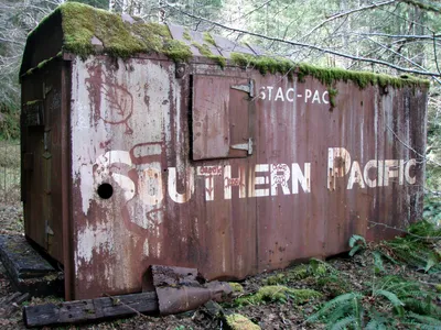 Old rail car converted to a shop
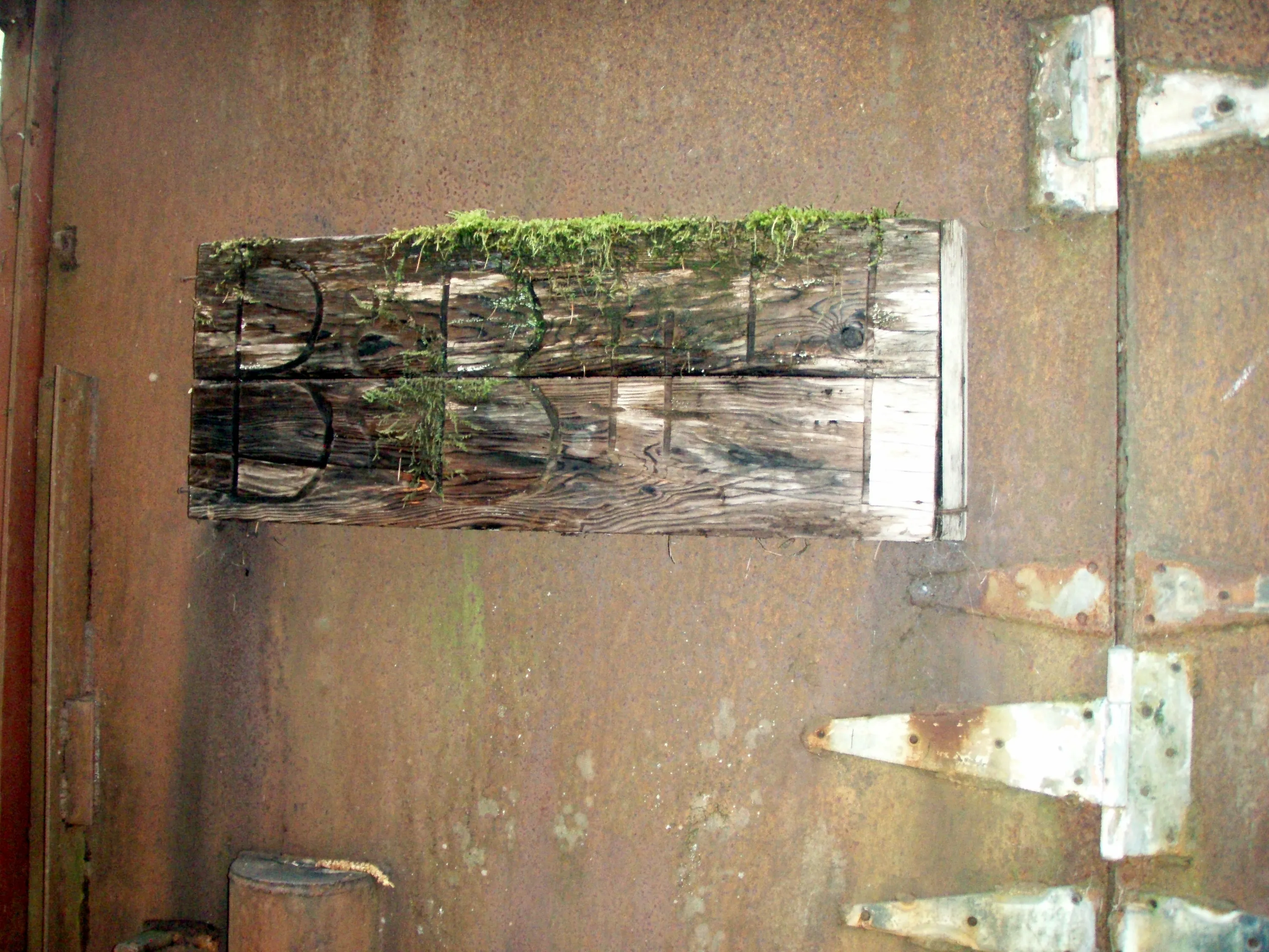
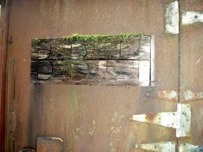 On the door of the railcar - B&B stood for "Bridge & Building" which was essentially maintenance
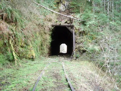 Tunnel at Kinney Creek
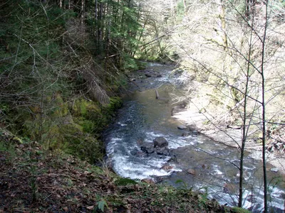 River bend east of Kinney Creek
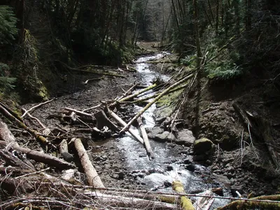 More river carnage - Kinney creek
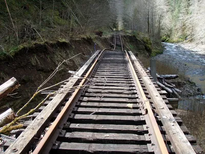 Kinney Creek washout
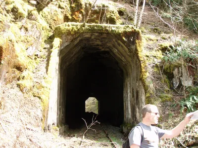 West side of the Kinney creek tunnel
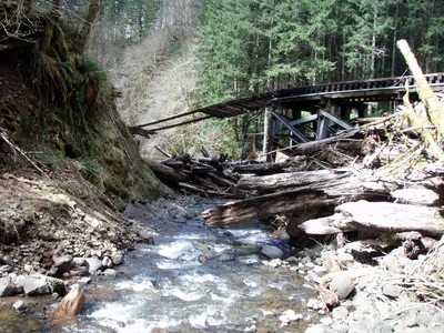 Kinney creek washout from kinney creek (we had to go down and cross the creek to get around it)
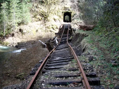 Looking back (East) at the Kinney creek washout - This was one of the tougher washouts to go around
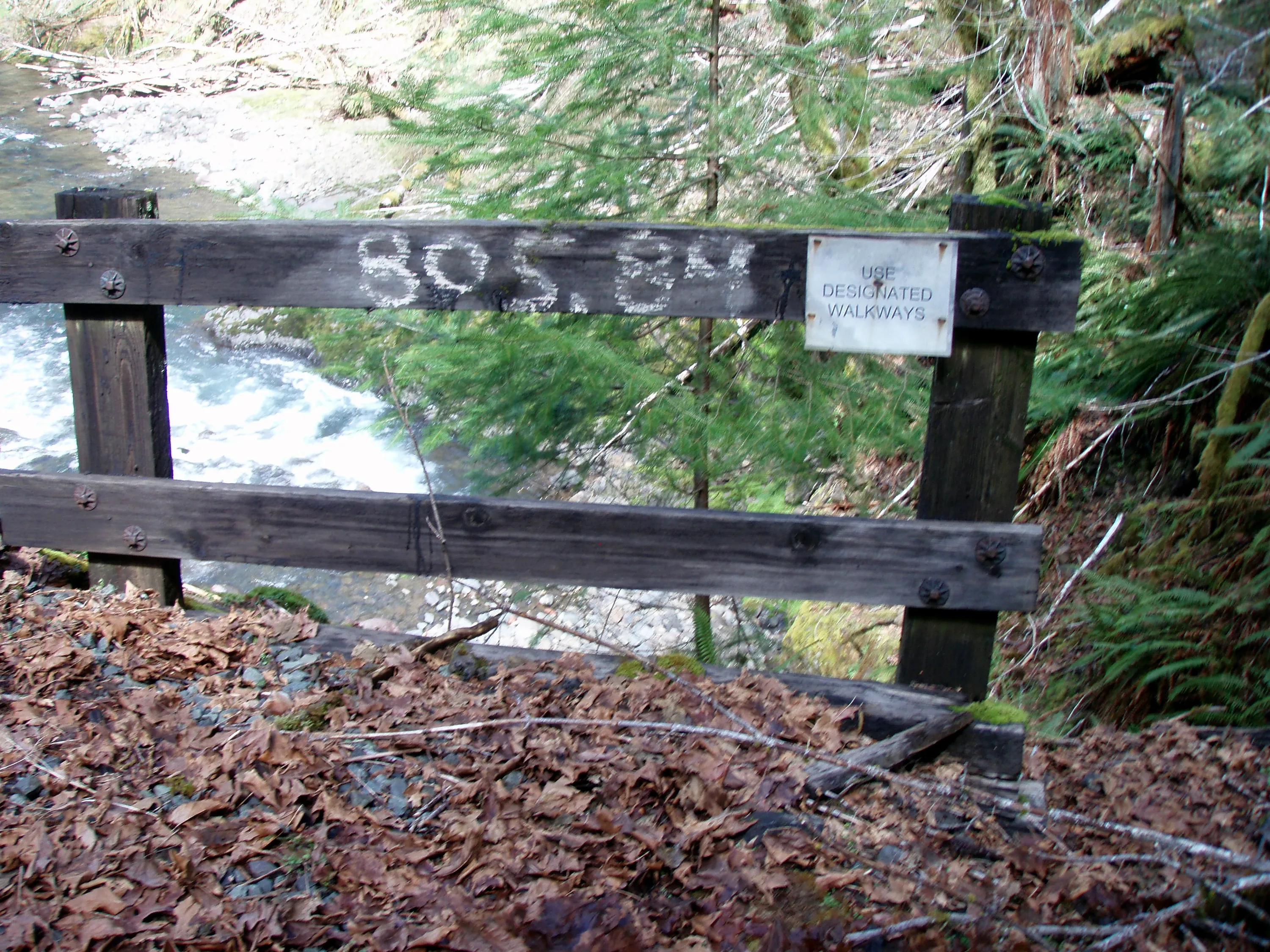
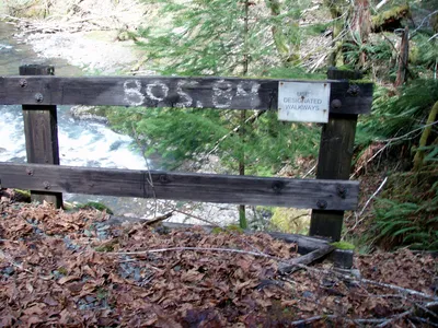
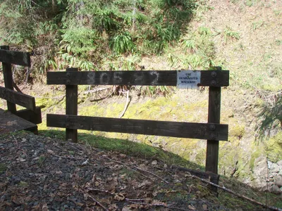 805.82 - Almost 6 miles in - And what walkway is designated anyway?
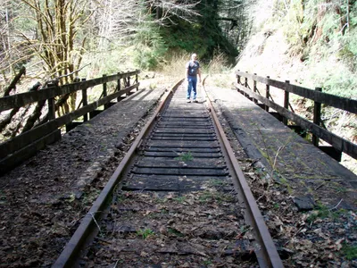 The river here turns back and forth, so we cross it once....
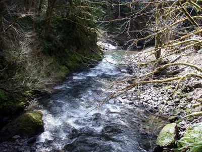
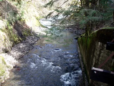
 805.84 - we haven't gone very far - Cross the river the second time
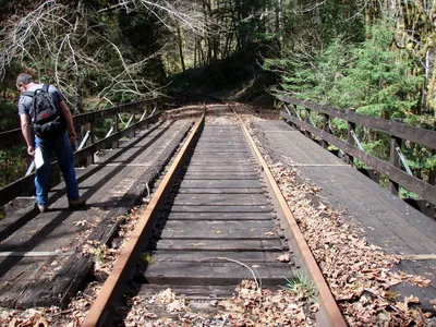 Here is the second bridge
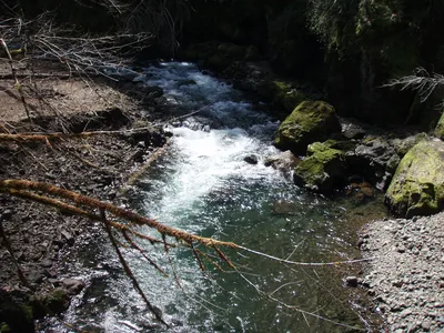
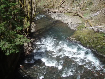
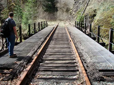 And the third crossing of the Salmonberry in a very short span.
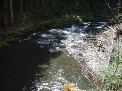
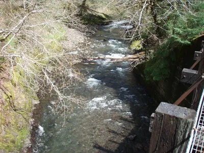
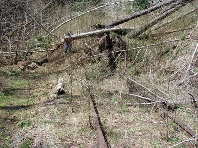 Another big slide
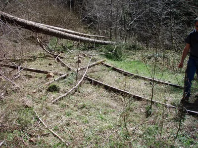 More big trees across the track - this is hard to see, but the tracks are supposed to go straight here - this was a HUGE slide that slid the tracks off down into the river
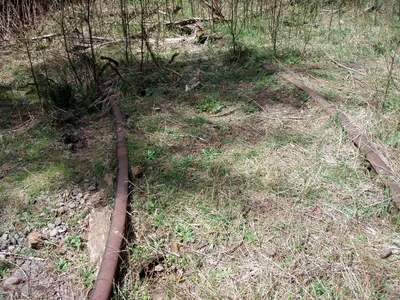 The scale is hard to see here, but this turn is WAY too sharp for a train. This is where the tracks were pushed into the river
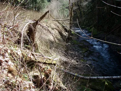 It is kind of hard to see, but the tracks are in the background and look like shoelaces - the force it took to do this was incredible
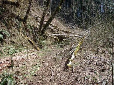 More of the big slide
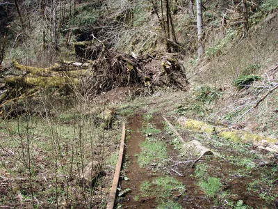 Another slide
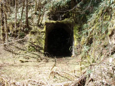 This is tunnel at Belding where Beaver Slide rode comes in - the road actually goes over the tunnel.
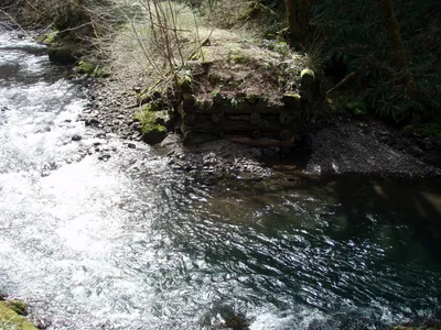 The former bridge at Belding - that is Belding road on the other side - but it doesn't look like it gets much traffic - maybe some 4 wheelers is about it.
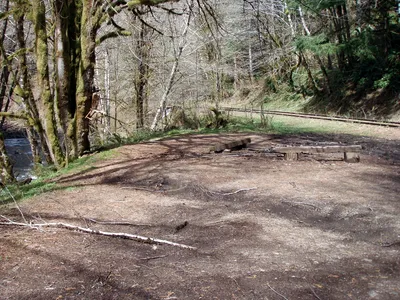 The belding trailhead - you get here by coming down Beaver Slide road - This is where we had lunch - notice the chair and boot nailed to the tree.
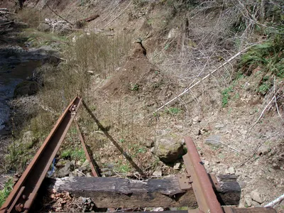 This was perhaps the longest washout - just past Belding. Notice the apparent pyramid of dirt that doesn't seem to have been disturbed. It was very odd....
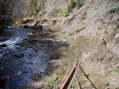 You can see where the tracks pick up again in the distance.
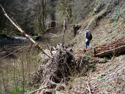 Navigating through the washout
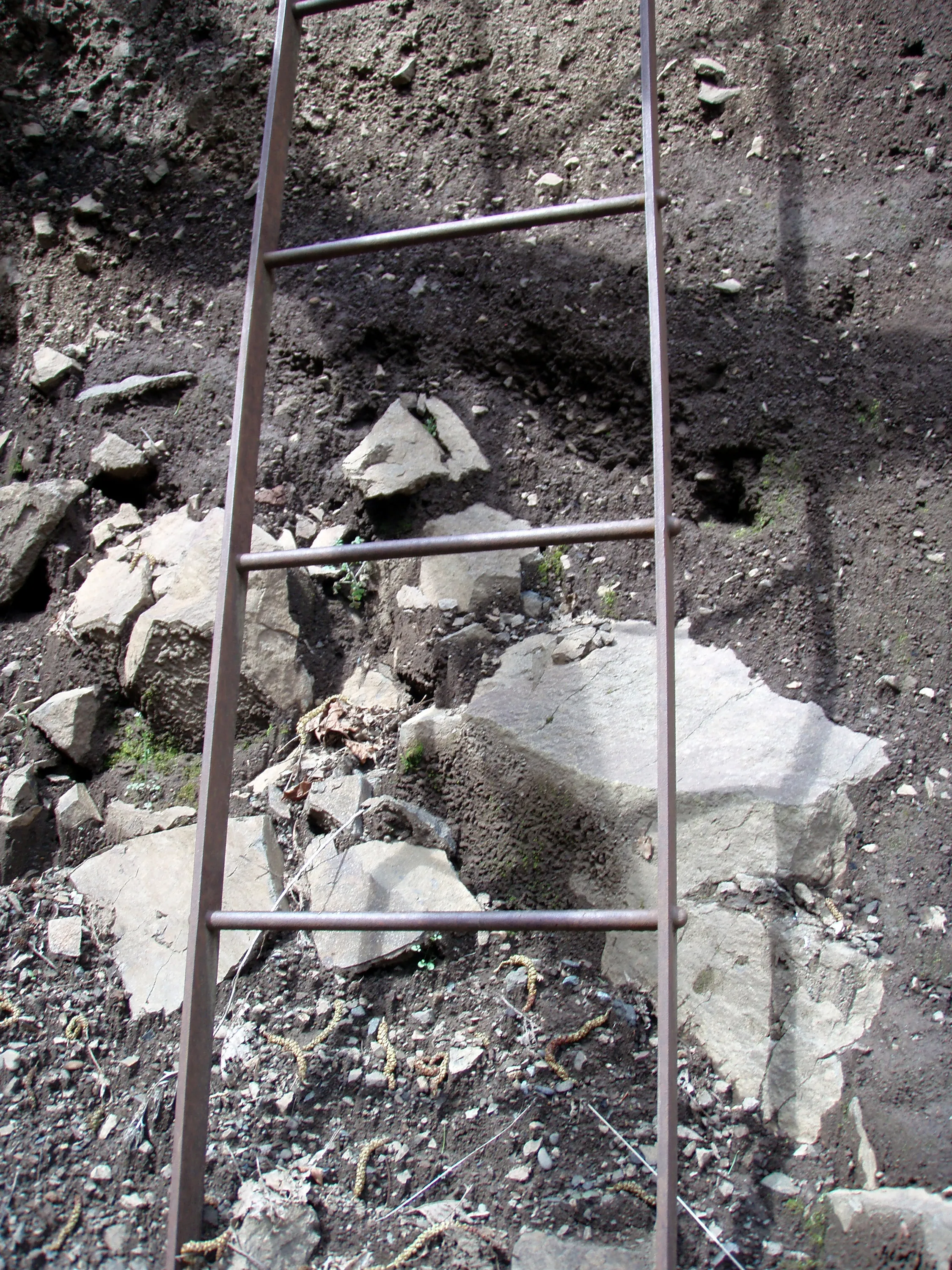
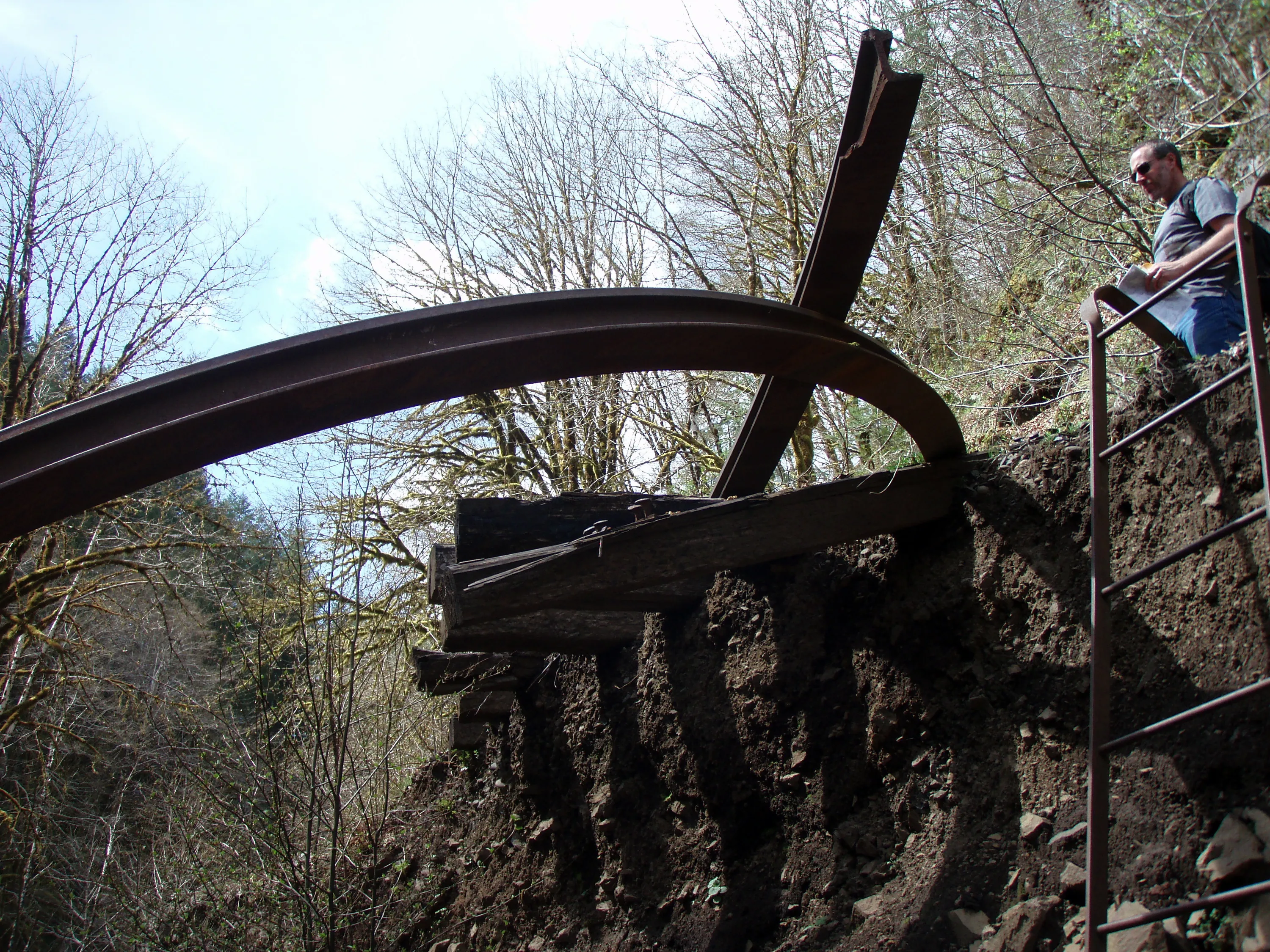
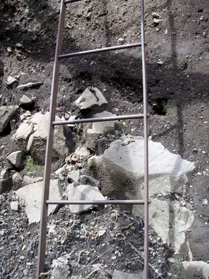 Someone has apparently "stolen" this ladder from somewhere else along the line - it looks like a ladder from a boxcar or something. It was used to get back up out of the washout section. It was very convenient.
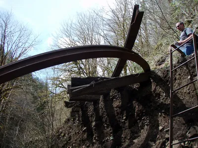 Looking up at the west end of the washout - you can also see the ladder to the right.
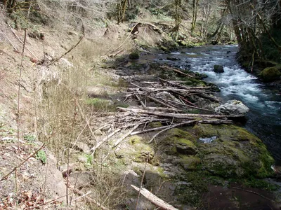 Looking back east at the washout from the west end
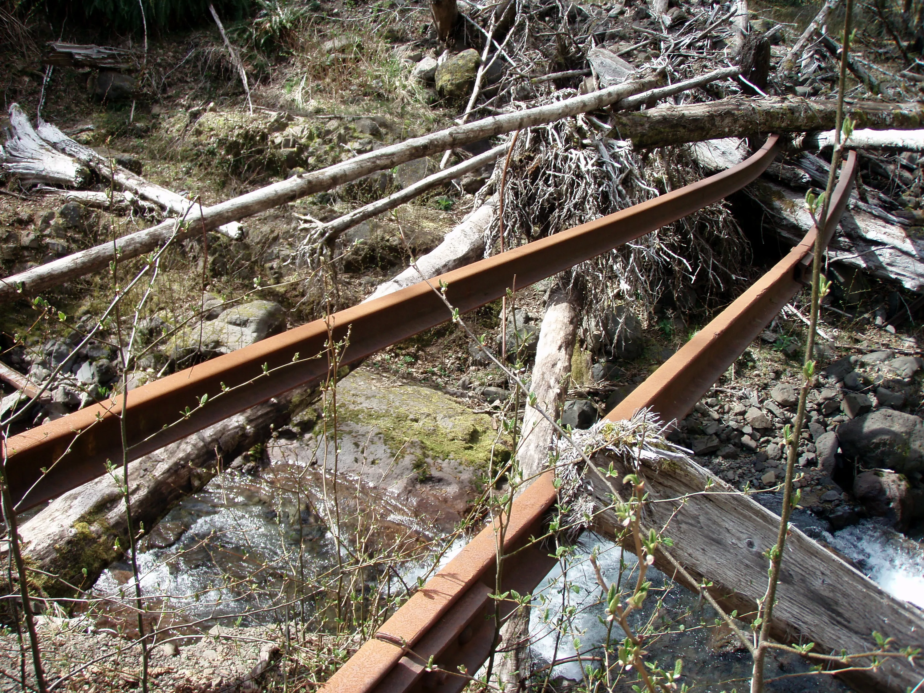
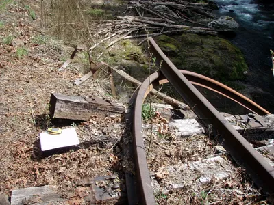 More detail on the ladder and how the rails were bent like banannas
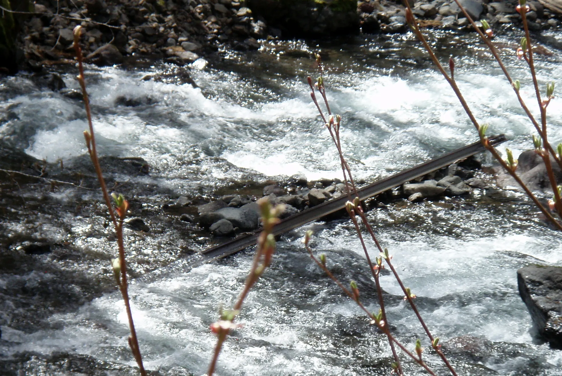
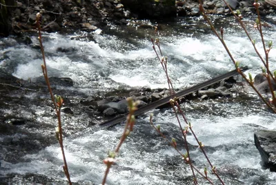 This was an amazing sight - we saw quite a few of these throughout the river - it is a piece of rail that is scoured clean - no rust at all. The sand and gravel in the river has acted like a sandblaster!
 Tunnel and bridge after the washout
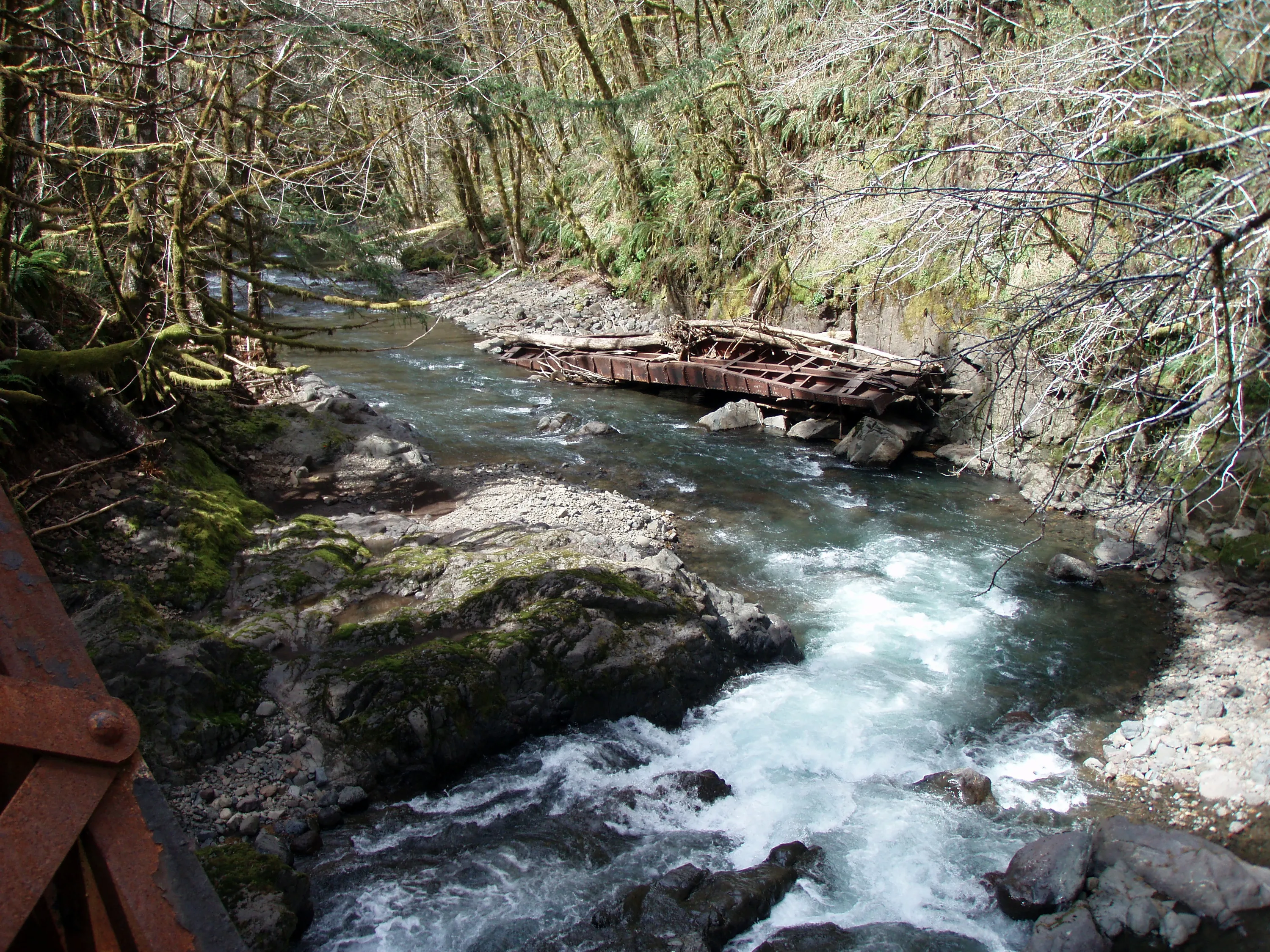
 Not sure where this came from - looks like an old flatcar.
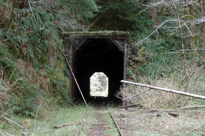 Another tunnel - it was interesting how these tunnels were built - at each end they had steel that supported wood to keep out the dirt, etc. Some of the tunnels had shotcrete sprayed on the inside and on the steel at the ends, but the ones that didn't had cave ins as the wood is rotting and letting earth into the tunnel. One of them had a tree fall into the tunnel through the roof!
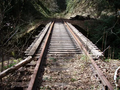 Next river crossing
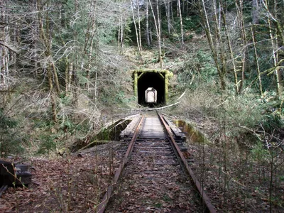
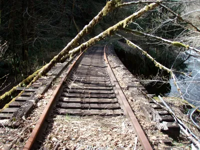 Belding Creek bridge
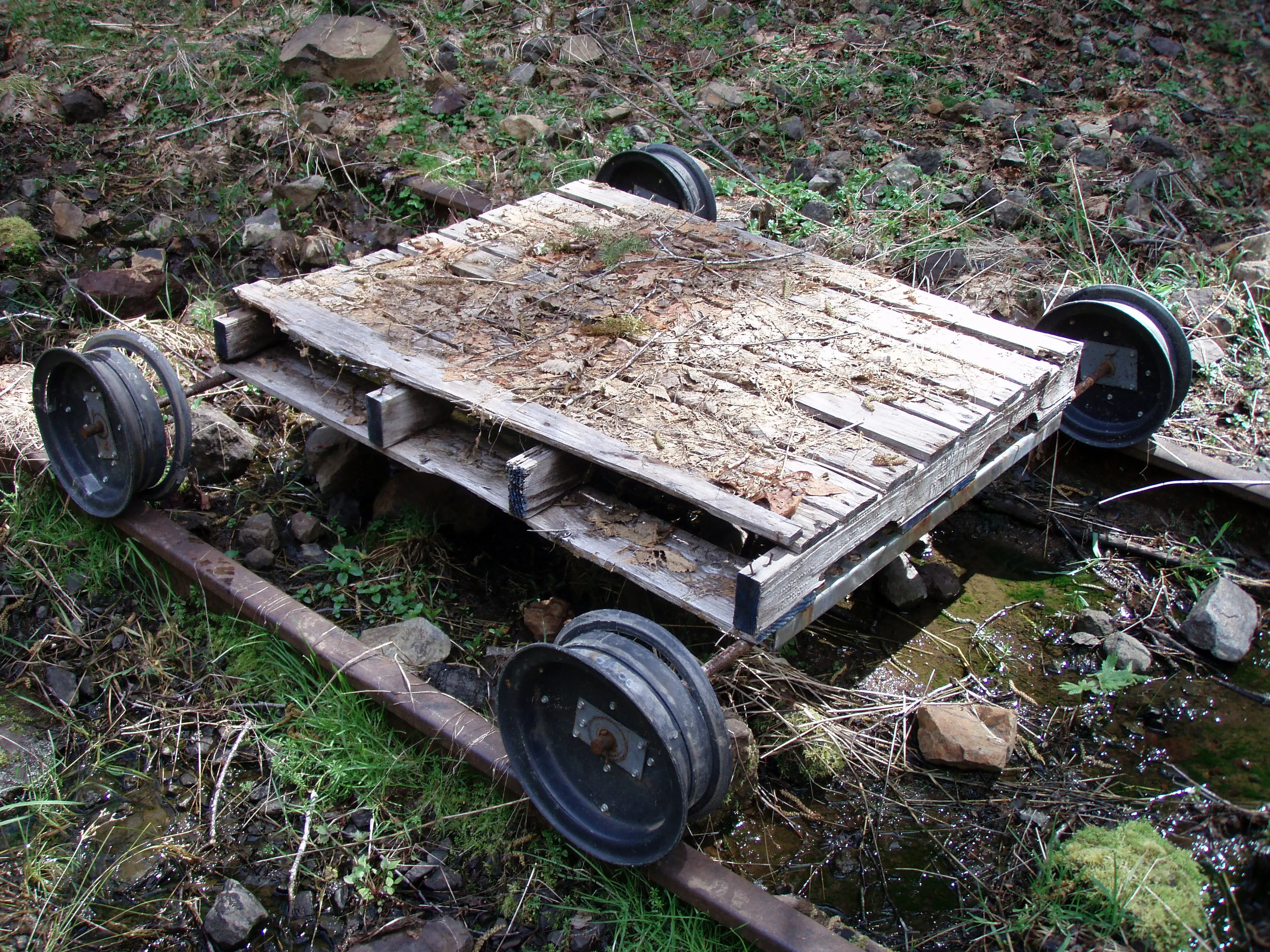
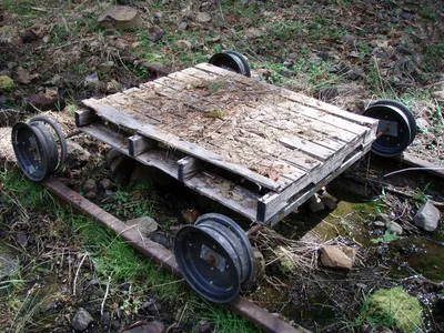 Someone had created this plastic wheeled "traincar" It didn't seem to work too well - the wheels were broken.
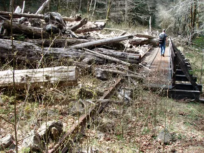
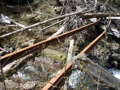
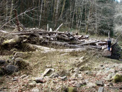 This was a washout at an un-named side creek. Looks like a logjam occurred and rather than blow out the bridge, it made a new channel for the creek!
 Closer view of the logjam
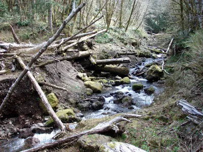 This is the channel for the creek - you can see part of the logjam to the left.
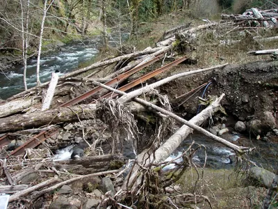 Looking back at the washout
 Another old telephone pole
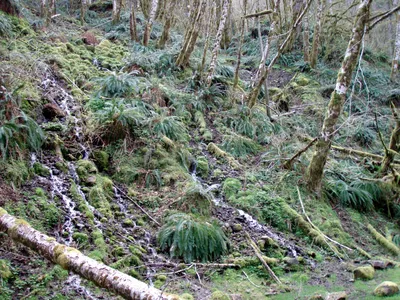 Another telephone pole on the hillside and a whole hillside of little water flows.
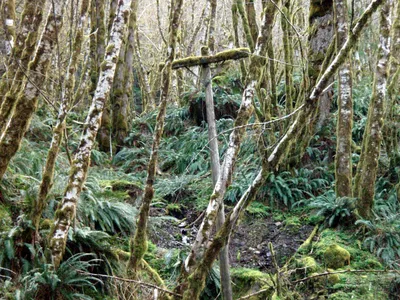 Closeup of the telephone pole
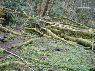 There are tracks down there somewhere!
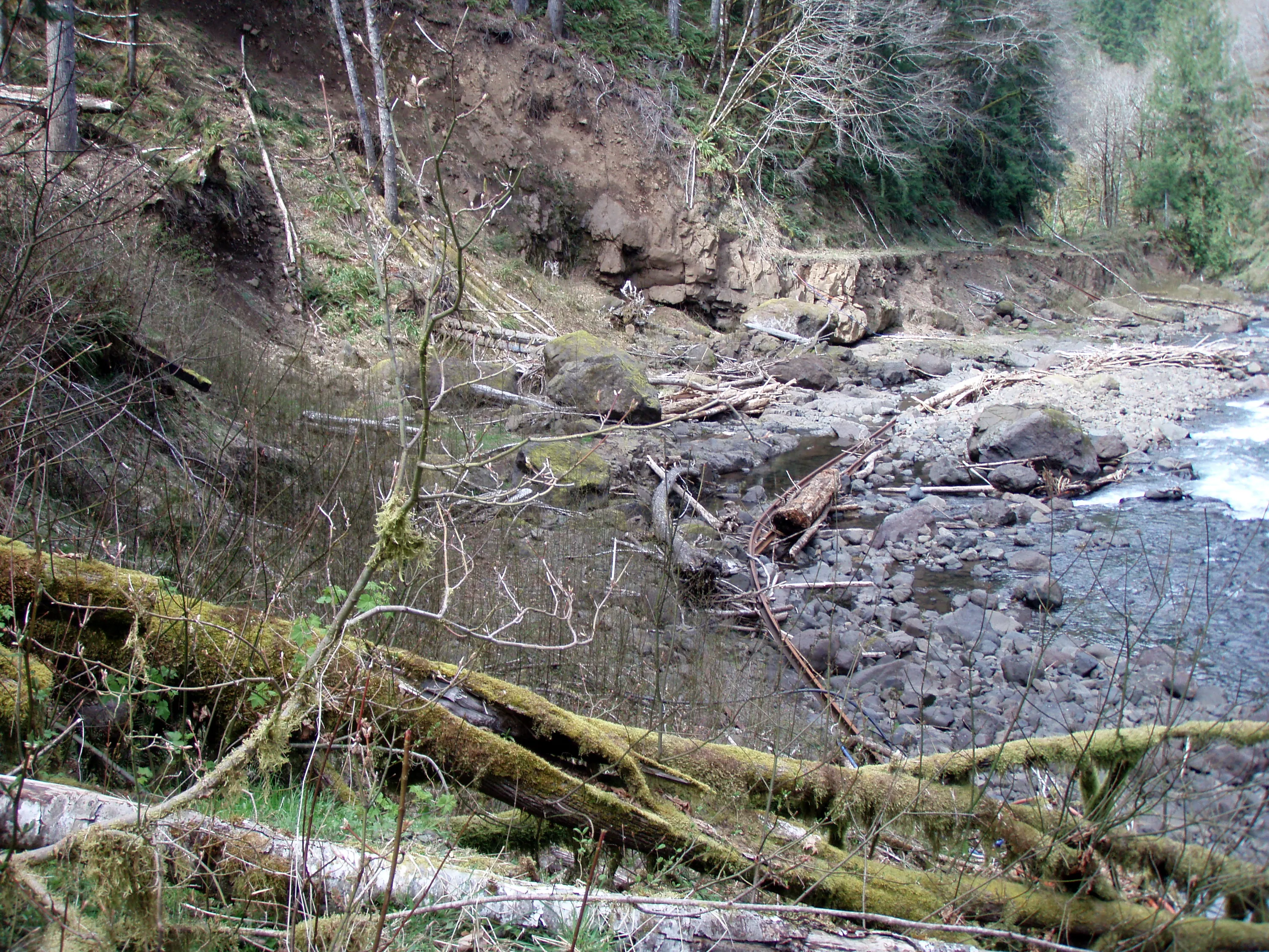
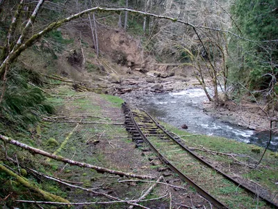 This was another pretty large washout. You can see how the tracks were moved into the river when the slide occurred.
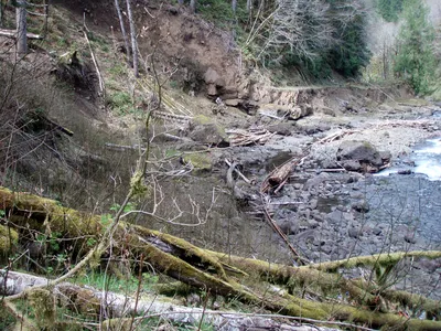 A different view of the washout and slide
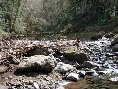 Looking back east at the slide area.
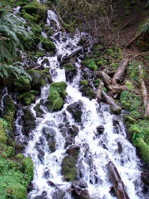
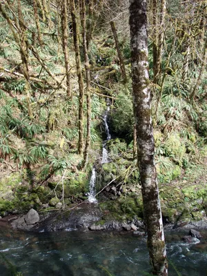 A pretty little waterfall on the opposite side of the river.
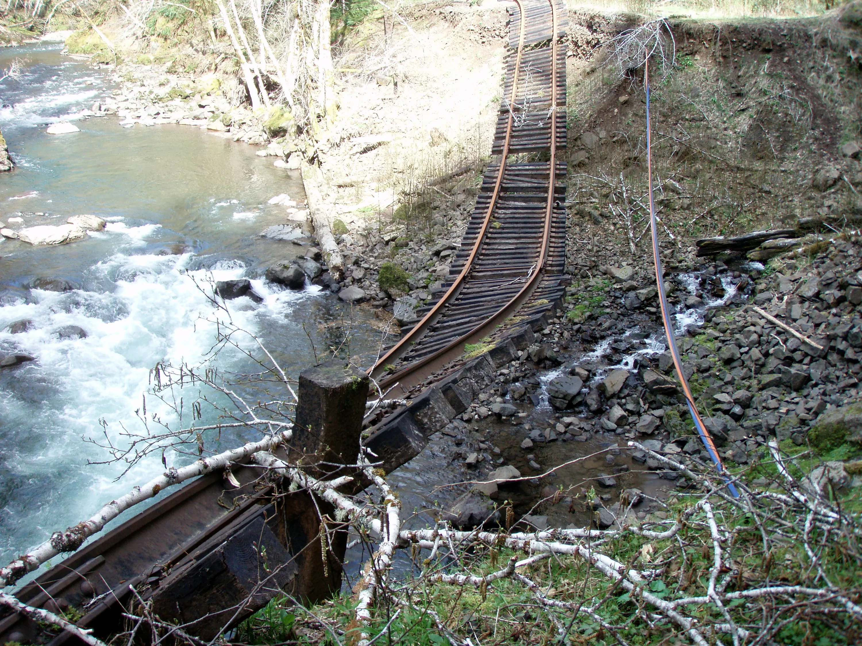
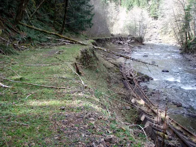 Another washout where the tracks were moved into the river. You can see where they used to be on the flat section in the foreground.
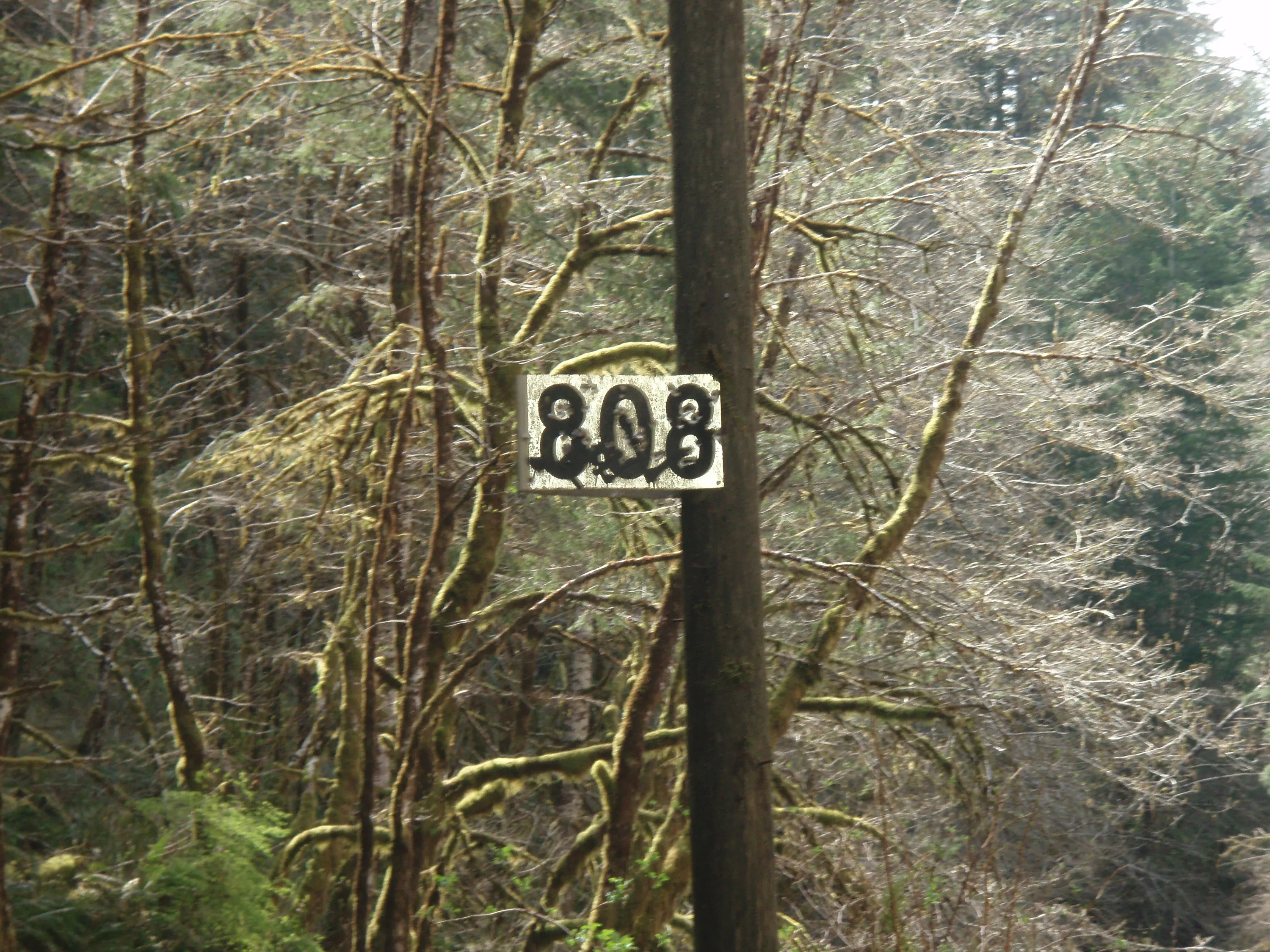
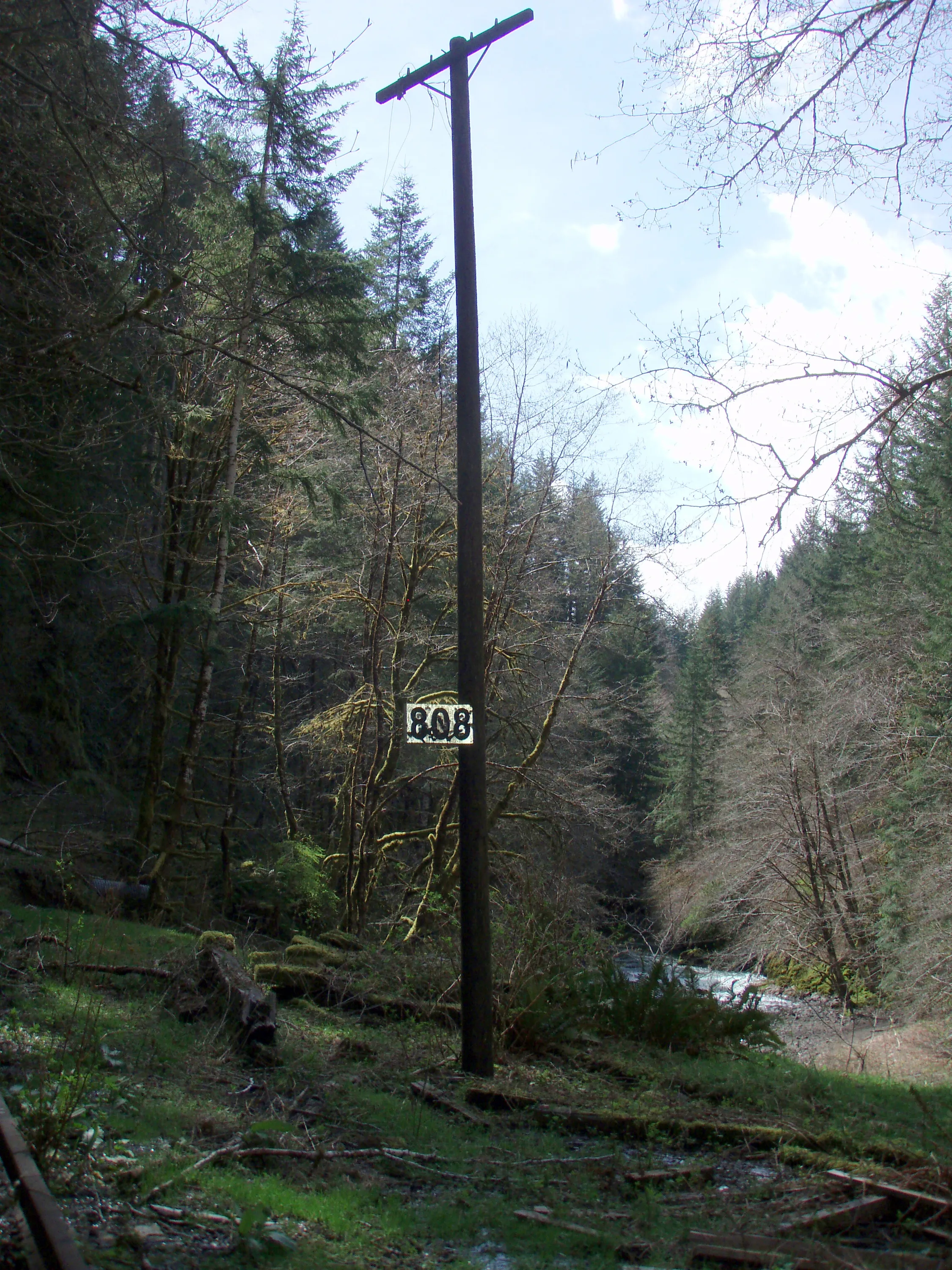
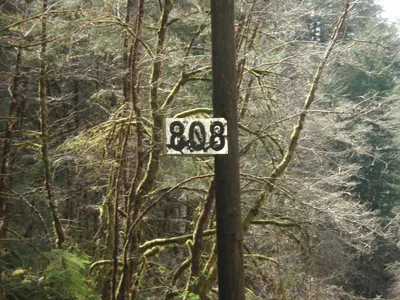 Milepost 808 - are we really only half way there?
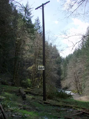 The milepost was attached to a telephone pole!
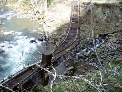 This was an unusual washout since the side creek is so small. It looks like the river might have scoured out the bend since it takes a rather sharp turn here. Interesting how most of the ties are intact on this washout, though.
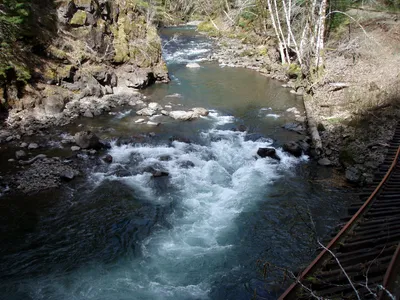 The river must have been REALLY moving in 2007!!!
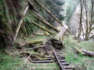
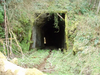
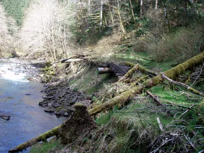
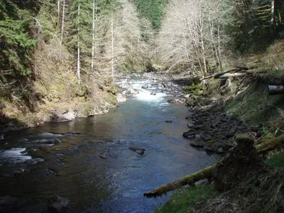
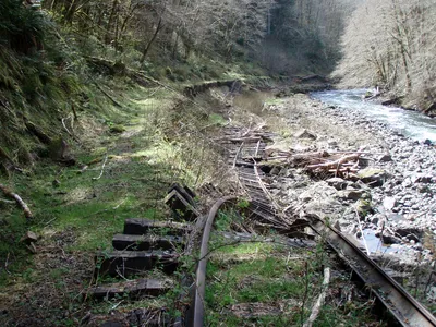 Another long washout, but this was was easy to walk around
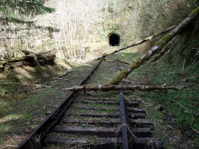
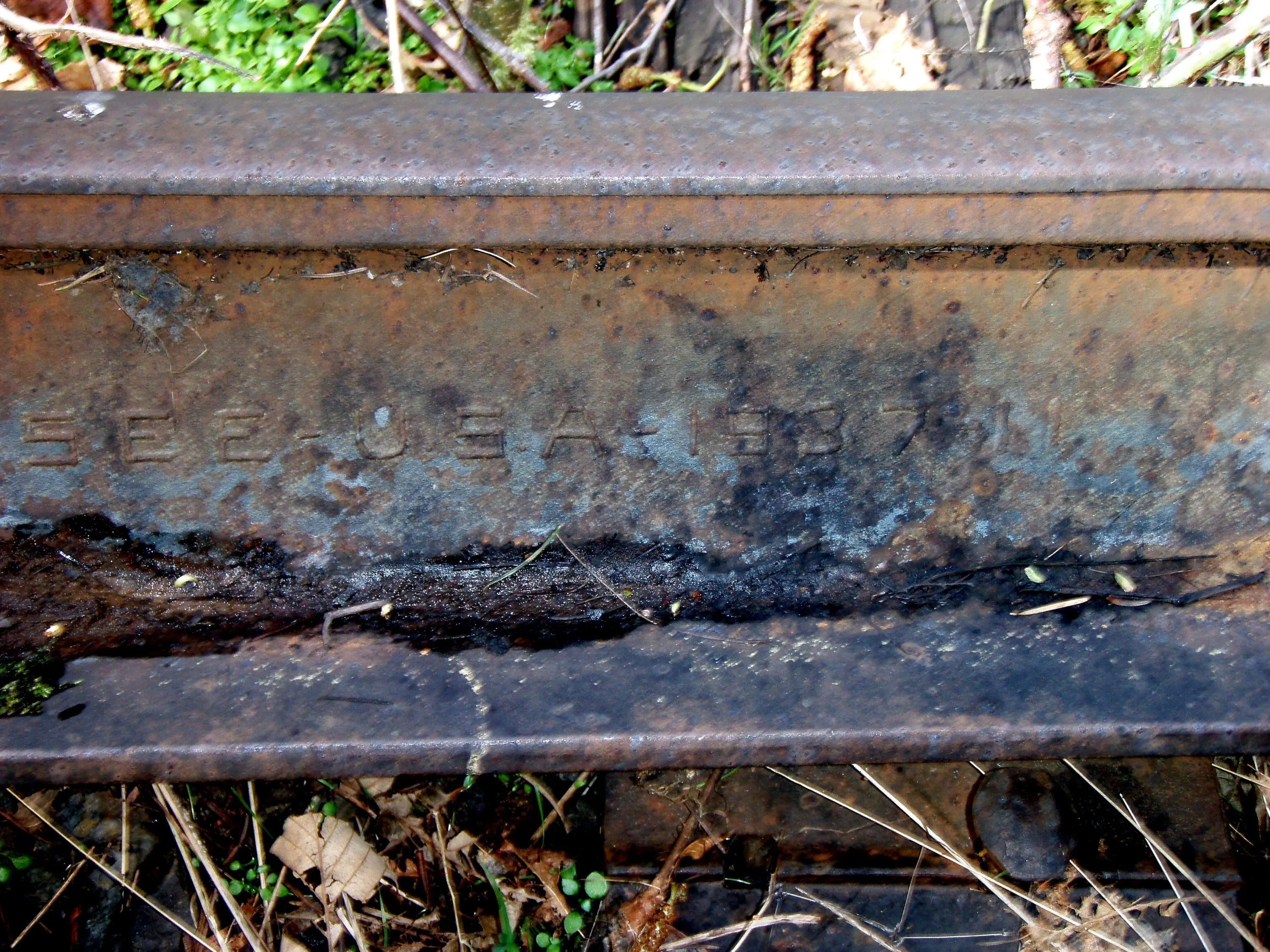
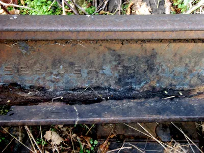 Looks like this rail was made in 1937
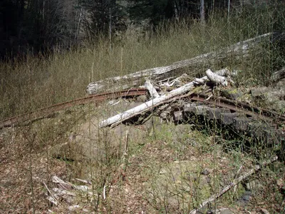 Another big slide area - The alders LOVE these slides!!!
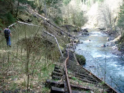 Another long washout - this one we had to take a route up above the slide area to get around it.
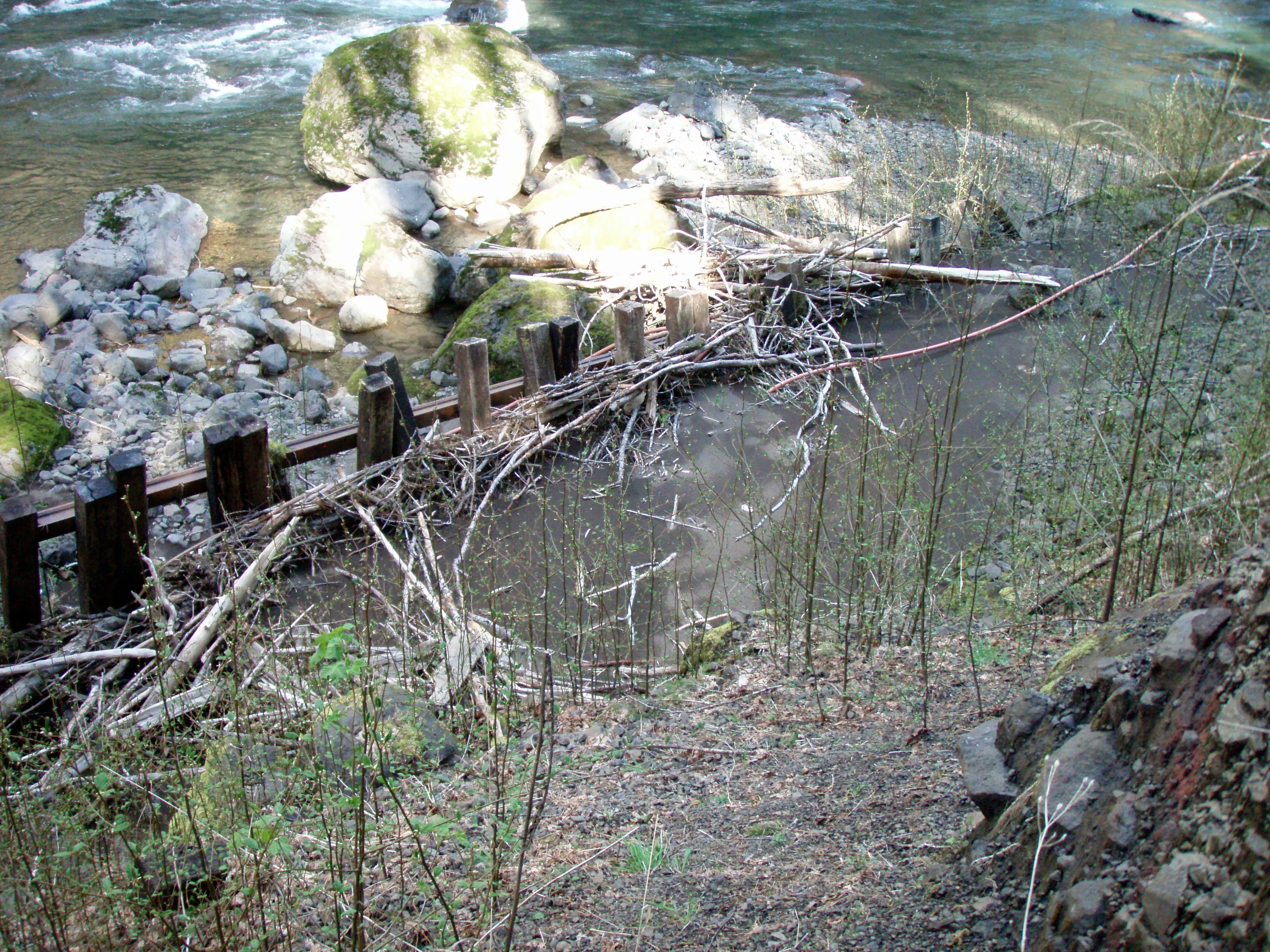
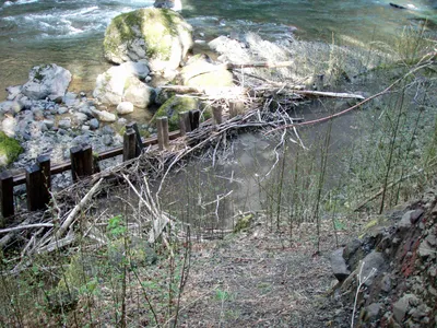 This was interesting. The ties actually made a little dam and the silt from the river piled up behind them! The track is laying vertical at this point.
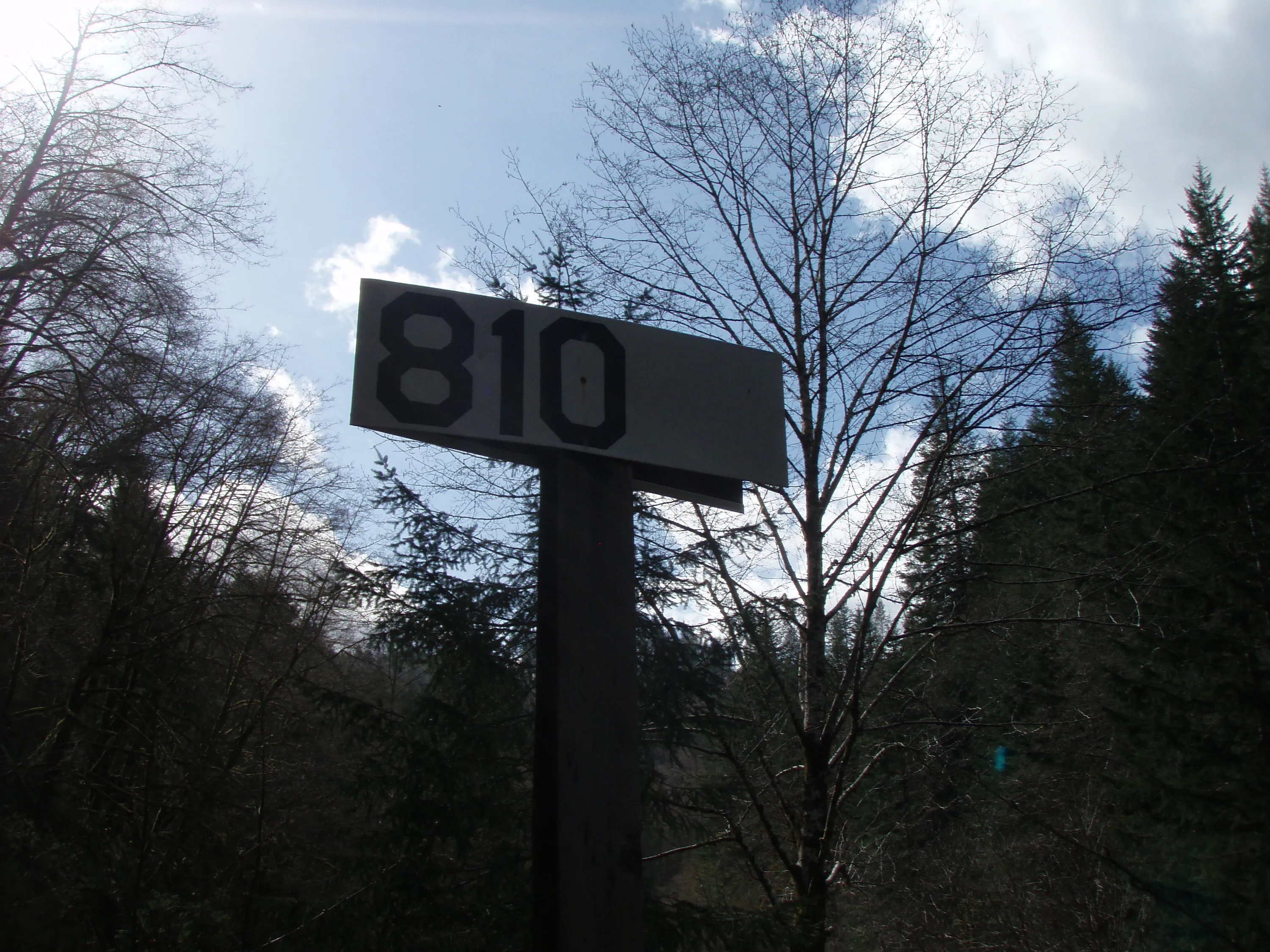
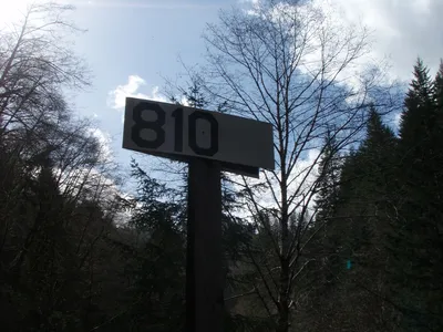 Milepost 810 - we are over halfway!
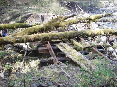 Another ugly washout
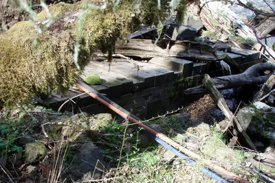 This was interesting - you could see the whole thing - it is a box culvert made entirely out of wood. There were a bunch of these and interestingly enough, we didn't see any that appeared to have failed or plugged up. All the plugged up ones were galvanized metal. The water is flowing a little bit over the top of this one only because the opening was partially covered - most of the water was flowing through the culvert.
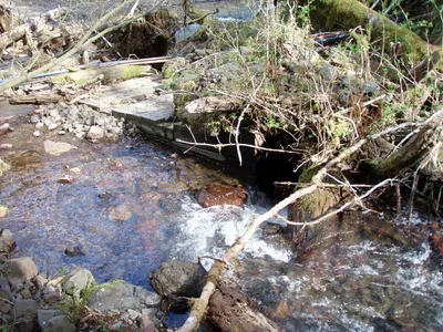 Here you can see the intake of the culvert and why it is partially covered
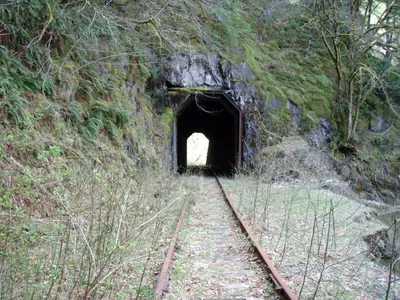
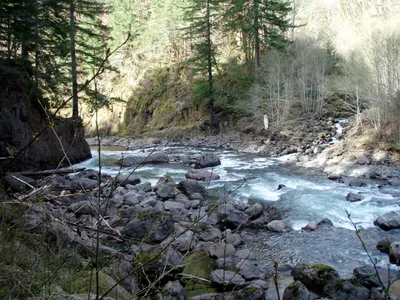
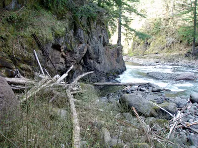 There were quite a few pieces of rail that had been lodged against this rock. The river takes a sharp turn here, so who knows where this rail came from upstream.
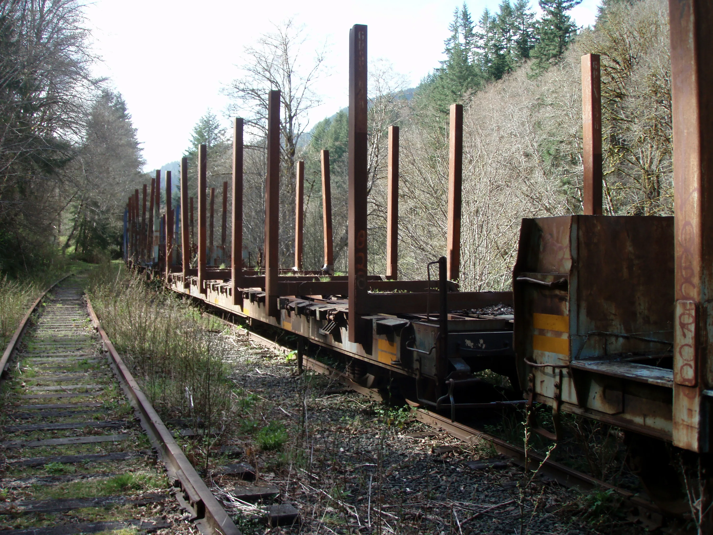
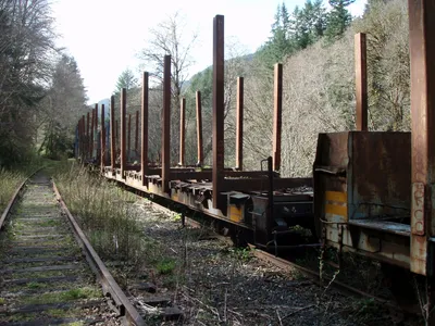 Here we are at Enright - a bunch of old log cars on a siding - probably 15 of them
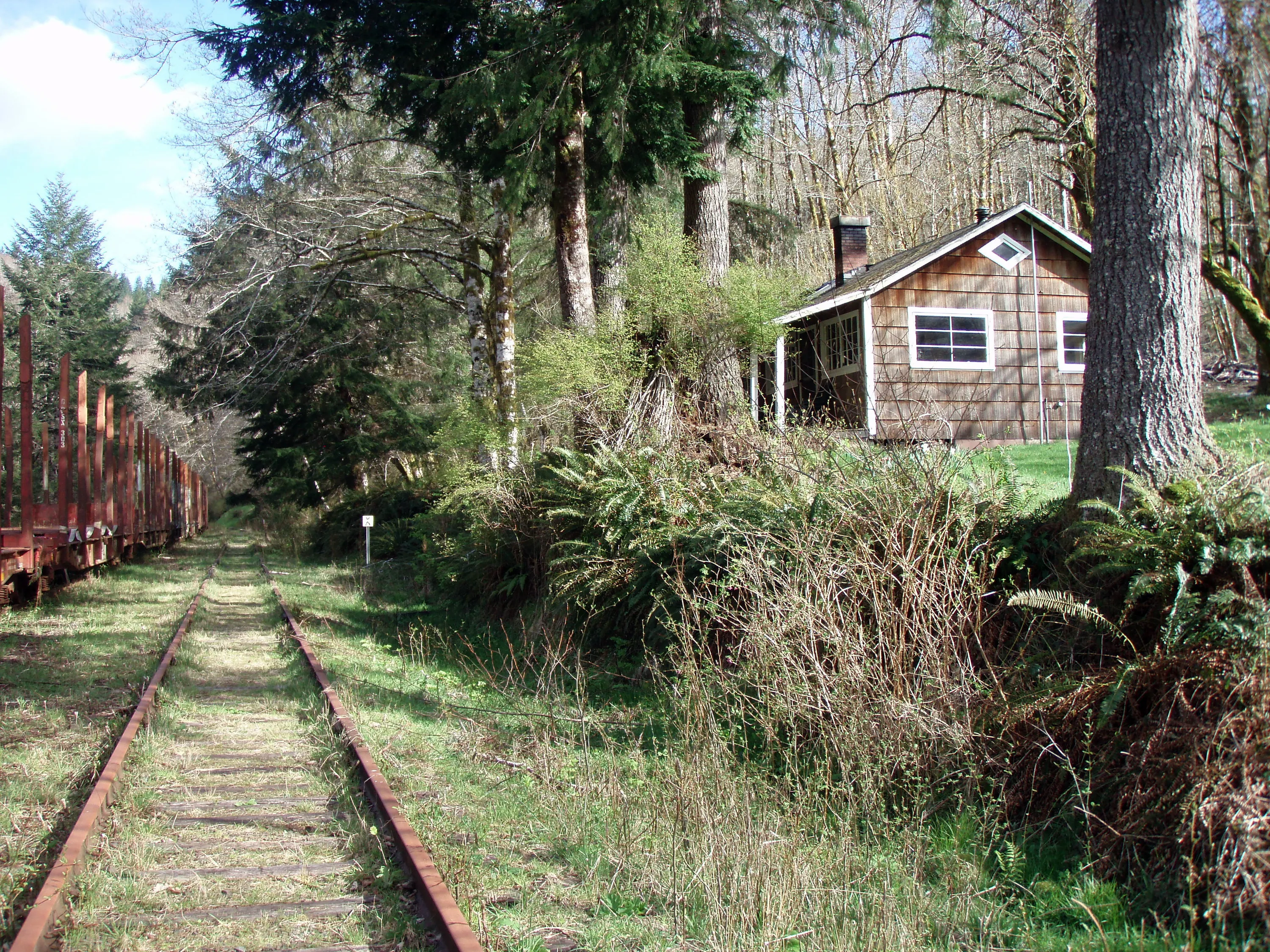
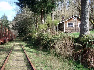 One of the two houses at Enright.
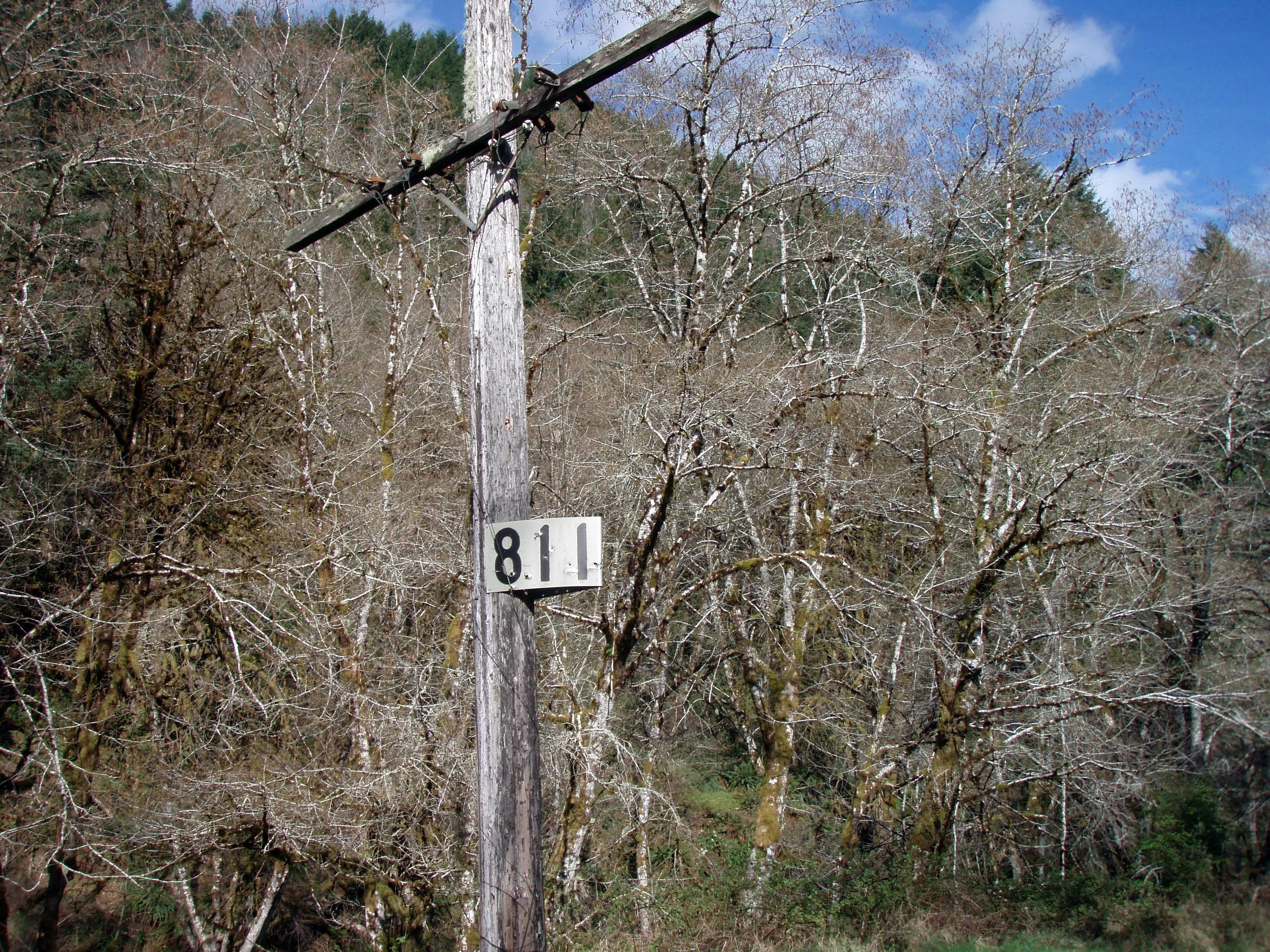
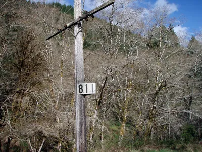 Milepost 811 - only 4 (or 5) miles to go! Another milepost with the telephone wires on it.
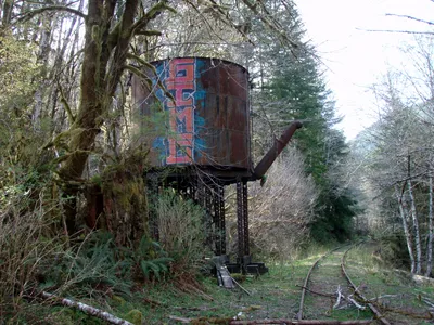 The old water tank at the west end of Enright
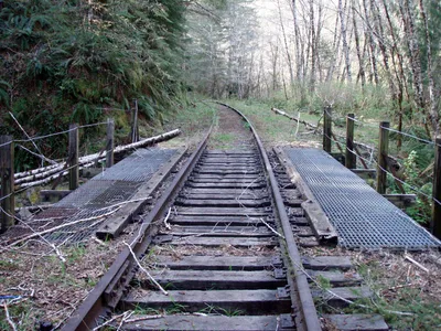 Bridge at Tank creek. The worst of the damage is behind us at this point.
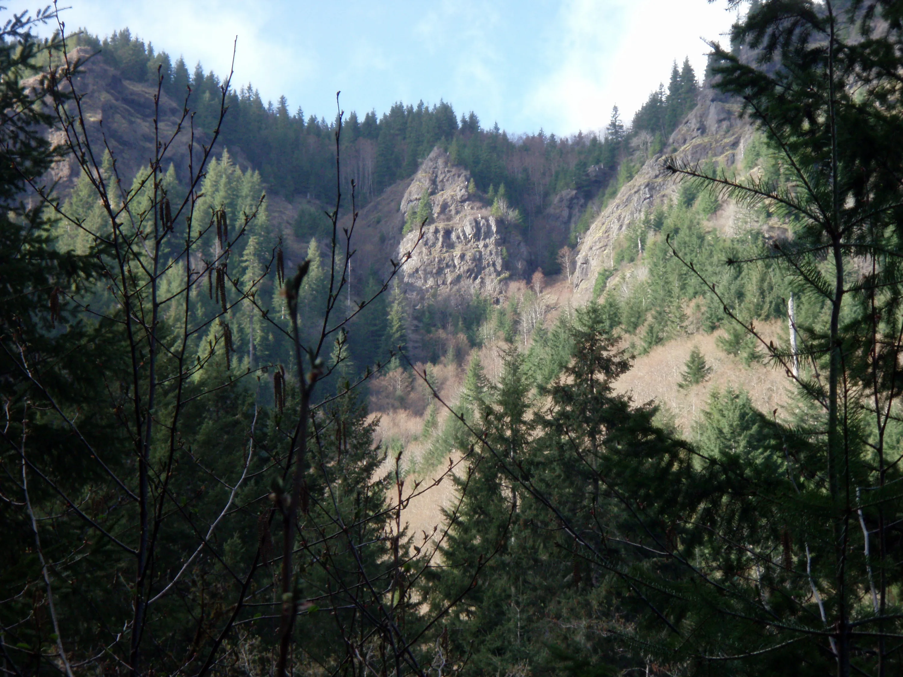
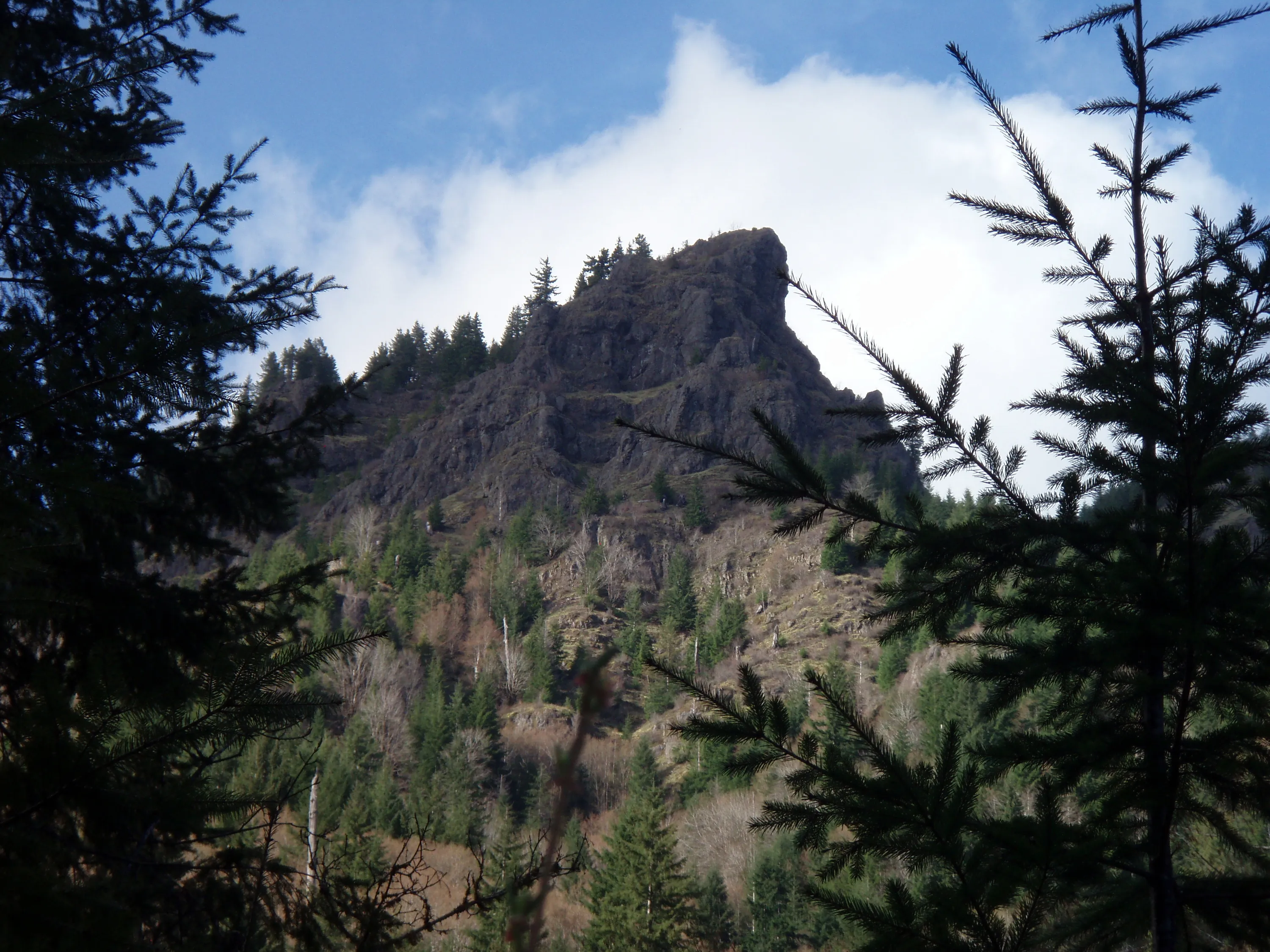
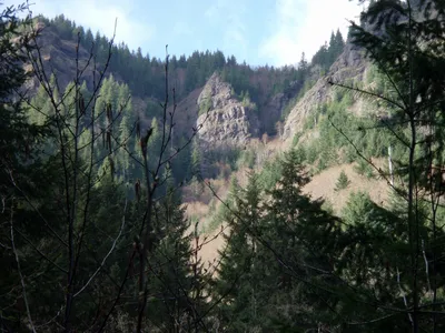 A very interesting rock formation on the north side of the river.
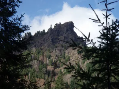 Another interesting rock formation on the north side of the river - just east of the other rock formation.
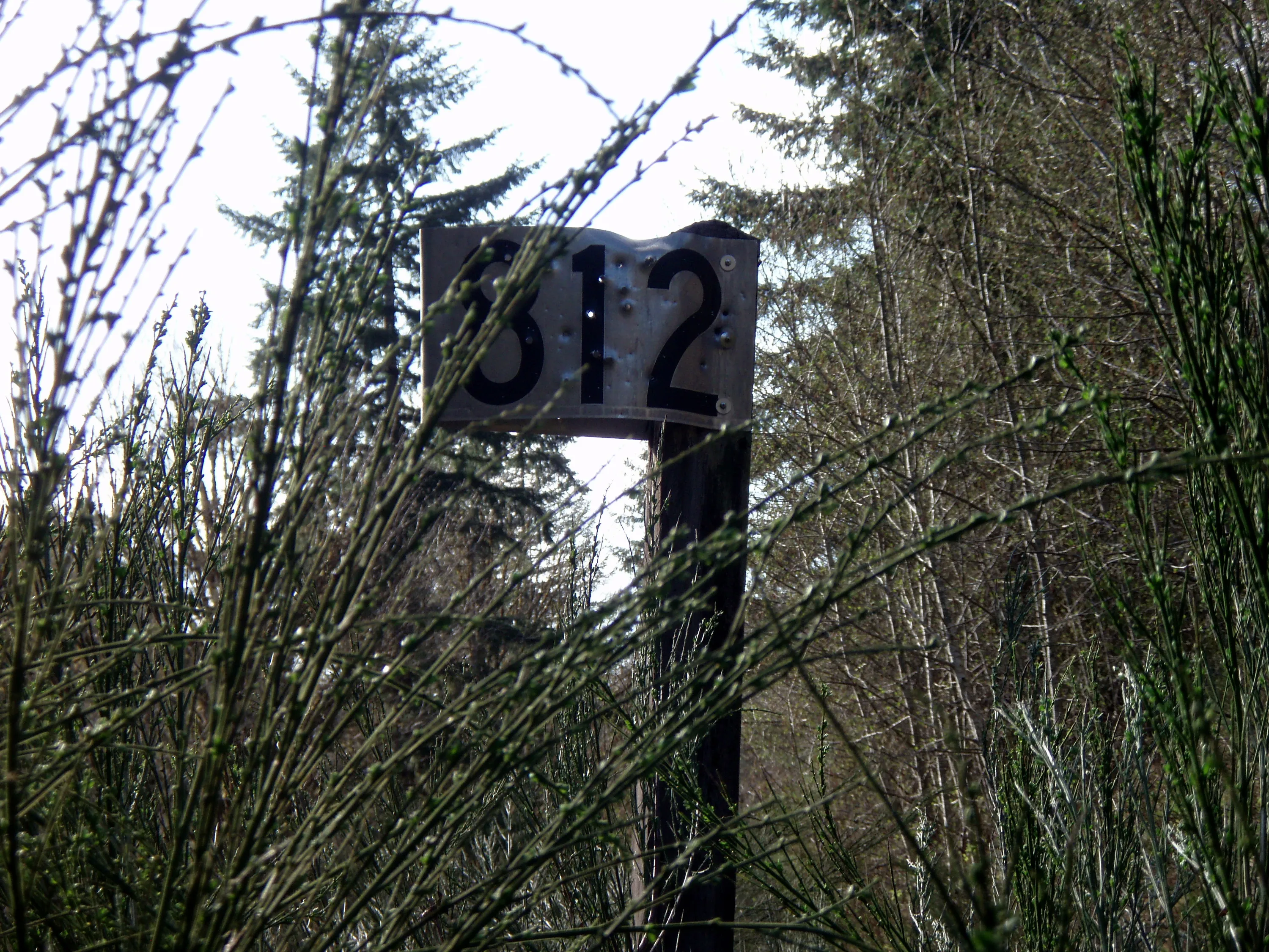
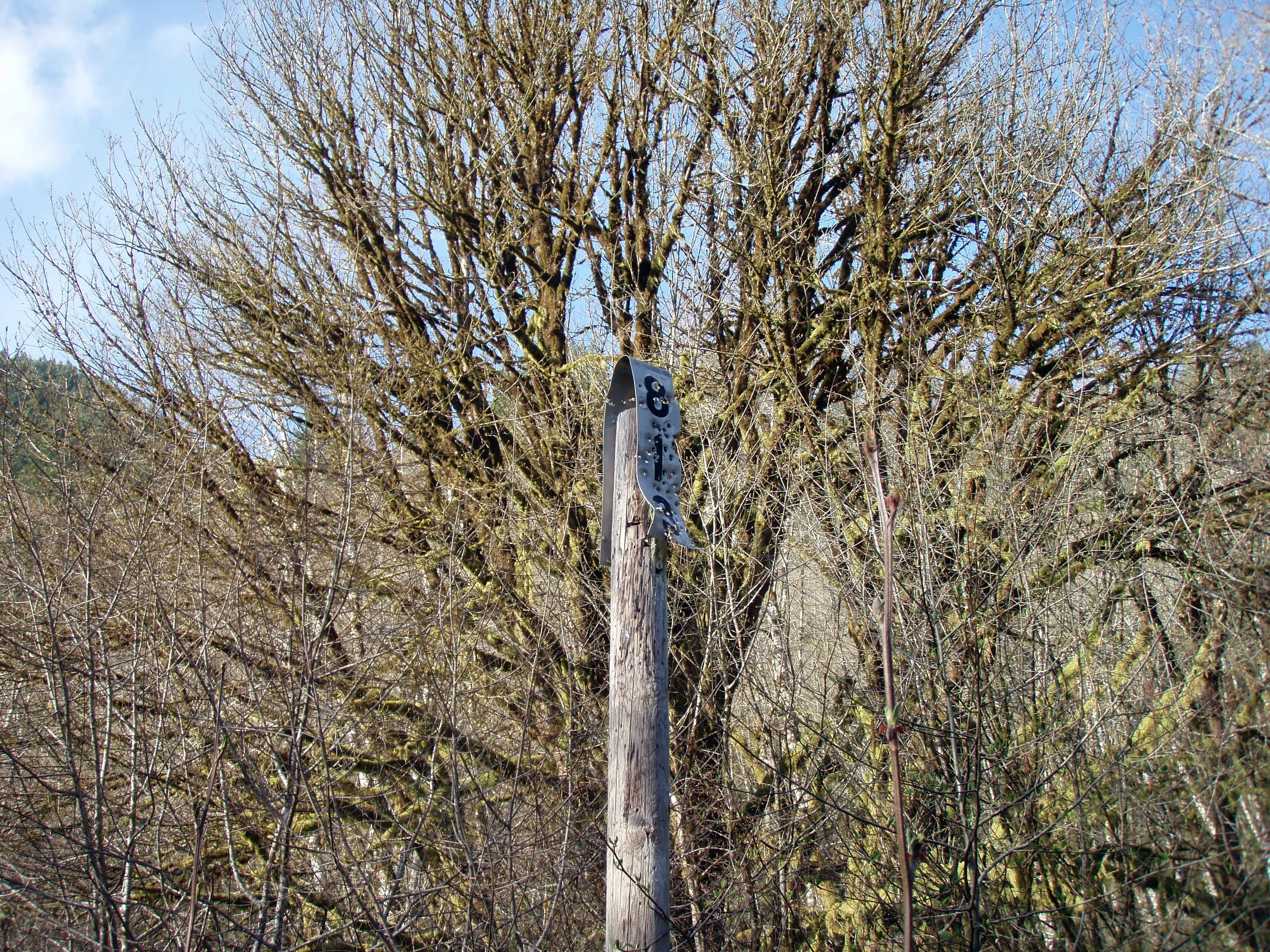
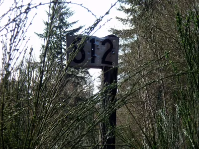 Milepost 812! And LOTS of scotch broom
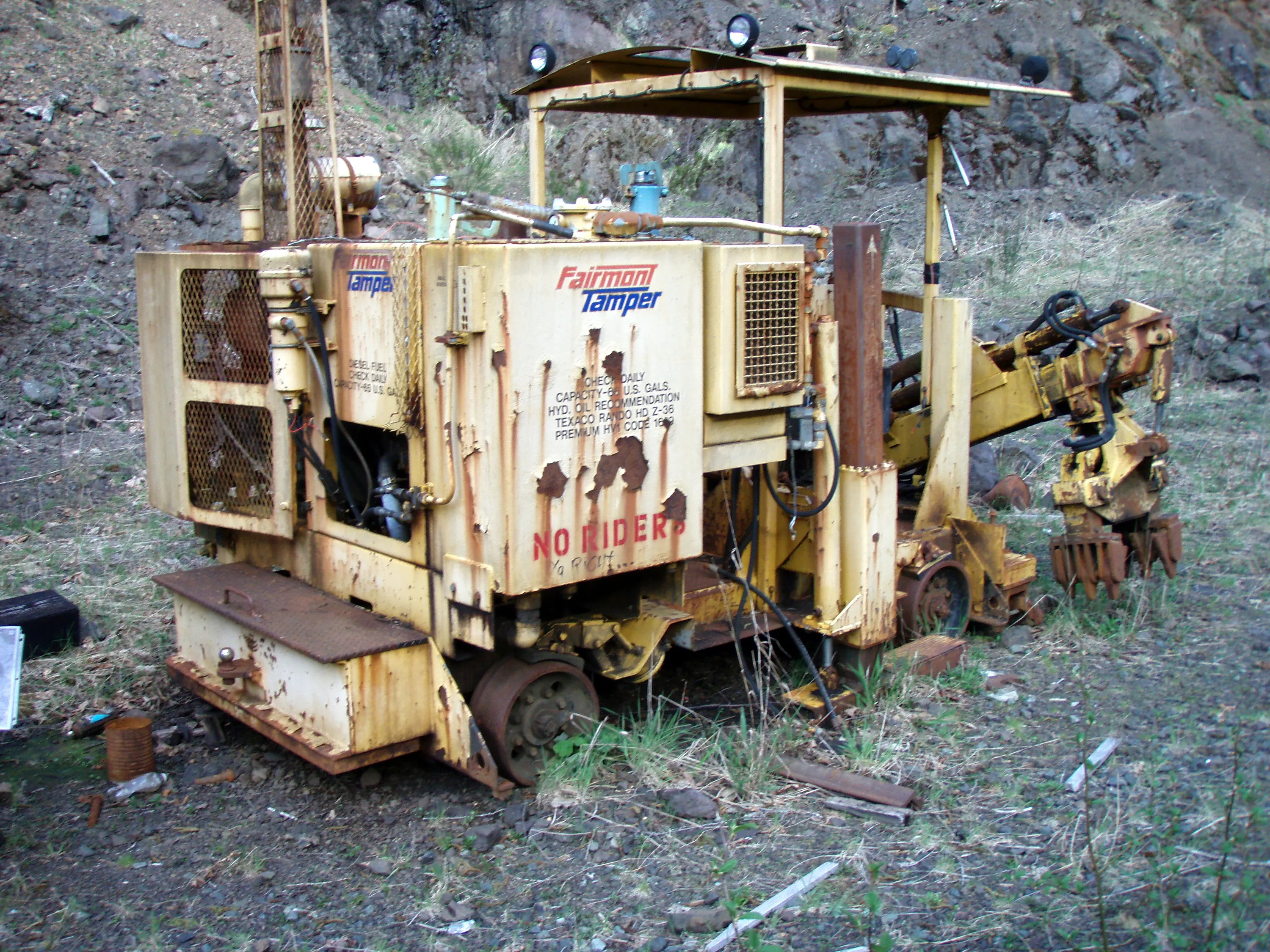
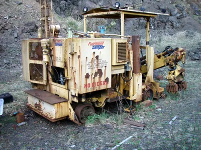 This was an interesting piece of equipment - looks like it replaced the ties. I don't think it will be going anywhere....It was below what looks like a rock quarry, although it wasn't shown on the map.
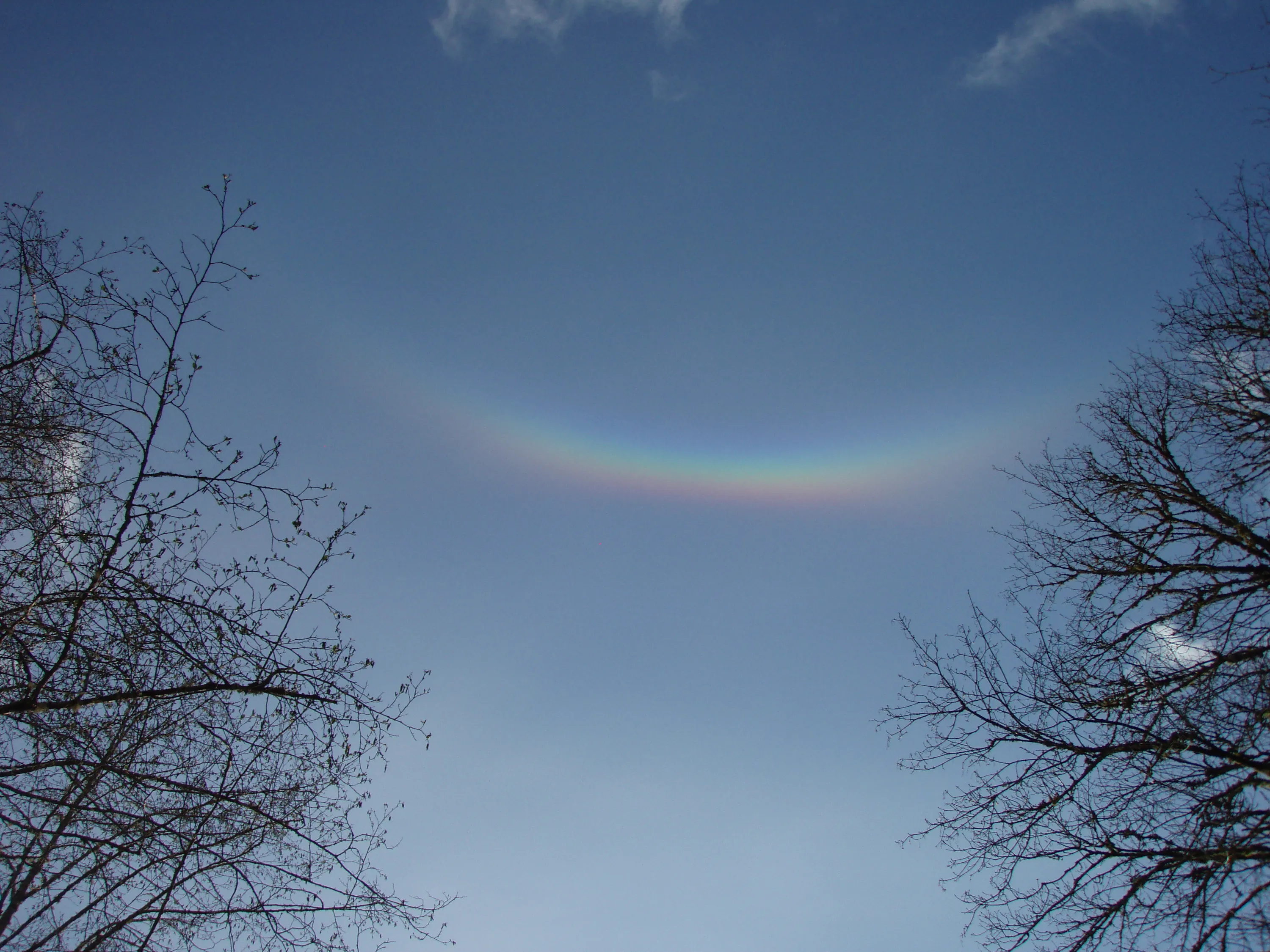
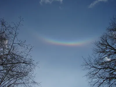 This was an unusual thing in the sky. No rain, but we saw an inverted rainbow. There didn't appear to be any moisture or anything in the air - blue sky and no mist from the river.
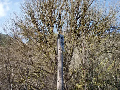 Milepost 813 - we are almost there! It was getting late and we were getting tired. This was near the old "settlement" of Belfort. We didn't really see anything but level ground and some grass - looked like there could have been houses there at one point.
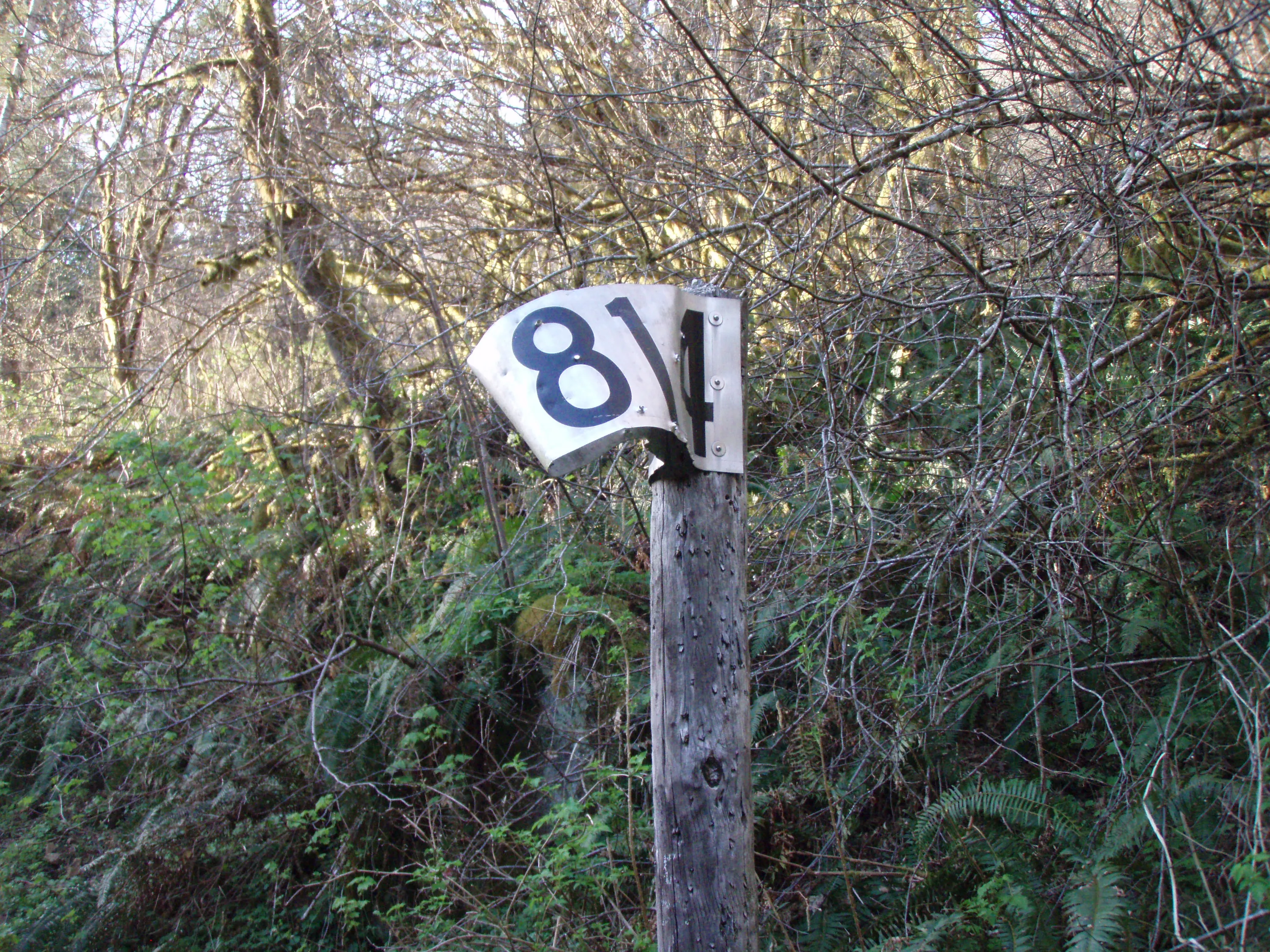
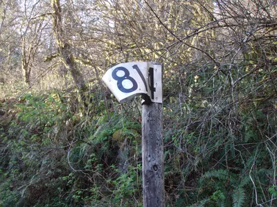 Milepost 814 - a mile to go!
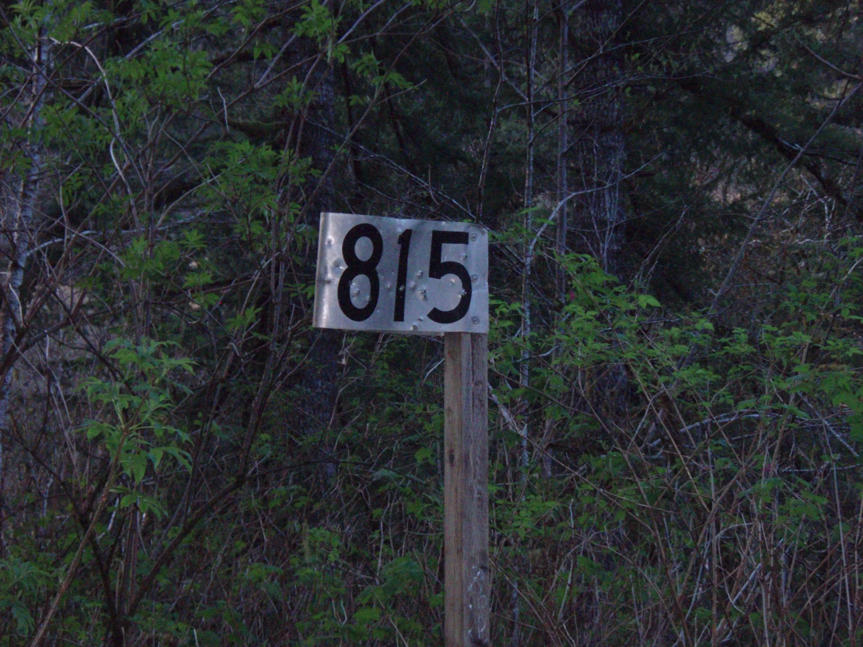
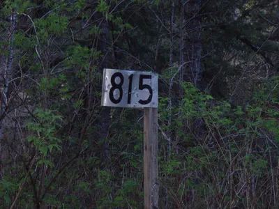 Milepost 815 - we are almost to Salmonberry and the sun is going down.