Robs Hiking Diary
Search
Search for:
Search
Hikes
2012
Eagle Cap Backpack
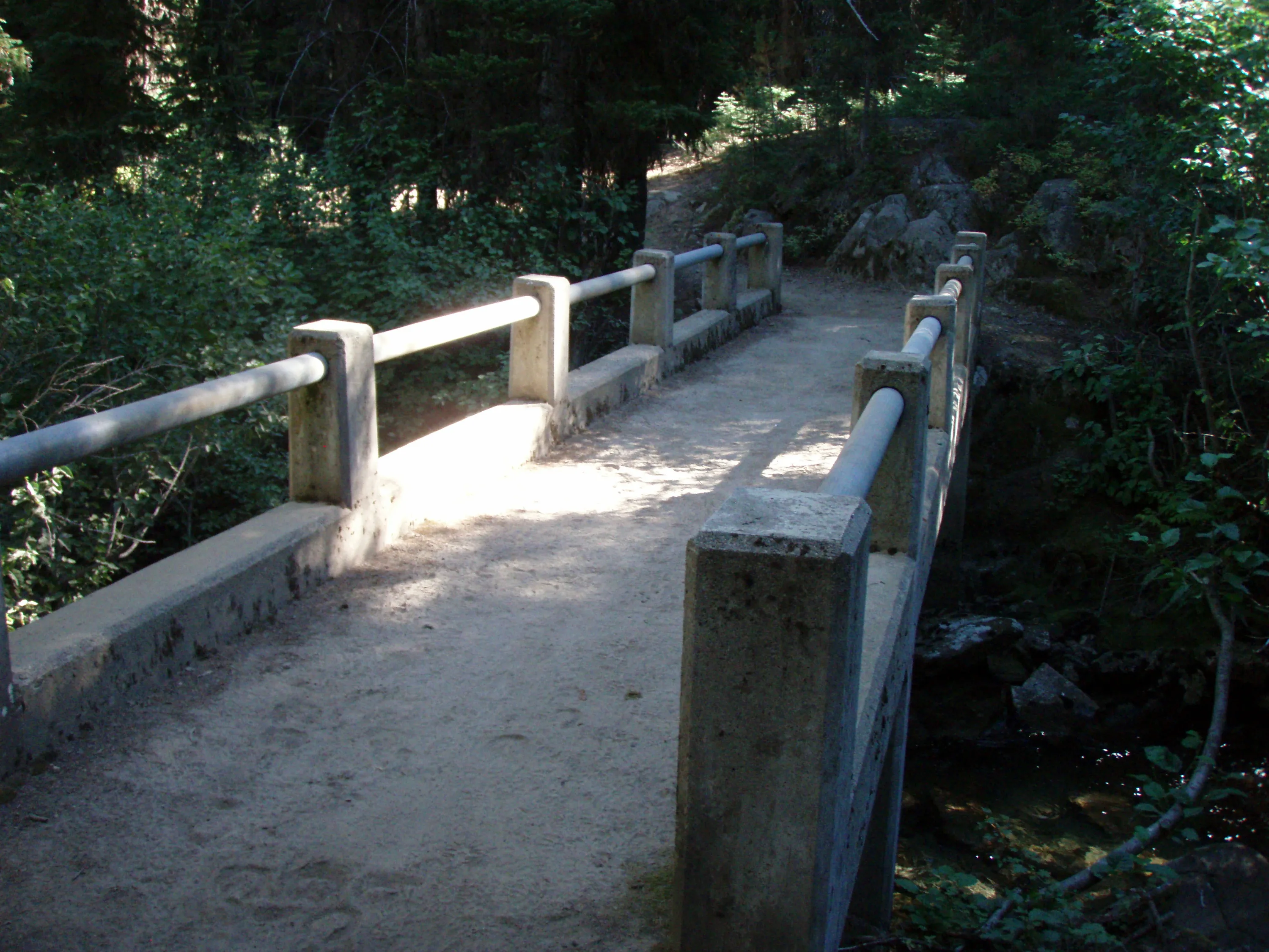
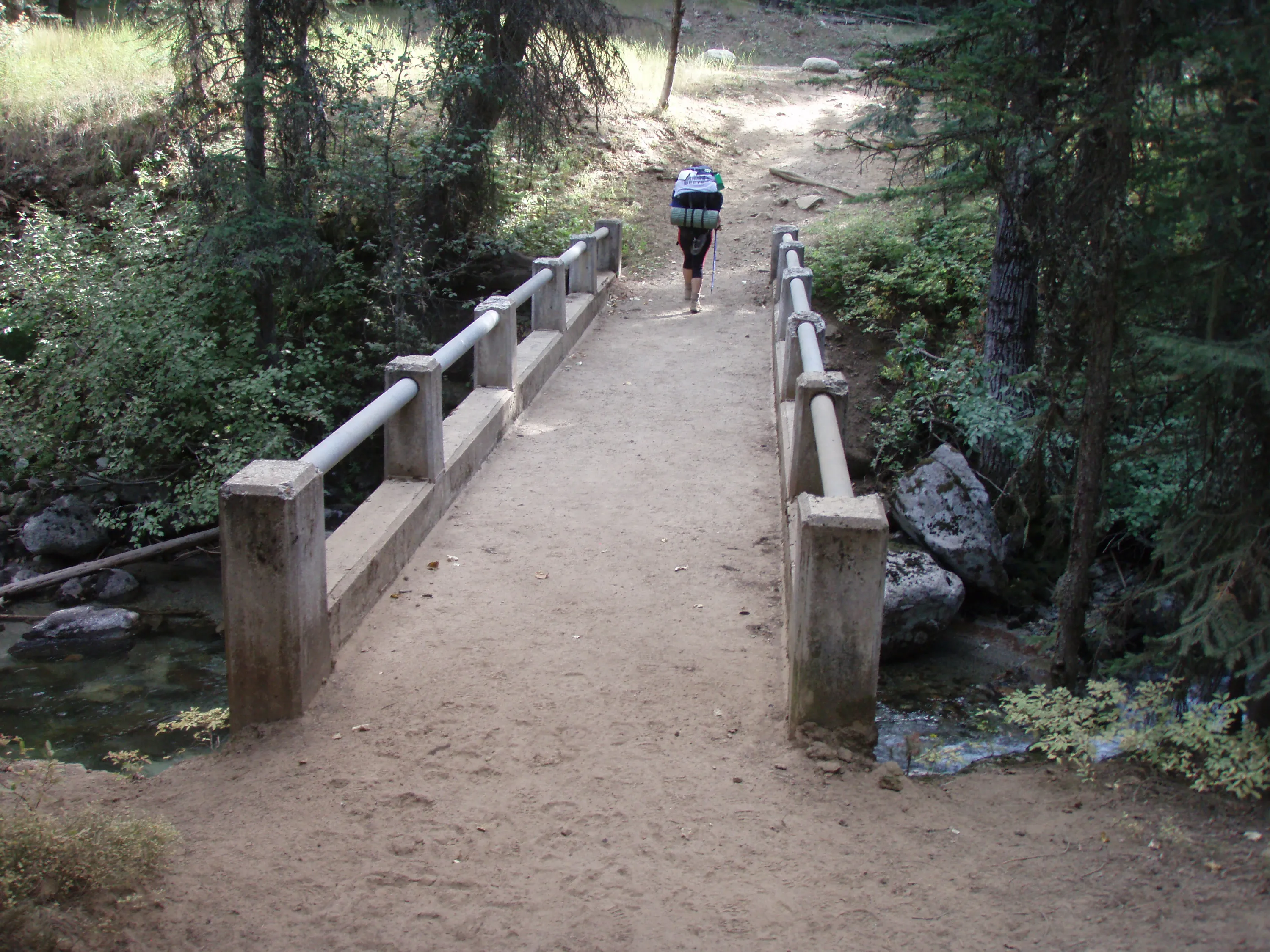
Bridge over the East Fork Lostine River
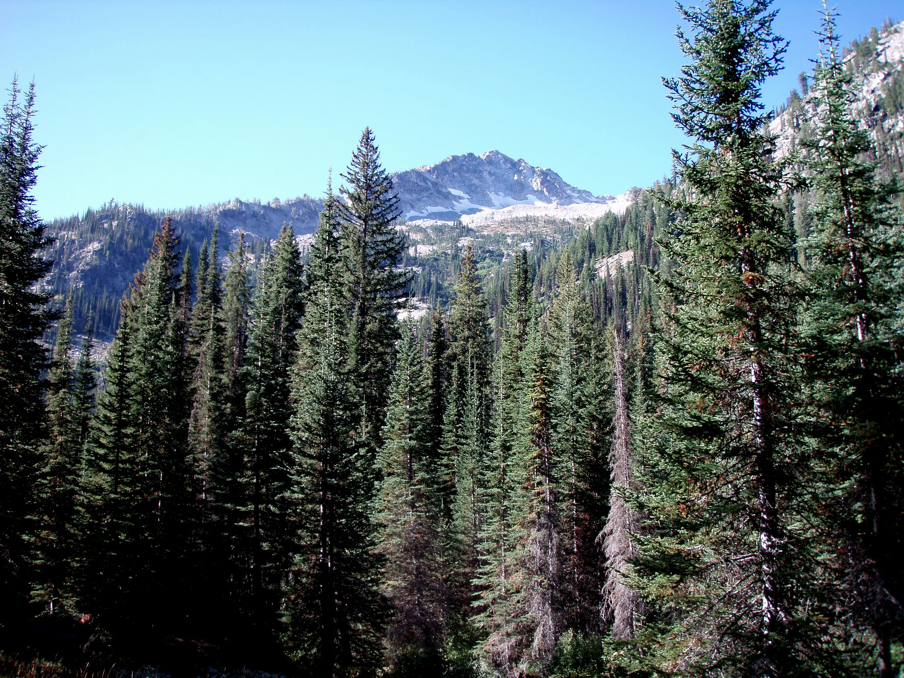
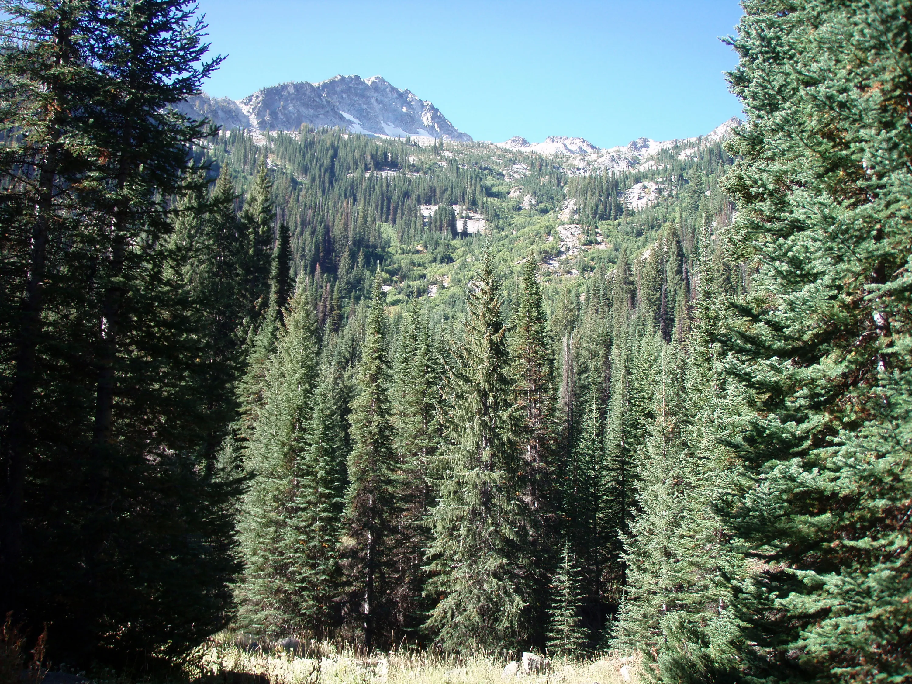
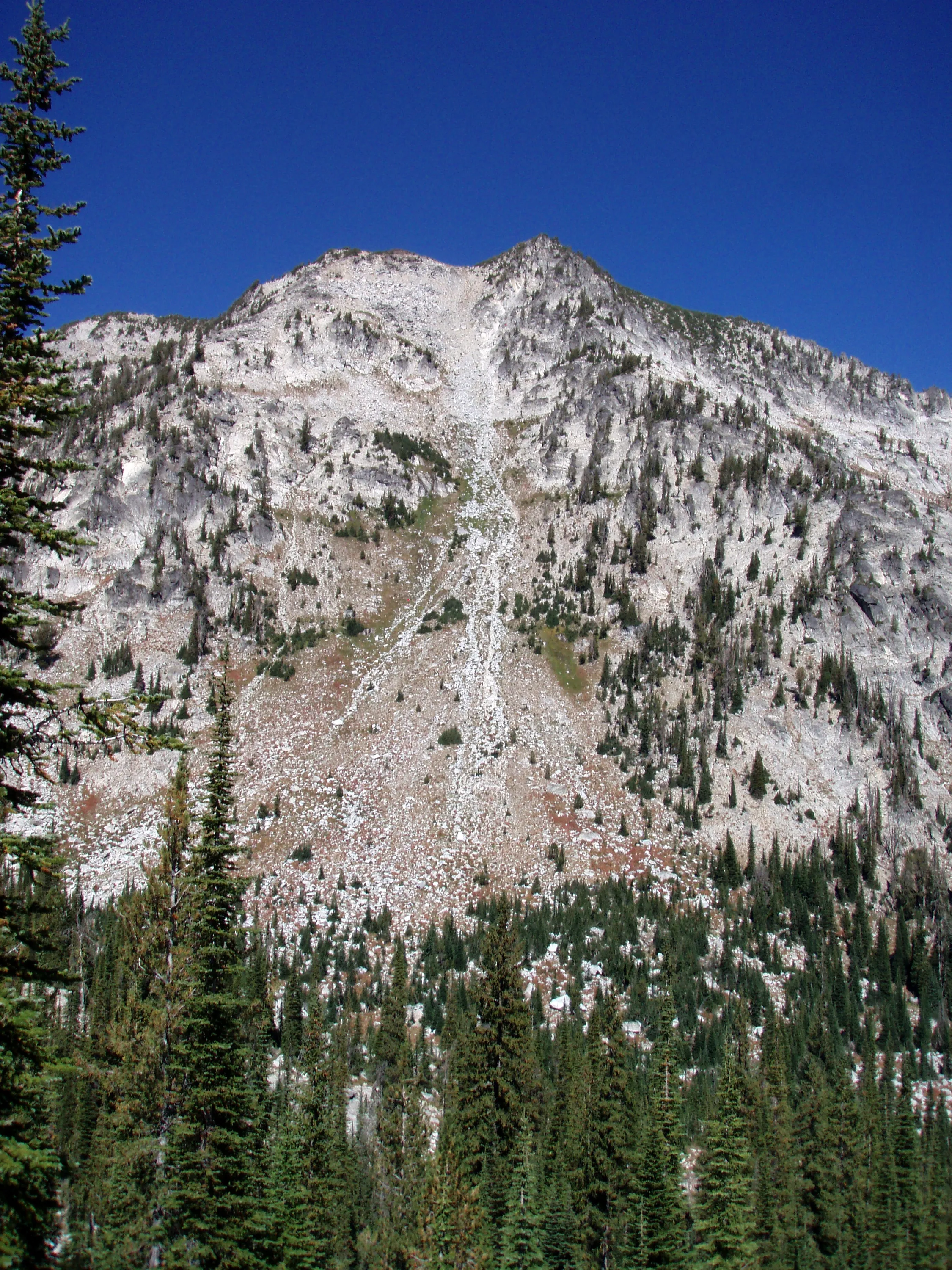
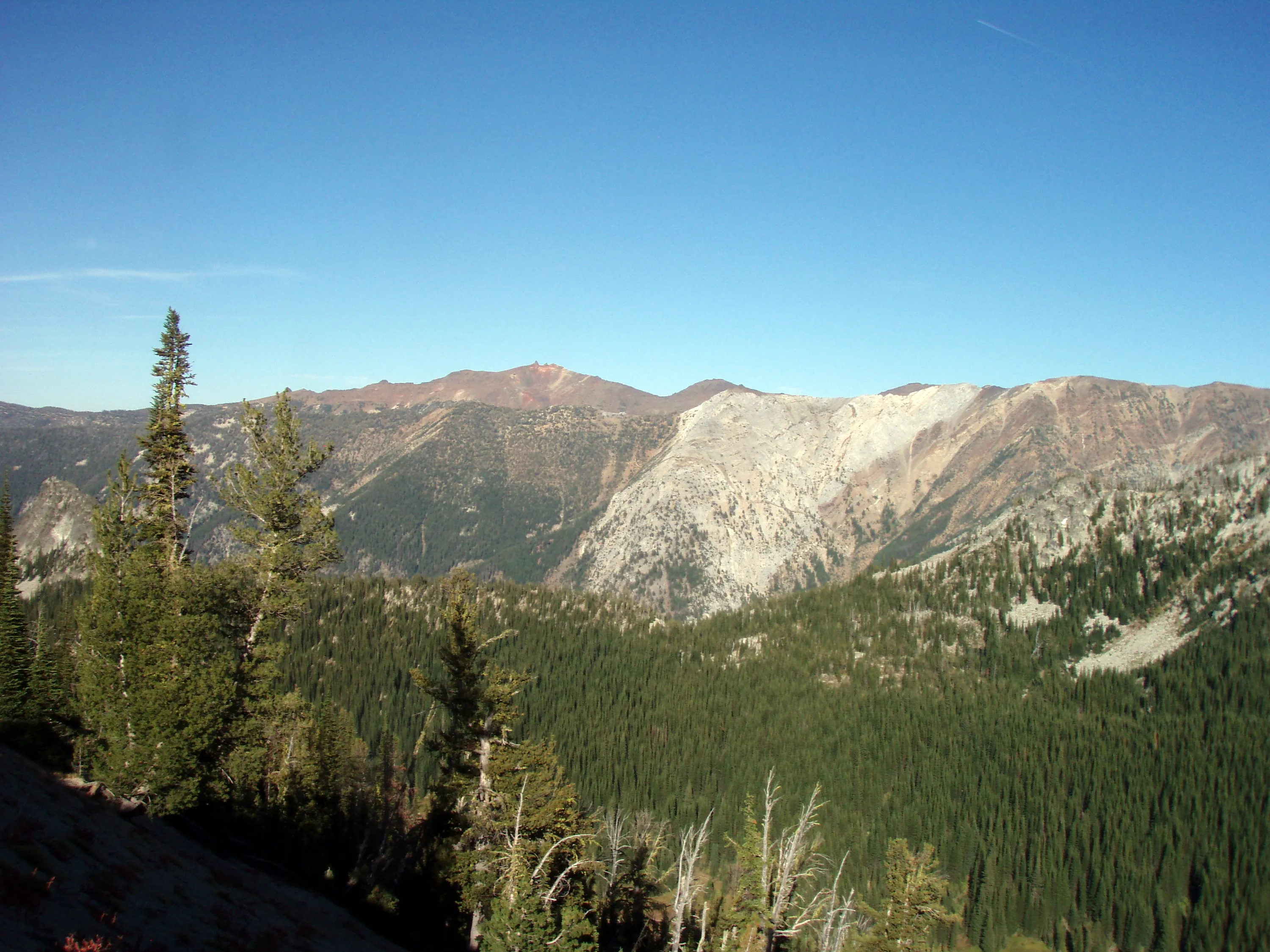
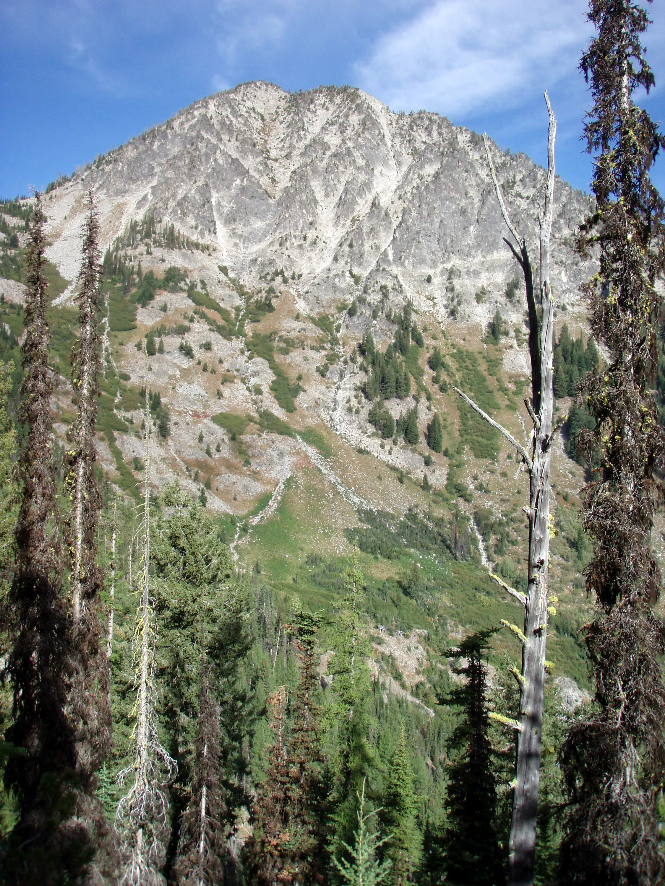
Elkhorn peak?
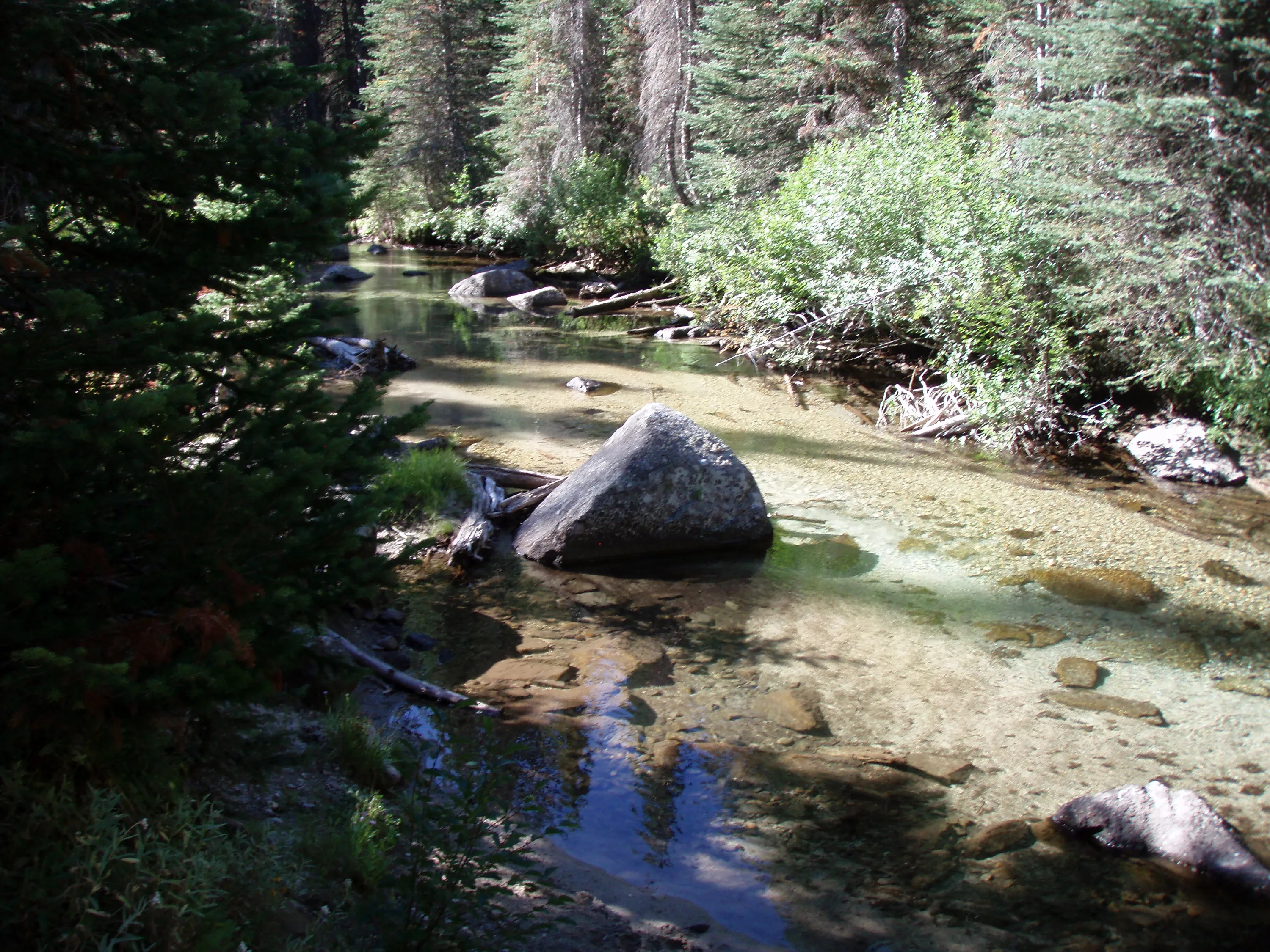
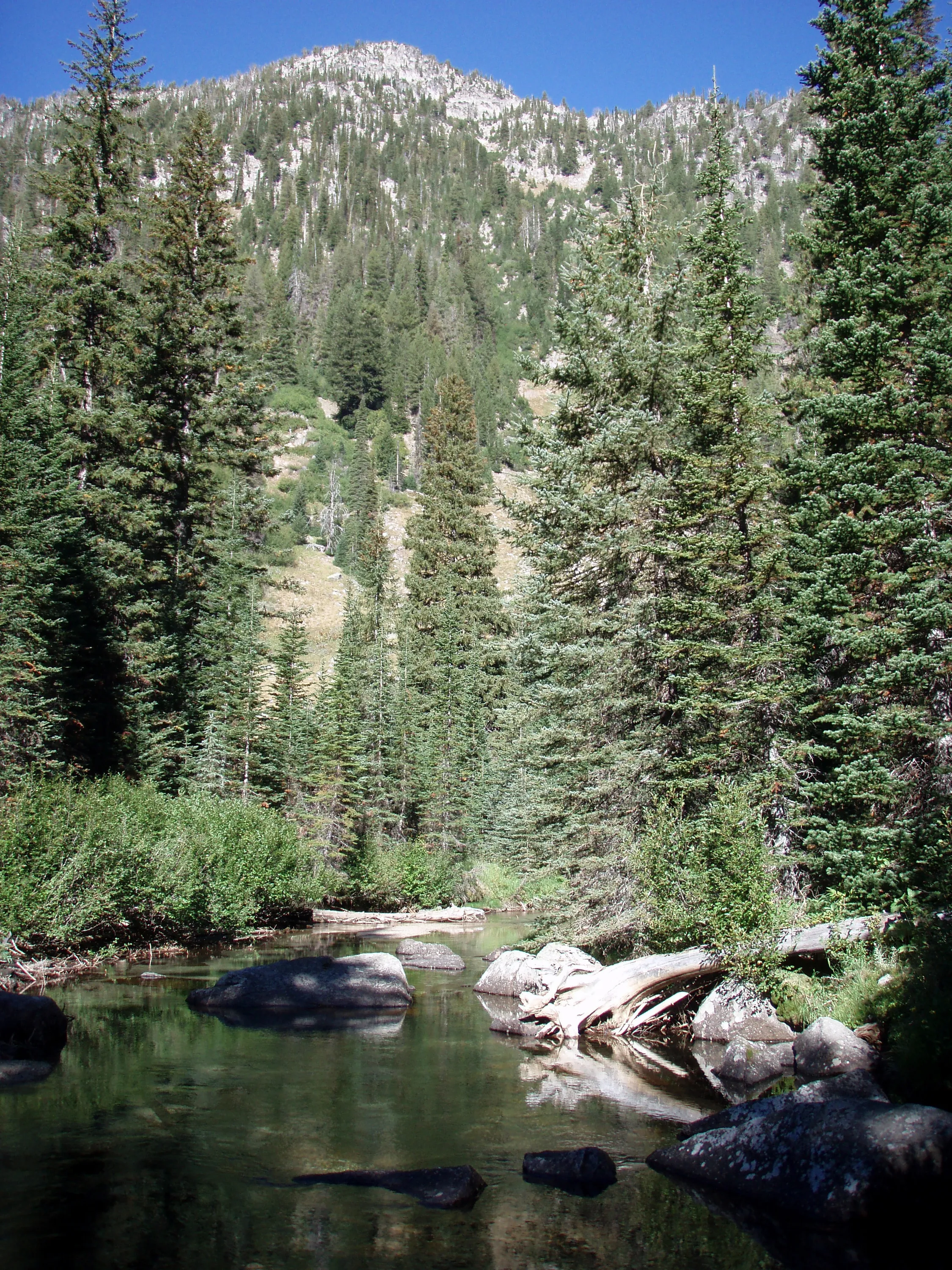
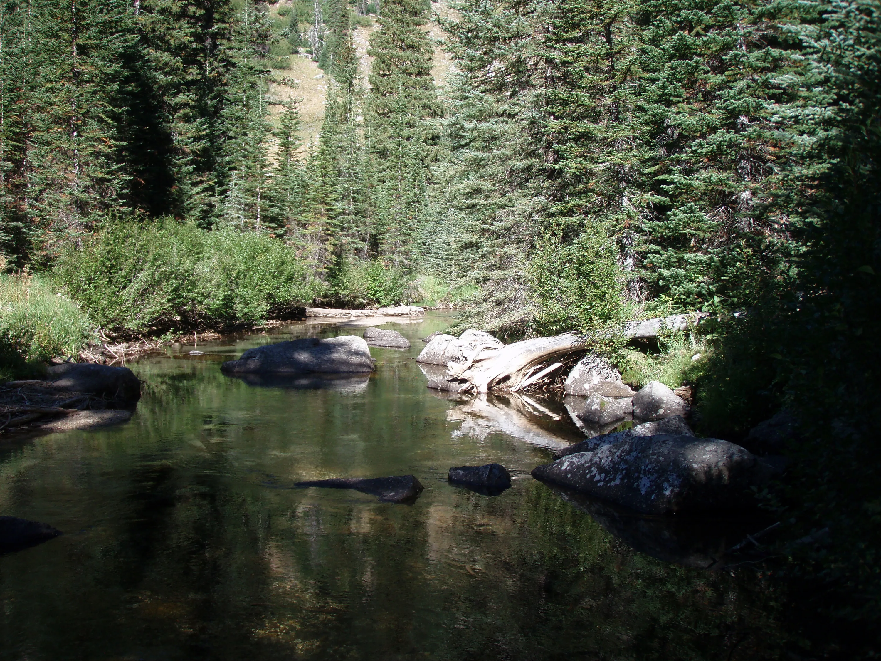
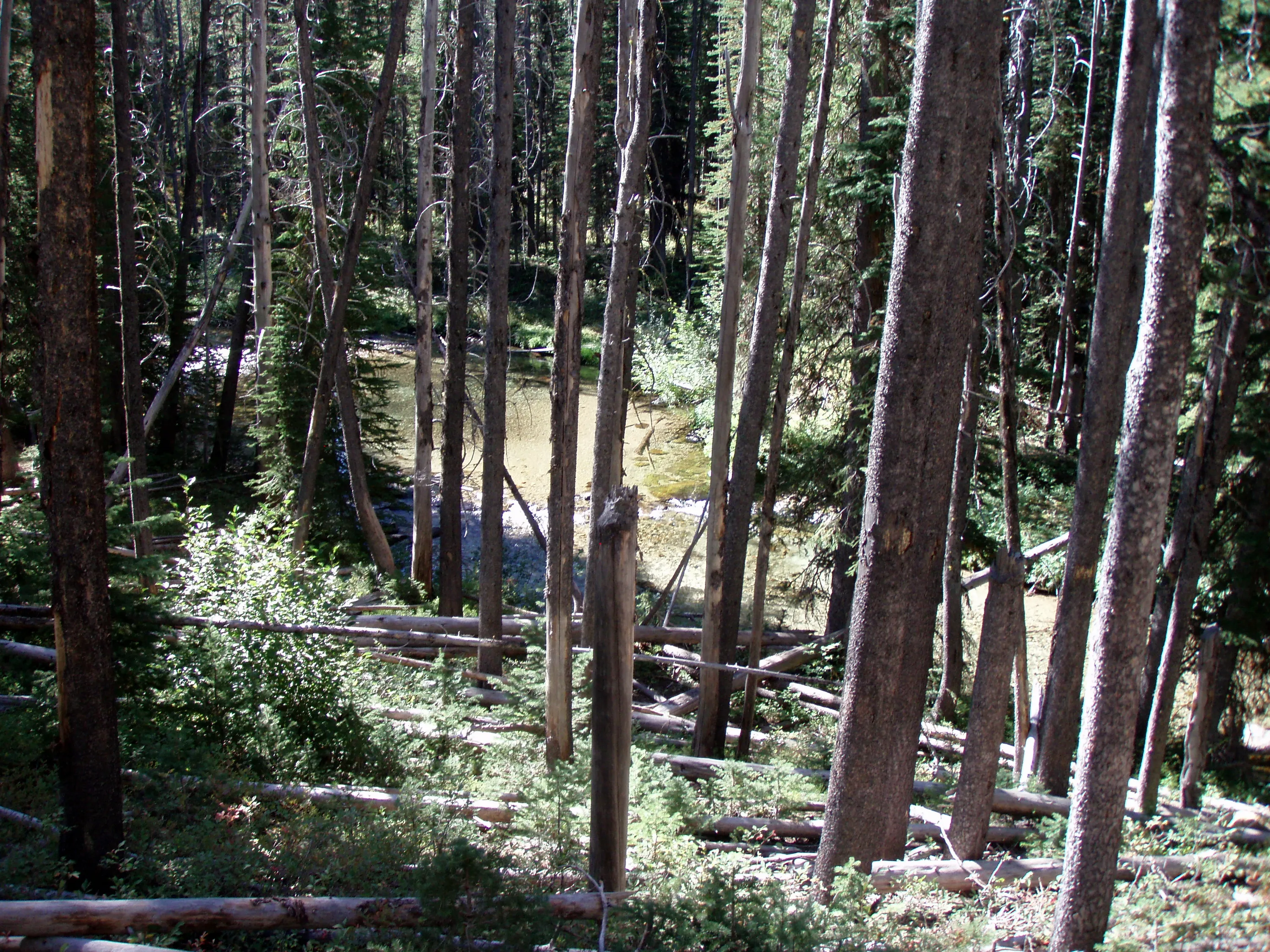
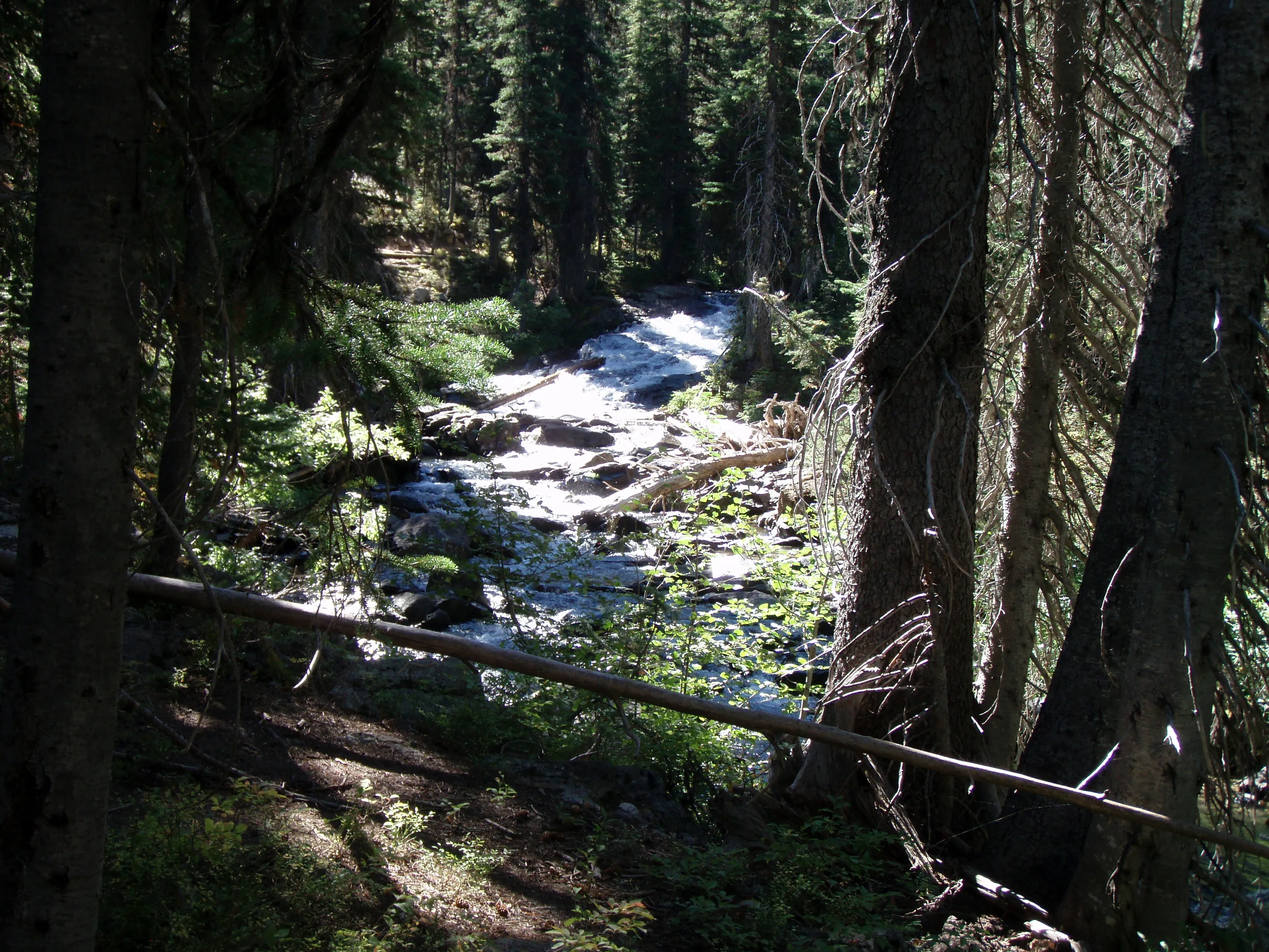
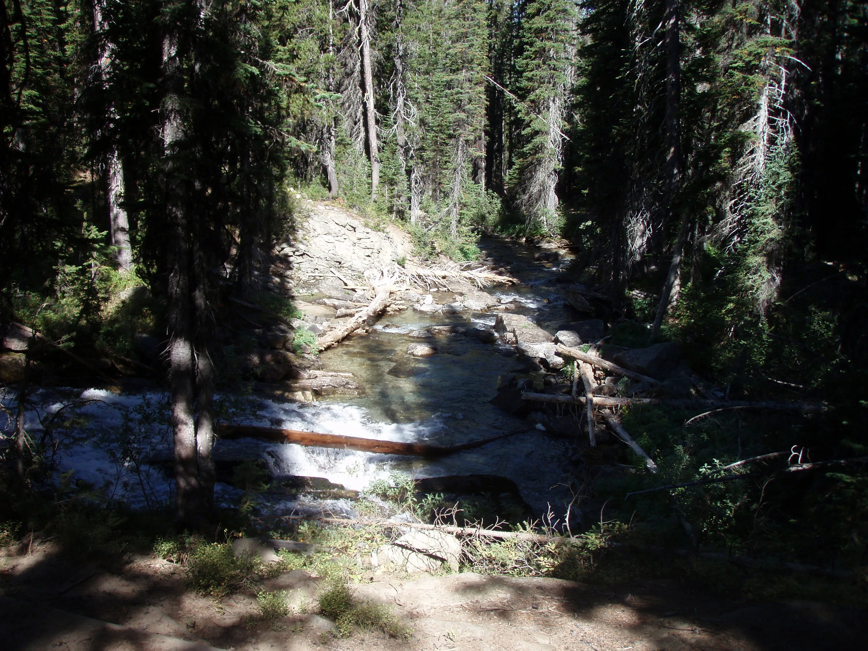
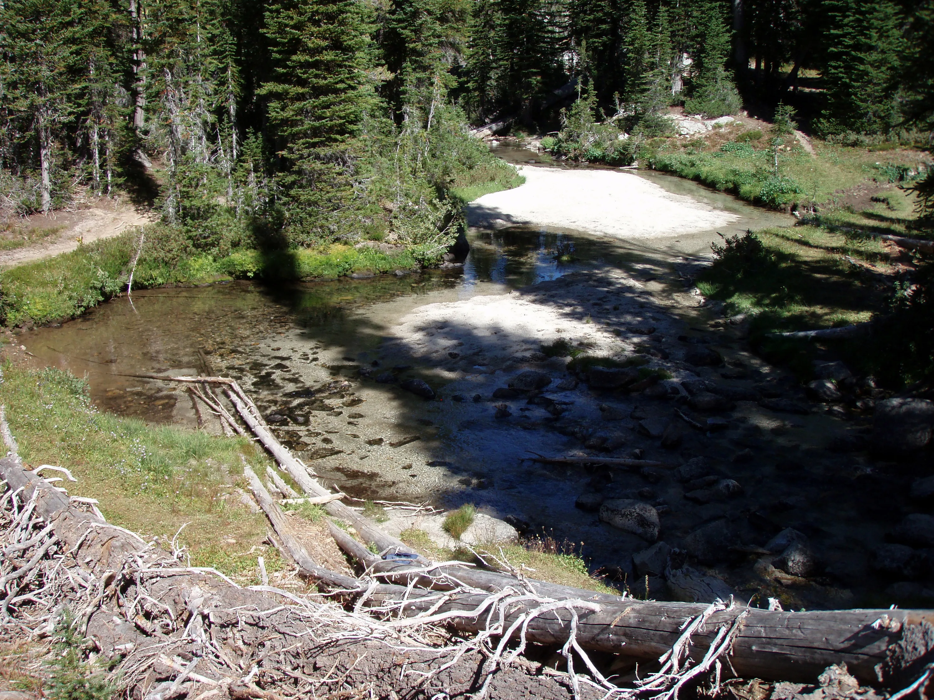
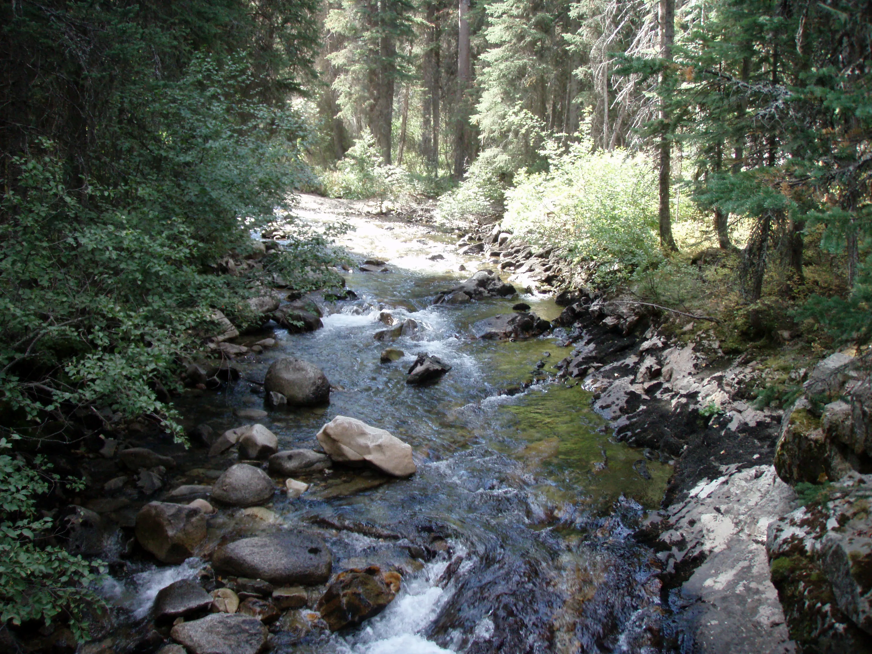
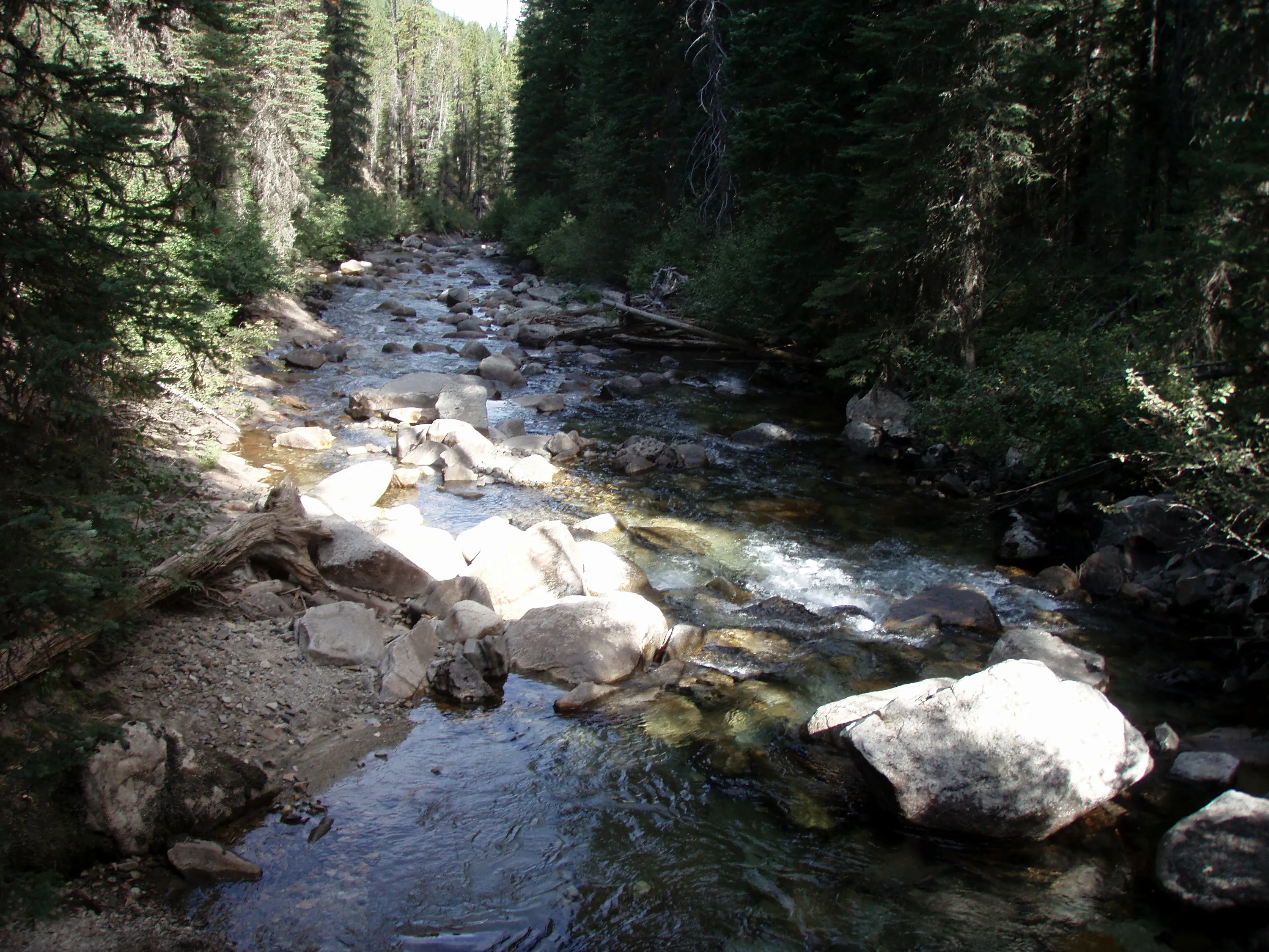
Lostine River
Glacier Mountain?
Lostine River
Elkhorn peak?
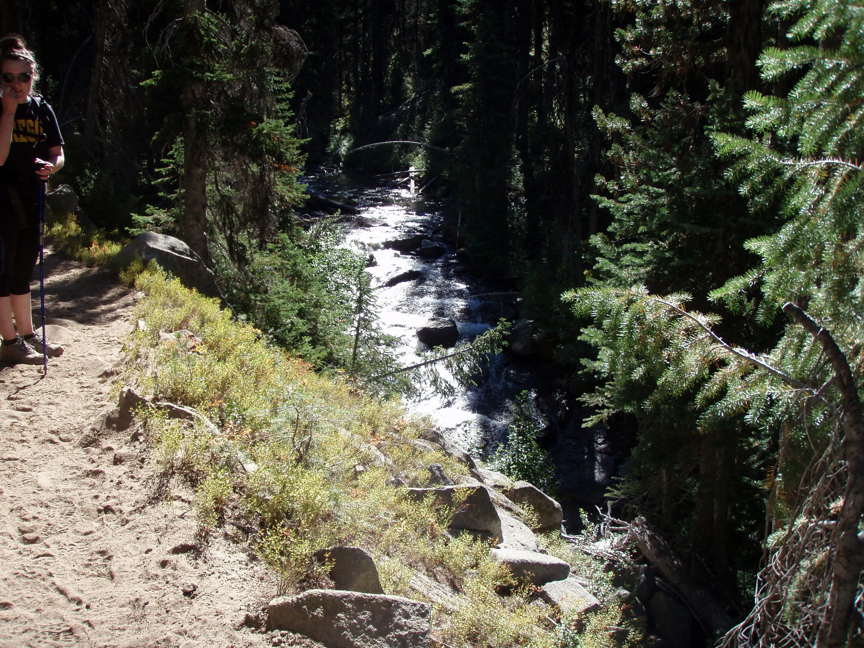
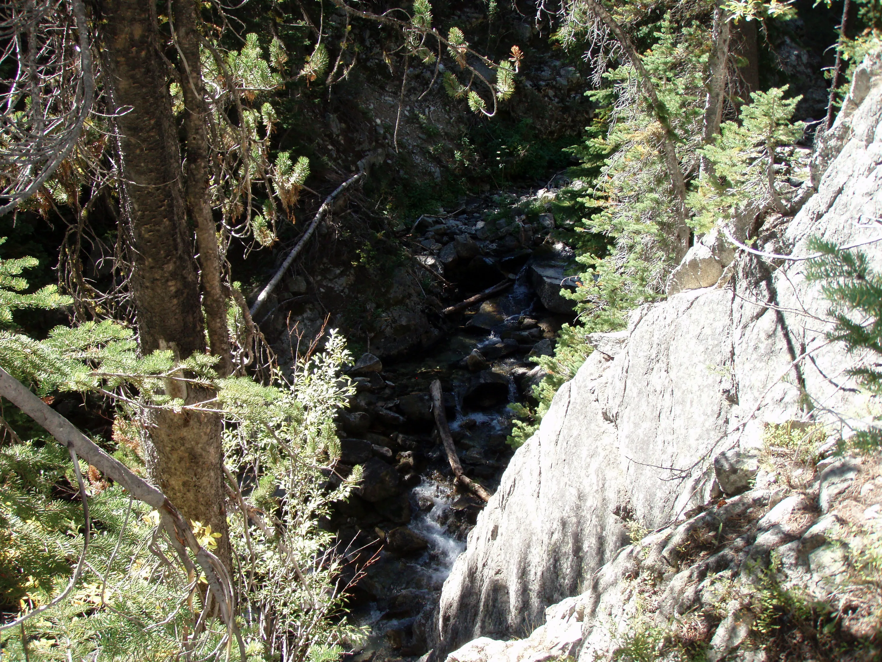
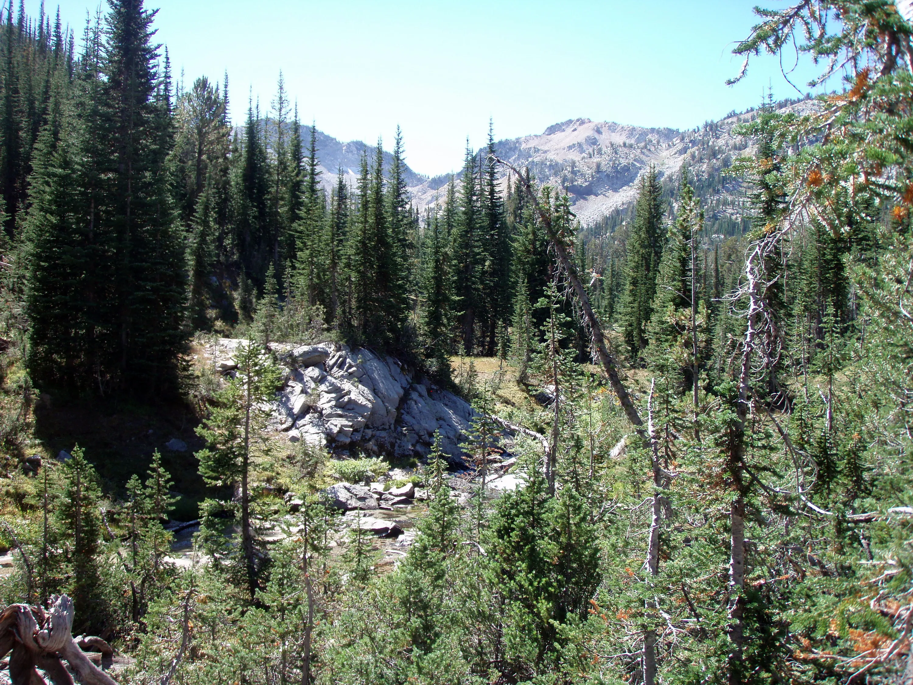
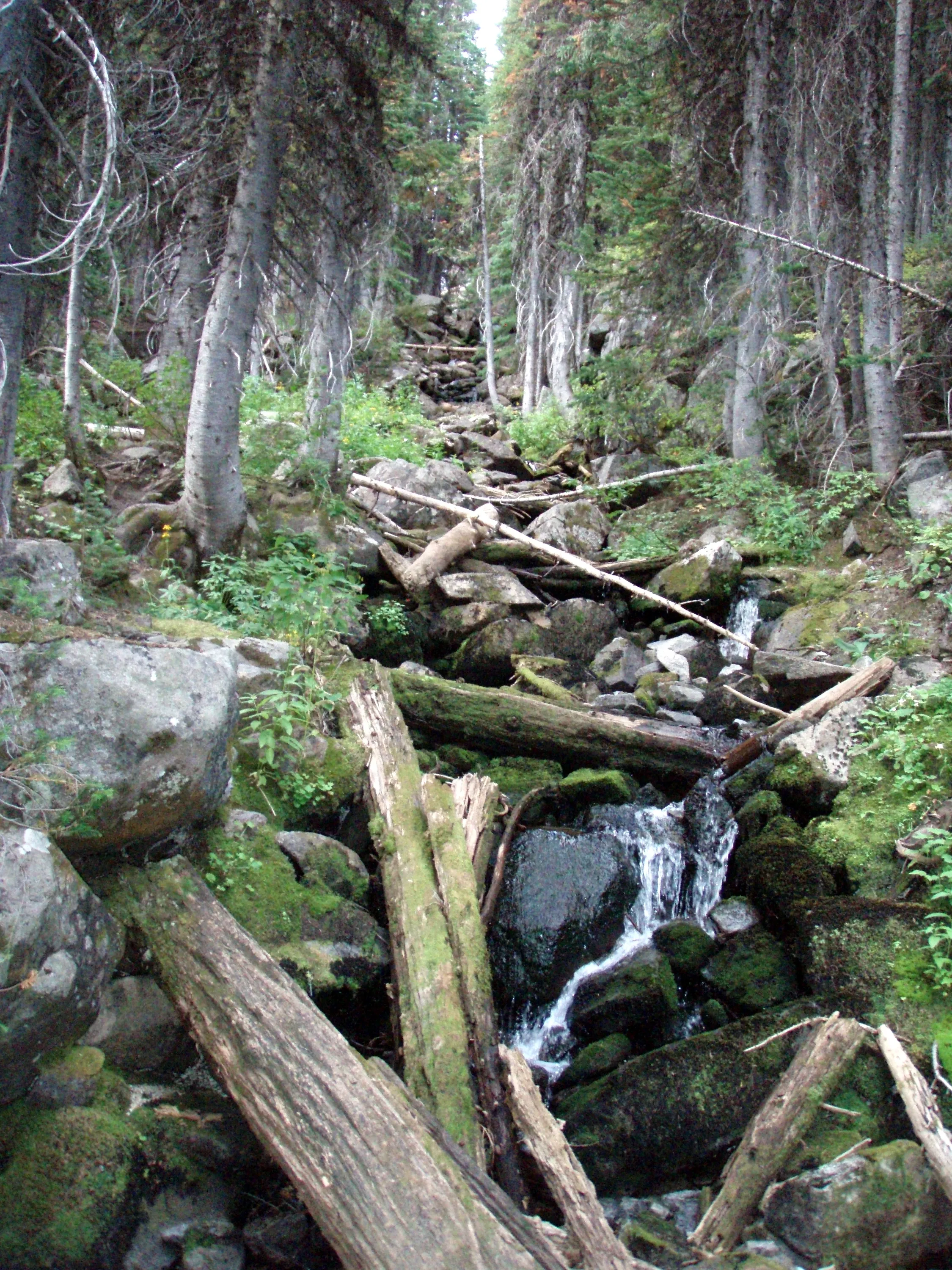
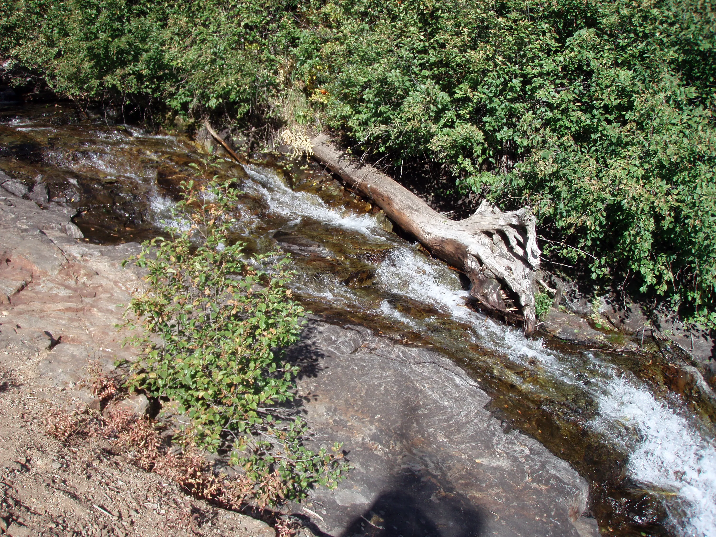
Lostine River (a little more energentic in this stretch) - it was at a point where it narrowed and fell quite a bit
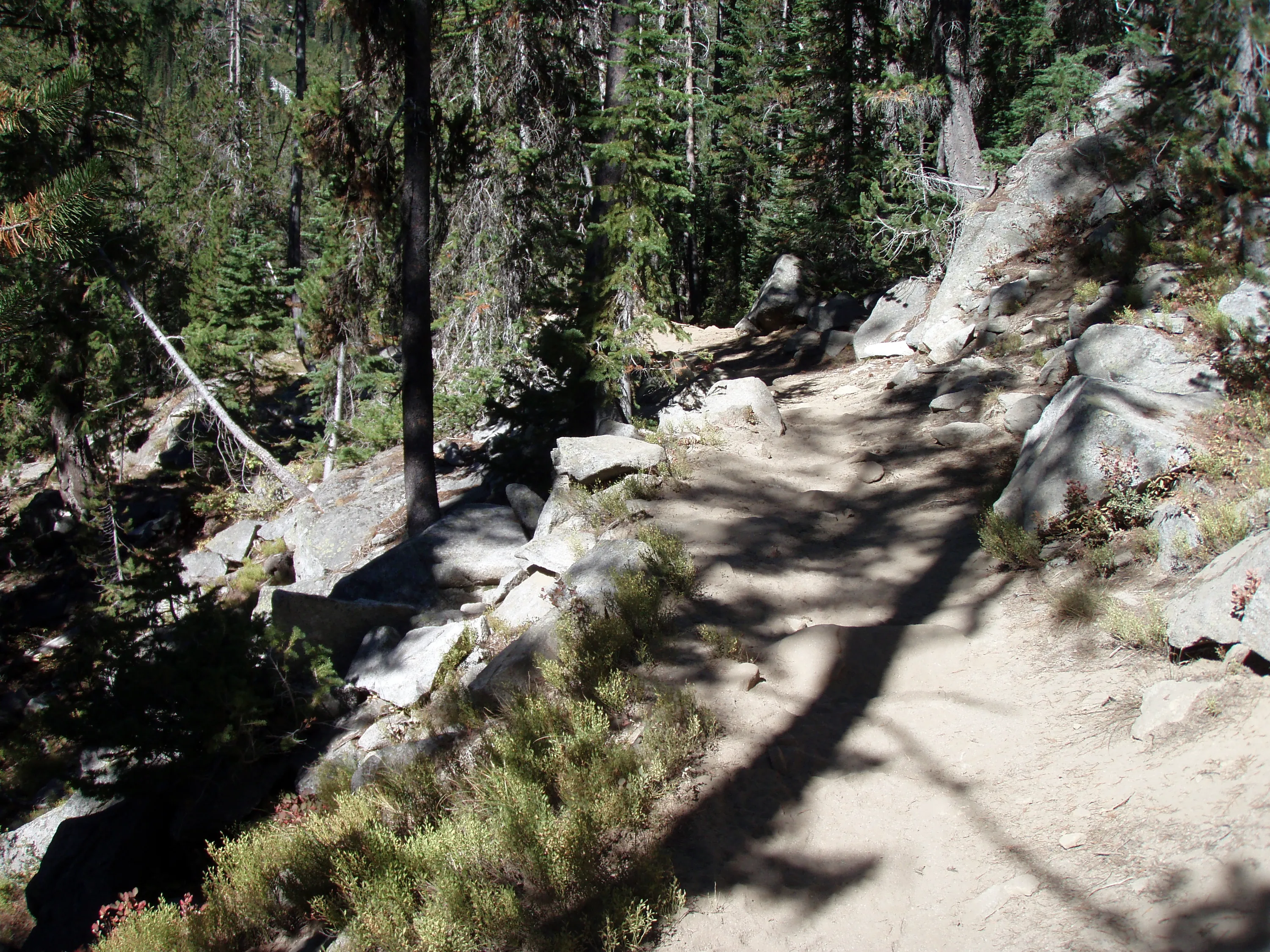
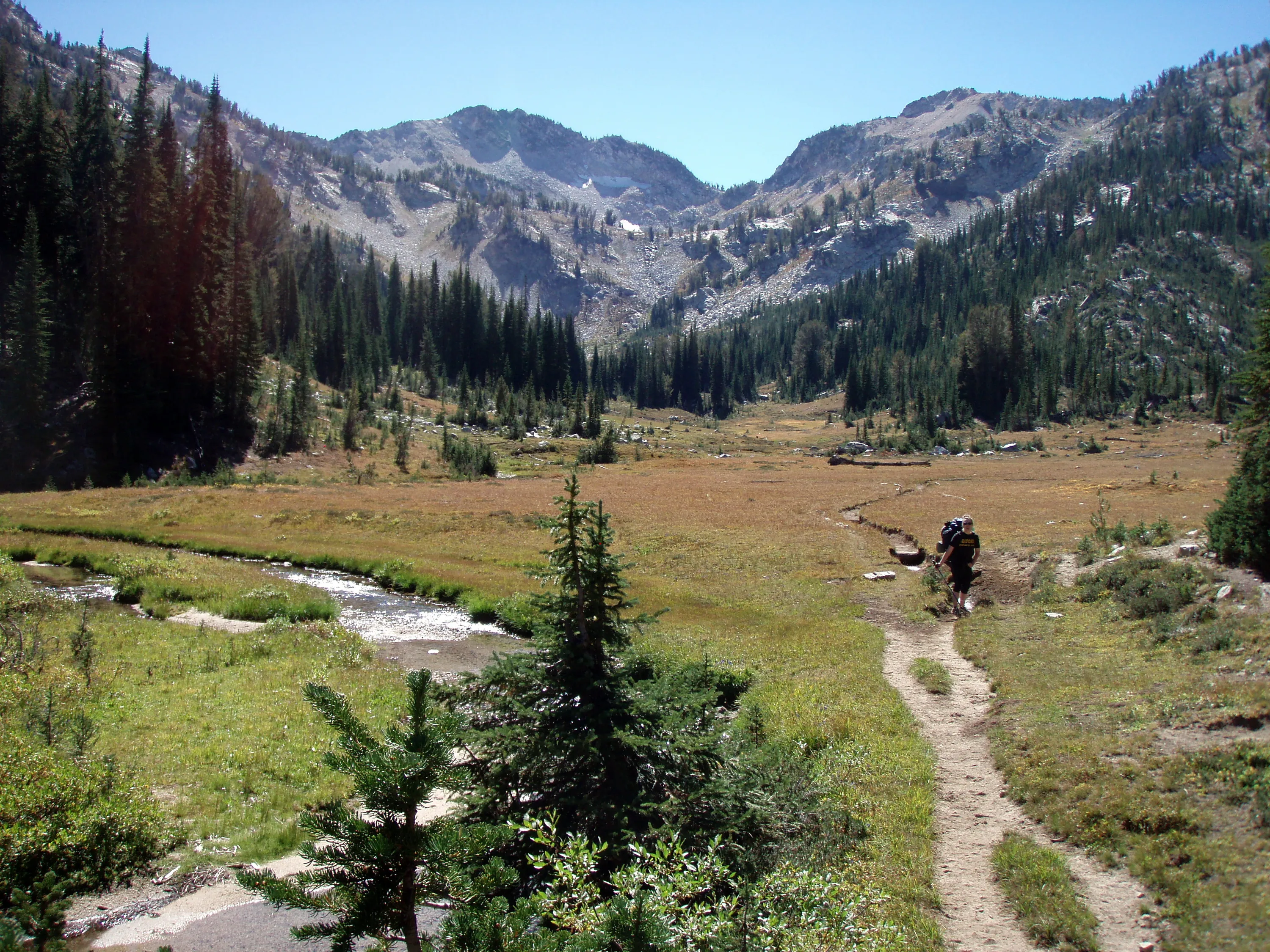
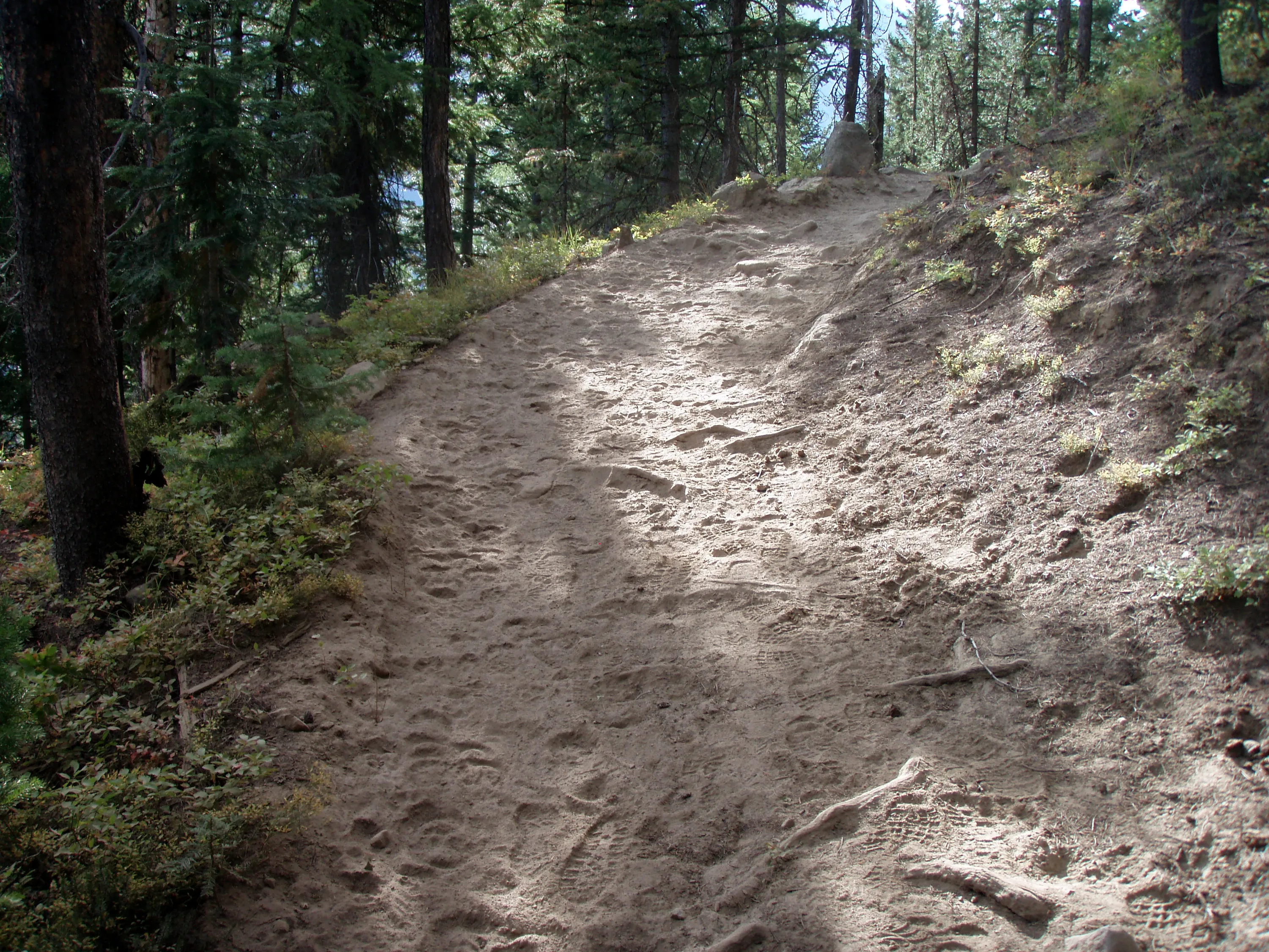
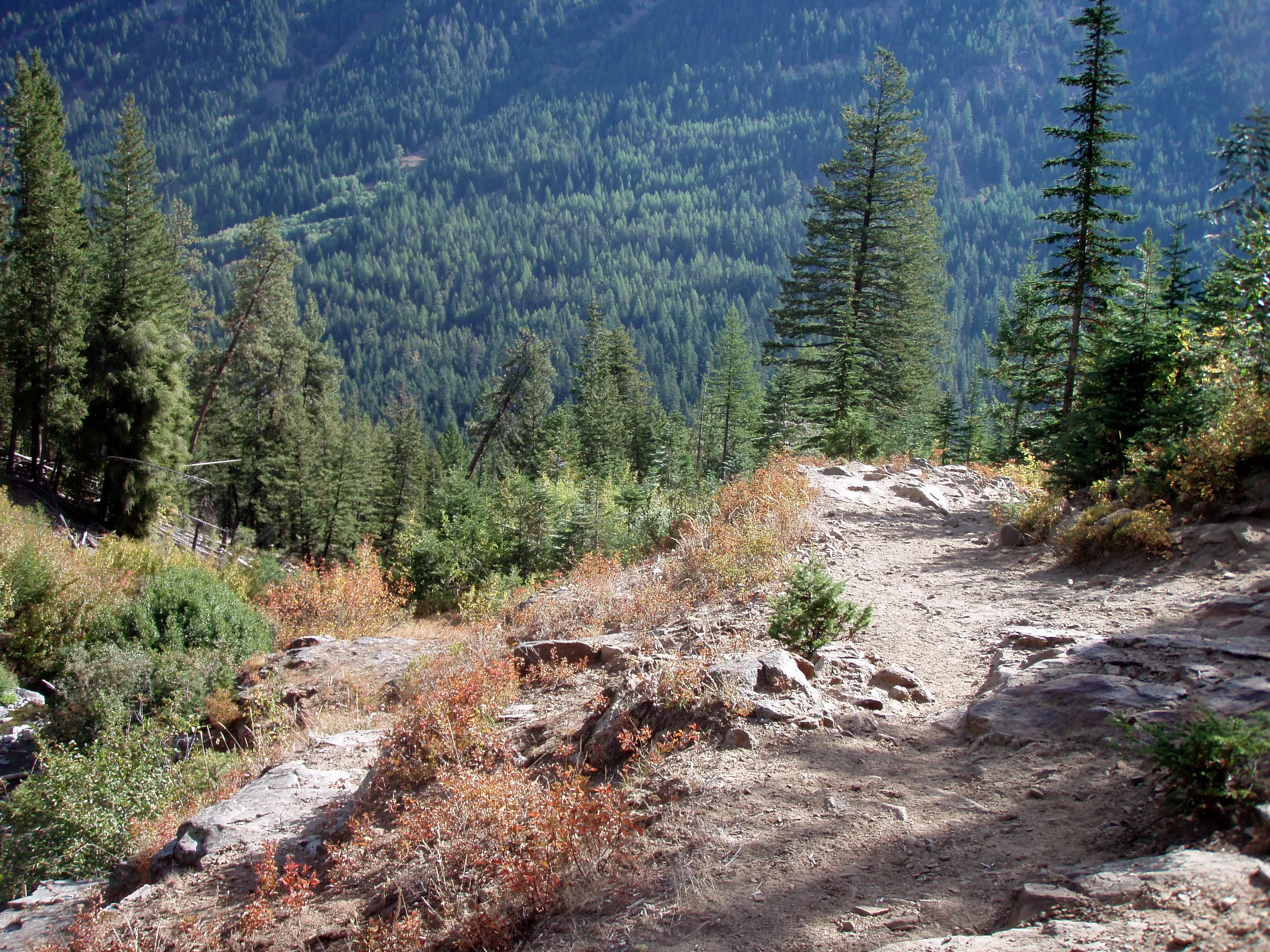
The dusty trail
The Lostine river just upstream - a lot more subdued
Lostine River
Lostine River
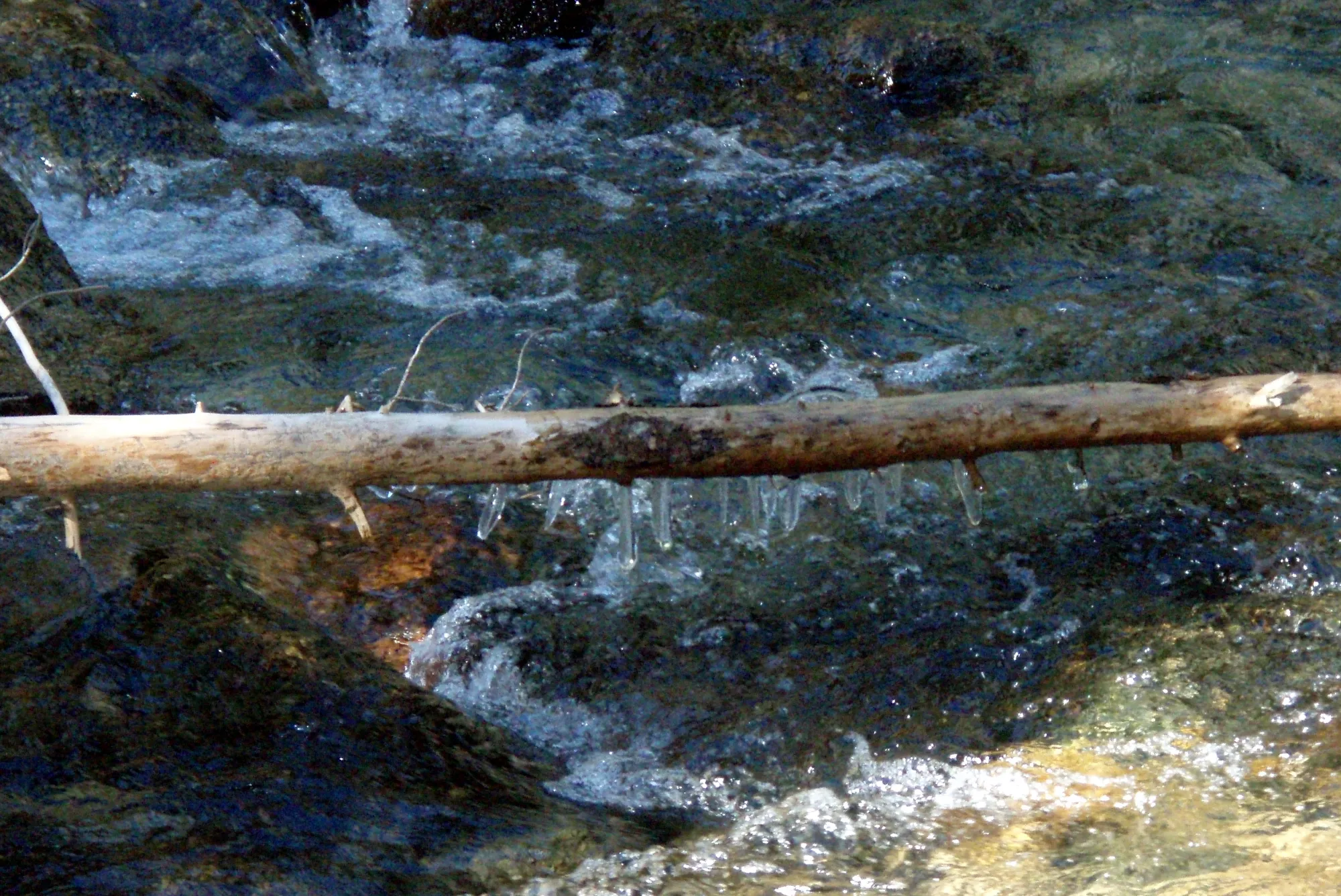
There were icicles in the river!!! BRRRRR!
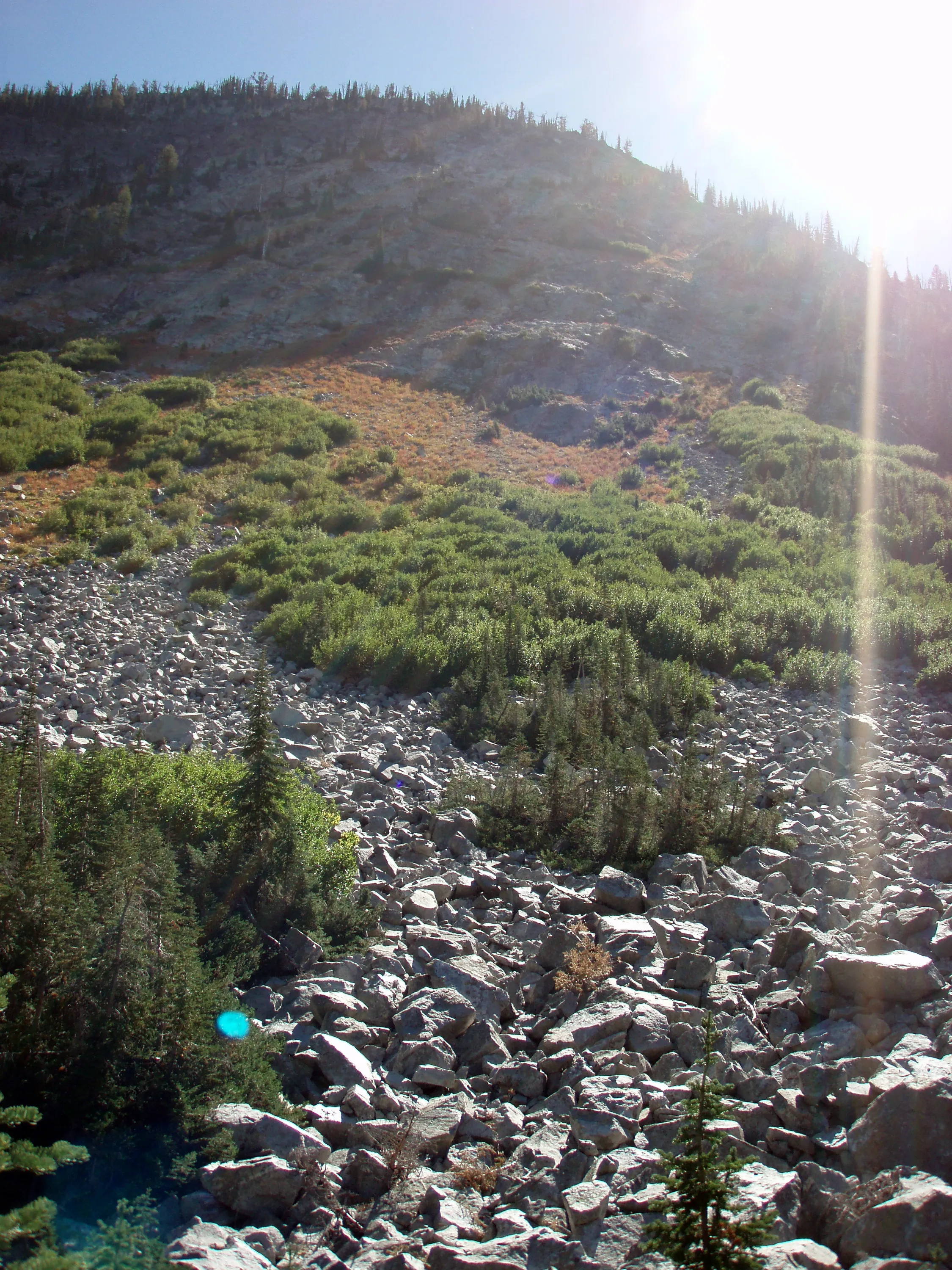
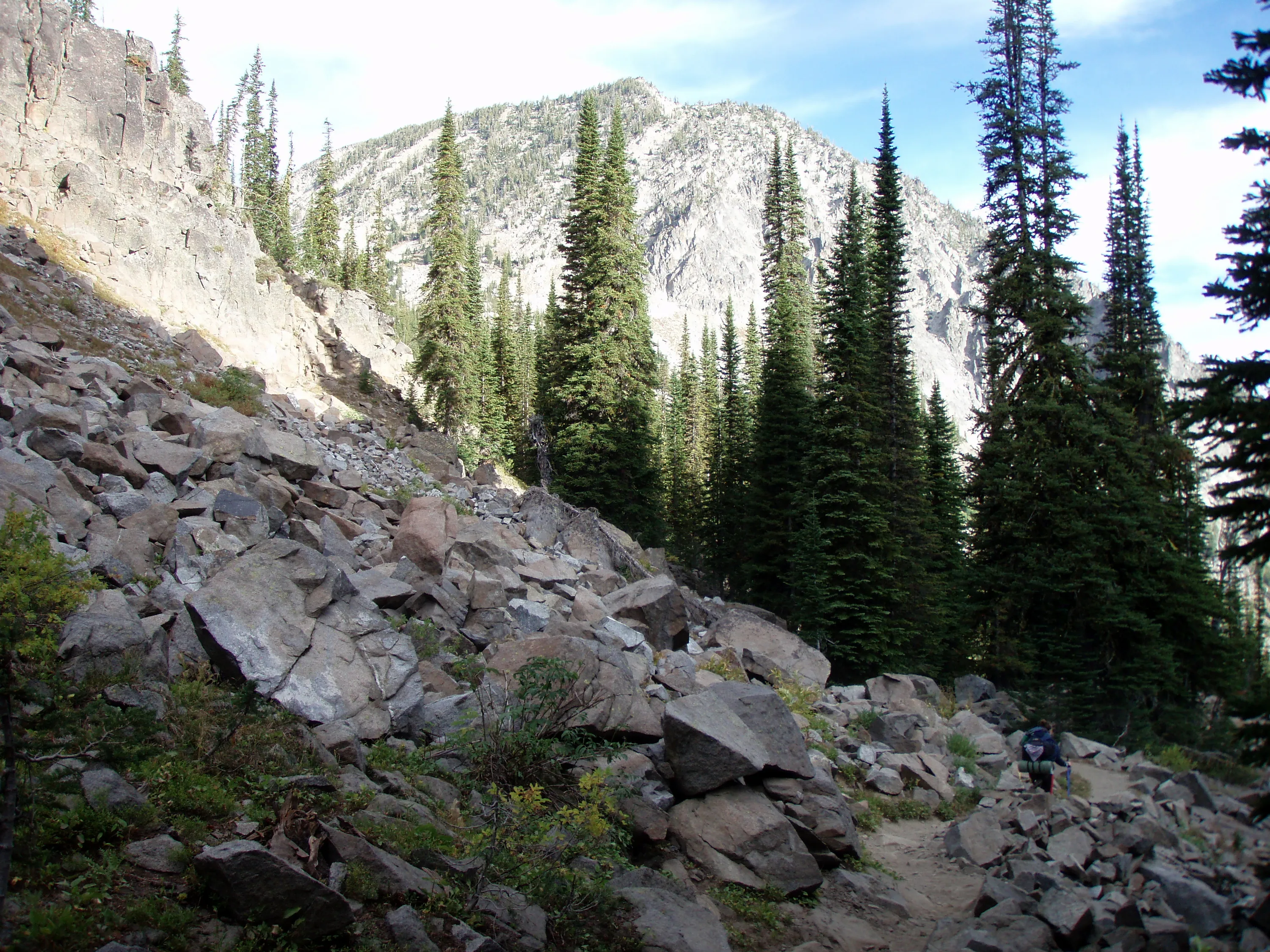
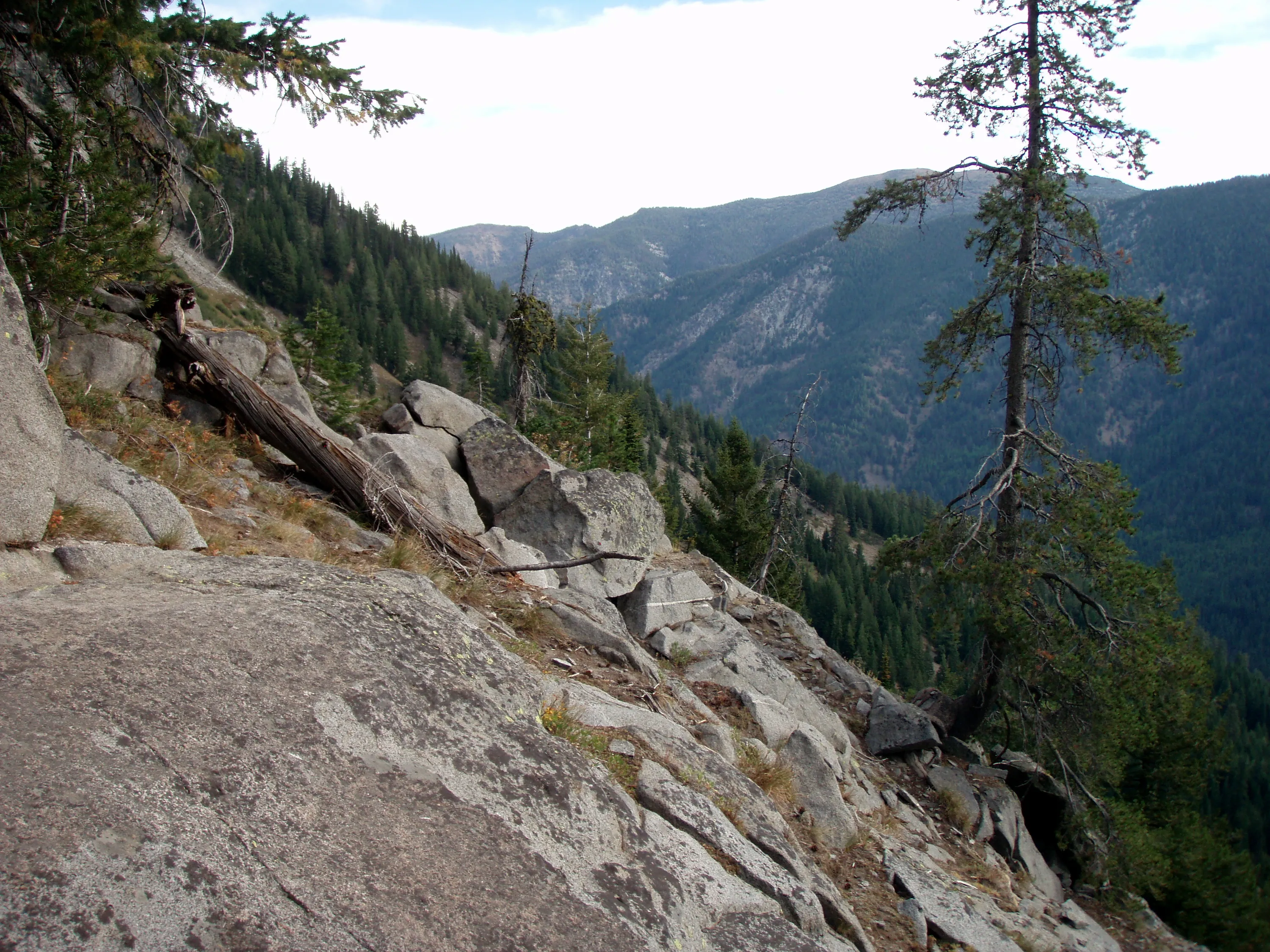
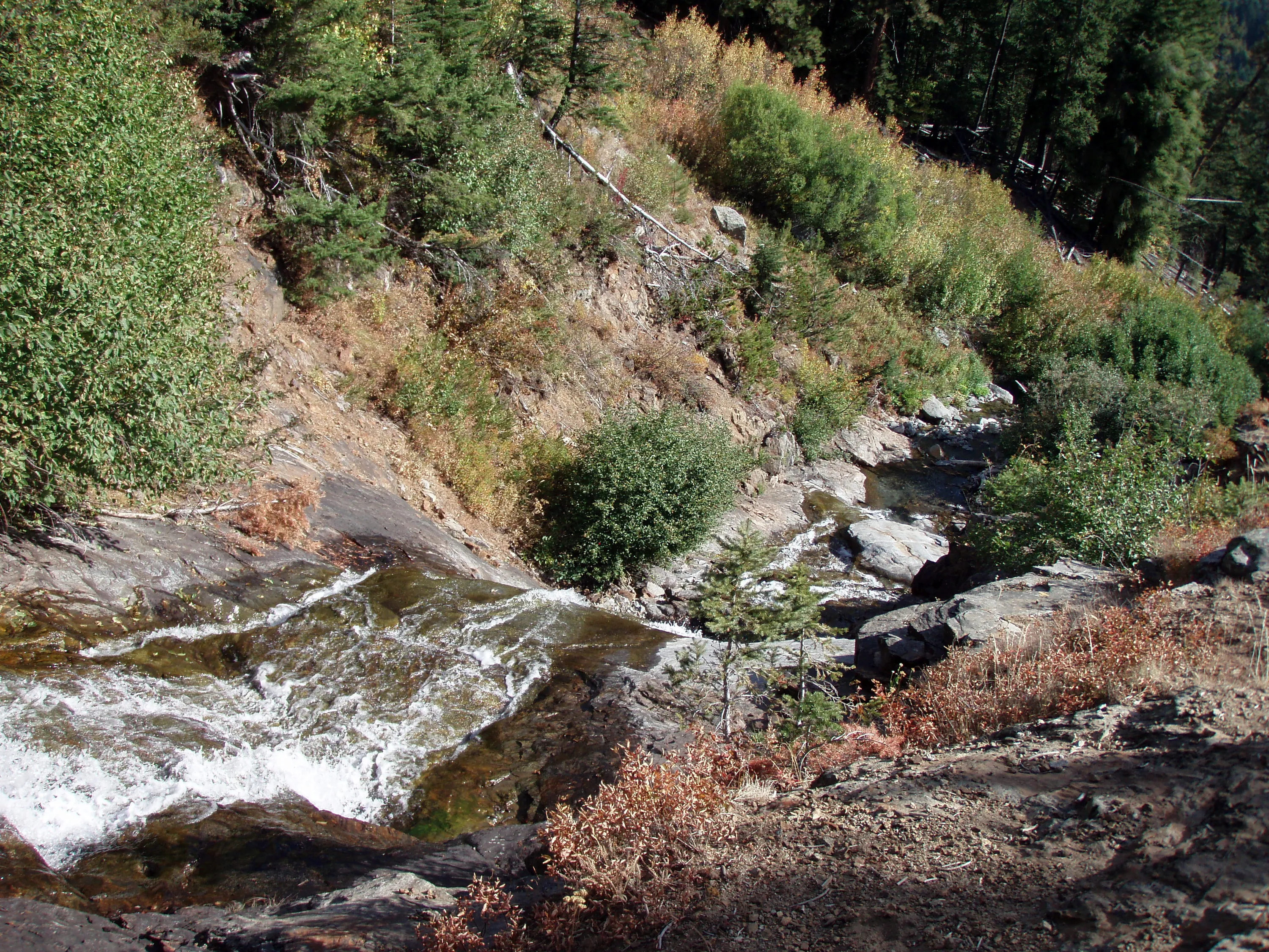
Bottom of a rockslide - Lostine River below
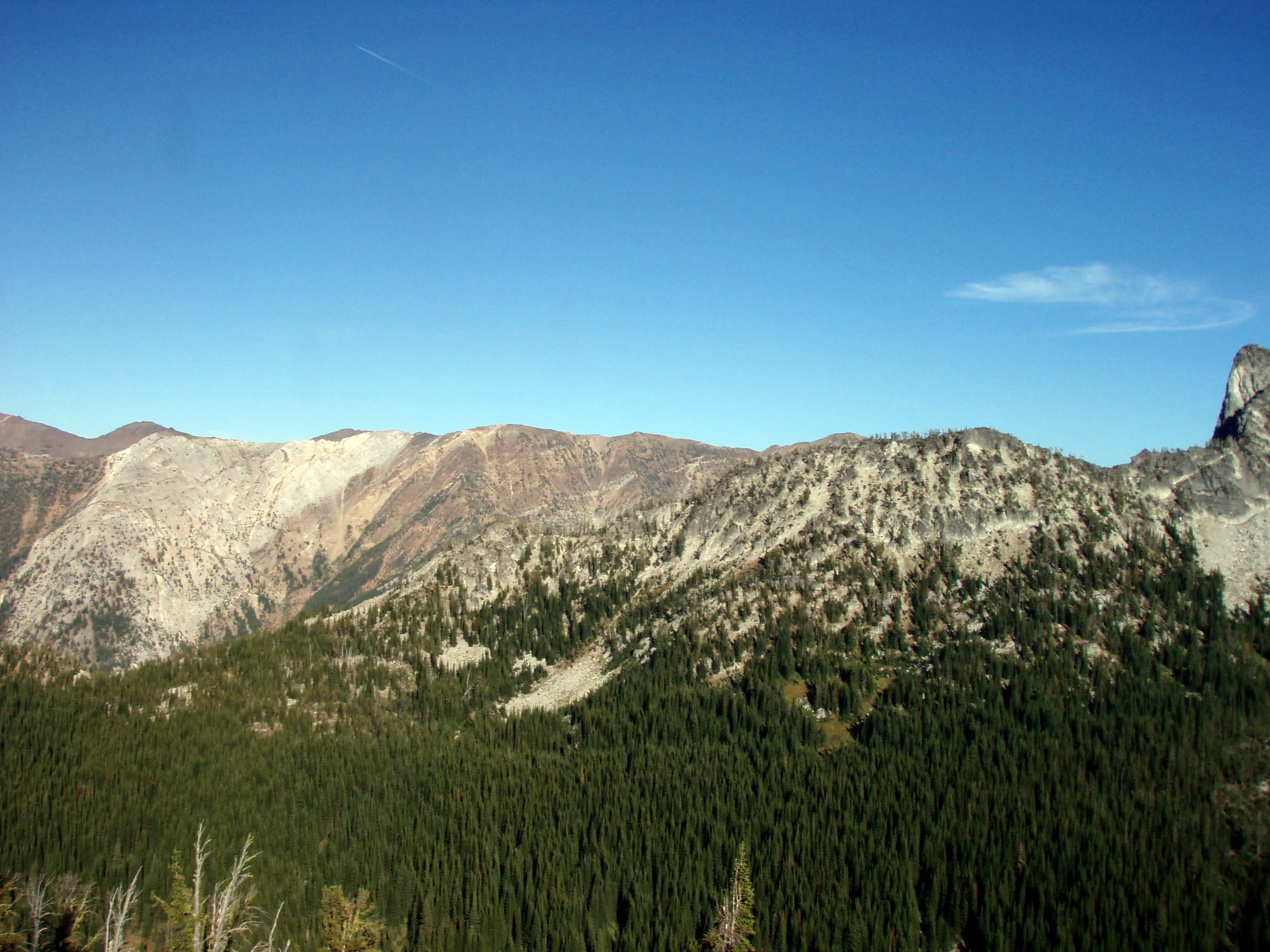
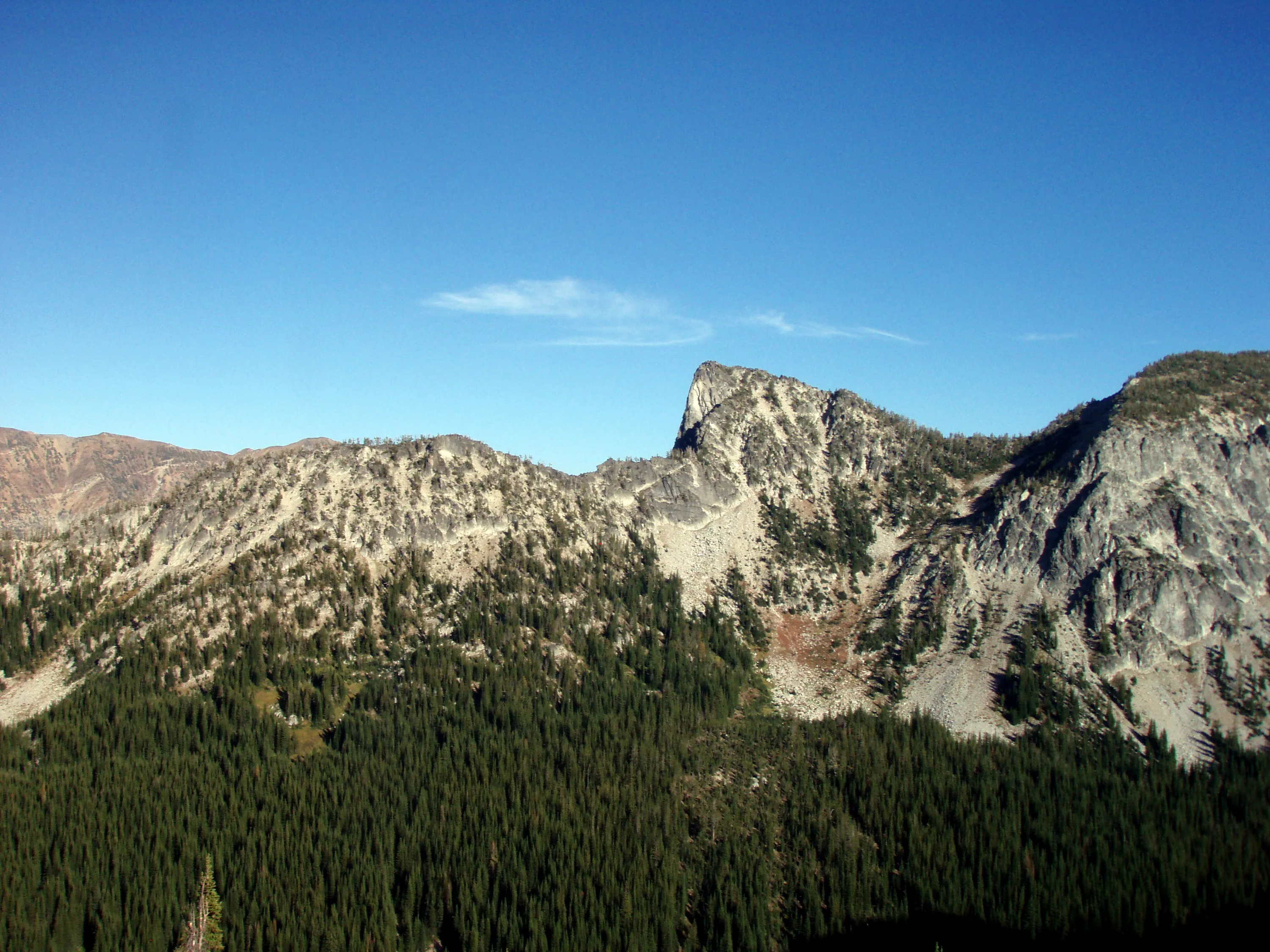
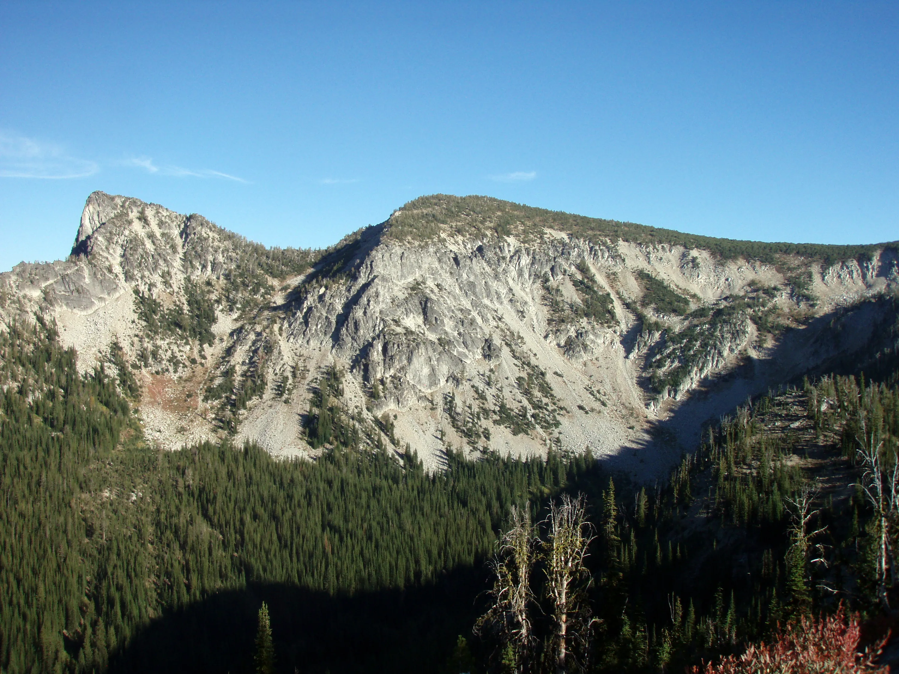
Is this a different profile of Elkhorn peak?
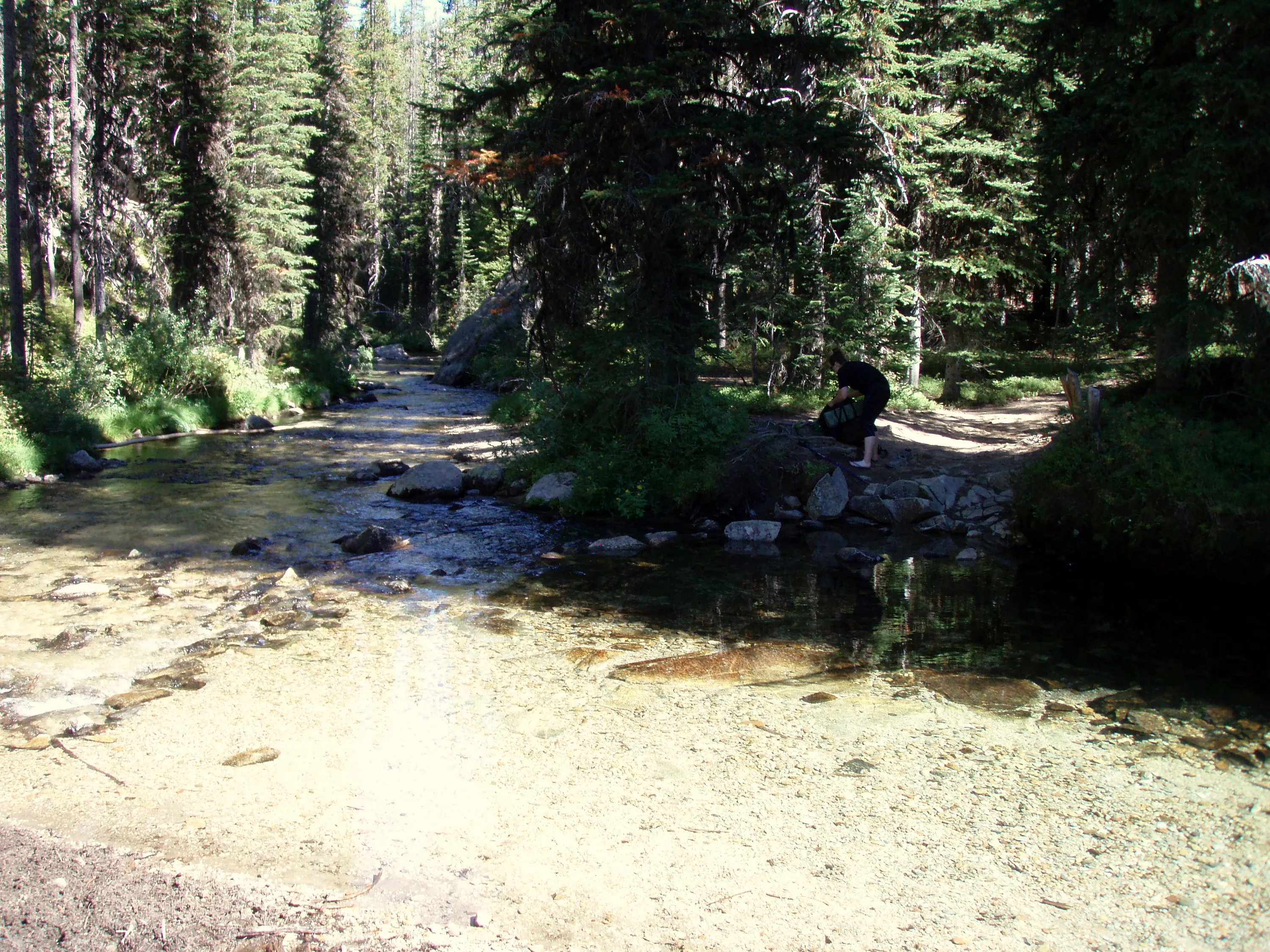
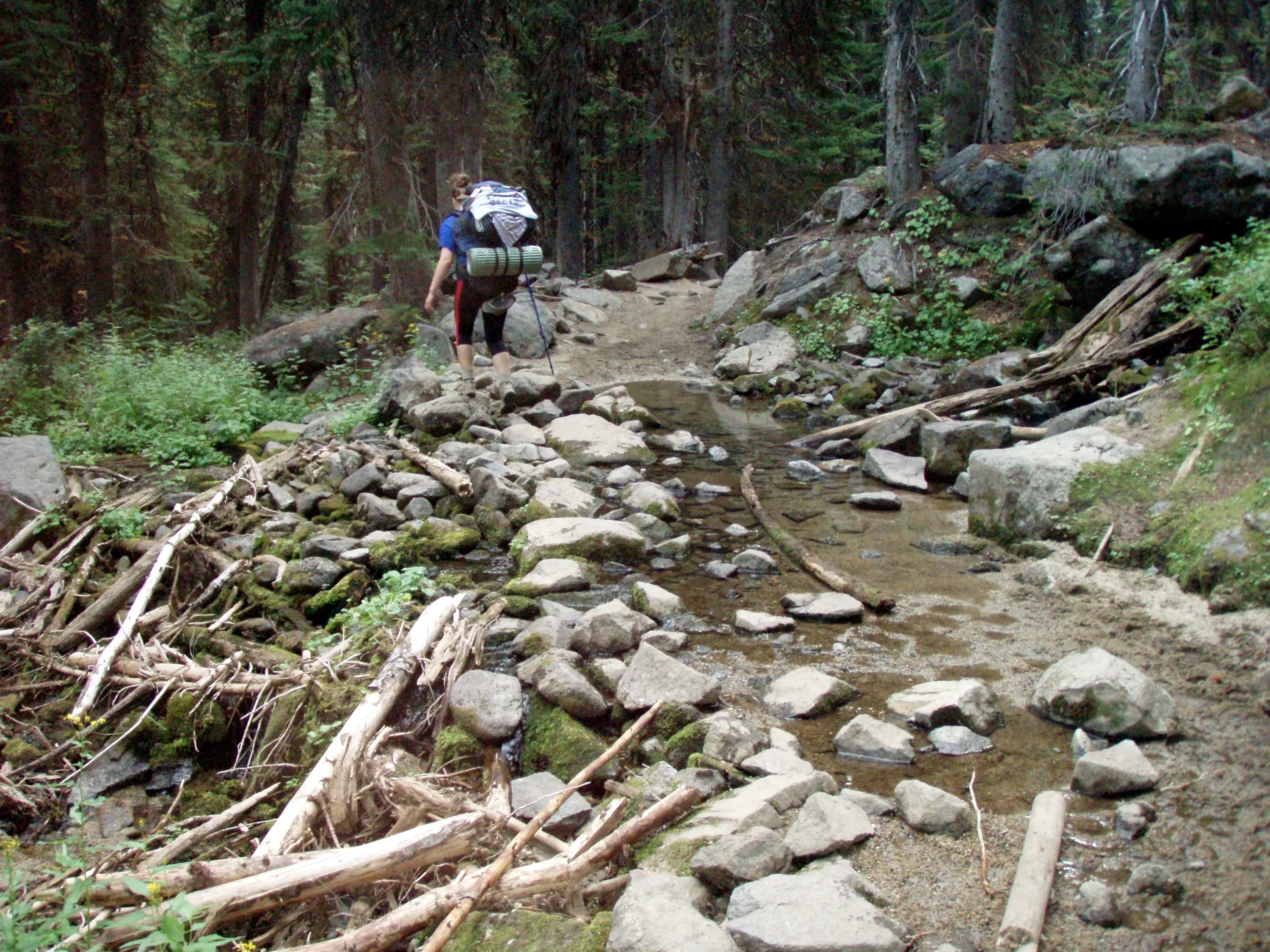
First crossing of Lostine River - right after horse camp
I think this is Copper creek
Second creek crossing - this is where we had lunch
Glacier Mountain?
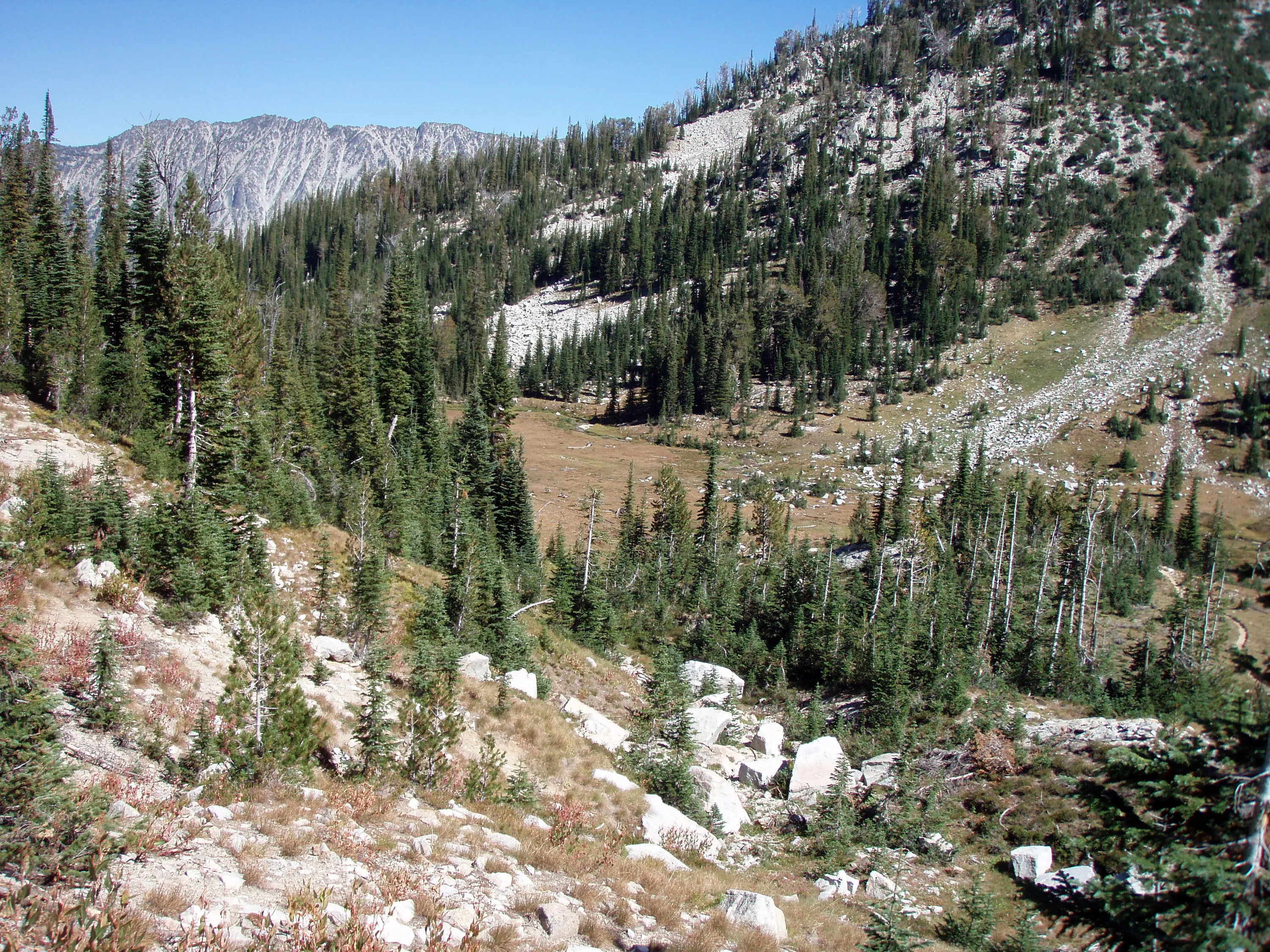
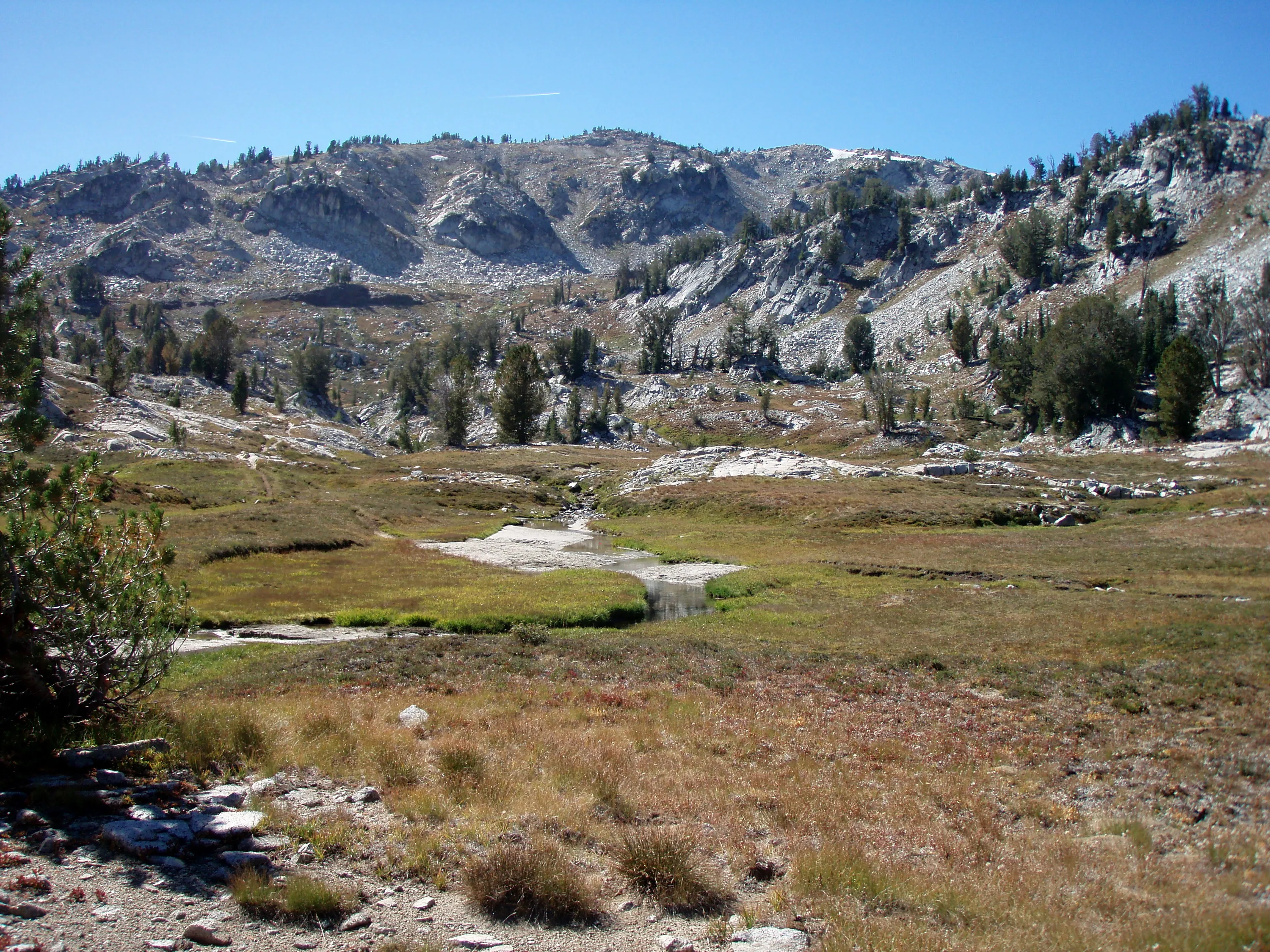
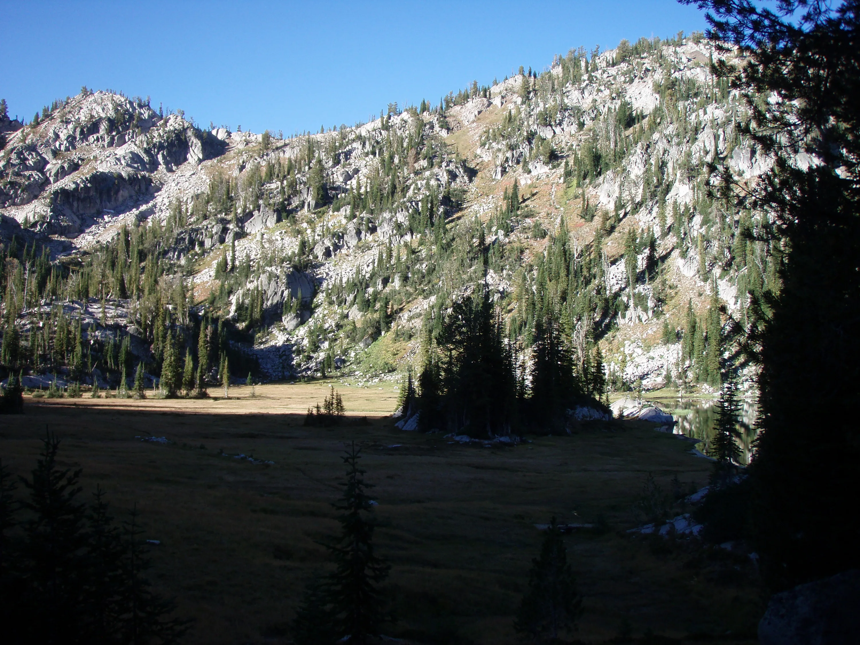
High elevation meadow - Elkhorn creek runs through it
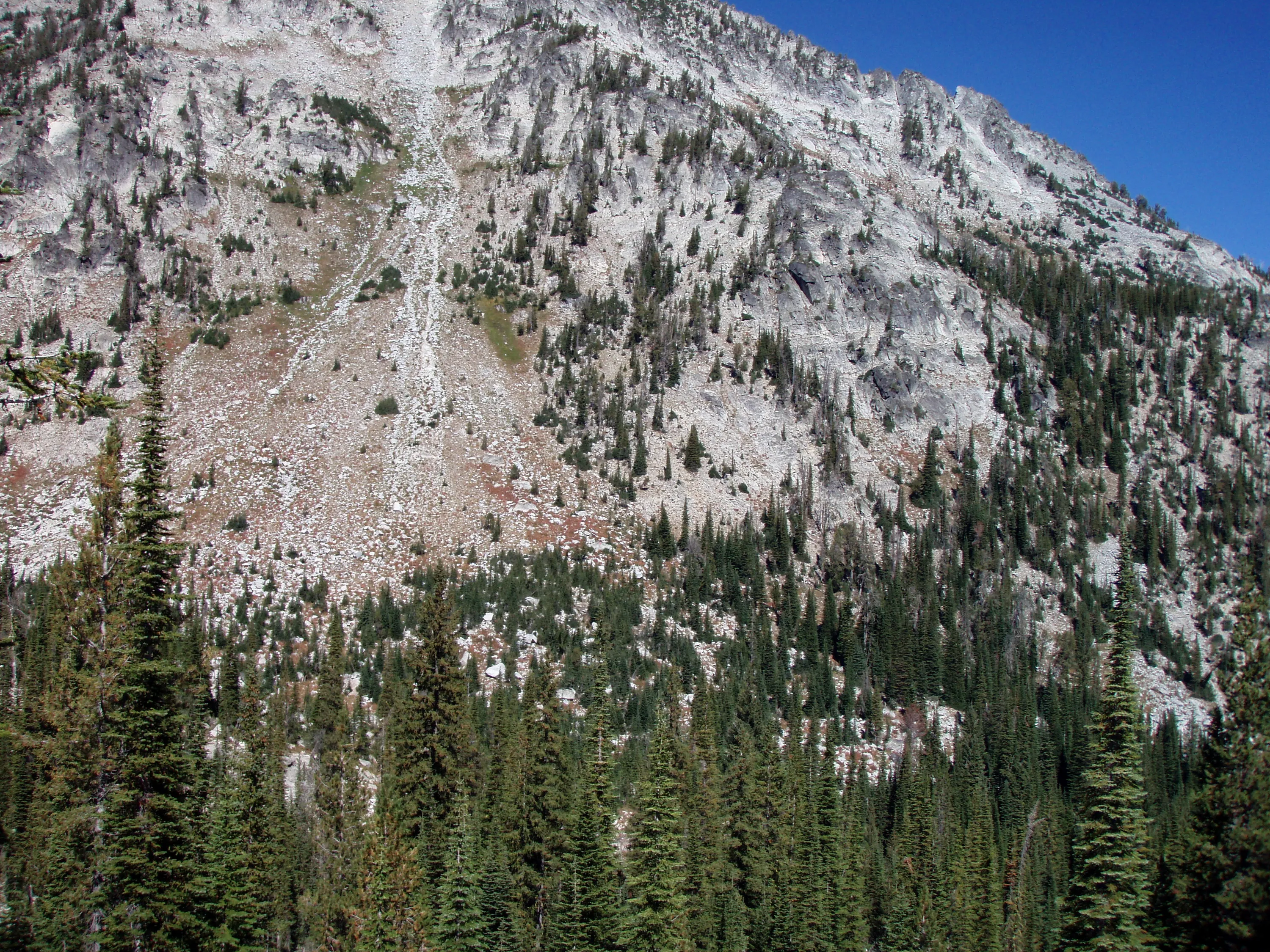
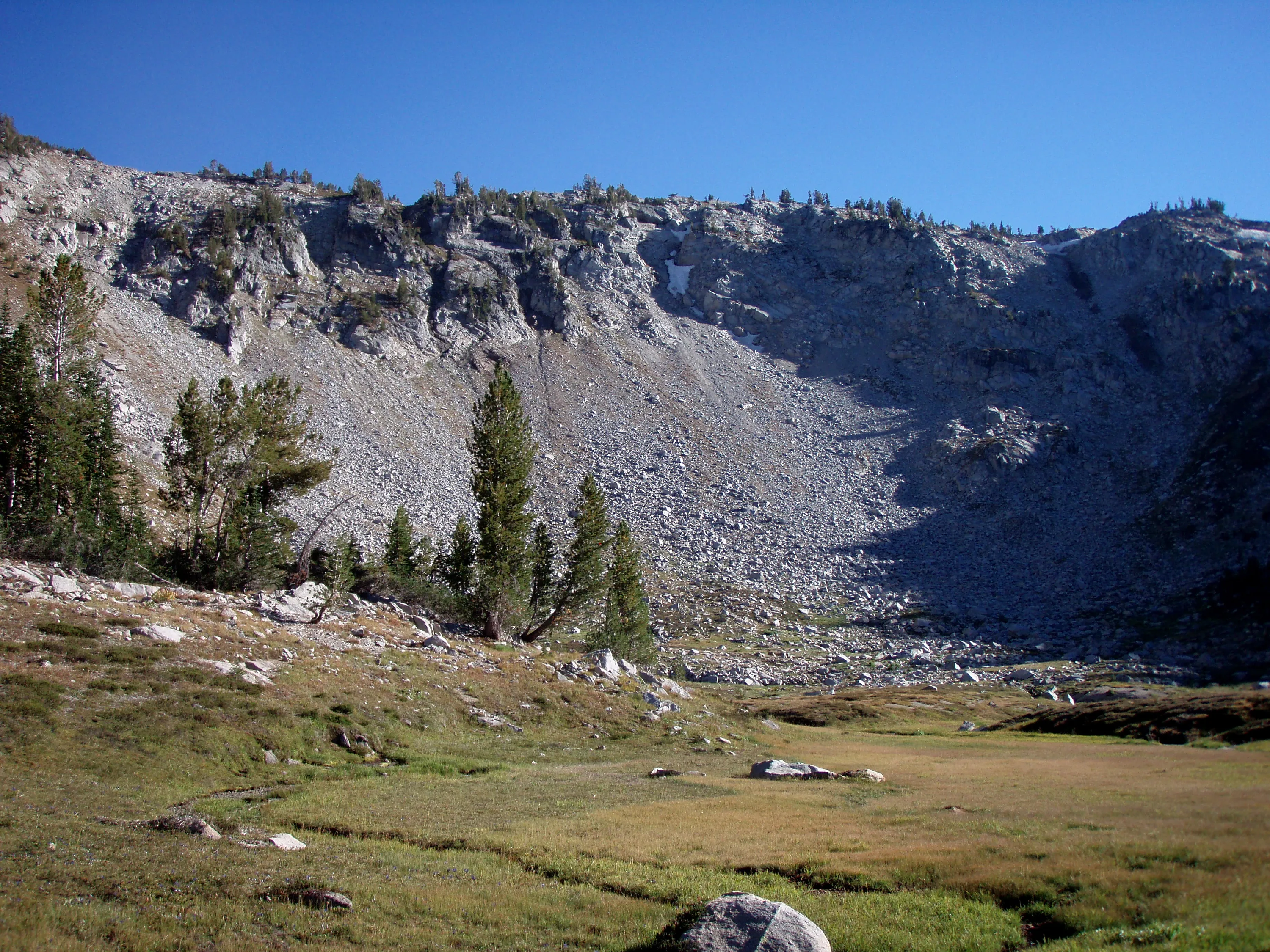
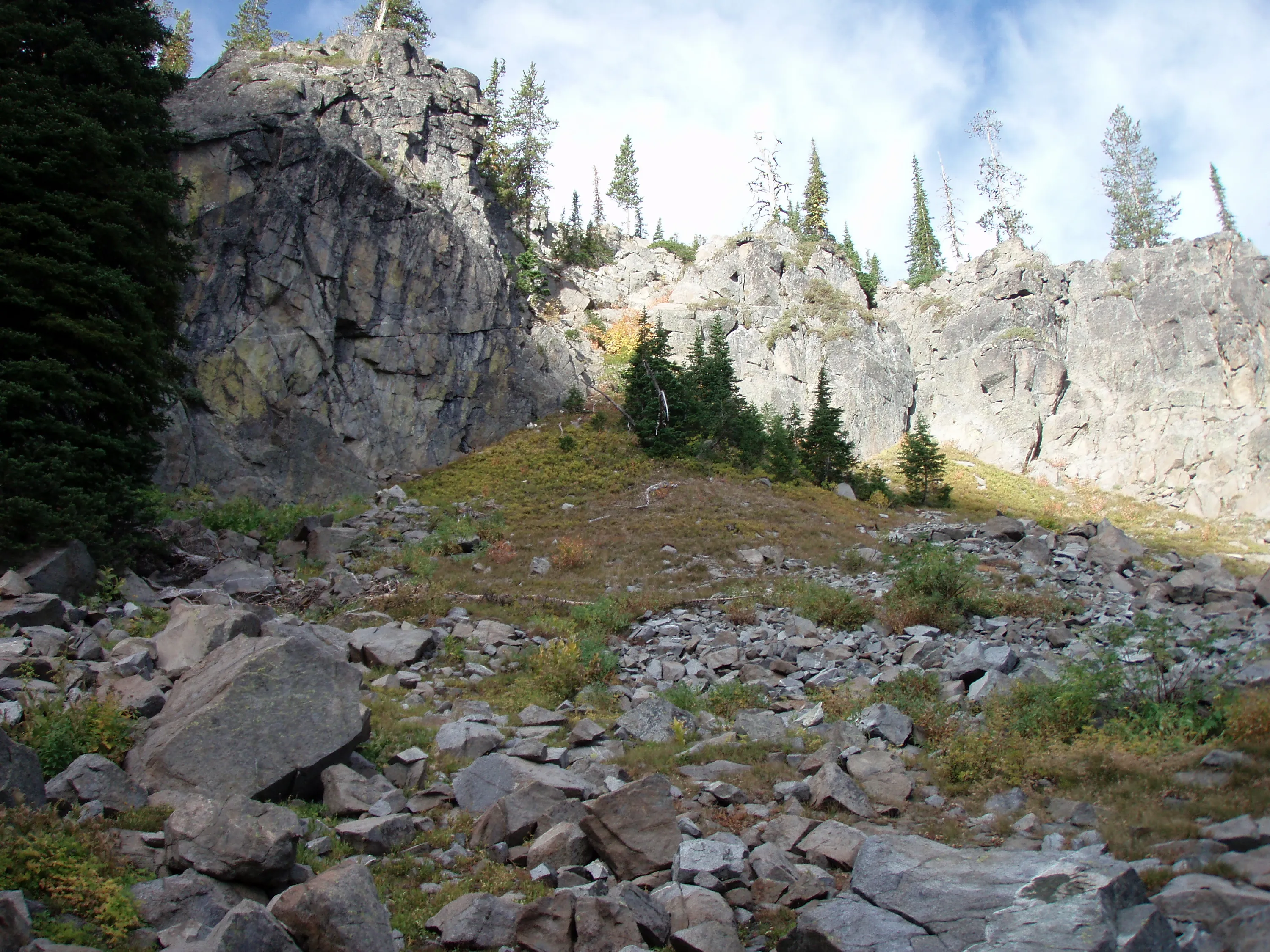
Looking back at the meadow we just came from - and the interesting rock slides
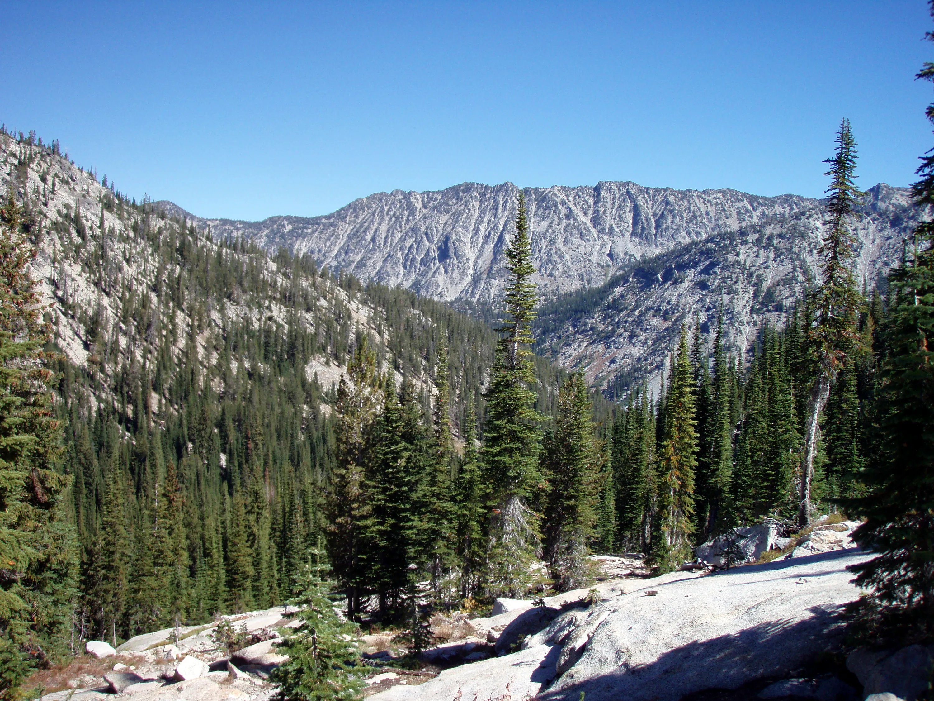
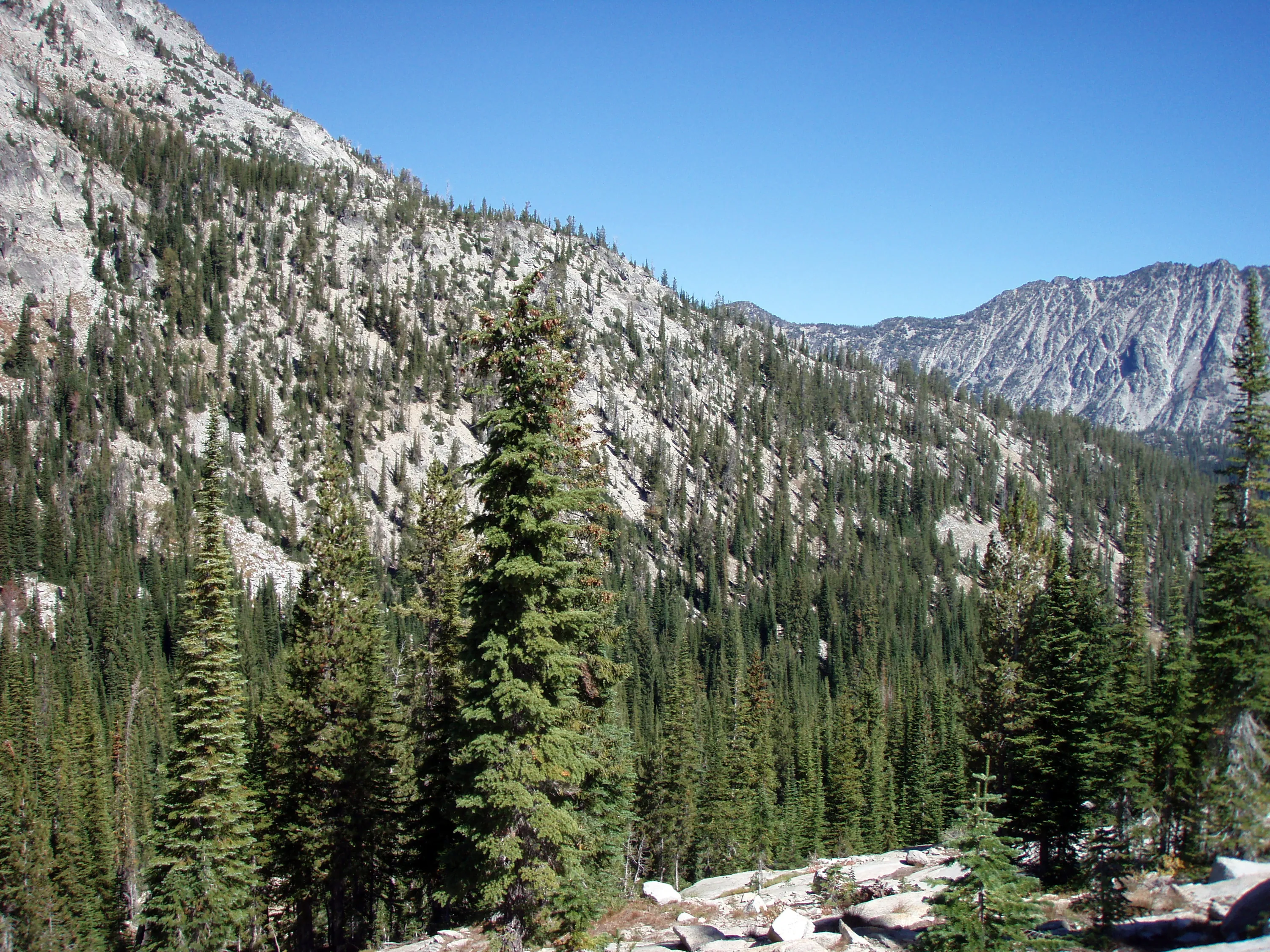
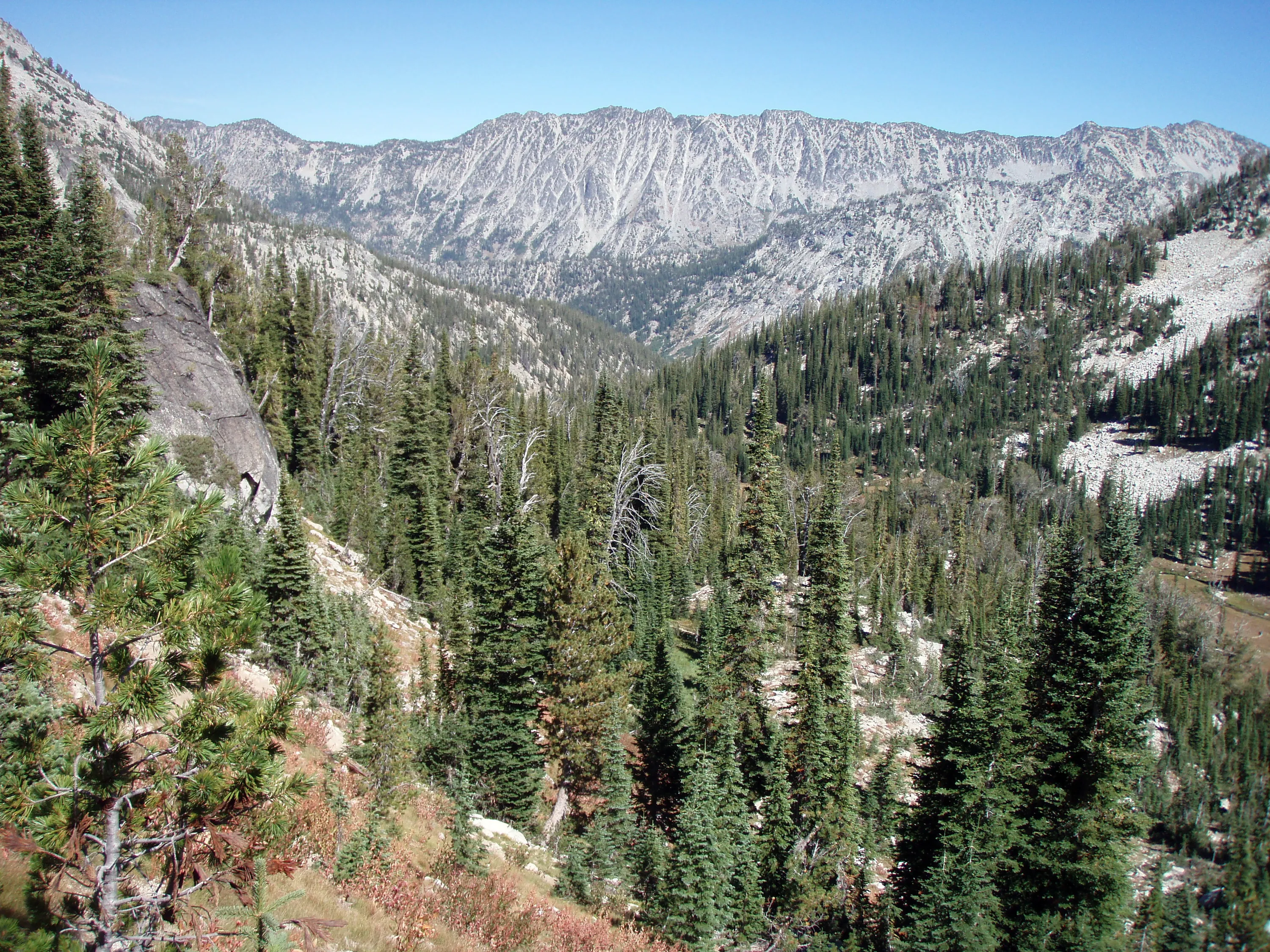
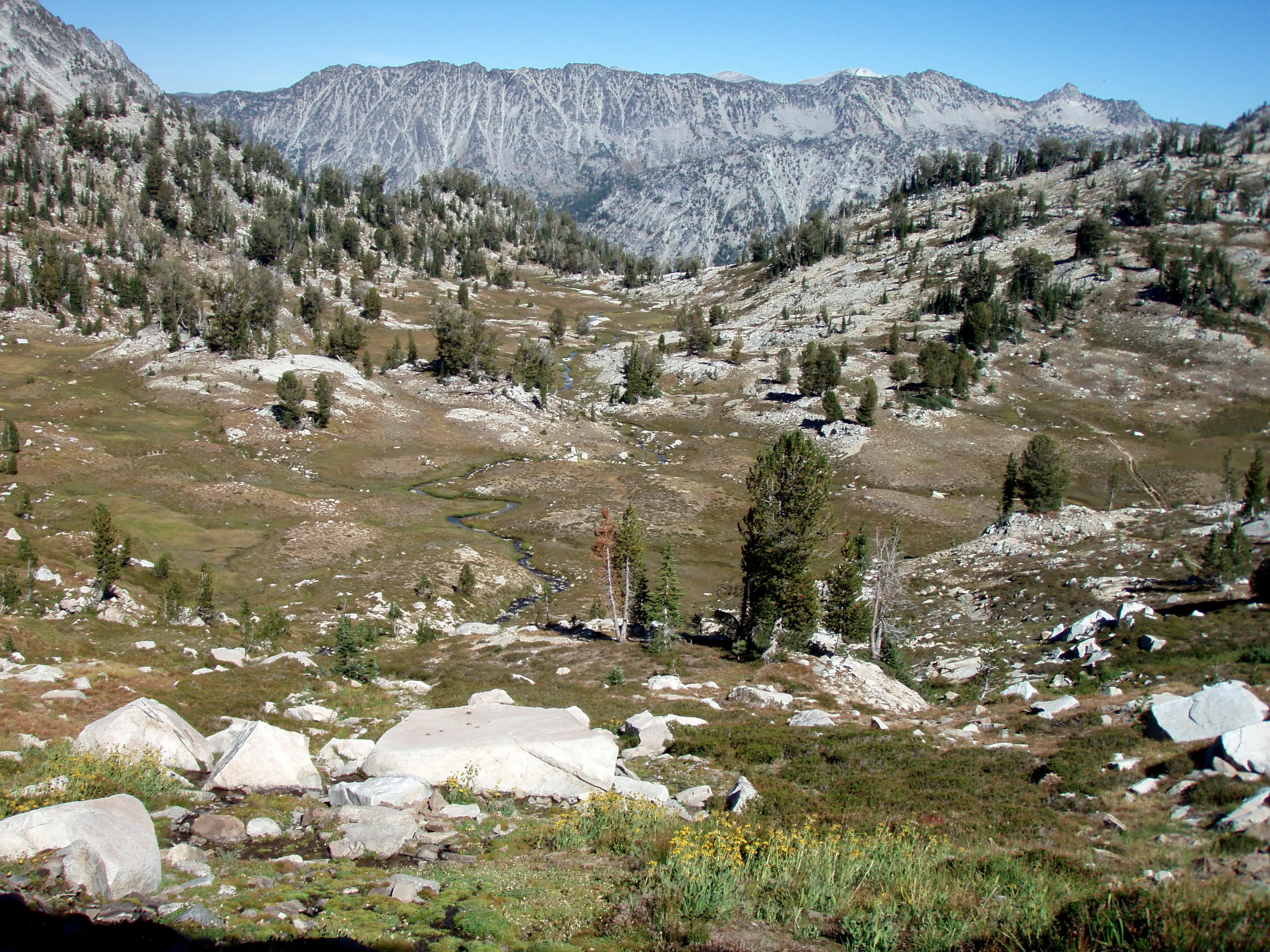
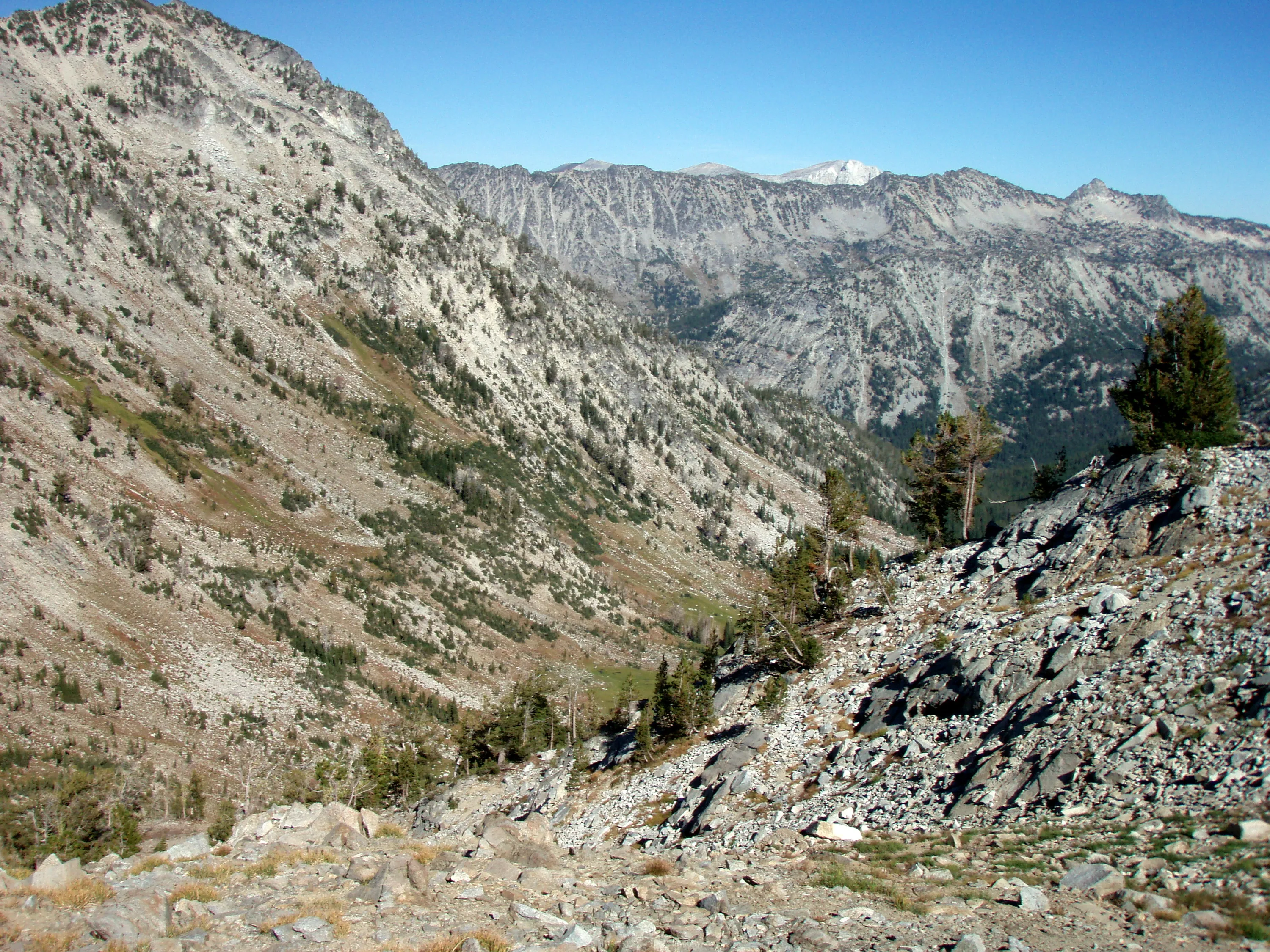
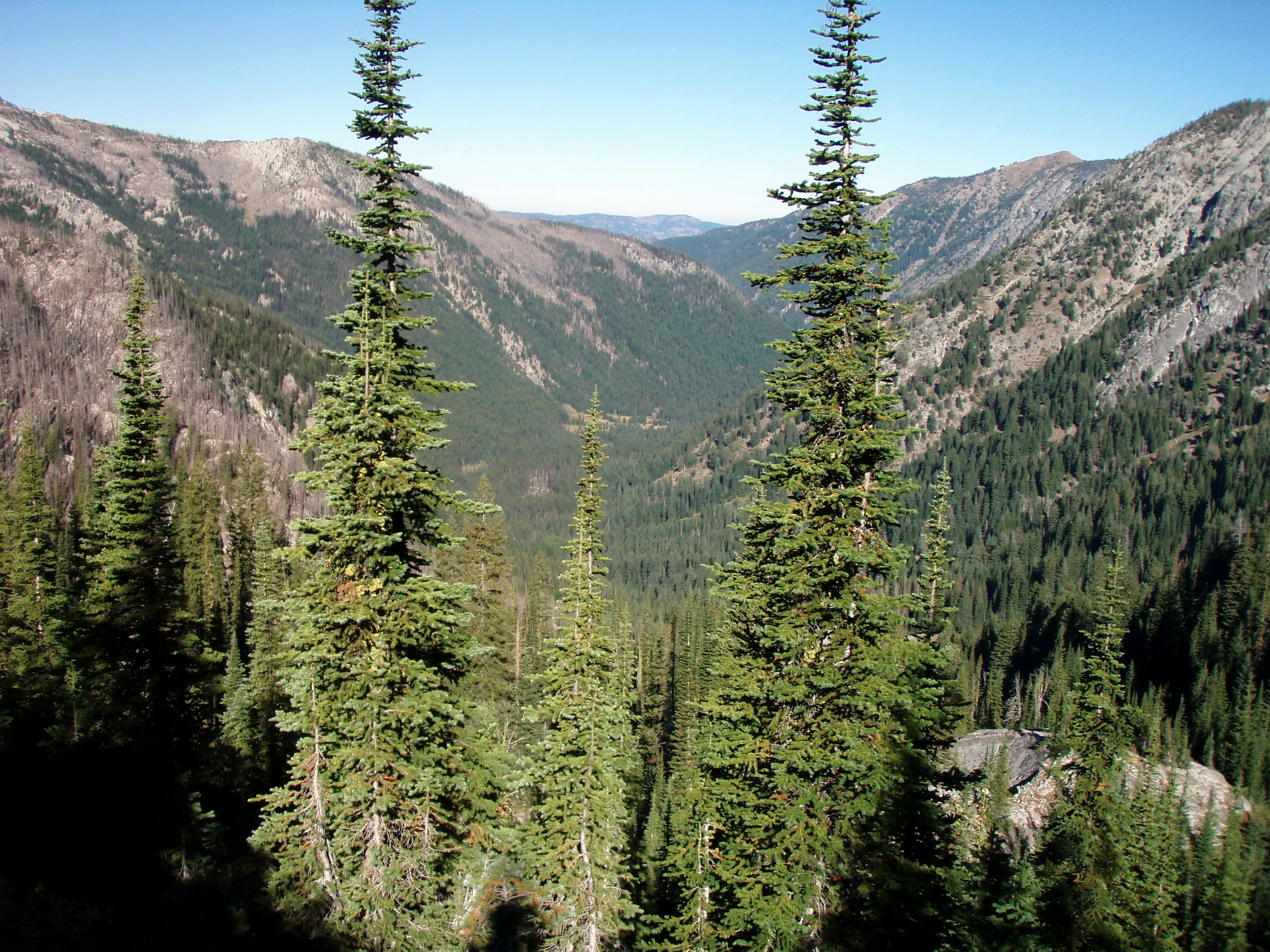
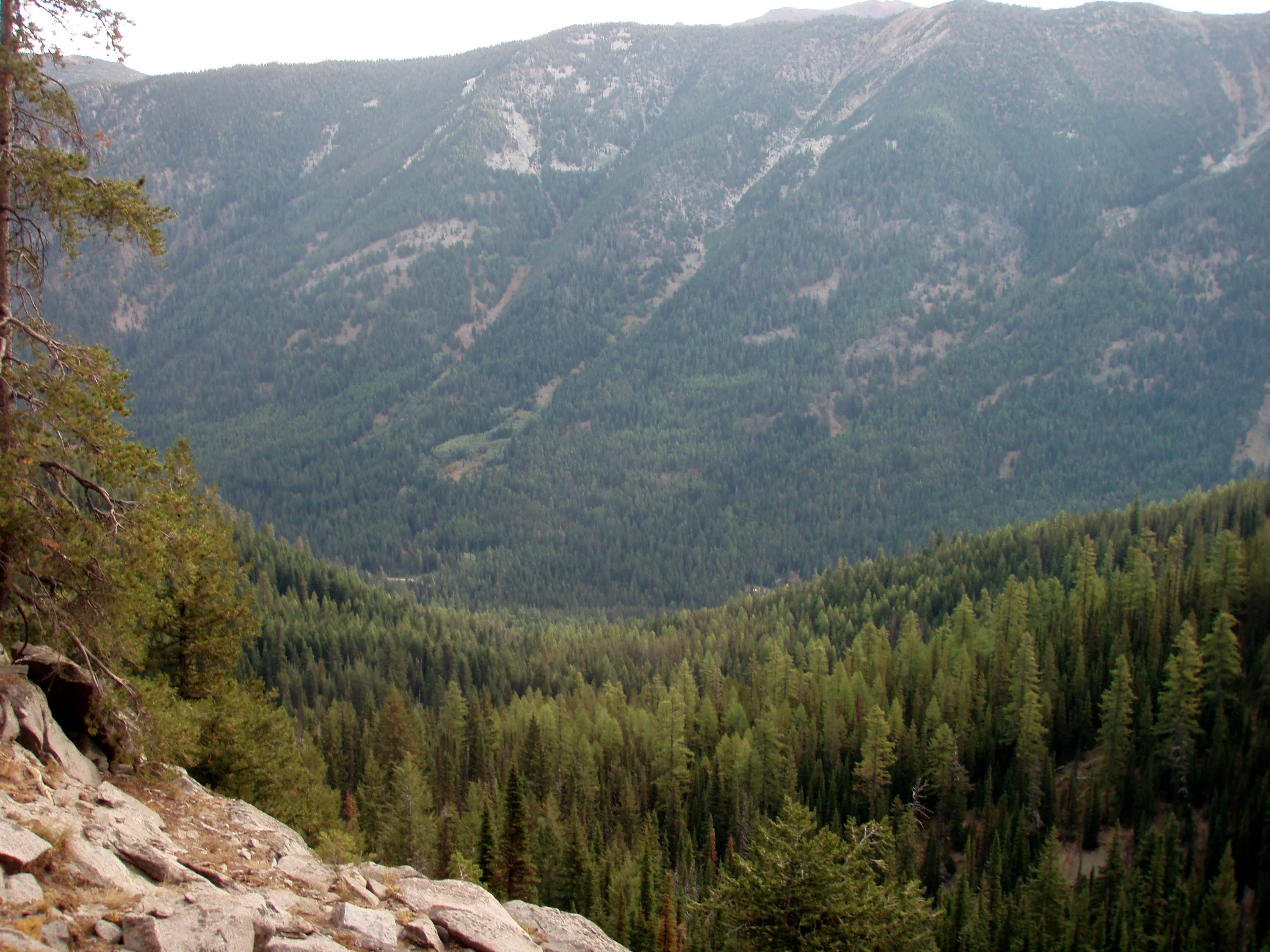
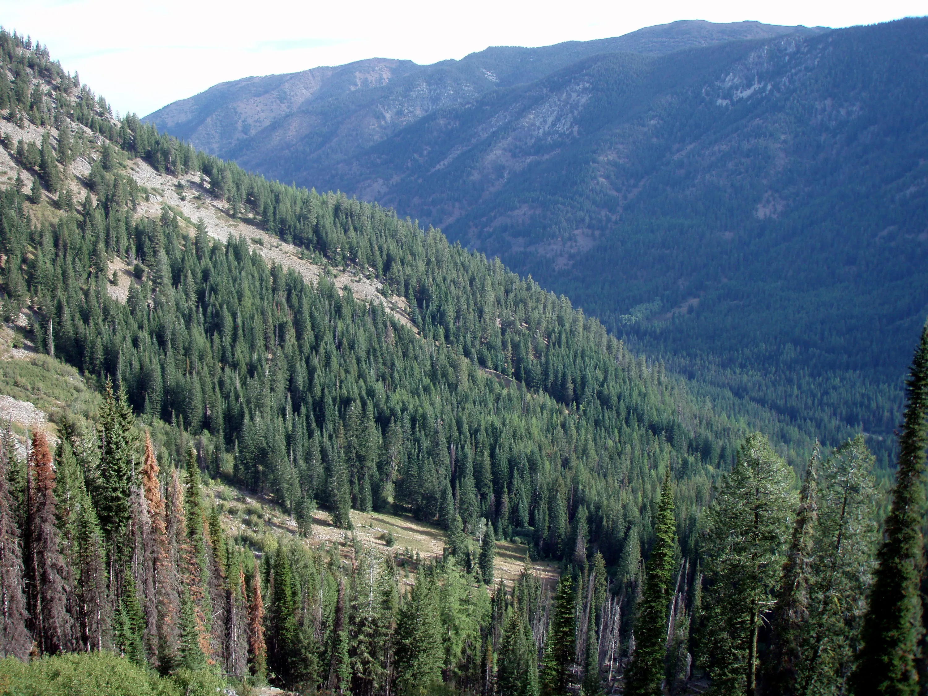
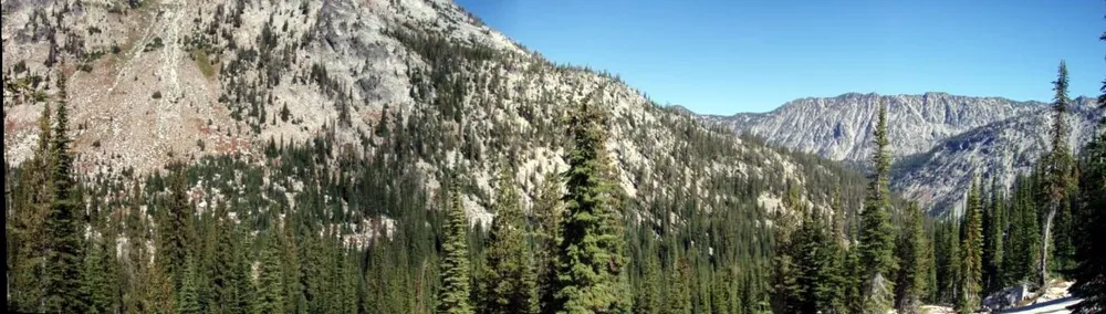
That is the valley we hiked up - Copper creek is down there somewhere
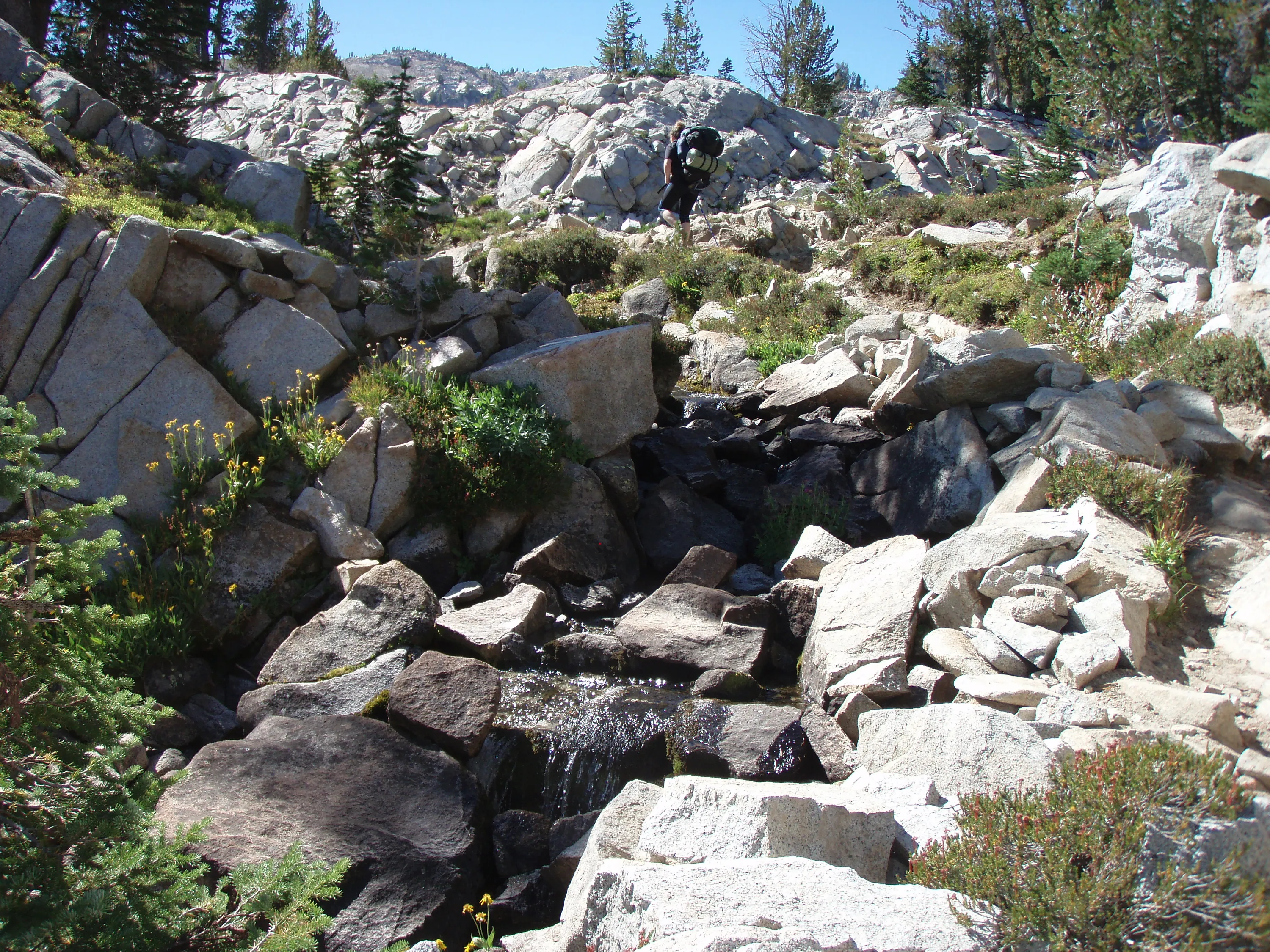
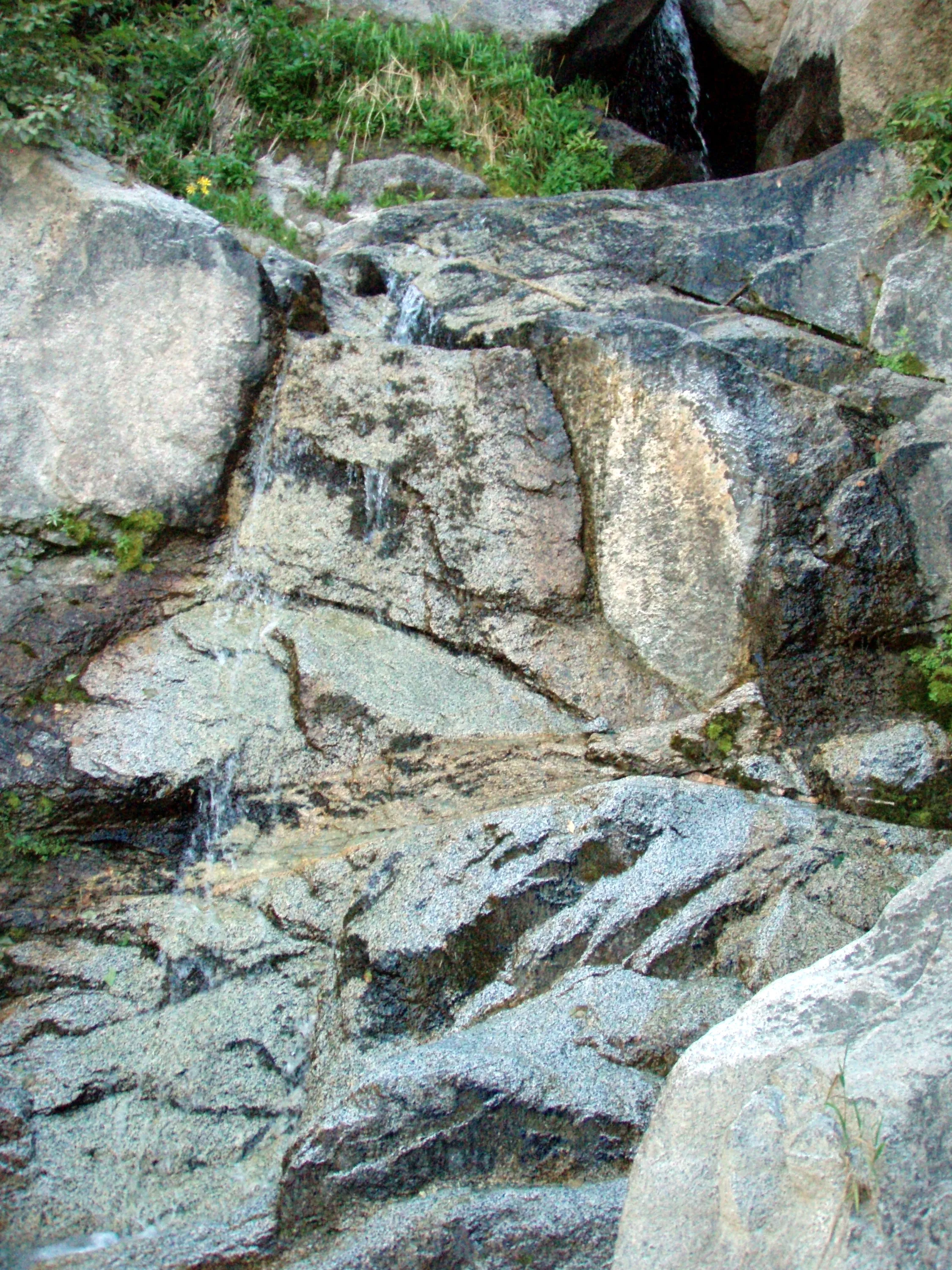
This should be Elkhorn creek - neat little waterfall
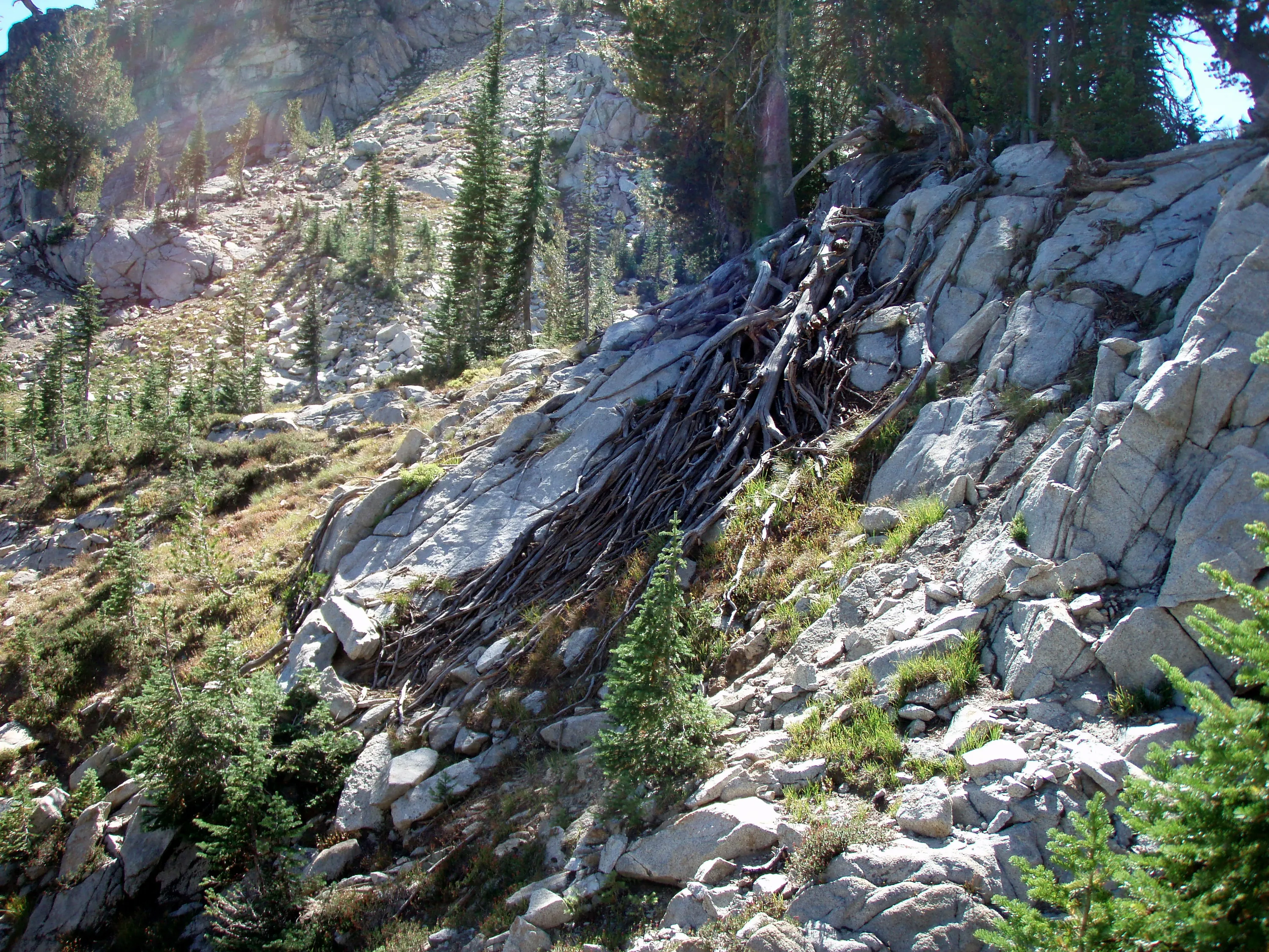
Interesting root formation on the granite
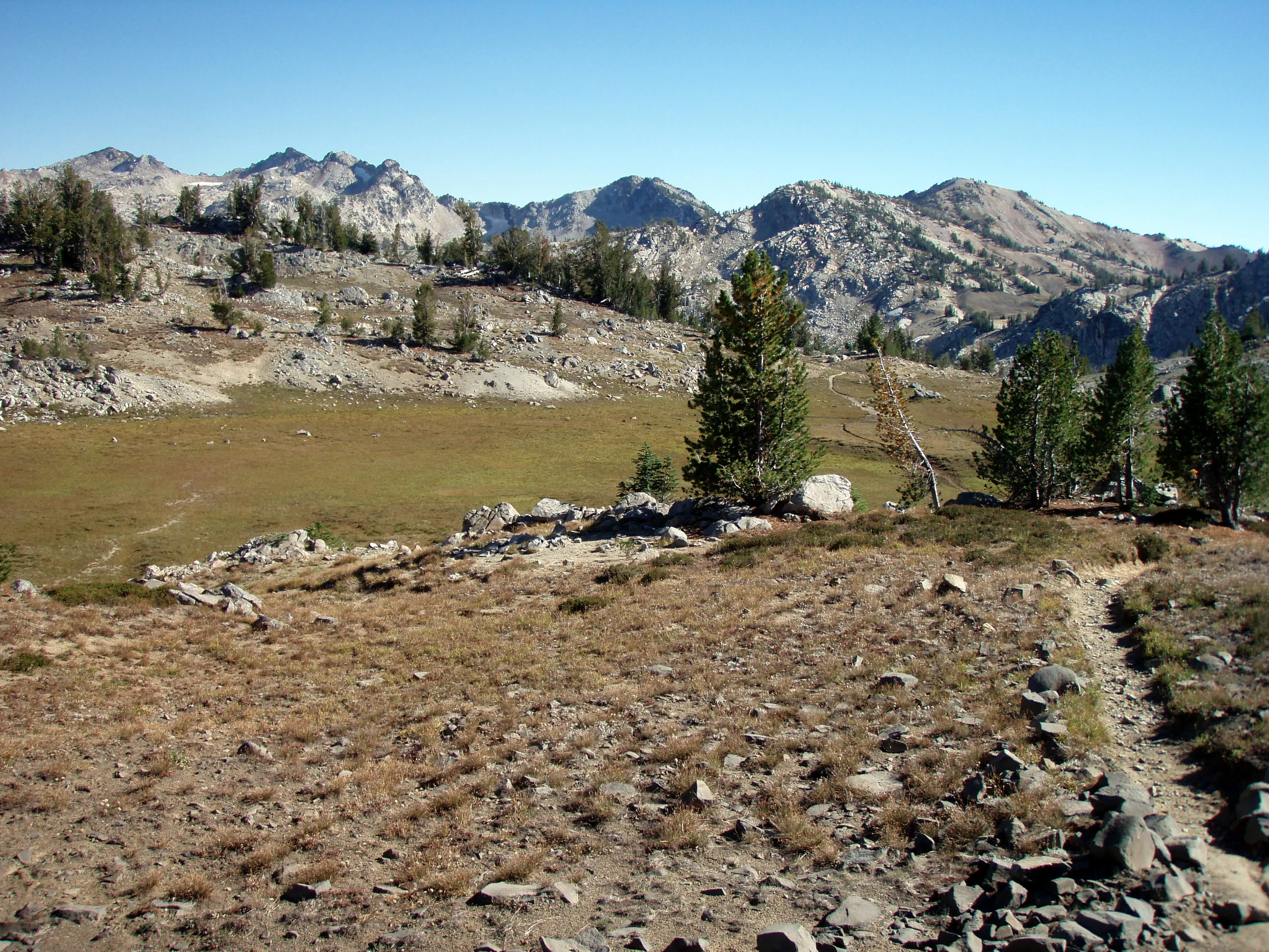
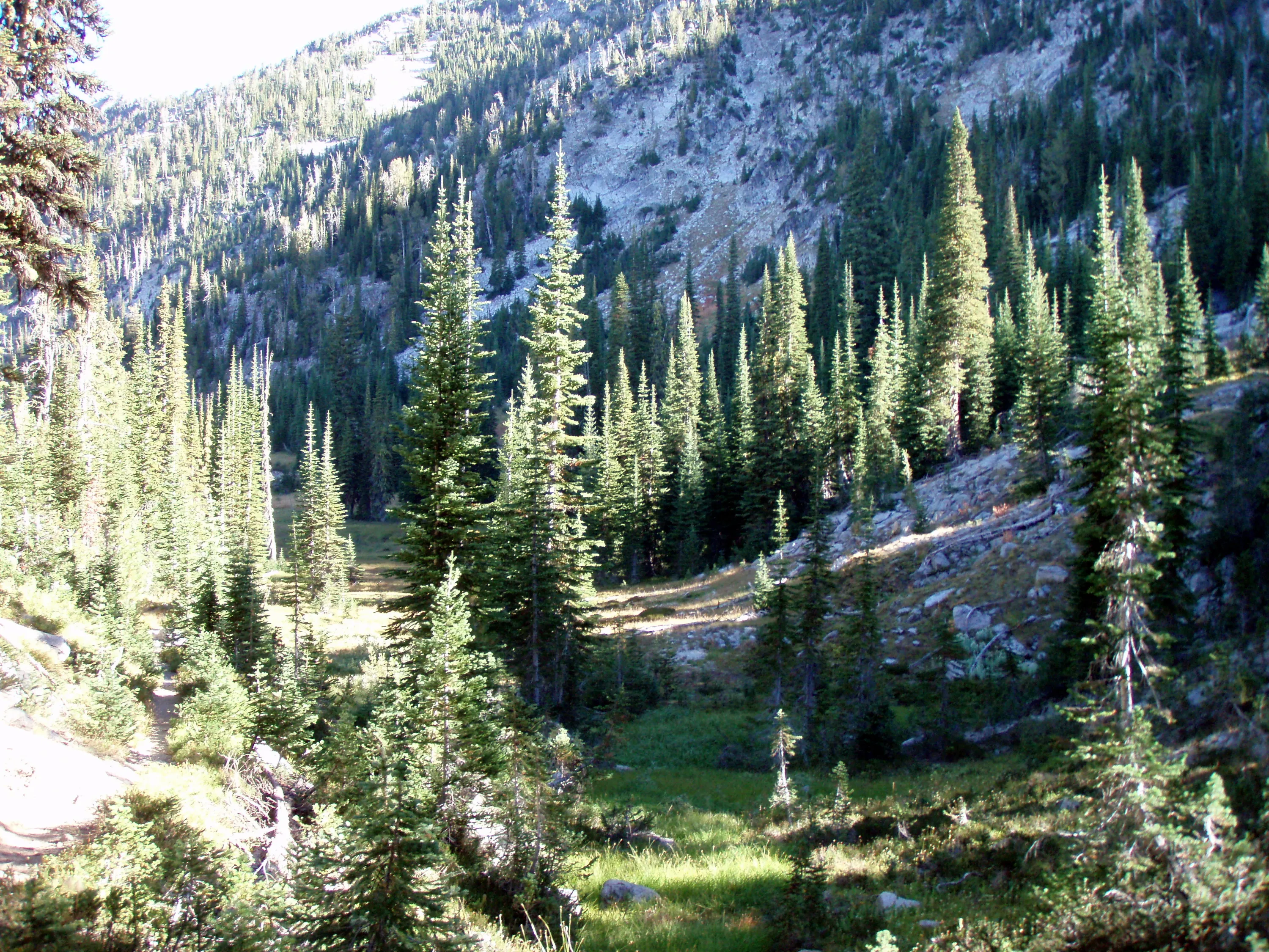
Another high elevation meadow - and more climbing
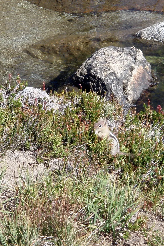
A curious little chipmunk in a high elevation meadow
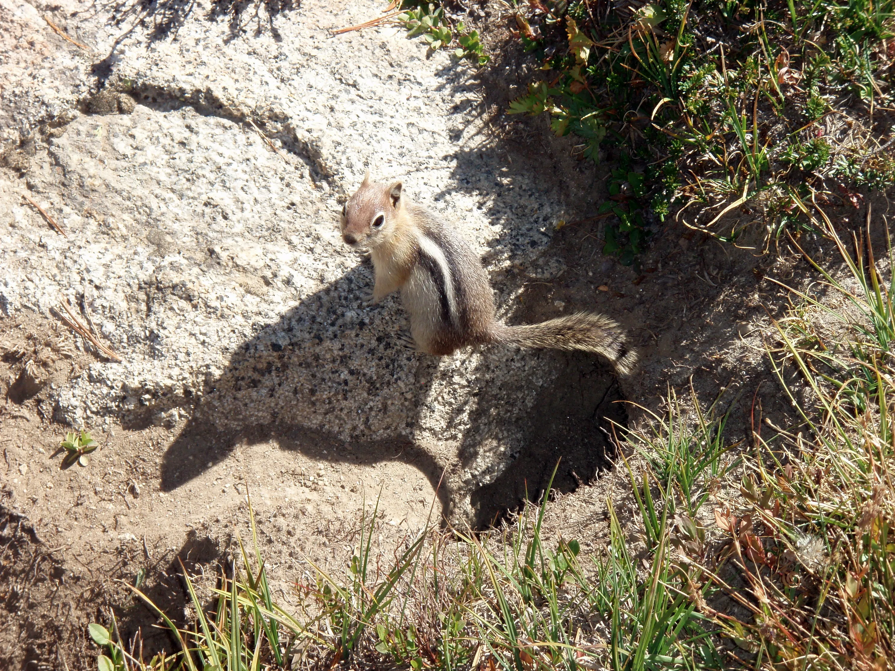
Peeking his head out of one of the many holes - there was quite an underground lair...
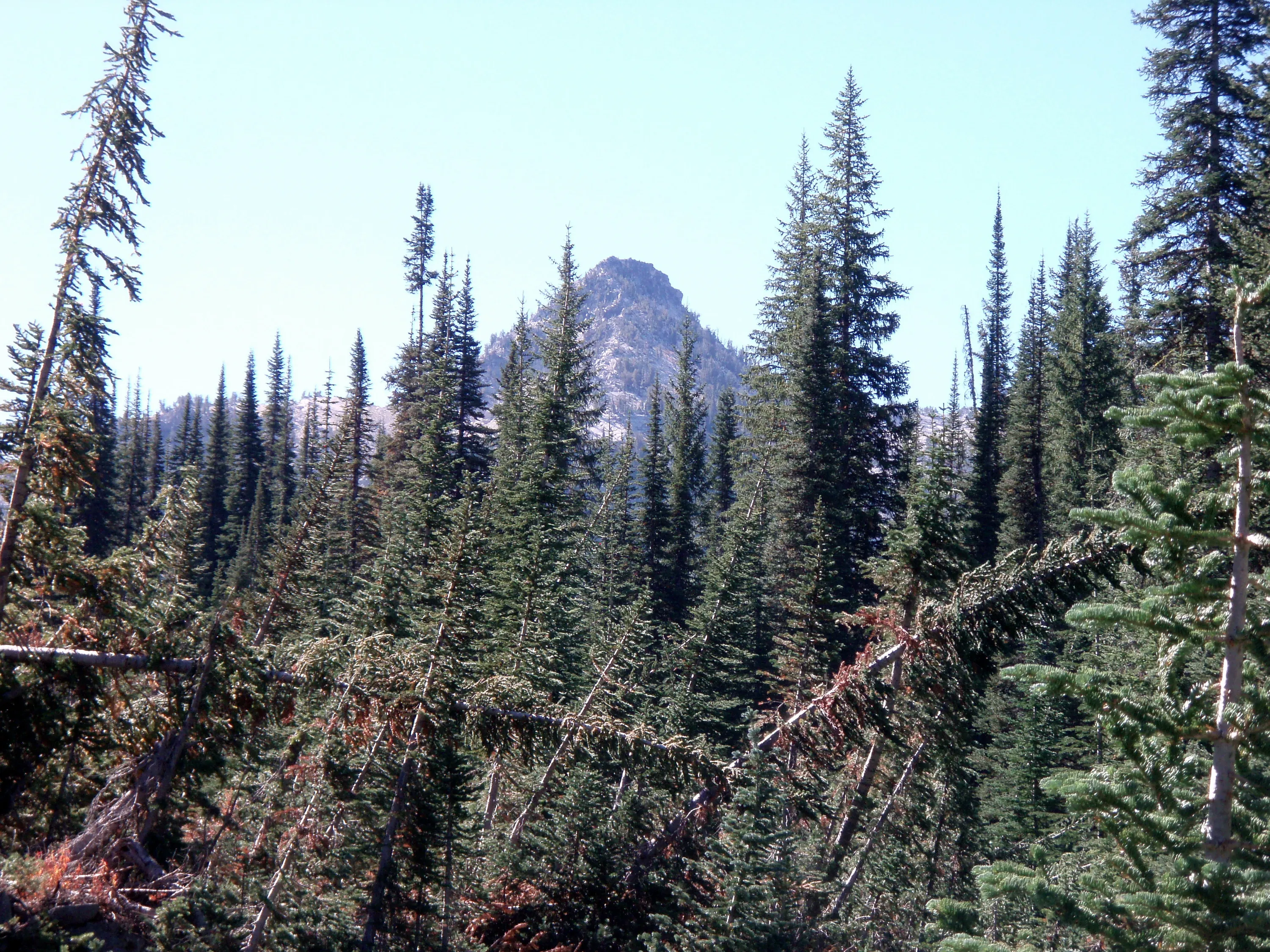
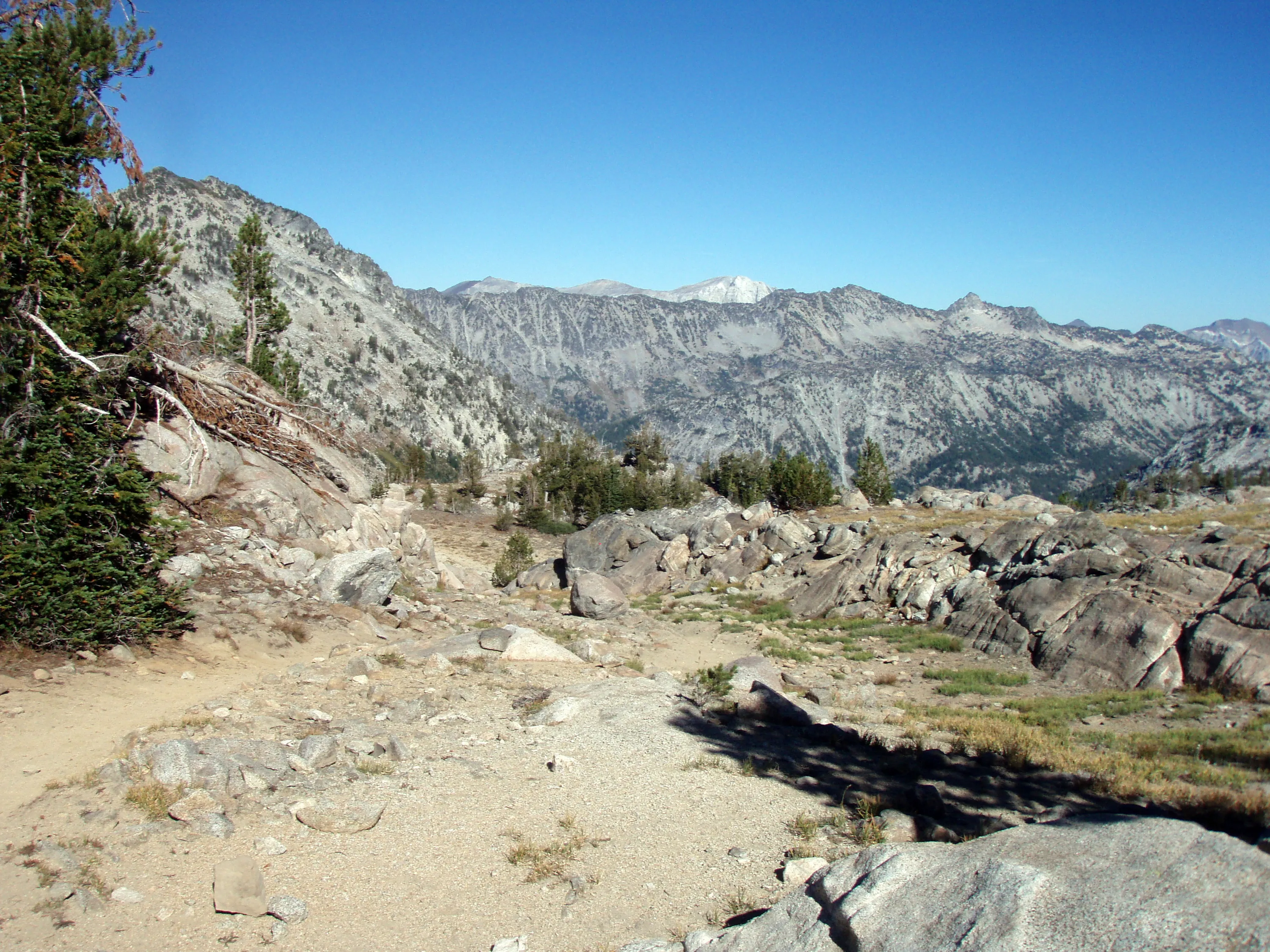
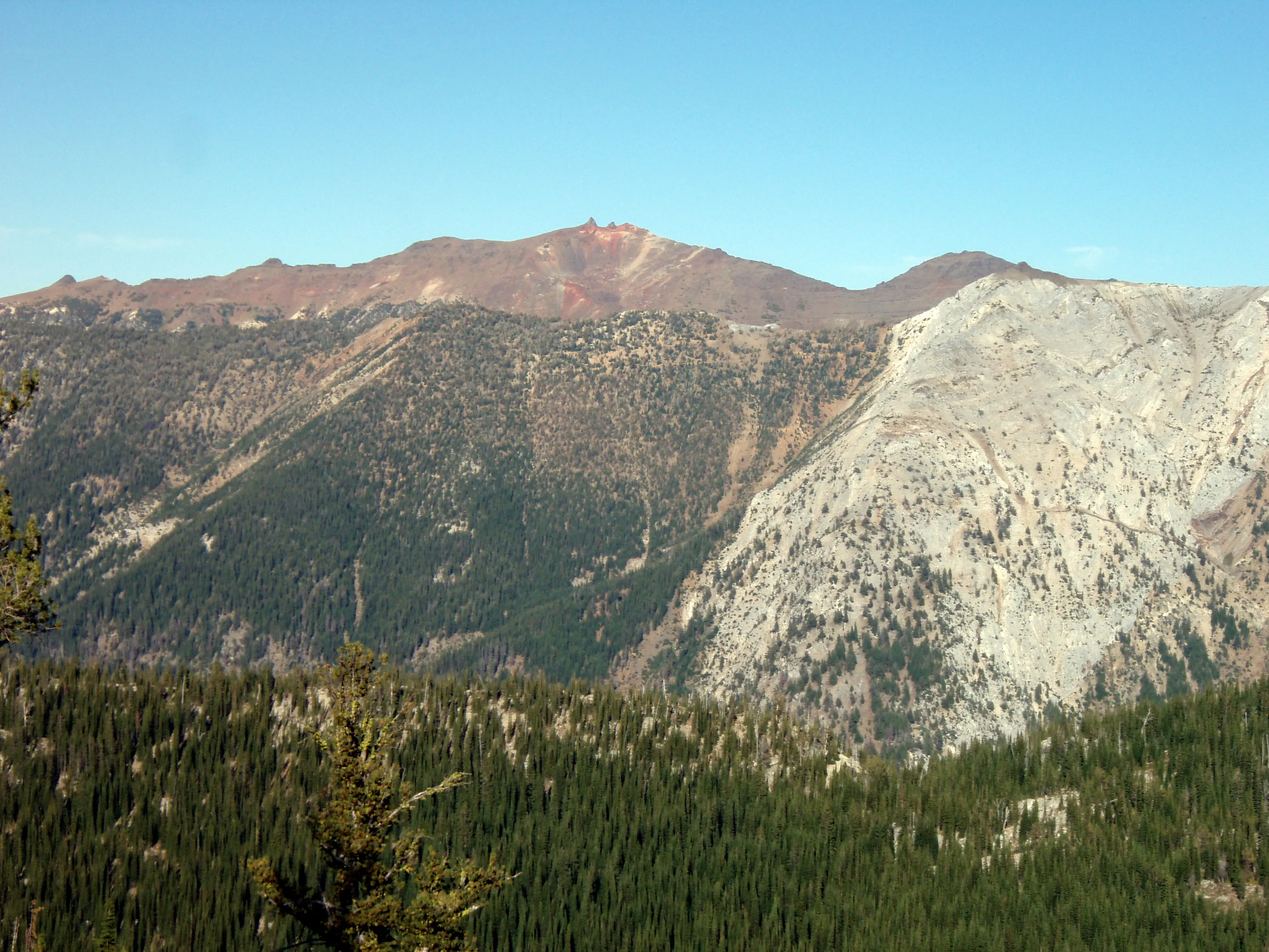
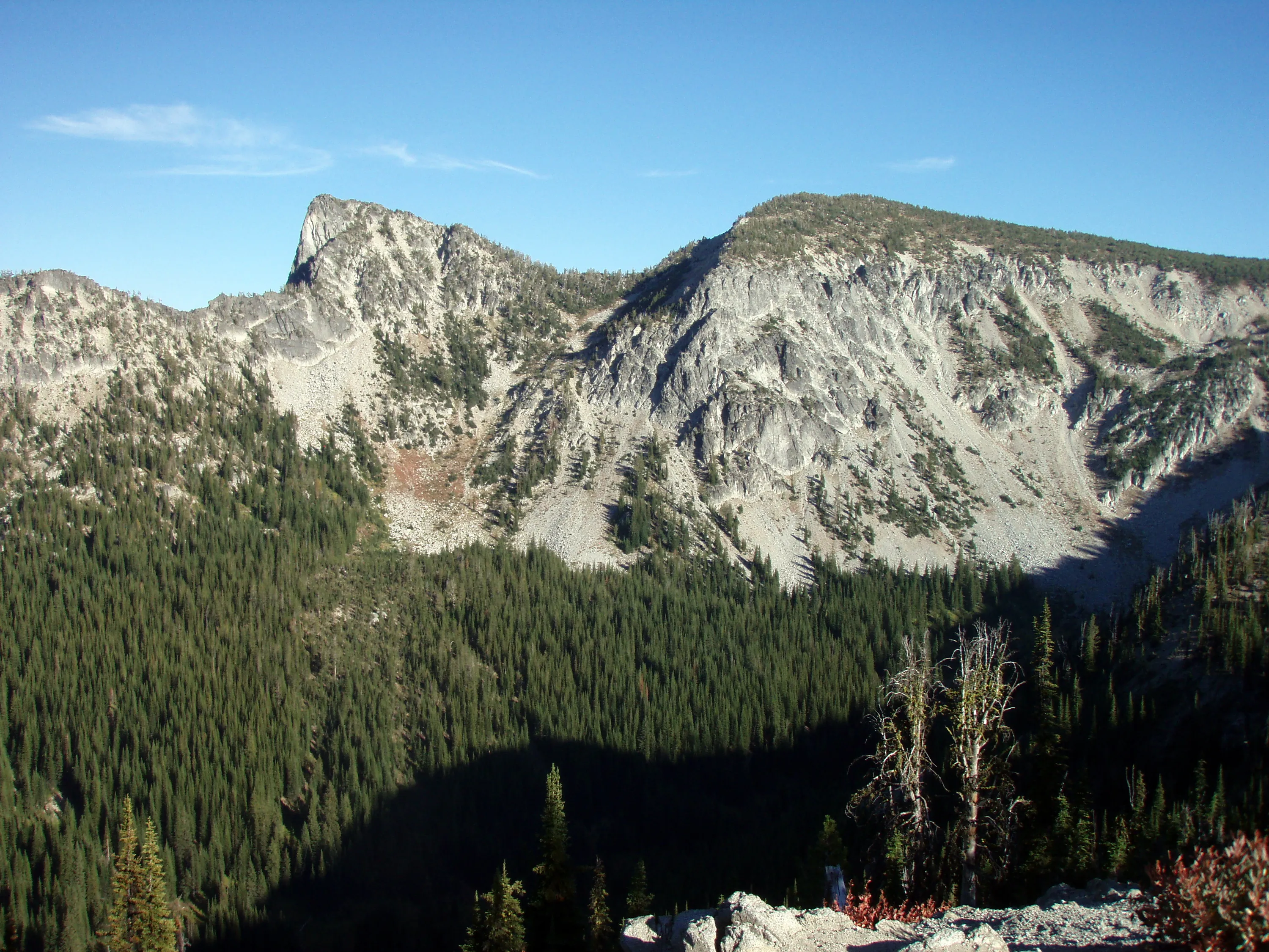
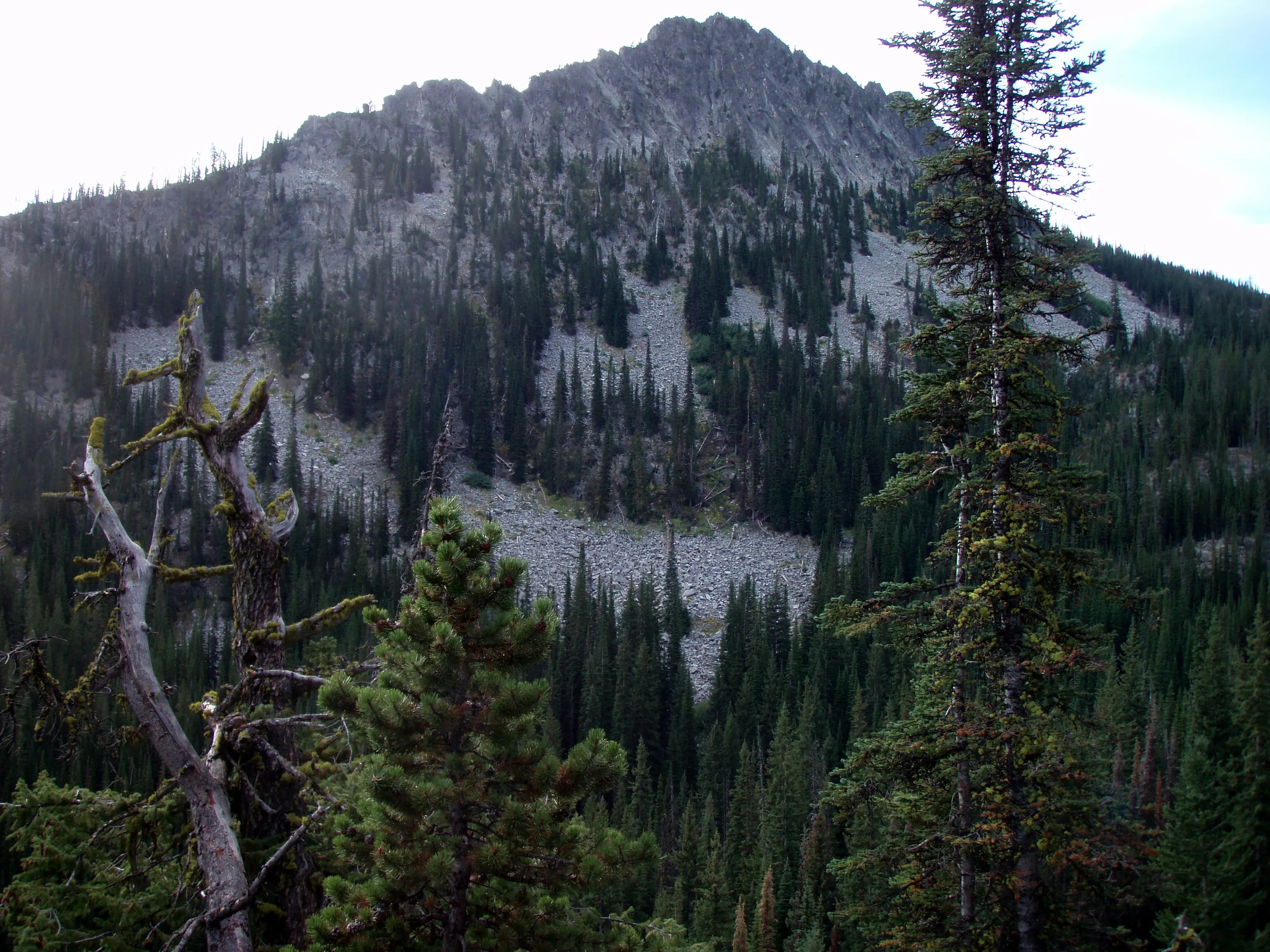
I don't know what the mountain peeking over the top is. I wish I knew.
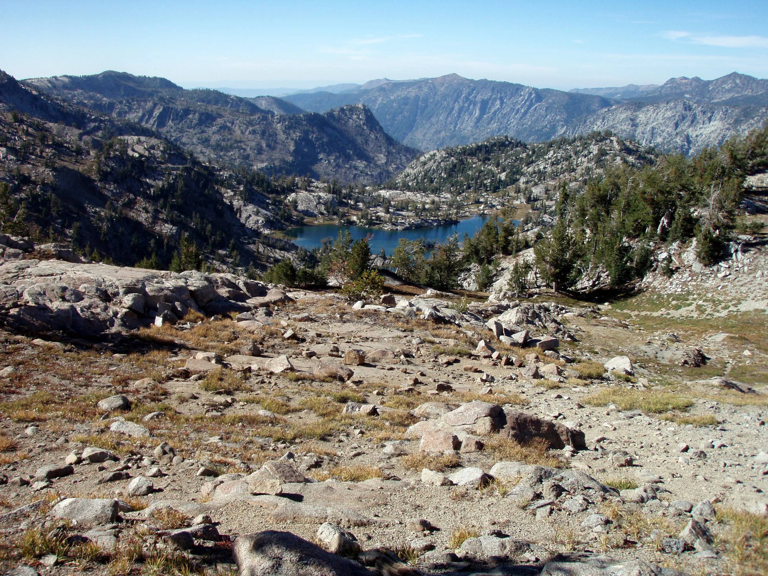
We have finally reached the high point of our trip - 8600'!!!! That is swamp lake in the background
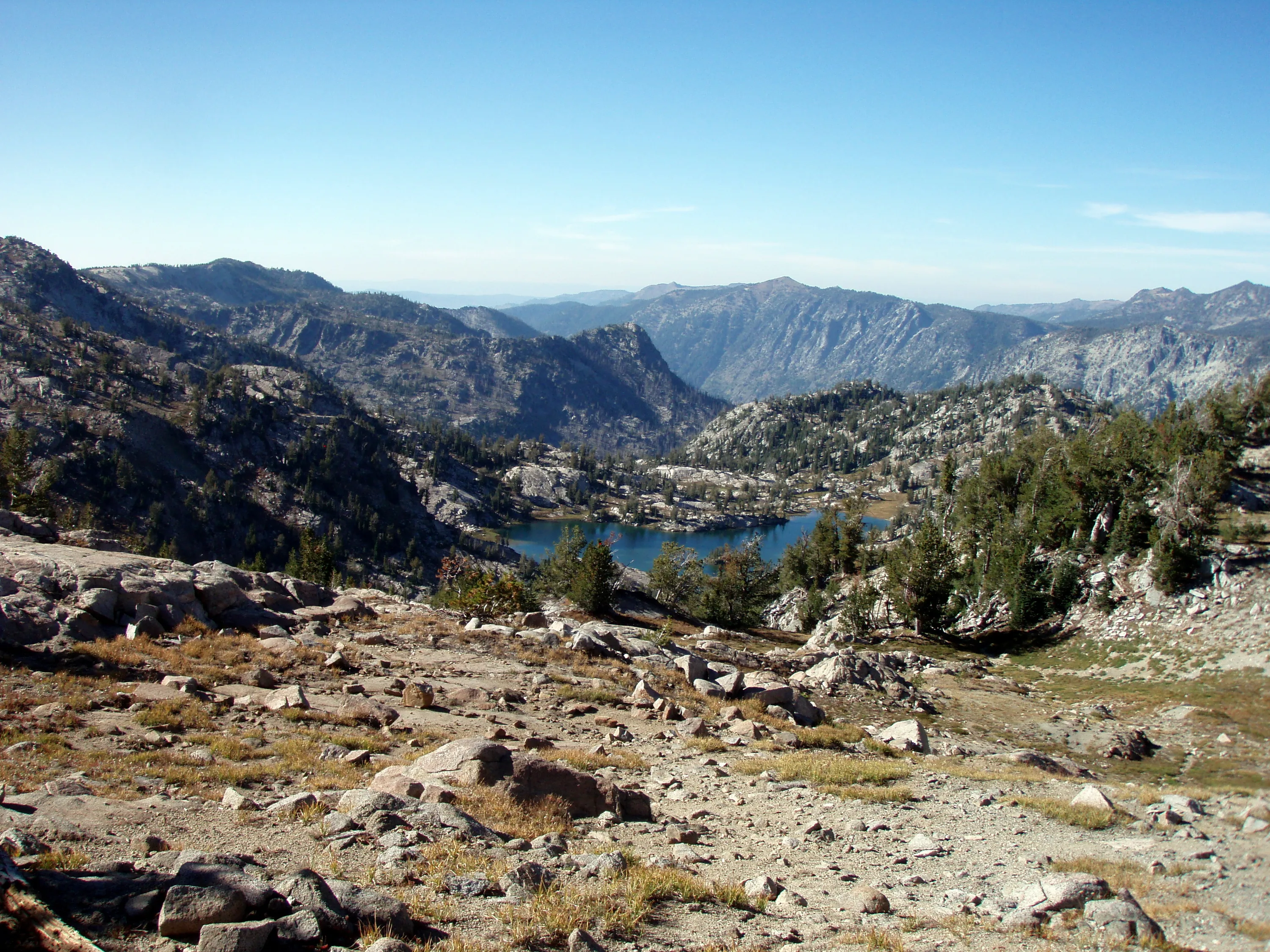
The switchbacks we will soon be heading down. They take you down to swamp lake
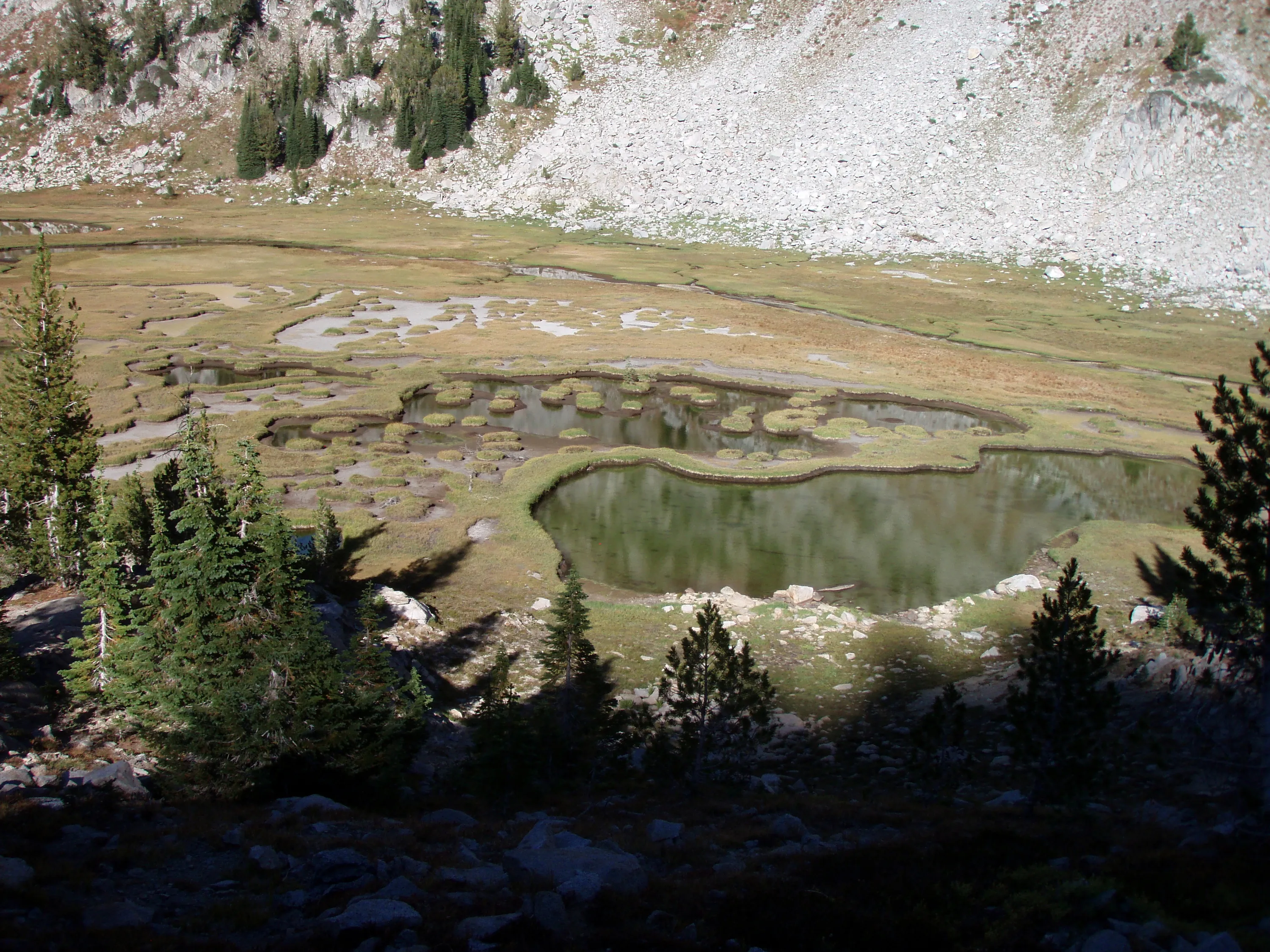
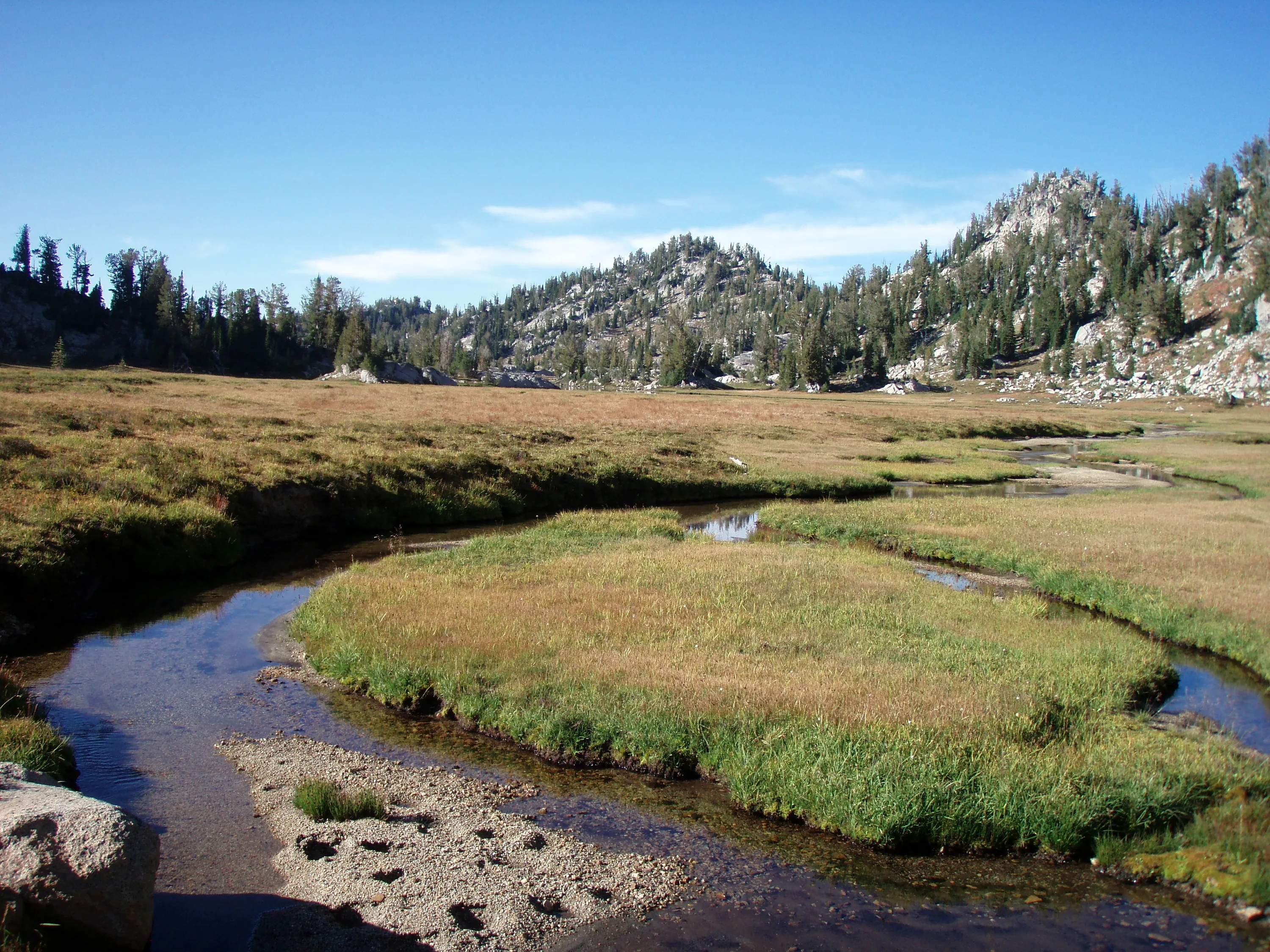
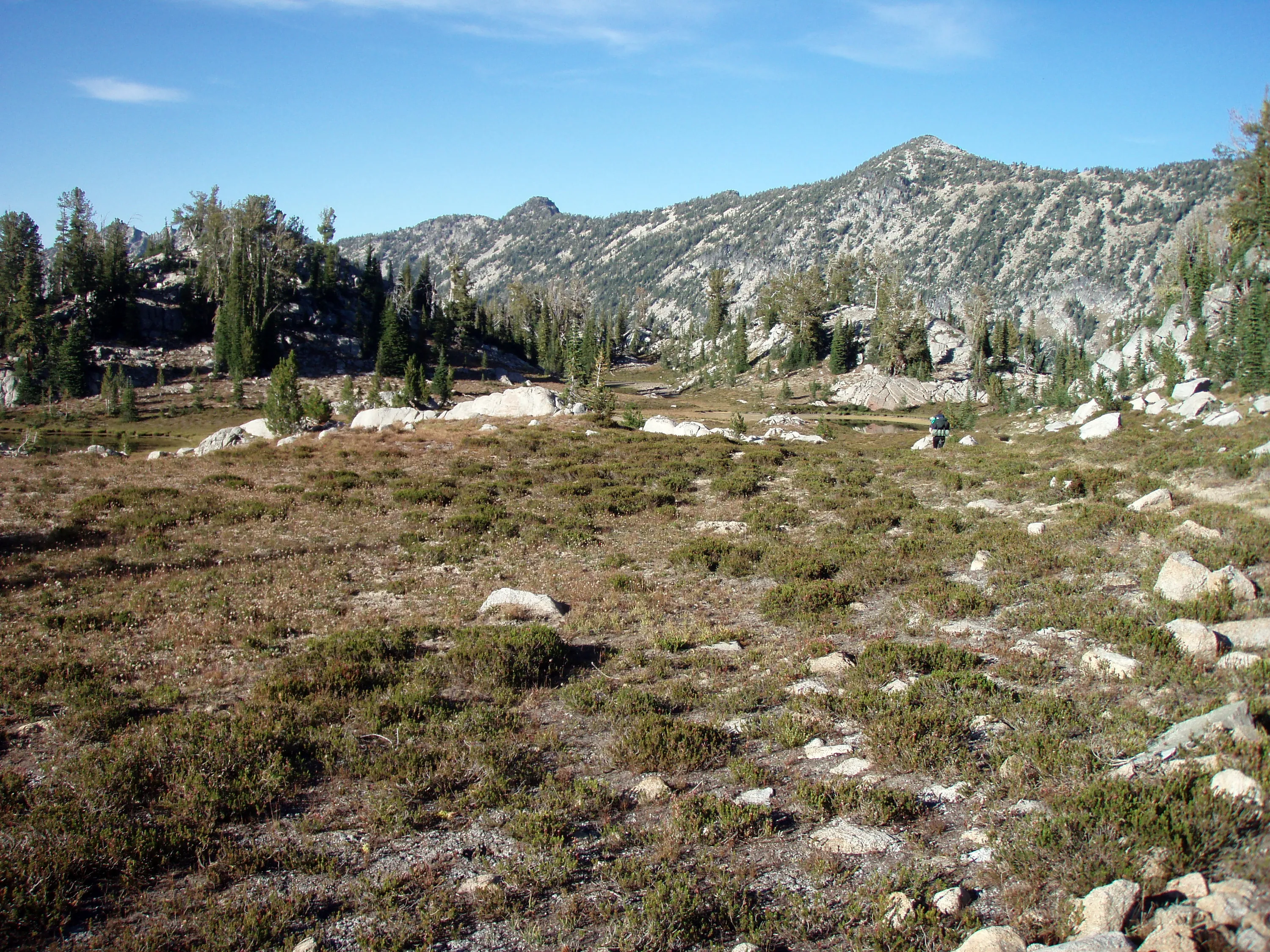
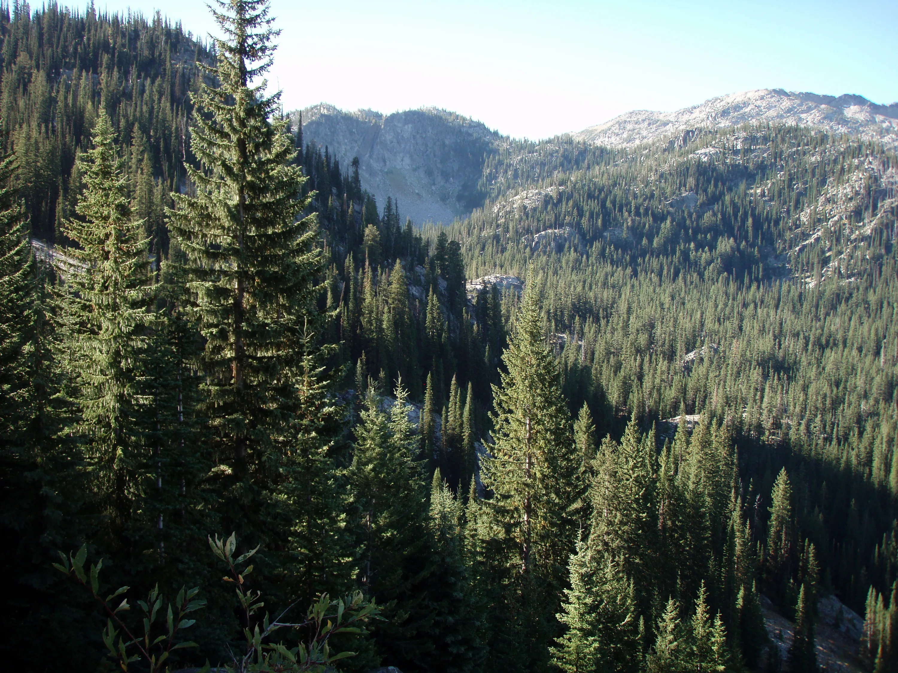
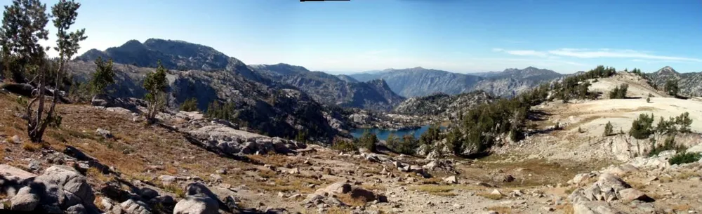
Swamp Lakes basin
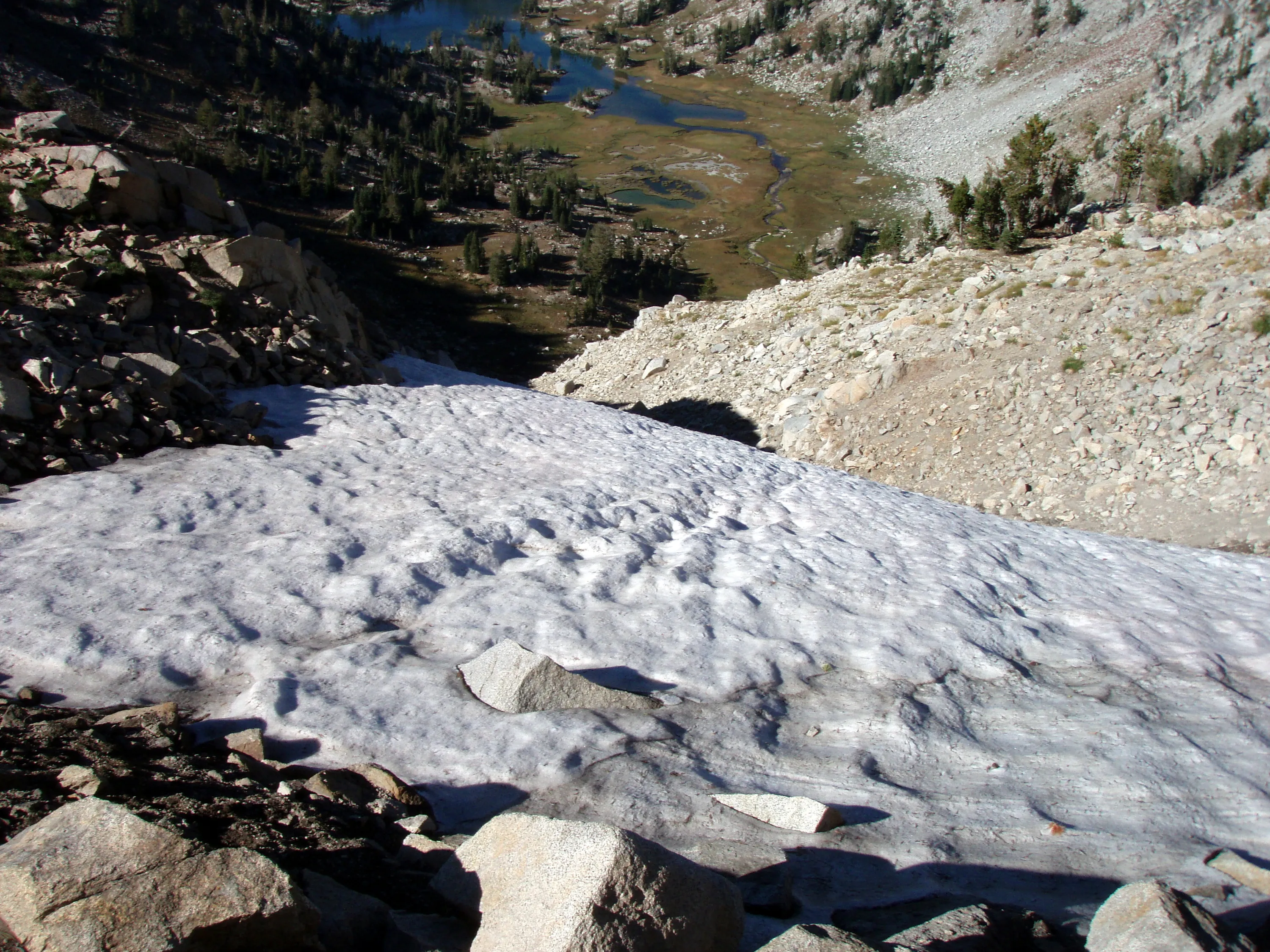
Still snow in the middle of September!
Weird little grass "tufts" in the swamp lakes basin
We came from up there about 45 minutes ago
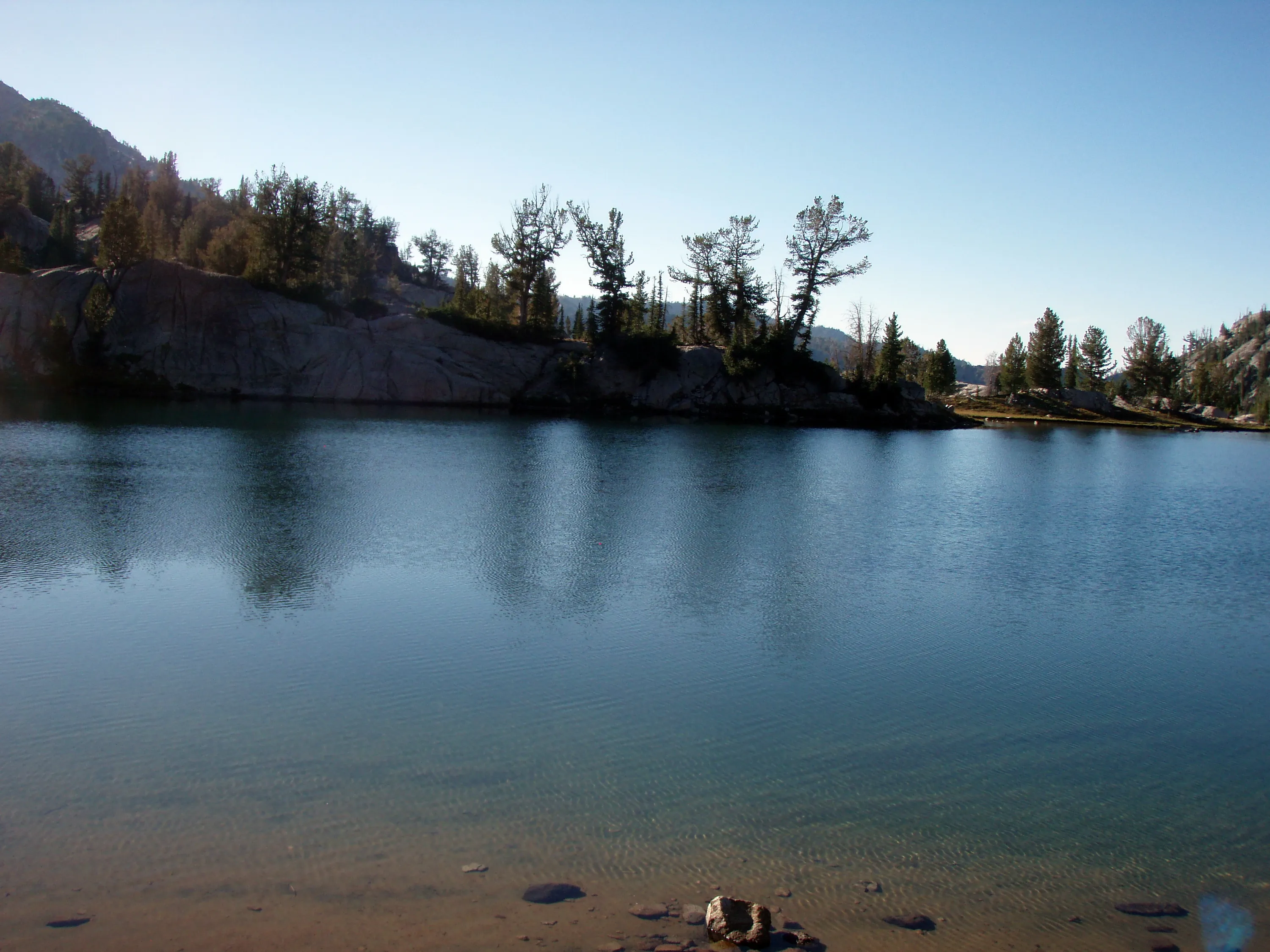
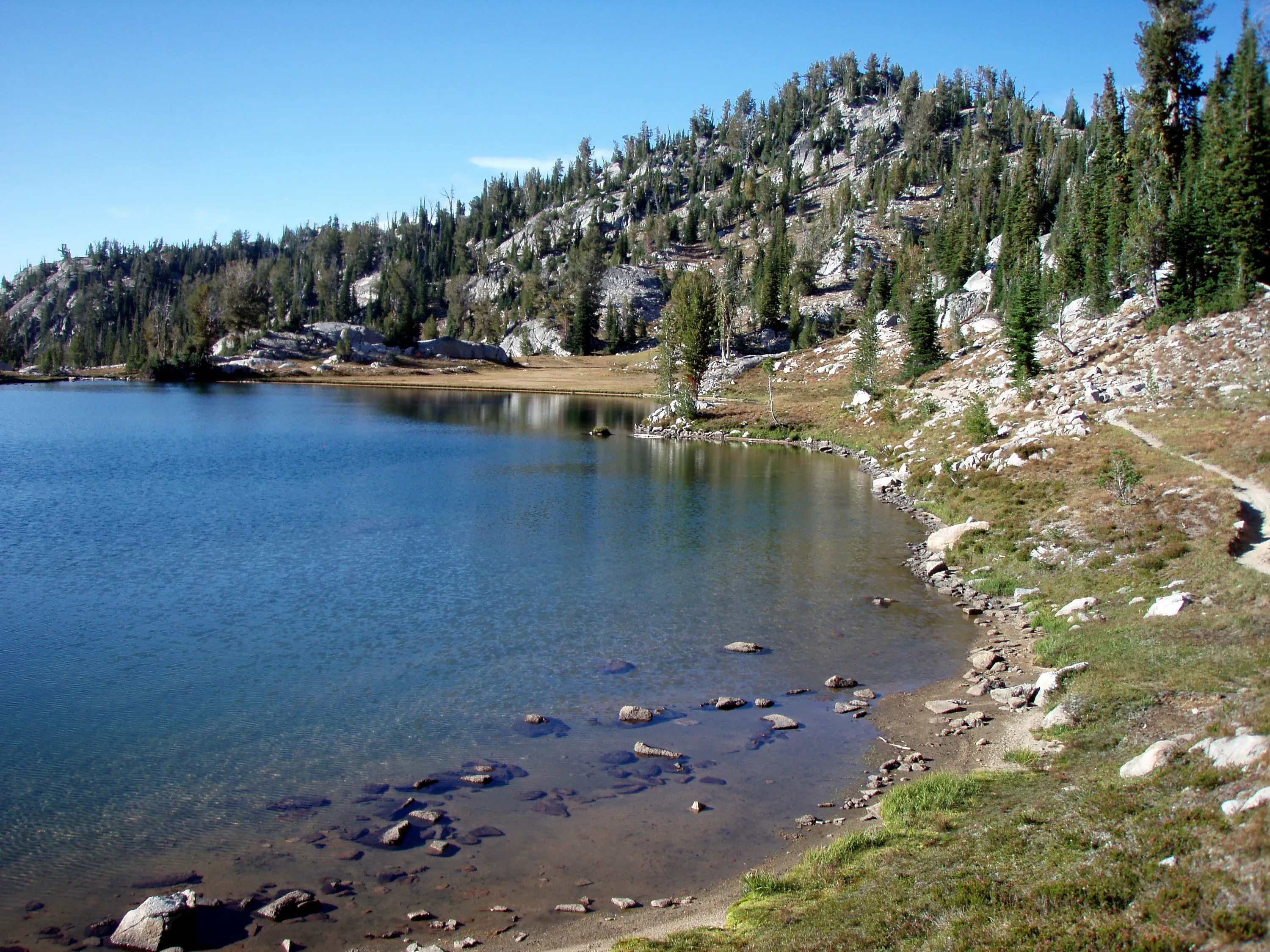
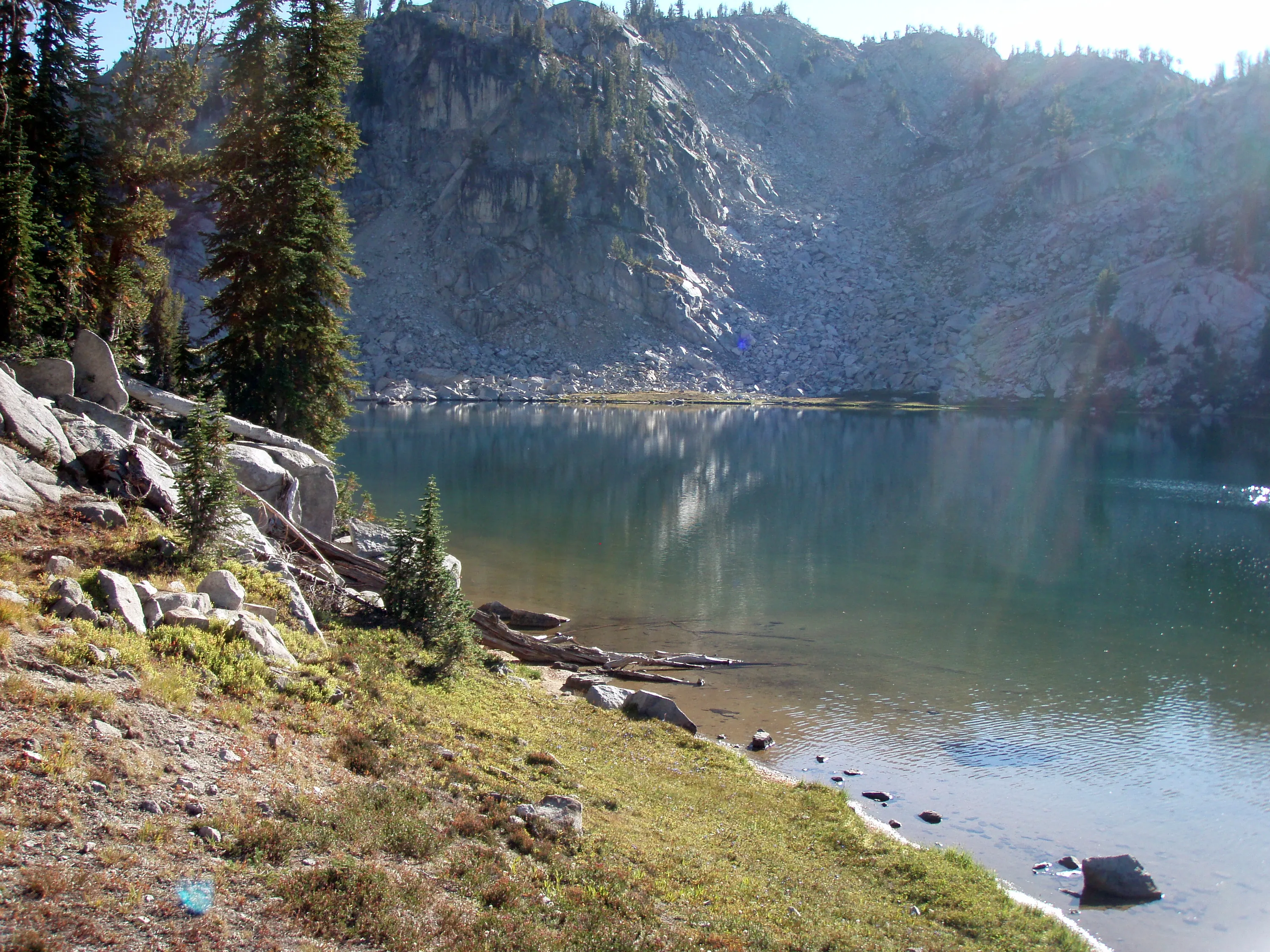
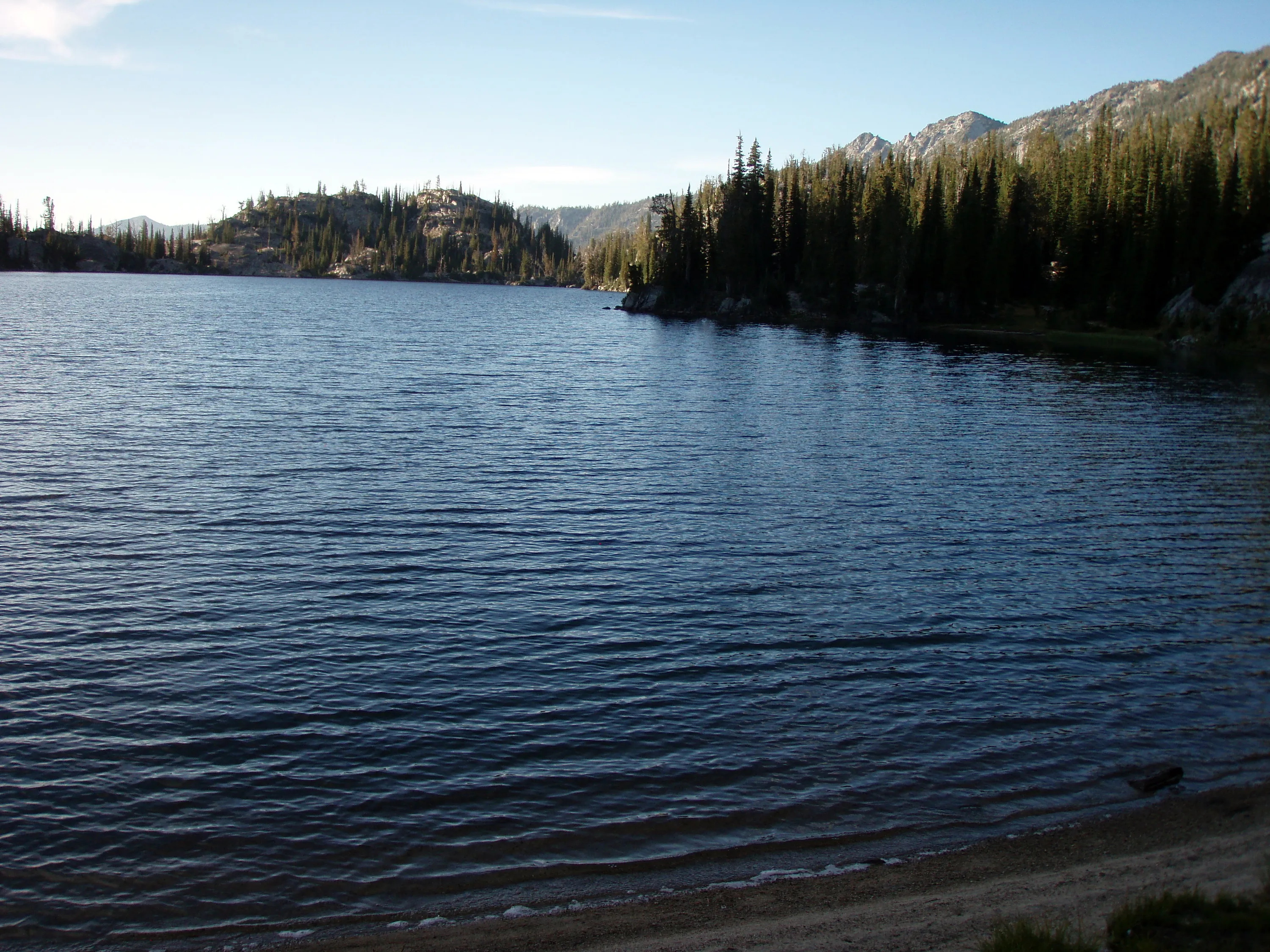
Swamp Lake
Swamp Lake
Swamp Lake
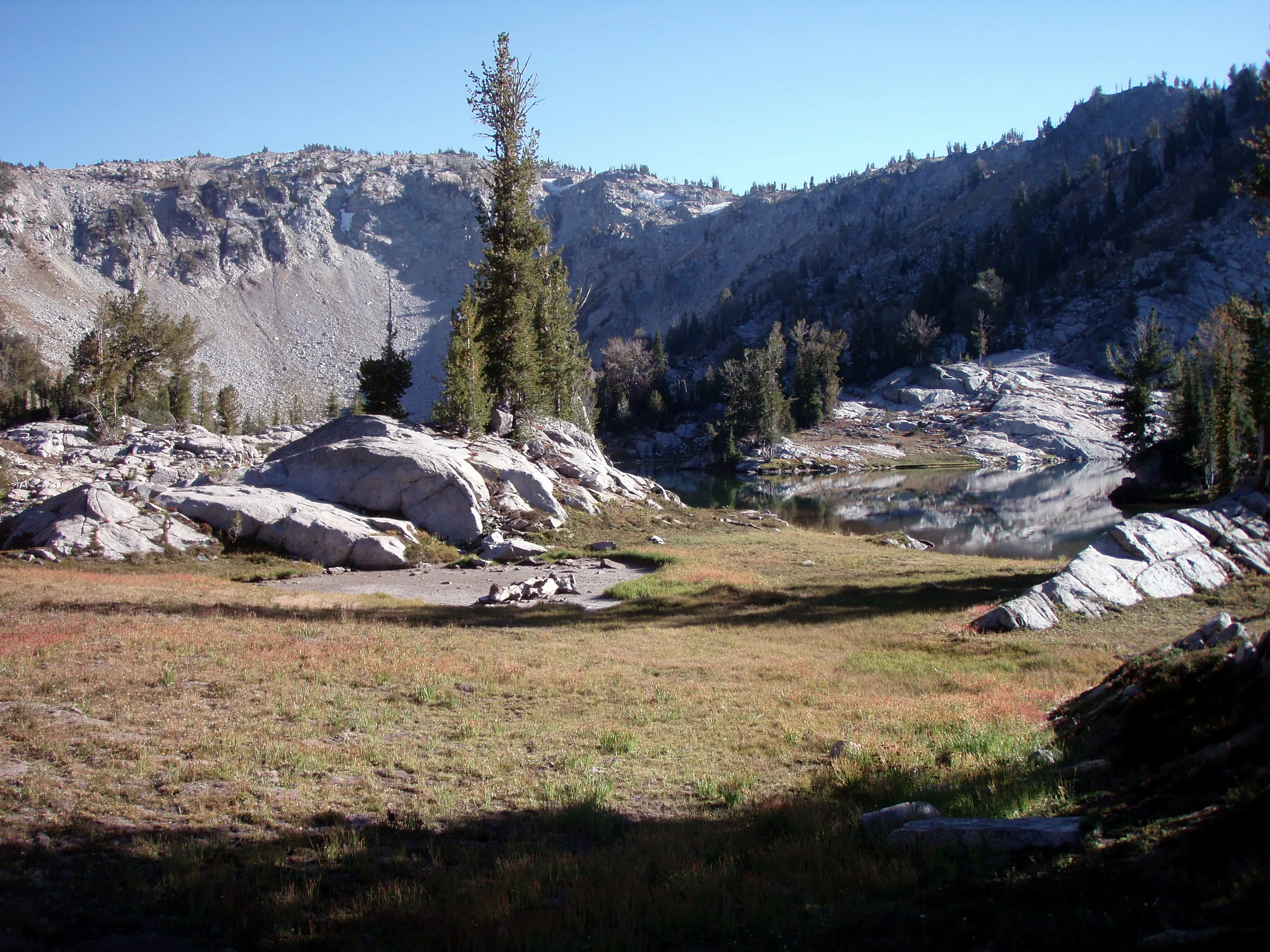
I think this is one of the "exposed campsites" at Swamp Lake
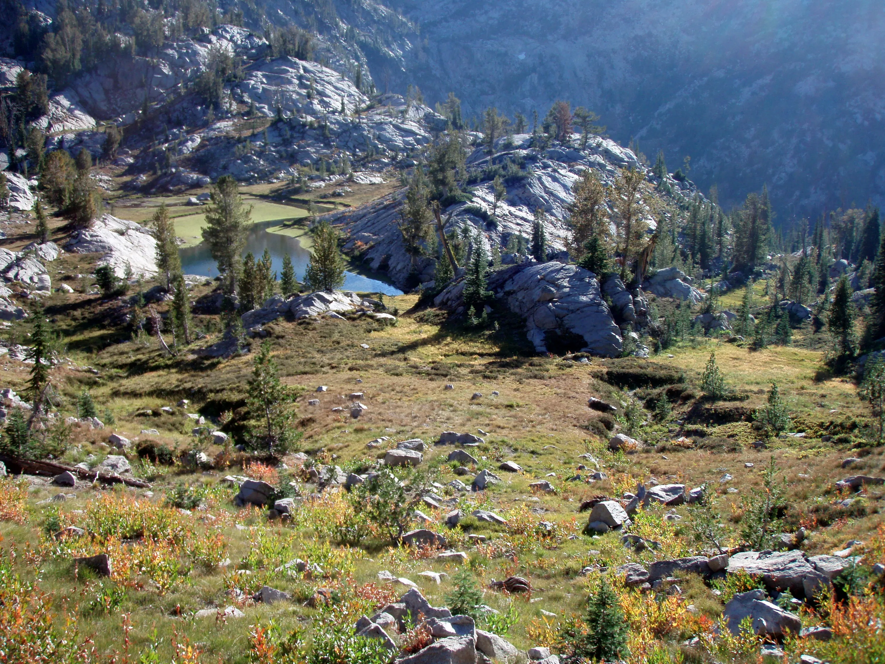
Past Swamp Lake, there is another small body of water below it. We saw two deer in this area.
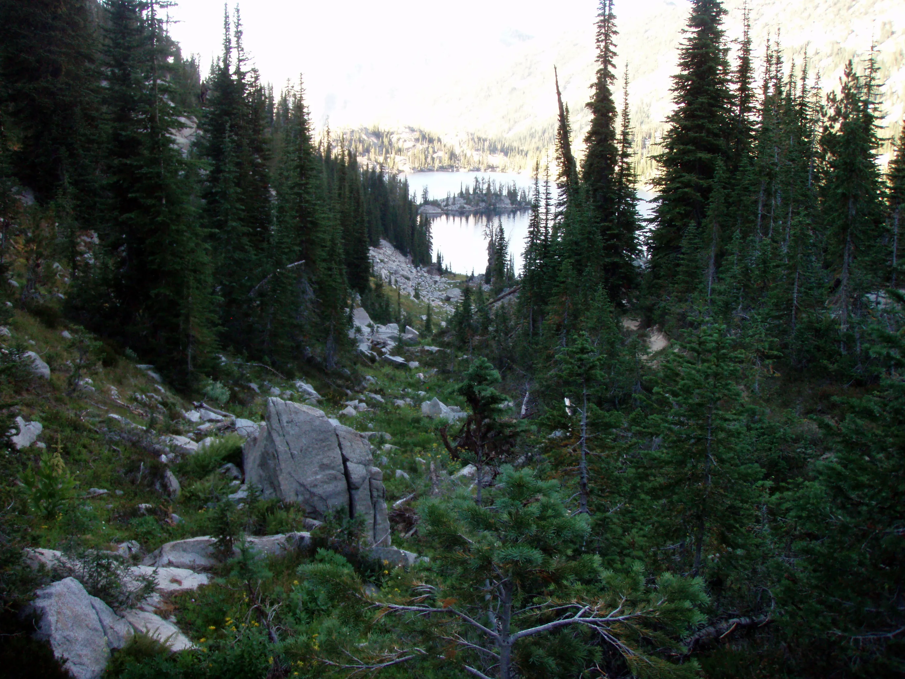
First view of Steamboat Lake
Steamboat Lake
Steamboat Lake - our destination for night 1
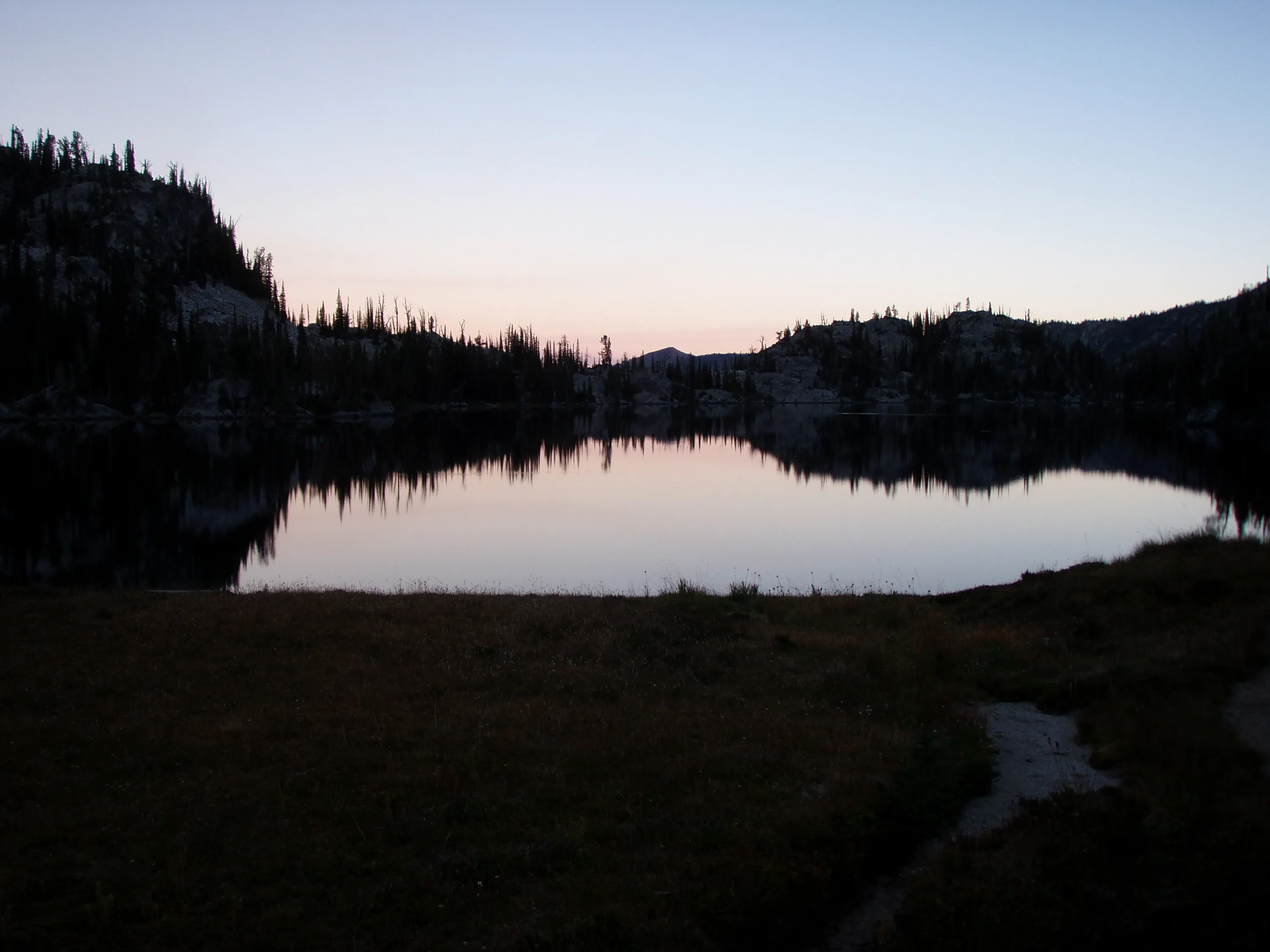
Sunset at Steamboat Lake
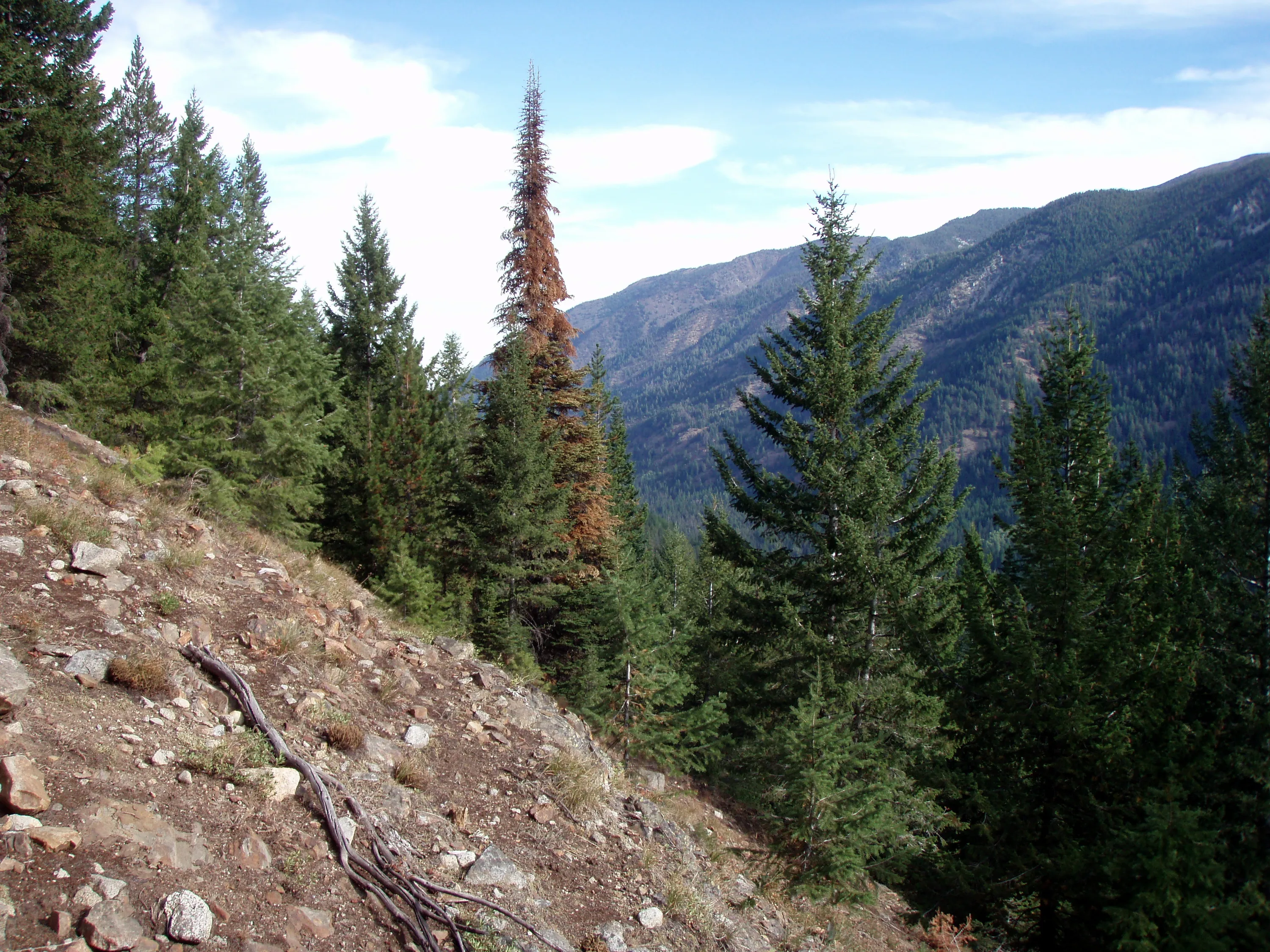
The Minam River valley below - that is our destination and low point (in elevation) for the trip
Neat little waterfall
Downhill from the waterfall
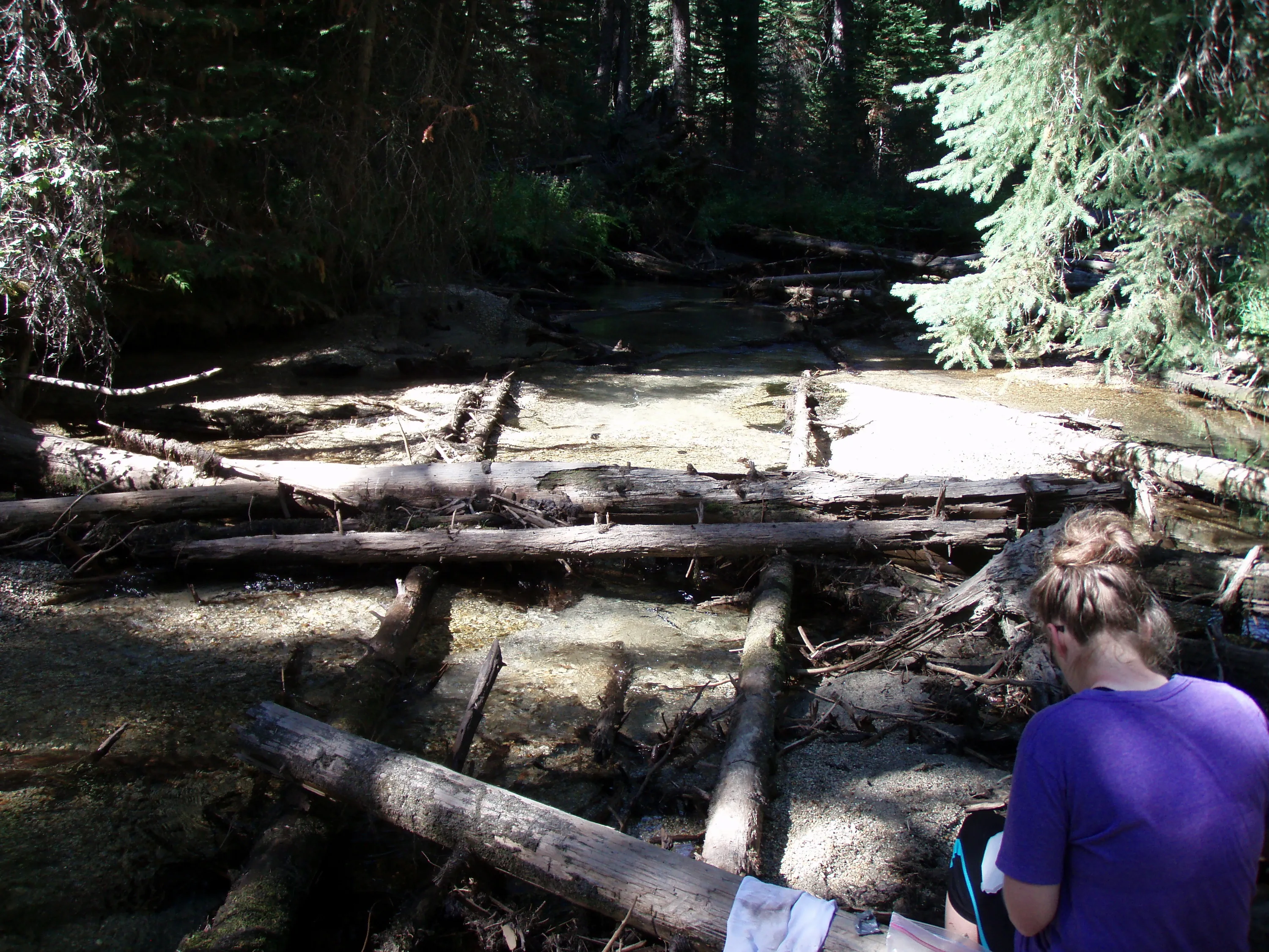
Lunch on the North Minam River at the start of North Minam Meadow
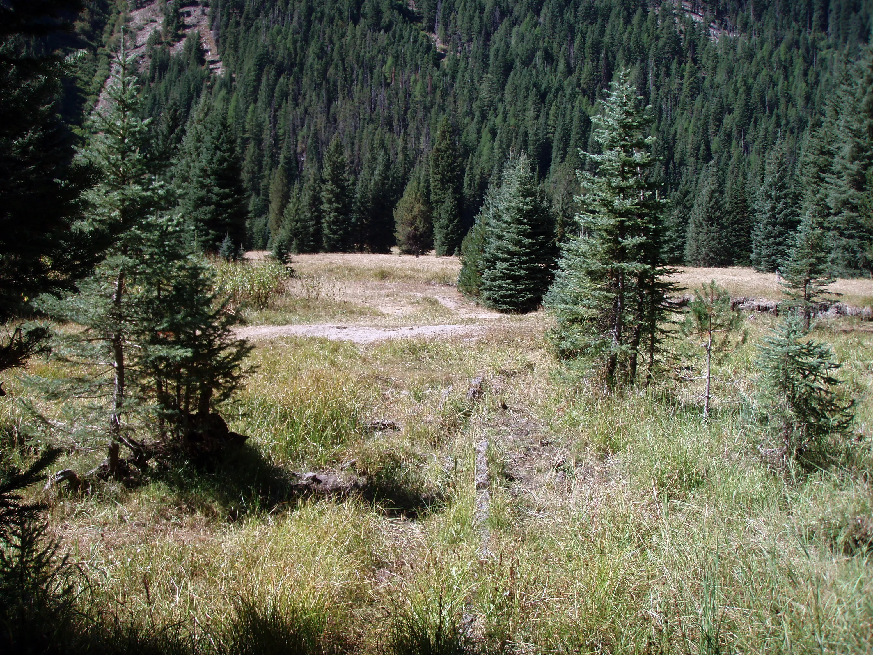
North Minam Meadows
North Minam Meadows
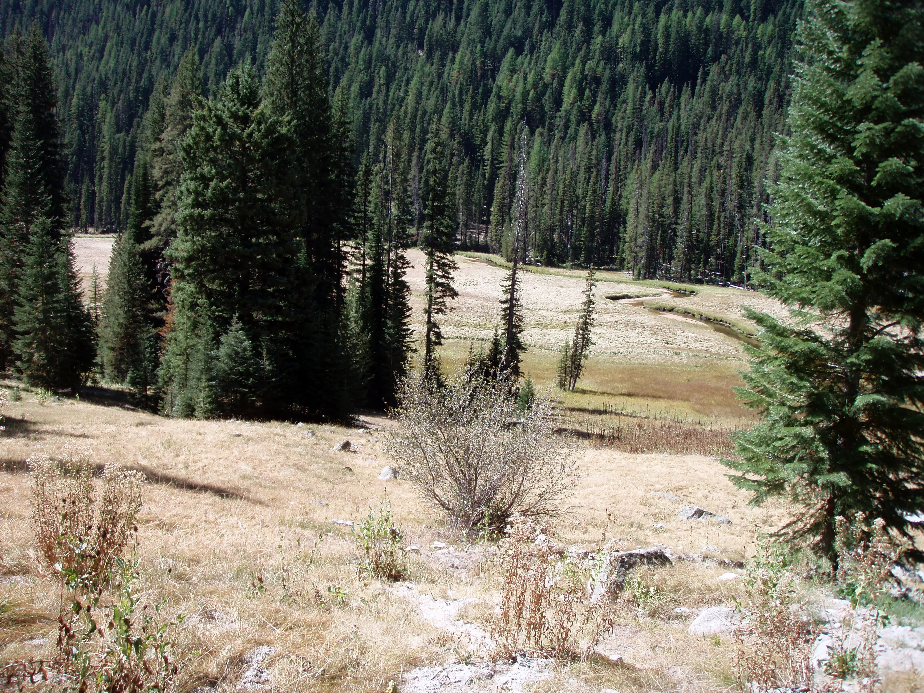
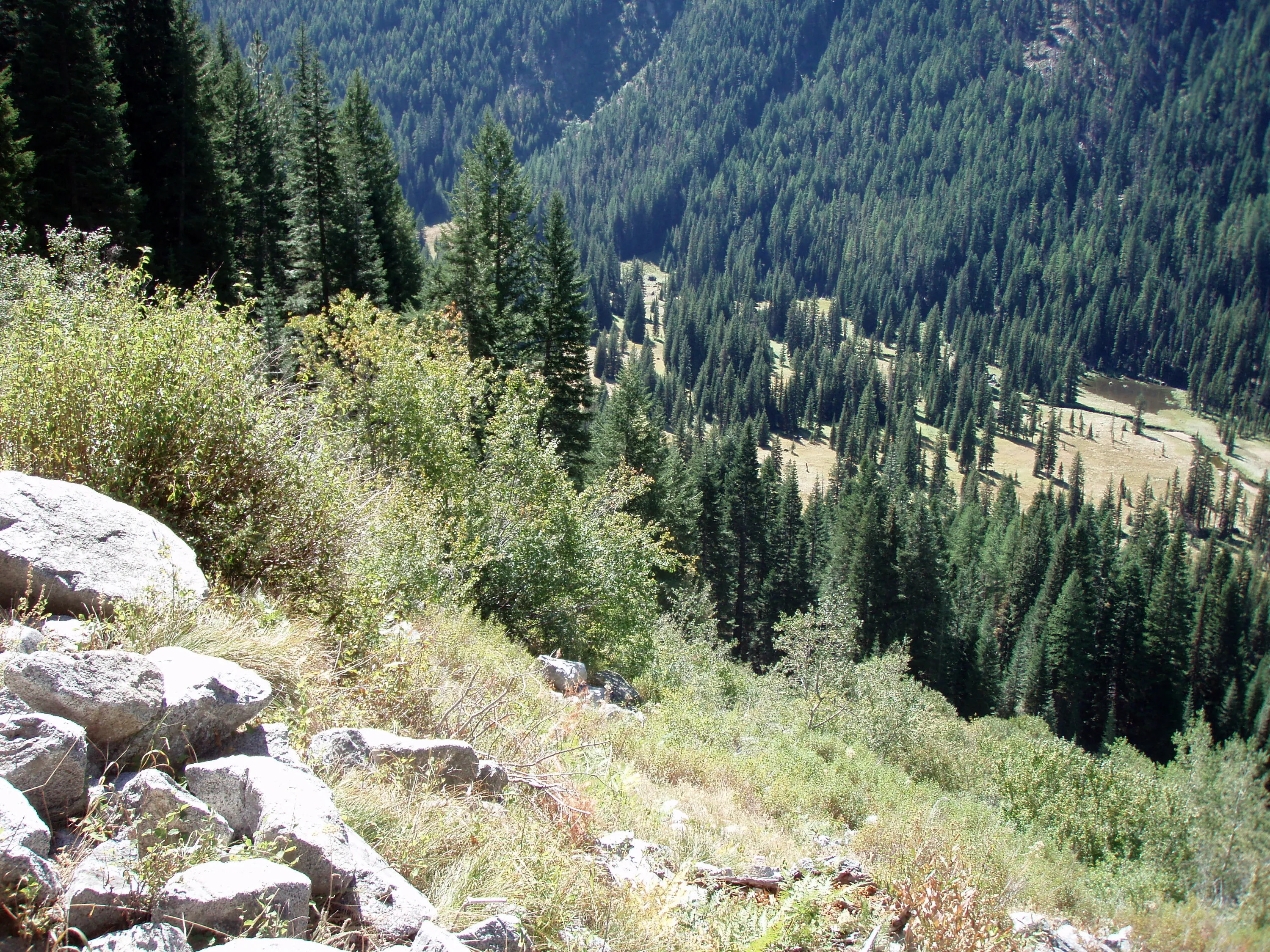
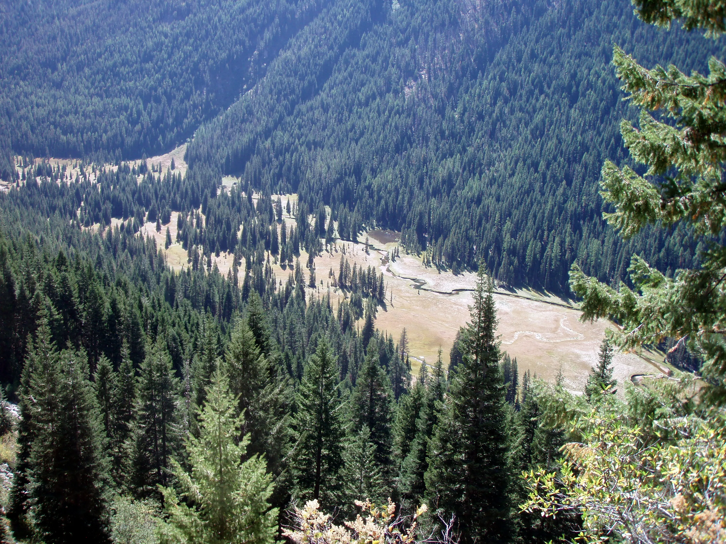
Climbing out of the meadow - looking back/down
Higher still - the meadow gets smaller and smaller
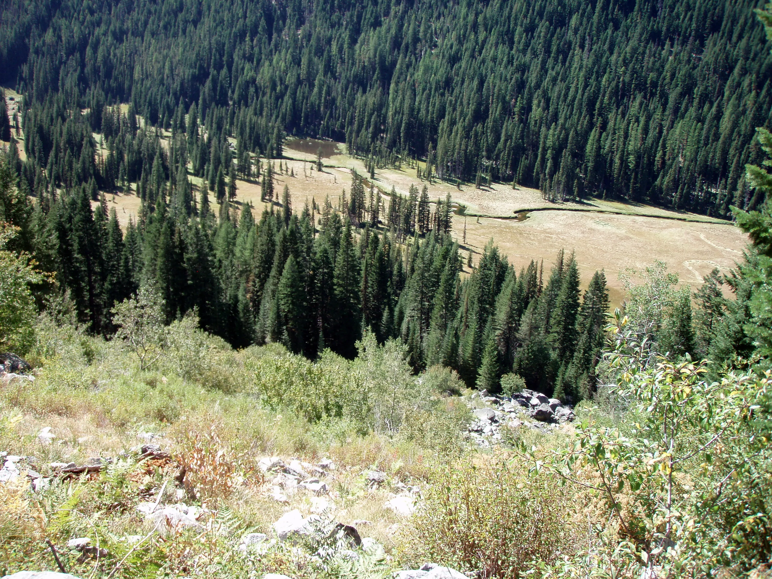
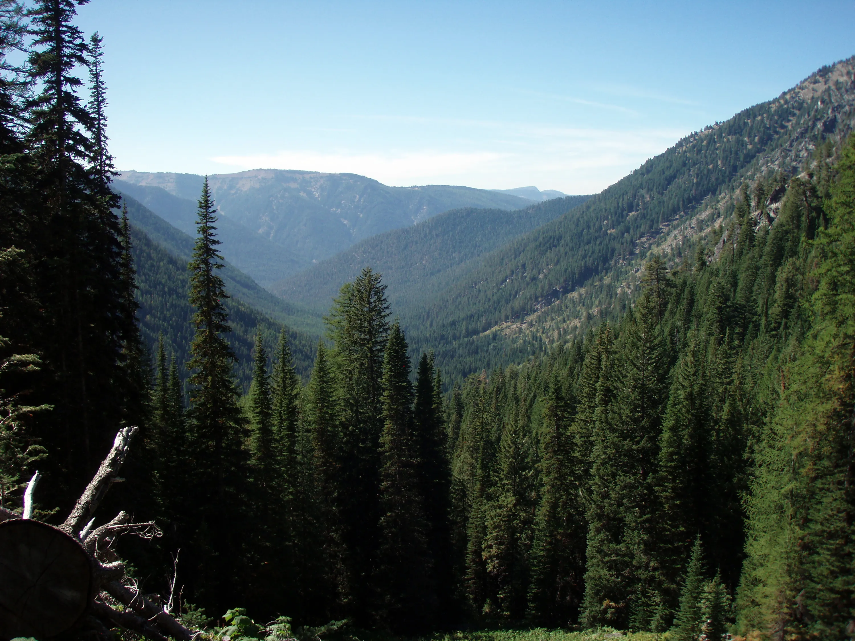
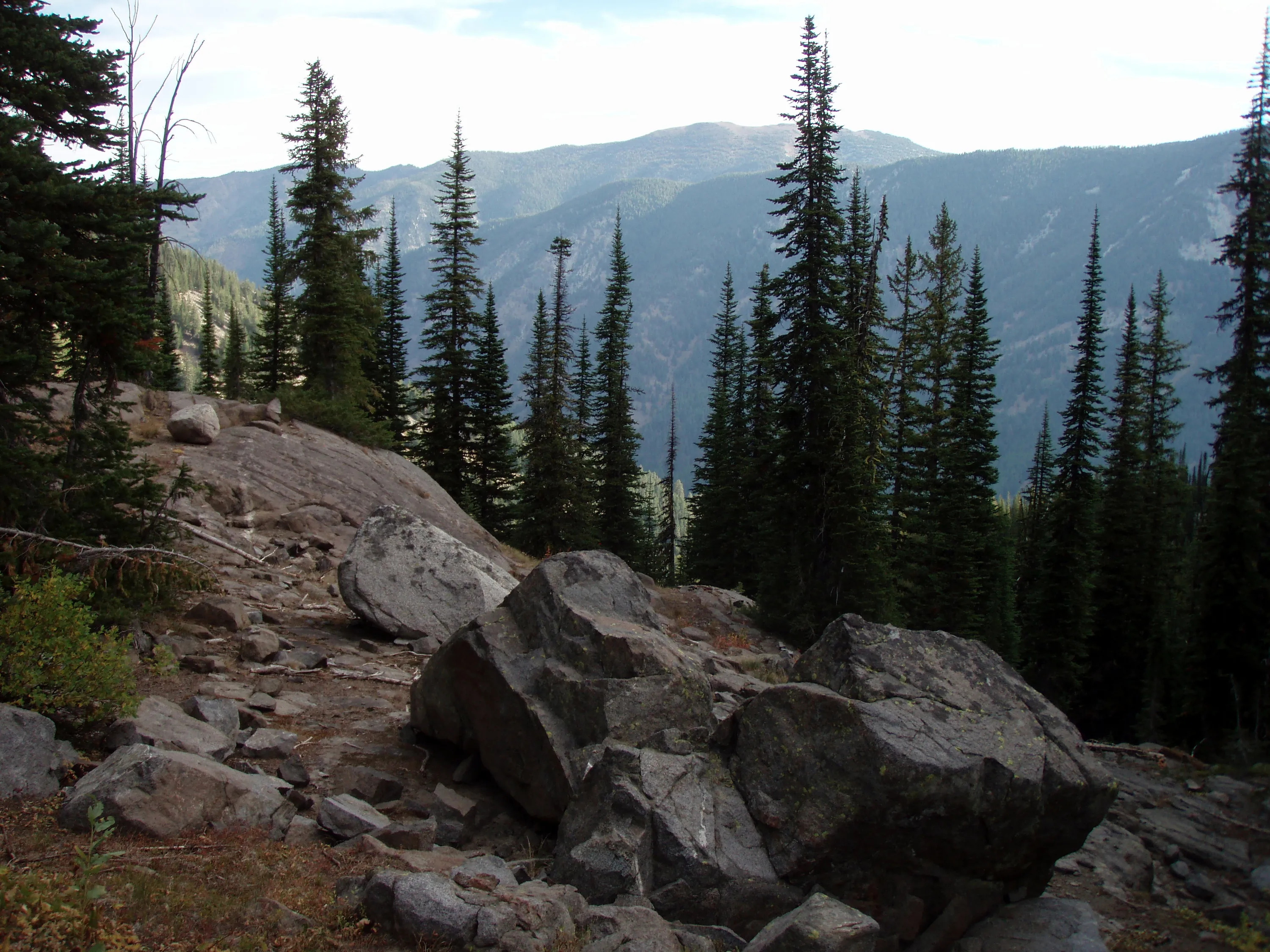
Nice shot of the Minam River valley
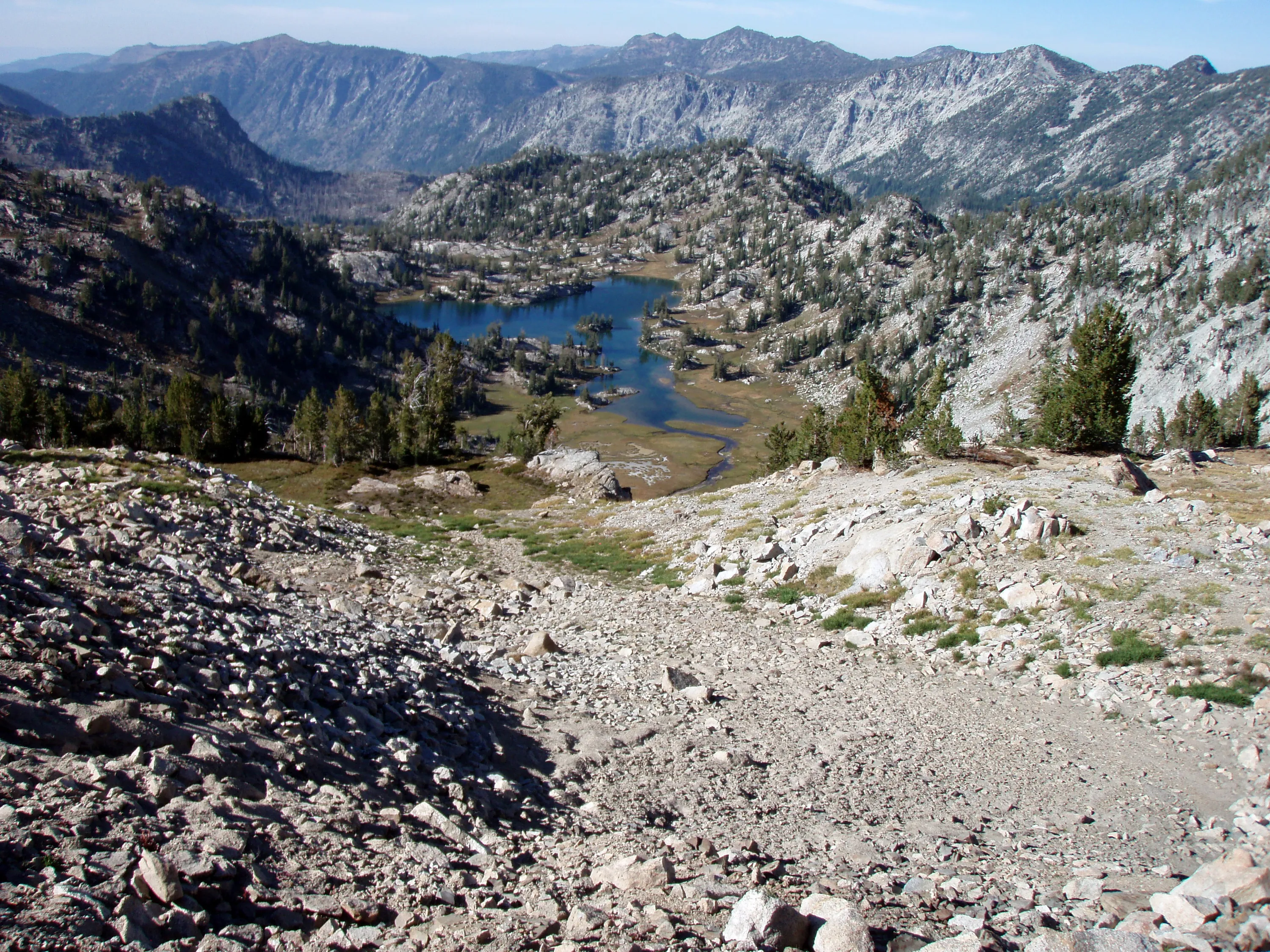
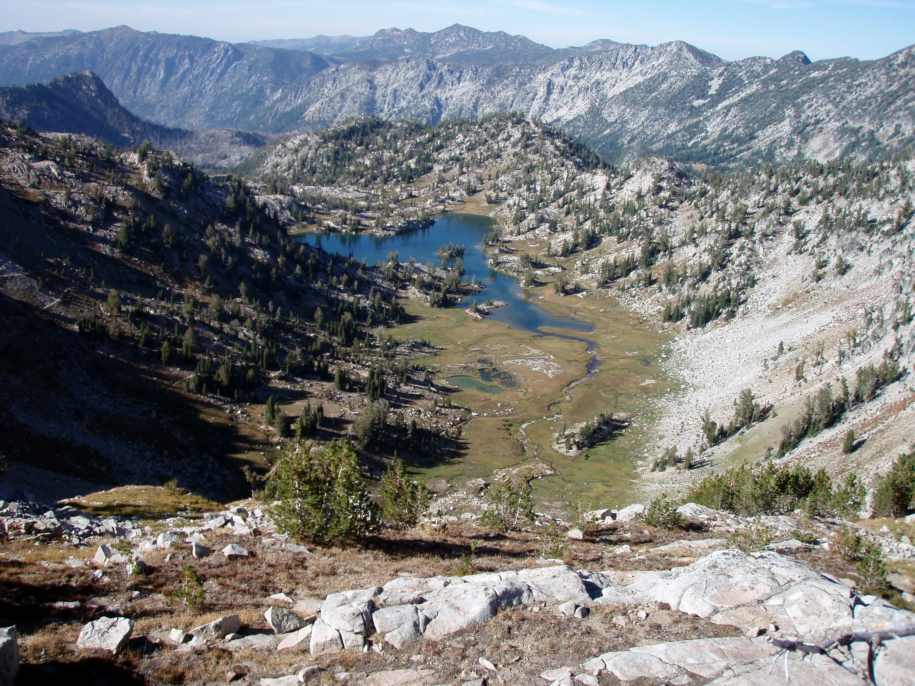
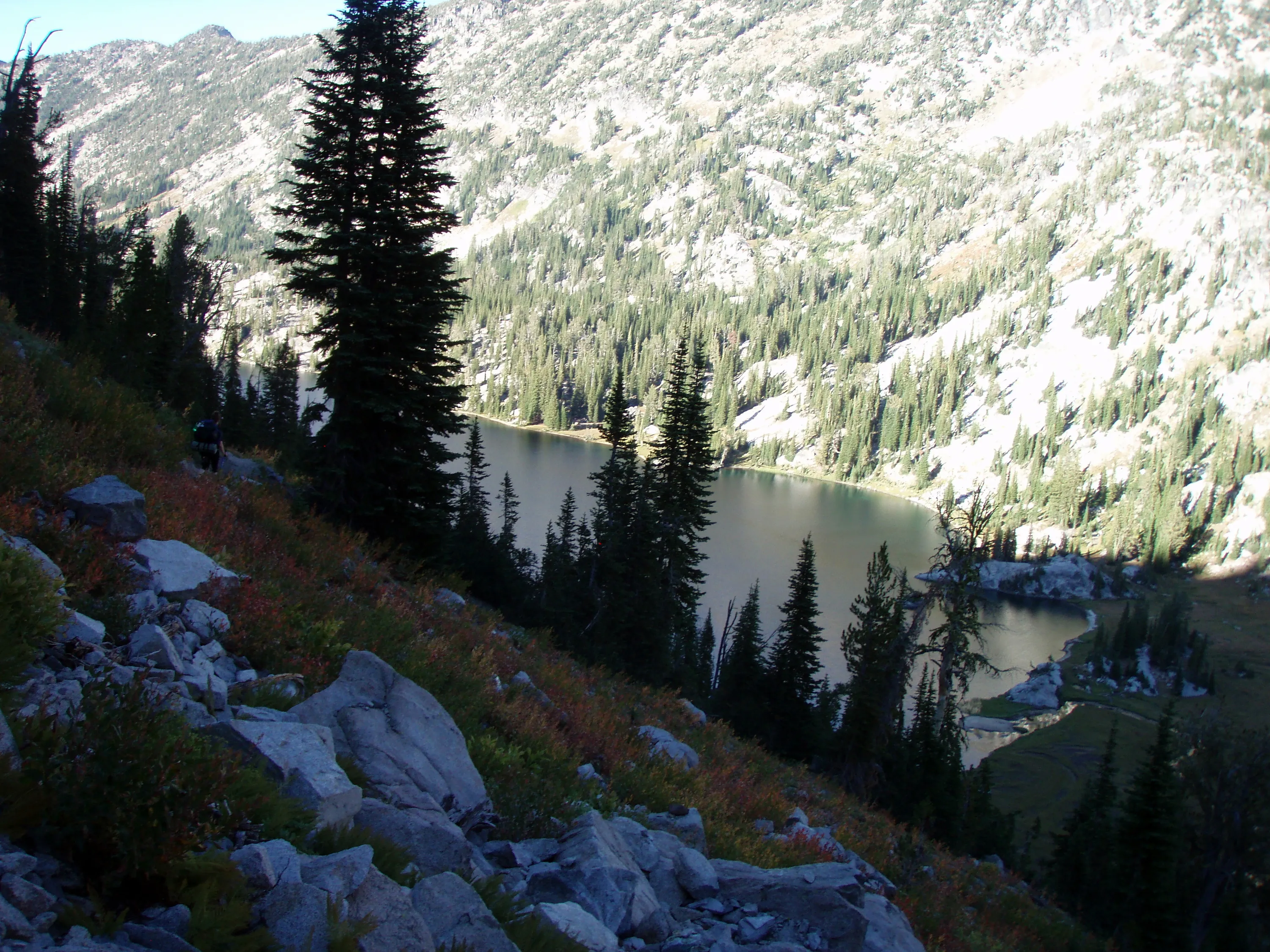
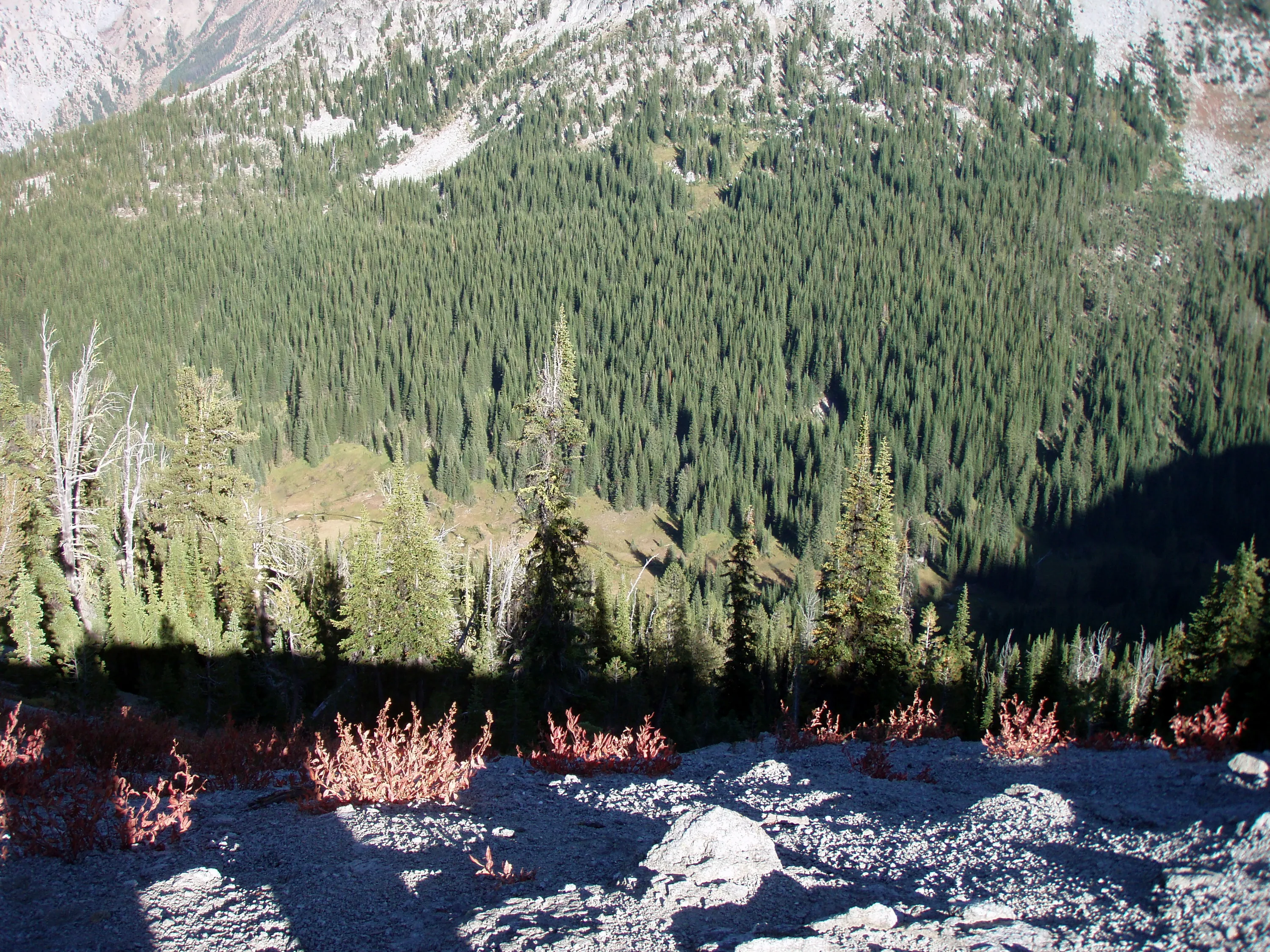
Looking down from Wilson Pass - Brownie Basin below - our camp from night 2
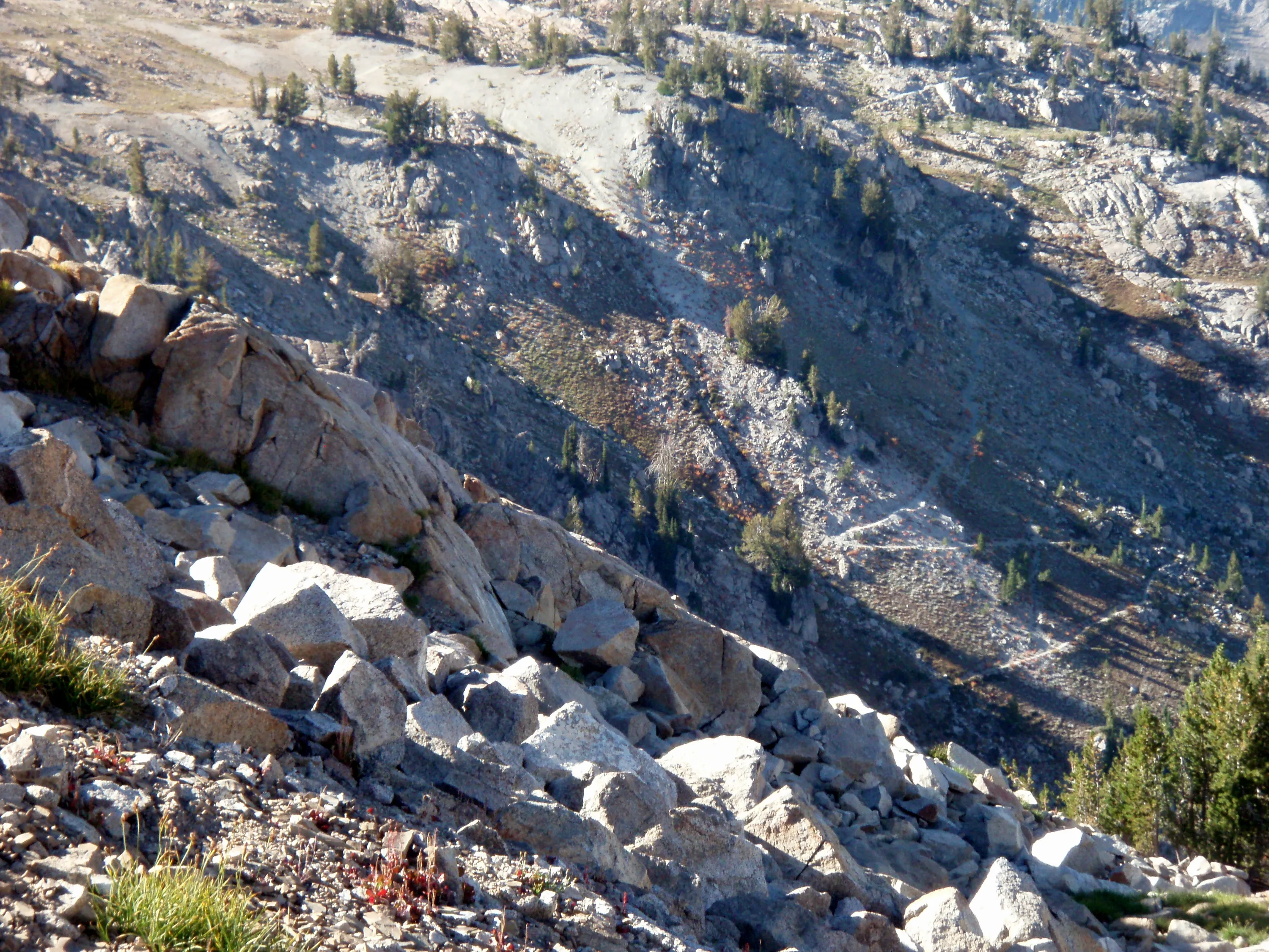
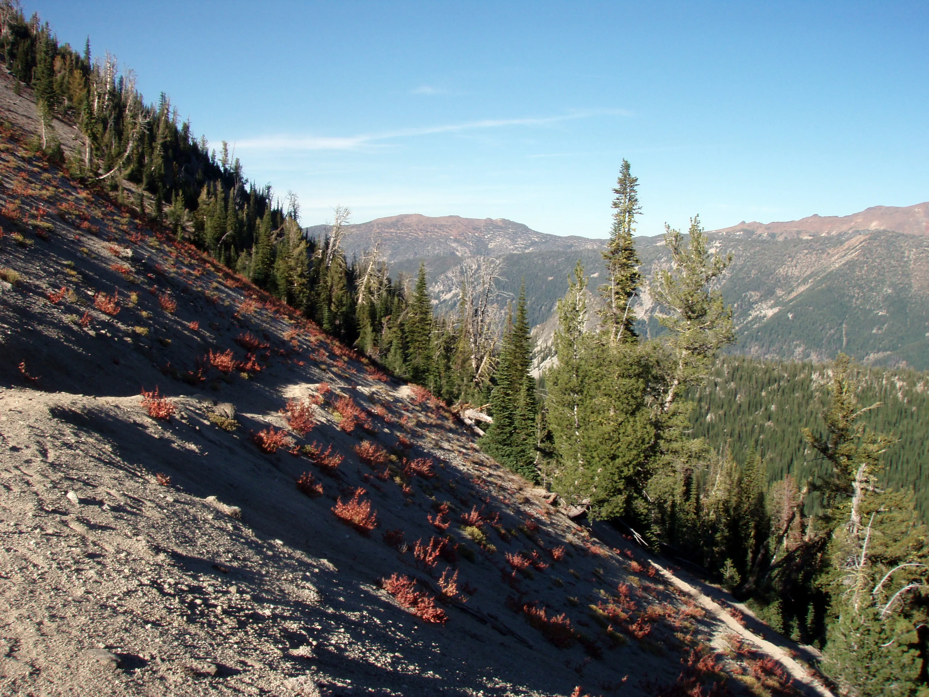
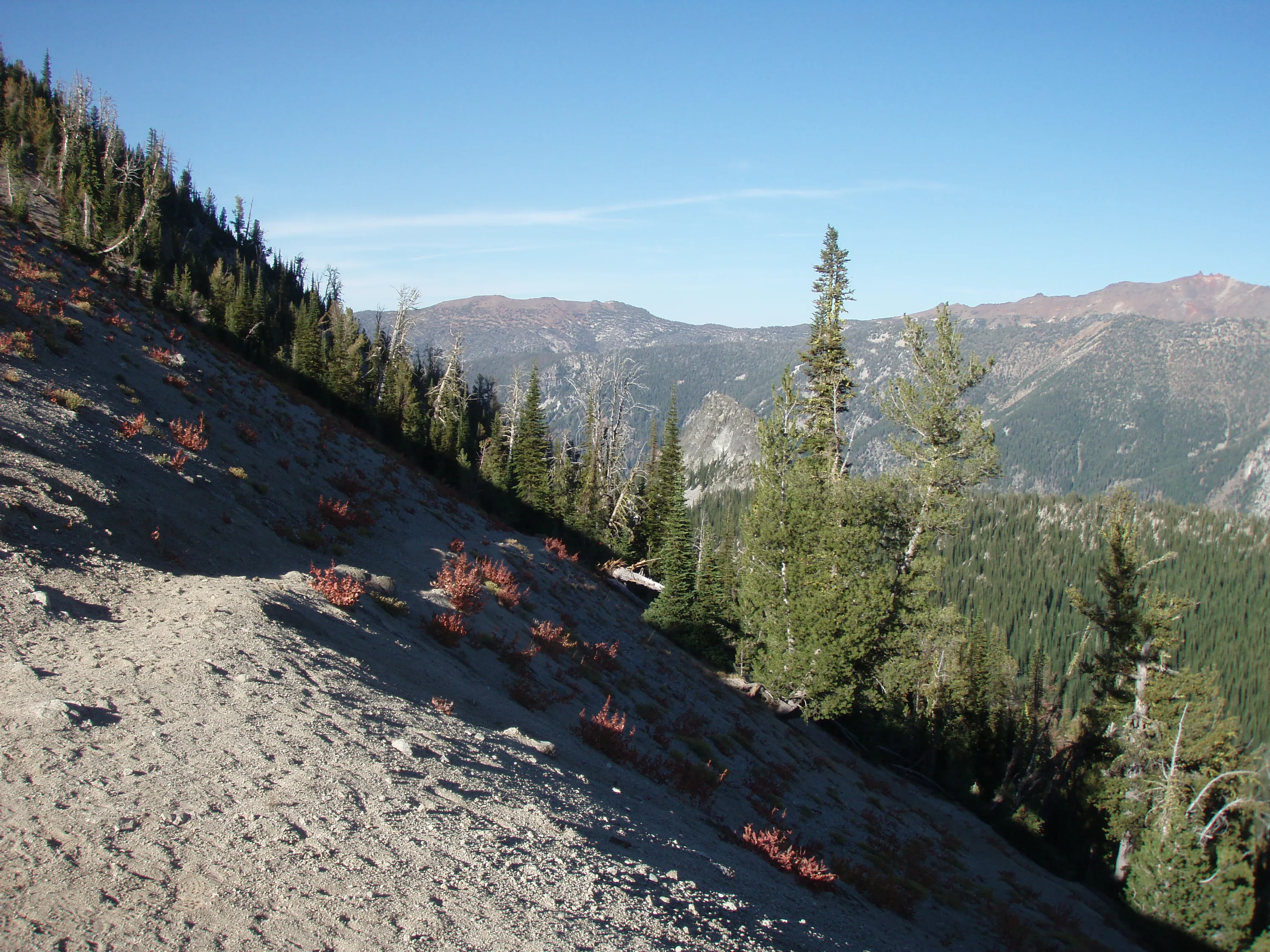
There goes the trail down the hill
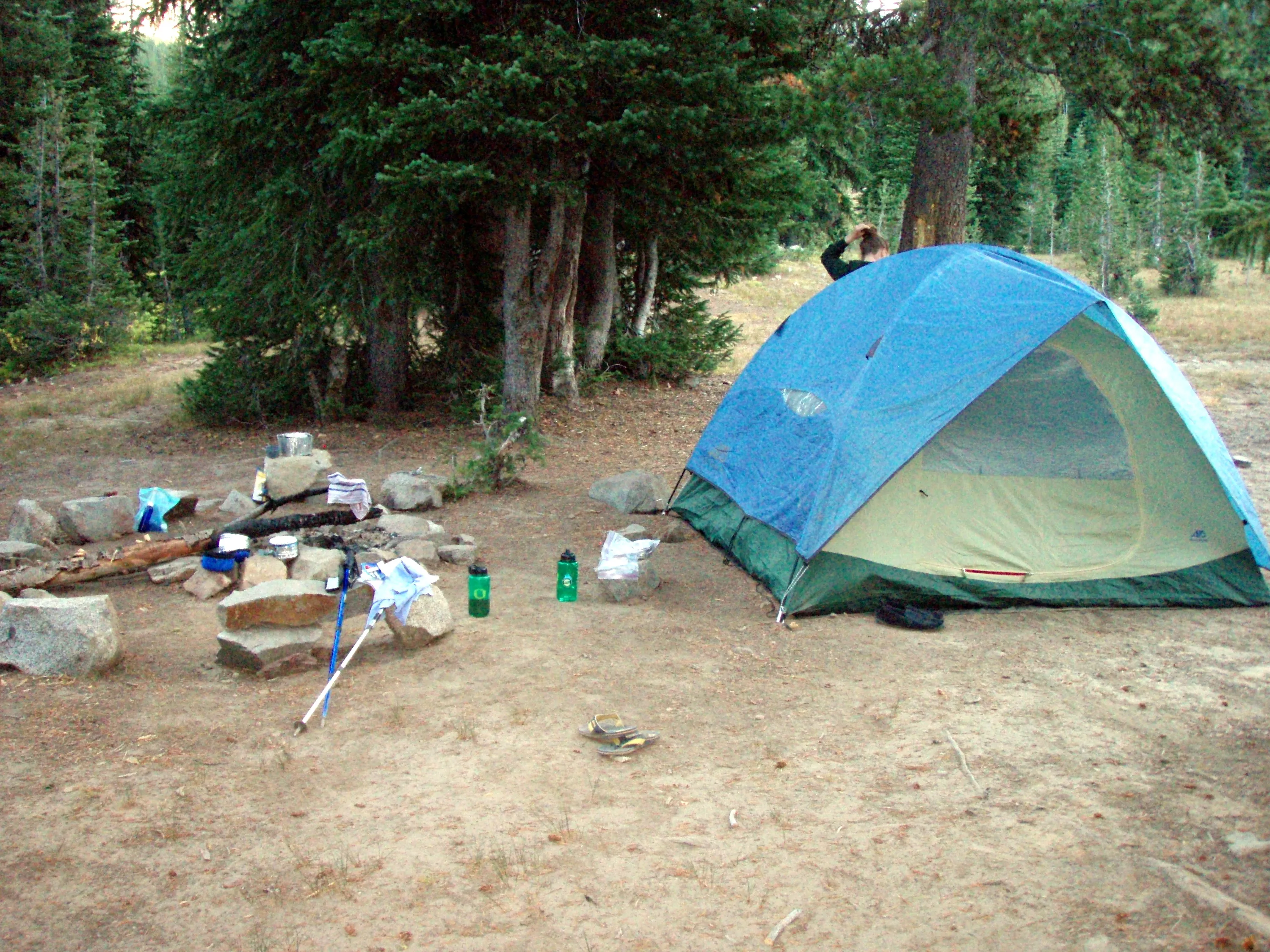
Night 2 camp at Brownie Basin
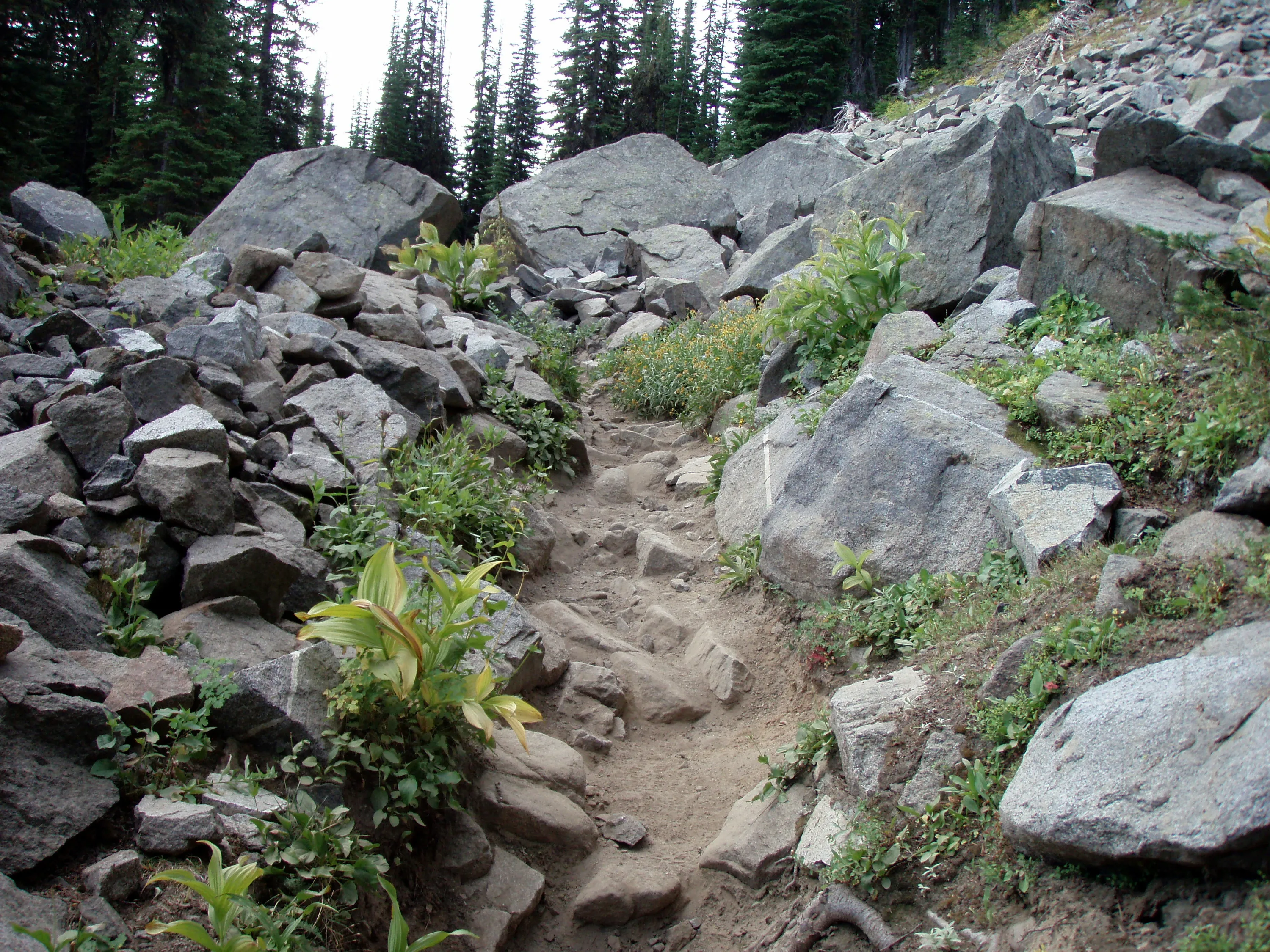
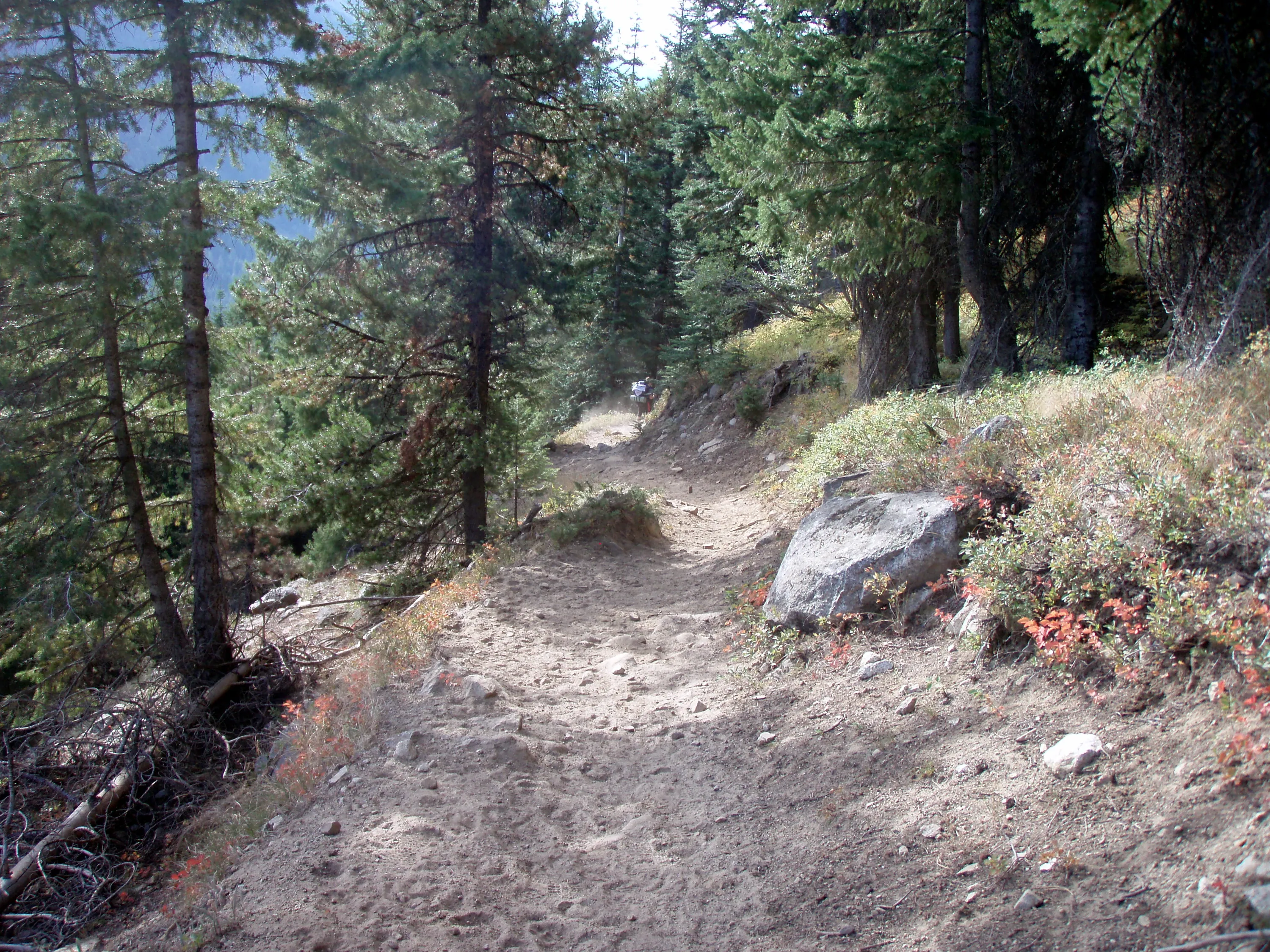
The rocky trail - what wasn't rock was dust
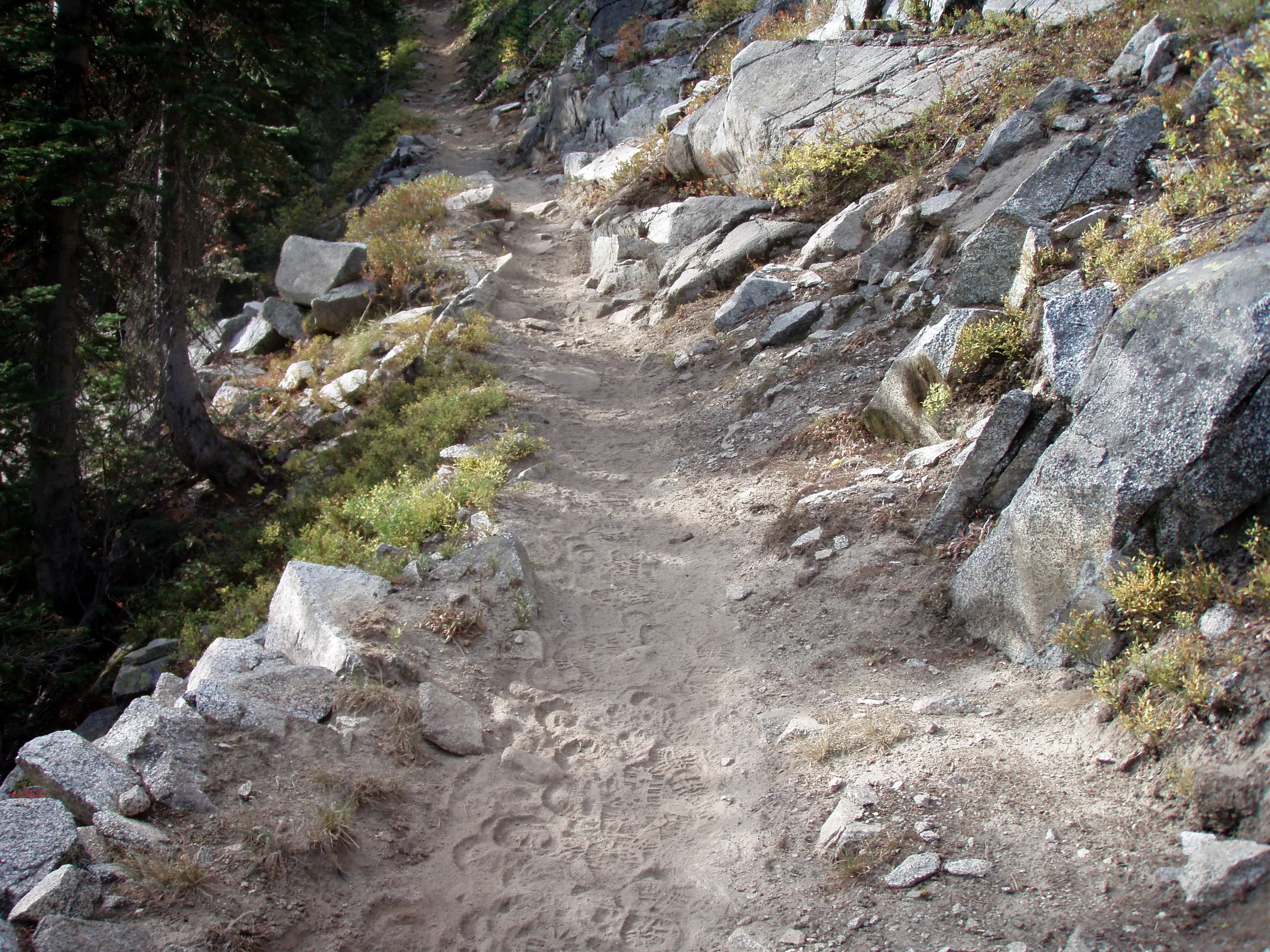
Here is the dust!
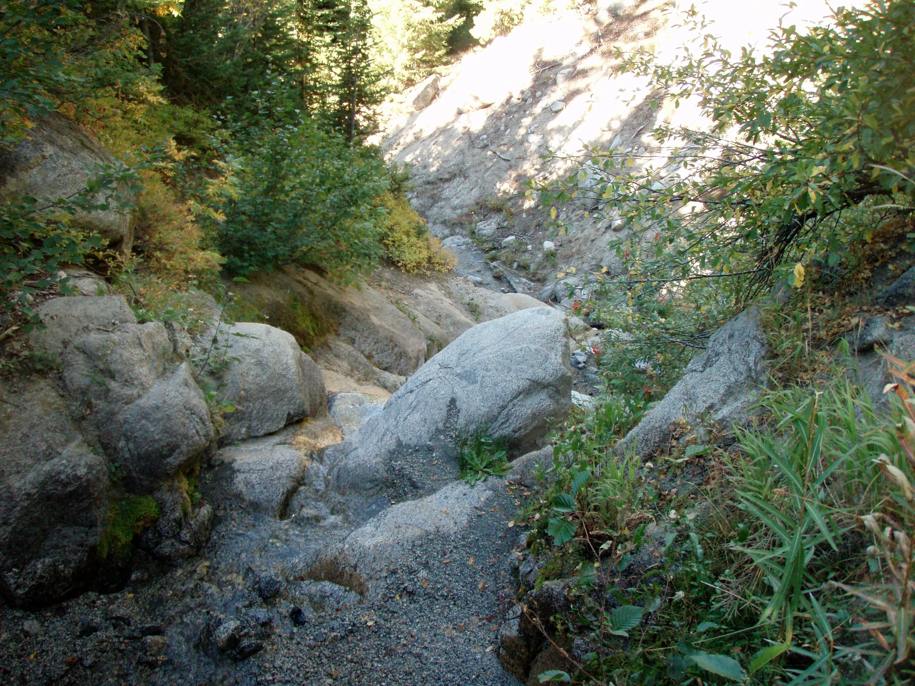
One of our last creek crossings
The bridge that took us to the Bownman trailhead. Same as the first bridge we crossed to start our adventure
Lostine River
Lostine River
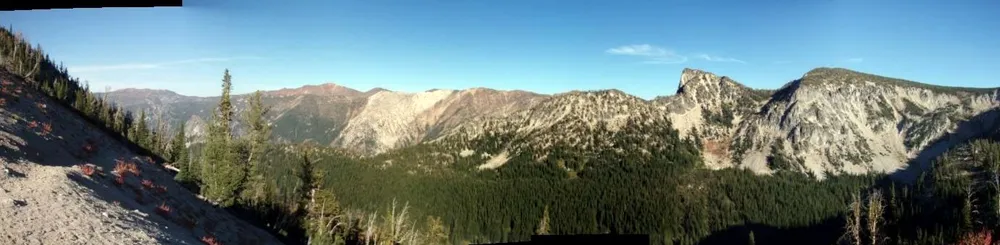
Copper Creek Drainage Panorama
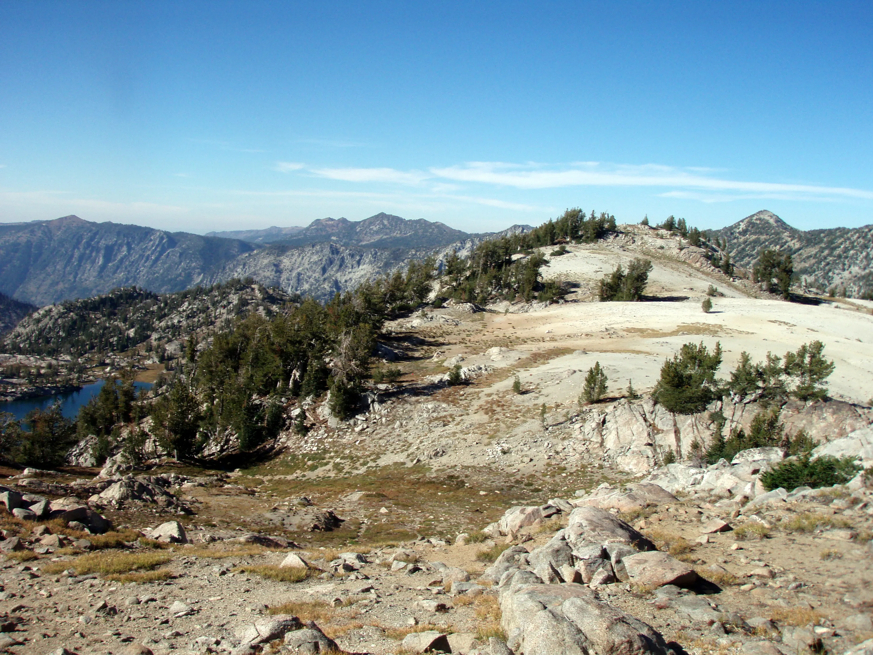
Swamp Lakes Basin Panorama
Wilson Pass Panorama