Robs Hiking Diary
Search
Search for:
Search
Hikes
2012
Bedford Point and Wanderers Peak
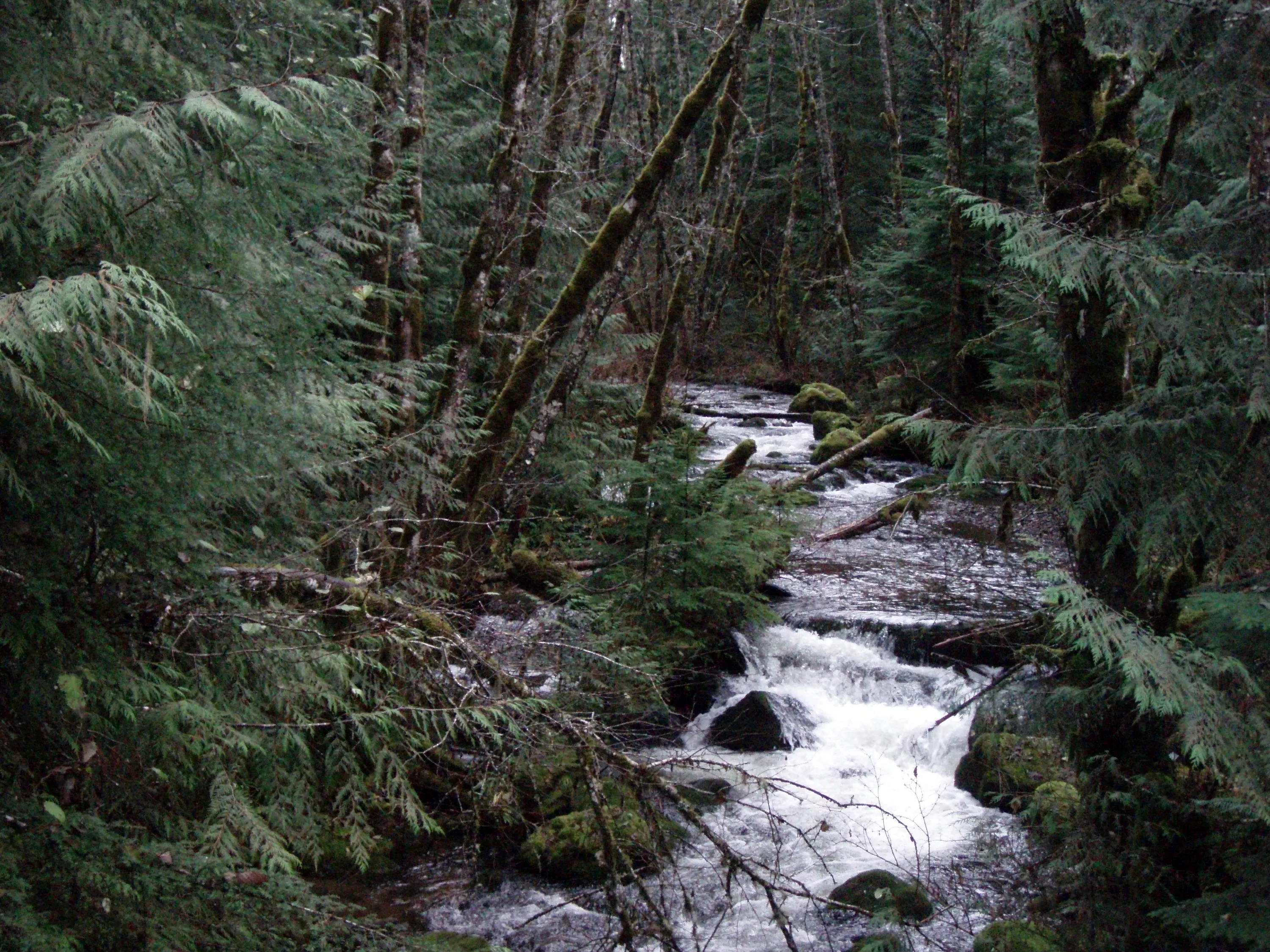
Whisky Creek
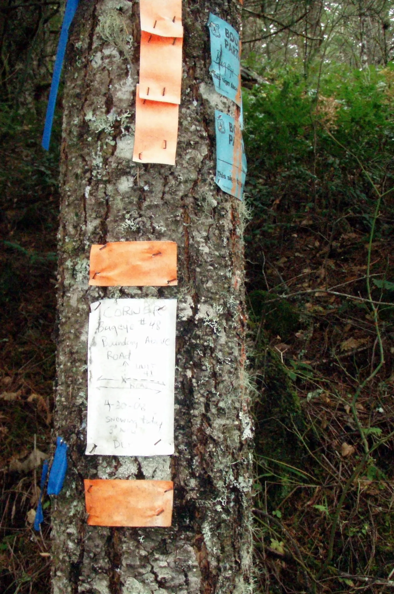
This appears to be private property - not owned by the FS - this is the corner of the section
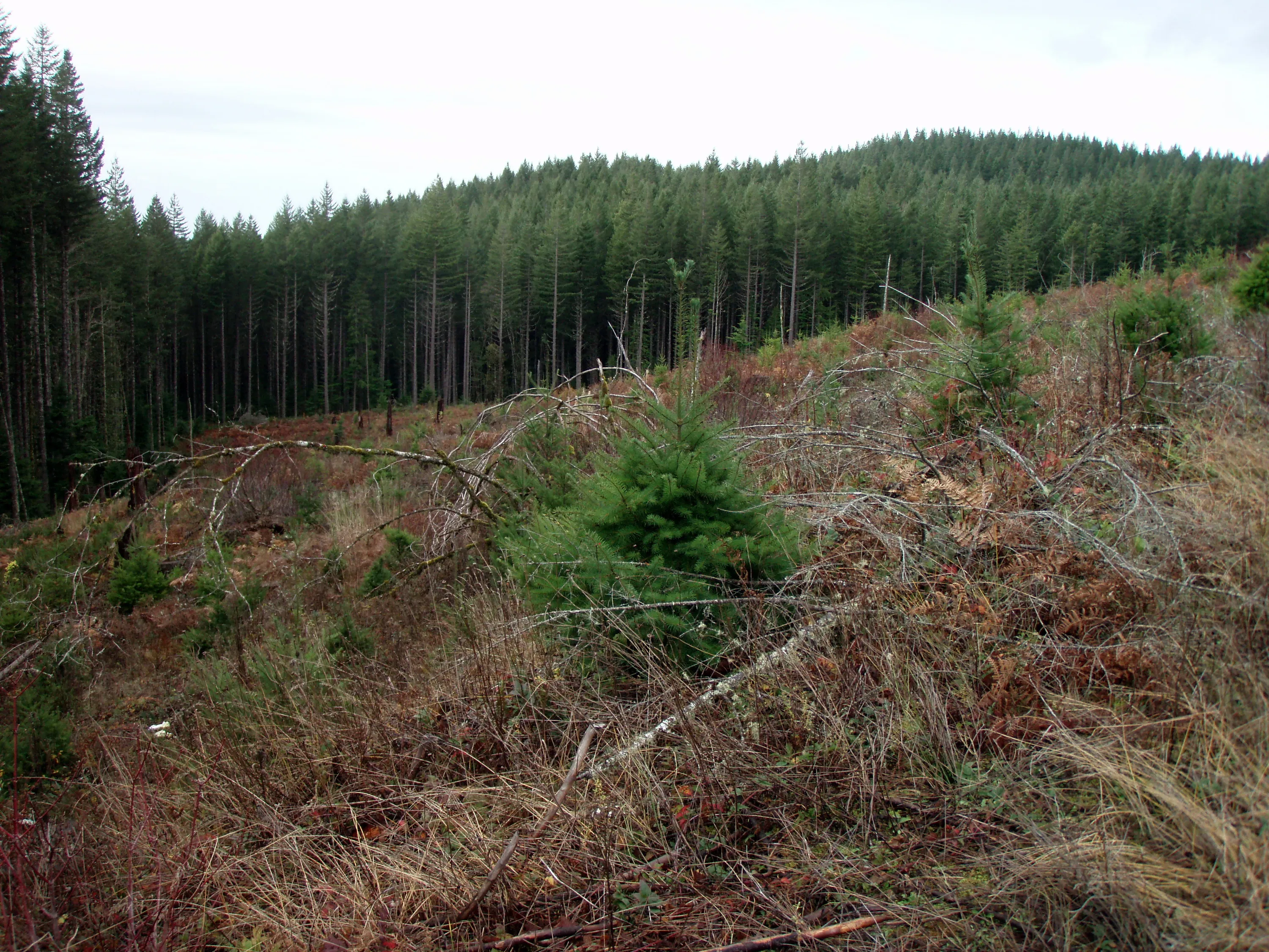
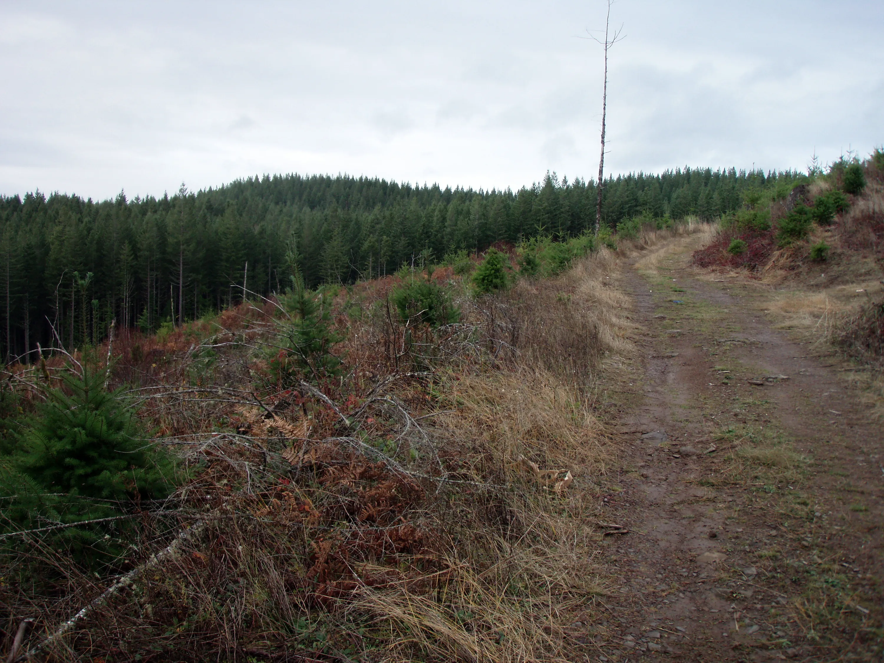
Road going across clearcut - not sure who owns it.
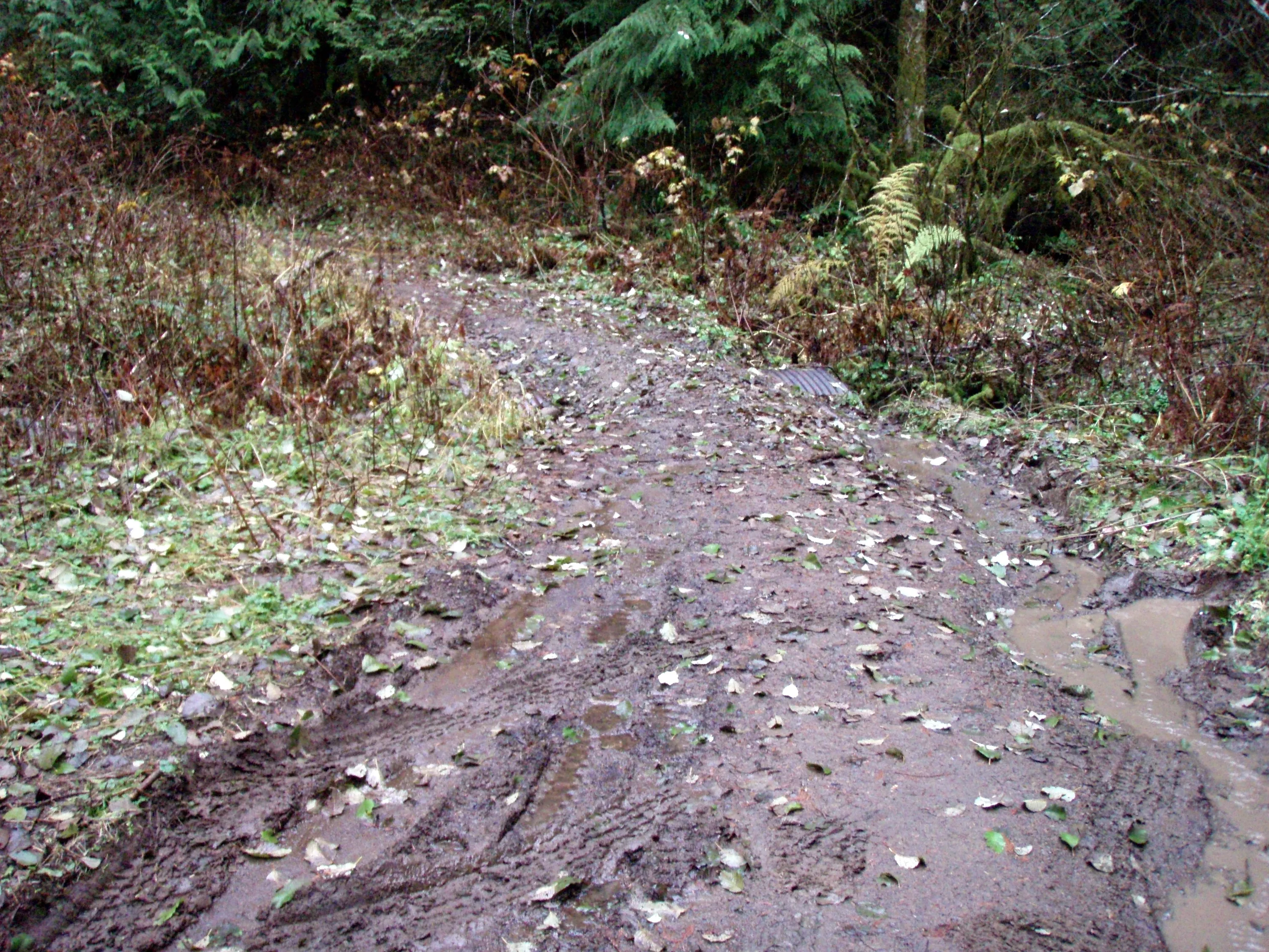
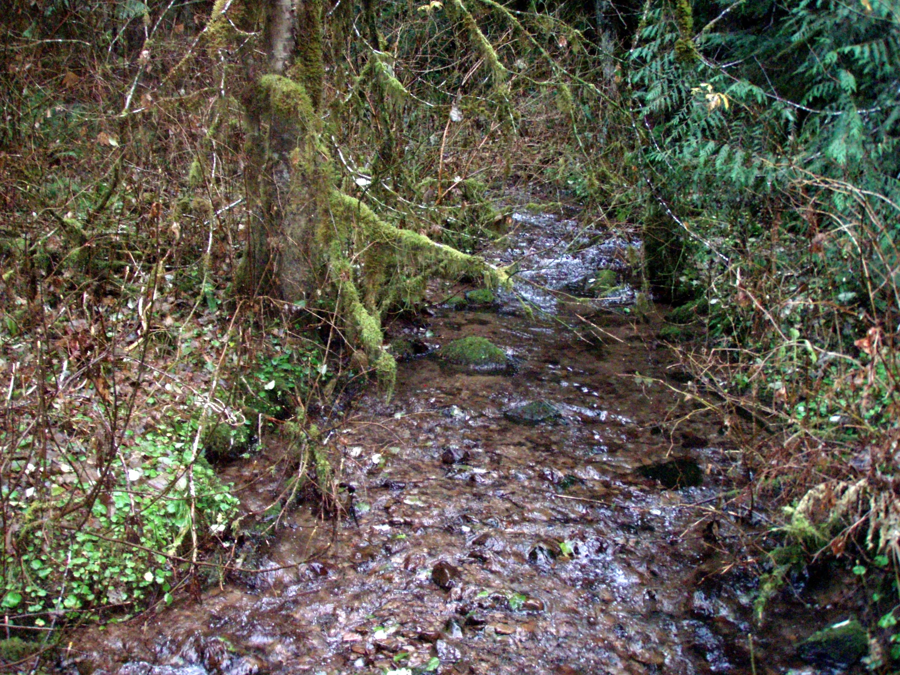
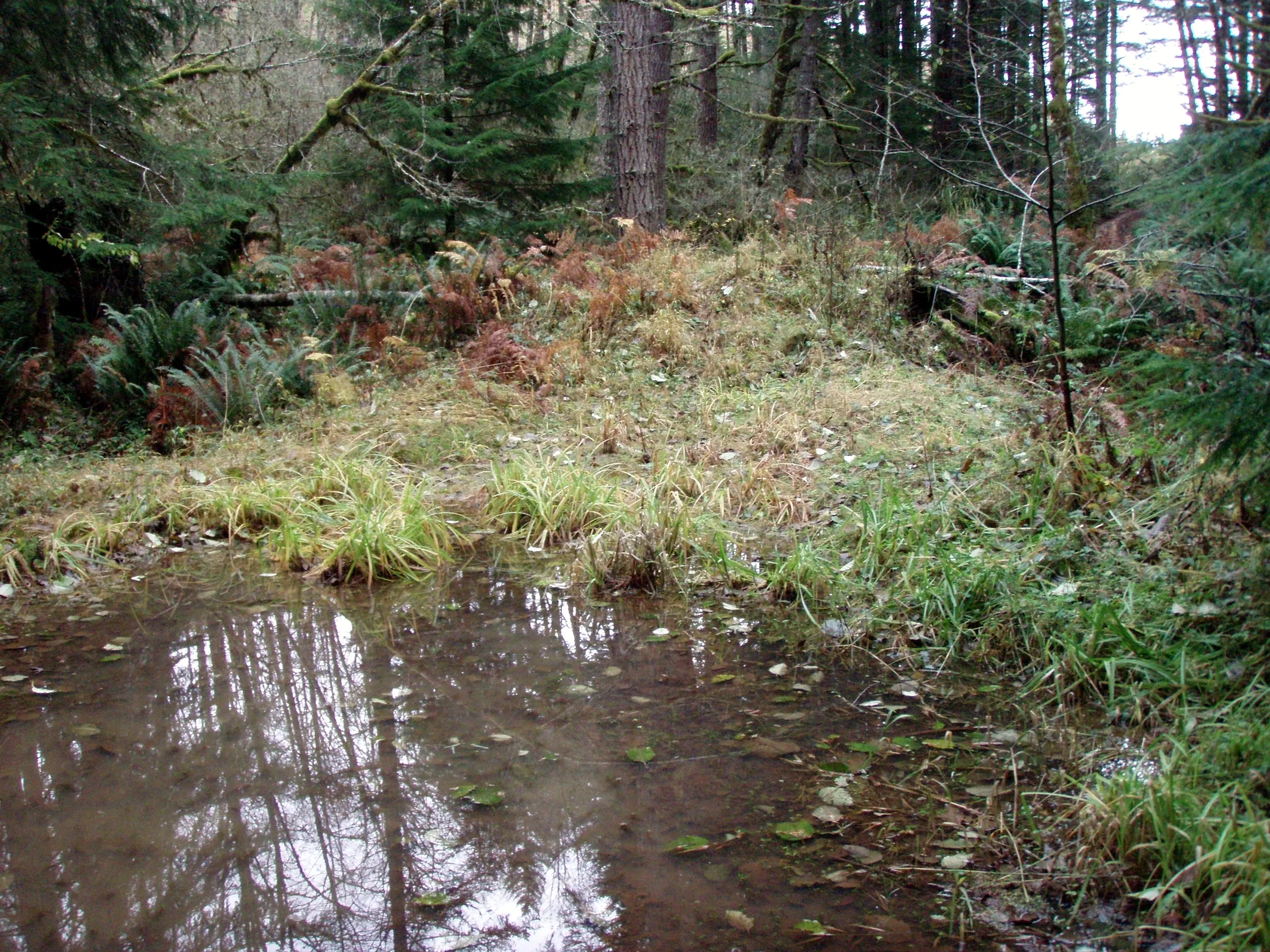
This is where the road ABSOLUTELY ends - a small creek that had dirt berms on both sides of it.
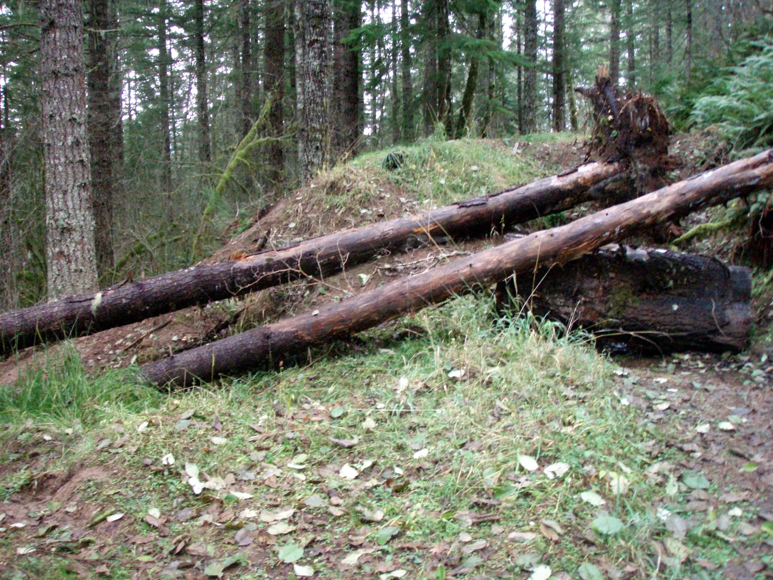
Another dirt berm a little farther up the road.
The area above the road had been thinned - looks like it happened in the spring of 2008
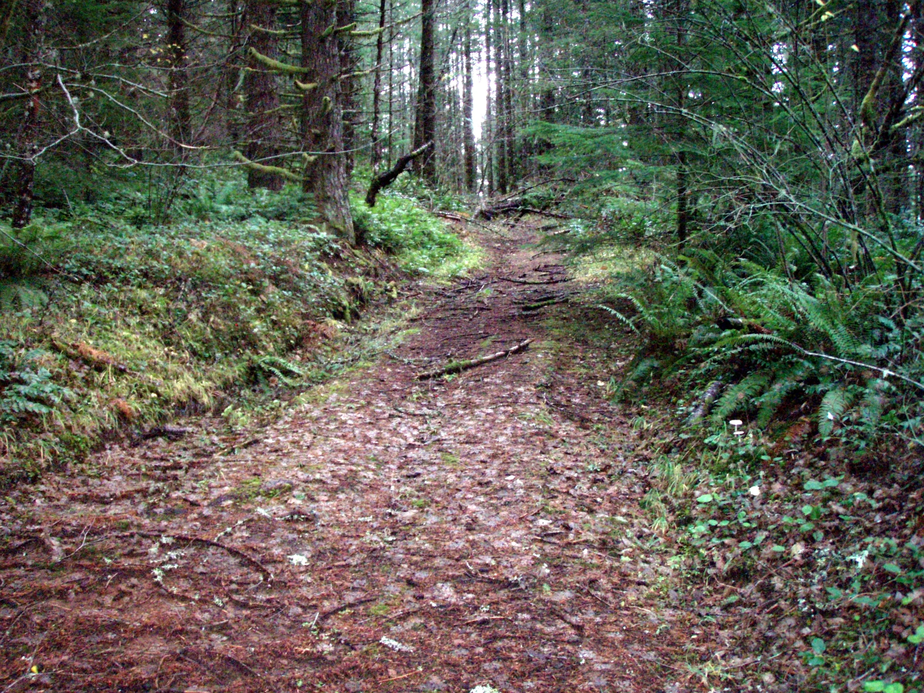
This is the road up to the old lookout site
This road is not driveable anymore either
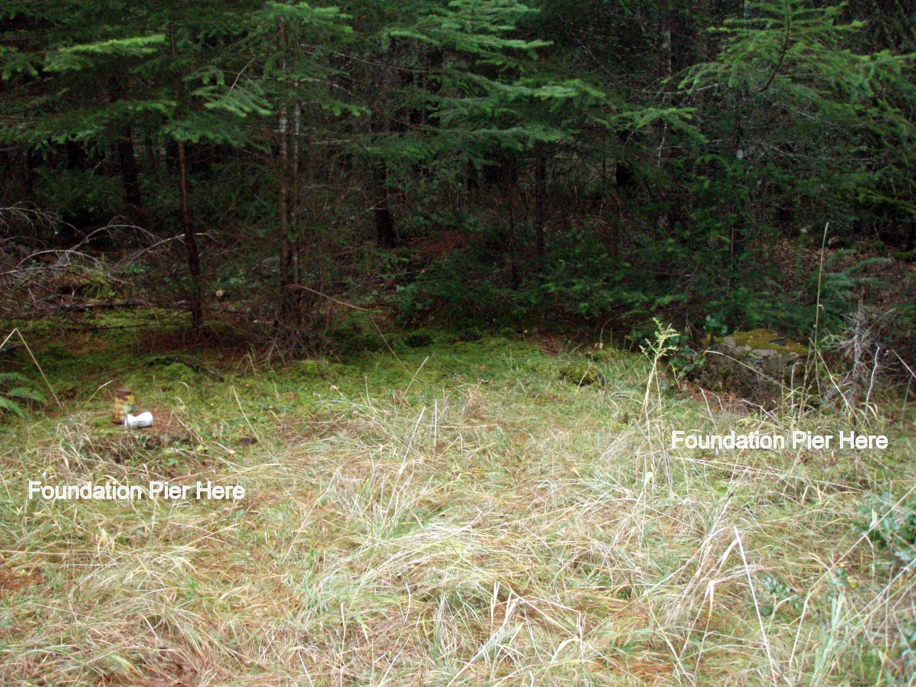
Hard to see the old foundations of the lookout
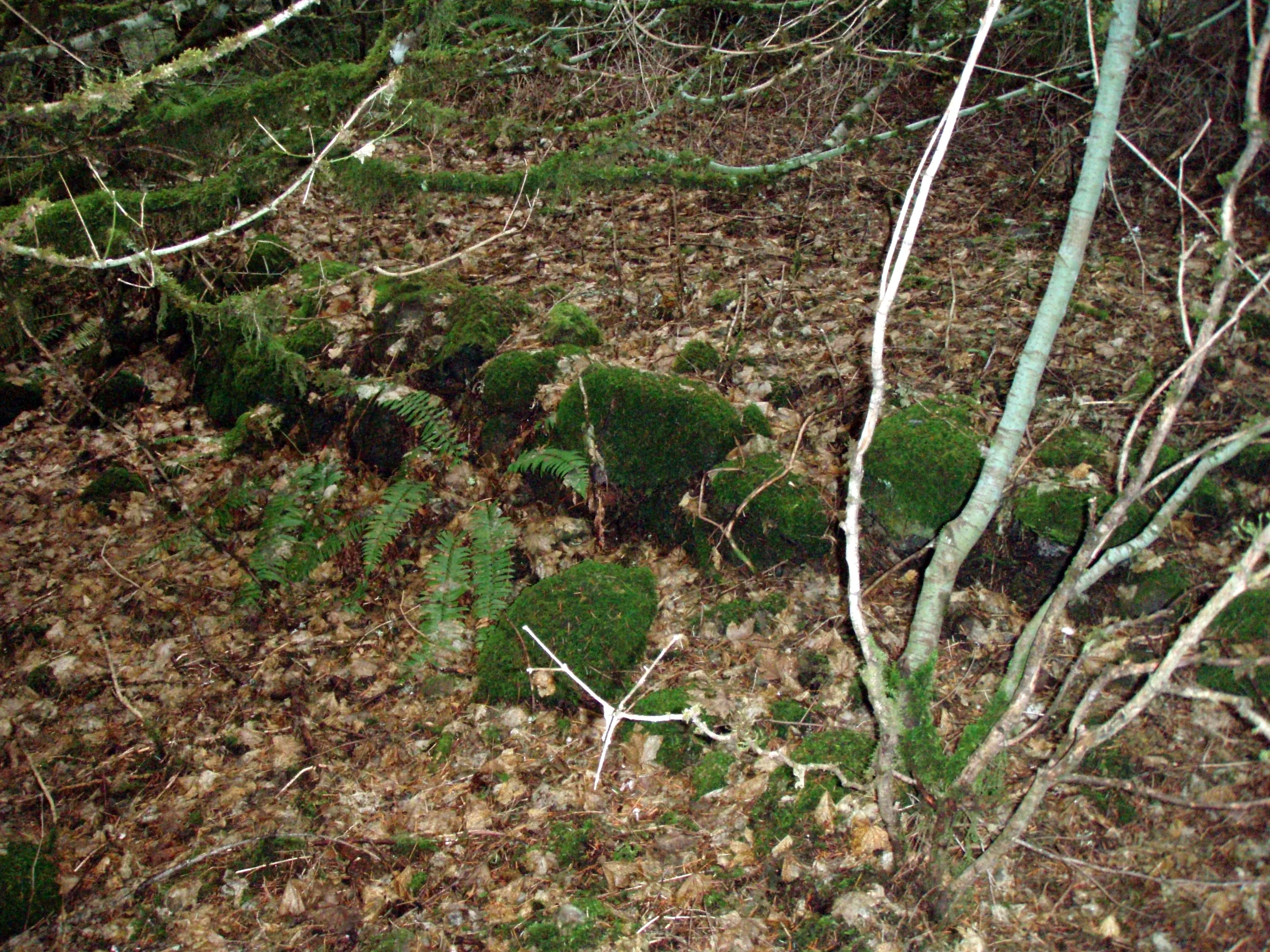
This almost looks like someone stacked rocks - a mini retaining wall
This is the road coming up to the lookout site
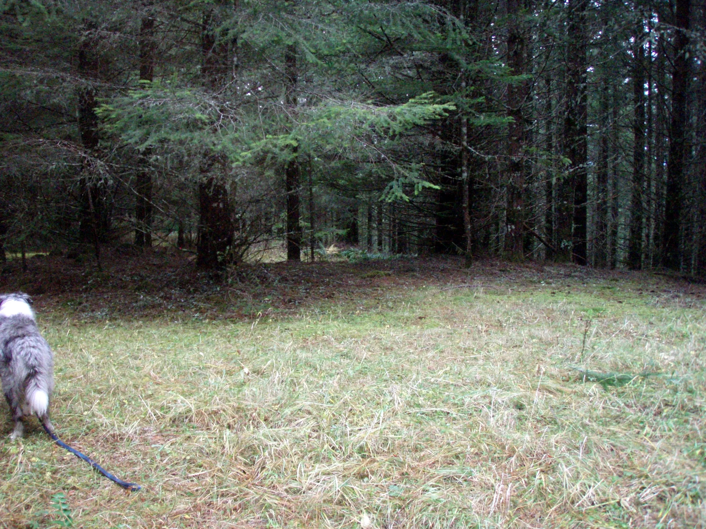
The road made a small loop back to itself
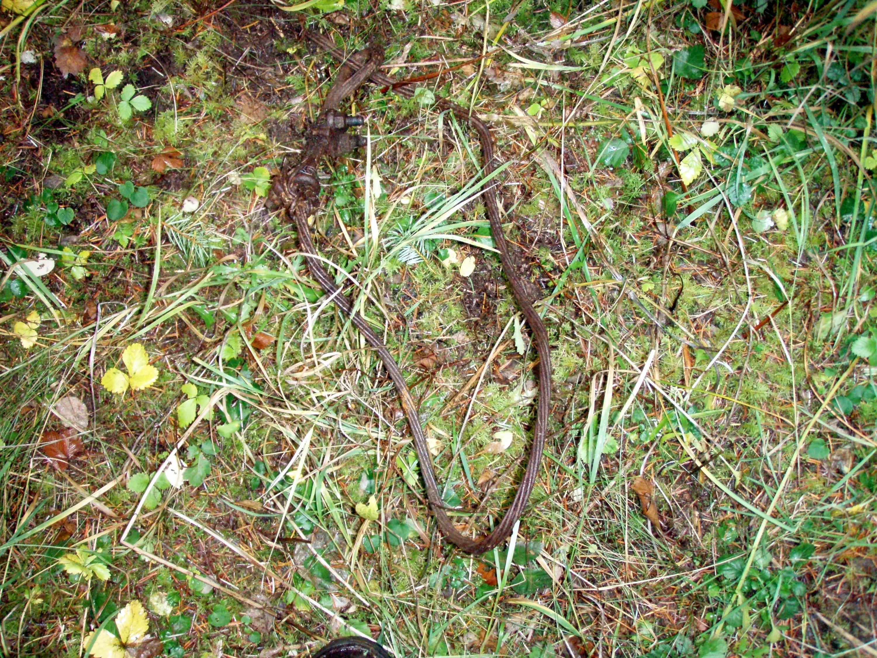
Ground cable? Logging cable? Who knows....
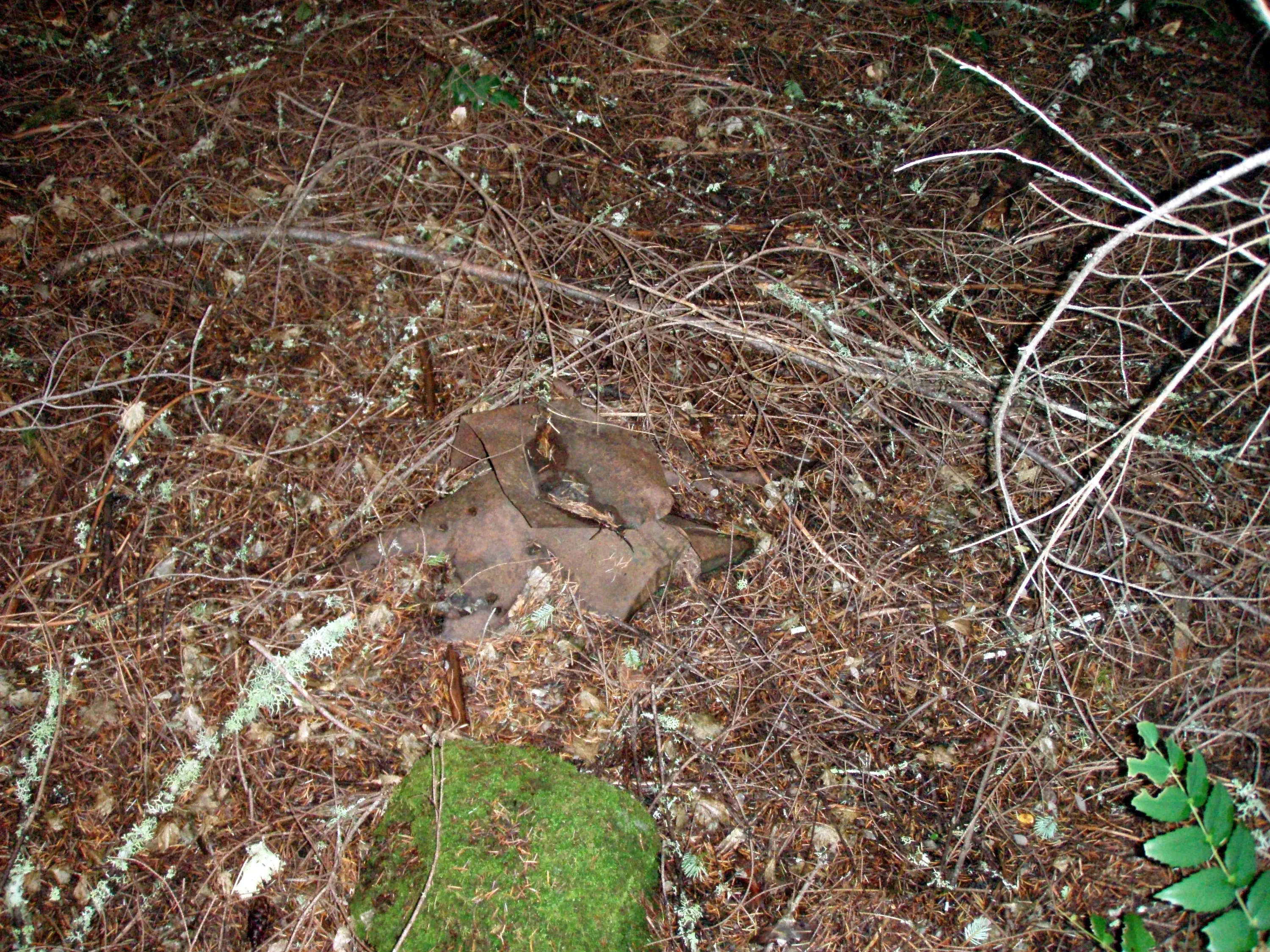
Some sort of tin junk from the lookout
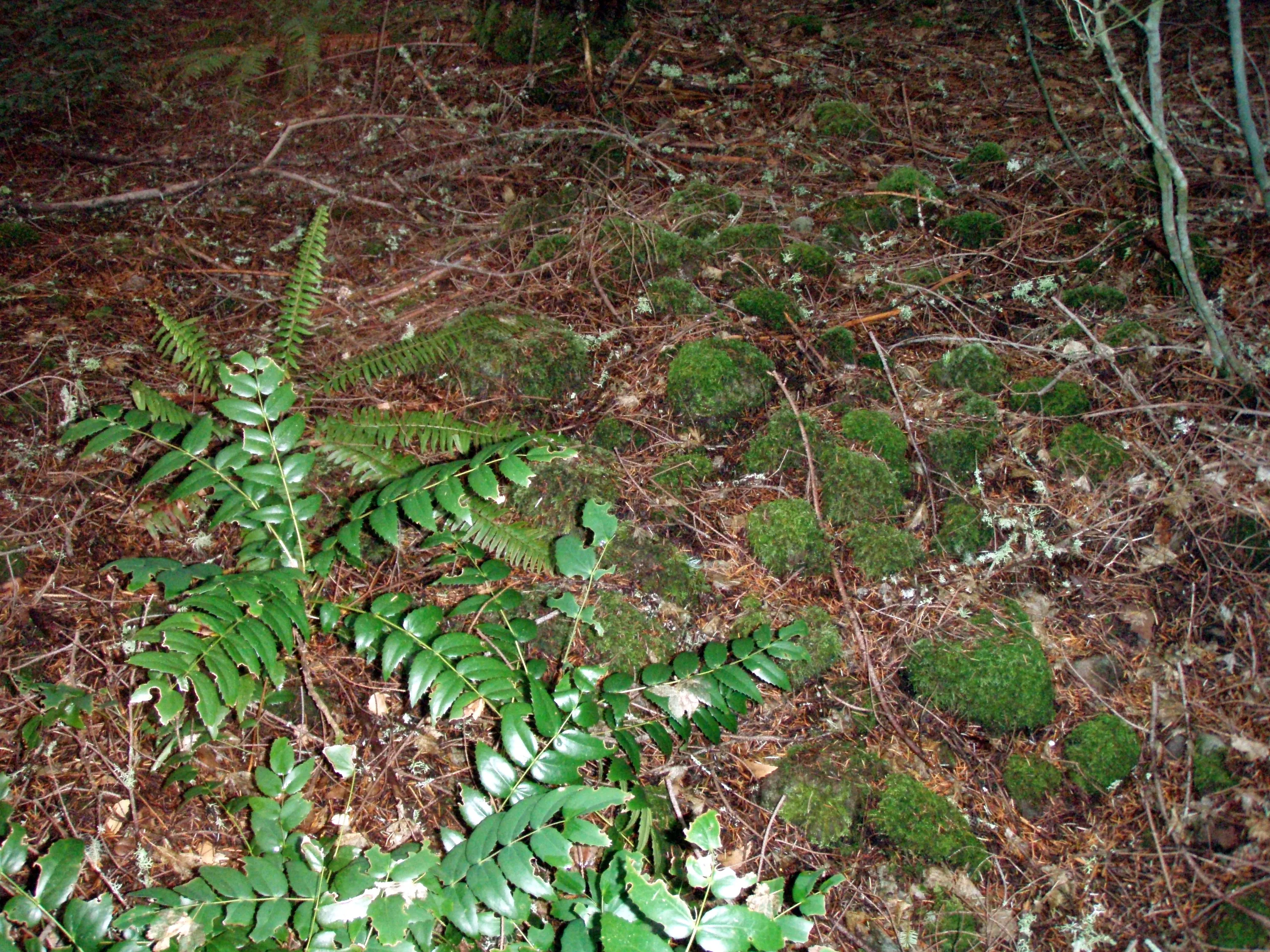
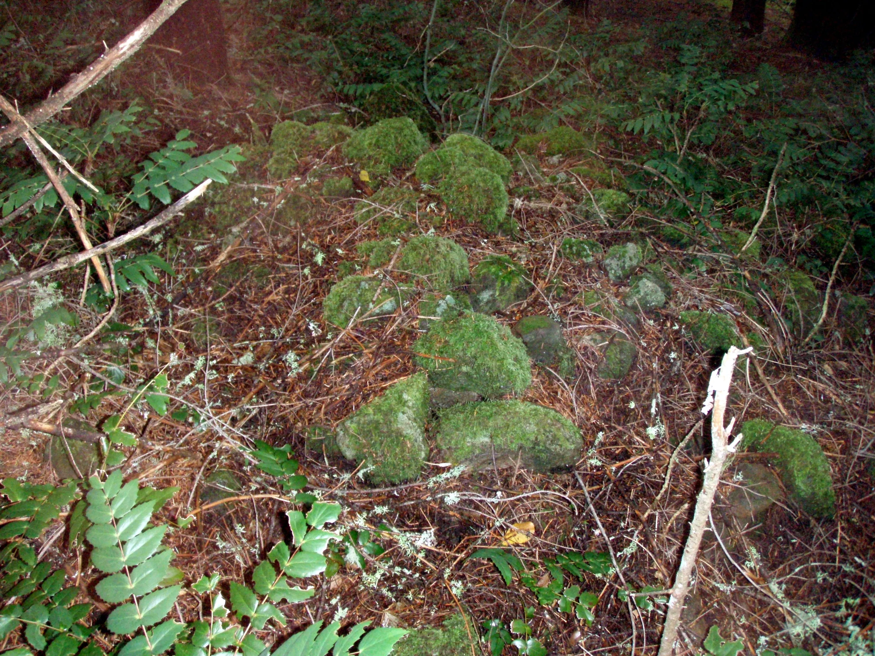
Was this one of the piles of rocks you see in the old photos?
This definitely looks like one of the piles of rocks in the old photos
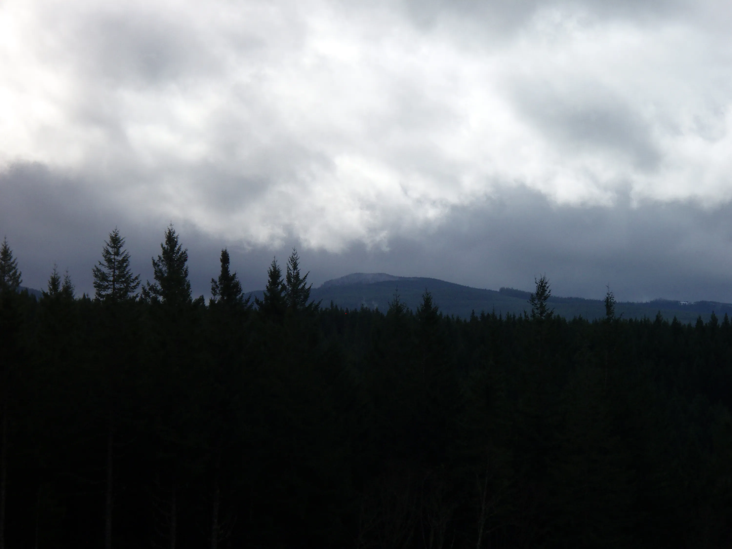
View from the clearcut - is that Whalehead in the distance?
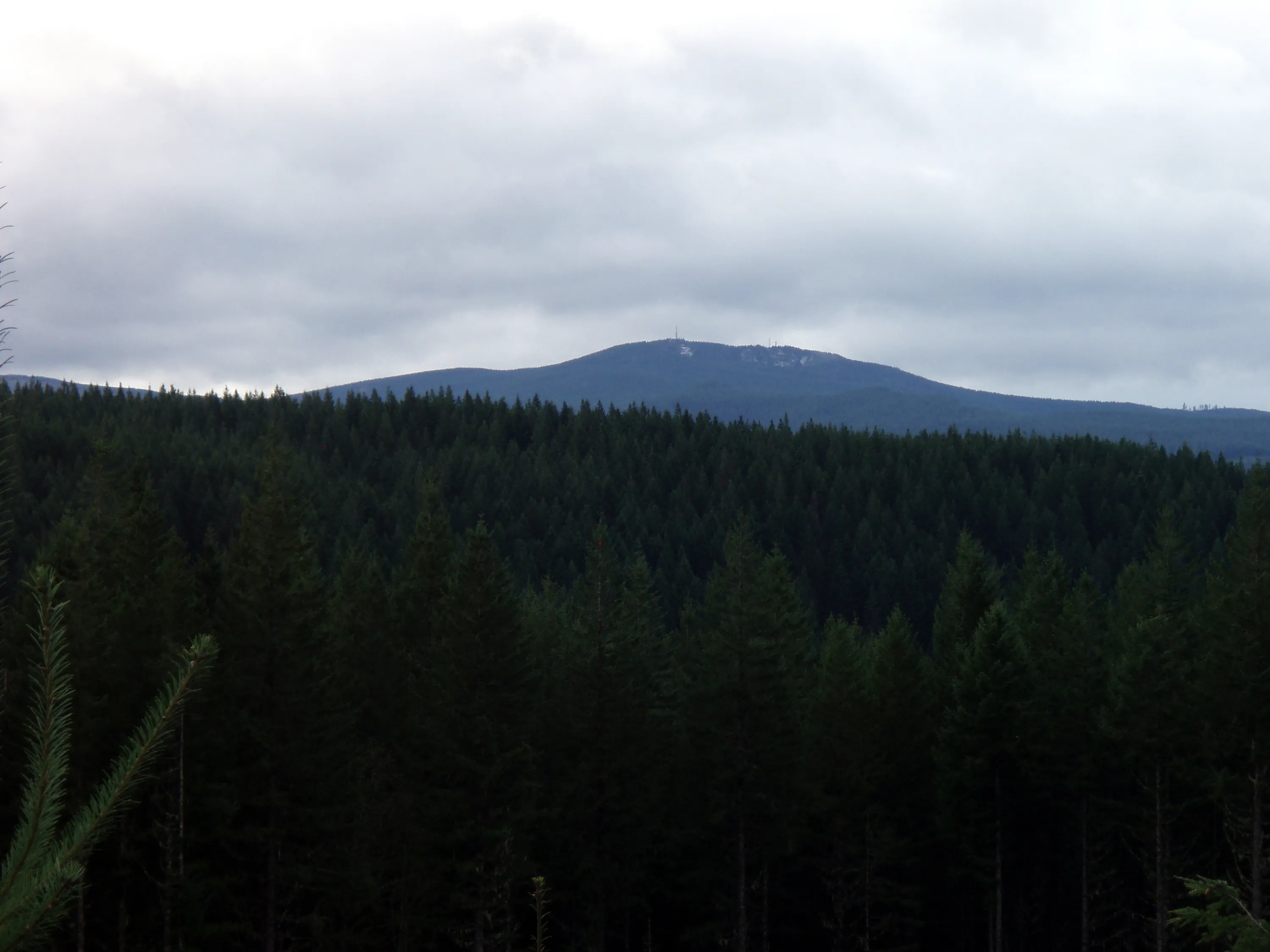
I thought this might be Wanderers Peak, but I don't think so now. Not sure what it is, but it appears to have some towers on it.
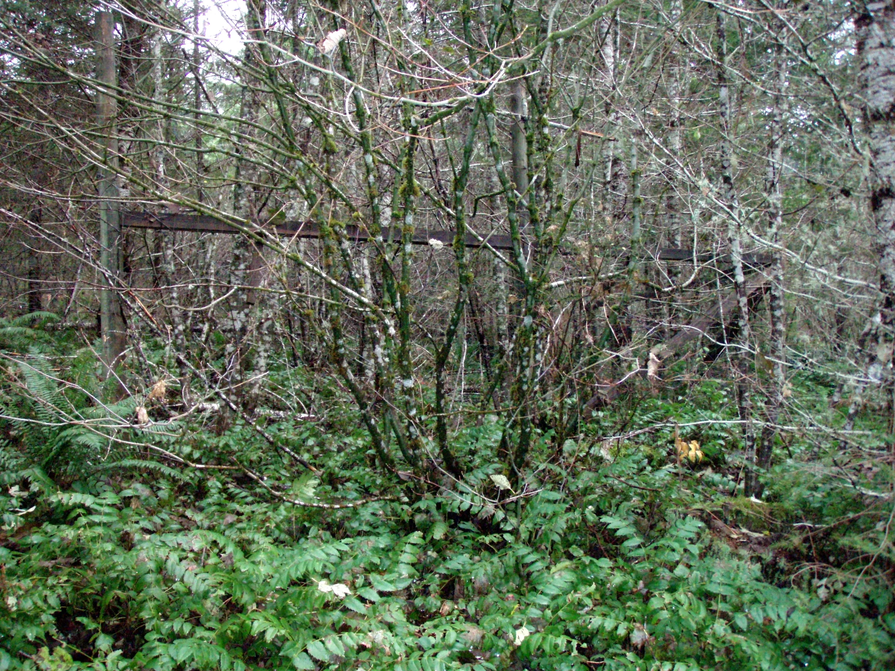
Some sort of old "experimental" area - the FS had bunches of these - looks like was abandoned long ago
I think this is the North Fork of the Clackamas River
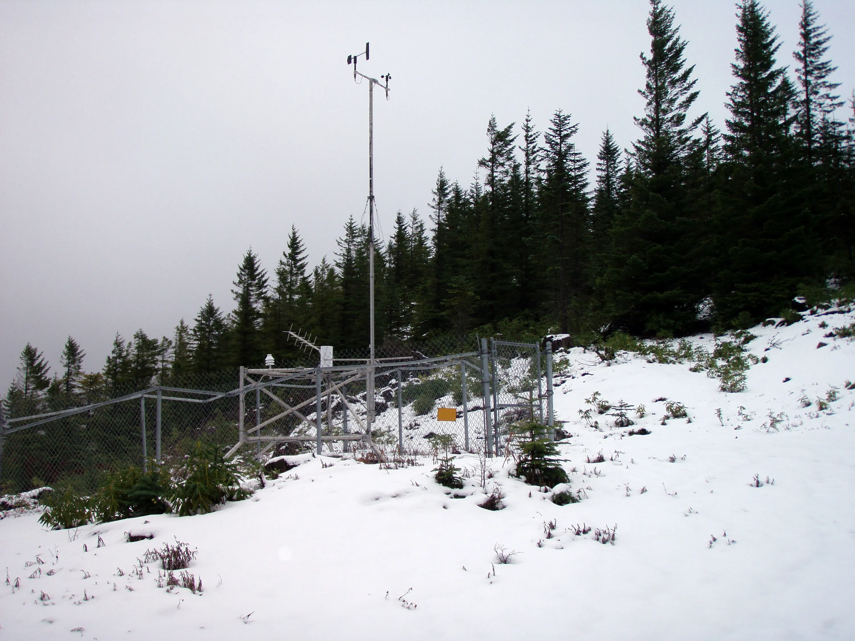
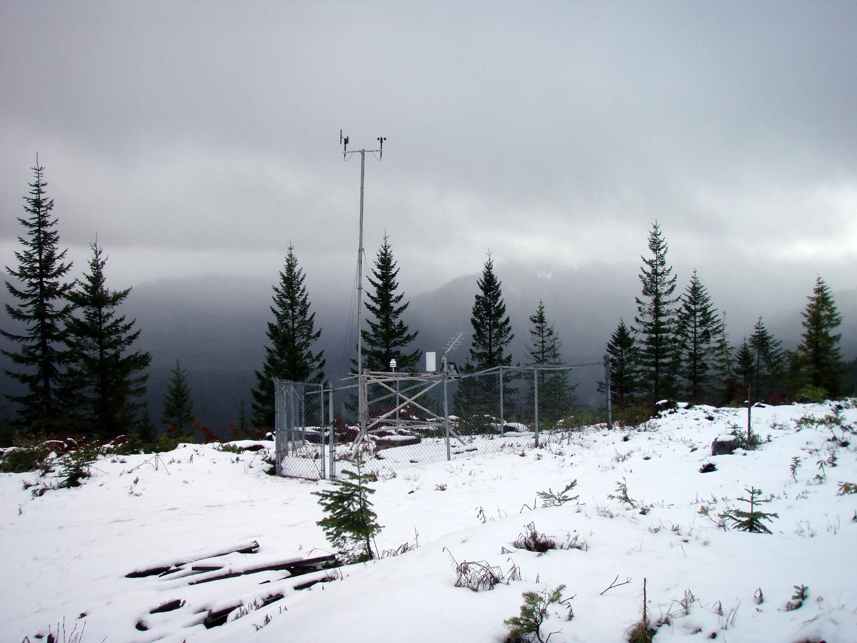
Weather station on Wanderers Peak
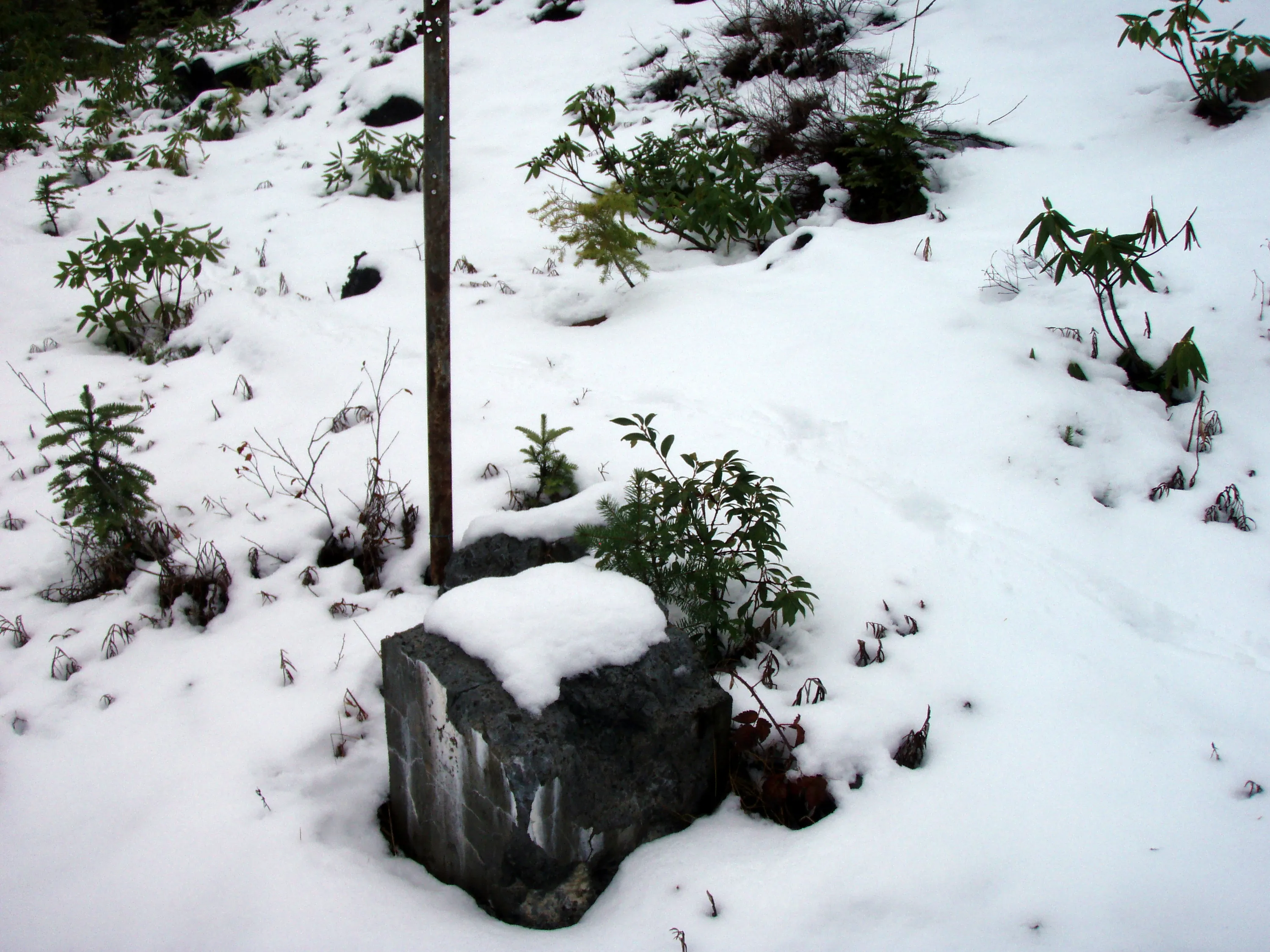
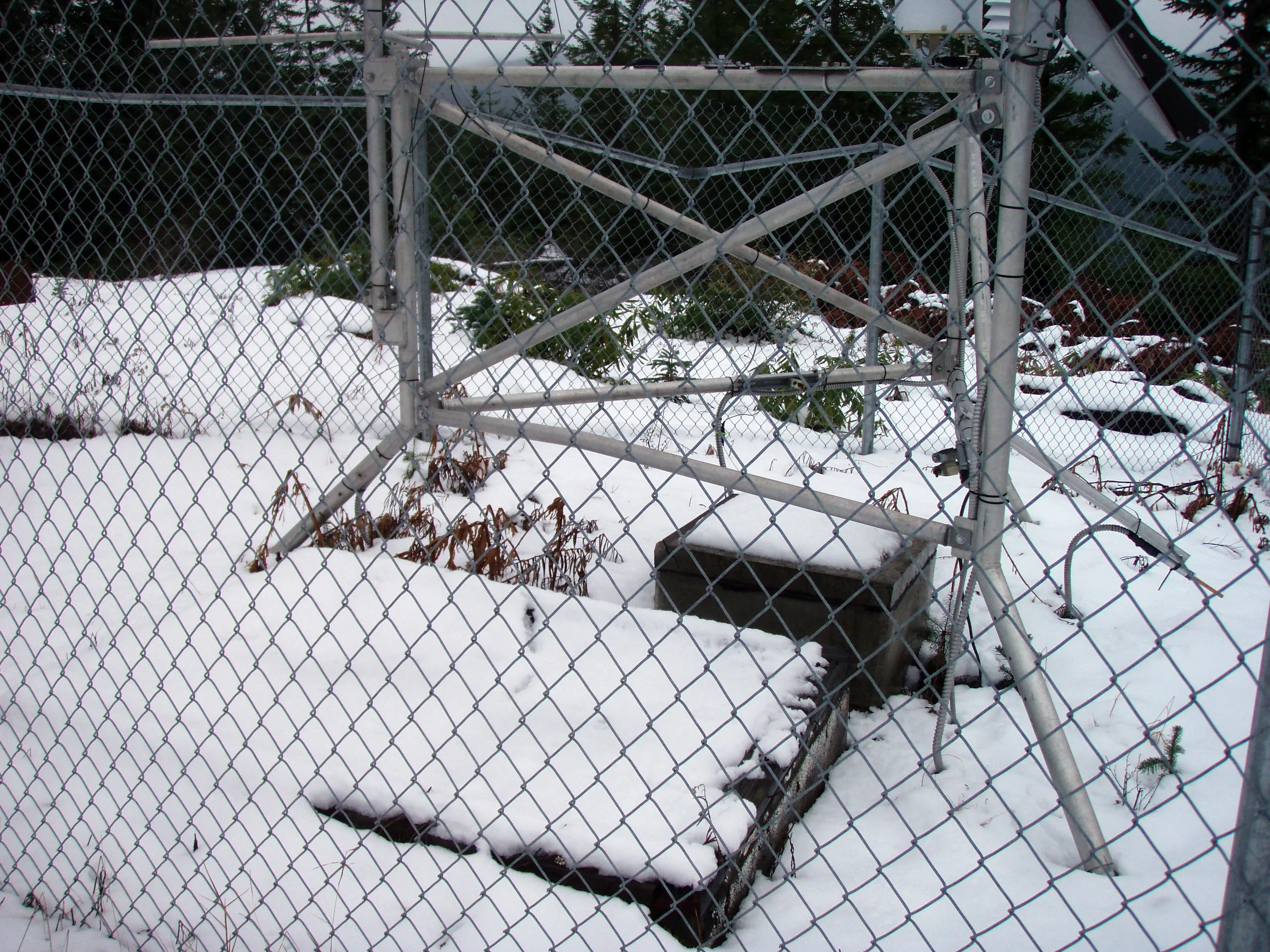
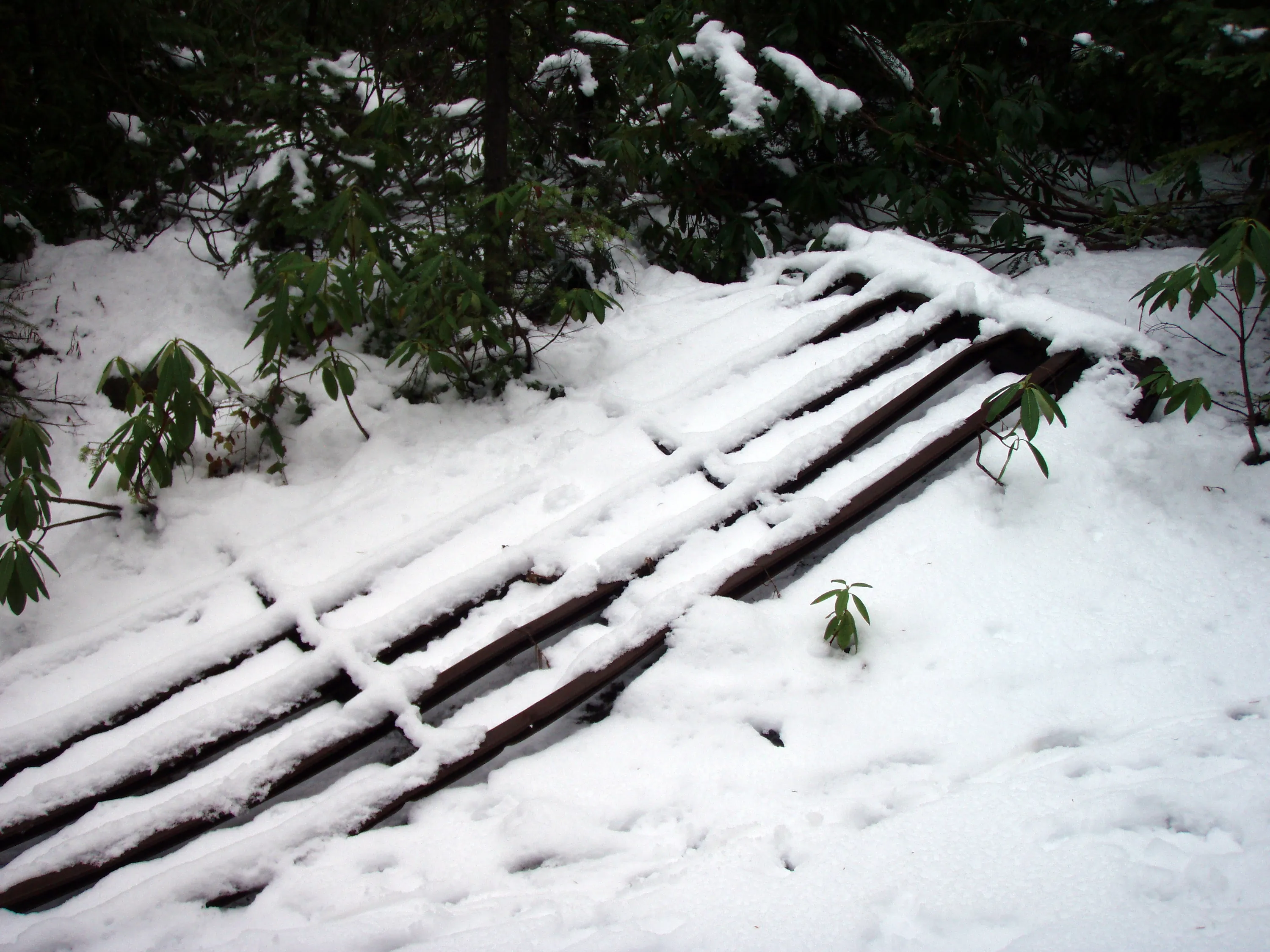
There used to be something else here - not sure what
You can see the foundation of the old building
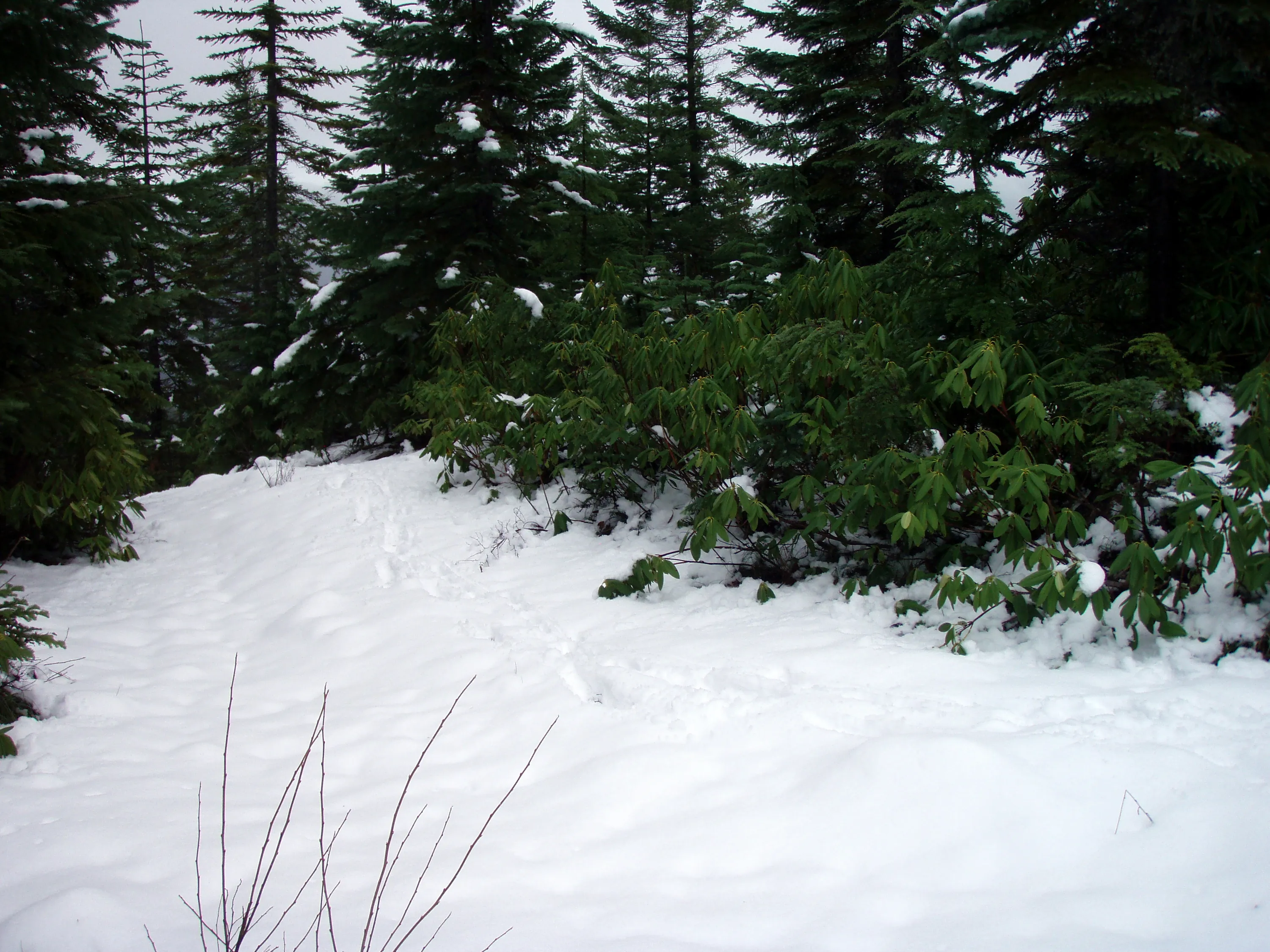
Up the hill from the weather station a bit - would be interesting to explore this some more when the snow is gone.
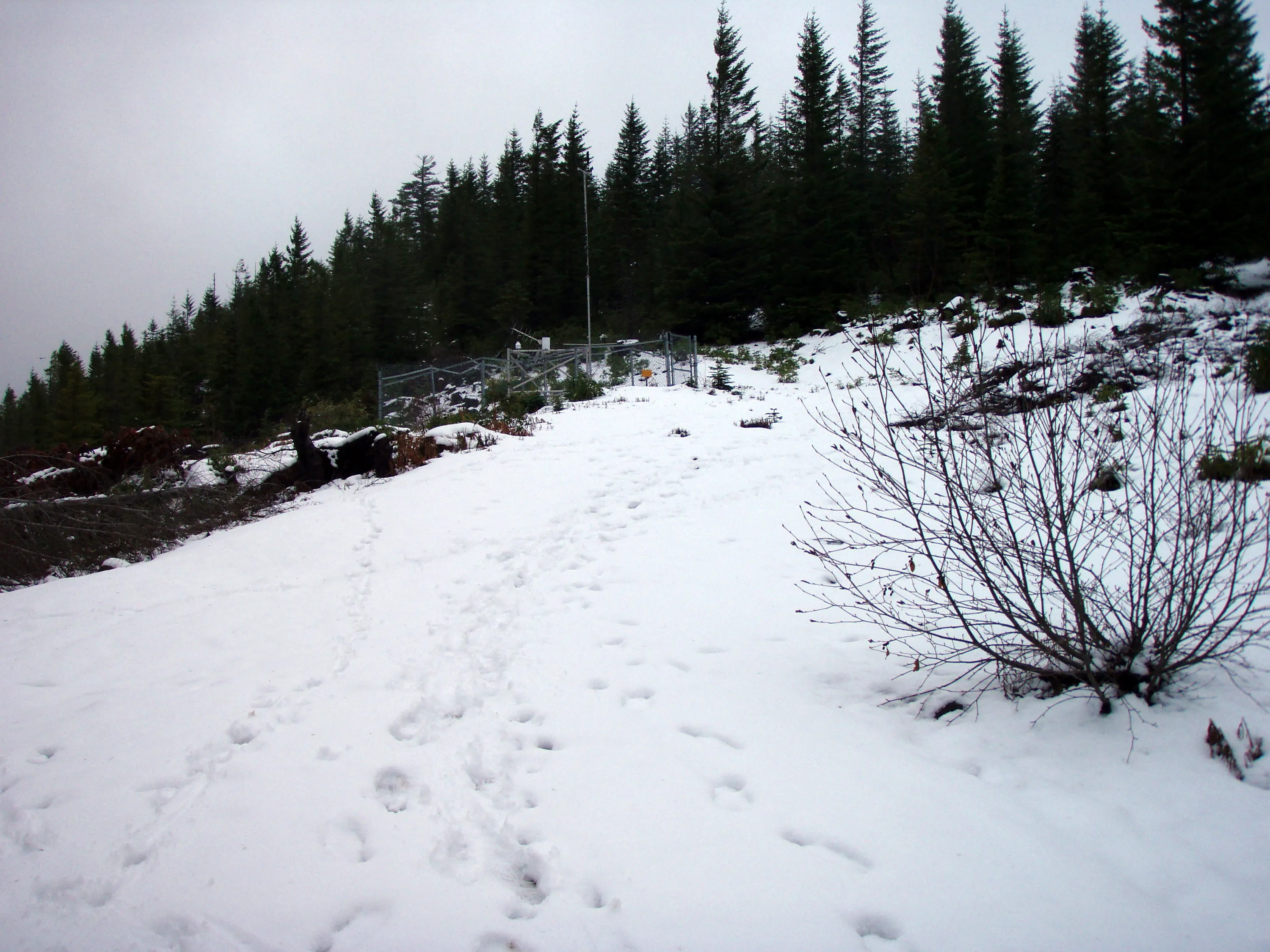
Looking back at the weather station site
The old gate for the road up to the weather station - it has been broken for a long time
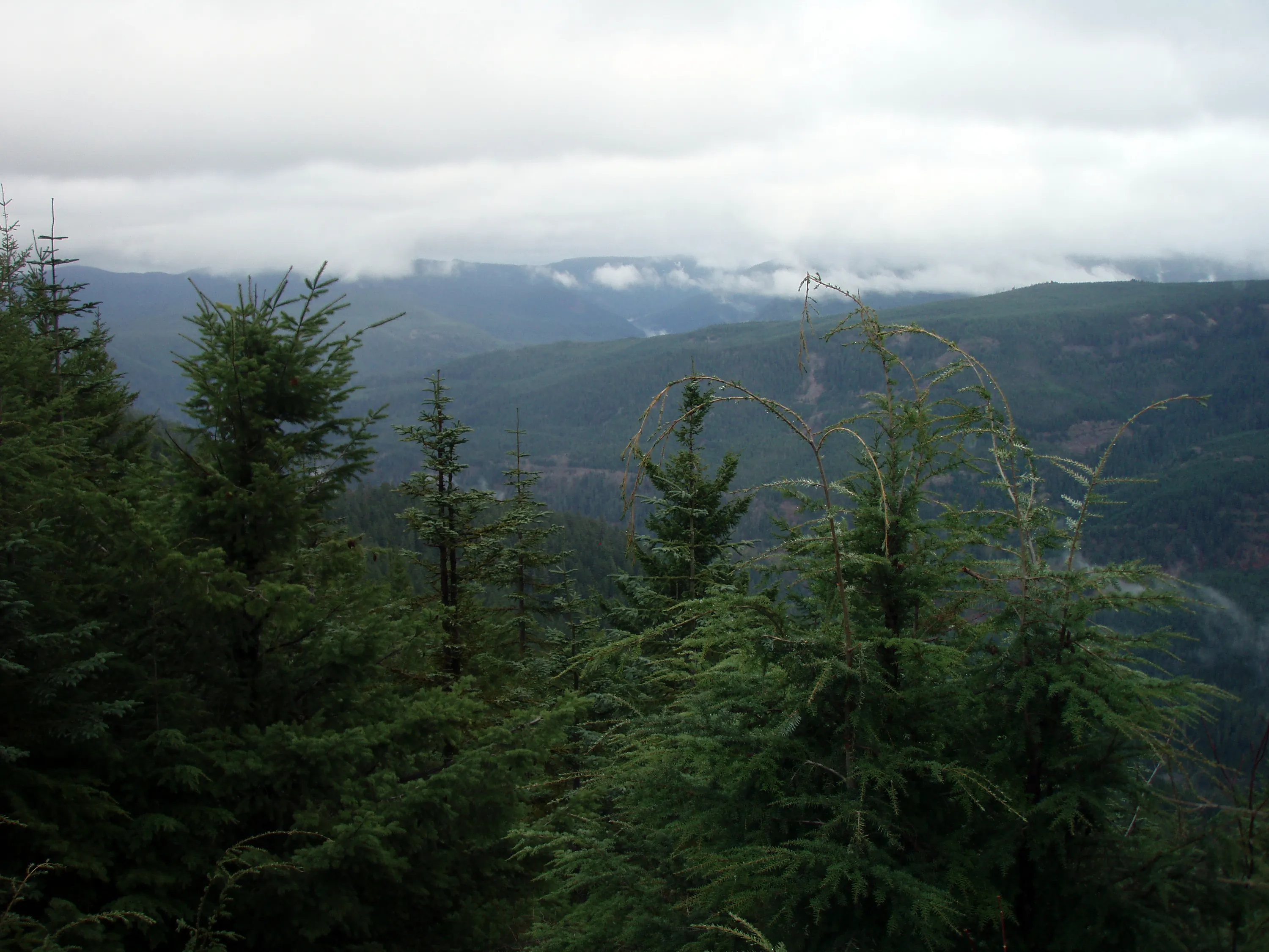
Looking out over the Fish Creek drainage