Robs Hiking Diary
Search
Search for:
Search
Hikes
2011
Wash Creek Epic
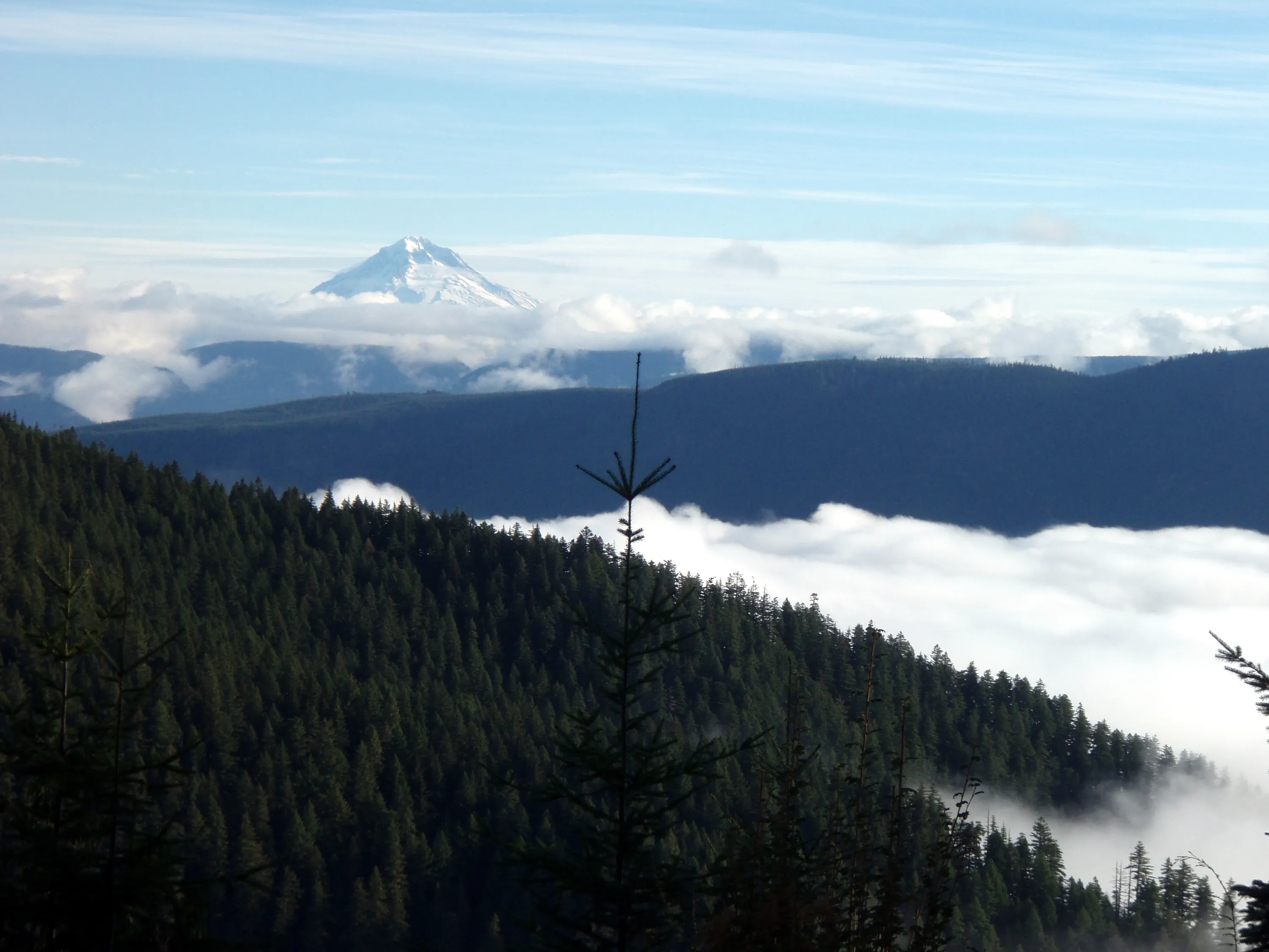
On the road to the "trailhead" - looking across the valley to Mt Hood
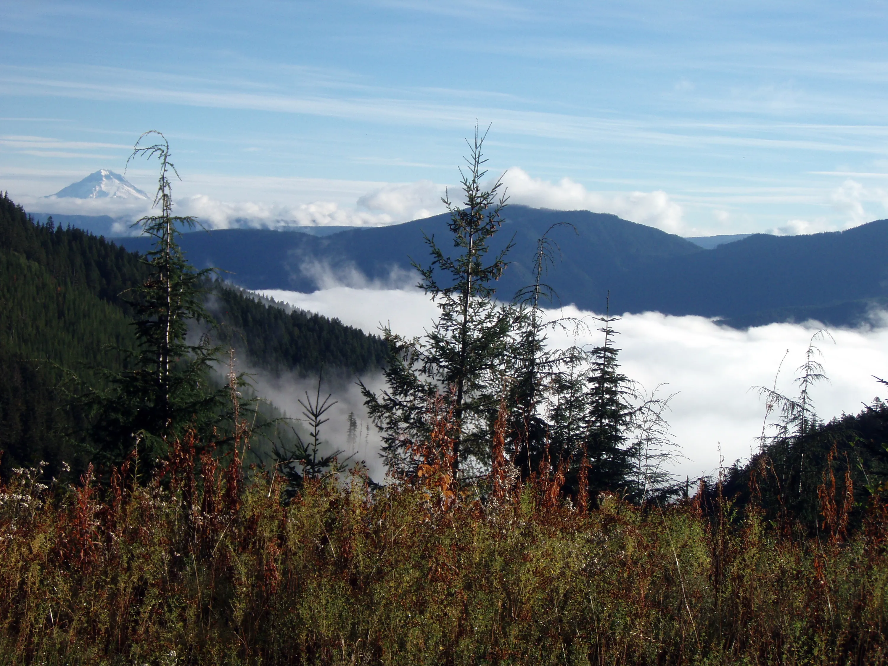
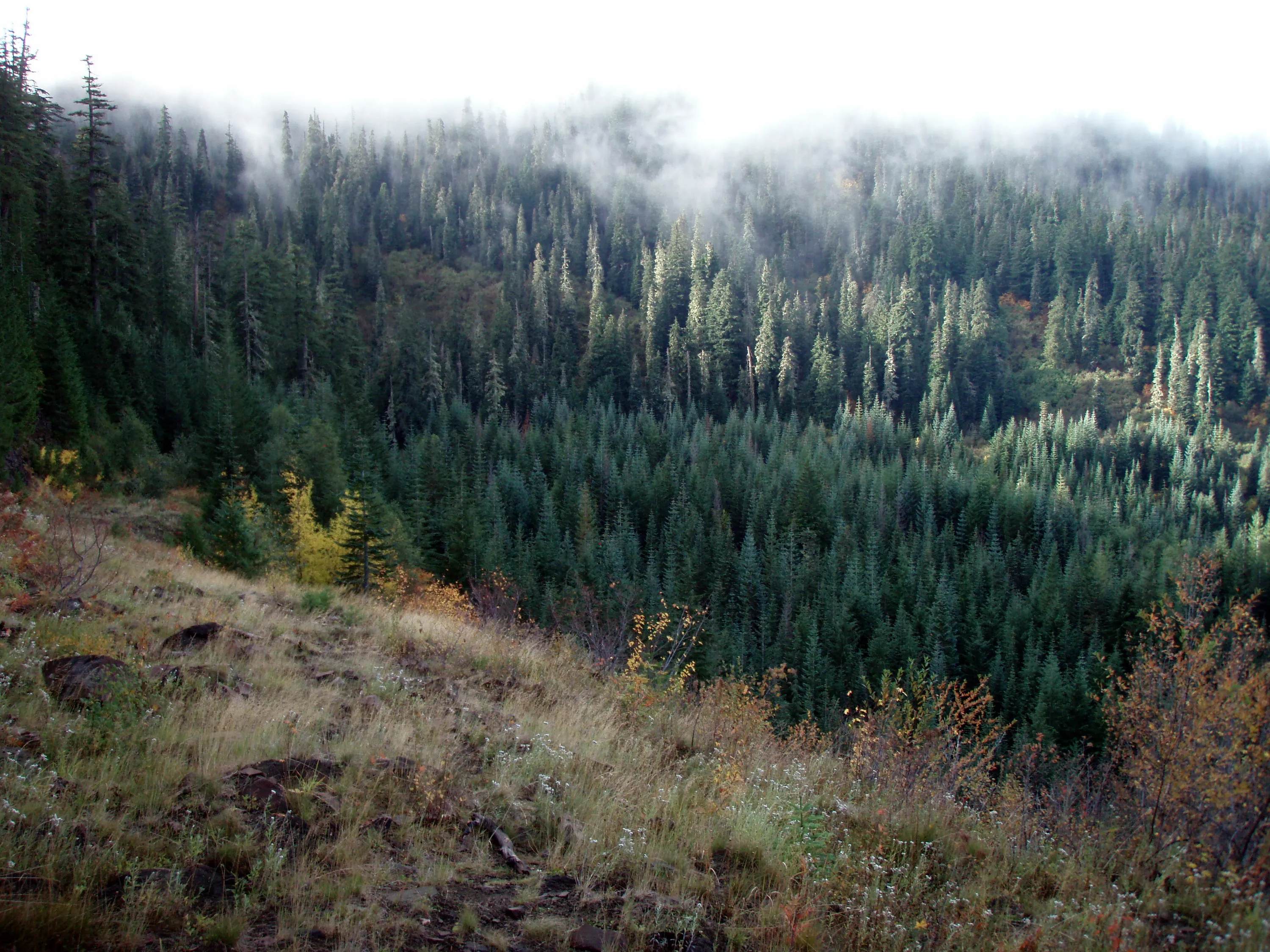
Fog in the valley floor - we were amazed at the weather
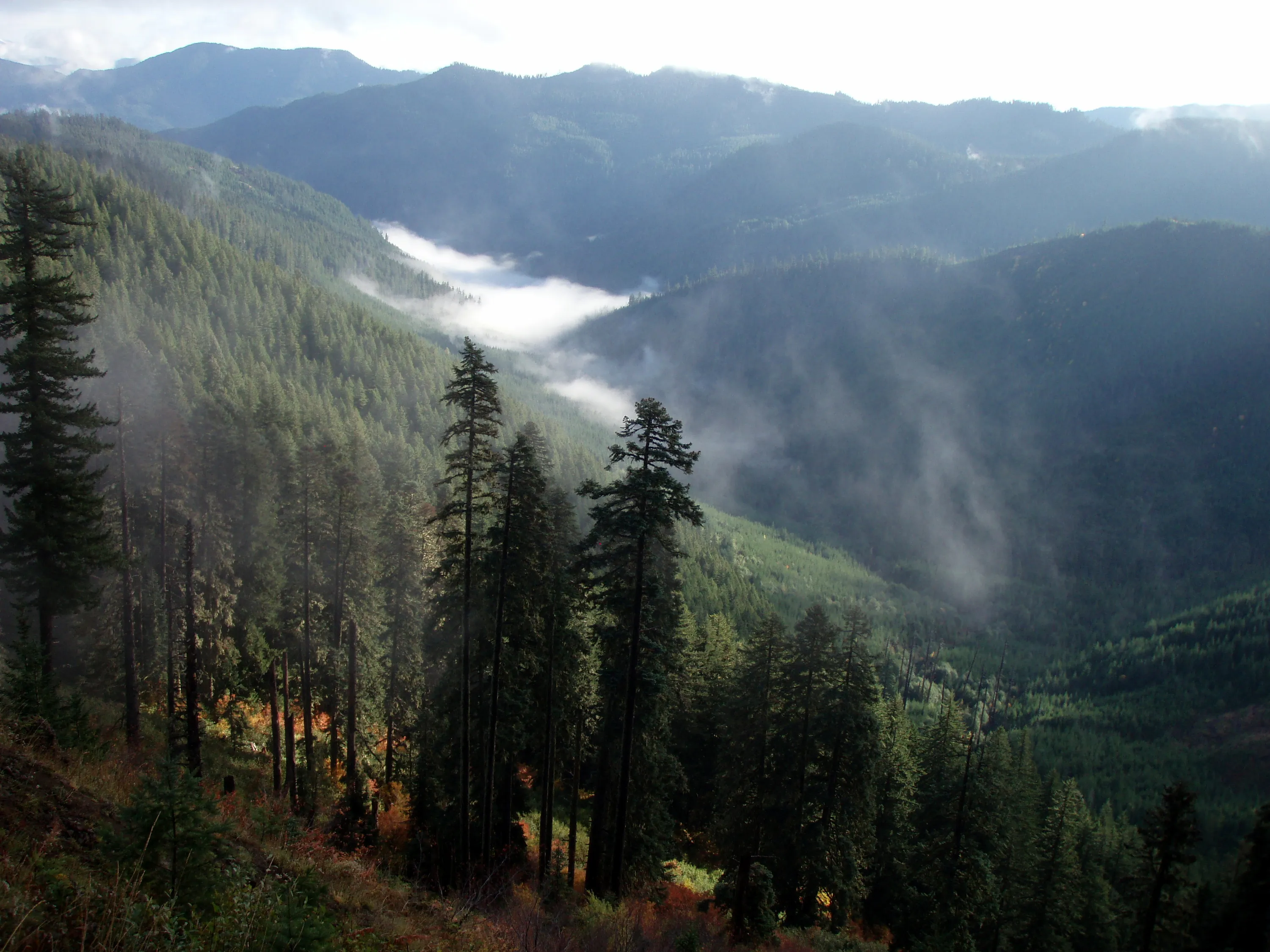
Looking up the wash creek basin
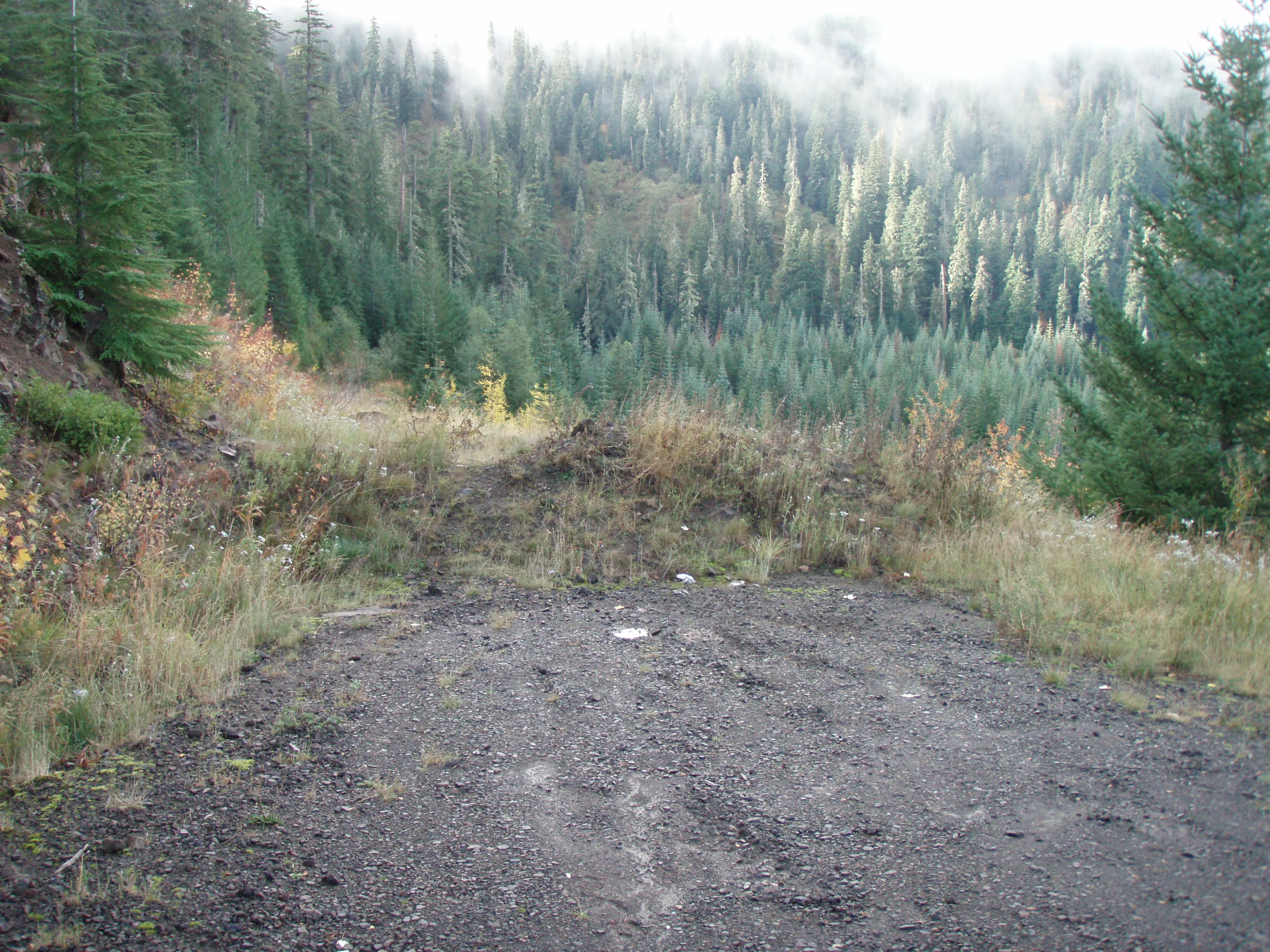
The end of the road - the start of our journey!
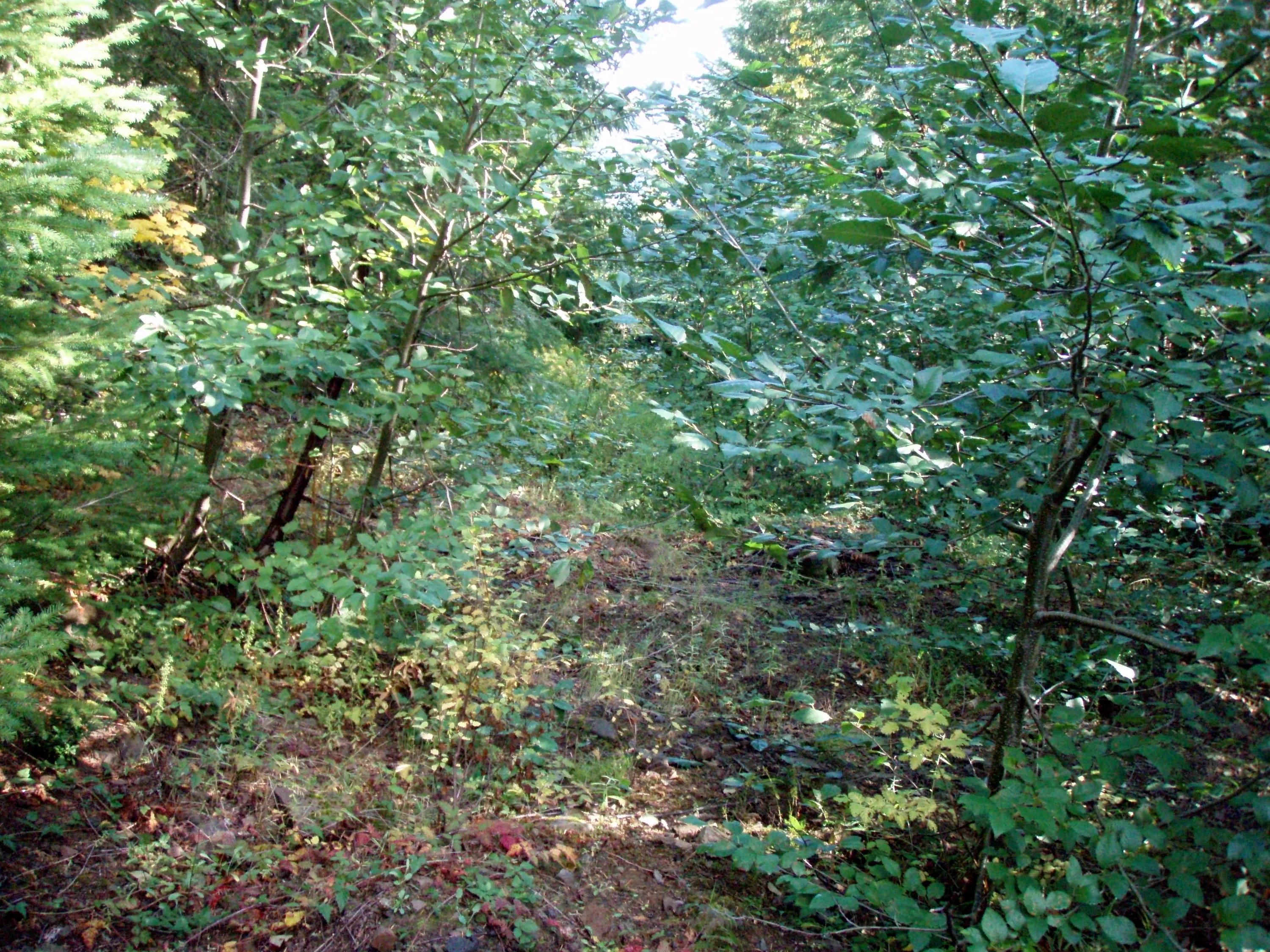
We fought this (and worse) most of the day - the trail is REALLY getting overgrown.
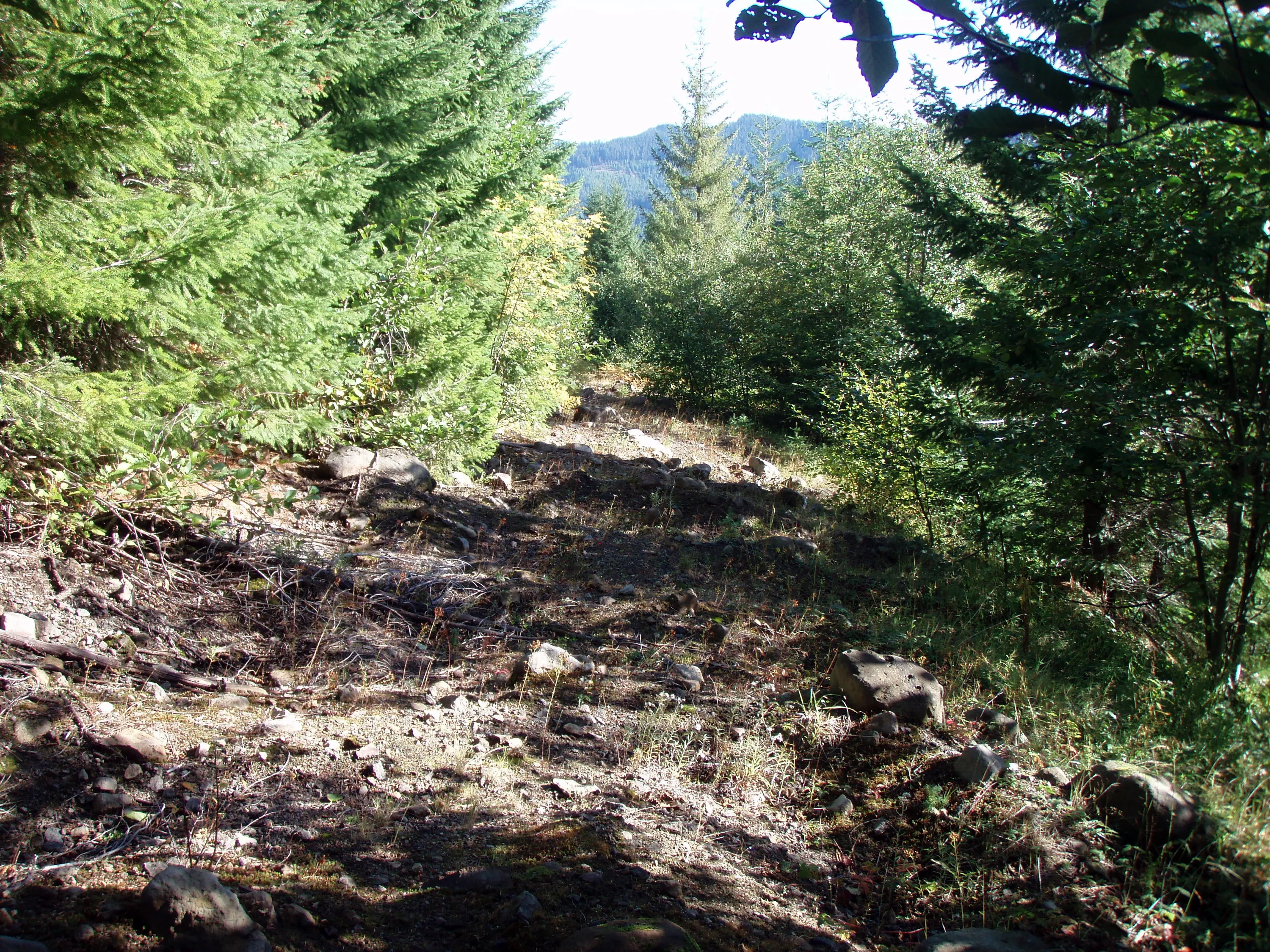
And then part of the "trail" looks like this - easy going, except for the mounds of rocky soil you have to walk over
Found this laying in the dirt next to the first bridge over cedar creek
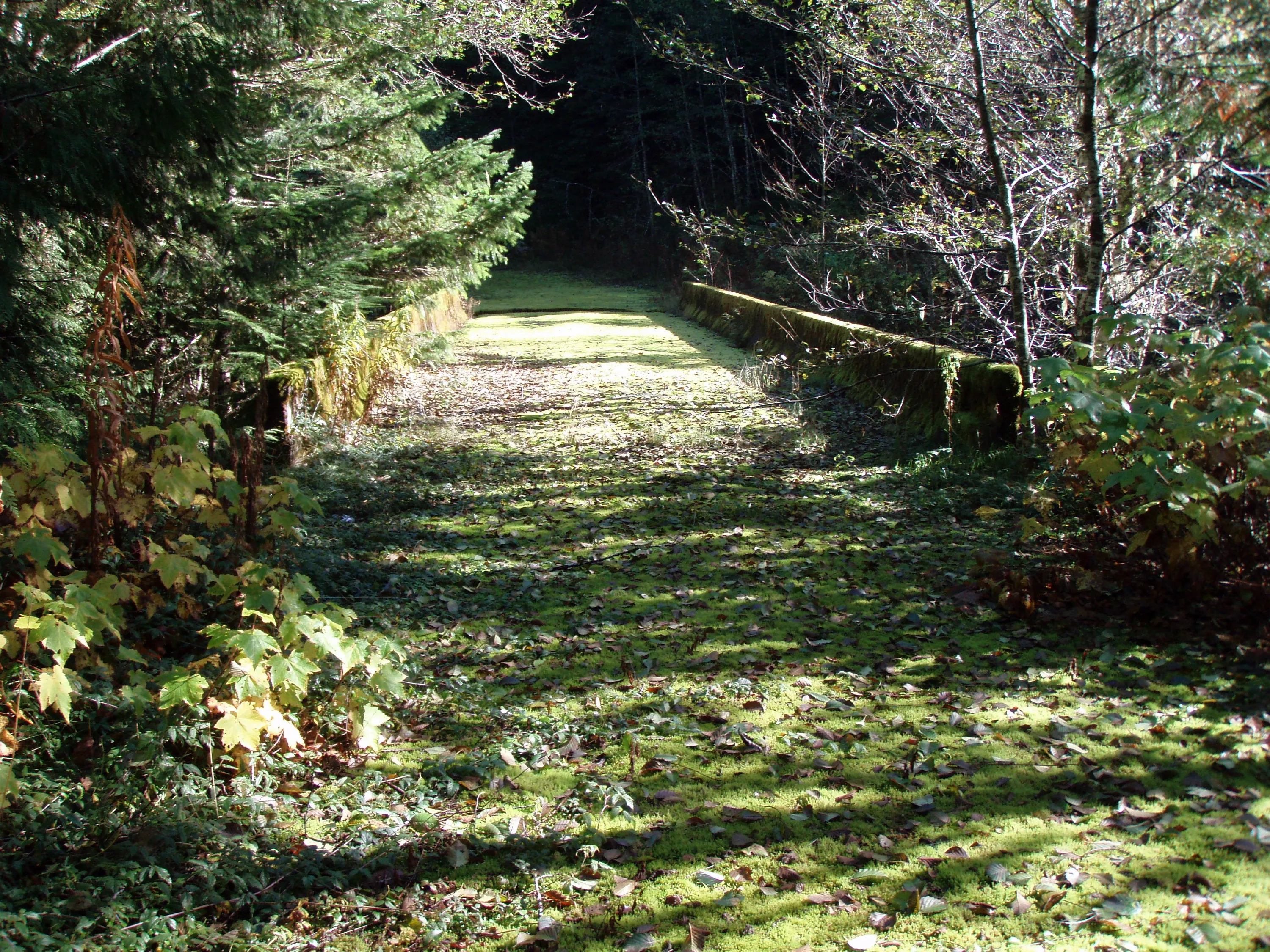
The bridge over cedar creek and wash creek (they converge right before the bridge)
Looking back at the alder thicket we came through
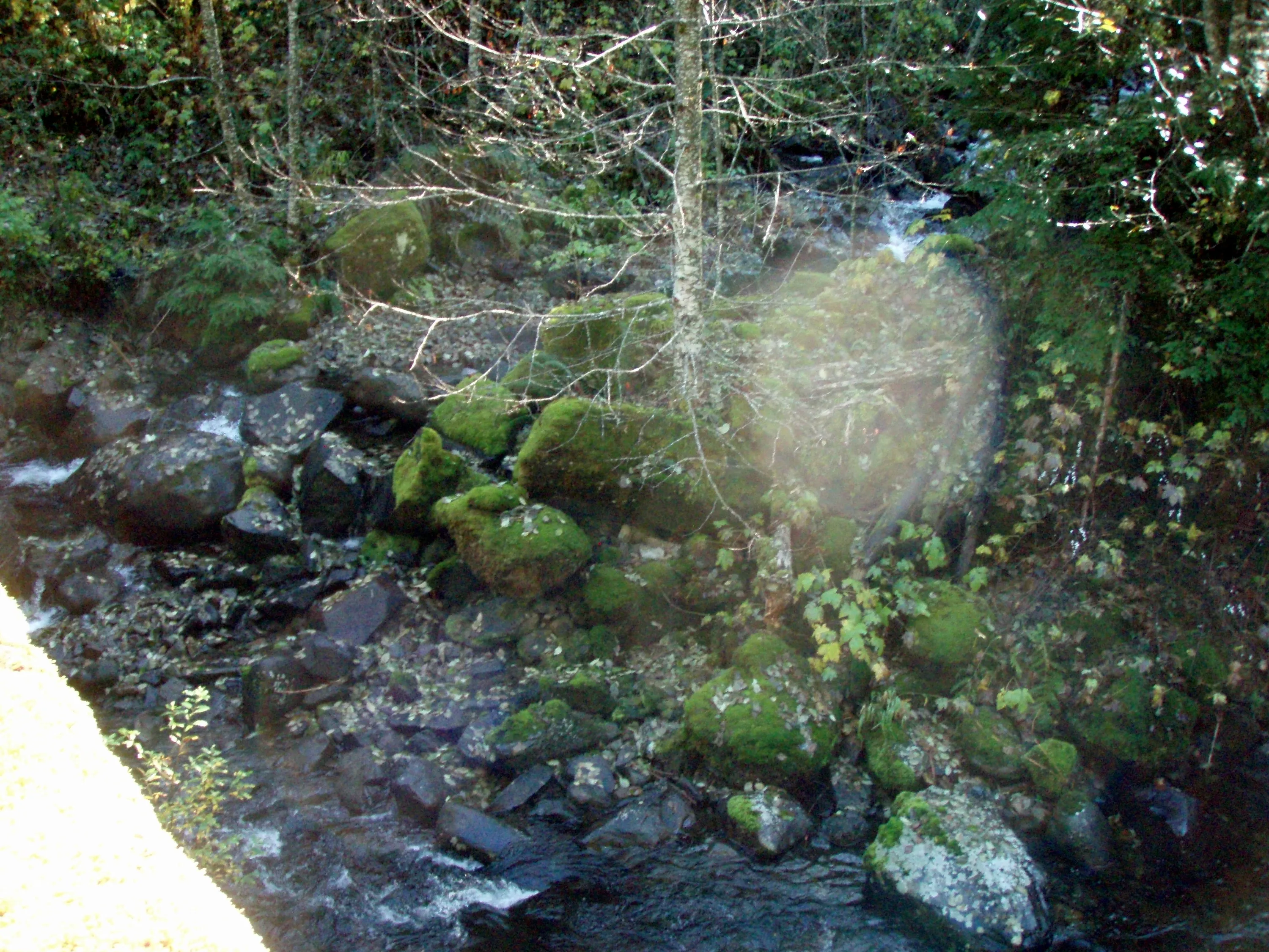
The confluence of cedar and wash creeks
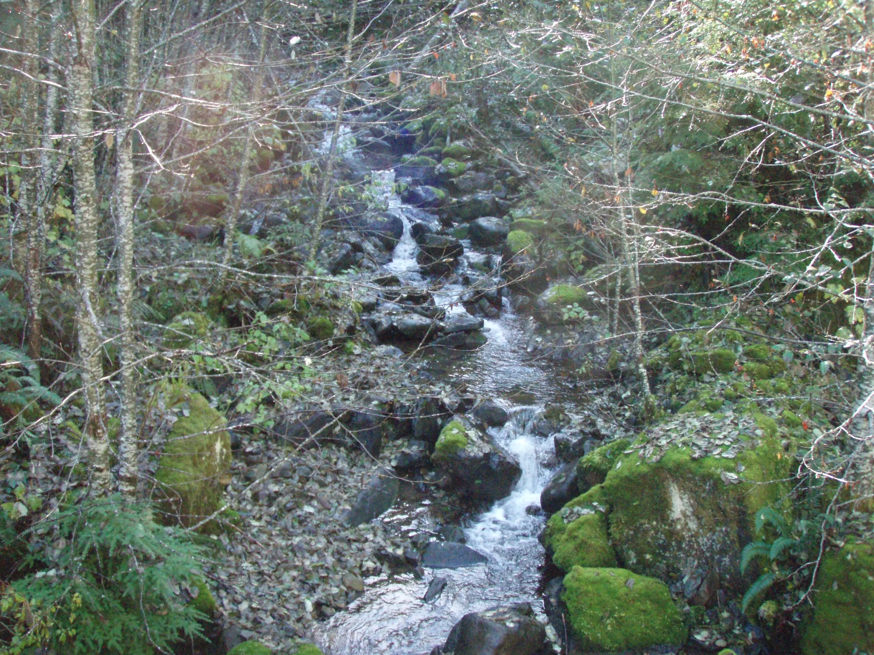
Cedar Creek
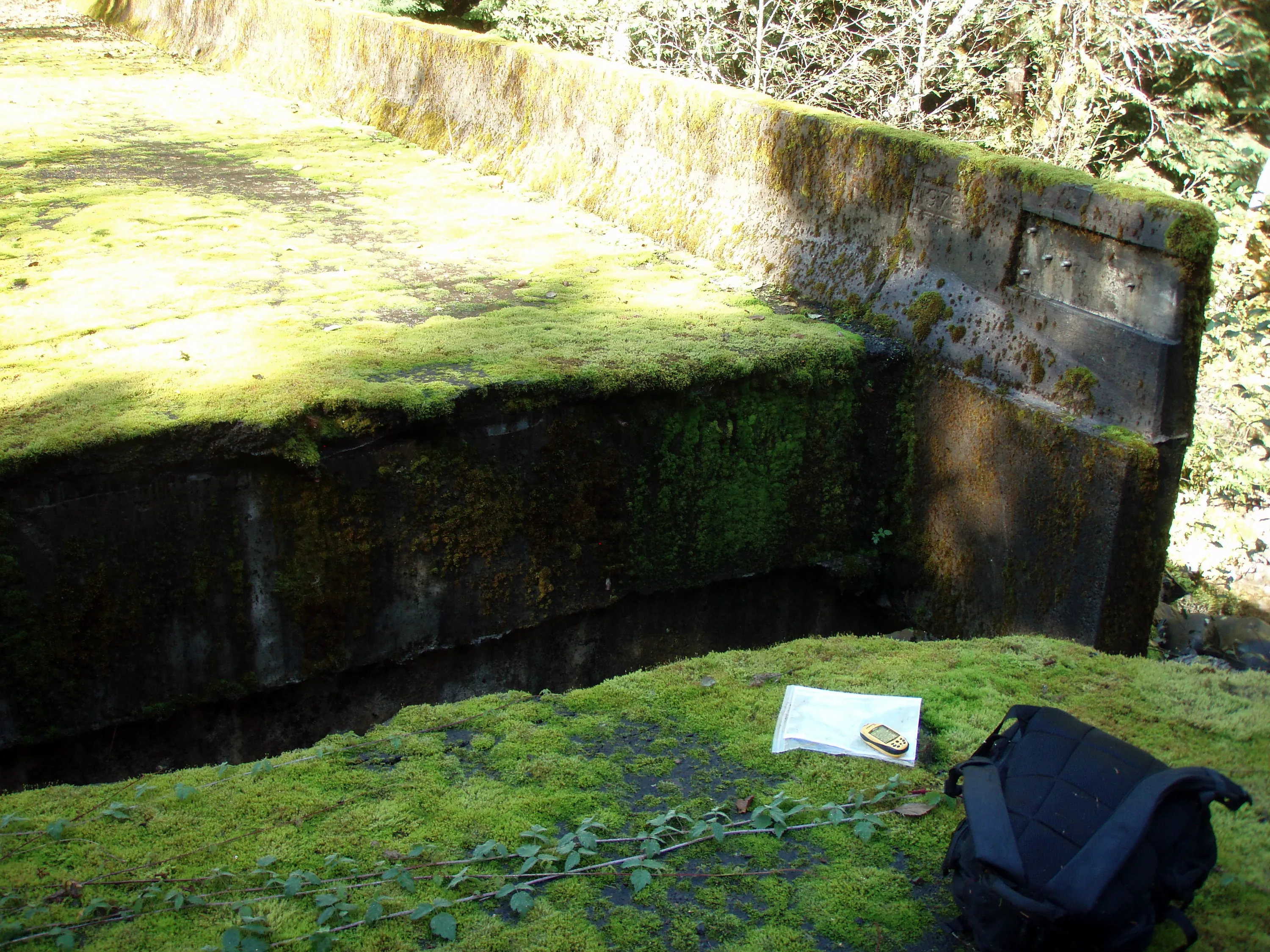
The end of the bridge got washed out - we are guessing in the '96 floods.
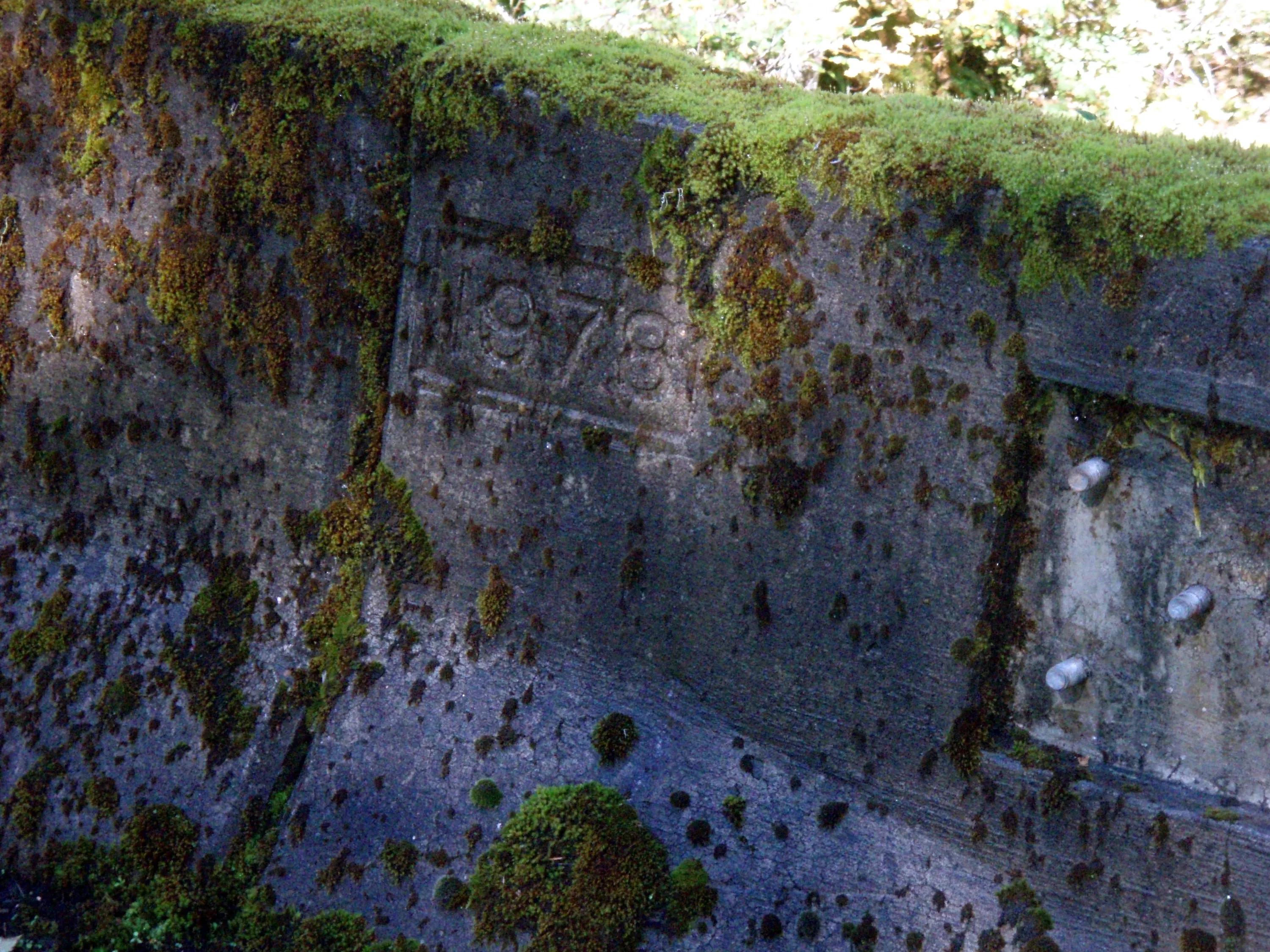
All these bridges appear to have been built in 1978
Wash creek from the road.
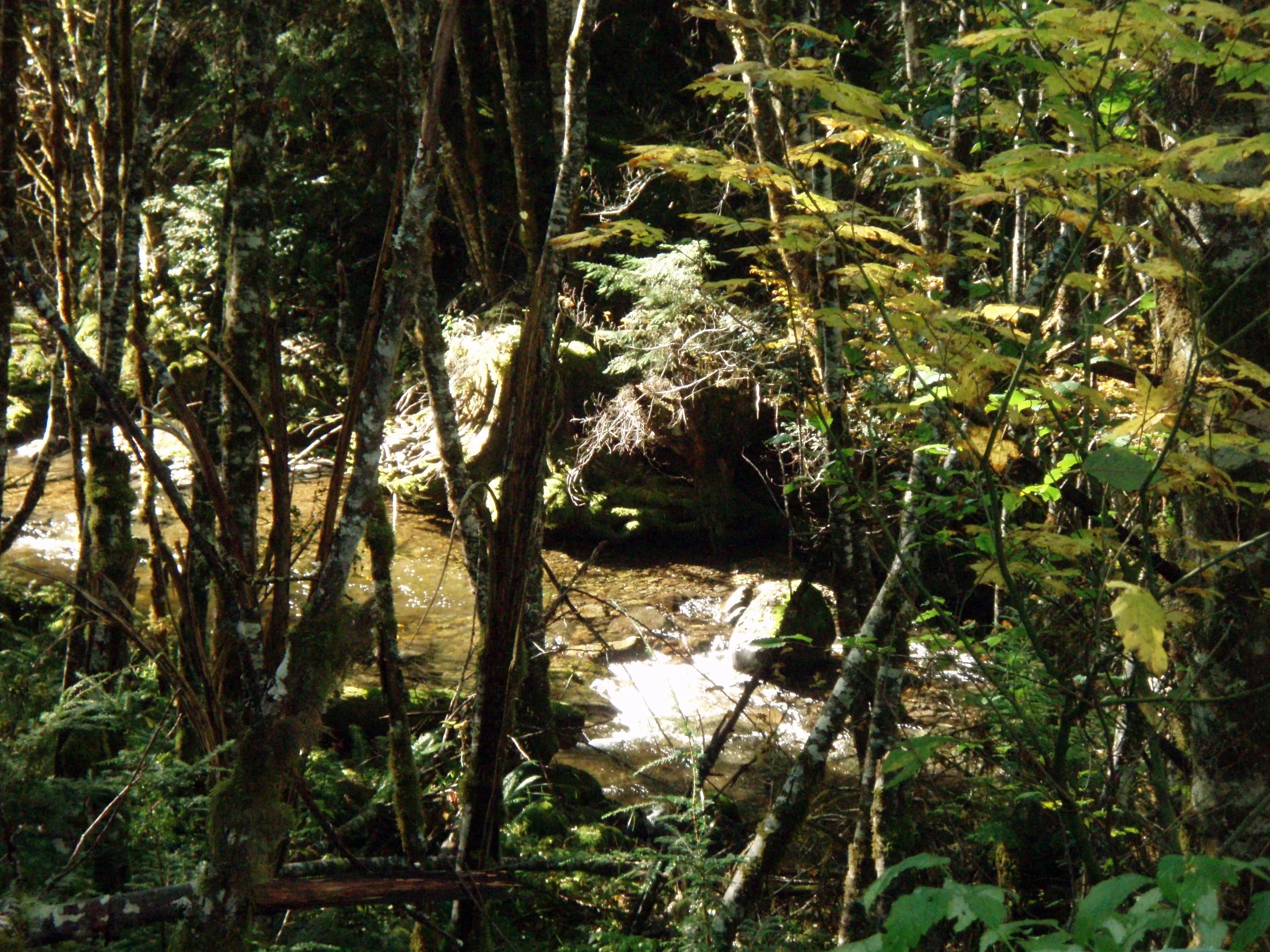
Wash creek
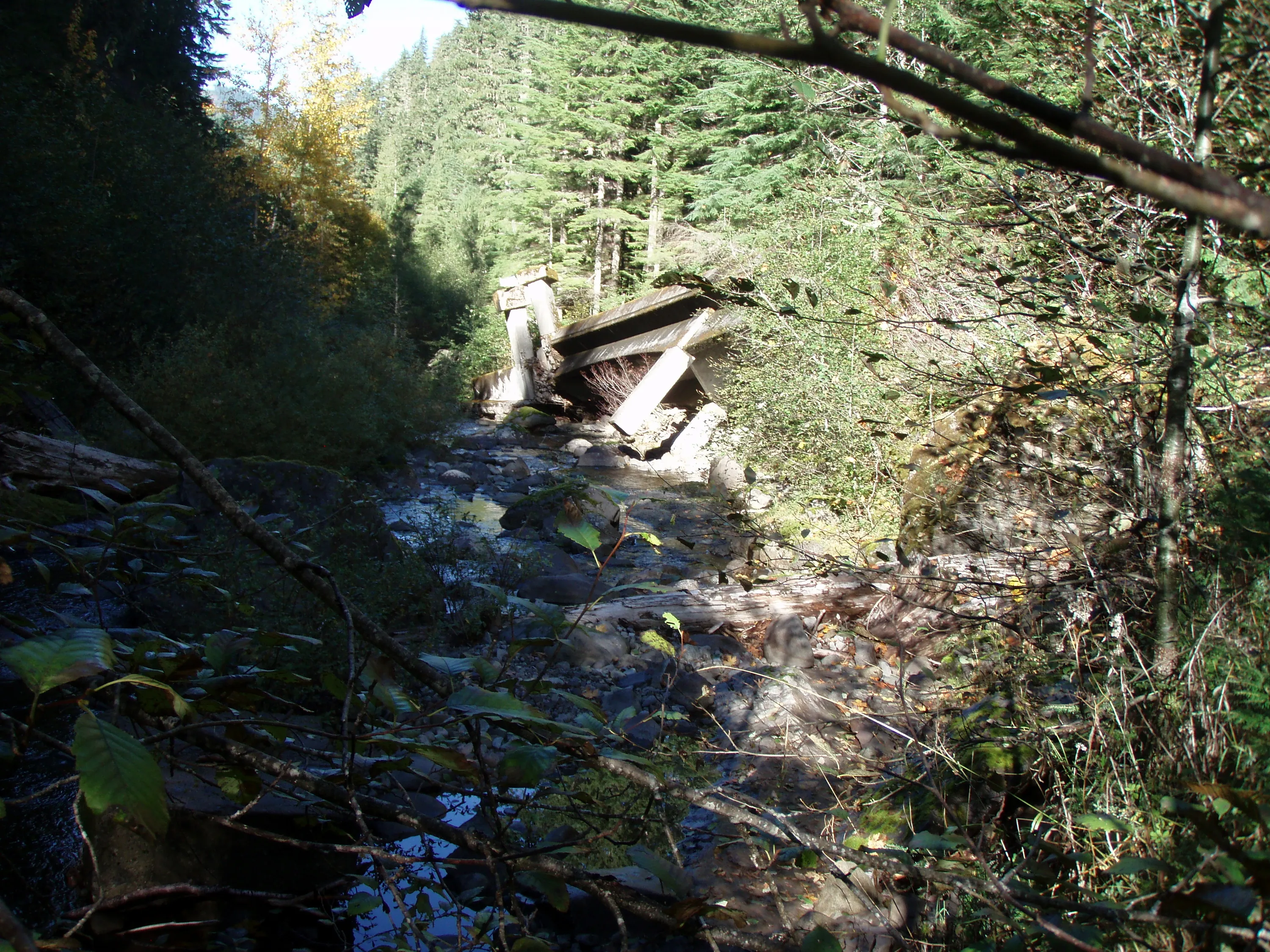
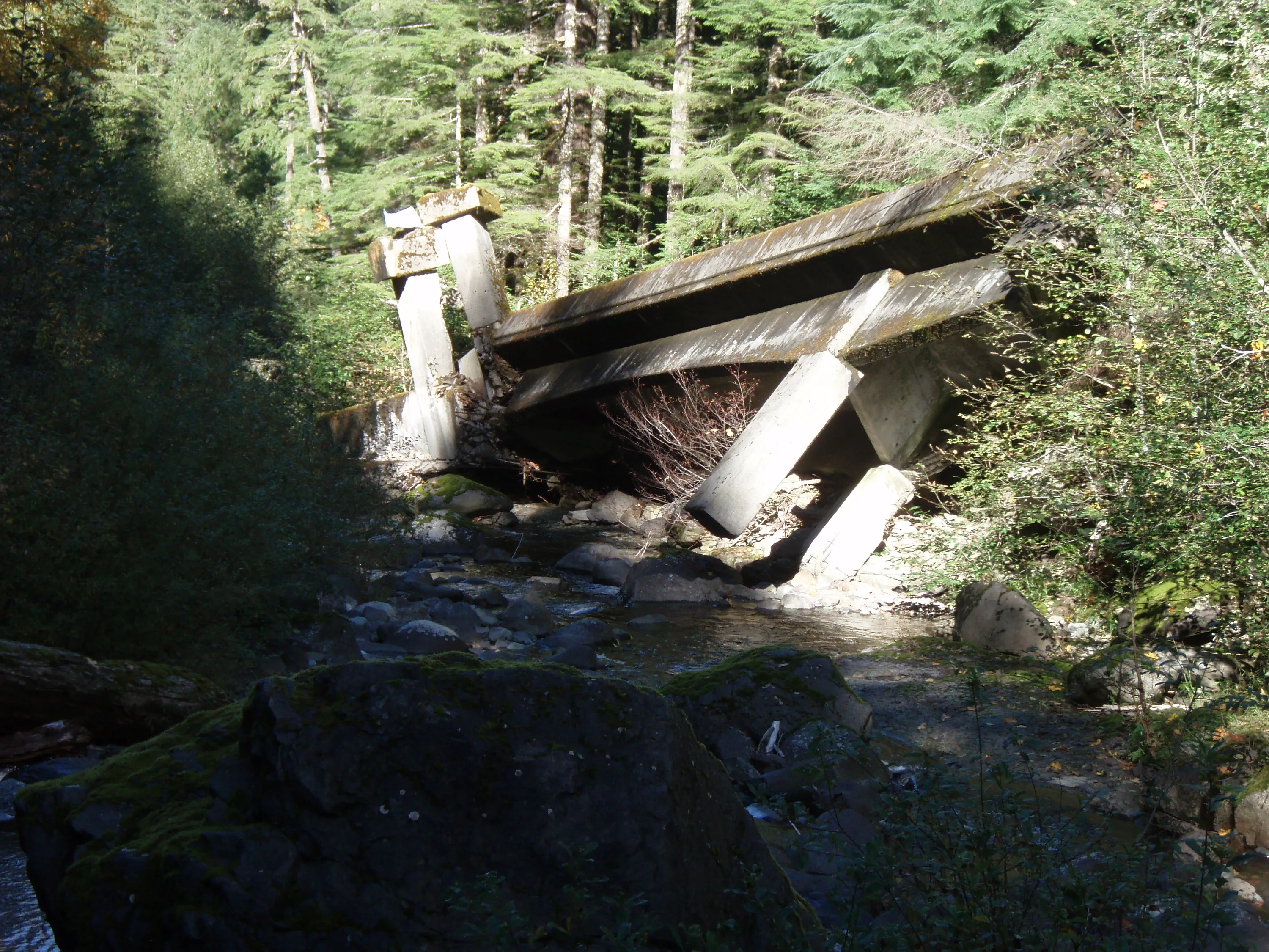
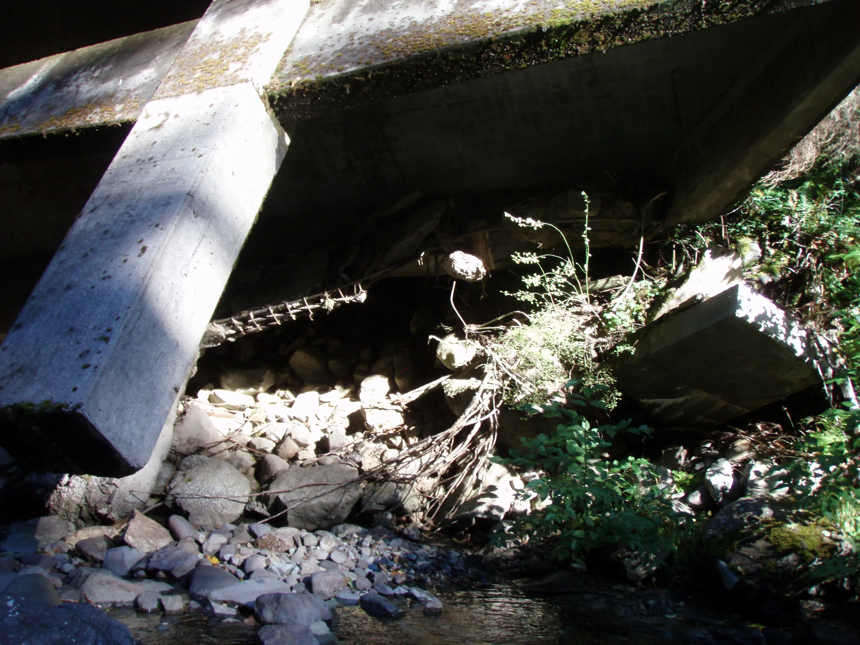
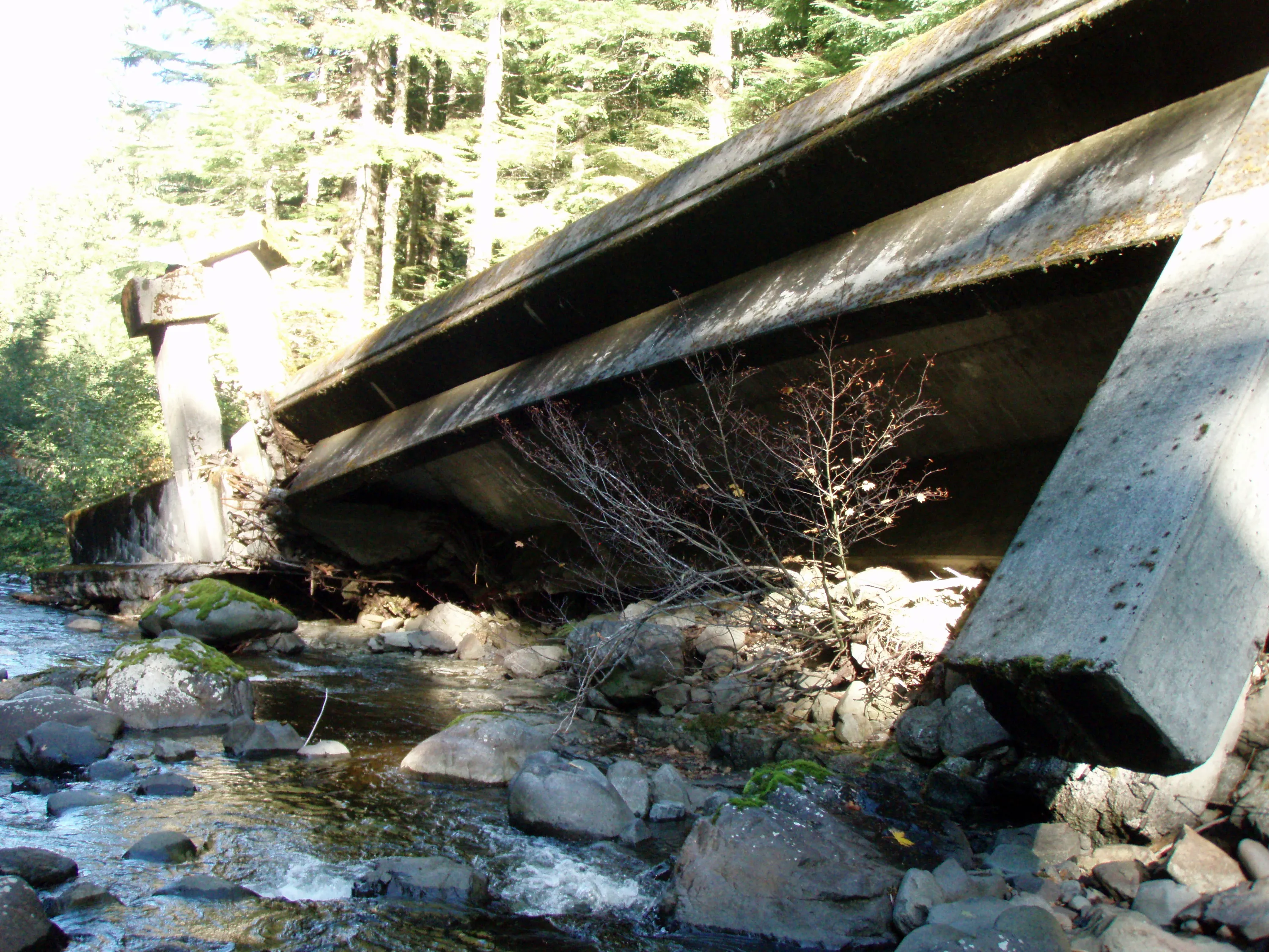
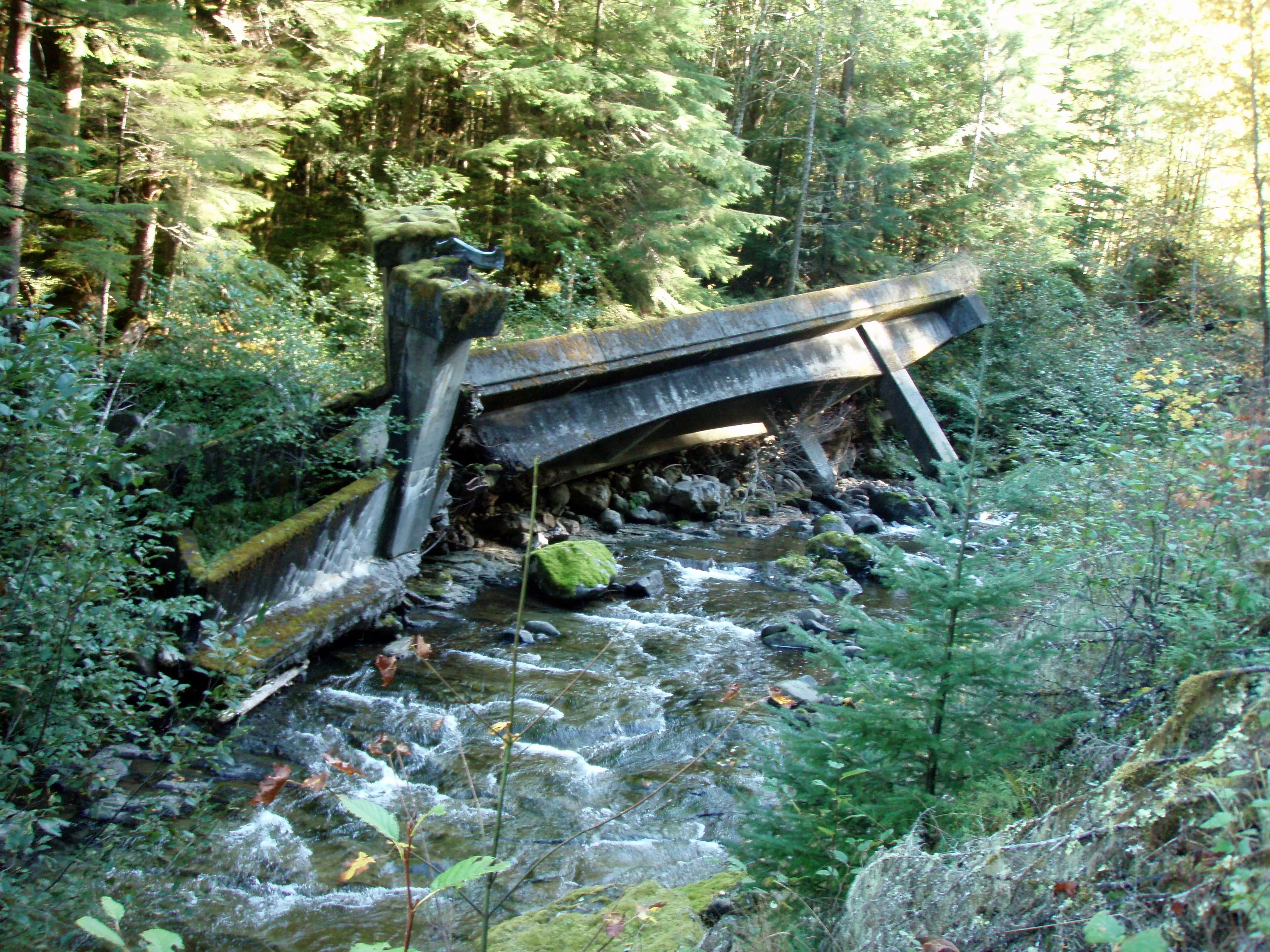
Our first glimpse of the overturned bridge
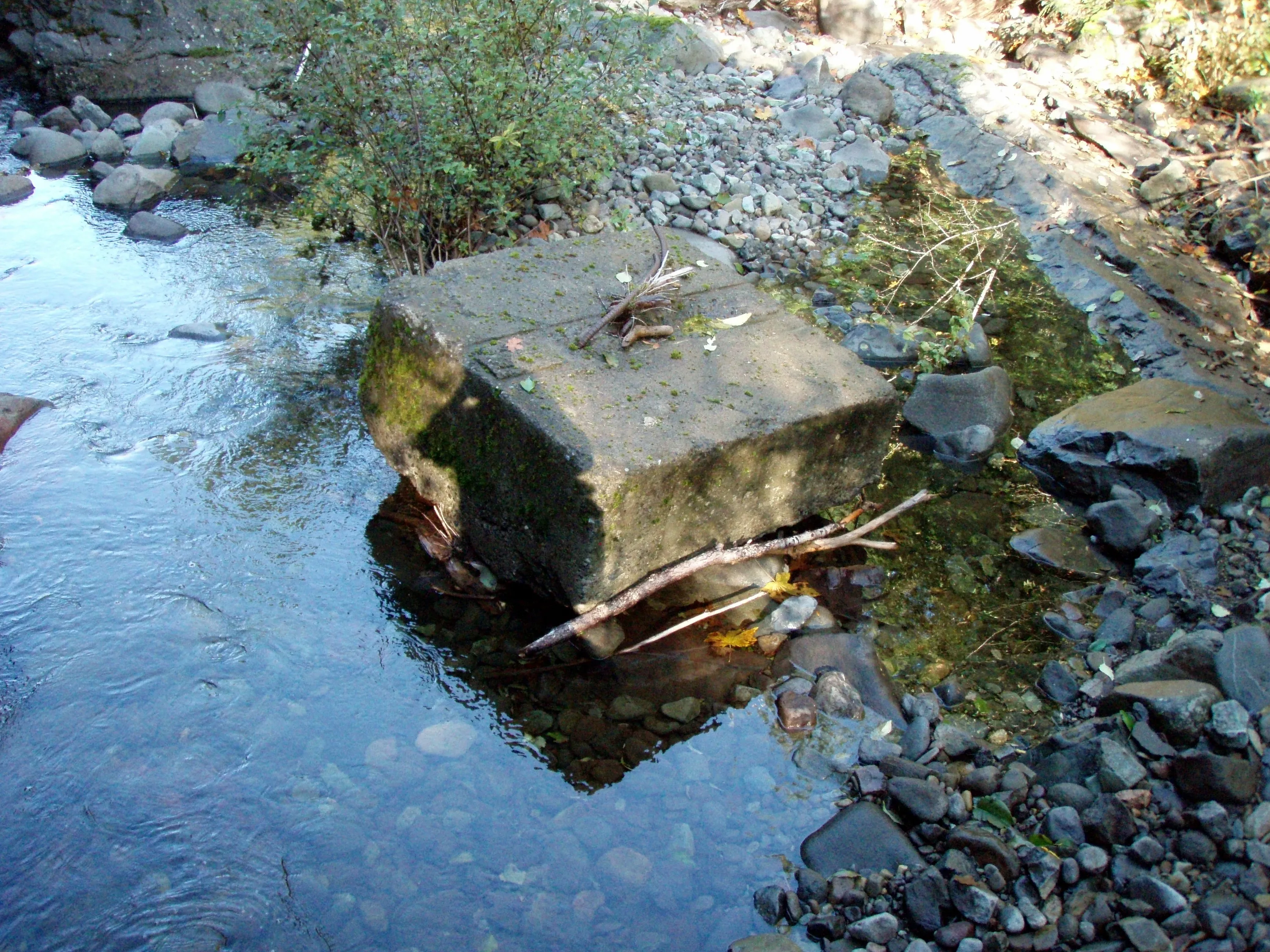
One of the footings still in the creek
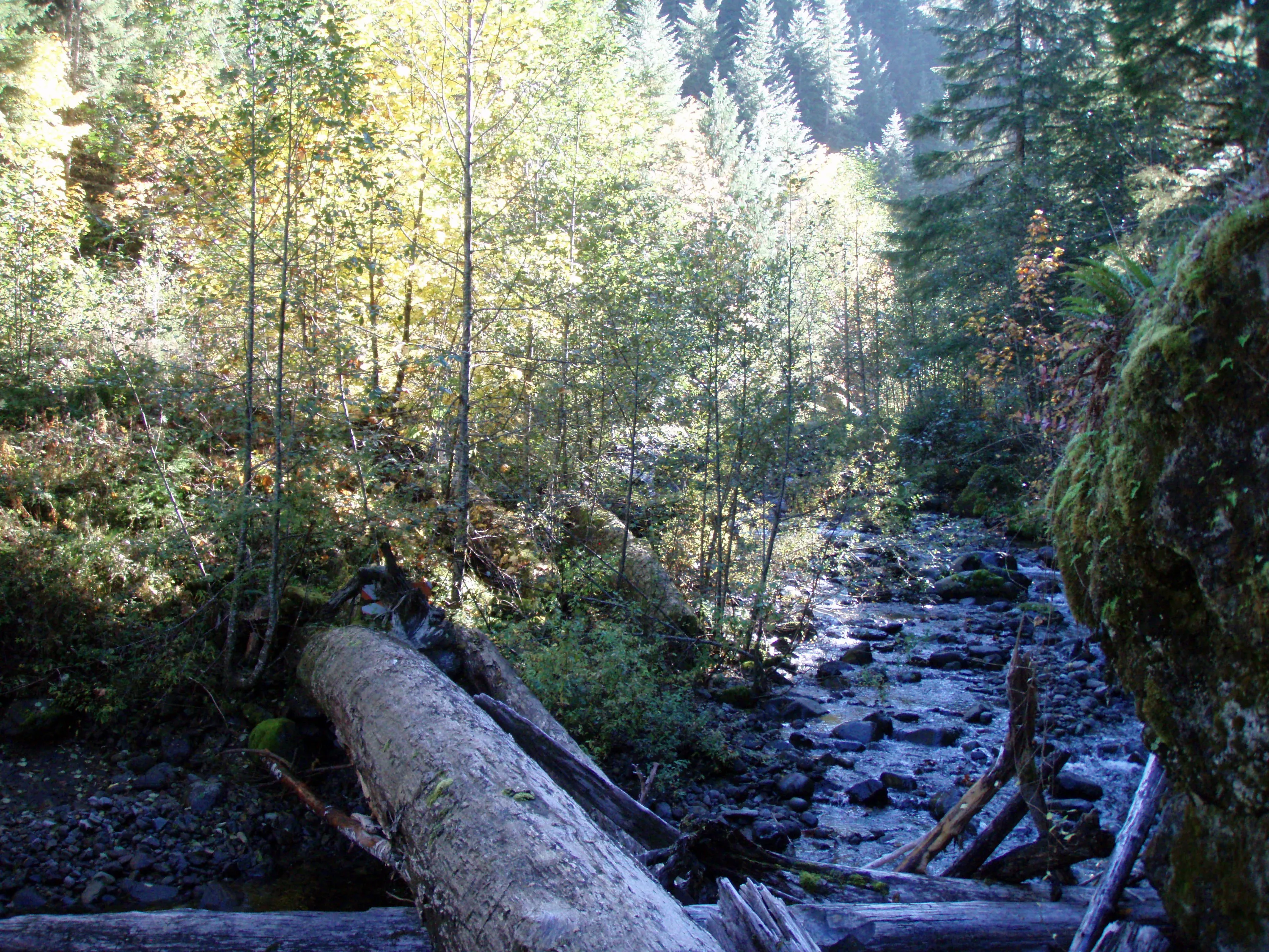
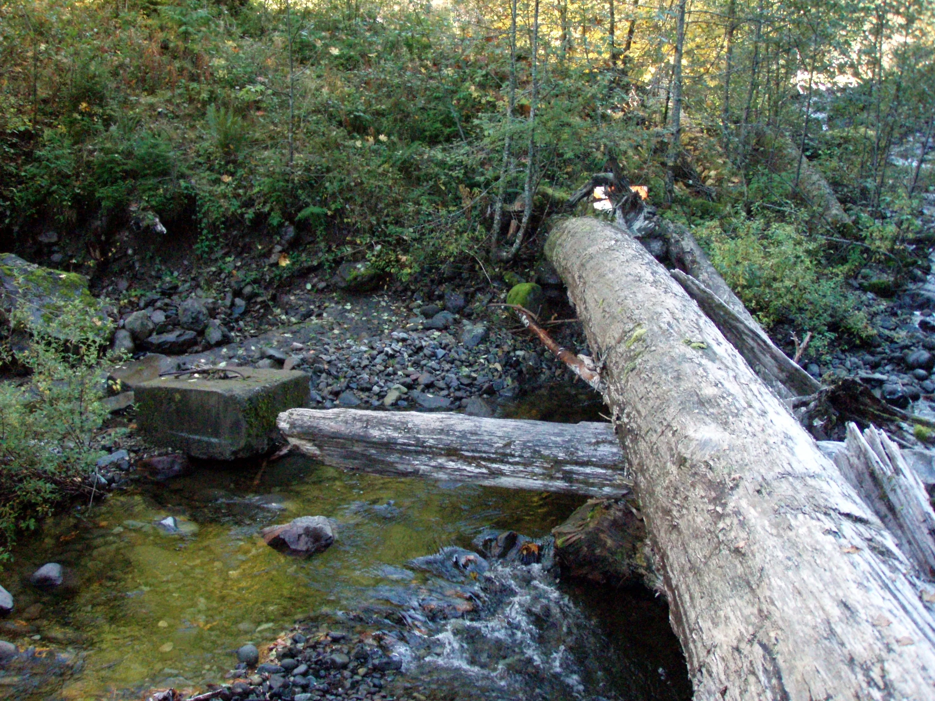
The log we crossed over the creek on - looking south down wash creek
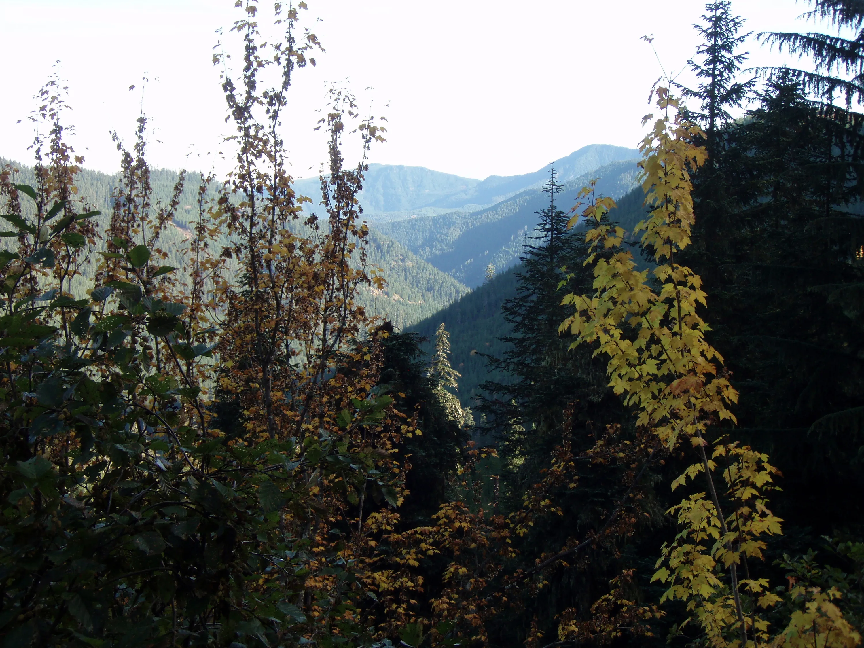
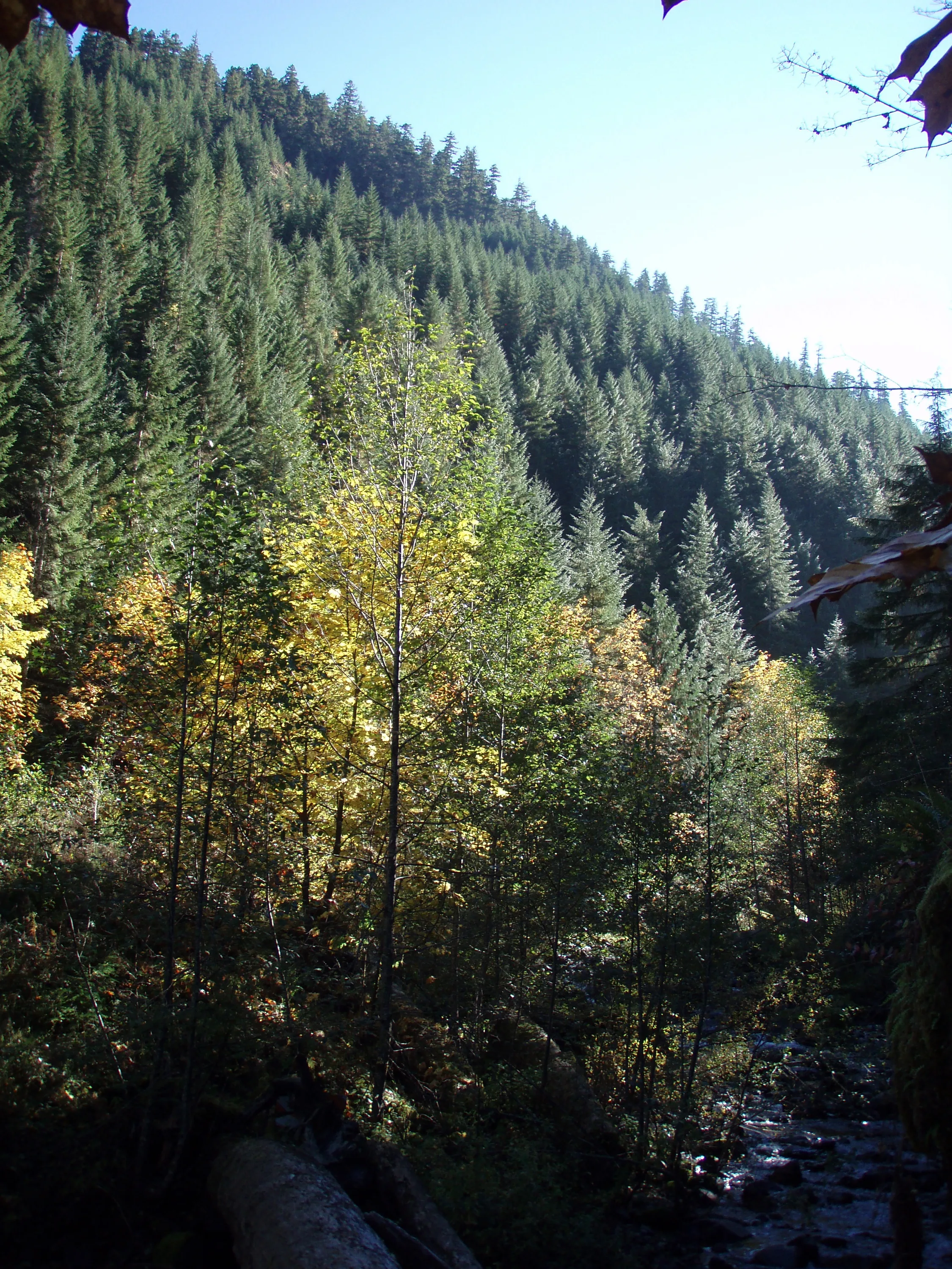
Looking south - Camelsback?
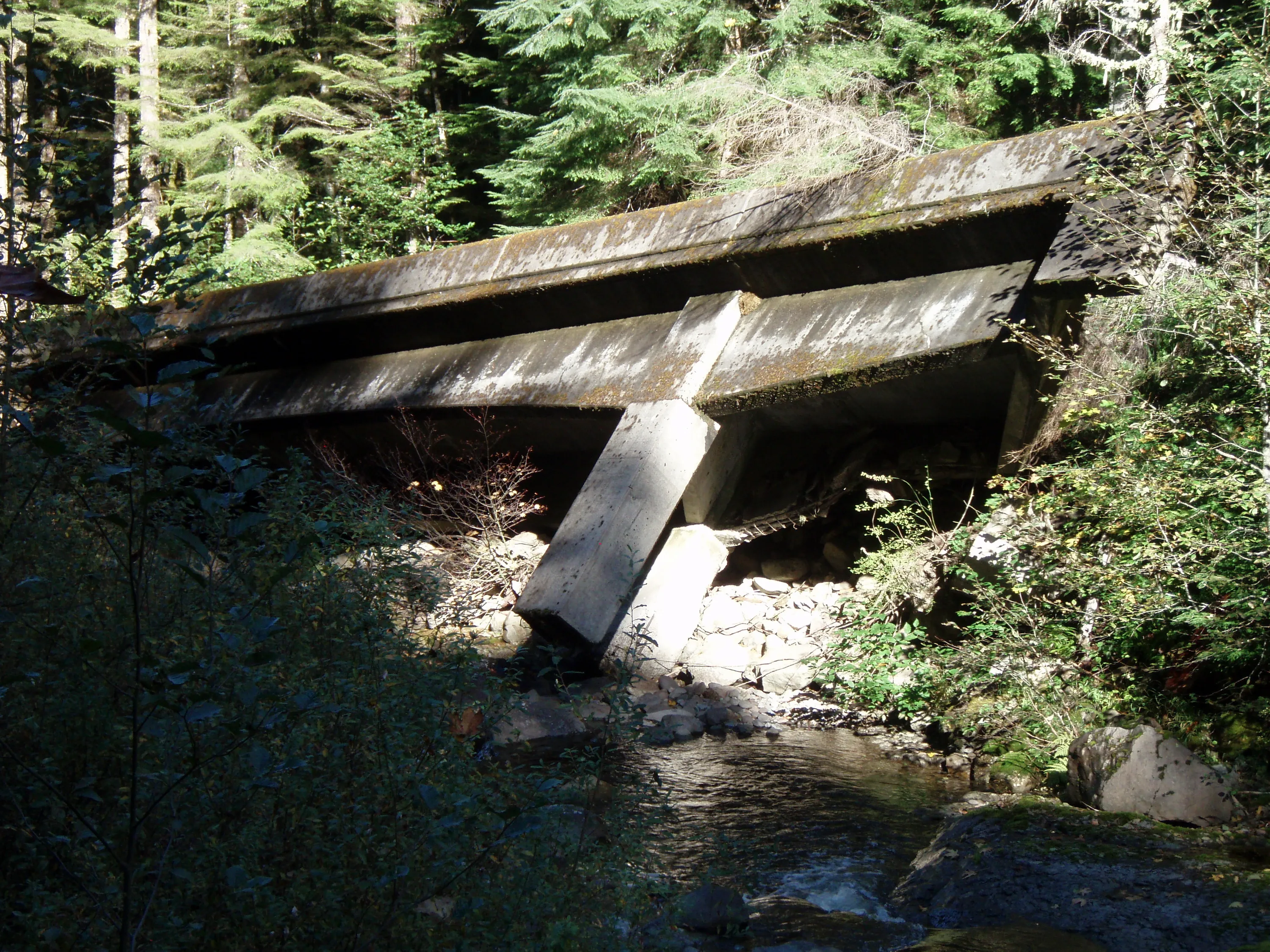
Getting closer to the bridge
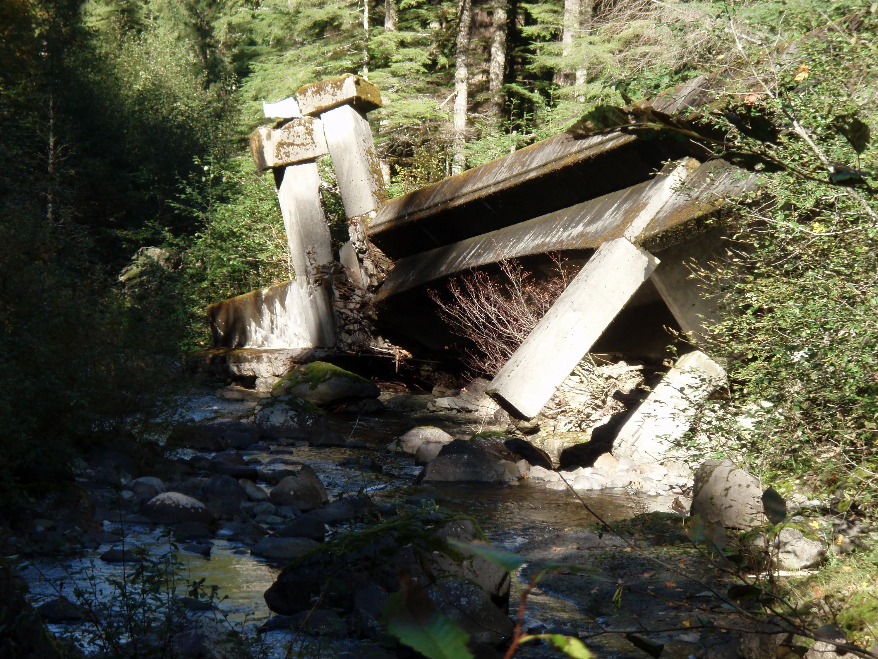
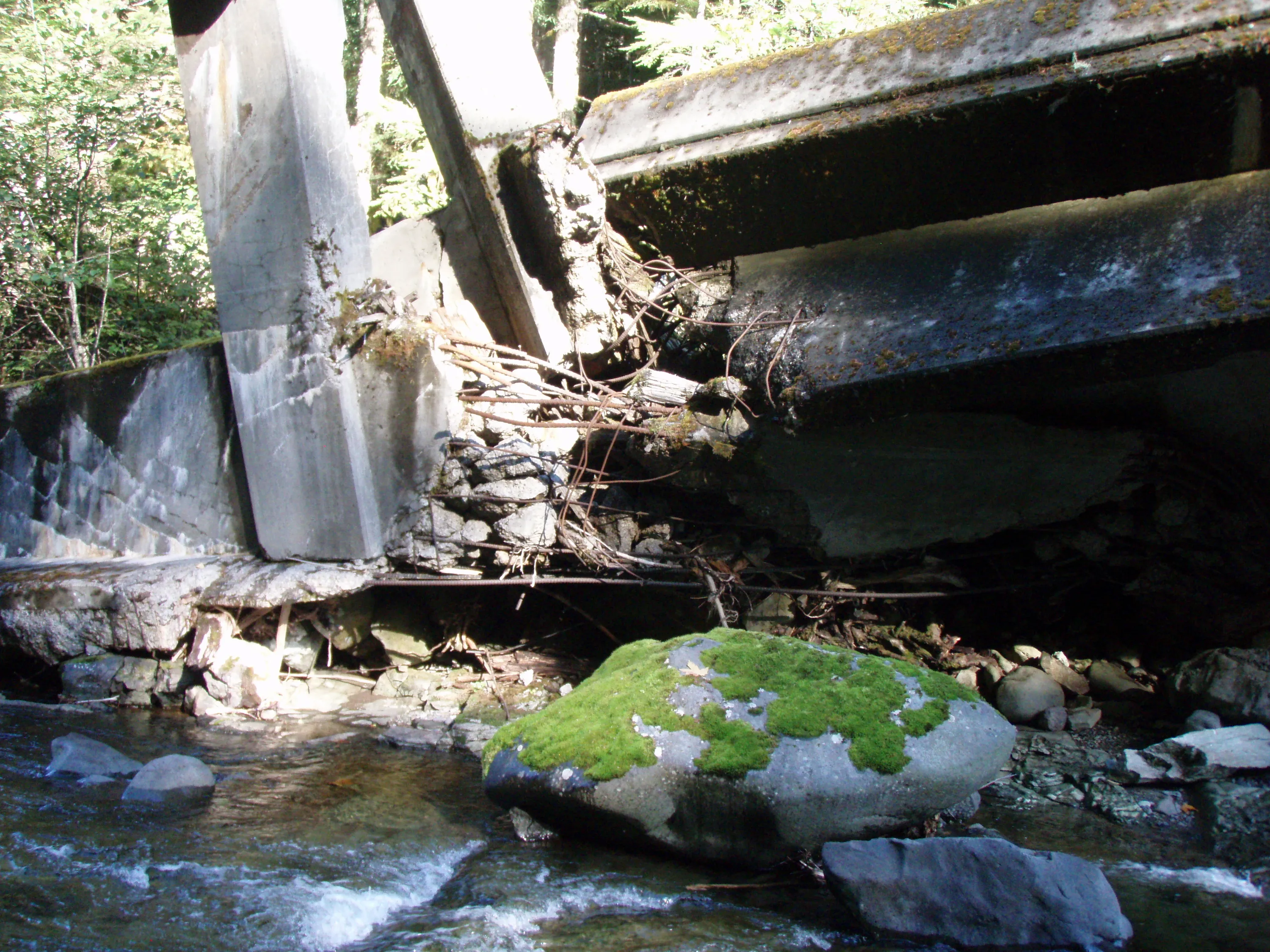
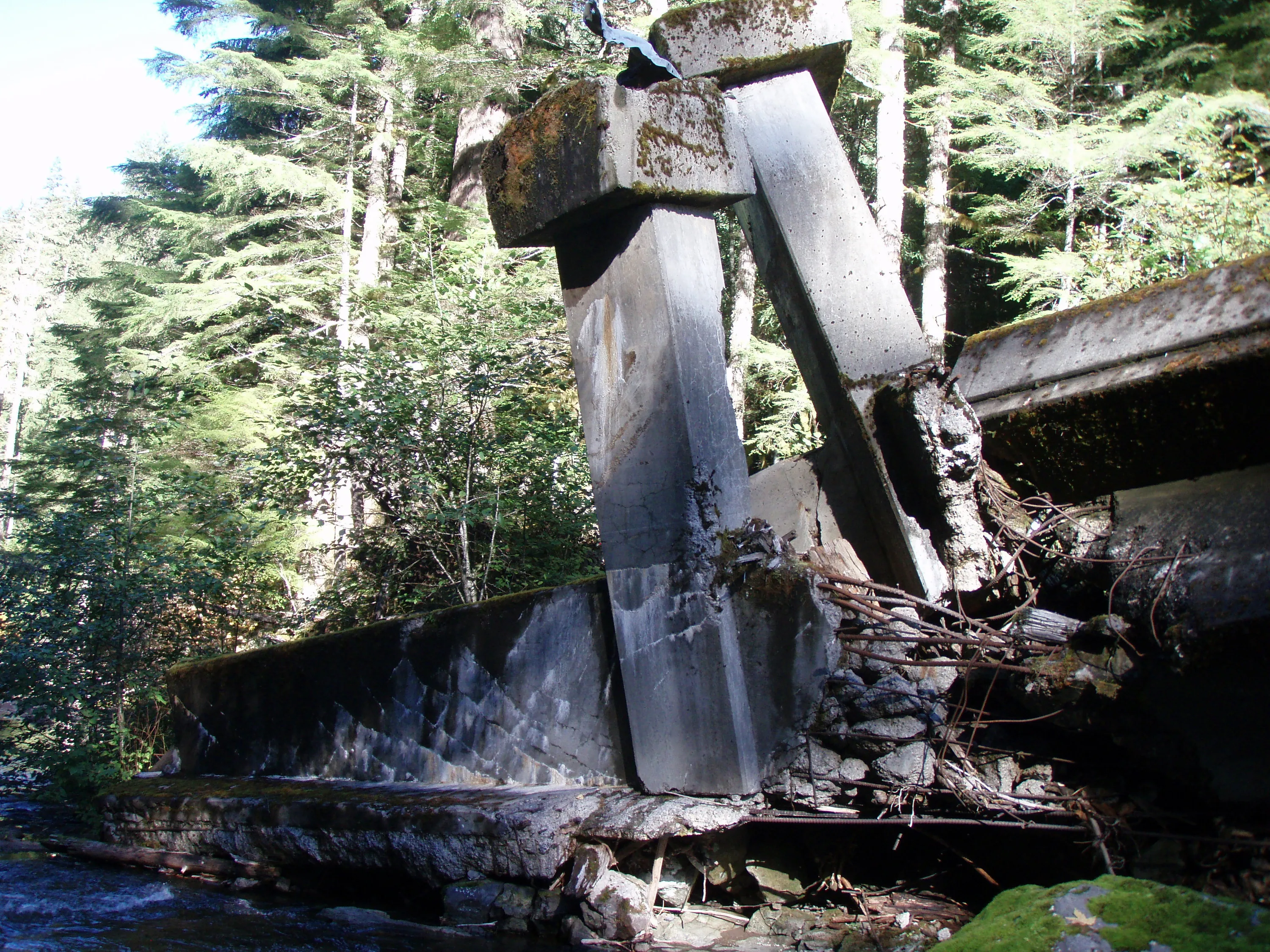
The far end is actually twisted - it is upside down - the legs that were in the creek are pointing up
This is where the bridge broke and twisted - there is lots of rebar in that concrete! Imagine how much force was required to do this!
The end section that twisted upside down
The log we crossed the creek on - yes we walked through all those alders!
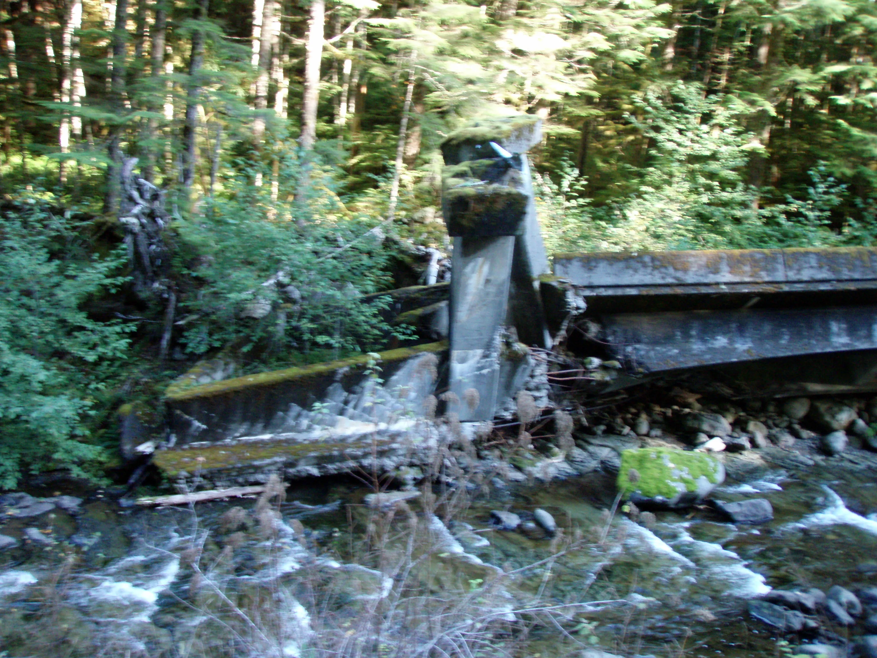
A blurry photo of the north end of the bridge - trees are growing in the underside of the bridge now!
One last look at the bridge while hiking north up the old road
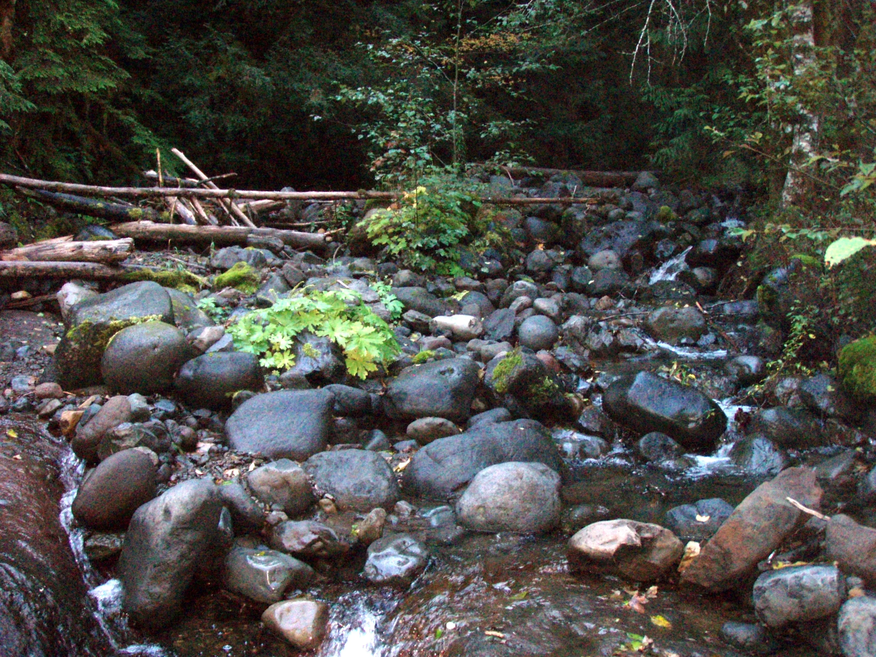
I think this is shovel creek, but I'm not sure
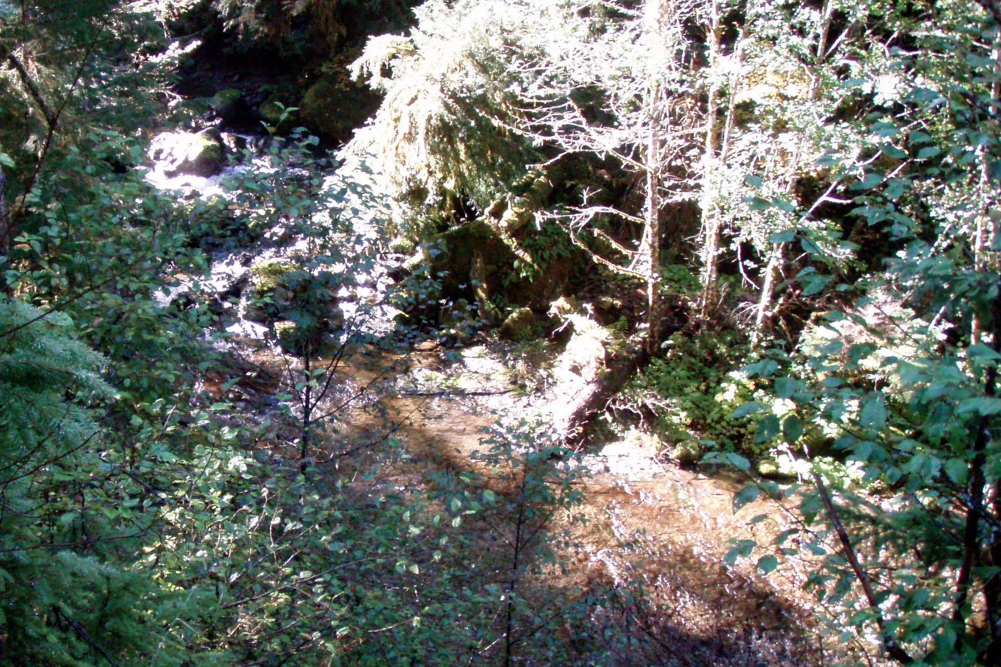
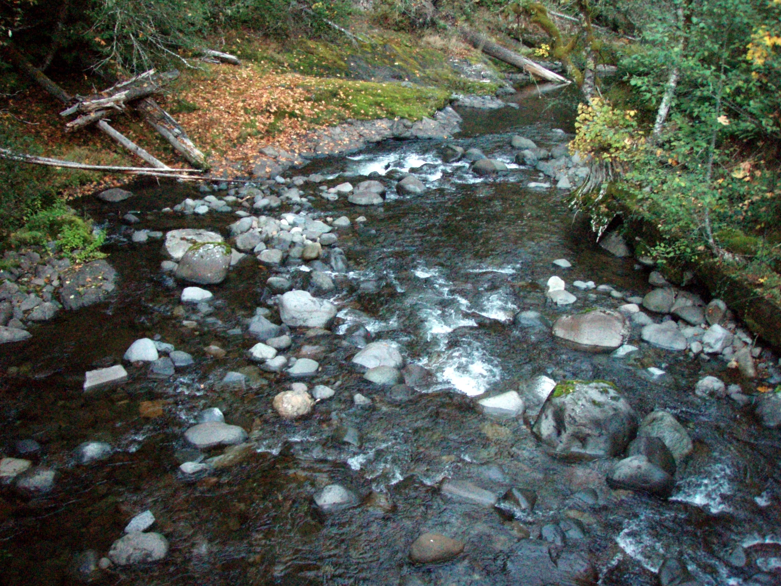
Fish creek at the bridge just past the confluence of fish and wash creeks - Looking north
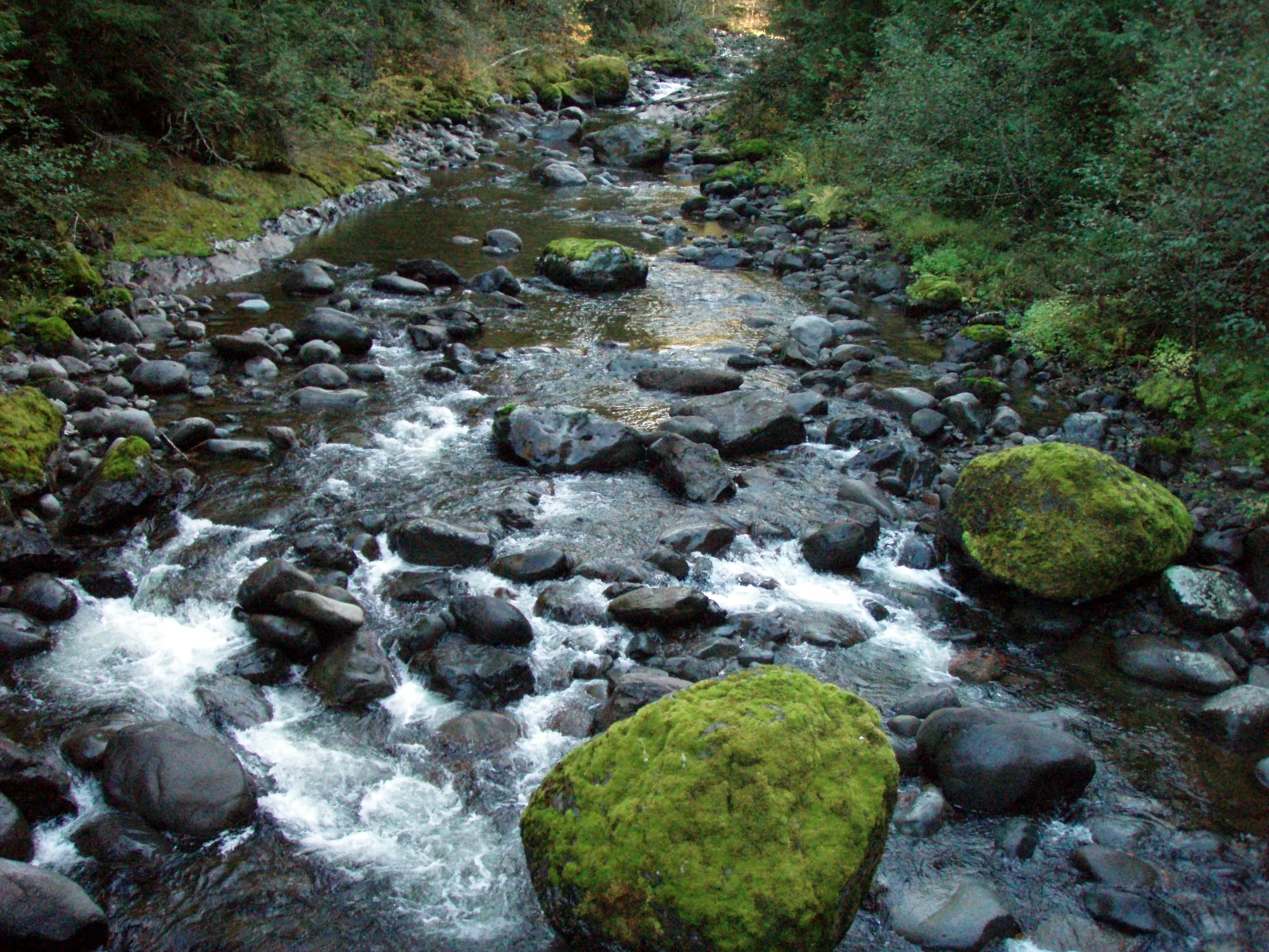
fish creek from the bridge just past the confluence - looking south.
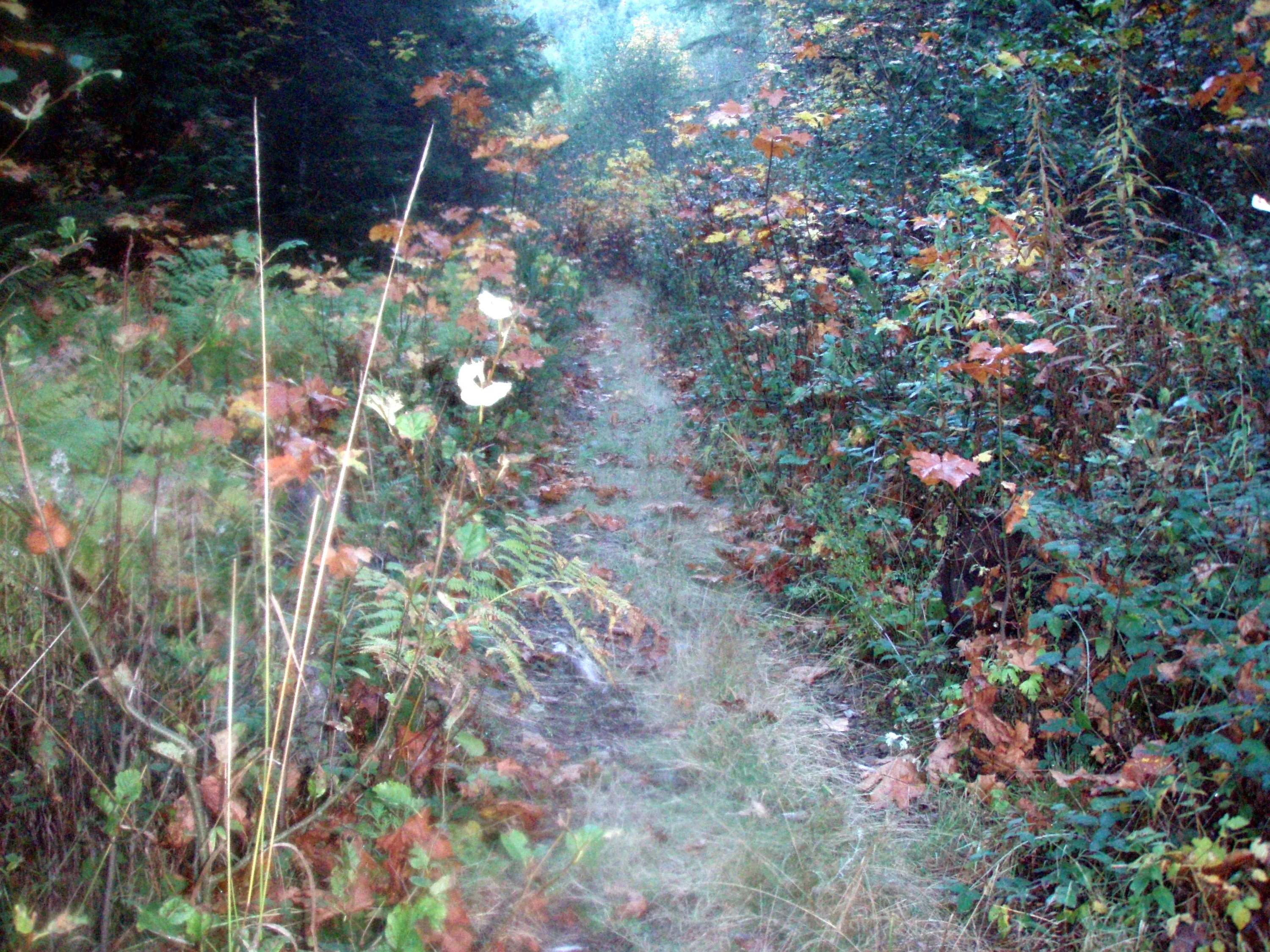
The track north of the bridge past the confluence - this is the section that the 4 wheelers were maintaining up until it was closed - you can see it is starting to get overgrown now. - It doesn't have as much traffic on it.